
Start: Garrison, ND
Brunch: Garrison/Four Seasons Restaurant
End: Valley City, ND
about 400 miles
SPC Mesoscale Discussion 1057 SPC Mesoscale Discussion 1060
SPC Mesoscale Discussion 1061 SPC Mesoscale Discussion 1062
SPC Mesoscale Discussion 1063 SPC Mesoscale Discussion 1064
00Z surface map
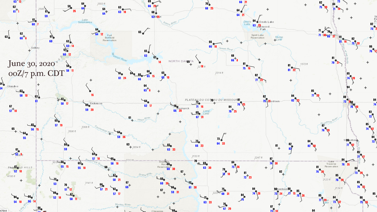
Today we were presented with a large slight risk area from the ND/MB border southward to I-80 in eastern Nebraska. Tornado prospects were not that good, though: only 2 percent. A front was forecast to push eastward into the central Dakotas to kick off some afternoon storms, with very moist air and high instability over the eastern Dakotas. But, wind shear was not very good where the good instability was. Would the middle ground work out, near Bismarck?
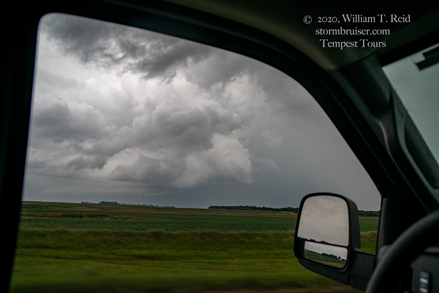
After brunch at Garrison, a late morning supercell was already in progress to our southeast. It was elevated, though, so we let it go (see the mesoscale discussion above for more details on this one!). The low levels of the atmosphere were a mess due to all of the morning convection. We hung out between about Bismarck and Linton during the afternoon. Skies finally cleared a bit, and the front was nearing. Some good-sized cumulonimbus finally went up just on the west side of the Missouri River. These headed mostly north. We went west to Bismarck to get close, and then north, and were eventually right up against a wet, linear blob that showed little organization. Yuck.
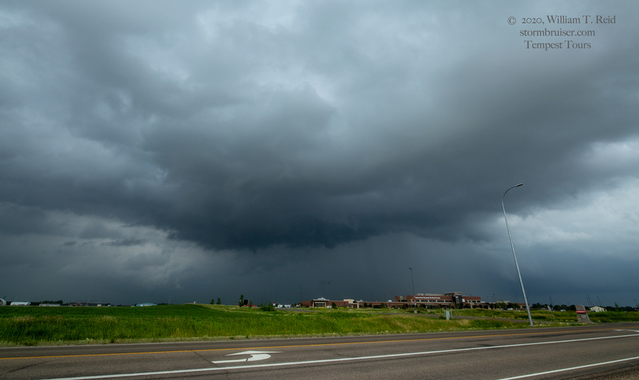
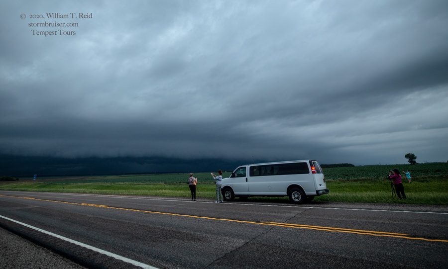
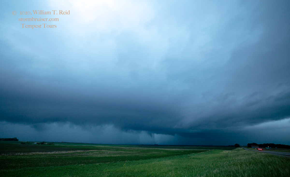
I had to try to salvage the day, so we made it back down to the Interstate and barreled eastward. We passed one cell that looked kind of okay for a bit, but then continued to the east as some decent storm tops were indicated around Aberdeen and headed north. These sputtered, but then additional storms went up near Jamestown. We came right up to one here (second photo below).
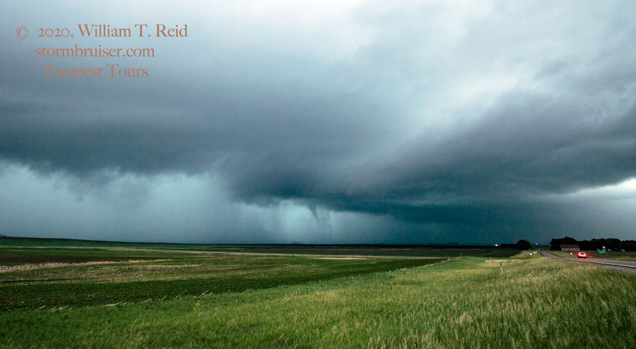
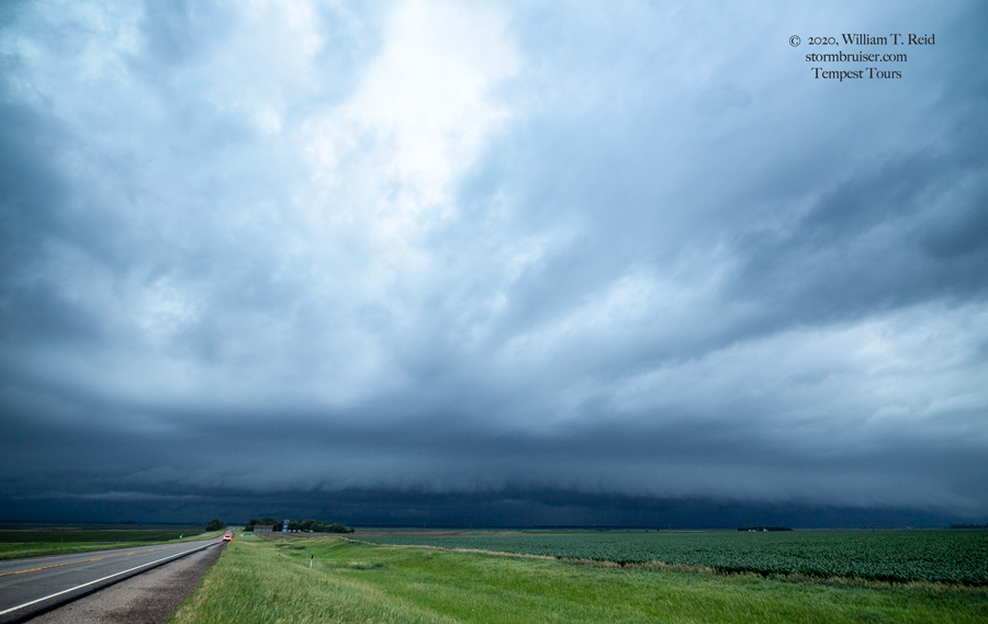
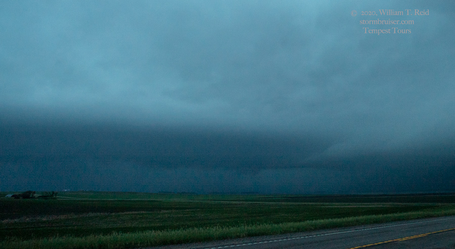
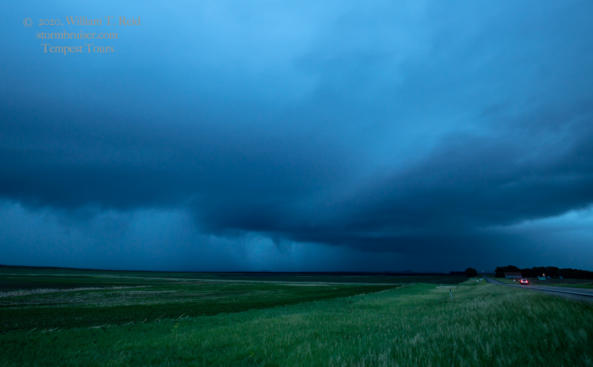
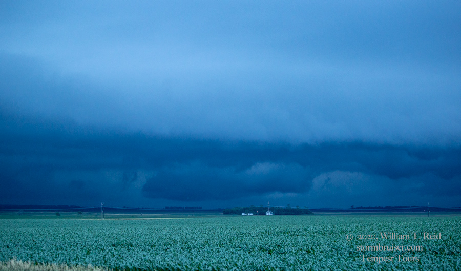
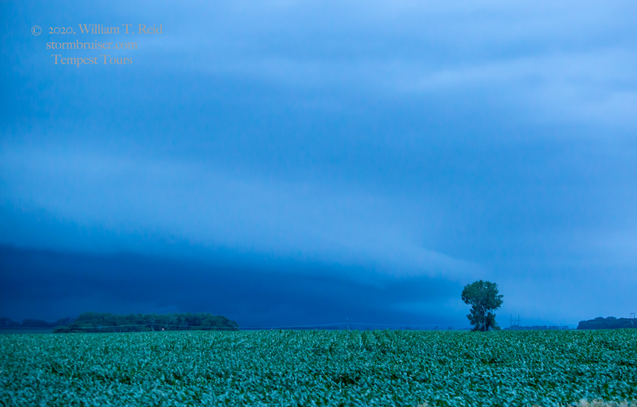
This storm was looking pretty healthy, and it was moving into a fairly good environment, to the north. We stayed with it to Courtenay and Glenfield, and had an organized base between Jamestown and Courtenay (first image above). Unfortunately, shear here was just not good enough to allow strong and long-lasting cells. We went through a bunch of rain nonsense and wound up in front of most of the activity along 200, near Cooperstown. About 15-20 minutes into a stop just east of Cooperstown, a rather linear base to our southwest was showing a lowering, and then a decent funnel cloud! The funnel persisted for a minute or two, may have been a weak tornado briefly, and was then engulfed in heavy rain. Well, I will take it, whatever it was! The storm was very linear and non-severe otherwise.


Leave a Reply
You must be logged in to post a comment.