
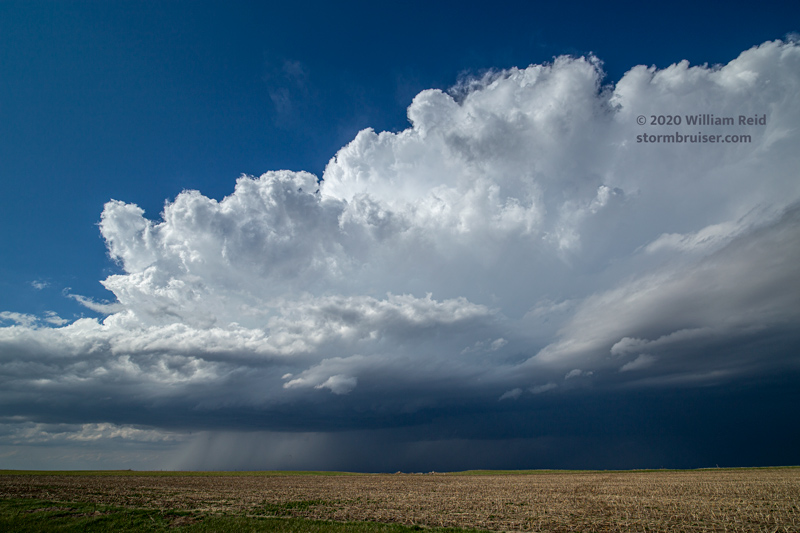
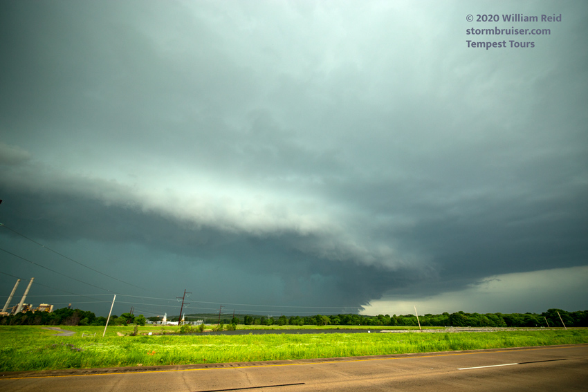
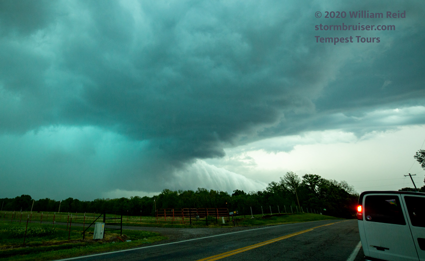
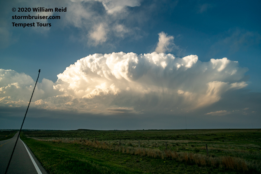
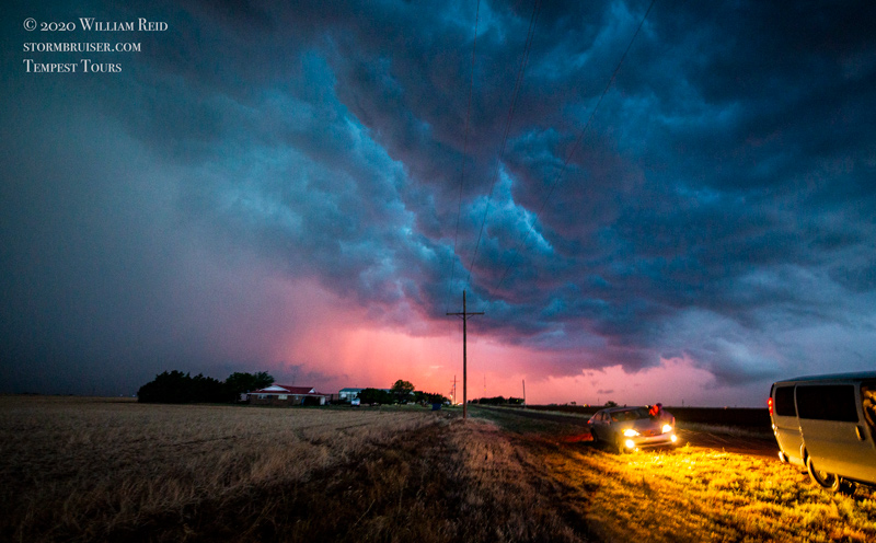
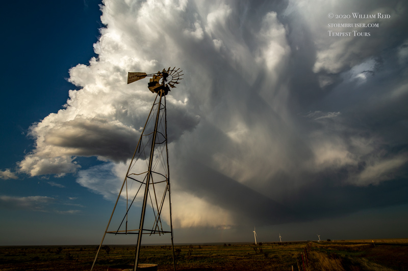
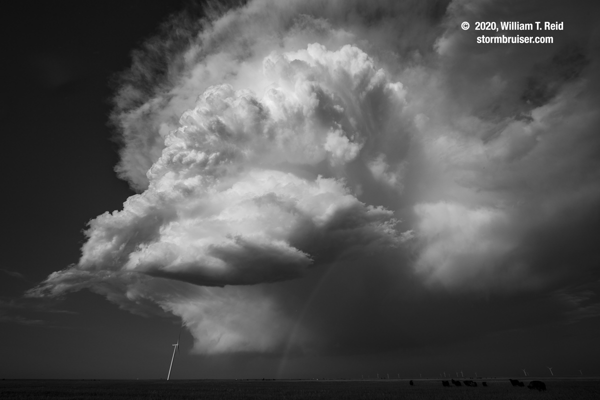
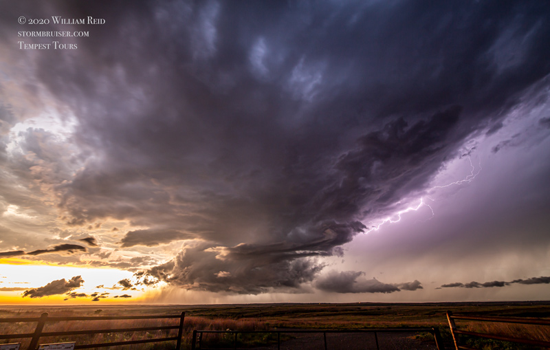
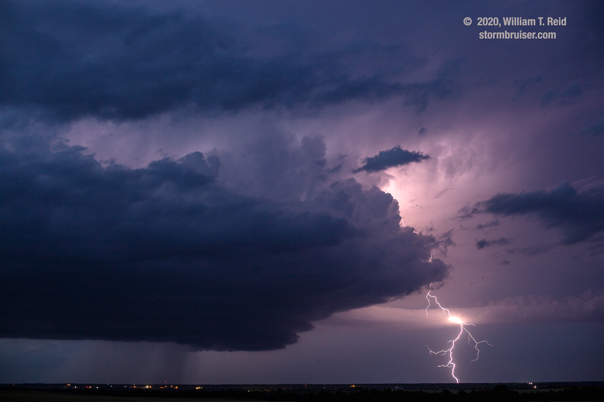
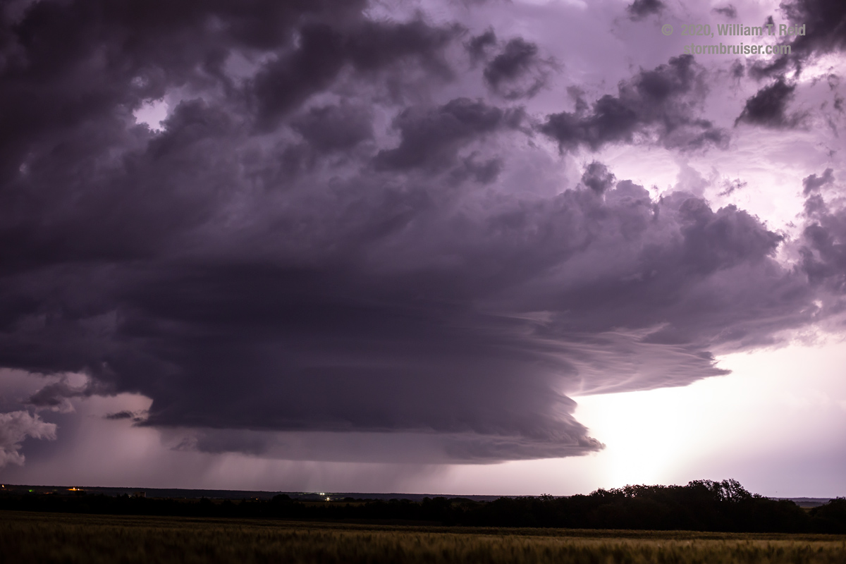
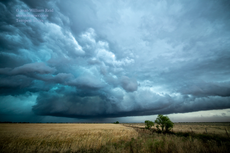
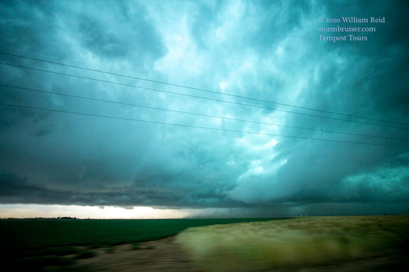
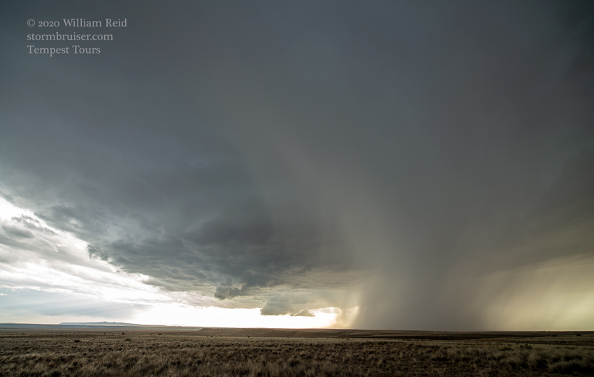
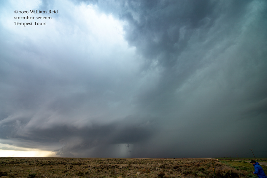
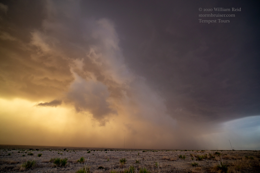
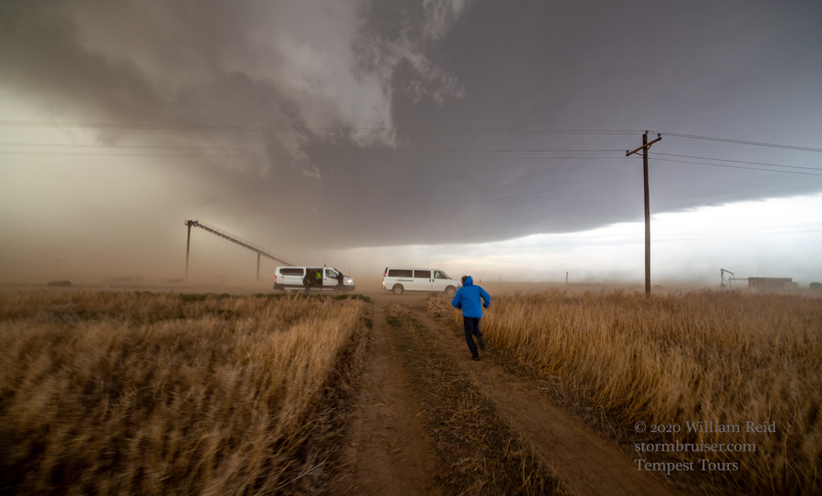
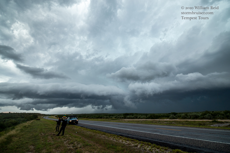
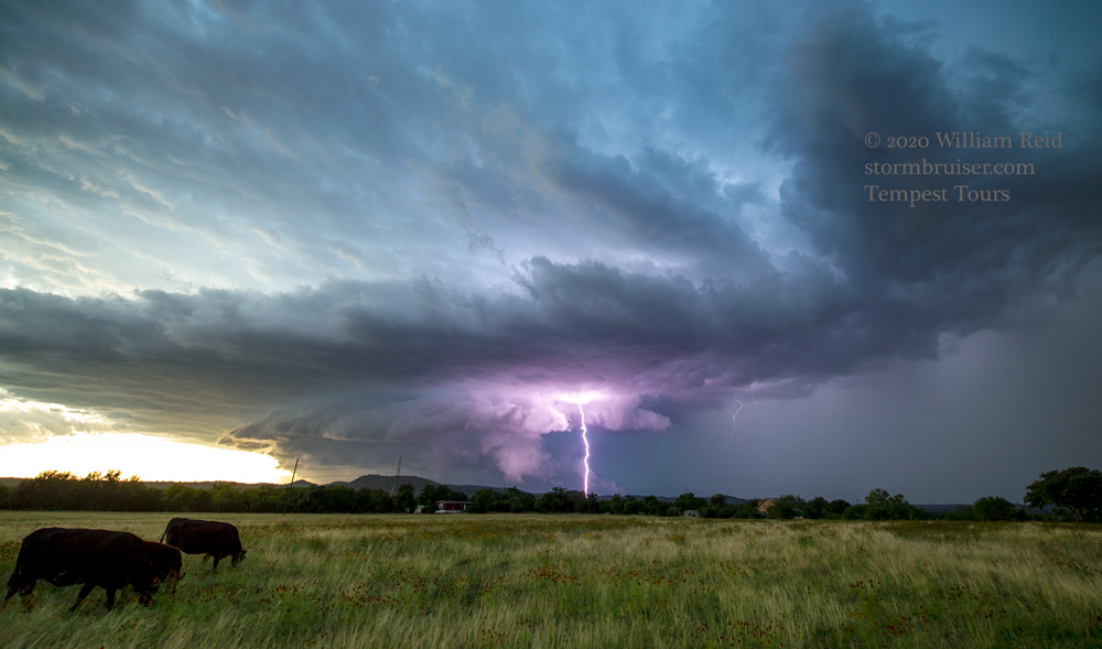
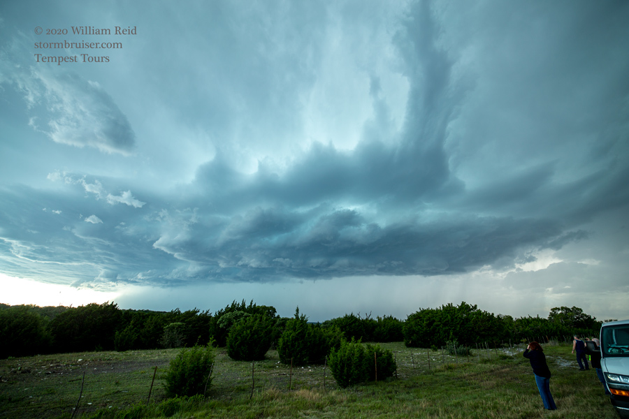
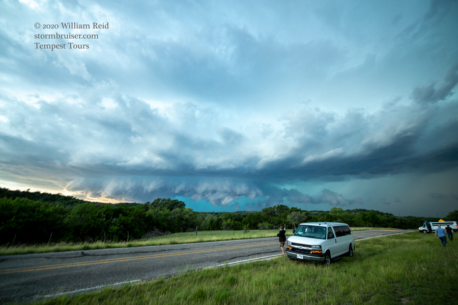
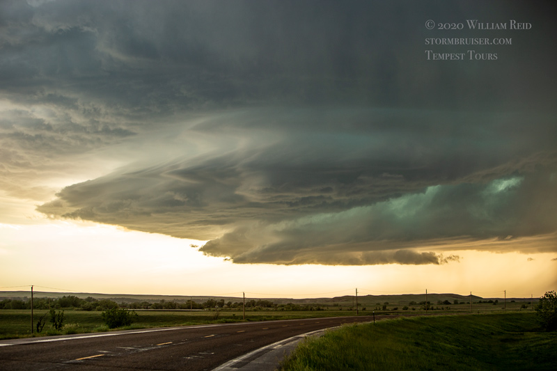
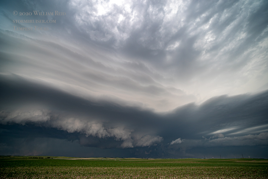
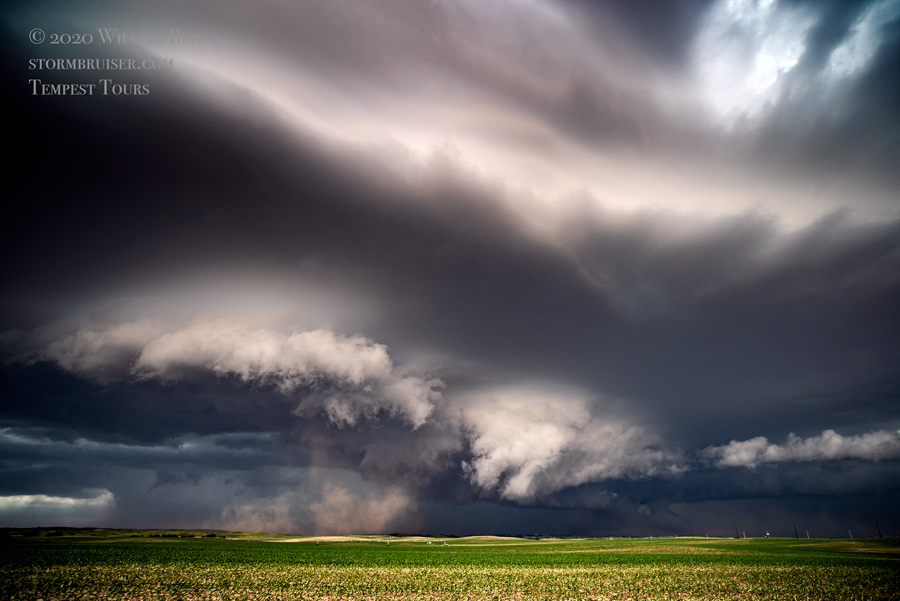
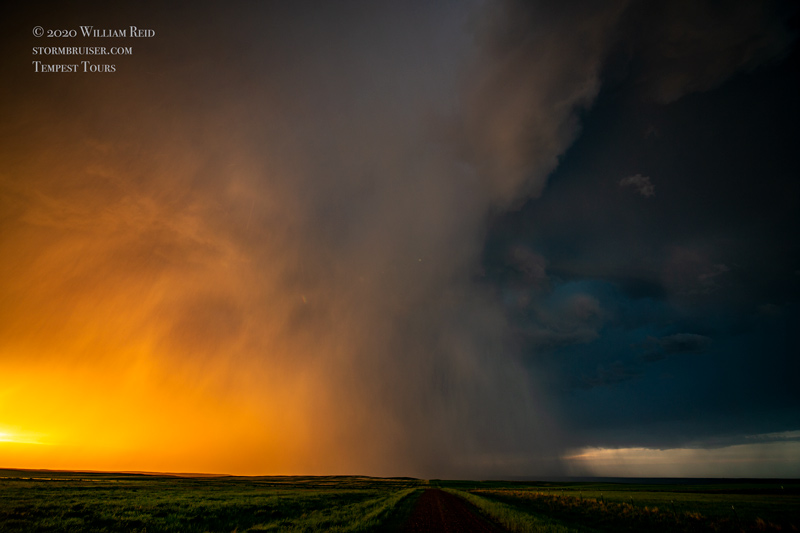
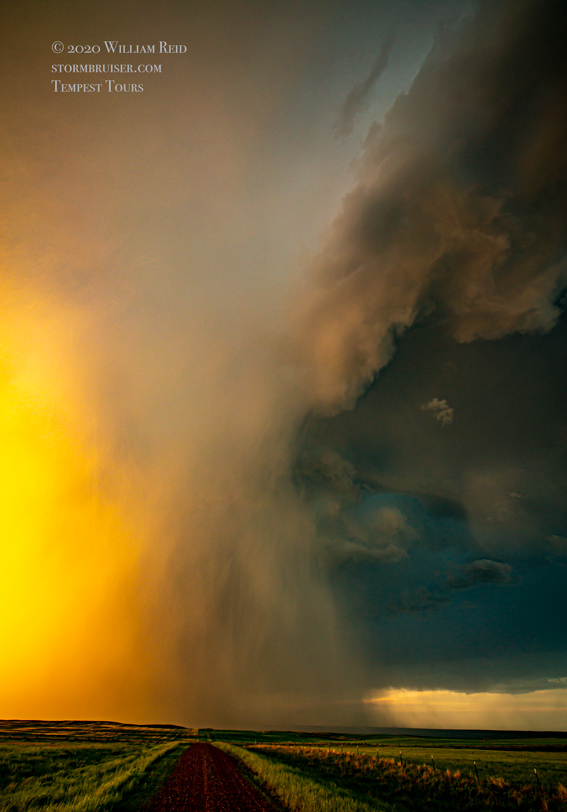
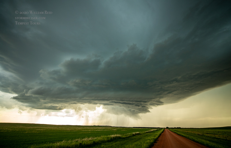
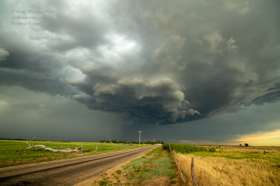
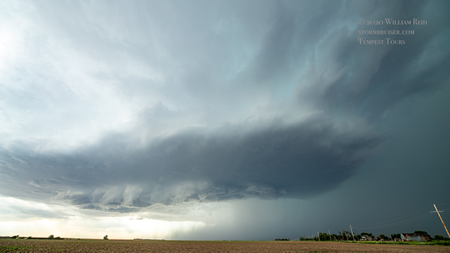
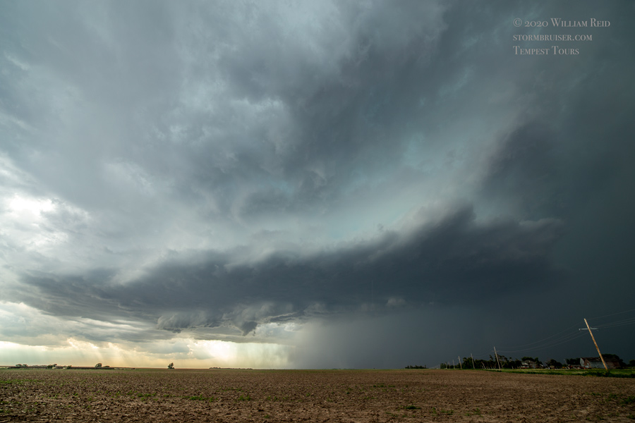
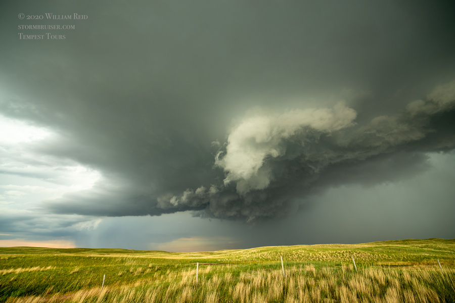
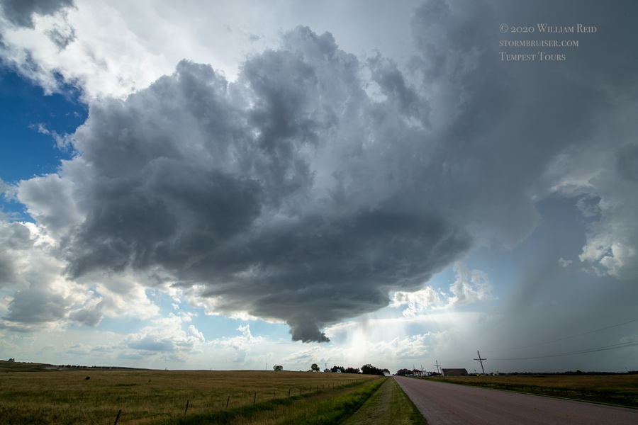
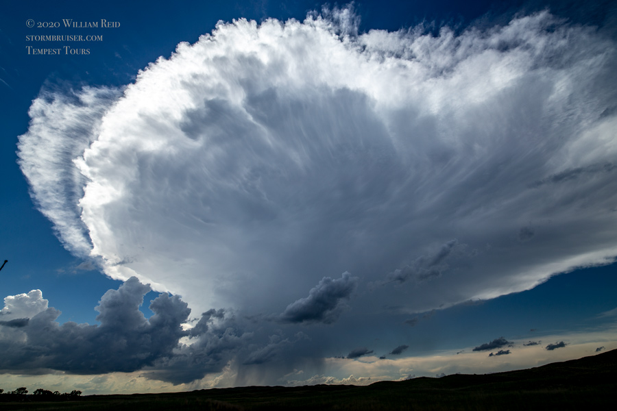
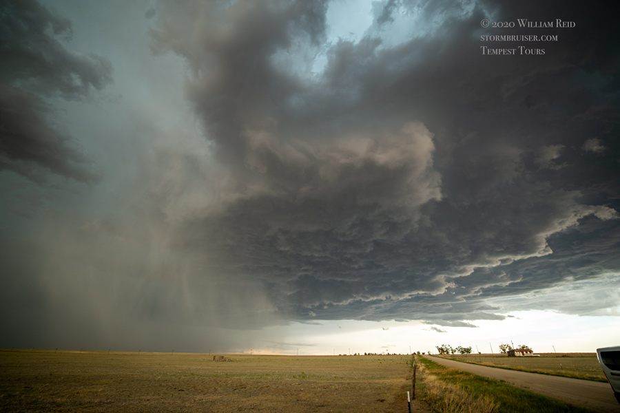
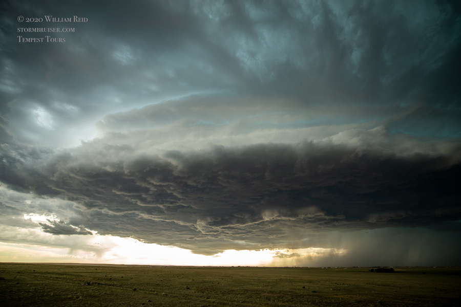
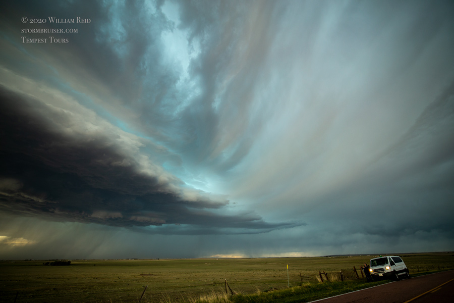
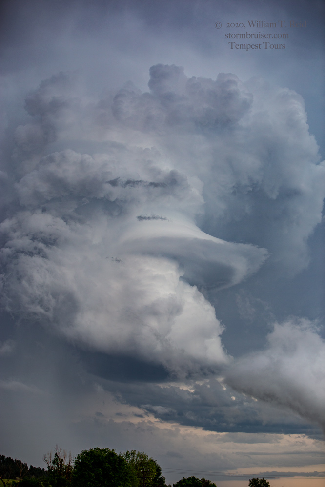
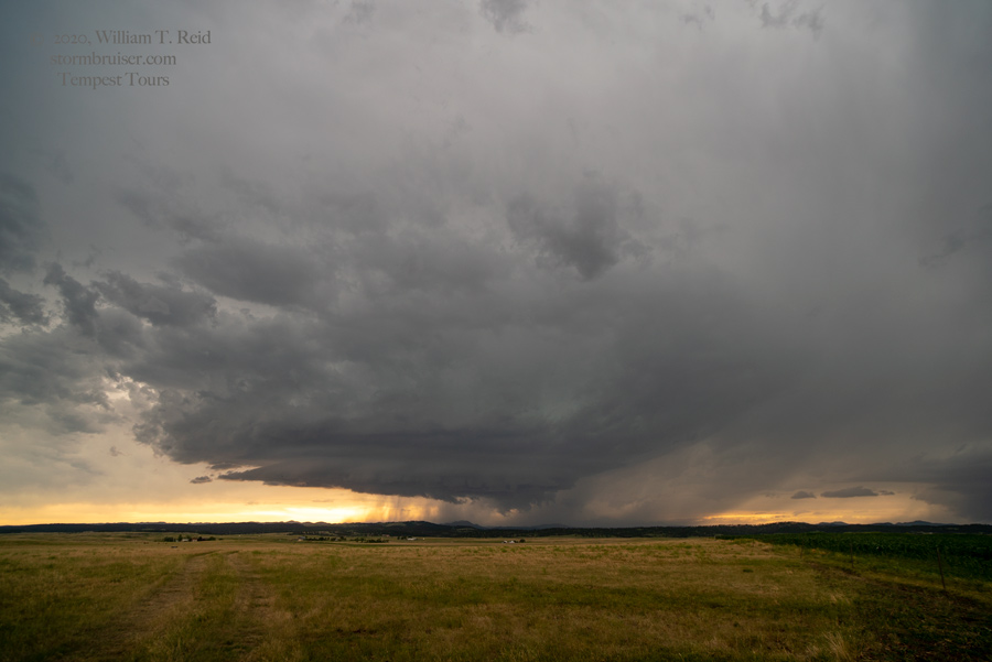
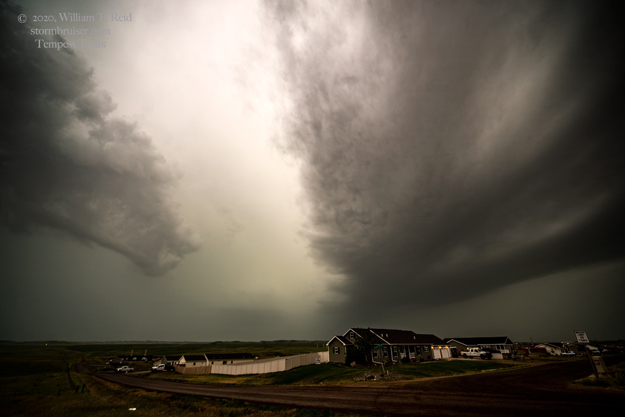
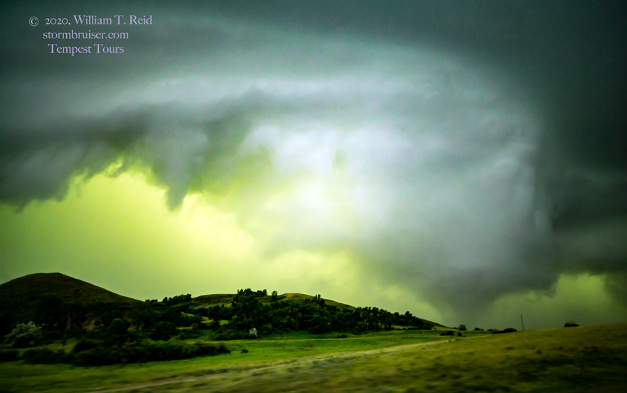
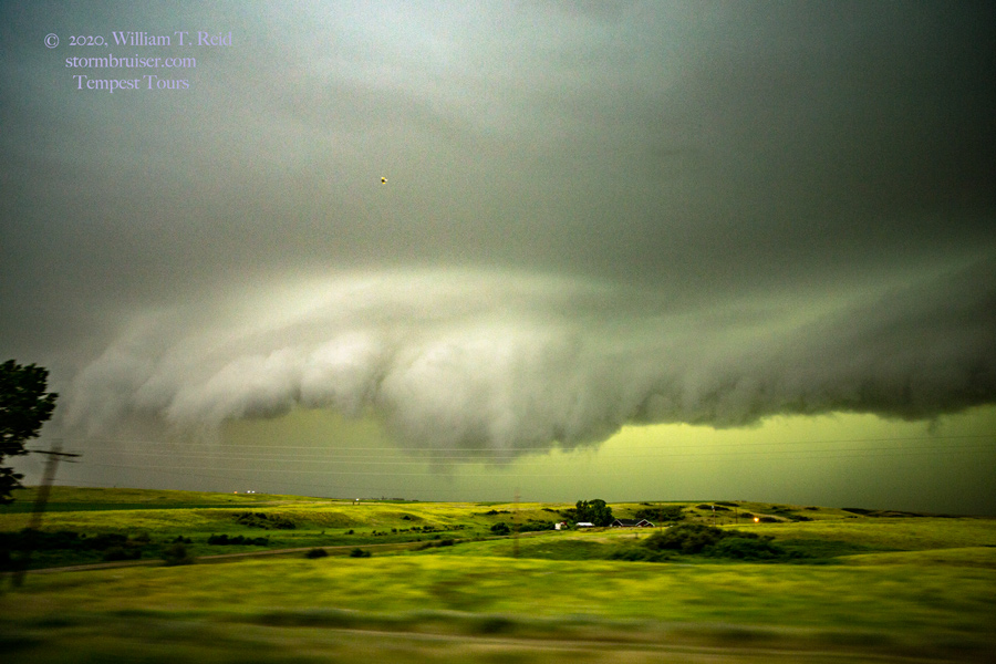
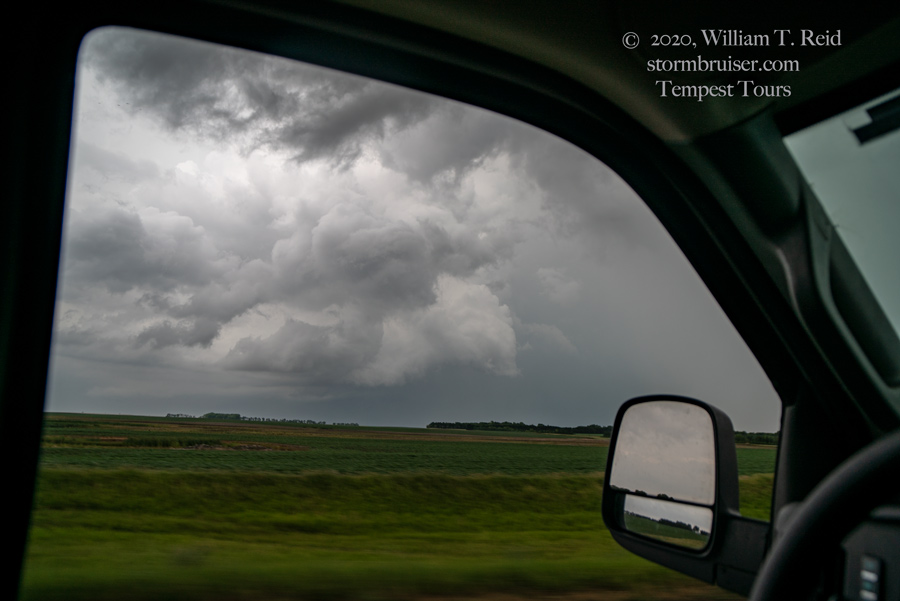
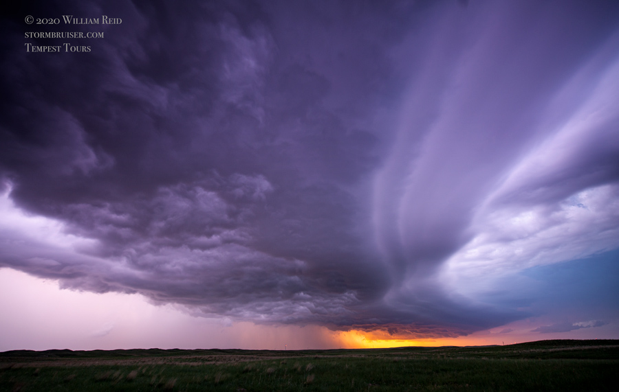
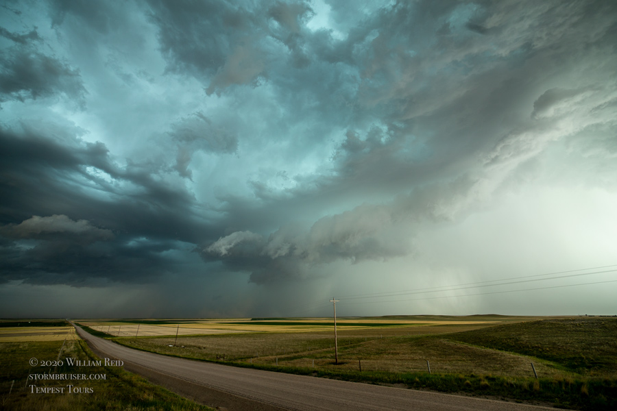
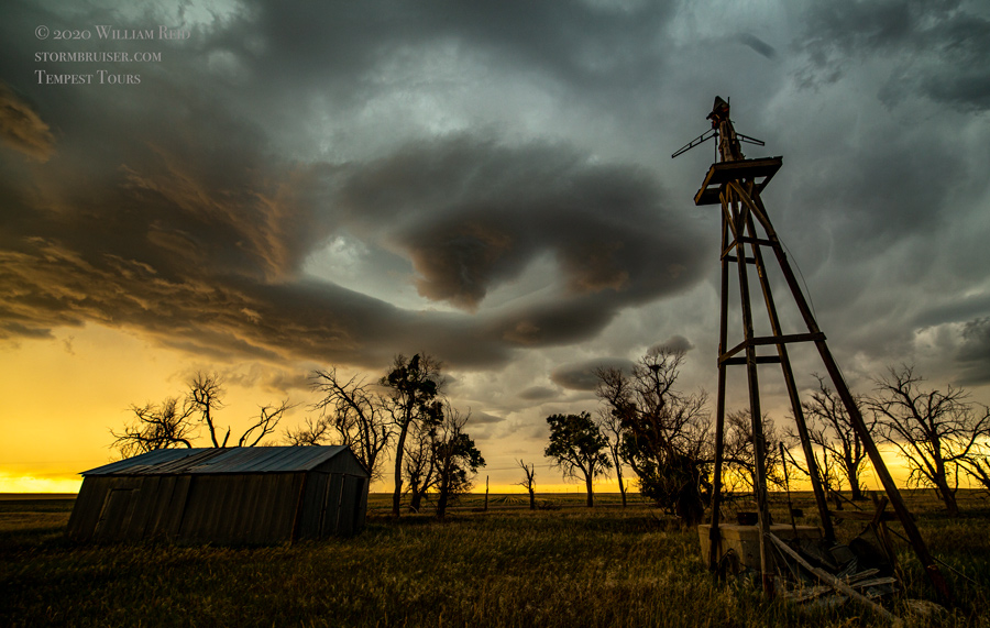
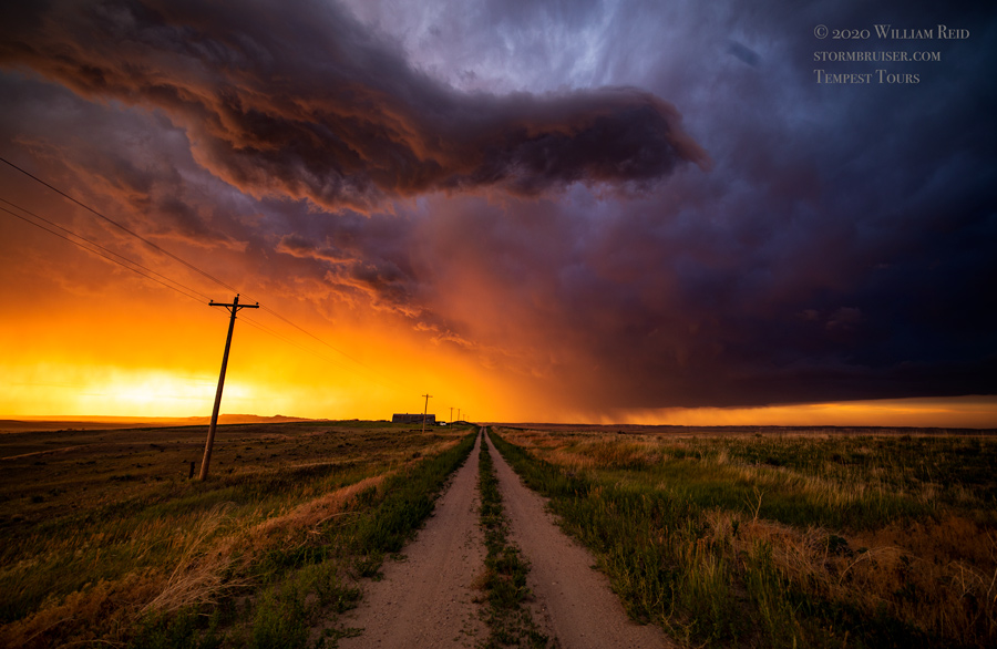
The chase season for spring 2020 started off okay, as a handful of chase days in April had forecastable and chase-able tornadoes on the Plains. There were also a few good tornado days in July, especially in Minnesota. In between these two timeframes is when I was in chase mode as tour director for Tempest Tours. And it was during May and June that the weather pattern on the Great Plains was decidedly in NO TORNADO mode. Sure, there were the usual weak and brief and/or unexpected tornadoes which most chasers missed. And there were tornadoes outside of Tornado Alley, such as in Illinois and Louisiana. But if the atmosphere had a reason not to produce a long-lived and photogenic tornado on the Plains in May and June, then it made sure that no tornado was forthcoming. Nice and deep western troughs with a cranking surface low somewhere between Hobbs and Rapid City were just not happening. There was reasonable shear for rotating storms on more days than not, but low-level moisture was inadequate day-after-day. Well, it was inadequate for tornadoes. Fortunately, the pattern was active enough to permit plenty of severe-weather days on the Great Plains. We were not shut down for days and days at a time due to cold fronts to the Gulf of Mexico. There was a period (or two) in May, I think, when a surface low seemed to be stuck in or around Florida or the Carolinas, and the Gulf moisture was directed away from the Plains and towards that feature. In 2019, we were dealing with plenty of moisture and rain and even flooded roads. 2020 was just one of those springs with a generally BLAH weather pattern, if one was hoping for tornadoes on the Great Plains.
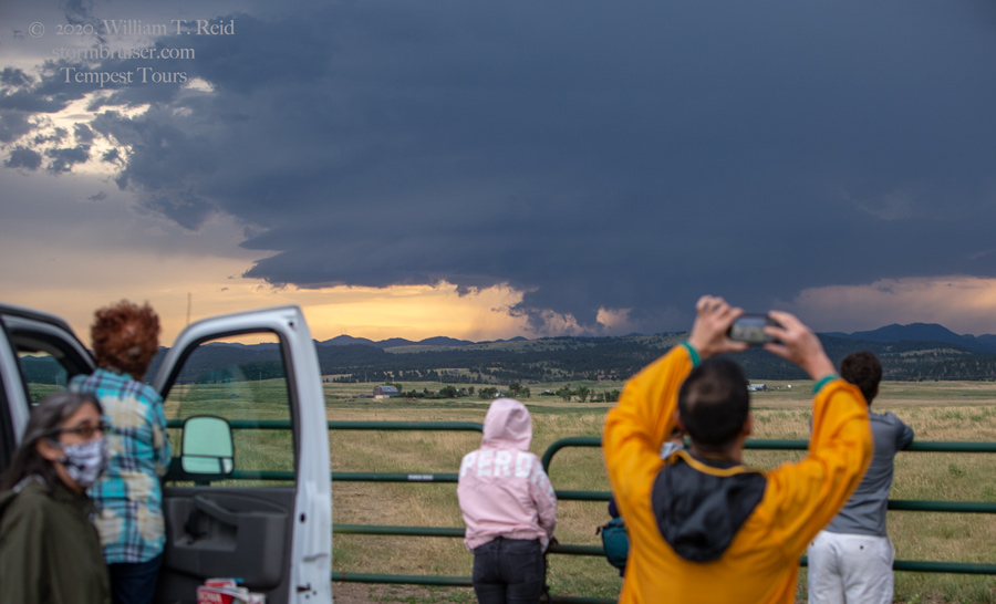
In addition, the country and the world were dealing with a COVID-19 pandemic. Gas prices on the Plains were very low, under $2.00/gallon for the most part. It was more difficult than normal to find good meals for the tour group, even when we were not pressed for time. Most hotels did not offer their usual morning breakfasts. Many fast-food places did not permit indoor dining. Many restaurants were just not permitted to operate. Fortunately, most Plains states were not quite as restrictive on the restaurant regulations compared to other regions. For myself, as tour director, getting rooms for the tour was much easier than normal. Most motels and hotels were next-to-empty during May and June. Yes, some hotels were closed due to COVID, but these were generally in places where there was plenty of availability. Our tours ran more-or-less normally despite the pandemic. None of the guides or guests were sick or became sick during the tours, as far as I know.
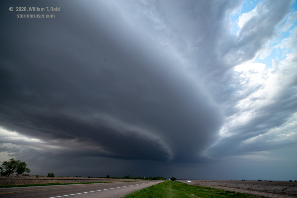
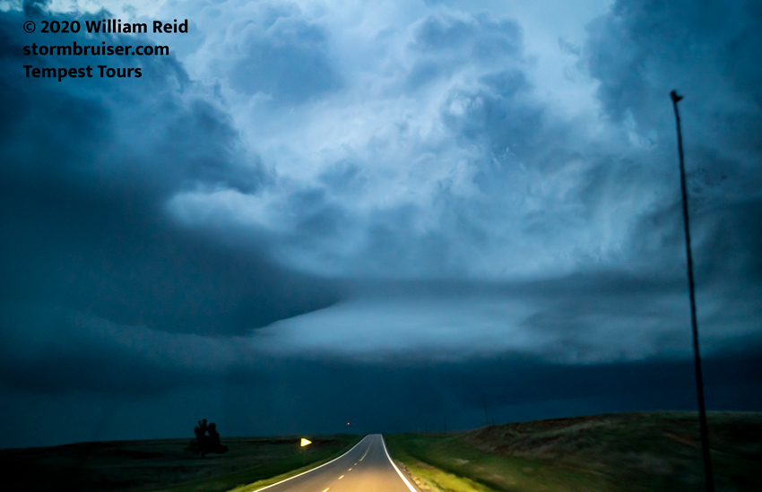
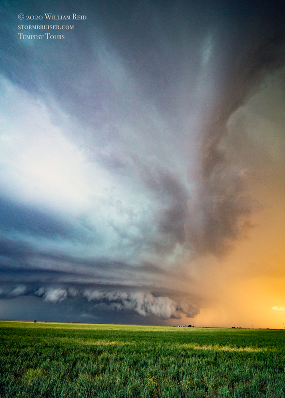
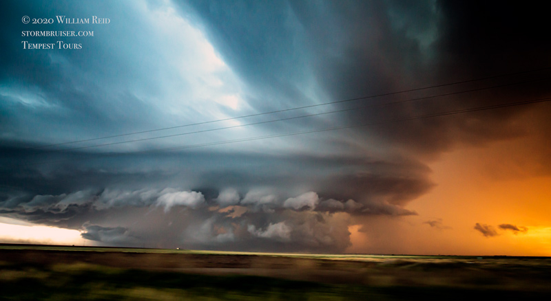
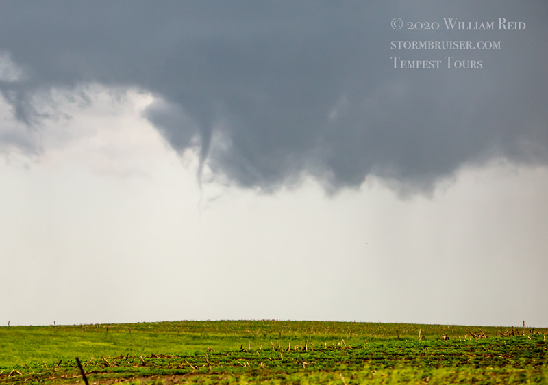
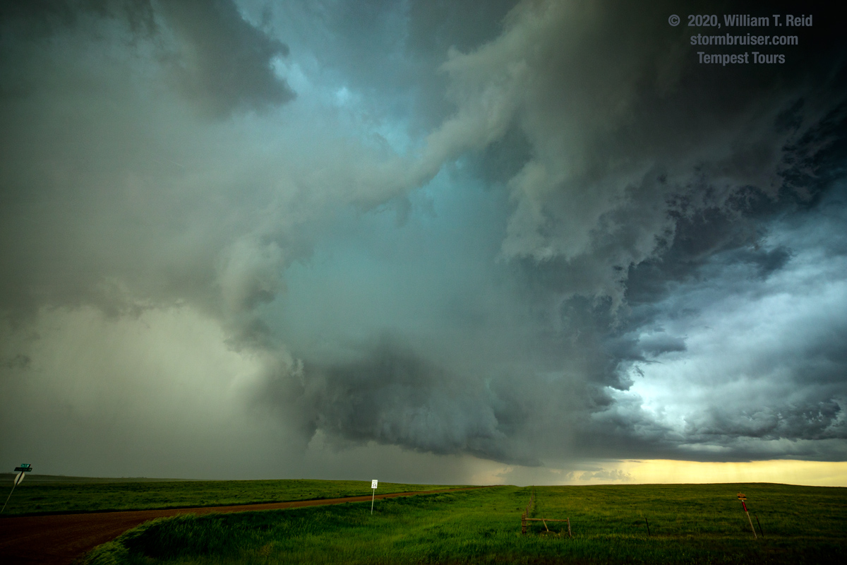
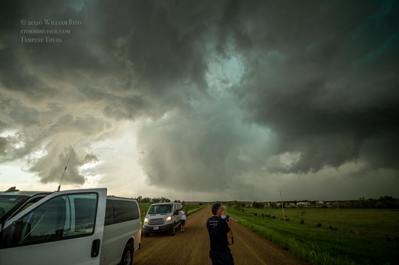
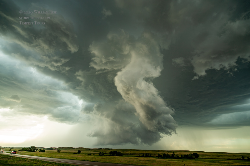
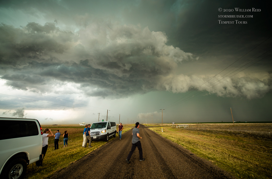
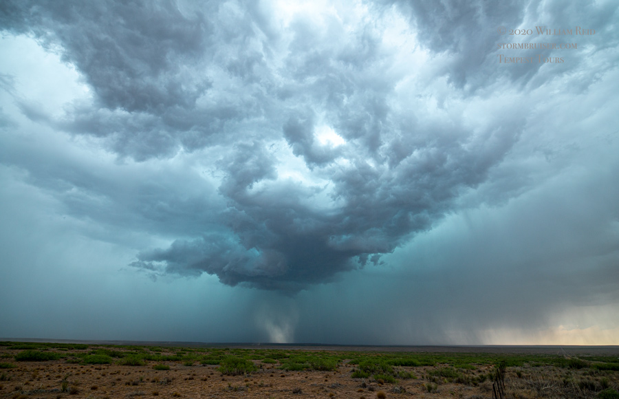
I did not get even ONE decent tornado photograph during the chase tours! And that is because there were no tornadoes to turn my camera towards. There were about a half dozen days on which we were on storms which produced funnel clouds and/or a possible tornado or two and/or a weak and brief tornado. I think that the Storm Prediction Center issued a record LOW number of tornado watches on the Great Plains this year, and many Great Plains states recorded all-time record low numbers of tornadoes.
My chase forecasting and decision-making this year were pretty good — I give myself a B-plus. Yes, there were a few days on which I wound up in the wrong spot and was not on the right storm, but perfection for an entire two-month period is not going to happen.
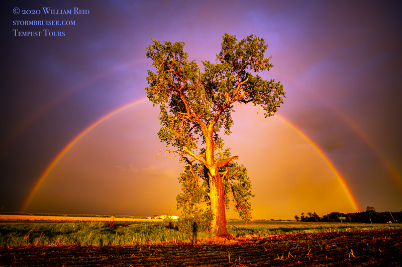
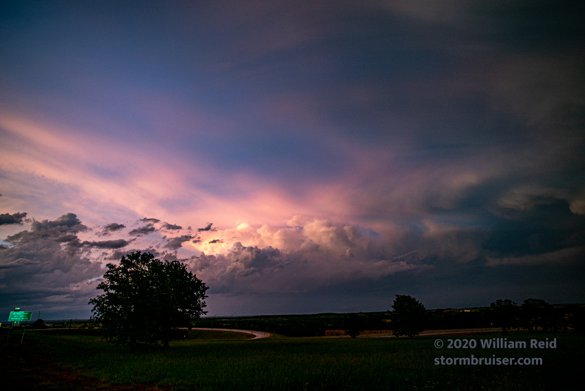
So, instead of showing a nice tornado or a supercell at the top of the 2020 chase season summary page, I provide a pretty tree and a double rainbow in Nebraska. We can be thankful for the little things, and for staying safe and healthy during 2020.
Click on the dates shown below for detailed chase accounts and additional images.
Other Annual Chase Summary Links are HERE.
May 2 A long drive to the Palmer Divide for Mediocrity (one picture is NOT ENOUGH)
May 3 So-So Supercell near Lake McConaughy
May 4 Some Severe in the trees of northeast Oklahoma
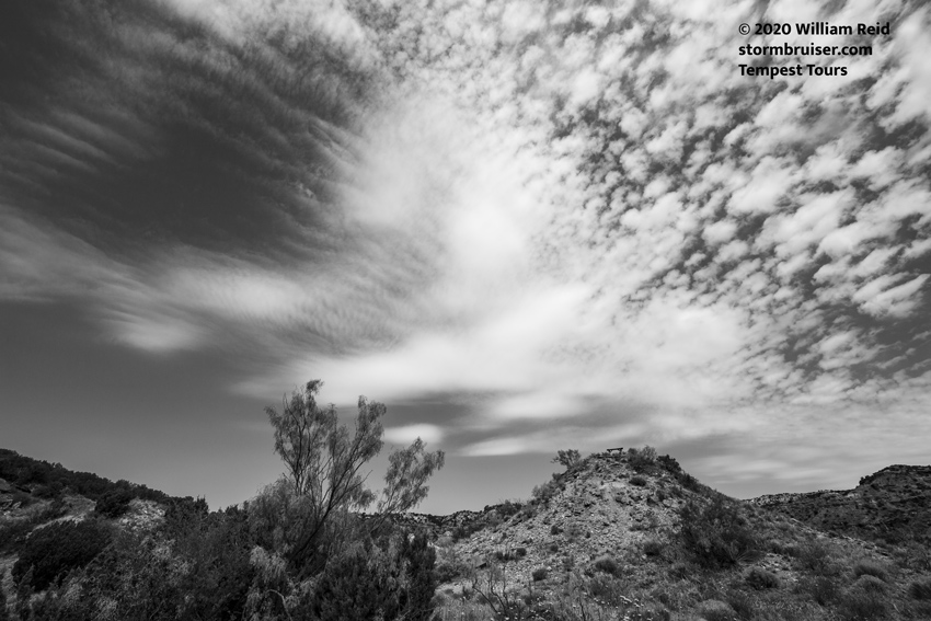
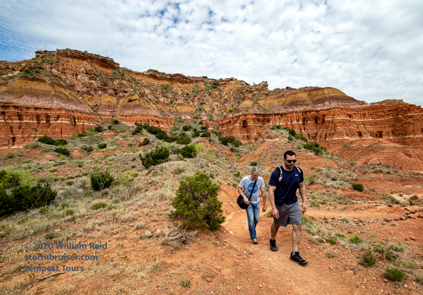
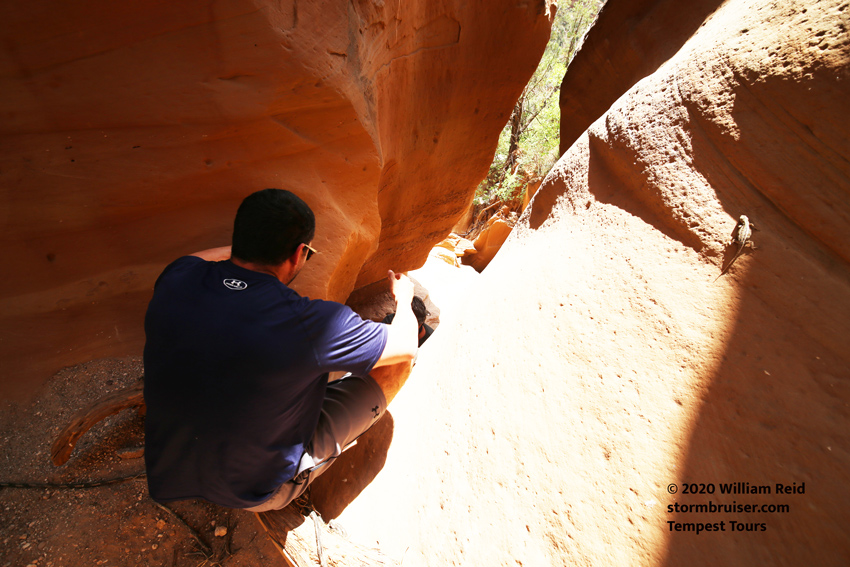
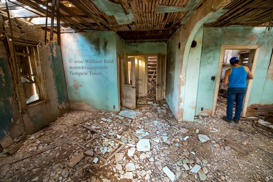
May 6 A down-day hike in Palo Duro Canyon
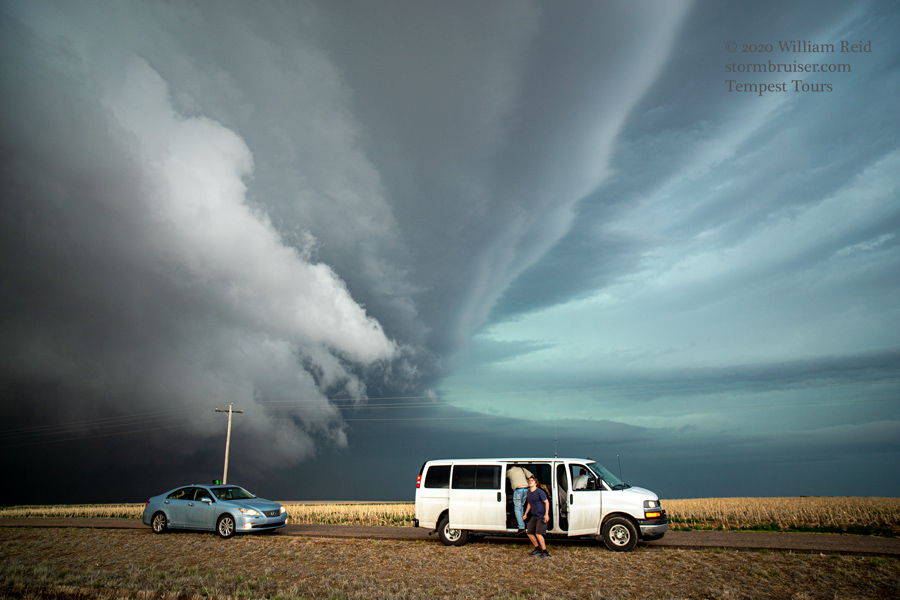
May 7 A splendid southwestern Kansas Supercell
May 11 Magnificent western Texas Panhandle Supercell
May 12 A little LP Updraft in eastern New Mexico
May 13 Northwestern Oklahoma Storms
May 14 Nice Isolated Late-day Supercell at Seiling, OK
May 15 Northwestern Texas Severe Storms
May 16 Beautiful Eastern New Mexico Supercell and Hailstorm
May 17 A handful of Rotating Storms near the Raton Mesa
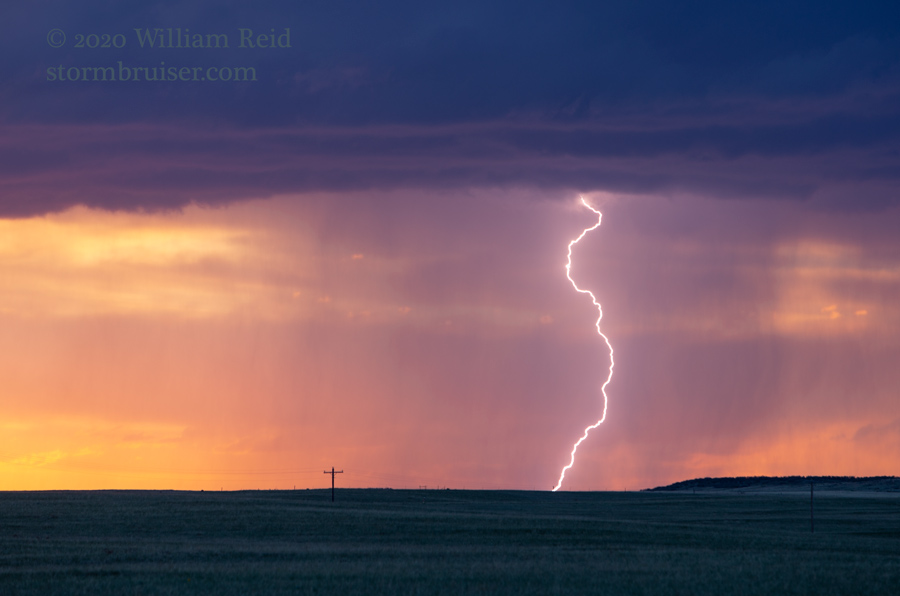
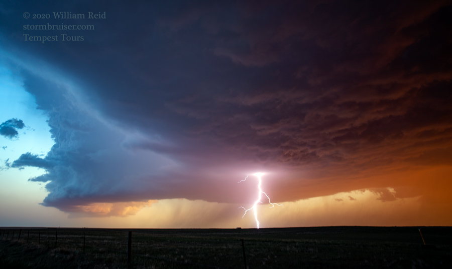
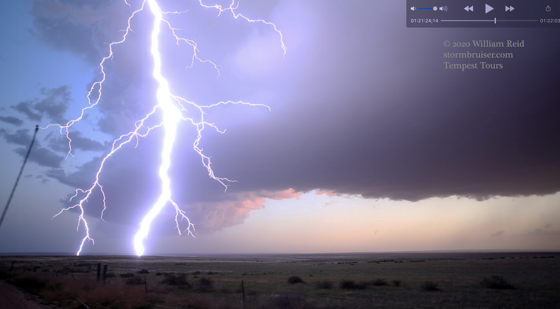
May 19 Lightning Show near Chugwater, Wyoming
May 20 An eastern Wyoming Supercell and a Brilliant Lightning Show in the Pawnee Grasslands of Colorado
May 21 Big Supercell Day in southwestern Kansas
May 23 Tornado Watch Fail in northwestern Kansas

May 24 A dusty outflow-ish Supercell in southeastern Colorado
May 25 All the way to the Rio Grande for JUNK

May 27 Fabulous Supercells somewhere near central Texas
May 28 Strong Storms from Menard to Del Rio, Texas
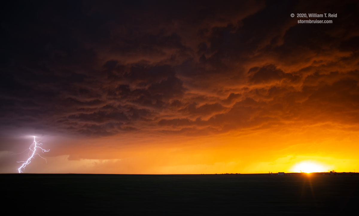
June 3 Pretty Rainbow and Sunset Lightning Show near Cozad, Nebraska
June 4 Southwestern South Dakota Storms and Lightning Show
June 5 Junky Storm near Gillette, Wyoming
June 6 A Sunset Squall at the South Dakota Badlands

June 8 Majestic Supercell at Arnold, Nebraska
June 9 Northeastern Kansas kind of/sort of Tornadic Storms
June 10-12 Down Days and Some Exploring, NE to SD and MT

June 13 Very Pretty Sunset Storm in northeastern Montana
June 14 Southwestern North Dakota Supercell
June 16 High-based Electrical Storms in Southwestern North Dakota
June 17 Nebraska Sandhills Severe
June 18 Lightning and Hail Around Model, Colorado


June 20 Dodge City and Jetmore, Kansas, Supercell
June 21 Severe Storms From Dodge City to Canadian
June 22 South-moving Supercell Texhoma to Dumas

June 23 Eastern New Mexico Wastelands Marginally Severe Storms
June 24 Central Kansas Supercell
June 25 Nebraska Sandhills Storms
June 26 Colorado Palmer Divide Supercells
June 28 Black Hills, South Dakota, Supercells
June 29 Western North Dakota Severe Storms
June 30 Eastern North Dakota Marginally Severe…and a funnel cloud
July 2 Severe Storms near Valentine, Nebraska
July 3 Strong Storms on the Cheyenne Ridge
Leave a Reply
You must be logged in to post a comment.