Start: Dodge City, KS
Lunch: Purcell, OK/Braums
End: Ardmore, OK
550 miles
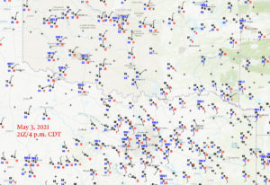
SPC Mesoscale Discussion 498 SPC Mesoscale Discussion 505 SPC Mesoscale Discussion 509
Woohoo — 10 percent hatched tornado risk! South-central Oklahoma! Upper 60s dew points! May 3rd!
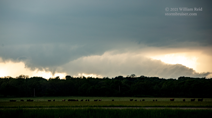
Today’s chase was a BIG DUD, as the storms intercepted were briefly interesting before becoming disorganized and junky. I had to decide which side of the Red River to chase, and chose the north side. The boundary was in southern OK and appeared to be a little better for tornadoes. We were hanging out in the vicinity of Dickson, OK, when a decent cell developed to our west, near I-35 and Ardmore. It approached our position, and the position of a lot of other chasers who were ready to get video of big tornadoes. The pics below are towards the west and depict a decent low-level structure and even maybe a stubby funnel cloud.
Unfortunately, there was little reason to take any additional photos thereafter. The storm headed to the northeast and was soon mired above the cooler and less-stable air. We waited around for new stuff that was coming at us from the southwest, but these storms were lame, too. Far too soon, the day had become a congealed-storm disaster and we were running around looking for scraps. And not the Brady Bunch dog.
A lot more trees were viewed around Madill and then we found a Mexican Restaurant.
There was a decent tornado along I-35 in Ellis County, TX, near dusk, but we didn’t miss anything particularly spectacular and photogenic today.


Leave a Reply
You must be logged in to post a comment.