Stormbruiser.com

William T. Reid

  • About
  • Video Links
  • Climate
  • Categories
    • Astronomy
    • Aurora/Northern Lights
    • Artsy
    • Airports (LAX and VNY)
    • Animal Day
    • Beach
    • BEST and MOST POPULAR
    • Chase Season Summary
    • Chasers and friends
    • Cumulonimbus
    • Death Valley
    • Desert
    • Desert/Mountains
    • Elevated photography
    • Eyesores
    • Fire
    • Flooding
    • Hurricane
    • Landscapes
    • Lightning
    • Local: Conejo Valley/San Fernando Valley
    • Mid and High Clouds
    • Nighttime photography
    • Old Stuff
    • Rainbows/Optical Phenomena
    • San Nicolas Island
    • Storm Video Sales
    • Stormy Skies
    • Stupid Bugs
    • Sunsets and Storms
    • Supercells
    • The City
    • Tornadoes
    • Unusual Clouds
    • Vegetation
    • Wind and Dust
    • Winter Weather
  • Contact
You are here: Home / 2021 / May 23, 2021 Eastern Colorado strong storms

May 23, 2021 Eastern Colorado strong storms

May 23, 2021 By William Reid Leave a Comment


Start:  Santa Rosa, NM/Quick bite in Trinidad, CO/End:  Oakley, KS/653 miles

Storm Reports

SPC Day One/20Z

SPC Mesoscale Discussion 708   SPC Mesoscale Discussion 711

SPC Mesoscale Discussion 713   SPC Mesoscale Discussion 714

SPC Mesoscale Discussion 717   SPC Mesoscale Discussion 719


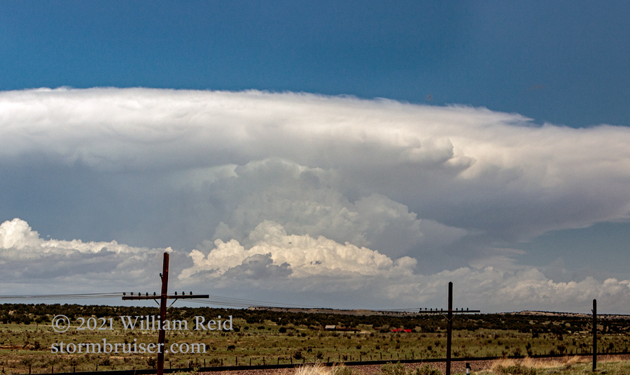
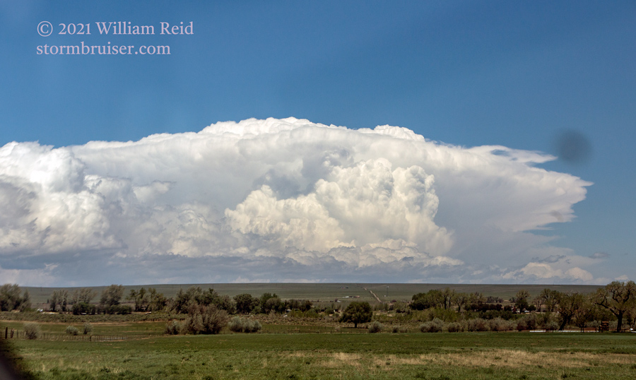
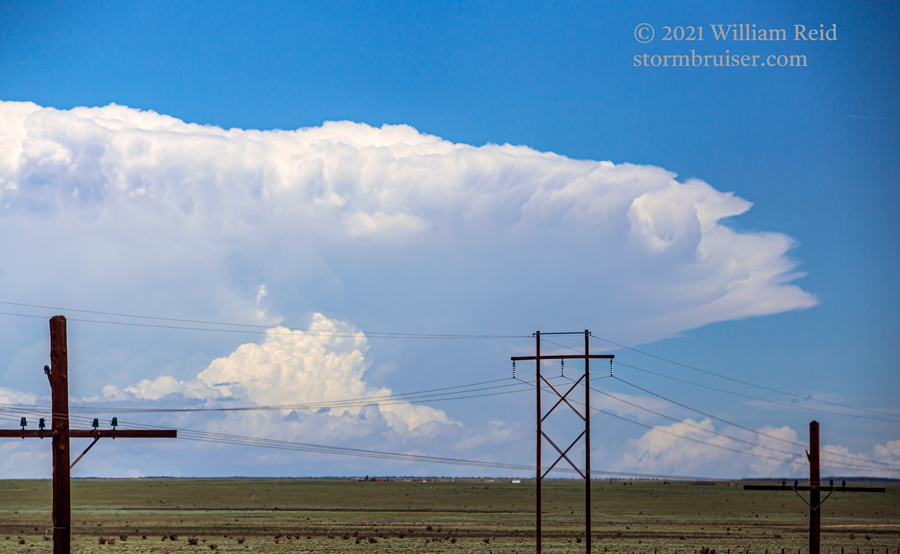
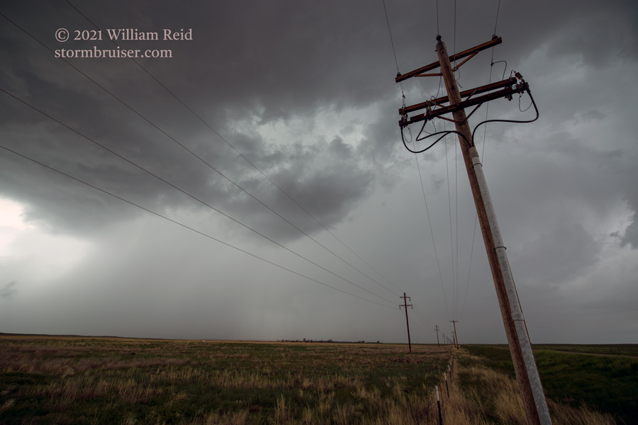
A good severe-weather risk with a 10 percent tornado area existed today for northeastern Colorado.  We had another long drive in front of us and were on the road out of Santa Rosa, NM, early enough, I thought.  But storm development was early (around noon), and we were playing catch-up.  The first three photos below show the initial strong updraft in the Pueblo area, from between Trinidad and La Junta.

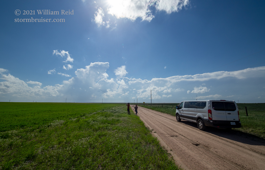
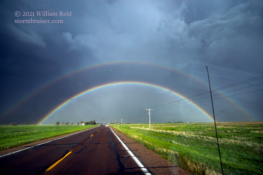
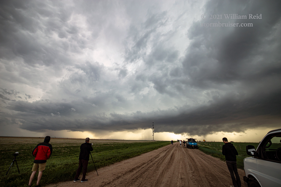
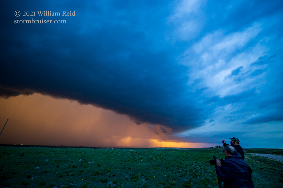
A tornadic cell developed not too far from Last Chance, but we were still well to the south on Hwy 71, near Rocky Ford.  Storms were moving quite swiftly towards the NNE today, so we were not going to catch that one.  Once on I-70, we played around with a handful of other marginally severe storms, some with tornado warnings.  But, it seemed that even by mid-afternoon that the atmosphere was finished with regard to severe weather.  We didn’t observe anything particularly noteworthy, unless you count very strong winds and occasionally heavy rain.  We ventured into northwest Kansas at St. Francis to watch a strong but very wet cell at sunset.


Filed Under: 2021, Cumulonimbus, Rainbows/Optical Phenomena, Stormy Skies, Sunsets and Storms, Supercells

Leave a Reply

You must be logged in to post a comment.

Search

May 2021
S M T W T F S
 1
2345678
9101112131415
16171819202122
23242526272829
3031  
« Apr   Jun »

Categories

Archives

Copyright © 2025 stormbruiser.com · Log in