
Start: Lakin, KS/Lunch: Lakin Wagon Wheel Restaurant/End: Perryton, TX/274 miles
SPC Mesoscale Discussion 736 SPC Mesoscale Discussion 739
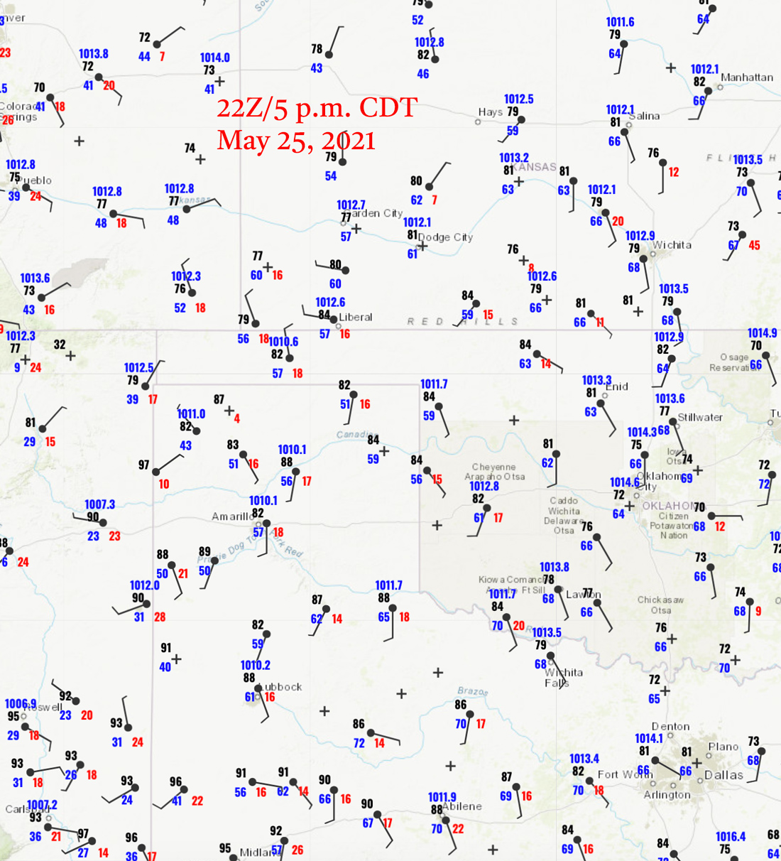
22Z/5 p.m. CDT surface map above
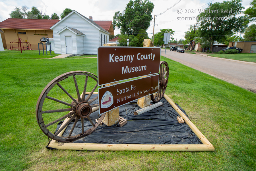
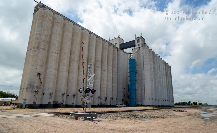
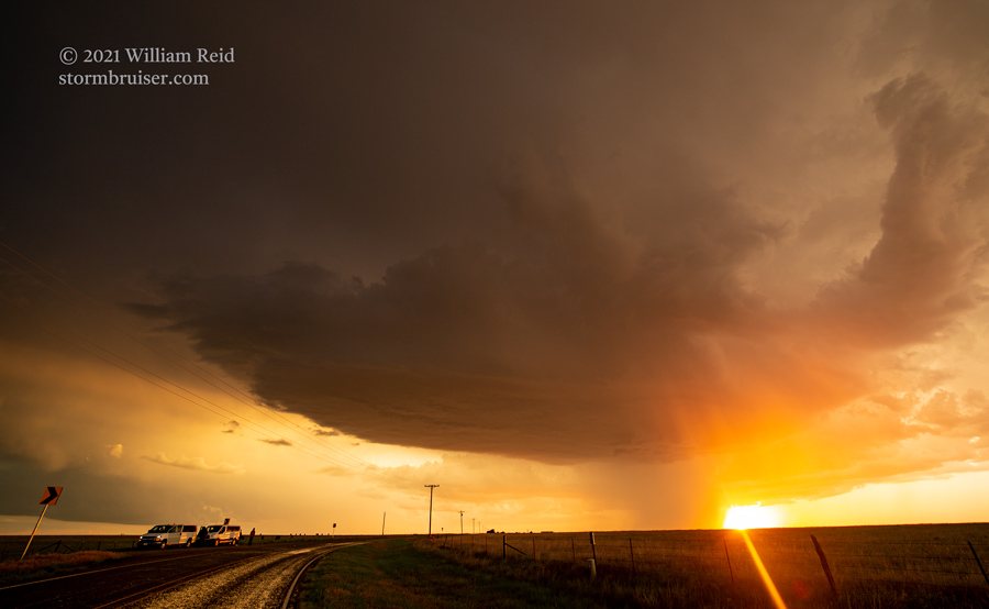
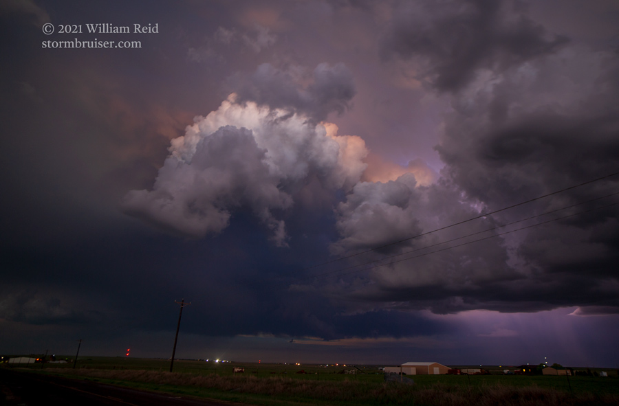
The outlook for today was not especially clear-cut, nor was it especially providing a warm-and-fuzzy feeling with regard to potential. SPC had a hatched hail area well down south, south of Lubbock. Dew points and instability were really nice down there, but the effective bulk shear required for long-lived supercells was marginal at best. A 2% tornado risk extended from Lake Superior to Dryden, TX, near the Rio Grande. So, that was of little help. I elected to play a slow-moving boundary in southwest Kansas. Instability and shear were just “okay.” We started the afternoon with a visit to the Kearny County Museum in Lakin, Kansas. From there we sauntered down to the Gate, OK, area in the Panhandle to be close to the boundary. Some storm towers finally started to develop about an hour or so before sunset. Better late than never.
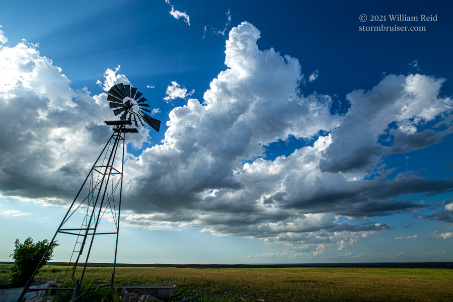

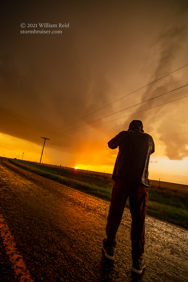
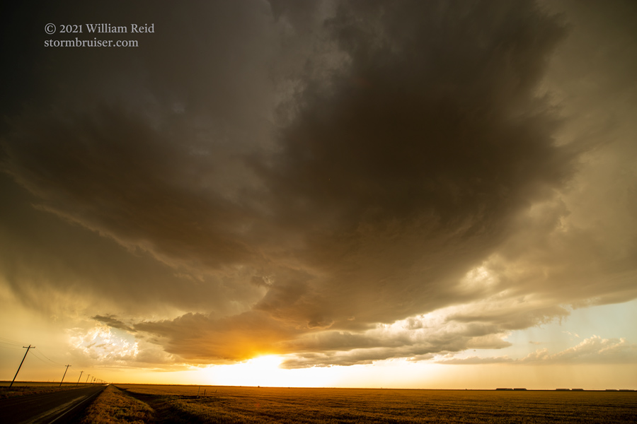
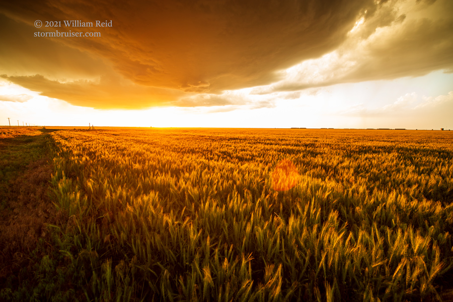
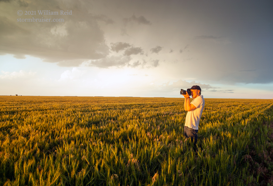
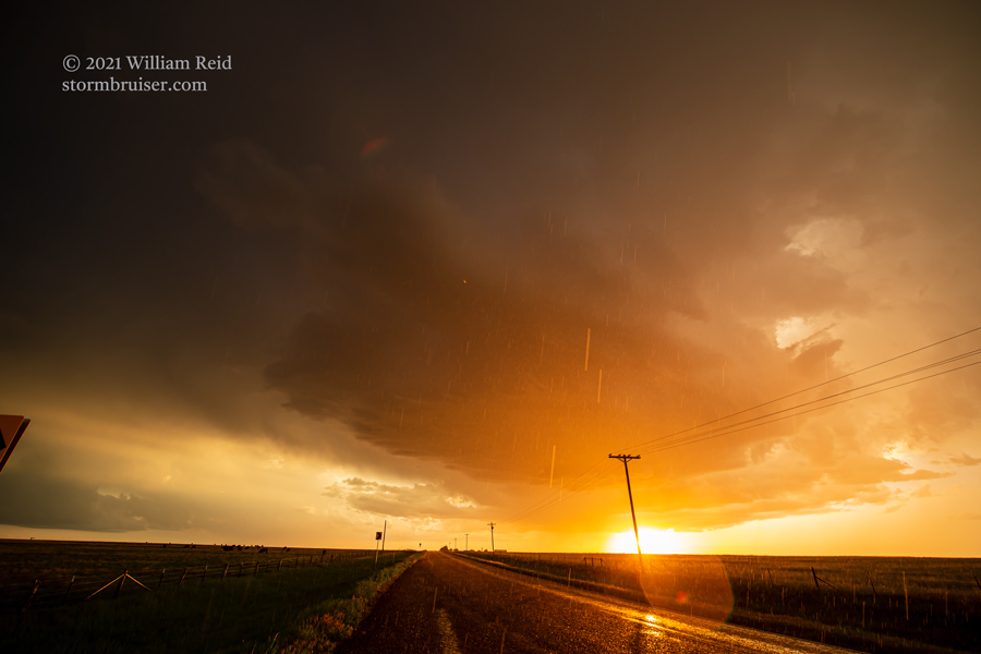
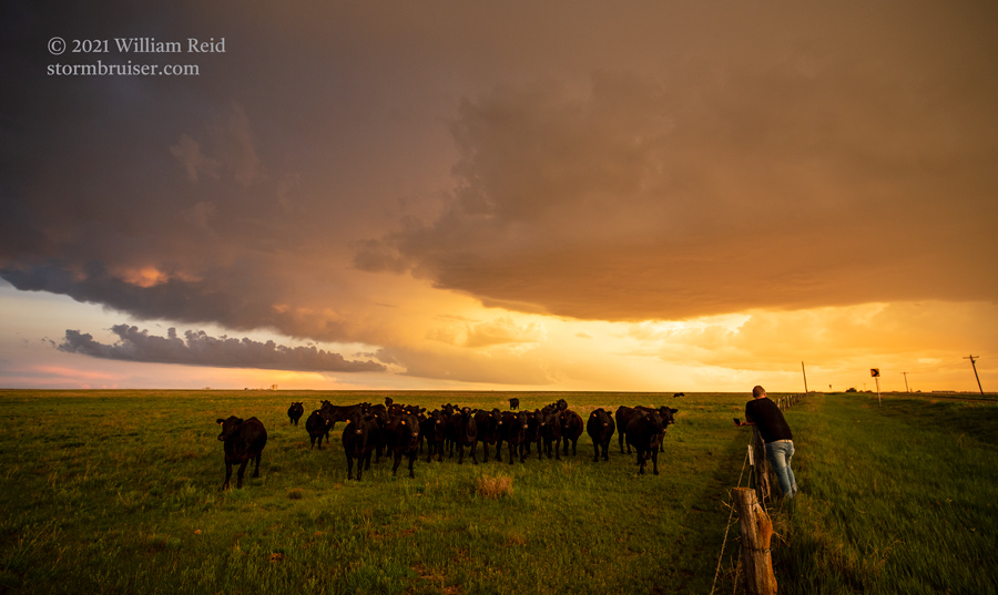
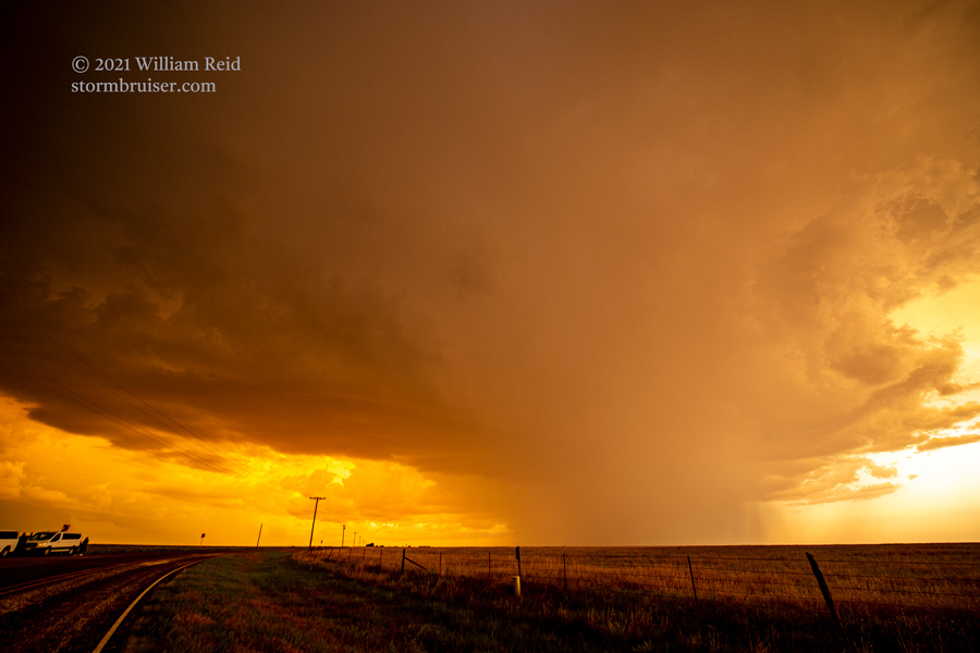
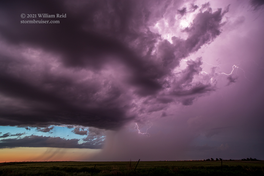
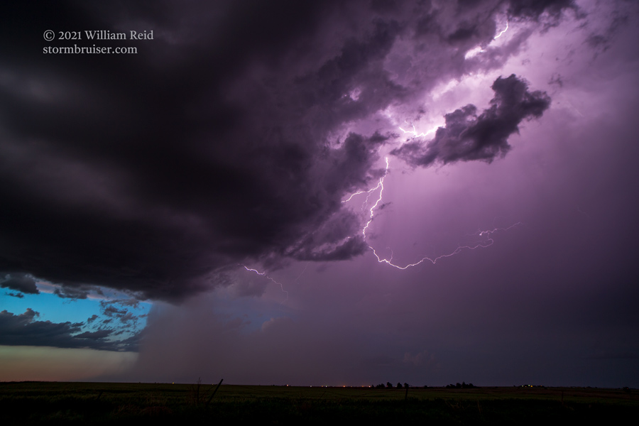
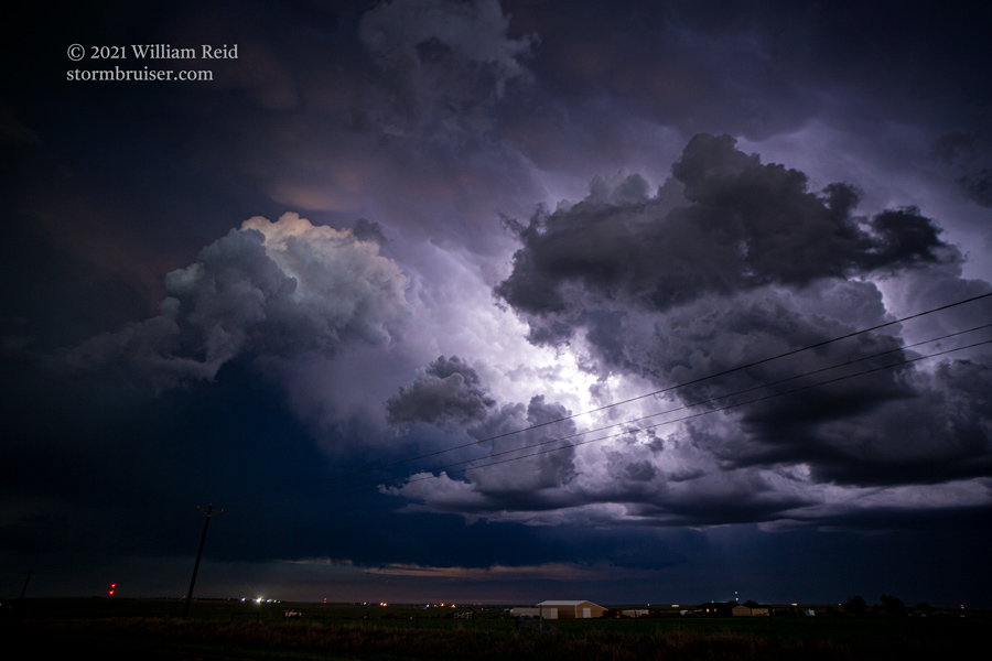
The most robust updraft was to our southwest, so we dropped into the Texas Panhandle and stopped a little south of Darrouzett (or was it Follett?). We were east of the base at sunset and had really nice light coming through, but the cell was raining on us. I had the choice of hanging out here for the sunset light and occasional CG lightning, or continue west and southwest to get a better look at the storm structure. I decided to stop for the photography. Towards dusk, we were a little farther west (south of Perryton) for the lightning show. Storm reports indicates that storms to the south (near Amarillo and Snyder) were respectable, but these produced no tornadoes.
Leave a Reply
You must be logged in to post a comment.