Start: Perryton, TX/no lunch/End: Hays, KS/643 miles
SPC Mesoscale Discussion 744 SPC Mesoscale Discussion 747
SPC Mesoscale Discussion 749 SPC Mesoscale Discussion 755
SPC Mesoscale Discussion 758 SPC Mesoscale Discussion 759
20Z/3 p.m. CDT surface map
WHOA — a 15 percent/hatched tornado risk is splattered over northwestern Kansas and vicinity today! I hope I don’t mess up this chase. Moisture was very good to excellent (low-mid 60s) as southeast winds surged into extreme northwest Kansas. Instability and shear were great, and a boundary was draped WNW-ESE through the region, from about Goodland to south of Hays. One thing was for sure: we had to get ourselves up to about I-70 near Colby. I could determine what to do next once we got there. As we neared Oakley along 83 from the south, it was looking like the best target area was along a dry line to the west (Sharon Springs area) or perhaps north of there, between about St. Francis and Benkelman, where winds were backed a bit better, a tad north of the boundary. The CAM (models) were fairly insistent that a beast of a supercell would eventuate on the dry line in that Sharon Springs area. A lot of chasers were clustered in that area. I wasn’t so sure. I was leaning towards that area closer to Nebraska, though the models seemed to be less supportive there (as far as supercell swaths). The plan was to get a quick stop/lunch in Oakley and then to head west on I-70 to…to…to wherever we wound up going.
However, some very strong convection had just initiated to our east, near Hays. It was early, maybe 1:30 p.m. CDT. I checked current and forecast parameters for that area, and they were looking really good — really good for a tornadic supercell. Shoot — now WHAT!? We were an easy one-hour drive east on I-70 to this new storm. Going after this one to the east would probably negate much chance of chasing storms back to the west later. I was really wavering. I decided to give this Hays storm a chance. We could drive towards it for 15-30 minutes and see if it remained worthwhile, see what it looked like, and see if we should keep going or not. The storm gradually became quite the beast of an isolated supercell, and I could not turn around.
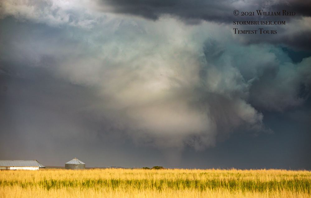
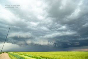
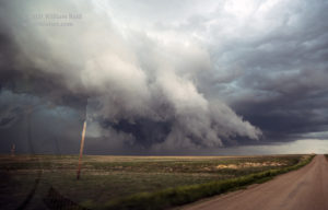
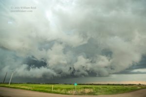
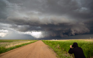
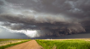
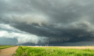
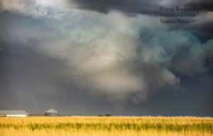
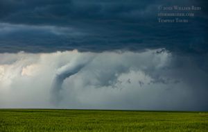
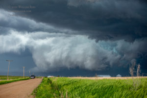
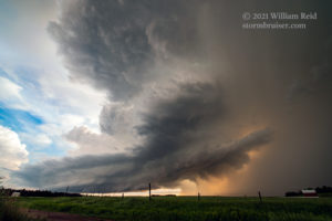
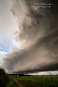
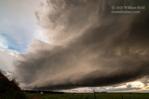
Of course, we were on the wrong side of it as we approached the back end from the west. As we neared Ellis, reports of large hail around Hays came in. The fastest way to get into position would have been via I-70, and then drop south on the east side of the storm (east of the precipitation core). But, that very nasty core was in the way. Instead, we dropped south out of Ellis about 15 miles and headed east, right up to the back end. The VERY turbulent and wild back end! I think that we were a bit west of Schoenchen when we stopped to watch the RFD interact with inflow just to our east. The cloud motions were off-the-charts chaotic and unreal! RFD wind was howling through the nearby utility wires. I was expecting a tornado to touch down within a mile of our location (first three pics below). I was also thinking of trying to get a few miles farther east, but it was just too dangerous. After another few minutes, the chaos subsided, and it looked like the action area had shifted quickly to the east. We dropped south to Liebenthal and then stopped to observe the new and BIG RFD cut to the north (pics 4-7 below). Yikes — it appeared that this supercell was going into tornado mode fast. The wall cloud to our north was big and beefy, and we waited for the big moment.
Hmmm…big moment, please!
The RFD was gigantic, but no tornado was apparent as the storm moved more to our northeast. We repositioned east several miles to the Pfeifer area. Now, with the storm to our north a few miles, the action area was filled with precipitation. UGH. A few images (with contrast enhanced) strongly suggested that a fairly large tornado was in progress, but we just did not know for sure at the time. Several minutes later, the rain cleared a bit from the base and a tornado showed itself! It was in rope-out stage. This storm had just produced a very significant and long-lived tornado, but it was pretty much obscured from our vantage point (looking north at it) for 98 percent of its lifespan. Chasers on the east side of the tornado had better luck viewing this one.
So, this somewhat extemporaneous jaunt to the east, far from the original target area, wound up good and bad. We had a fantastic tornadic supercell nearby for an hour or so, but then the rain-wrapping spoiled the fun. Then, the fun-meter went down a bit more when we learned about the tornado show (without rain-wrapping problems) around Benkelman, Nebraska. This was about the time we were heading back to the west on I-70 to try to find another good storm.
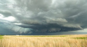
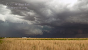
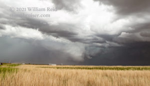
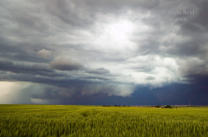
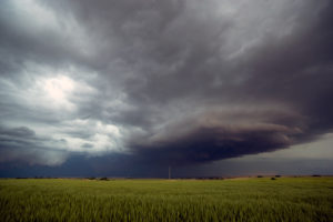
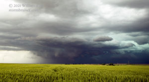
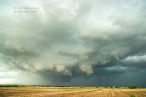
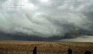
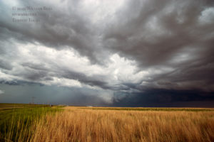
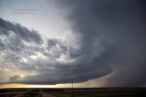
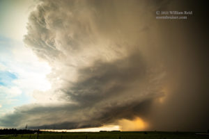
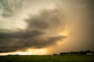
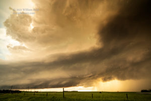
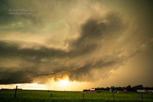
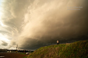
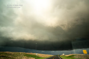
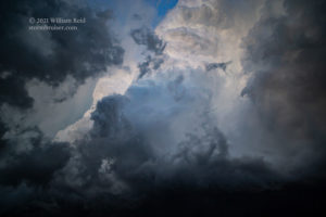
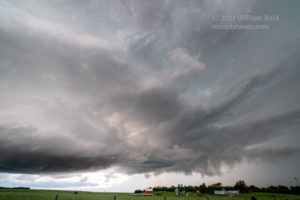
It still looked like the atmosphere was in good shape to provide another tornadic supercell or two to our west and northwest. The dry line play (near Sharon Springs) had yielded only junk thus far. There was a supercell headed eastward to the area northwest of Norton, KS (just across the line in Nebraska). We got in front of this one, and it quickly sputtered out. The next intercept was south of Norton, near Edmond (see pics below). This one had an impressively low base and decent structure. It passed overhead with a little bit of hoopla — lots of motion and clouds low enough to touch, almost. But, despite the nice RFD cut and all of the other ingredients seemingly in place, this storm was not inclined to produce a tornado.

Leave a Reply
You must be logged in to post a comment.