Start: Hastings, NE/lunch: Cozy Inn Cafe in Holdredge/End: Broken Bow, NE/about 450 miles
md1067 md1070 md1071 md1072 md1073
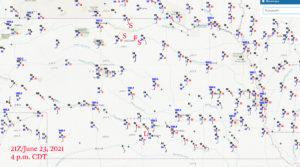
21Z surface map — (L) shows lunch in Holdredge, the western (S) shows our first stop for storms near Ainsworth, the (F) shows our frisbee break in Bassett, the northern (S) is the plot for our stop for the storm near Springview, and the southernmost (S) is where we stopped for the great nighttime lightning show near Bassett.
This day’s chase was FINALLY looking like it could be a really good one, following several days of junk. SPC plastered a good-sized enhanced slight risk over the middle of Nebraska, with a 30 percent hatched hail and 2% tornado area outlined. These were centered a county or so north of Kearney. The western edge of the slight was out towards Ogallala. We finally had some decent moisture nearby, with 70F dew points from about Kearney to Neligh. Morning models generally liked the idea of initiating mid-afternoon storms in hot and rather dry air out west a bit. SPC noted the chance of a bow echo through the enhanced slight area after dusk. From Hastings we headed west to Holdredge for lunch, and then I had the tour directed up to I-80 at Cozad. The most obvious “play” seemed to be around southwestern Nebraska, as upper-60 dew points were pouring towards McCook out of northwestern Kansas. However, there wasn’t much “boundary-wise” happening out west, except for a dry line in the eastern Nebraska Panhandle. The CAM models had me increasingly considering areas north of I-80 during the early afternoon. These showed late-afternoon-to-early-evening storms, some severe for sure, in north-central Nebraska, east of Valentine. Winds were moist and backed from Yankton to Winner. At 3 p.m. CDT, Valentine was 106F over 49F, and SSW at 14 mph. Given the decent surface moisture convergence east of Valentine, and the decent low-level moisture a few counties to the southeast of there, AND because the models showed a good storm signal, I elected to head north. This decision might have gone against what I was figuring early on, but it wound up the right move as the southwestern Nebraska play was capped out. No tornadoes were reported in or near Nebraska.
We made our way to Ainsworth via Arnold and Dunning, and found two high-based cells W and NW of town. These were high-based. Did I mention that they were high-based? This should have been no surprise at all, given the 50-degree temperature/dew point spread. Nevertheless, it did appear that they were organized a little, and the CG lightning was pretty good. Now, all we needed was for that good air to arrive. There were still a few hours to go before sunset.
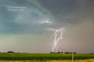
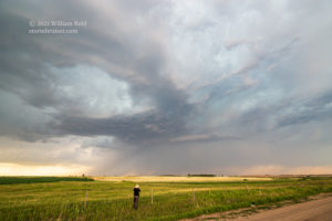
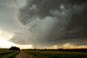
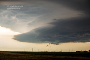
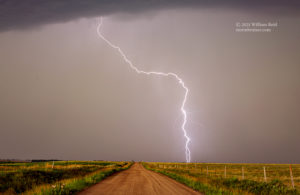
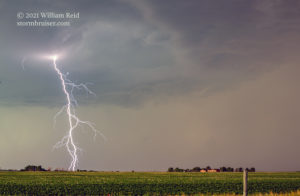
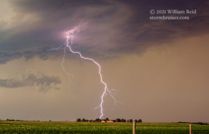
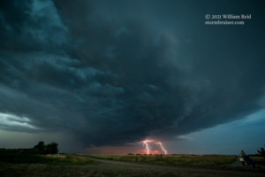
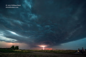
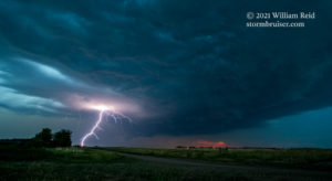
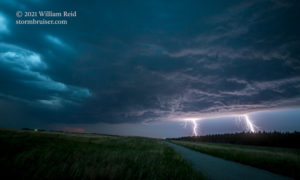
After an hour or so, our Ainsworth storm cells had become a bit tiresome. They were less organized, less impressive, and I was not particularly happy about it. We scooted east to Bassett, and had enough time to kill that we threw the frisbee around some while Chris flew his drone. Was anything going to be worthwhile before dark? Thankfully, yes, a severe storm quickly developed to our northwest by maybe 40 miles. It was a bit west of Springview, and we had a handy road to Springview to take a look. This one wound up being an impressive supercell with a laminar-sided updraft base! Even better, it was issuing plenty of CG strikes from its medium-high storm base. We set up at a couple of spots to try to photograph the lightning. I didn’t do too badly on catching some, despite the ambient daylight.
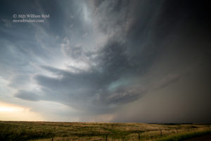
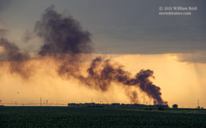
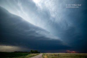
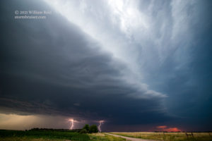
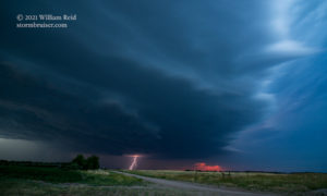
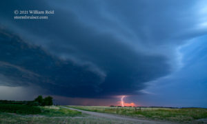
This highly-electrified cell started to move more quickly to the southeast or east-southeast. I decided to try to get a ways ahead of it for a good look at structure around sunset time, and this was accomplished just a little east of Bassett, I think. The images below show the reasonably good storm structure north of Bassett. The good lightning activity, however, was now a bit far away, to our north. It may have been that cool storm outflow was pushing this laminar shelf-like feature well away from the updraft.
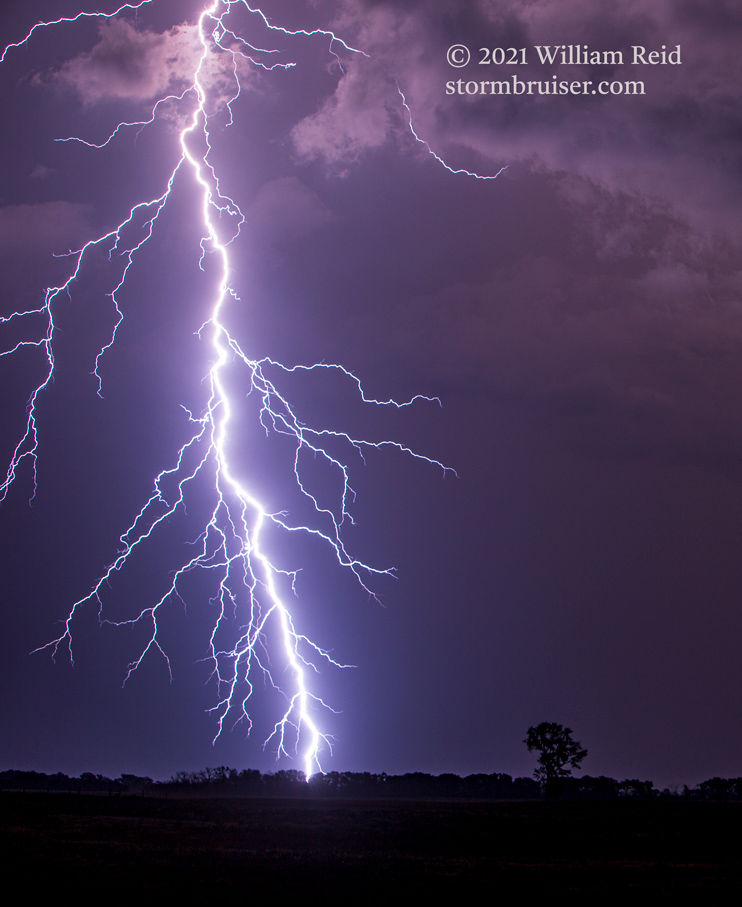
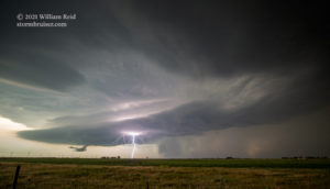
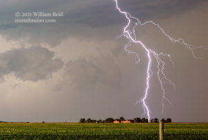
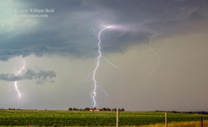
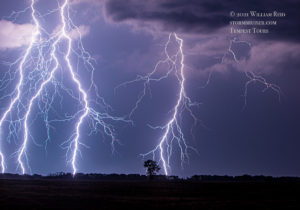
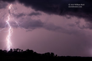
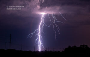
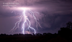
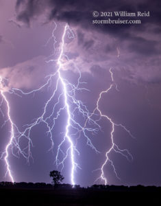
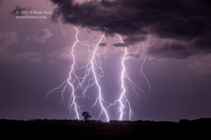
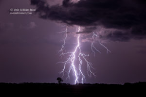
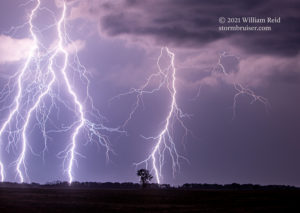
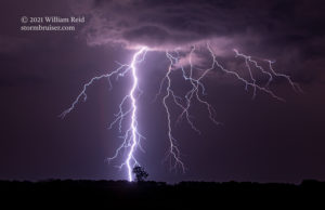
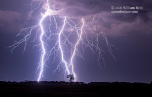
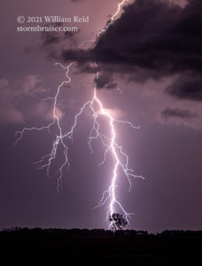
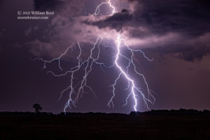
With darkness coming upon the land and with our storm looking rather ho-hum, we headed into Bassett to look for a convenience store. Everything was closed up already. I had Kim book rooms for me in Broken Bow, which was over an hour’s drive south. As we headed south out of Bassett, the CG activity was again spurting upwards quite a bit in frequency! And, now these bolts were not too far away to the northeast! We stopped a few miles south of Bassett in the pitch dark, setup the cameras onto the tripods, and were treated to one of the most fabulous nighttime lightning displays that I have ever seen, or photographed! Vivid lightning strikes were hitting the ground several miles away every few seconds, it seemed. (Okay, maybe the lightning was about 6-8 miles distant.) On some occasions the frequency was closer to one every second! I had the 70-200mm lens attached to the Canon 6D, and opened the shutter for just a few seconds at a time to catch these. I zoomed in a bit in order to increase the “spectacular quotient” a bit! This meant missing a good percentage of bolts, but I caught more than enough to make me happy. Perhaps that better moisture on the LLJ had finally made its presence known. We shot lightning for close to 60 minutes time and then got into Broken Bow rather late.


Leave a Reply
You must be logged in to post a comment.