
Image above courtesy of Chris Gullikson
Start: Worthington, MN
Lunch: Culvers at Mitchell, SD
End: Chamberlain, SD (490 miles)
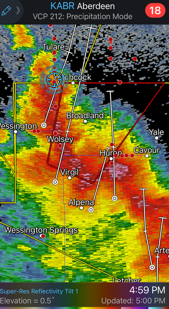
Like the day prior, this was another dynamic and high-end severe weather day with a good chance of tornadoes, primarily along and near the MN/SD border. If you take a peek at the storm reports and see all of those red marks, you might think that it would be a fluke if a chaser did NOT see a tornado. But it was another one of those chase days, with a LOT of storms, a lot of very fast-moving storms. A good chunk of chasers was/were playing the western side of the 10% hatched tornado-risk area. And that was my target area. We moseyed north from Mitchell on 281 and latched onto a storm approaching Wolsey. We stayed in front of it to Redfield.

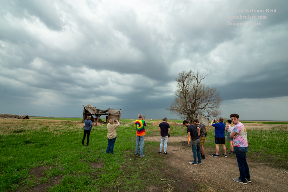
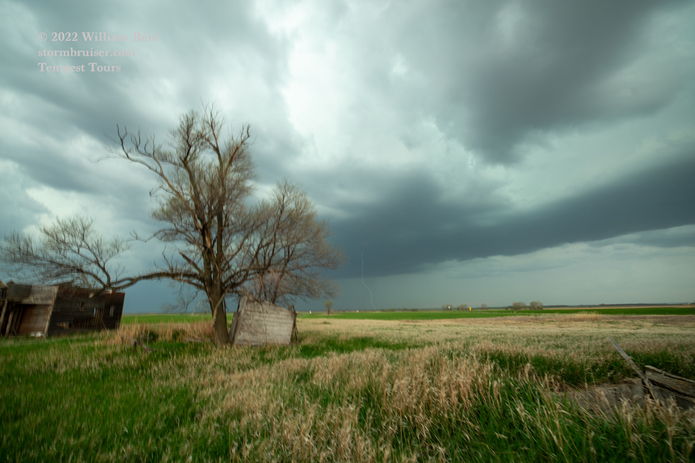
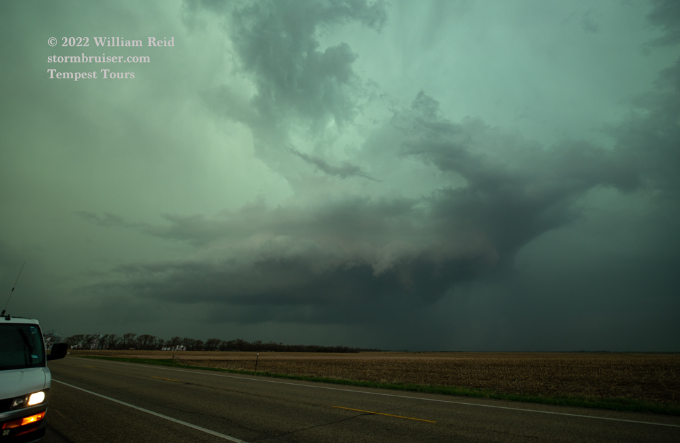
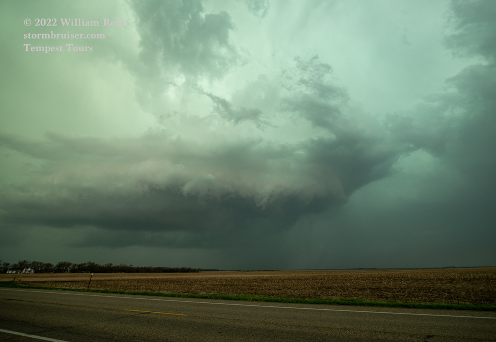

The cell showed some good low-level structure, a low base, lots of CGs, an RFD cut, and nothing really resembling an attempt to make a tornado. Like the day prior, plenty of mid and high-level cloudiness had overspread the region during the afternoon. Sunshine was very limited today and the low levels were not as warm as a result…perhaps this was the reason why tornadoes were absent from the western part of the risk area.
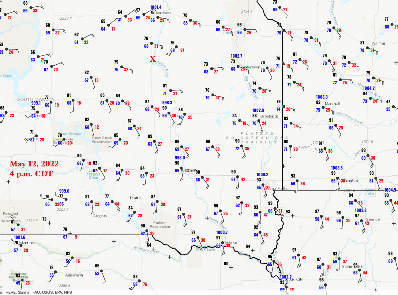
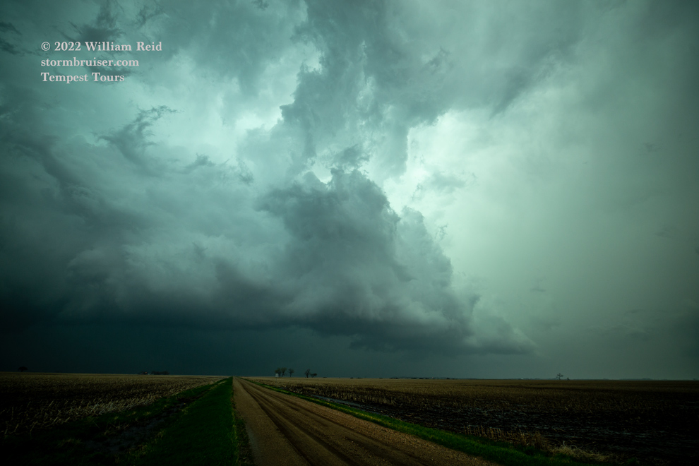
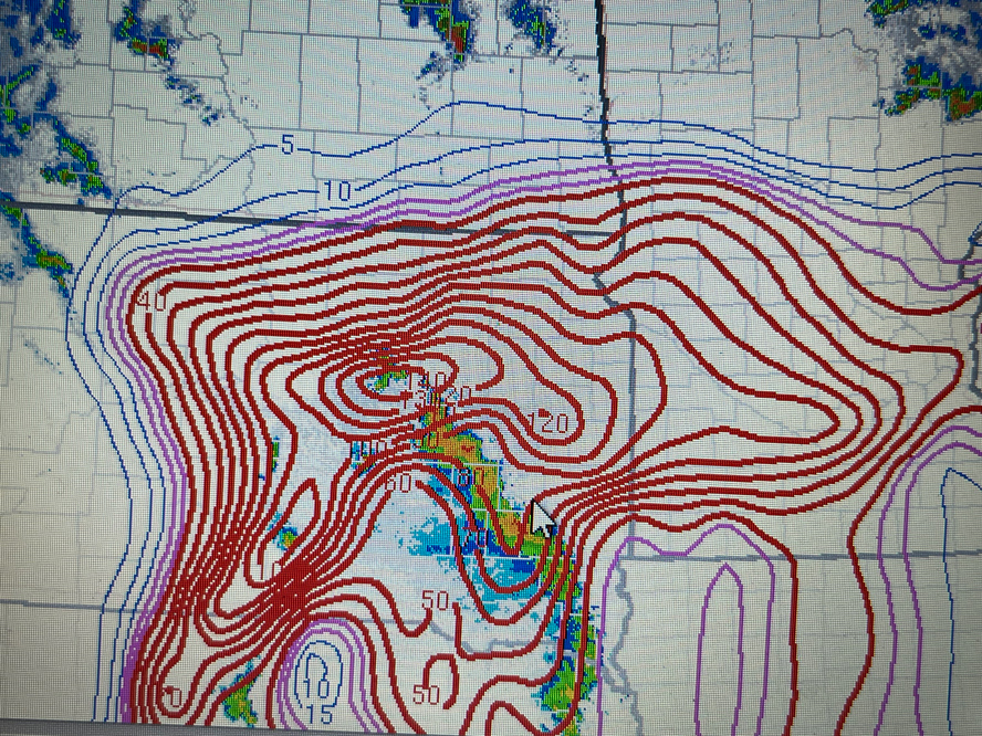
Check out the radars below — what a mess! The Craven-Brooks numbers were well over 100, which is about as high as you ever see it. The effective tornado numbers were way up there also. There were just too many storms and too much outflow. The squall to our east, near the MN border, was a doozy, and the tornadoes seemed to prefer the MN side of the border. Oh well. From Redfield we went a bit east to watch the next storm approach, but it was less interesting than the first one. Two days with lots of dynamics and lots of potential and lots of disappointment…

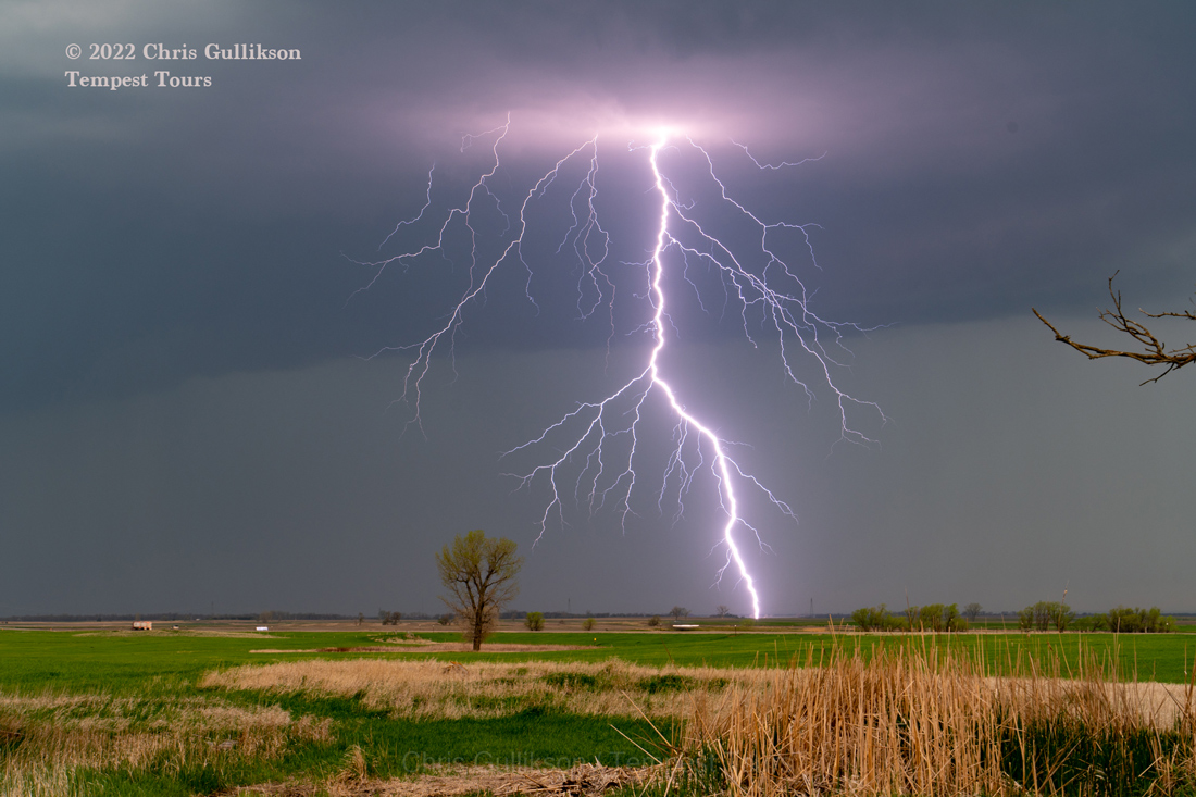
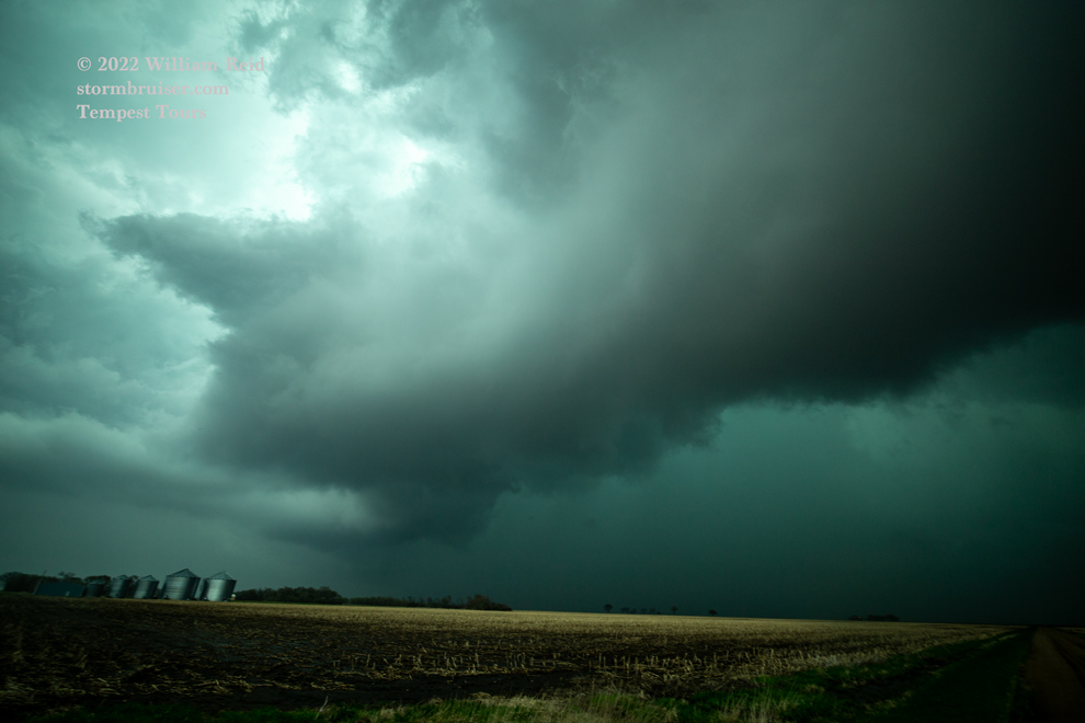
While waiting for a severe storm to approach from the south, we were treated to a pretty awesome CG lightning show I advance of the updraft base. Chris managed to catch this bolt perfectly!

Leave a Reply
You must be logged in to post a comment.