Start Belle Fourche, SD
Lunch in Baker, MT/Lucky Chinese Cafe
End Lemmon, SD
about 400 miles
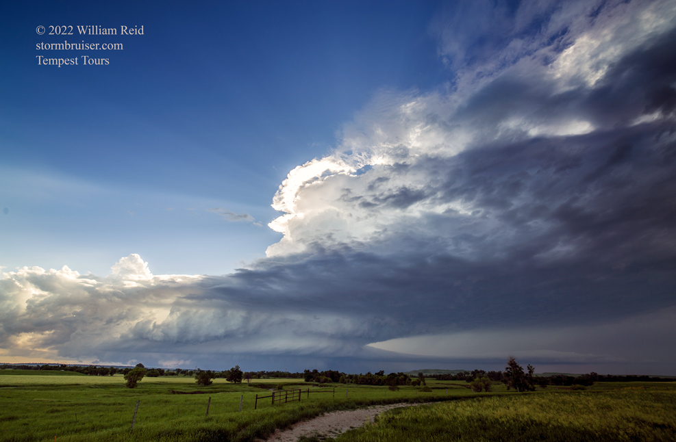
Time lapse of supercell by Chris Gullikson Chris was with a separate Tempest Tours group, but was fairly close to my group between Alzada and Albion. Chase account by Lesleyanne, who was with my group.
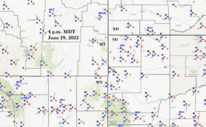
Our T7 group, with Matt and Rook, began in Denver on the day prior. June 18th was a down day/position day. This chase day of June 19th had some potential, with good mid-level flow from the SSW and adequate low-level moisture and CAPE (around 2000). Tornado risk was very low as dew points were not very high and the low-level wind field was funky. Models seemed to be rather consistent at dragging an organized cell through extreme southeastern Montana and vicinity by late afternoon. However, the surface trough was positioned a bit to the east compared to where convection and initiation (off of the high terrain of northeastern Wyoming and southeastern MT) were expected. The surface wind regime was out-of-synch, with W and NW winds in the target area.
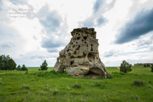
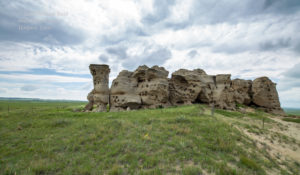
After lunch in Baker, we had more time to kill. We perused some of the goofy rock formations at Medicine Rocks, about 25 miles south of Baker. This was a nice high spot to watch the sky, but a lot of high cloudiness was irritating.
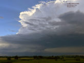
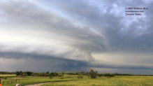
Additional waiting transpired a little farther south, at a very nice museum at Ekalaka. Finally, a storm popped up on radar to our SSW, near the MT/WY border. That is exactly what we wanted, and we headed south on 323 to Albion. Really nice low-level structure came into view, and we stopped somewhere between Albion and Alzada along 323.
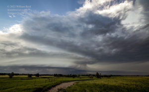
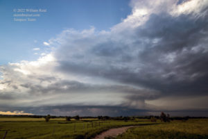
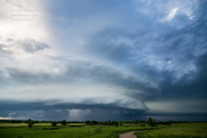
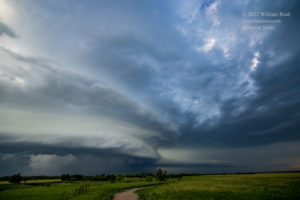
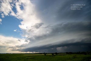
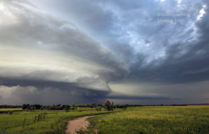
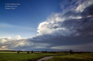
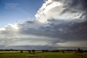
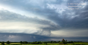
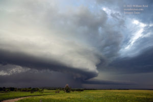
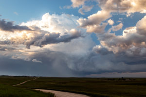
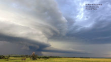
This storm had rather impressive organization, with an inflow tail sticking out to the north, into inflow. Some lowerings were evident along the leading edge of the updraft base. This action area looked suspicious, with perhaps a tornado risk, but precipitation was filling in and might have hidden anything that was important. The supercell was tracking to the northeast at a fairly brisk pace, and passed to our west and northwest. As the leading edge loomed nearby, we raced NNE several miles on 323 towards Albion to try to stay a little ahead.
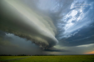
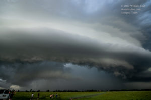
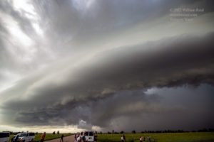
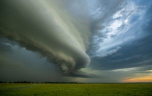
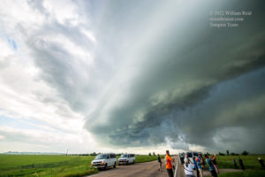
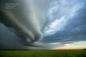
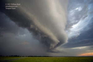
The leading edge of the wet RFD was upon us, with the action area to the NNW, I think. I was not really interested in racing to Albion and continuing NNE on the gravel road to Capitol, just to stay close to what could have been a rain-wrapped circulation. There was only one road option if we were going to stay anywhere close to this storm, and that was this Little Missouri River Road to Capitol and Camp Crook. We waited out some heavy rain, and then continued a little behind the storm on that gravel road. Fortunately, the road was okay despite the rain.
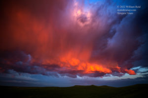
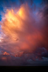
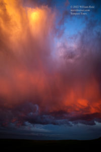
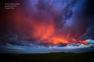
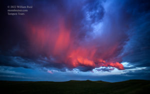
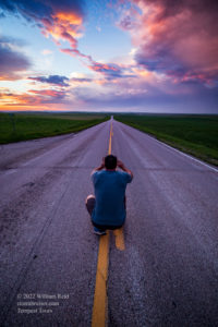
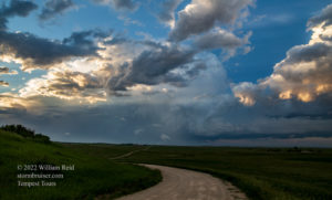
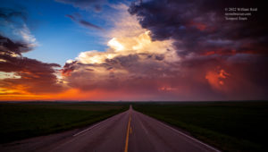
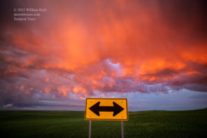
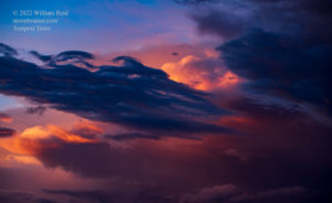
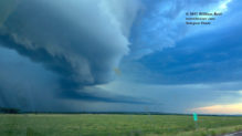
Although the road network was somewhat favorable for staying with the severe cell, it was moving just a little too fast to allow us to get in front of it again. It had a decent look from behind around the Buffalo area and east of there on 20 (7th and 8th images below). We wound up stopping somewhere north of Prairie City, I think, for a very colorful sunset.
iPhone images and radar screenshots below




Leave a Reply
You must be logged in to post a comment.