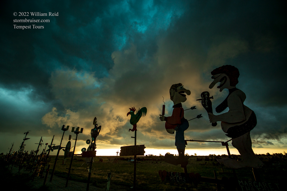
Start: Salina, Kansas
Lunch: Pueblo Nuevo Mexican at Saint John, Kansas
End: Dodge City, KS/320 miles
Chase account by guest Lesleyanne
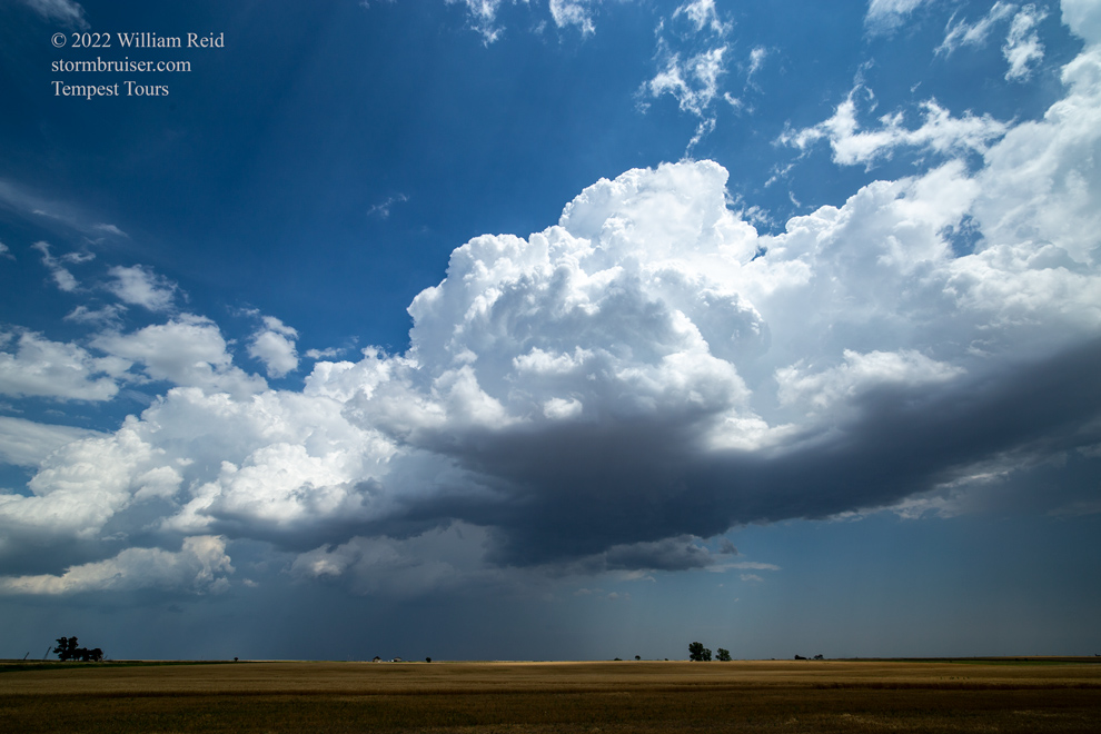
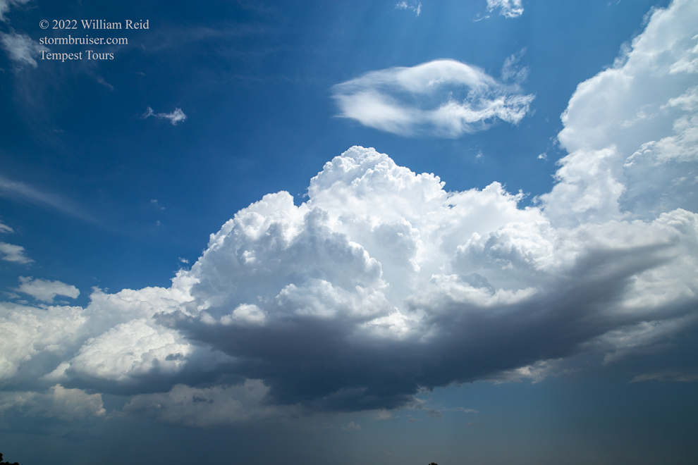
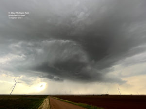
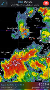
A barely-there boundary ran E-W across southern Kansas on this chase day. A marginal severe risk was all SPC could muster for the U.S. 54 corridor from about Greensburg to Wichita. Heck, there was a marginal risk in Southern California, too. Moisture and instability were great, but again the boundary was shunted too far south of the good mid-level flow to allow much of a severe and tornado risk. We watched storm towers develop around Cunningham and Pratt, and wound up just east of an organized base beneath not-so-impressive updrafts. This cell was a little south of 54, and it drifted towards us and sputtered.
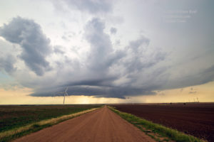
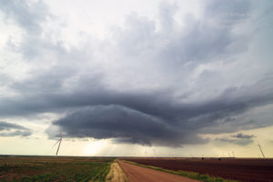
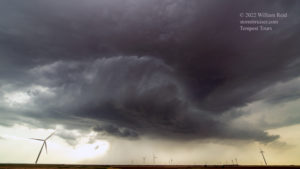
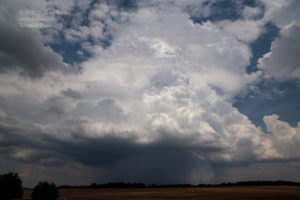
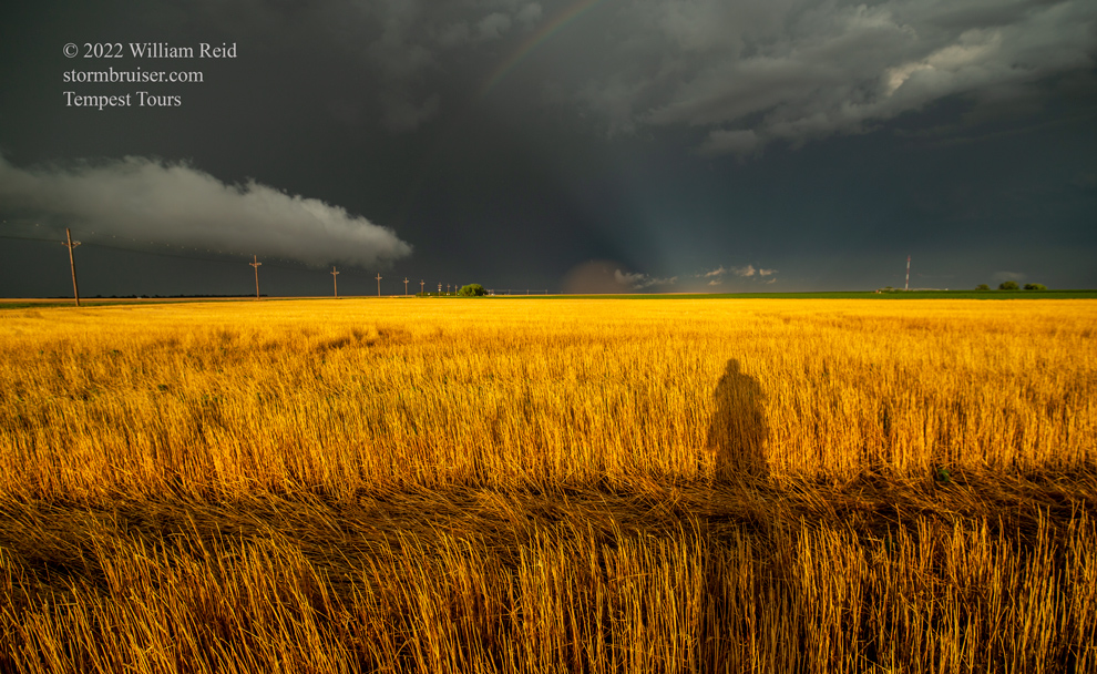
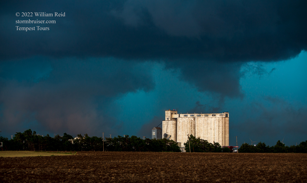
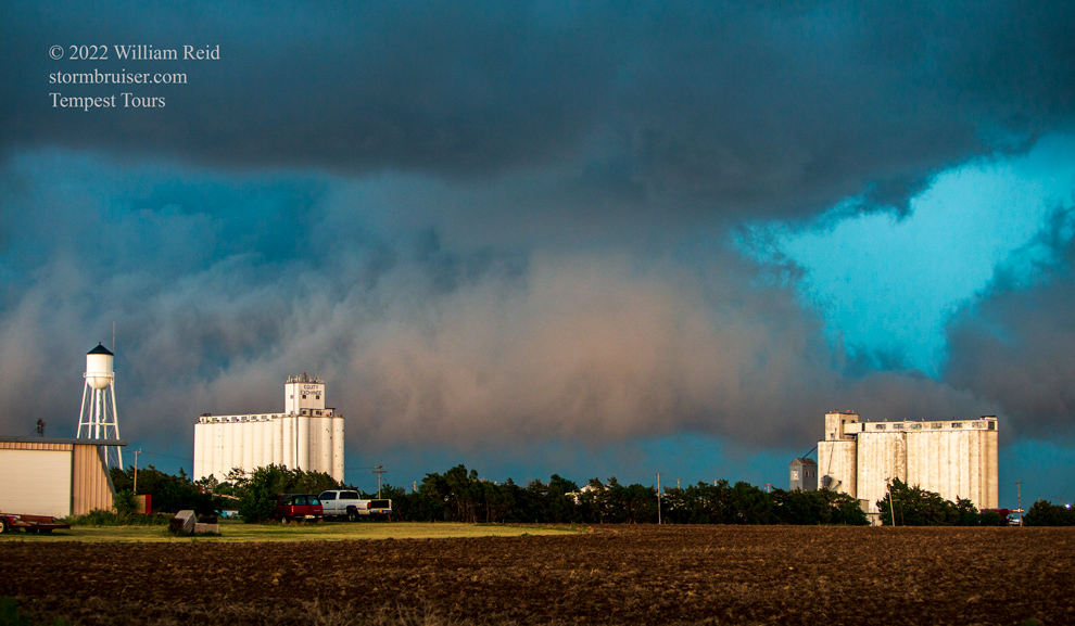
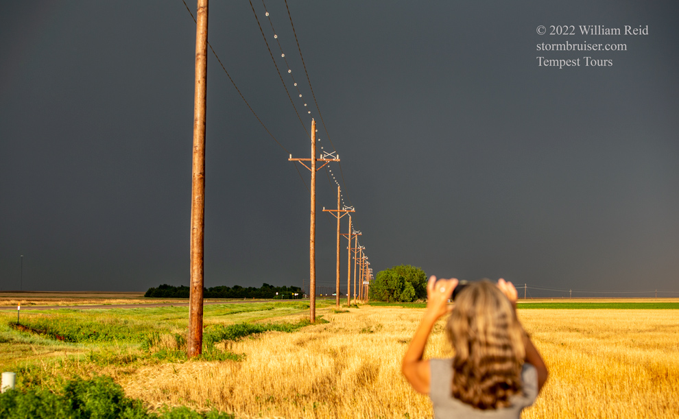
New storms were forming to the west. With the shear so poor, these looked good for about 5 minutes and then looked bad for 50 minutes. Thus, it did little good to run around like fools with the hope that something would be decent by the time we got there. But we did that anyway. Towards sunset, the light was really nice at Mullinville as a cell drifted northward towards the town.
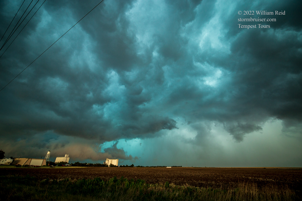
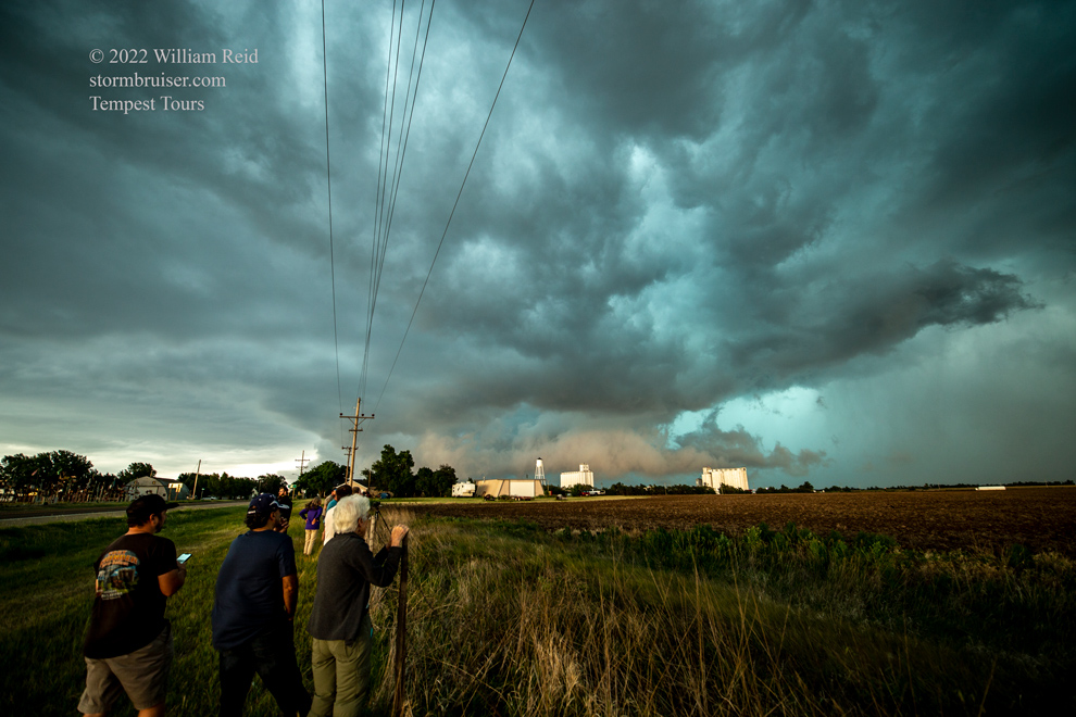
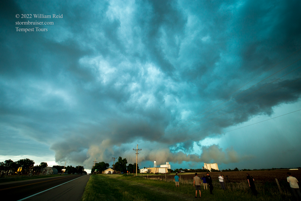

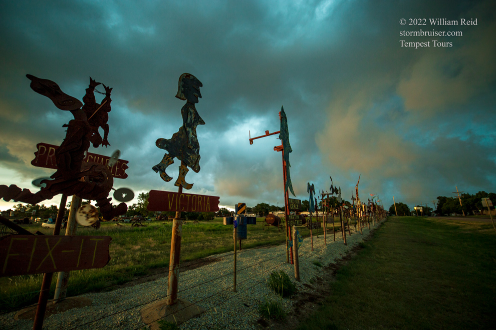
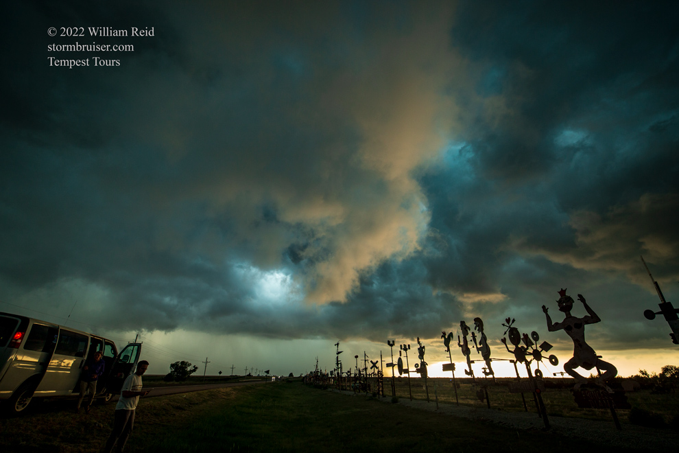





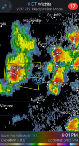
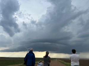
iPhone shots and radar screenshots, in chronological order, below! Hmmm, a Wordle game wound up in there. The answer described the shear today.


Leave a Reply
You must be logged in to post a comment.