
This post is for the impressive storm near Ballinger on the 22nd. Tour 1 out of OKC started on April 20th, with Matt P. and Chris. The chases on the 20th and 21st were ho-hum…let’s get those out of the way first.
April 20 Start: OKC, lunch Grab-and-Go in Lawton, End Boerne, TX 532 miles
April 21 Start: Boerne, TX; lunch: missing; End: Pearsall, TX 481 miles
April 22 Start: Pearsall, TX; lunch: Junction Subway; End: San Angelo, TX 436 miles
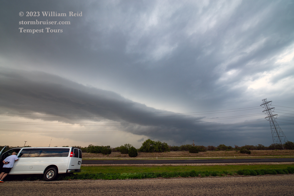
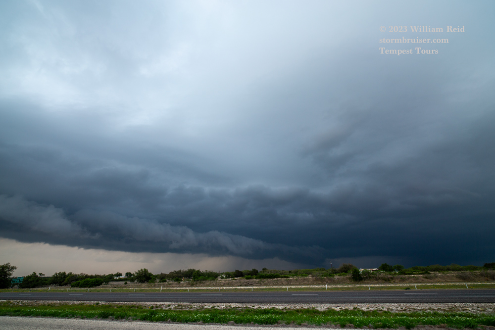
We had to blast south from OKC on the 20th in order to find some severe weather, and were rewarded with a sculpted cell near Menard. We got dragged down to I-10 at Junction and viewed some activity that was not entirely uninteresting at dusk.


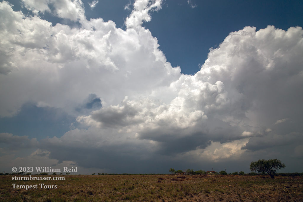
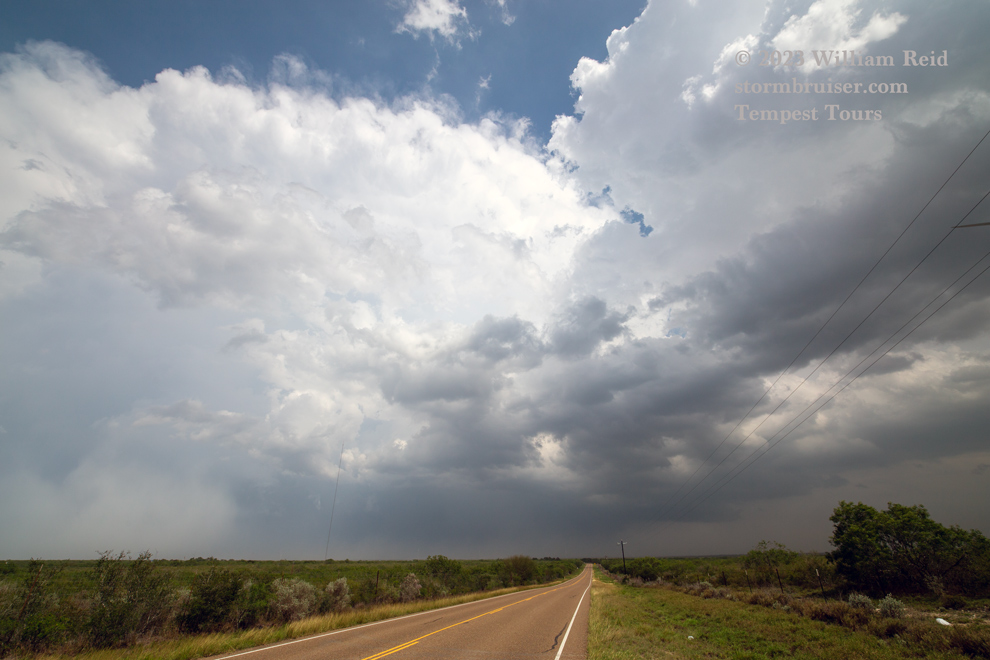
On April 21 our Tour 1 group was forced to the ends of the earth, to deep South Texas. This was courtesy of an advancing cold front.
Deep moist convection was observed from about Hebronville south to La Gloria. These storms were organized at least a little, and we had some difficulty staying in good position due to storm movement and a sketchy road network. The best cell was moving SSE through San Isidro, and our efforts in and around the storm core provided limited satisfaction…I think we had a decent rain-wrapped meso in the vicinity with this one!


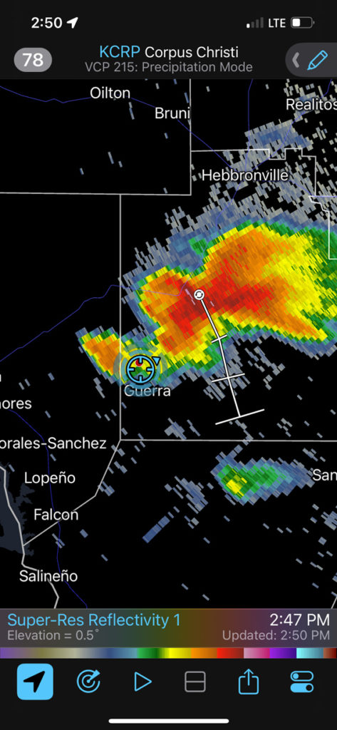
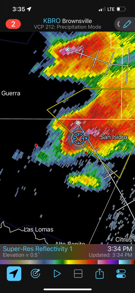
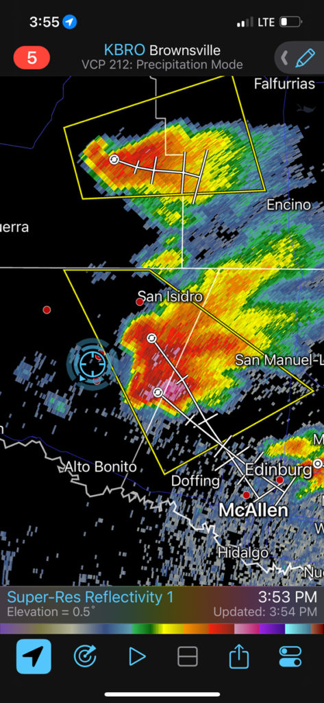
Okay, on to April 22…
Video by Tempest guide Chris Gullikson
Chase account by TT guest Lesleyanne
The SPC Mesoscale discussion #600 above shows surface obs for 21Z/4 p.m. CDT. South of the cold front are some southeasterly winds, but dew points are only in the 50s. There was more than enough convergence along the front near a weak triple-point area for convective development. Shear and instability were excellent for supercells. SPC didn’t like the low-level shear for tornadoes. I didn’t like the so-so low-level moisture. SPC liked the prospects for hail and painted a 15% hatched hail area east of the surface low, which was near San Angelo.
We made our way up from Pearsall and Junction, with a stop in Eden to fuel up. Prominent storm updrafts were going up to the north!
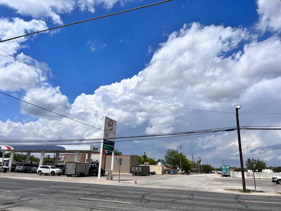
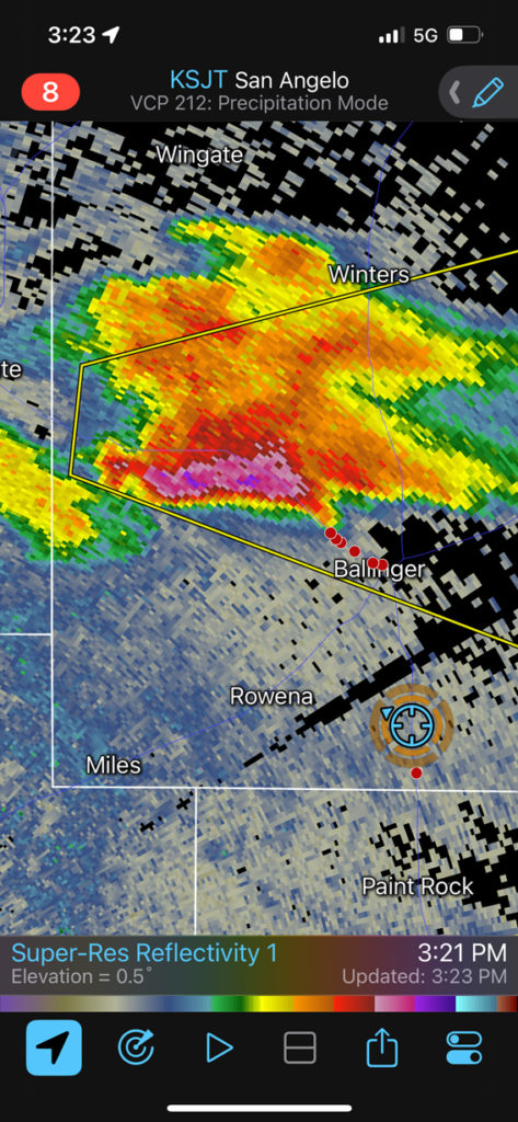
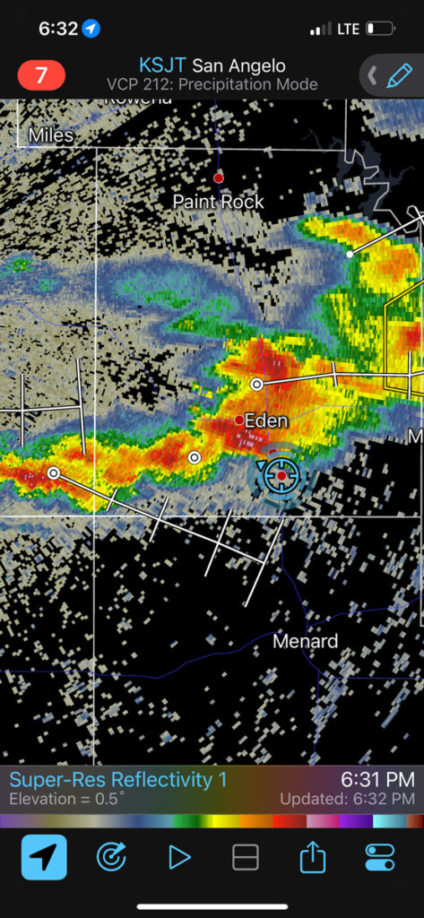
I was distracted a little by some mediocre storm updrafts near Eden, and then continued north towards the organizing cell that was WNW of Ballinger. A lineup of chasers was already in place west of that town (see radar above). The immediate question was — should I continue north to Ballinger to get east of this developing supercell, or hold back to the southeast of the storm and let it come to us? I chose the latter play, as this allowed us some time to find a nice open spot to view the storm and to let us set up the tripods. This was a mile or two west of U.S. 83 and between Ballinger and Paint Rock.
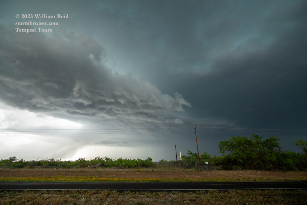
The images below show the approach of the storm base, which had a somewhat active lowering with some scuddy stuff and blowing dust beneath the base, no doubt helped along by the storm’s RFD. The views are largely to the NNW.
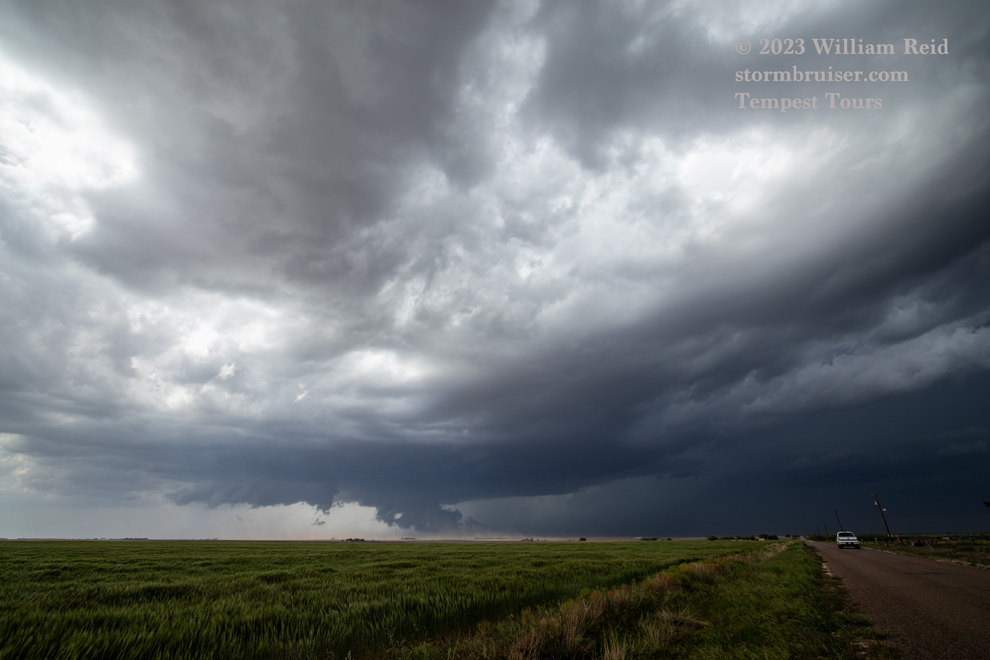

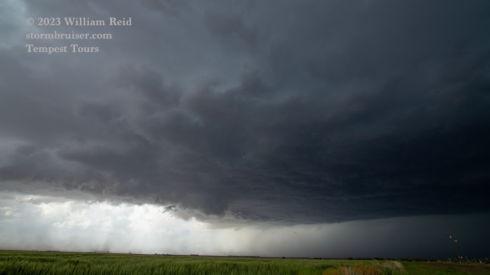
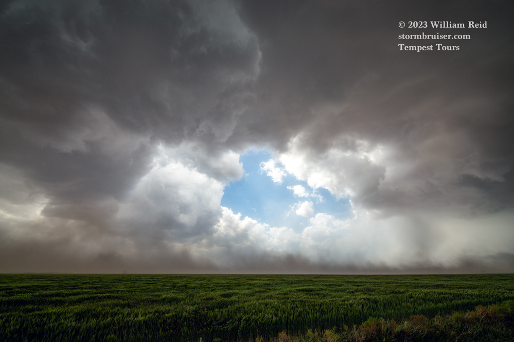

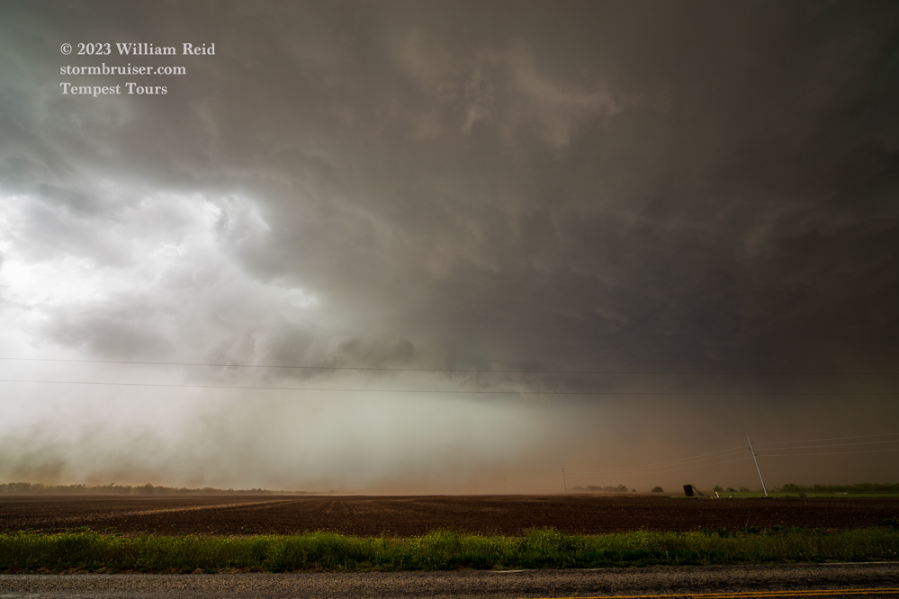
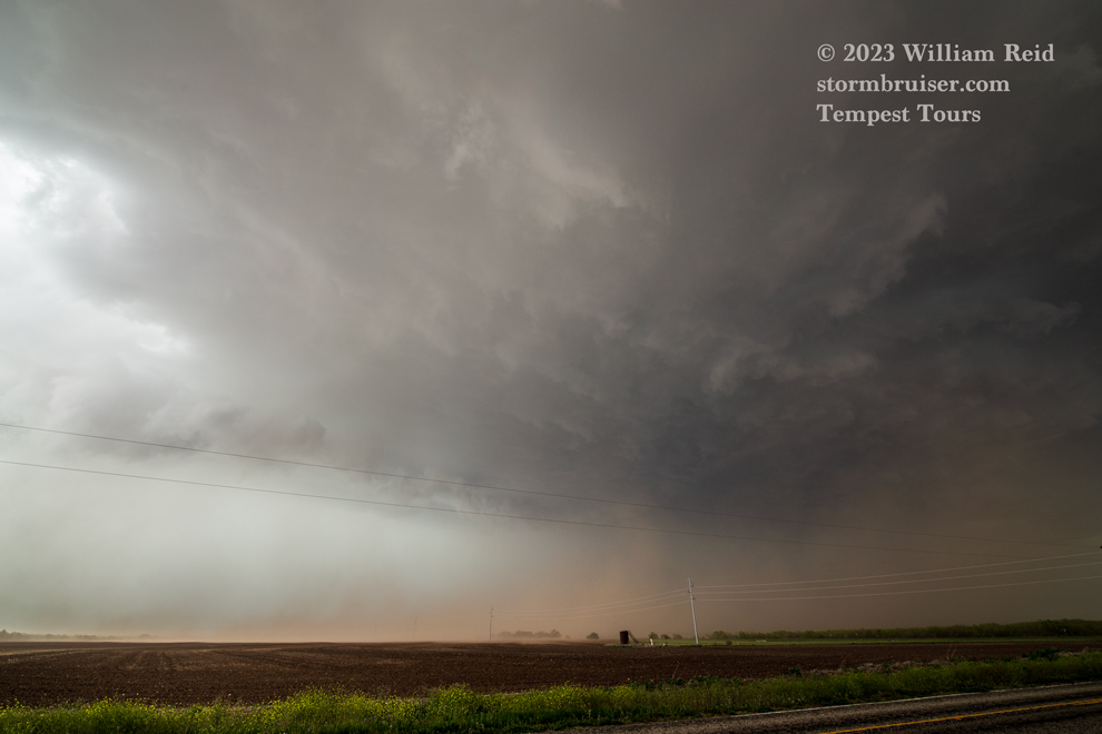
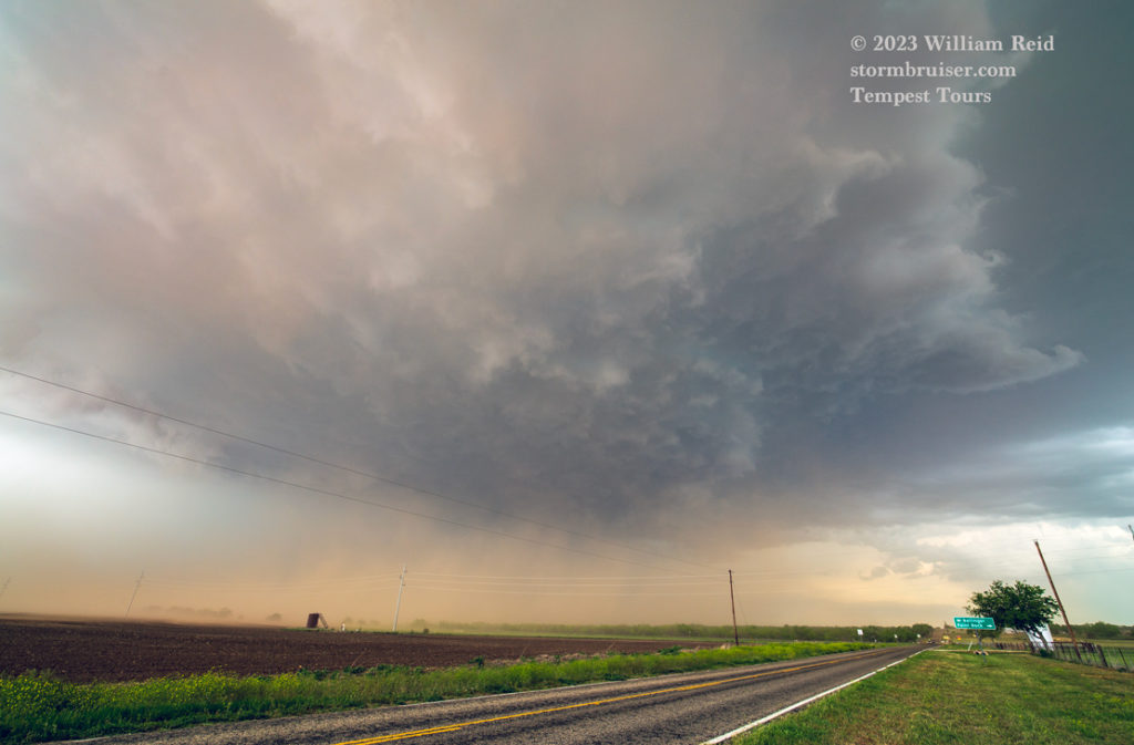
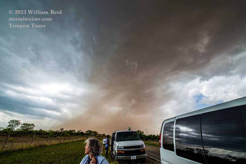


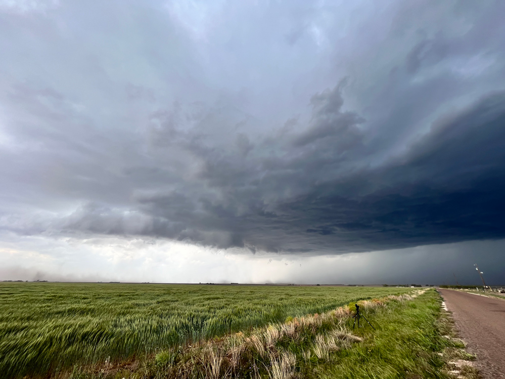
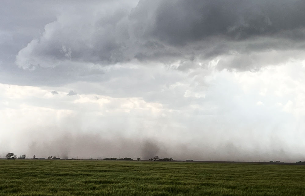
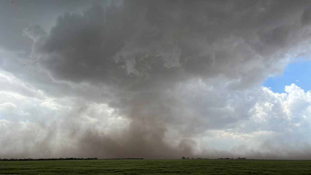
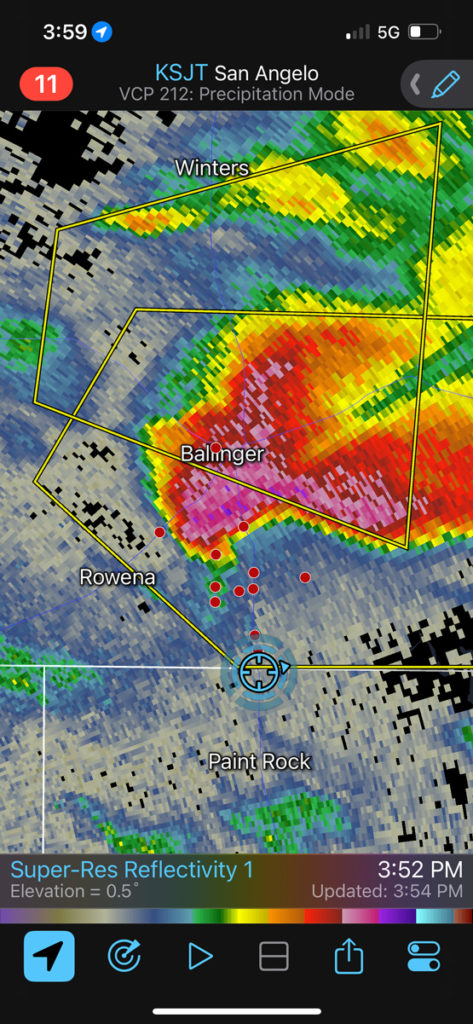
The last six images above are from the iPhone while the supercell was close to Ballinger. The storm had a great look on radar and was throwing out some 2.5-inch hailstones onto the town, plus some nearby gustnadoes along the leading edge of the RFD surge.
The supercell showed a flying eagle shape on radar, with some semblance of a hook echo around 4 p.m. northeast of Paint Rock. The storm base looked to be spilling cold air some, and was still rather on the high side.
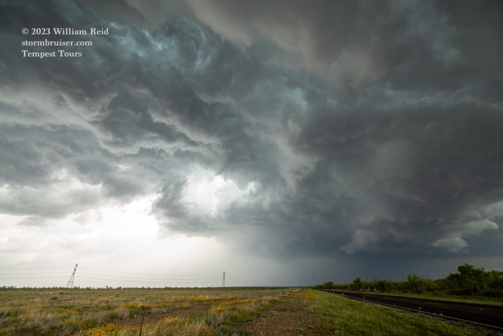
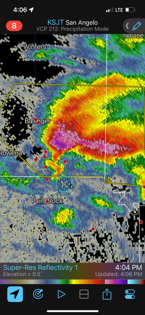
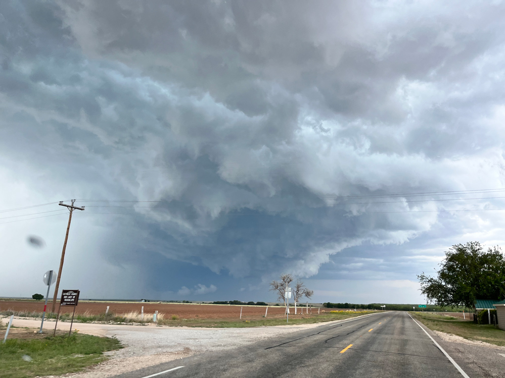
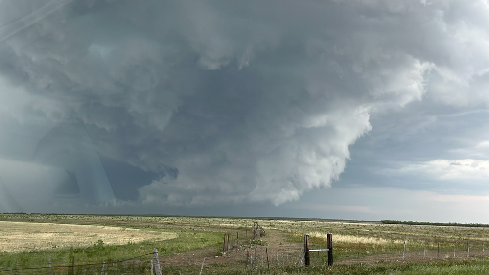
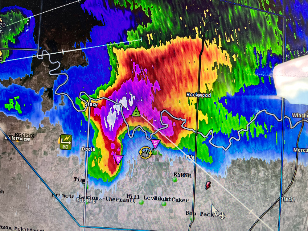
We went southeast to Millersview and then quickly eastbound on 765 towards Doole (last three images above from iPhone, see also minute Two of the YouTube video by Chris G.). A magnificent low-level meso was developing! We blasted east toward this sculpted and tiered feature that was practically scraping the ground. I managed some decent pics of this while looking east along 765 (below). The meso was near Doole. The radar image above was saved a few minutes later after this feature had moved east of Doole. Unfortunately, rain and dust wrapped around the west side of it and we had little to observe closer to Doole. We were in strong north winds with hook-echo-related rain and hail close to Doole.

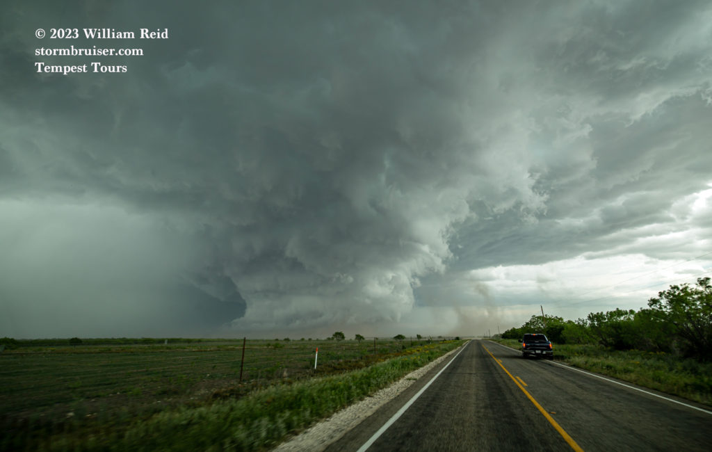

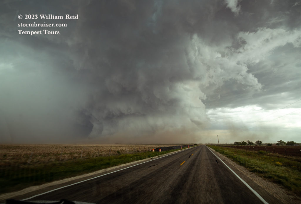
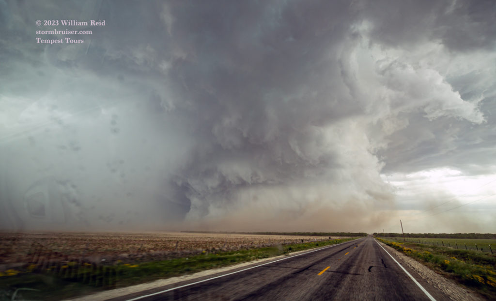
We stopped a few miles south of Doole once we emerged from the rain. The area of interest was not very impressive. The storm went into lame mode rather quickly. We played with another decent rotating cell towards sunset near Eden, but it seemed to be above very stable and cool low levels.

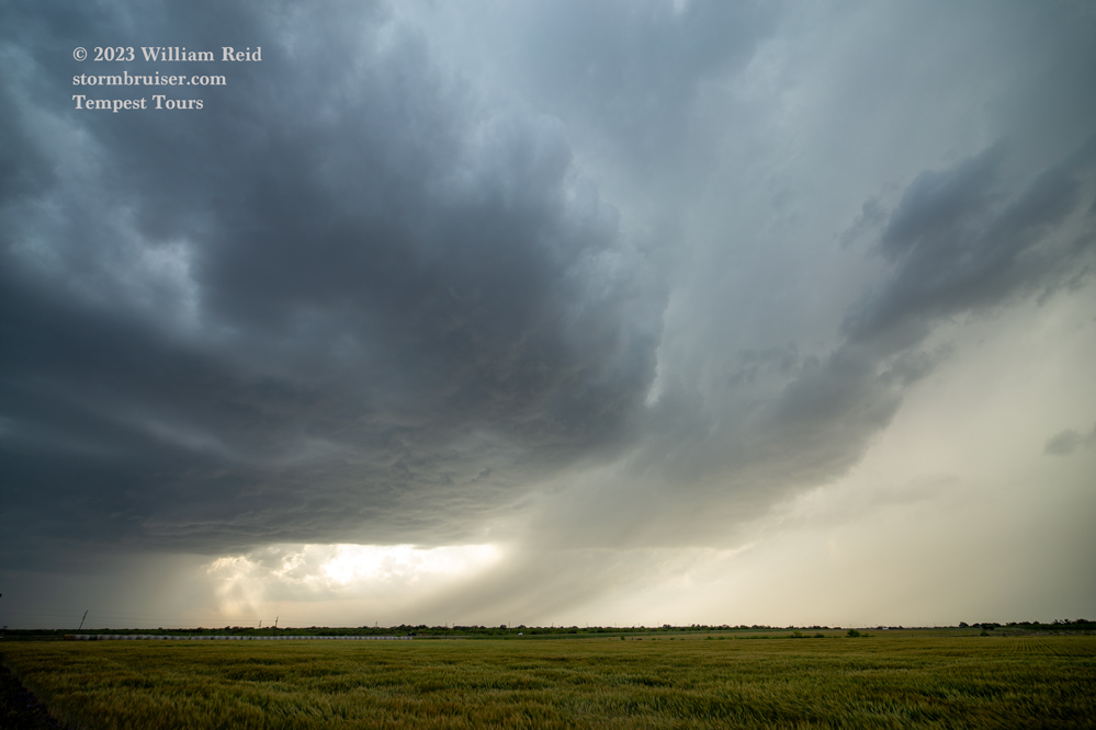

Why did the Doole storm ramp up so suddenly and dramatically? Not sure, but maybe it started to ingest some of that juicier air with dews in the low 60s that was a county or two distant (to the southeast) earlier in the afternoon. I certainly was not expecting such ramp-up in strength at the time.
Why did the Doole storm quickly sputter after looking great for 10 – 15 minutes or so? Not sure, but perhaps the RFD wrapped around and occluded it, and the rain-cooled air problems encountered earlier continued to wreak their havoc. One thing is for certain: Only my hairdresser knows for sure.

Leave a Reply
You must be logged in to post a comment.