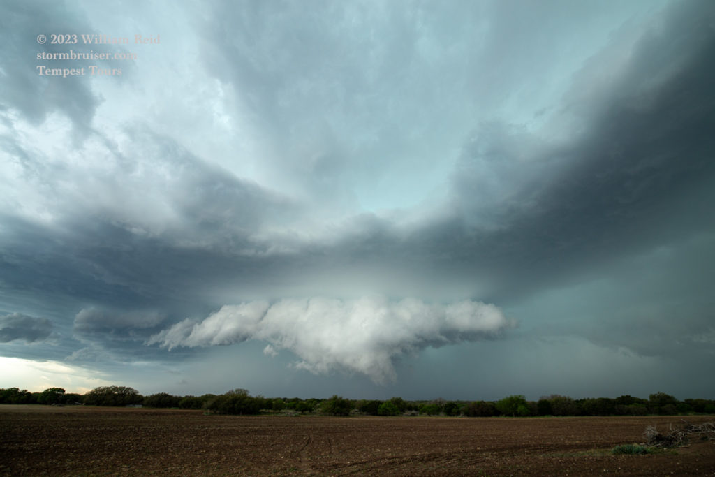
Our group had a good supercell chase near Ballinger on April 22, but a cold front swept southward into far South Texas early on the 23rd. A squall line produced some severe weather before noon way down south, close to the Rio Grande. We were left in the middle of Texas with cool north winds and drizzle. Scroll down a bit for the April 26 chase. Here, first, if you wish to read, is the sad story for April 23-25:
April 23 Begin: San Angelo; Brunch at the Kozy Kitchen in San Angelo; End: Turkey; 251 miles
No chase well behind the cold front. It cleared out on this evening to allow a brief glimpse of the Northern Lights from Turkey! Matt was set up in time to catch them, I was not. My long exposure picture is not worth sharing. Picture a faint shade of red near the horizon against a dark sky and stars.
April 24 Begin: Turkey, TX; lunch at the Big Texan in Amarillo; End: Amarillo; 404 miles
We had a longshot play of some shallow convection in New Mexico on the 24th. We went to Tucumcari and came home empty.
April 25 Begin: Amarillo; Brunch at Ye Olde Pancake House/Amarillo; End: Shamrock, TX; 476 miles
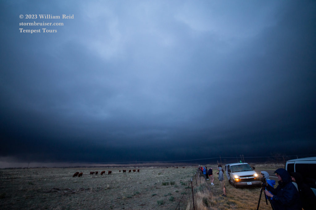
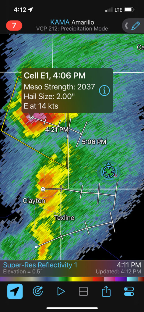
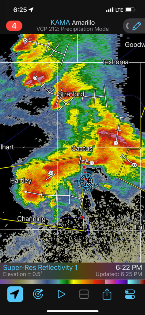
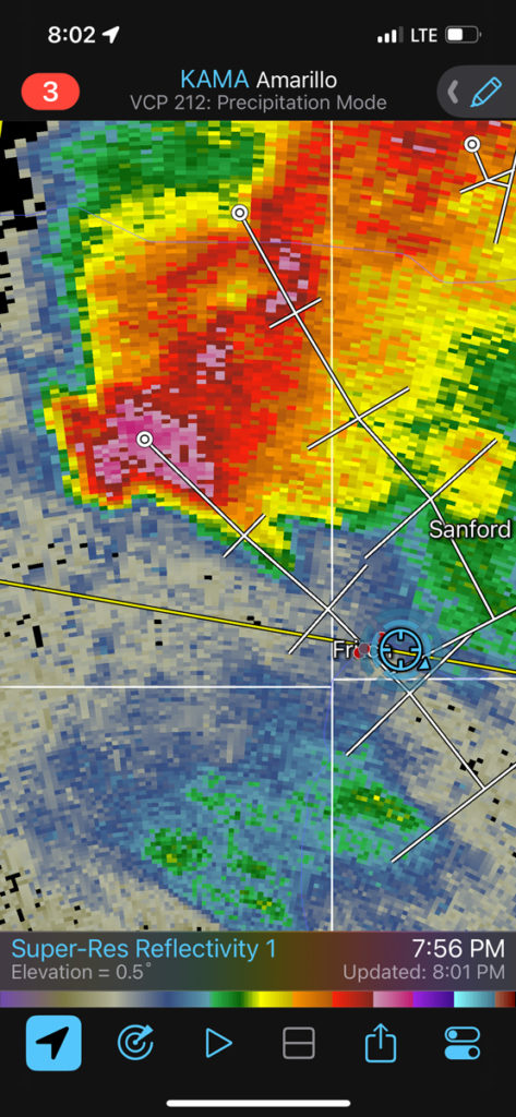
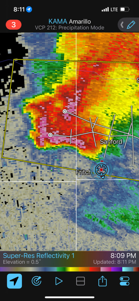
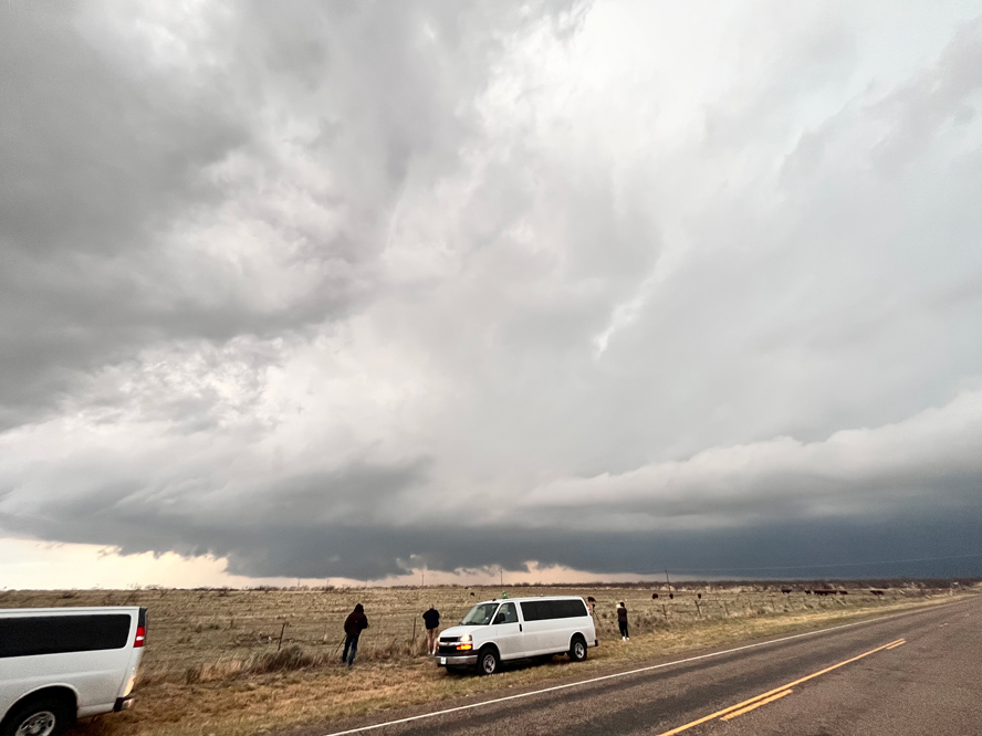
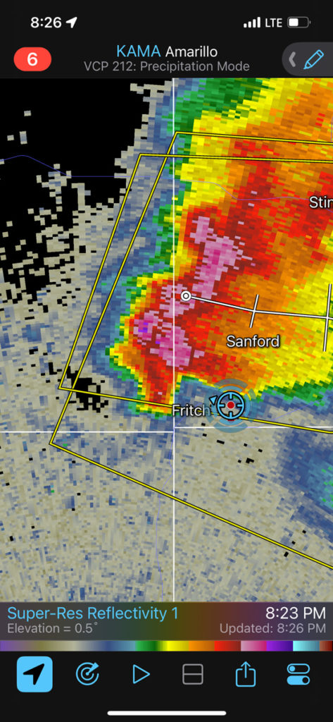
I had a brain malfunction on this day. We were in the midst of a nice cumulus field west of Amarillo early afternoon. There was decent juicy air in sunny skies just to the southeast of this area. I was conflicted with what looked like slightly better tornado chances with convection developing in the western Oklahoma Panhandle area. I went north to Felt, OK, in Cimarron County. Wrong move. We were met with cold outflow junk, while the I-40 area play to our south was treating smarter chasers to a beautiful and isolated supercell. We eventually had a supercell to look at near Fritch (below), but it was cold and outflowish. I guess I was too focused on tornado potential rather than just getting a nice and isolated robust storm on a day when tornadoes were not likely. NEXT. Scroll down to the April 26 chase near and south of I-20.
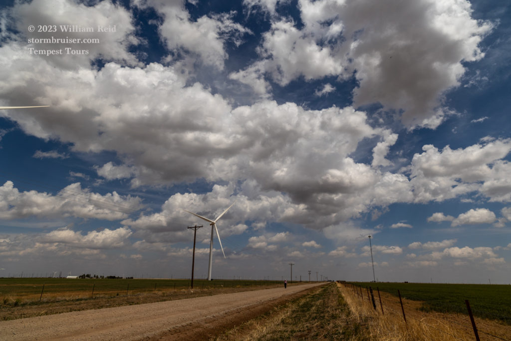
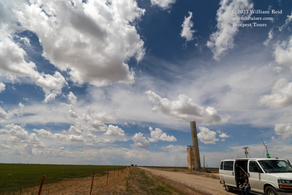
April 26 Begin: Shamrock, TX Lunch: Thirsty’s BBQ in Clyde, TX; End: Brownwood, TX; 486 miles
SPC Day One/20Z (10 percent hatched tornado!!)
Chase account by TT guest Lesleyanne
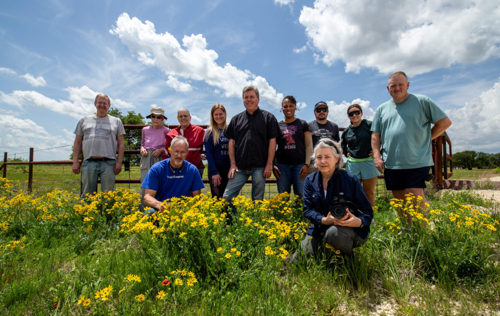
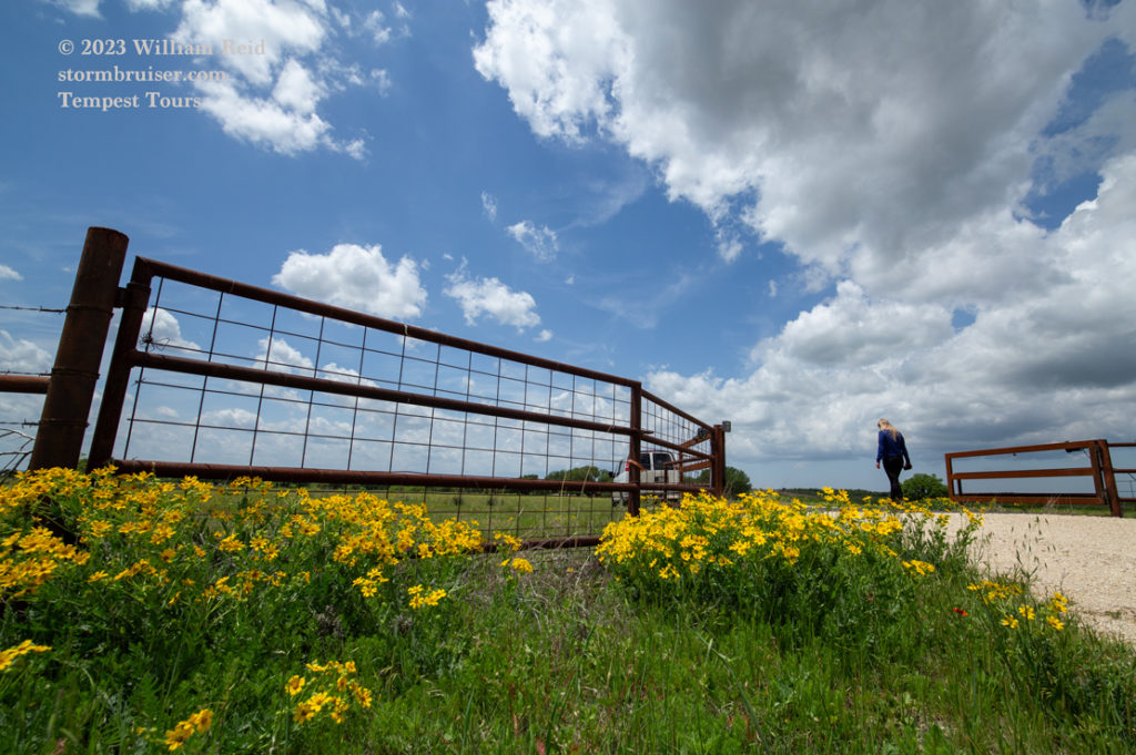
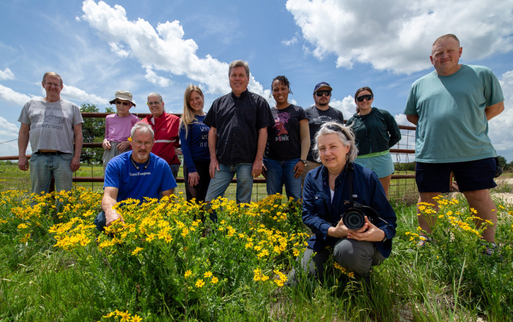
It was the final chase day for Tour 1. Well, actually the second-to-last official chase day as the 27th was the last full day of the tour. But the forecast for the 27th was for severe weather well to the south and east of OKC. We were not going to the Florida Panhandle or Brownsville on the 27th.
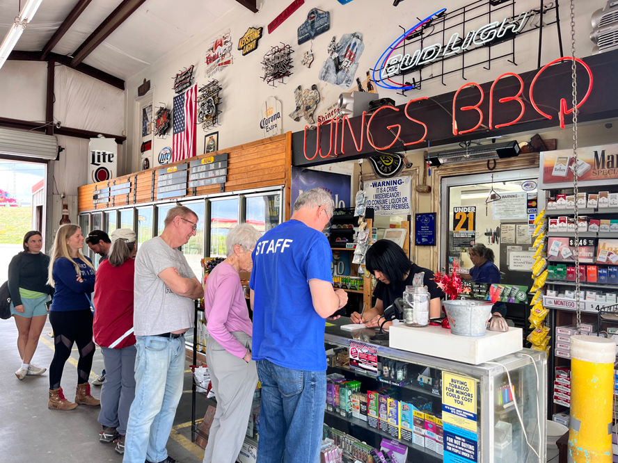
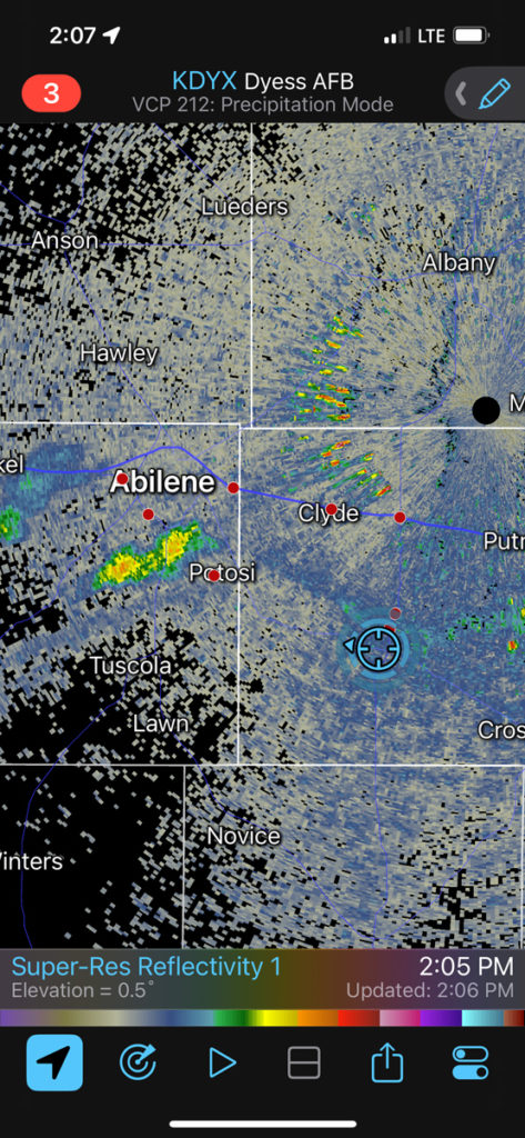
Luckily, the prospects looked rather good on April 26th, along and south of I-20 and an E-W outflow boundary near Abilene. SPC blessed us with an enhanced risk and a 10 percent hatched tornado risk. Certainly, wind shear and instability were sufficient for supercells. A storm moving along the outflow boundary would be an excellent candidate for a significant tornado. But, the decent tornado prospects did not work out at all. I think that the boundary continued to sag to the south and it effectively undercut the storms that went up on the boundary. Correction: I know that the boundary continued to sag to the south and undercut our storms. The boundary moved southward through our picnic lunch BBQ at Clyde along I-20 and it cooled off considerably.
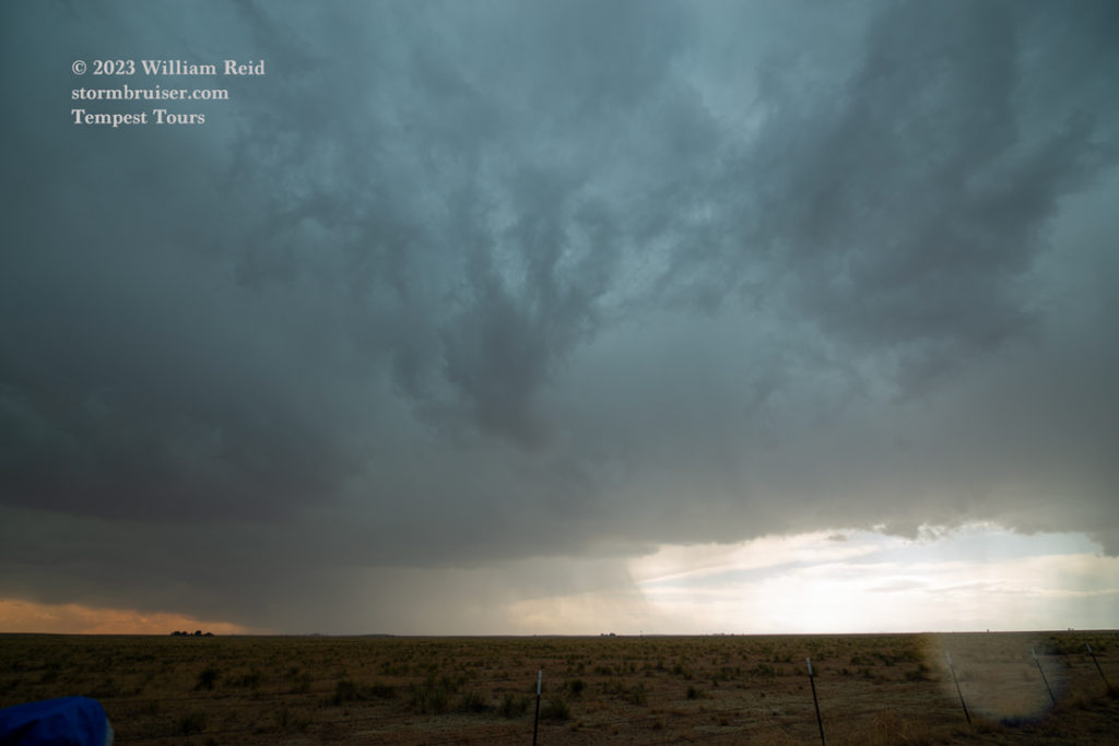
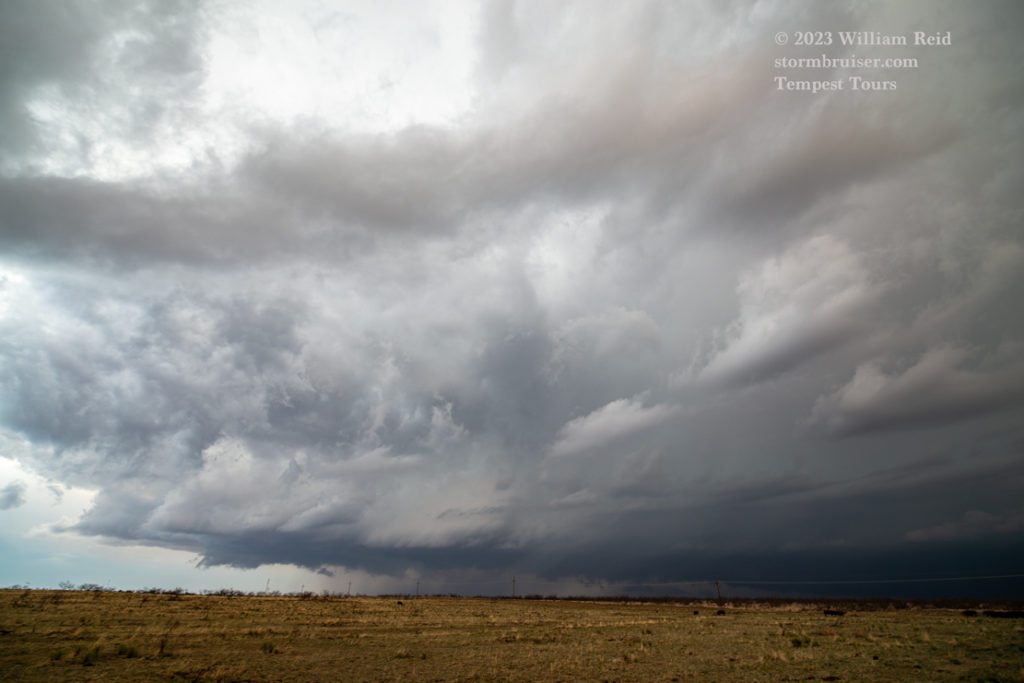
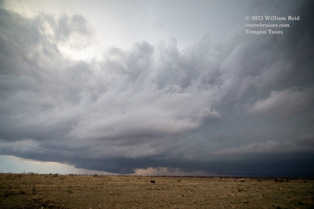
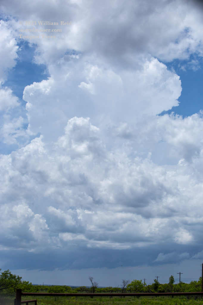
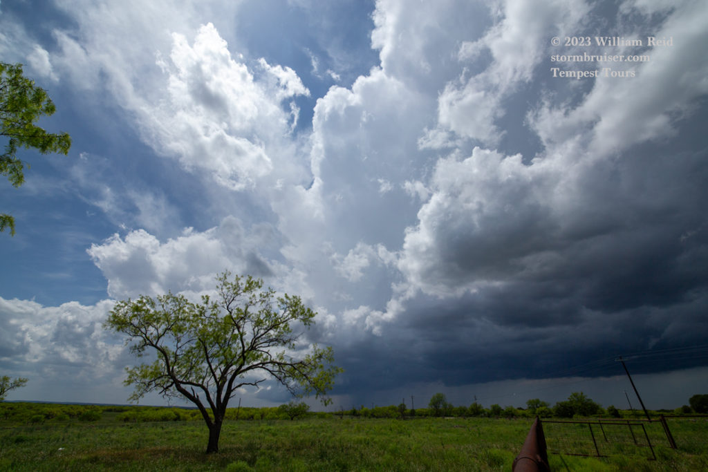
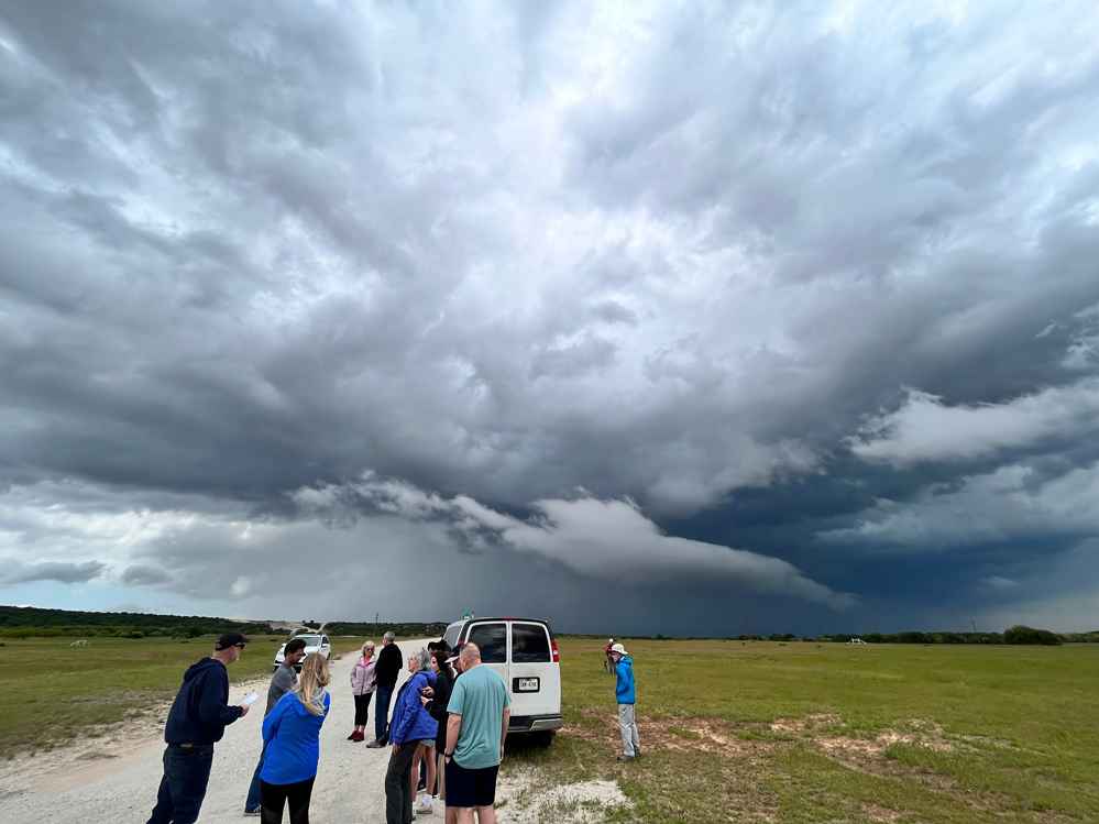
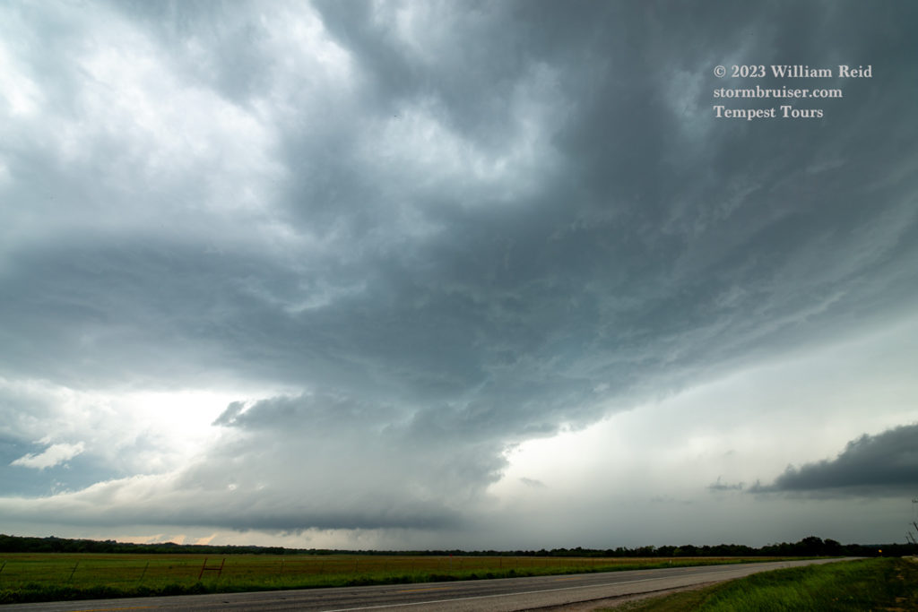
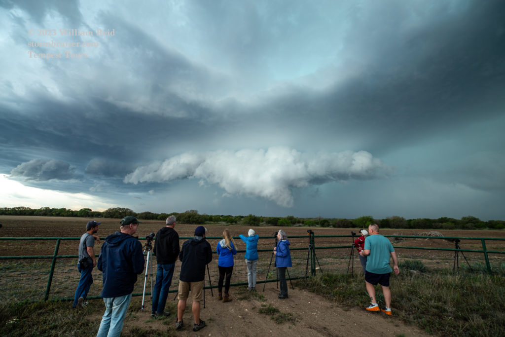
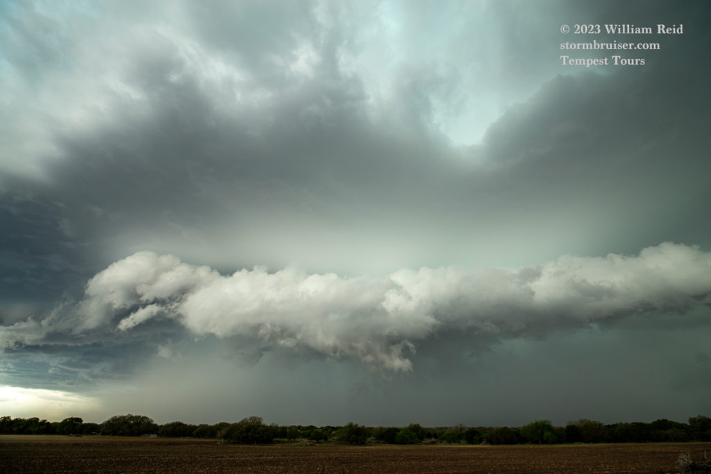
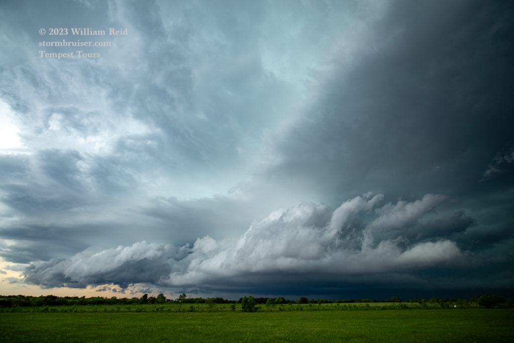
Following our early-afternoon lunch a decent supercell developed south of Abilene. We had a great look at it, and unfortunately the low levels quickly took on that “outflowish” look. That meant DOOM for our tornado chances.
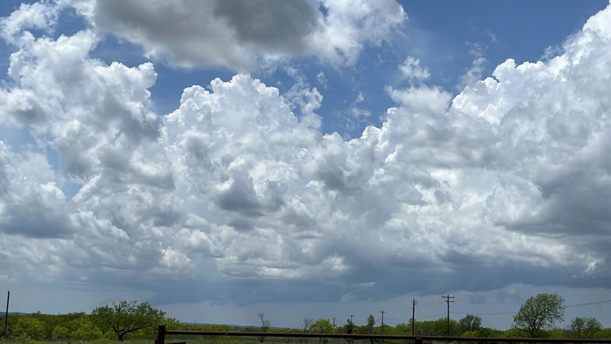
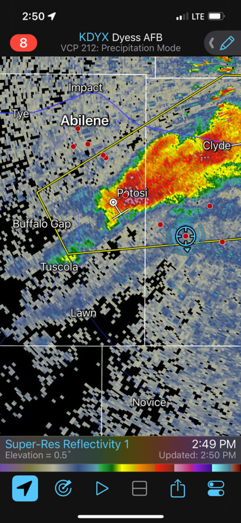
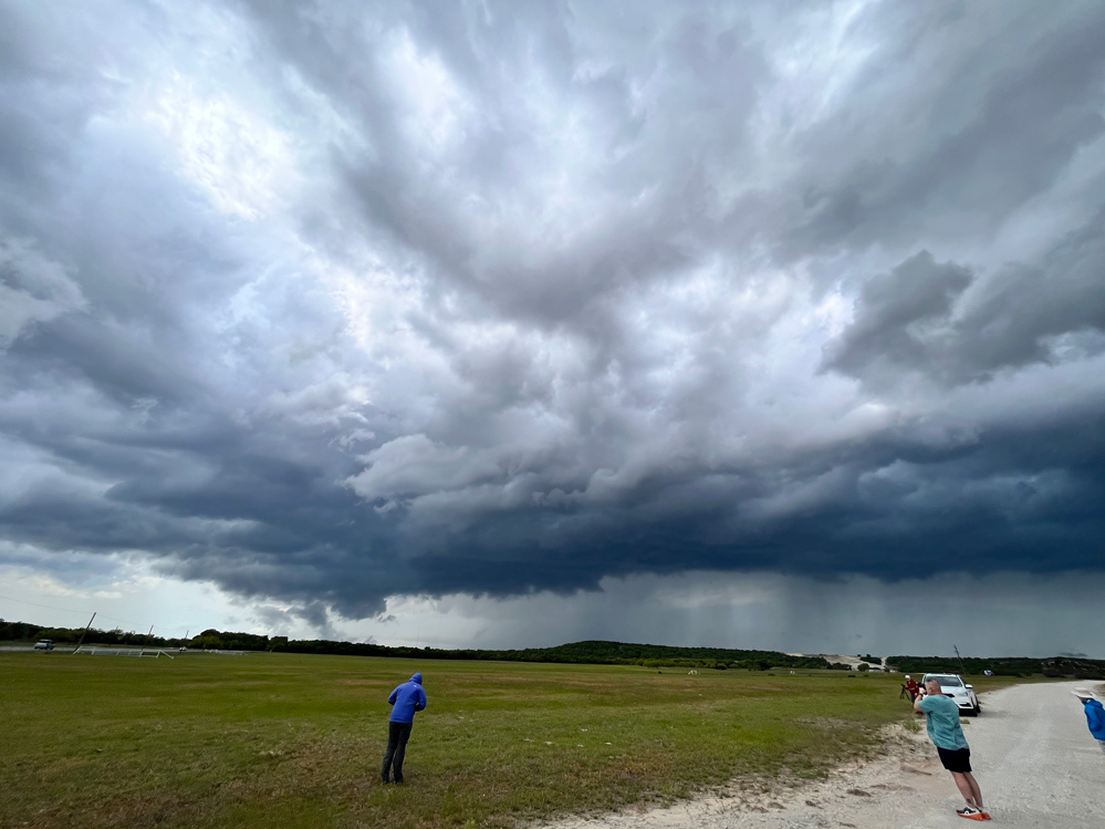
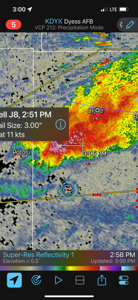
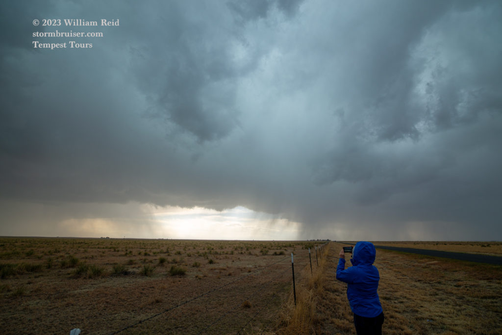
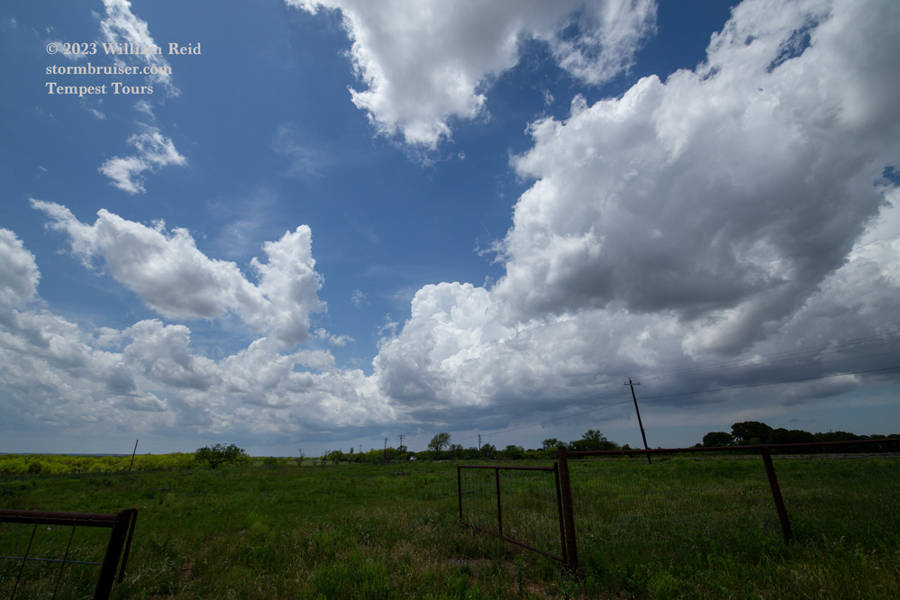
The pics of the storm bases above and below do not give me a warm and fuzzy feeling. The scud was moving away from the base and we were met with a coolish low-level outflow breeze which was undercutting the storm.
This meant that I had to adjust the target area if I wanted a better tornado chance. We went south and southeast from south of Baird to Rising Star, Comanche and Goldthwaite. The storms here were strong, but low levels never looked all that great.
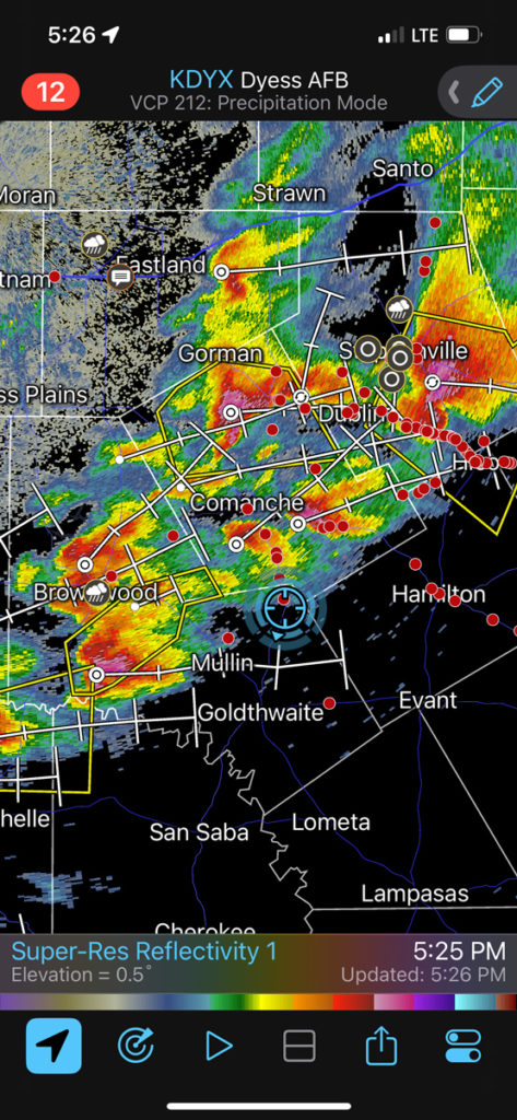
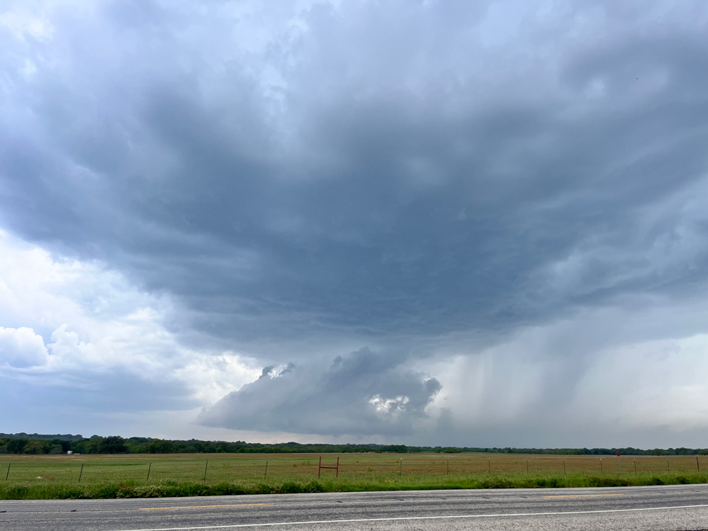
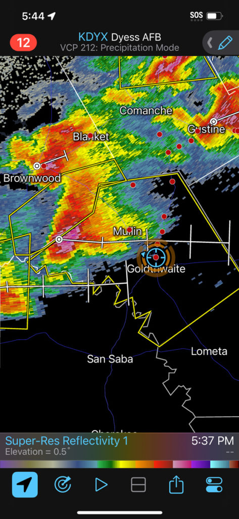
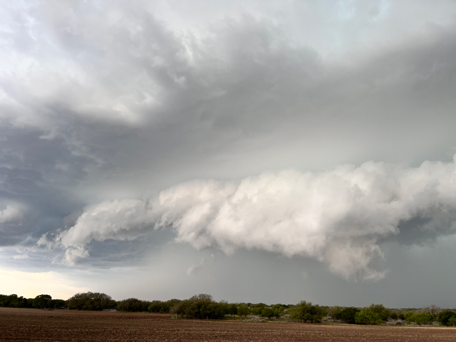
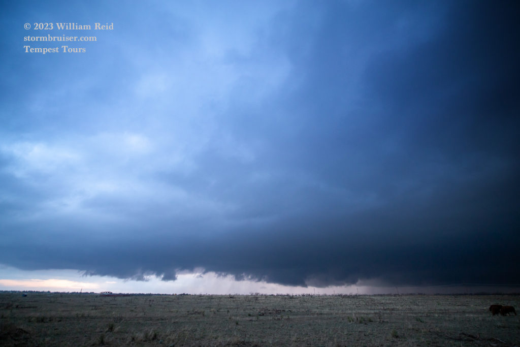
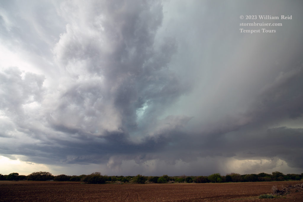
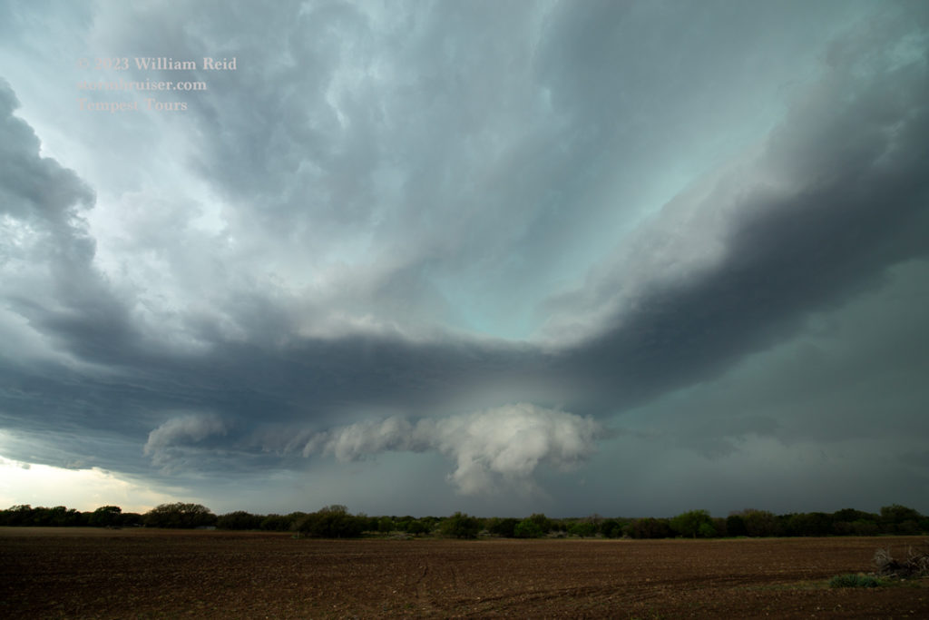
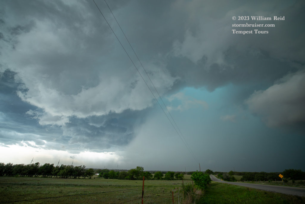
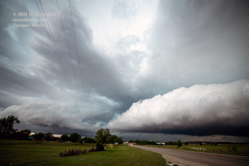
This one that was approaching Goldthwaite (see pics below) had a good and nasty look for a bit. But it was in HP mode, and any tornado or action area was rain-wrapped. It chased us east some, but was more of a rainy mess than anything else east of Goldthwaite. The chase day was done, and there had been zero tornadoes of any consequence. The moral of the story is: If your “stationary” boundary or warm front is sagging south with rather cool air on the north side, then you are in trouble. I think that elevated morning convection in the vicinity of the Red River was responsible for reinforcing the outflow boundary and promoting continued southward movement. Cold rain-cooled air loves to undercut warm air to its south.


Leave a Reply
You must be logged in to post a comment.