
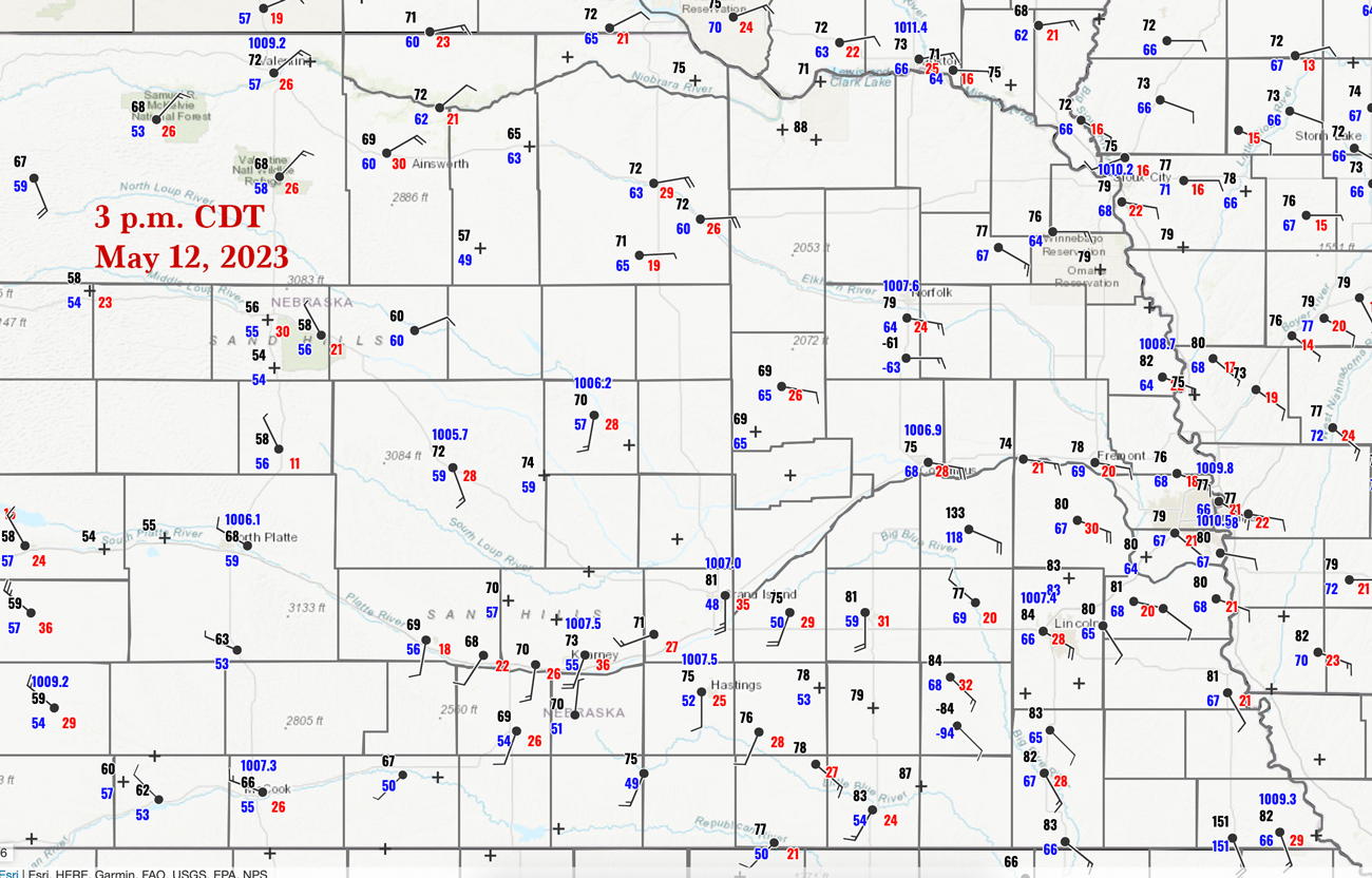
Surface Map for 3 p.m. CDT above
This was a frustrating chase day, as the best storms with the very photogenic and long-lived tornadoes occurred somewhat early in the afternoon, and we were still an hour away trying to get to them in time. It didn’t happen.
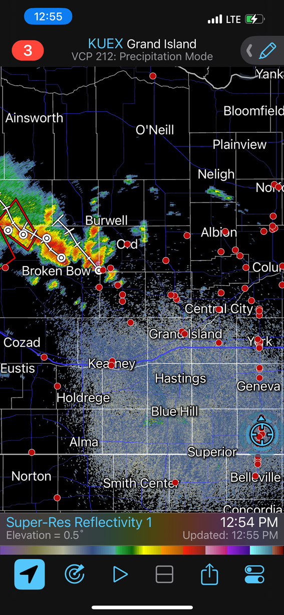
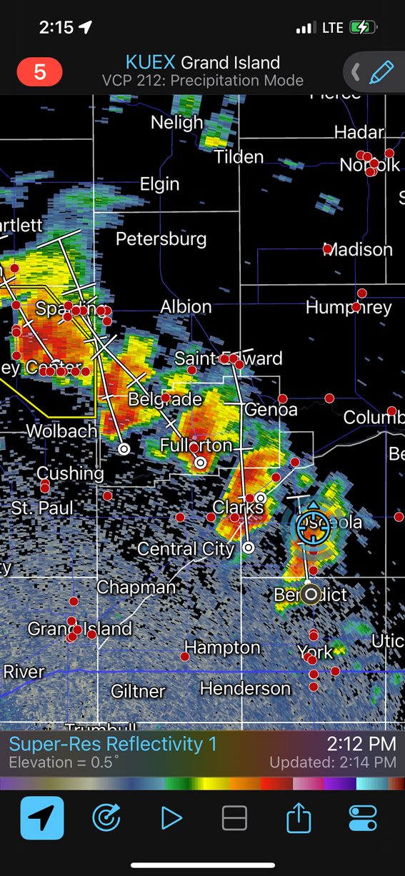
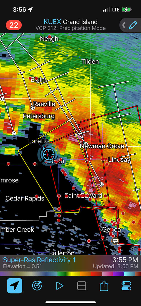
The play this day was along an obvious warm front in the eastern Sandhills of eastern Nebraska, especially close to the surface low that was near the middle of the state. Really nice-and-moist east winds were on the north side of this boundary, and the early storms that moved north into these winds had little trouble making tornadoes. See the radar screen grabs below. One of the better ones was near Spalding, west of Albion, around 2:30 p.m. CDT.
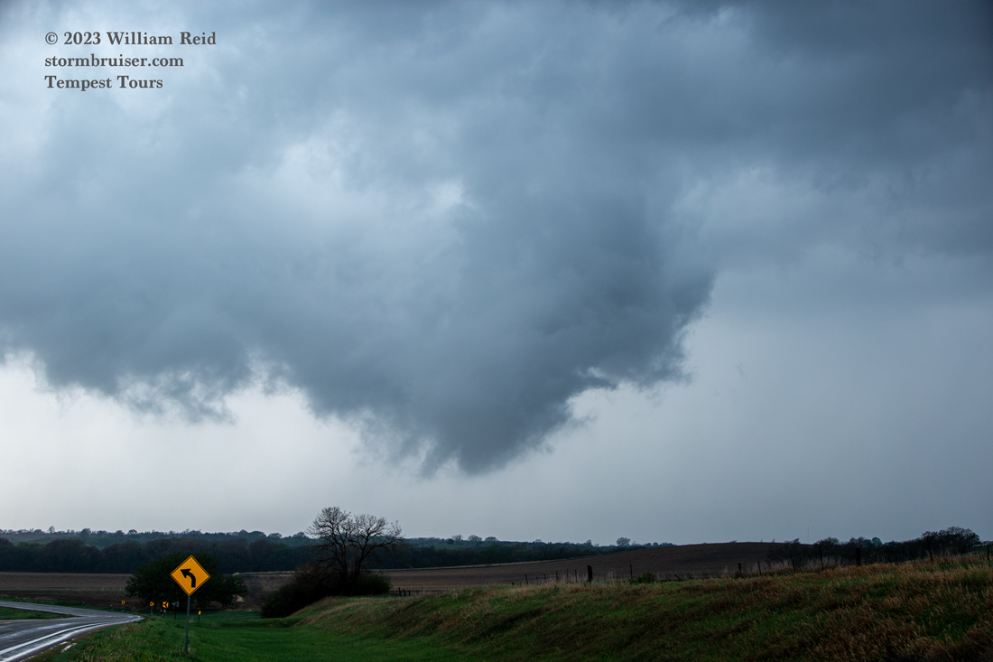
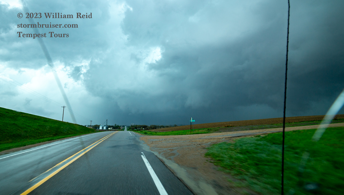
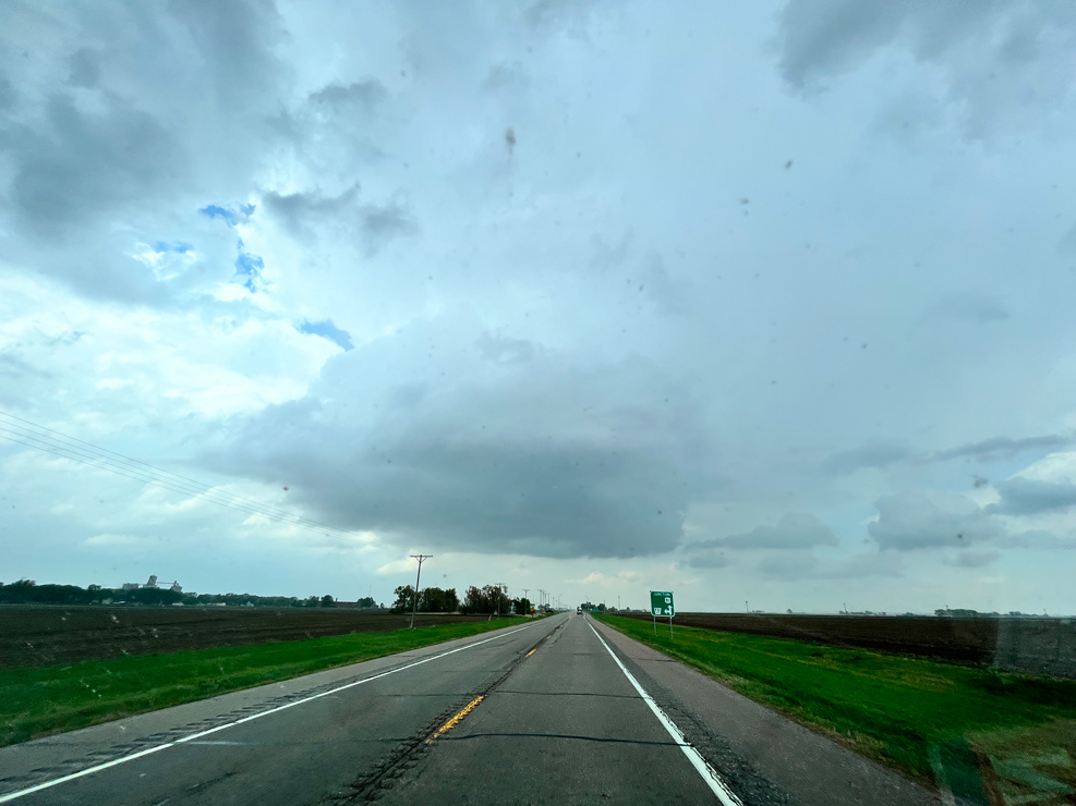
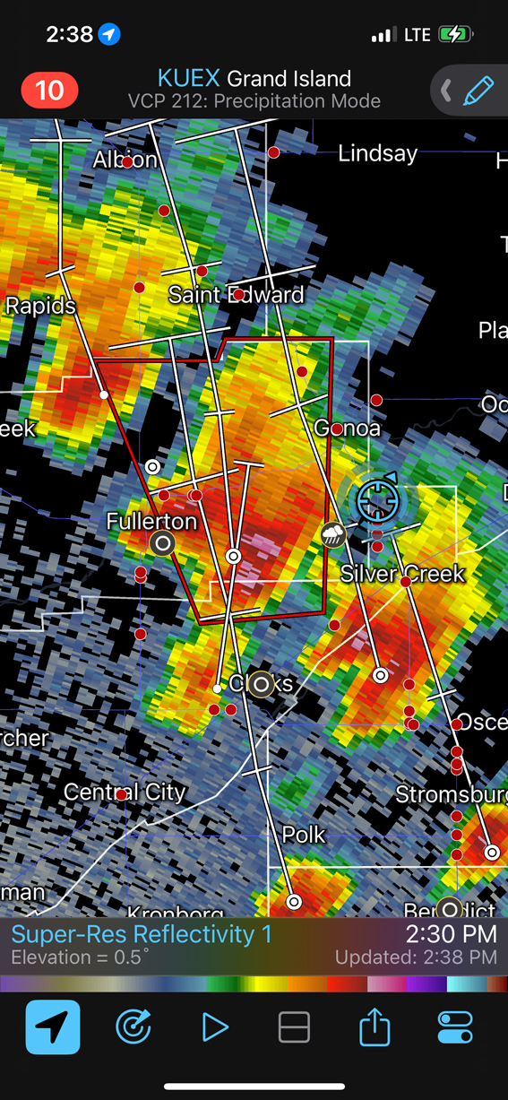
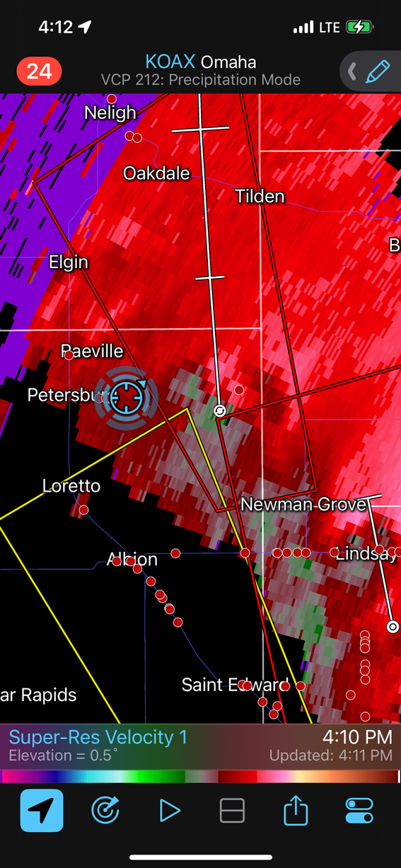
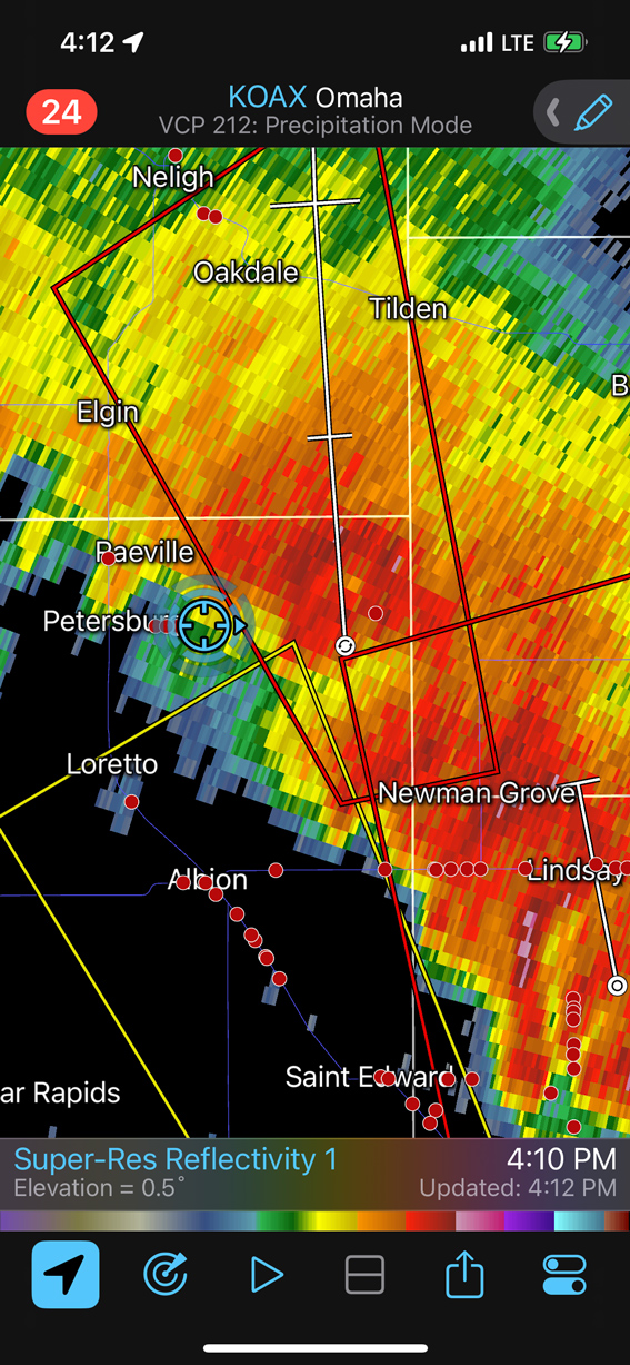
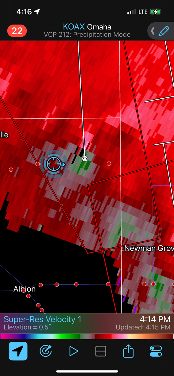
We made it up to the boundary north of Fullerton as storms went up in the vicinity, but these were not inclined to produce tornadoes (this was a county or two east of the earlier tornadic storms). The chase situation became quite problematic quite quickly as numerous storms, most with good rotation and some with tornado warnings, started surrounding our position! We sampled a number of storm bases, some of which looked about ready to “tornado,” but they did not as far as we could tell. We tried getting in front of one good-sized supercell with a tornado warning near Newman Grove, NE. This was along Highway 32. But the tornado was rain-wrapped and we didn’t see it (while on its west side). We came up to a light damage path, and it looked like something lurking in an action area to the north, but rain and haze made it difficult to see what might be in there.
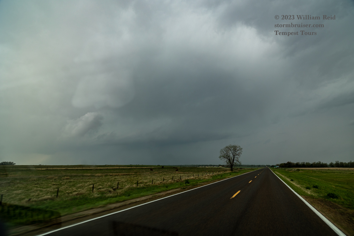
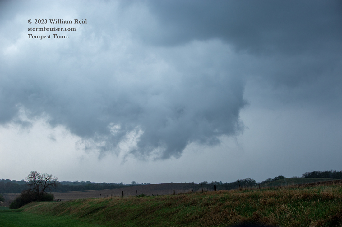
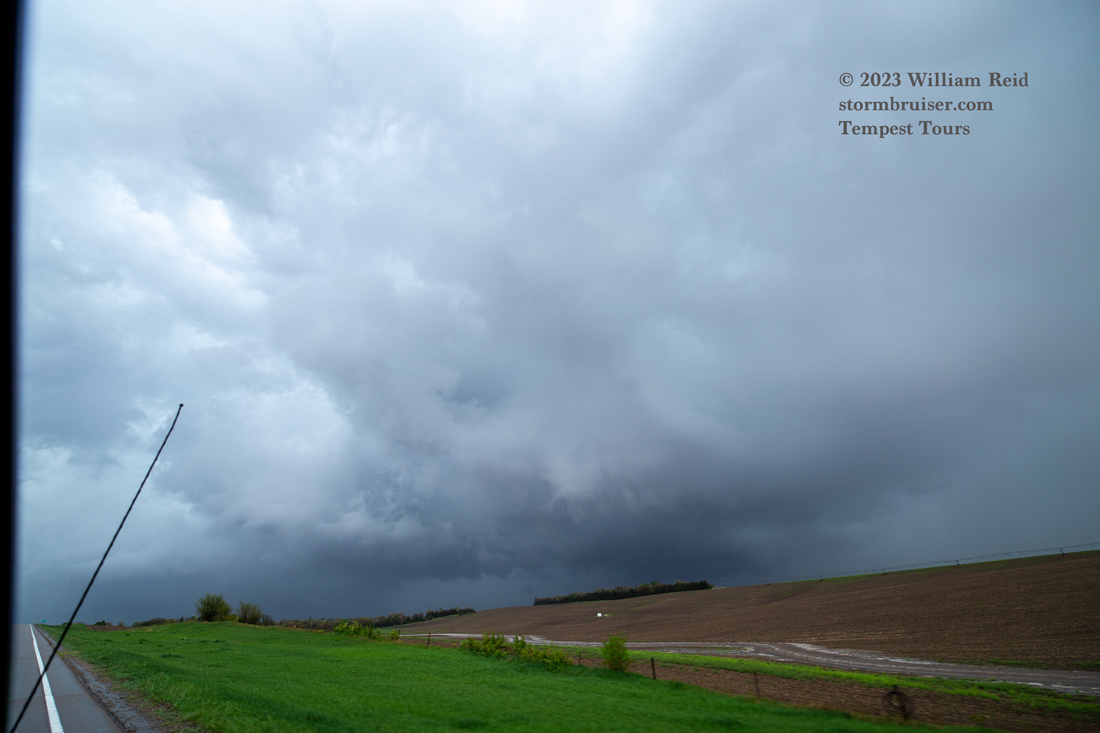
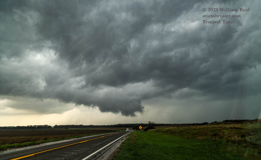
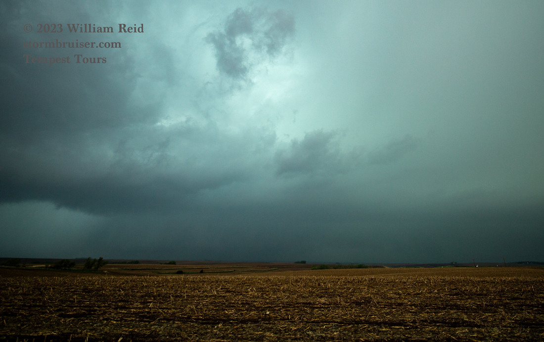
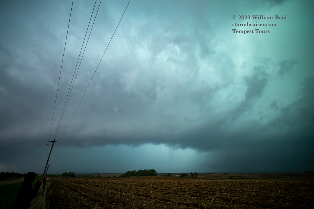
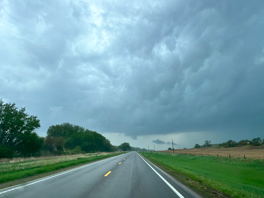
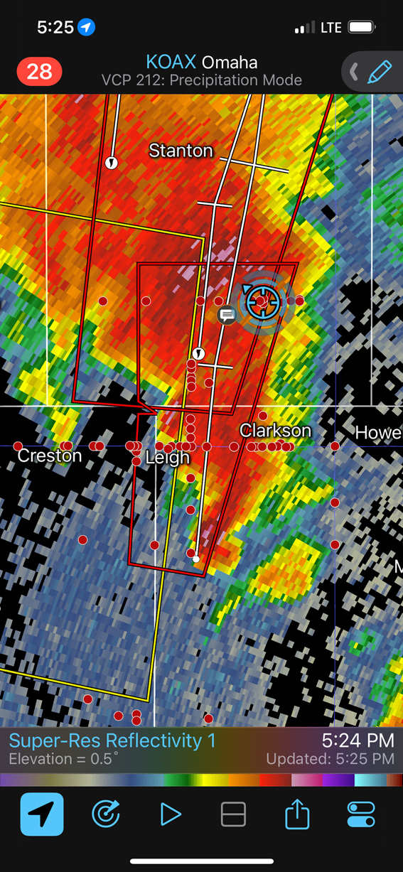
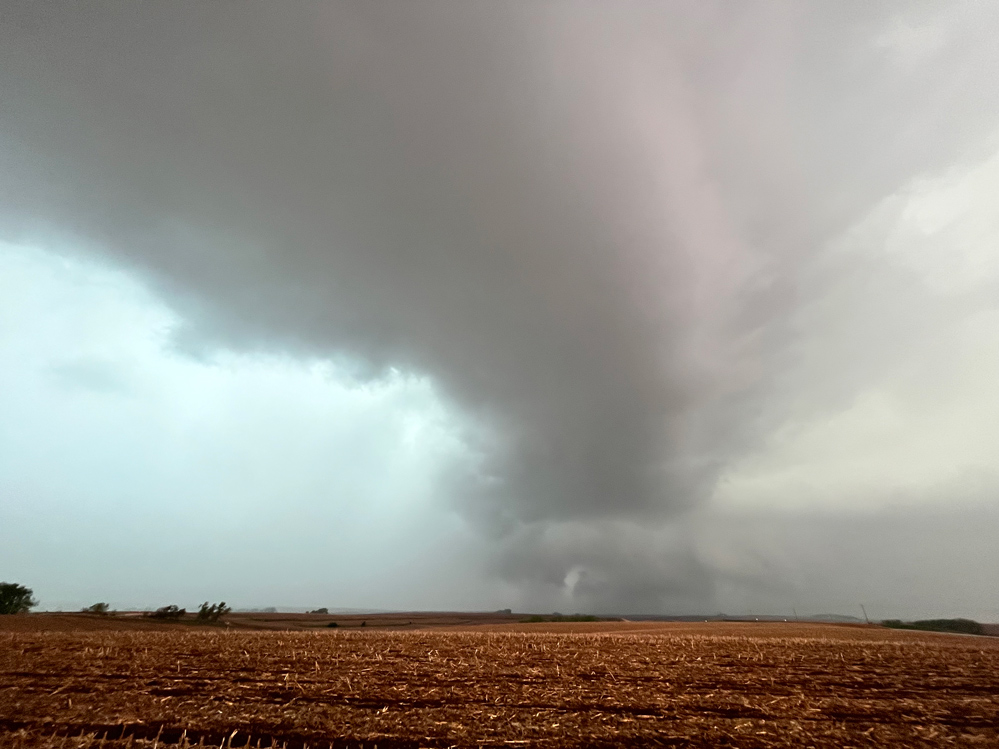
We got to the east side of the N/S conveyor belt of supercells and watched another suspicious area pass by to our west. This was near Clarkson (first two images below, looking west).
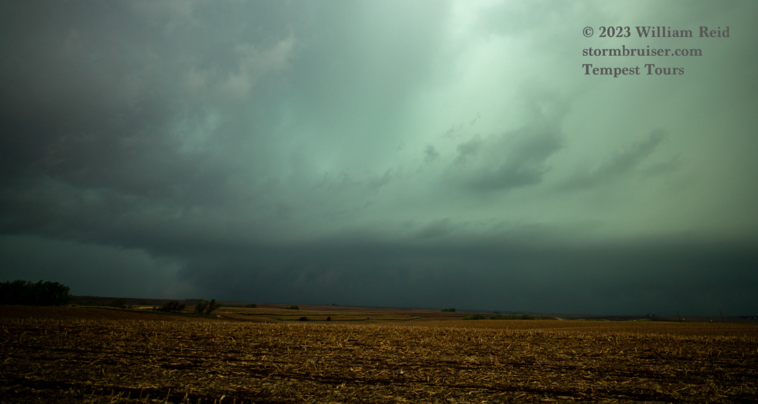
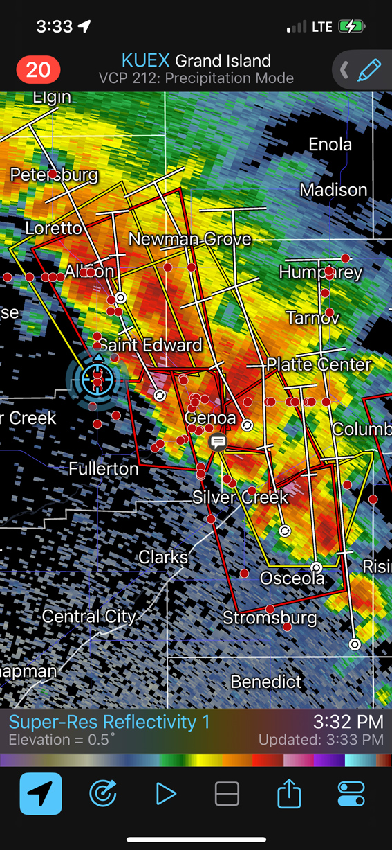
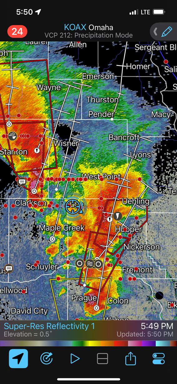
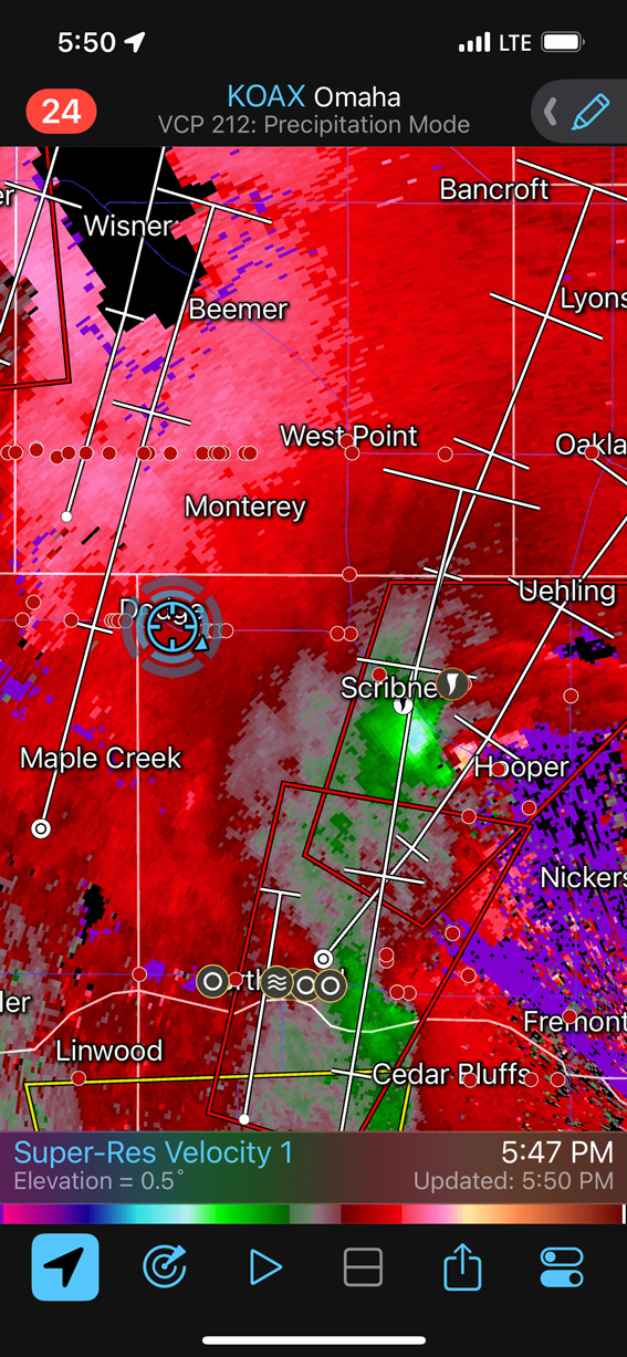
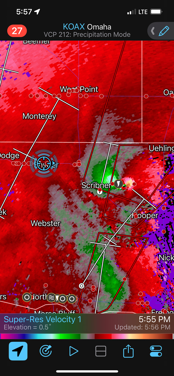
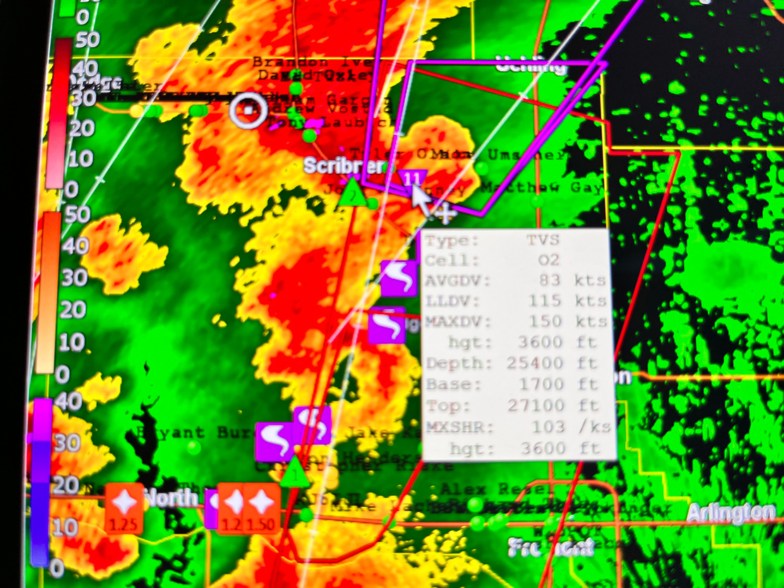
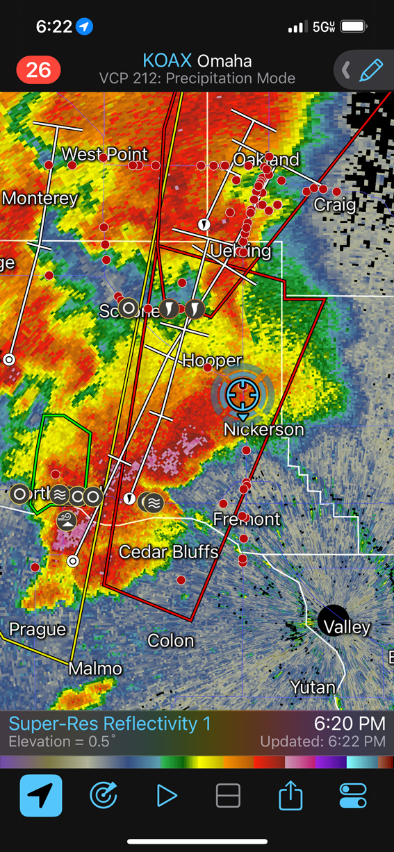
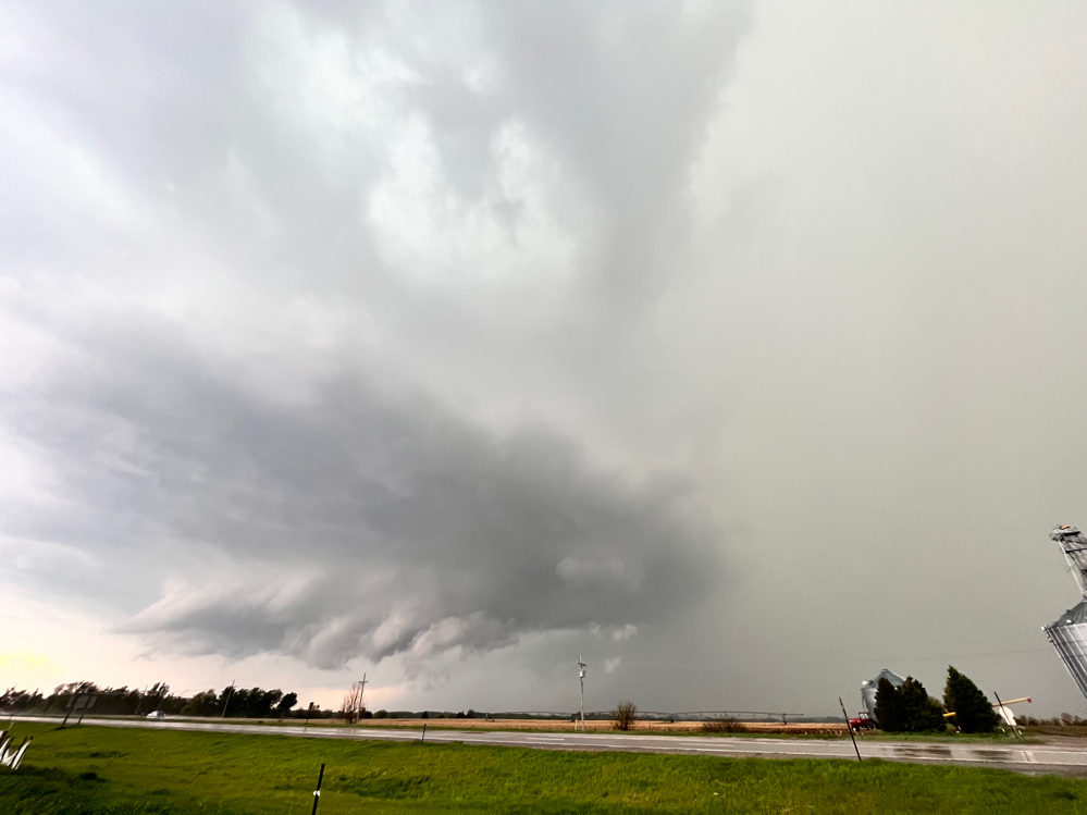
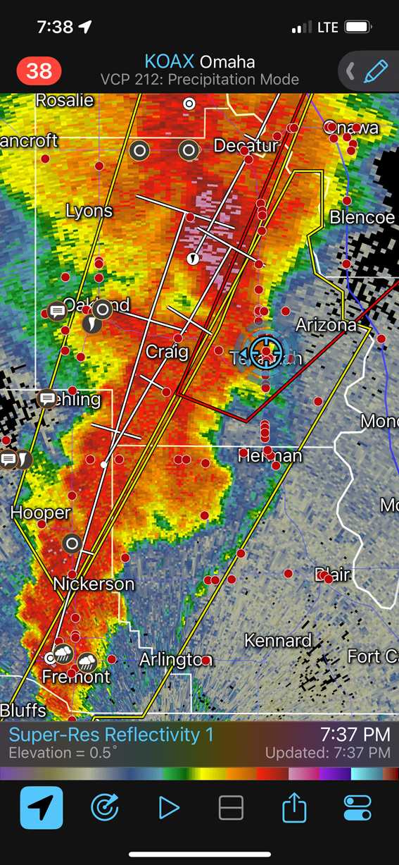
For a final knife-in-the-back, a beastly tornadic supercell took shape to our ESE near Hooper and Scribner. I tried to get to that one, but it was just out of reach. We had some sloppy seconds near Herman and Tekamah afterwards. This is a good day for me to forget. iPhone images and radar screen grabs below.
Leave a Reply
You must be logged in to post a comment.