Start: Sioux City, IA
Lunch: No lunch
Dinner: Las Flores Mexican Restaurant in Rockwell City, IA
End: Carroll, IA/296 miles
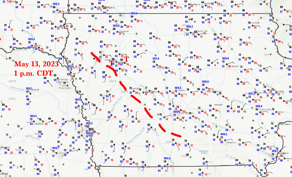
Surface observations at 1 p.m. CDT on map above. The tornadoes (T) are plotted near Newell and Pocahontas and occurred 2-3 hours later.
Time lapse video of the chase by TT guide Chris Gullikson. This includes additional handheld tornado video.
Video via “X” by Aaron Jayjack of the weak tornado near the chase van, near Shaller.
Unlike the day prior, when we missed the best storms in large part because we started the day about 400 miles from where we needed to be, on this chase day we started very close to my target area. We began in Sioux City, Iowa, which was just east or northeast of the surface low in northeastern Nebraska. We were playing closely to a relatively “stacked” cold-core system, with southerly winds aloft over Iowa. Above northwestern Iowa was a prominent and obvious warm front…or a relatively stationary “warm” front. It didn’t matter what we called it. The front separated warm and somewhat moist air on southerly winds on the south side from cool-to-mild and moist air in easterly winds on the north side. See the map with the surface obs plotted above. I drew in a boundary line which separated the two air masses. The map time is 1 p.m., a little bit after storms had already developed along and near the boundary. These storm cells were relatively low-topped, as expected, since the area was near the cold-core upper low and since instability values were modest.
The meteorological setup looked particularly good for (at least weak) tornadoes, as low-level shear would be fabulous for a discrete storm moving north into those strong east winds on the north side of the front. SPC had a slight risk with a 5% tornado risk area (at 1630Z) in a band from about Spencer, IA, southeastward through Des Moines and into southeastern Iowa. This was displaced a county or two northeast of the boundary. By 20Z they fattened up the risk areas a little and shoved them west to cover the boundary. I felt that it would be prudent to stick closely to the surface low and to sit right on the boundary. I saw little reason to target areas closer to Des Moines, though instability was a little better there. I liked being “tucked in” closely to the surface low.
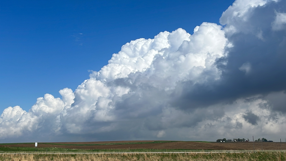
From Sioux City we headed east on U.S. 20. a county or two, and we were where we needed to be already! This was fortunate, as CAMs (forecast models) indicated an early show and some beefy cumulus were already forming. It was around noon.
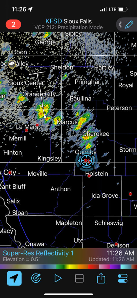
We stopped at Quimby (SSW of Cherokee and W of Storm Lake), with a weak cell or two around and with strong and coolish east winds blowing (see radar below). Not far to the north was some fog and stratus. YUCK to that…storm bases were really low here, but low-level instability was inadequate for tornadoes. It looked like the key to today’s play would be to catch a storm during the relatively narrow window near the boundary when it moved into the backed winds, and before the storm found itself above the cool and stable boundary layer. Hopefully the low levels would warm up some later in the afternoon to improve tornado prospects.
Today’s chase wound up a “passing train” type of chase. Discrete storms formed to our SE along the boundary and moved north to NNW, one after the other. Tornado prospects were highest in the east winds just north of the boundary. We picked off several cells near the boundary and witnessed perhaps 6 tornadoes. These were in Sac, Buena Vista, and Pocahontas counties.
The radar image below was taken at 11:26 a.m. CDT, which is 10:26 a.m. CST! It really was early for initiation. The storm cells at this time were generally elevated, above the cool east winds. At noon, the ob at nearby Cherokee was 66/65, E 20G29 and visibility 2.5 miles.
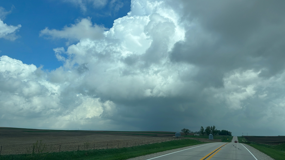
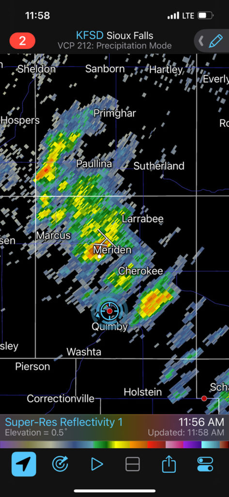
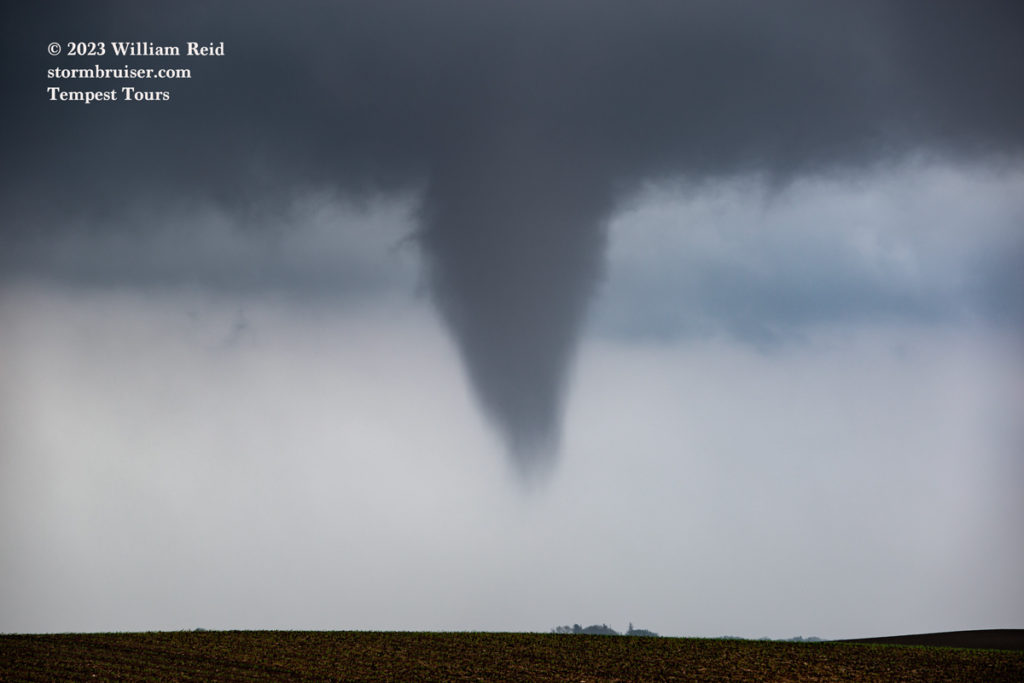
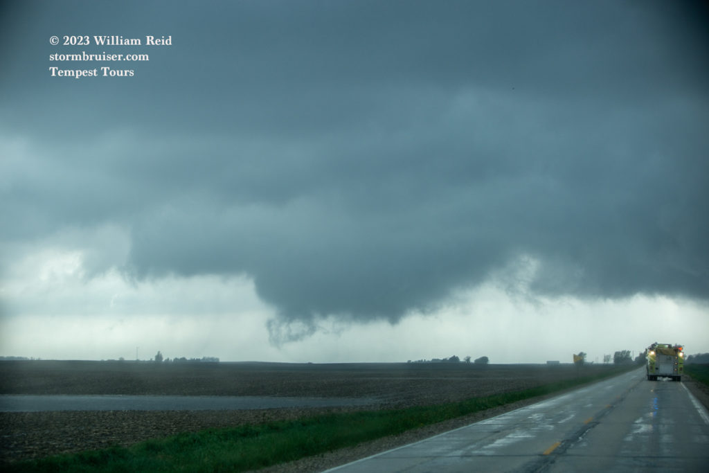
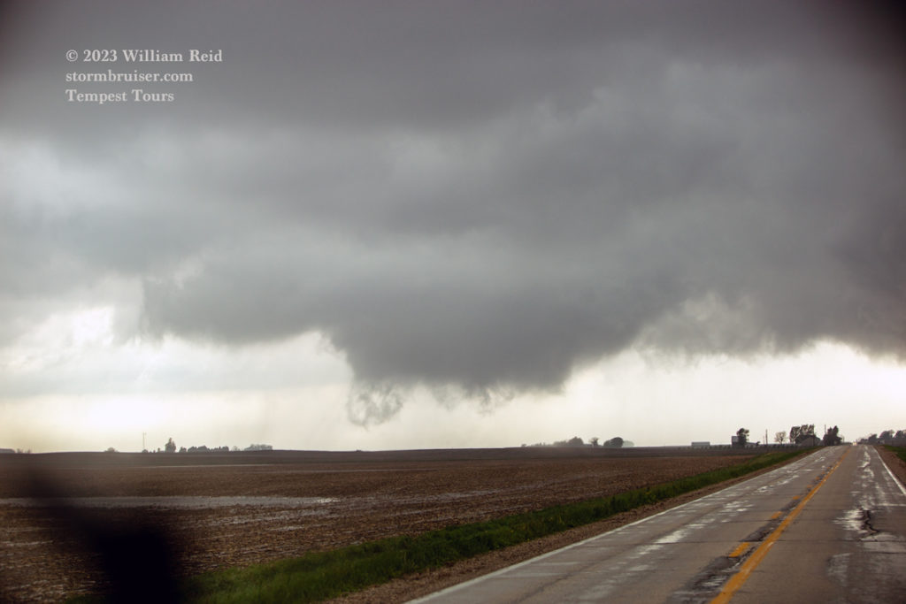
The linked video above by Chris helped immensely to put this chase account together with some semblance of chronological accuracy. From Quimby we headed east and south to the Early area. Low levels weren’t nearly as cool and stable here. A cell dragged us north and west a tad and started to rotate rather strongly. We got into position on it NNE of Shaller. The base was looking good and a stubby funnel materialized. I stopped a mile or so NNW of the action area, at the end of a long driveway and next to a farmhouse. (Chris and the follow-van folks were along 650th St., just to my north. The N-S road here was 90th Ave., and our location was approximately four miles SSW of Storm Lake and five miles NNE of Shaller.) A nice dog was running around and eager to say “hello” to the guests. We were here only a minute or two with the stubby funnel still there to our SSE. It was rather close but not particularly impressive.
In each of the two clips above the funnel is visible briefly. The dog was more interesting, I guess.
Something was happening along the nearby 90the Avenue in the trees, and now a circulation was approaching the van. I had everyone get in the van. There really was no time to go anywhere. Mini swirls were rotating around a common center and advancing upon us. These didn’t look that strong or dangerous, but who knows what might happen if one of them would hit the van?! Seconds later the little “tornado” was upon us. And four seconds later it was beyond us. The mini swirls (or vortices) narrowly missed the van. To myself, at least, there was really no indication that a tornado had just passed by, except for the wet and whirling swirls along the ground! See the video linked near the top by Aaron Jayjack, who was along the nearby 90th Avenue and caught the multi-vortex tornado near Tempest chase van. Chris and the Van Two folks had a similar experience, with the weak circulation skirting their location.
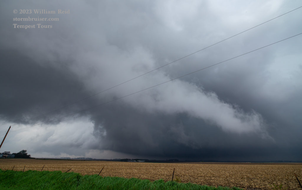
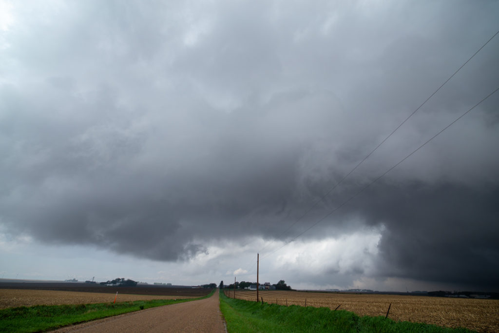
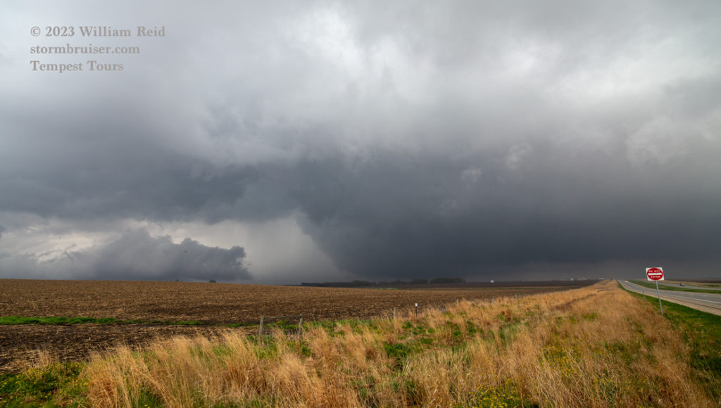
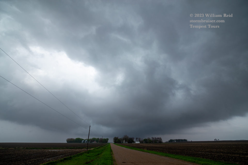
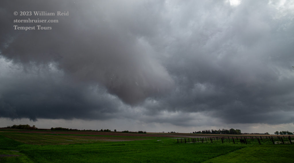
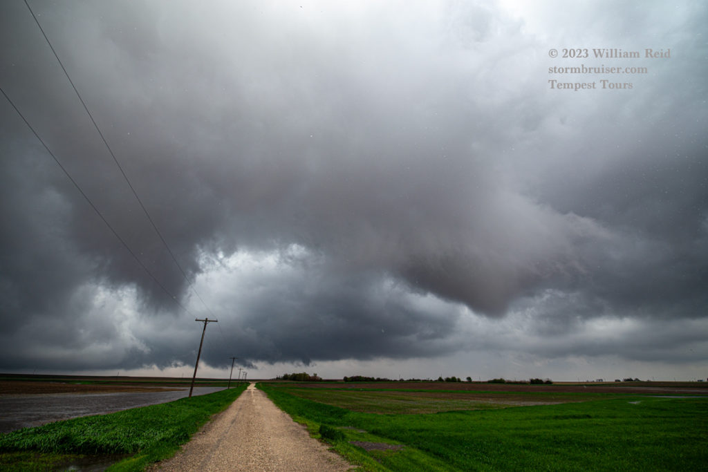
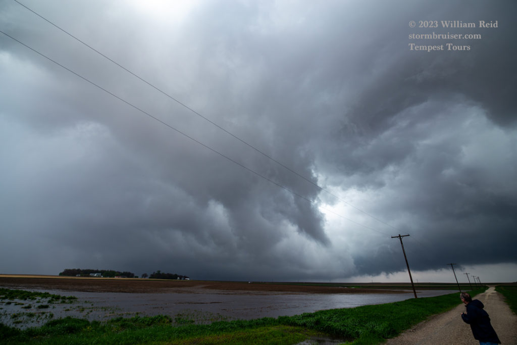
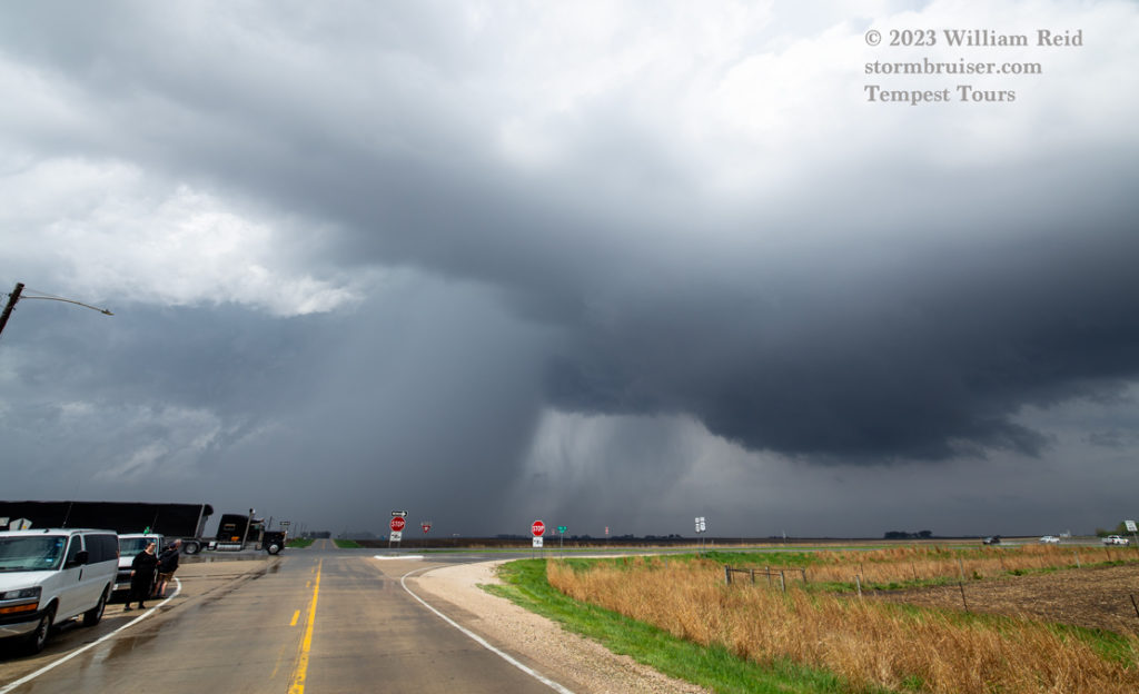
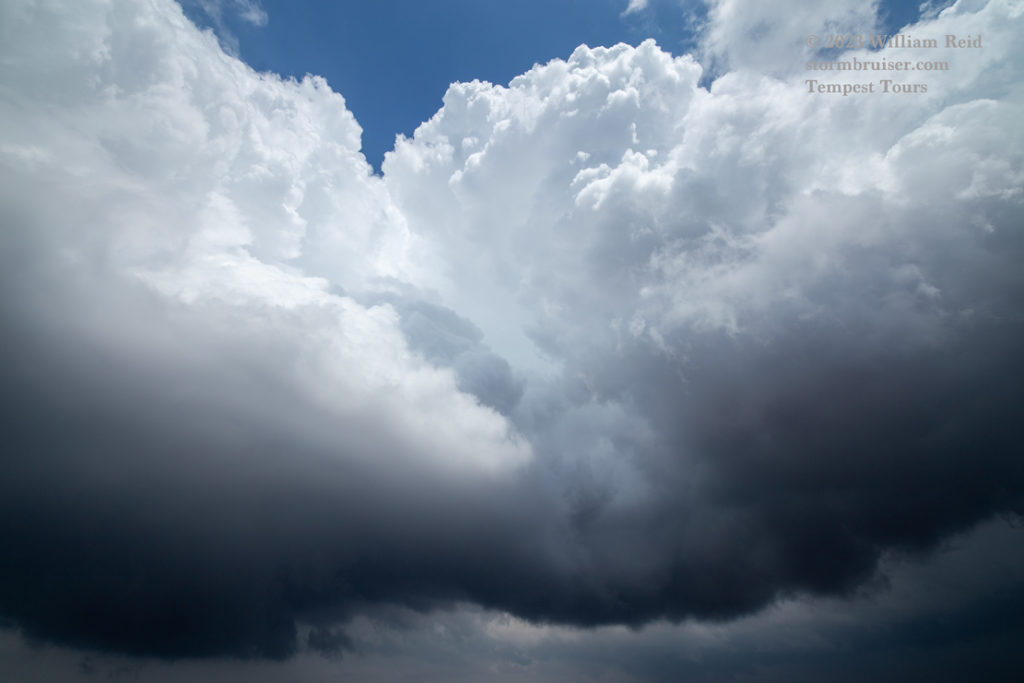
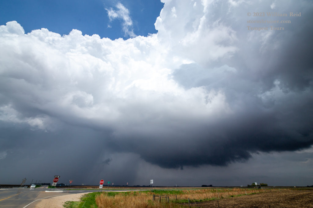
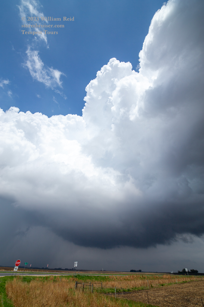
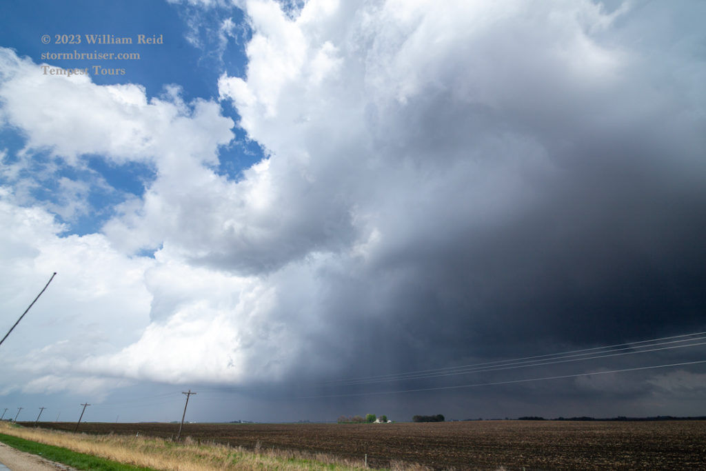
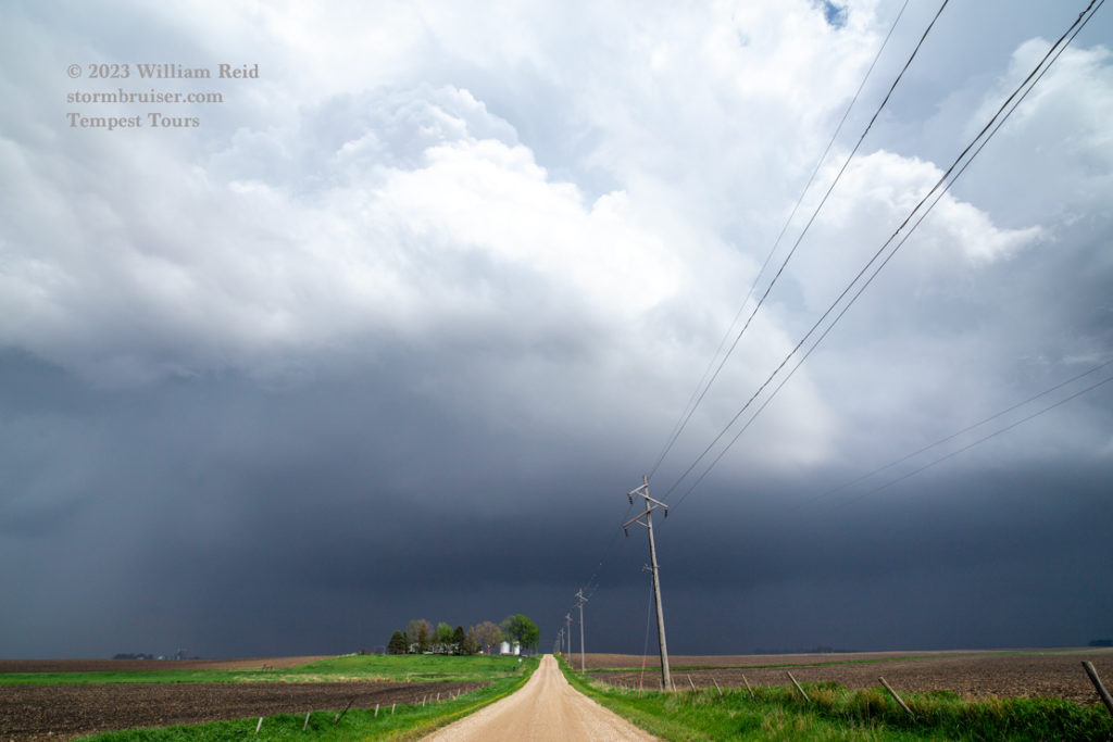
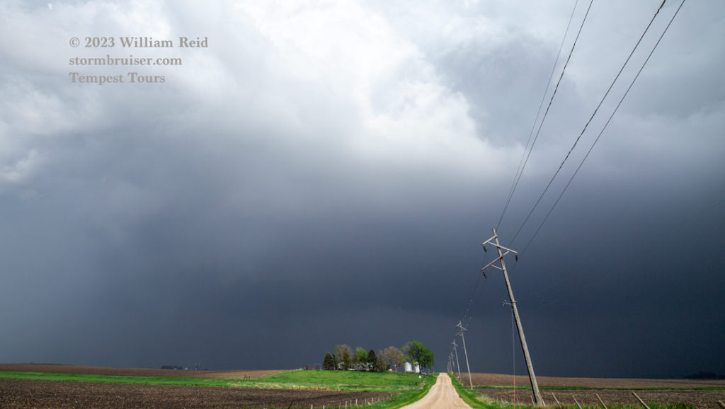
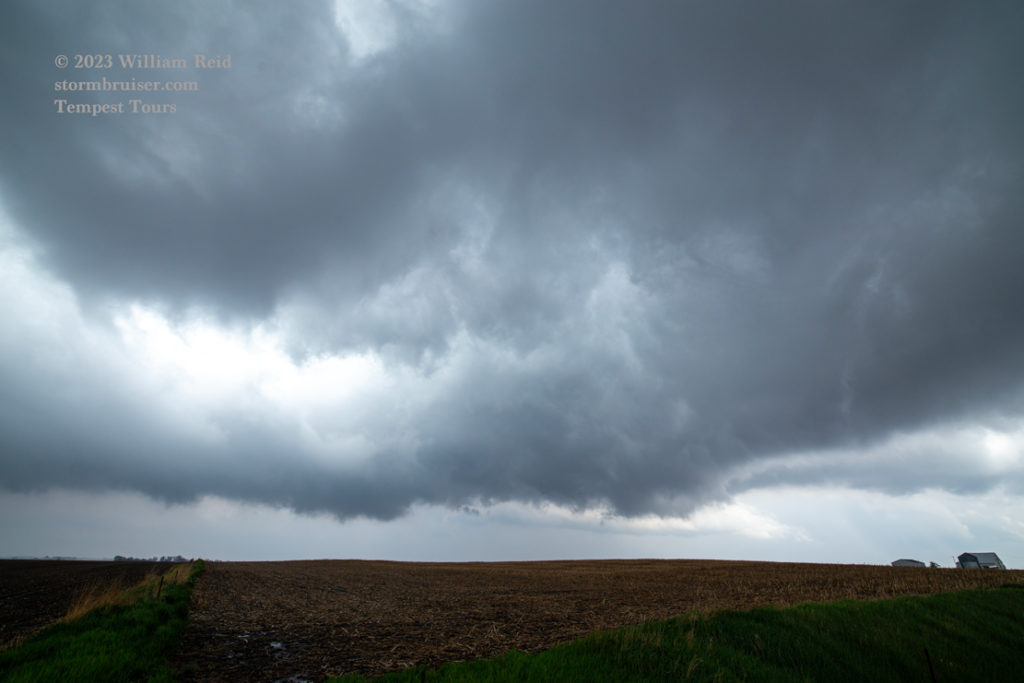
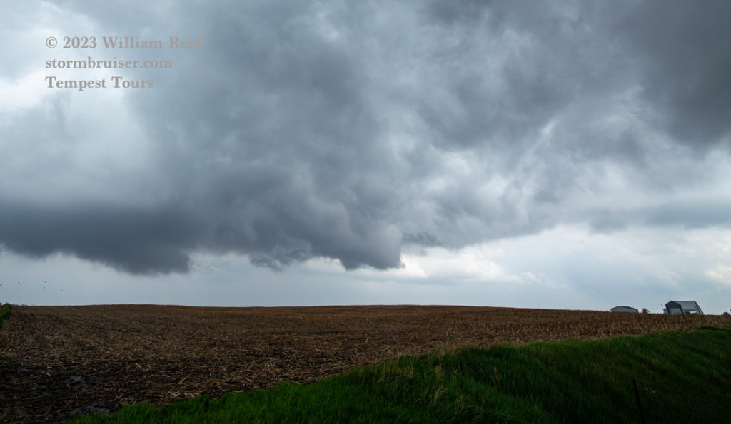
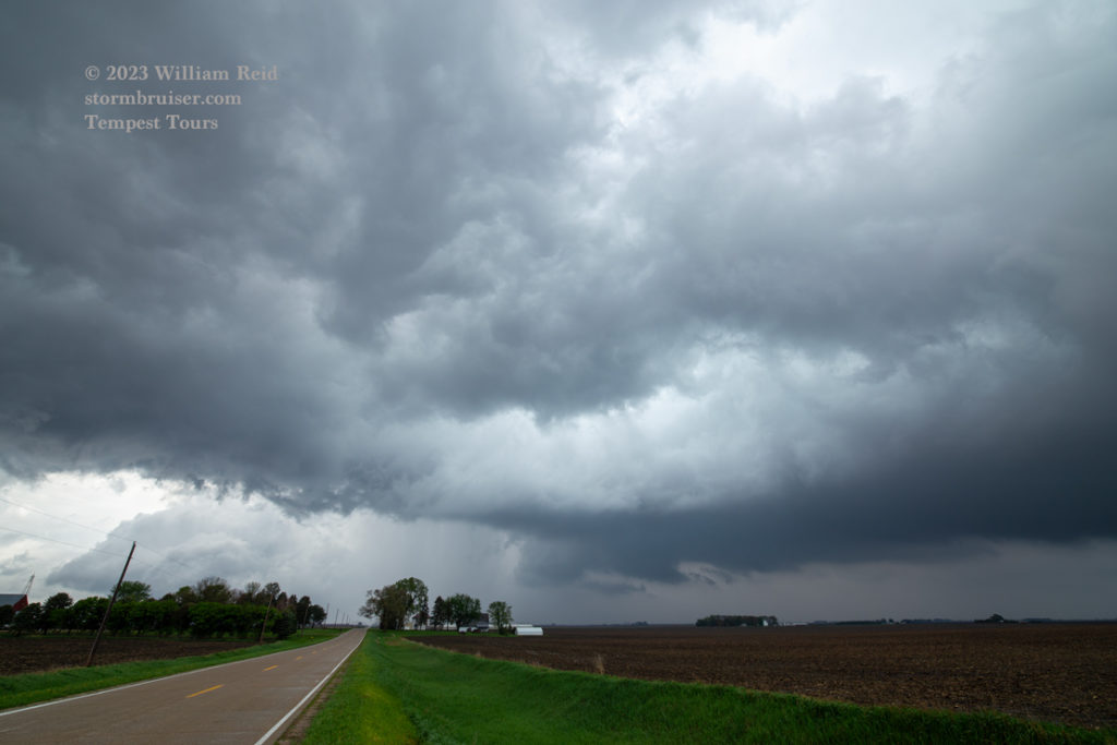
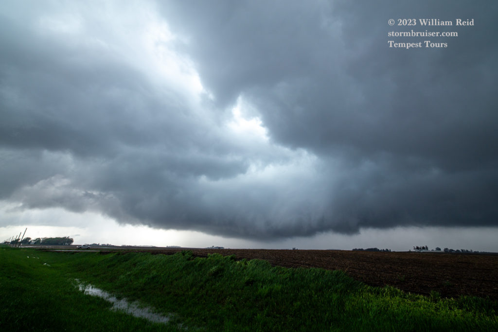
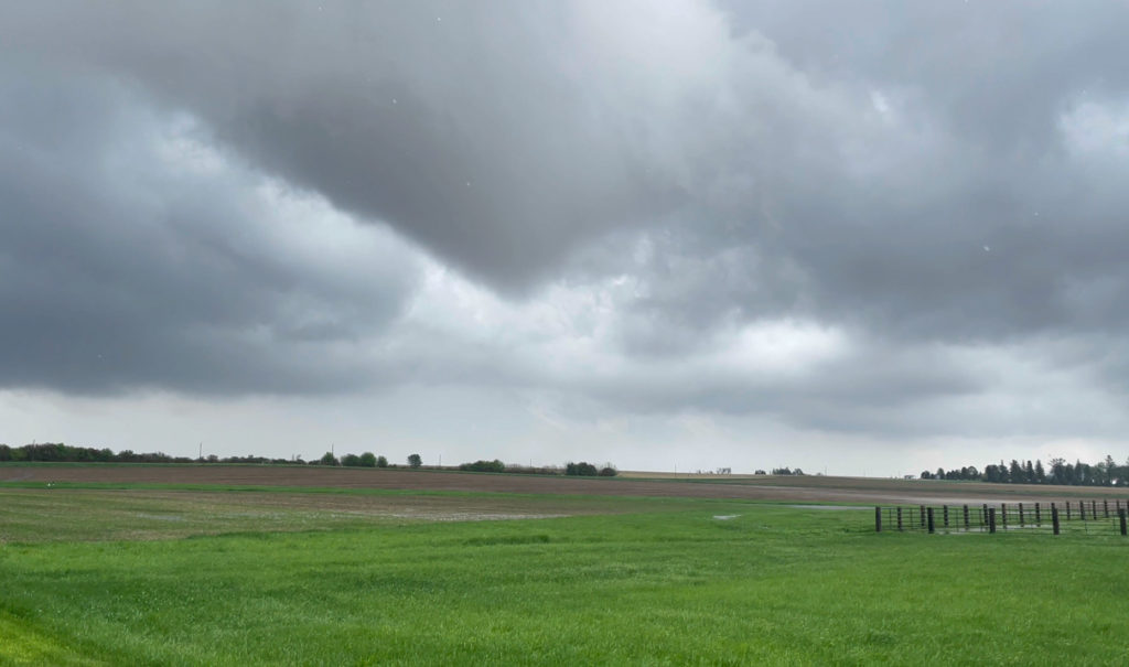
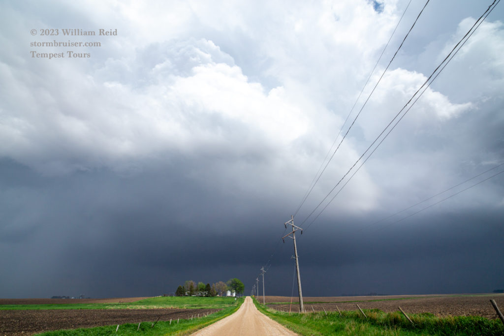
The wide-angle shots (above) from early-mid afternoon show how the numerous storm cells looked.
The first image below shows the stubby funnel that sent the wet tornado through our location, and the radar screen grab from about the same time shows our location between Shaller and Storm Lake. The next storm near Nehama looked wrapped up with a good tornado chance. But we did not see a tornado with it. It continued to the NNW and into the more stable air, and we knew it was time to go back south and east a little for the next cell, northeast of Sac City. It was quite robust! (last pic of the 6 images below).
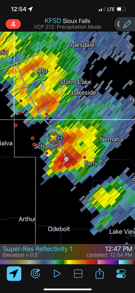
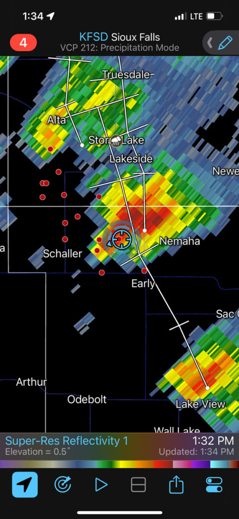
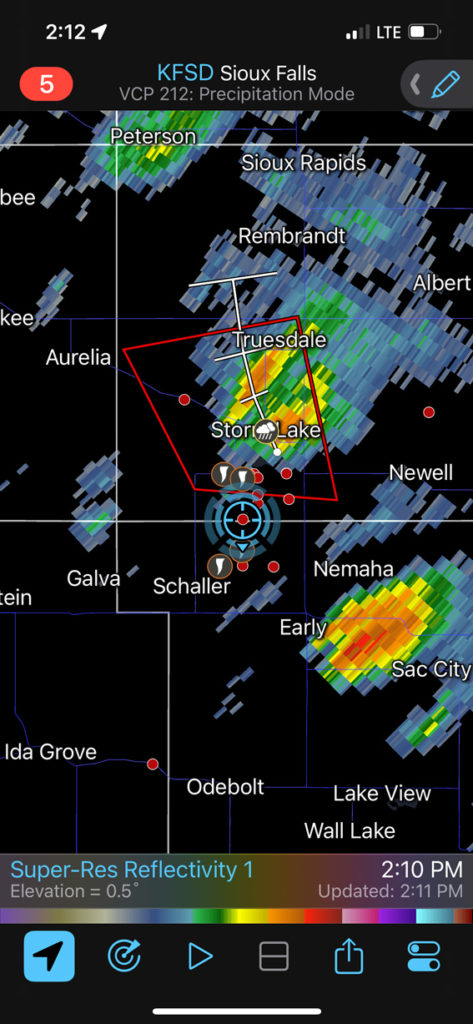
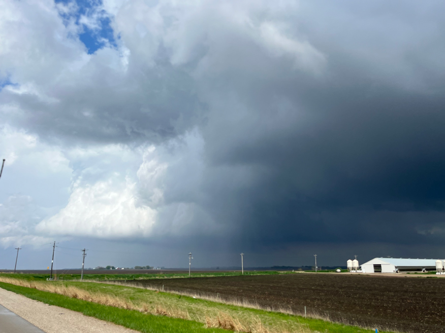
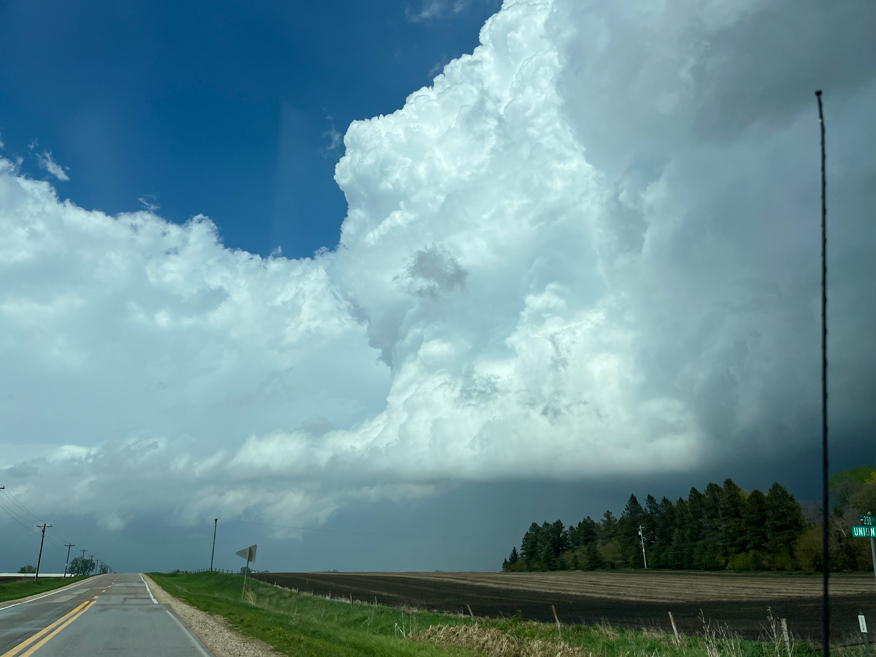
The storm east of Sac City chased us to Newell, and it was a good one for those of us hoping for a tornado. The four radar screenshots and two funnel/tornado pics below are in chronological order, while we were near Newell. In the third image, we are headed east, east of Newell with the funnel a little north of the road. Chris and Van 2 decided to hang back on their N-S road near Newell to let this activity come to them.
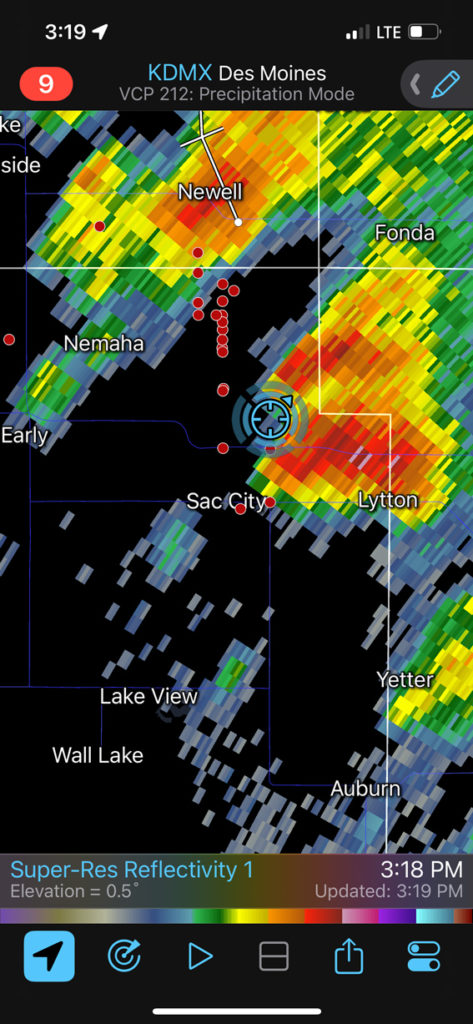
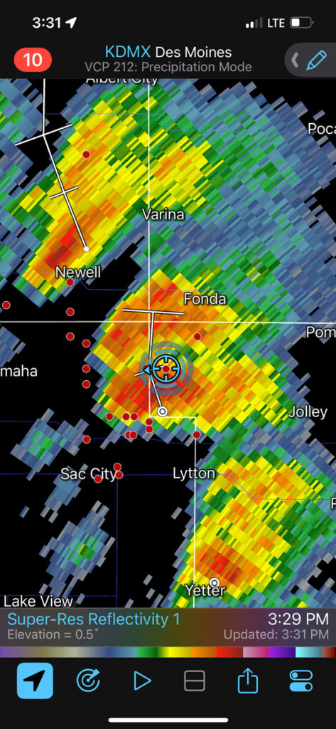
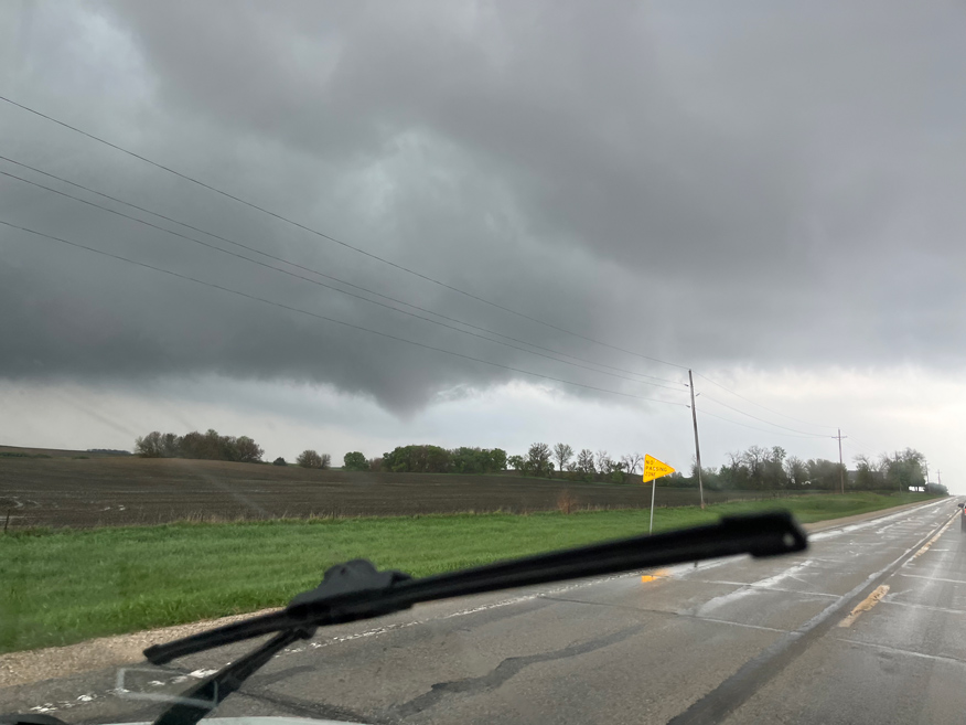
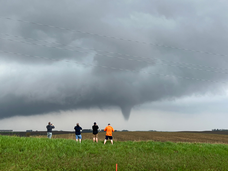
My group went about 4 miles east from Newell and stopped to view the tornado. This was to our NNE, and a satellite tornado was next to it for a minute or two.
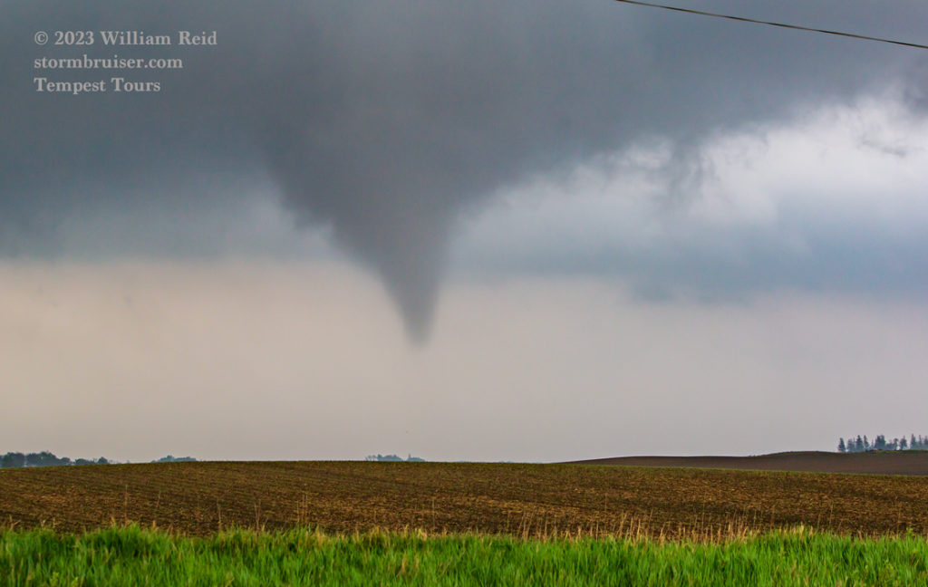
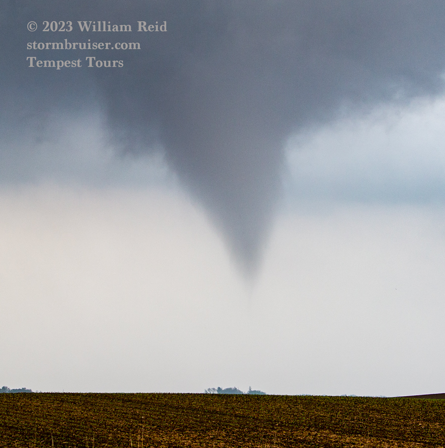
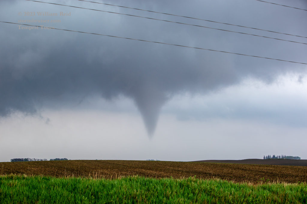

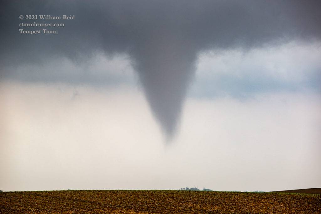
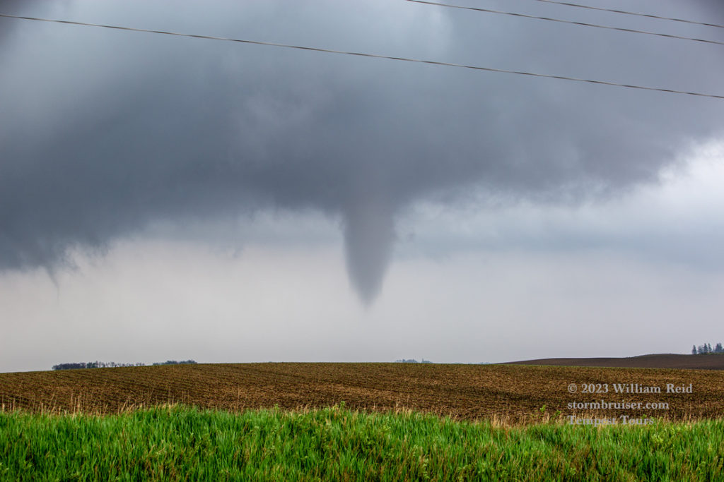
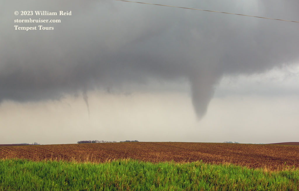
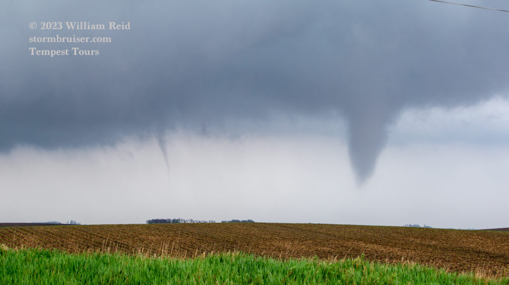
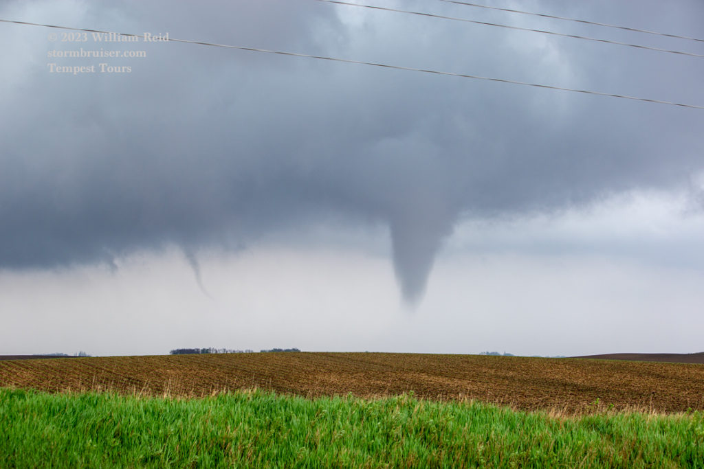
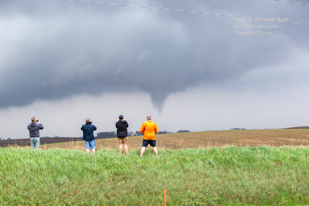
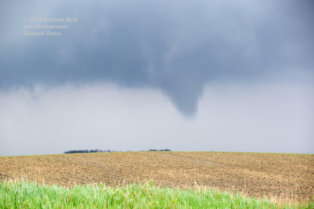
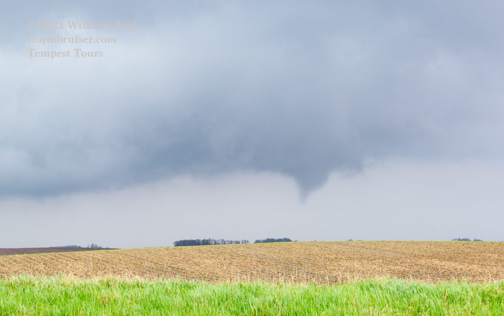
Our tornadic storm was moving N-NNW, and I needed a road northbound to stay close. But such a paved road was not immediately available, as far as I could tell. It had been far too wet recently to use an unpaved road. It looked like the best bet was to head another 2-3 miles east to Fonda and then north. Chris was now in much better position to watch the show. He went north to 590th/570th St. and east about halfway to Varina.
On our way north from Fonda to 570th St., a five-mile jaunt, it became apparent that this cell was producing something more significant. A large lowering and likely tornado was to our west. I got some shots with the long lens through Matt’s open side window (first three images below). We finally reached 570th and turned west. The large circulation was a little south of 570th St., still several miles away. The next six shots below look west down 570th St. in the vicinity of Varina. See minute 19 of Chris’s video above for their great look at the Varina tornado.
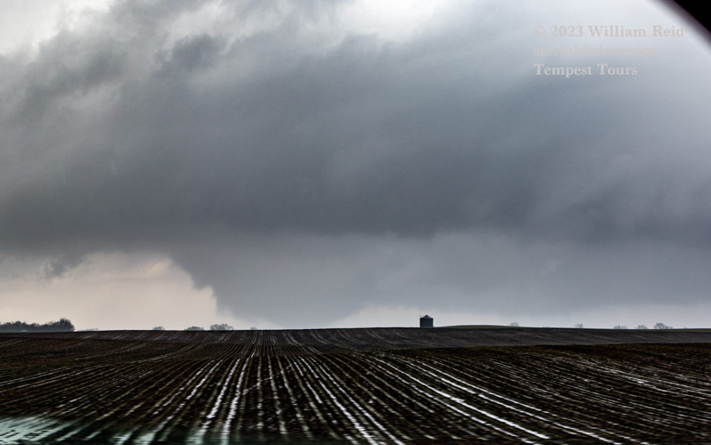
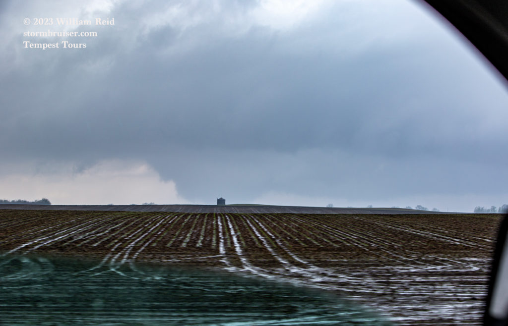
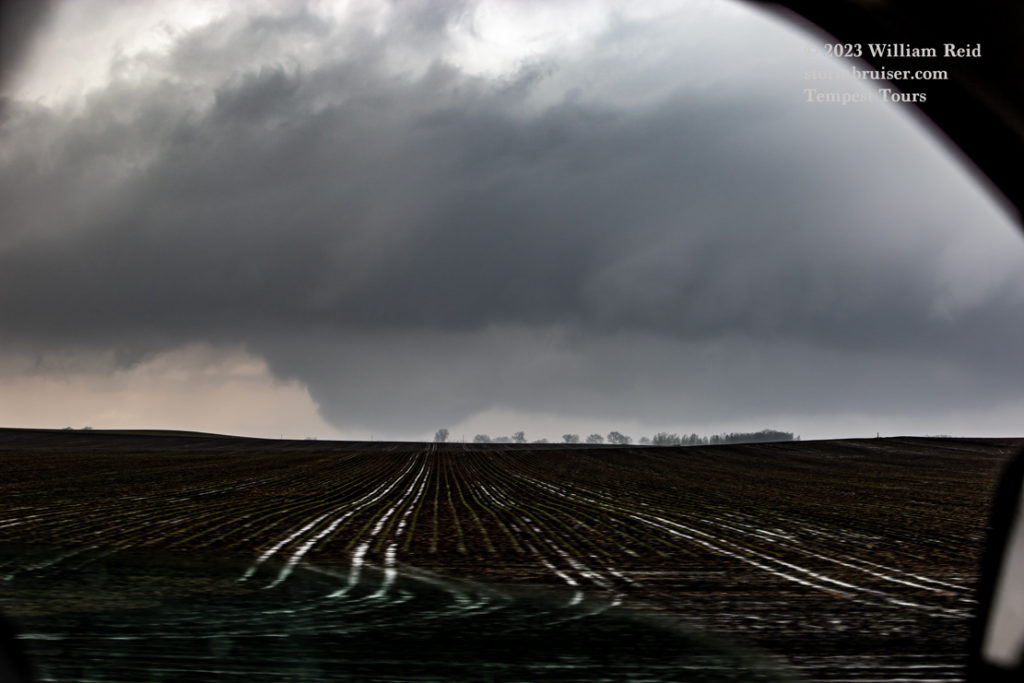
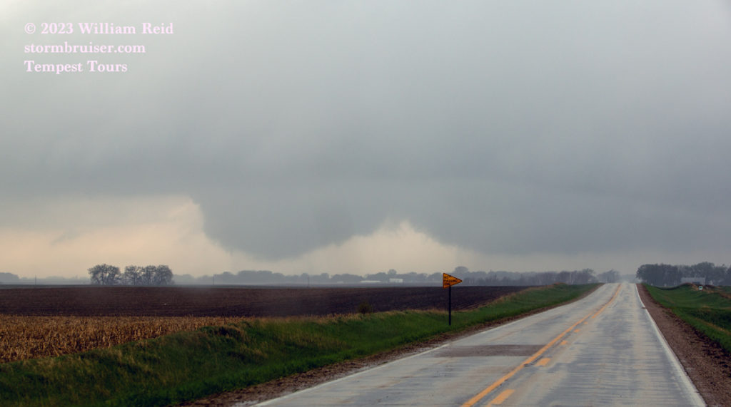
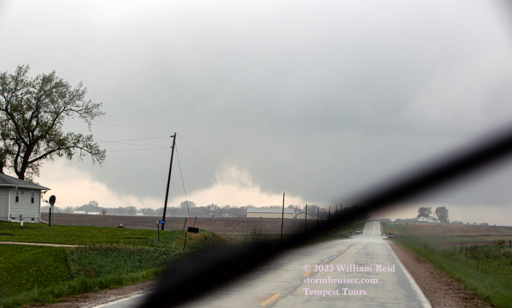
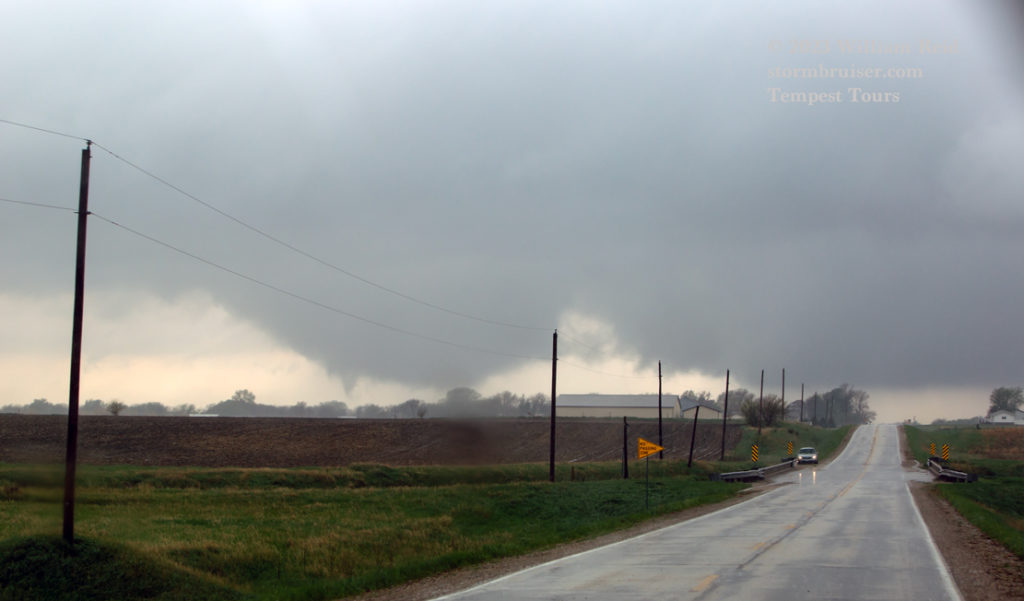
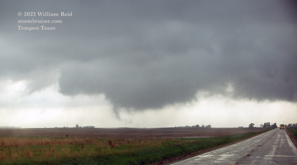
iPhone video clip above by me of the view west towards the Varina, Iowa, tornado.
When we caught up to Chris along 590th/570th a couple of miles west of Varina, the tornado had weakened quite a bit. We went north on 210th a mile or so and viewed another tornado a little to the right of the road up ahead a couple of miles. It seemed that there were plenty of these short-lived spin-ups now.
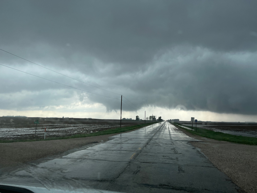
We went east a little bit again to the Pocahantas area for the next storm in the series. Another weak circulation passed over us! Rain and wind were strong for a few moments and then it had passed. We then viewed the culprit: another weak but somewhat persistent tornado to our northwest. It was reluctant to maintain a nice condensation funnel, but it was spinning along on the wet ground. This “Pocahantas tornado” is included in the wide-angle group of shots below.
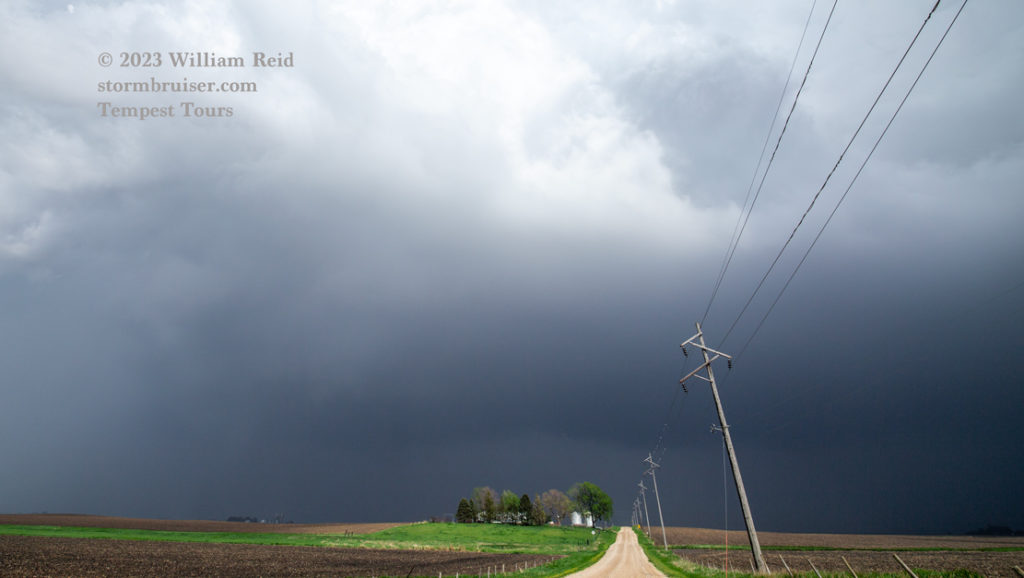
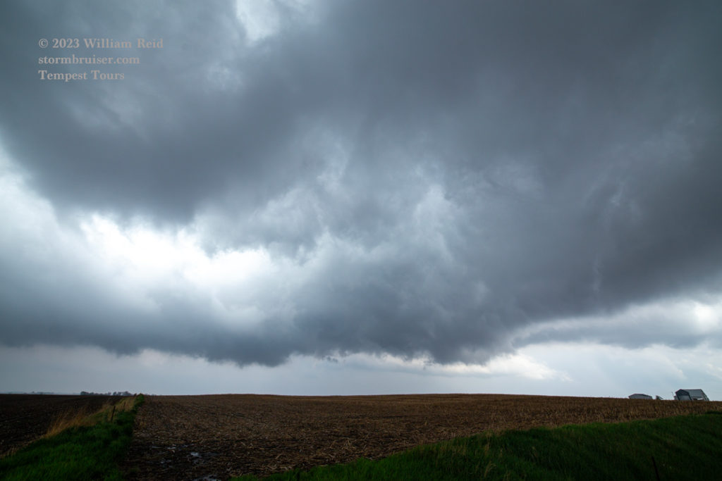
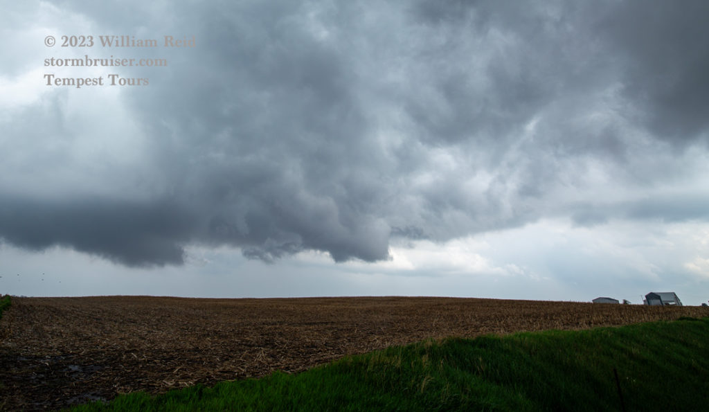

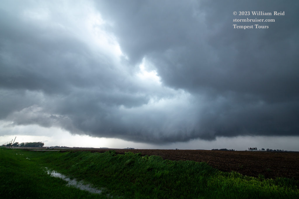
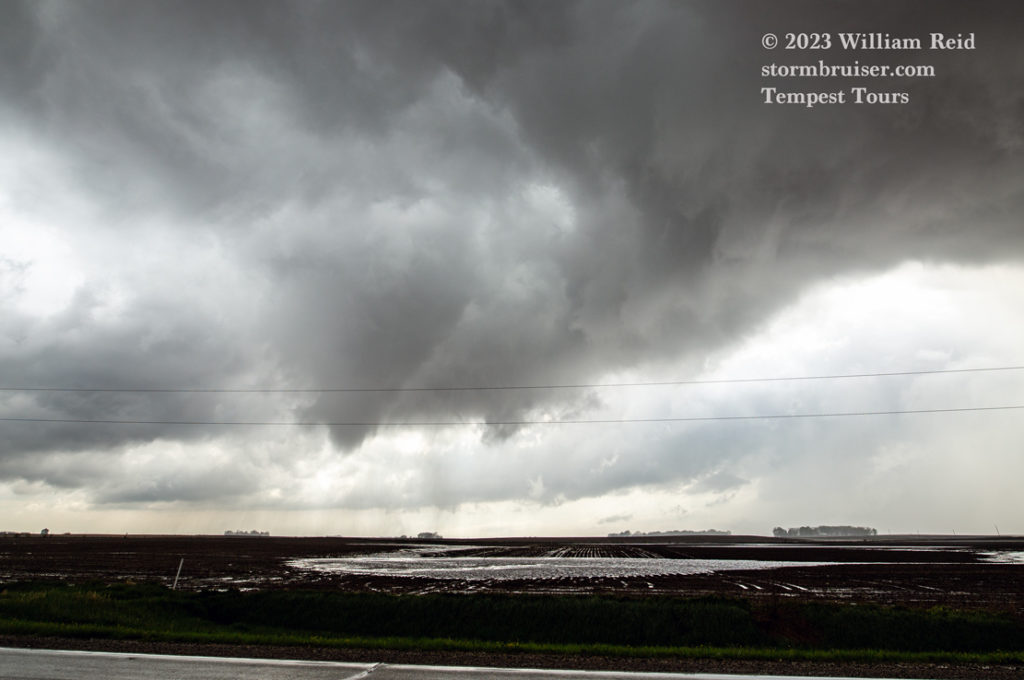
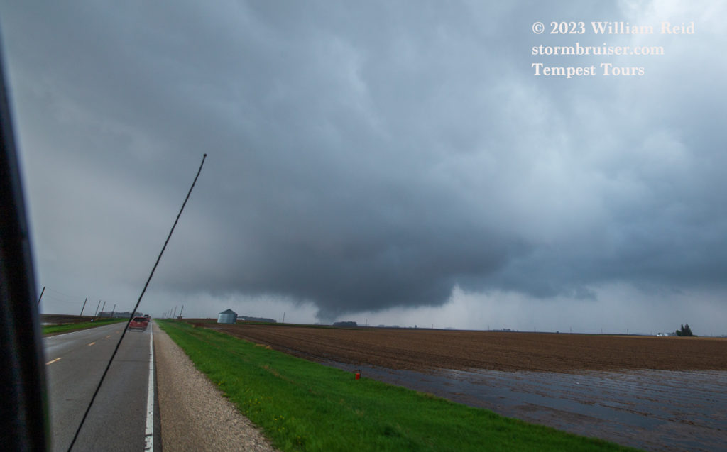
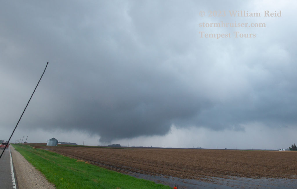
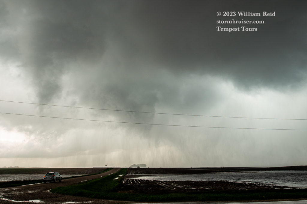
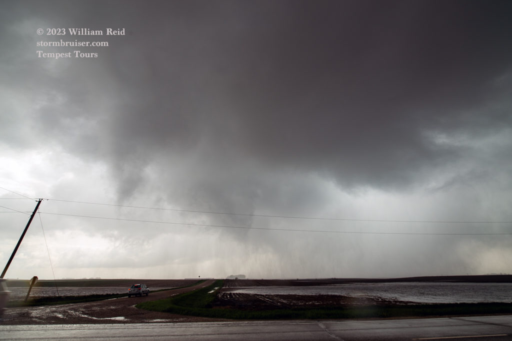
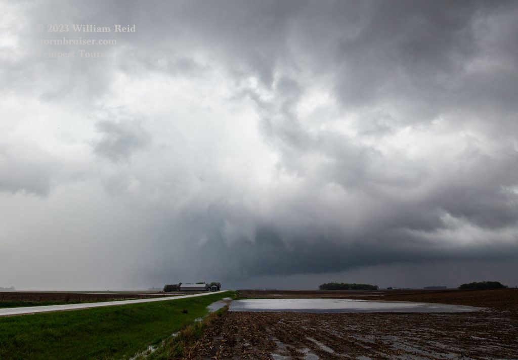
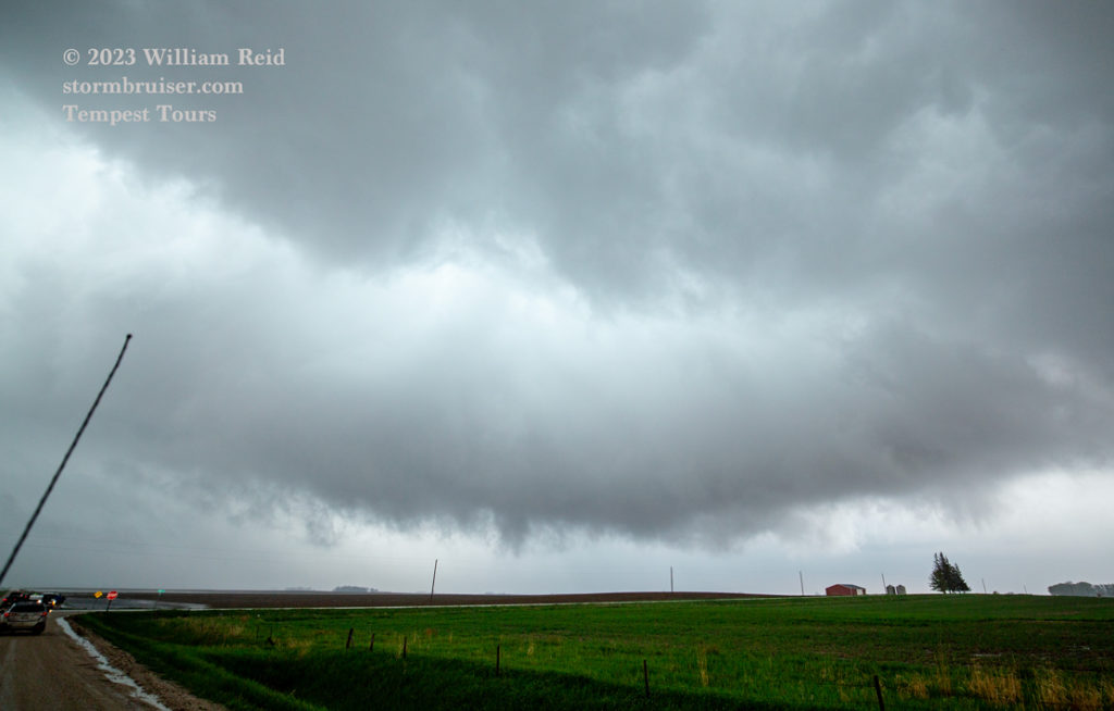
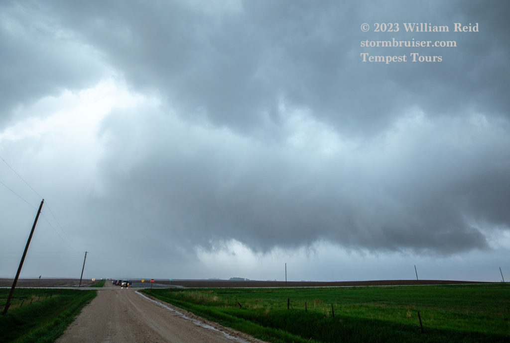
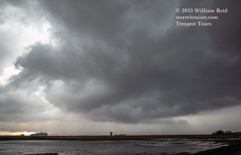
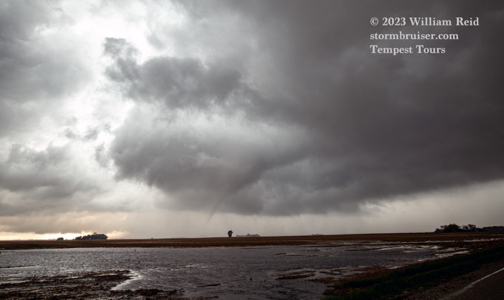
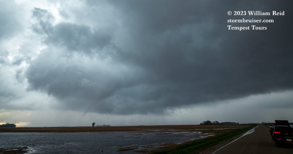
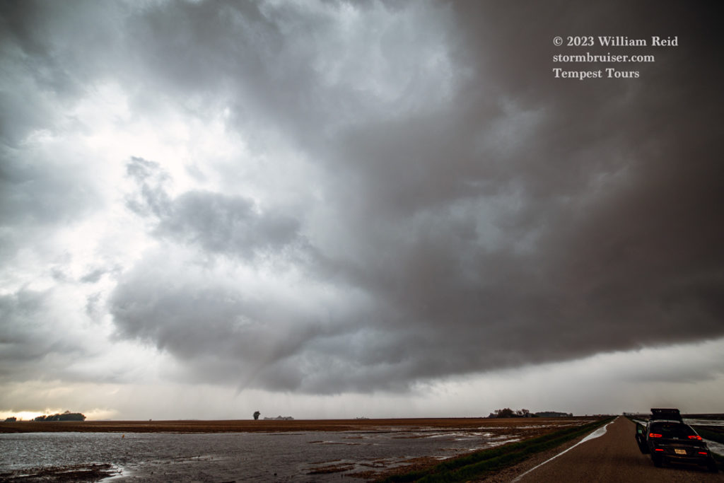
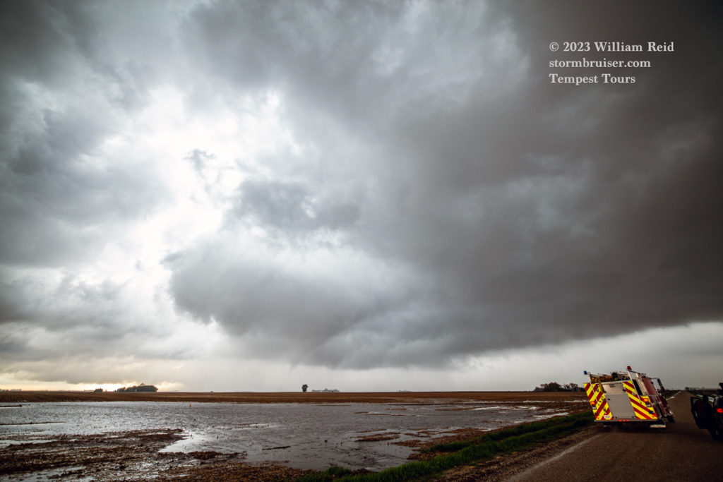
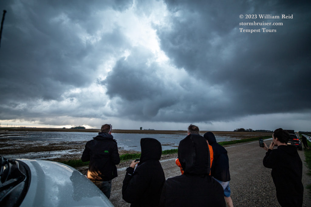
An iPhone radar screen gab and an iPhone pic of the Pocahantas tornado below.
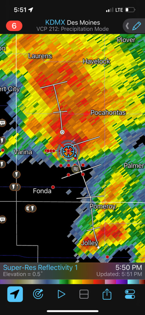
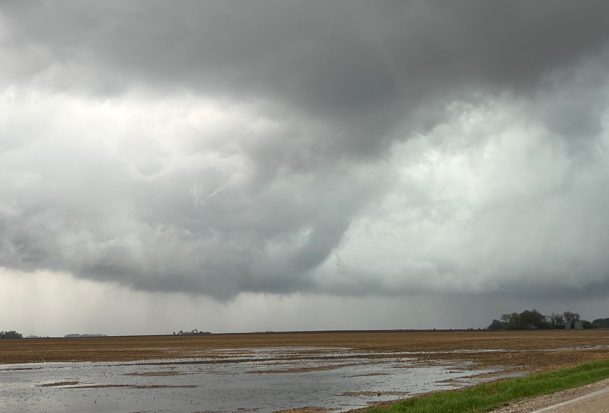
After this latest tornado, we headed south again hoping for even more fun, but the atmosphere decided that that was enough for the day. A nice Mexican meal was found in Rockwell City and our lodging was in Carroll, Iowa.
This chase day was quite unusual in that the tornadic storms were generally not thunderstorms. There was probably some, but I don’t recall hearing thunder during the chase. It was rather strange that we just had to stay near the boundary and get in the way of each storm cell as it approached. We were on about a half dozen supercells, and these had about a 10-20 minute duration passage through a “sweet spot” where tornado potential went way up. I didn’t really have to worry about hail cores because these were low-topped updrafts with little or no hail! As long as one was in the sweet spot zone and out of the rain, one was going to see a tornado in northwest Iowa today.

Leave a Reply
You must be logged in to post a comment.