Start: Springfield, CO
Lunch: Bluebonnet Cafe/Boise City, OK
End: Sayre, OK/about 425 miles
Chase account by TT guest Lesleyanne
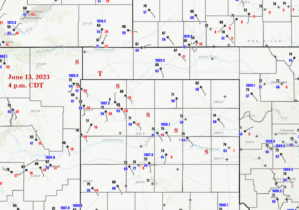
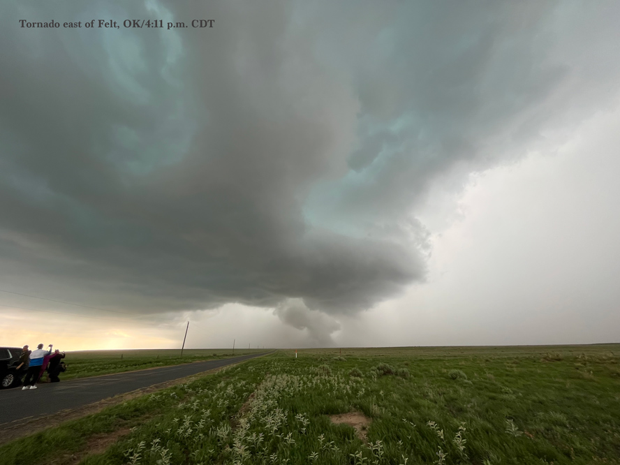
Surface map for 4 p.m. CDT above. The red T marks the tornado locations near Felt, OK. The red S’s mark the approximate path of the long-lived supercell.
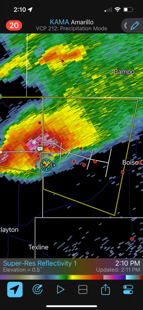
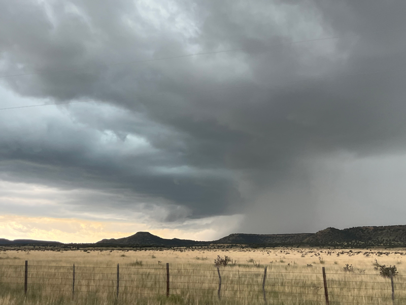
This chase day featured a long-lived supercell which tracked southeastward from the Raton Mesa in extreme northeastern New Mexico to the northern Texas Panhandle and into extreme western Oklahoma, south of I-40. We were on it fairly early on, west of Wheeless, OK, and we managed to see (barely) a couple of tornadoes with the storm in the western Oklahoma Panhandle. Plenty of clear skies this day resulted in much better instability, and shear continued to be quite strong, especially for mid-June this far south. Dew points were into the mid 50s.
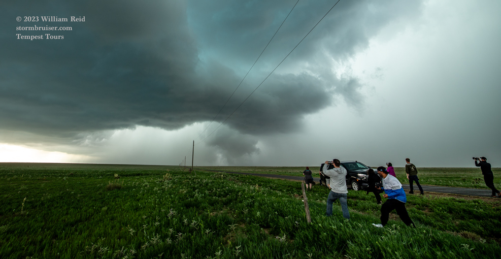
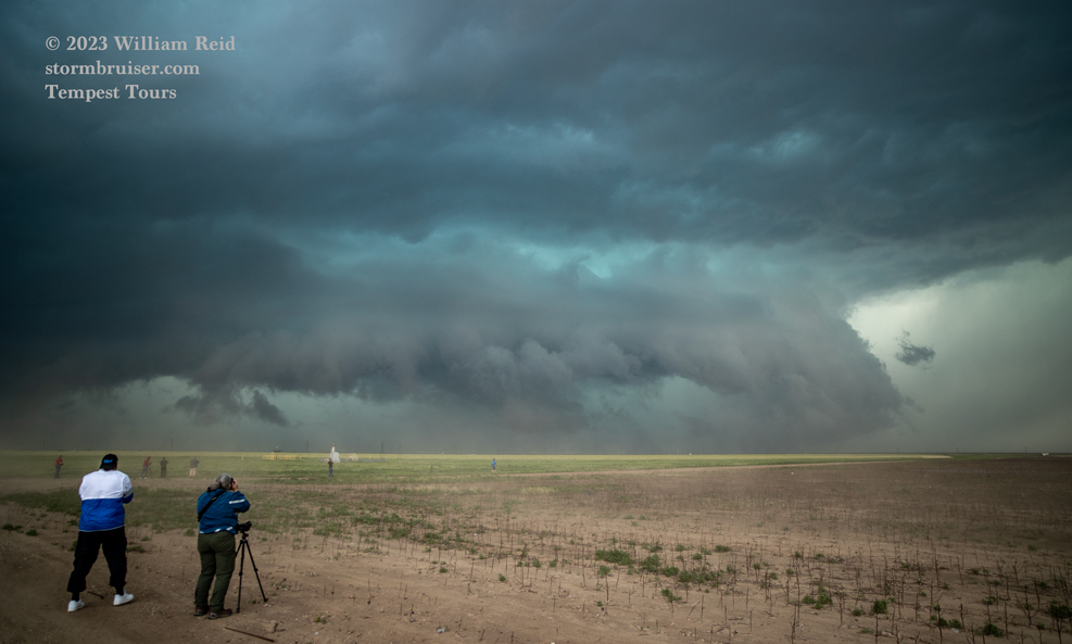
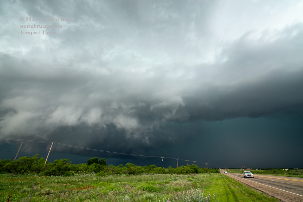
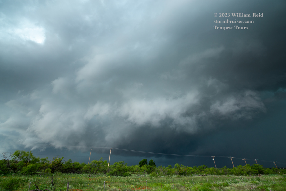
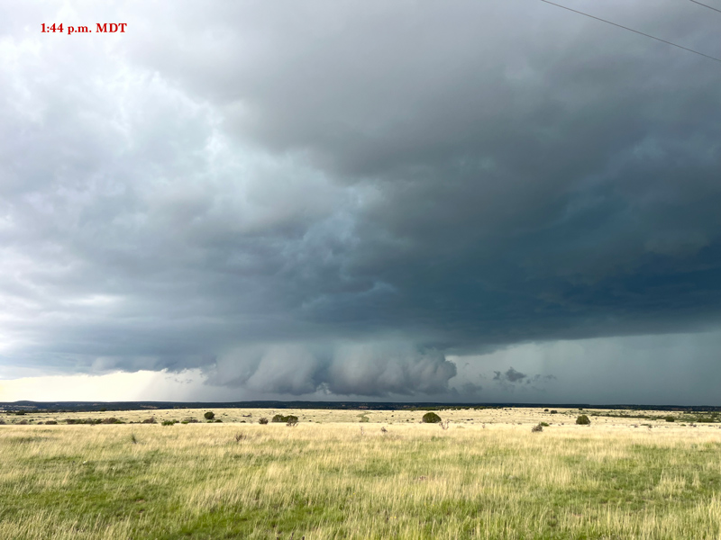
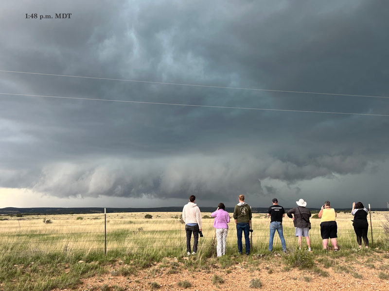
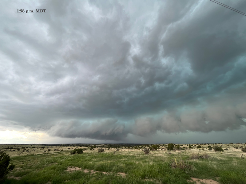
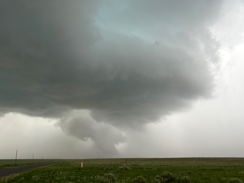
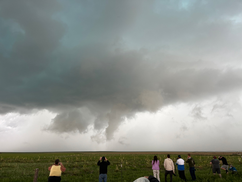
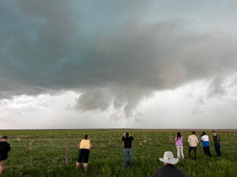
The tornadoes occurred as a supercell tracked southeastward through the empty flatland just northeast to east of the tiny community of Felt, OK, which is on 412 between Clayton and Boise City. I had positioned ourselves southeast of the storm base, along the west-east paved road which runs east of Felt. There had been a decent-looking wall cloud for a while, and behind it was heavy core of precipitation. We were stopped a few miles from the advancing action area when it looked like a clear slot had worked into the base, the precipitation cleared out some, and a good-sized funnel cloud and likely tornado made an appearance. The tornado was just north of the road to our west, and closer chase teams confirmed this tornado. We could have been quite a bit closer, given the nice paved road that we had just traveled. But I wasn’t really thinking that a tornado might occur with this storm, to be honest! The wide-angle photos below show how the supercell appeared prior to and during the tornado event.
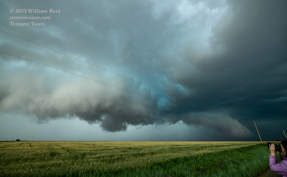
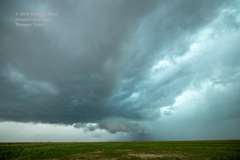
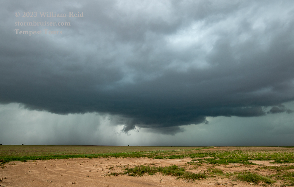
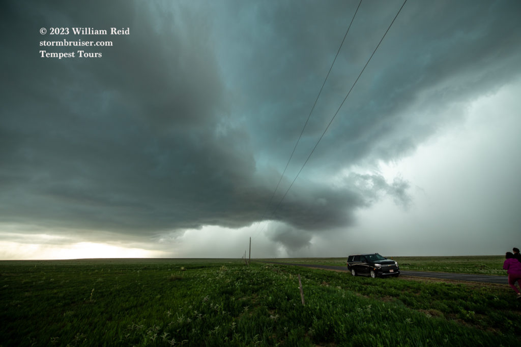
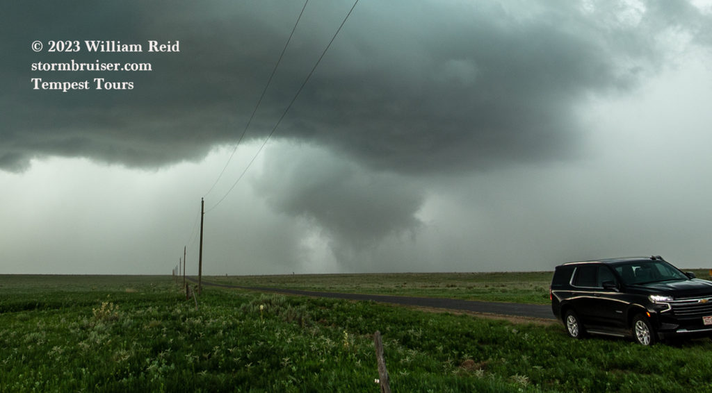
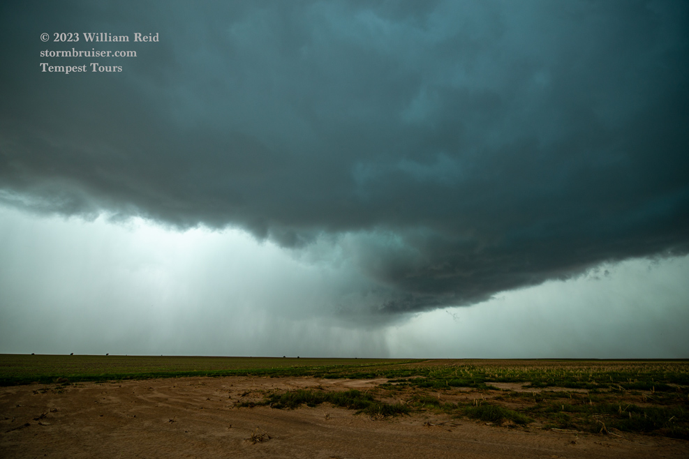
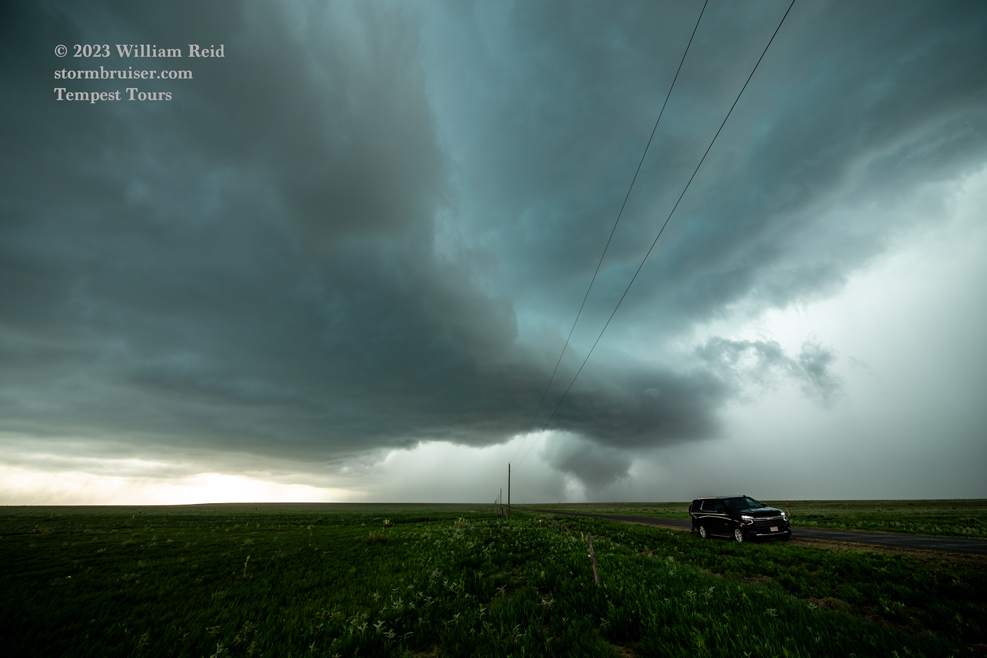
The first 5 images below are additional shots of the tornado, to our west. It was moving more to the south than southeast, I think.
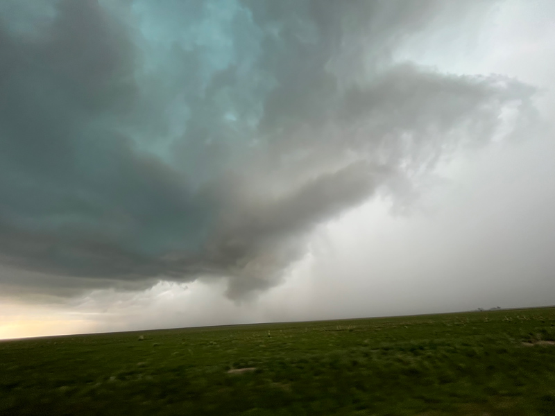
We headed a few more miles east to 385 for our south option. A quick look to the west, and the storm base was trying hard to spin up another tornado. It looked like the skinny funnel cloud had a debris whirl at least briefly. The surface here was wet, so dust and dirt were tough to kick up!

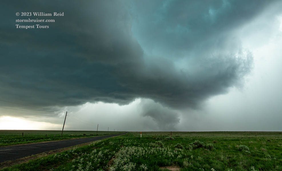
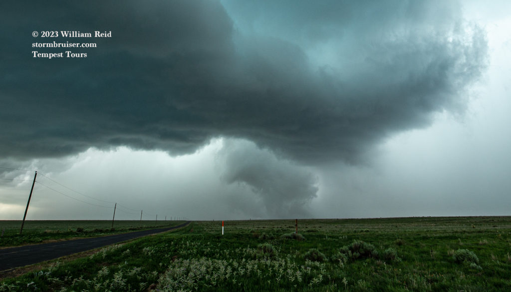
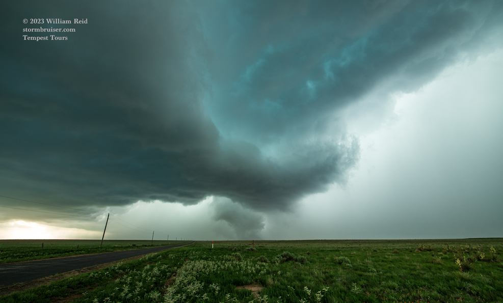
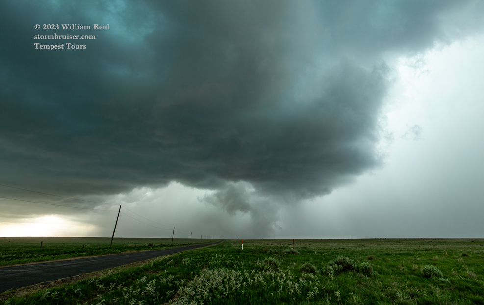
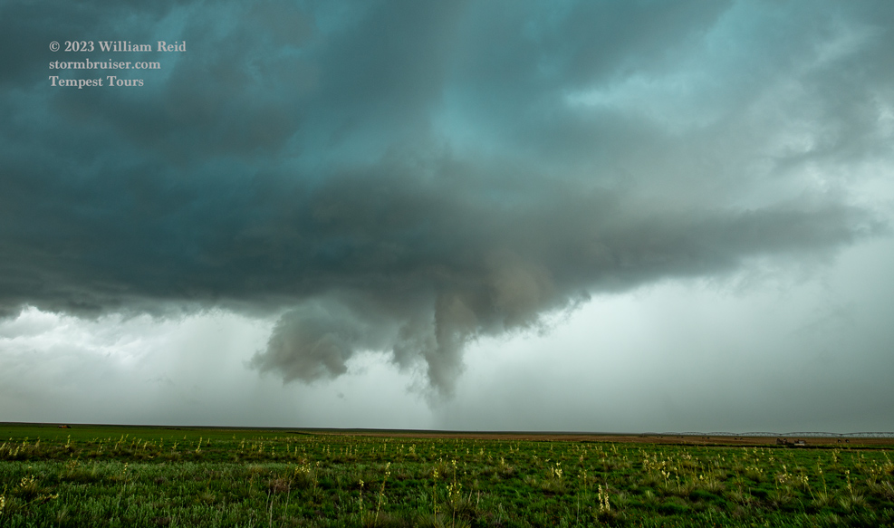
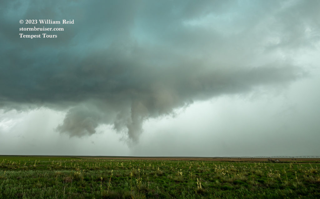
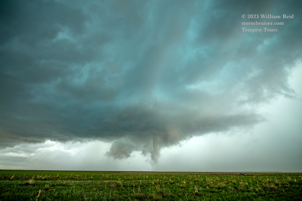
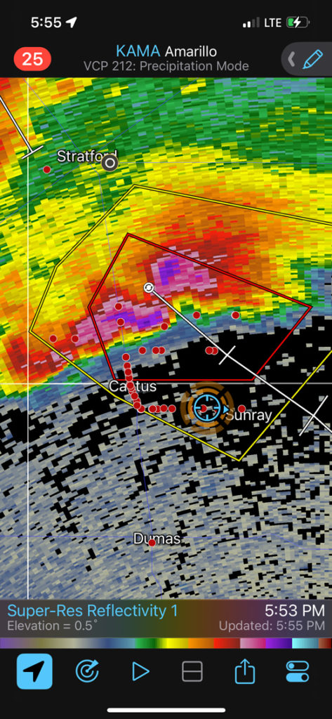
We didn’t see any additional tornadoes on this chase day, though at least a couple more were reported as the storm entered Texas near Stratford. The supercell was moving at a decent clip the southeast, so we were in drive mode for much of the next 4 or 5 hours, all of the way to McLean along I-40.
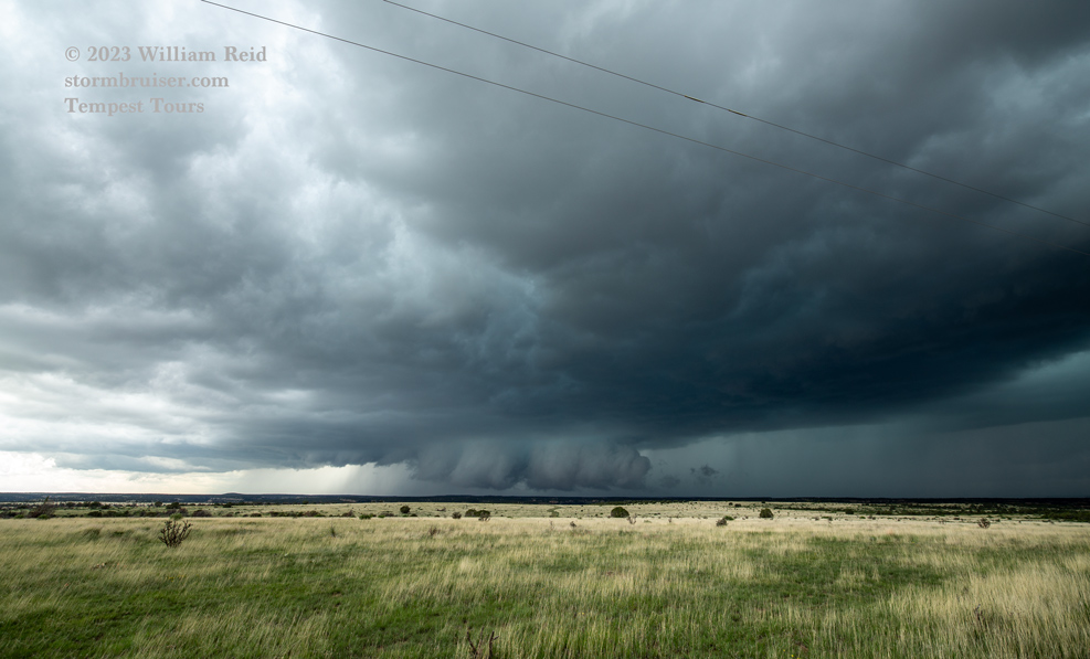
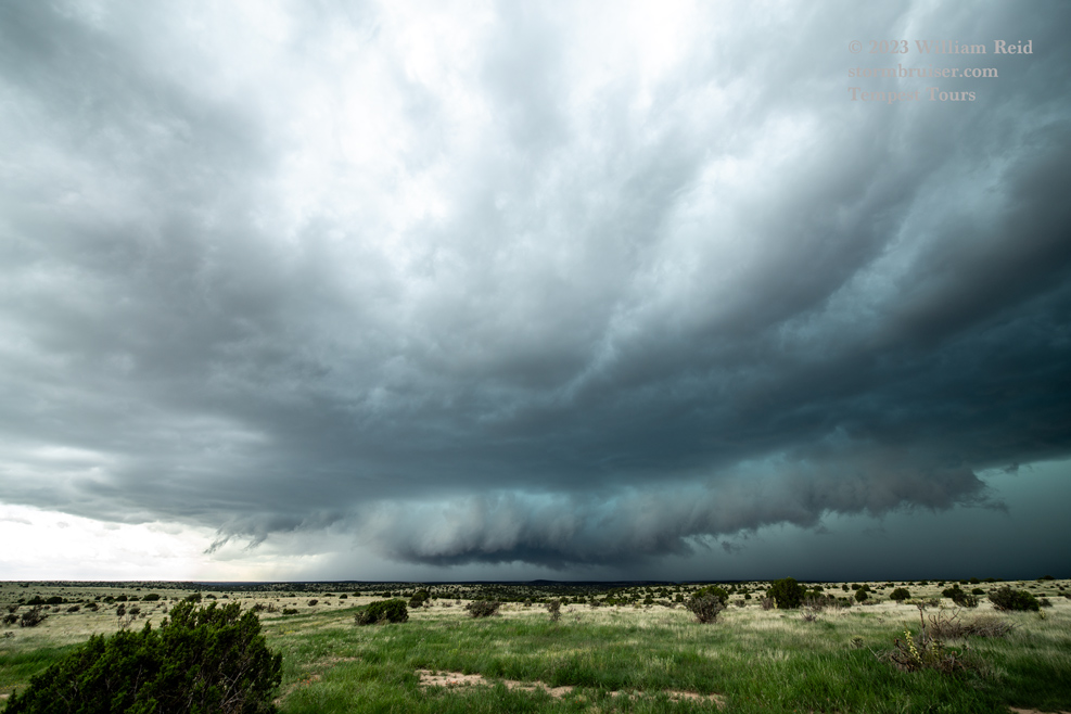
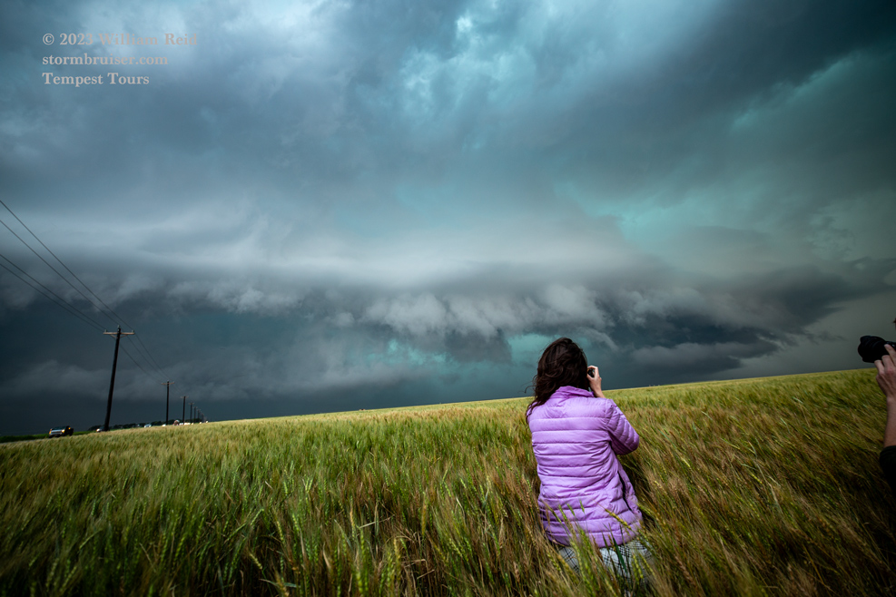
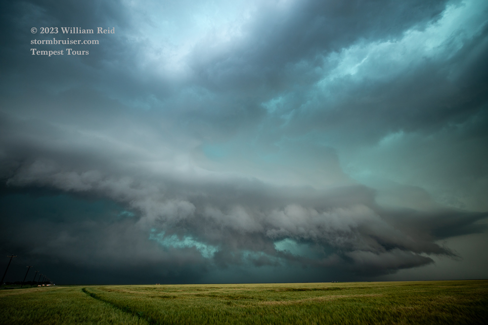
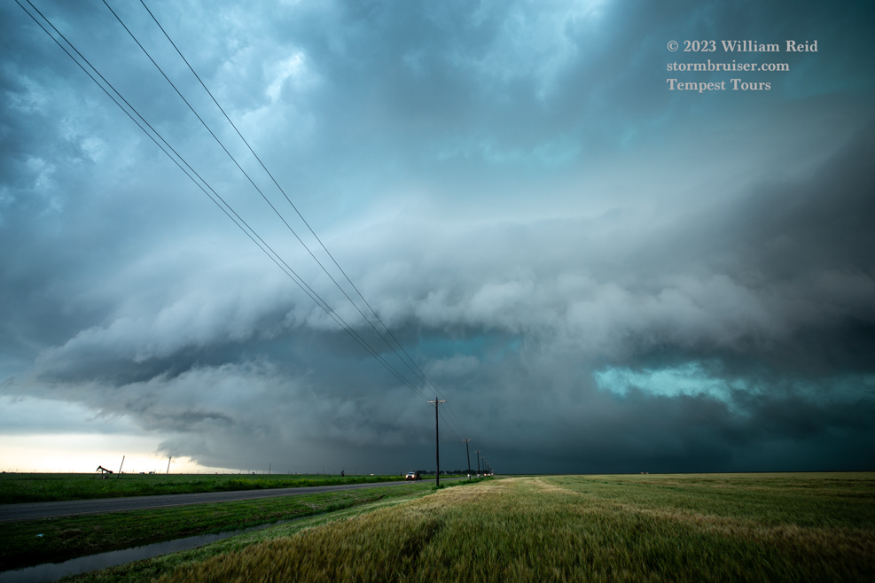
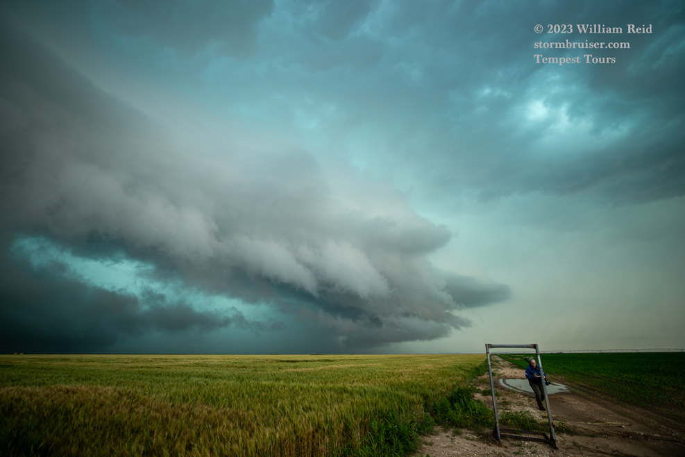
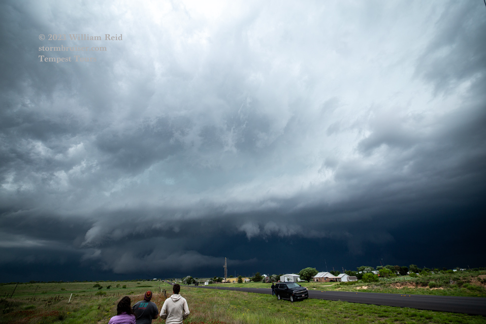
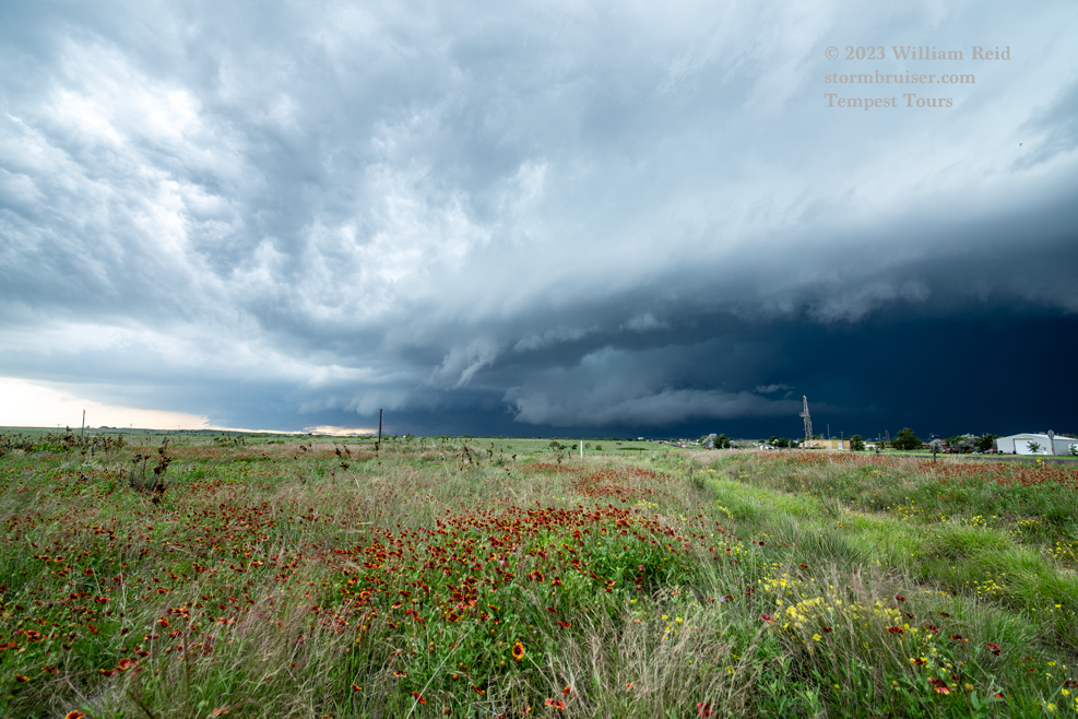
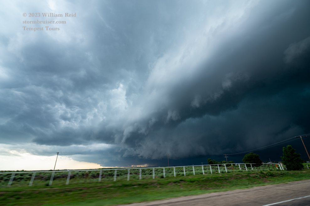
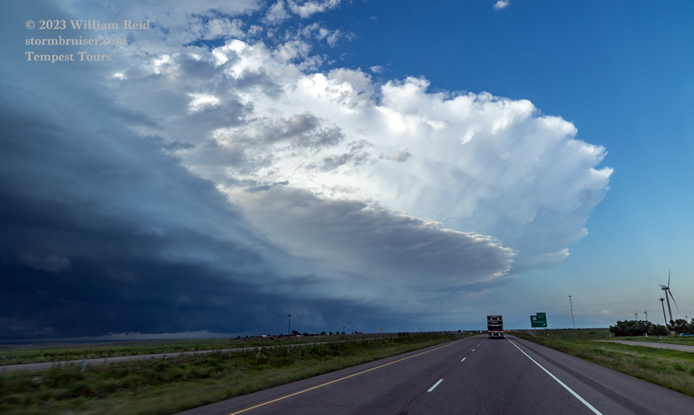
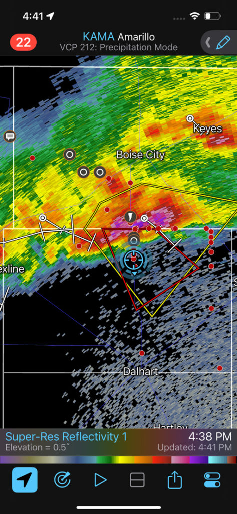
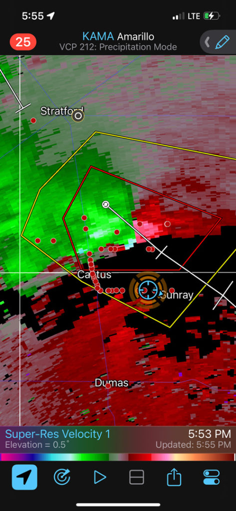
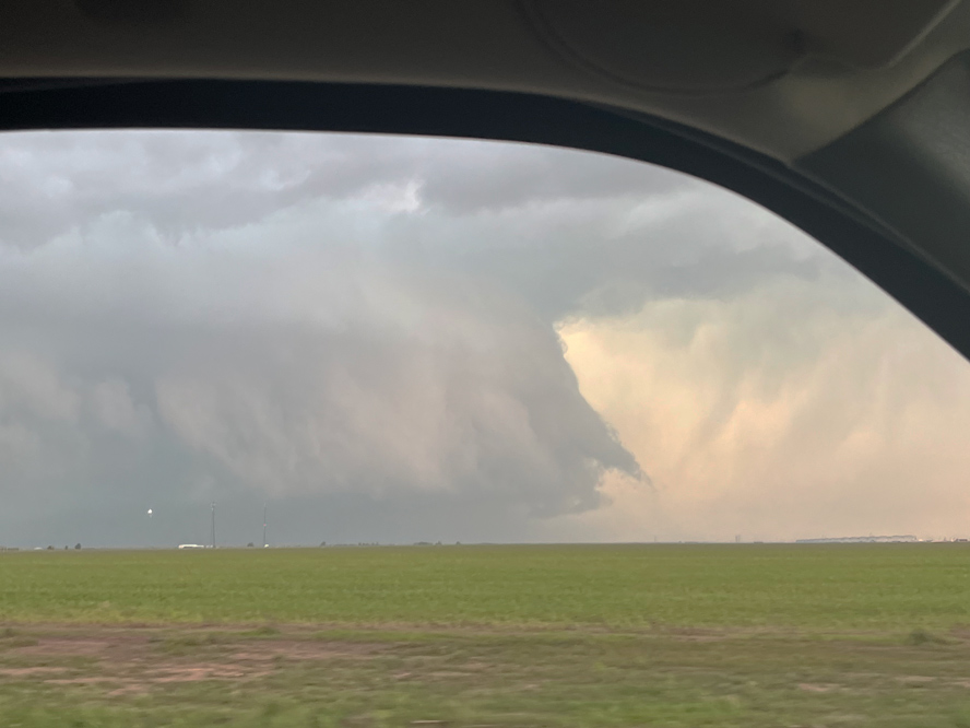
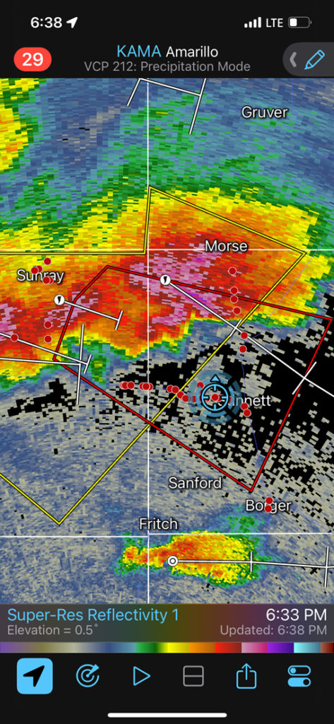
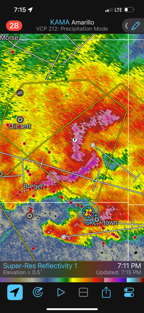
Images below are wide-angle shots of supercell structure near Dalhart, Sunray, Stinnett and Pampa. A brand new updraft exploded near us as we neared Pampa, and we had to ride out a very windy hailstorm in town.
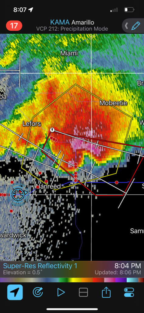
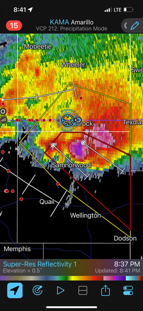
By the tine we reached I-40 south of Pampa, we were behind the main supercell and could not catch up (last image in the next group). The storm dumped some giant hailstones around the Interstate west of Shamrock.
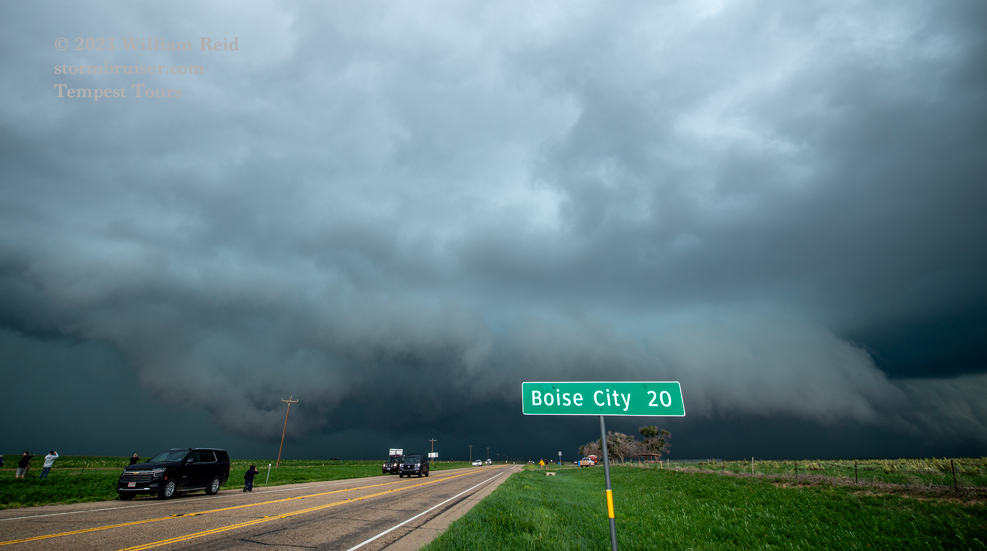
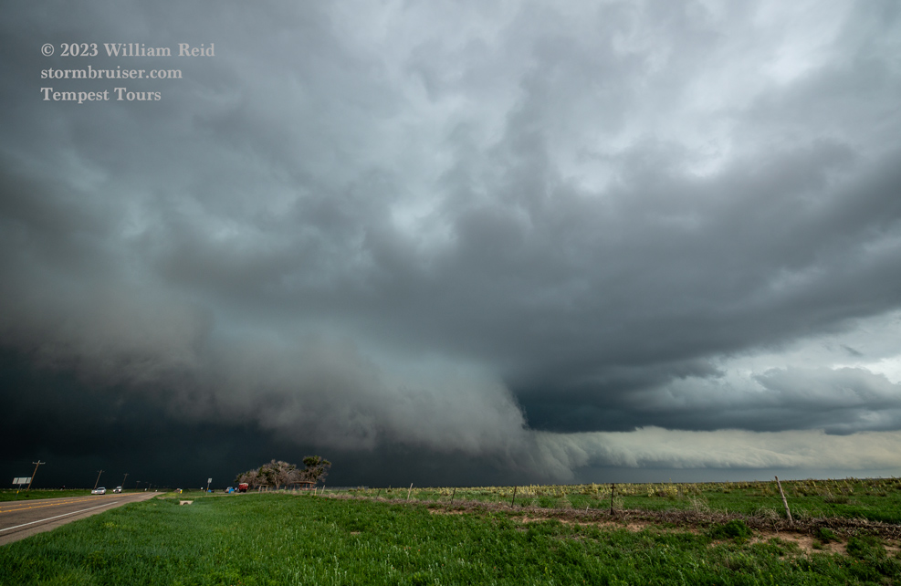
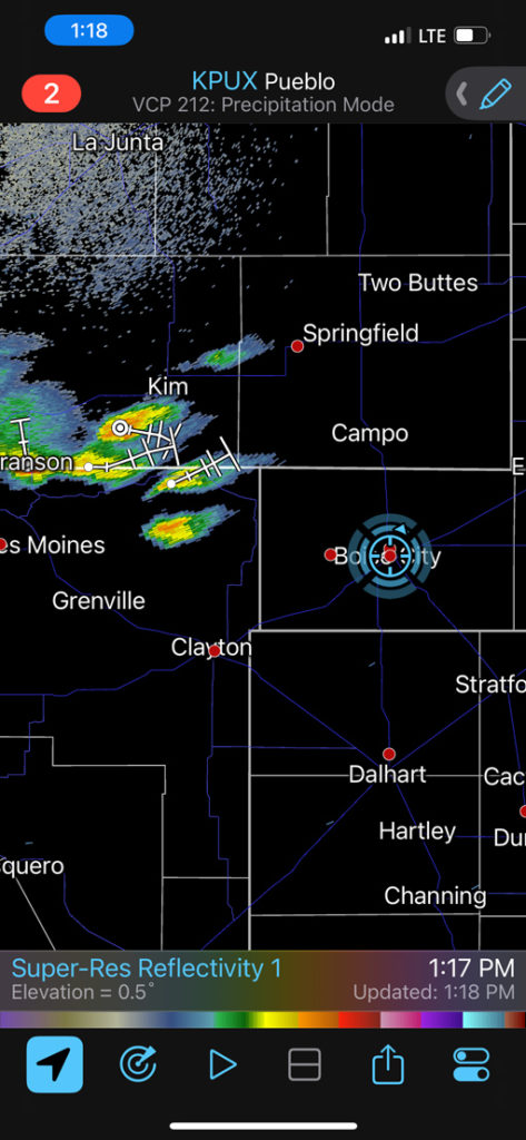
iPhone images below. These are in chronological order.

Leave a Reply
You must be logged in to post a comment.