

Start: Baker, Montana
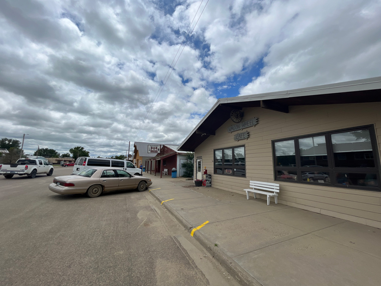
Lunch: Ekalaka/Wagon Wheel Cafe
End: Sundance, WY/325 miles
Chase account by TT guest Lesleyanne
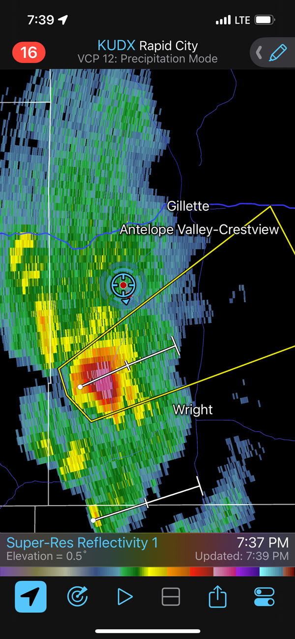
According to the SPC outlooks for today, I had a choice between the central Dakotas and northeastern Wyoming. Tornado chances did not appear to be good at all for either area, though there was a 2% play in the Dakotas. Like the day prior, low-level moisture was just mediocre on the High Plains. I headed south to Moorcroft, WY, to try to catch something moving through the Gillette area towards sunset.
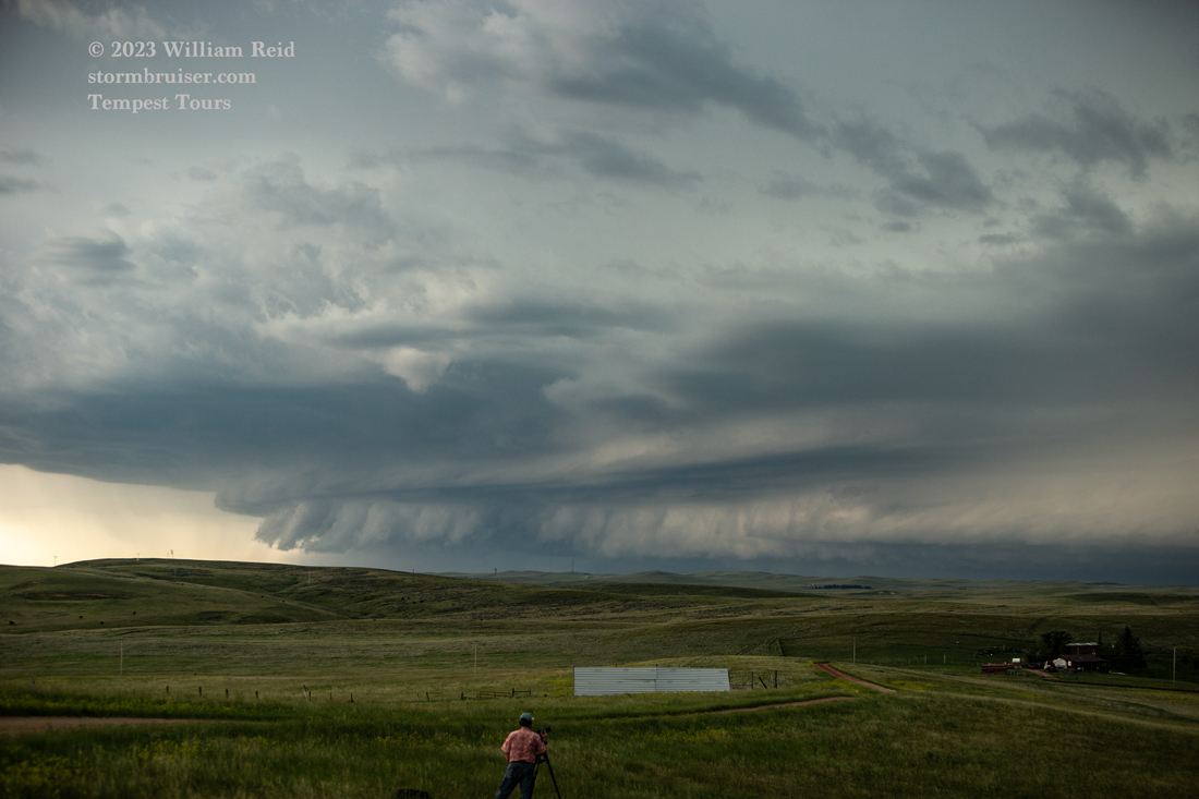
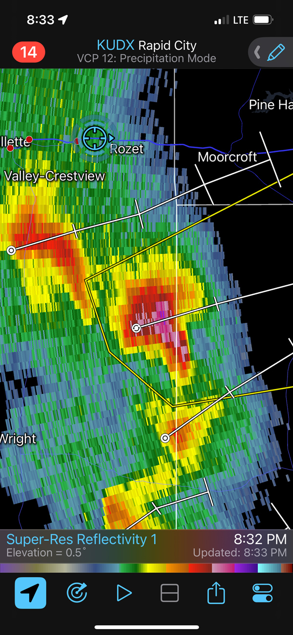
We did a lot of waiting around as the good stuff was slow to develop. Finally, there was some strong activity well to our WSW (from Moorcroft), and we headed to Gillette and then southwest. We found our way up a hill on the west side of Pleasantdale, with a view of some decently-sculpted cells to our southwest. This stuff looked largely linear, and it was moving to the ENE across a largely roadless area.
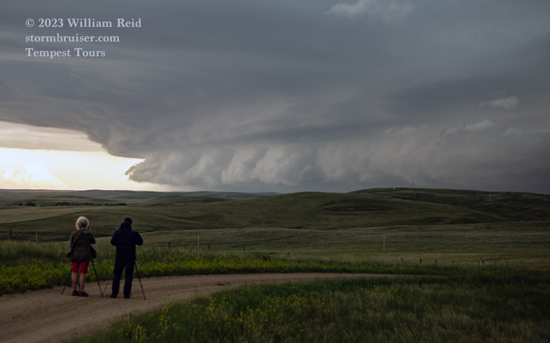
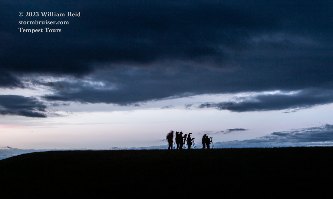
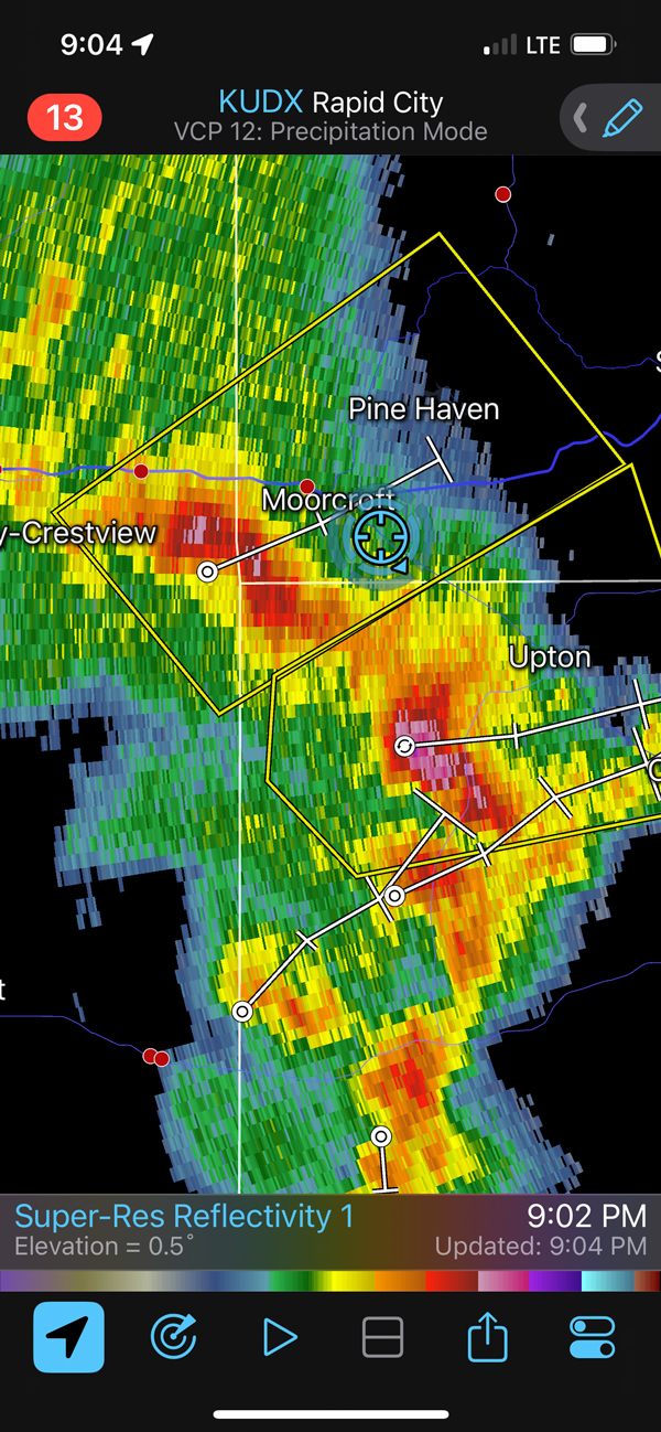
In order to stay with it, we had to head a lot farther north than we would have liked (back to I-90 at Gillette). We came back up to the severe storm near Moorcroft at dusk, set up for lightning, got a bolt or two and then the storm wimped out on us.
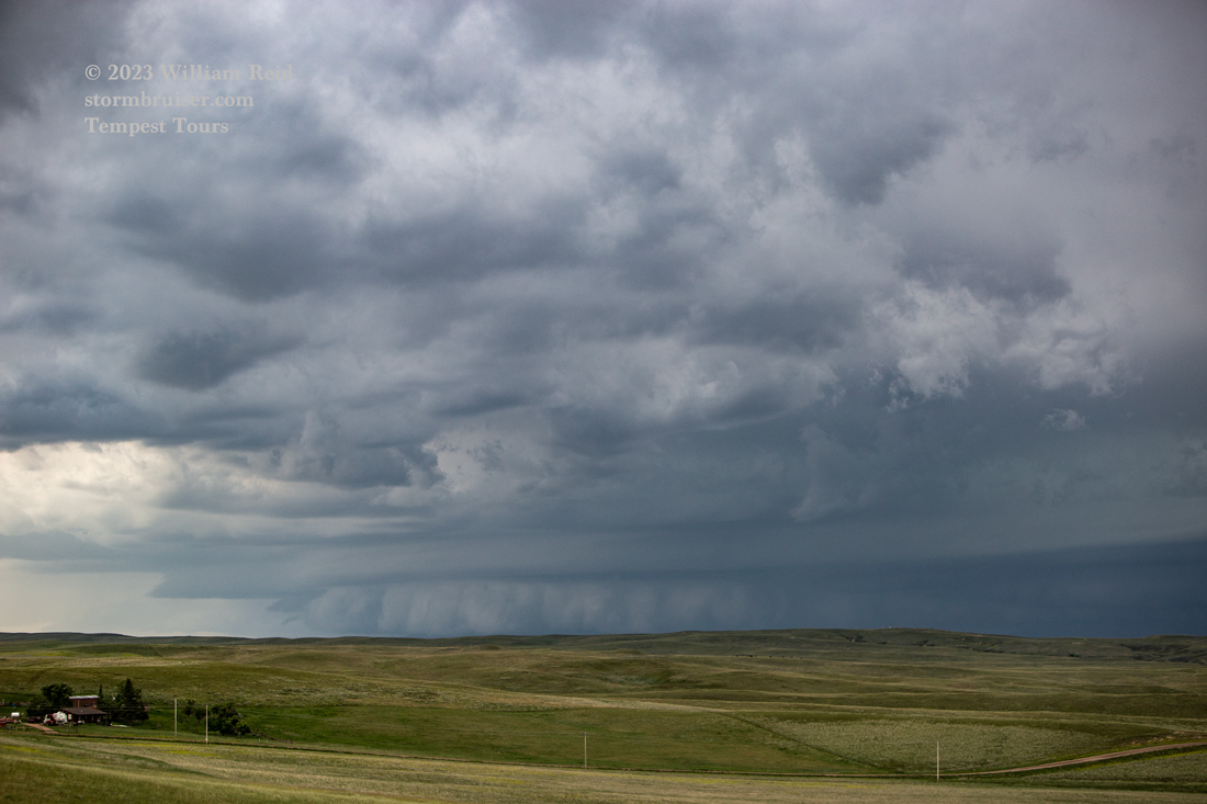


Radar captures are below. I figure that our chase experience would have been quite a bit better had I placed myself on that E-W road through Wright (or maybe just waiting around the Upton area), instead of playing along I-90. Of course, that course of action was not obvious to me until well after I had decided that the Gillette area was the better choice.

Leave a Reply
You must be logged in to post a comment.