Start: Sundance, WY
Lunch: Torrington/Subway and Arbys
End: Yuma, CO/508 miles
Chase account by TT guest Lesleyanne
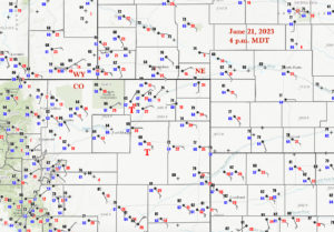
Surface map for 4 p.m. MDT above
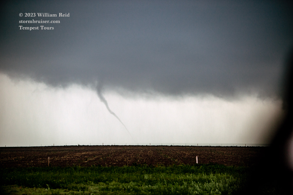
Yep, this is the chase day that I wish I could do over this year, as some of the most photogenic and long-lasting and slow-moving tornadoes took place in my favorite chase county, Washington County, Colorado. Our group was on the next storm north of the prolific supercell that was south of Akron along Highway 63. And, we observed a handful — four or five or six?? — of tornadoes, west of Sterling along Highway 14, but these were quite brief and weak and not particularly photogenic. UGH.
Not surprisingly, it was logistics and happenstance in large part that caused me to wind up “one storm off” today. We started way up north at Sundance, WY. We got out of there at a relatively early hour and didn’t waste too much time on the way south via Lusk and Torrington, where we did lunch. I thought that the Cheyenne Ridge was the right target area, though I knew that any storm north of I-70 in northeastern Colorado would have tornado potential. Upslope winds from the east were very moist, and the tornado prospects looked really good. SPC had a 5% tornado risk from about Last Chance to Torrington.
Storms went up rather early along the Cheyenne Ridge in the vicinity of Carpenter, WY, and we were there to watch. There were plenty of updrafts, and these were generally rainy and messy. About this time (2 p.m.-ish?) the surface winds along the Cheyenne Ridge were mostly from the ENE. This is not where you want to be in order to maximize your tornado chances. Better air and winds from the east and ESE were to our southeast, near Sterling and Akron. Sterling had a fantastic ob (81/70 ESE 21G28) at 2 p.m. MDT. Akron’s ob was nearly as good (81/66 ESE 20 mph). Of course, instability and shear were excellent over all of northeastern Colorado. I had to get the group towards that developing Sterling storm as soon as possible.
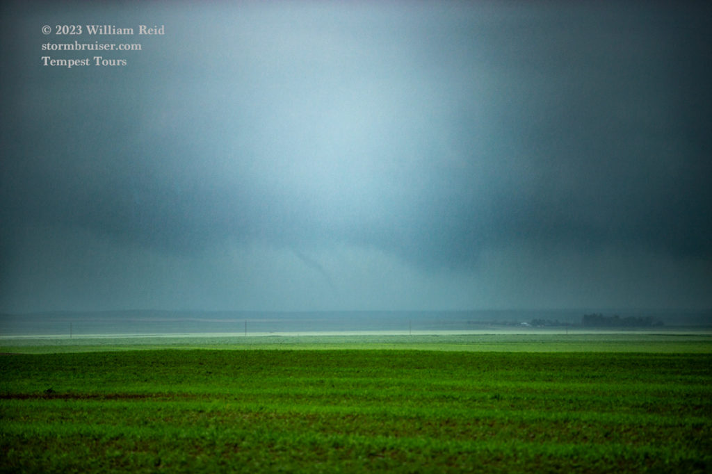
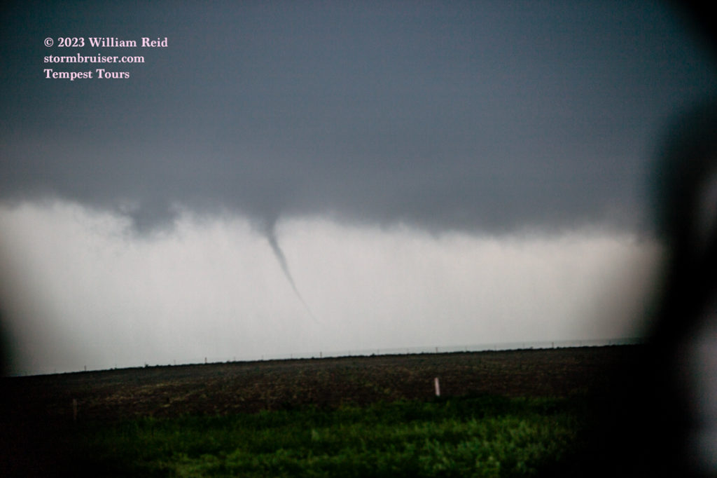
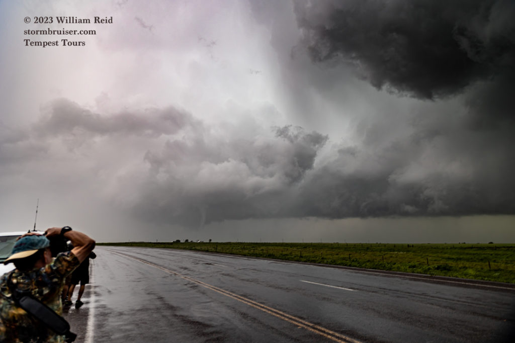
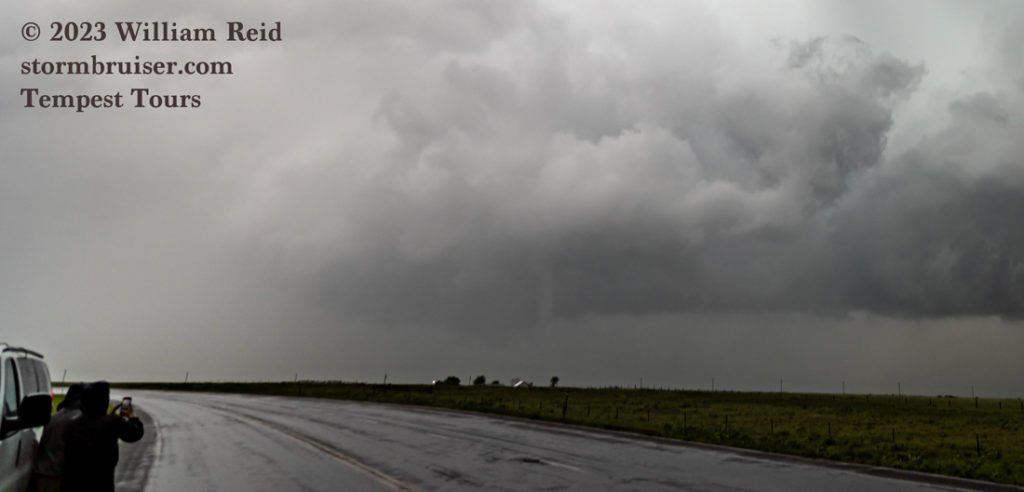
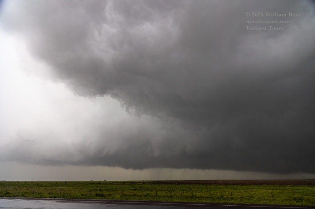
Below are six radar screen grabs which show our location (blue circle) with respect to the storms during the afternoon. At 2:21 p.m. MDT we were headed south to the new activity that was just south of I-80 and east of Cheyenne. At 3:36 p.m. we were near Raymer and heading east to the tornado-warned Sterling storm. At 4:50 p.m. we were on Highway 14, west of Sterling by maybe 12-15 miles, with brief tornadoes forming around us. Storm bases were very low and we observed up to 6 tornado touchdowns. It looked like this was along a N-S boundary that might have been drifting to the west. One big problem was that the entire area was getting rain. We were able to stop a couple of times near that “jog” in Highway 14 west of Sterling to get out and see what was going on, but light-to-moderate rain was a nuisance.
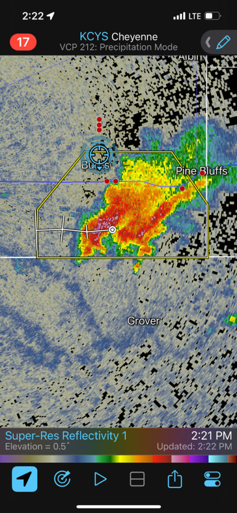
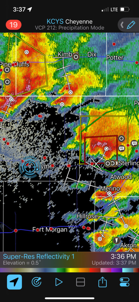
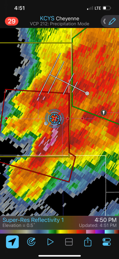
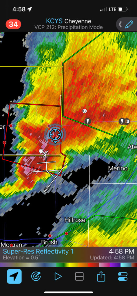
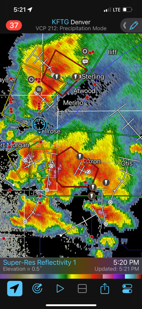
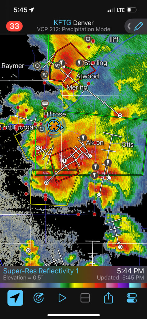
At 4:58 p.m. we were headed south to Brush from Highway 14, and in a tornado warning still. We didn’t see anything in the supposed action area west of our position. I had my eye on the Akron storm by now, and this is when that storm south of Akron was starting to crank. We were still an hour away, though, and on the wrong side. The last two images above show our location in the Brush area, with the tornado warning (and the photogenic tornadoes that we were missing) to our southeast. We made our way through heavy rain and a lot of wild positive lightning bolts between Brush and Akron along U.S. 34. The supercell to our southeast was moving little, and maybe drifting to the north.
By the time we got to Akron, the road (Highway 63) was closed due to downed power poles on the road a ways south, presumably due to tornadoes. We were now unable to get into position on this supercell!
The next best option looked to be U.S. 34 east to Otis and then south, but 34 was closed between Otis and Akron due to flooding and bridge-out issues. This bridge-out closure had been in effect for a few weeks at least, I think. There were only two ways out of Akron — west and north. It was raining here, unpaved roads were not an option, and I was not happy at all. We headed N and E and S in a desperate attempt to salvage something, but wound up with nothing worthwhile in that stretch.
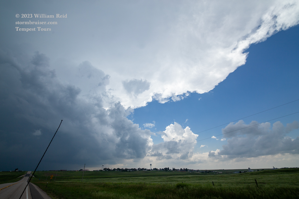
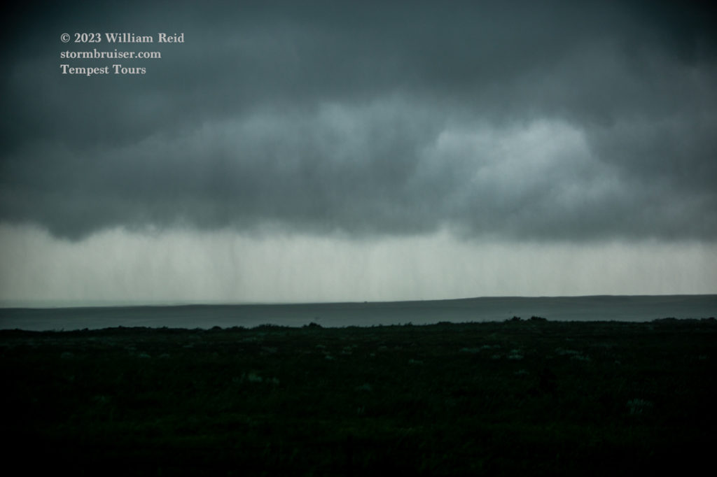
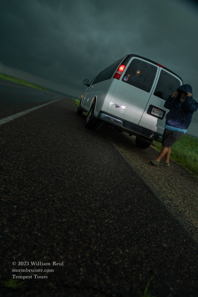
Below are some pics of the storm with the brief tornadoes along Highway 14 west of Sterling, near the jog in 14 in western Logan County. There were at least two tornadoes that we observed which were too brief, or distant, or poor-contrast, which wound up unphotographed by me.


Leave a Reply
You must be logged in to post a comment.