Start: Gering, NE
Lunch: San Pedro Mexican Restaurant in Torrington, WY
End: Sidney, NE
322 miles
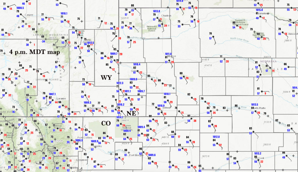
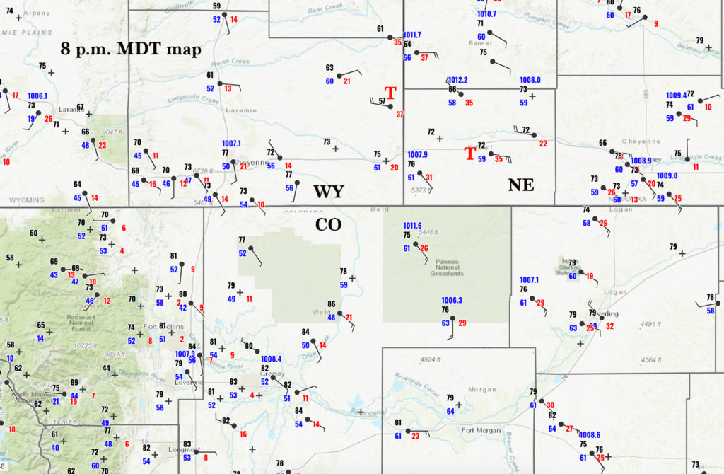
Surface maps for 22Z (4 p.m. MDT) and 02Z (8 p.m. MDT) above. The red “T’s” in the 02Z map indicate the locations of the two tornadoes that we observed.
Below, two-minute video of the beginning of the Albin, WY, tornado by Tempest guide John Lamicq (large file)
Below, two-minute video of Kimball tornado by Tempest guide John Lamicq (large file, 100 Mb)
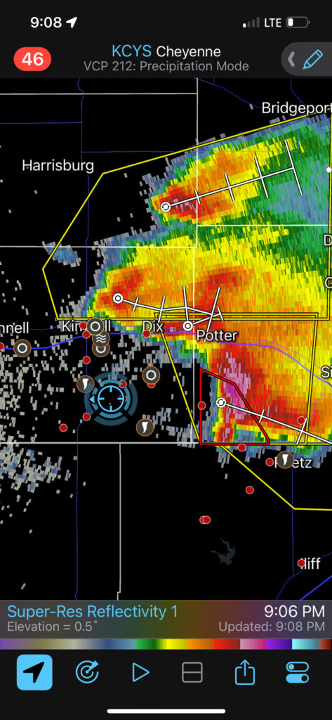
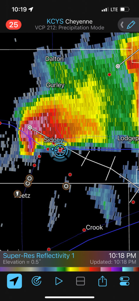
NOTE: This chase account contains a mix of images taken with my Canon cameras and my iPhone. The sequence of images might not be in the exact correct chronological order from Canon shots to iPhone, but they are close enough! The iPhone images do not include my copyright watermark. There are also numerous screen grabs with the iPhone of the Cheyenne radar on Radarscope, which shows our position (blue circle).
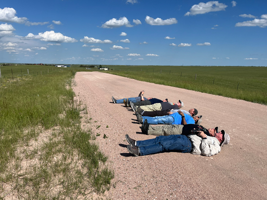
Tour 8 for 2023 began out of Denver on June 25, and all we had to show for the first day was a new t-shirt and some weak updrafts a little NNW of Cheyenne. We made our way to Gering for the night. My drivers for Tour 8 were John Lamicq and Matt Phelps. Photo group people are weird.
We were in fine shape logistically for the chase on the 26th. SPC had the greater severe weather chance along and north of U.S. 20 for the most part (Lusk to Chadron). Instability and shear were more than adequate for supercell development in all of eastern WY, and a 15-percent hatched hail area was plastered over northeastern WY and into the NW Nebraska Panhandle. Tornado prospects were not especially good even up north, with SPC sticking with only 2 percent all day. I don’t recall having much consternation regarding the chase forecast this day, however, even though my target area was a lot closer to I-80 (outside of the slight risk) than to U.S. 20 near Lusk. Surface (SE) winds and dews (in the upper 50s) were just plain better in my south target! Dews in the lower 60s were lurking around Morgan County, Colorado. If that good moisture advects to the Cheyenne Ridge, then you gotta like the tornado prospects.
I headed WNW to Torrington for lunch. Here, we could adjust northward if necessary, but I (and the CAMs) liked the high terrain west of Chugwater for development. A storm here would move into nicely backed winds. Wall-to-wall sunshine helped to build up the afternoon instability. We killed time at Yoder, and eventually a strong storm just southwest of Chugwater was beckoning!
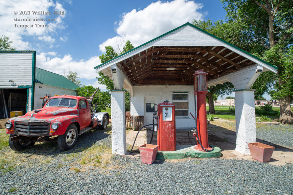
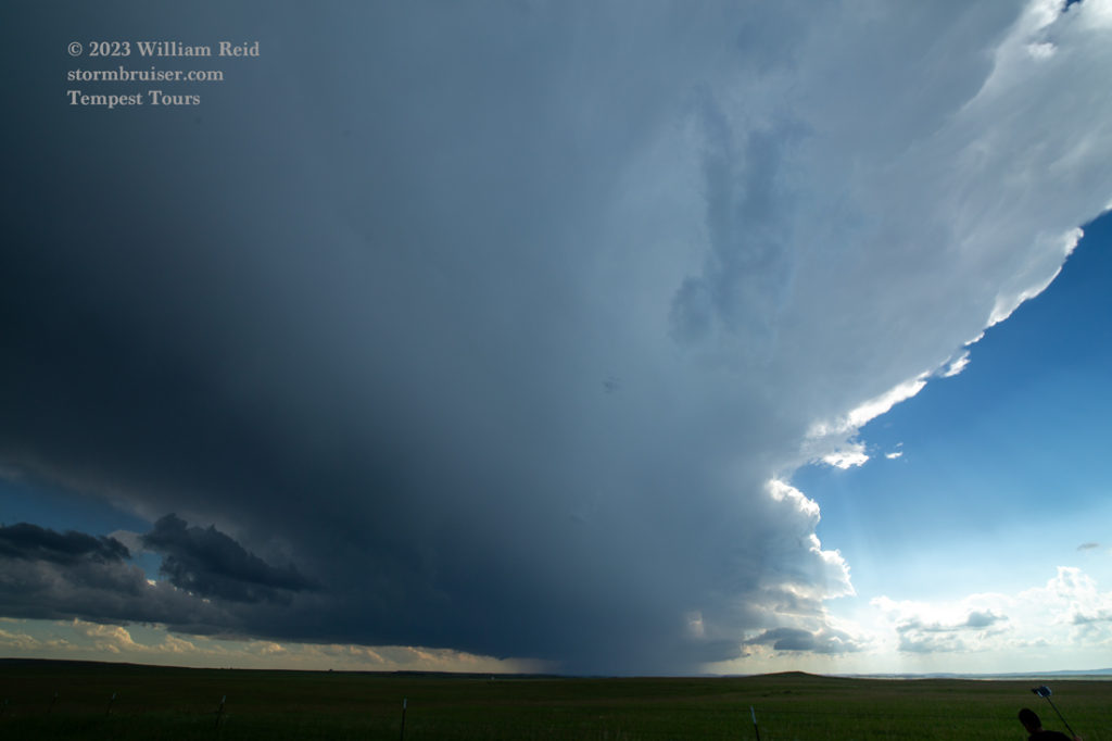
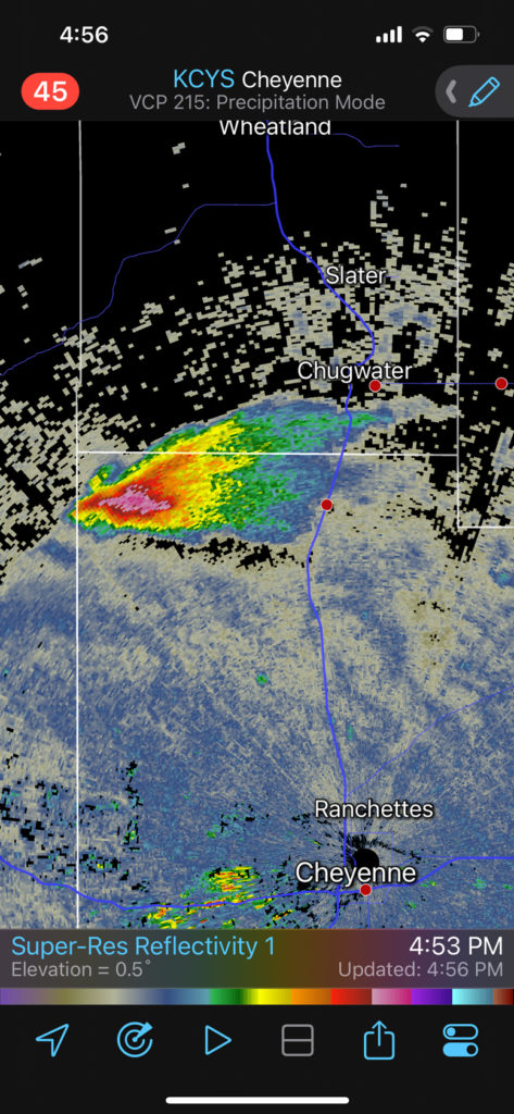
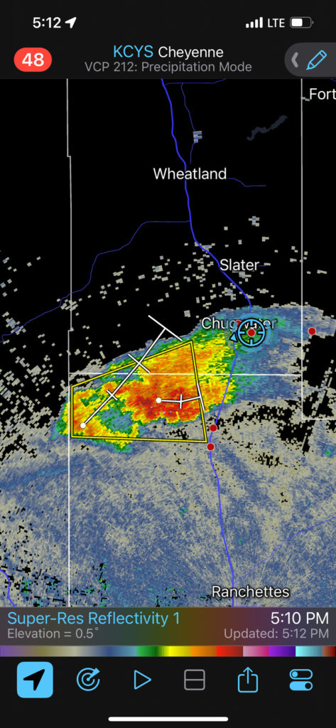
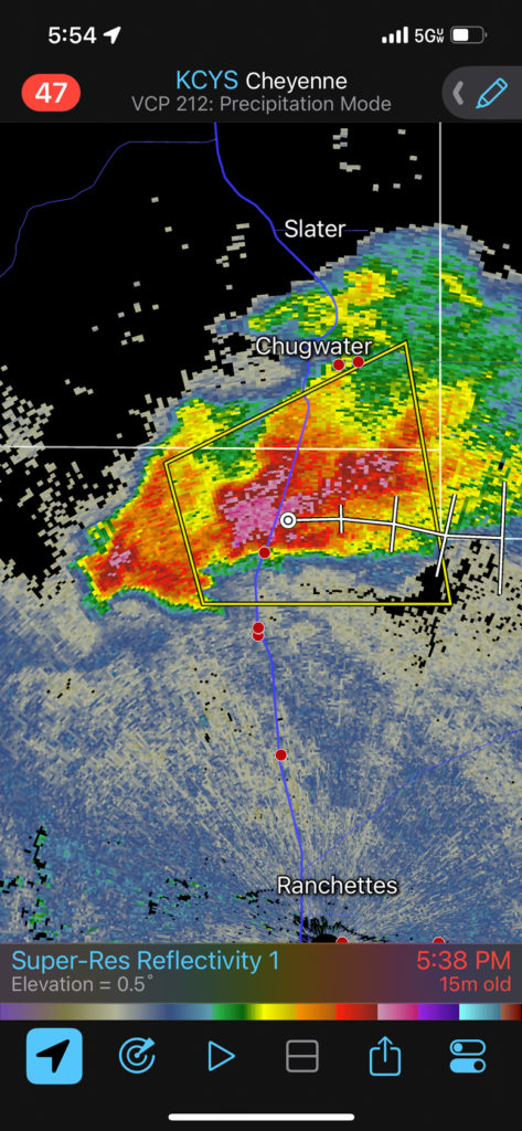
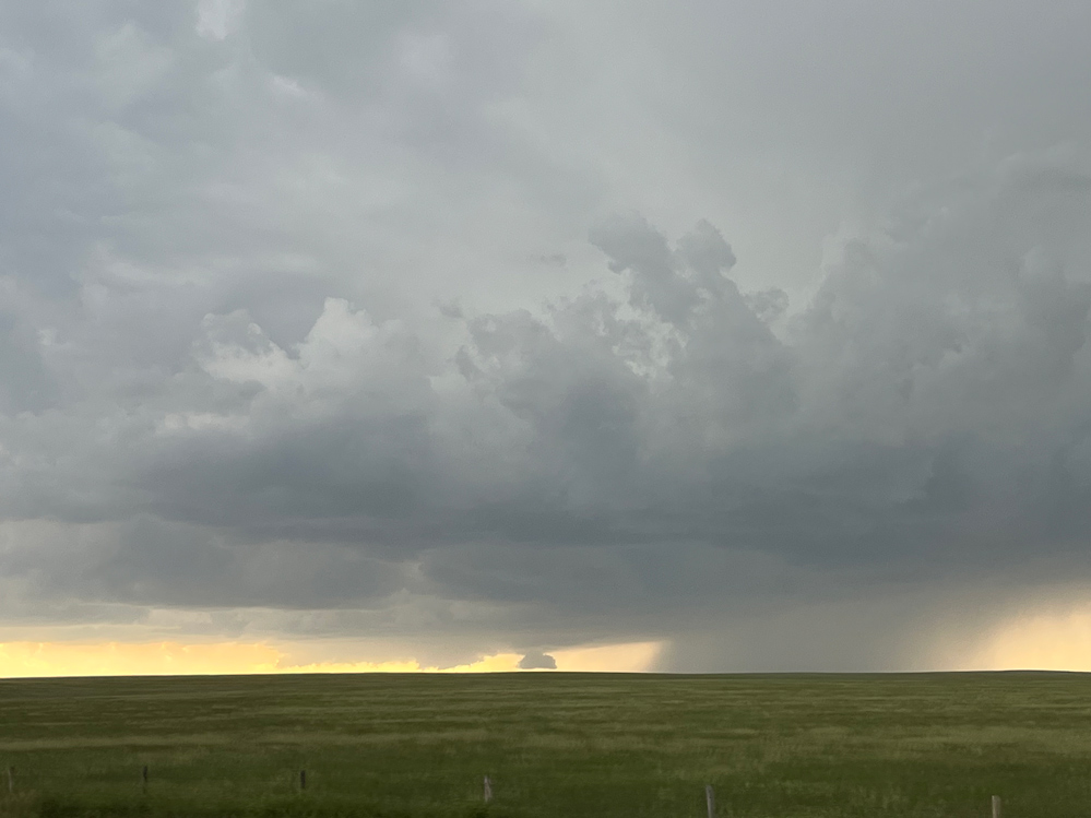
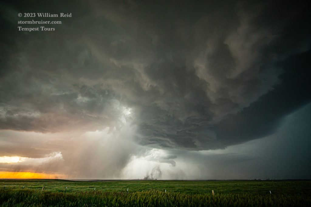
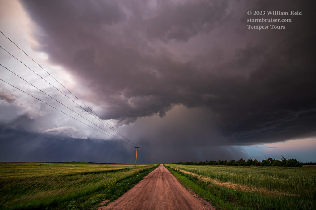
This storm strengthened and organized fairly quickly, and it moved into the road hole southeast of Chugwater. We waited for it along 85 near Meriden, and as it neared it moved more to the ESE. This forced us south to 216 between 85 and Albin, and by this time the storm base was quite low.
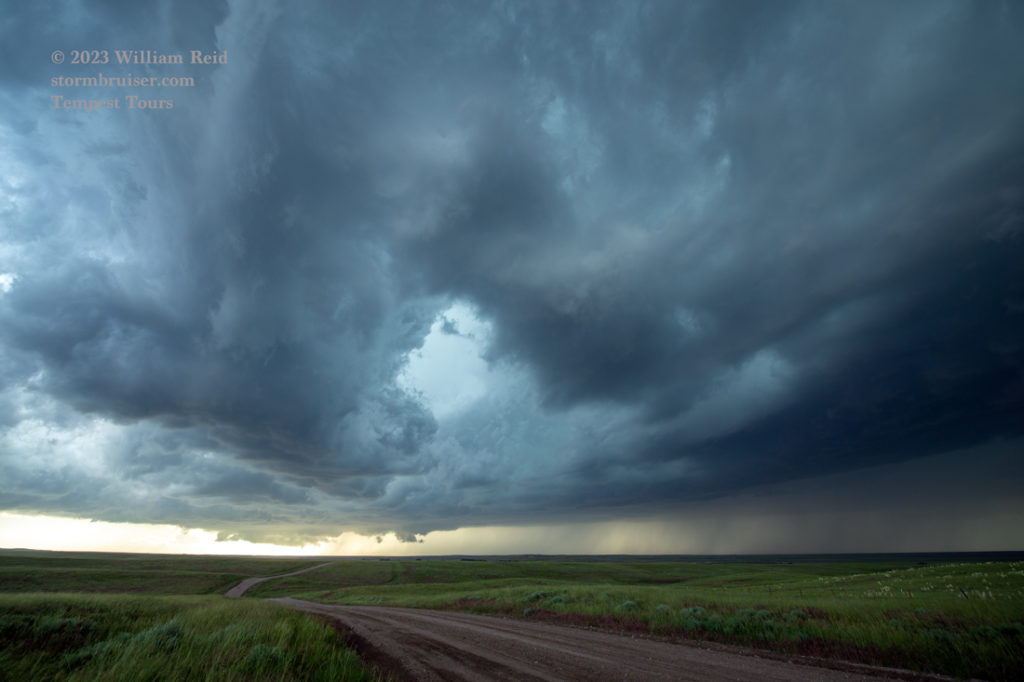
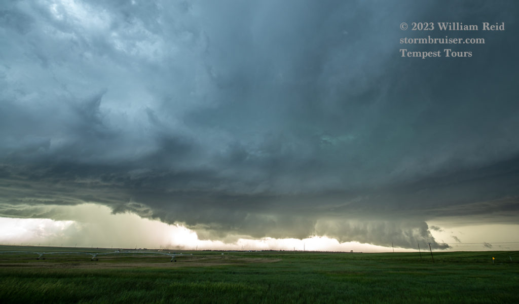
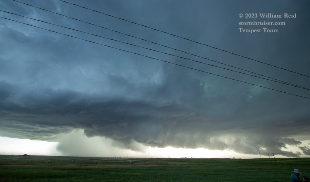
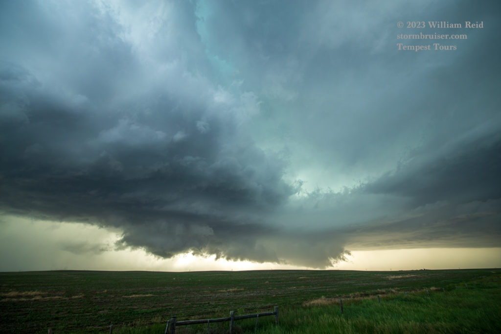
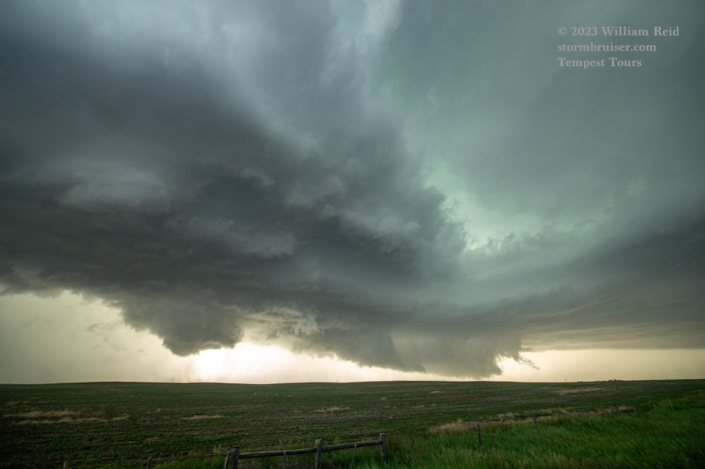
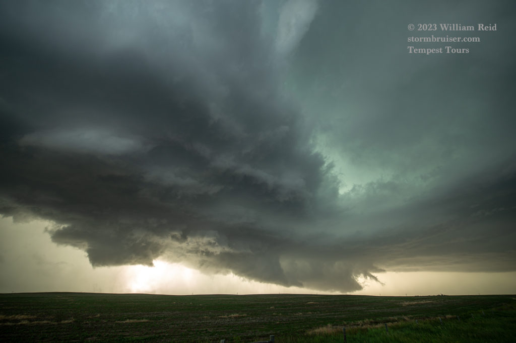
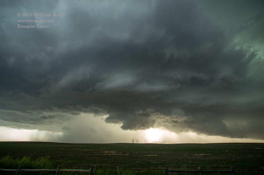
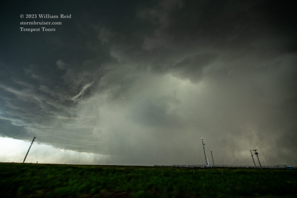
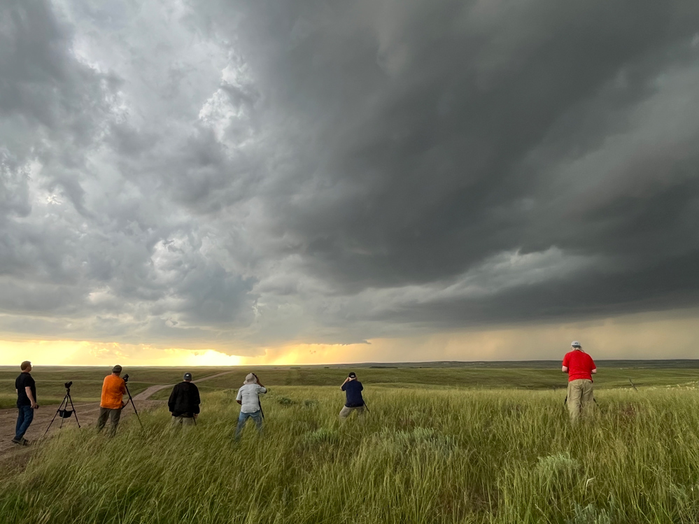
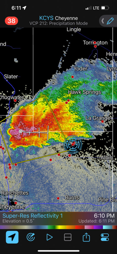
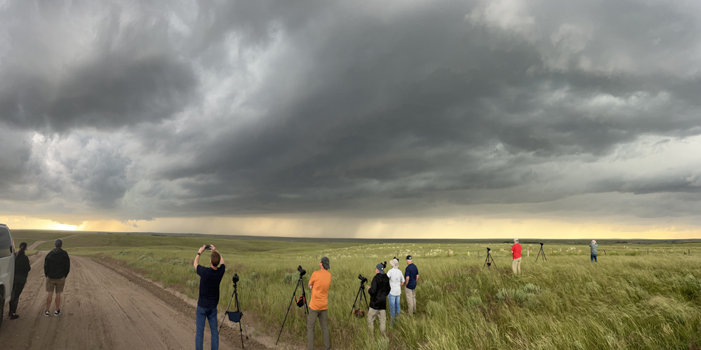
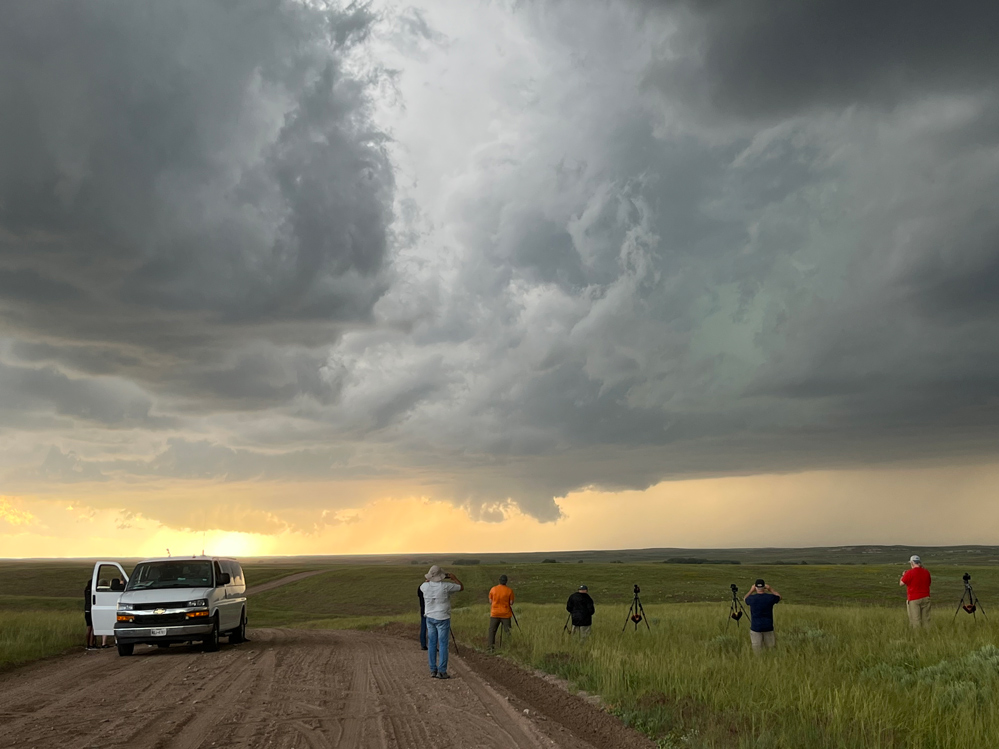
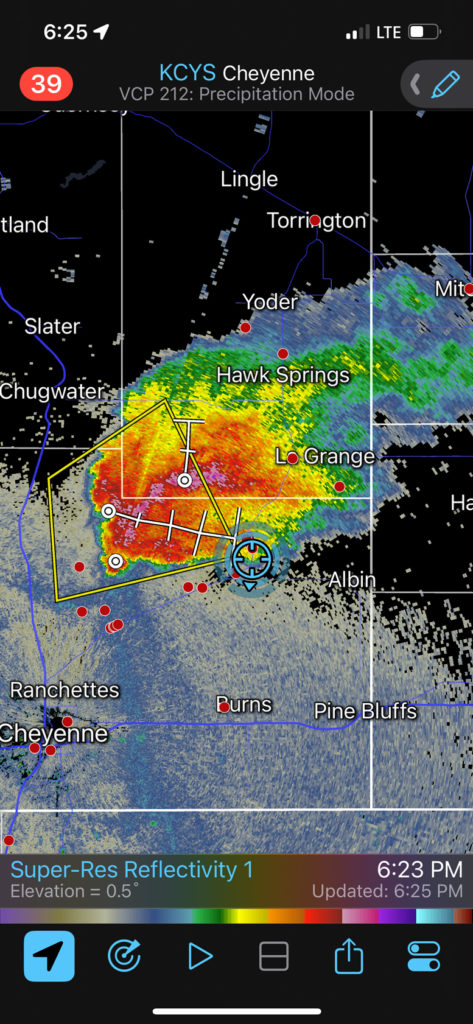
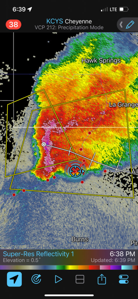
We stopped near 213 and 216, west of Albin and north of Egbert. The low storm base was not too far to the west, and a wall cloud started to rotate like crazy. It was tornado time! There was a broad funnel associated with the rapidly rotating wall cloud, and some occasional dirt whirls along the ground beneath the funnel cloud. It looked like the thing might be fixing to show us a big, black, blocky tornado, but that did not transpire (at least for us). We just got some dusty whirls. We had to vacate this spot, and headed south a little. (A move to the east to Albin would have been better for monitoring any tornado development, but large hail along 216 to Albin was imminent!) Precipitation curtains started to wrap around the action area during this timeframe, and when we stopped again to look north, it was HP City.
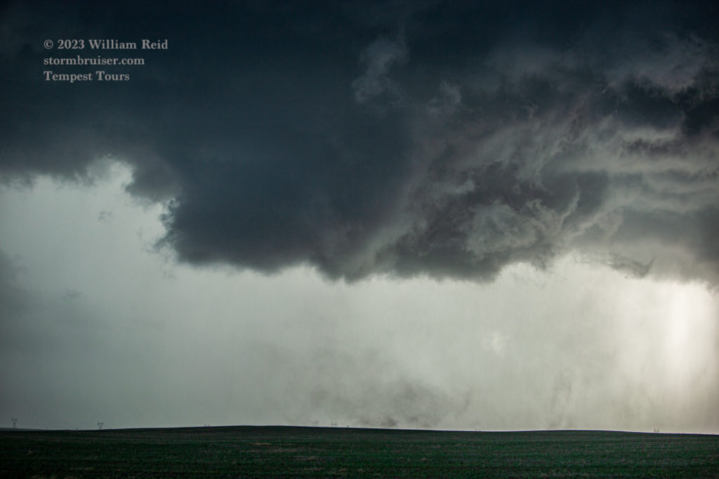
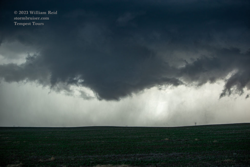
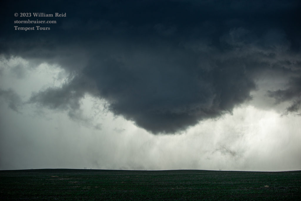
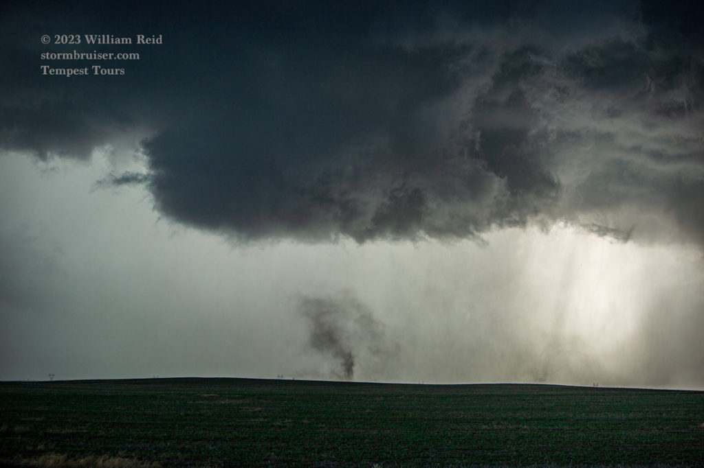
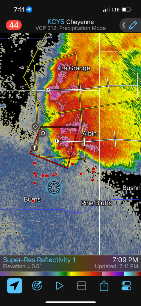
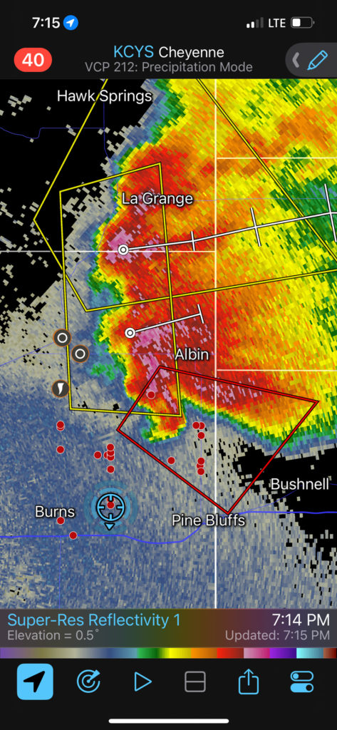
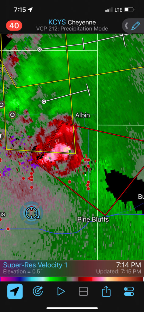
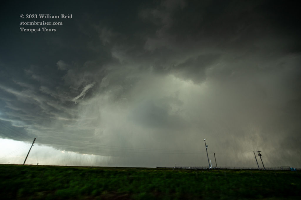
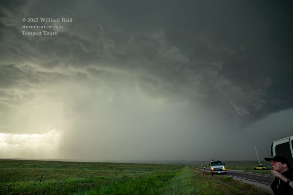
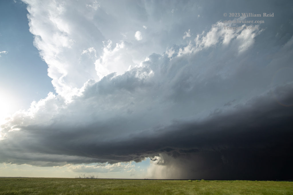
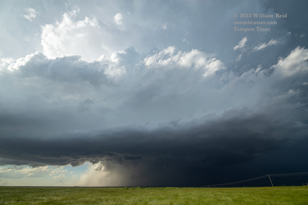
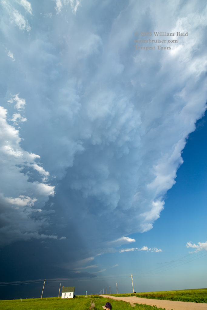
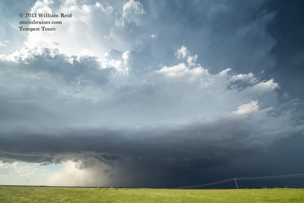
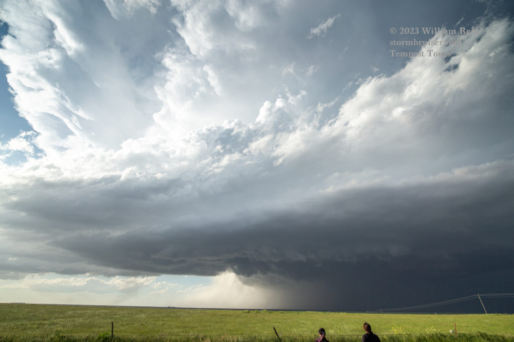
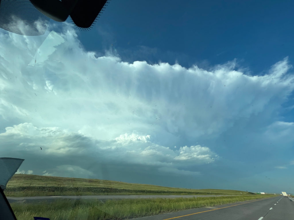
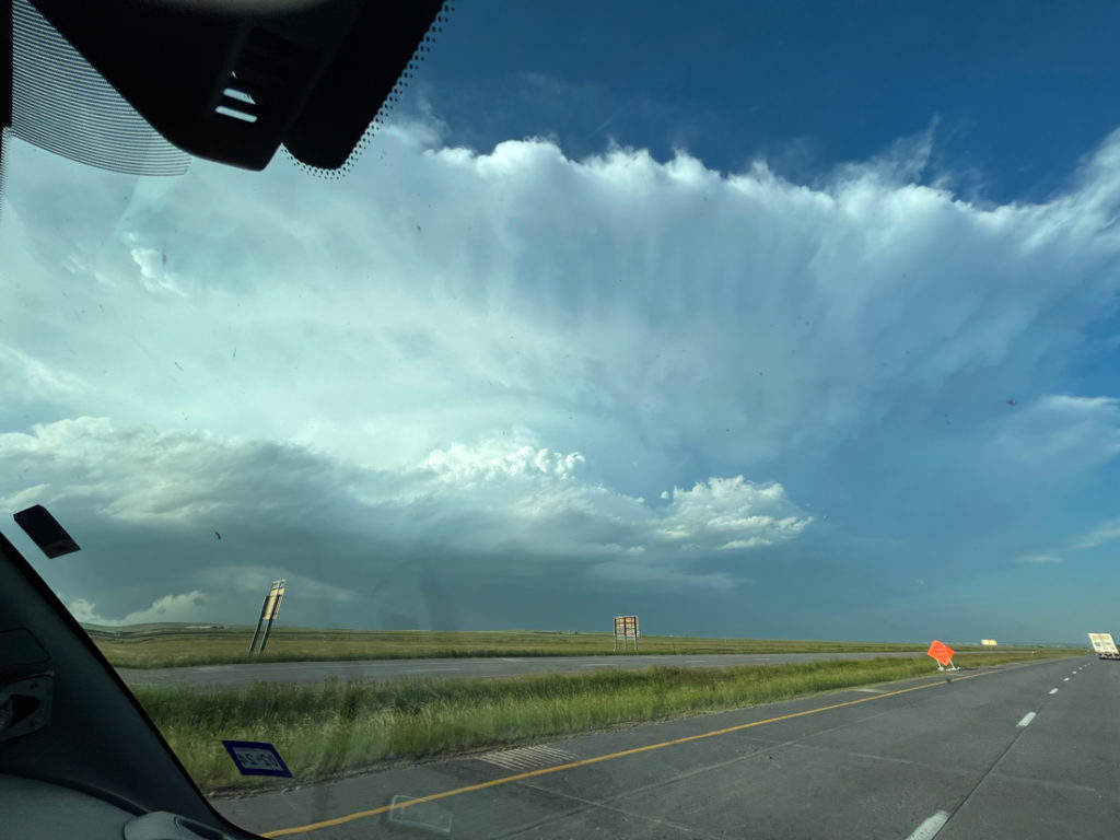
Storm reports indicate tornado damage in Albin at 0115Z (7:15 p.m. MDT), and a chaser reported a large rain-wrapped tornado five miles south of Albin about the same time. I can’t say for sure one way or the other on this as the action area was obscured in our views to the N and NNE.
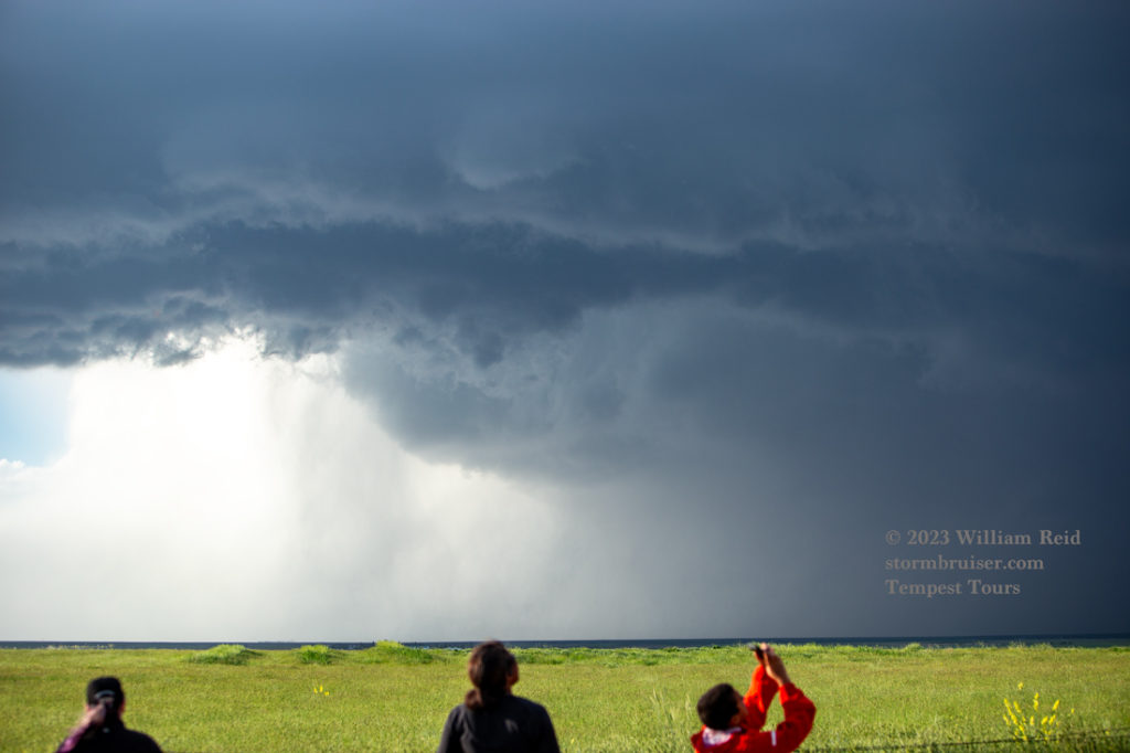
We had to get back into position, so we moseyed south about 15 miles to Egbert and then ENE on I-80 to Bushnell. Here, we stopped to admire the decent storm structure. Any tornado phase had ended by this time.
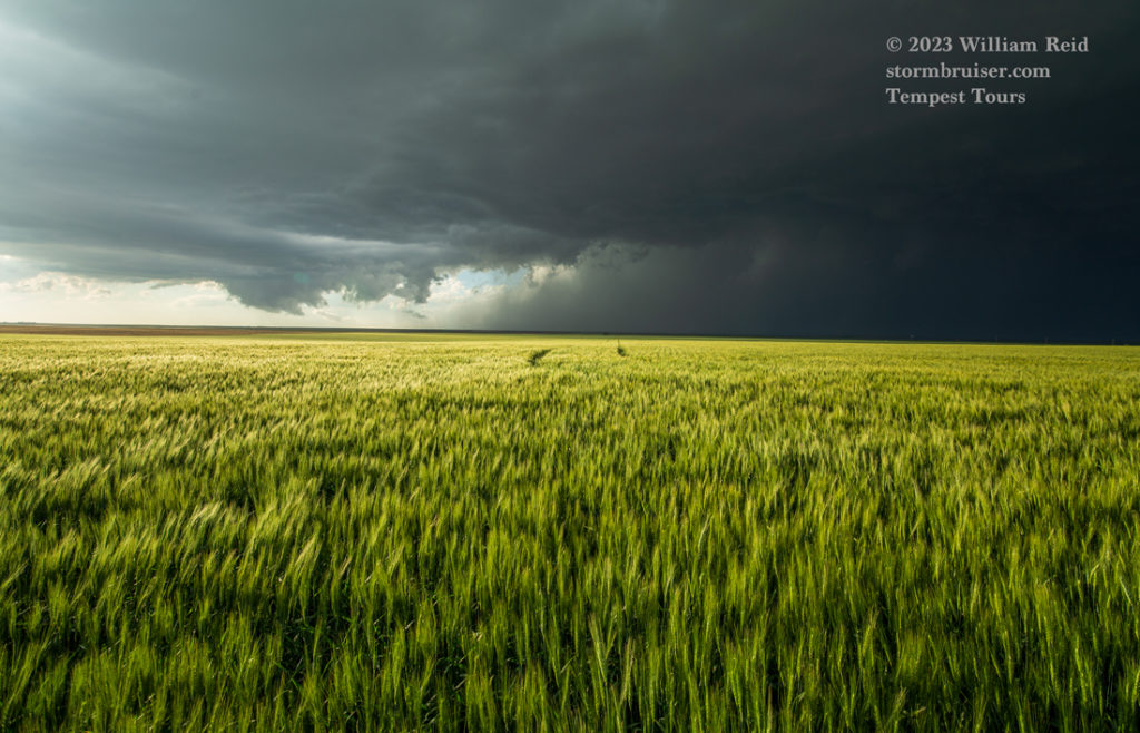
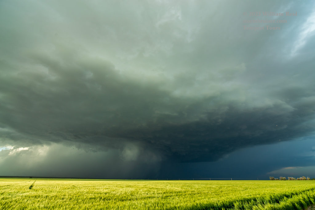
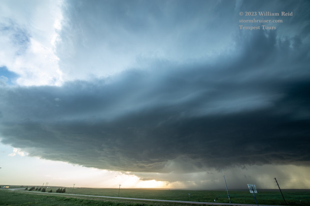
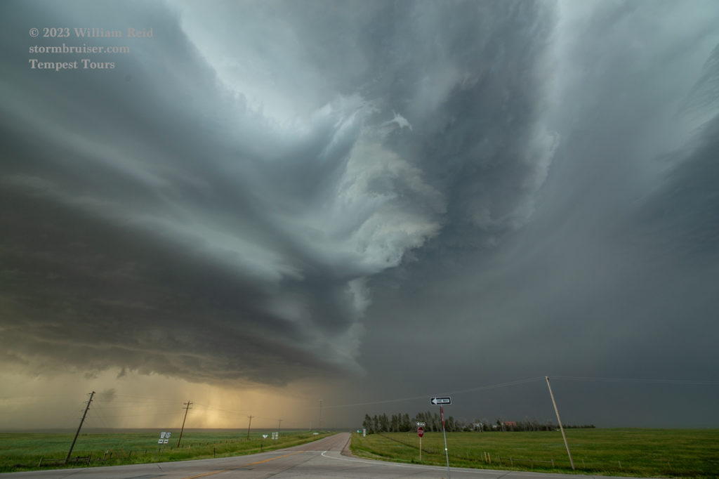
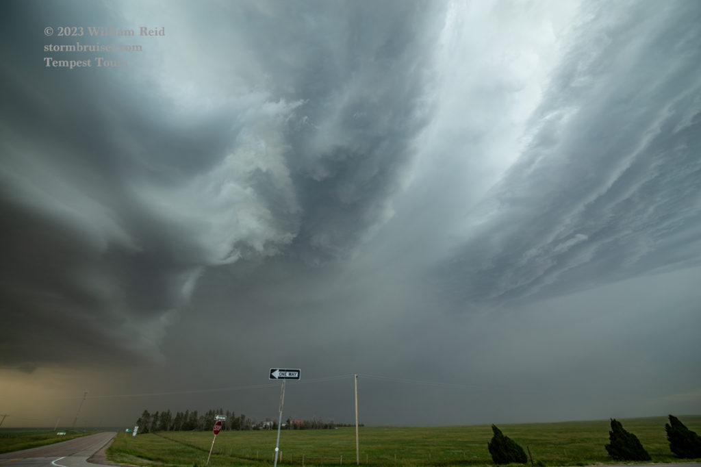
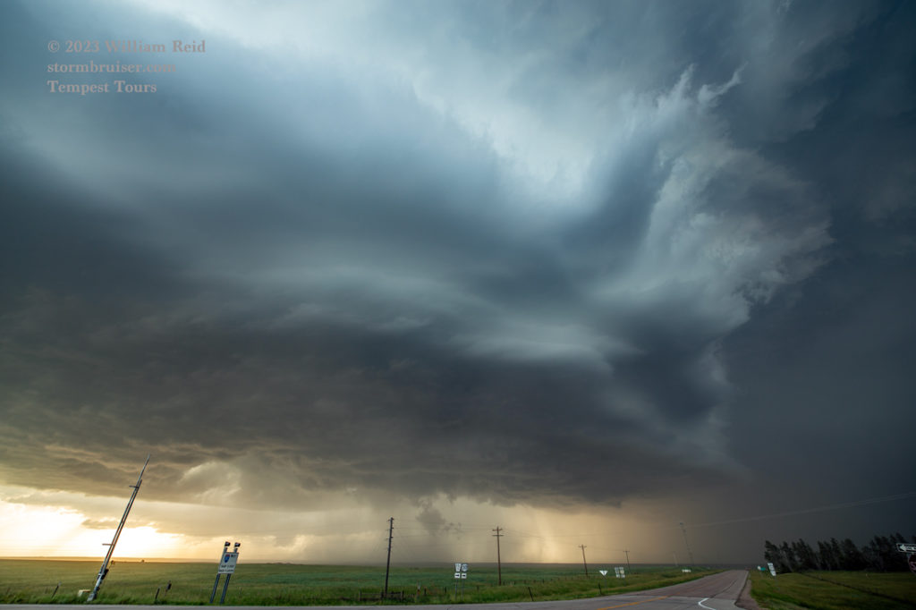
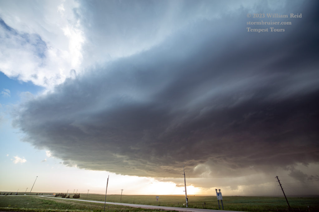
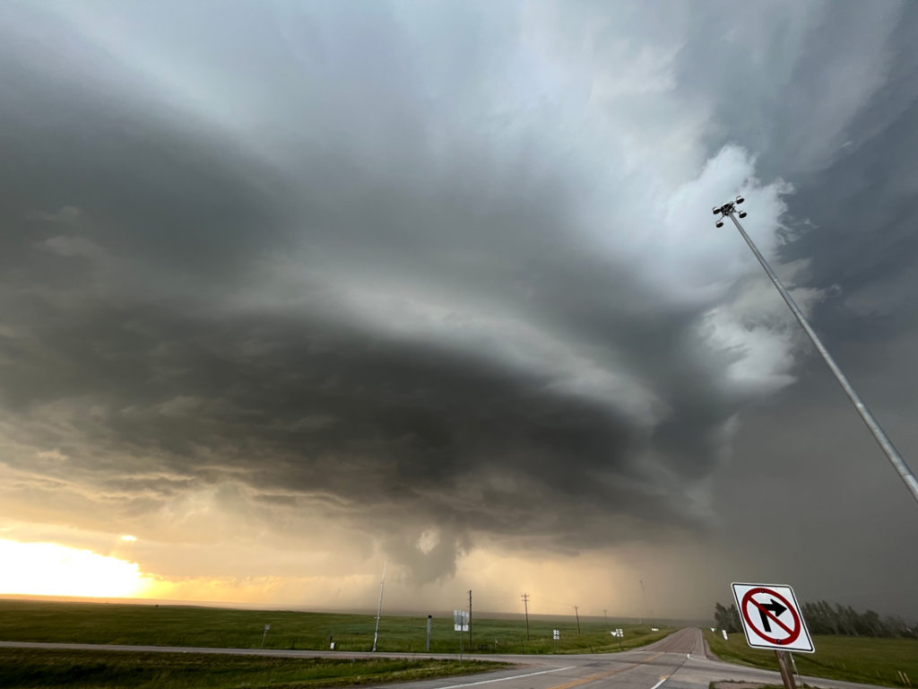
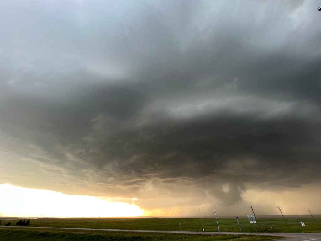
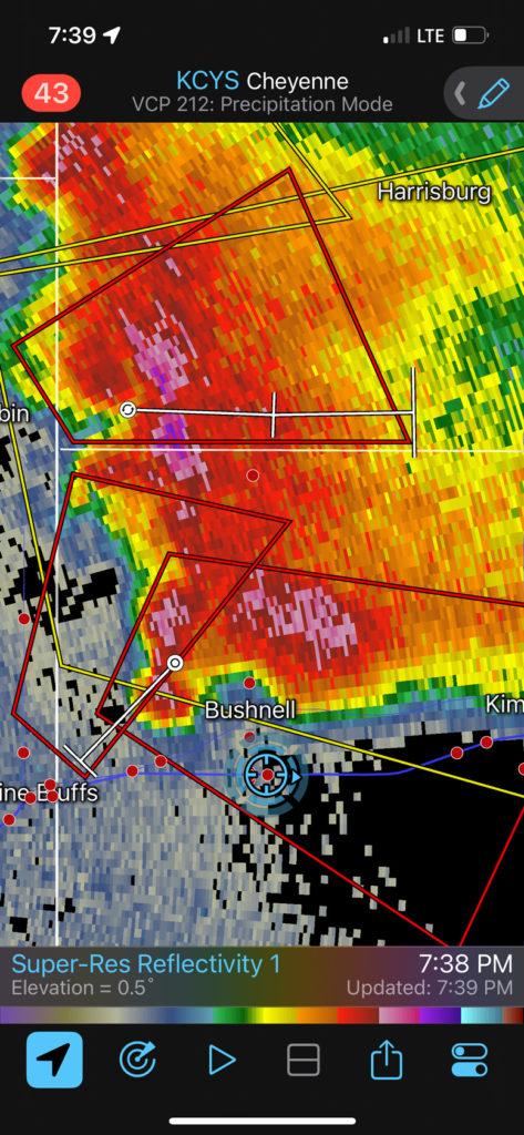
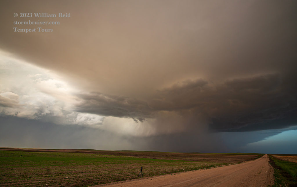
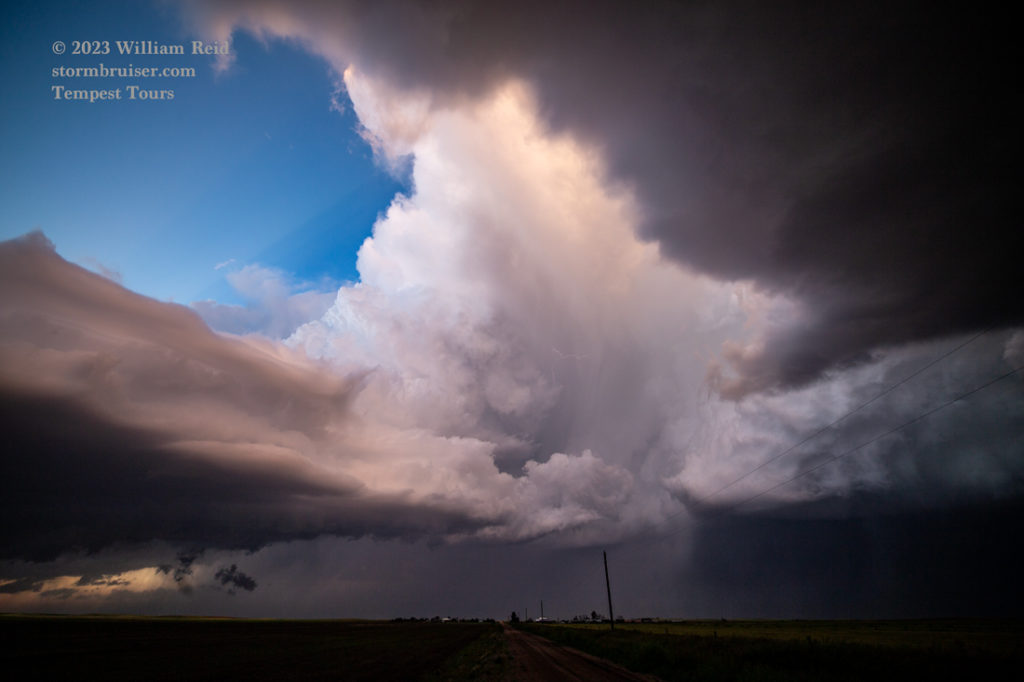
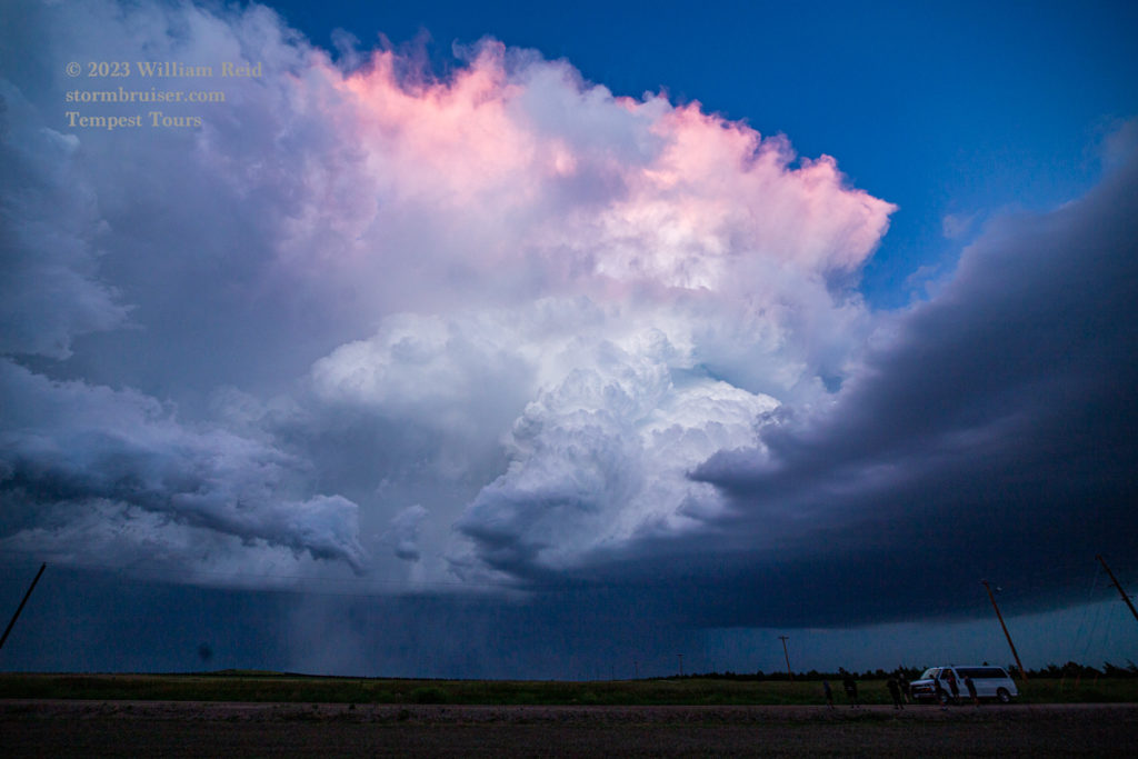
The east-southeastward storm motion was a bit problematic for us, as the storm base came up against I-80 and hail cores moved into Bushnell and vicinity. (There were plenty of 2.5-inch to 3.5-inch hail reports in and around Bushnell, Kimball and Dix with this supercell). I played it safe and continued east to our paved option south (71) out of Kimball. This afforded additional good looks at supercell storm structure. We stopped about five miles south of Kimball, before that jog to the SW along 71.
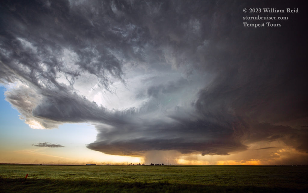
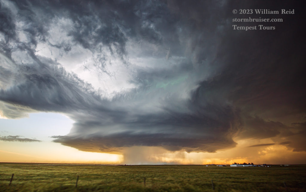
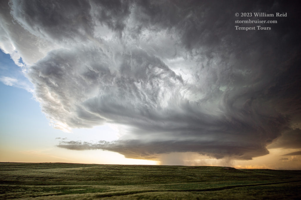
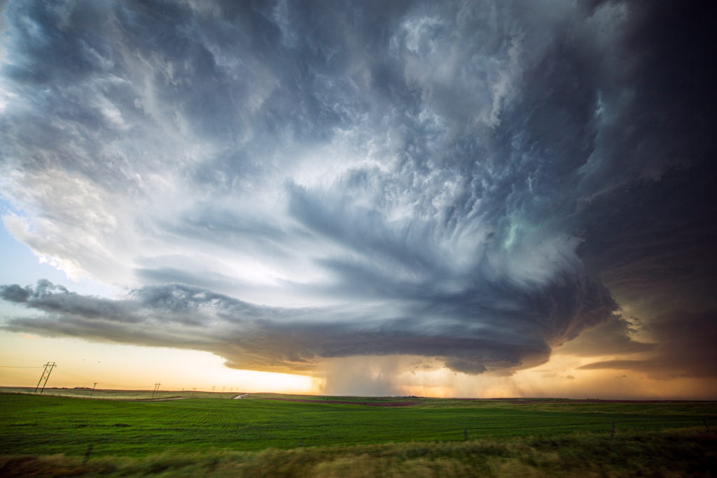
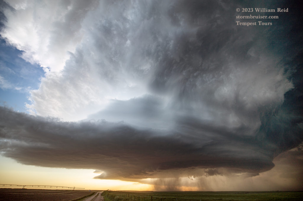
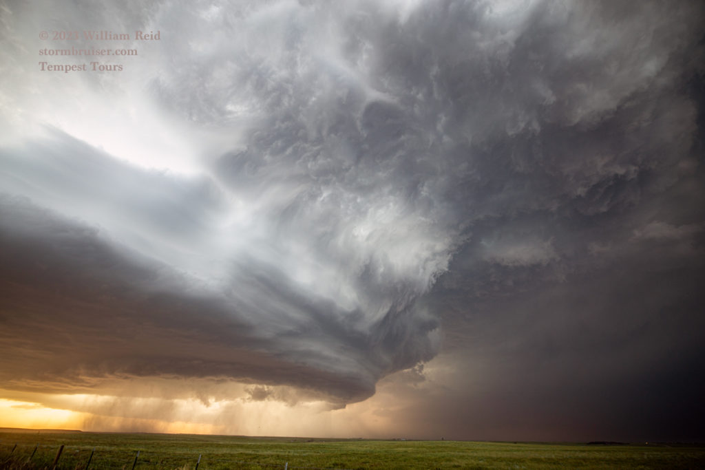
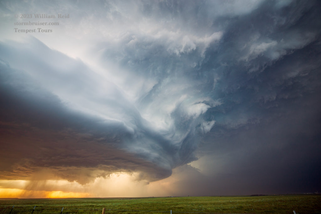
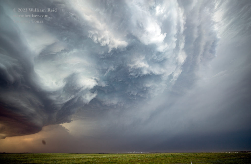
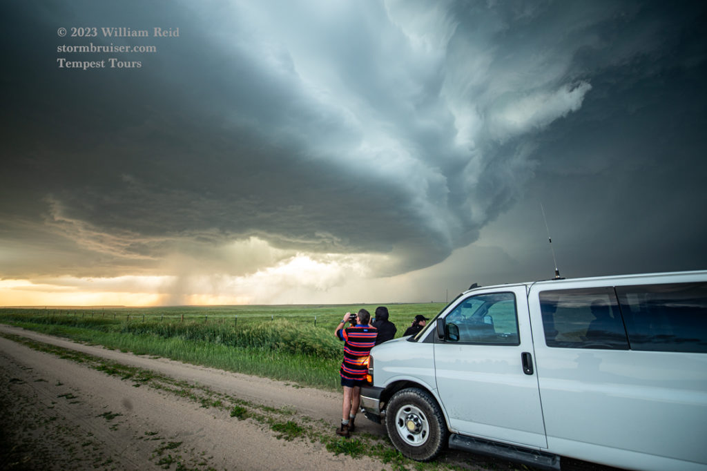
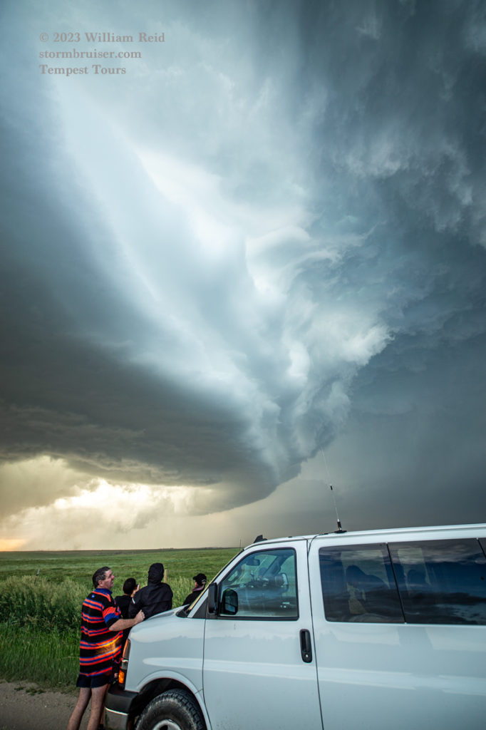
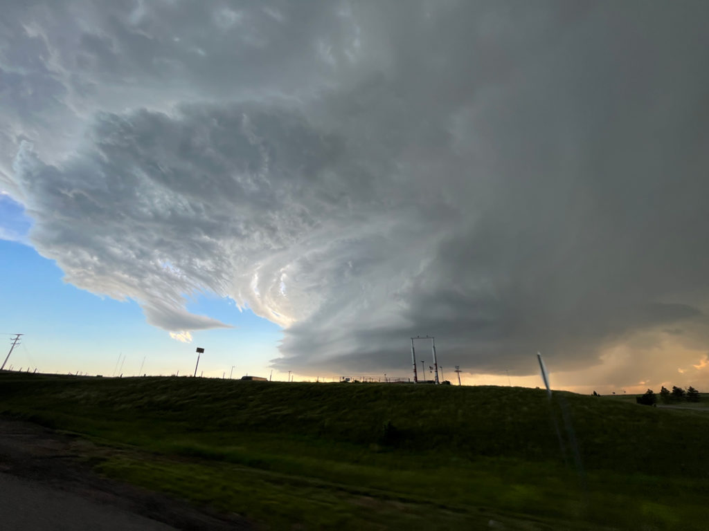
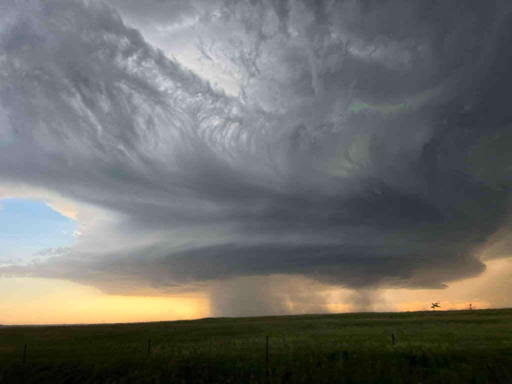
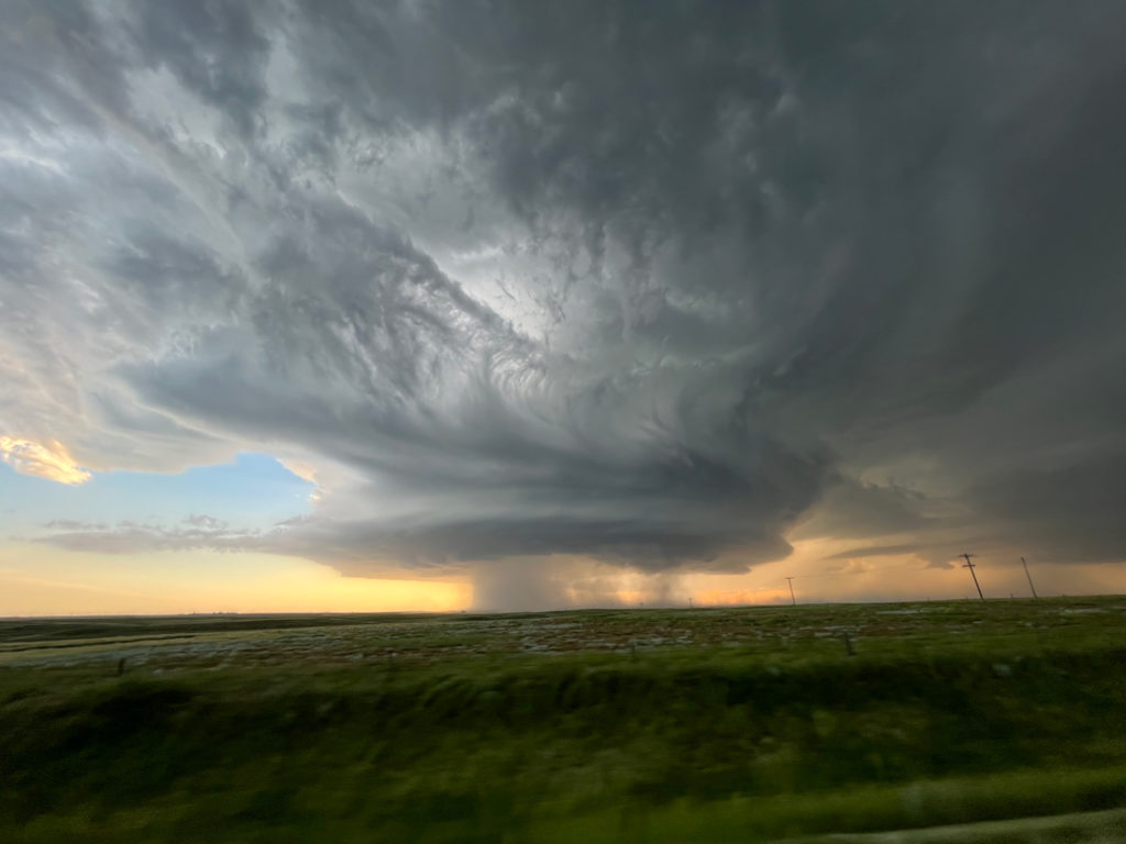
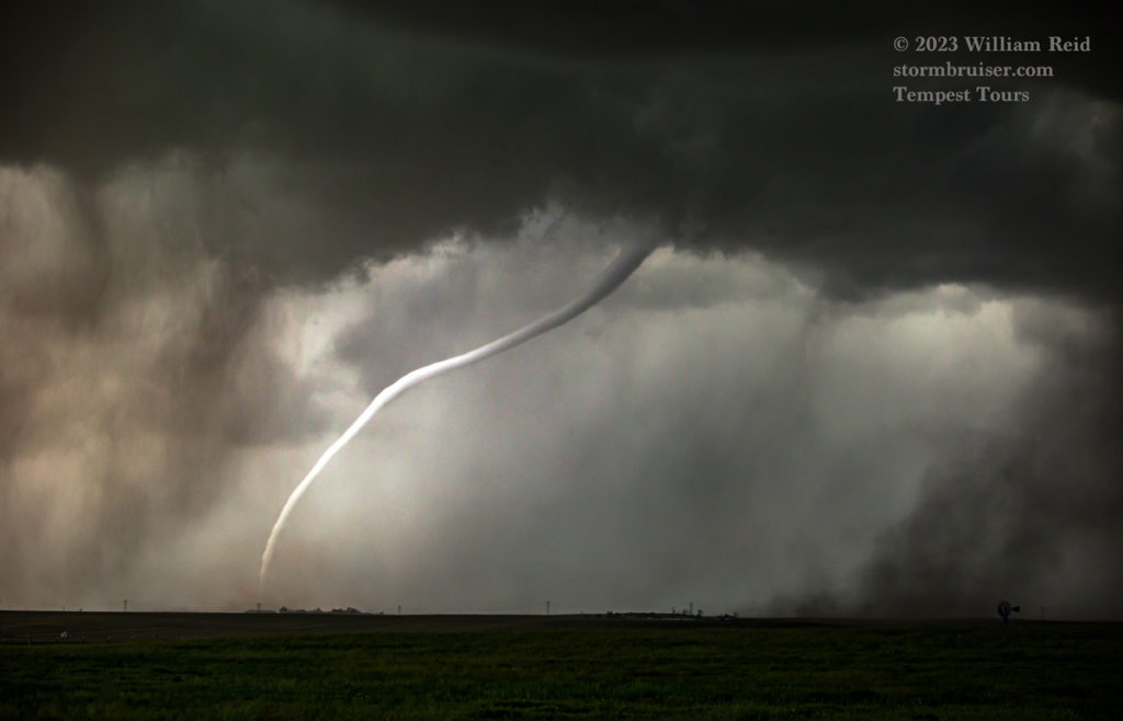
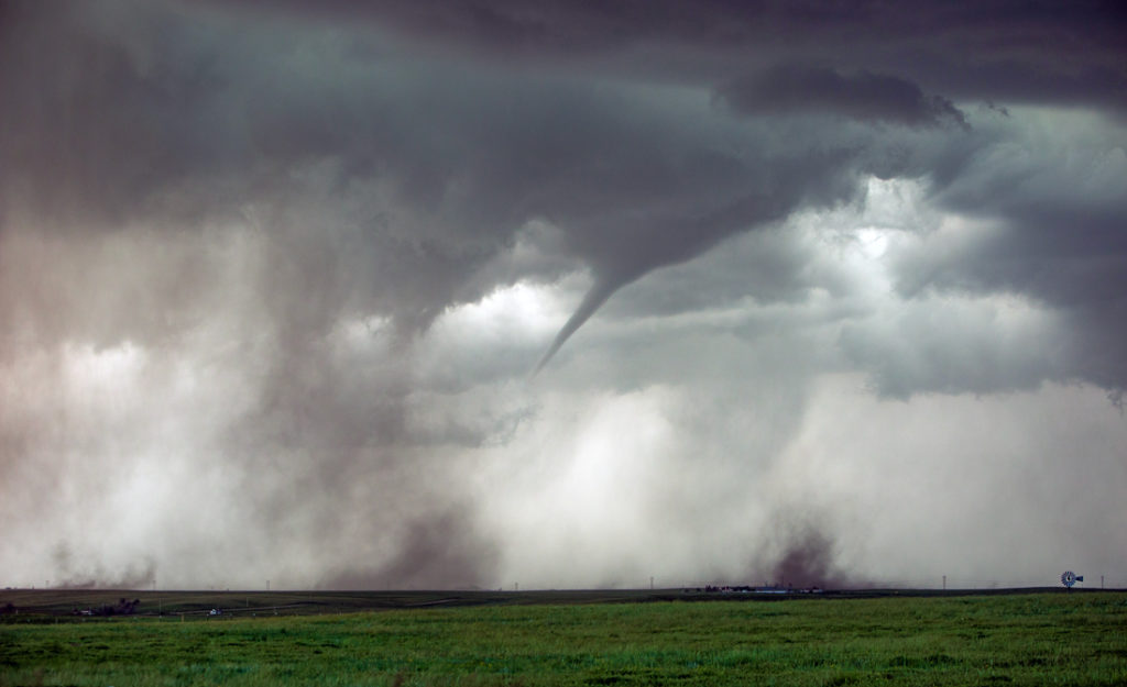
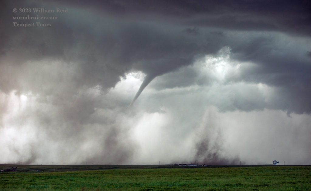
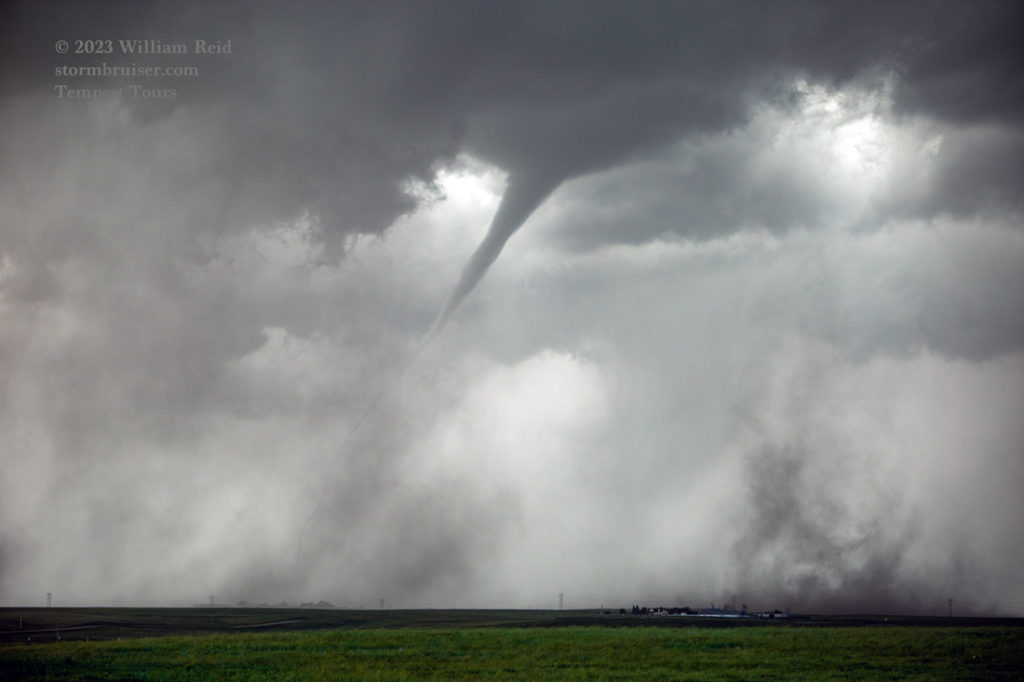
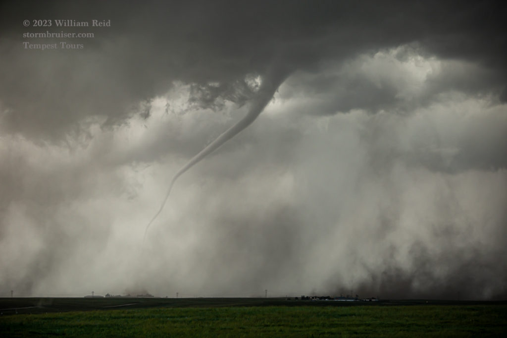
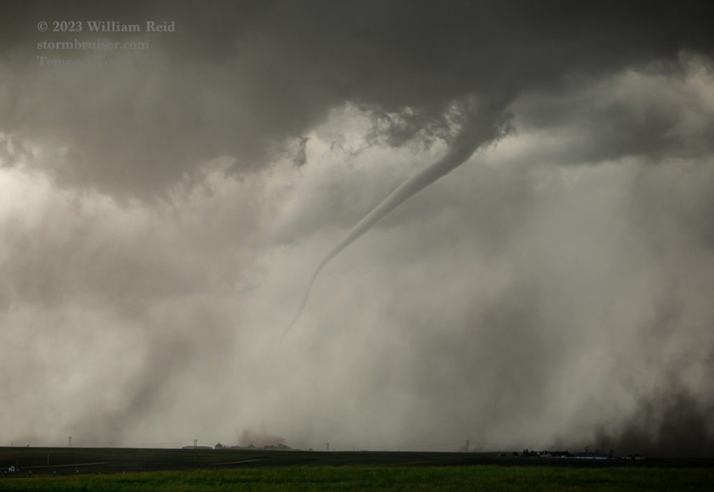
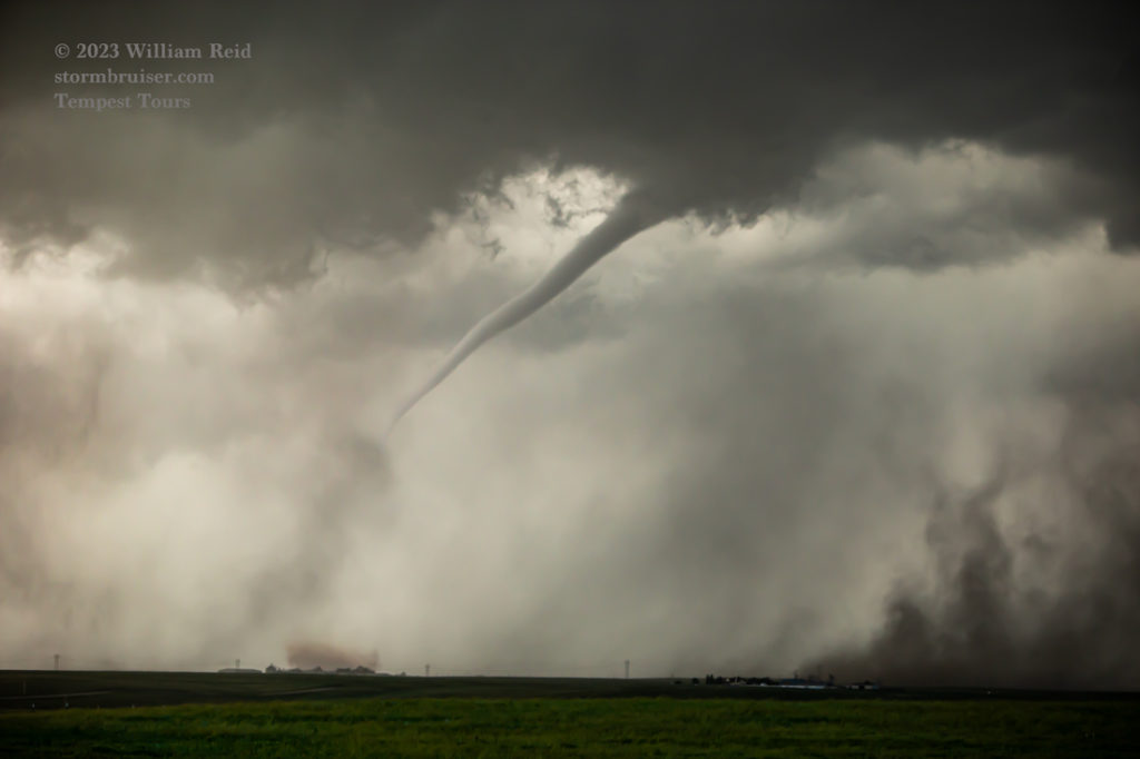
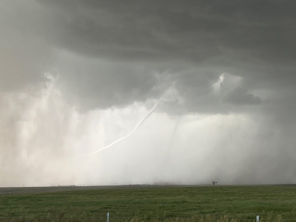
As the storm base approached again, the RFD went to work and kicked up another tornado (or two). The main show was a slender and ropy tornado (to our NNW) which was lit up by the sun before it dissipated. A second less-obvious (dusty) tornado was also in progress near the ropy one.
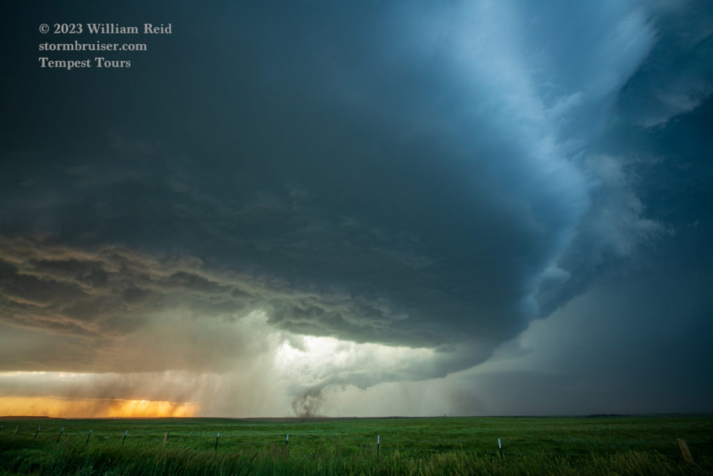
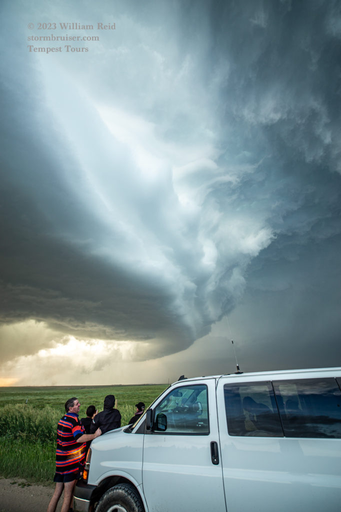
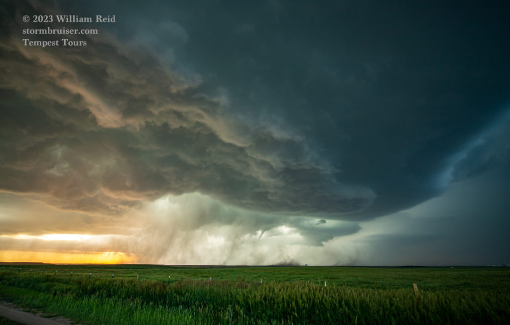
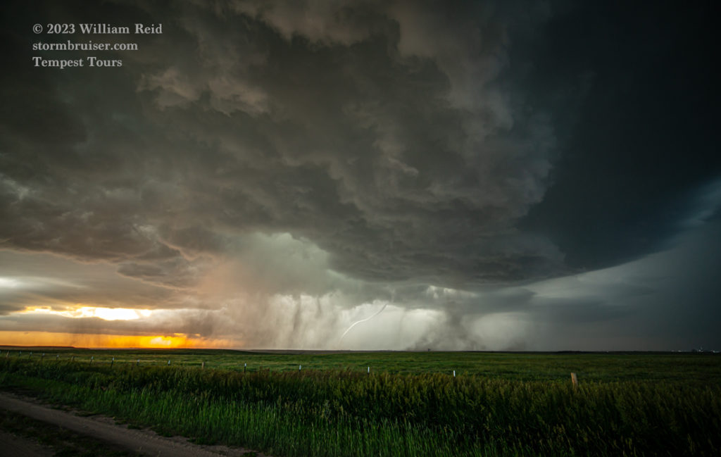
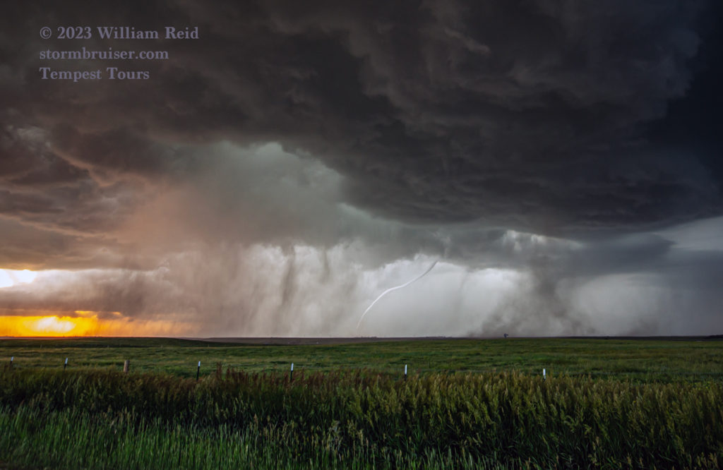
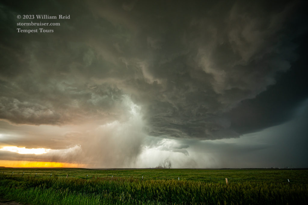
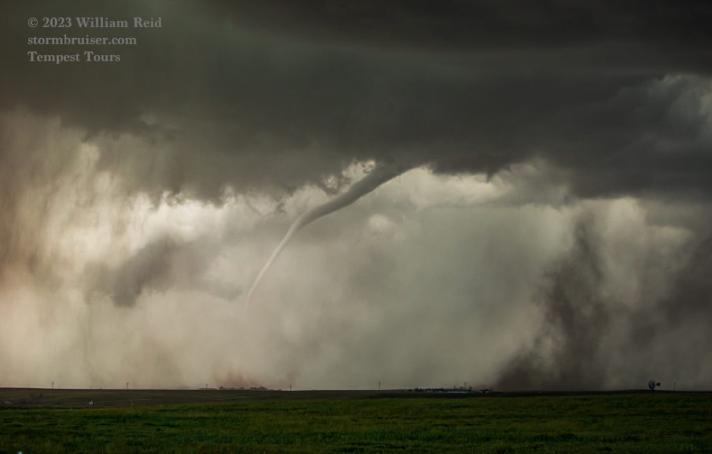
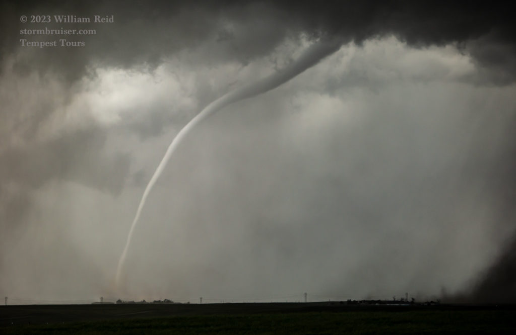
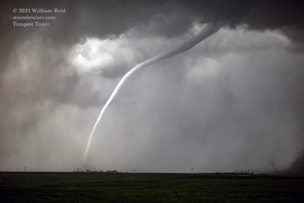
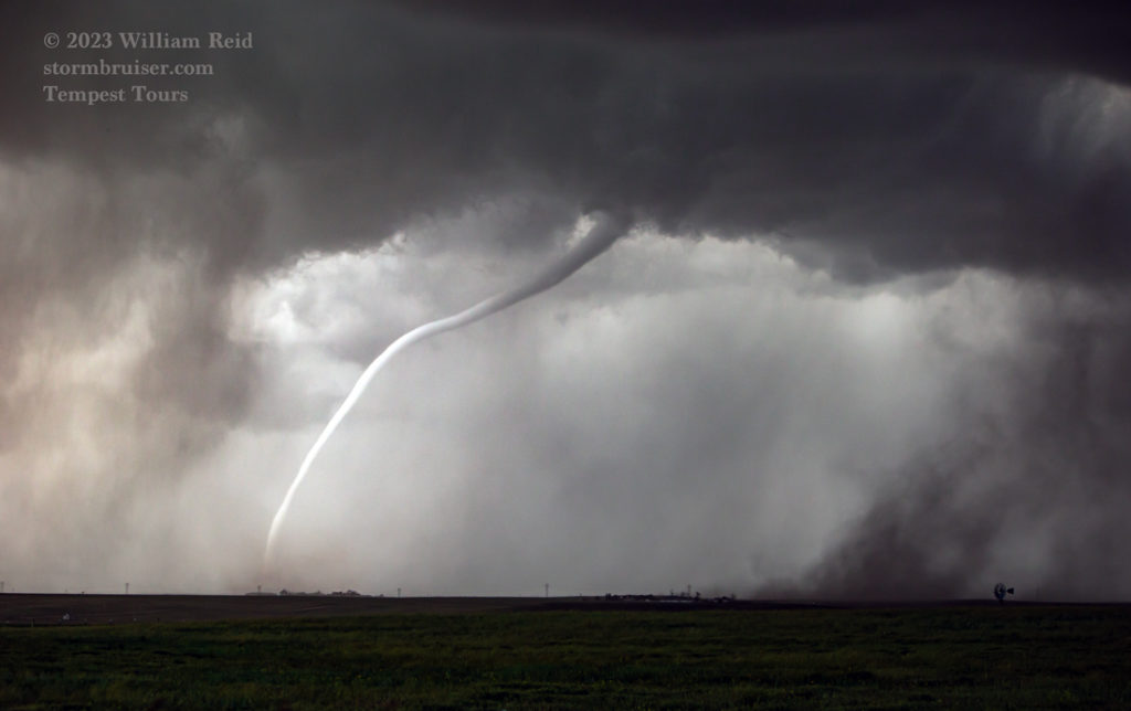
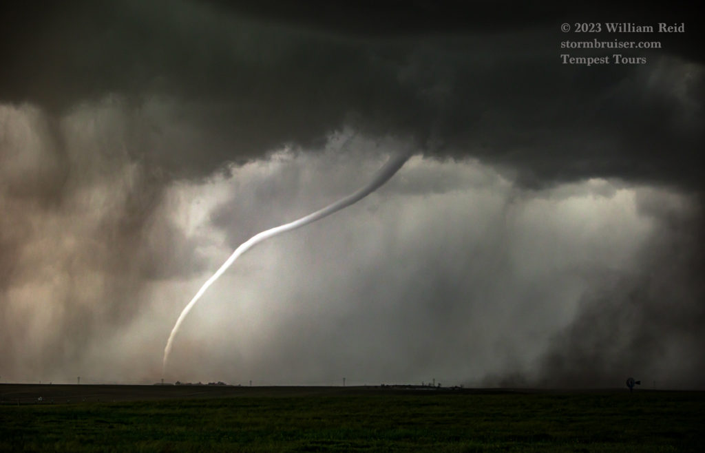
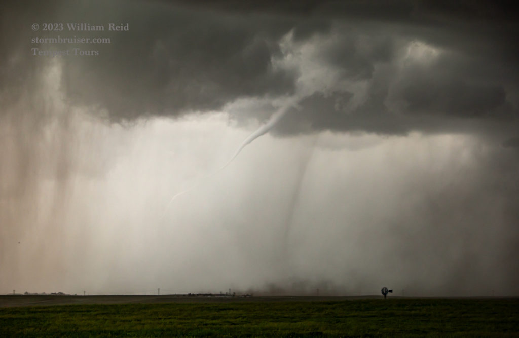
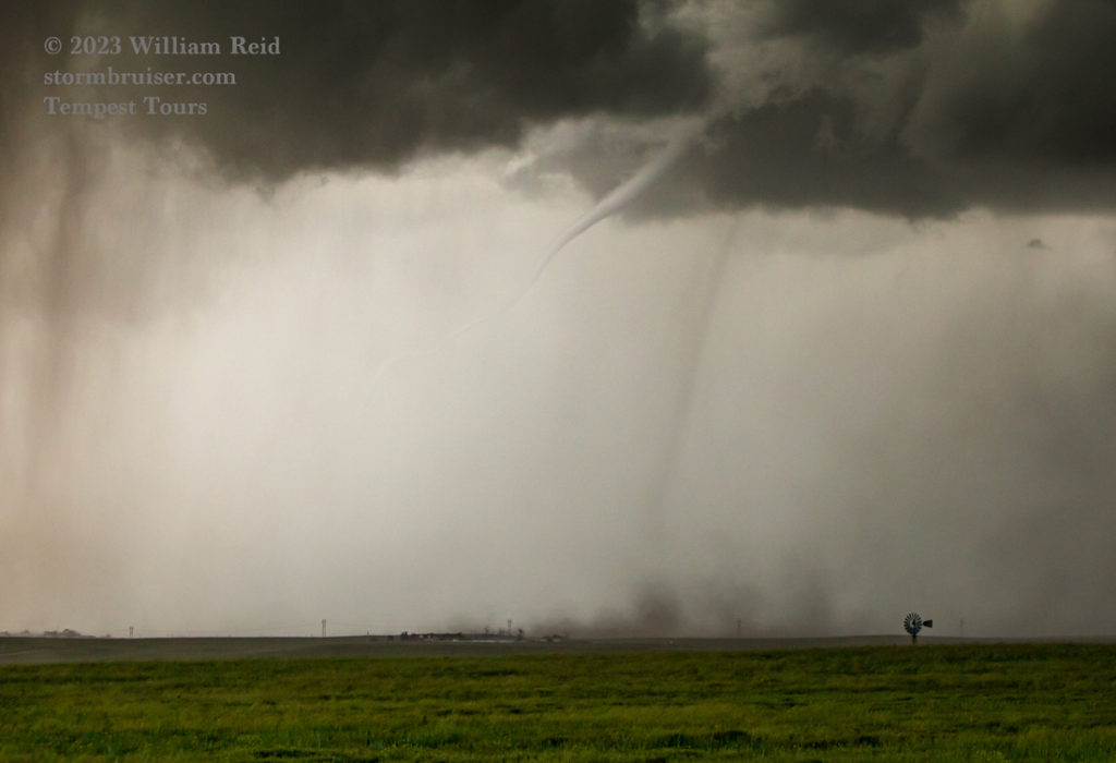
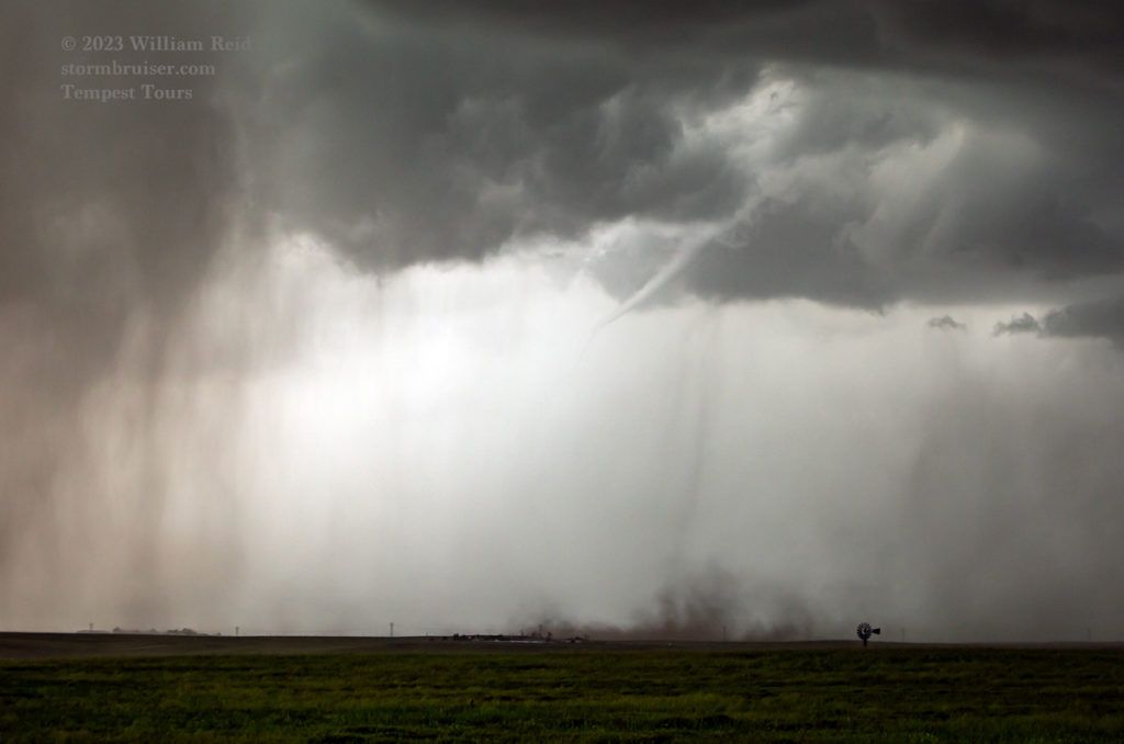
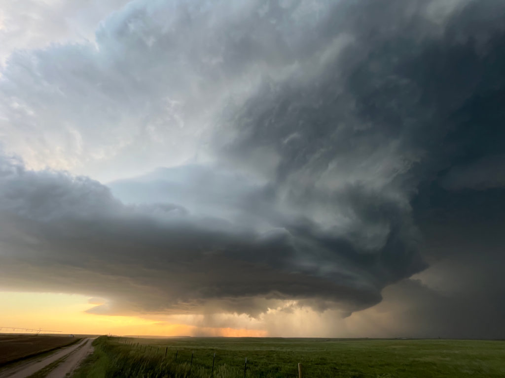
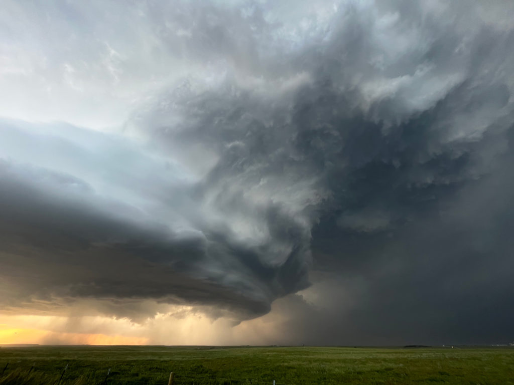
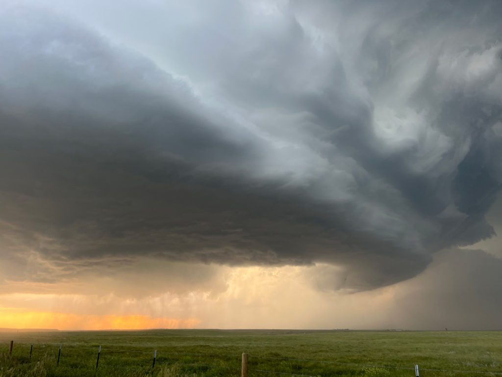
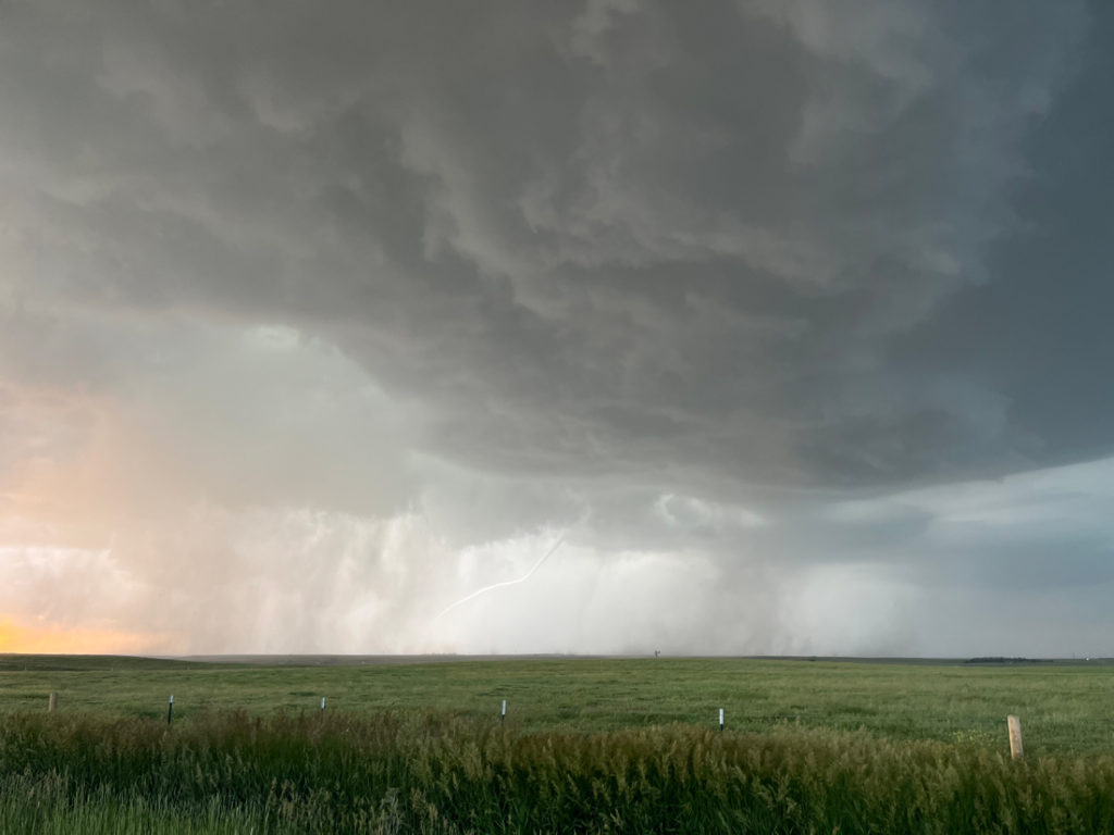
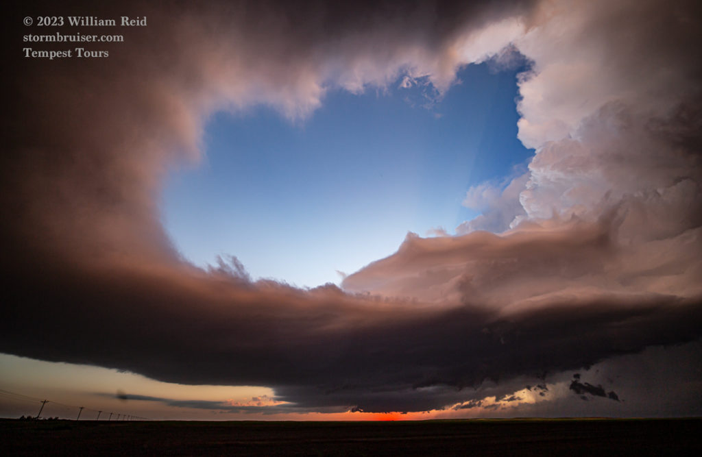
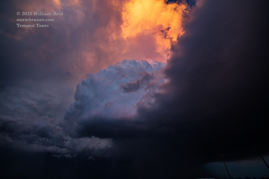
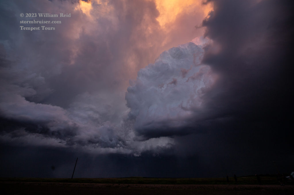
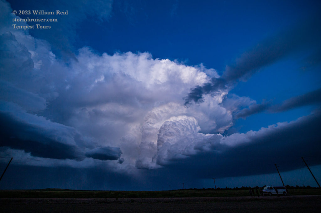
The storm continued to the ESE along the NE/CO border, and provided some pretty looks from the west side. We then headed into Sidney for the night, and were forced to abandon our fast-food place for safety as another tornado-warned supercell advanced upon the town. Somehow, any nastiness associated with this storm missed us in Sidney.

Leave a Reply
You must be logged in to post a comment.