
May 6/High Risk Western OK
Start: OKC/lunch Braums in Weatherford, OK/End: Weatherford, OK
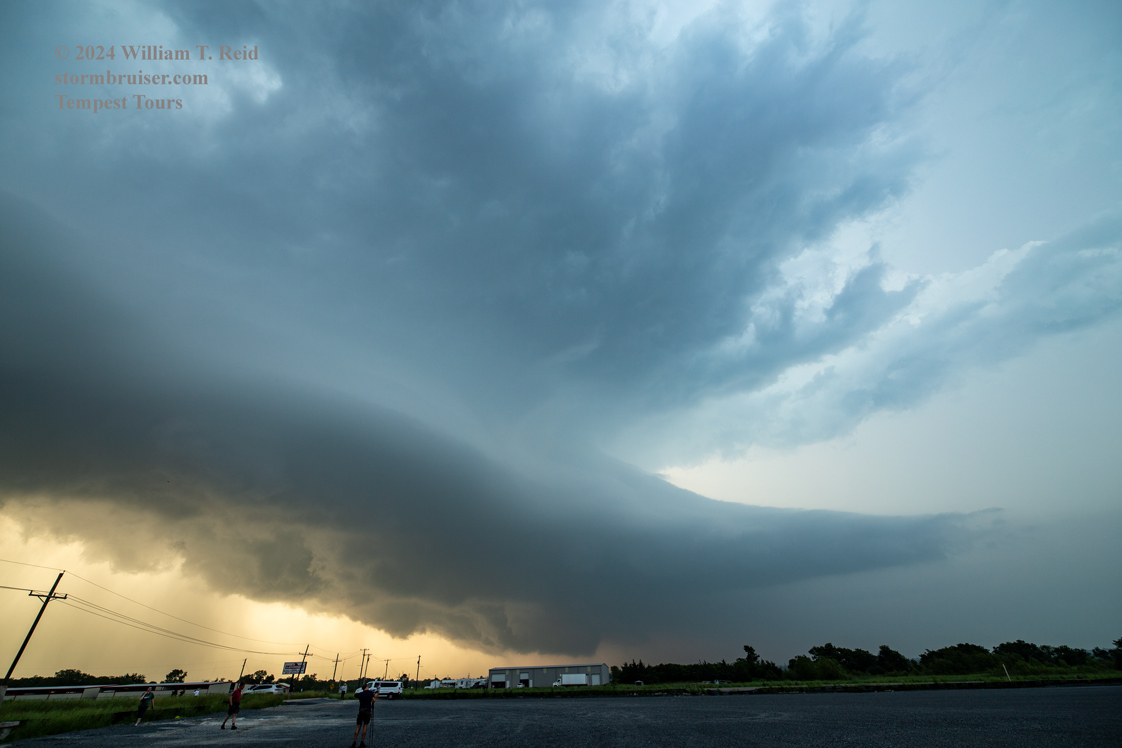
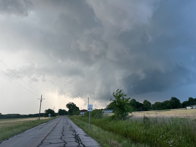
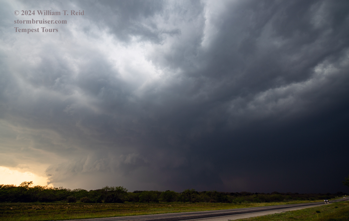
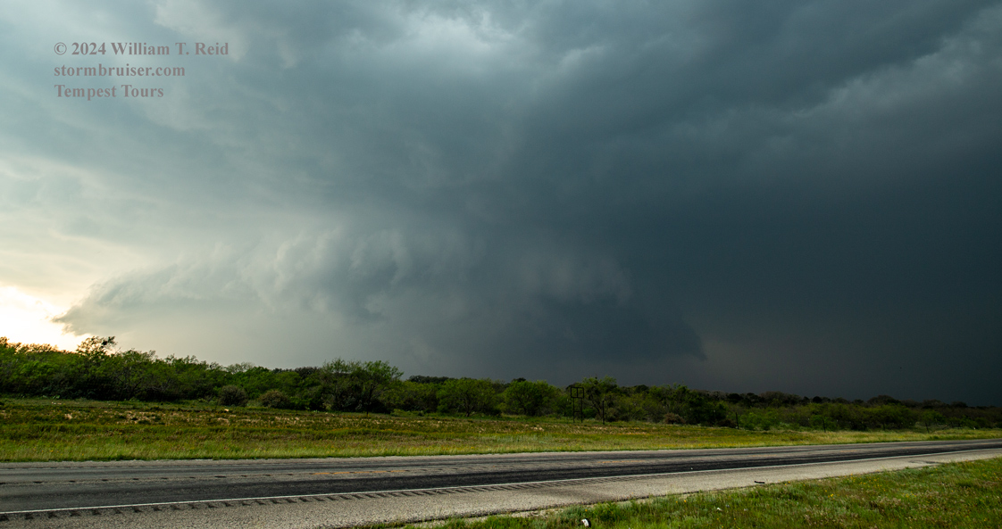
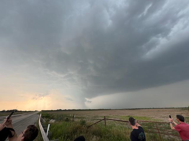
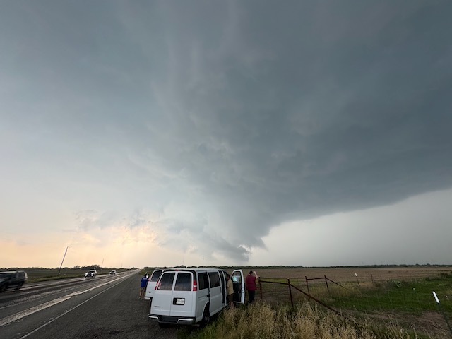
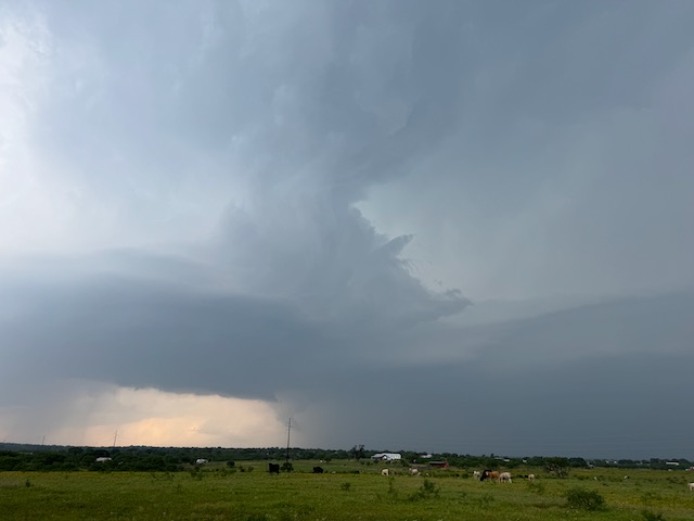
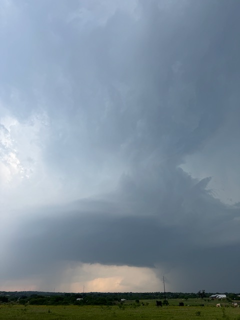
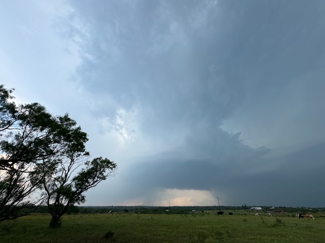
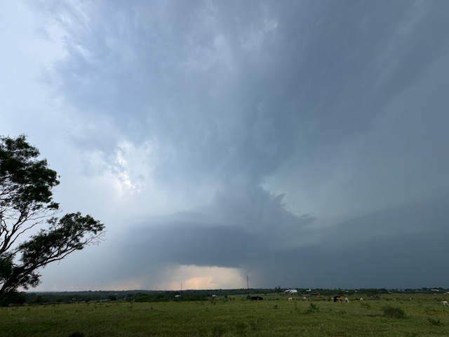
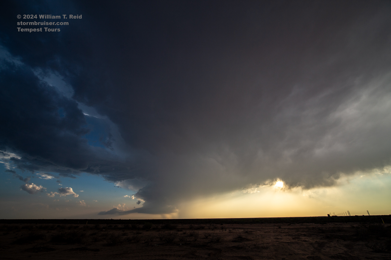
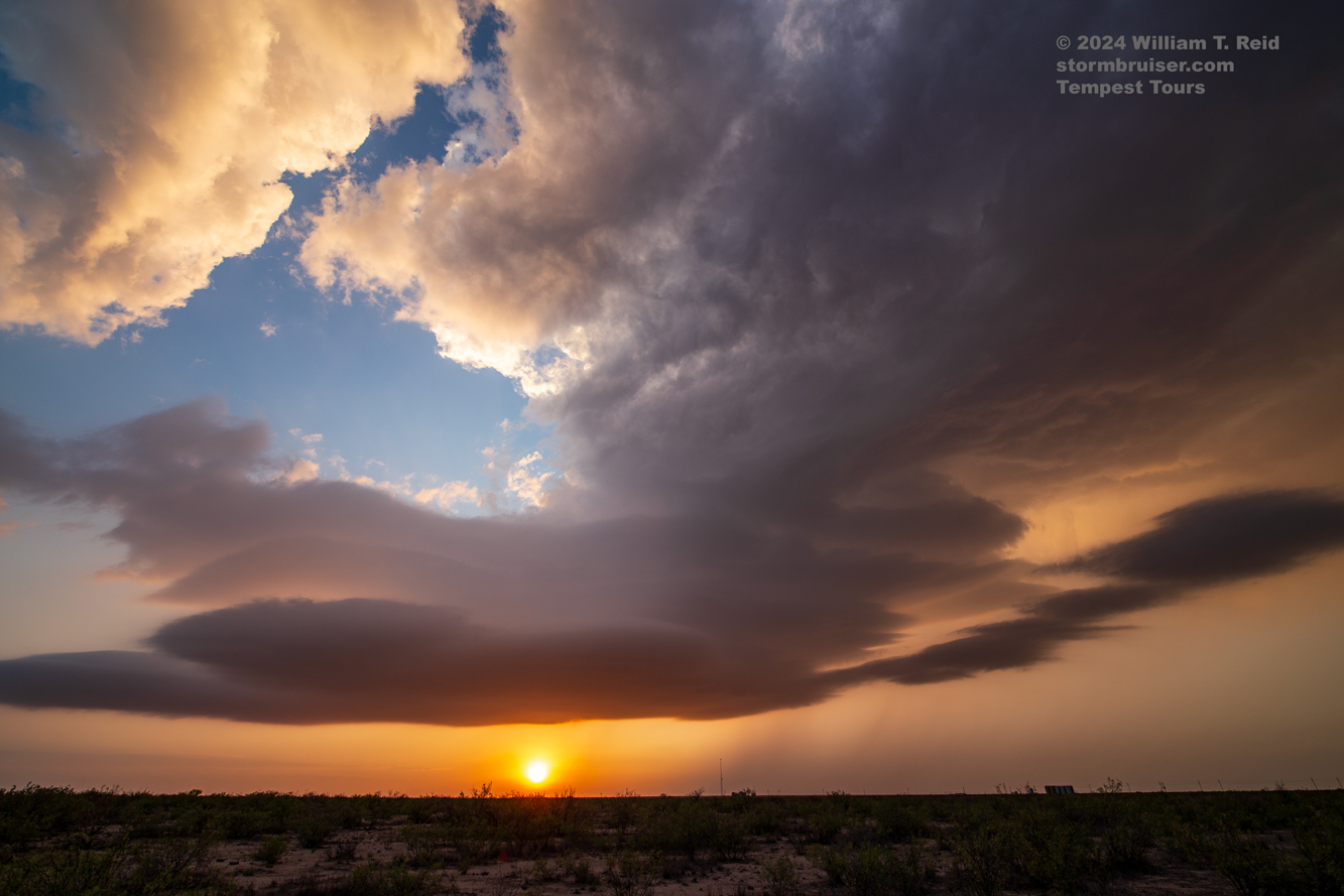
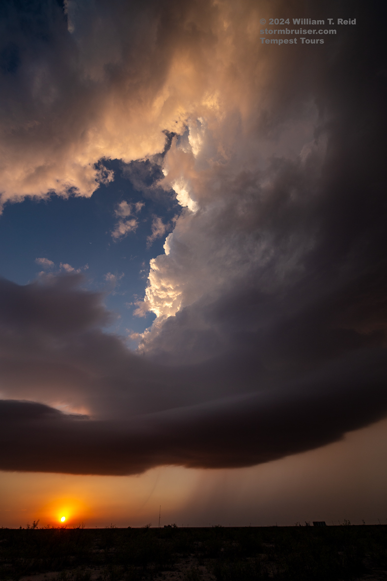
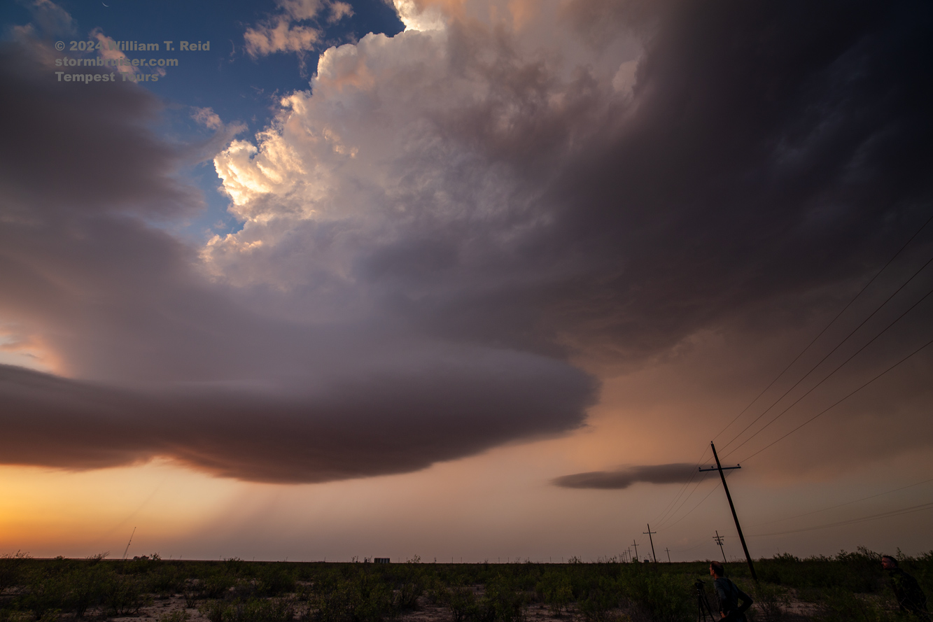
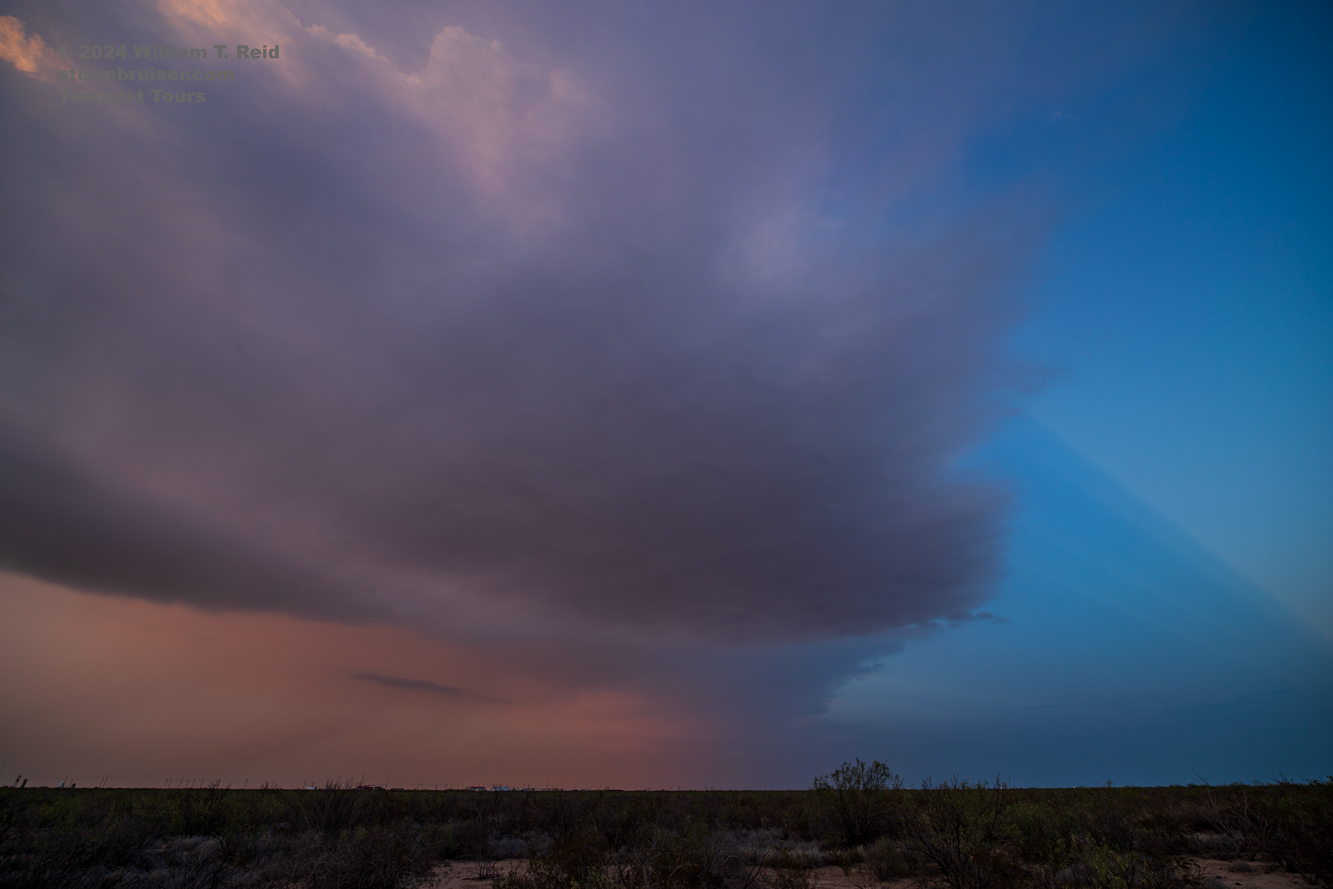
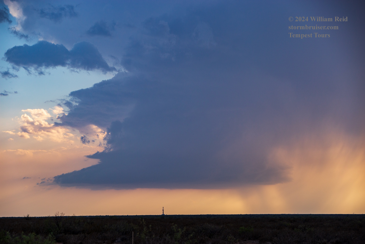
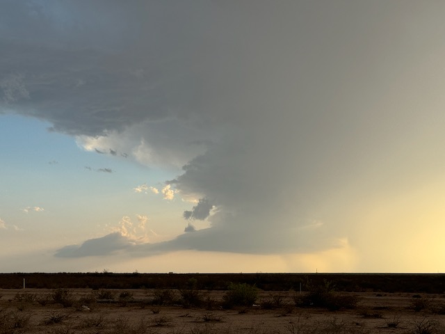
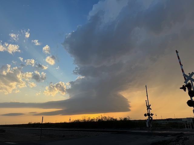
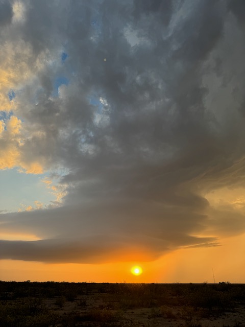
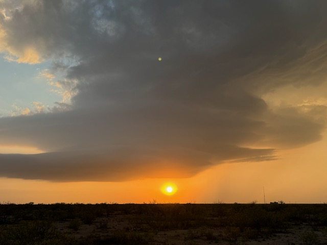
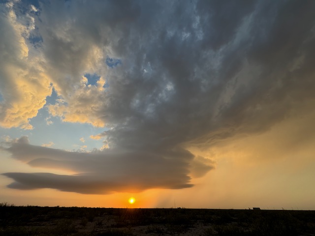
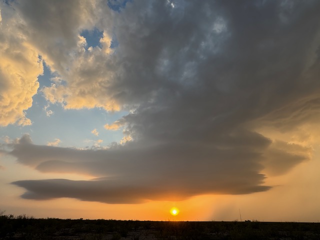
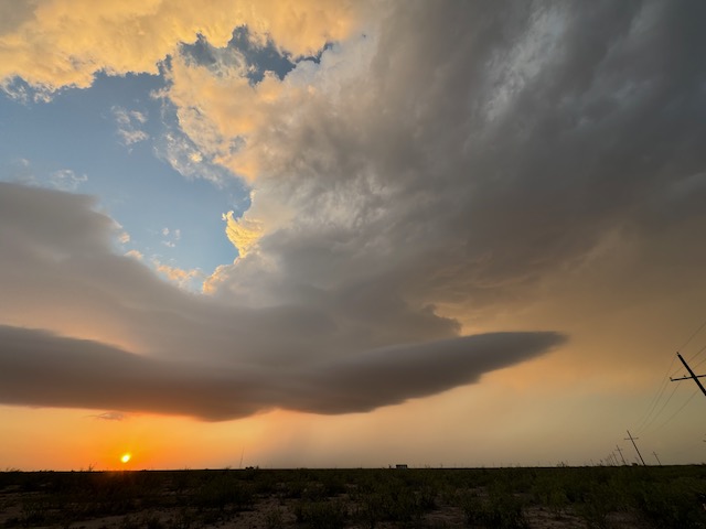
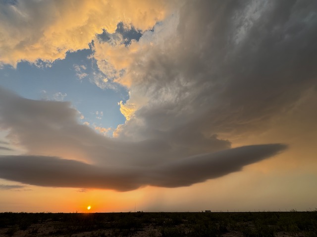
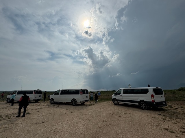
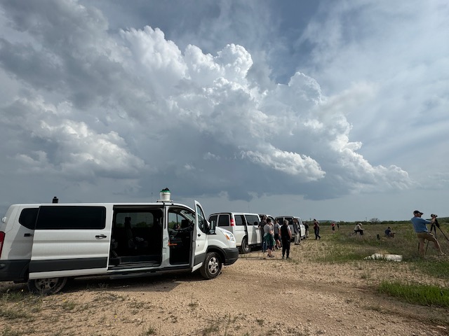
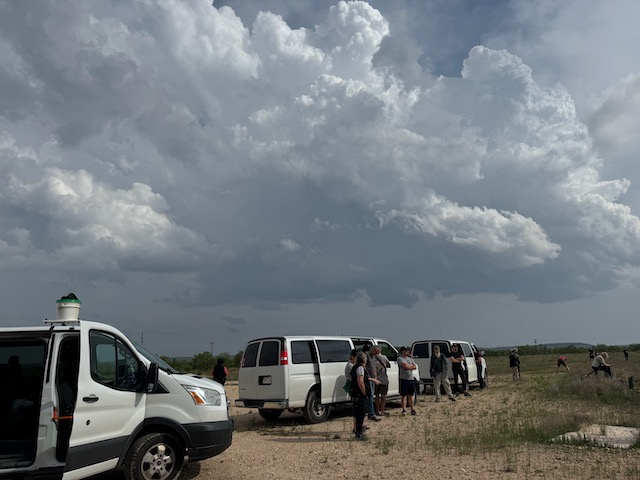
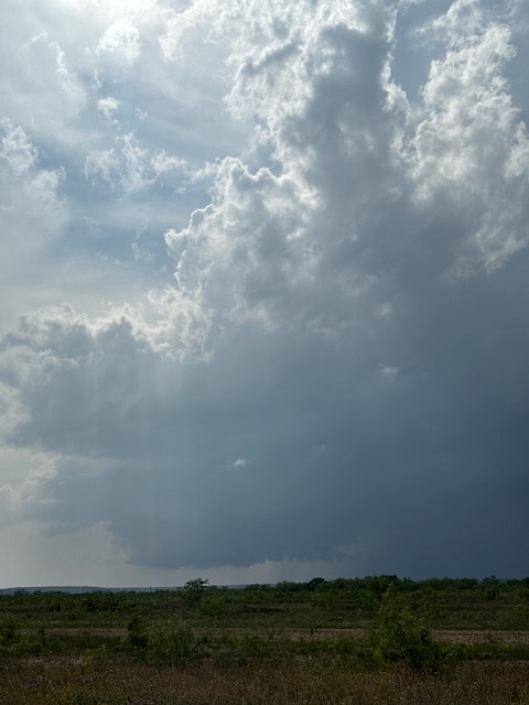
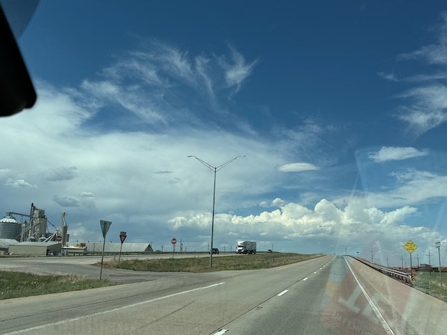
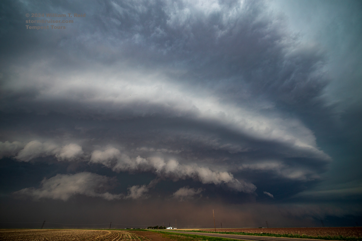
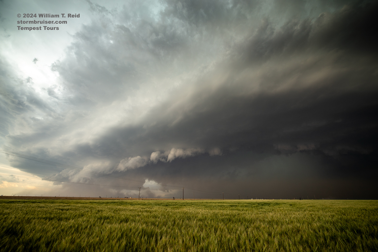
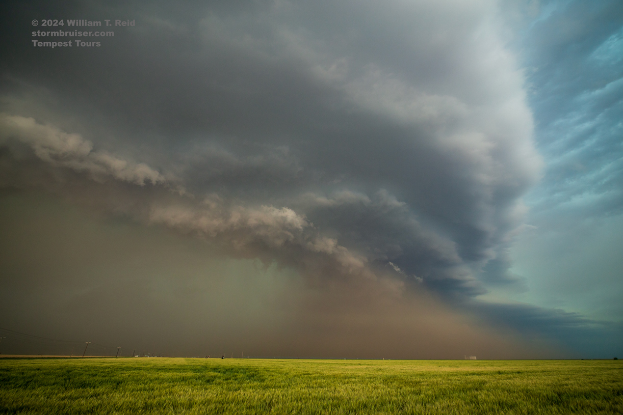
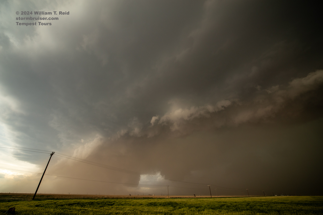
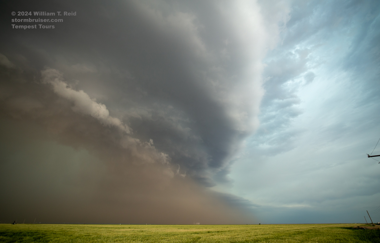
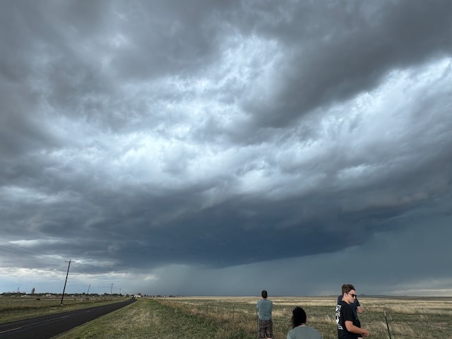
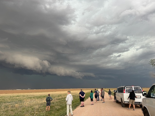
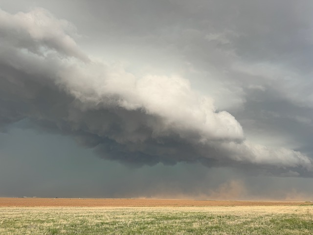
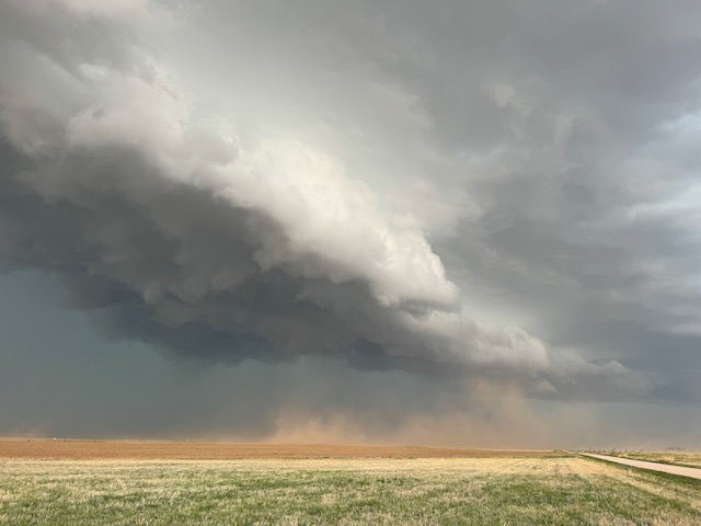
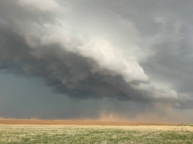
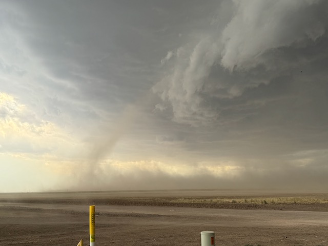
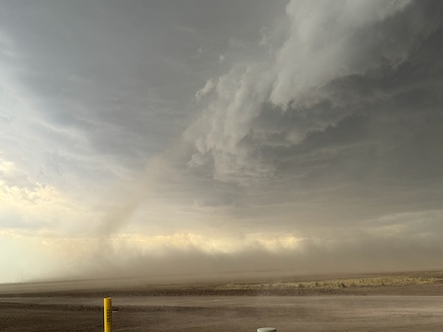
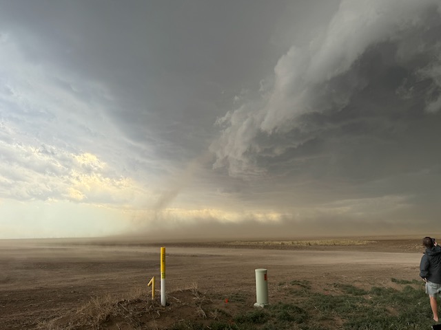
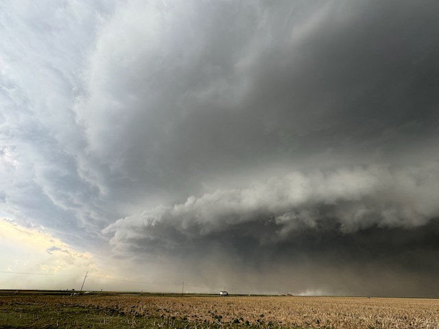
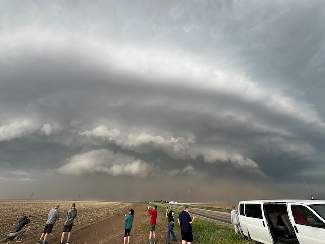
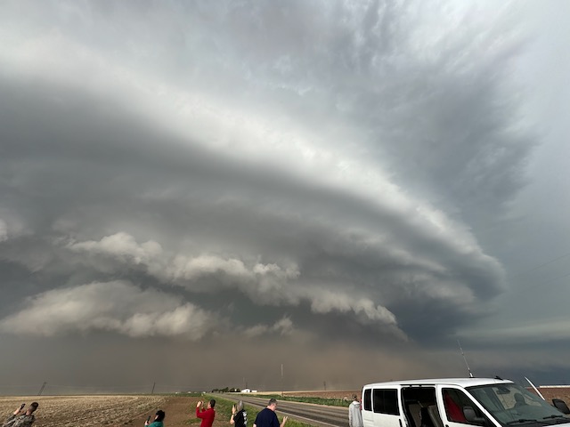
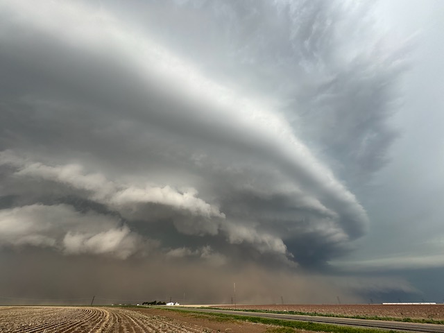
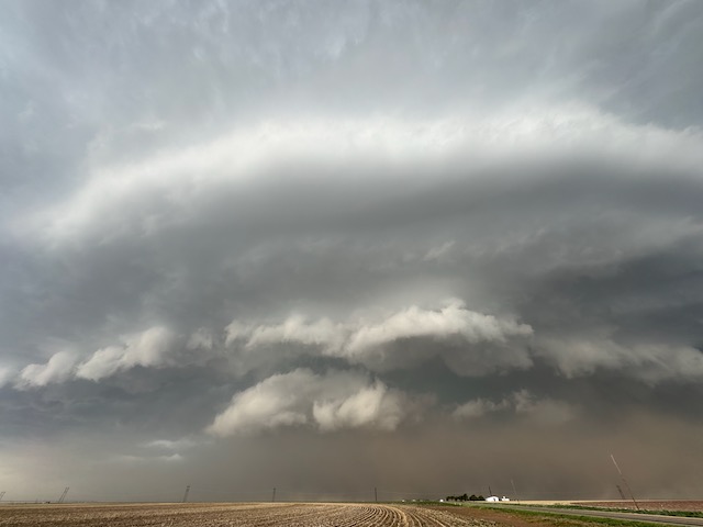
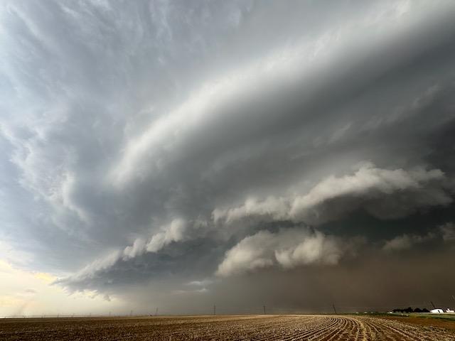
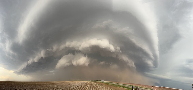
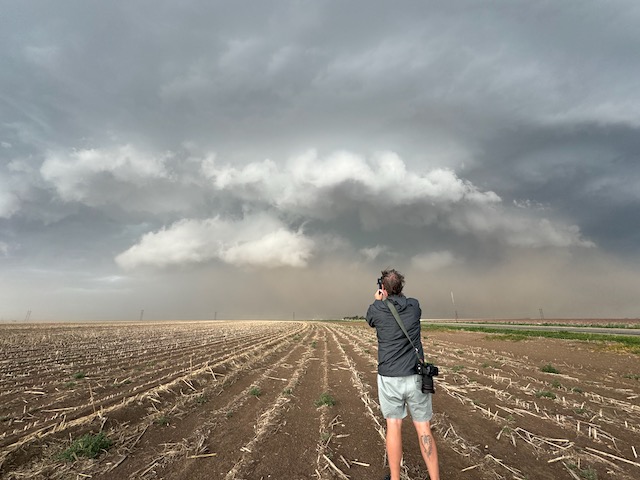
Oh, my goodness! This chase day was going to be nuts! A high risk/PDS in western OK with a 30 percent hatched tornado outline by SPC! And, it is my birthday, and in 34 years of chasing I have never seen a tornado on my birthday, May 6! This would surely be the year. But, alas, I was back home in California for a couple of days. Chris and Matt would have to see all of the tornadoes for me.
But it wound up a bit of an HP mess and if there was a tornado observed, it was weak and rain-wrapped.
Chris Gullikson kindly provides his account of the chase with the Tempest group:
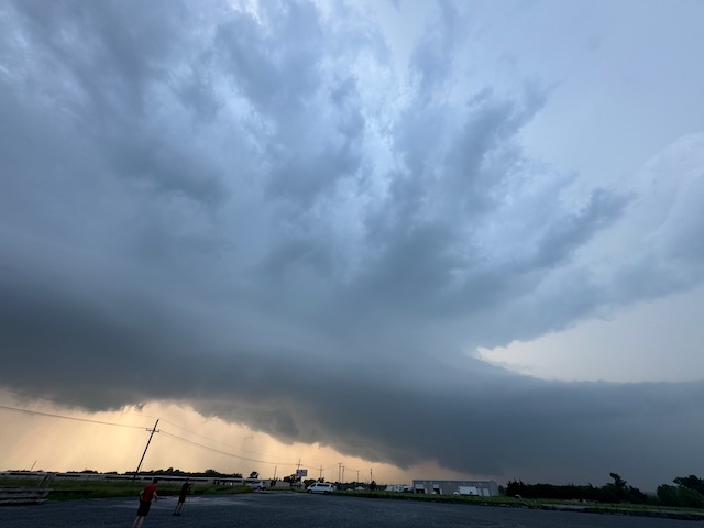
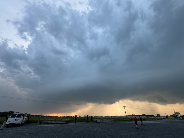
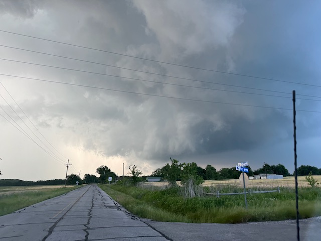
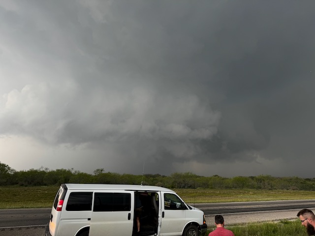
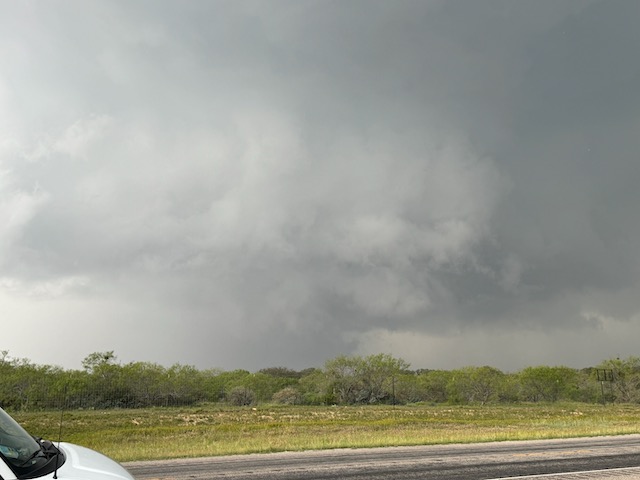
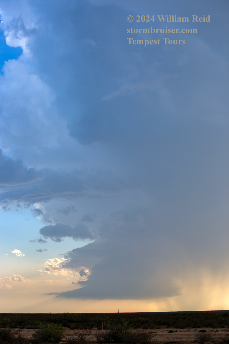
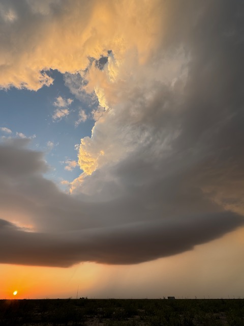
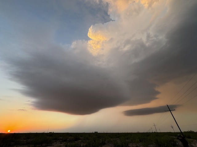
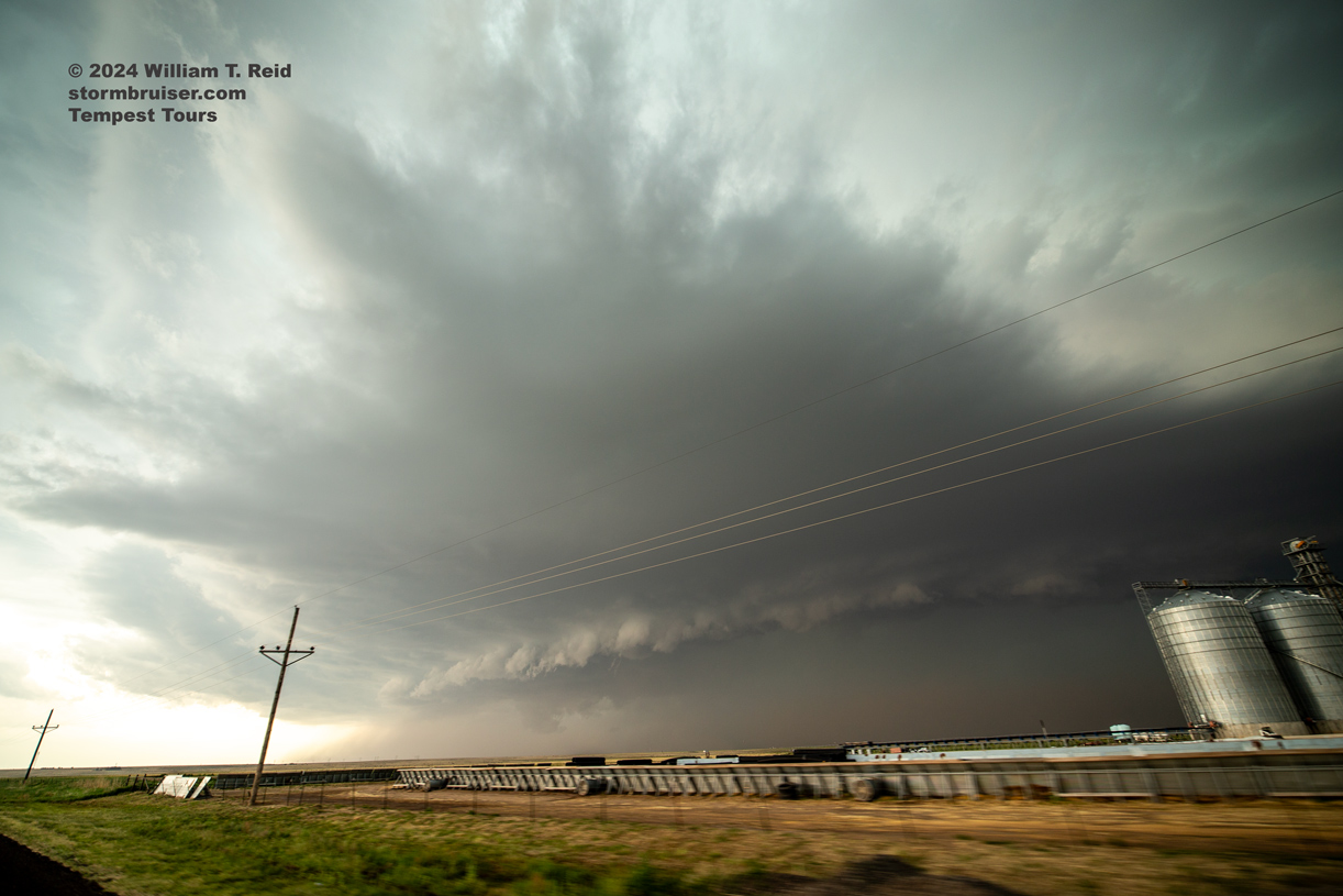
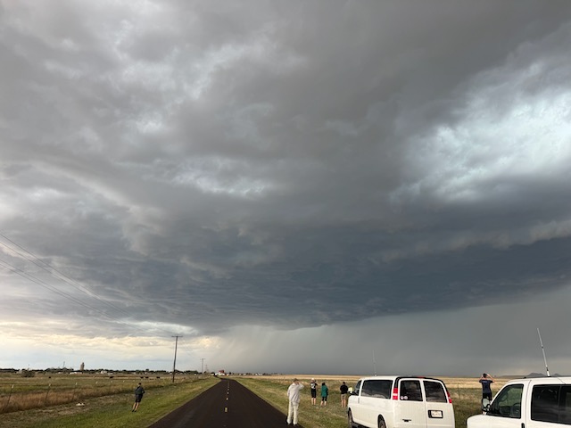
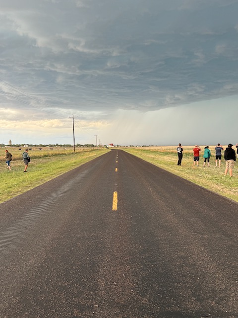
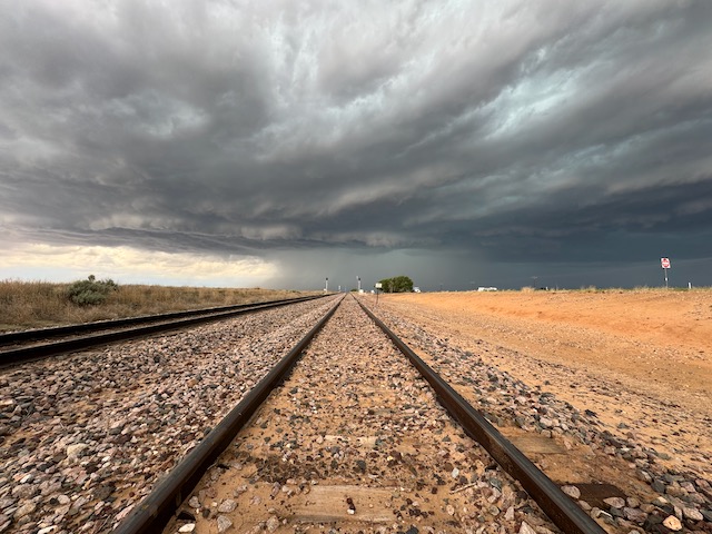
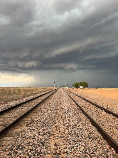
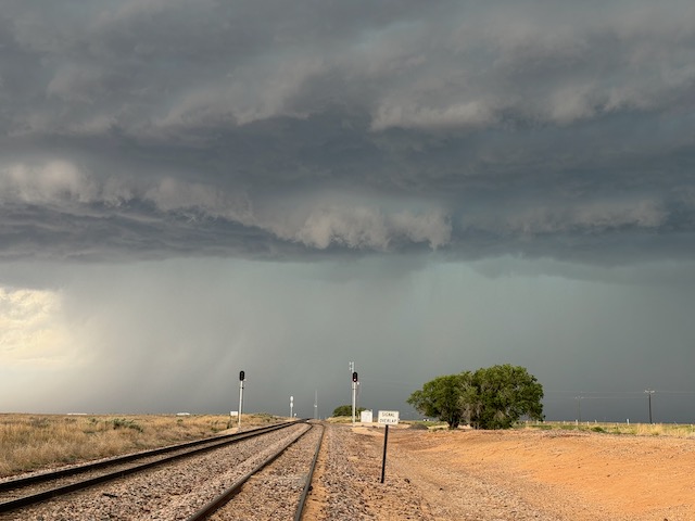
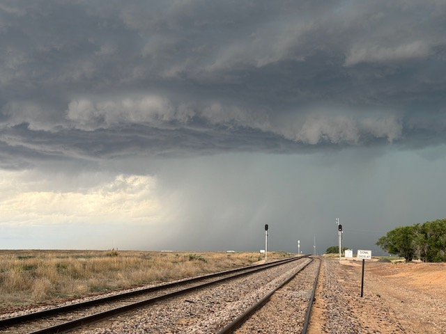
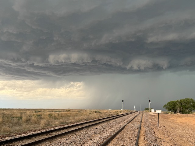
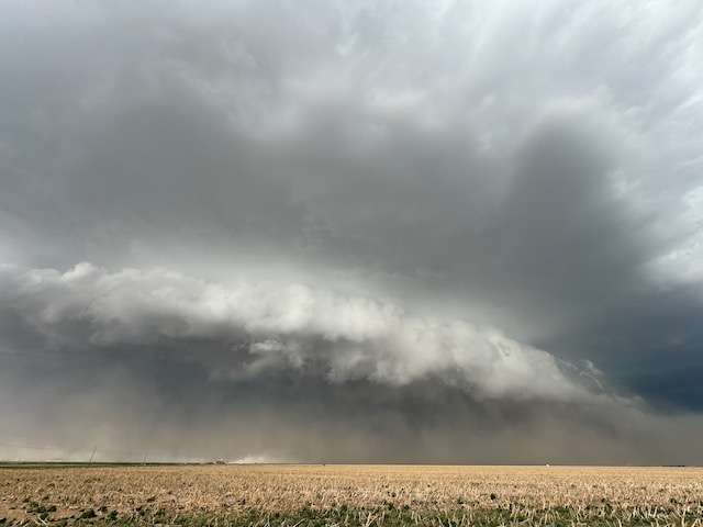
We left the base hotel in OKC after the guest orientation around 11:20am and drove west on I-40 roughly targeting the western OK dryline from Elk City to Woodward. We had lunch at Braums in Weatherford then went west to Elk City where we hung out at a park for nearly 2 hours. We got into chase mode around 4:30pm with a nice supercell that developed to the northwest over the Black Kettle National Grassland. We had nice views of classic Supercell structure showing great inflow from the east as we drove north on 34 towards Hammon and an occasional nicely lowered base with wall cloud as the storm tried to wrap up and tornado for us. We went east on 33 at Hammon with the storm to our north continuing to show good structure but evolving a wetter RFD. We went north east of Butler and watched a wet RFD wrap the storm base up with no tornado observed. We went east to 183, north on 183 then east on 47 to Thomas. The storm was to our north in the Canadian River watershed with no road options to go after it. We took 33 towards Fay and then 270 towards Watonga. We turned north on 8 to Hitchcock then east at Hitchcock on 720 to Dover where we went north on 81 to Hennessey where we were able to get out in front of the storm. As we were driving into Hennessey, we had classic HP structure to our north and west with a rain filled RFD hiding any potential tornado getting ready to blast us with the tornado sirens blaring away in town. We escaped east on 51 and shortly afterwards bailed on the storm going south and west to Kingfisher for a pit stop. We had a few more storms that kept our interest into the evening watching lightning. Dinner was at a Loves in Hinton and we stayed at the La Quinta in Weatherford.
Below is a clip courtesy of Matt Phelps as Tempest rolled through Hennessey, OK.
May 7/Down Day around OKC
May 8/North Texas Severe and Mud Debacle
Begin: OKC/lunch: Pit Stop BBQ in Hugo, OK/End: Greenville, TX
I was back in the tour director seat for Tour 3 as we began the May 8th chase out of OKC. SPC had a big 10 percent hatched tornado area going in the trees of southern Missouri and vicinity. I was loathe to venture eastward into the trees, so I set my sights on the Red River area around Hugo, OK.
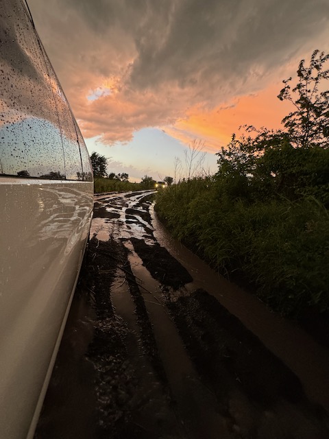
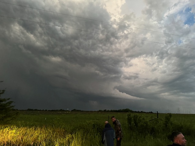
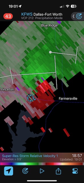
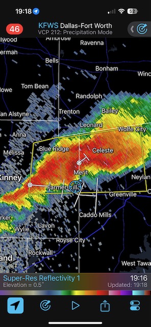
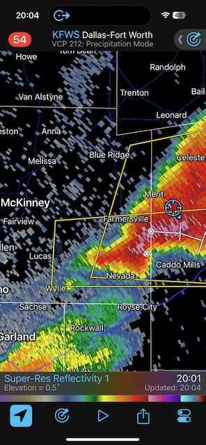
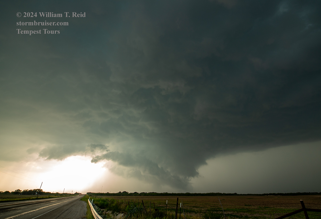
We wound up near McKinney, TX, where we watched some towers finally morph into a decent storm with some low-level organization. An action area developed north of Farmersville, and I tried to stay close on some unpaved and very rural roads. The one I chose wound up a gooey black muddy slopfest. It was starting to rain with the storm base quite close. Both vans wound up stuck. Tim Marshall was turning around just in front of us, but my van just spun its wheels. The storm passed over us with a lot of rain and not much else. Matt found a nice company to come extract us with their heavy-duty tractor. The storm looked pretty nice on the backside, at least!
iPhone shots below
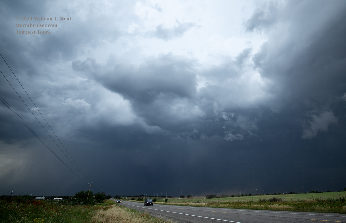
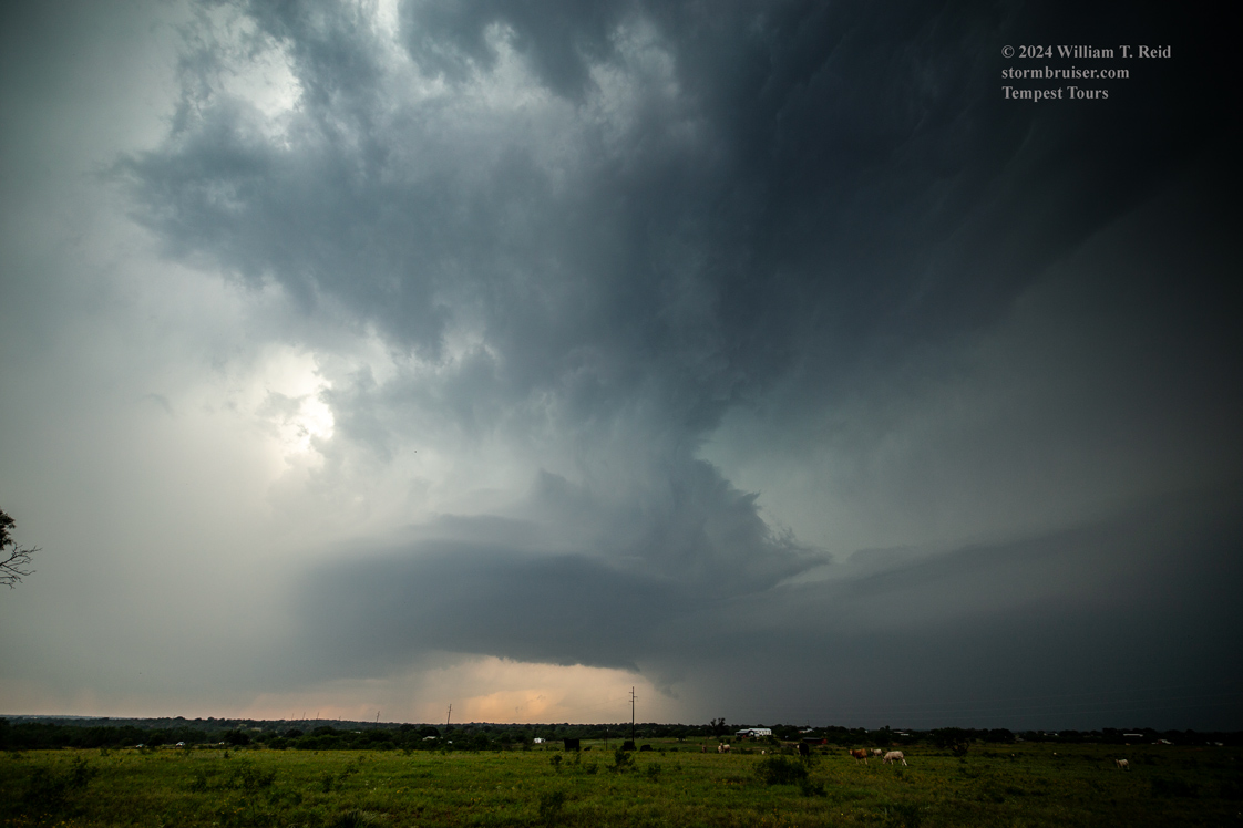
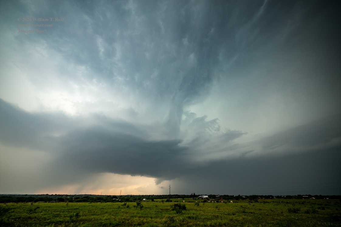
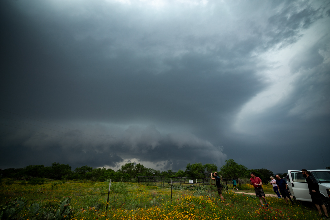
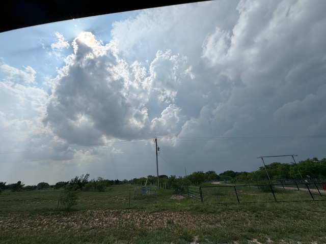
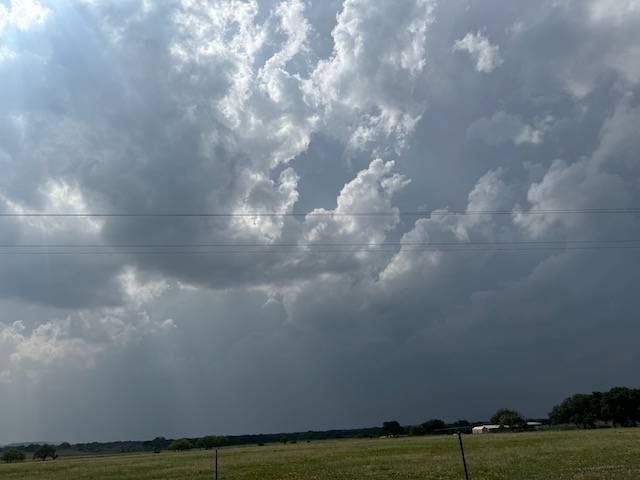
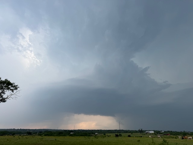
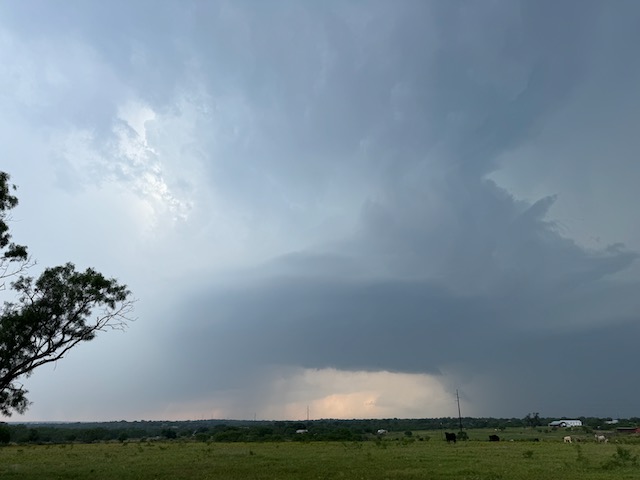
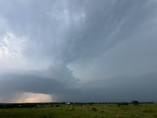
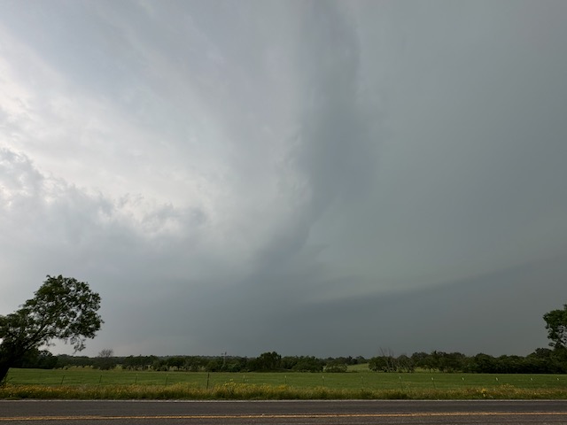
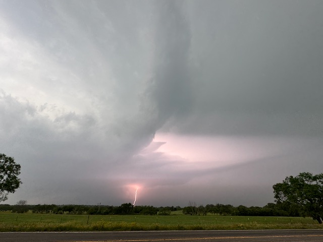
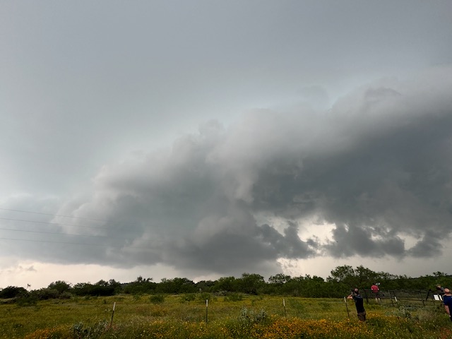
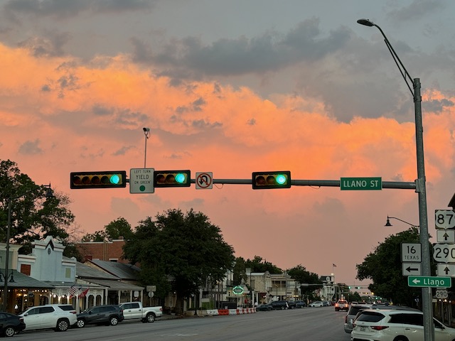
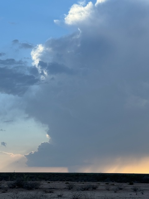
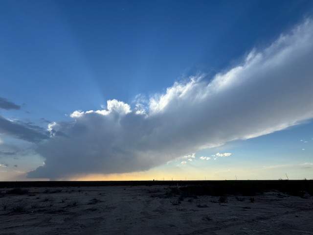
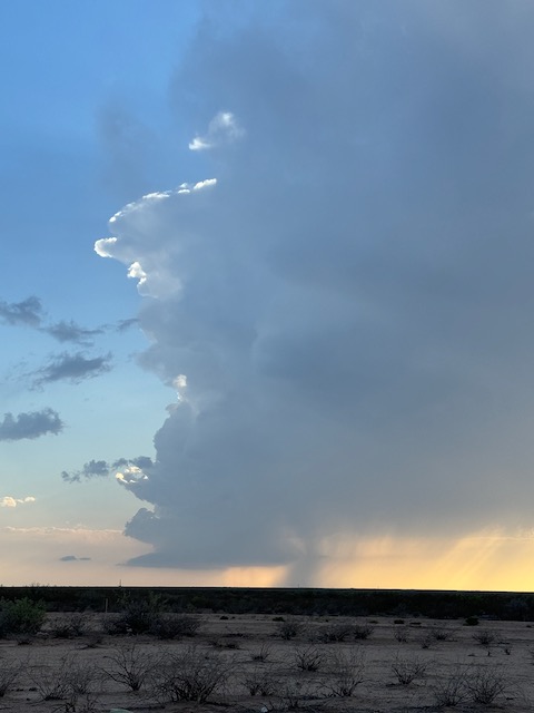
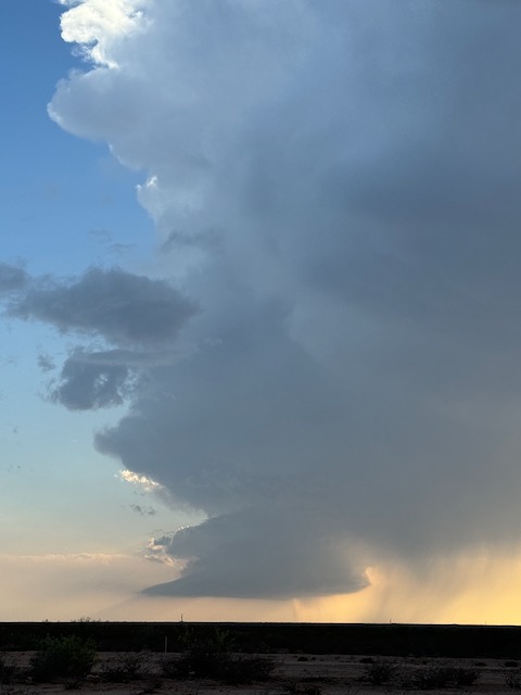
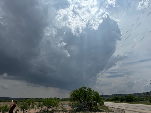
May 9 Llano, TX, supercell
Begin: Greenville, TX/lunch at Captain Schloskeys in Weatherford/End: Kerrville, TX/424 miles
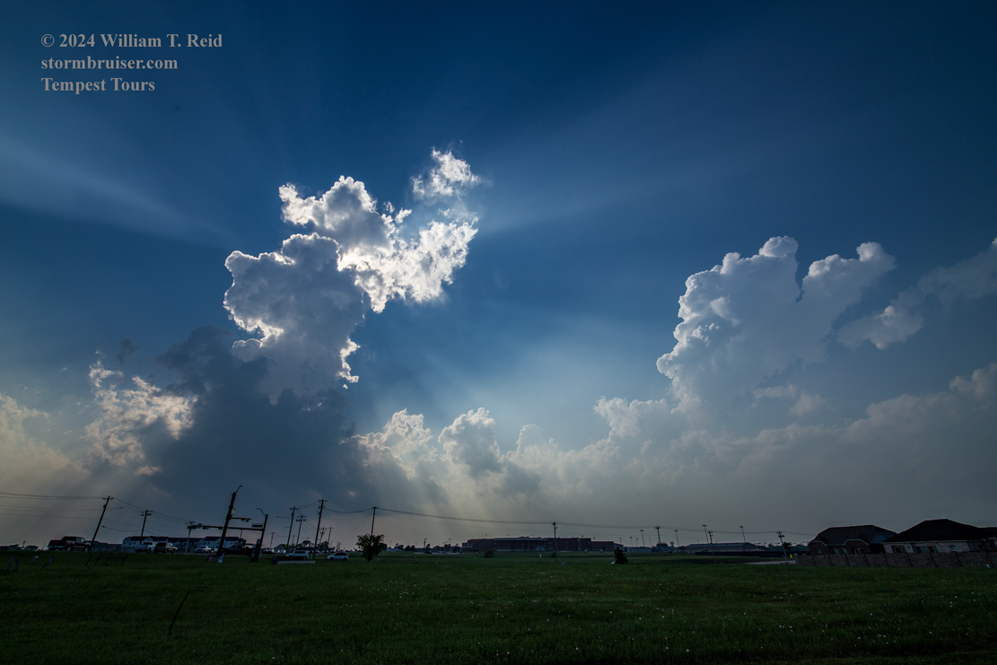
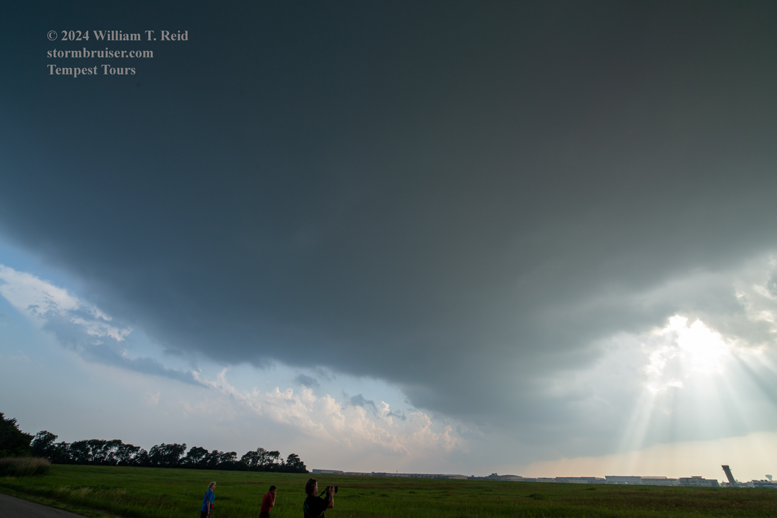
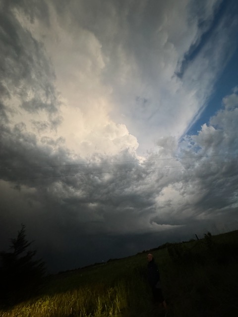
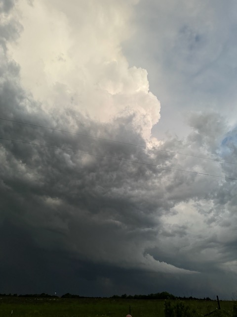
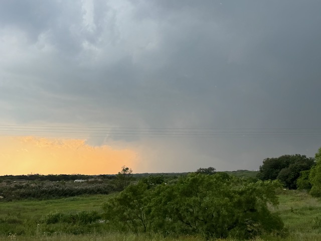
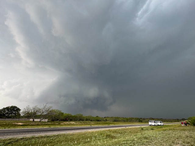
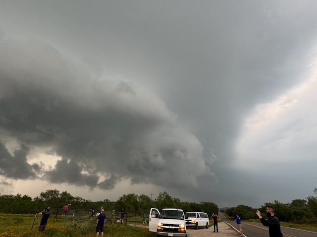
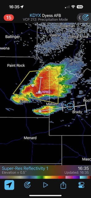
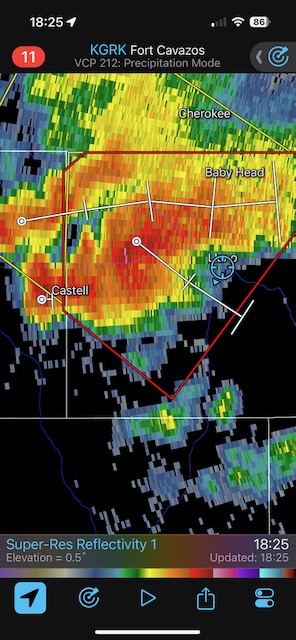
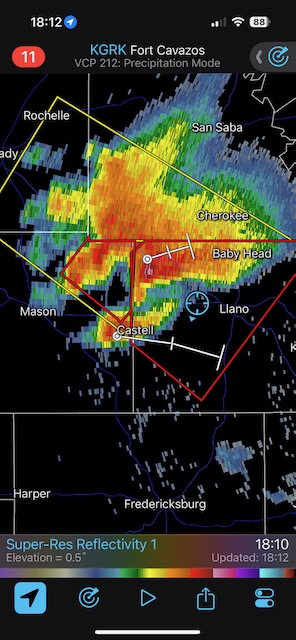
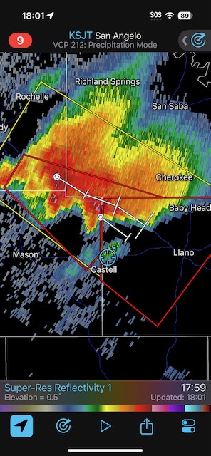
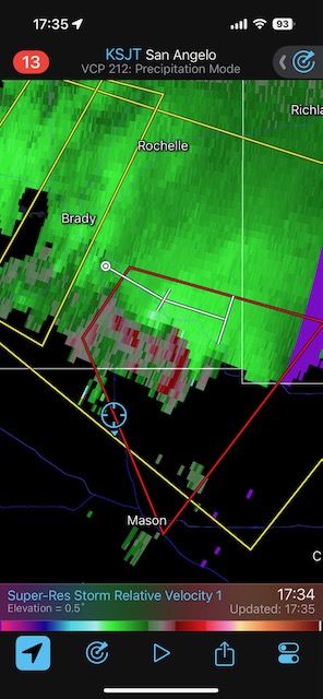
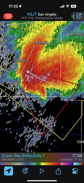
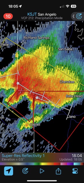
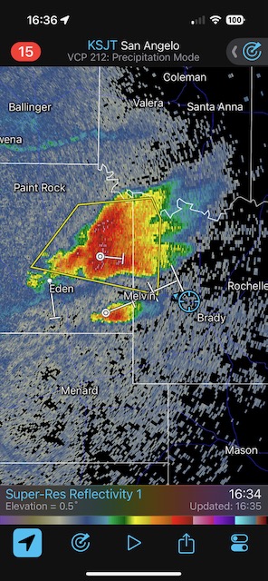
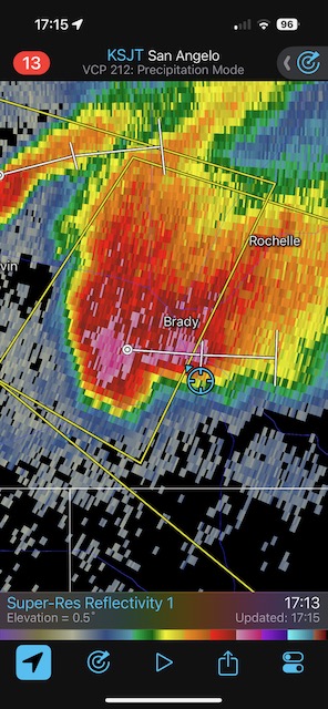
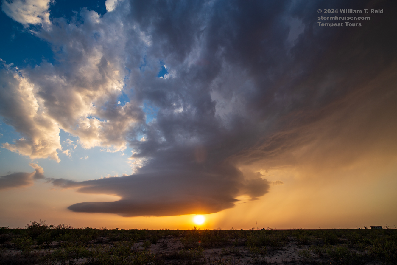
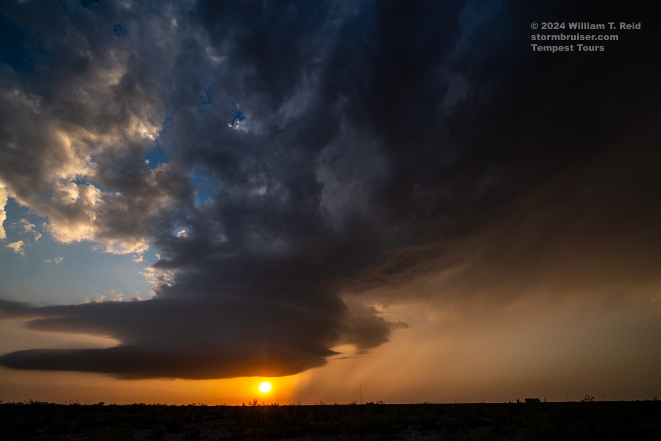
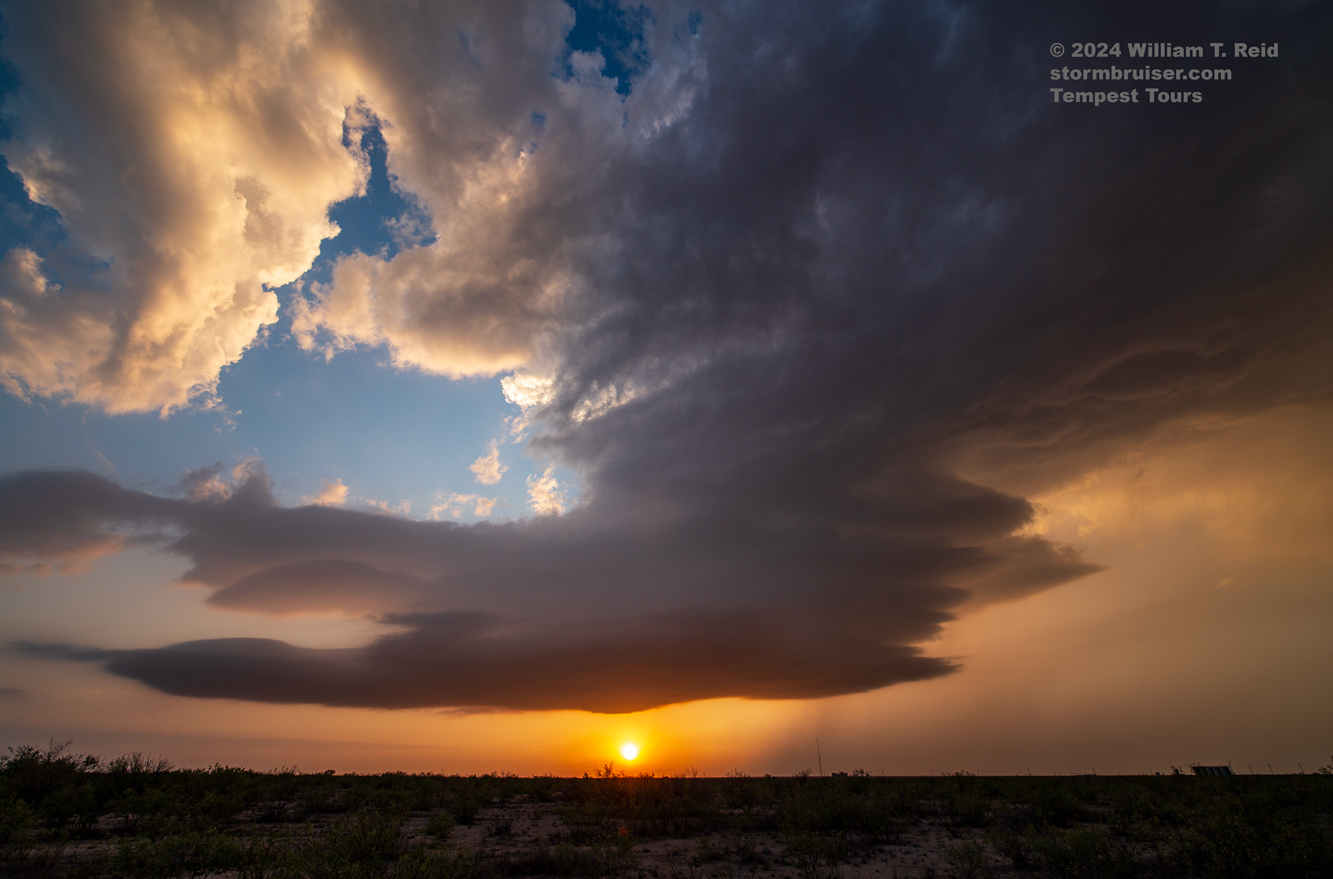
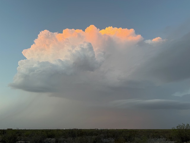
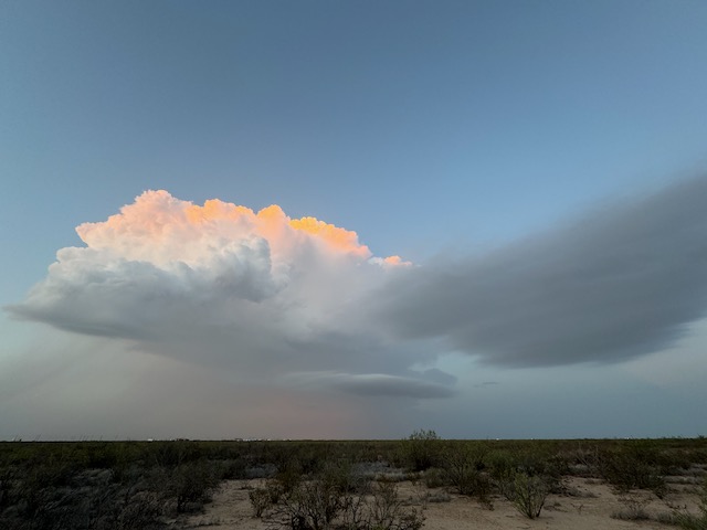
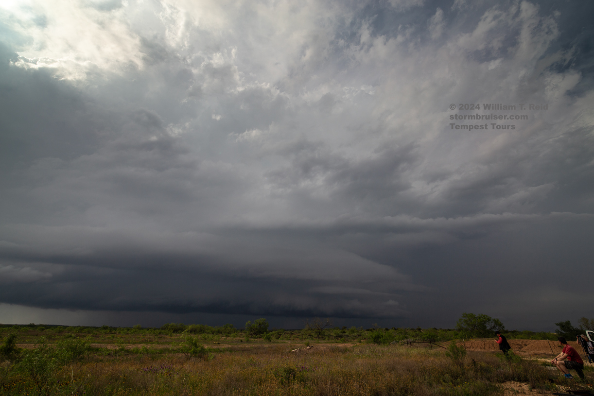
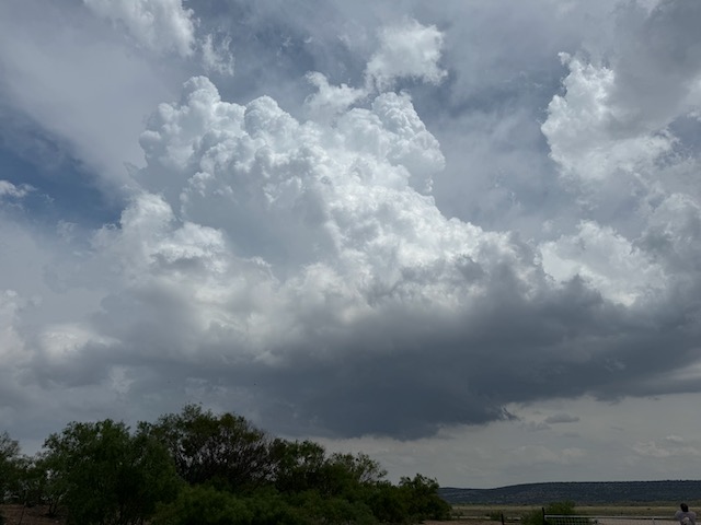
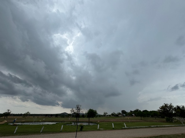
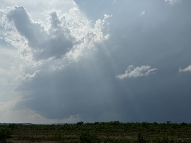
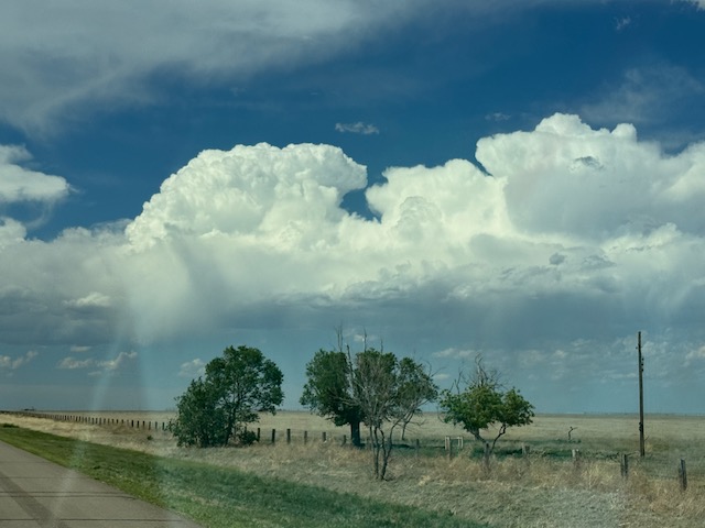
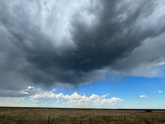
Today I dragged the group southward from Weatherford to the Brady area. Early stuff went up near Weatherford, but it was junky and elevated. A nice dry line supercell materialized west of Brady and moved to the SE, to near Llano. We were in a good spot (right in its path) south of Brady when the storm was fixin’ to tornado. It was tornado-warned and might have produced something on the weak side. Who knows?
The storm had good structure for a while towards Fredericksburg, but both the chase terrain and the storm deteriorated. It was time to let it go.

iPhone images below
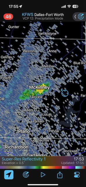
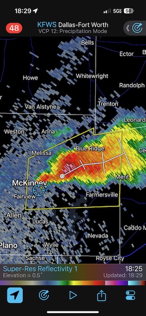
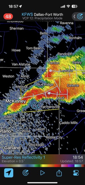
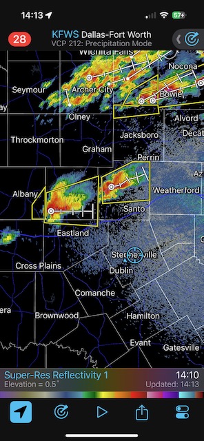
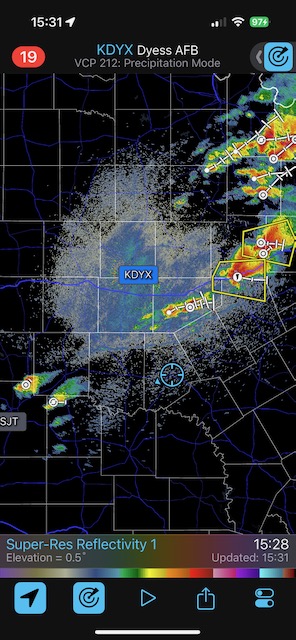
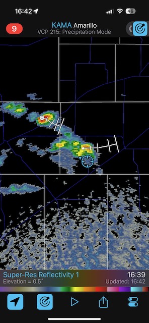
Radar screenshots below — I don’t know why they aren’t in the right sequence. Check the times!

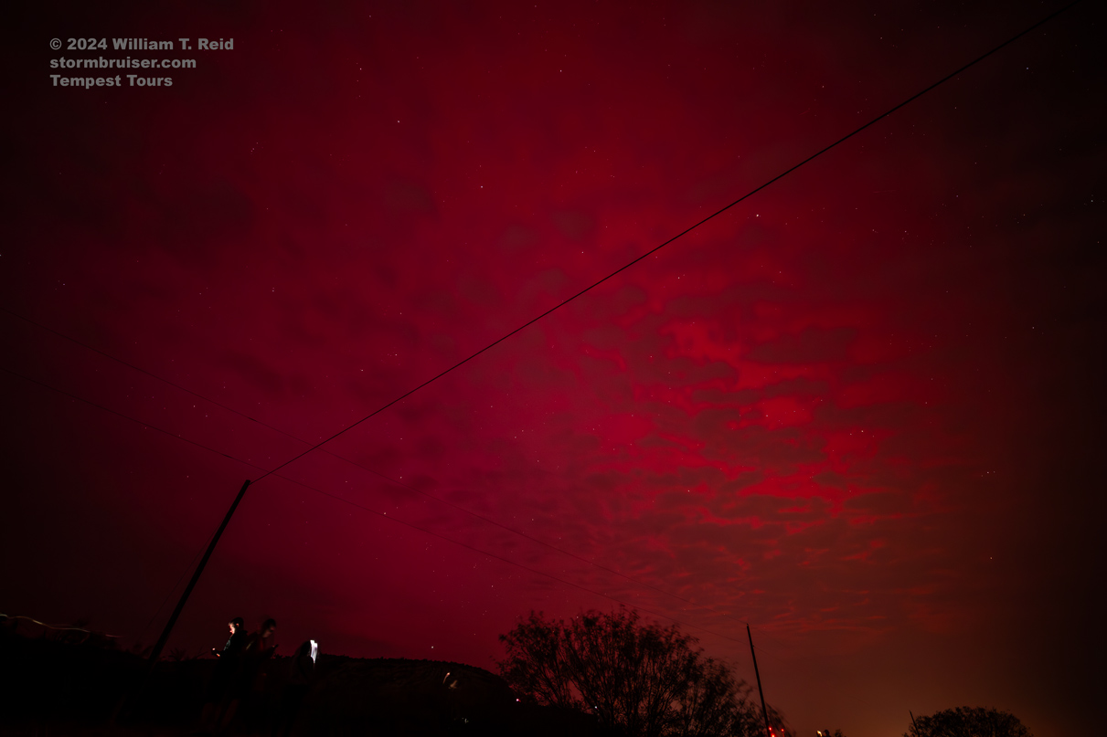
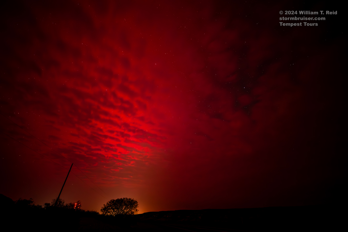
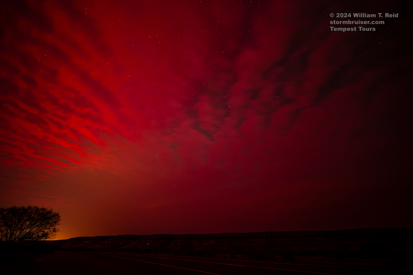
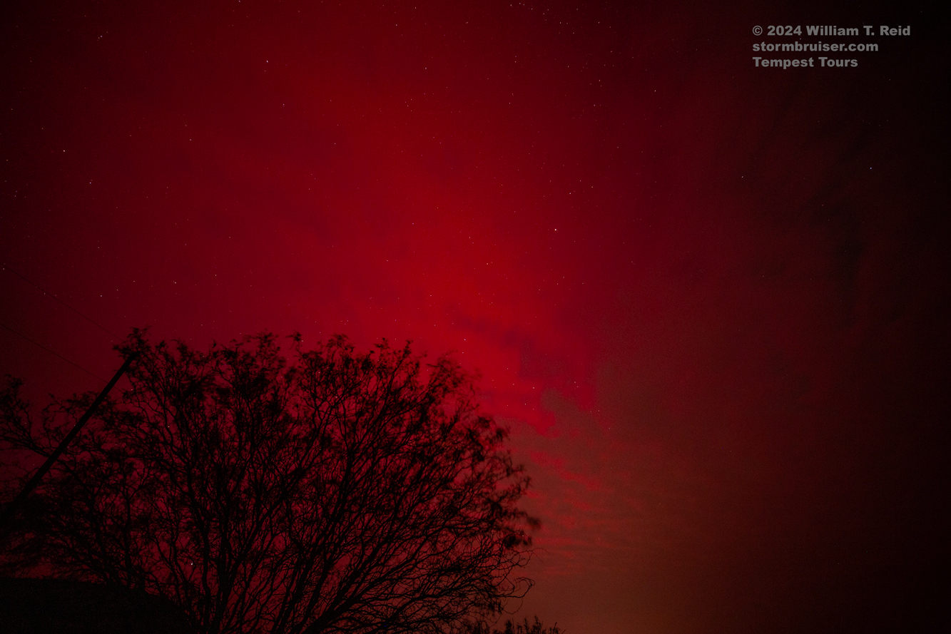
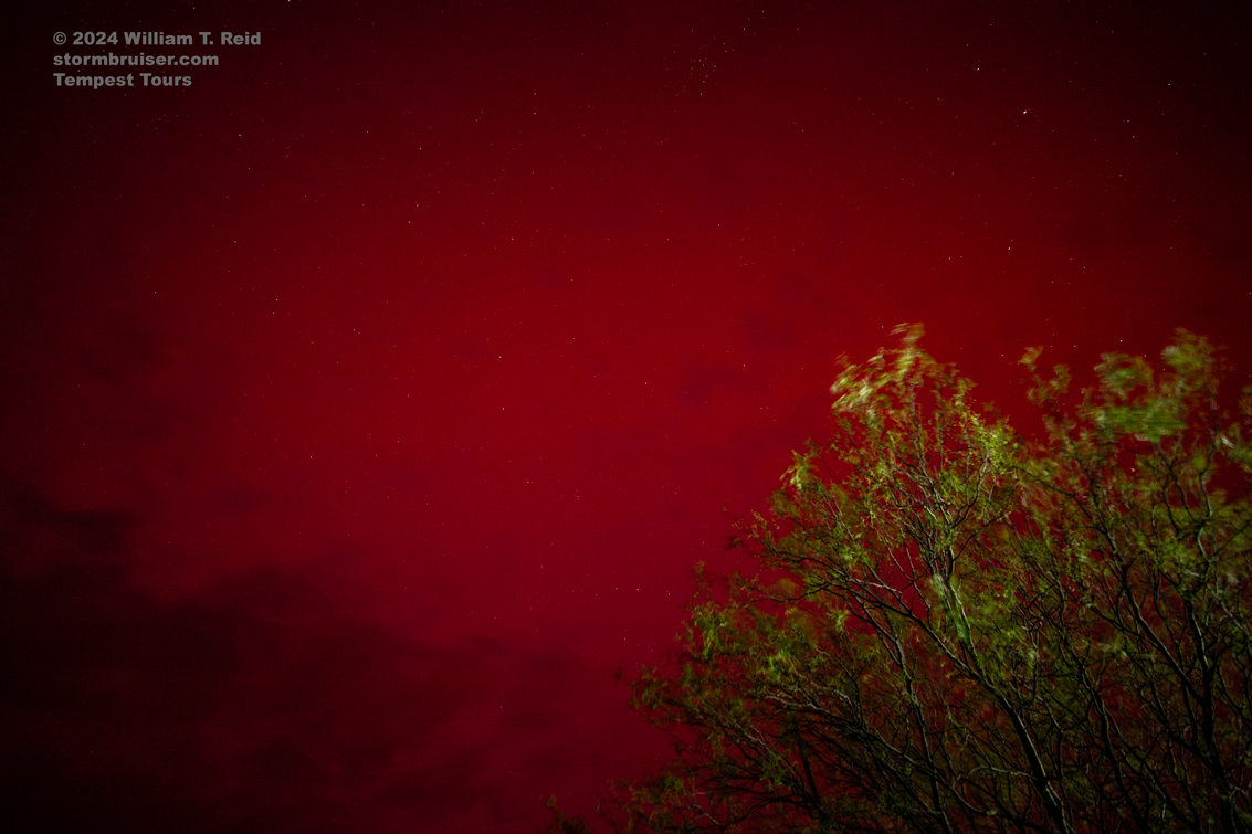
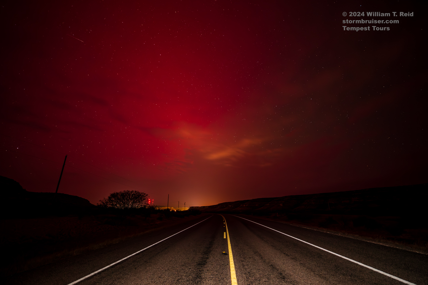
May 10 Down Day with the Northern Lights
Begin: Kerrville/lunch at the Pit Stop BBQ in Sonora/End: Sanderson/273 miles
What’s a storm chase tour without a look at the Northern Lights…from the Rio Grande at Sanderson, TX?! This was a leisurely drive to the Ends of the Earth, replete with a local live band for entertainment at the Desert Air Motel after sunset. The red glow to the north grew more prominent towards the end of the show, so we motored west of Sanderson a little bit, found a nice dark spot to pull off, and took some long exposures to pick up the reds. I don’t know if the mid-level clouds were a blessing or a curse.
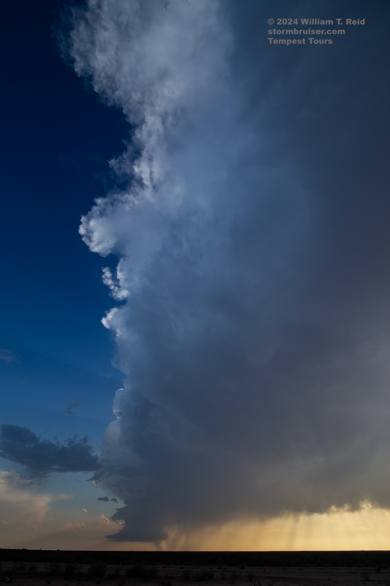
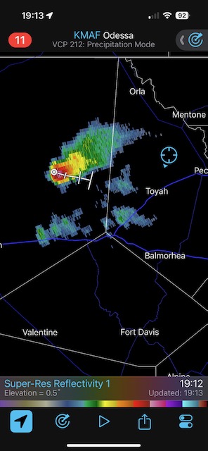
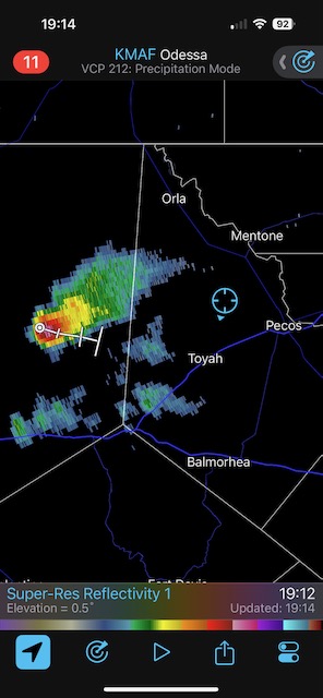
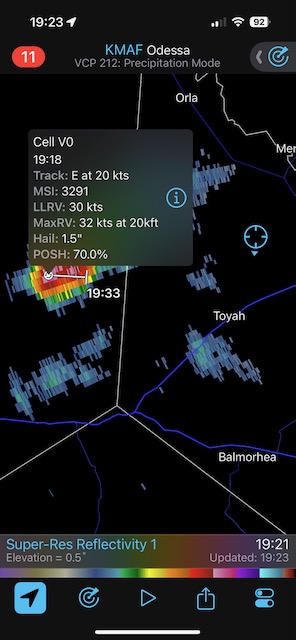
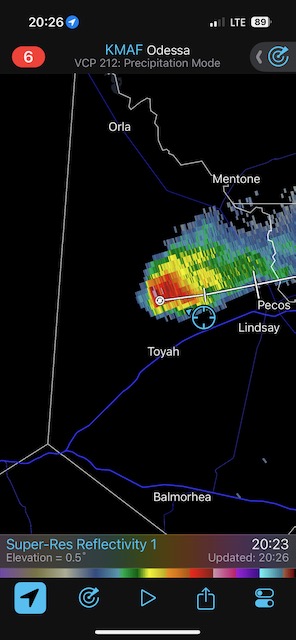
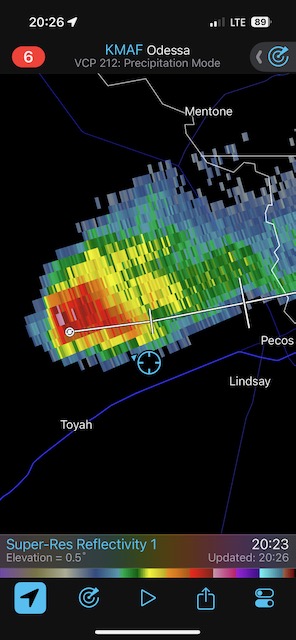
May 11, 2024 LP Supercell near Pecos
Begin: Sanderson/lunch Guadalajara Restaurant in Fort Stockton/End: Monahans/389 miles
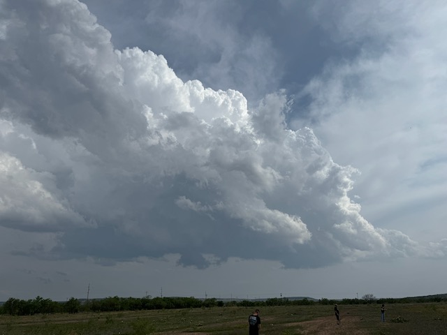
Today we played the smallish slight risk in Southwest Texas. We did a lot of waiting around from Balmorhea to Van Horn and then back east to Pecos. Finally, one of the cumulus clumps decided to give it a go, and a decent low-precipitation supercell took shape west of Pecos. Better than a sharp stick in the eye.

iPhone shots below
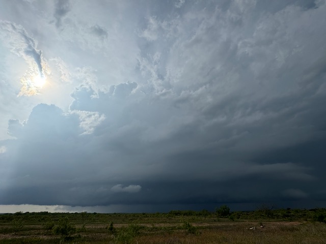
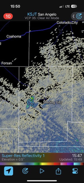
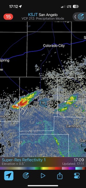
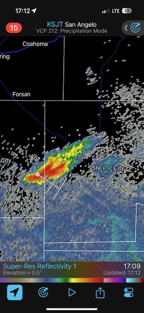
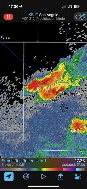
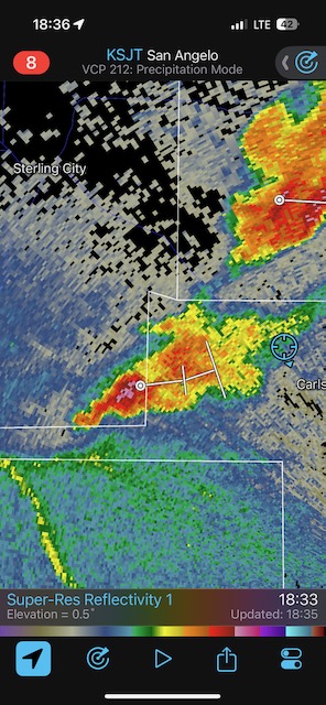
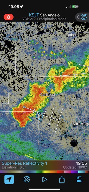
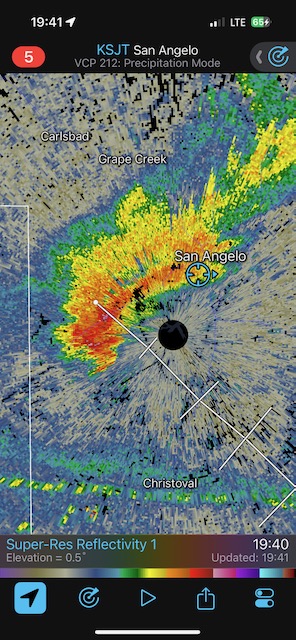
May 12, 2024 Sterling City Supercells
Begin: Monahans/Lunch: Cici’s Pizza in Midland/End: San Angelo/258 miles
This was a rather ho-hum chase of a supercell or two in the empty wastelands between Sterling City and San Angelo. I barely took any stills with the Canon camera. When our supercell got to San Angelo, it was falling apart.
iPhone shots below
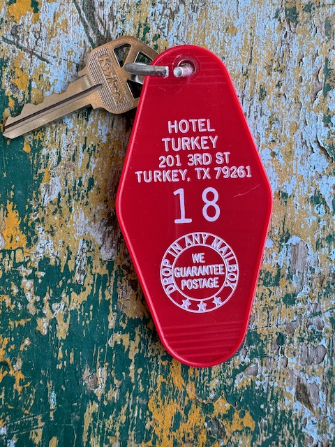
May 13, 2024 Down Day to Turkey
Begin: San Angelo/lunch Cheddars in San Angelo/End: Turkey/233 miles
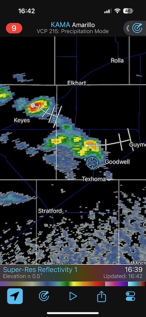
May 14, 2024 High-based Junk near Texhoma
Begin: Turkey/lunch at the Big Texan in Amarillo/End: Perryton, TX/335 miles
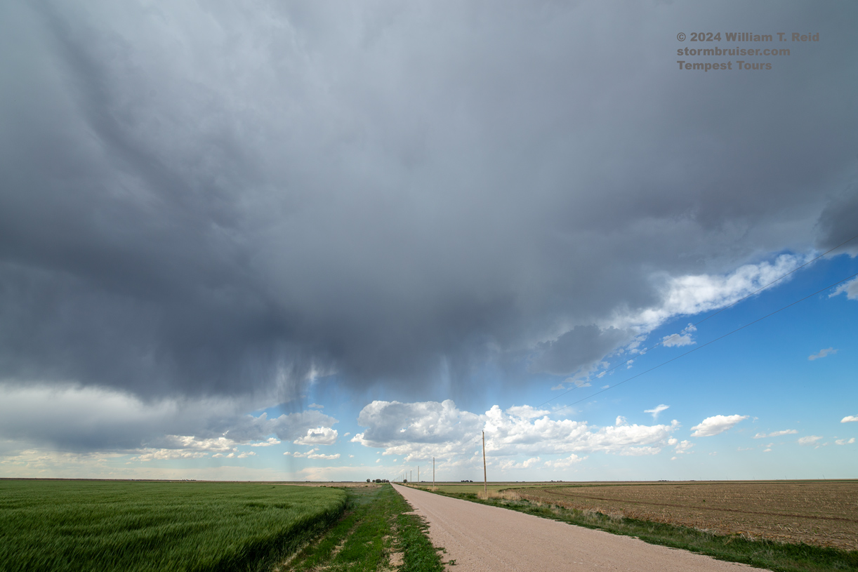
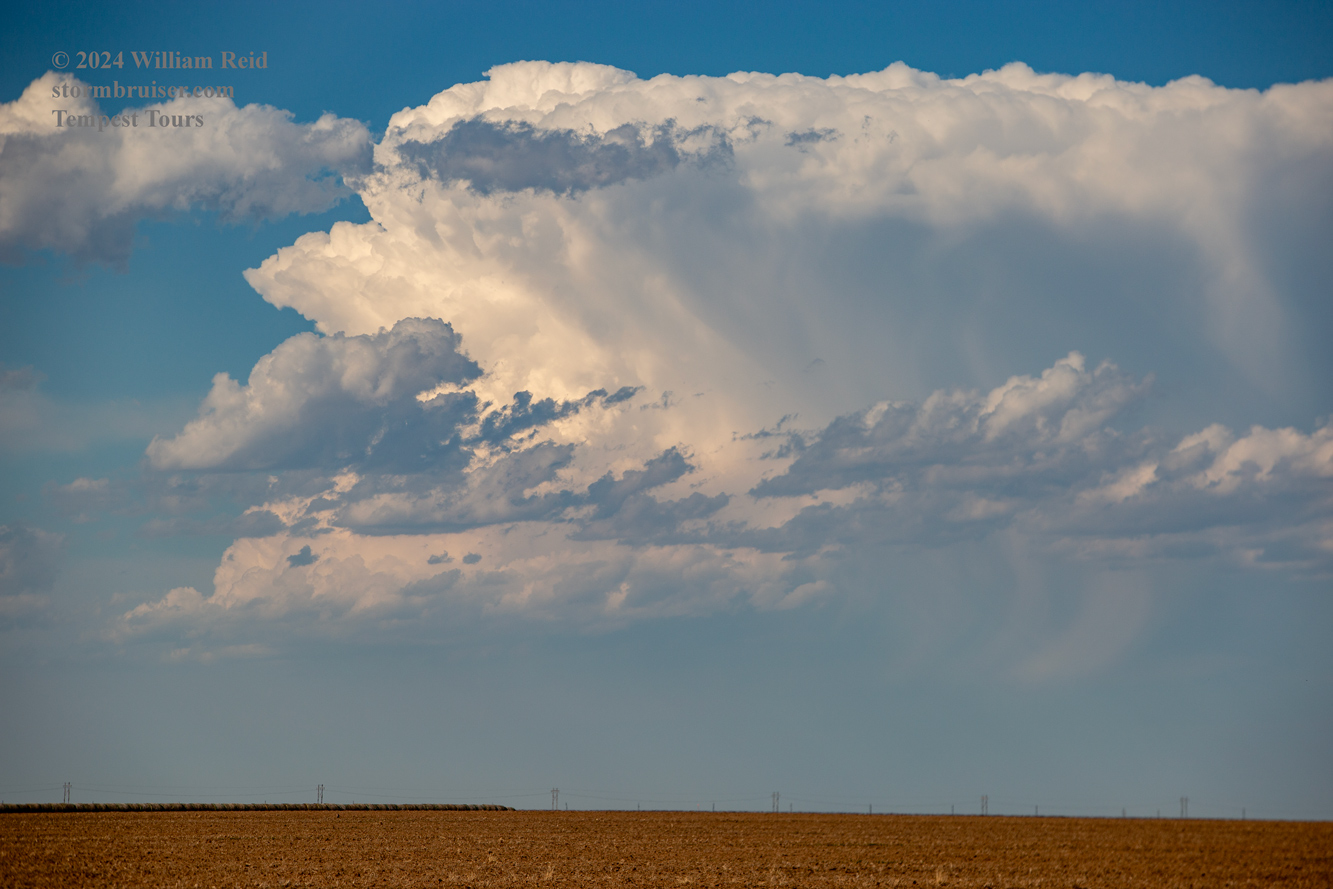

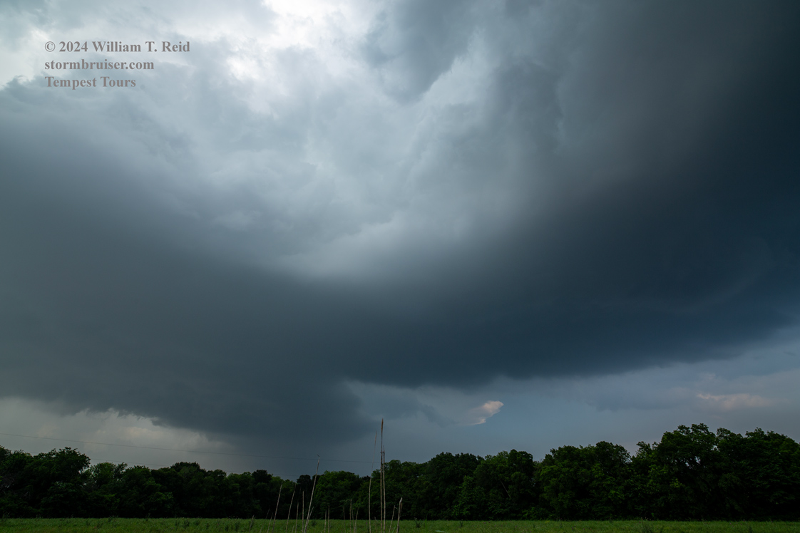
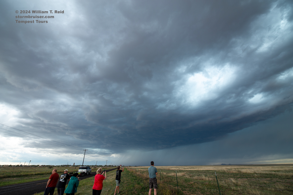
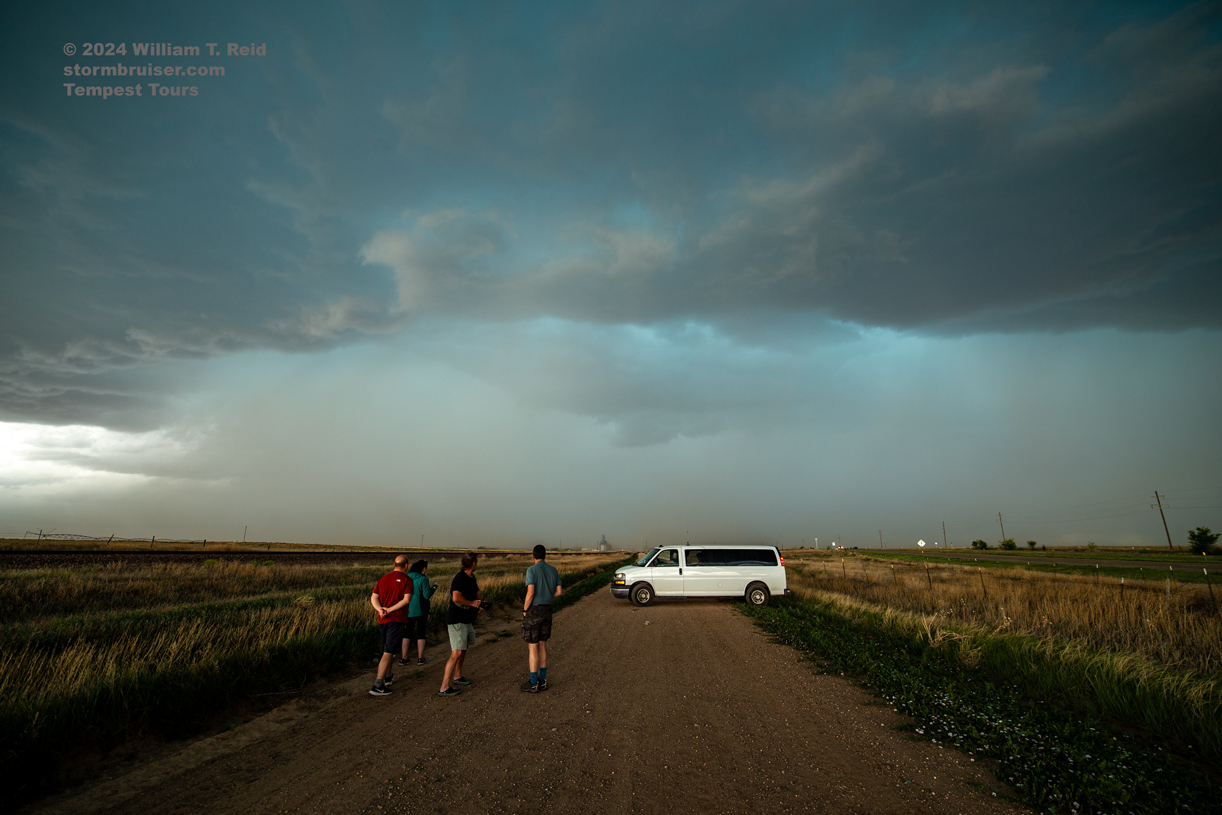
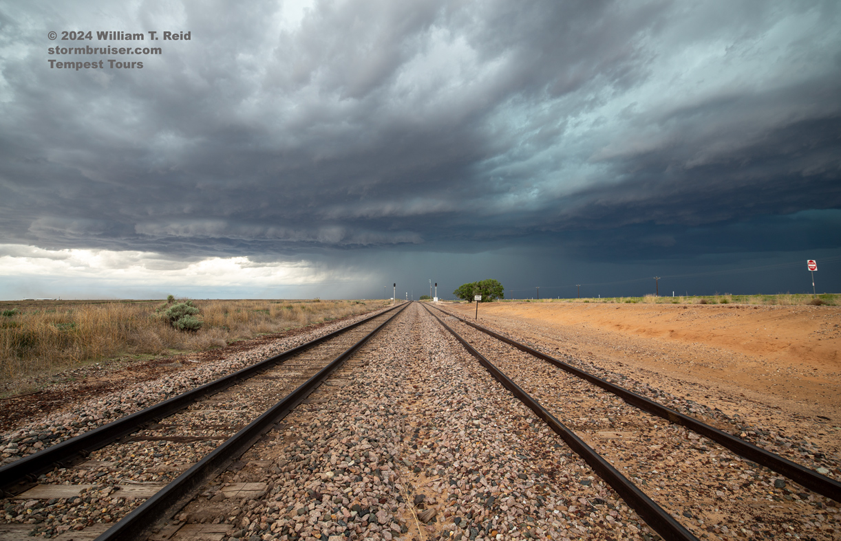
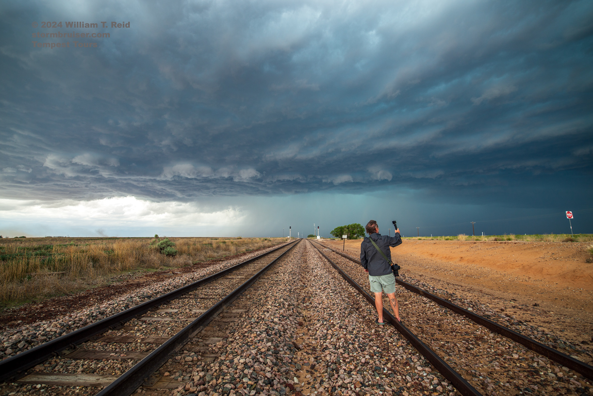
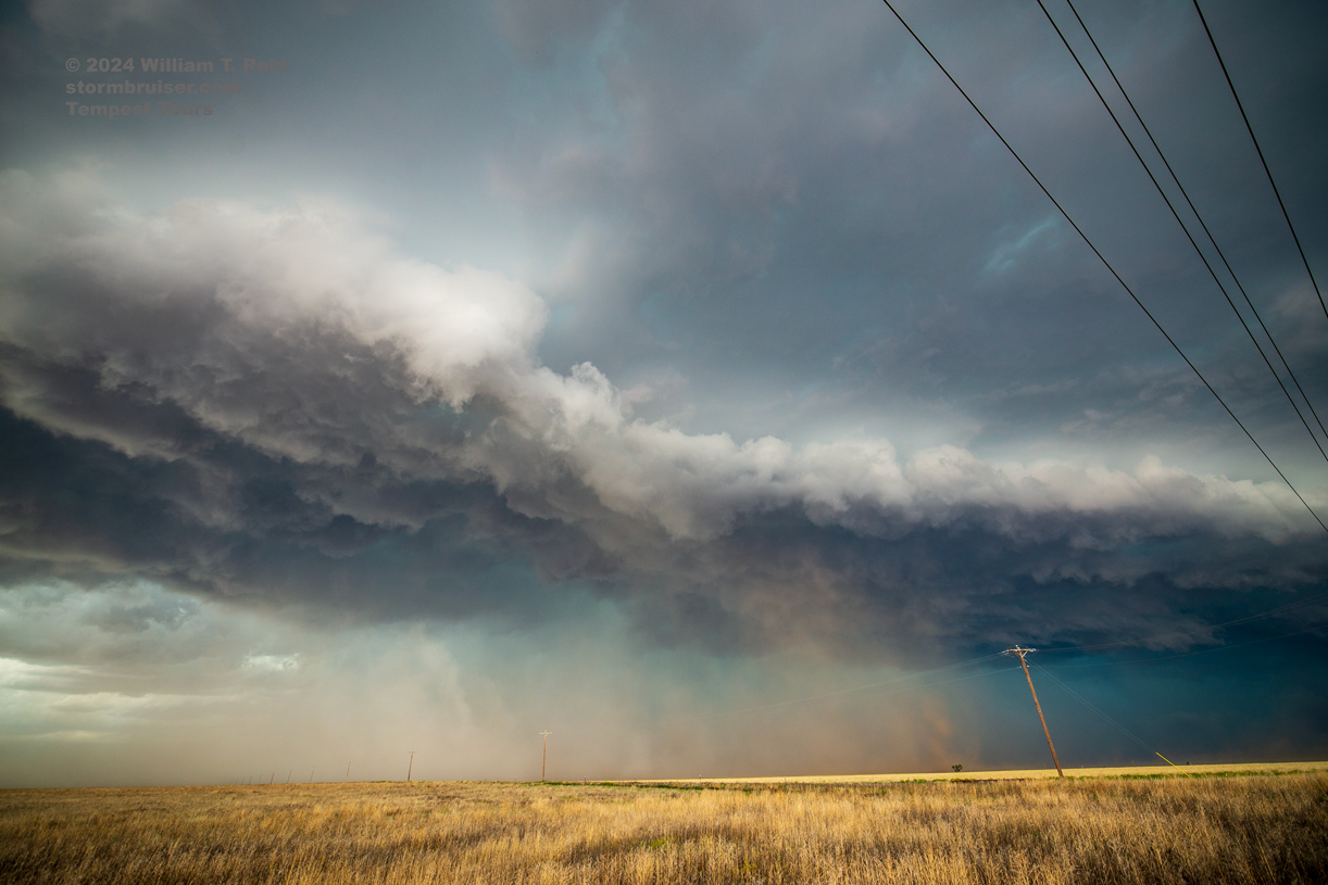
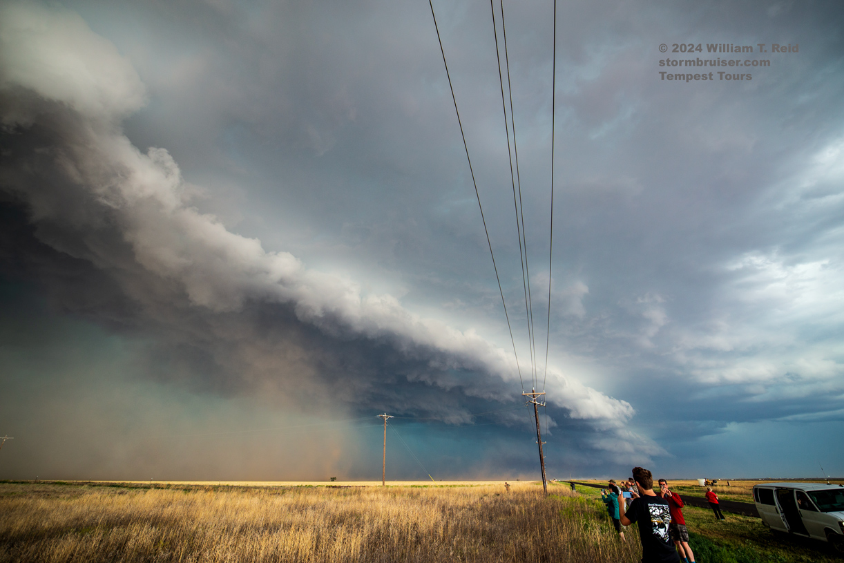
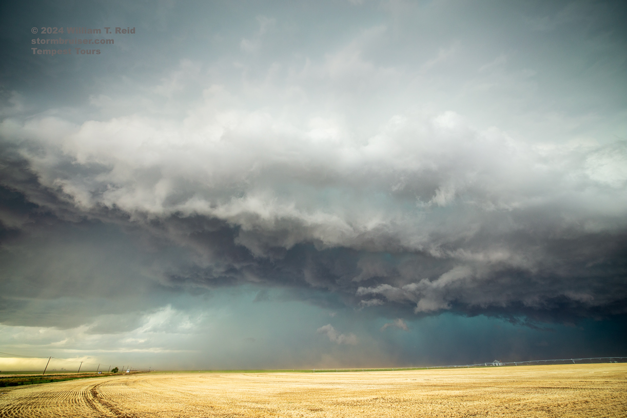
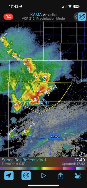
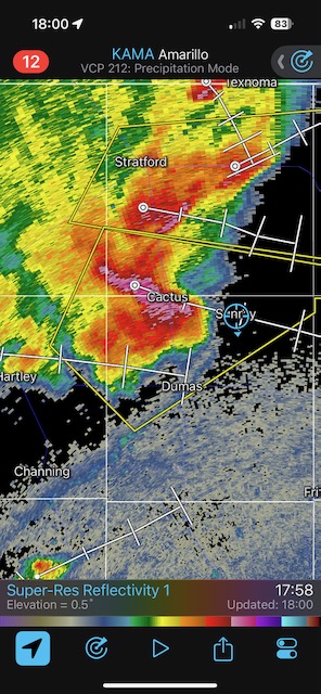
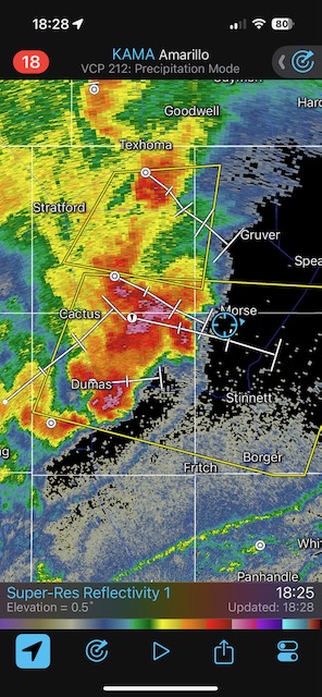
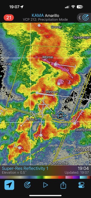
May 15, 2024 High-based Supercell Northern Texas Panhandle
Begin: Perryton, TX/lunch at the Smokehouse in Perryton/End: Childress/460 miles
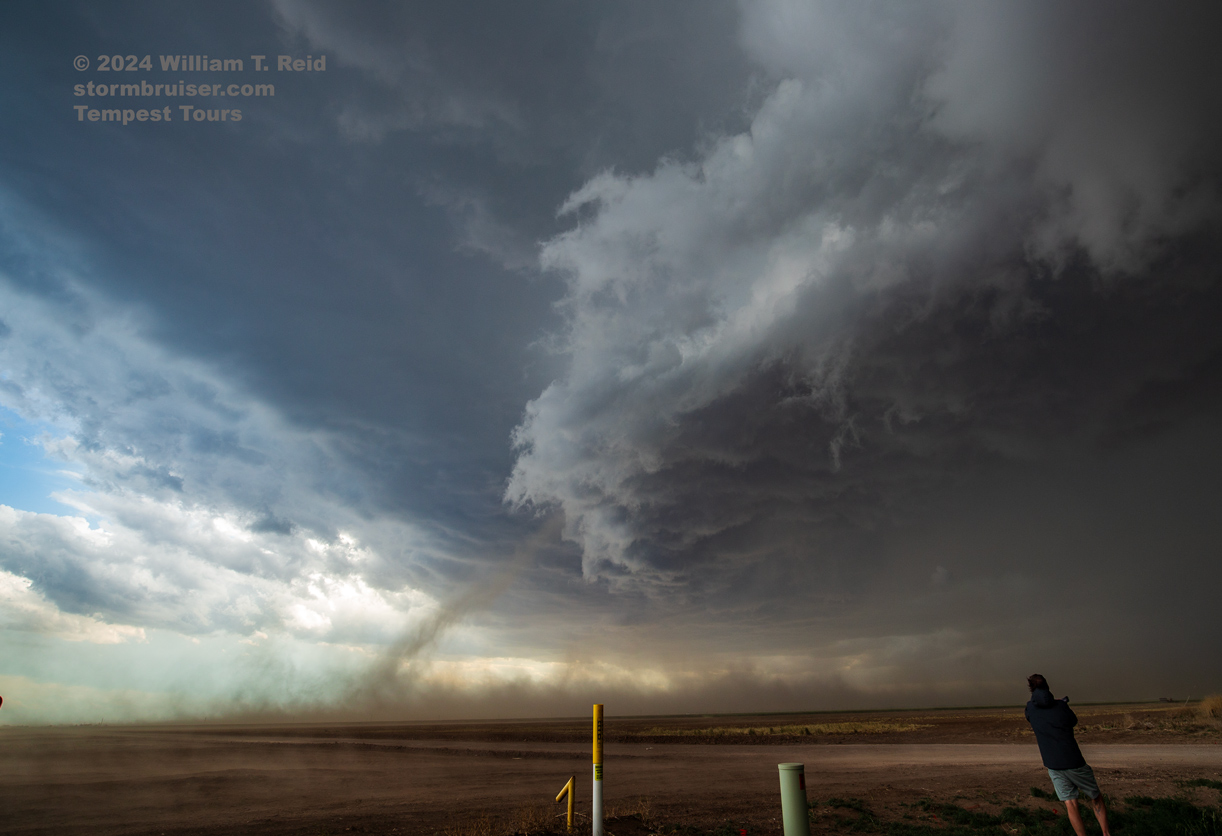
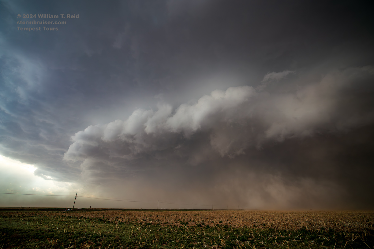
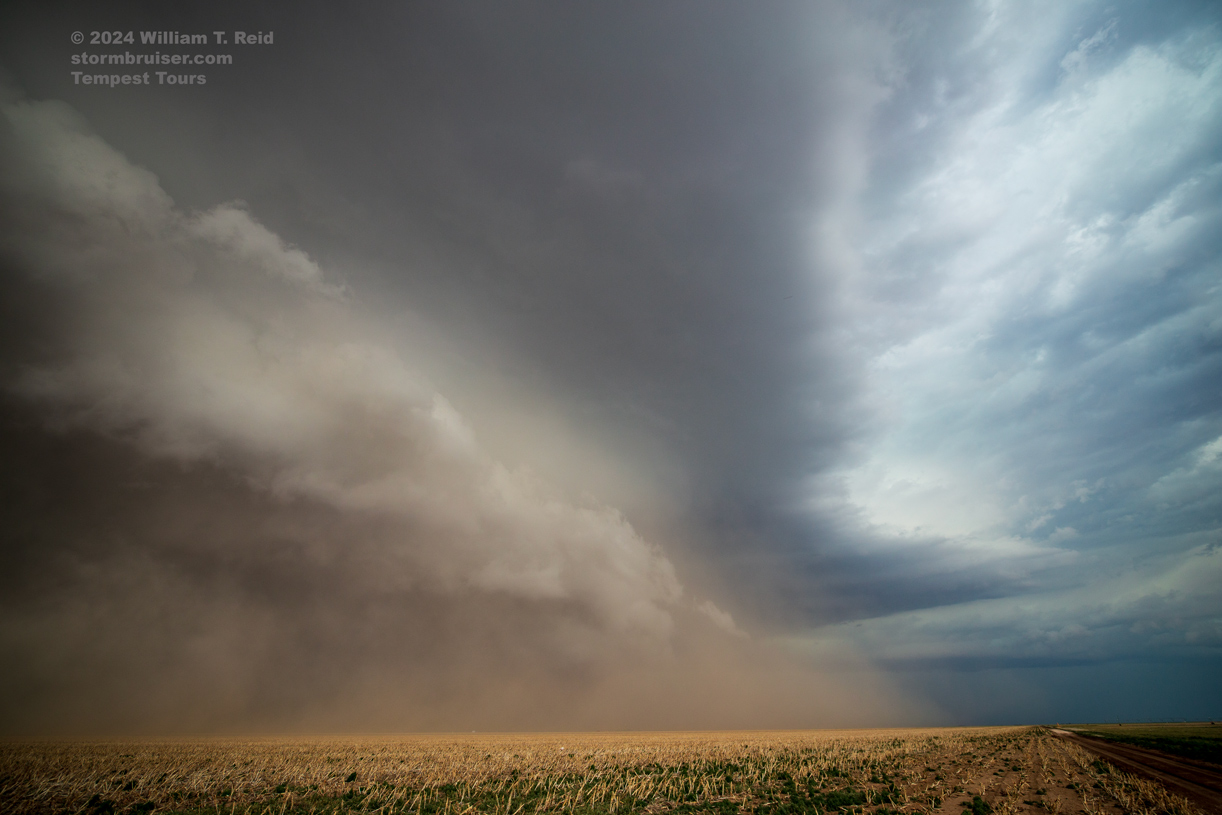
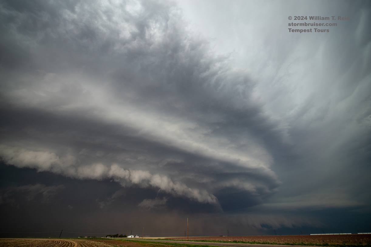
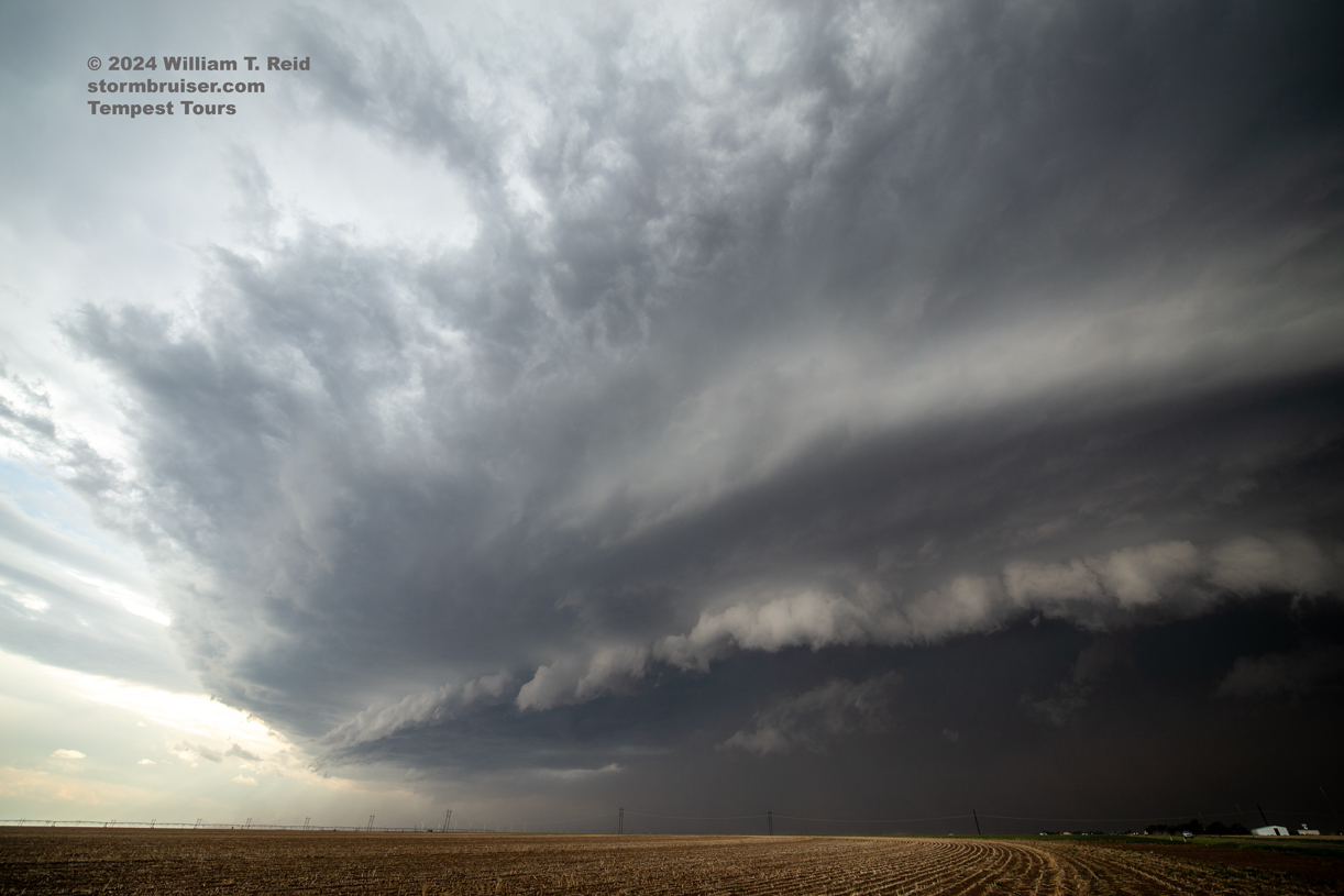
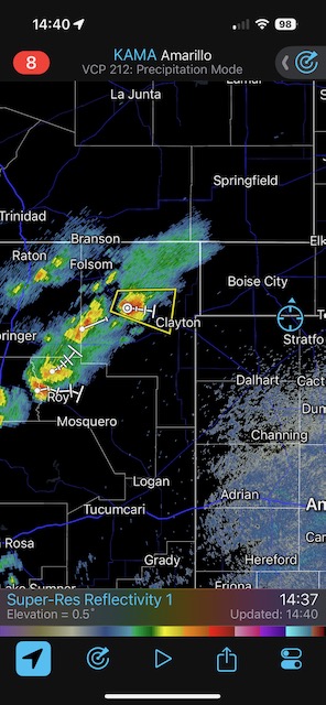
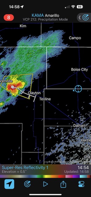
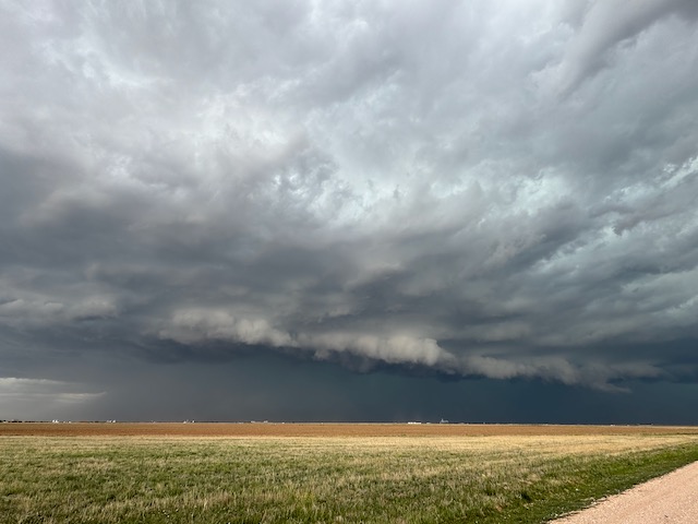
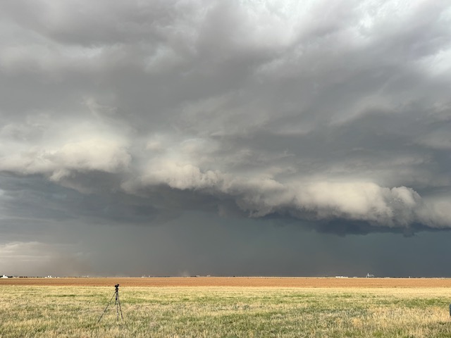
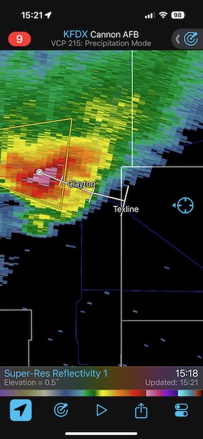
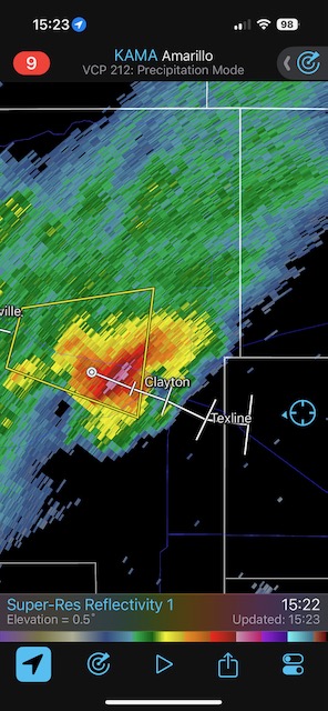
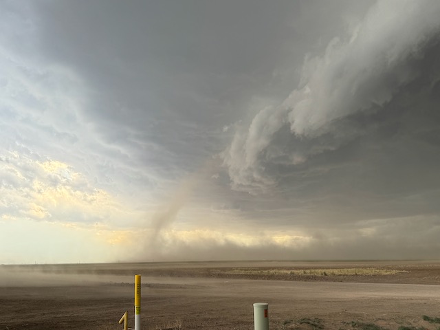
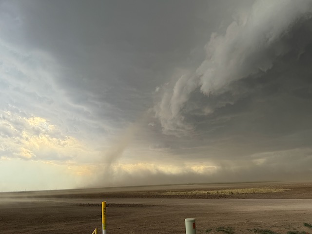
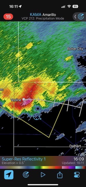
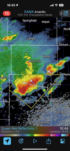
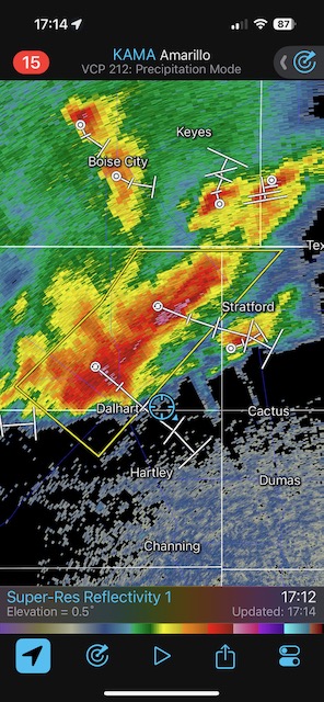
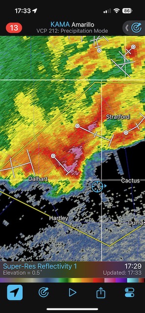
A nice high-based severe storm turned supercellular as it crossed into Texas near Texline. It became a rather wet beast with some dusty nastiness thrown in. The storm plowed to the ESE rather quickly and provided some decent structure for the Tempest guests, especially around Sunray.
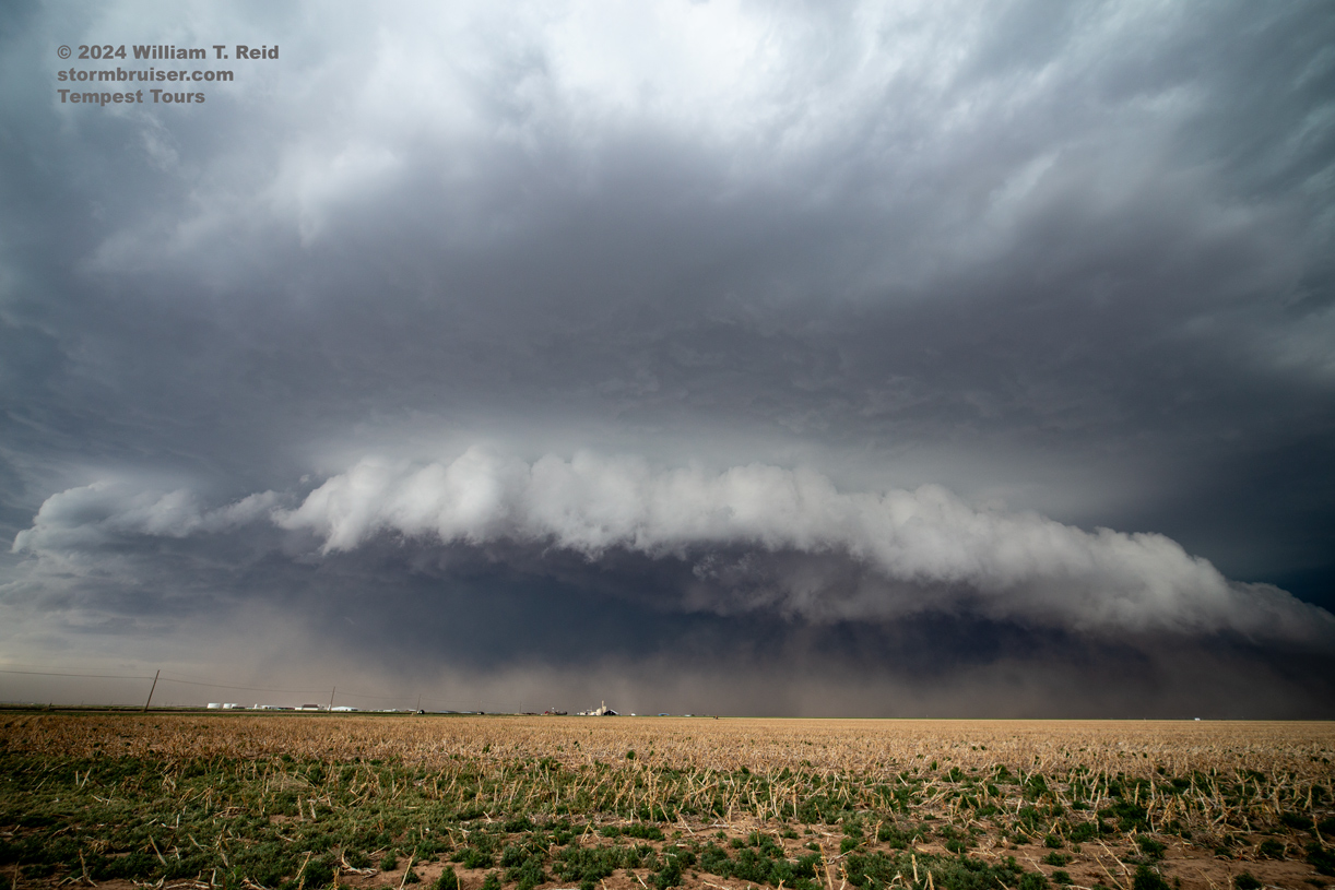
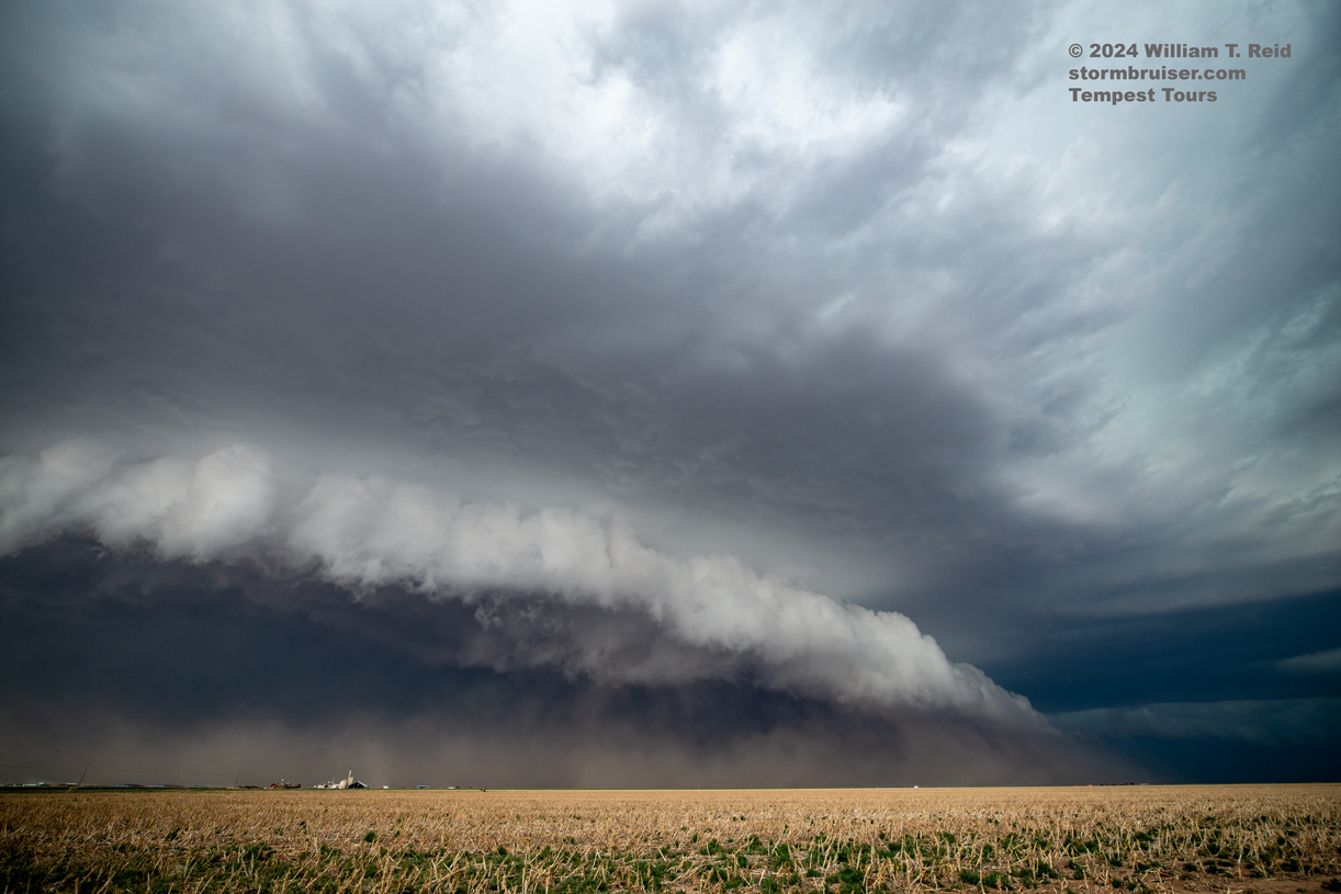
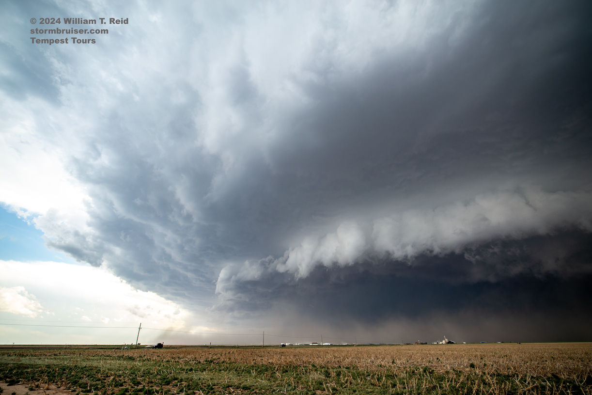
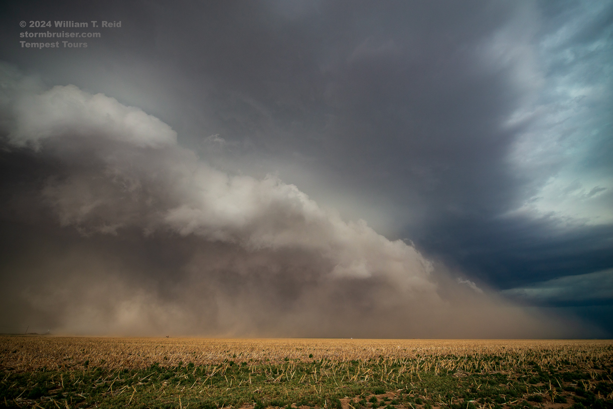
iPhone shots below
May 16 Blew off mediocre storm prospects south of Sweetwater, TX
Begin: Childress/lunch Biggs Pizza in Sweetwater, TX/end: OKC/480 miles
A slight risk and low-end tornado risk existed a bit south of I-20 this afternoon. We made the drive from Childress to Sweetwater. The southward-moving front suggested plenty of consternation farther and farther away from home base in OKC, where we needed to be by midday on the 17th. I cut our losses and turned things around a little south of Sweetwater shortly after lunch, and we made our way back to OK. Apparently there were some severe storms around Big Lake, as expected, but the cold front undercut the storms and greatly diminished the tornado threat.
Leave a Reply
You must be logged in to post a comment.