
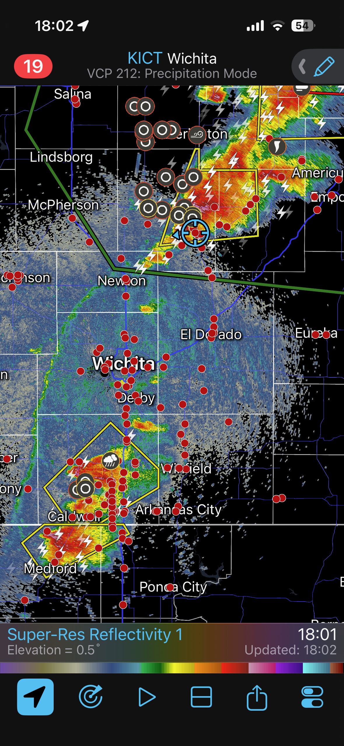
This chase day is one for me to forget, as I was pulled north from the Wellington, KS, area towards the first convection that went up not too far to our north. I stayed with it, unfortunately, and wound up way too far north (northeast of Newton) to recover in time for the tornadic supercells at Braman and Enid, OK.
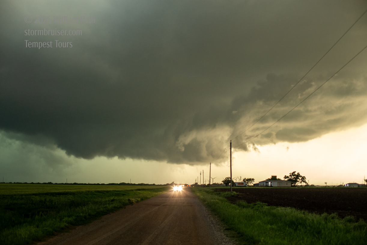
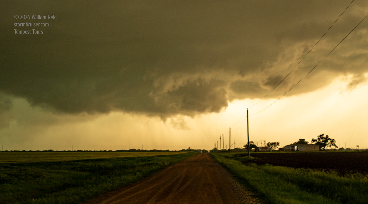
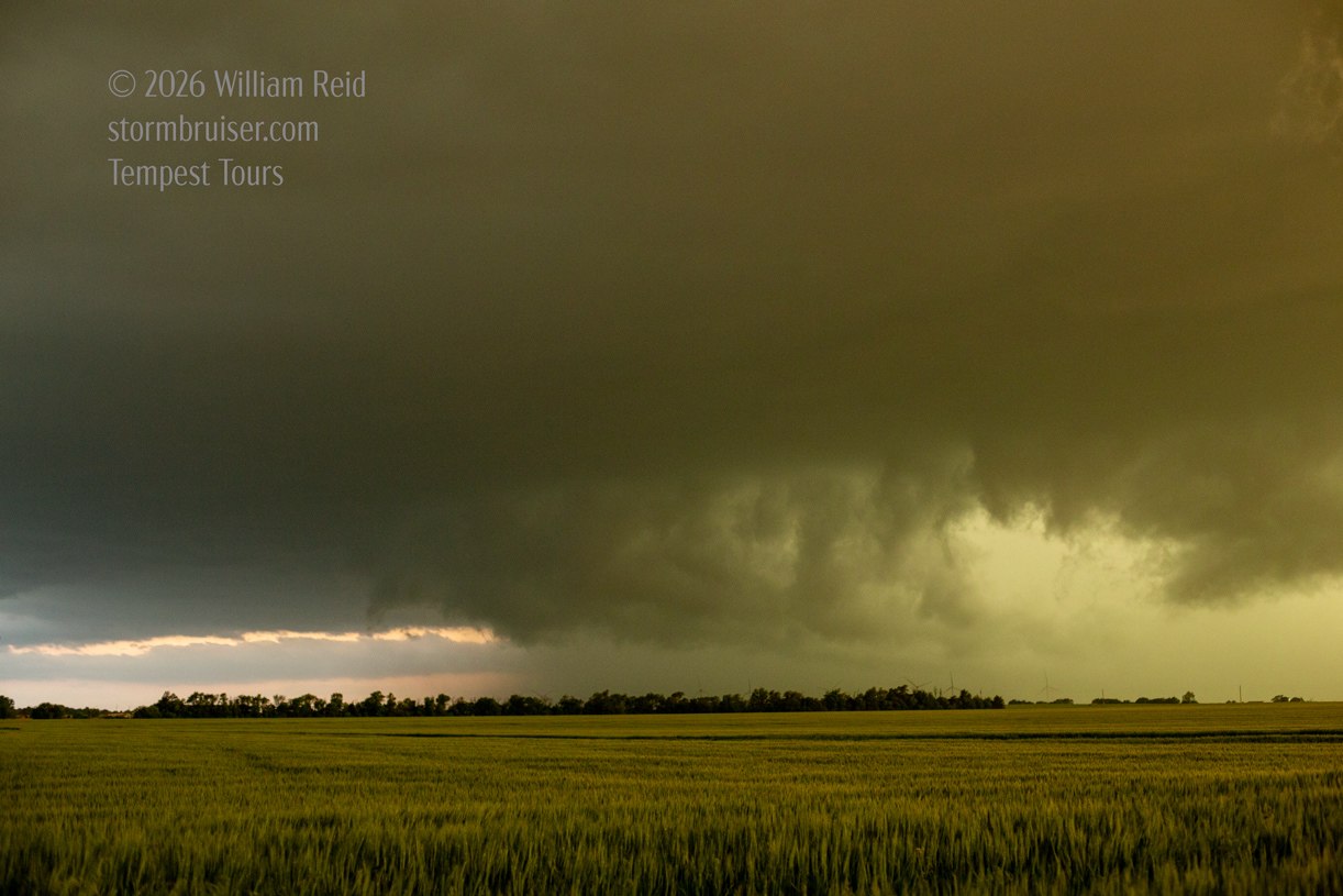
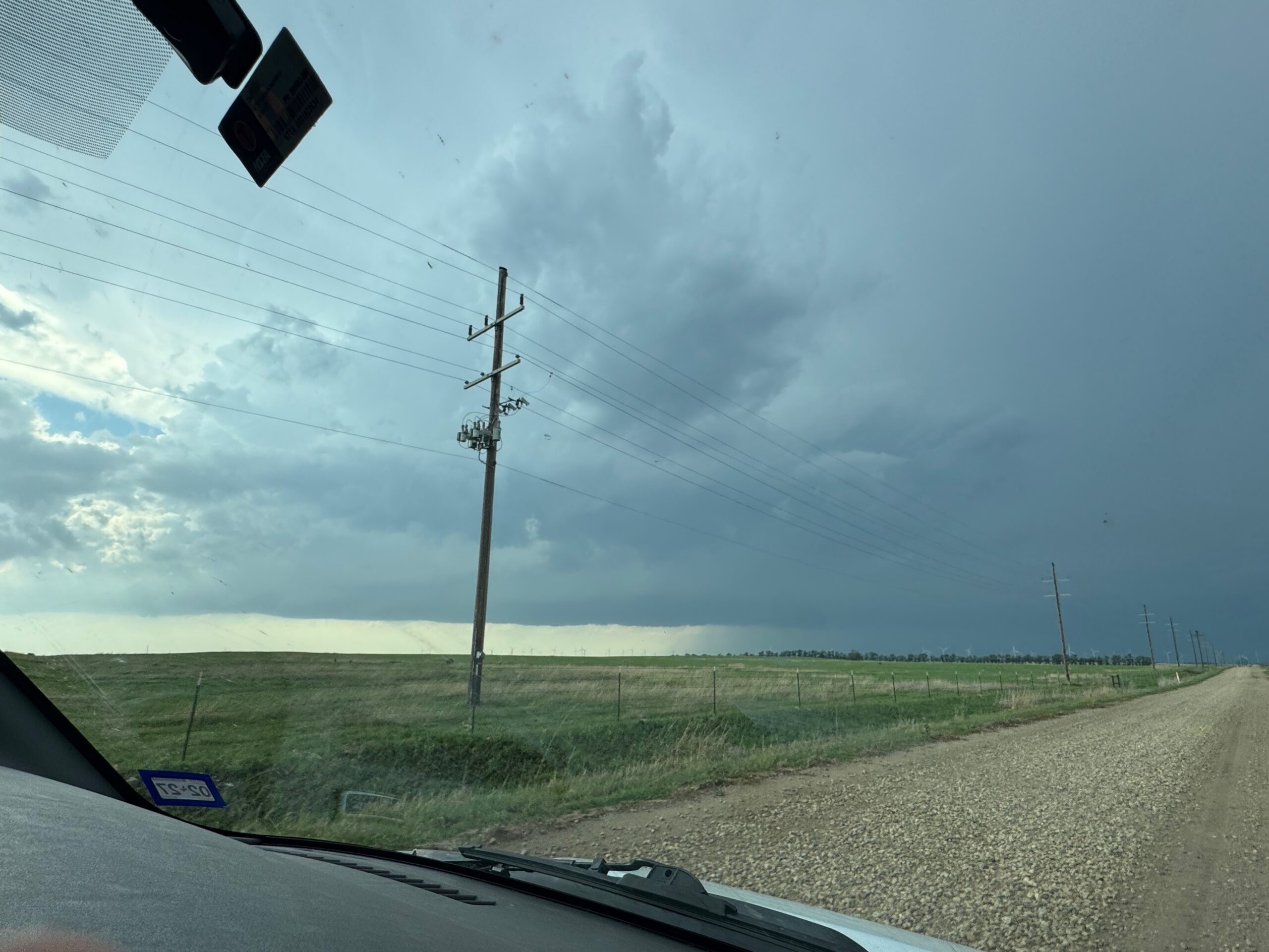
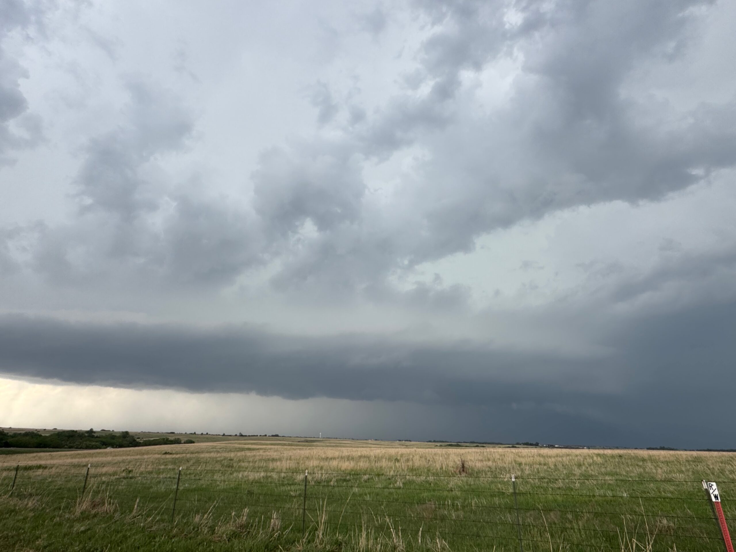
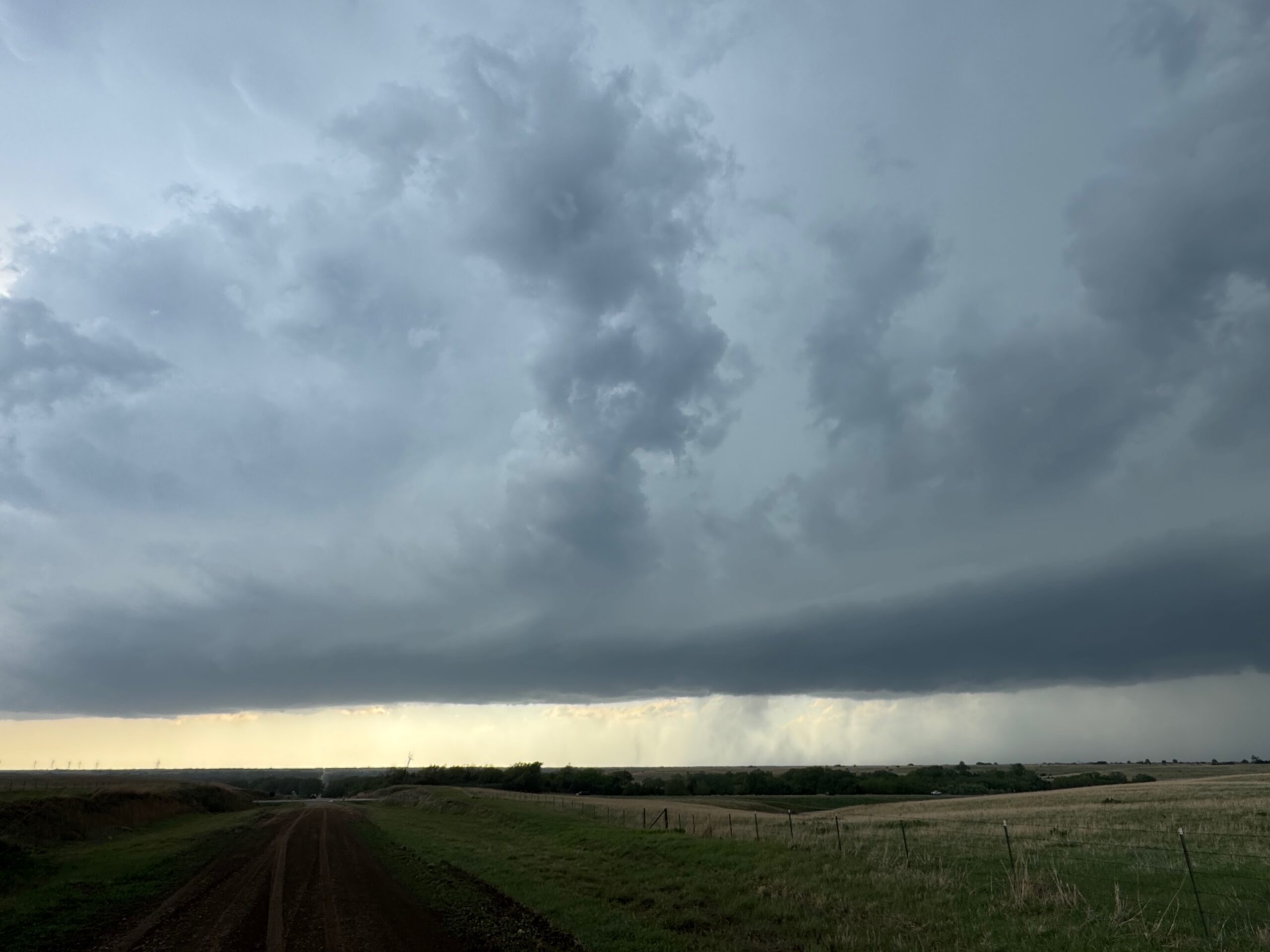
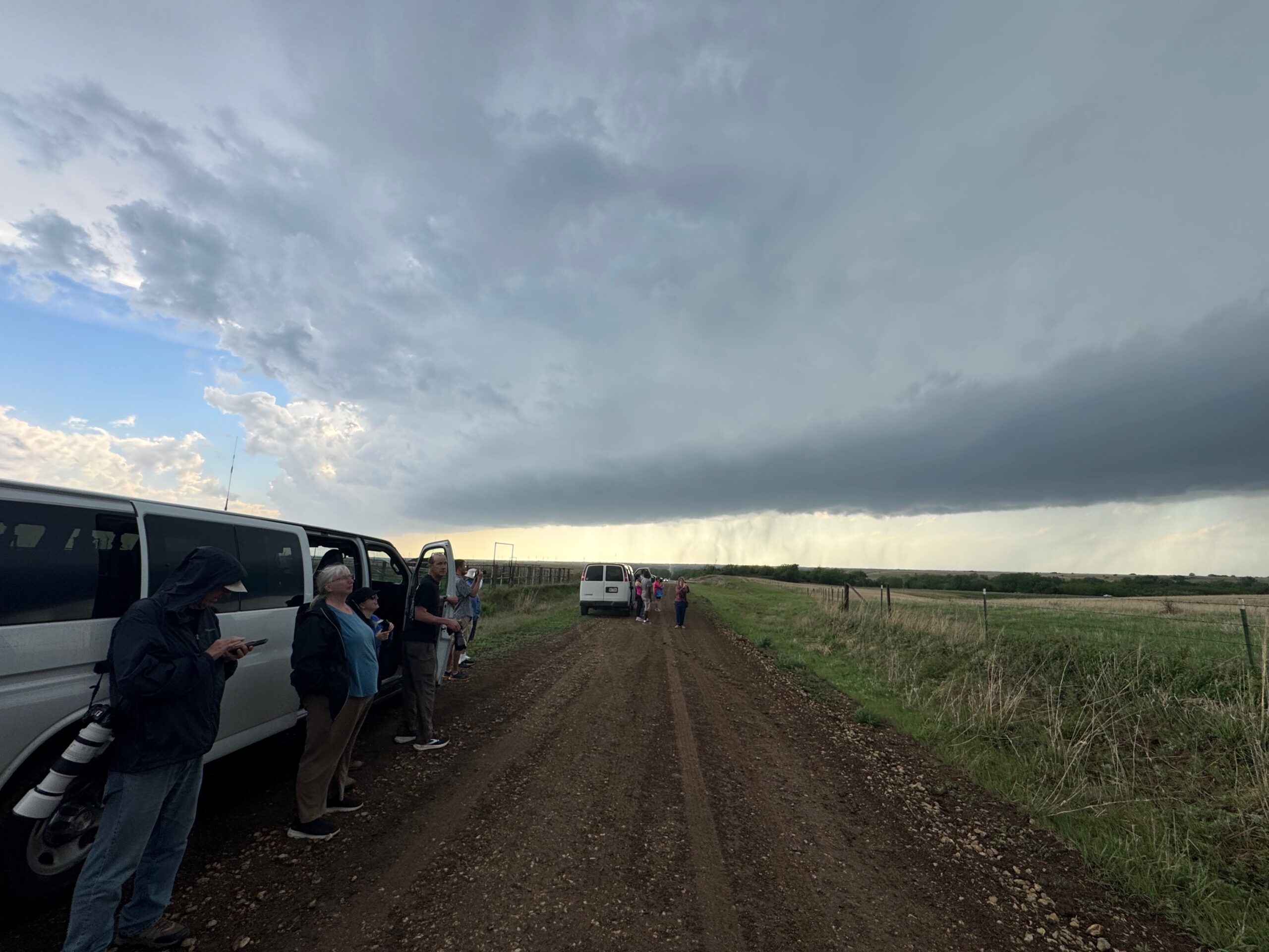
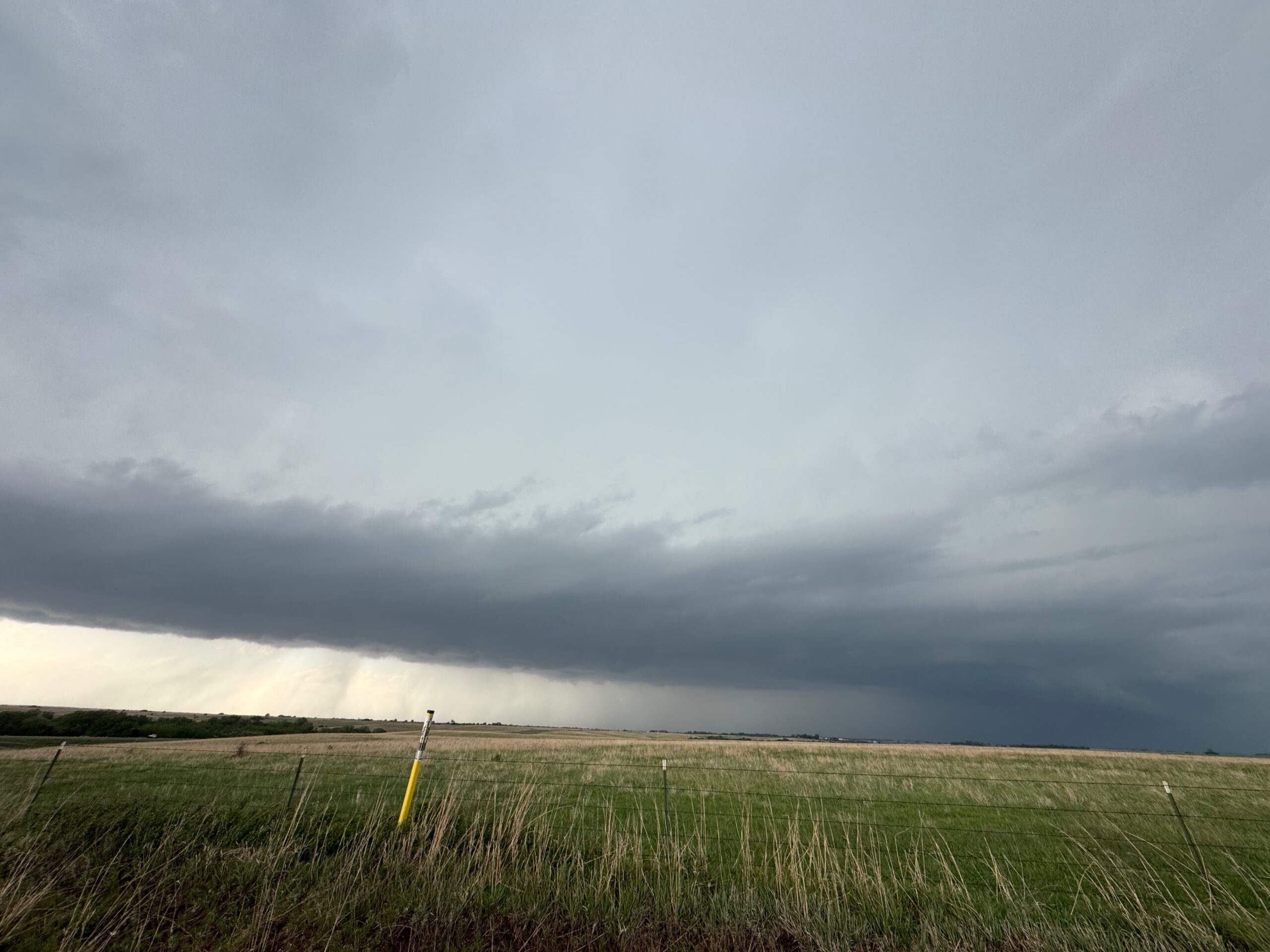
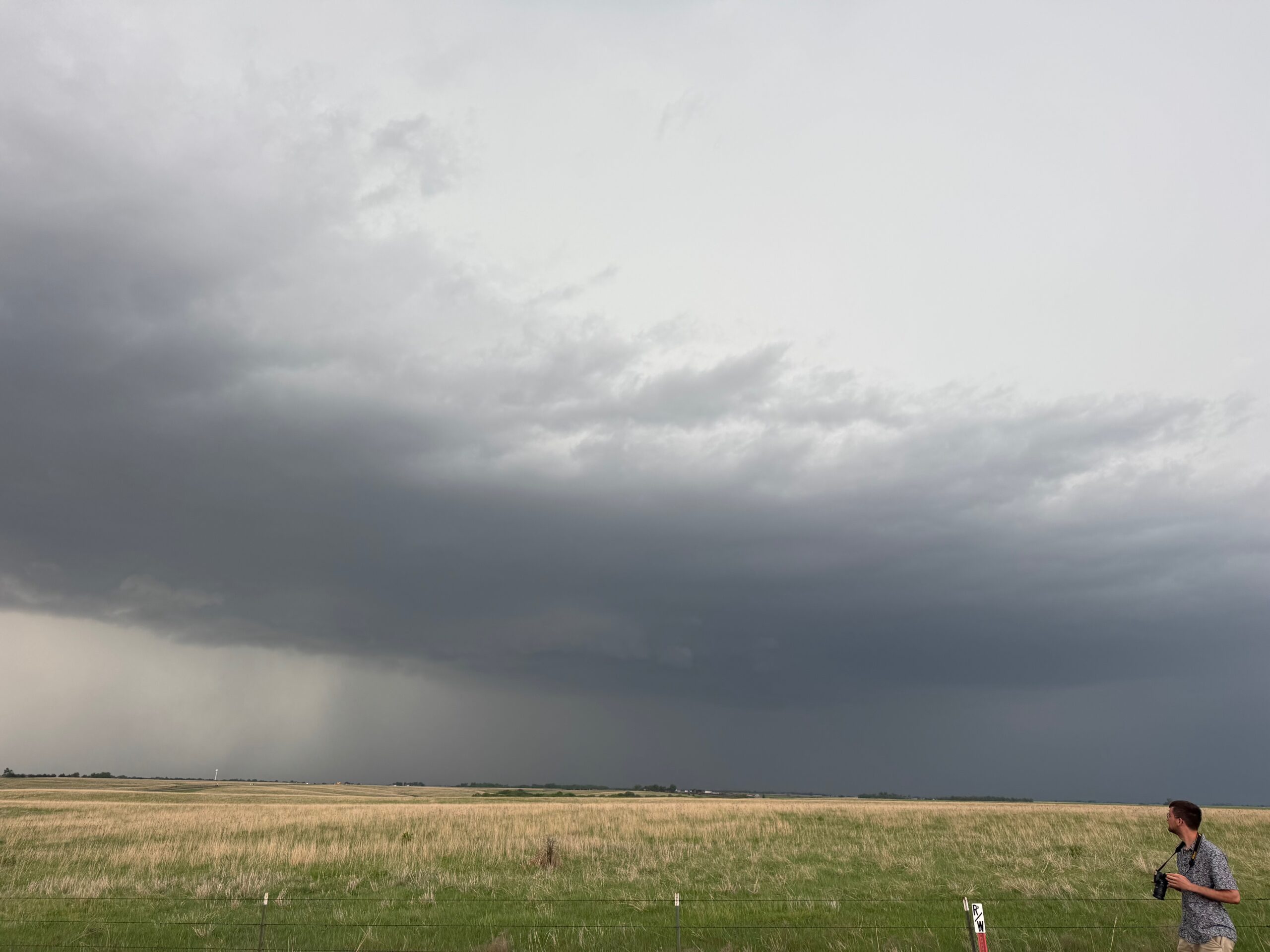
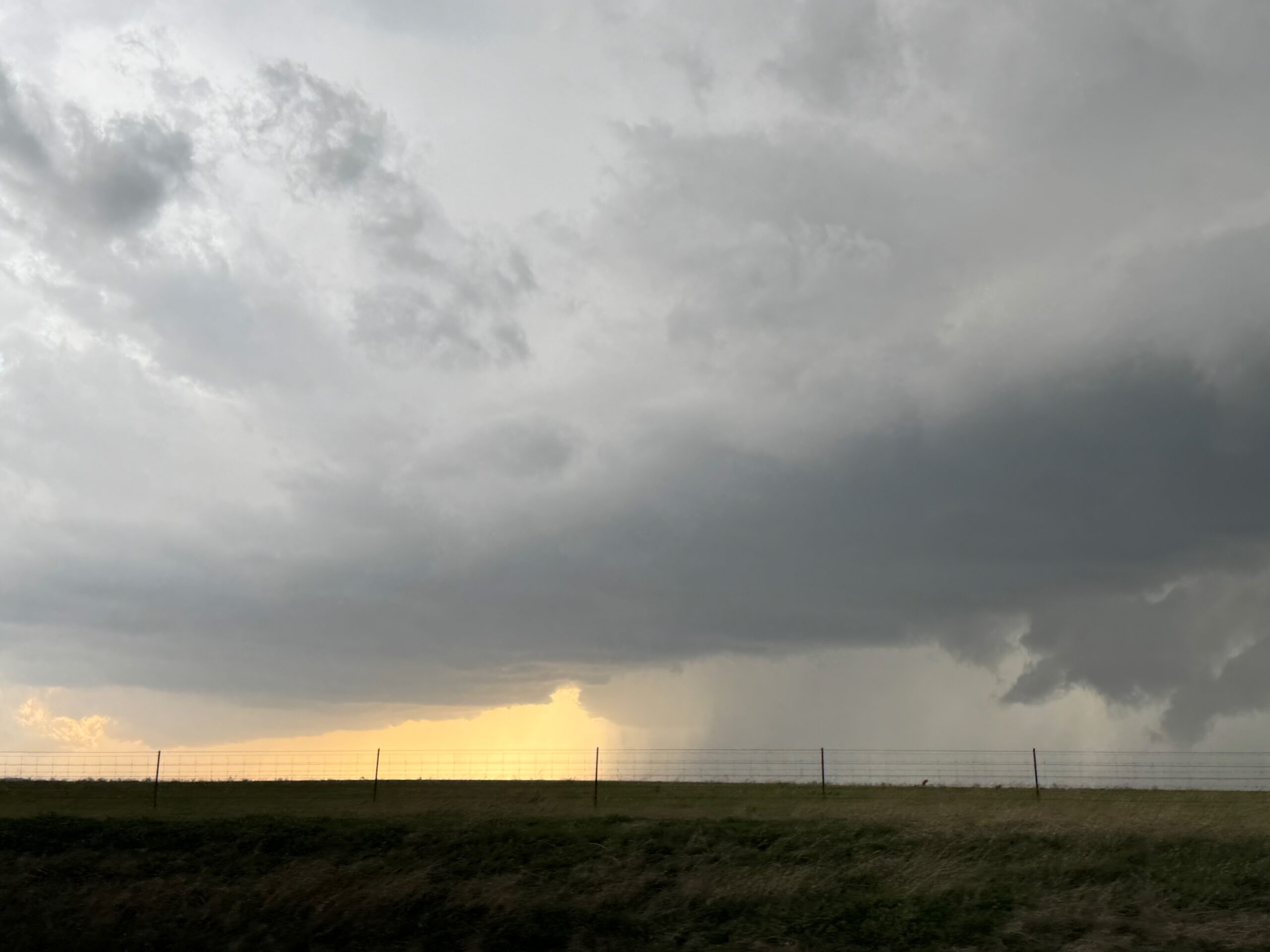
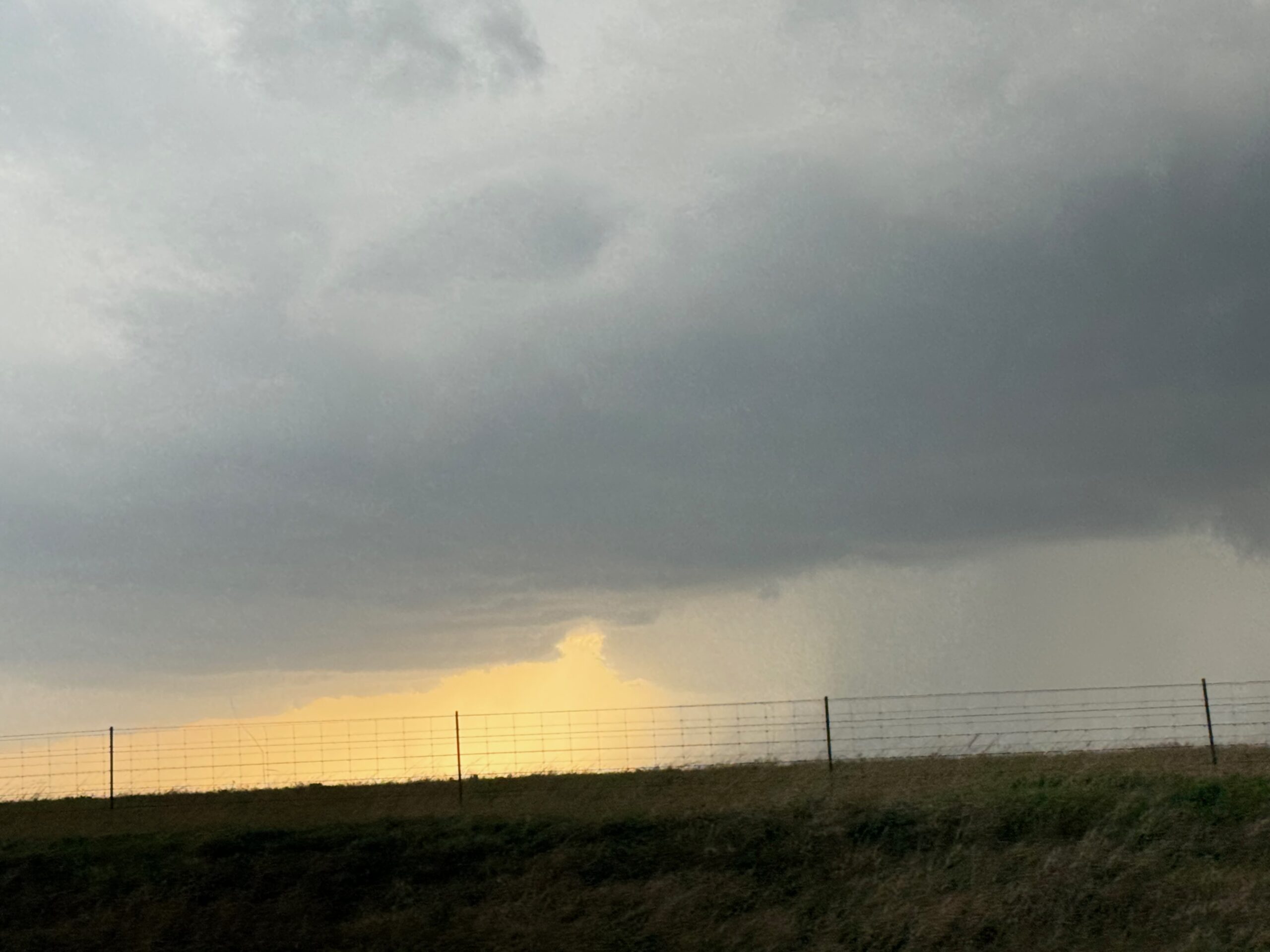
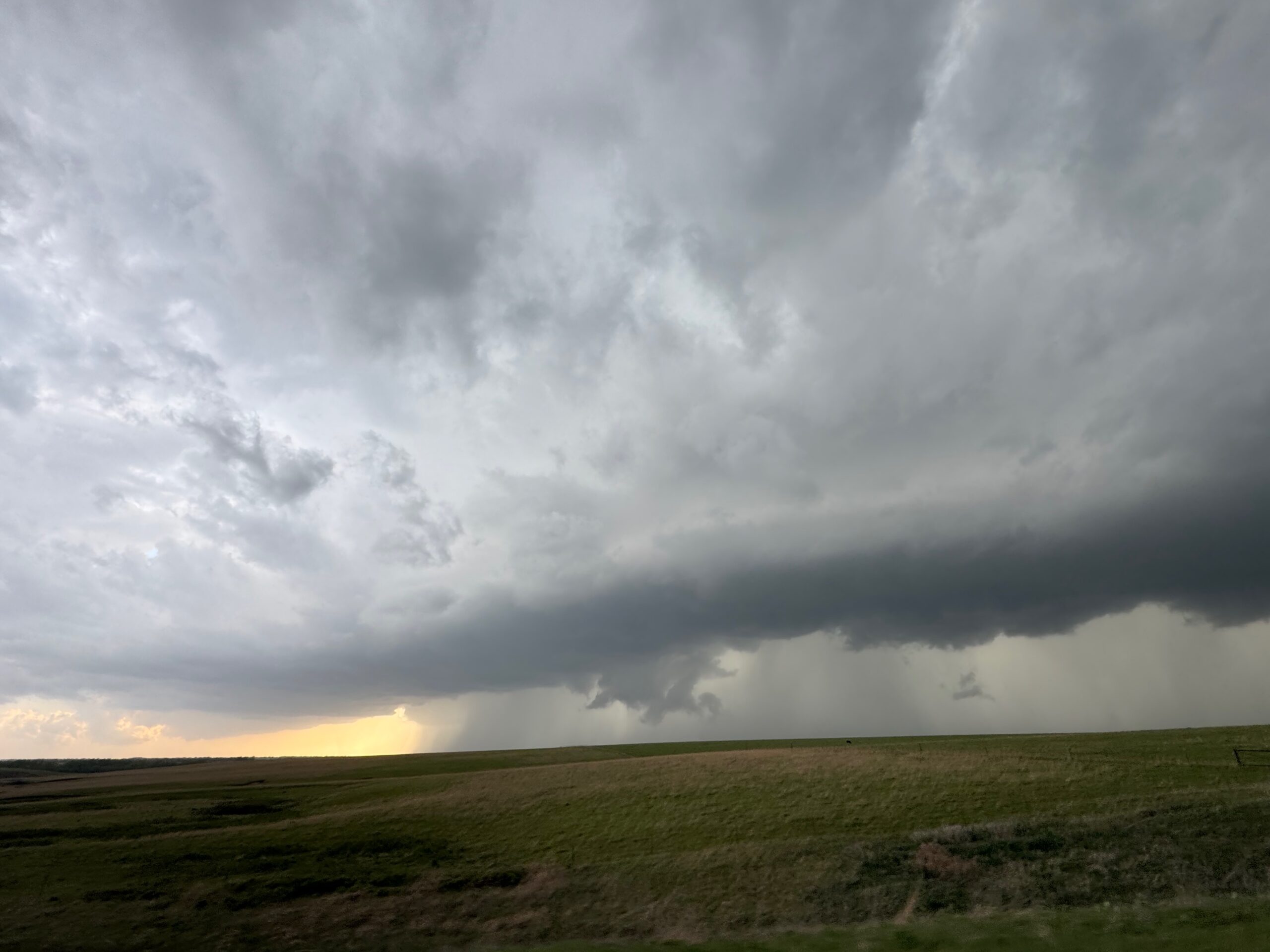
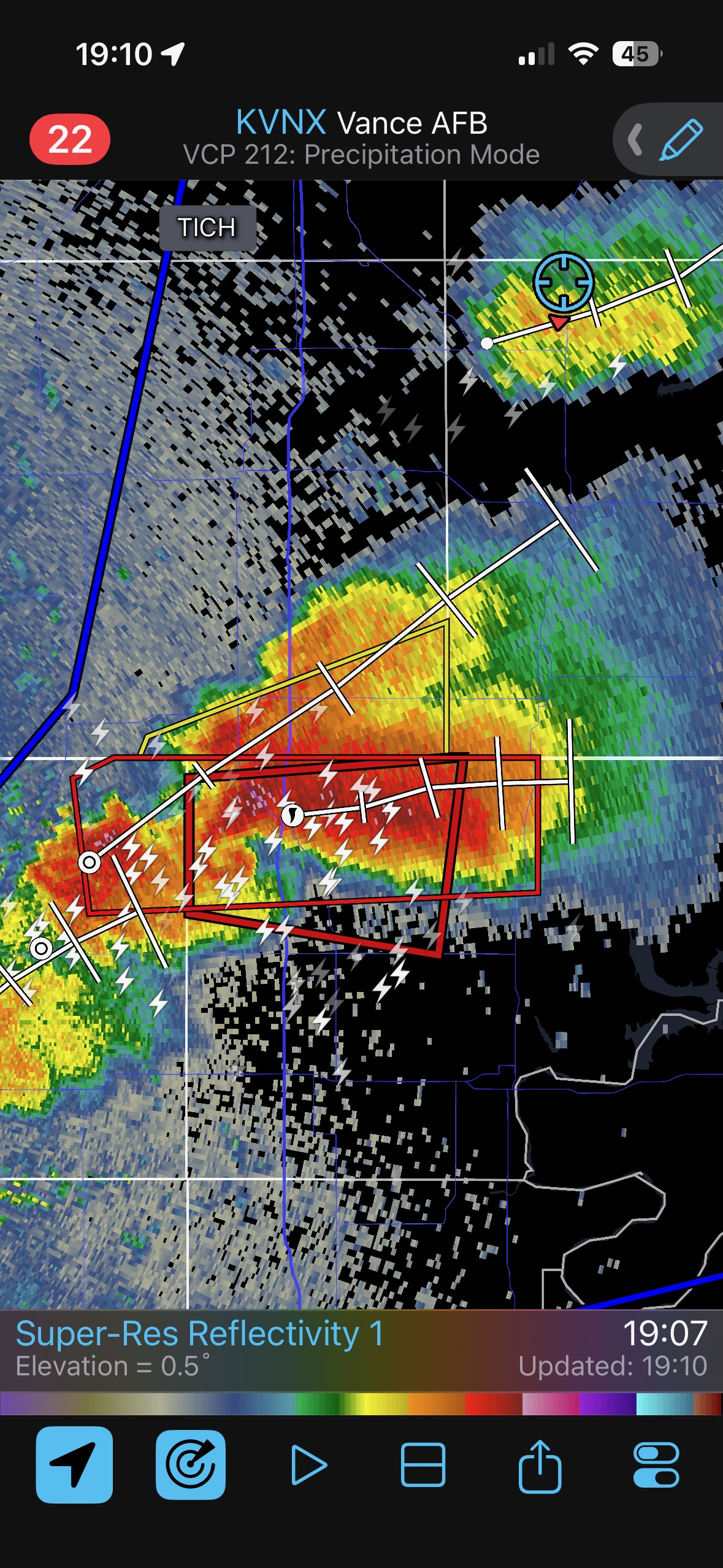
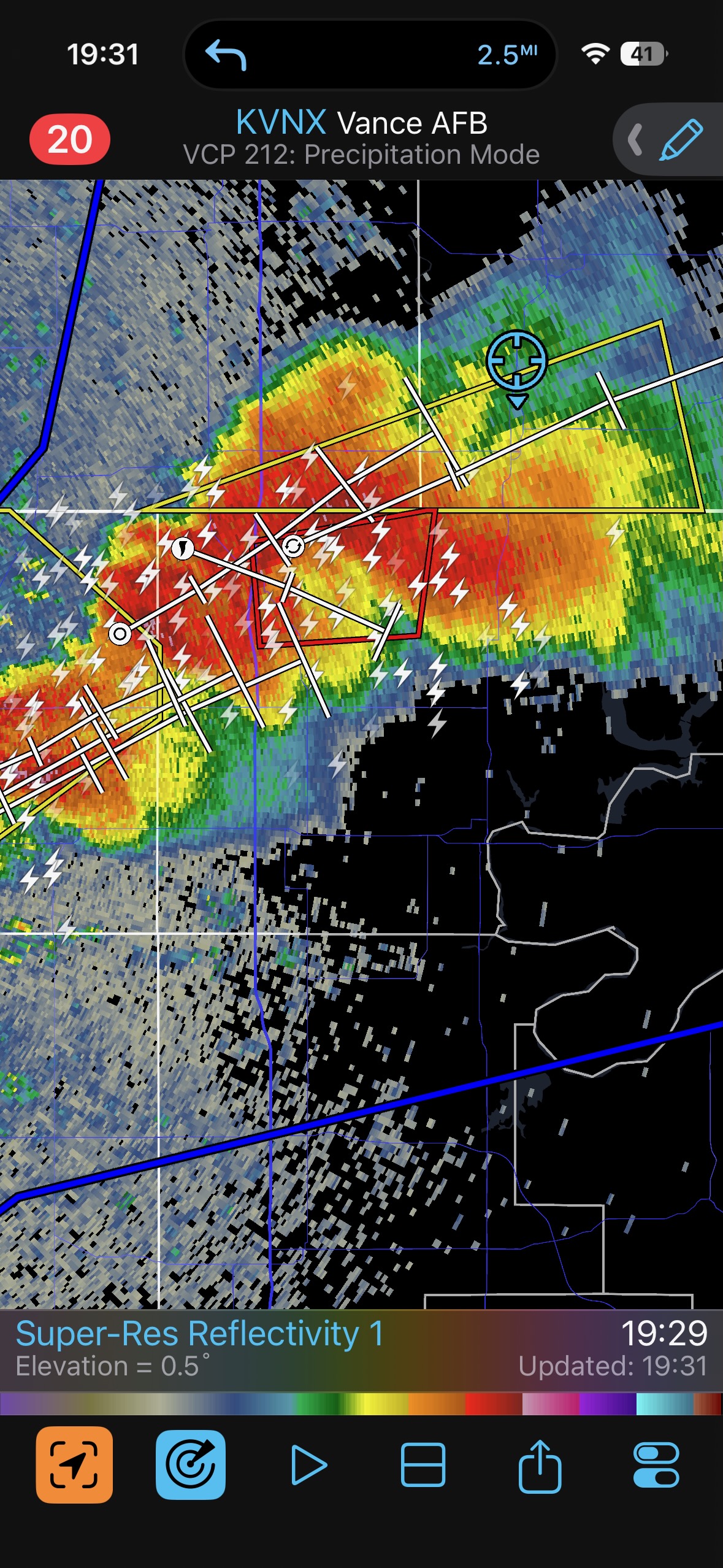
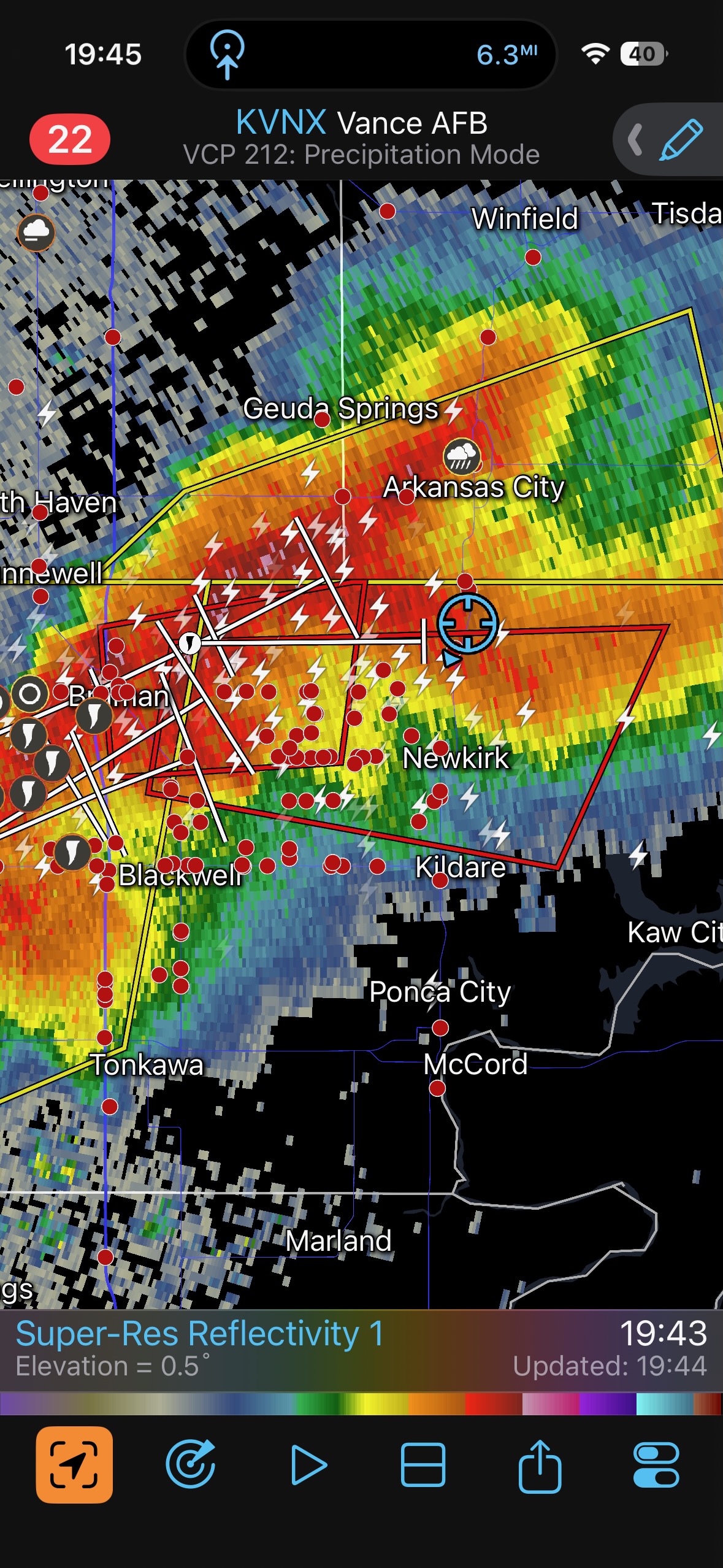
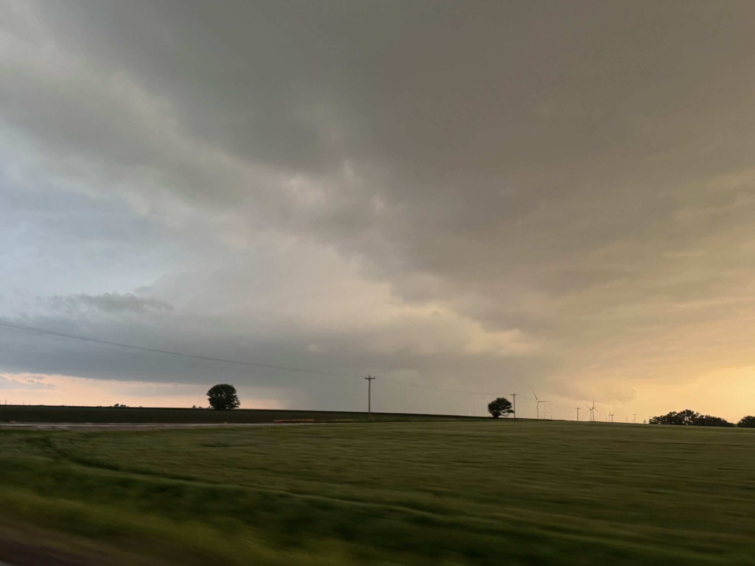
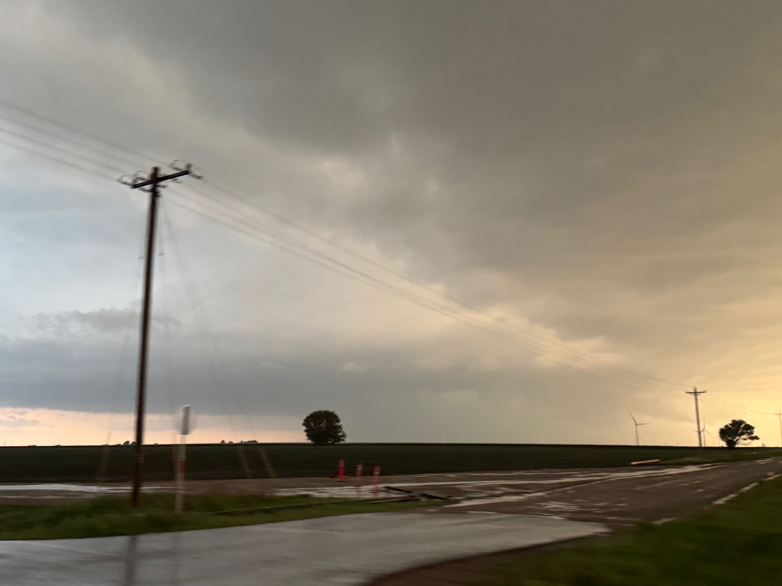
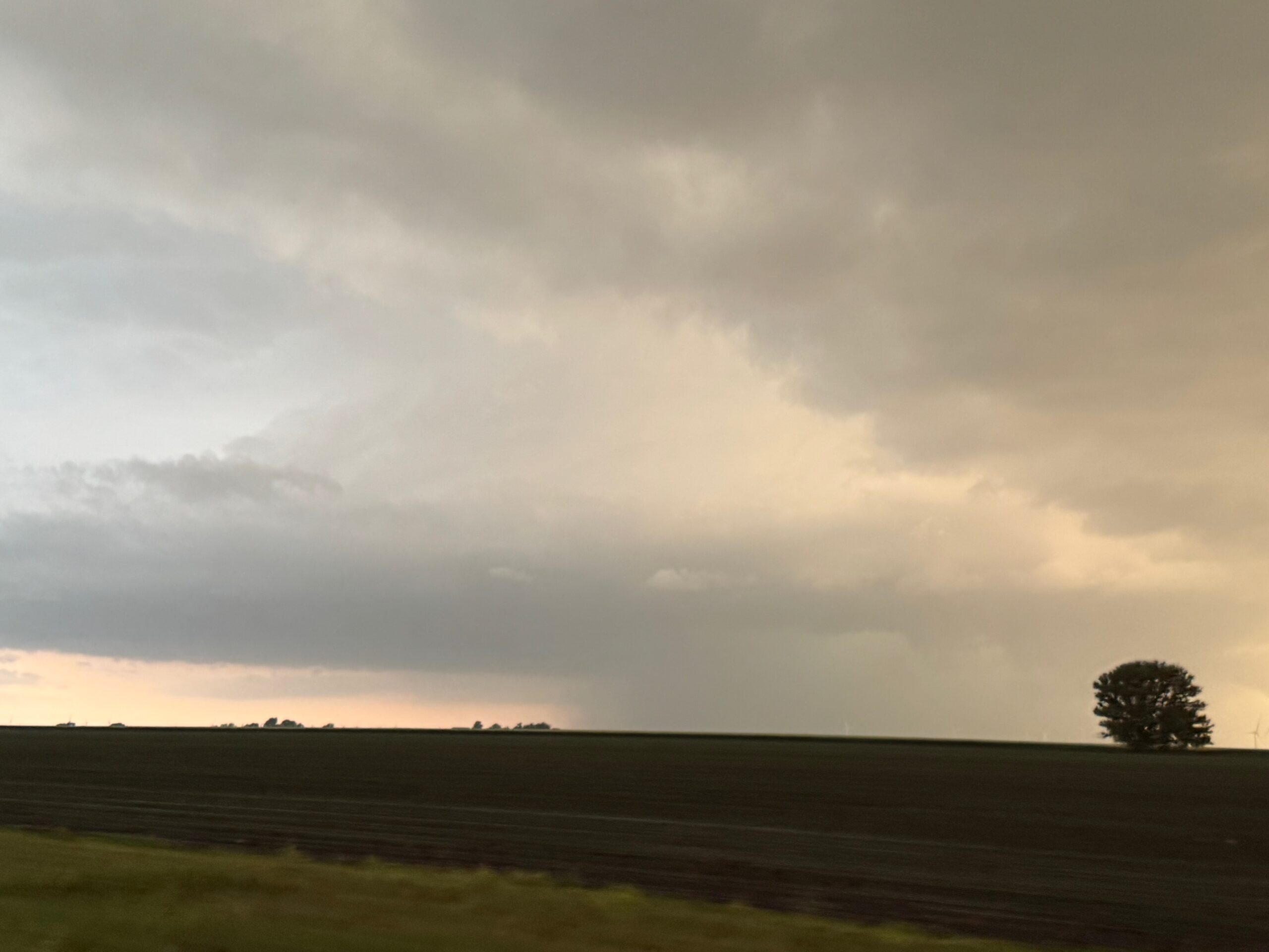
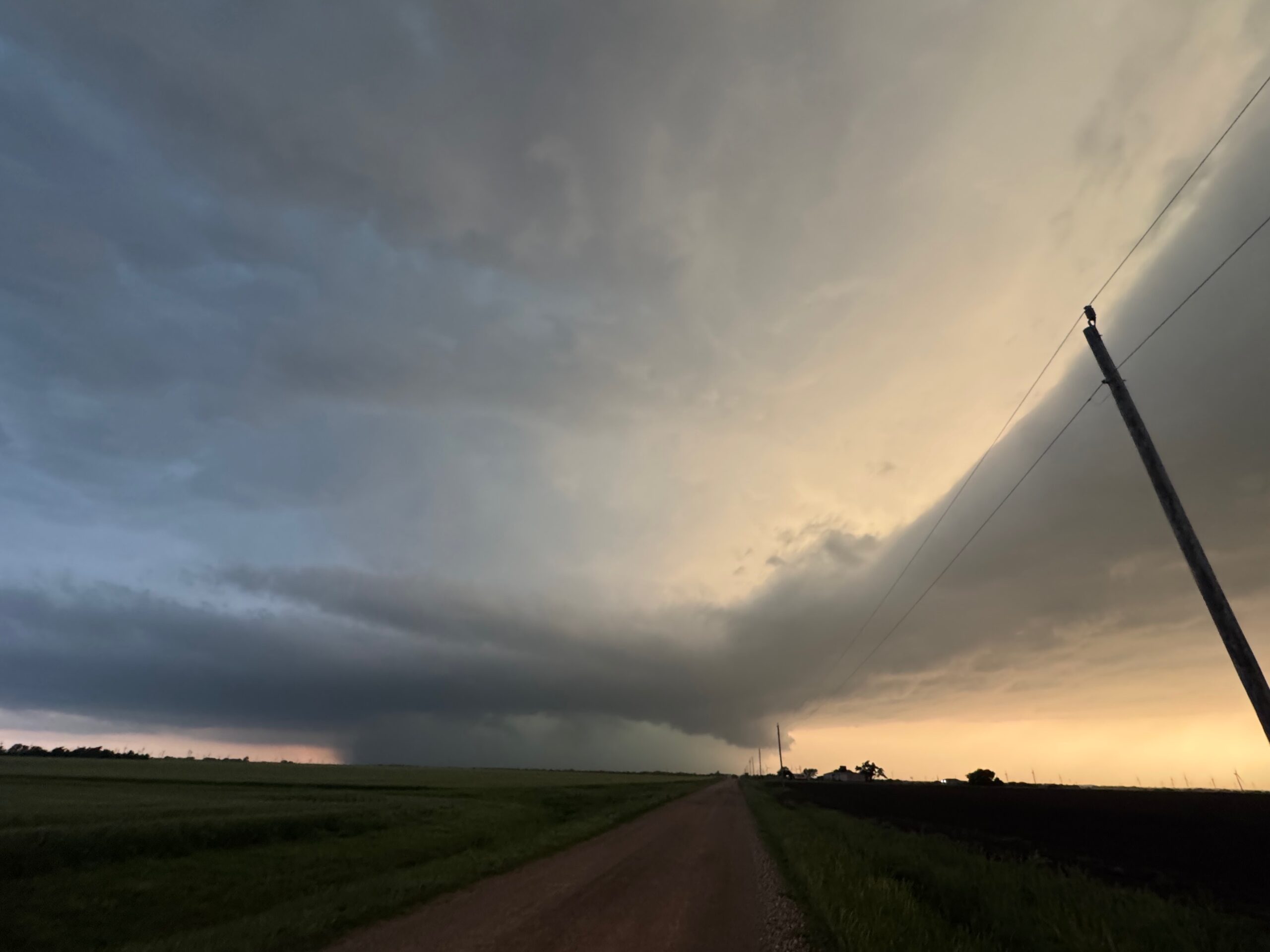
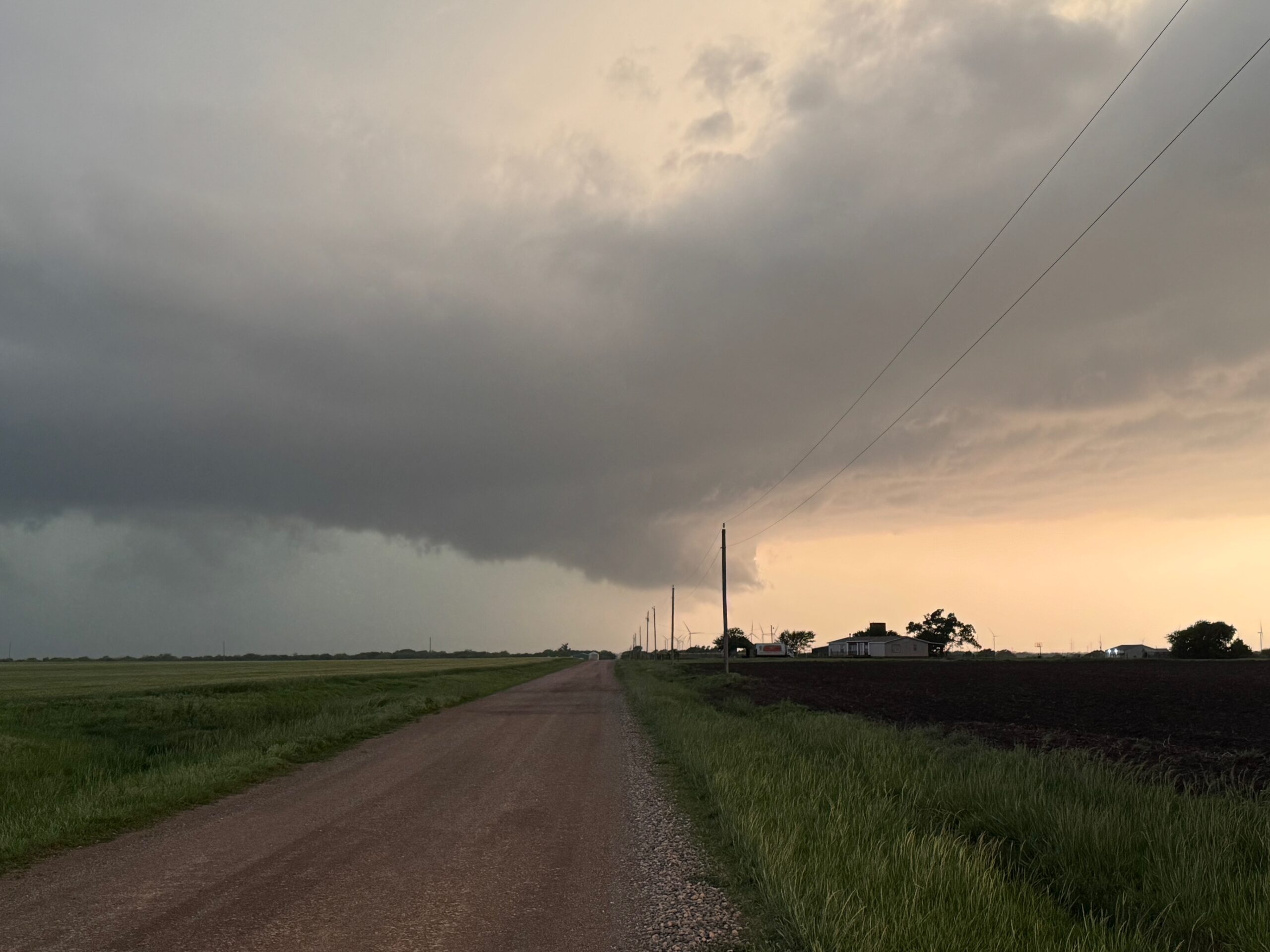
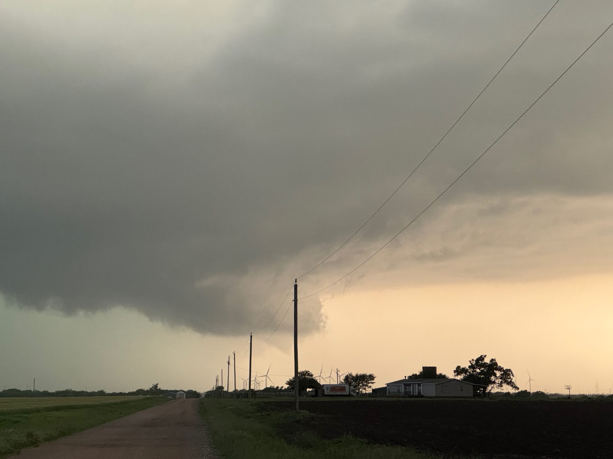
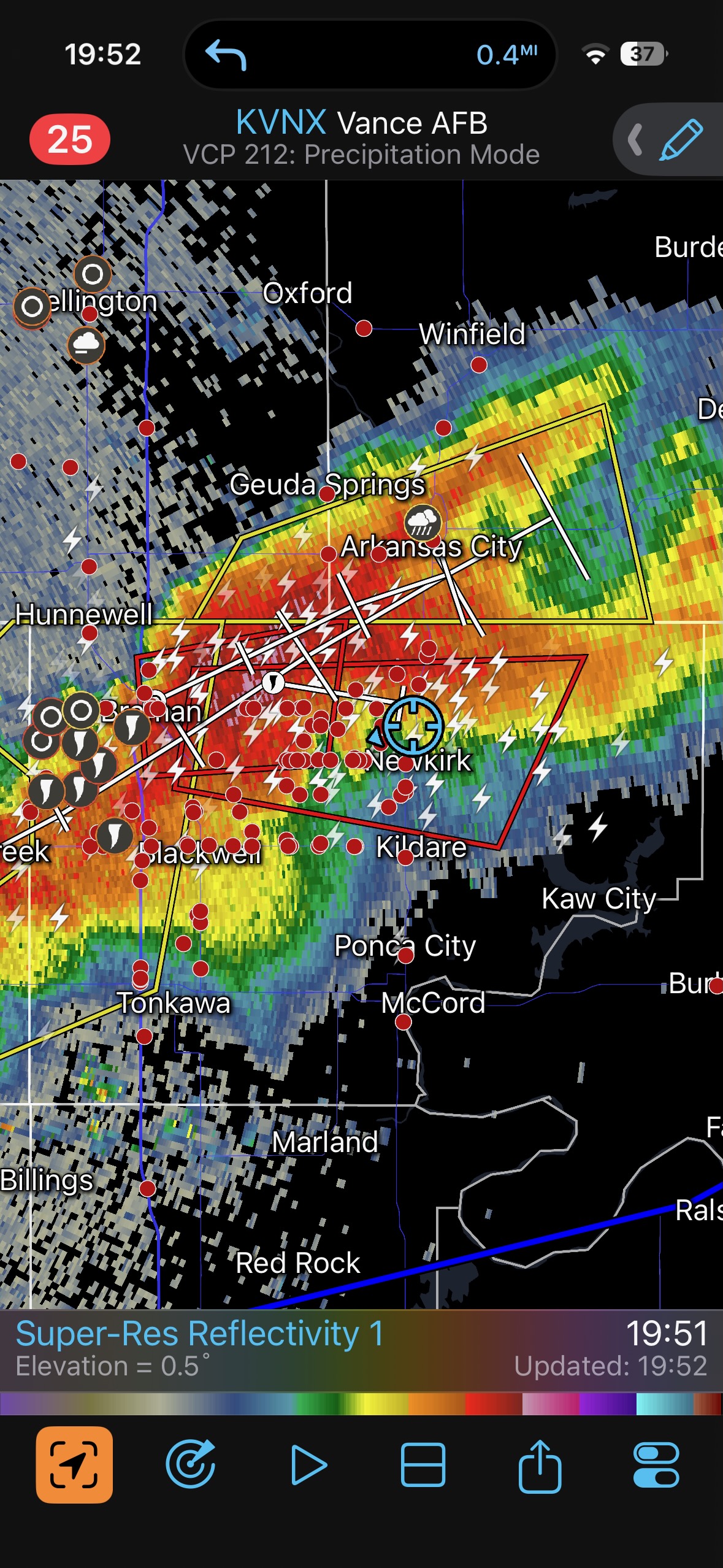
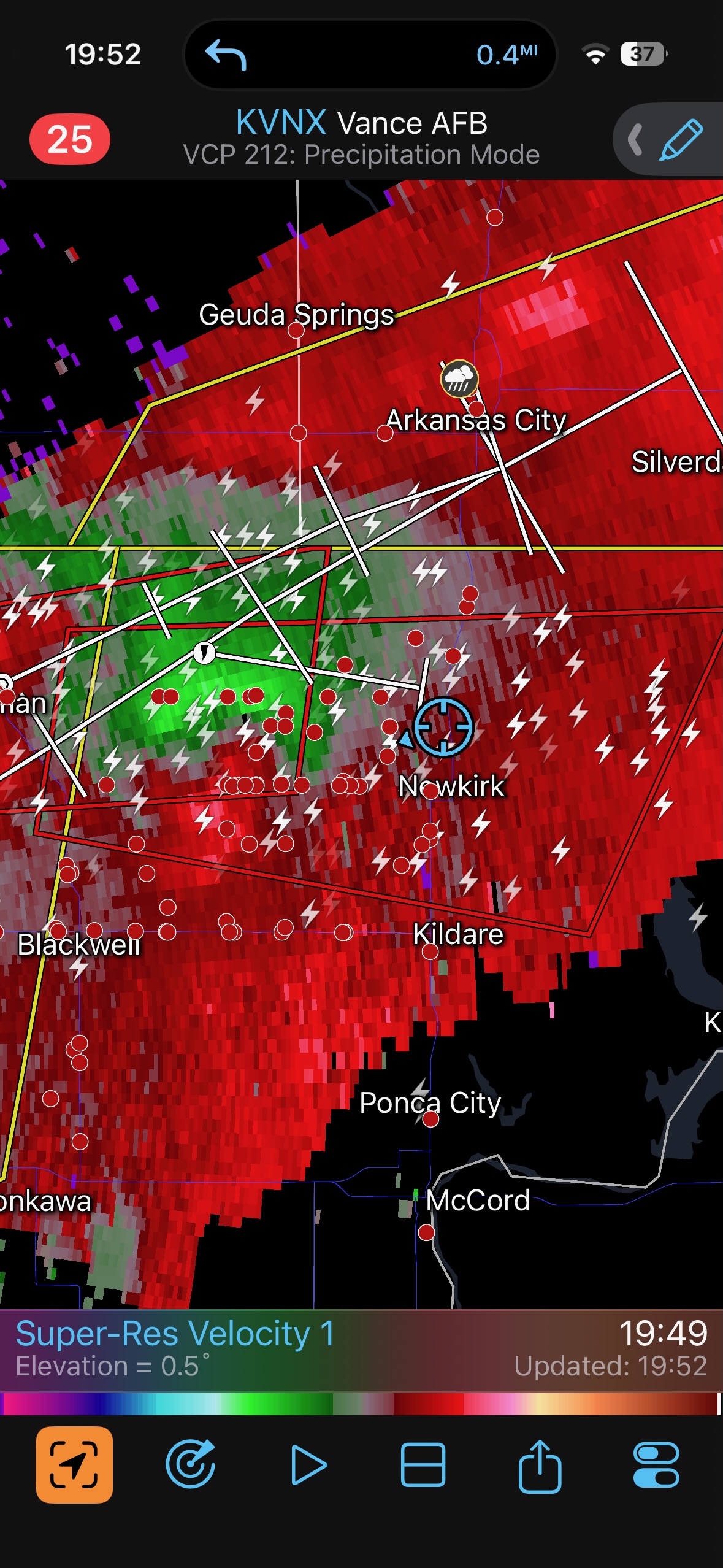
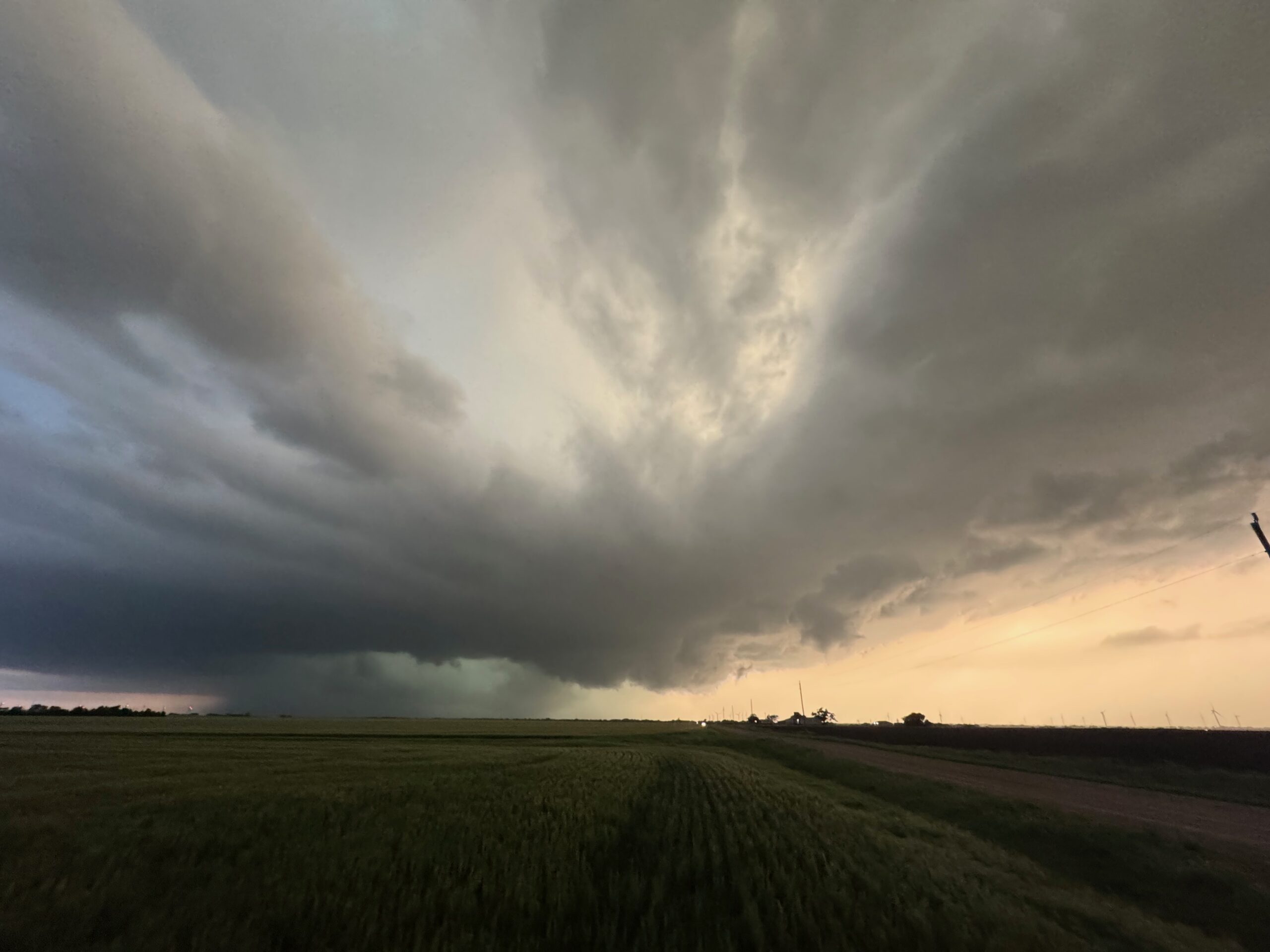
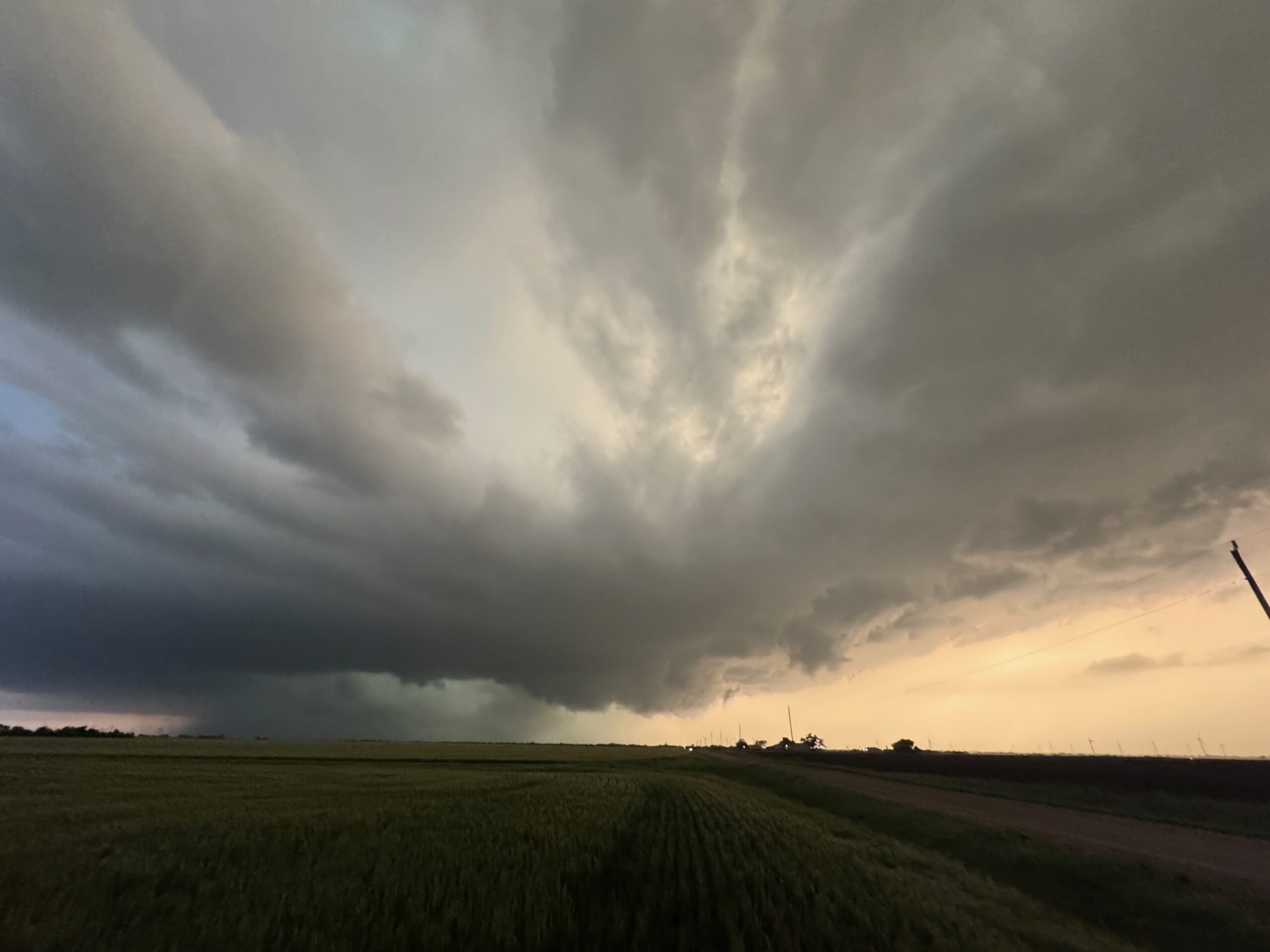
The three images below are the only ones for me to share off of my Canon cameras. We are looking west at the once-tornadic Braman, OK, supercell, from just west of Newkirk, OK.
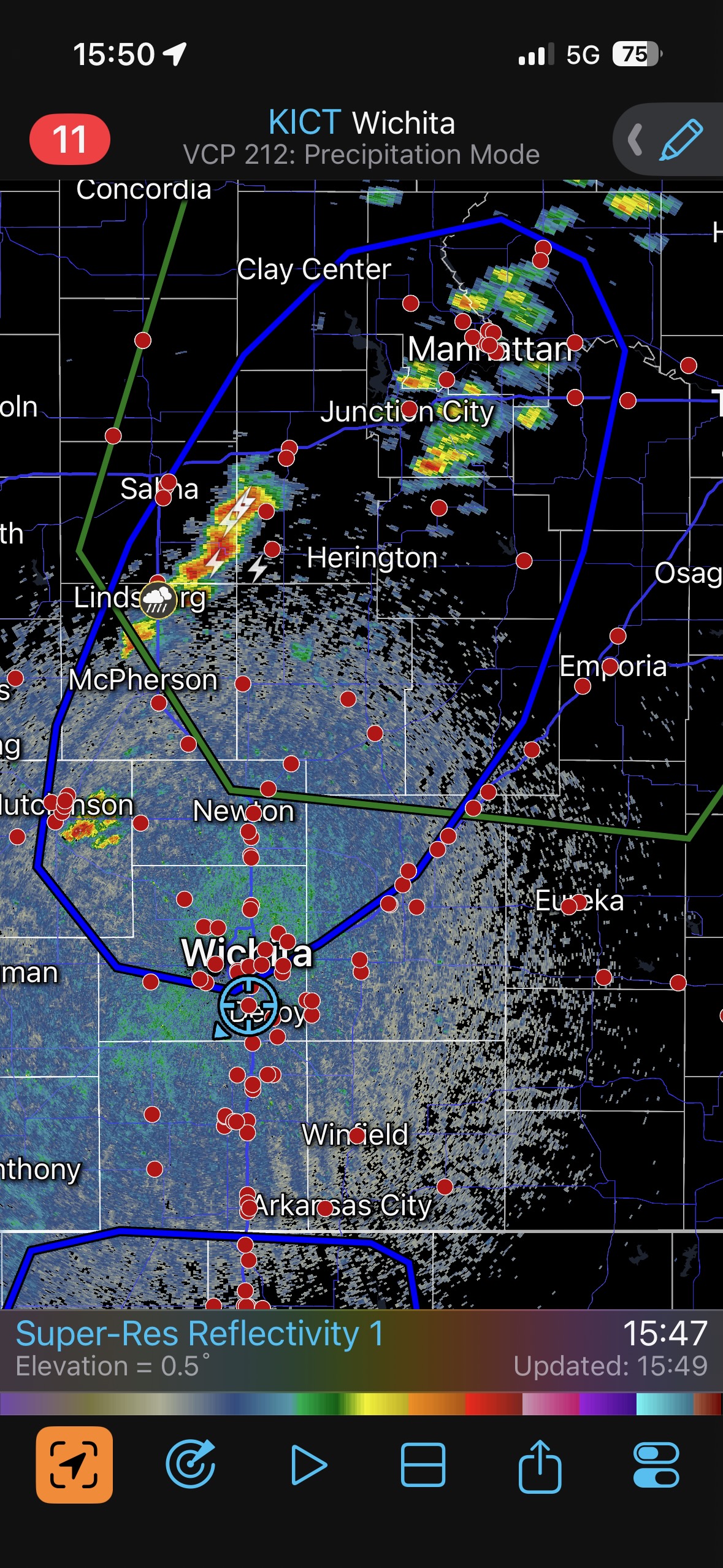
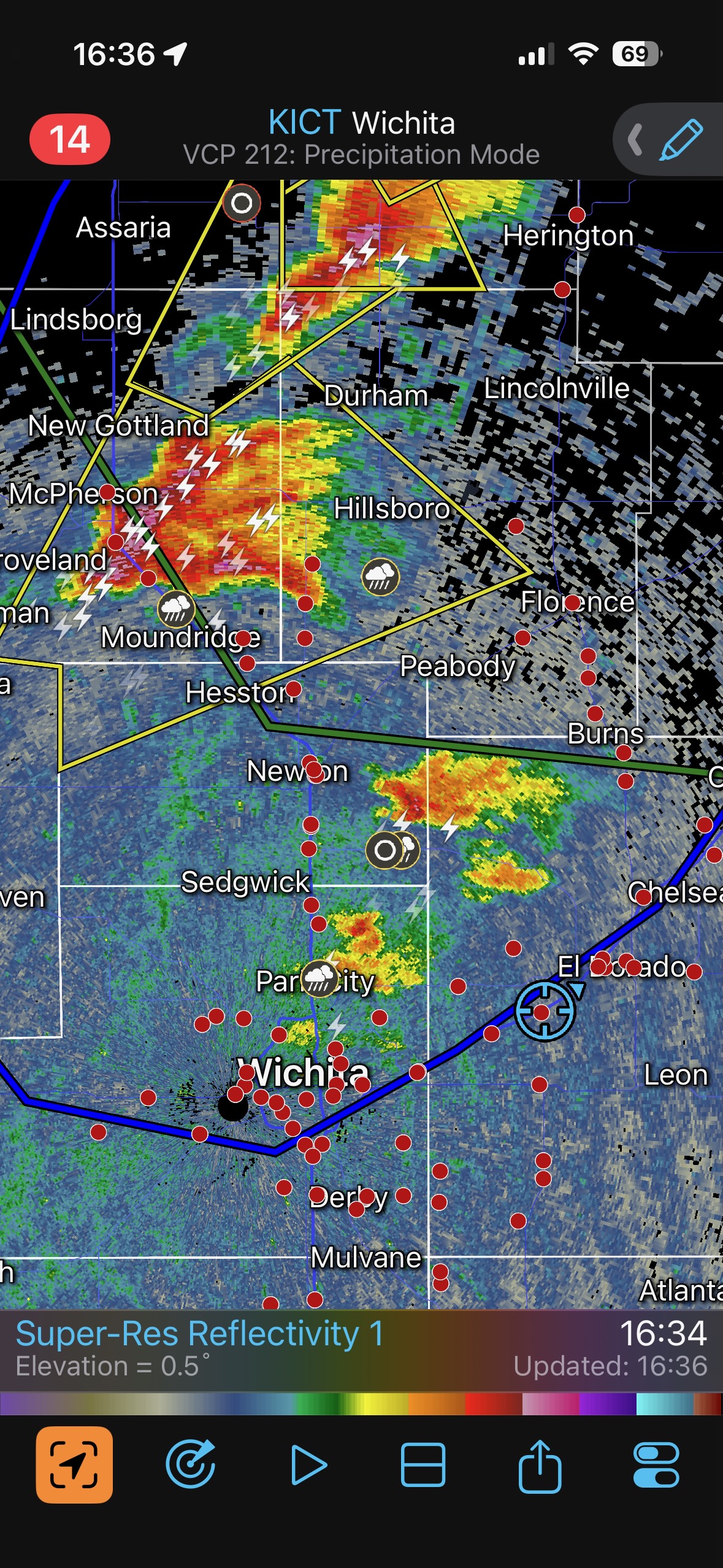
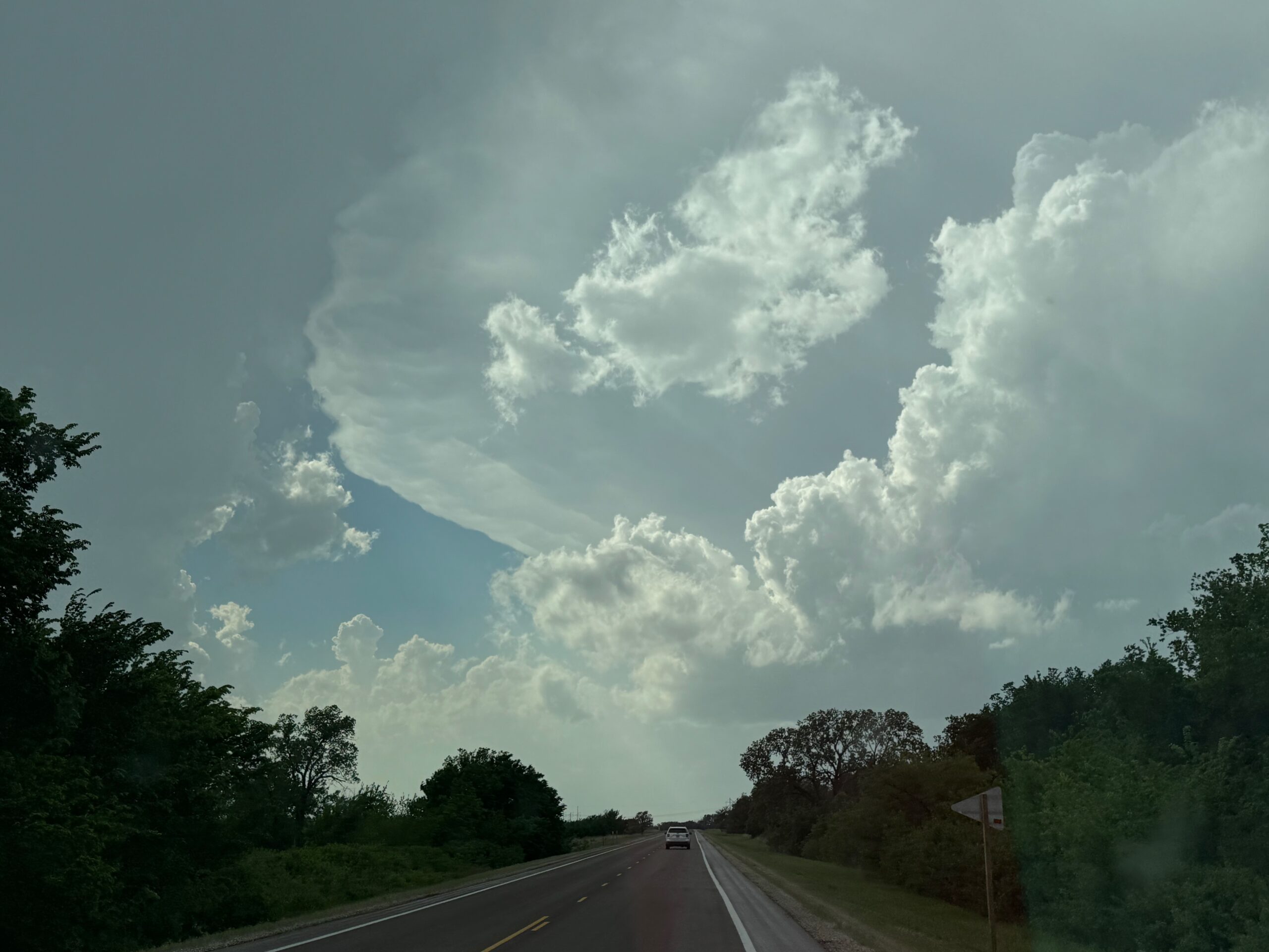
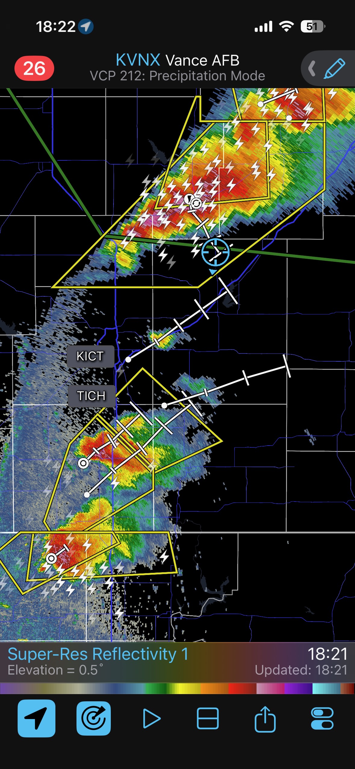
Shear and instability were quite good in my target area along I-35, around Wellington to Wichita. Once storms started to go up I headed to Andover to maximize positioning. This was the make-or-break decision point of the day. Should I stay with the very healthy updrafts nearby (that were moving to the northeast), or should I abandon these and go for the newer dry line cell just across the border in OK, maybe an hour away? I decided to see what this nearby stuff could do. I was not certain at all as to whether my decision was the right one.
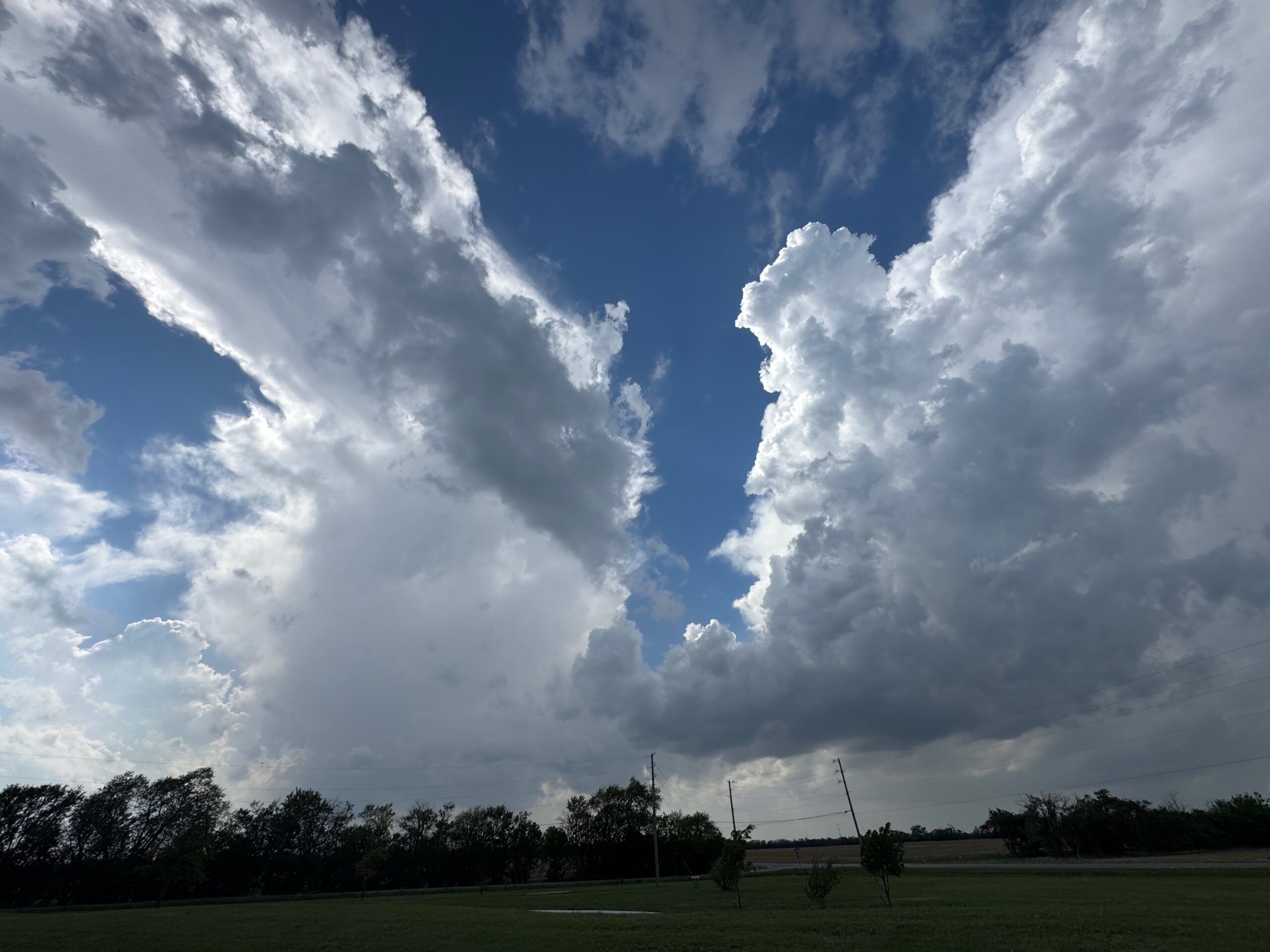
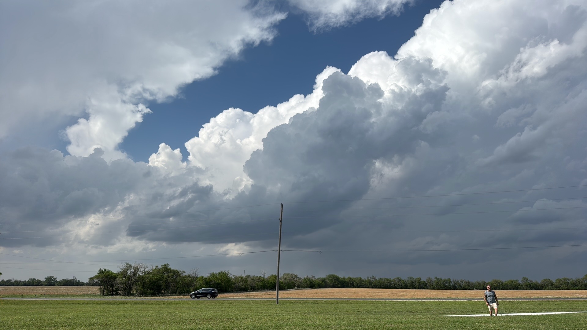
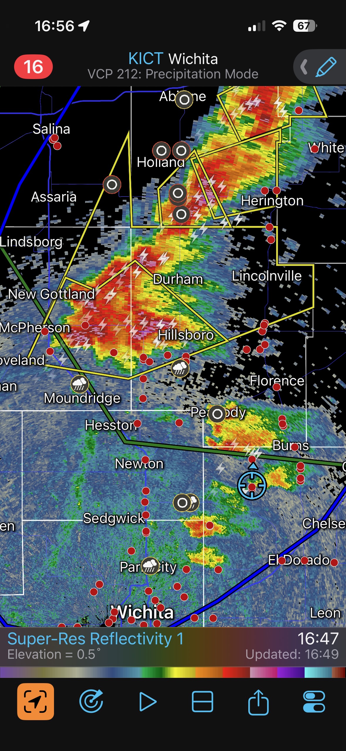
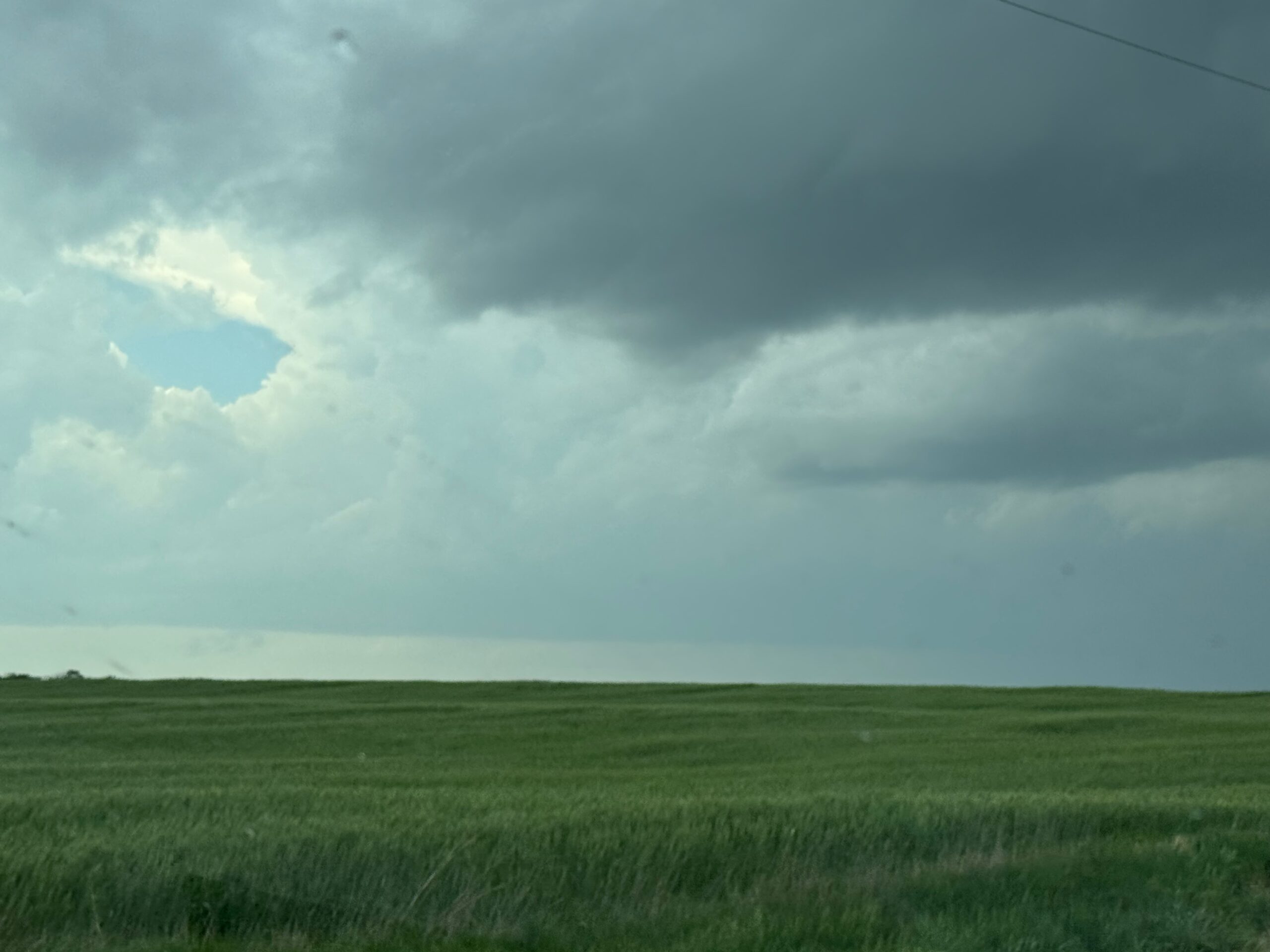
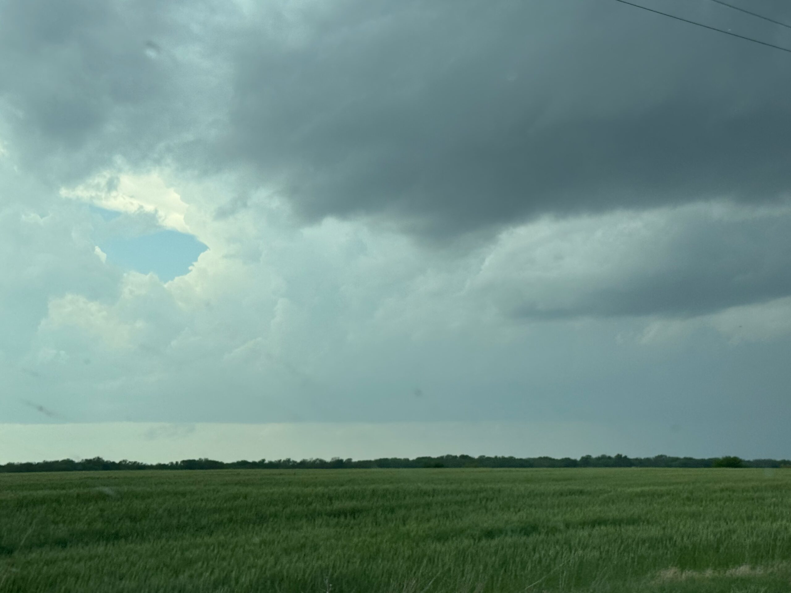
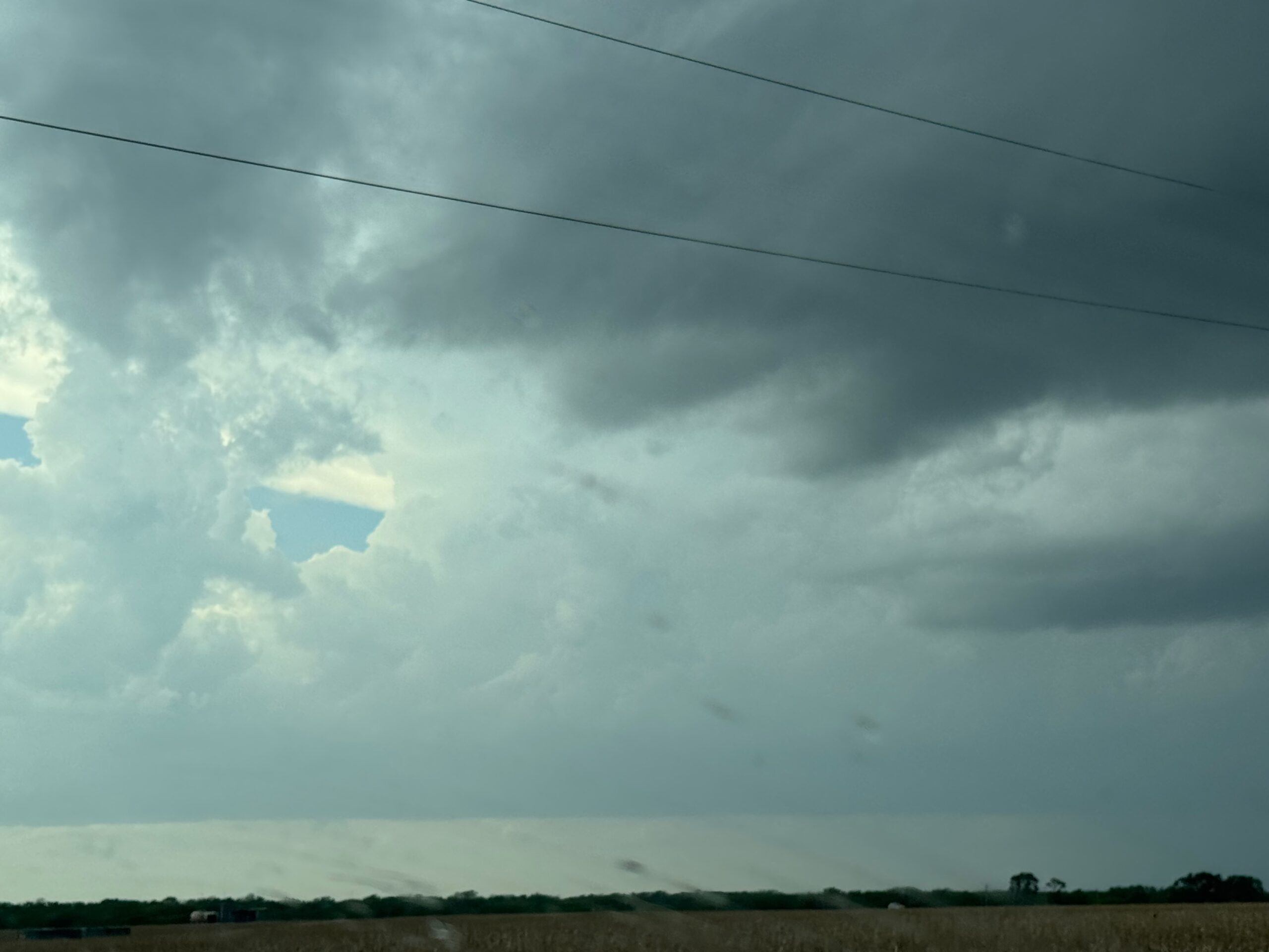
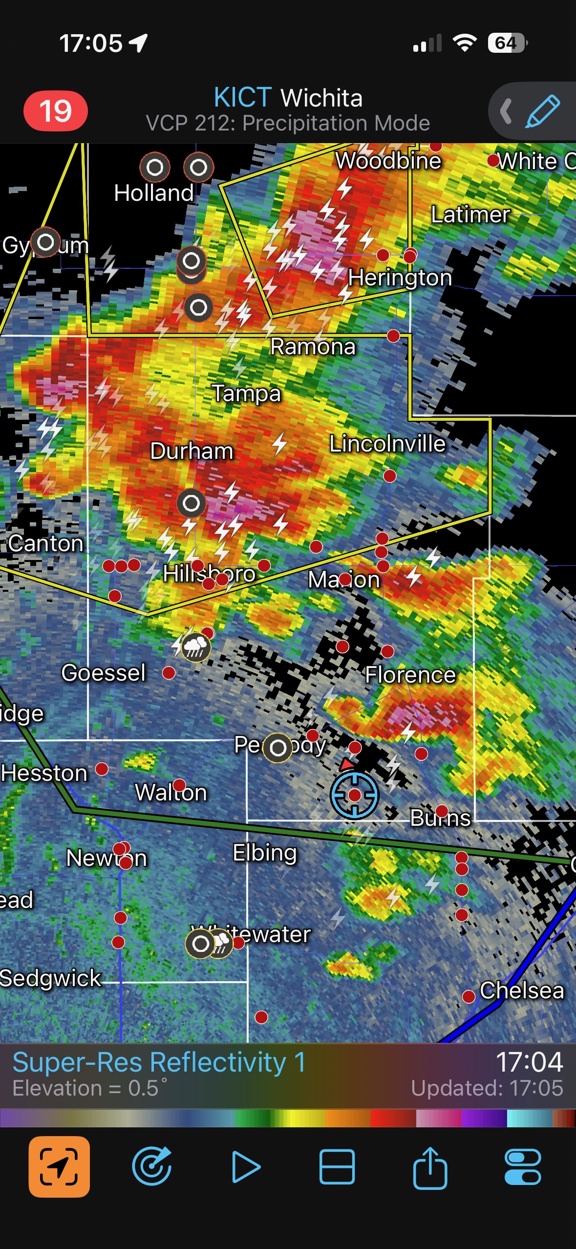
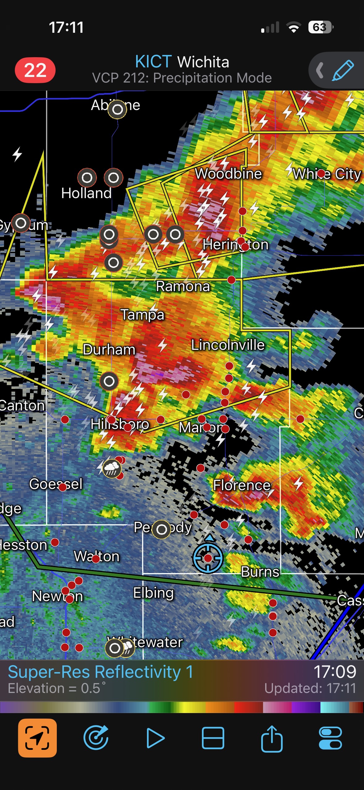
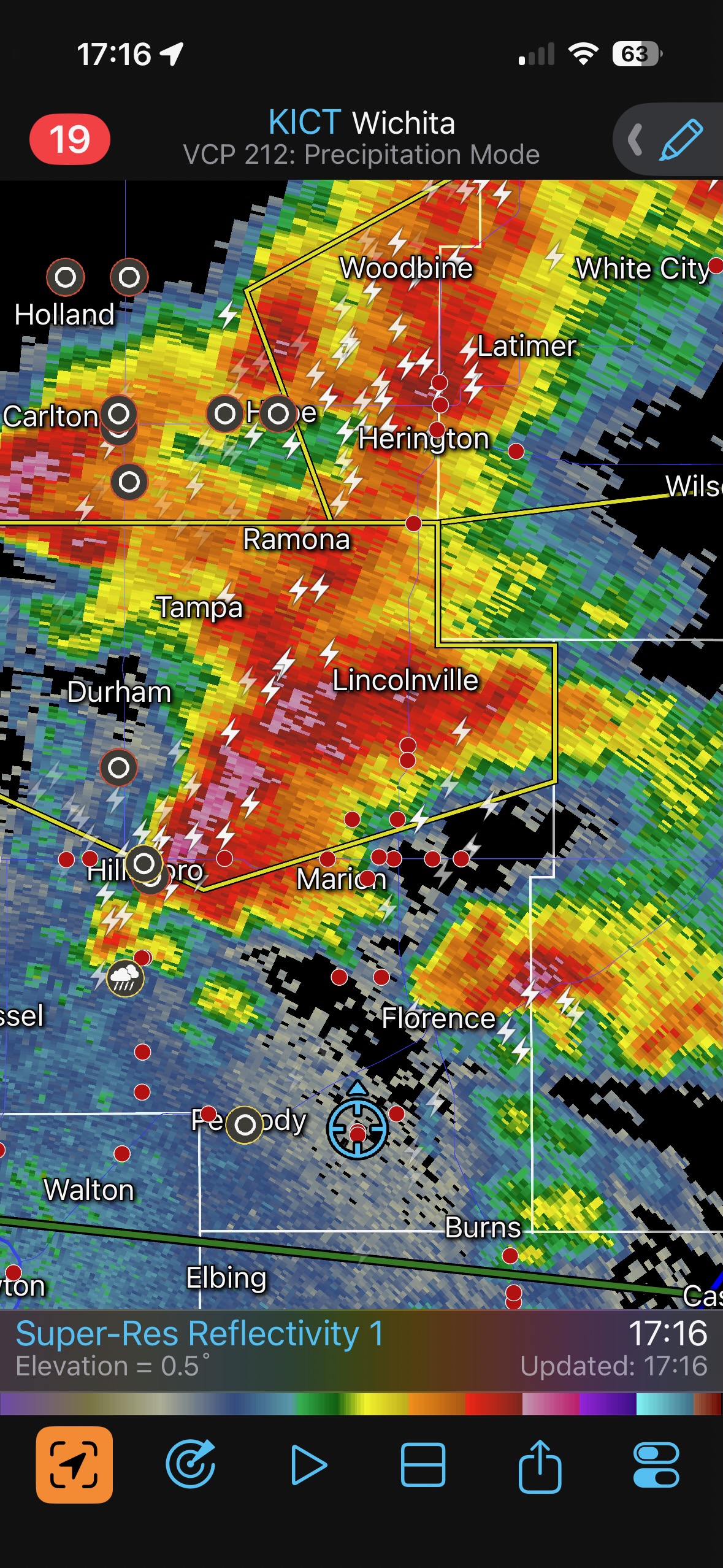
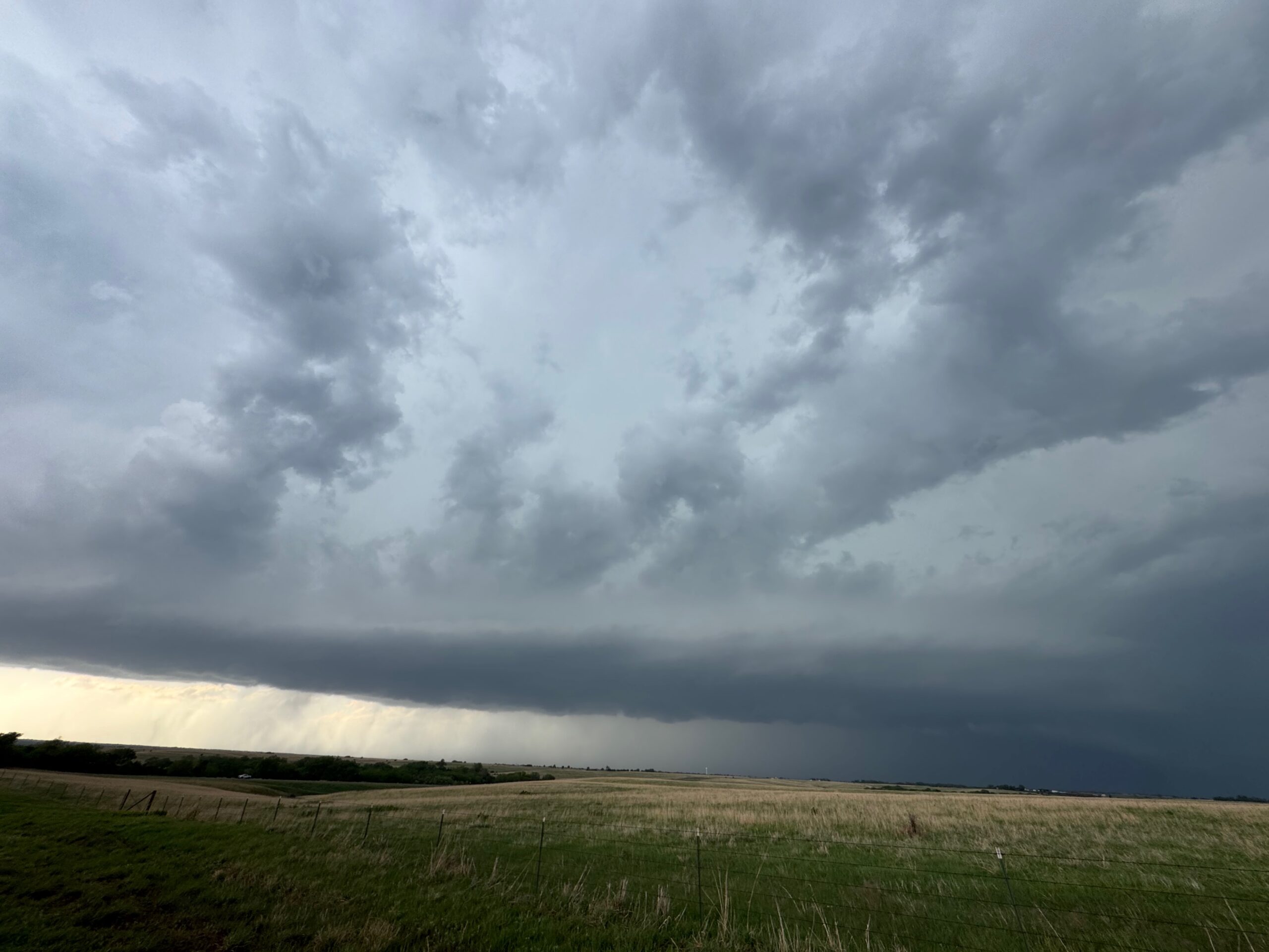
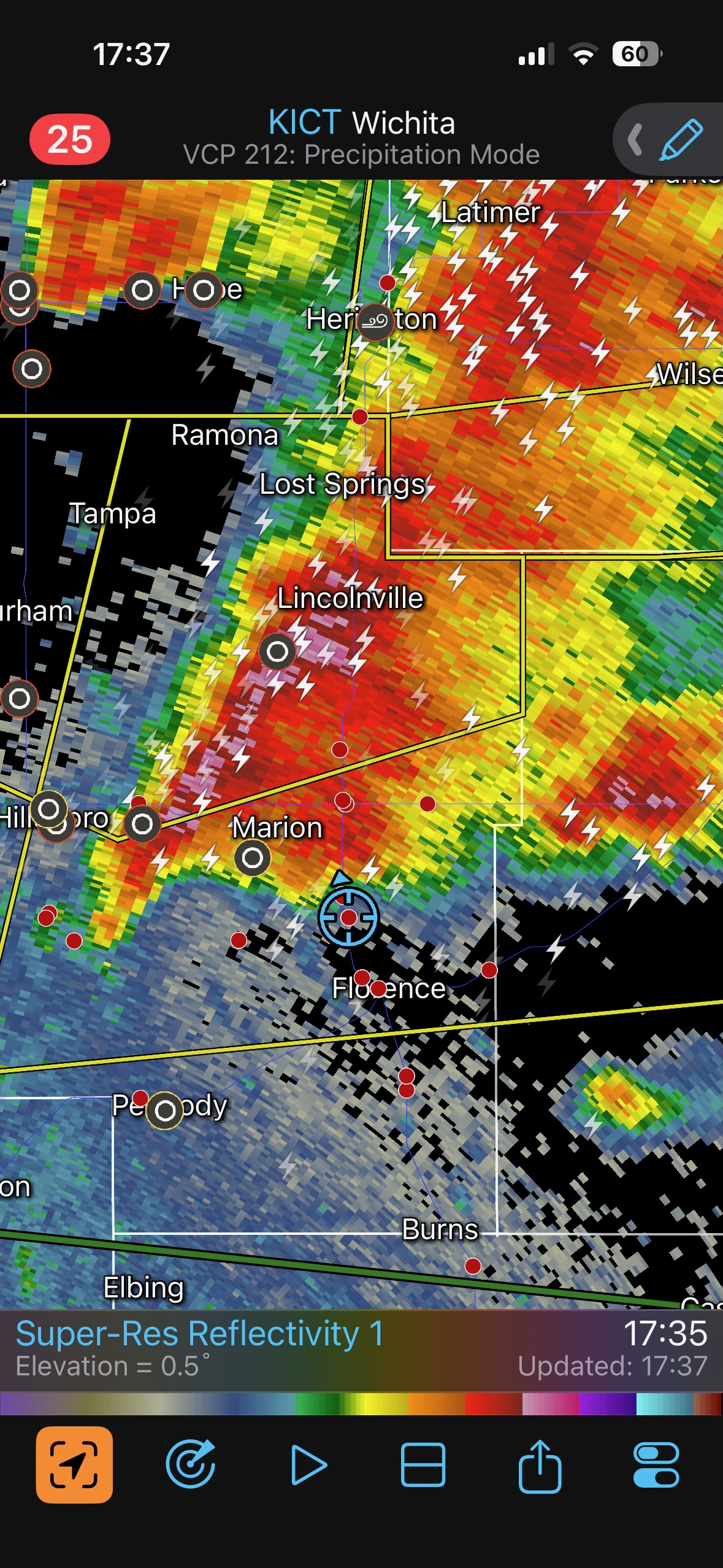
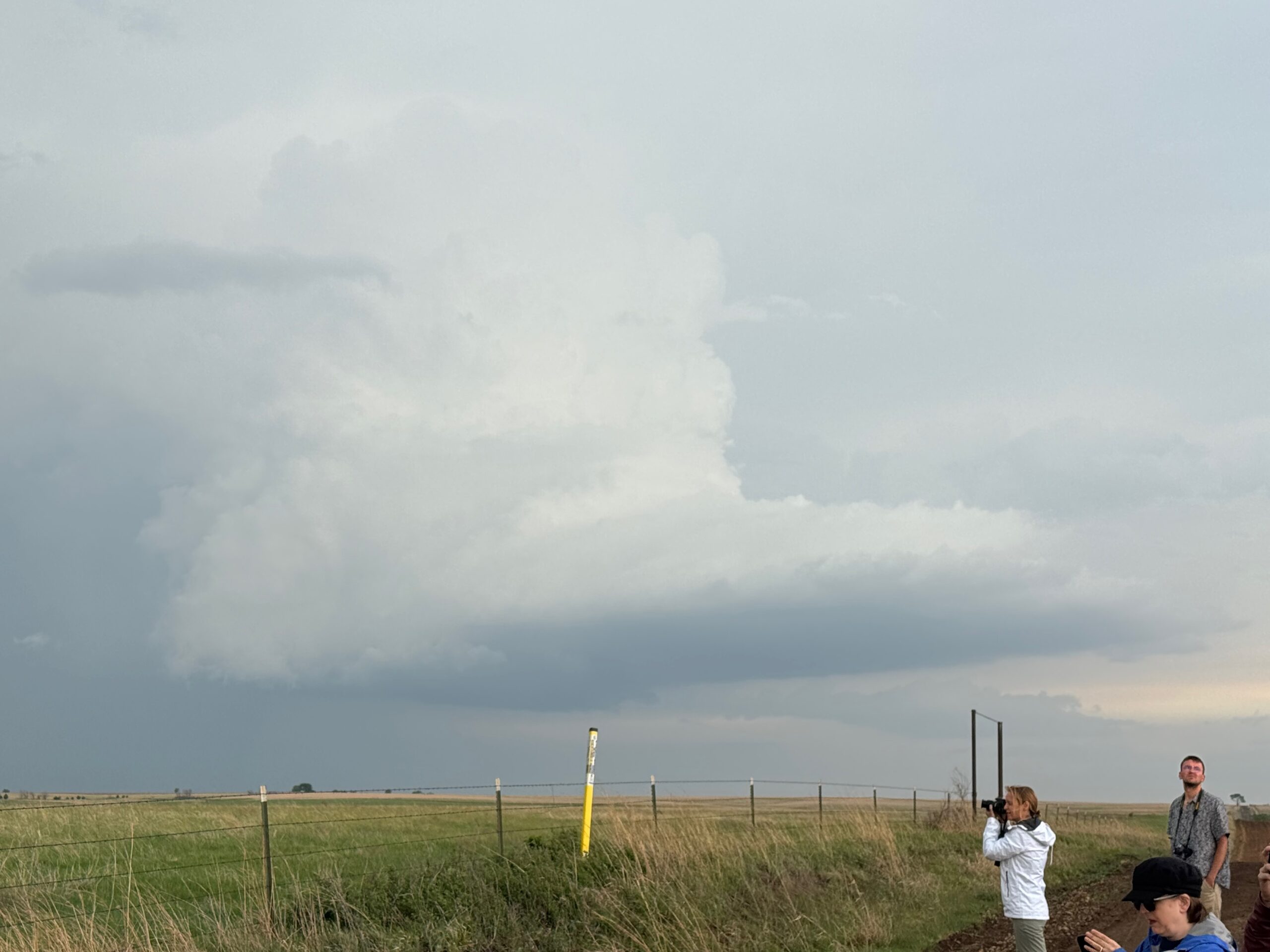
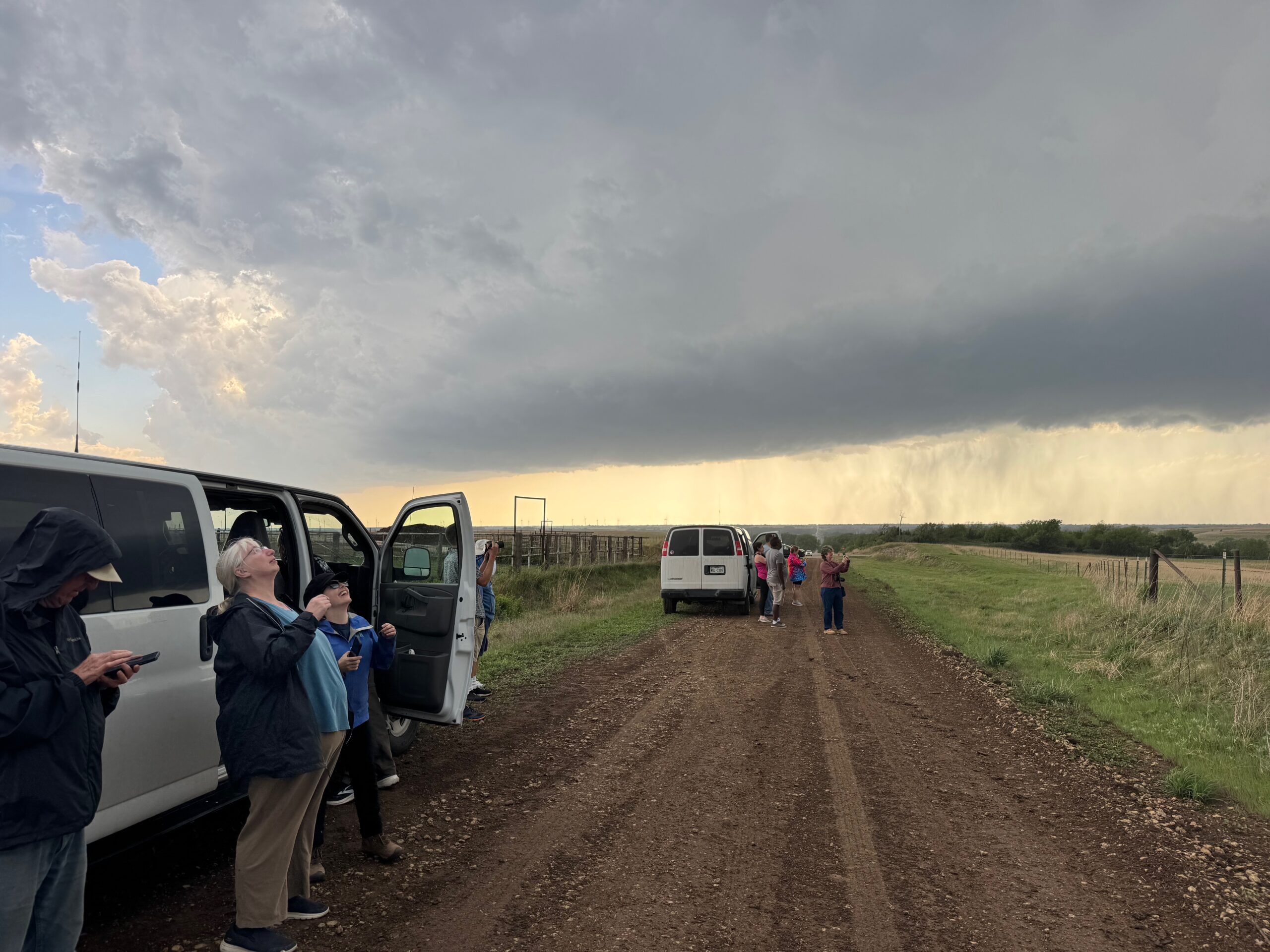
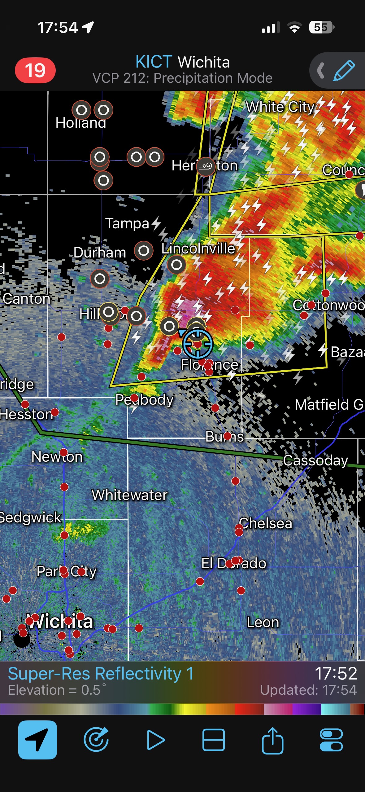
We were pulled farther northward and got just east of a severe-warned (but terribly linear-looking) thing around Florence, KS. For a little bit we were southeast of and close enough to an organized storm which looked to have a good RFD cut and a tornado chance. But that feeling of “maybe we have something here” was far too ephemeral.
This storm just to our west was going into outflowing-junk mode.
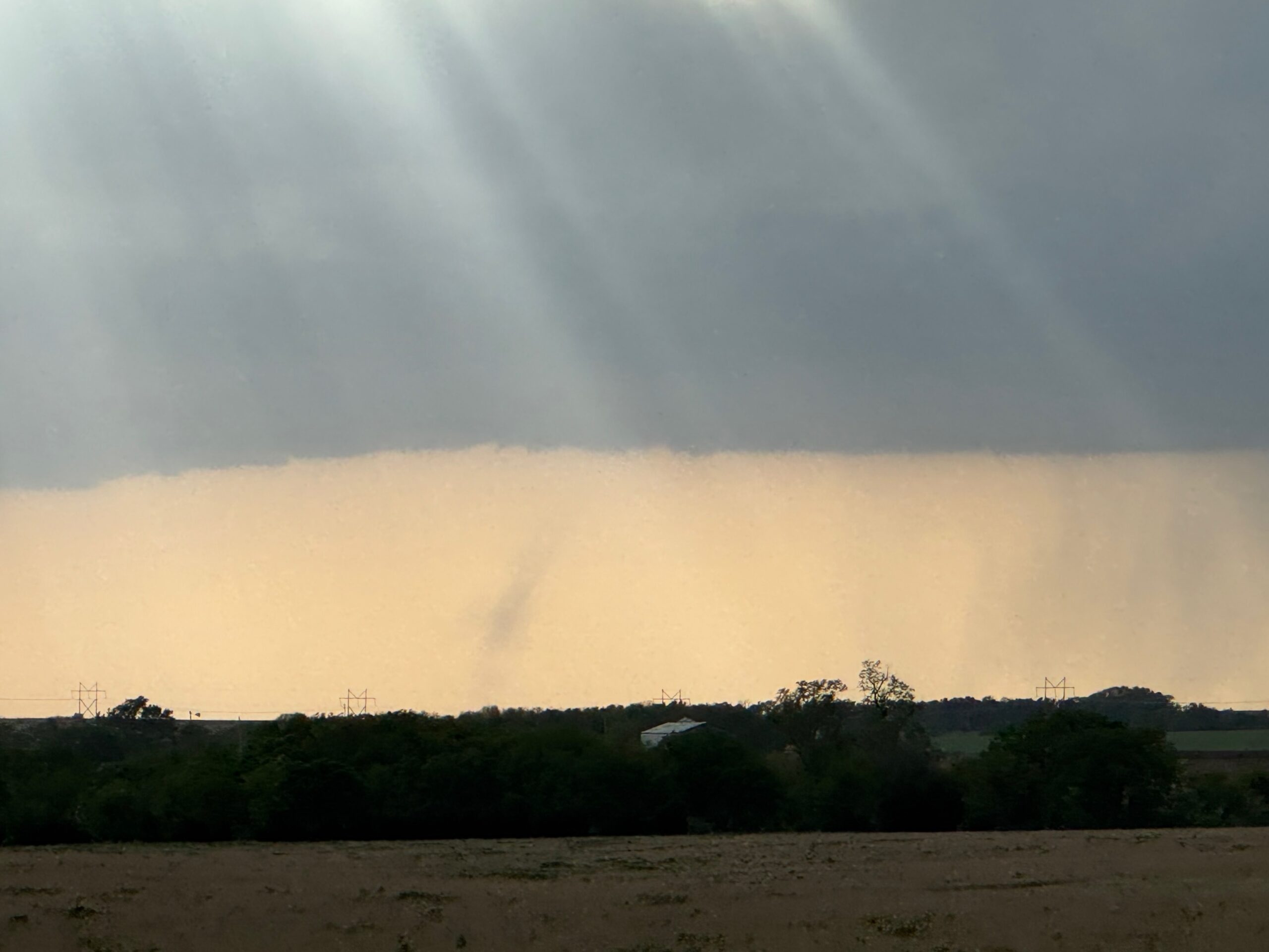
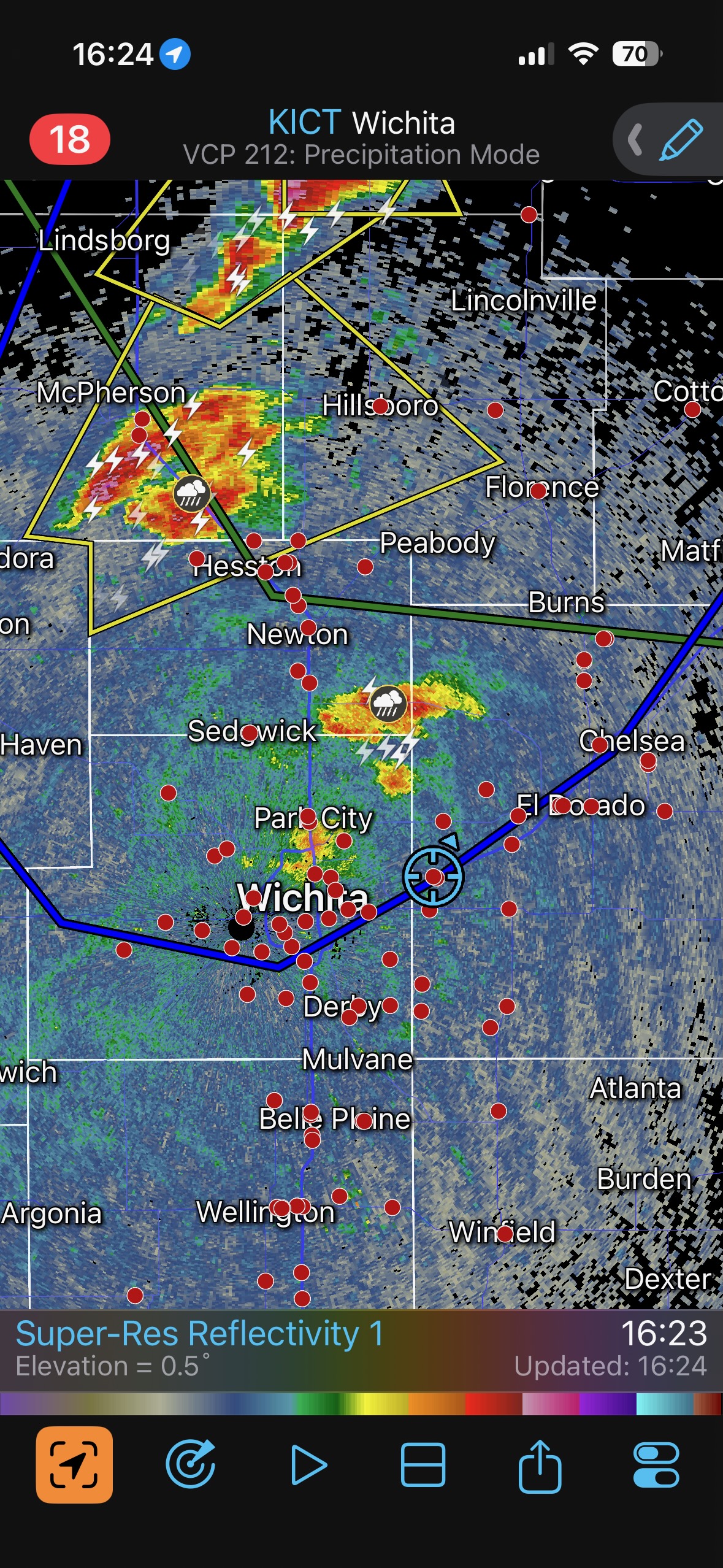
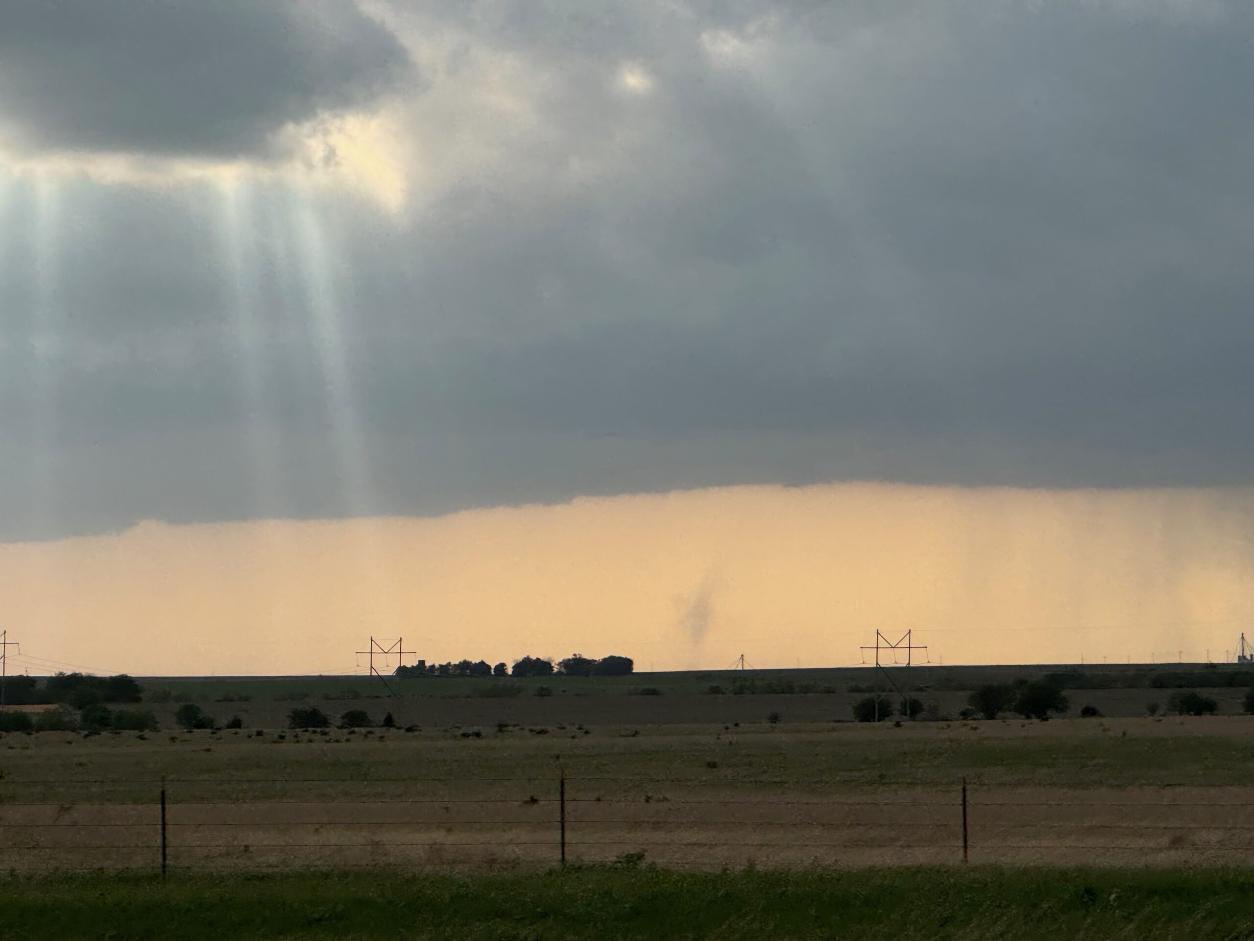
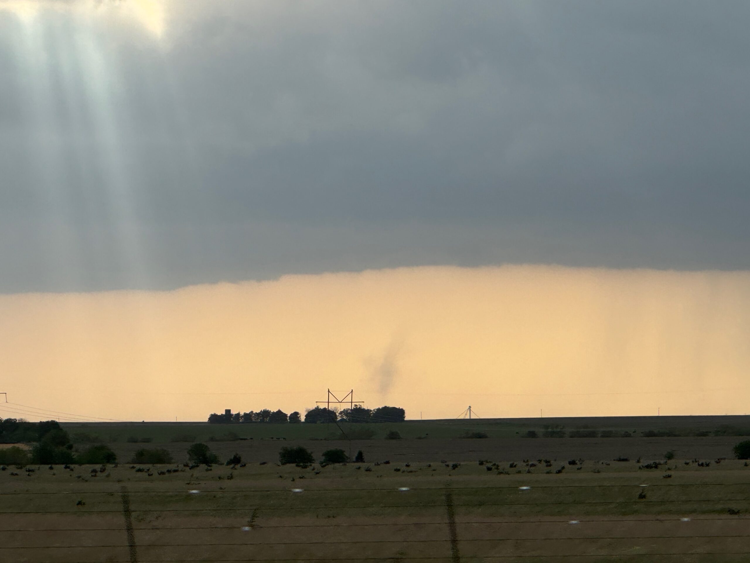
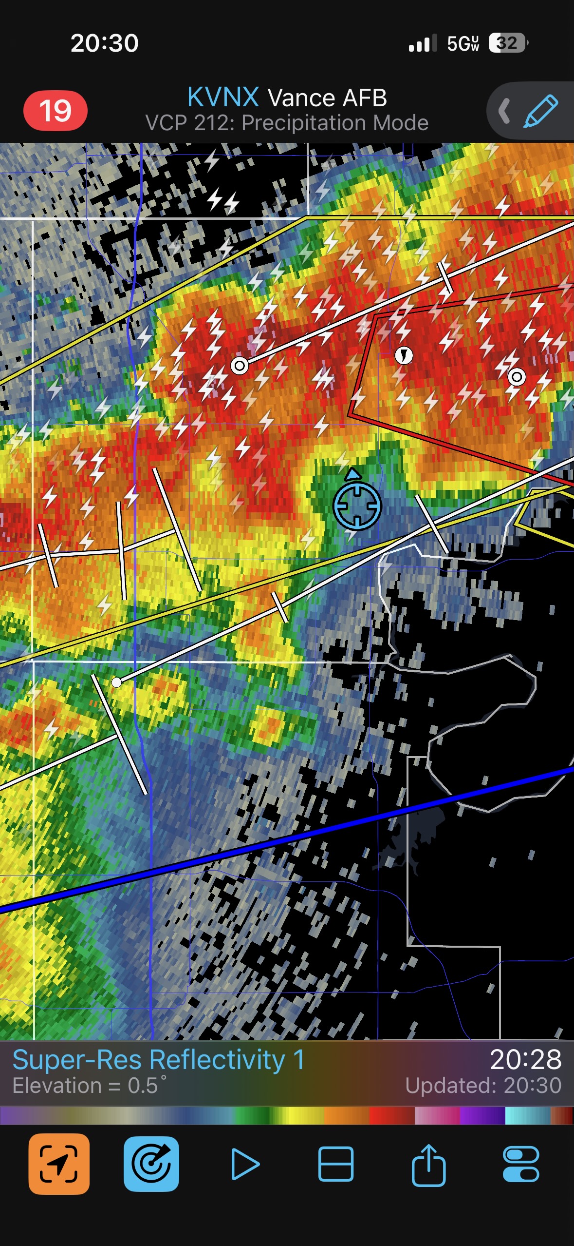
I knew that I had screwed up the chase day. I had Amanda and Bob take us back southward as quickly as possible to see if something might be salvaged before dark. We observed a landspout to the west on the southern end of the convection that was a little east of Newton (see pics below). That must have been around 6:30 p.m.
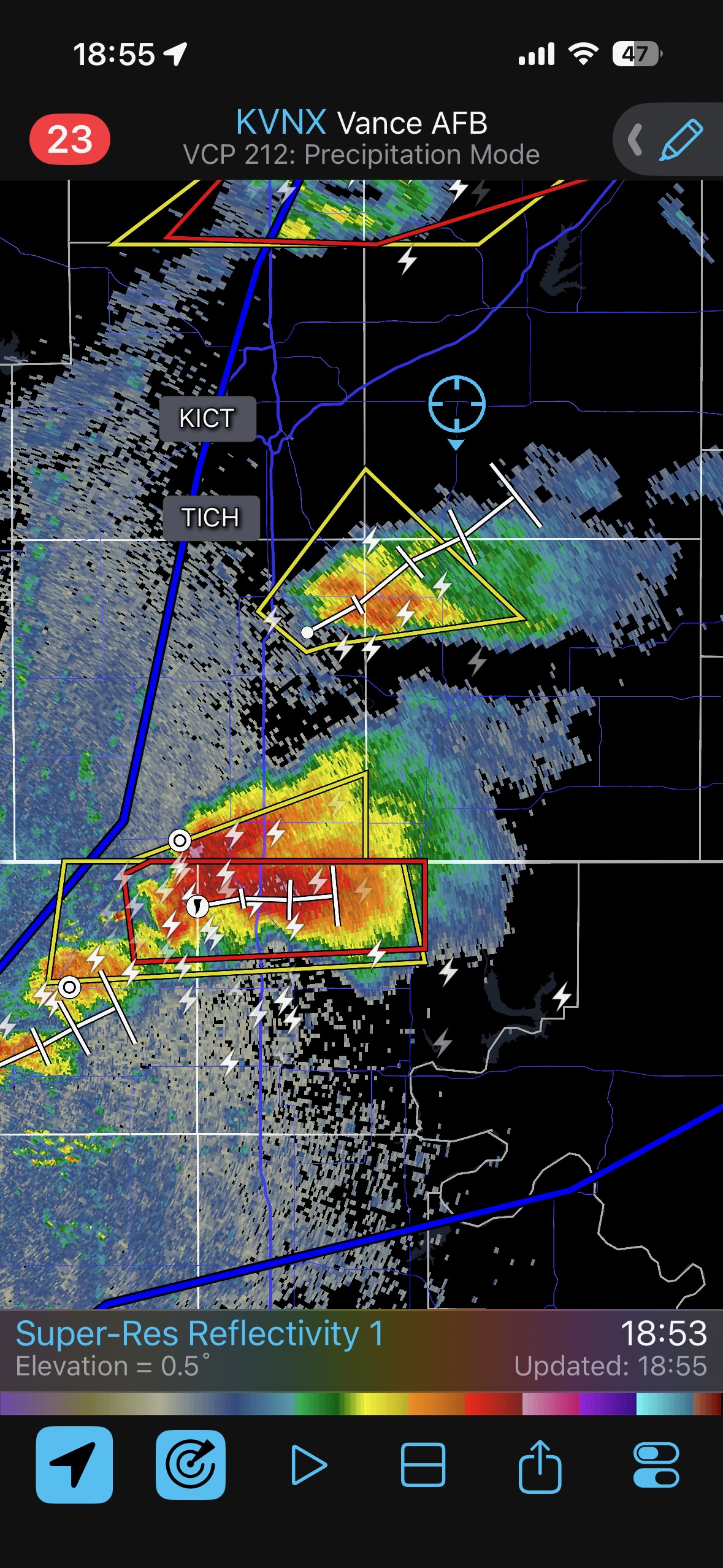
Of course, the next two hours were filled with the tornado reports from Braman and Enid. We made it to the Newkirk, OK, area in time for some daylight supercell storm structure and wall cloud lowerings.
Leave a Reply
You must be logged in to post a comment.