Stormbruiser.com

William T. Reid

  • About
  • Video Links
  • Climate
  • Categories
    • Astronomy
    • Aurora/Northern Lights
    • Artsy
    • Airports (LAX and VNY)
    • Animal Day
    • Beach
    • BEST and MOST POPULAR
    • Chase Season Summary
    • Chasers and friends
    • Cumulonimbus
    • Death Valley
    • Desert
    • Desert/Mountains
    • Elevated photography
    • Eyesores
    • Fire
    • Flooding
    • Hurricane
    • Landscapes
    • Lightning
    • Local: Conejo Valley/San Fernando Valley
    • Mid and High Clouds
    • Nighttime photography
    • Old Stuff
    • Rainbows/Optical Phenomena
    • San Nicolas Island
    • Storm Video Sales
    • Stormy Skies
    • Stupid Bugs
    • Sunsets and Storms
    • Supercells
    • The City
    • Tornadoes
    • Unusual Clouds
    • Vegetation
    • Wind and Dust
    • Winter Weather
  • Contact
You are here: Home / 2026 / May 8, 2026 Tornado-warned storm near Chattanooga, OK

May 8, 2026 Tornado-warned storm near Chattanooga, OK

May 8, 2026 By William Reid Leave a Comment

May 7 Start: Alexandria, LA/brunch: La Bistreaux Coffee and Waffles Bar in Alexandria/end: McAlester, OK/380 miles/down day, reposition west into OK

May 8 Start: McAlester, OK/brunch: Angel’s Diner in McAlester/end: Wichita Falls, TX/393 miles

Storm Reports May 8

SPC Day One/20Z

SPC MD 2:06 p.m. CDT

SPC MD 5:15 p.m. CDT

Bob’s account

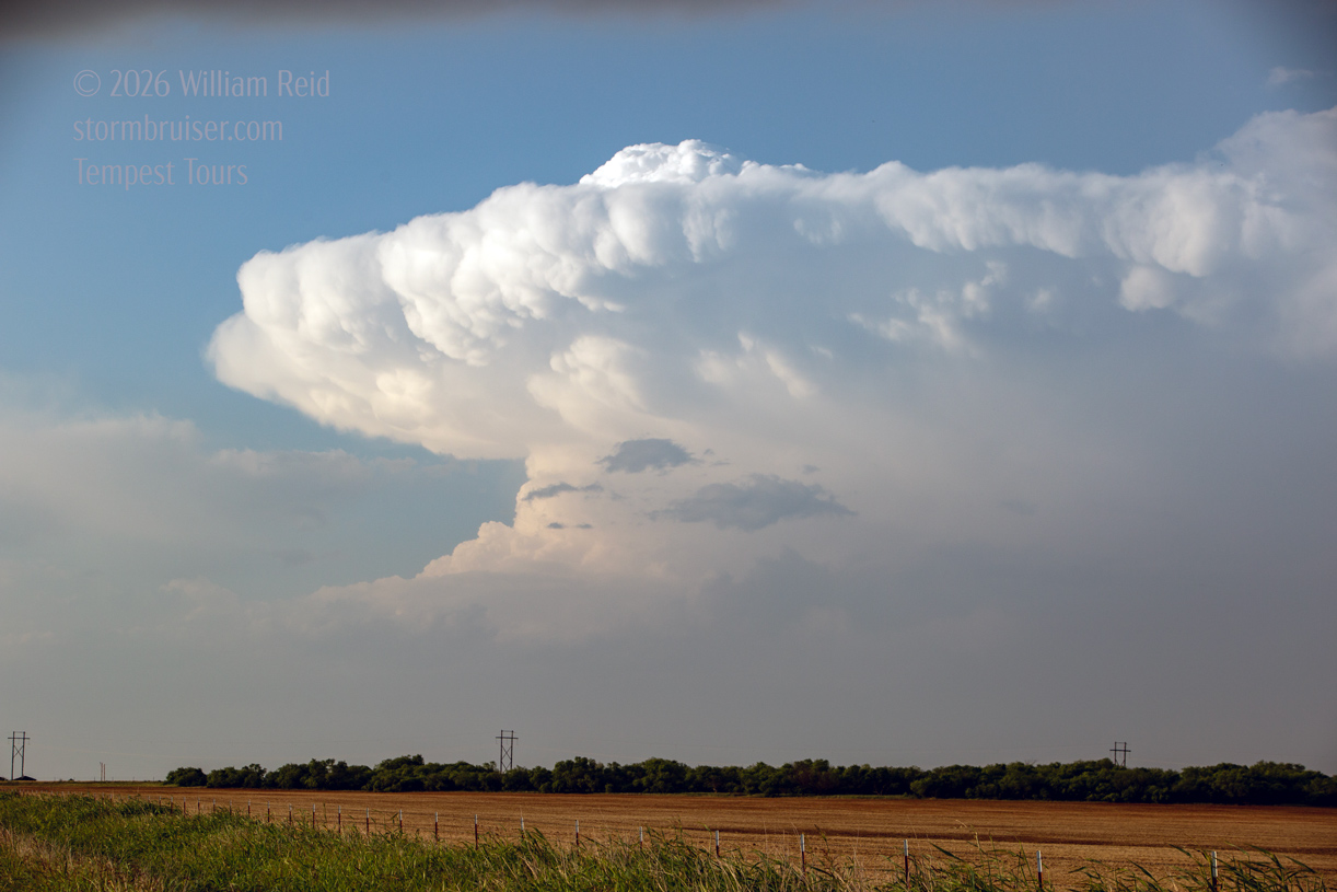
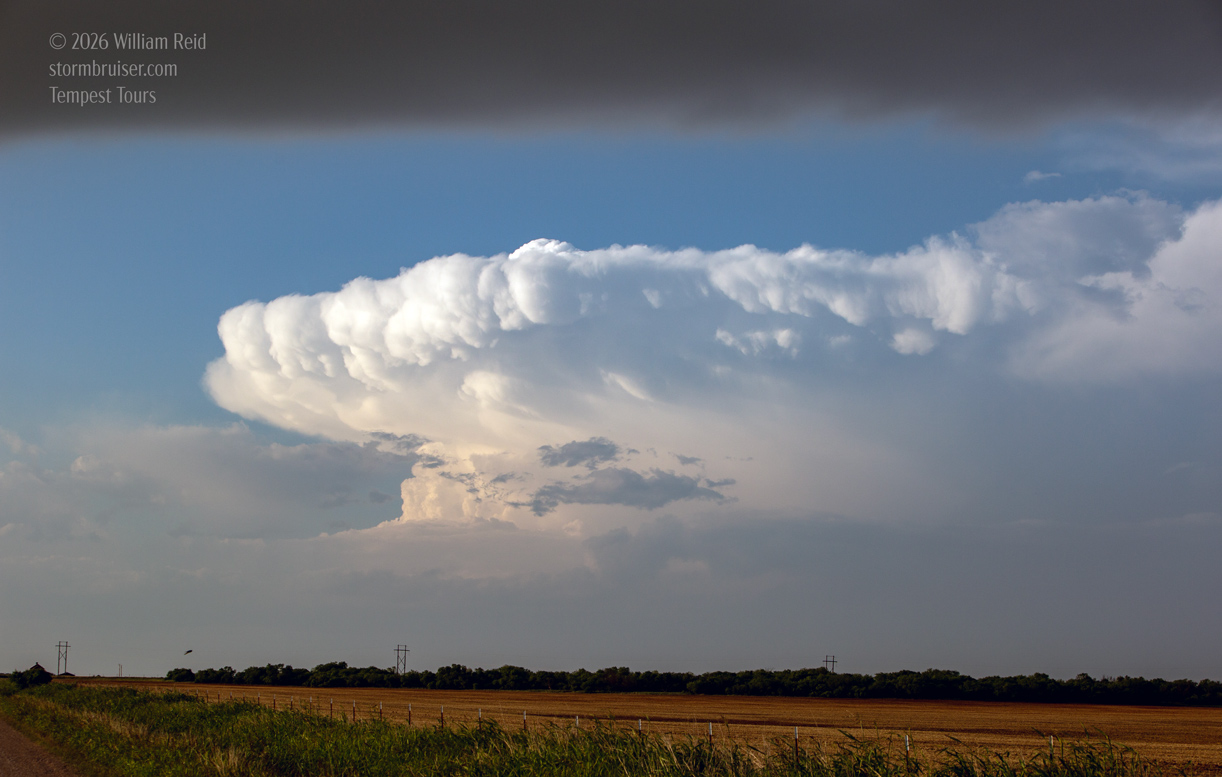
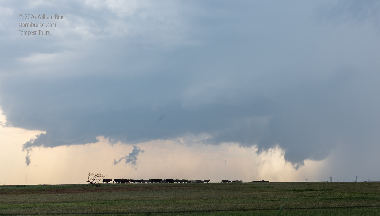
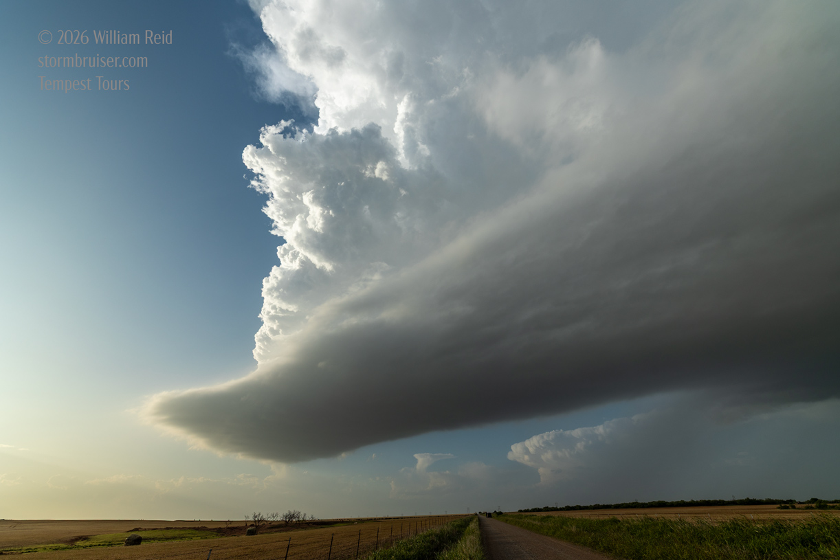
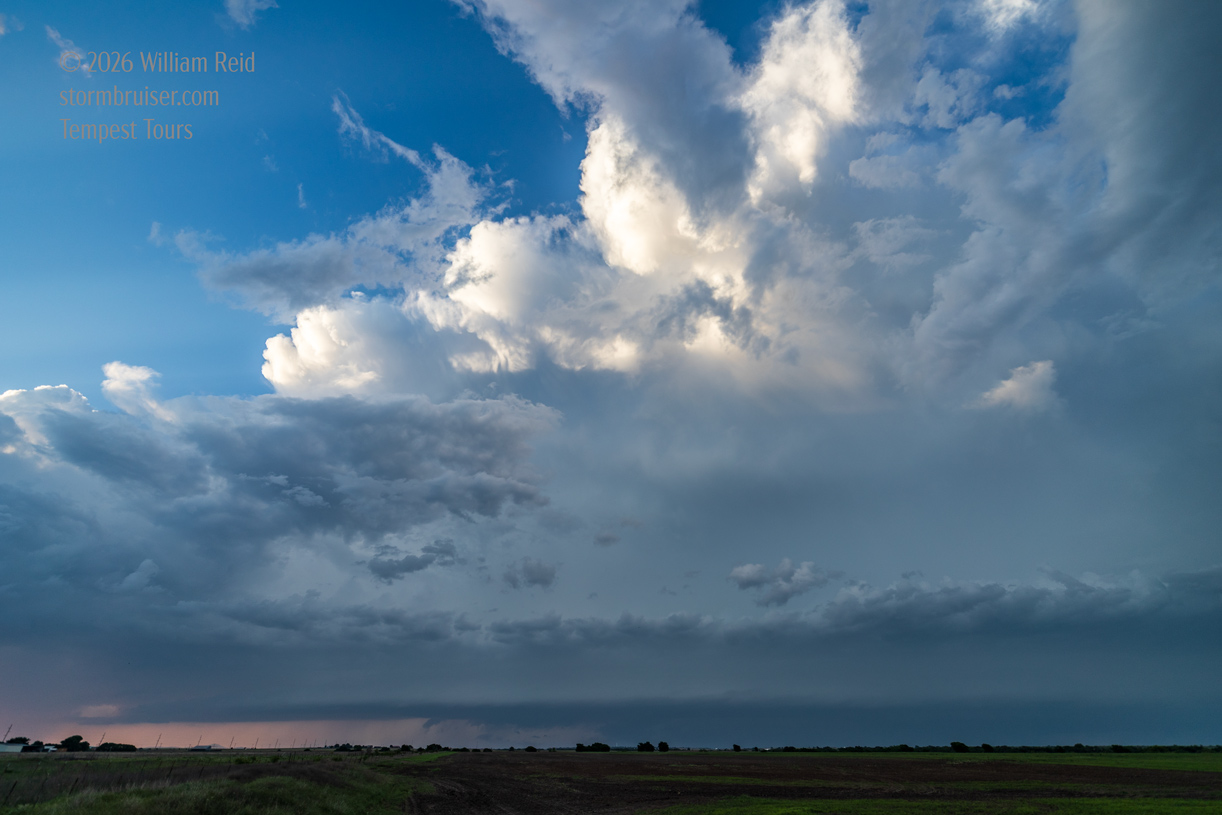
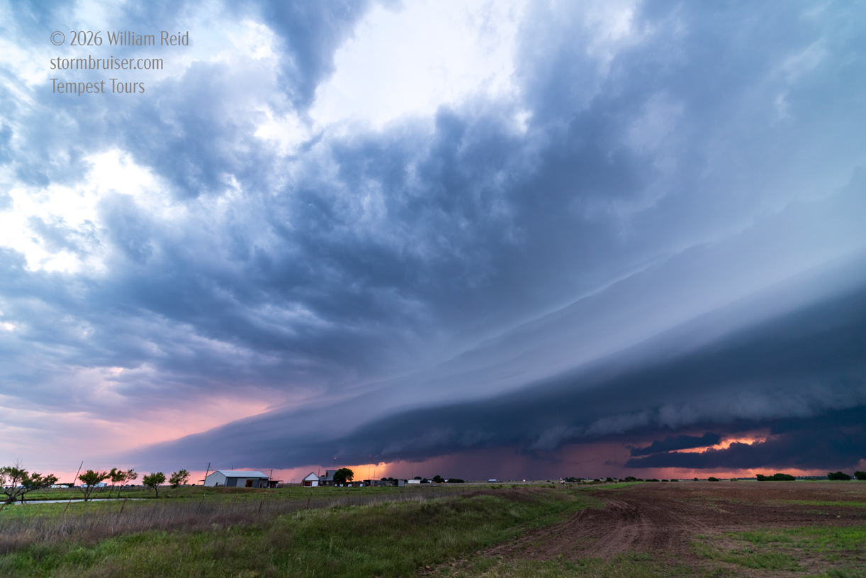
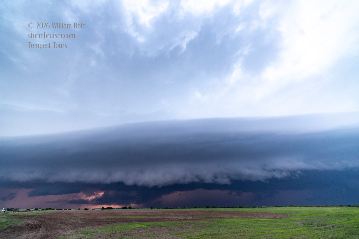
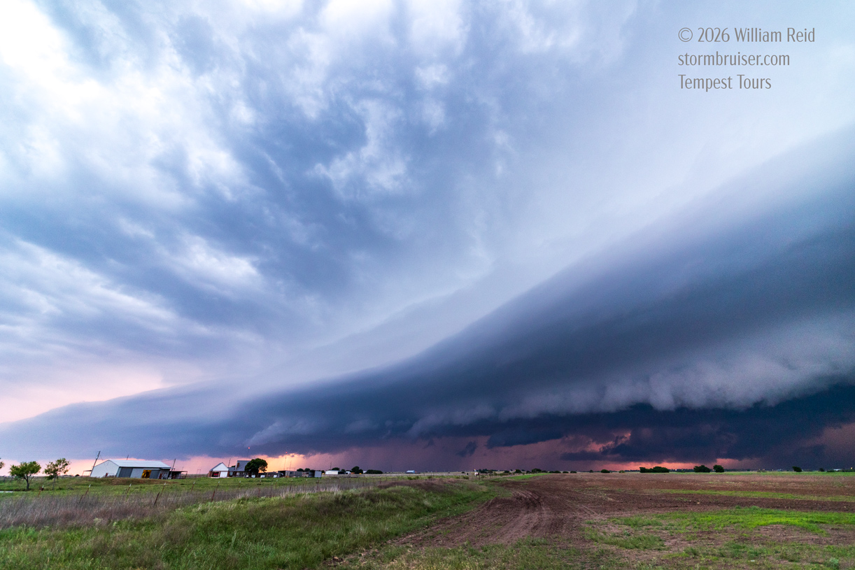
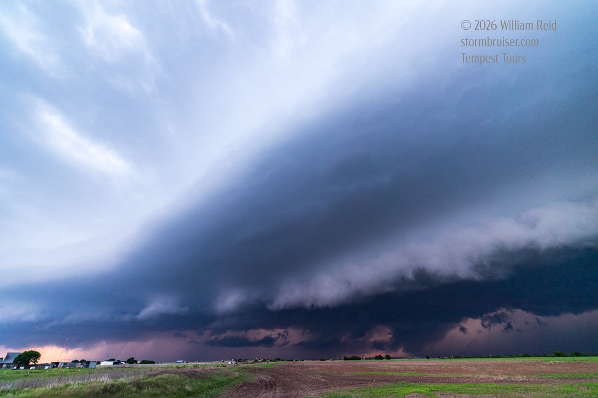
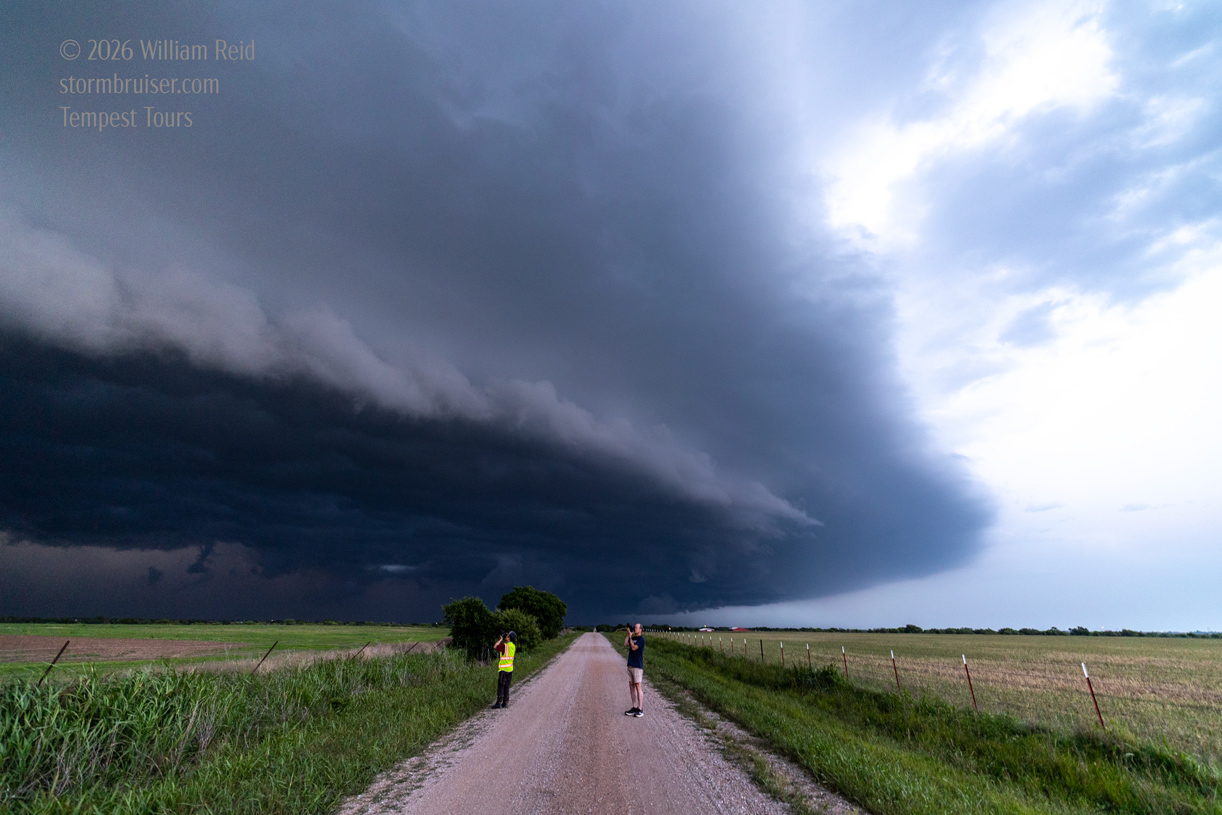
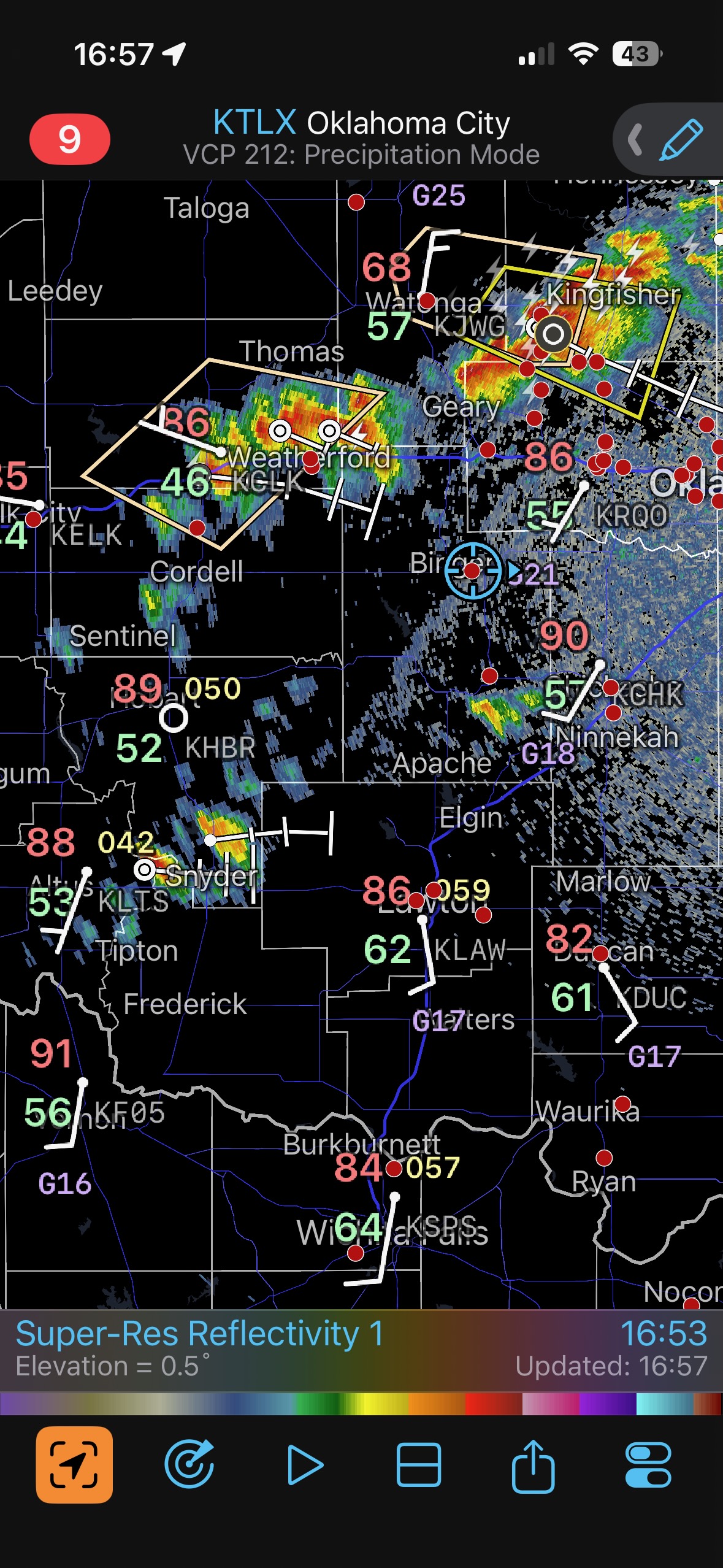
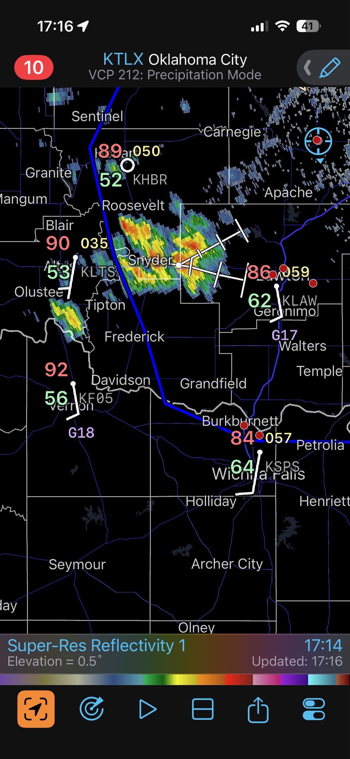
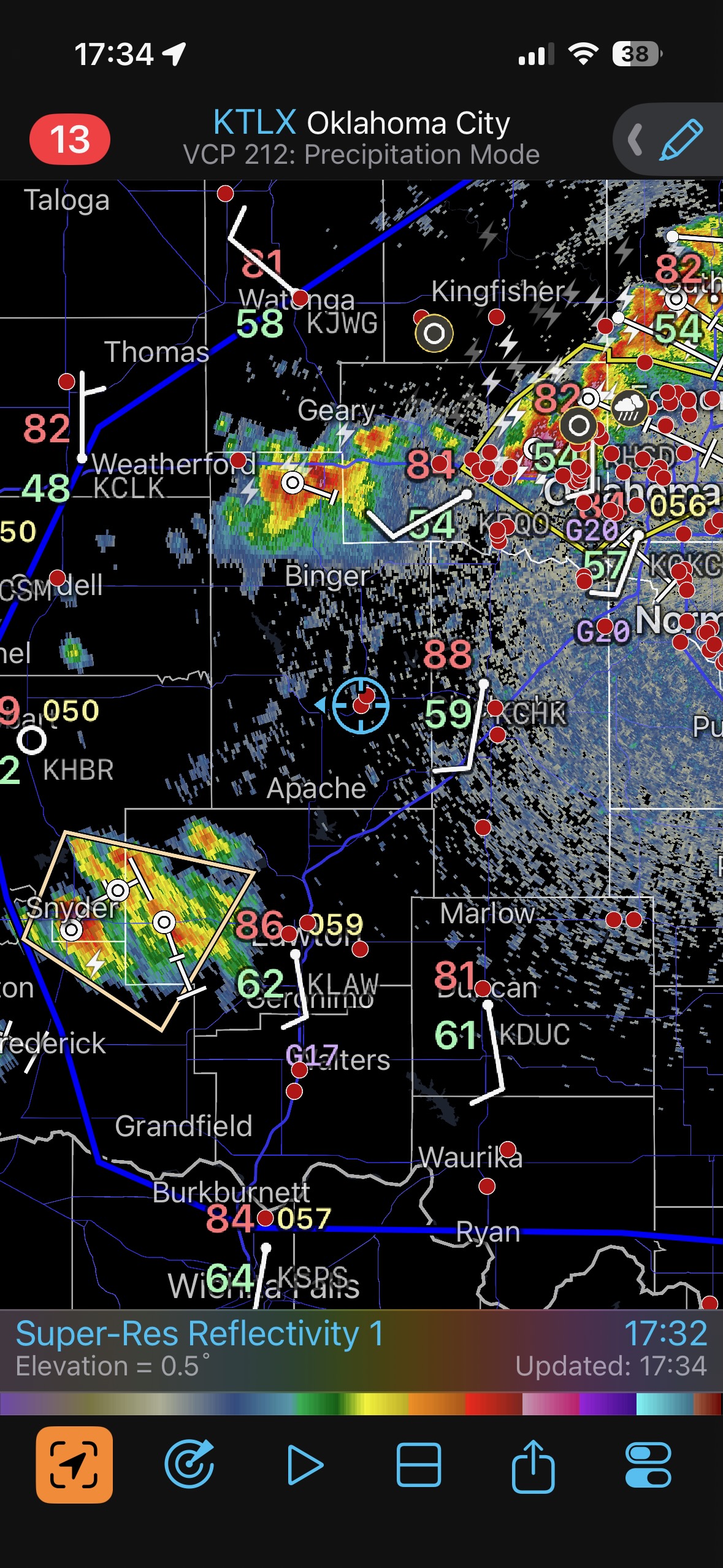
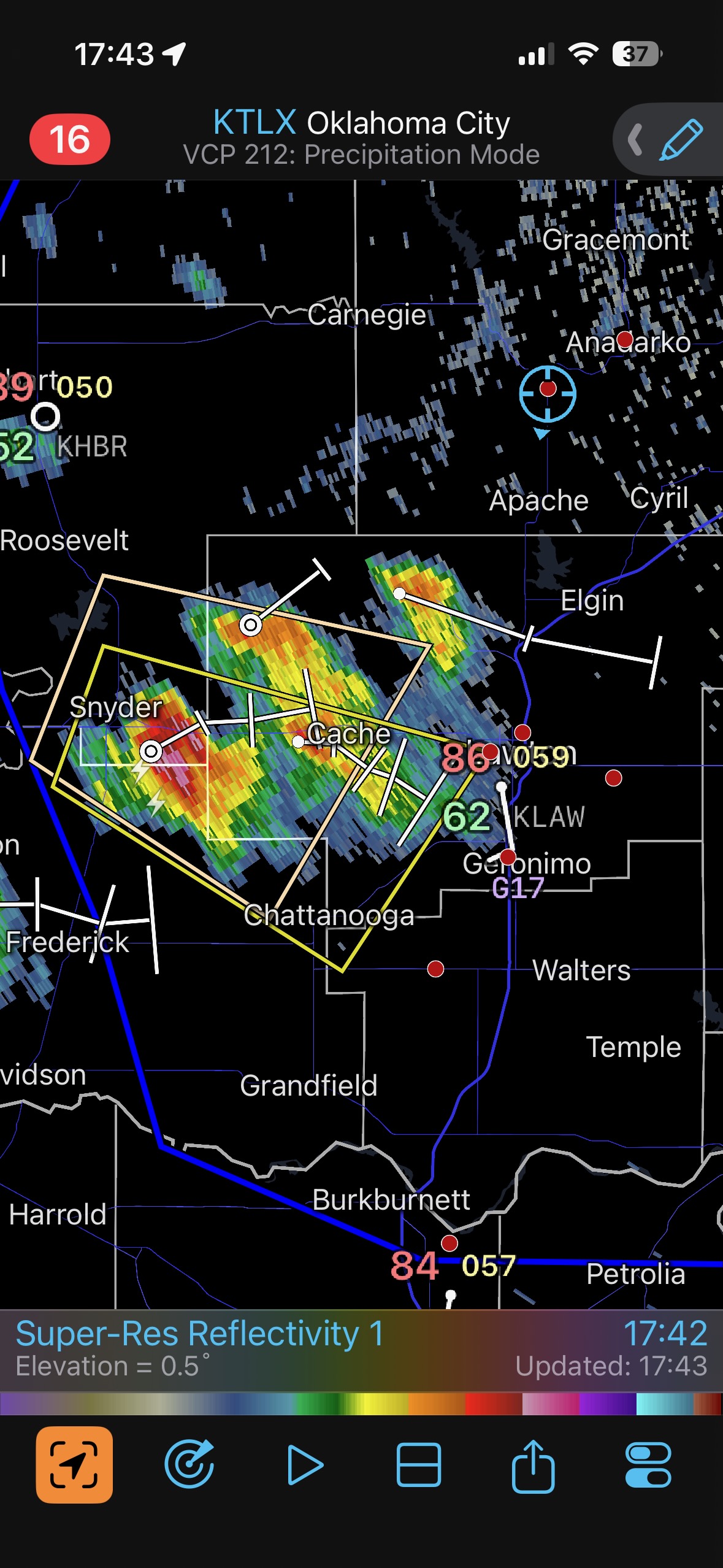
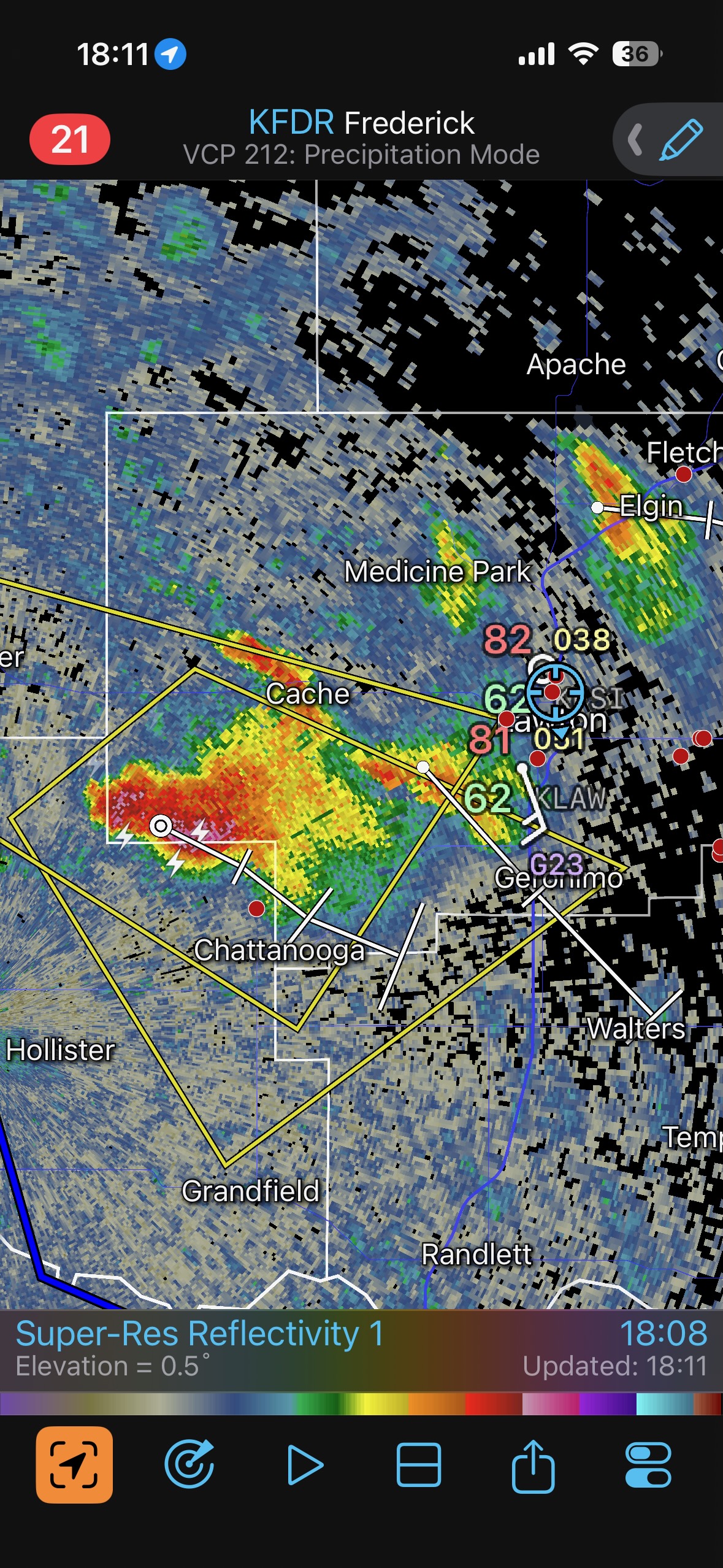
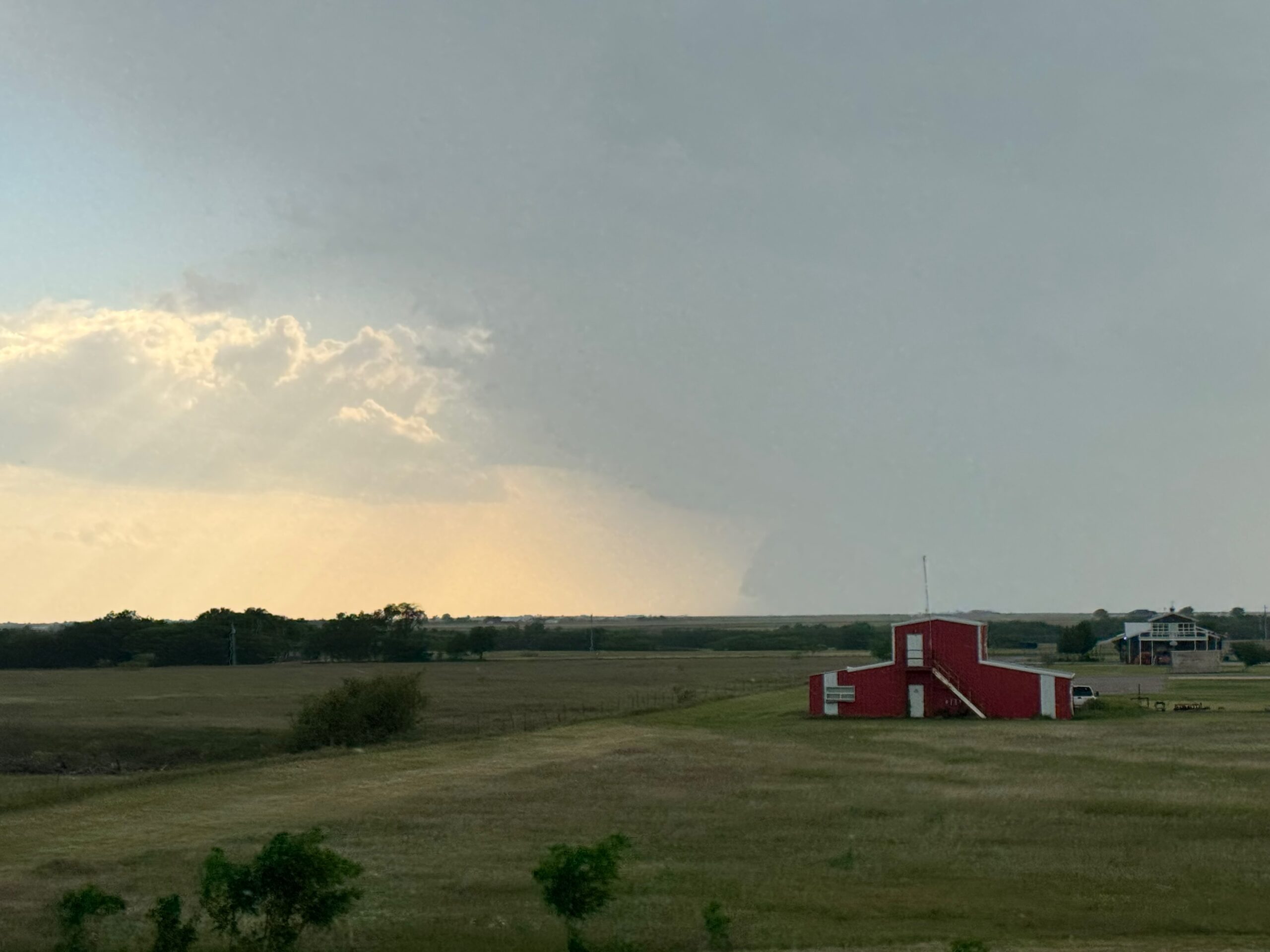
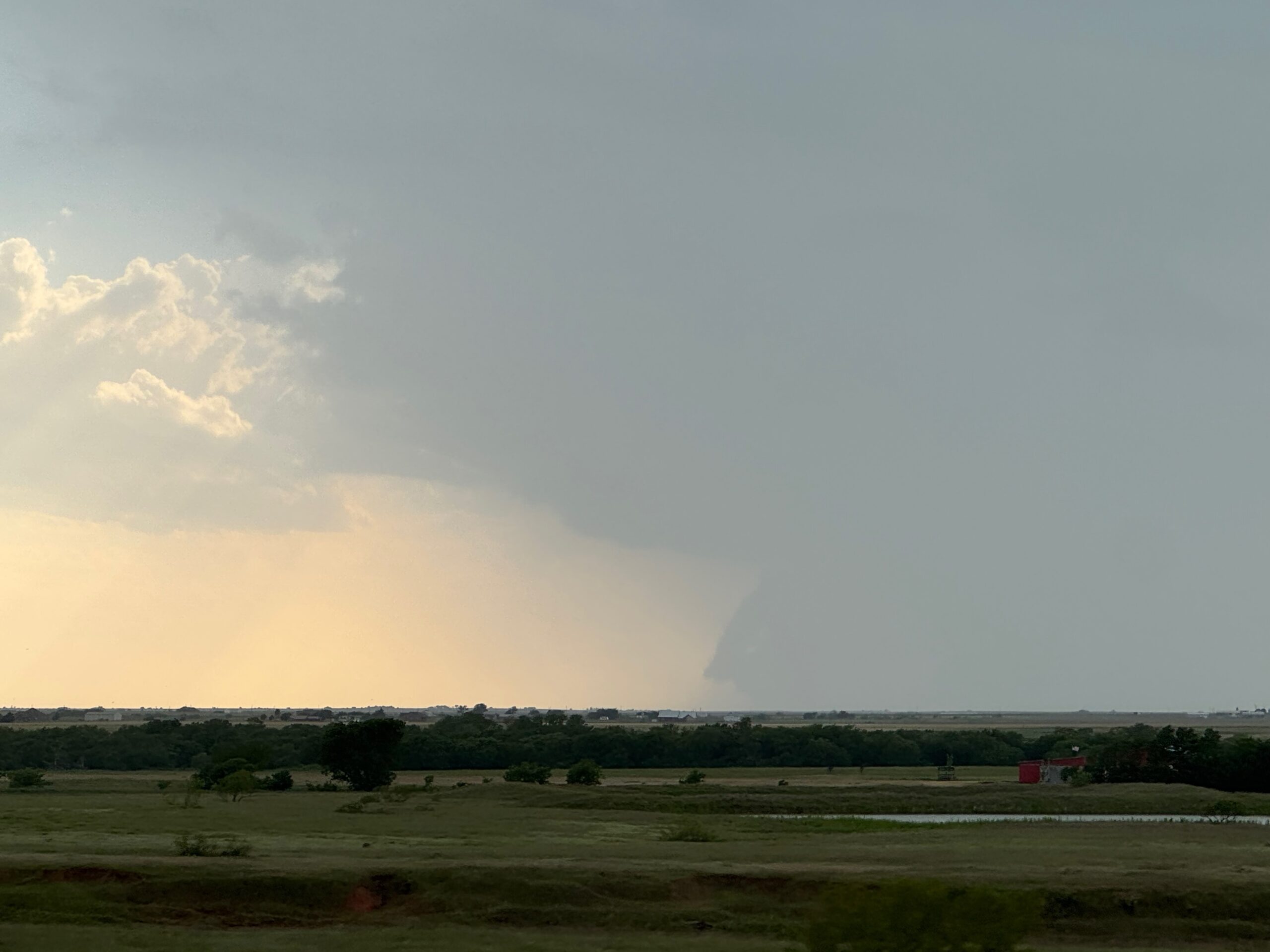
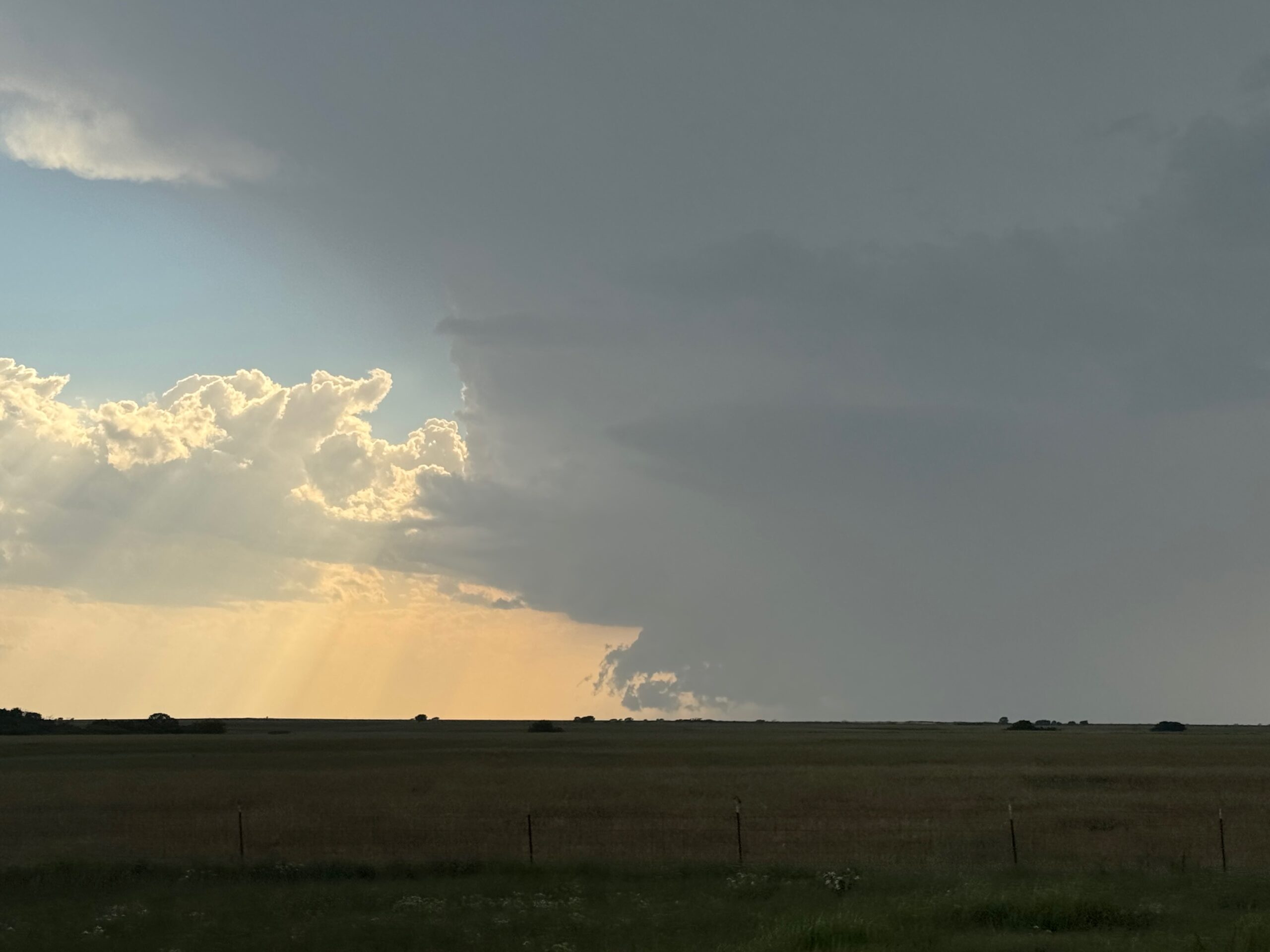
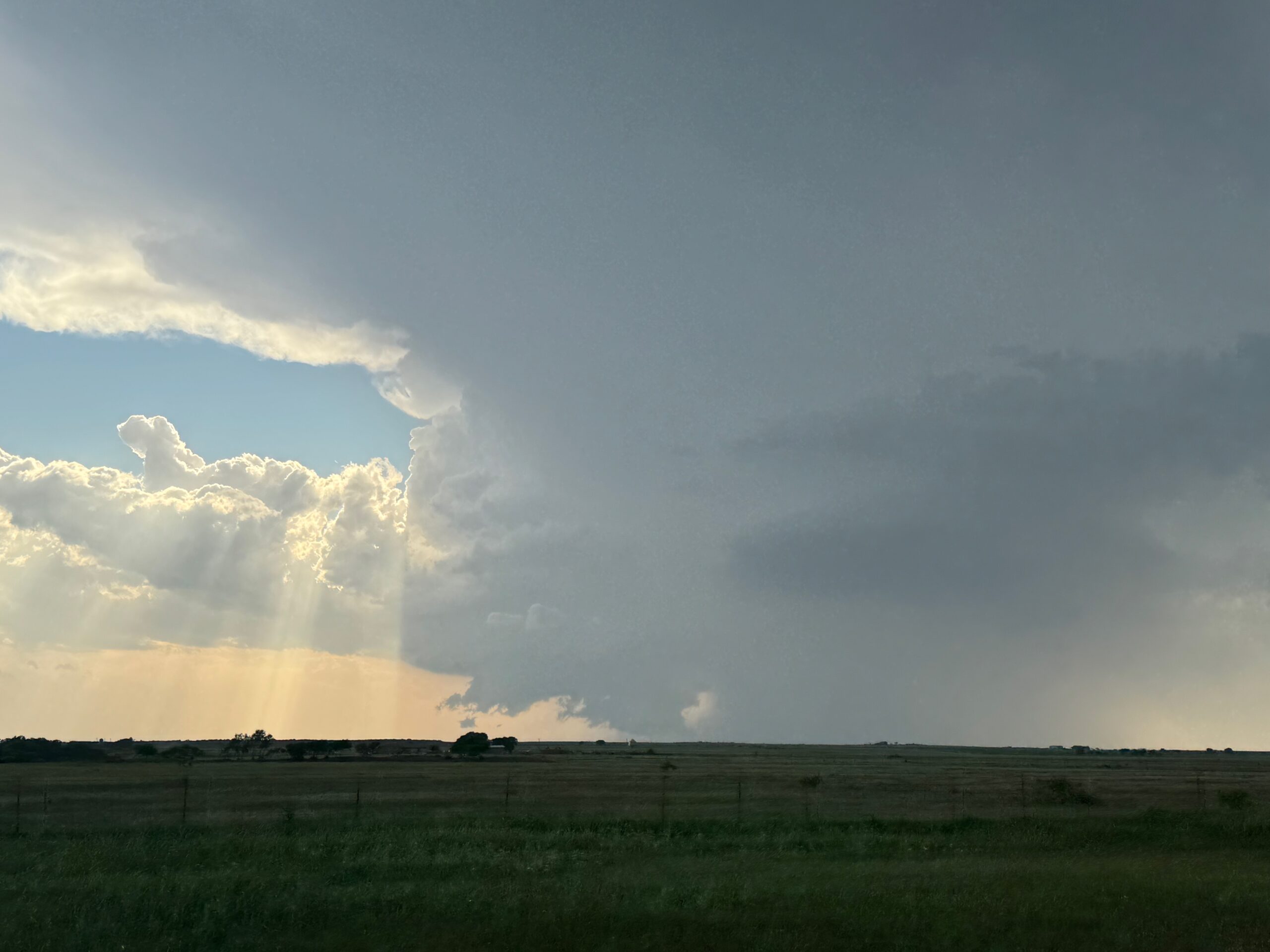
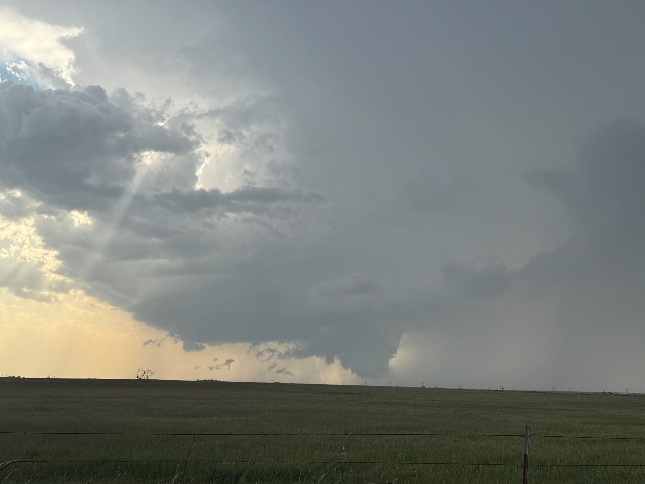
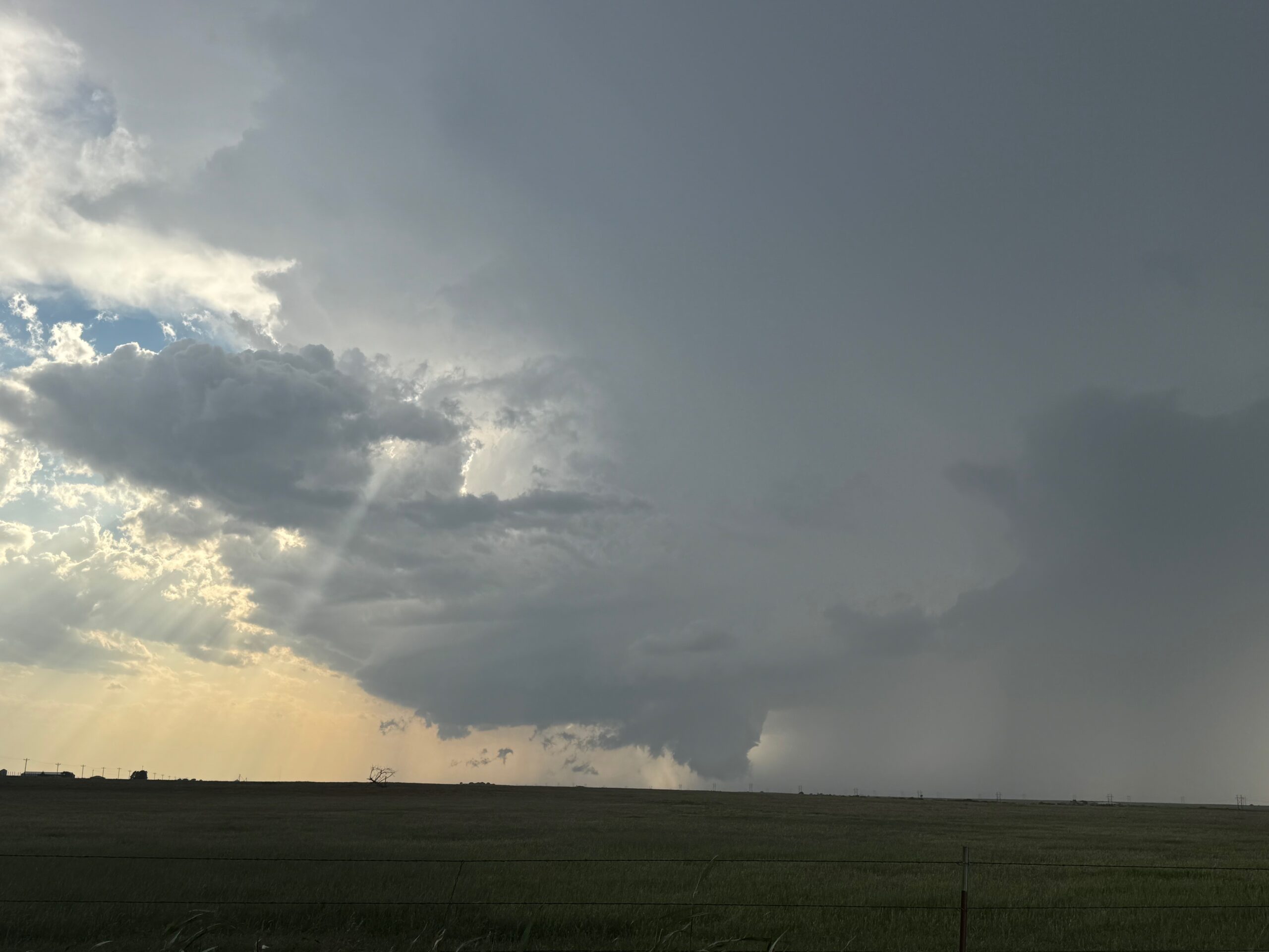
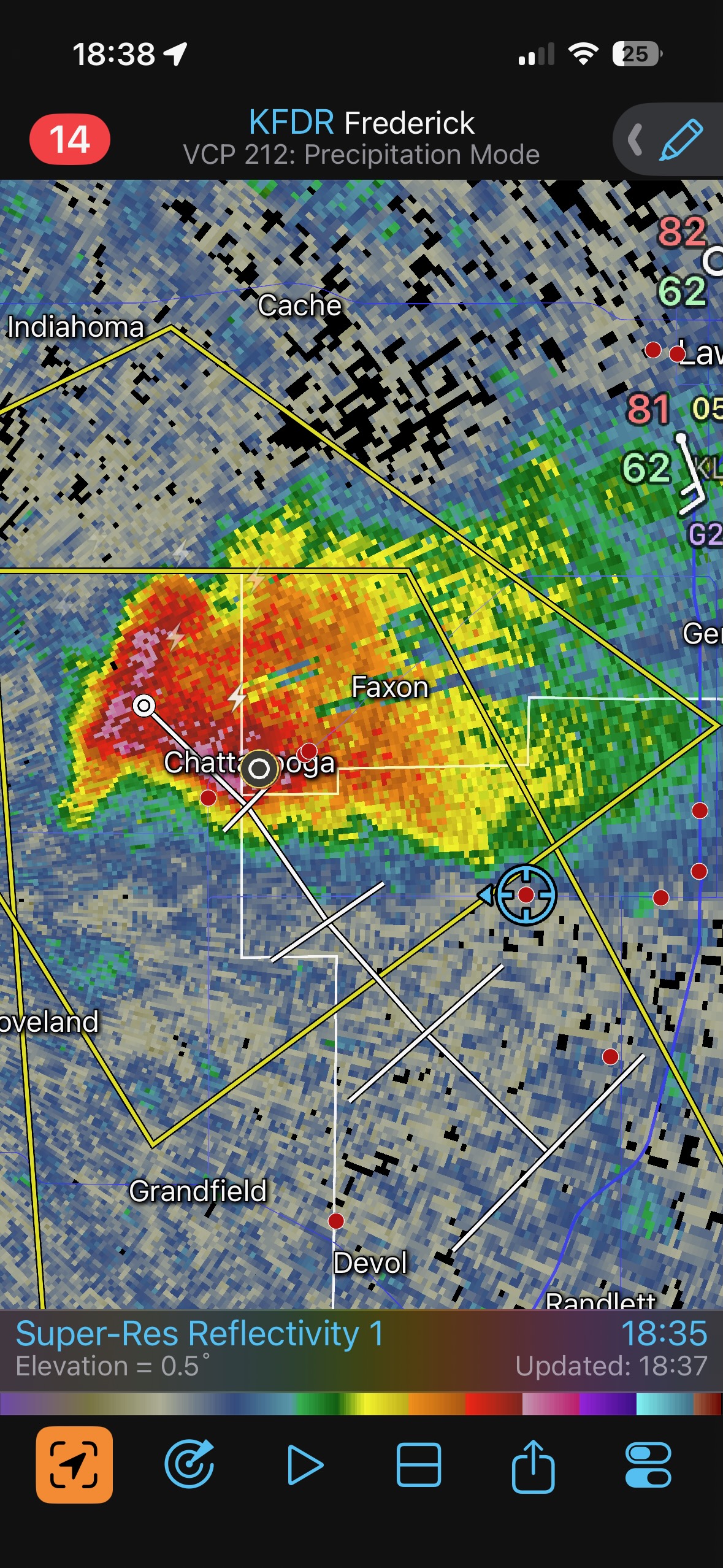
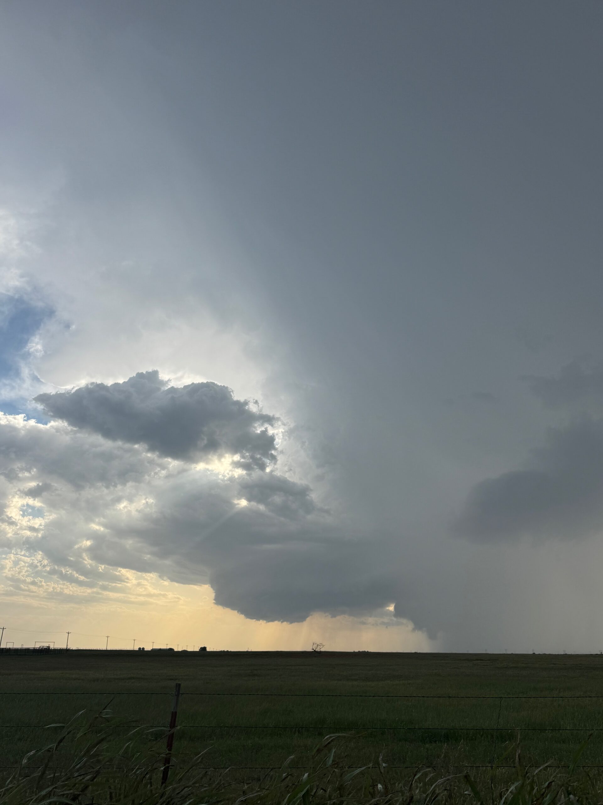
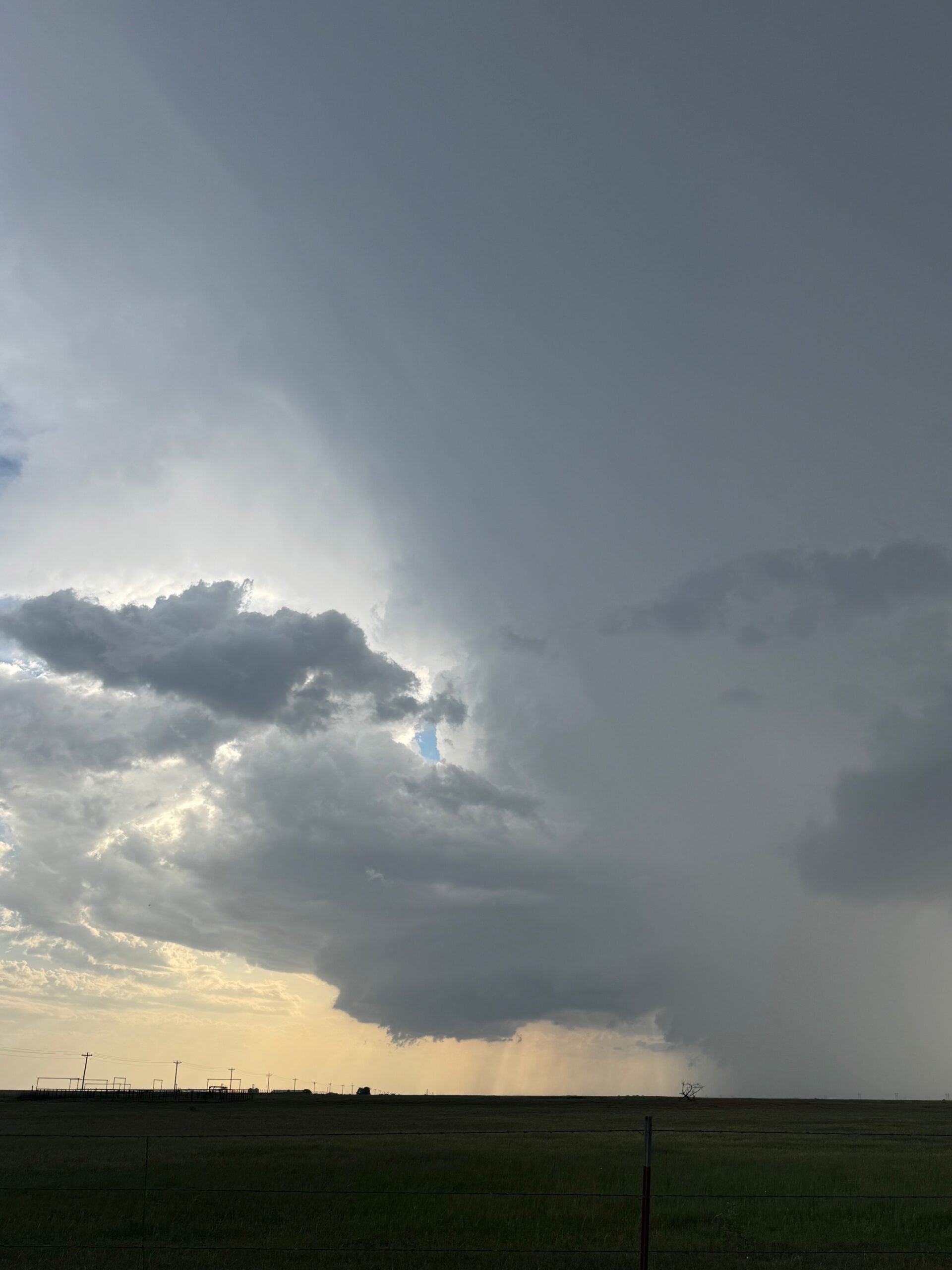
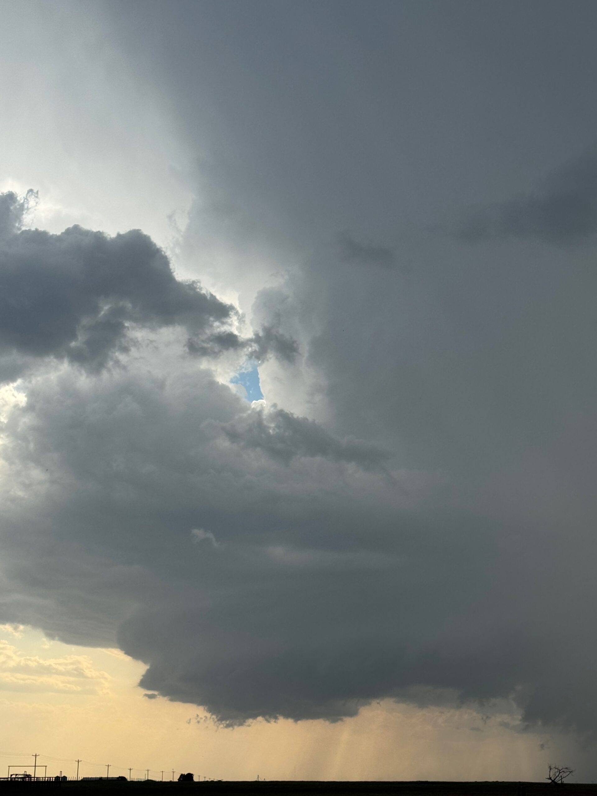
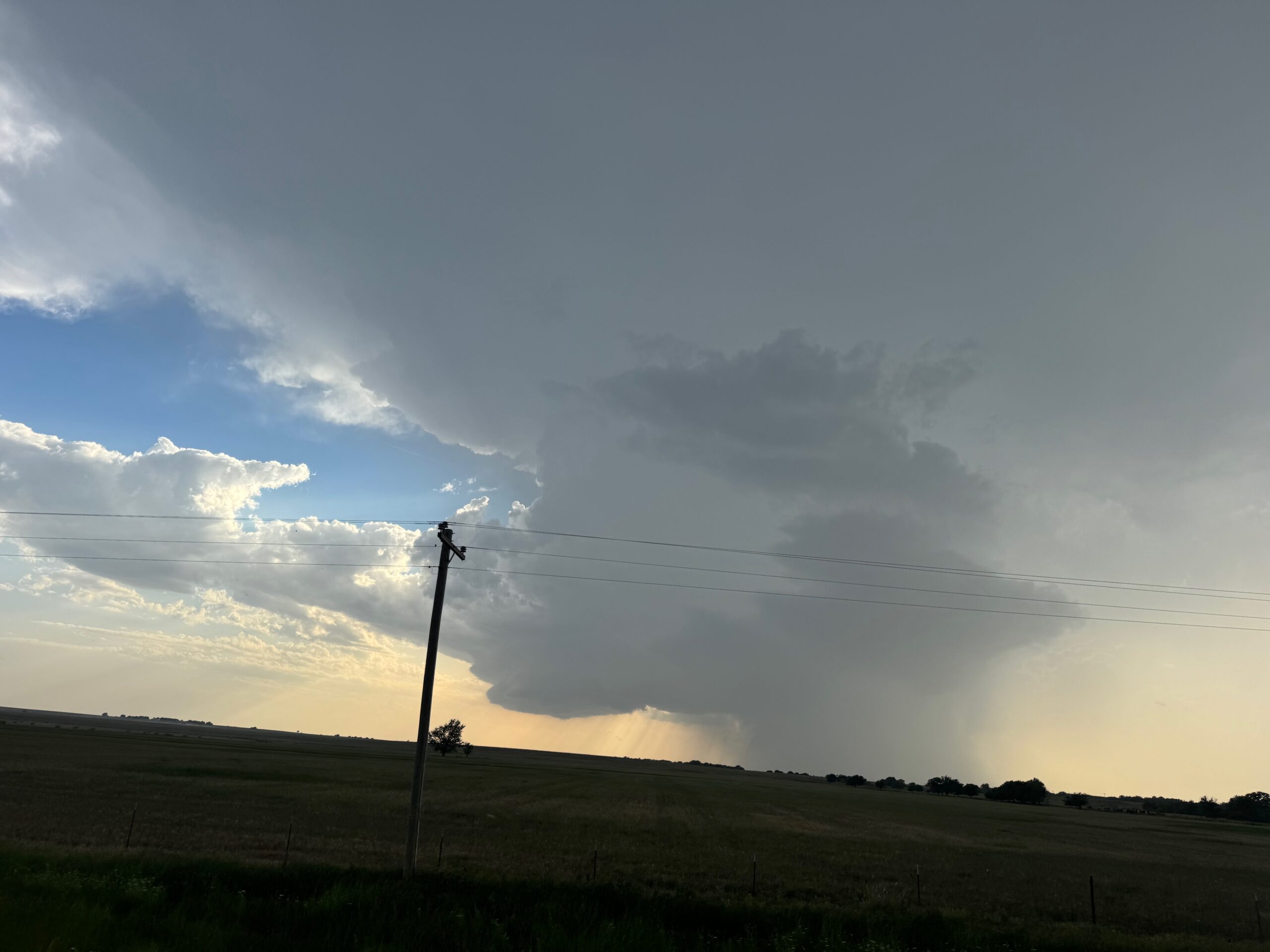
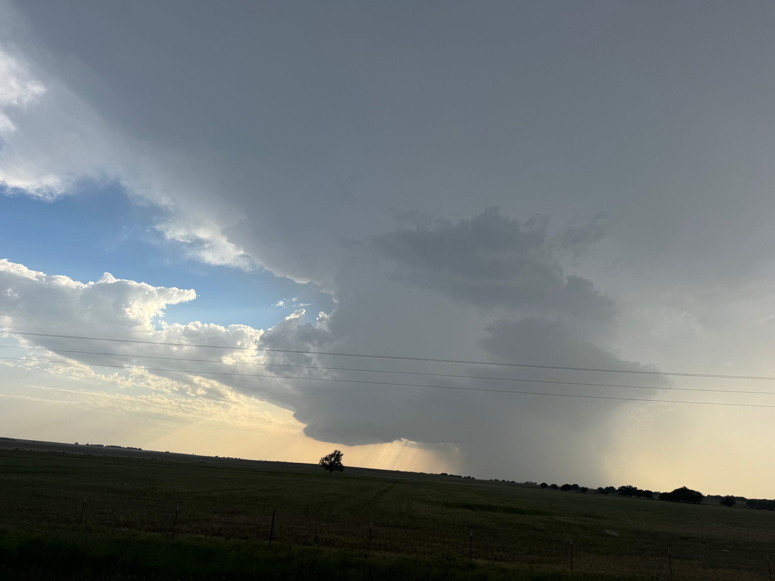
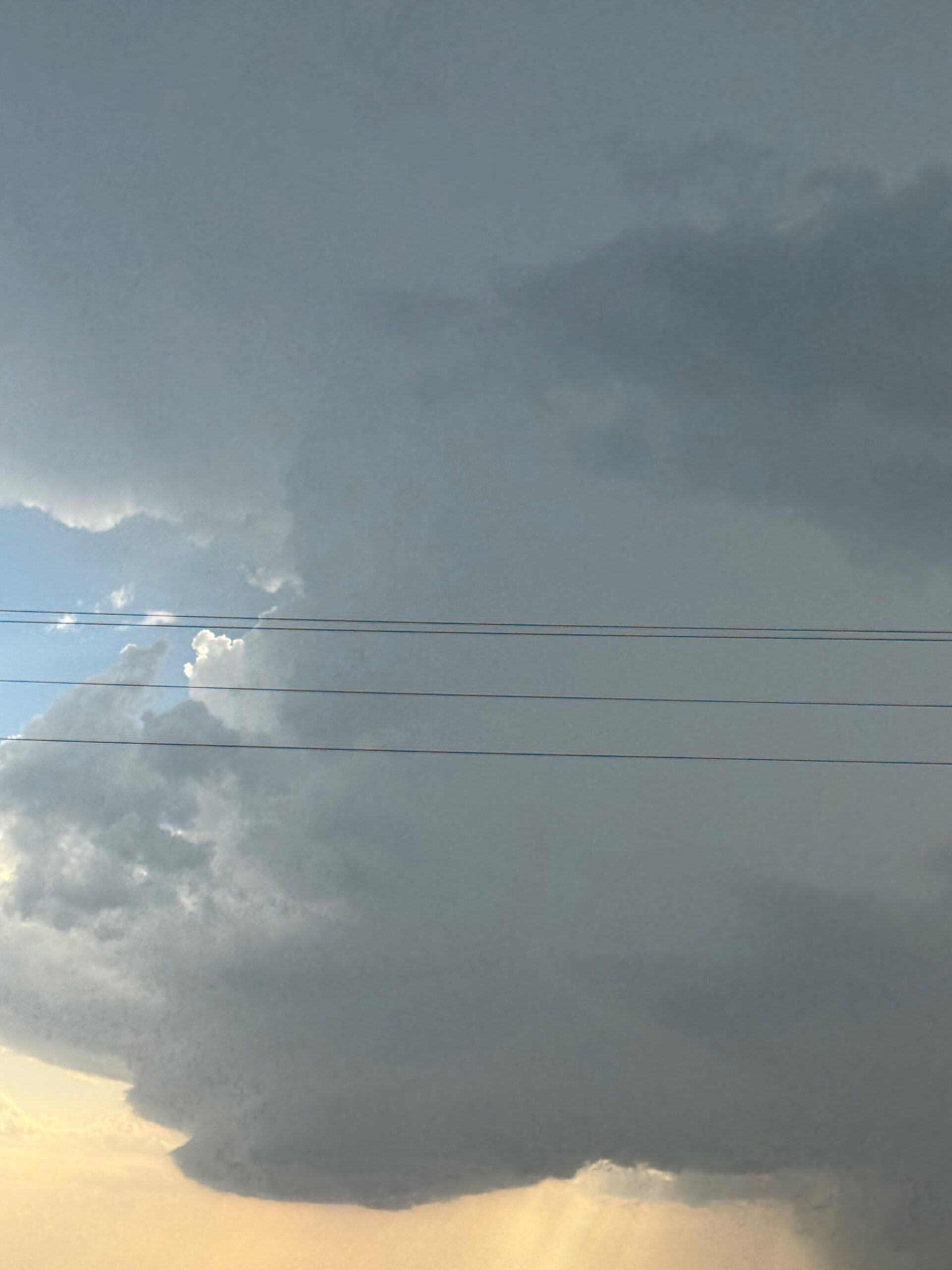
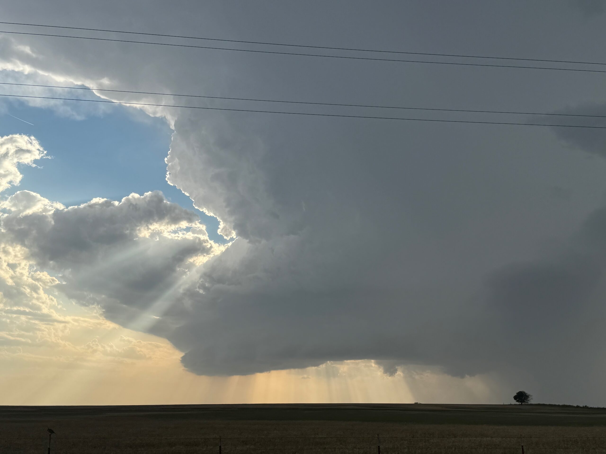
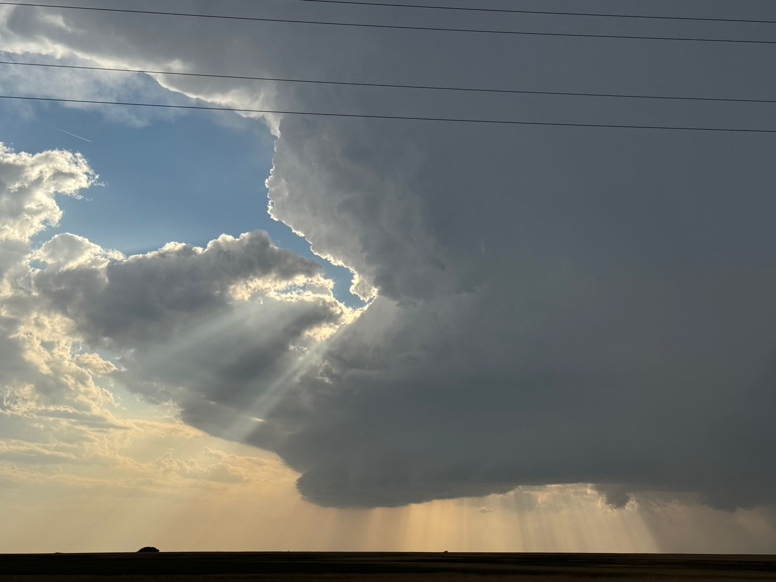
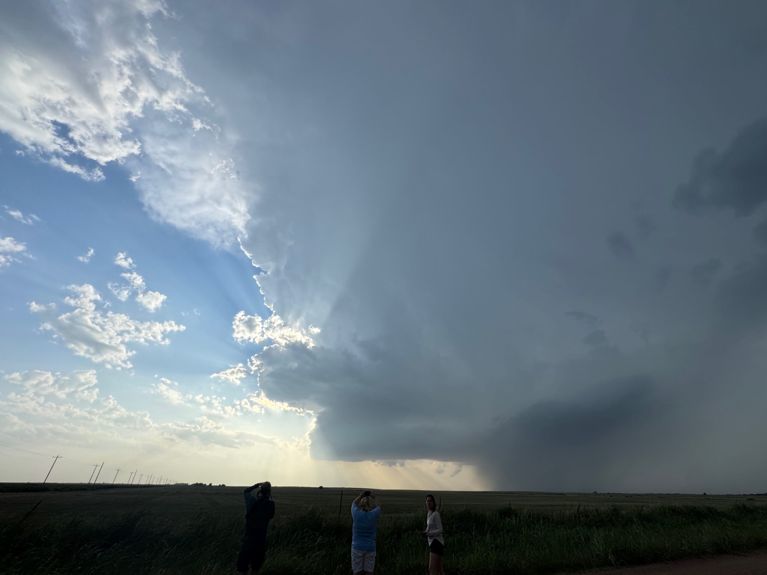
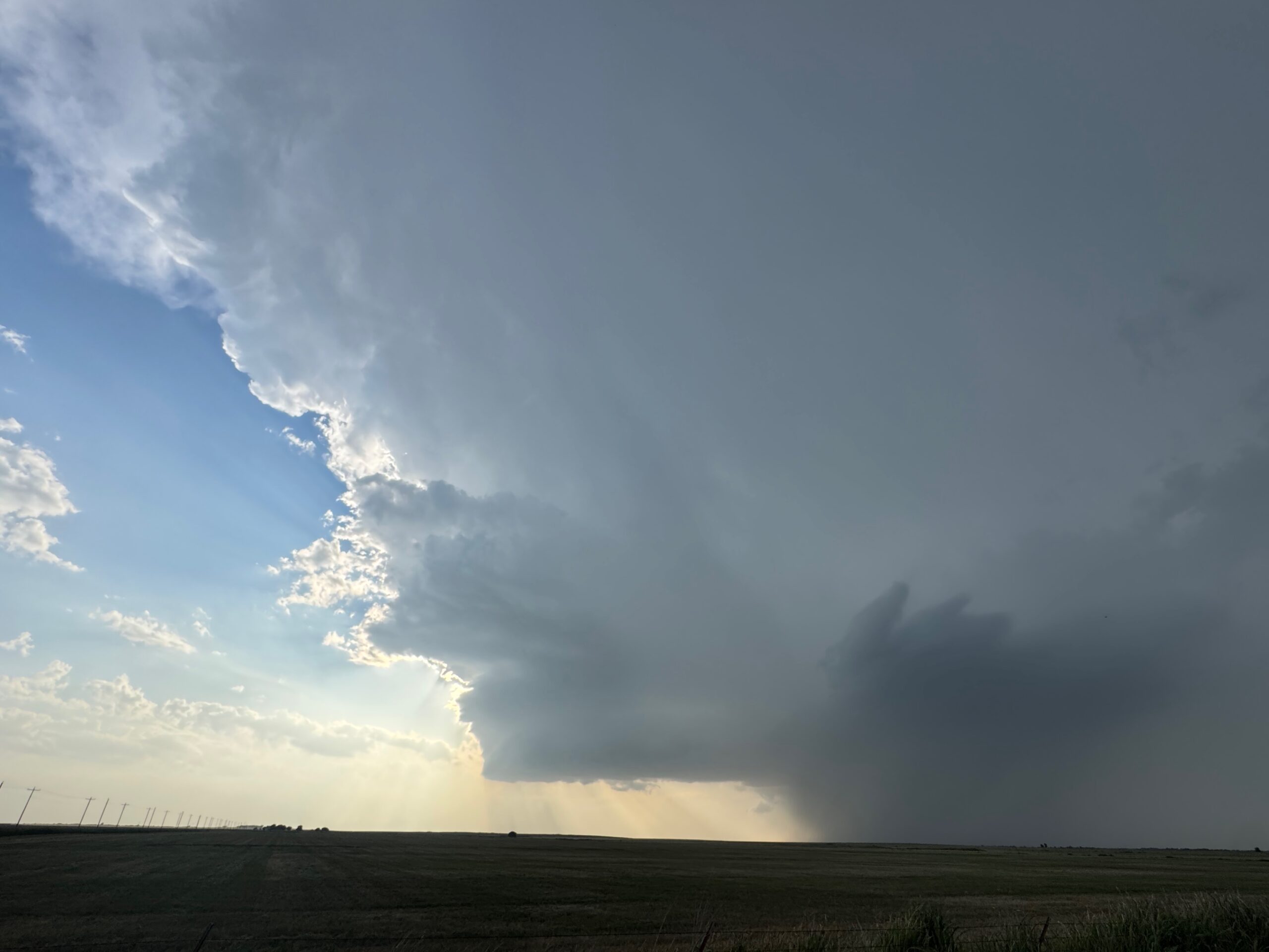
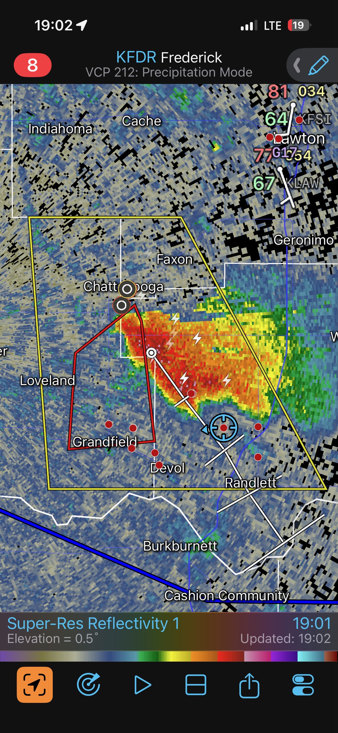
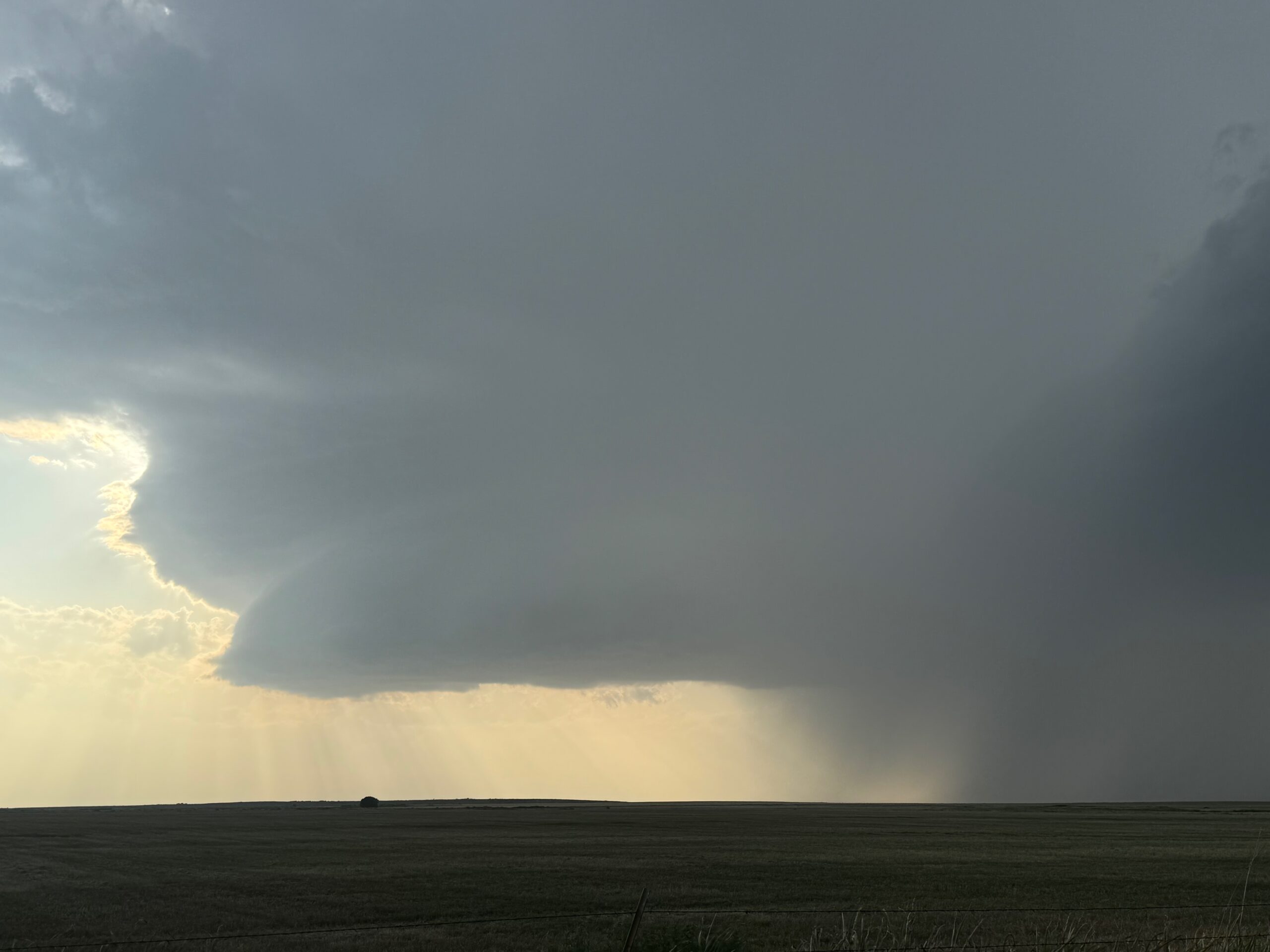
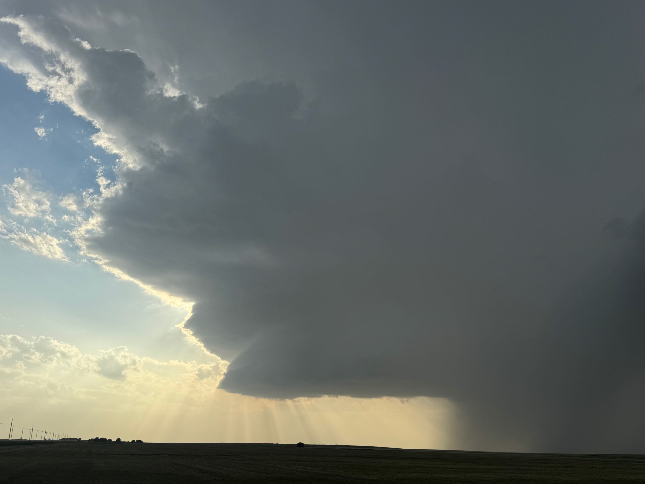
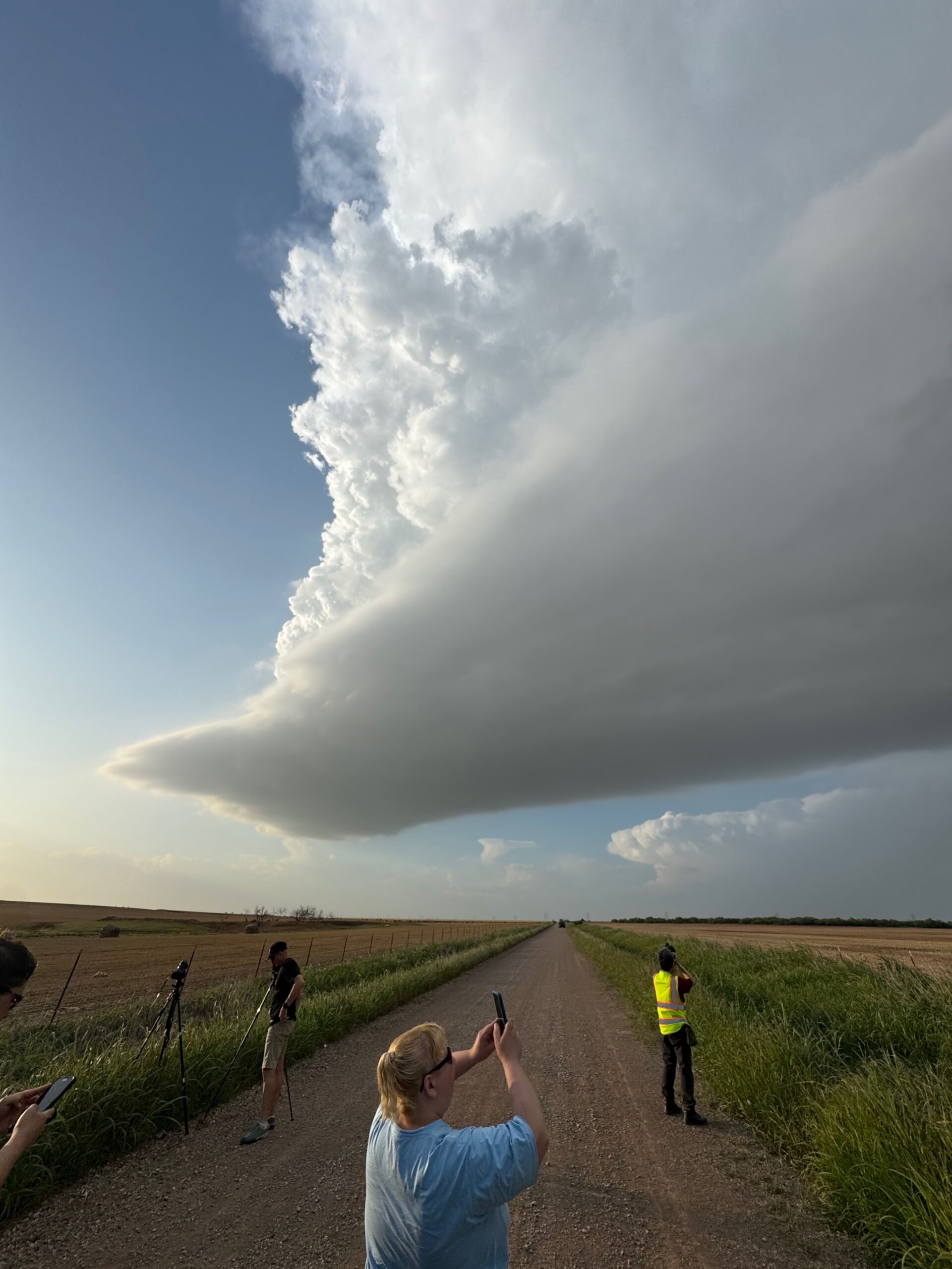
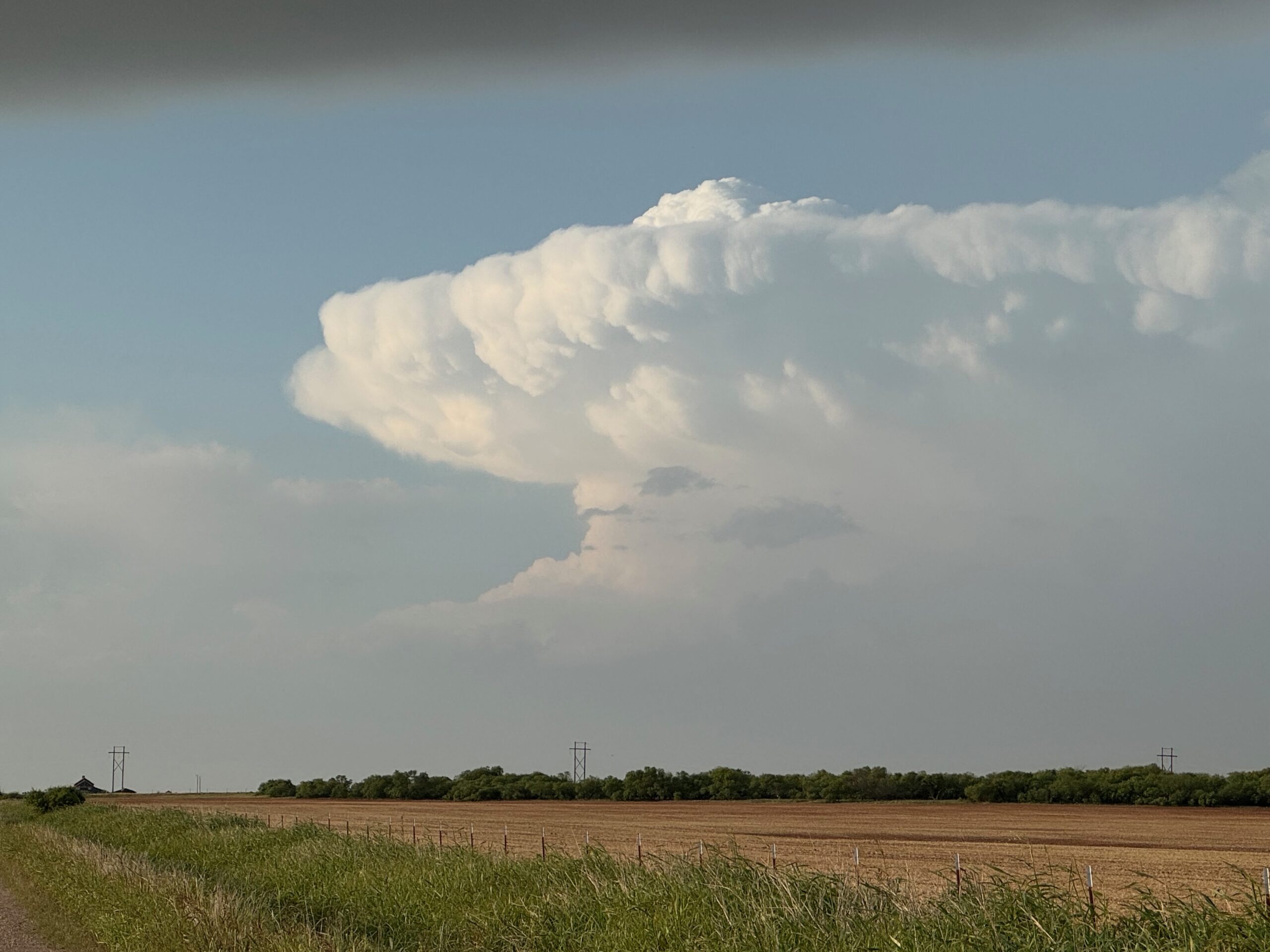
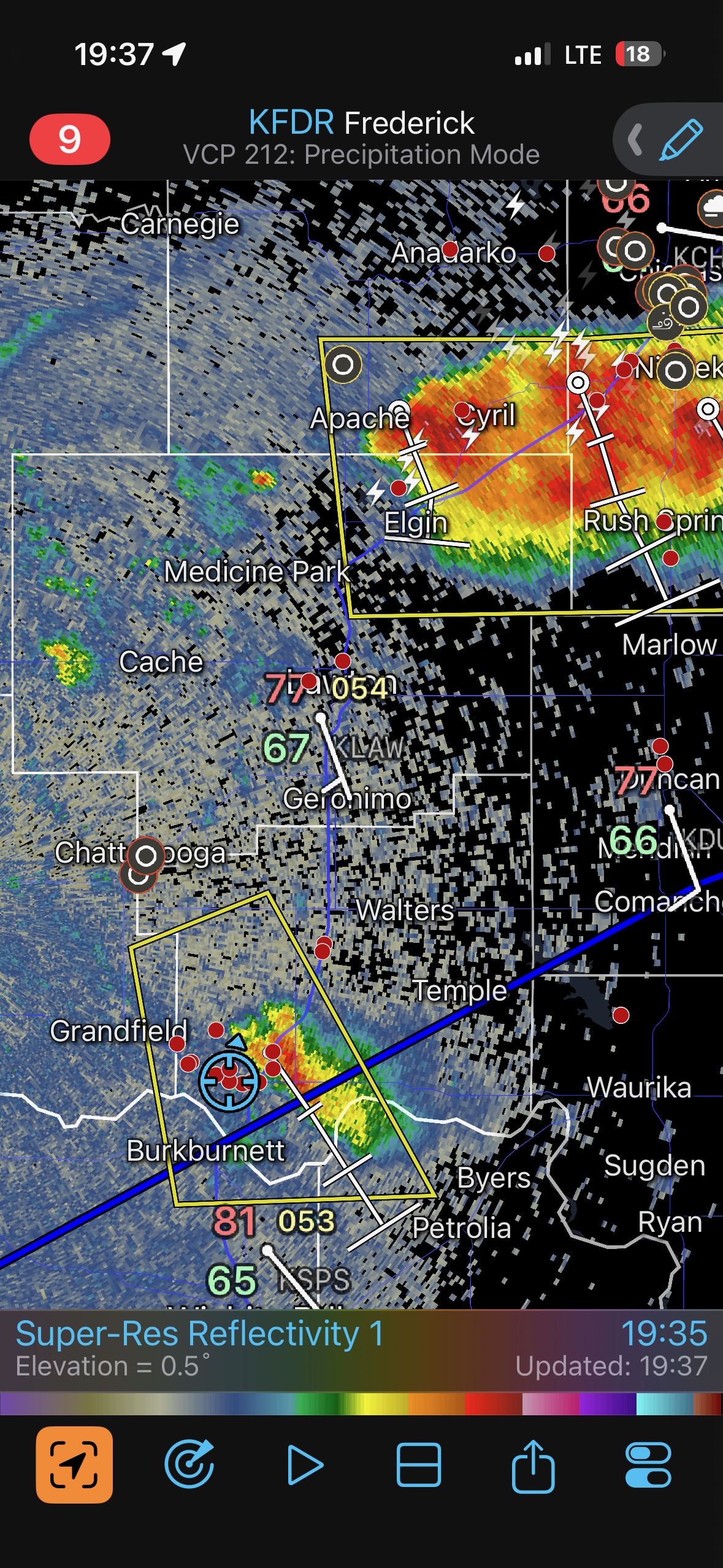
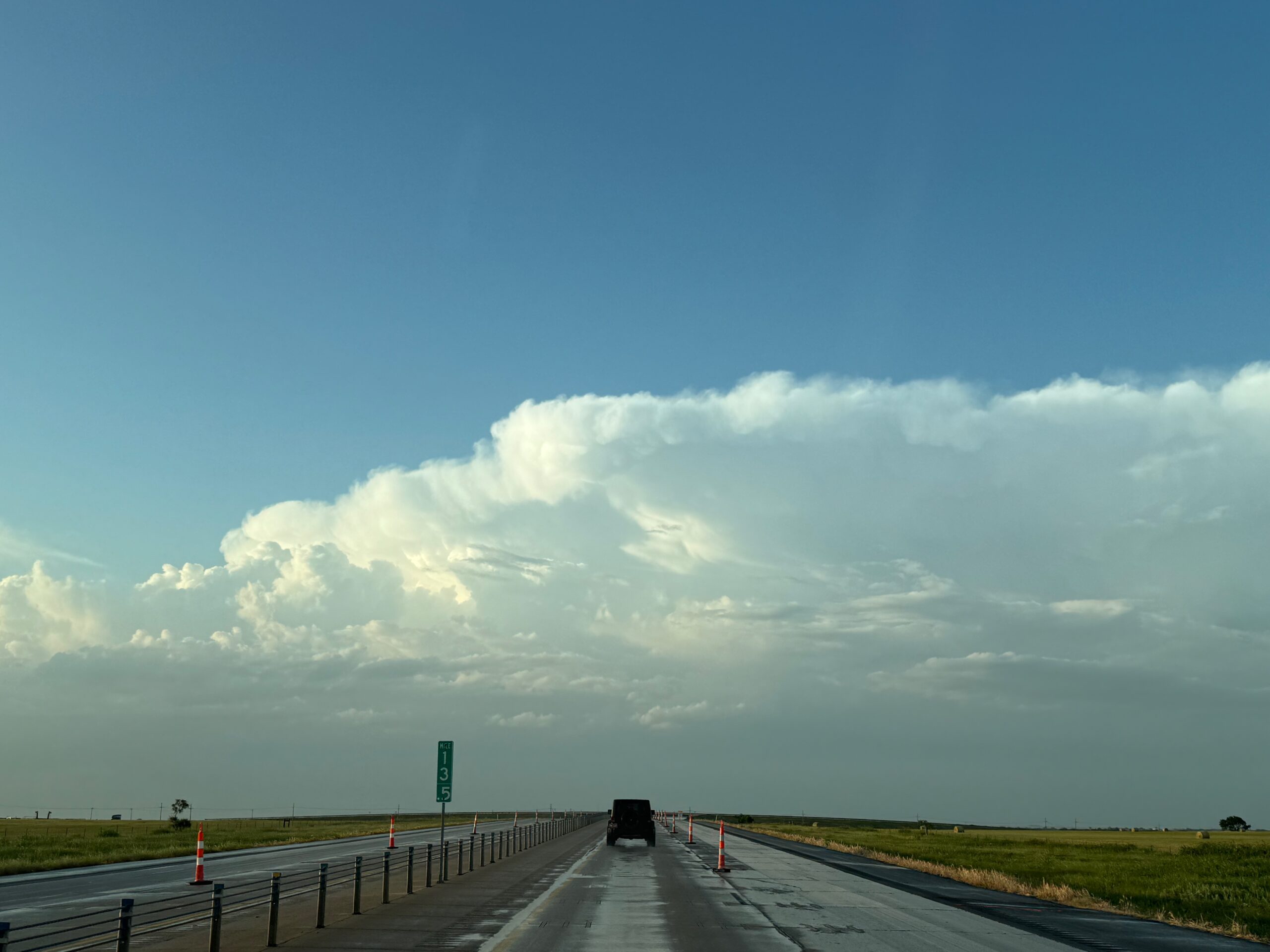
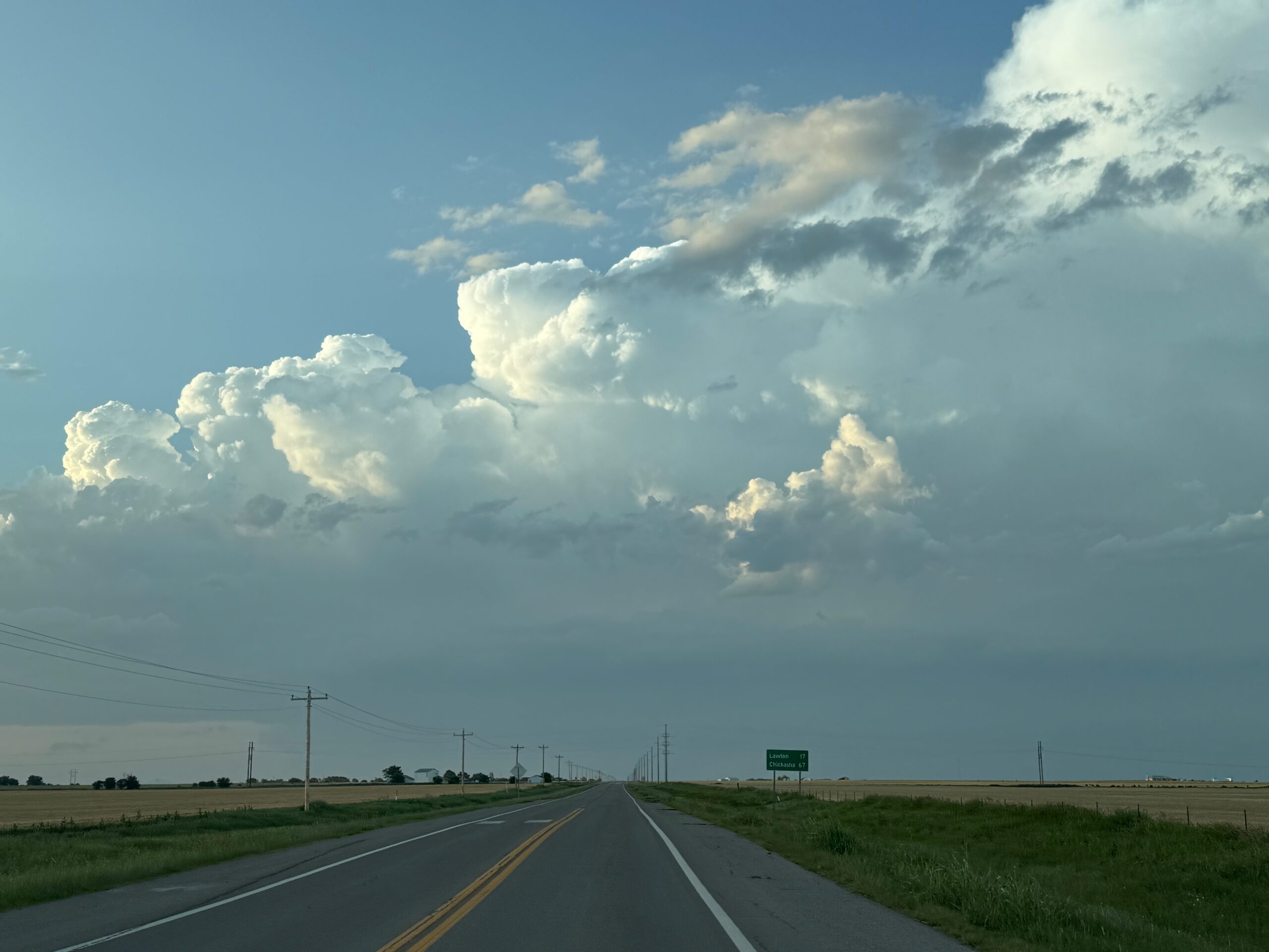
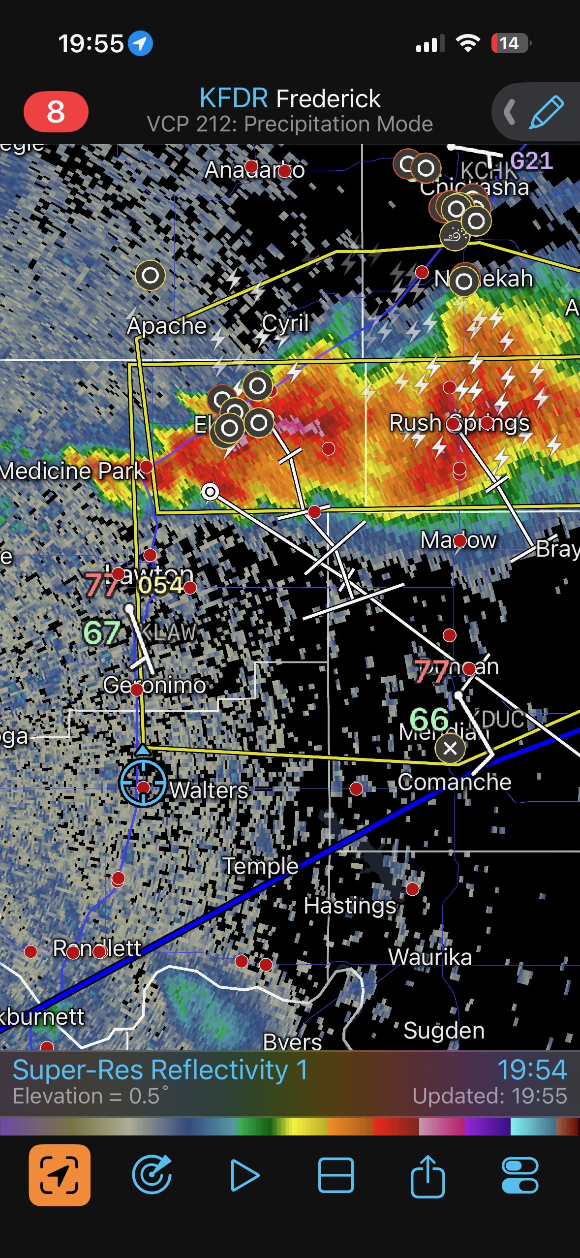
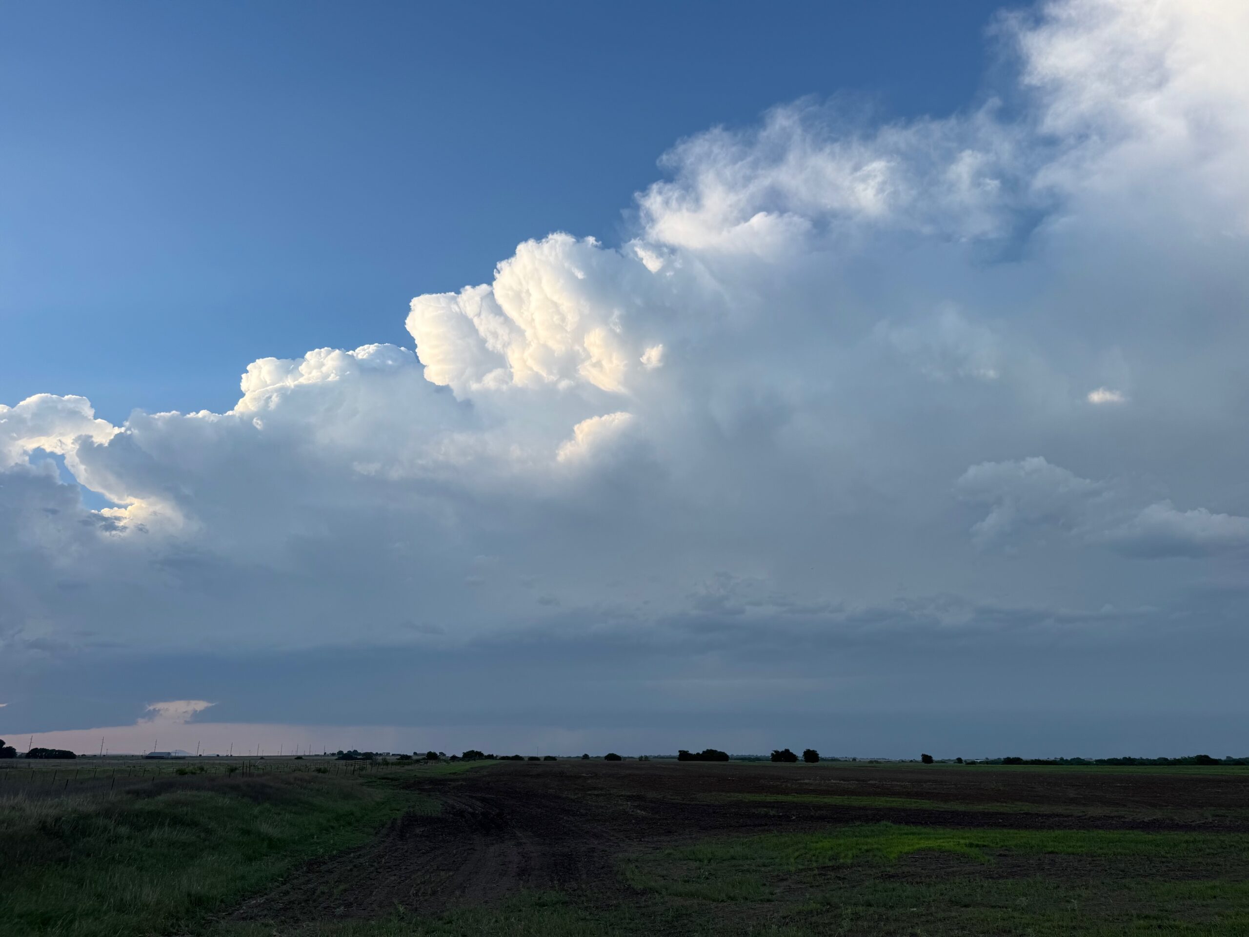
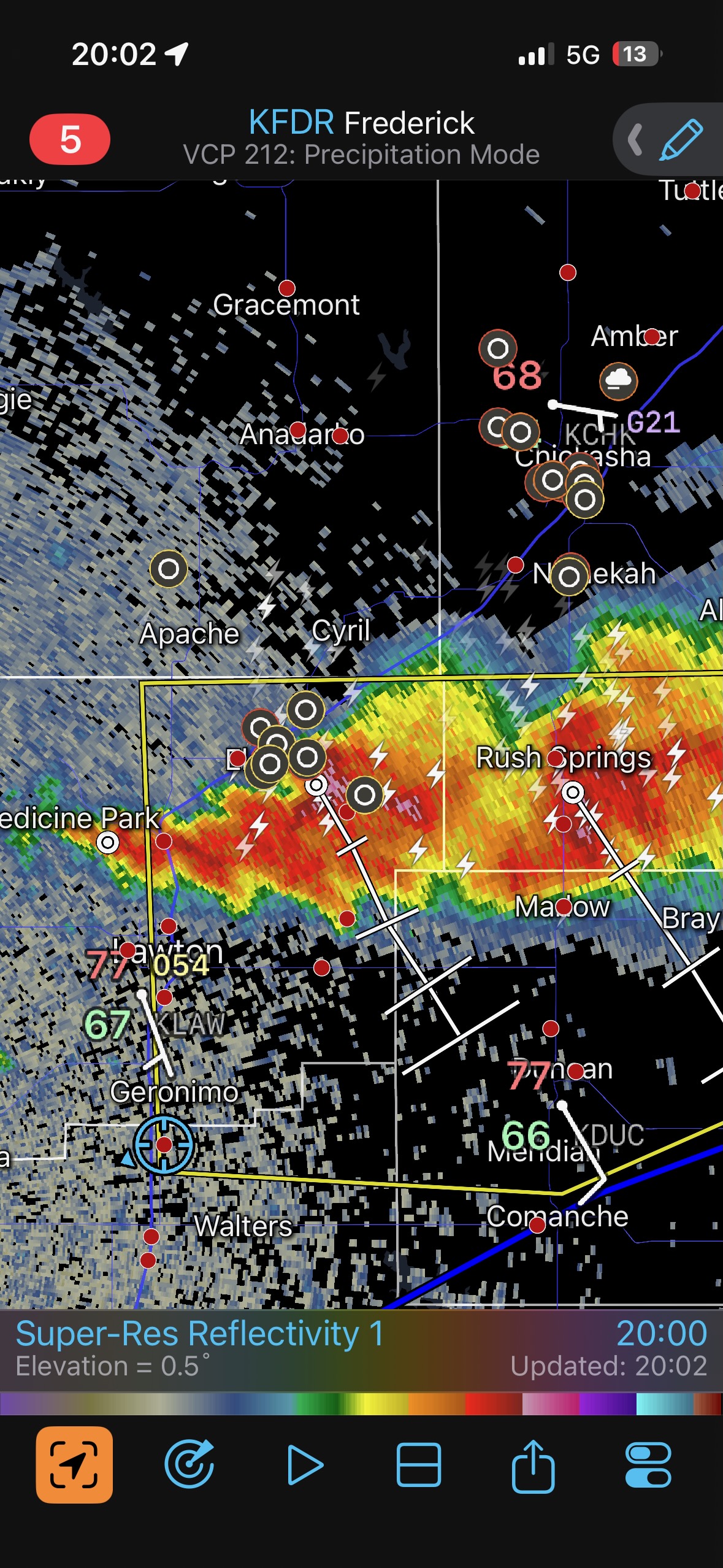
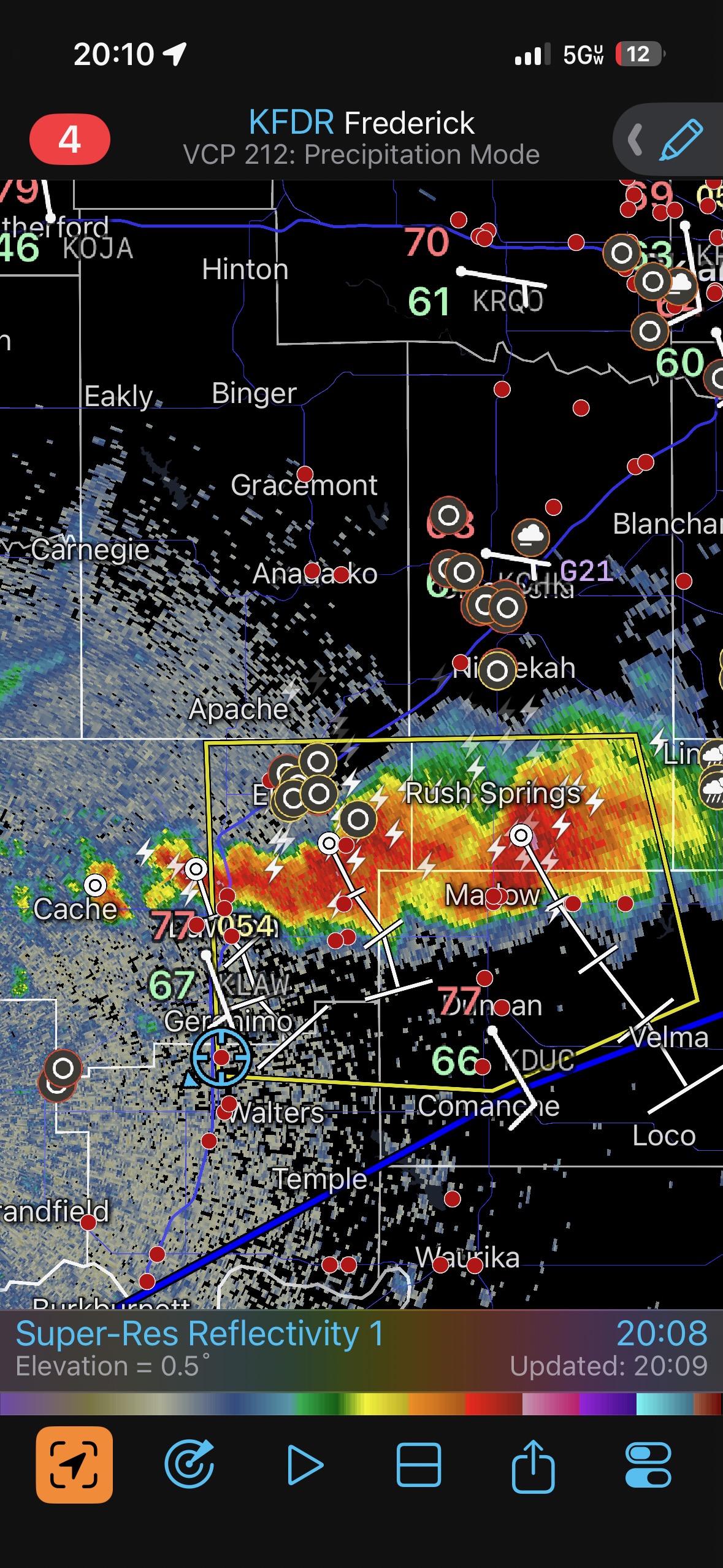
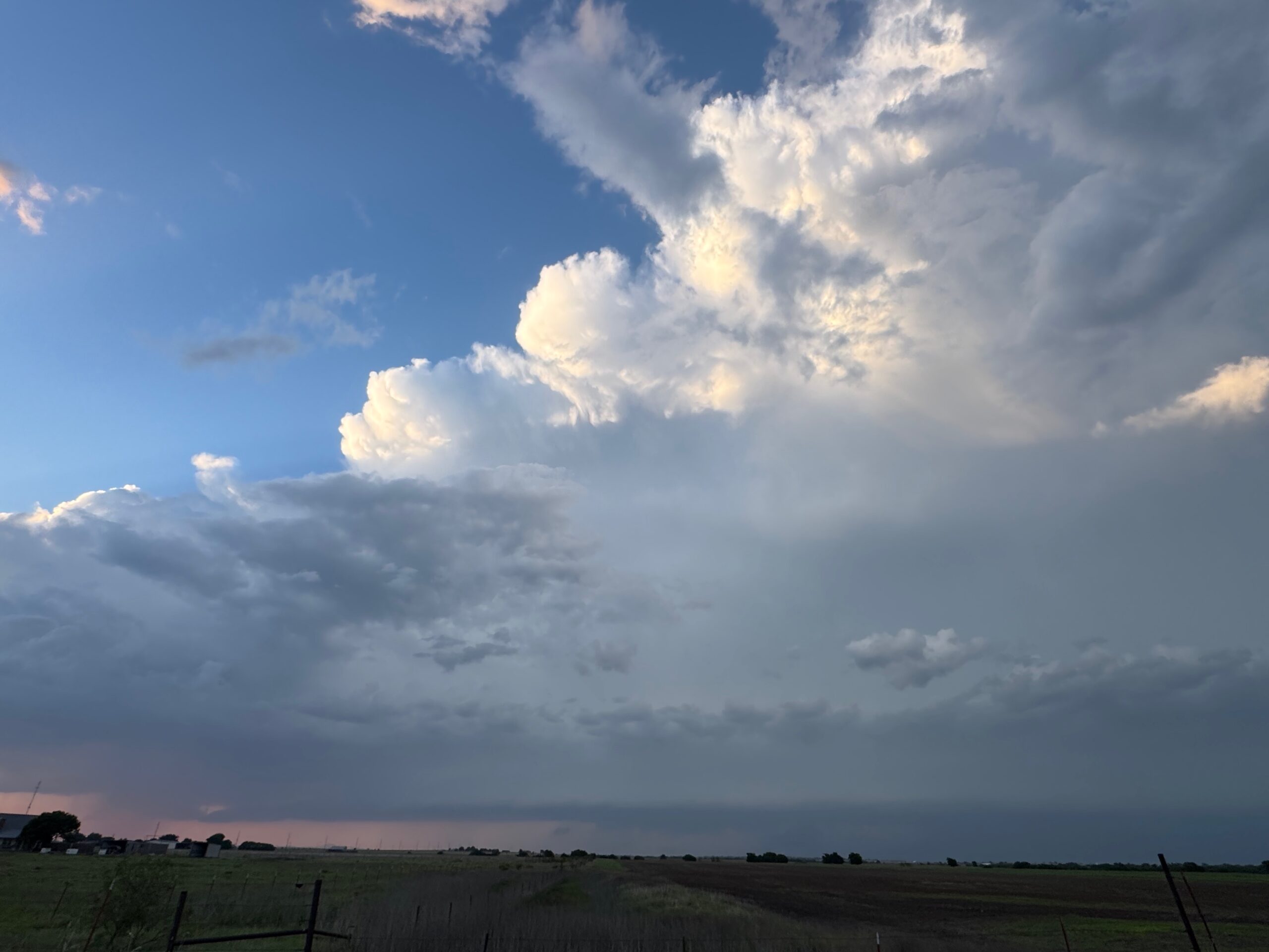
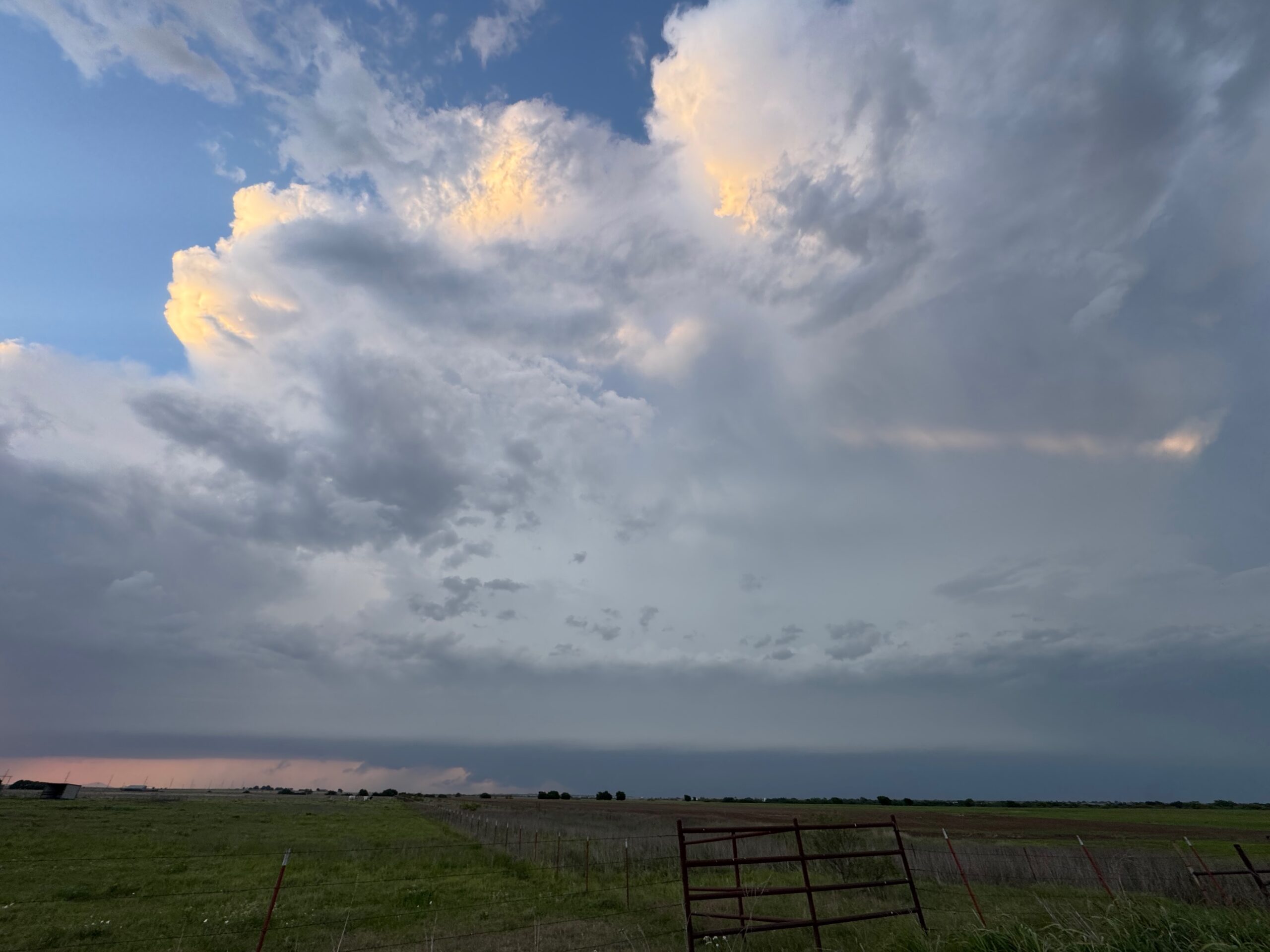
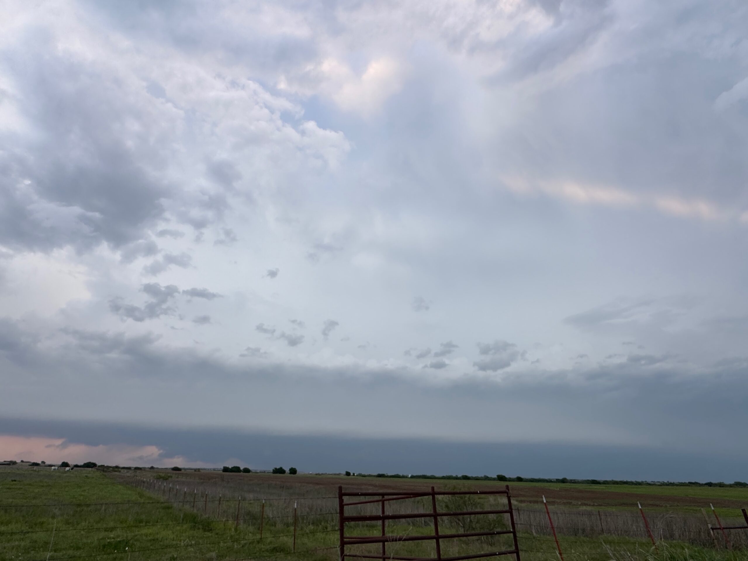
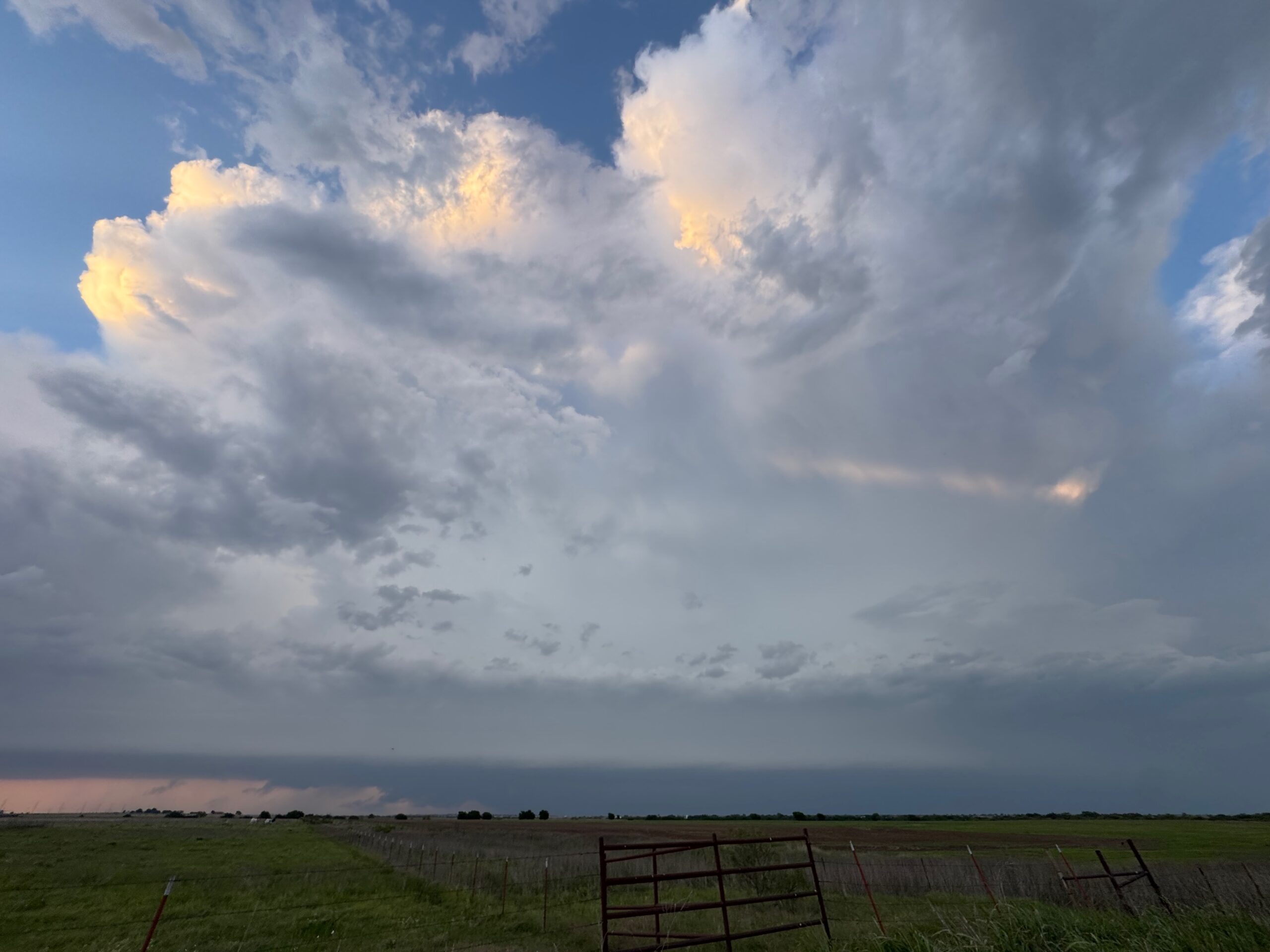
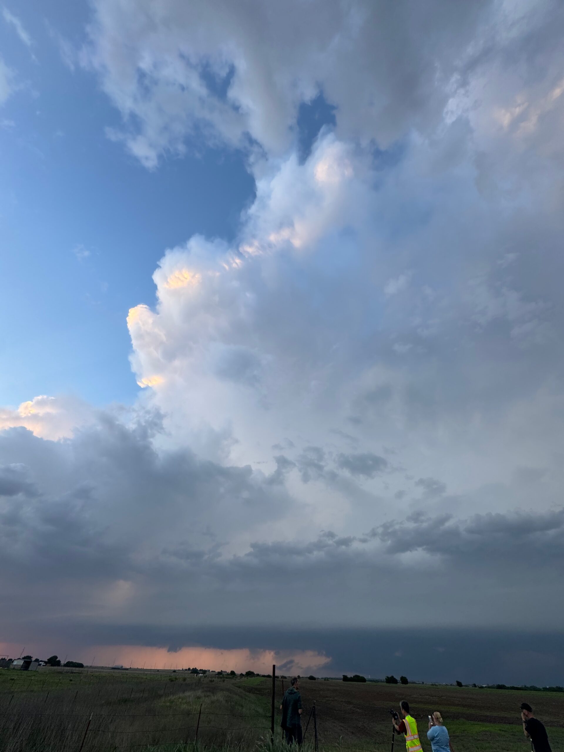
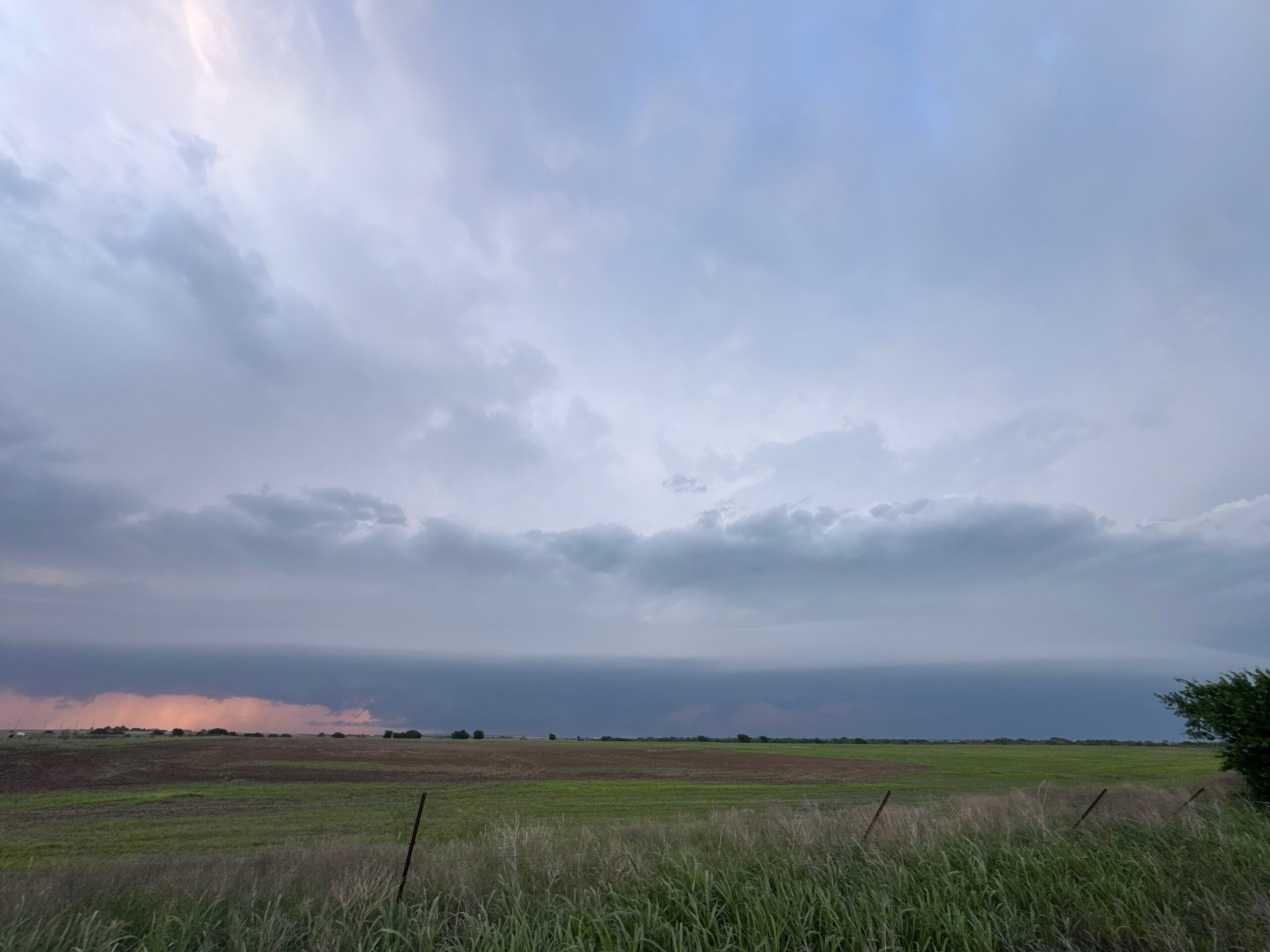
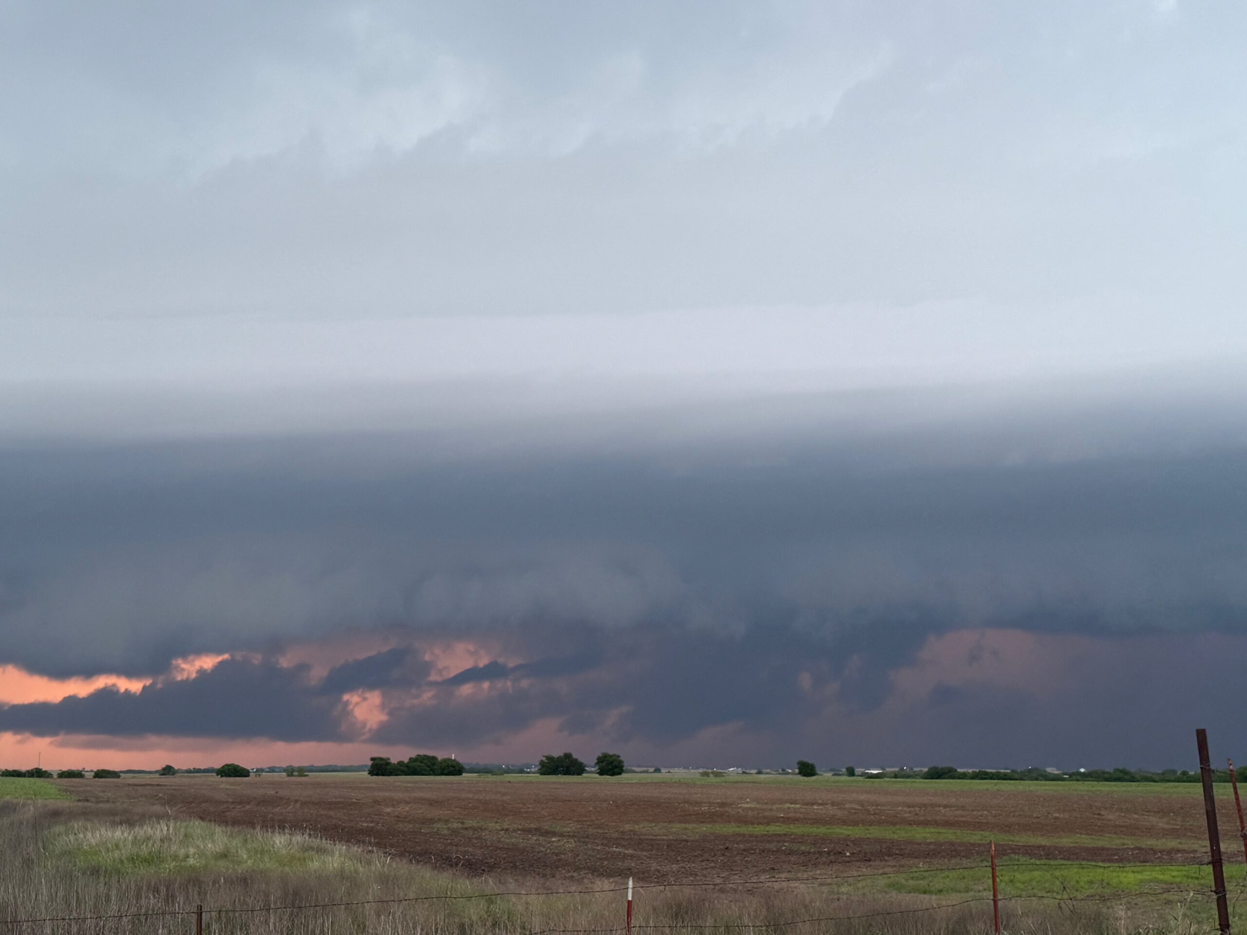
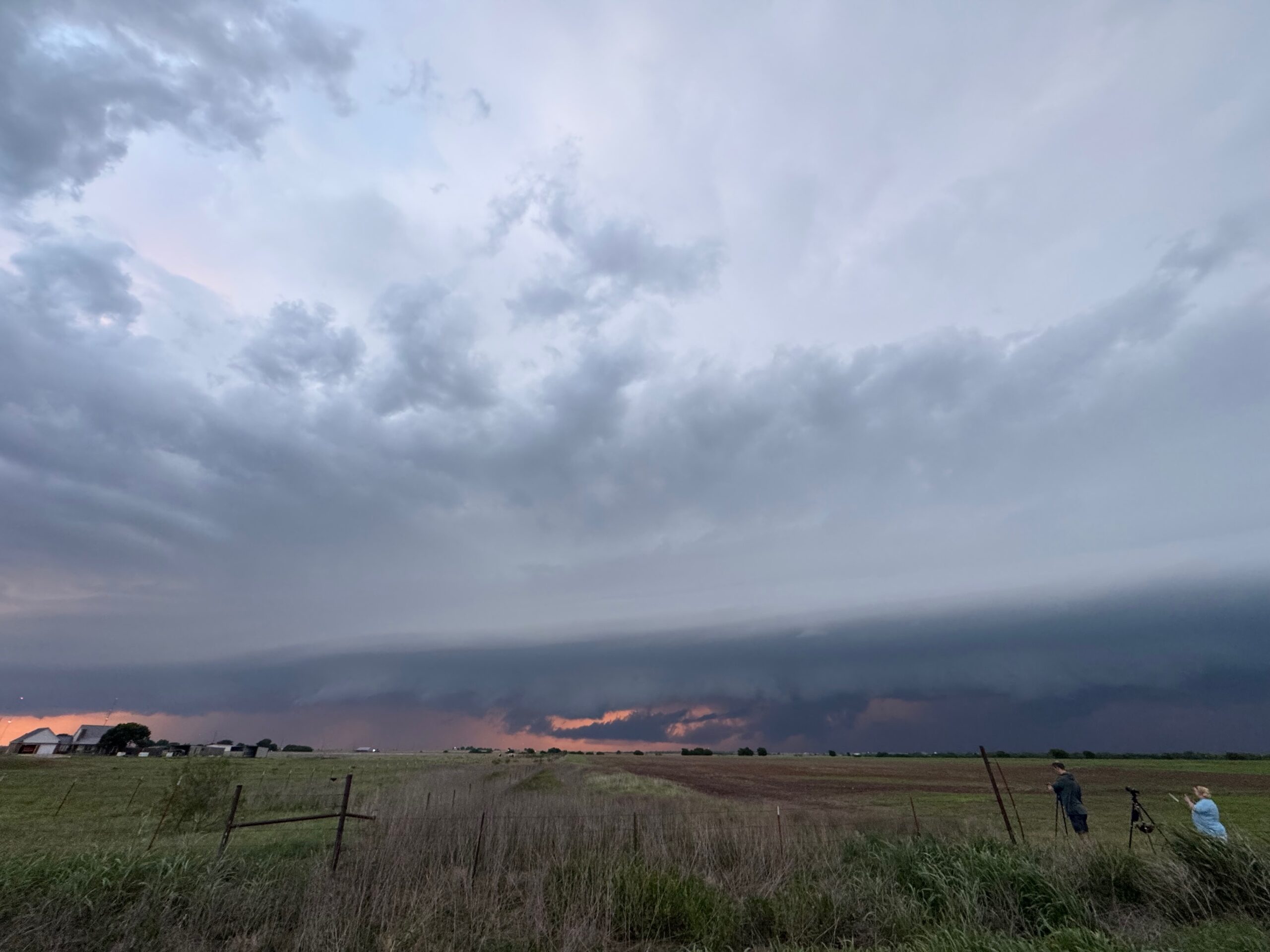
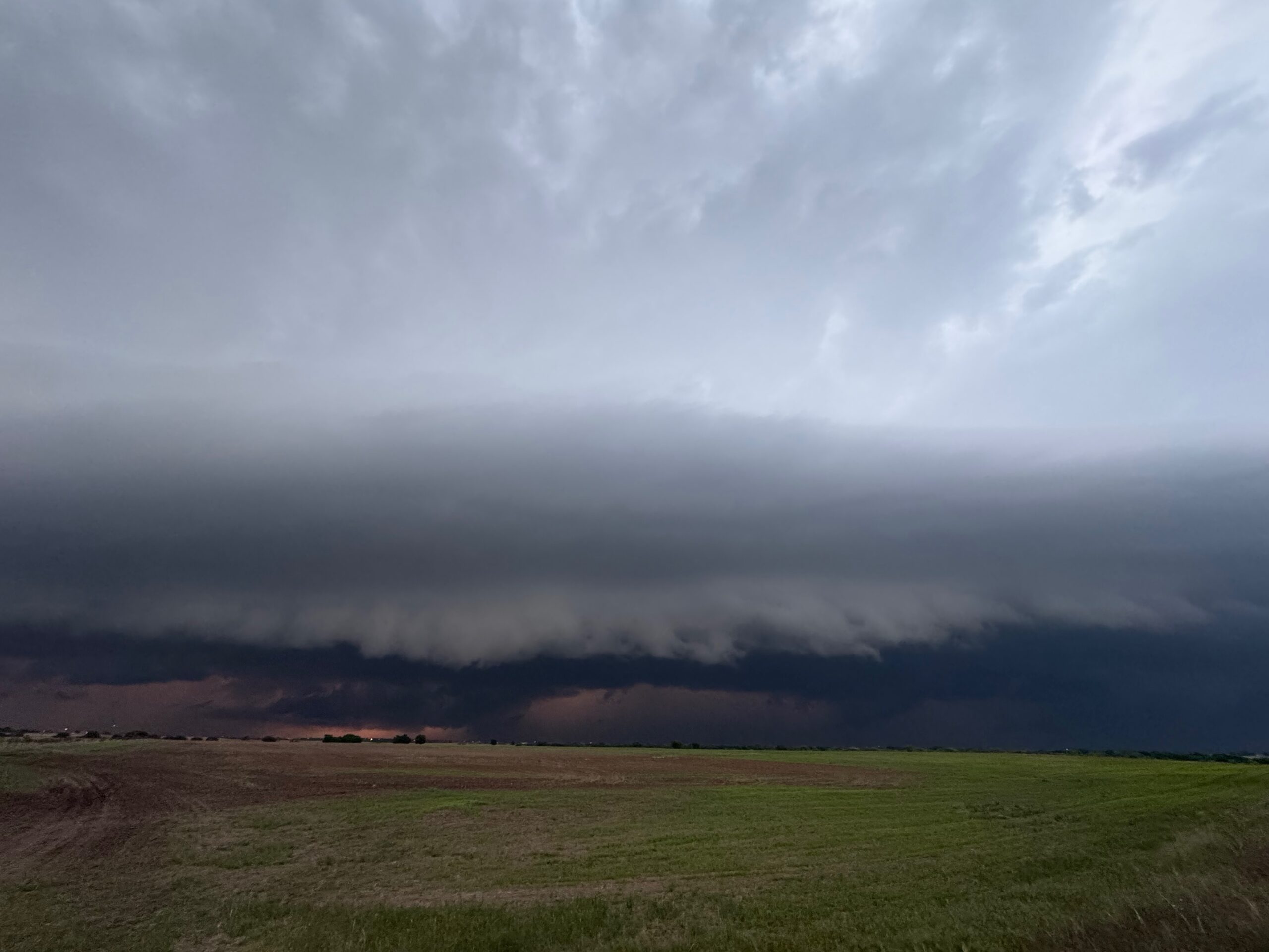
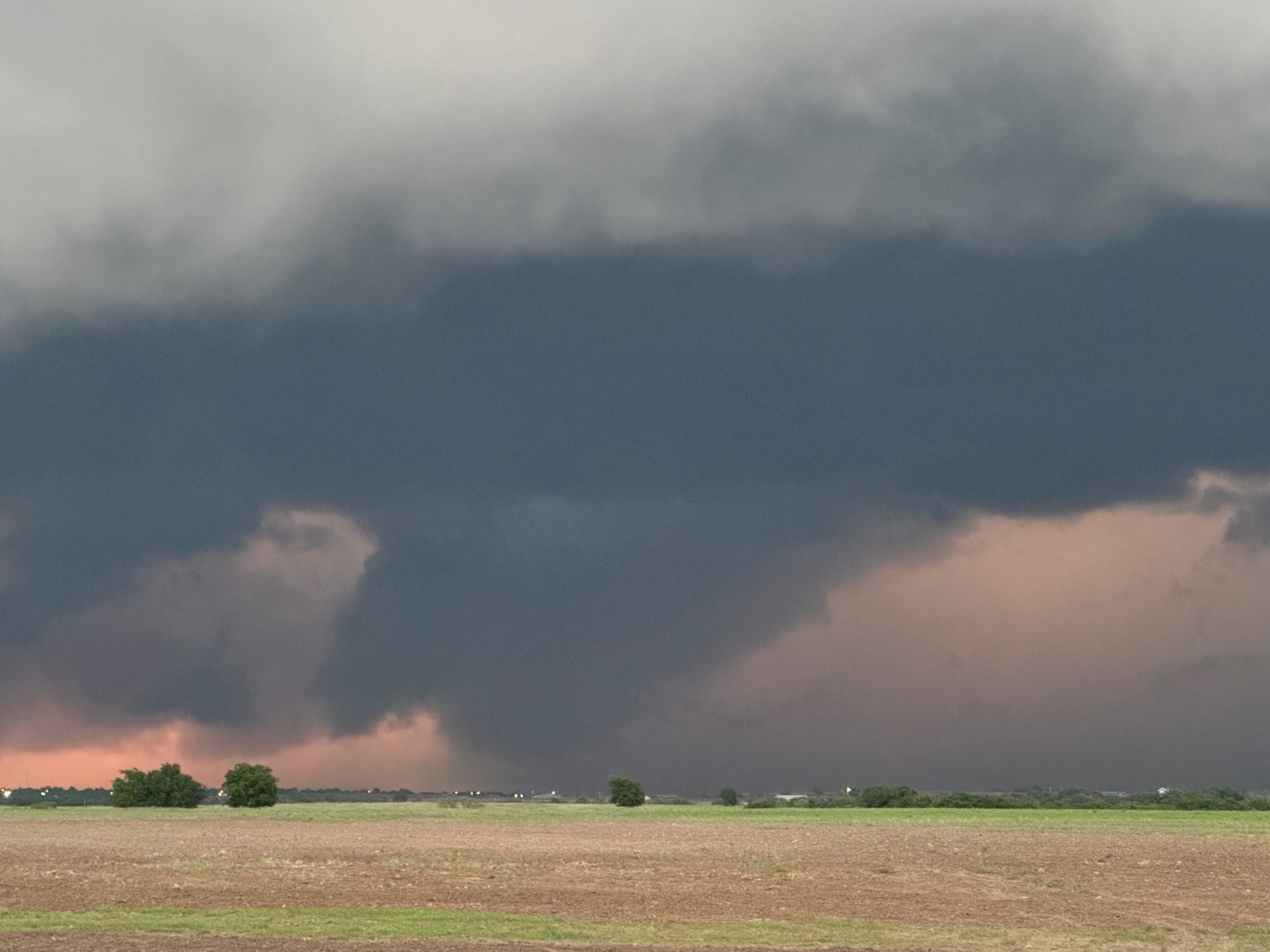
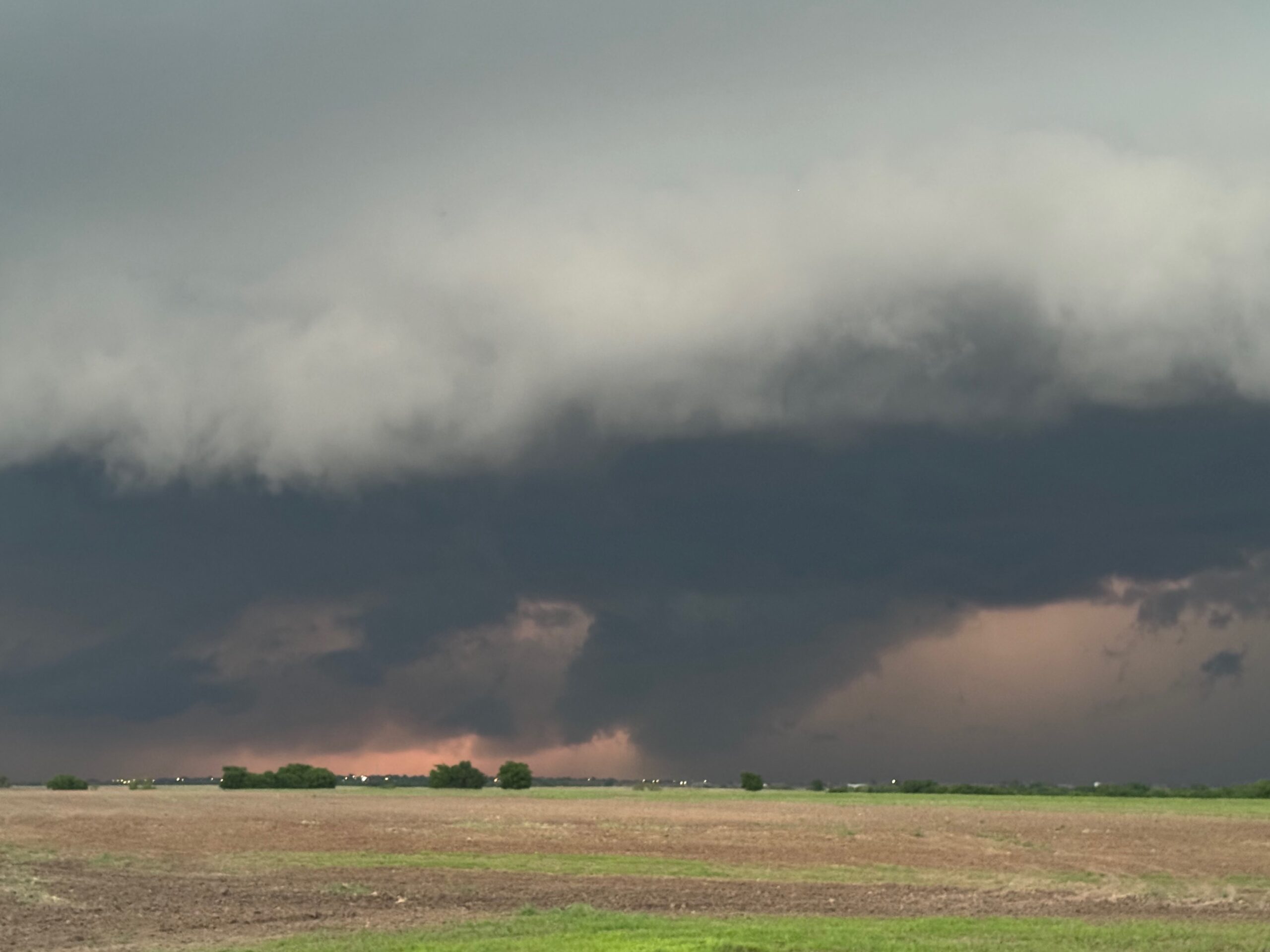
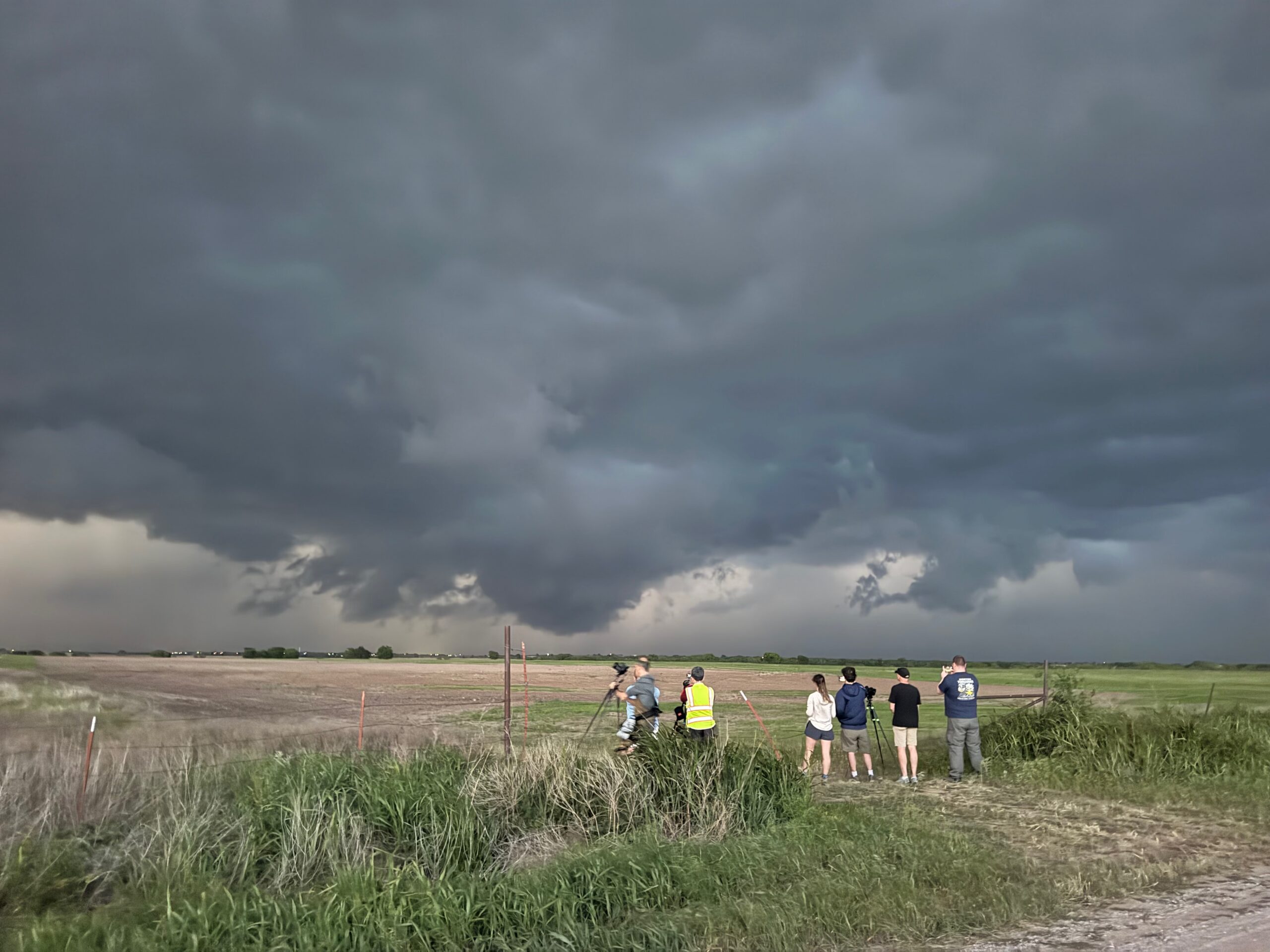
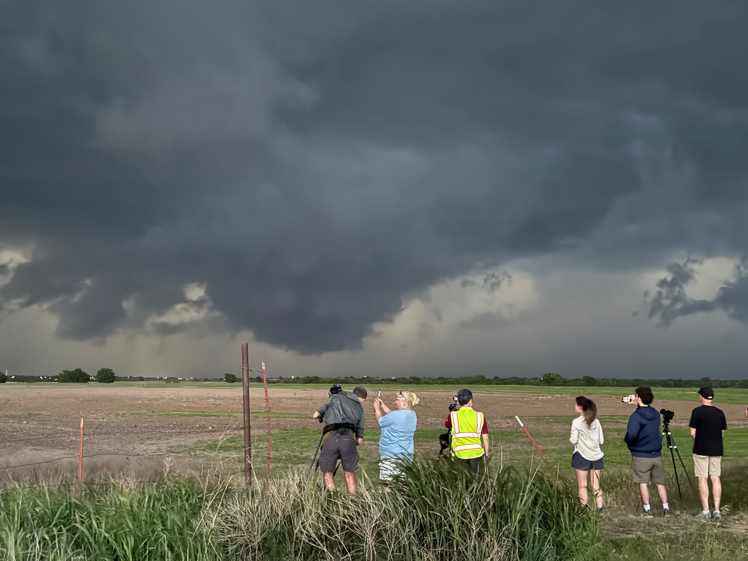
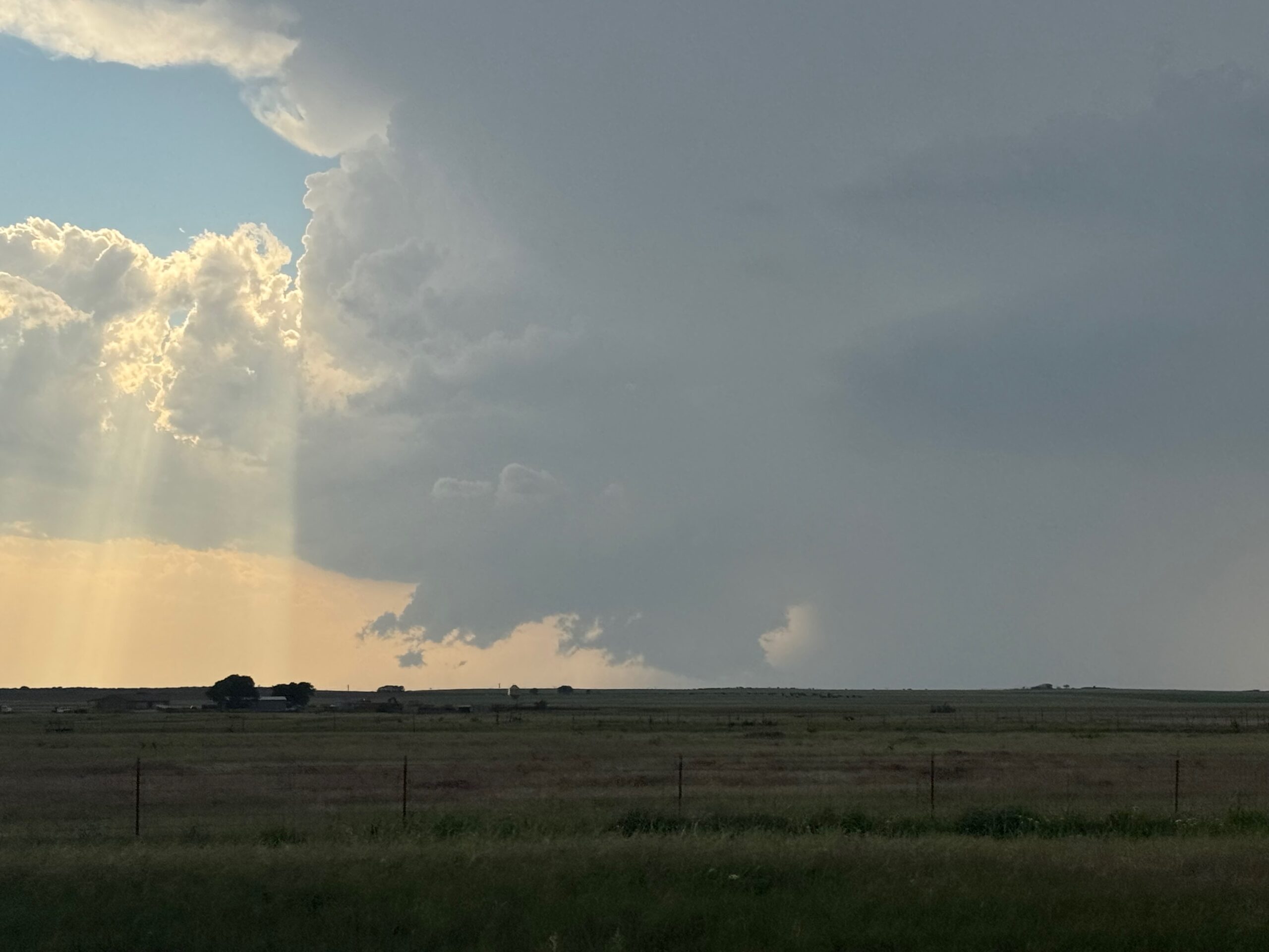
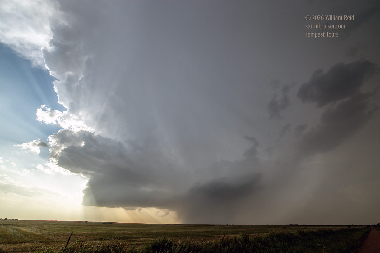
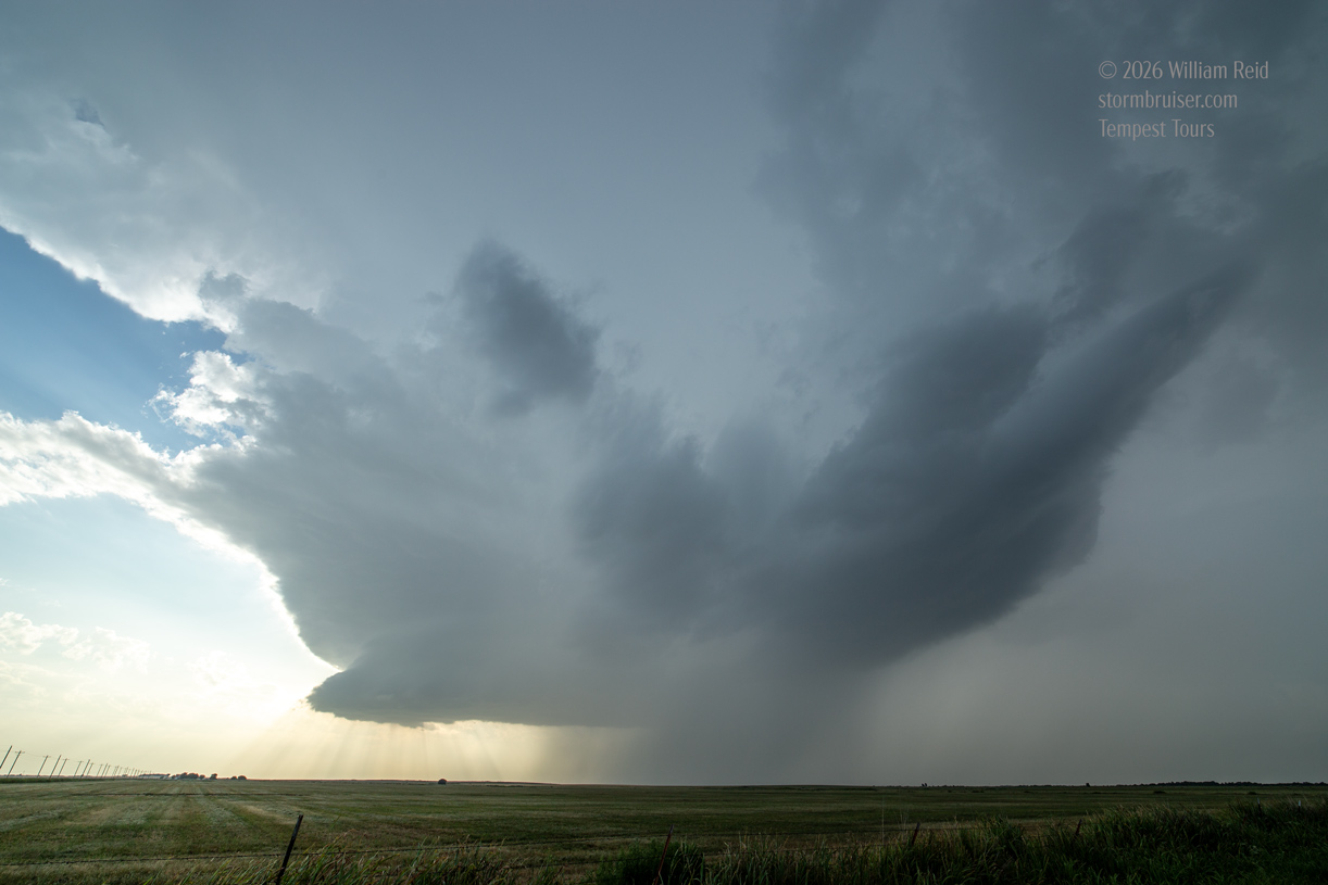
Supercells were expected near a cold front that was pushing into NW OK today. Initial thinking was to hang out a bit west of OKC, and some early activity developed to our northwest and west. We took a look at this, and I was not impressed. Another area began to bubble to our SSW, west of Lawton, so we scrambled down 81 in order to get in front of this. A decent storm began to rotate near Chattanooga, and turned to the SSE. Norman NWS stuck a tornado warning onto it. The thing showed a nice, big wall cloud beneath an impressive updraft. And we watched it sputter from there.

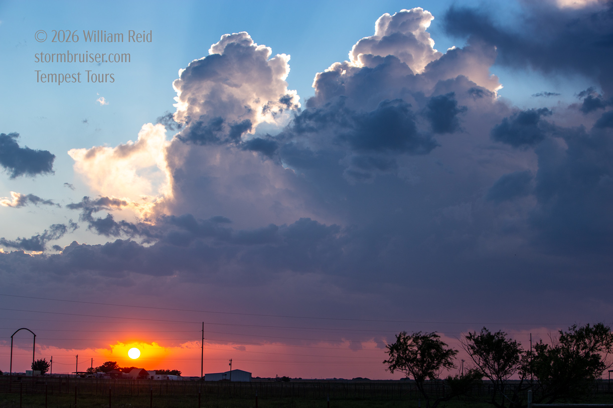
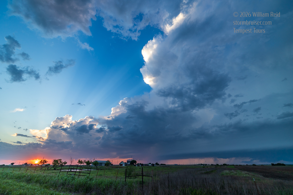
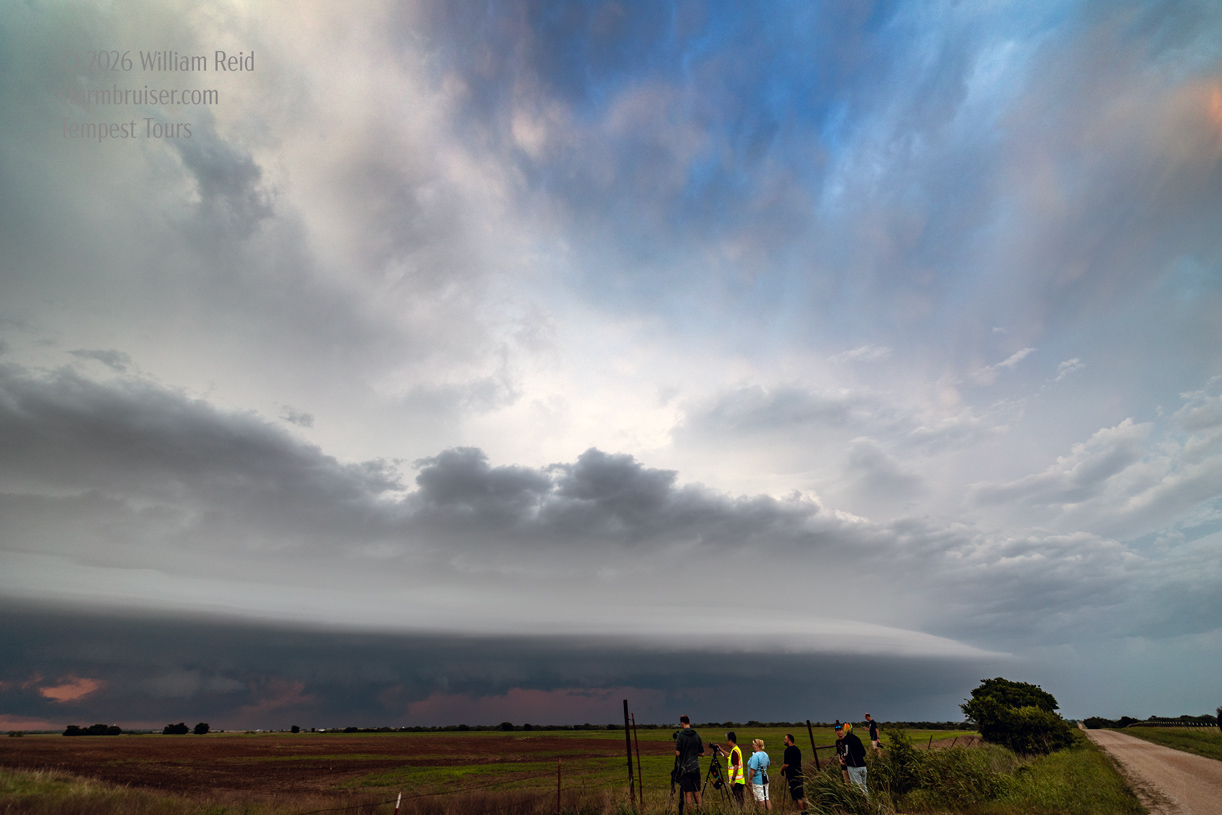
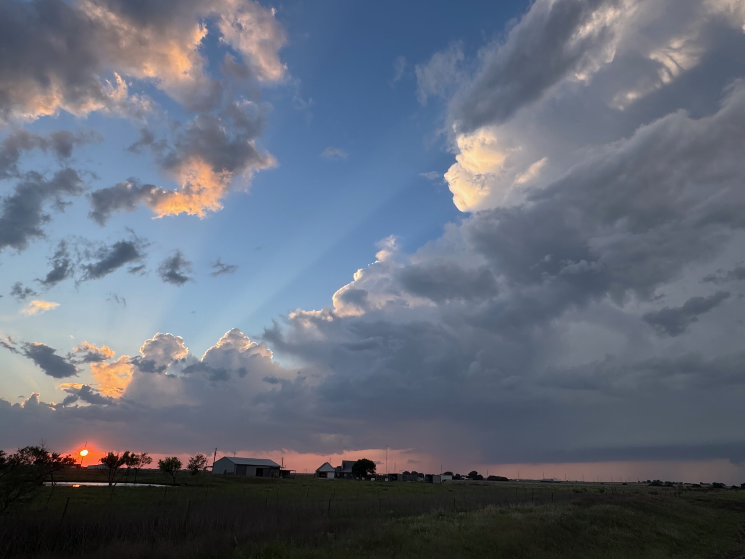
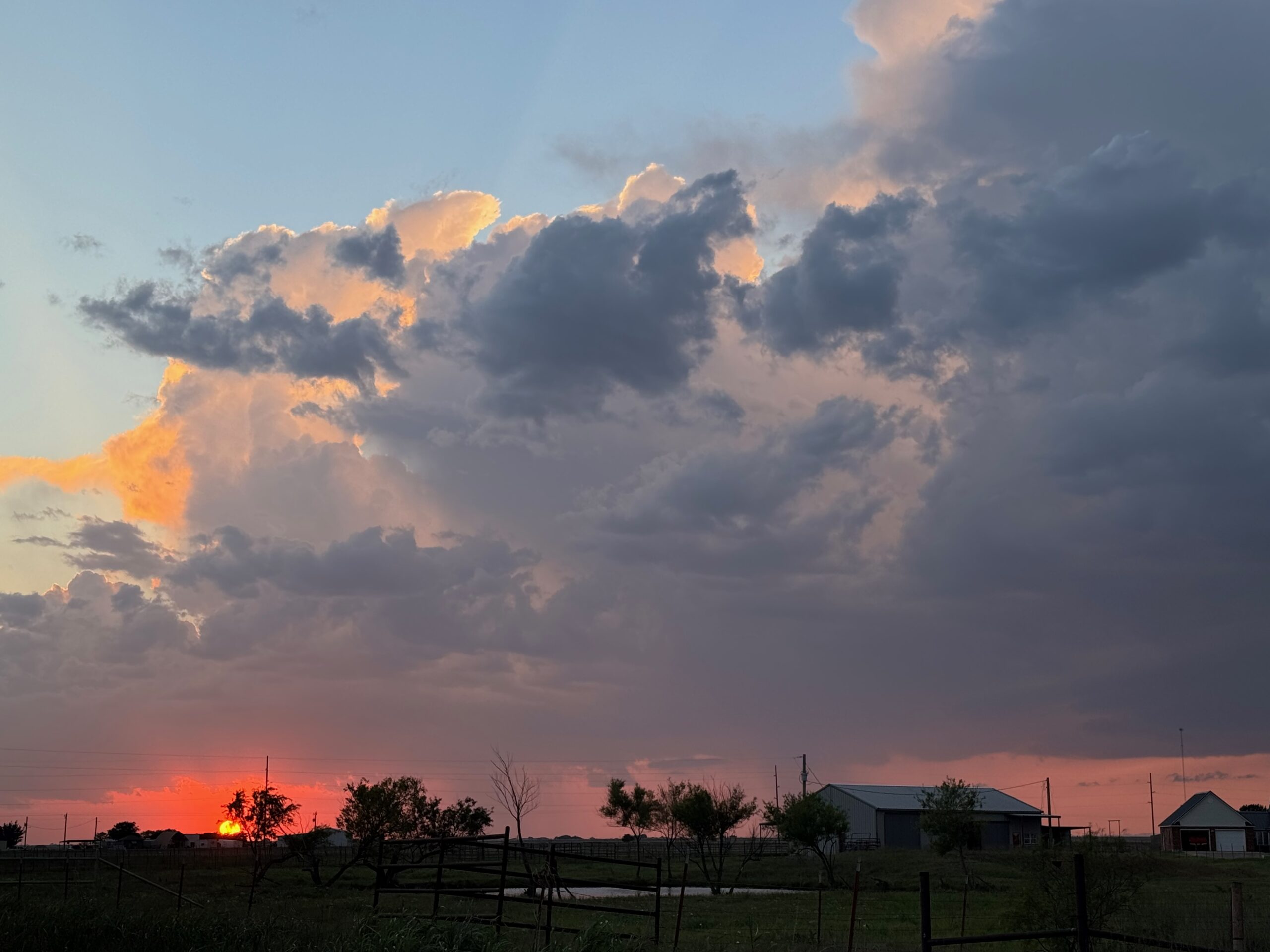
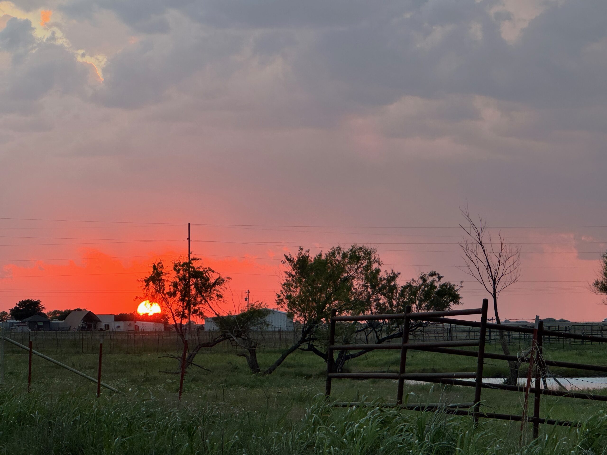
We went back north towards sunset for the linear/squally show closer to the cold front. That was near Geronimo.

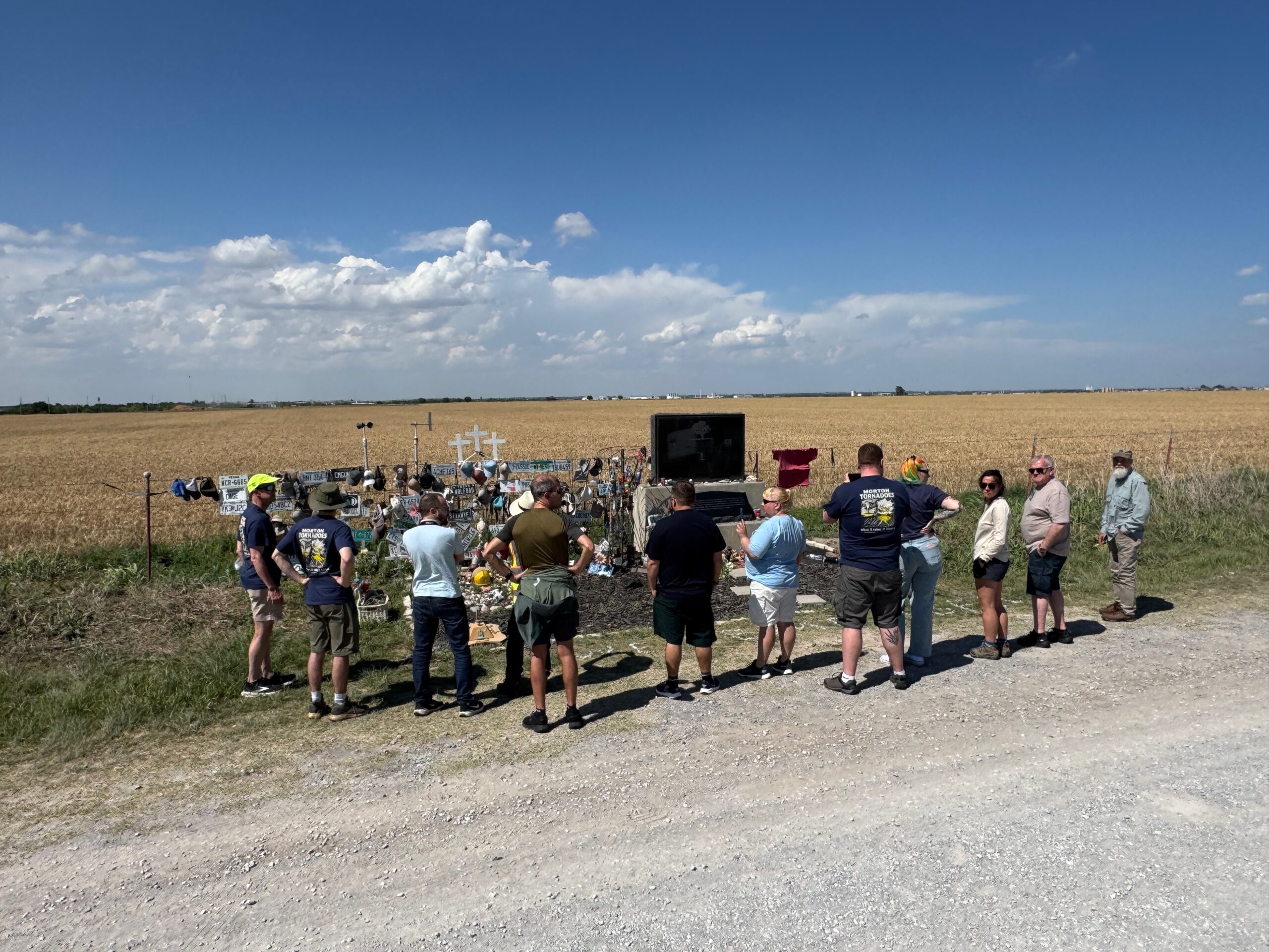
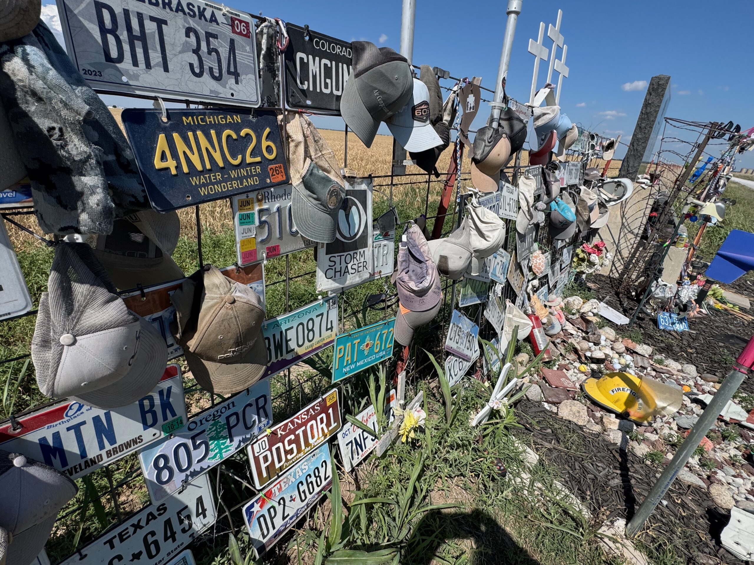
The first two groups of photos below are off of my Canon cameras, followed by the batch from the iPhone.
Iphone pics and radar screenshots below
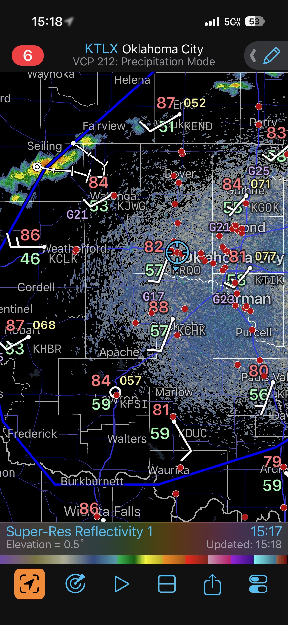
Screenshot
Screenshot
Screenshot
Screenshot
Screenshot
Screenshot
Screenshot
Screenshot
Screenshot
Screenshot
Screenshot
Screenshot

Filed Under: 2026, Cumulonimbus, Sunsets and Storms, Supercells

Leave a Reply

You must be logged in to post a comment.

Search

May 2026
S M T W T F S
 12
3456789
10111213141516
17181920212223
24252627282930
31  
« Apr    

Categories

Archives

Copyright © 2026 stormbruiser.com ยท Log in