
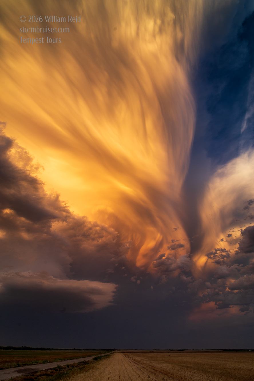
Whereabouts for May 7th, 8th and 9th:
May 7 Start: Alexandria, LA/brunch: La Bistreaux Coffee and Waffles Bar in Alexandria/end: McAlester, OK/380 miles
May 8 Start: McAlester, OK/brunch: Angel’s Diner in McAlester/end: Wichita Falls, TX/393 miles
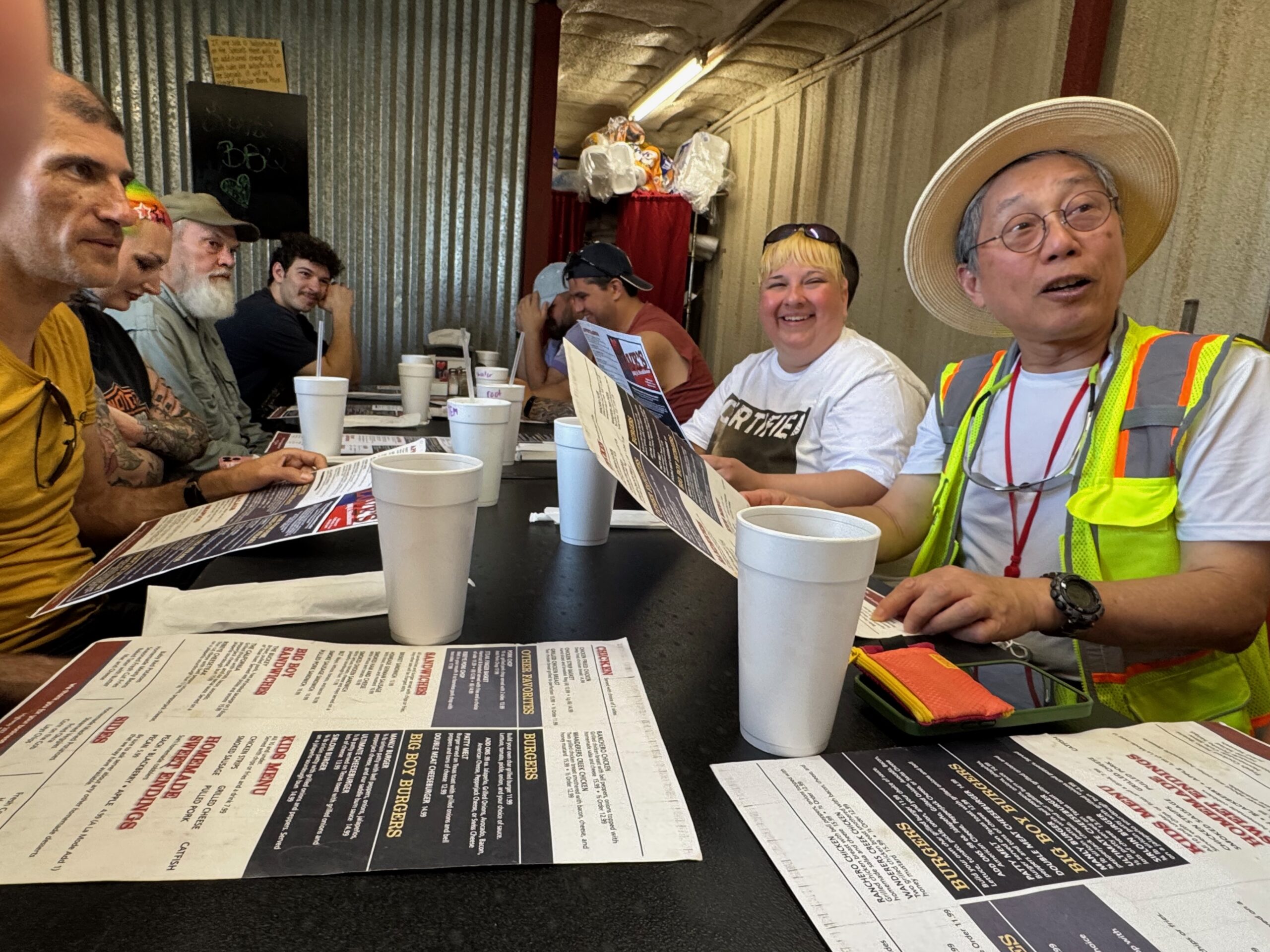
May 9 Start: Wichita Falls, TX/lunch: Loves BBQ and Steakhouse in Chillicothe, TX/End: 301 miles
May 7 was a reposition day, and May 8th featured a transient supercell southwest of Lawton. I will attach the images for these two days after the May 9 pics.
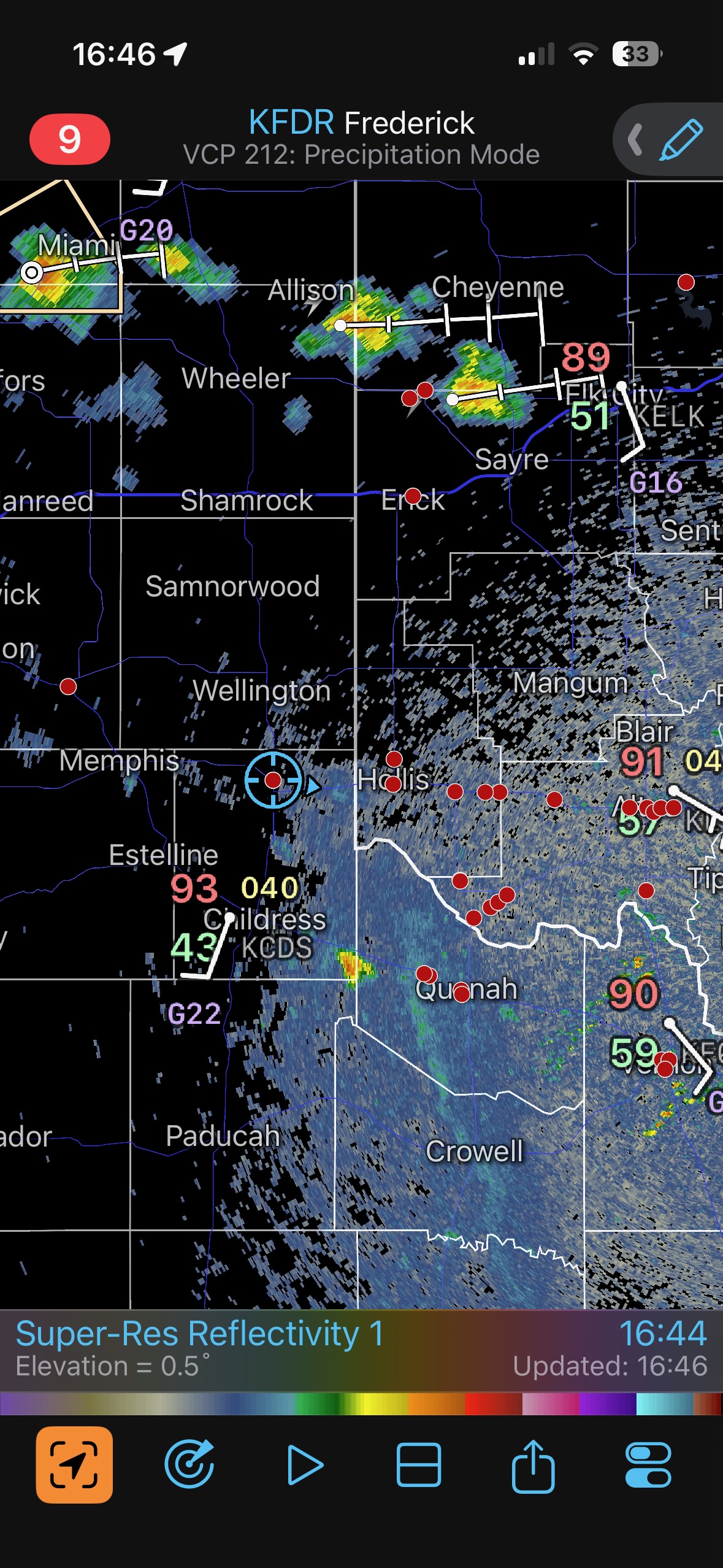
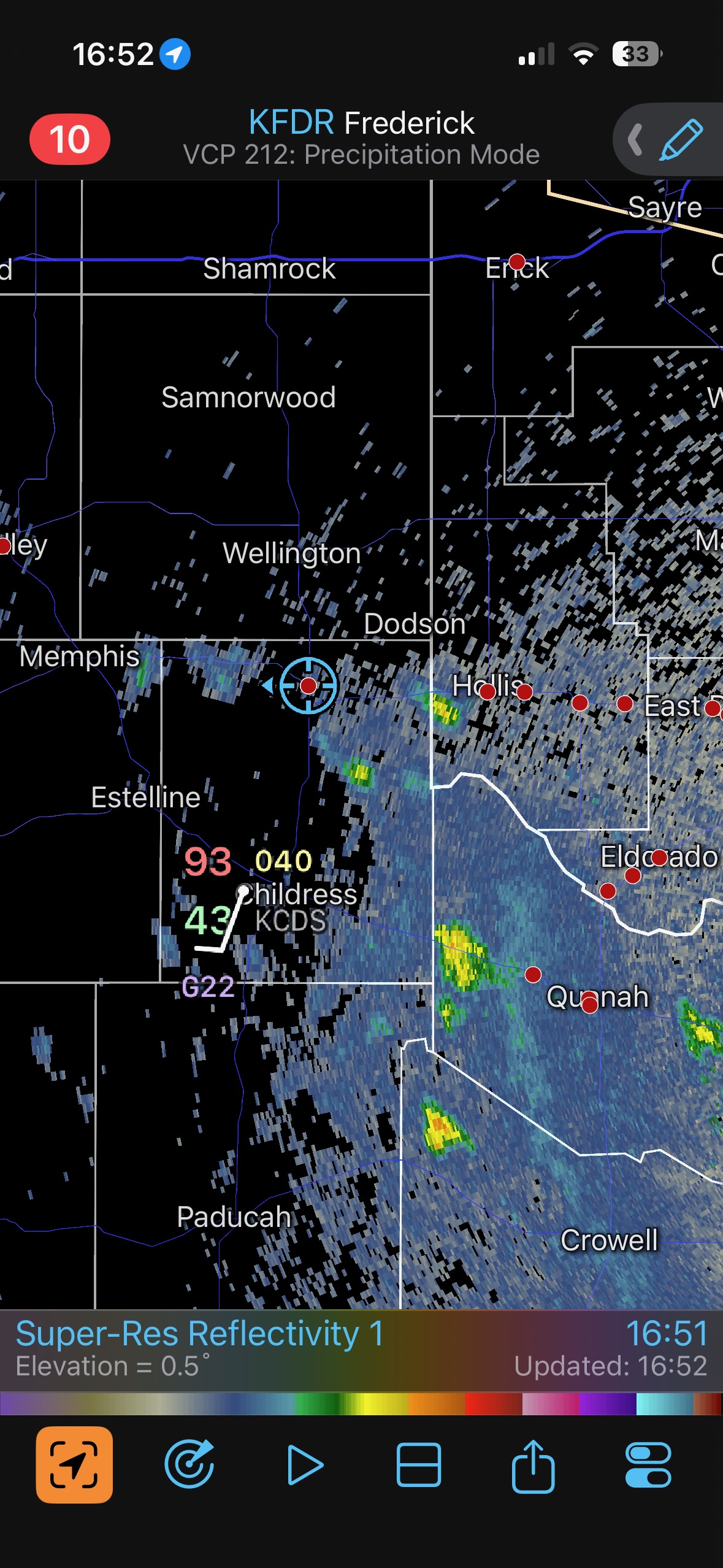
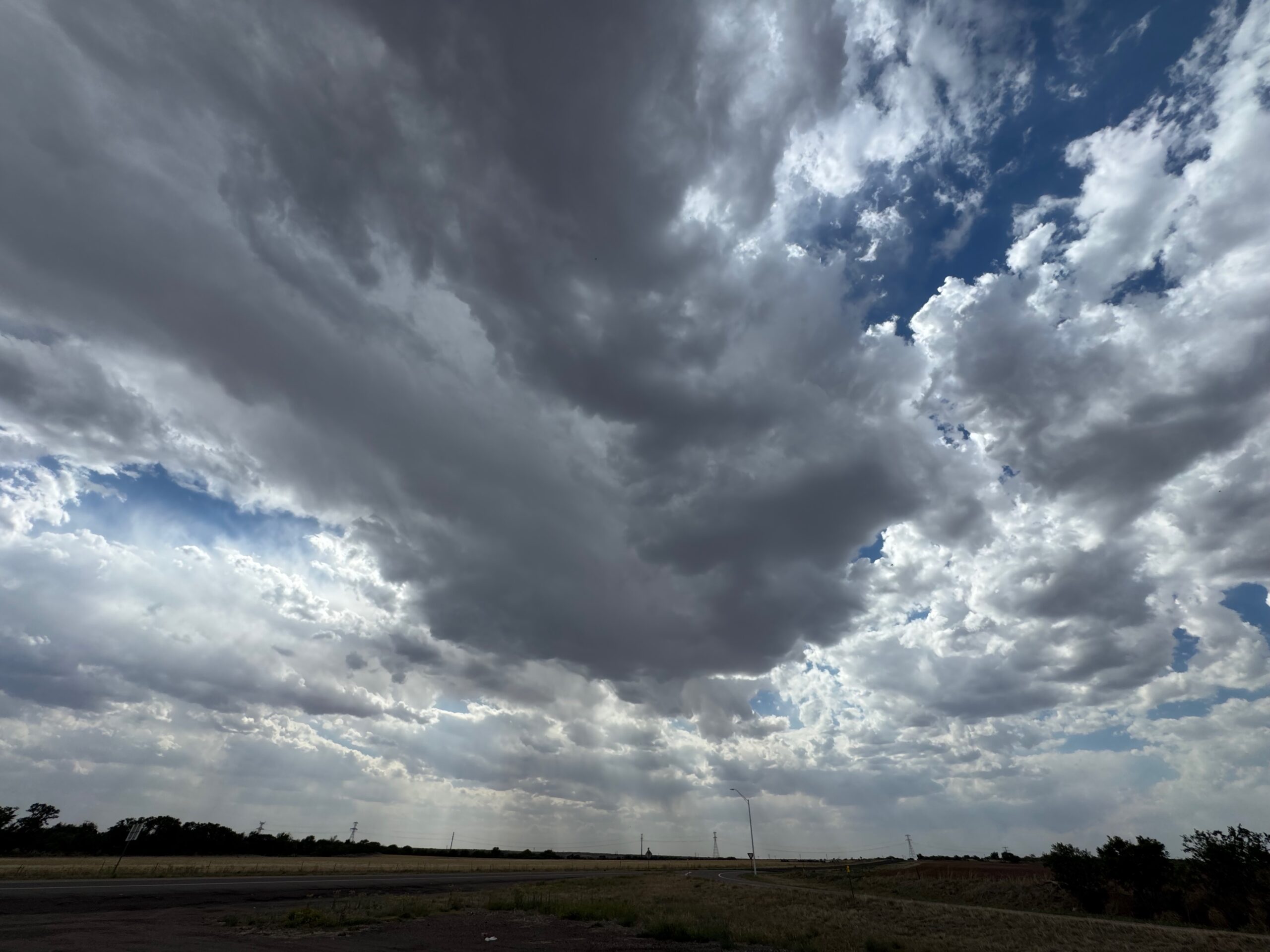
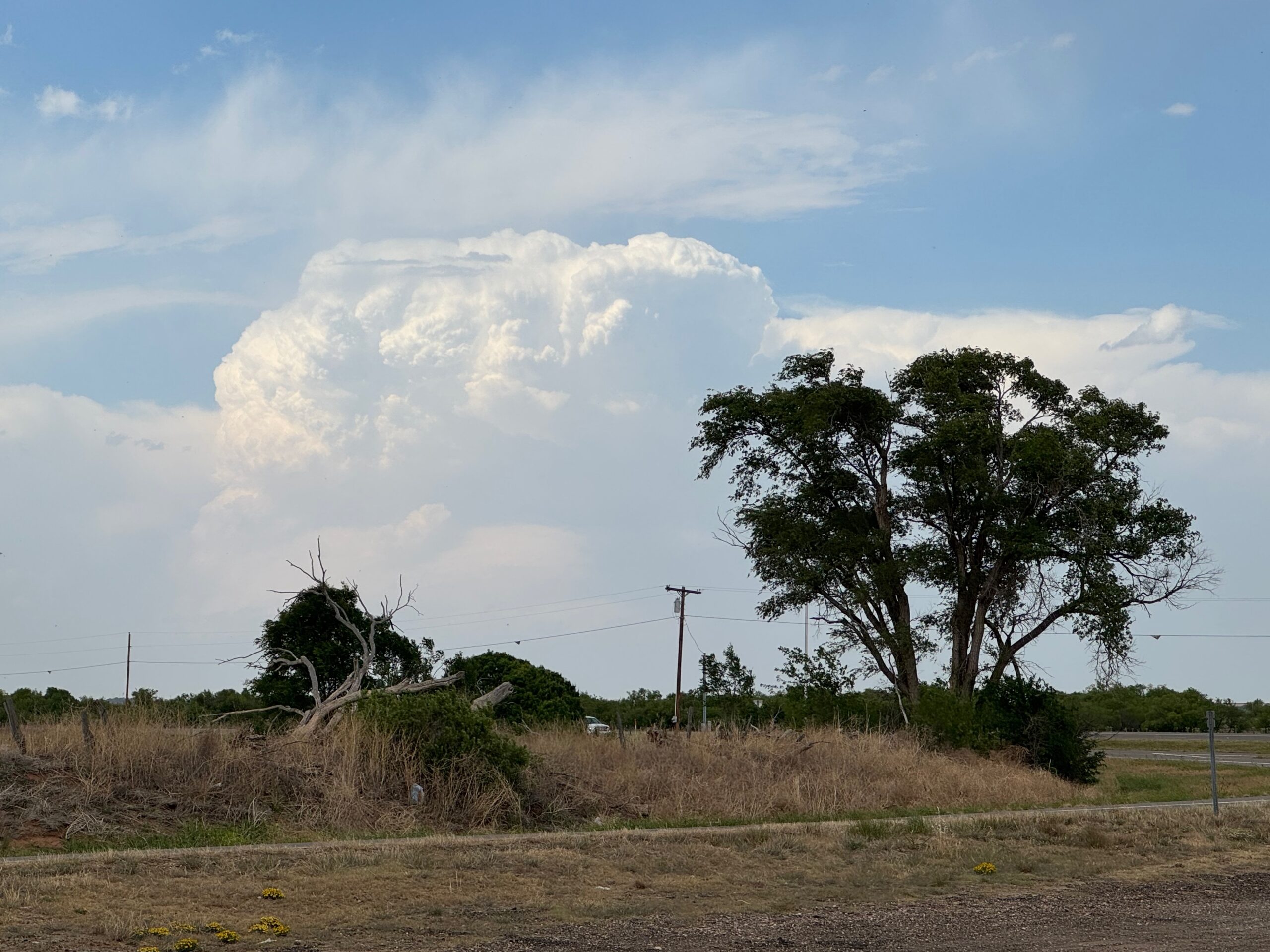
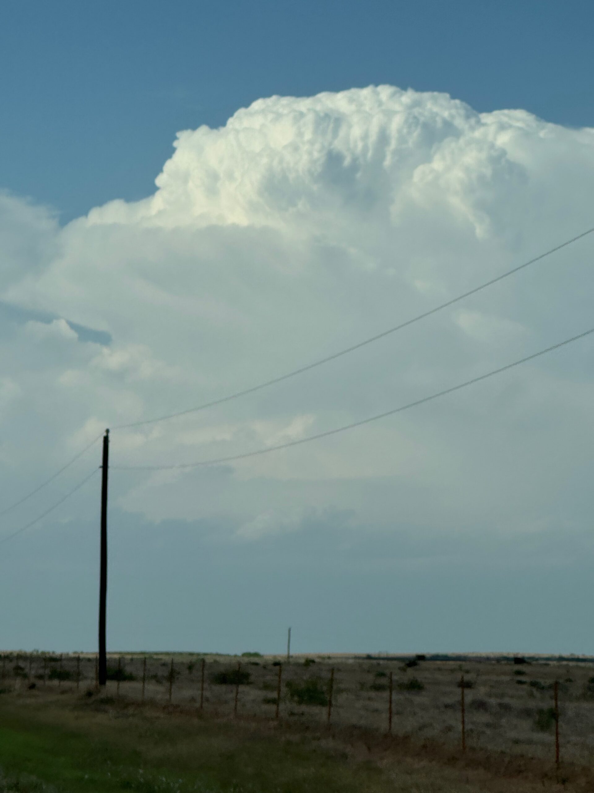
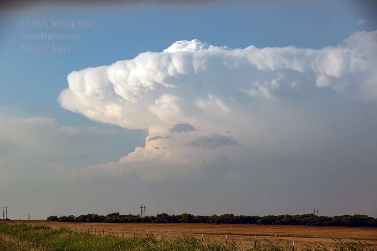
Prospects were somewhat encouraging this chase day. We were in good shape with a start in Wichita Falls. A dry line would sharpen up in the eastern TX PH later, and instability and shear were more than enough for supercells. The 500 flow was WNW at about 40 knots. Early afternoon dew points were near 60F along the Red River, and only low 50s or so along I-40 in western OK. Moisture would increase towards sunset. I, and most chasers, had their sights set on SW OK. We killed time near Hollis and then barely into TX. Here, near 83 and 62 (north of Childress), we watched some storm towers sputter. A decent tower went up near the Red River south of Hollis. We were coming back east into OK, and I just did not like how the activity in this area was going. New storms were taking shape a few counties to the north, close to I-40. I elected to divert that way. I wasn’t sure if this was the right play or not, as dews were rather mediocre.
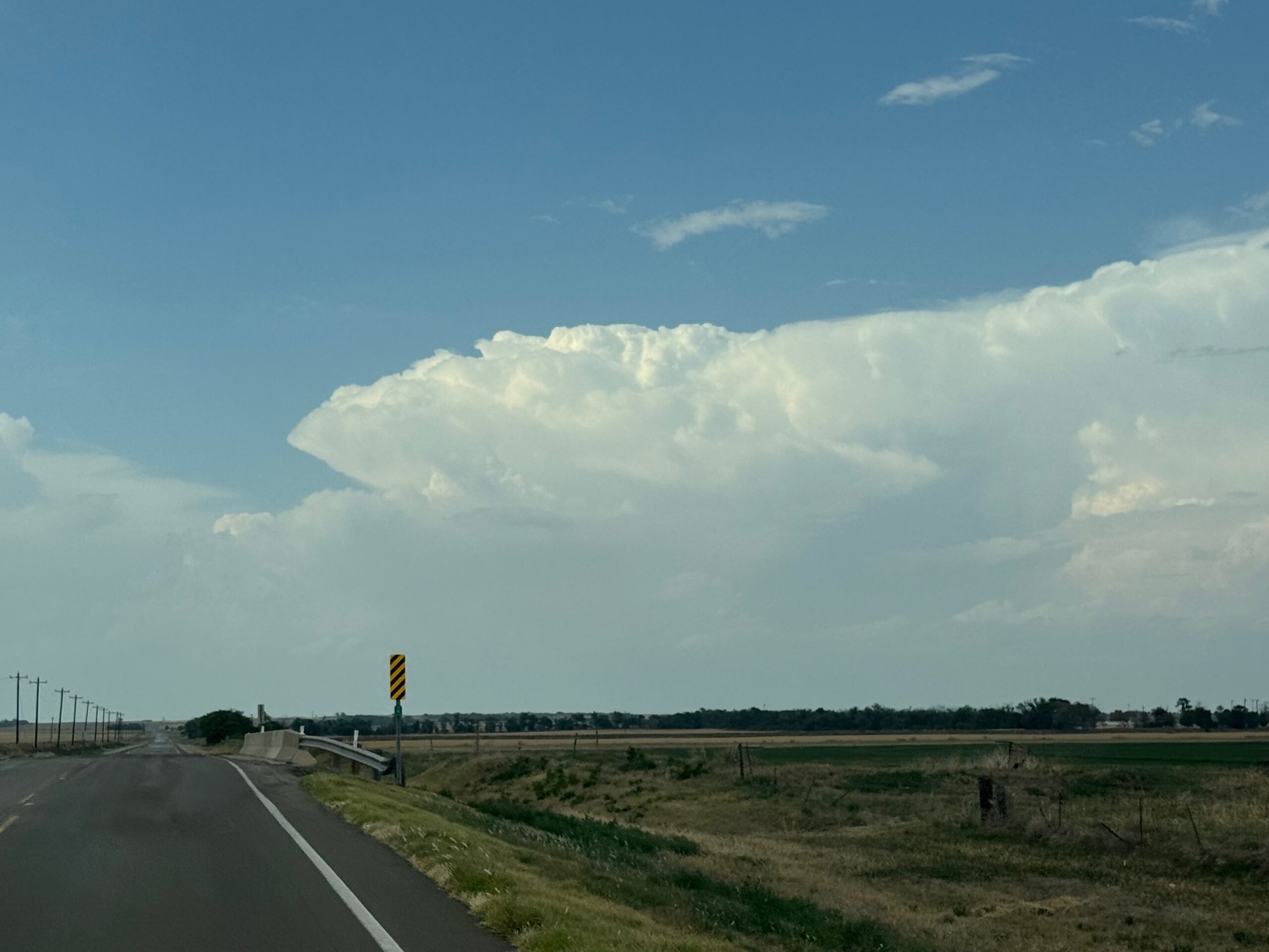
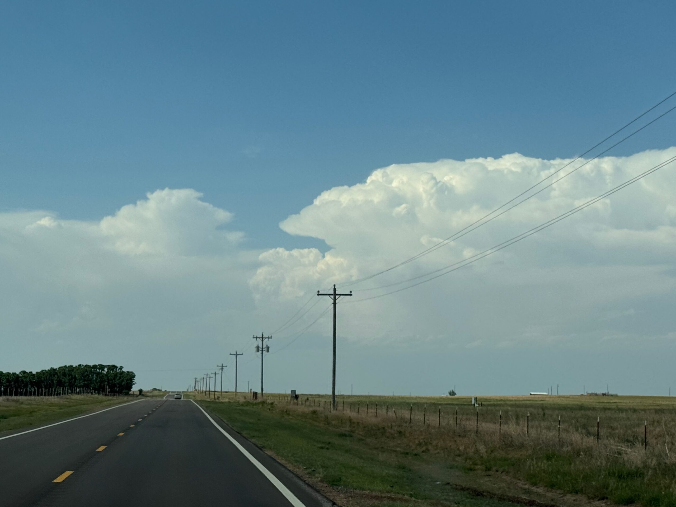
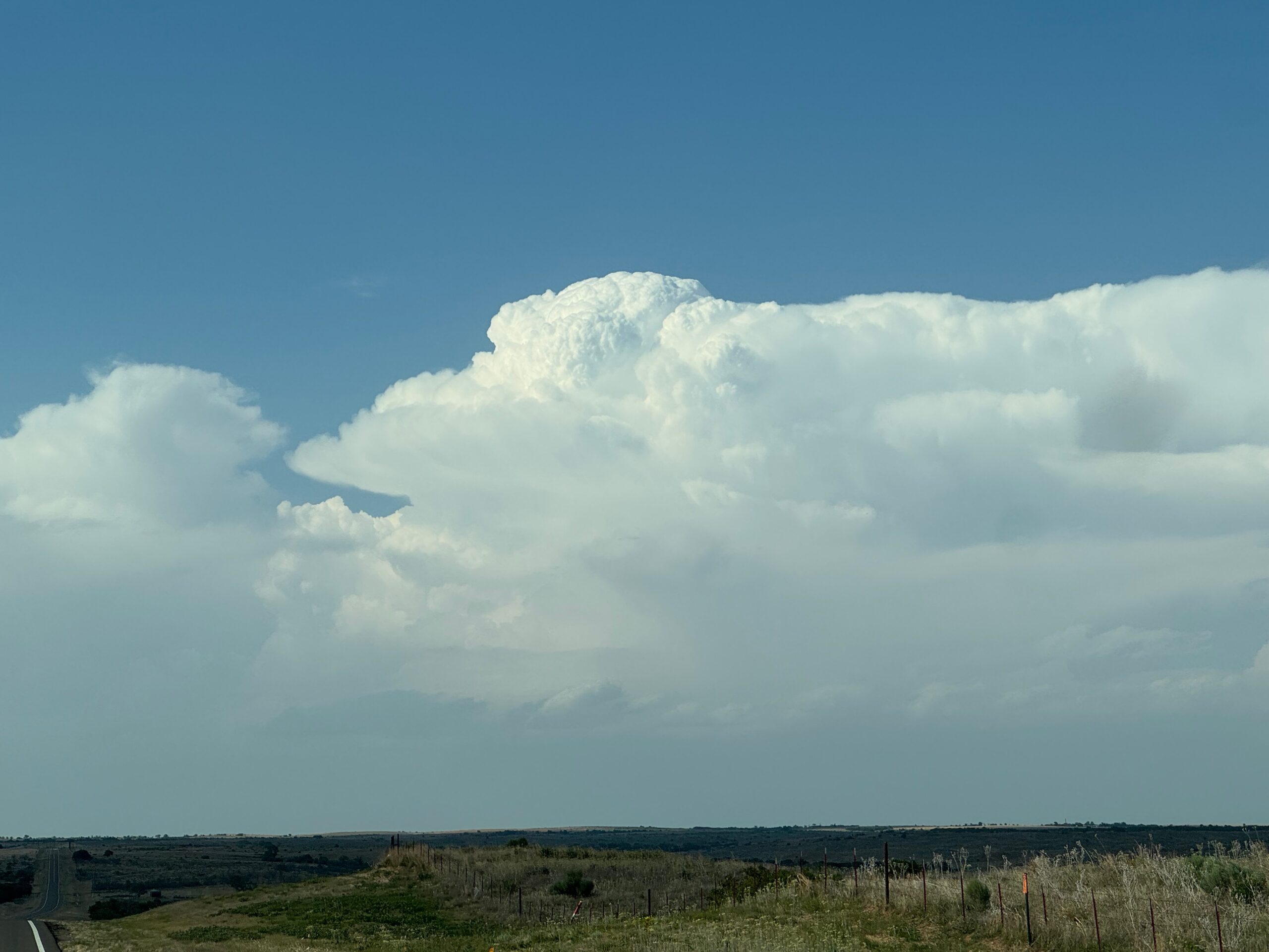
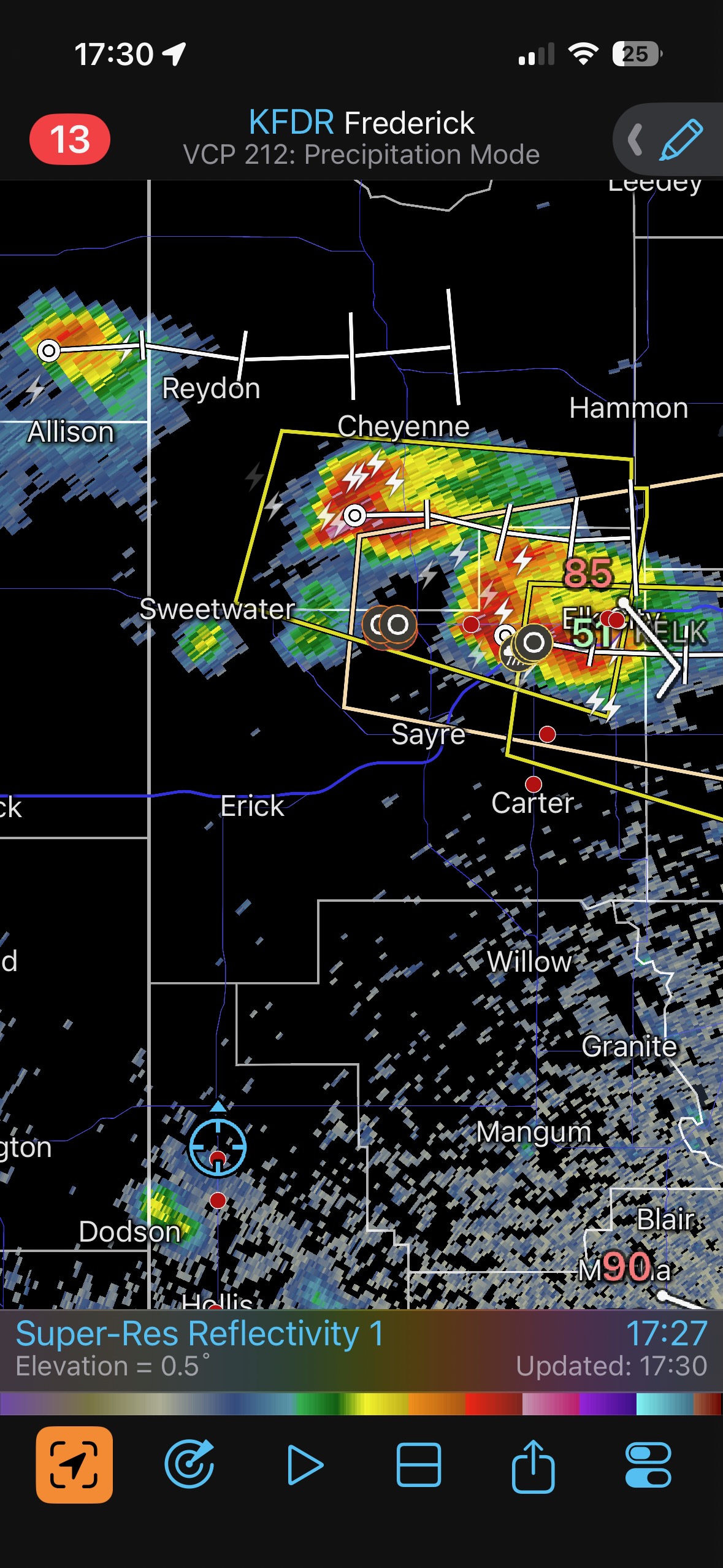
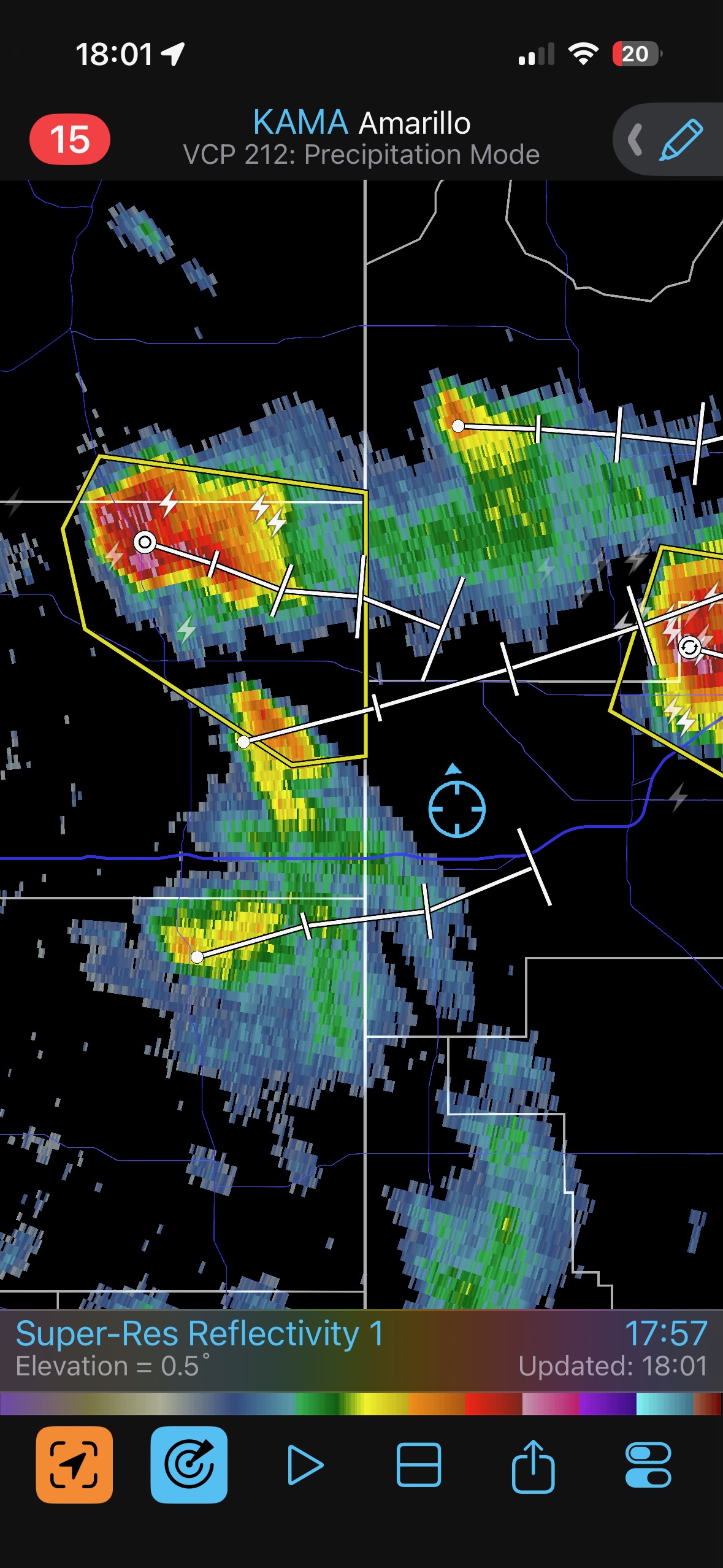
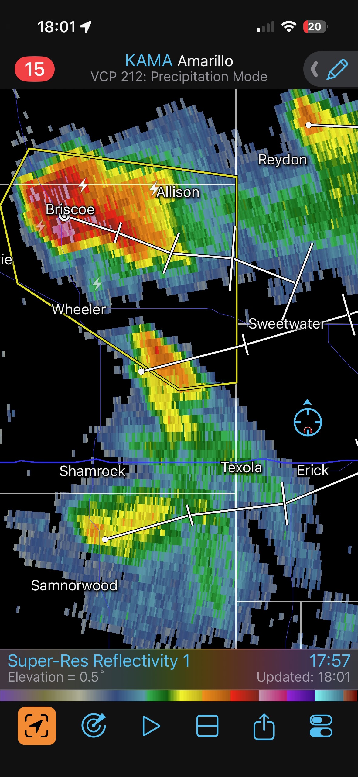
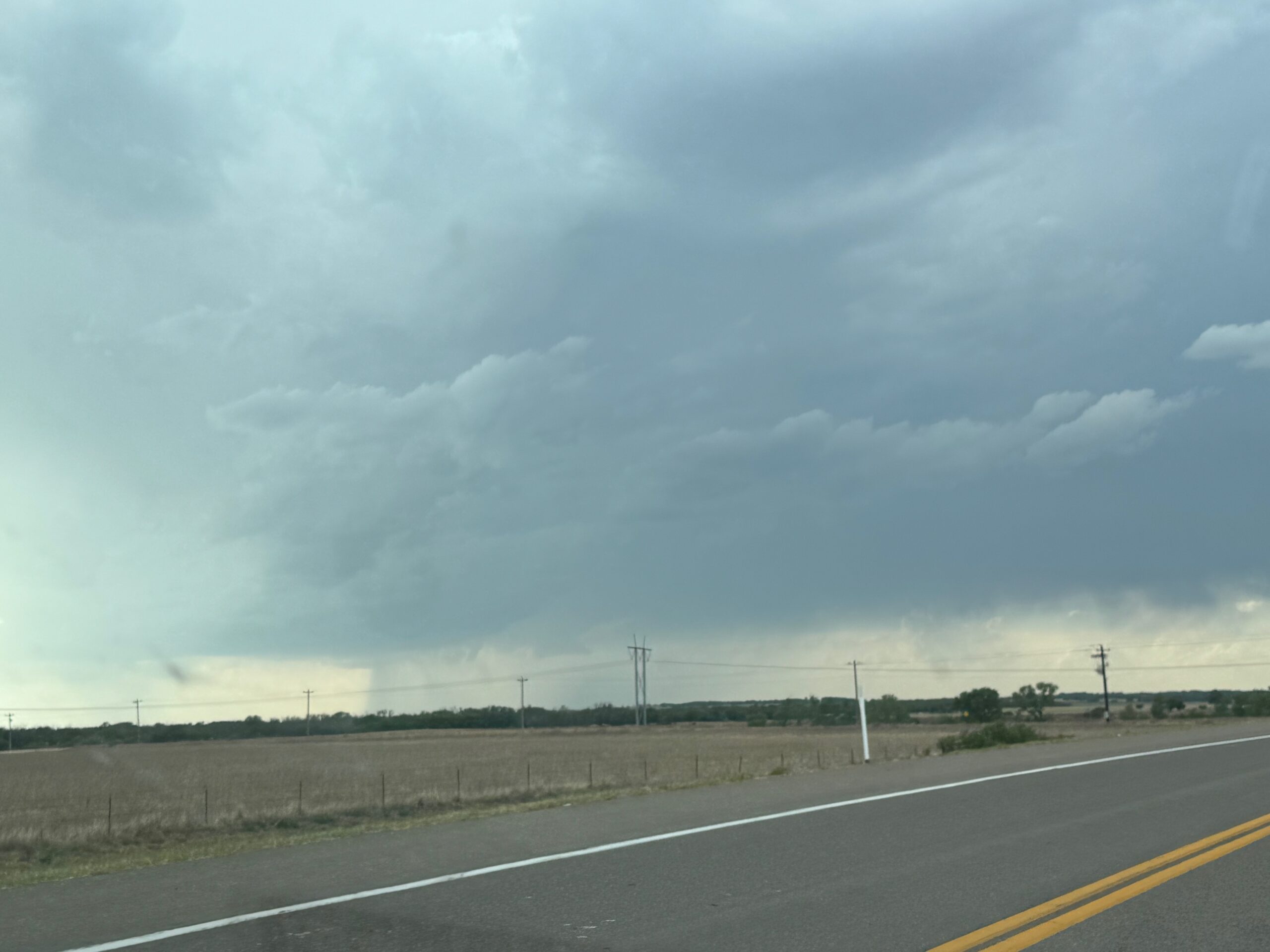
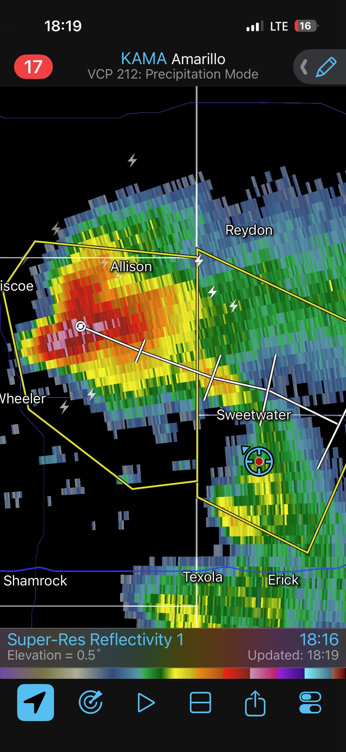
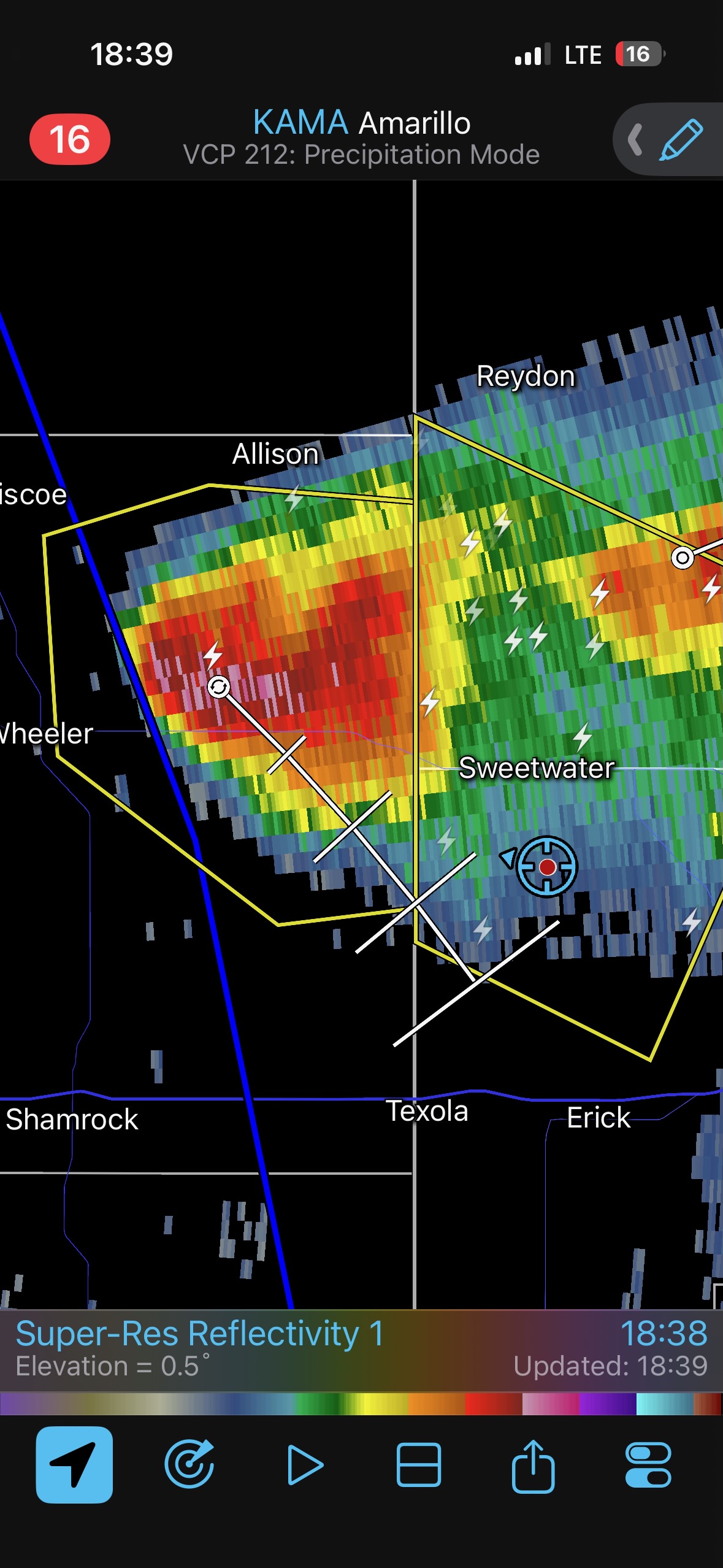
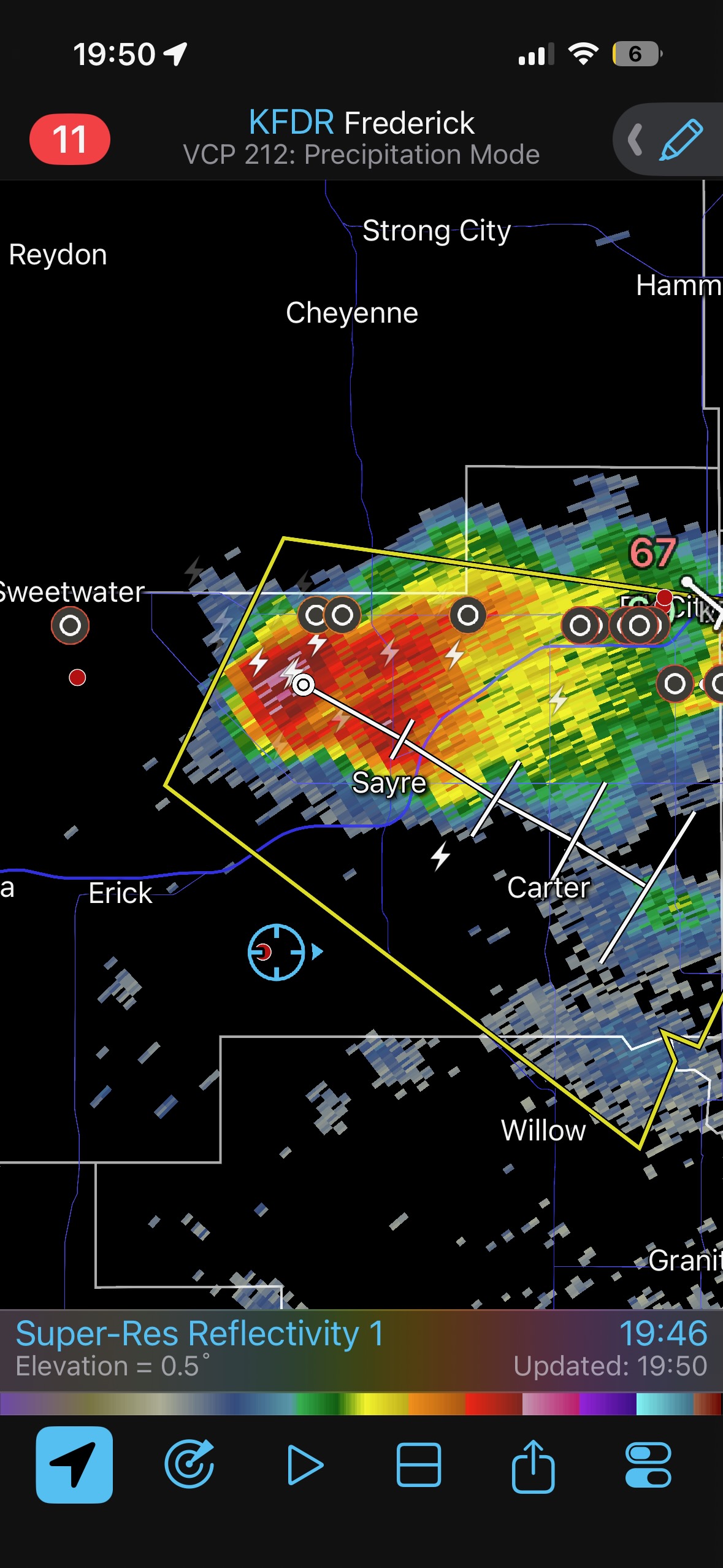
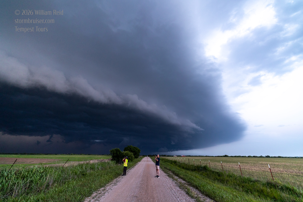
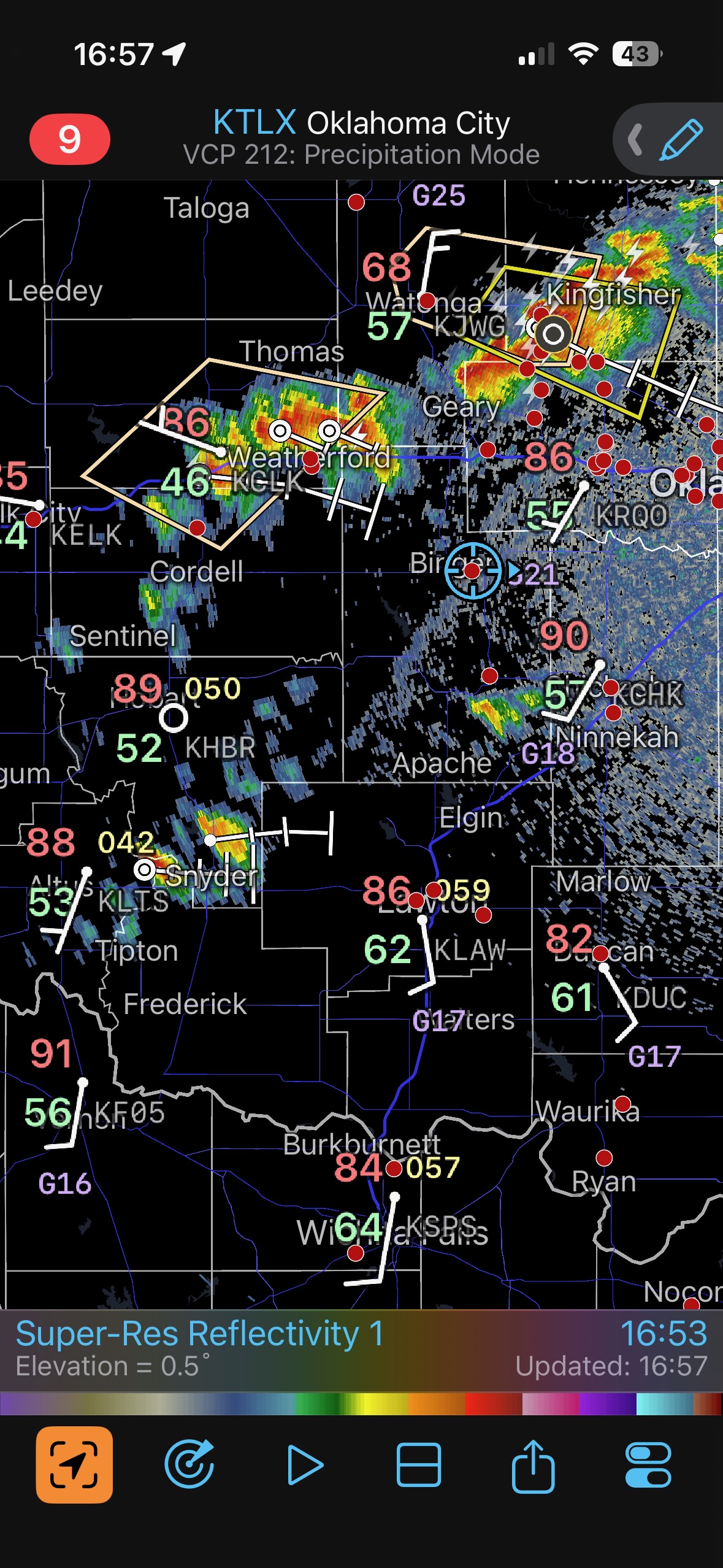
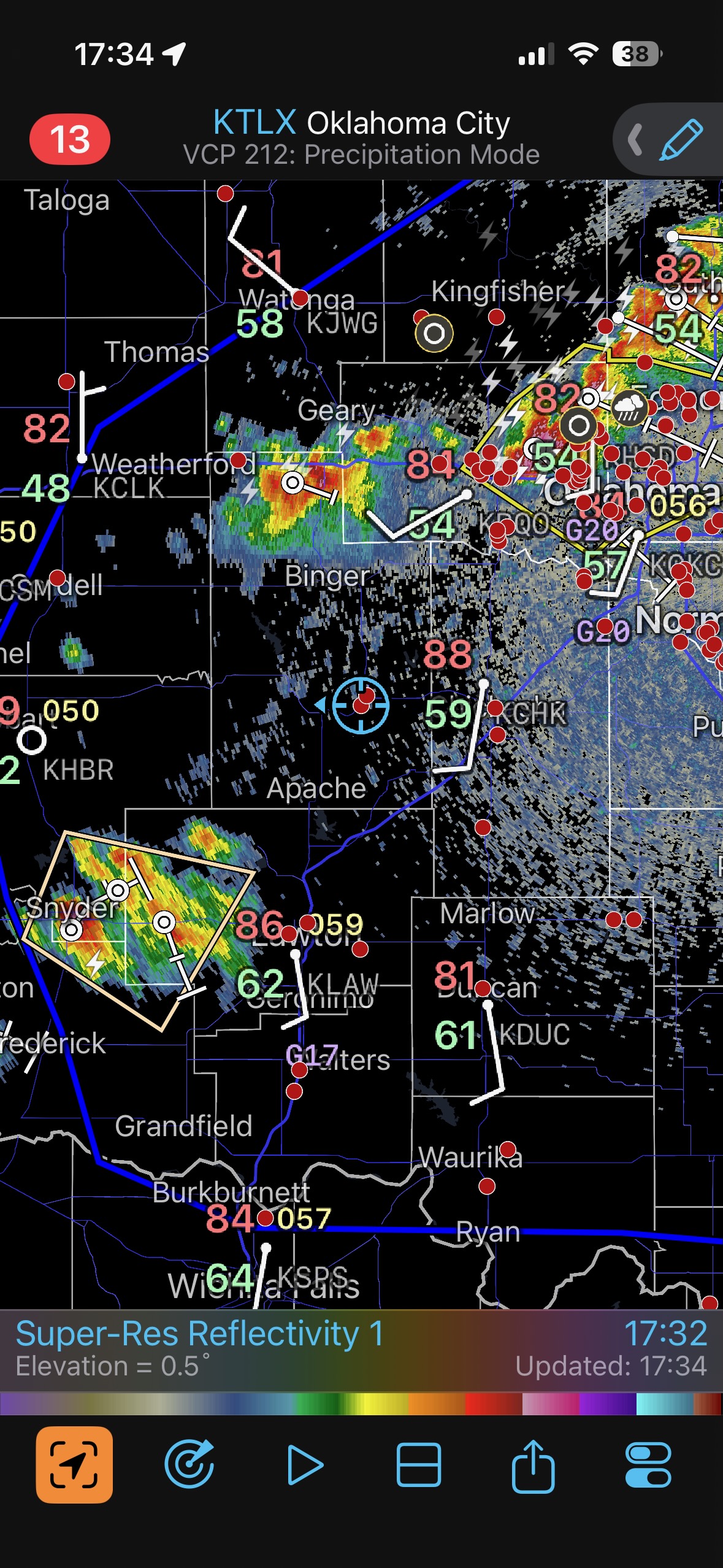
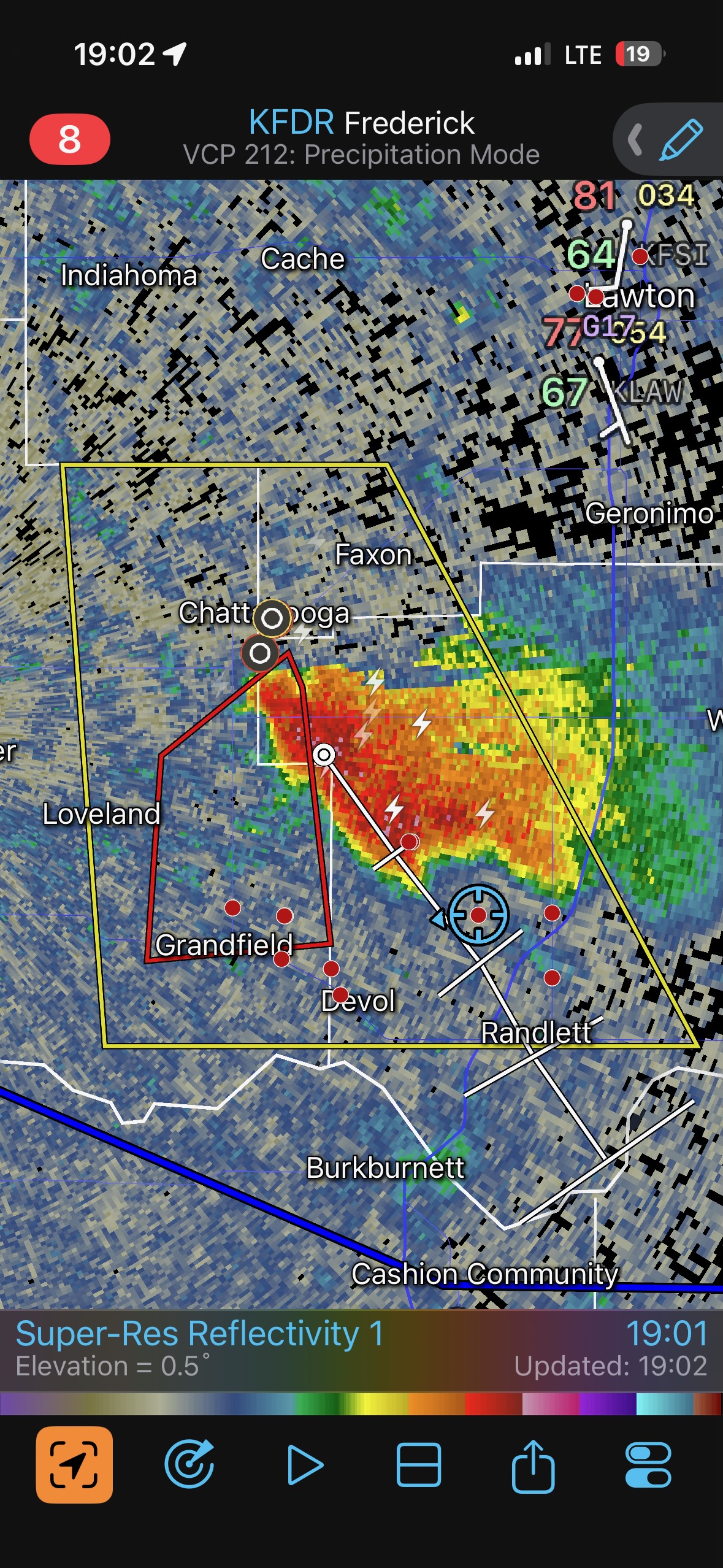
We placed ourselves in front of the organized storm that was coming out of the TX PH and headed towards Sweetwater, OK. See the radar grabs around 18:00 local time below in the iPhone image group. There were additional cells which looked decent both visually and on radar to the east of this one on the drive northward, and I had to ponder whether or not we should try to play catch-up with those. But, fortunately, these seemed to struggle as they moved to the east. I did not have to second-guess myself as we watch the somewhat high-based severe storm approach.
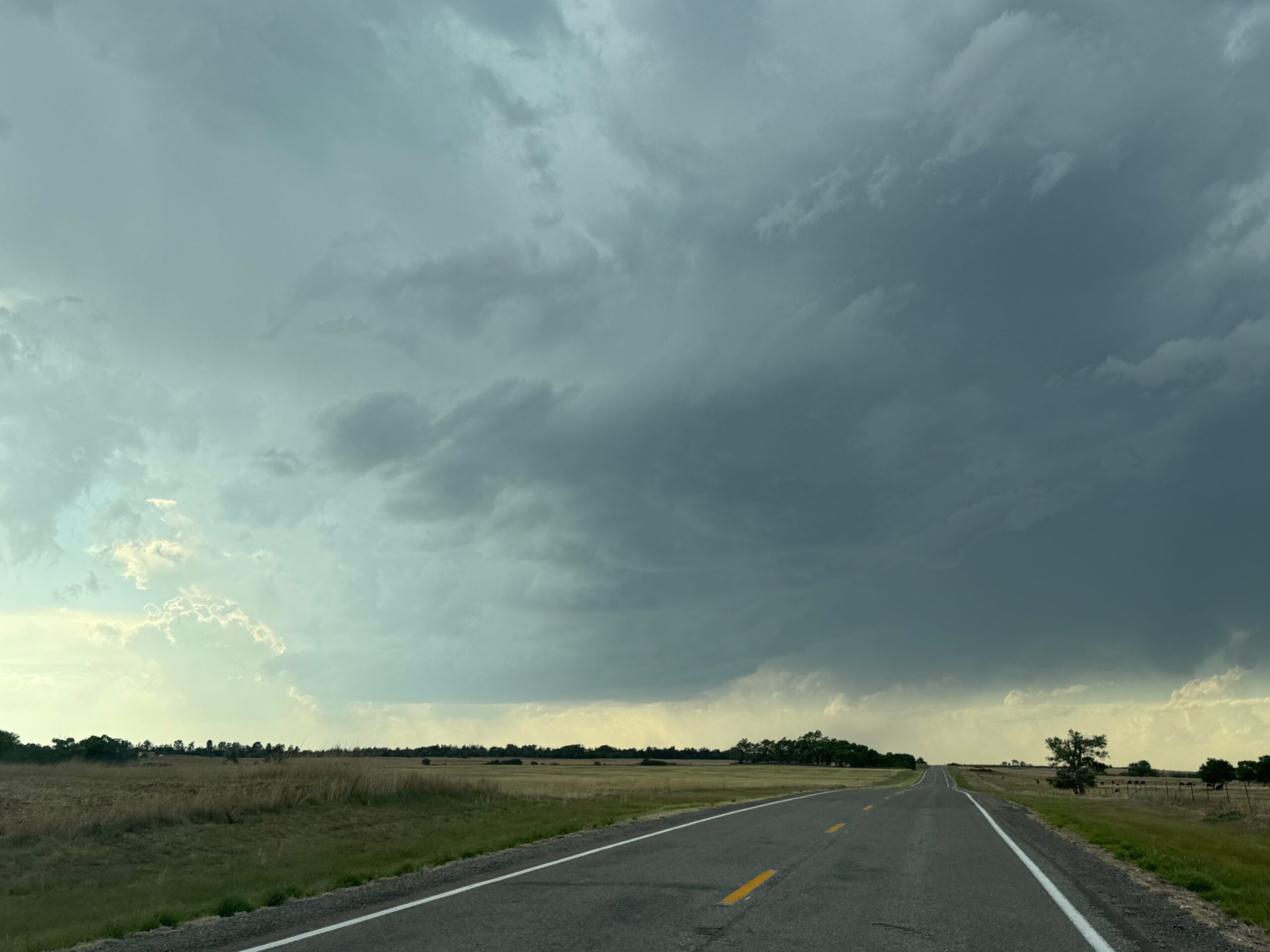
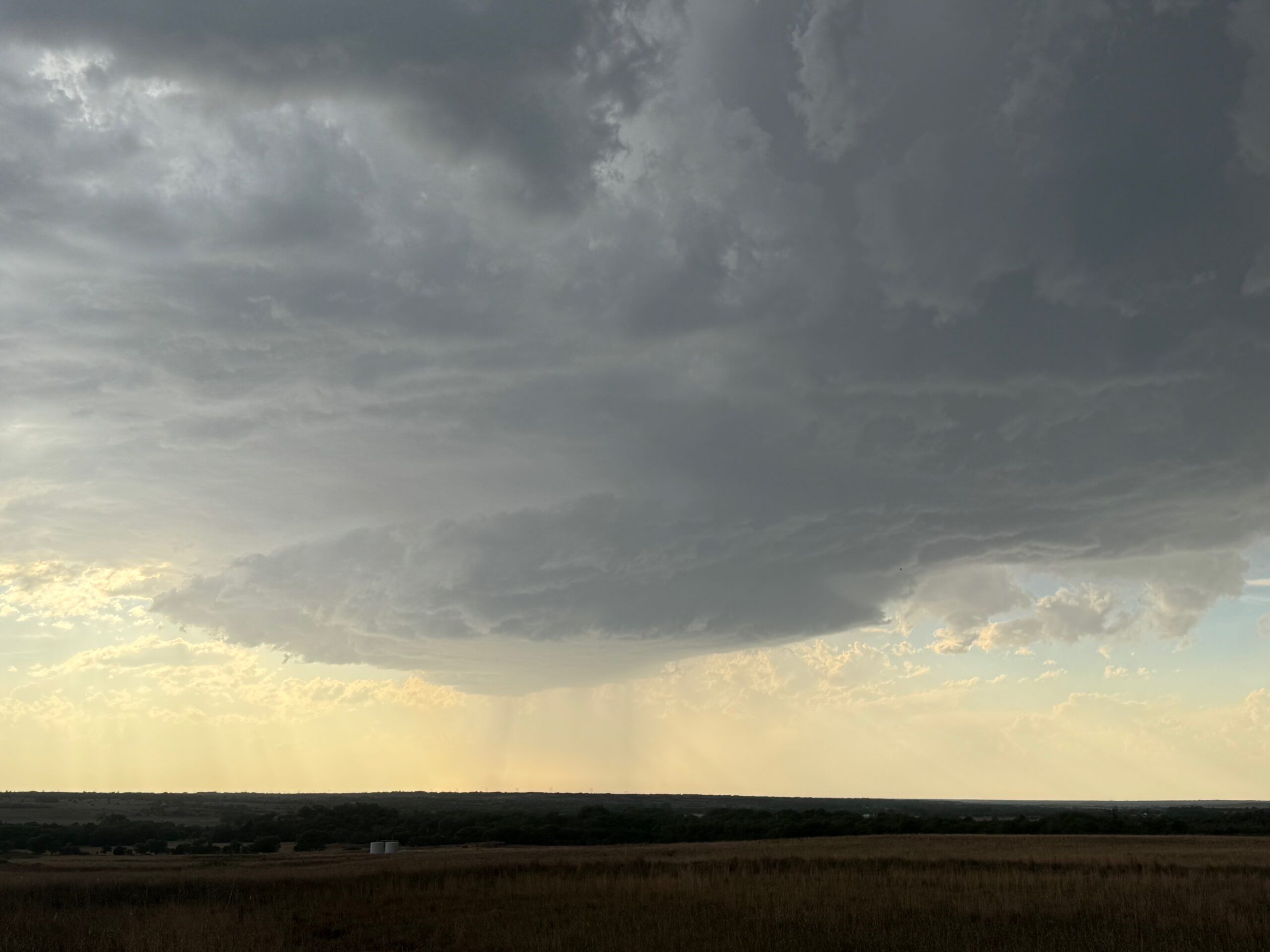
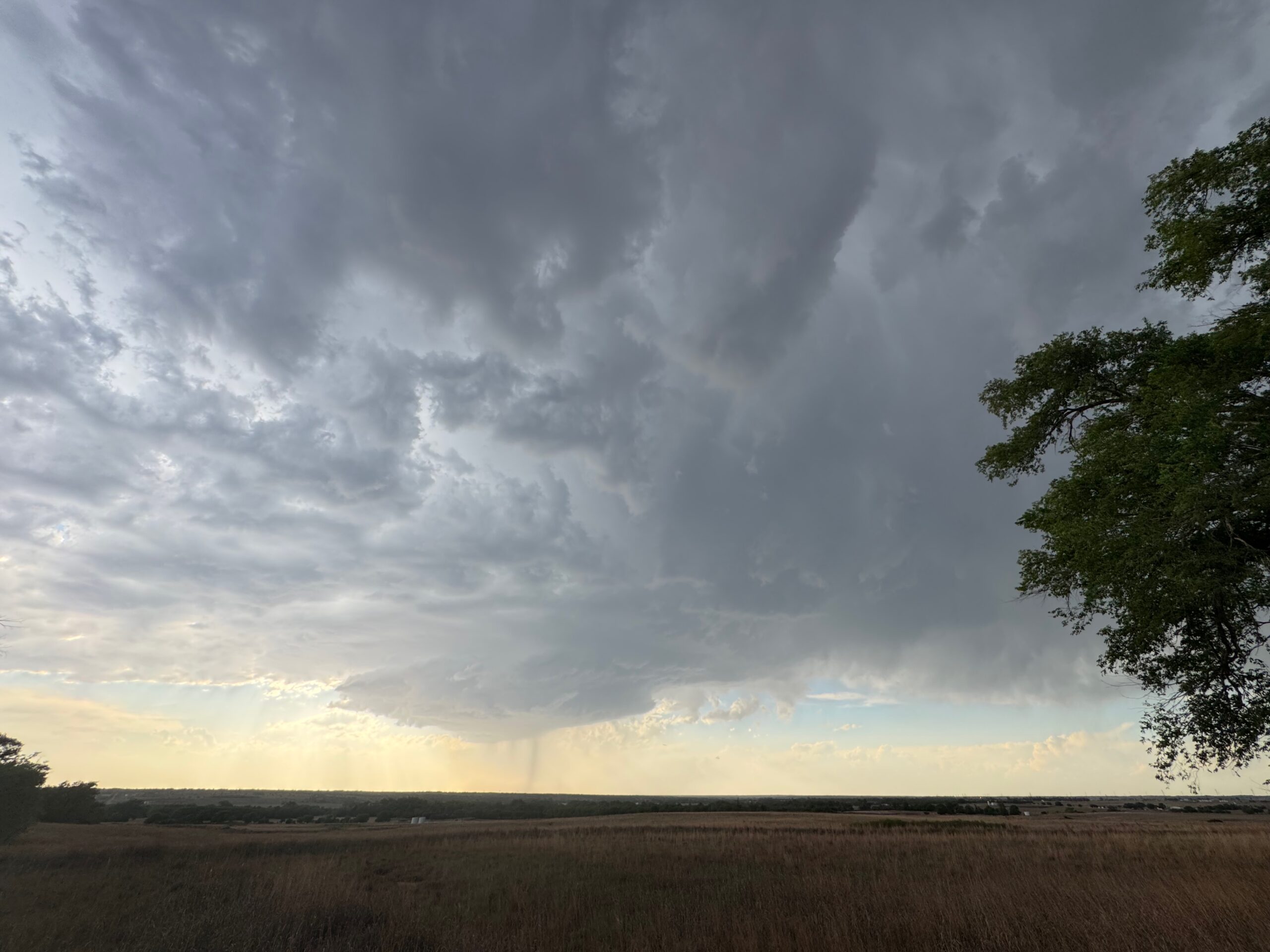
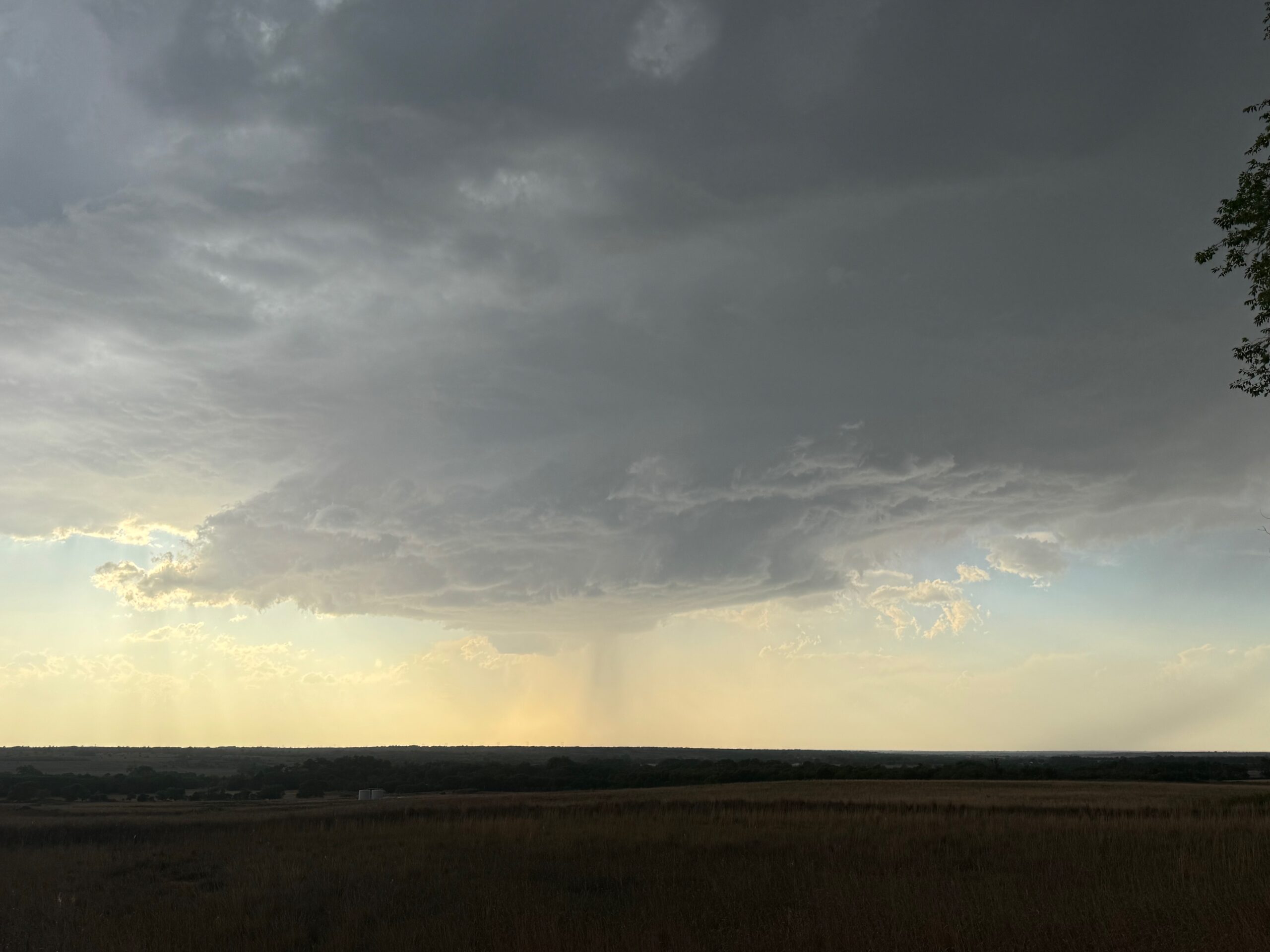
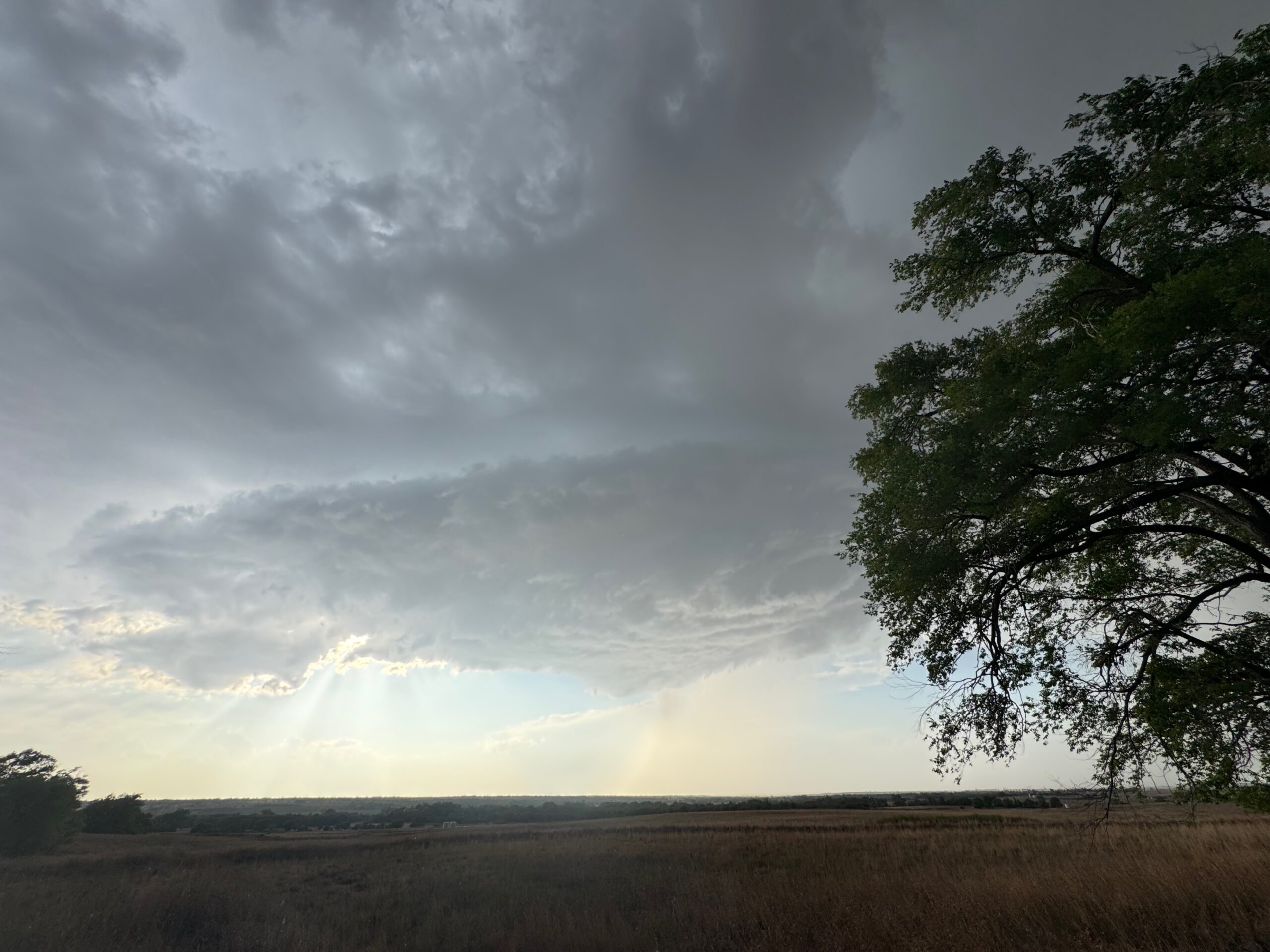
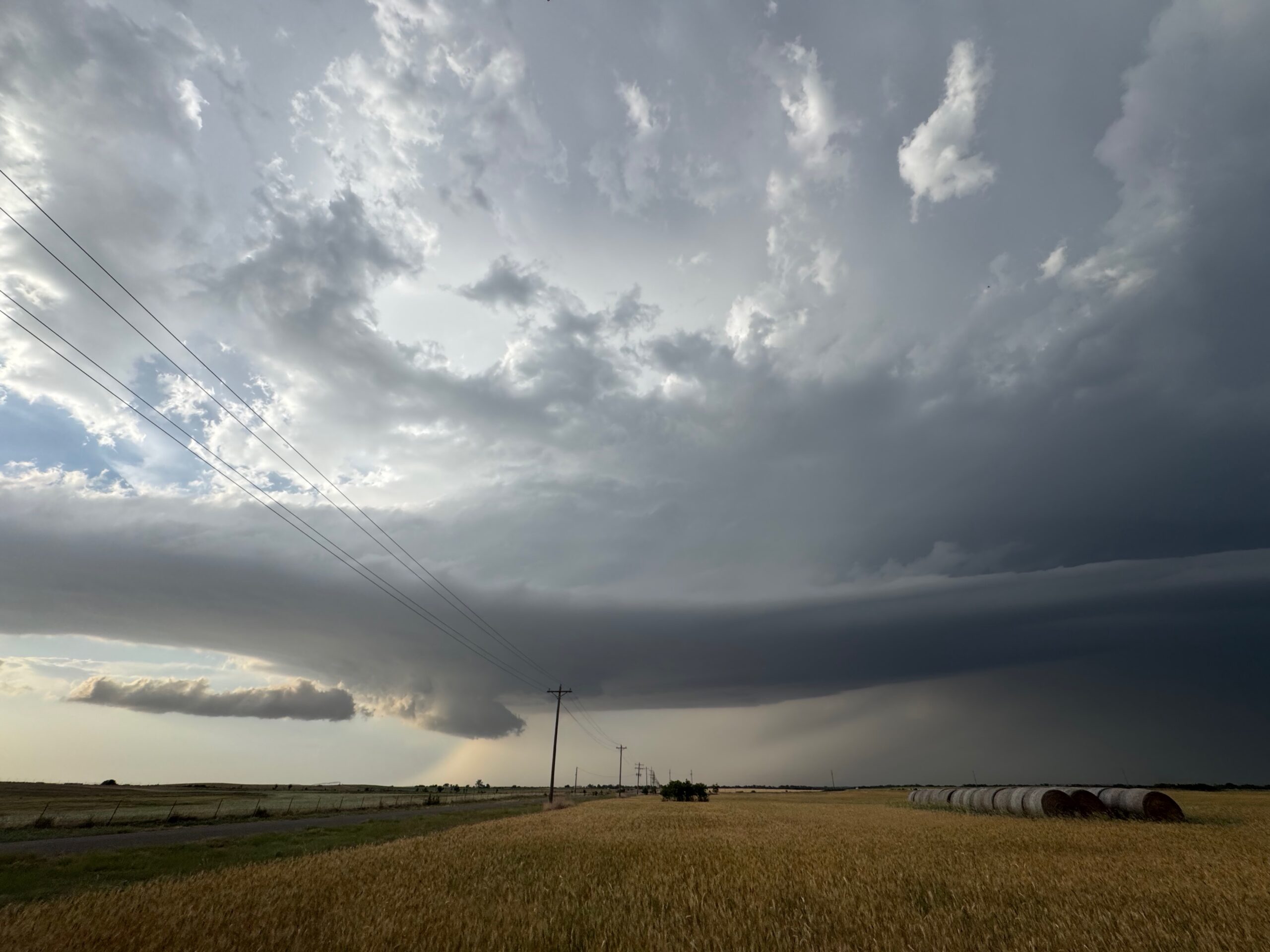
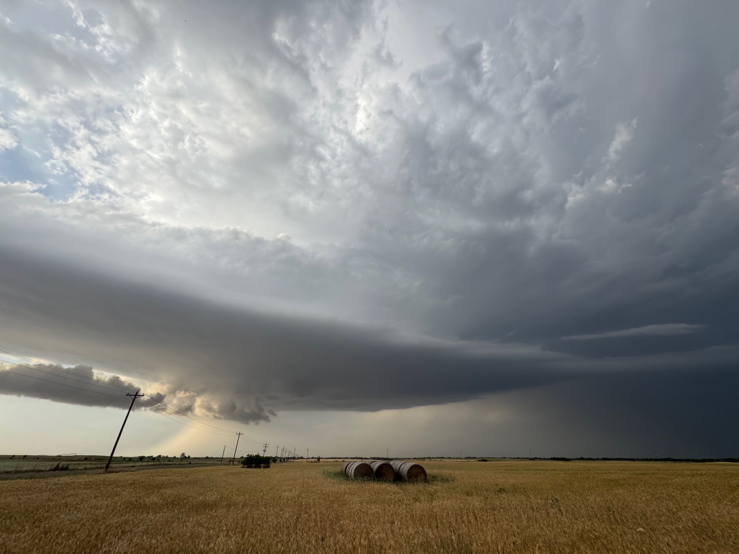
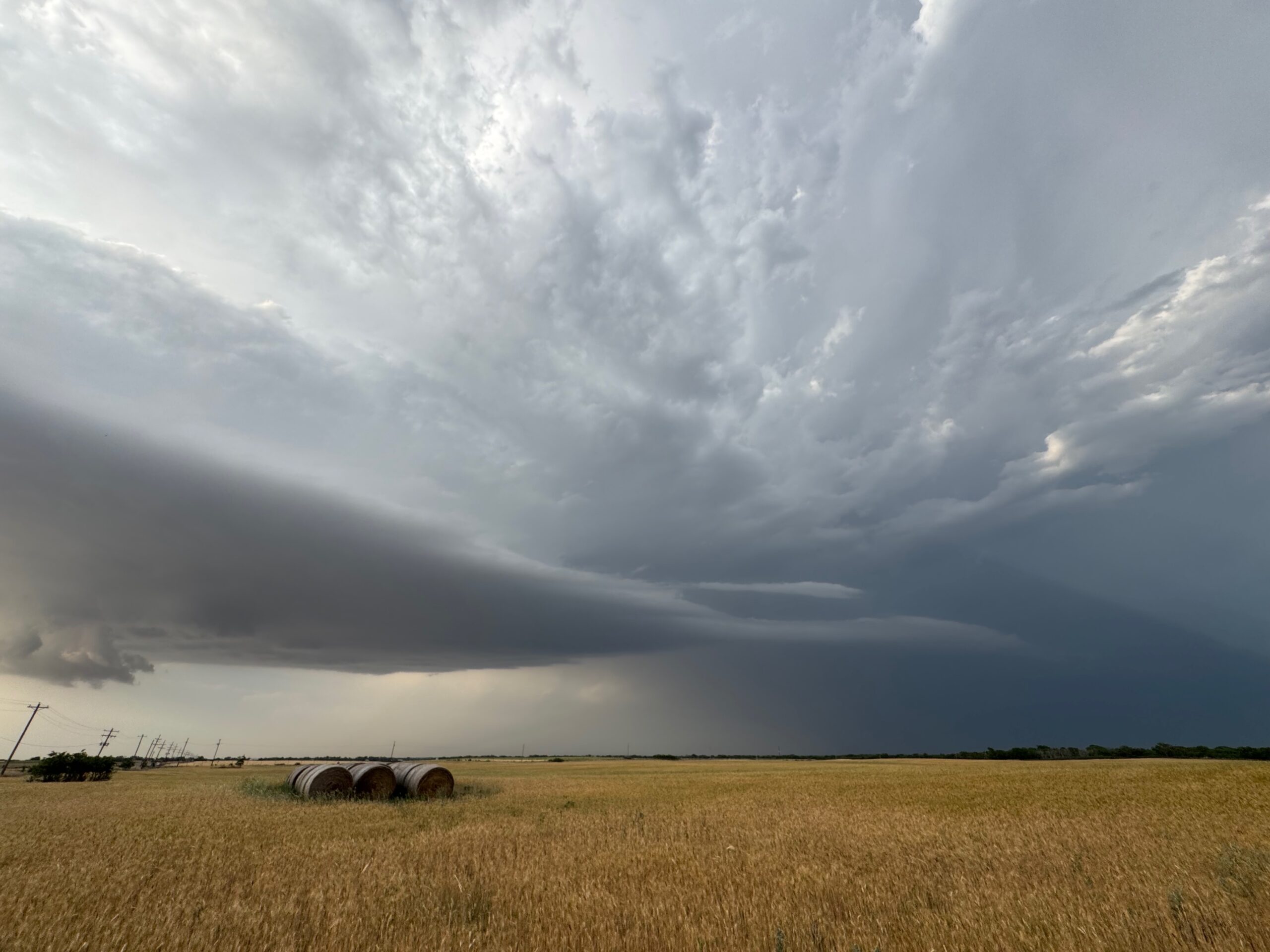
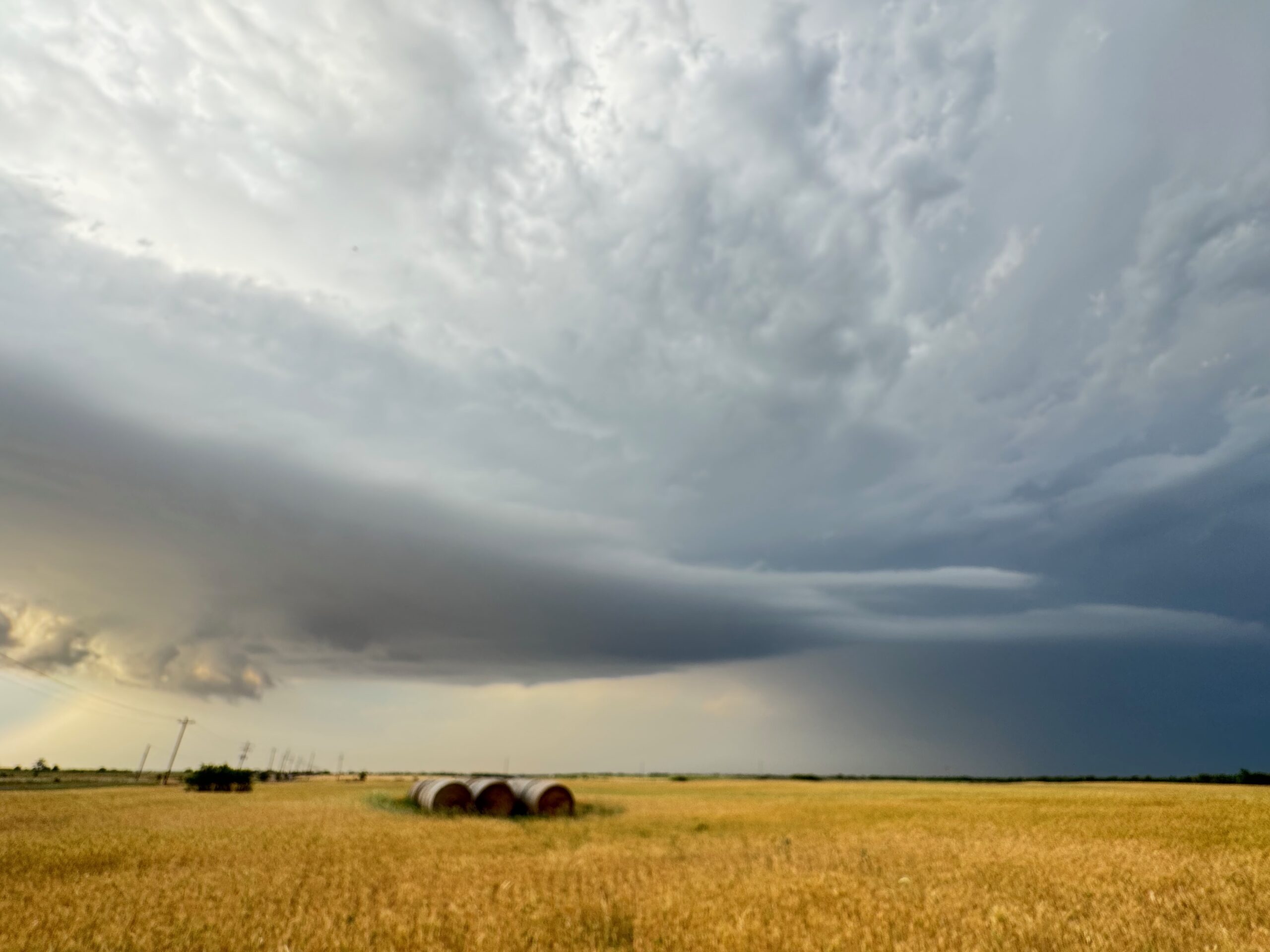
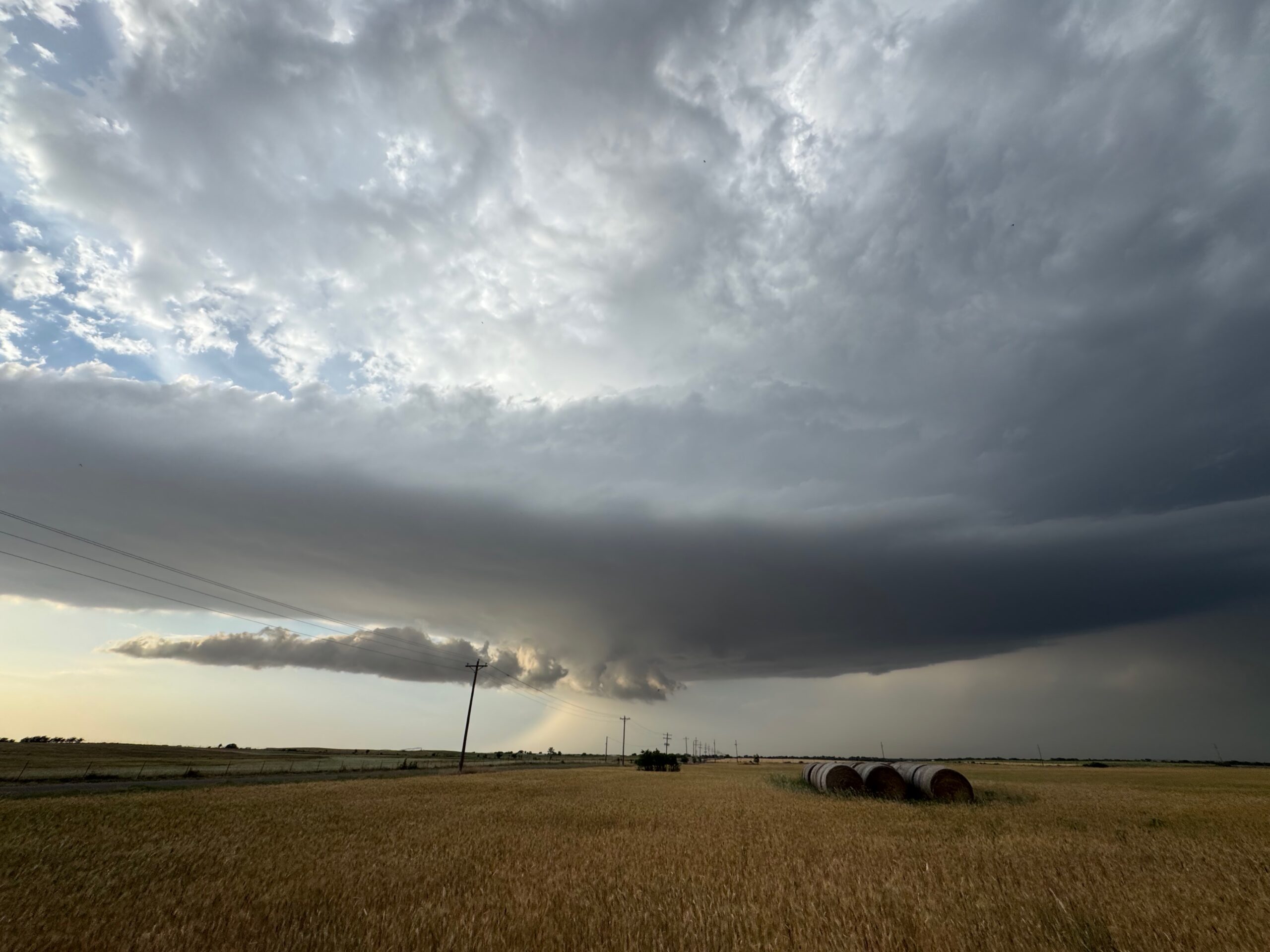
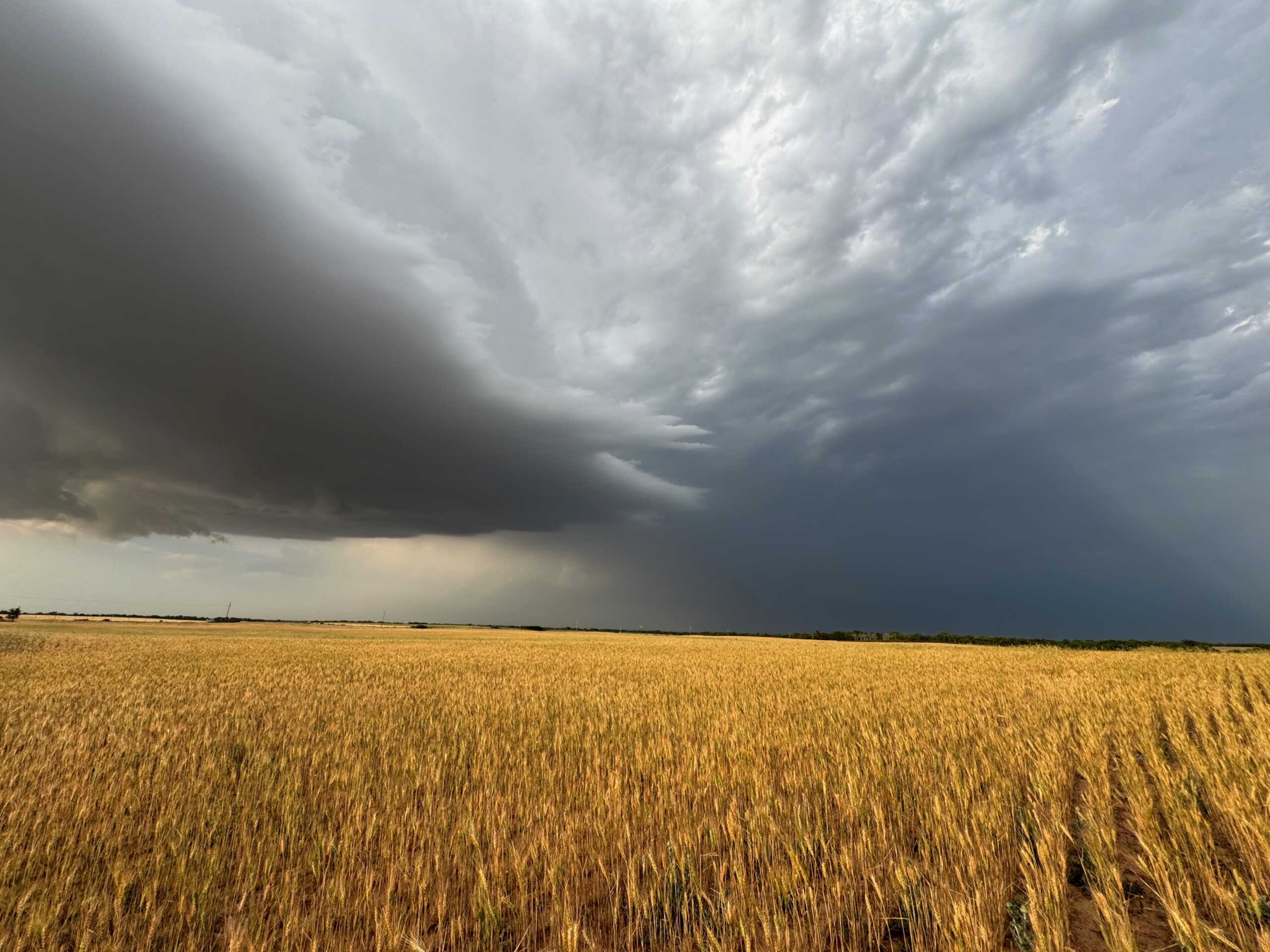
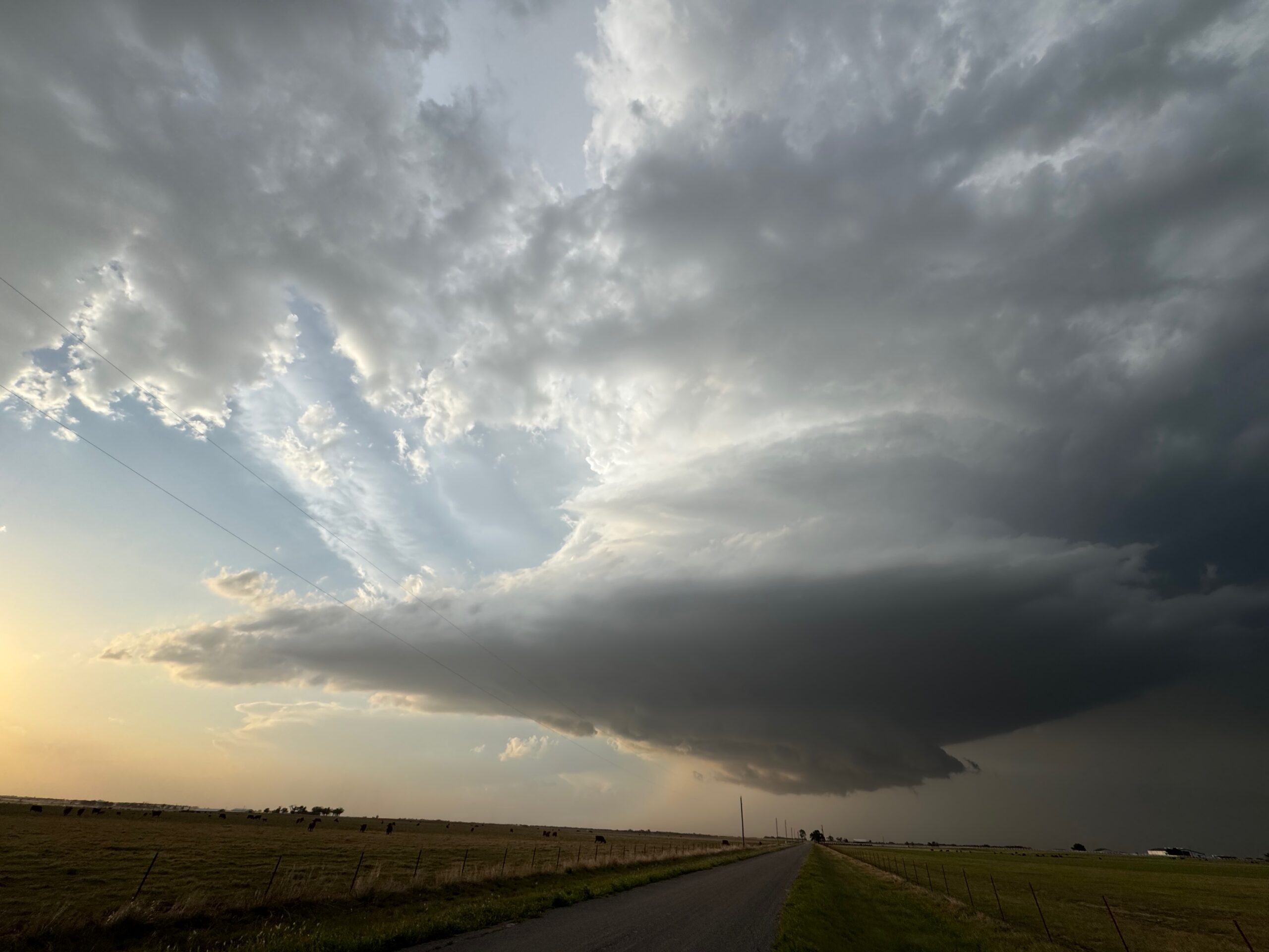
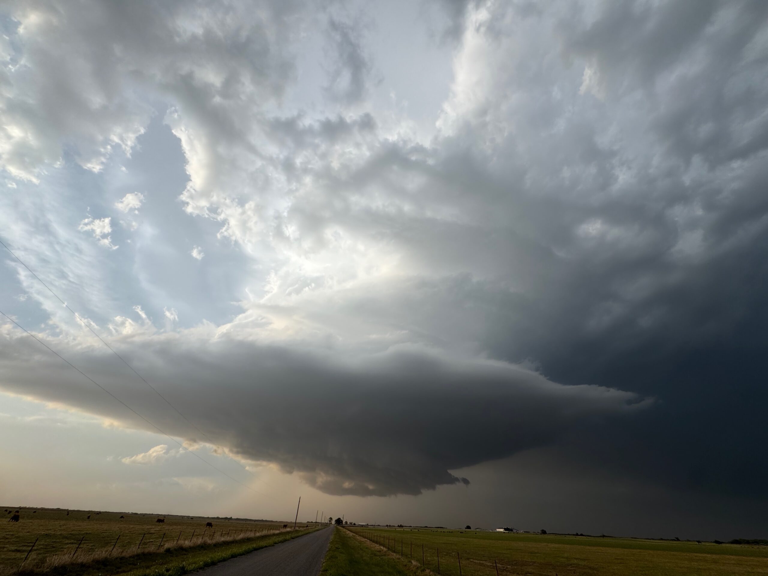
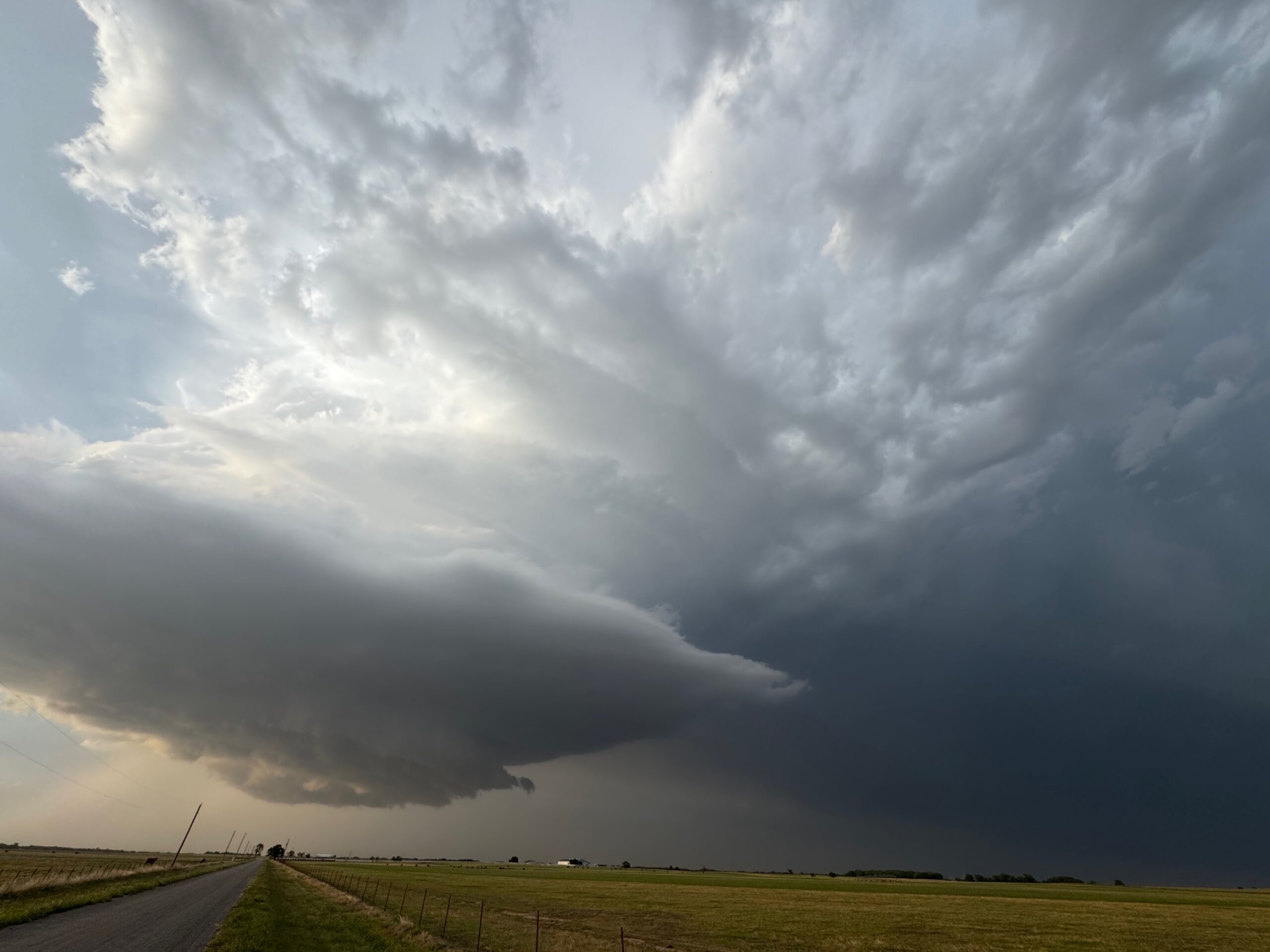
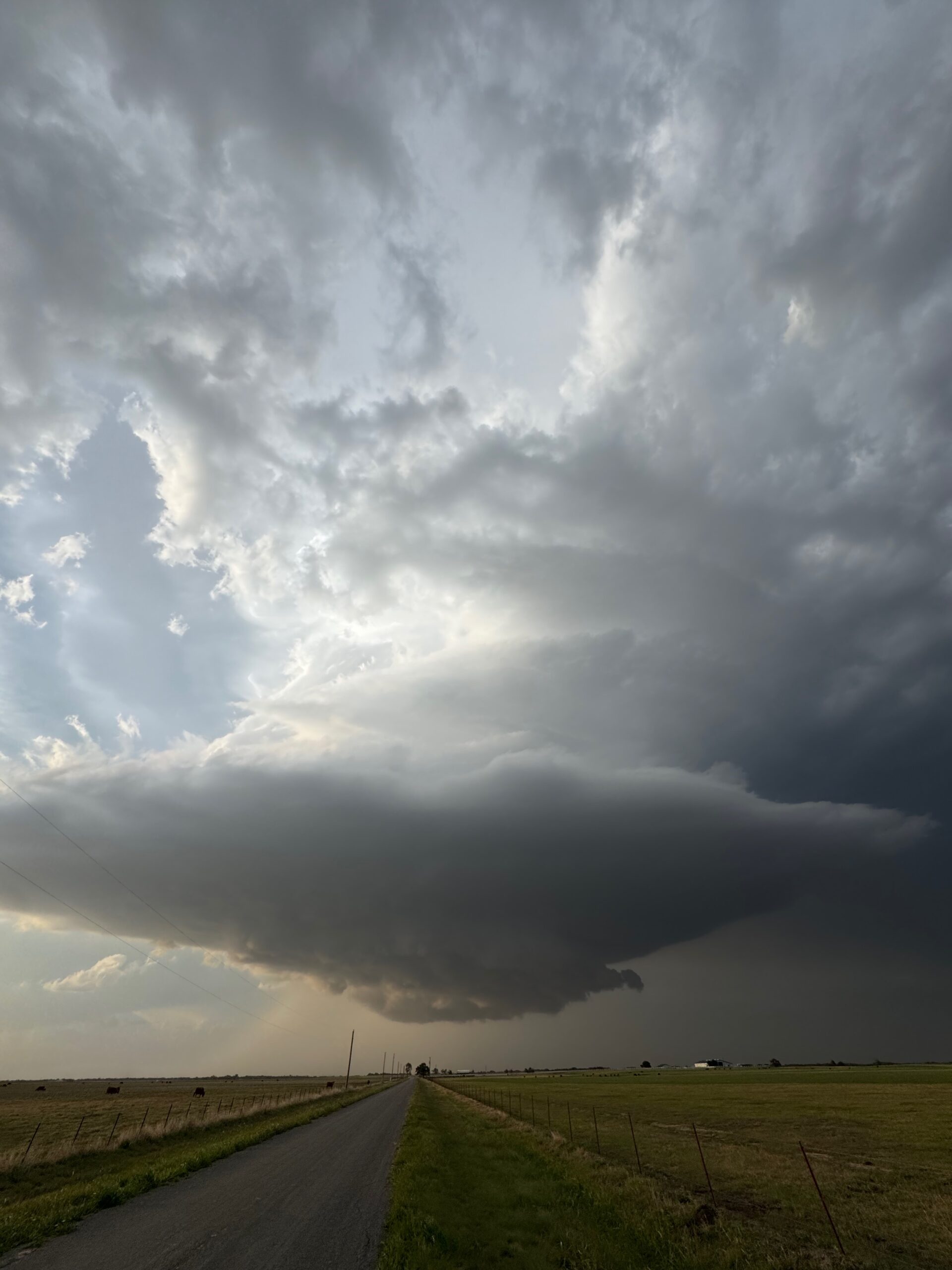
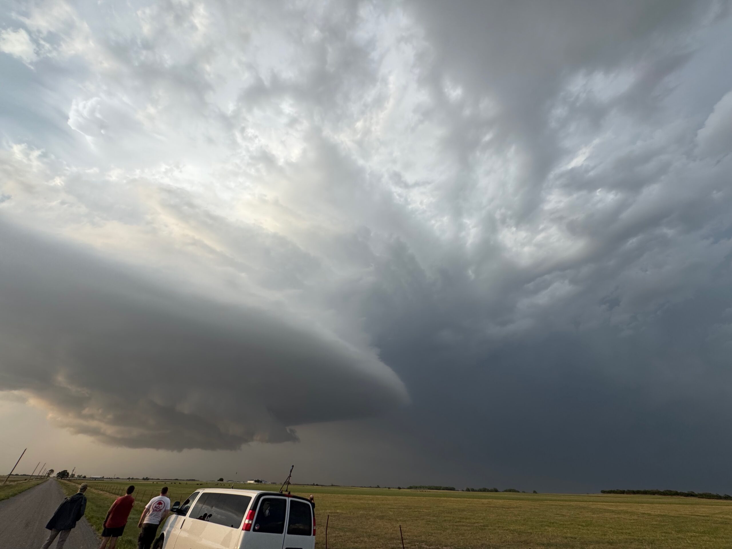
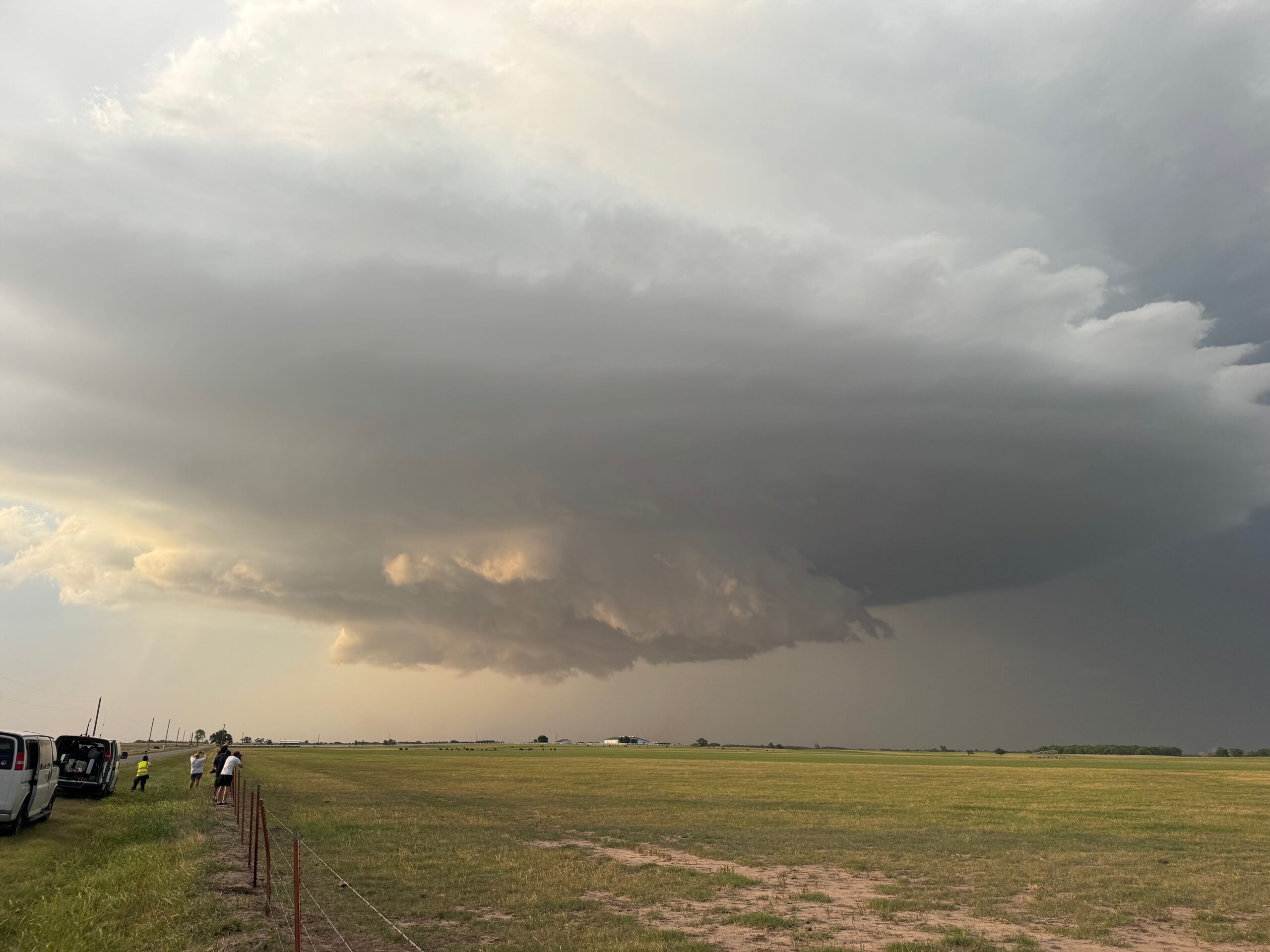
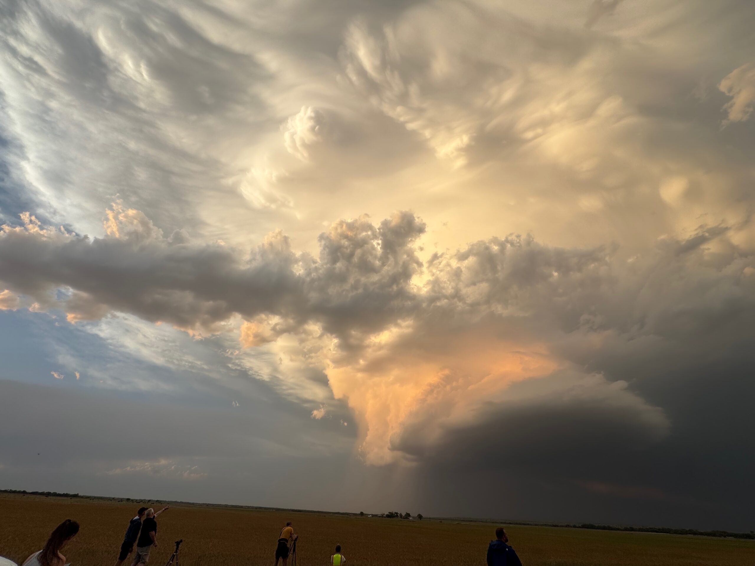
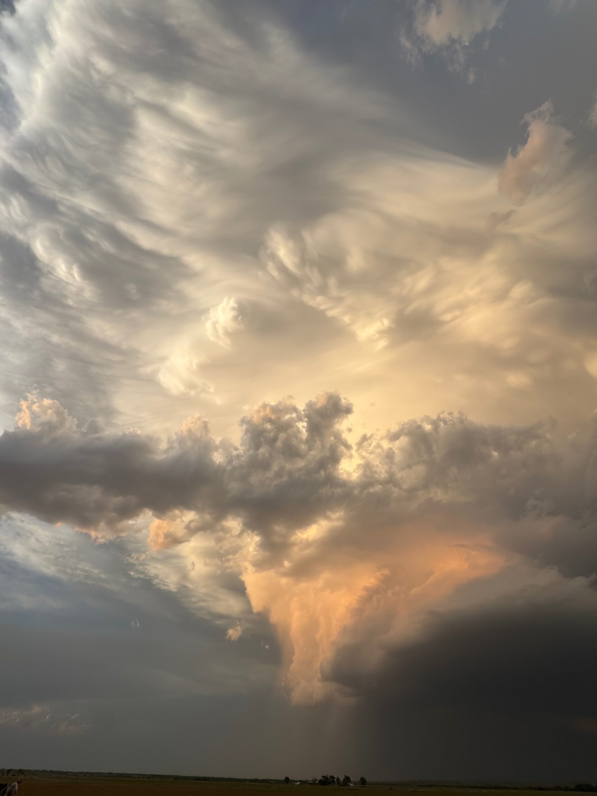
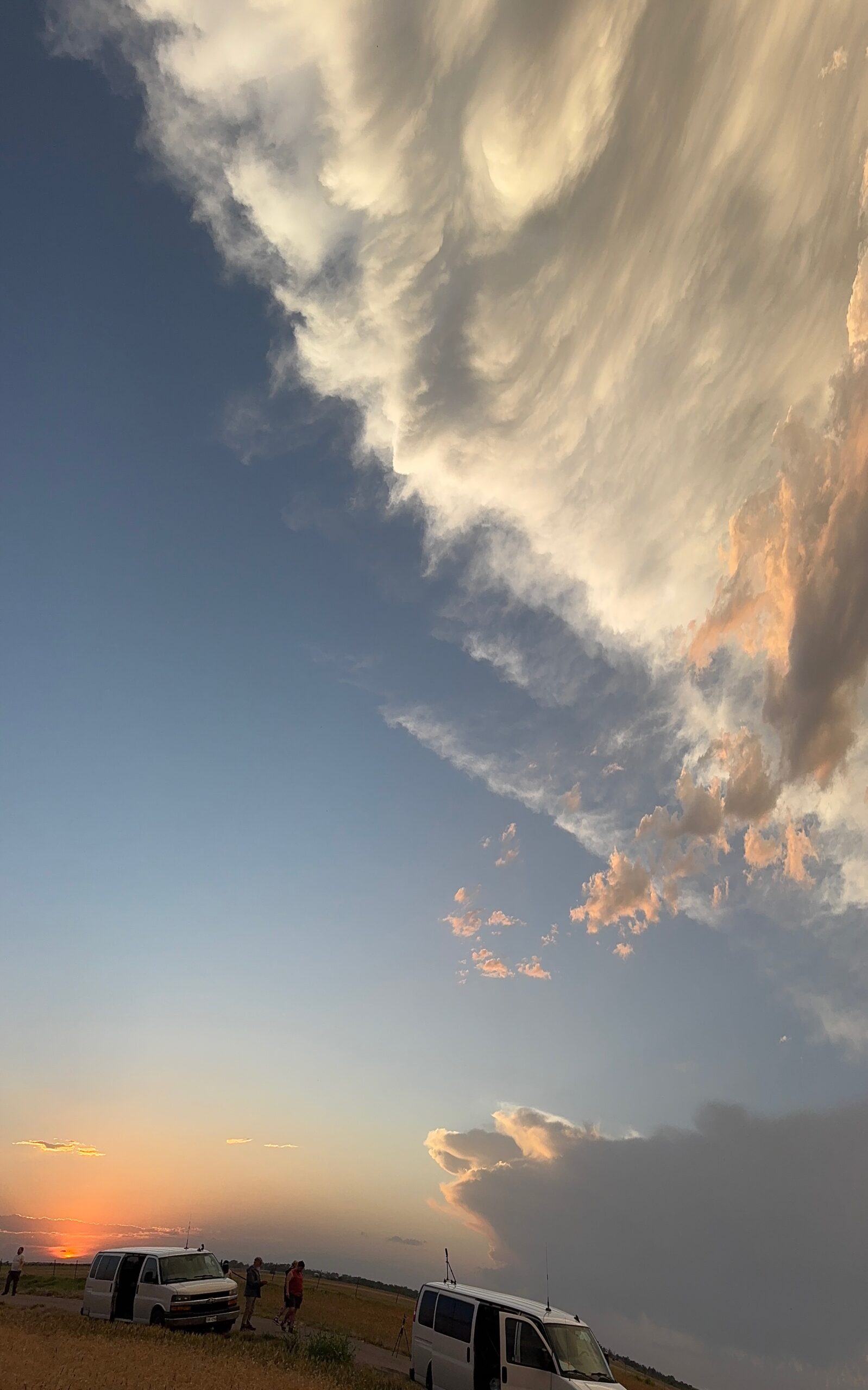
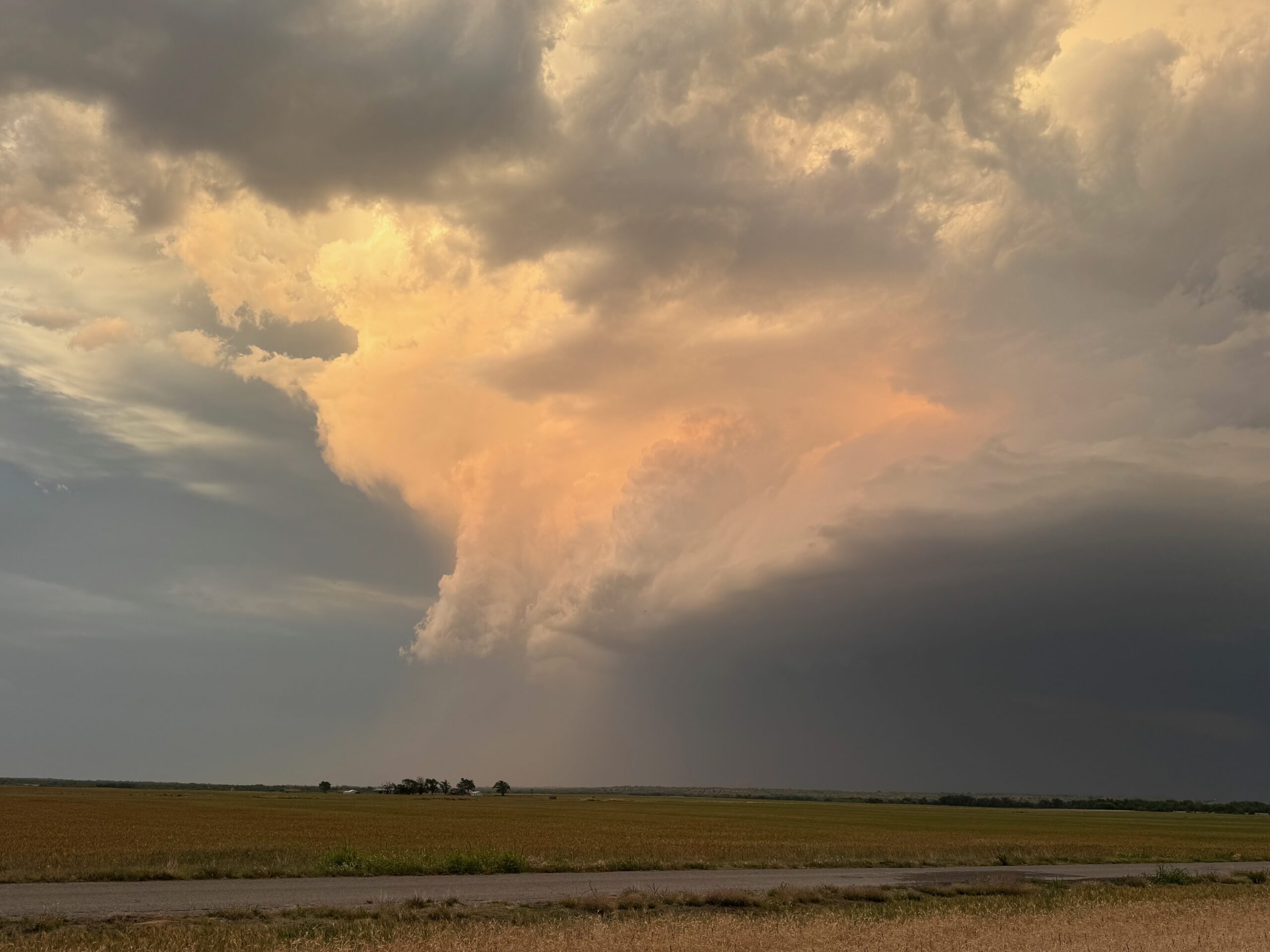
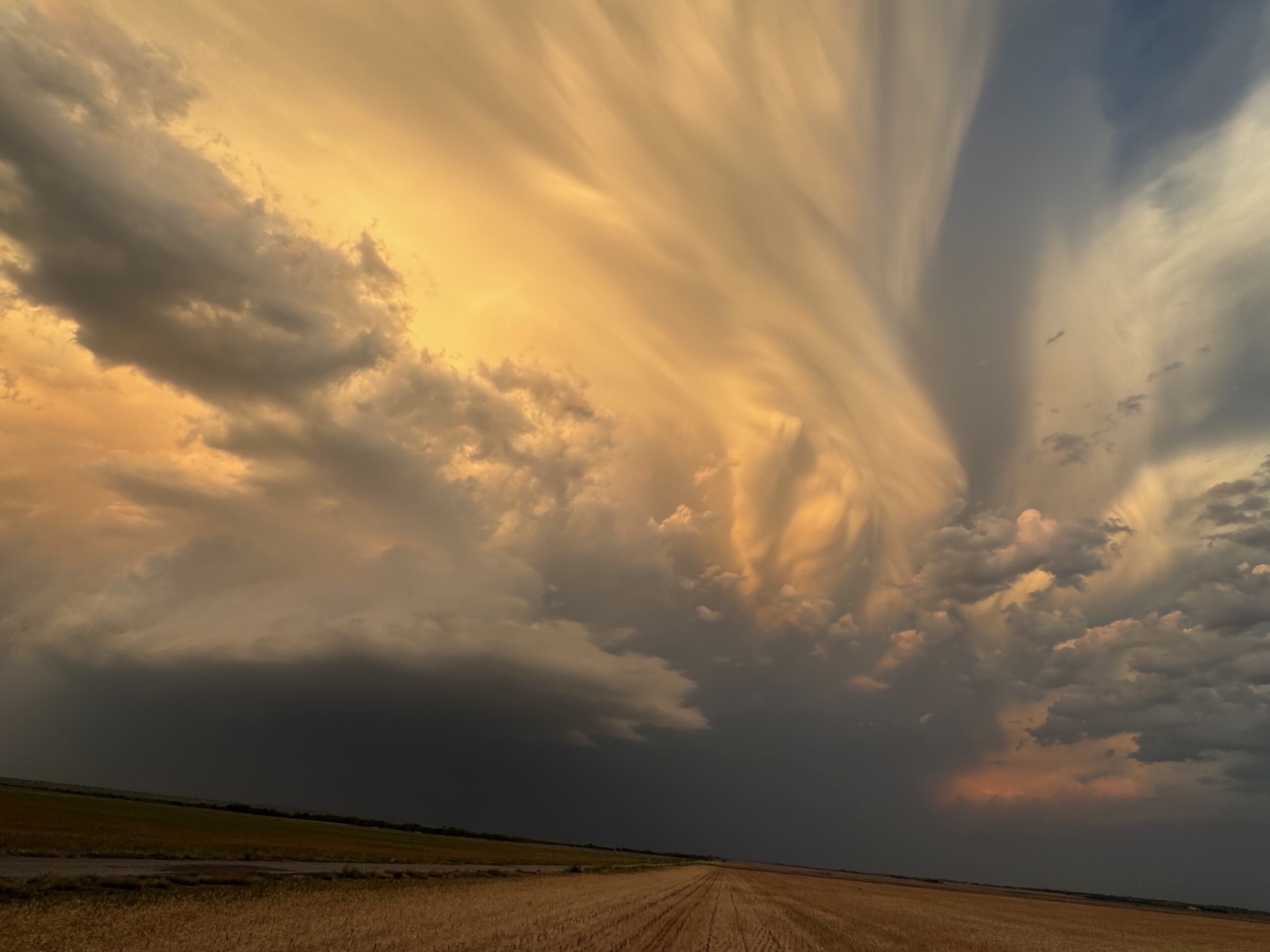
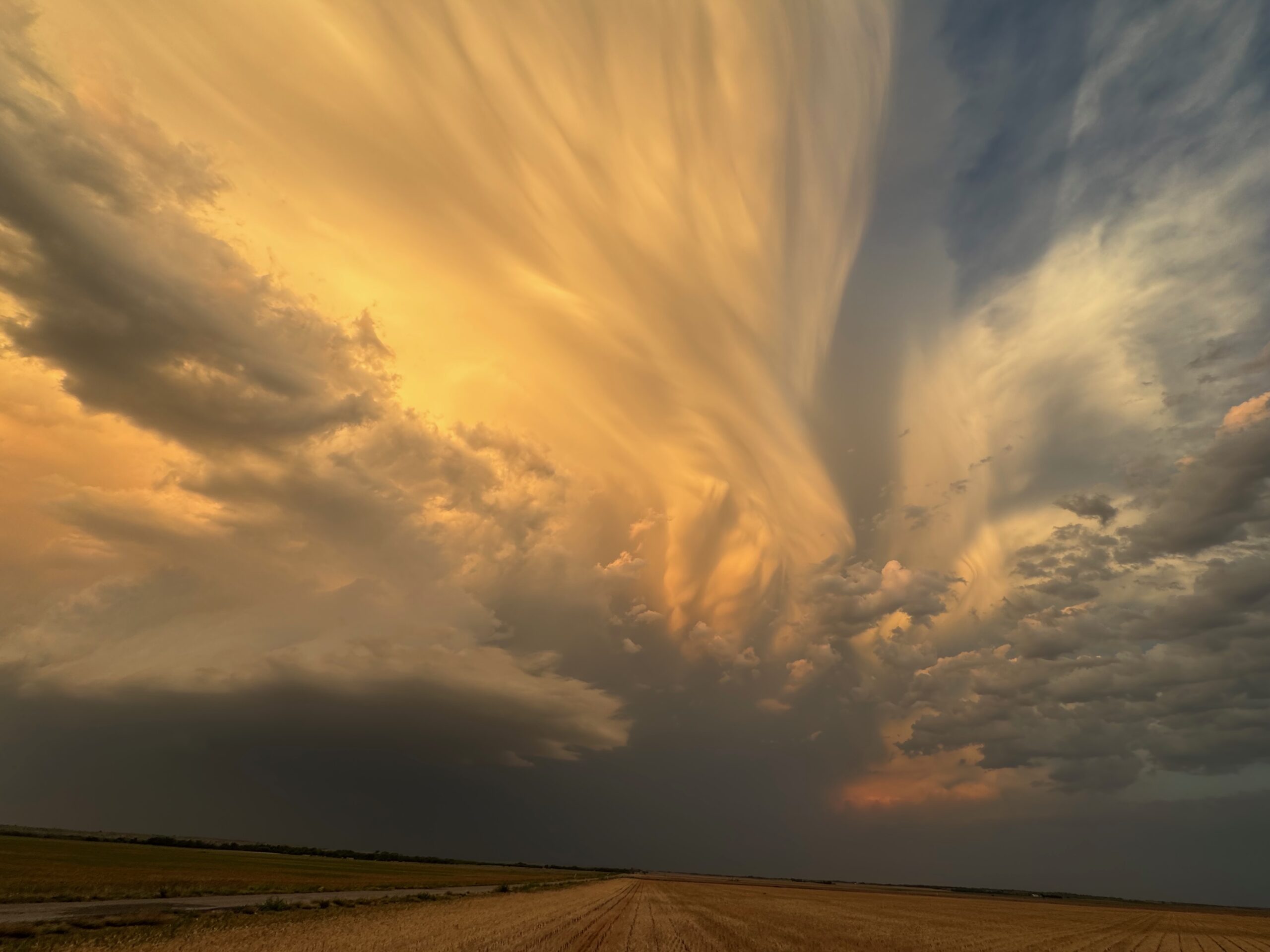
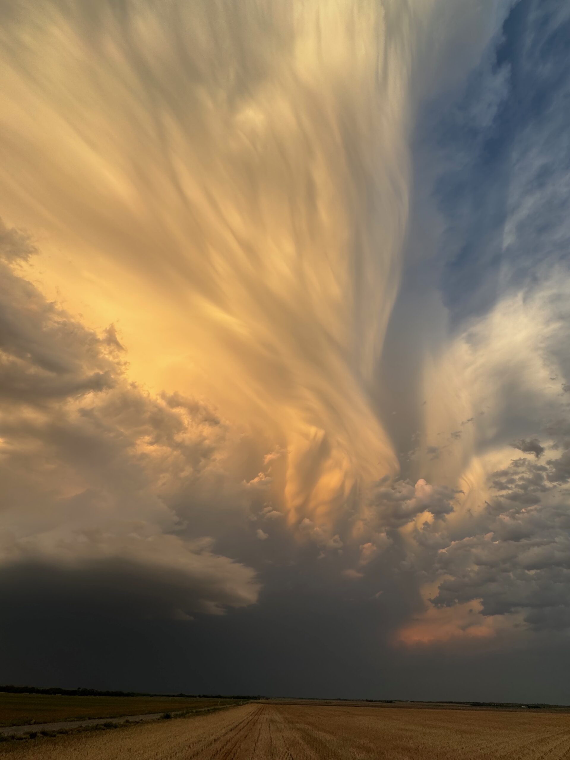
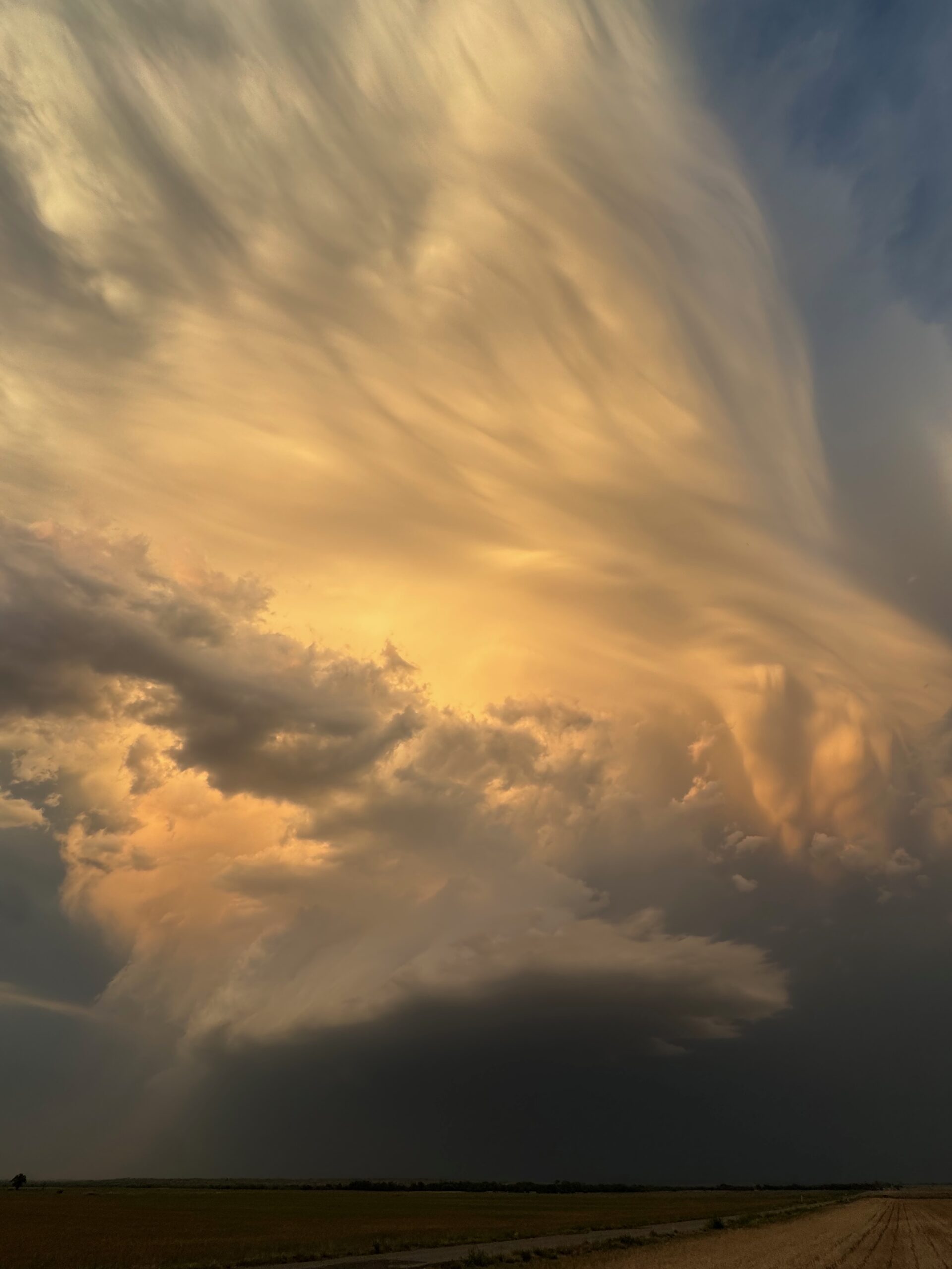
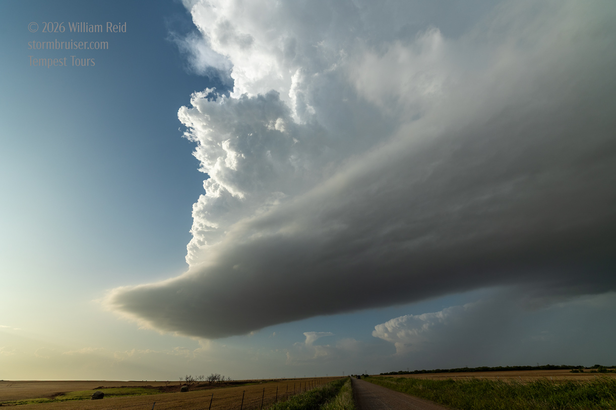
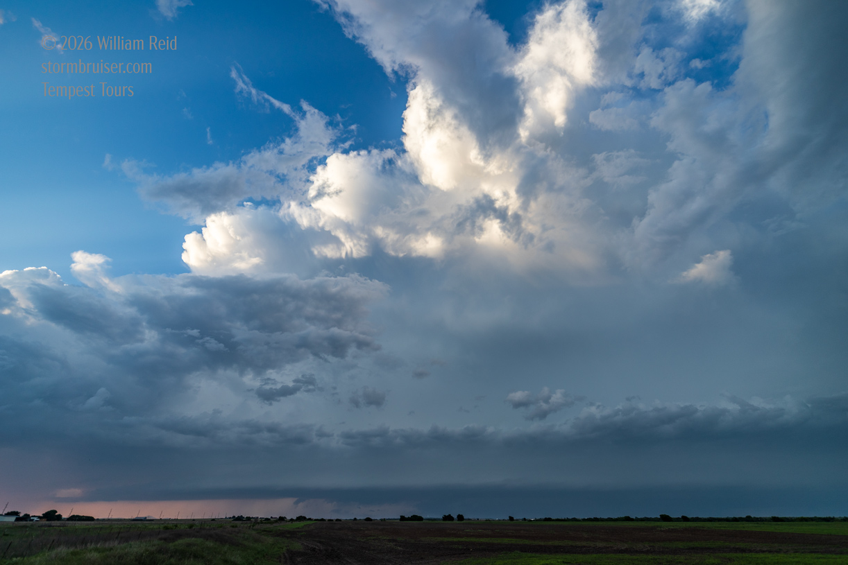
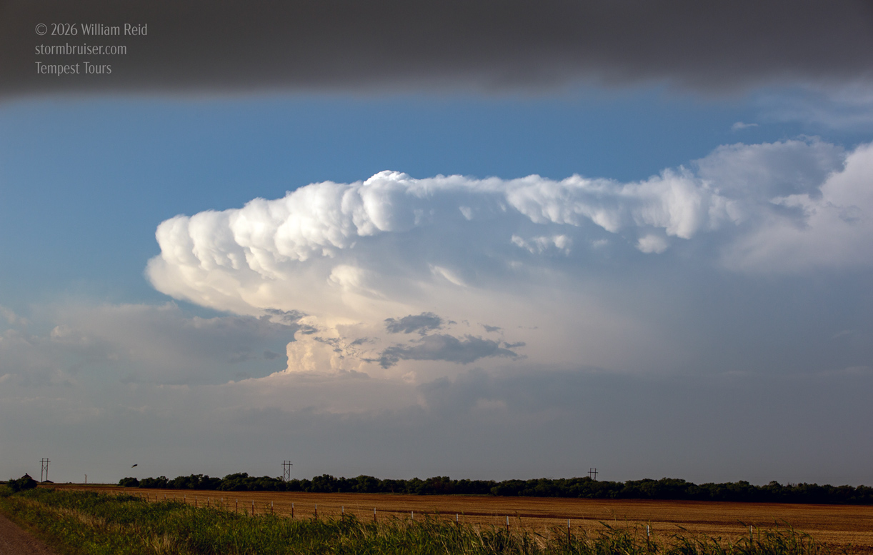
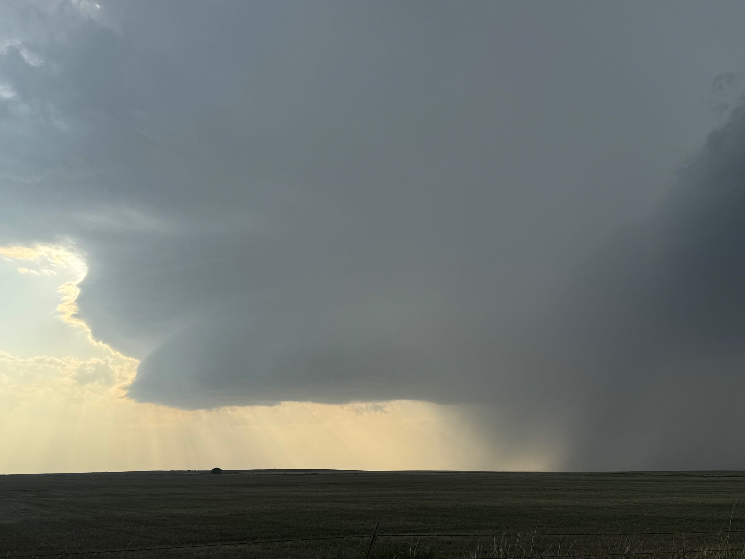
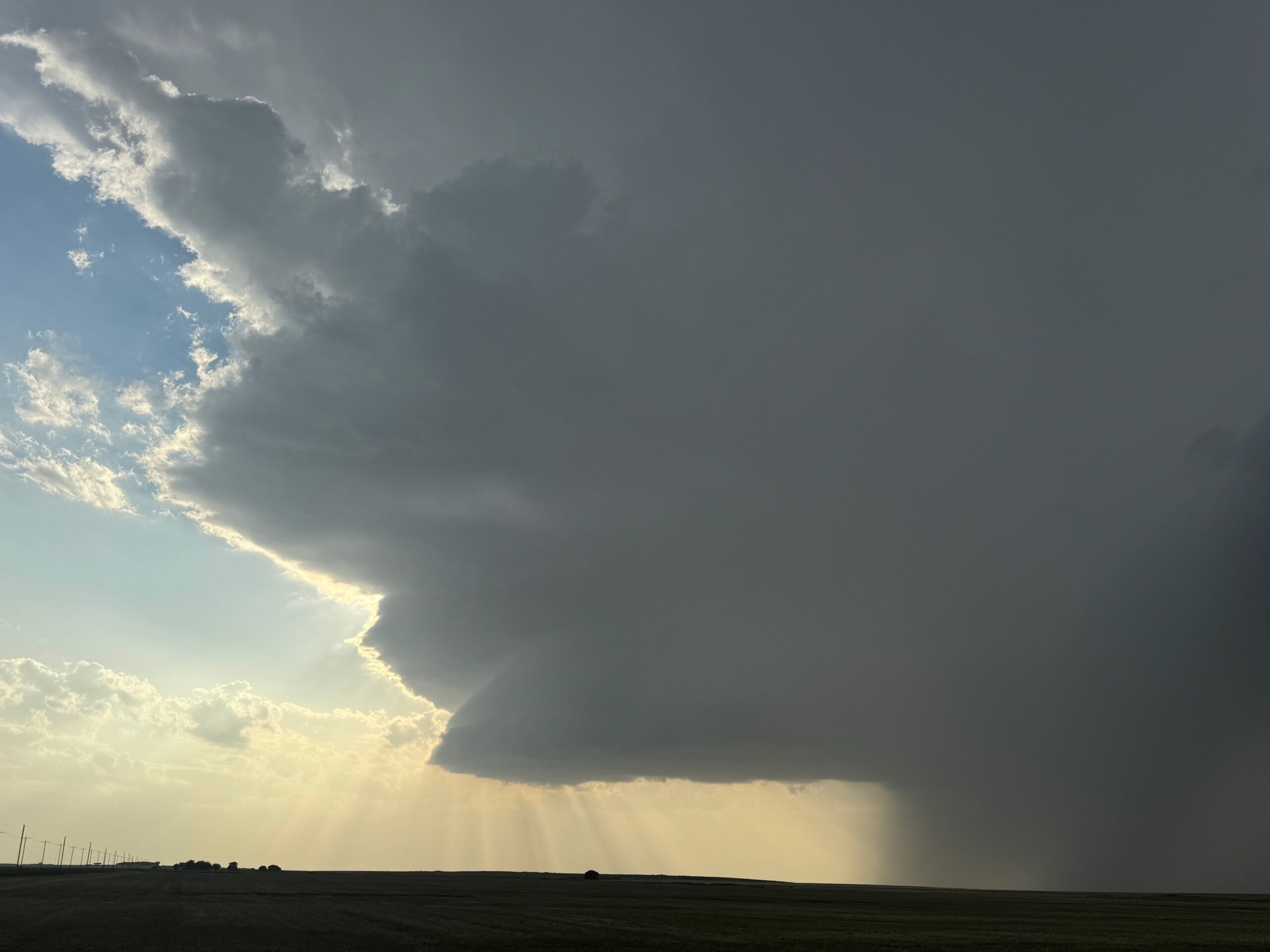
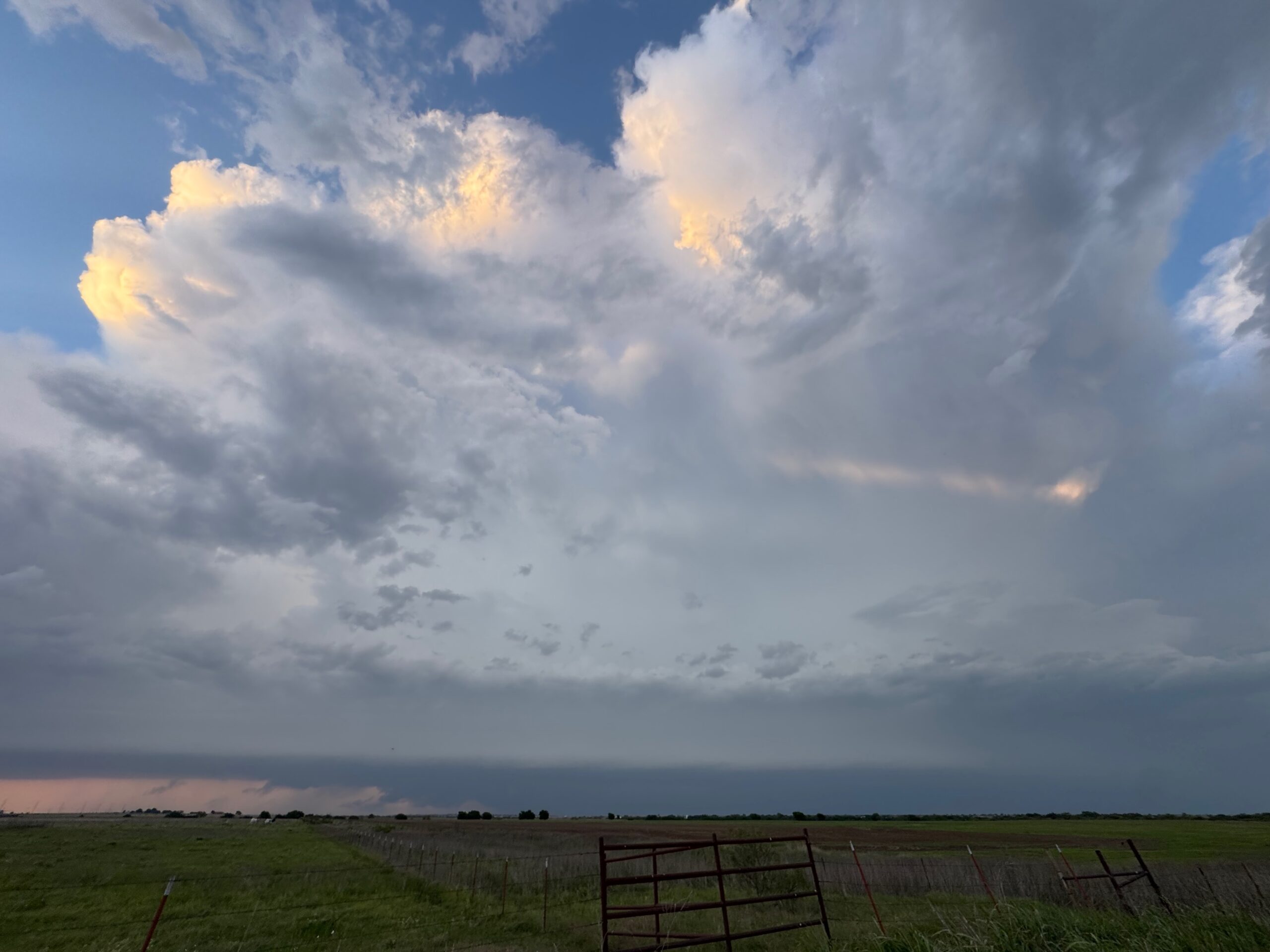
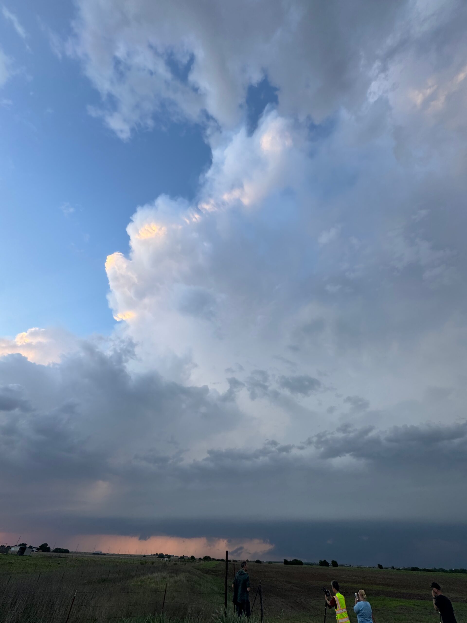
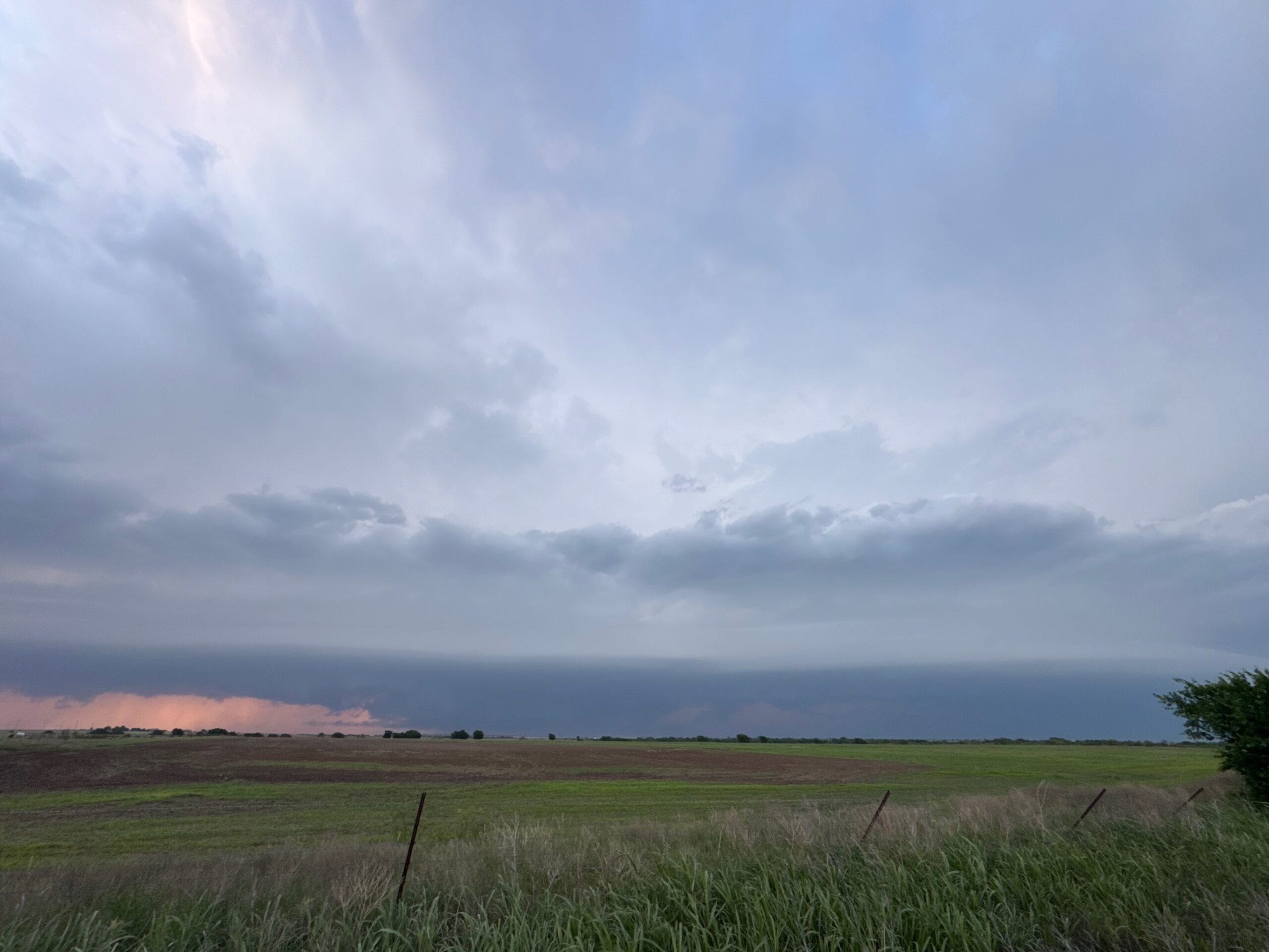
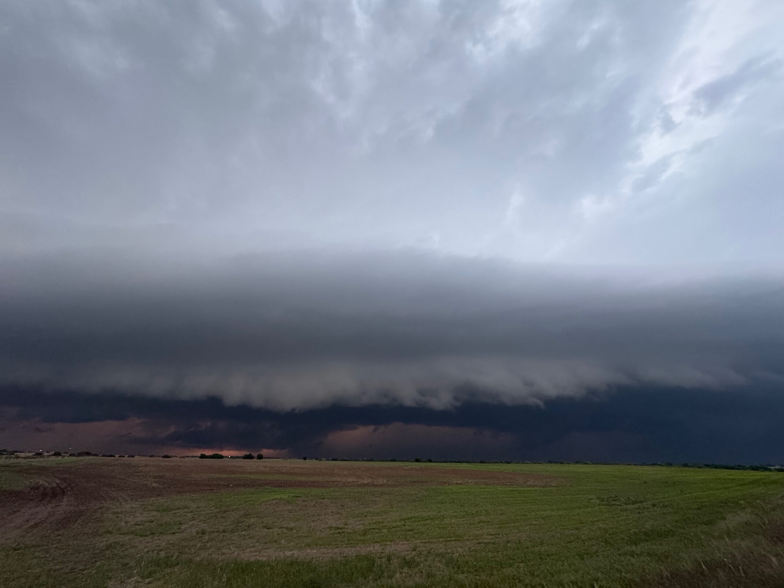
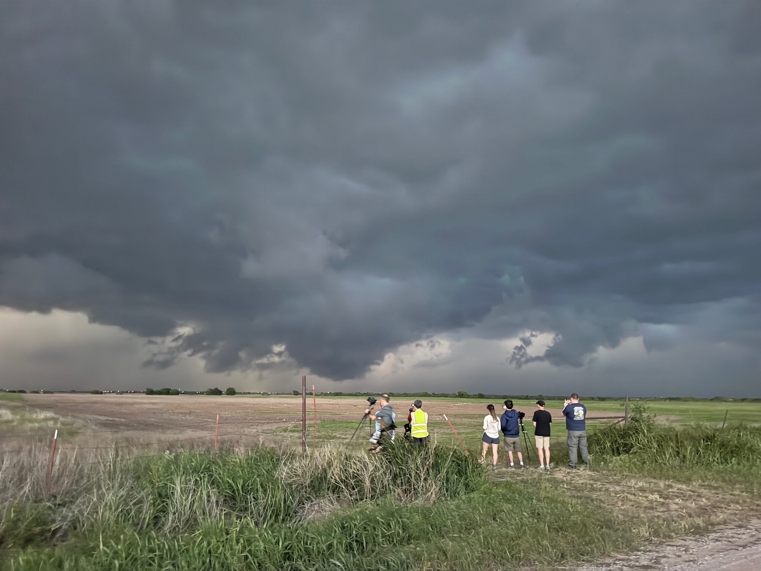
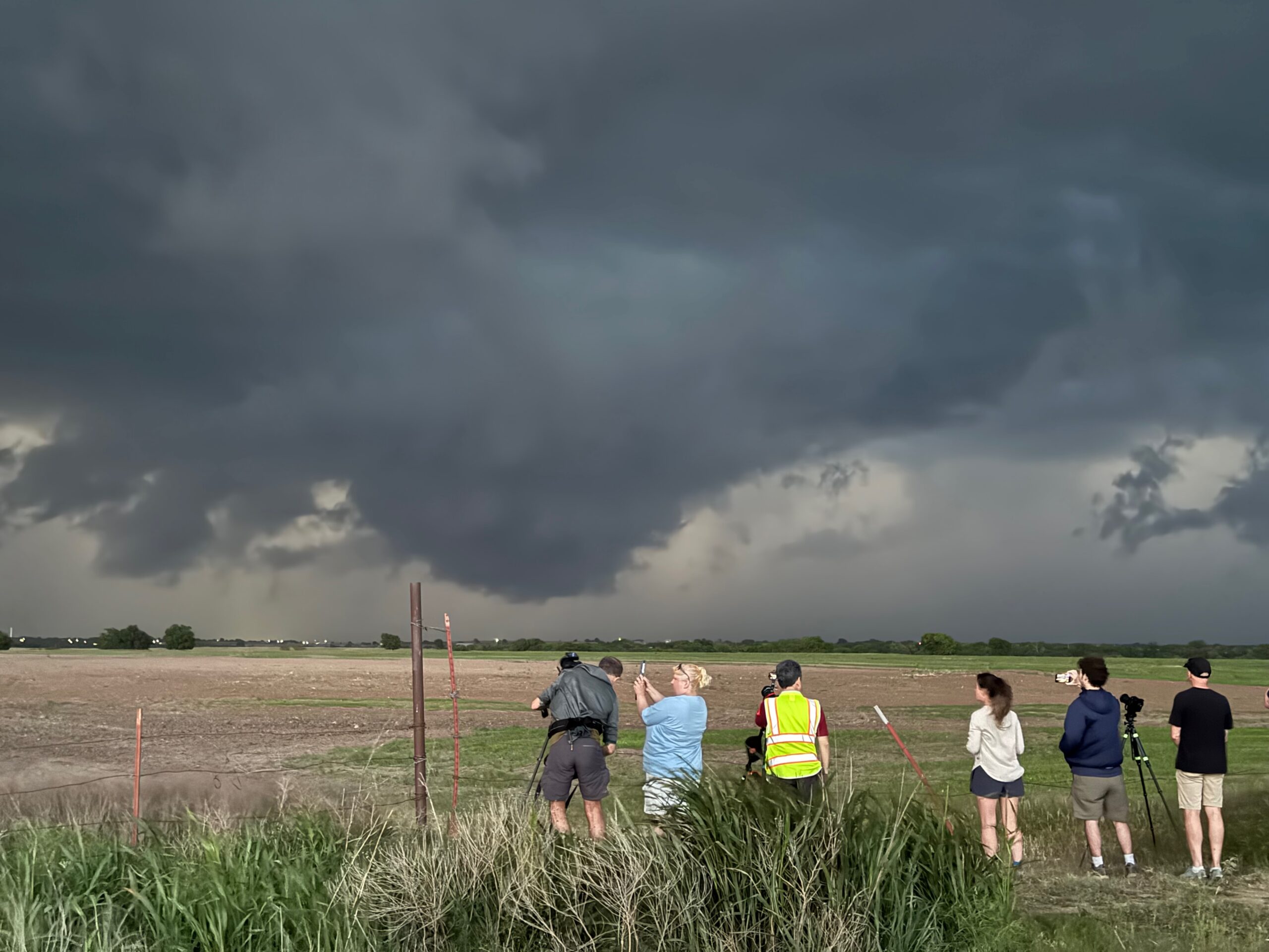
The group of pics below show the approach of the developing supercell near Sweetwater.
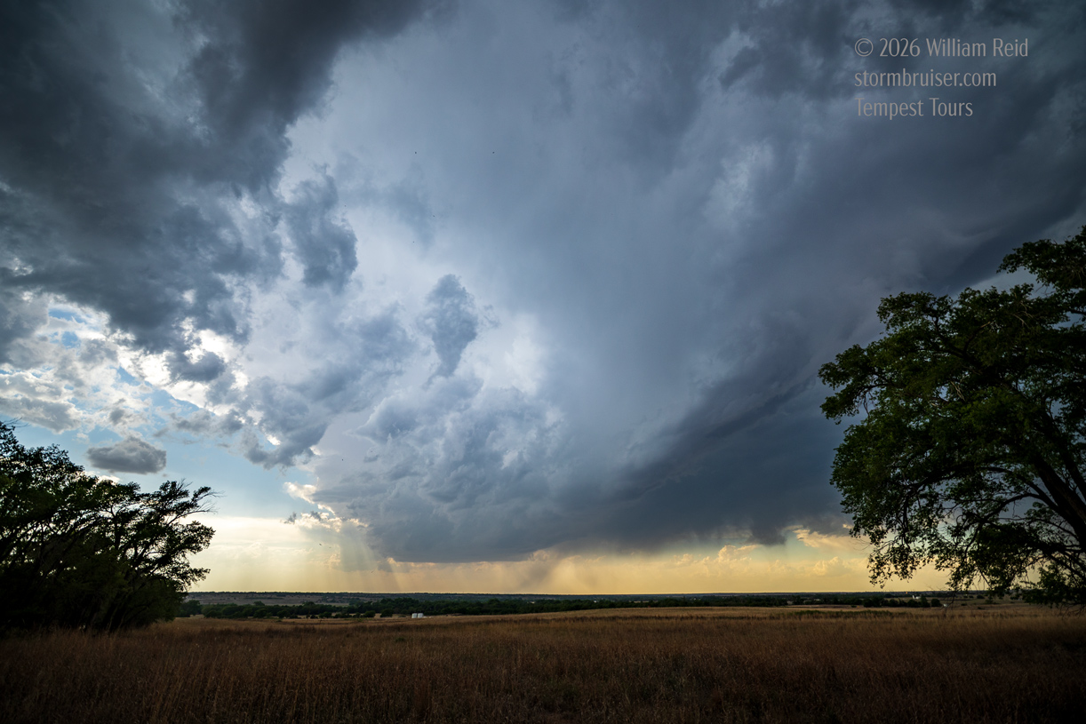
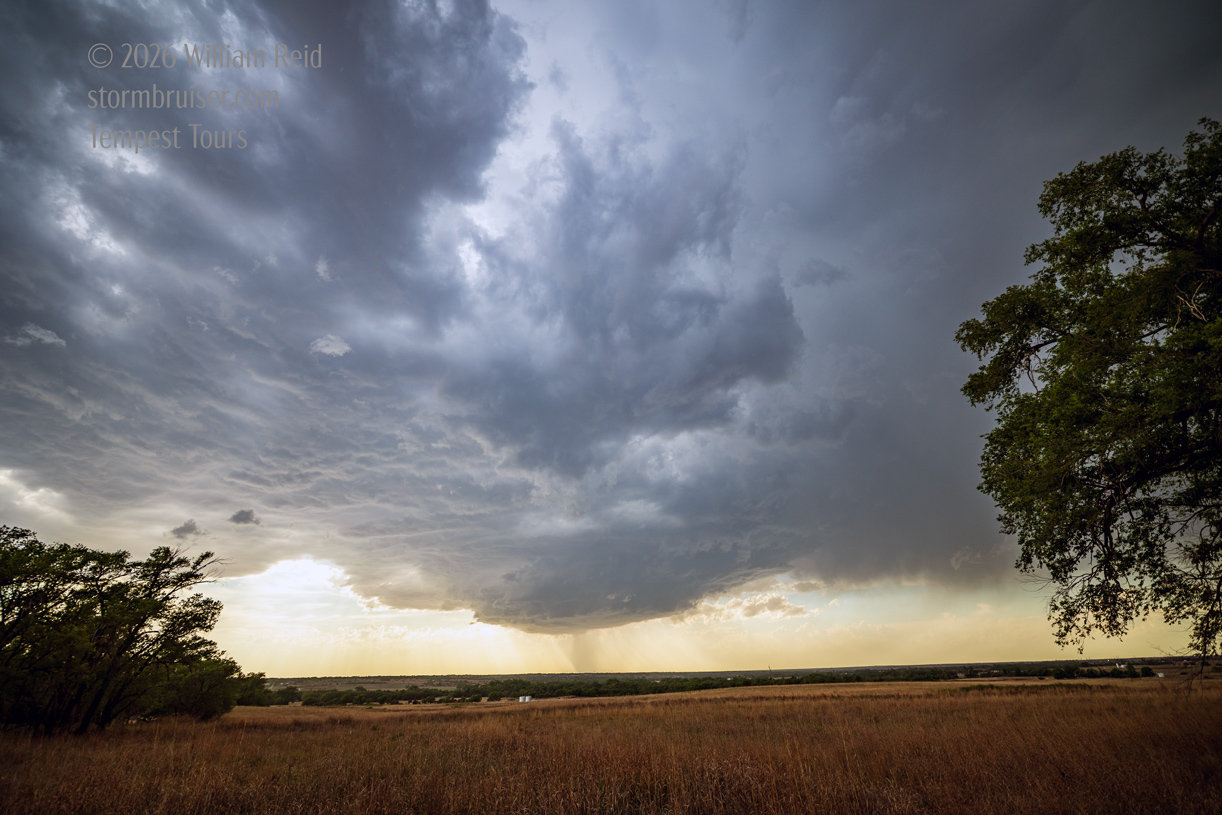
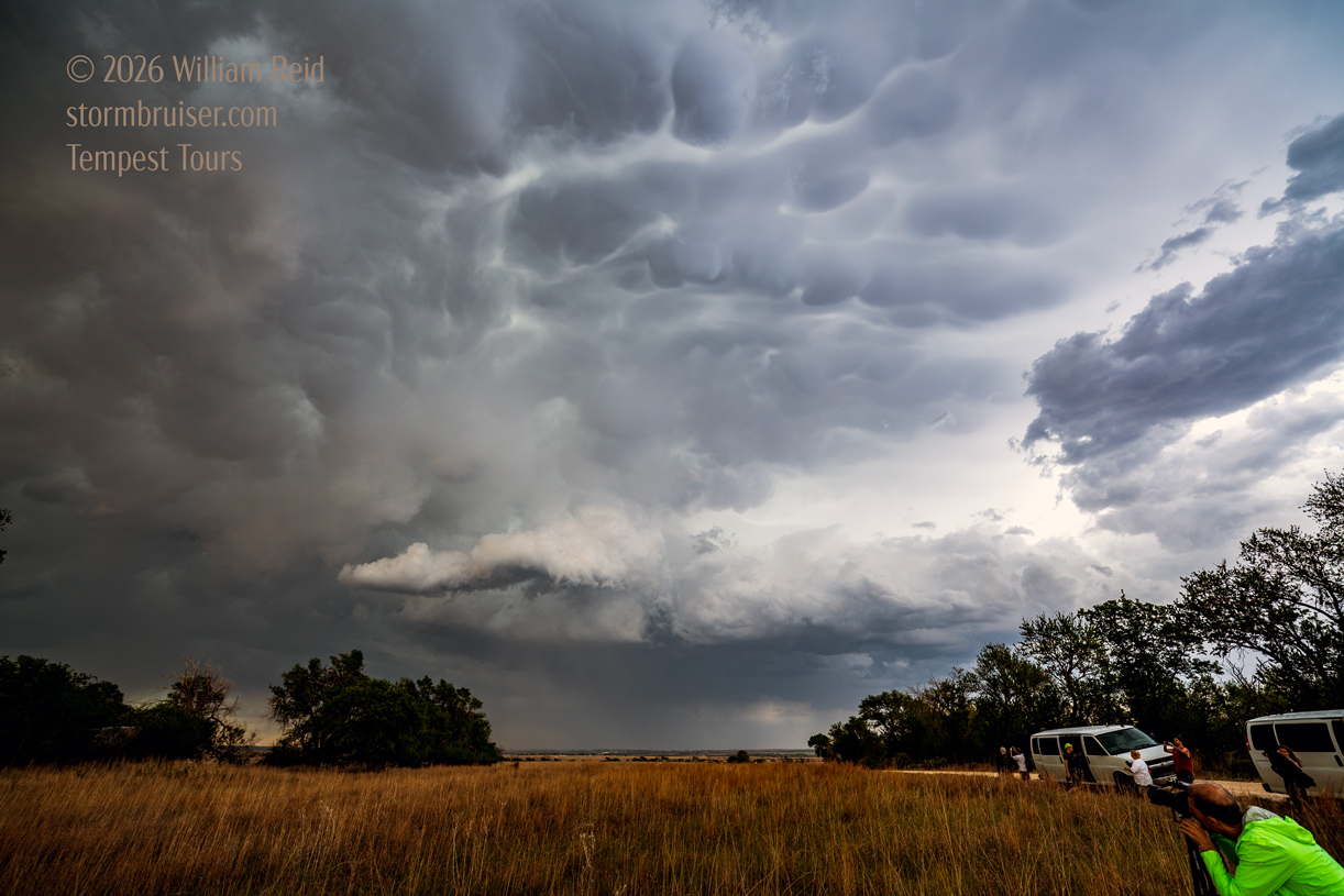
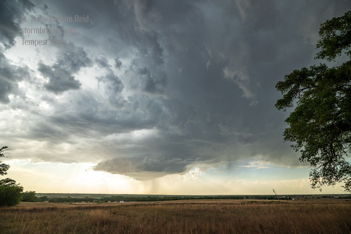
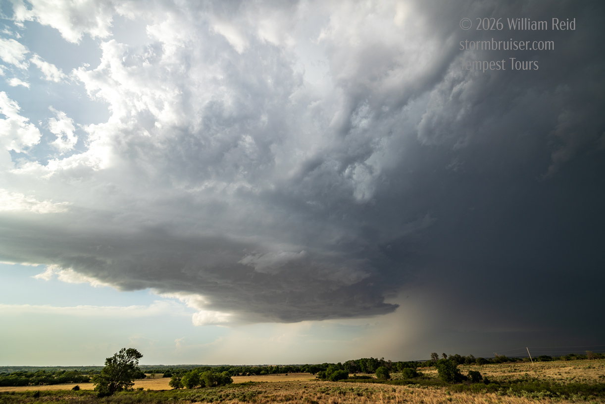
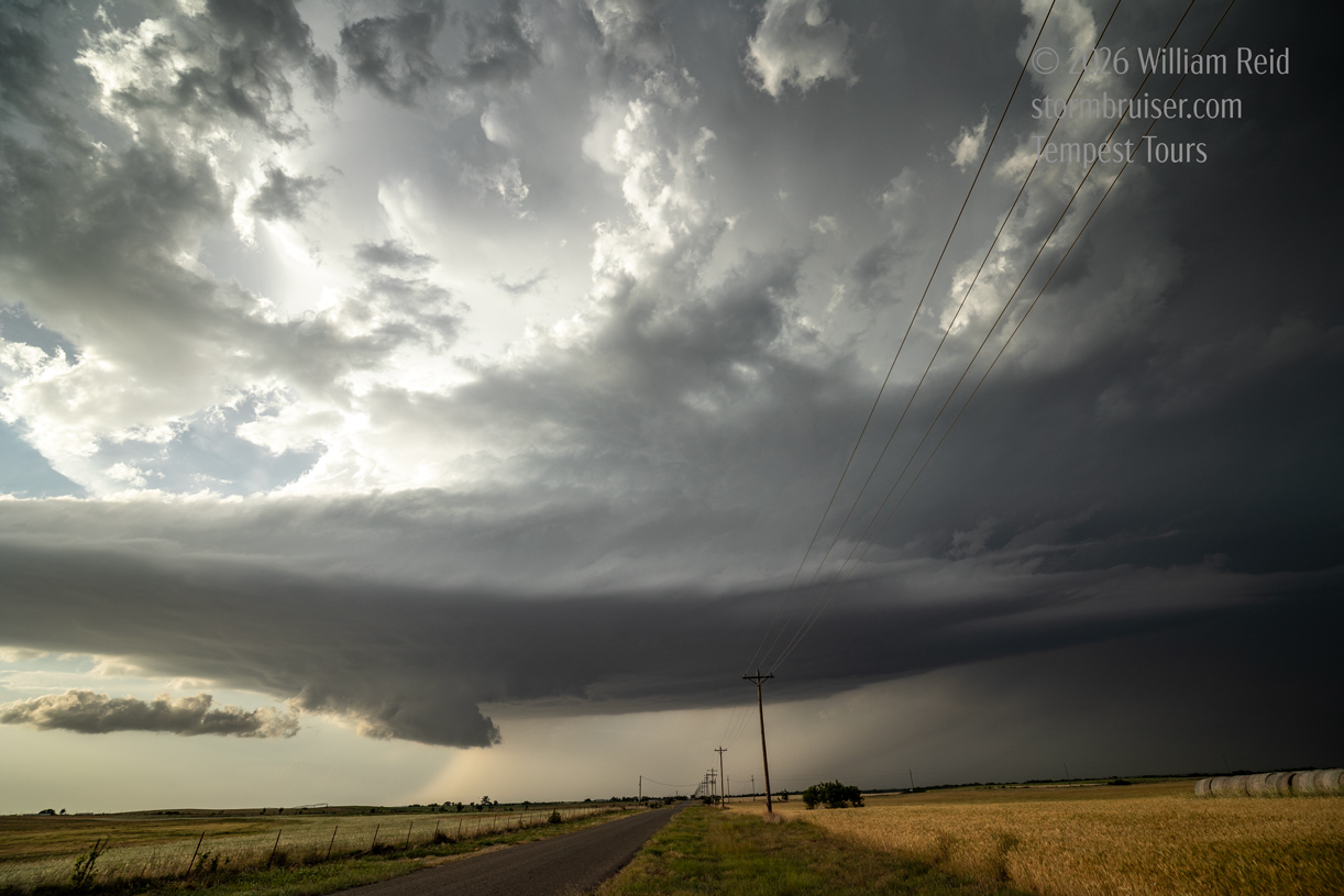
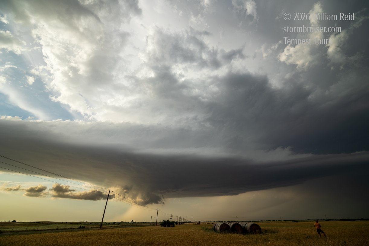
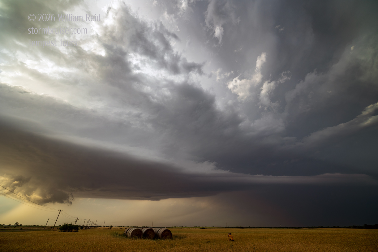
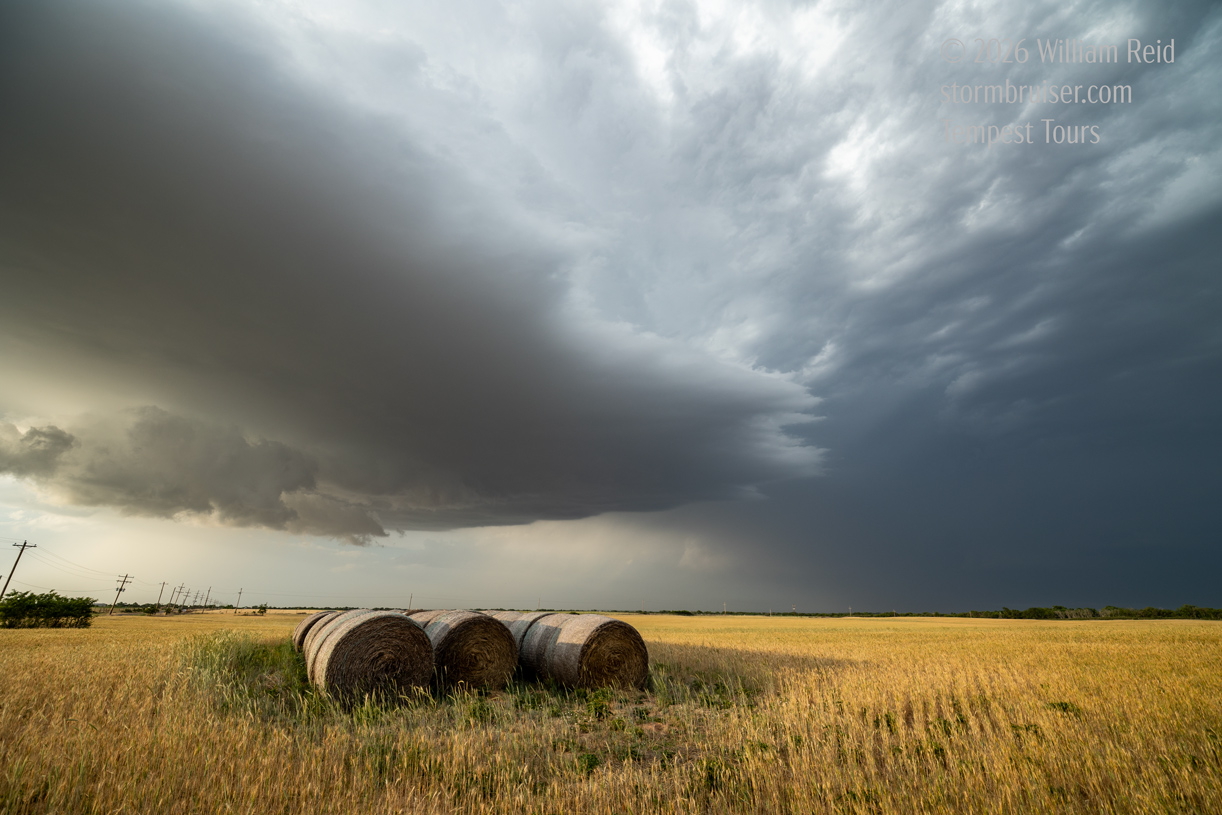
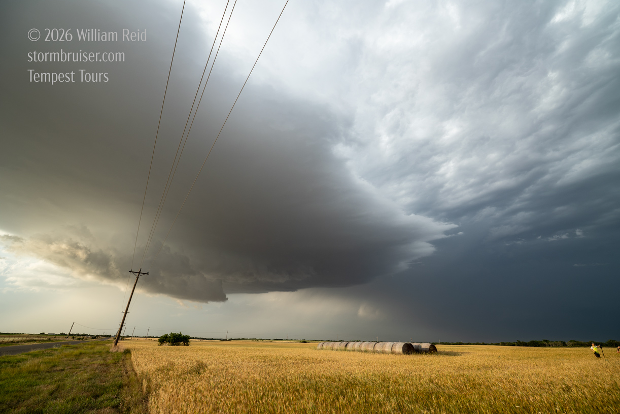

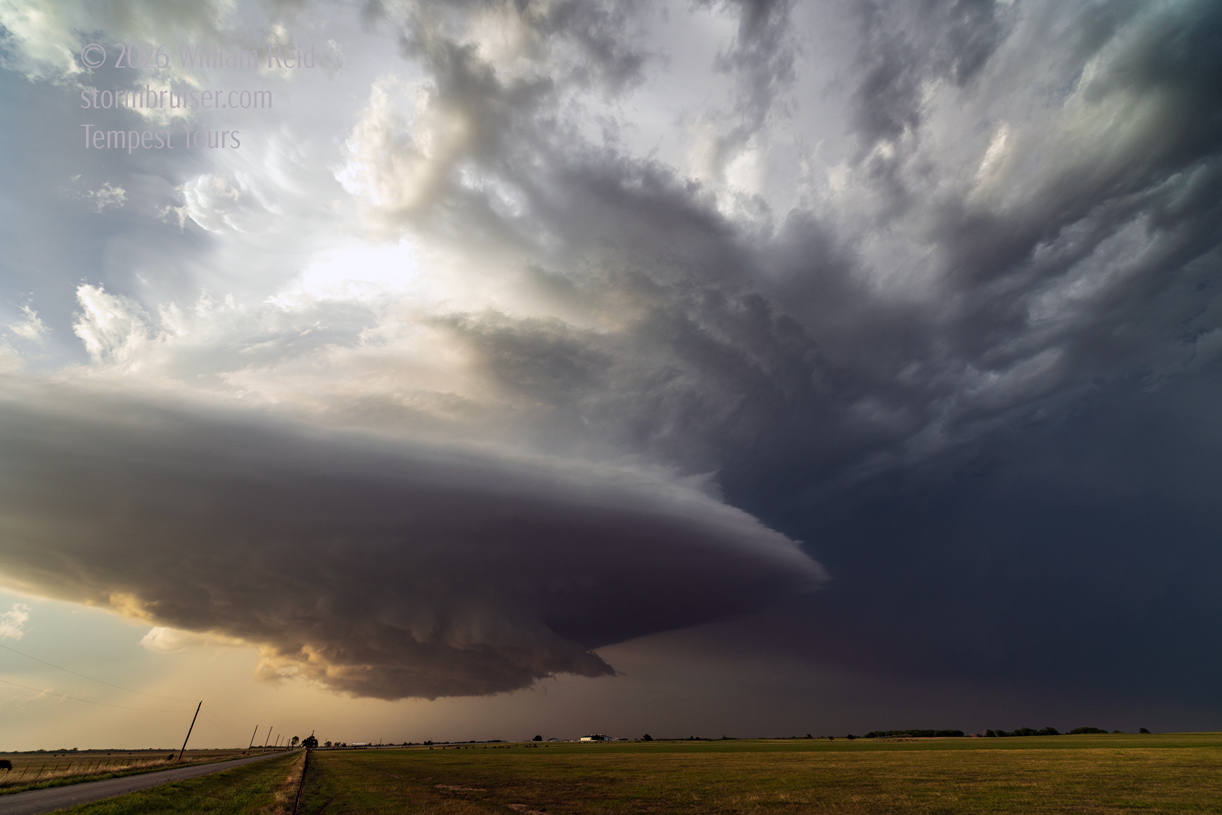
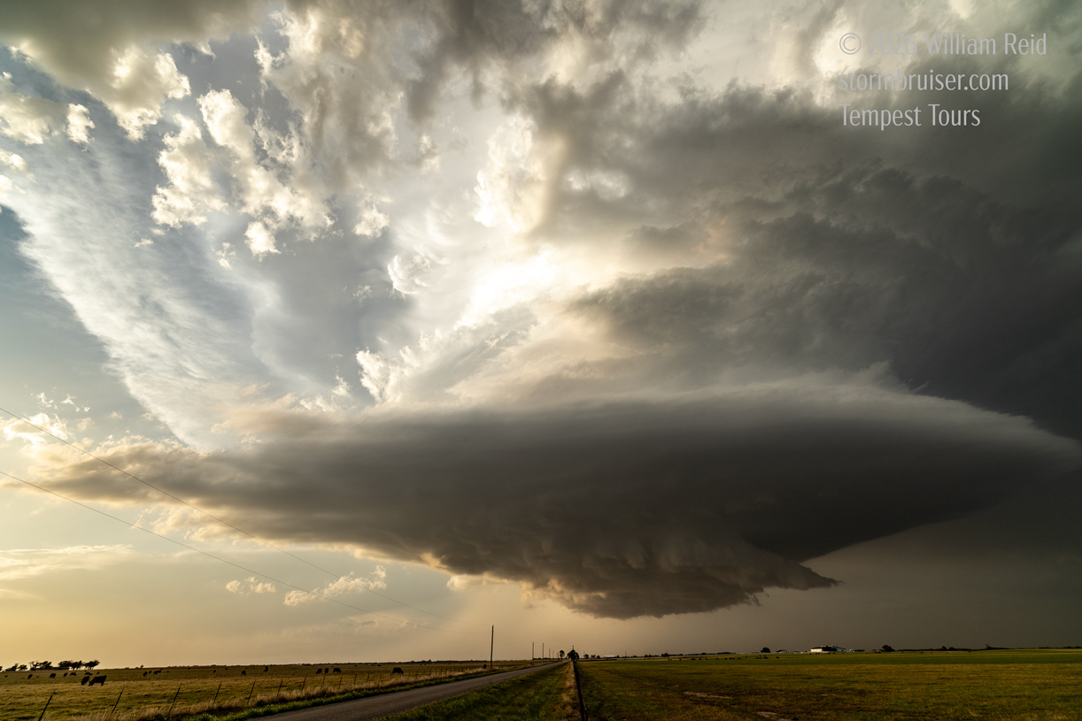
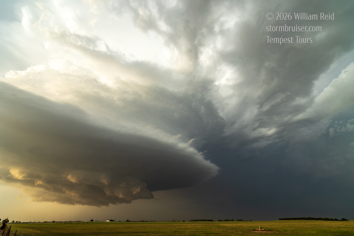
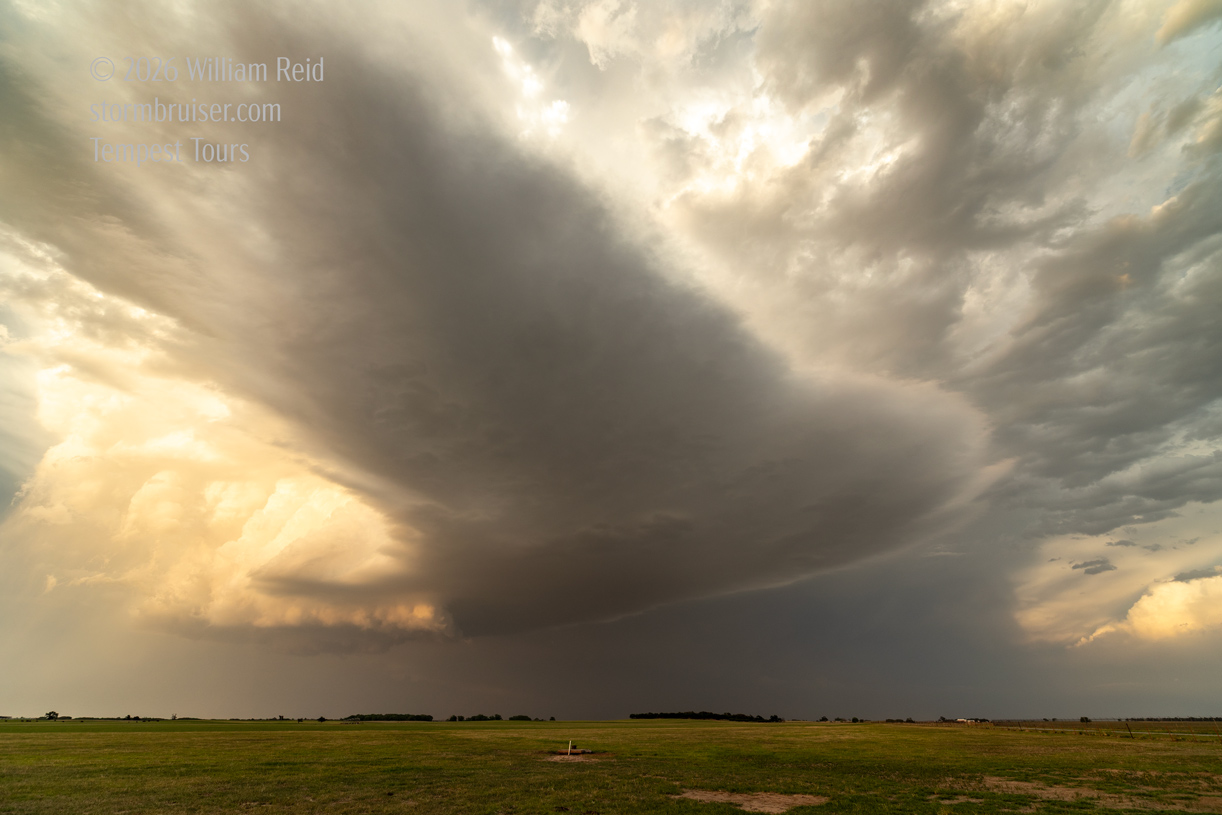
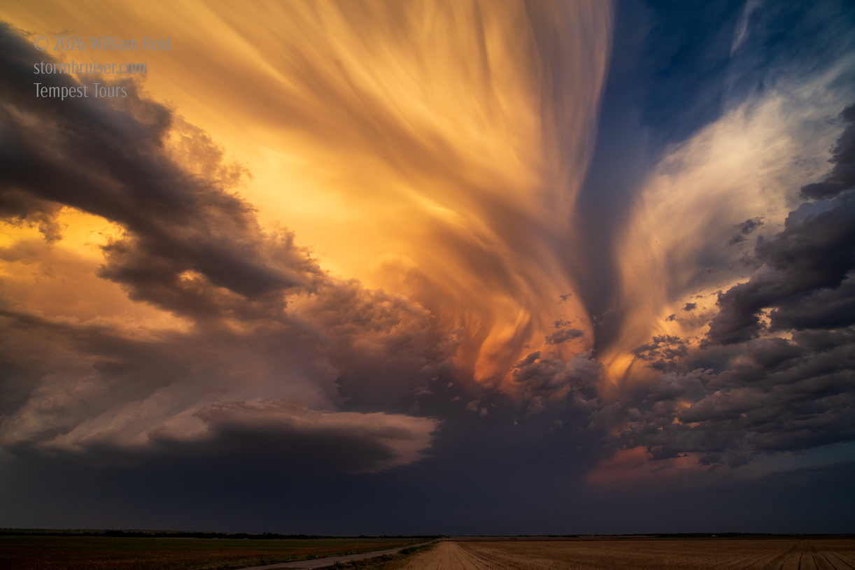
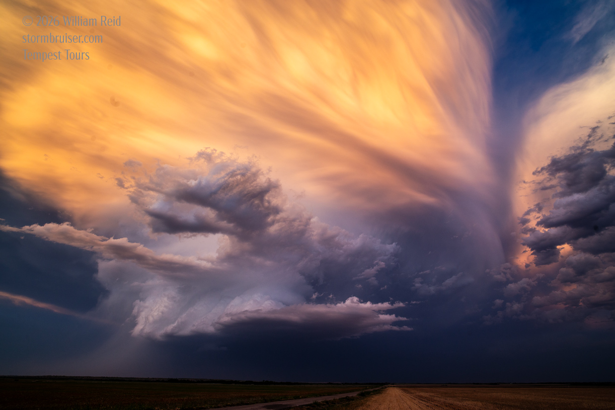
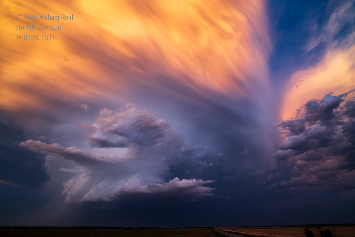
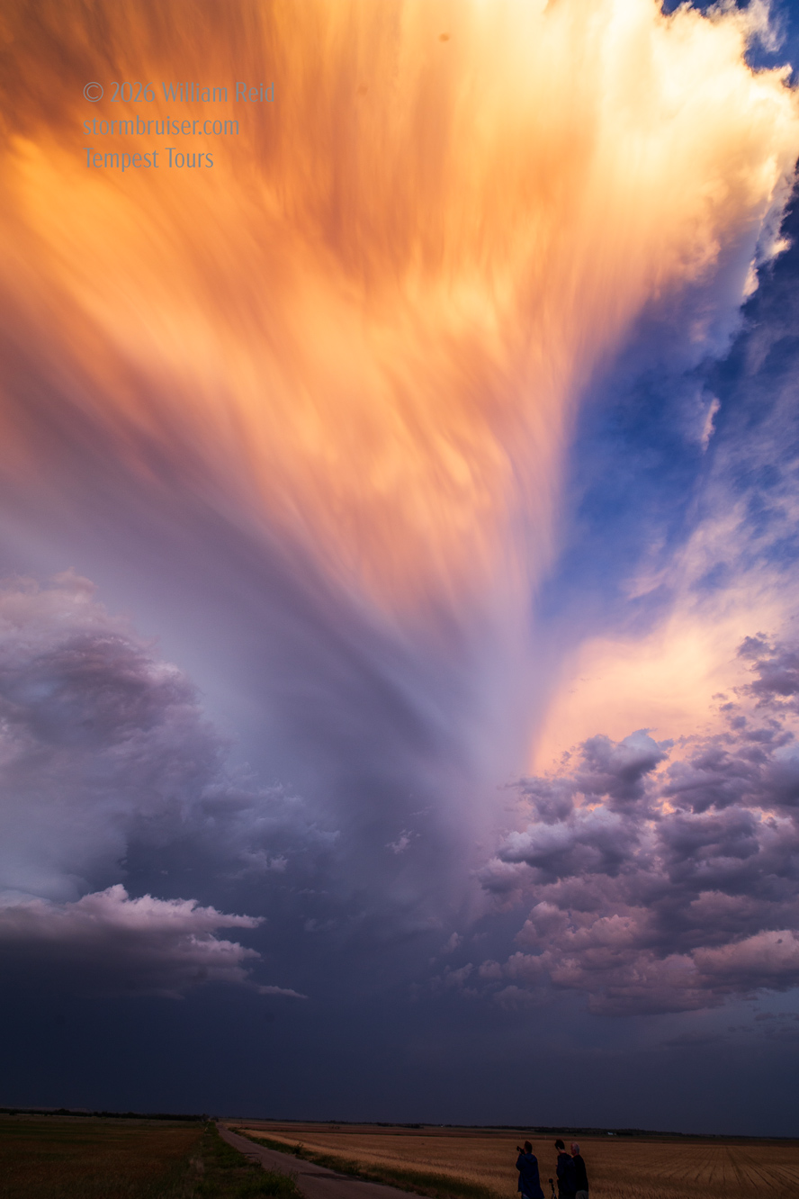
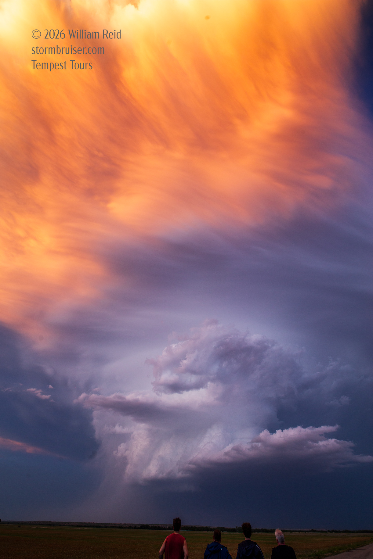
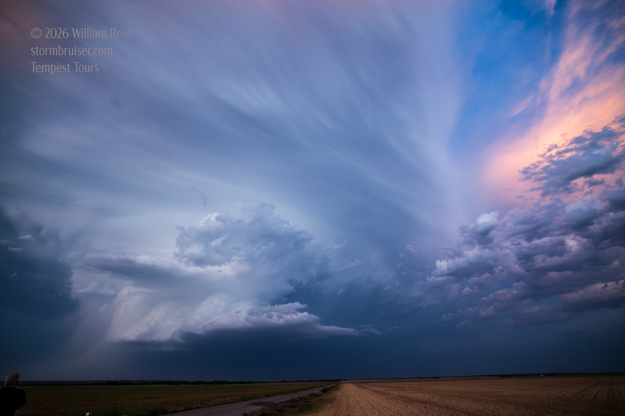
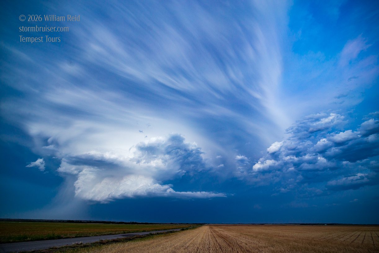
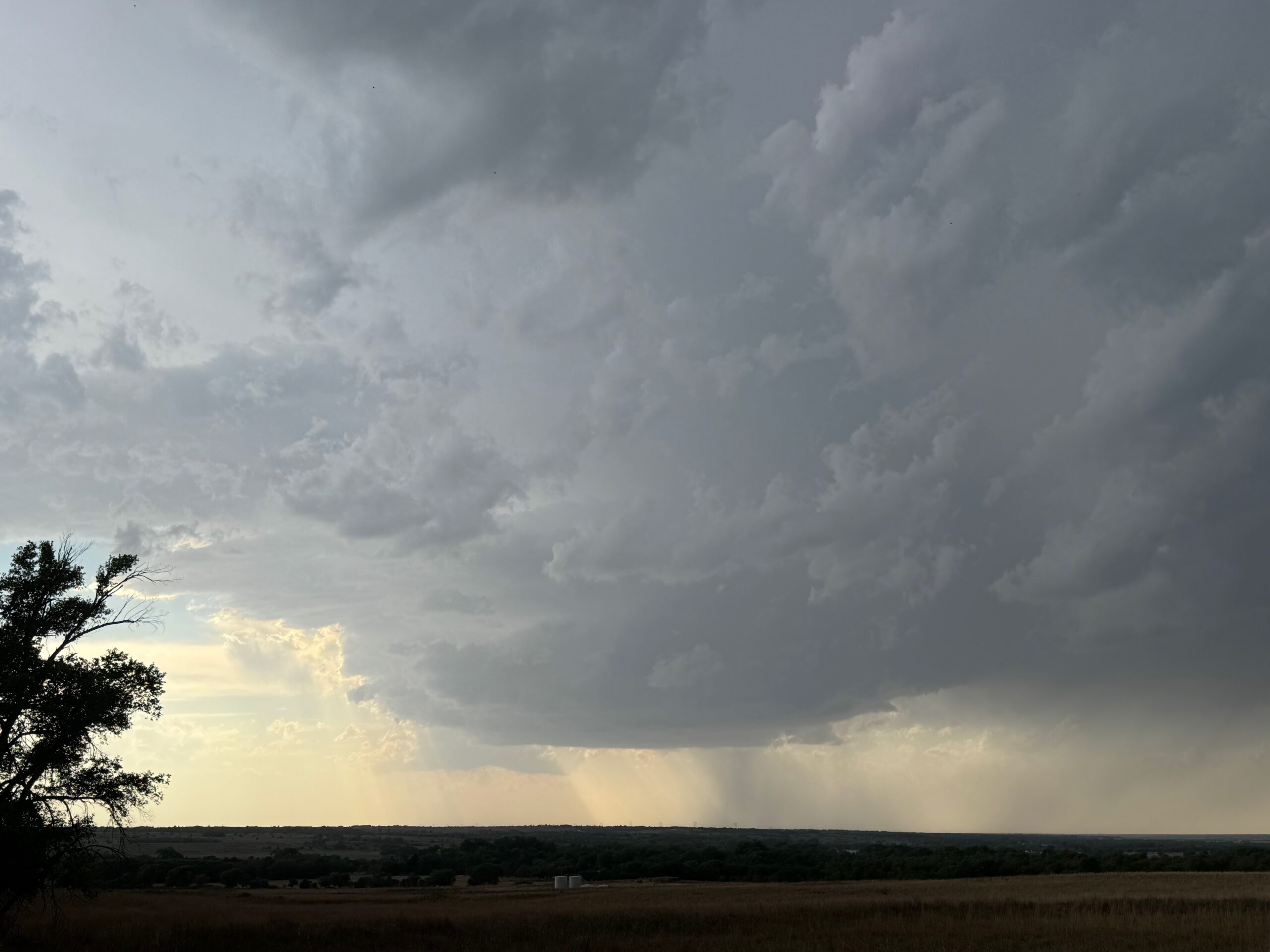
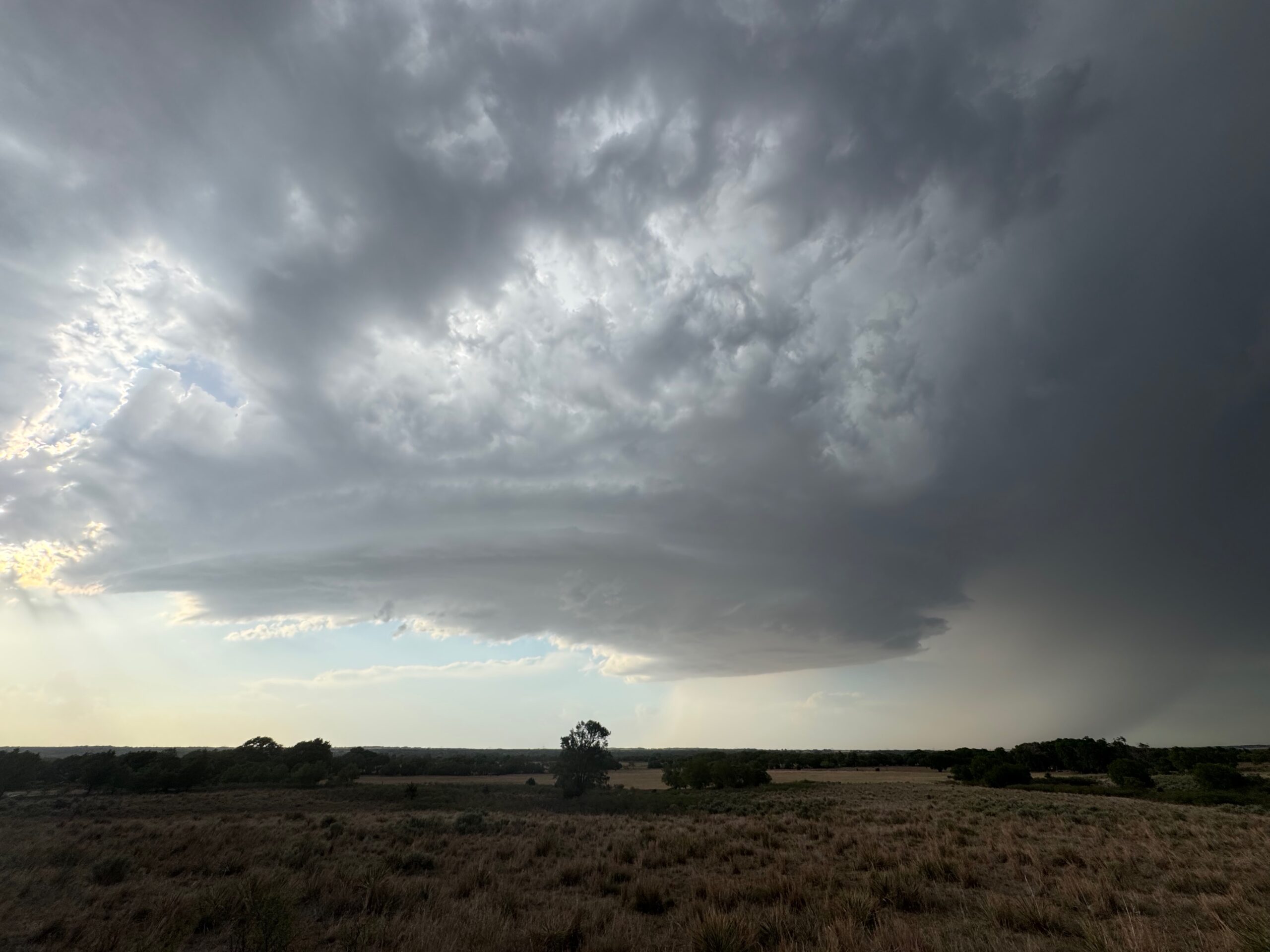
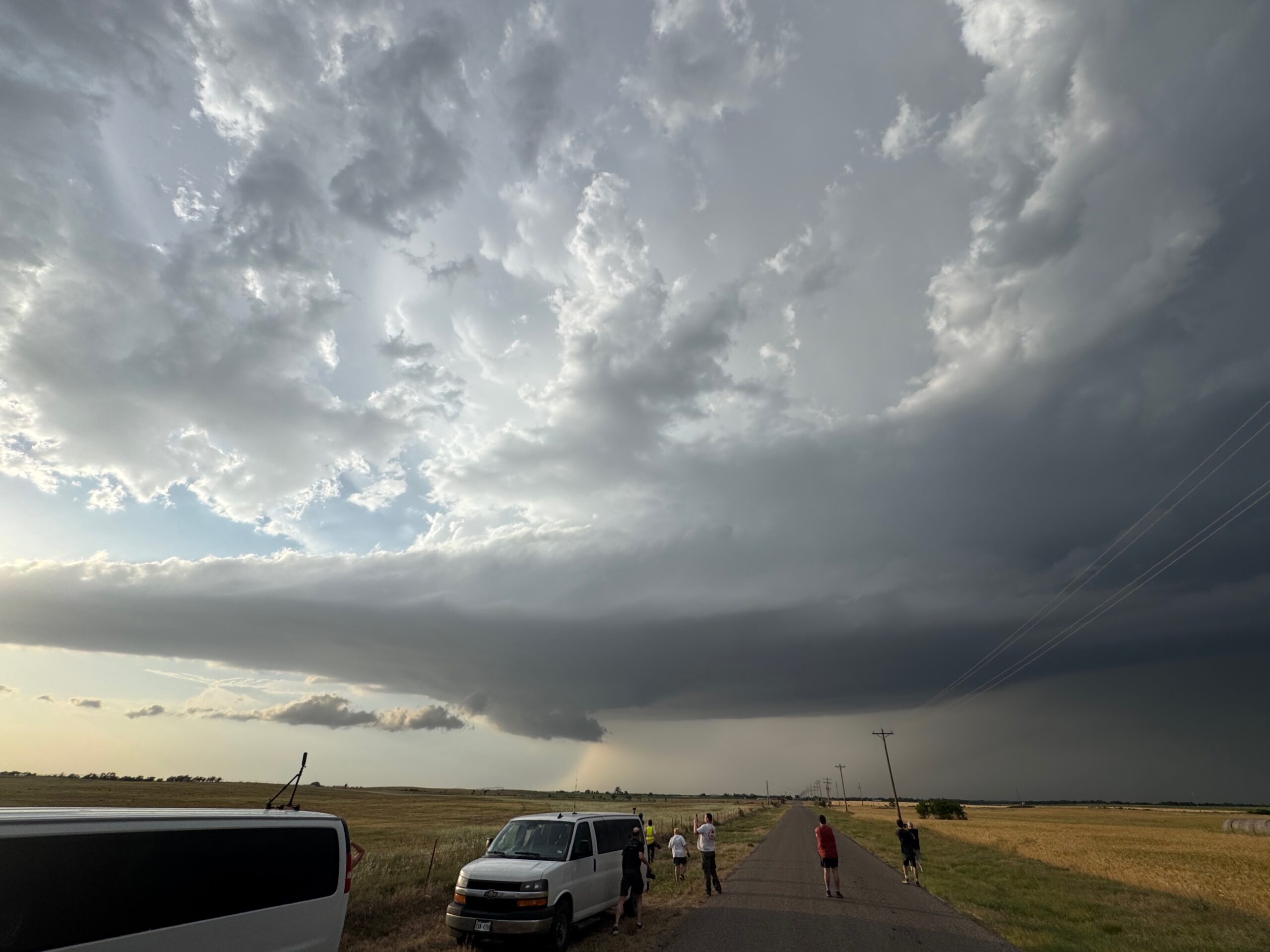
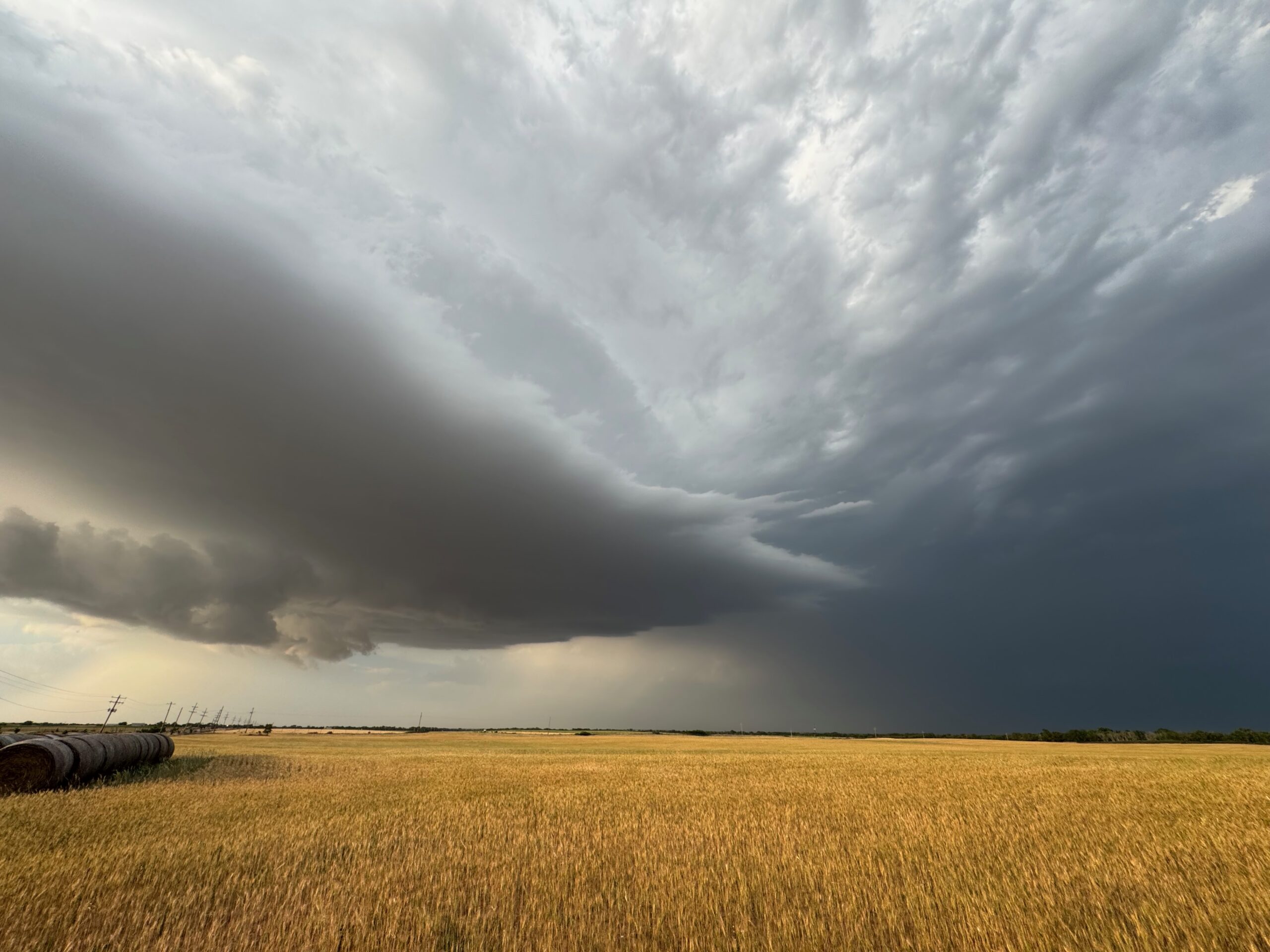
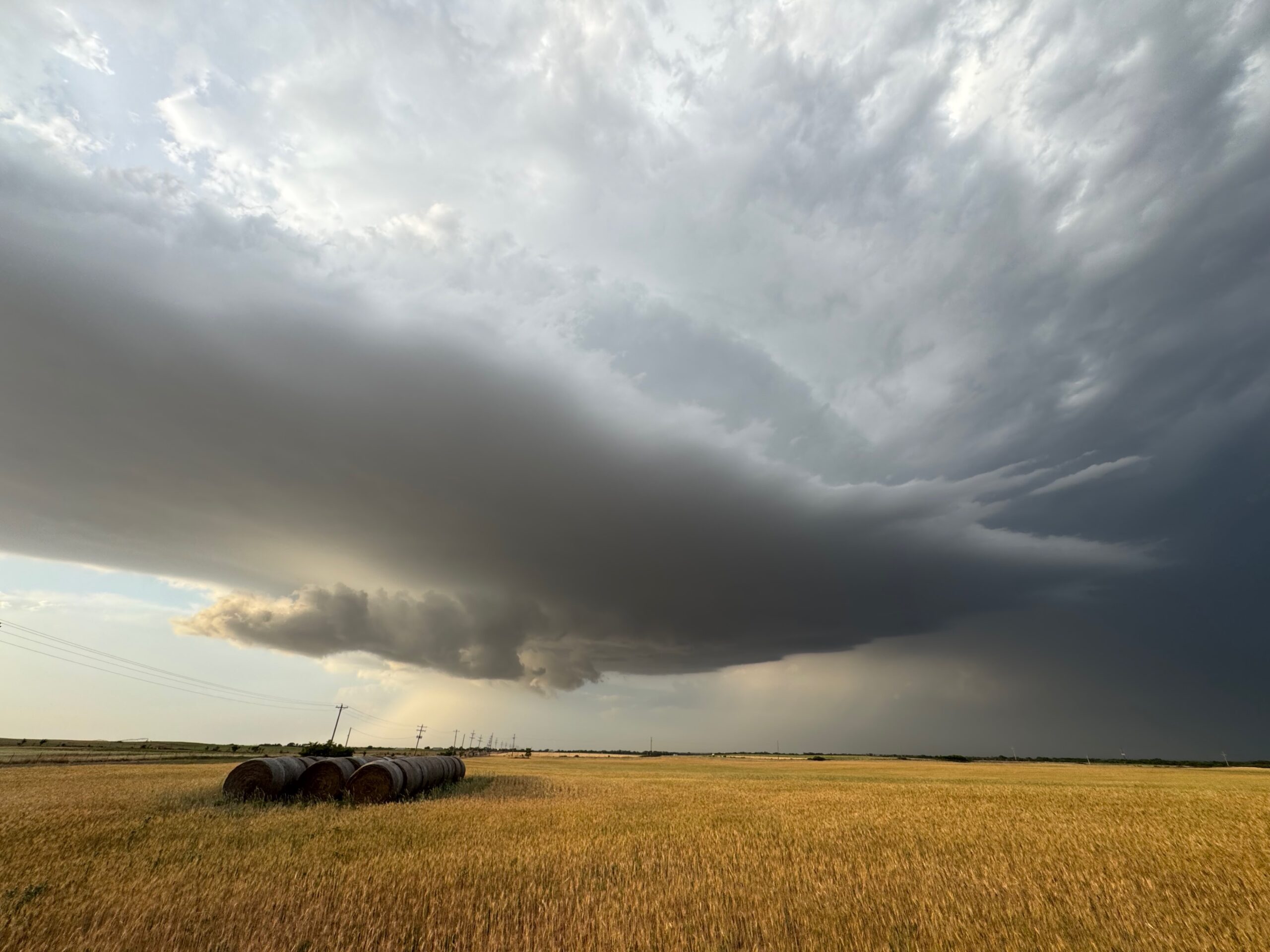
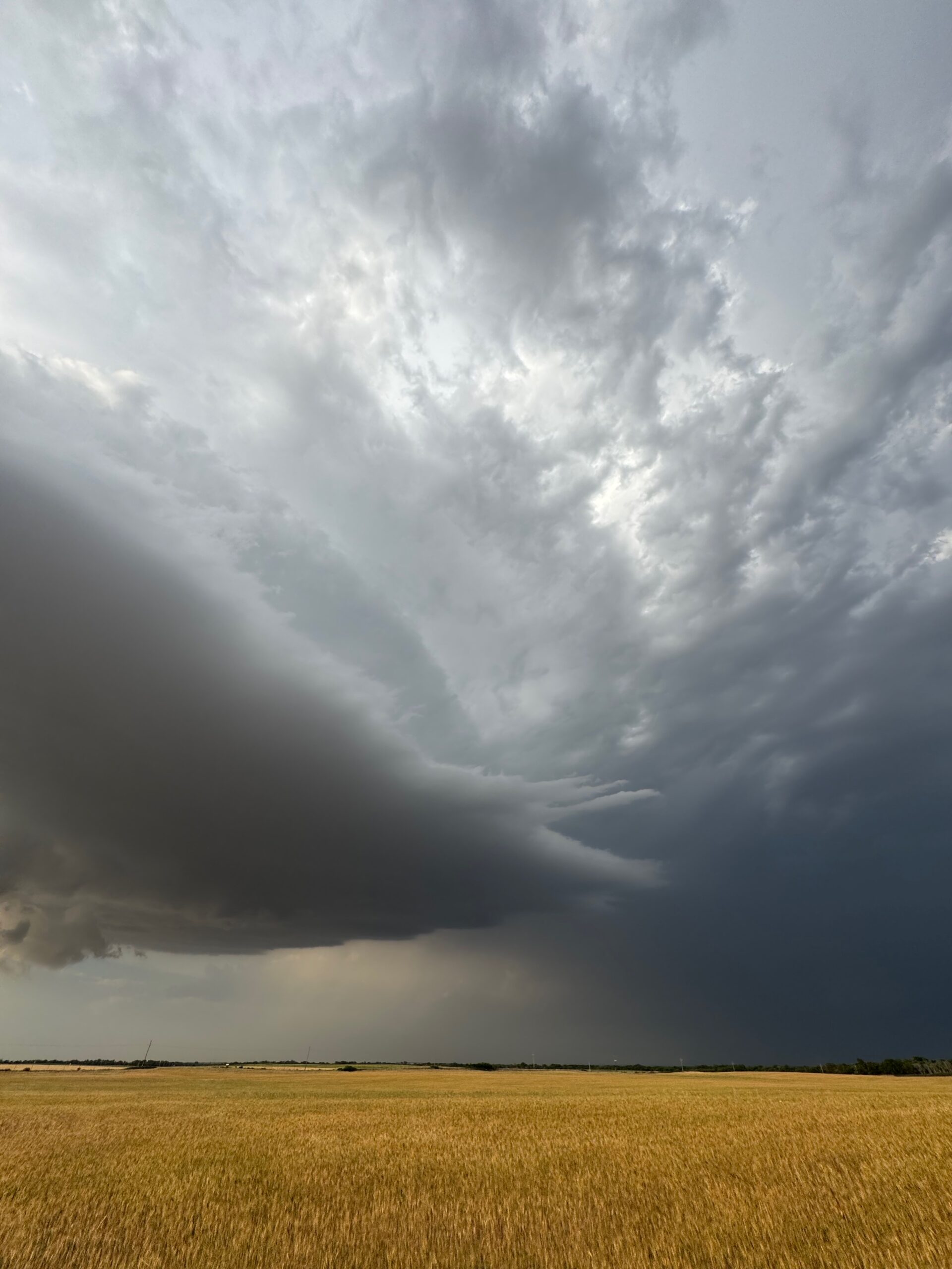
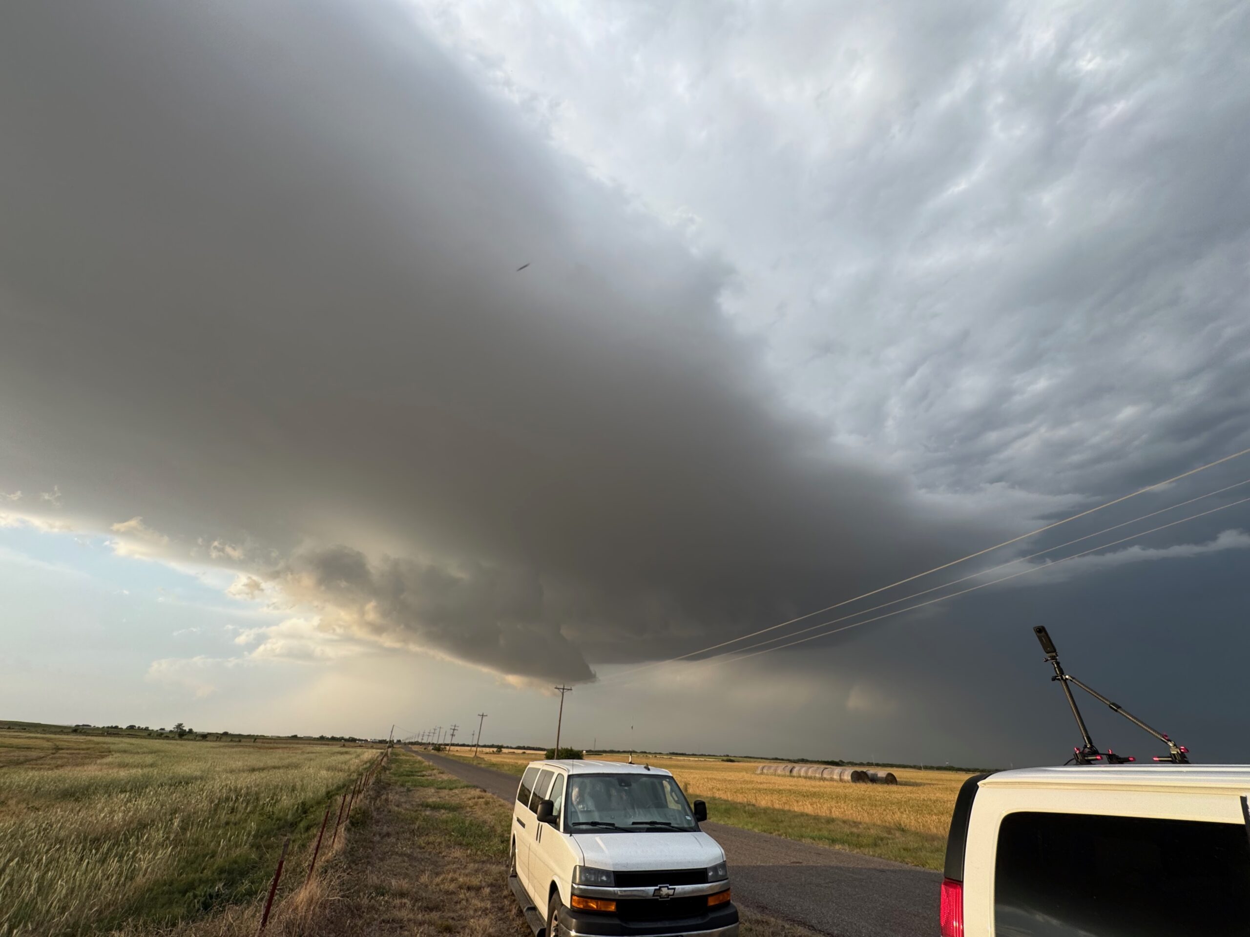
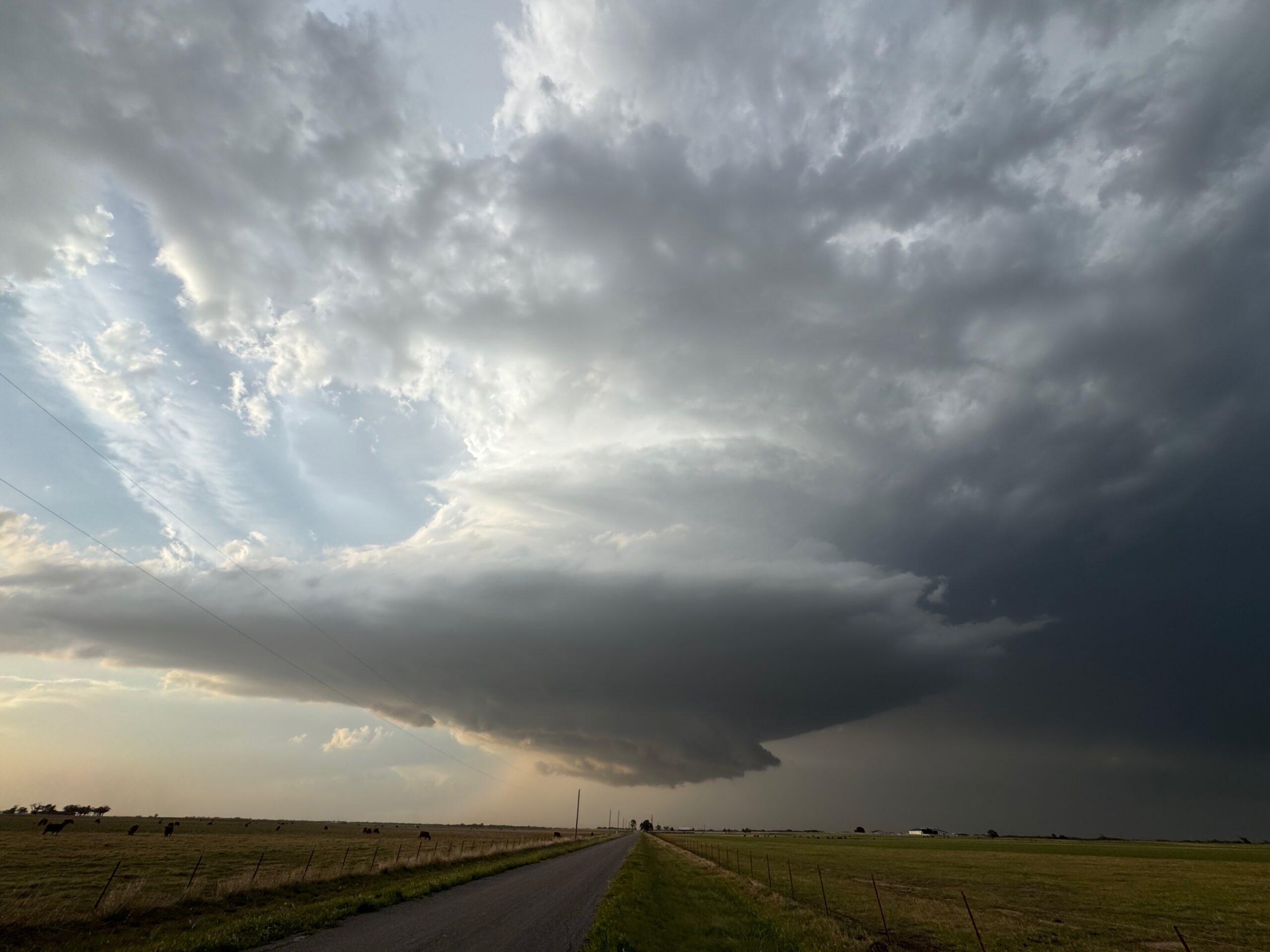
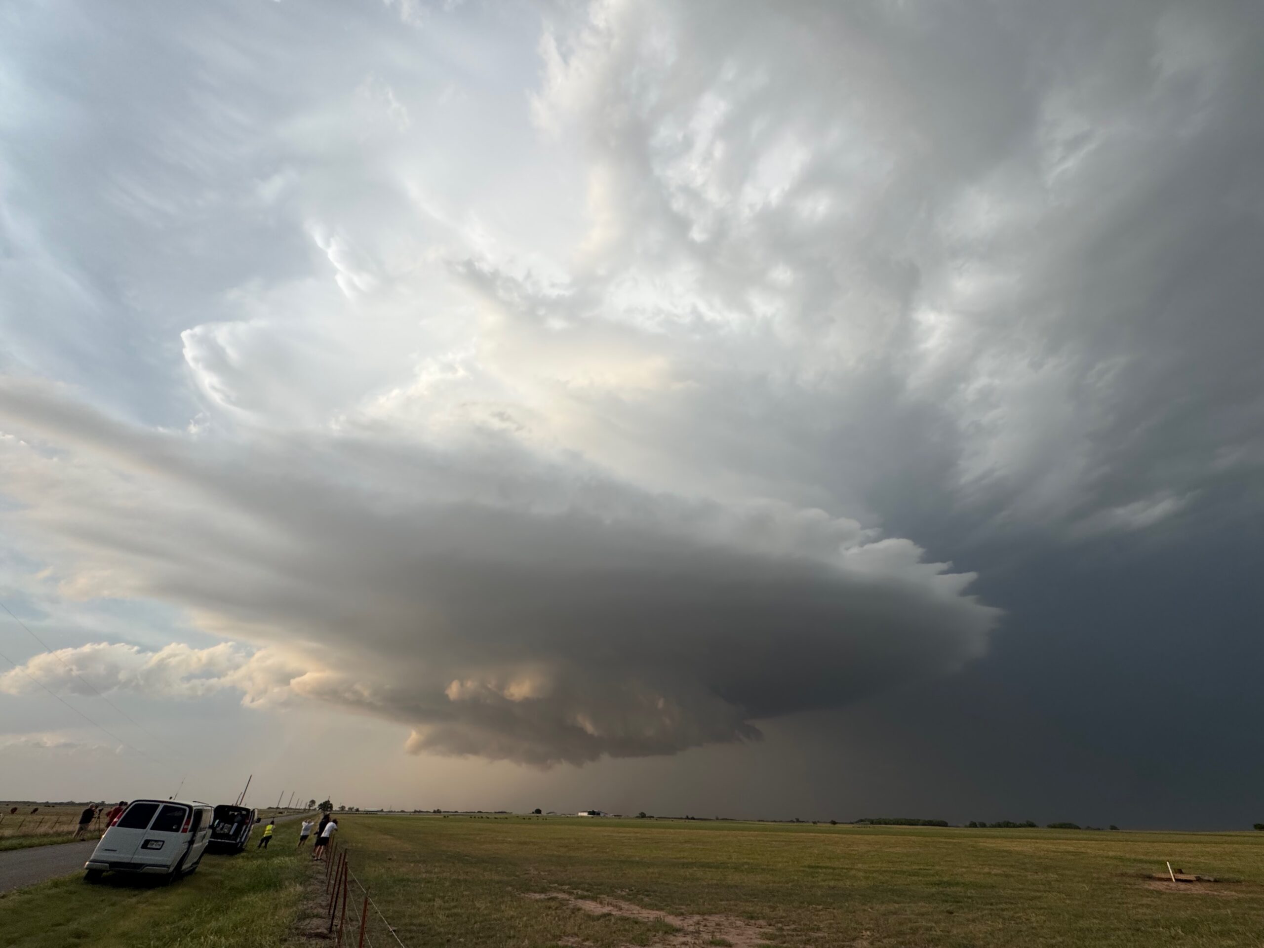
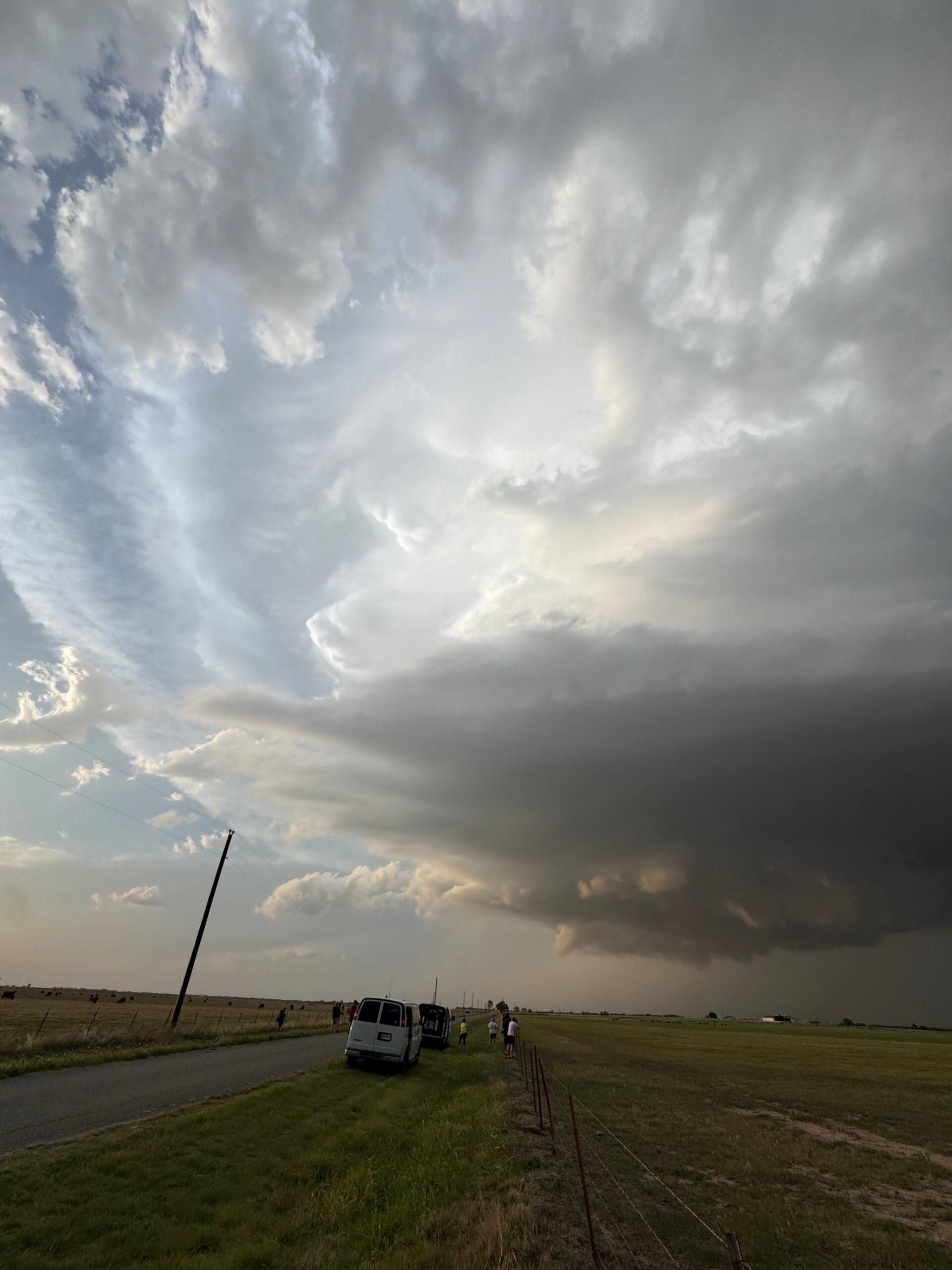
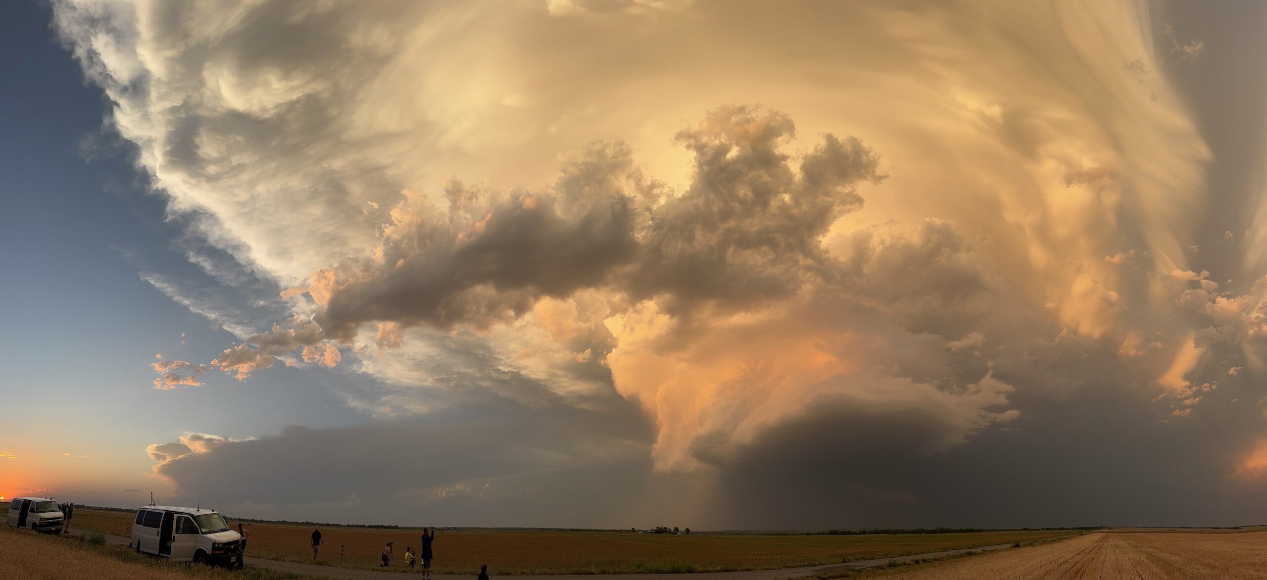
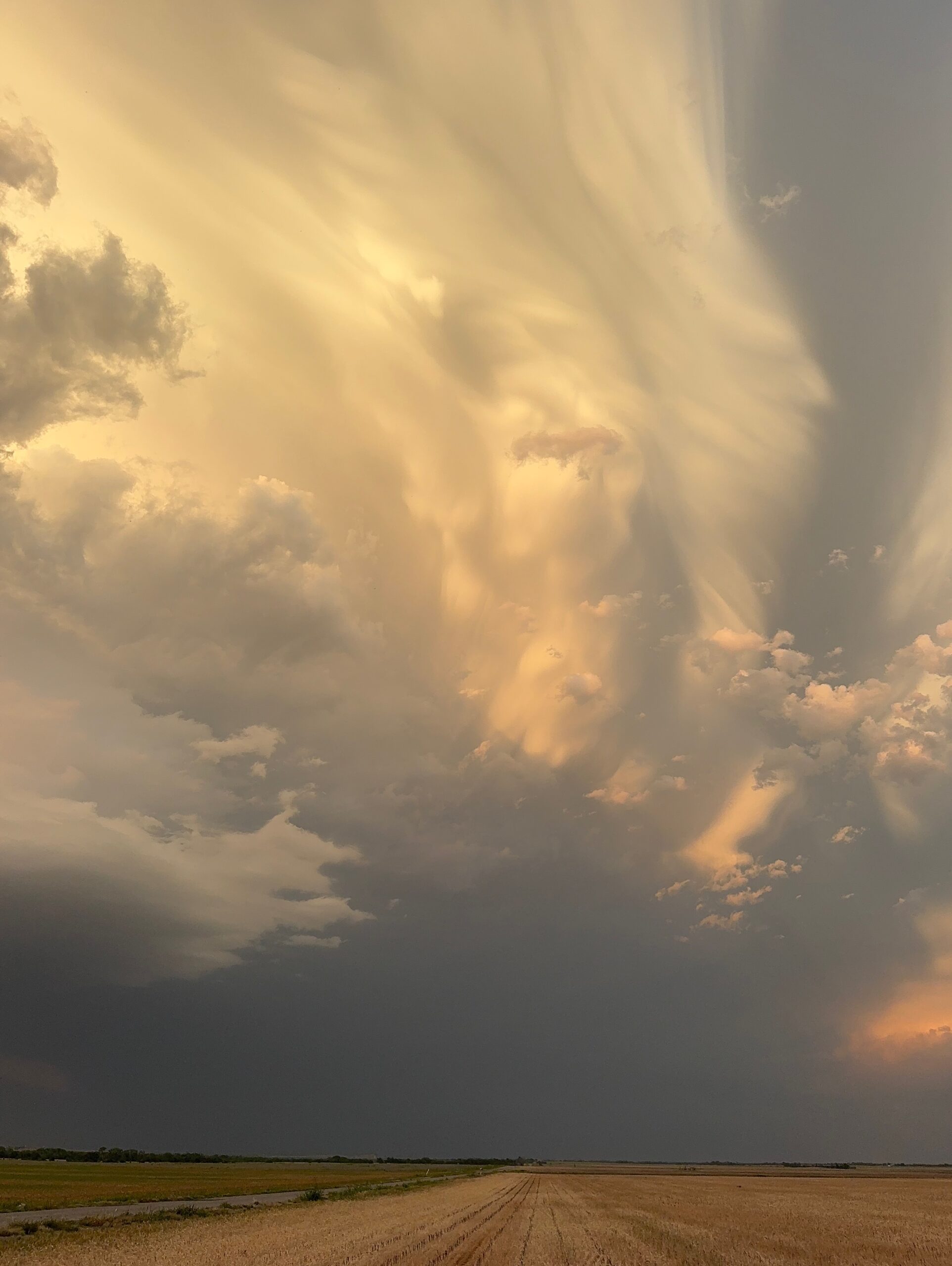
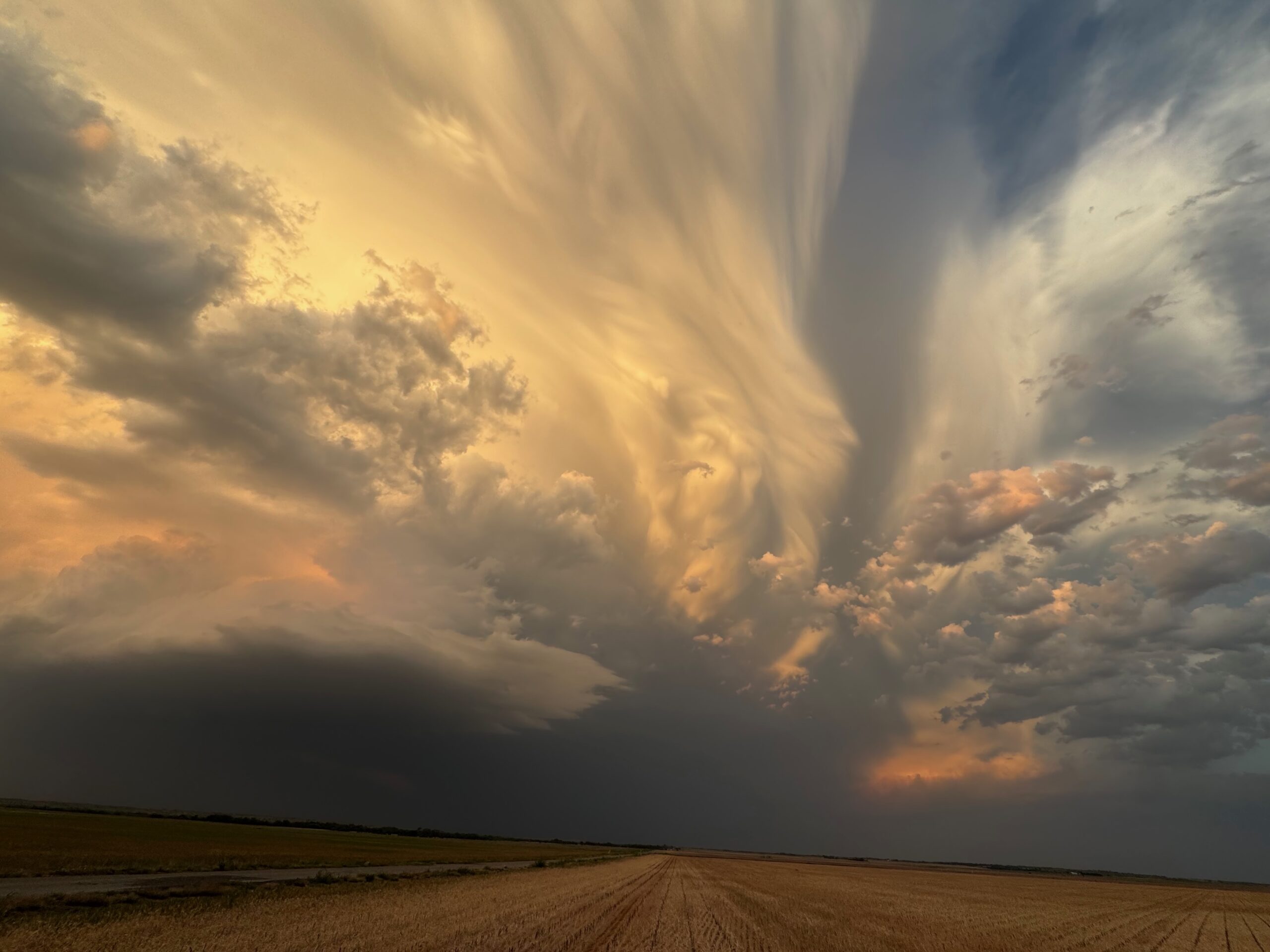
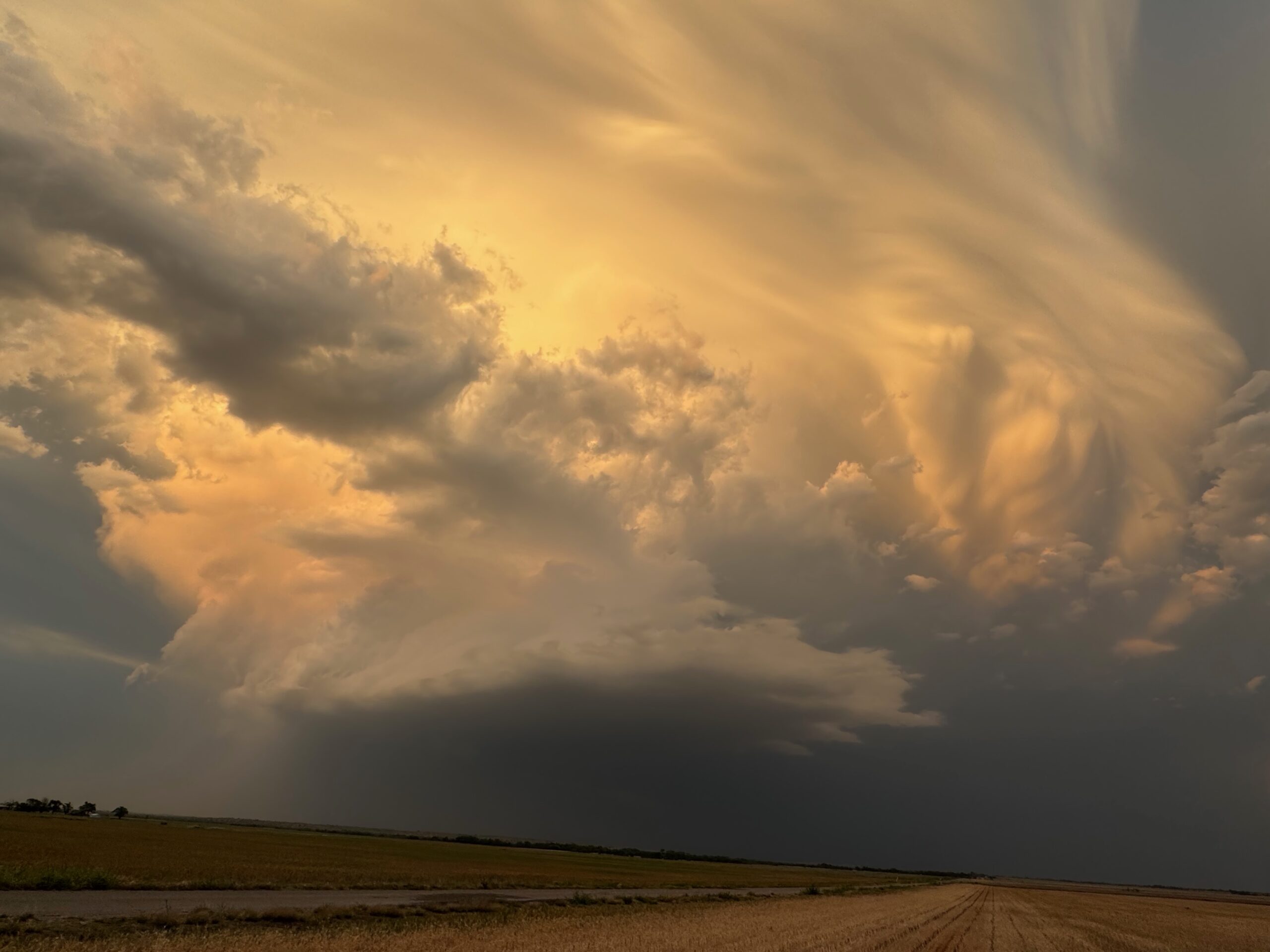
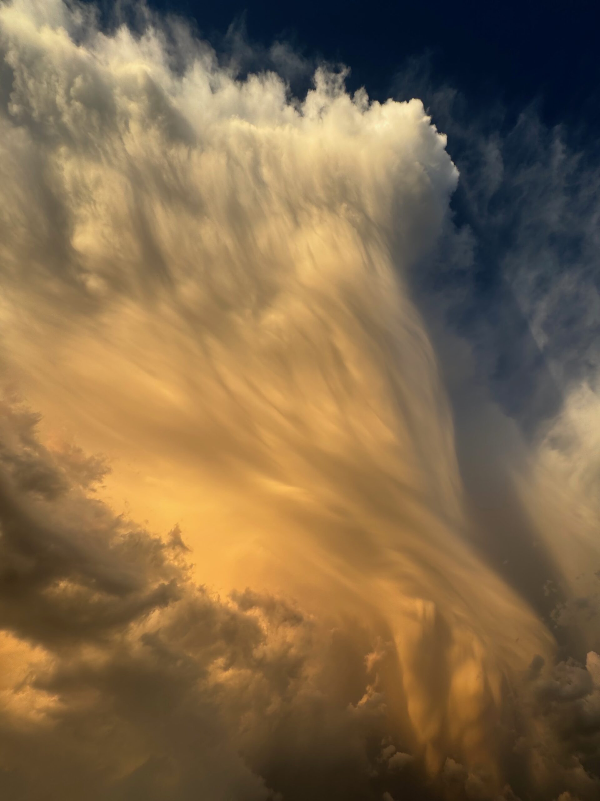
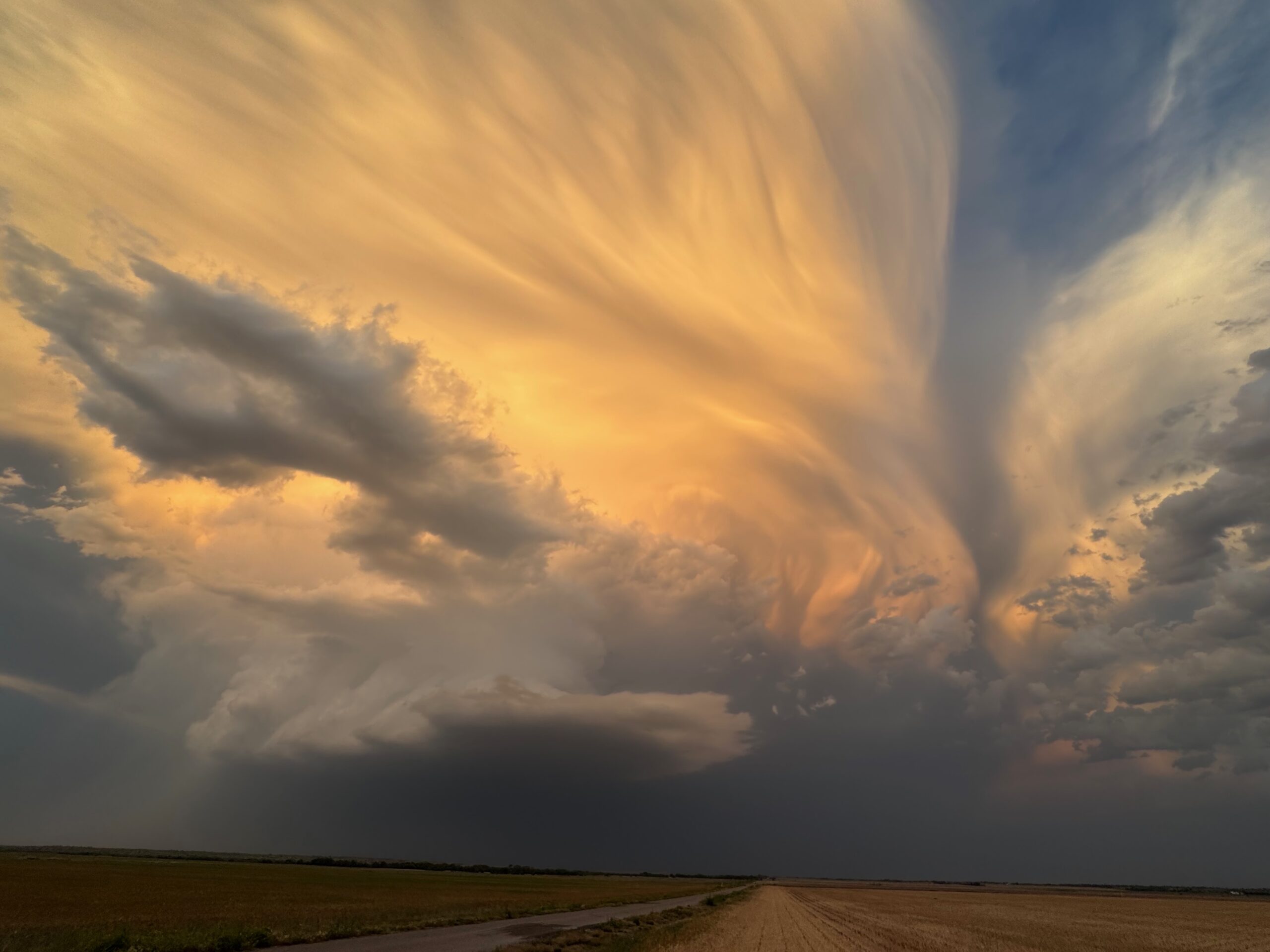
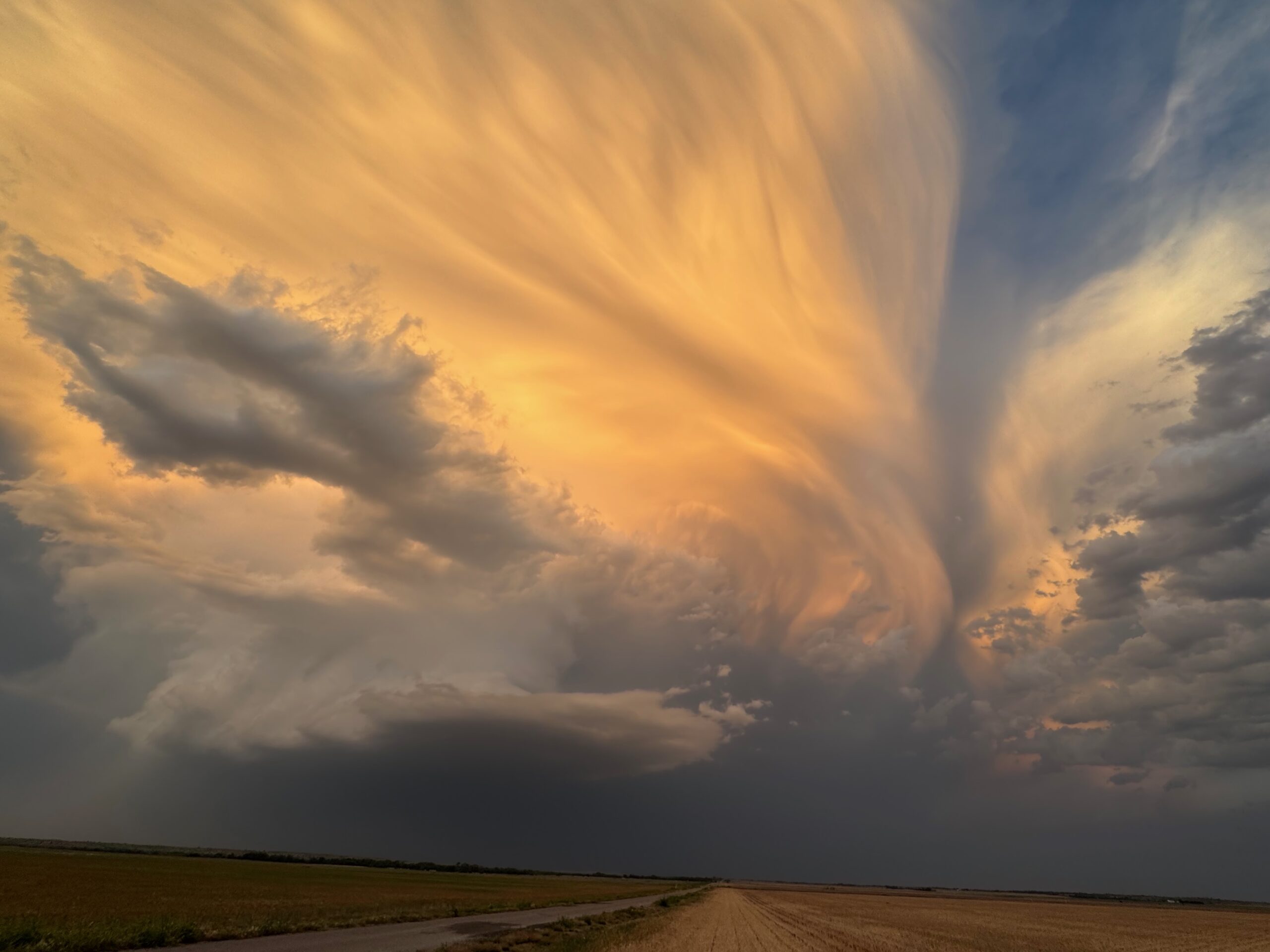
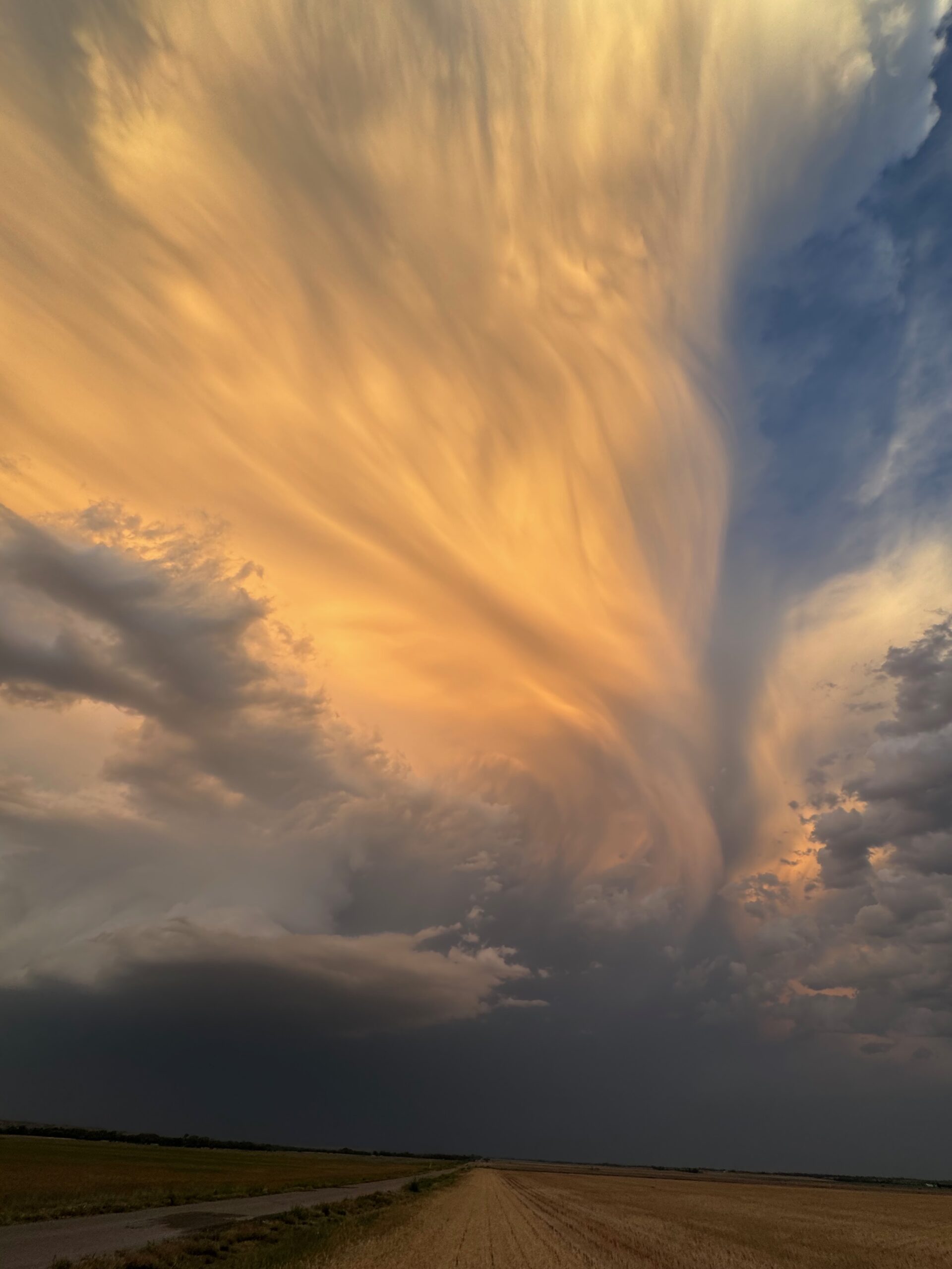
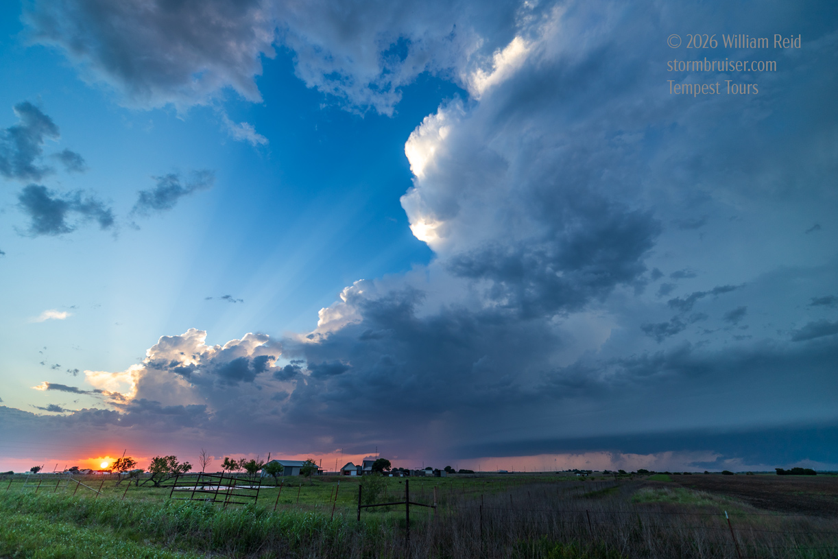
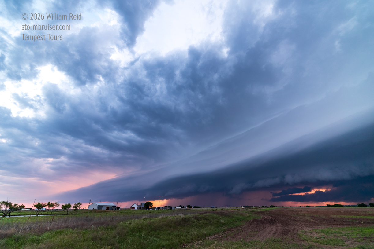
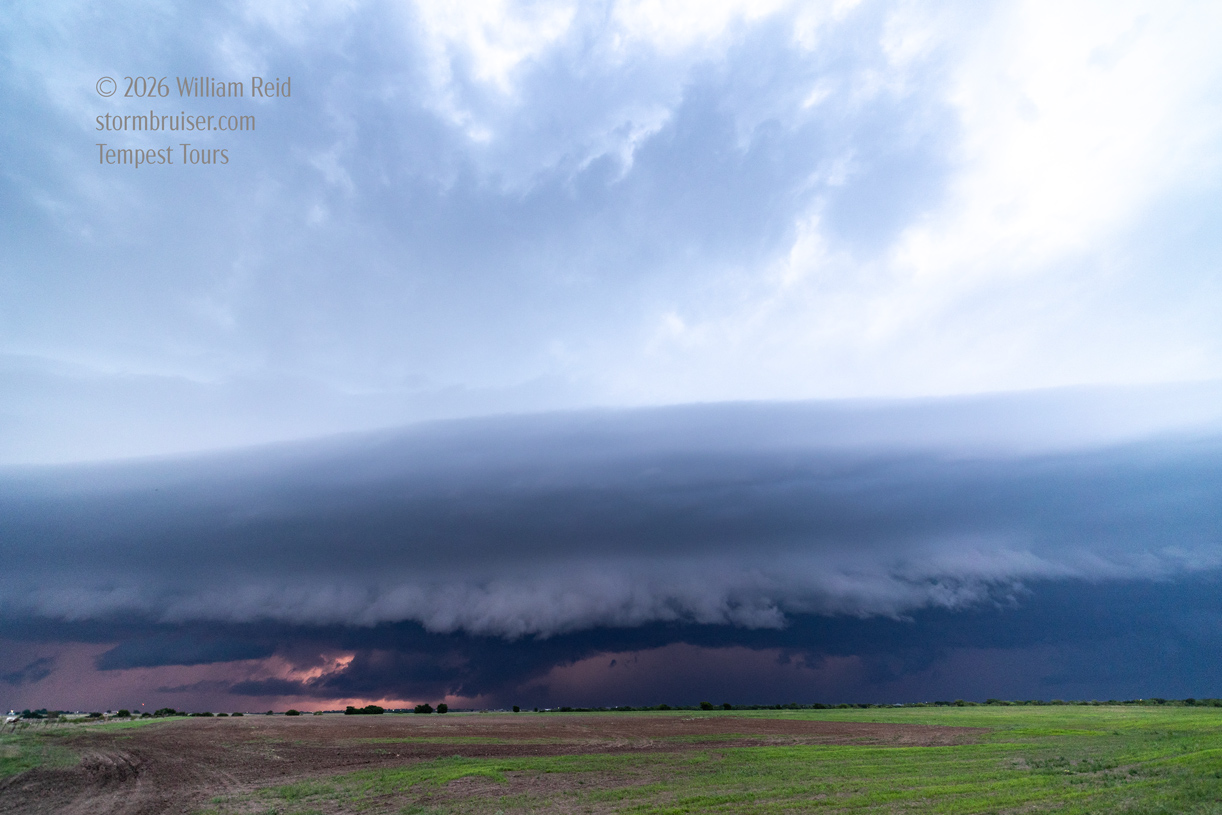
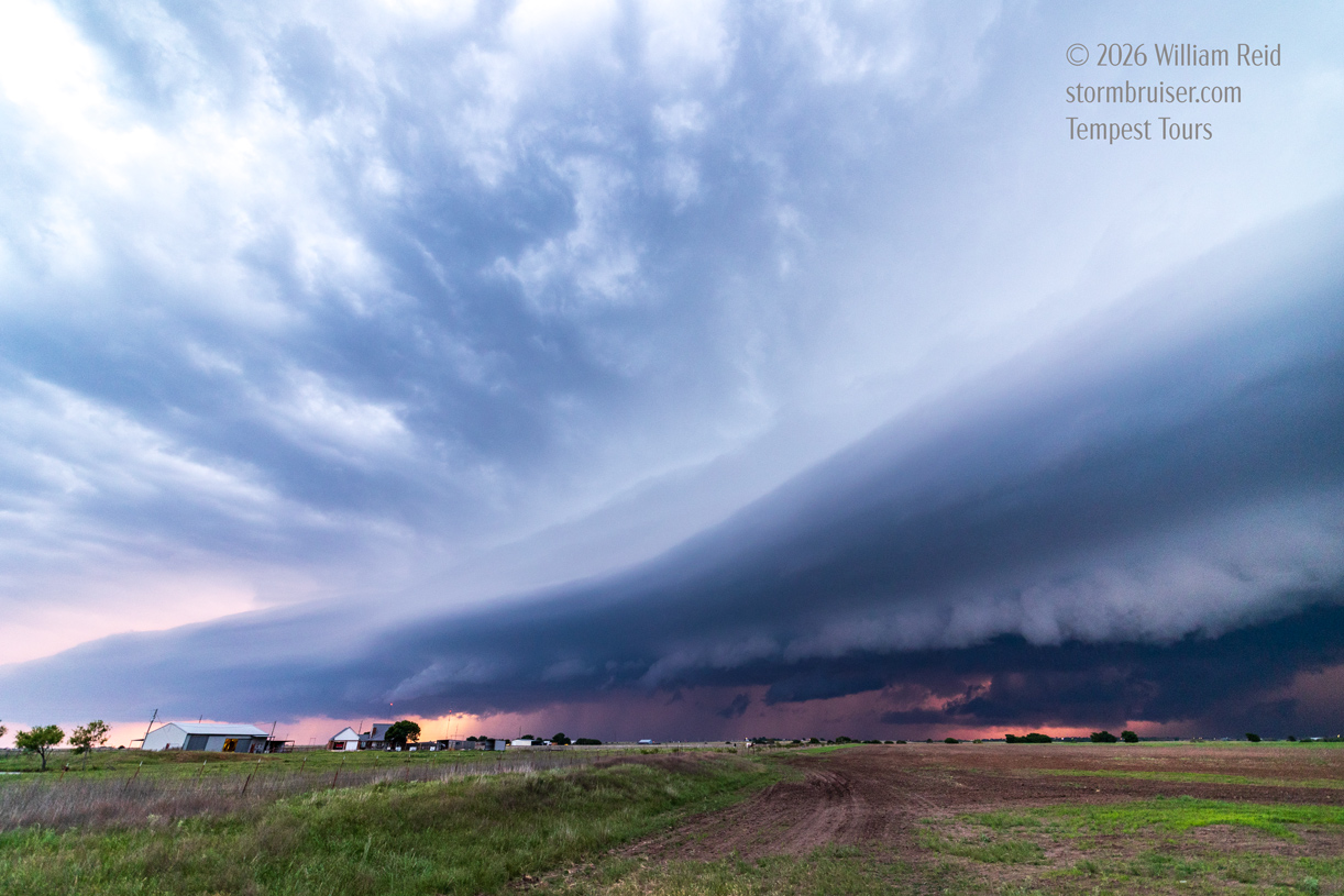
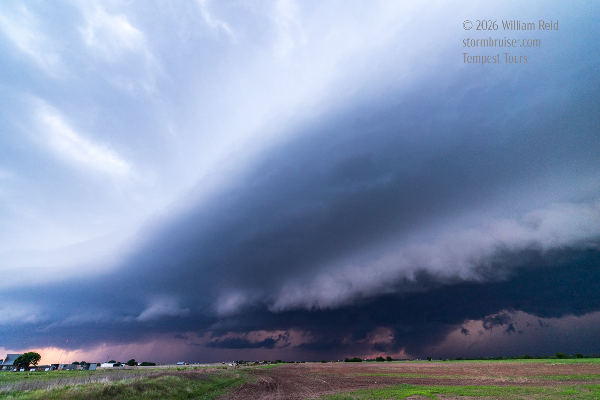
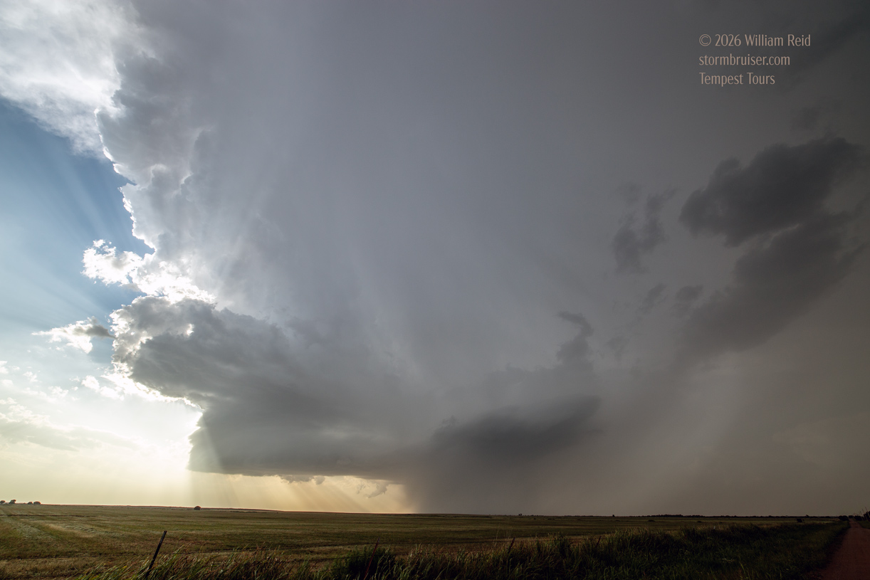
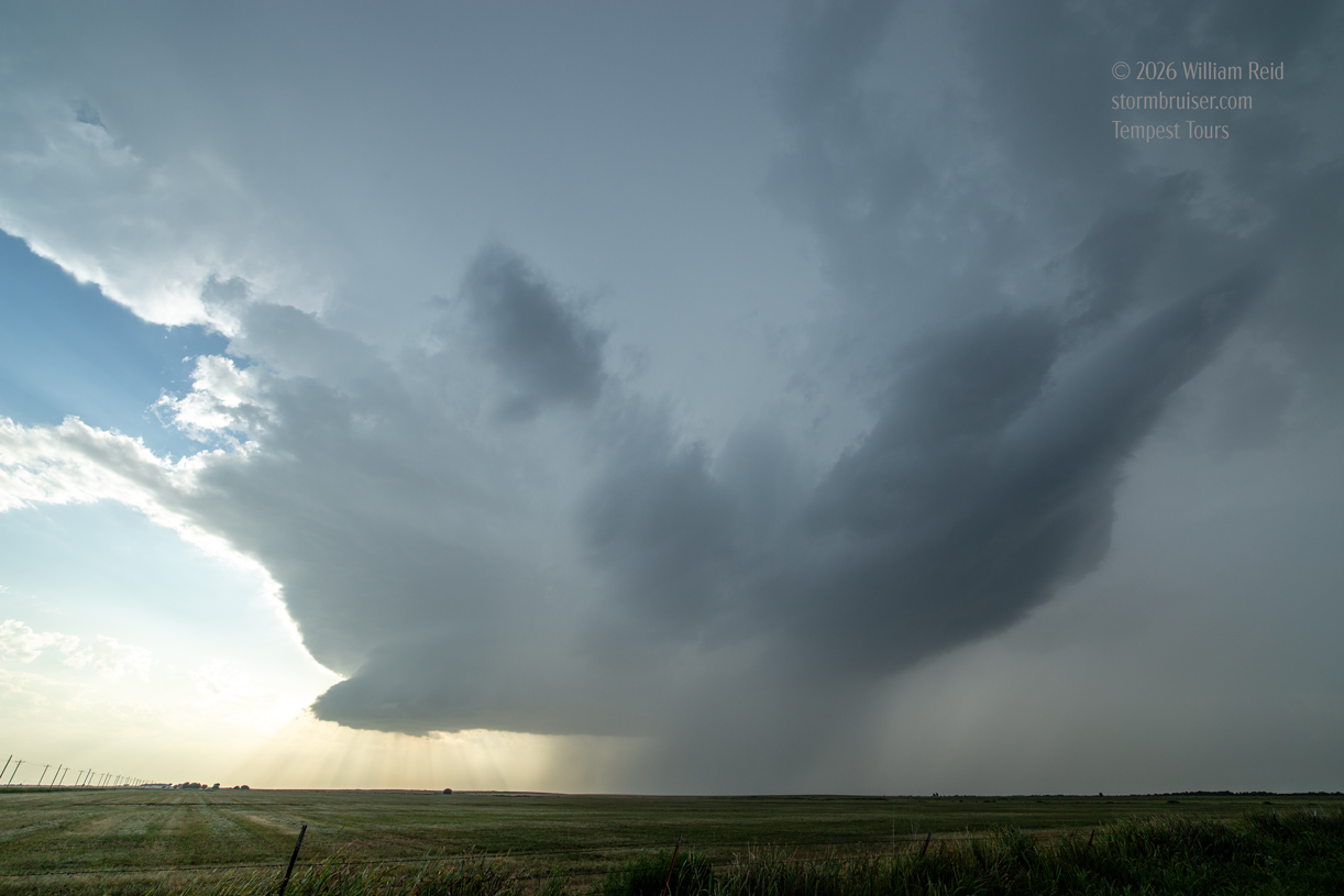
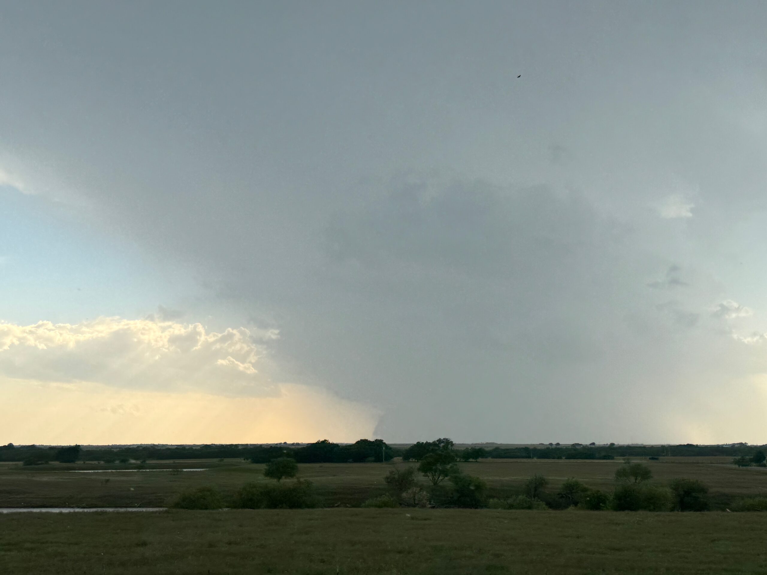
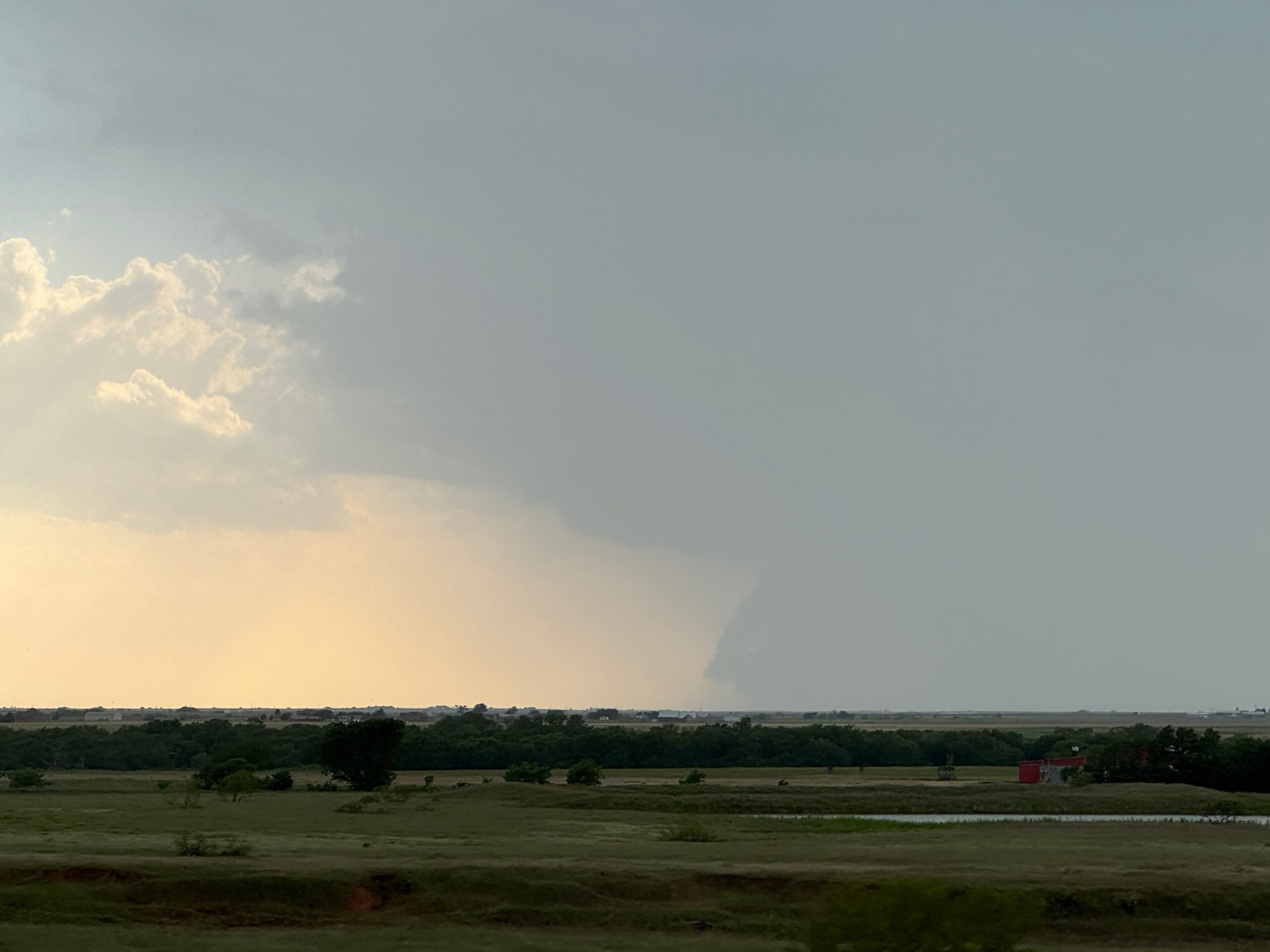
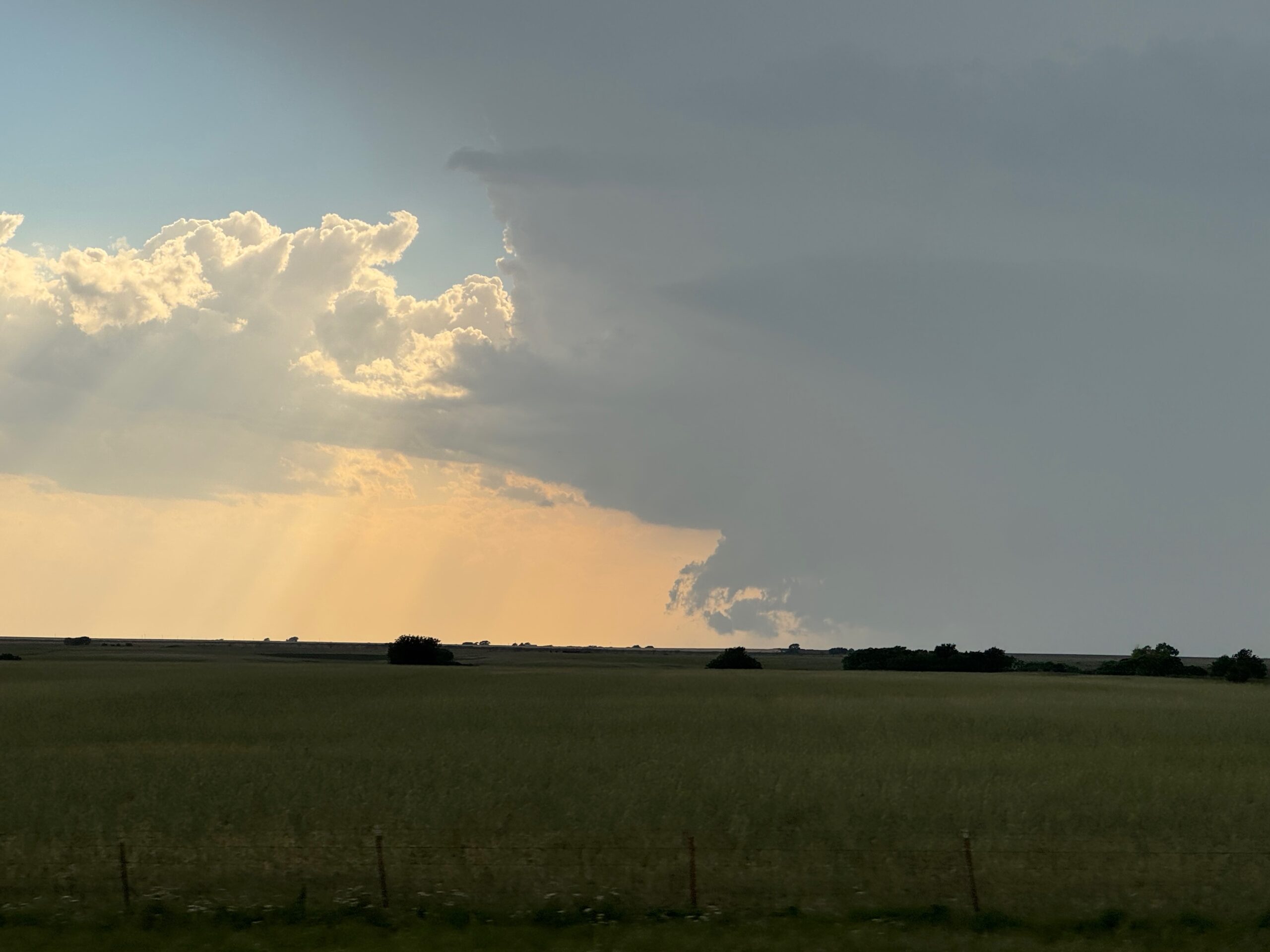
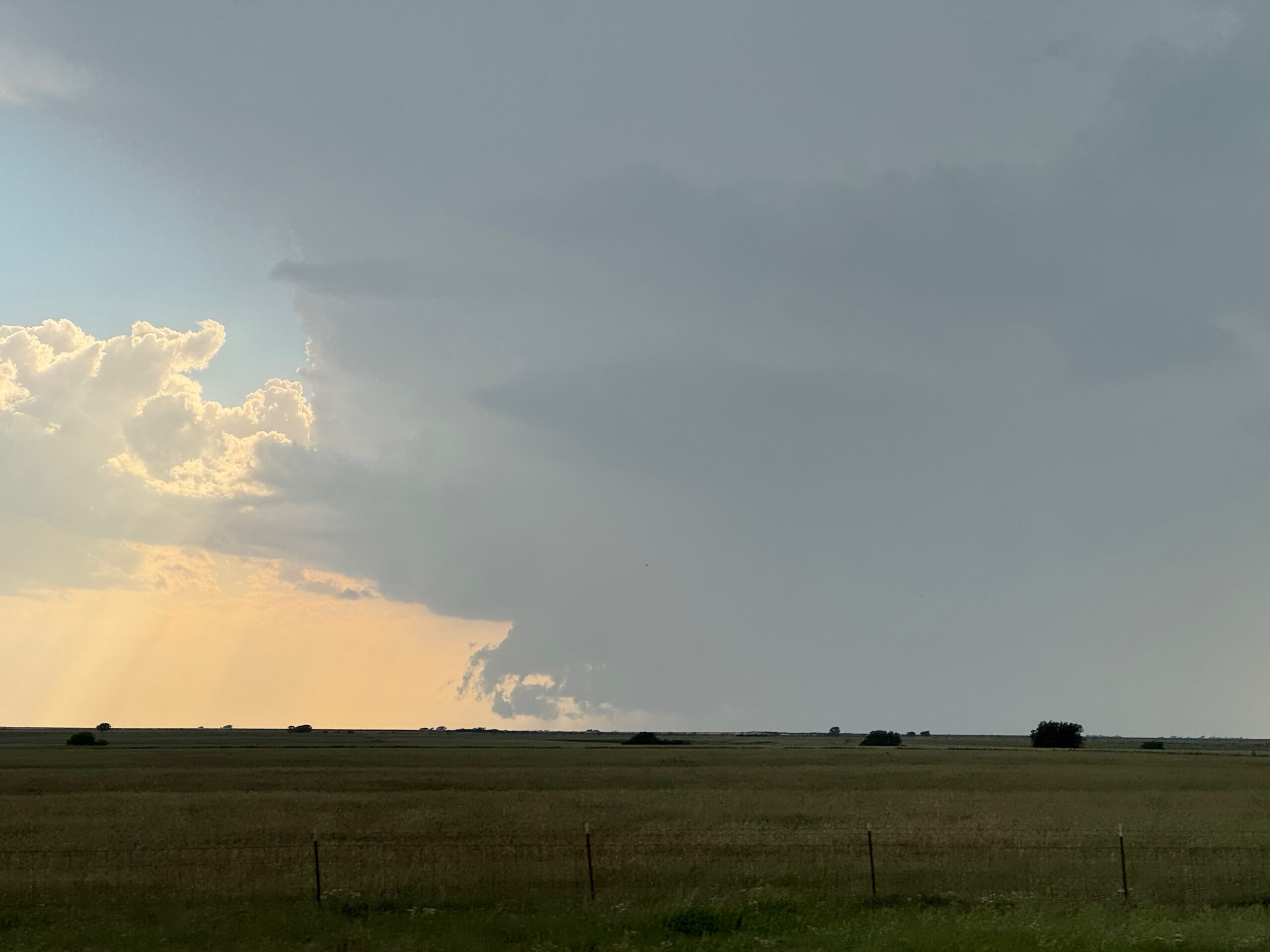
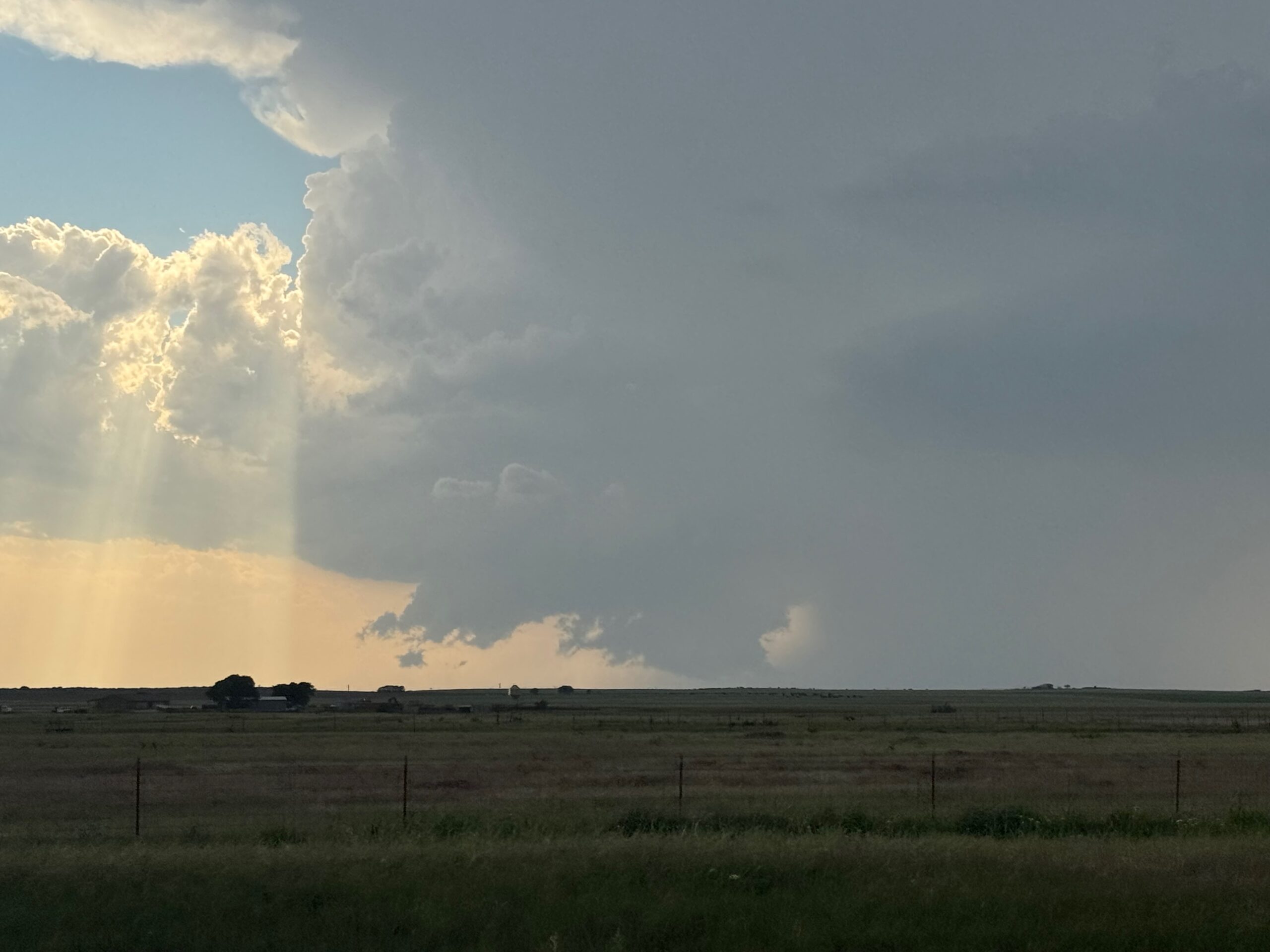
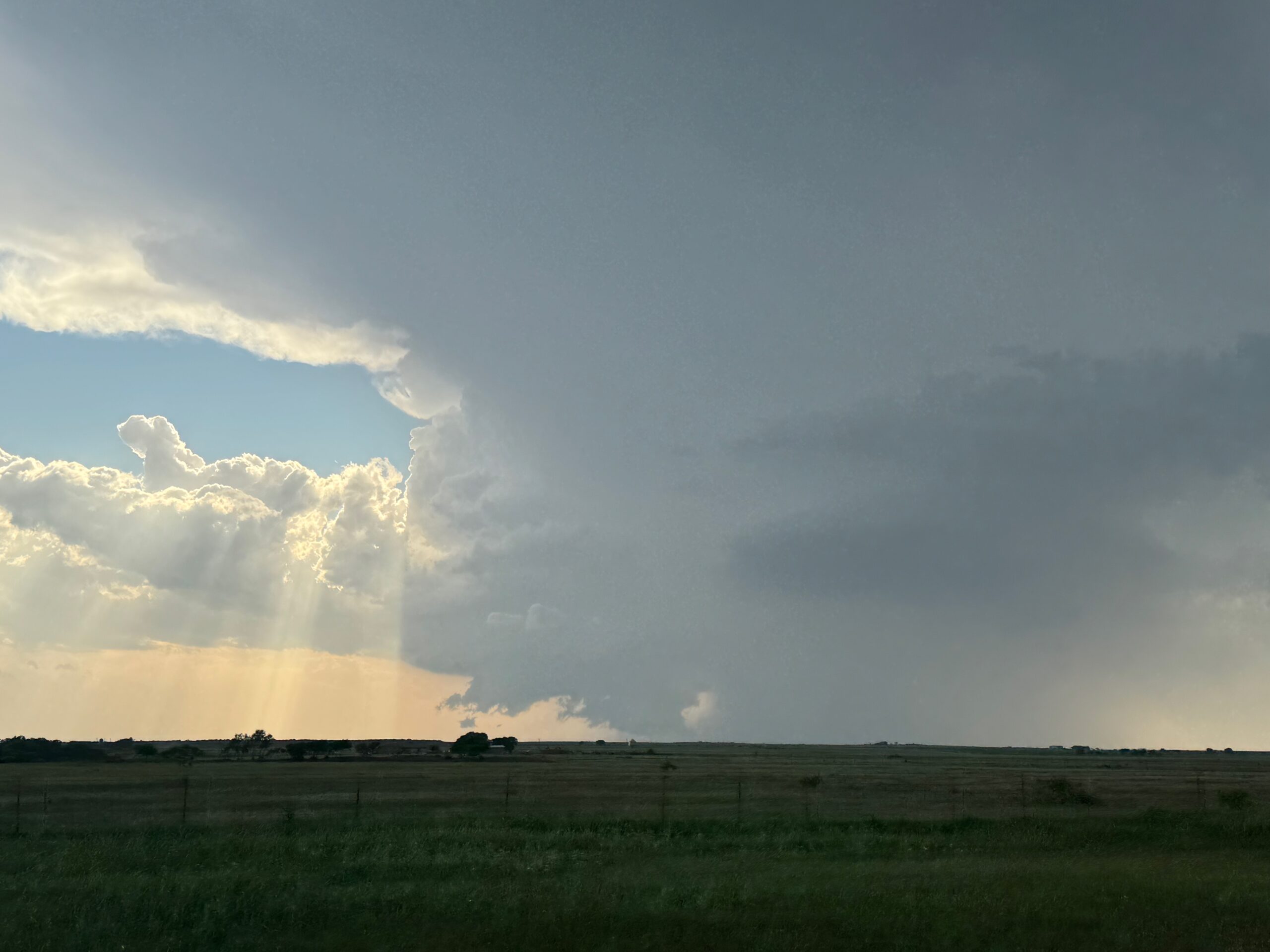
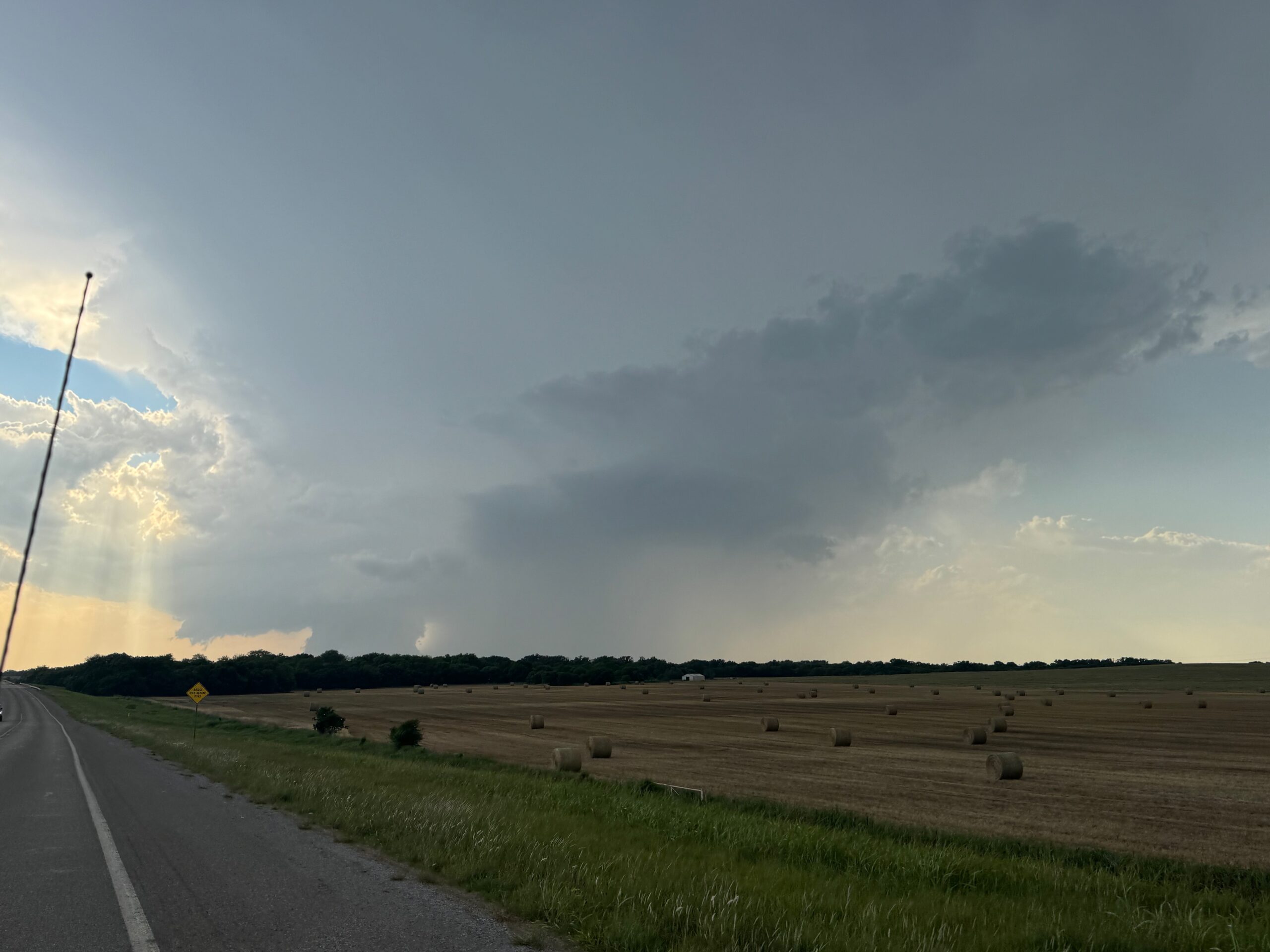
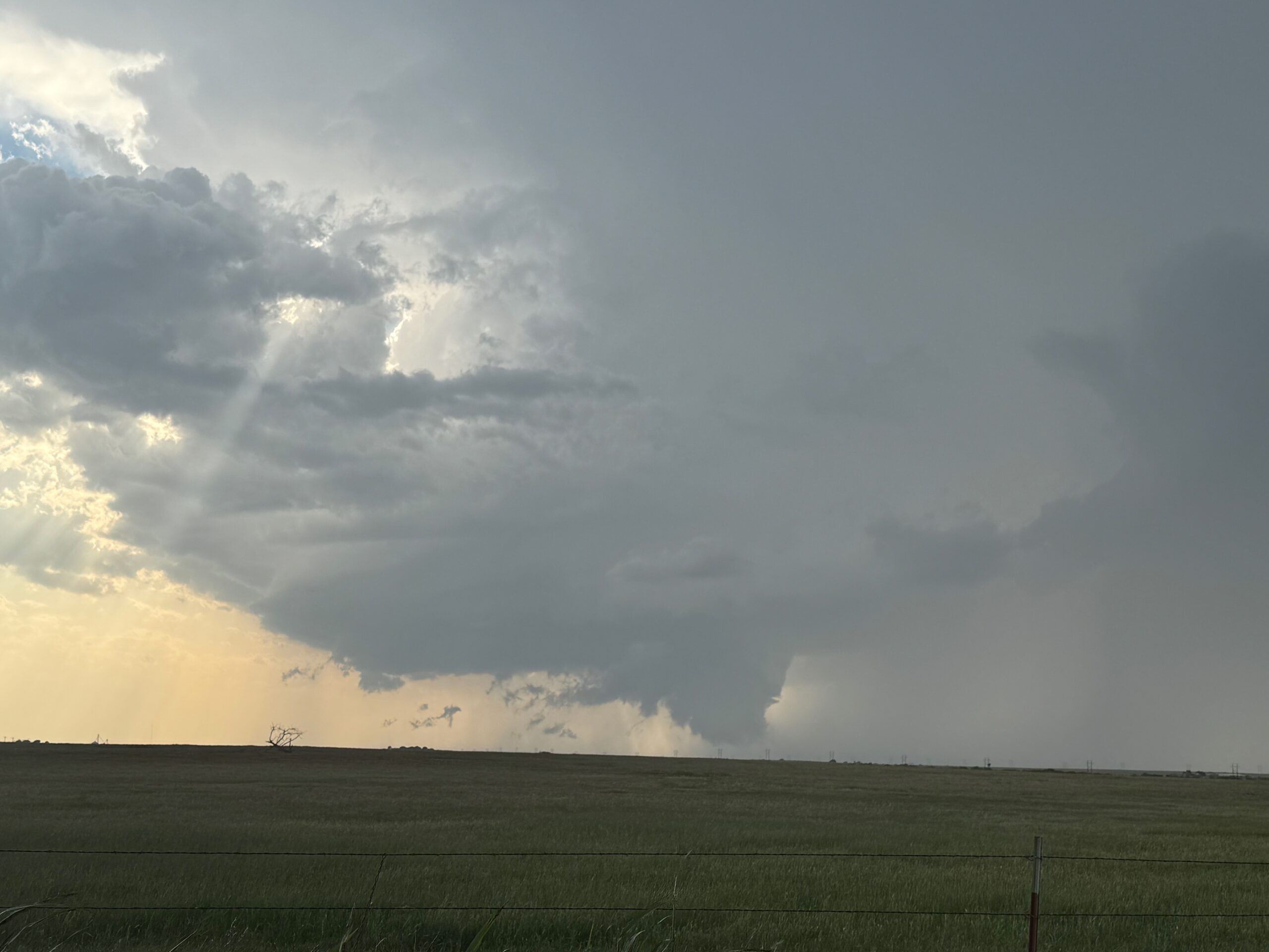
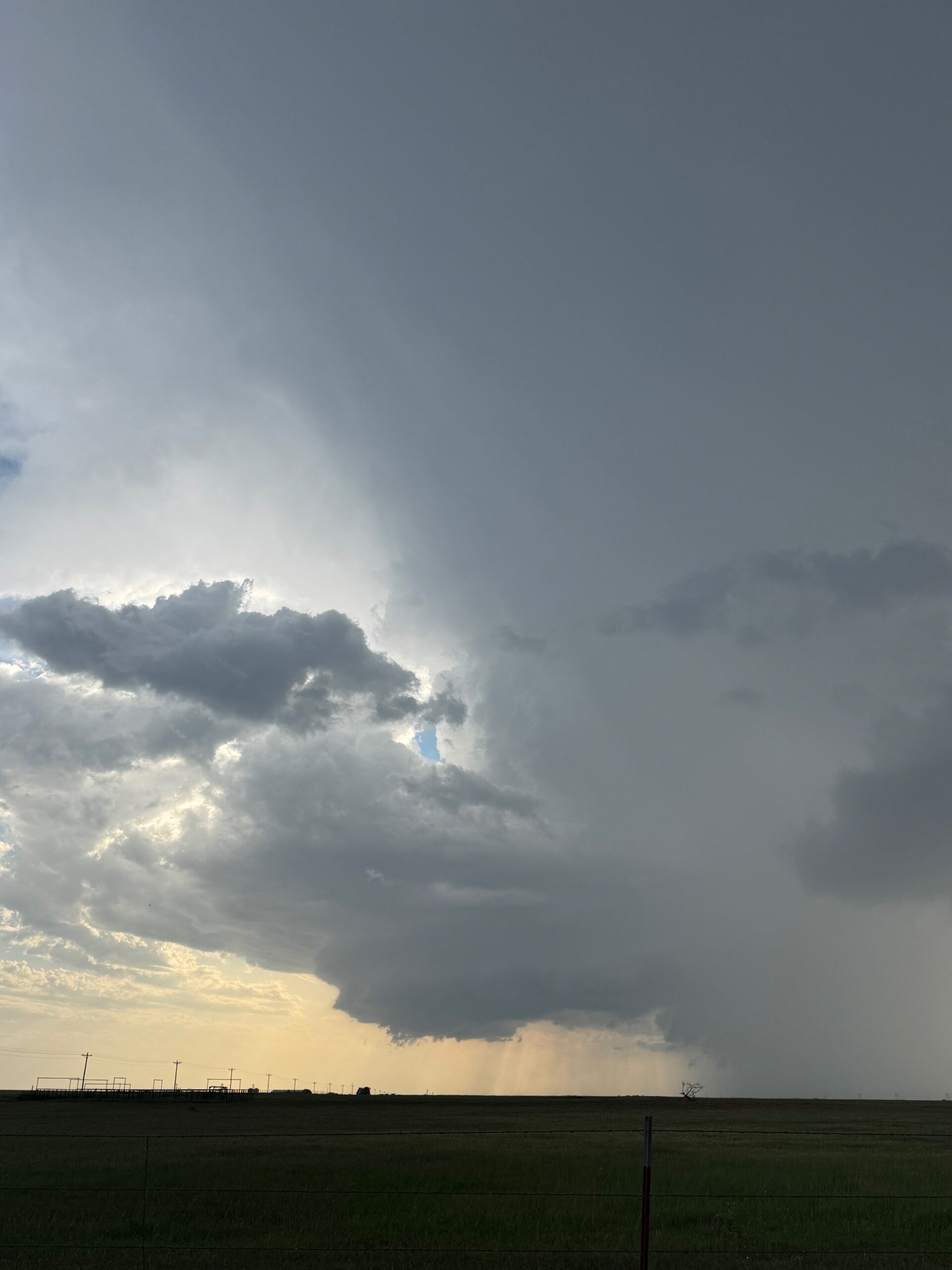
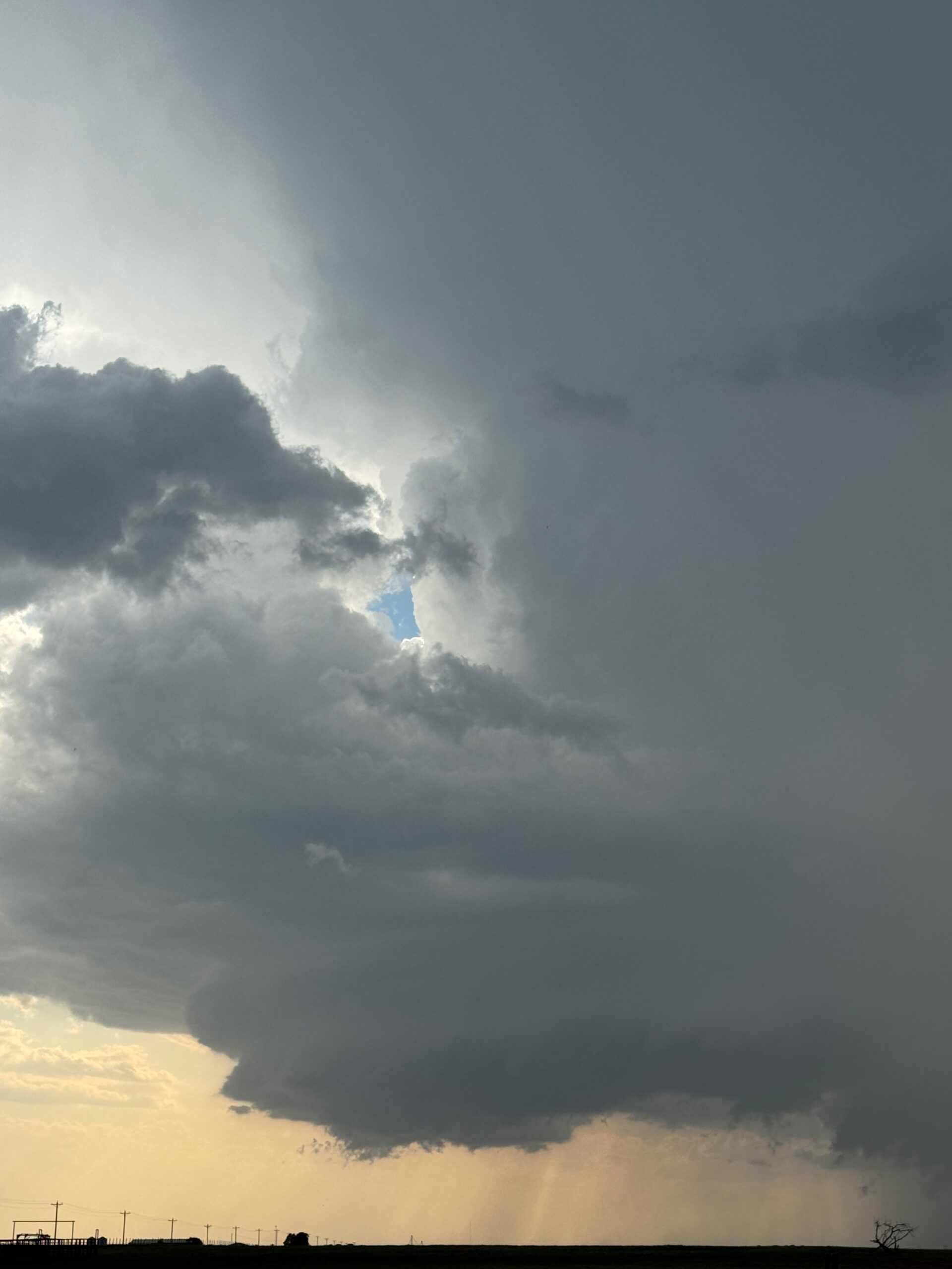
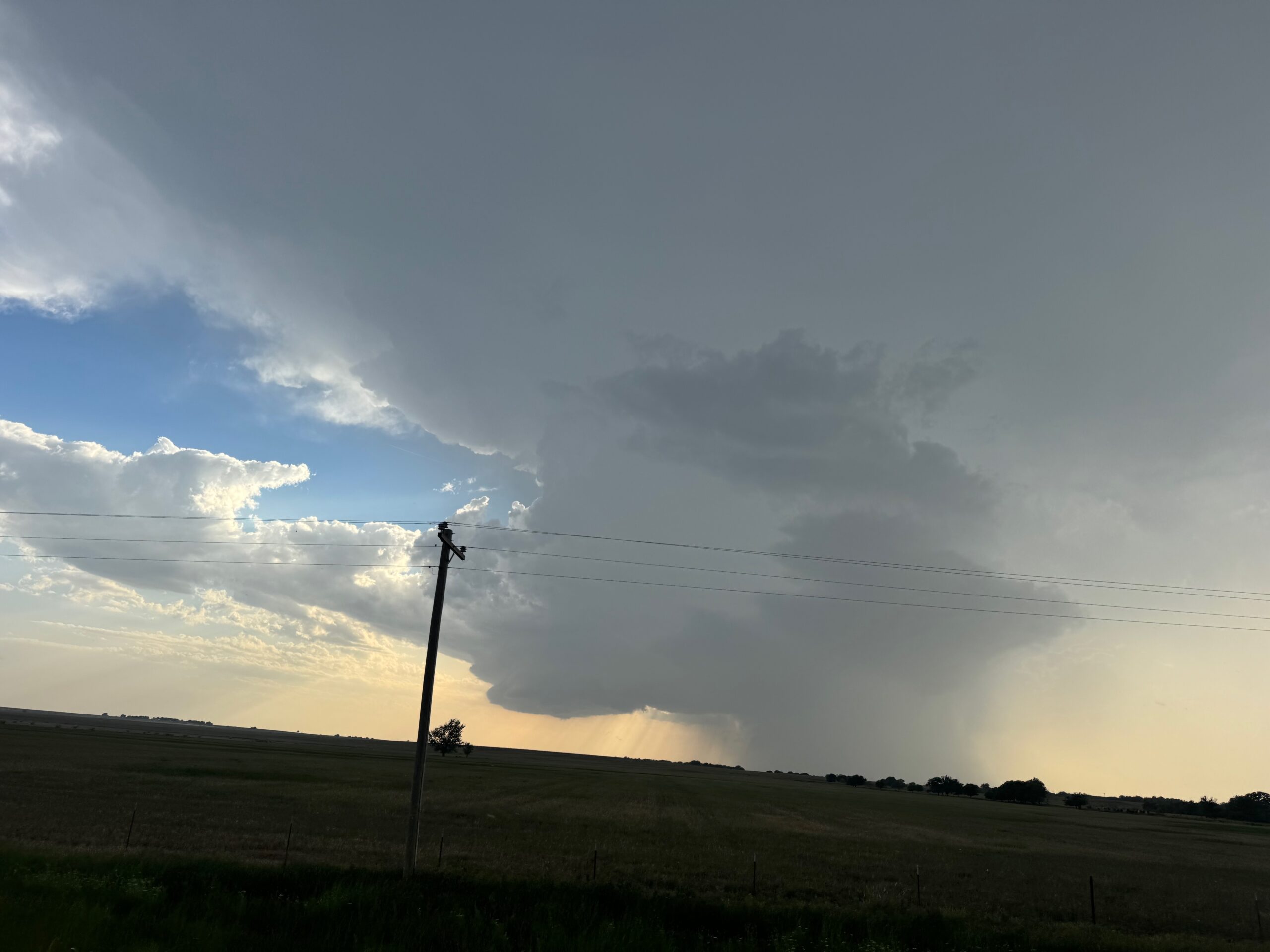
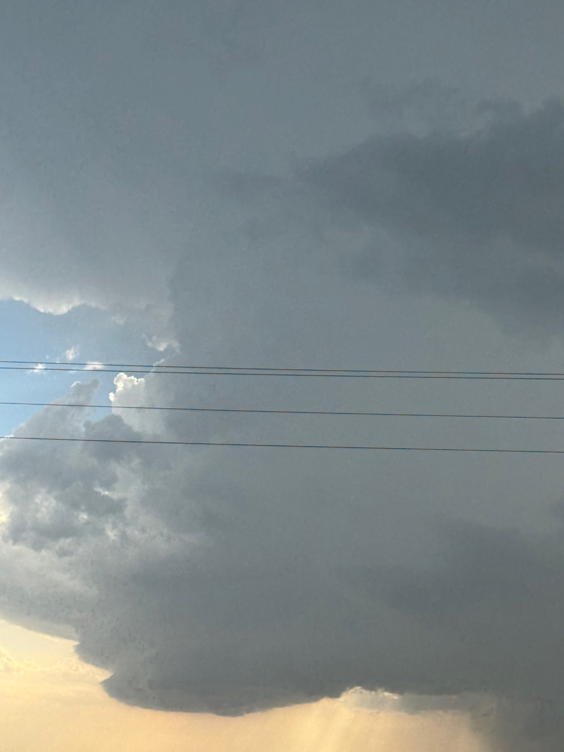
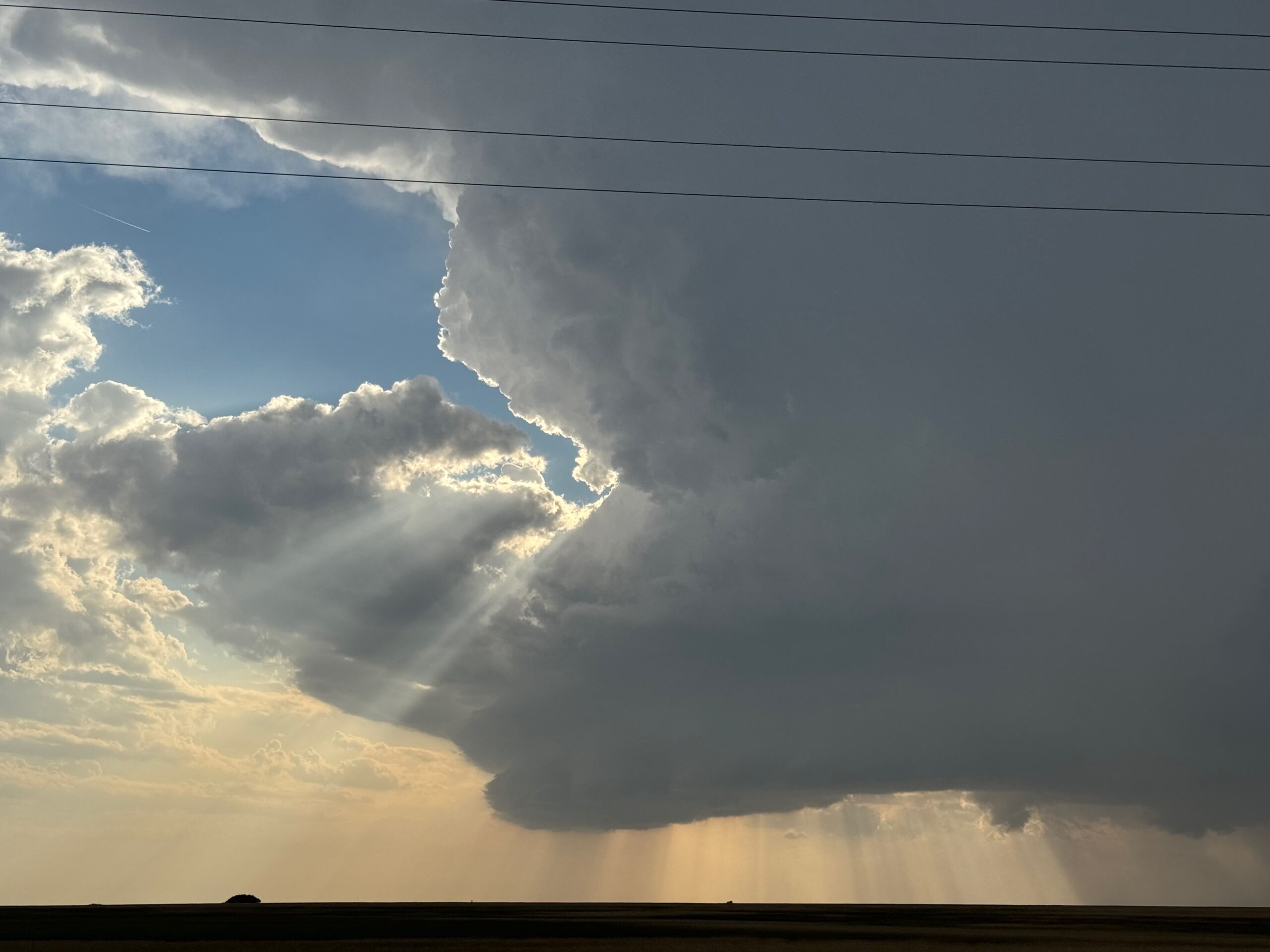
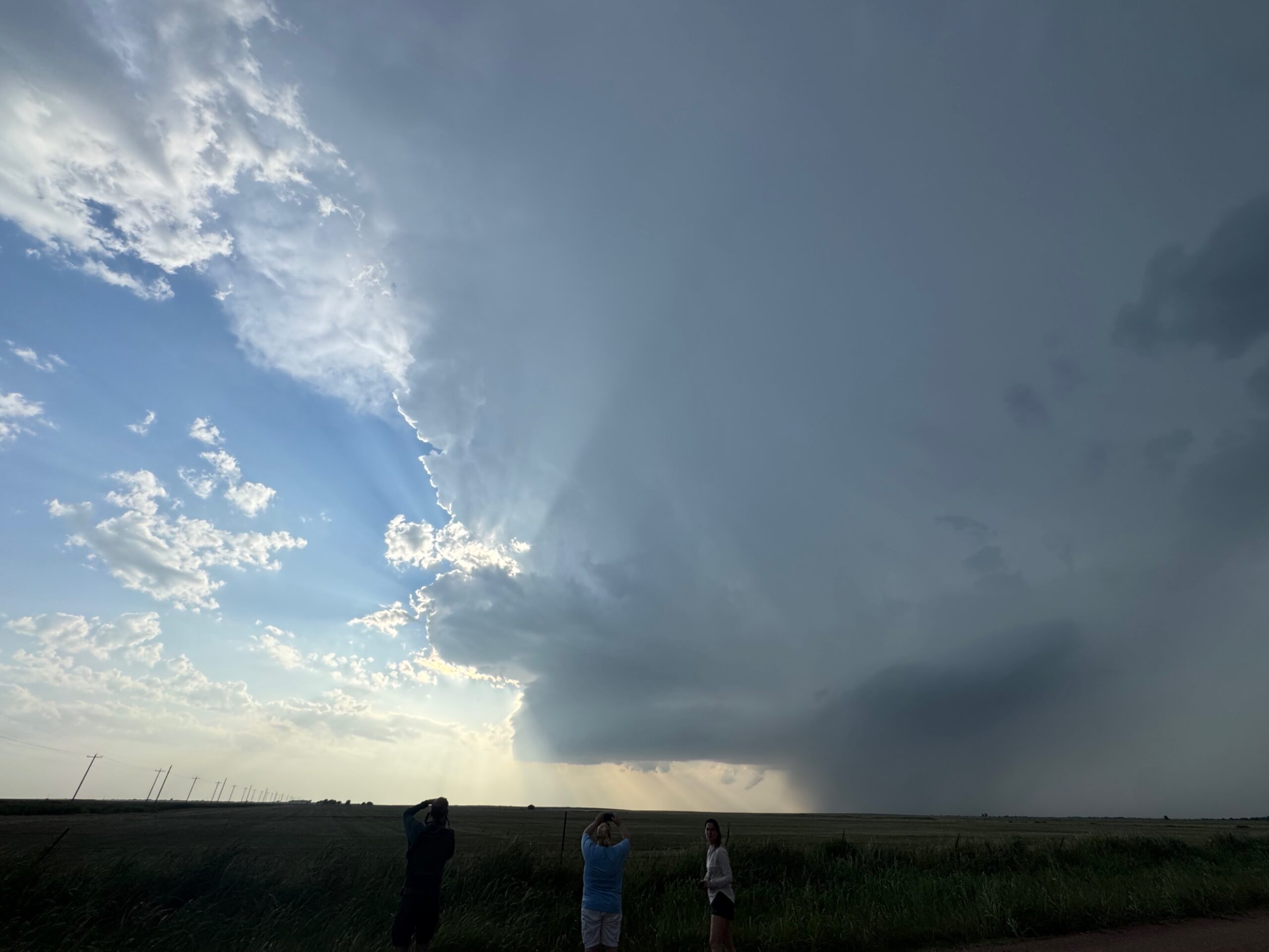
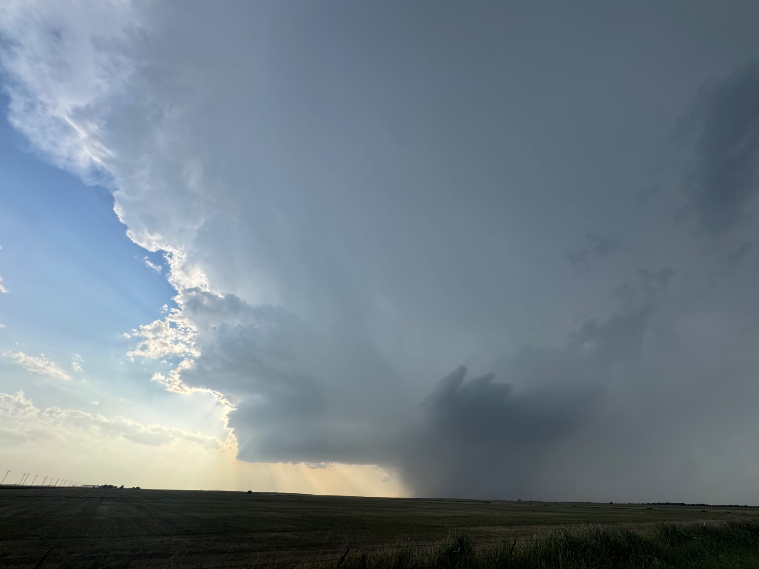
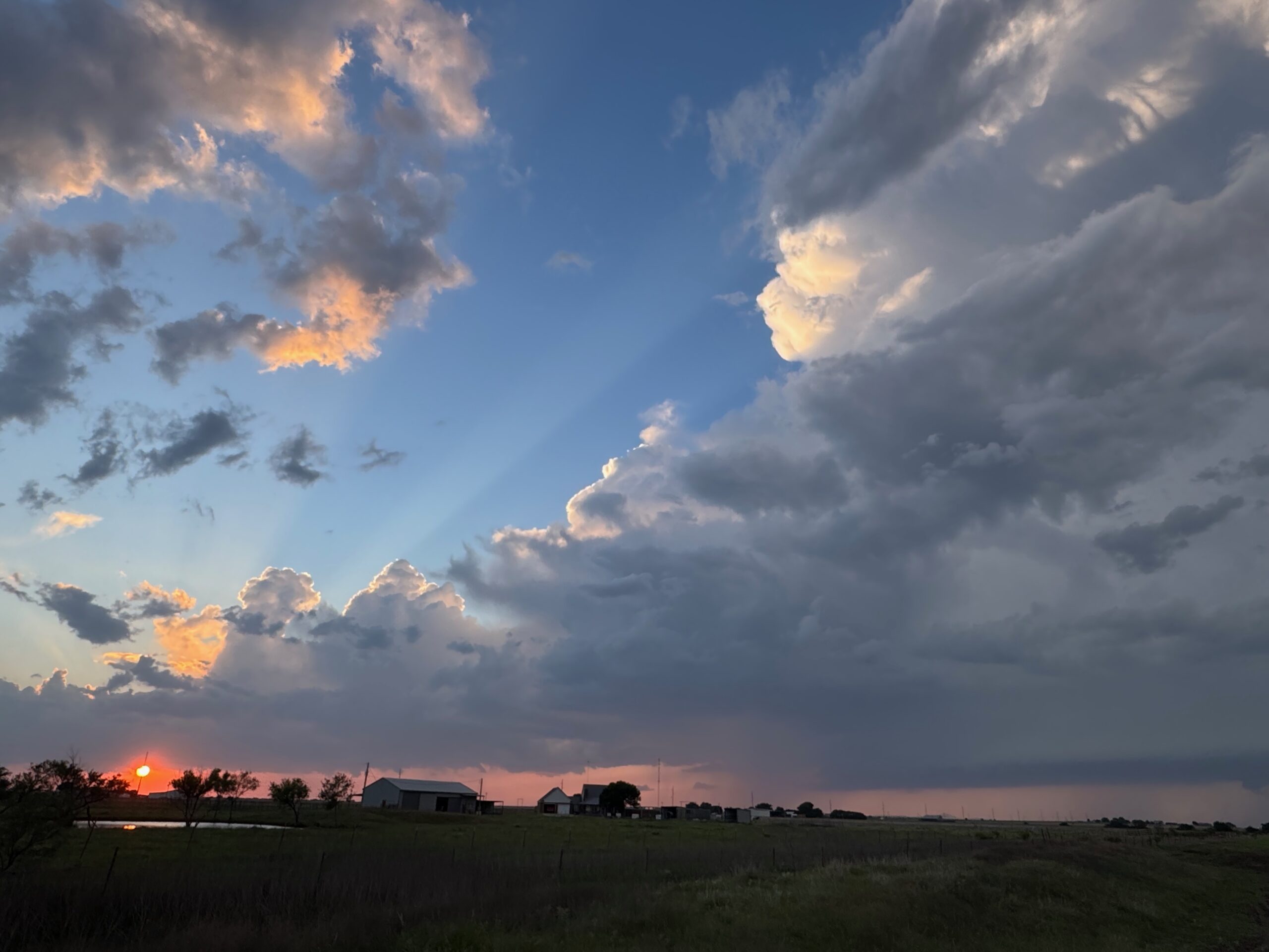
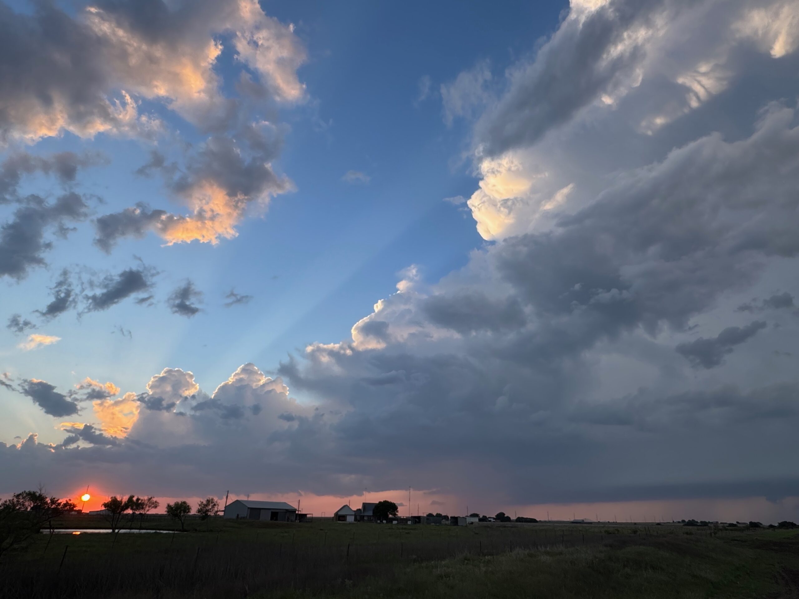
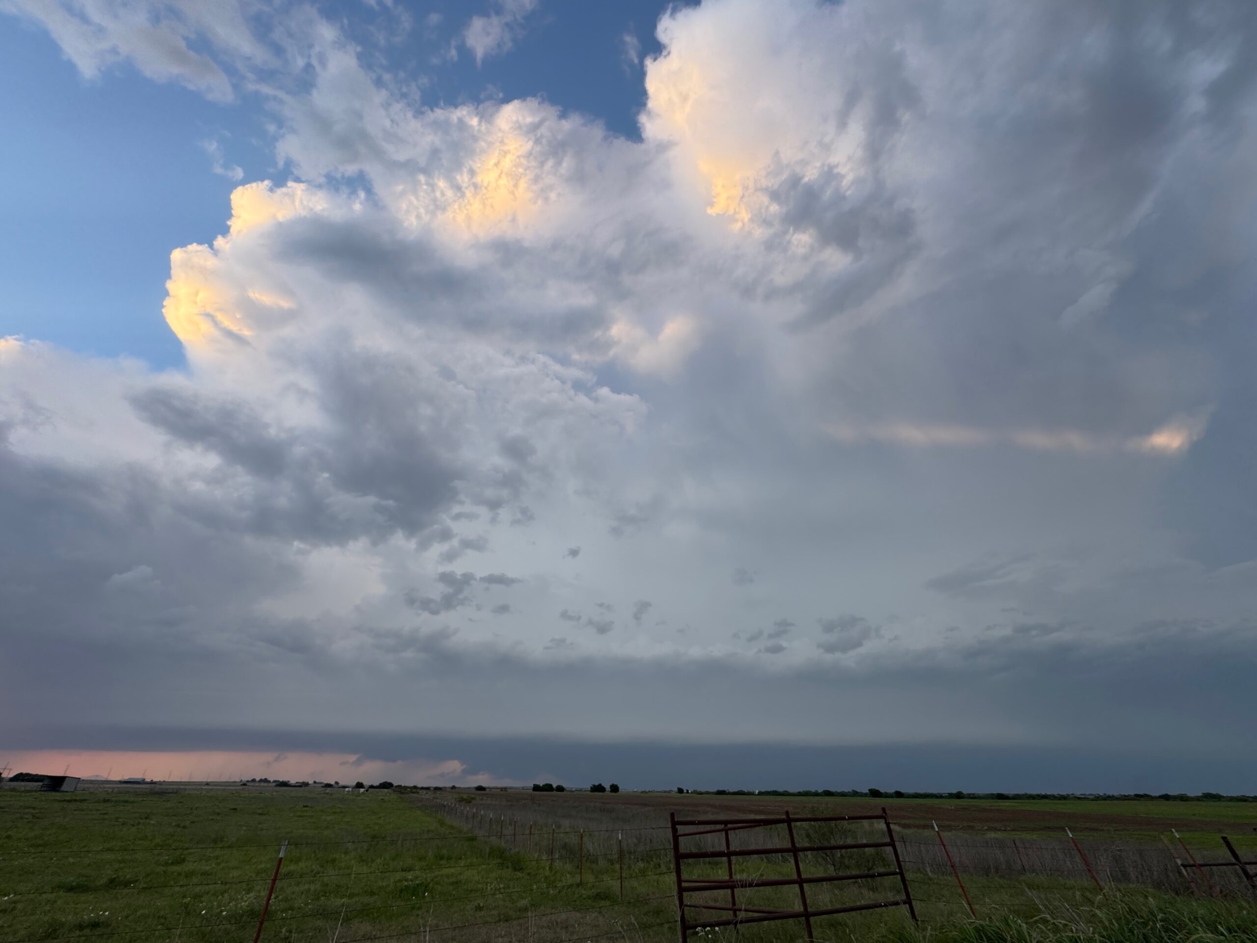
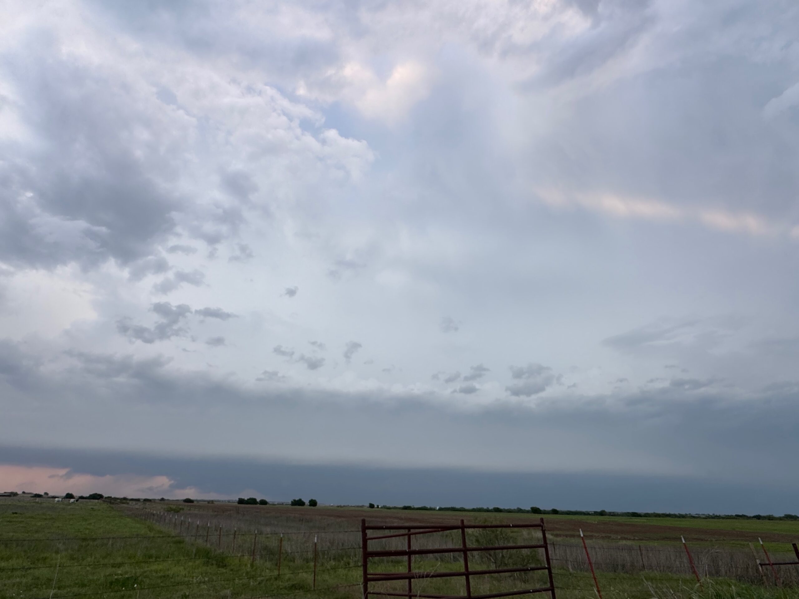
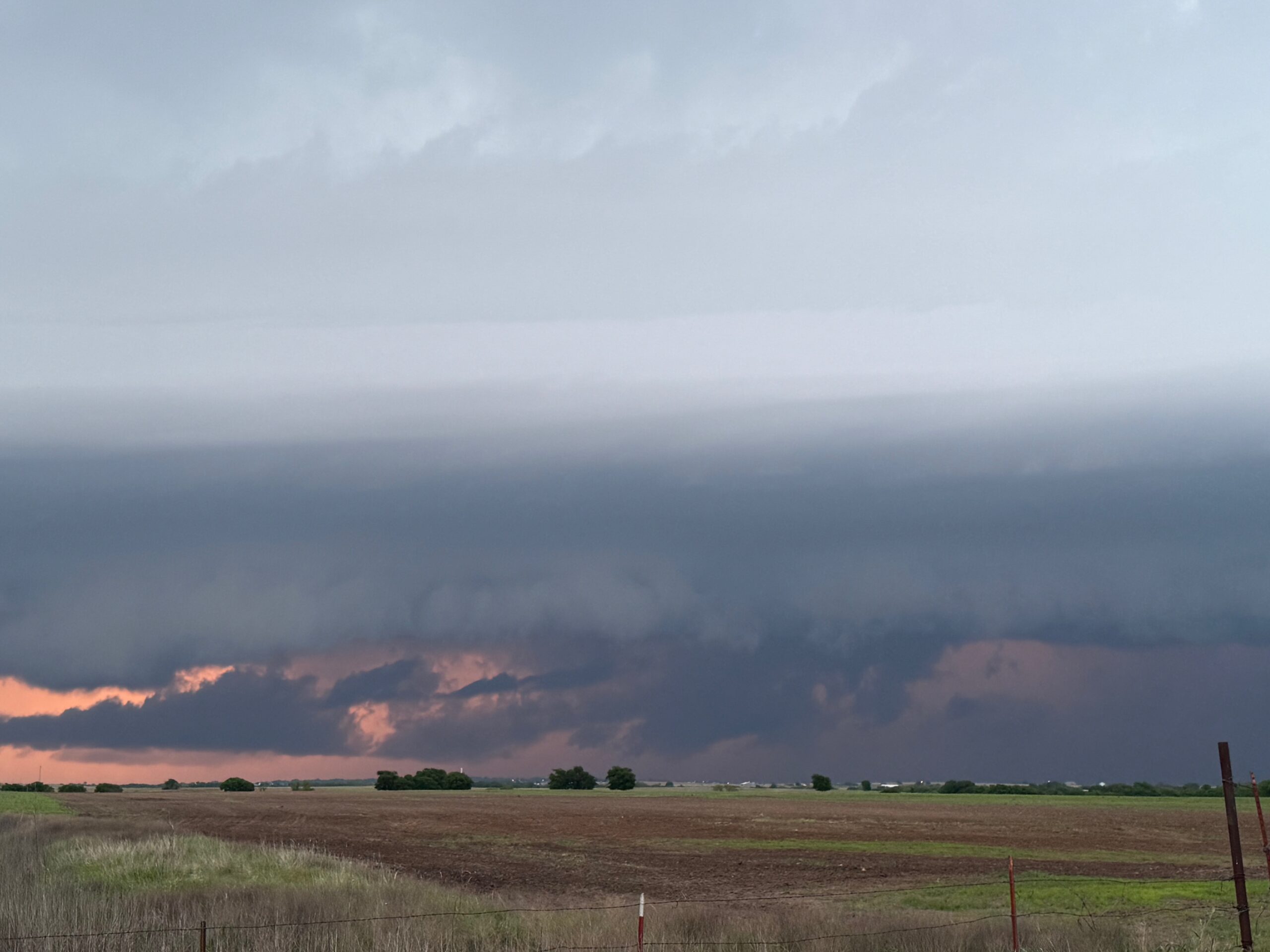
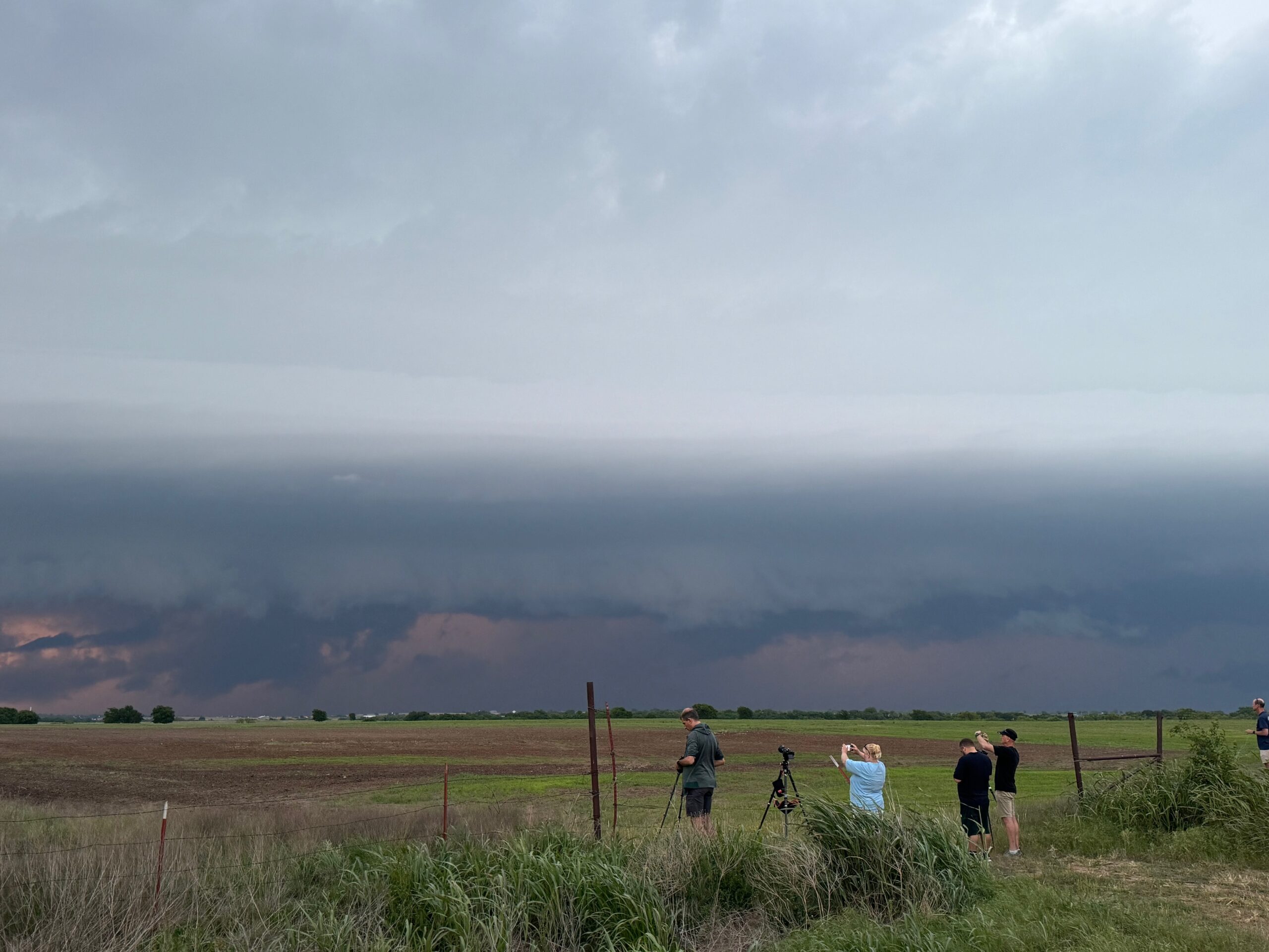
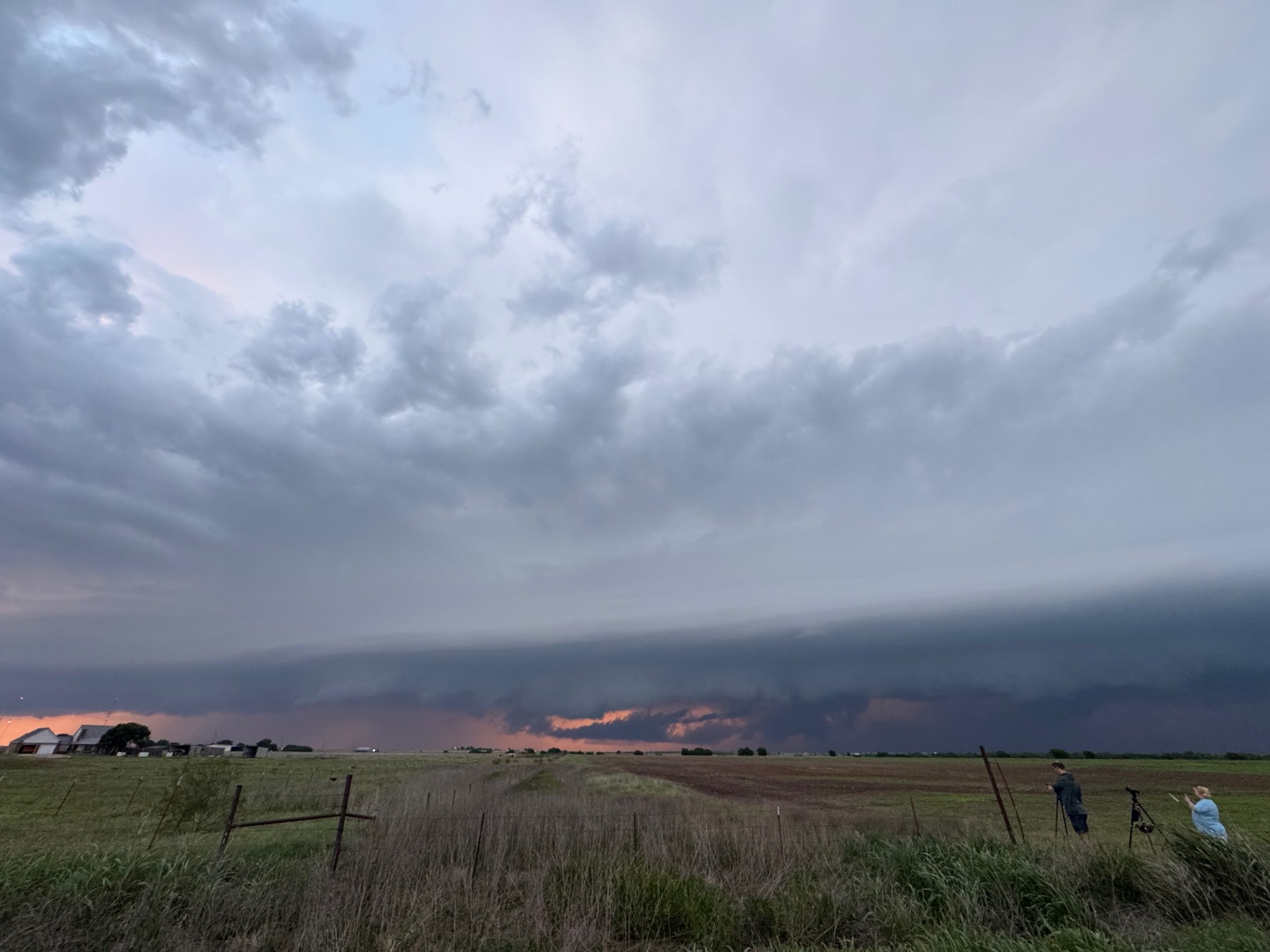
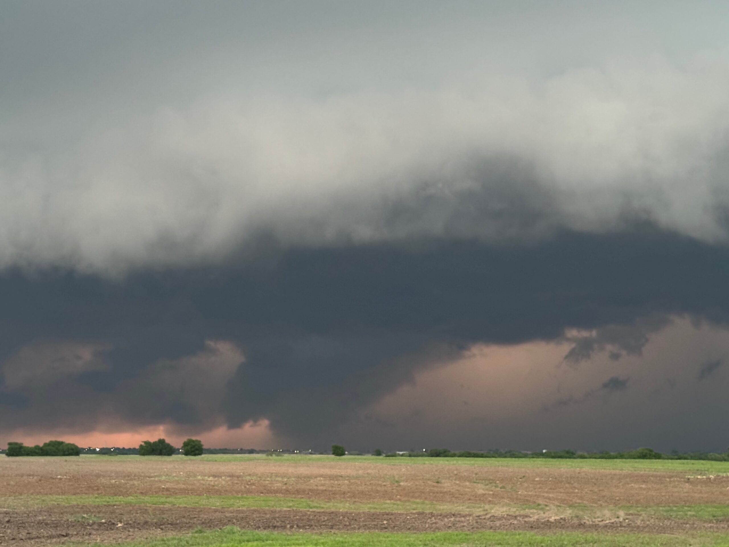
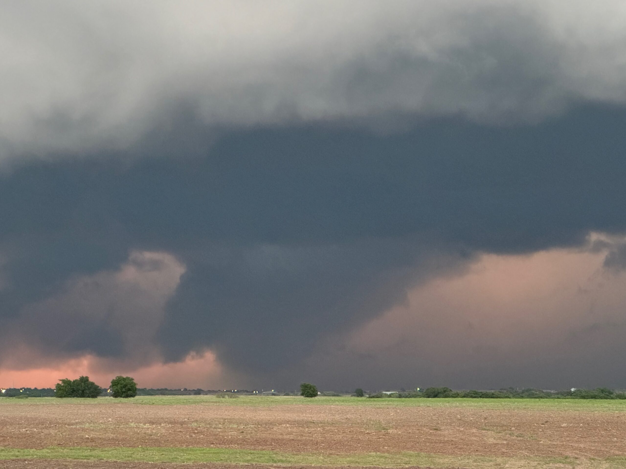
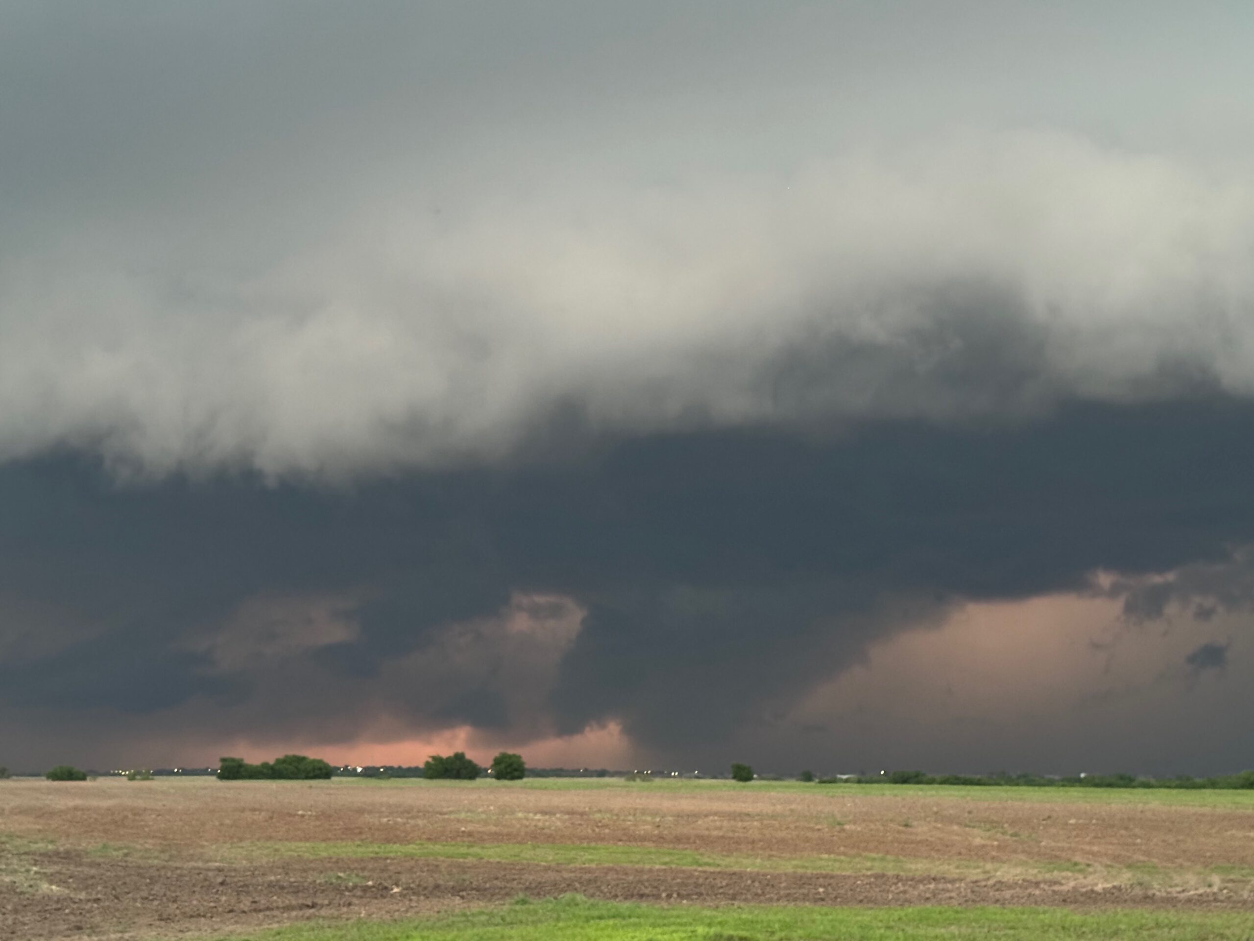
The storm base stirred the dirt and dust beneath it near the OK/TX border. This was probably just RFD wind. As the storm continued to the ESE, we were forced southward and then east towards the Sayre area. On our stops near Sayre we were treated to a nicely sculpted and spaceship updraft storm base to our north. There was a shallow lowering and a decent RFD cut. I thought that we might get a tornado out of the thing near sunset, but no tornado occurred.
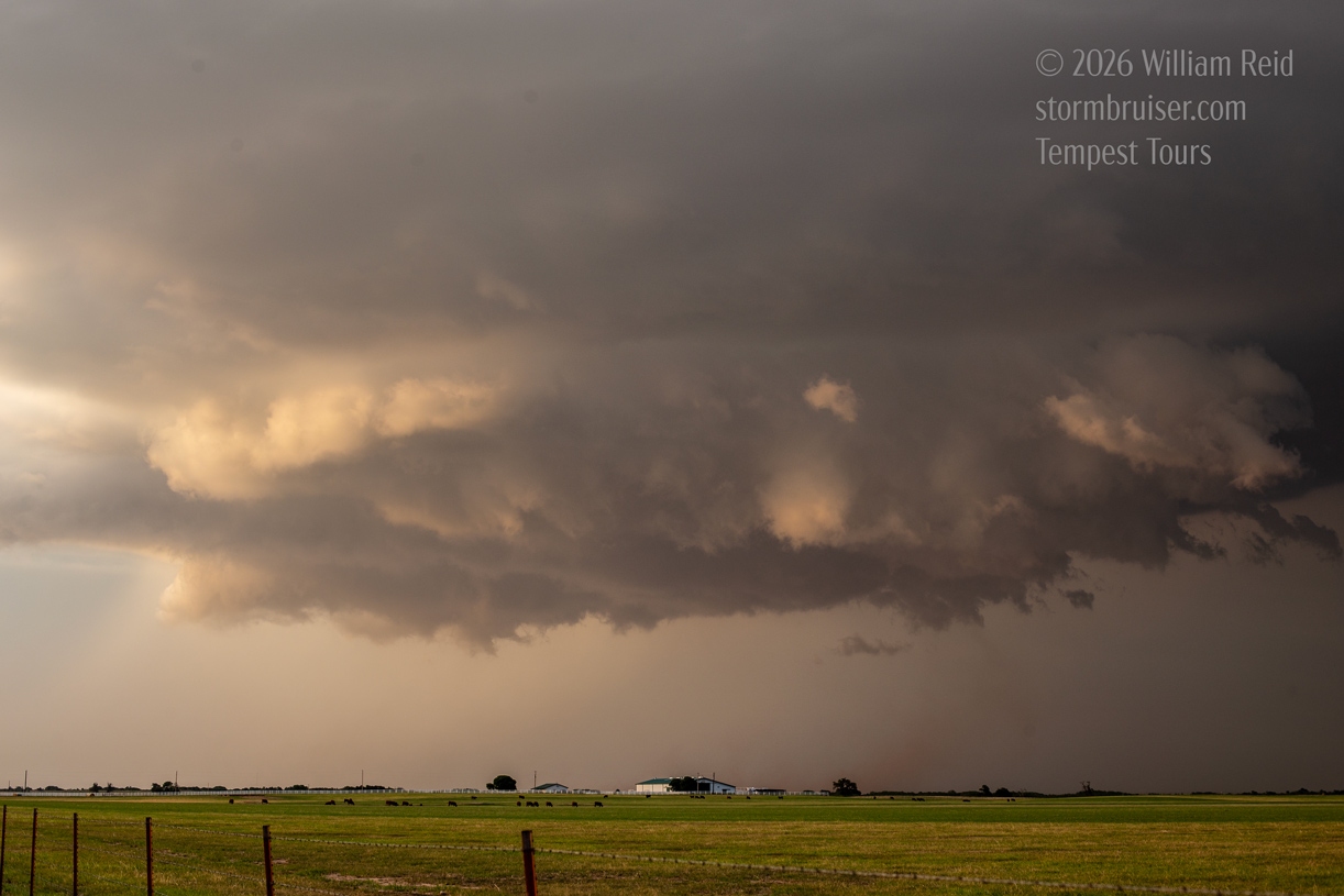
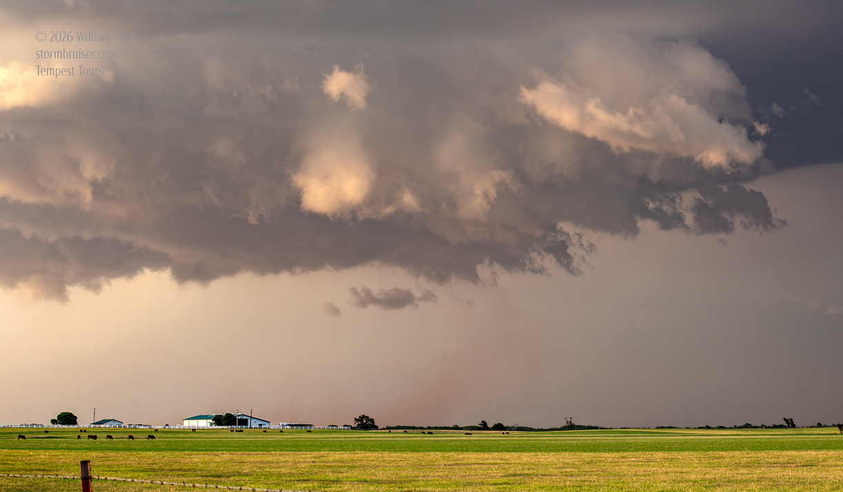
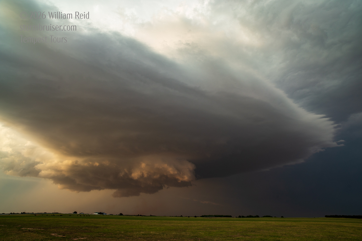
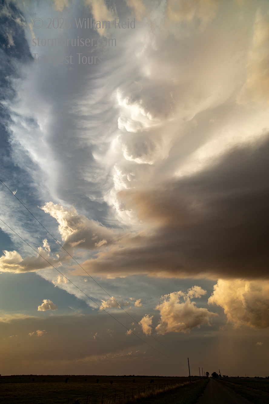
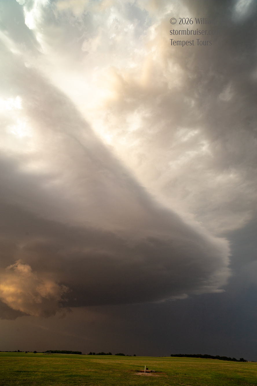
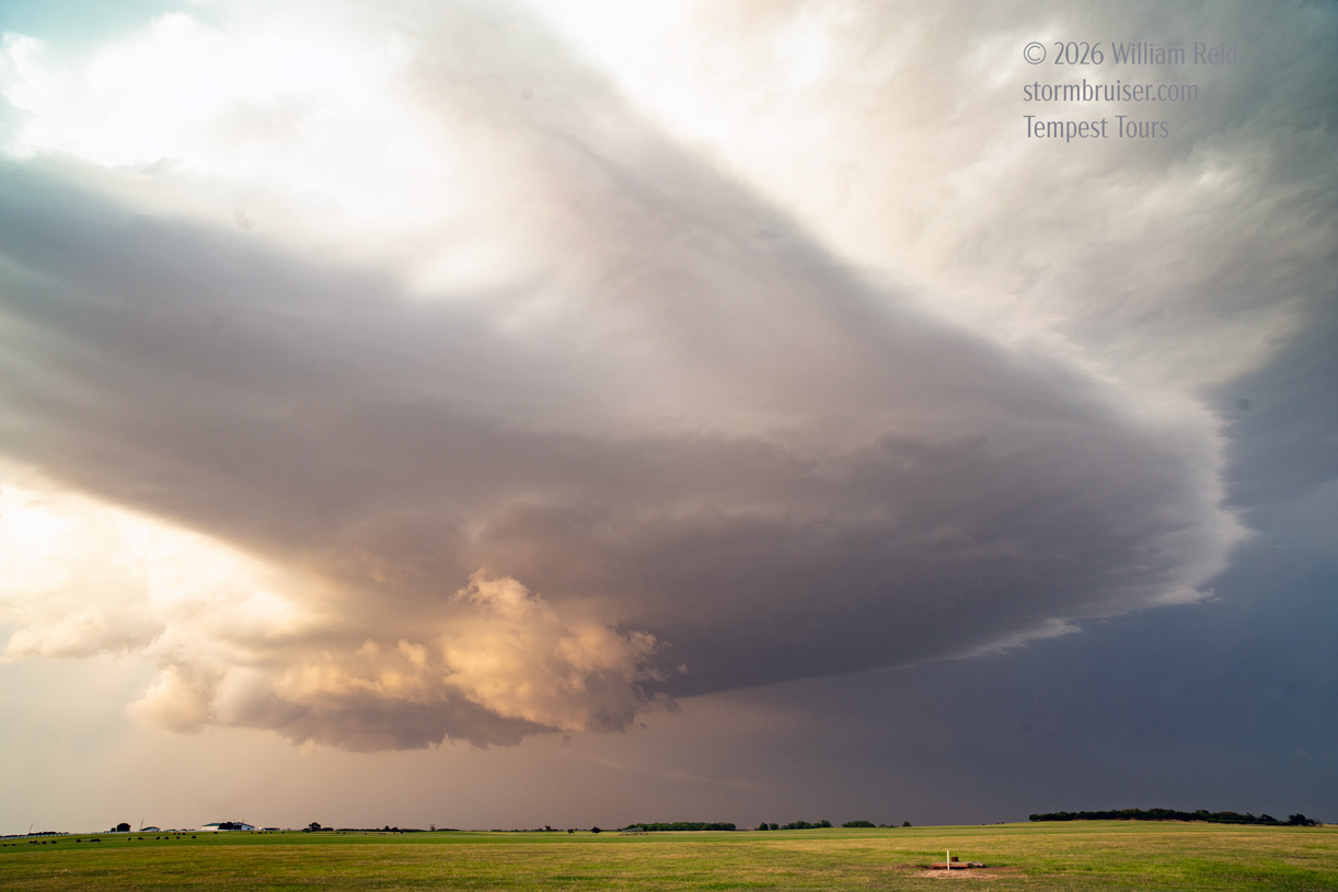
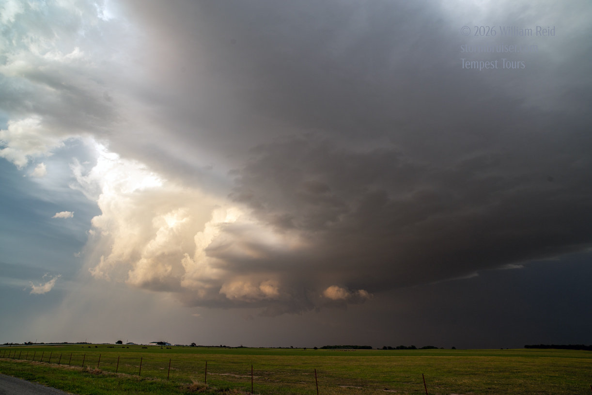
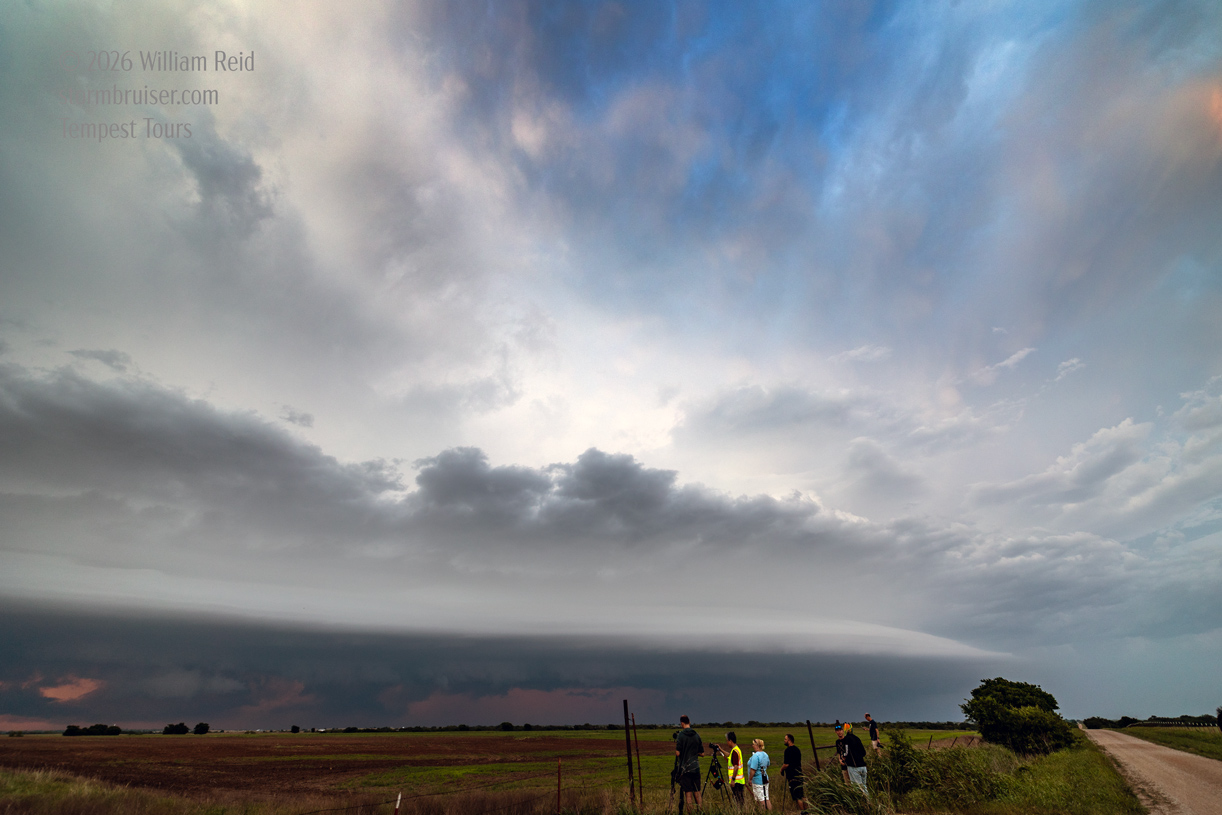
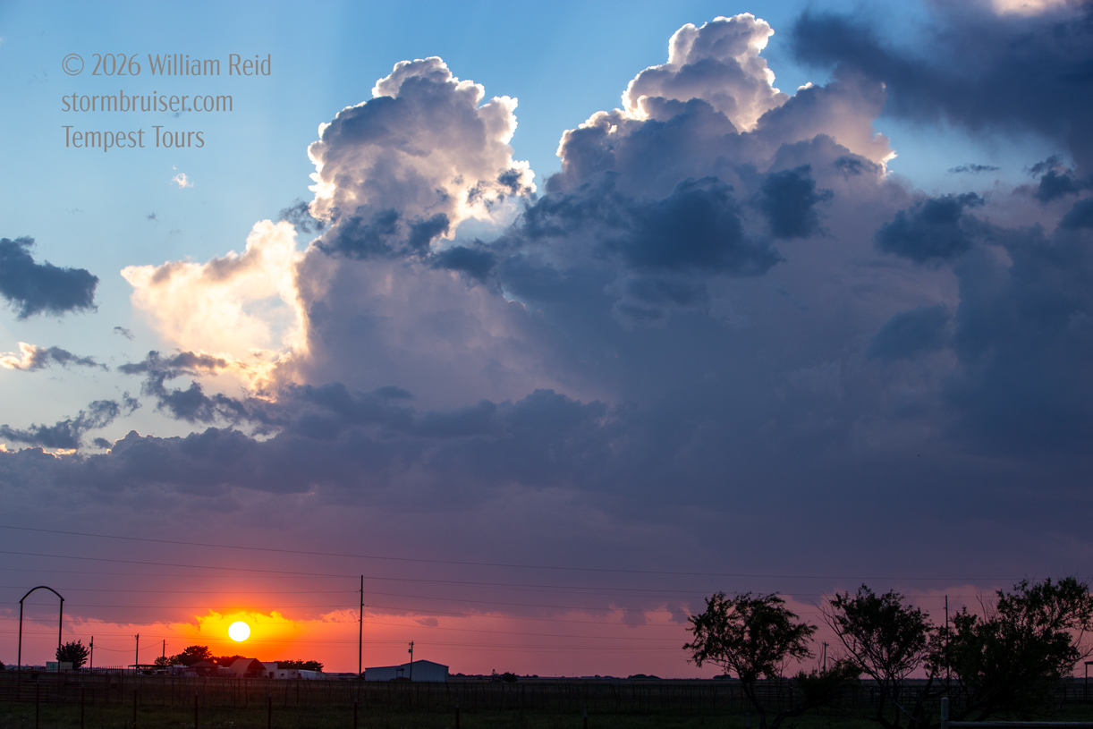
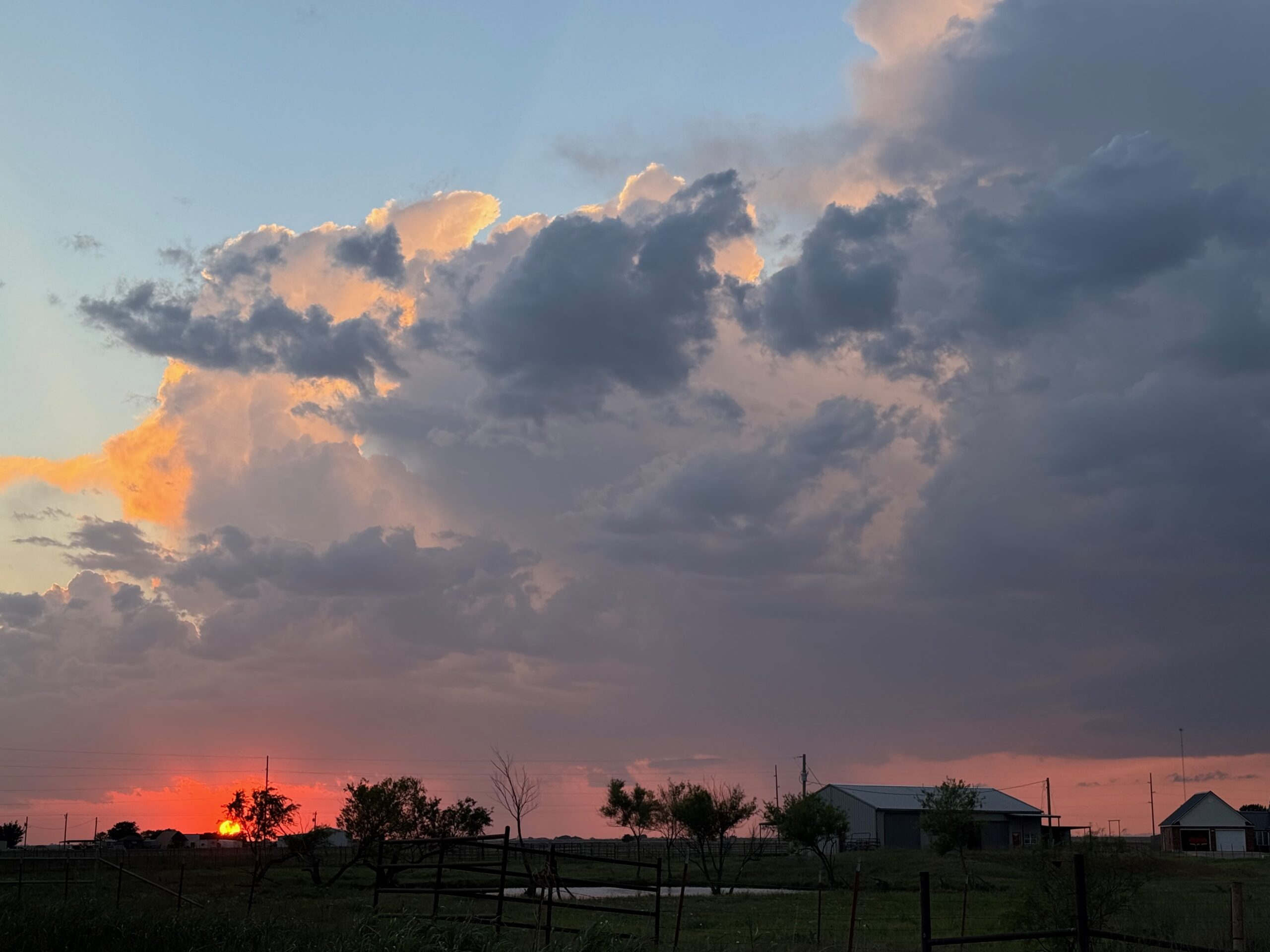
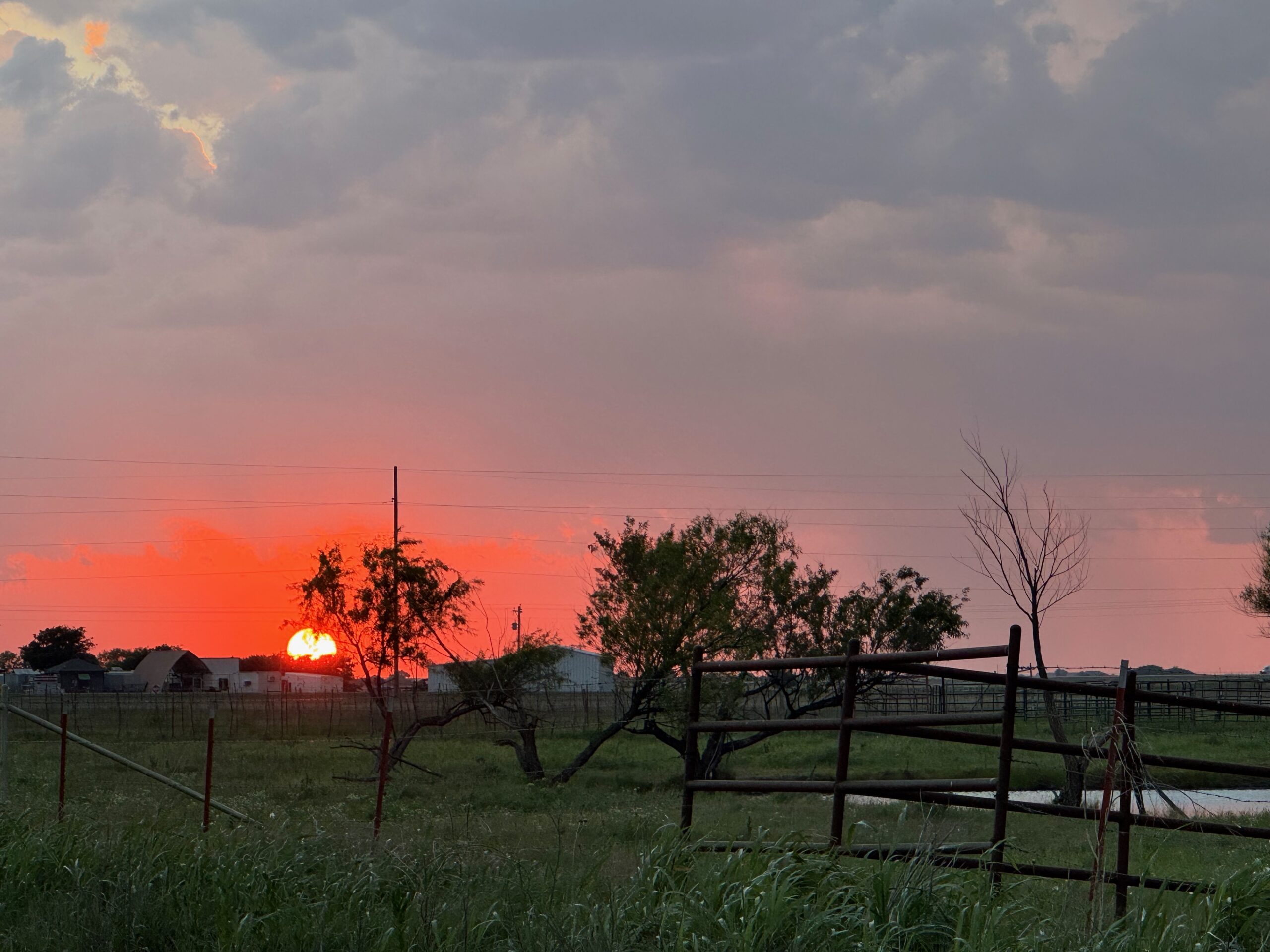
The storm was moving along at a decent clip, maybe 25-30 mph to the ESE. Usually I like to be a bit E or SE of a storm such as this, but the sun light on the back end was fantastic and I didn’t want to be driving and driving and driving while this light was so nice. So, we wound up watching the LP supercell on its SW and W side for the most part around sunset and at dusk.
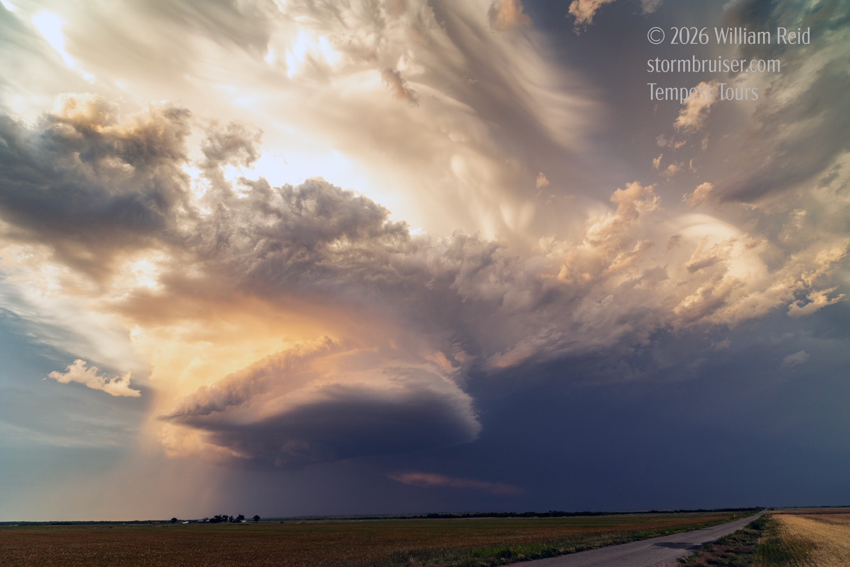
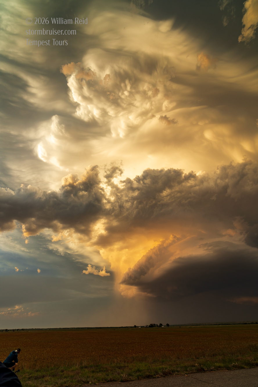
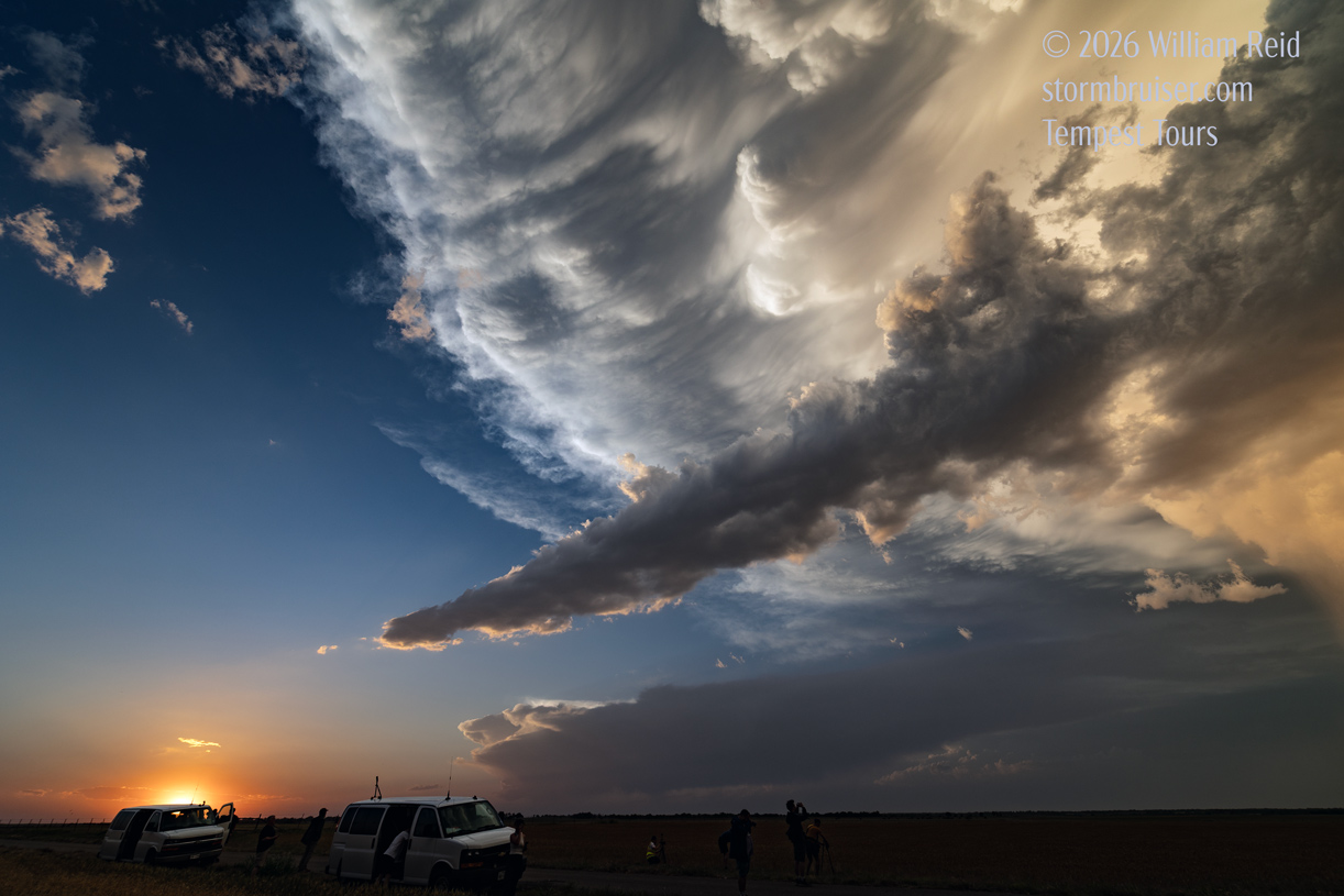

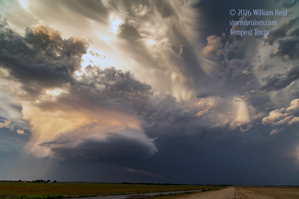
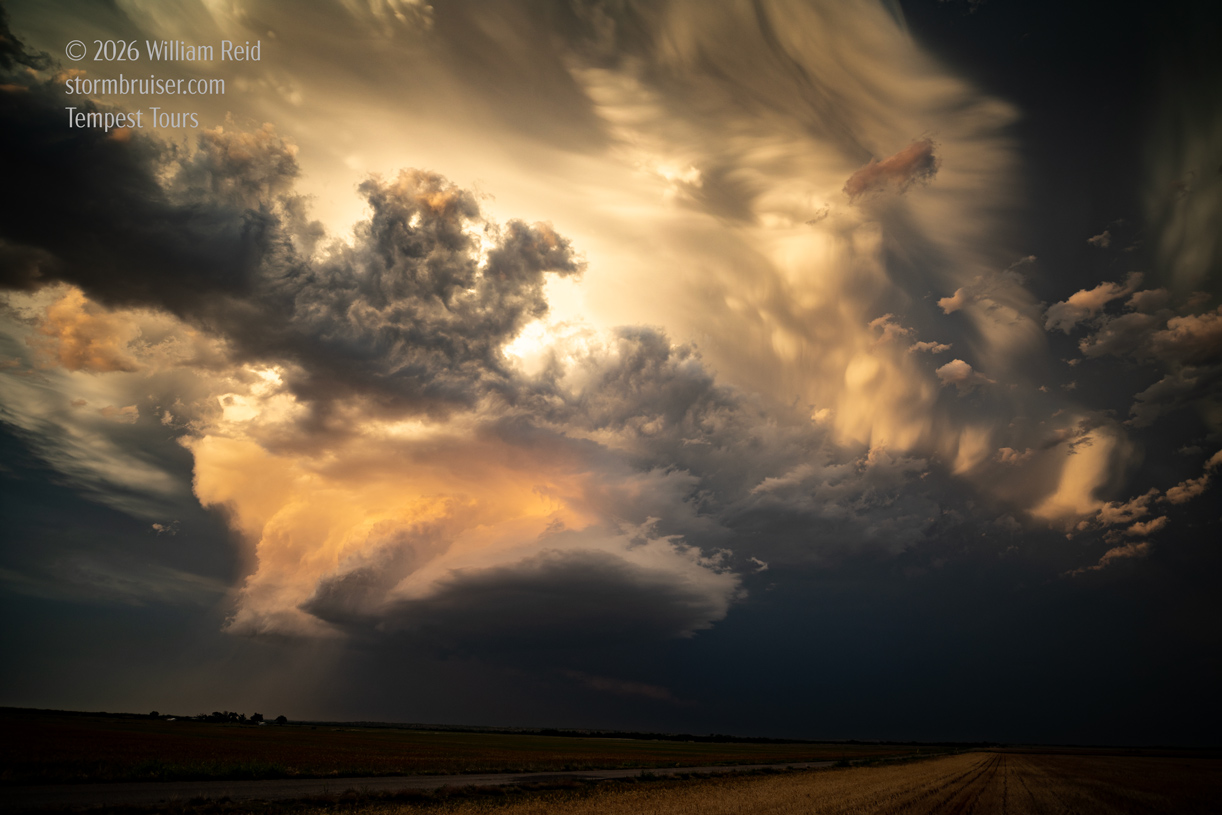
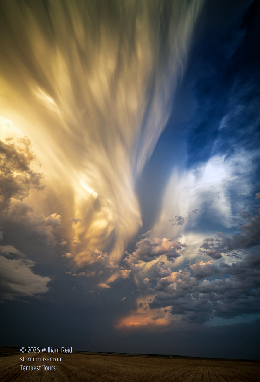
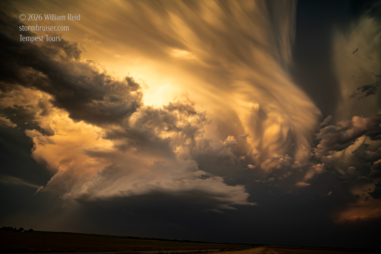
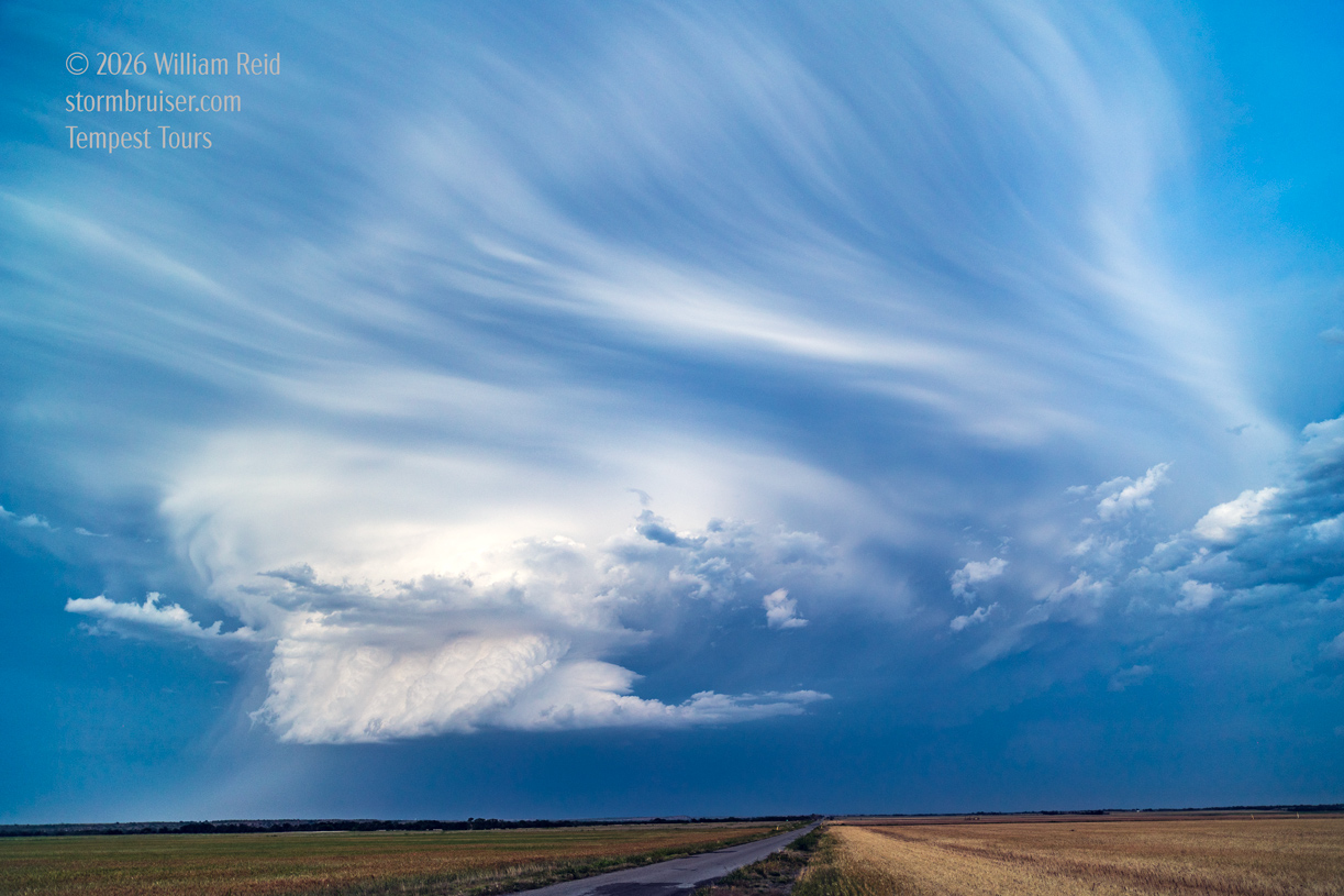
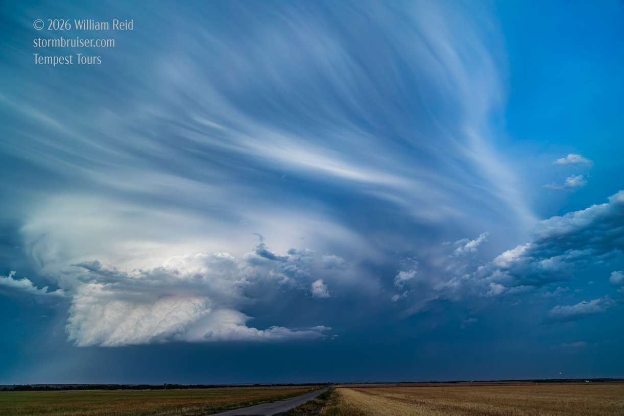
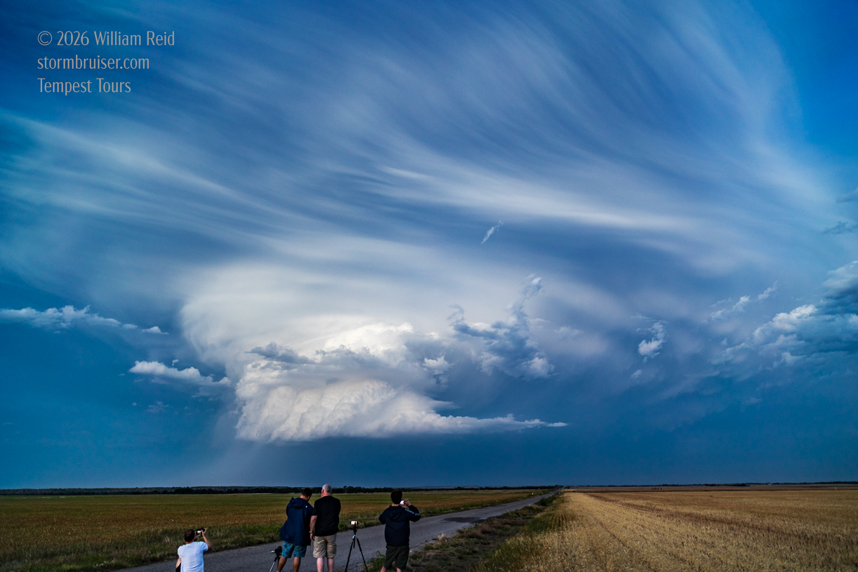
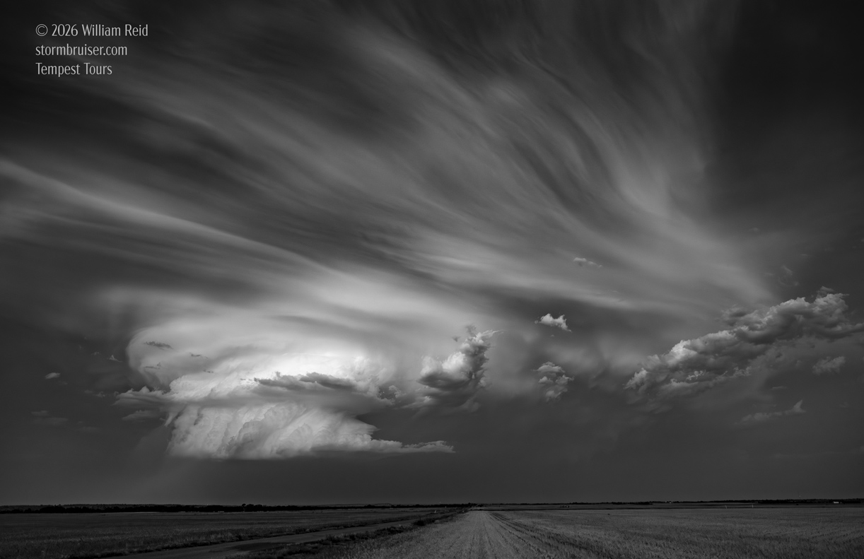
I was shooting wide-angles with two Canon cameras and two wide-angle lenses! Here is another batch.
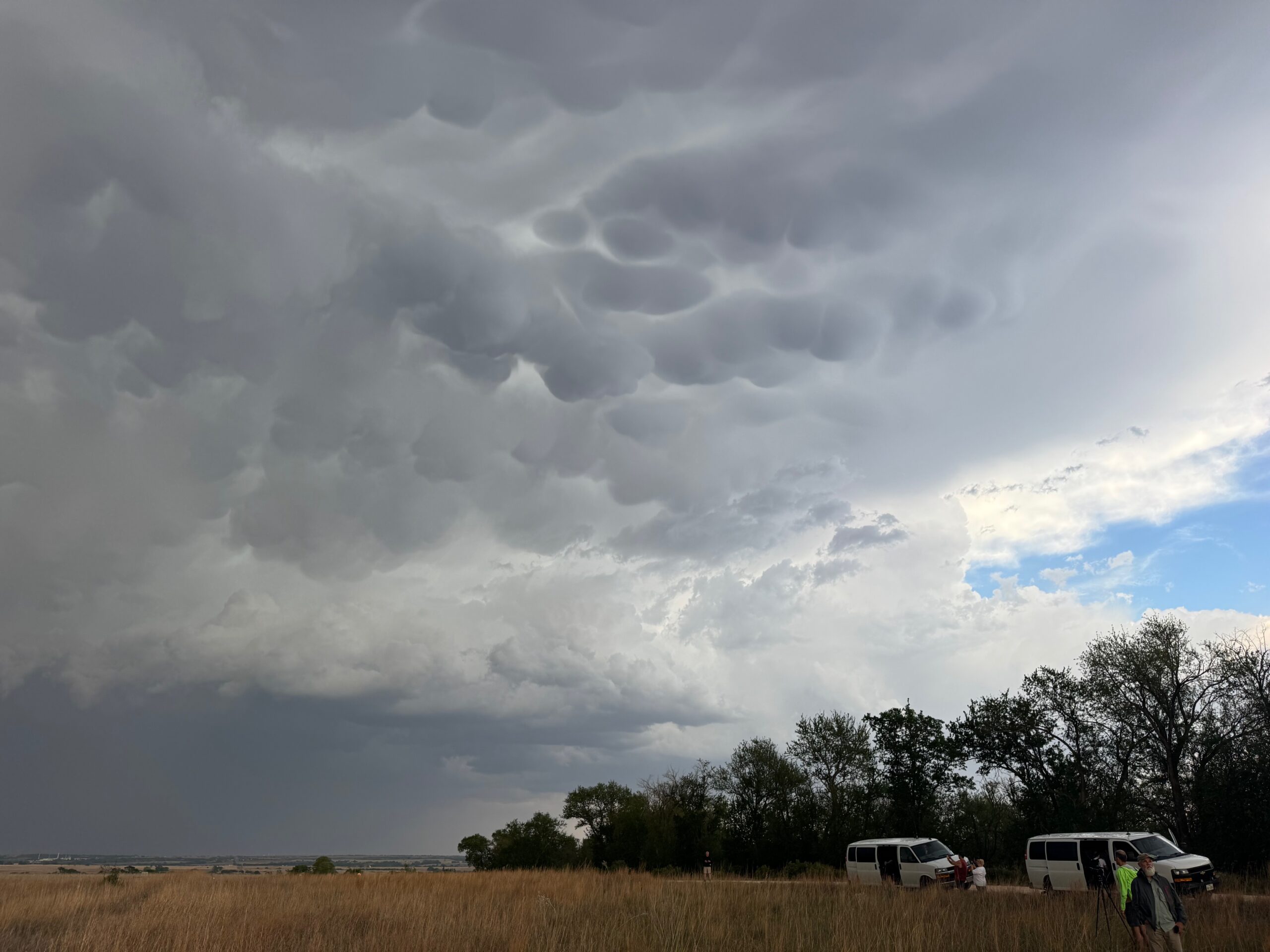
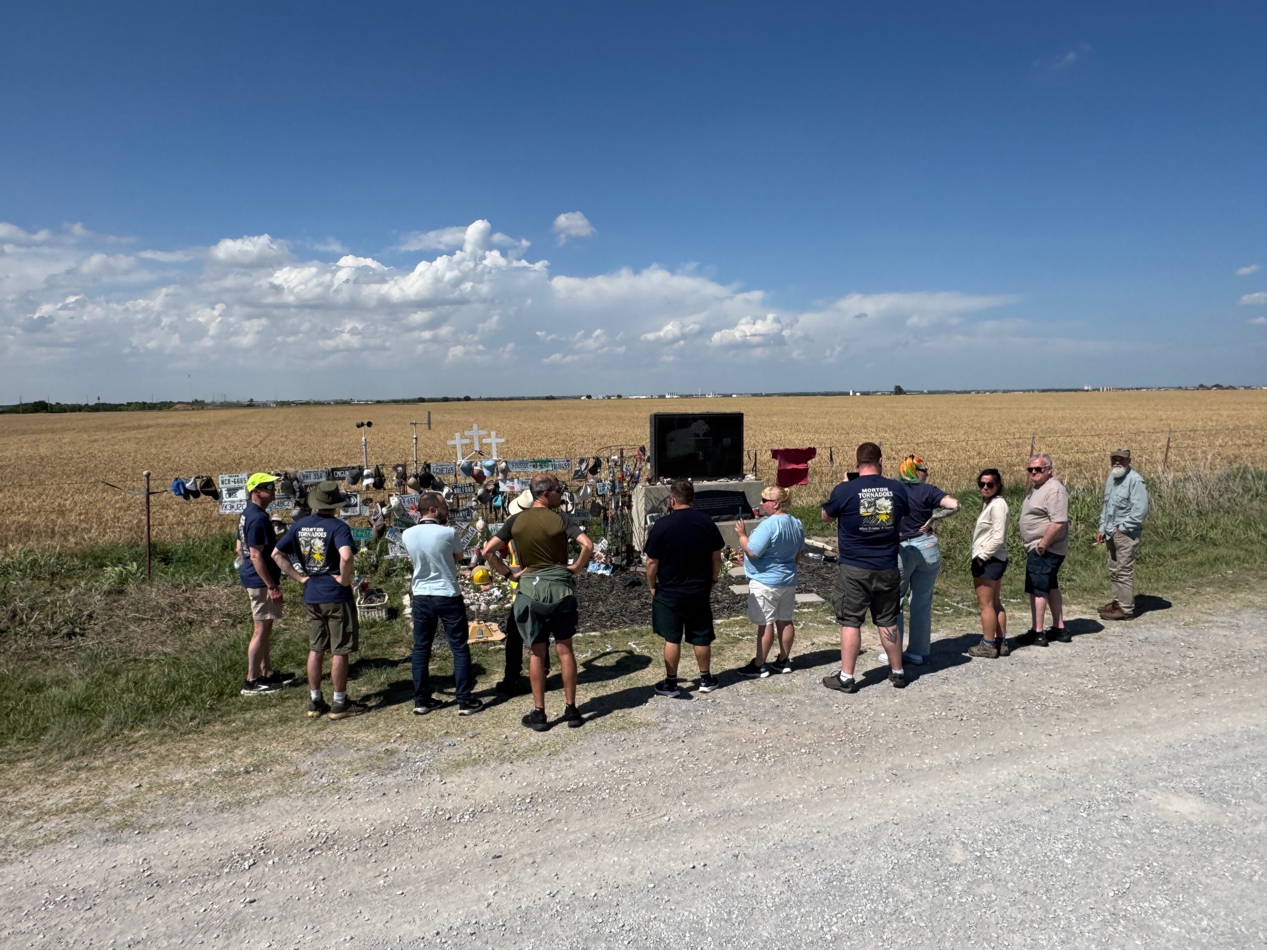
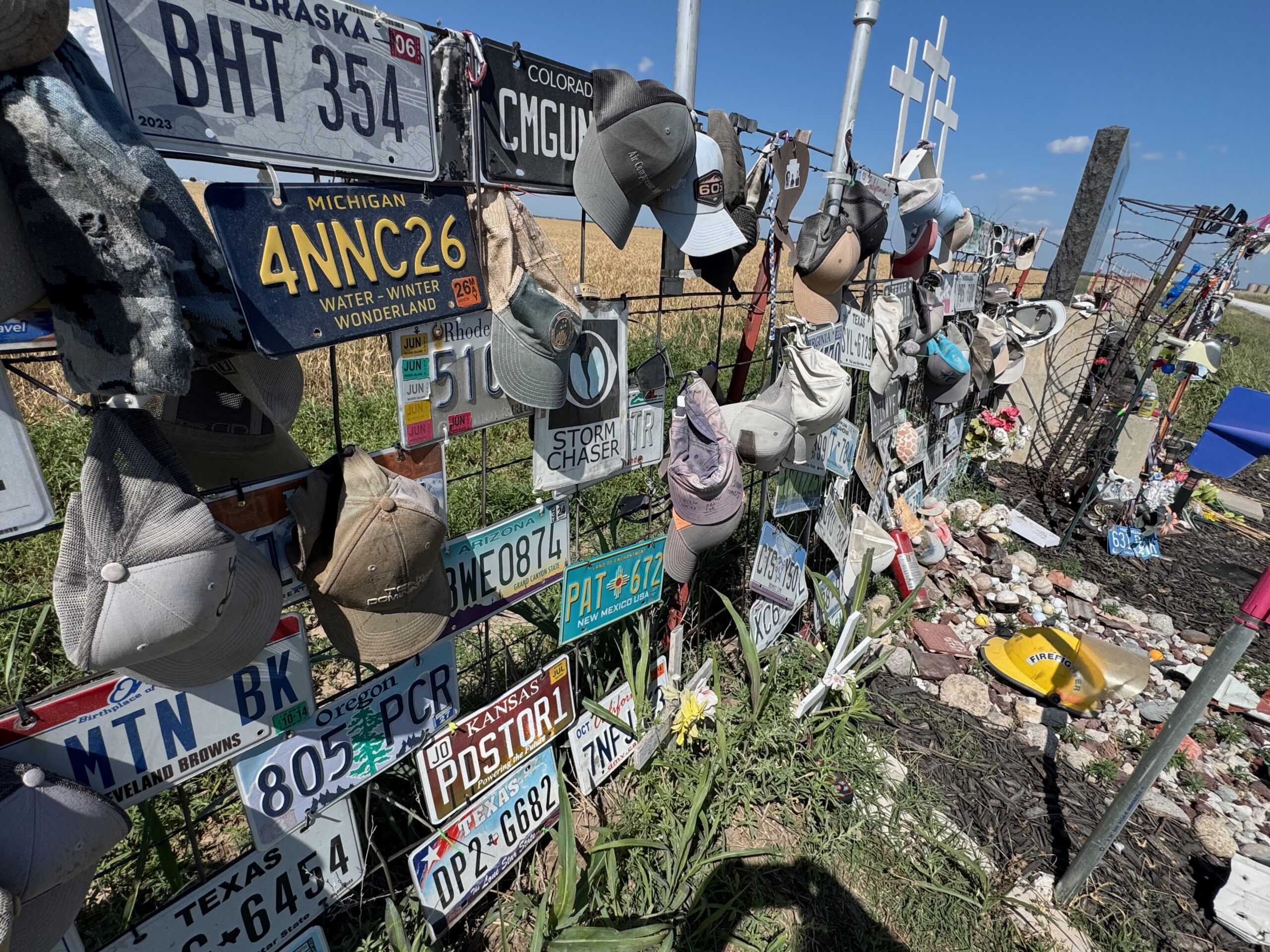
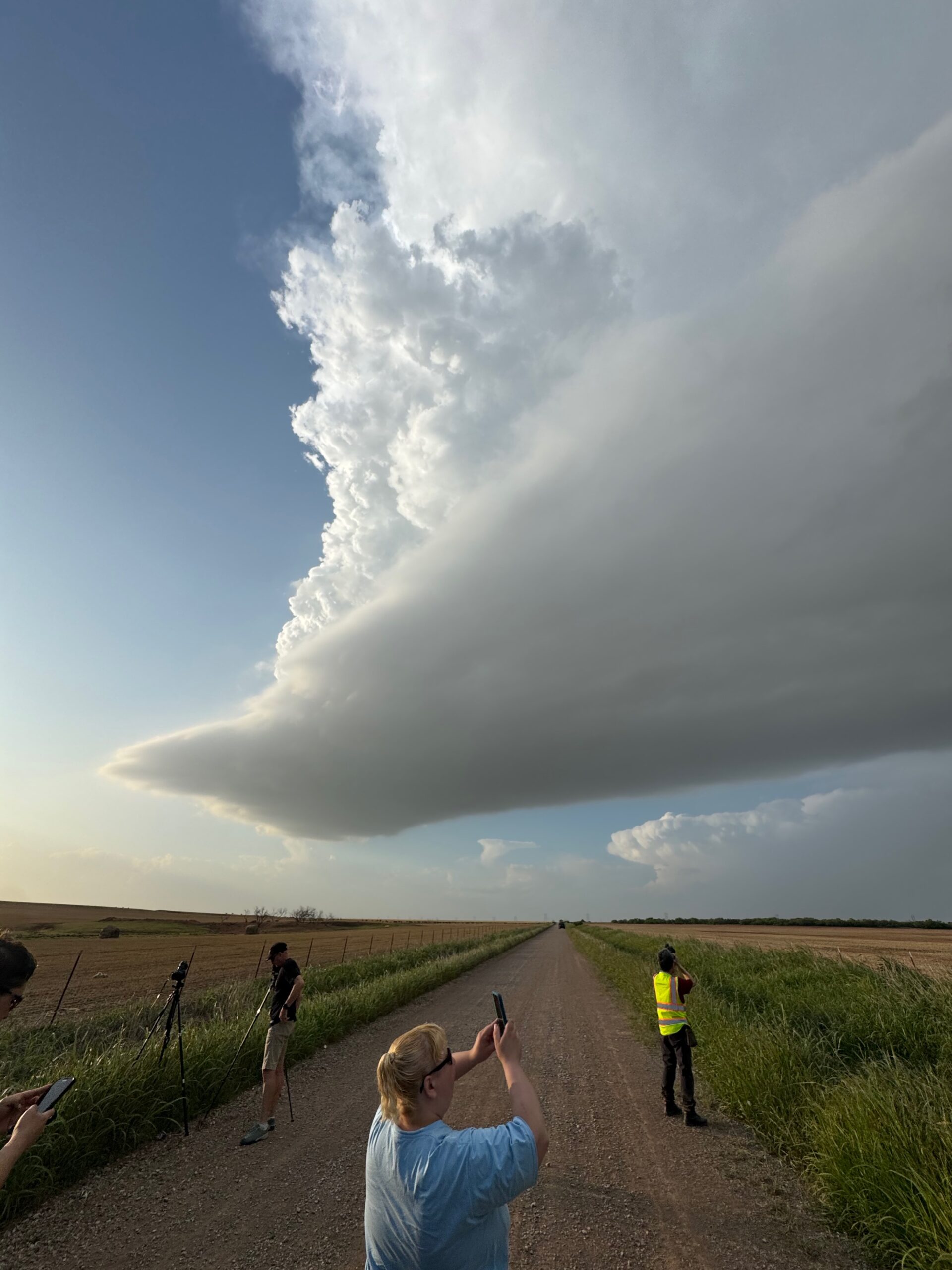
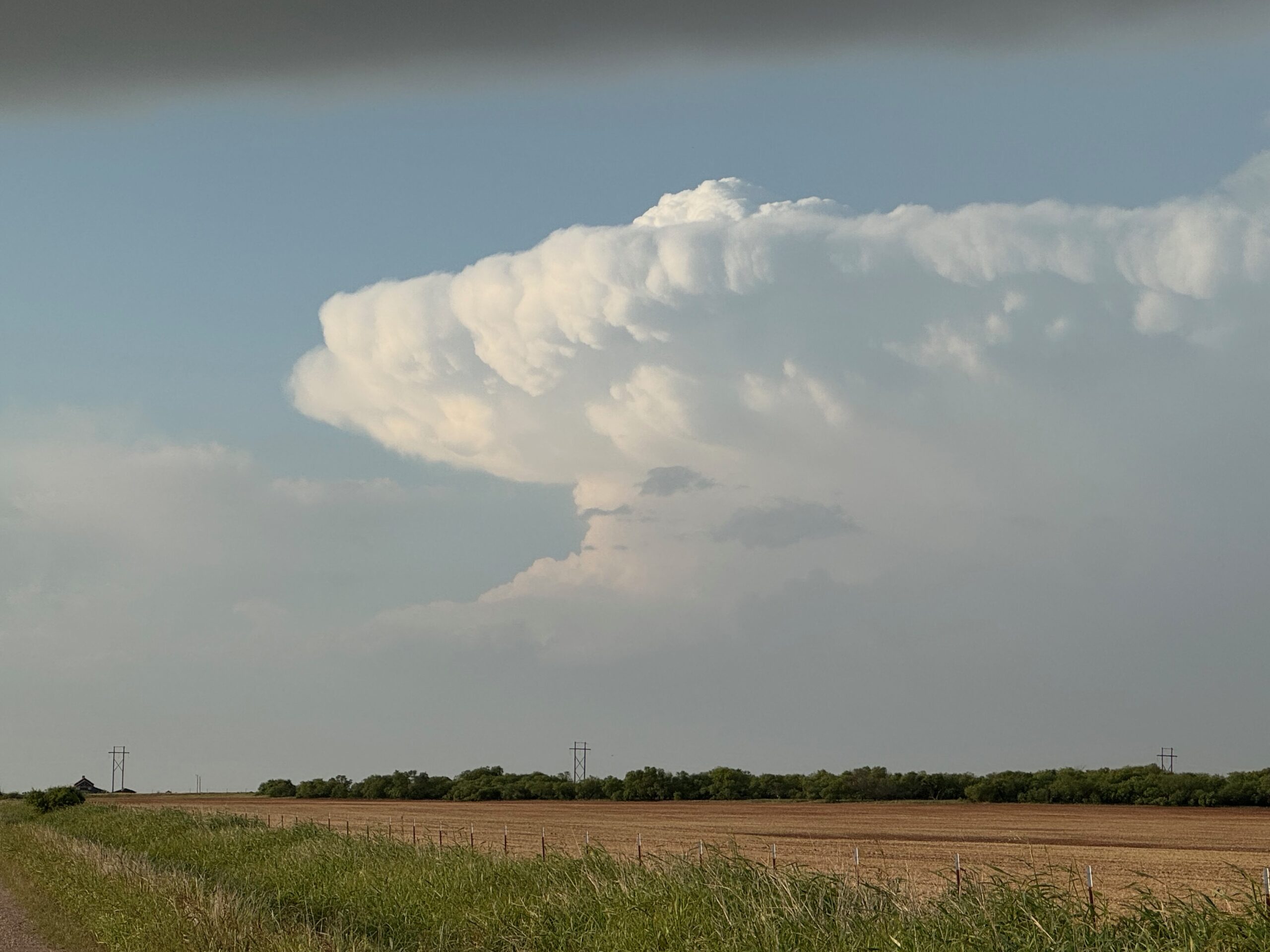
iPhone photo dump below
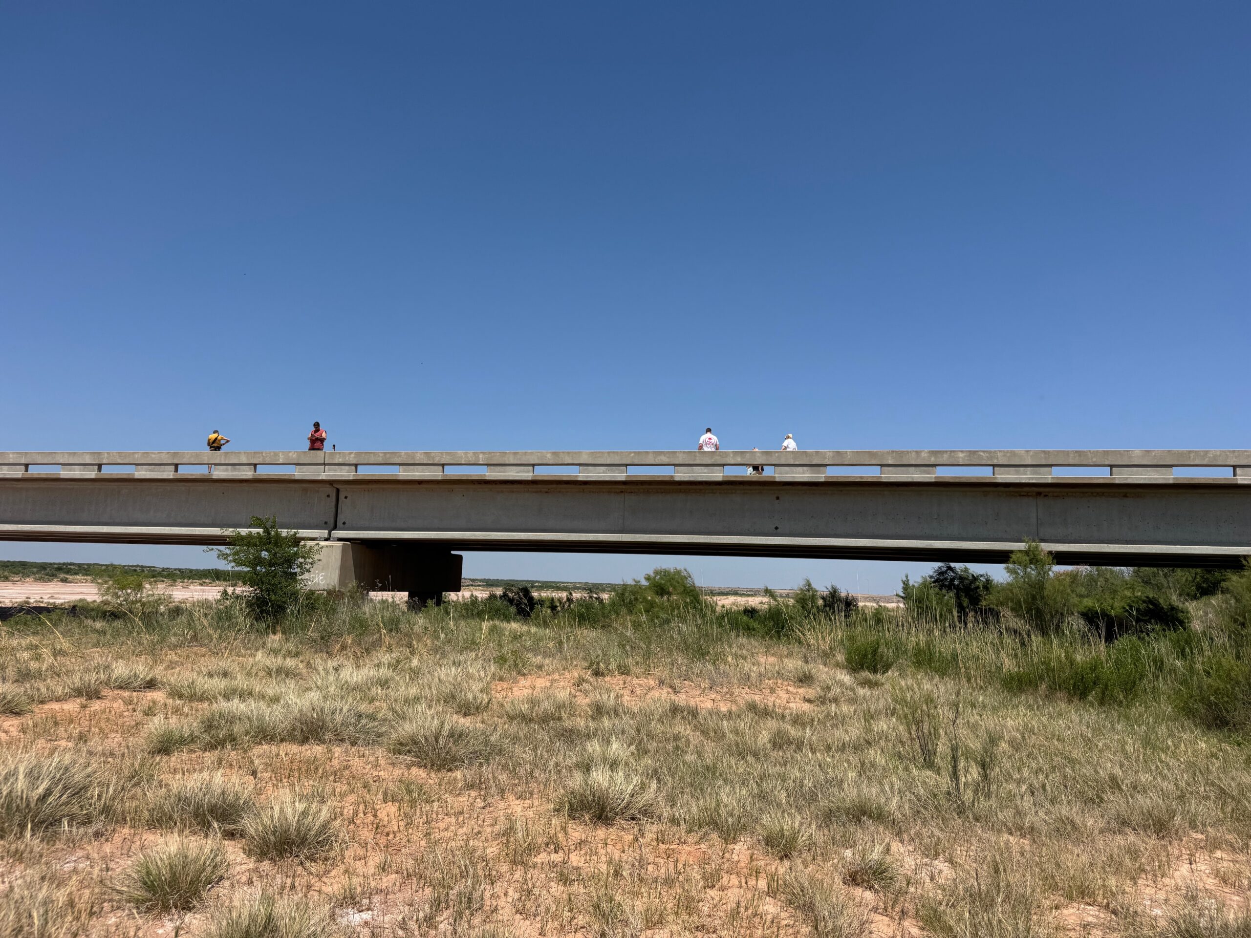
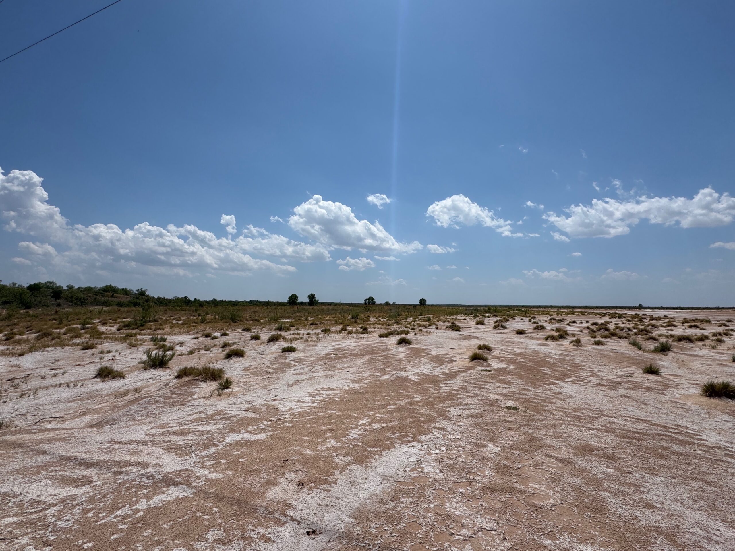
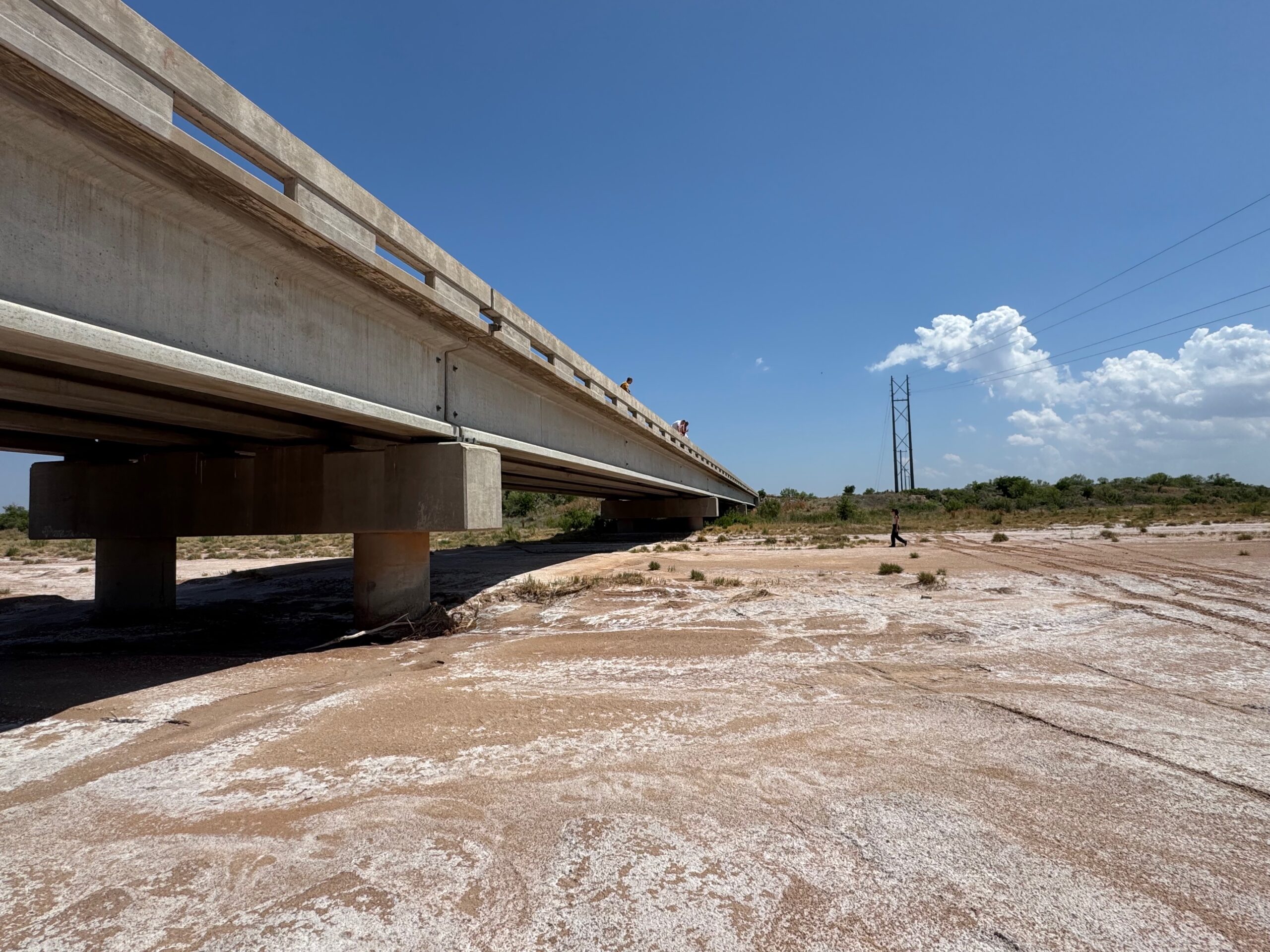
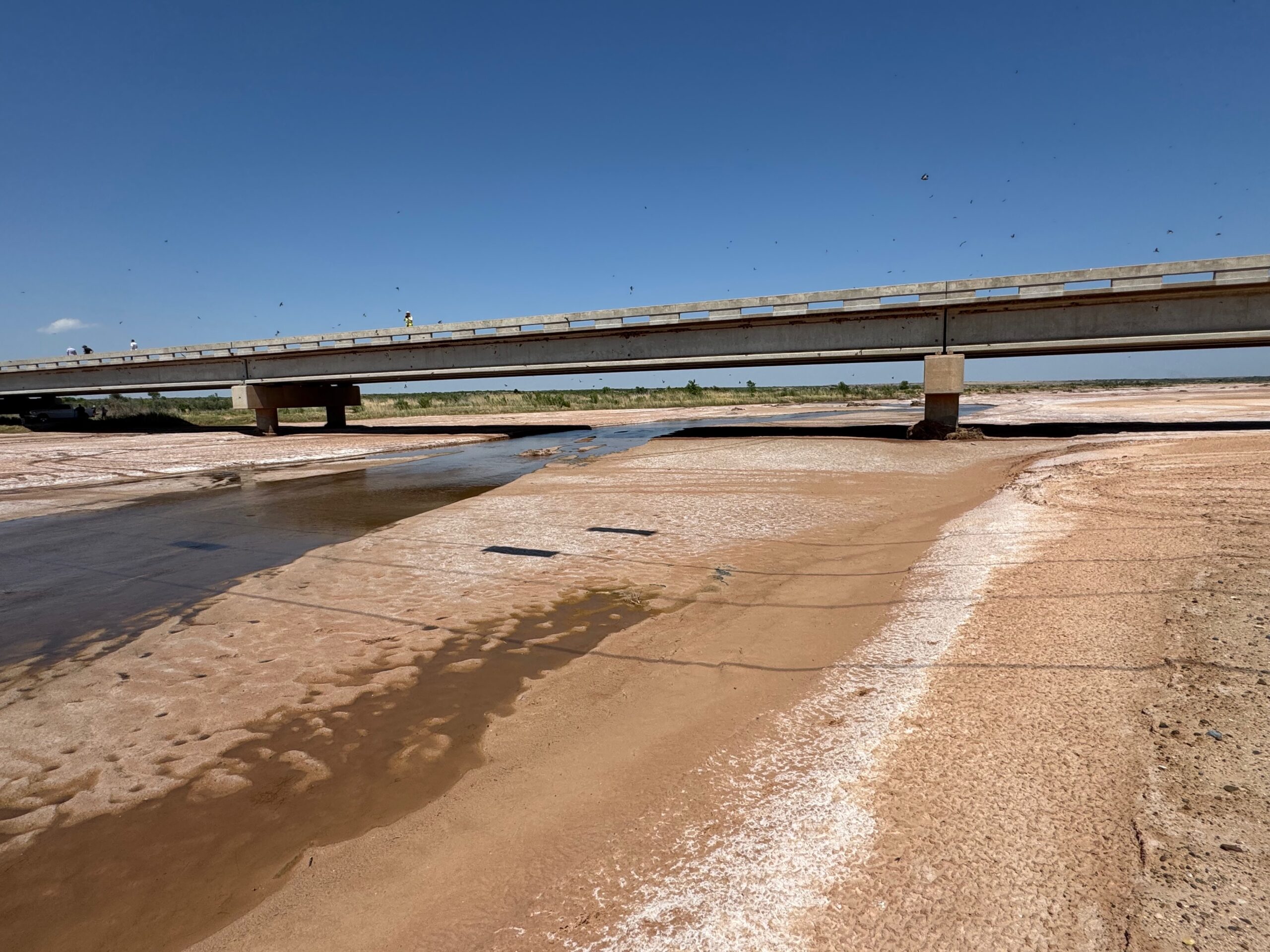
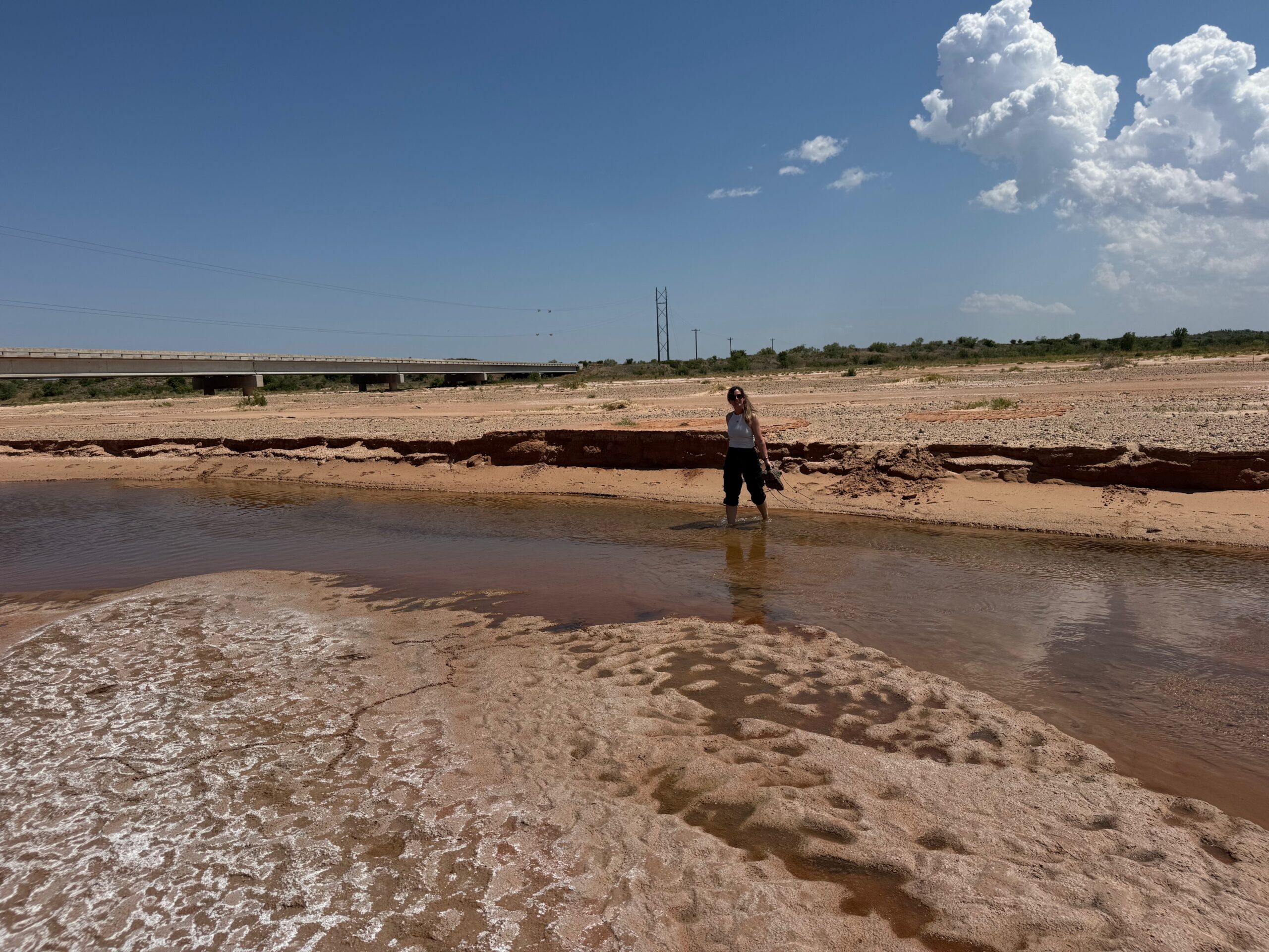
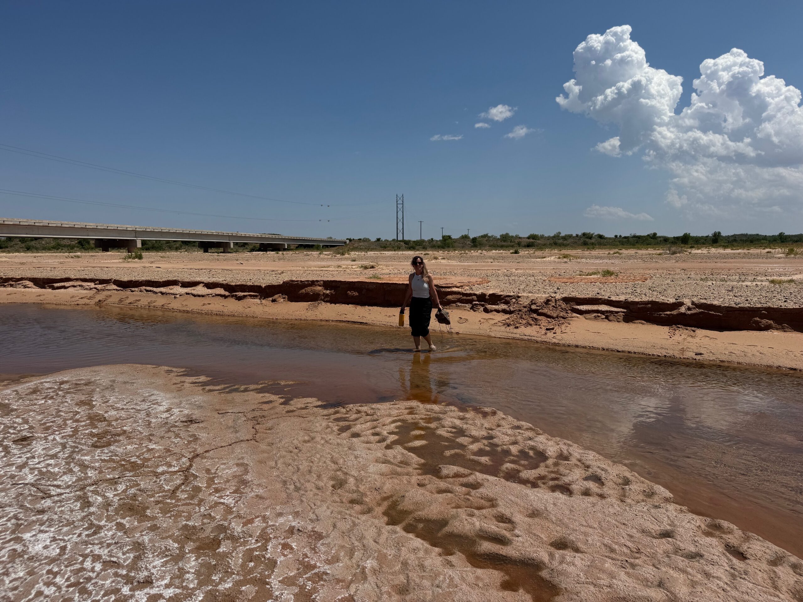
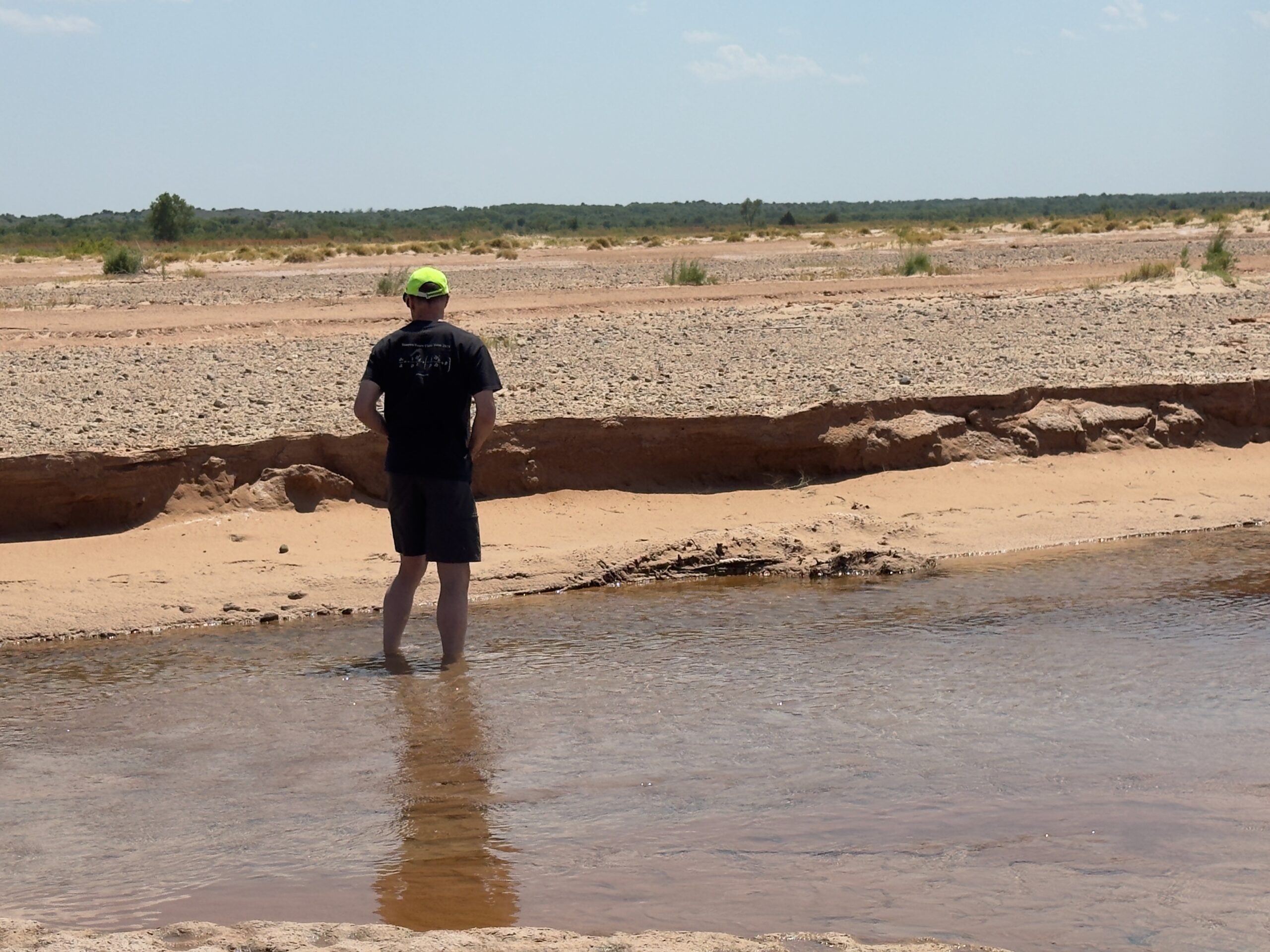
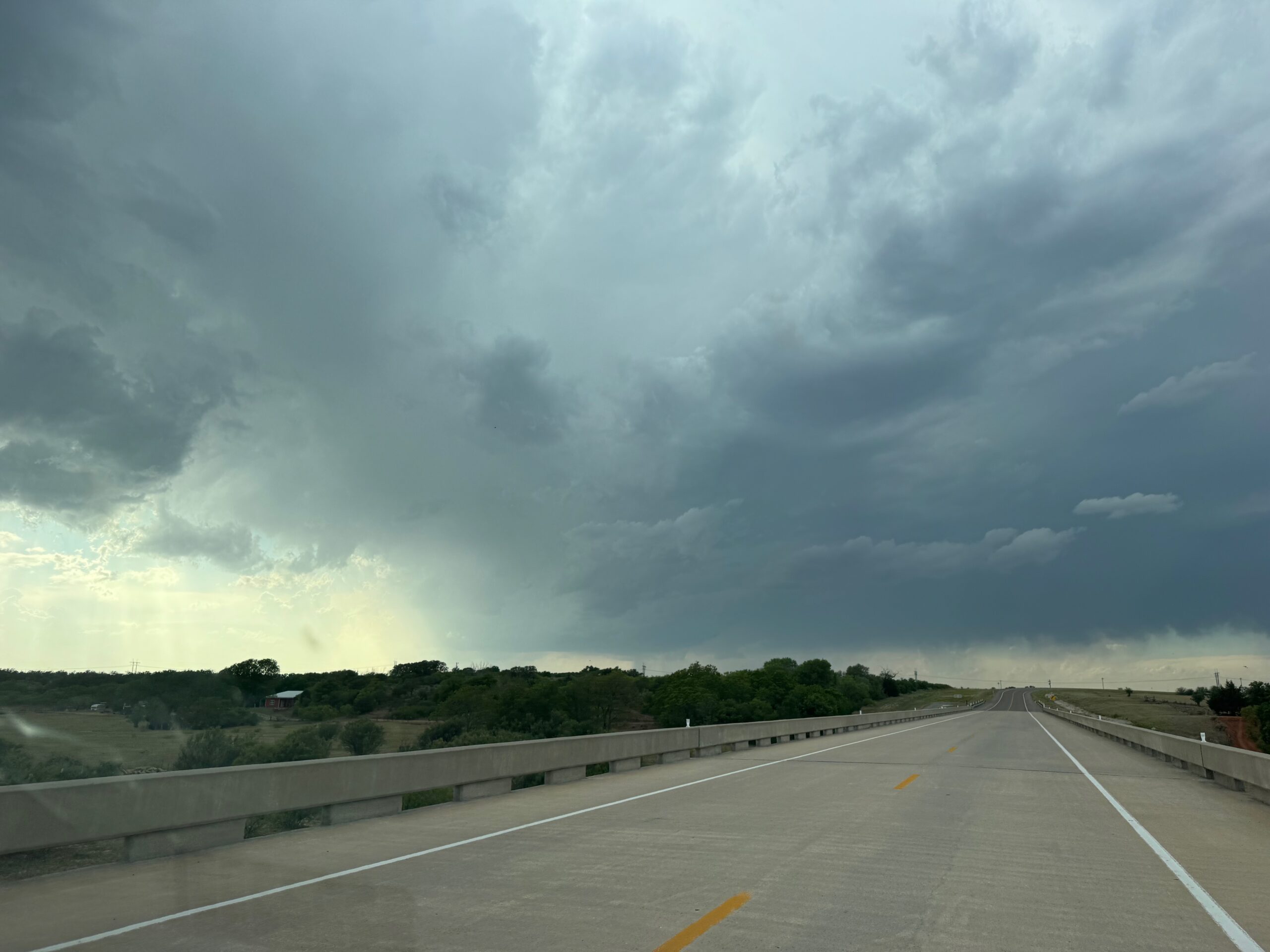
Prior to storm time, I took the group to the new bridge over the Red River, SSW of Hollis. Some of us inspected the mud.
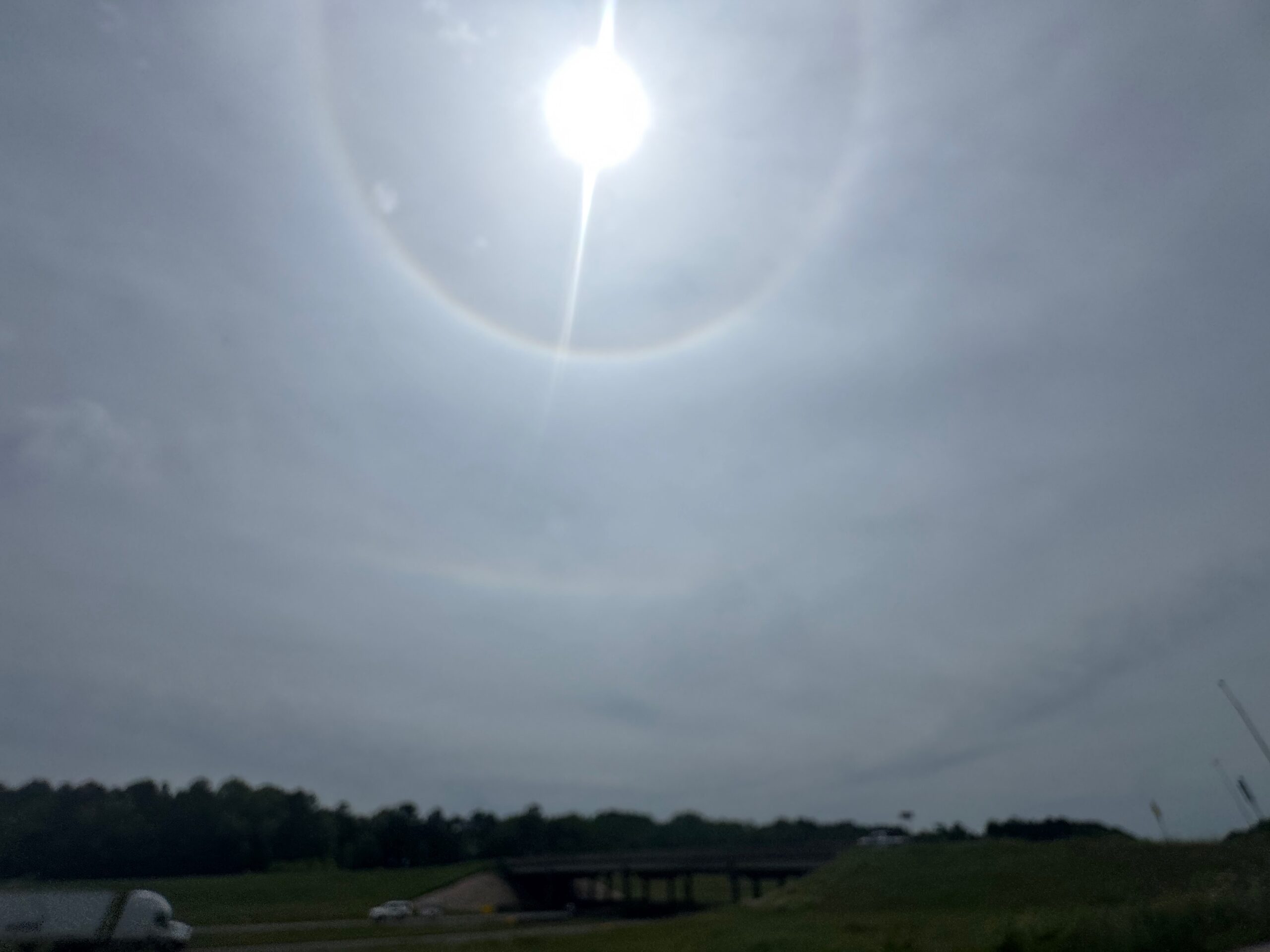
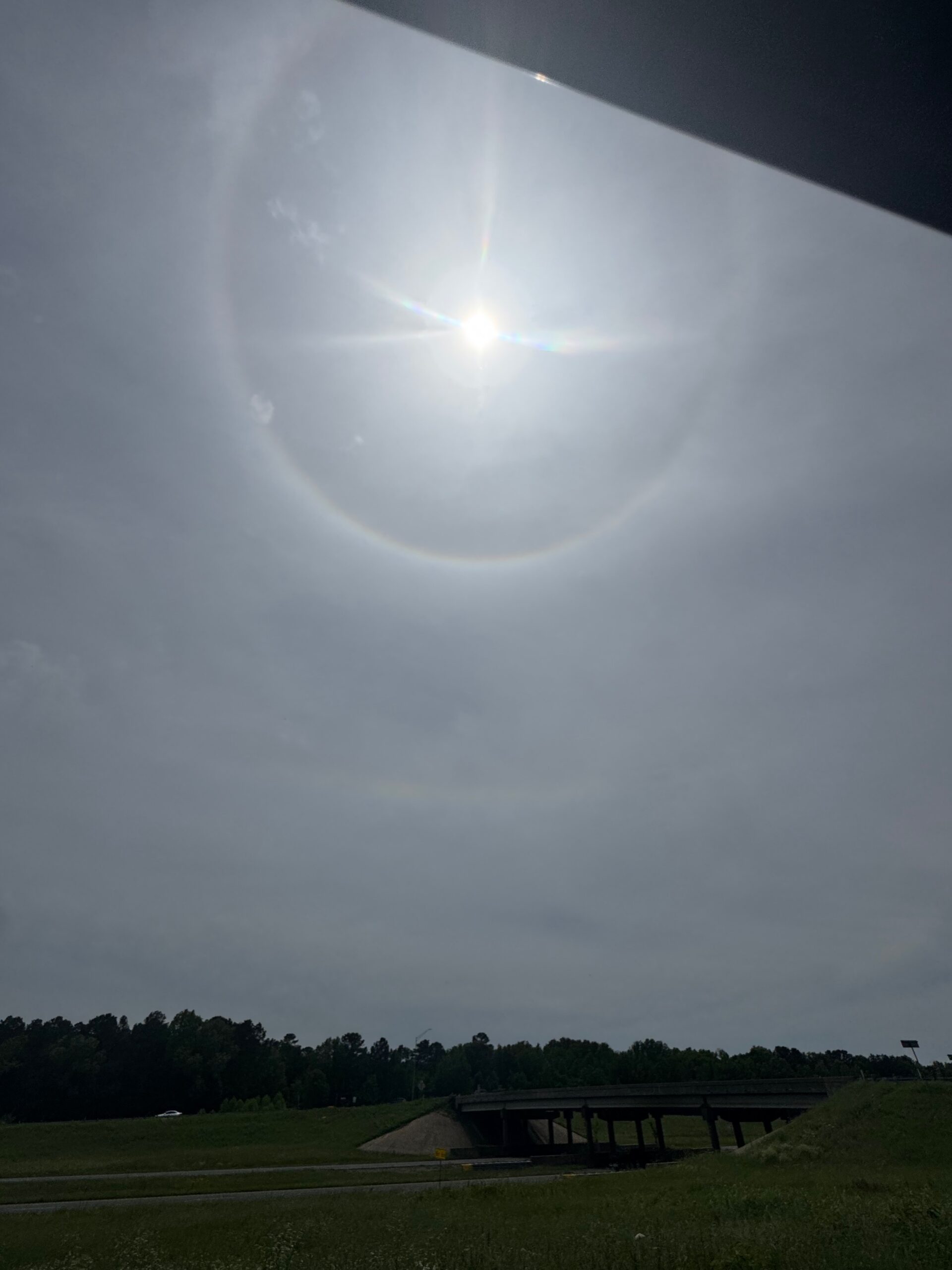
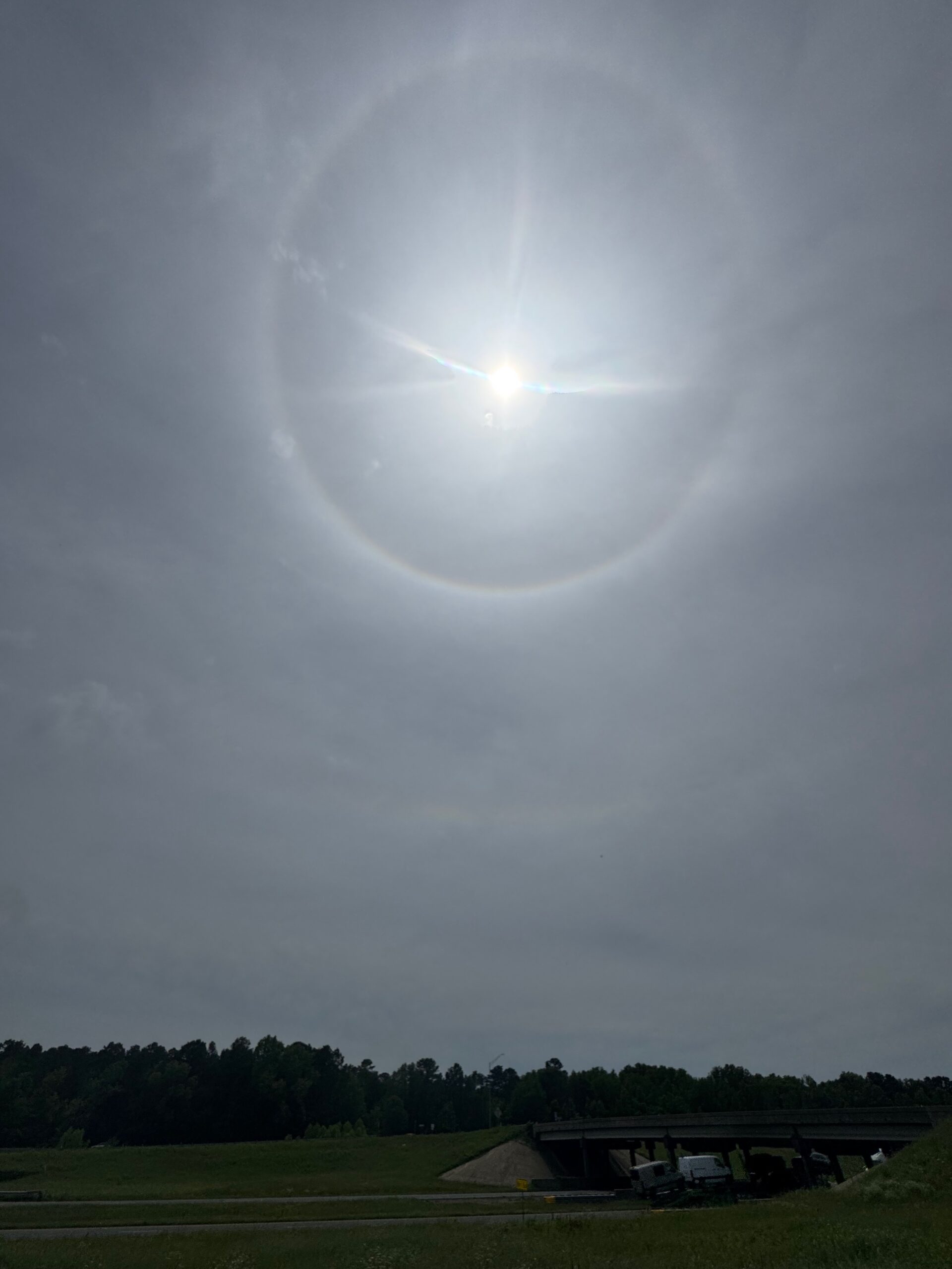
May 7 images below
May 8 images below
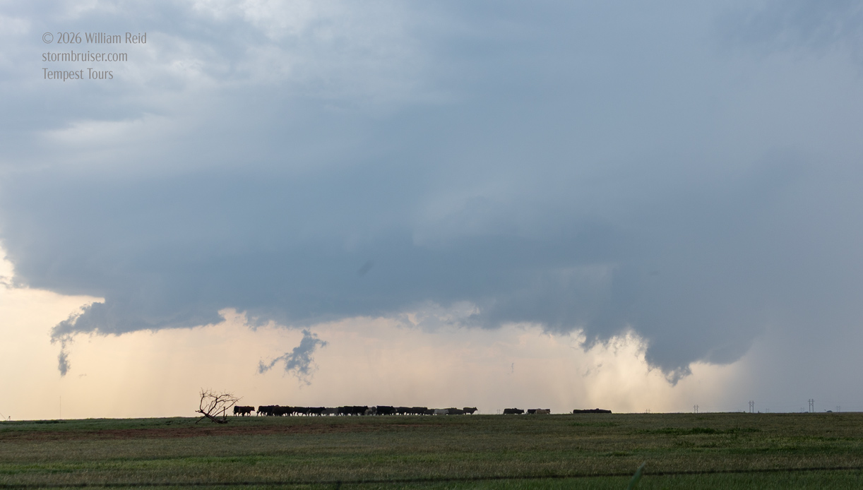
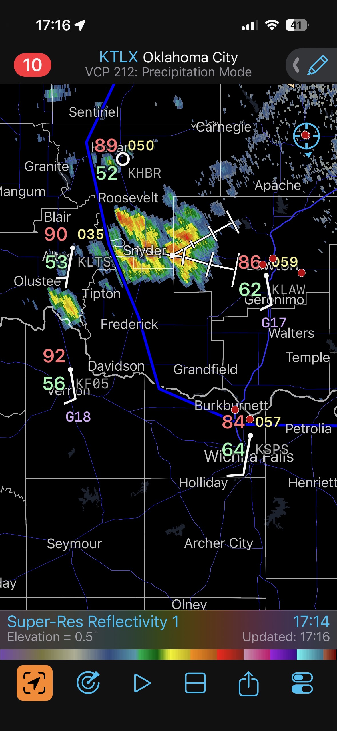
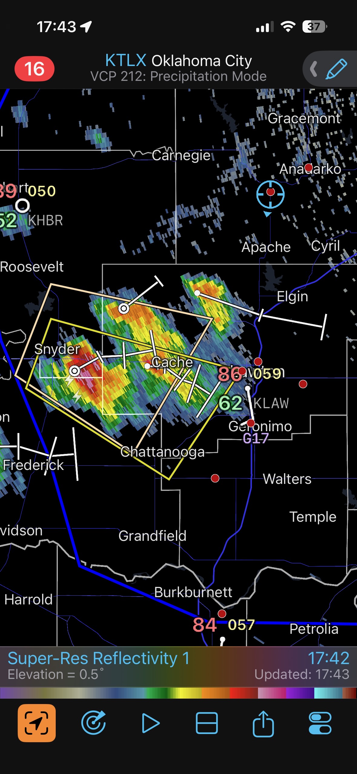
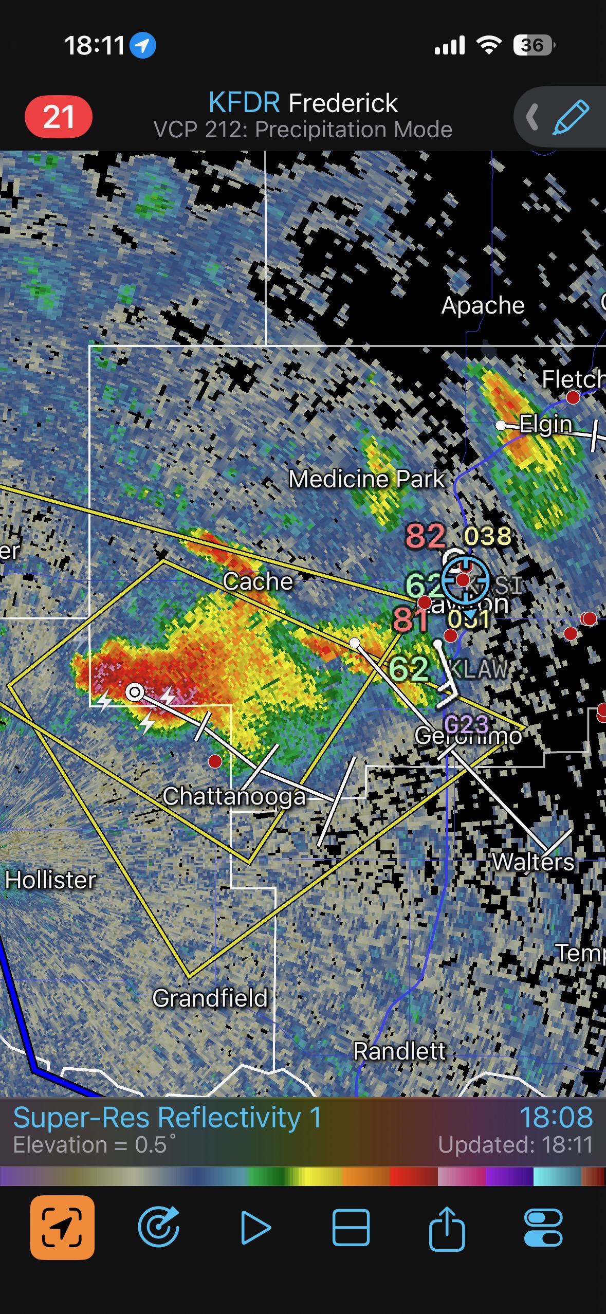
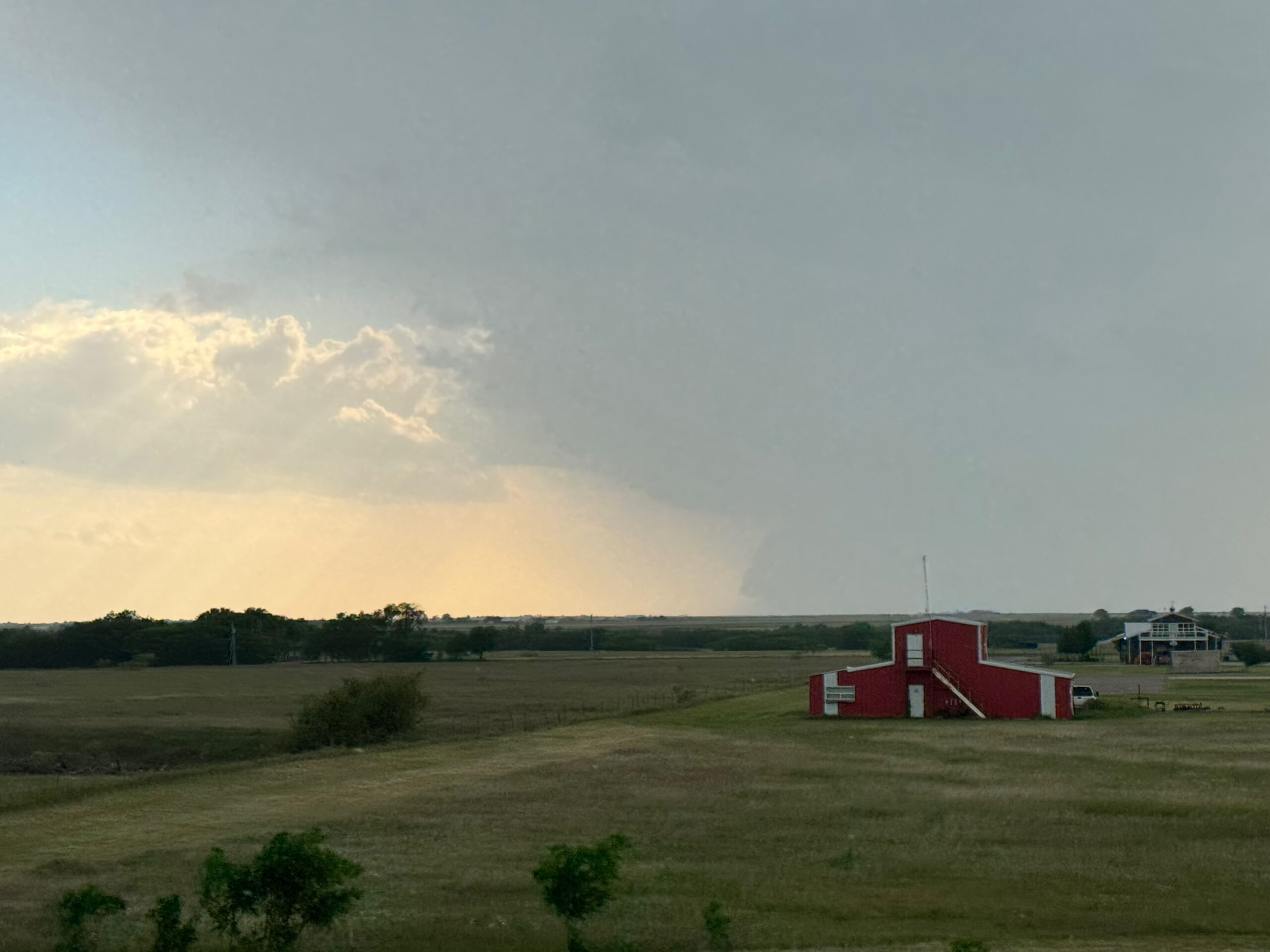
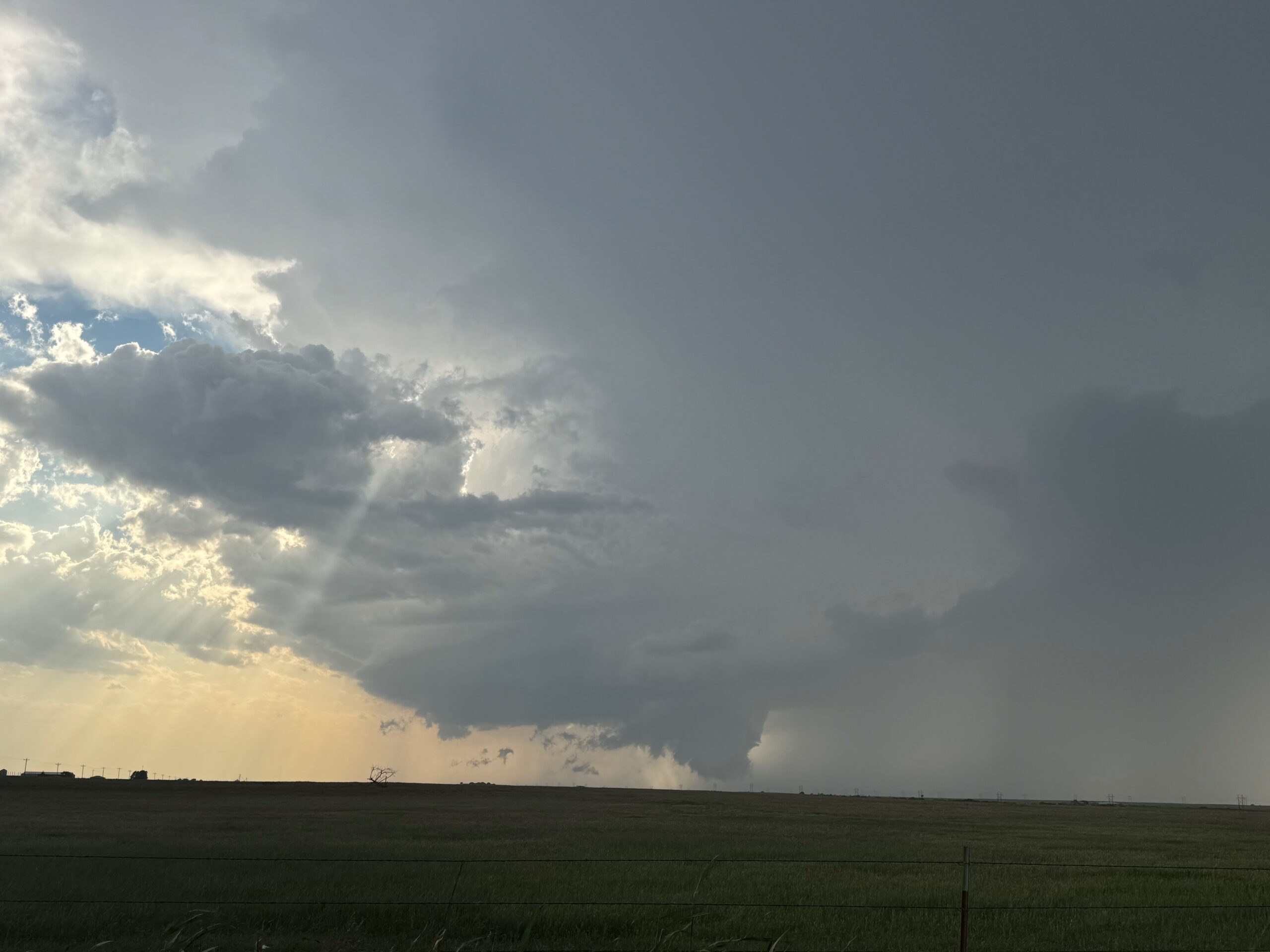
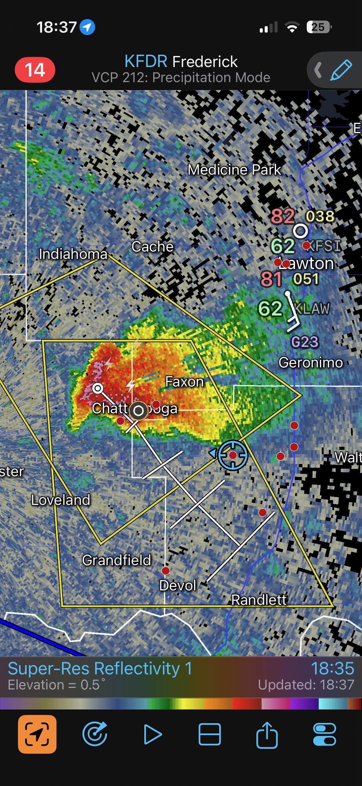
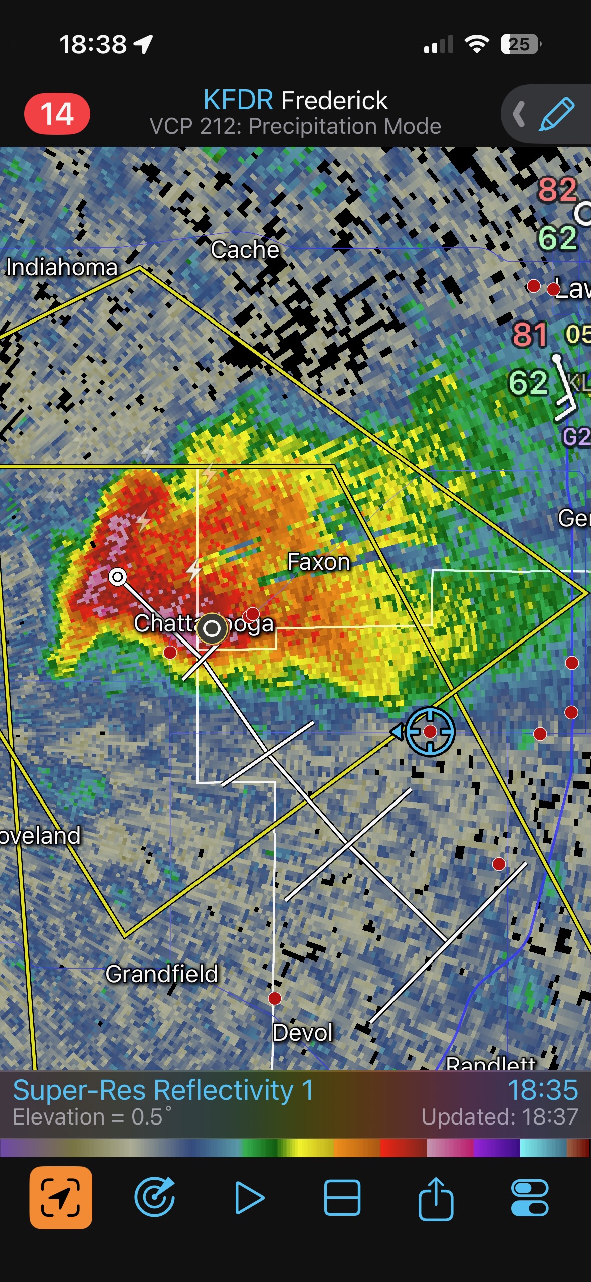
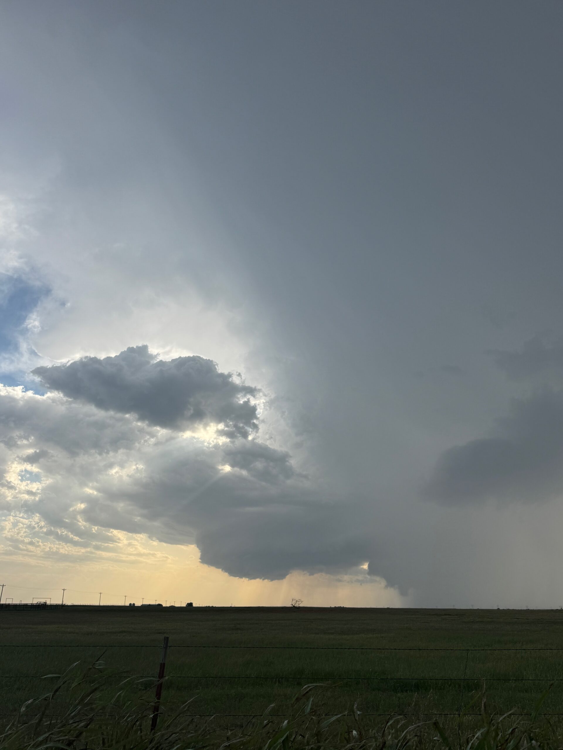
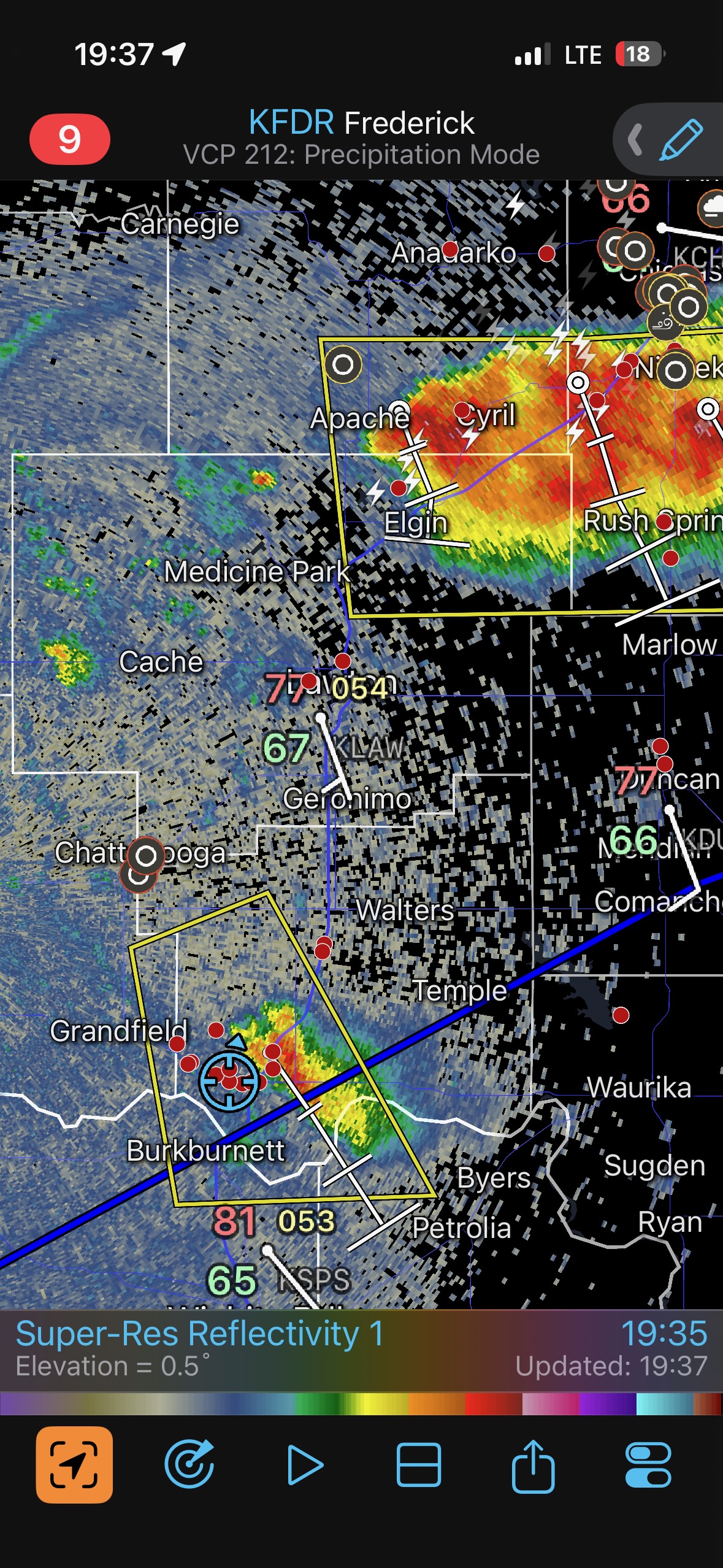
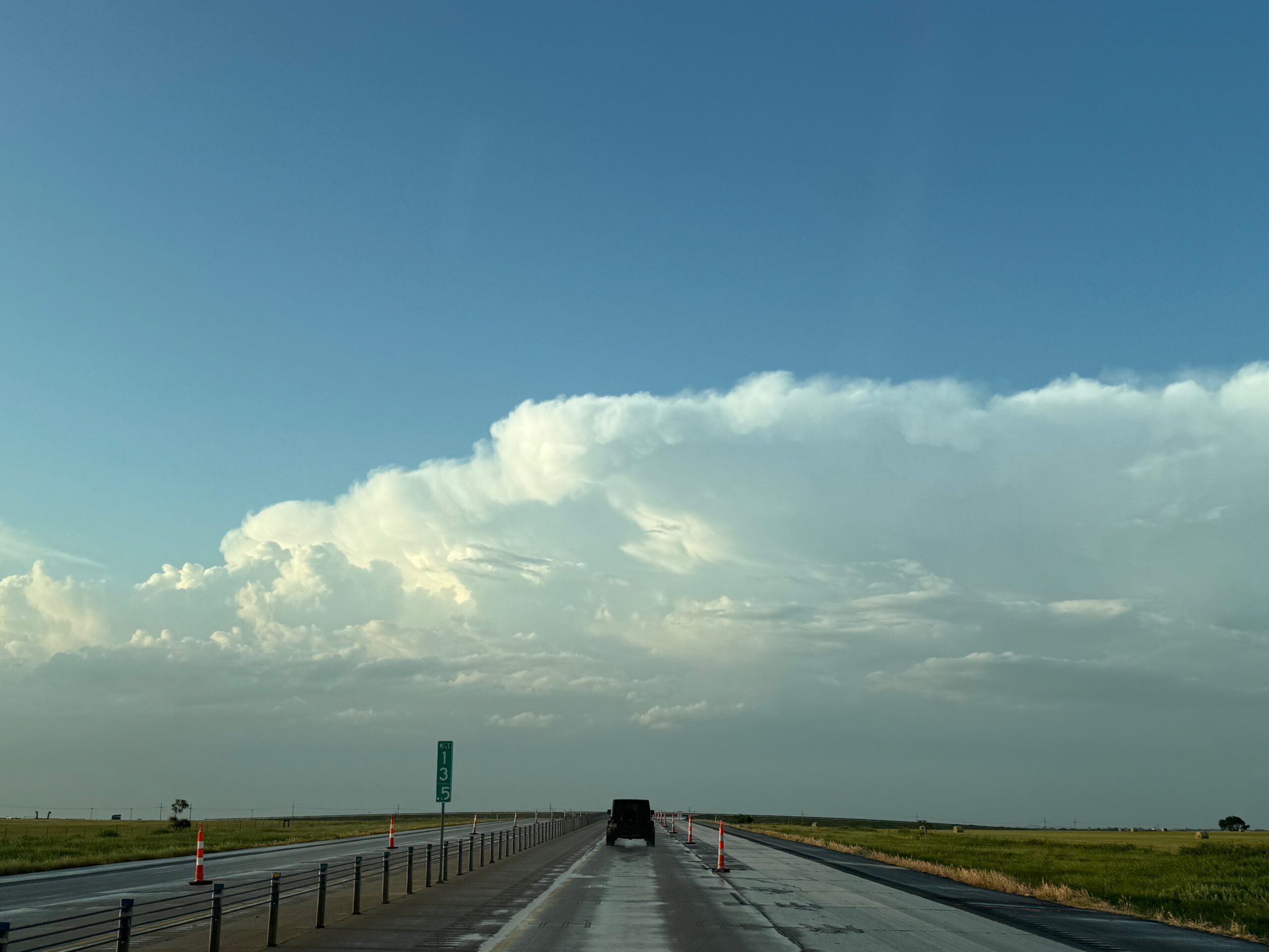
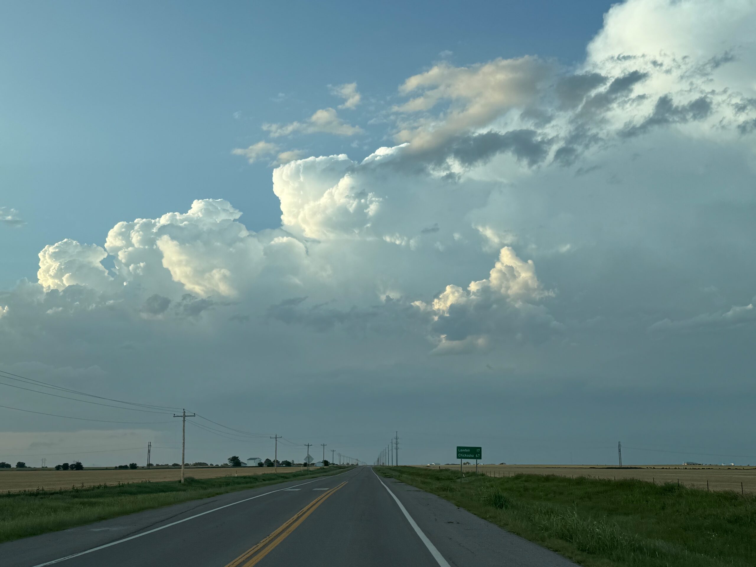
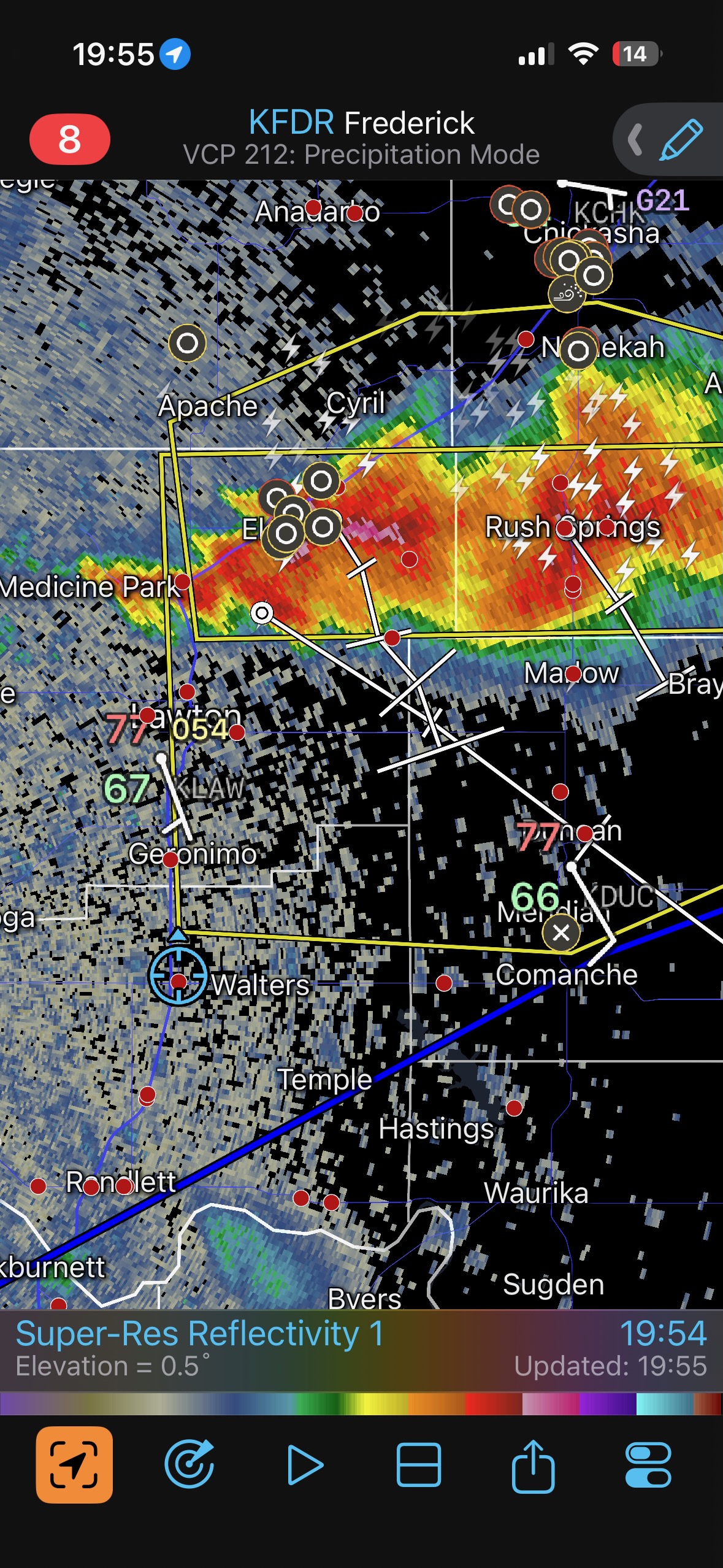
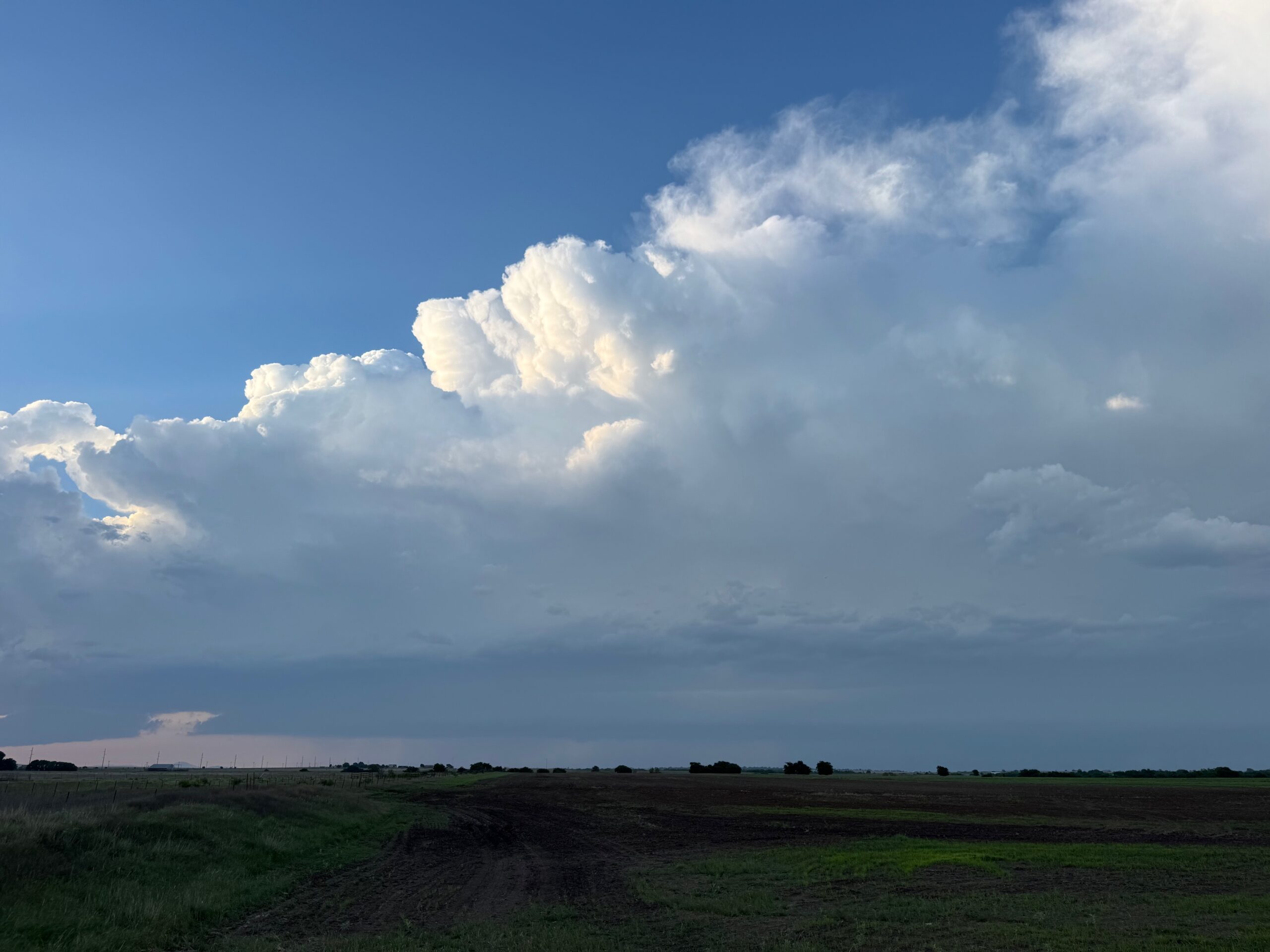
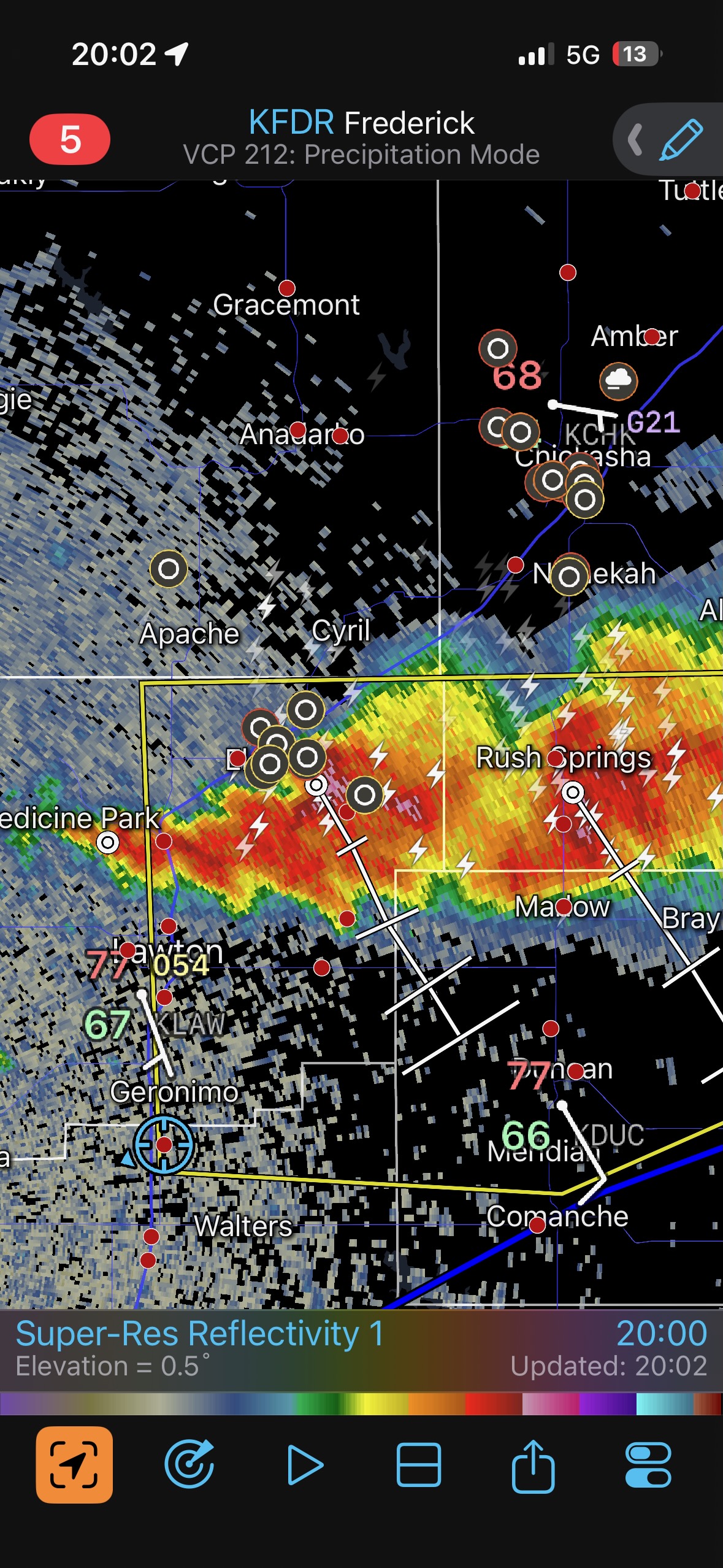
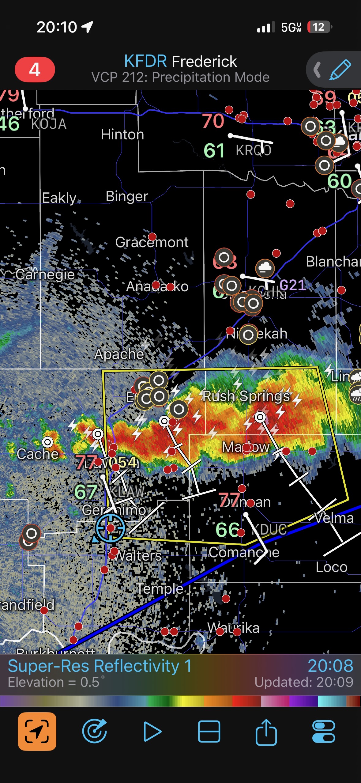
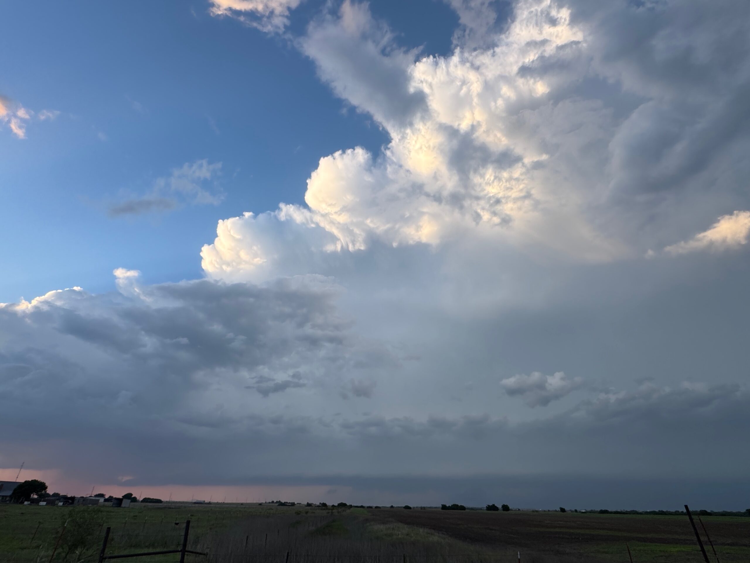
This chase was from El Reno to southwest of Lawton to Geronimo. A decent isolated cell had a tornado warning, but sputtered as we got into position just east of it. Later, some stuff to our north showed fun laminar low-level structure near Geronimo.
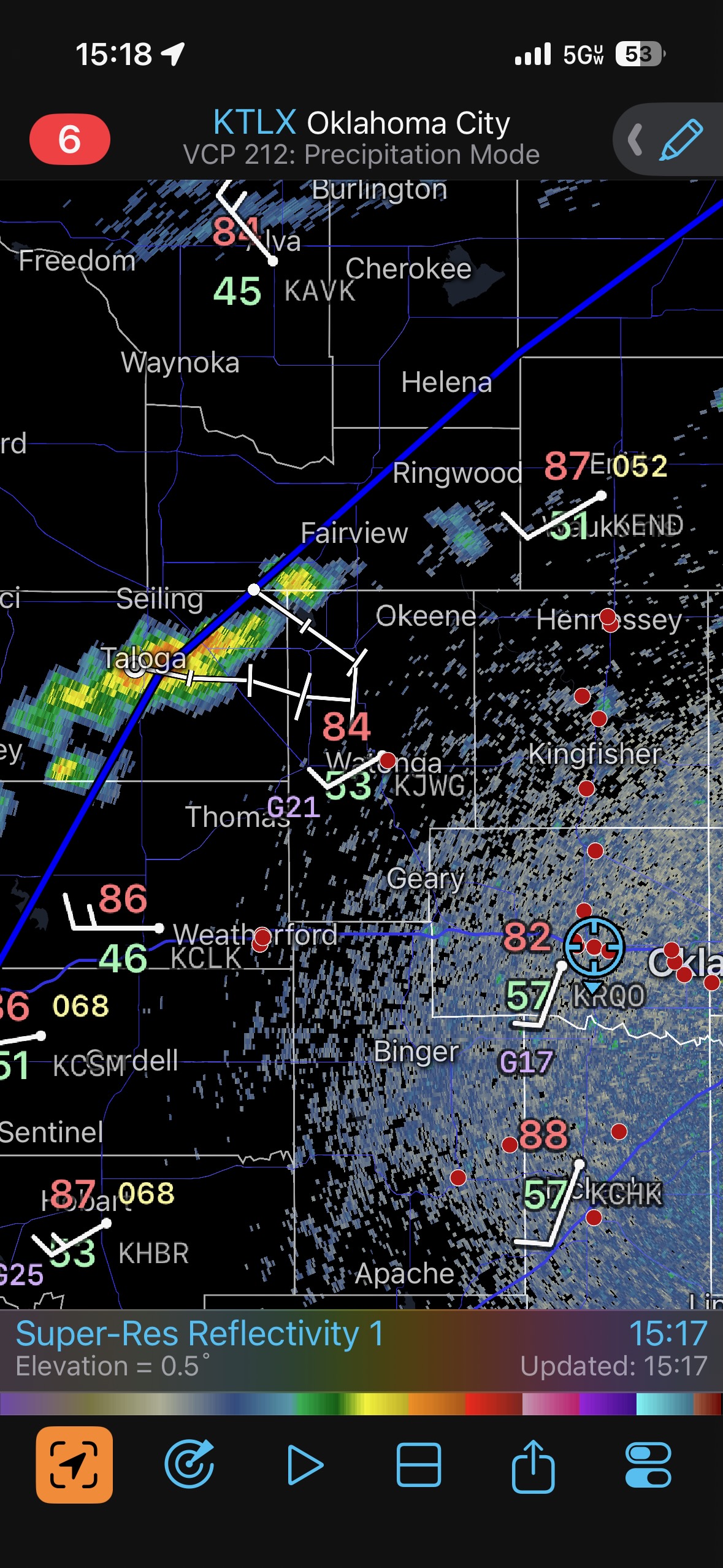
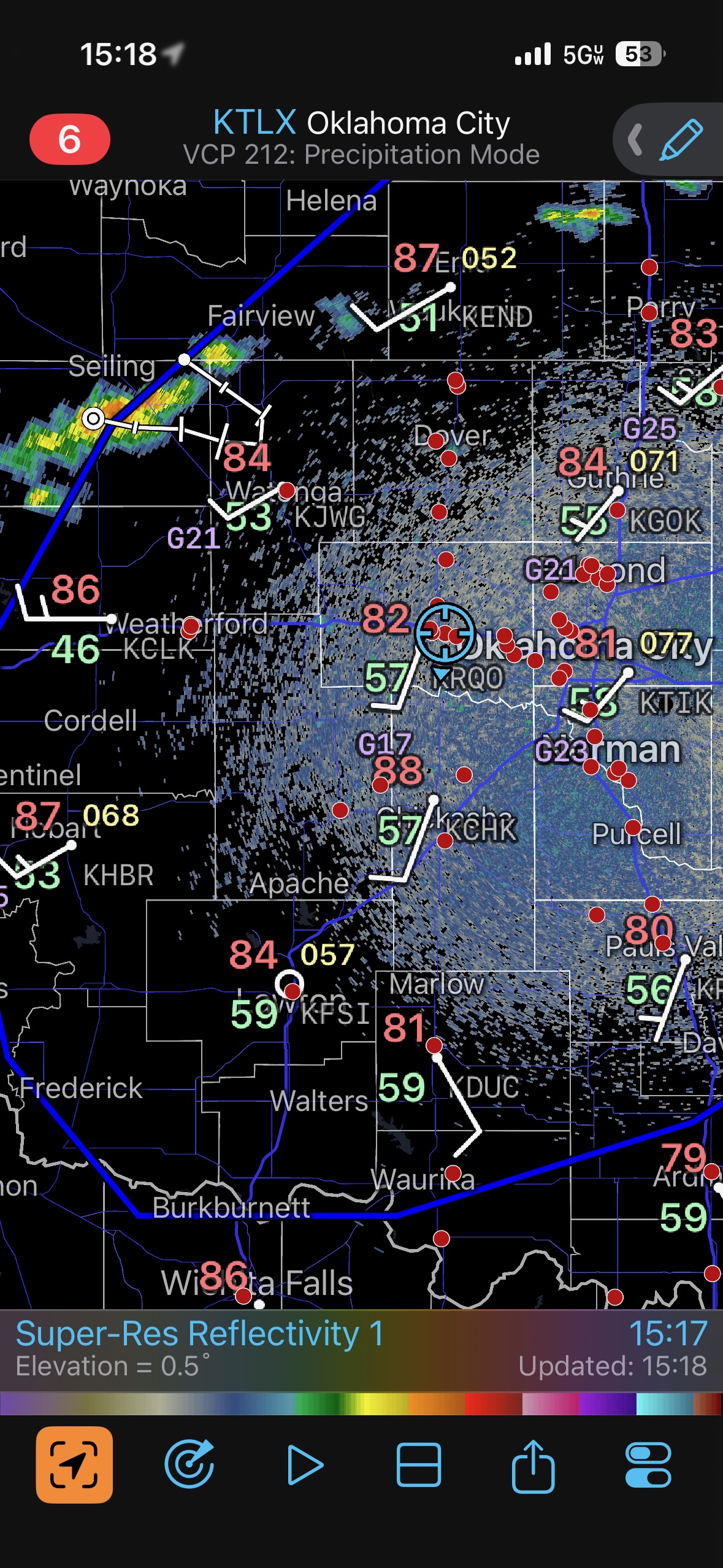
iPhone pics below for May 8th
Leave a Reply
You must be logged in to post a comment.