Stormbruiser.com

William T. Reid

  • About
  • Video Links
  • Climate
  • Categories
    • Astronomy
    • Aurora/Northern Lights
    • Artsy
    • Airports (LAX and VNY)
    • Animal Day
    • Beach
    • BEST and MOST POPULAR
    • Chase Season Summary
    • Chasers and friends
    • Cumulonimbus
    • Death Valley
    • Desert
    • Desert/Mountains
    • Elevated photography
    • Eyesores
    • Fire
    • Flooding
    • Hurricane
    • Landscapes
    • Lightning
    • Local: Conejo Valley/San Fernando Valley
    • Mid and High Clouds
    • Nighttime photography
    • Old Stuff
    • Rainbows/Optical Phenomena
    • San Nicolas Island
    • Storm Video Sales
    • Stormy Skies
    • Stupid Bugs
    • Sunsets and Storms
    • Supercells
    • The City
    • Tornadoes
    • Unusual Clouds
    • Vegetation
    • Wind and Dust
    • Winter Weather
  • Contact
You are here: Home / 2026 / May 16, 2026 Kearney NE Area Severe

May 16, 2026 Kearney NE Area Severe

May 16, 2026 By William Reid Leave a Comment

Begin: OKC/lunch: Spangles in Park City, KS/End: Grand Island/529 miles

Storm Reports

SPC Day One/20Z

SPC MD 4:42 p.m. CDT

SPC MD 8:36 p.m. CDT

Chase account by Bob C and Tour 4B. Bob chased a storm closer to Beatrice and wound up stuck on a slippery road.

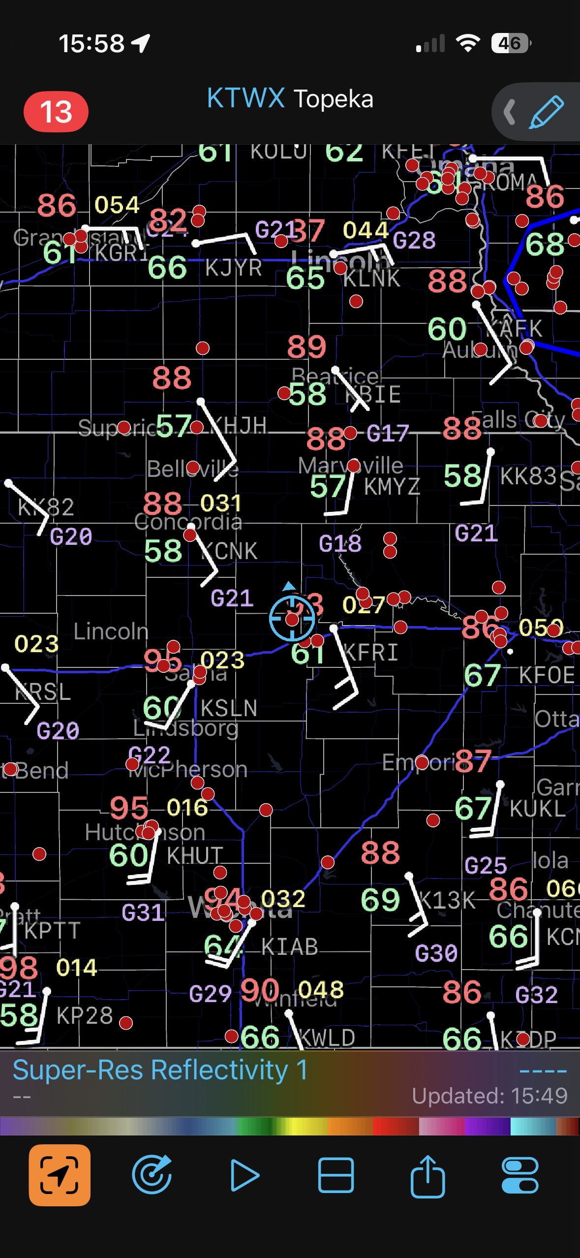
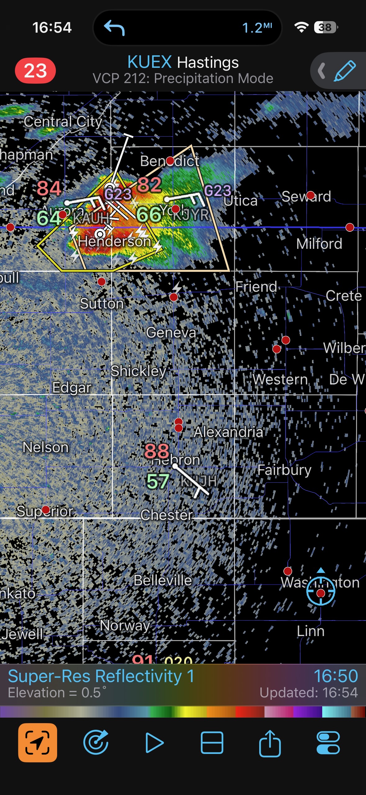
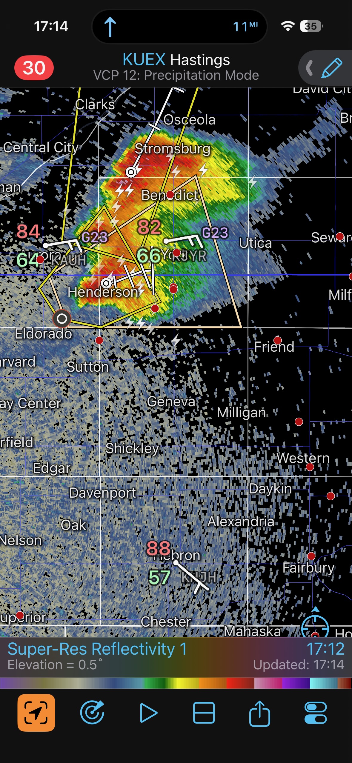
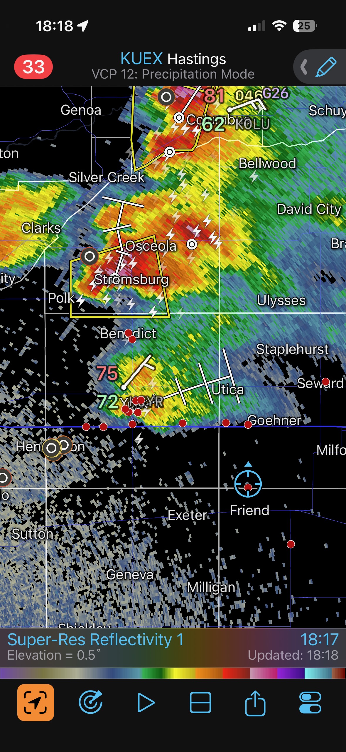
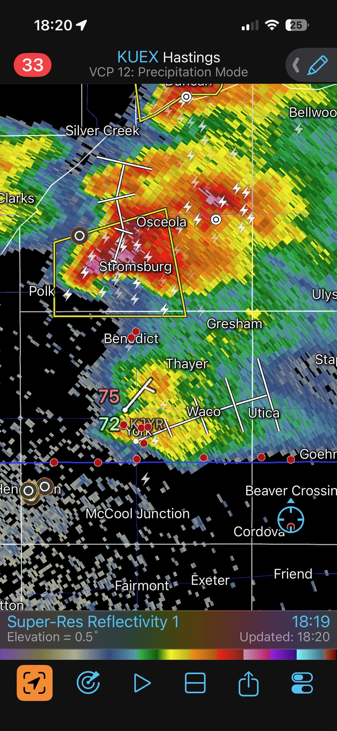
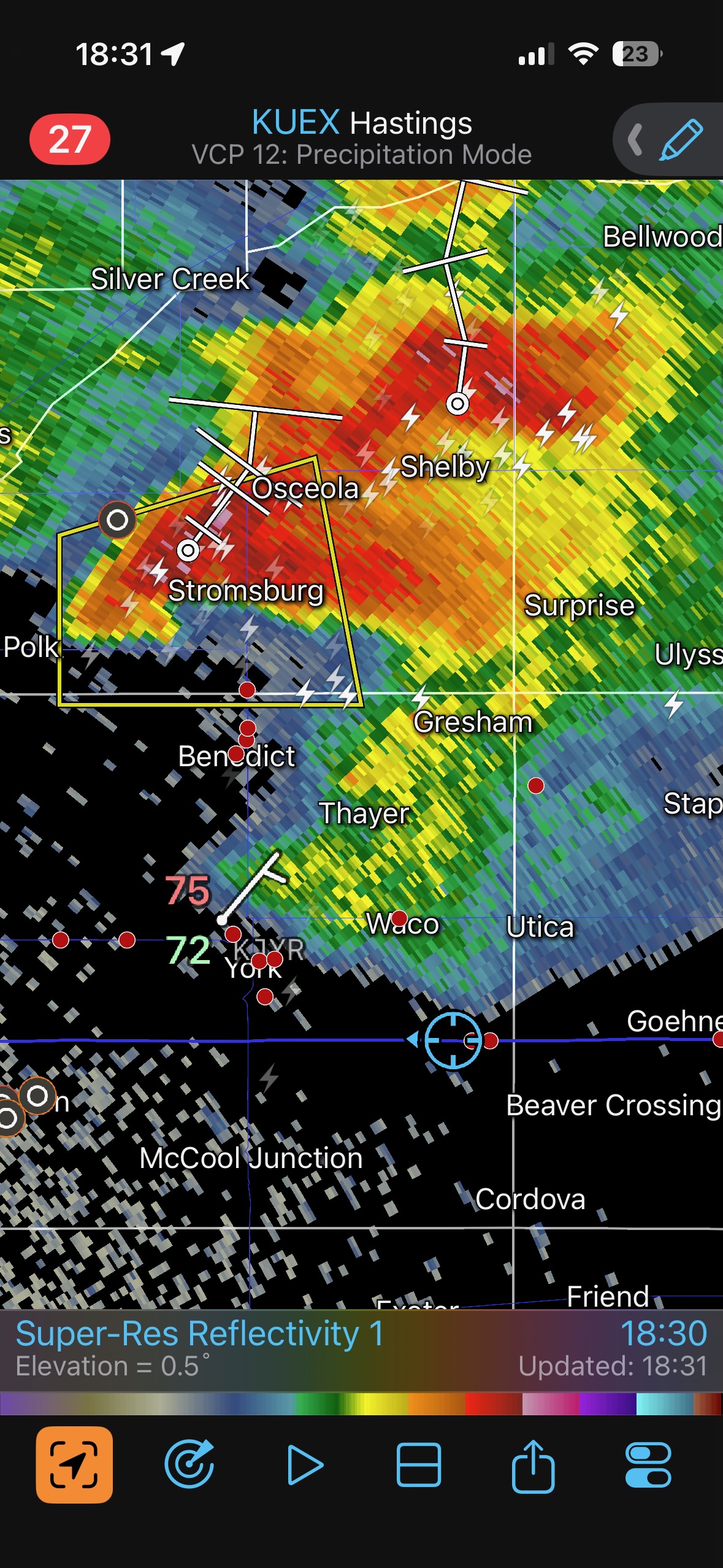
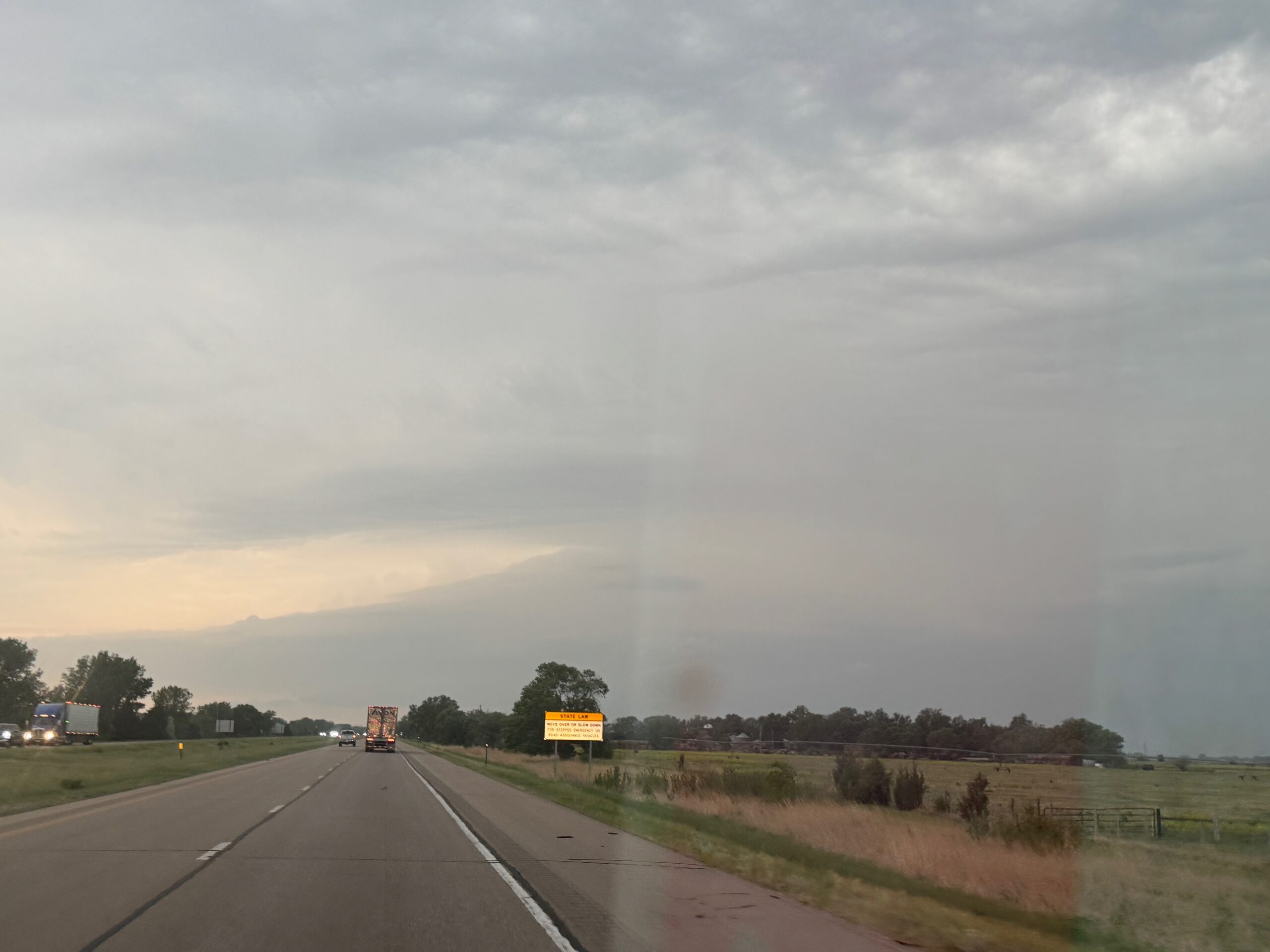
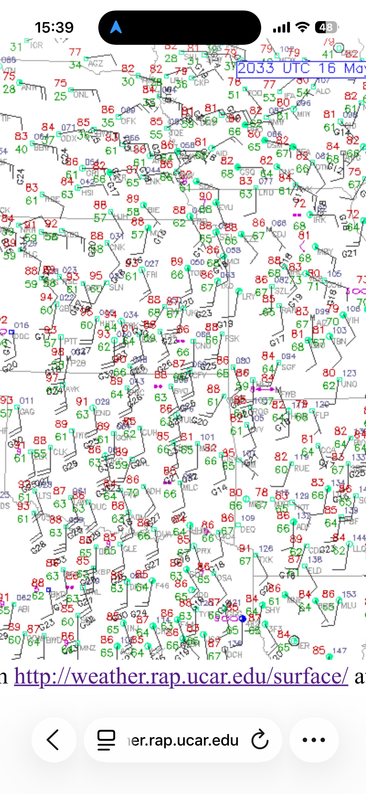
This was the arrival day for Tour 4 out of OKC, and we scooted quickly northward and well into Kansas. An obvious warm front/E-W boundary was along I-80 in Nebraska. I was distracted by some convection in Kansas early on, and we hedged towards Clay Center and vicinity. This activity was lame, and we set our sights once again on the boundary up in Nebraska. Again, a decent cell or two distracted us around York and then northwest of Grand Island. These looked good for a bit, but just could not get really good. I think the one north of I-80 was undercut.

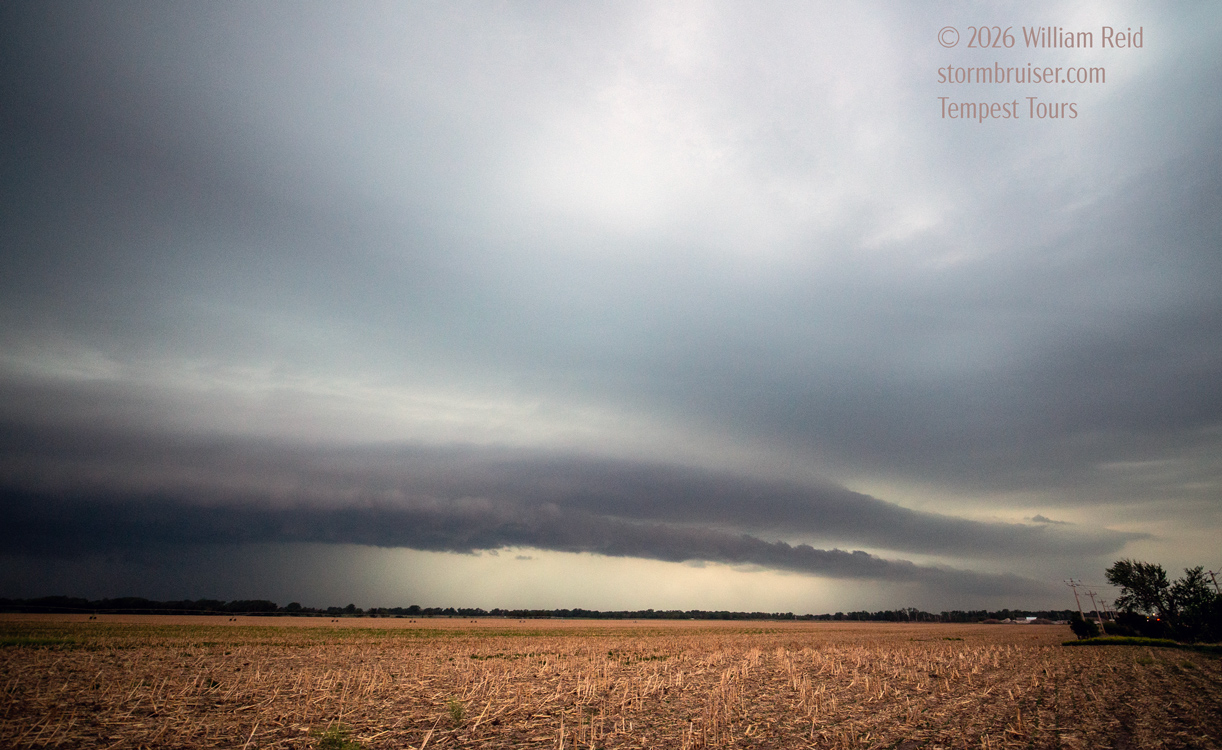
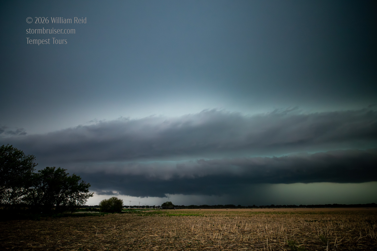
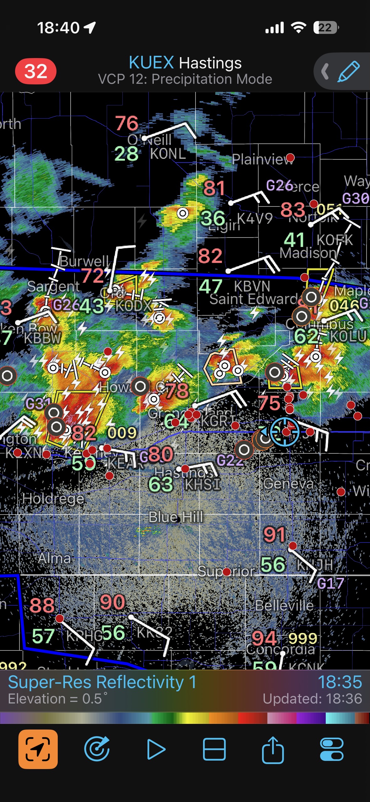
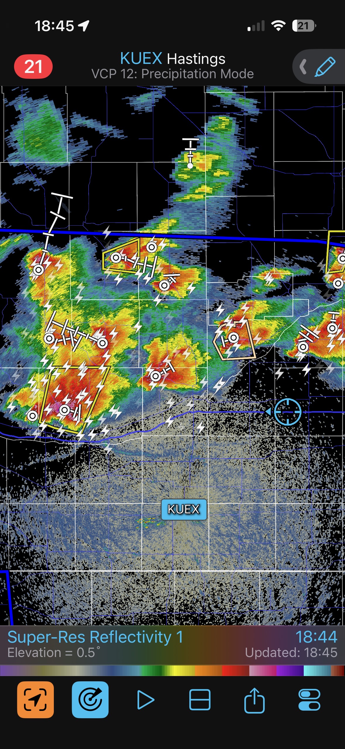
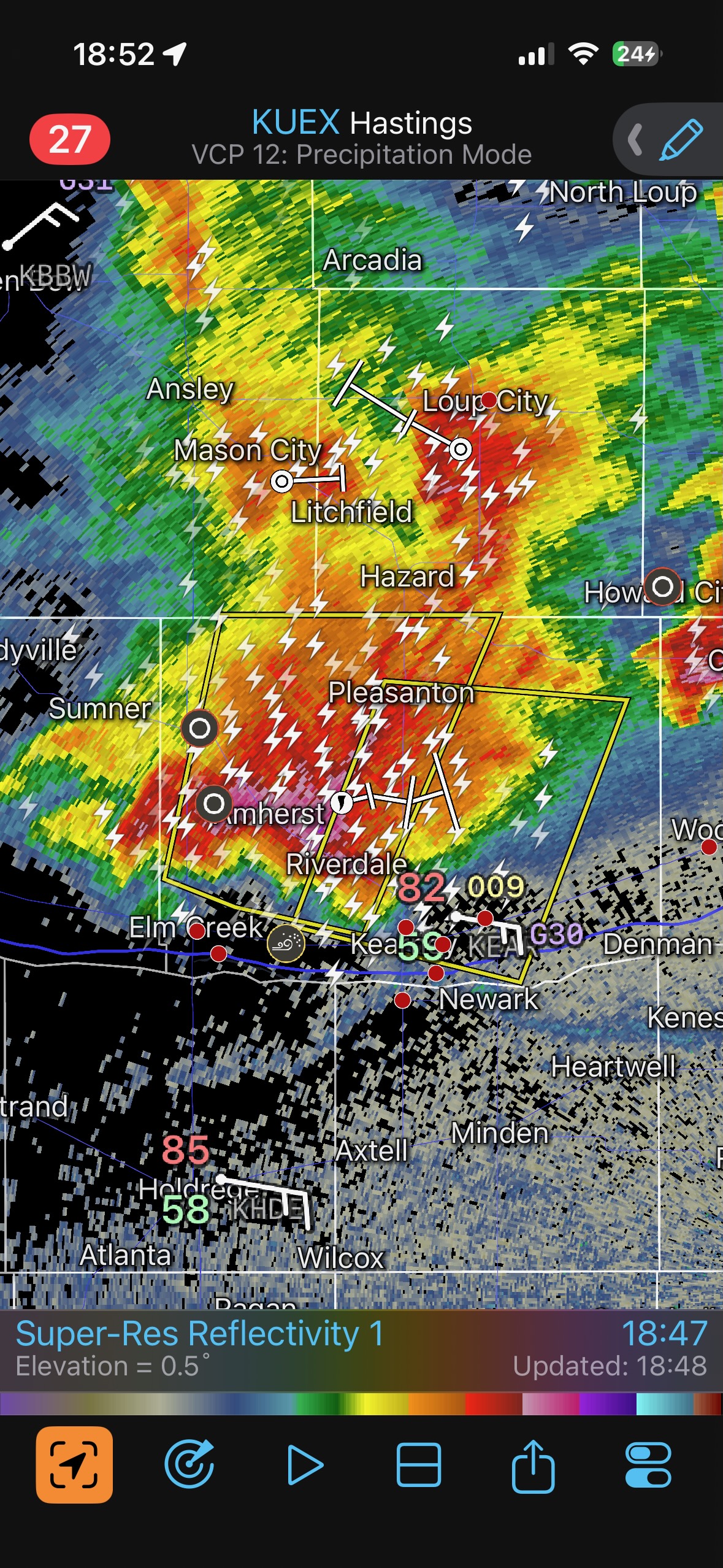
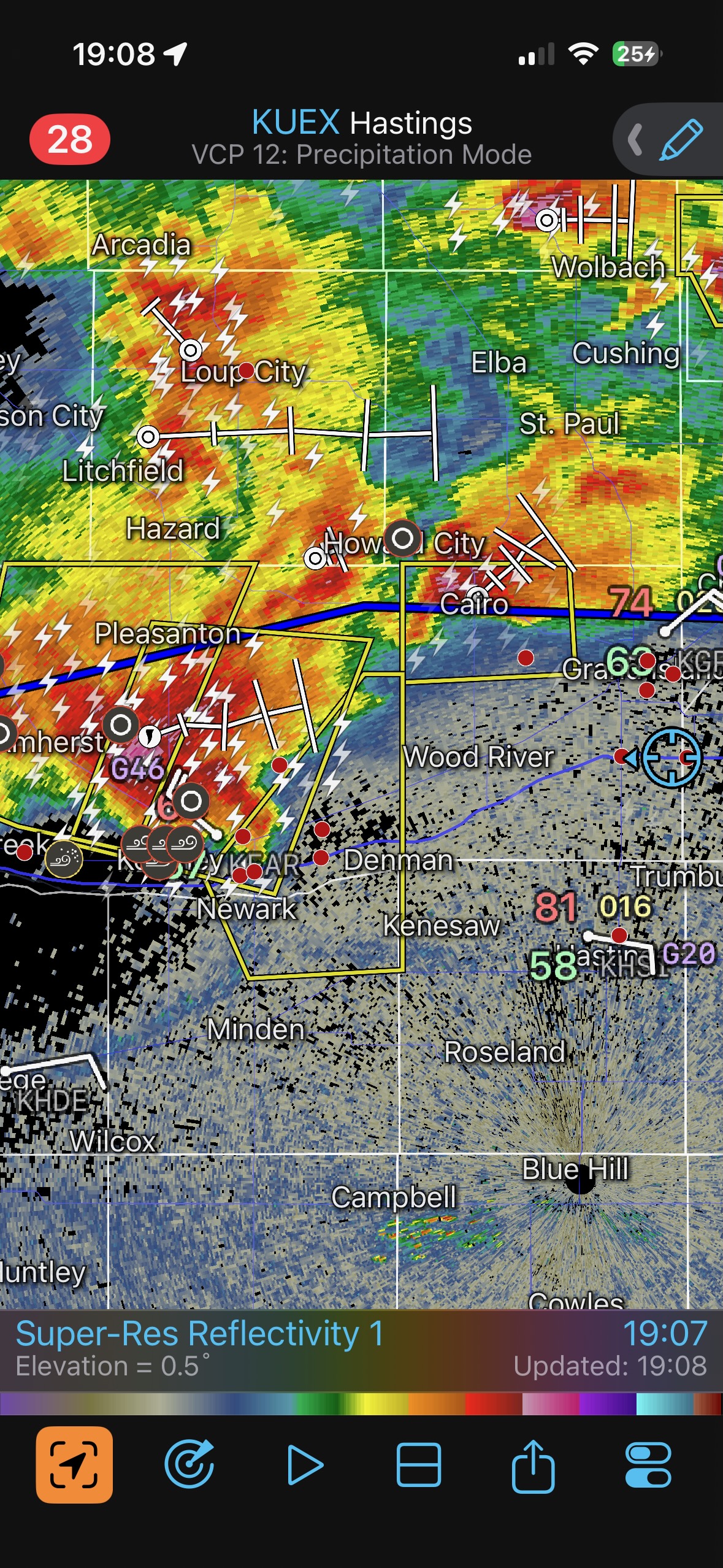
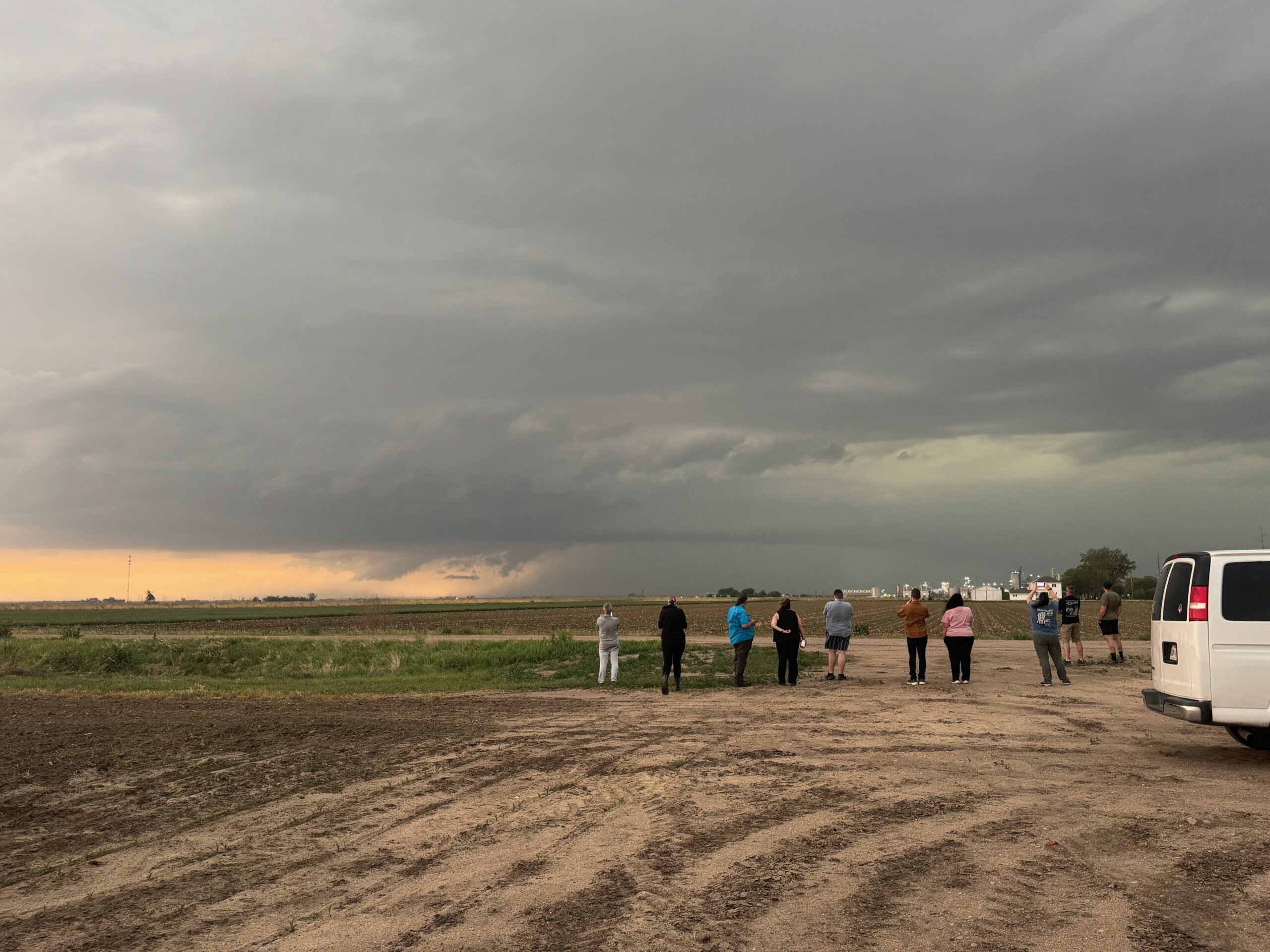
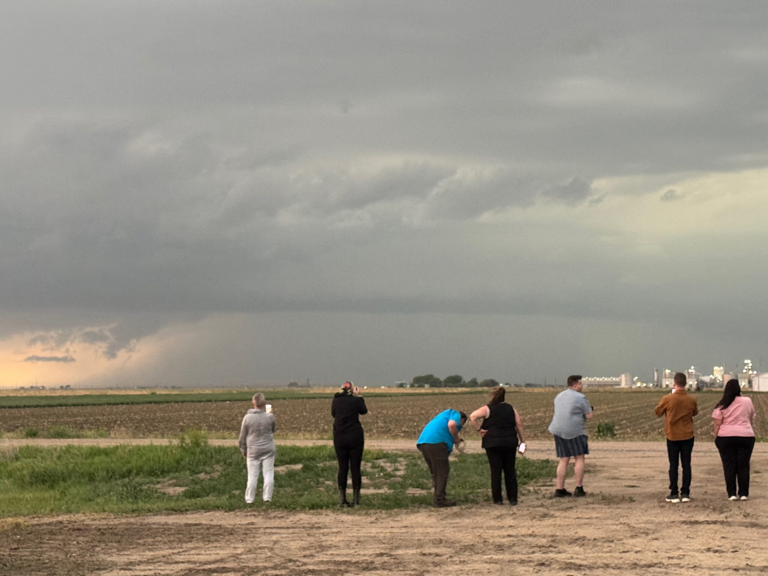
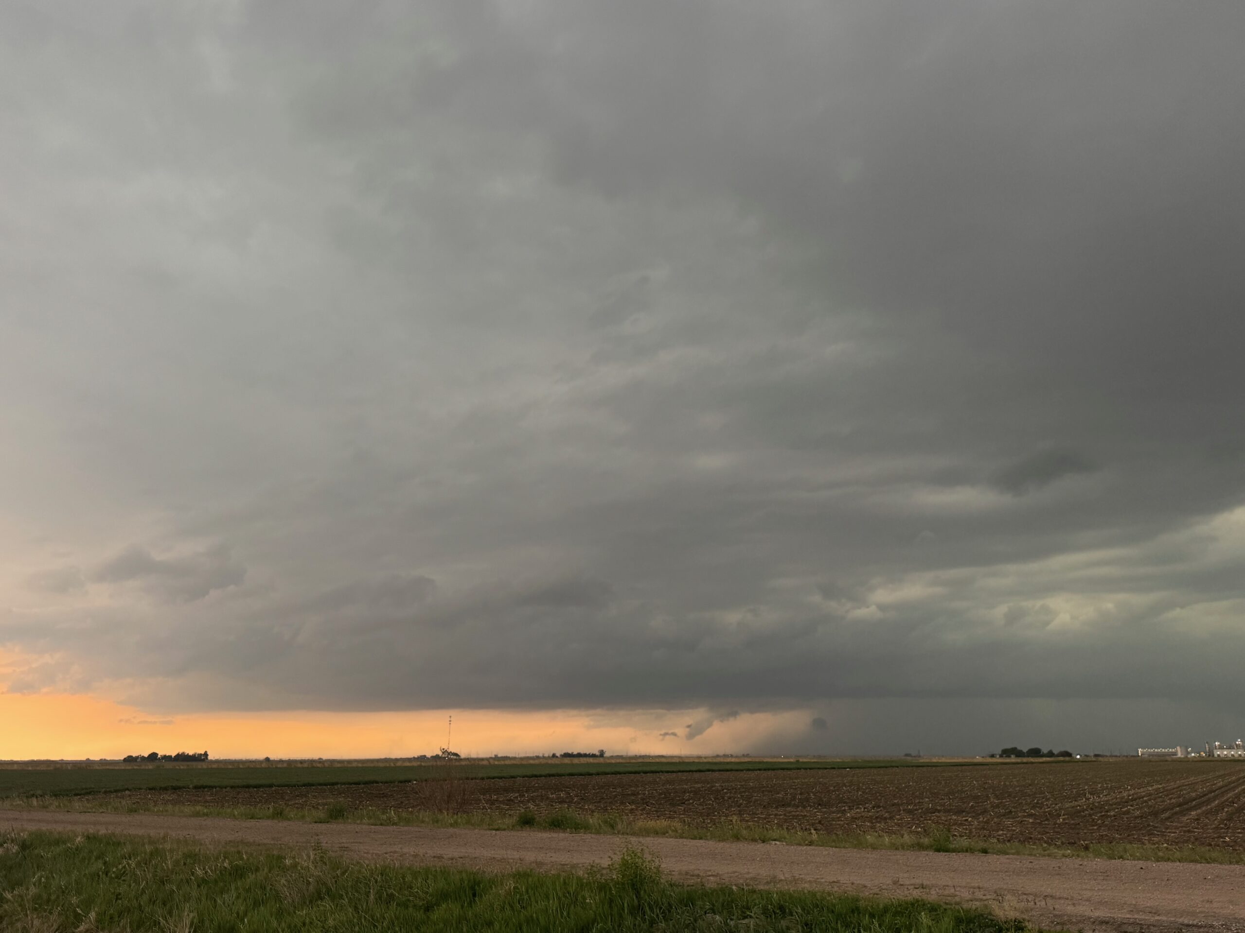
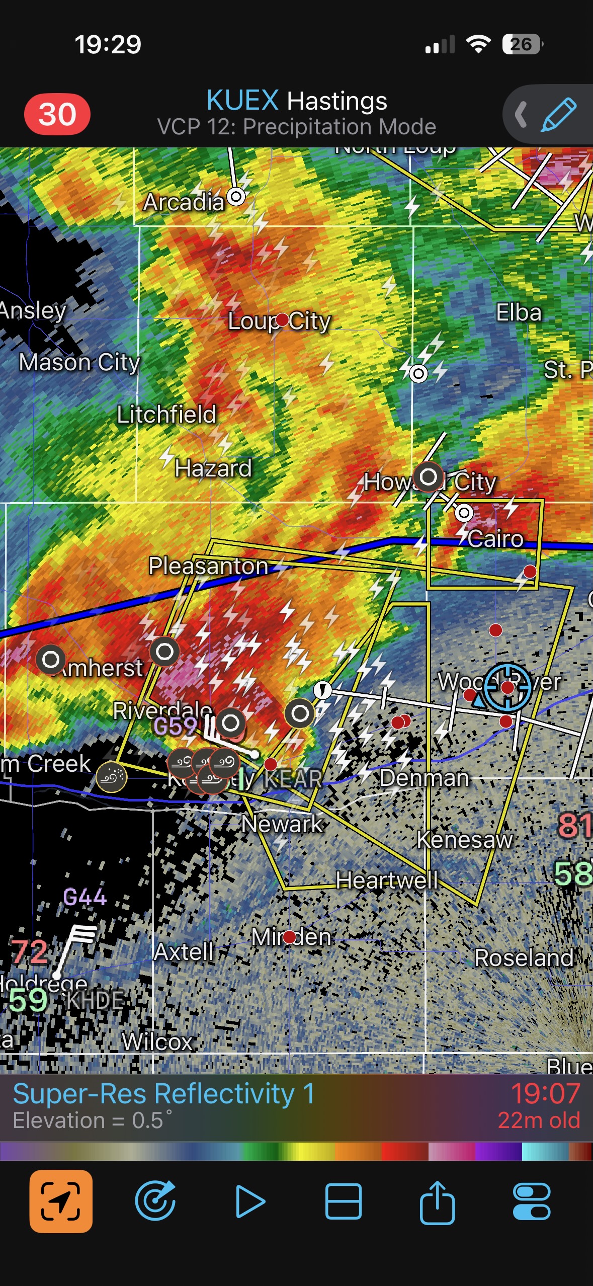
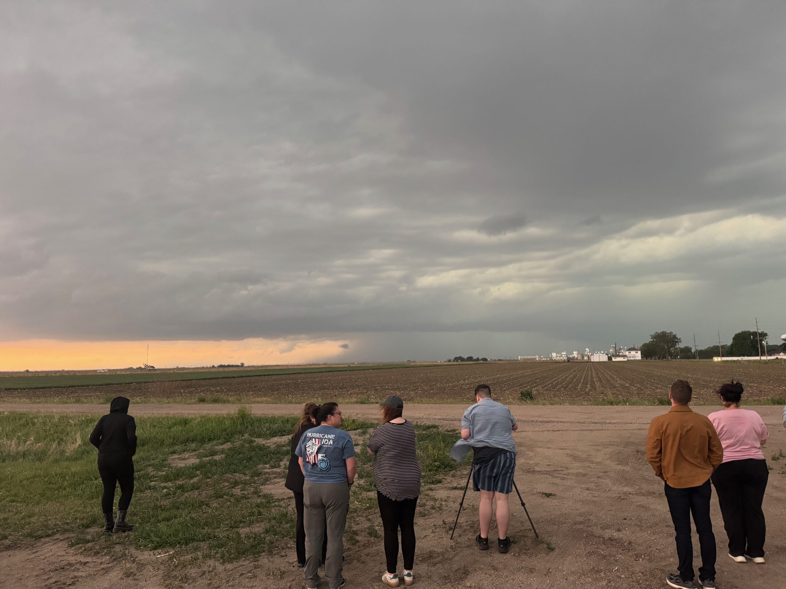
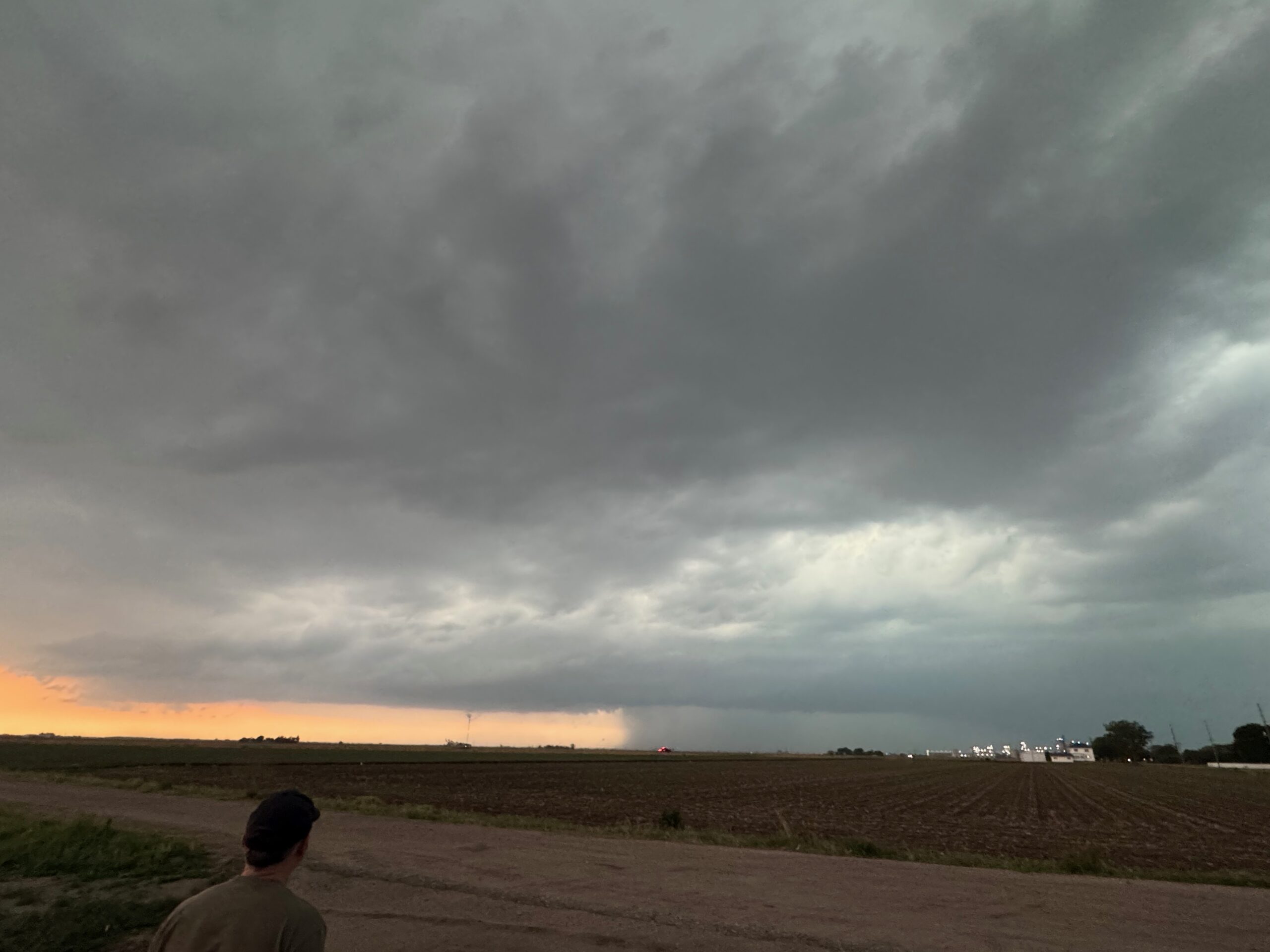
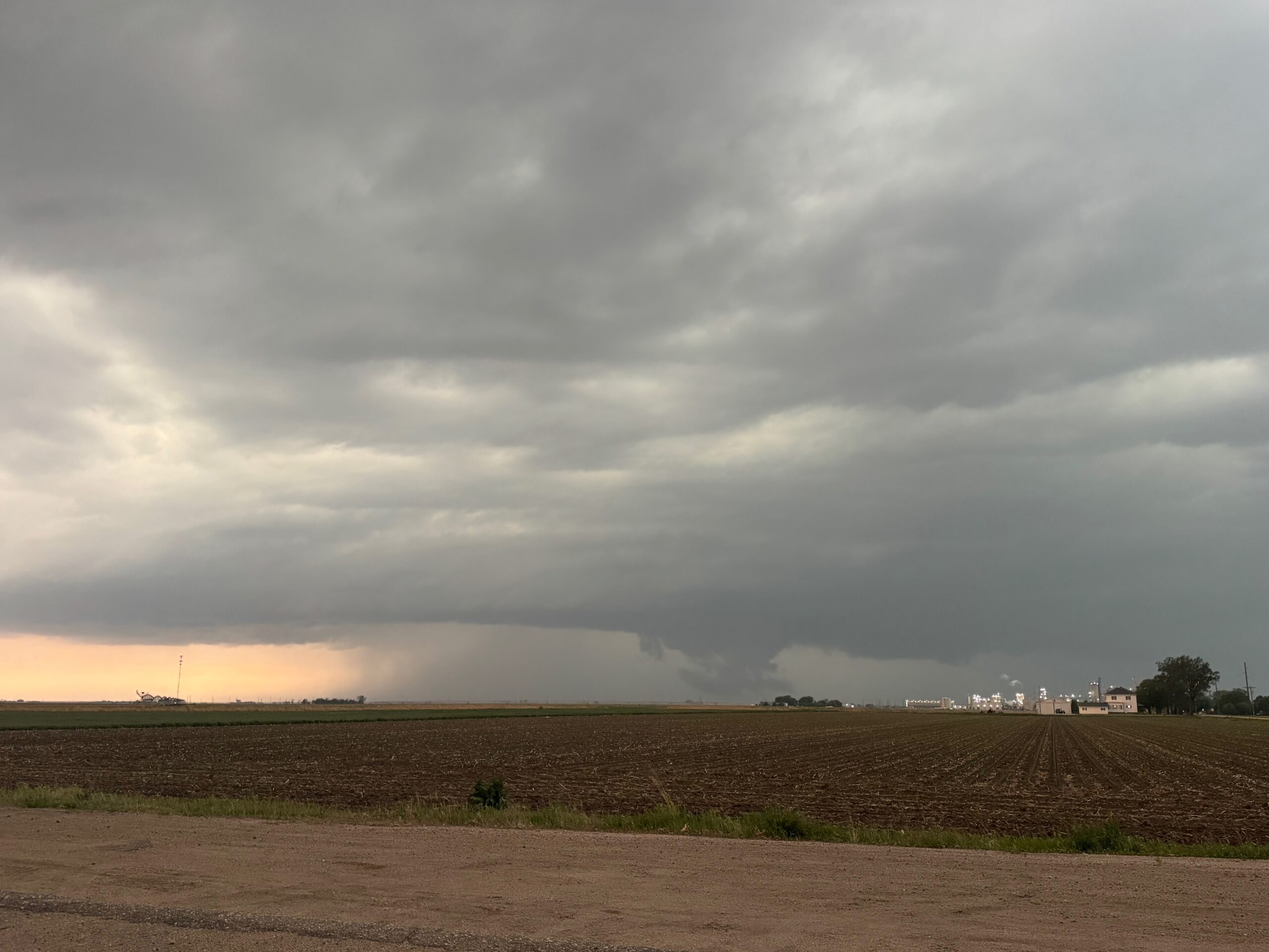
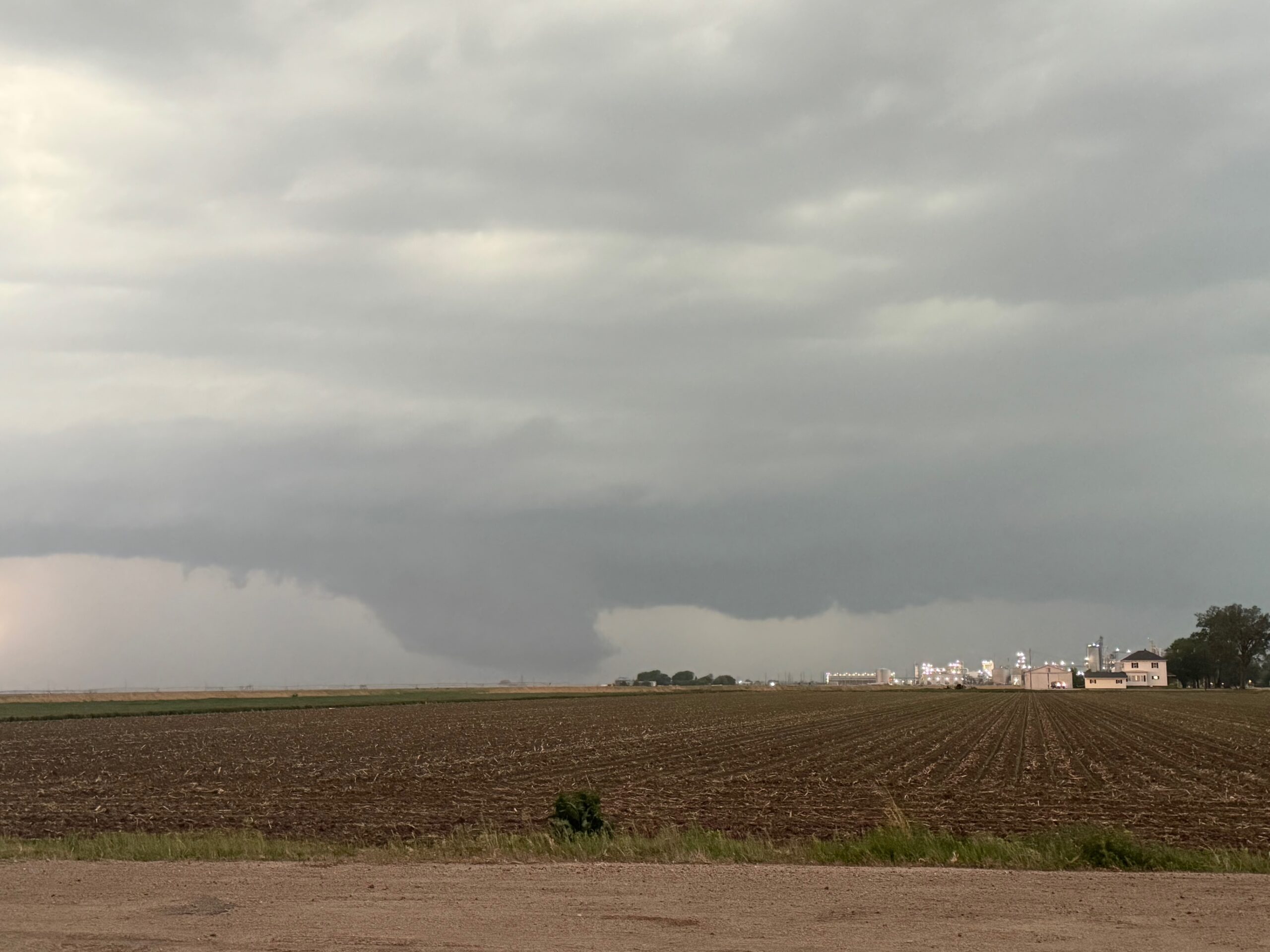
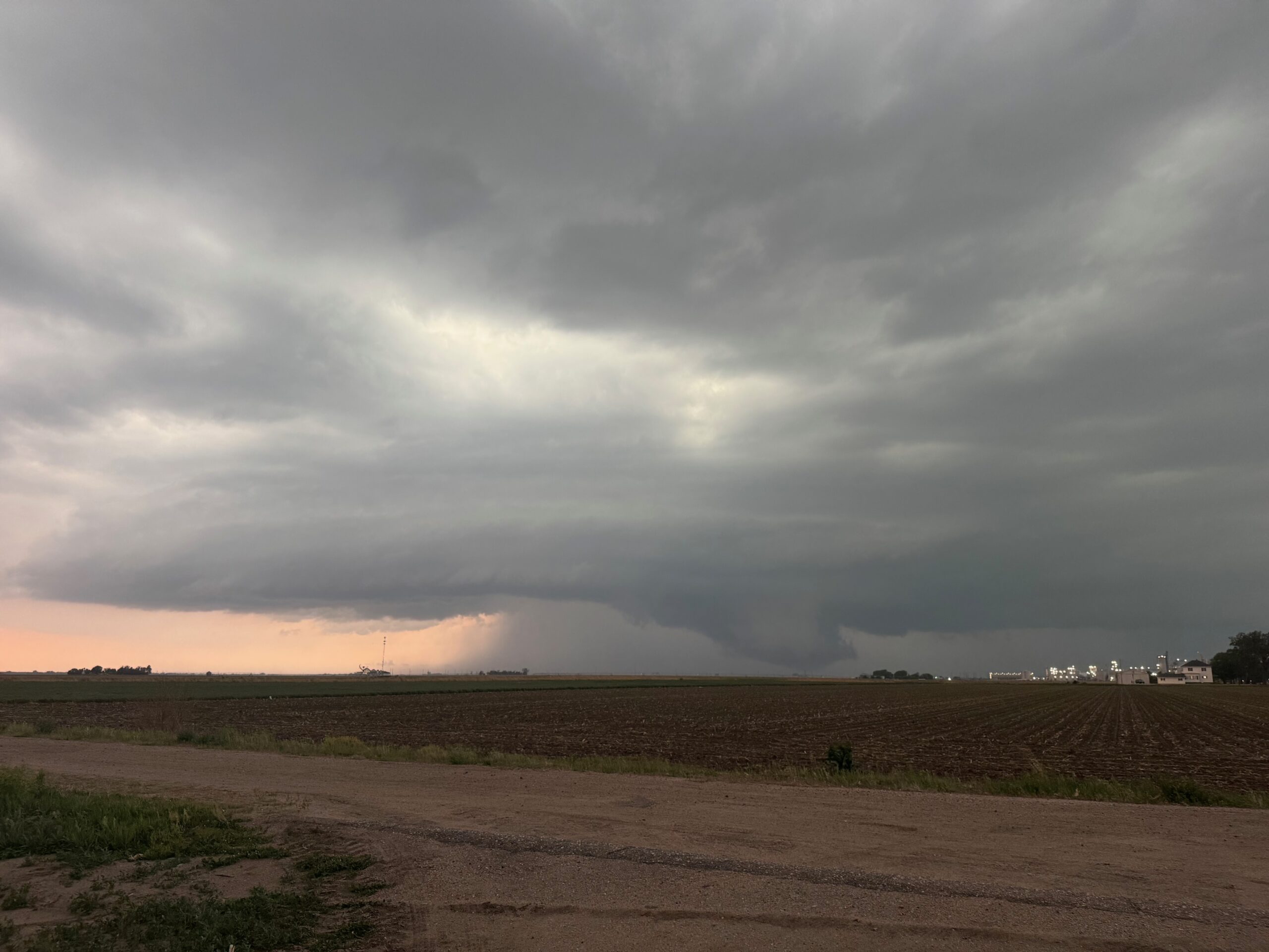
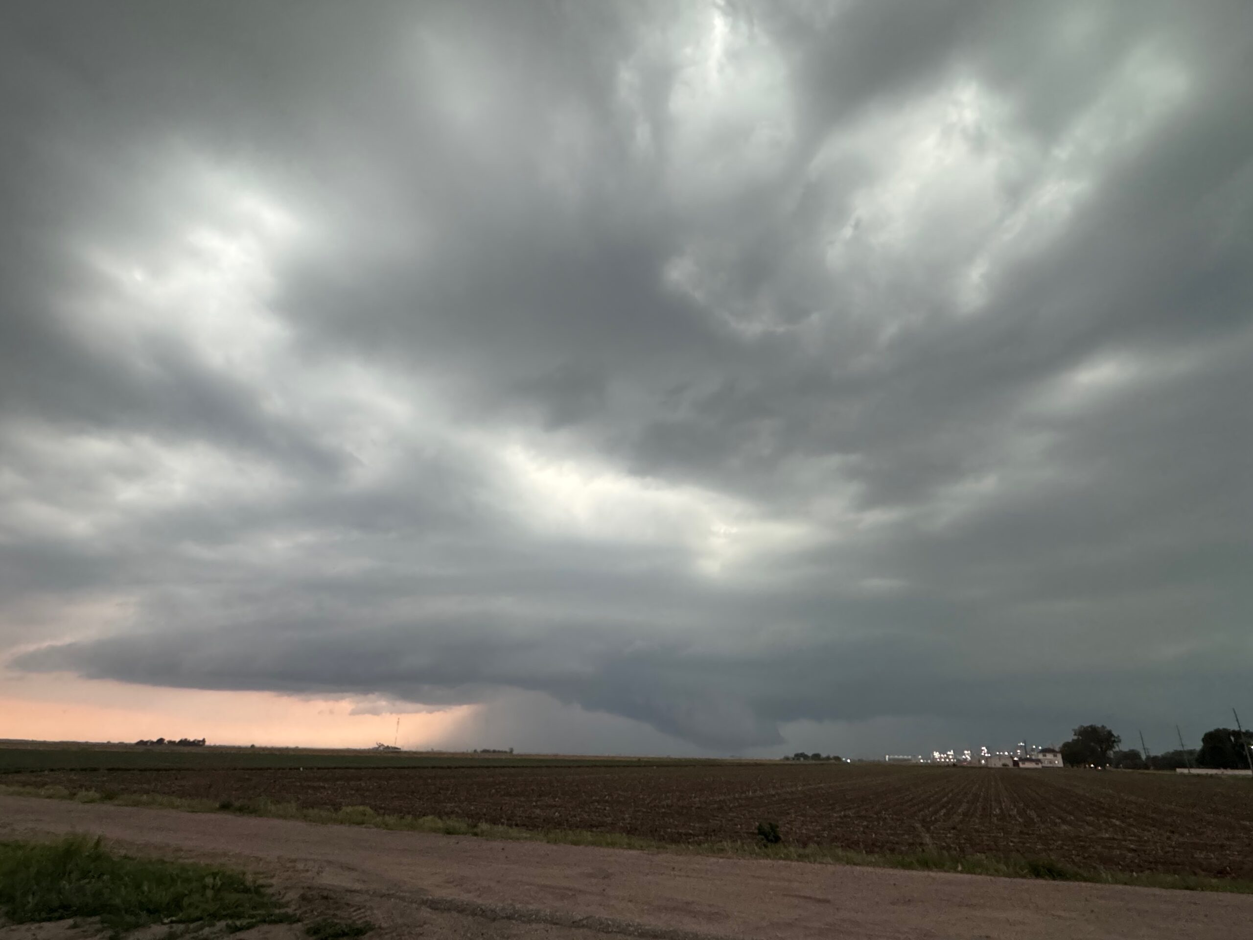
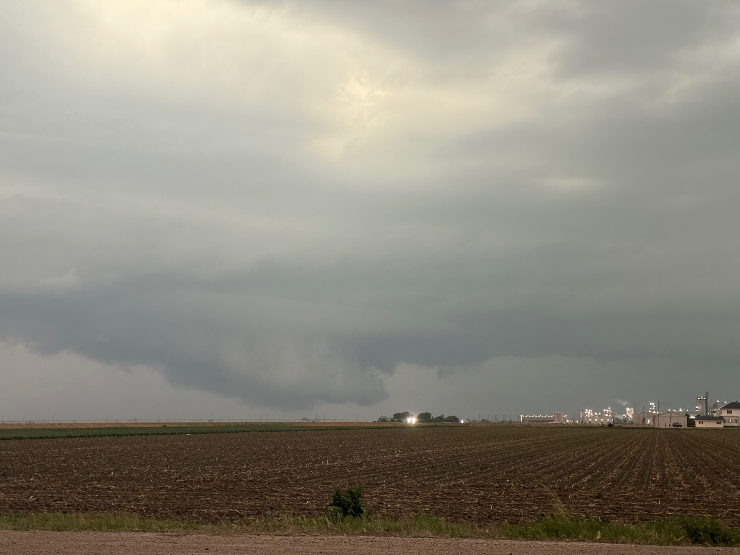
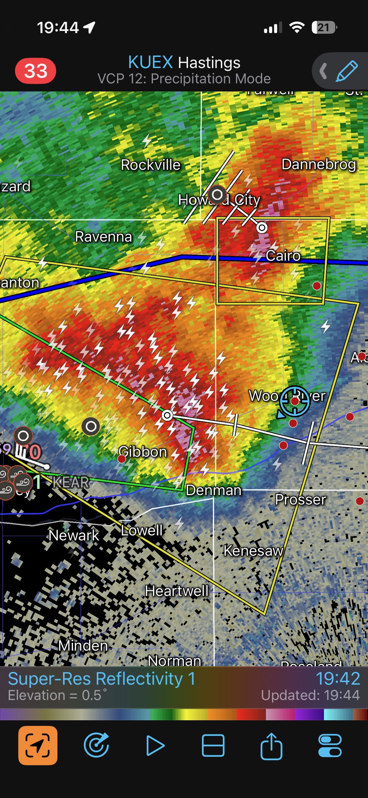
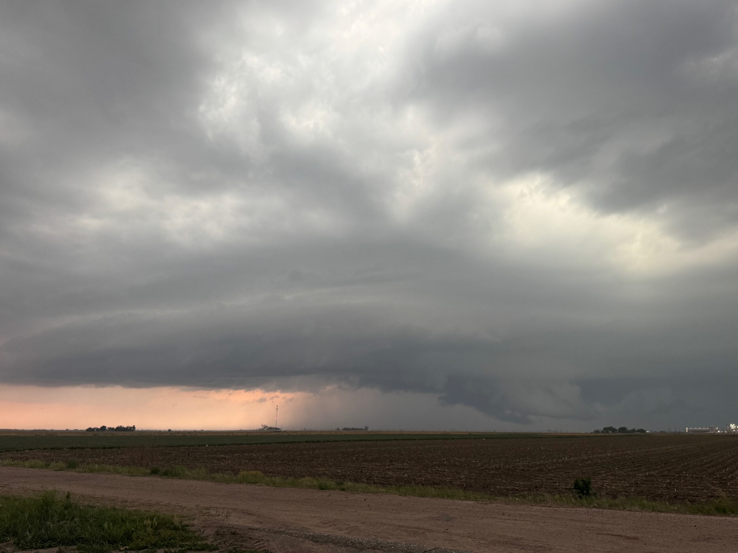
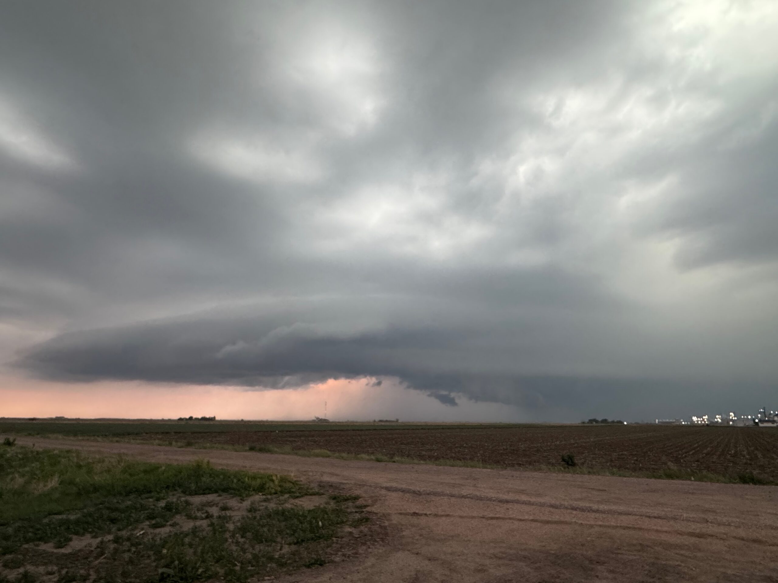
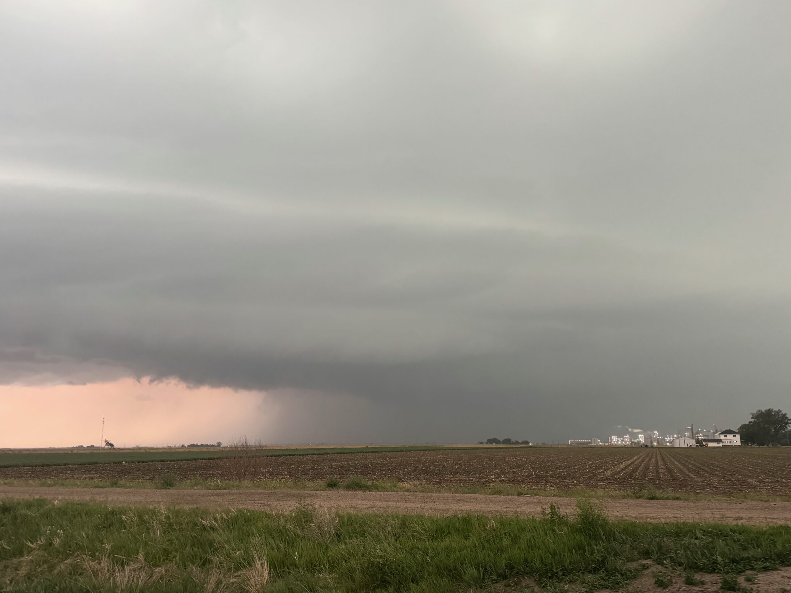
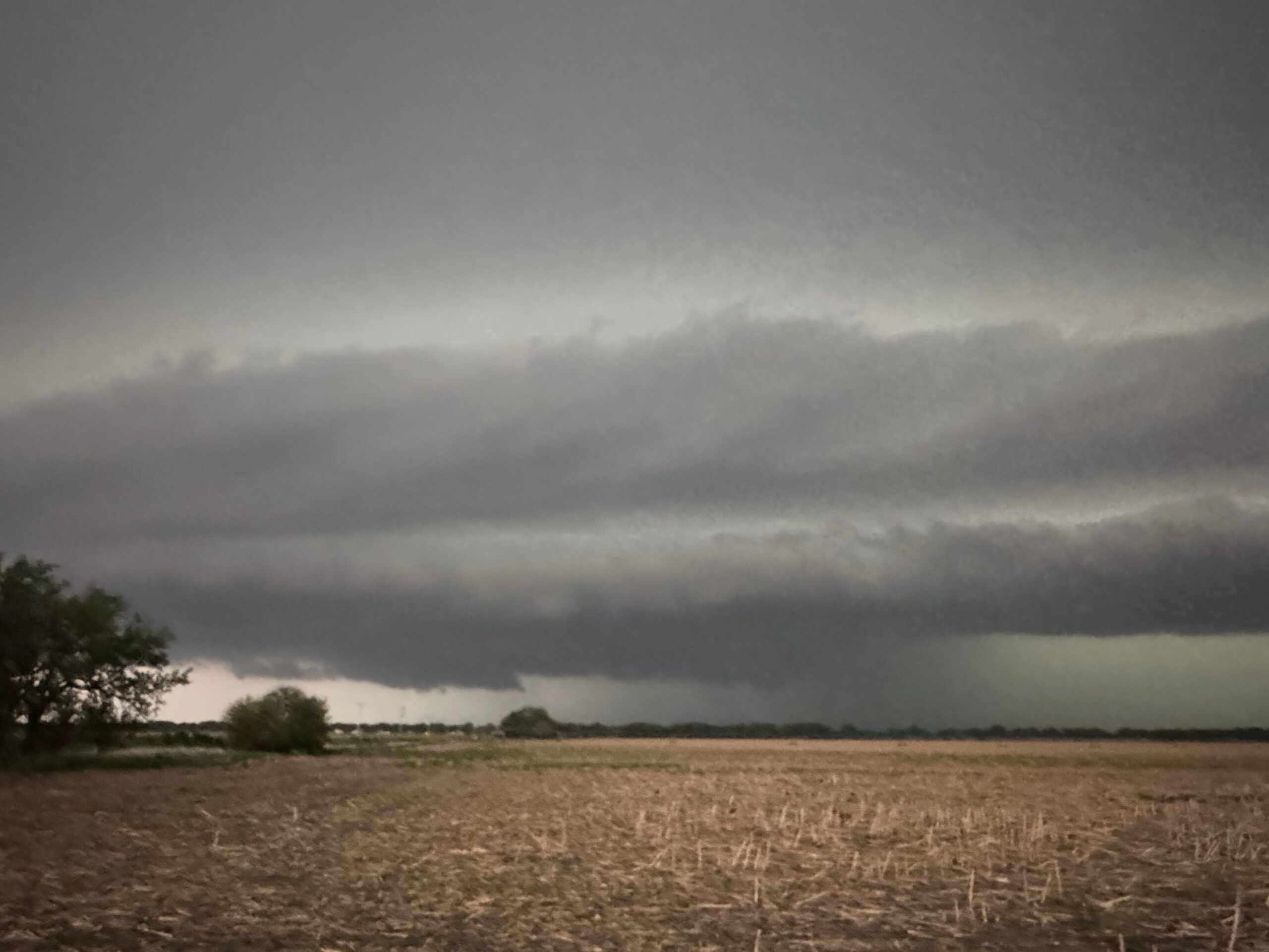
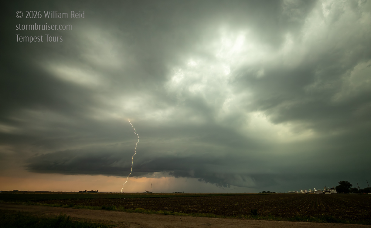
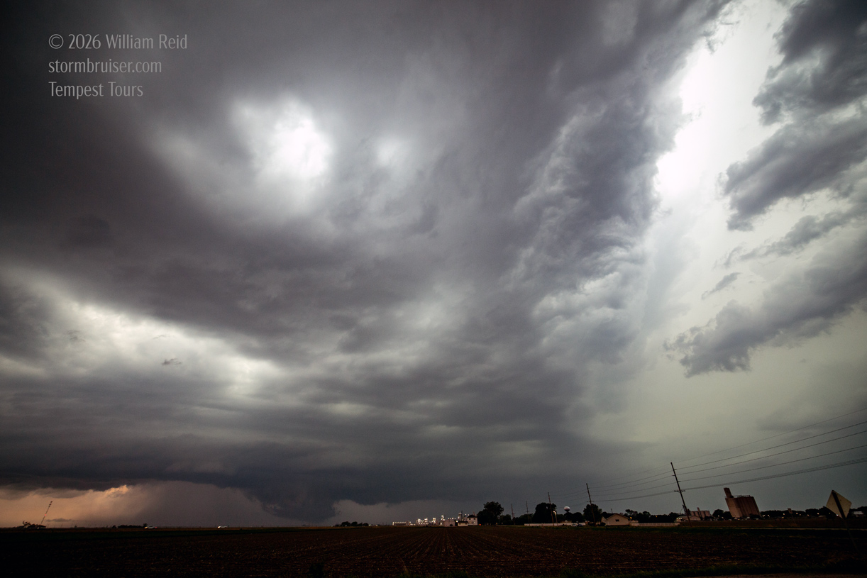
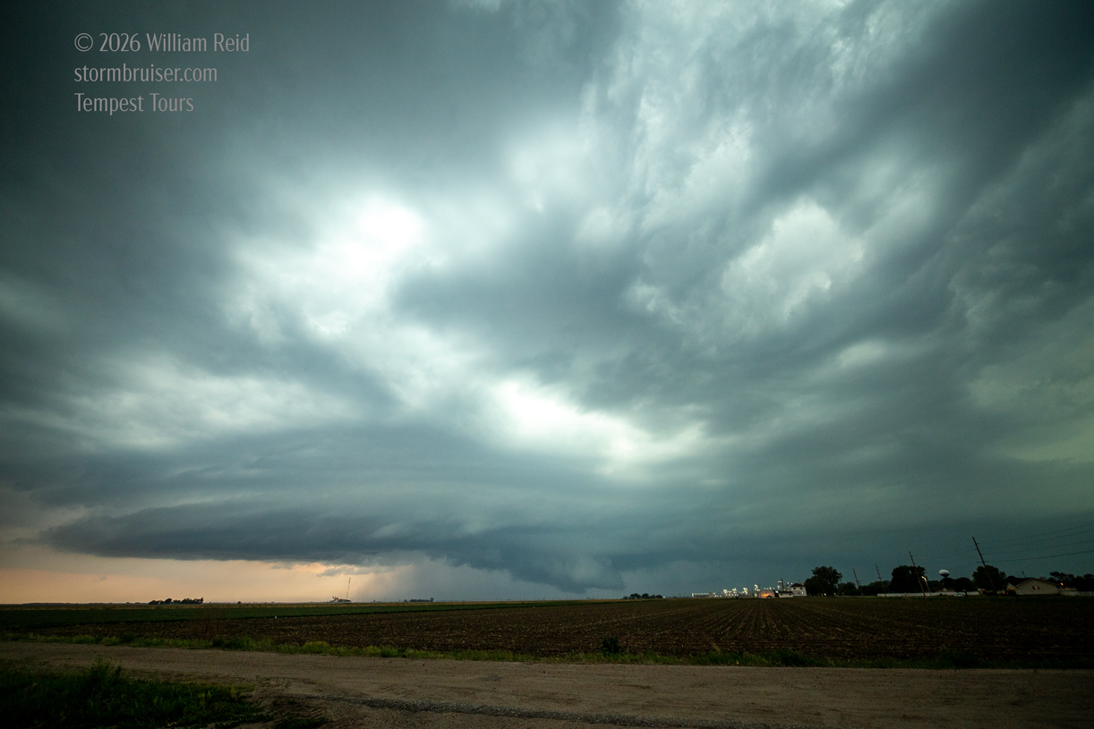
We finally wound up east of the storm shown below, near Wood River. It showed some good structure, a wall cloud, and plenty of lightning. But, I don’t recall any serious tornado attempt with it. I figure that dew points were just a little on the low side. After dusk we were dodging hail cores.

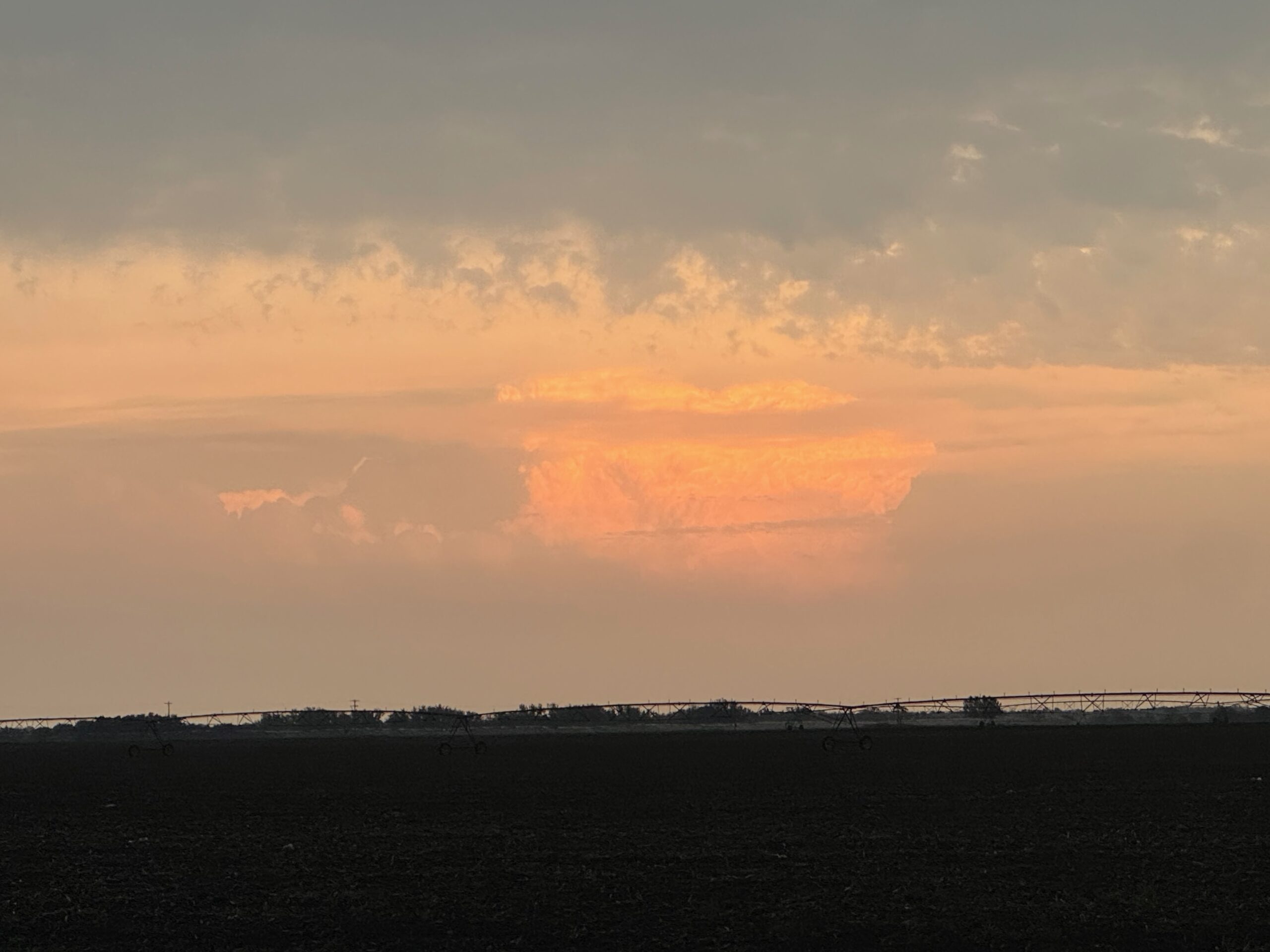
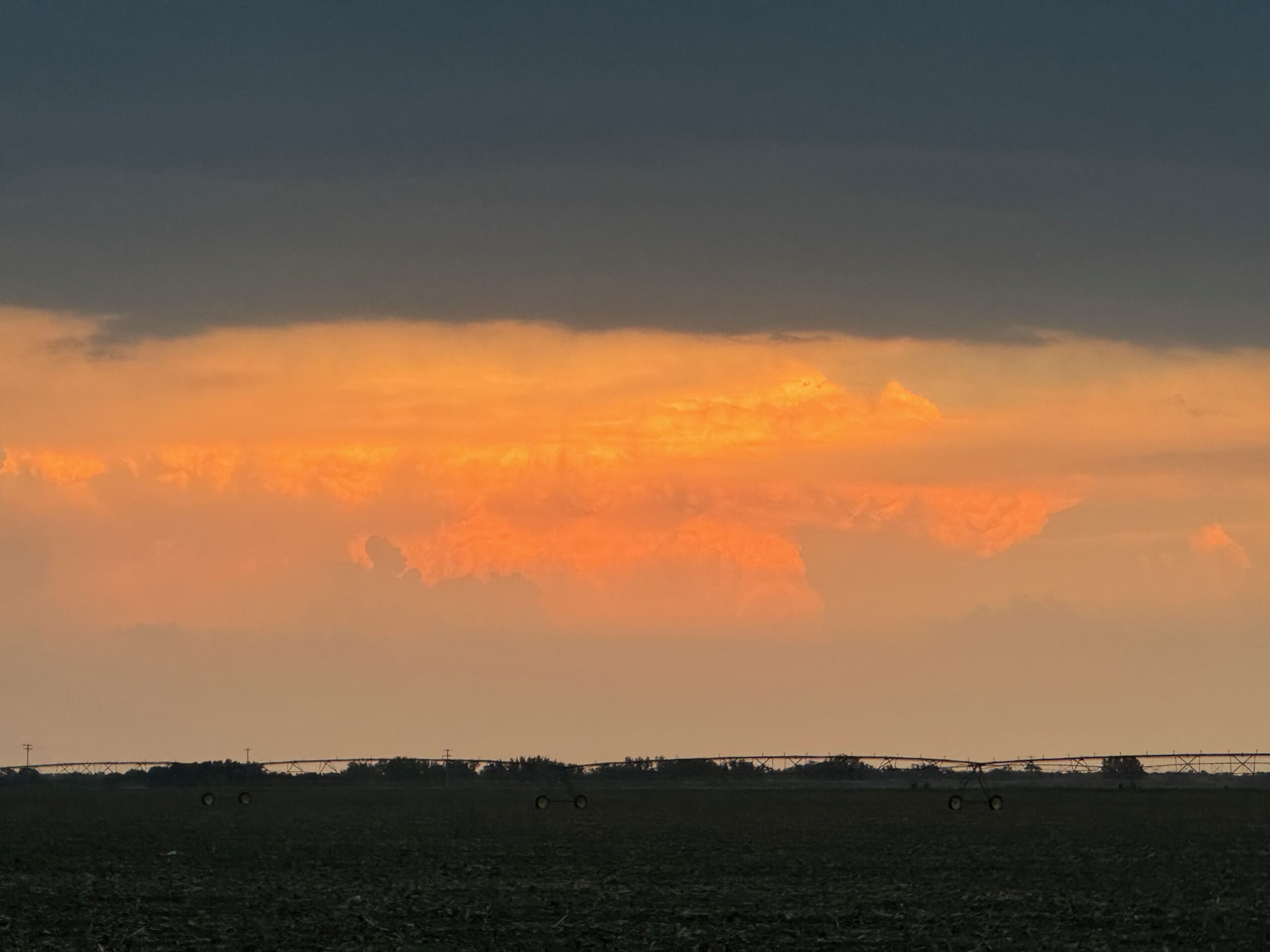
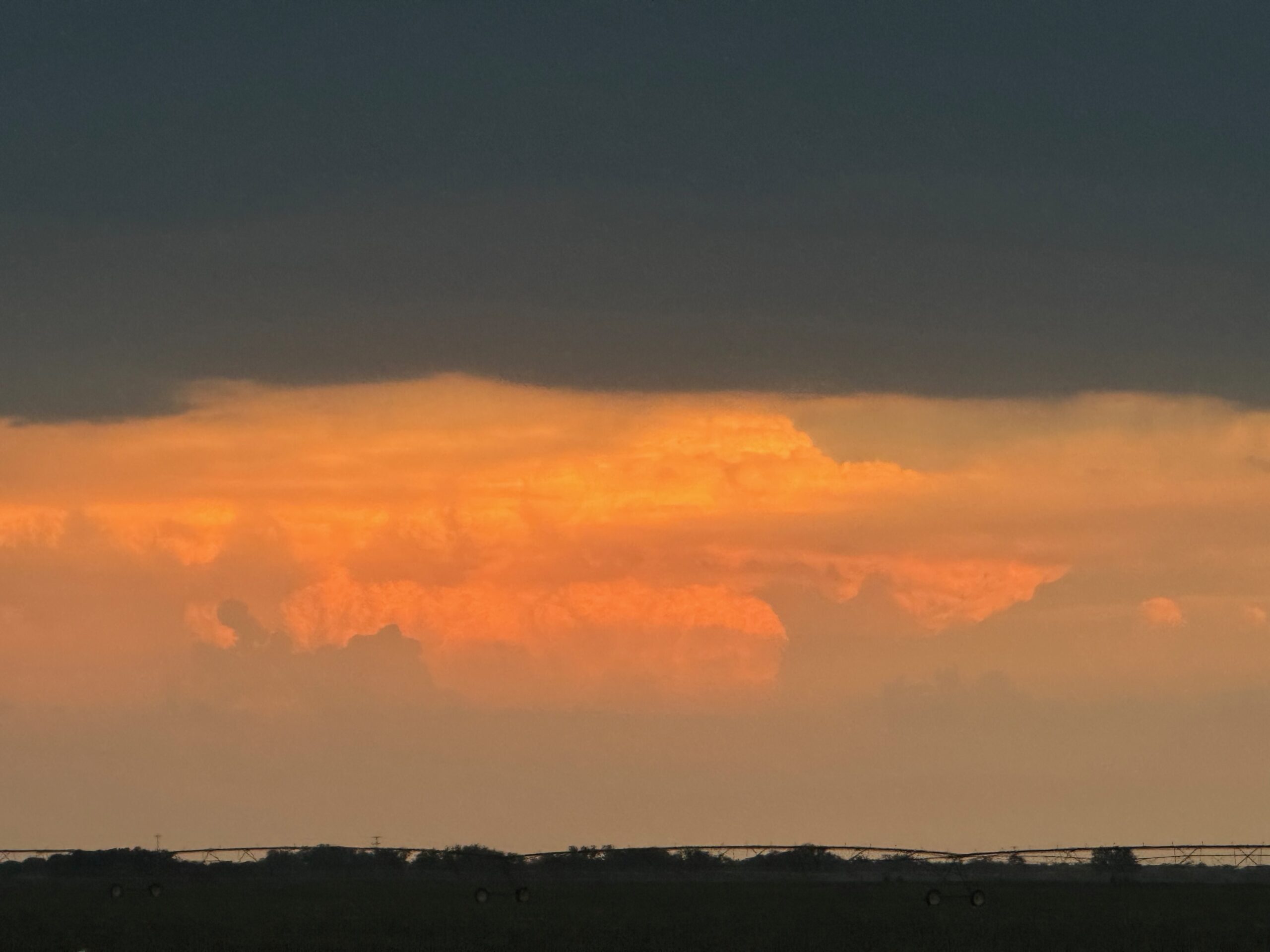
The distant CB in the sunlight in the iPhone photos section below is where Bob and company were, to our ESE.
Iphone pics below
Screenshot
Screenshot
Screenshot
Screenshot
Screenshot
Screenshot
Screenshot
Screenshot
Screenshot
Screenshot
Screenshot

Screenshot
Screenshot

Filed Under: 2026, Cumulonimbus, Supercells

Leave a Reply

You must be logged in to post a comment.

Search

May 2026
S M T W T F S
 12
3456789
10111213141516
17181920212223
24252627282930
31  
« Apr    

Categories

Archives

Copyright © 2026 stormbruiser.com ยท Log in