
Some housekeeping first…May 19th and 20th were down days.
May 19 Start: Junction City, KS/lunch: Perkins in Great Bend/End: Turkey, TX/507 miles
May 20 Start: Turkey/lunch: Big Texan in Amarillo/End: Dumas, TX/153 miles
May 21 Start: Dumas/lunch: Subway at Boise City, OK/End: Burlington, CO
We blew off the severe risk along I-10 near Ozona, TX on the 19th and near Marathon, TX, on the 20th as these areas were too distant and the tornado risk was very minimal both days.
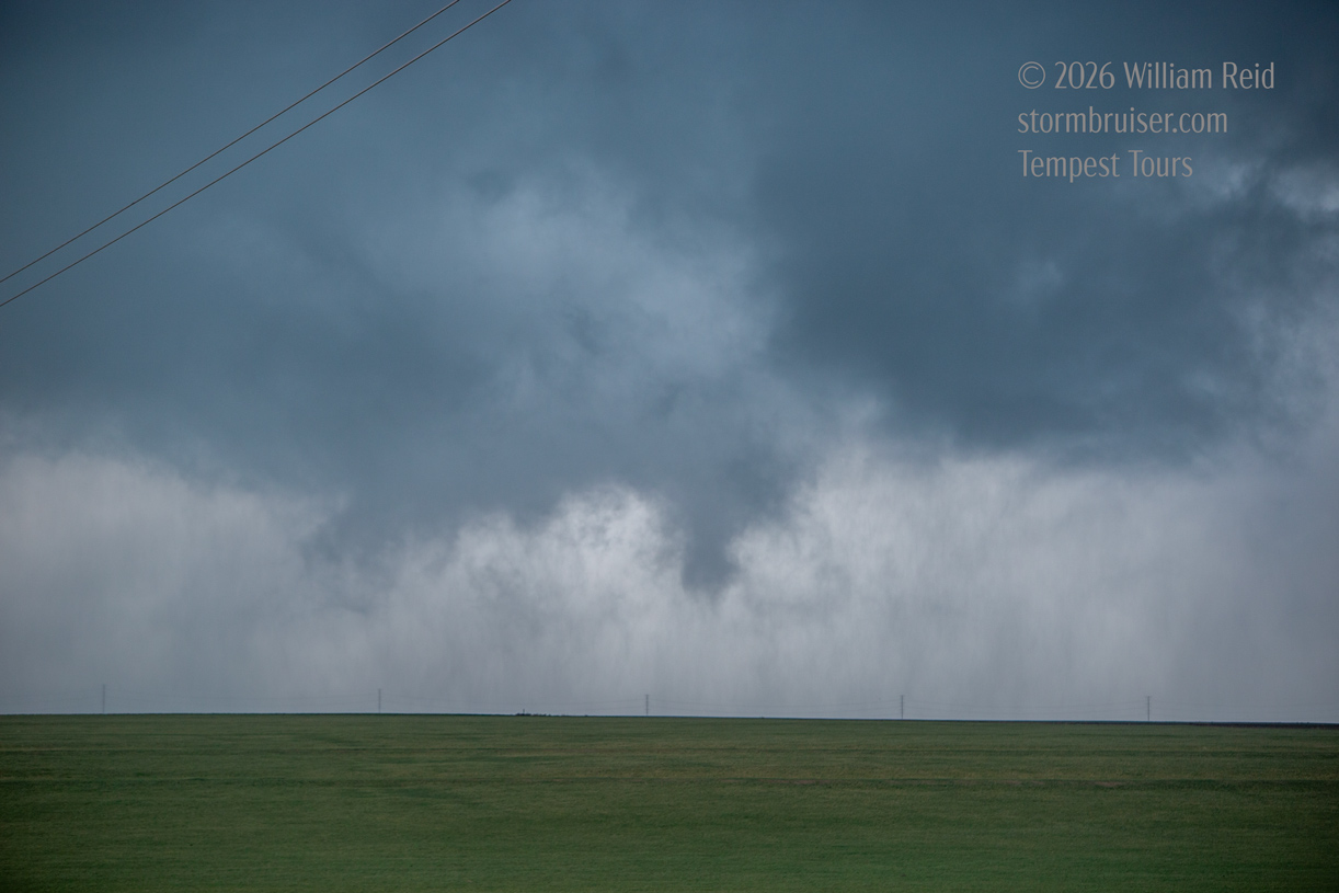
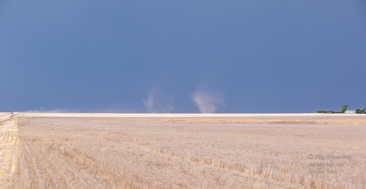
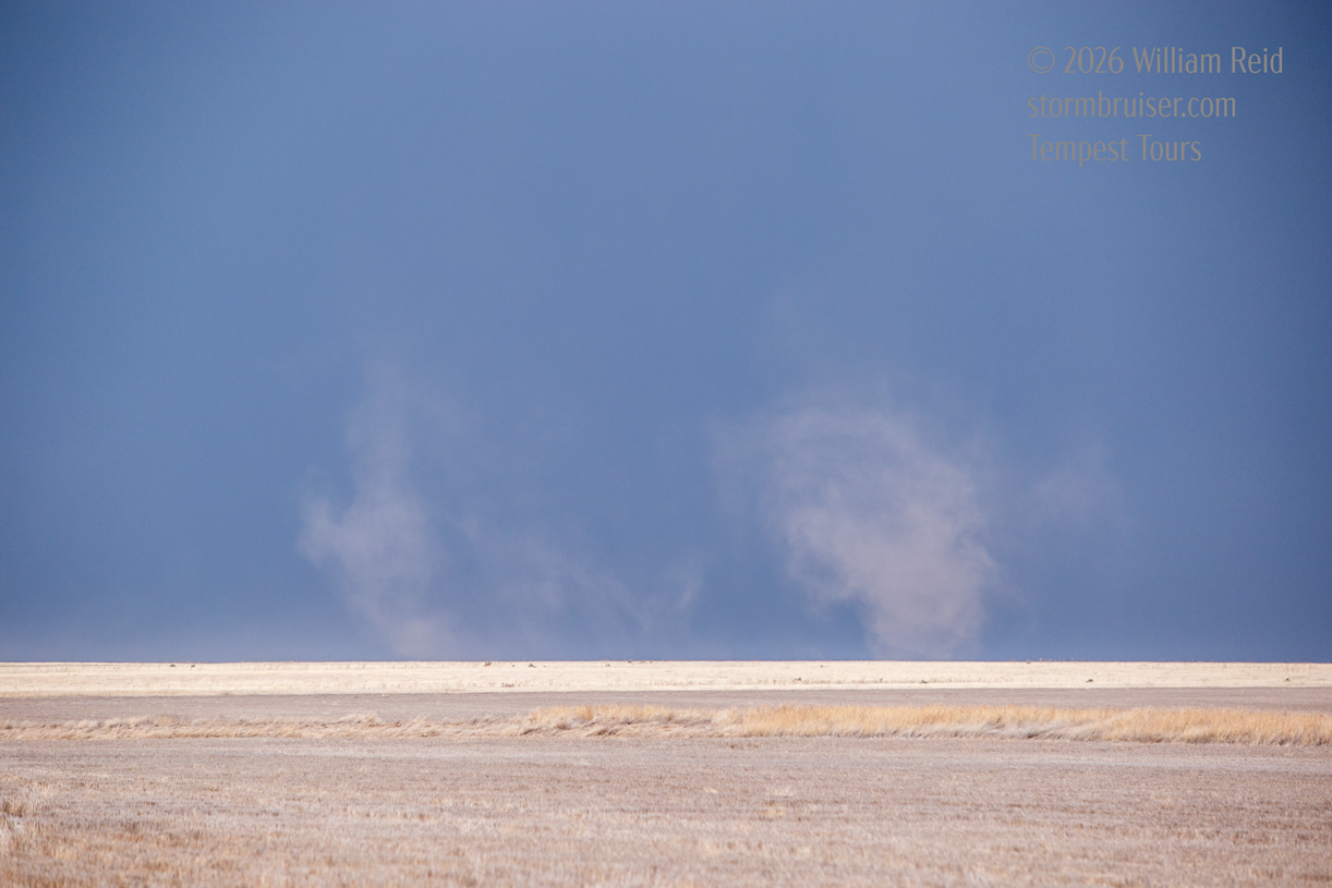
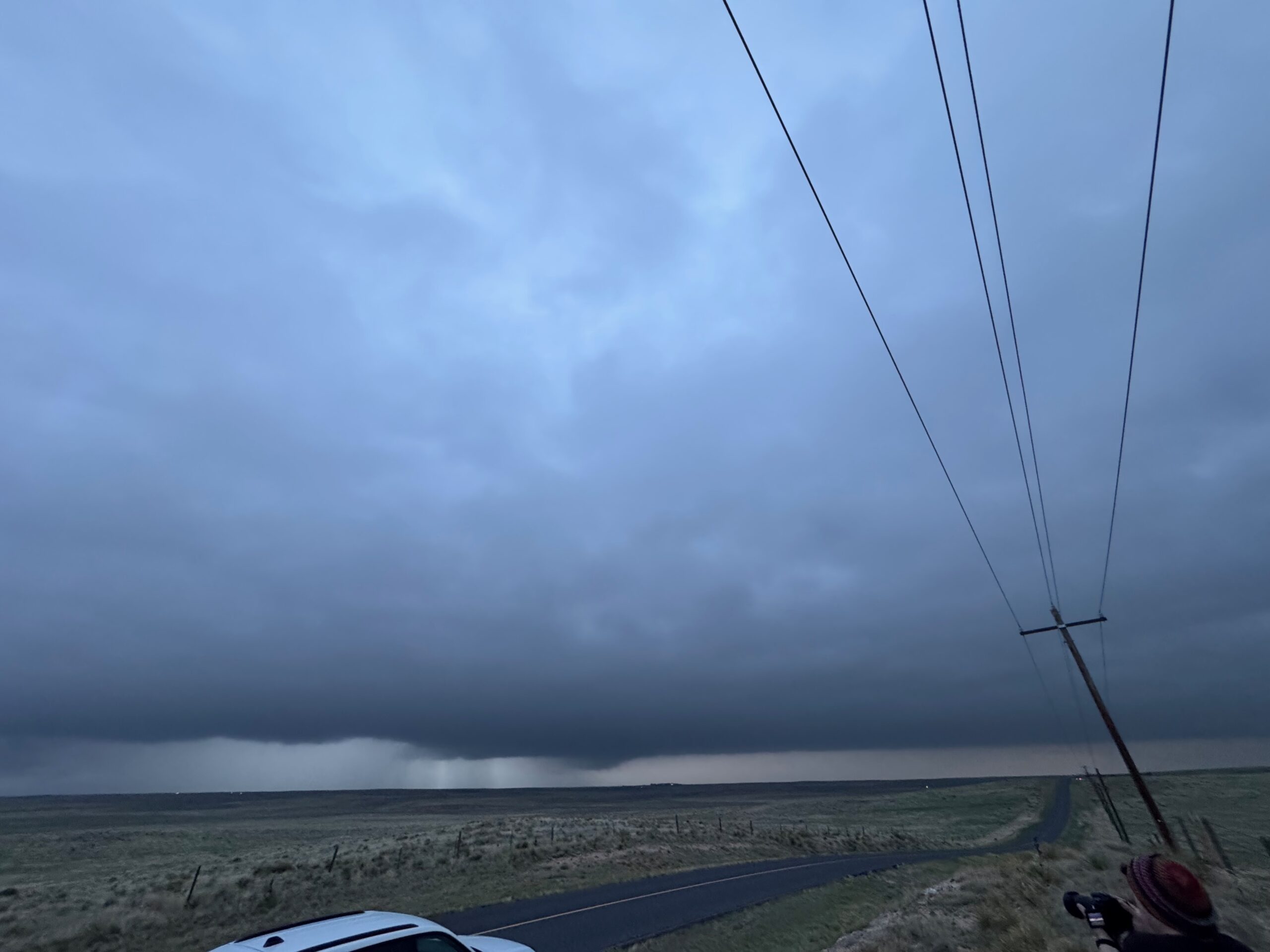
The first batch of photos below is from the Canon cameras, featuring a weak tornado and supercell NNW of Seibert, CO. The first two images show gustnadoes in front of the storms west of Springfield earlier in the afternoon.
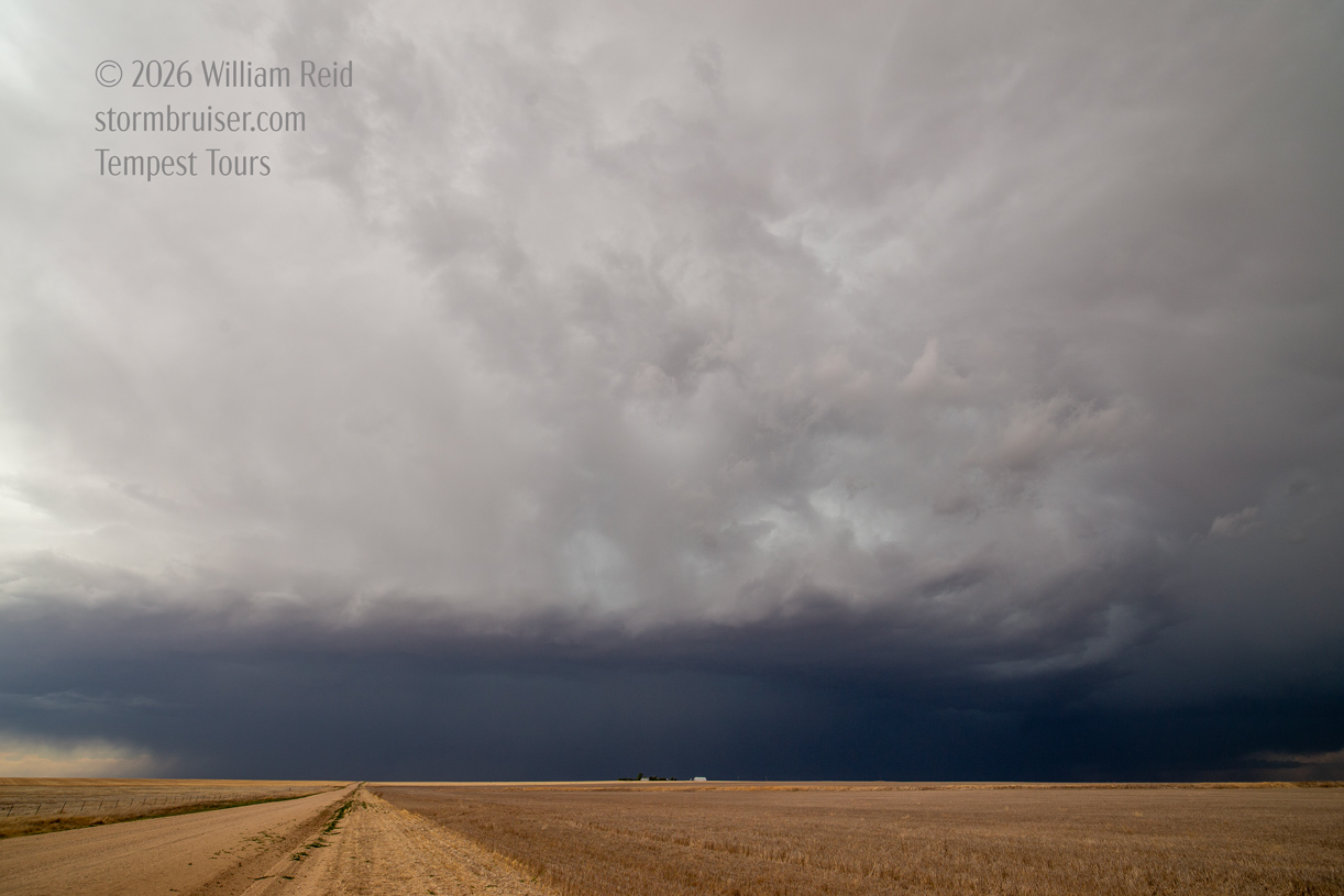
This chase day was good on shear and mediocre on instability on the High Plains up in eastern Colorado. And it was somewhat poor on shear and a bit better on instability in southeast Colorado. Low clouds were slow to clear and temperatures were chilly midday along and north of I-70. Around Baca County in extreme southeastern Colorado, there was sunshine. It was a bit of a tossup for me as to which area to play. I elected to go with the Baca County play, in part because it was closer. I was not enamored with the idea of chasing in the murk and chilly air about two hours to the north.
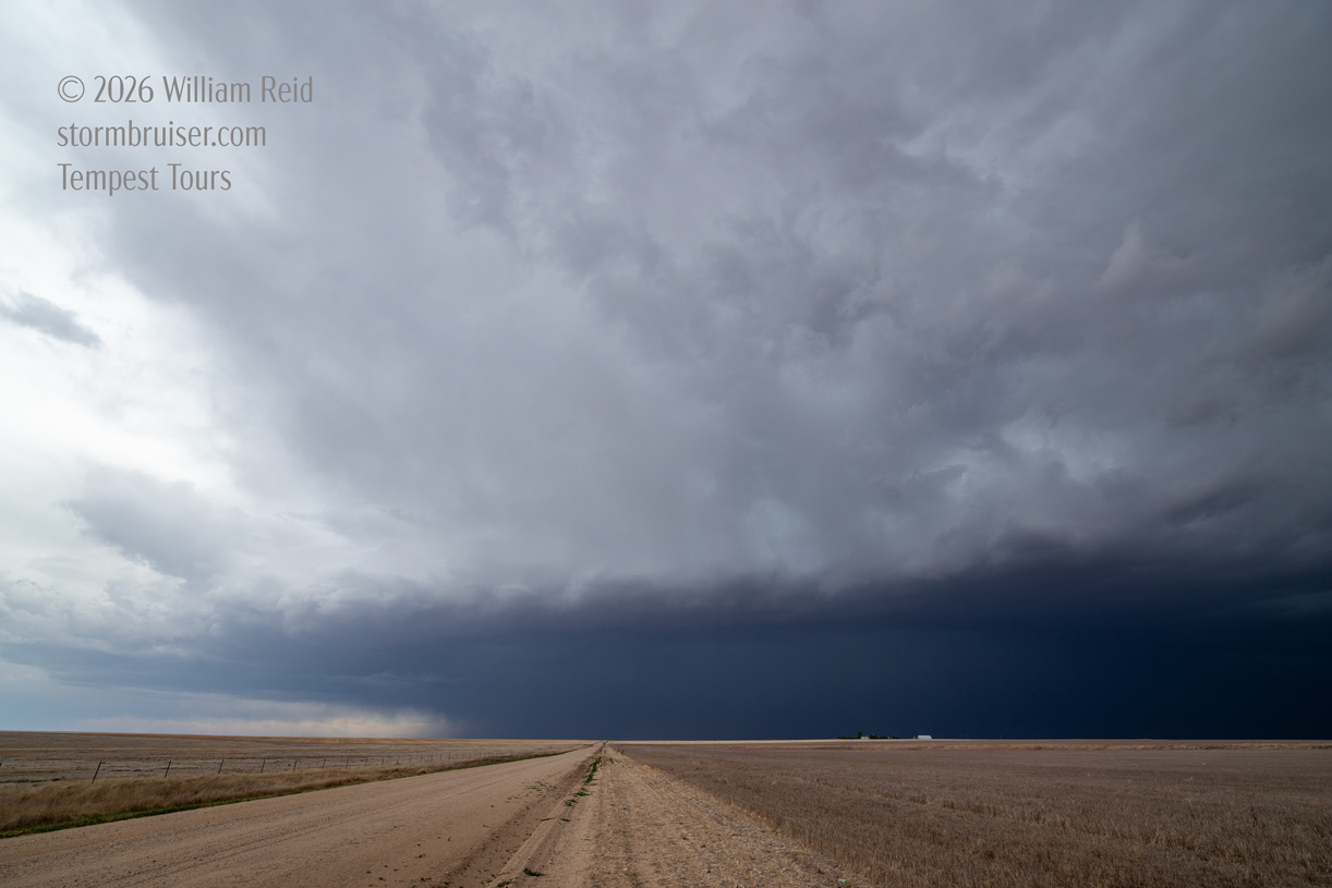
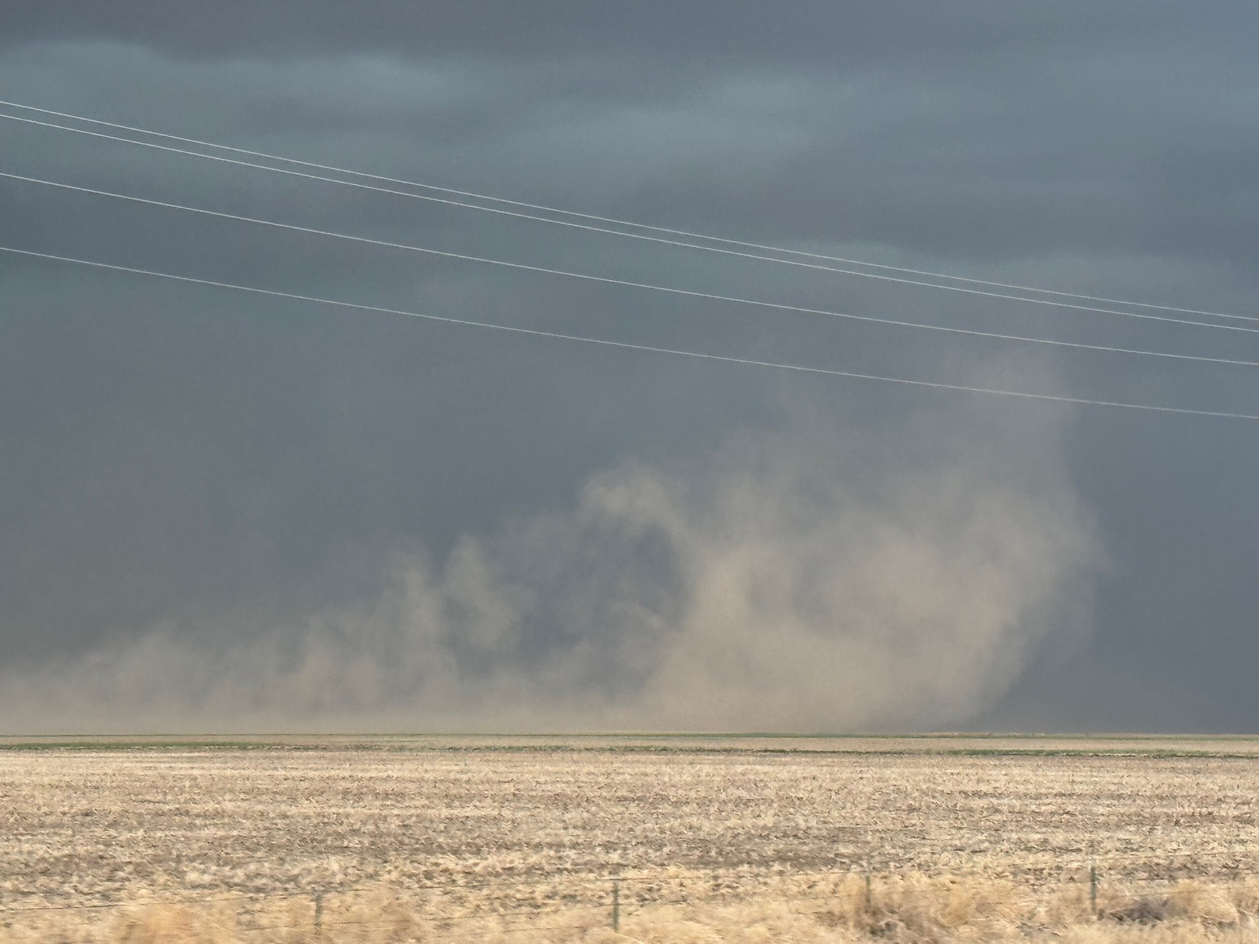
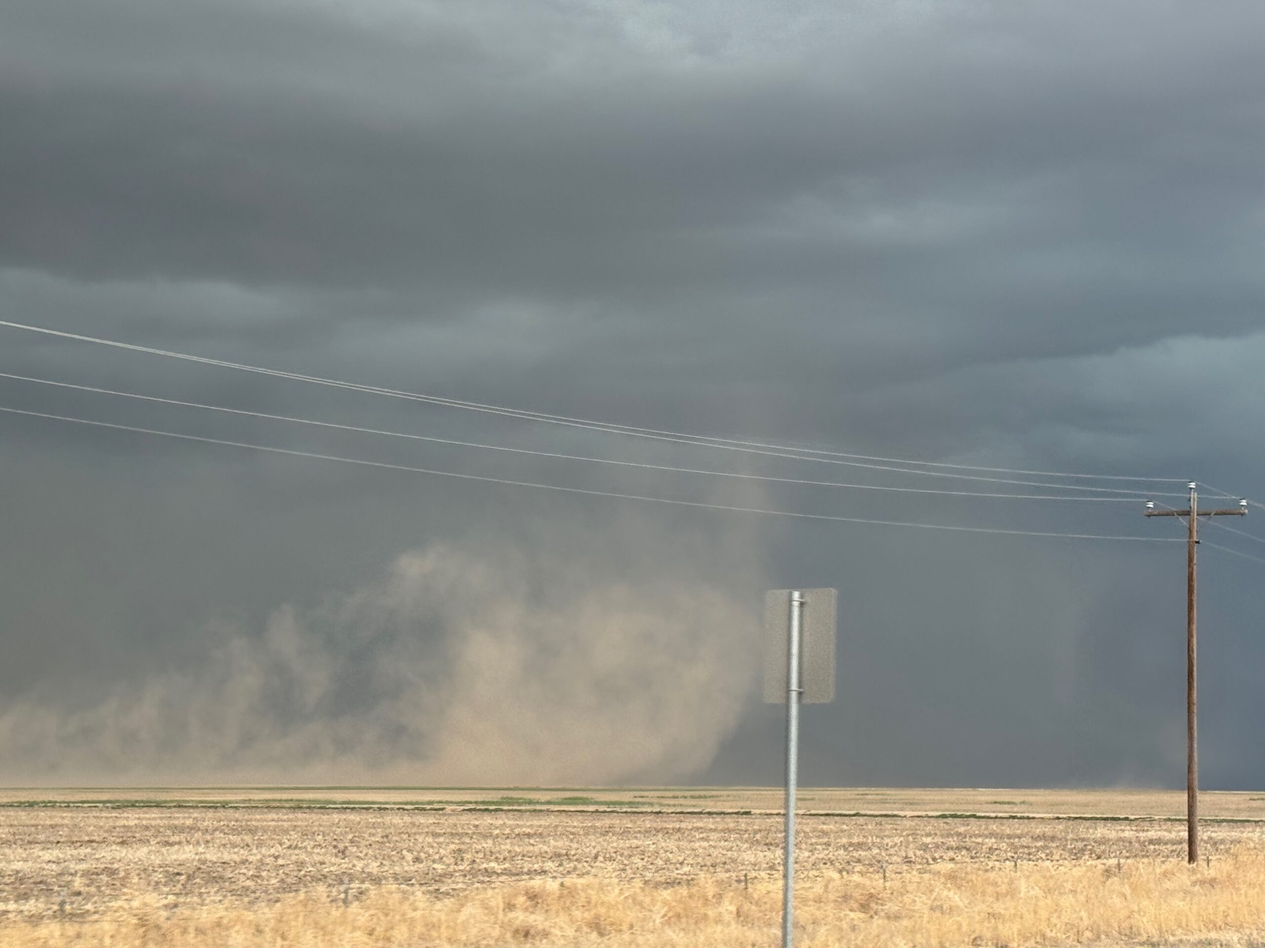
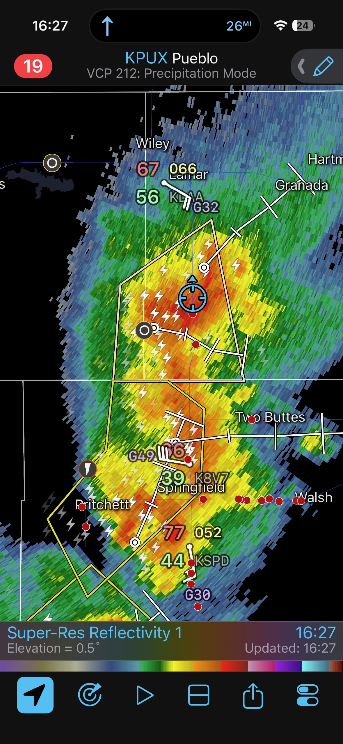
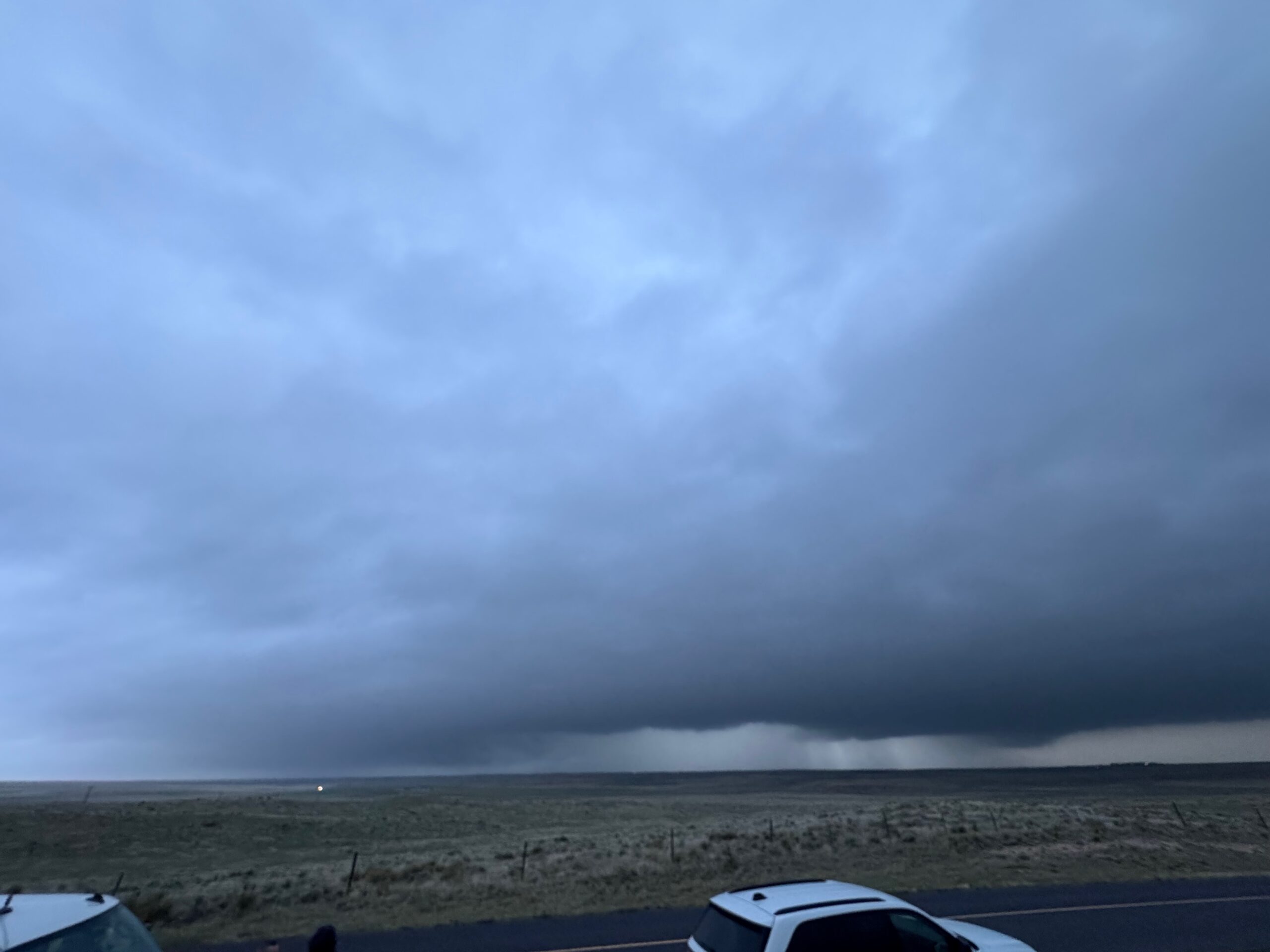
The first set of iPhone images below shows the skies near and west of Springfield, Colorado, during the early-to-mid afternoon. The activity moving eastward towards 385 started out high-based, and then morphed into wet outflowing mushballs. There was enough strong outflow to kick up some fun dust plumes. Since this was hopelessly undercut by cool air, I decided to blow it off and to try the play close to I-70. We were on our way north towards Lamar by 4:15 p.m. MDT.
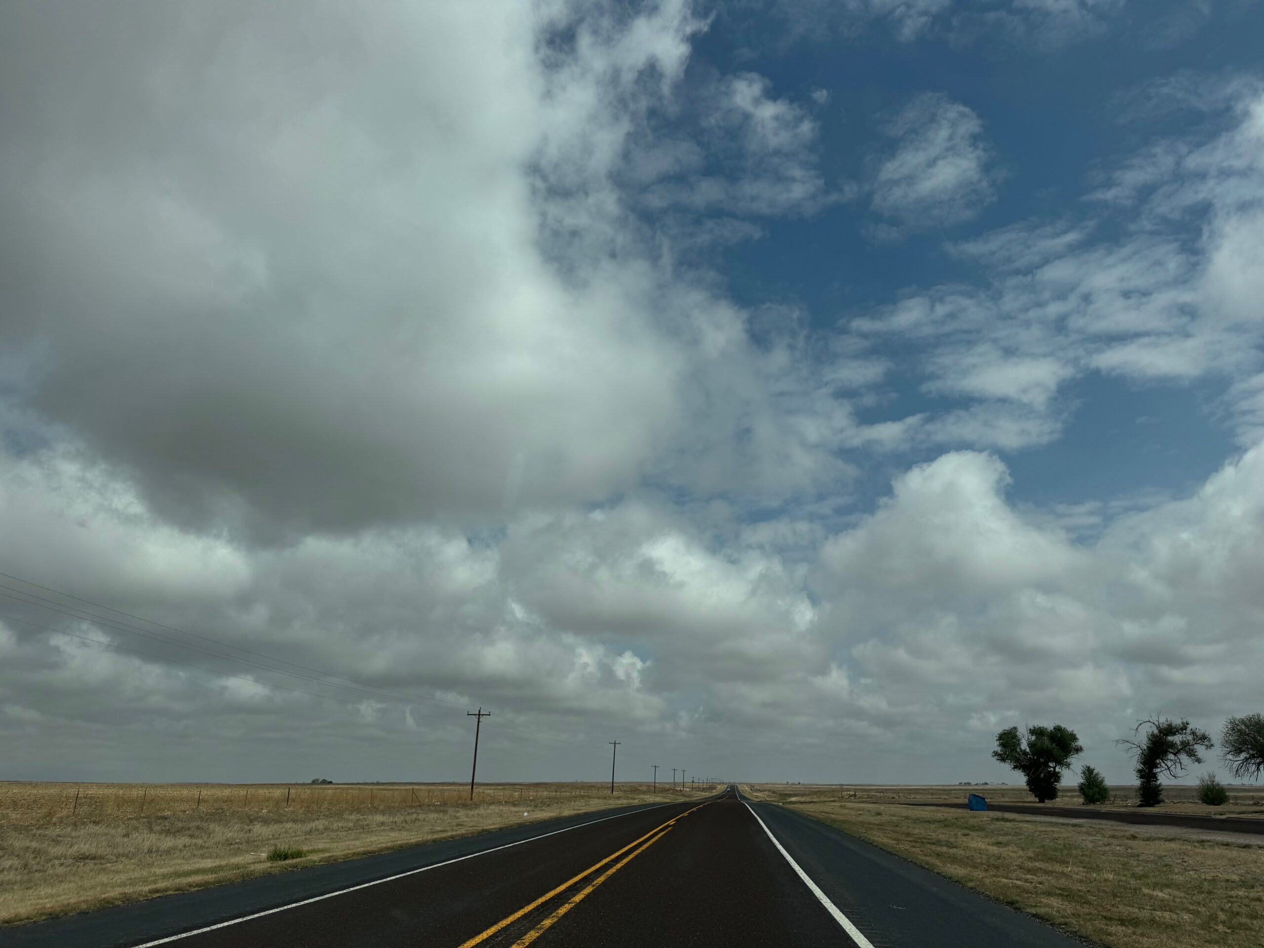
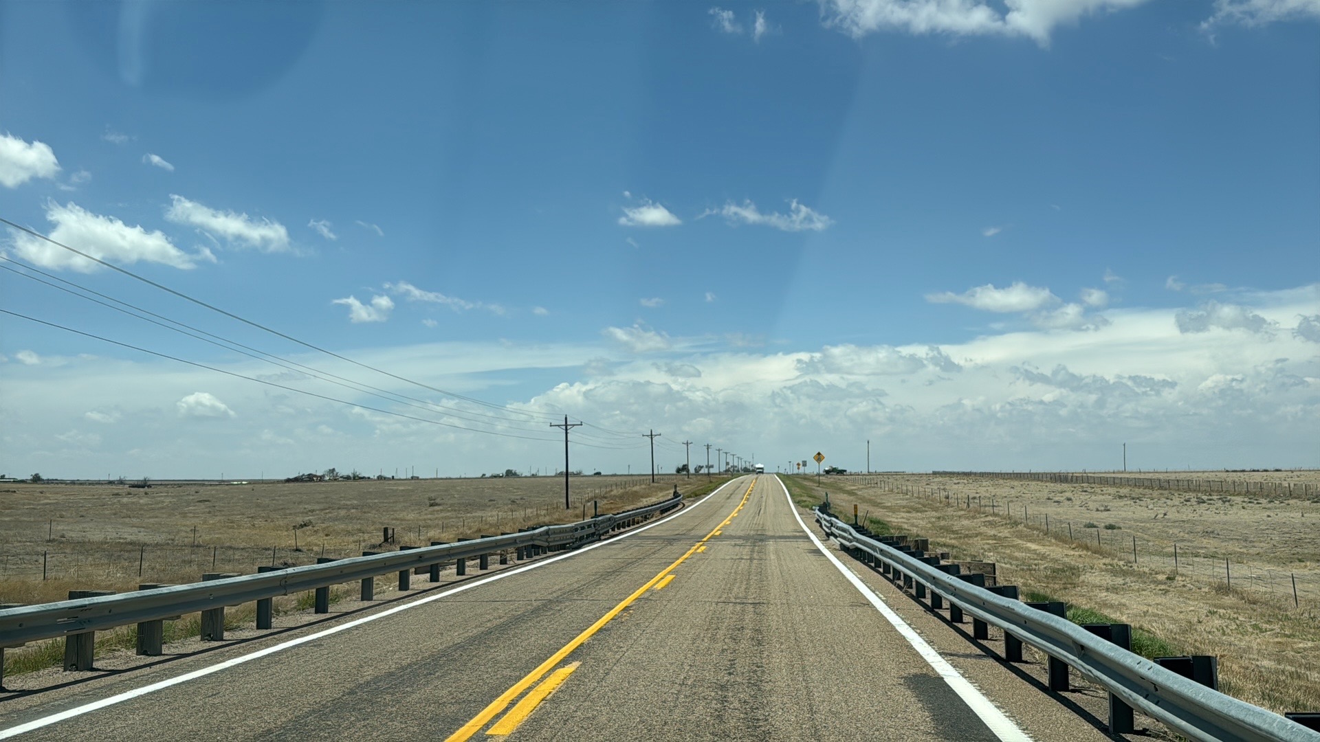
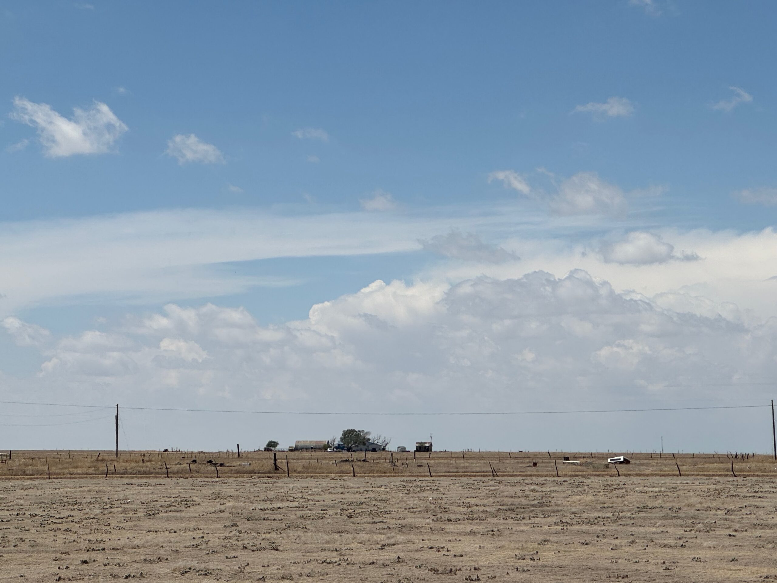
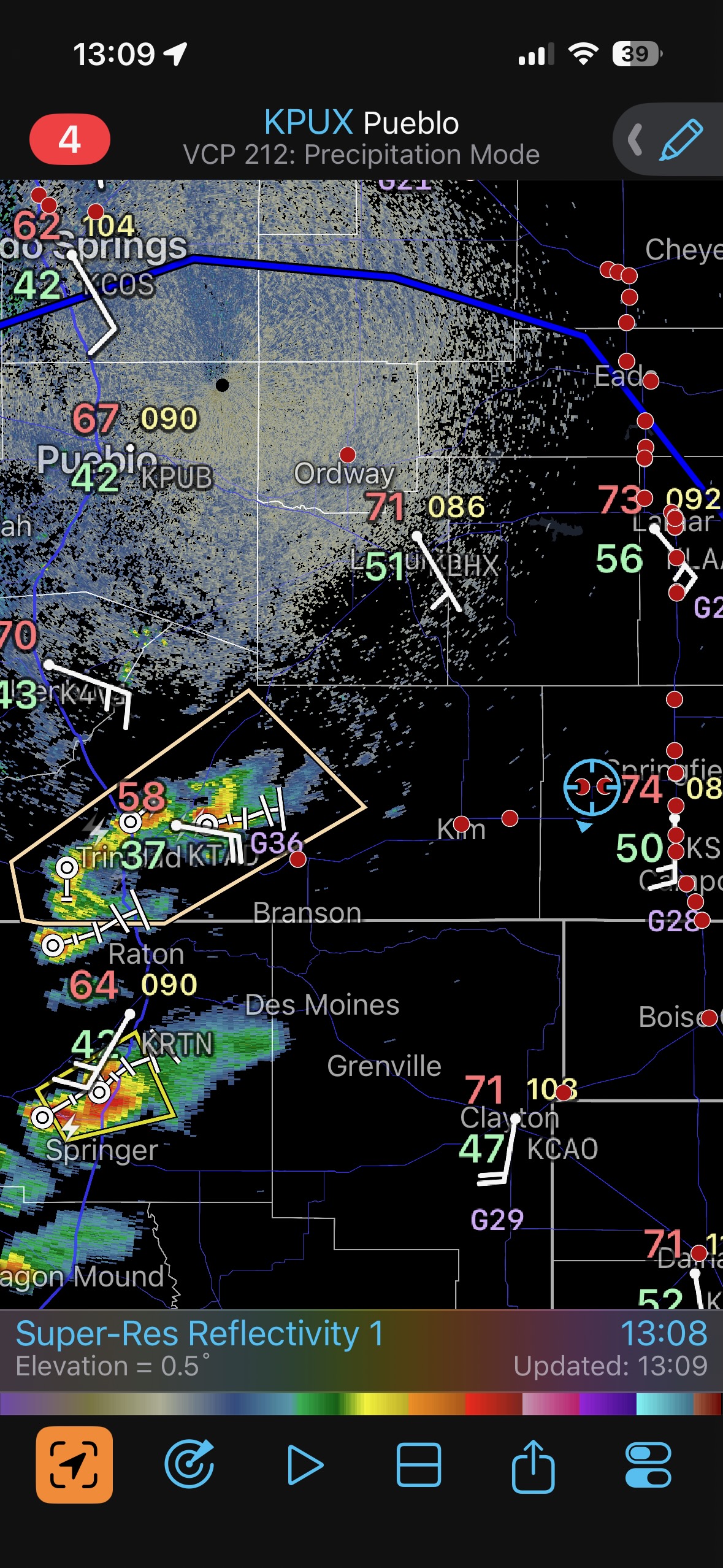
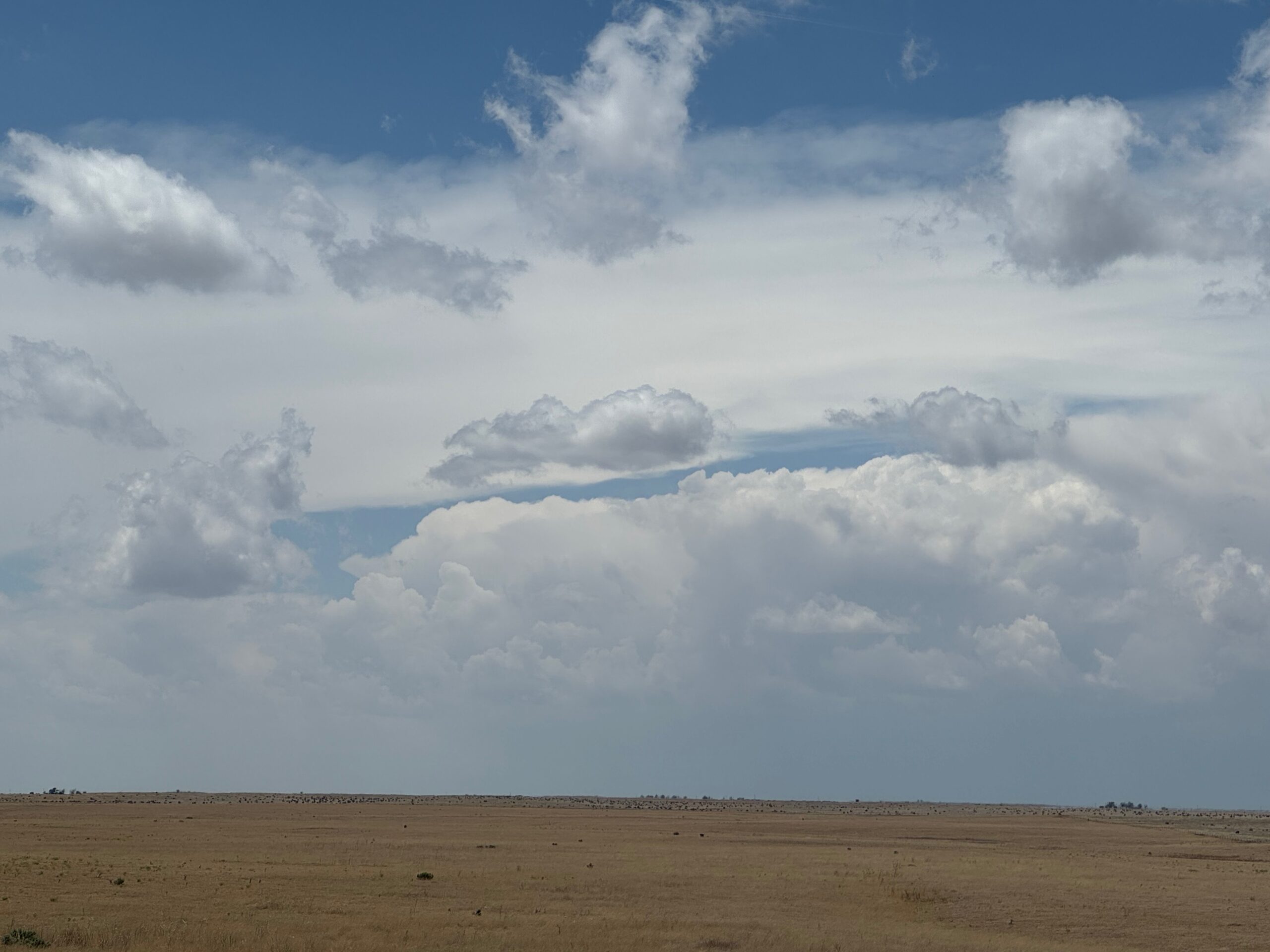
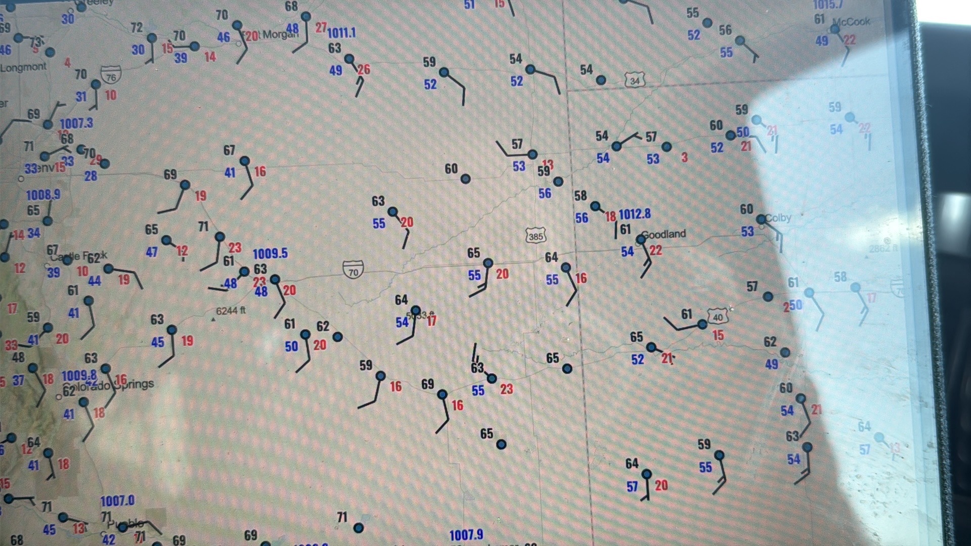
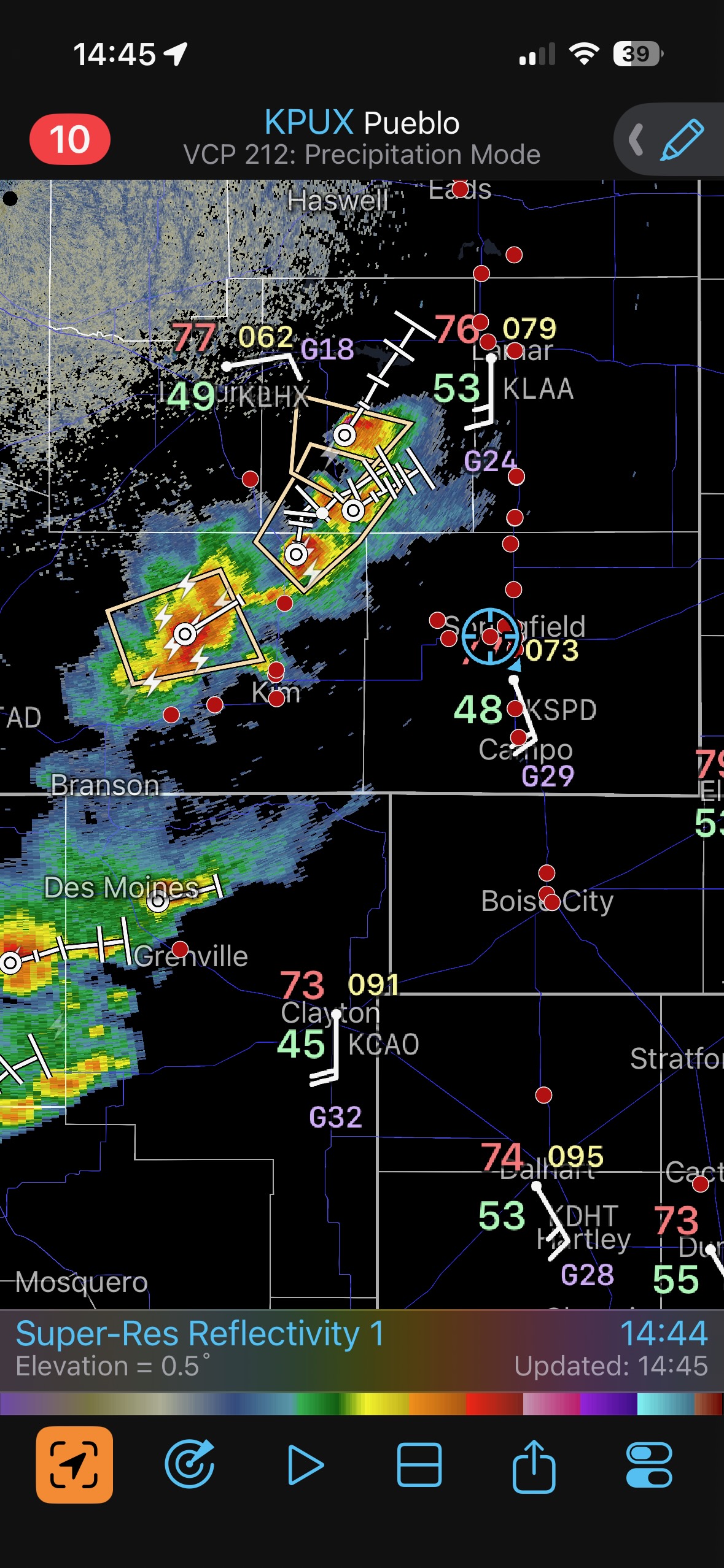
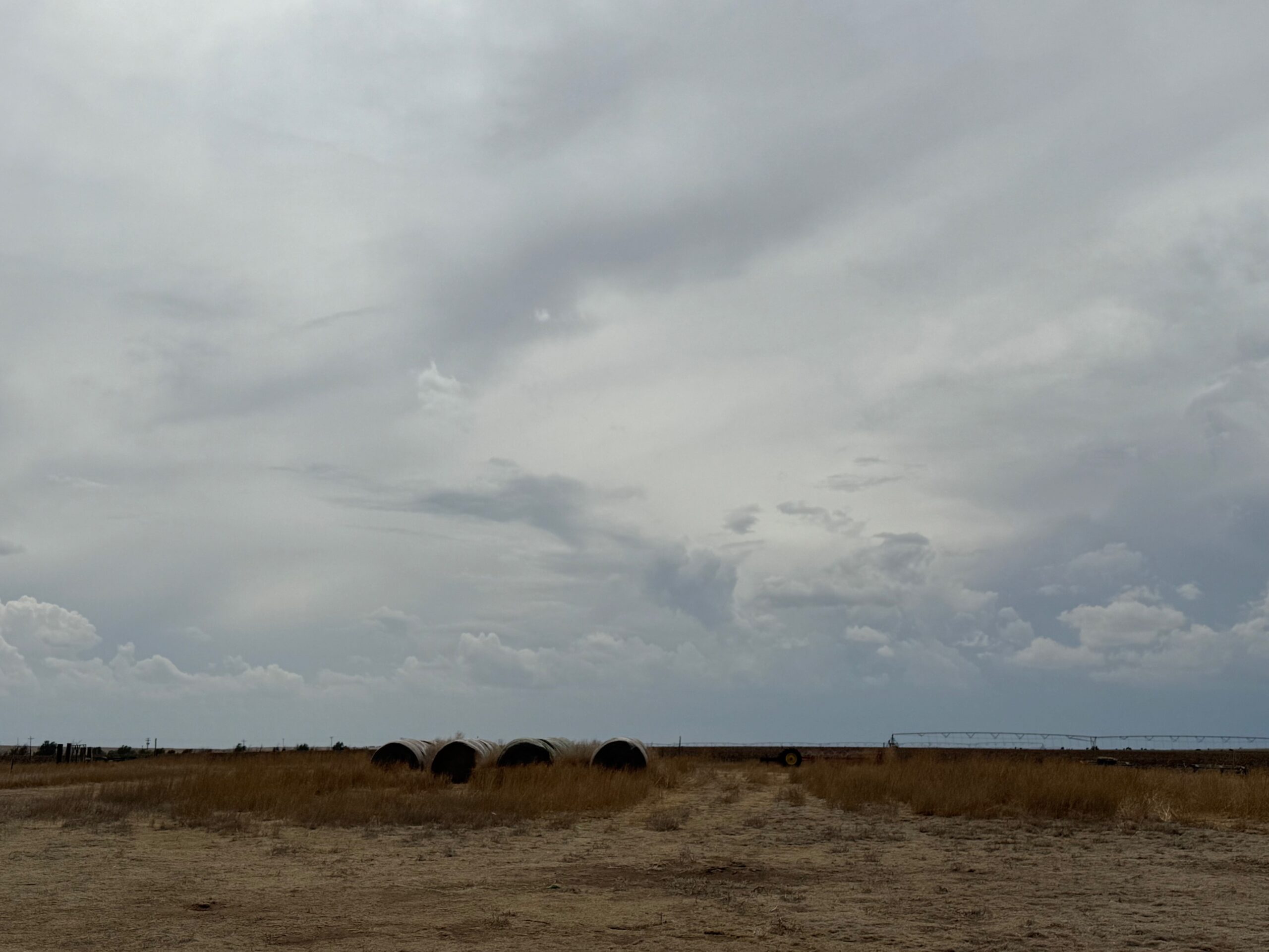
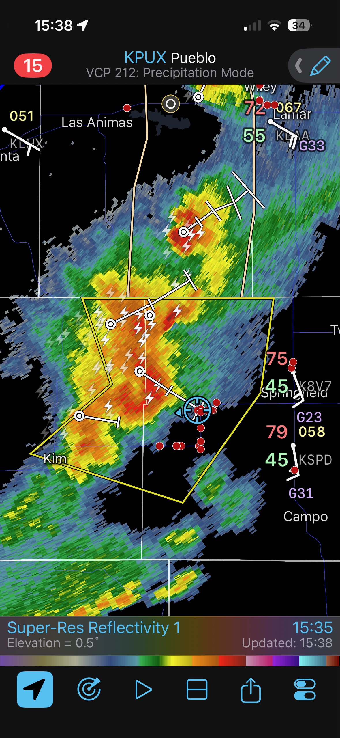
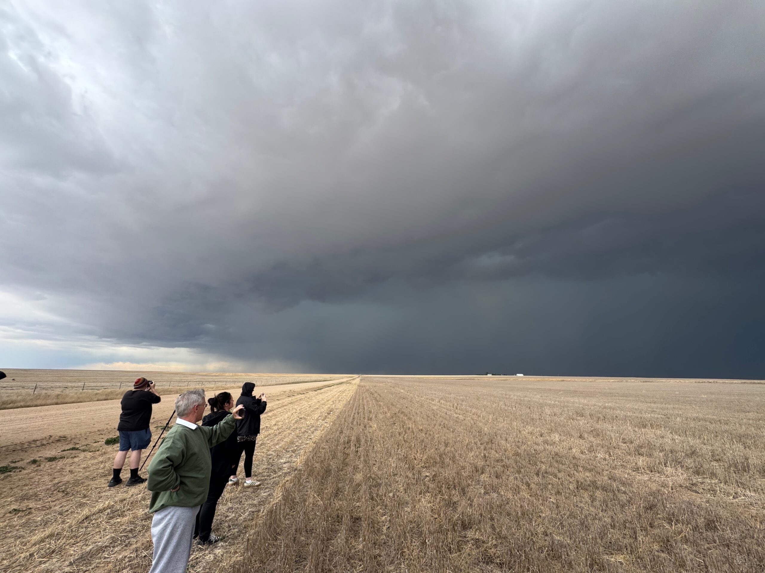
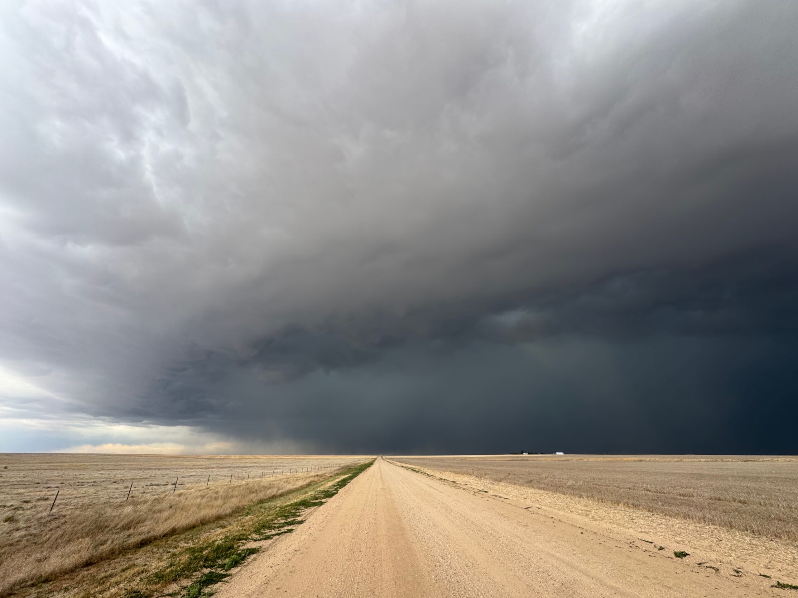
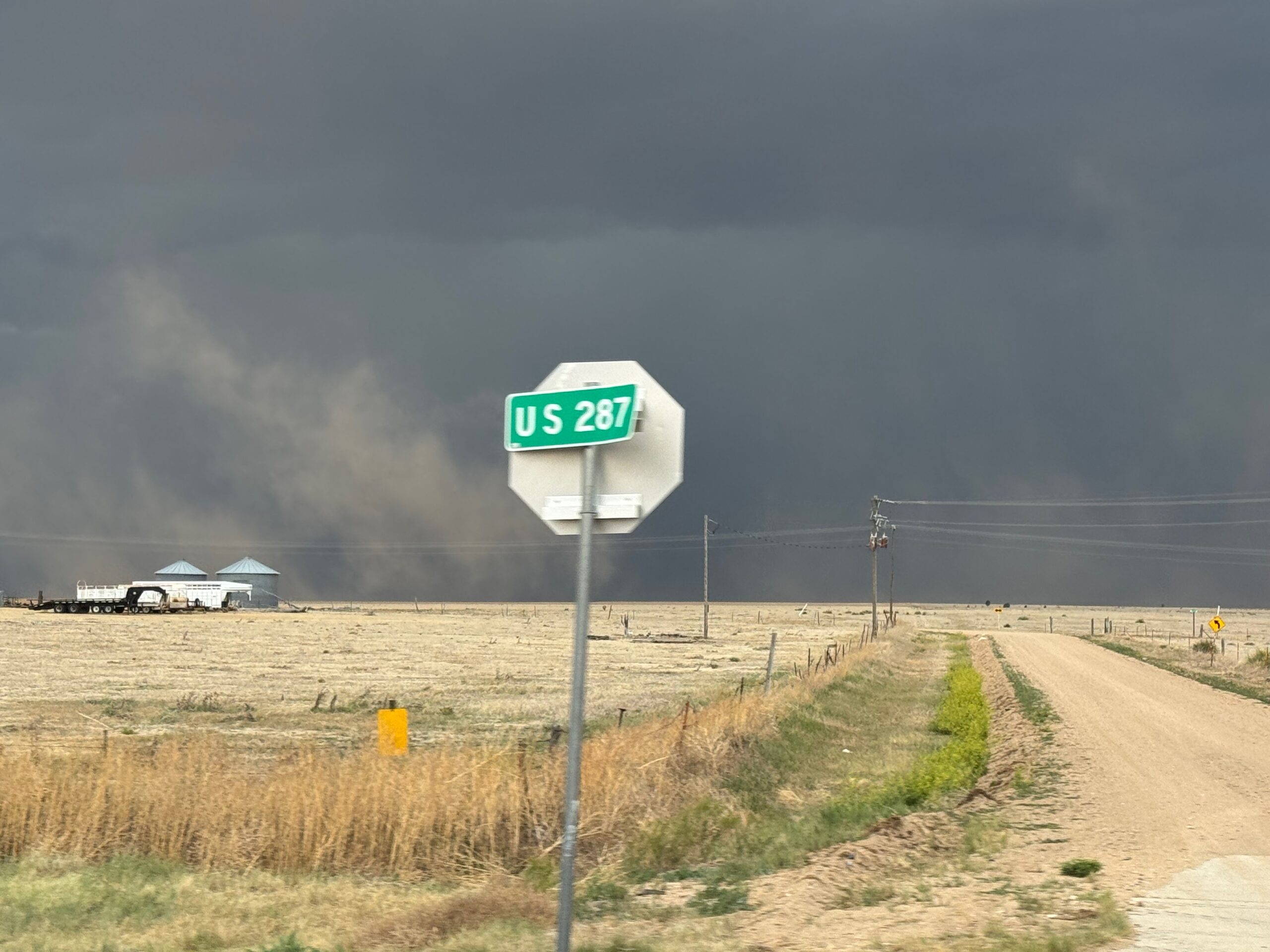
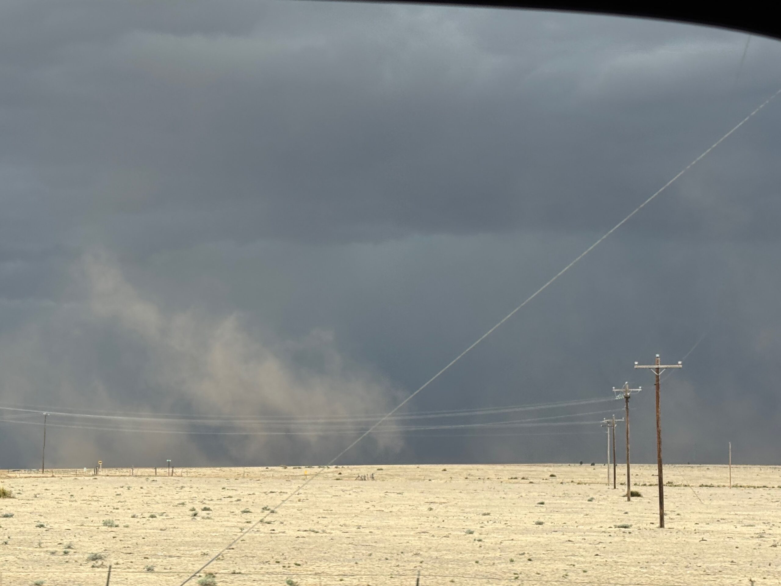
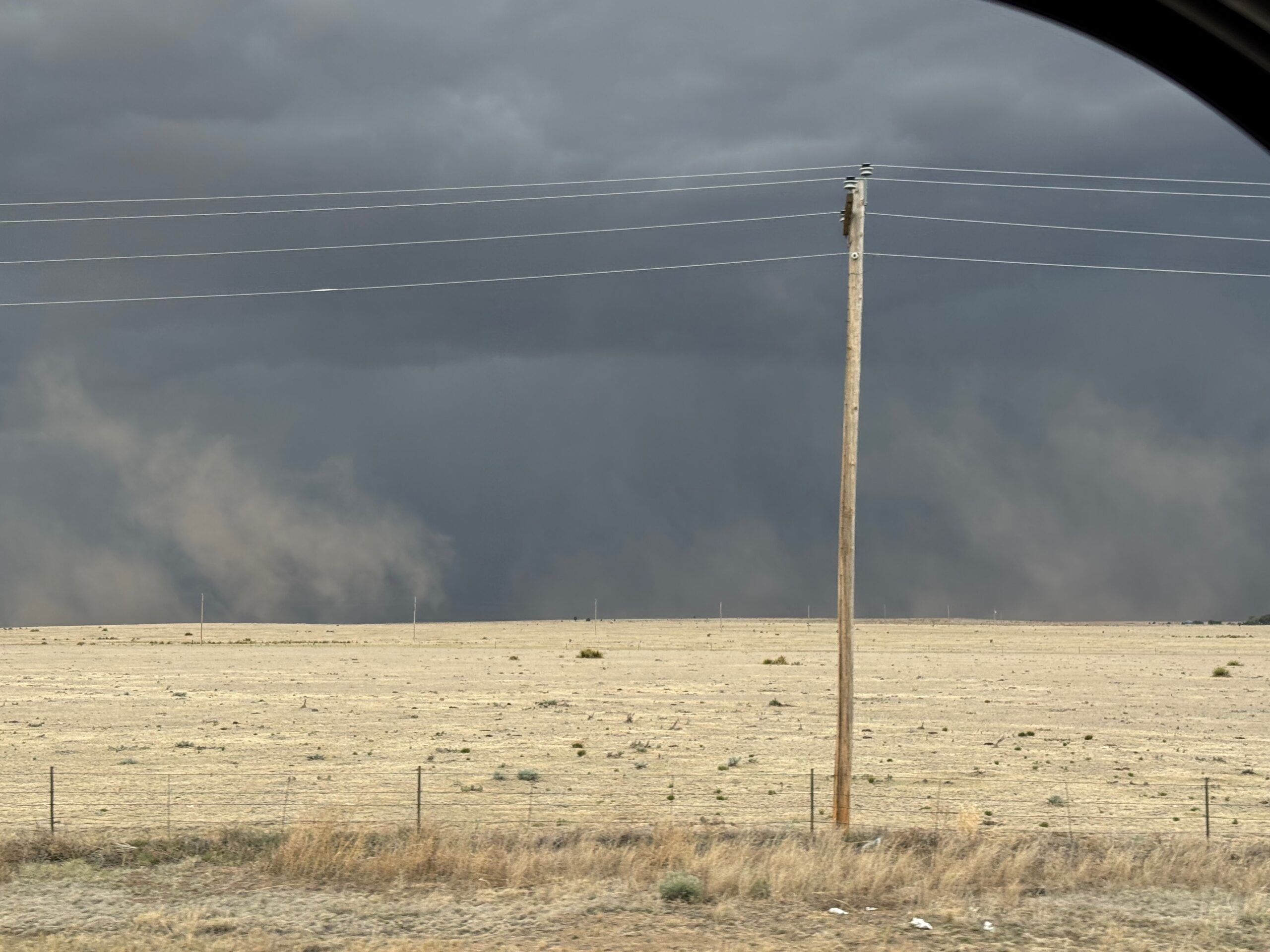
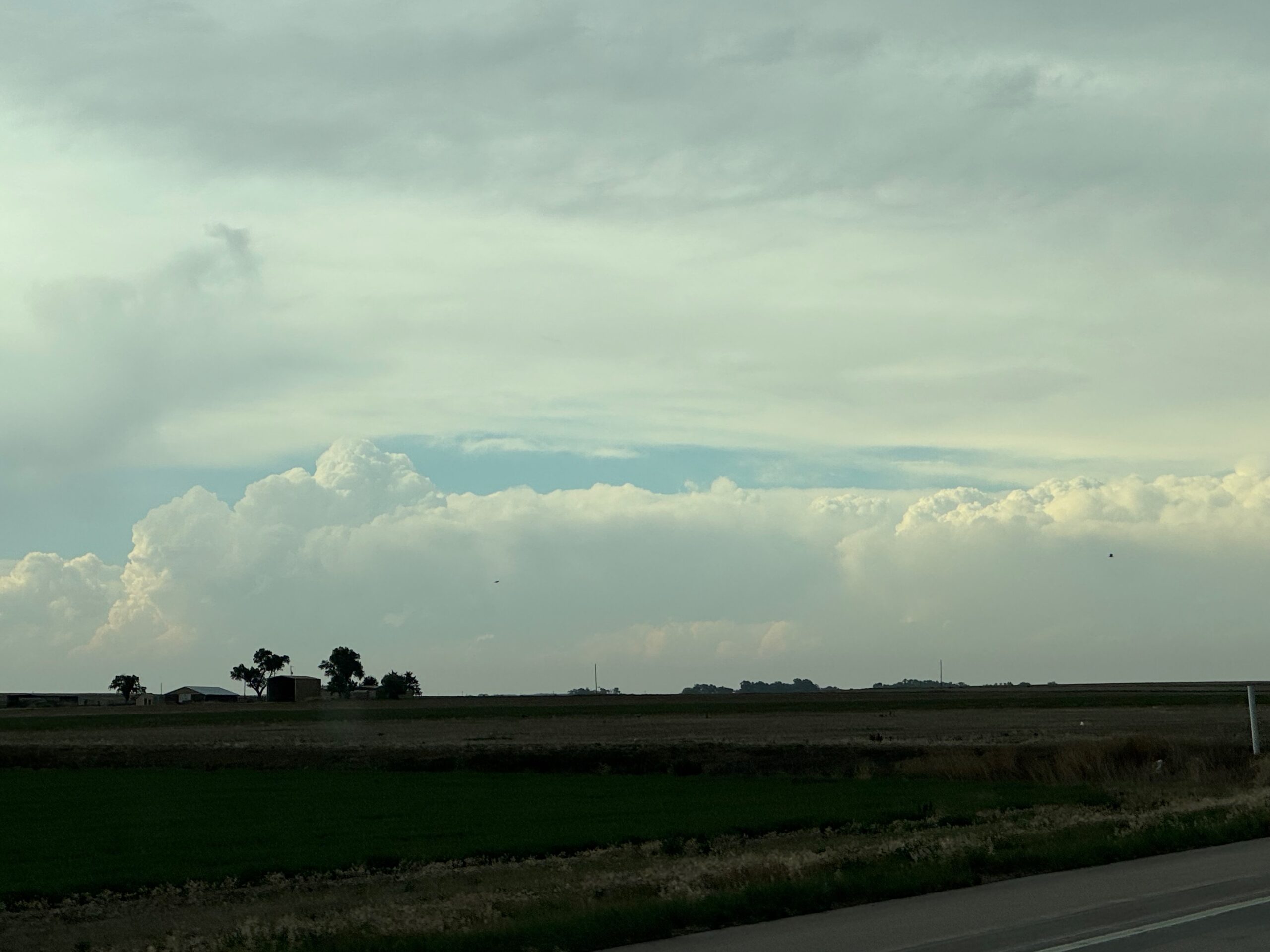
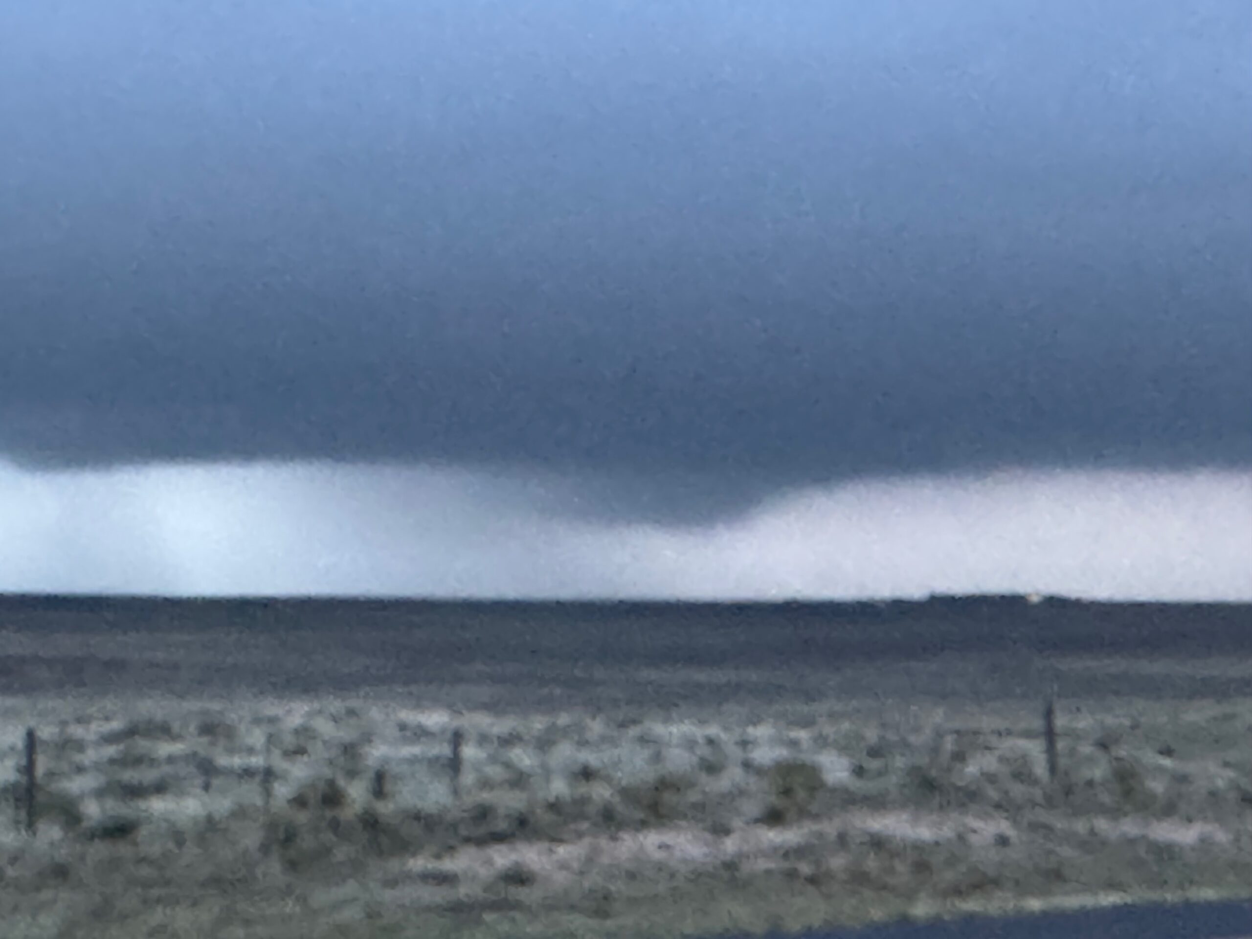
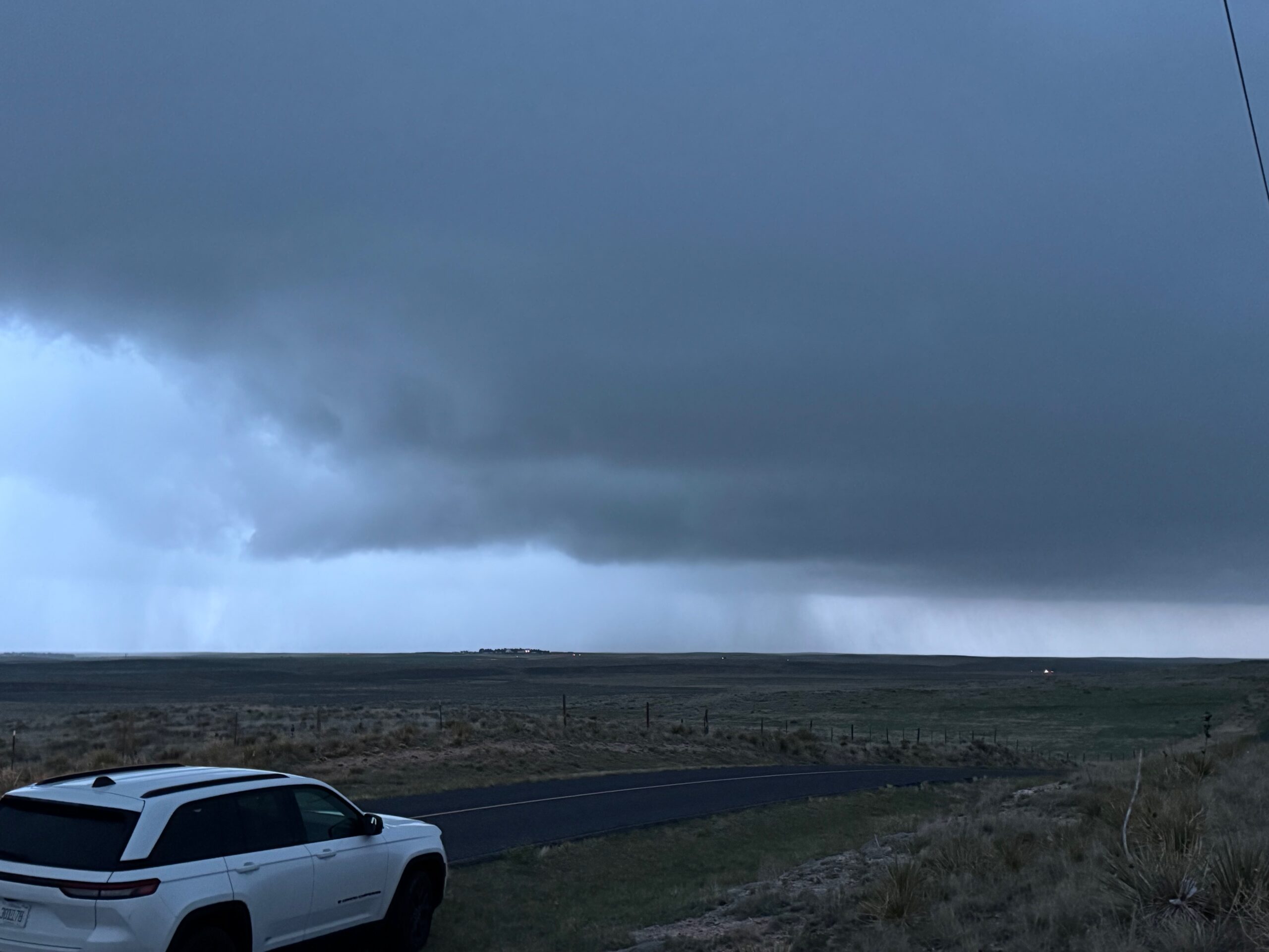
As we made our way northward, a prominent supercell north of Limon (near Last Chance) became tornado-warned. We still had 90 minutes or so to get close. Some shots below show the supercell in the distance. We were finally at Seibert by 6:30 p.m. MDT, and needed to scoot another 10-15 miles northward in order to be in front of the storm base.
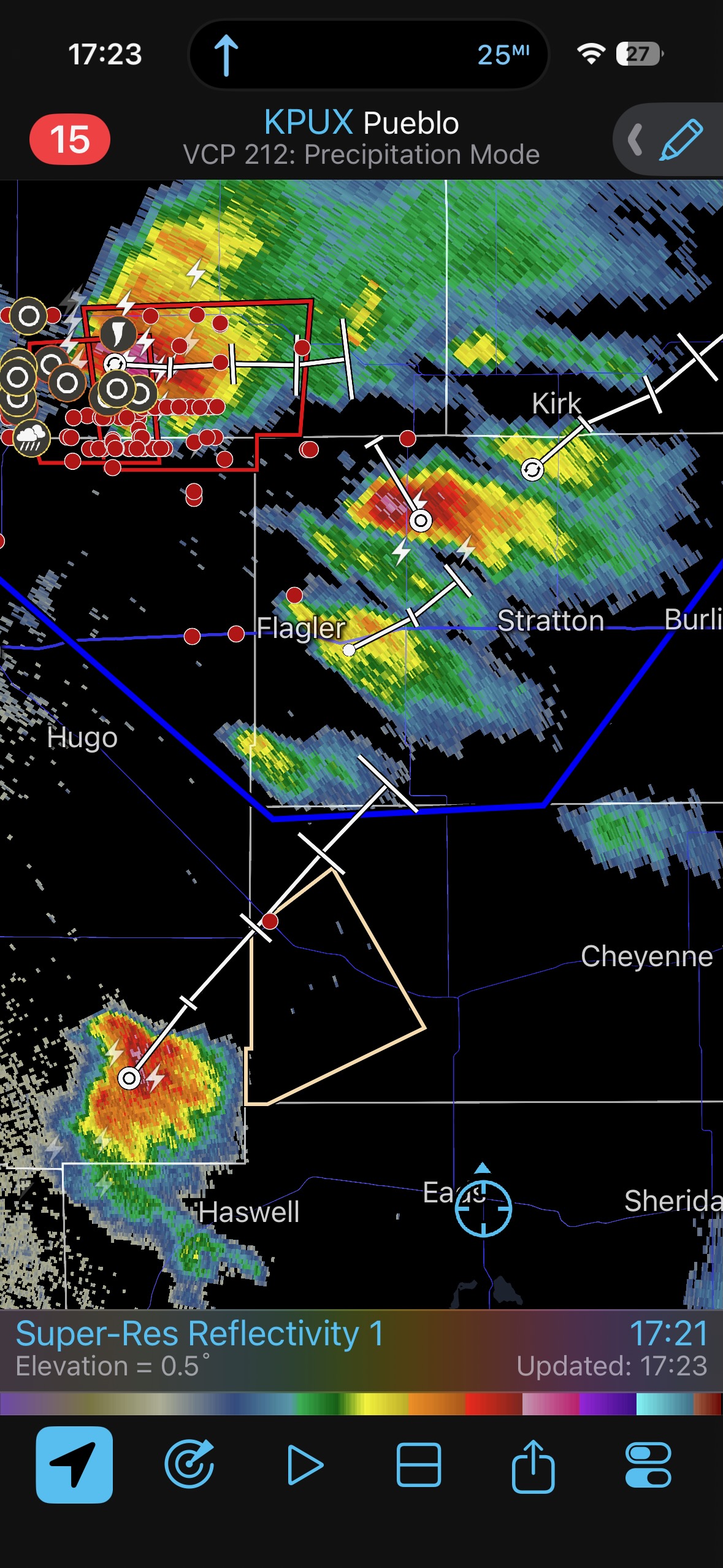
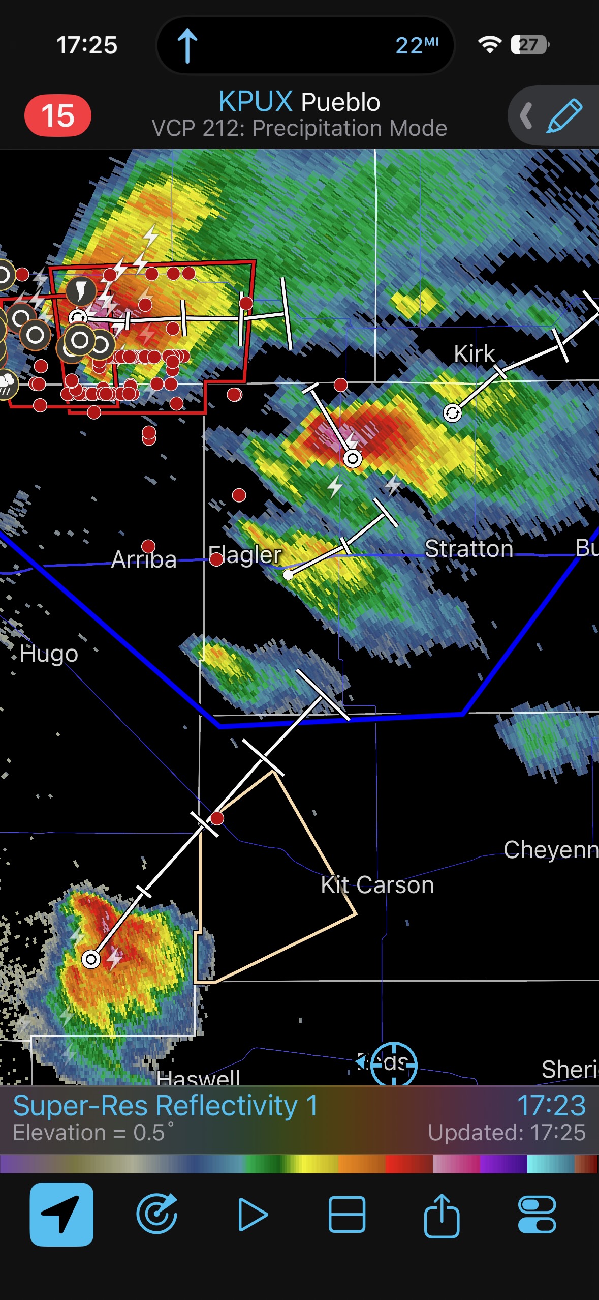
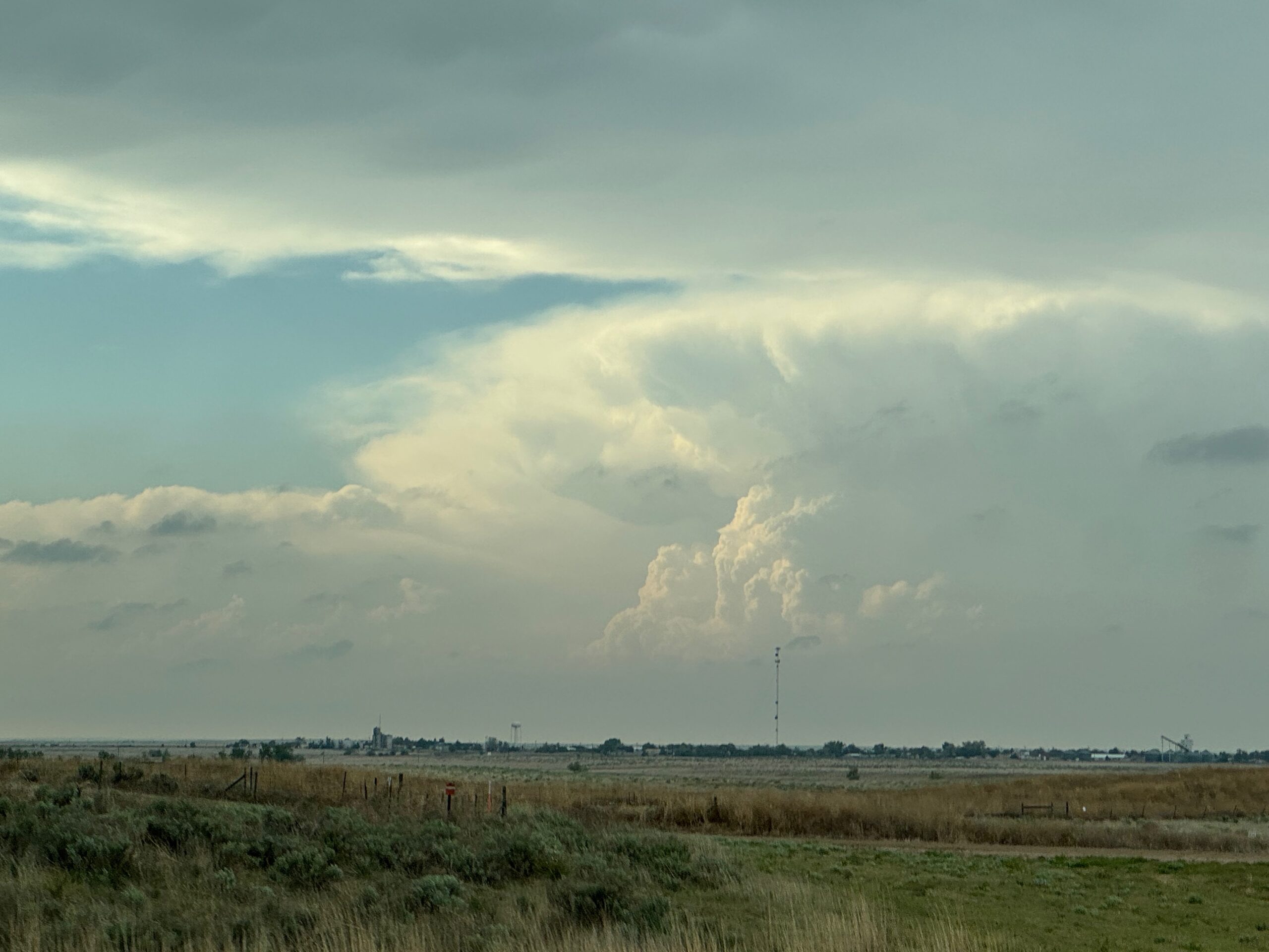
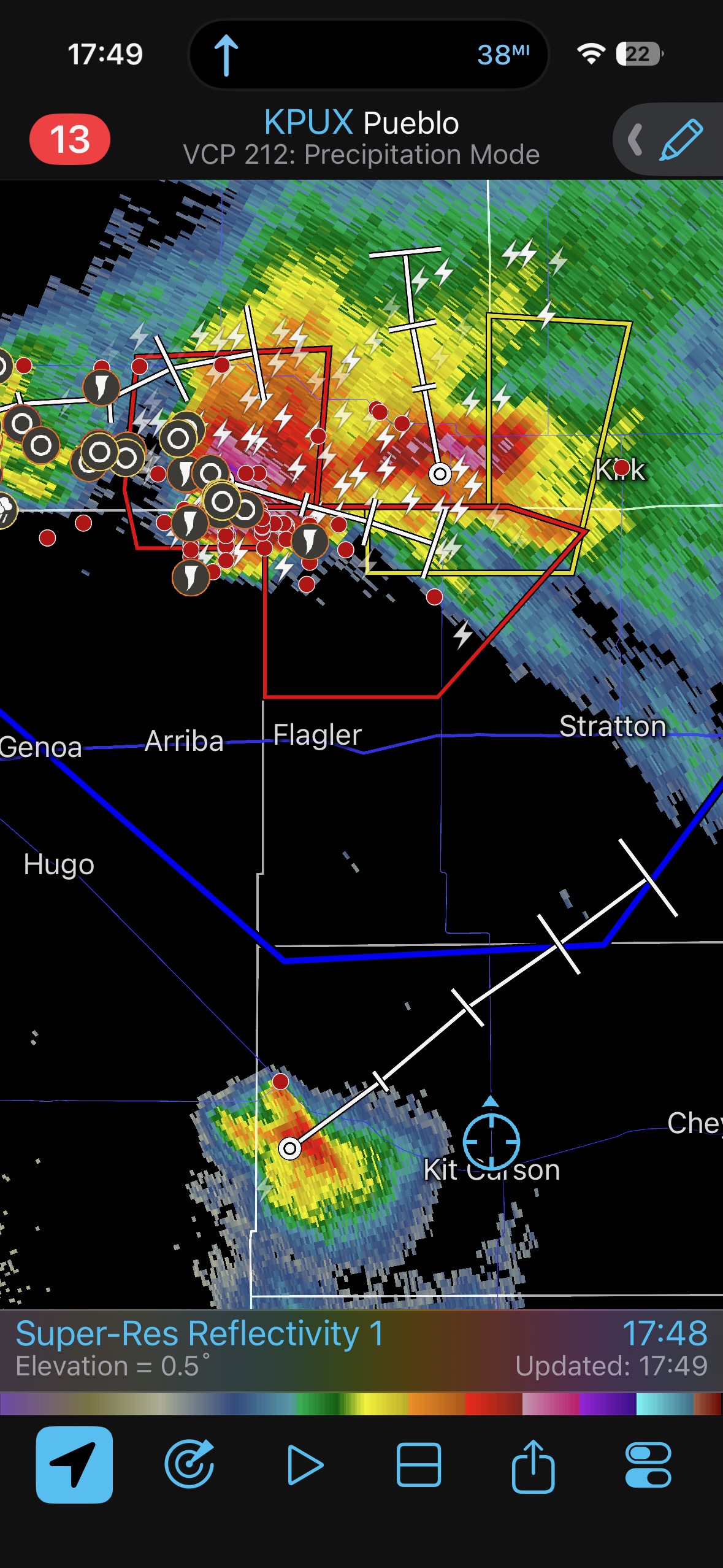
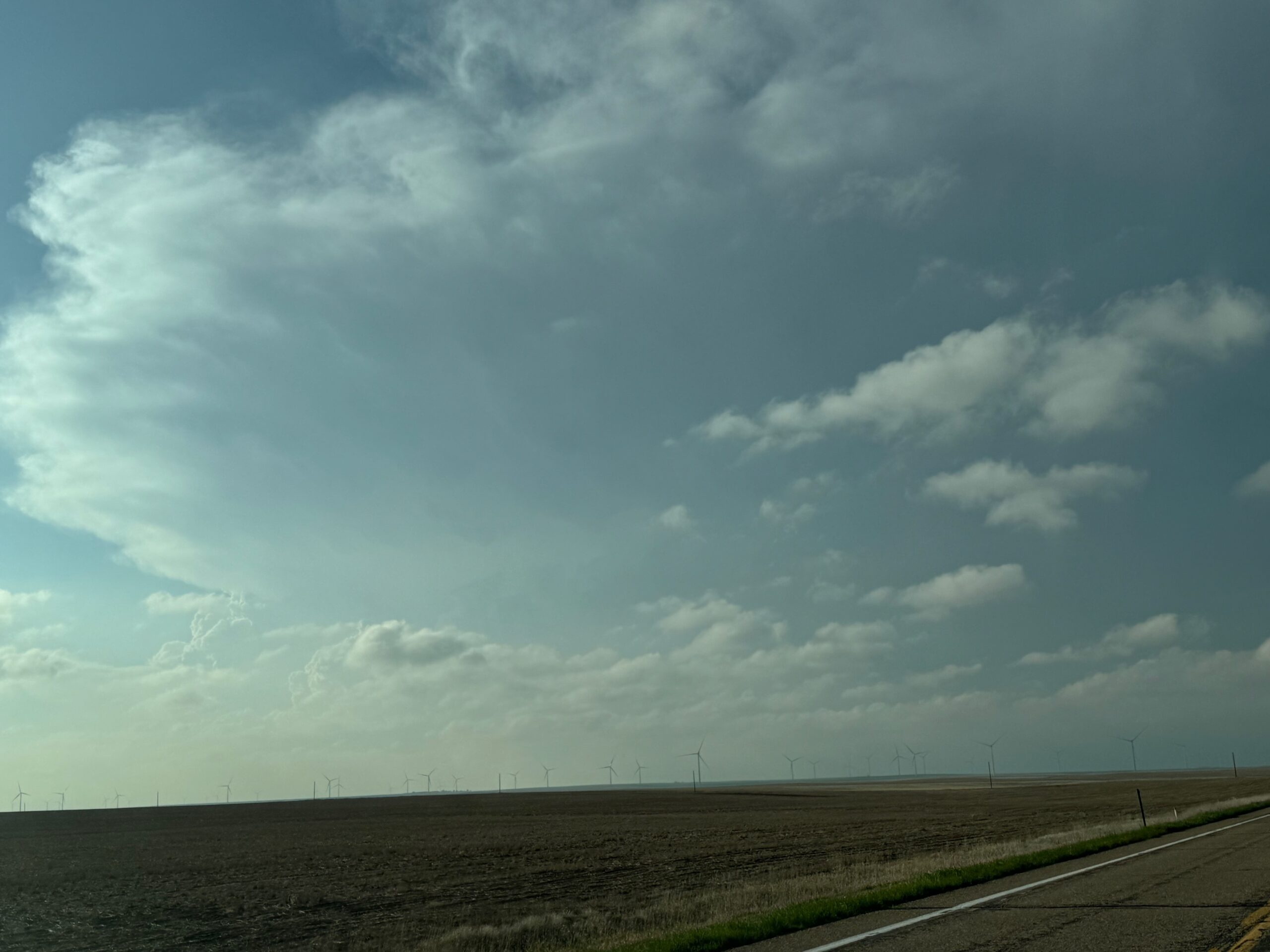
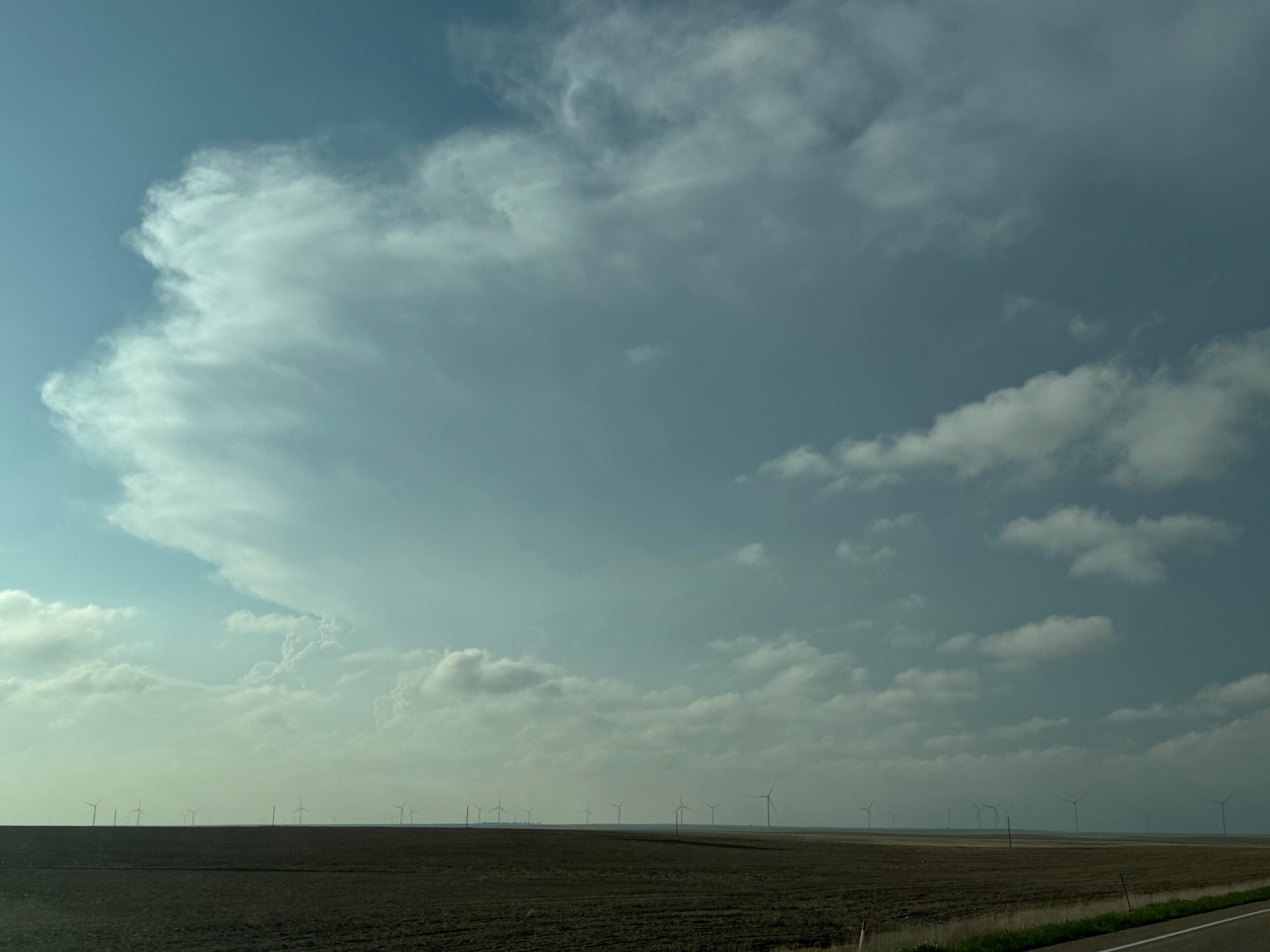
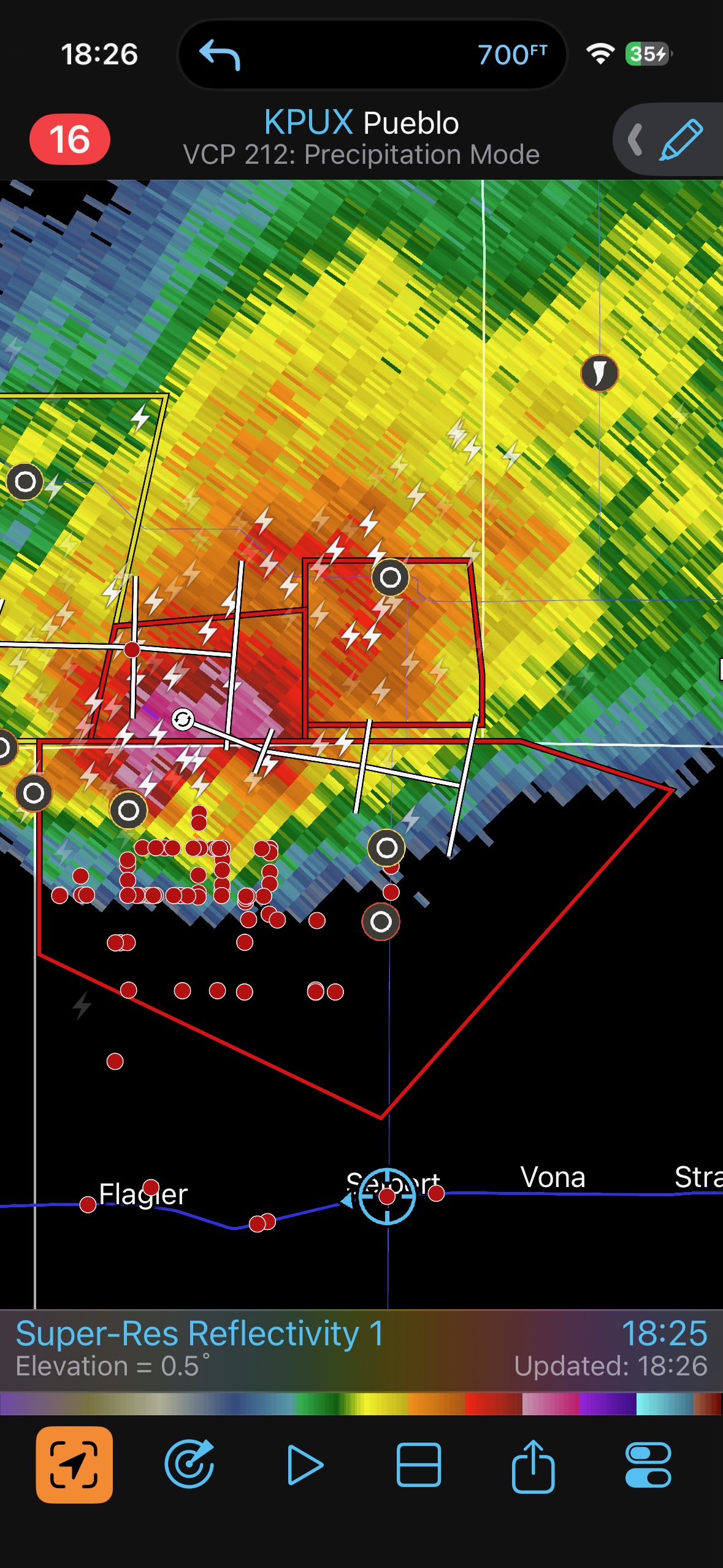
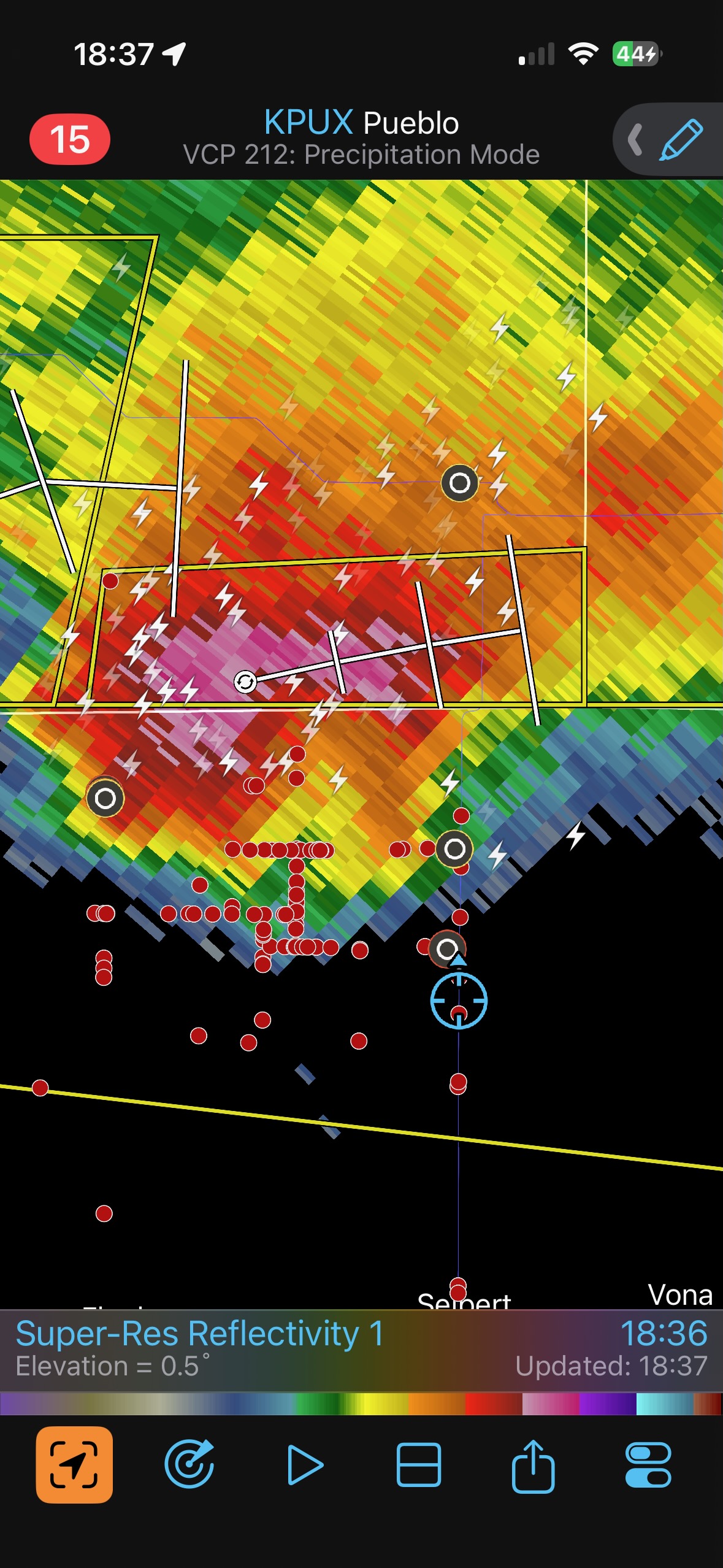
We covered the 12 miles or so north out of Seibert and then headed west a couple of miles. Here, the chaser traffic increased a lot, with dozens of vehicles headed eastbound on our unpaved road.
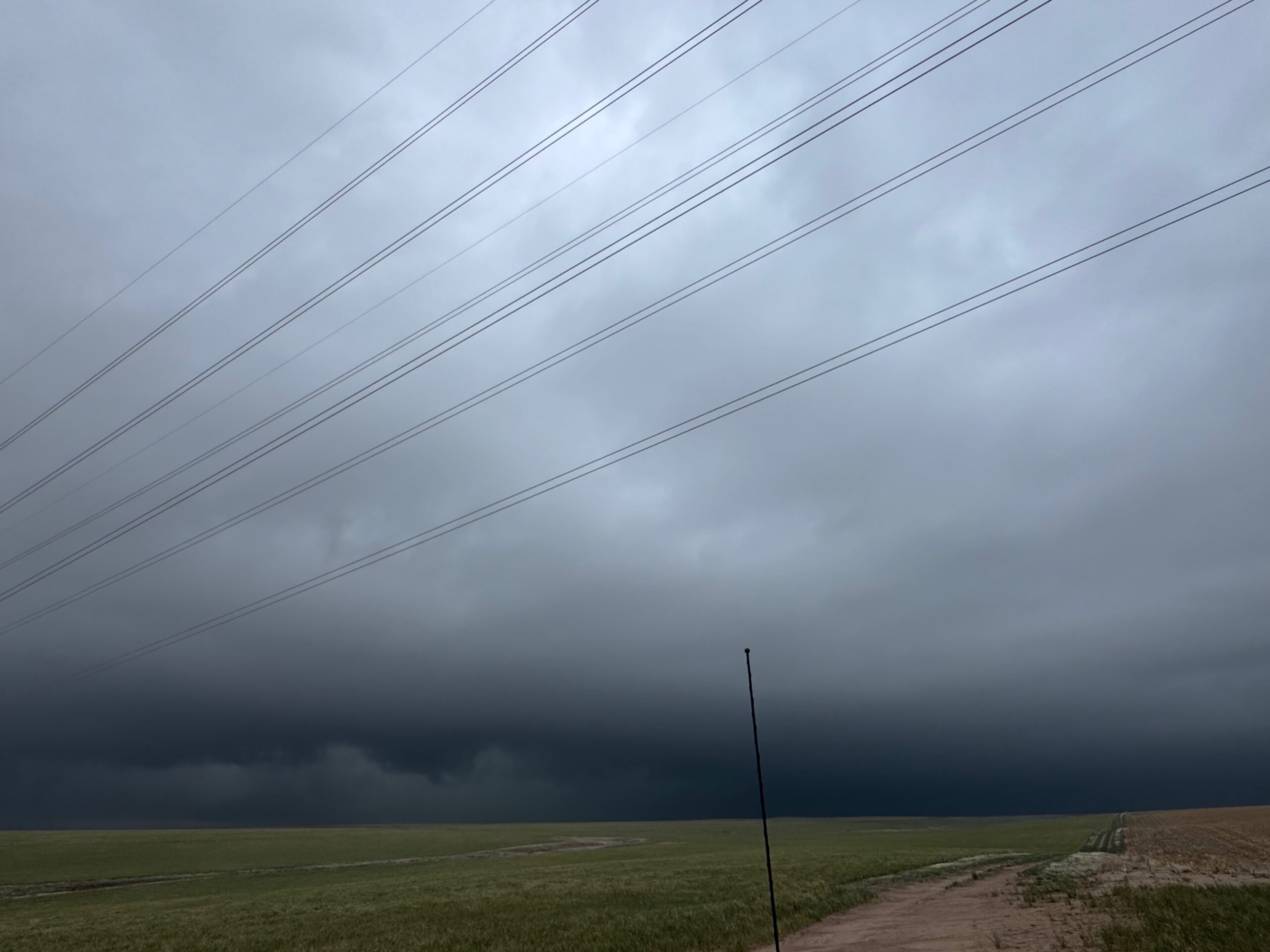
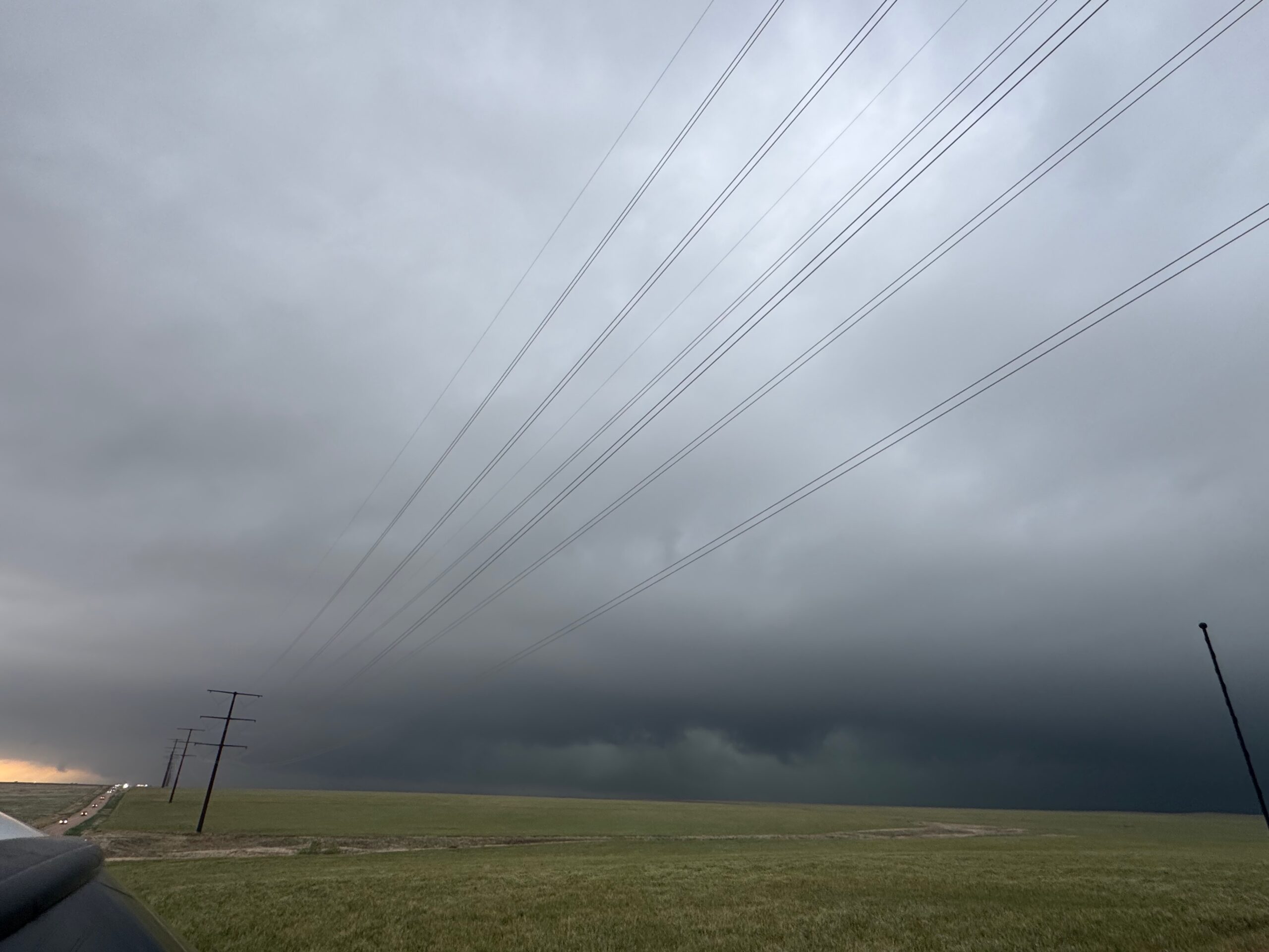
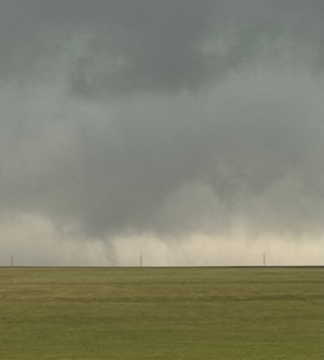
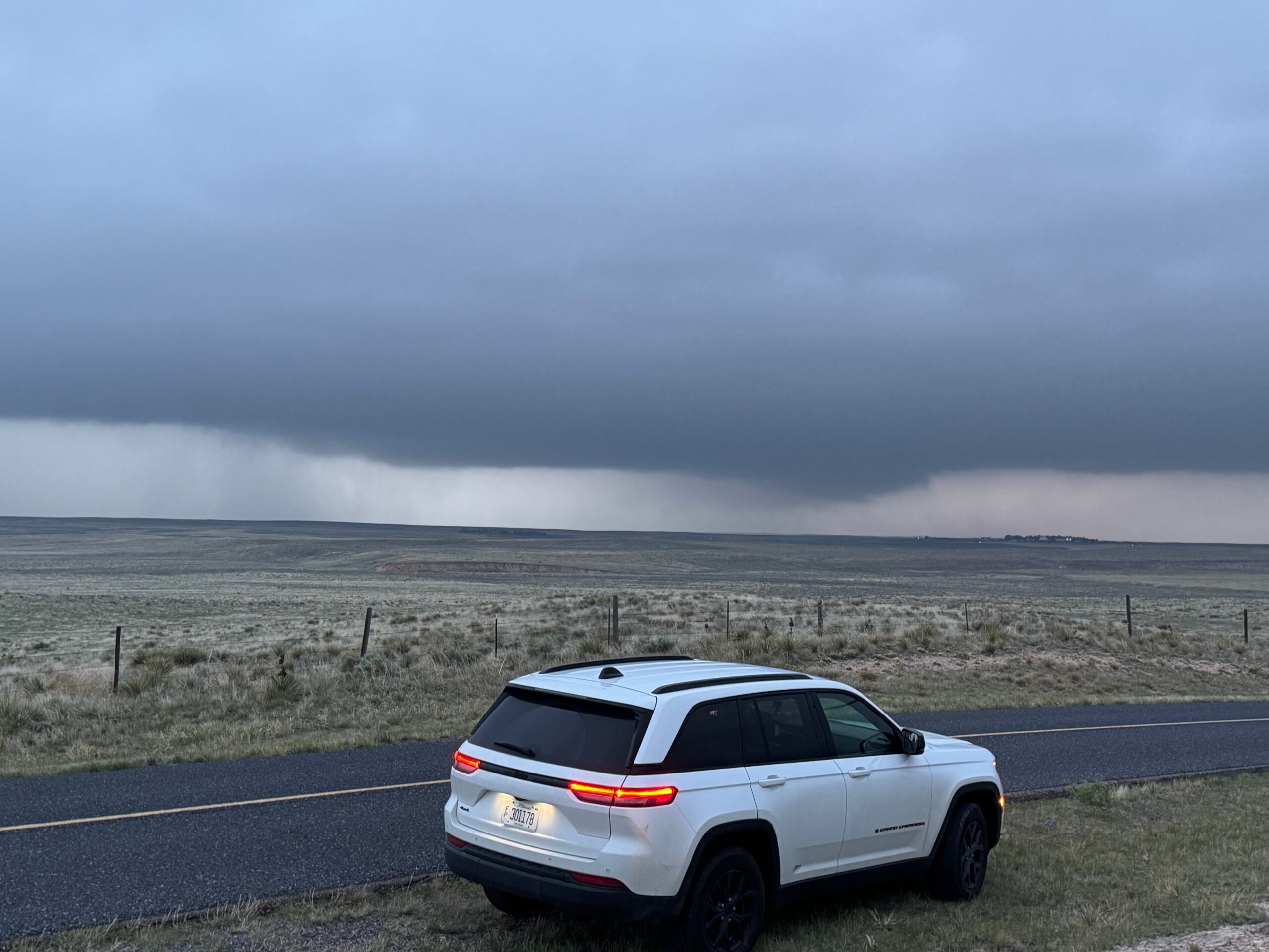
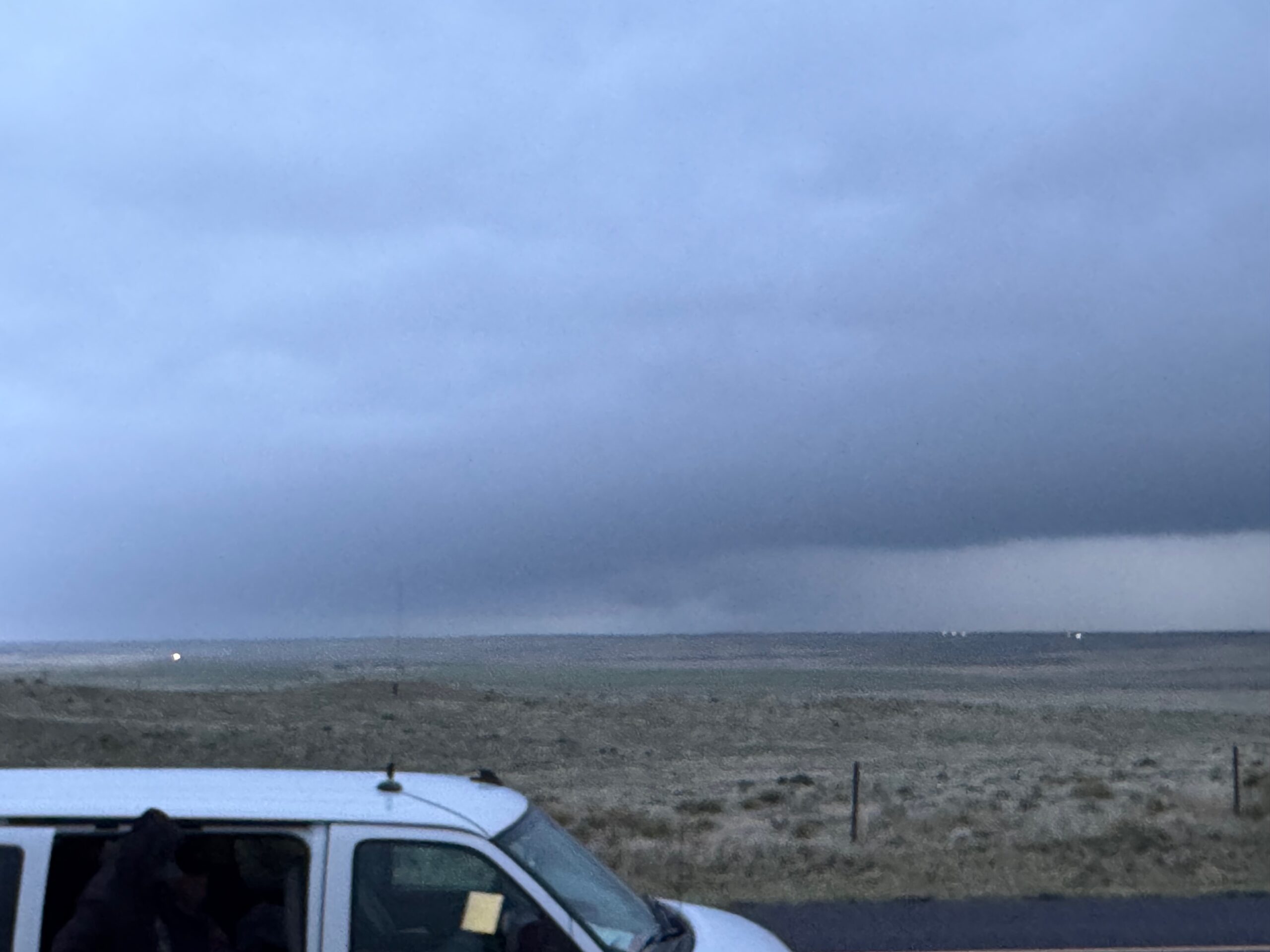
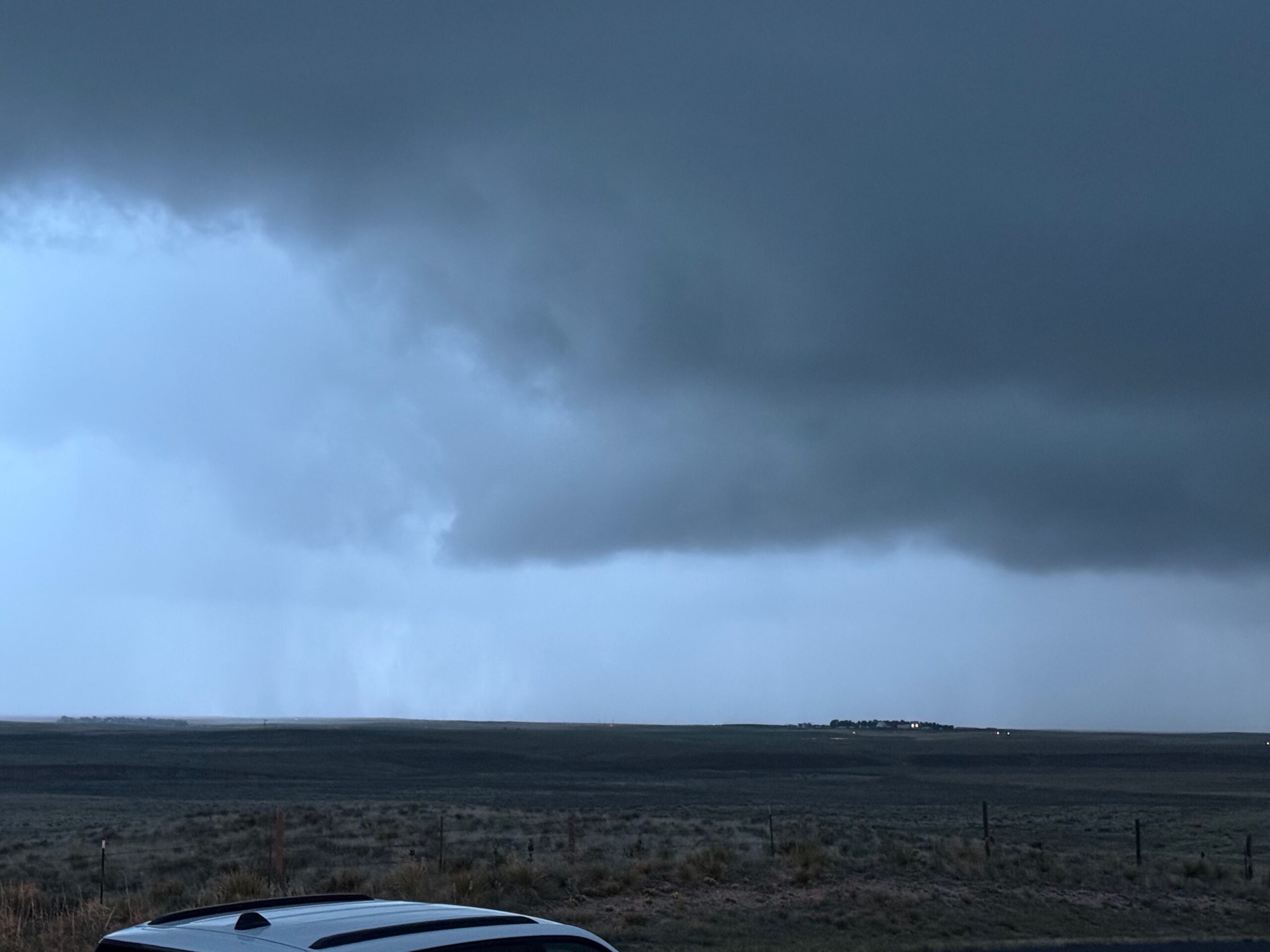
The storm looked rather cold and wet…probably because it was cold and wet. But, there was an interesting and very low storm base in view, to our WNW. We stopped on a slight rise in the terrain, and almost immediately there were some tendrils scooting around along the ground! We had a weak tornado going! It also looked like rain curtains were rotating around. There was little or no dust getting kicked up with this weak Colorado tornado.
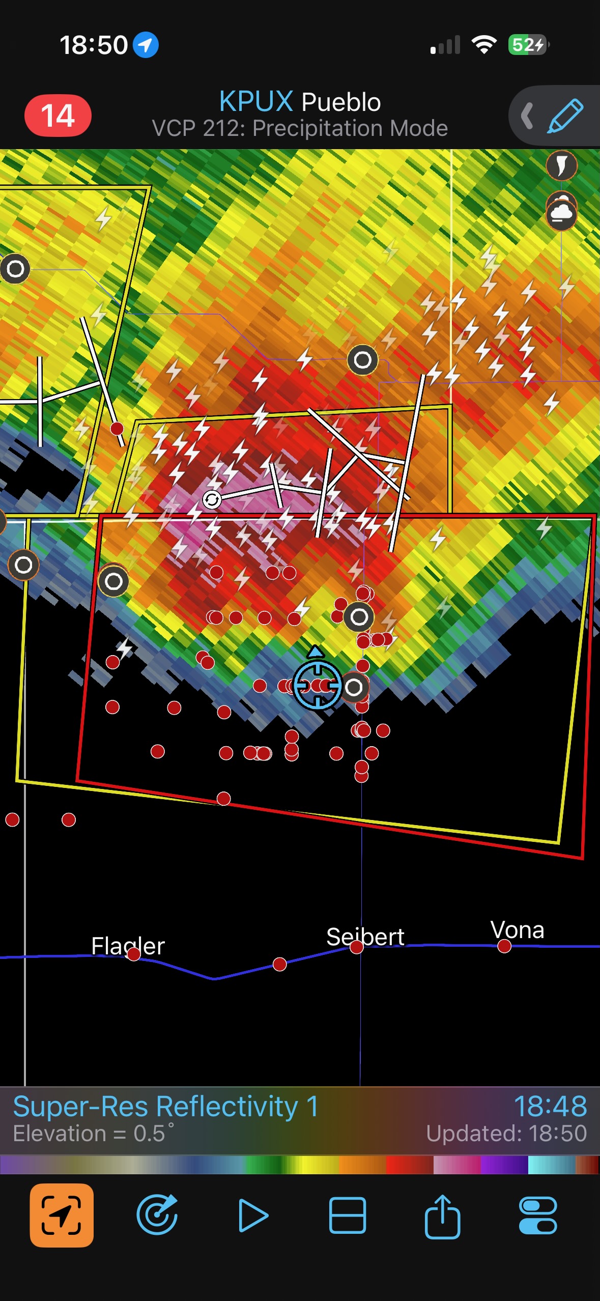
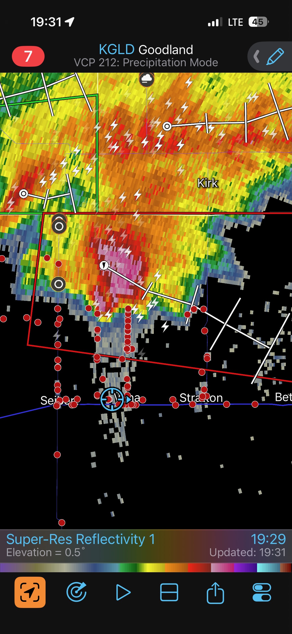
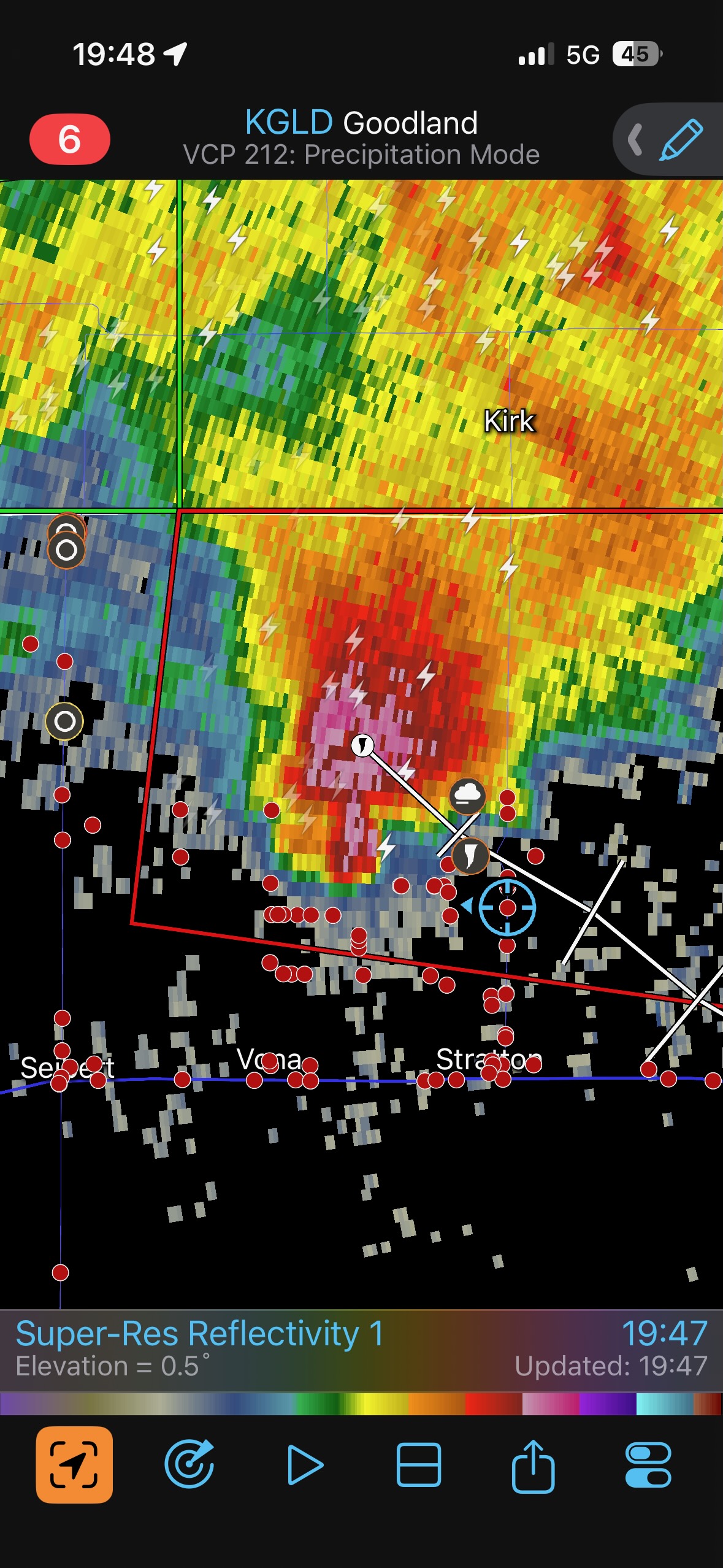
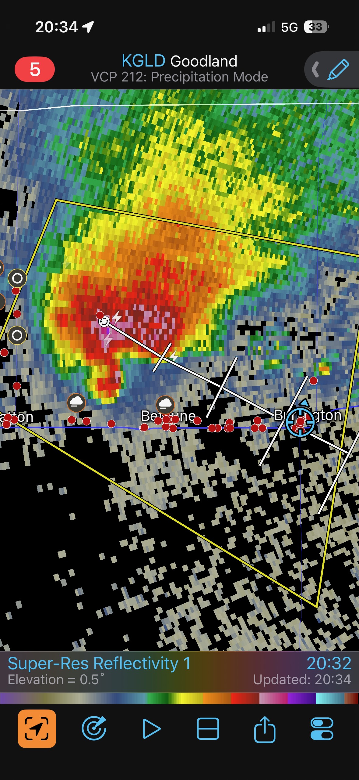
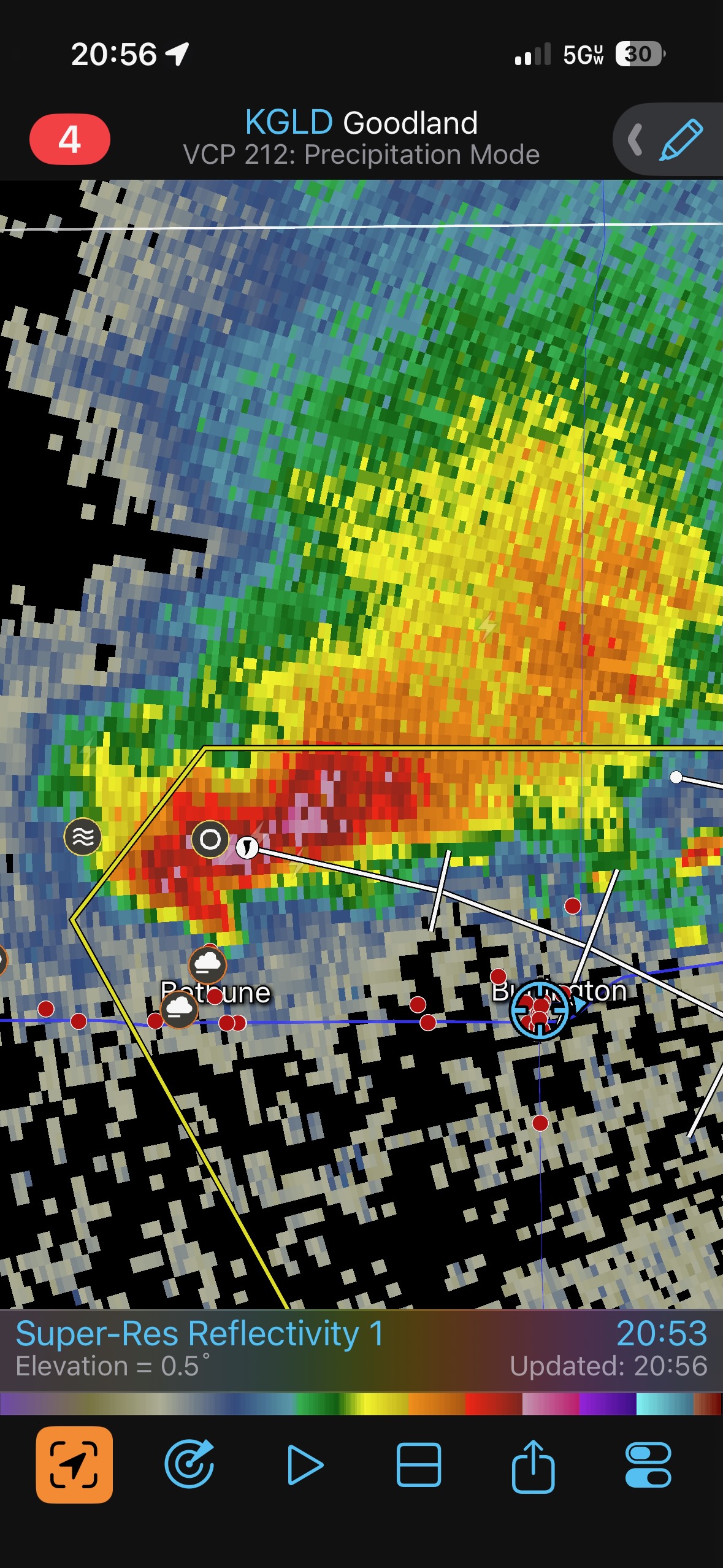
Note: SPC Storm Reports shows three tornados near Thurman around 5:40 p.m. MDT, and those are plotted on the radar above at 17:49 (5:49 p.m. MDT). We were too late to see these. The tornado which we observed was around 6:51 p.m. MDT. It was weak and brief, but the rotation in the associated clouds and rain curtains was impressive. I estimate that it was about 15 miles NNW of Seibert.
This area of interest weakened. The storm neared and forced us southward. I headed back to I-70 in order to get back in front. The storm continued tornado-warned, but we did not observe any other tornadoes. The supercell approached our viewing location north of Stratton around sunset, and it looked cold and stable at low levels. (Probably because it was cold and stable at low levels.)
Leave a Reply
You must be logged in to post a comment.