
Start: Oberlin, KS/Lunch: Lucy’s Bakery and Cafe in McCook/End: Ogallala/243 miles
This was a chase day with great instability and adequate shear in place in and around southwestern Nebraska! Is this really 2026? We observed a couple of supercells. The first one went northward along Hwy 25 from about Palisade to Wallace, and it was fairly scrawny. The second one went northward along U.S. 83 from south of Wellfleet to north of Wellfleet. It was quite a beast, with a tornado or two.
The first batch of photos below is the “higher-end” stuff off of the Canon cameras. Scroll down for the iPhone shots and a more detailed chase account, with the radar screenshots. I managed to get some shots of the tornado that was north of Wellfleet with the iPhone only, as we were driving northward on 83.
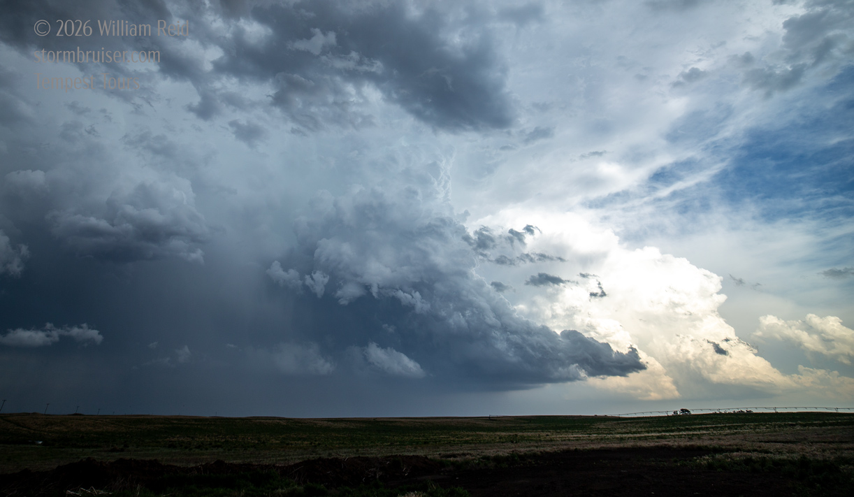
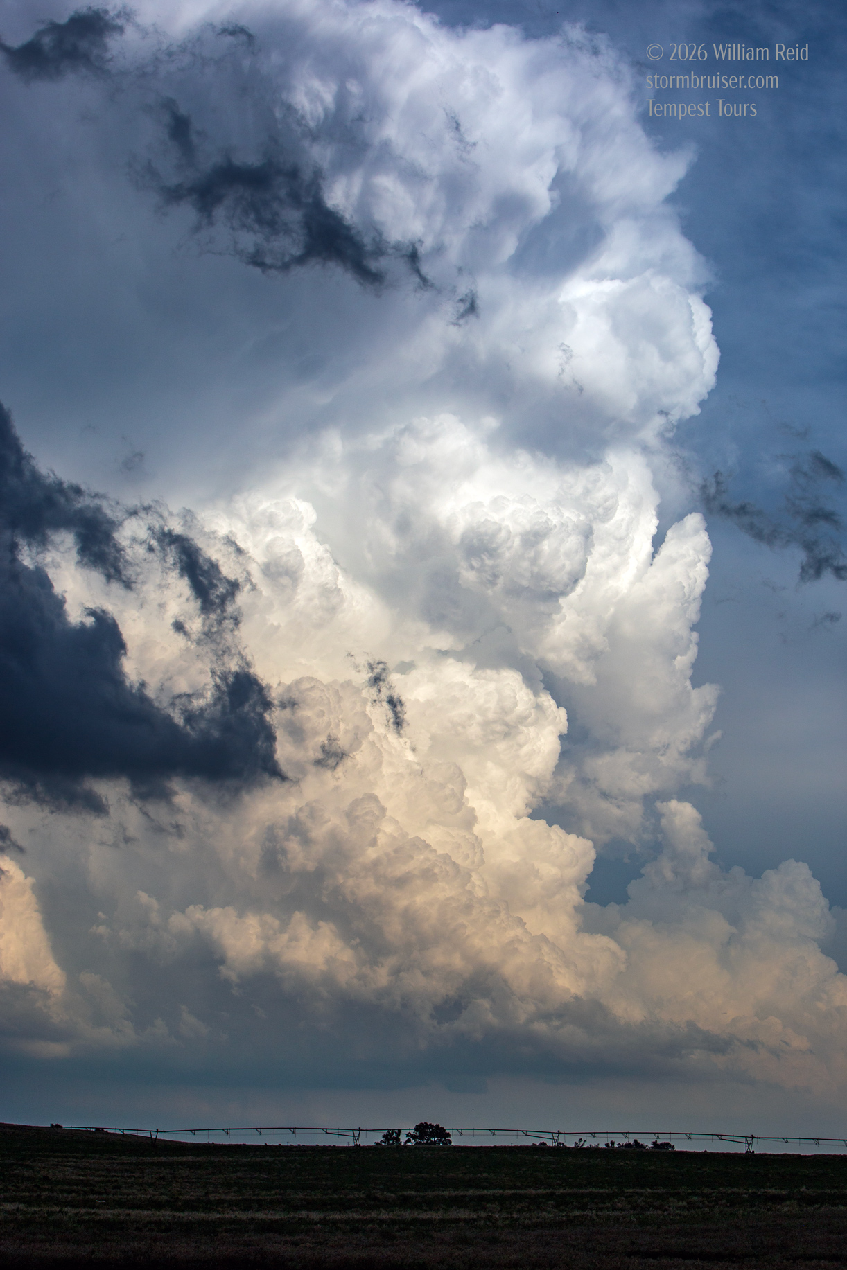
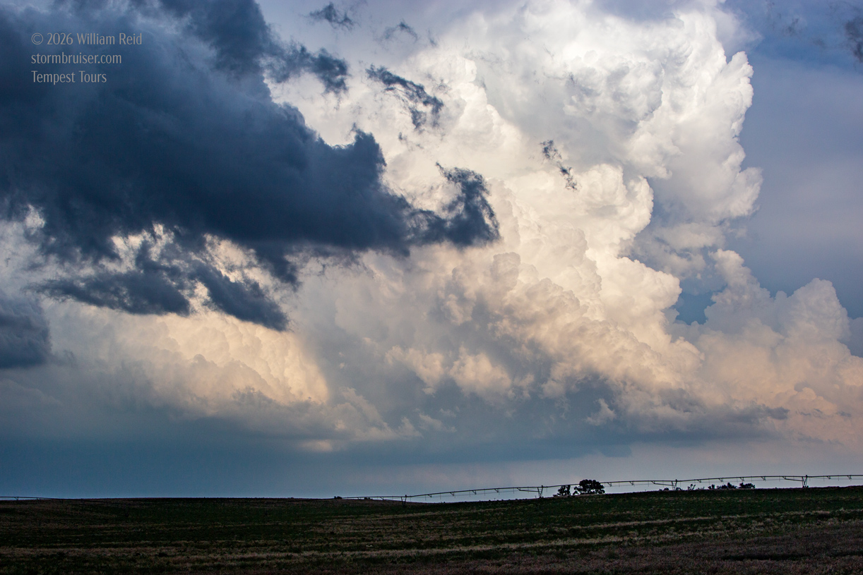
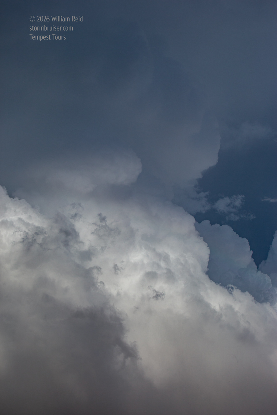
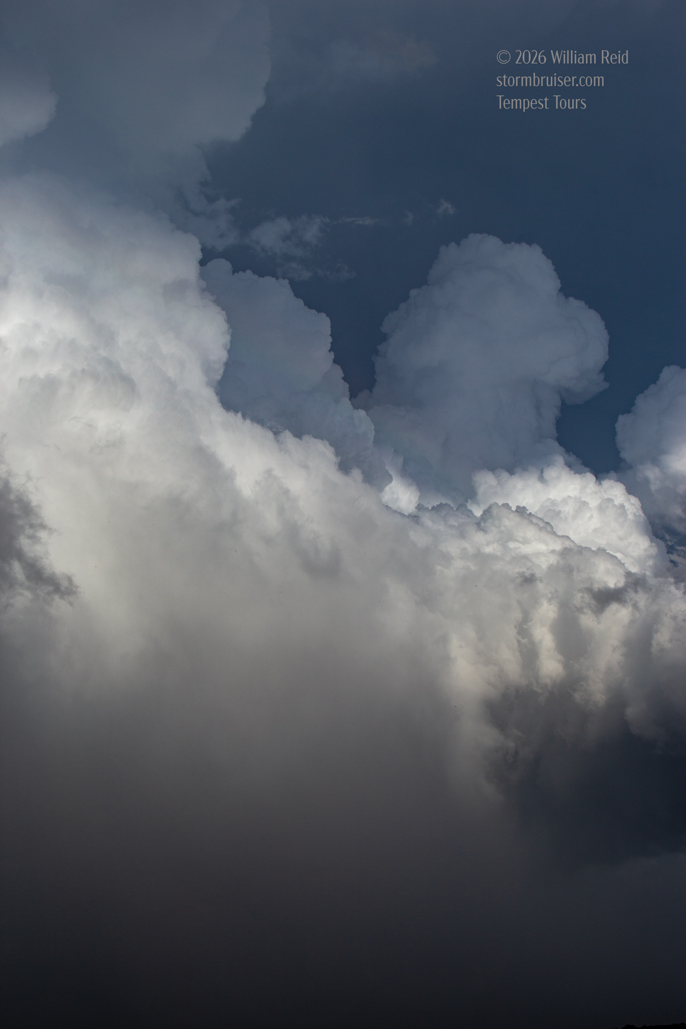
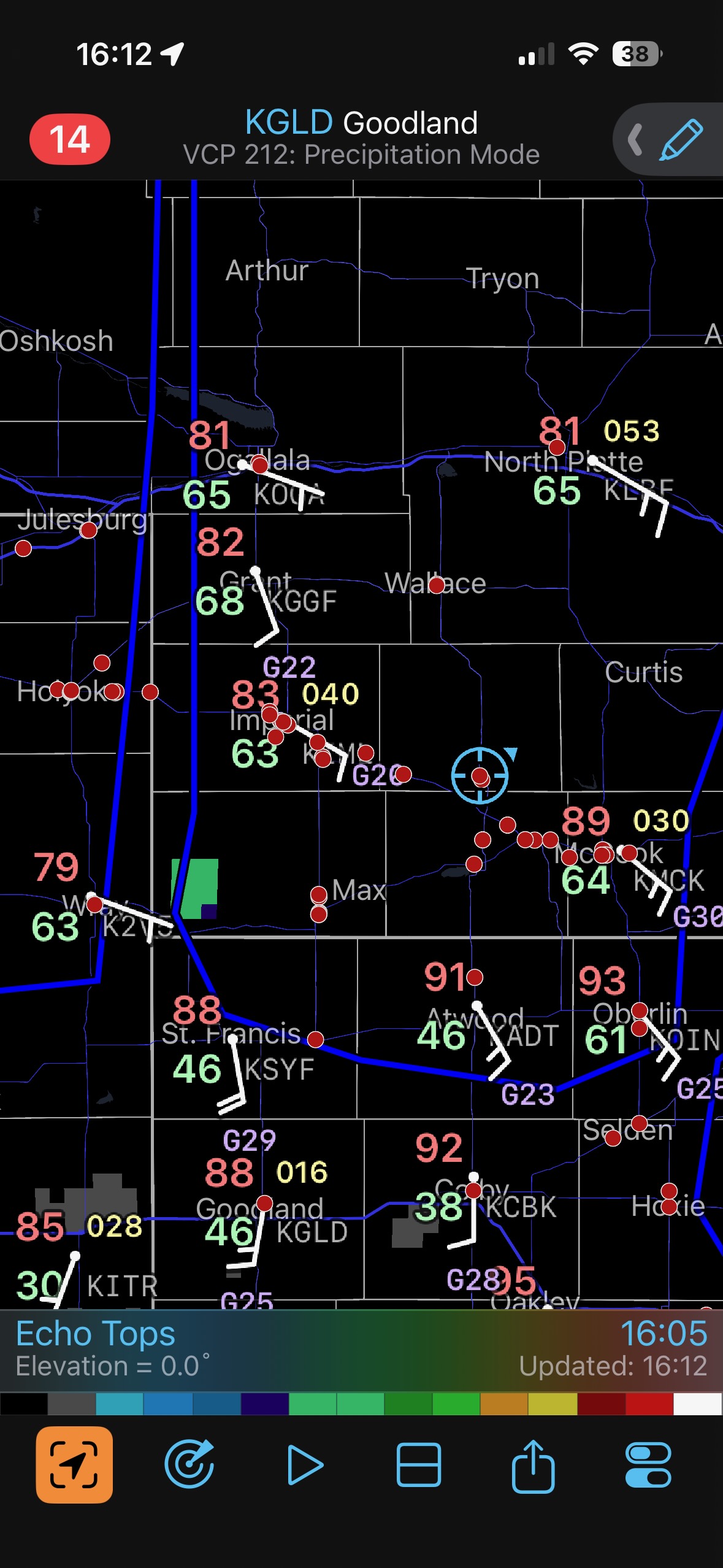
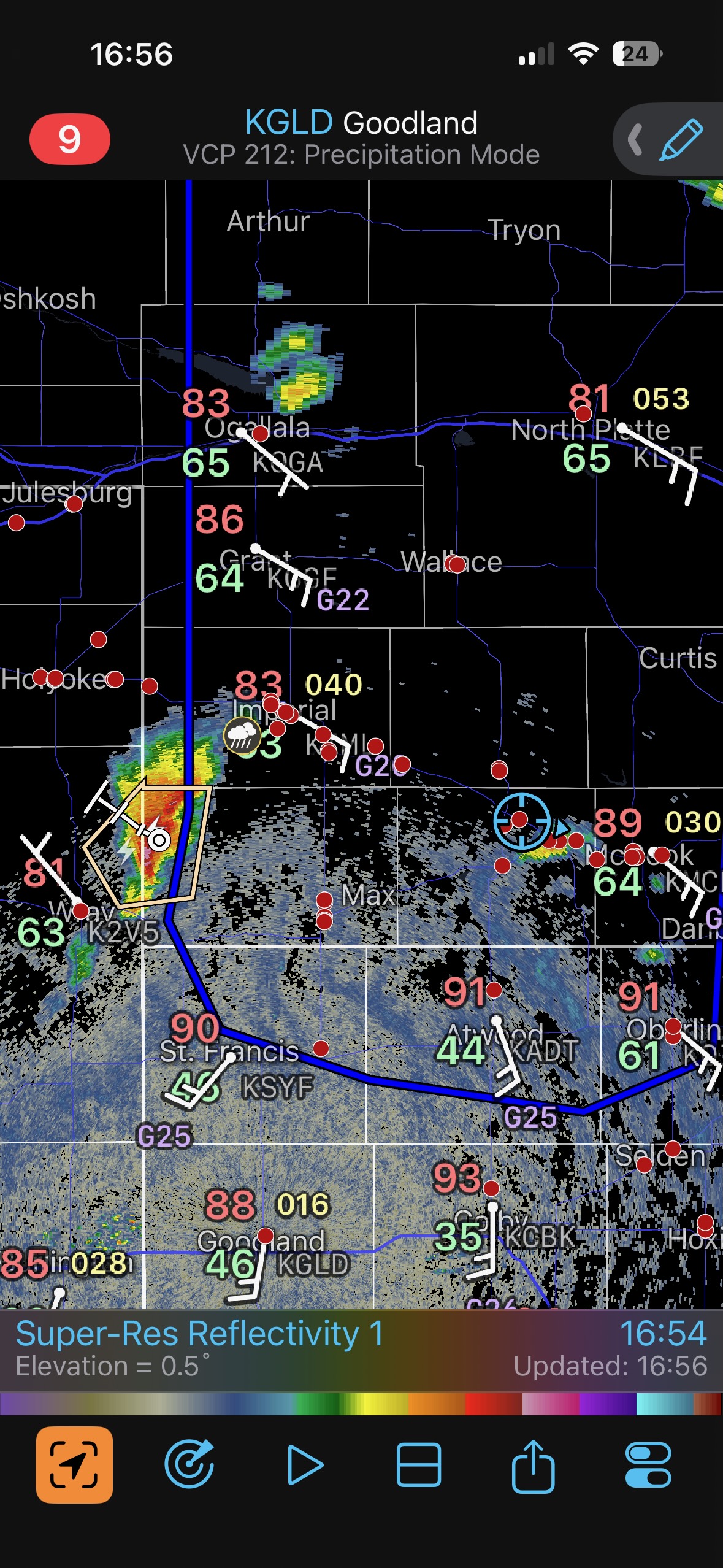
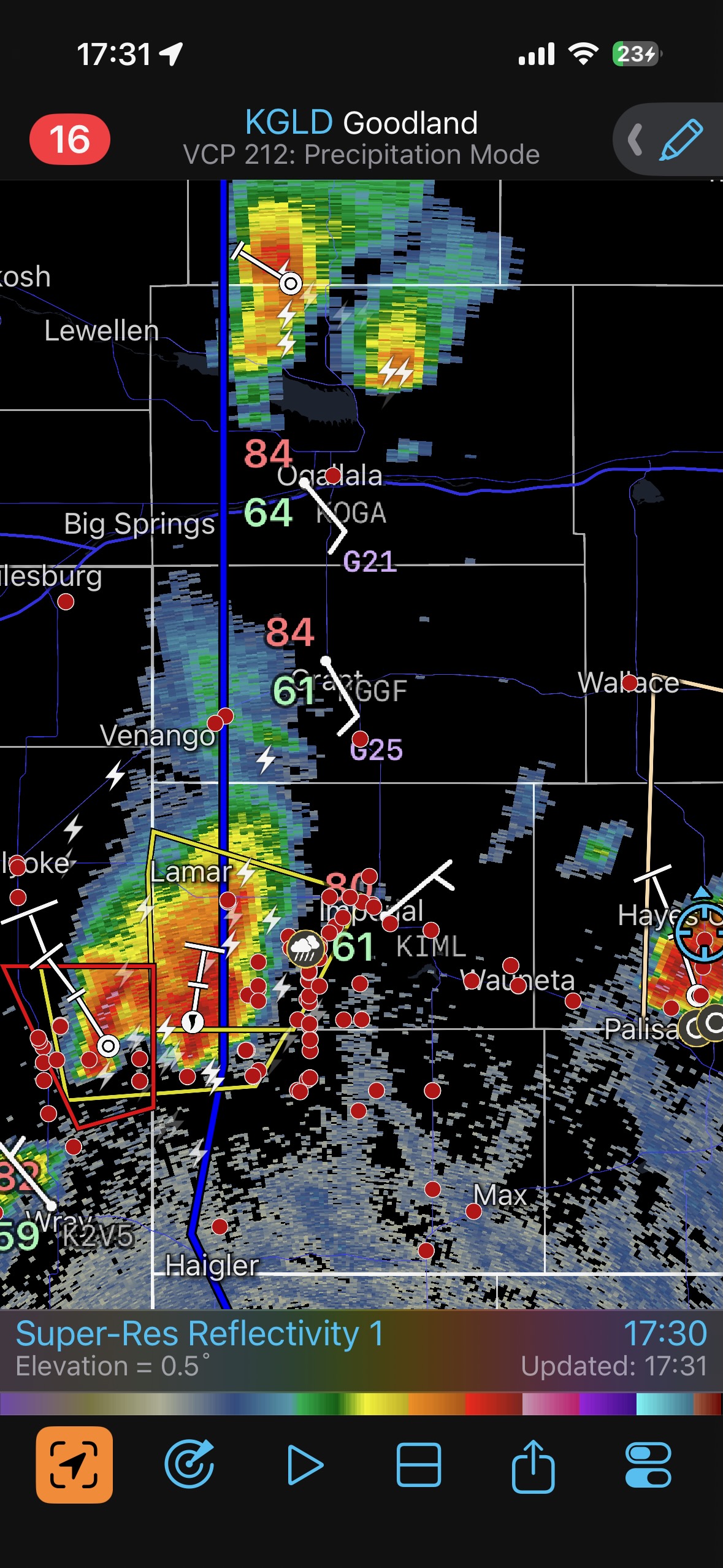
Our group had a relaxing lunch in McCook, as we were in really good position for the afternoon storm development. The question of the day was “how far west should I go along this E-W boundary?” This boundary looked to be close to the NE/KS line, from about Wray to Oberlin. Check out that first radar grab below for some surface obs at 4 p.m. MDT. S to SSE winds in NW KS are dry, and these bump up against moist ESE winds along Highway 6 from Holyoke to McCook. The triple point out west was near Holyoke. Models had convection firing up along much of this E-W boundary eventually. I slightly favored the portion that was closer to McCook, though I was quite nervous about the decent prospects around Holyoke. I think moisture was a bit better on my east end.
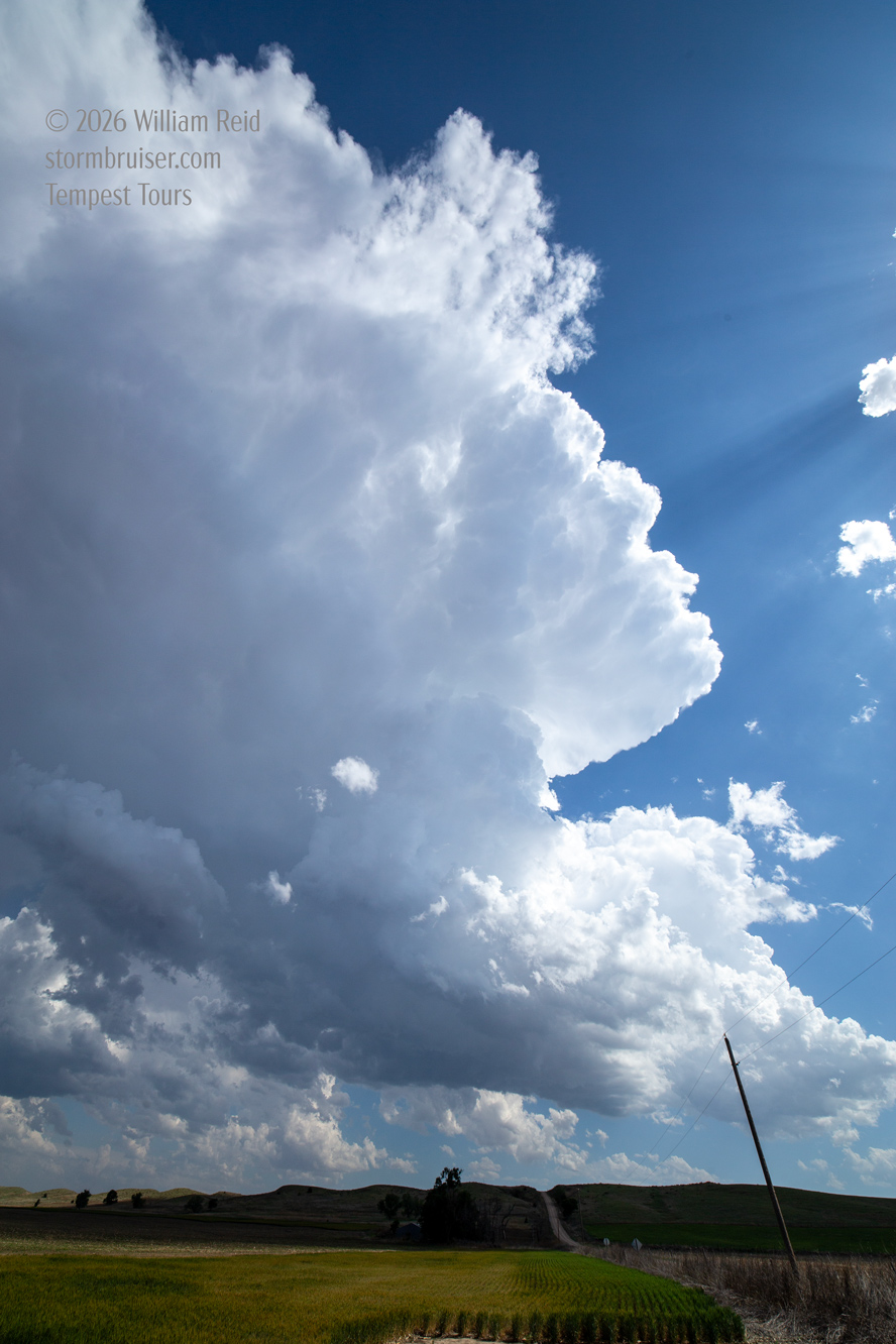
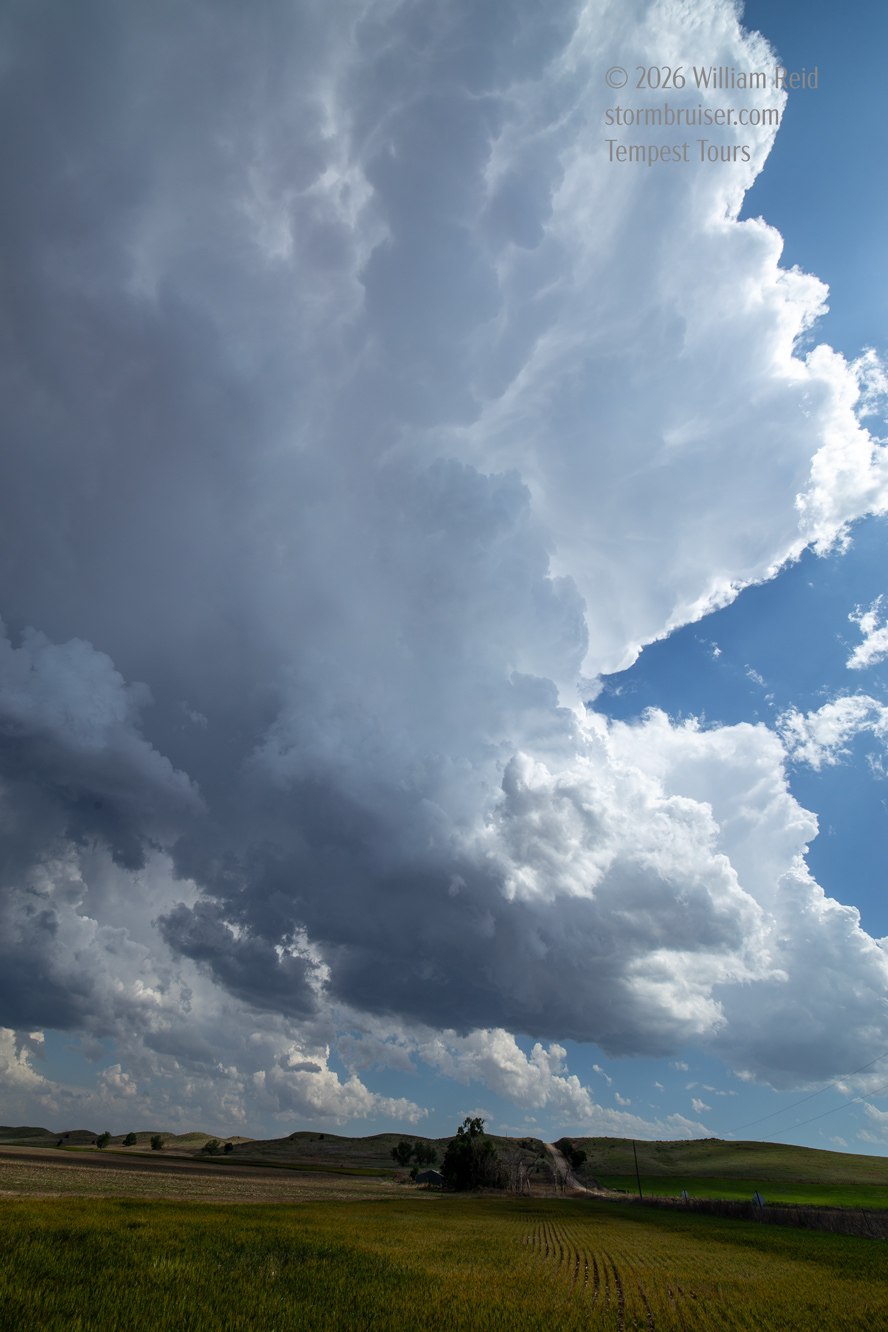
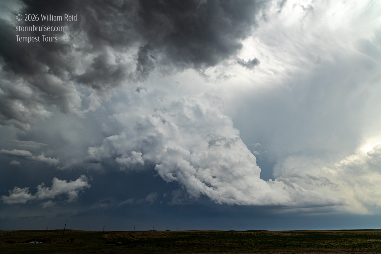
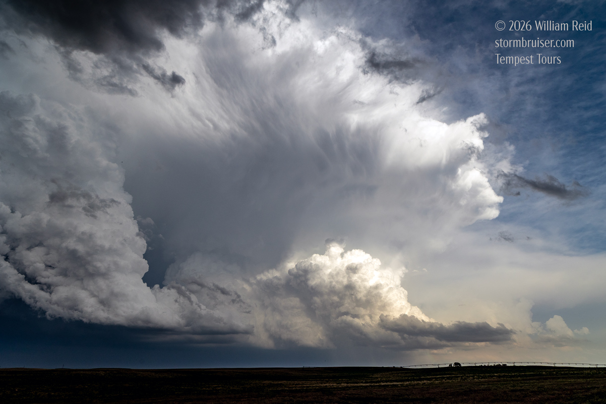
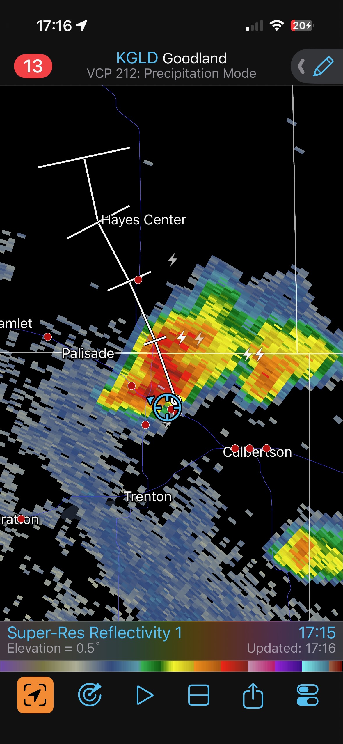
We were near Palisade (the blue circle) around 4 p.m. MDT when storms formed to our west, as expected, near Benkelman. The images below show the cumulus and then the CBs and the prominent anvil soaring northward. Plenty of chasers headed that way, but I decided to stick to my guns a county to the east.
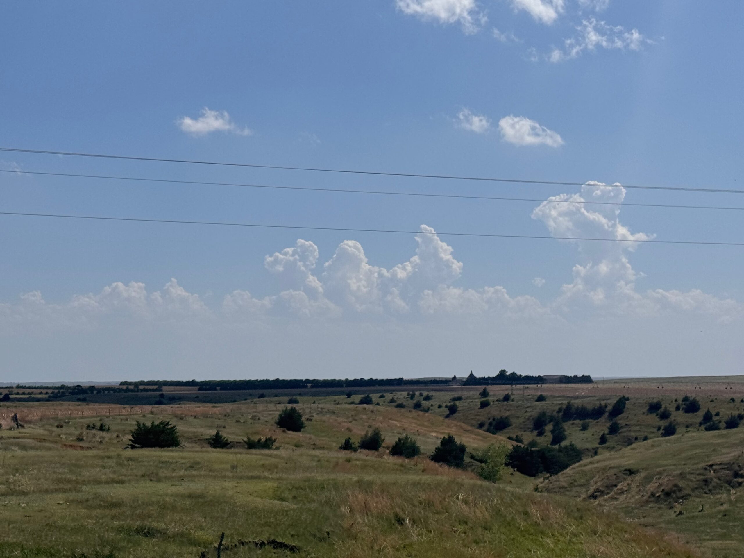
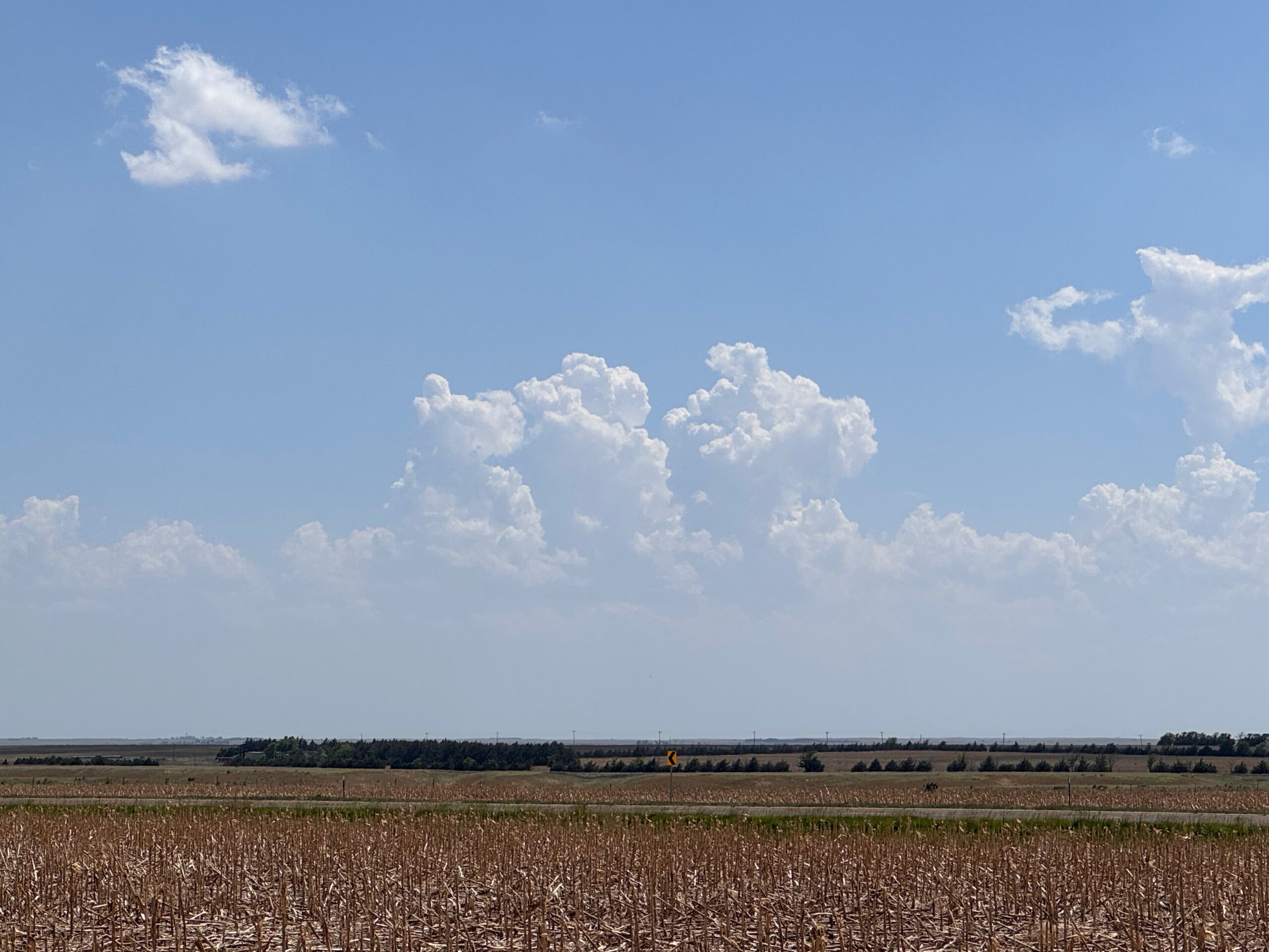
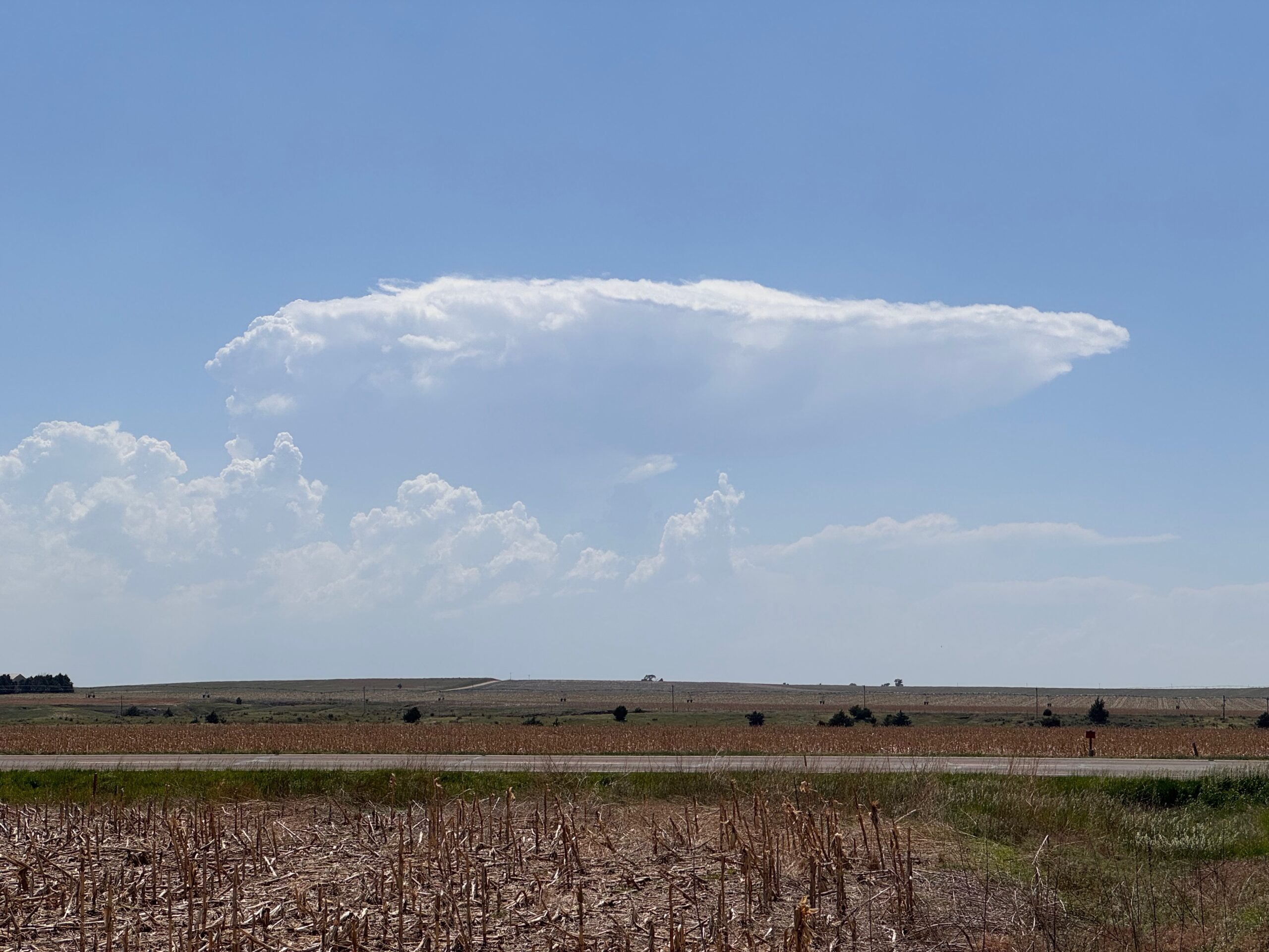
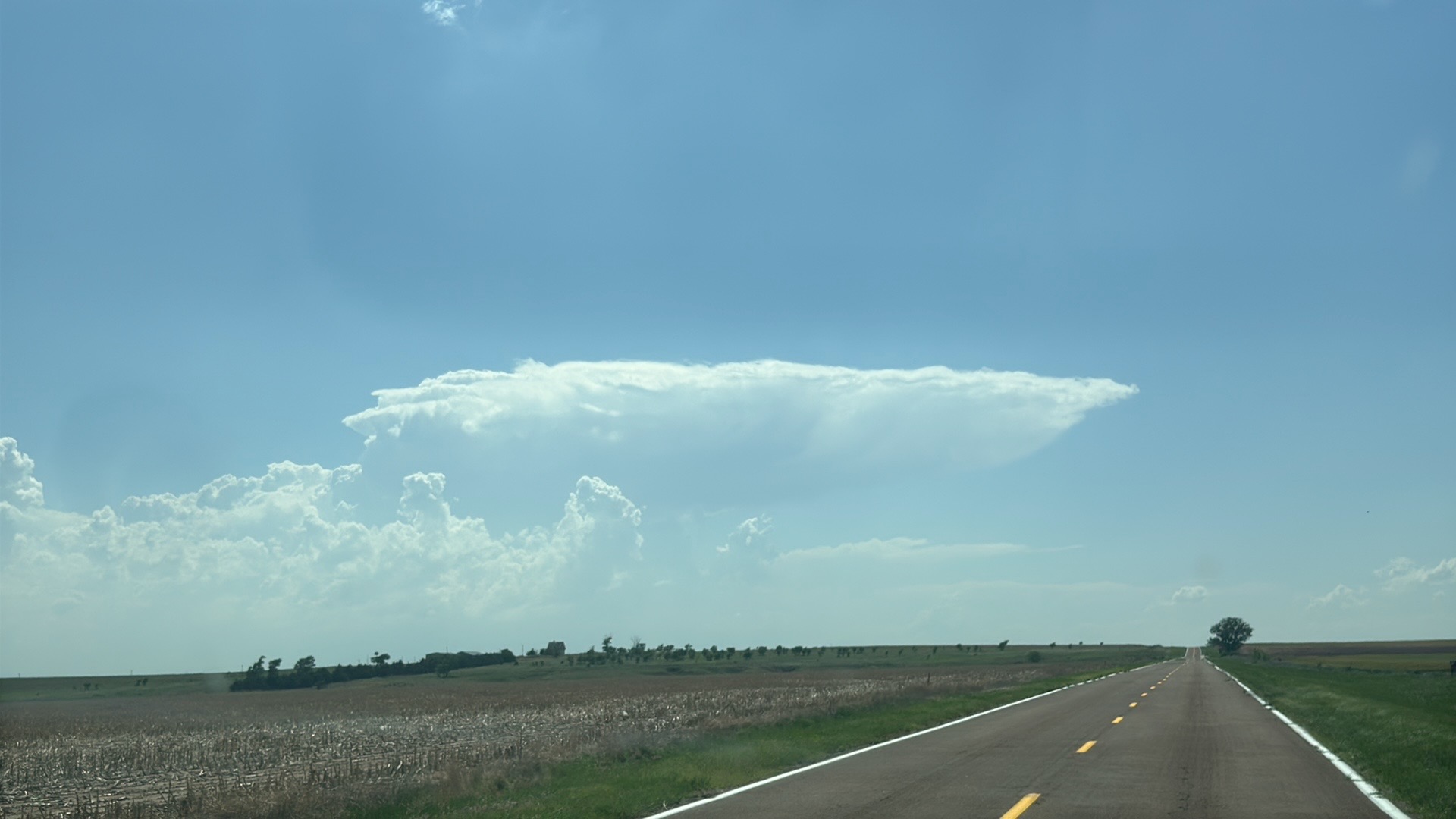
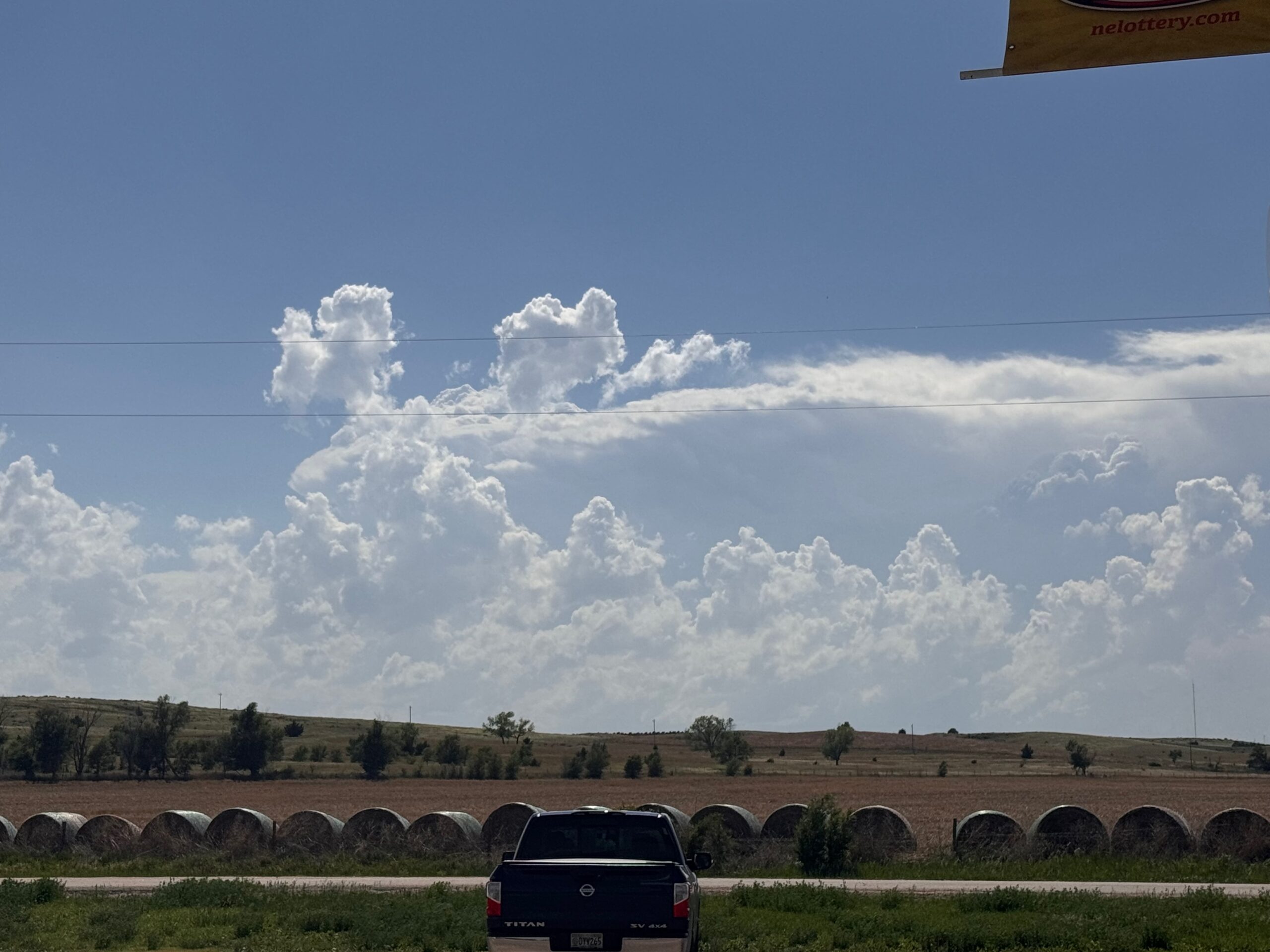
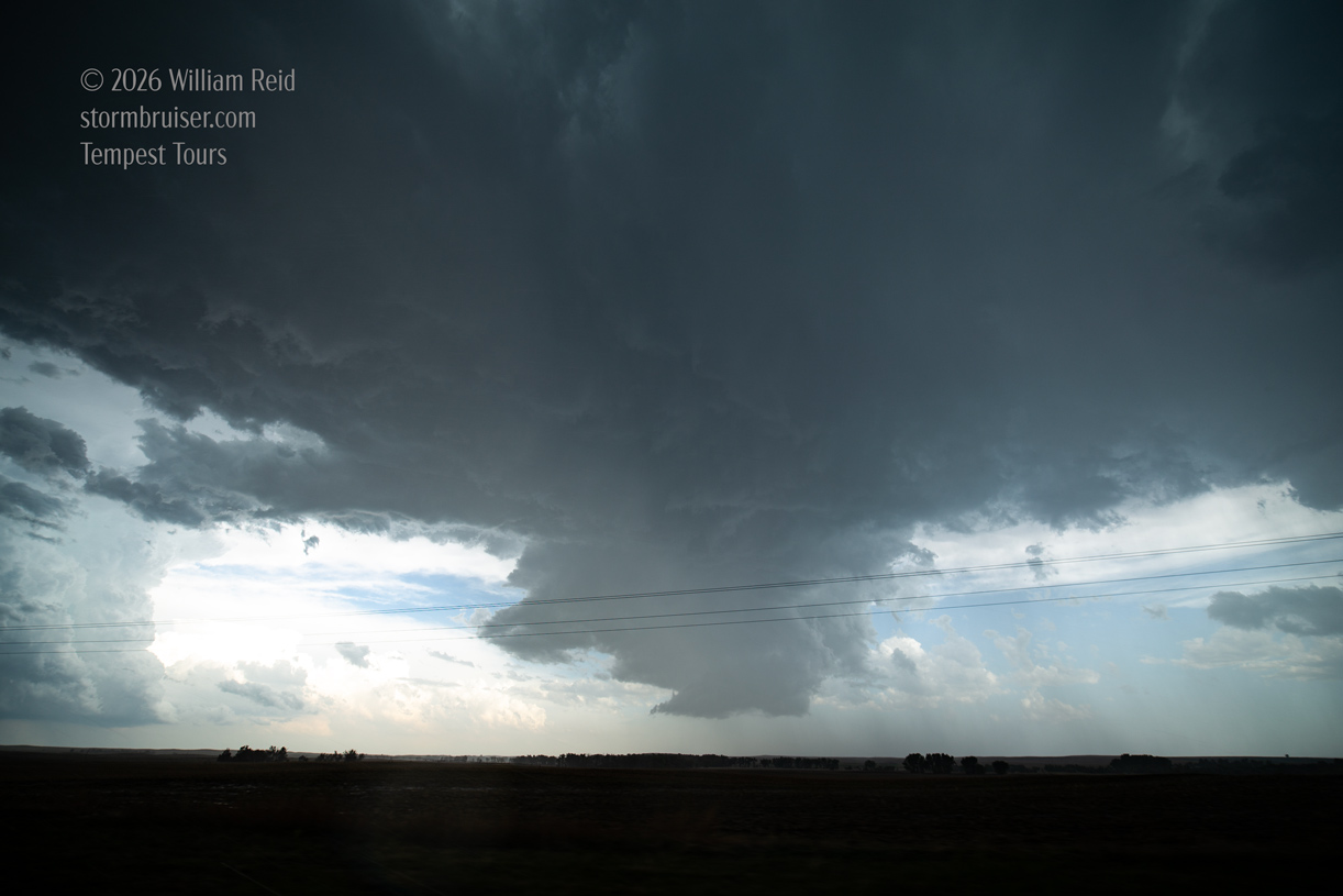
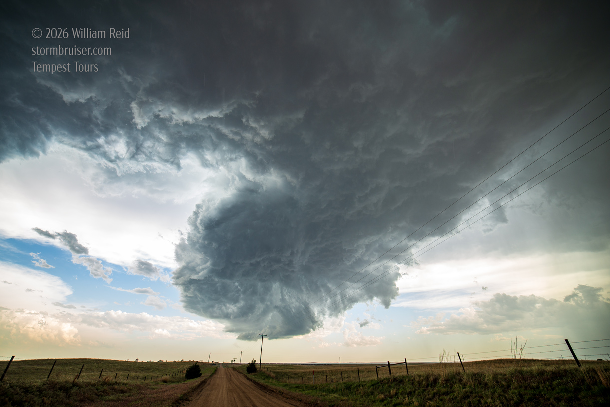
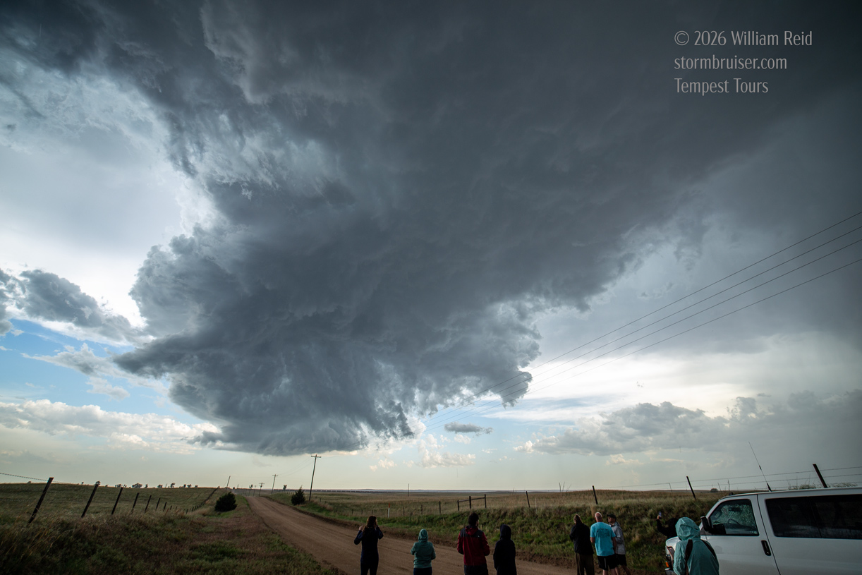
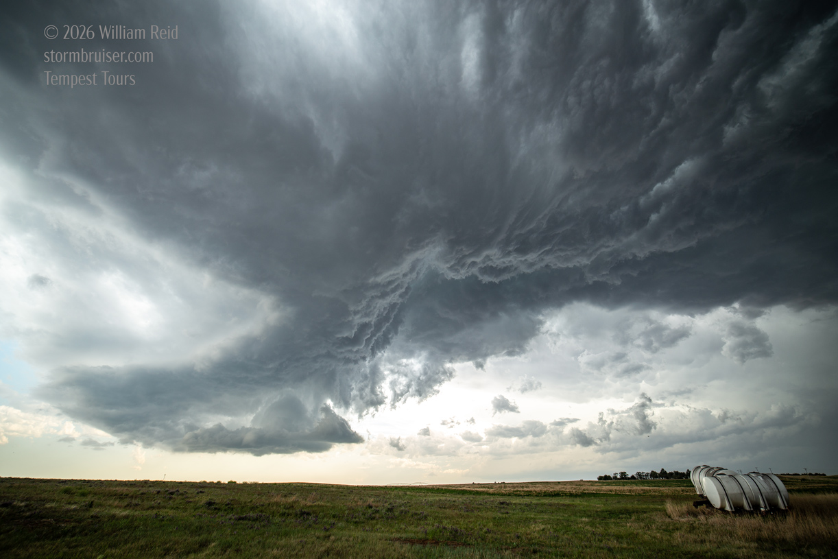
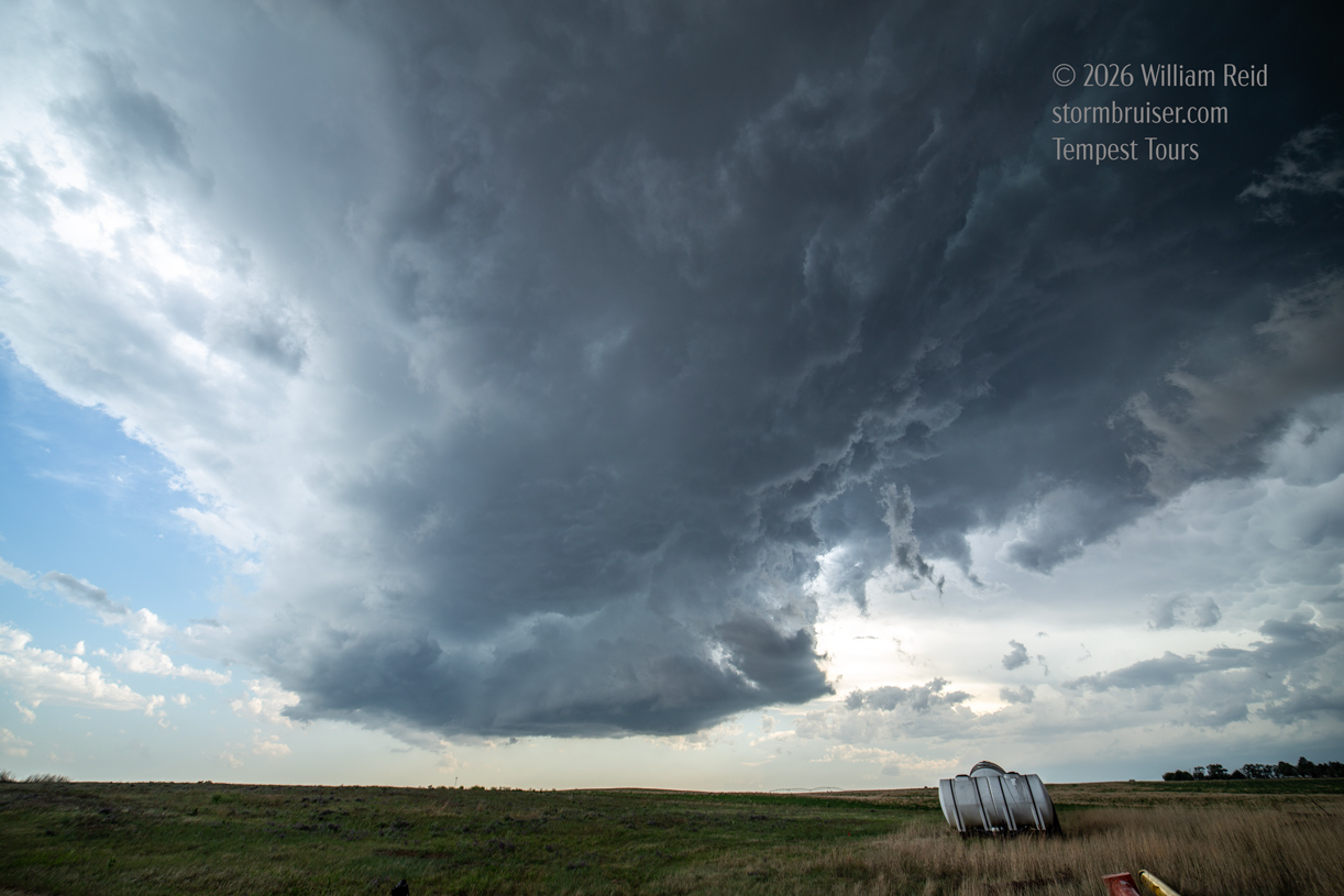
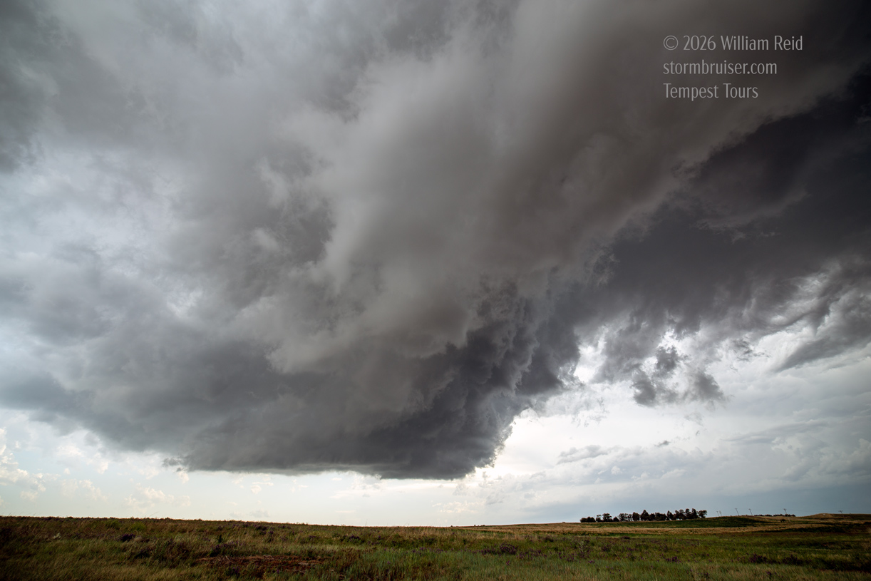
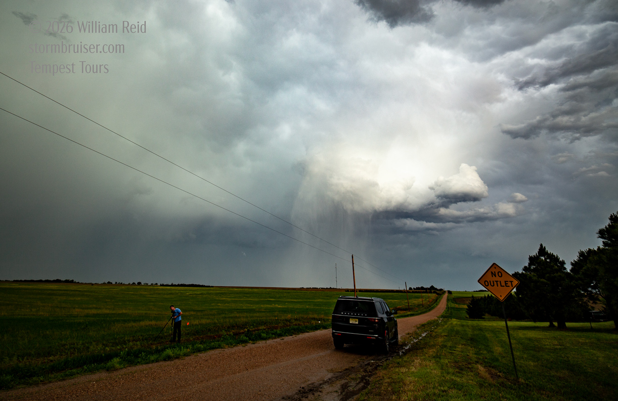
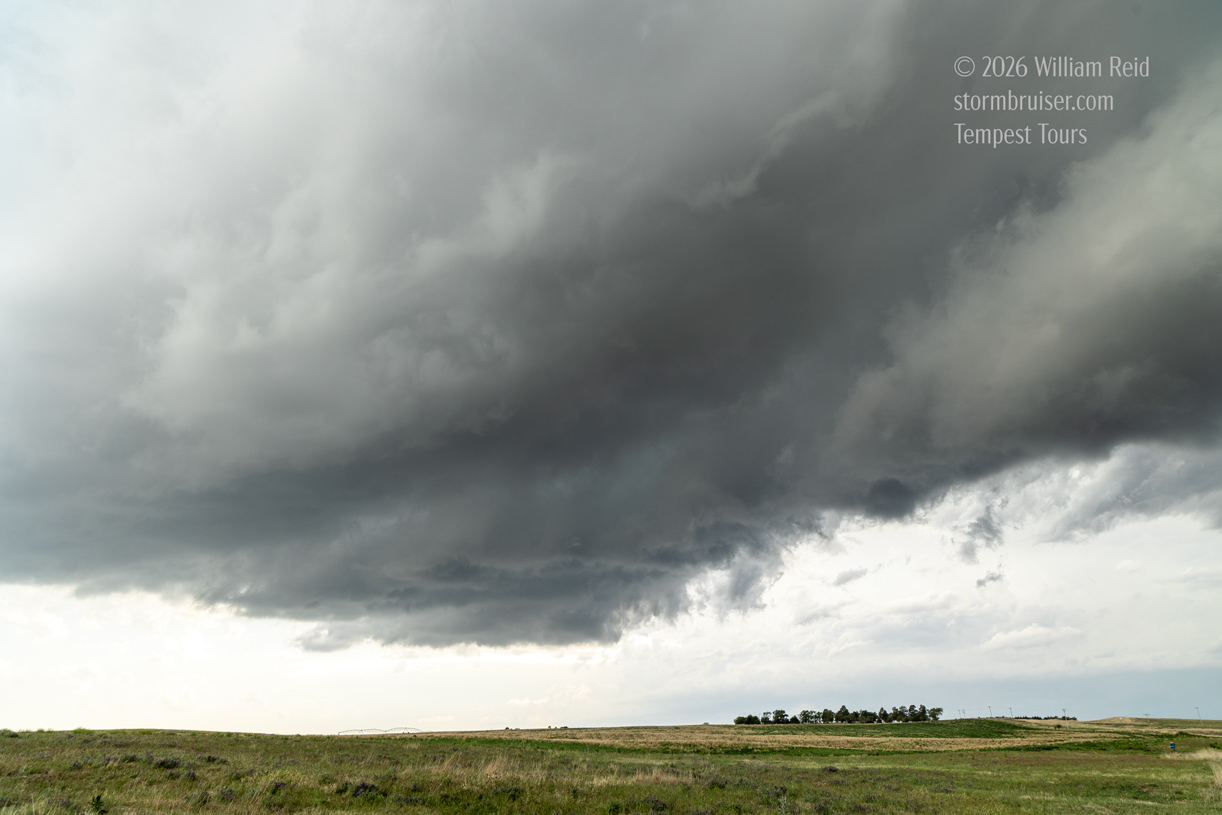
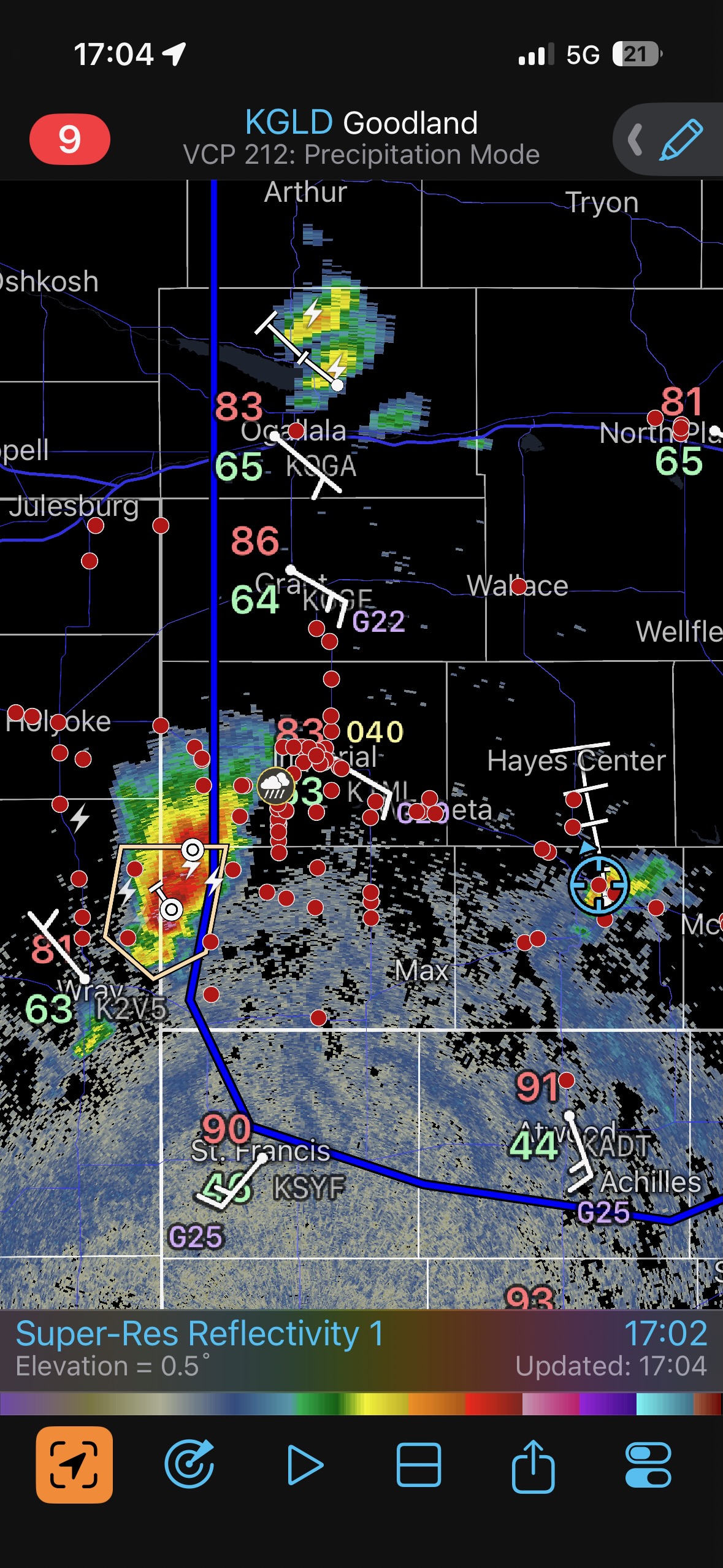
A strong updraft went up a little south of U.S. 6, to our southeast, not too far from Culbertson. This updraft was fairly robust, and it soon had a back-sheared anvil (first five photos below). It seemed to be headed to the NNW, so nearby Highway 25 would work quite well to stay with it. I elected to dash towards Hayes Center as I thought that the storm base would pass just to the west of town, but the storm turned a little to the right, and the storm core was planted right over the highway and right over Hayes Center. Still, the rain and hail were not heavy enough to obscure our view of the storm base to our south (see last four photos below). The storm was warned, and the annoying hail pushed us north of Hayes Center a little more. In the meantime, at 5:30 p.m., that first complex of storms to our west contained a cell which was tornado-warned.
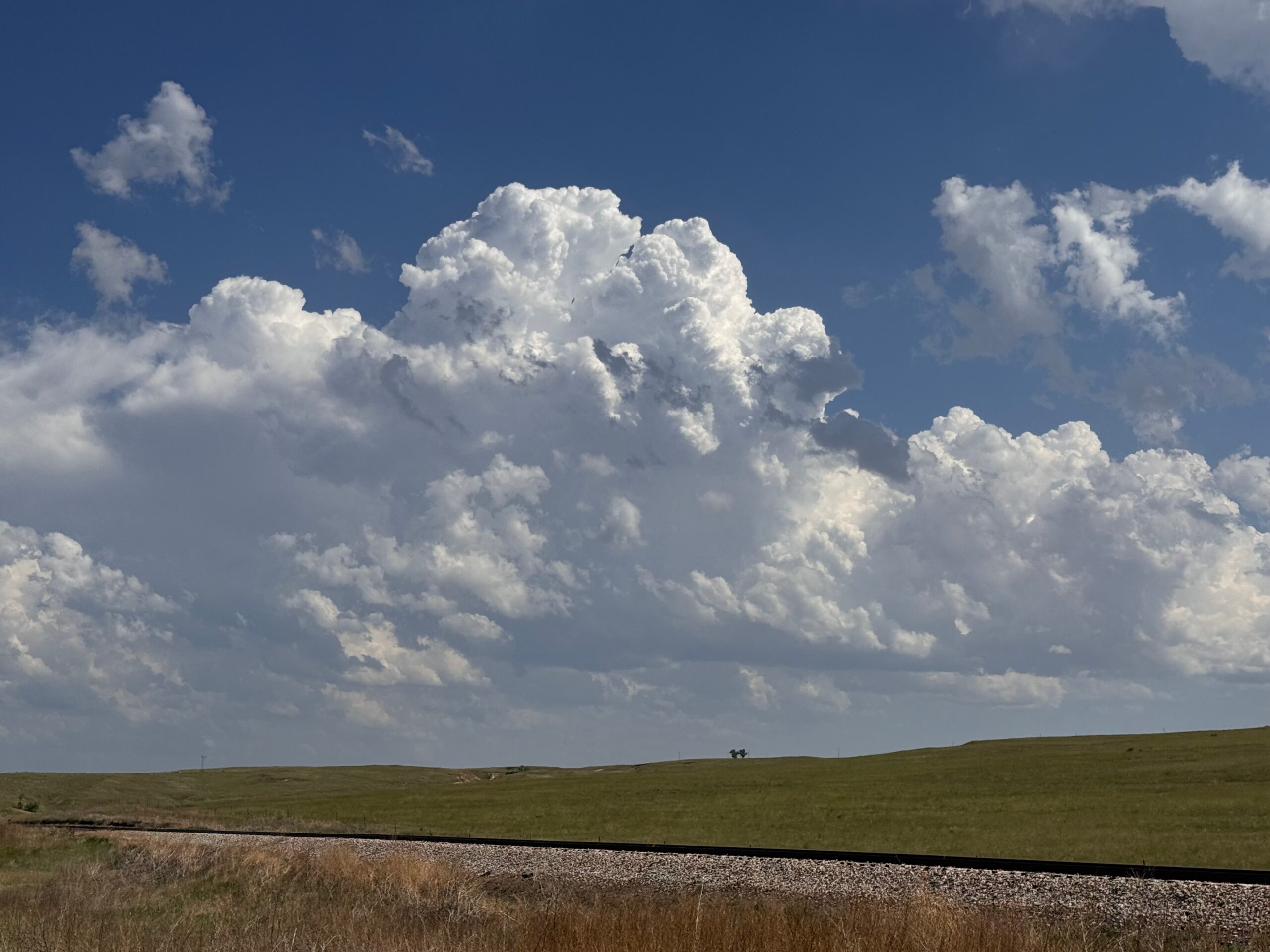
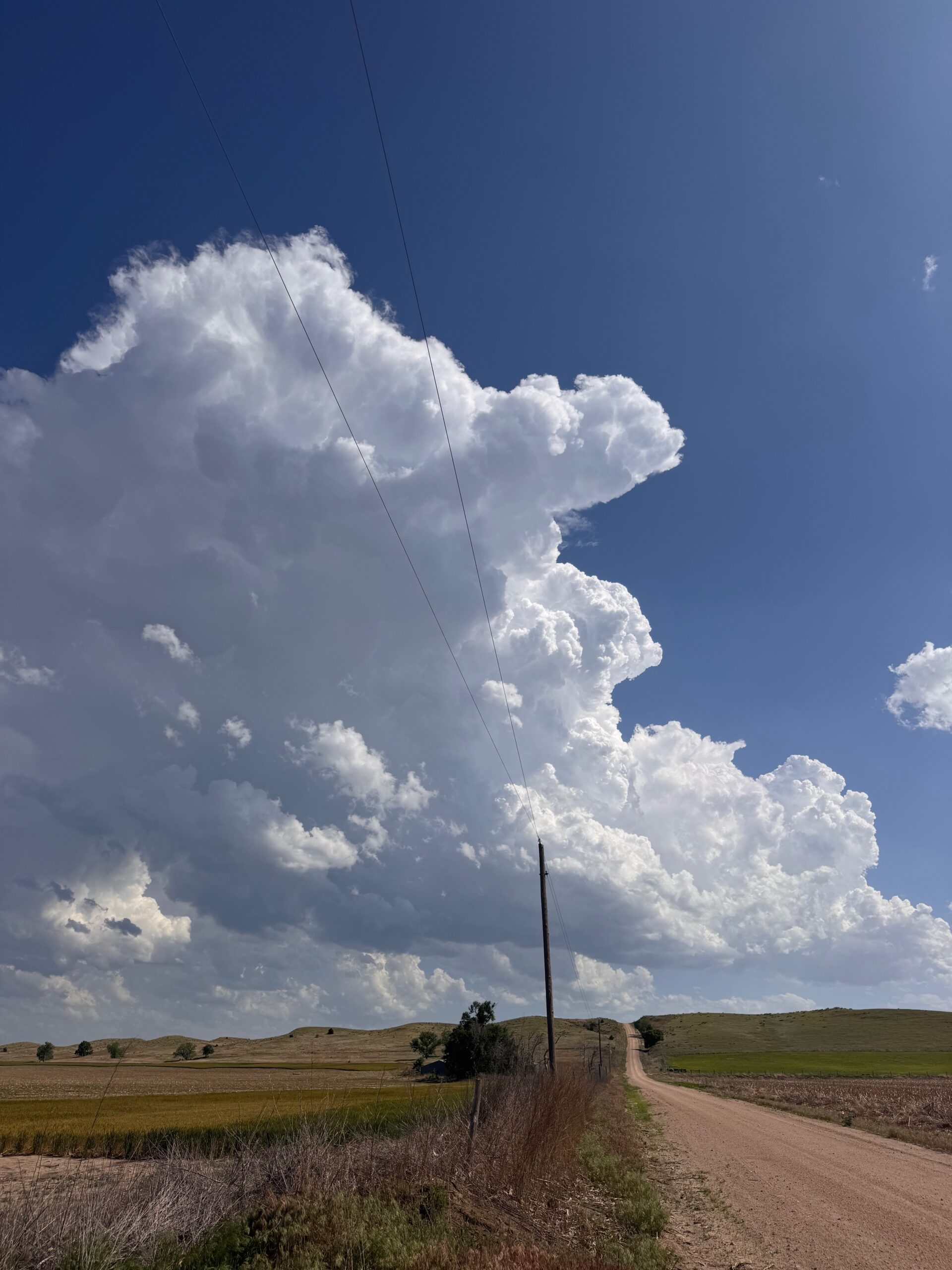
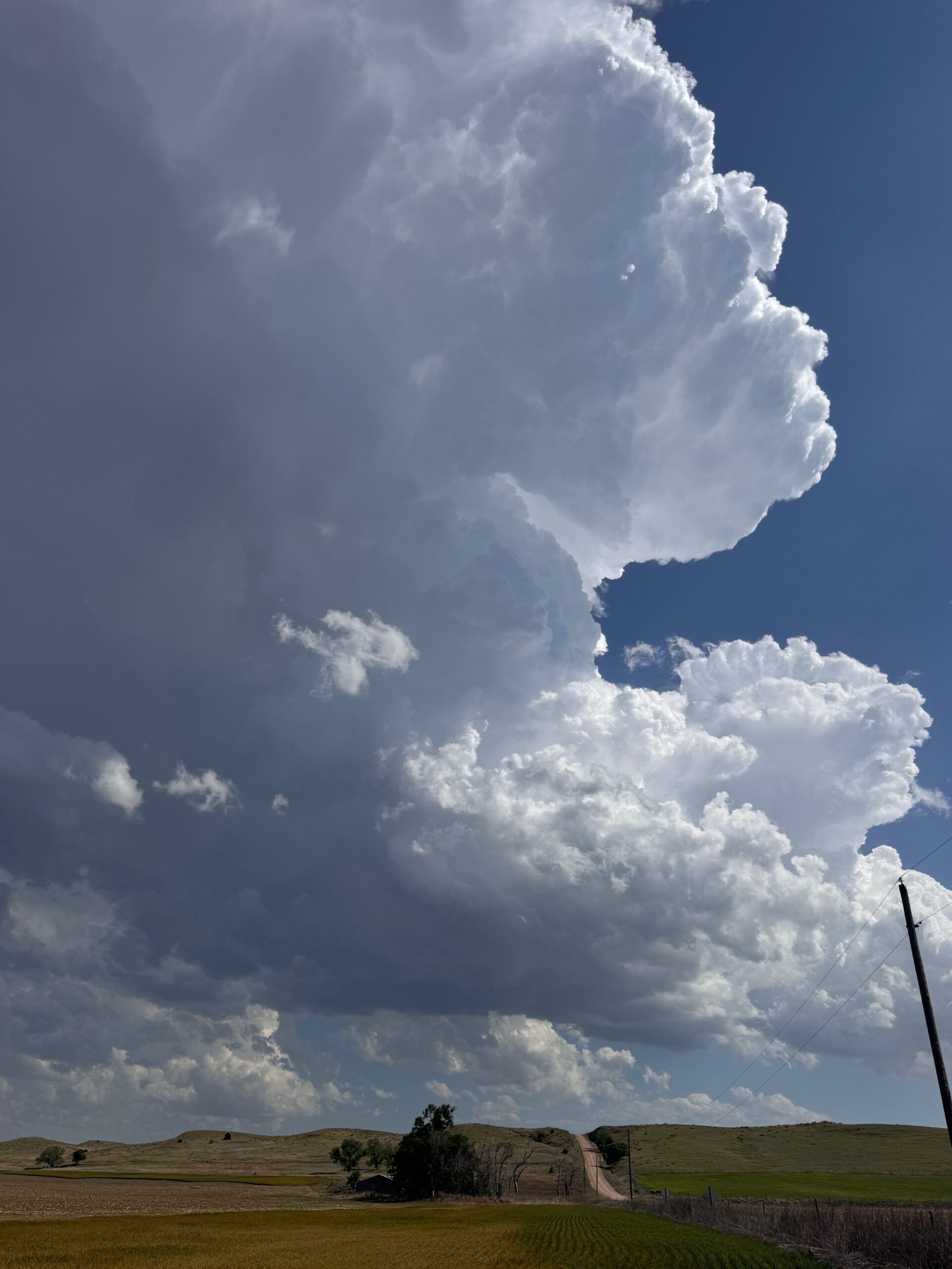
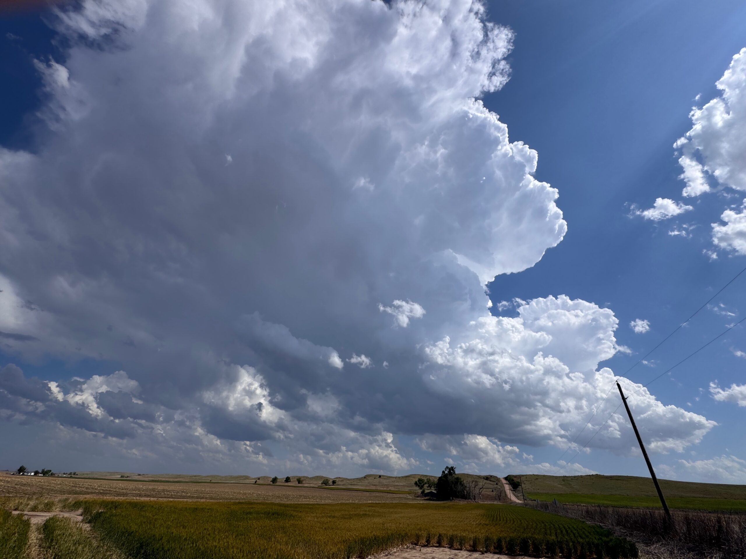
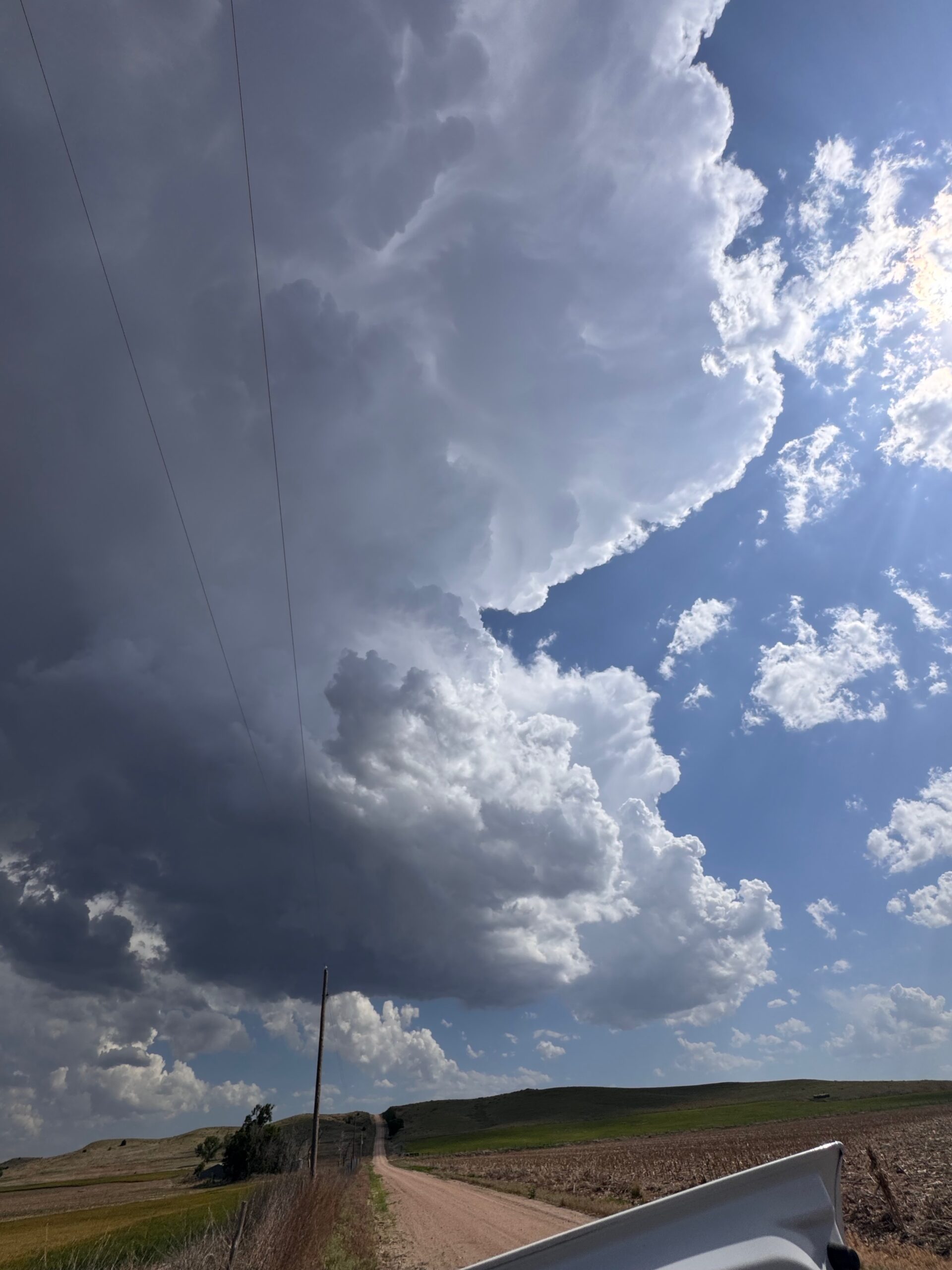
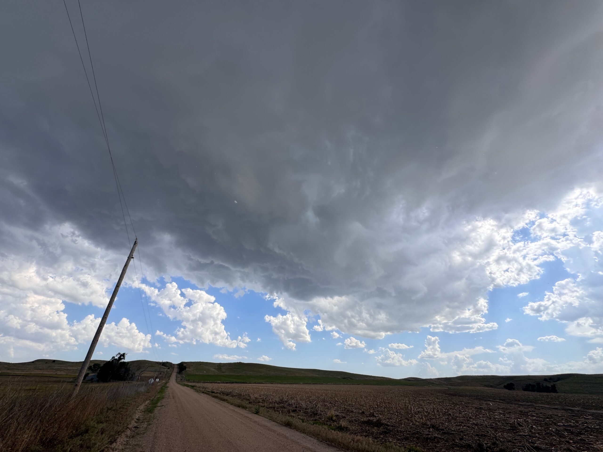
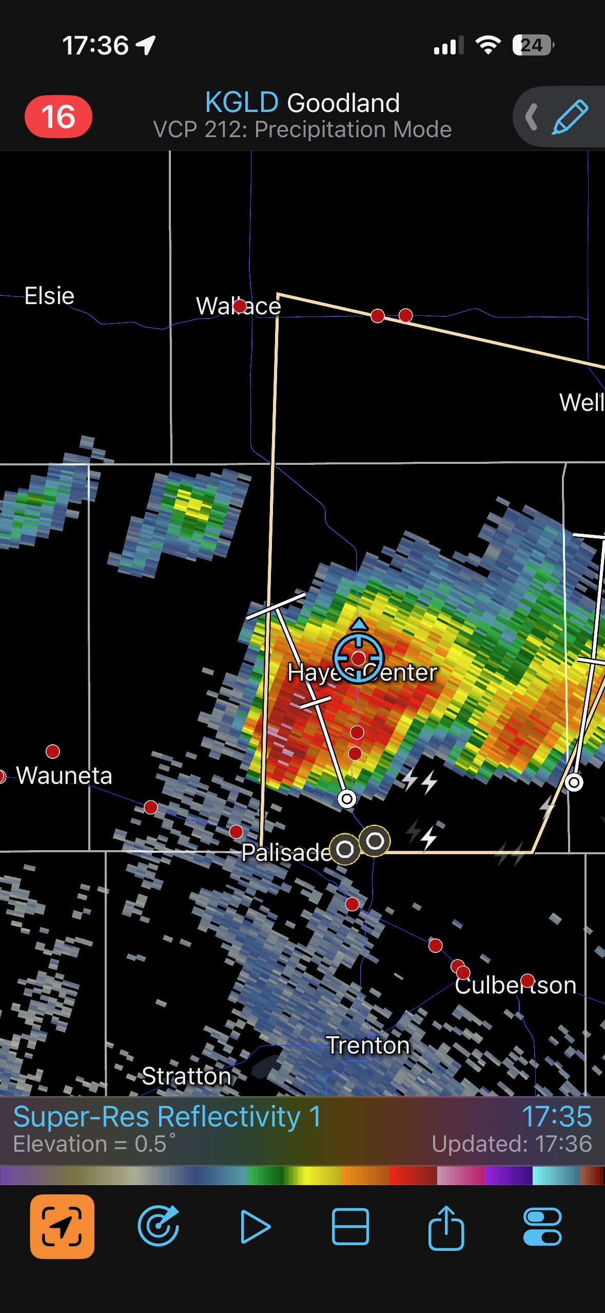
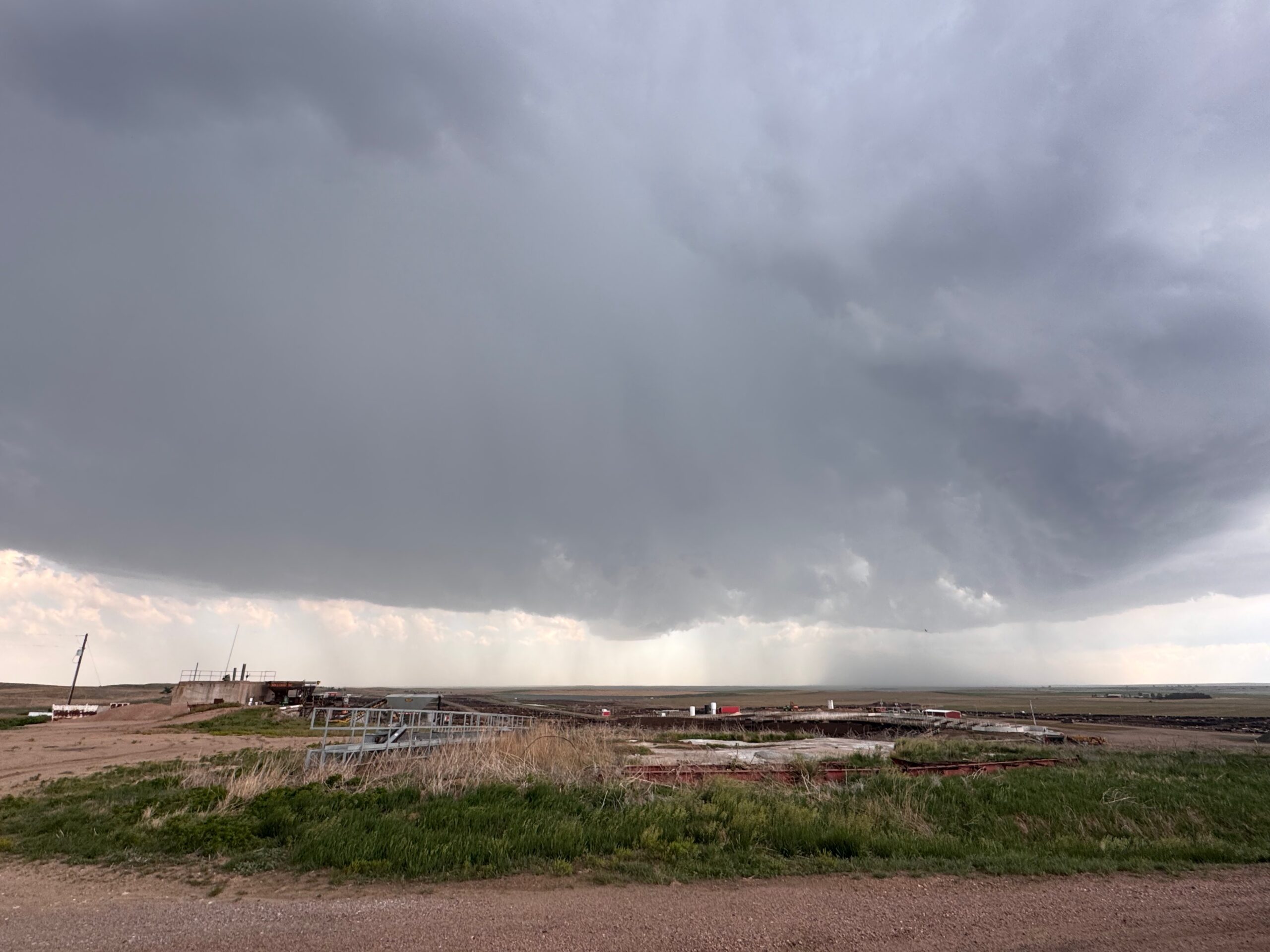
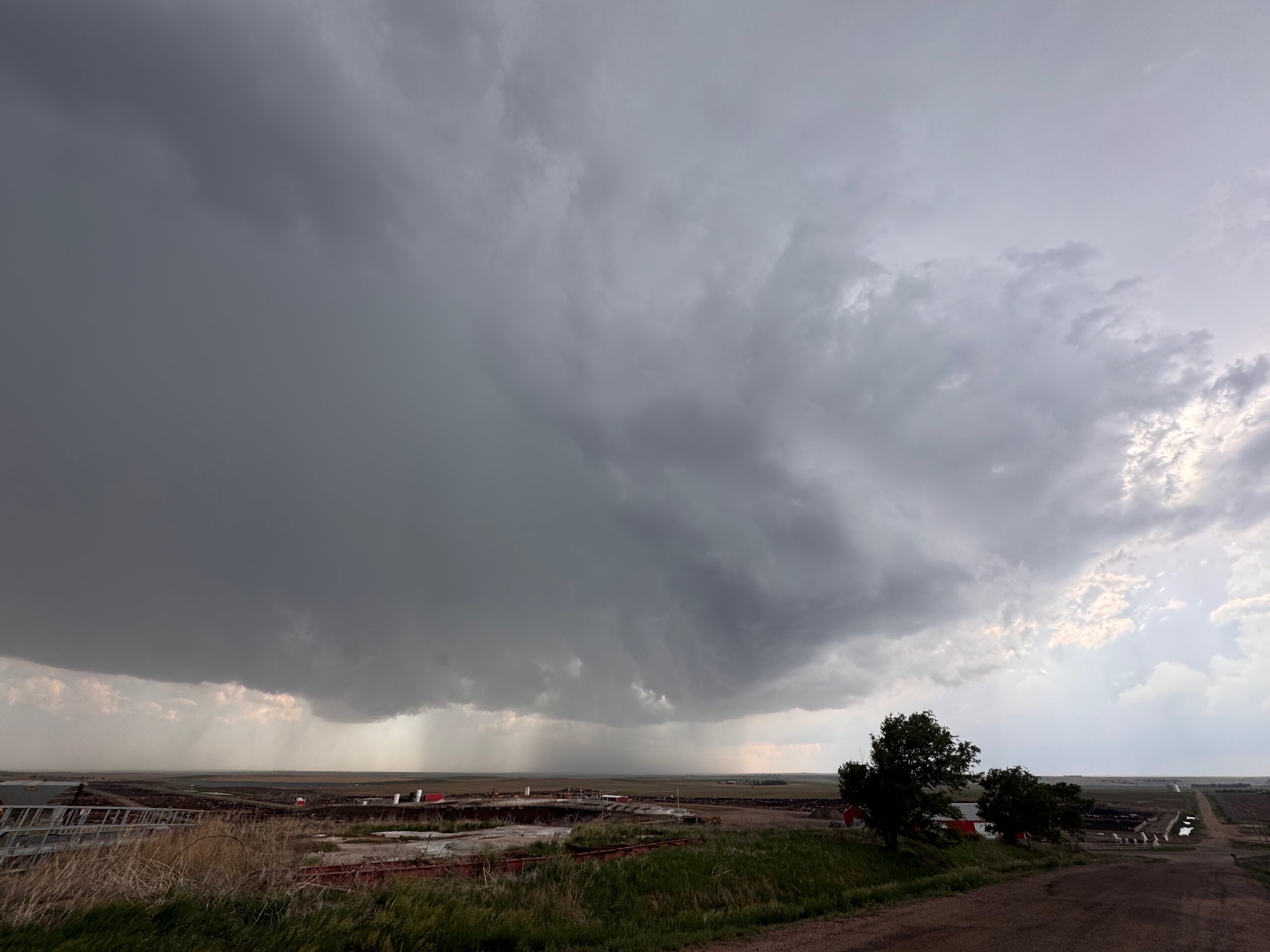
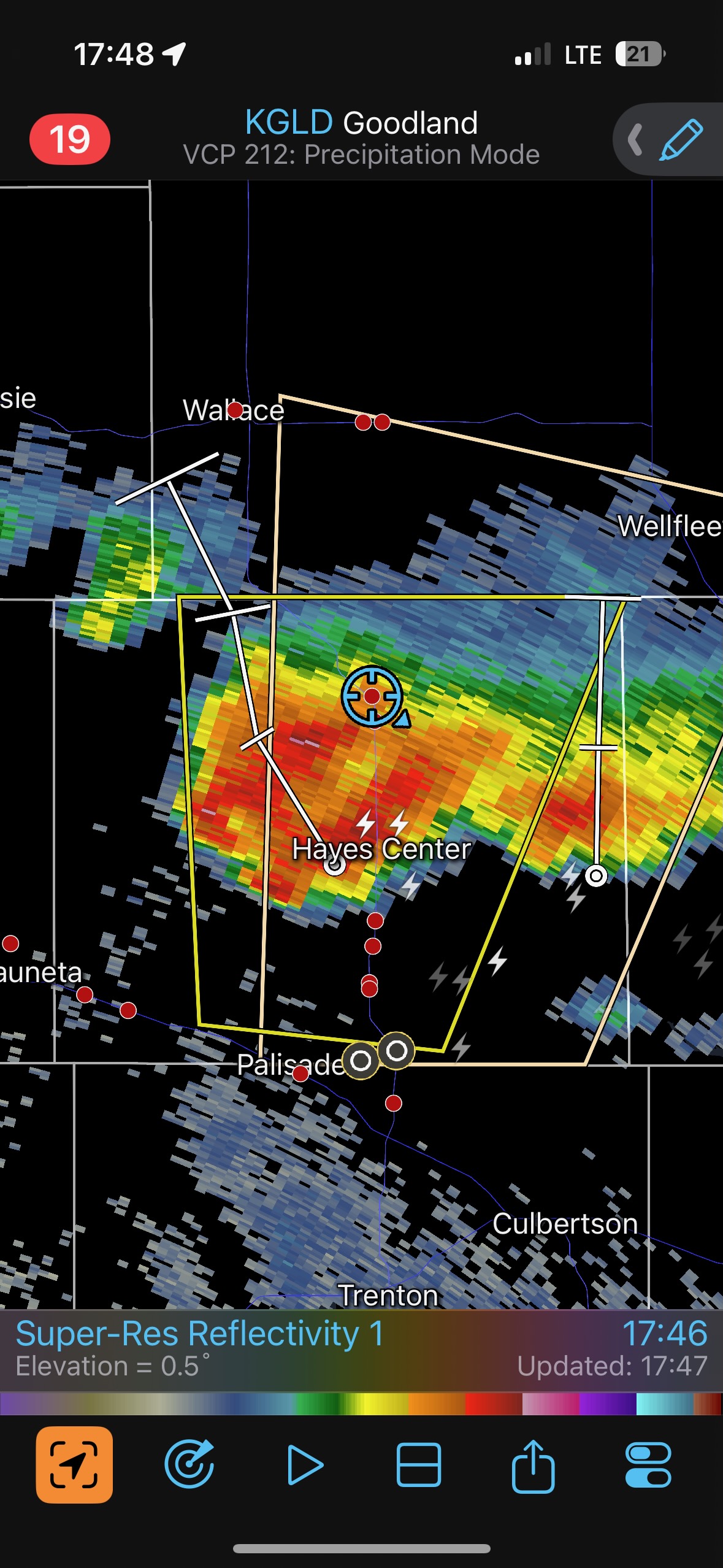
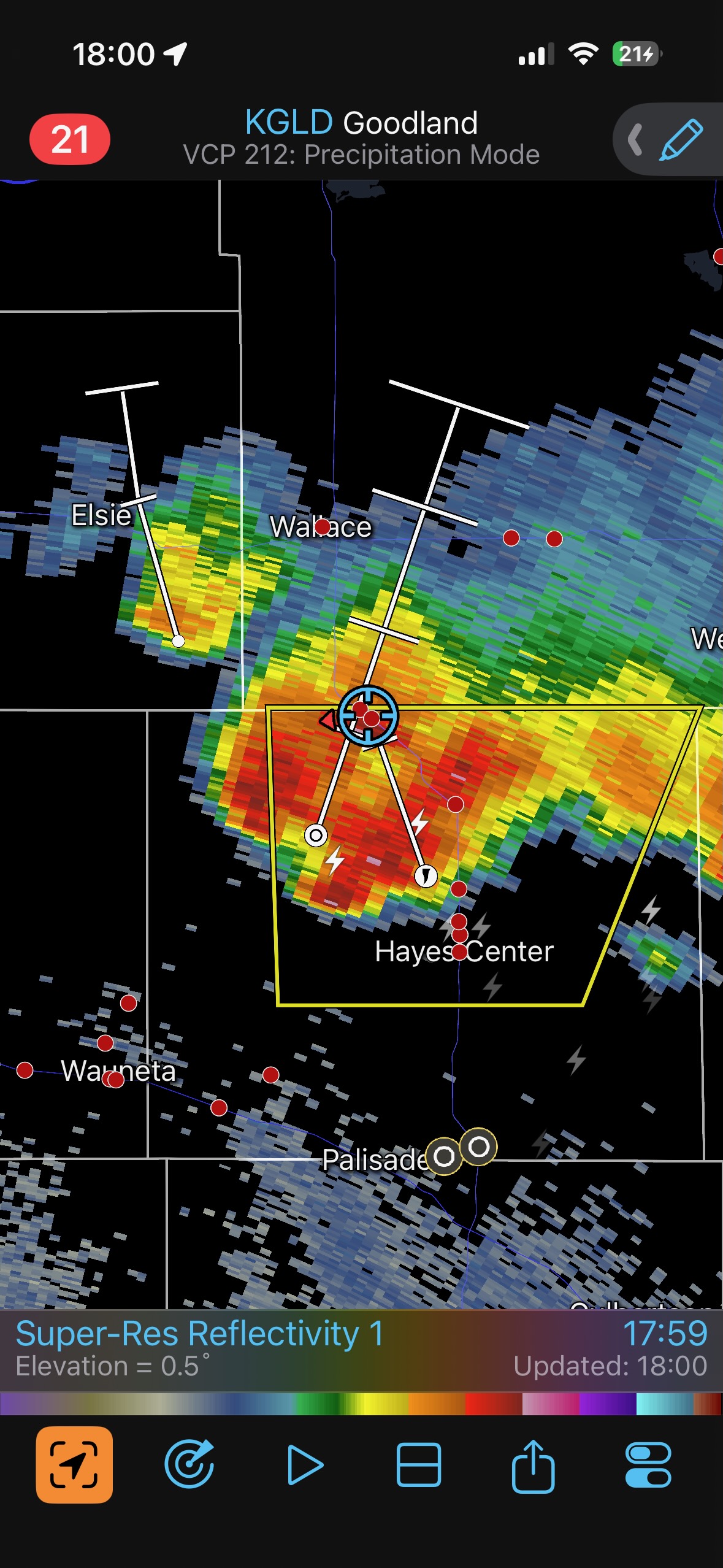
There was second little cell that was just to the east of our Hayes Center supercell, and it might have been siphoning some of the nice and moist low-level inflow from the ESE. Eventually it was incorporated into the bigger one. The photos below show the storm base to the south, through some of the forward-flank precipitation. A TVS marker showed up on radar and storm tops neared 50,000 feet.
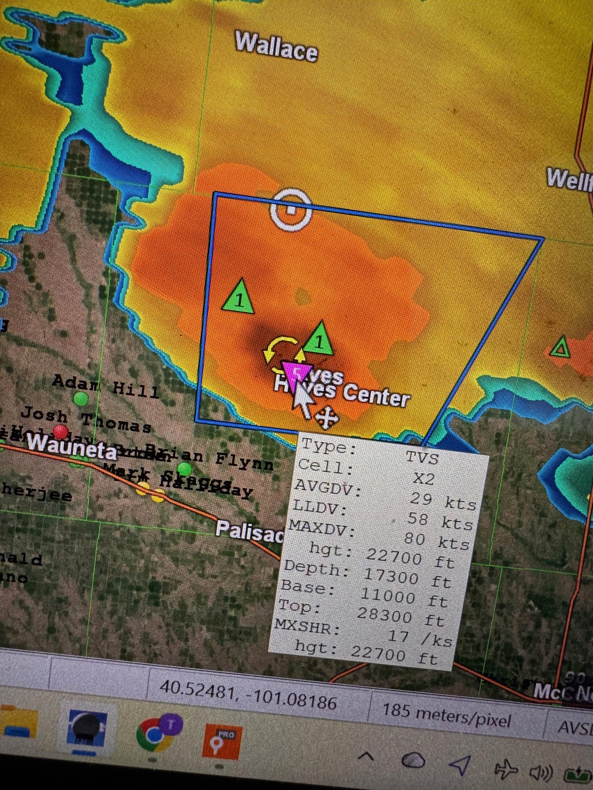
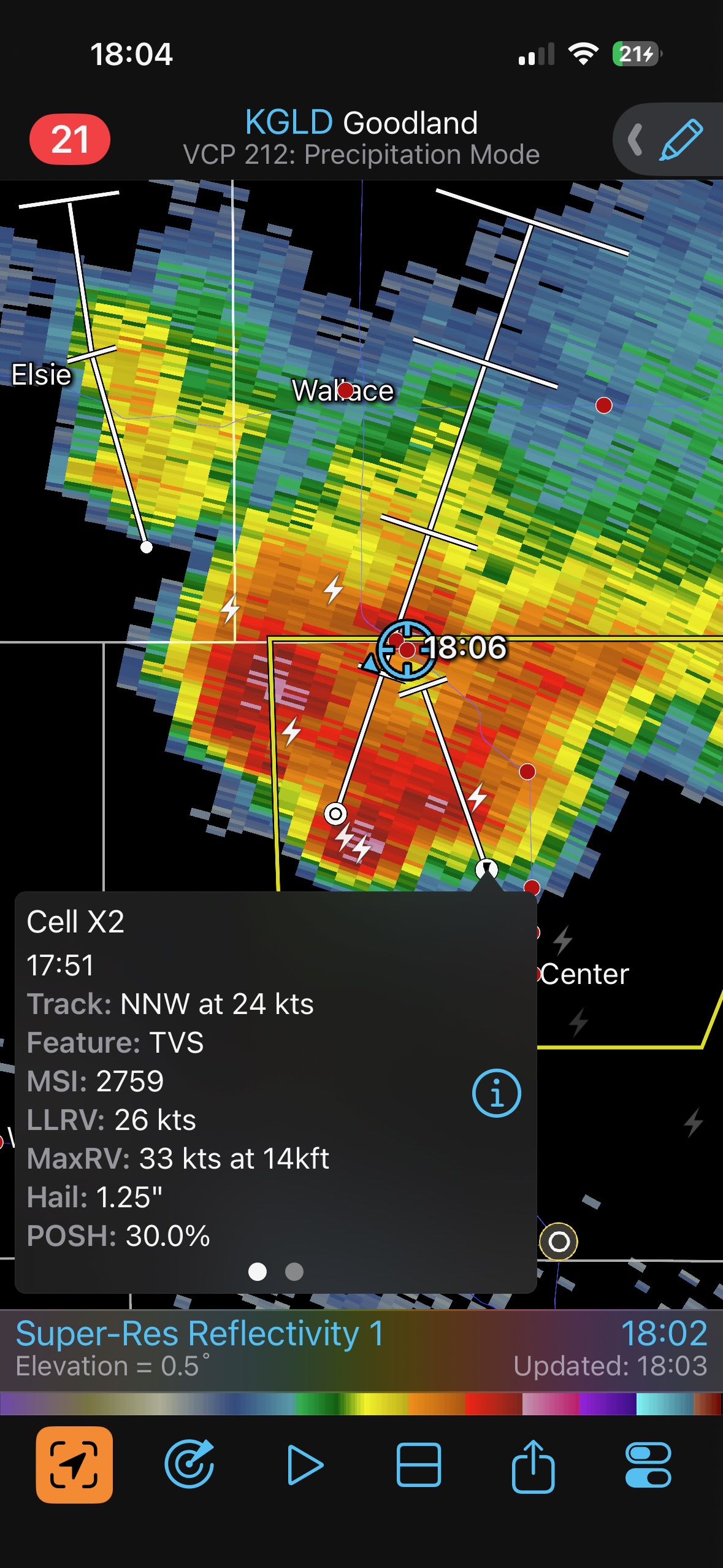
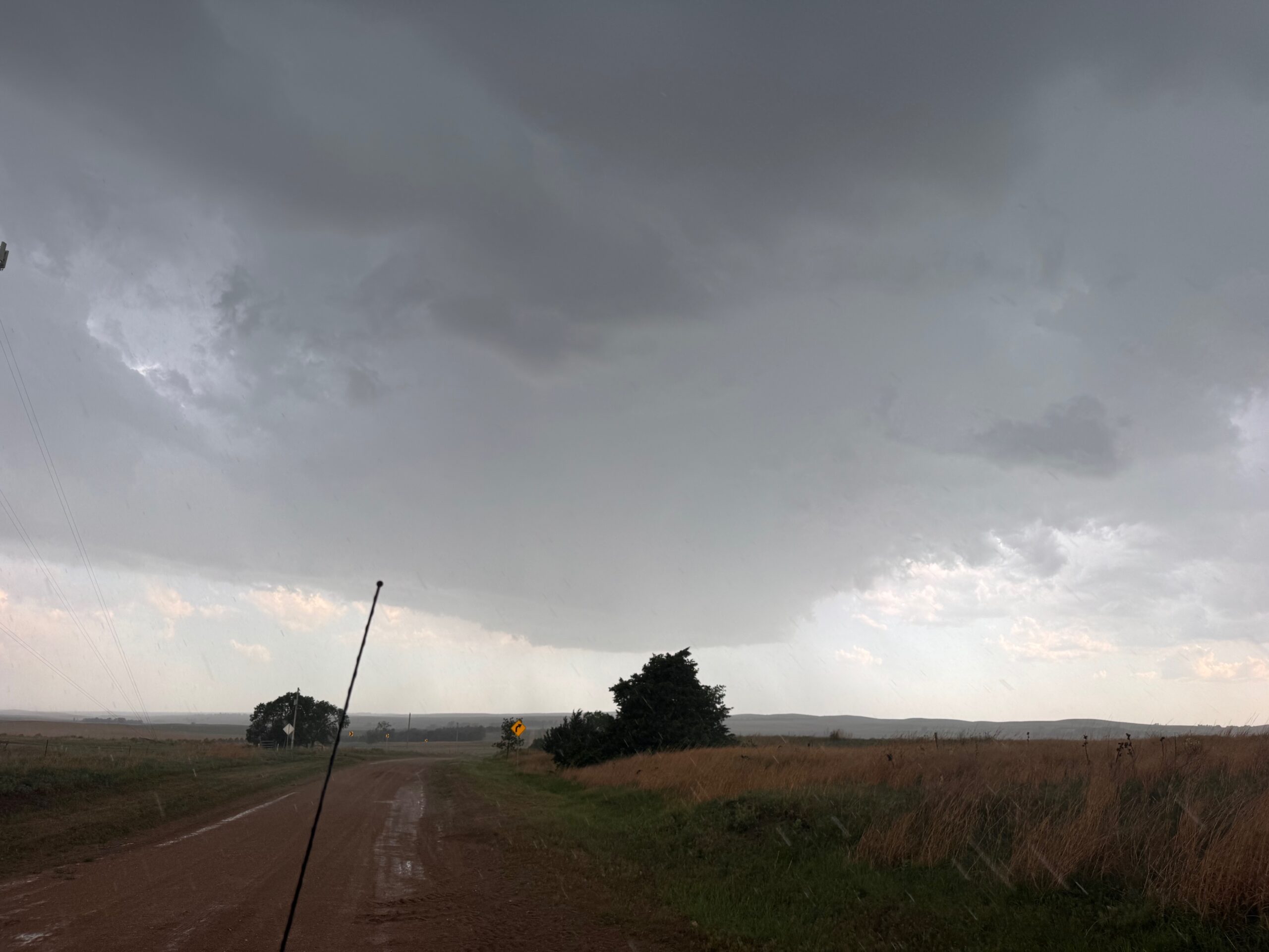
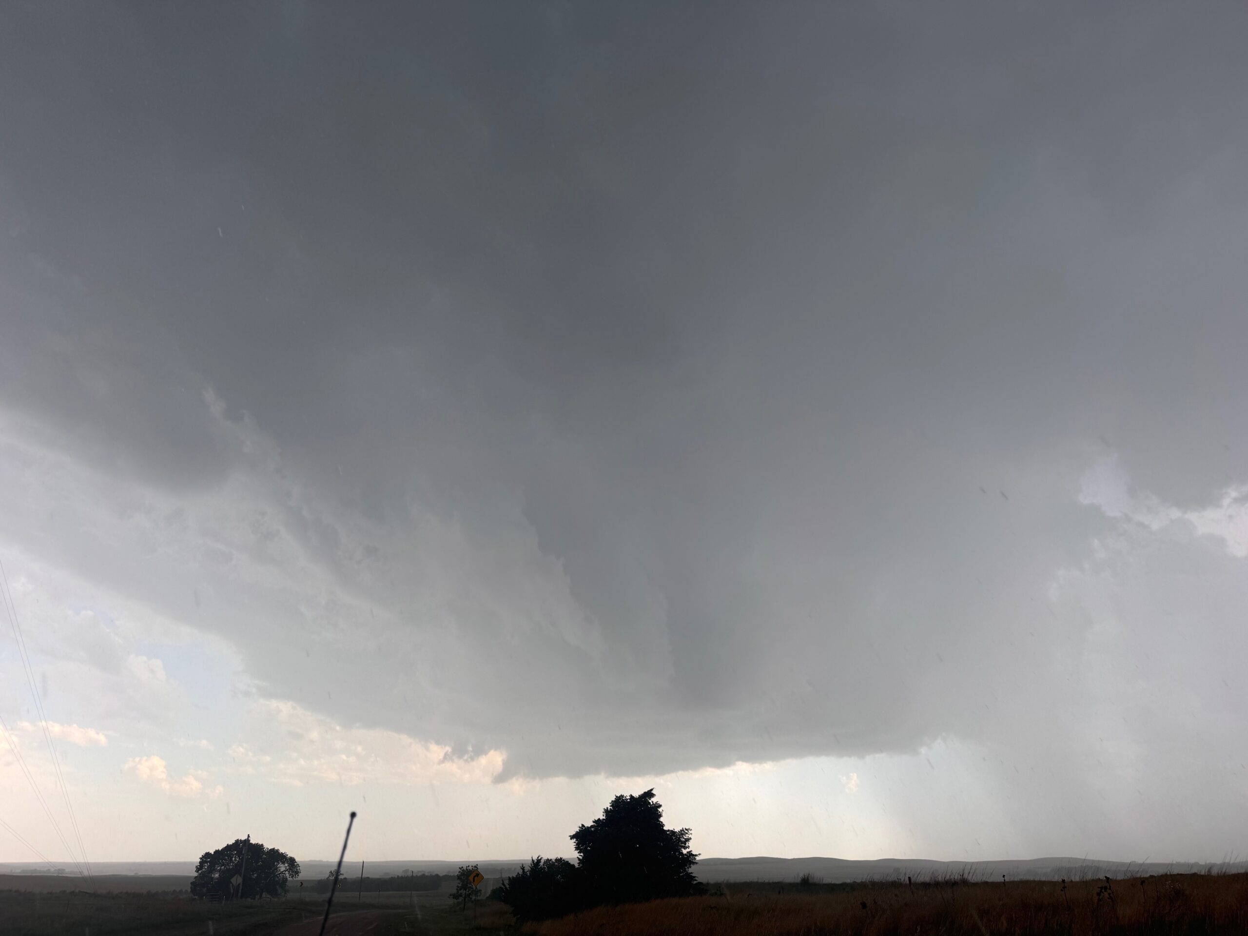
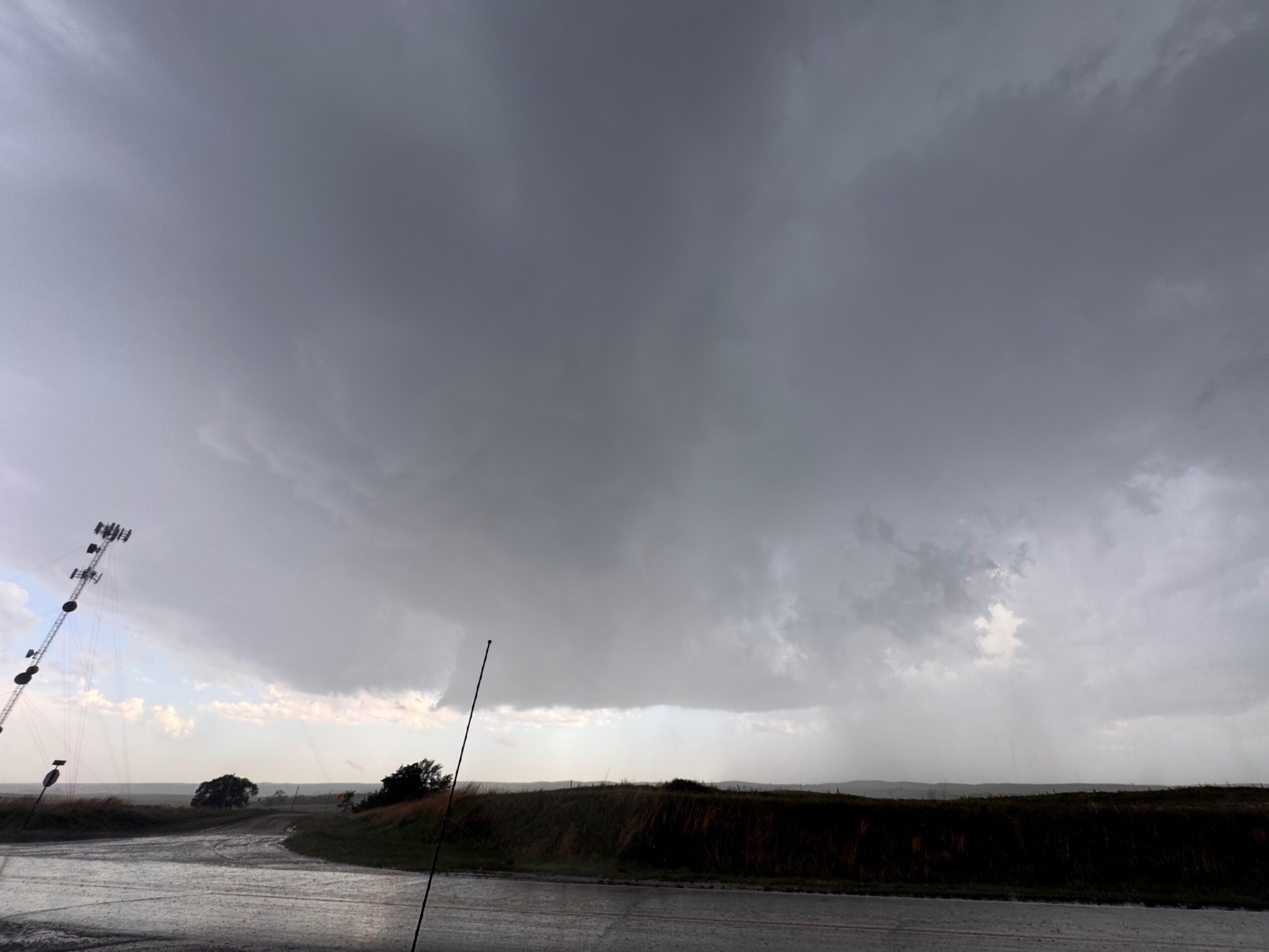
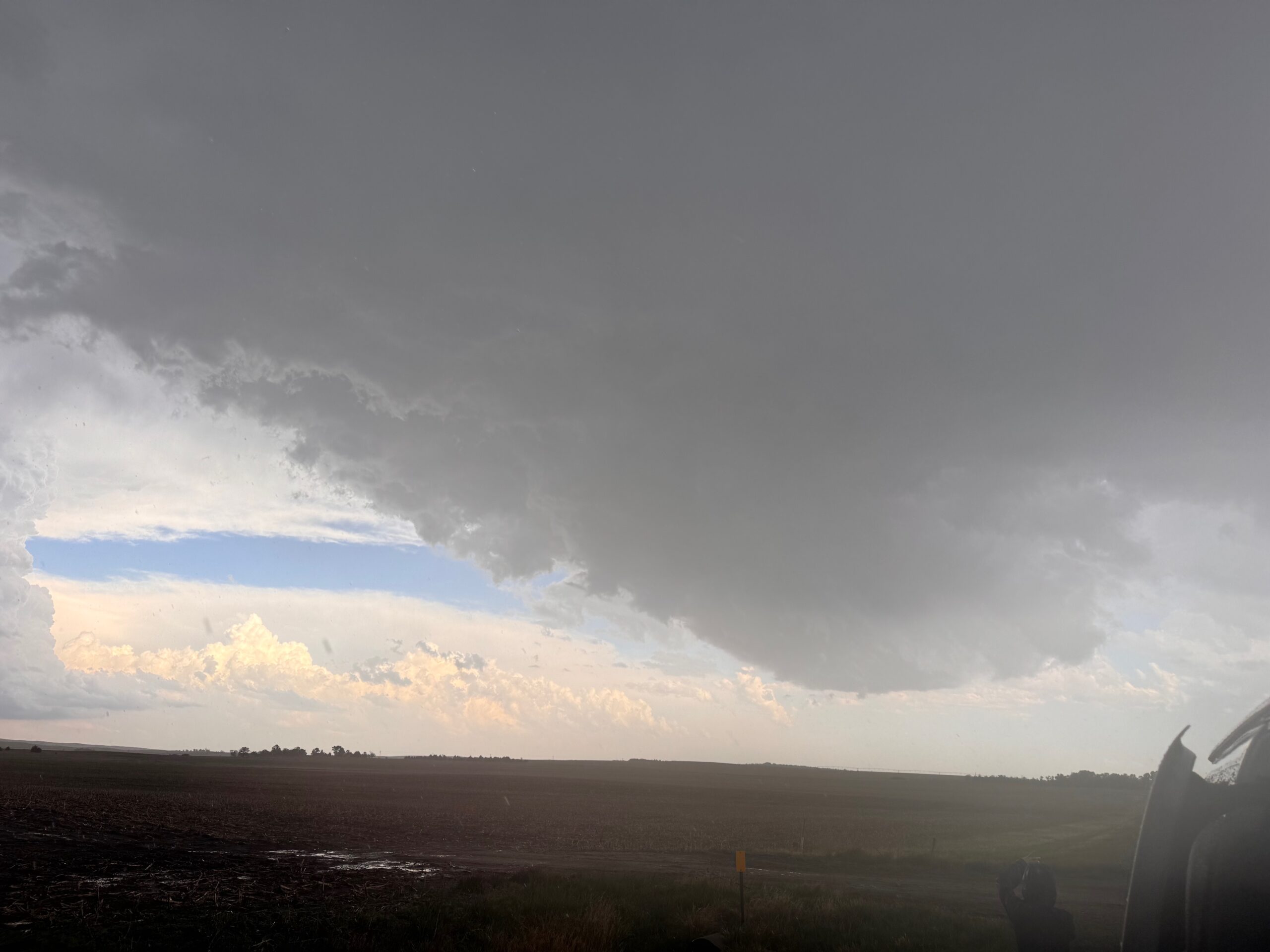
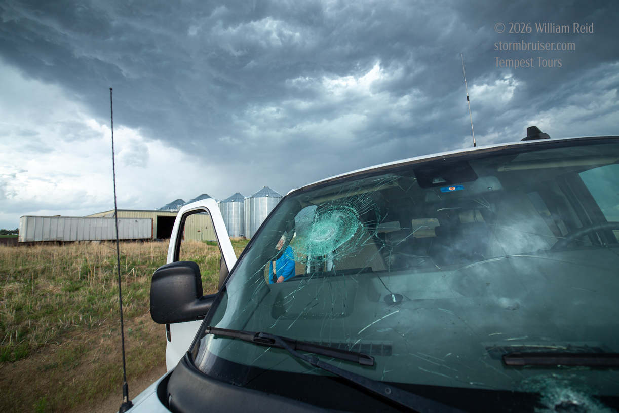
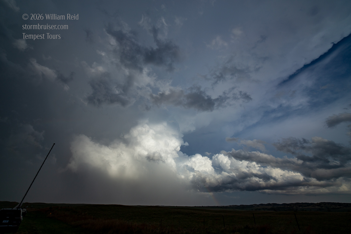
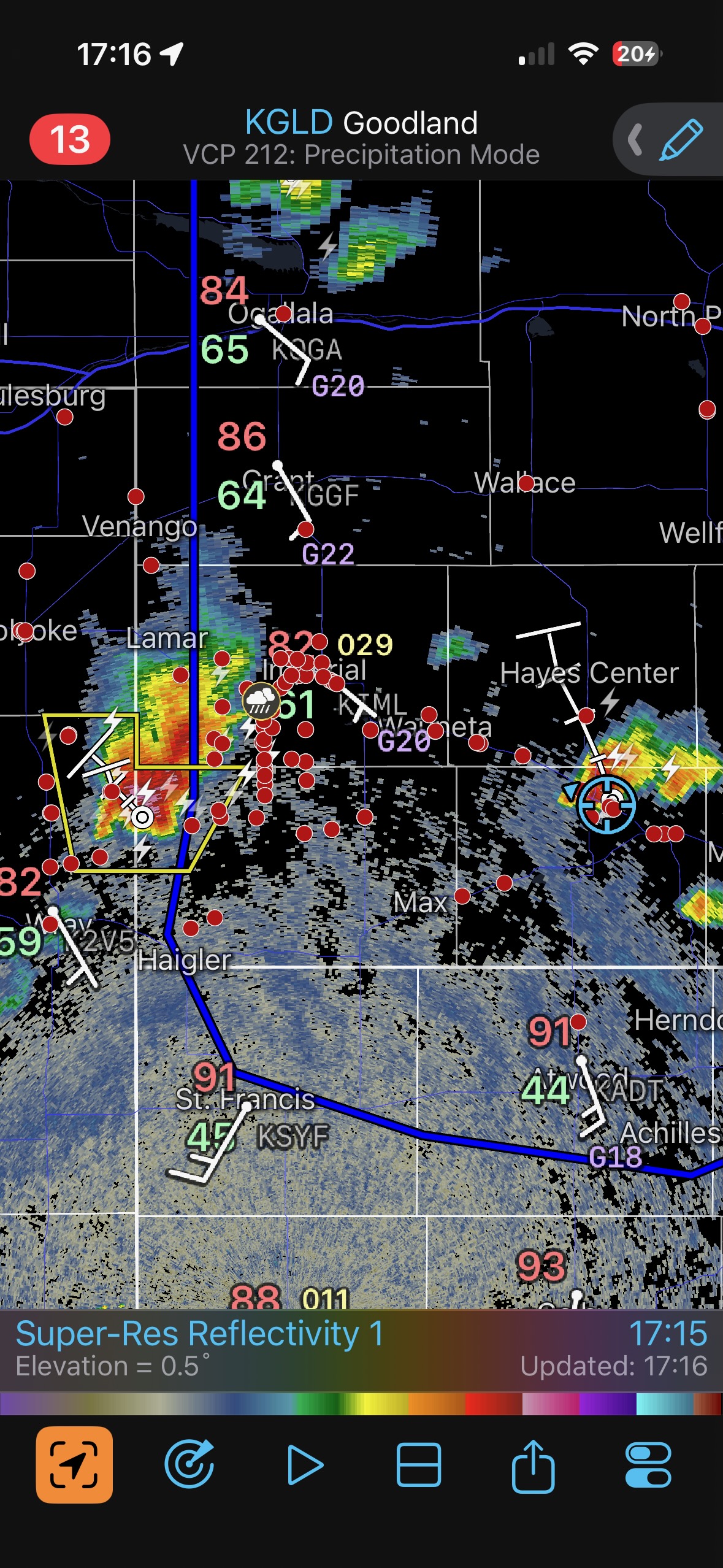
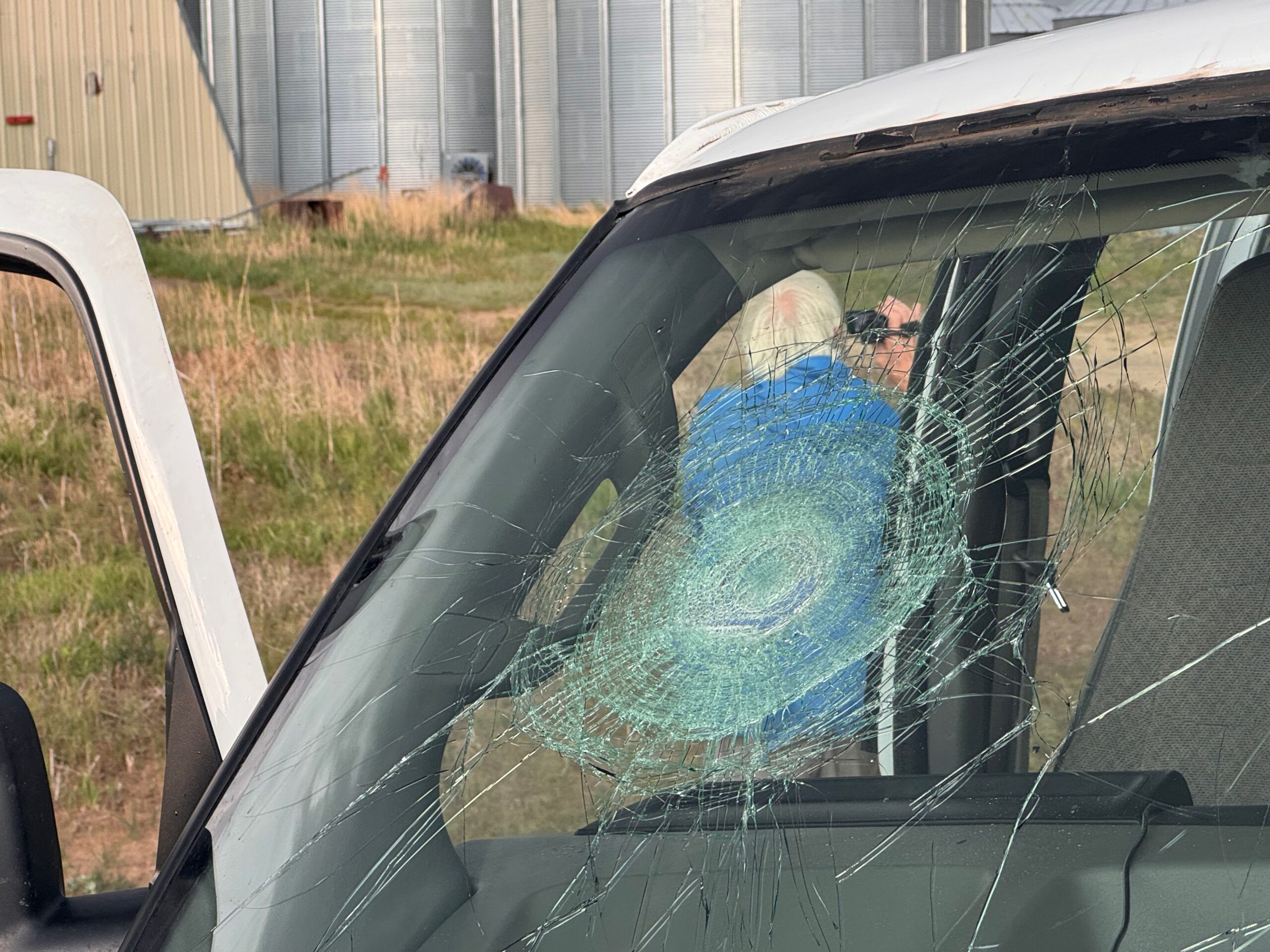
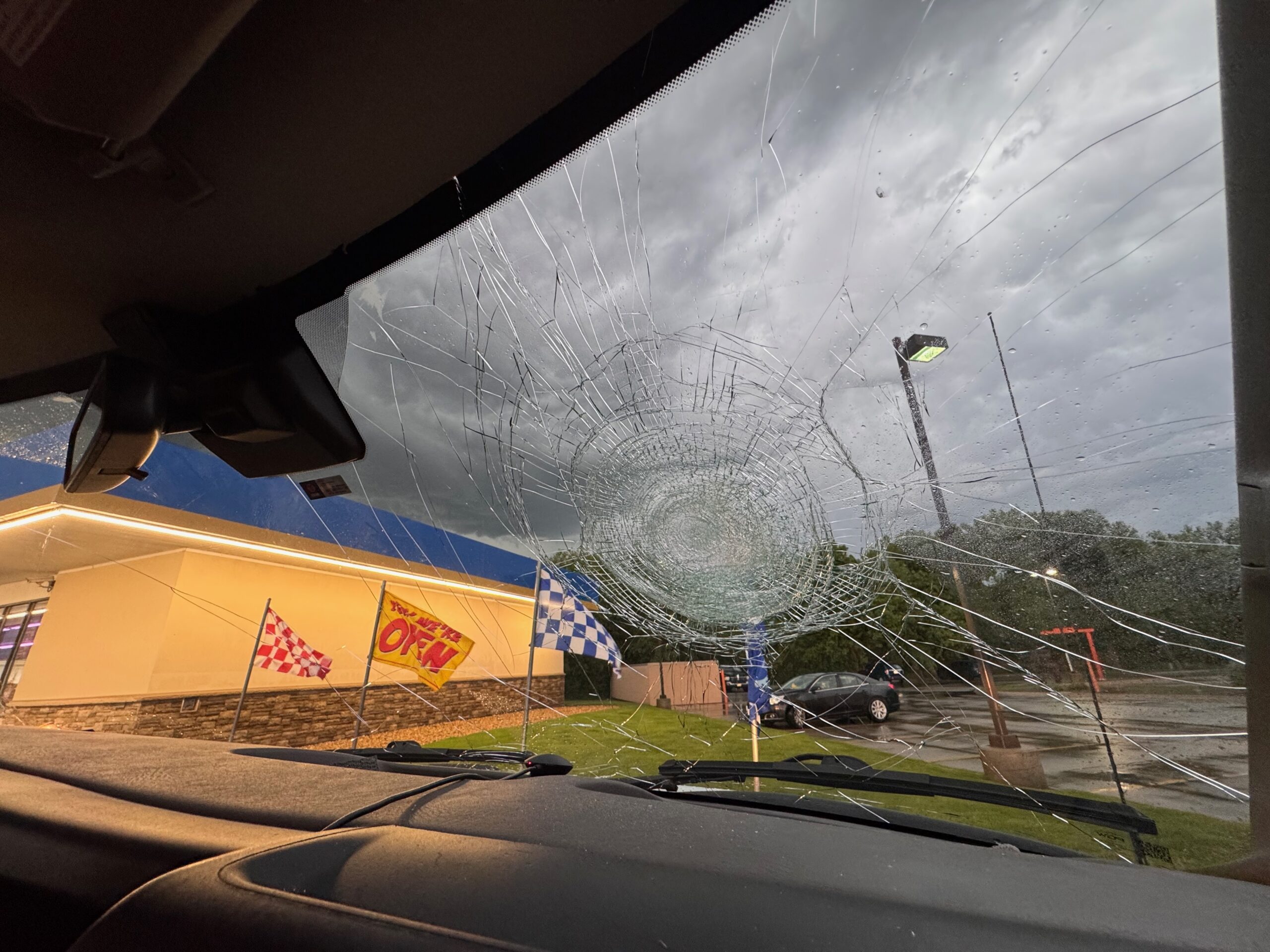
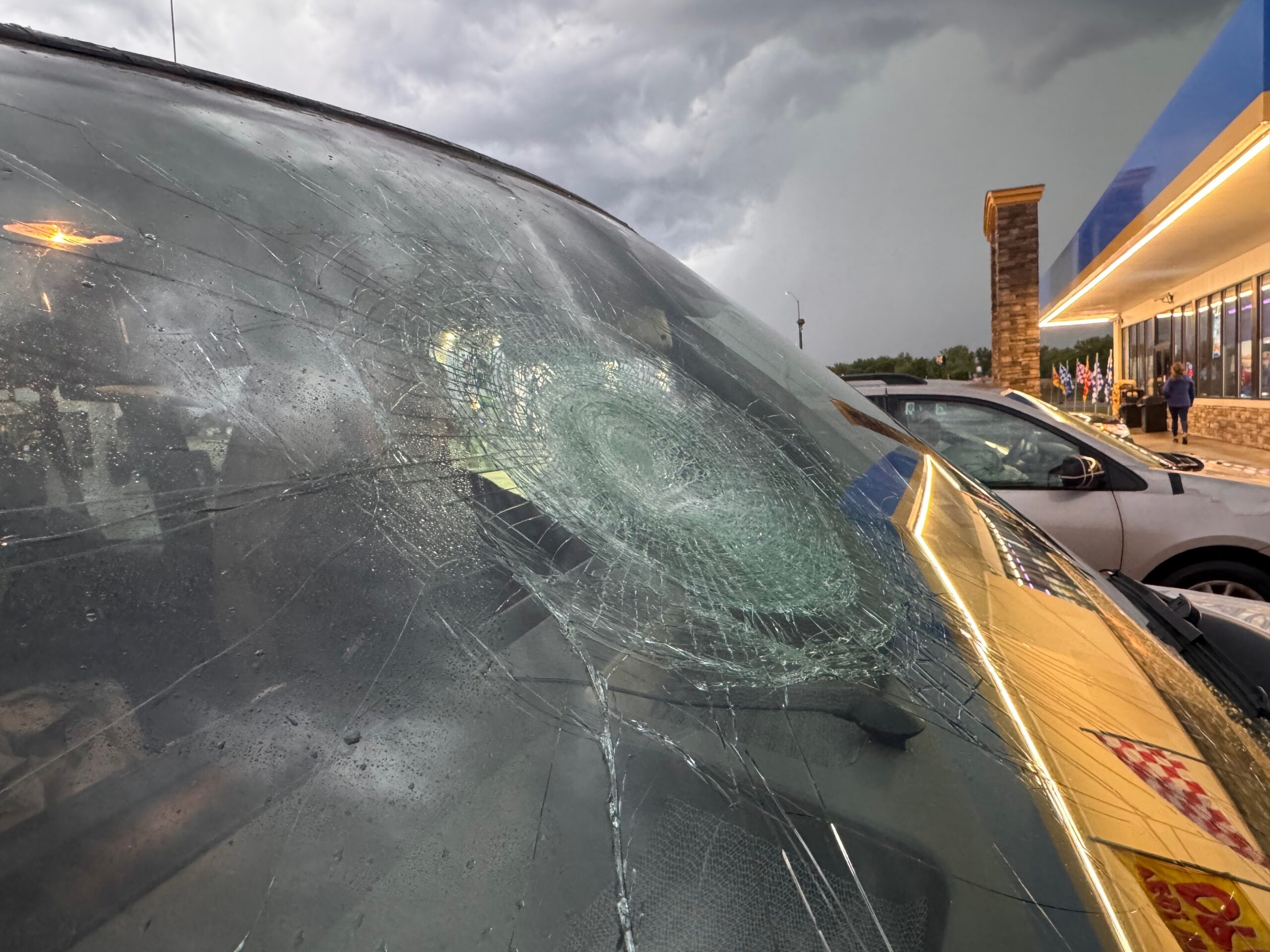
Some larger hail began to impact us about 5 miles north of Hayes Center, with a baseball smashing into the windshield of Van 2. We made our way northward to Wallace and east a little on Highway 23, and the base to our south was rotating hard…but was on the small side. A very impressive storm tower was now in view to our ESE. This new one was south of Wellfleet. And, I should have committed to it at this point, but this smaller, sculpted base nearby was a bit too intriguing to leave.
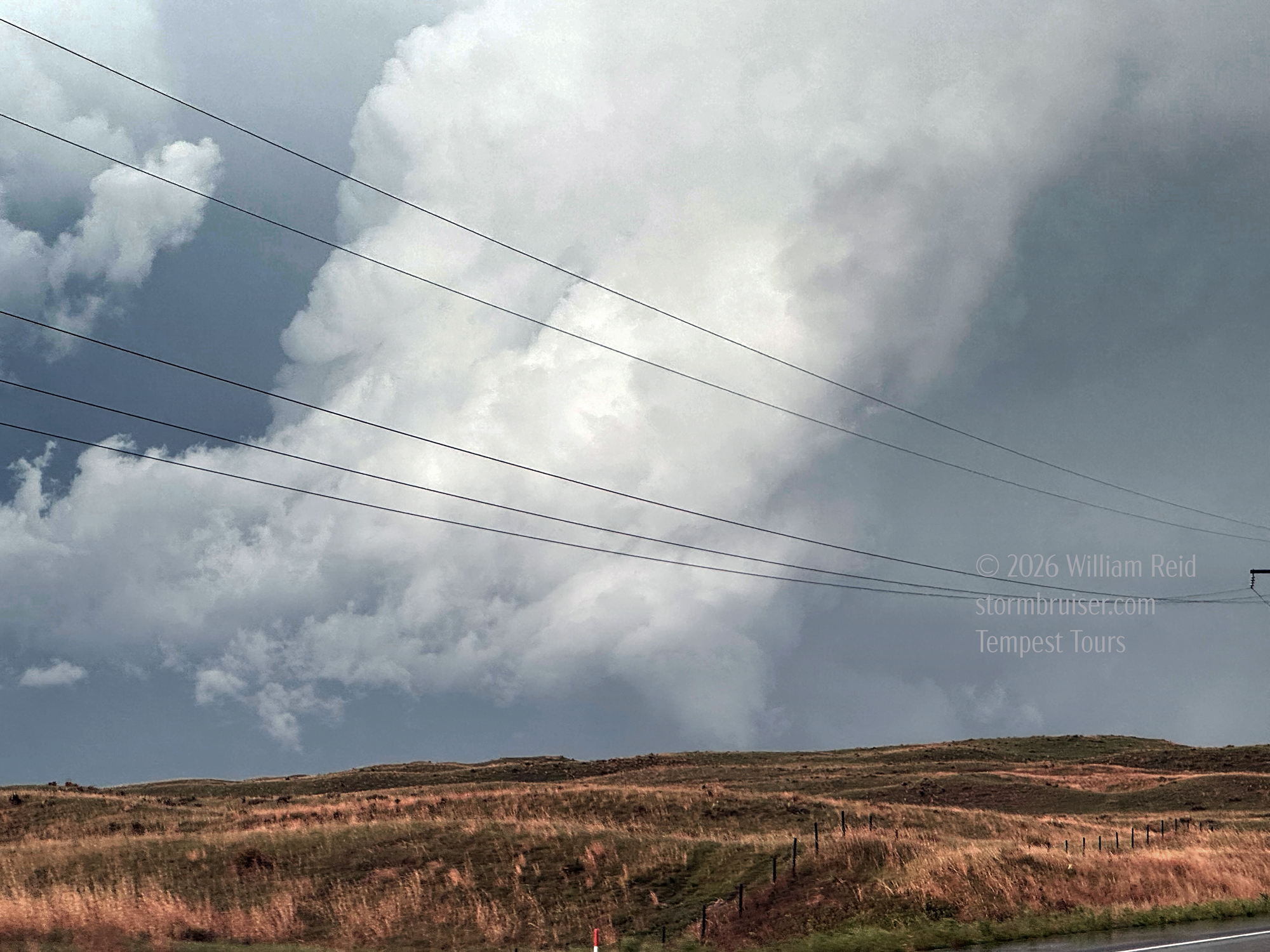
A few of the images below show the big (and soon to be tornadic) cumulonimbus to our ESE.
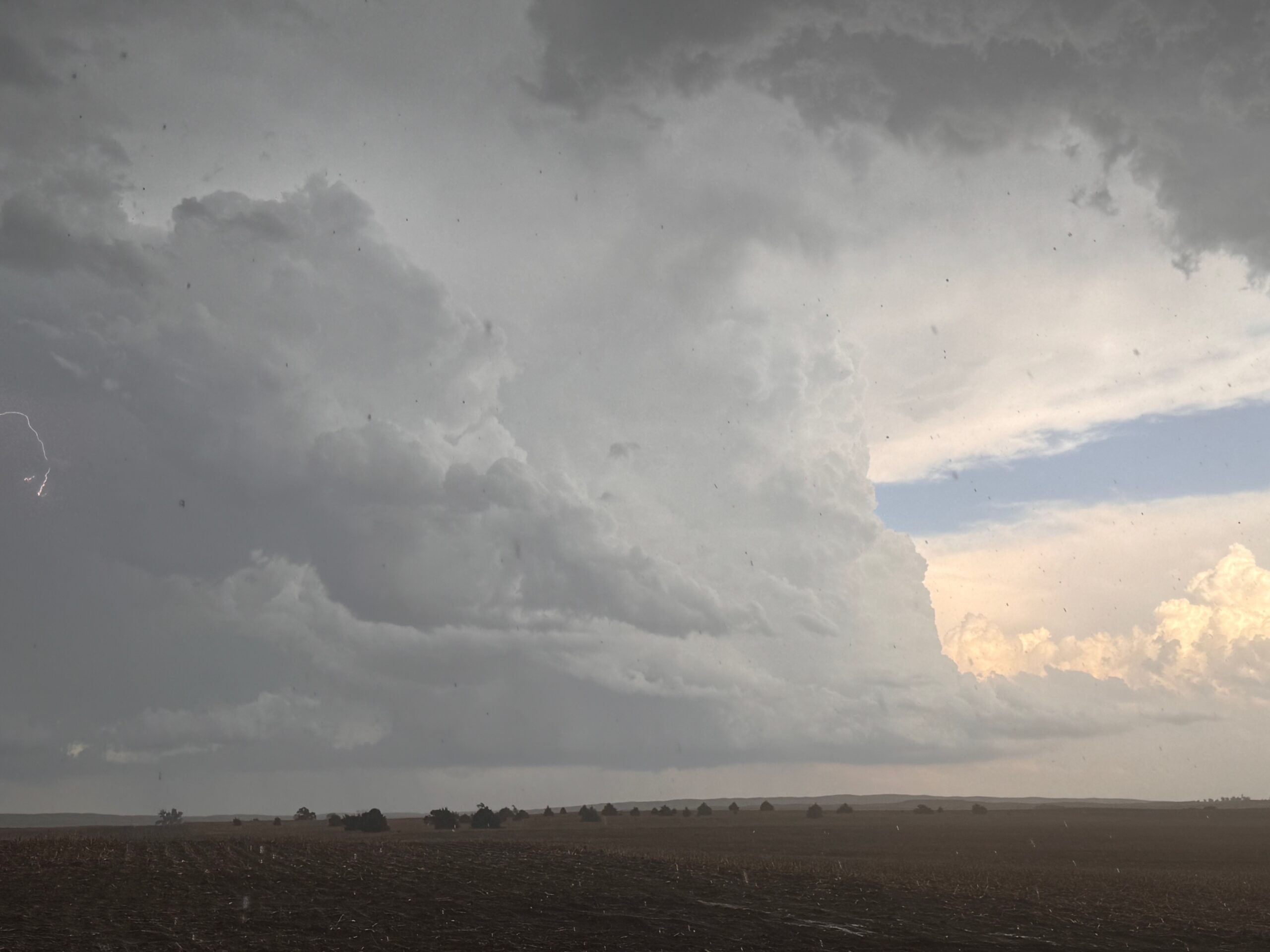
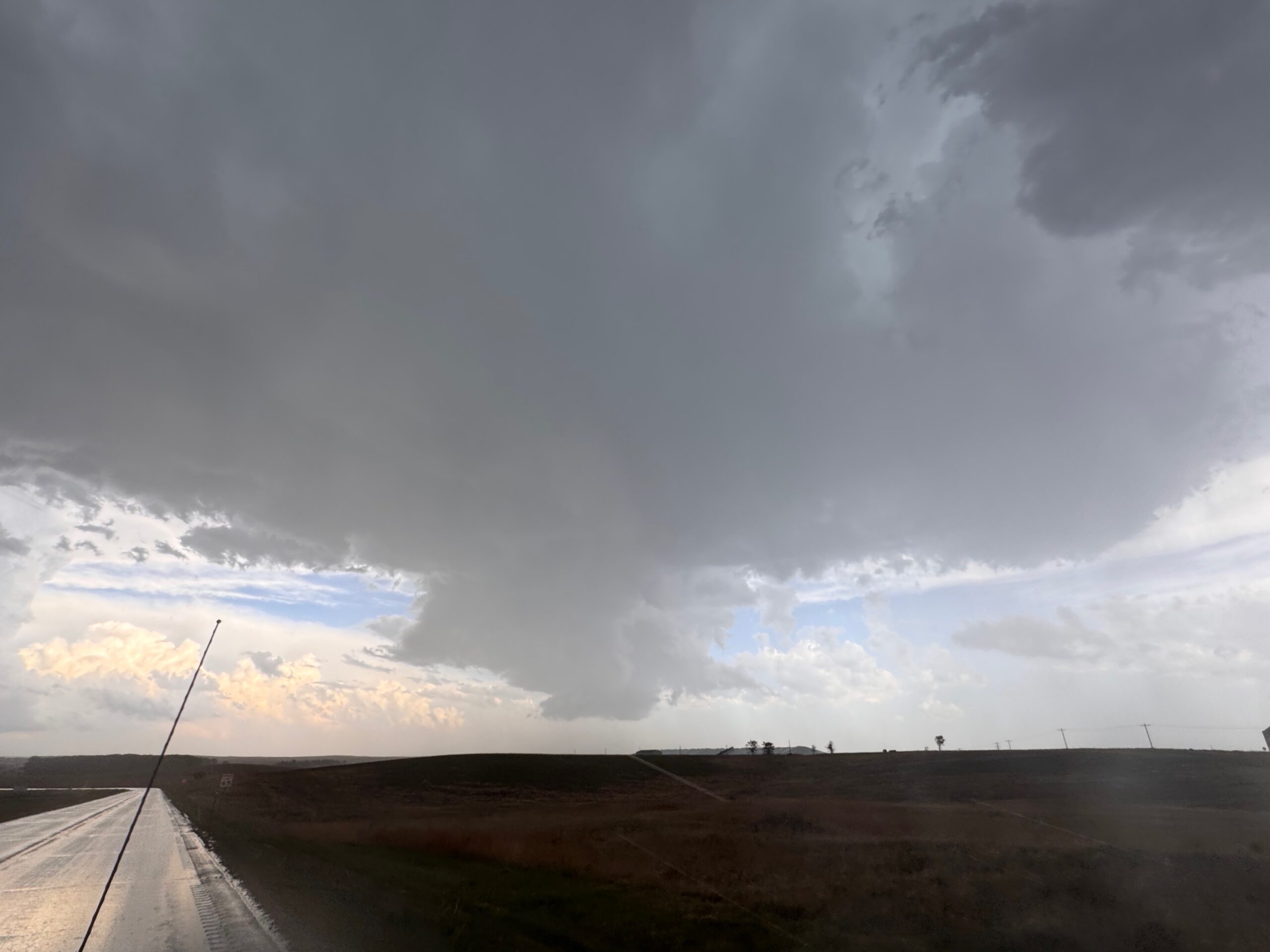
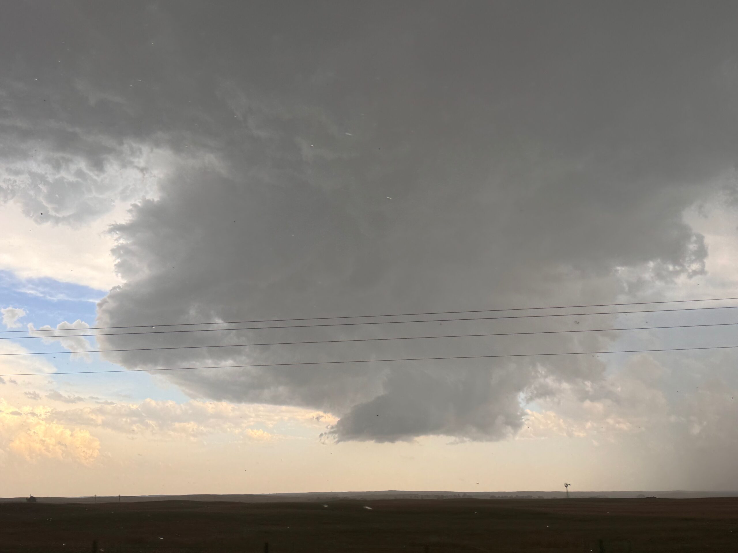
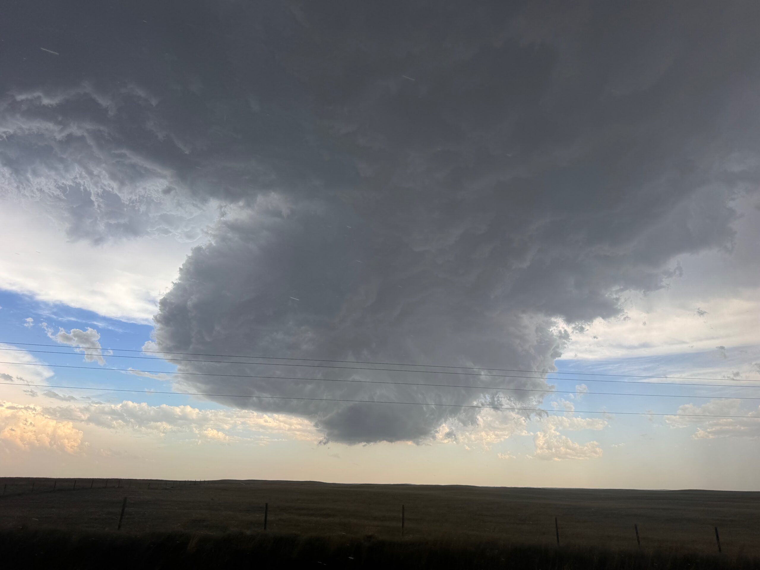
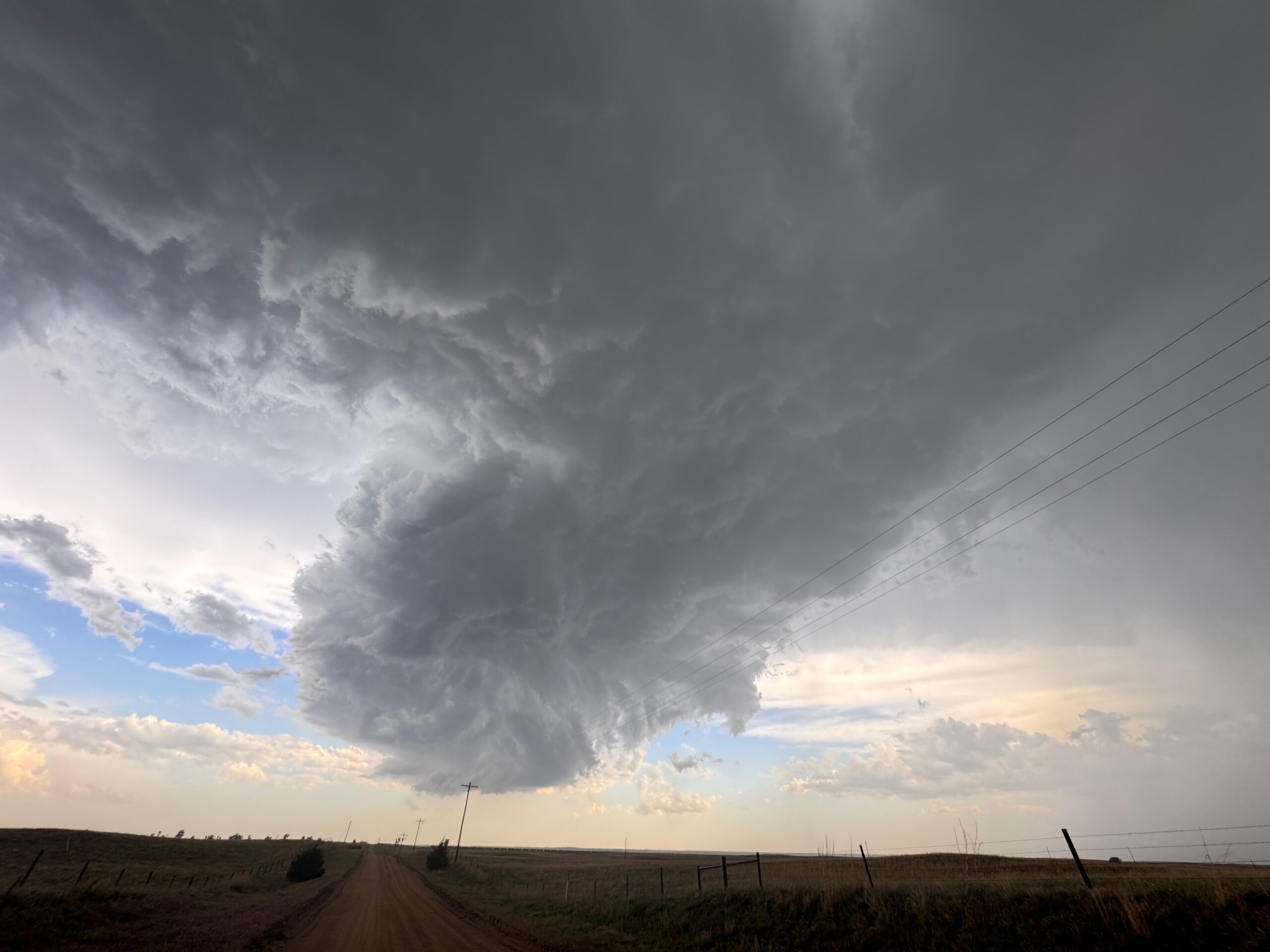
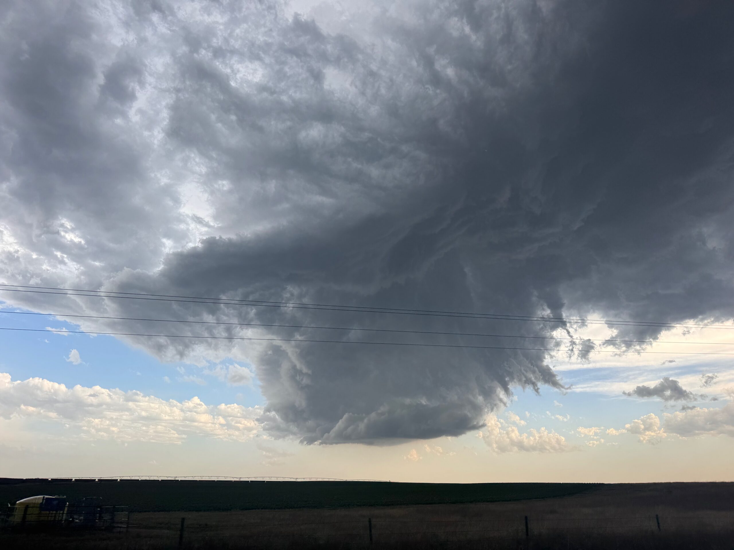
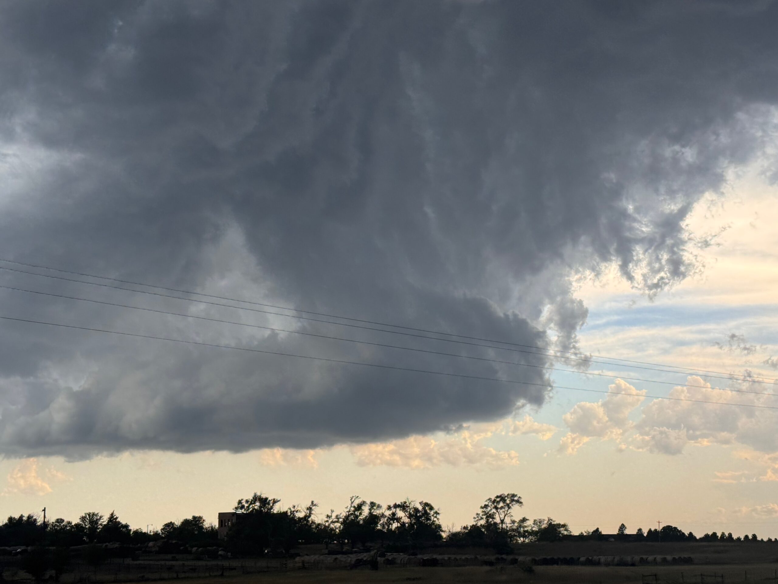
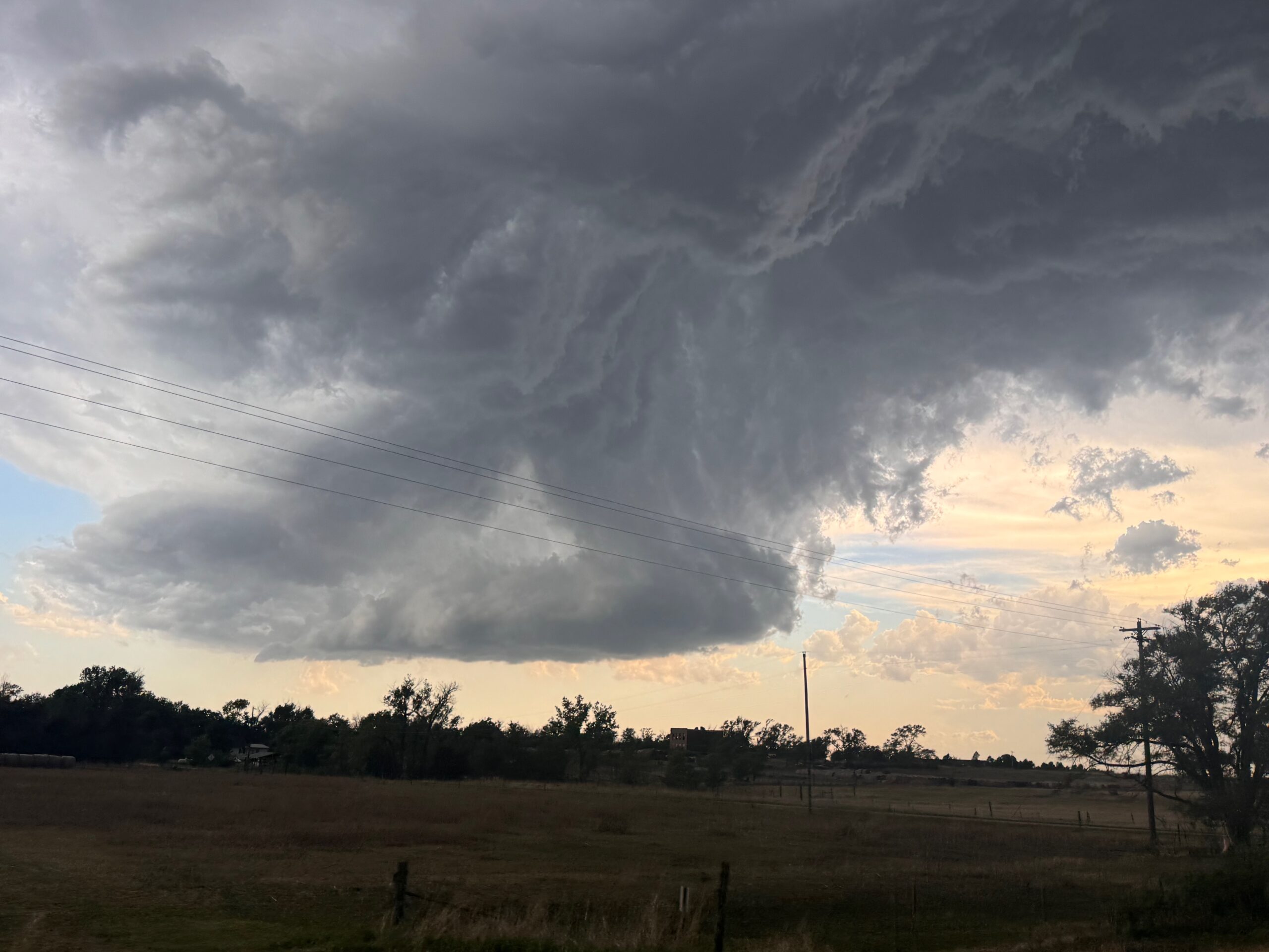
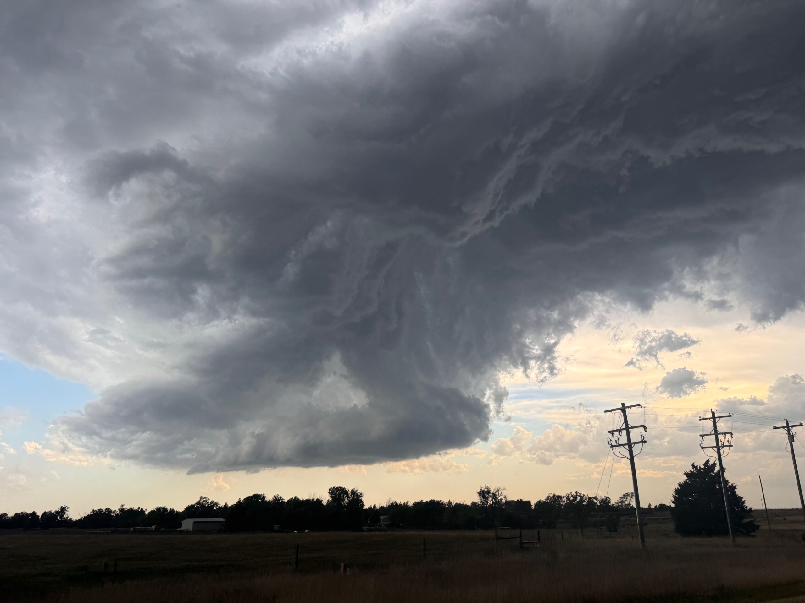
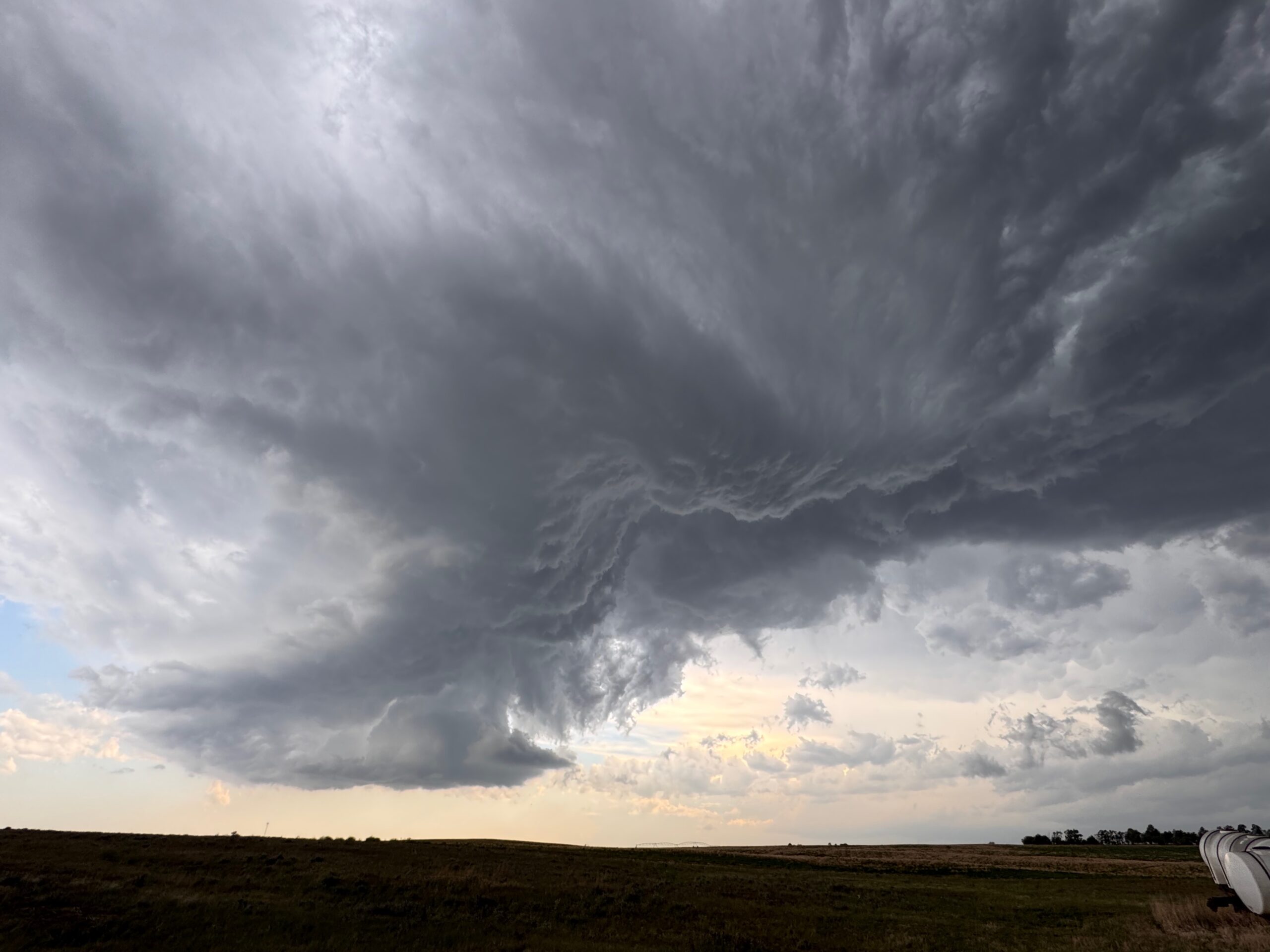

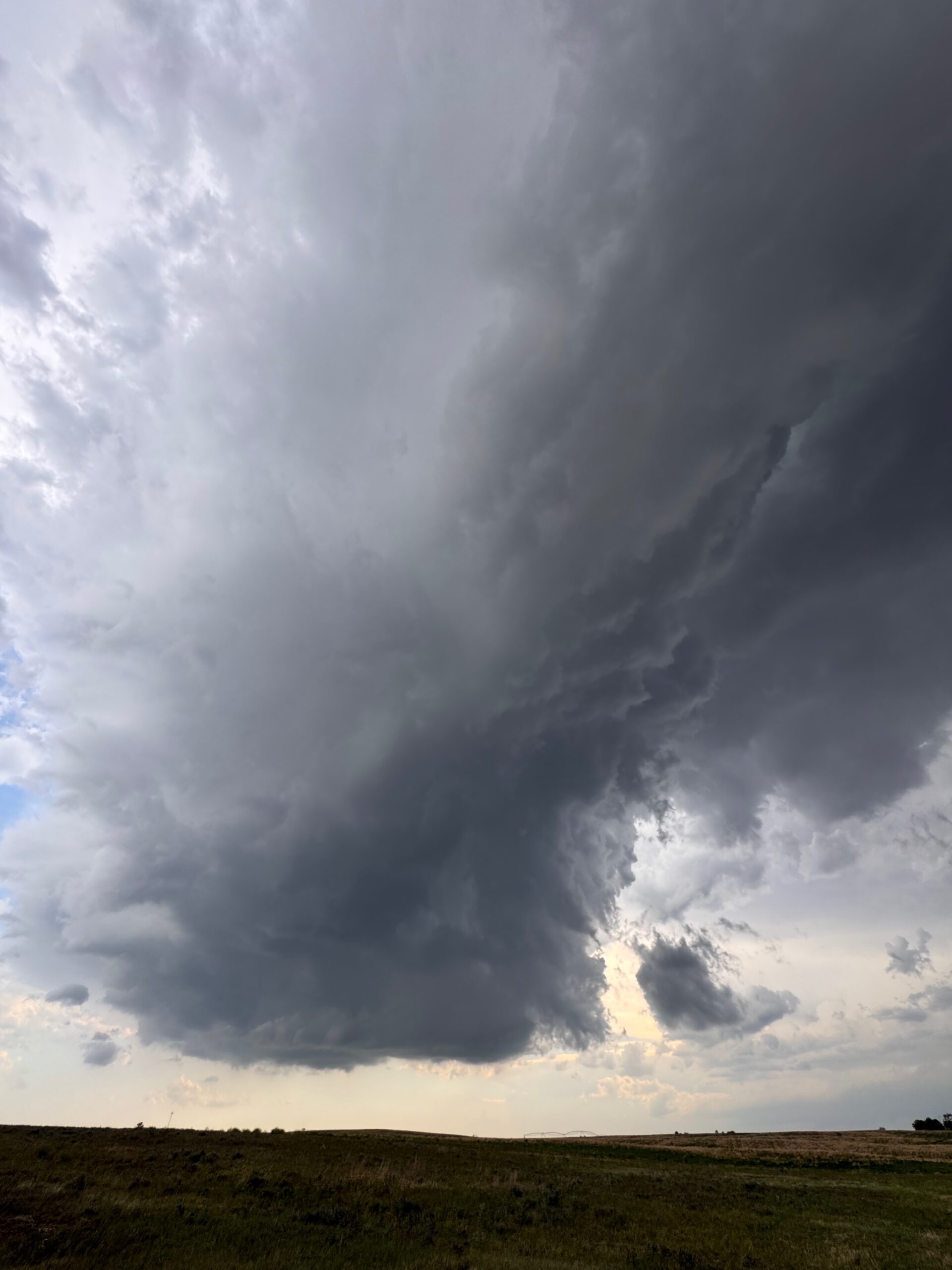
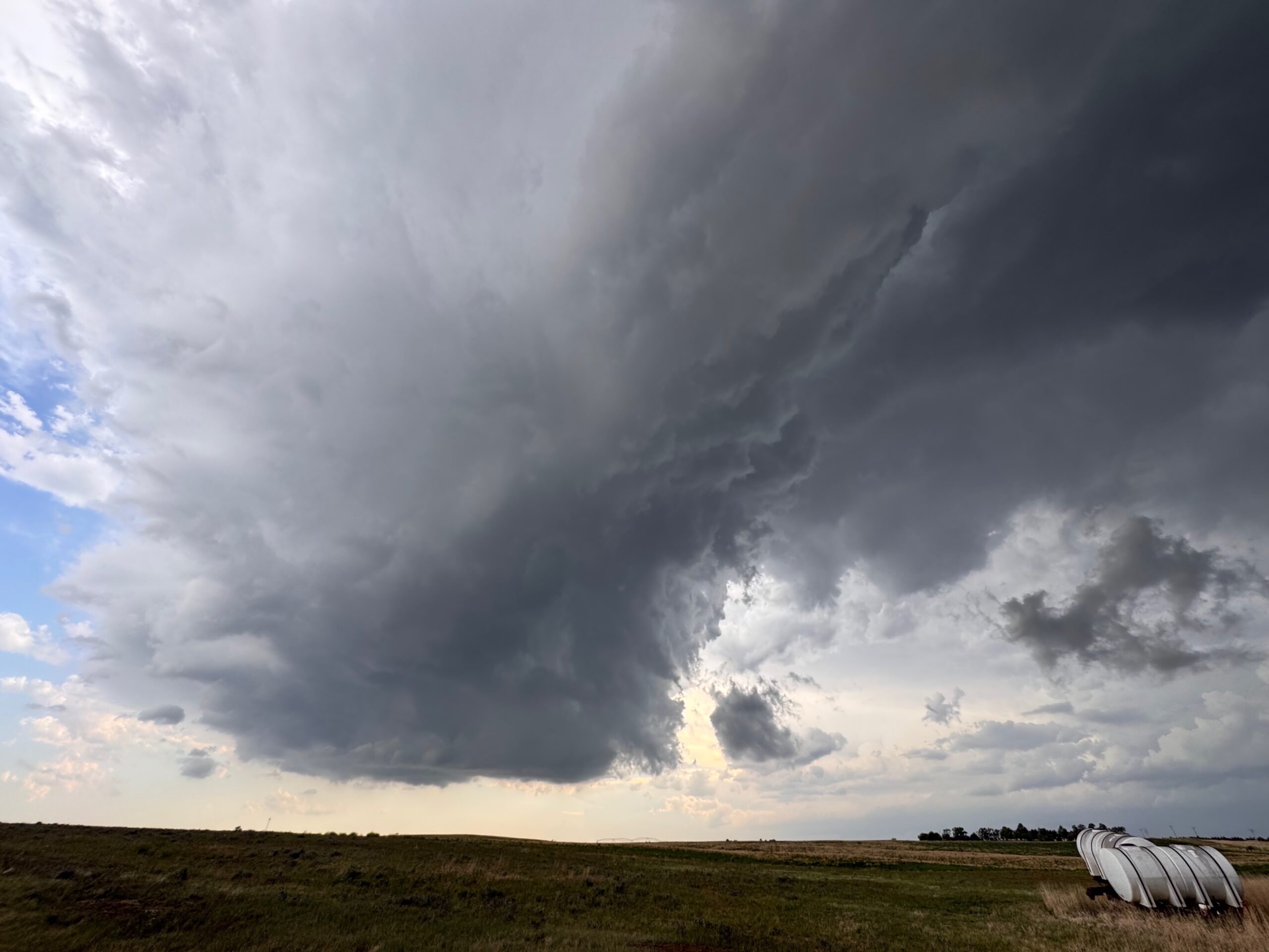
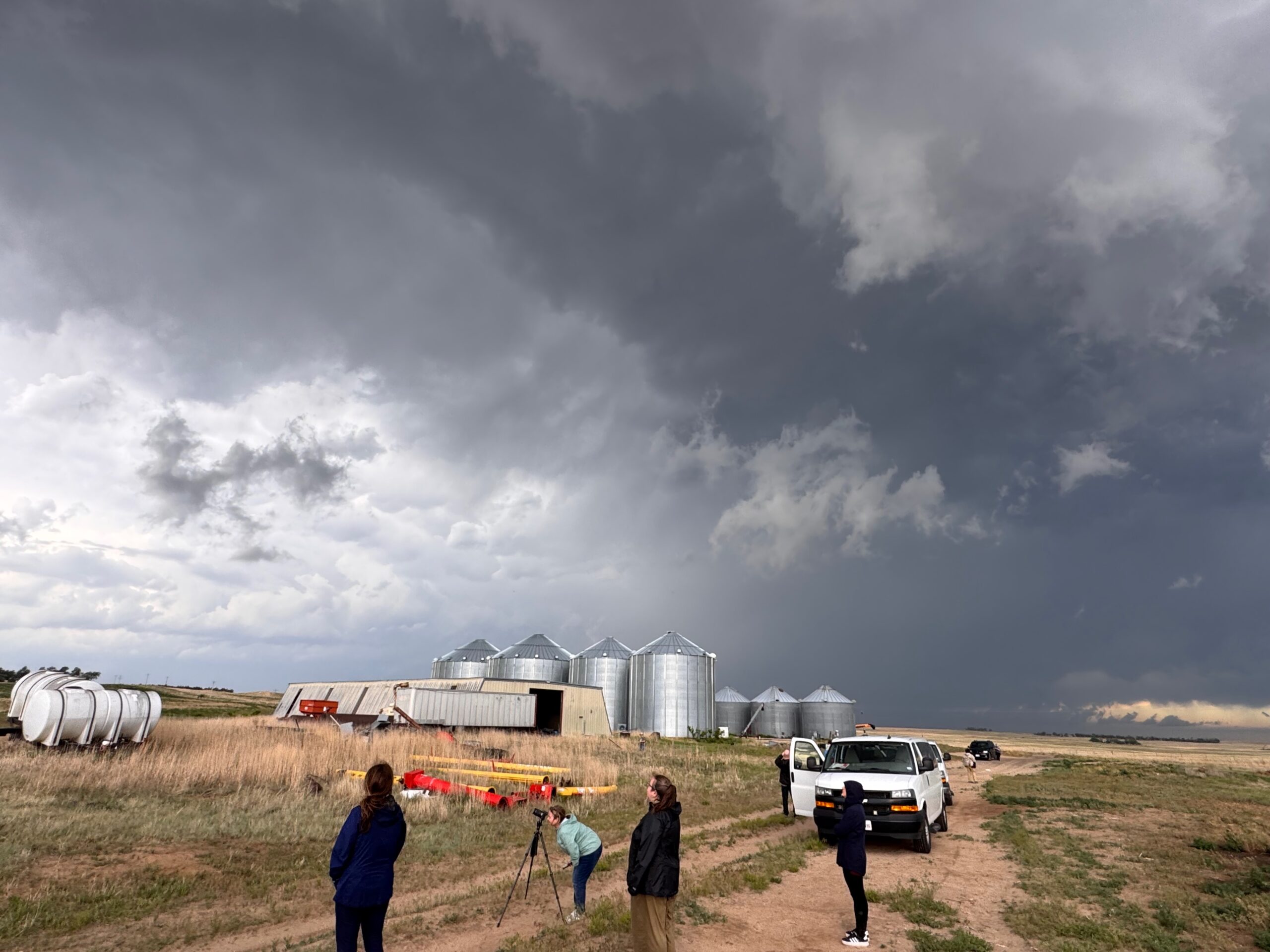
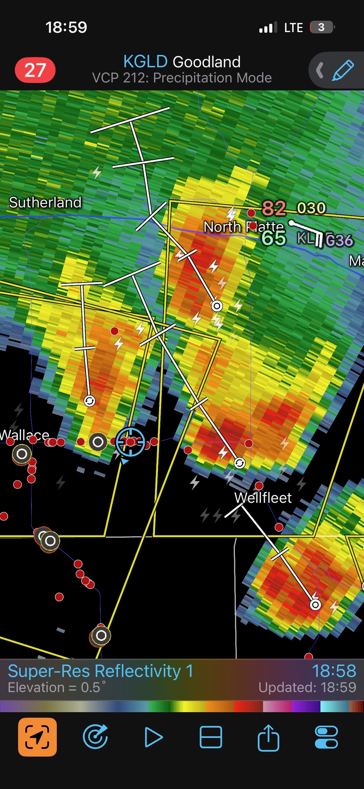
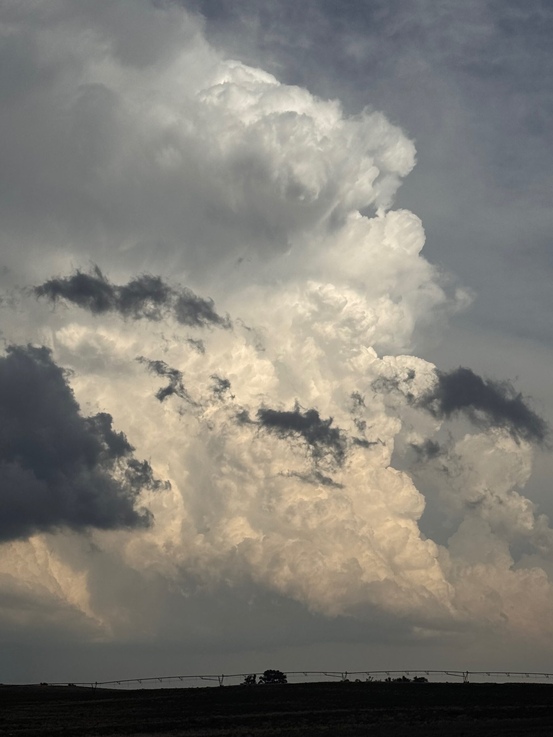
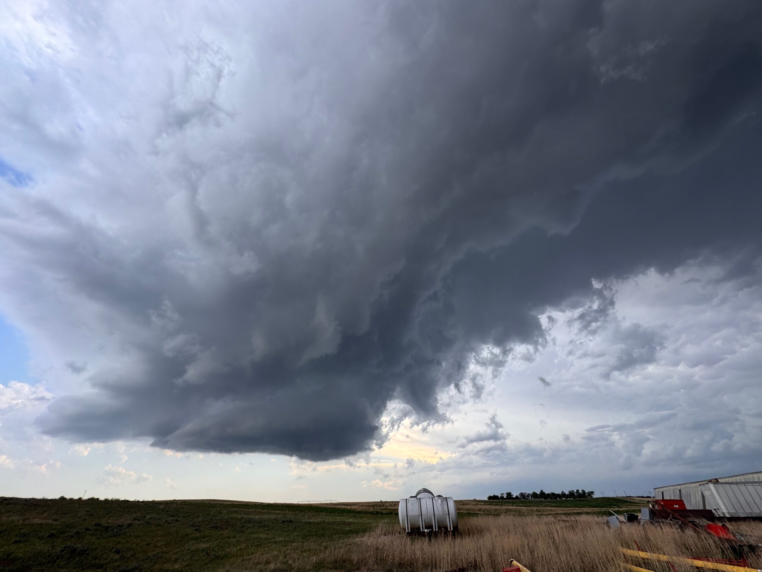
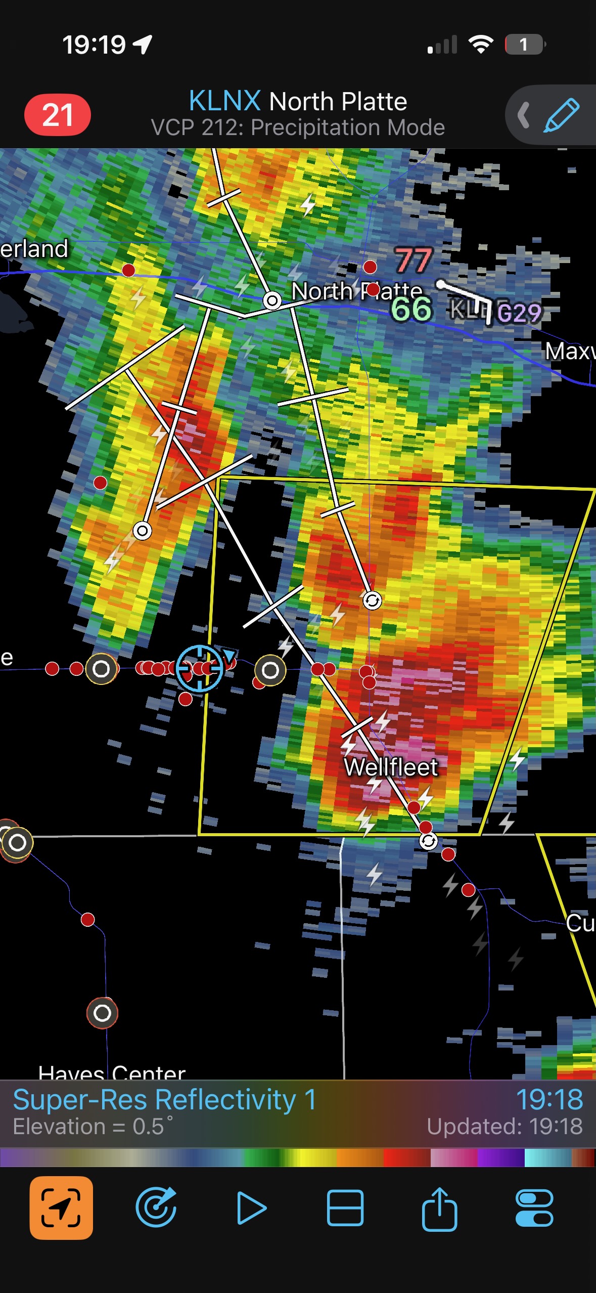
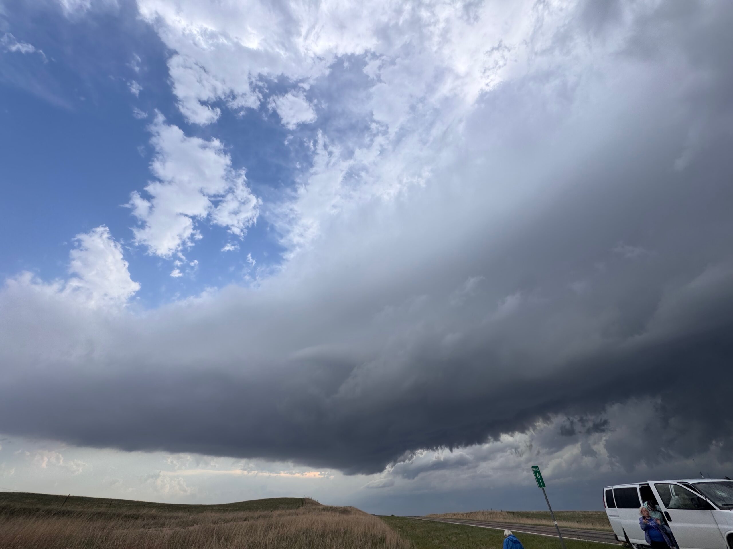
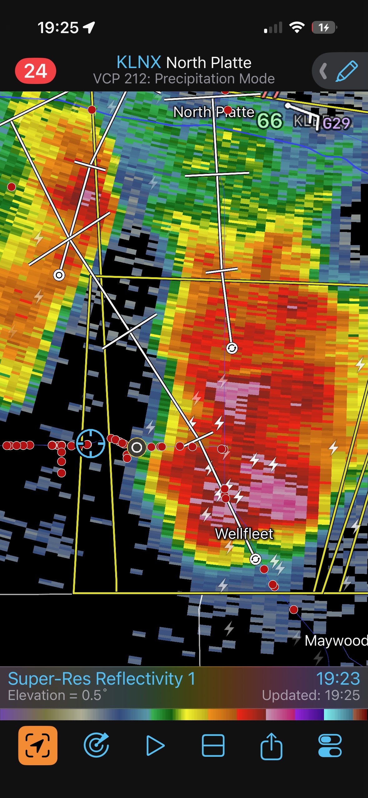
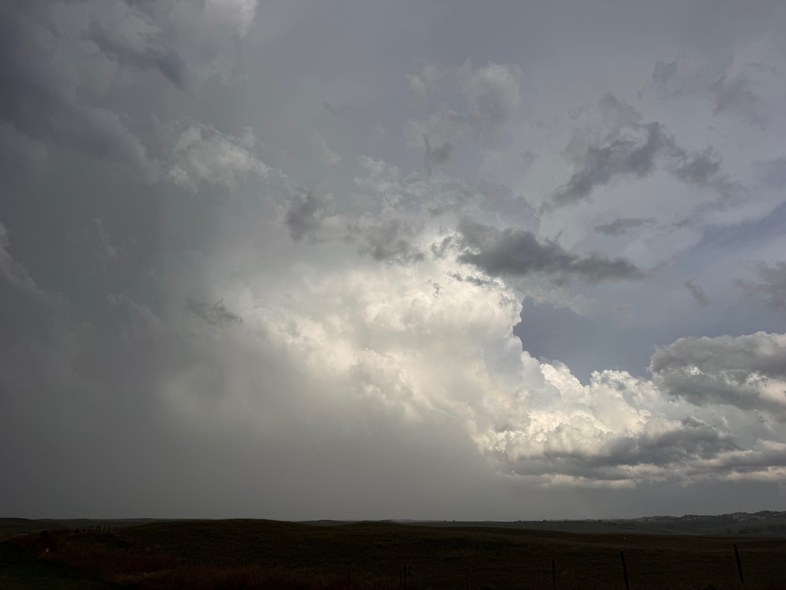
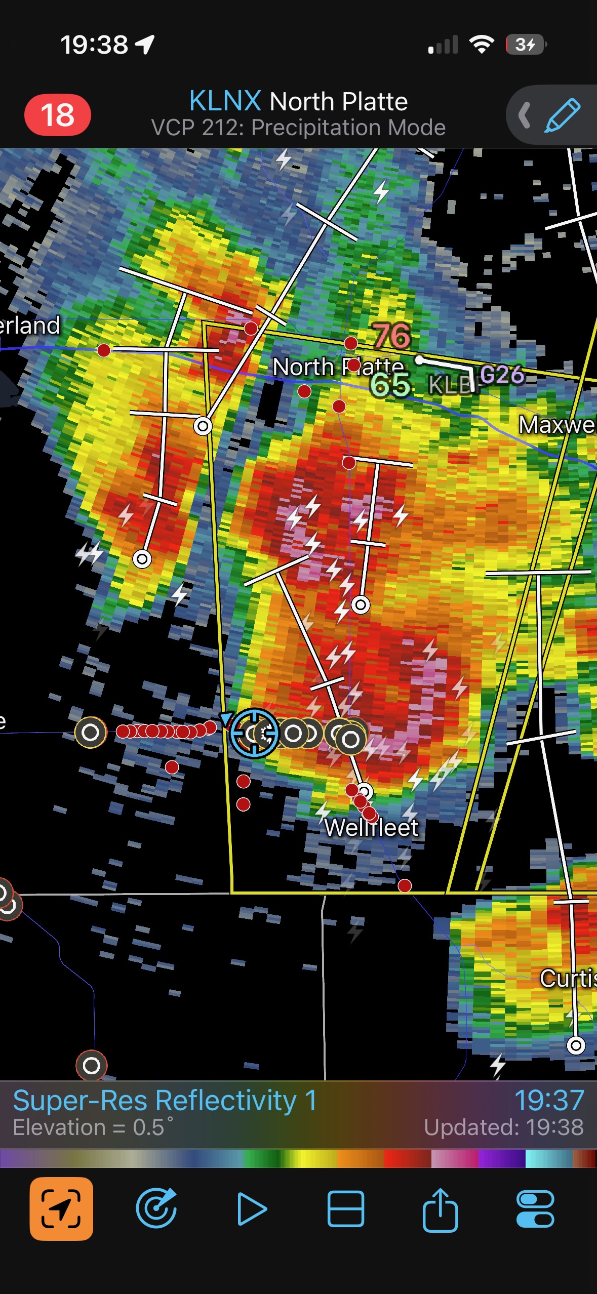
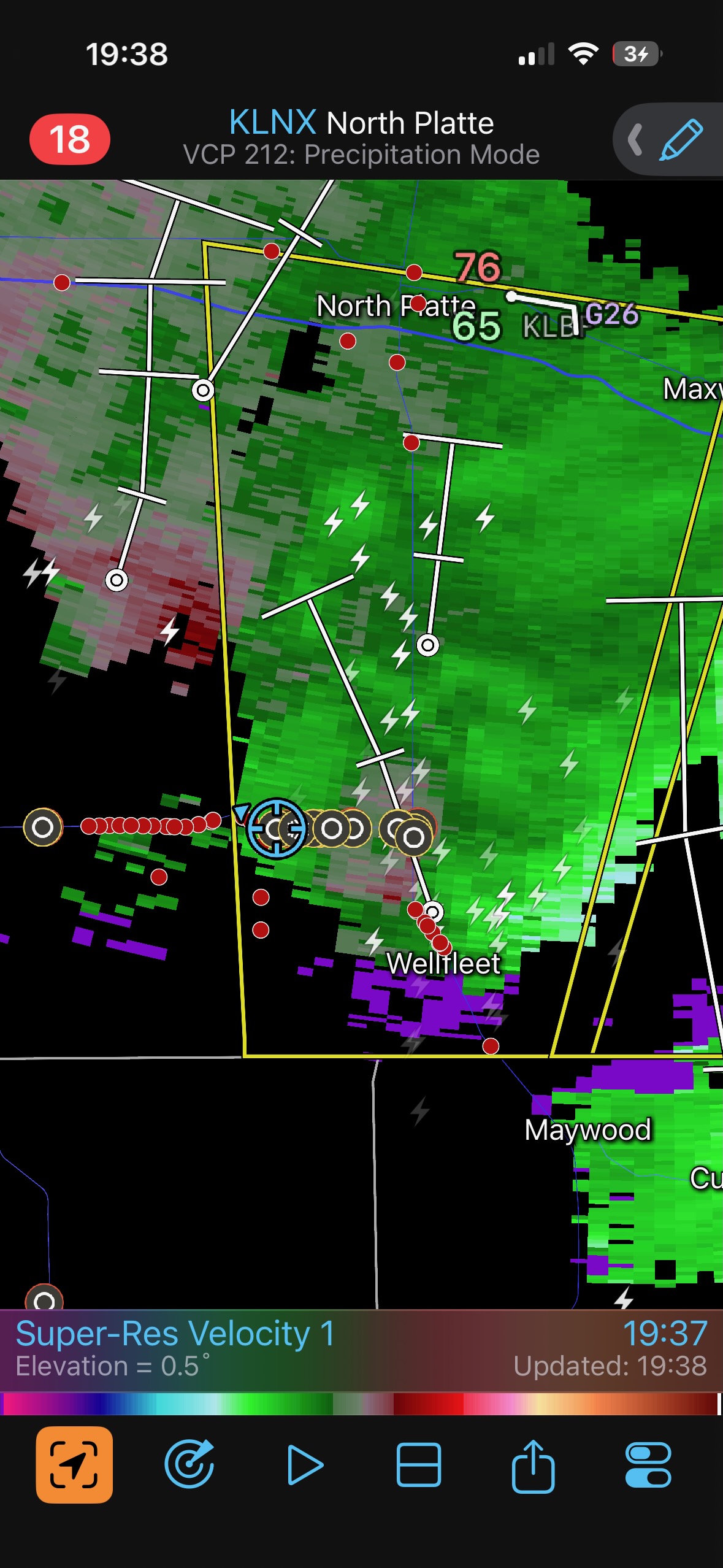
This “Wellfleet” storm was tracking northward, right along U.S. 83. The place to be would have been a little to the east of 83, as the precipitation core was covering 83. The heavy hail core along 83 to our east forced us to wait for the storm to move more to the north, and then we could stay close to the base while motoring northward on 83.
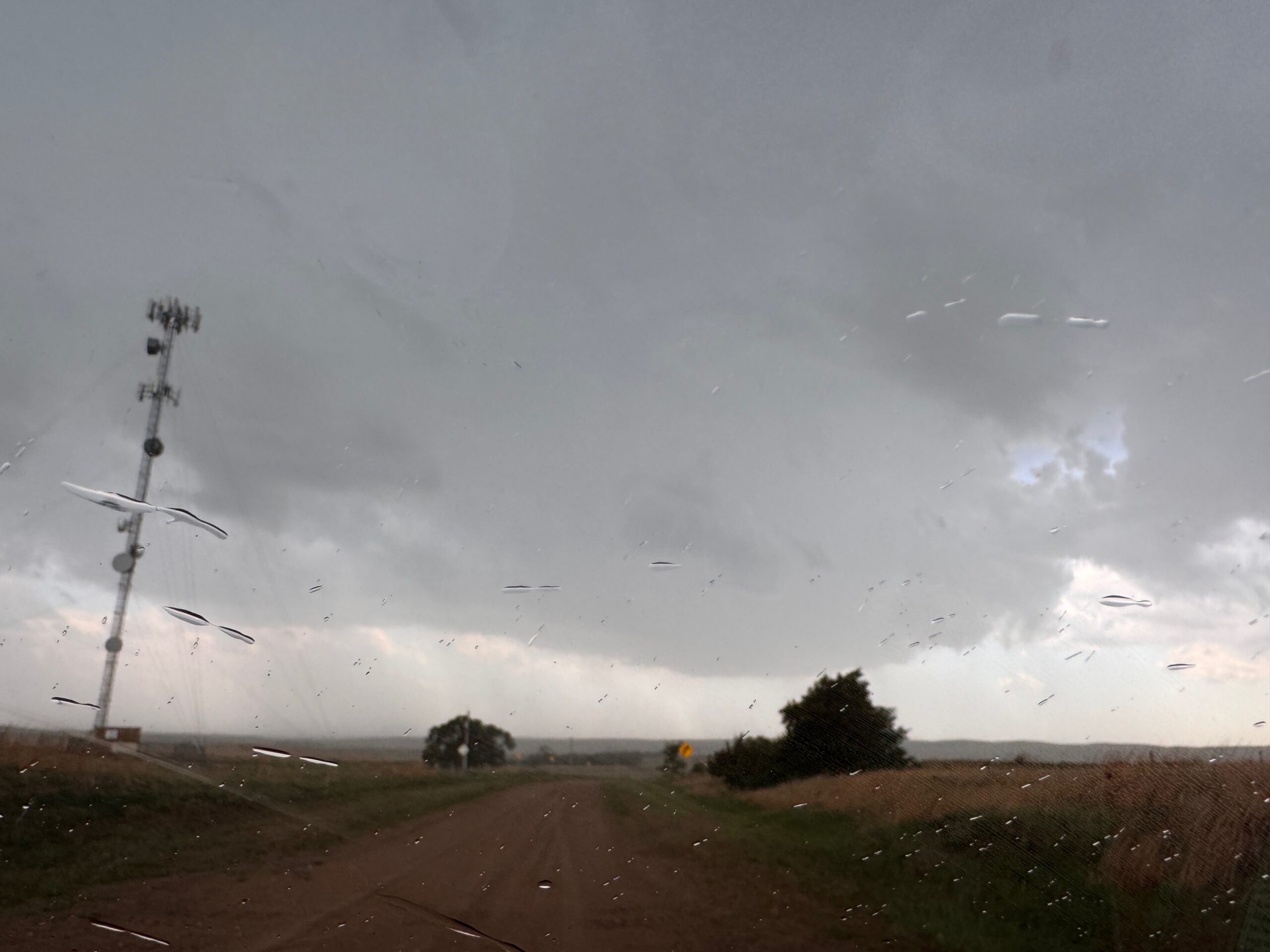
Following our wait of about 6 minutes, we made our way to 83 and turned northward. The storm base was just to the west of 83 here, north of Wellfleet. And, the base was very low and had a menacing look. We had the perfect road to stay with it and to get closer, seemingly, but the storm turned on the jets and was sailing along at 45-50 mph. A funnel cloud and then an apparent tornado eventuated in the updraft area. The contrast wasn’t too good, and there was some precipitation in and around the base, but the pics below off of my iPhone do show the likely tornado. It was reportedly about 9 miles north of Wellfleet.
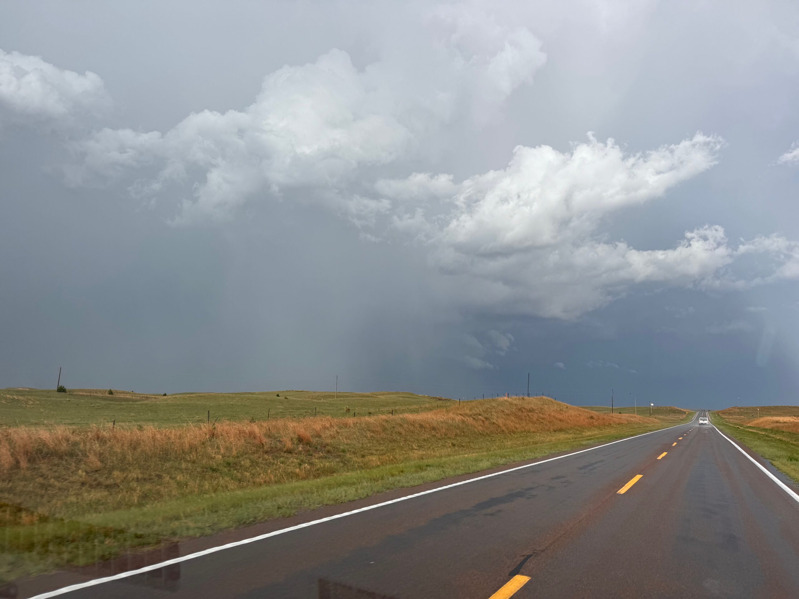
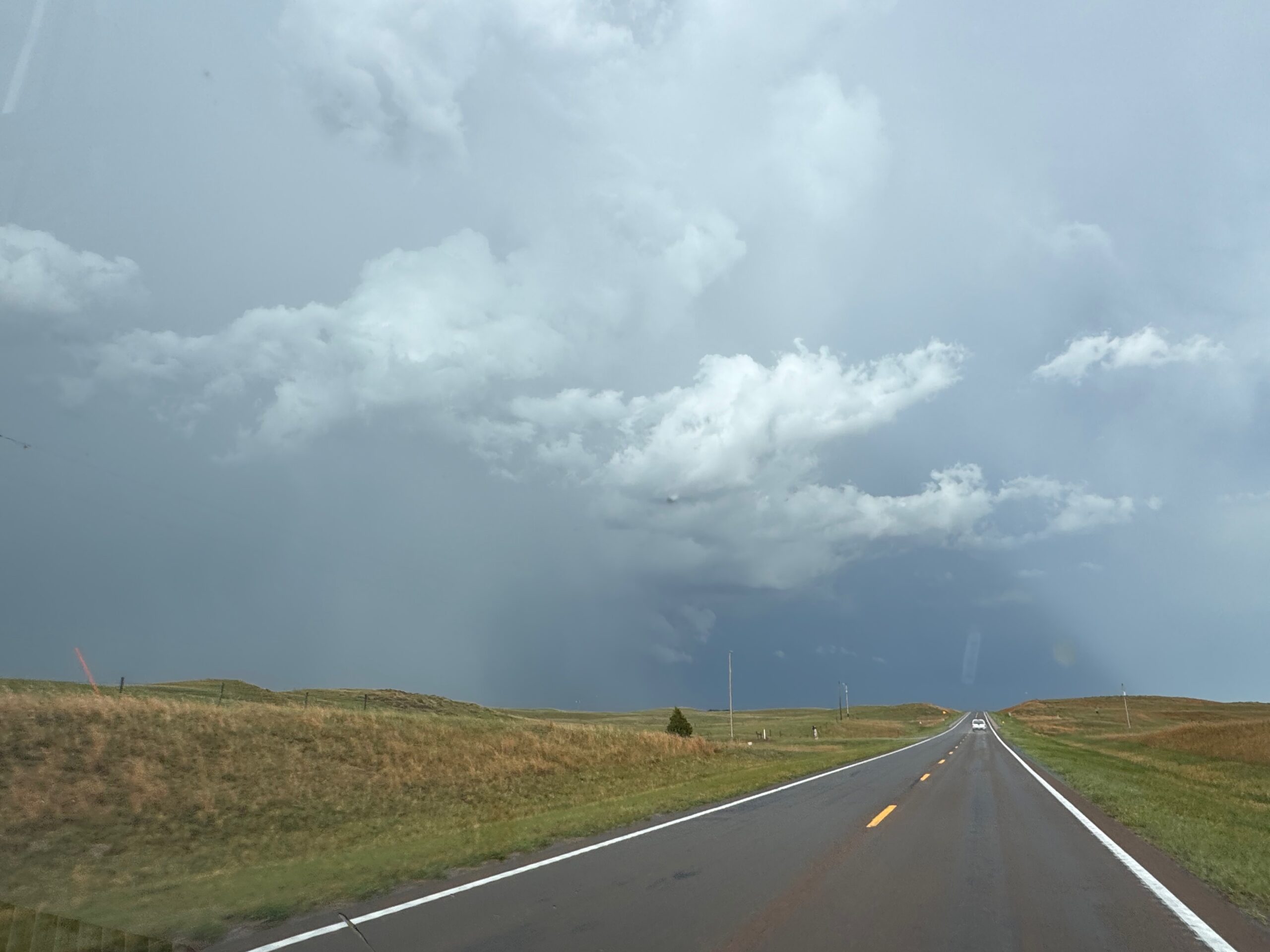
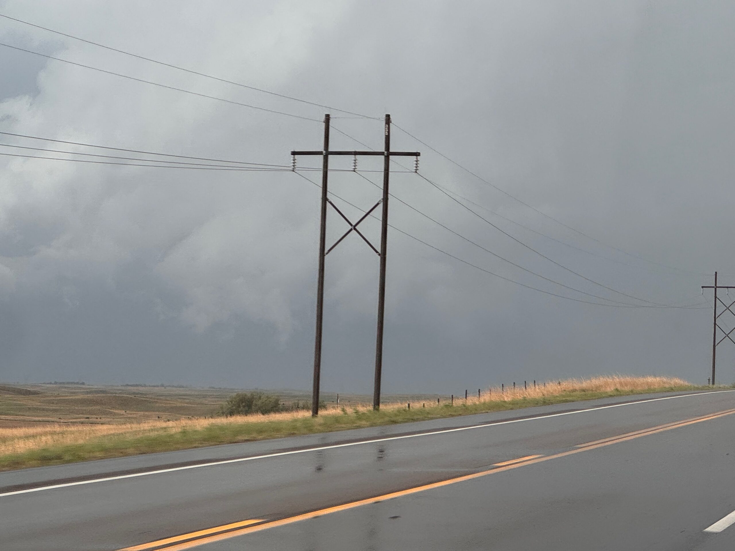
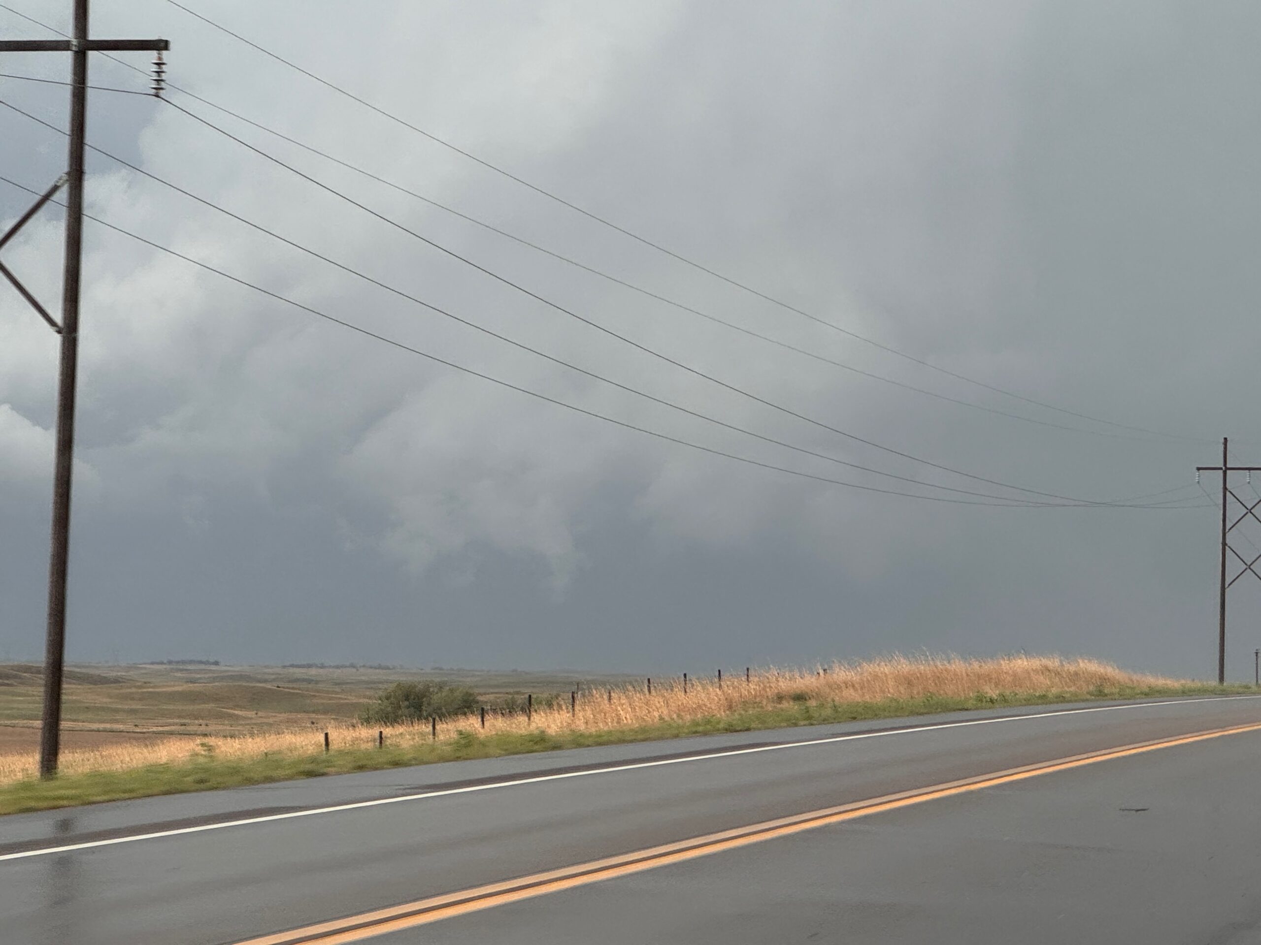
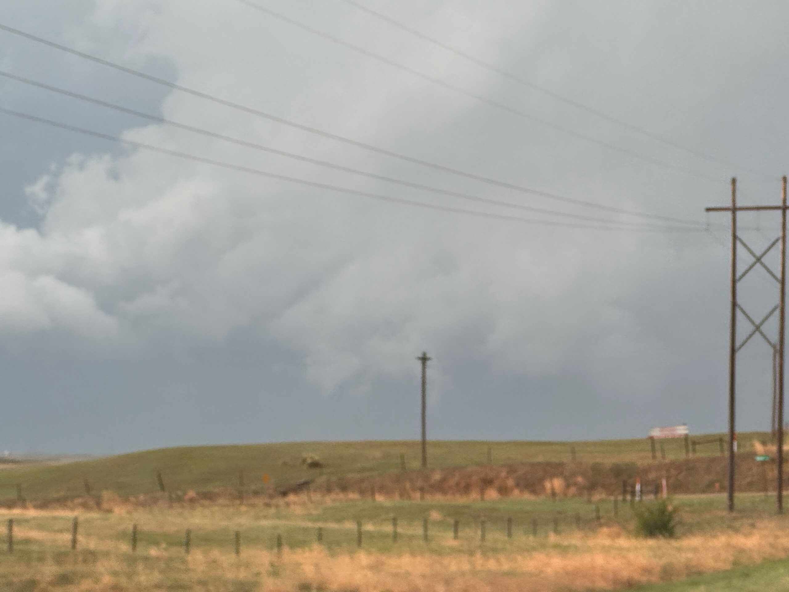
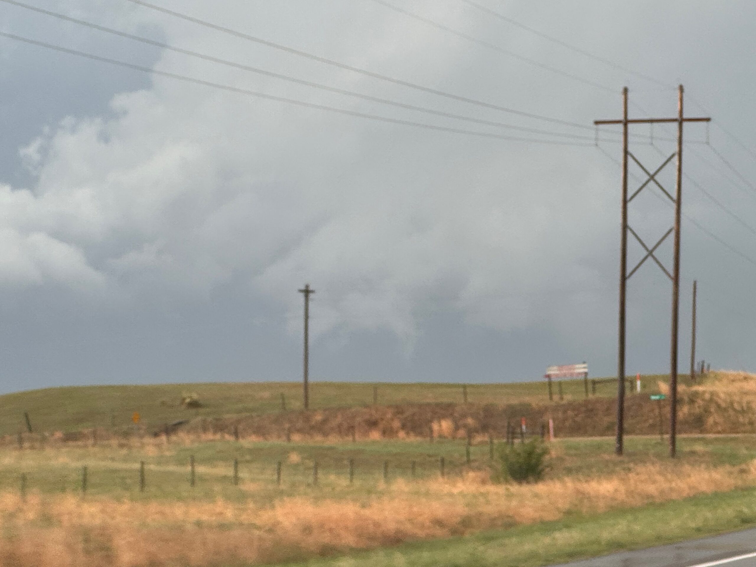
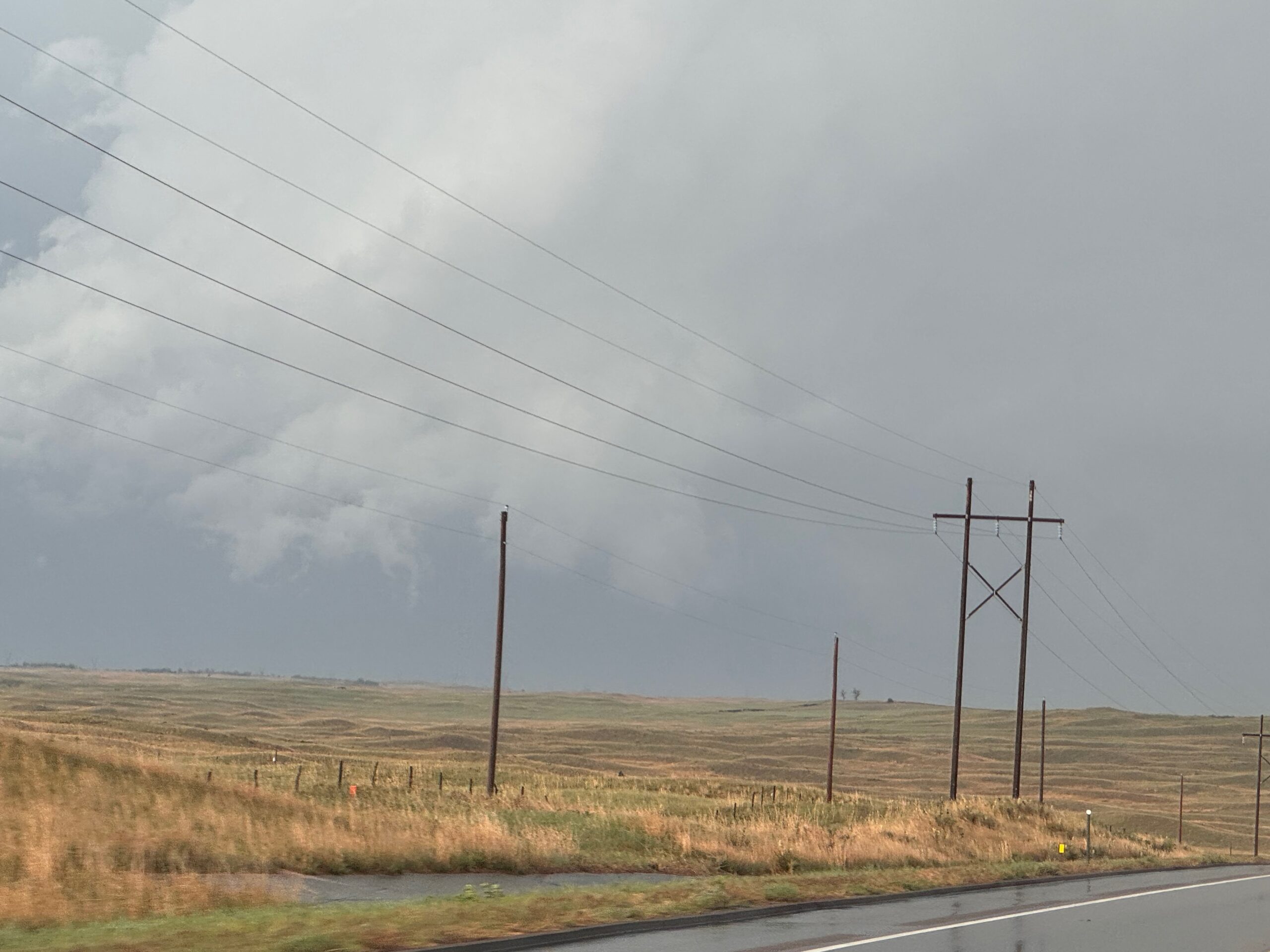
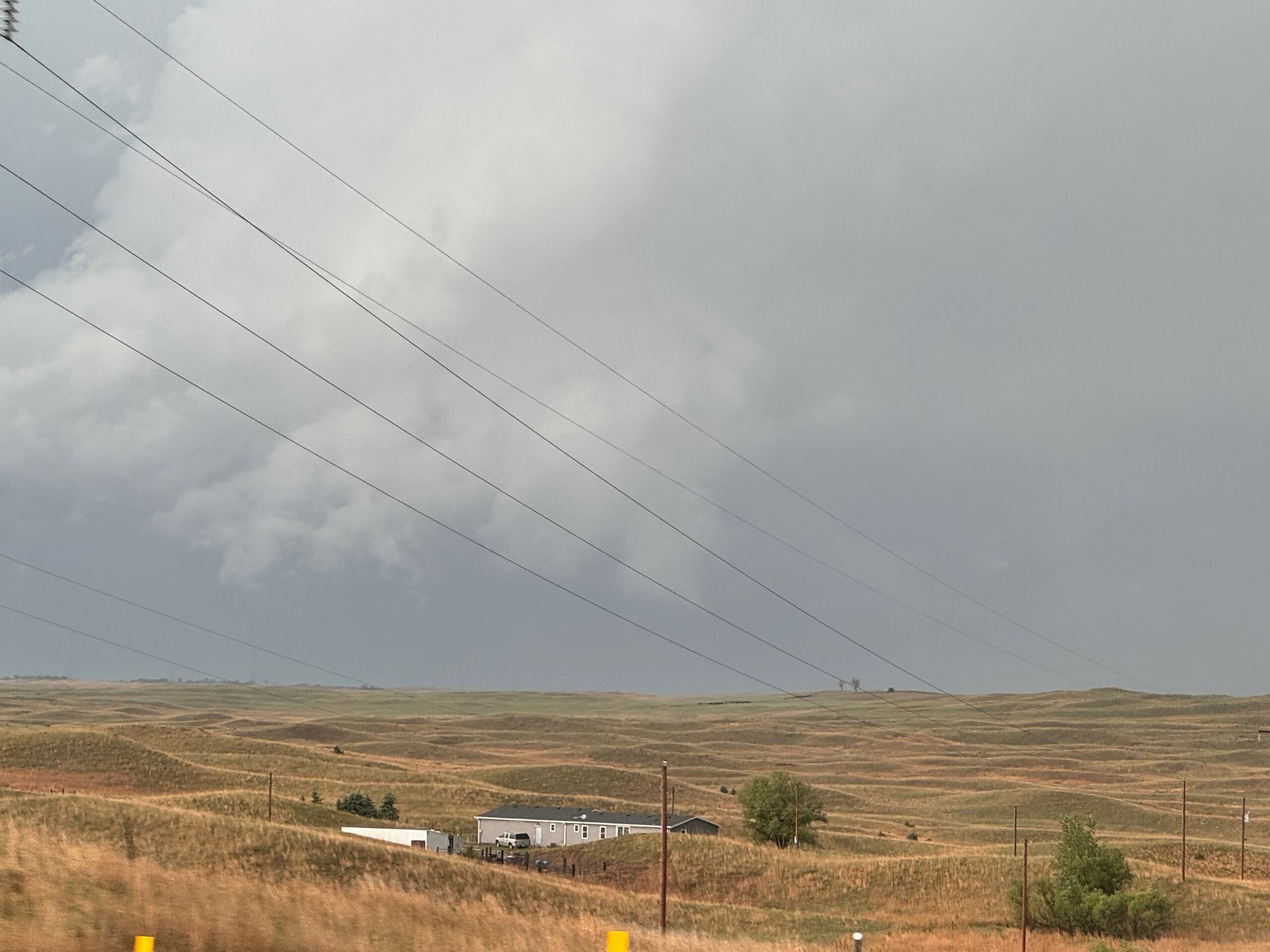
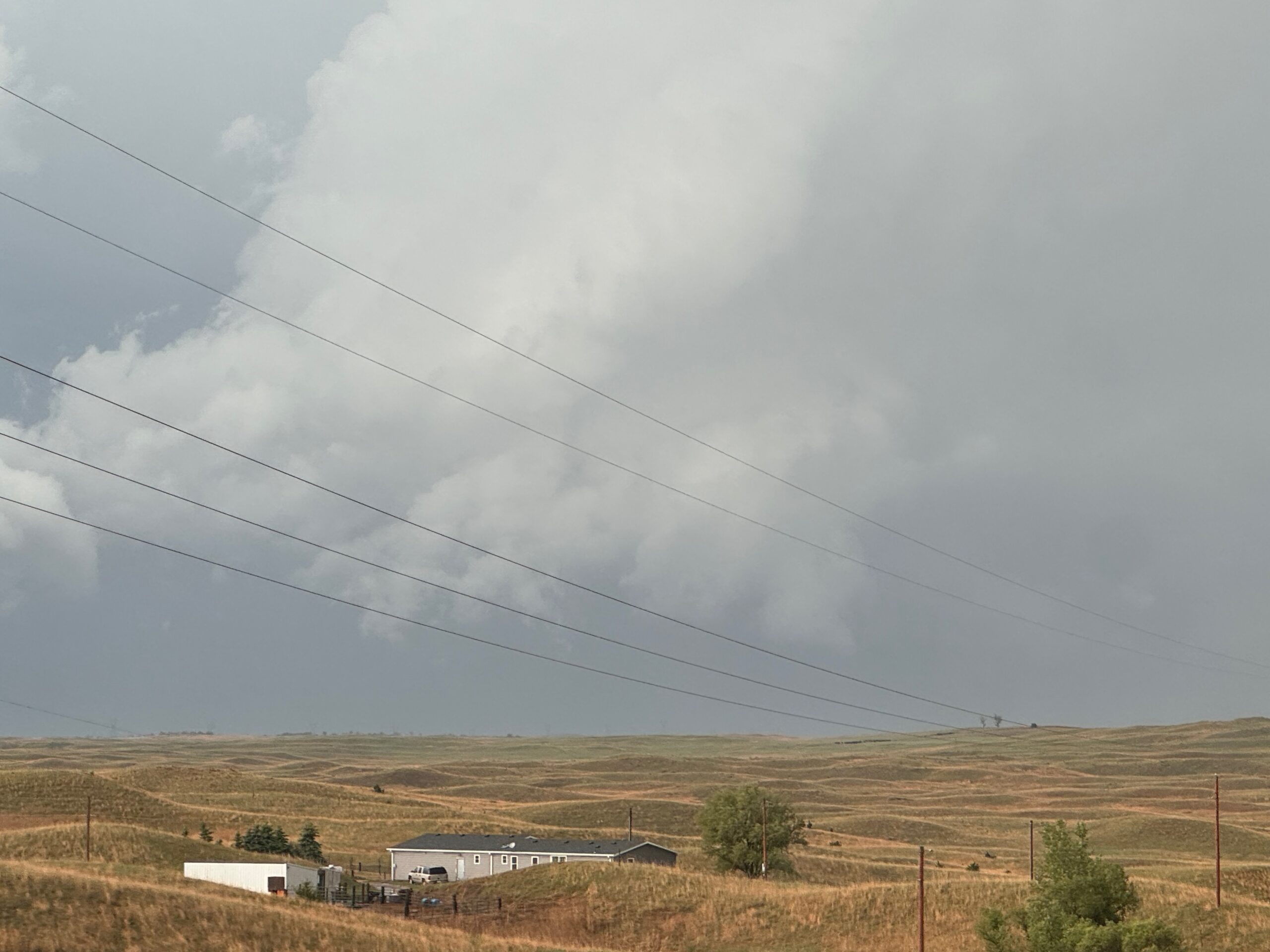
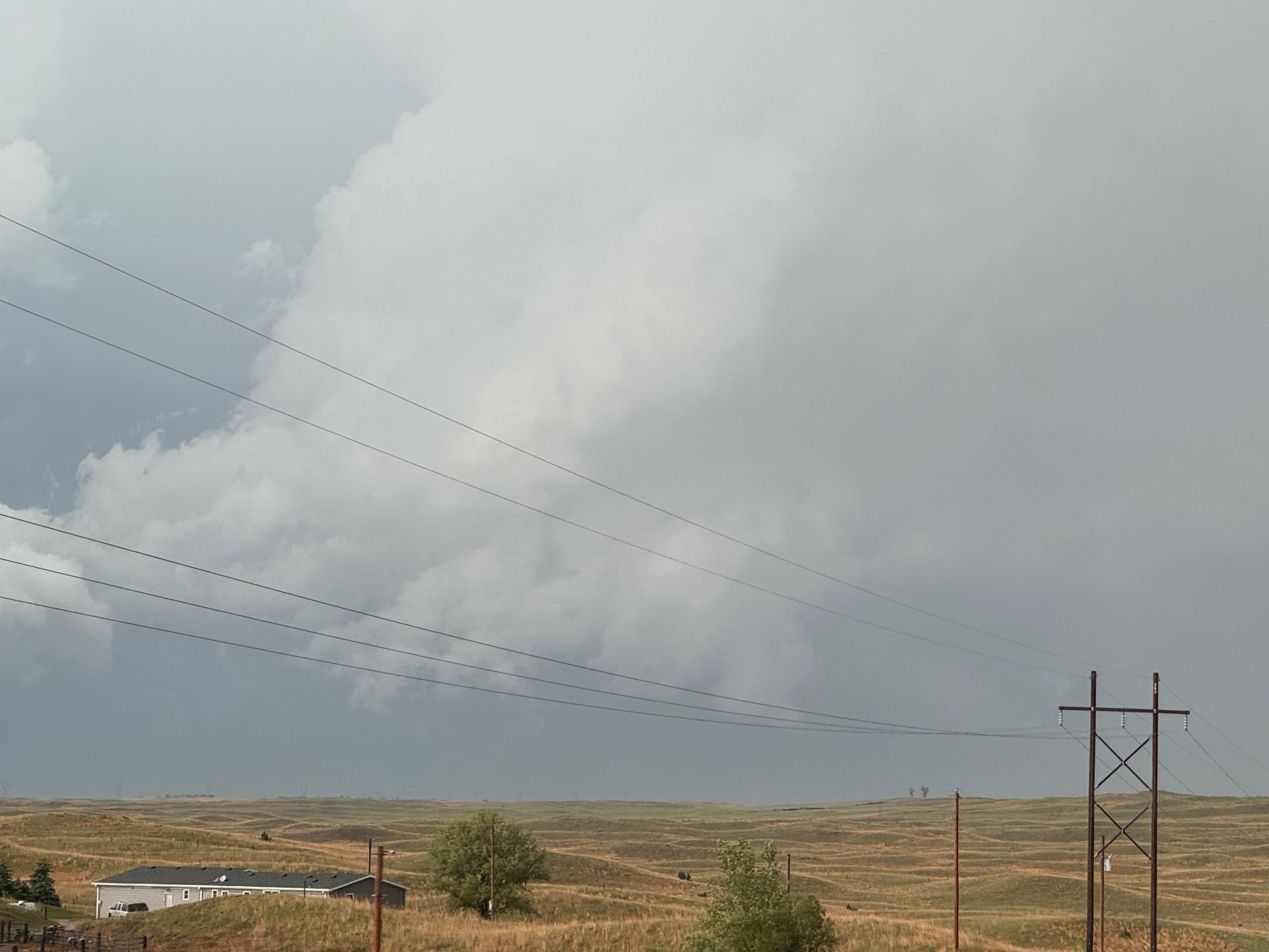
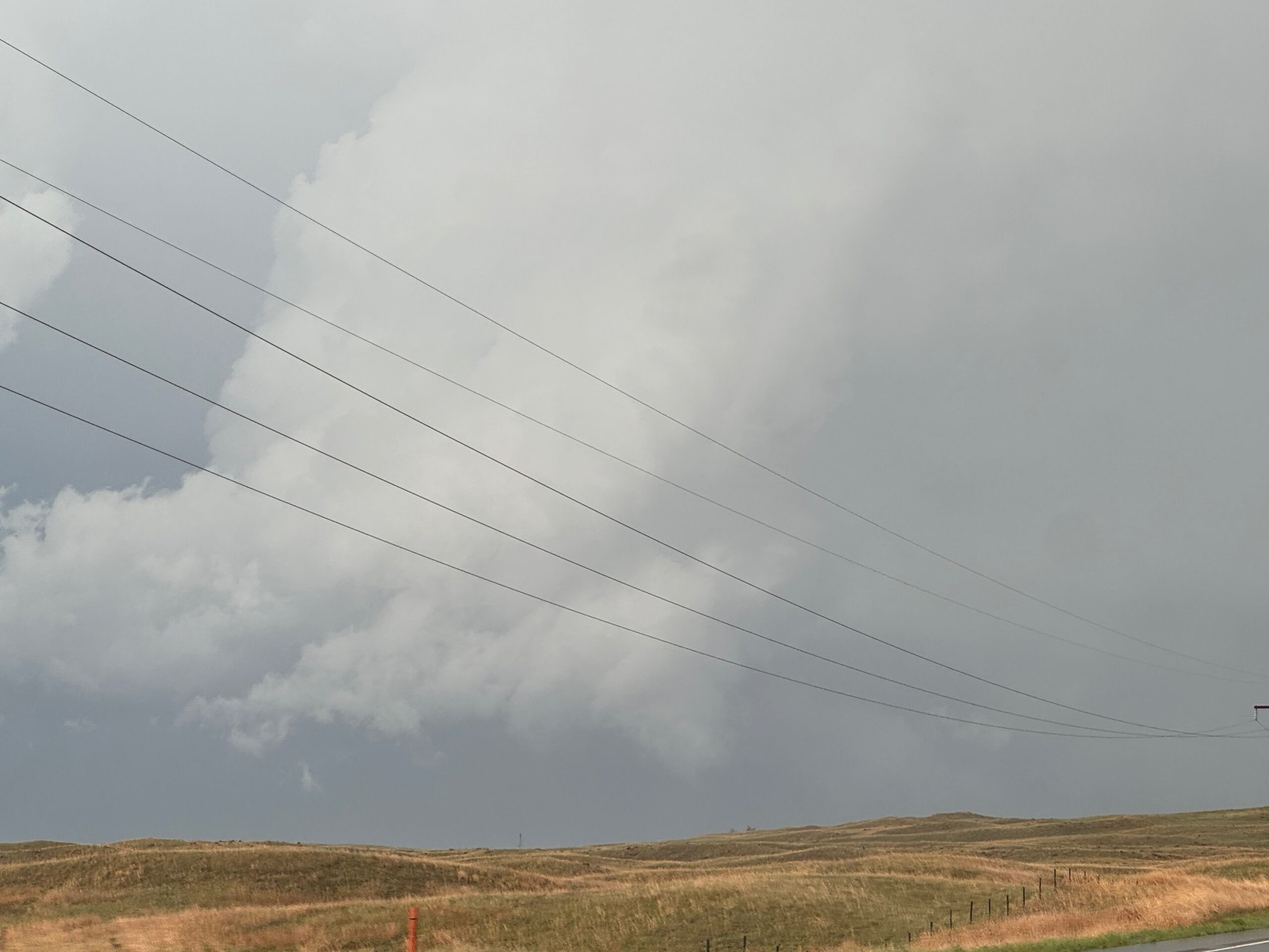
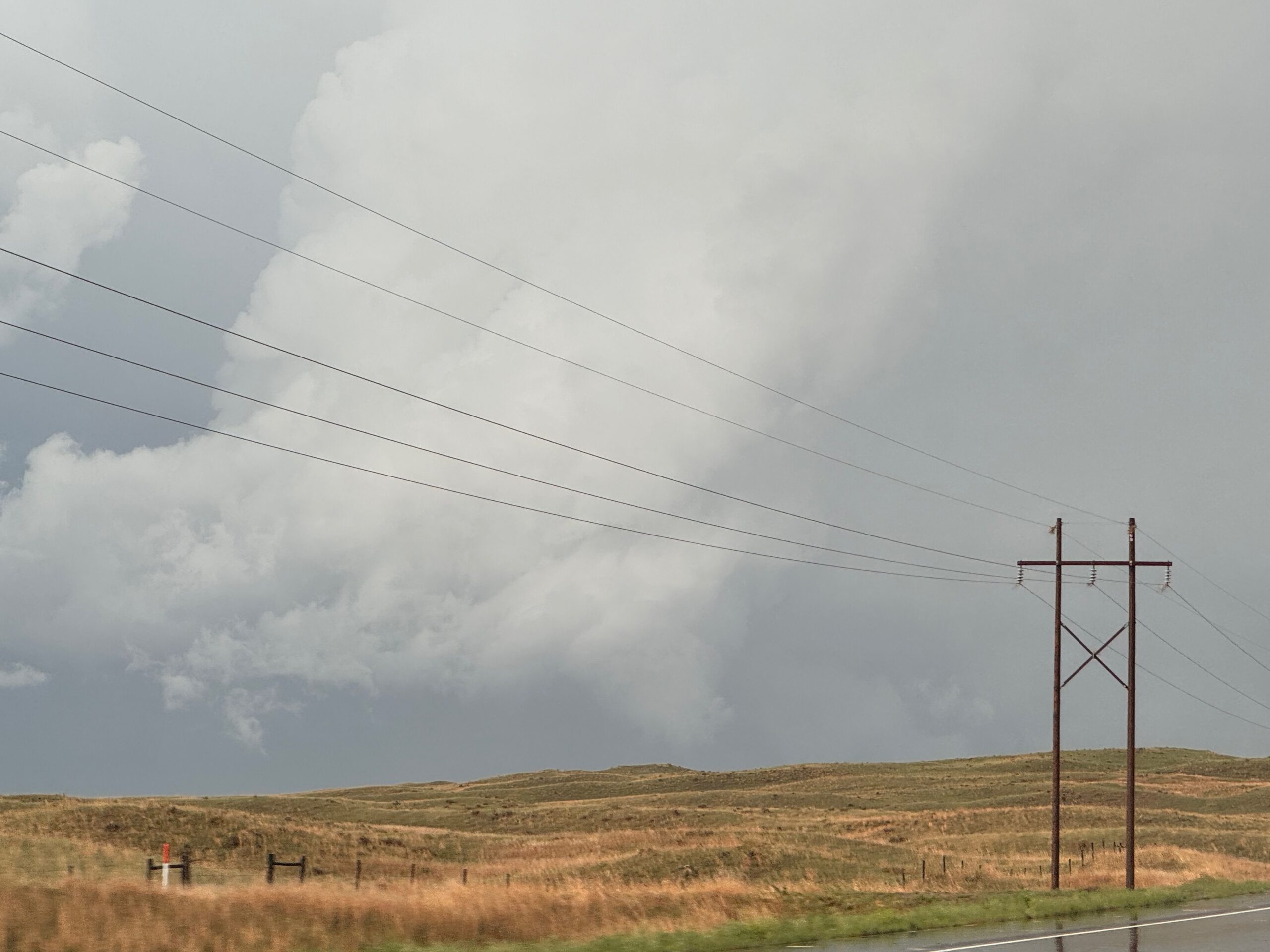
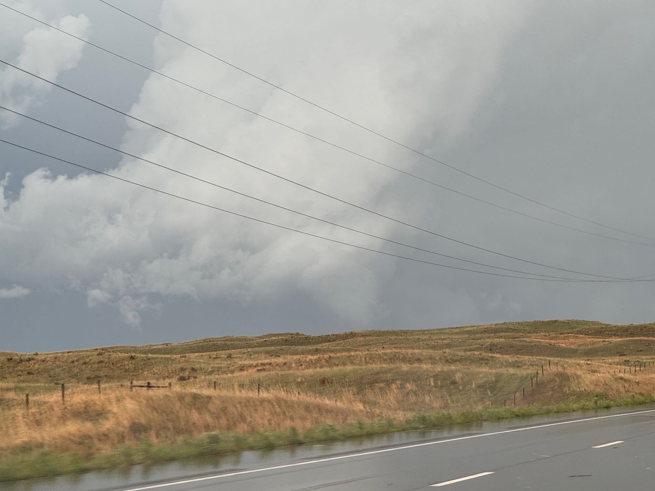
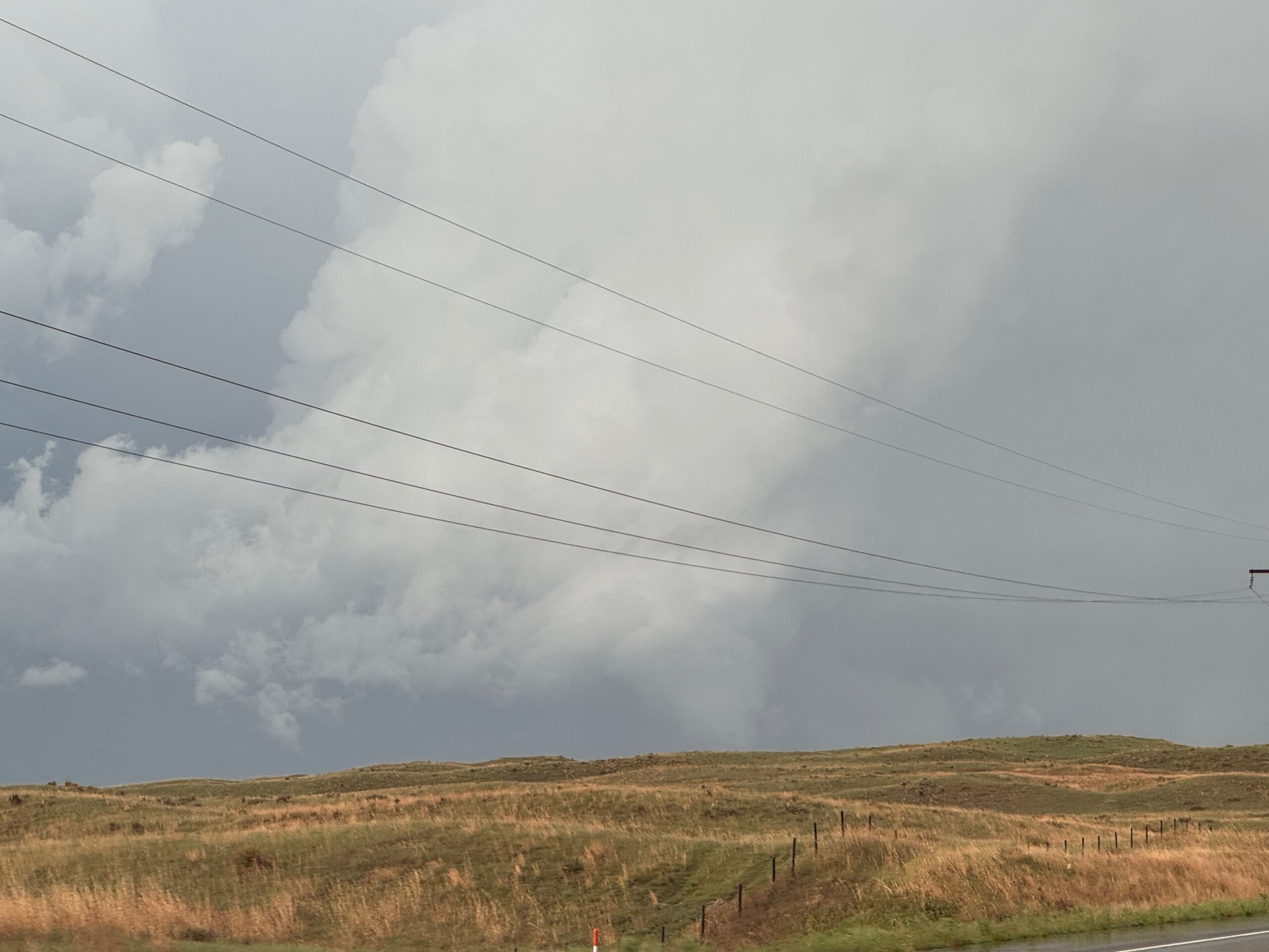
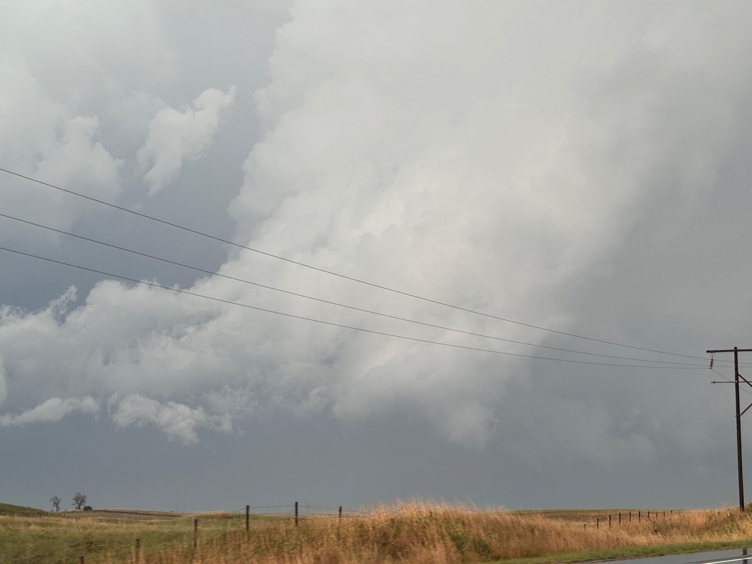
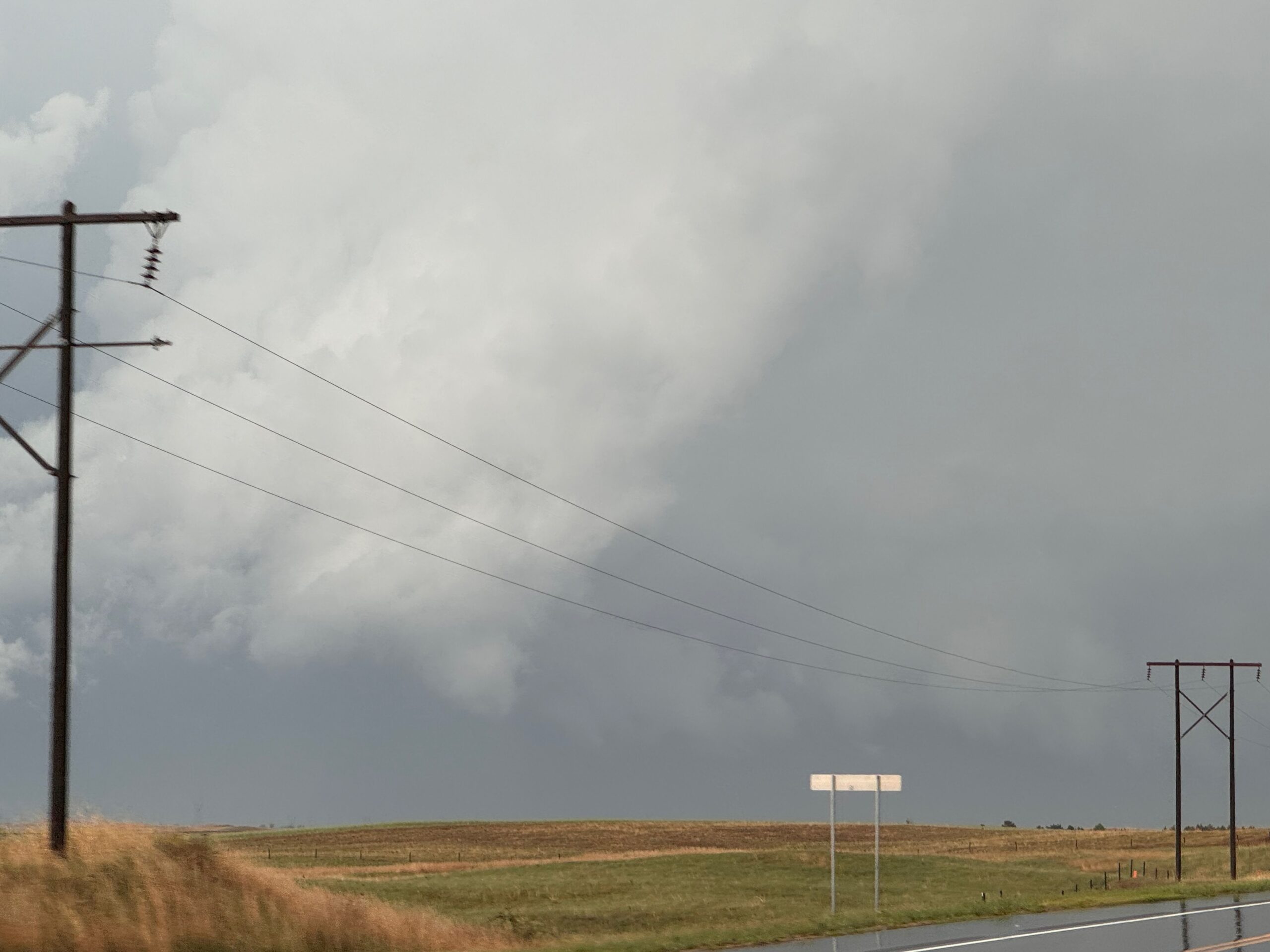
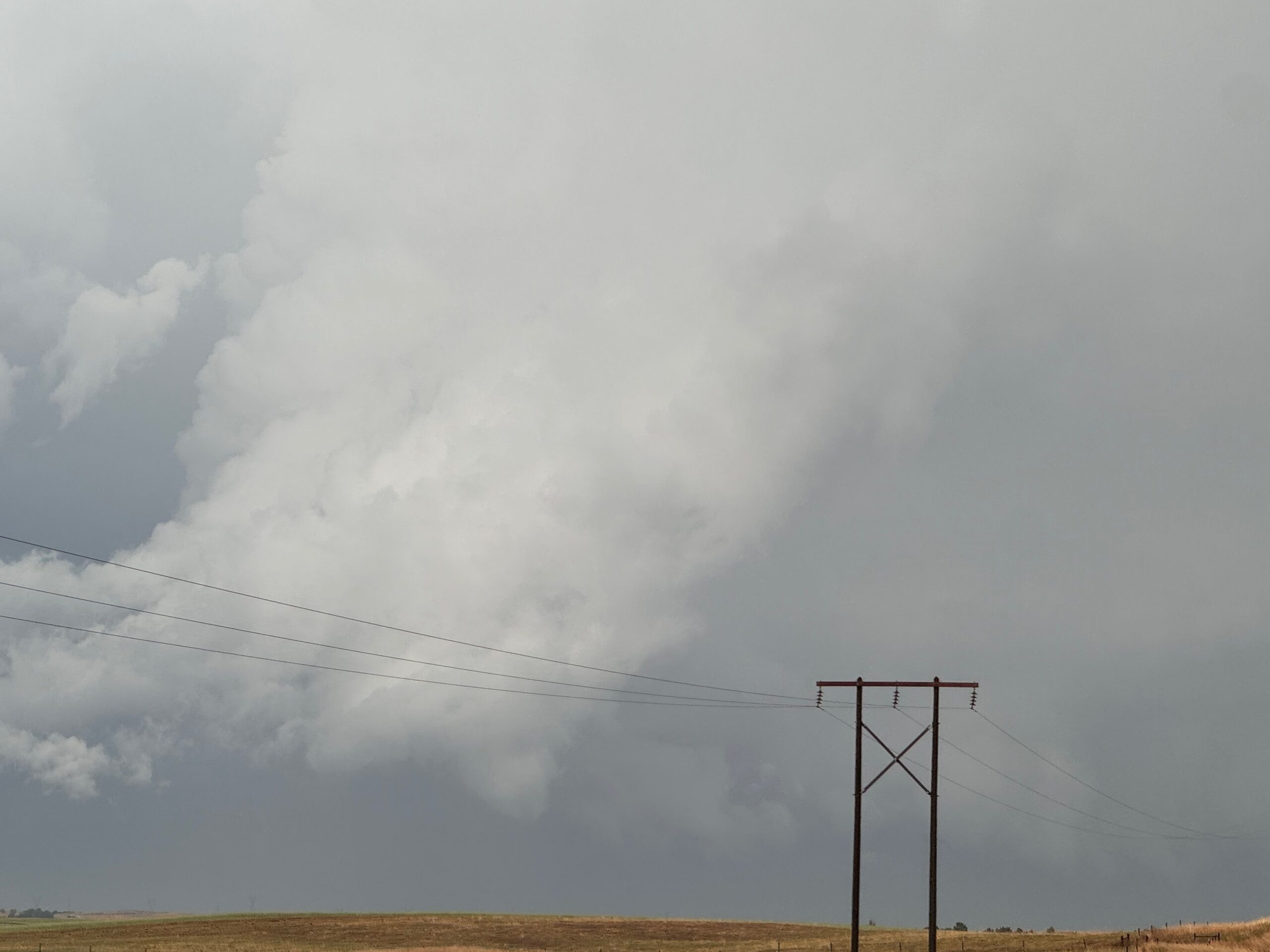
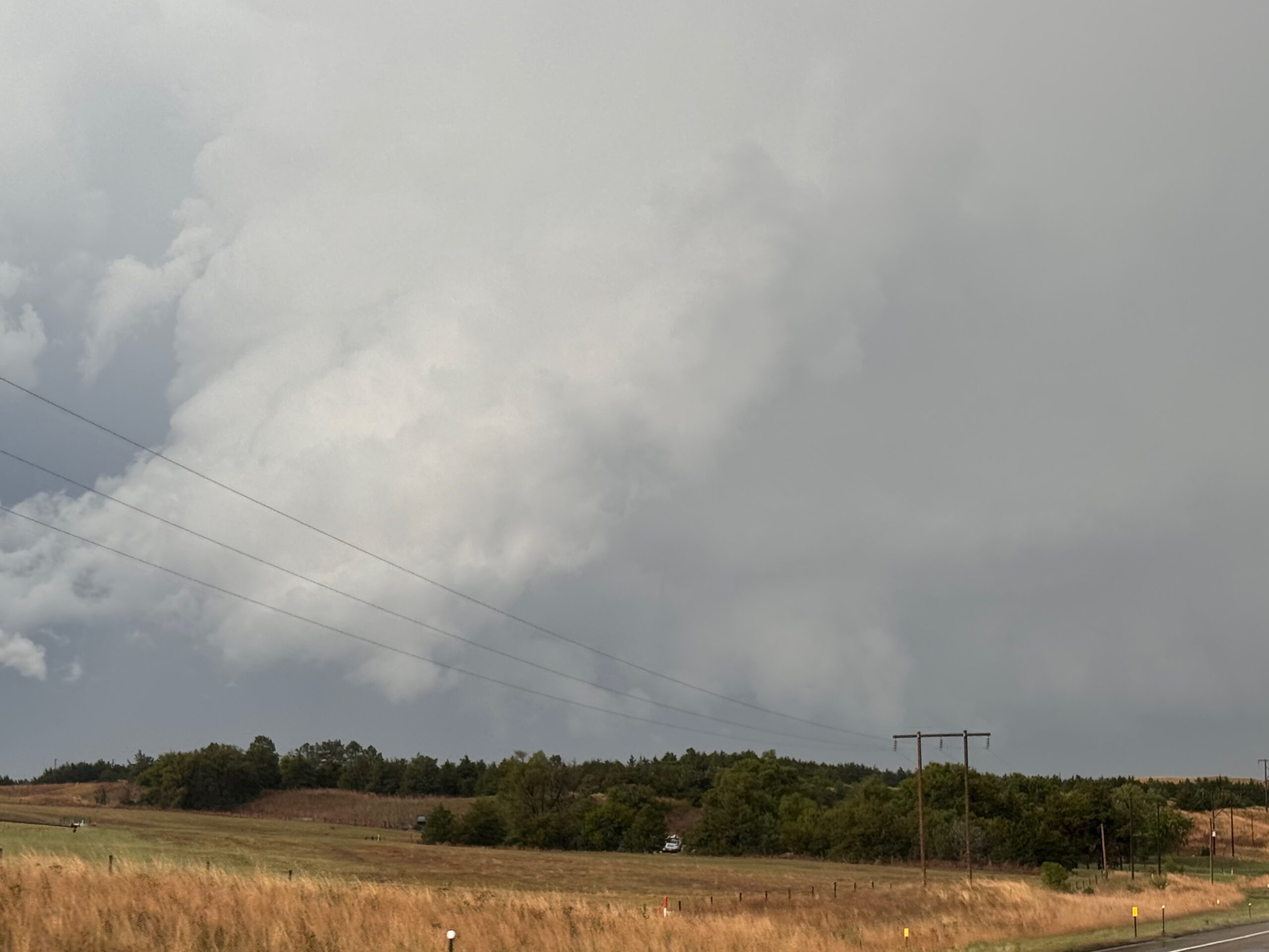
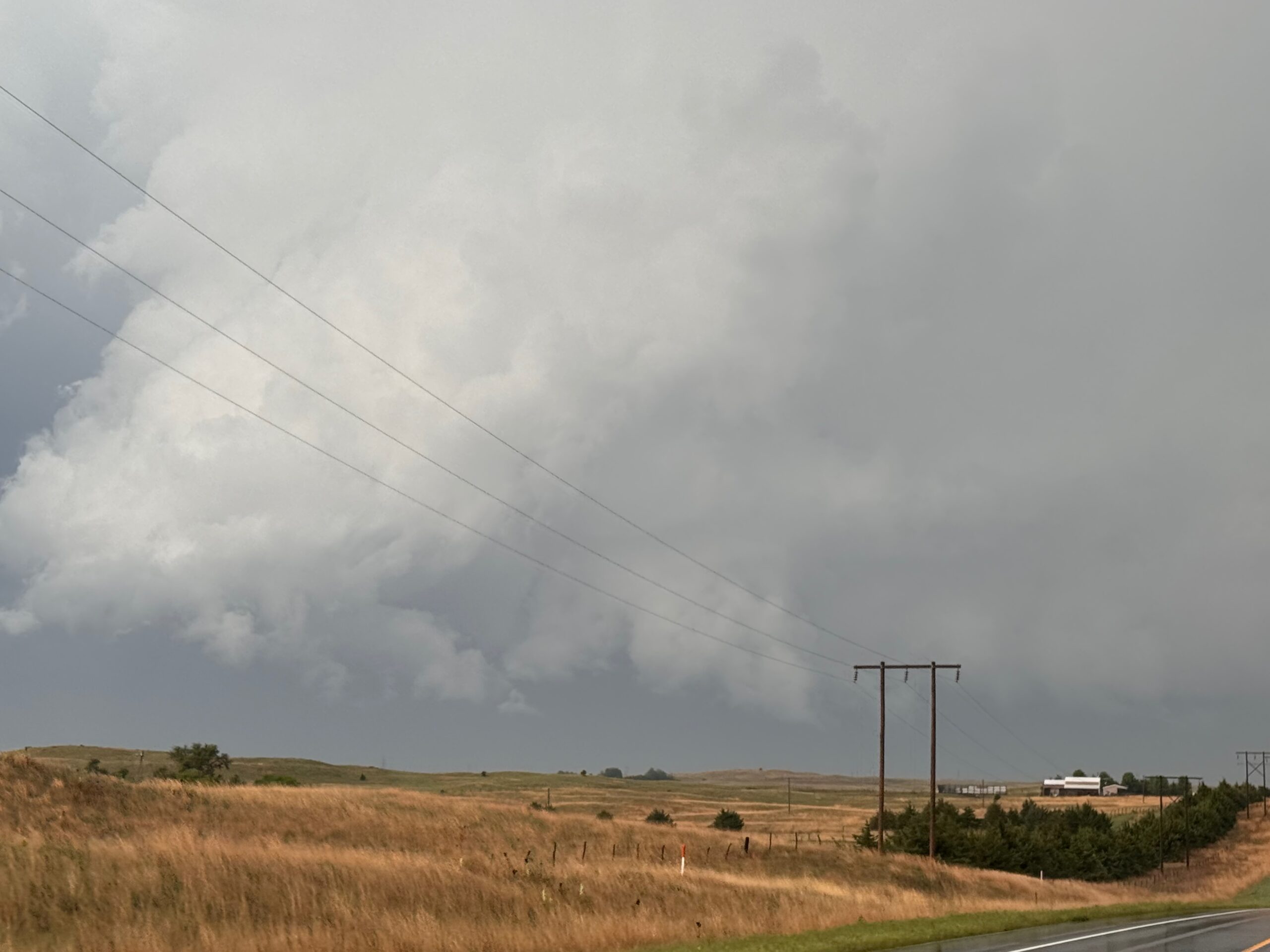
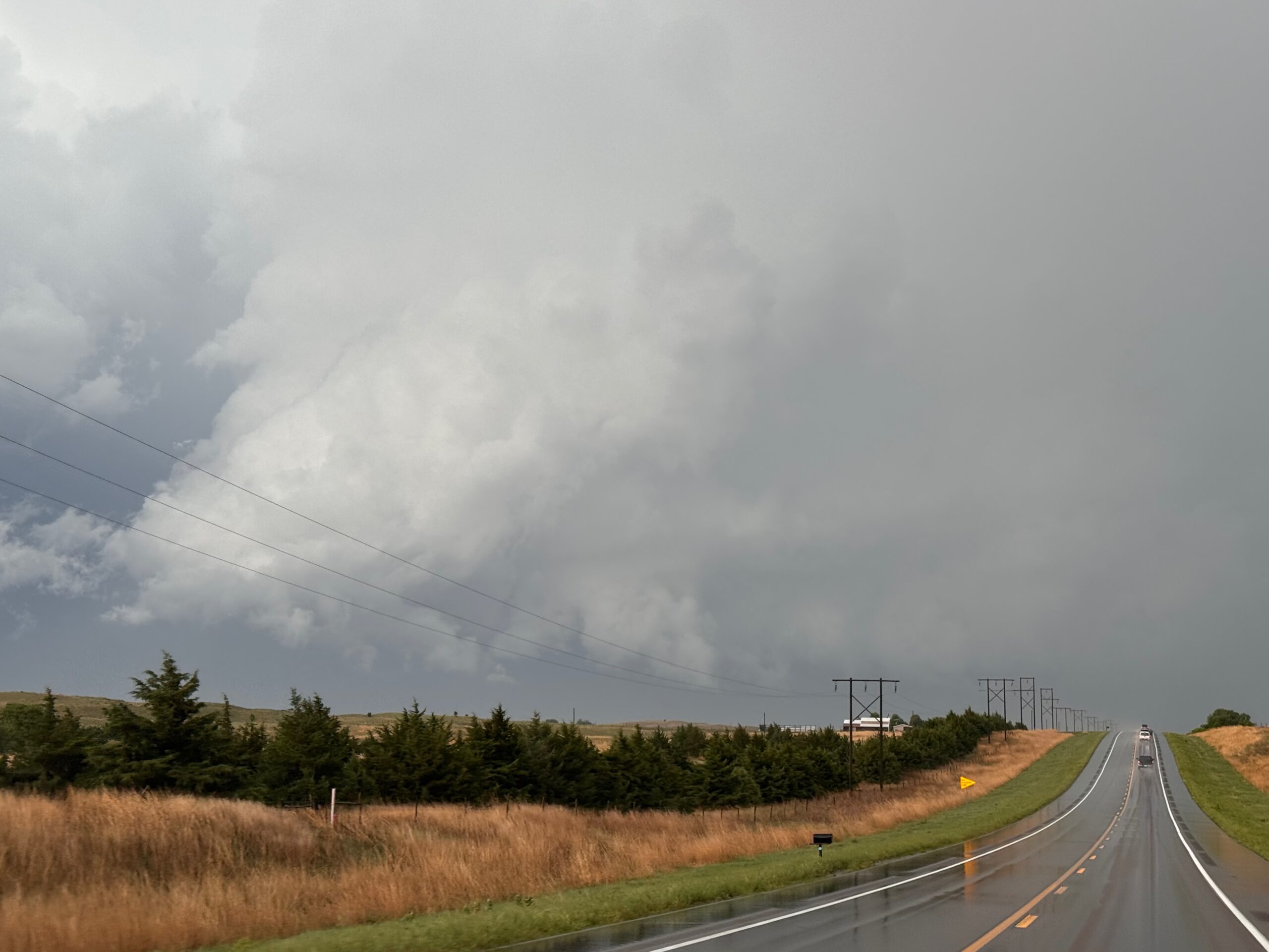
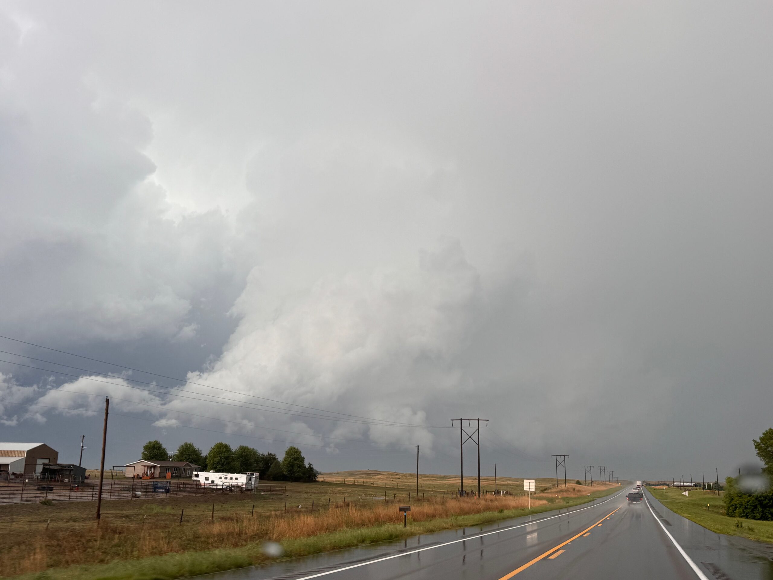
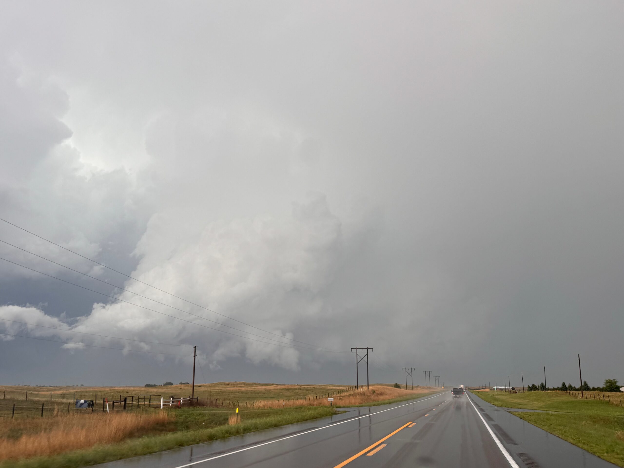
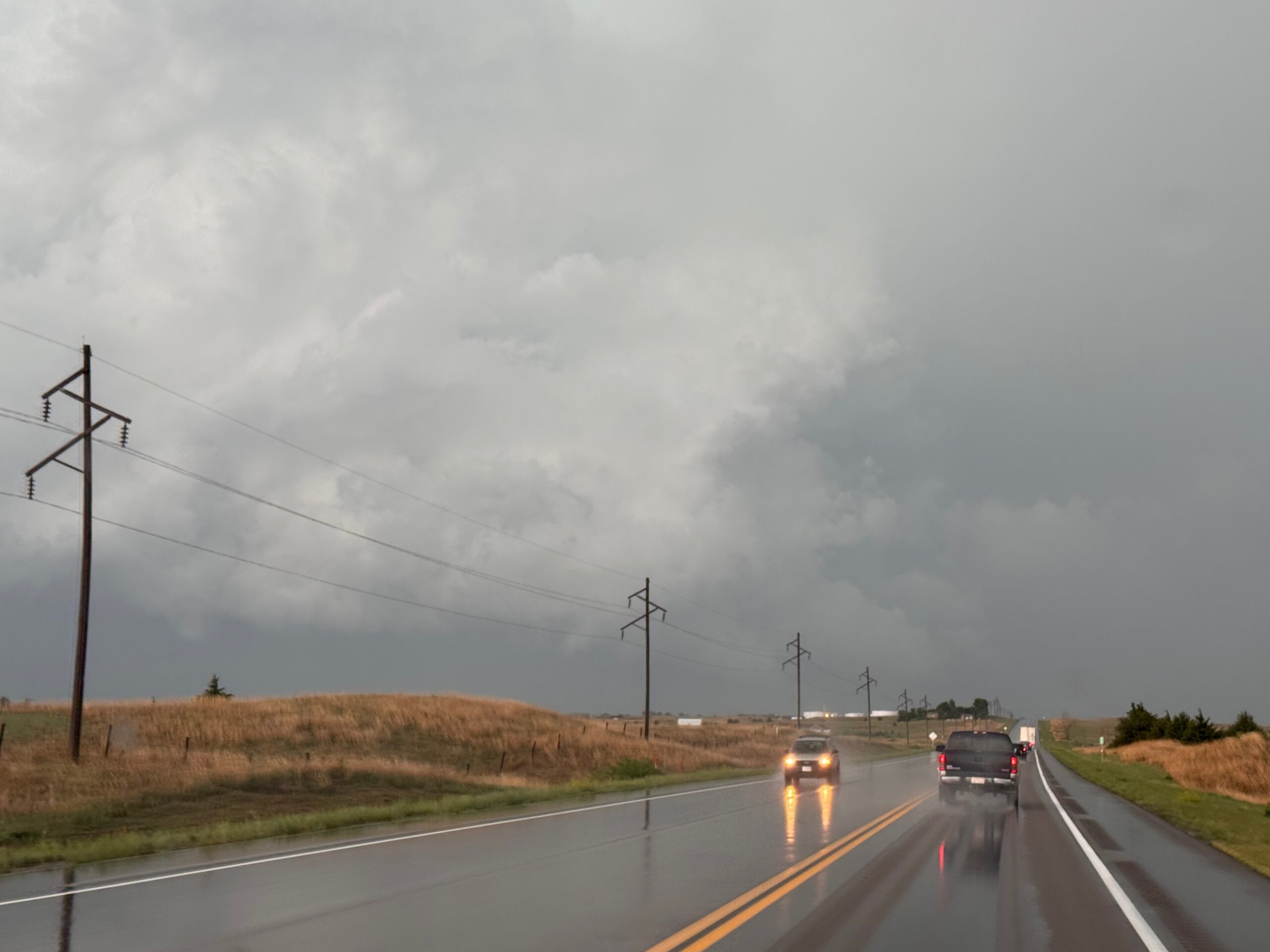
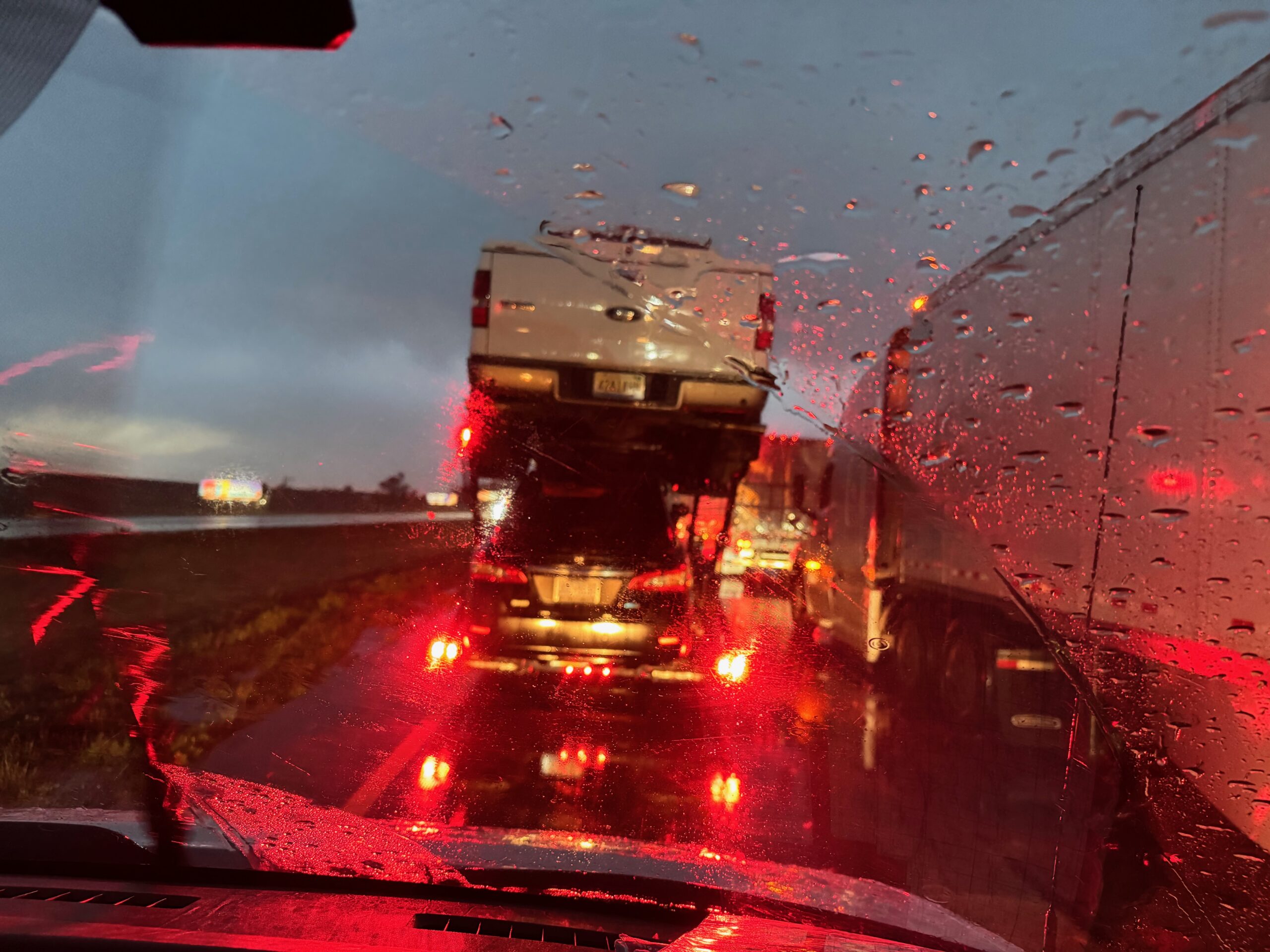
The tornado did not last very long: less than five minutes most likely. As the storm continued to the north, to North Platte, it sputtered. We were pretty much done, and sunset was close. On the way to the Ogallala hotel, we were stuck in stopped traffic on I-80 for an hour or two due to an accident on the west side of Ogallala.
There did occur a pretty tornado from a high-based storm in the Holyoke area this day. Chasers who elected to go for that western activity (initially) had a very difficult time getting east and north in time for this Wellfleet event.
Leave a Reply
You must be logged in to post a comment.