
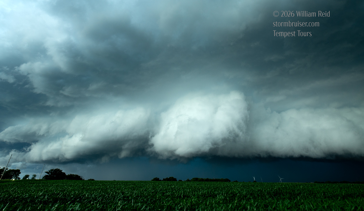
Start: Denver, CO/lunch: quick grab-and-go somewhere/End: Emporia/est. 550 miles
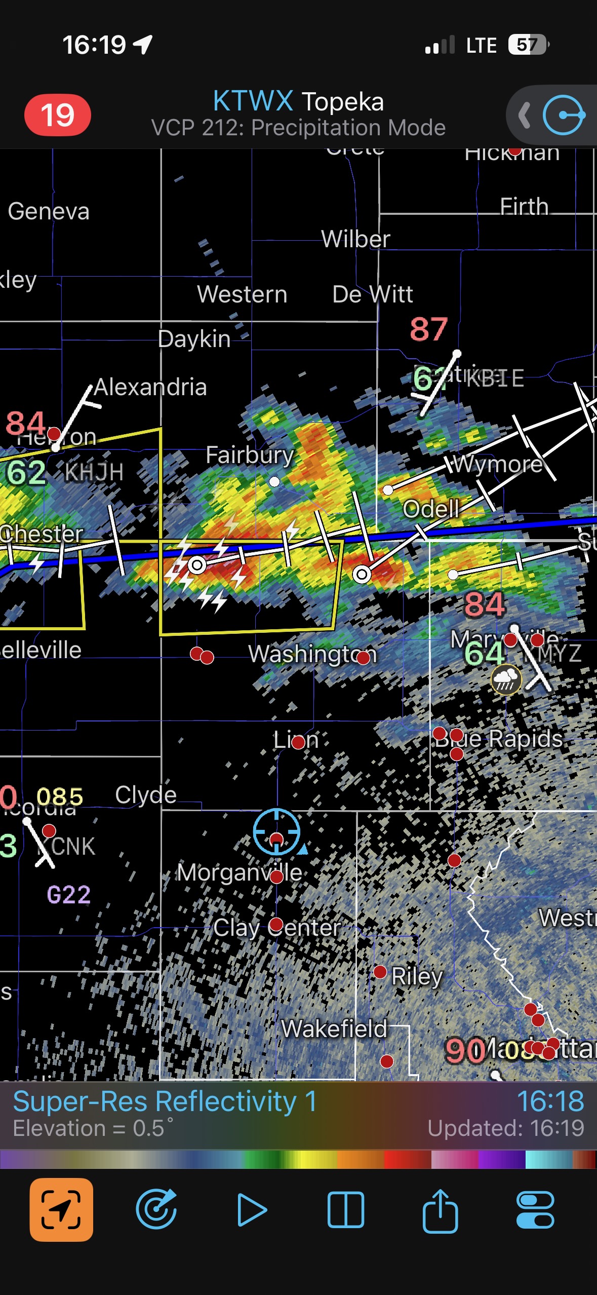
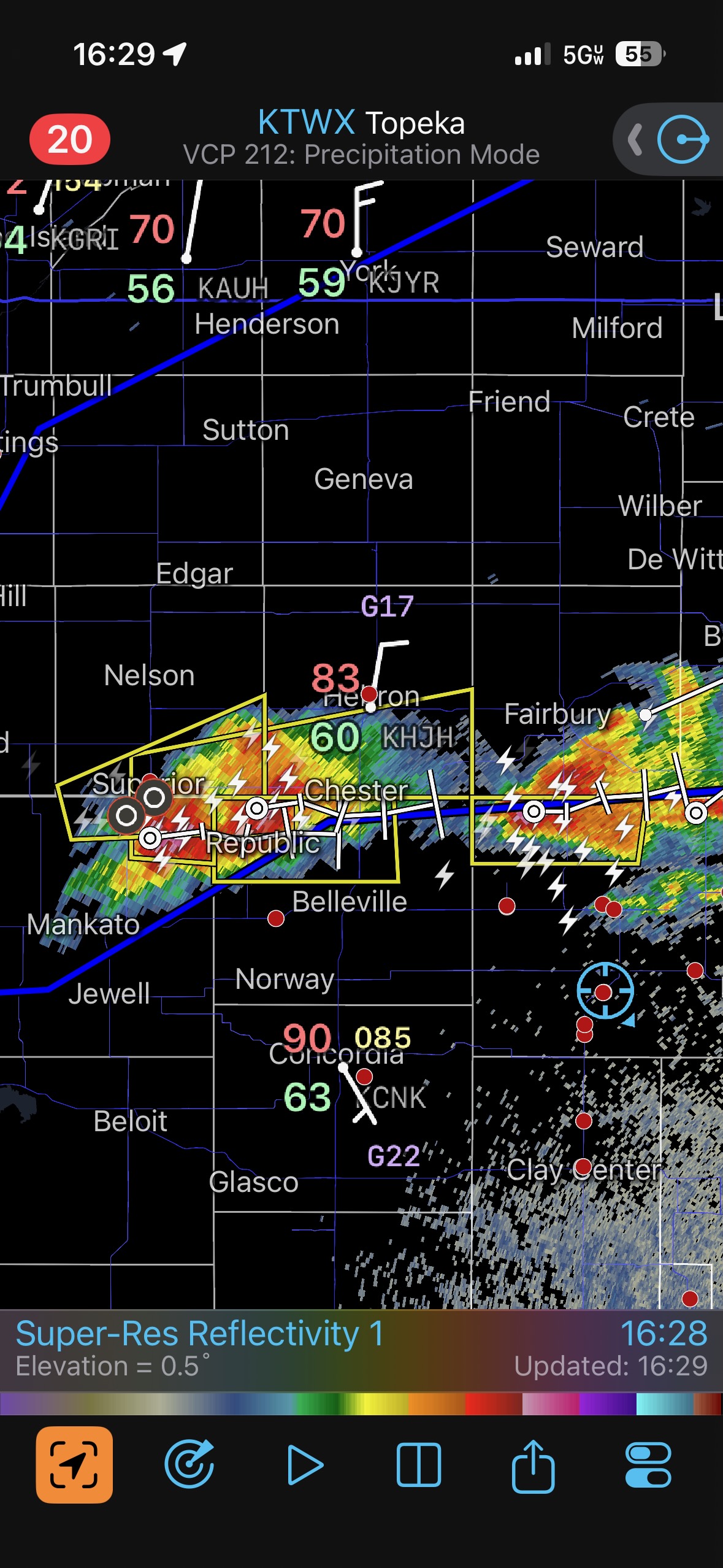
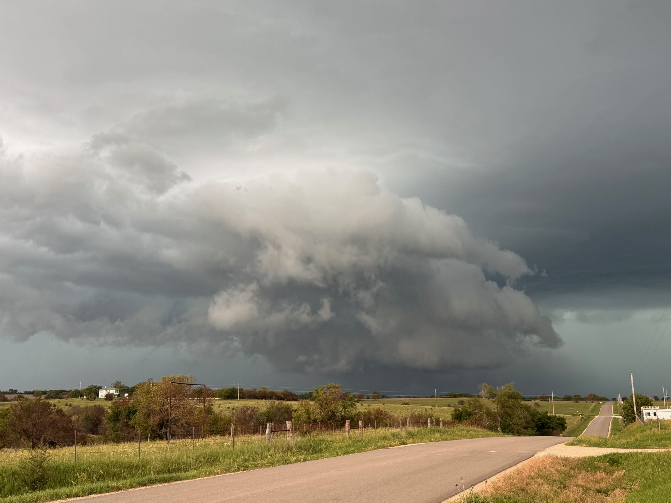
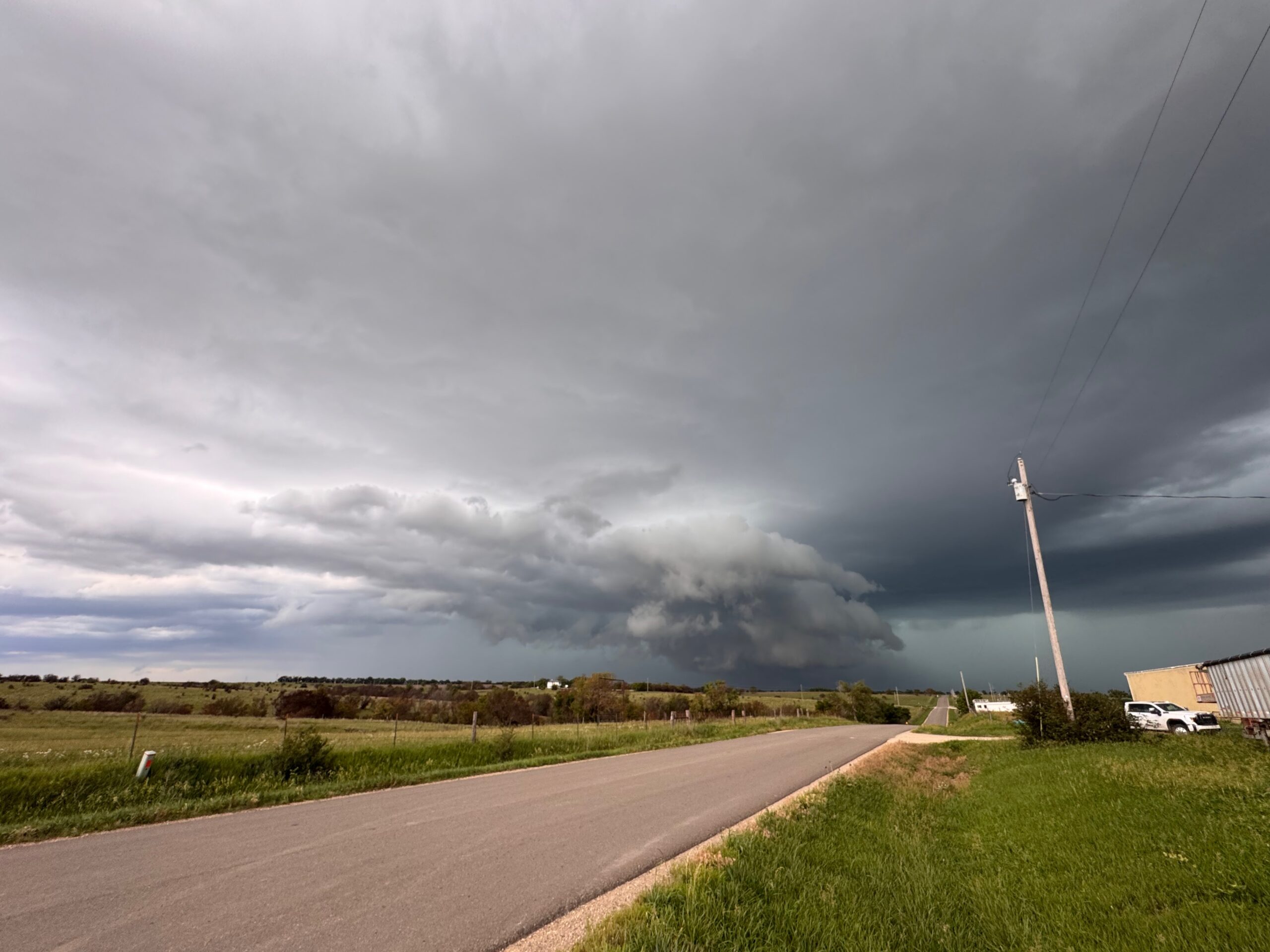
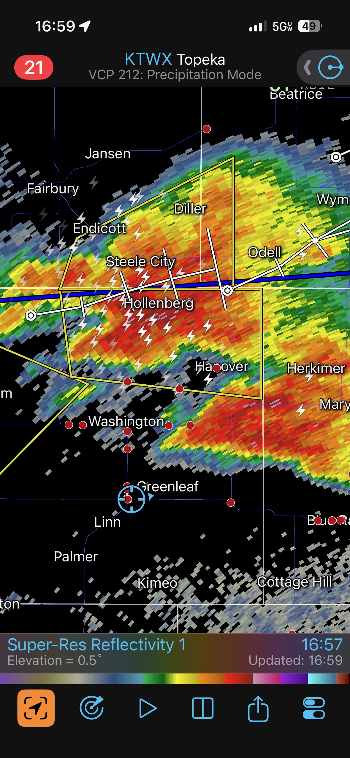
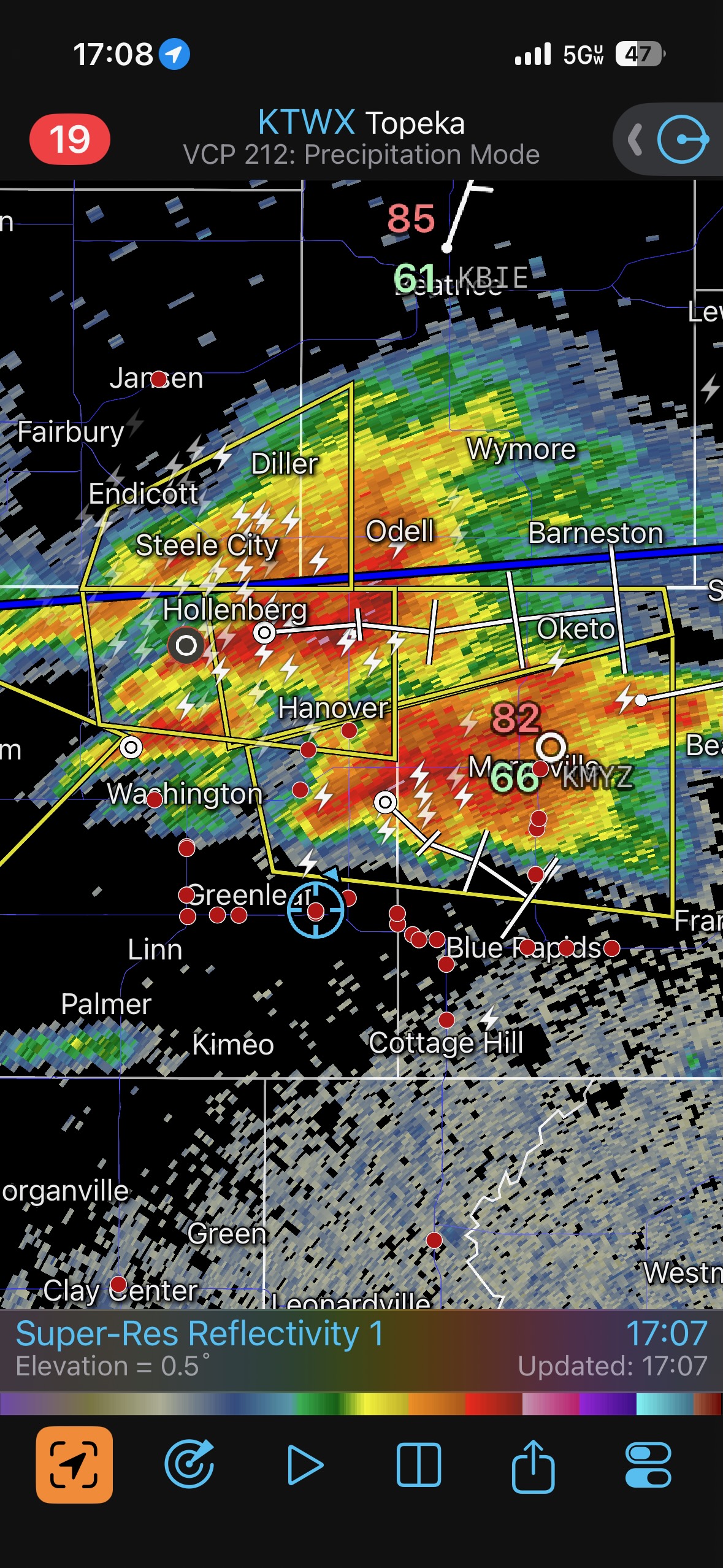
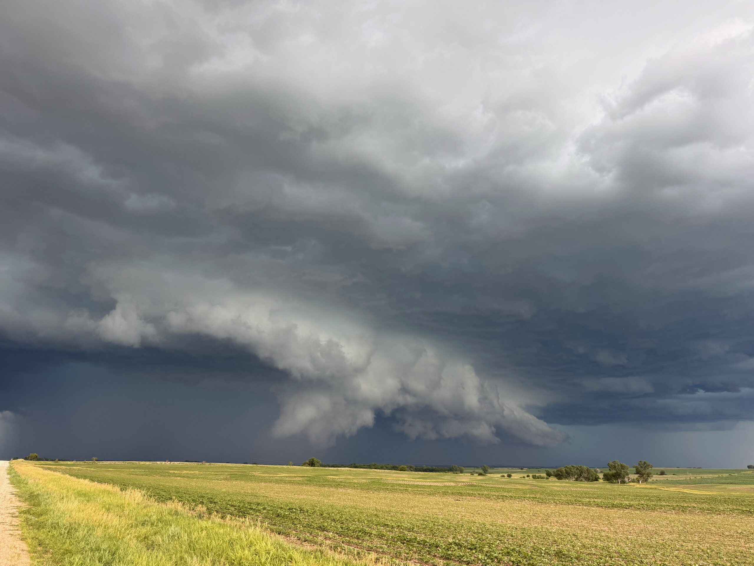
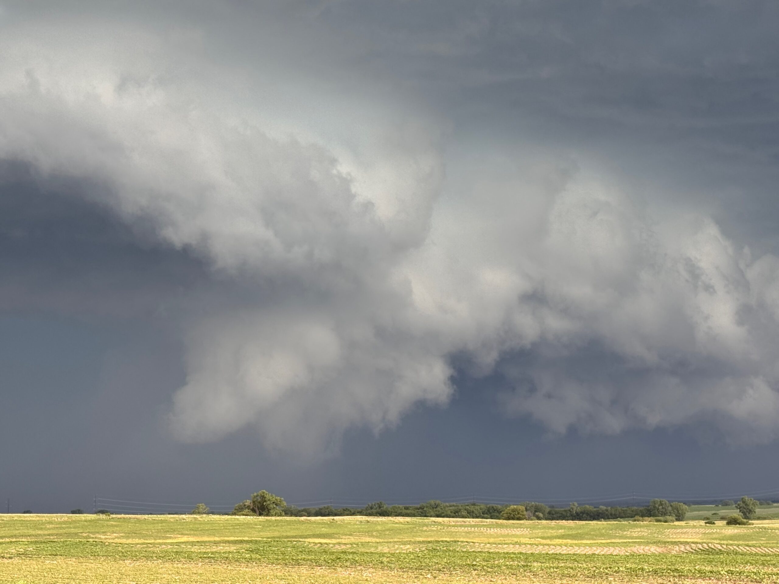
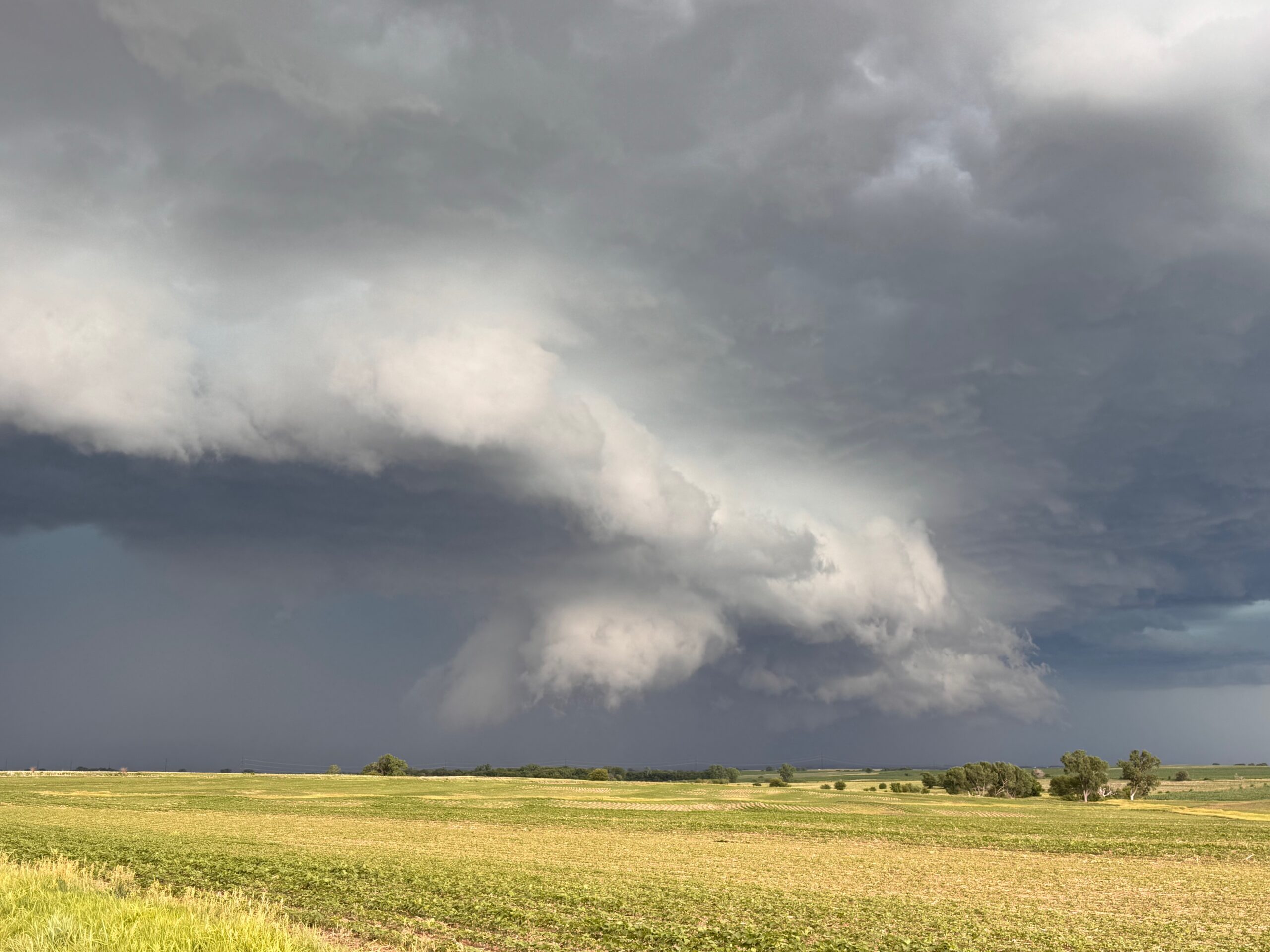
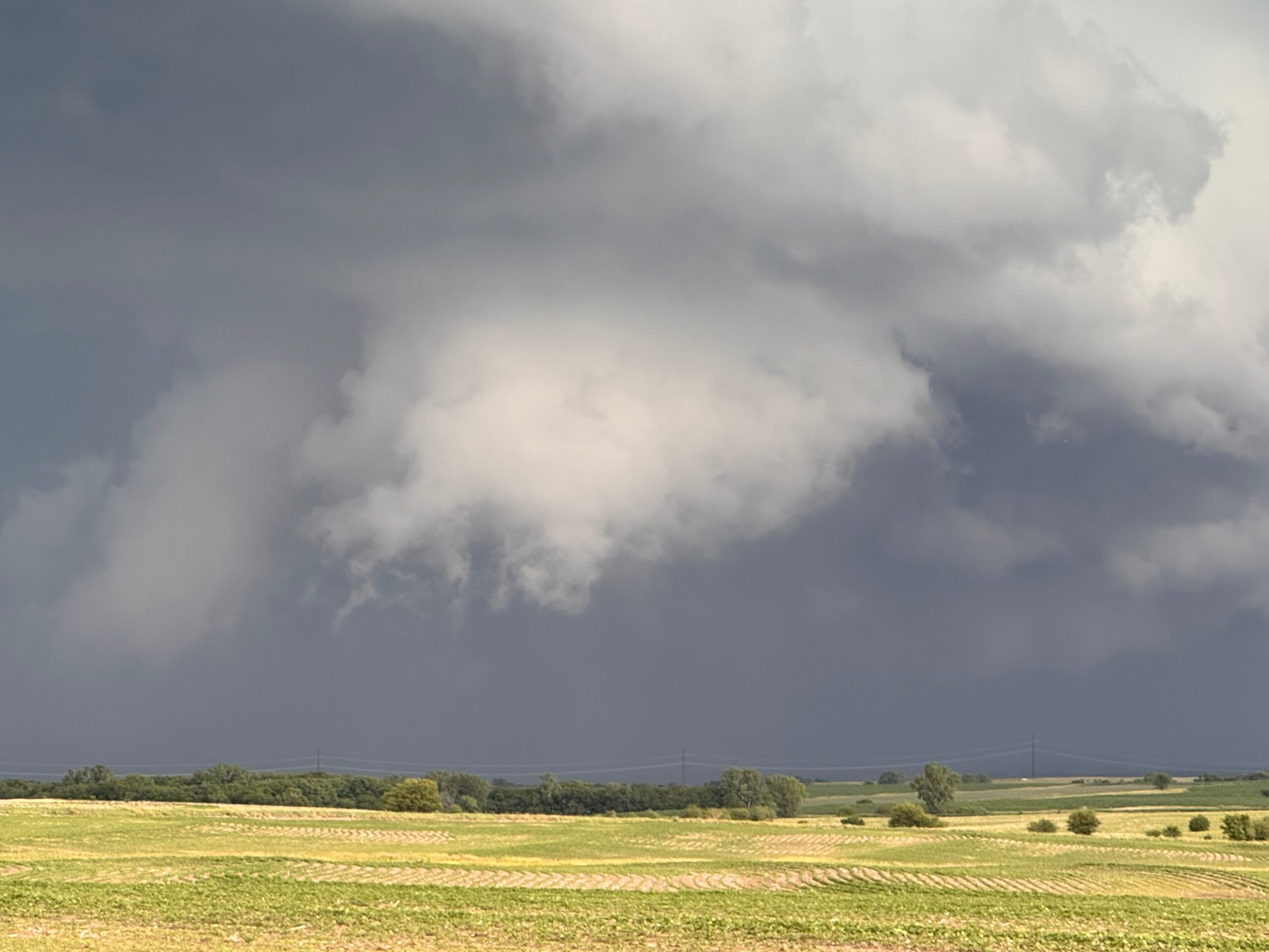
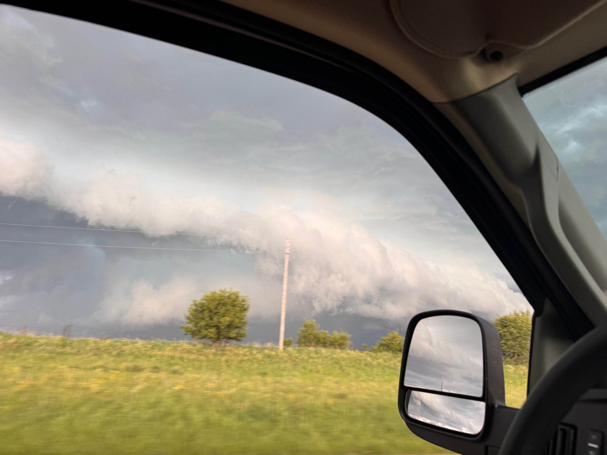
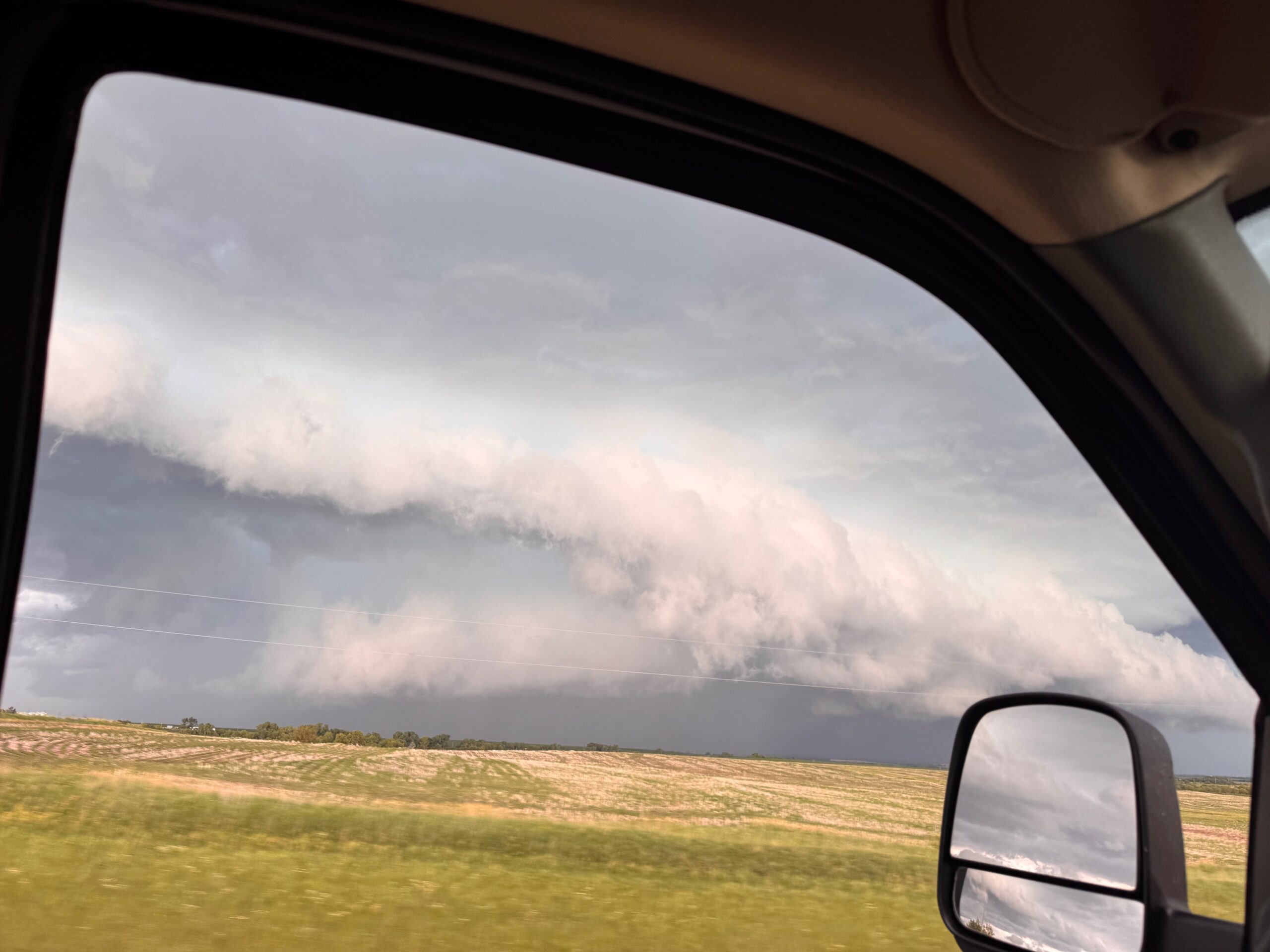
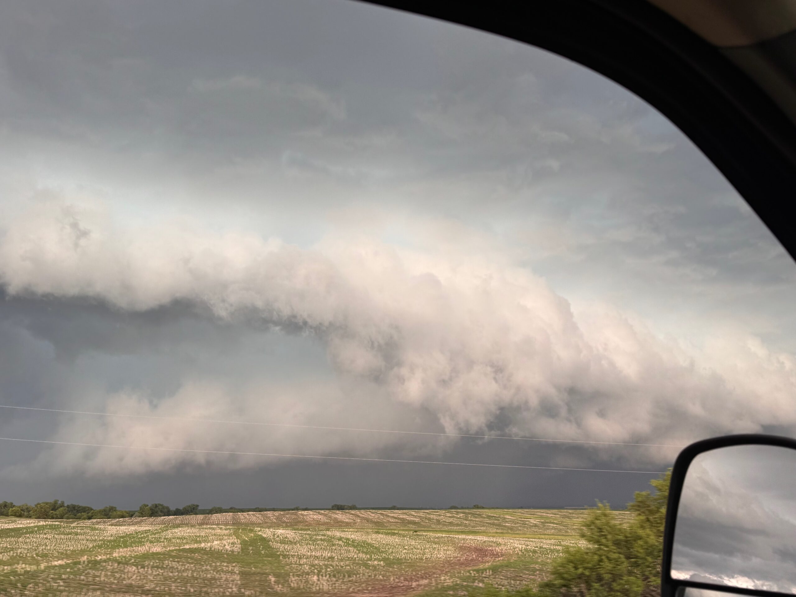
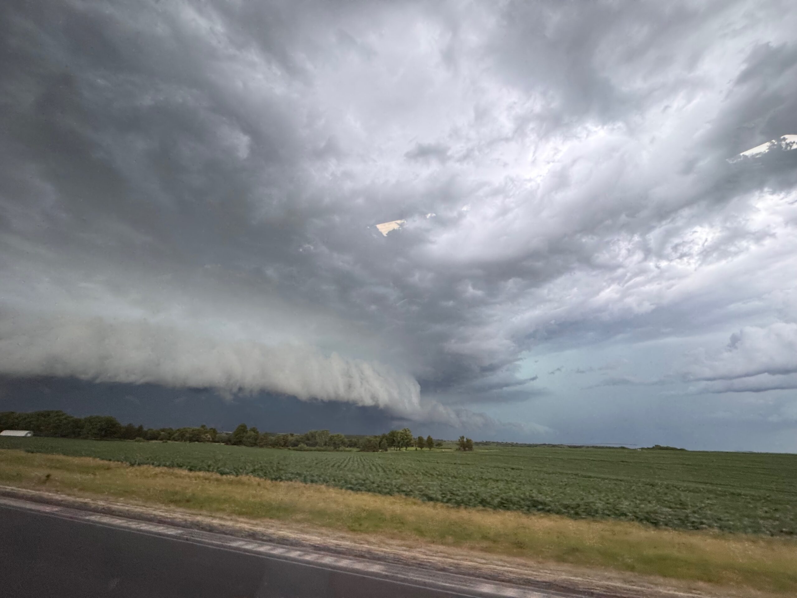
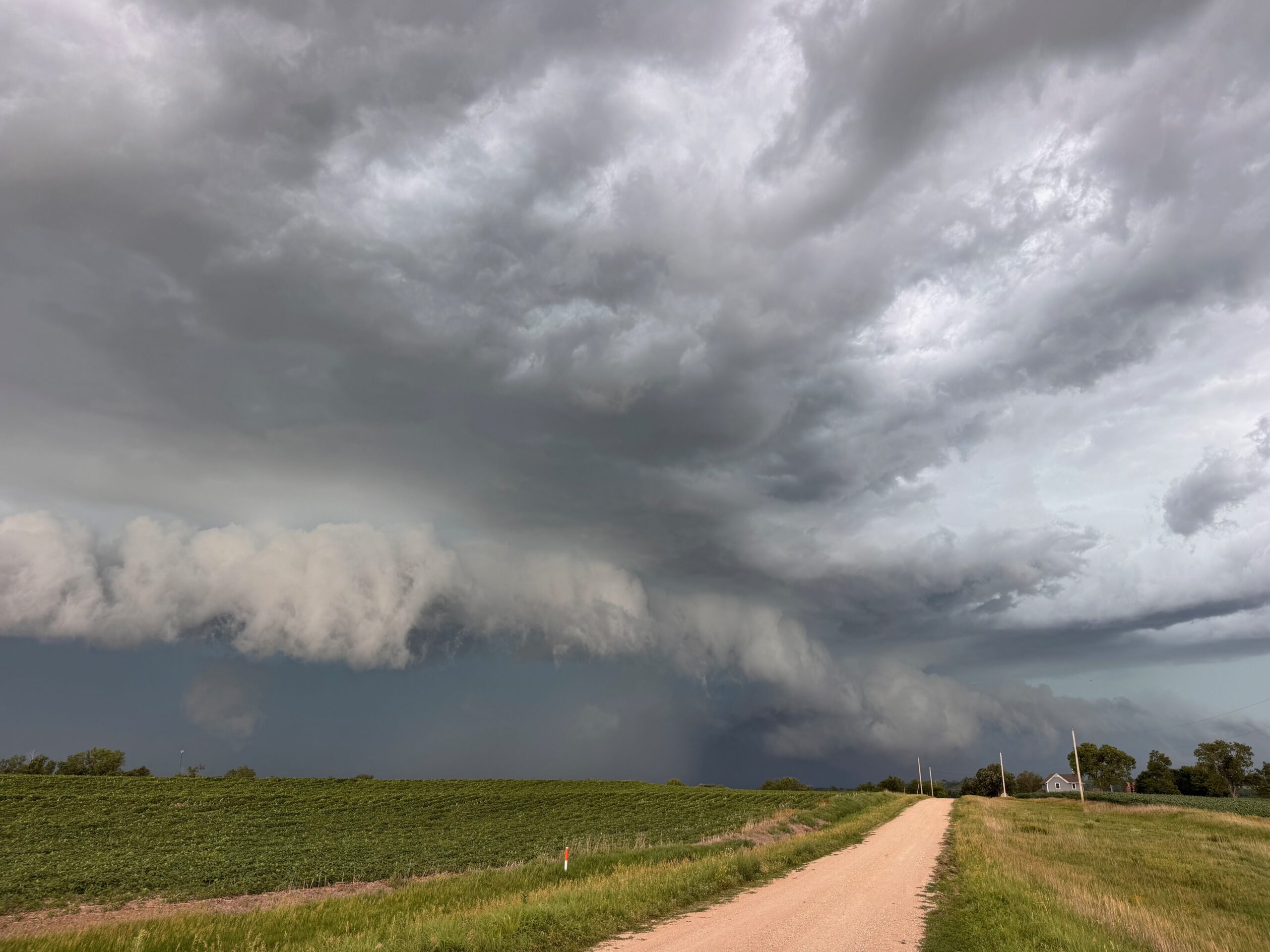
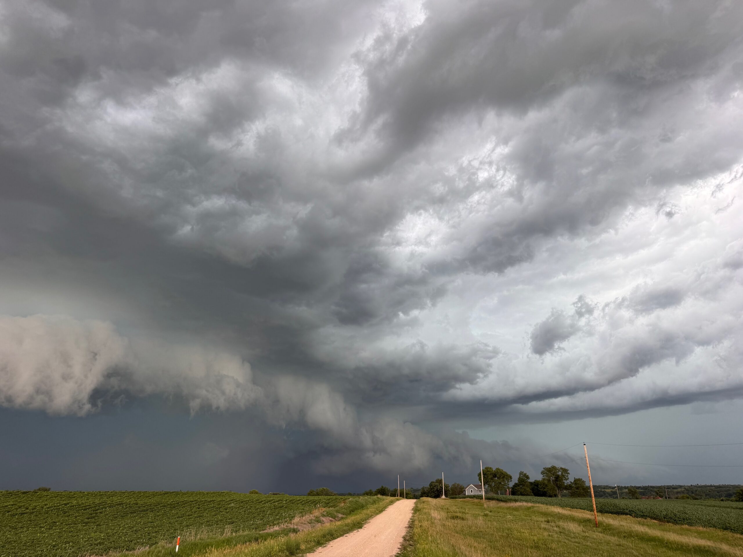
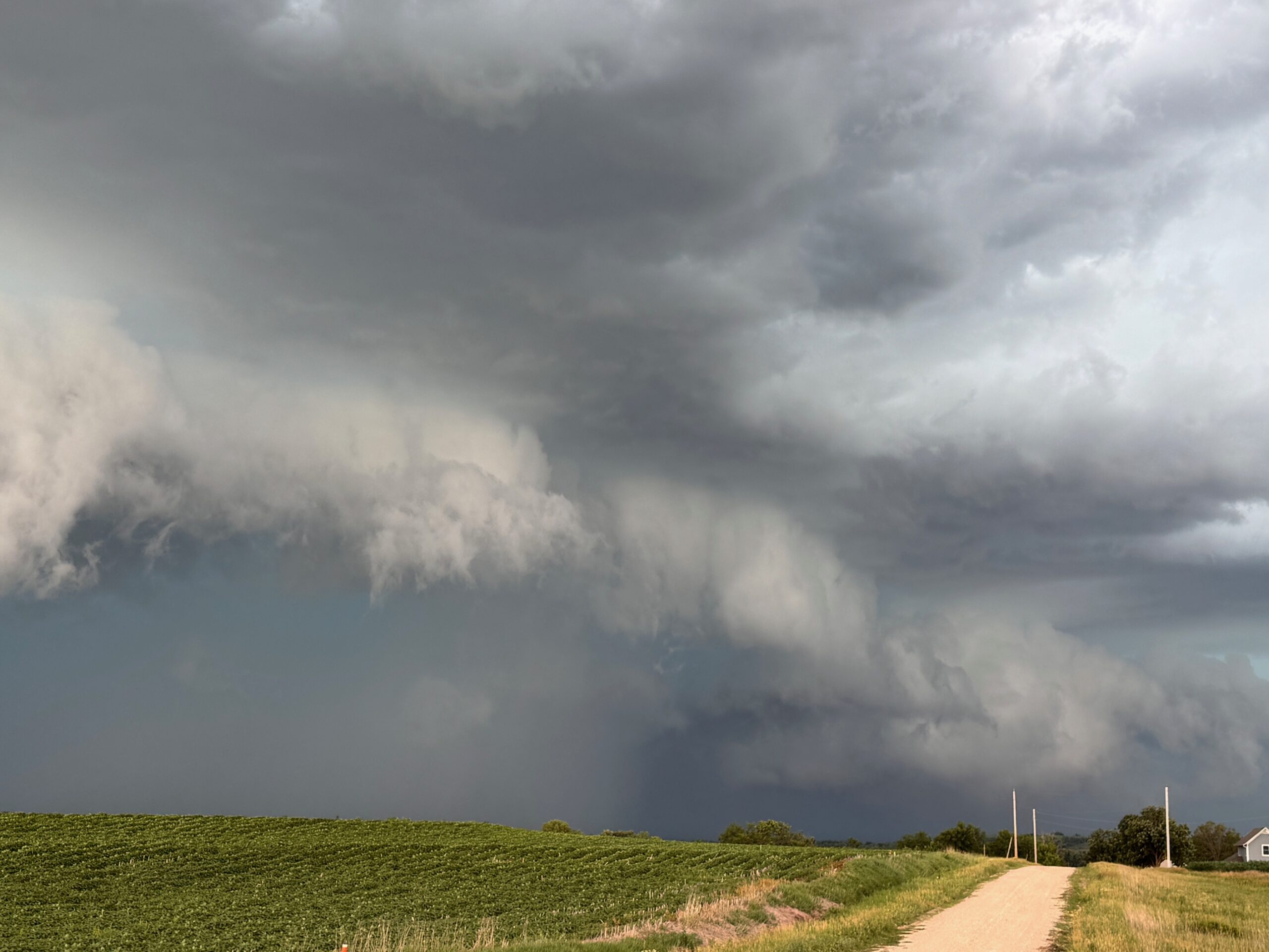
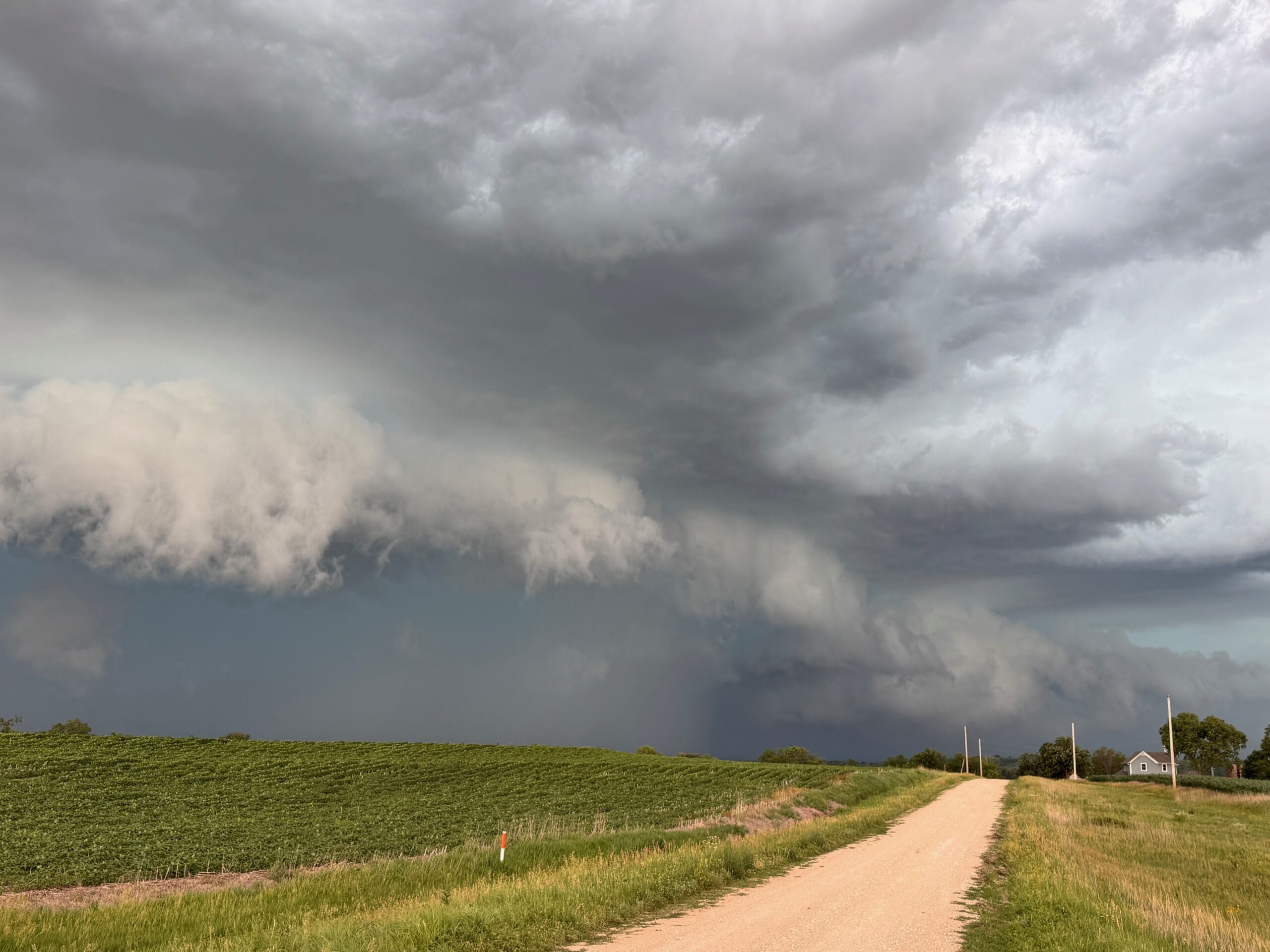
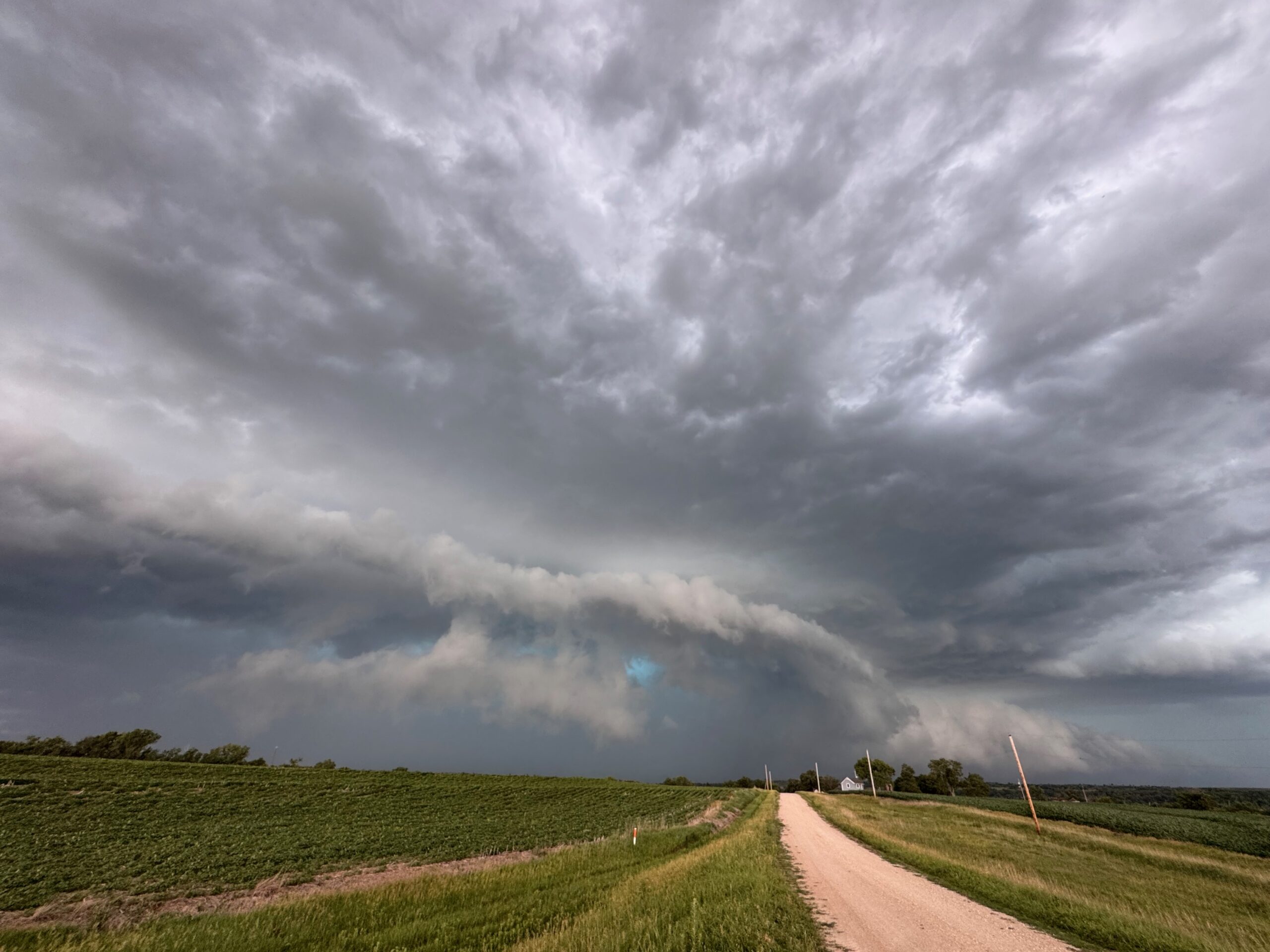
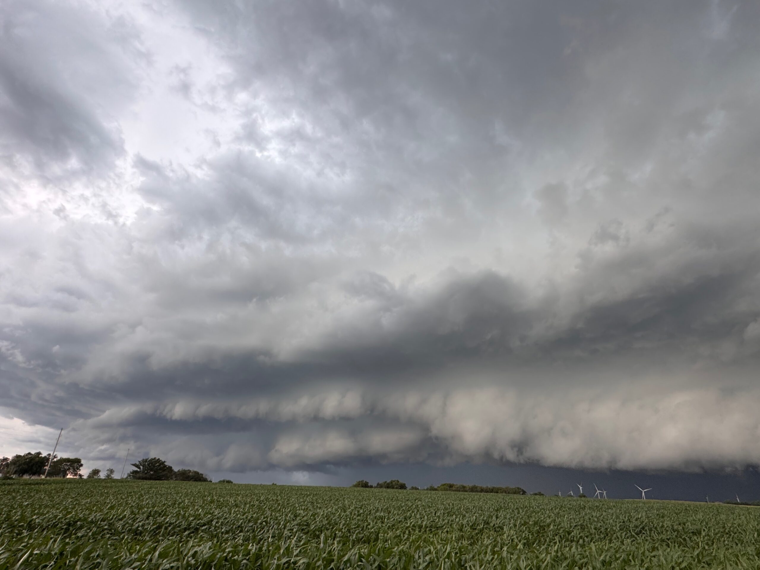
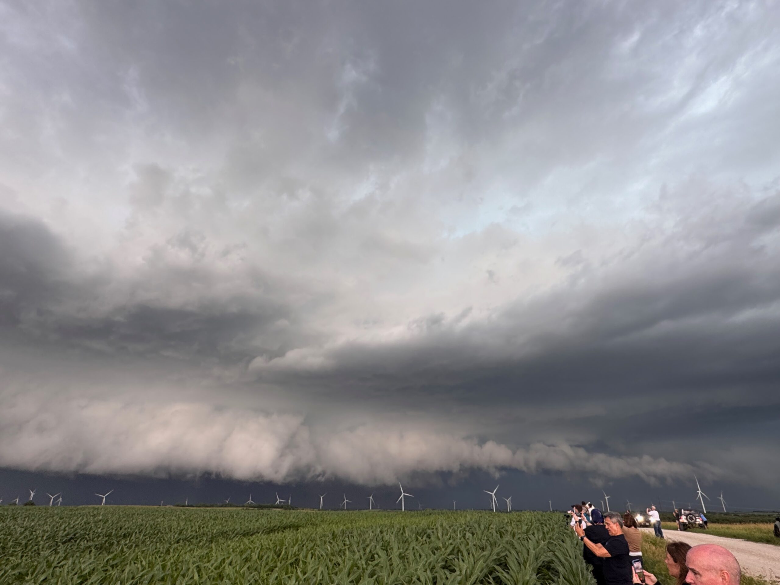
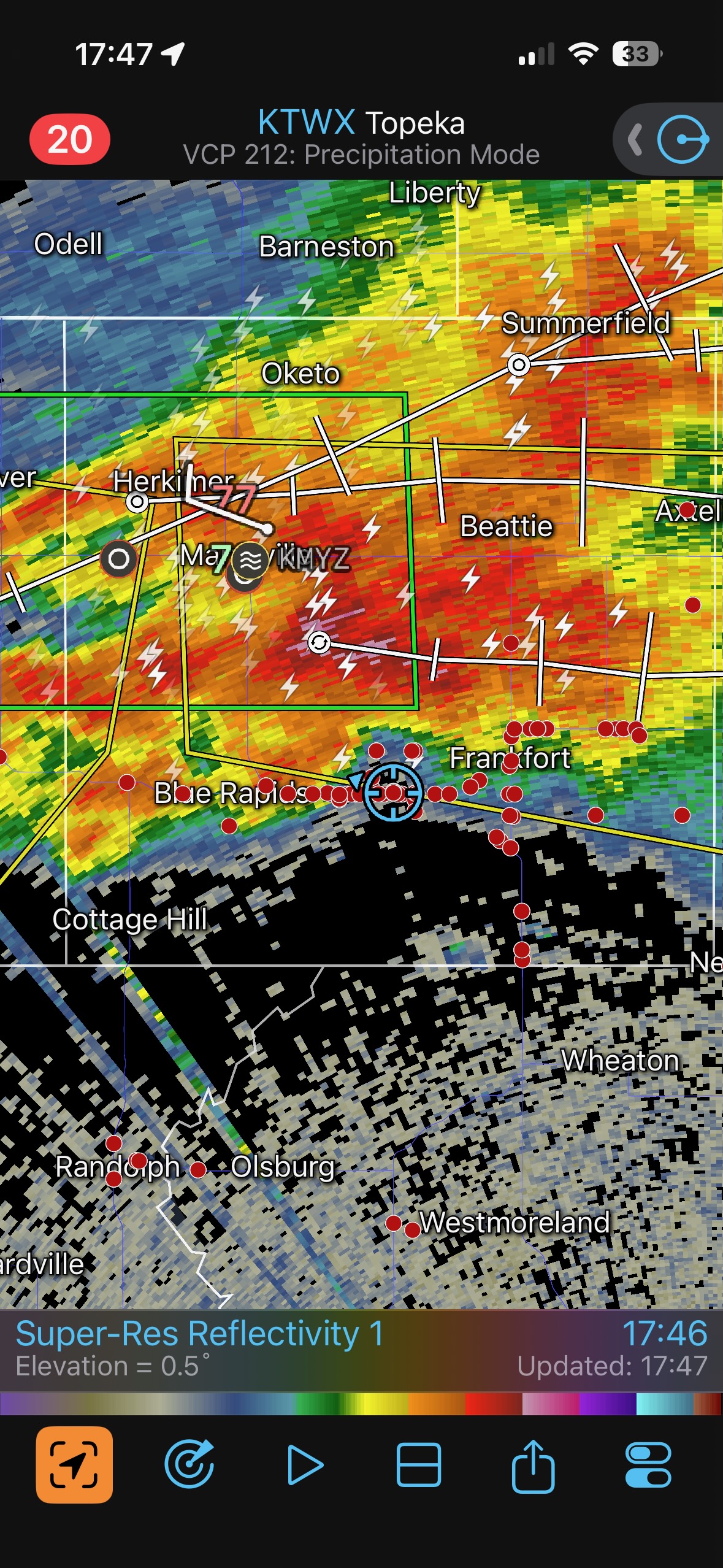
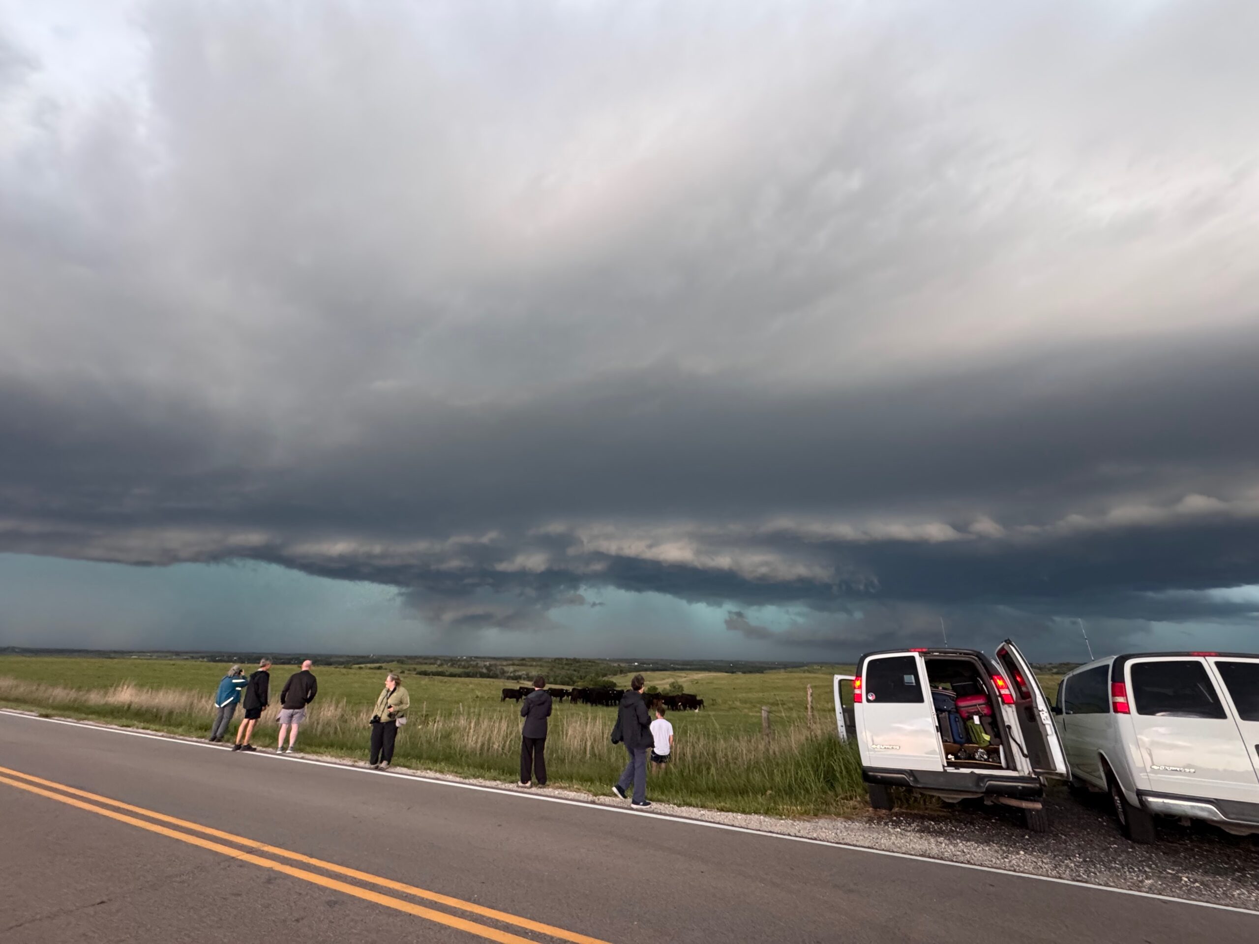
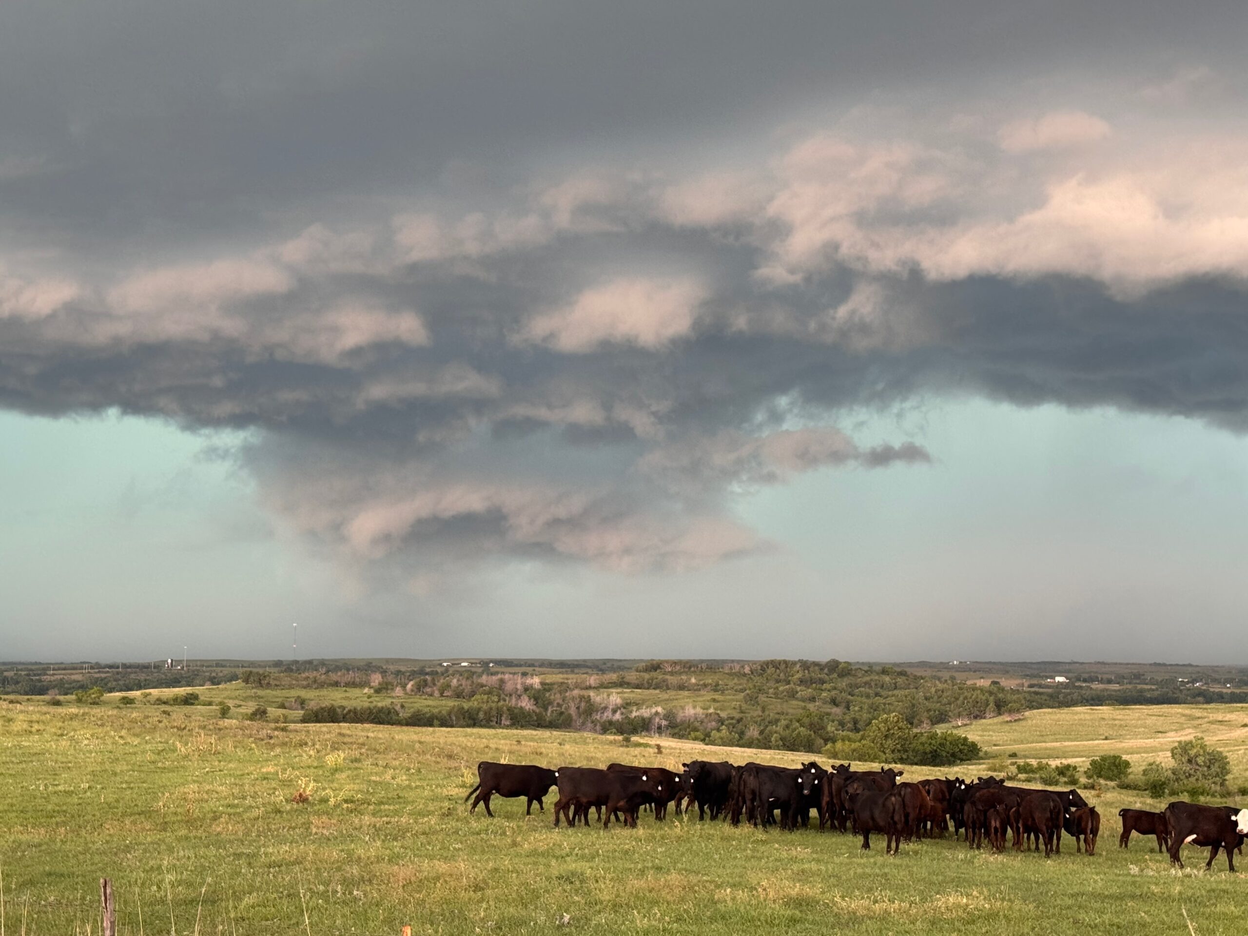
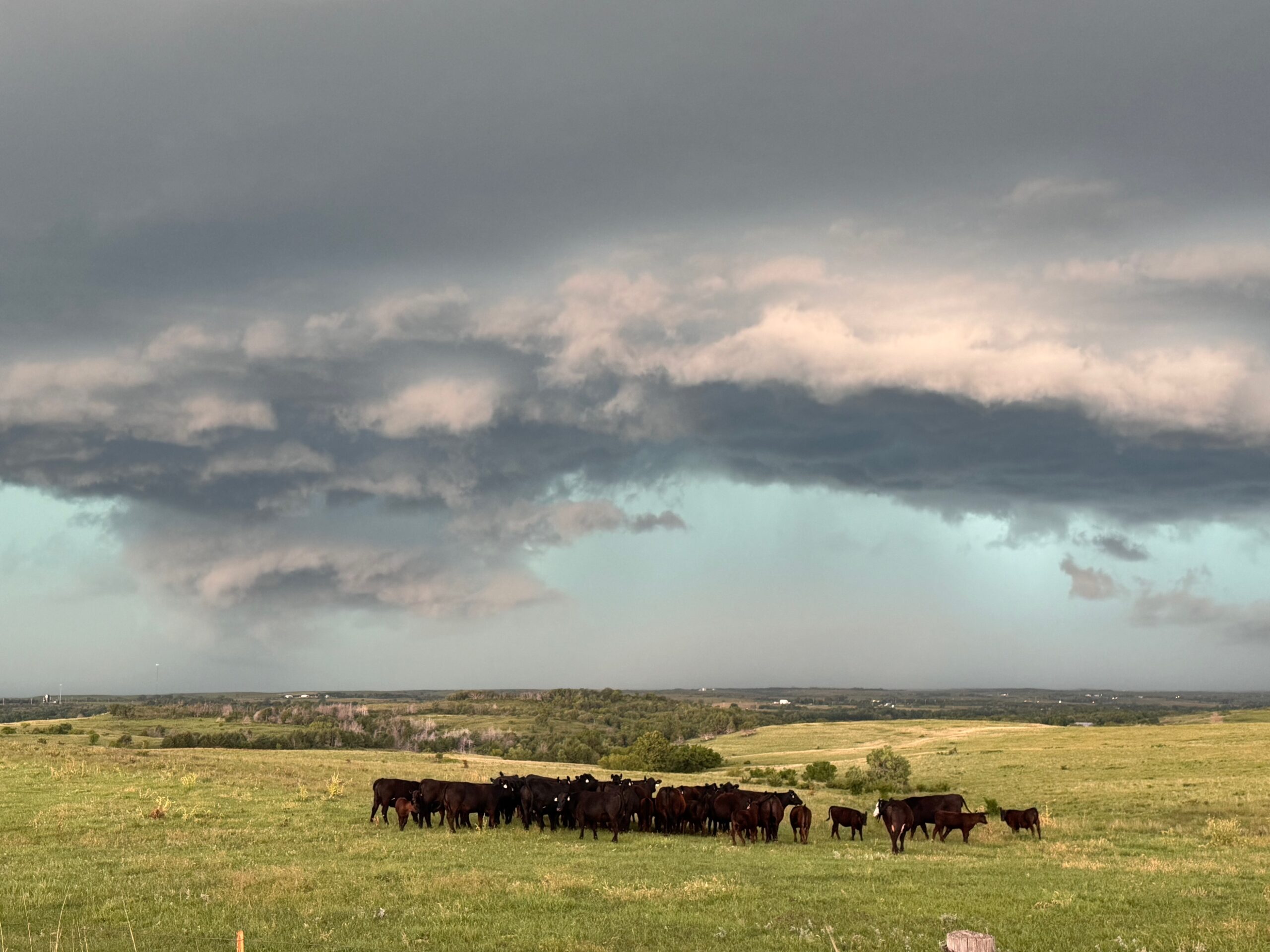
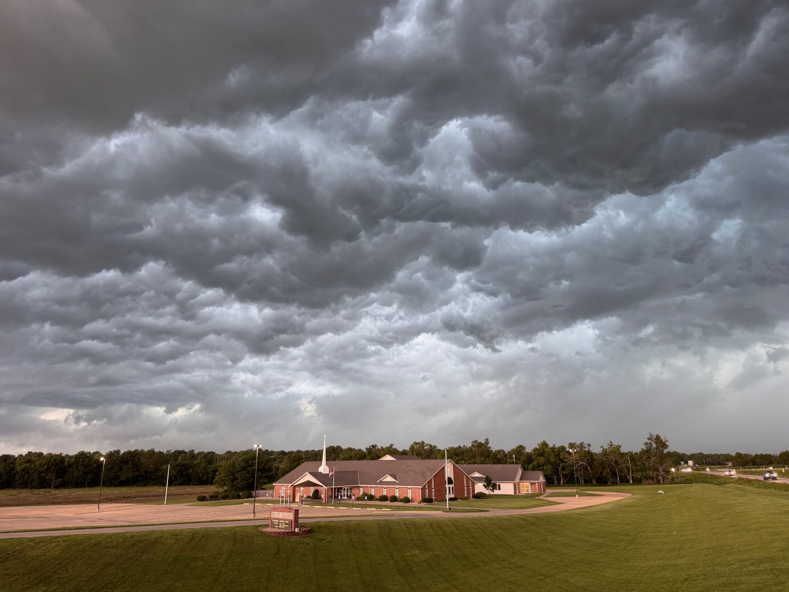
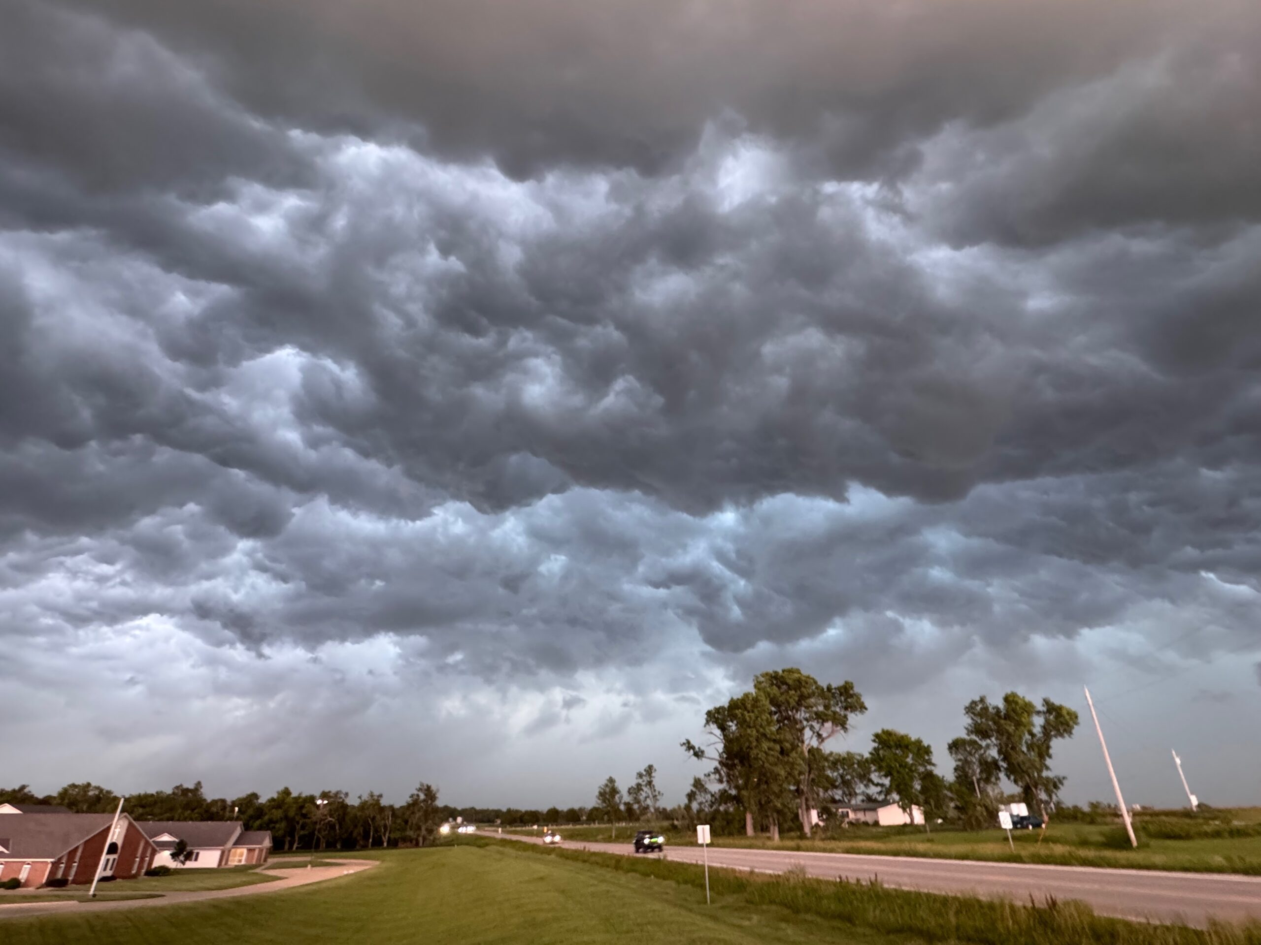
The setup in northeastern Kansas was pretty good for the start of Tour 7 out of Denver. We had to have the gang ready to go on the early side, and we managed to get in front of a big supercell near Washington, Kansas. This was in a tornado watch, and our storm had some good low-level rotation nearby as it approached. A little farther east we were in Frankfort, KS, and the storm looked poised to give it another good try. No tornado!
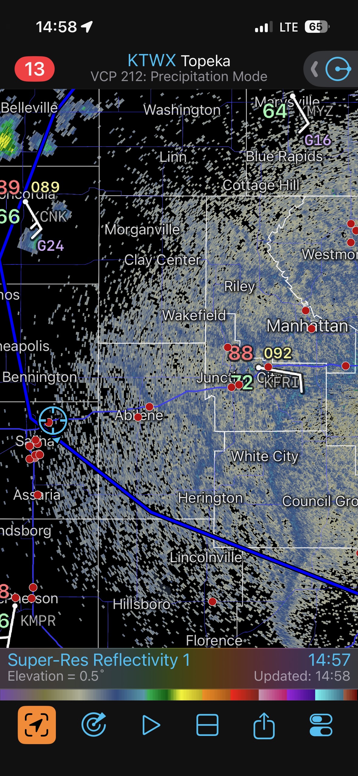
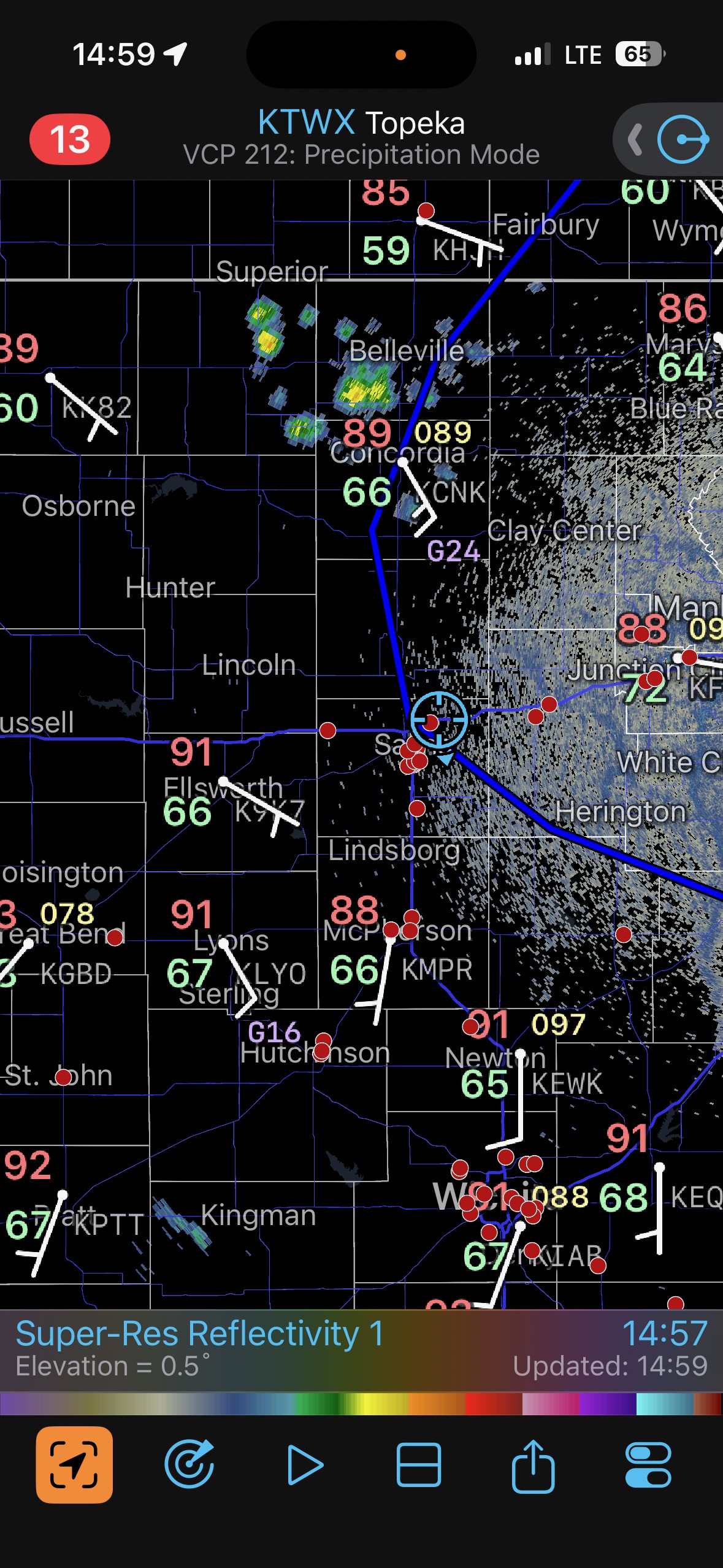
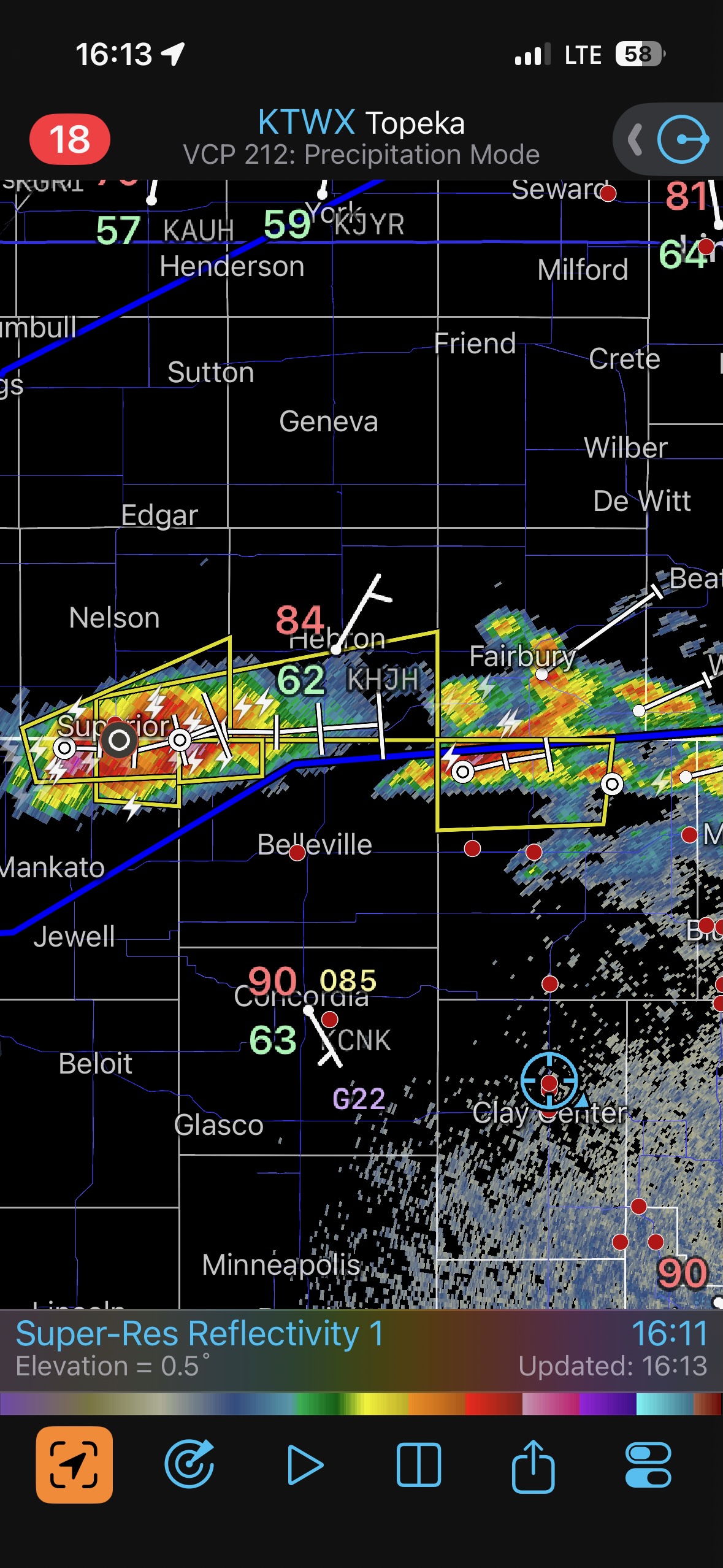
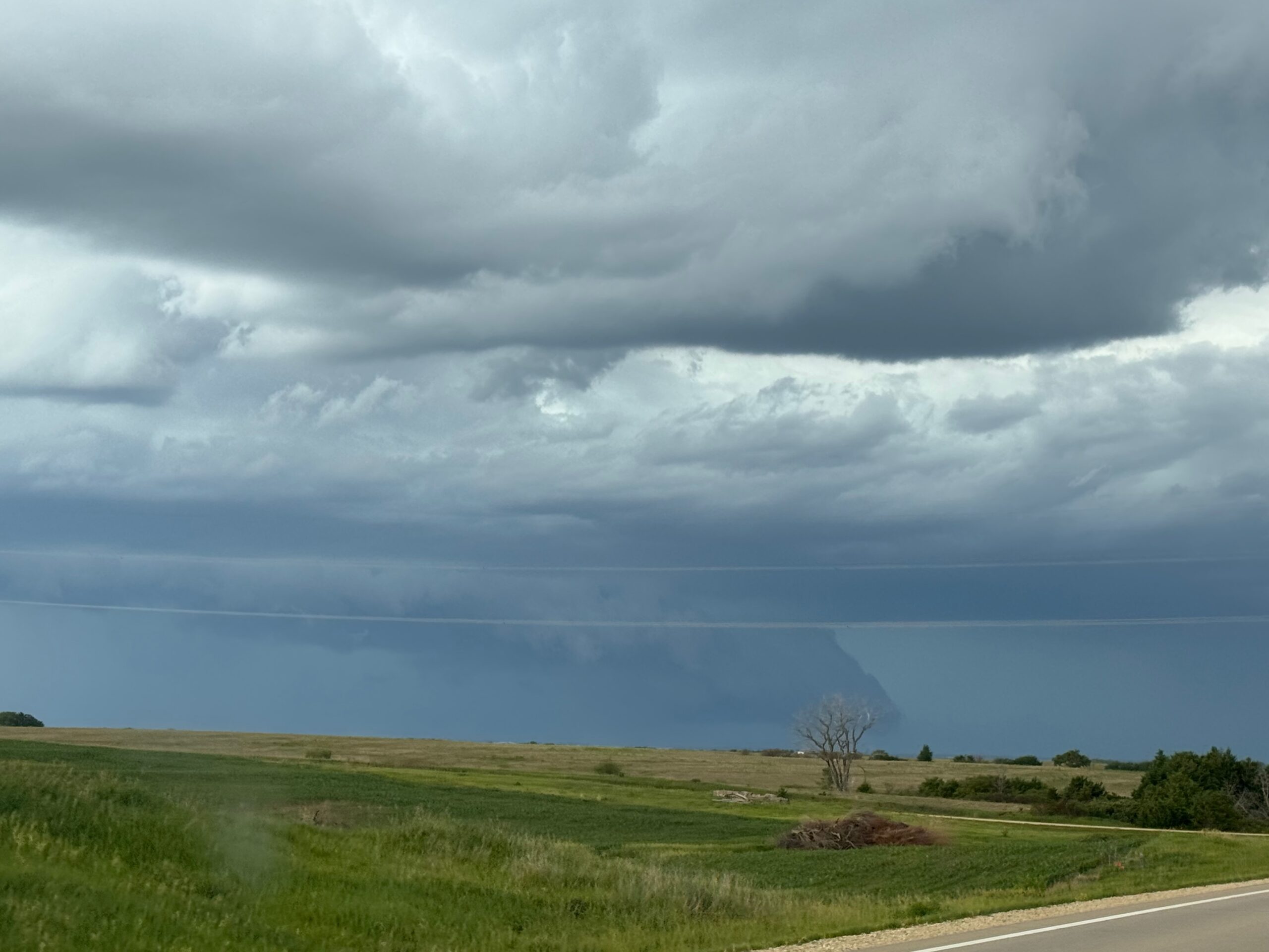
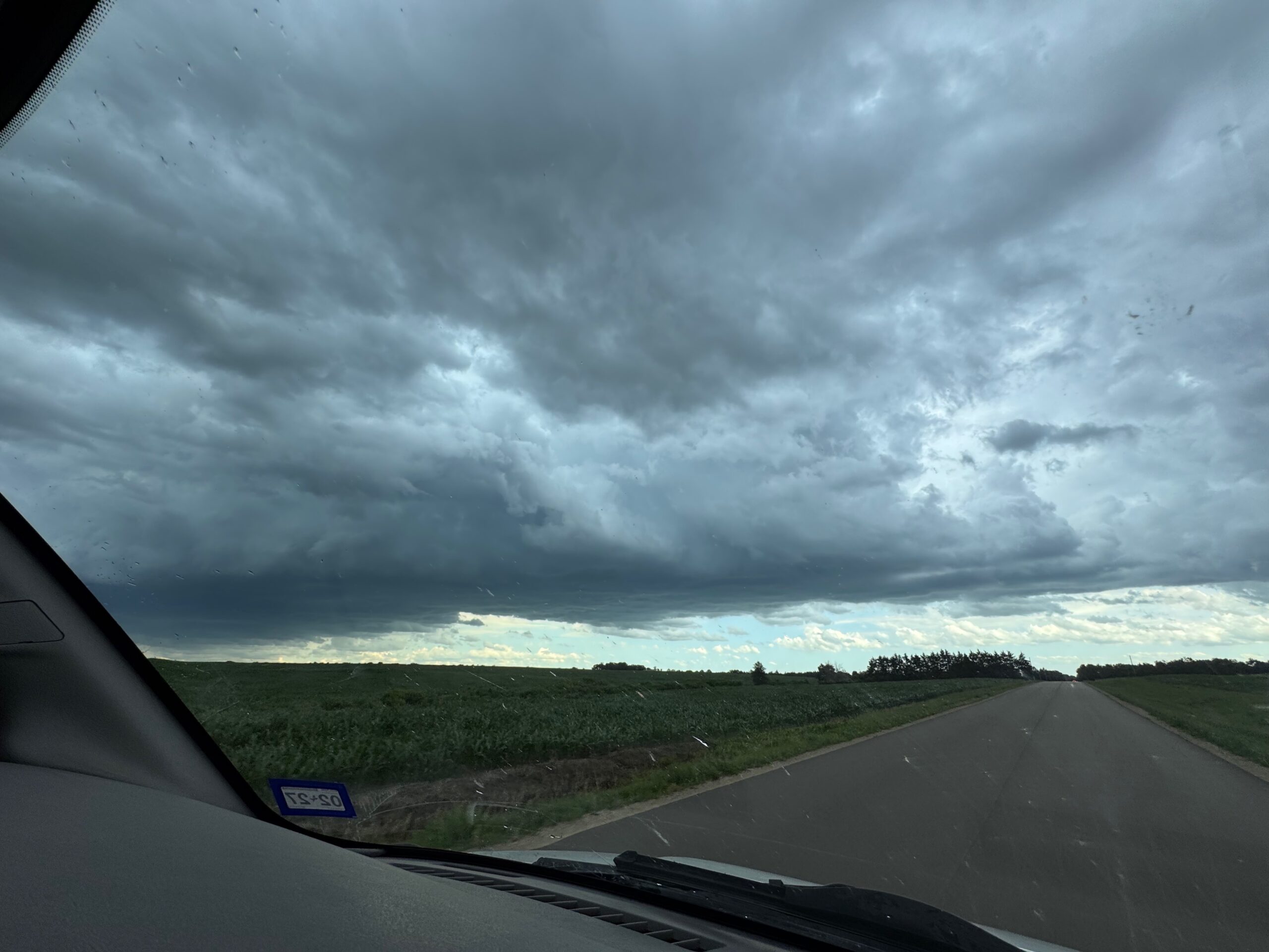
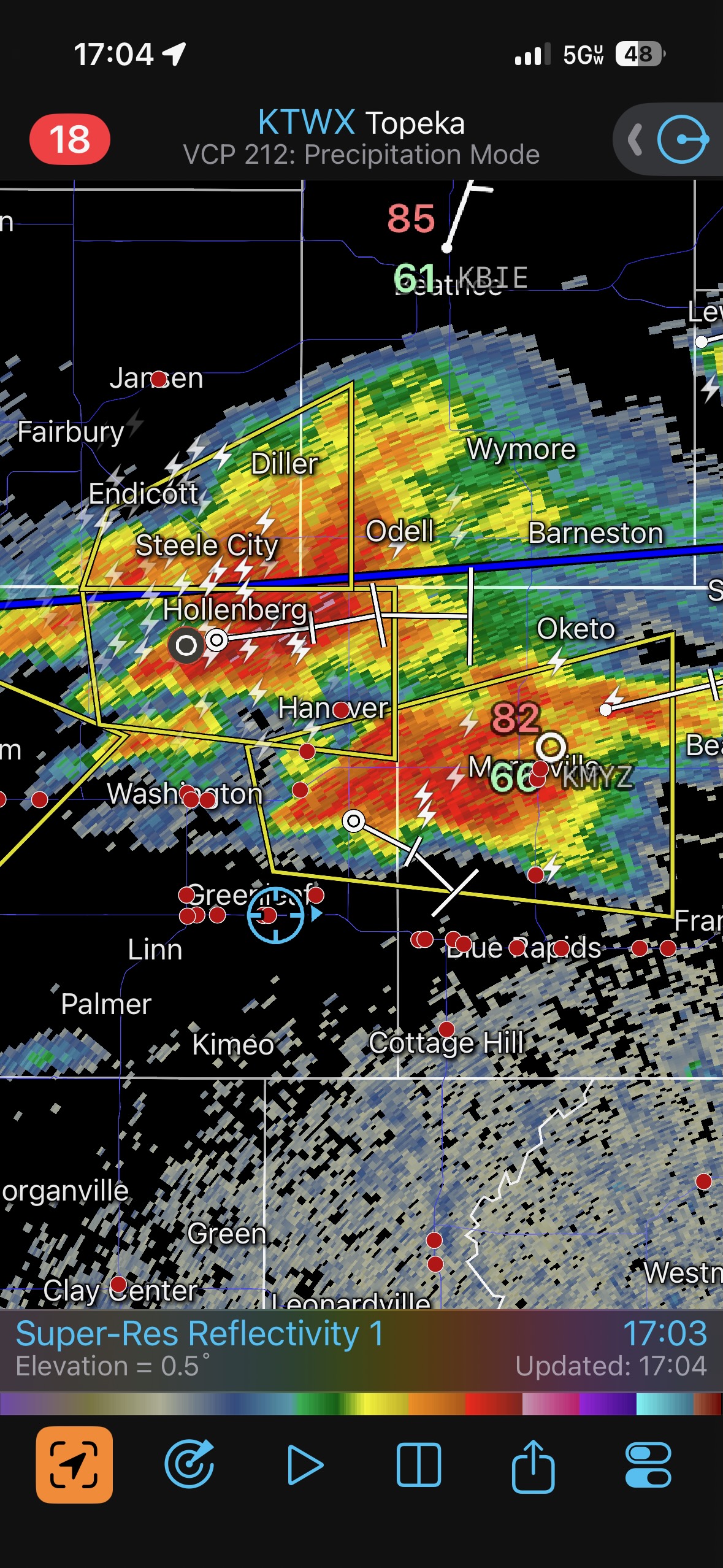
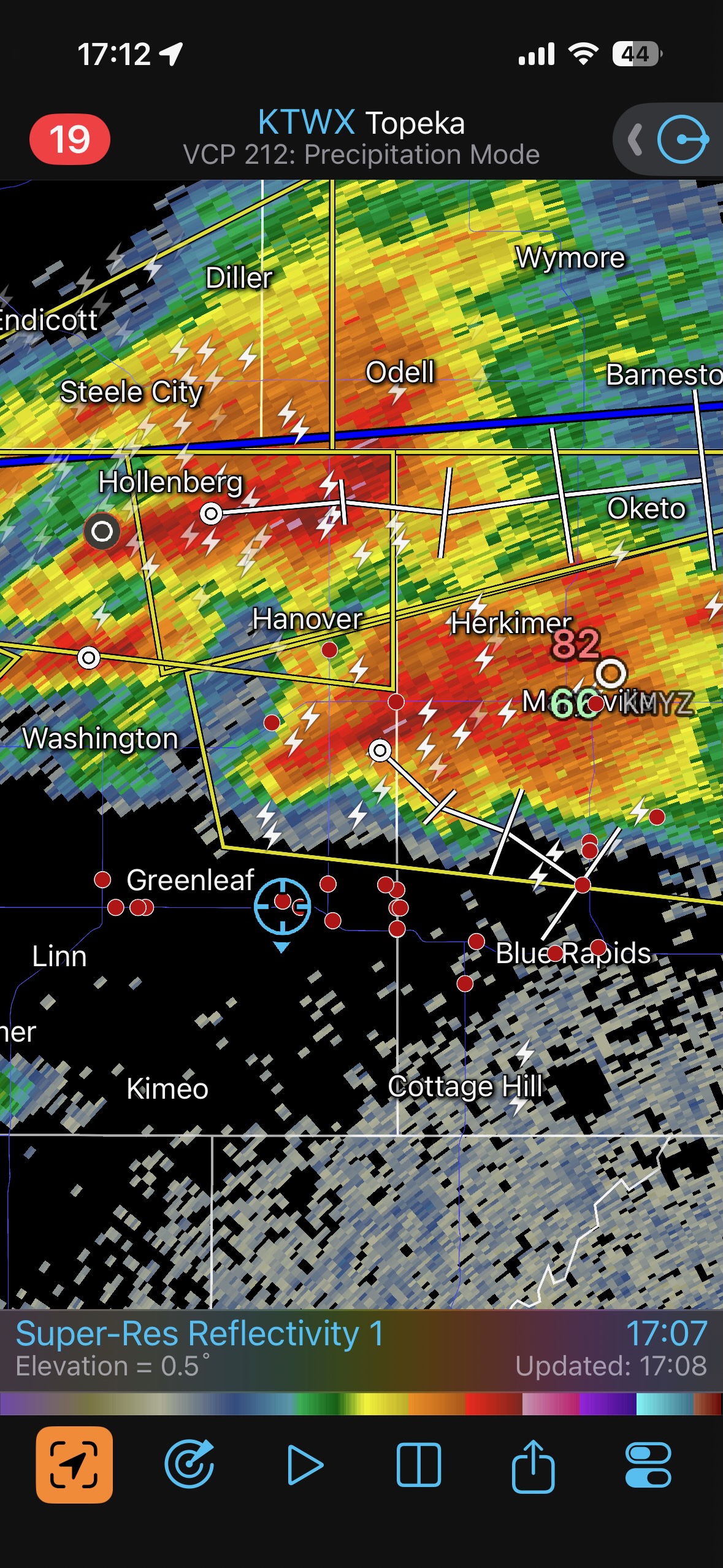
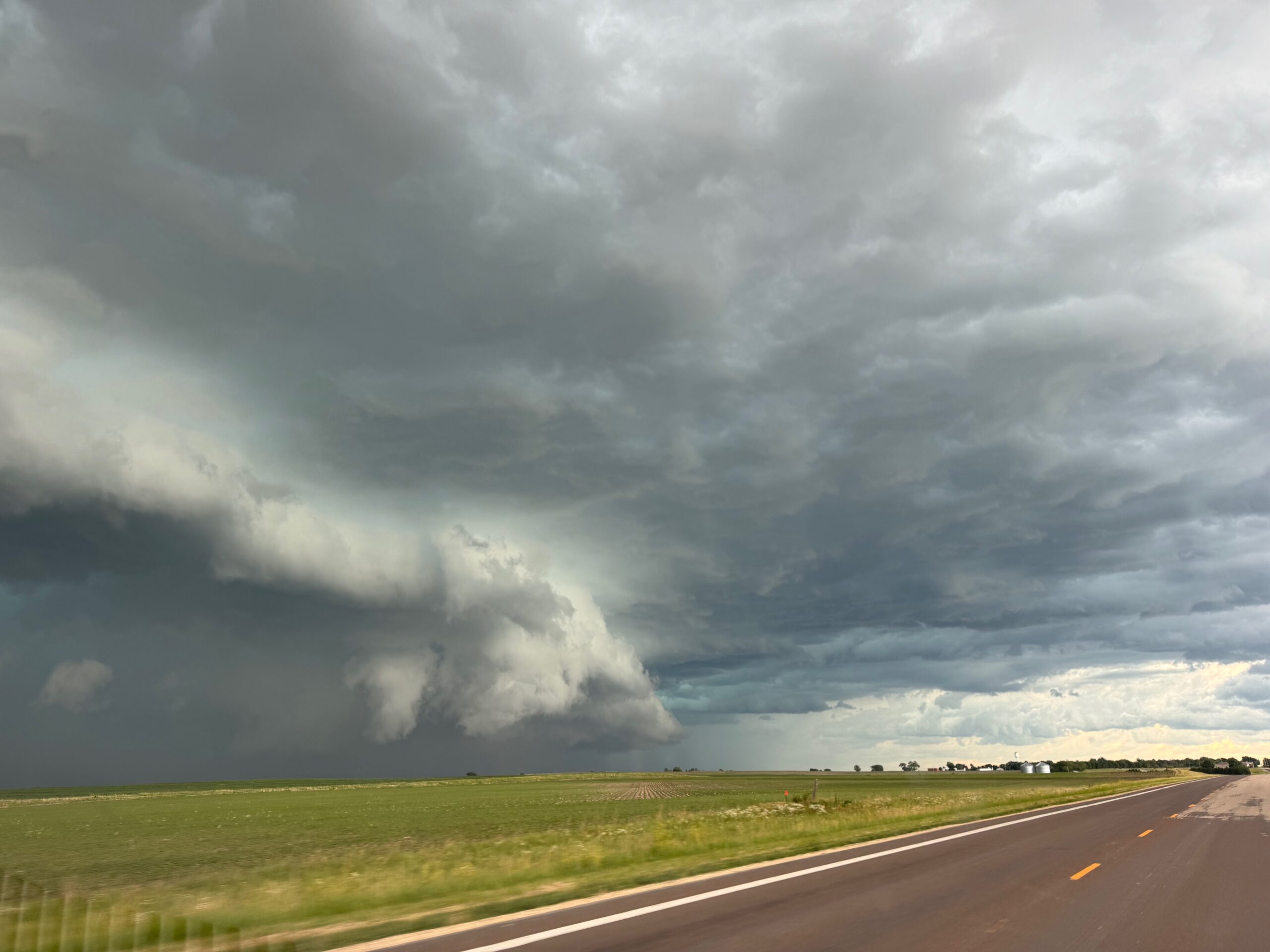
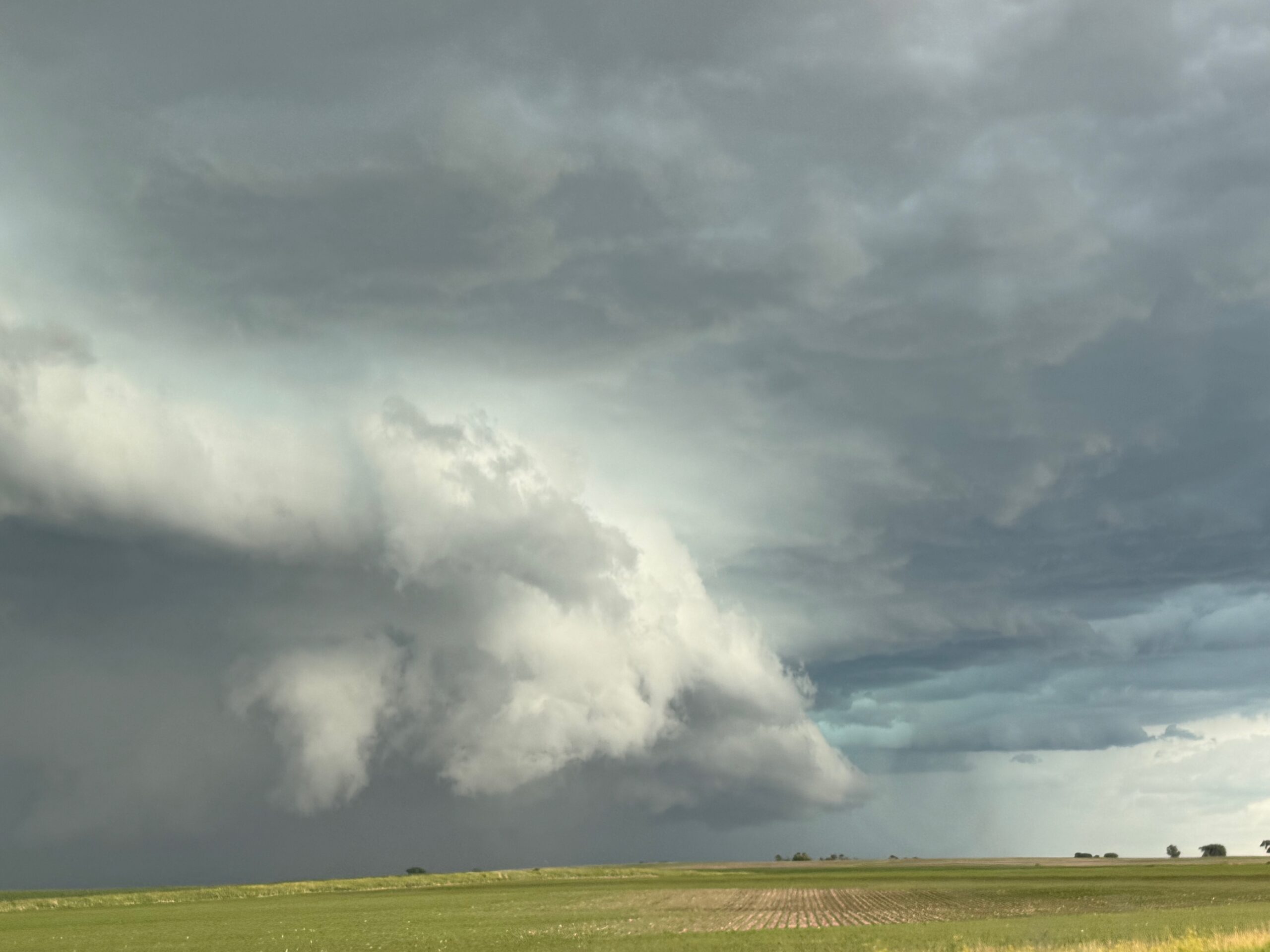
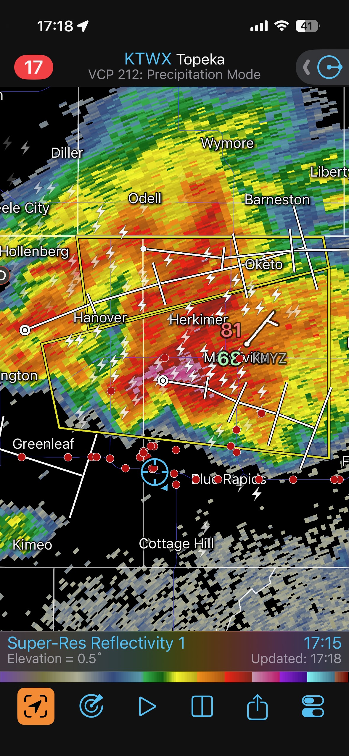
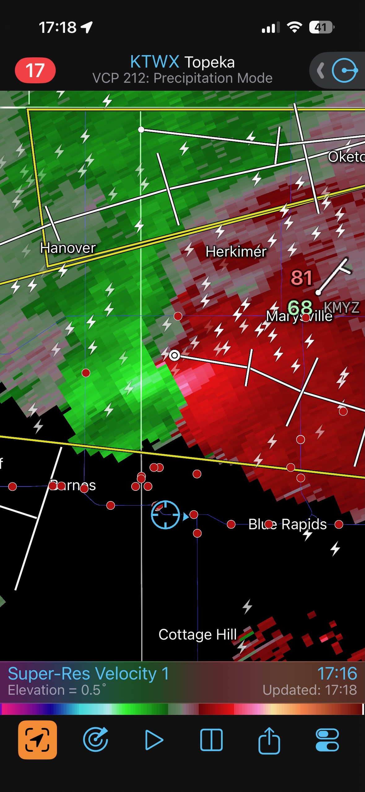
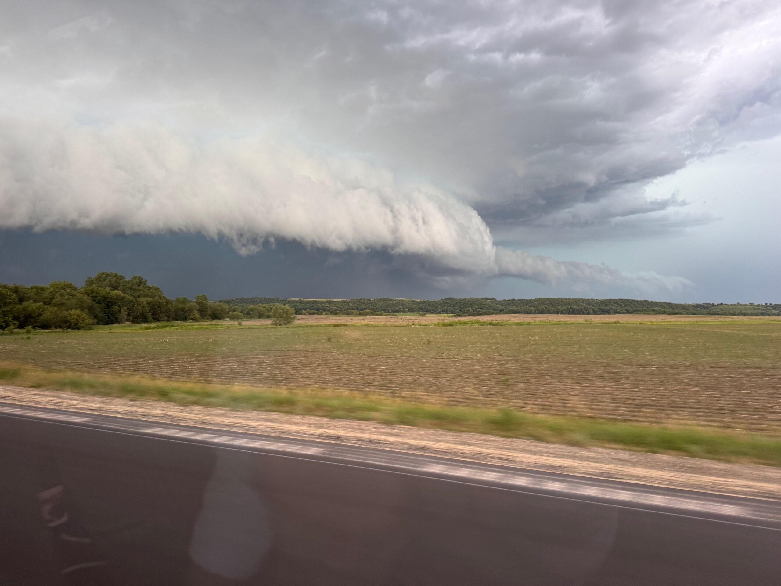
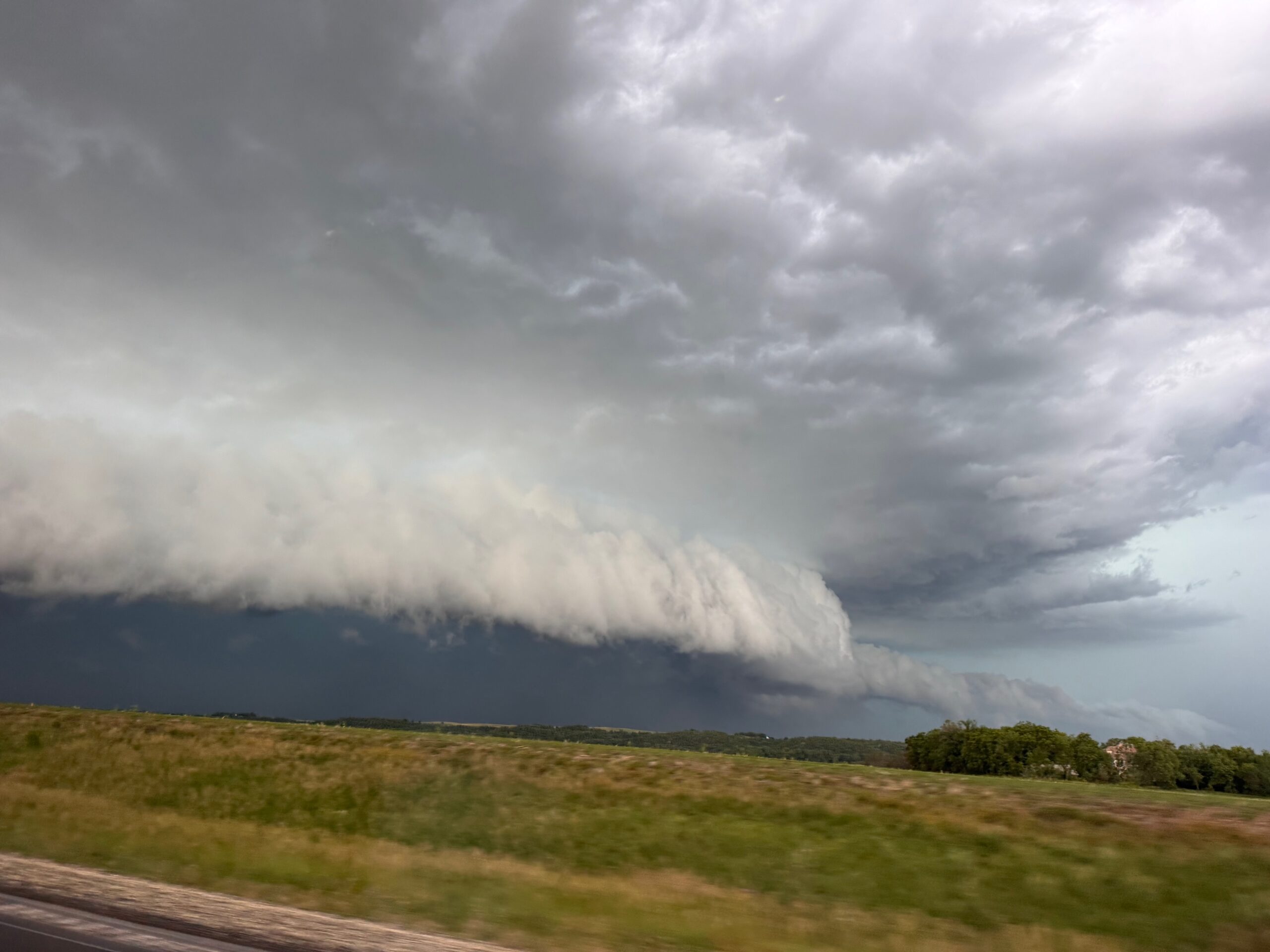
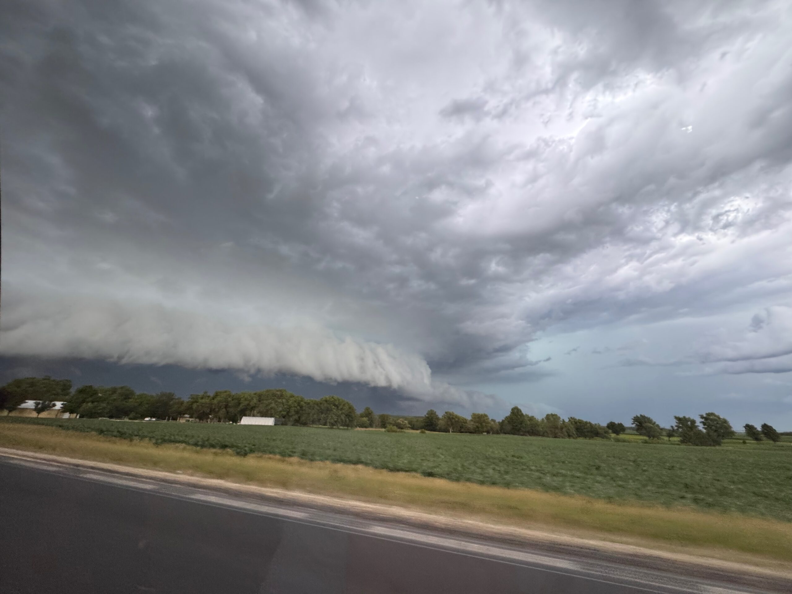
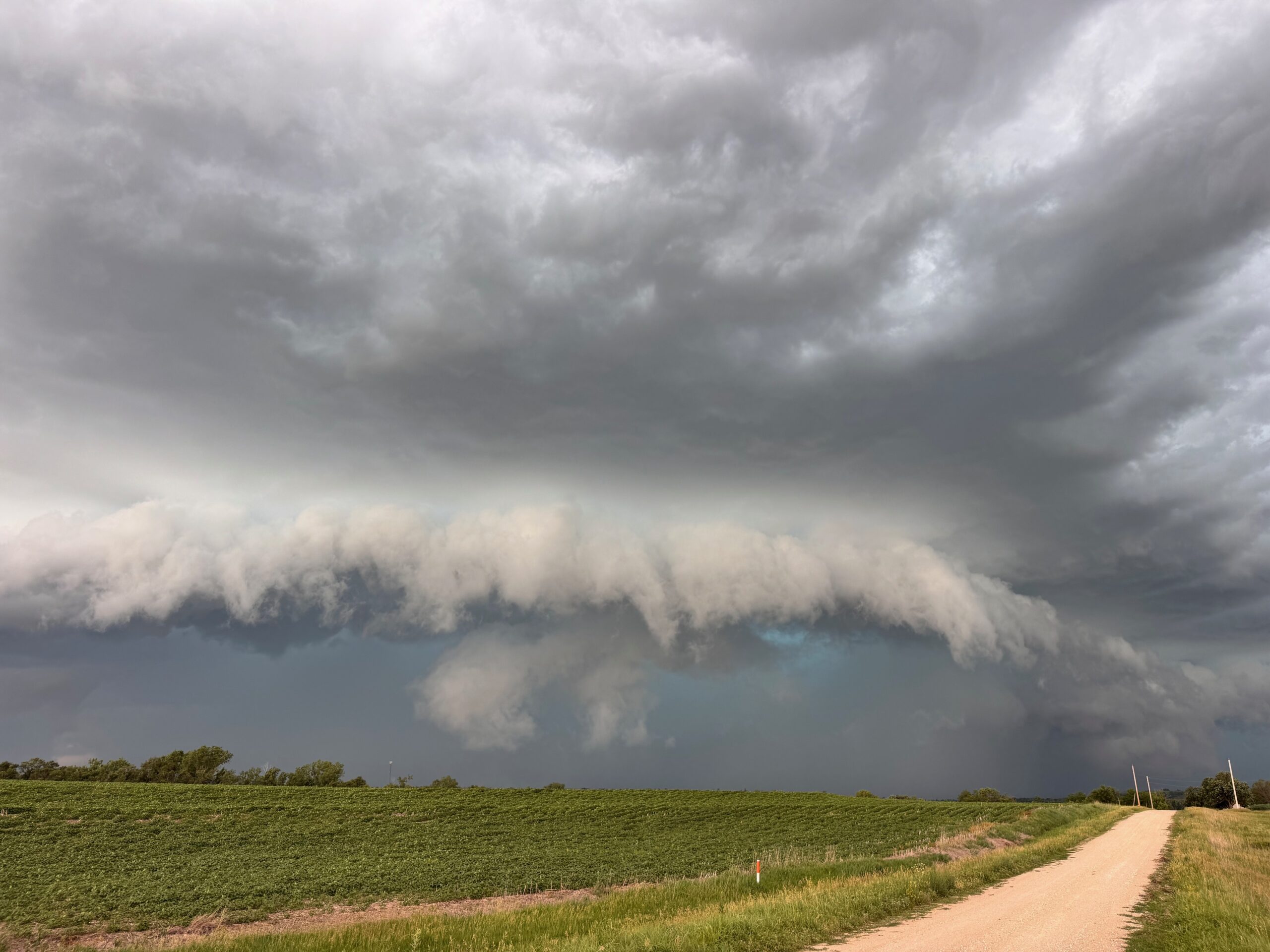
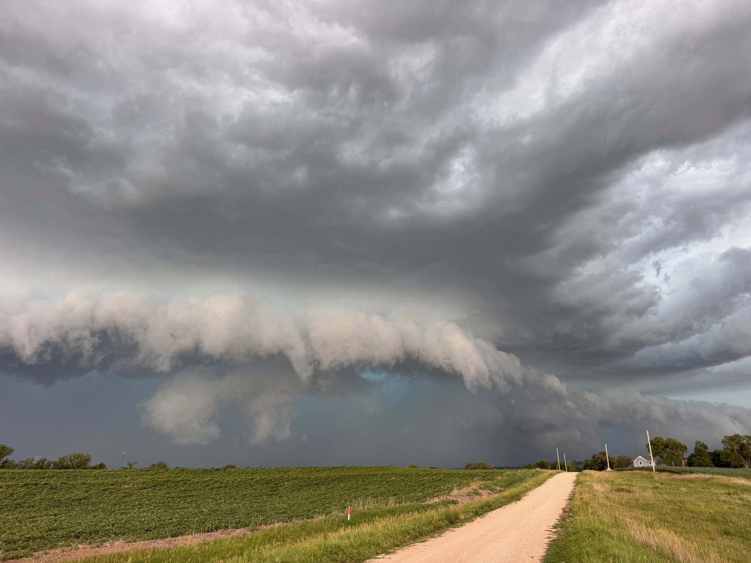
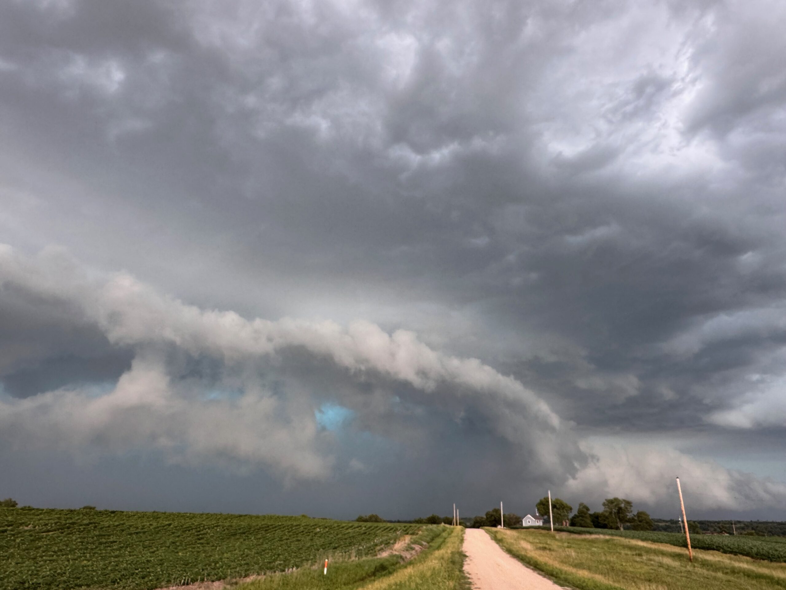
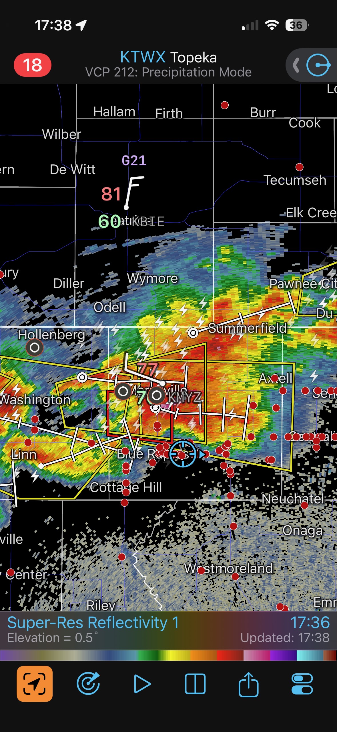
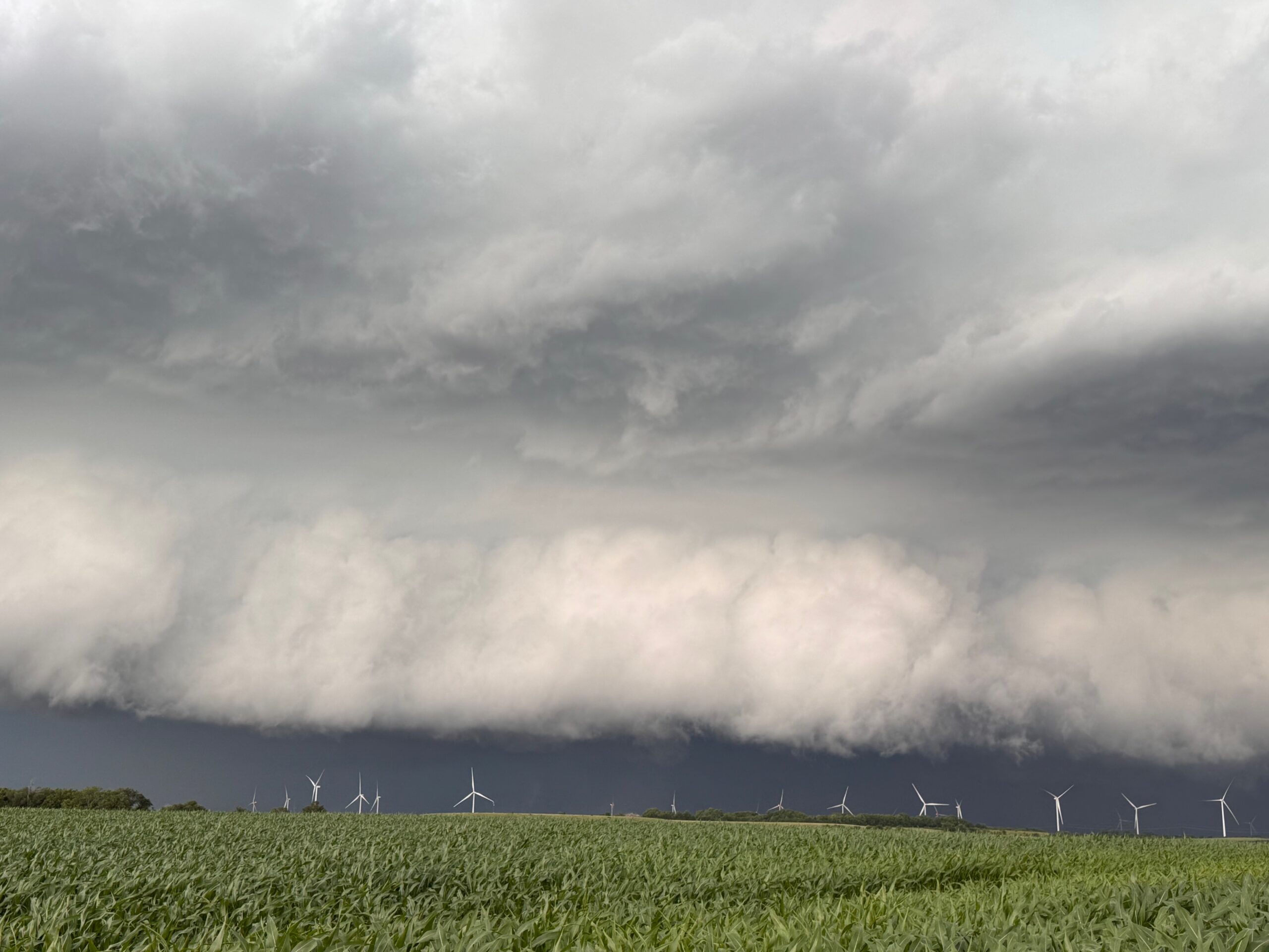
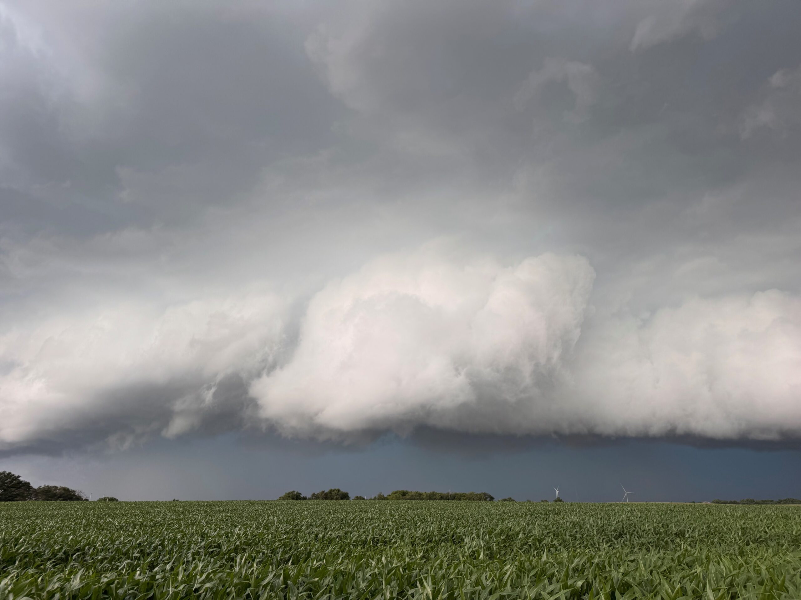
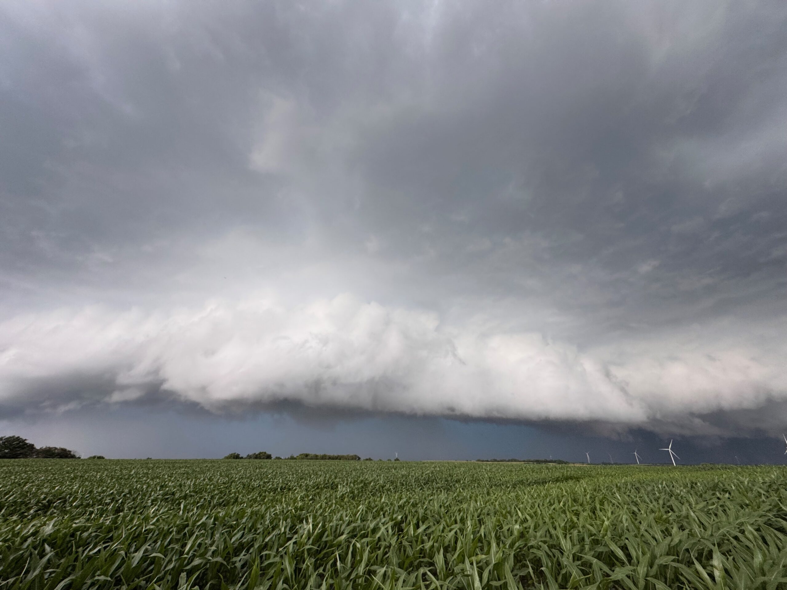
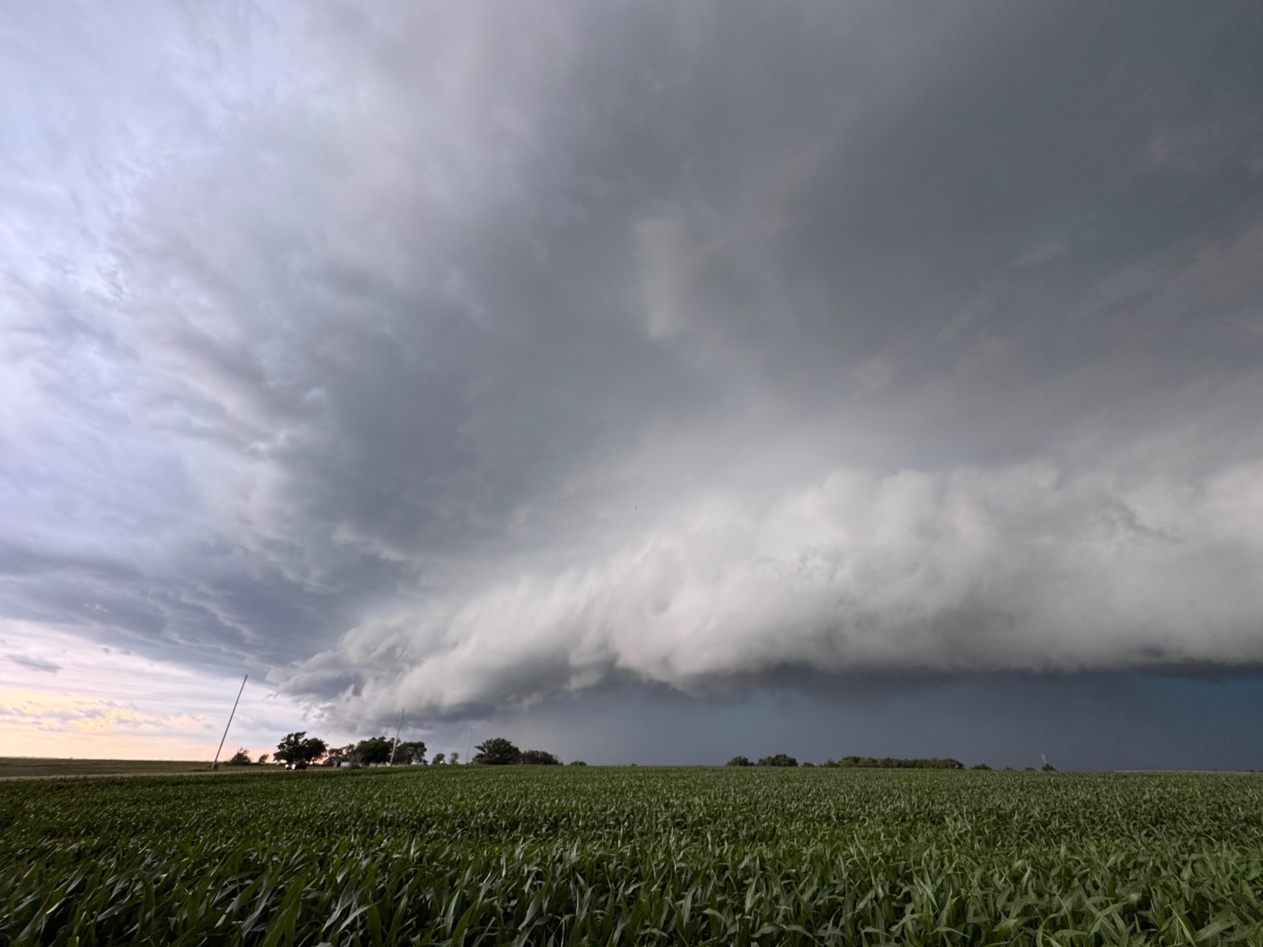
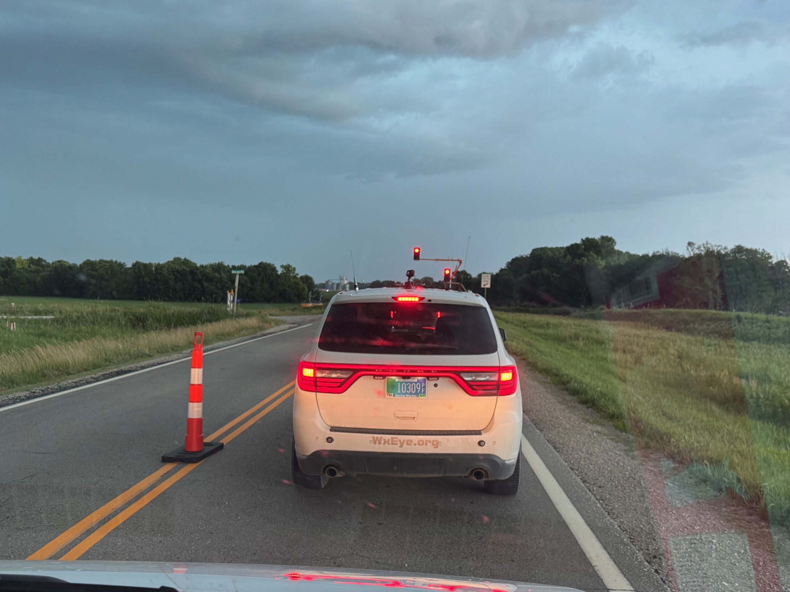
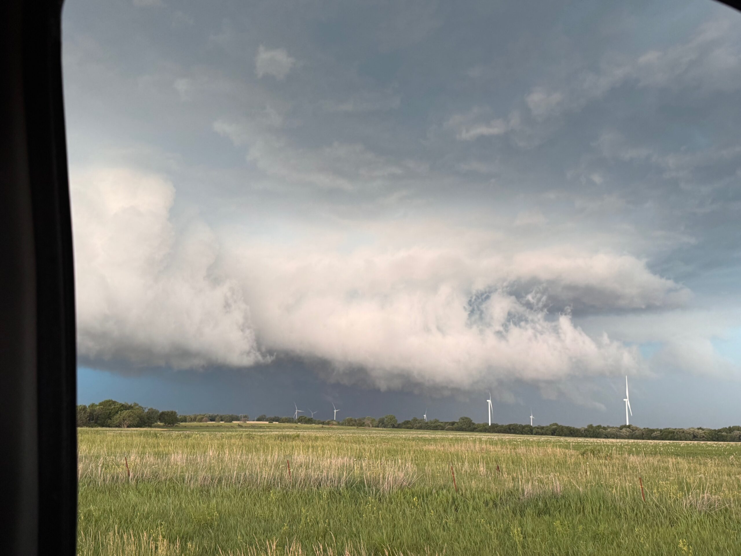
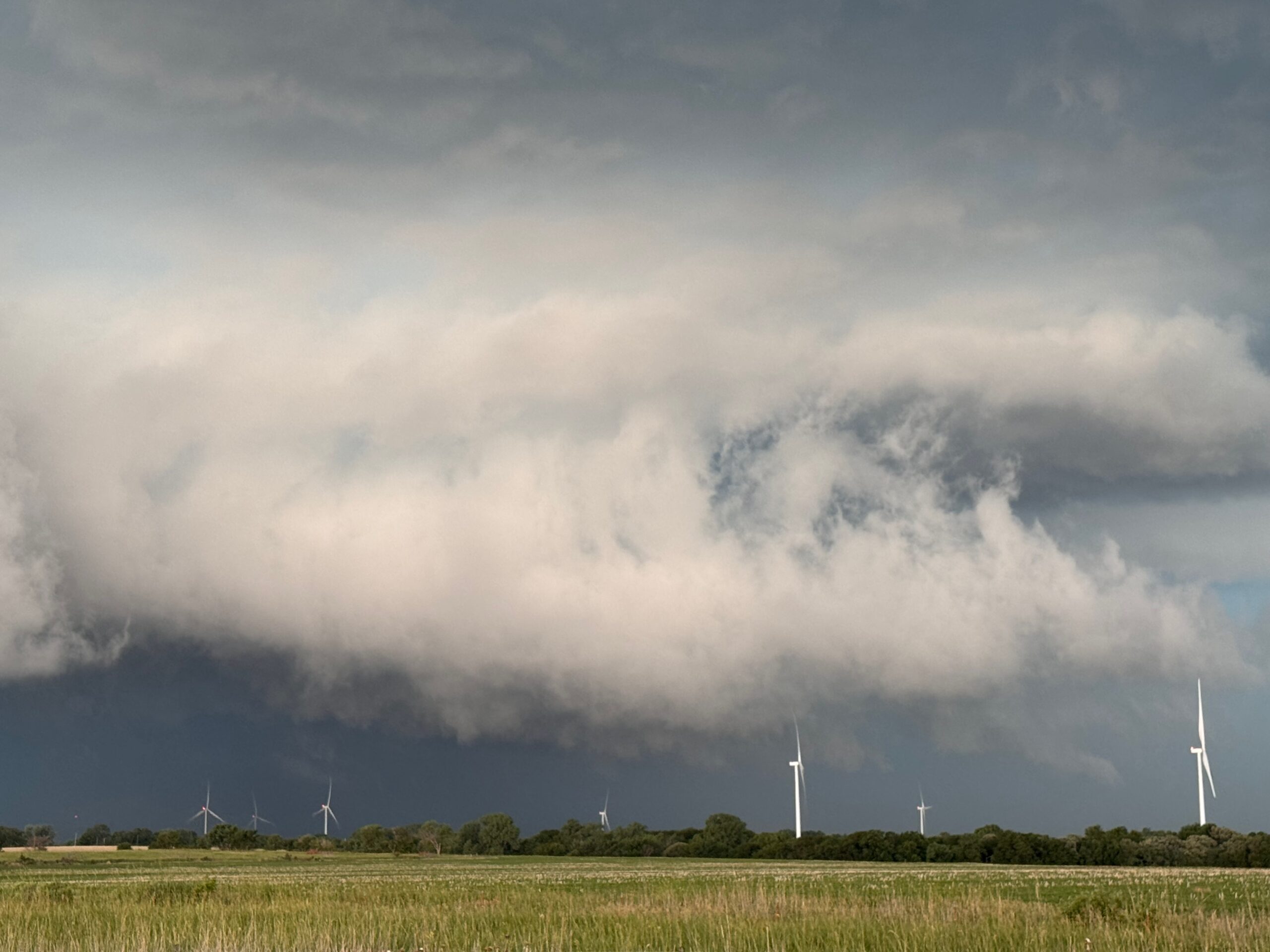
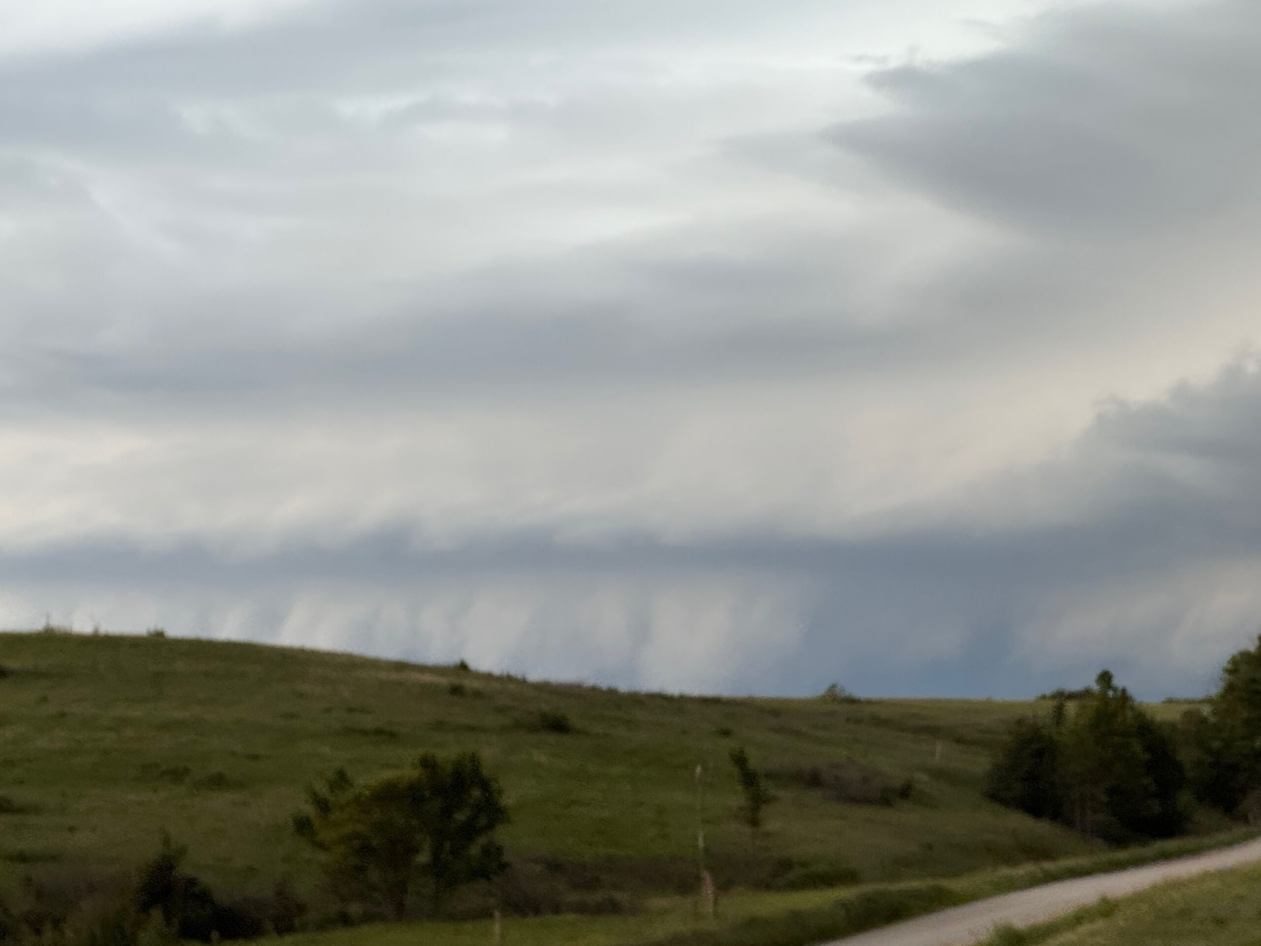
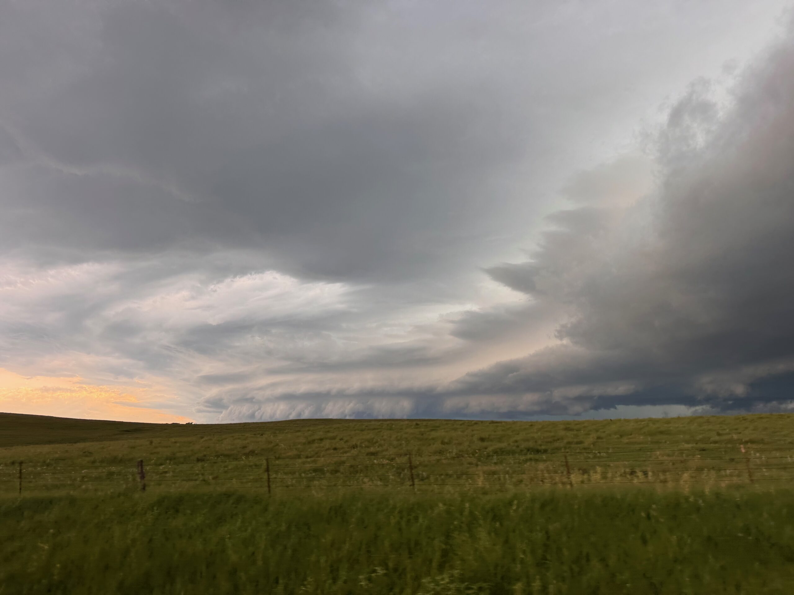
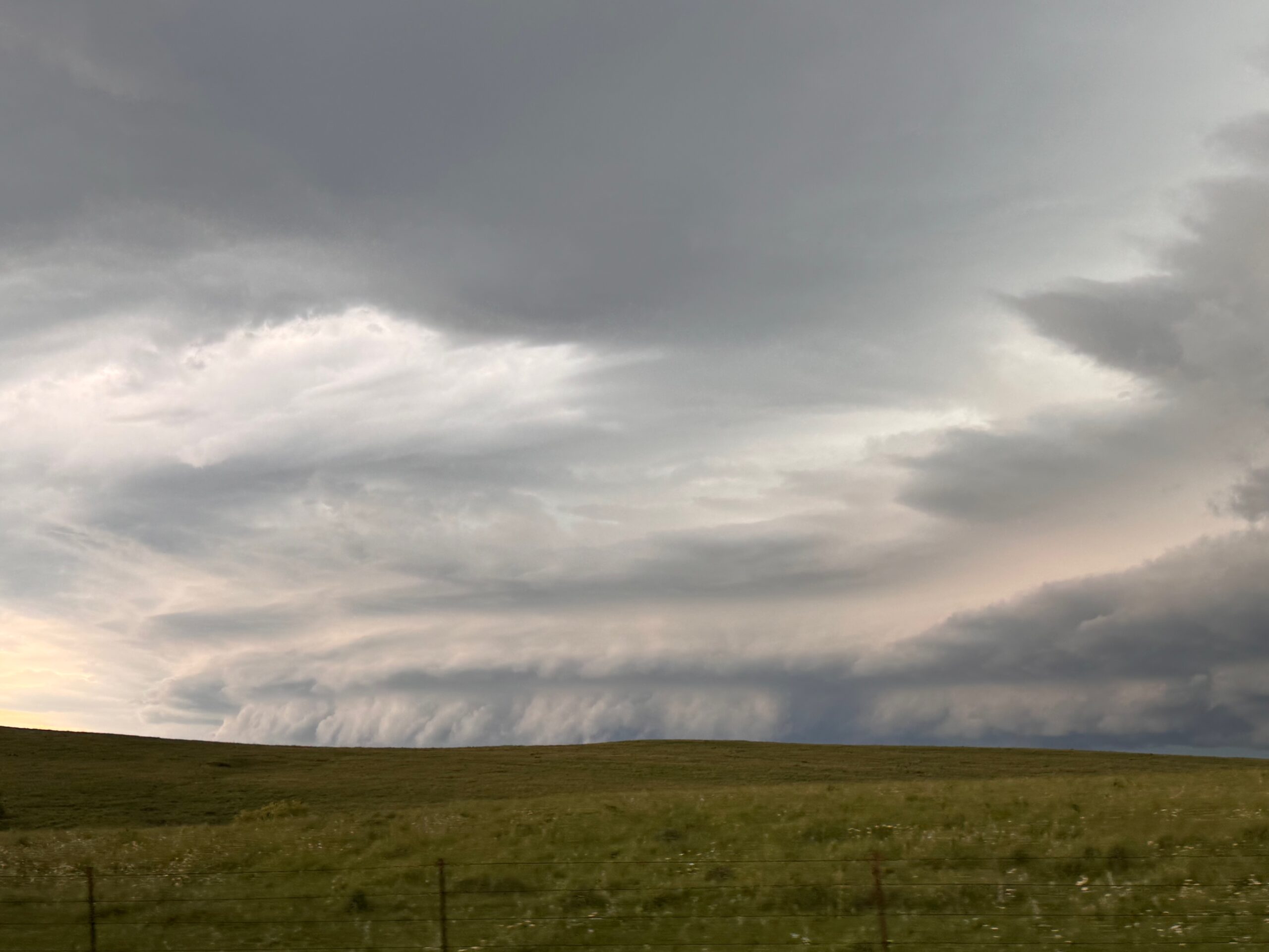
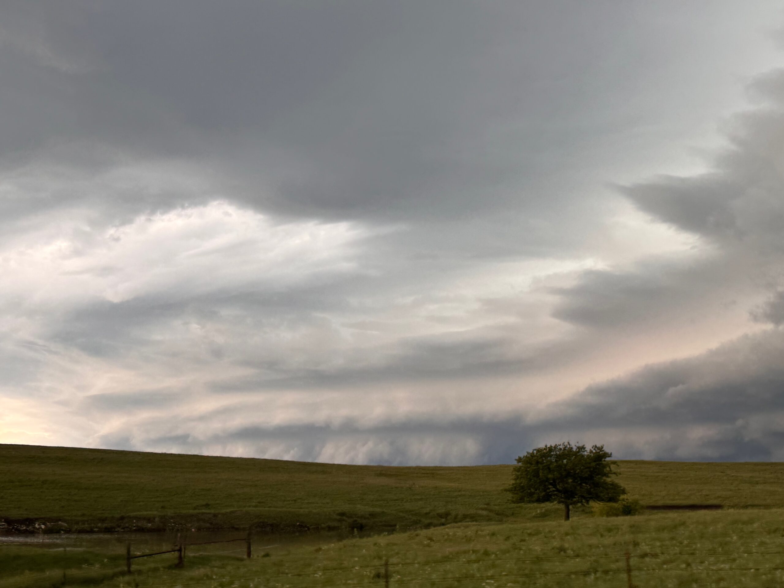
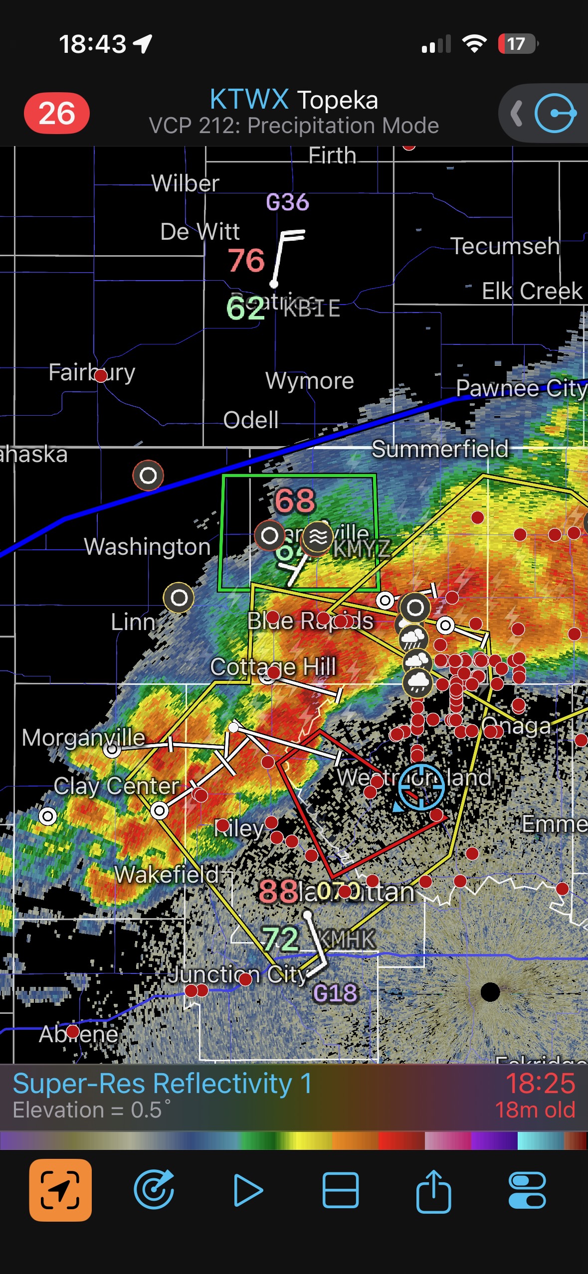
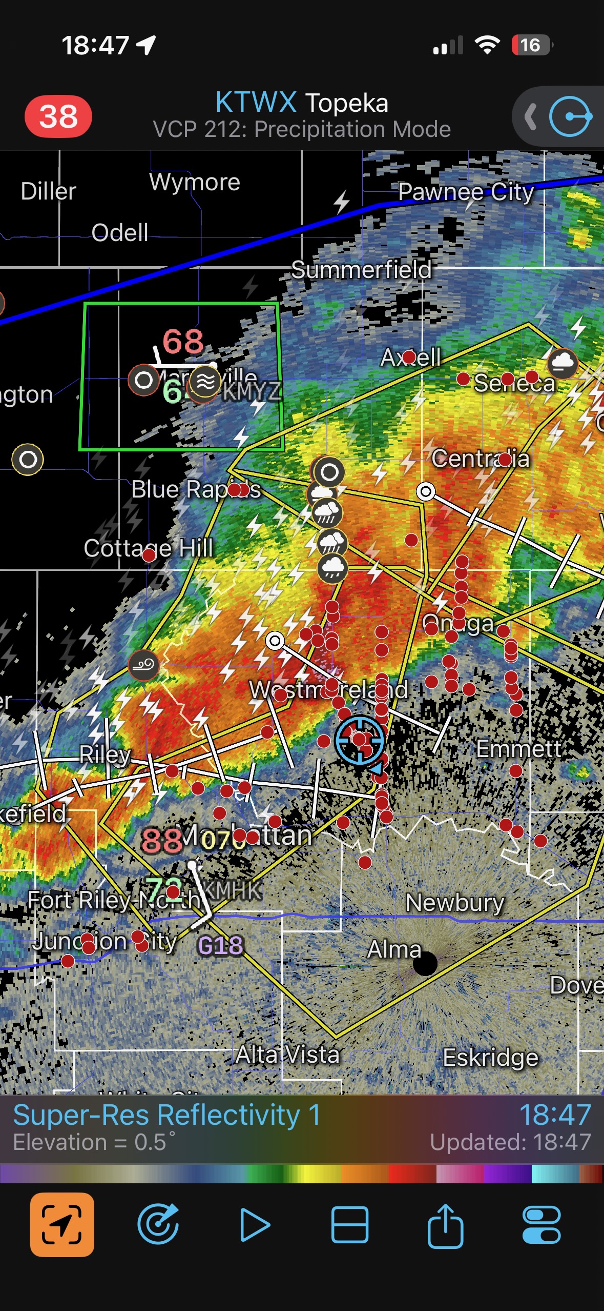
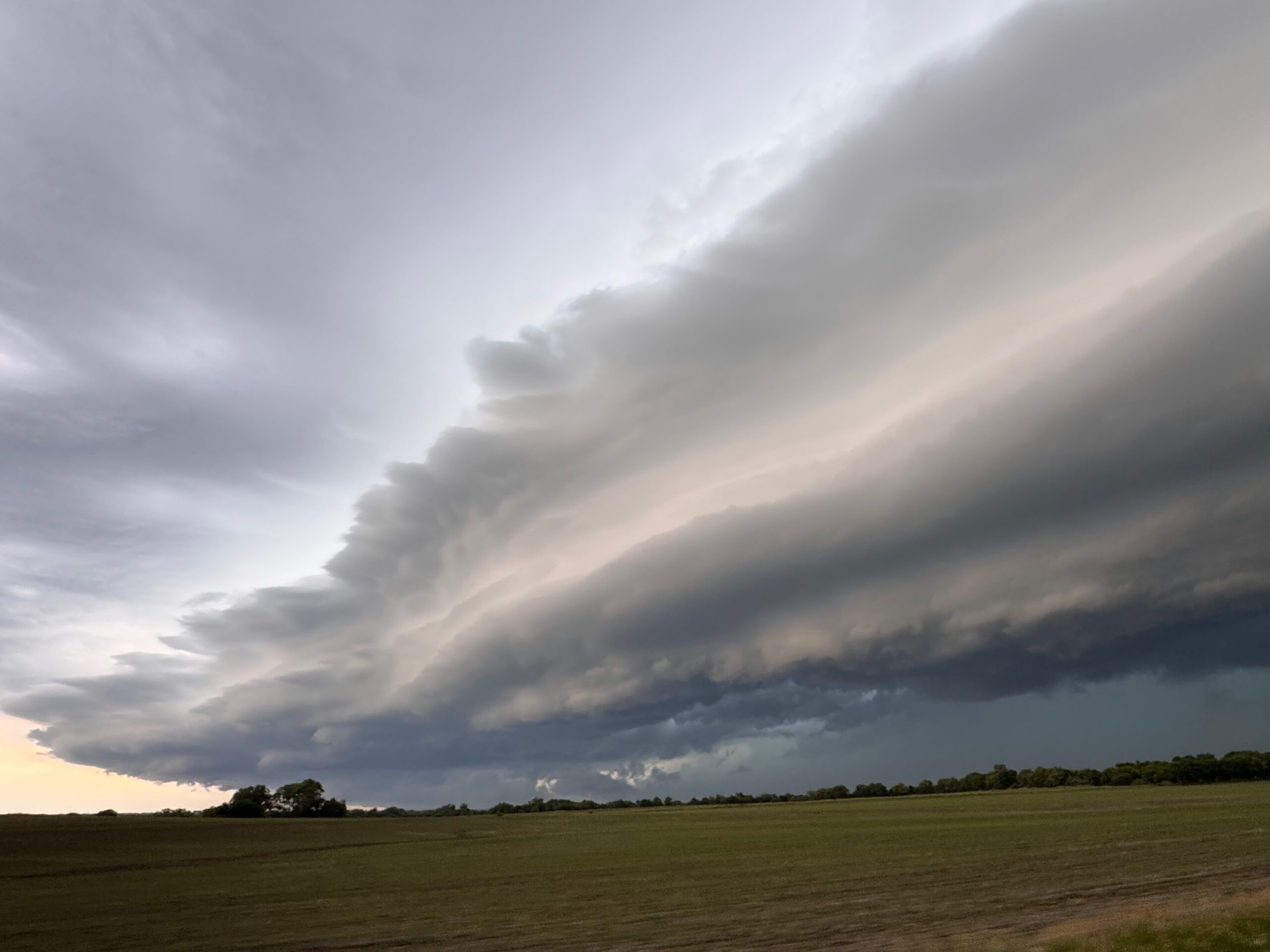
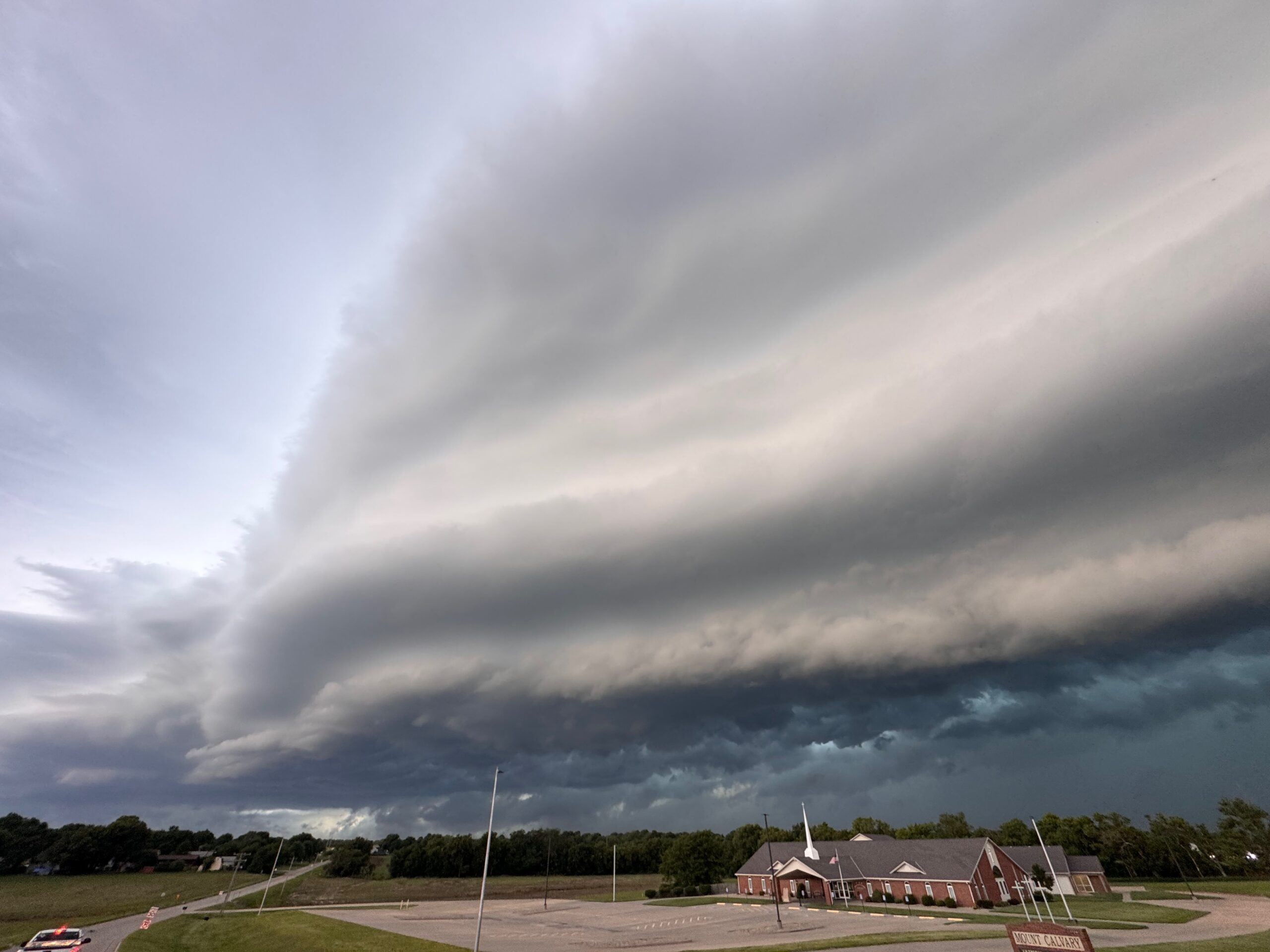
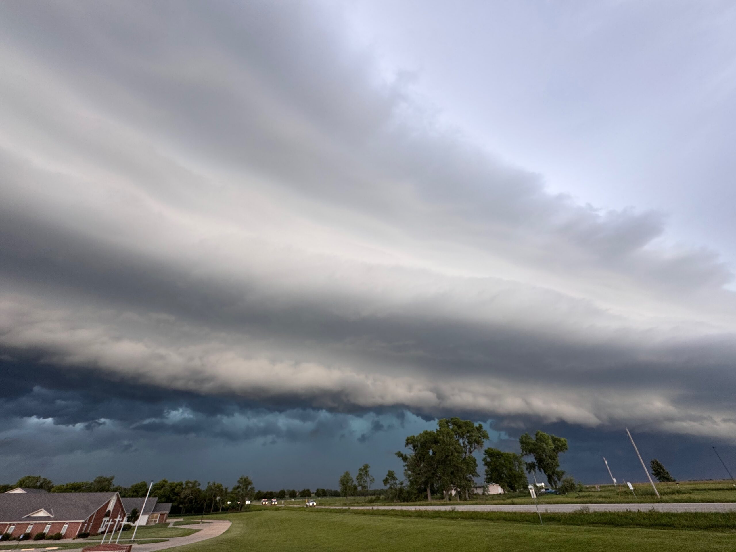
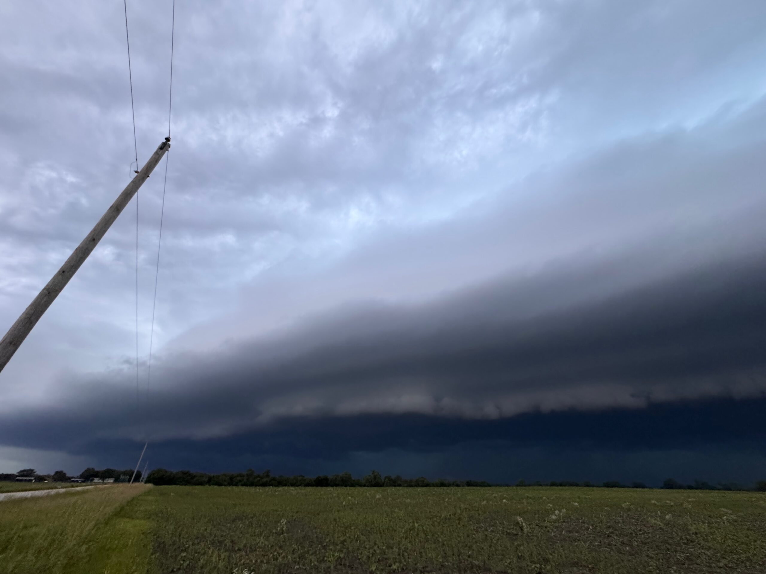
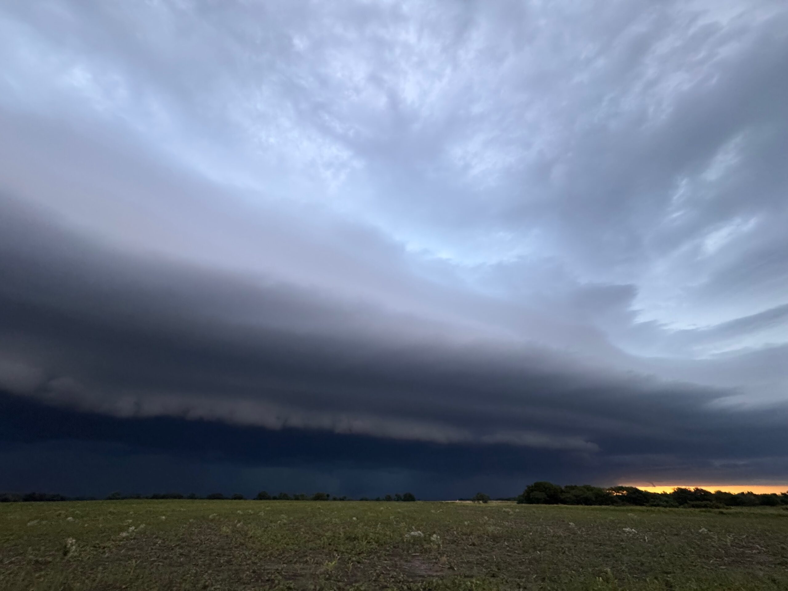
The first batch of photos below is the Canon camera batch, followed by the iPhone photo dump with the radar screenshots. The iPhone images should all be in chronological order.
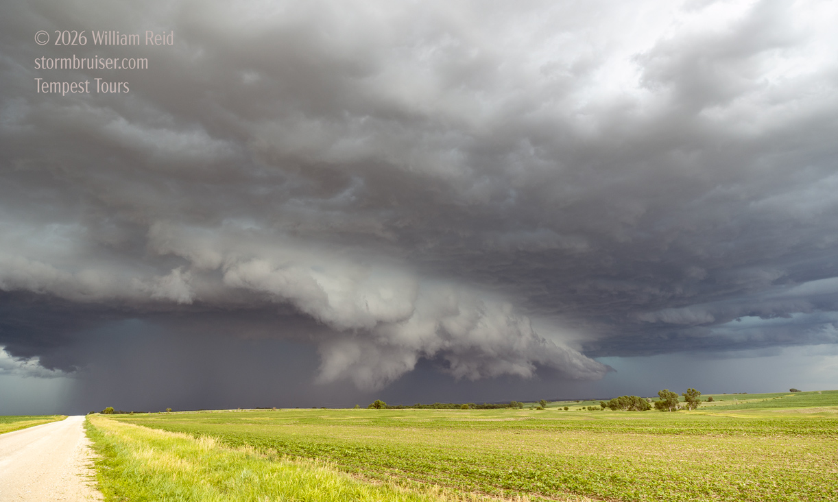
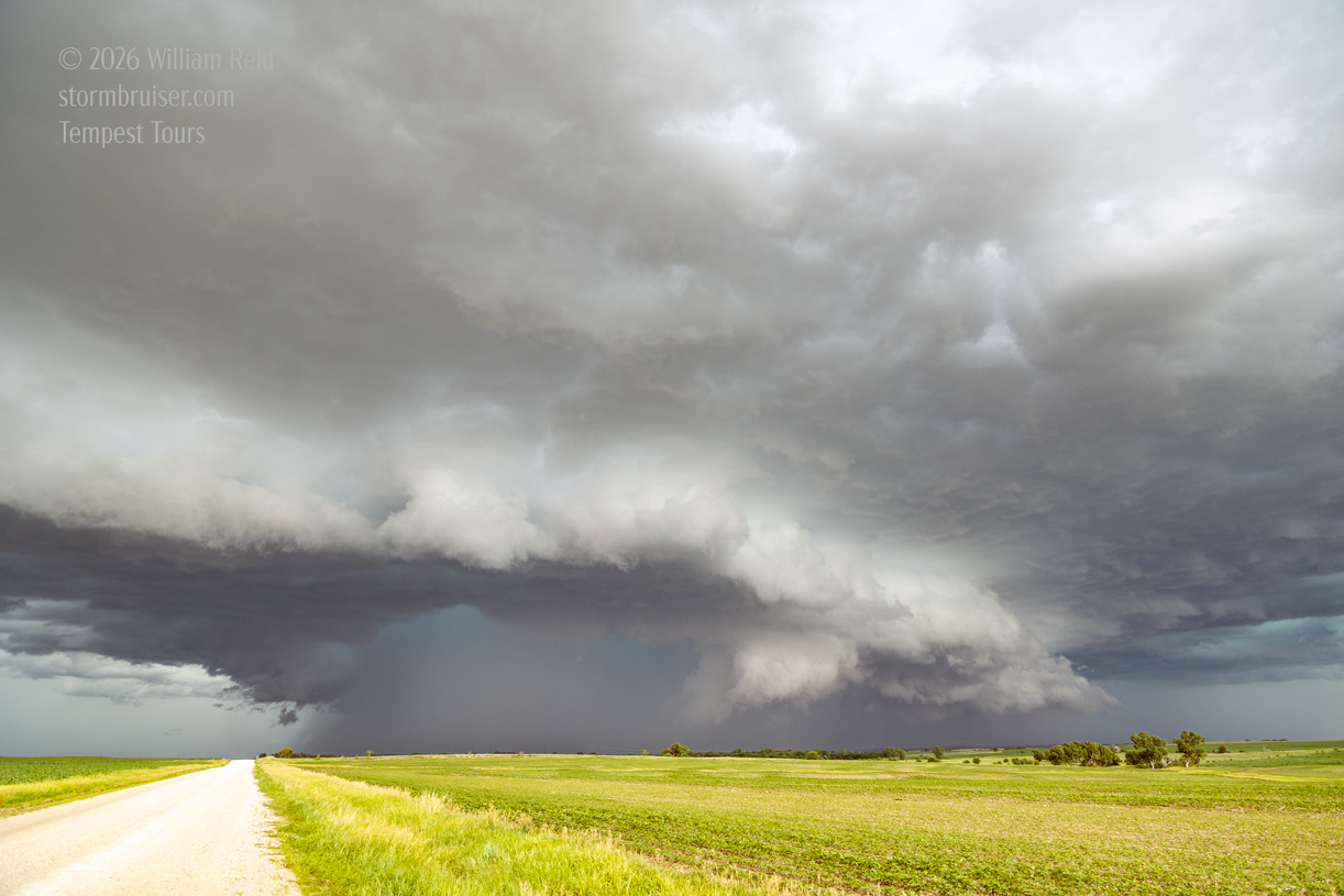
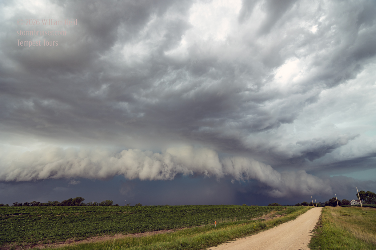
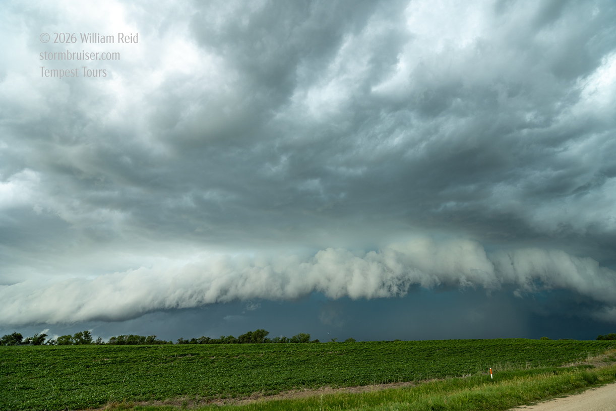
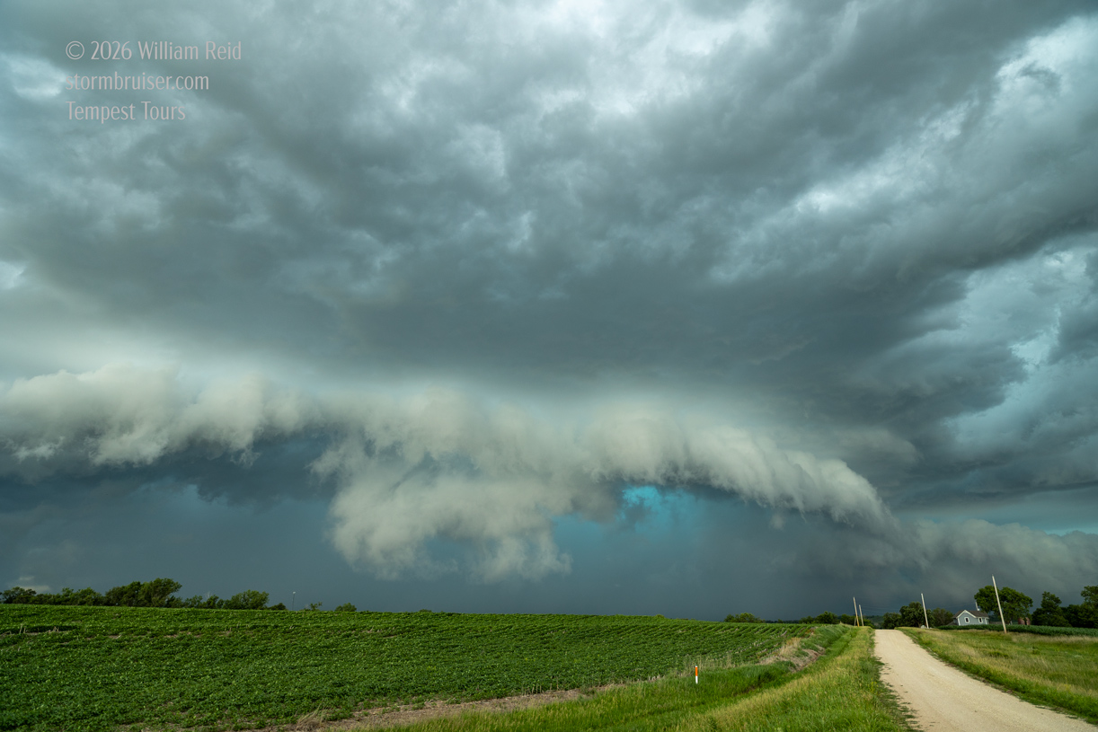
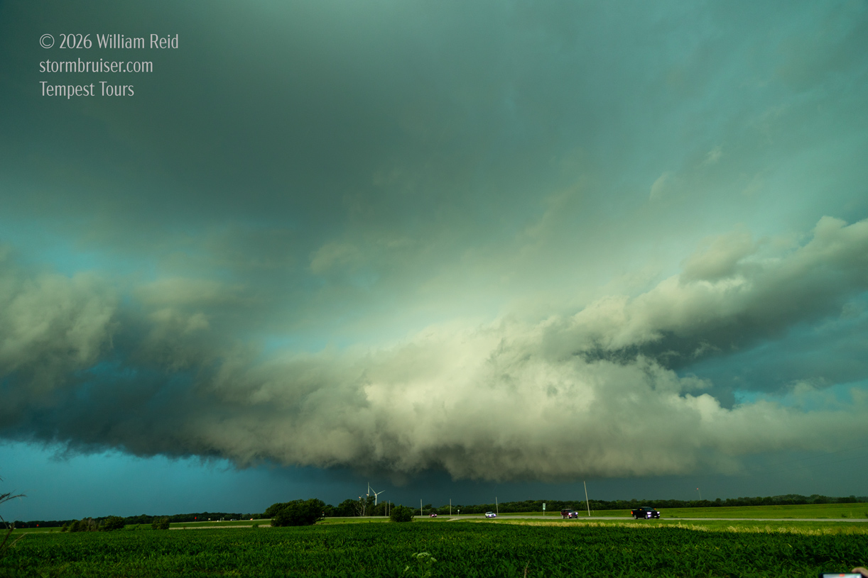
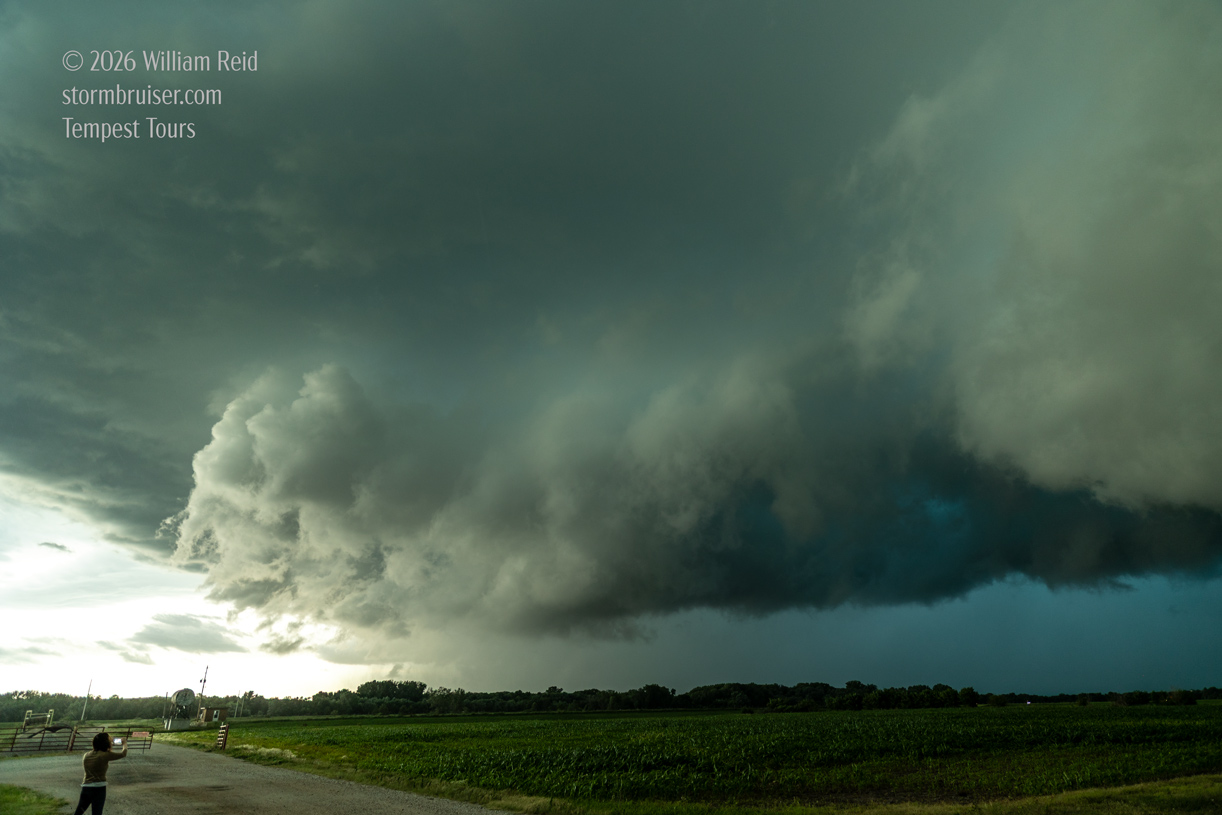
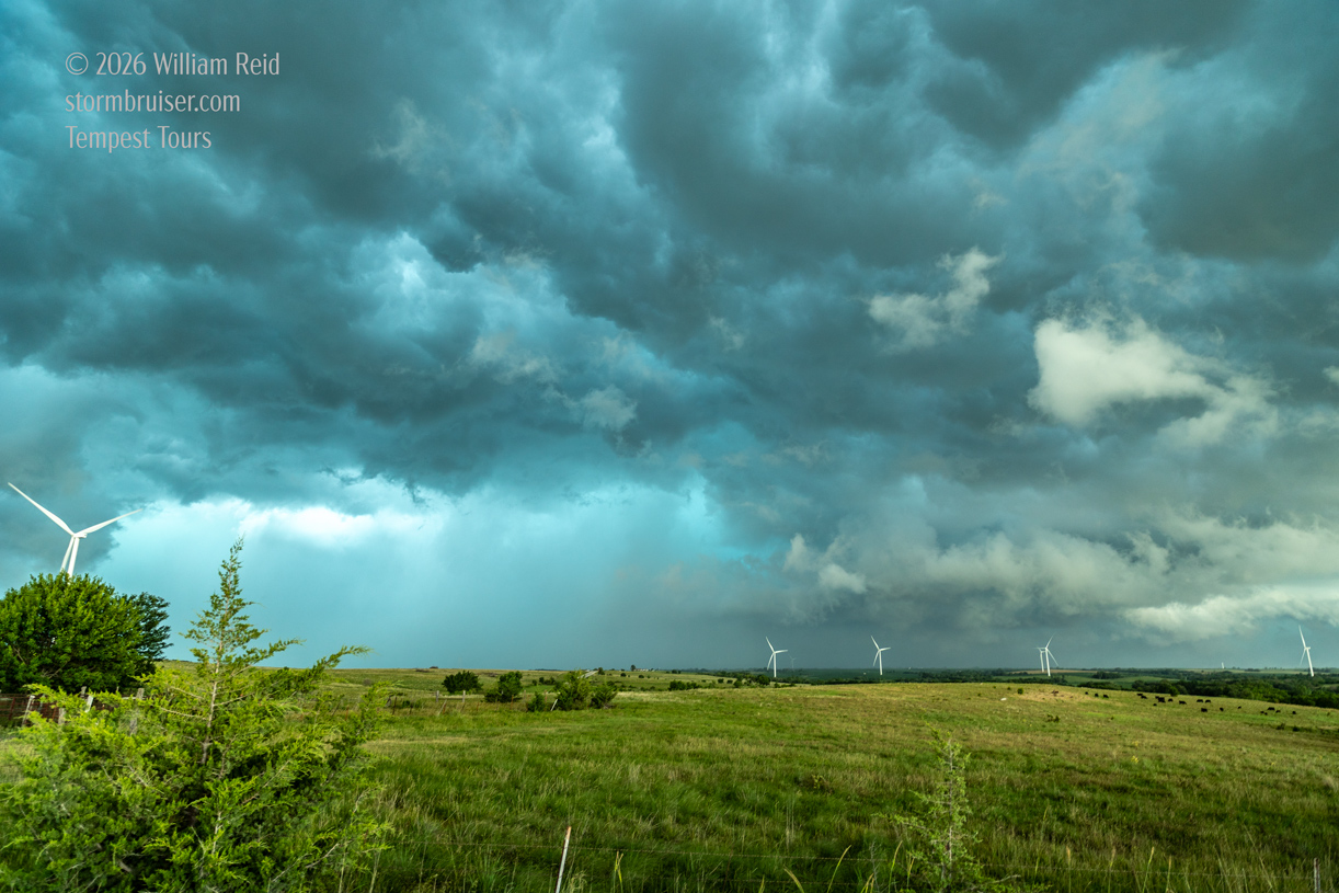
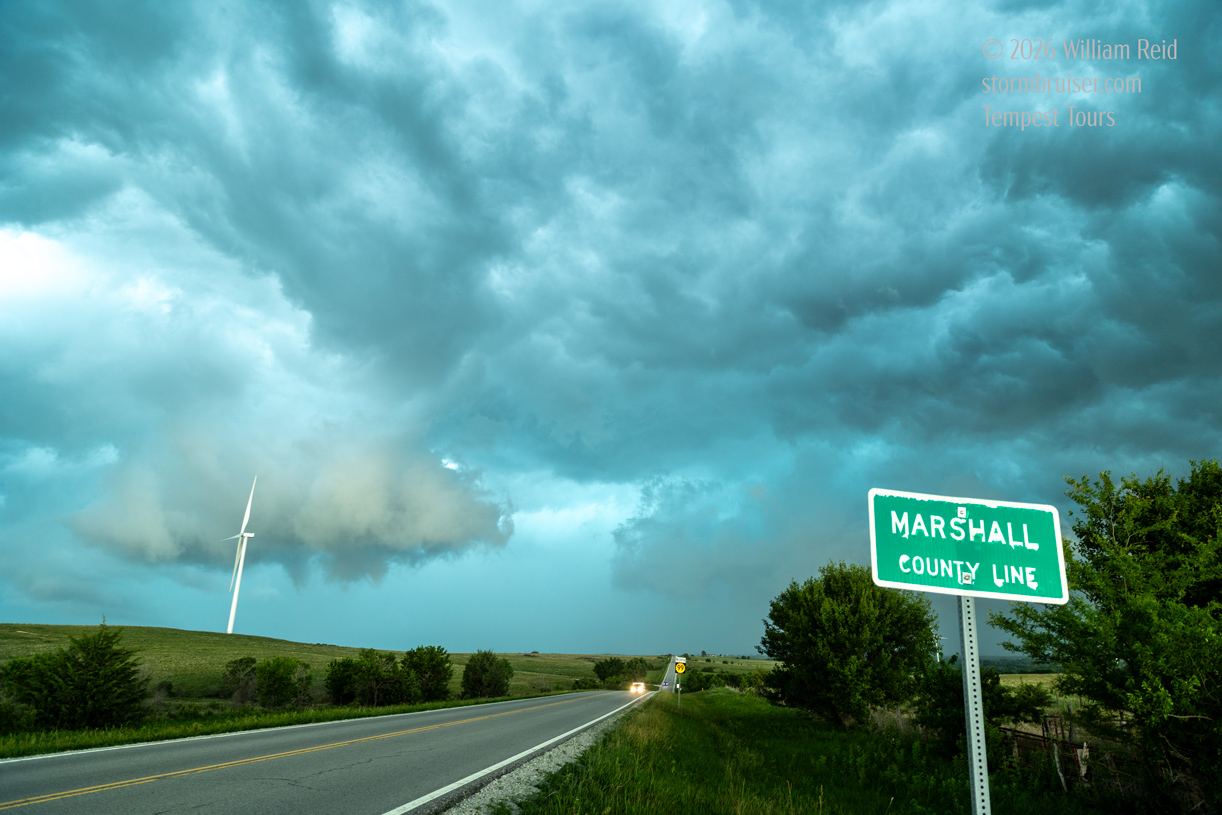
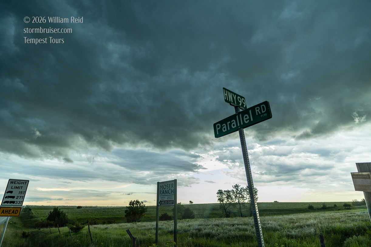
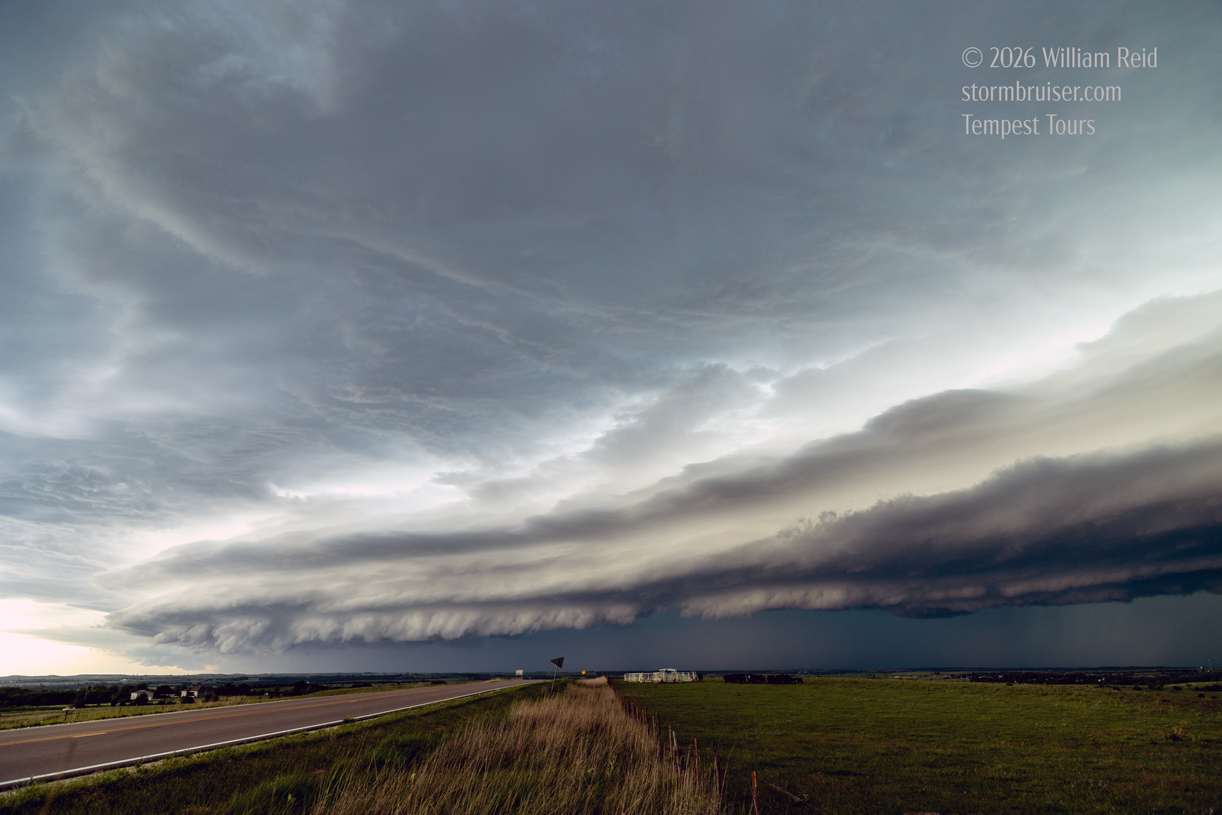
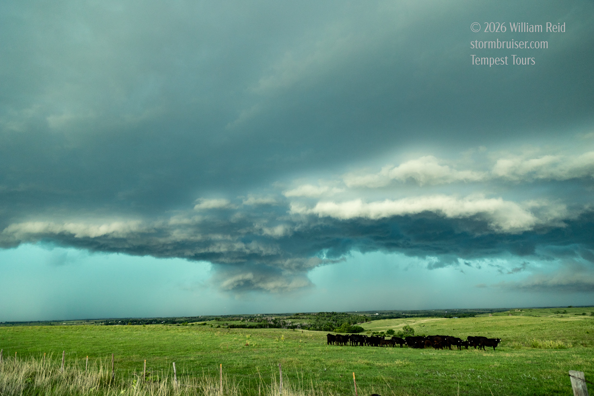
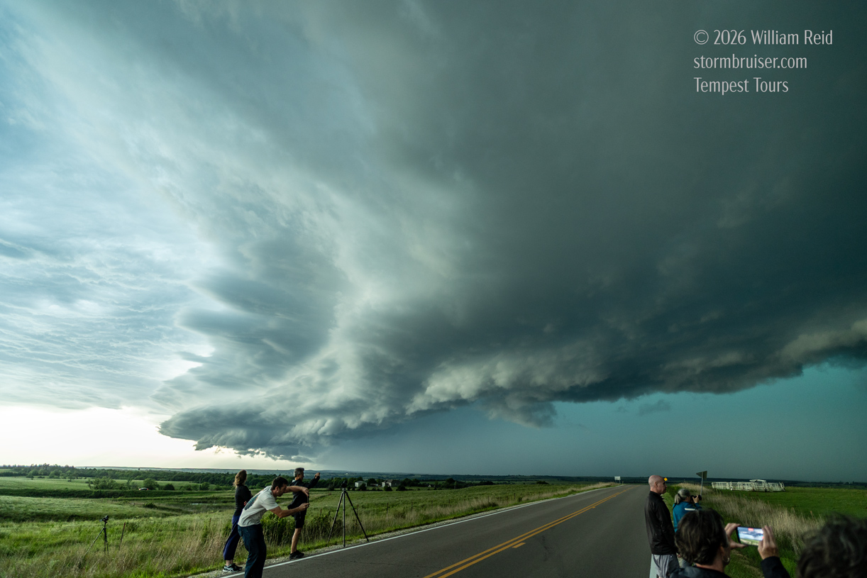
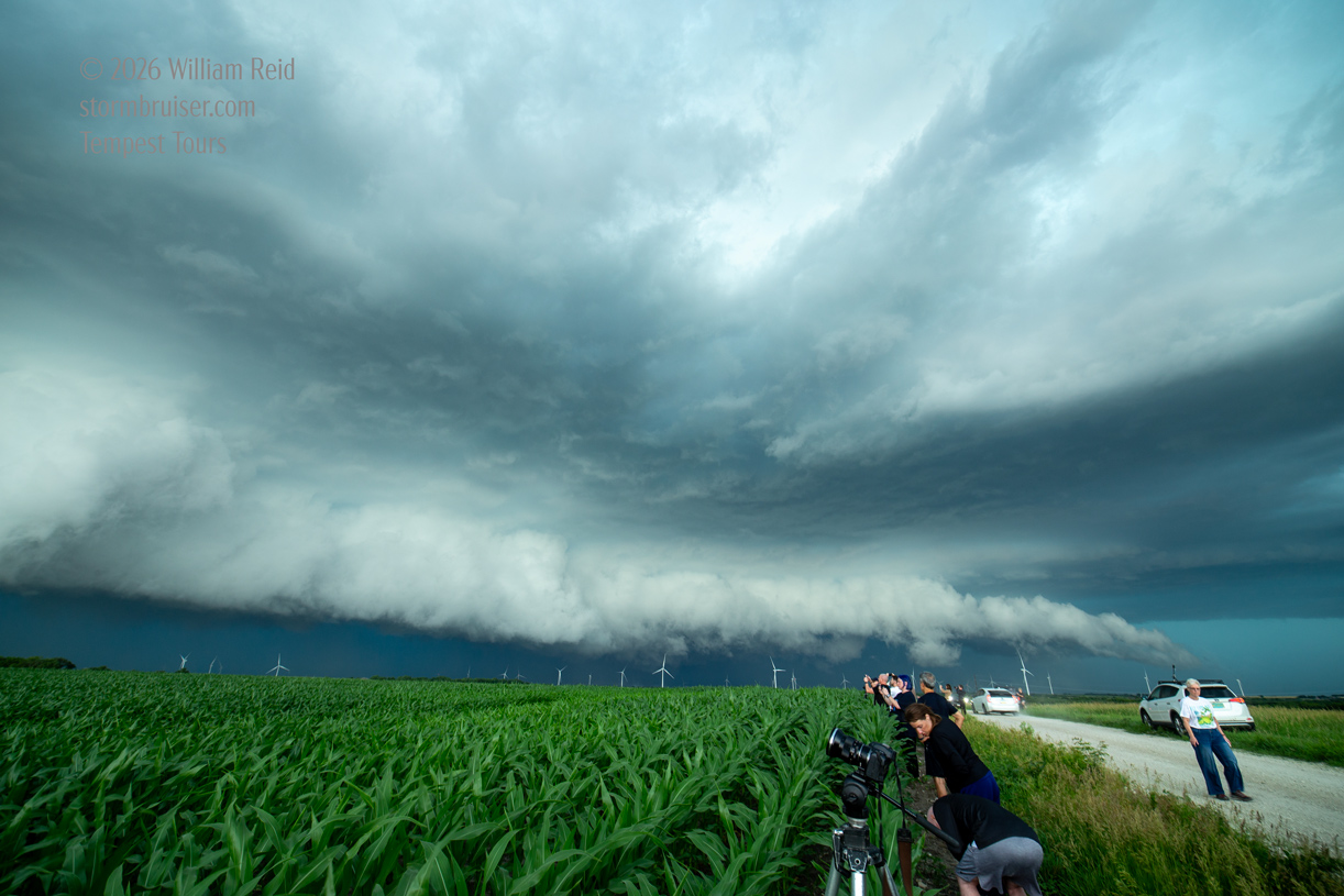
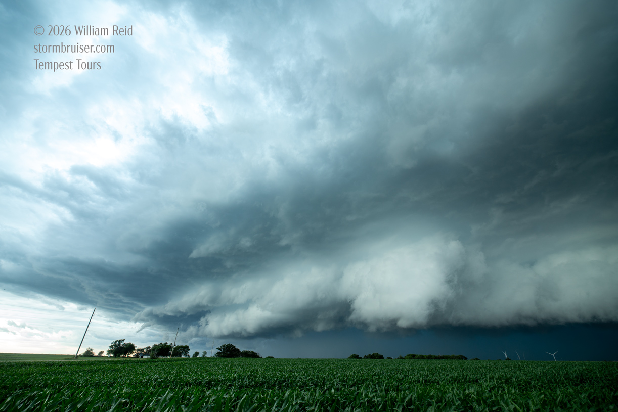
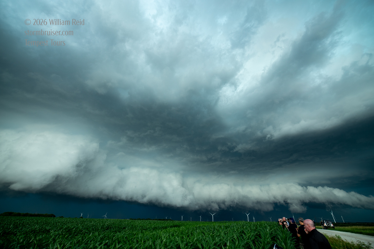
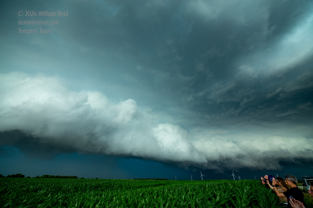
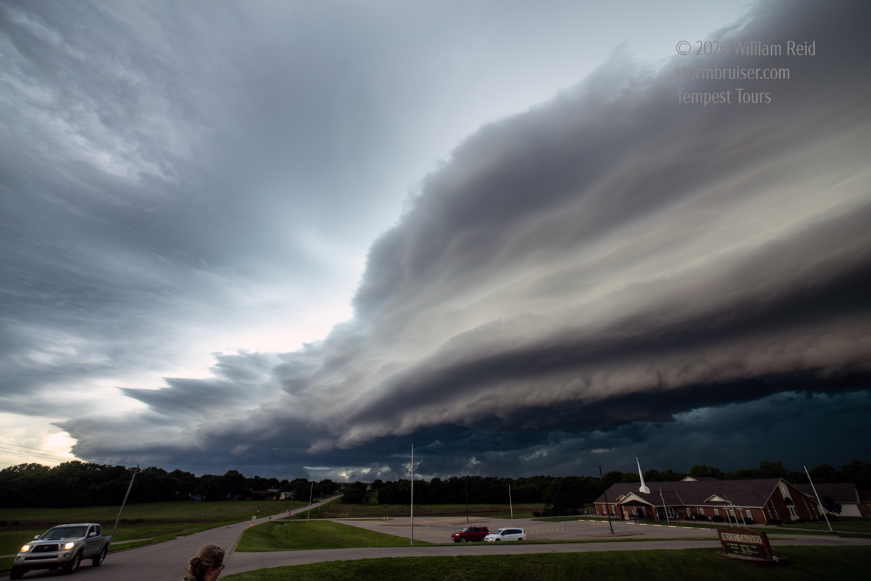
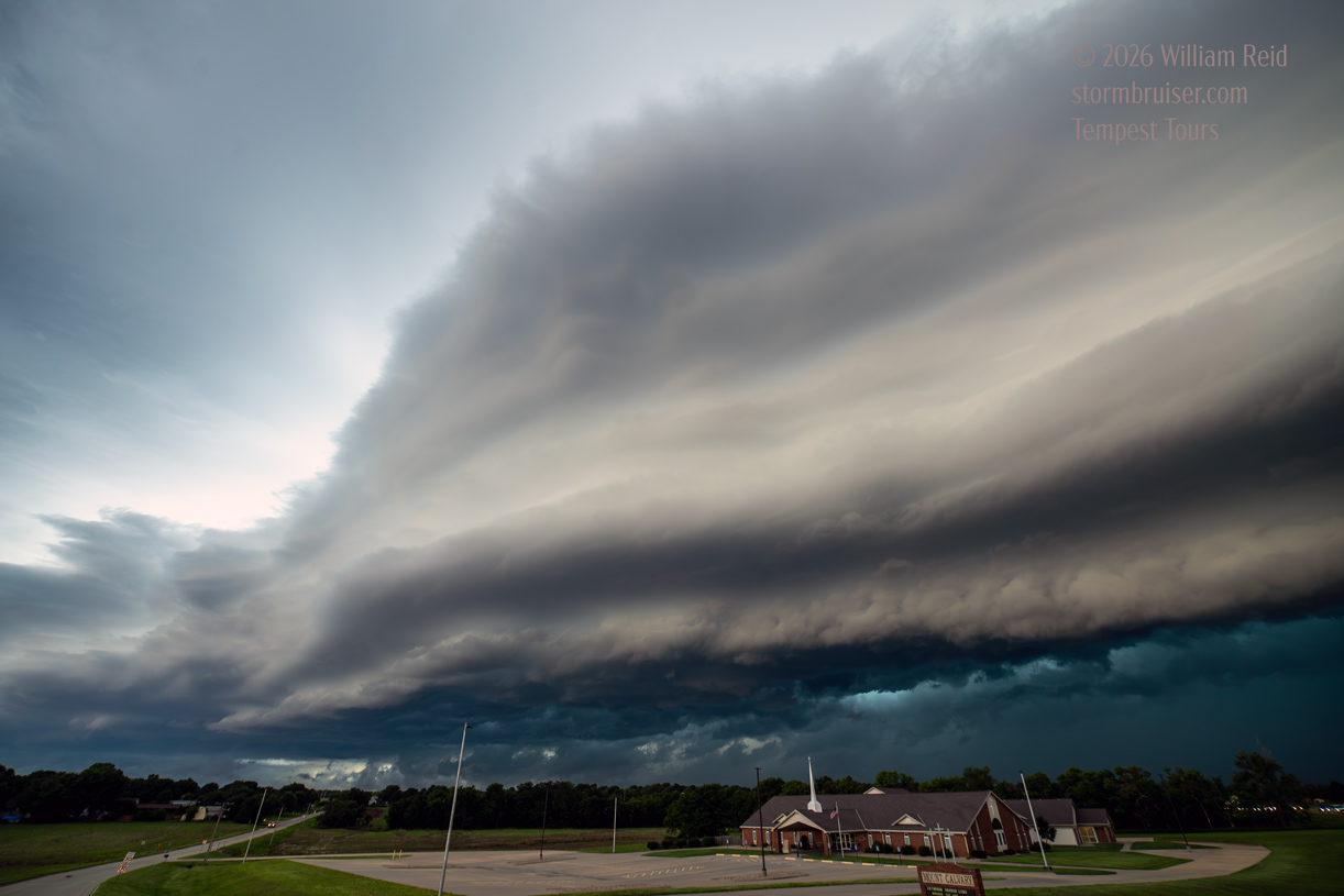
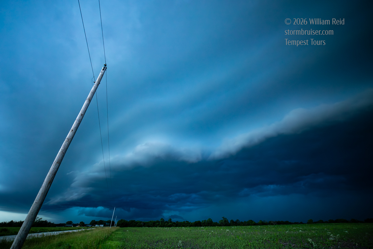
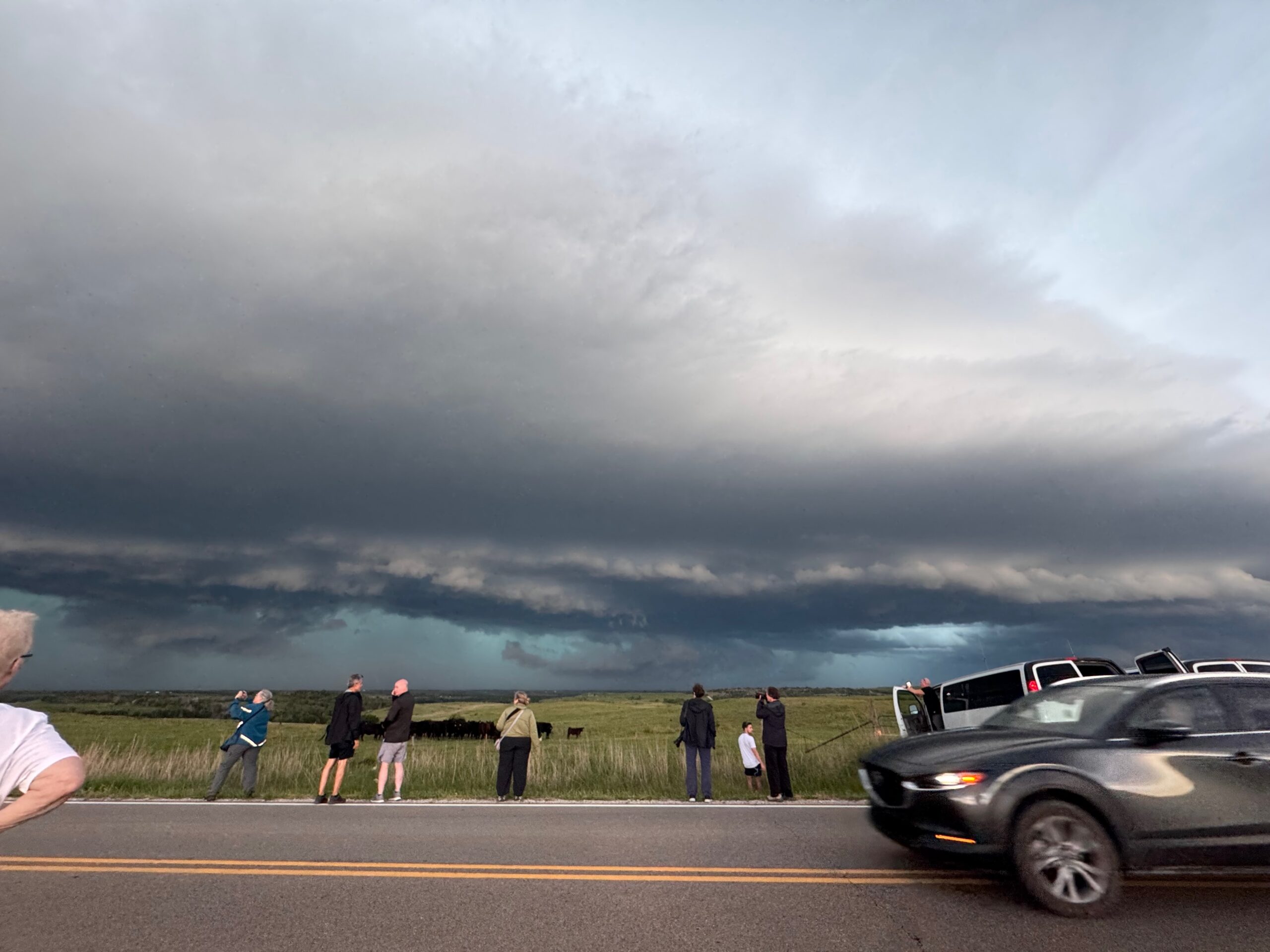
We were initially on a storm just north of Washington, but a new one went up a little southeast of town and took on a great supercellular shape. It moved to the east, just north of Highway 9, and the best looks took place between Blue Rapids and Frankfort. Our storm was tornado-warned around 5:30 p.m. CDT, and there was a very suspicious area not to far NNW to N to NNE of Blue Rapids. There was precipitation involved, and if there was a tornado happening then it was either weak or obscured. Or both.
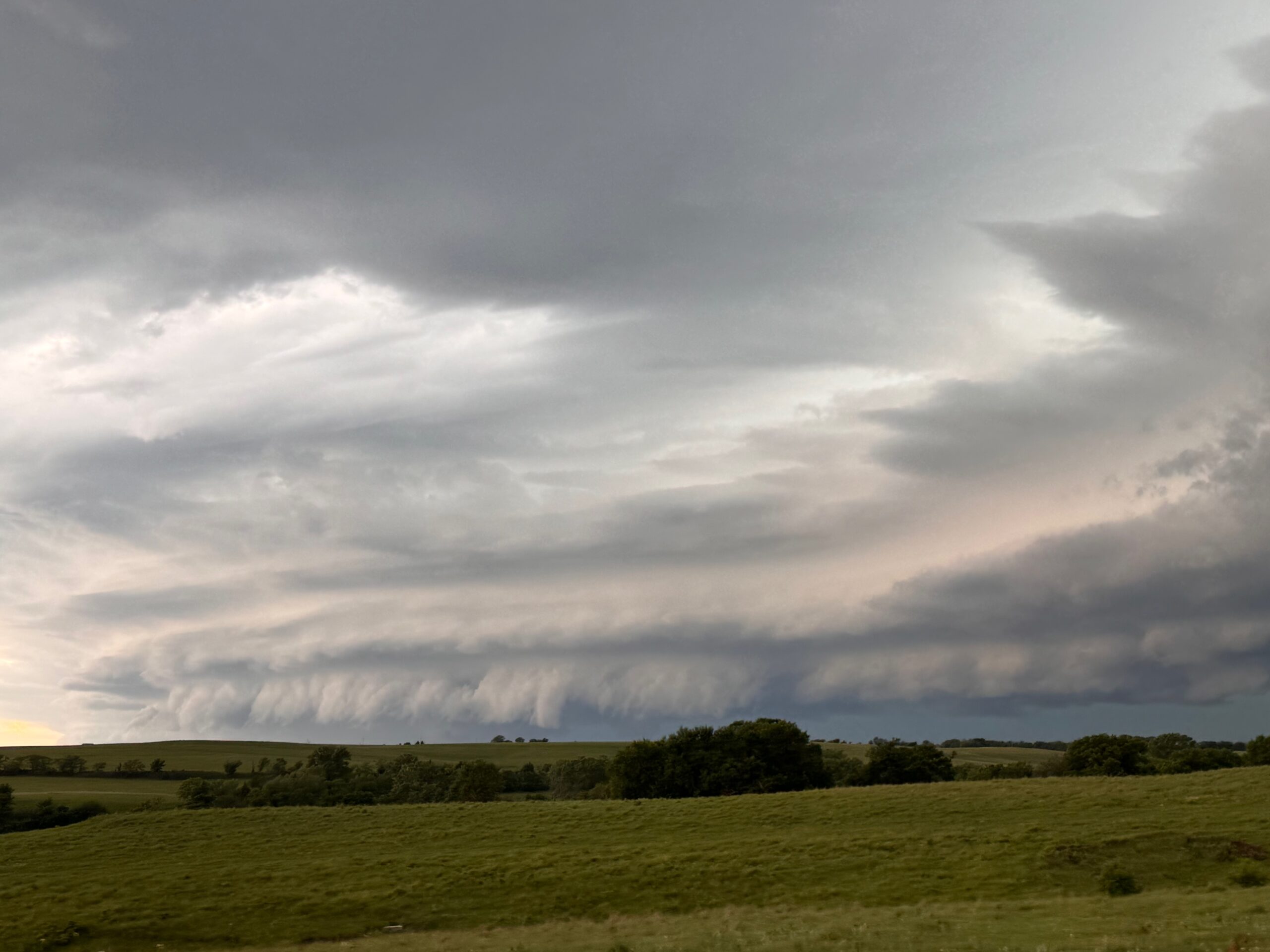
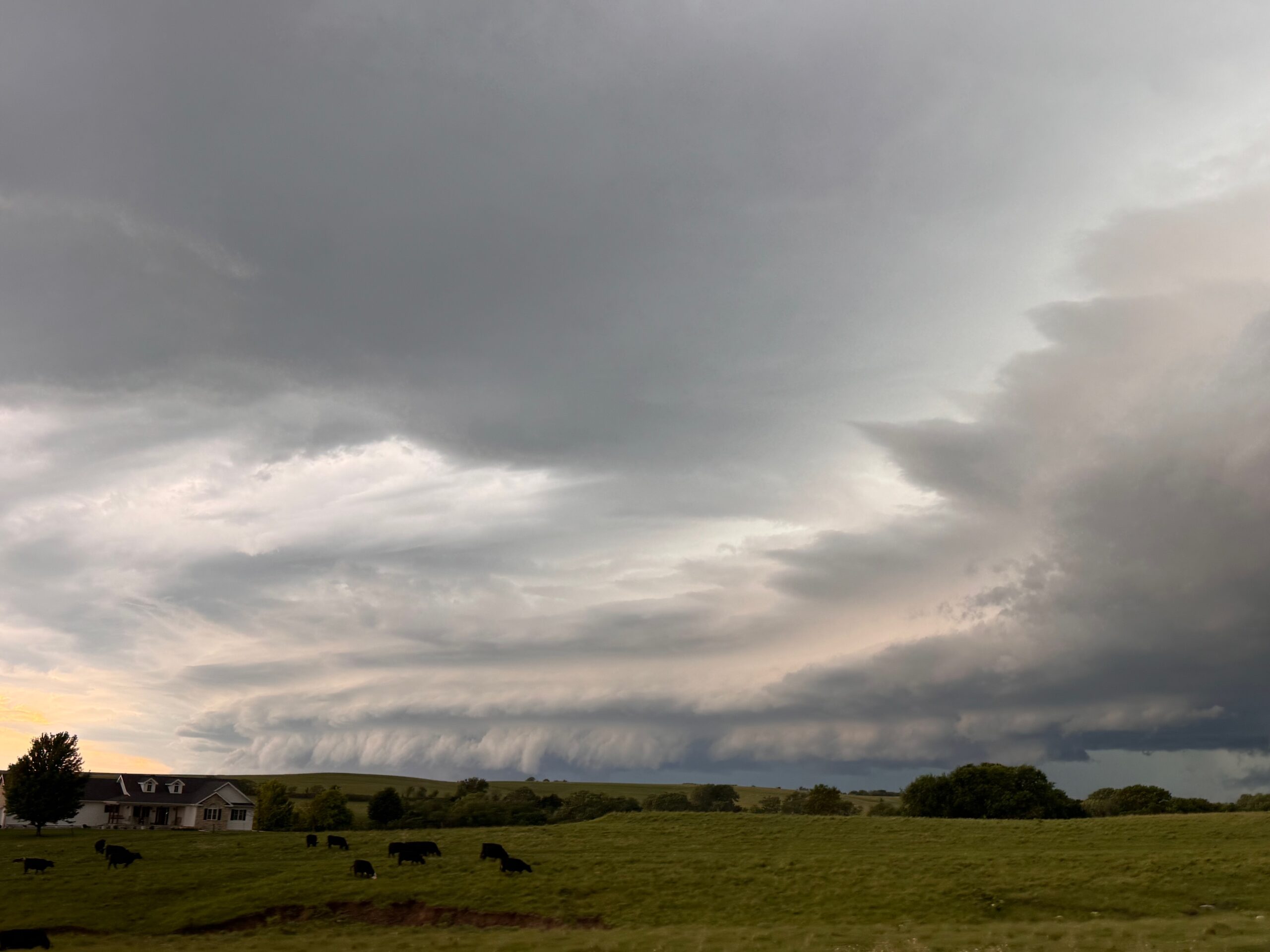
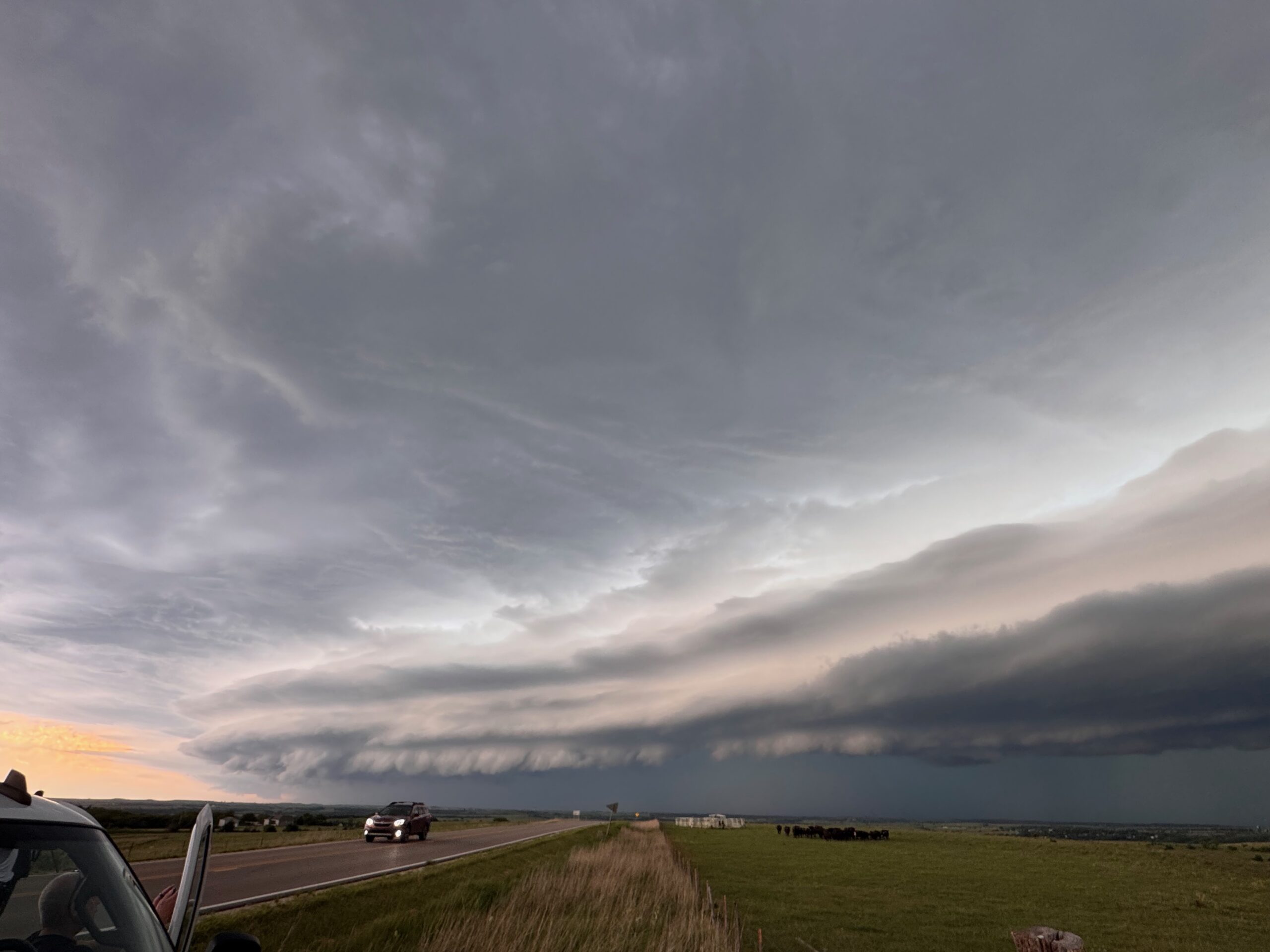
After the second tornado attempt near Frankfort, the thing was going into linear mode and diving to the southeast. This phase provided a neat laminar look and some whales-mouth clouds near Westmoreland.
Leave a Reply
You must be logged in to post a comment.