
Start: Burlington, CO/lunch: Subway in Syracuse, KS/End: Hugoton, KS/448 miles
Youtube video of the supercell, tornadoes and great storm structure on the east side of the storm by Jason Cooley
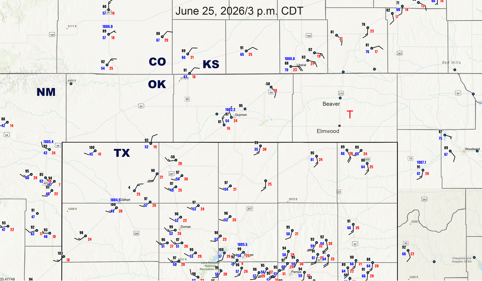
Above: Surface obs plotted for 3 p.m./20Z
A surface low/triple point was very close to Guymon, OK, in the middle of the Oklahoma Panhandle. Here, at 3 p.m., Guymon shows 97/54 with NNW at 10 knots. On the hour prior, Guymon showed 97/54 with SSW at 20 knots, and at 4 p.m. and 5 p.m. wind was SW to S again.
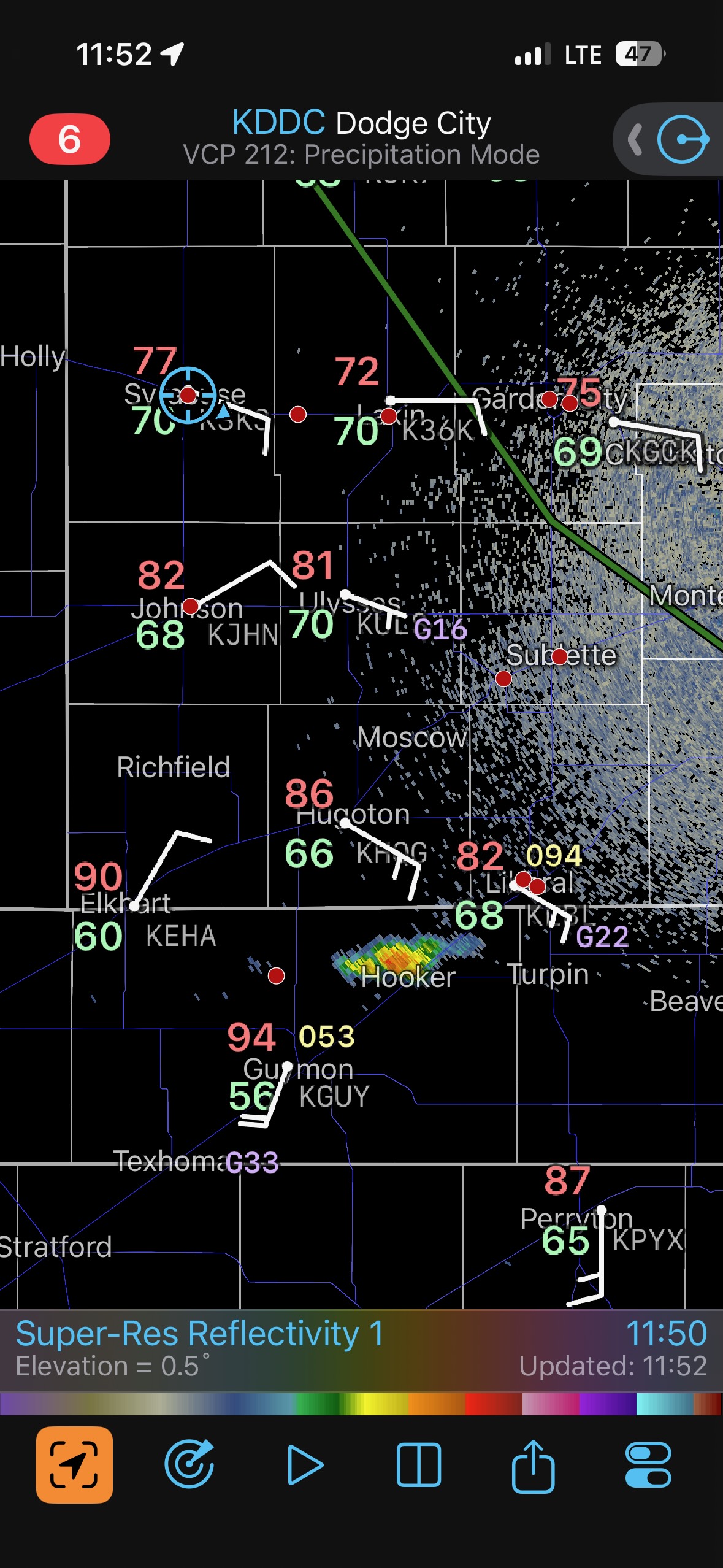
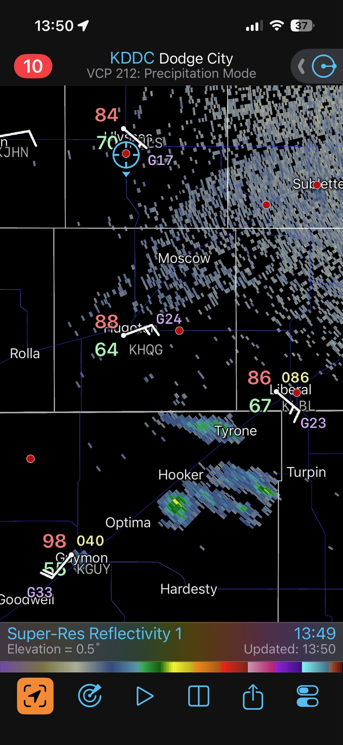
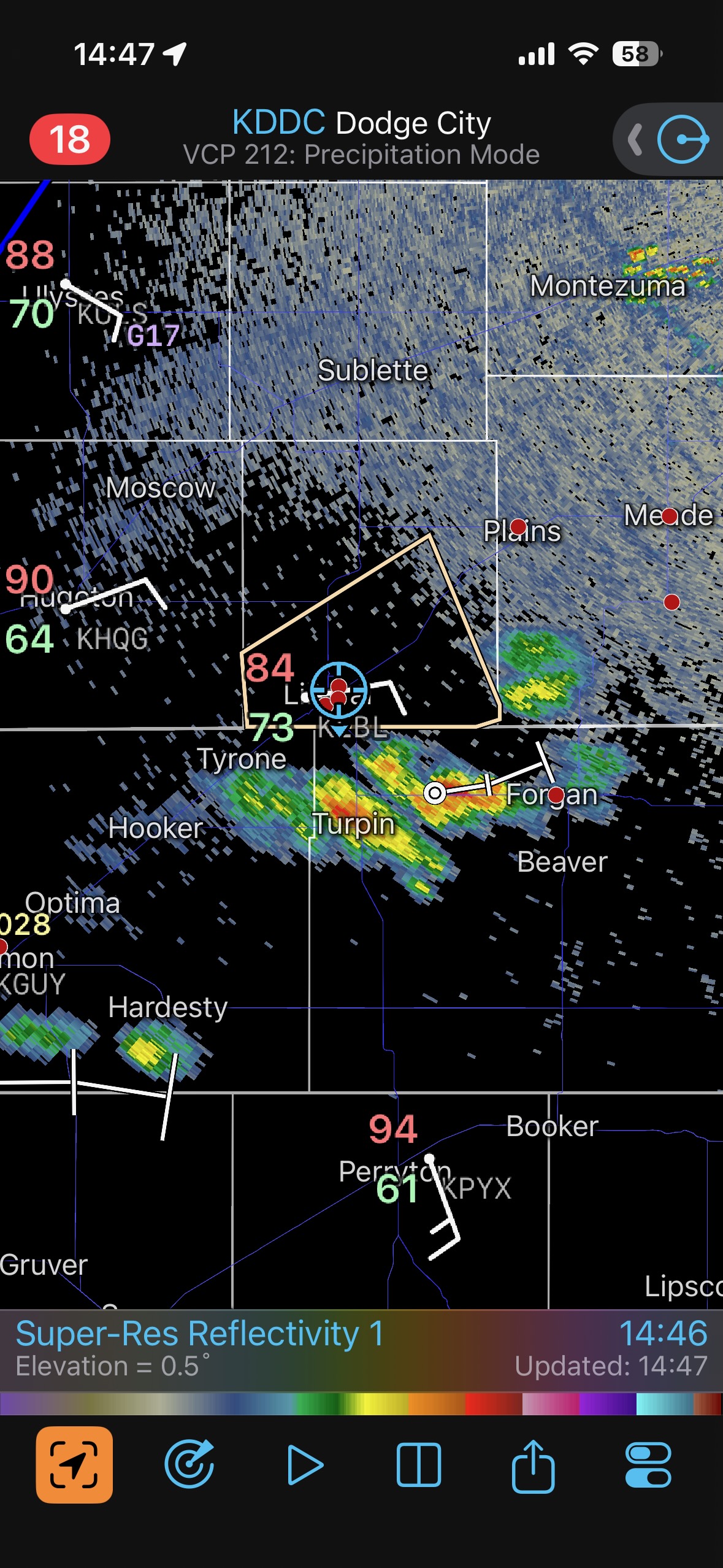
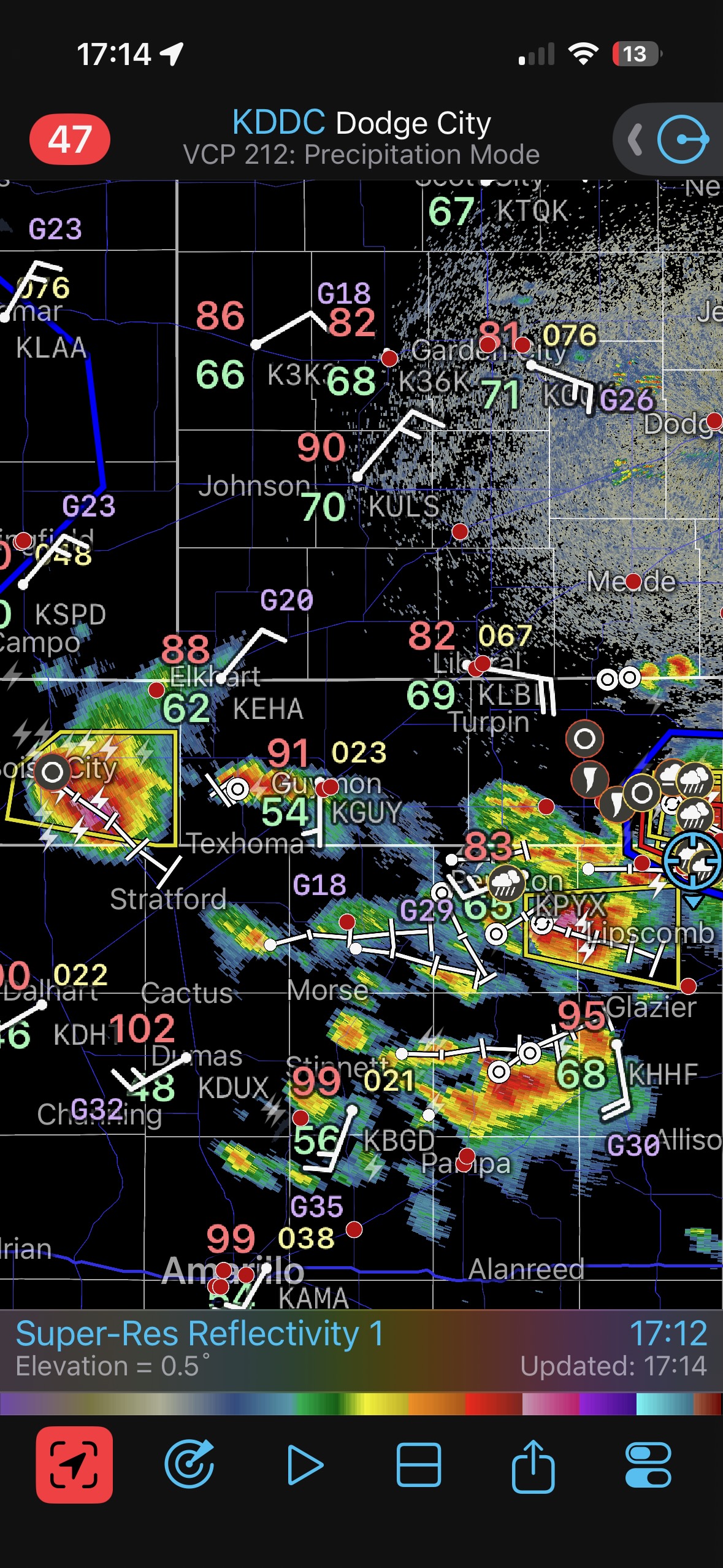
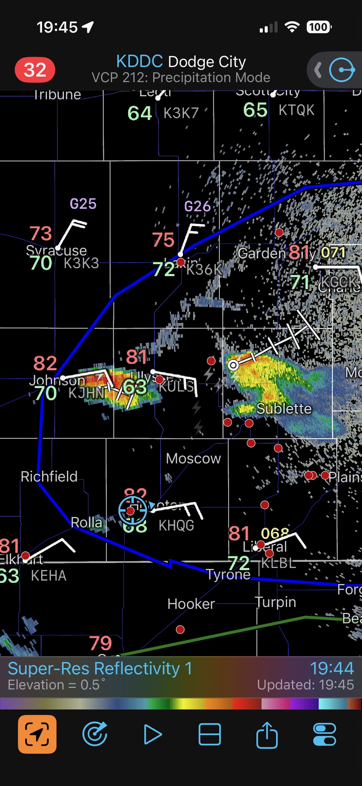
Our day began in Burlington, Colorado, in the cold and drizzle. We had to get south and east a little, as a front had sagged southward into the Oklahoma Panhandle. Fortunately, it was not moving southward much any longer by midday. The early mesoscale discussions by SPC (above) show the frontal location. The air along the boundary, just east of Guymon and to about Liberal and Meade, was warm and juicy…and winds were easterly. Any storm in this vicinity would be quite happy, with a tornado risk. We were running a little behind, unfortunately. We squeezed in a quick grab-and-go Subway lunch in Syracuse around 1 p.m. CDT, and there was already a storm three counties to our SSE, near Hooker, OK (see first radar screen grab below at 11:52 MDT). This small cell and others were forming in the good surface moisture convergence area close to Guymon, and moving to the ENE. But, as these high-based cumulonimbus clouds moved away from the hot air near Guymon and into the more stable atmosphere in northeast Texas County (closer to Liberal), they struggled and died. Lucky for us.
Of course, with additional daytime heating east of the triple point, the chances would increase quite a bit that a storm could sustain itself and take advantage of the excellent instability near the front in the eastern Oklahoma Panhandle. SPC showed a 5% hatched tornado risk from about Liberal to Coldwater to Kiowa and eastward along the OK/KS border. Their midday mesoscale discussion favored areas near Highway 283 (Minneola to Englewood to Laverne) and eastward. I saw dew points quite close to 70F pouring into the eastern OK Panhandle. There was little need to consider any other target. We needed to get ourselves to Liberal…and out of Liberal…and hope the show did not start without us.
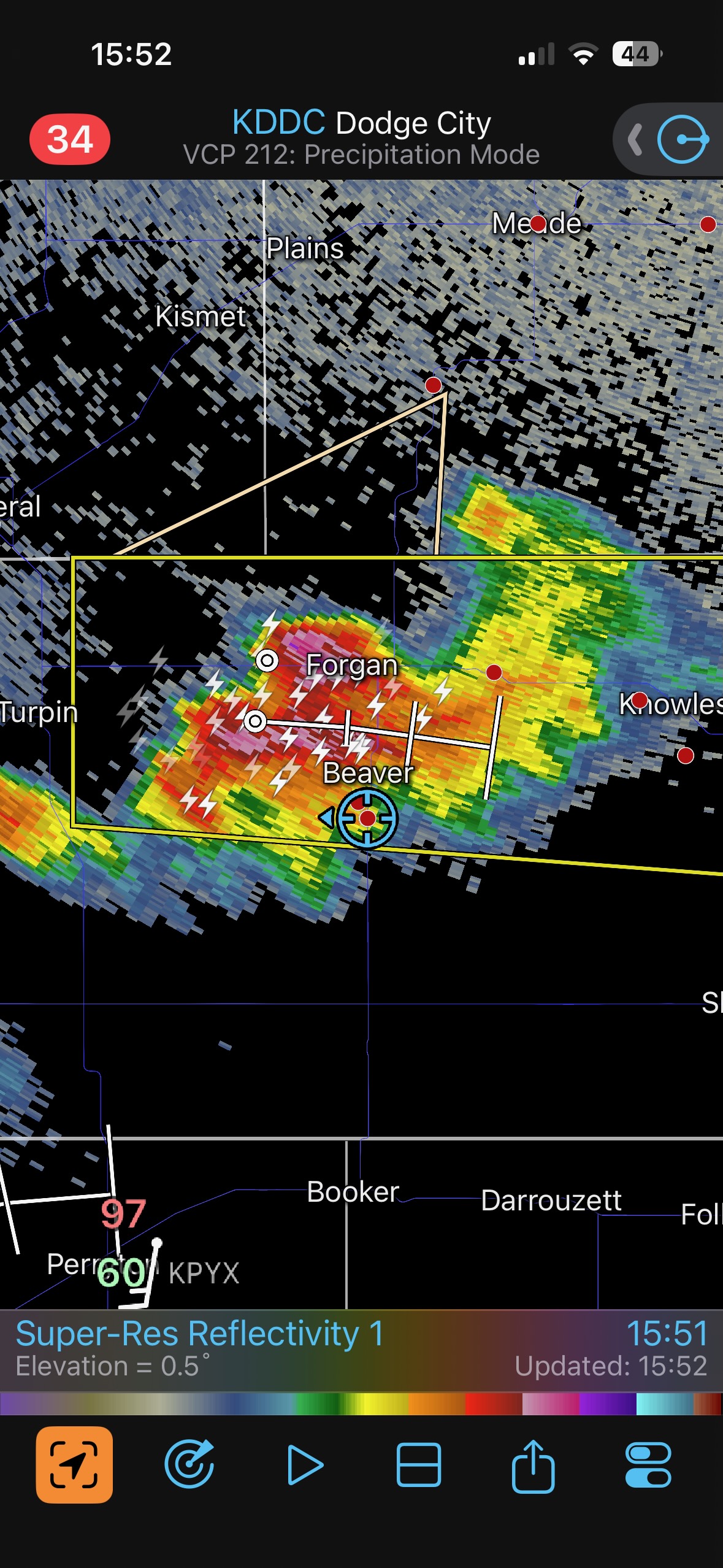
The radar image at 14:47 (2:47 p.m. CDT, below) shows our location at Liberal, with a new strong blip south of Liberal, at Turpin. The two images prior to that radar shot are of the developing storm to our SSE. New updrafts powered upwards on the western side of this convective area, and 30 minutes later we were motoring eastward through a heavy storm core along U.S. 64 towards Forgan. All we needed to do was pray for no big hail and to get in front of this thing, near Beaver.
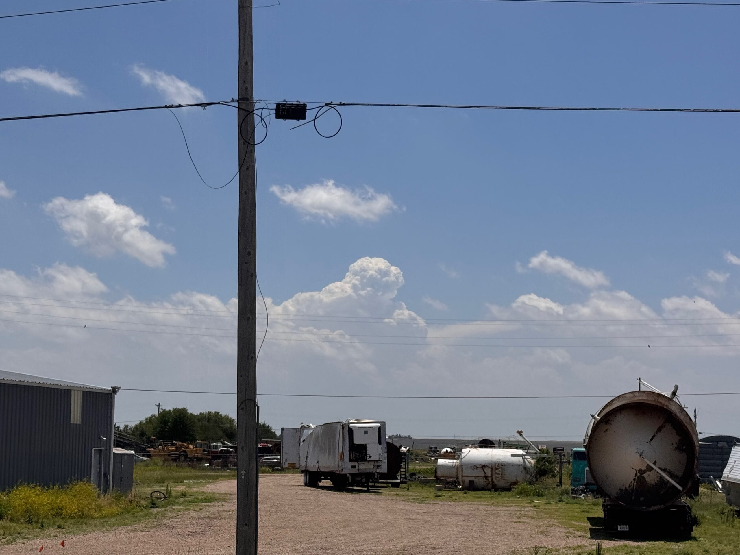
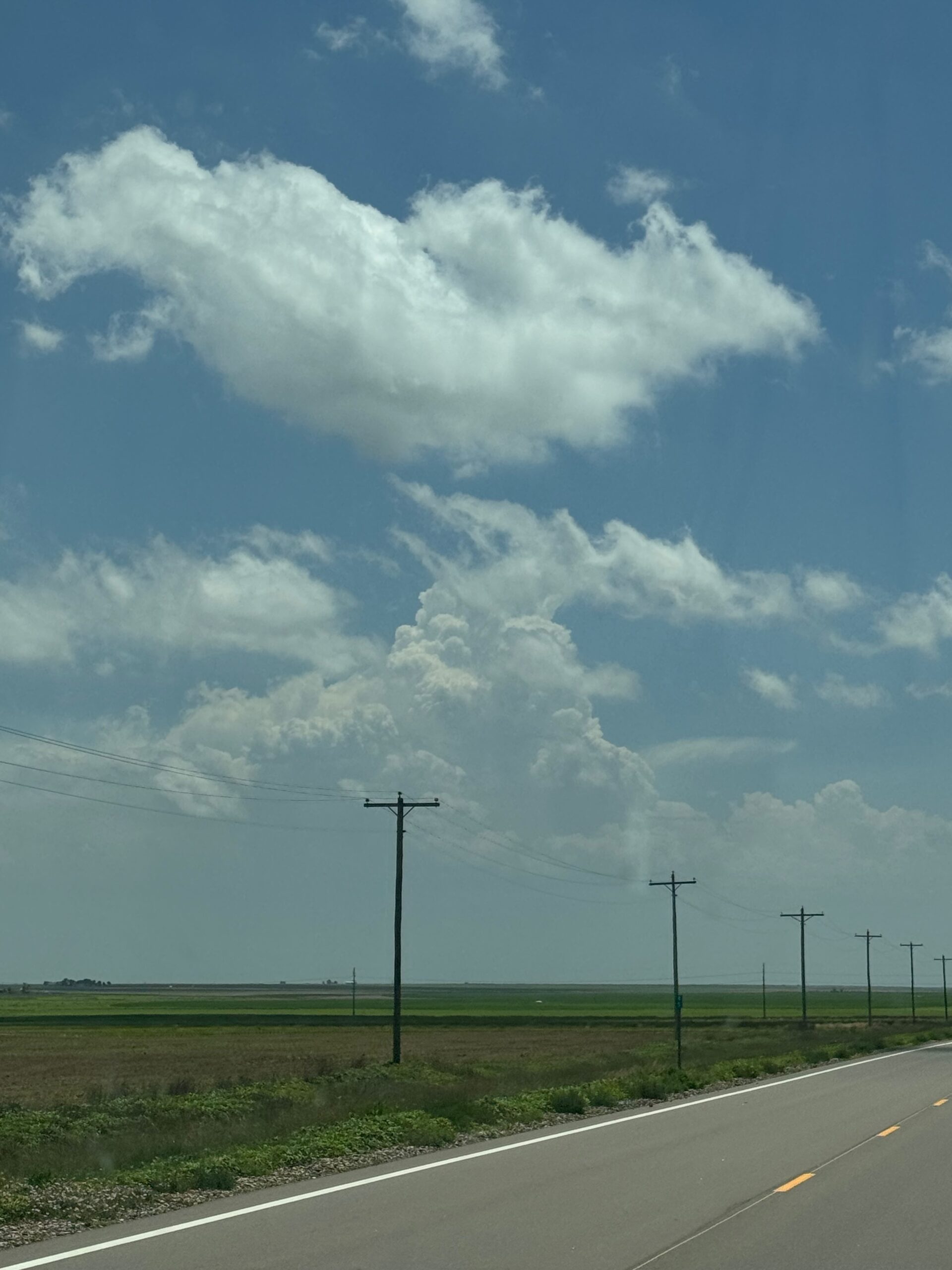
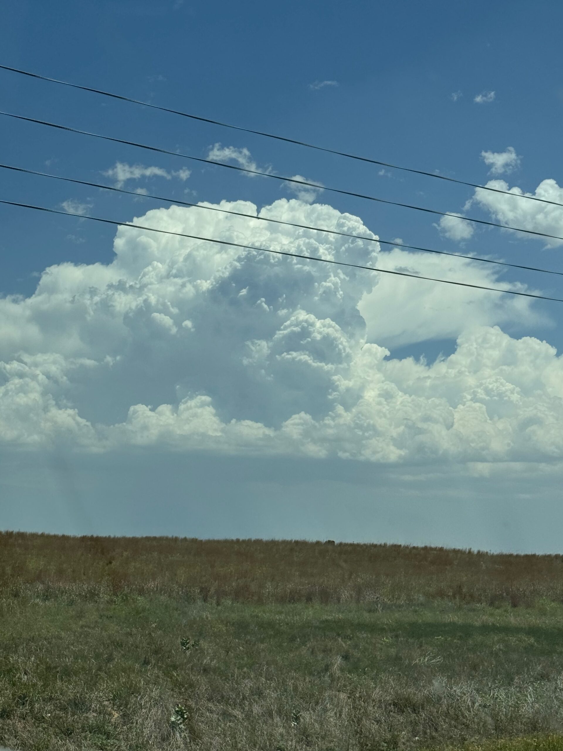
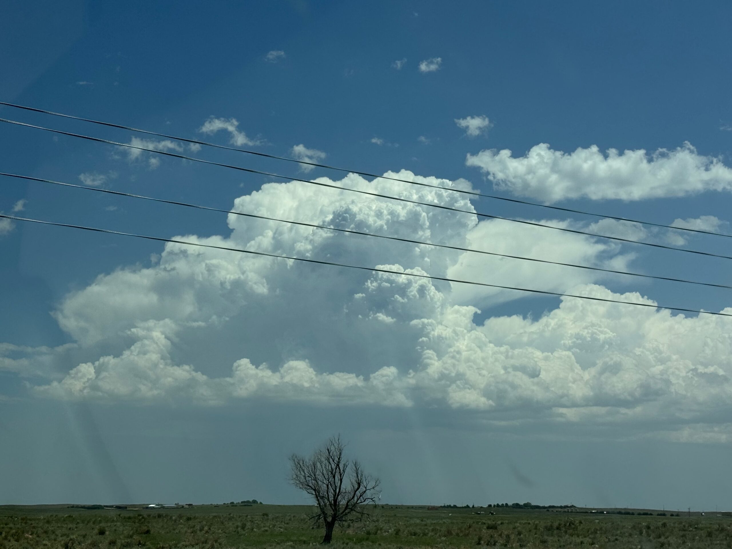
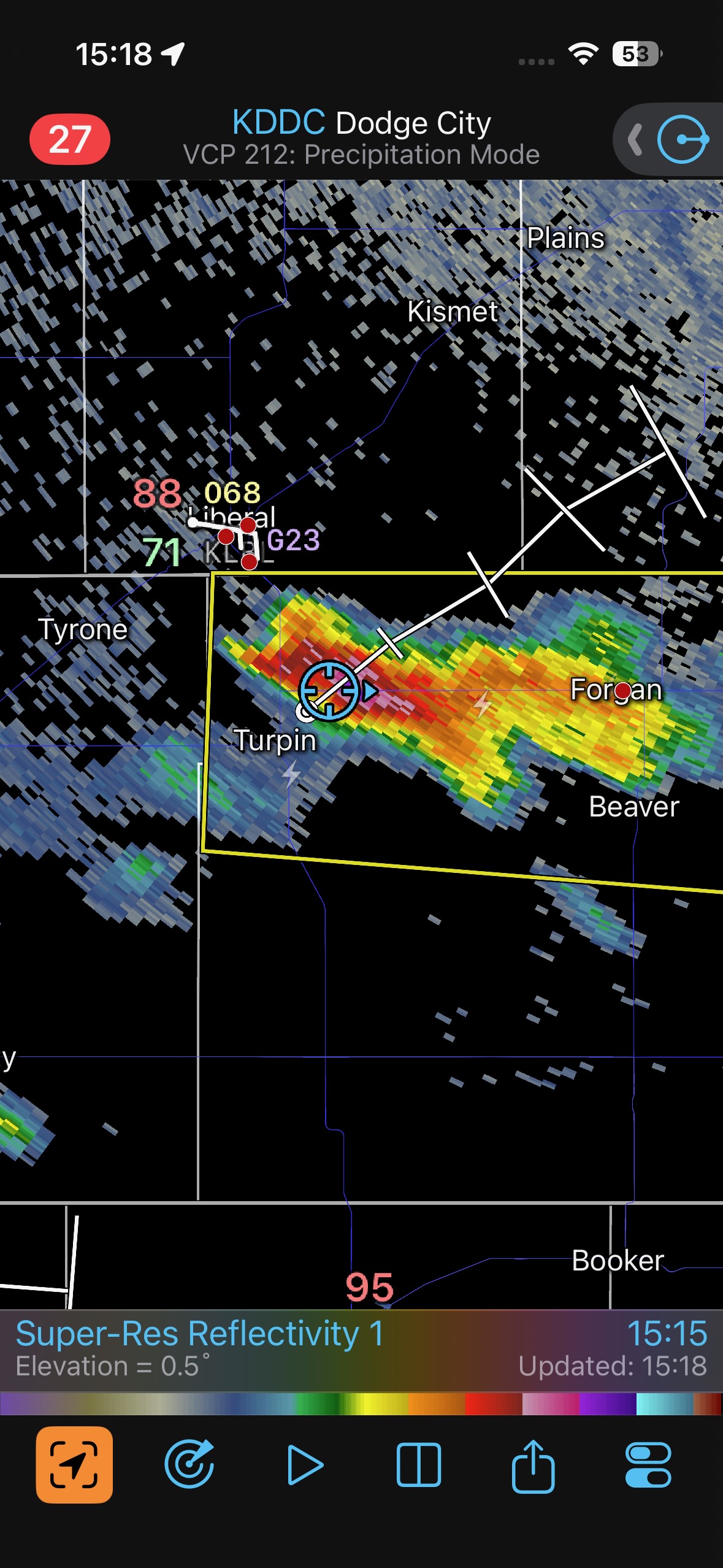
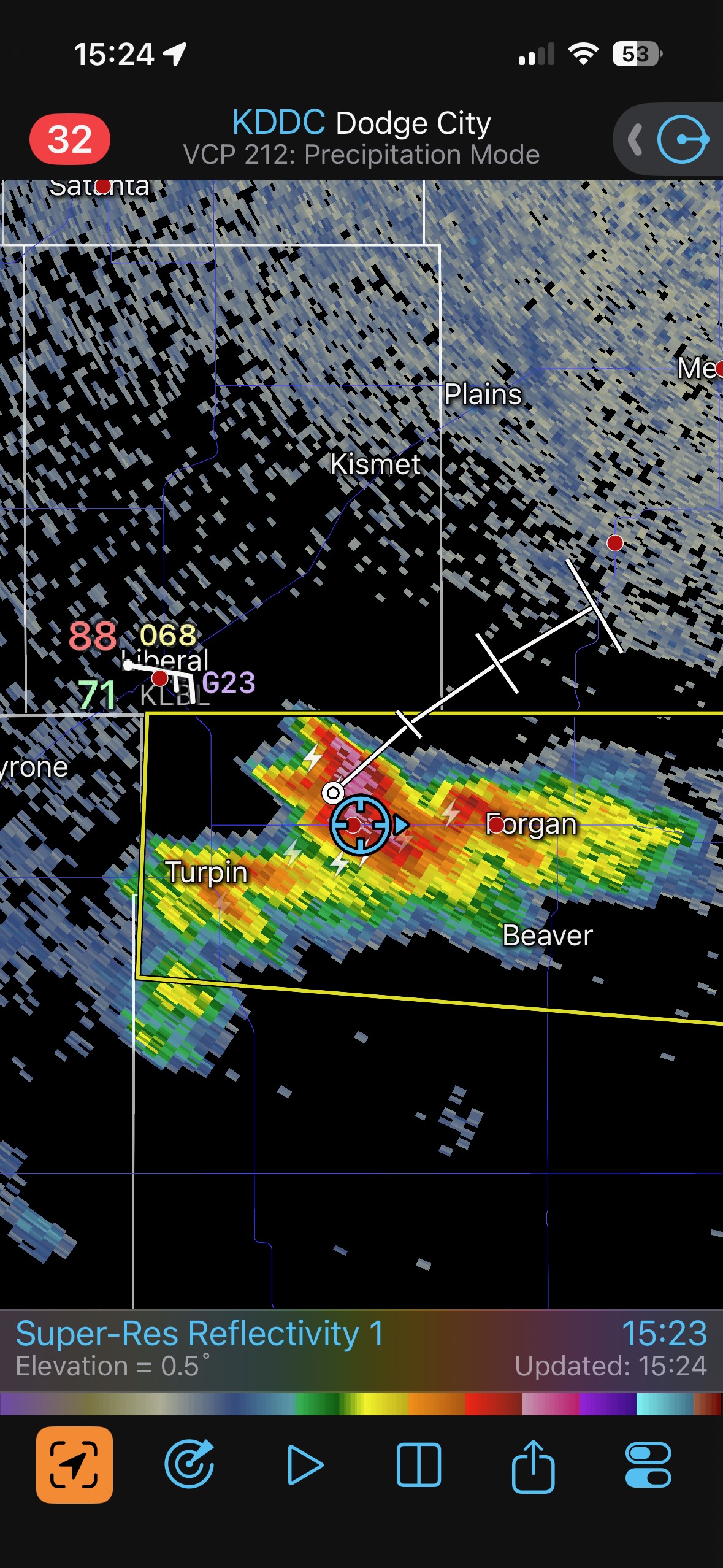
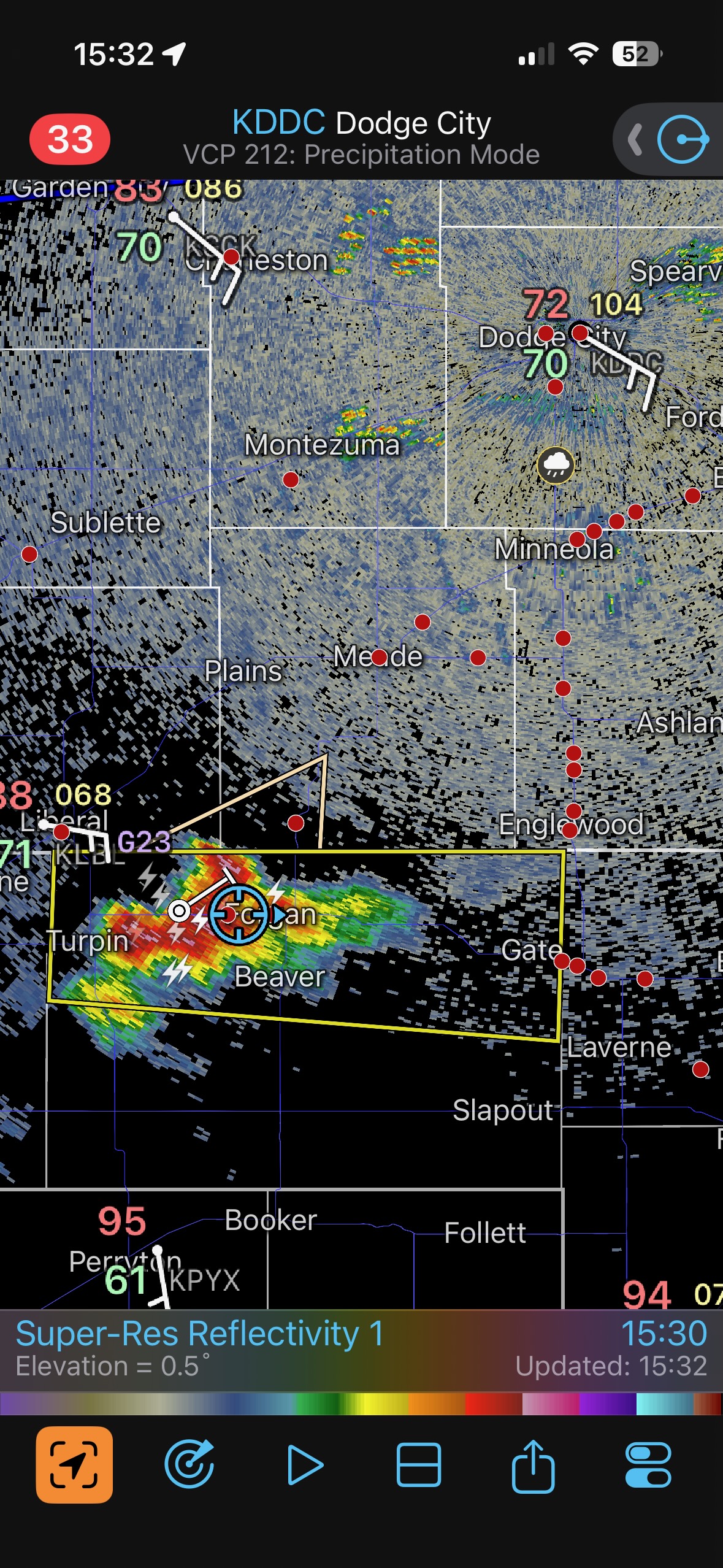
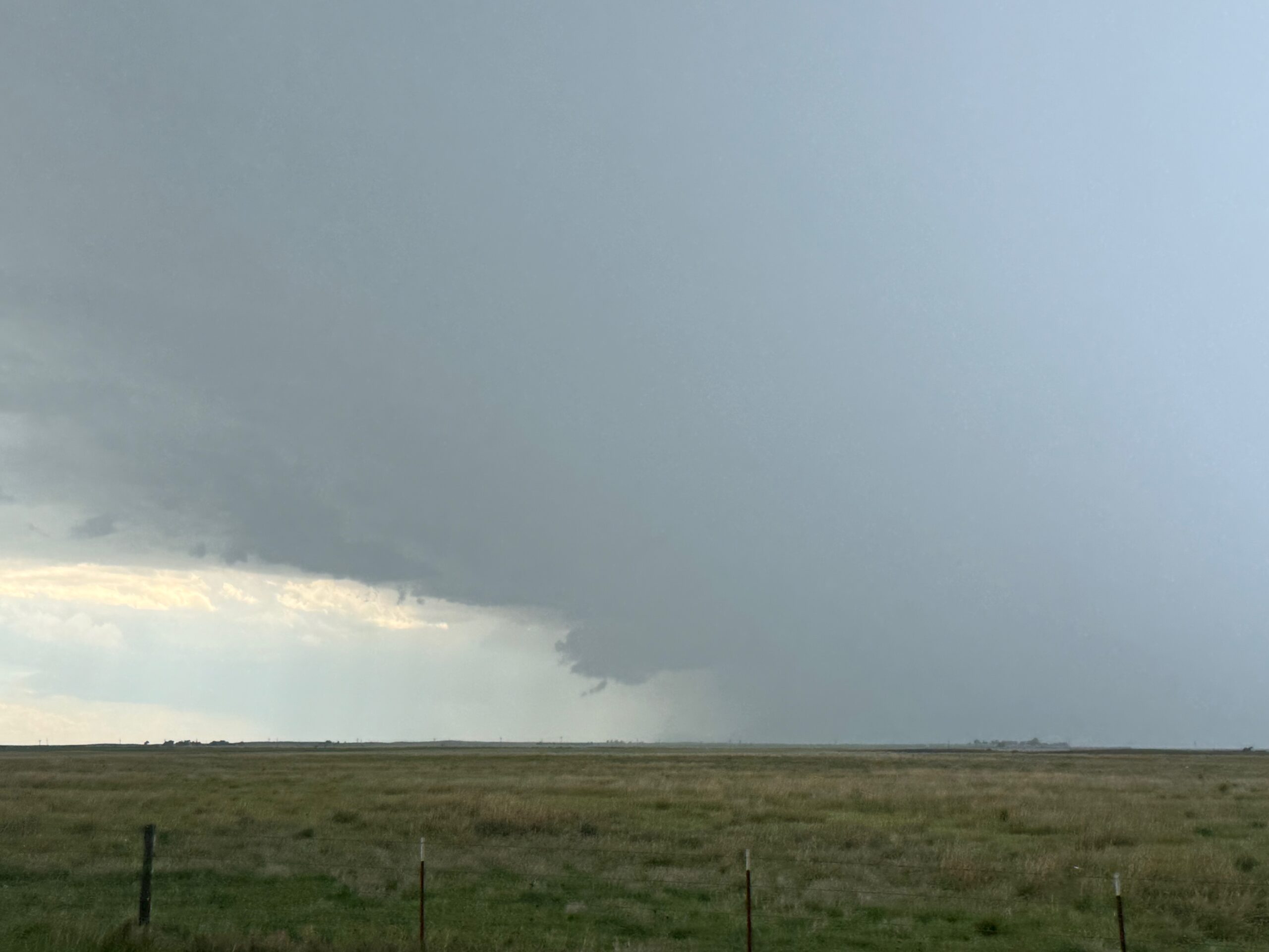
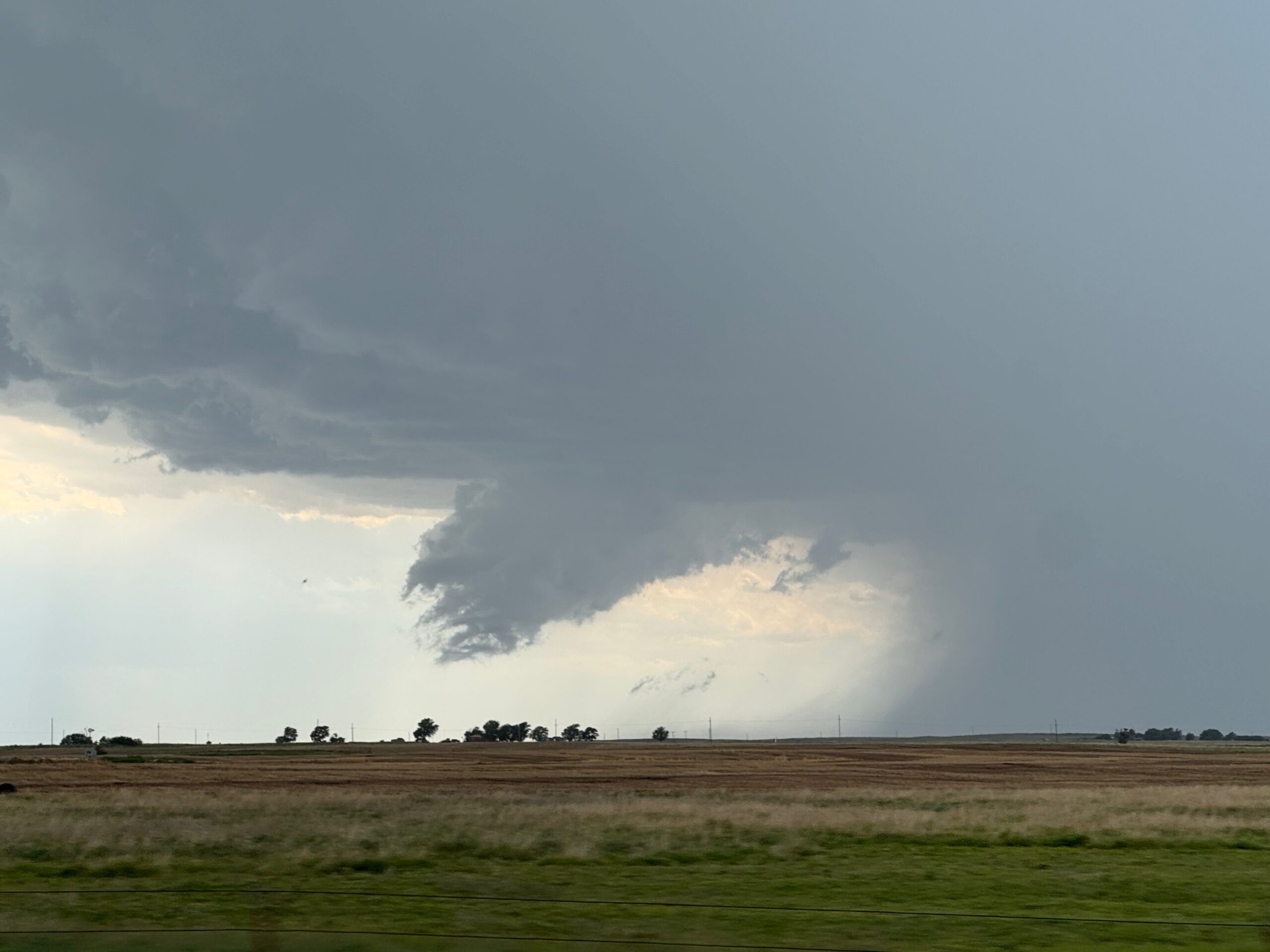
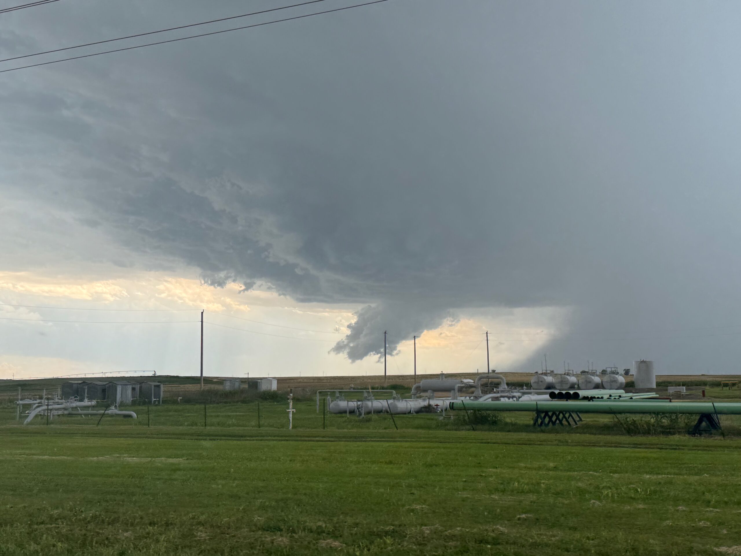
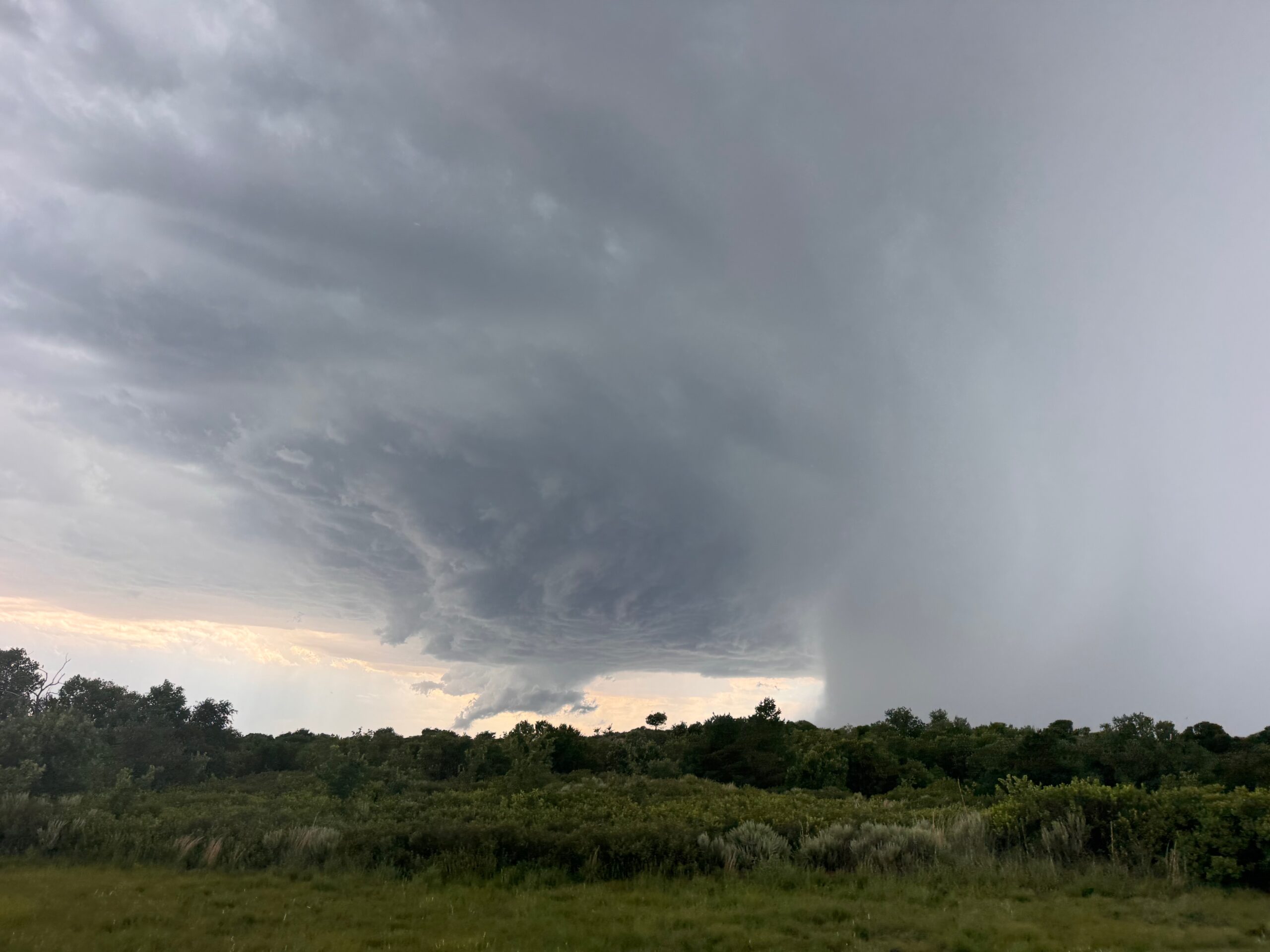
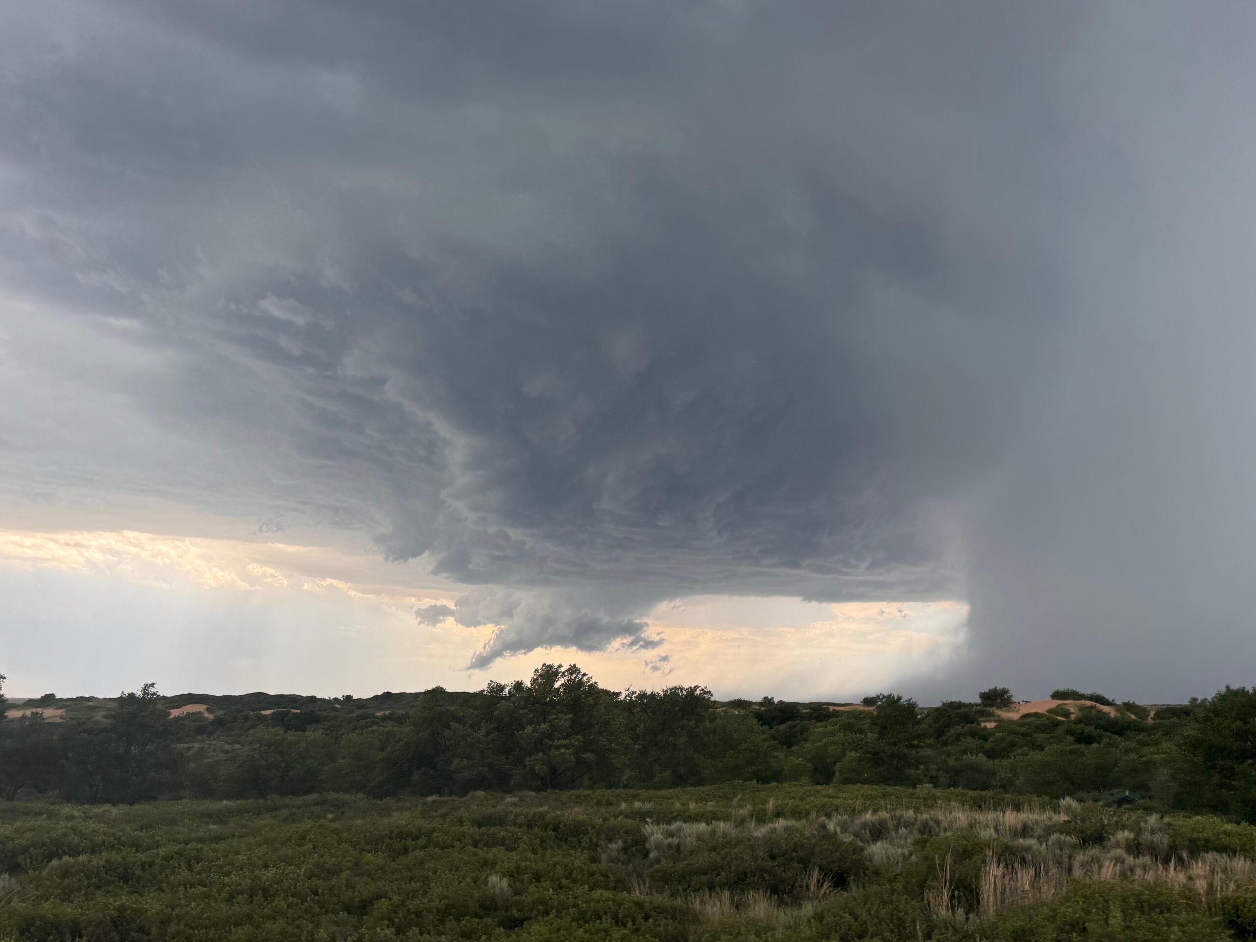
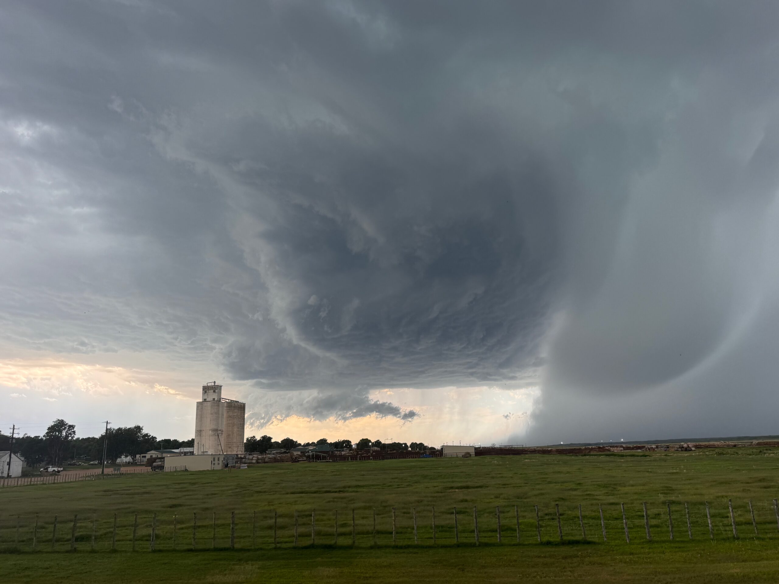
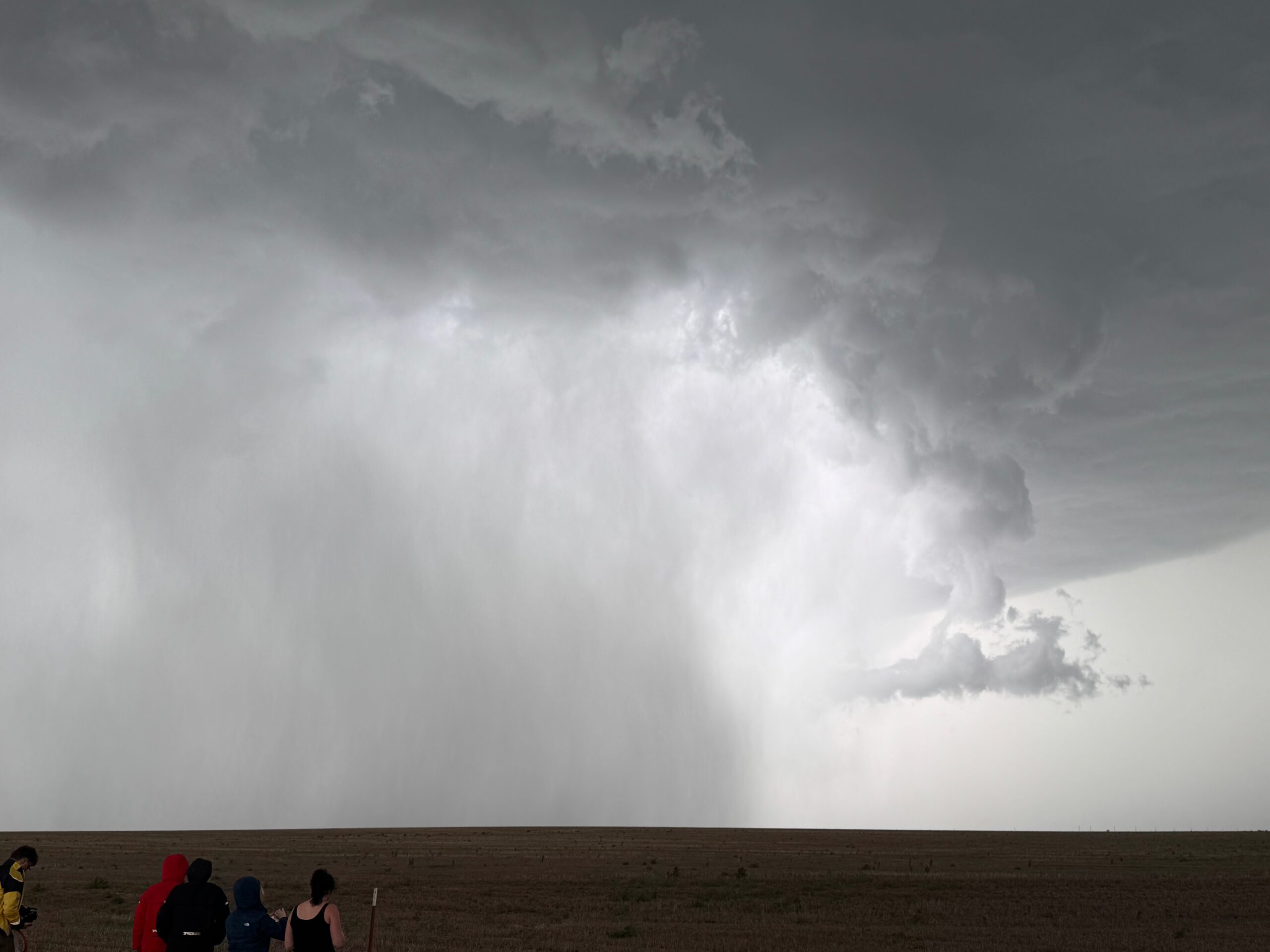
We made it through the core with just little nuisance hail. We broke out of the rain along 270 southbound as we approached Beaver, near 3:40 p.m. CDT. An impressive updraft base was not too far west of town, with a flimsy wall cloud. I’ll take it!! A supercell was born.
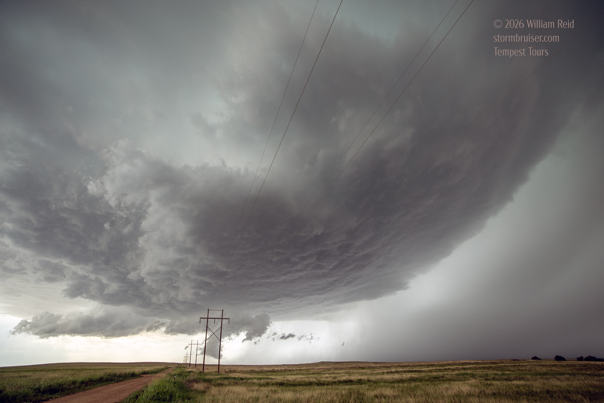
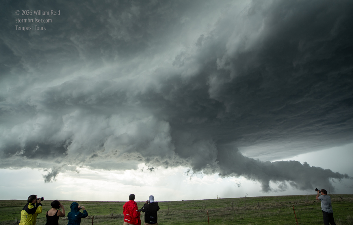
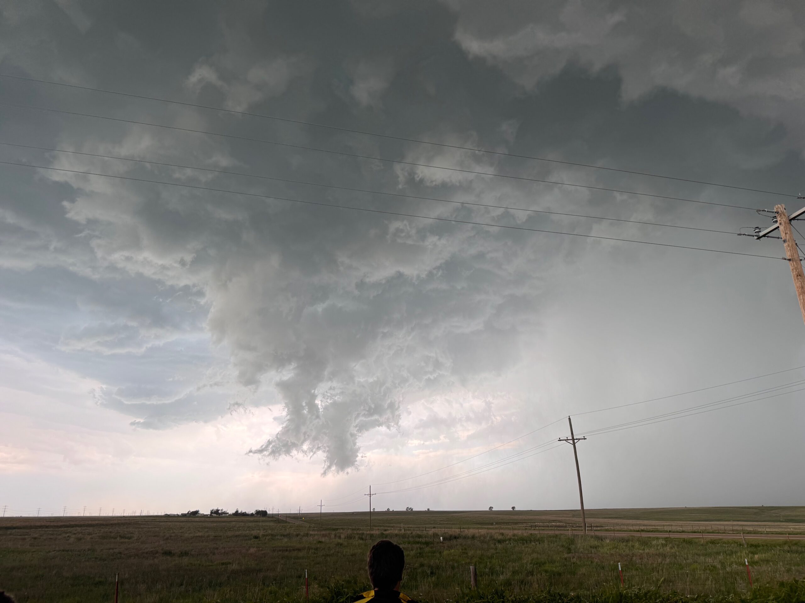
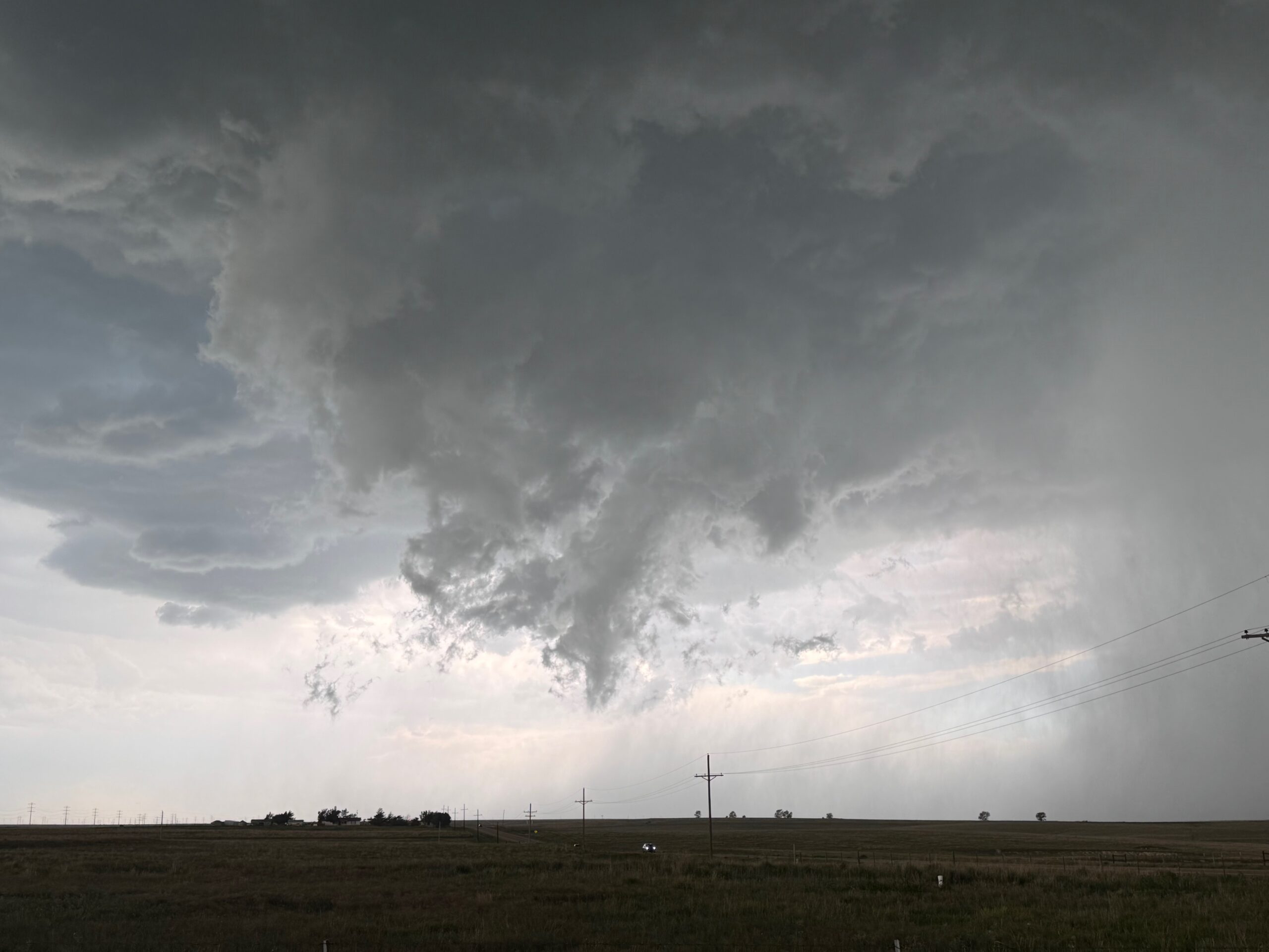
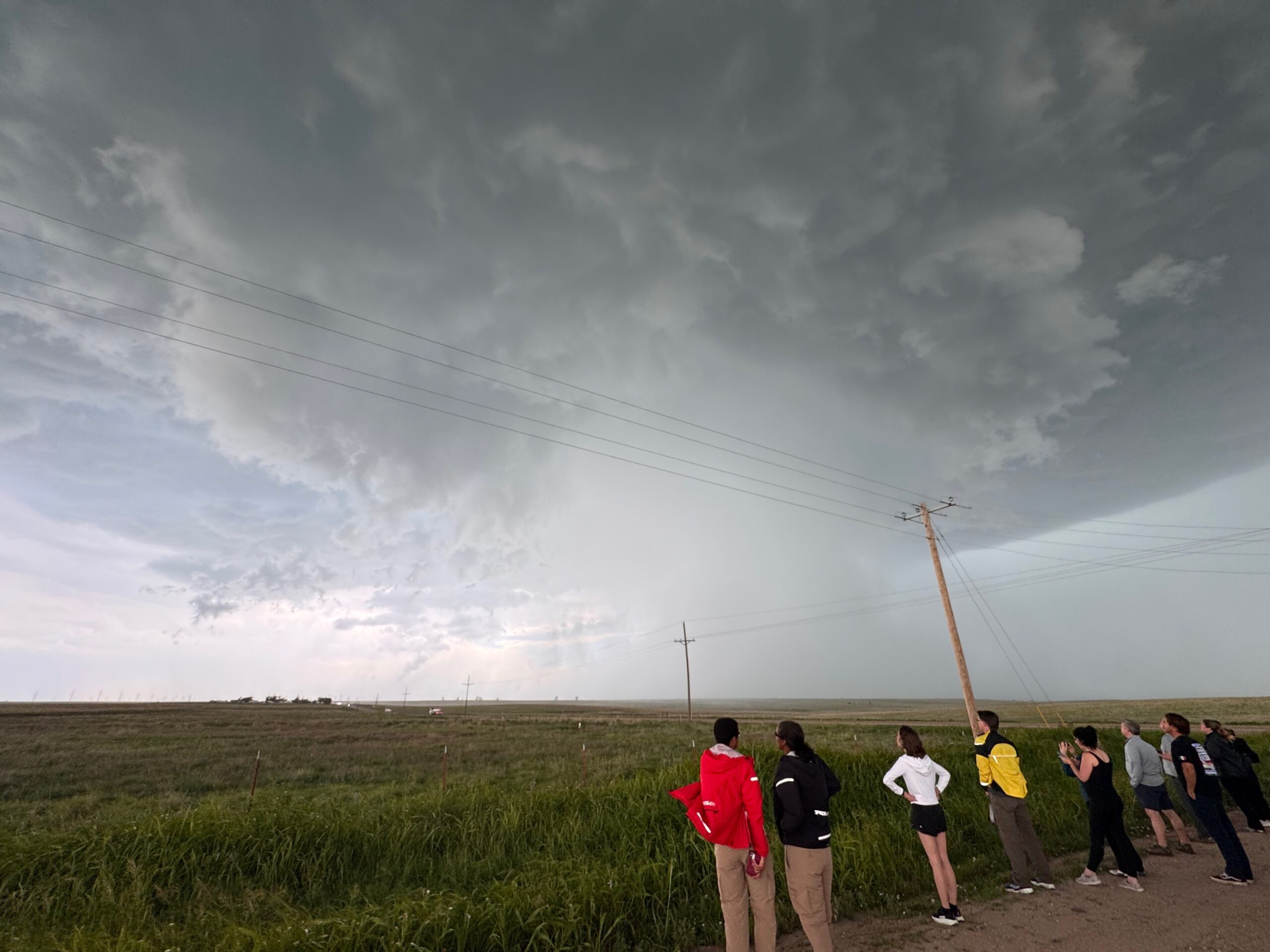
Low-level organization became better and better as the storm approached Beaver. We stopped a few miles or so south of town, close to the path of the wall cloud. Rotation was obvious in this lowering, and I thought that we might get a tornado a little west of 270. The three images below are off of the Canon camera, at this stop south of Beaver, looking west and WNW. That tail cloud is scraping the ground to our northwest.
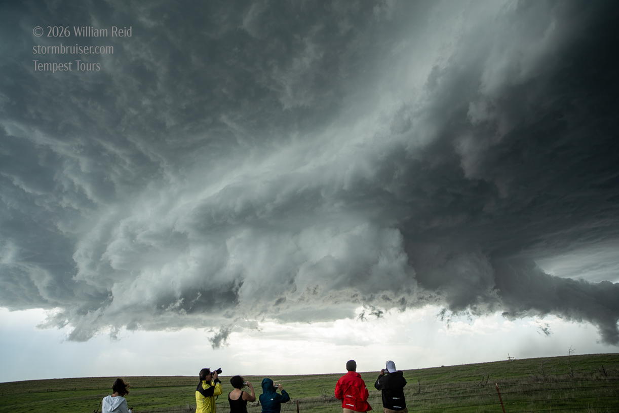
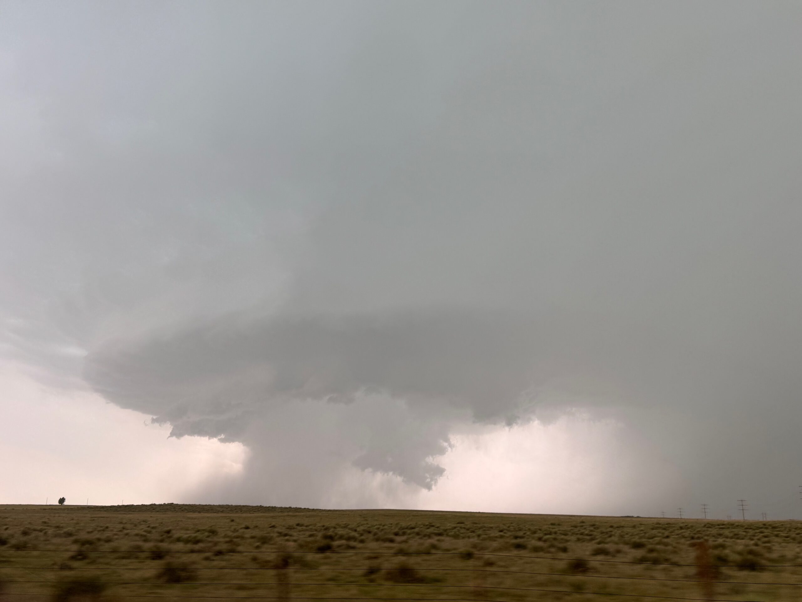
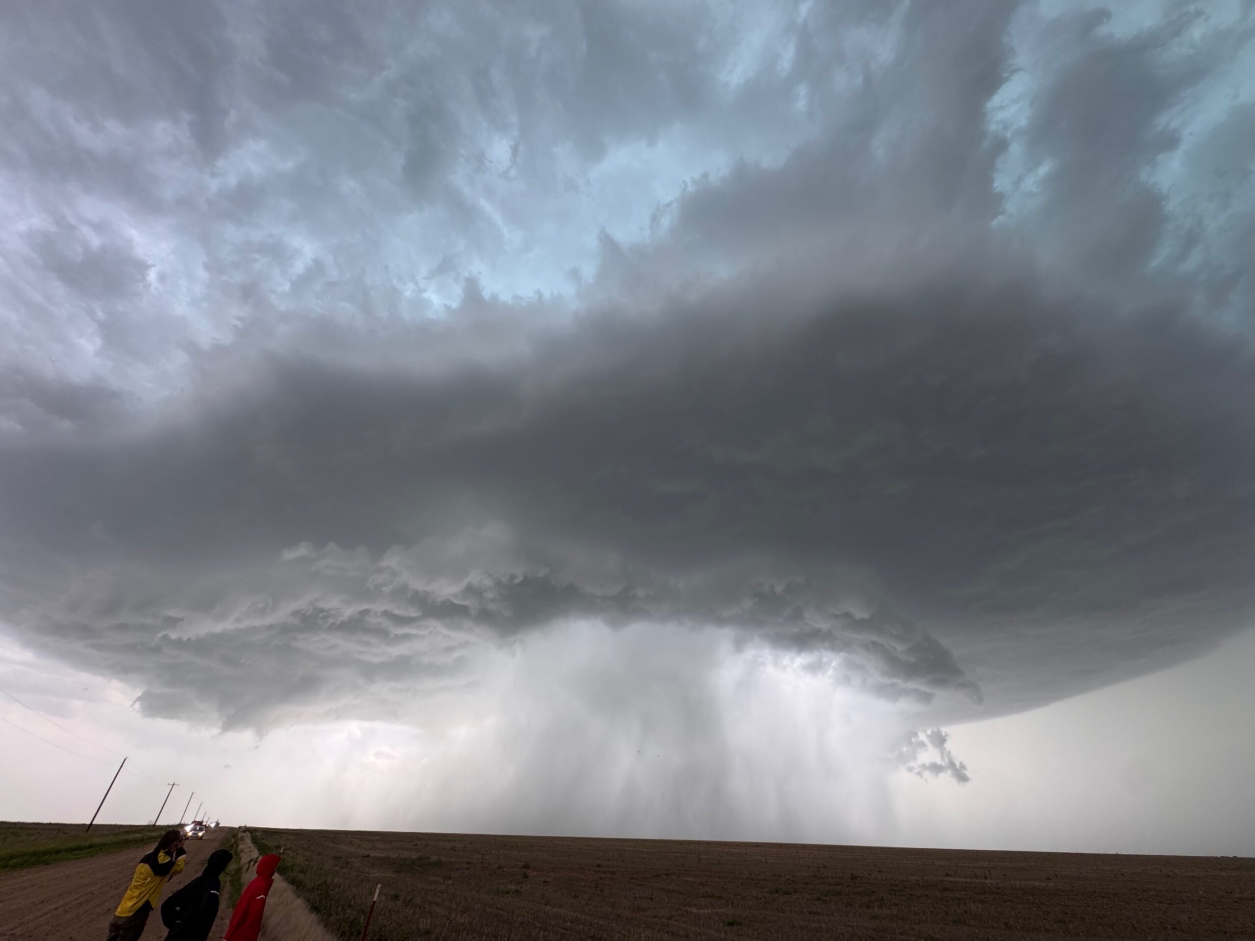
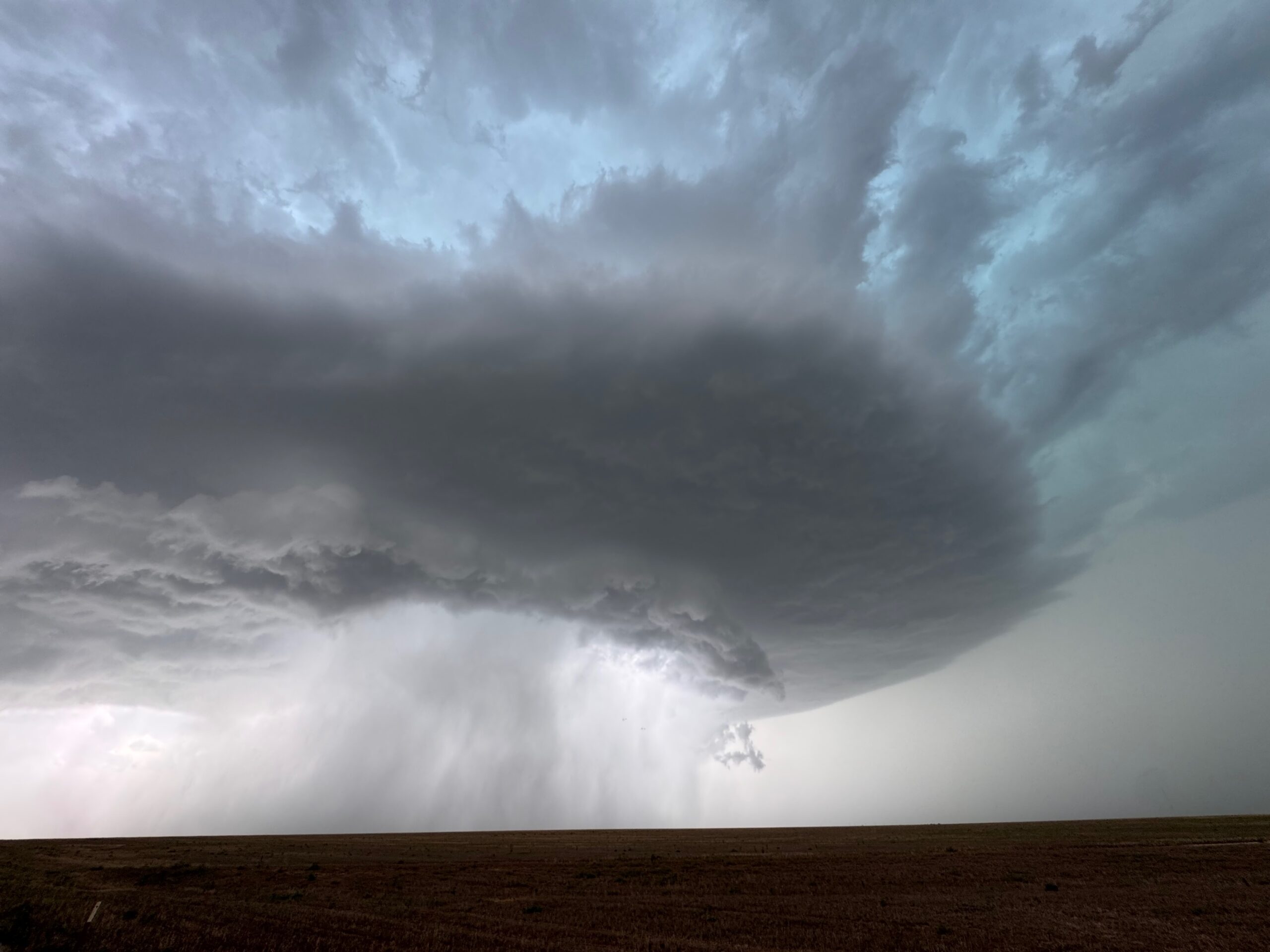
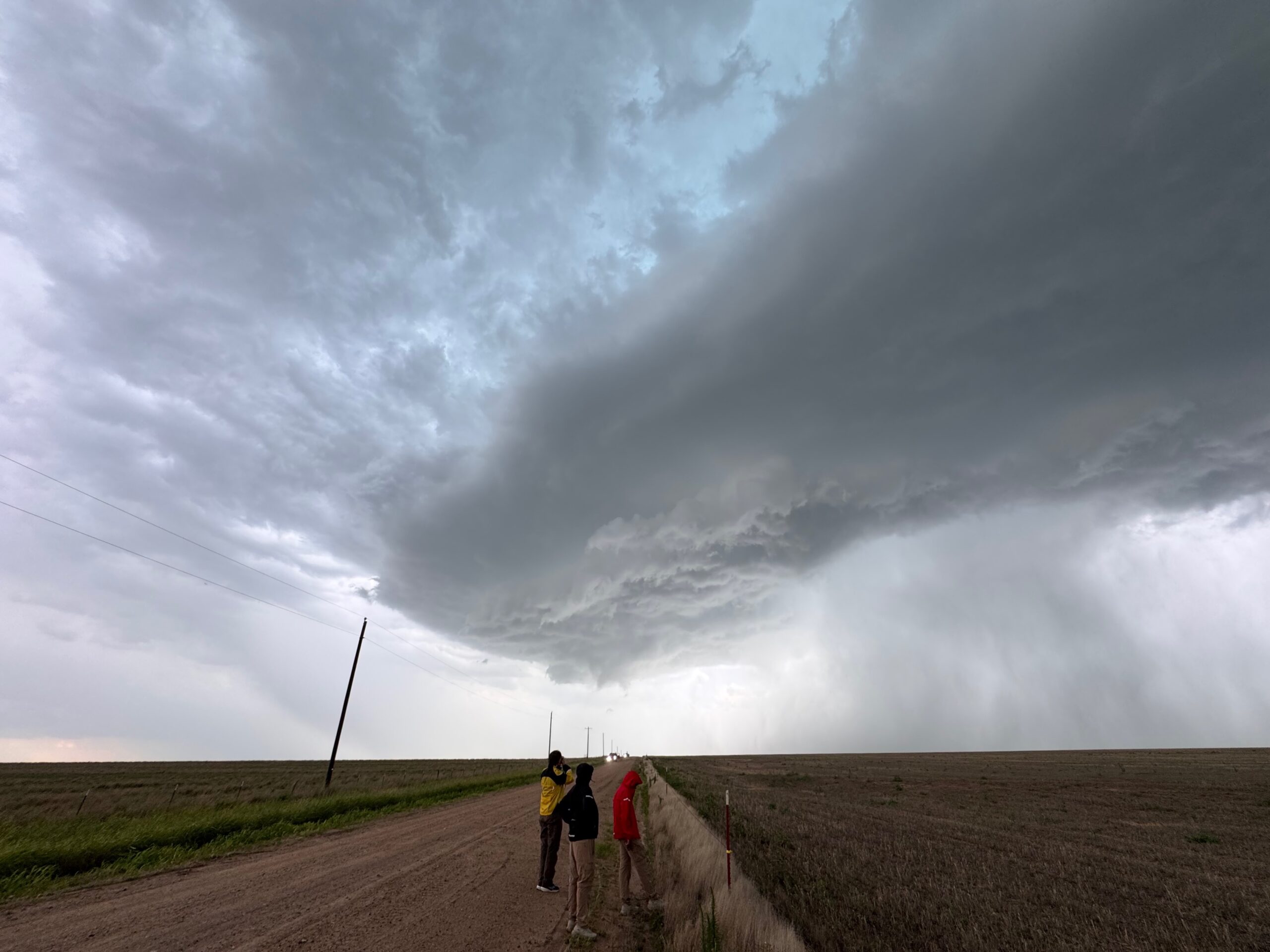
And back to the iPhone pics in the group below, from near Beaver to a few miles south of Beaver, around 4 p.m. CDT for the last couple of images..
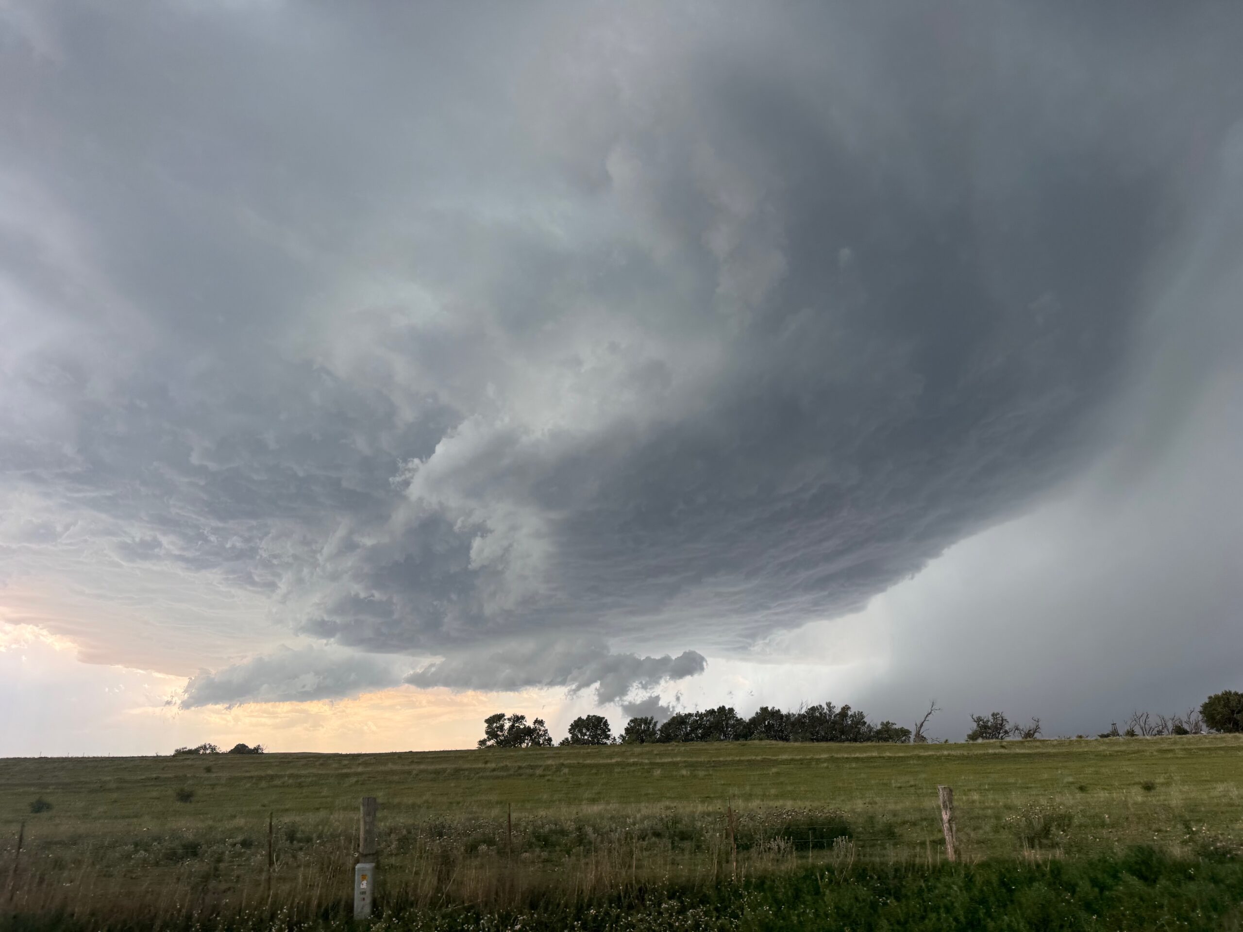
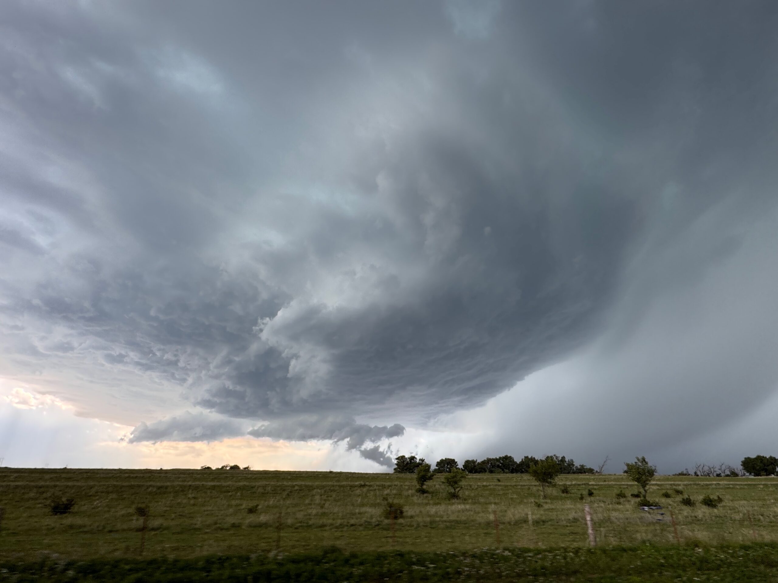
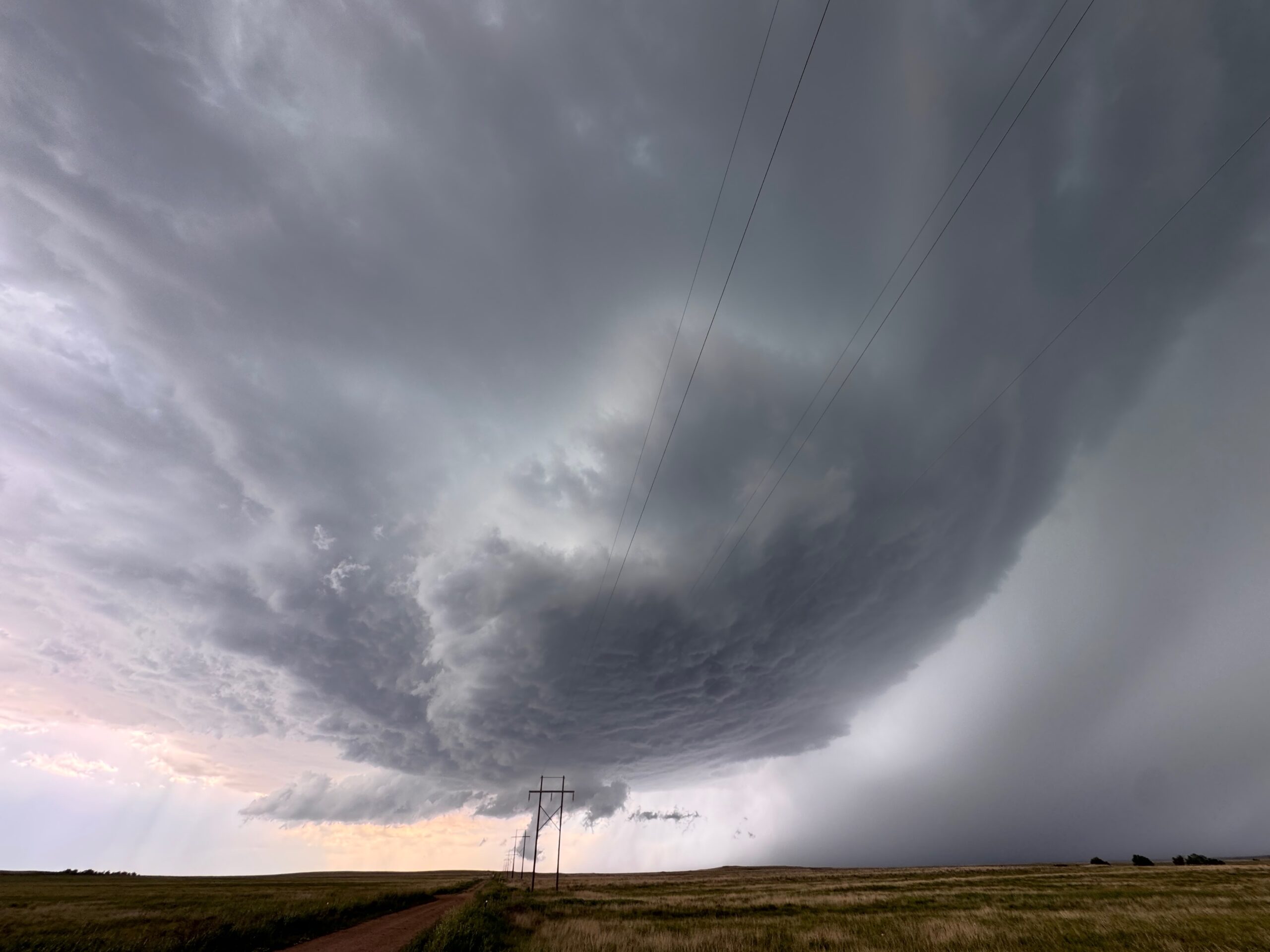
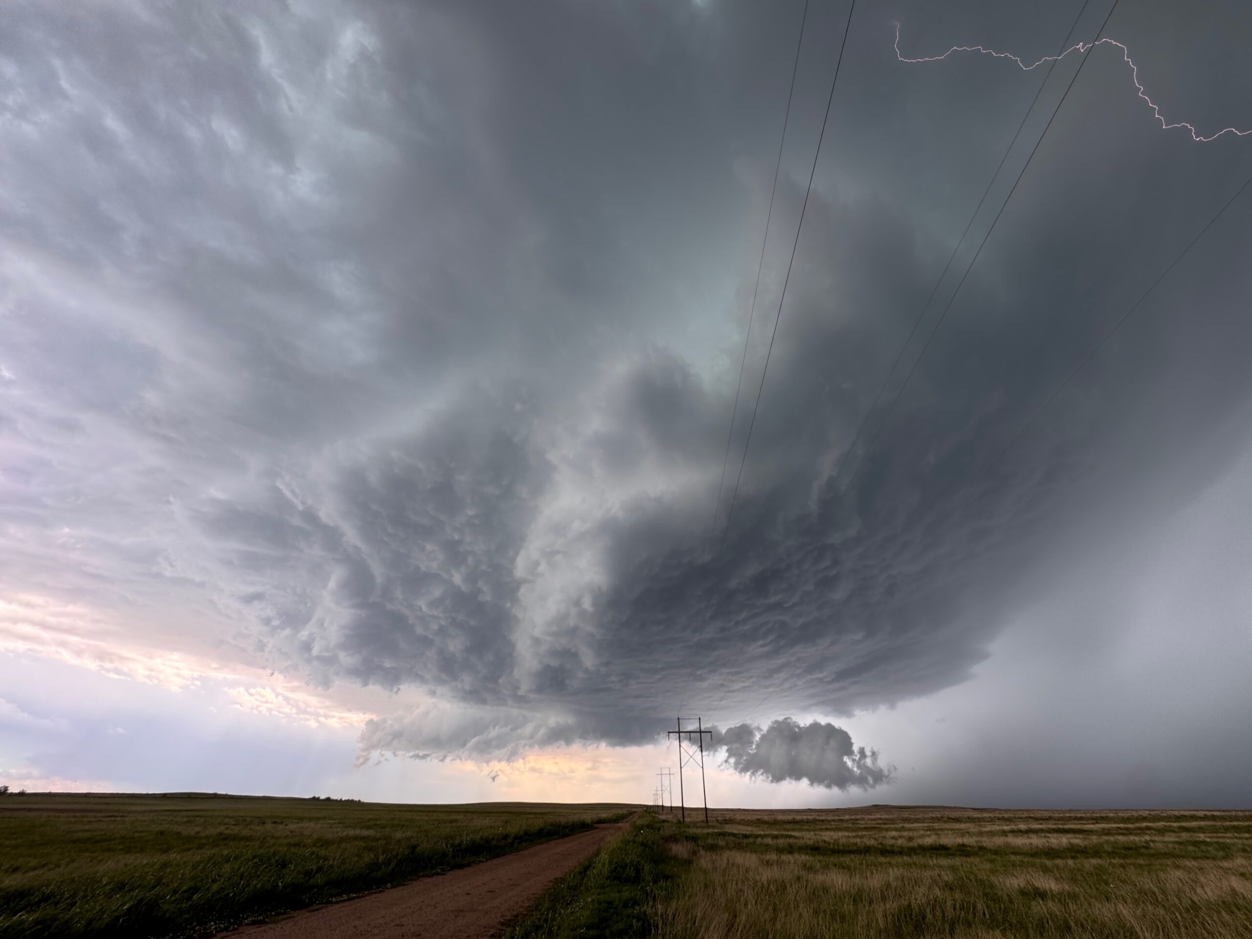
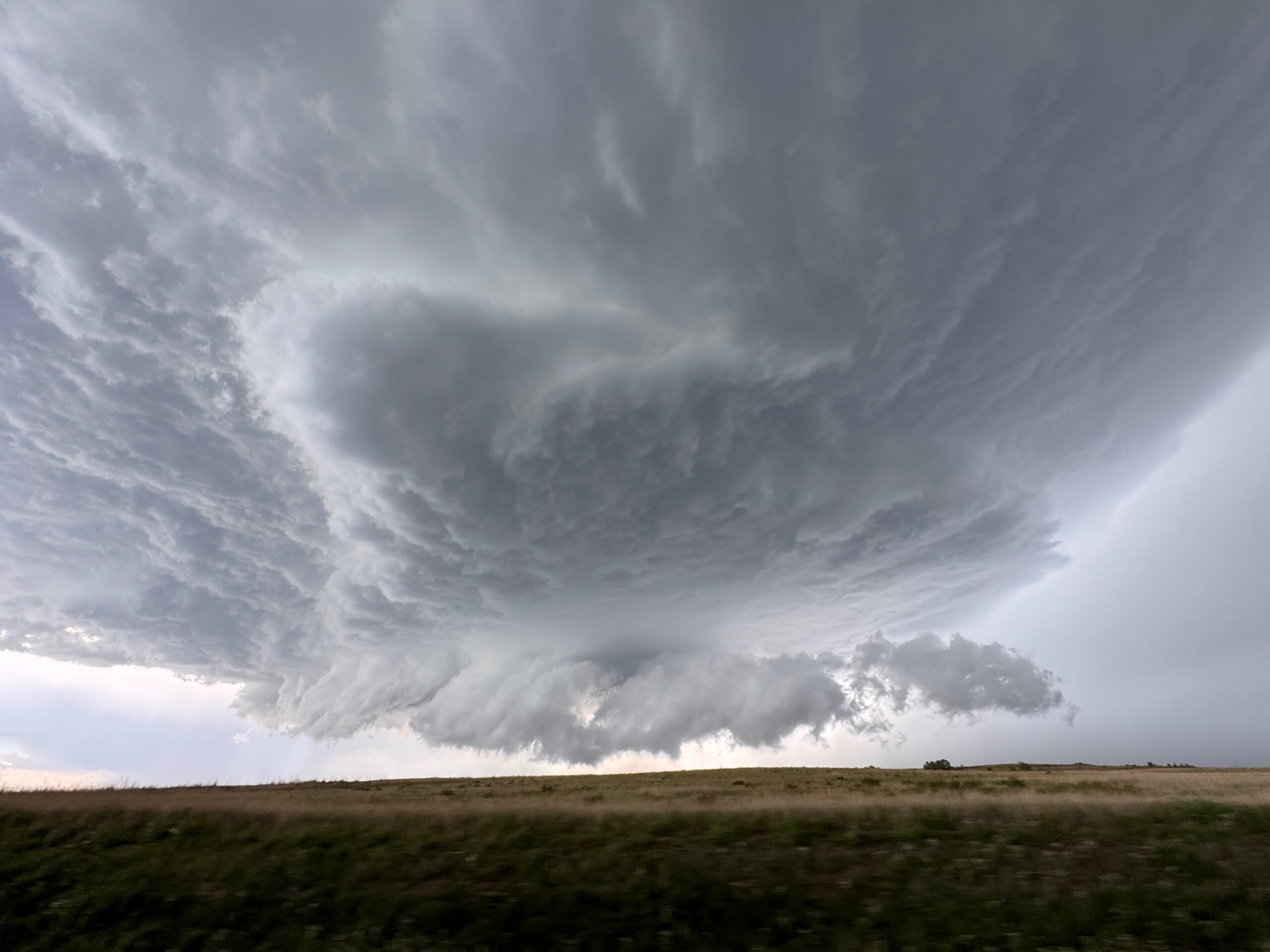
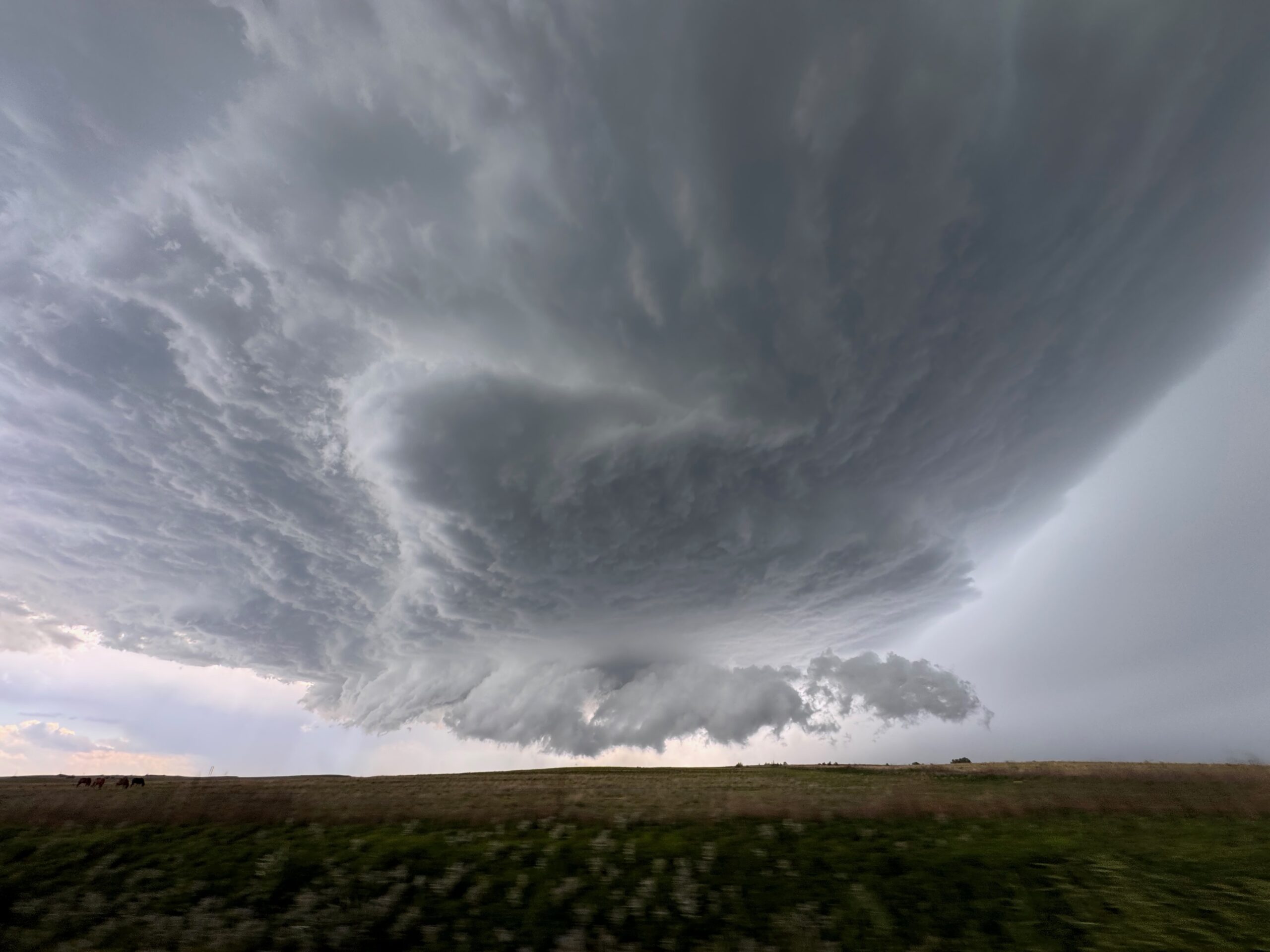
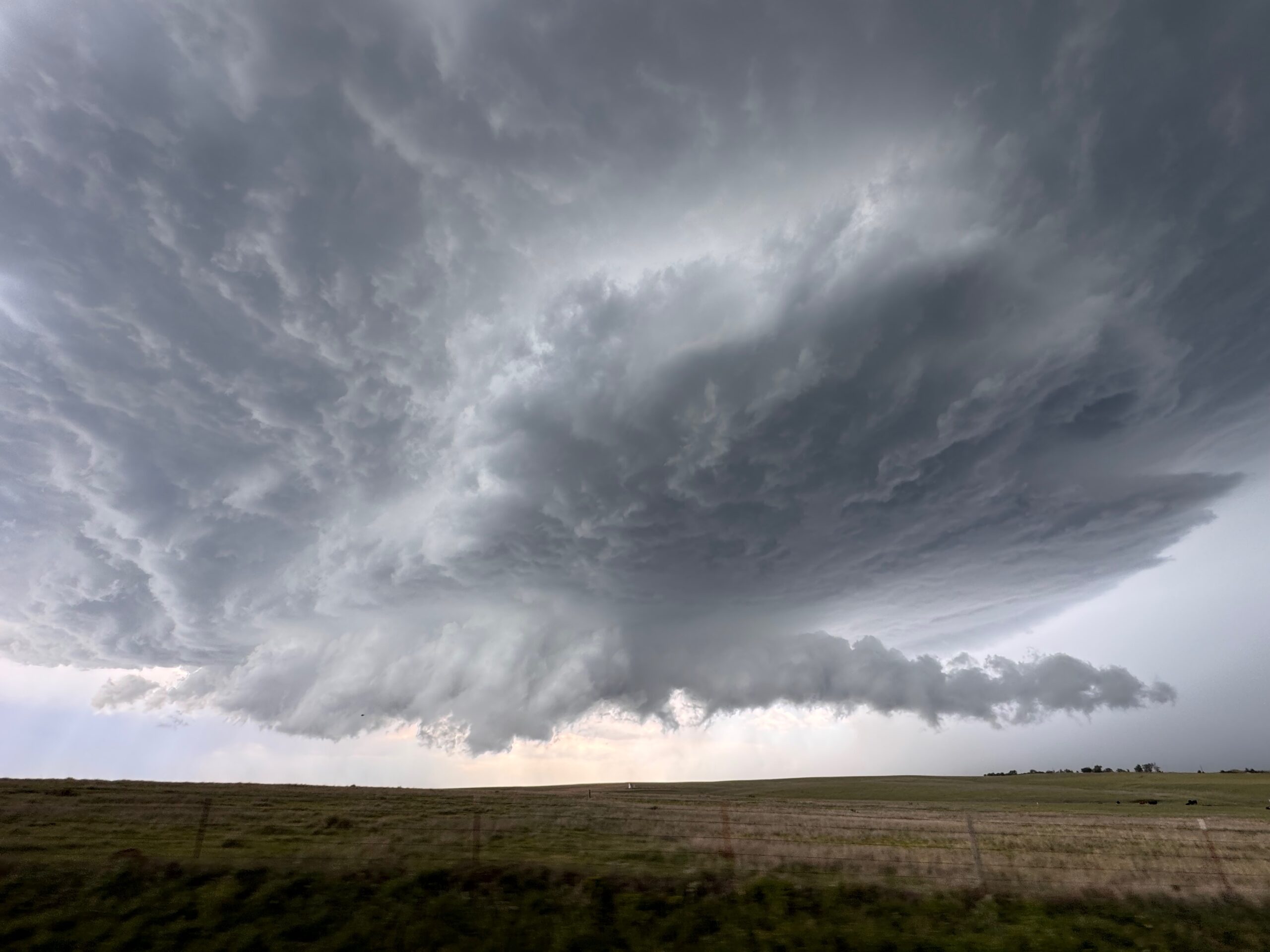
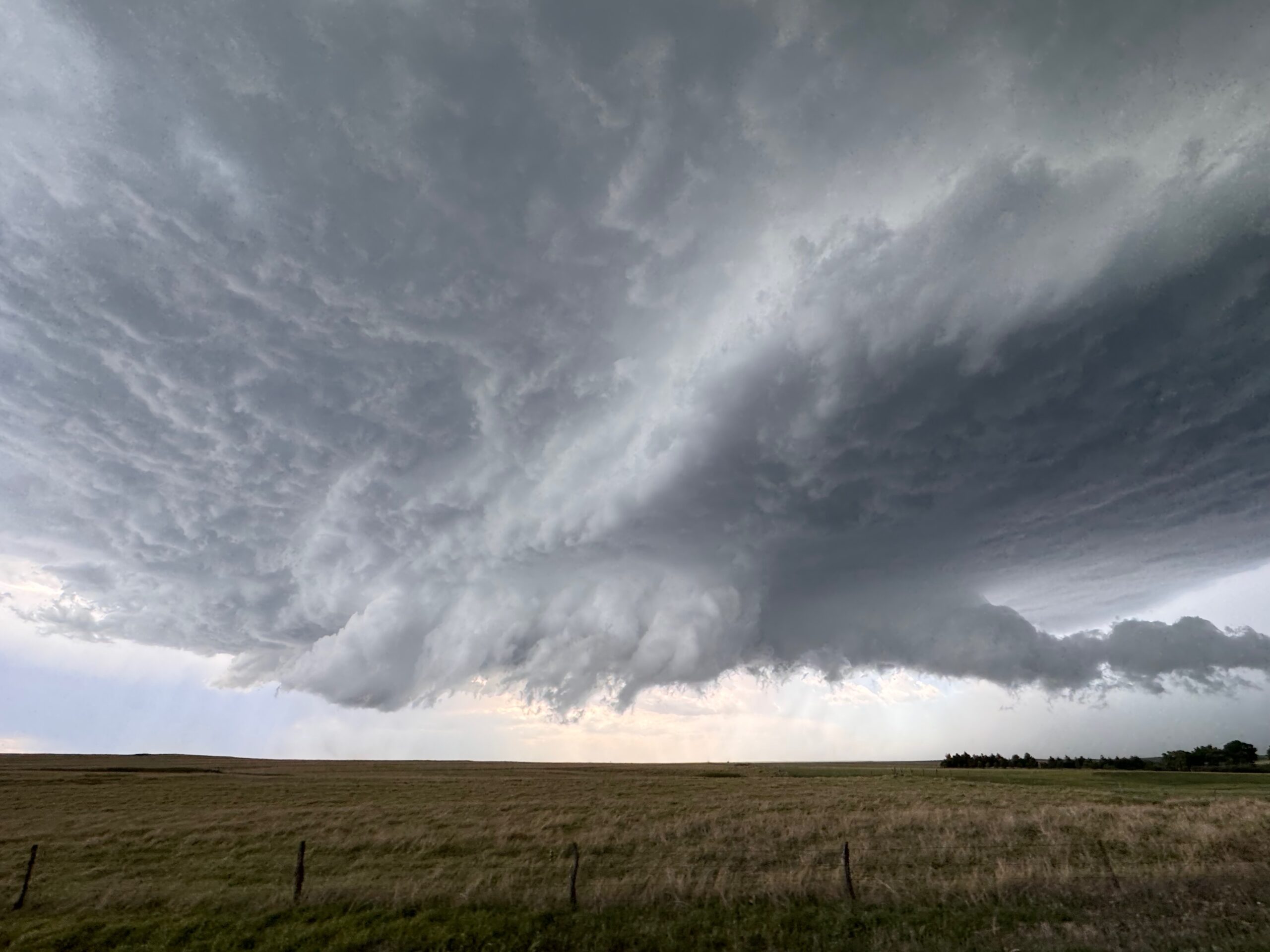
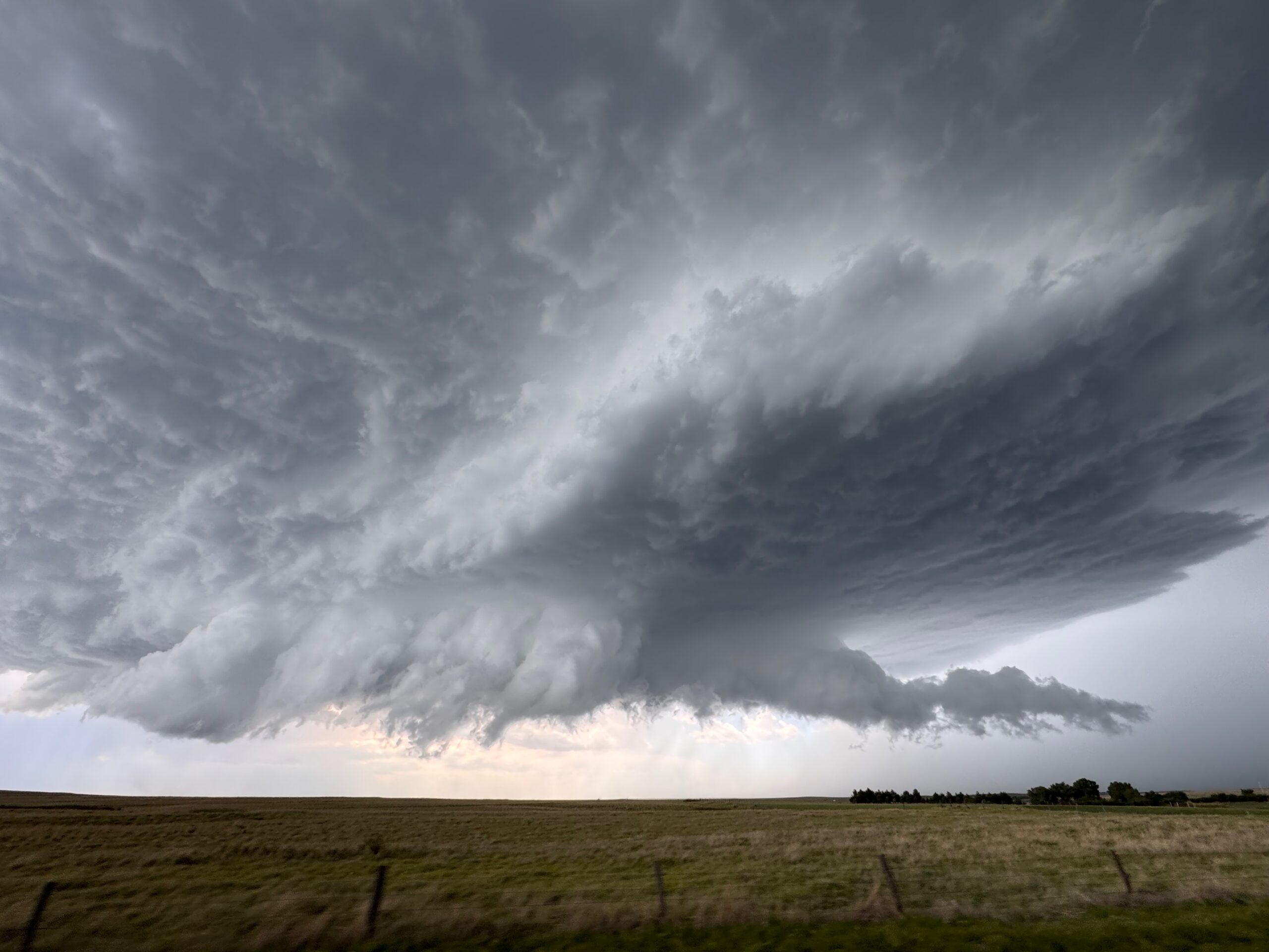
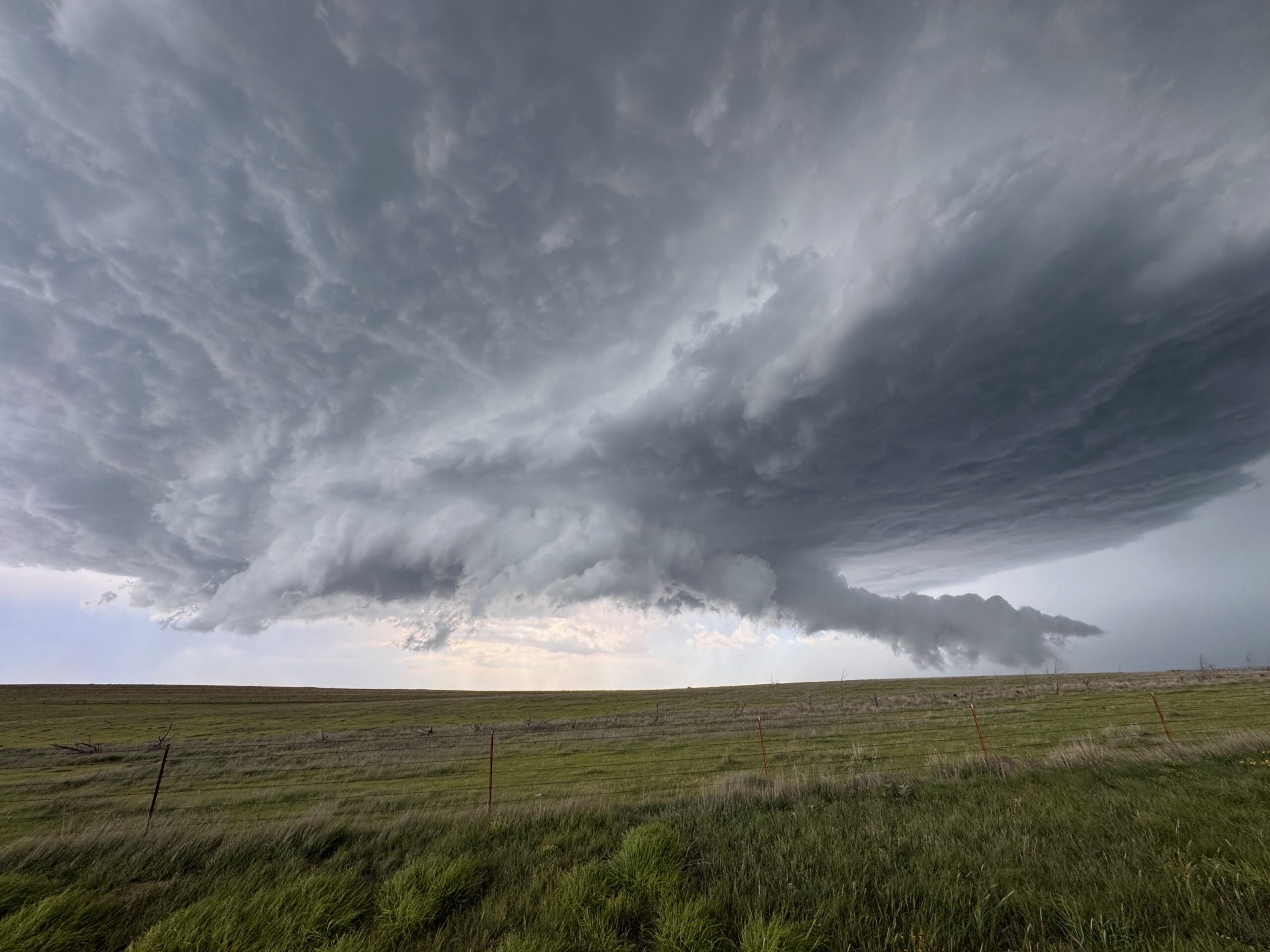
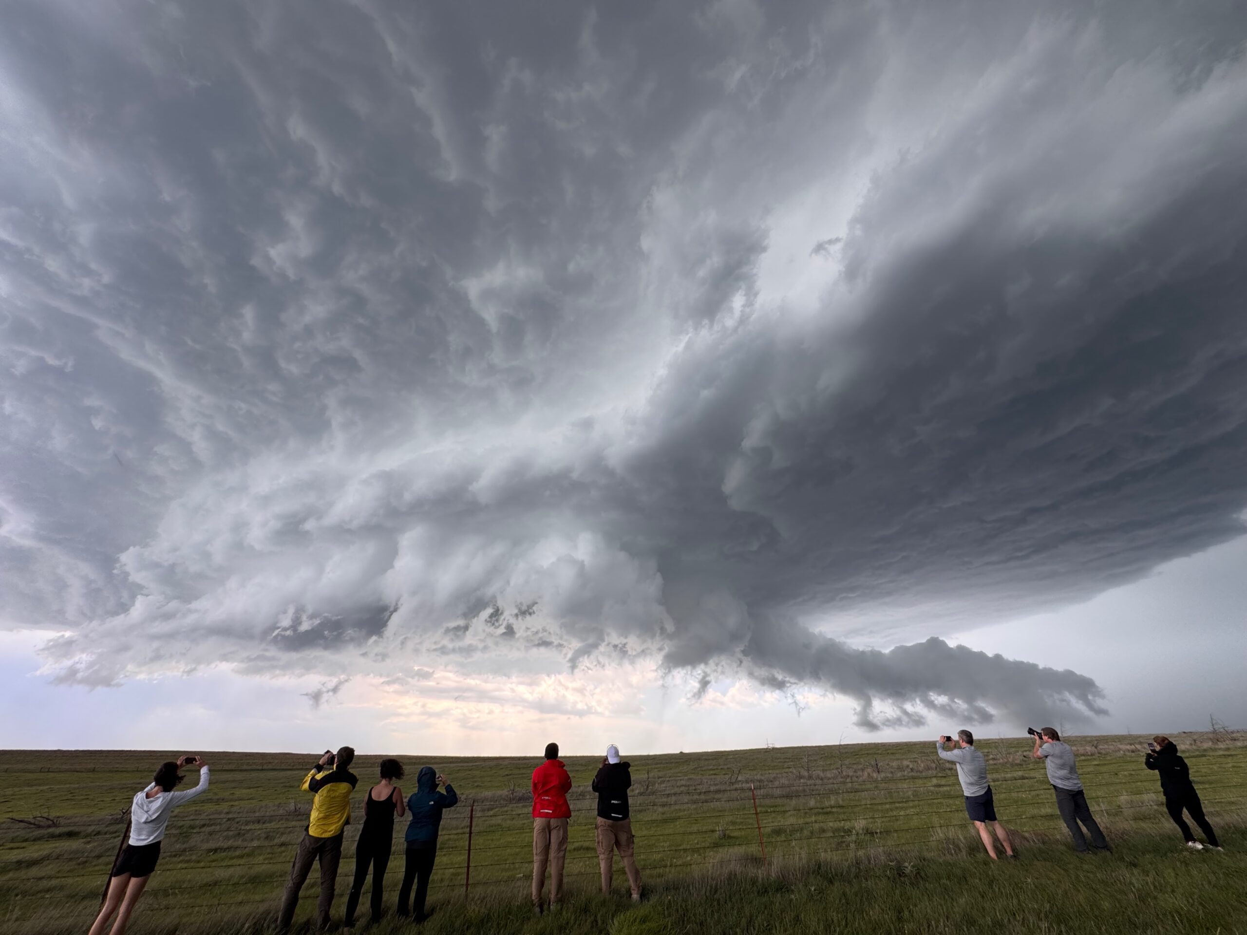
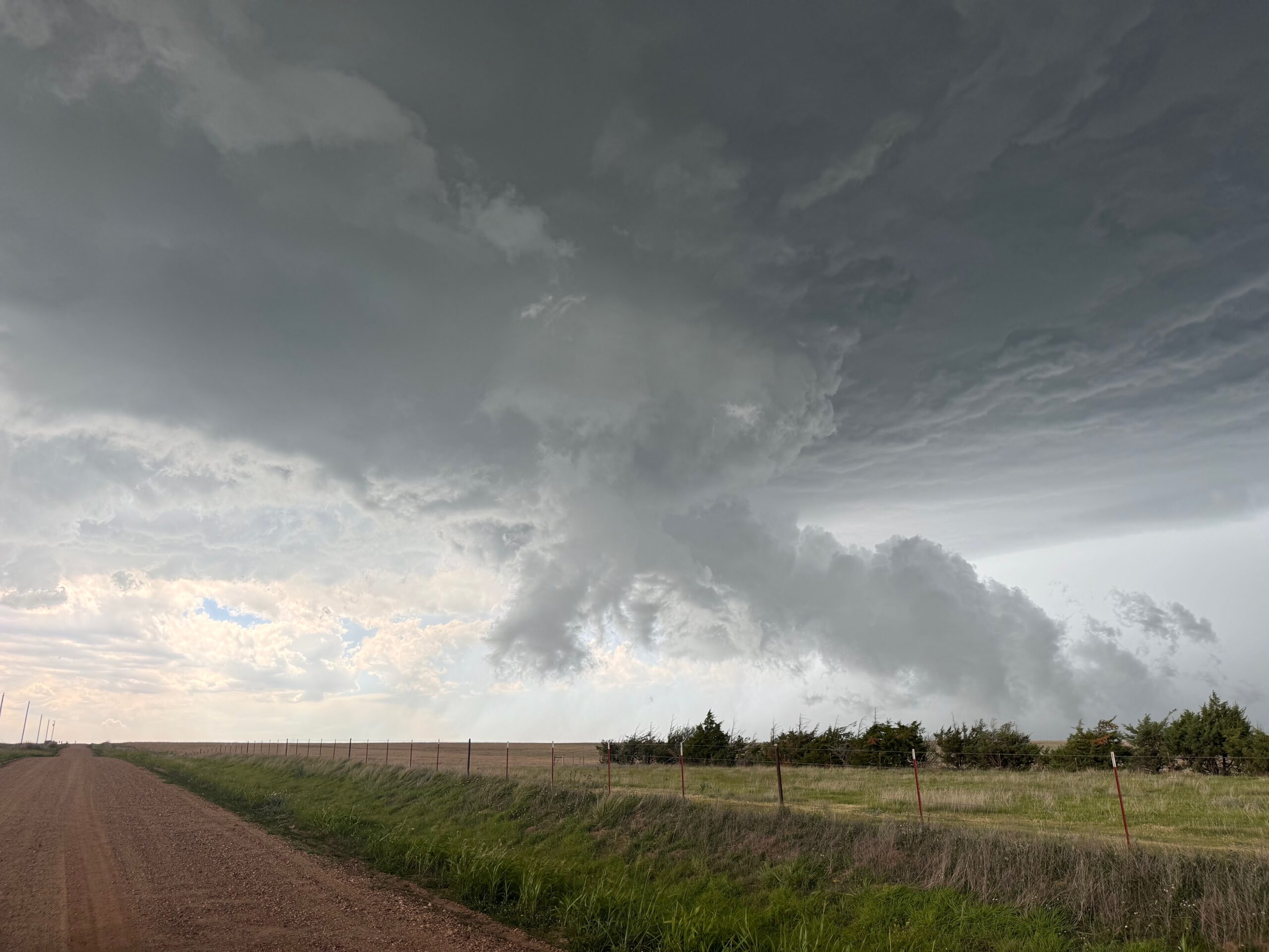
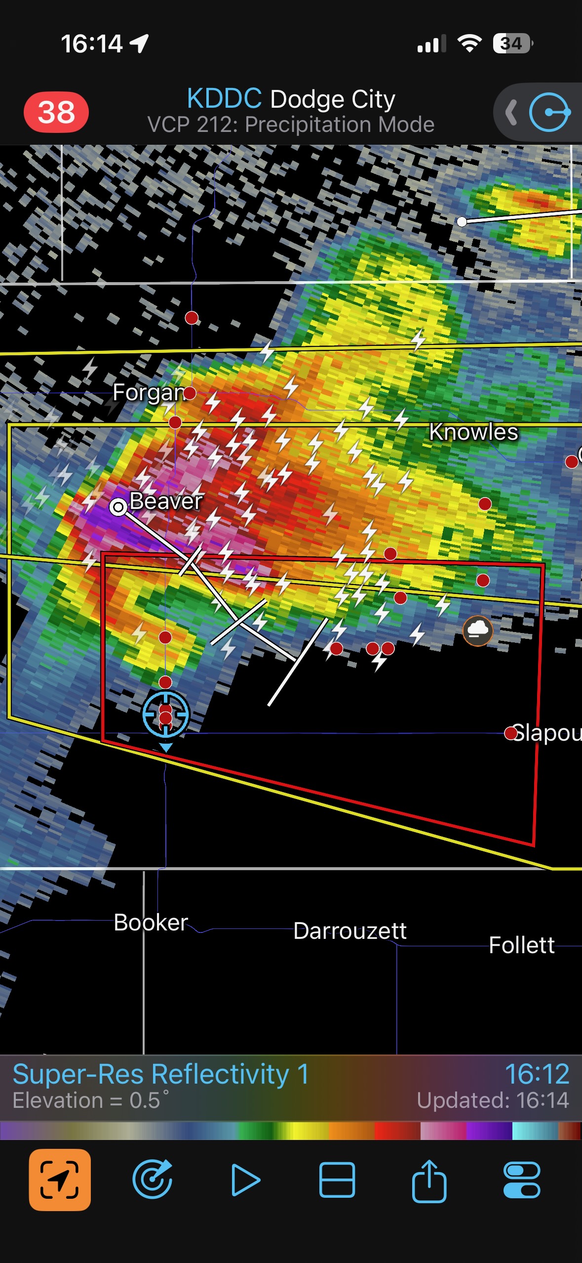
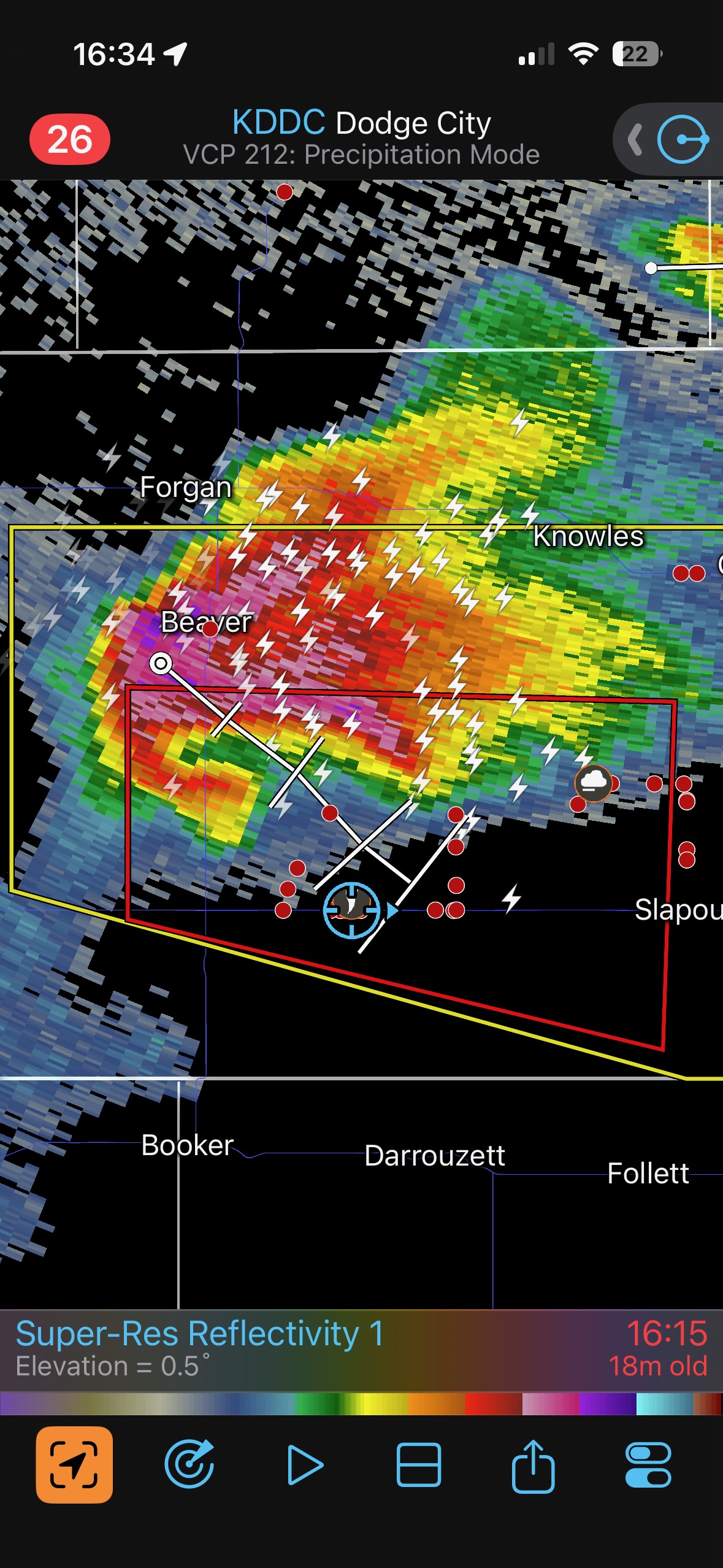
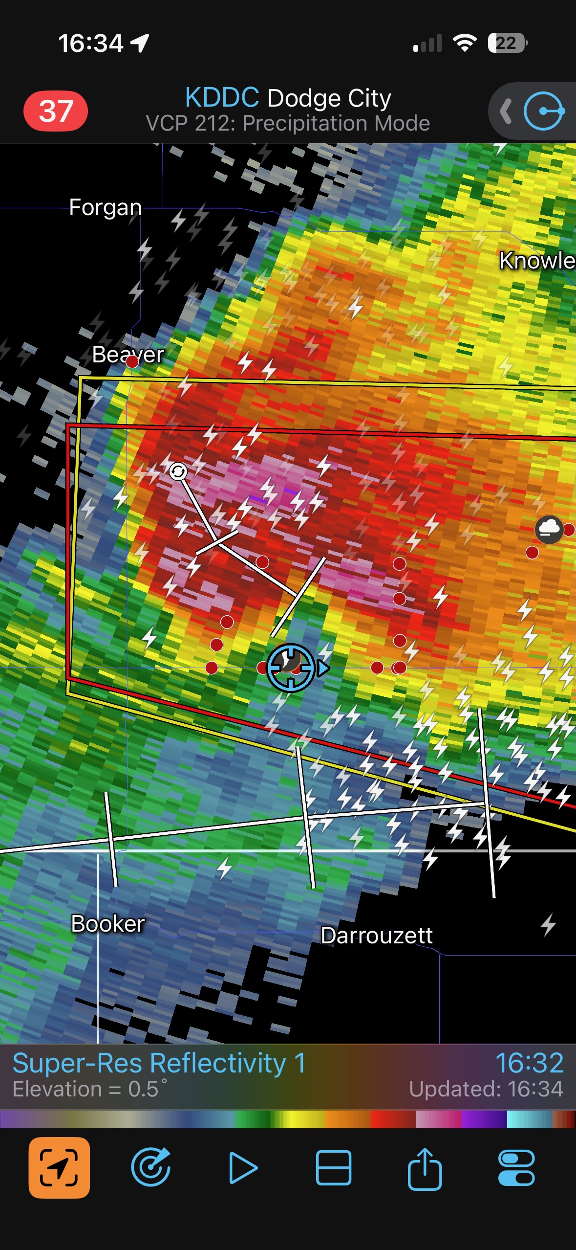
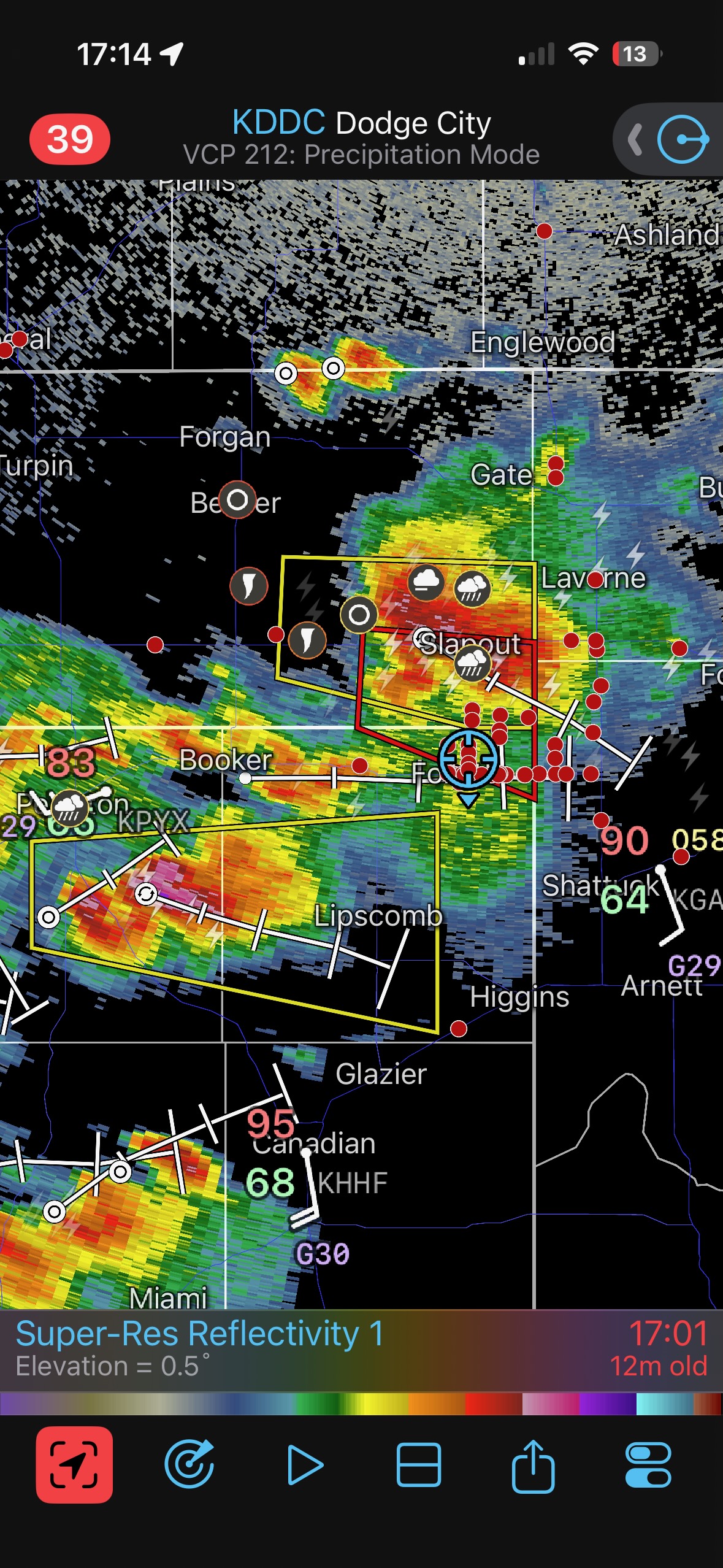
That tail cloud and associated lowering were getting very close…with storm core and big hail nearby, too. It did not appear that a tornado was imminent, so I thought it would be a good idea to reposition. The storm was now moving more to the ESE. Check out that outrageous hook south of Beaver at 4:12 p.m. CDT, with the storm tracking to the ESE! I was not familiar with the unpaved roads here, and thought it best to head all of the way south to Elmwood and east-west Highway 412. This was about twice as far south than preferred. I took the 16:14 screenshot above just before we turned to the east on 412, at Elmwood.
The rotation in the low levels of this storm was now very strong.
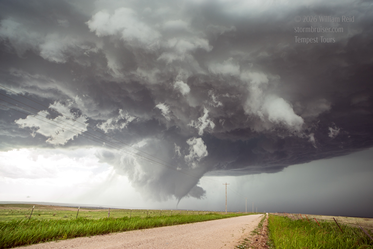
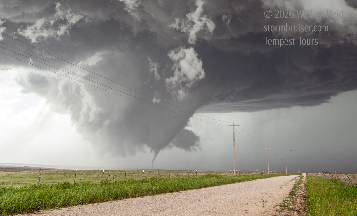
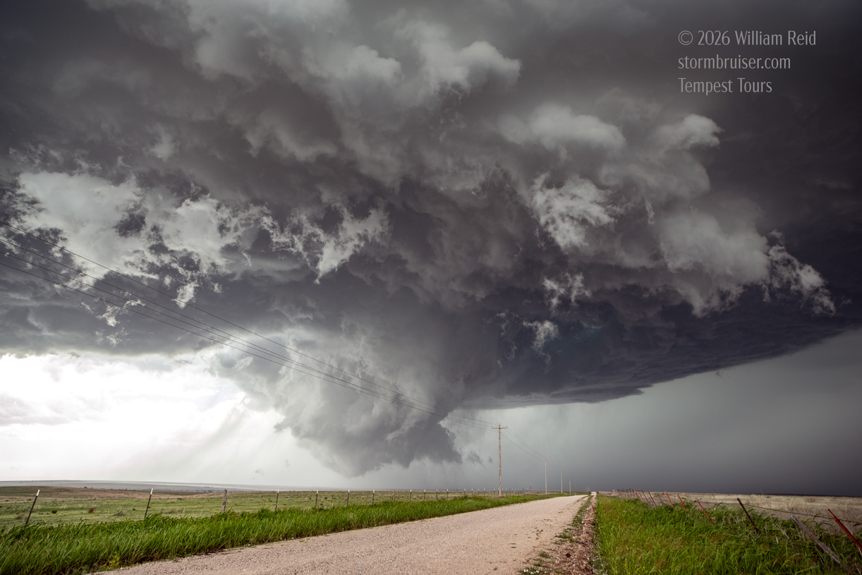
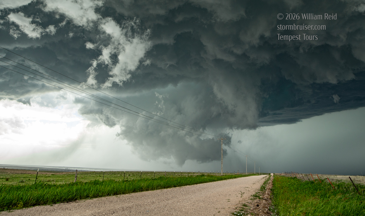
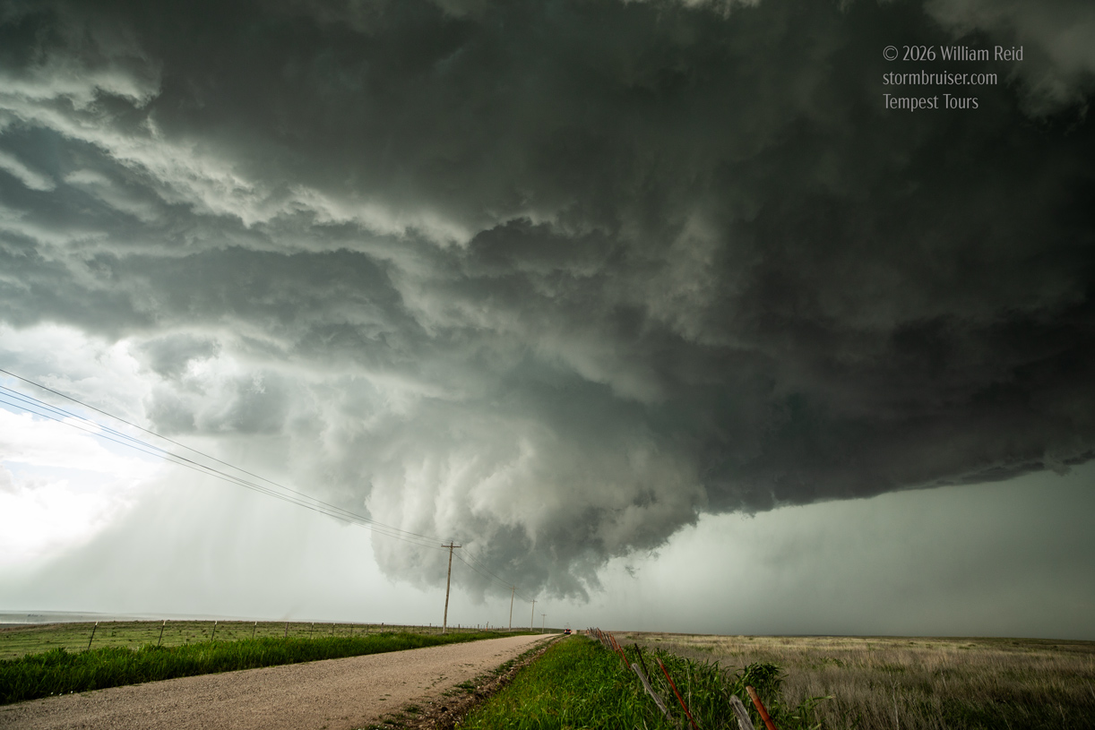
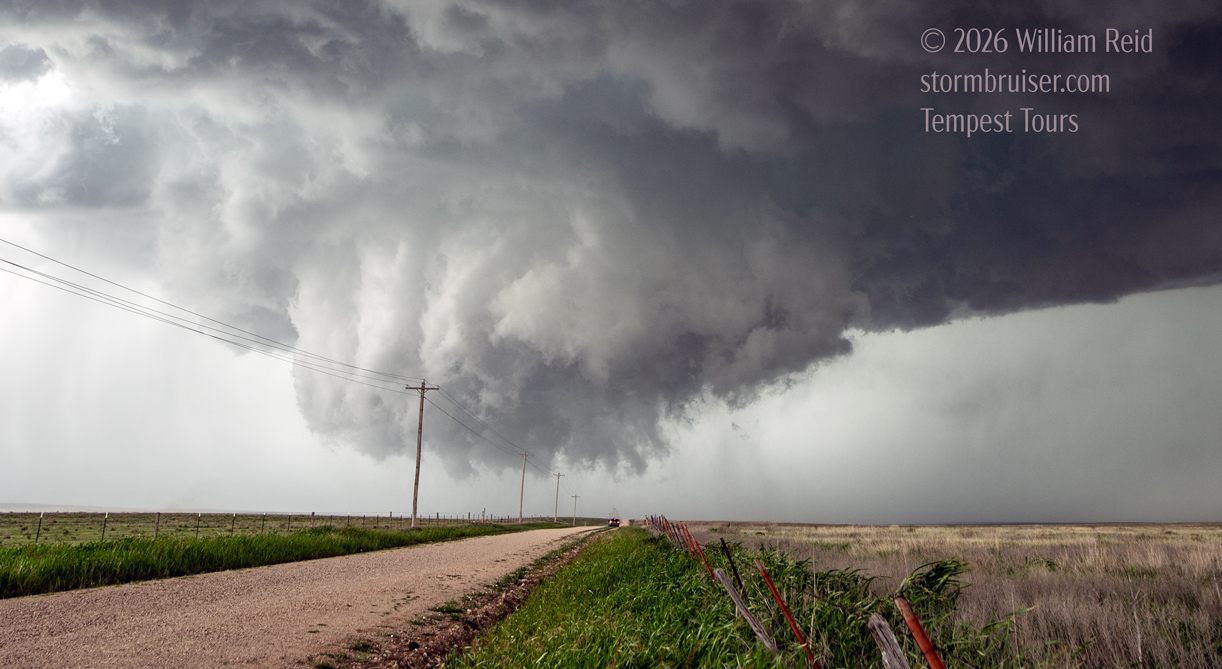
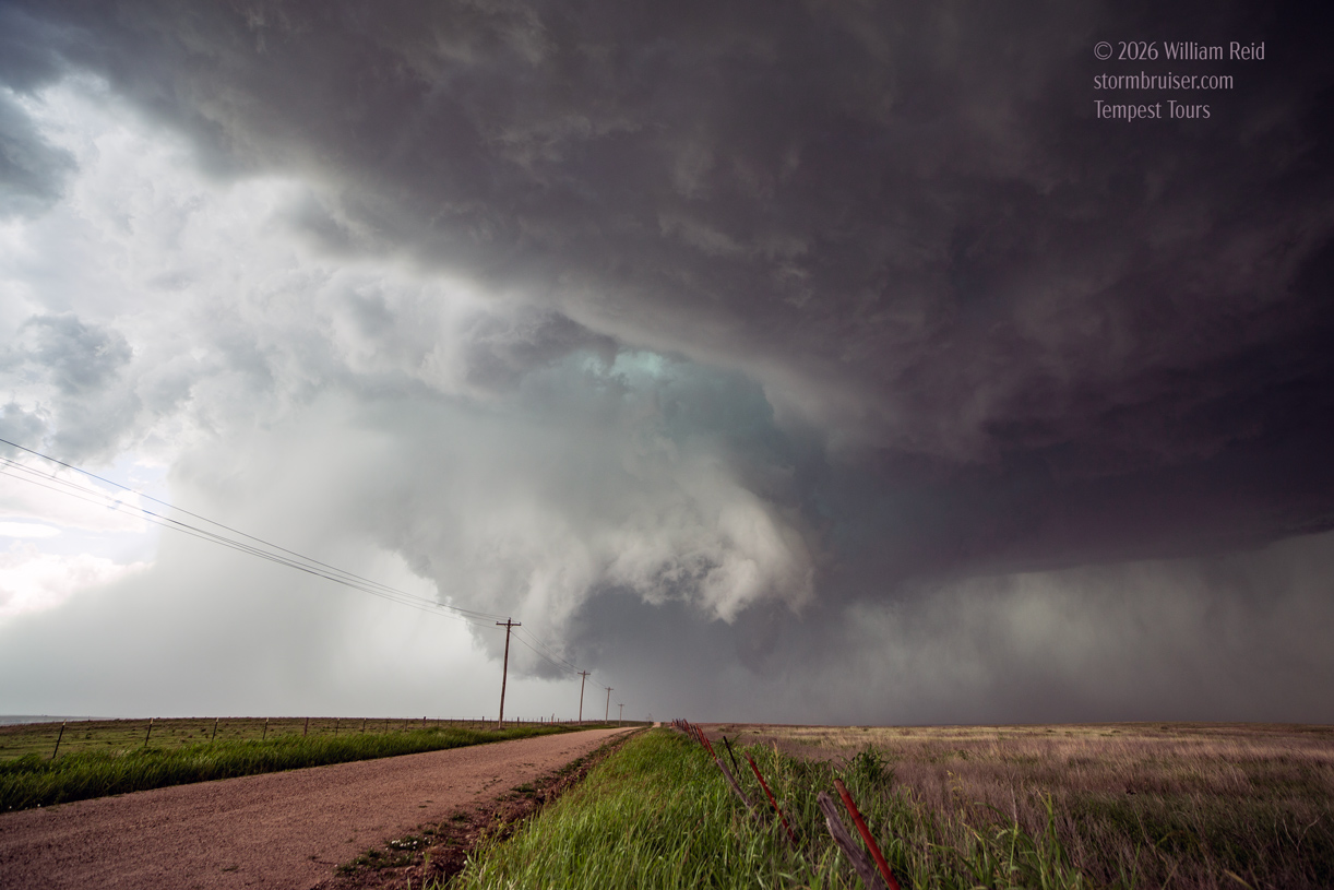
I managed some iPhone shots to the north shortly after turning east onto 412 (first three images below). The beastly wall cloud spit out a tornado about this time, but it did not last very long. After a few miles we had gone far enough east, so I found a decent dirt road to head north on. I think we stopped after a mile. The crazy spinning wall cloud was just a little west of due north, and probably 5-6 miles distant.
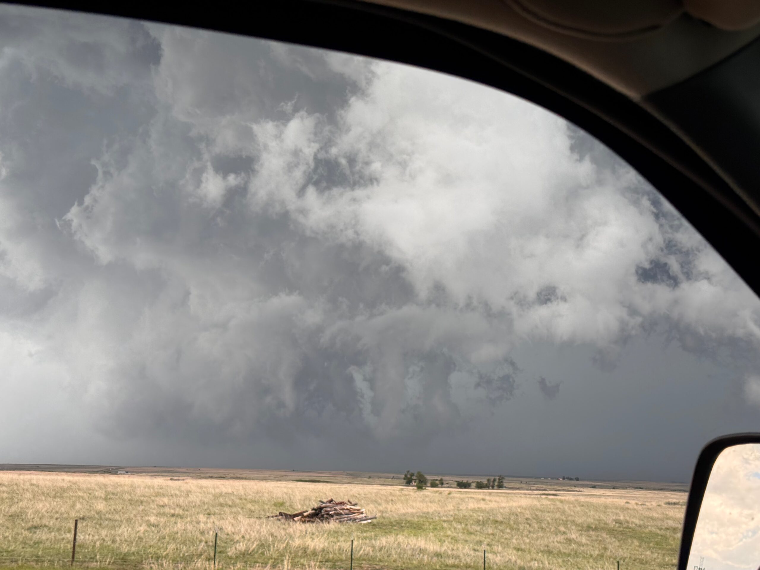
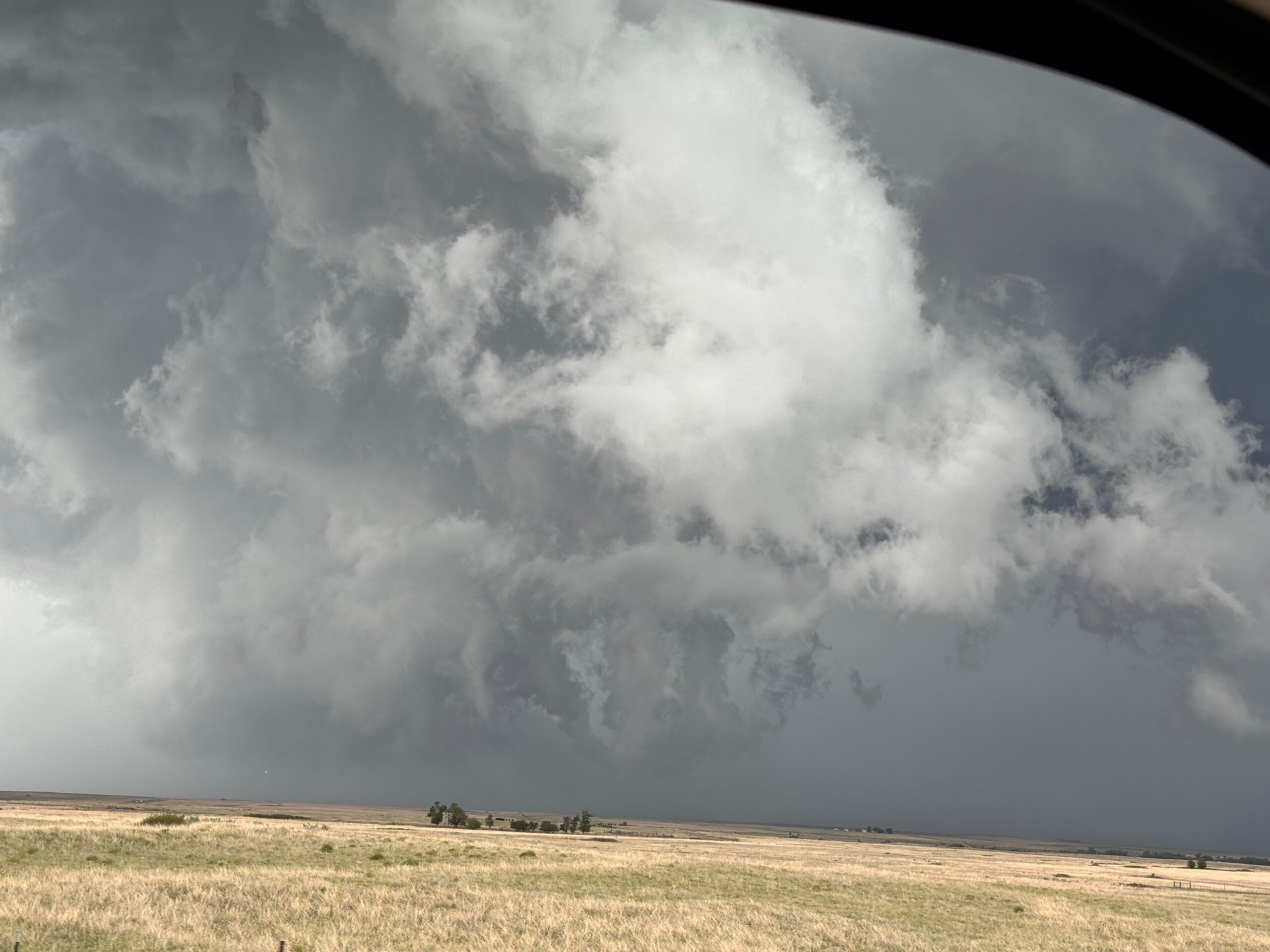
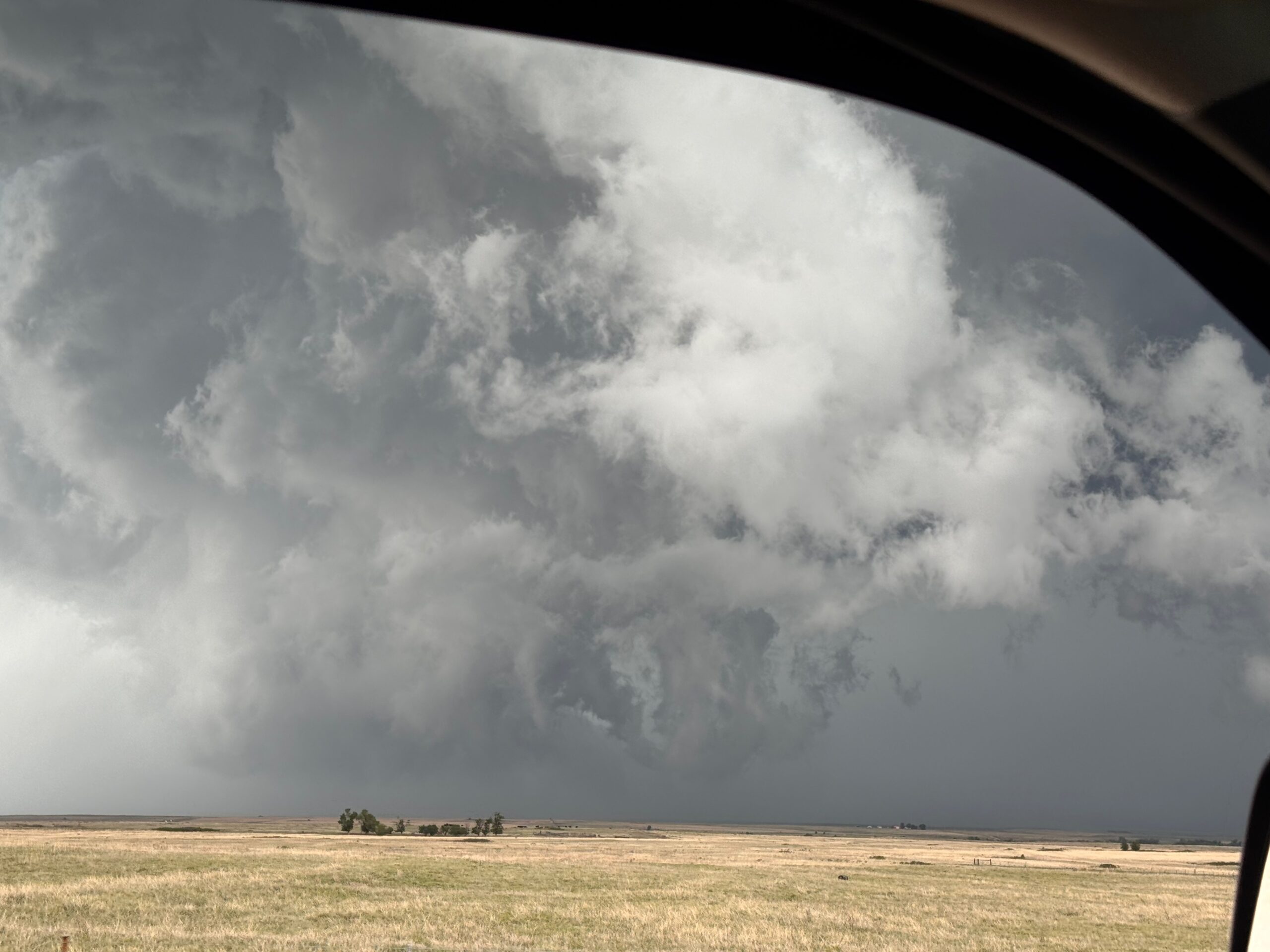
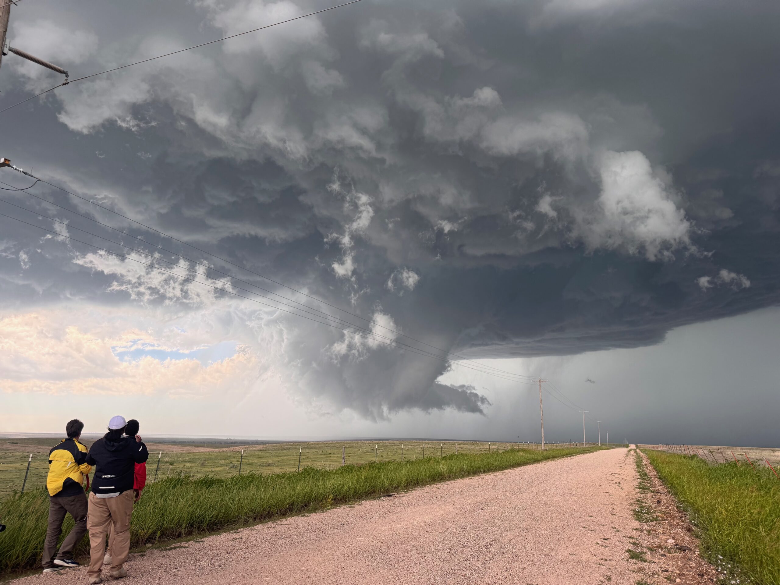
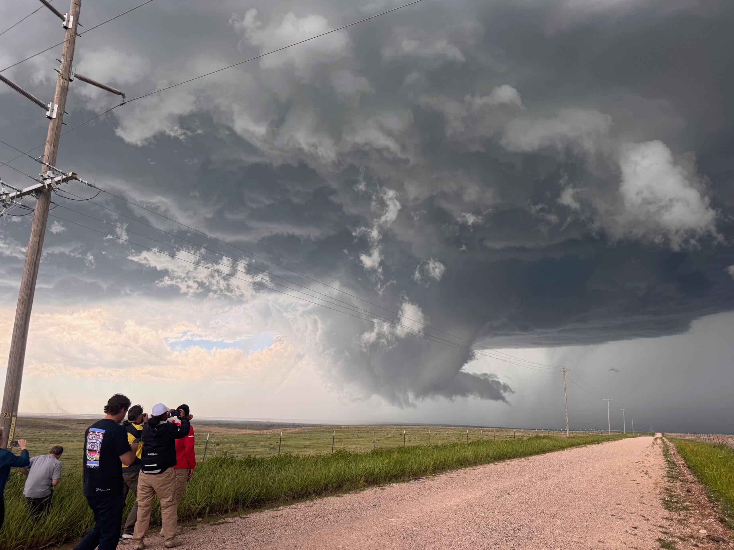

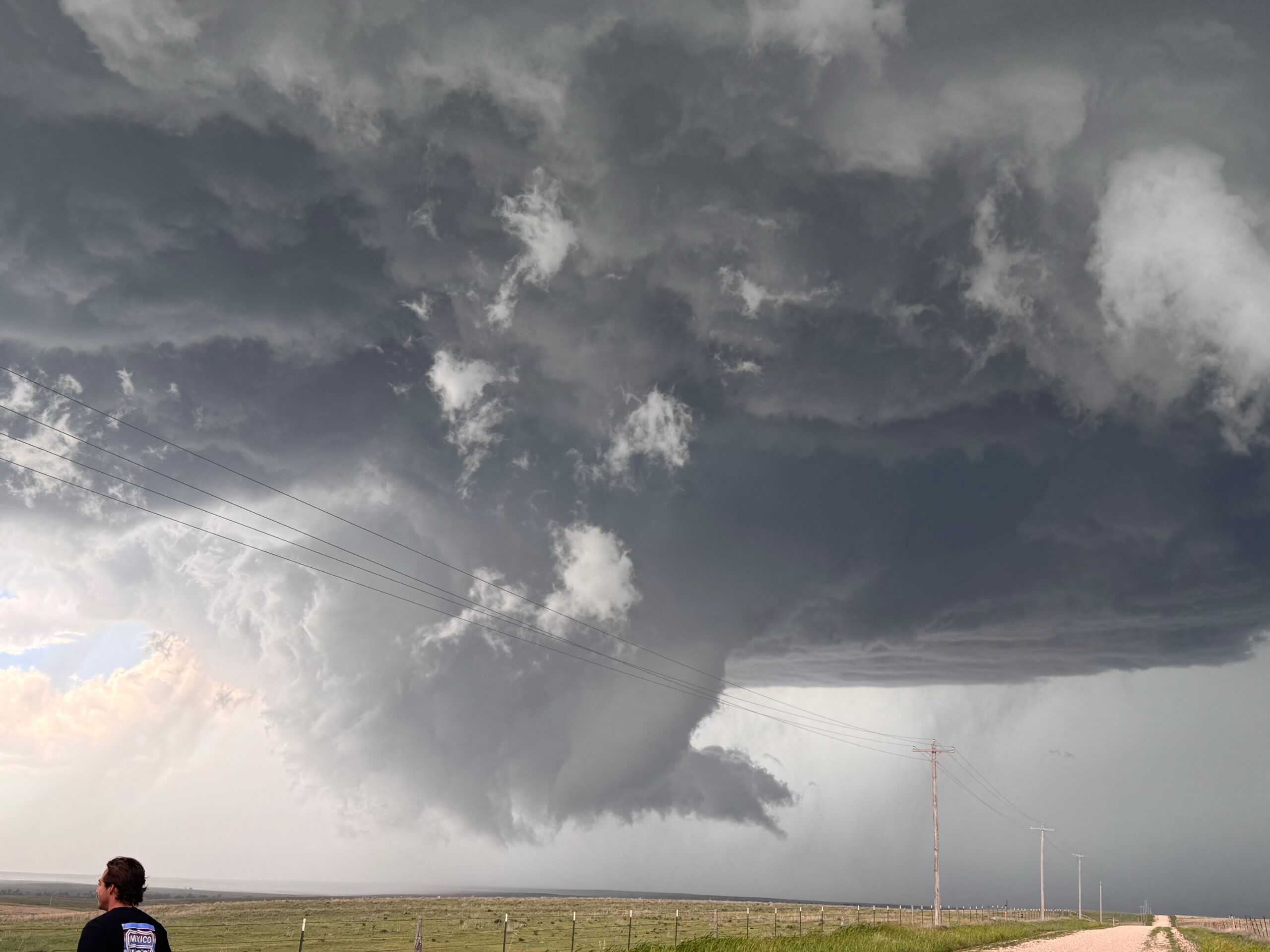
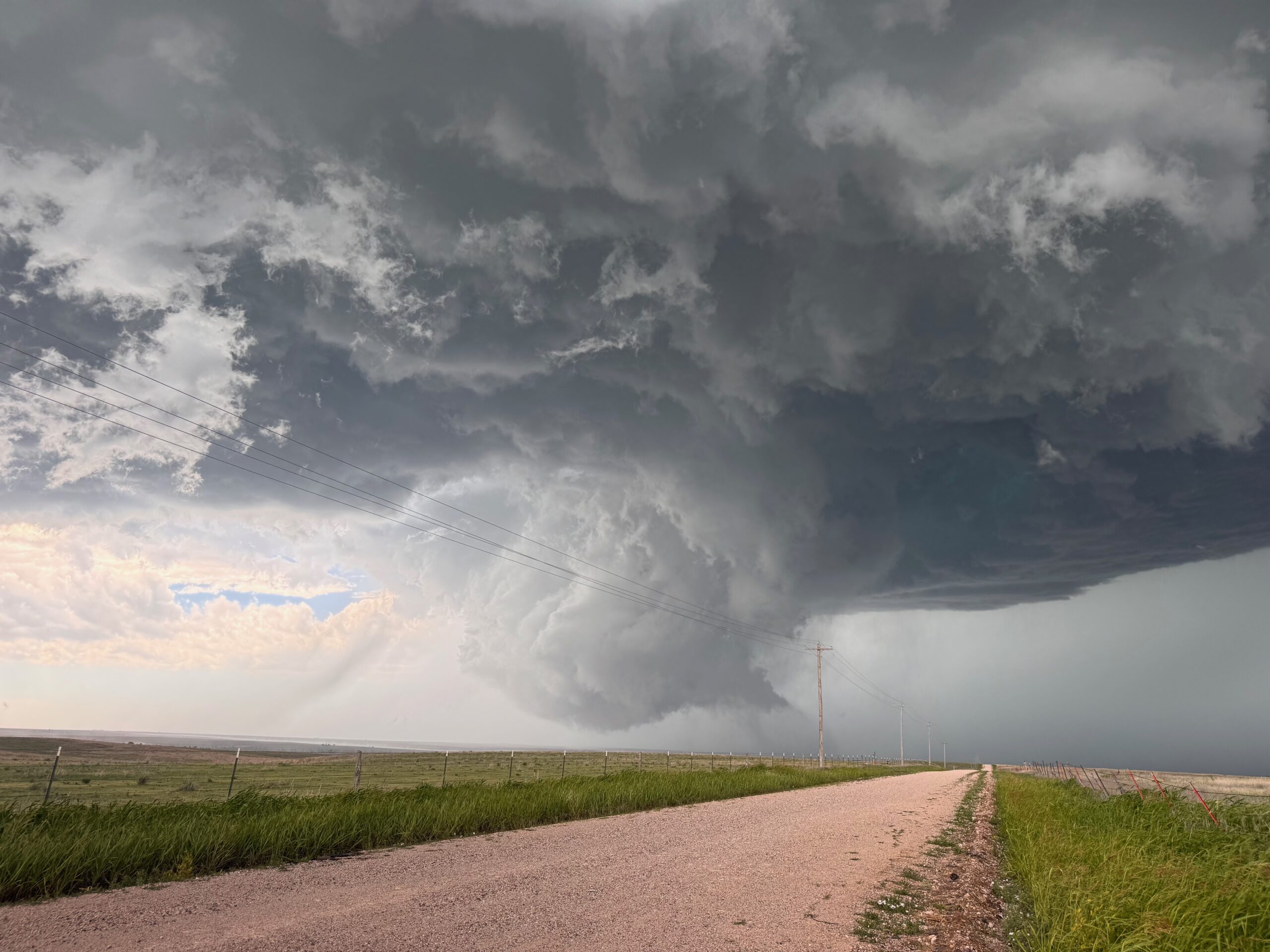
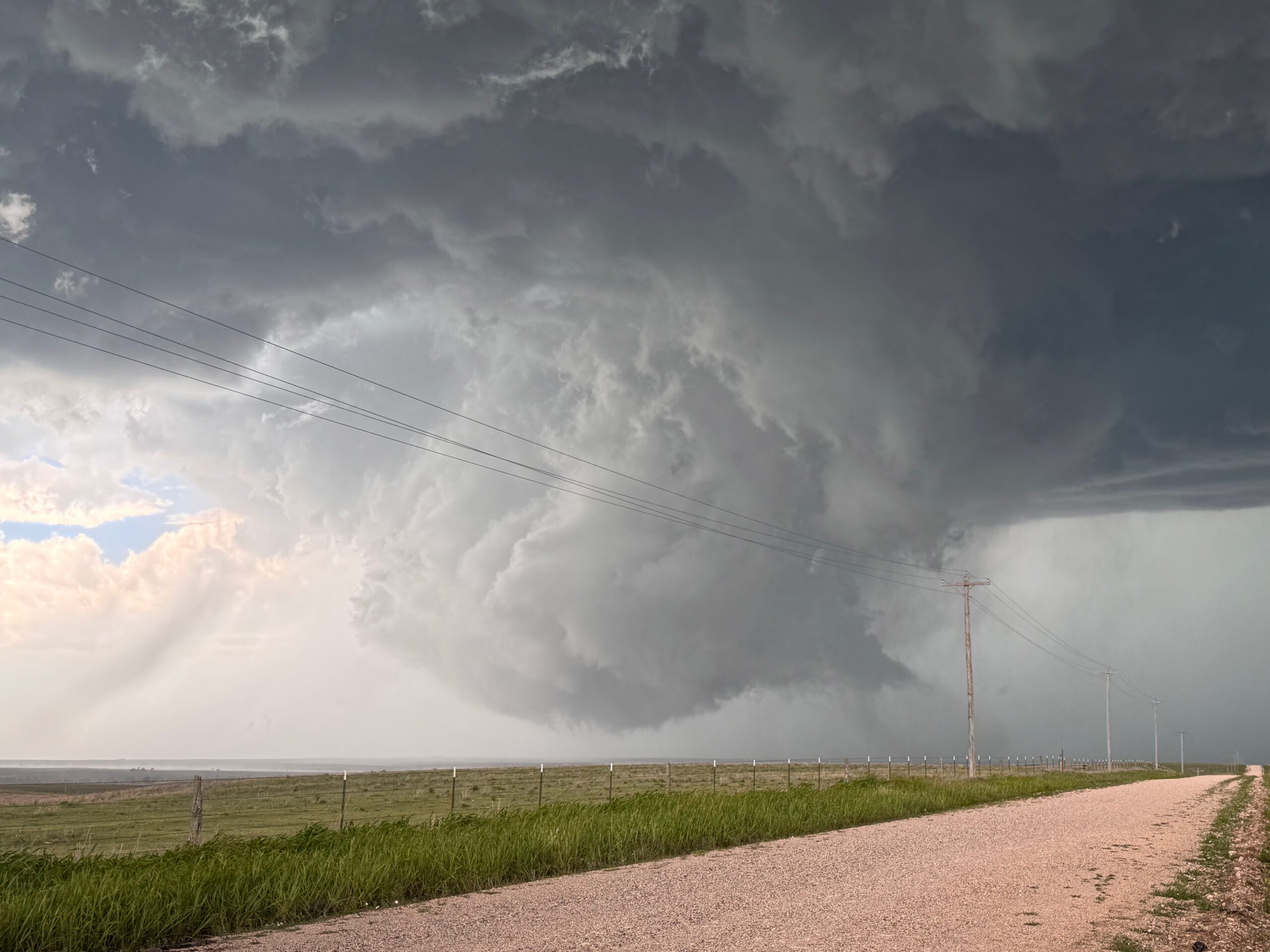
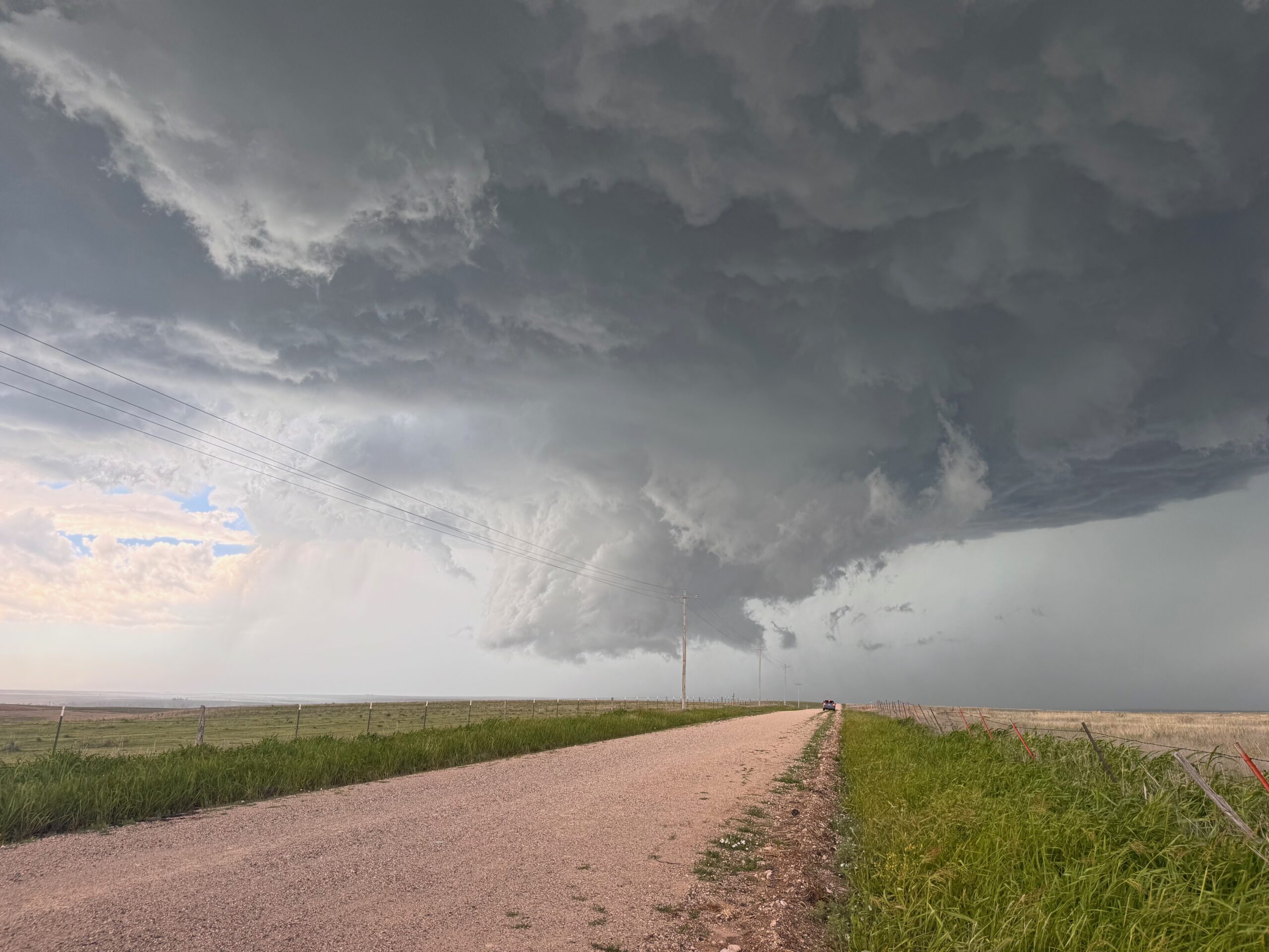
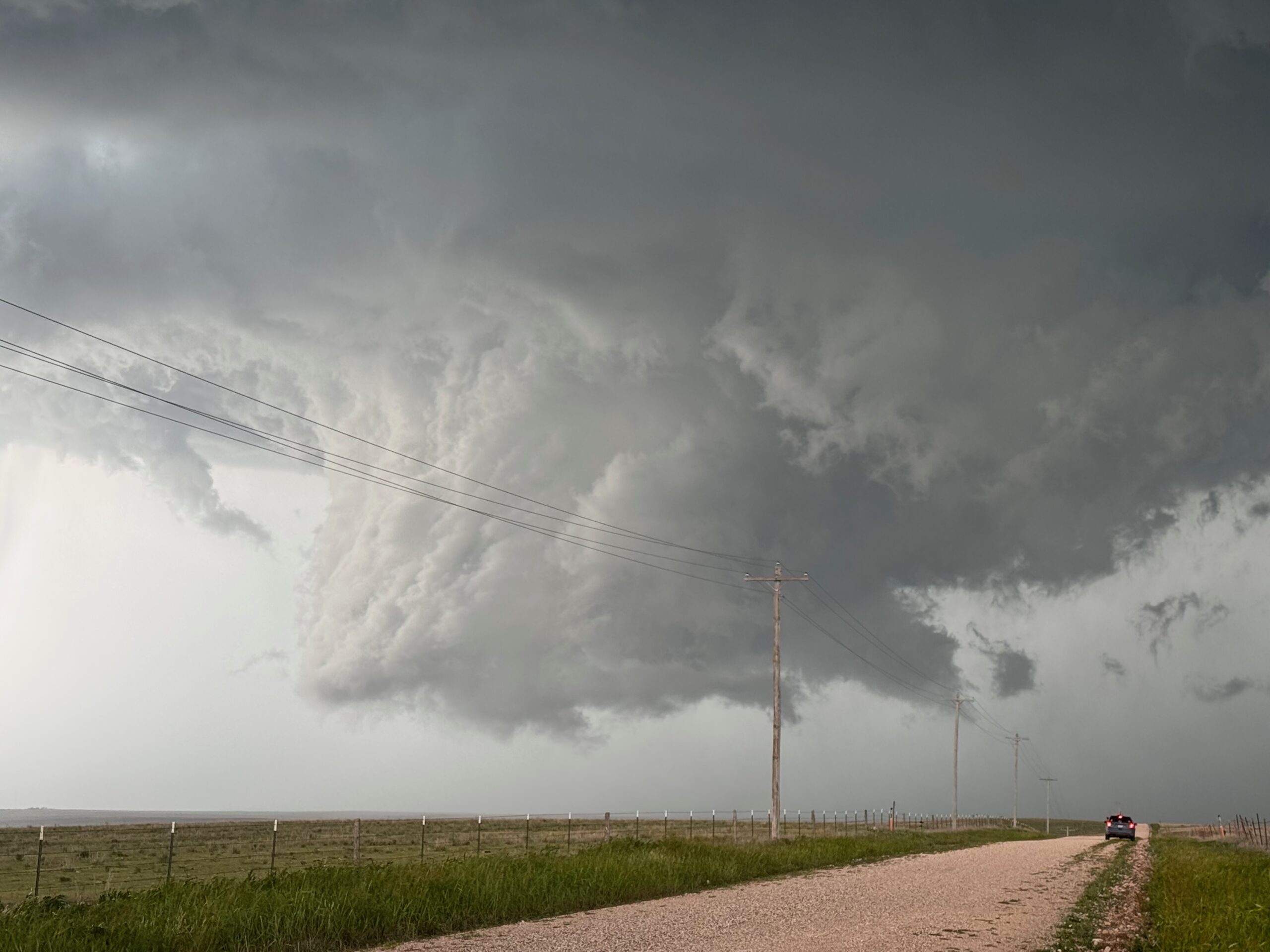
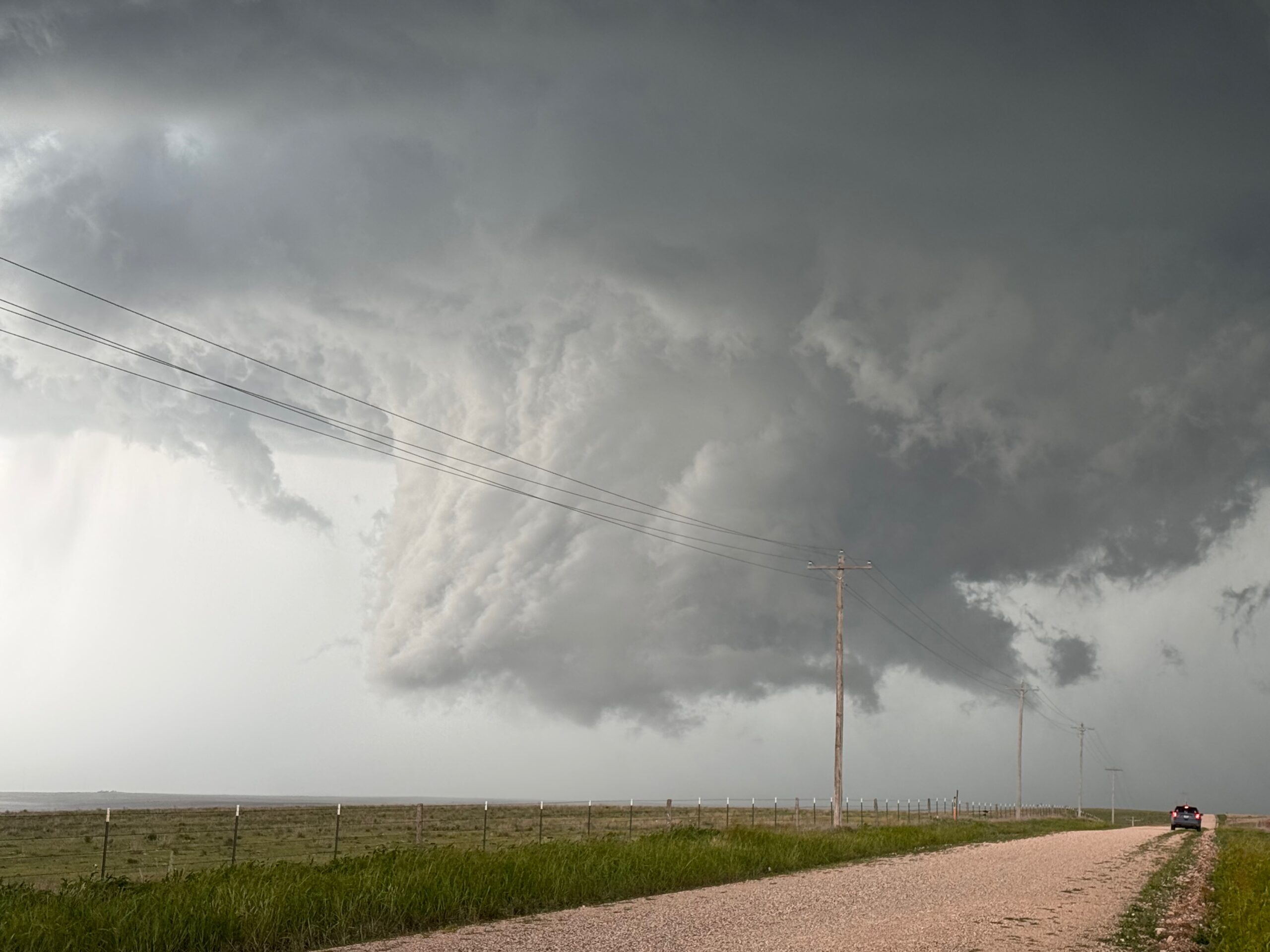
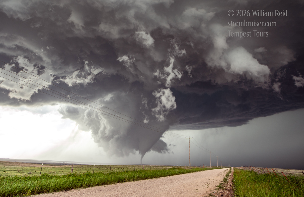
Iphone pics above show various stages of the wall cloud, and then a tornado quickly formed. It quit, but then there was another one. I was switching from my iPhone for video to my Canon with the wide angle lens for stills. Here are some of the Canon shots in and around tornado time.
And back to additional iPhone stills from the same location south of the wall cloud and tornado (below).
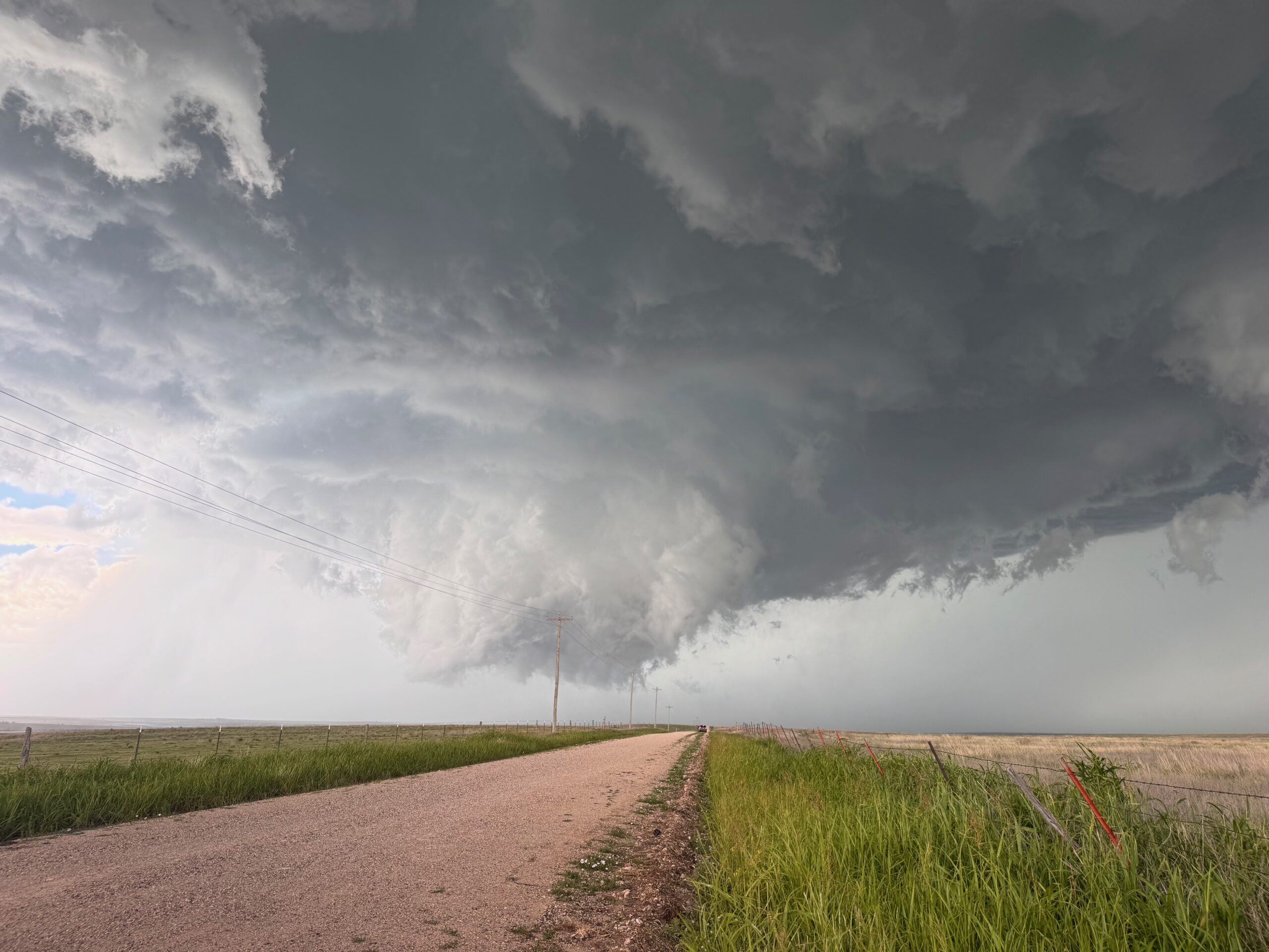
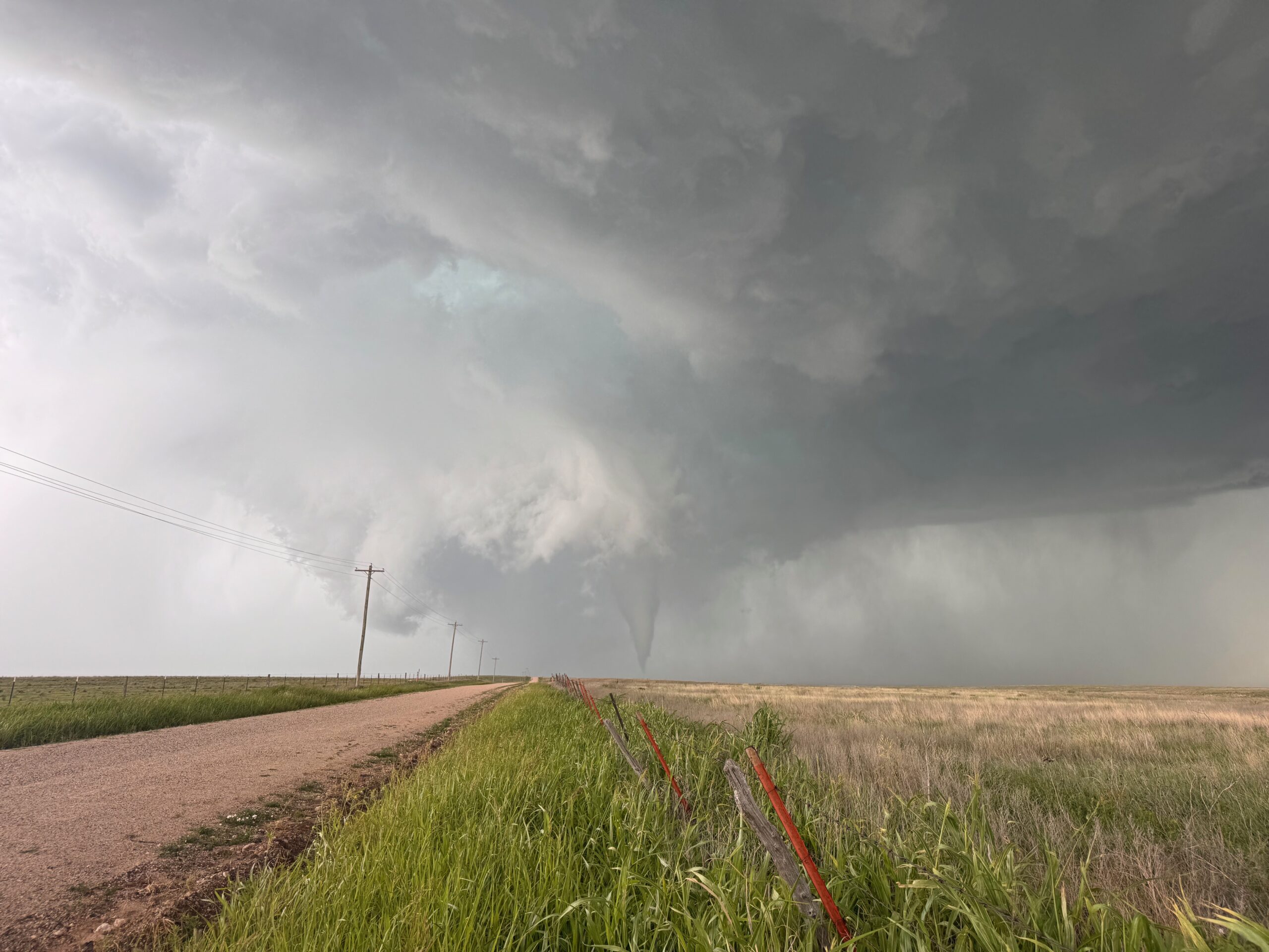
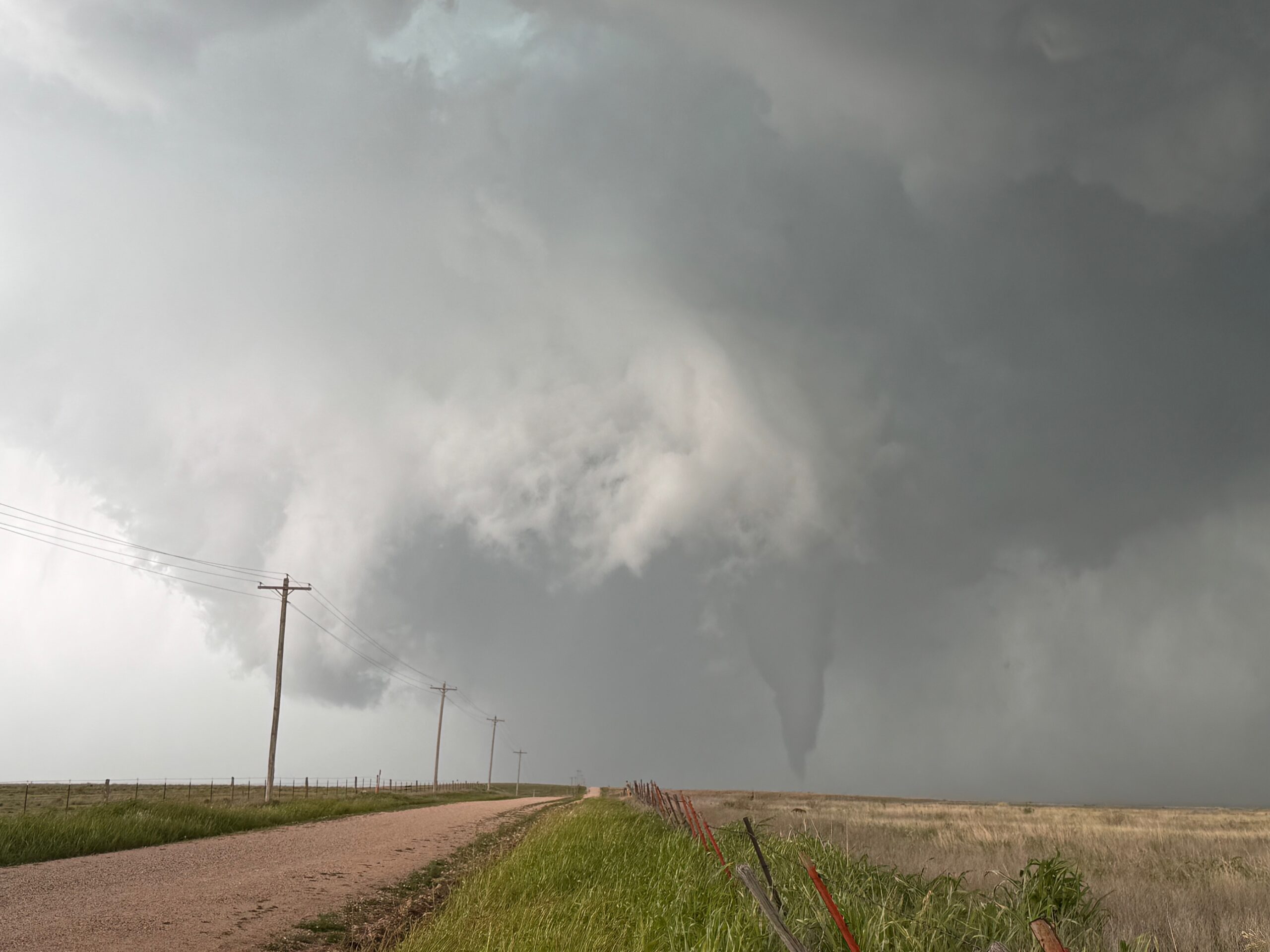
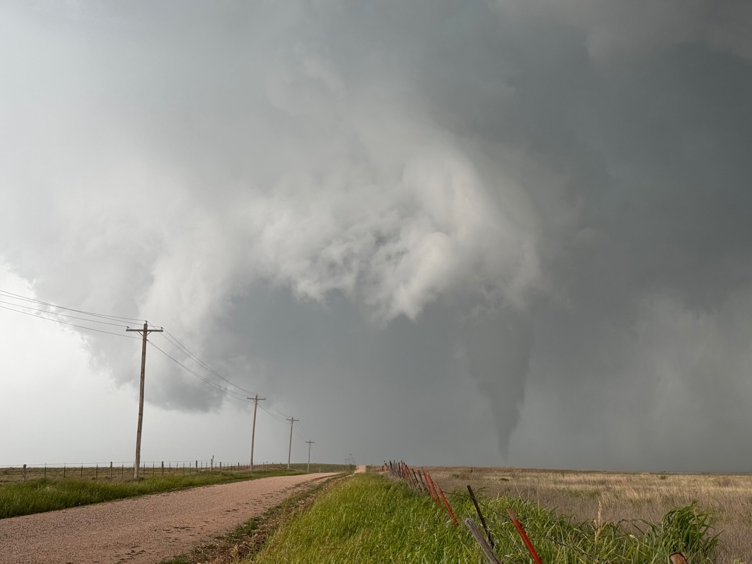
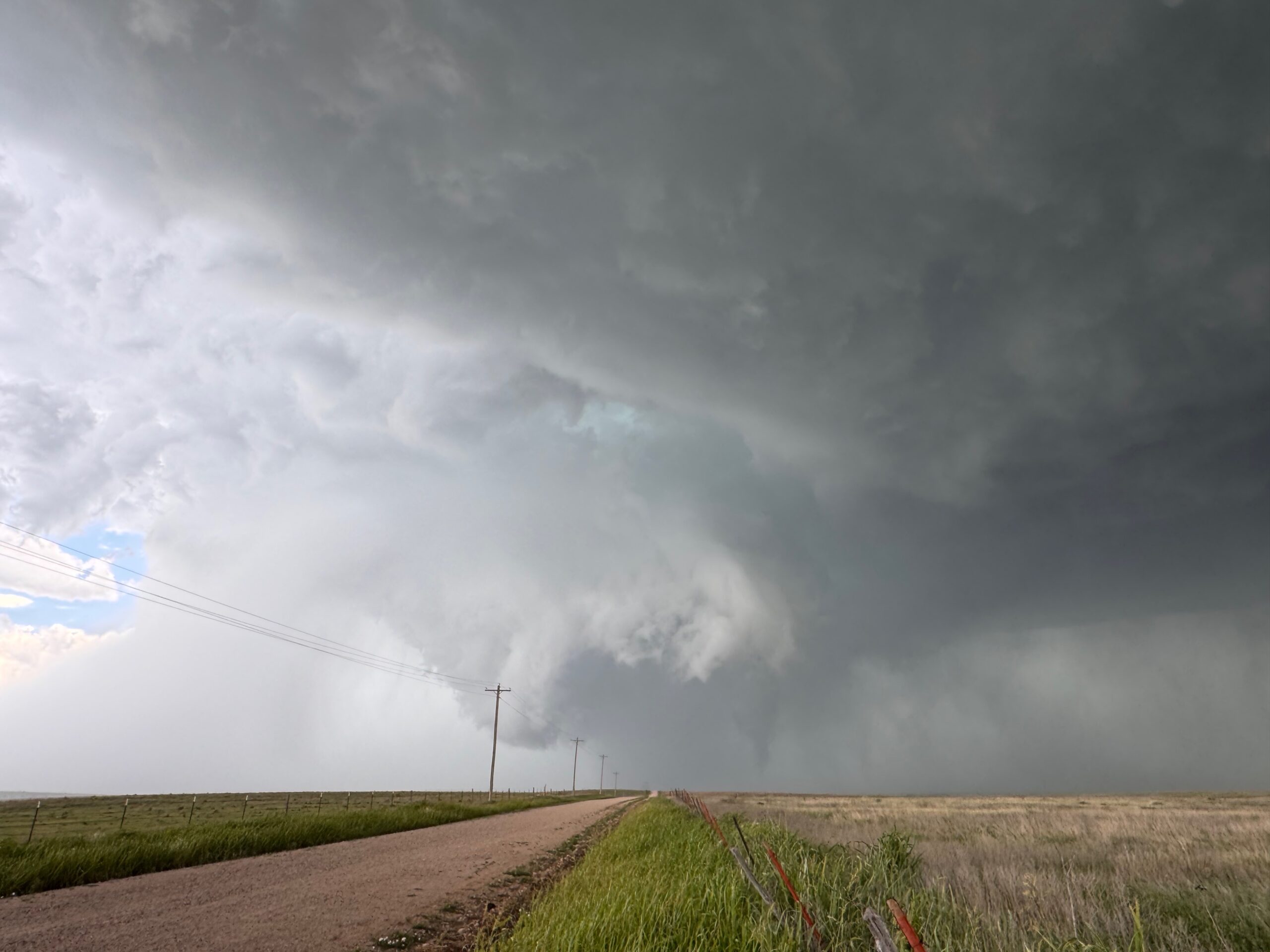
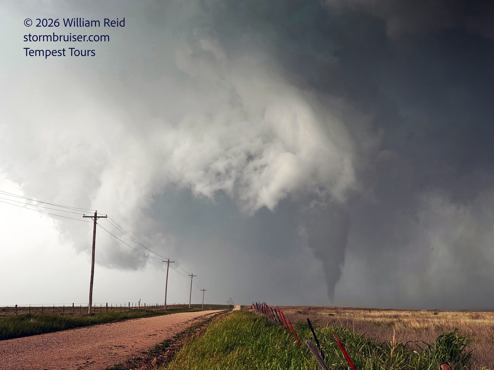
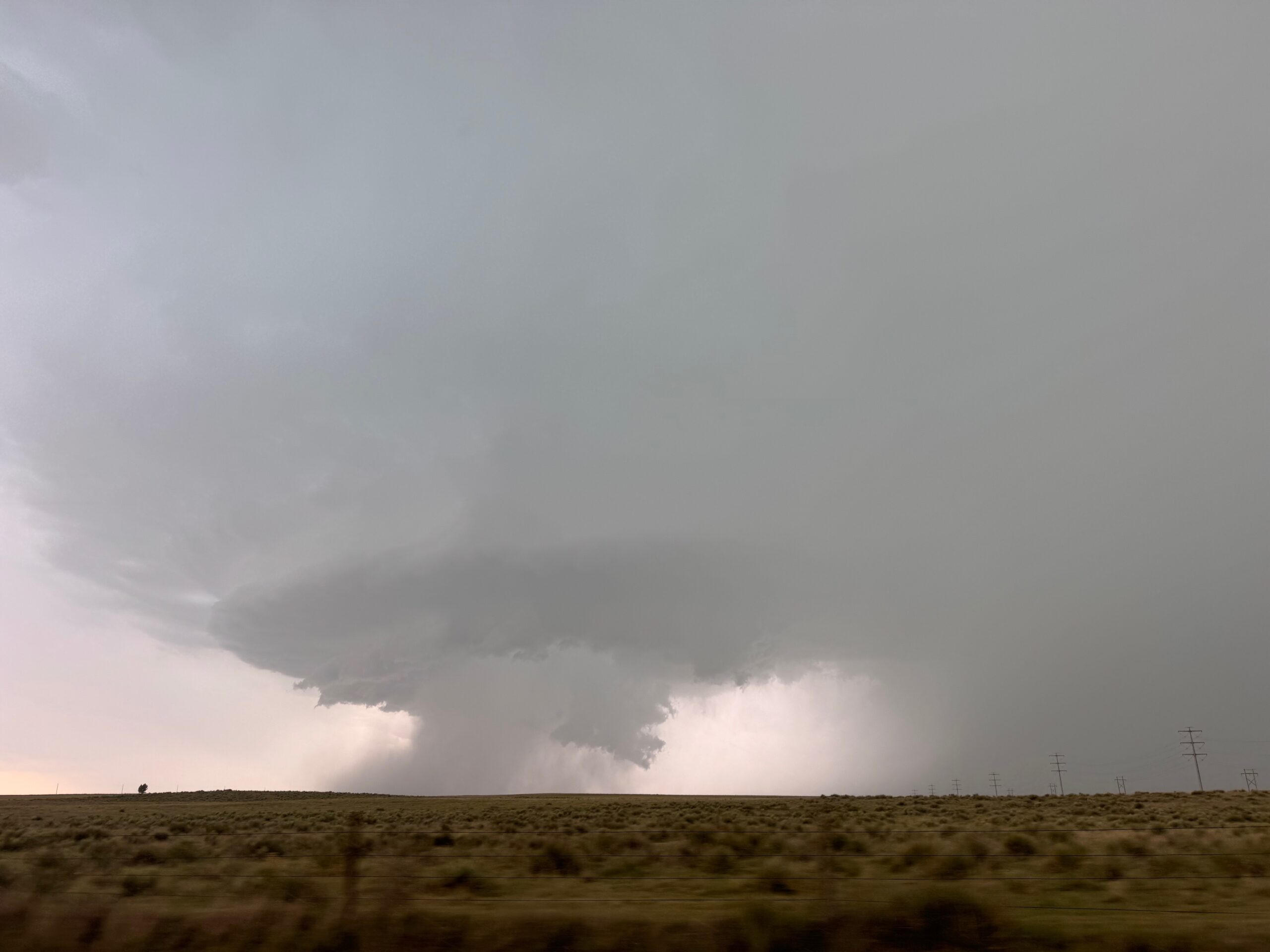
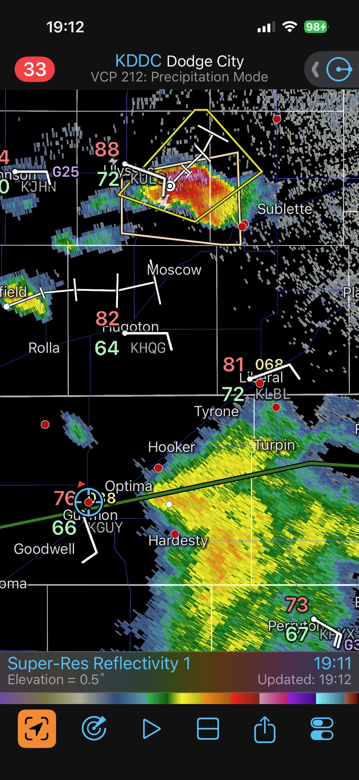
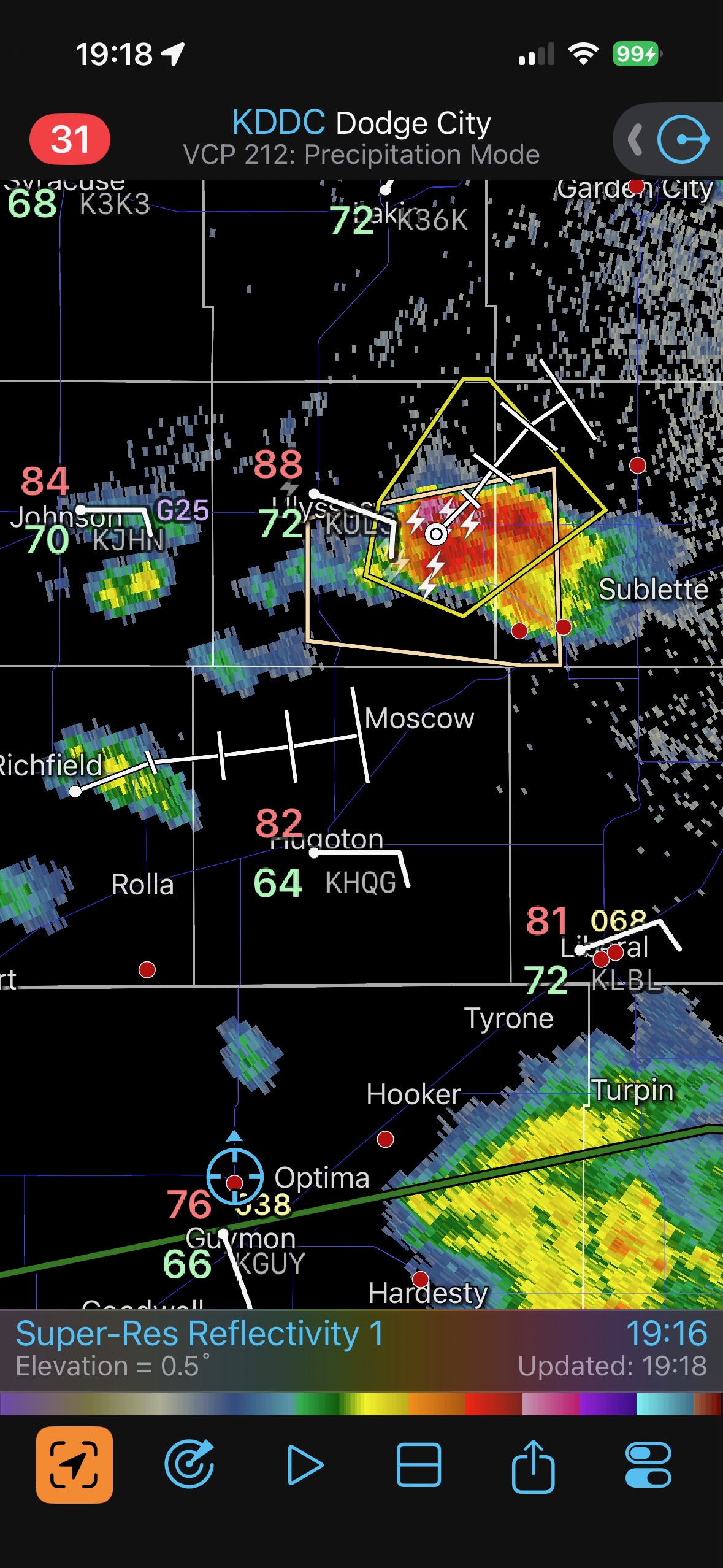
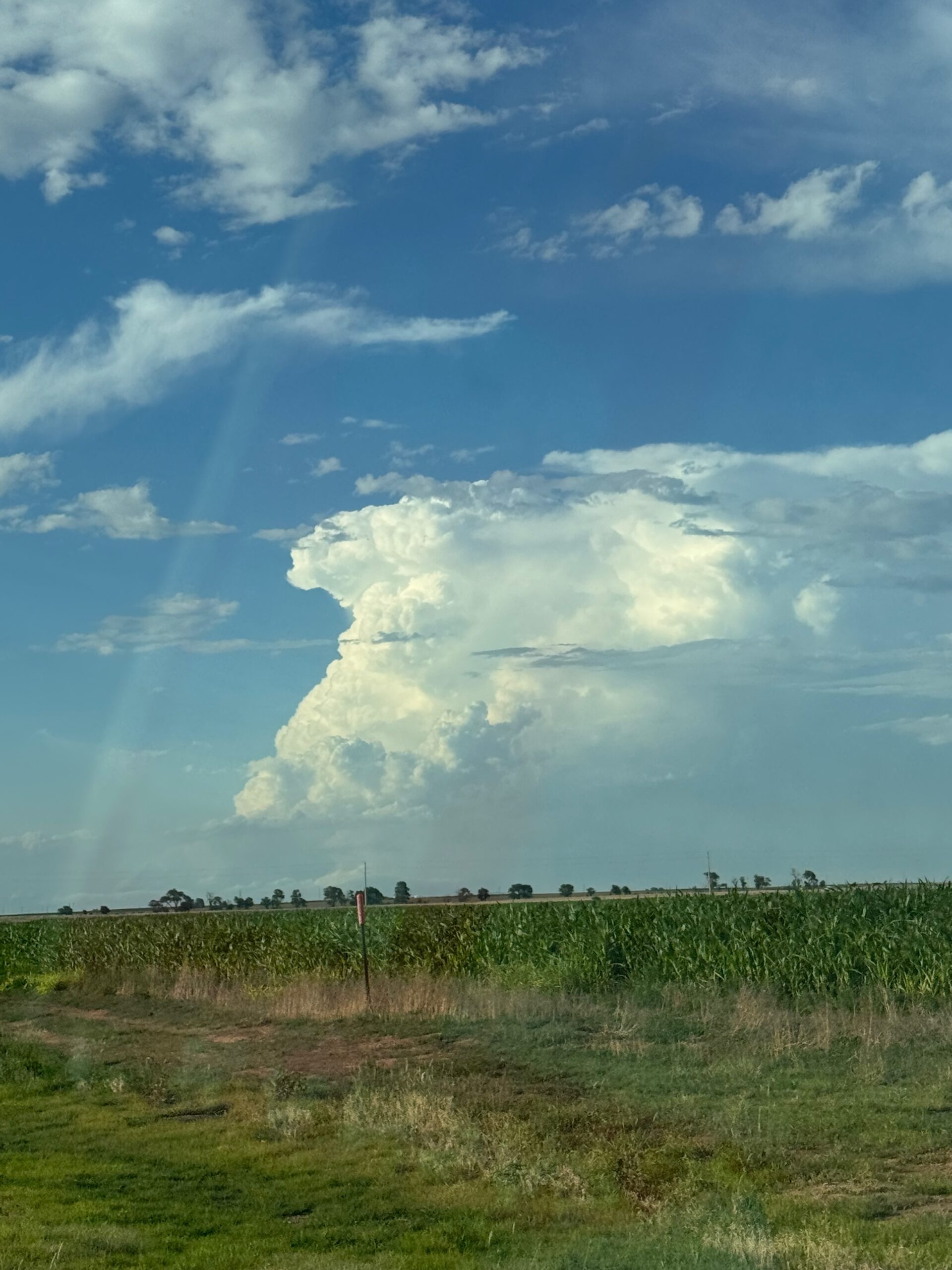
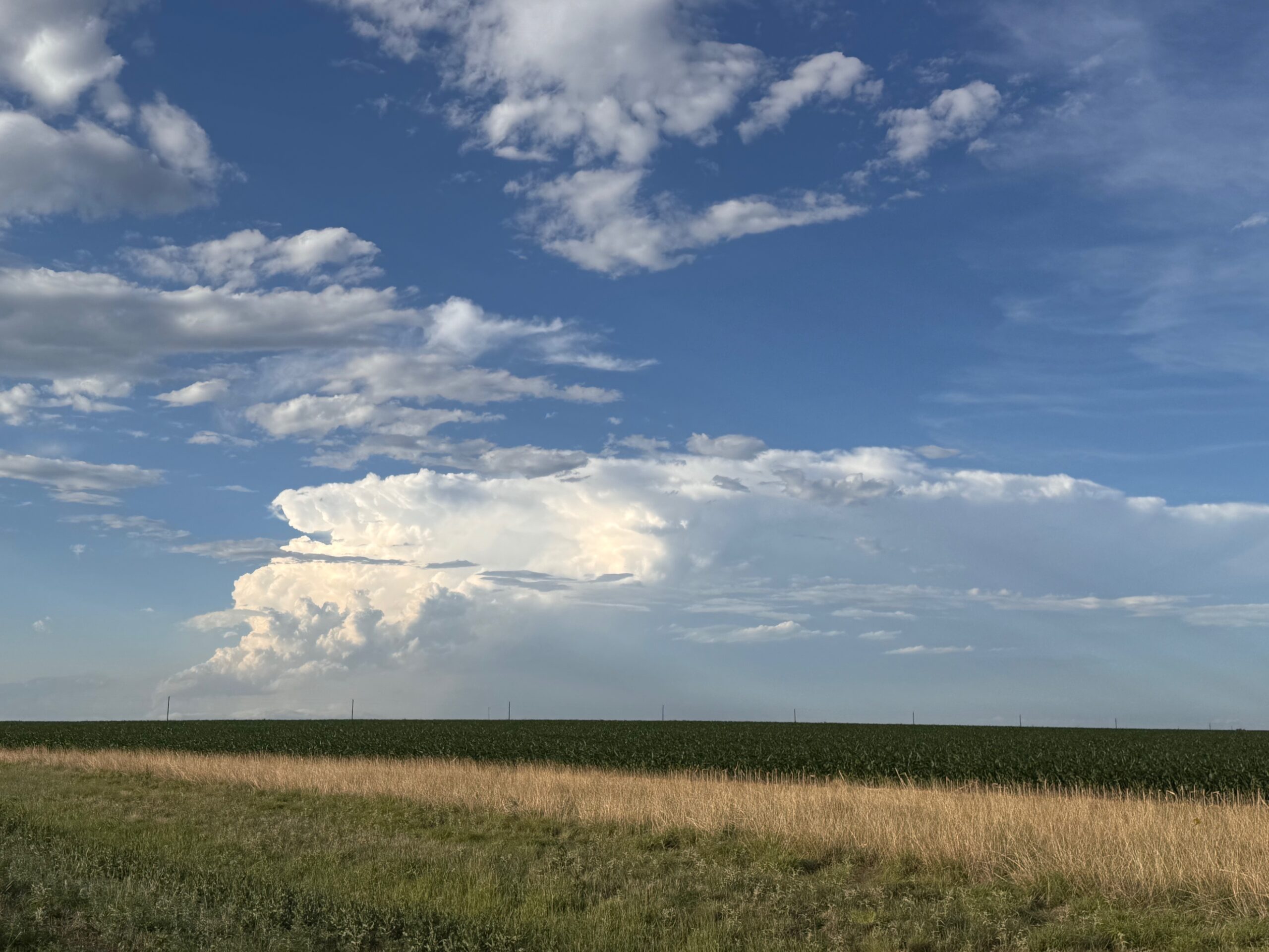
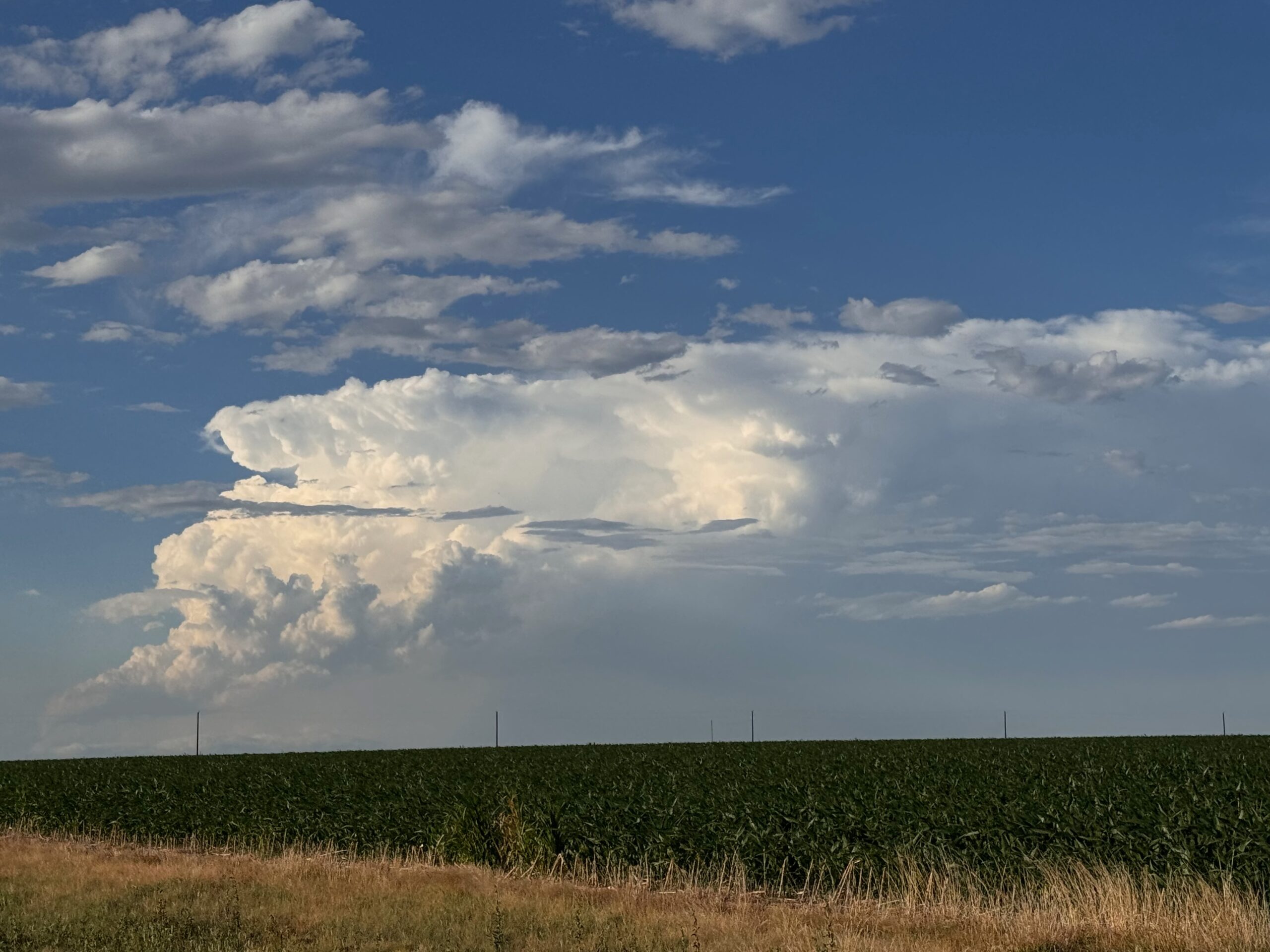
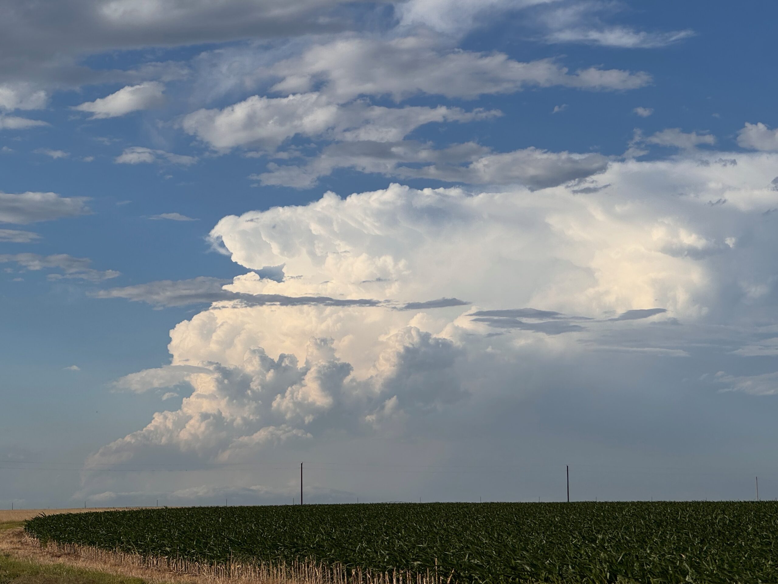
This final tornado became involved with some rain as it moved east of our north-south dirt road. We went back to 412 and stopped southeast of the supercell. The structure was quite nice, and some prominent lowerings could be seen inside of the bear’s cage to our northwest (see first two pics below). As the supercell continued to the east, it became messier and wetter, and viewing another tornado with it appeared quite unlikely. I decided that we were done with this one, and we headed west to a new storm moving our way in the western Oklahoma Panhandle. That did not work out, as the storm died rather quickly. We headed north into Kansas and viewed a strong updraft or two to our NNE from the Hugoton area, but these were not able to get particularly strong.
As it turned out, the Beaver/Elmwood storm was the only worthwhile show for chasers in and near today’s tornado risk area on the Great Plains.
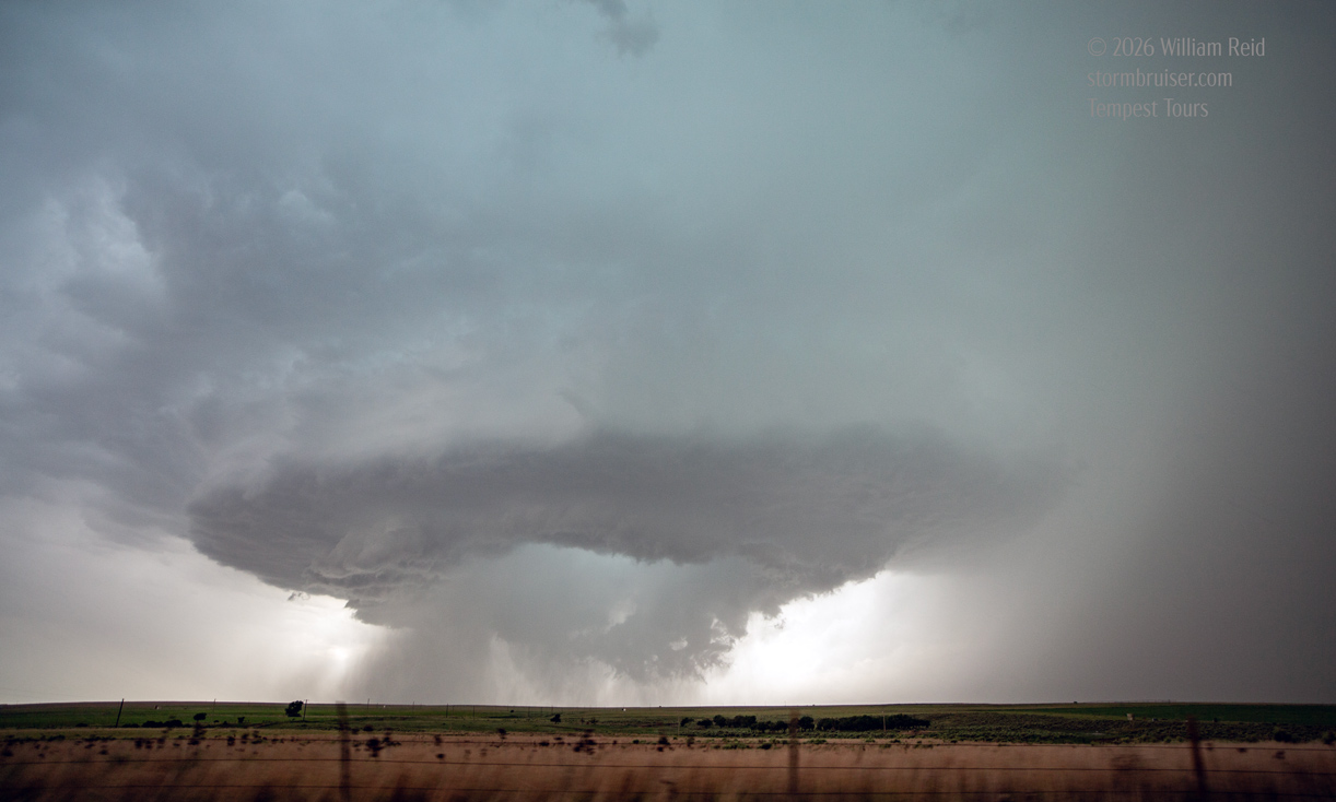
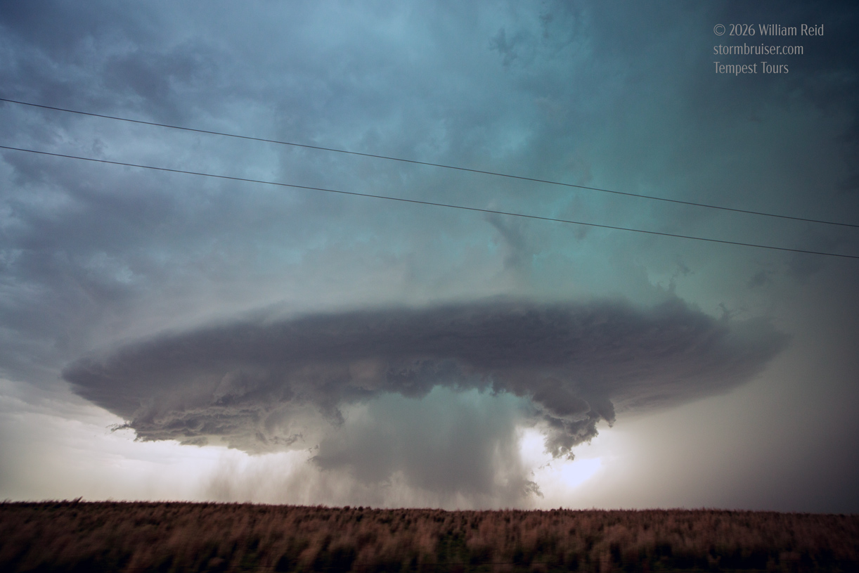
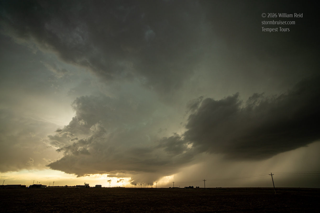
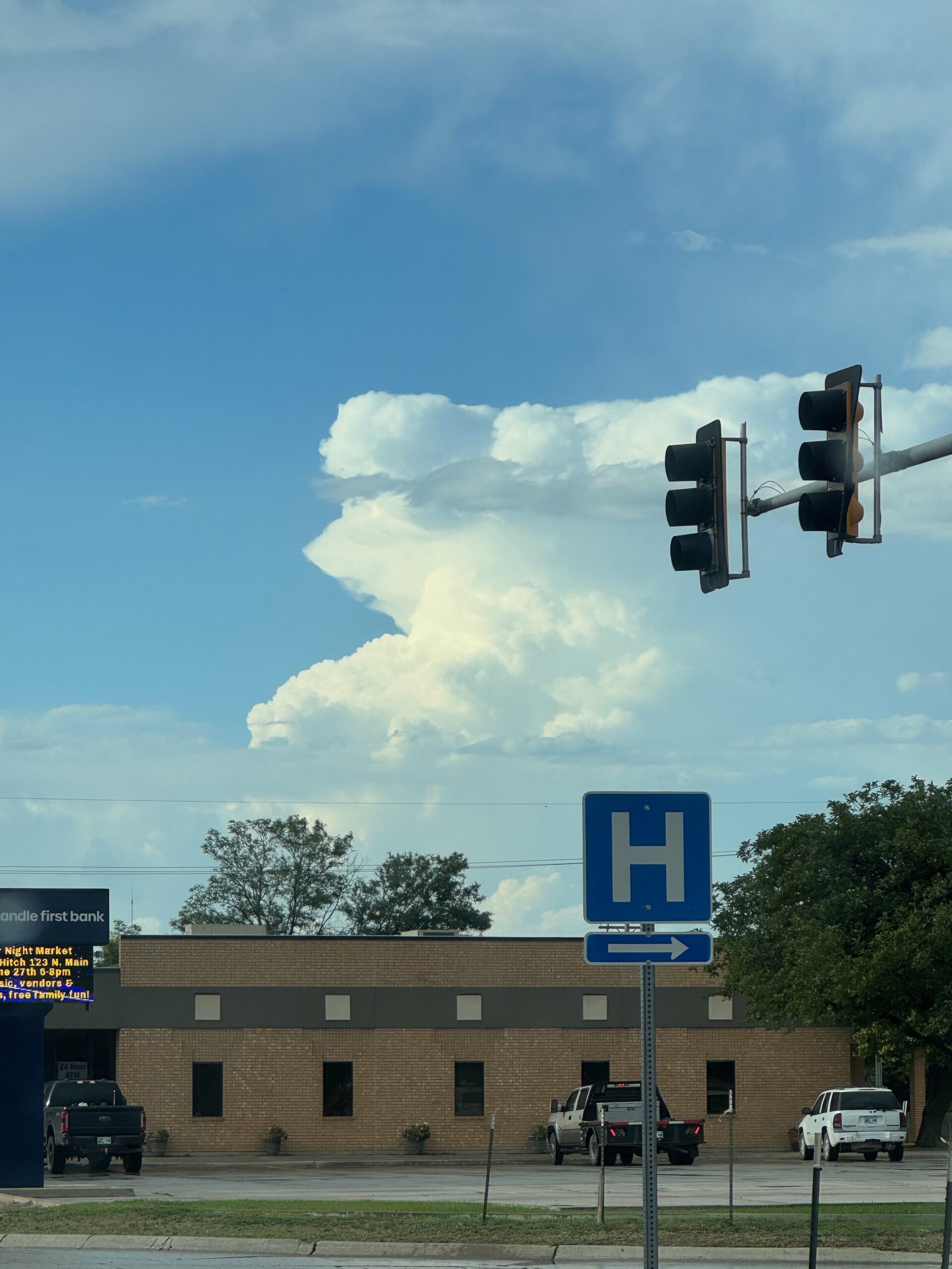
The remaining iPhone shots are provided below.
Leave a Reply
You must be logged in to post a comment.