
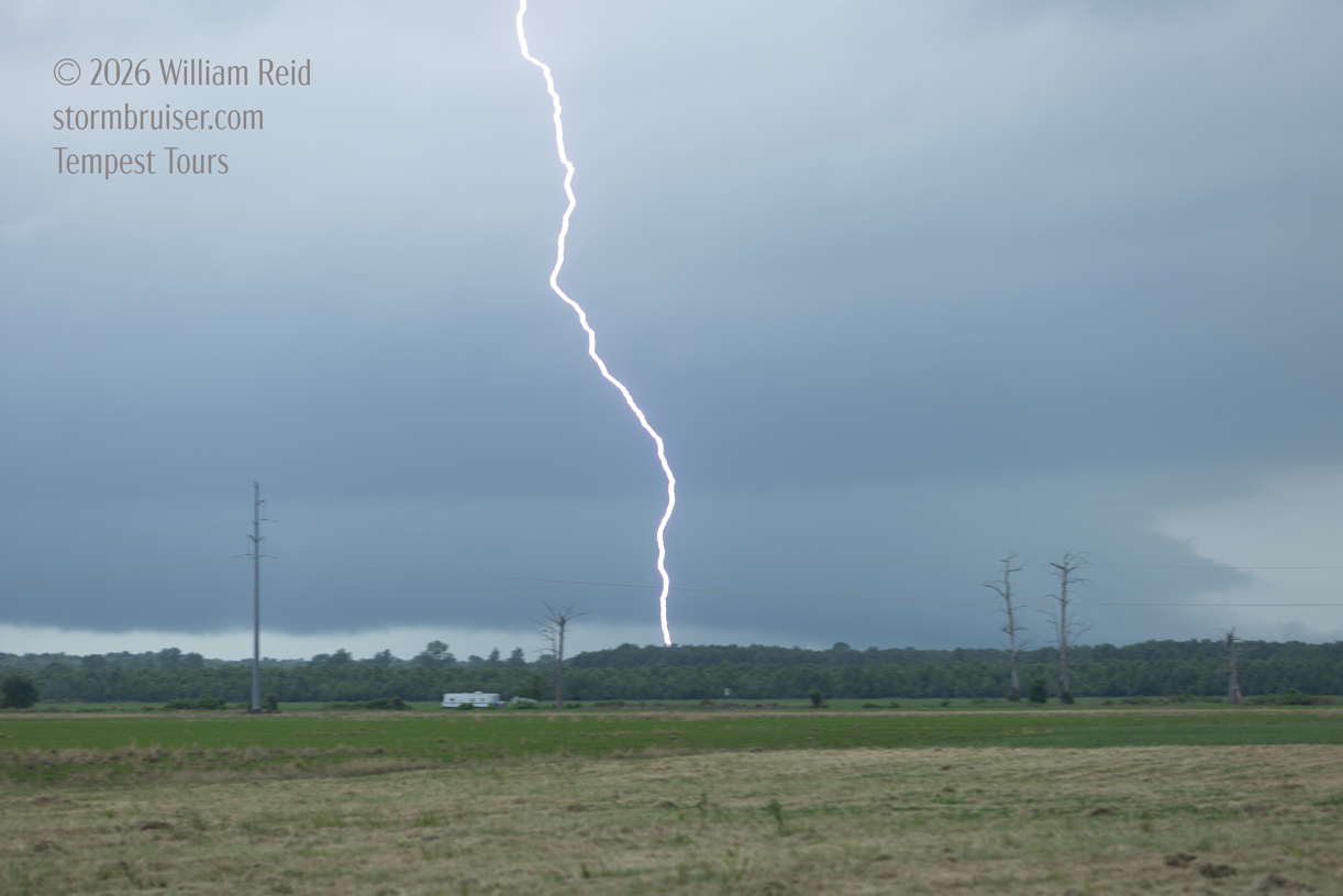
You KNOW that I was thrilled to be chasing in the trees for the beginning of Tour 3! The tour began out of OKC on May 4, with some Junky McFuzzy stuff west of Lawton. The next day showed promise but wound up a dud in NW Arkansas. And on the 6th we had some fun near the LA/MS border. Since the chases on the 4th and 5th were lame, I will attach a few photos from those two days at the bottom of this entry just for the sake of documentation. Here are the usual particulars for the three days:
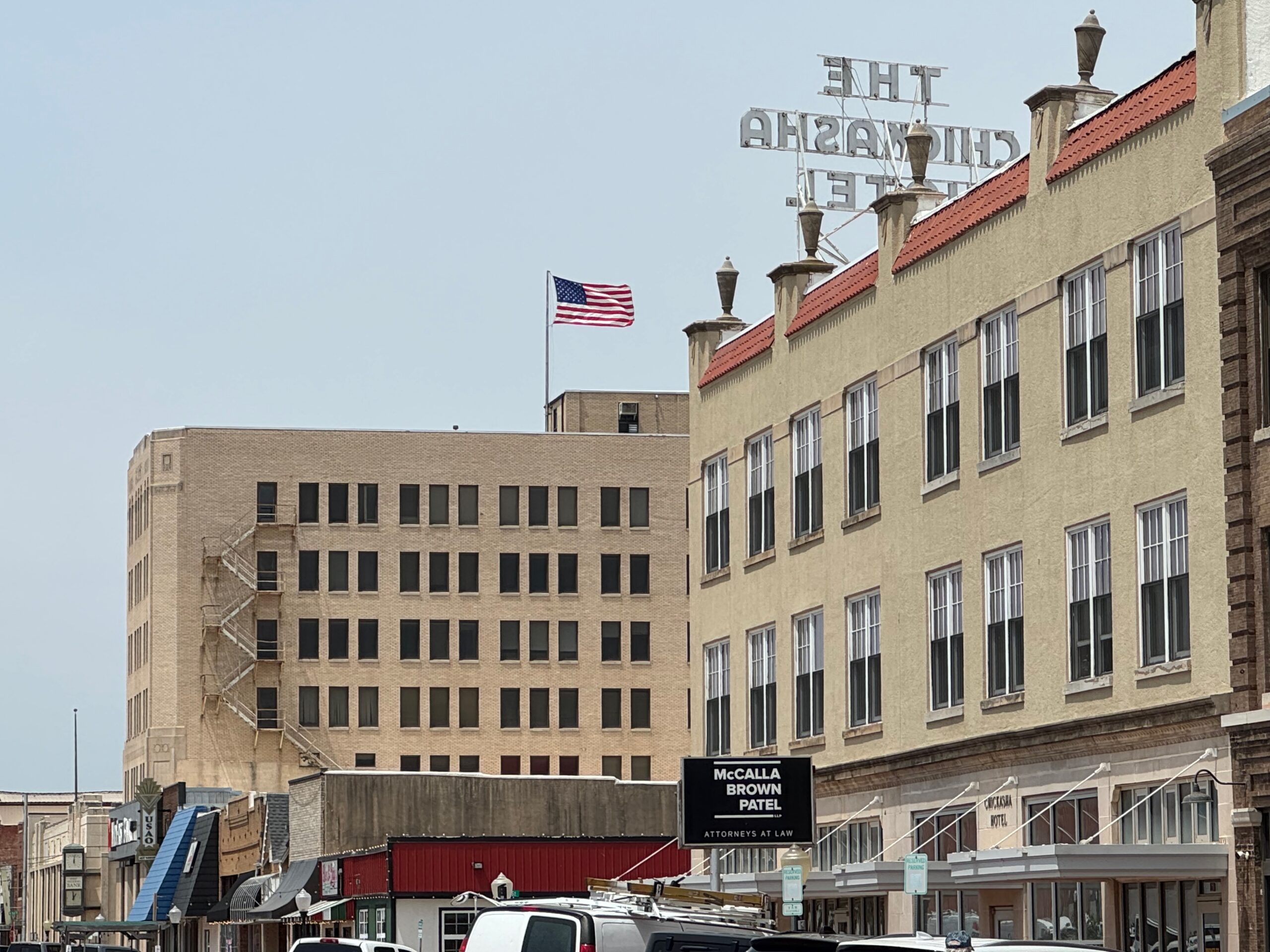
May 4 Start: OKC/lunch at Brandi’s Bar and Grill in Chickasha/End: Paul’s Valley/228 miles
May 5 Start: Paul’s Valley, OK/lunch: Braums in Sallisaw, OK/End: Conway, AR/482 miles
May 6 Start: Conway, AR/lunch: Grab and Go somewhere/End: Alexandria, LA/476 miles
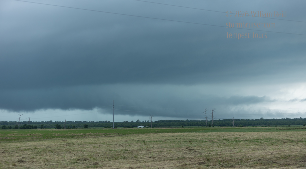
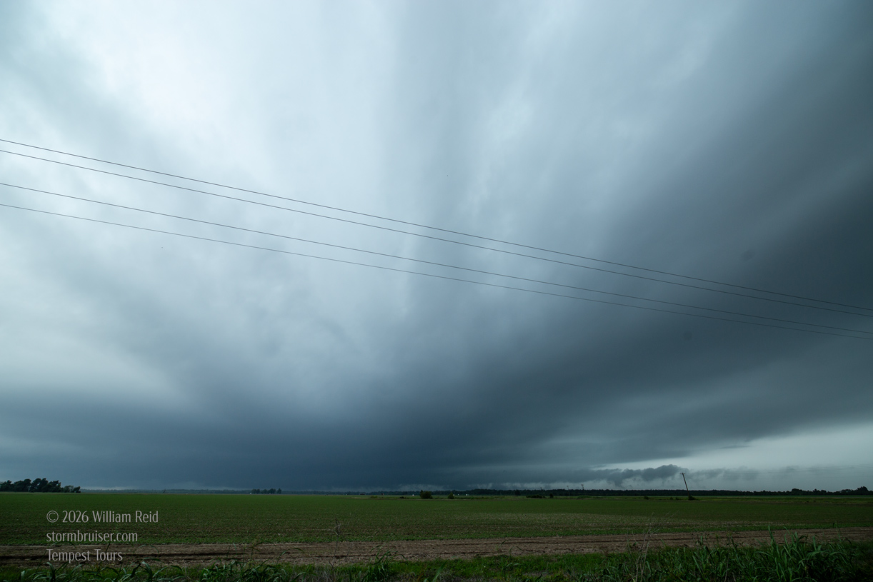
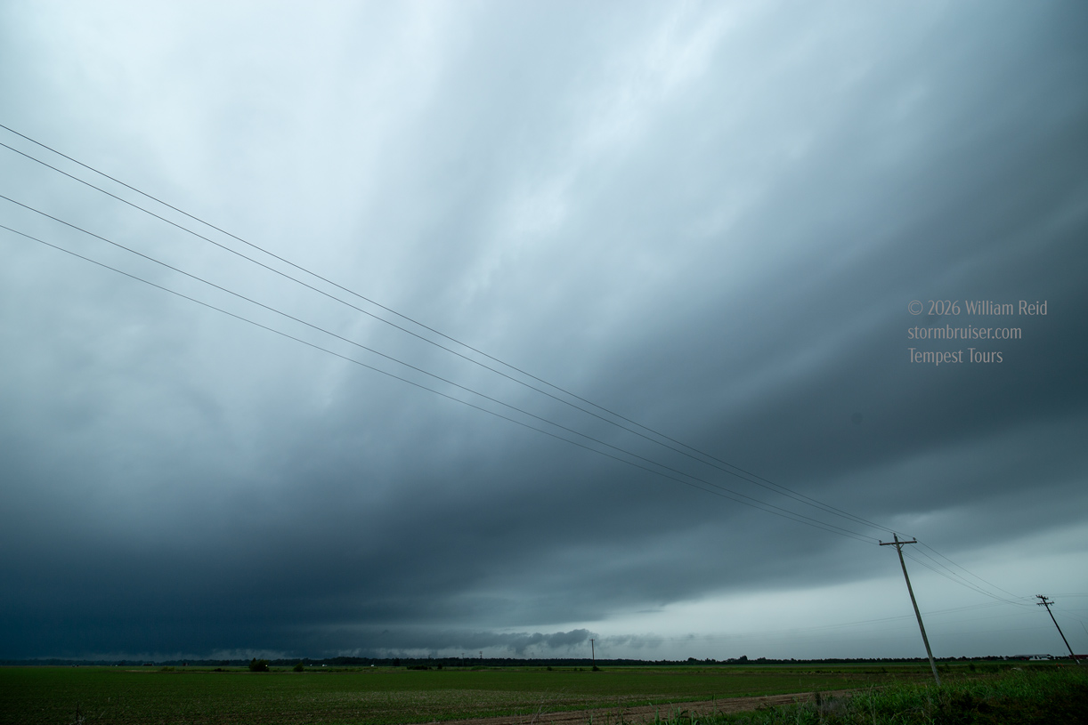
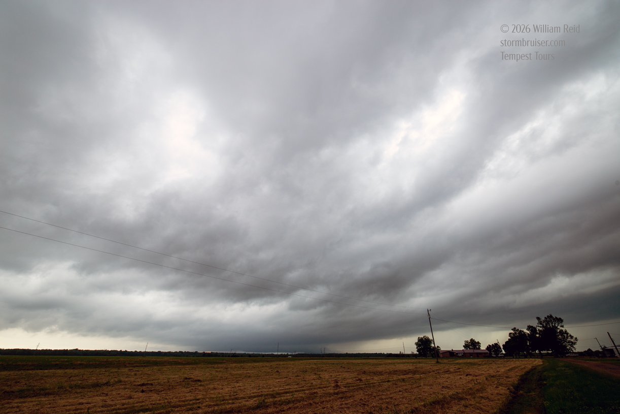
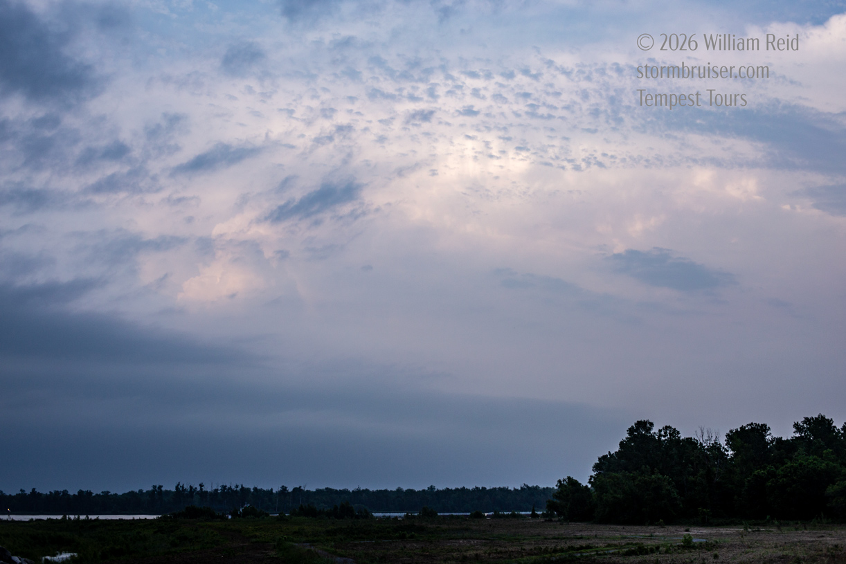
The six photos above are the best ones from my Canon cameras this chase day. It will be easier for me to describe this chase day by using the iPhone pics!
iPhone photo dump below
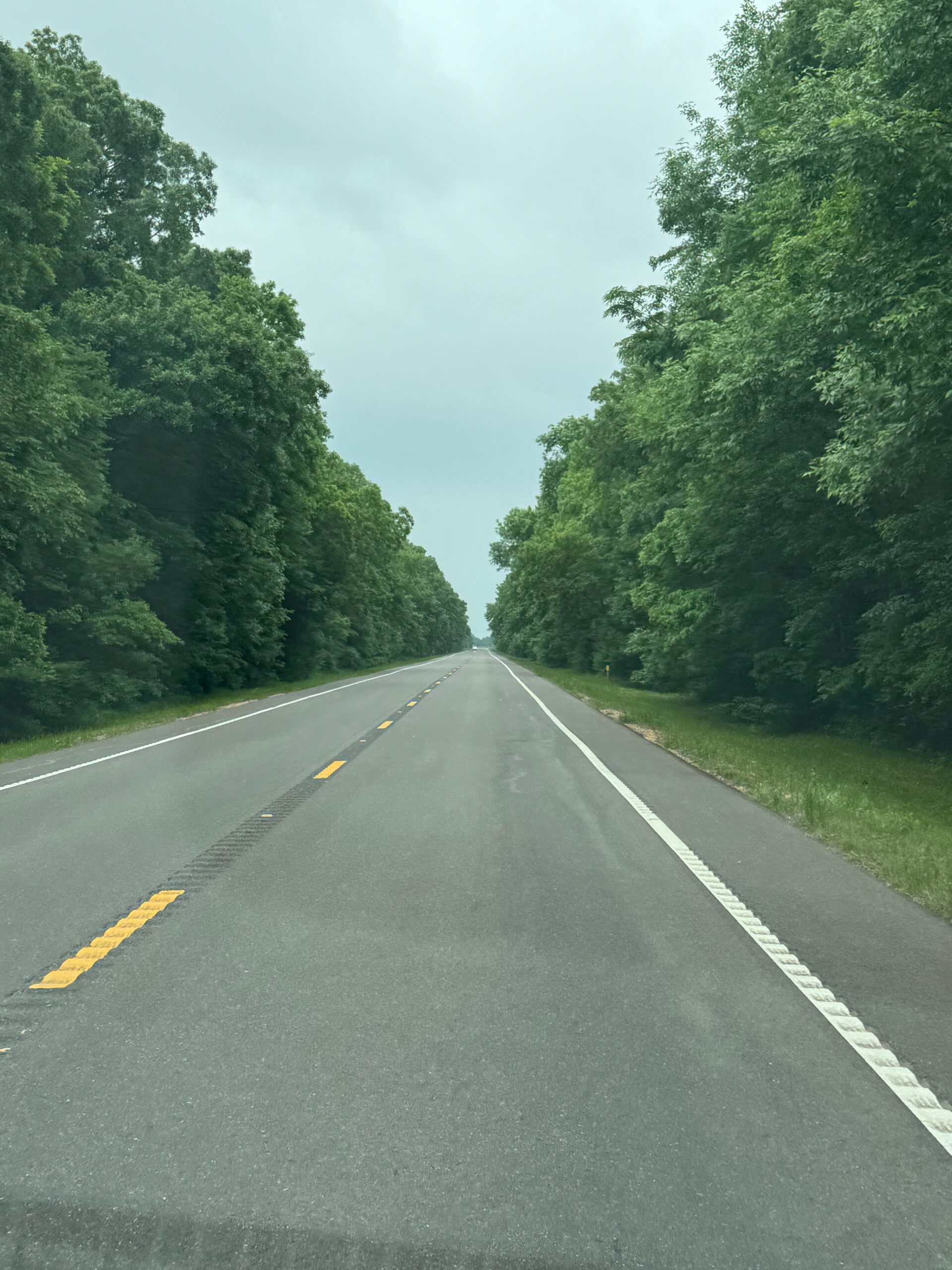
We made our way SSE-ward from the Little Rock area to get into the extreme western portion of SPC’s 10 percent/hatched tornado risk area, towards Natchez and the Mississippi River. This, of course, is along the Louisiana and Mississippi border. And this is an area that I had hoped to never have to chase in! The tornado risk did indeed look quite good, with dews well into the 70s and improving wind profiles and upper-level support towards sunset. I was not and am not very familiar with the area. I knew that tall forests were the rule on the Mississippi side. I was not keen on chasing anything in the forest! I figured that our best chance of seeing a good storm would be close to the river. Plenty of flat and somewhat tree-less farmland could be found on the Louisiana side. A play on the west side of the river meant that we got one chance, as finding a nearby bridge and staying close to any storm was very unlikely.
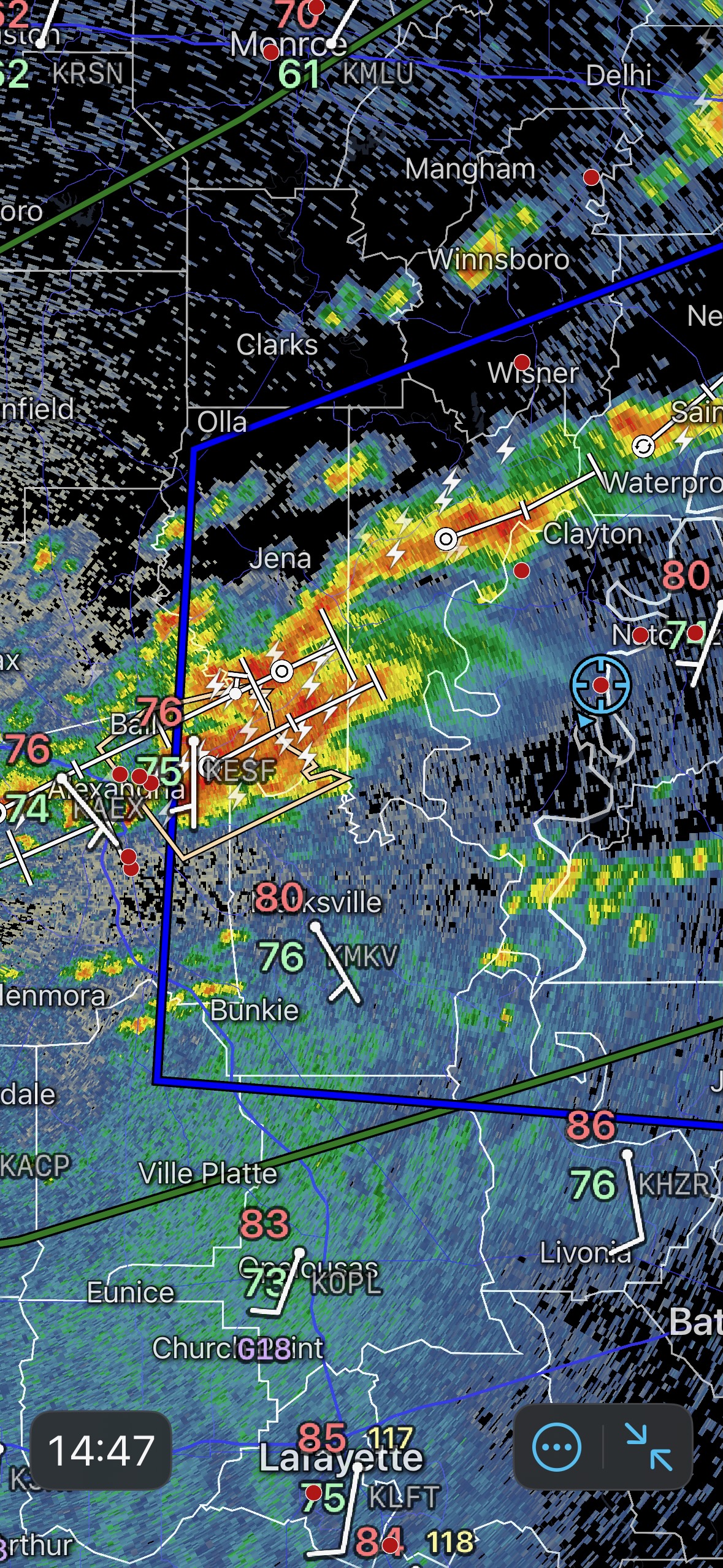
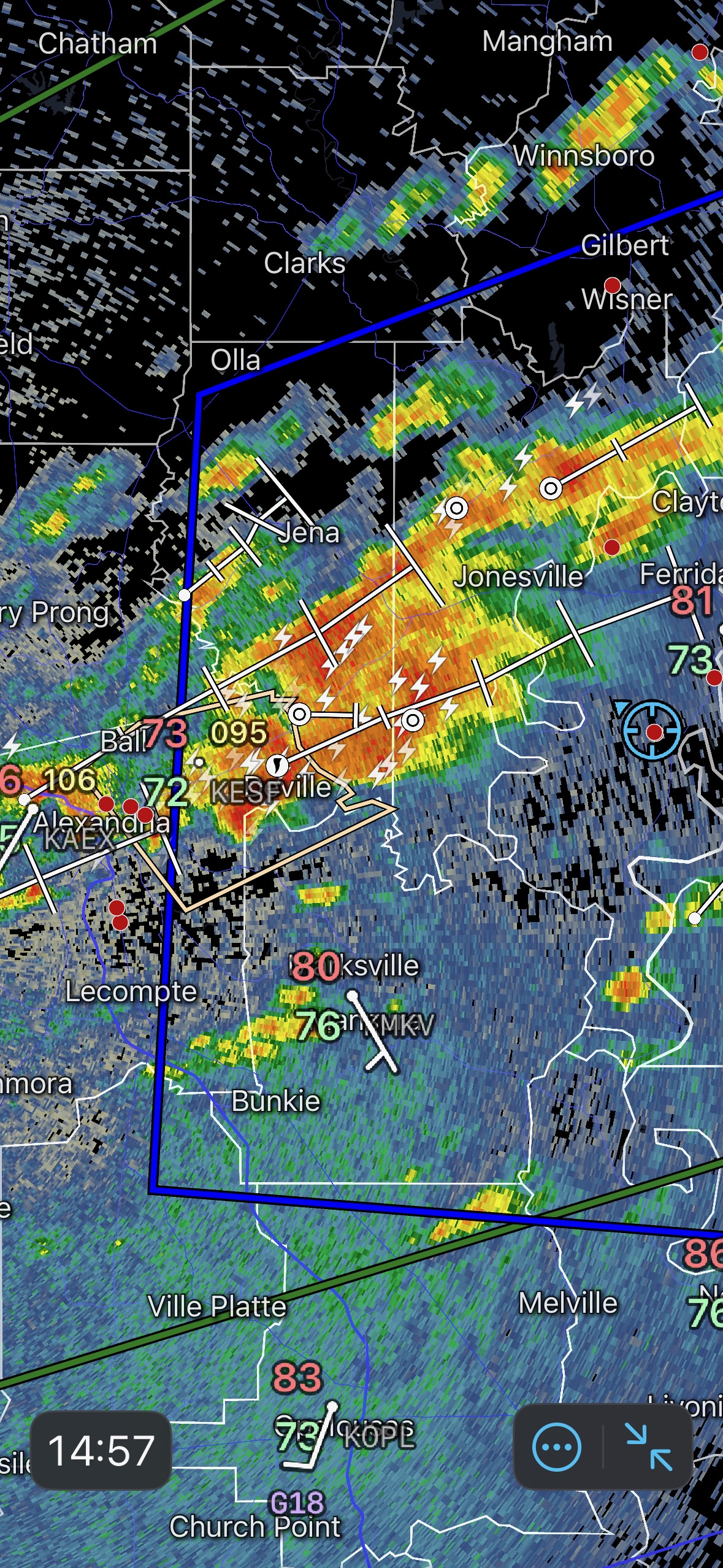
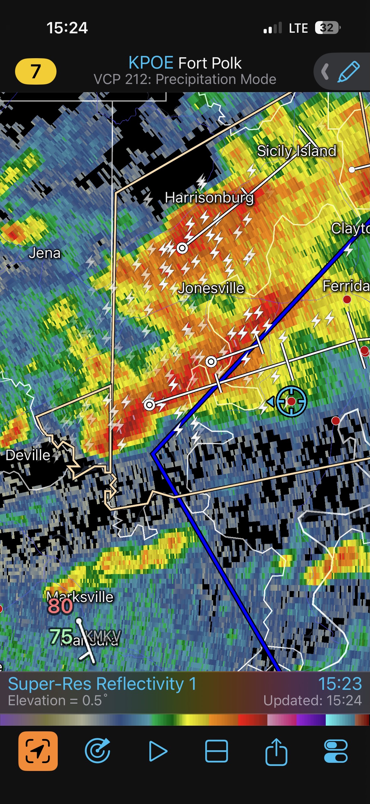
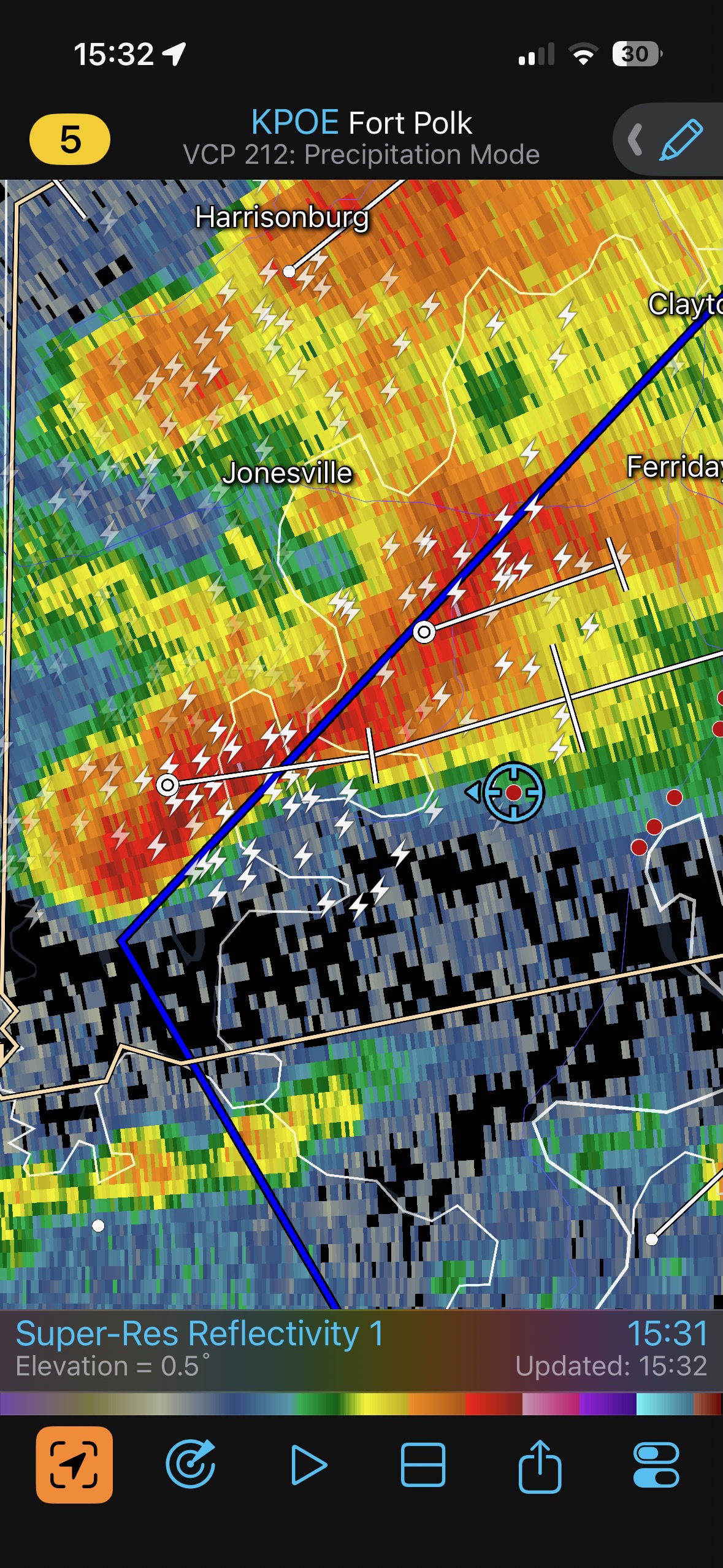
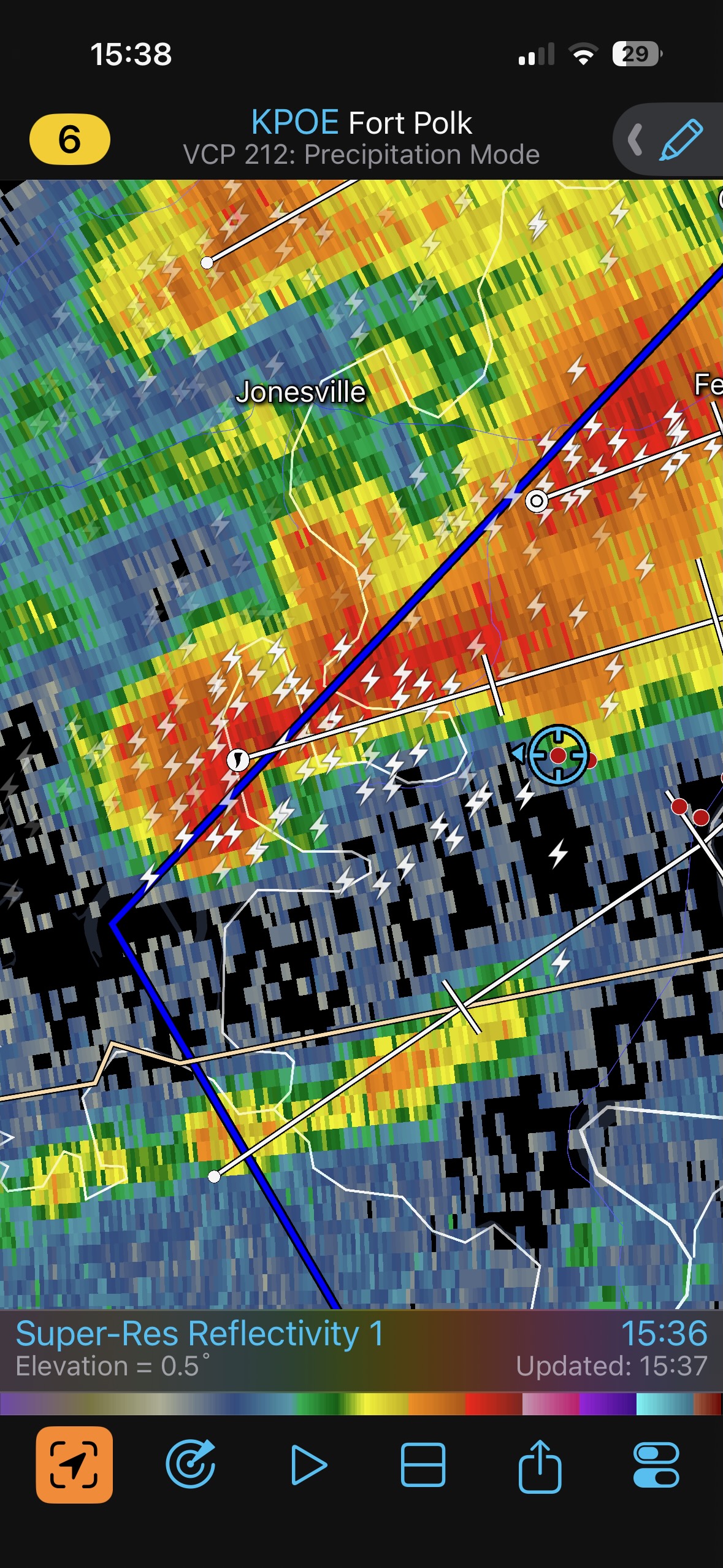
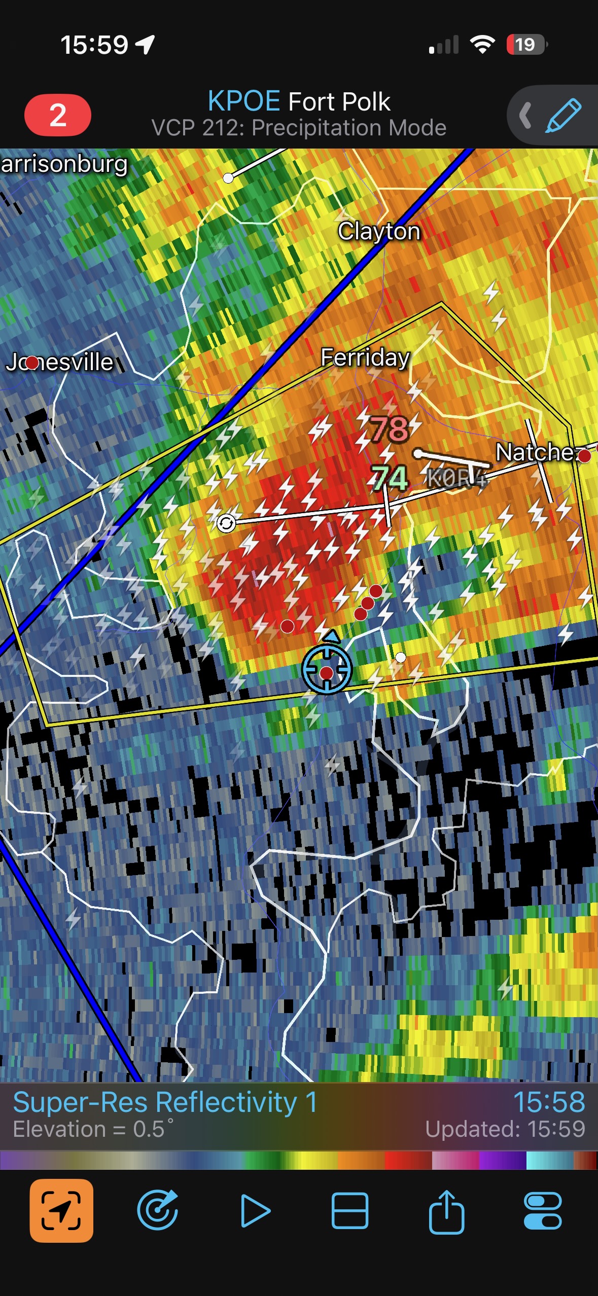
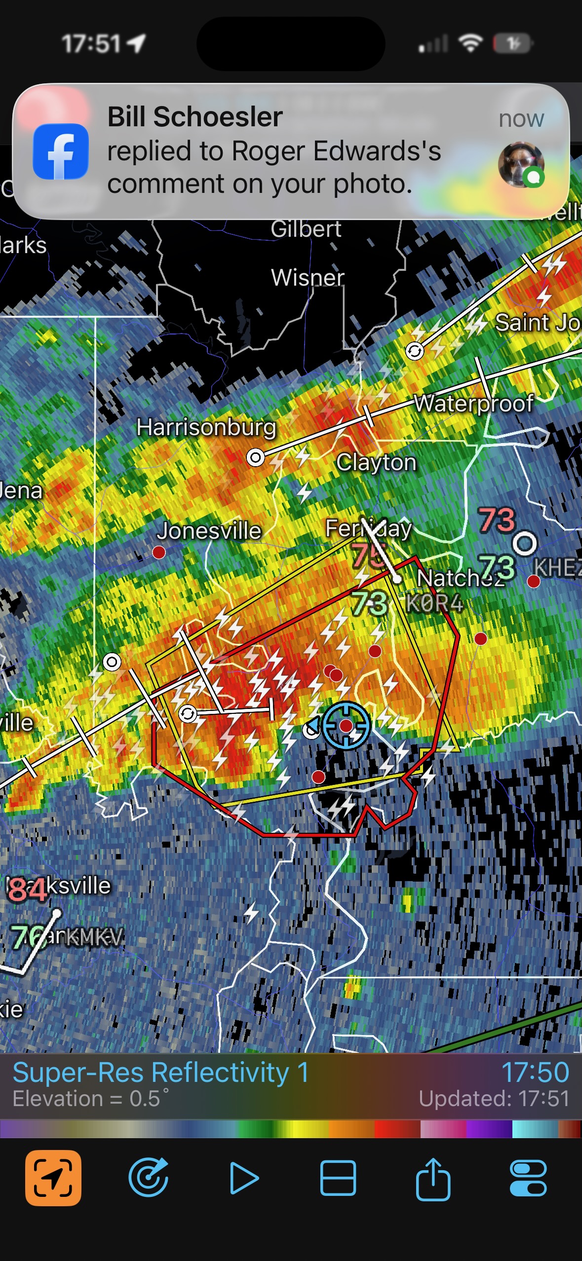
The first batch of radar screenshots below, from 2 to 4 p.m. CDT, show storms developing near Alexandria, LA, and moving to the east. This was round one for us. We dropped south on U.S. 65 in Louisiana, past Vicksburg and Natchez, and found a decent open area in the path of the activity near the small towns of Monterey and Deer Park. We could see some supercell structure with the cell as it approached our location between Monterey and the Mississippi. The base was quite low and there was a low-level inflow stinger attached to the action area. Lightning picked up rapidly and I thought that this thing might produce a tornado, but it did not. Scroll down for additional text.
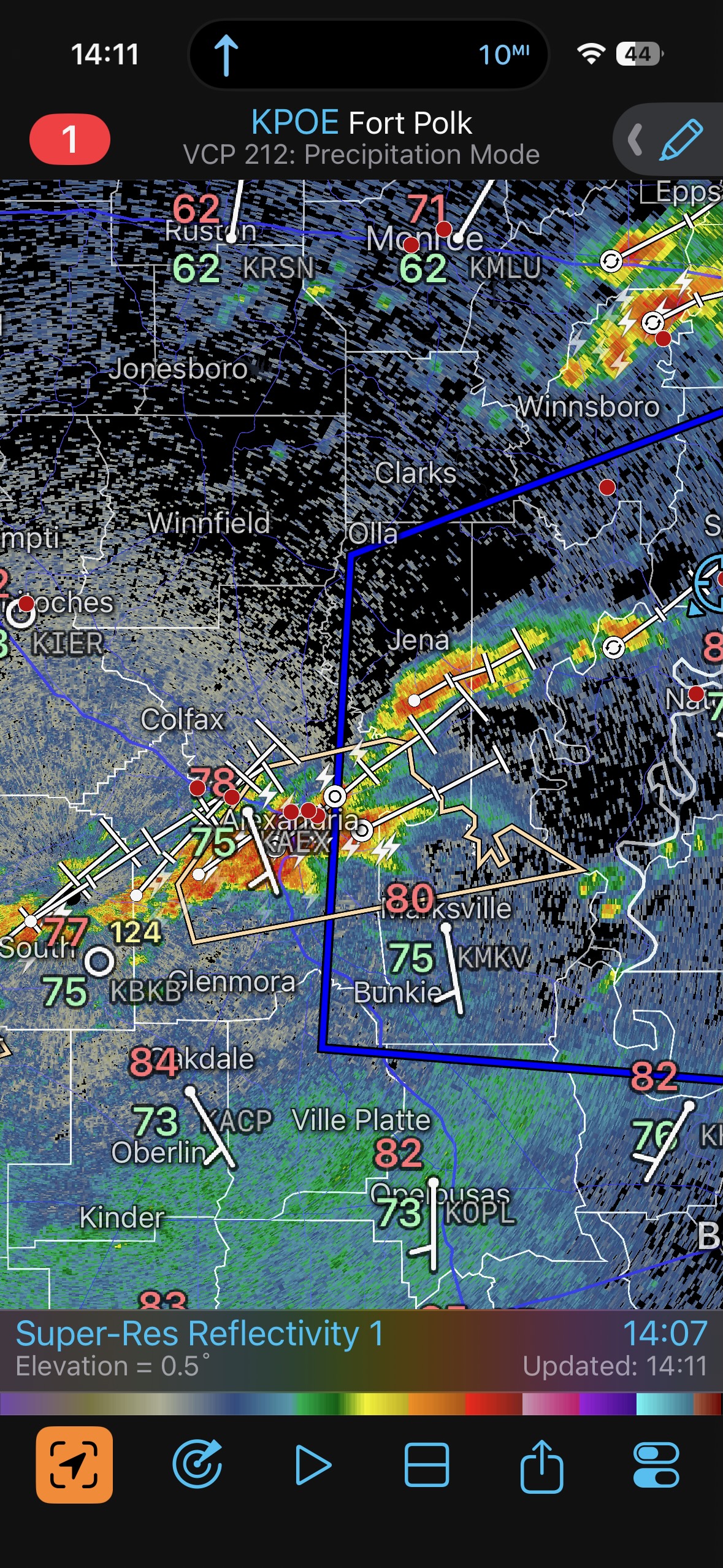
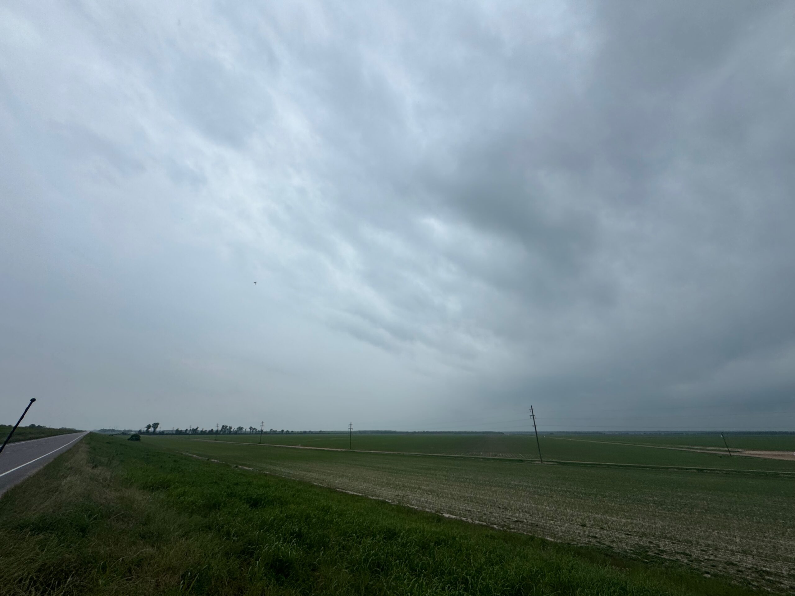
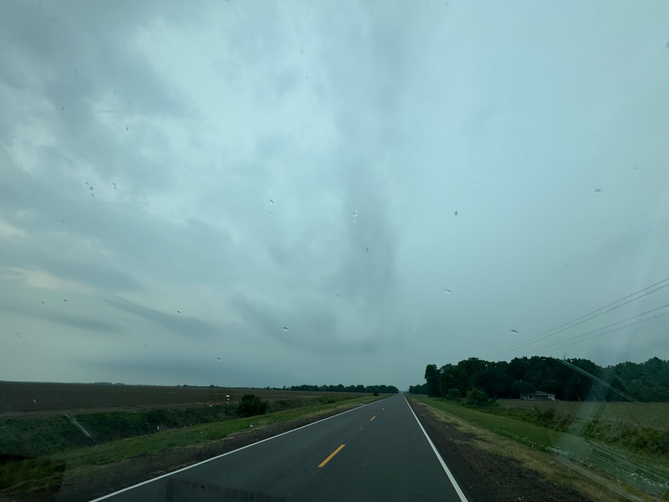
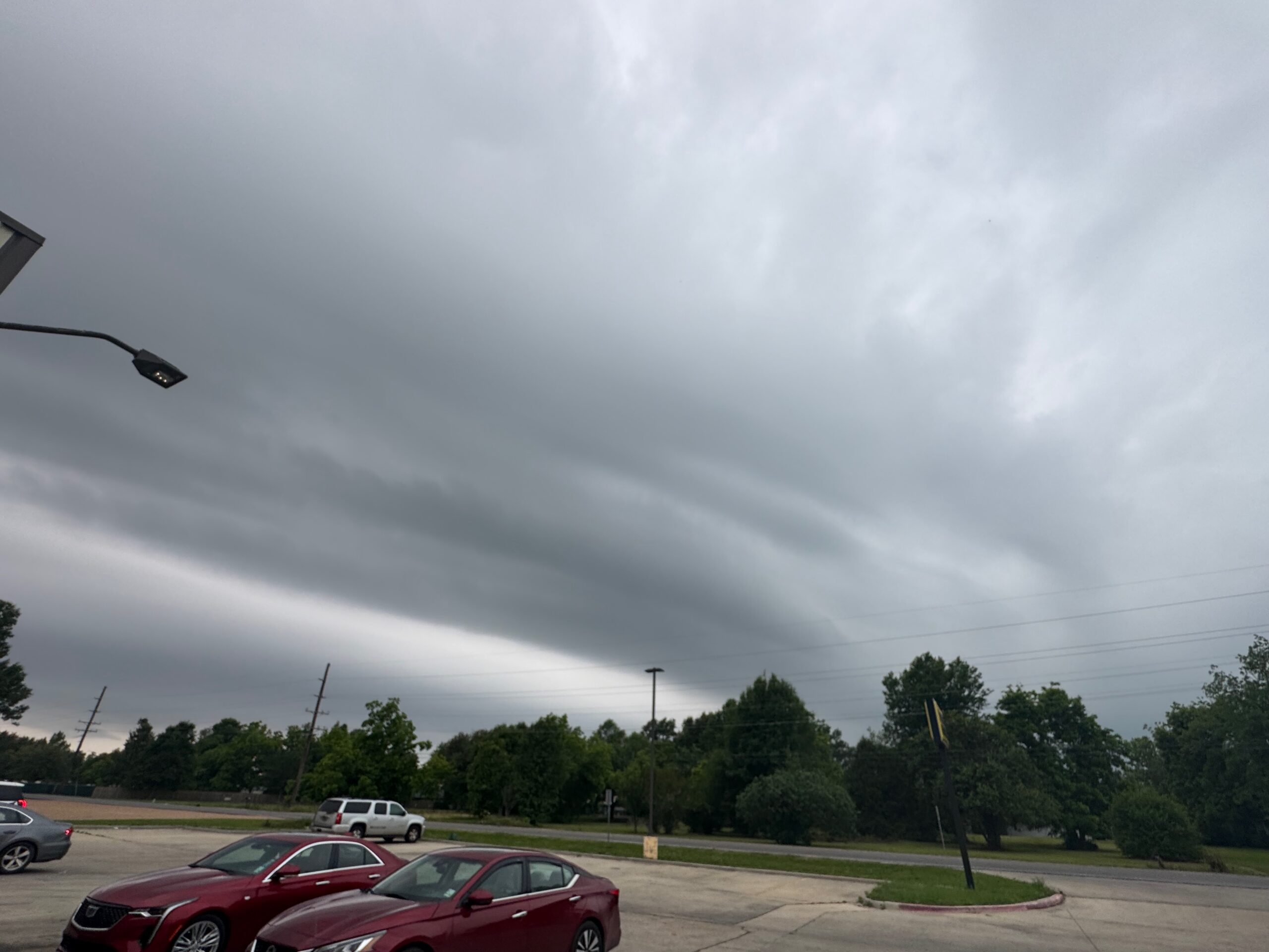
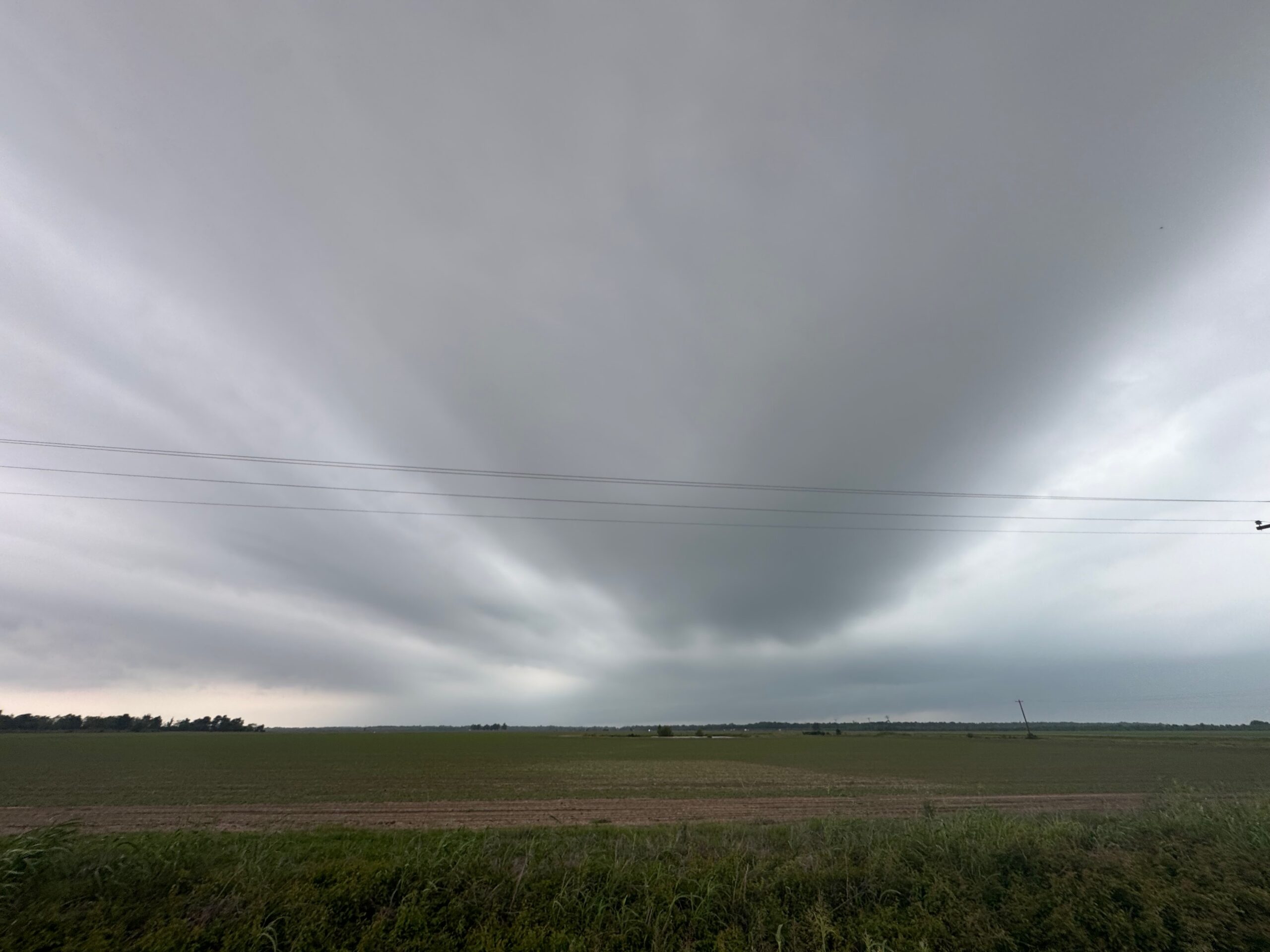
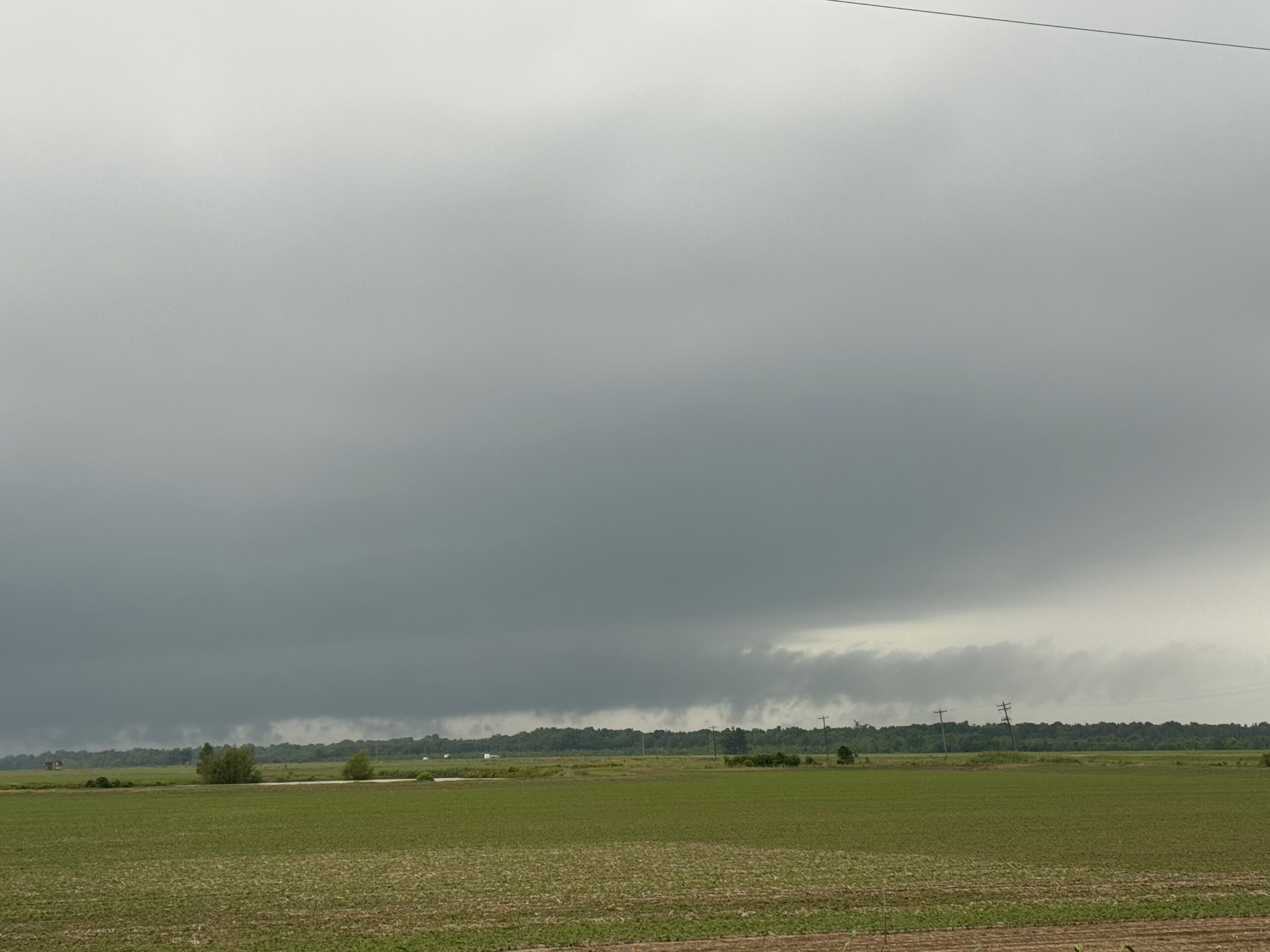
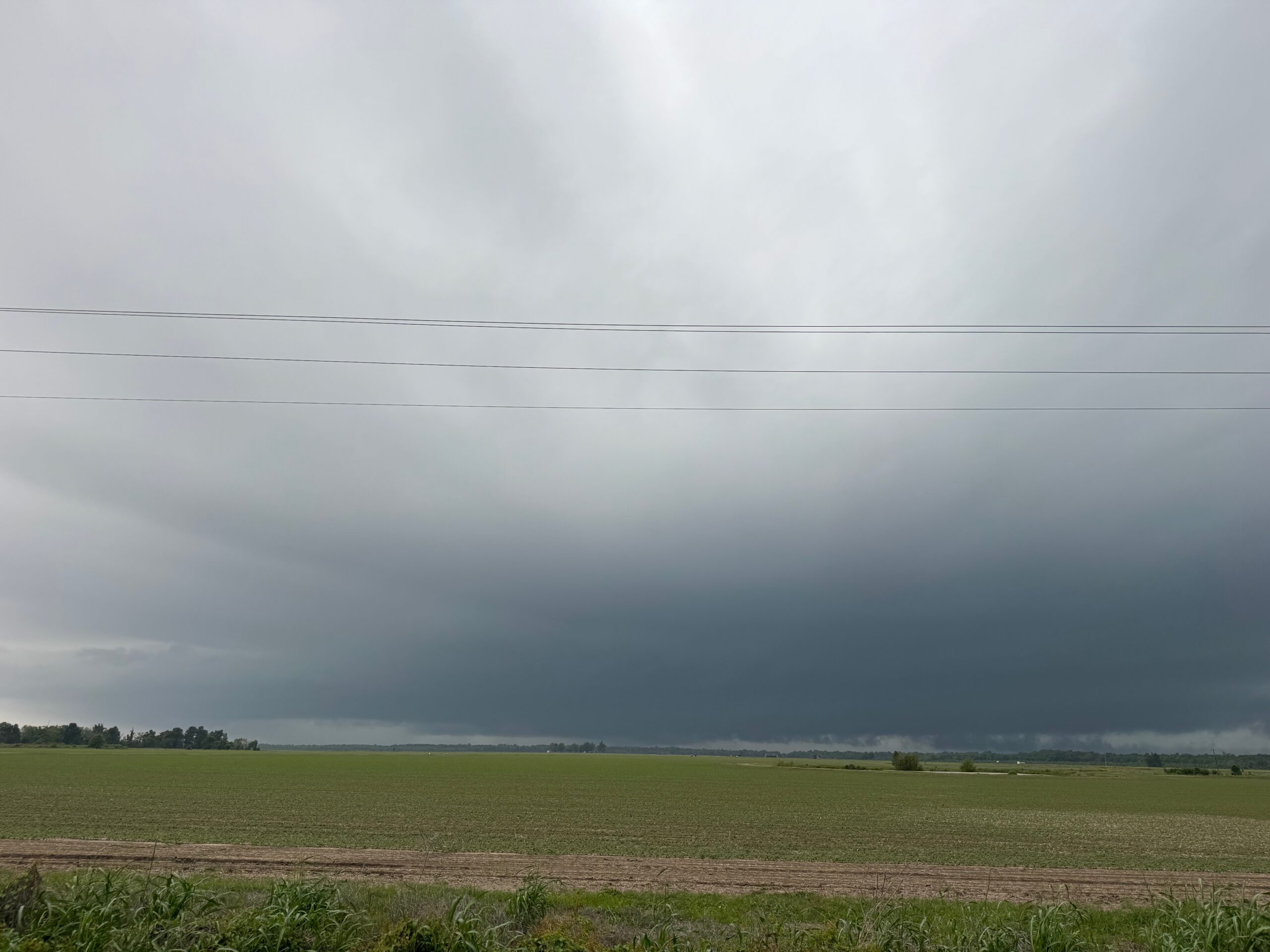
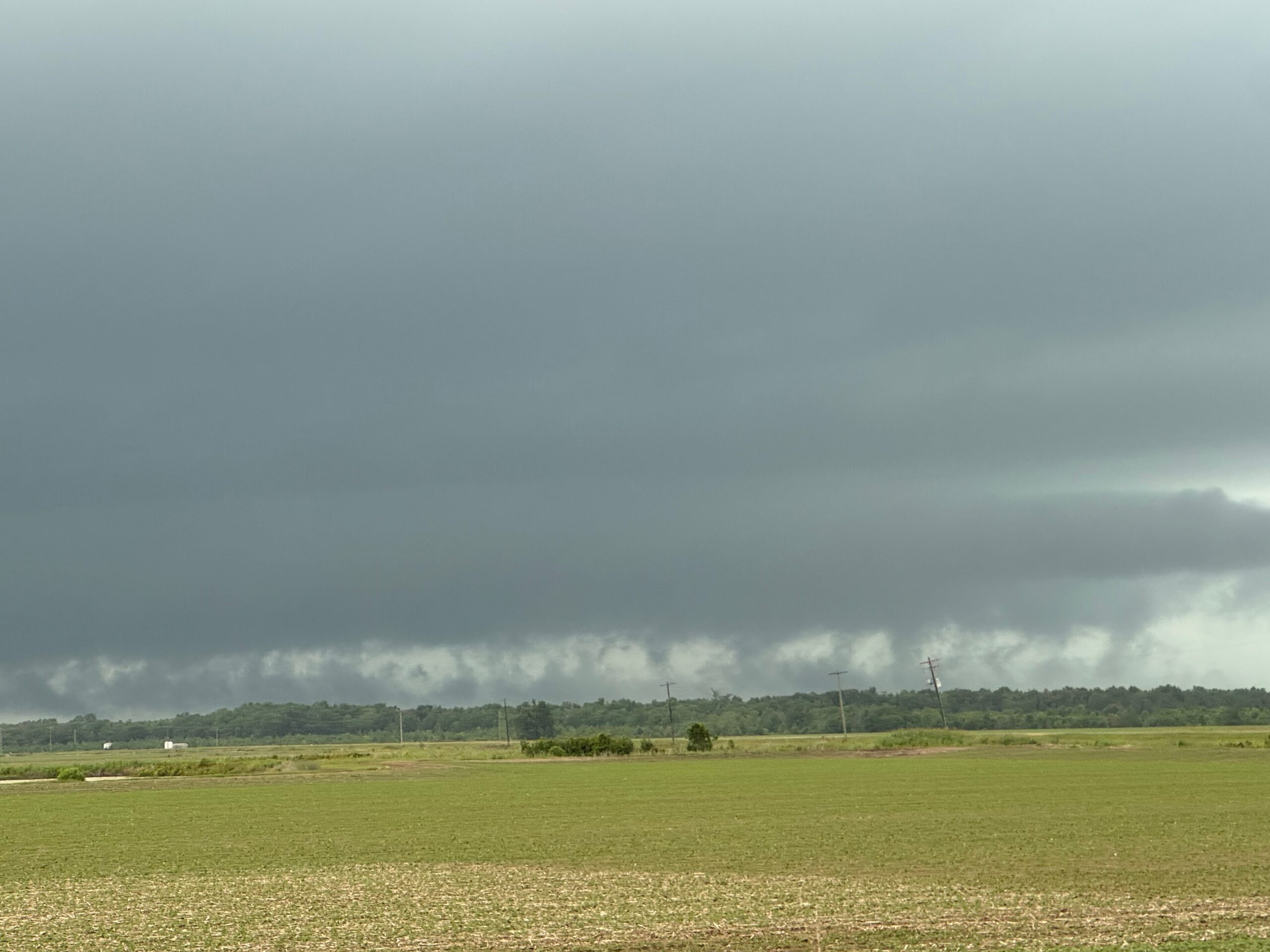
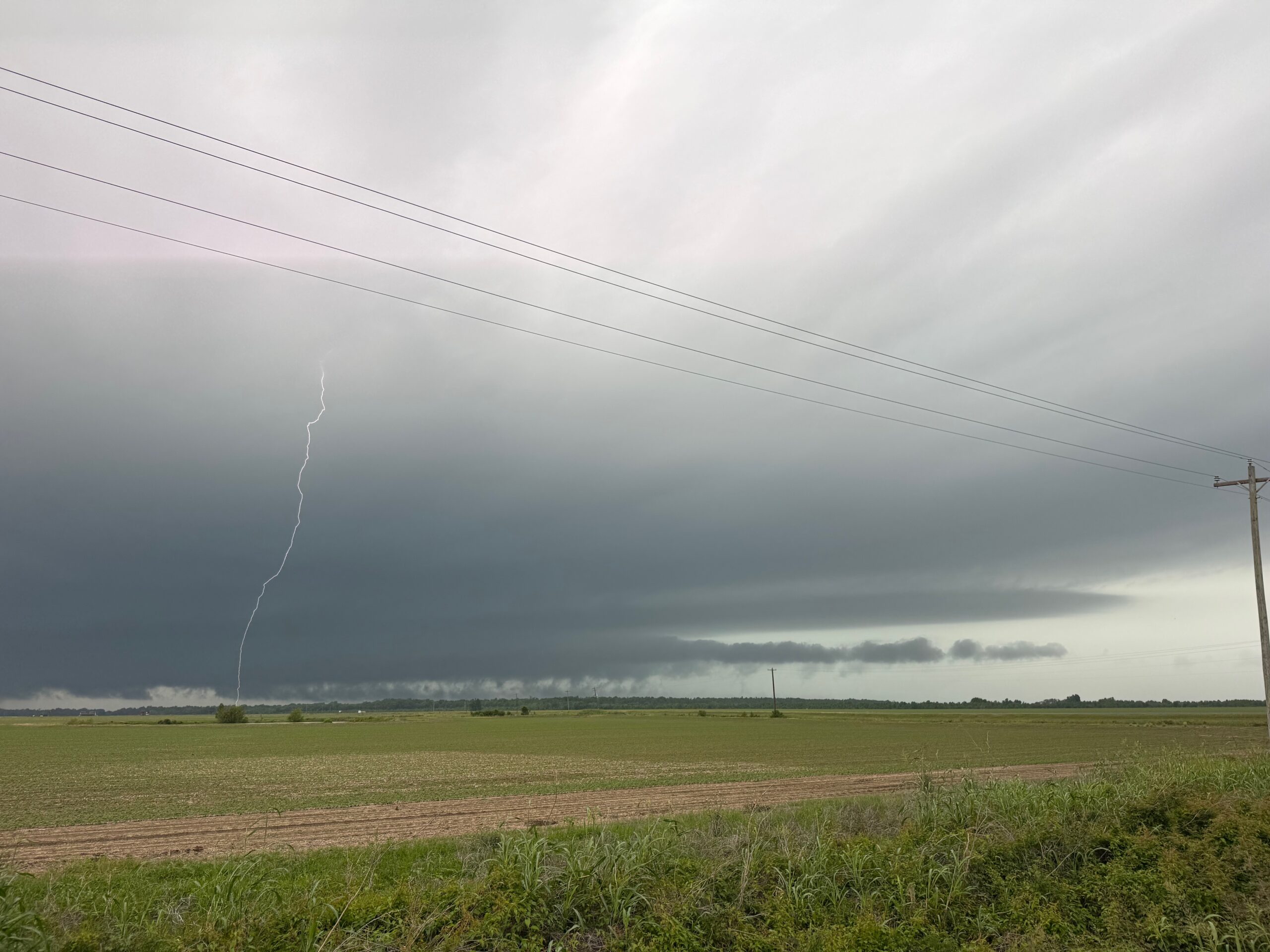
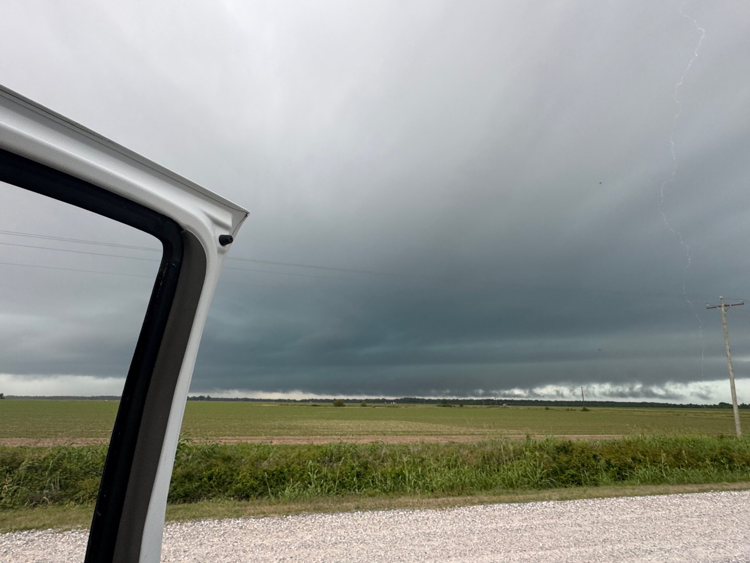
The supercell structure here is not nearly as obvious compared to a High Plains supercell, but I figure that we did pretty well to observe what we could! We dropped south a tad to get out of the way, and the storm moved fairly quickly into Mississippi. I went north to Natchez in a useless attempt to try to stay close, but staying close was an effort in futility. We spent about 10 minutes poking around the historic city of Natchez, and then made our way back into Louisiana for what we hoped would be another storm.
The SPC Storm Reports don’t show any reports for the round one supercell.
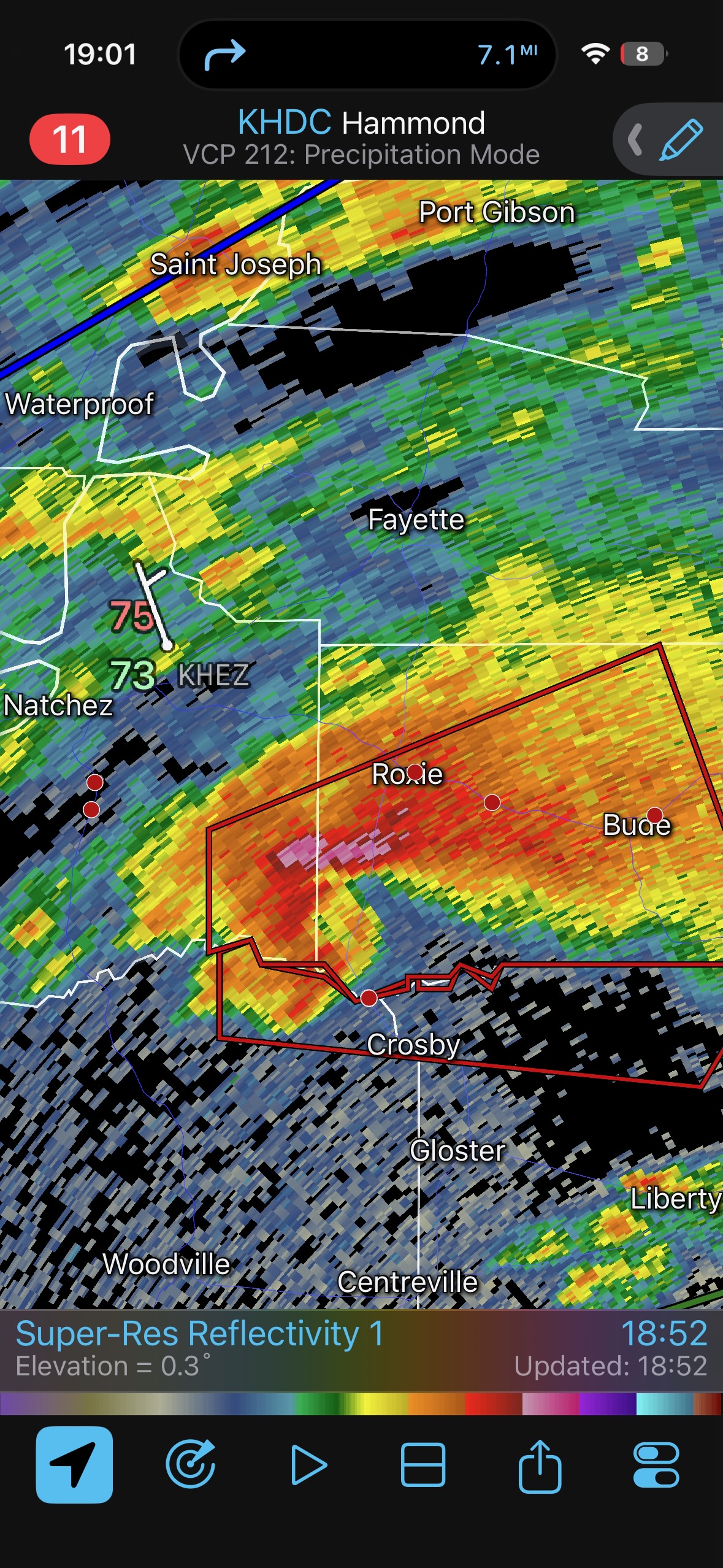
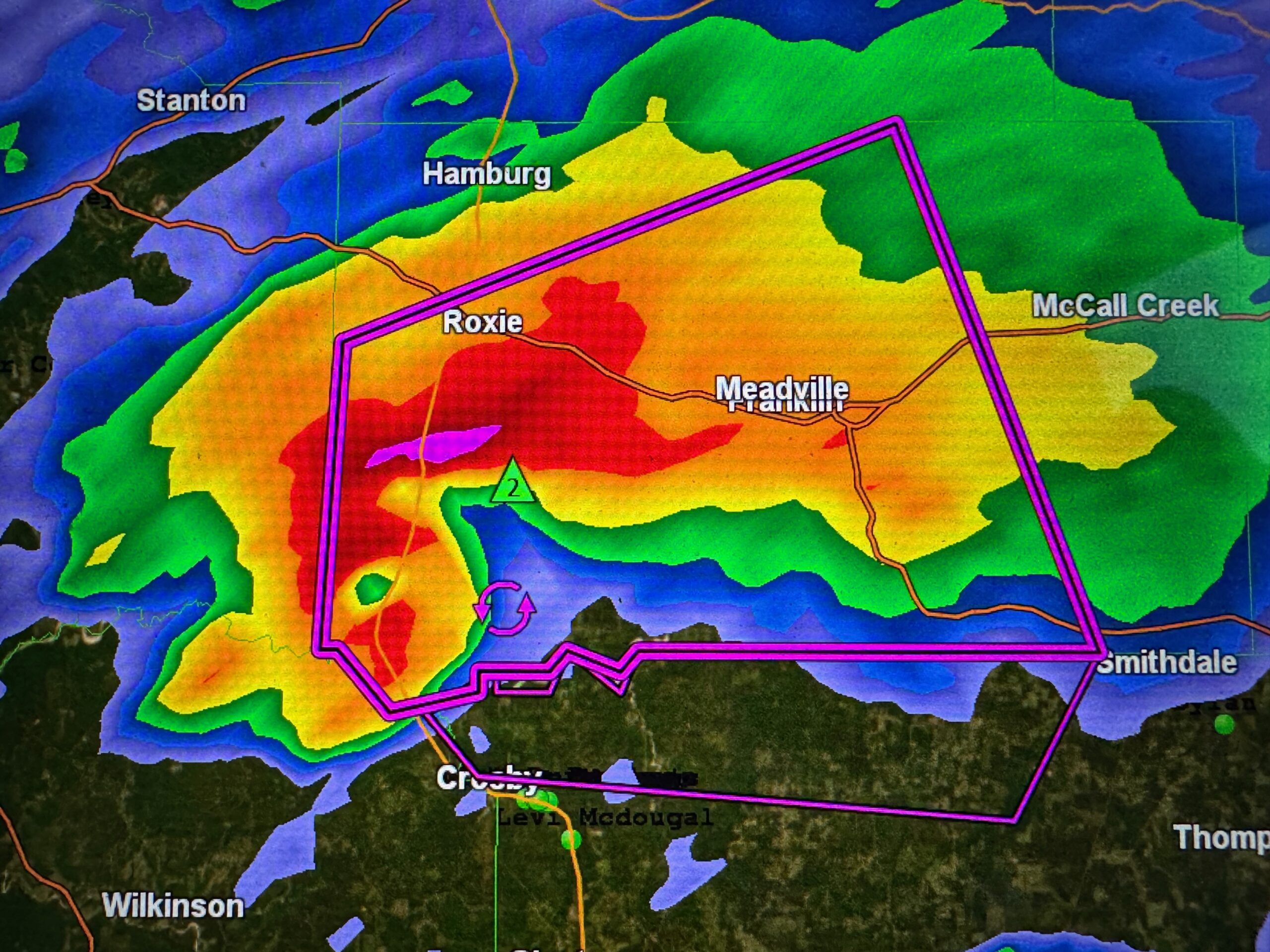
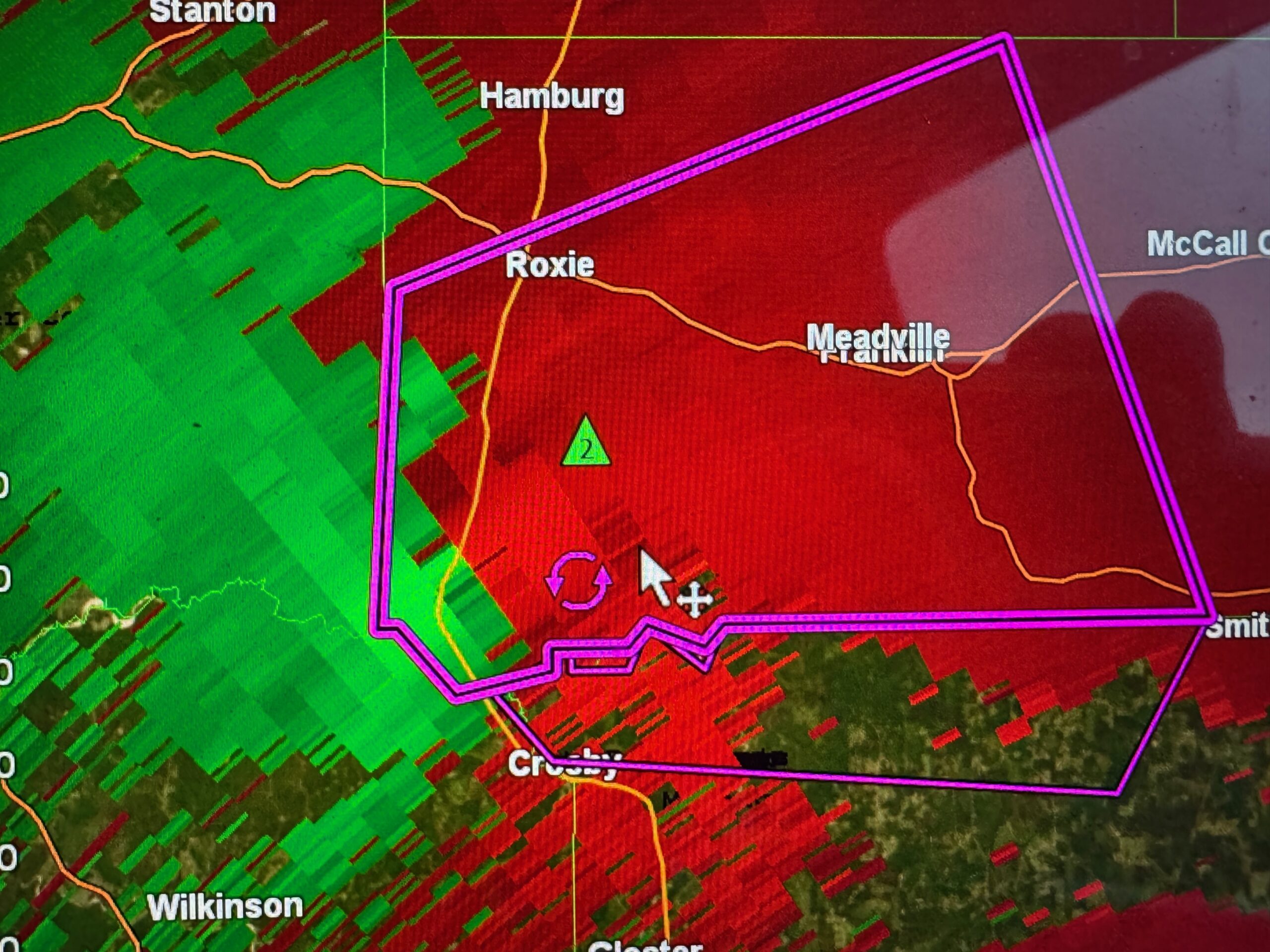
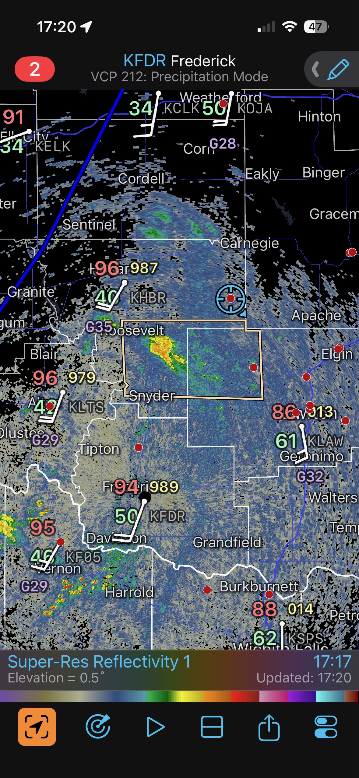
The radar screenshot at 17:21 (5:21 p.m. CDT) below shows that we are back in position, southwest of Natchez on the Louisiana side, and again east of a tornado-warned storm that is moving towards us. This is round two!
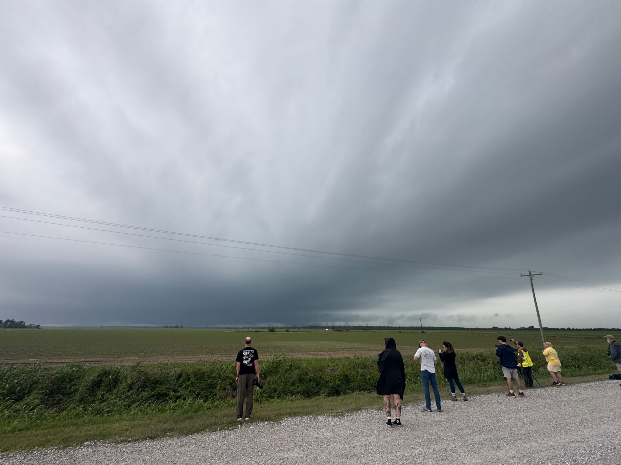
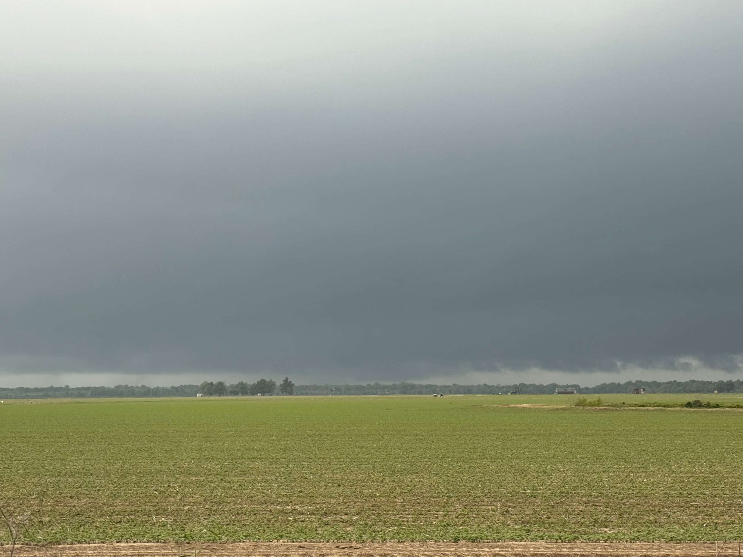
Again we had good low-level structure, a very low base, a decent but somewhat wet RFD clear slot, and a lightning barrage as the storm neared. This time I remained northeast of the action area, and we were quite close to the round one chase locales, east of Monterey. Scroll down again for more of the account.
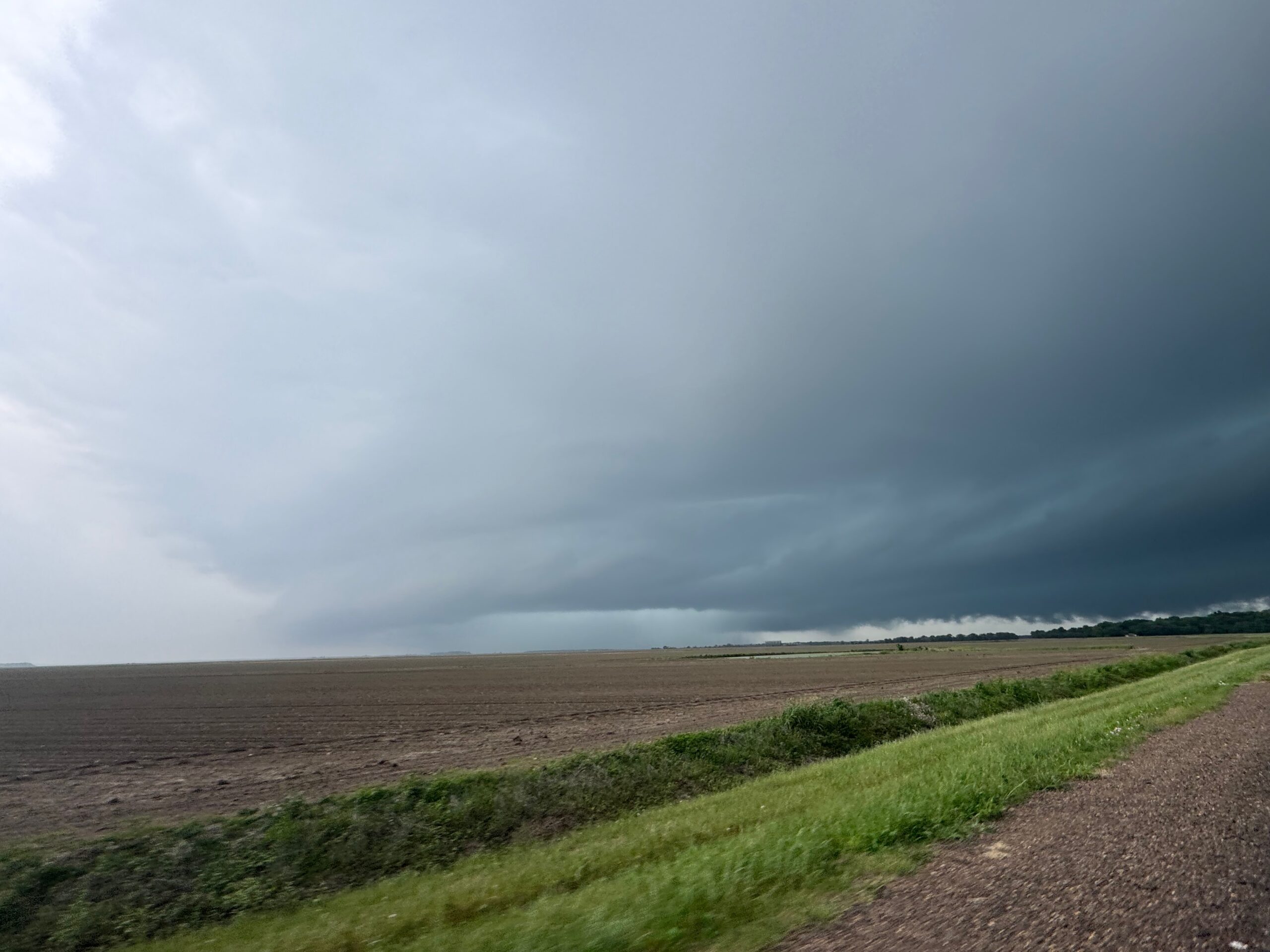
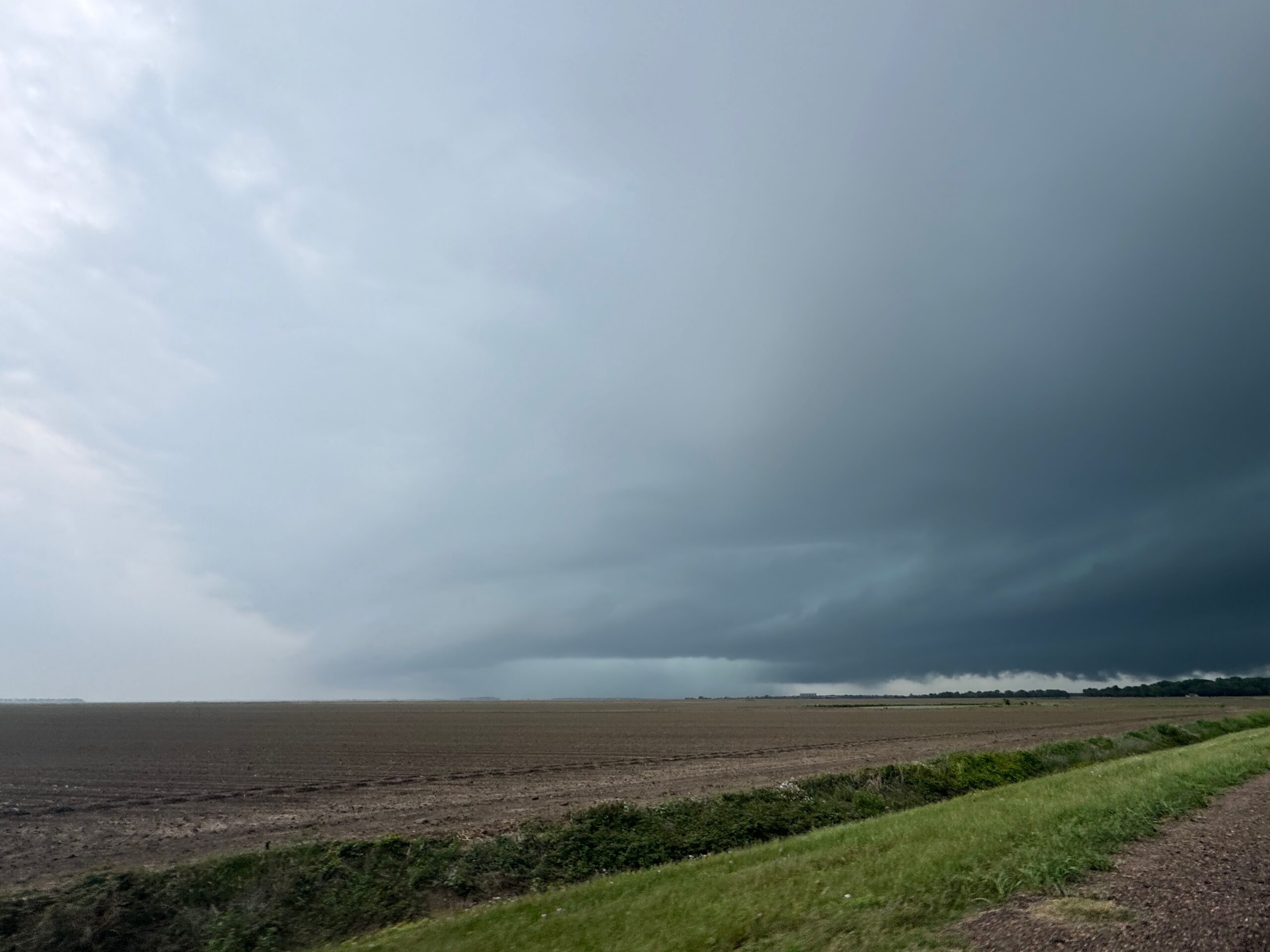
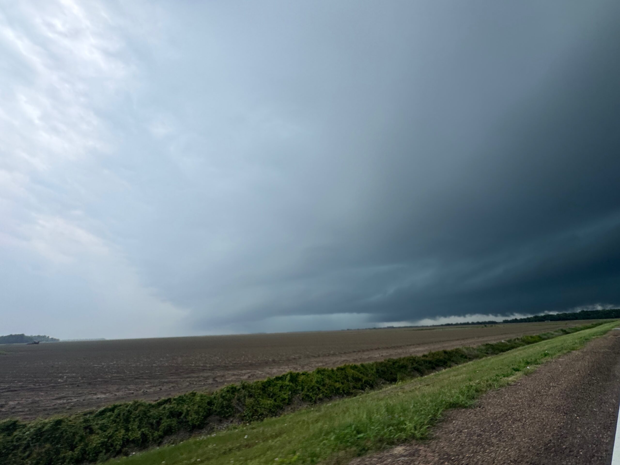
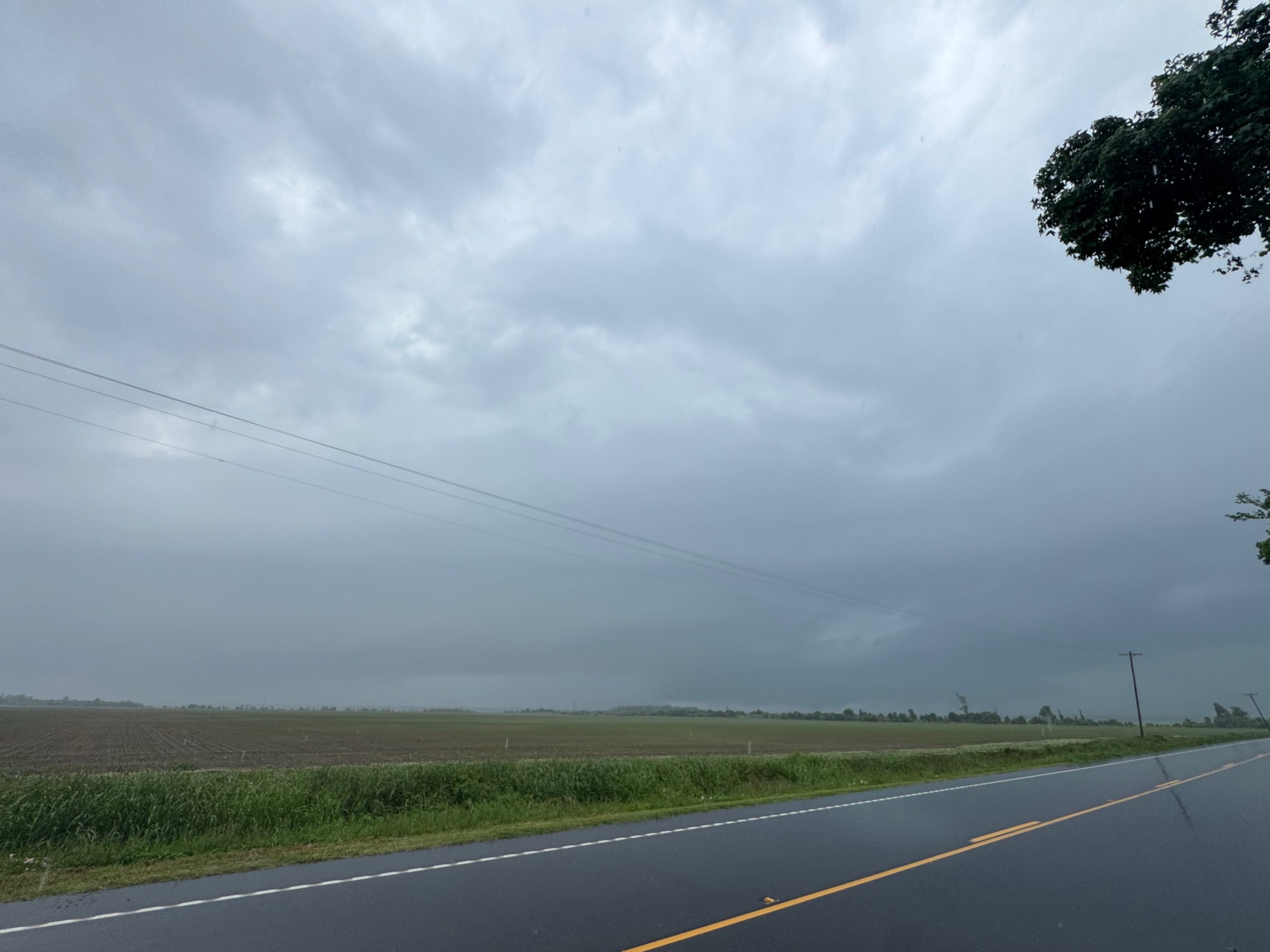
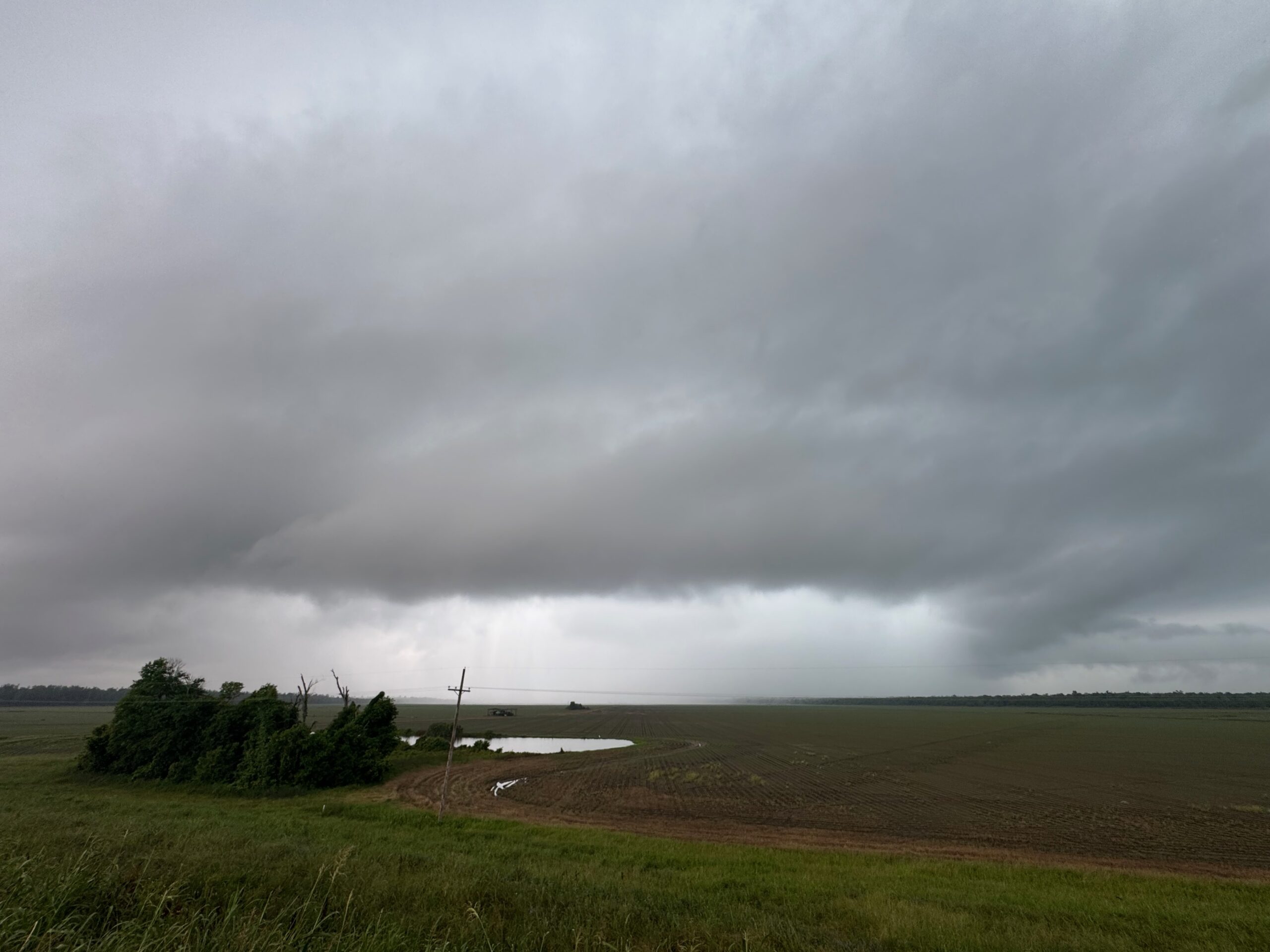
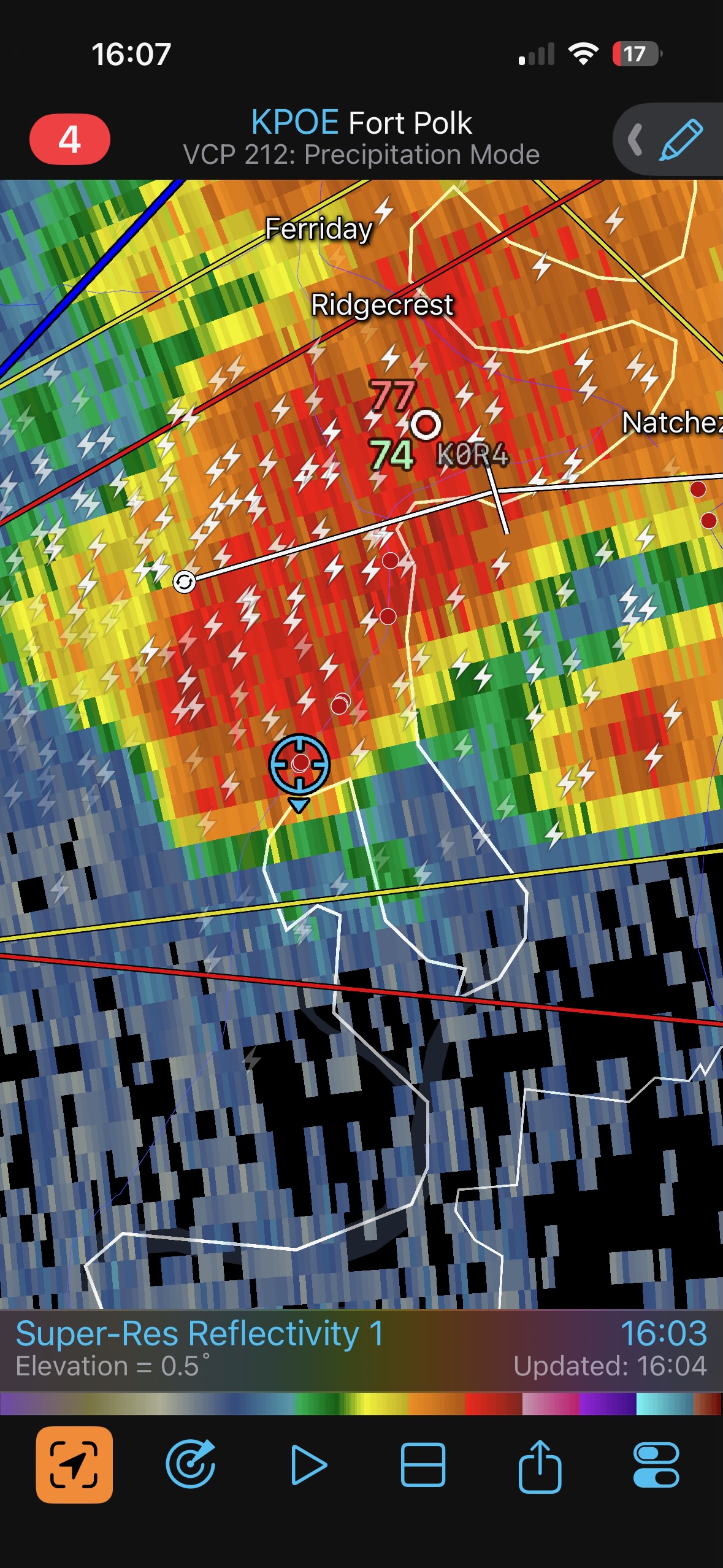
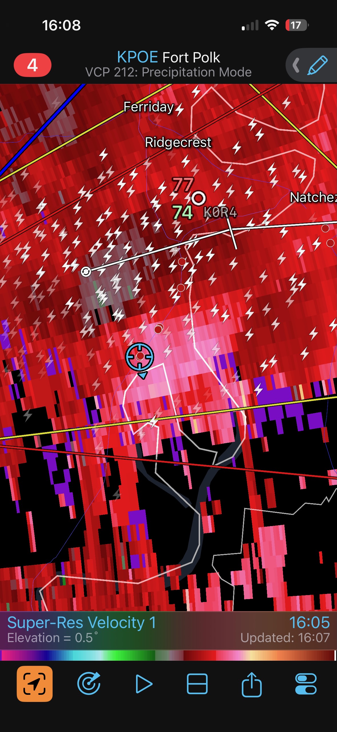
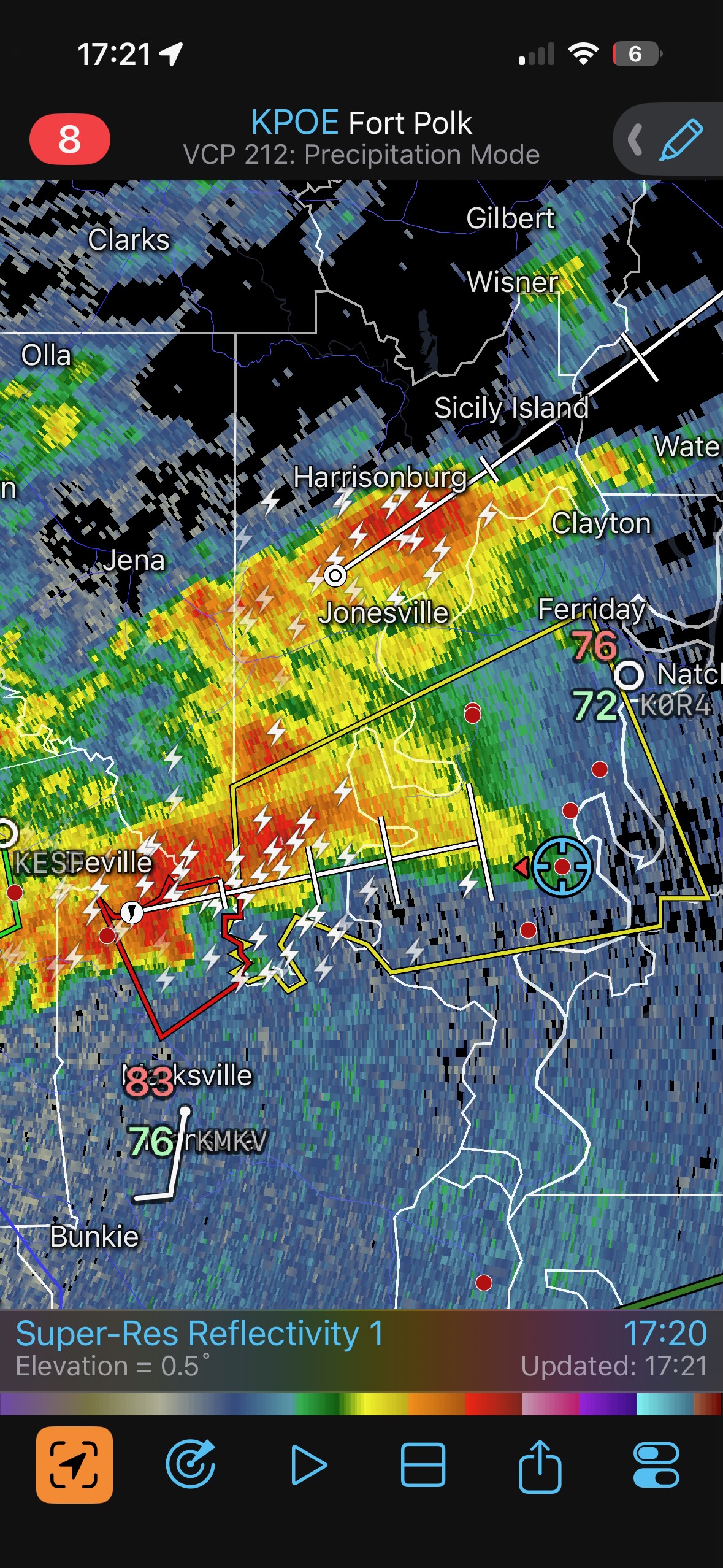
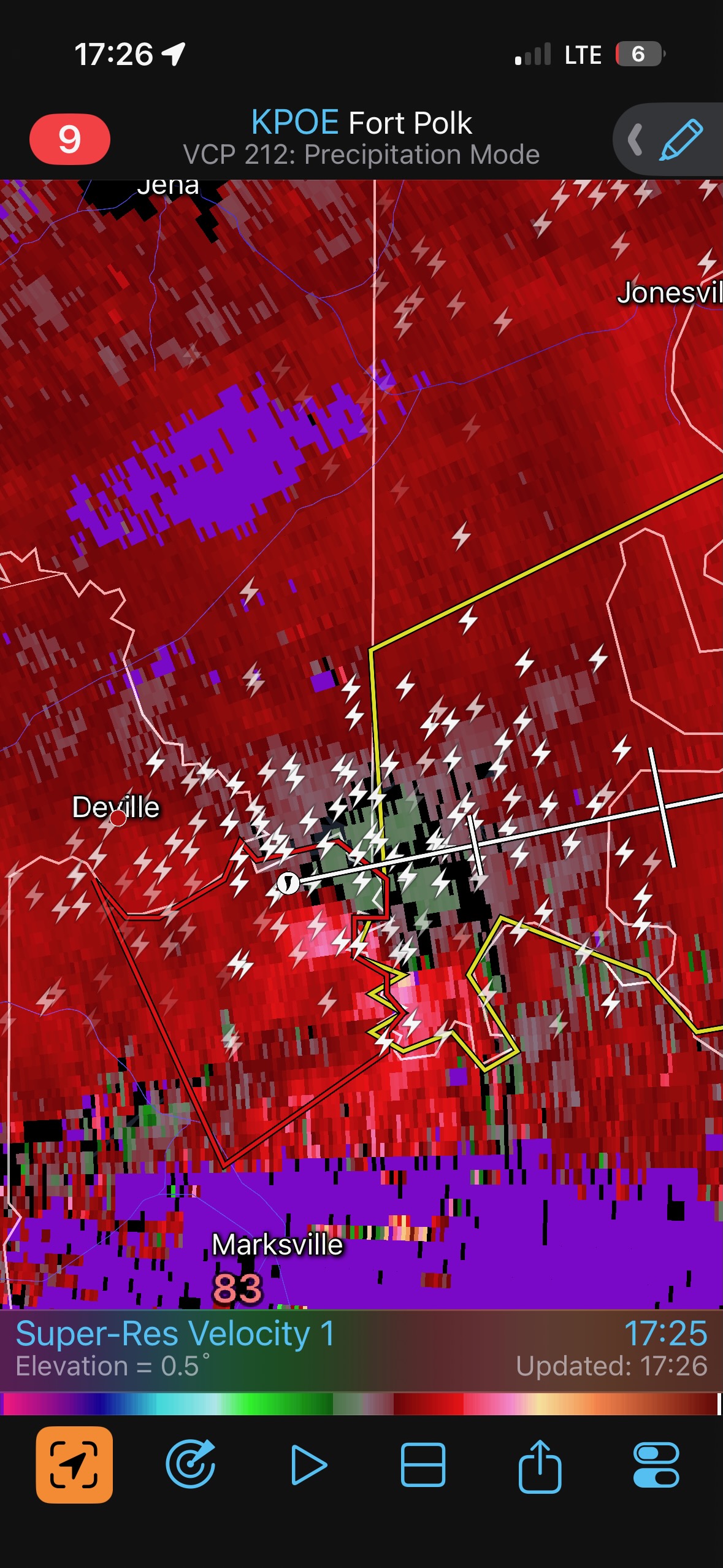
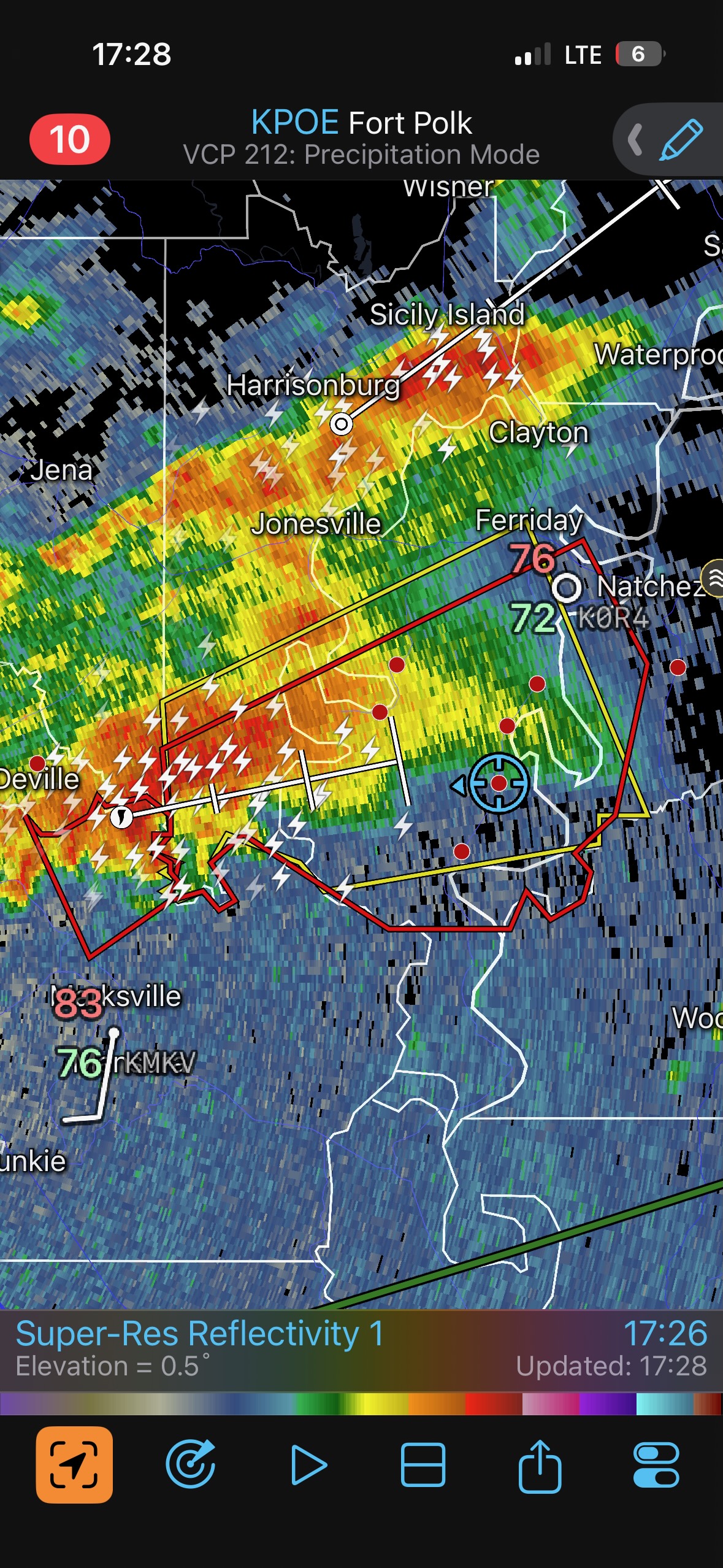
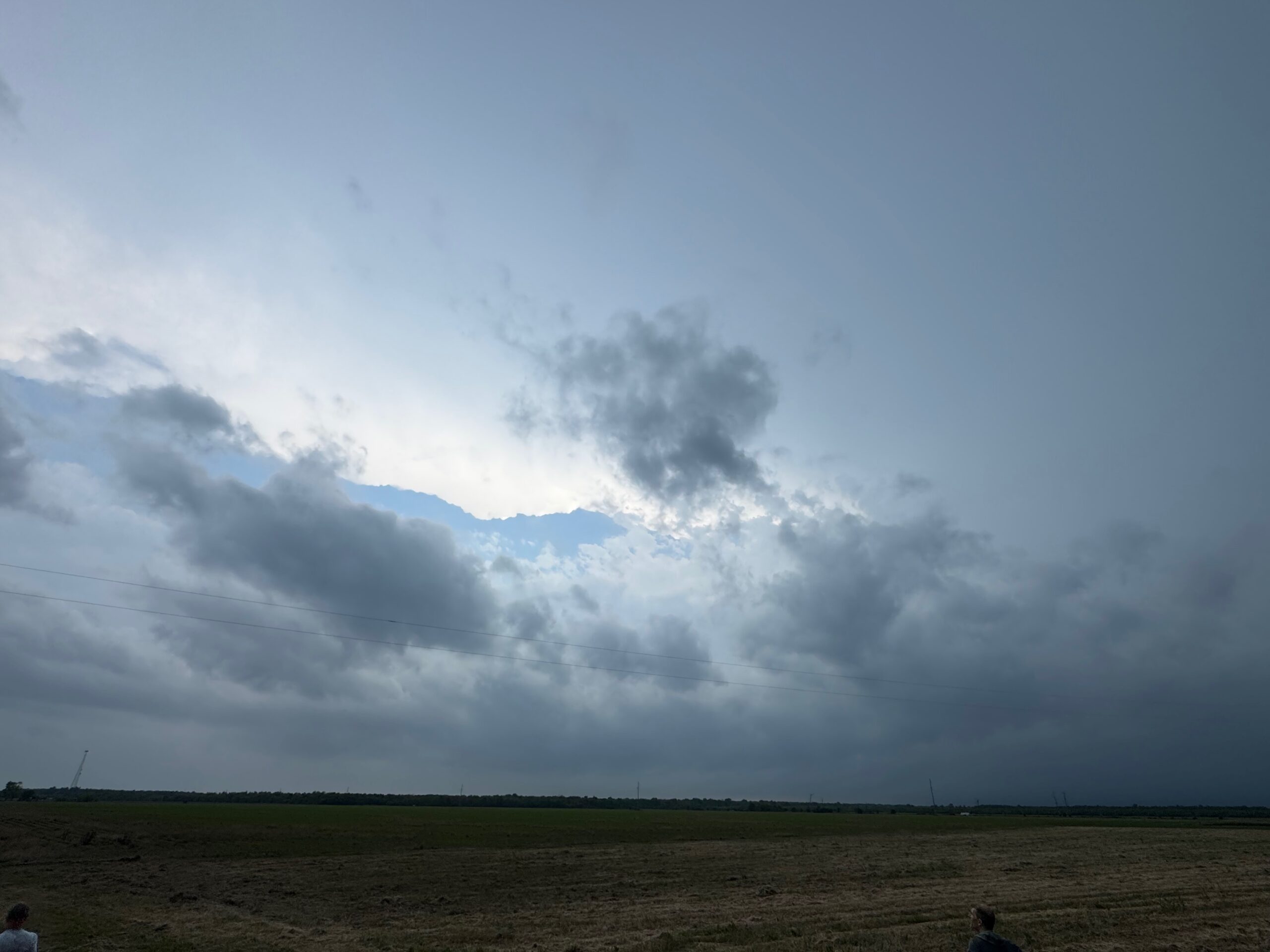
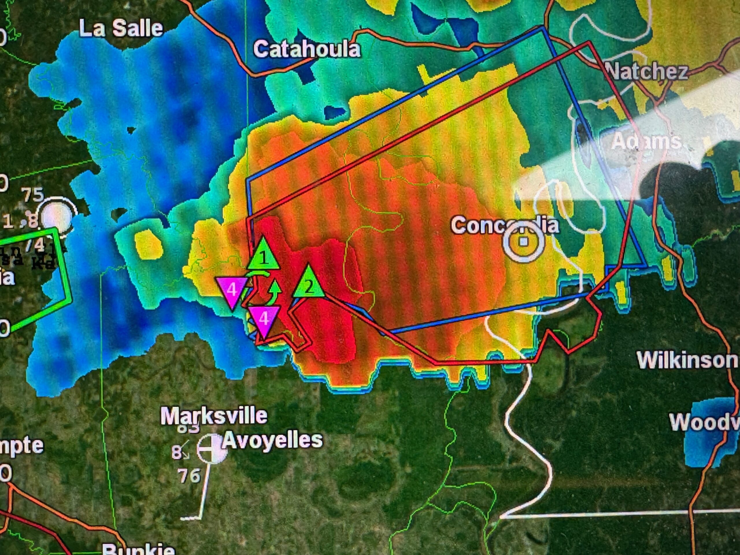
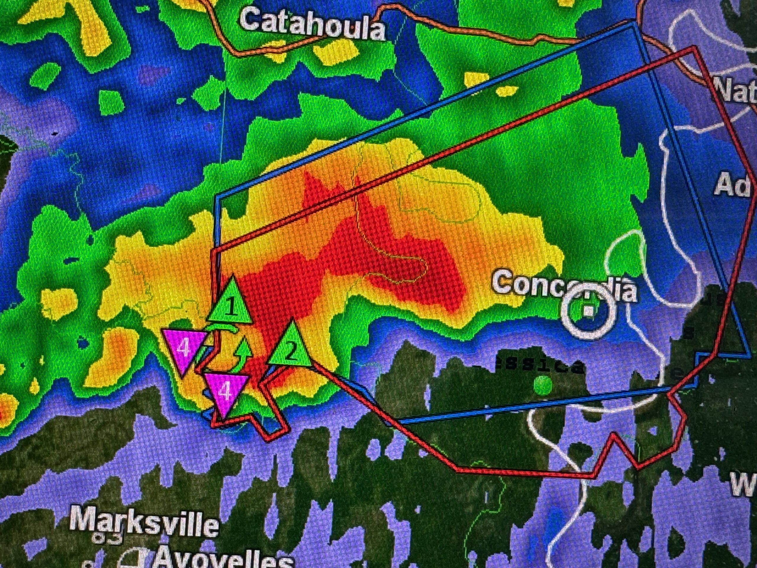
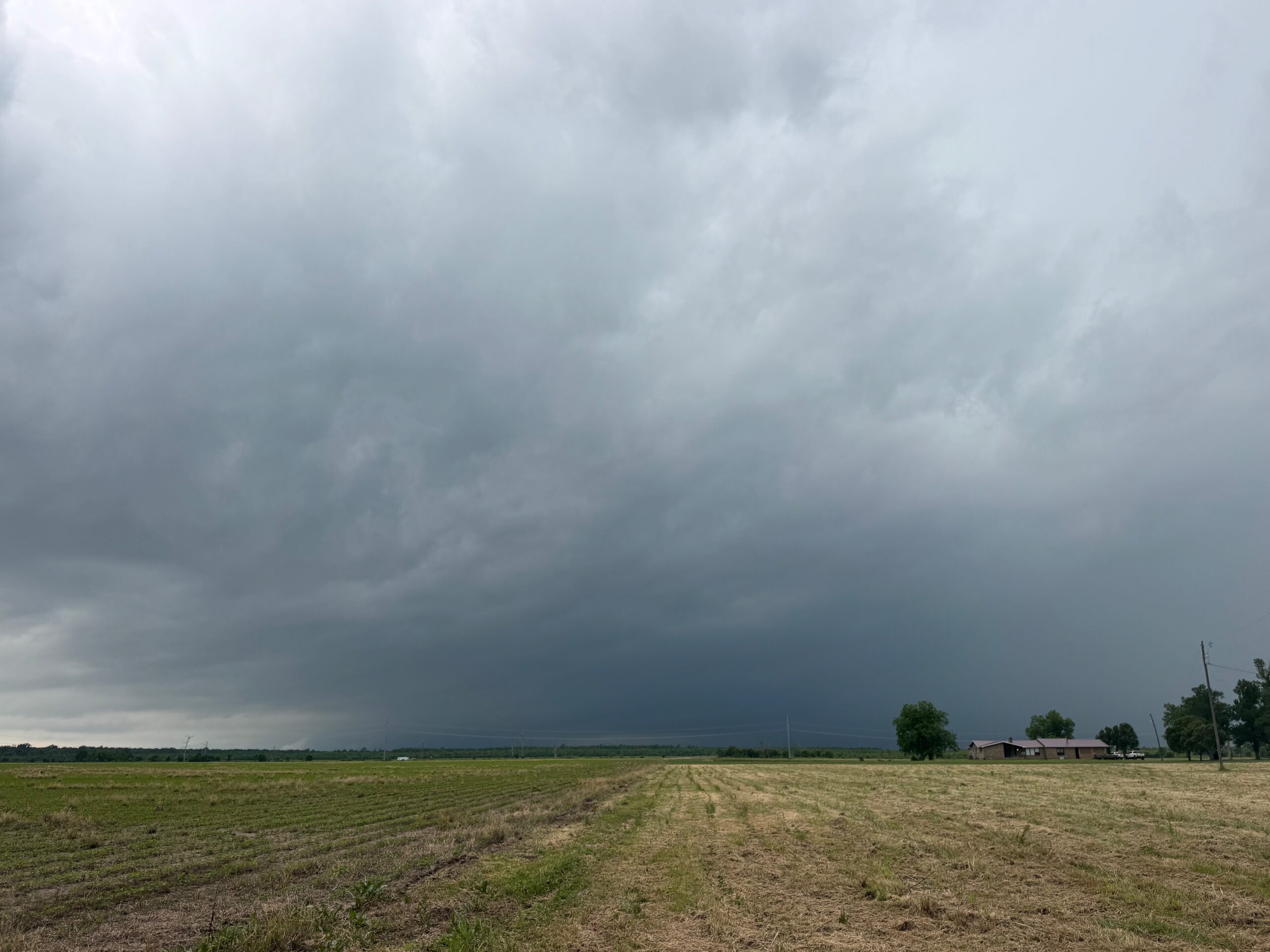
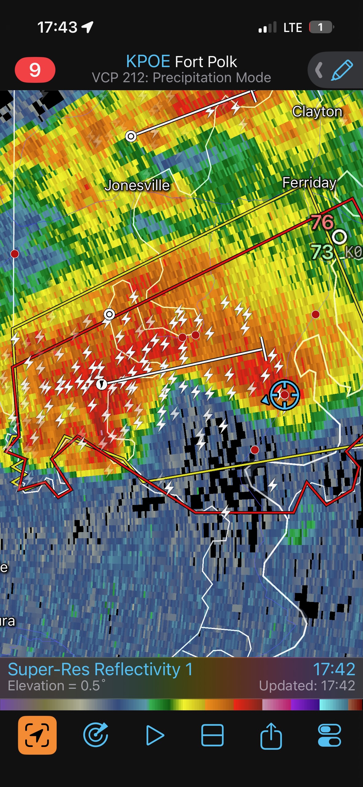
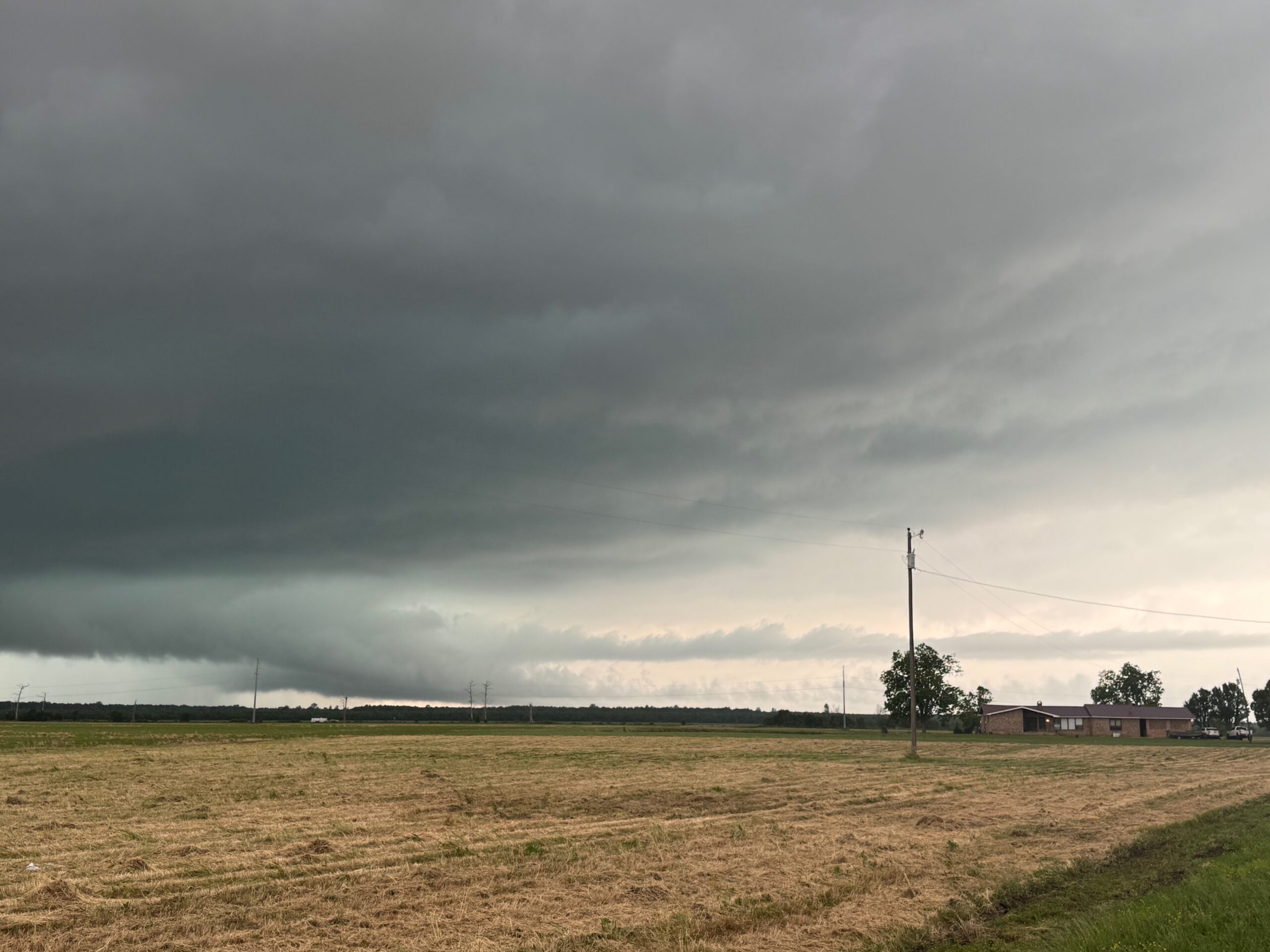
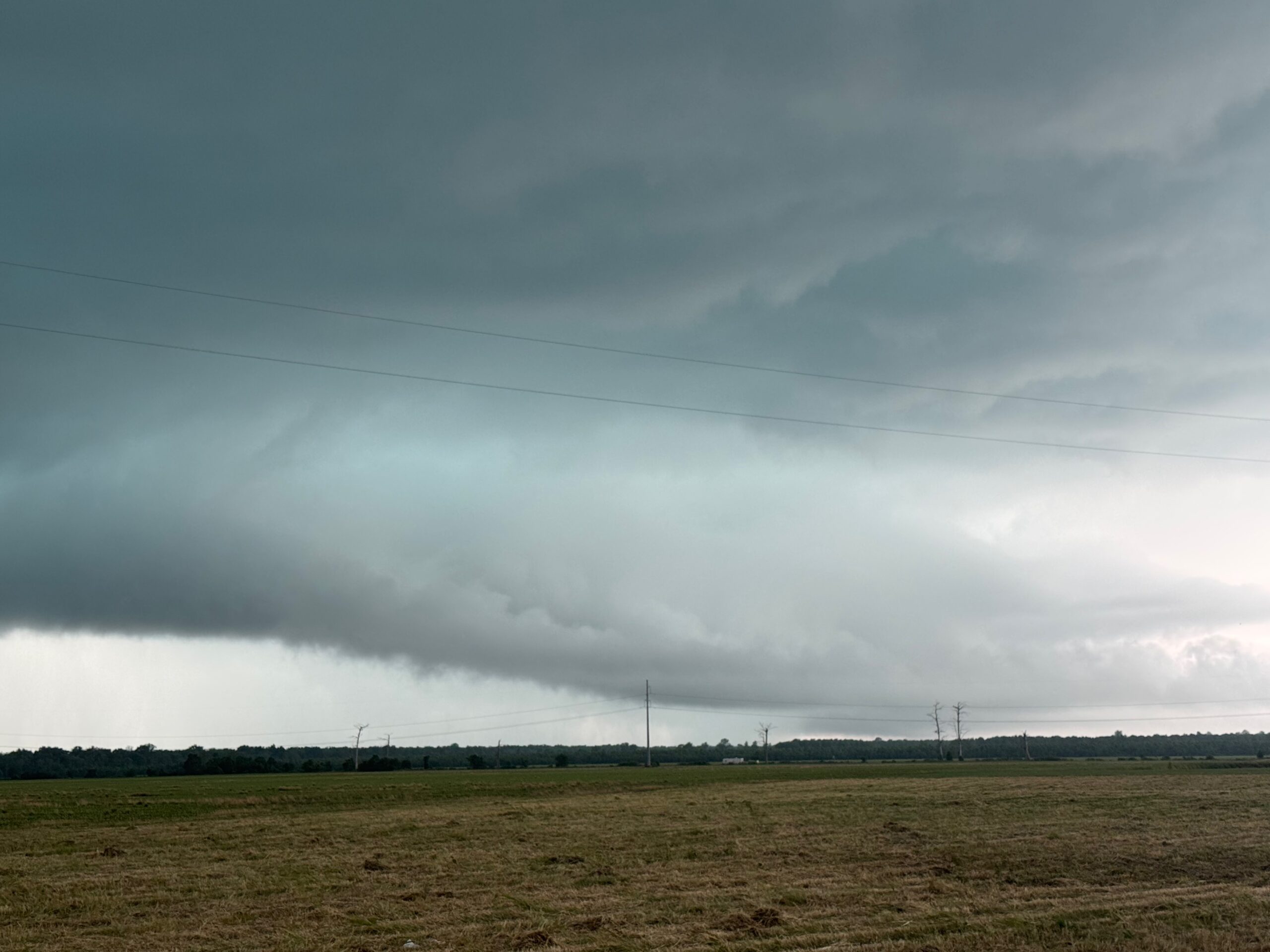
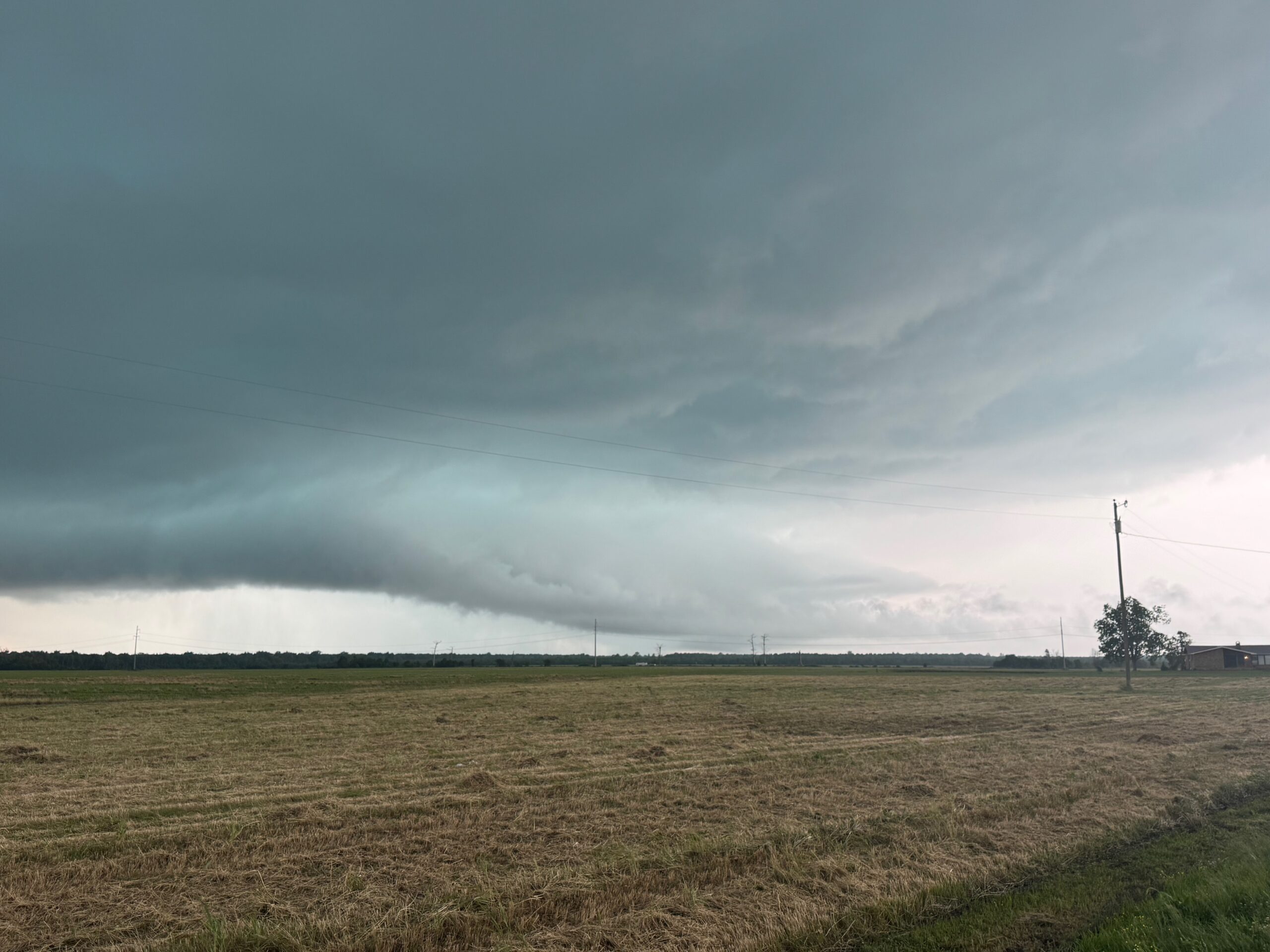
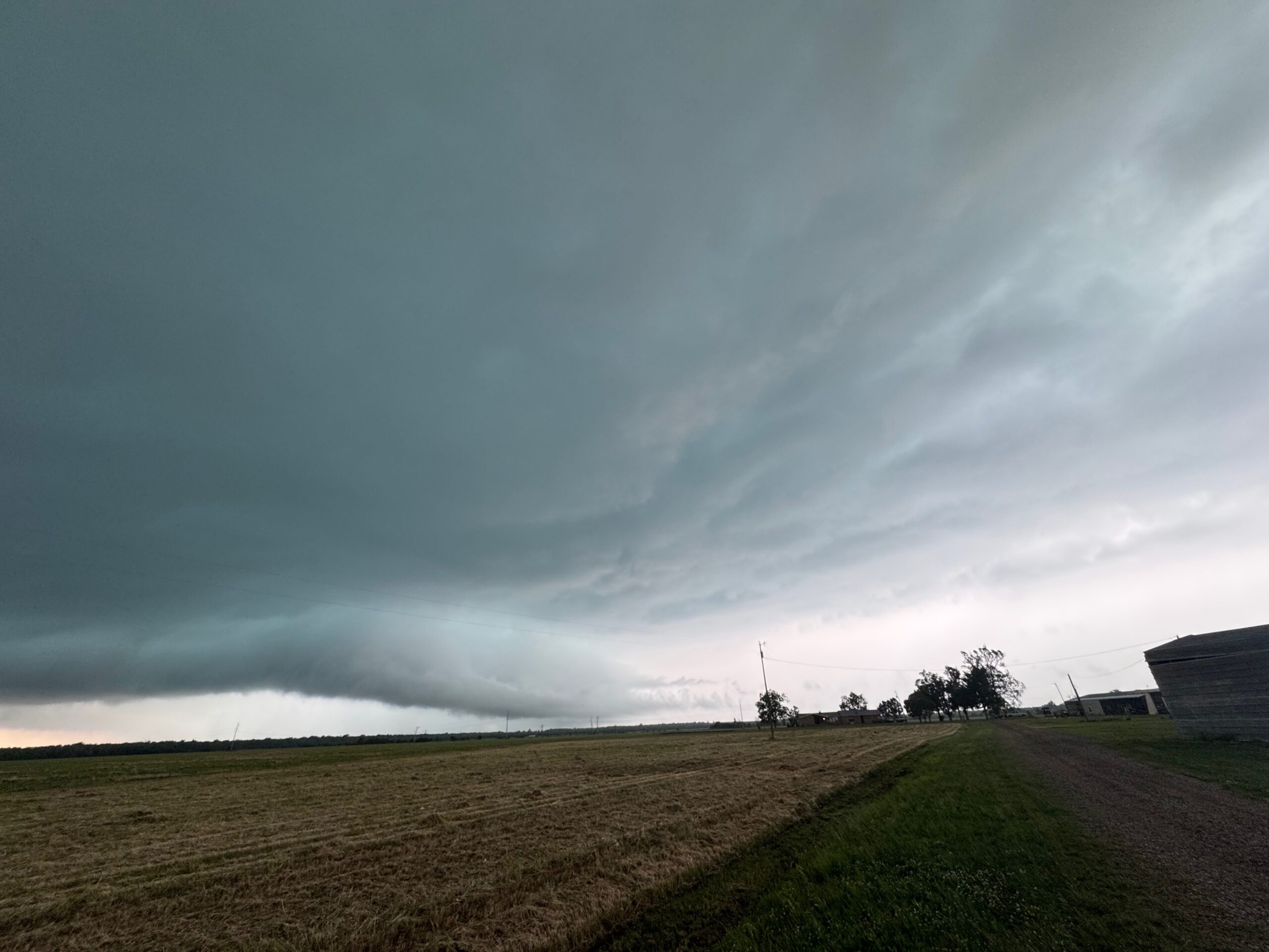
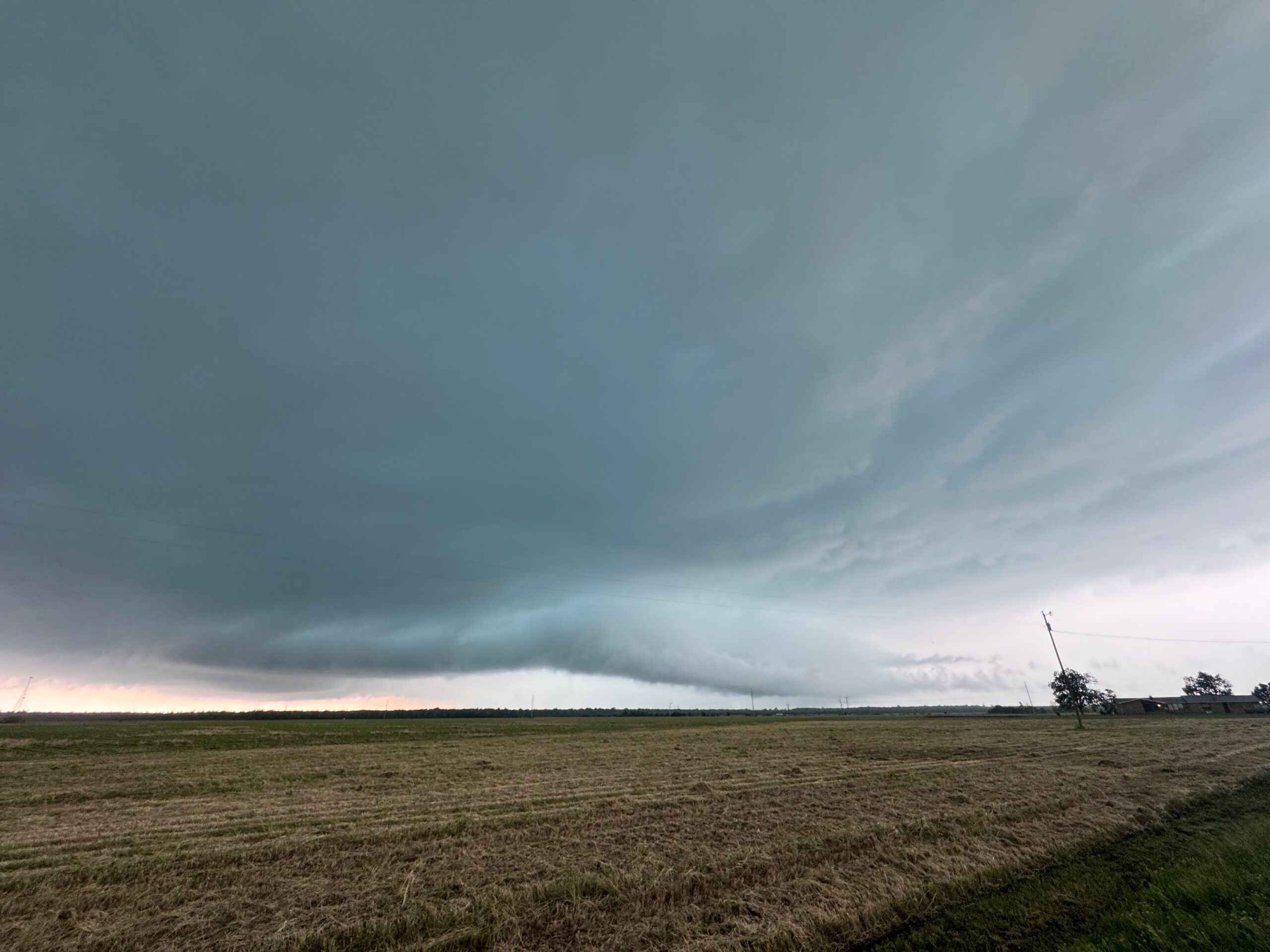
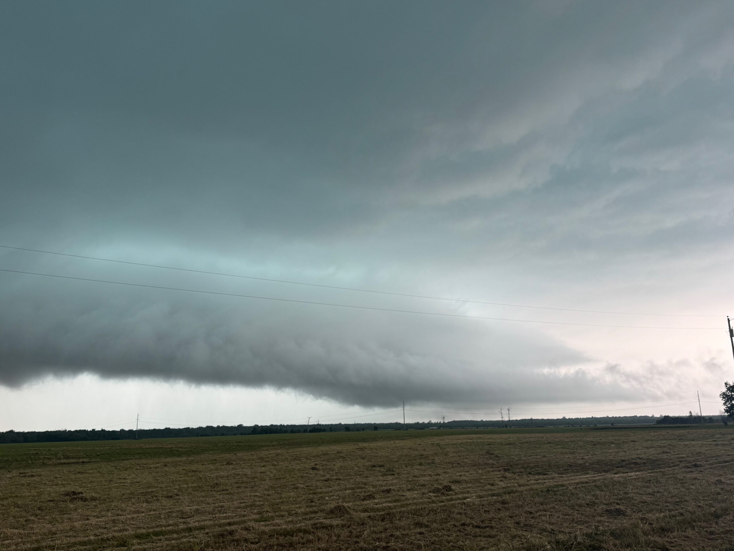
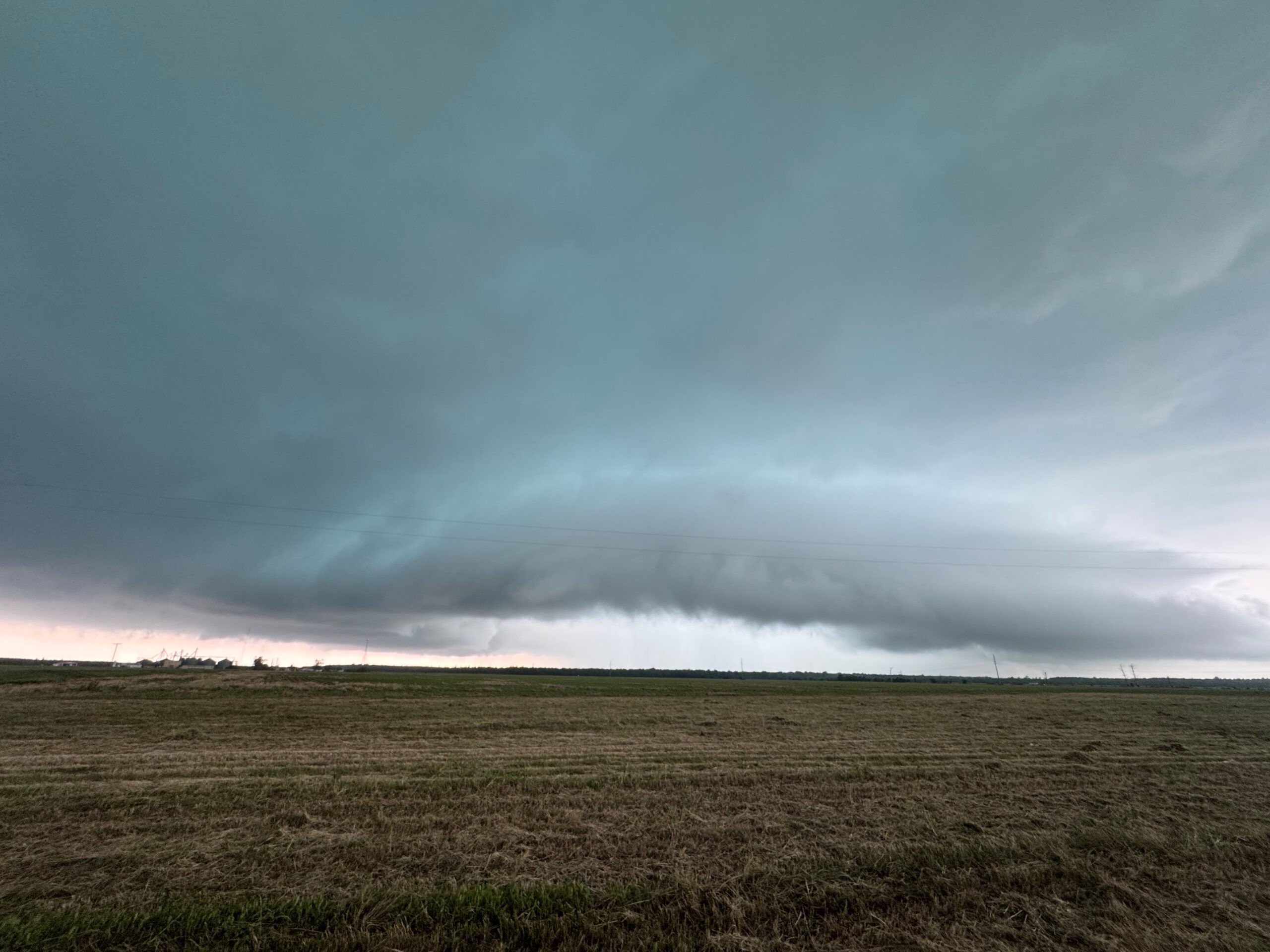
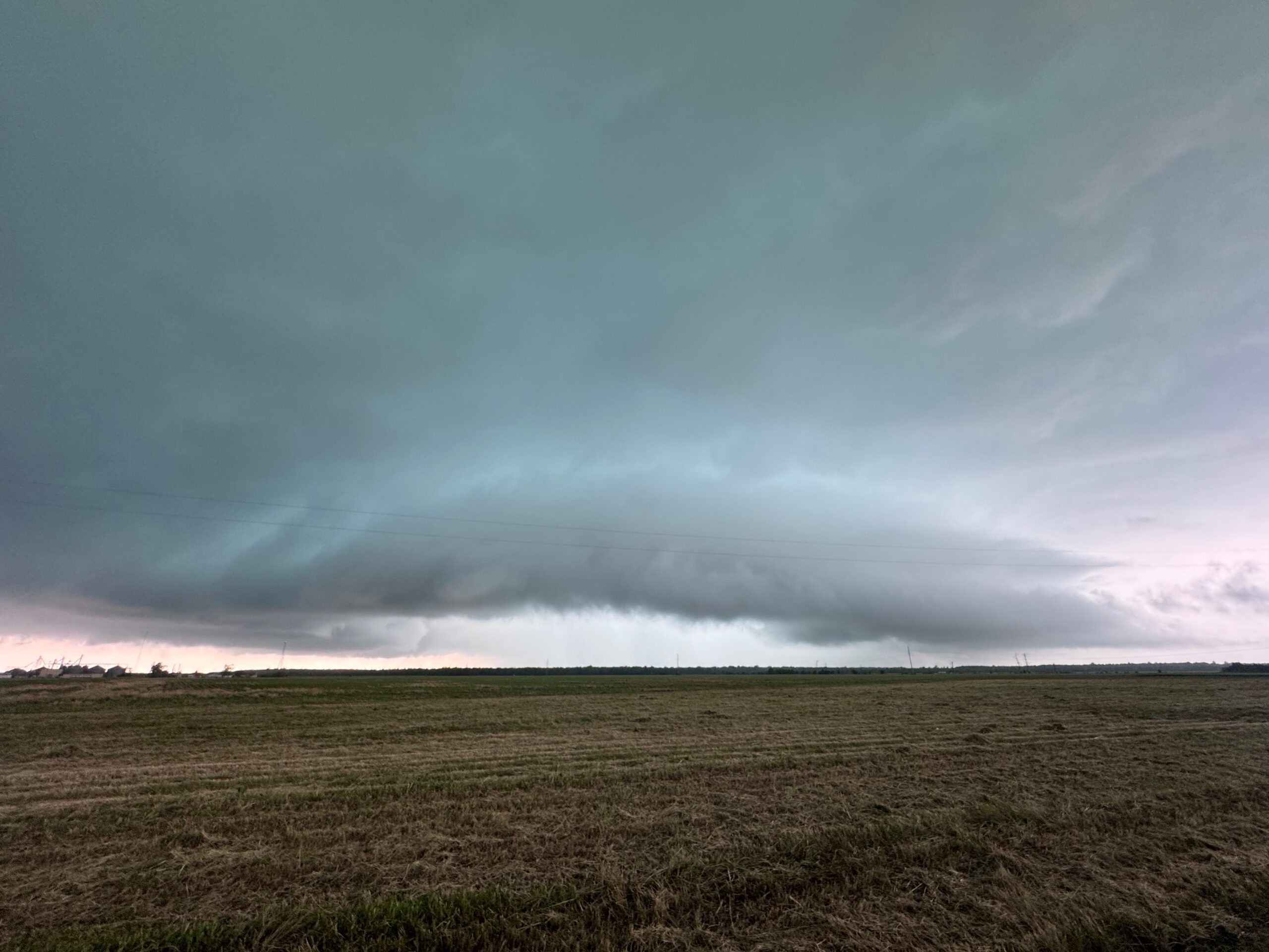
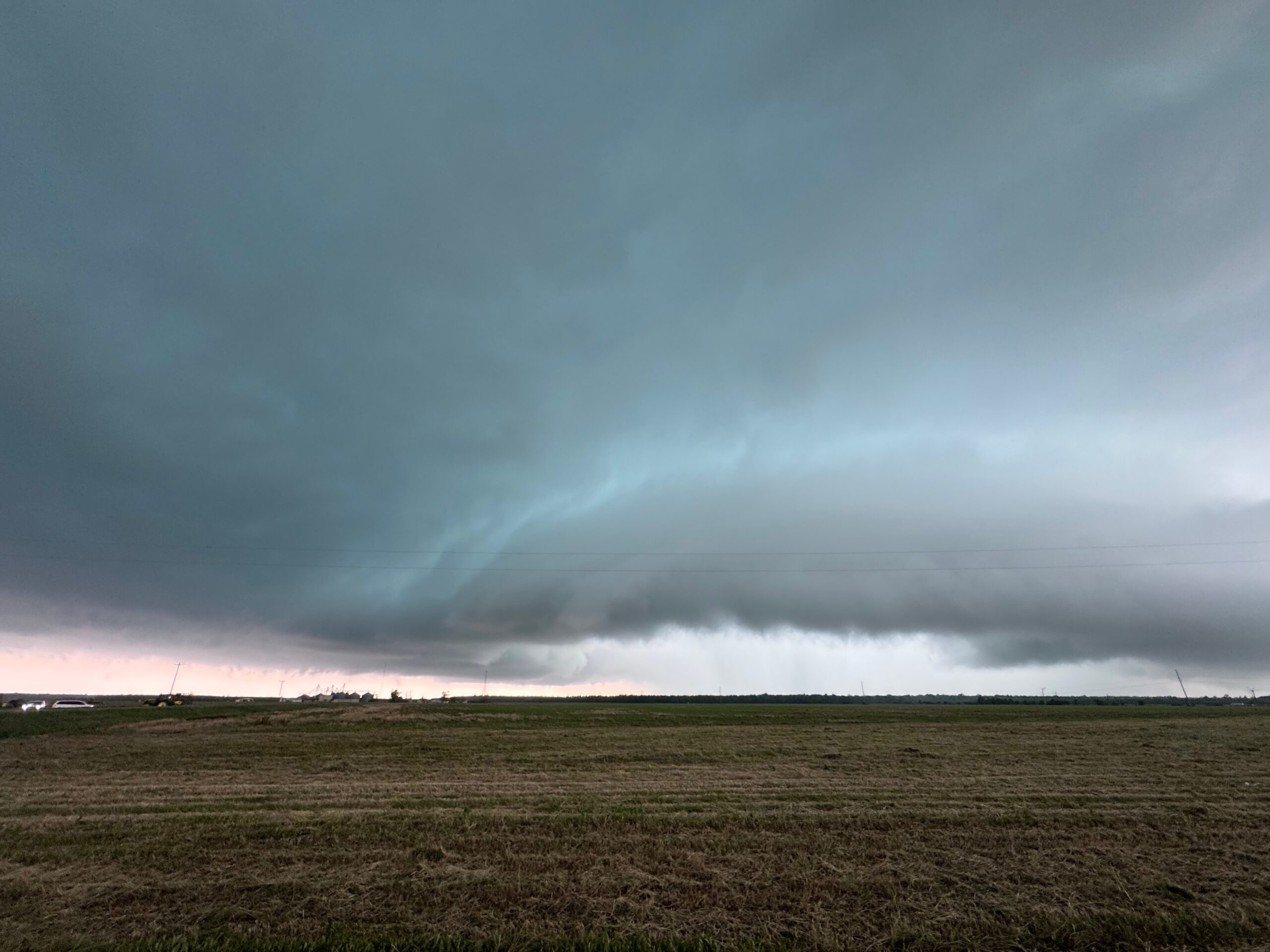
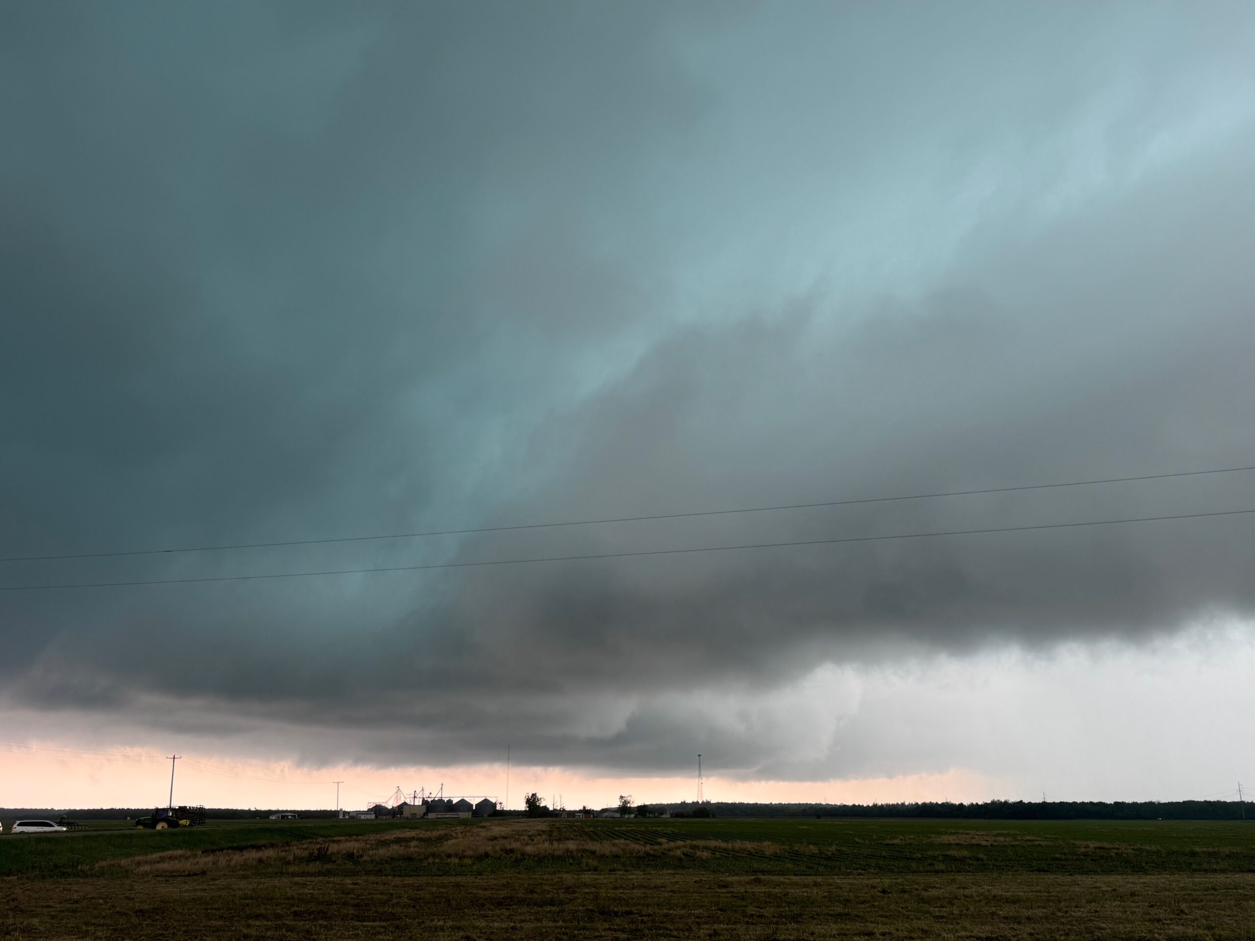
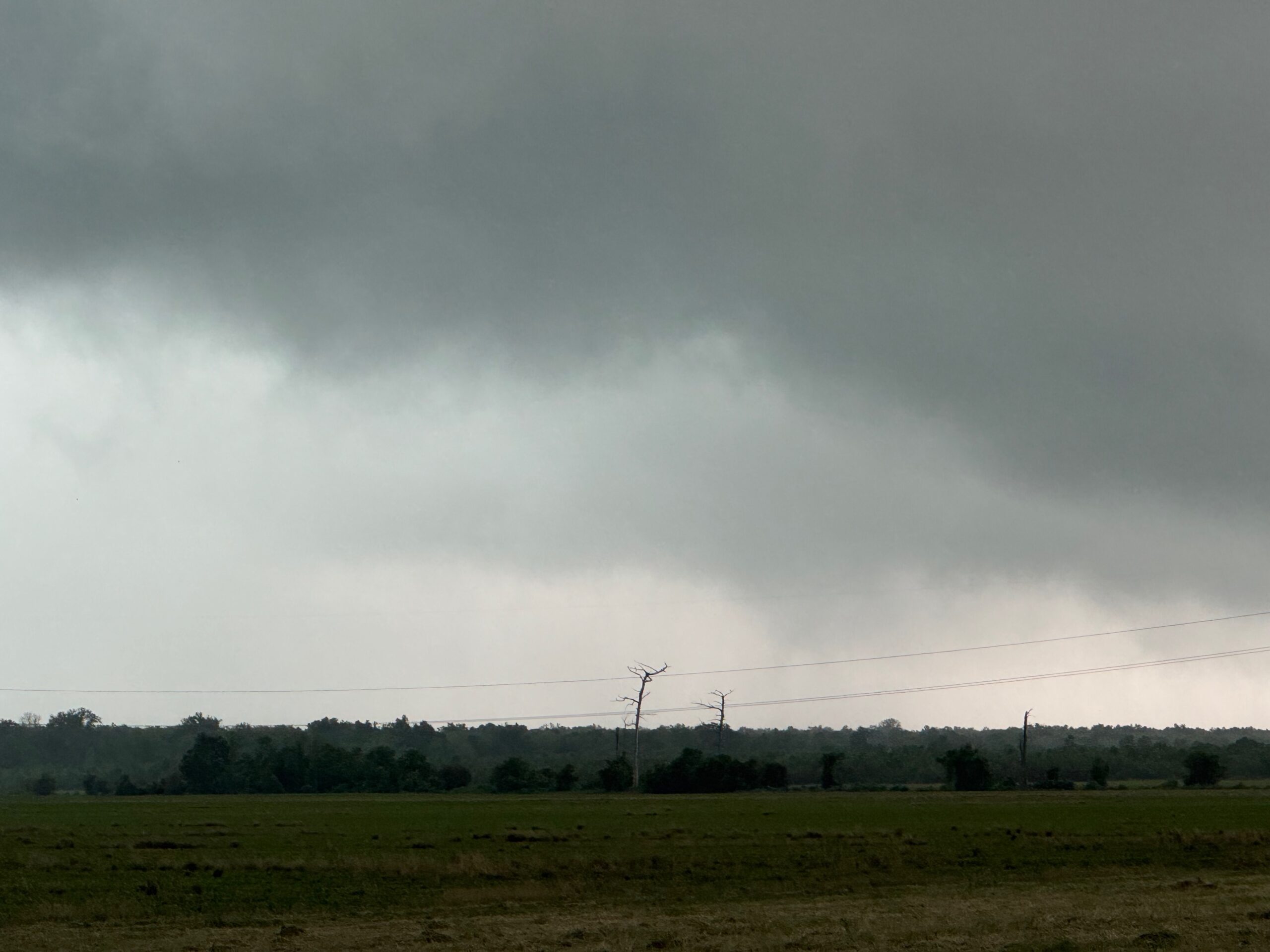
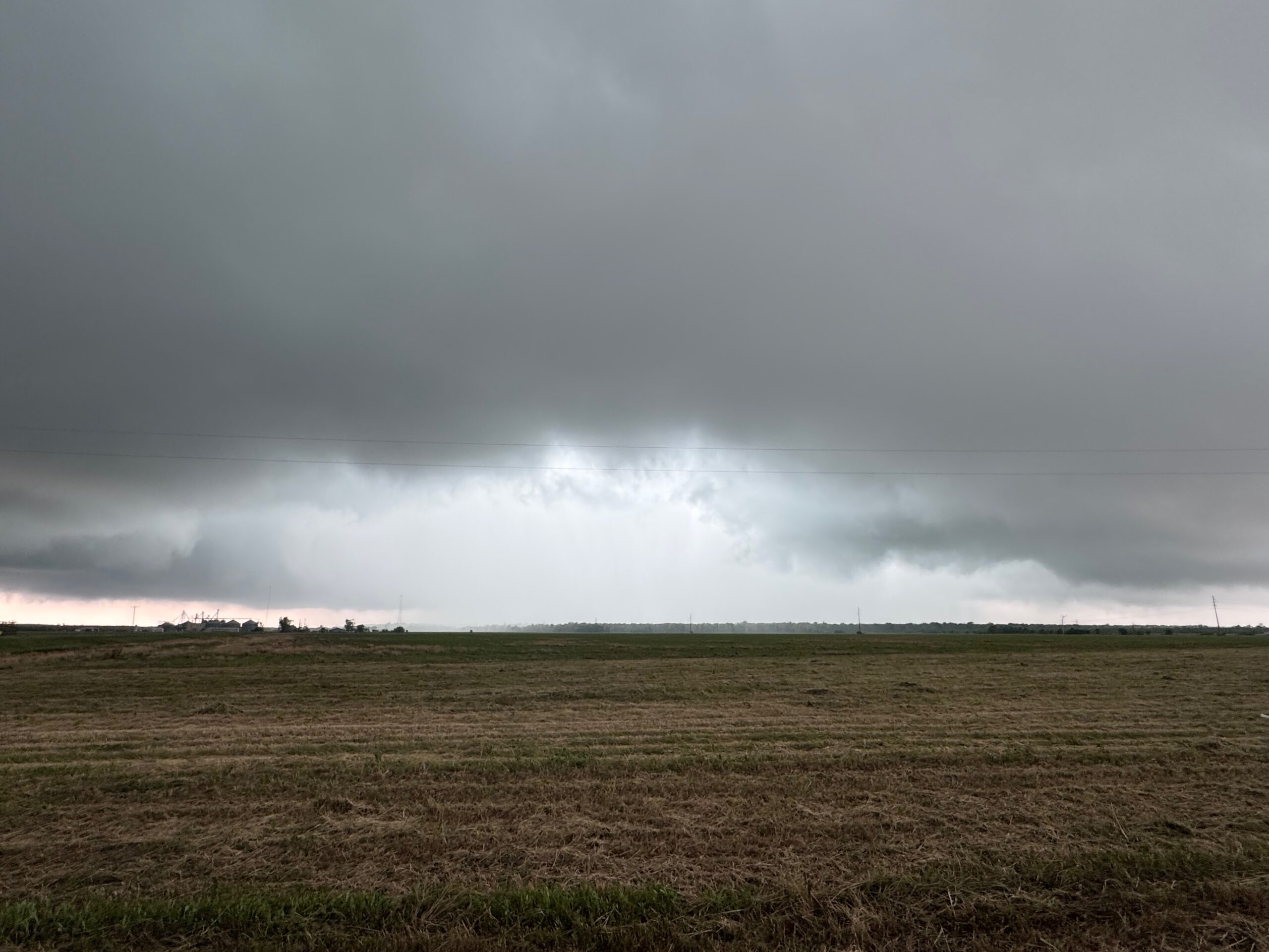
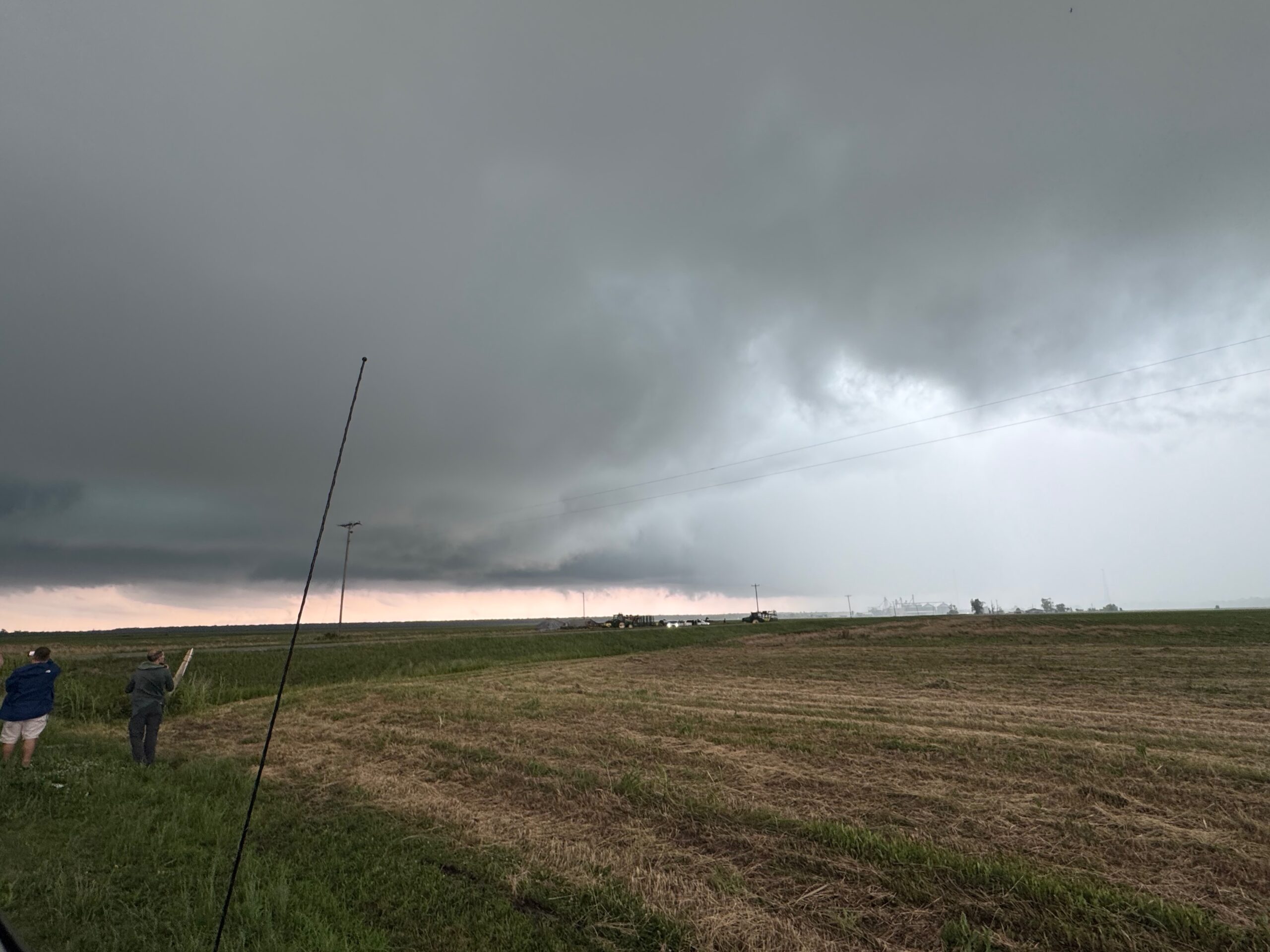
We observed a lot more cloud motion and rotation in the clouds this time. It seemed REALLY close to going into tornado mode. Someone did report a tornado on the Louisiana side with the storm, I think, but I did not see any tornado for certain. All we could do as the storm moved east was to wave “goodbye,” as again it was moving quickly and the closest way across the river was up in Natchez. It was about 6 p.m. CDT.
We dropped south a few miles and stopped to shoot the back end of the cumulonimbus. The storm started with the tornadoes fairly quickly once it found itself above the forests of Mississippi. This same storm did produce a strong and long-lived tornado or two towards sunset and dusk which a handful of chasers saw. (If seeing fast-moving rain curtains in the jungle count as seeing a tornado.) There was plenty of damage with the storm in Mississippi.
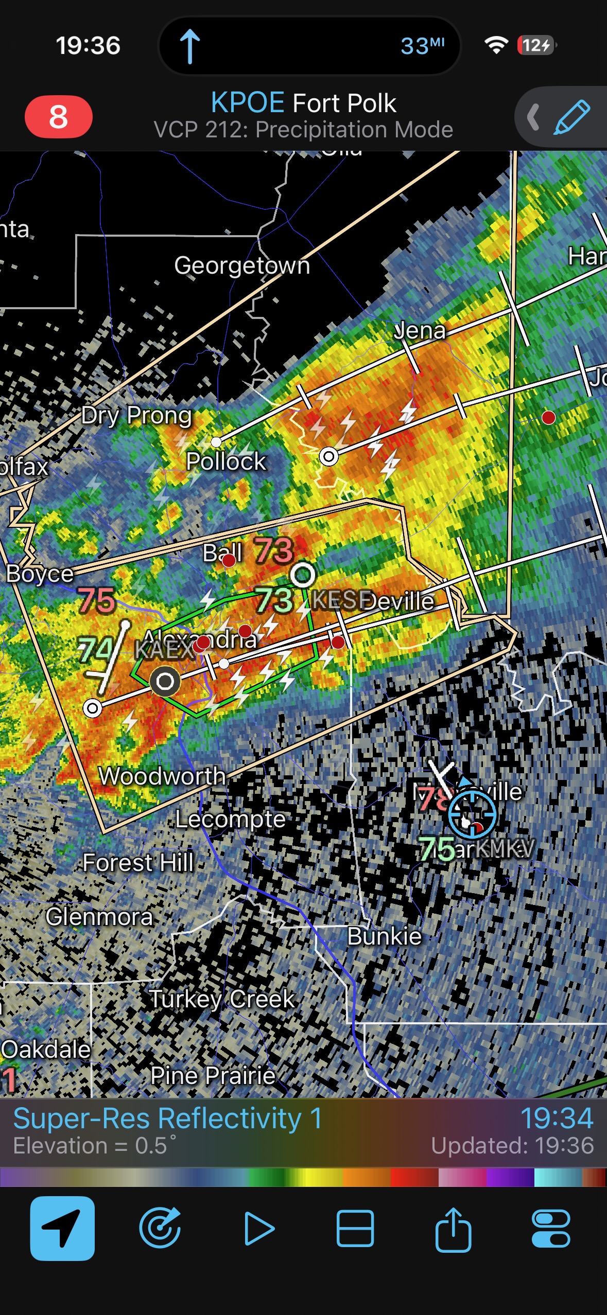
I found a road to the west to intercept additional cells in the vicinity of Alexandria, but these storms were junky and unorganized.
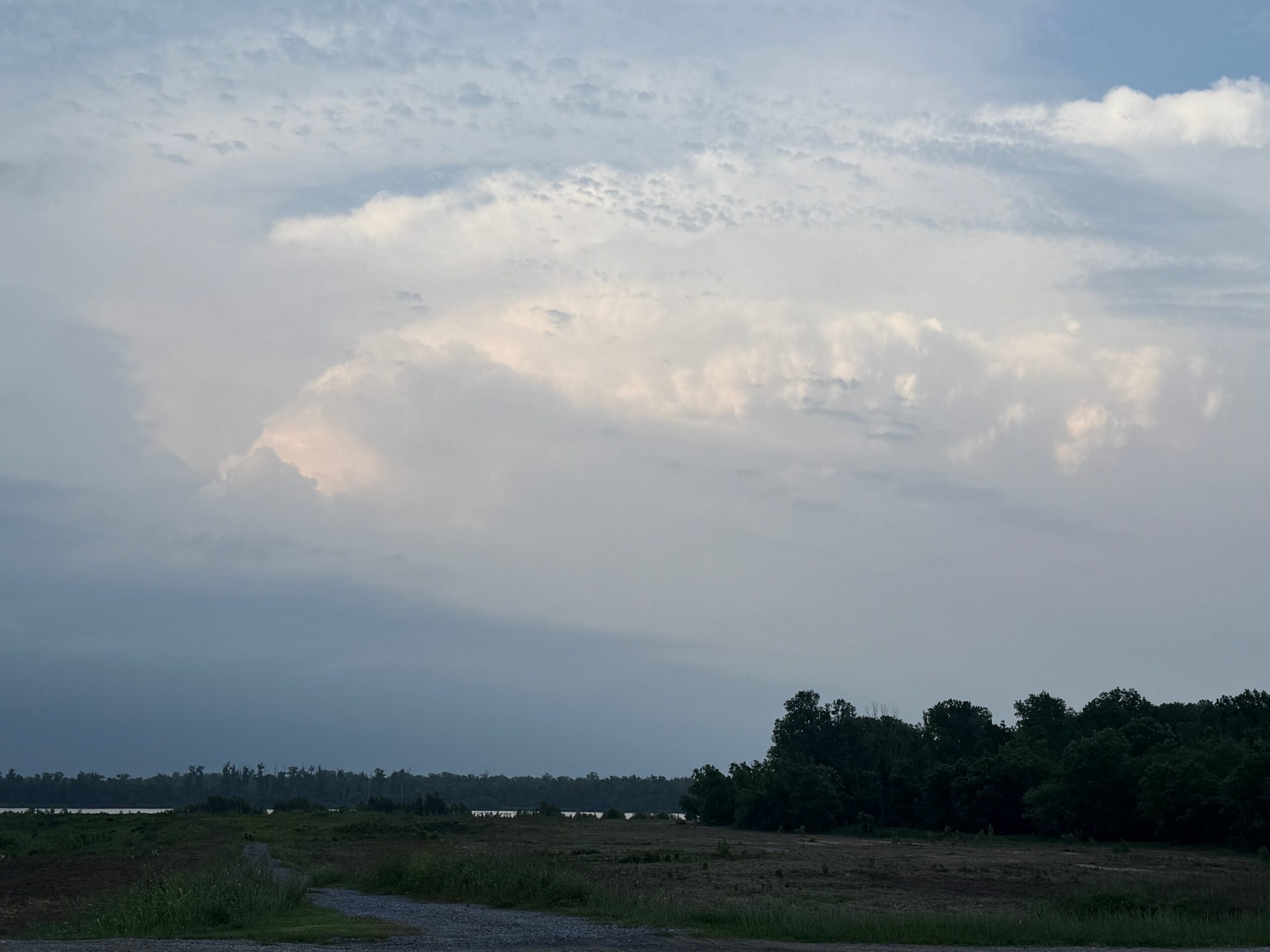
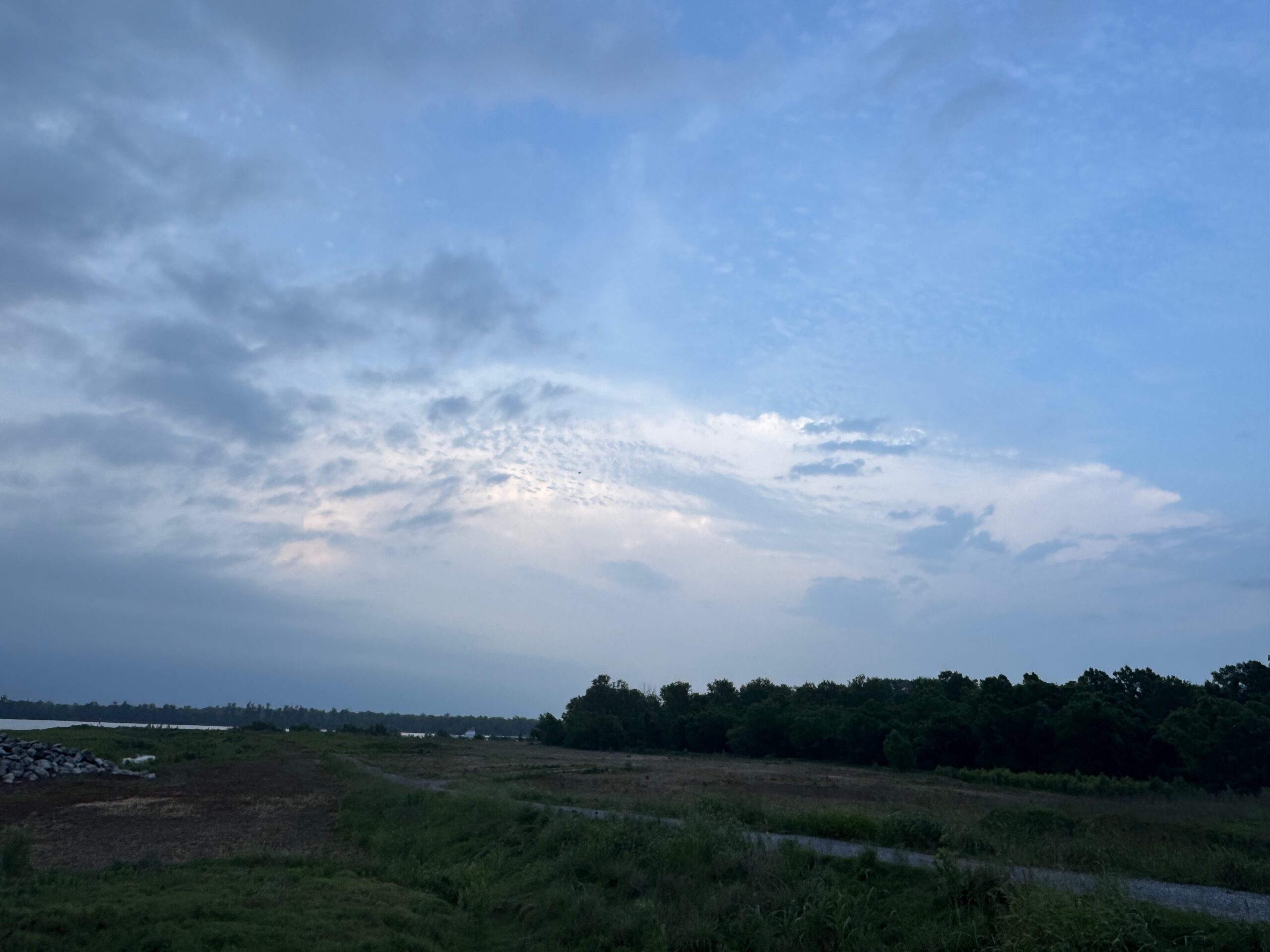
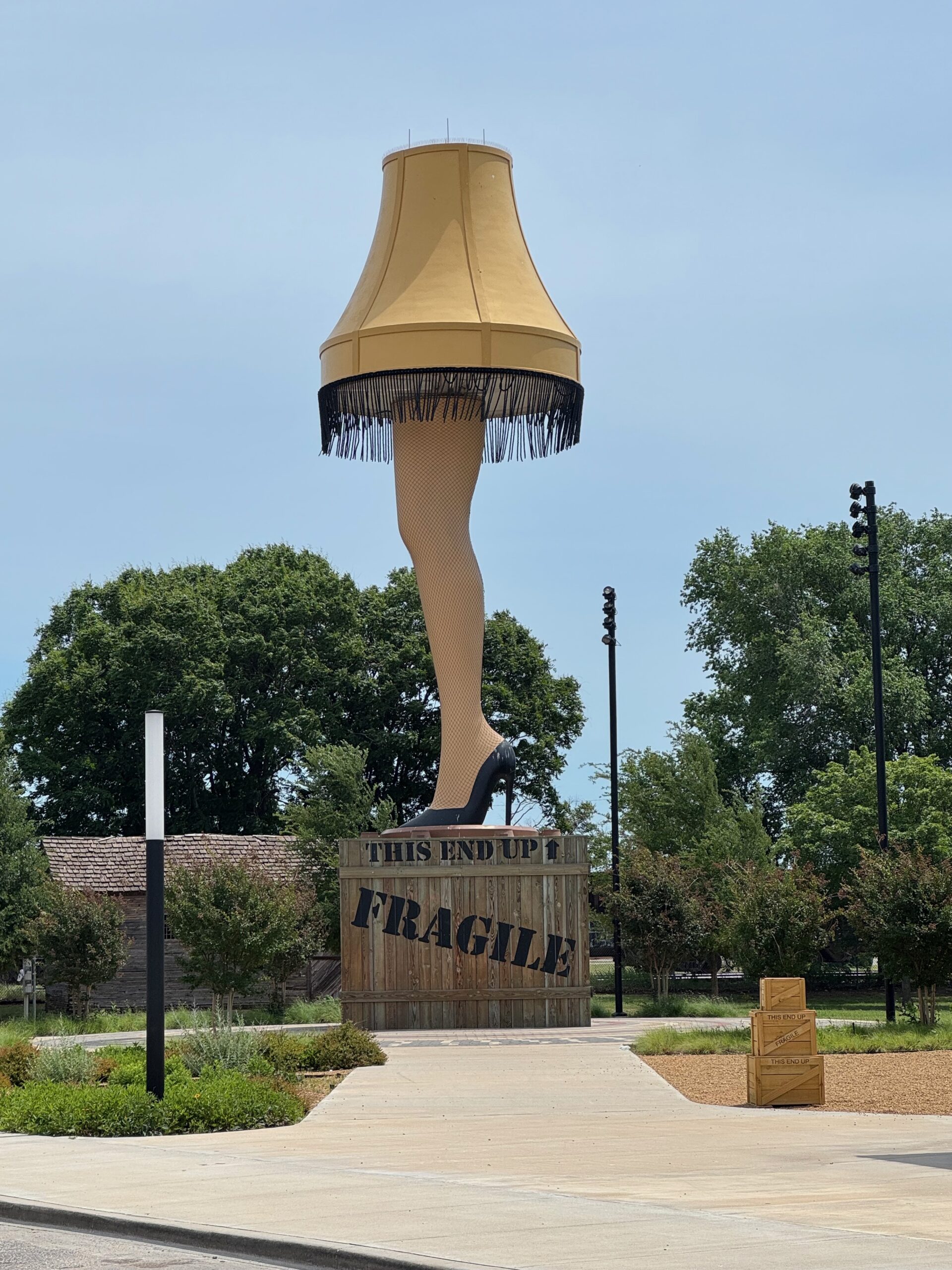
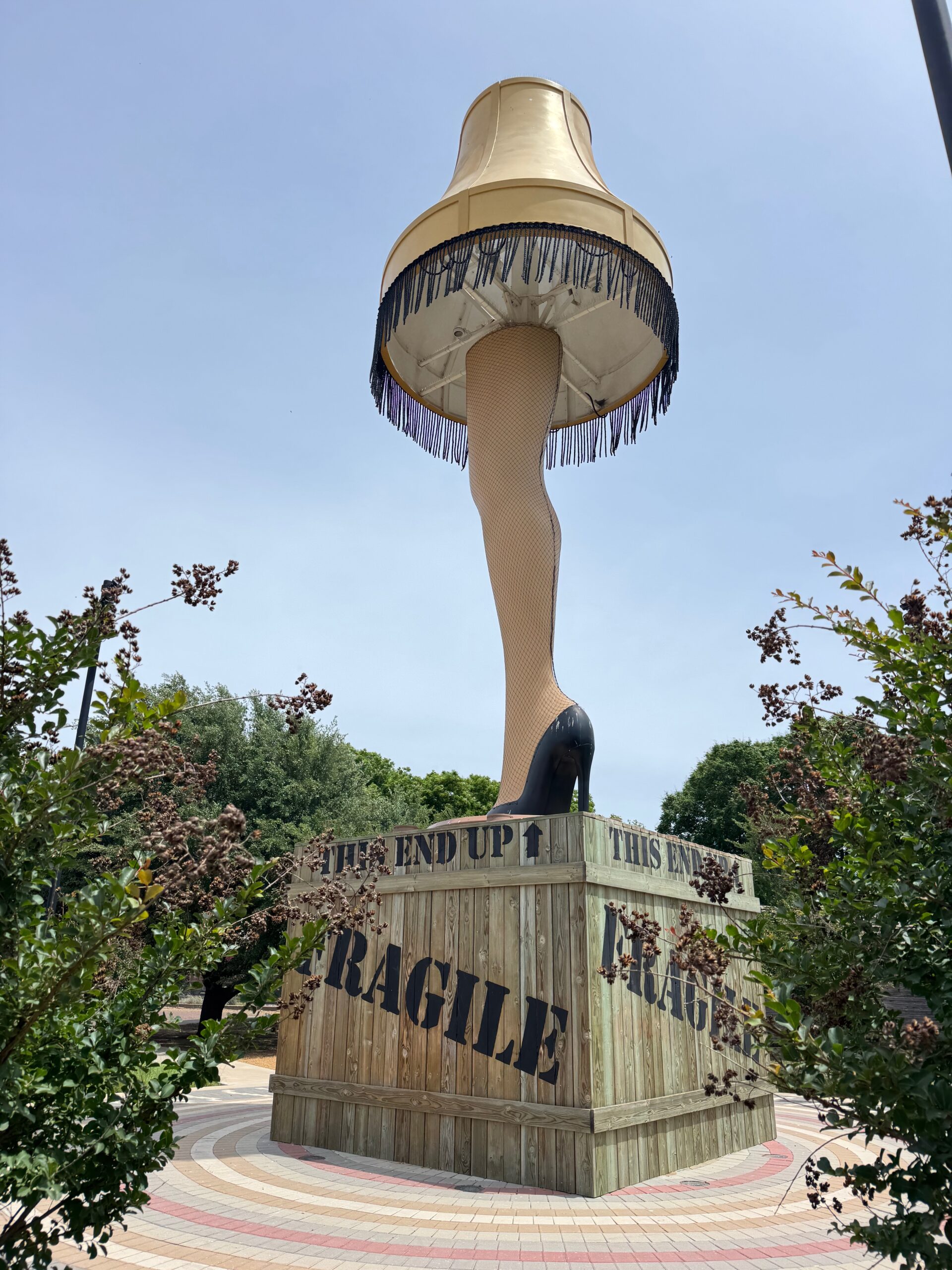
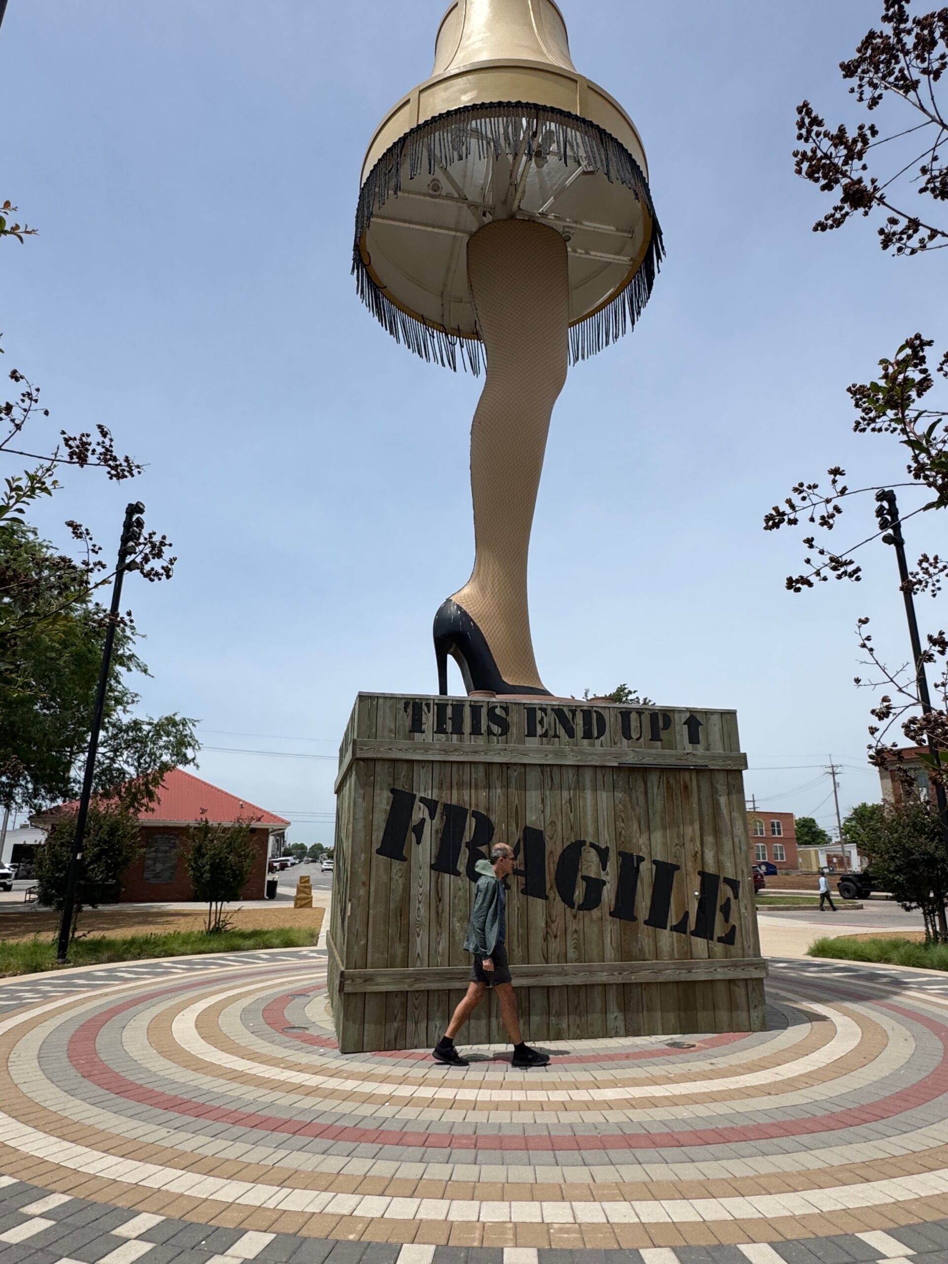
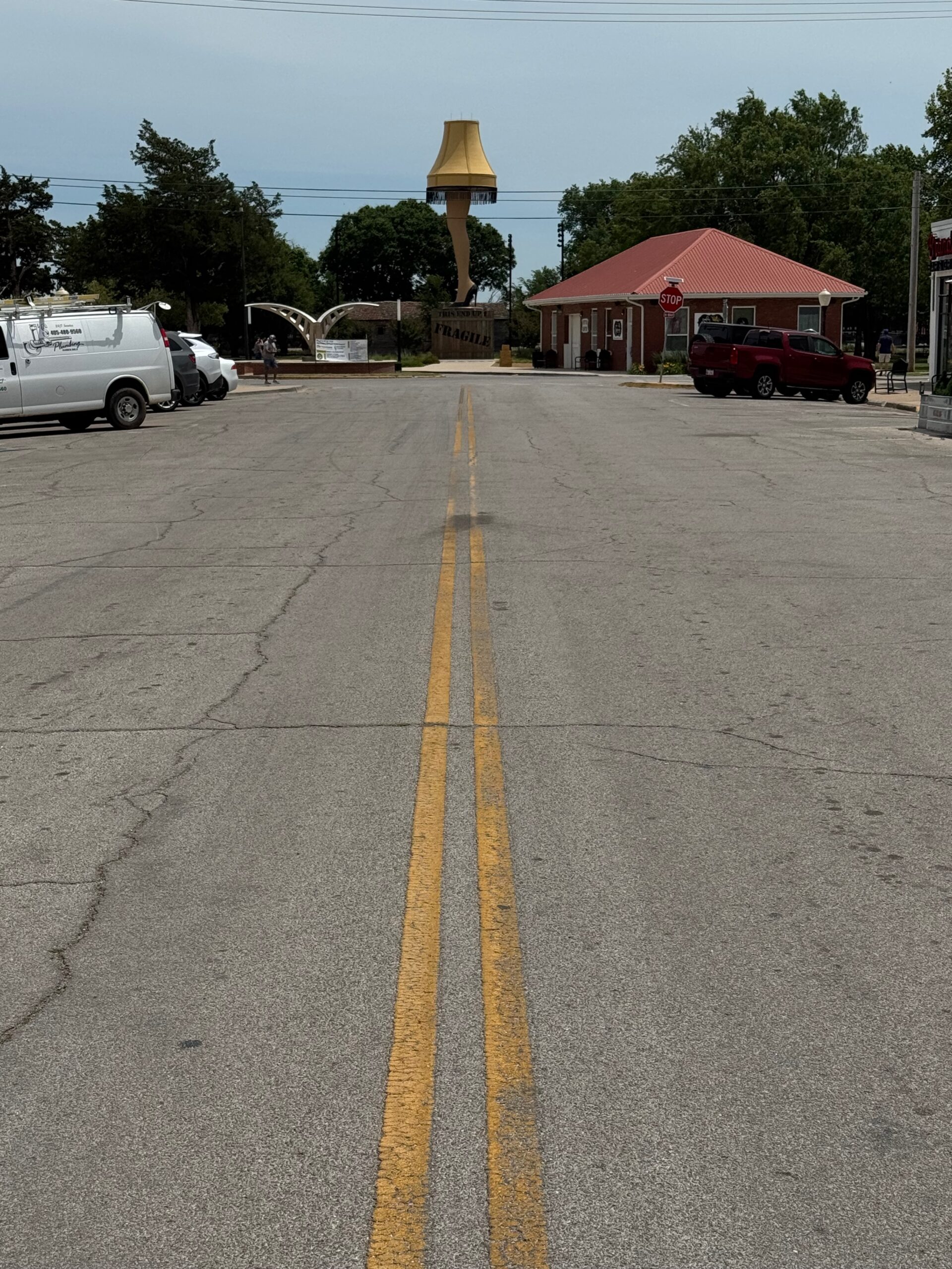
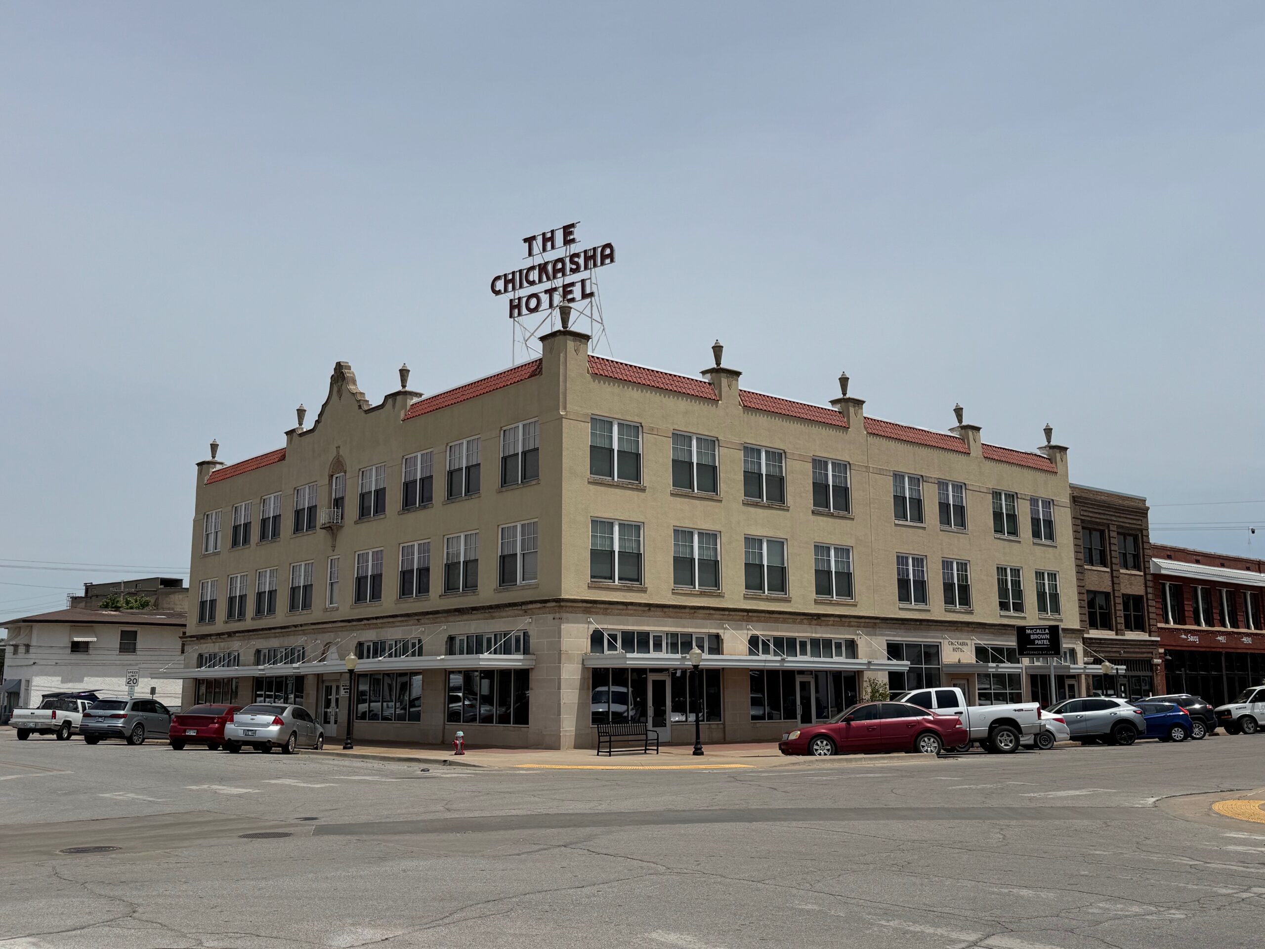
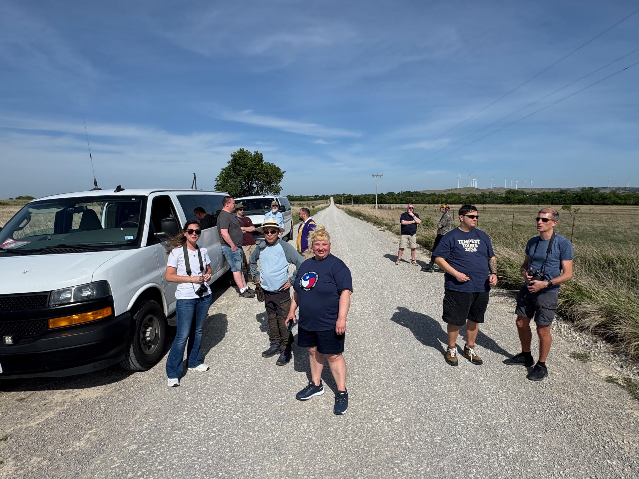
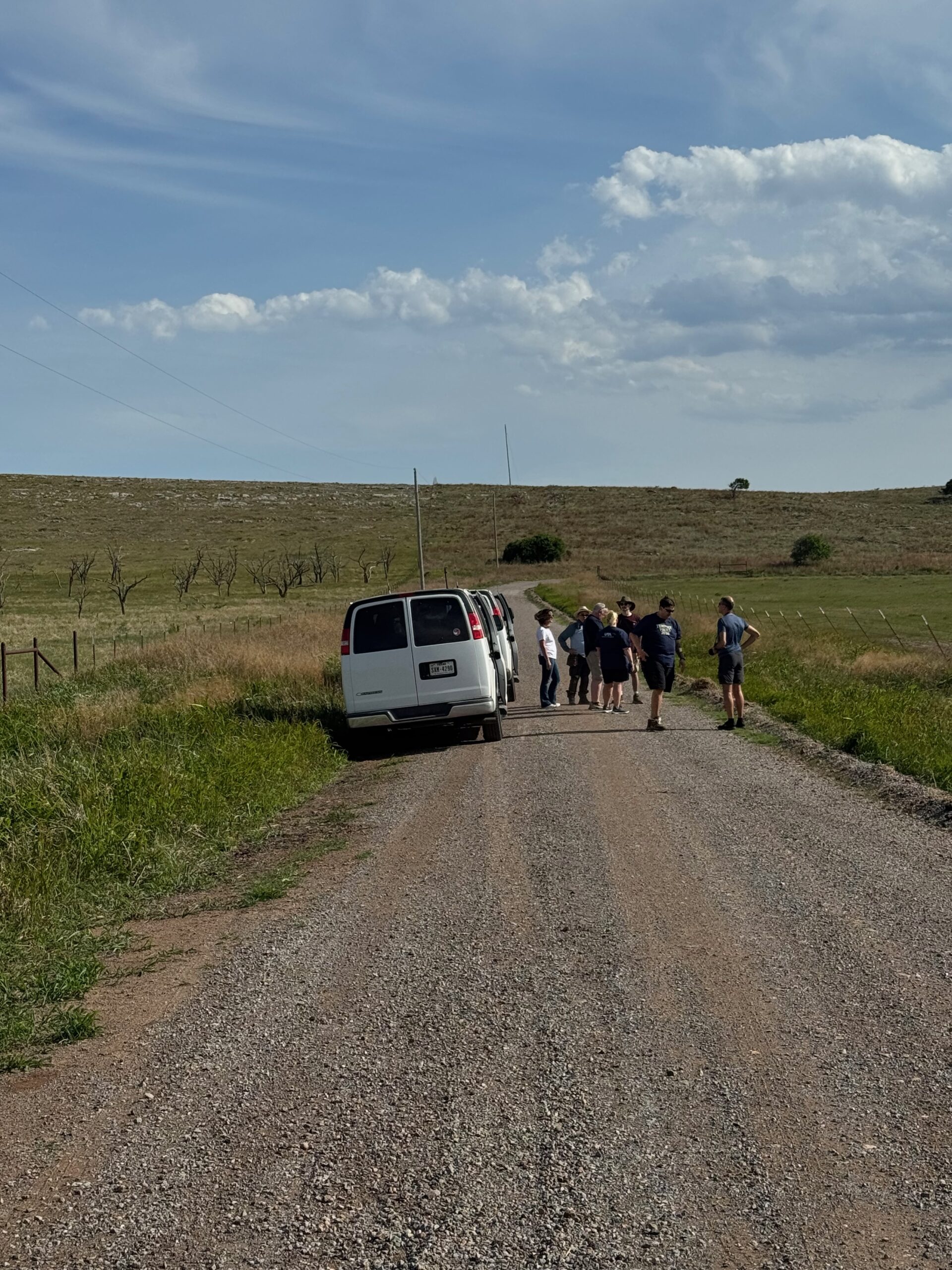
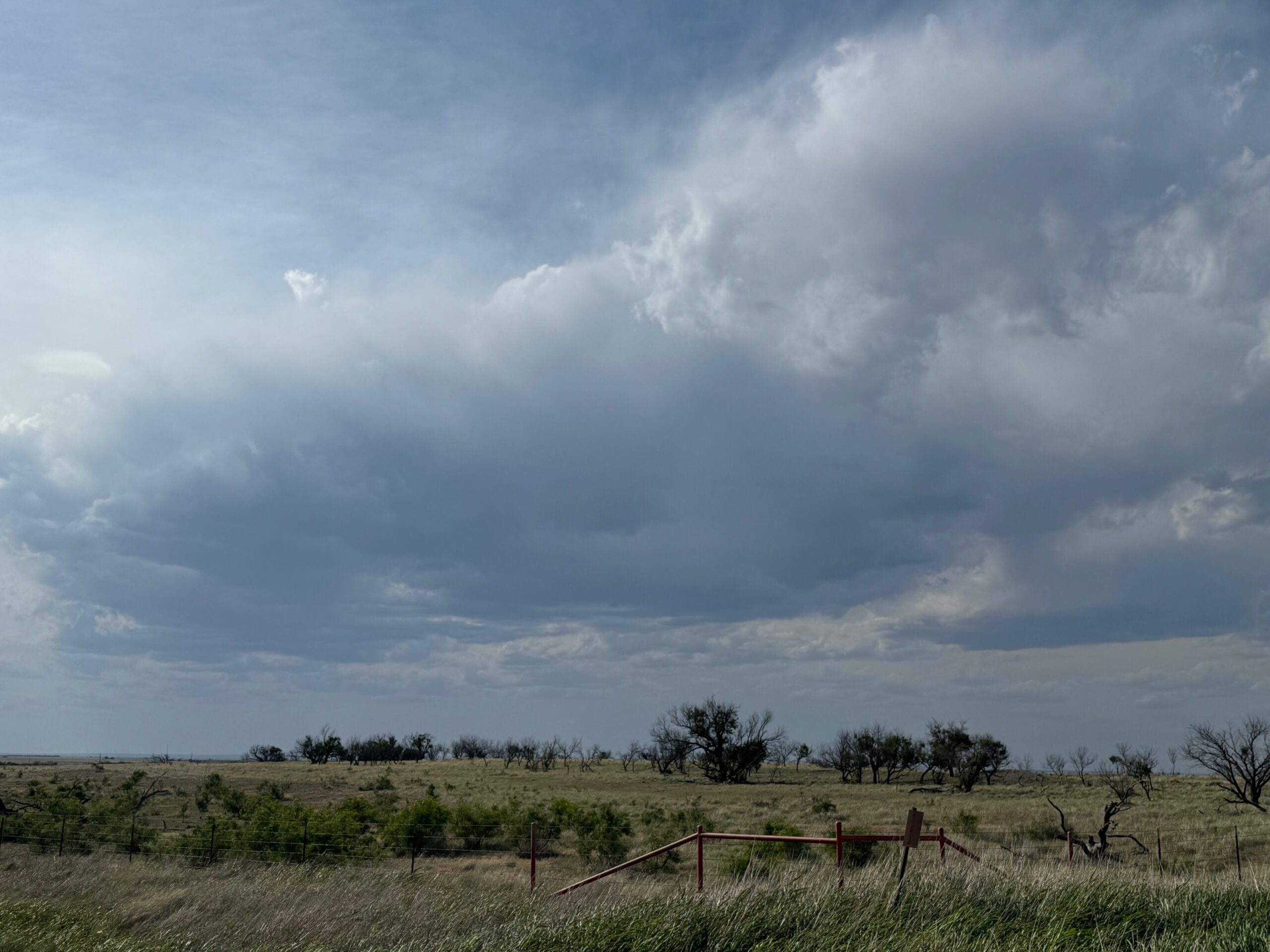
May 4th pics below. We thought that something strong might develop on the dry line near Lawton, but the convection remained weak. The day’s highlight was the big lampshade in Chickasha.

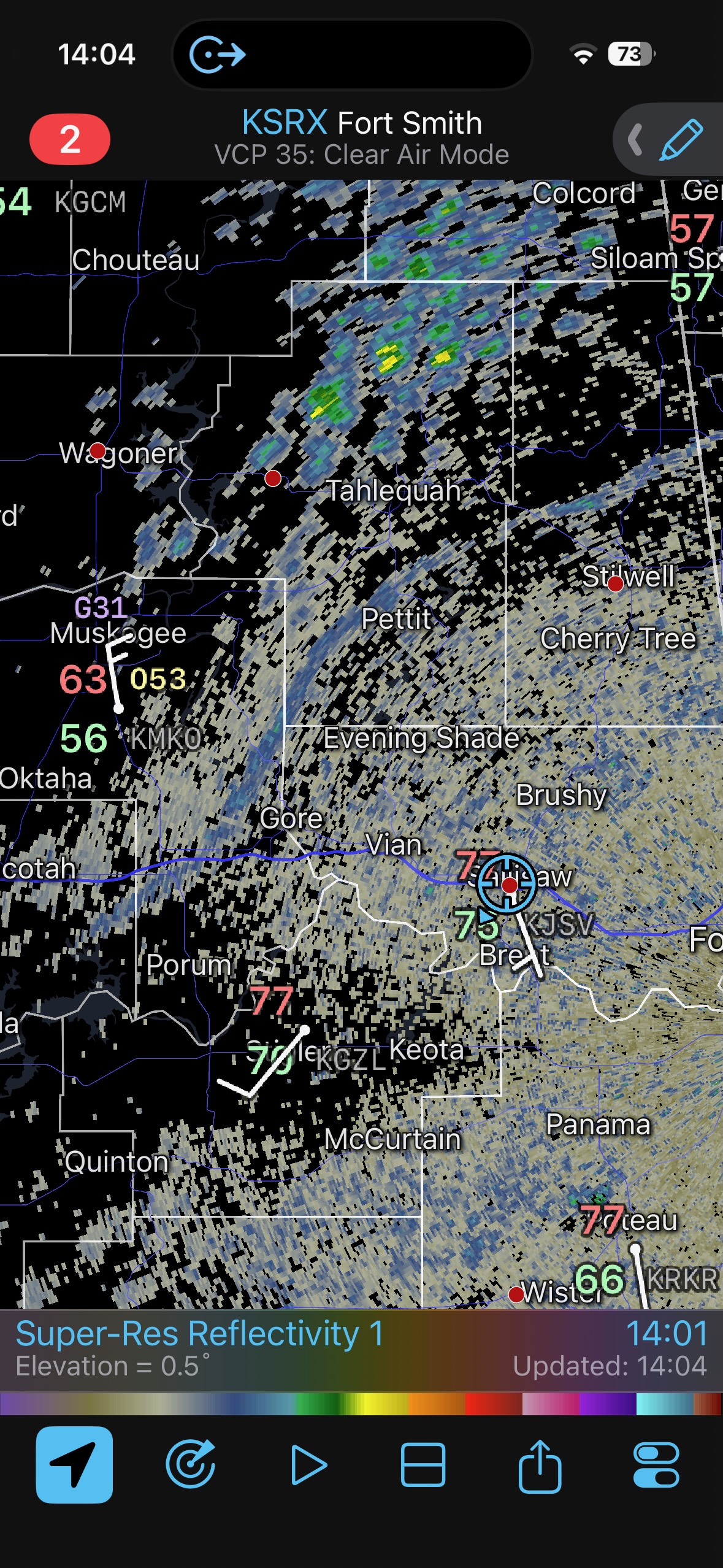
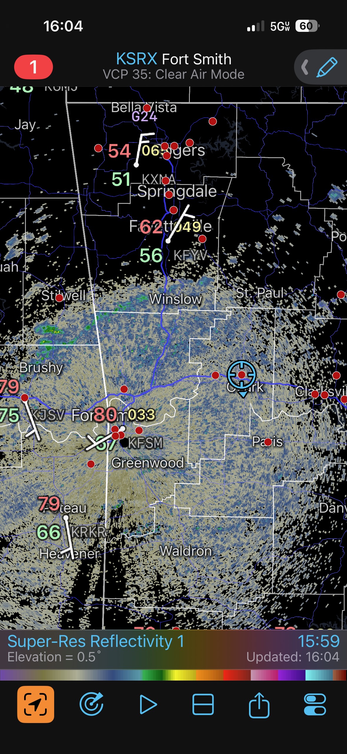
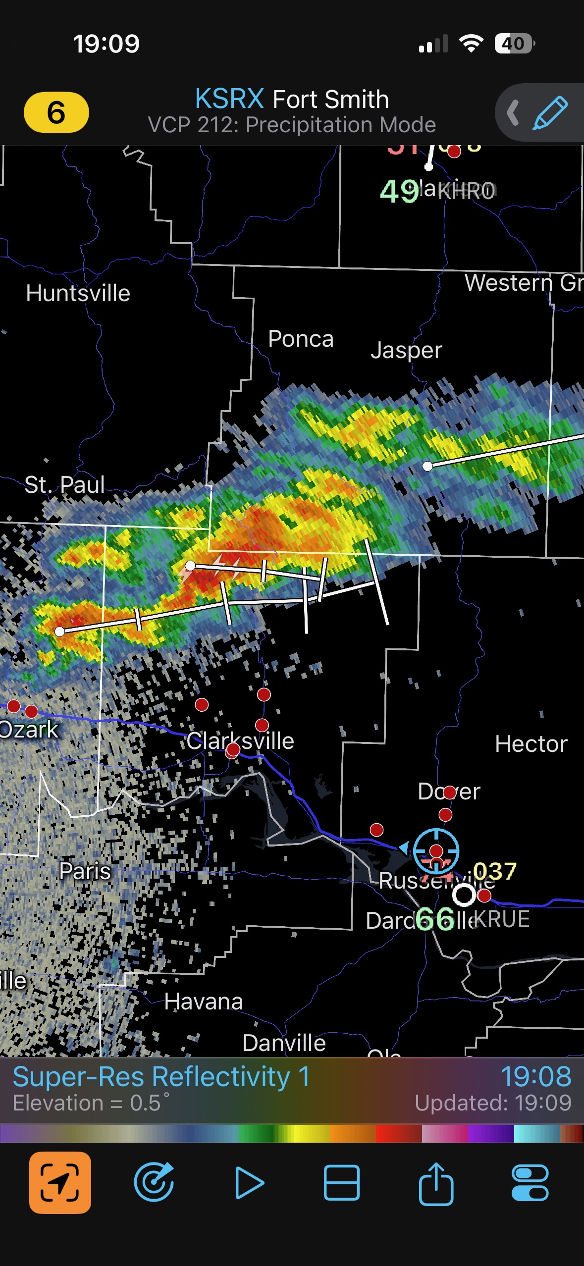
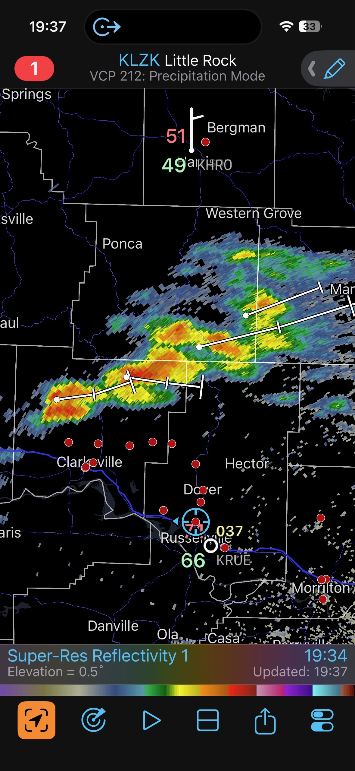
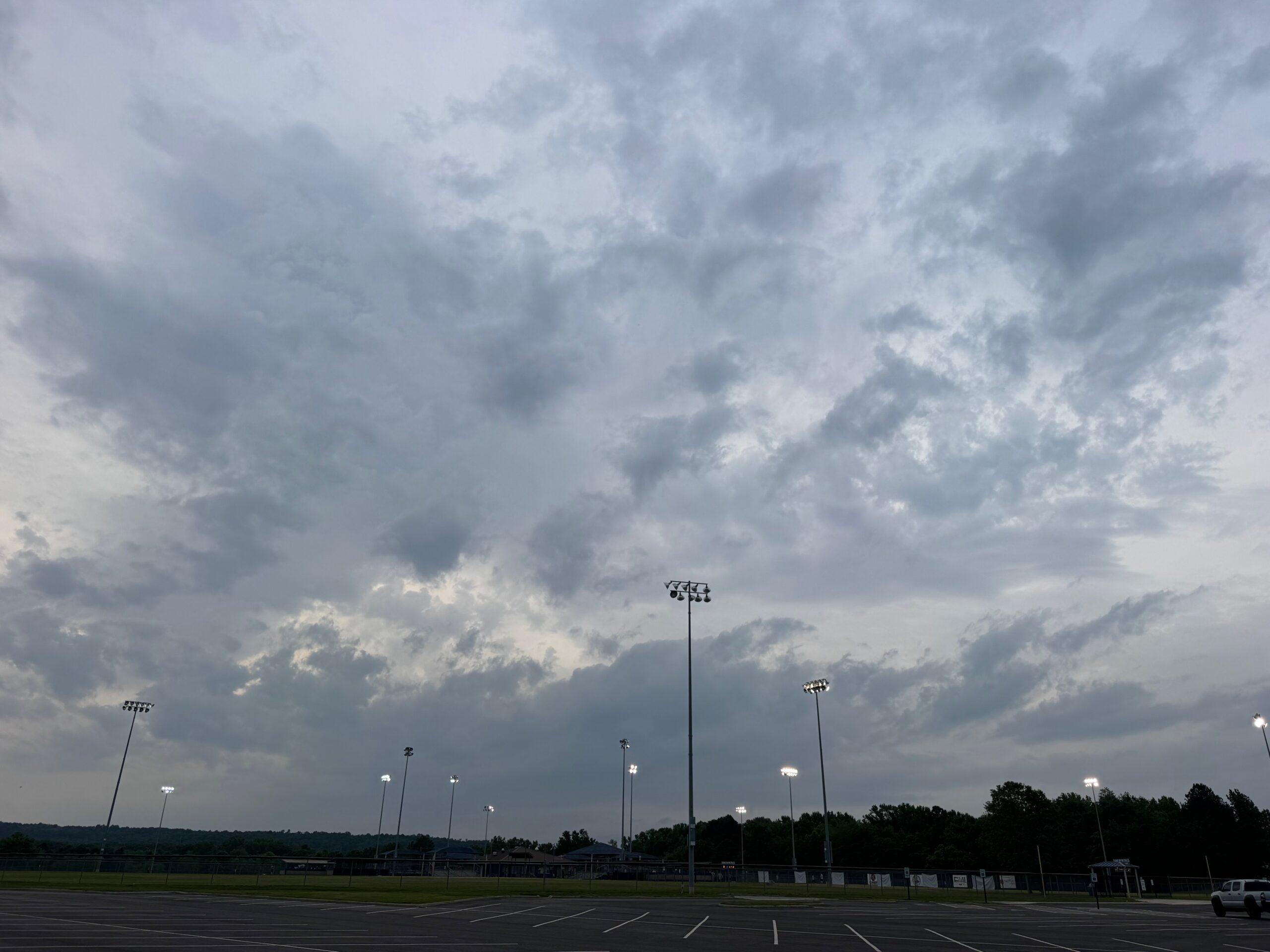
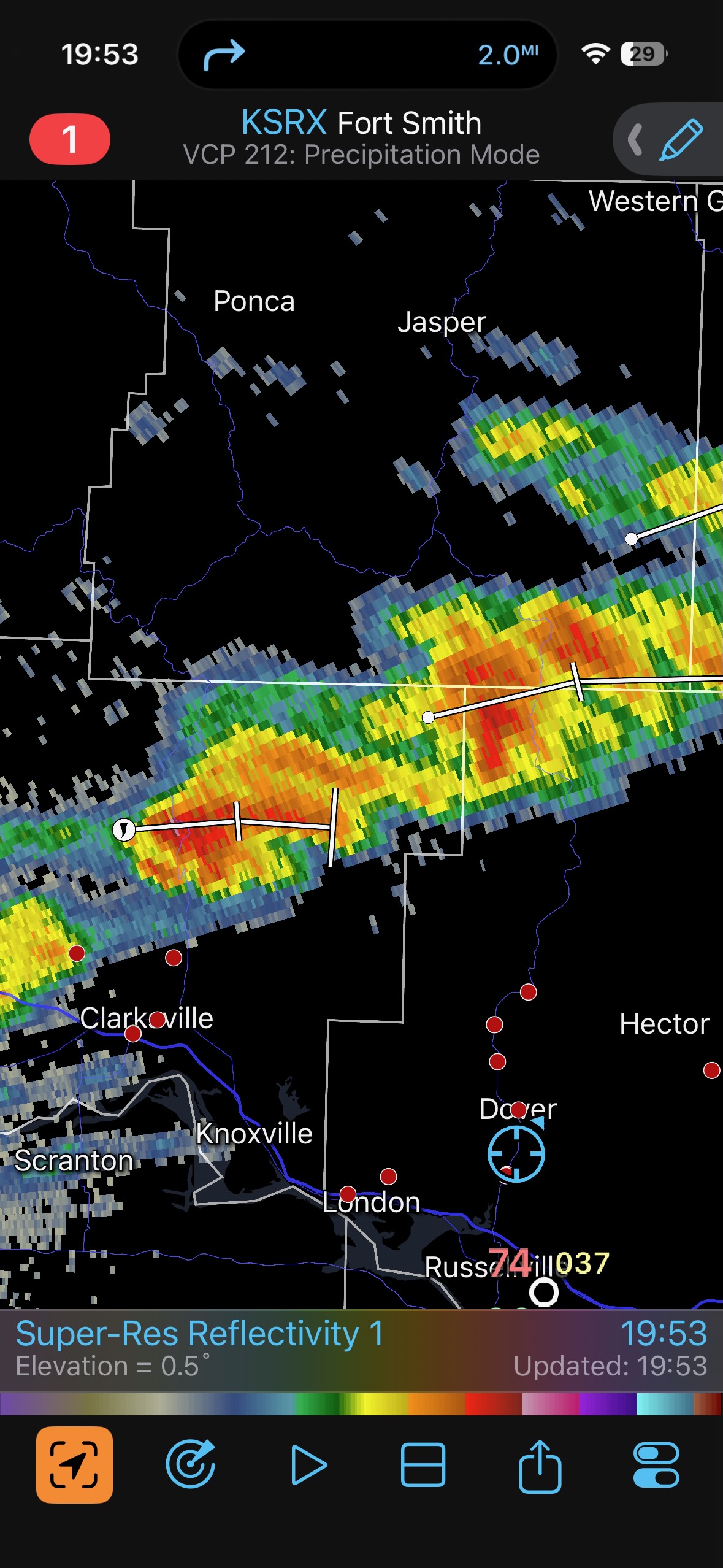
May 5th pics below. Again we thought the tornado chances were decent, but much too much thick cloud cover kept our target area around I-40 in western Arkansas storm-free during the daylight hours.
Leave a Reply
You must be logged in to post a comment.