

This week I am directing a “monsoon tour” for Tempest Tours. We began the tour today in Phoenix, and my driver Bob Smith and… [Read More]
July 21, 2013 Masters Thesis is Online
Attention all weather and climate nerds: as you may know, I have studied Death Valley’s record temperature of 134F from July 1913, and determined that… [Read More]
July 13, 2013 Chase Update
Chase season is over, and, golly, I have not been doing a good job at keeping my web site updated. I only have several hours… [Read More]
July 2, 2013 Death Valley hits 129F!
Death Valley’s official weather station in Furnace Creek recorded a temperature of 129F on Sunday, June 30, 2013. The initial maximum temperature report to the… [Read More]
June 30, 2013 Death Valley hits 128F!
Below is a pic by an observer at the Death Valley NP weather station in Furnace Creek, CA. It shows a temperature of 128F on… [Read More]
June 30, 2013 Northeast NM supercells
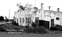
The target area for today was the Raton Mesa, or somewhere along the NM/CO border east of Trinidad. Moisture was adequate, and upper flow… [Read More]
June 29, 2013 Haswell, CO supercells
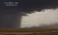
SPC painted a slight risk along the Front Range of the Colorado Rockies today. We started off in Castle Rock, and we moseyed on… [Read More]
June 28, 2013 E CO thunderstorms
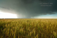
From Hutchinson, KS, our group headed west to the High Plains of eastern CO. The flow aloft was adequately strong and from the northwest,… [Read More]
June 27, 2013 Diller and Beverly supercells
This chase day started early and was very active! But, first, here is a brief recap of the previous few days. Tour 9 started… [Read More]
June 22, 2013 Dix, NE, tornado
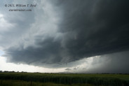
LINK to Chris Gullikson’s video of the Chugwater meso and Dix tornado This was a very active and interesting chase day, and was… [Read More]
June 21, 2013 Torrington, WY, supercell
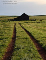
On June 2oth (the day prior to this one), we headed back into the U.S. from Swift Current. There was a risk for severe… [Read More]
June 19, 2013 Elkwater, AB supercell
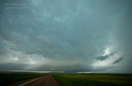
Our group began the day in Medicine Hat, AB, and forecast thinking was to drift west a little —- into moist north or northeasterly… [Read More]
June 18, 2013 Hilda, AB supercell and super sunset
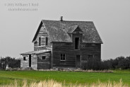
Yes, AB. That stands for Alberta, Canada, and Tempest chased near Medicine Hat, AB, on this day and the following day. Tour 7 began… [Read More]
June 15, 2013 Atwood, CO supercell sunset
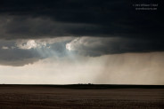
June 15th was the changeover/down day for Tempest, between tours 6 and 7. Our group began in Kimball, NE, and made the… [Read More]
June 14, 2013 Willard swine and Harrisburg sunset
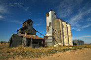
June 14 was the last chase day for Tour 6. Since we were beginning the day in Hot Springs, SD, and since we had… [Read More]
- « Previous Page
- 1
- …
- 49
- 50
- 51
- 52
- 53
- …
- 81
- Next Page »