
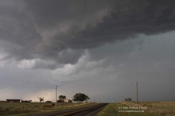
…which, as everyone knows, stands for “southeast Texas Panhandle cumulonimbus”. Our target area on this day was along I-40 between Shamrock and Amarillo. And, the… [Read More]
June 13, 2008 SW OK Storms

A boundary ran roughly SW-NE through southwest Oklahoma, and we watched towers struggle against the strong cap for much of the afternoon near Chickasha. A… [Read More]
June 12, 2008 Lyon County, KS Severe storms
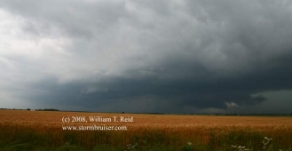
This was a long day, as I began in Storm Lake, IA, and had to meet Brian and the Tour 5 group in Lincoln, NE…. [Read More]
June 11, 2008 Ashton, IA Supercell
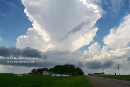
This was the make-or-break day for the short private tour. The tornado potential appeared to be pretty good in northwest Iowa, and in adjacent parts… [Read More]
June 8-11, 2008 Private chase tour!
Brad Carter and I hosted Dallas, Indra and Georgia for their relatively brief private chase tour. We didn’t get out of Denver until about sunset… [Read More]
June 7, 2008 Blue Hill, KS Tornadic Supercell
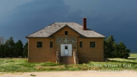
ONLINE VIDEO! After five days back home in Los Angeles, I flew back to DFW on June 5th. The 6th was spent driving from… [Read More]
May 30, 2008 Southeast Kansas storms
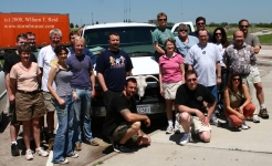
Back to southeastern Kansas again! This was the final chase day for Tour 3, so it was nice that our target wasn’t too far from… [Read More]
May 29, 2008 Kearney, NE Tornadic Supercell
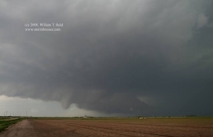
By noon-ish we were heading east along I-80 in central Nebraska, near Kearney. The outlook for significant tornadoes on this day was very good… [Read More]
May 28, 2008 Dorothy’s House and Monument Rocks

This was a positioning day. We motored north through western Kansas, with stops at Dorothy’s House (in Liberal) and at Monument Rocks (north of Scott… [Read More]
May 27, 2008 Willow, OK Stormus Dissipatus
With hopes at a modest level at best, we scooted west into western OK as thunderstorms developed. A couple of updrafts looked good briefly, but… [Read More]
May 26, 2008 More Kansas storms
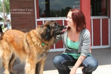
Thunder the Wonder Dog joined us for lunch in Offerle (west of Kinsley). Like the day prior, today’s storms were less than impressive. The initial… [Read More]
May 26 Update
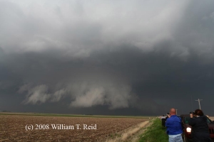
Crazy, crazy, crazy chase period from May 22 to May 24! I saw five tornadoes on the 22nd in NW KS, two on the 23rd… [Read More]
May 25, 2008 Central Kansas Storms
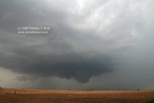
The big play this day was in Iowa, where the Parkersburg monster tornado formed. We began the day in Salina and played central Kansas. We… [Read More]
May 24, 2008 Hennessey, OK Tornadic Supercell
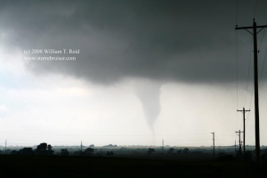
A lone, isolated supercell was a prolific tornado producer as it moved slowly through Kingfisher County and Garfield County in Oklahoma on May 24, 2008. … [Read More]
May 23, 2008 Clark County, KS Tornadic supercell
The timing of the switch from Tour 2 to Tour 3 was not good. We had put up with a lousy pattern for five or… [Read More]
- « Previous Page
- 1
- …
- 76
- 77
- 78
- 79
- 80
- …
- 86
- Next Page »