May 9, 2008 Grant, NE supercell

May 9th, 2008 by Bill

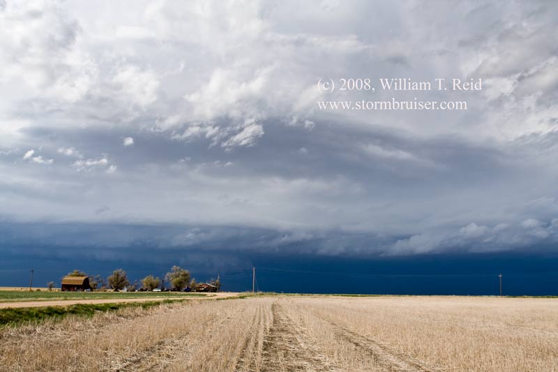
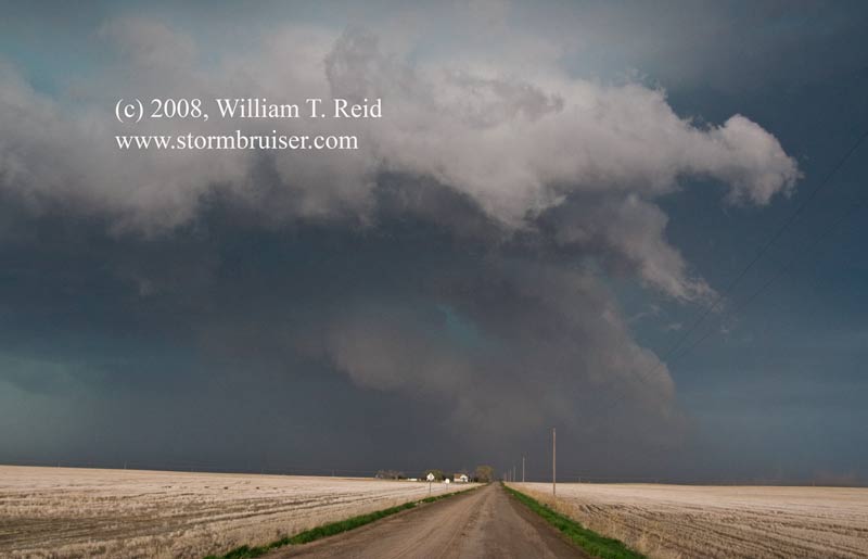
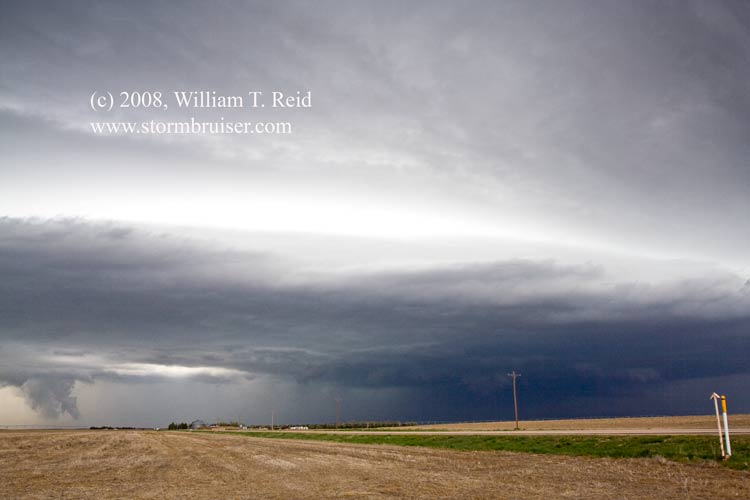
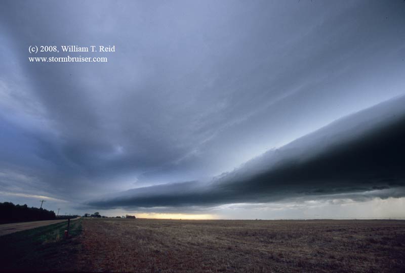
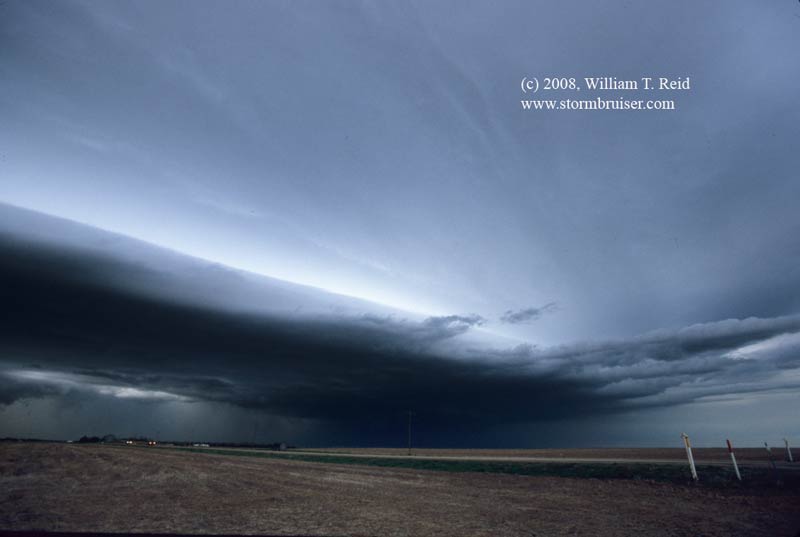
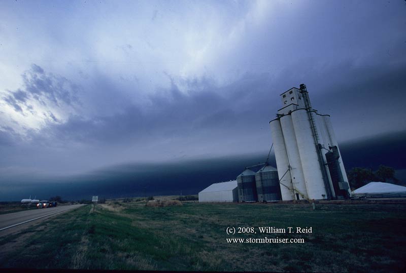
Great Scott……I had a tough decision to make on this morning in Dodge City.  Should I play today or tomorrow?  Today—a good chance of a supercell in northeast CO/western NE.  Tomorrow, our last chase day of the tour—a moderate risk and an excellent setup for tornadoes in the trees of E Oklahoma.  By chasing today, it would be difficult to be in proper position on the 10th, should the action be in E OK or NE TX.   A downside for today was the limited tornado potential in the CO/NE target area, as dew points were not quite high enough.  Still, the prospects of chasing a supercell on the High Plains was so much more appealing than trying to chase tornadic supercells through the trees and mountains of E OK, that I decided to head northwest into Colorado.  I told the guests not to expect a chase the following day, as I doubted that we could make it back east and south in time.

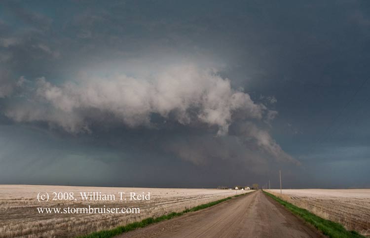
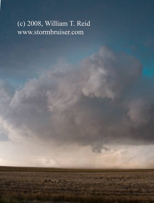
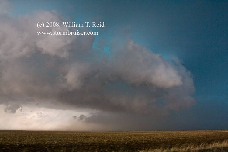
Our target area was near Sterling to Wray in northeast CO, and as we headed north through Yuma County on 385, a cell strengthened to our NNW near Chappell, NE.  The cell was tornado-warned just as we stopped south of it on the Sedgwick/Phillips county line!  A large wall cloud appeared to loom a few miles to our north, but the contrast was poor for us.  A spotter had reported a rotating wall cloud, and this prompted the warning.  We got up close on the updraft’s southeast side and observed a decent lowering with some slight rotation.  The supercell, like the day before, had a nasty look to it and it was turning ESE into the inflow.  The race was on again to stay in front of it as we utilized the unpaved “section” roads.  Early on the cell was blowing cool air out at us.  An area filled with precip wrapped around on the updraft’s south side and chased us farther southeast to Vanango, NE.  From here we had to boogie quickly ENE to Grant, with a view into the notch to the east.  A prominent and blocky wall cloud hung close to the ground, near Routes 61 and 23 on the east side of Grant.  The supercell was tracking east-southeastward, and the road network went from bad to worse here, so we could do little but sit and watch as the storm continued into southeastern Perkins County.  We stayed a little too long near the core southeast of Grant and caught some golfball-sized hail in the wrap-around precip curtains.  Halfway to Imperial, we had, like the previous day, a great view of the supercell structure on its south side.  On our way to another intercept near Palisade, the cell elongated and weakened.  It was maybe 7 p.m. by this time, and I could start thinking about the next day.  Maybe if we drove a bit tonight, and got up early the next day, we could catch something worthwhile on Day 10!  I booked rooms in Wakeeney, KS, on I-70, and we drove through a lot of heavy rain to get there near midnight.  Another 500-mile-plus chase day in the books:  588 miles.

08may09_sedgwickco_co_0814.jpg08may09_sedgwickco_co_0816.jpg08may09_sedgwickco_co_0818.jpg08may09_perkinsco_ne_0824.jpg08may09_perkinsco_ne_0829.jpg08may09_perkinsco_ne_0836.jpg08may09_perkinsco_ne_0837.jpg08may09_perkinsco_ne_0839.jpg


08may09_perkinsco_ne_0843.jpg

08may09_perkins_co_ne_sc_08ca10.jpg08may09_perkins_co_ne_sc_08ca09.jpg08may09_palisade_ne_sc_08ca17.jpg08may09_palisade_ne_sc_08ca20.jpg08may09_palisade_ne_sc_08cb23.jpg08may09_palisade_ne_sc_08cb30.jpg


Share

Posted in 2008, Cumulonimbus, Supercells

Leave a Comment

Please note: Comment moderation is enabled and may delay your comment. There is no need to resubmit your comment.