
 The final tour of the year for me, Tour 7, was nearing its end. We began July 3rd in Chadron, NE, with two full chase days remaining. Today looked to have some good potential, but near the opposite corner of Nebraska. Tomorrow, July 4th, appeared better for fireworks than for severe weather. So, we made haste out of the northern Nebraska Panhandle and aimed the van towards the loose target area of the KS/NE border, near U.S. 81.
I think we had lunch in Ogallala, and then continued east on I-80. Convection held off for us as we dropped south to Superior, NE, but then some strong storms went up to our south, in northern Kansas. These moved east, and we got ahead of the activity by continuing east to Fairbury and then south to Washington, KS. We observed two strong cells as we continued south on 15 from Washington. The lower atmosphere was juicy, and the cells looked like a murky and wet mess in the haze. Surface winds weren’t much, and there was little to get excited about at low levels.
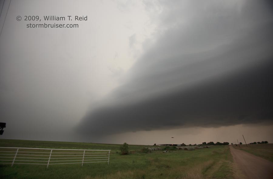
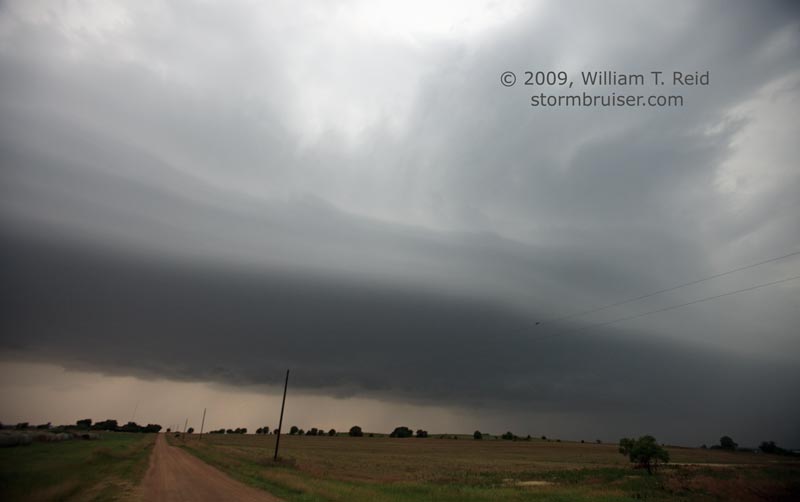
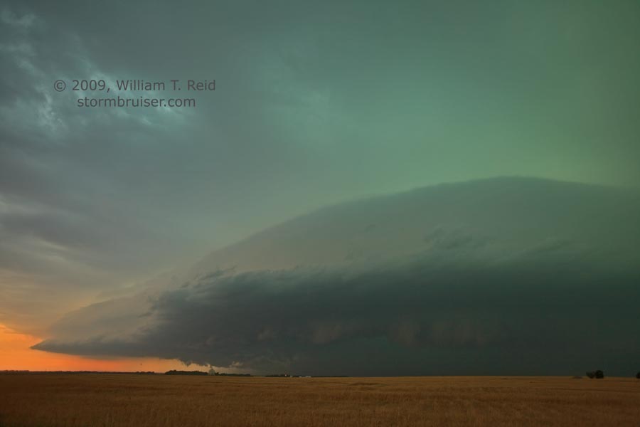
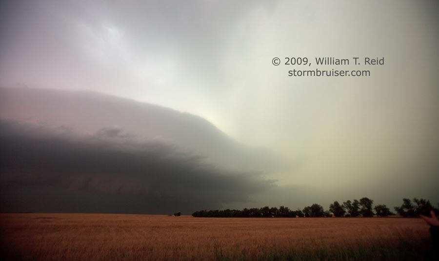
Our supercell near Clay Center looked good for a bit, but soon a more impressive cell to our southwest beckoned. Sunset was nearing, but we had just enough time to make our way west and south through Clay County and to plop ourselves in front of another HP beast of a storm. This one was just north of I-70, near the Saline/Ottawa county line. We enjoyed the storm’s structure along a farm road north of Solomon, which is between Salina and Abilene. There were plenty of menacing lowerings with this beast, but it had that HP/outflow look which suggested little chance of a tornado…or maybe I should say “seeing a tornado.”
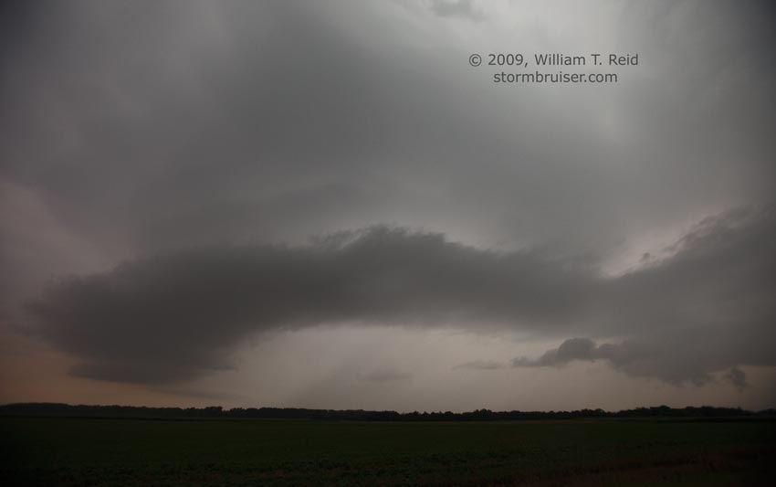
As dusk fell we were forced south, through Solomon and south a few more miles, to avoid the core. To our north-northwest, a new lowered area developed and we DID witness a small and brief tornado, which was verified by other chasers near I-70. Here are a few HD video stills, which show the descending “blob” to the left of the rotating lowered area. A faint dust plume eventually extended upwards to the disintegrating wall cloud.
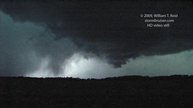
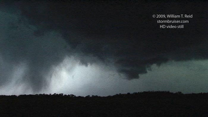
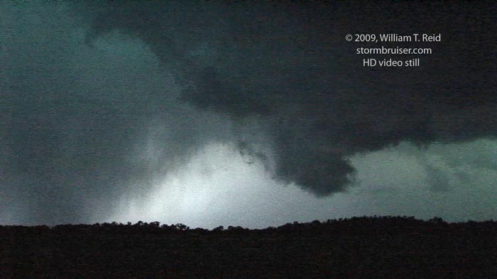
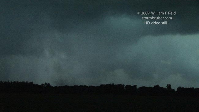
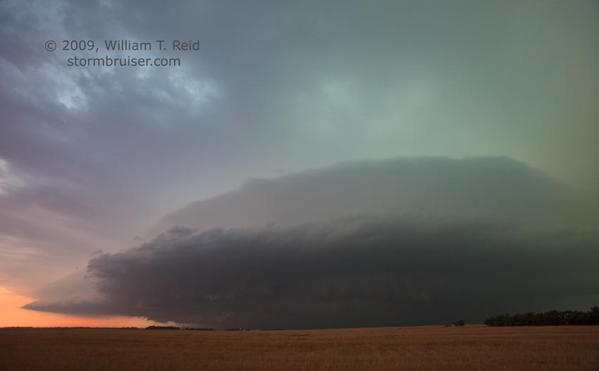
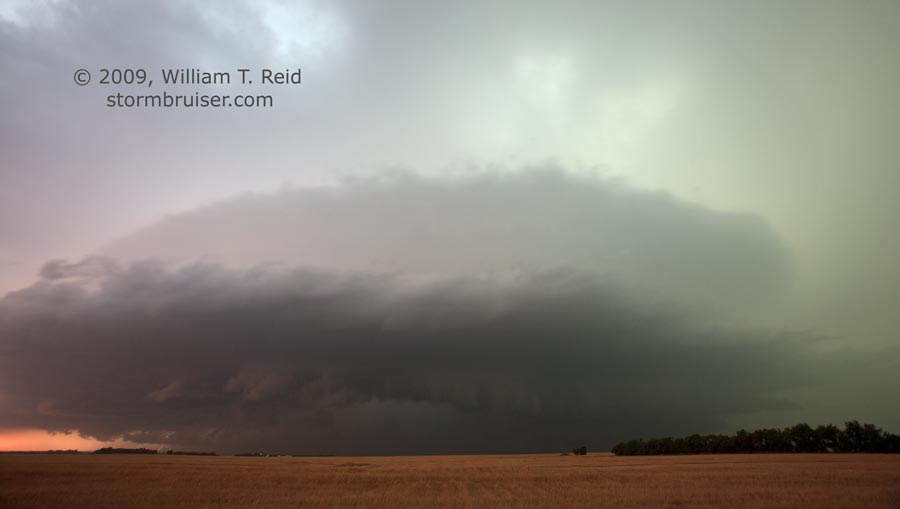
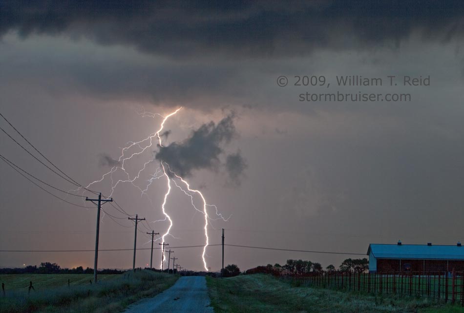
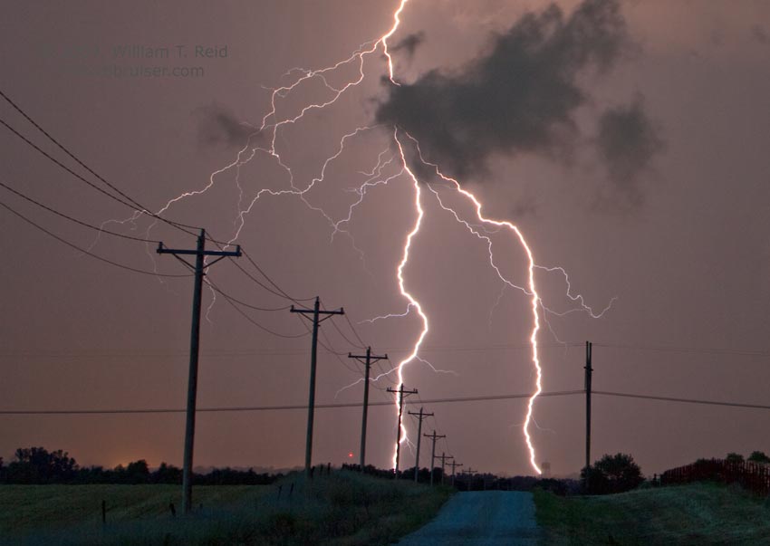
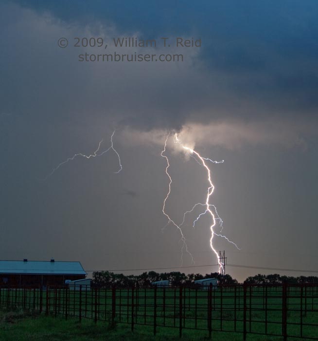
The cell continued to march east and weaken a bit, and I managed to photograph some lightning. Our long, 630-mile day ended in nearby Salina. These structure shots were from a spot about three miles north of Solomon, prior to the little tornado.
Leave a Reply
You must be logged in to post a comment.