
My target for today was the general southeastern Colorado area, and we were in Fat City, starting out in Lamar. After lunch in Lamar, a storm was noted along the foothills to our southwest, near Trinidad. I decided to head that way, south to Springfield and then west. About half the way there, a fairly long-lived tornado was produced by the storm. It was still much too far away for us to see. The tornado dissipated and I didn’t like the way the storm appeared visually, west of Kim. We went back east to Springfield and watched some strong convection just to our north. Another cell, well to the north, near Lamar, was visible and it looked like a tornado was beneath it! We were too far away to confirm it. As we headed north from Springfield to Lamar, very strong outflow blasted us from the west due to the nearby high-based convection. On approach to the Lamar storm, it looked good for a bit, and then it shriveled and died. This day was becoming tiresome.
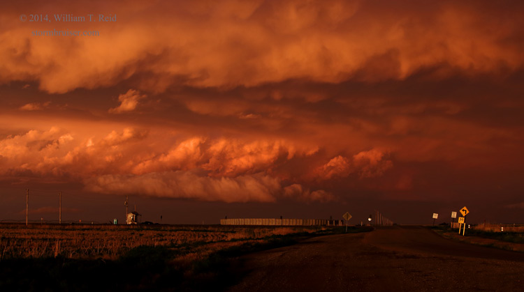
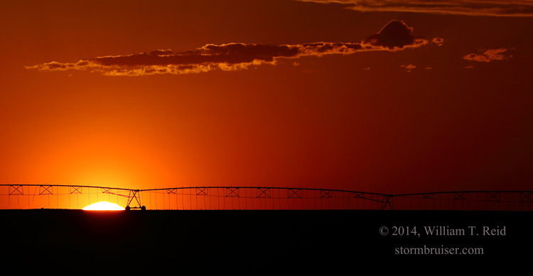
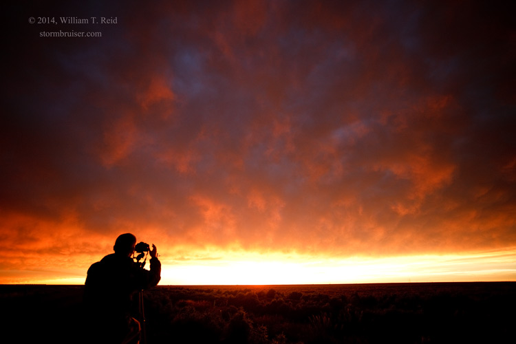
I gave up on trying to get to another storm that was in southwestern KS, and we dropped south into the Oklahoma Panhandle. Some nearby convection at sunset provided some nice colors and photo ops, but this chase day was another long drive with little to show for it.


Leave a Reply
You must be logged in to post a comment.