
Start: OKC/Lunch: Paul’s Valley Braums/End: Purcell, OK/220 miles
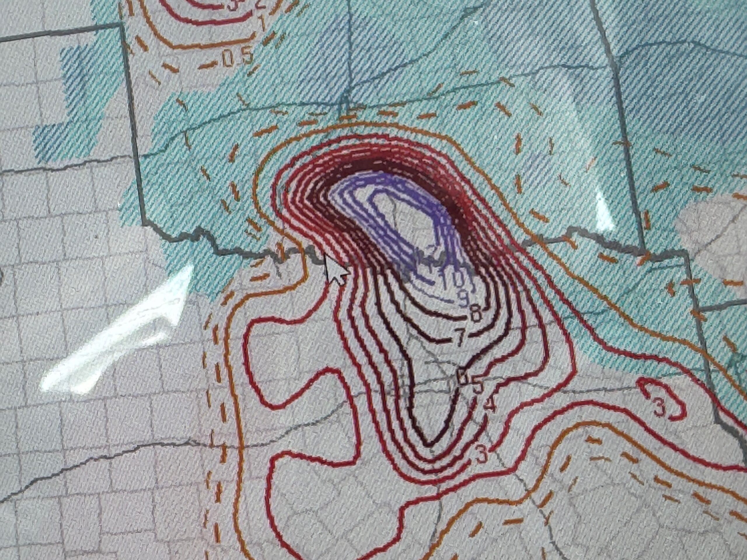
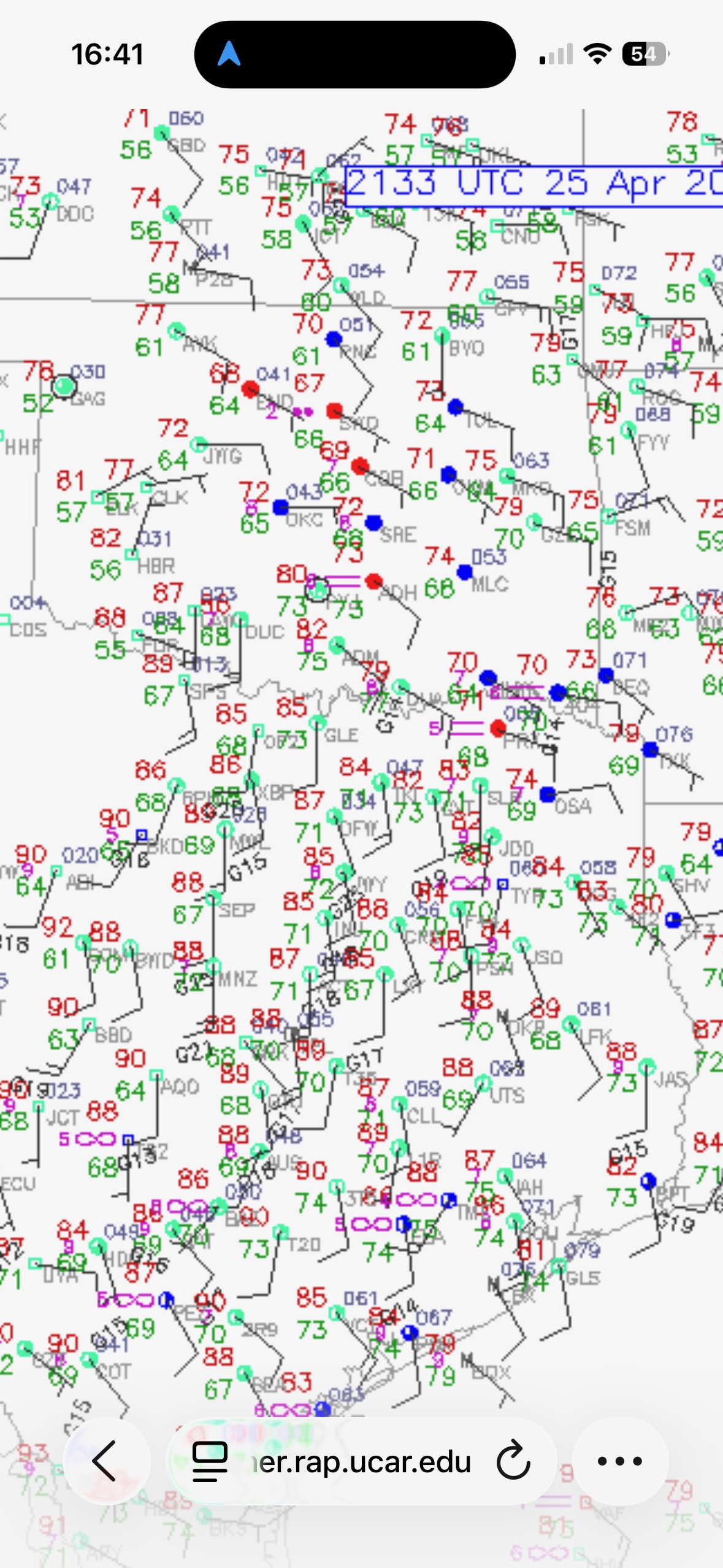
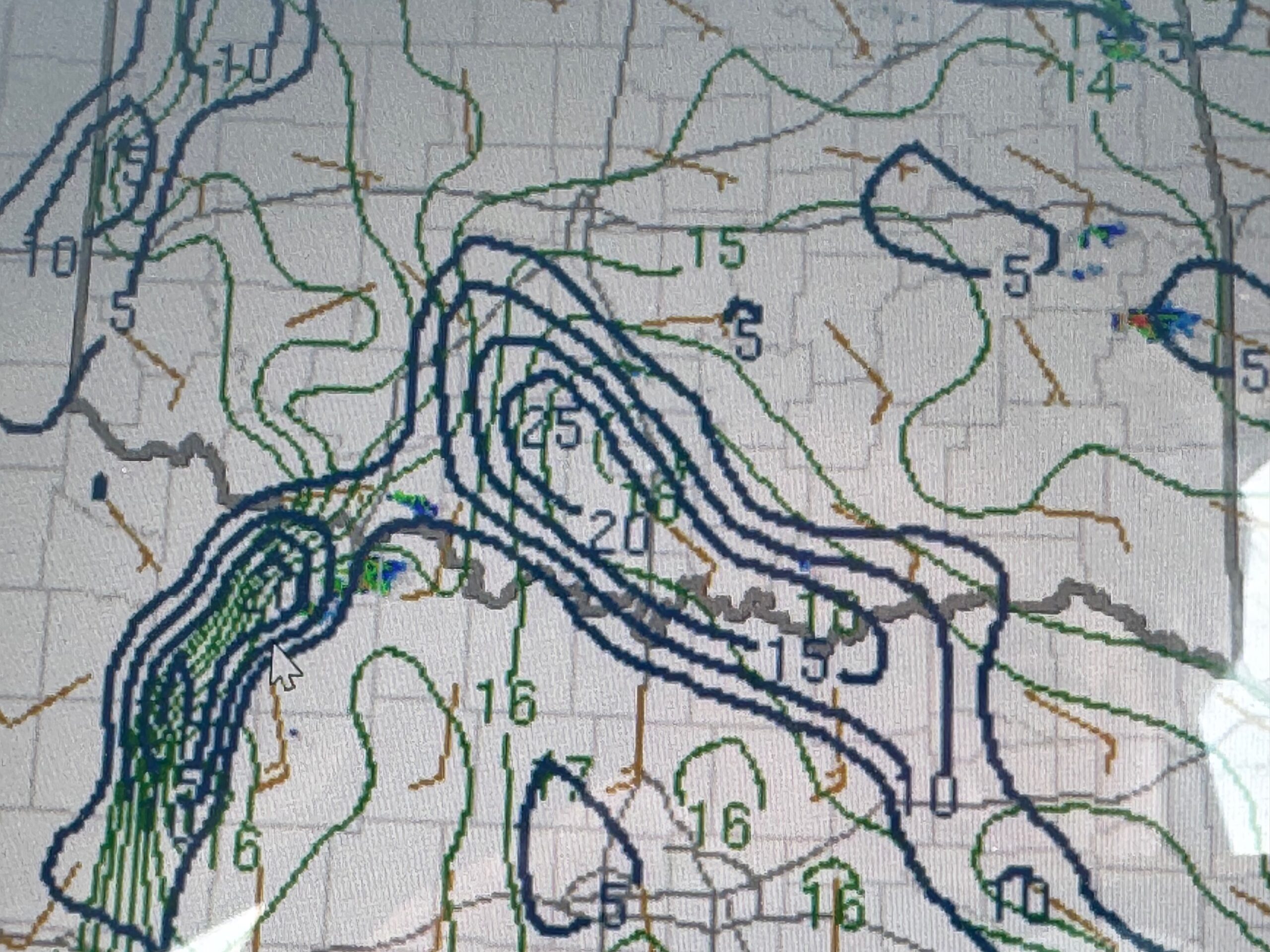
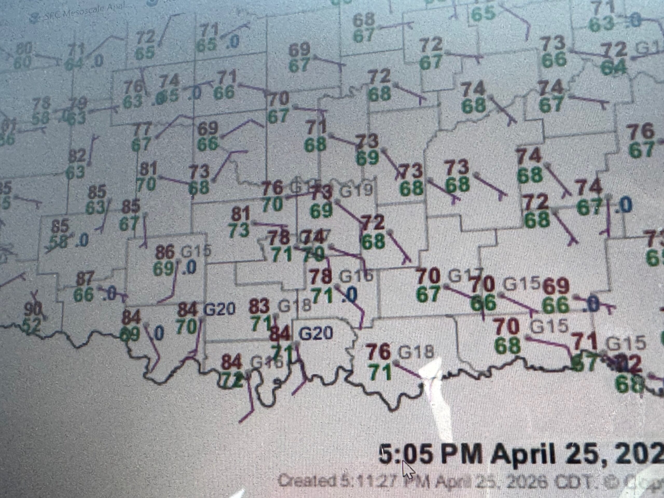
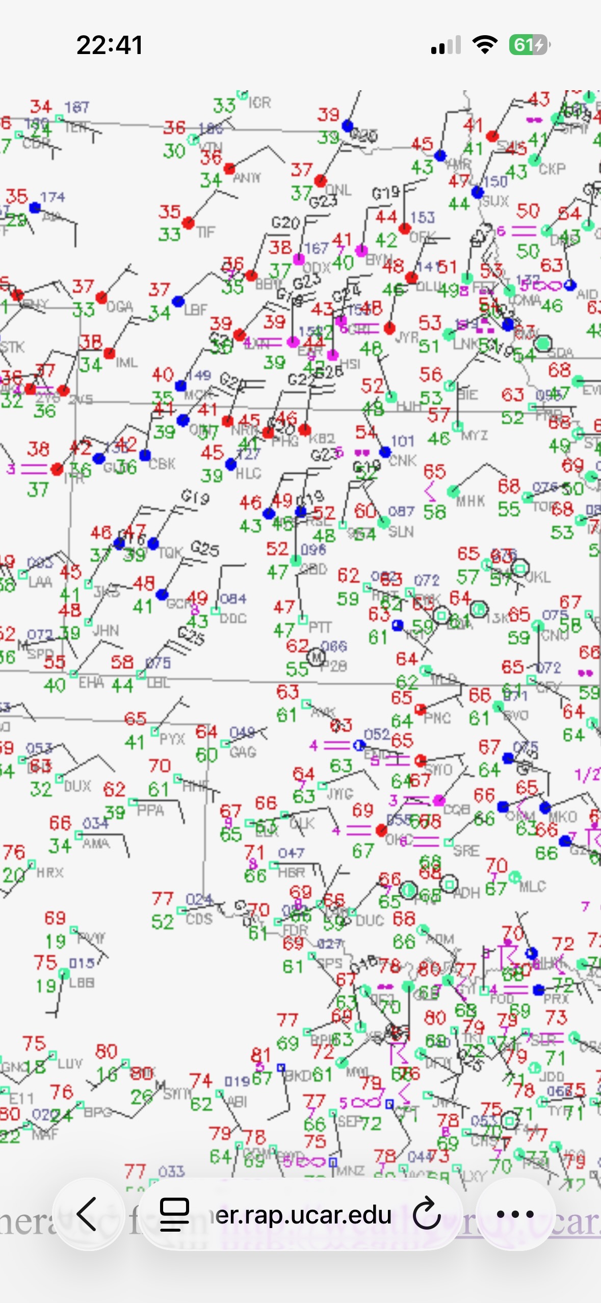
SPC MD for OK at 3:04 p.m. CDT
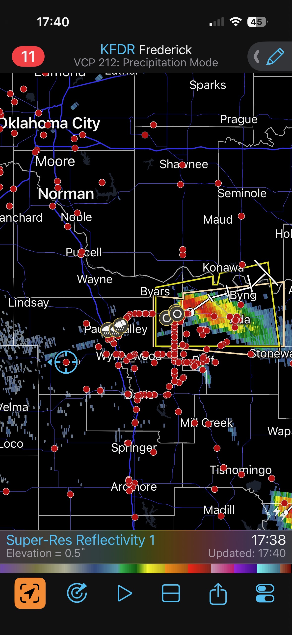
Hopes were rather high once again given the tremendous instability and decent shear for supercells in south-central OK. SPC showed a double-hatched and 10% tornado risk area primarily from about Ardmore eastward. I felt that the risk looked decent just west of I-35, at least early on. So, perhaps we would have a bit less of a jungle problem compared to points east.
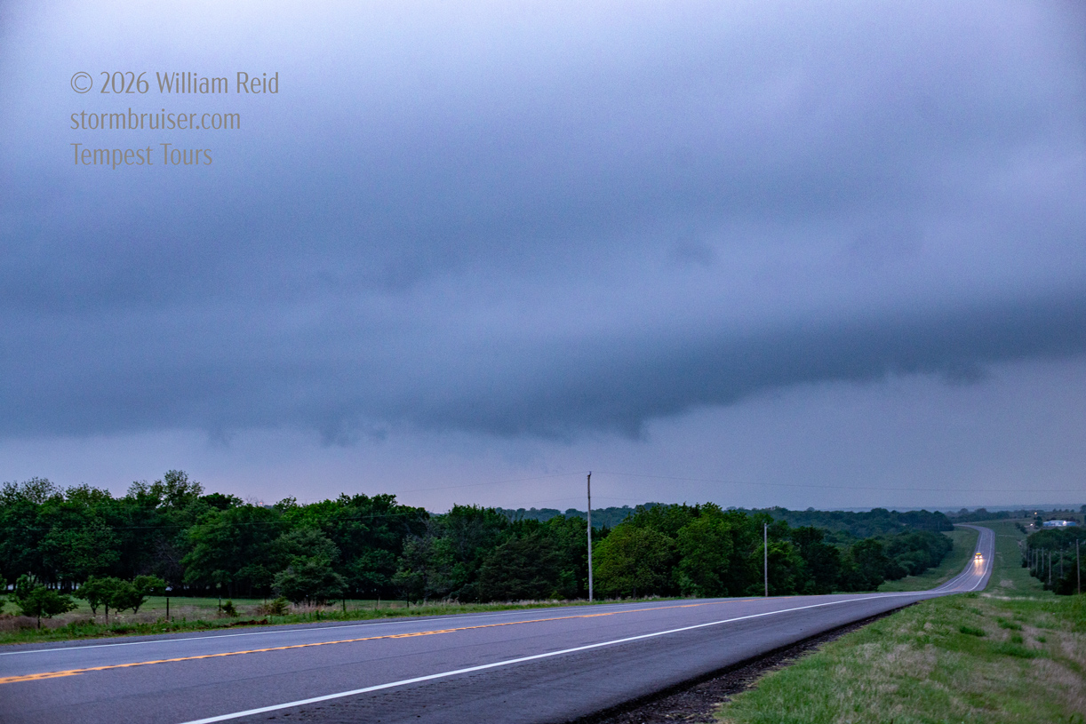
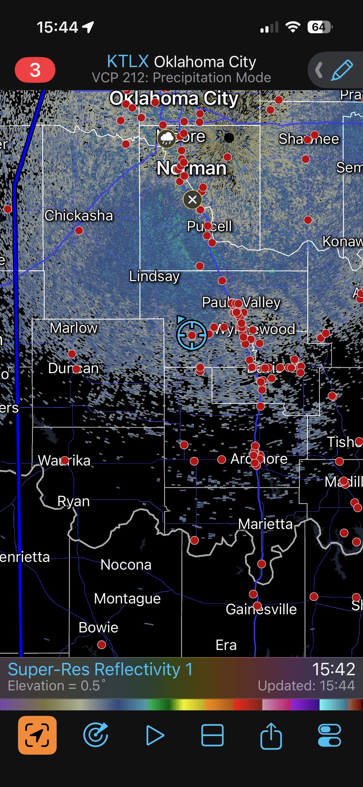
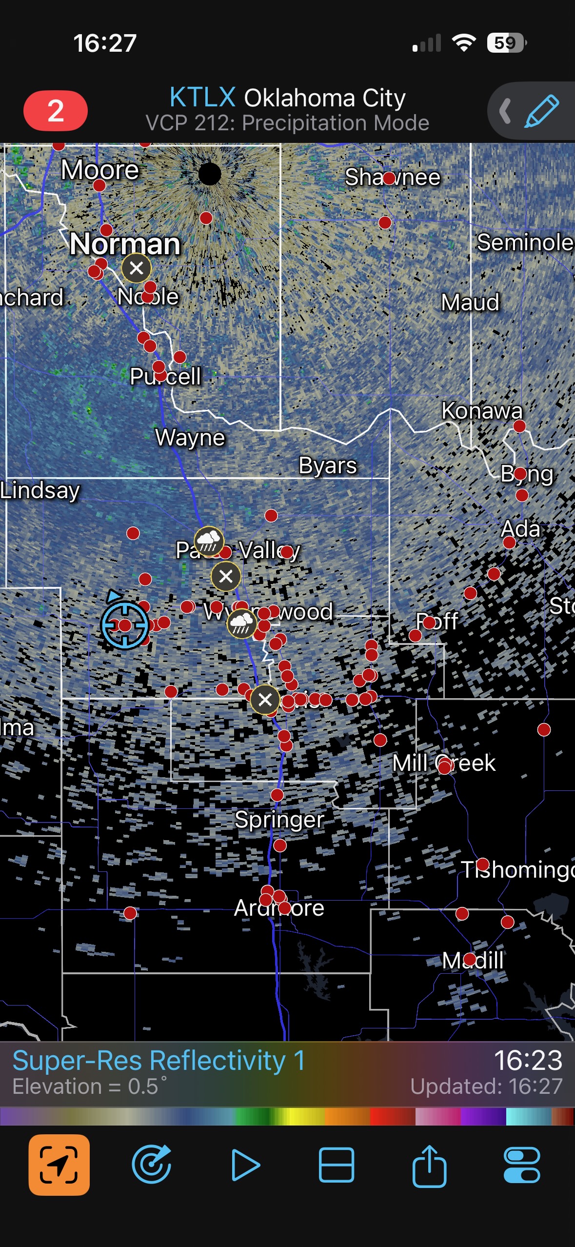
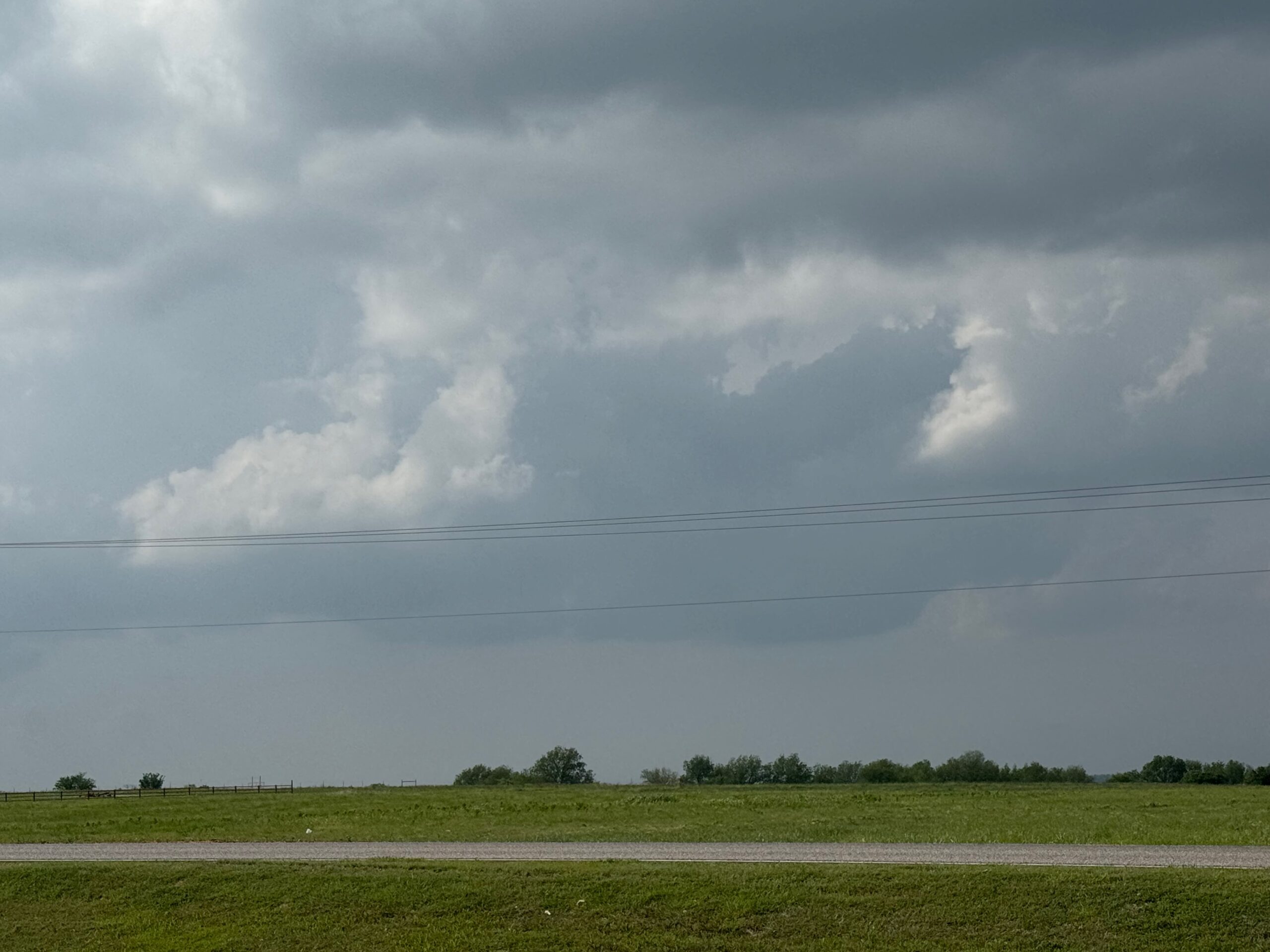
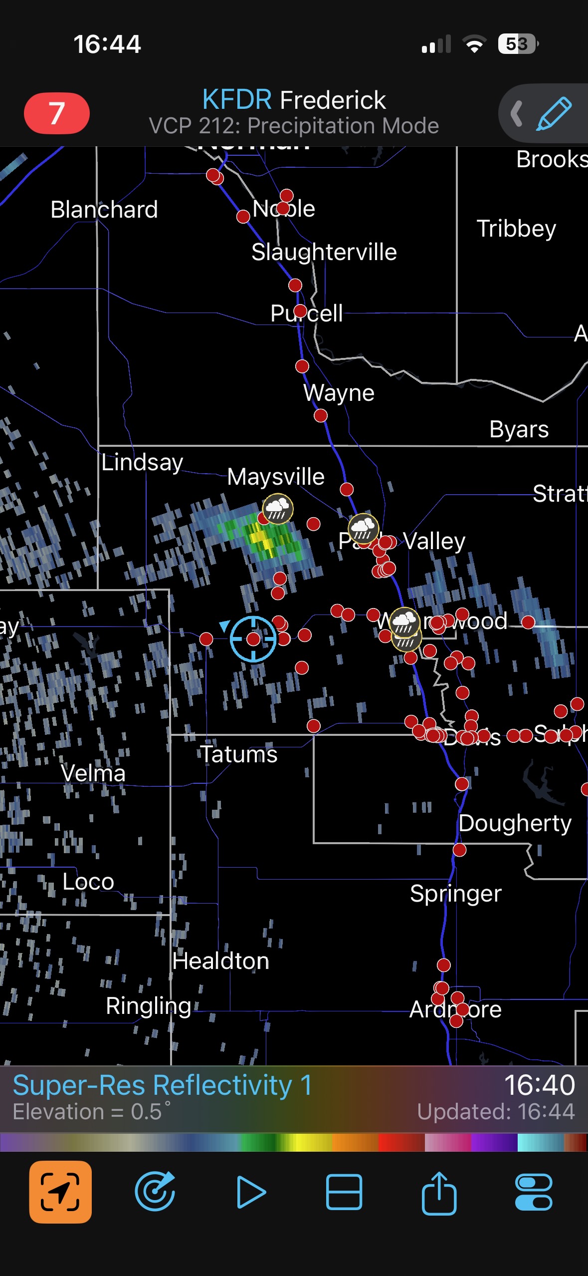
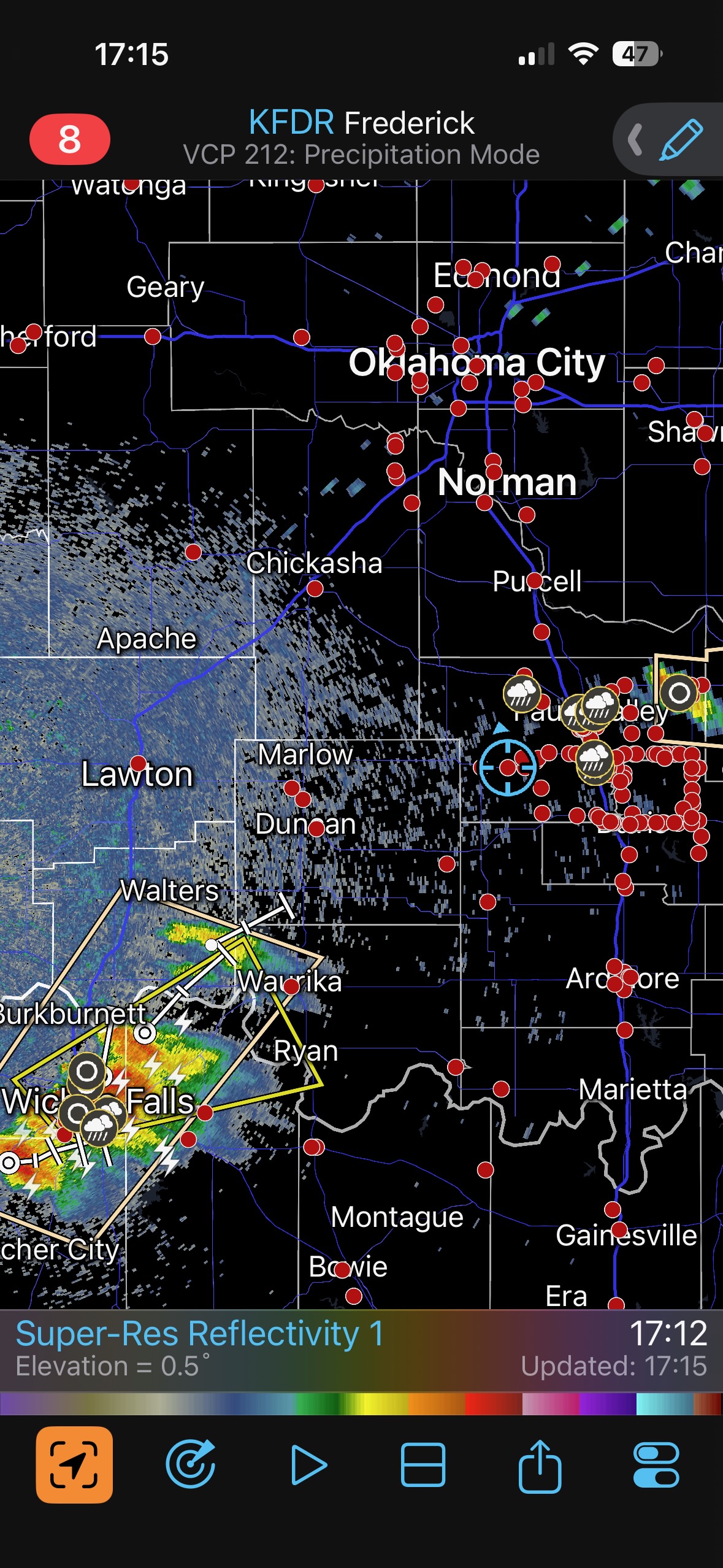
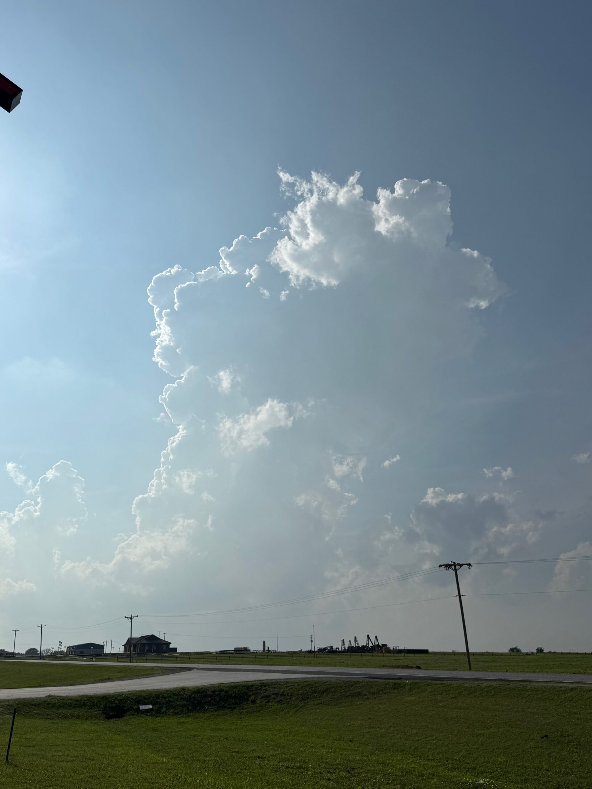
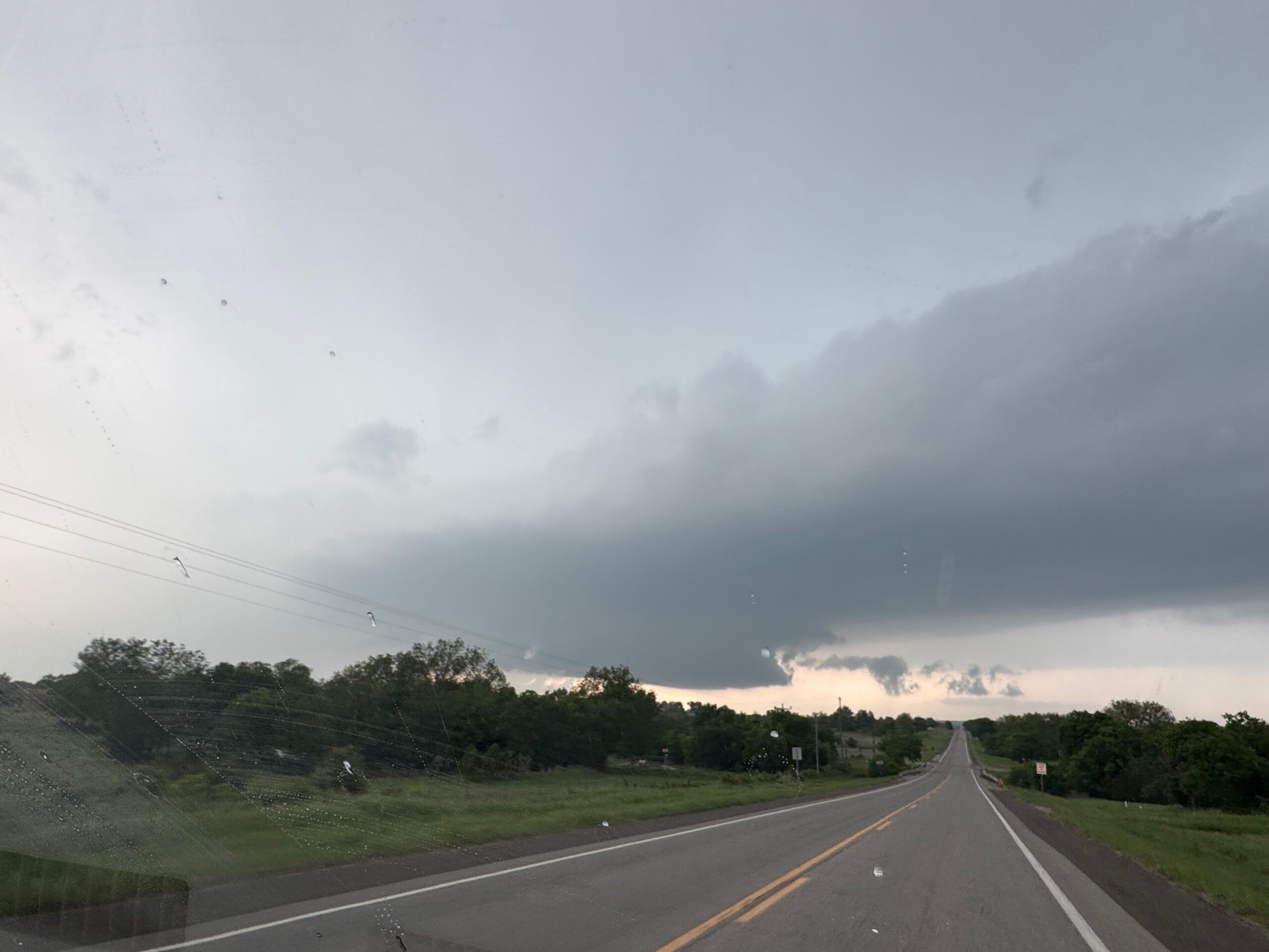
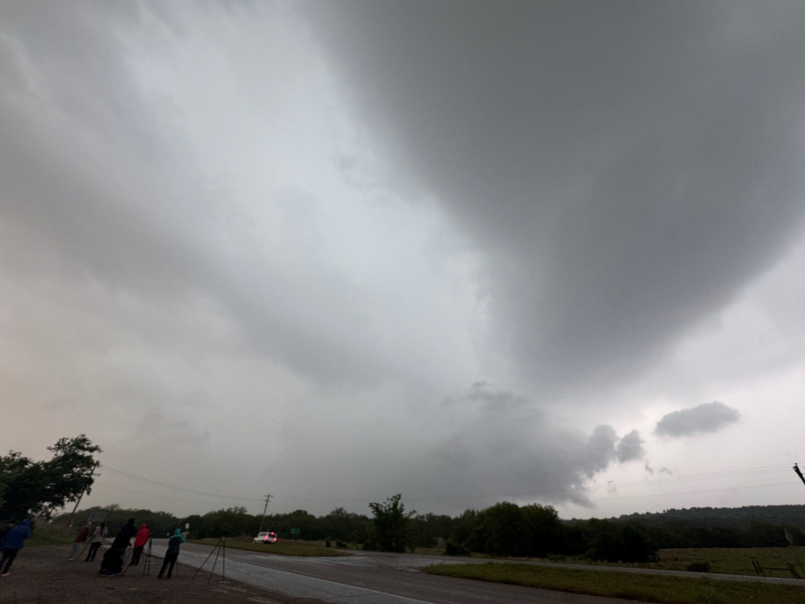
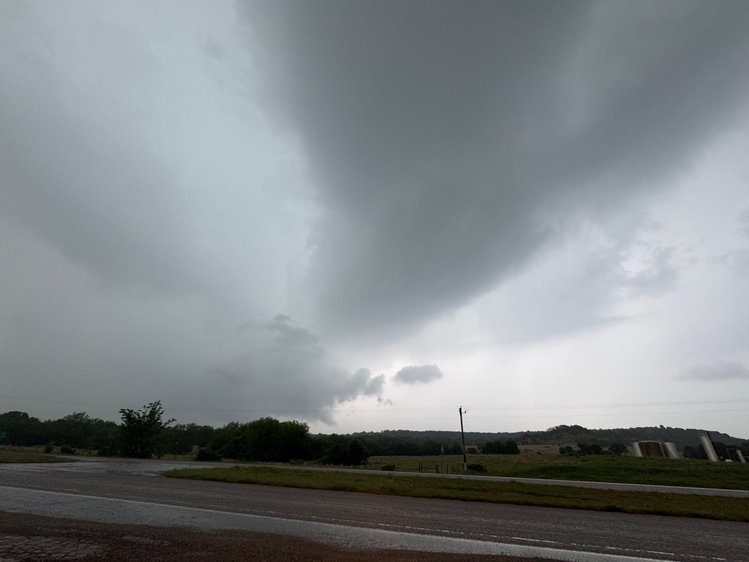
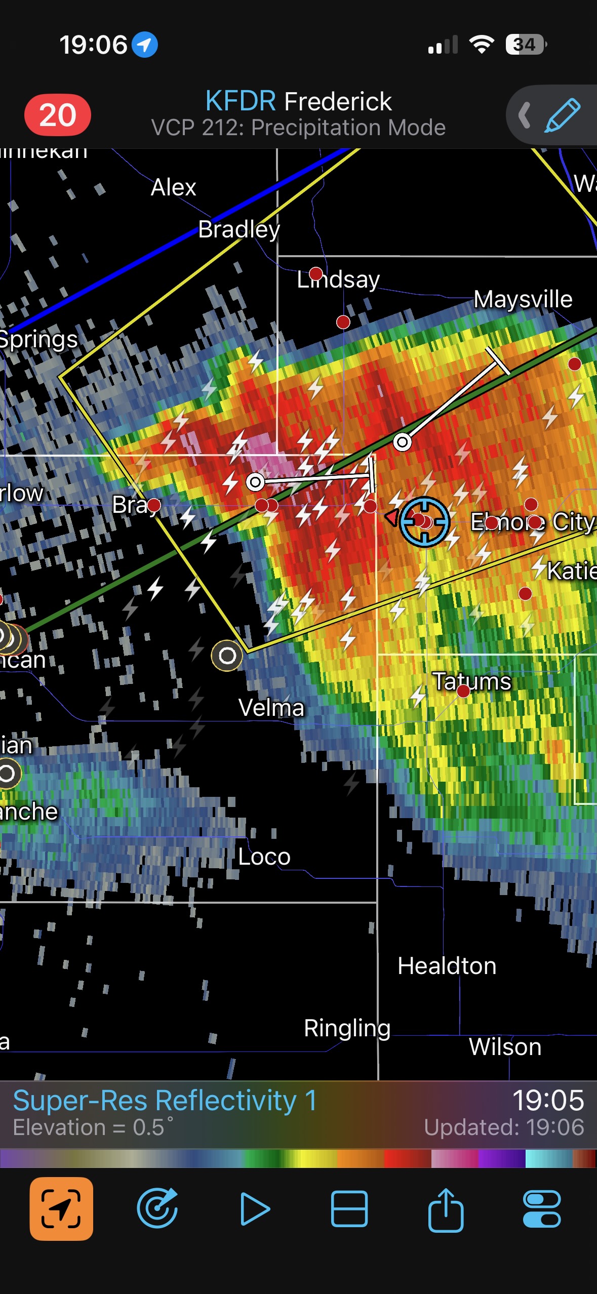
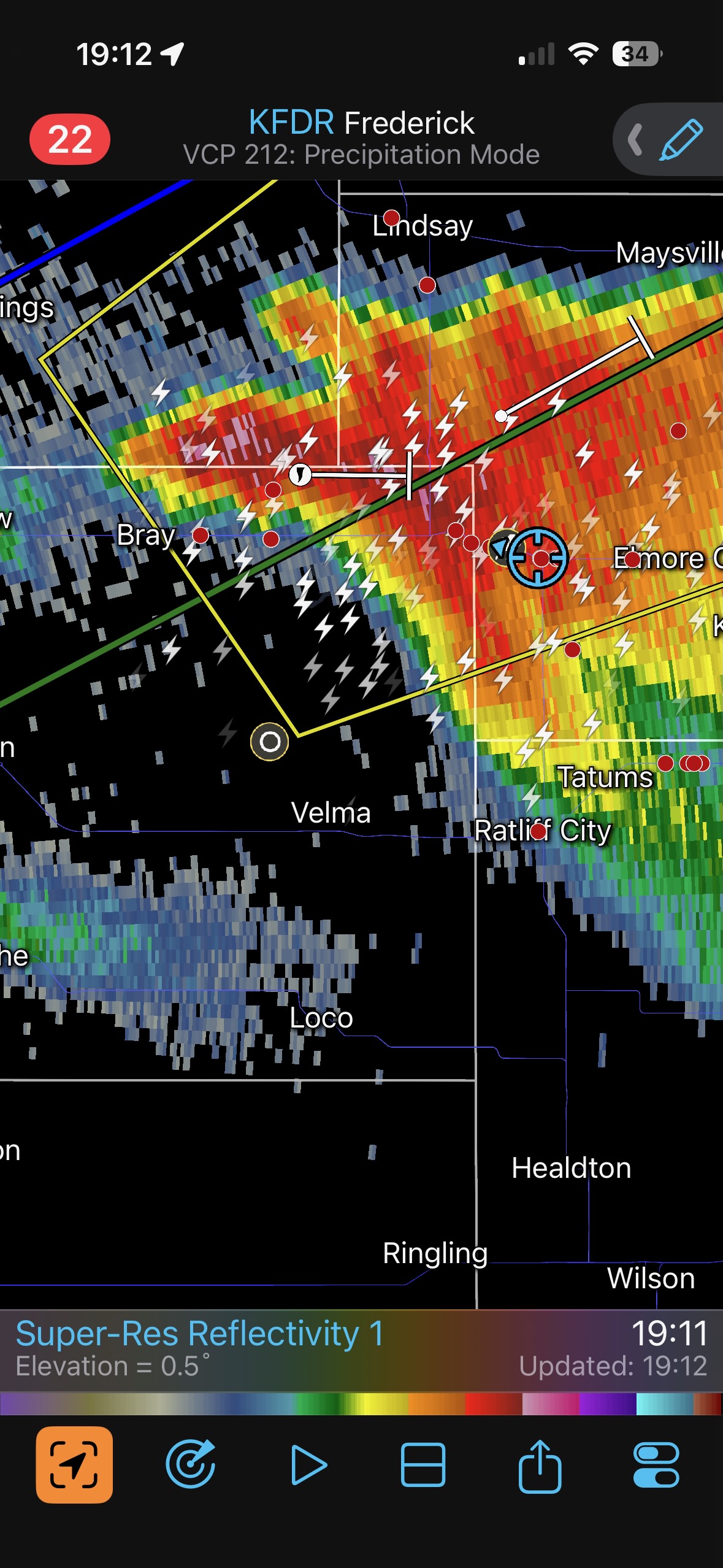
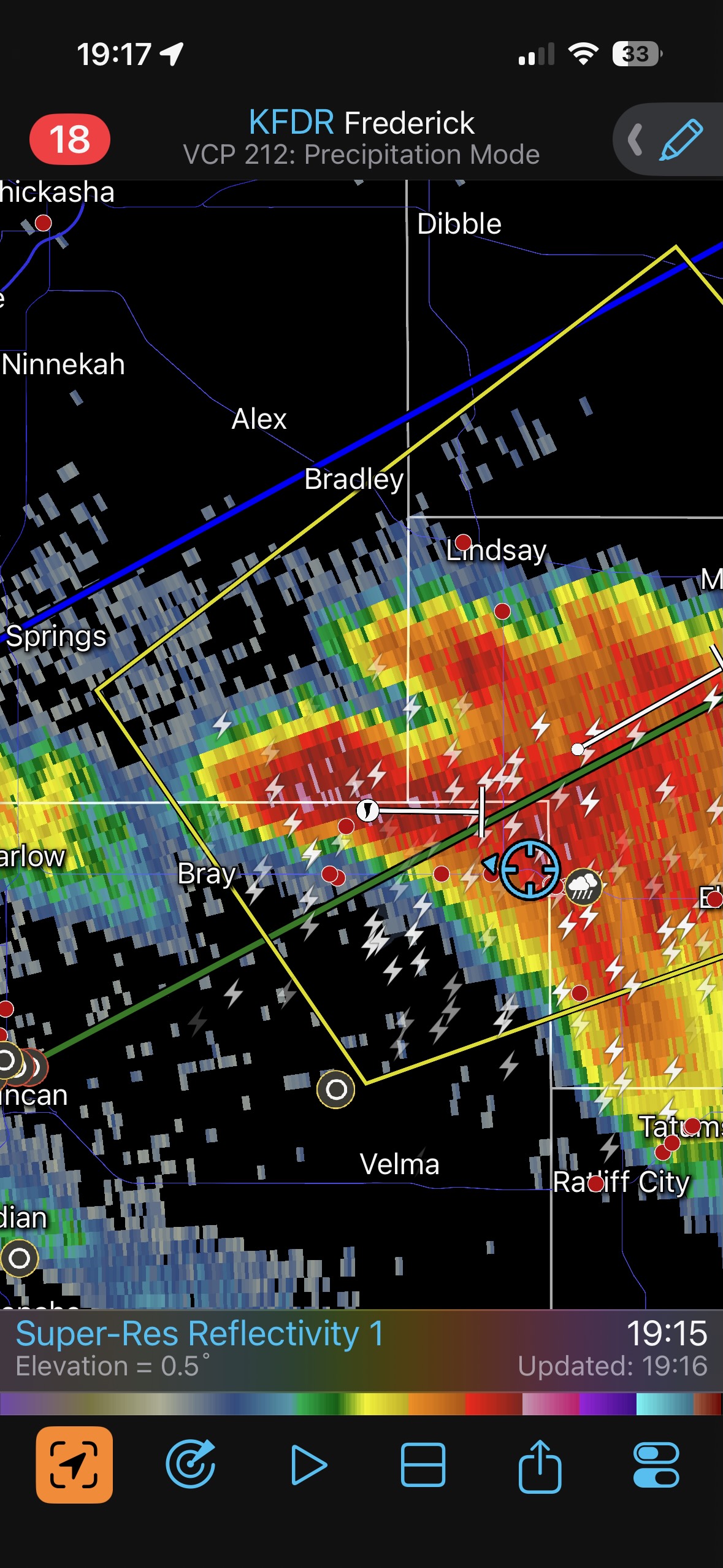
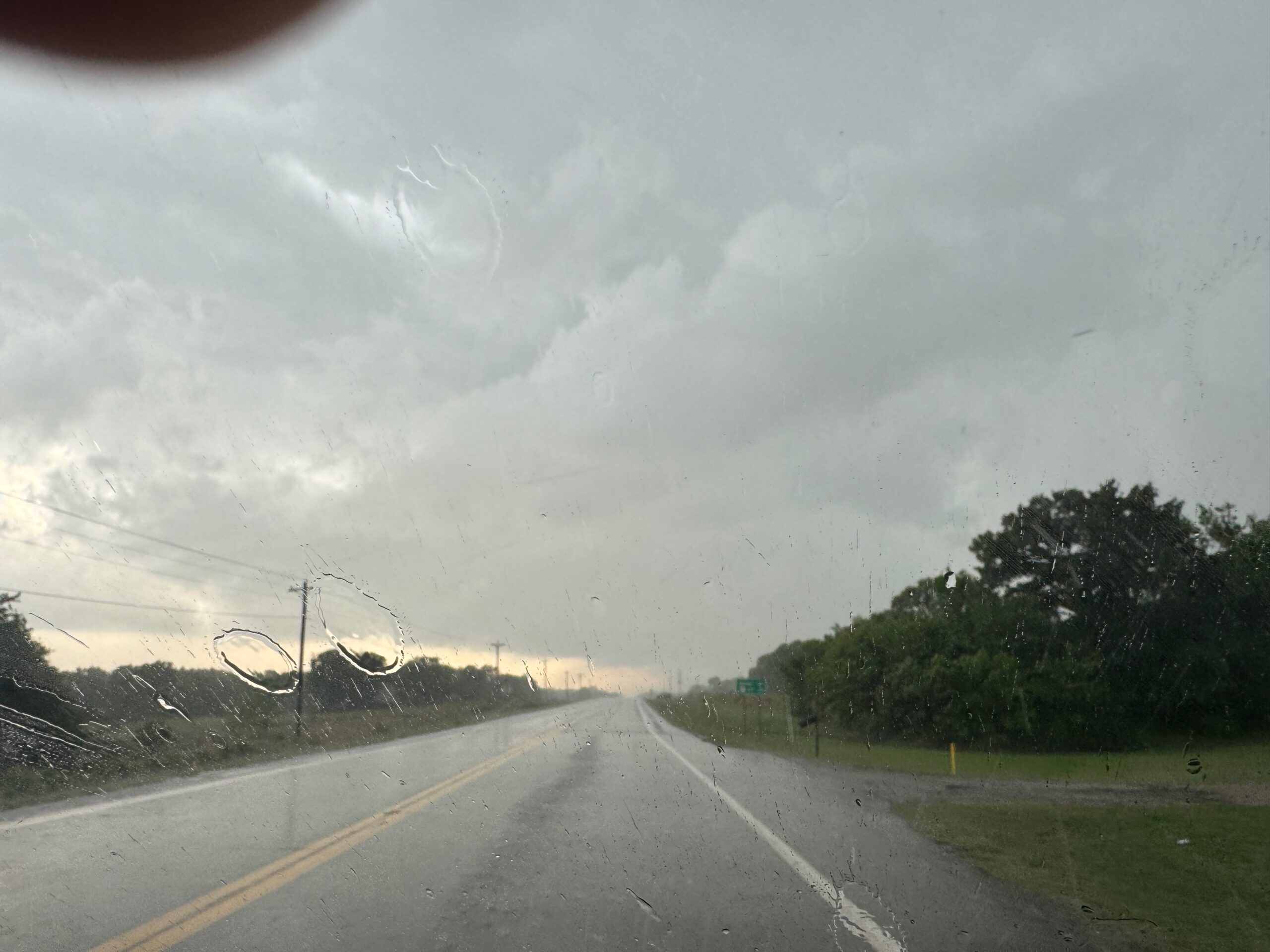
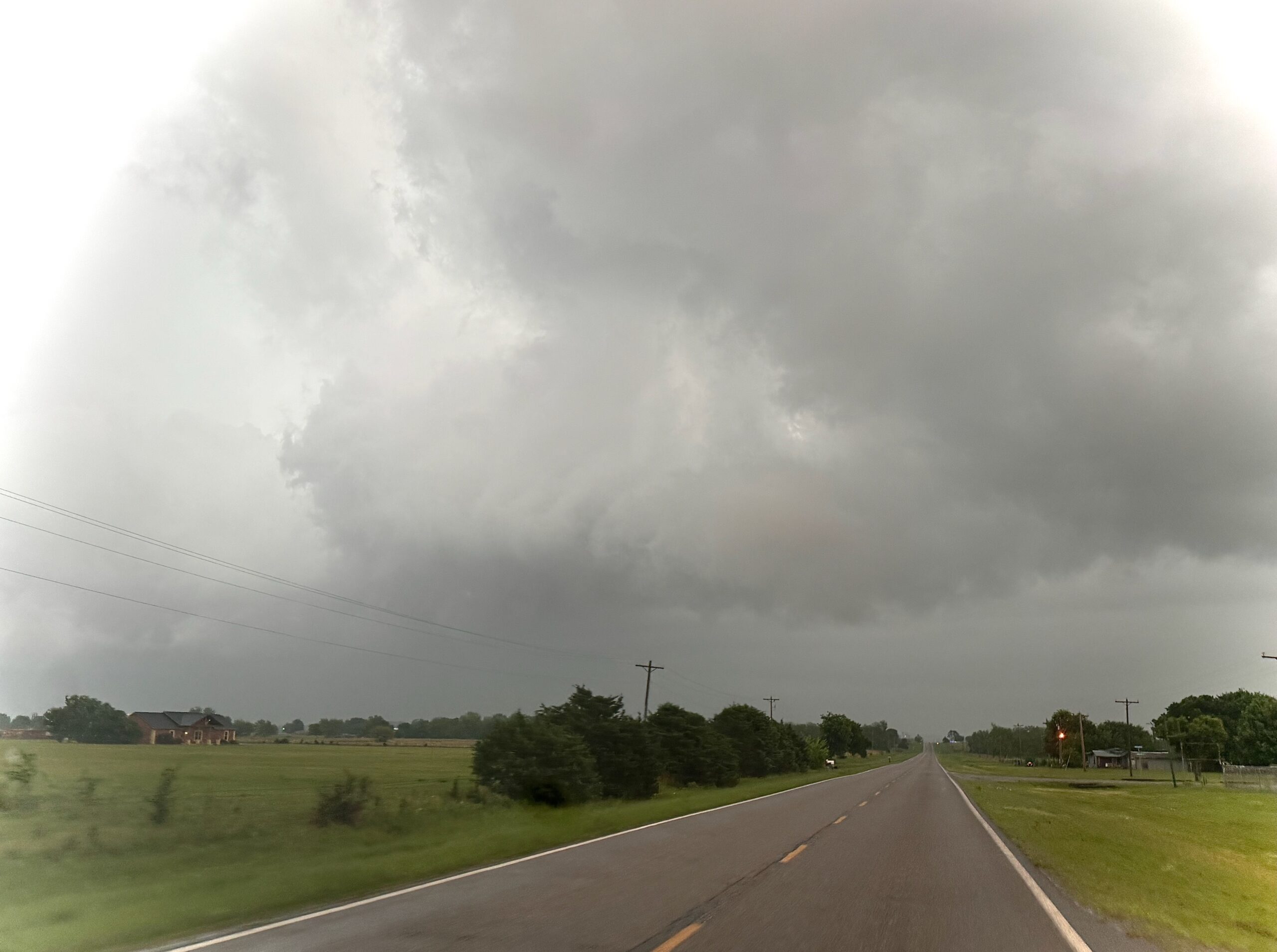
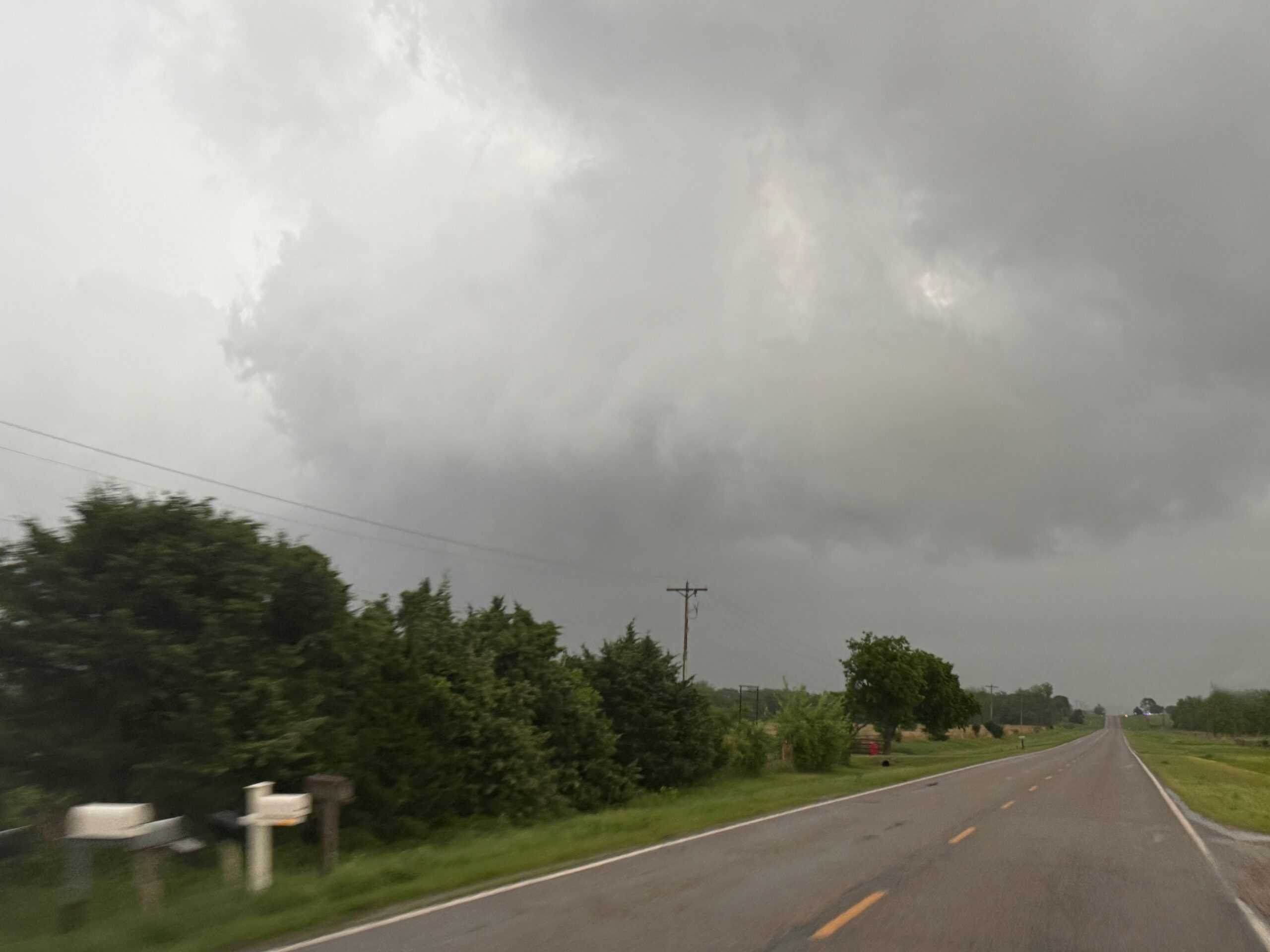
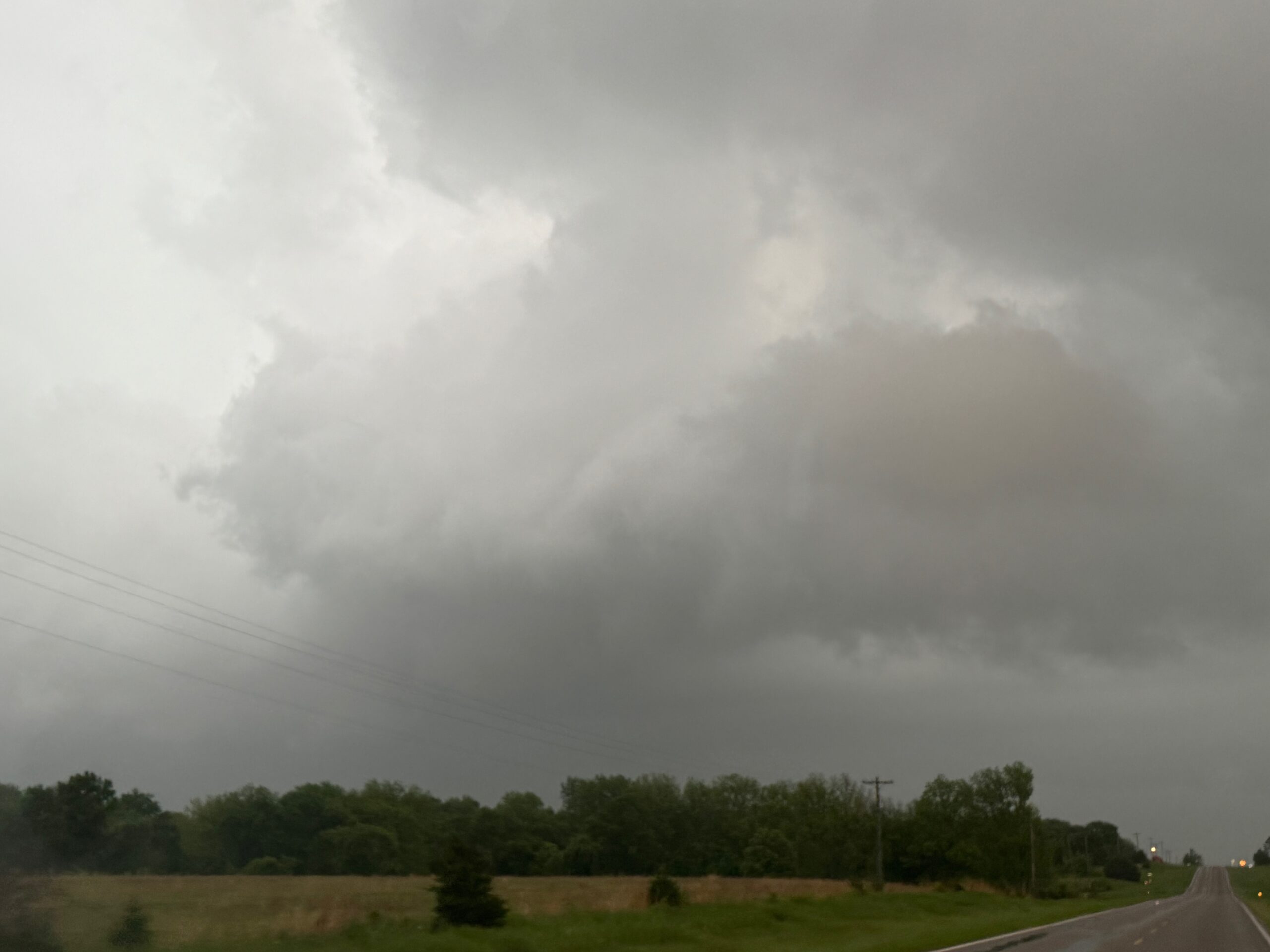
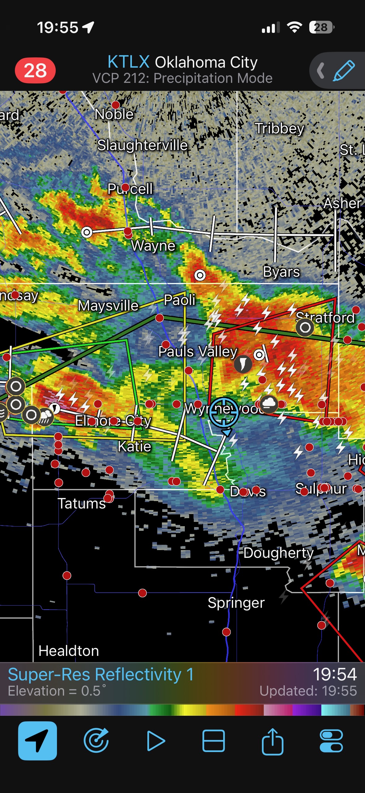
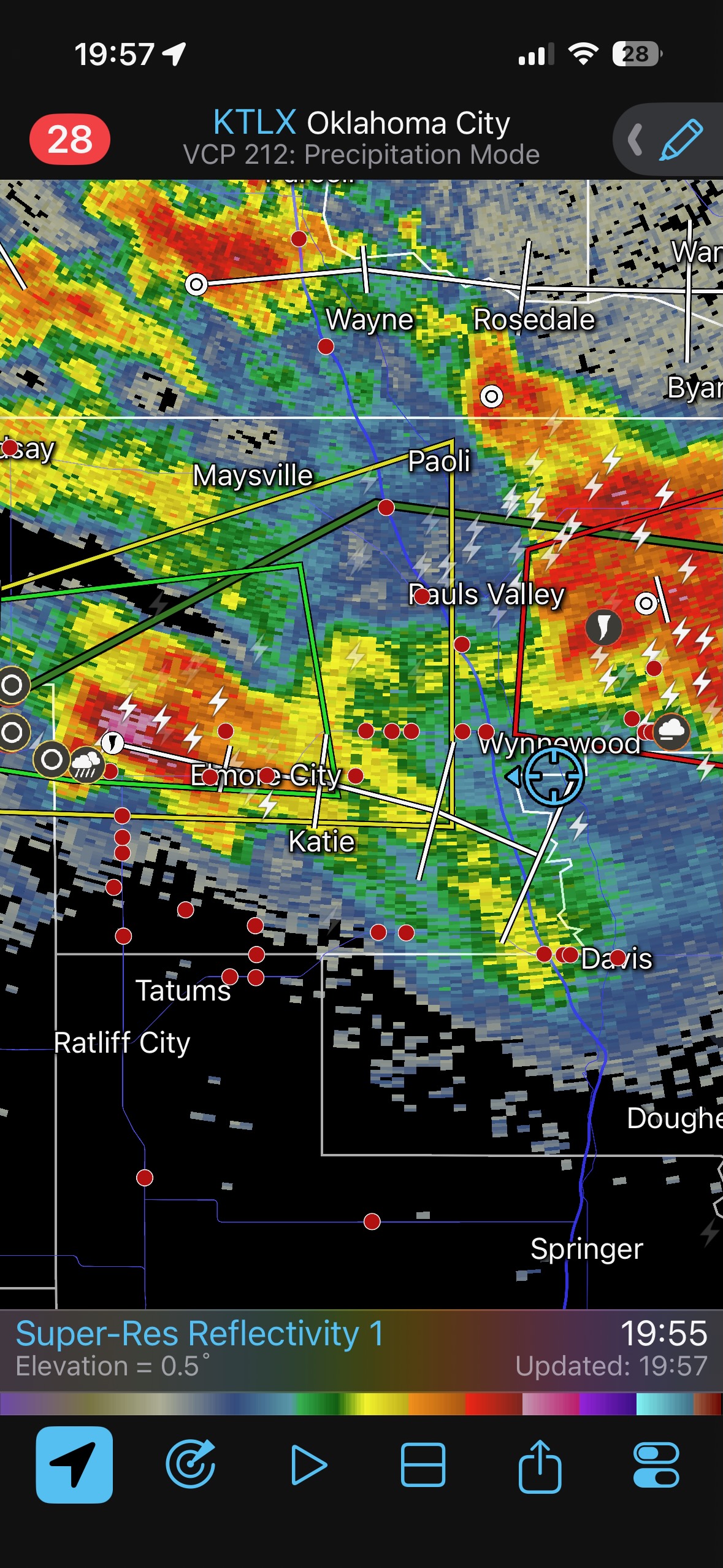
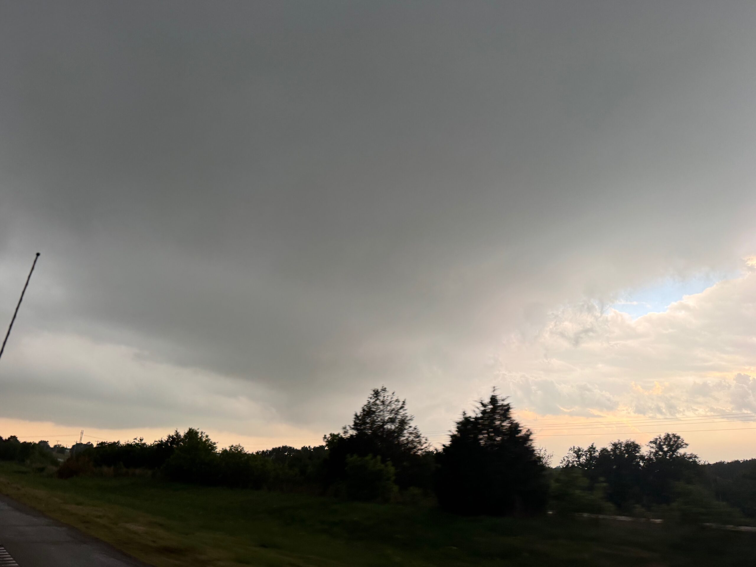
Our group hung out for a while near Elmore City, which is WSW of Pauls Valley. Some strong updrafts finally materialized after 5 p.m. I ignored the first one near I-35 to our east. That one siphoned off a good chunk of chasers. We had a very decent cell near Elmore City and east to the Interstate a bit later. It sported a good lowering, but low-level rotation was lacking. Haze and precipitation and the trees made storm observing less than optimal.
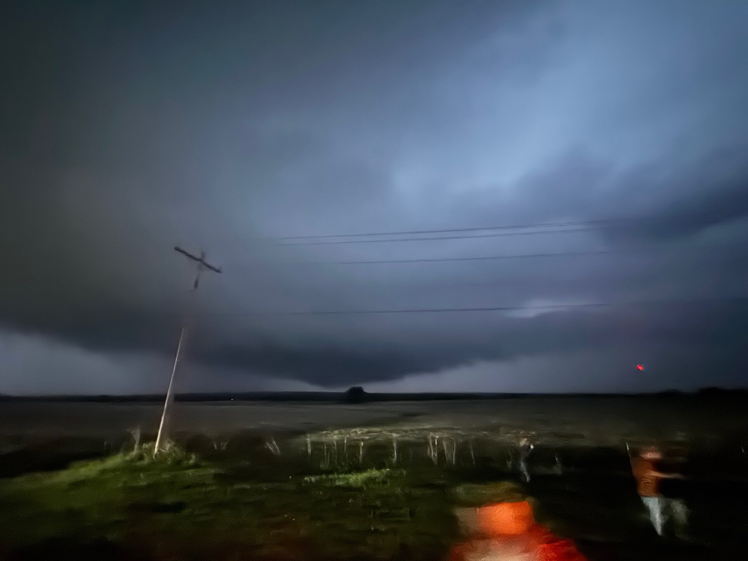
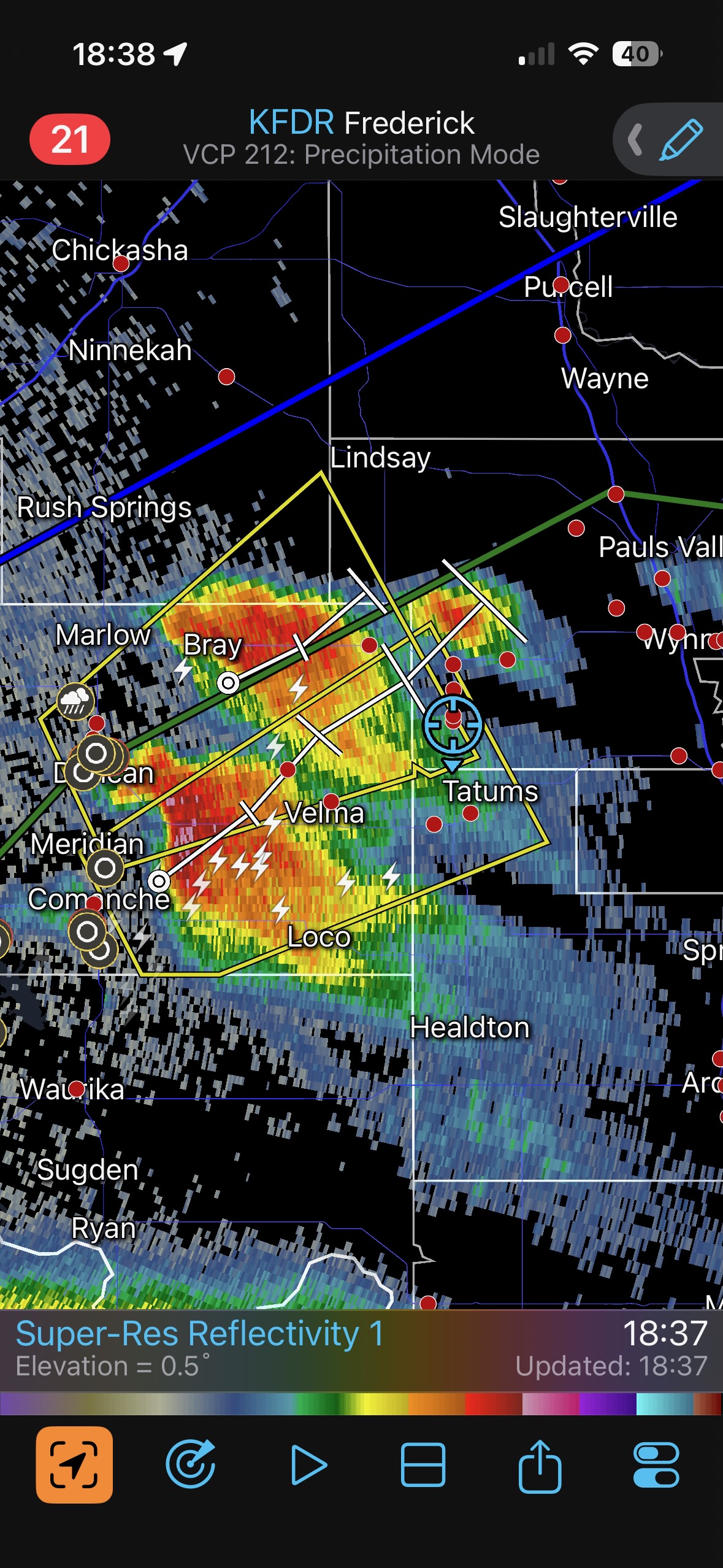
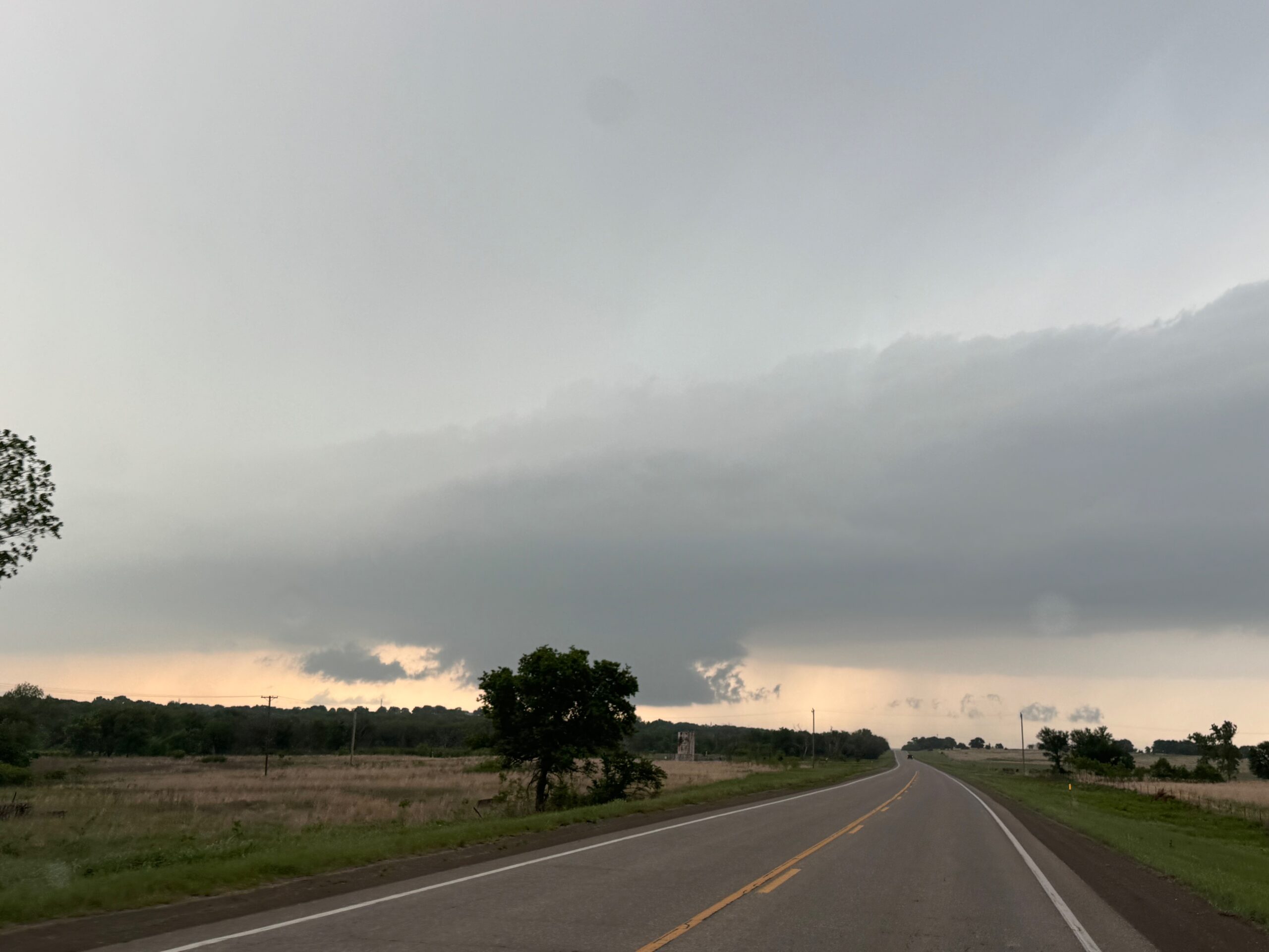
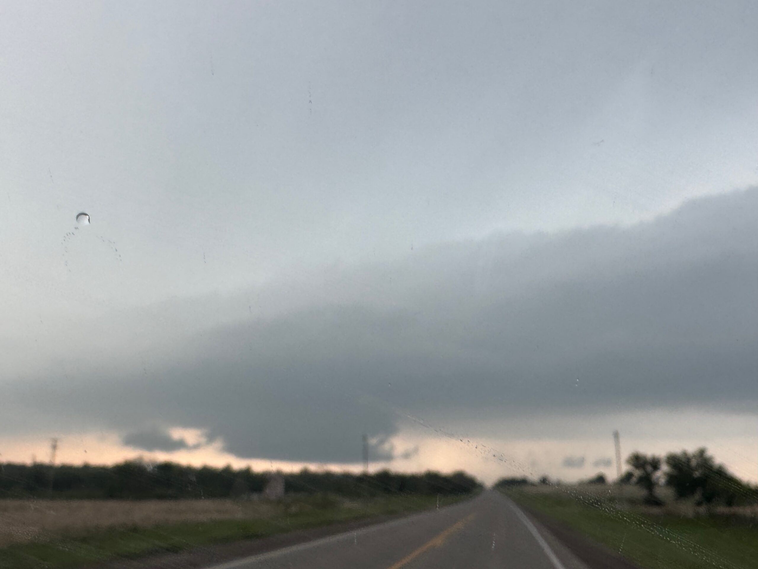
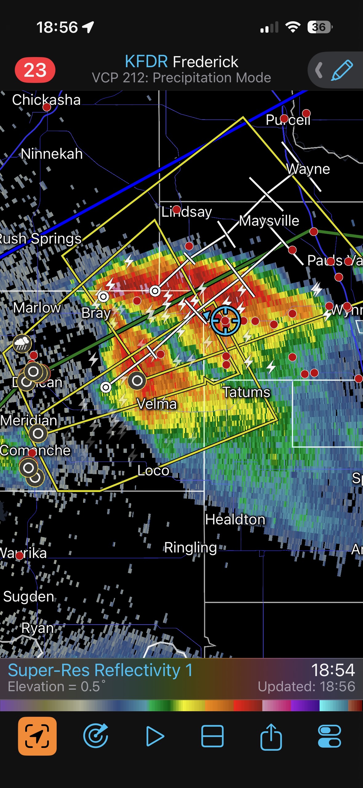
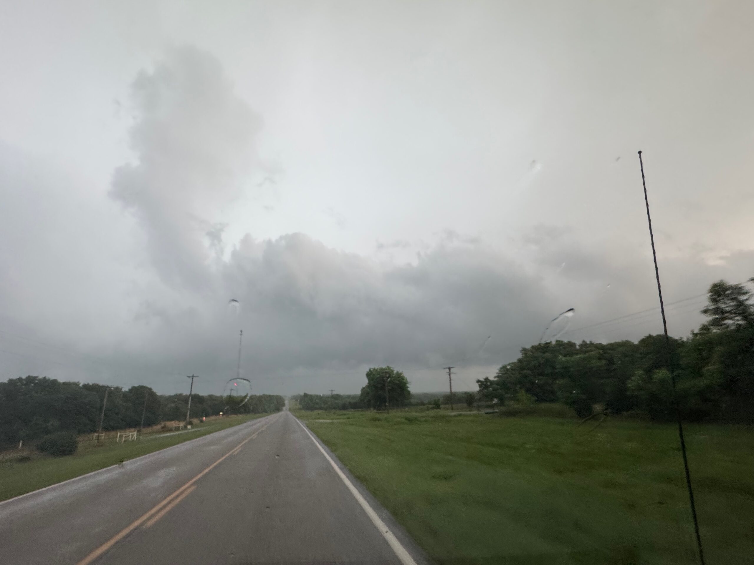
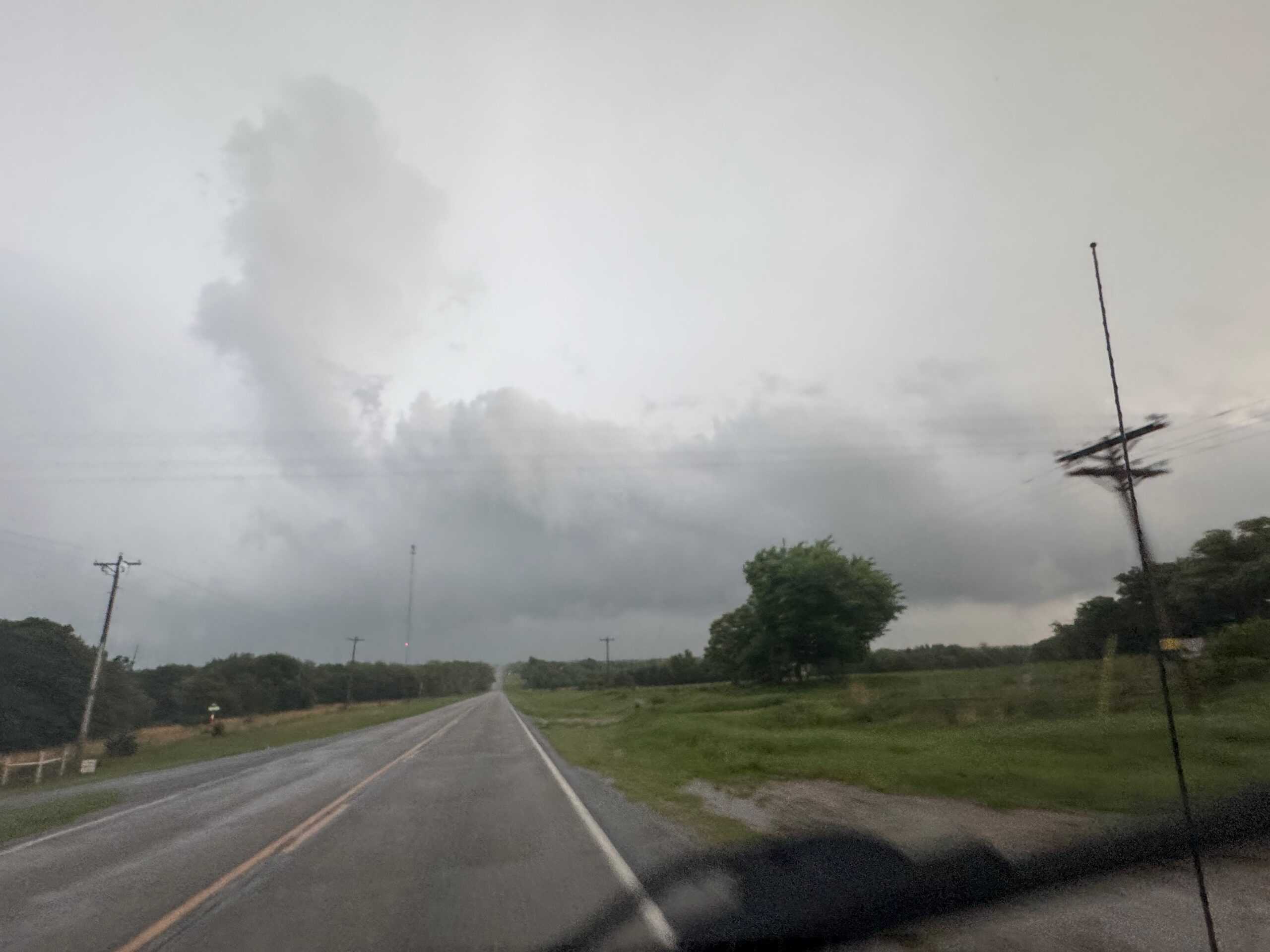
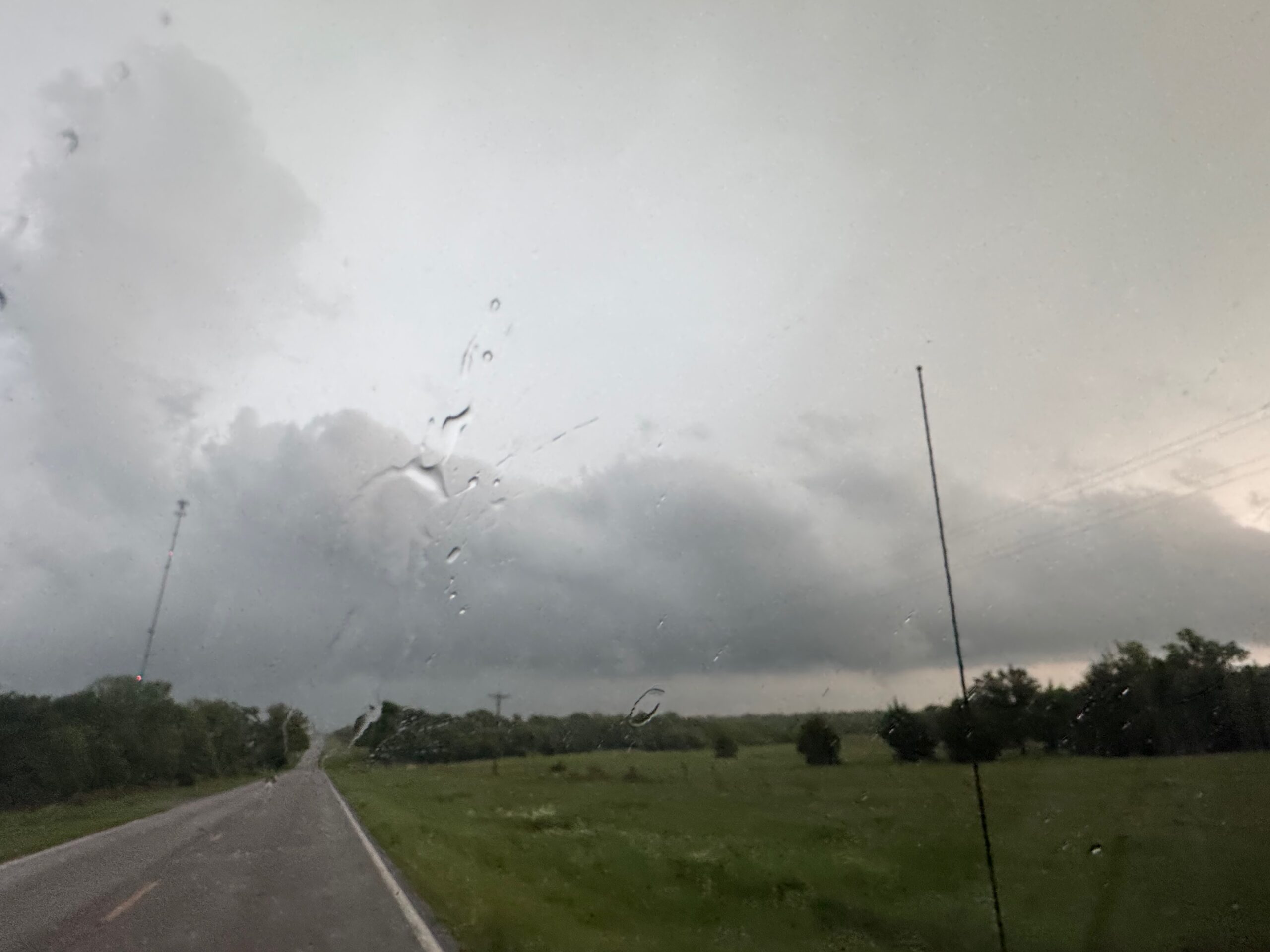
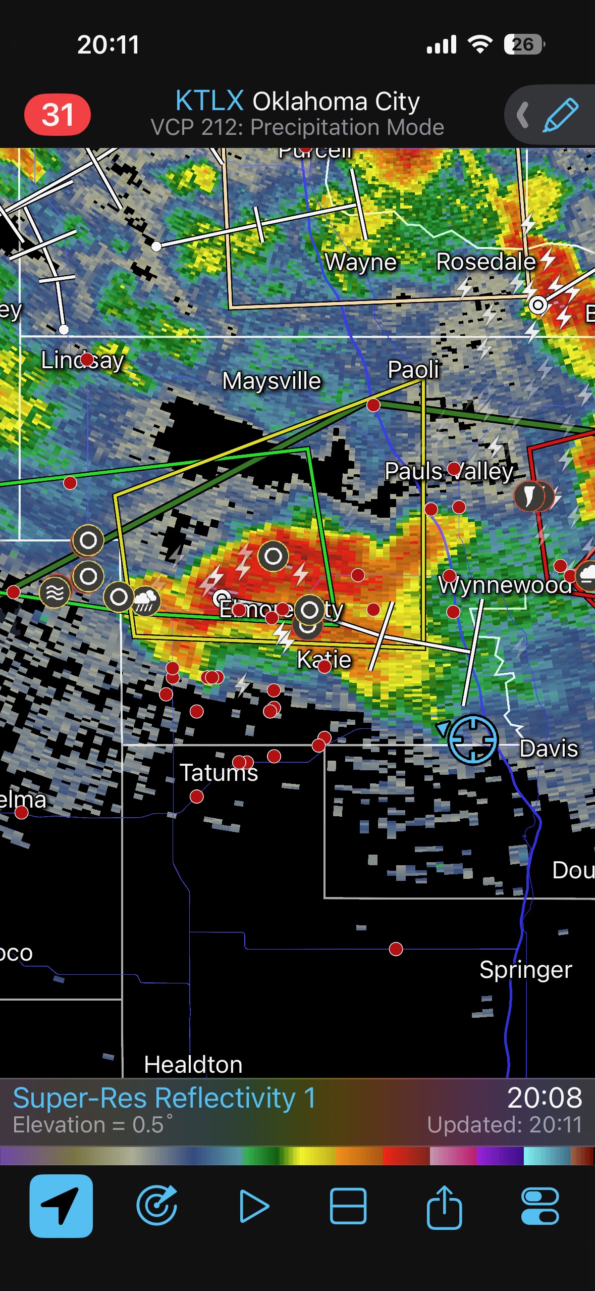
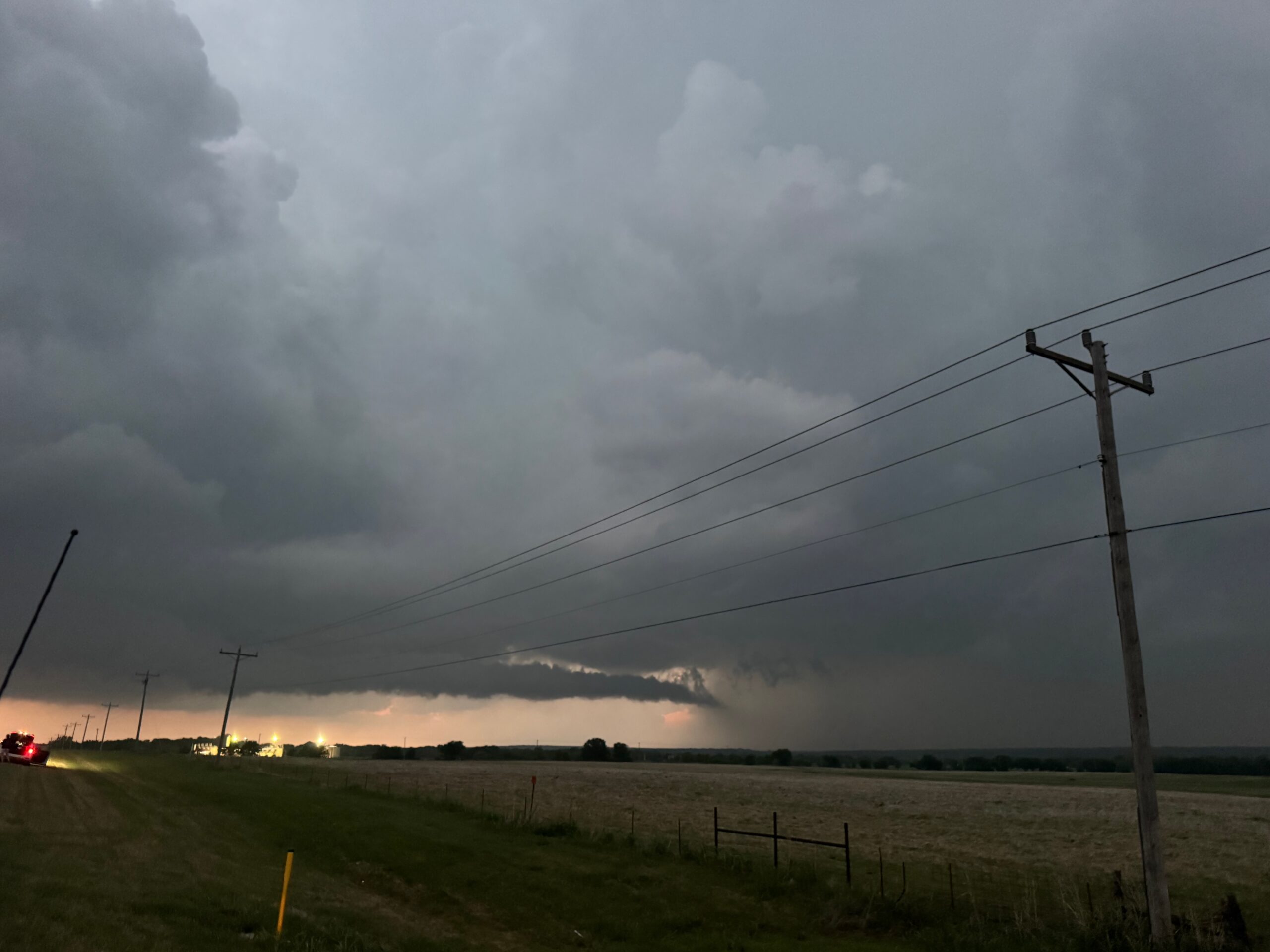
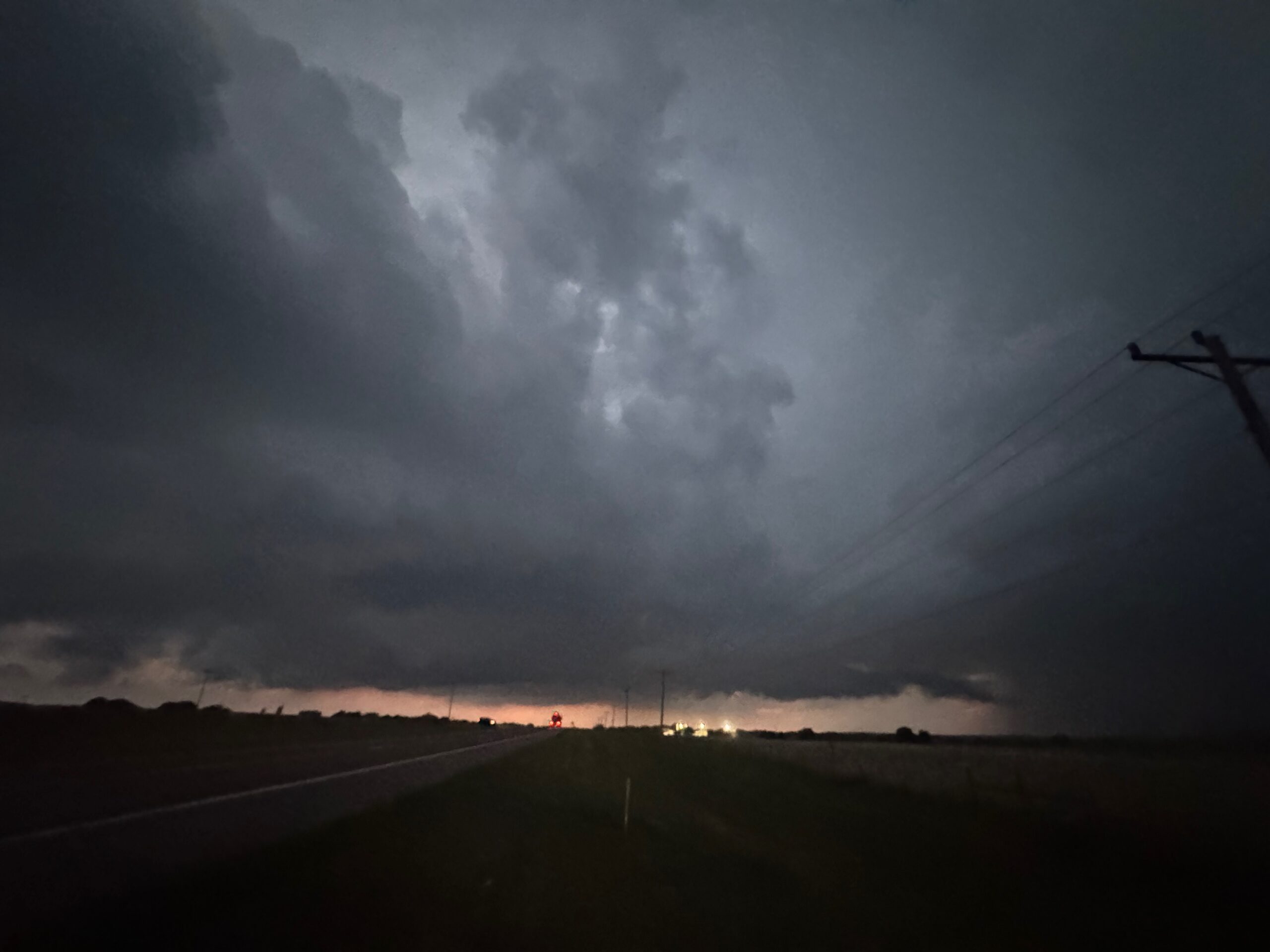
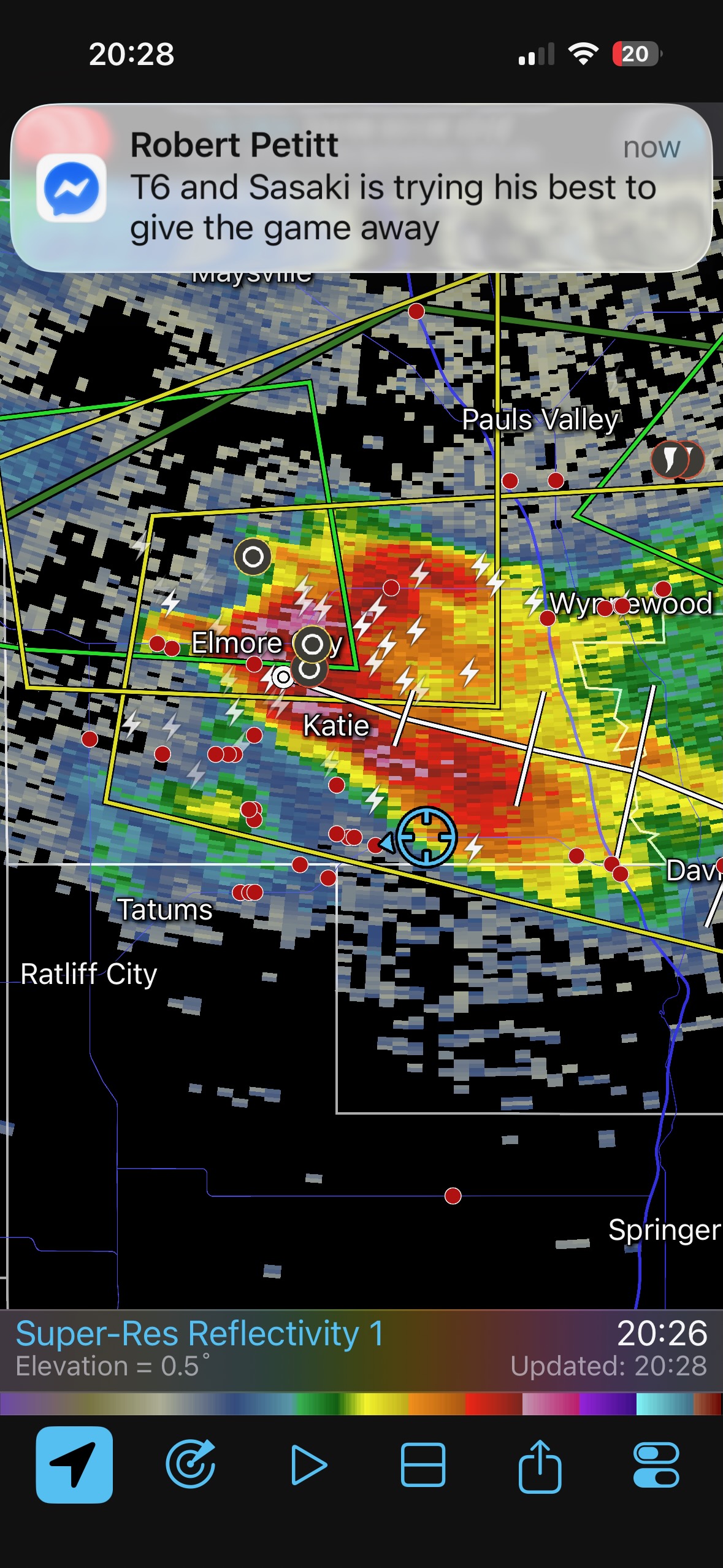
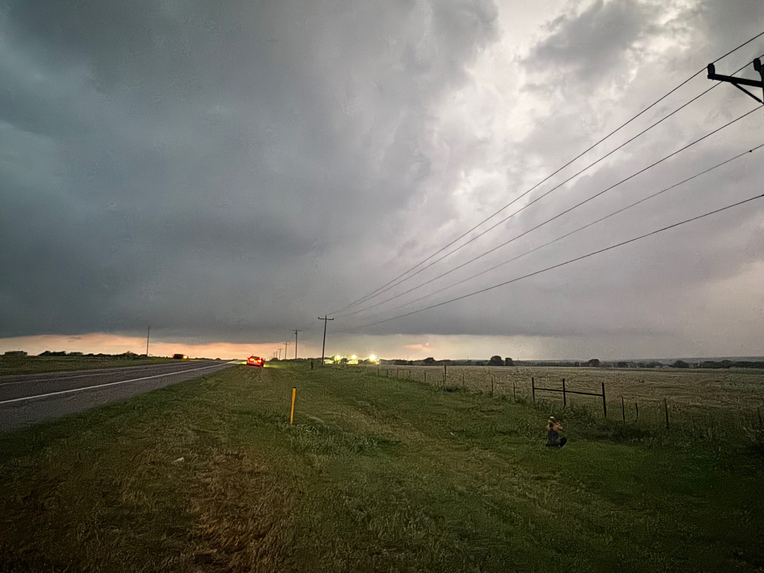
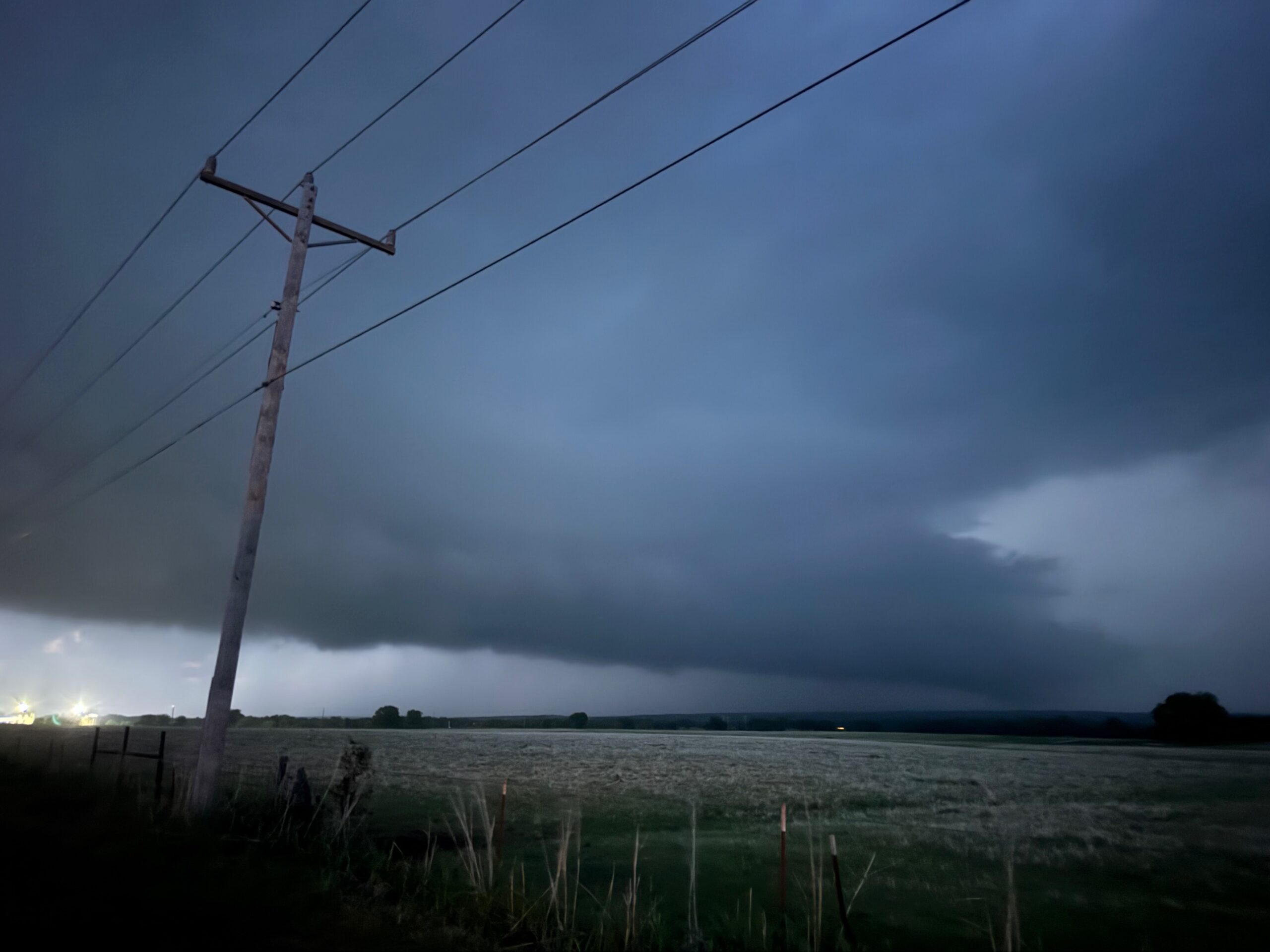
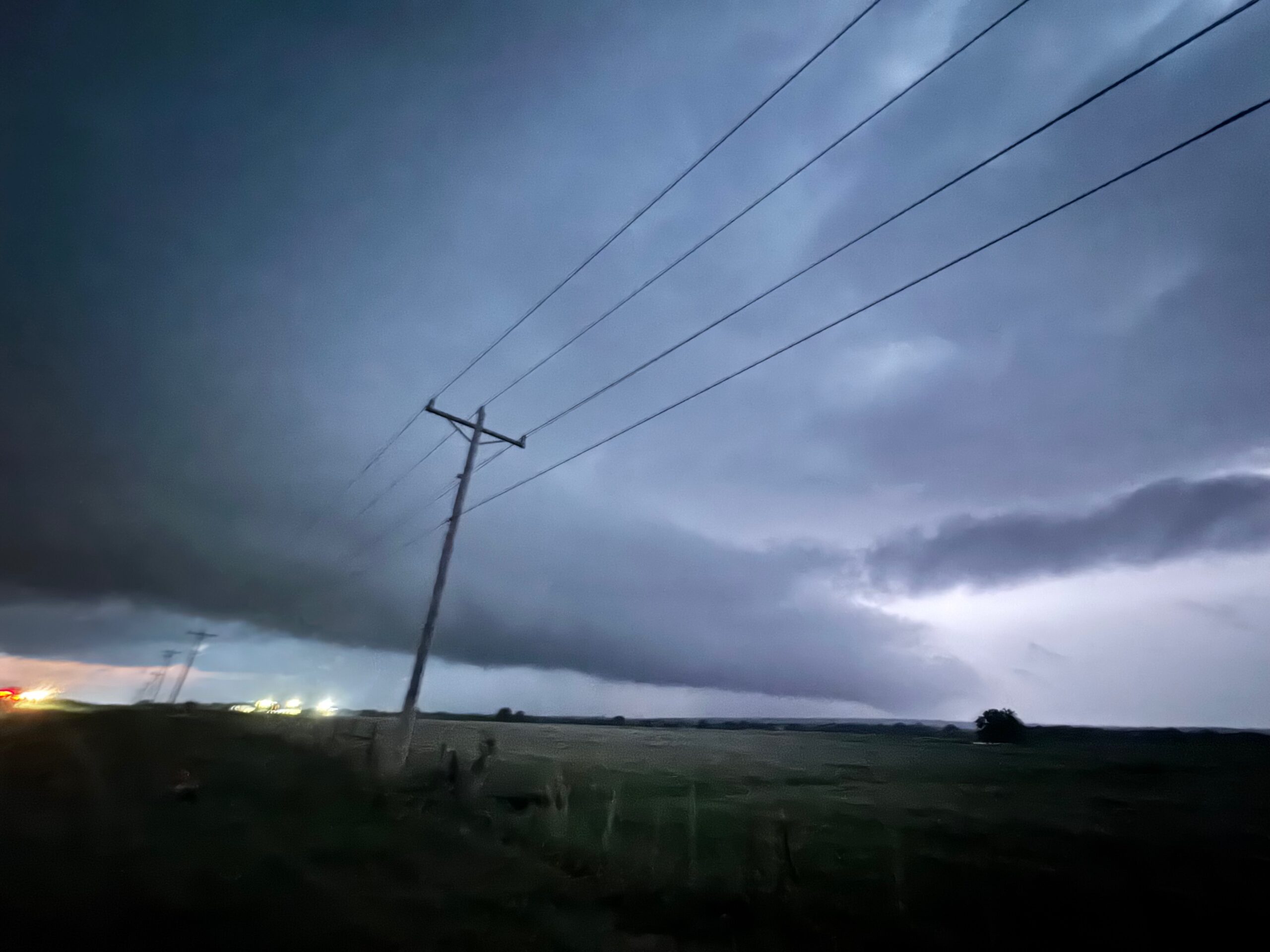
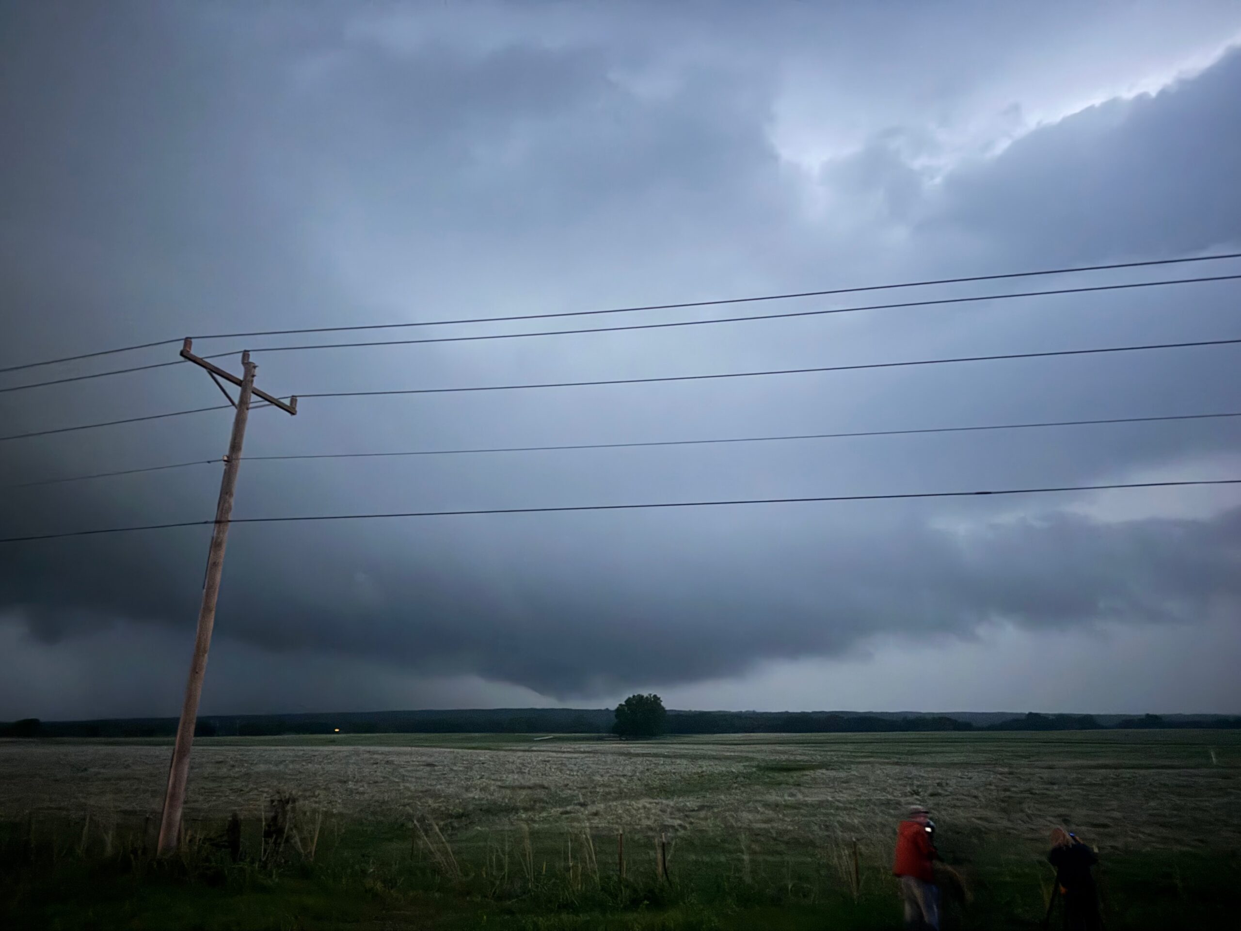
That first one became a bit messy, and so we went west again to another supercell at dusk, between Elmore City and Davis. This one had a good look on radar and a low base, but again it was not able to wrap up much. If there was an attempt at tornado-making, it appeared to be a weak attempt. There was a tornado or two just east of I-35 around 8 p.m. this day, but these were relatively low-end apparently.
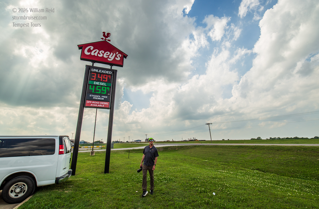
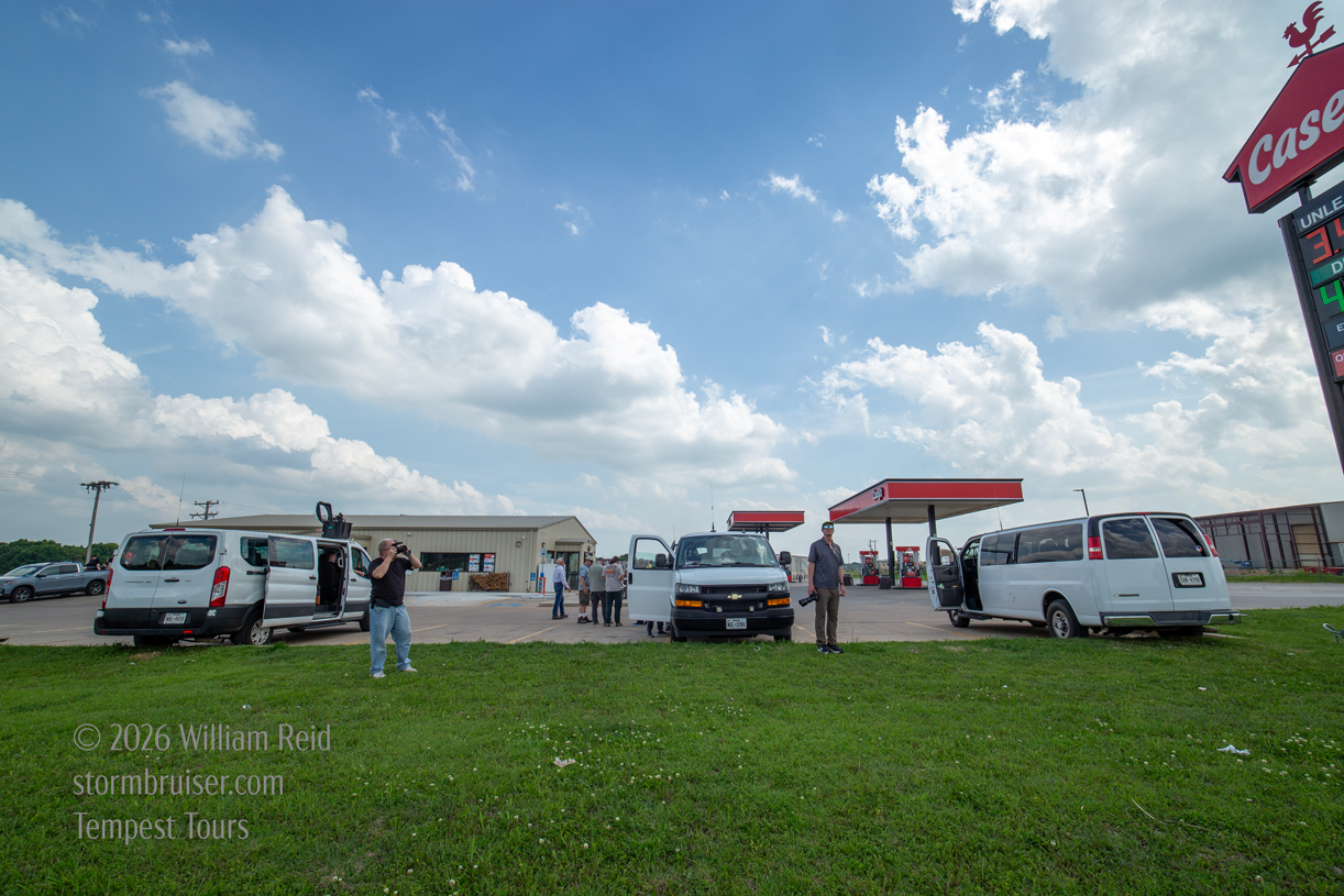
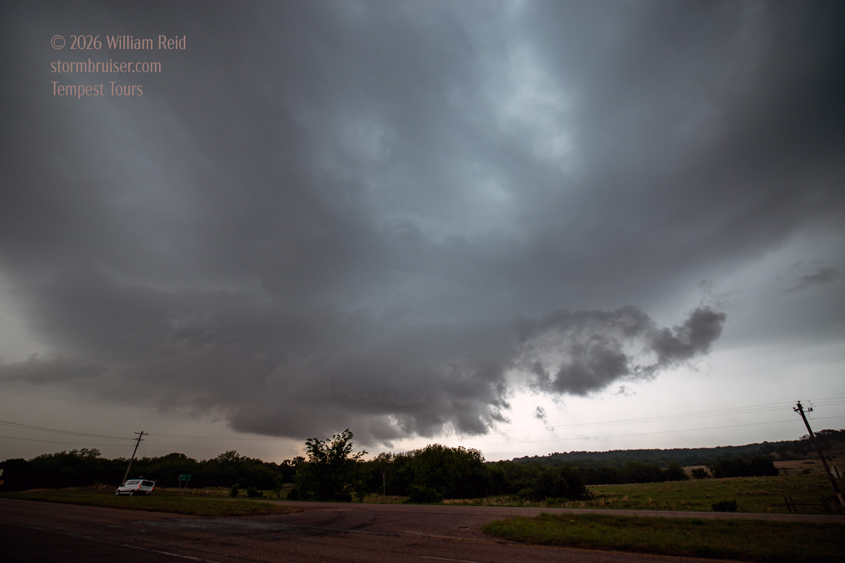
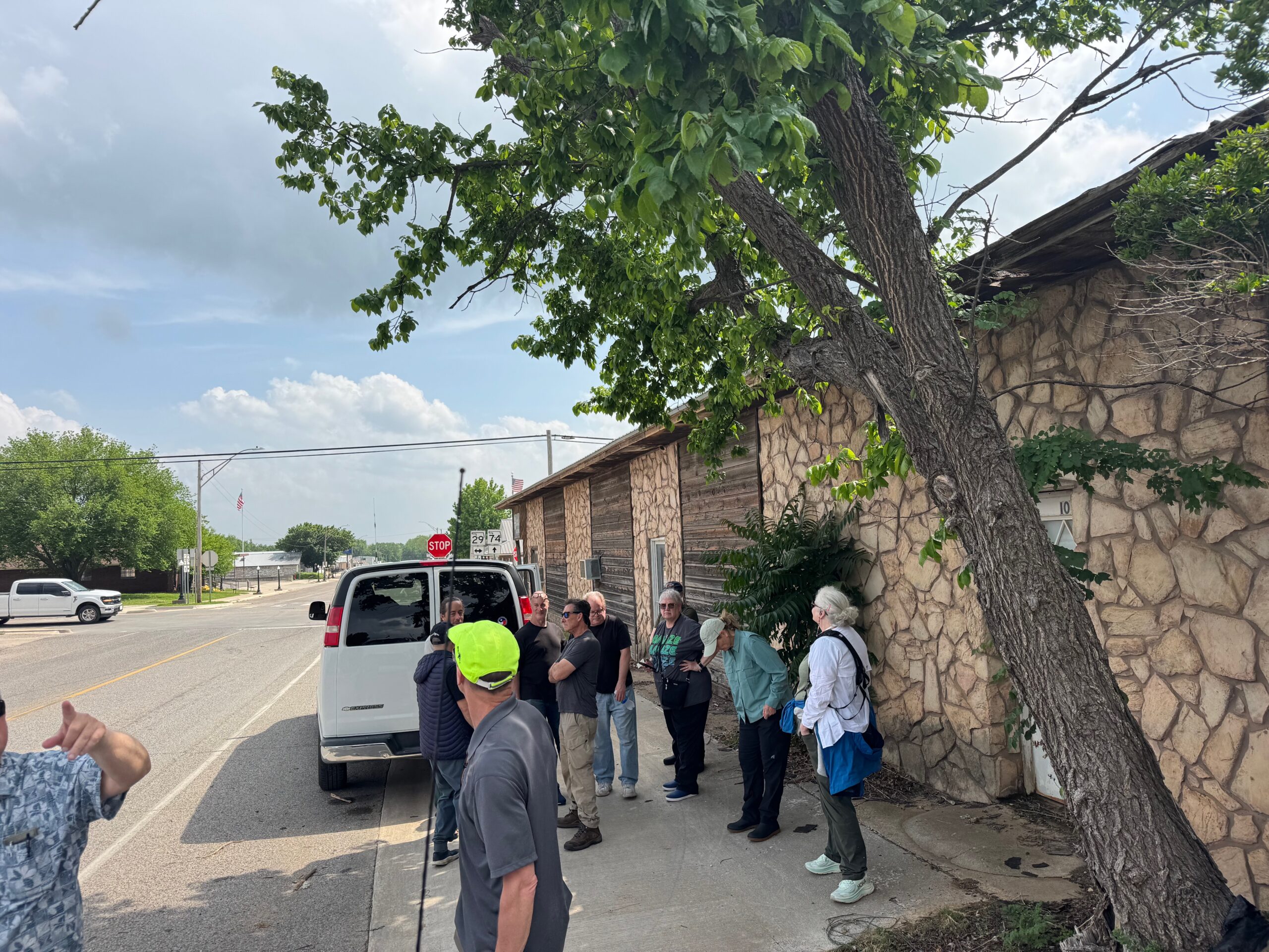
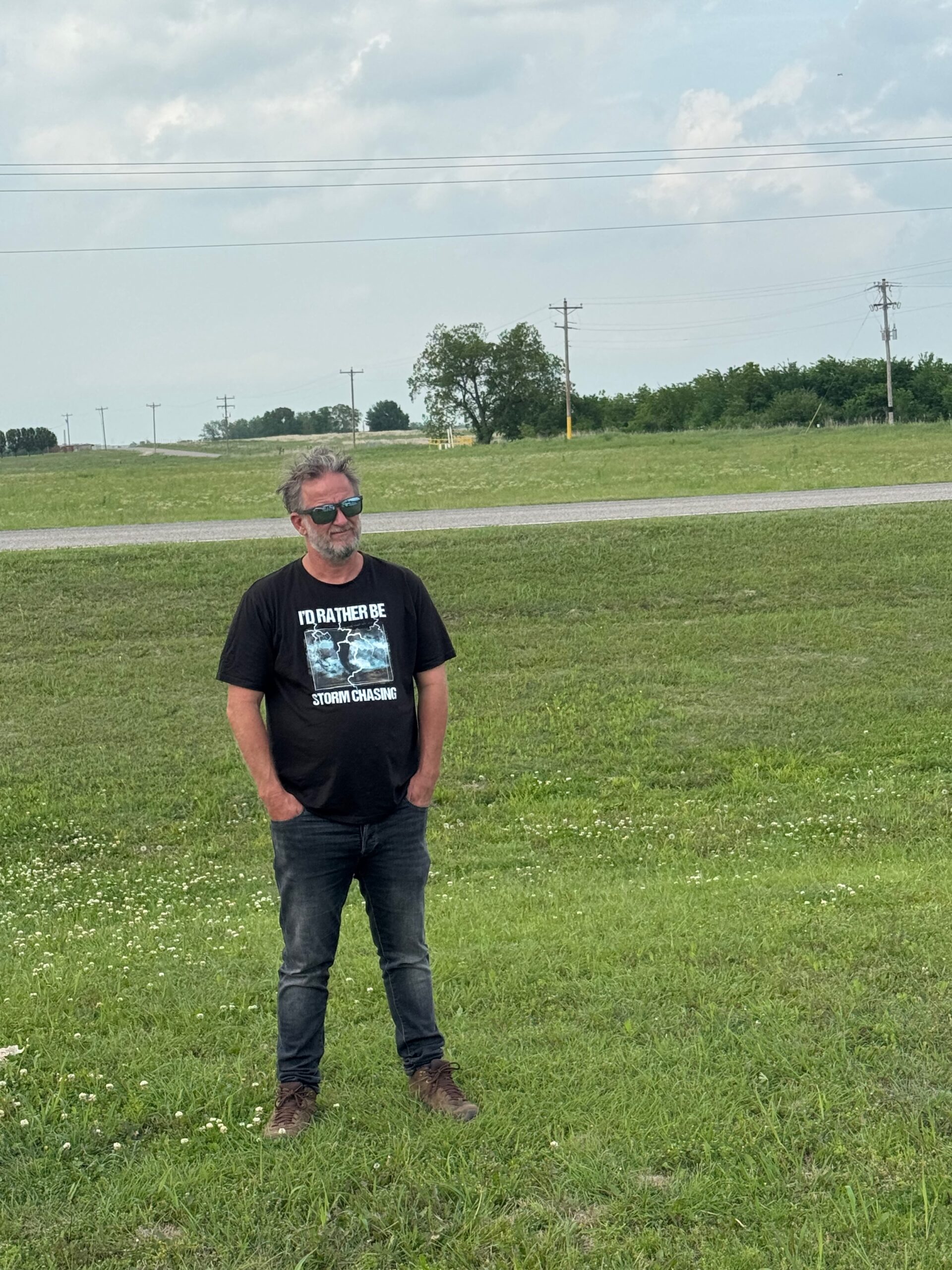
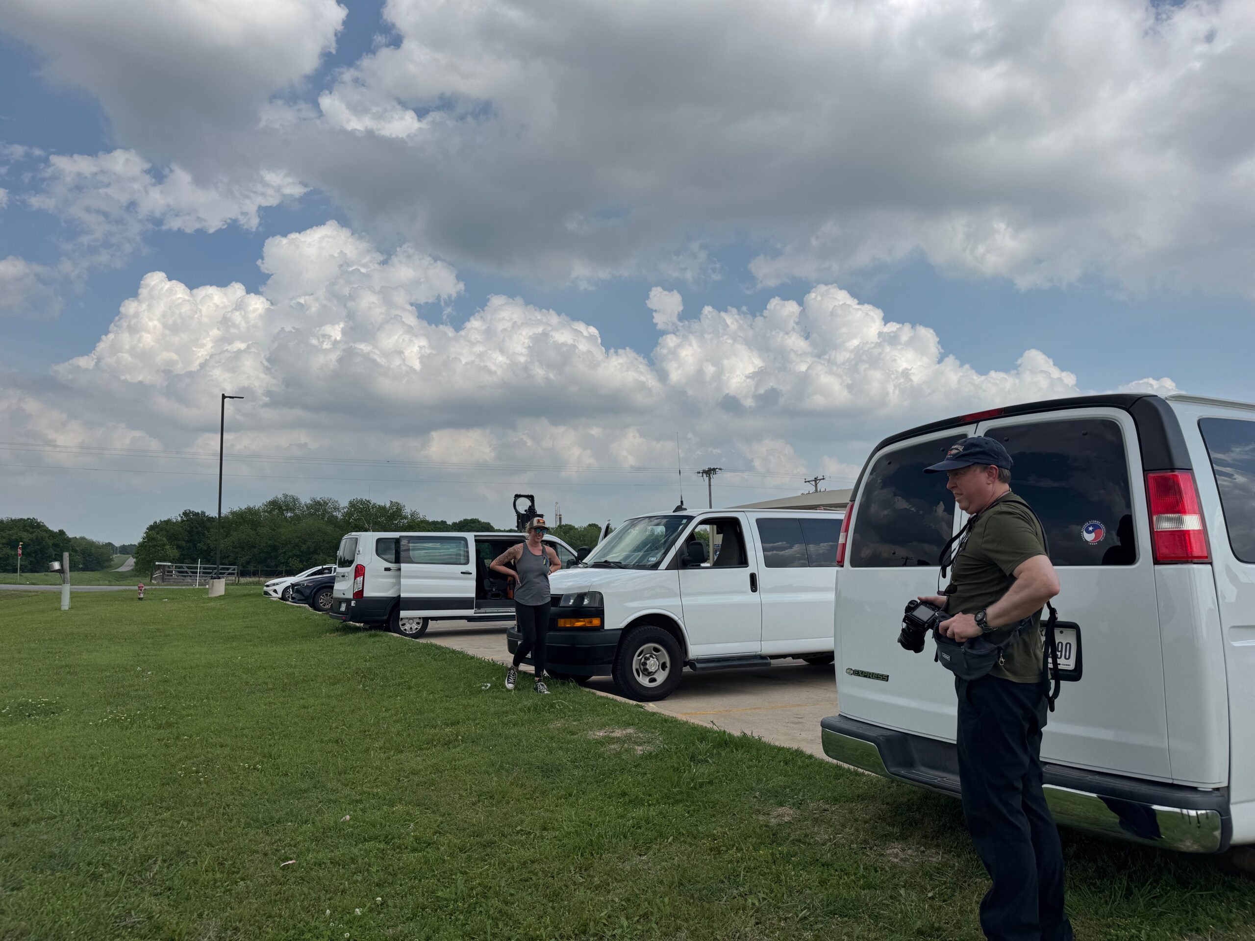
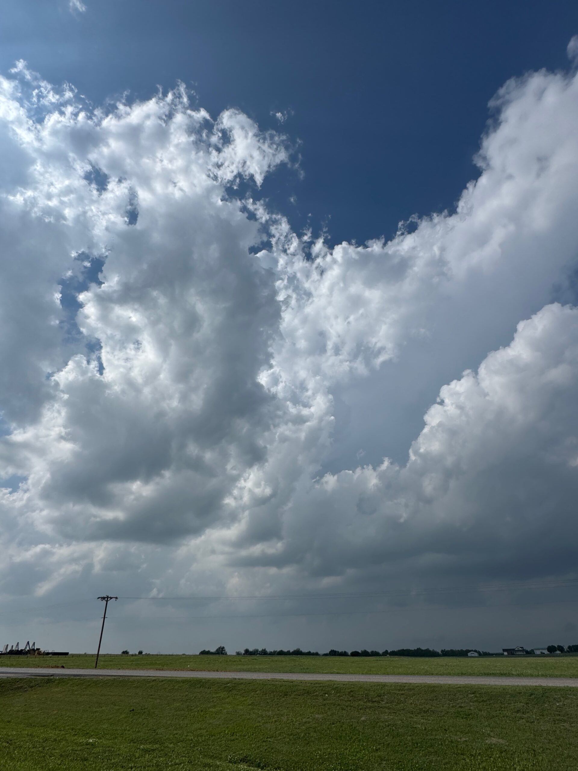
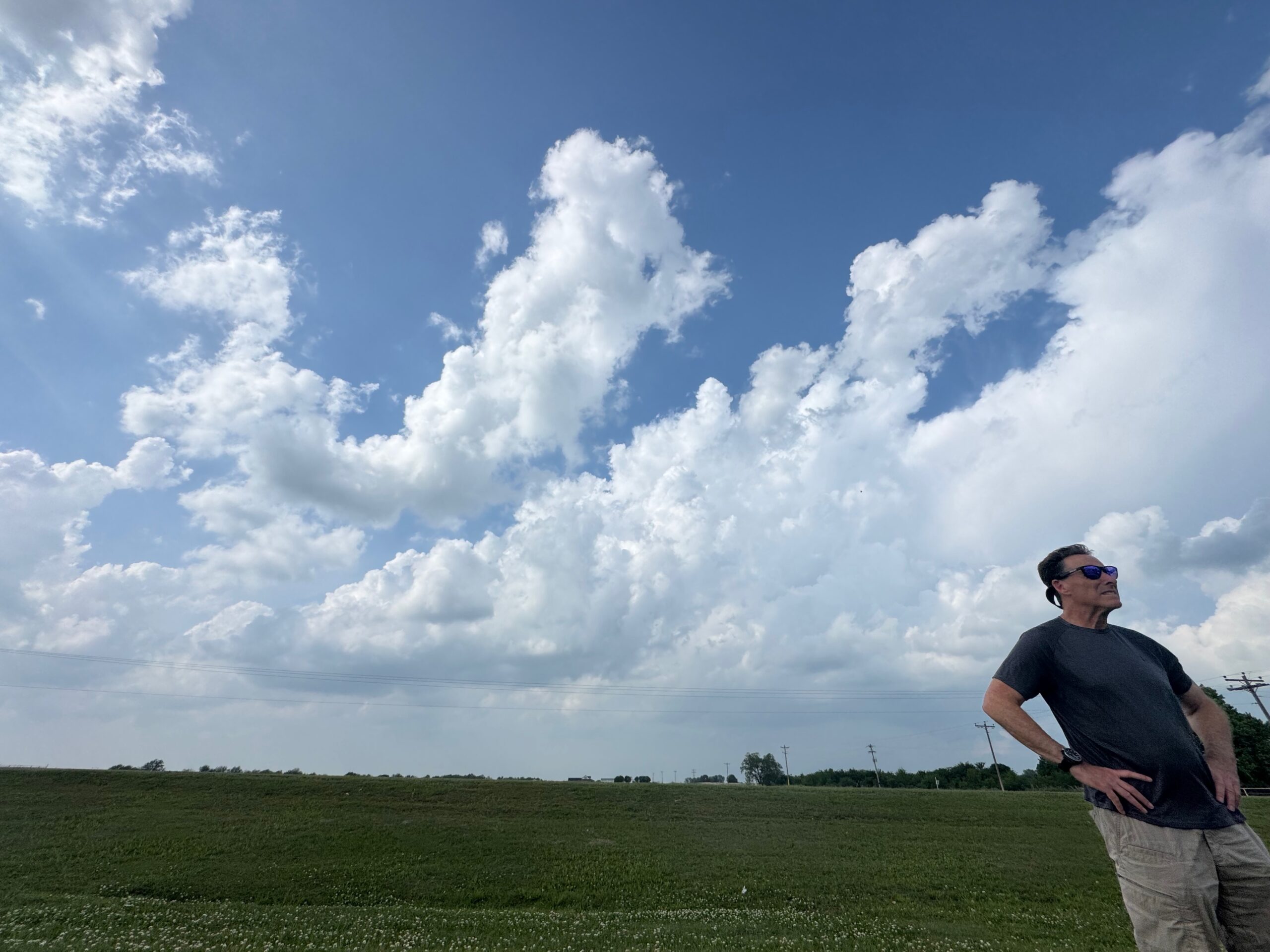
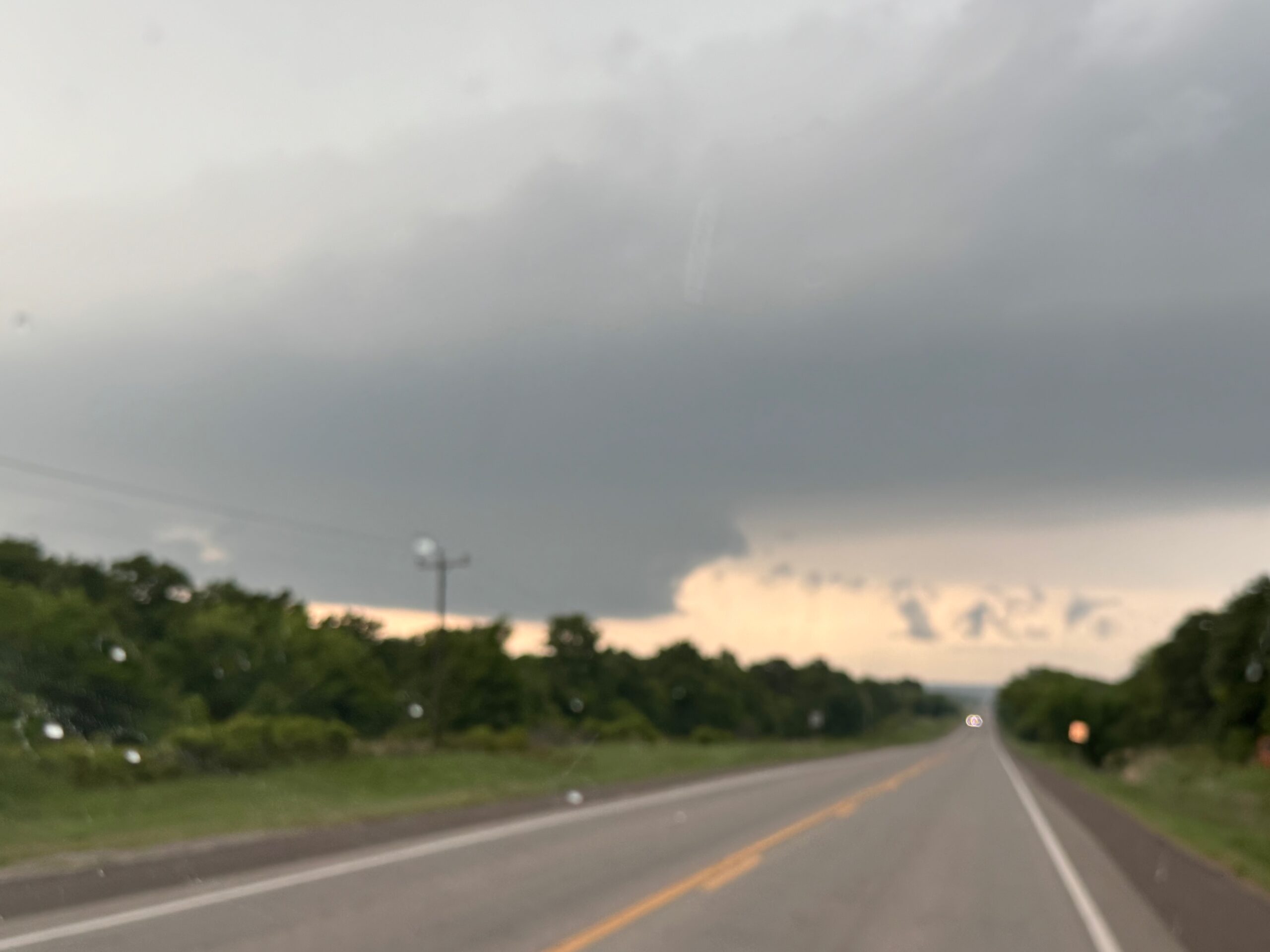
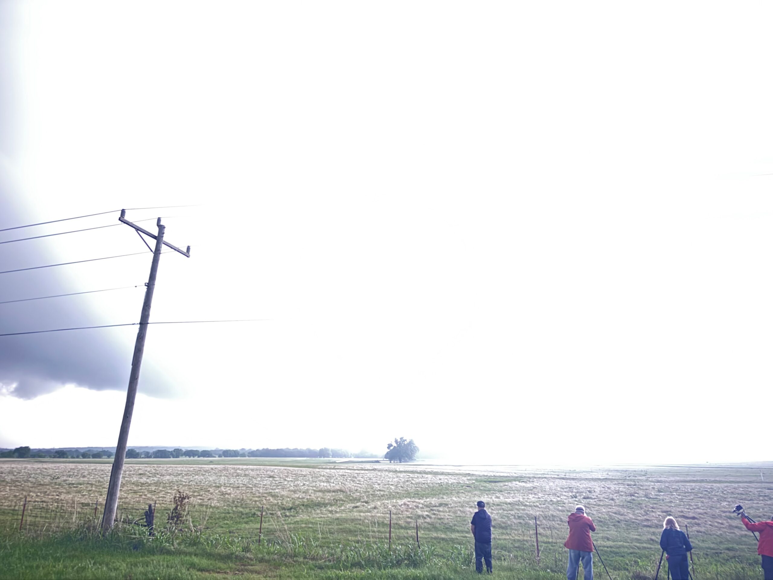
iPhone pics below
Leave a Reply
You must be logged in to post a comment.