
Start: Grand Island/lunch: El Pablito in Grand Island/End: Marysville, KS/319 miles
Bob Conzemius and Tour 4B account
This is the sad story as to how to do everything right as a chase unfolds, and then get too aggressive and to have the day blow up.
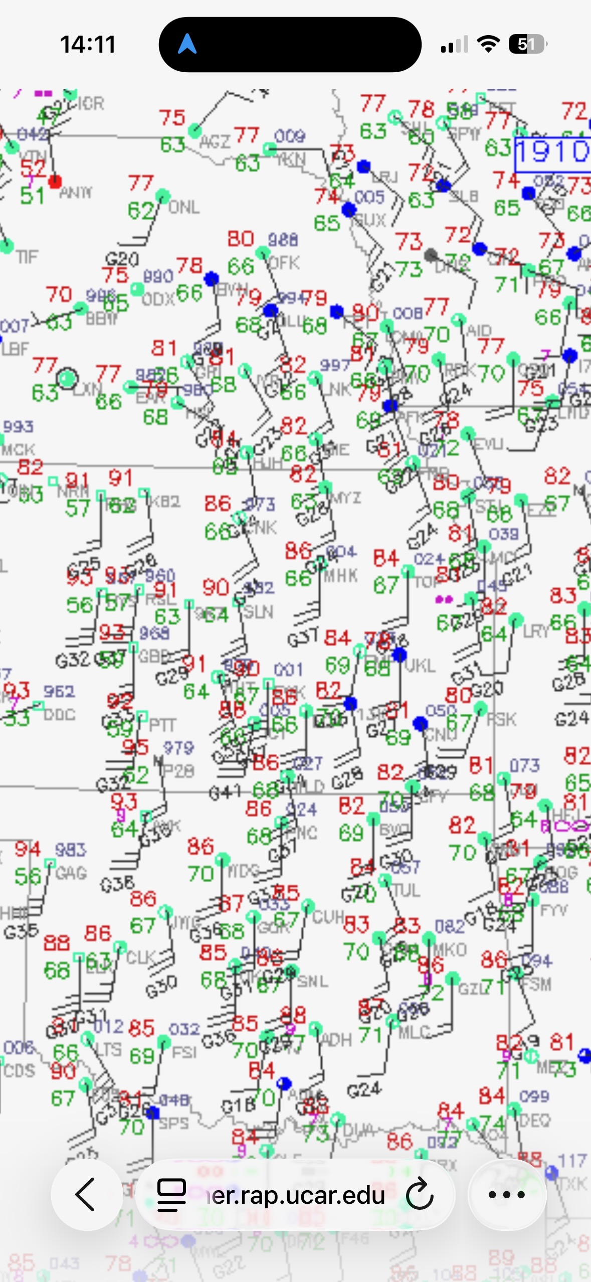
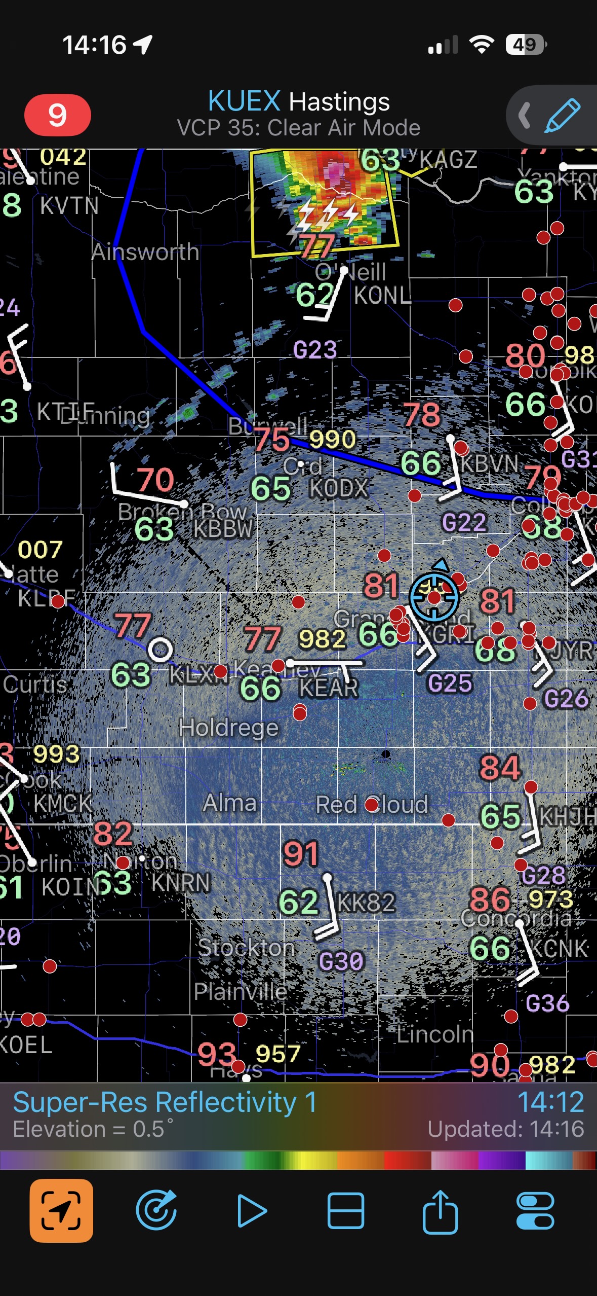
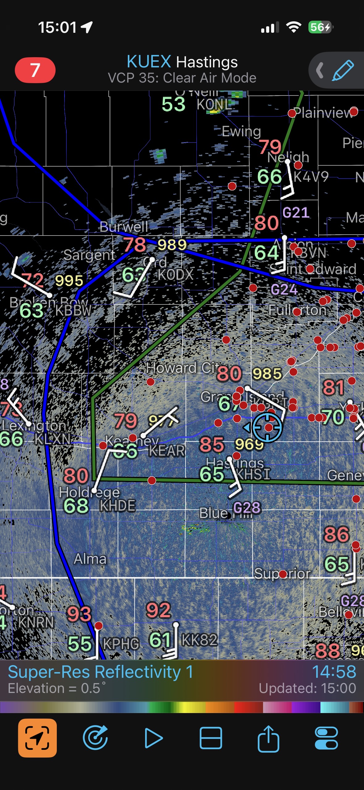
The first batch of iPhone shots below includes a surface ob plot at 1910Z/2:10 p.m. CDT. Great low-level moisture is plowing northward into eastern Nebraska, with backed winds in the vicinity of Grand Island. Some lighter winds and weak west winds were in central Nebraska, so surface moisture convergence appeared to be really nice not too far west and northwest of Grand Island. The upper winds were strong, around 35-40 knots from the southwest. It was looking like a tornado day in Nebraska. And, we woke up in Grand Island and had enough time for a leisurely Mexican meal in town. What more could a tour director ask for? The radar screenshot at 14:16 below shows some strong early activity well to our north. But, the dew points were not as good up towards O’Neill. I knew that we were in a good place to begin the chase near Grand Island.
The radar screenshot at 15:01 shows that we are still in Grand Island, and the winds have backed to ESE. Some cloud towers are nearby. About an hour later we are a bit northwest of Grand Island, with a couple of new storm cells to our west. Perfect! These would be strong candidates to be tornadic in the next hour or two.
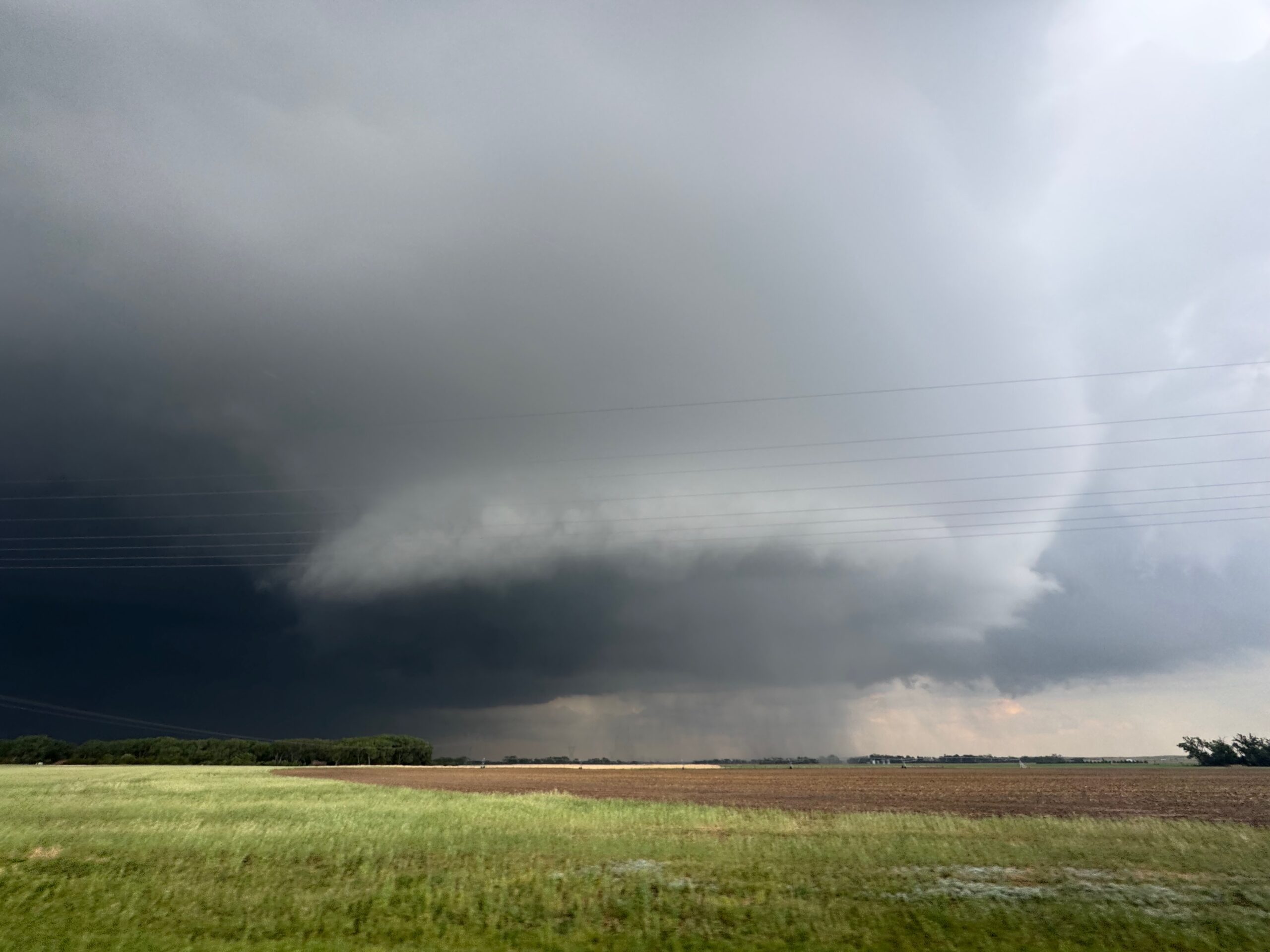
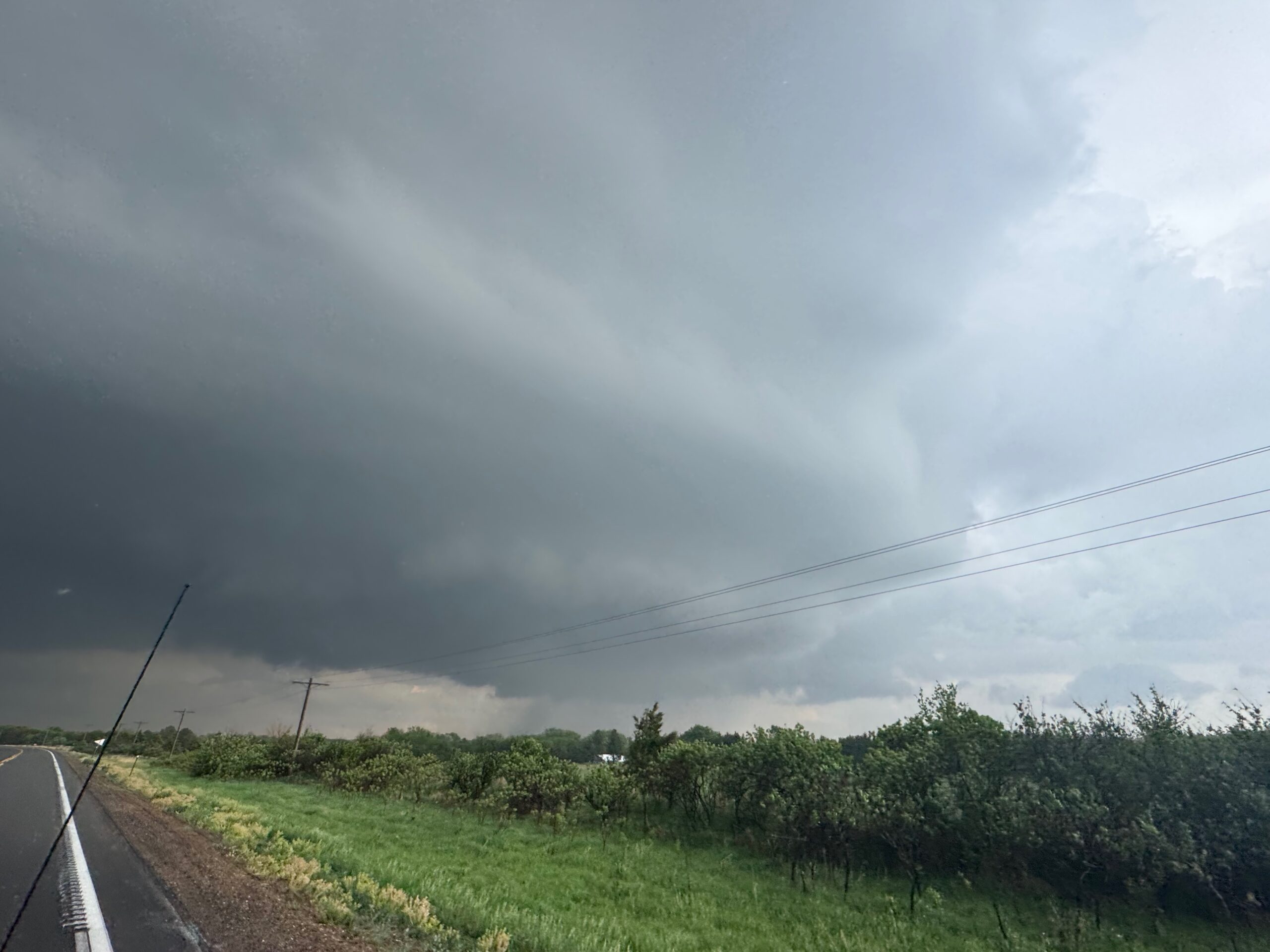
We drifted westward on a road that heads due east out of Cairo, stopping a time or two to watch a cell get its act together. Soon we had a large lowering on a storm to our west. The juicy dew points, around 68F, resulted in quite a low storm base.
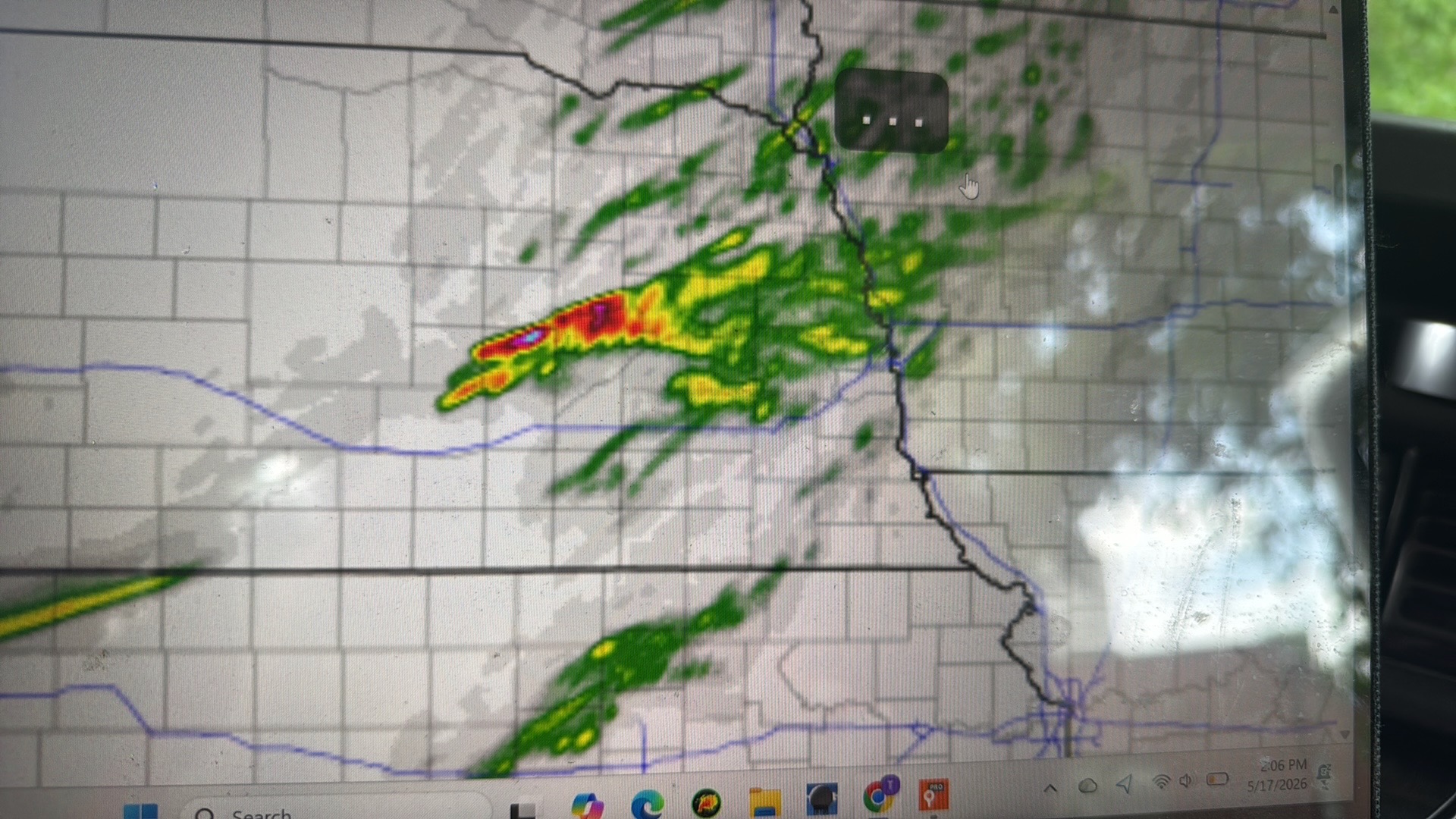
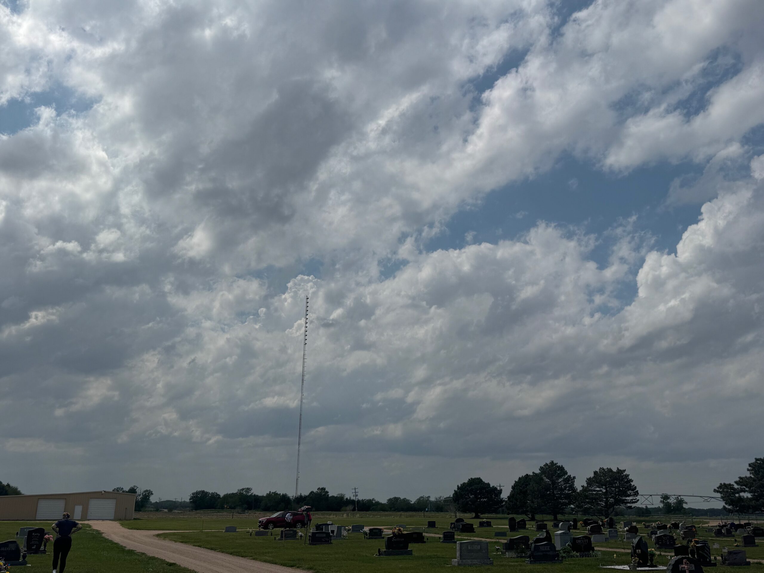
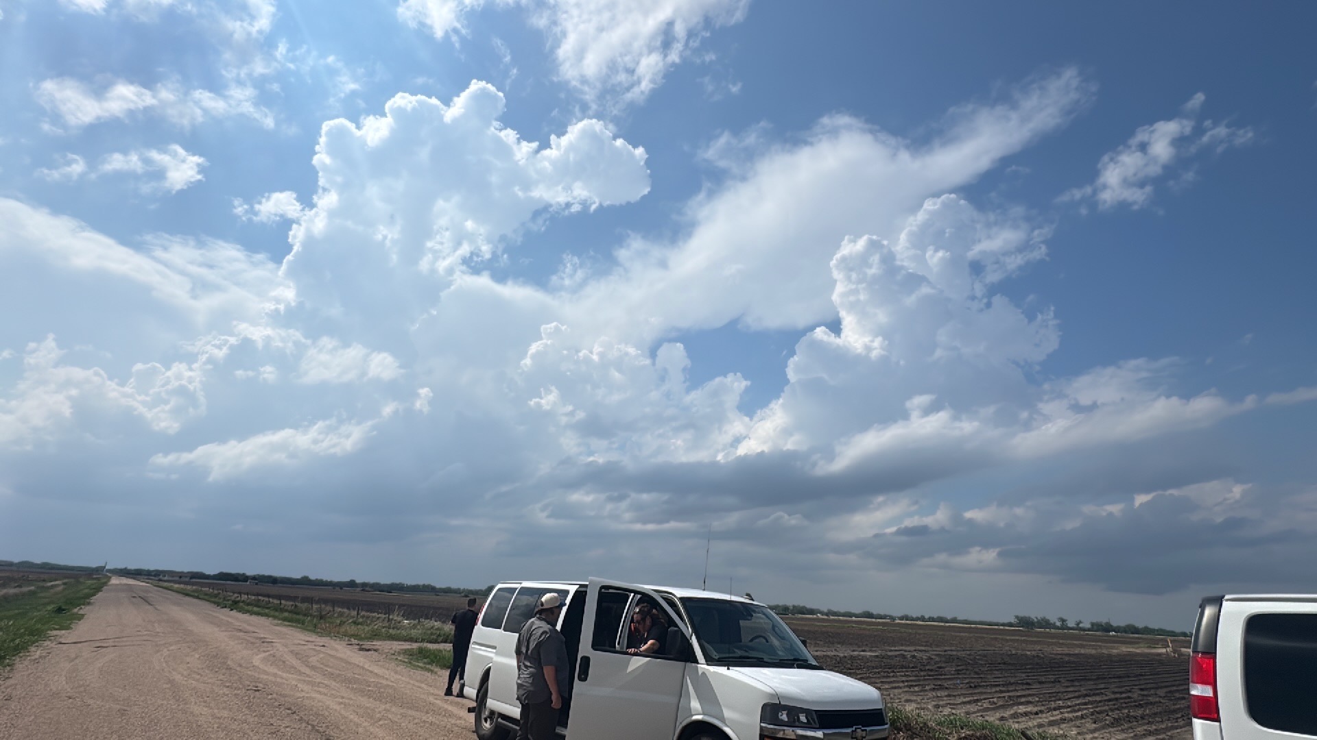
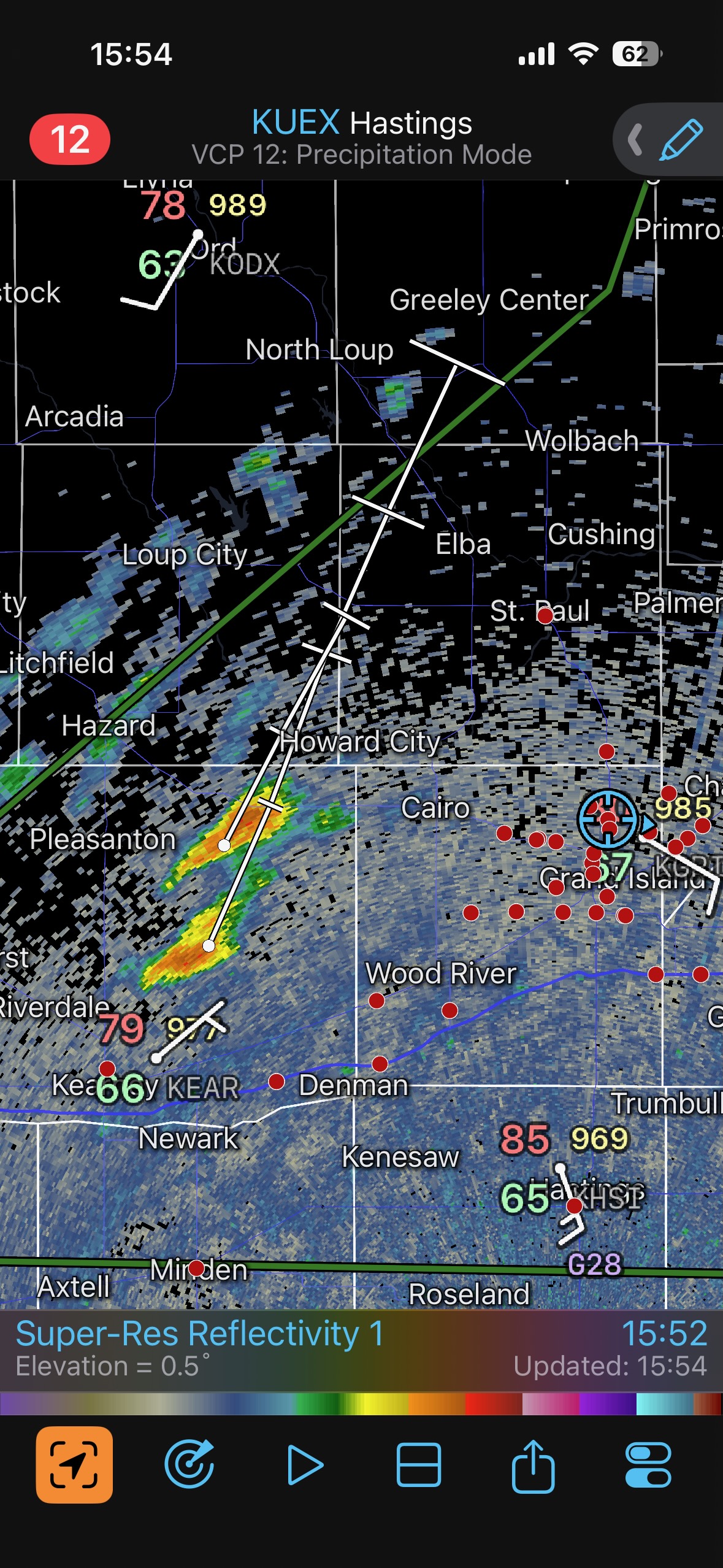
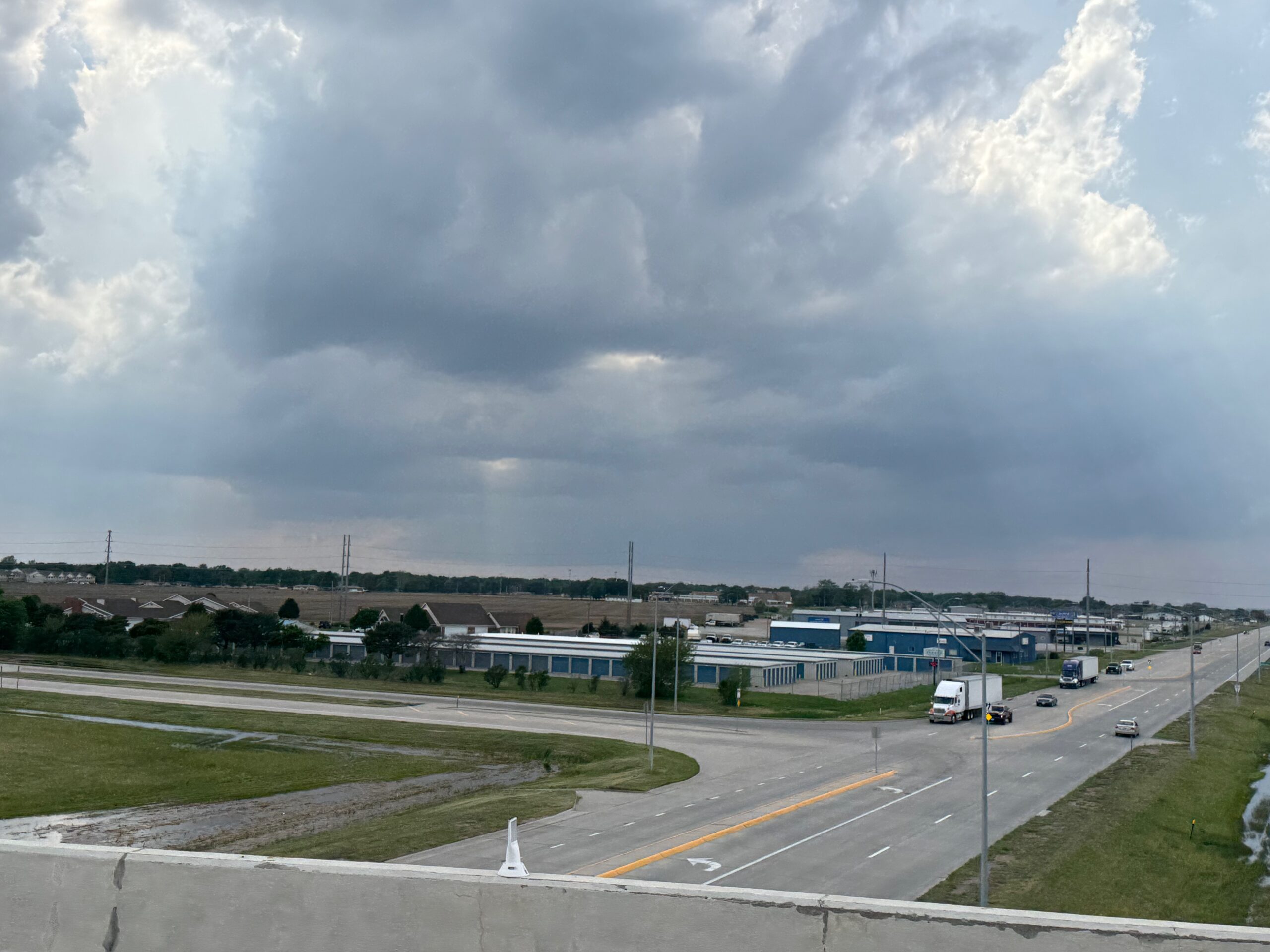
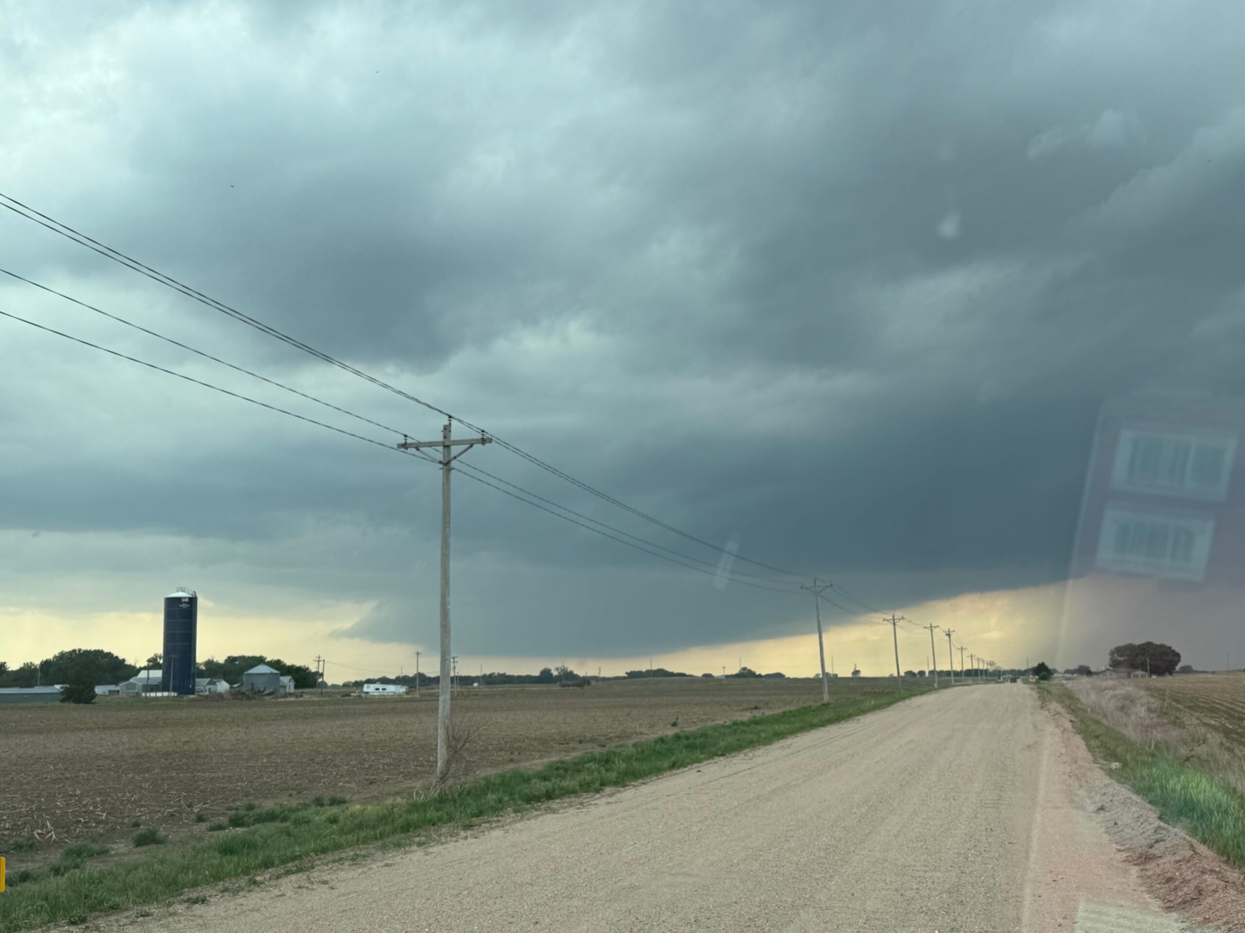
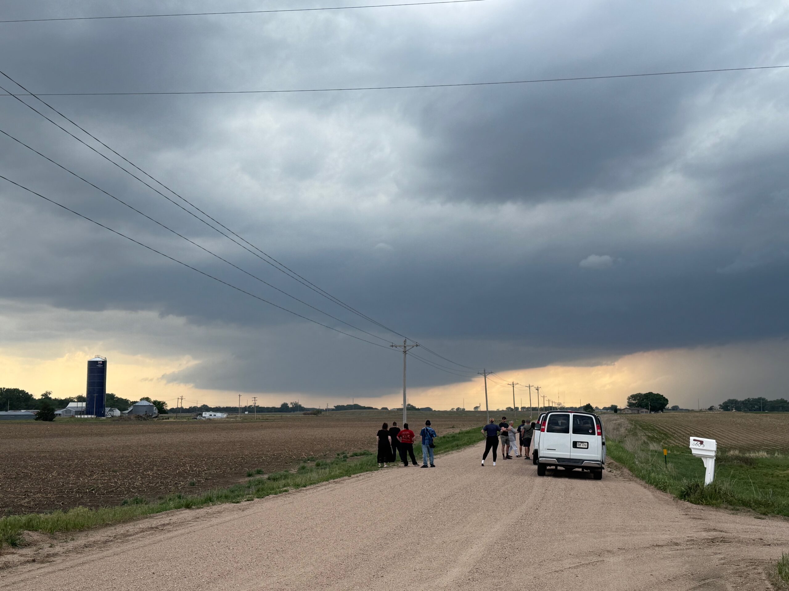
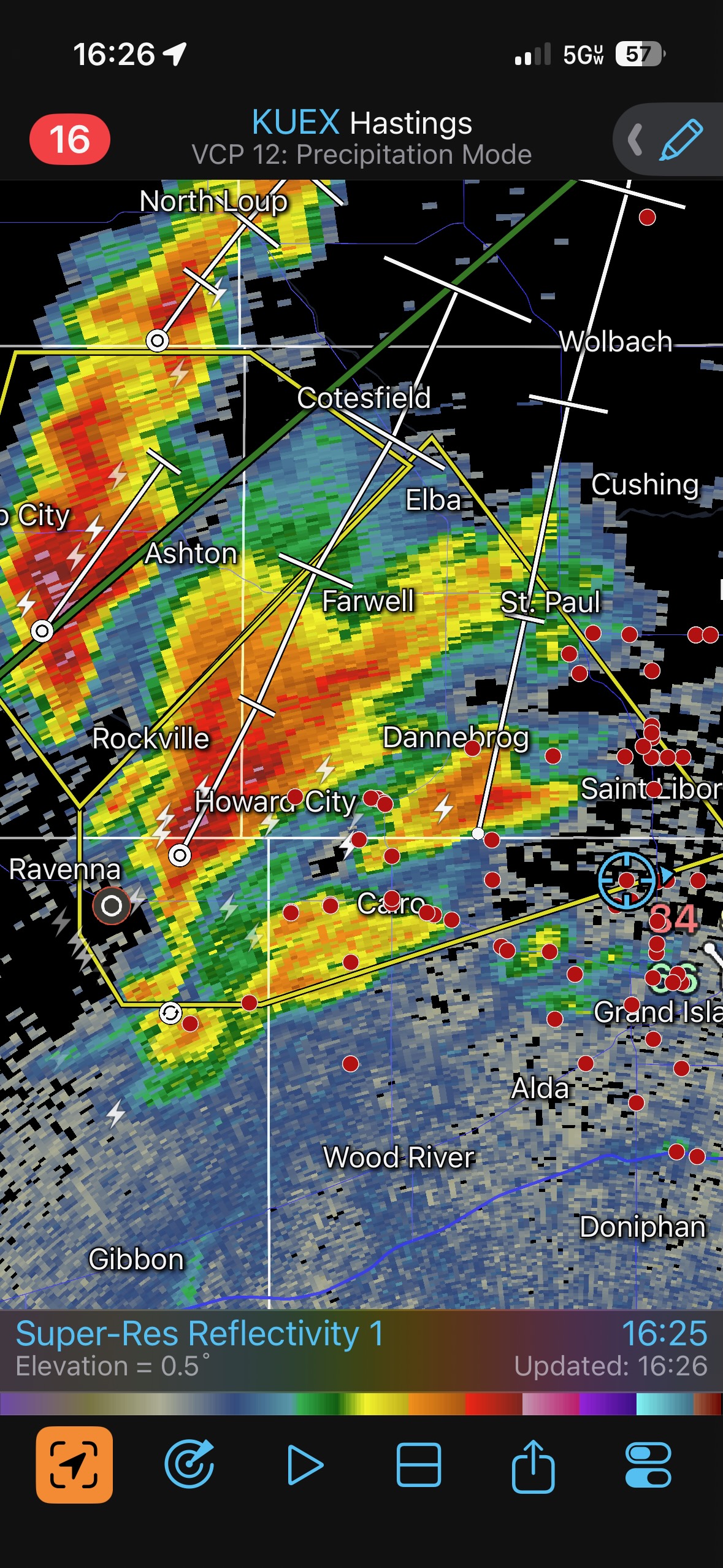
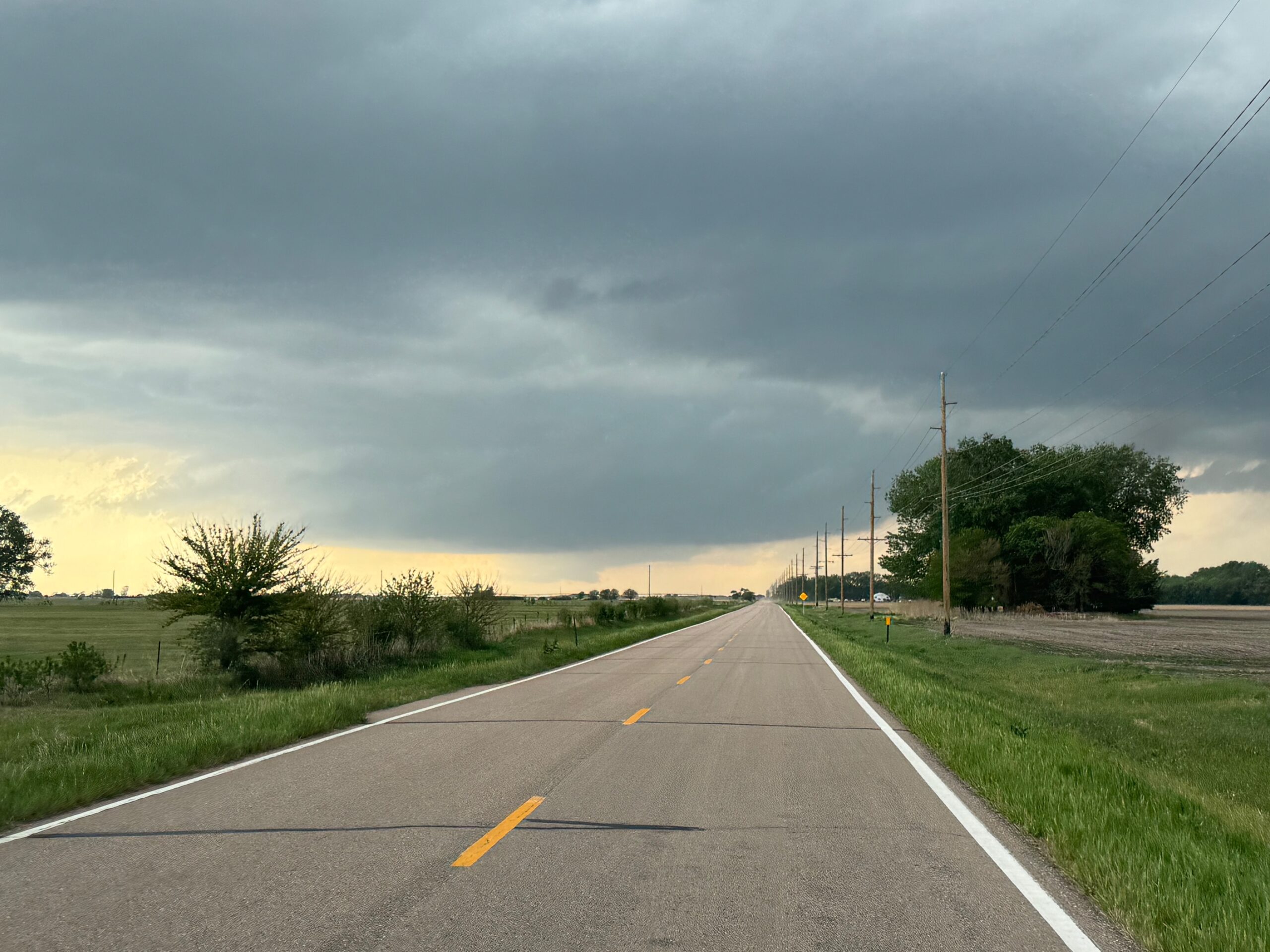
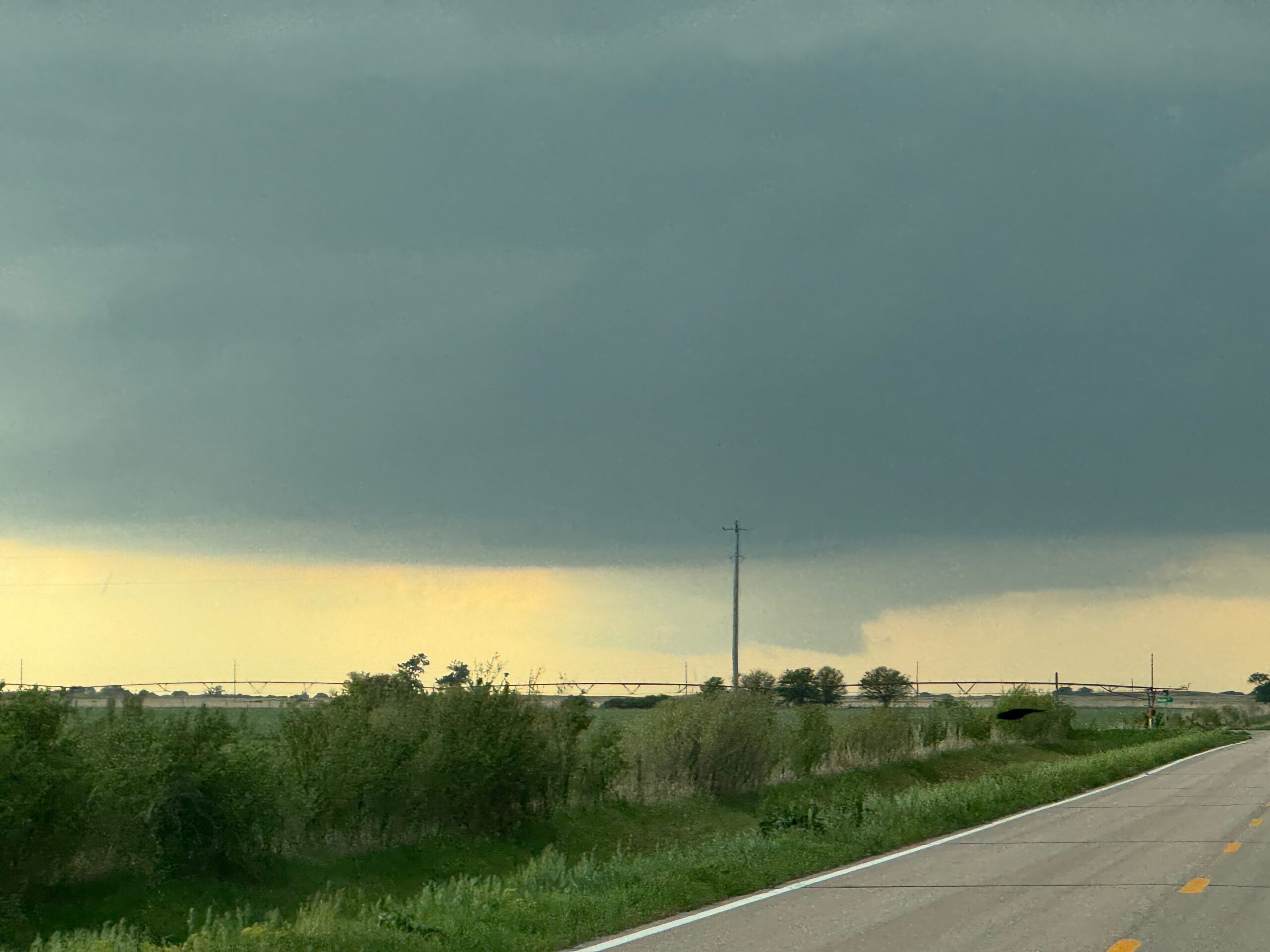
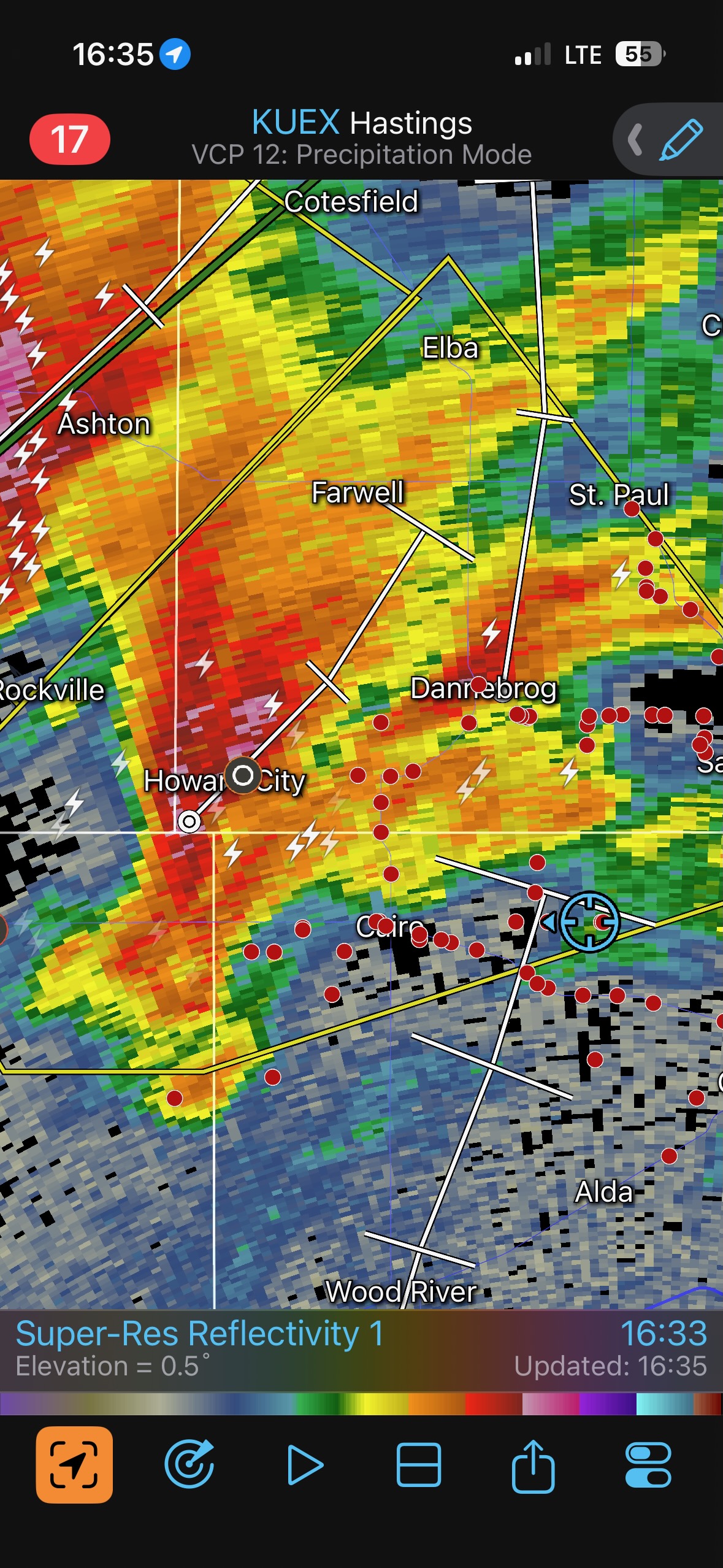
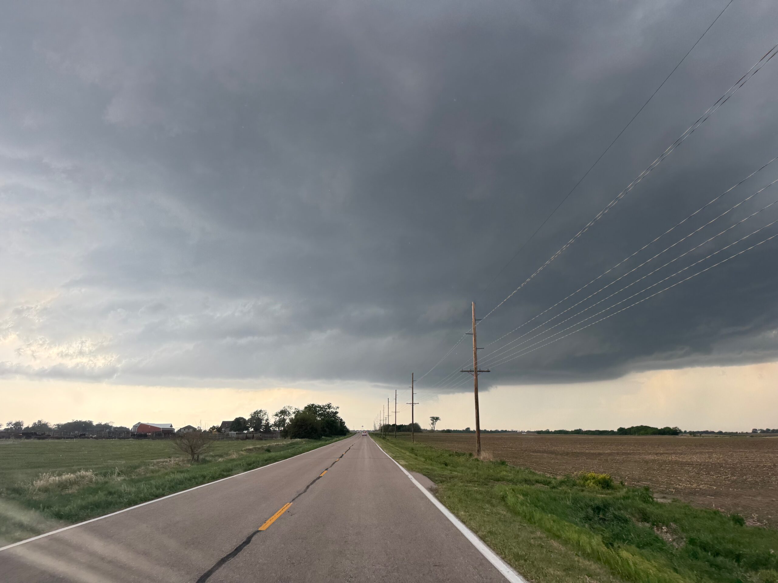
The radar shot at 16:35 (above) shows the hook echo developing to our west, about to move through Cairo. A couple of images show the low base to our west about this time. It is about 30 minutes before the start of the St. Libory tornado.
I was fretting a bit about the storm motion and the road network. The storm was moving to the northeast at about 30 mph, and the paved E-W/N-S road network was somewhat sparse. I knew that the chances of a tornado out of this thing were high. Should I continue westward towards Cairo? Or should I hang back and be patient, staying well in front of the storm and making my move only once a tornado had formed?
I made the wrong decision. We went into Cairo and were met with RFD winds. The cloud base was churning away, with some rotation nearby. We were in exactly the right place…if the supercell were to start making a tornado NOW. We were “in position” about 15 minutes too early. The storm was headed into flat farmland with just dirt roads, and I wasn’t going to take a chance on those. The storm motion was to the NE or ENE, and I had two options. Option One was to head a mile back south to Cairo and then east on the road we had just used. The problem with that option is that the storm would be getting away from us some to our northeast. I went for Option Two, which was to head north a few miles on 11, and then northeast on 58 another 5 miles to Dannebrog, along the Middle Loup River. Option Two kept us a bit closer to the supercell, but we were soon dealing with golfball to tennis ball-sized hail around Dannebrog. We were on the backside of the meso, in the hook-echo precipitation. Unfortunately, 58 took us a mile or so farther north than desired (to Dannebrog), before heading southeast again on the other side of the river. I knew that I had been too aggressive already when we were leaving Cairo, and that we would be playing catch-up.
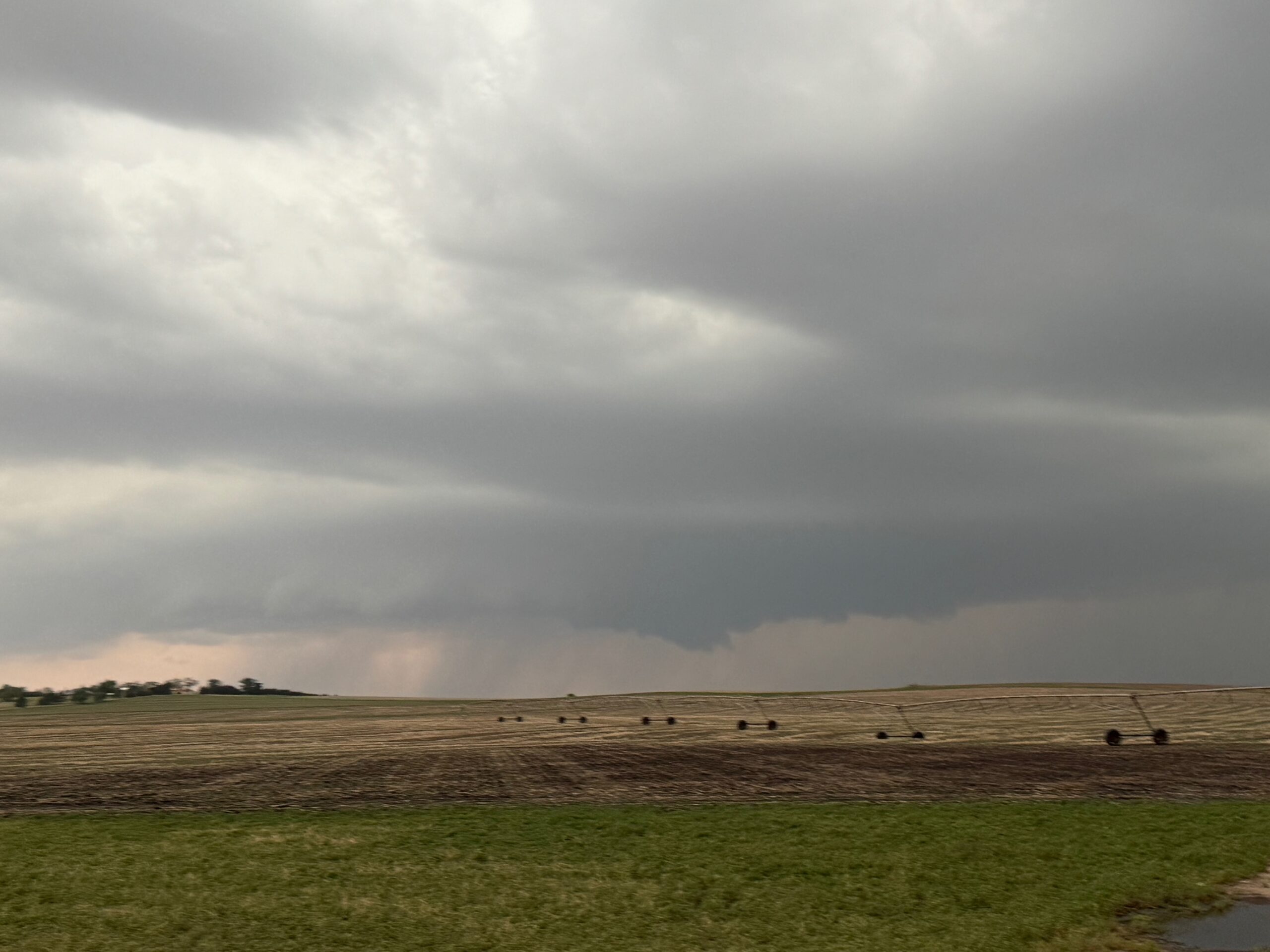
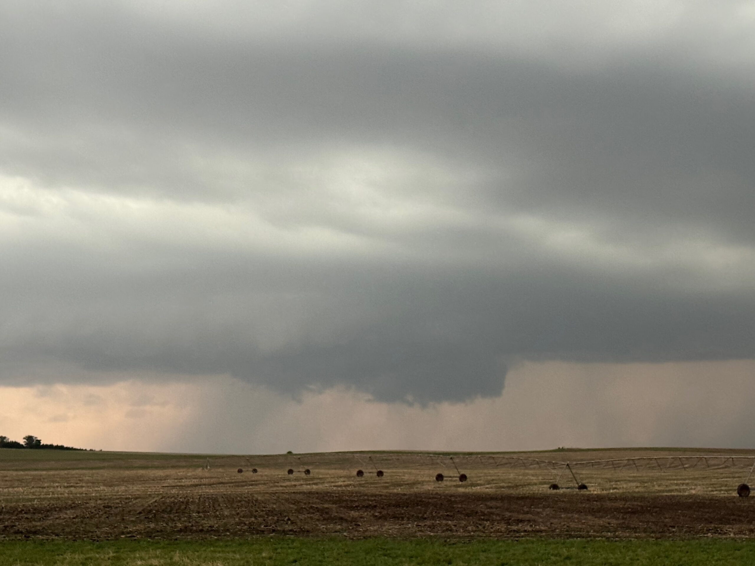
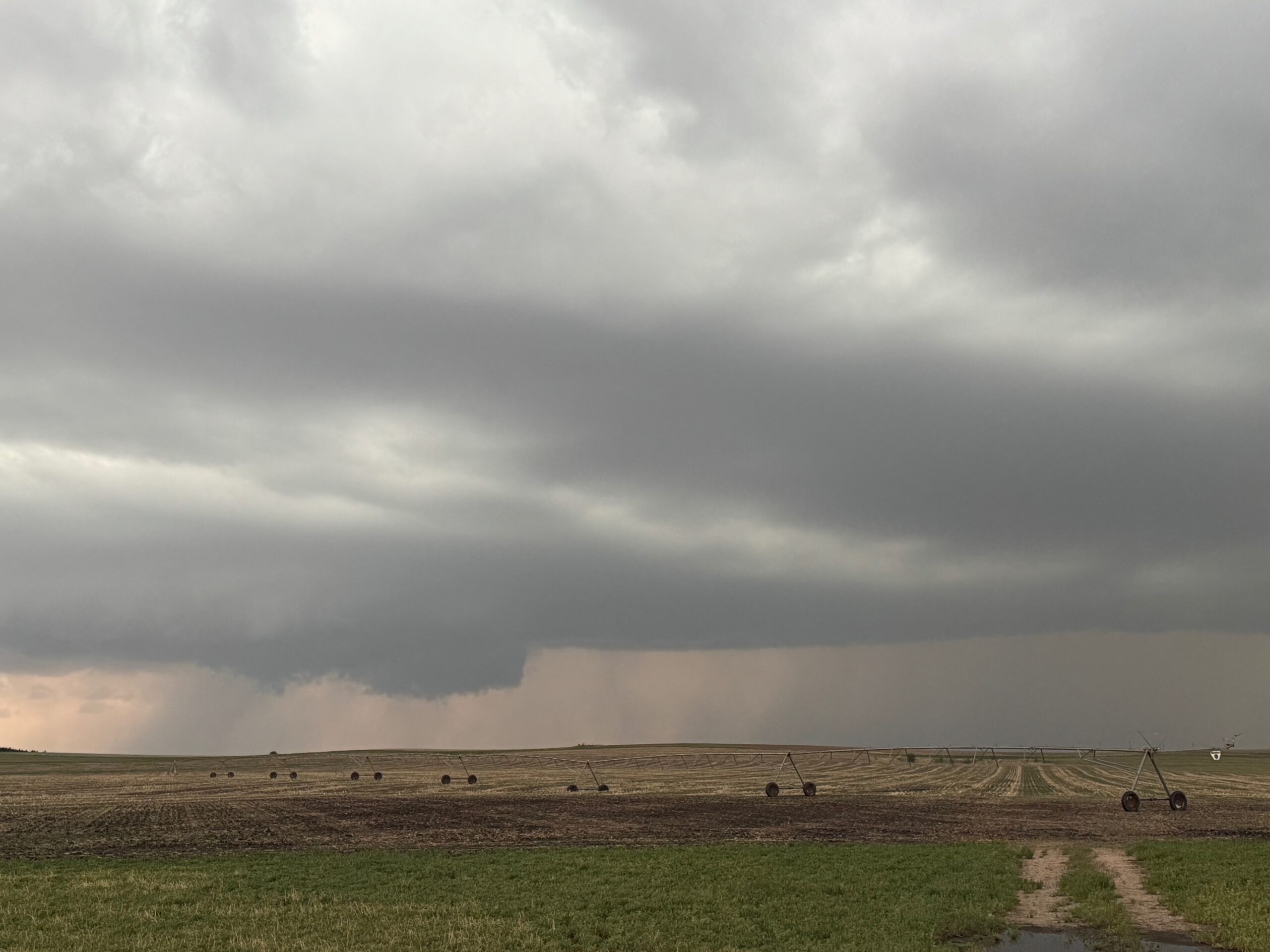
The meso looked fabulous to our east as we made our way from Cairo to Dannebrog. The two images below were taken at 4:49 p.m. CDT, looking to the east.
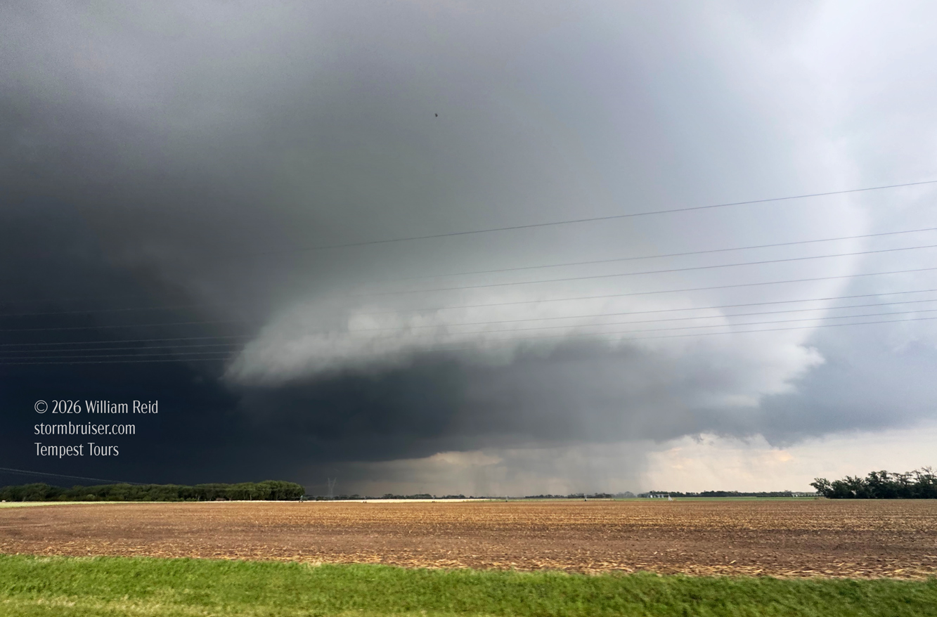
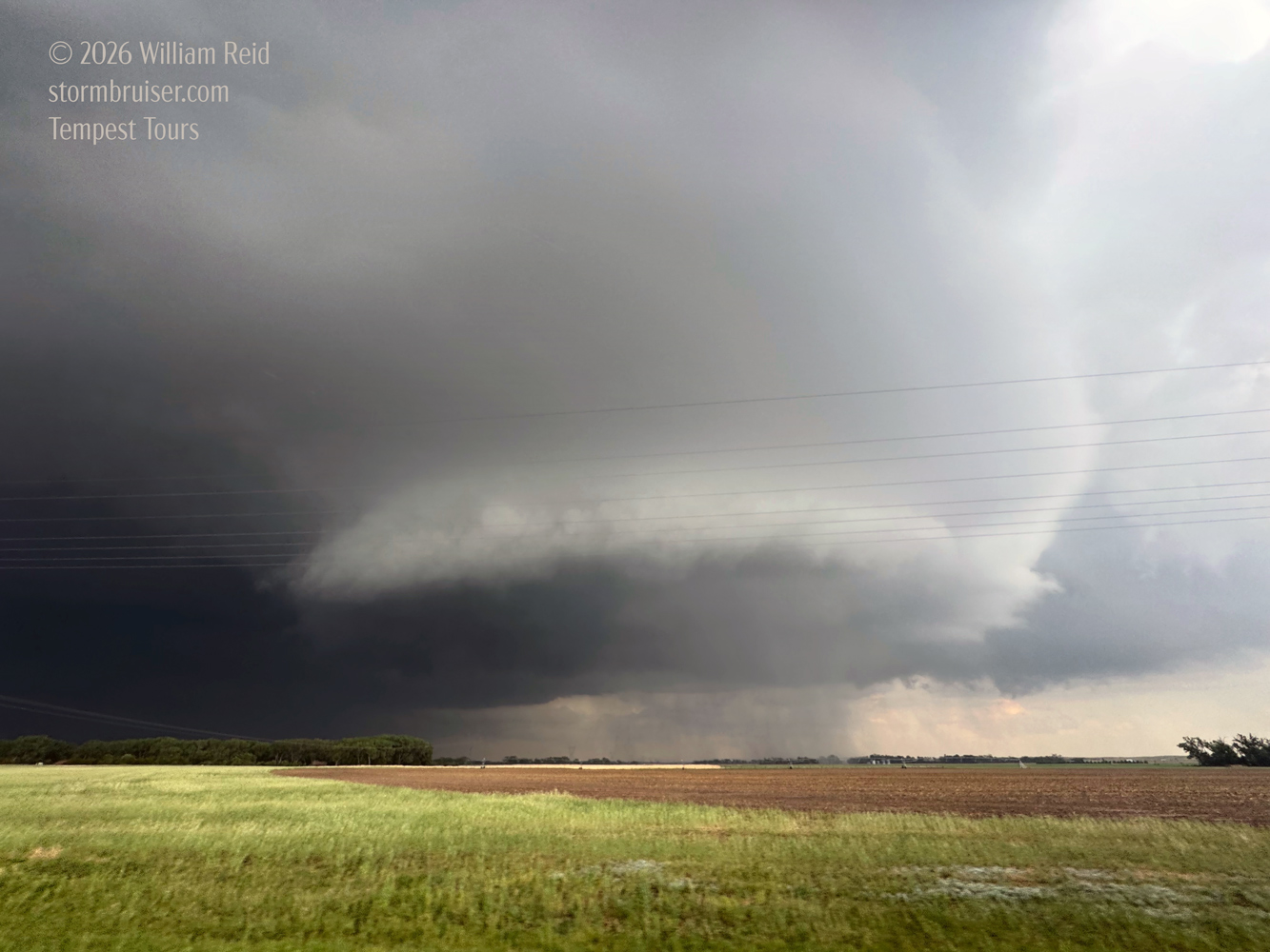
And this short clip below was taken at 4:52 p.m. CDT, with the storm to our E or ESE. The shots above and the clip below were taken from between Cairo and Dannebrog.
I took the three shots below at 4:52 p.m. CDT. We must have just made the turn eastward onto 58 from 11. Unfortunately, the road took us more to the NNE and into the heavy hook-echo core.
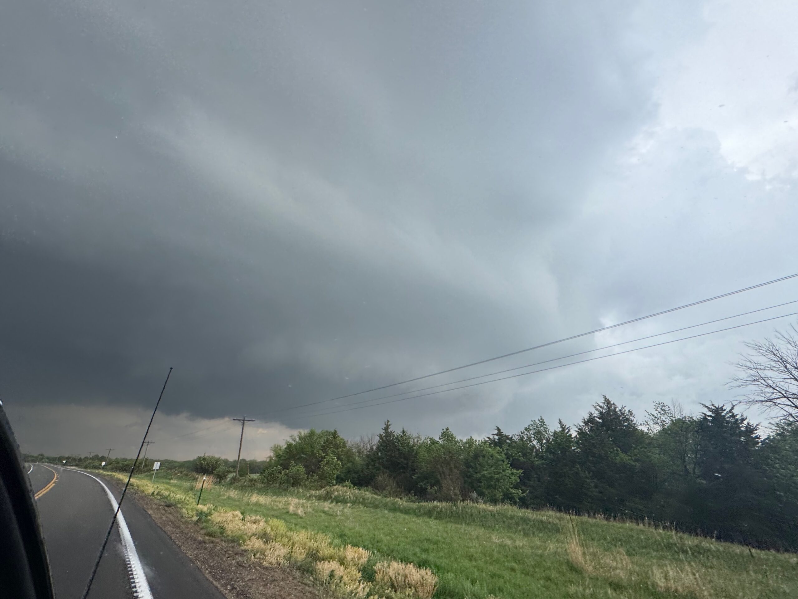
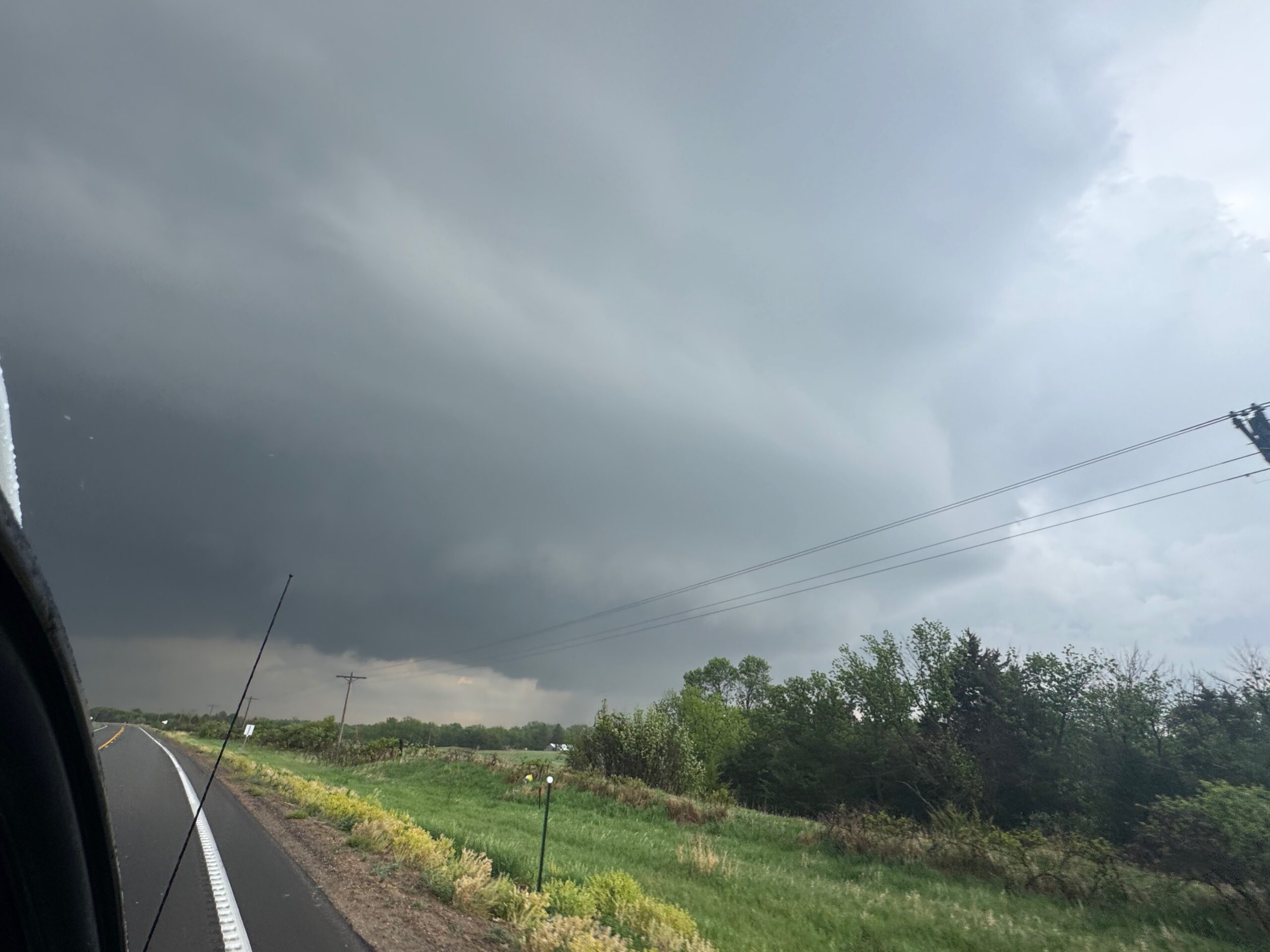
Visibility went down the tubes in the rain and hail around Dannebrog. This slowed us down, as did the extra jog to the north in order to get to the straightaway eastward on 58 to St. Libory. I even considered stopping under cover somewhere in Dannebrog due to the large hail, but decided to press onward.
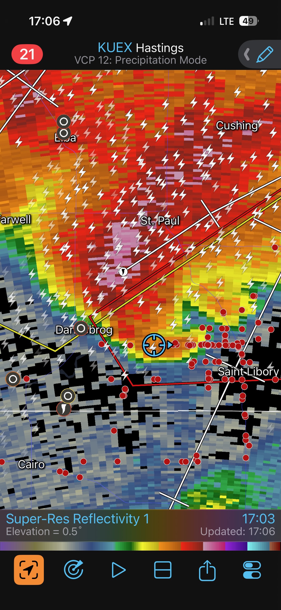
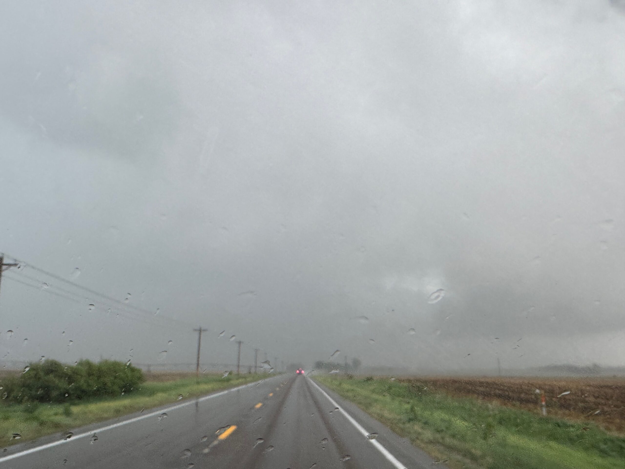
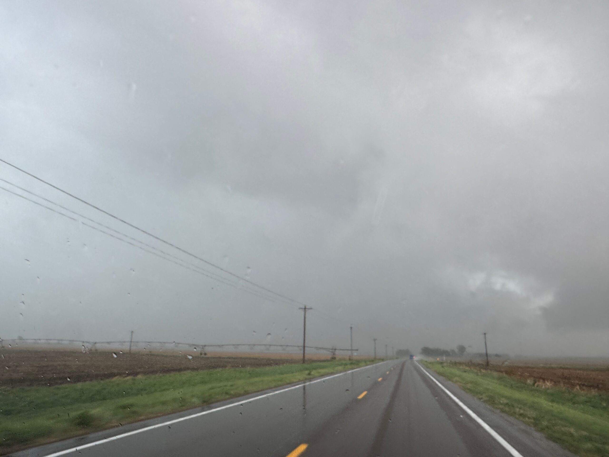
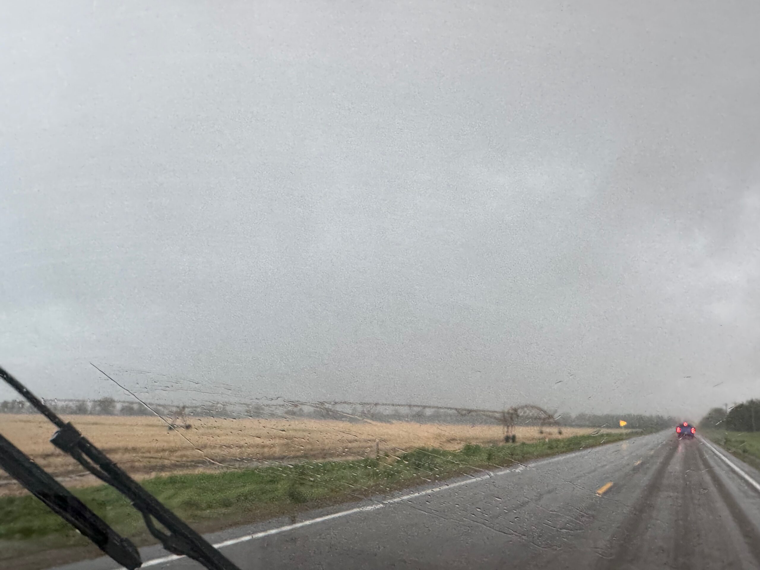
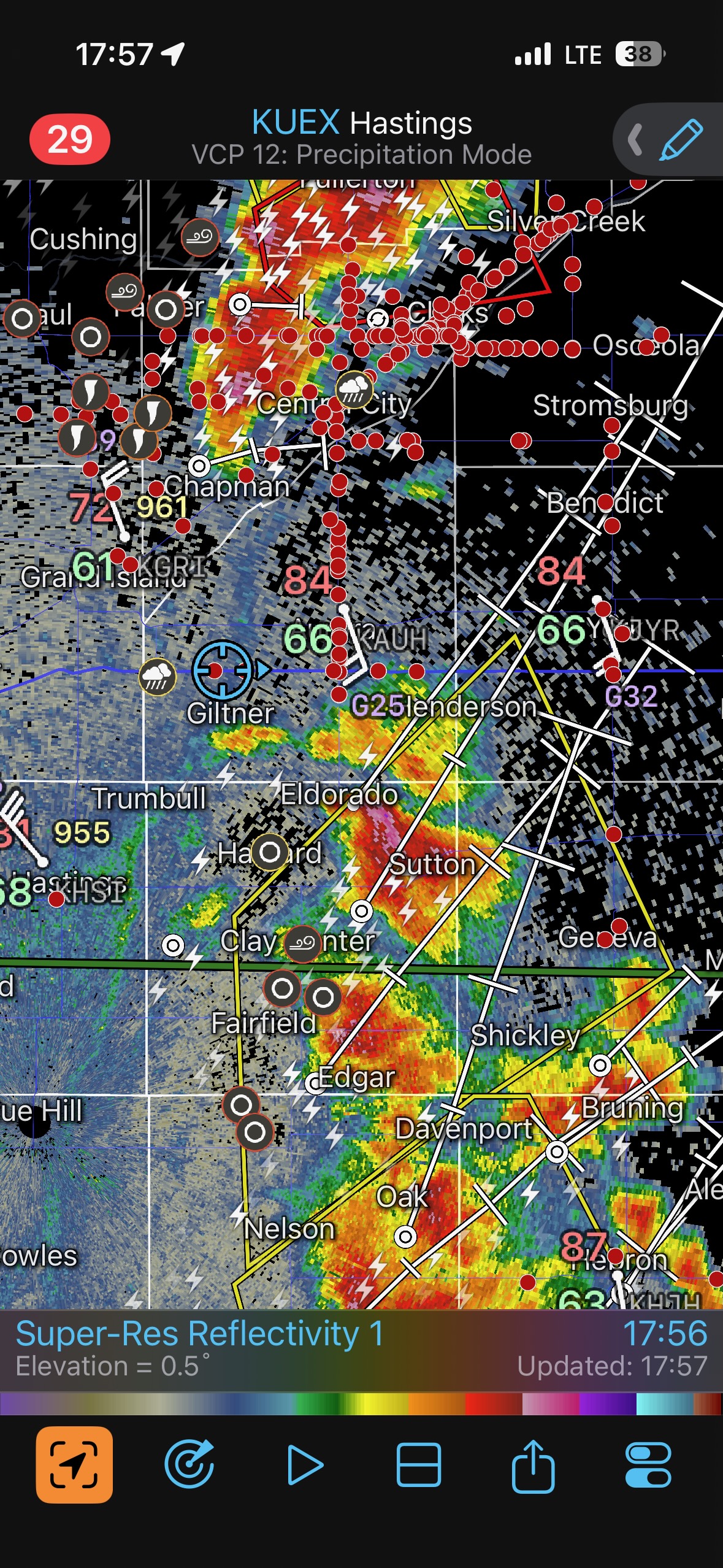
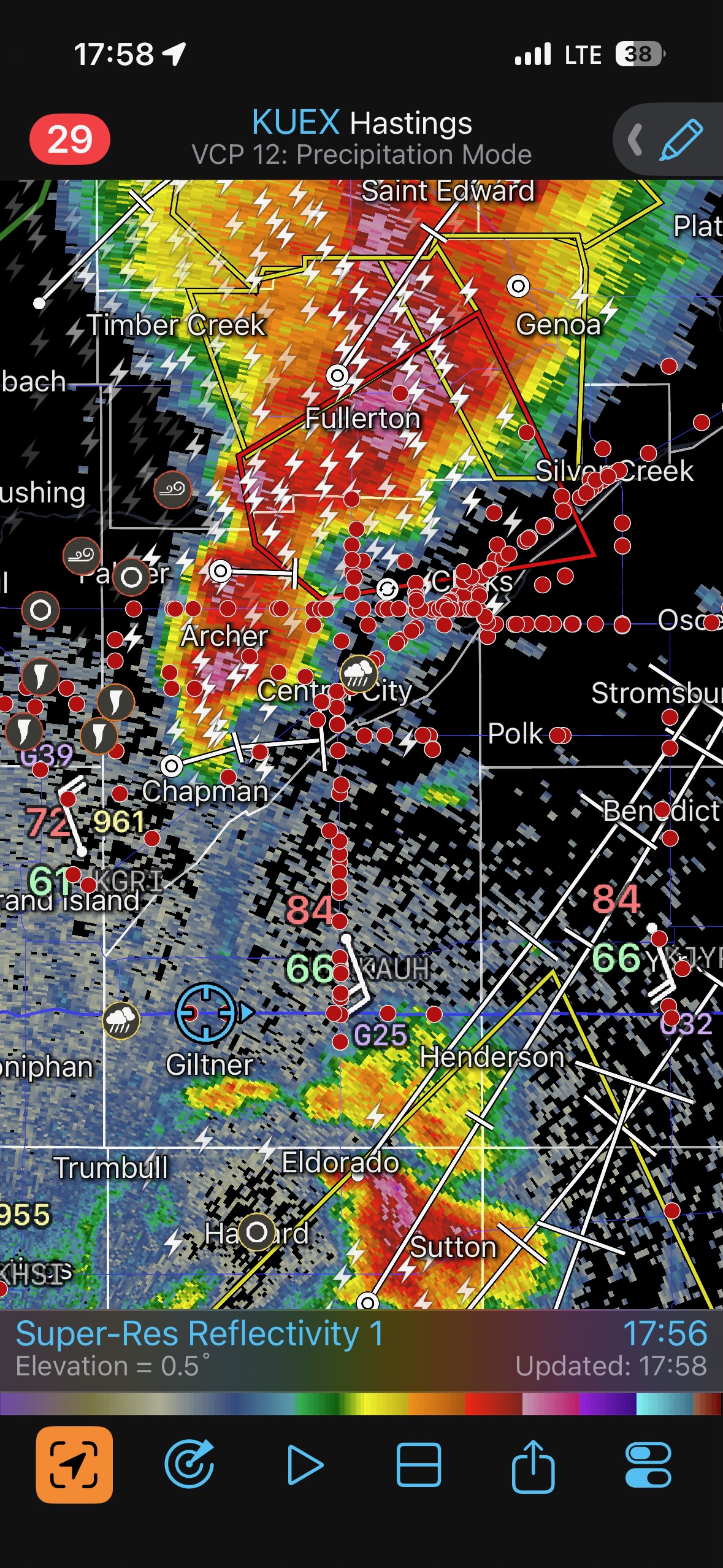
I took a radar screenshot at 5:06 p.m. CDT. The St. Libory tornado had formed only a minute or two prior, to the west or northwest of the town a couple of miles. The radar shot shows our location on Highway 58, halfway between St. Libory and Dannebrog (about five miles from St. Libory). The tornado could not have been more than five miles to our east or ENE, but we were looking through too much hook-echo precipitation! I never got a glimpse of the St. Libory tornado, despite it persisting for about ten minutes. The delay due to the hail and the extra few minutes to get around Dannebrog made the difference. I include three shots through a blurry windshield taken around 5:10 p.m. CDT, looking eastward down 58 right to where the tornado was in progress. Nothing to see here!
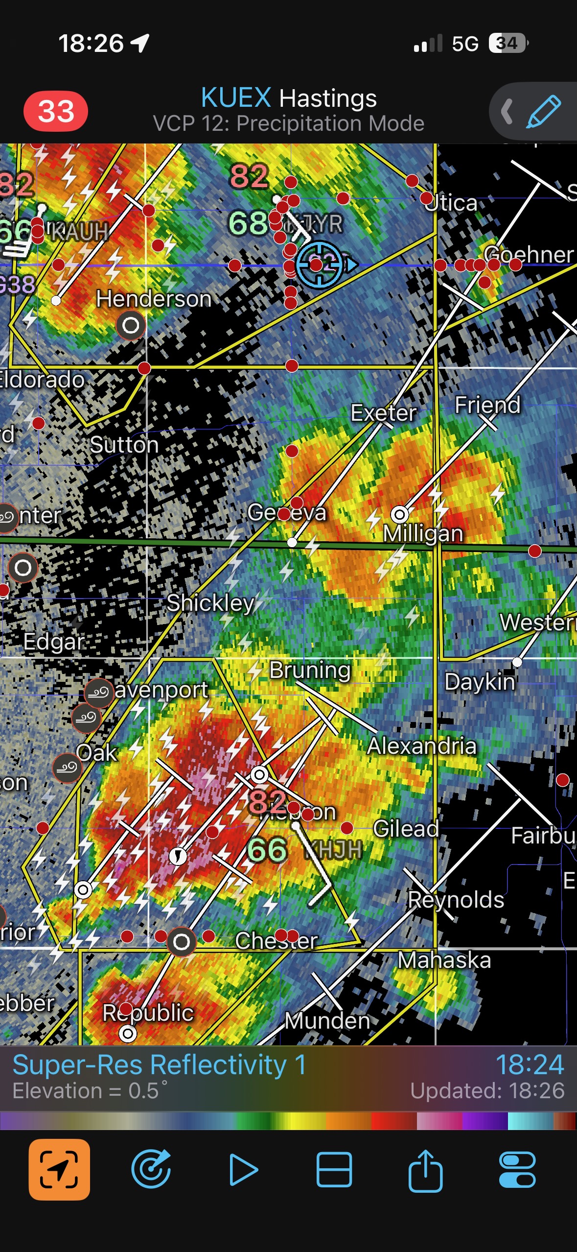
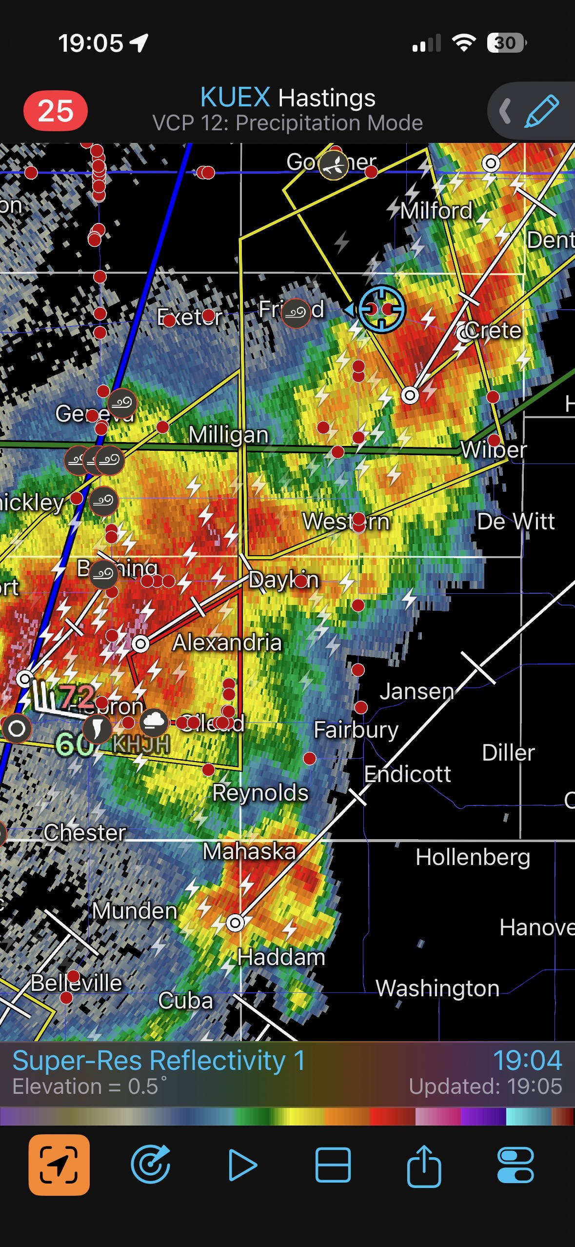
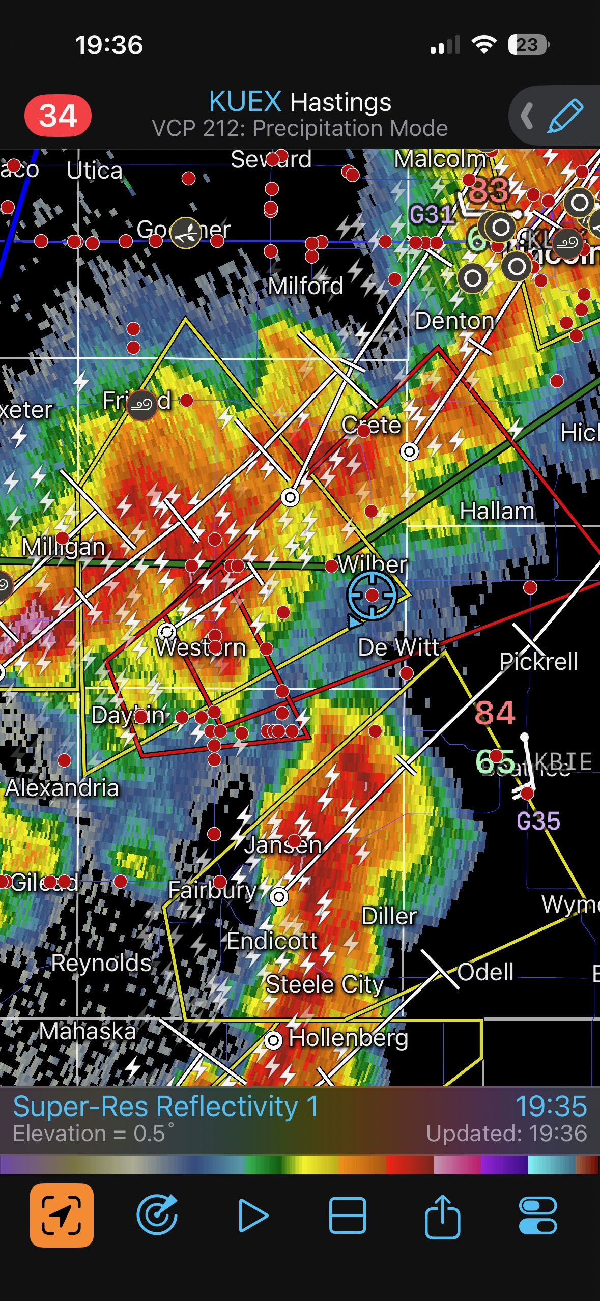
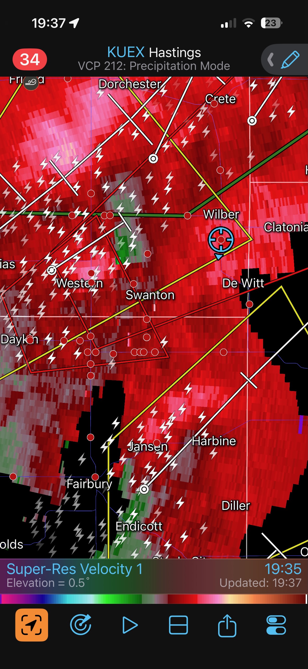
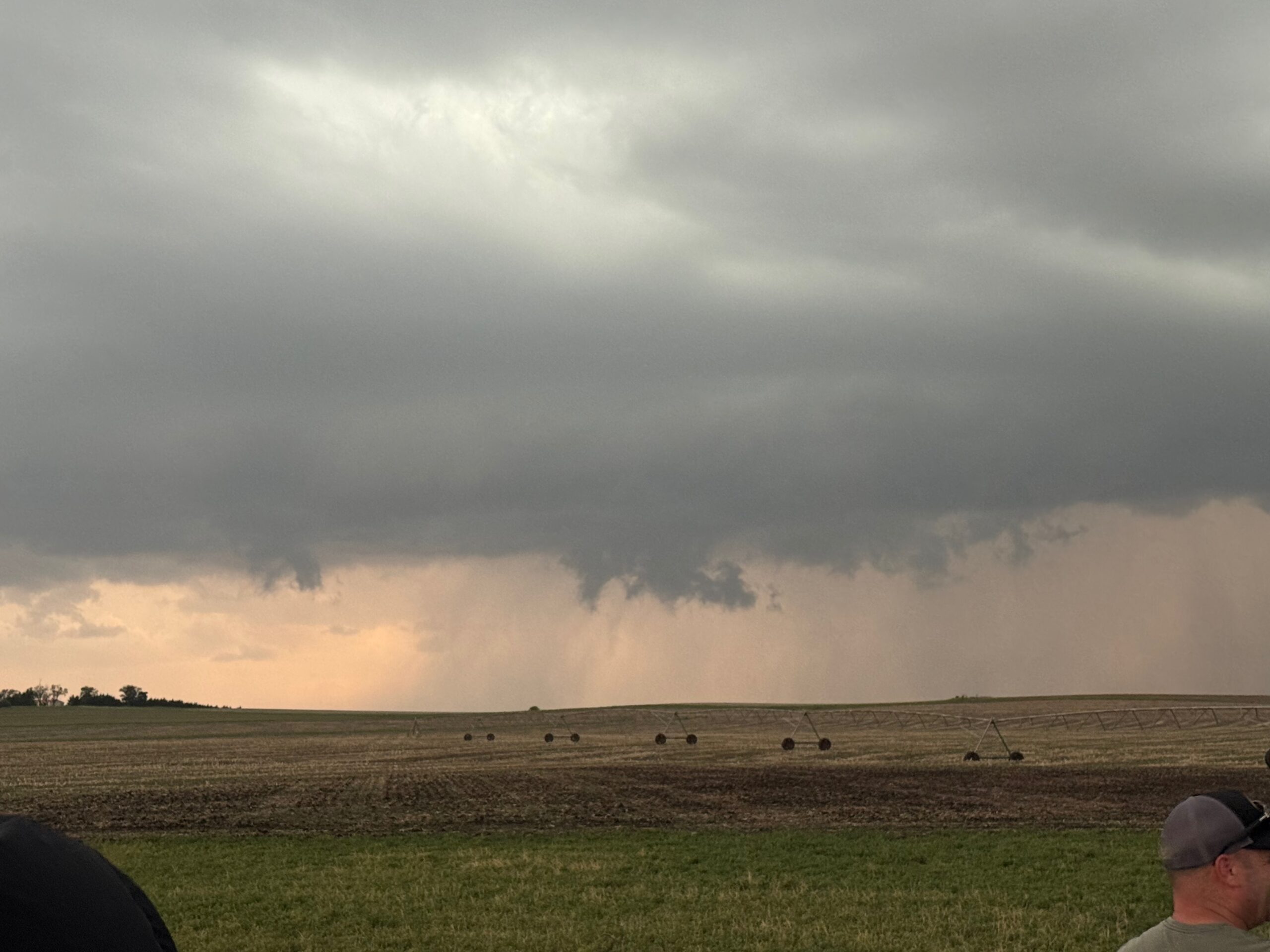
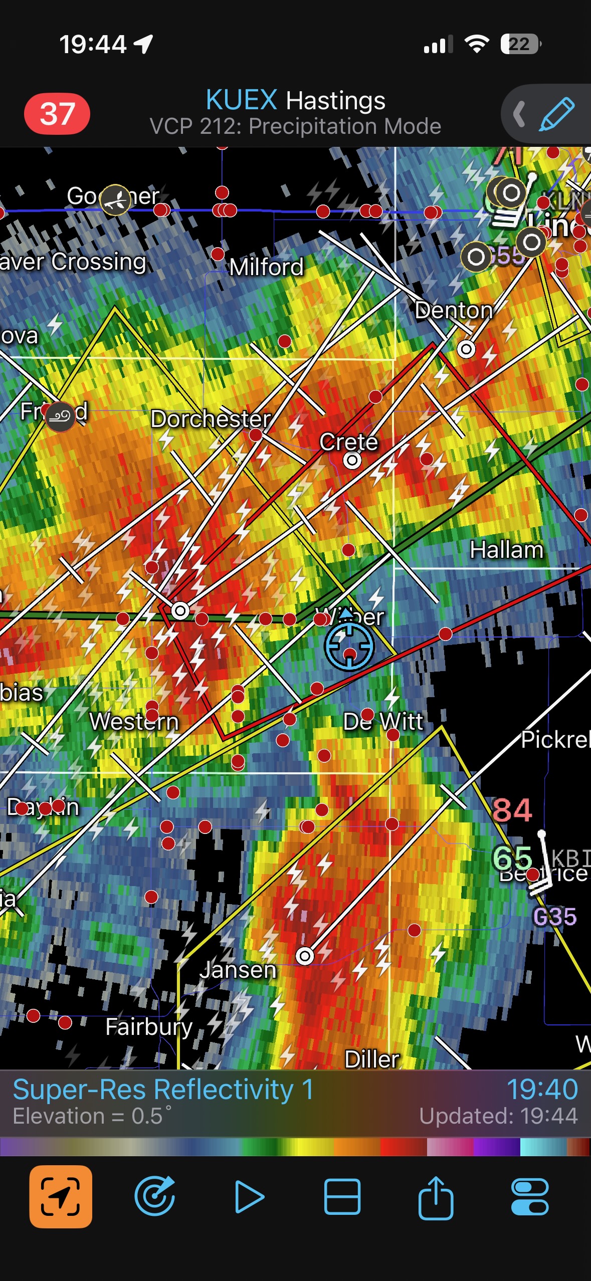
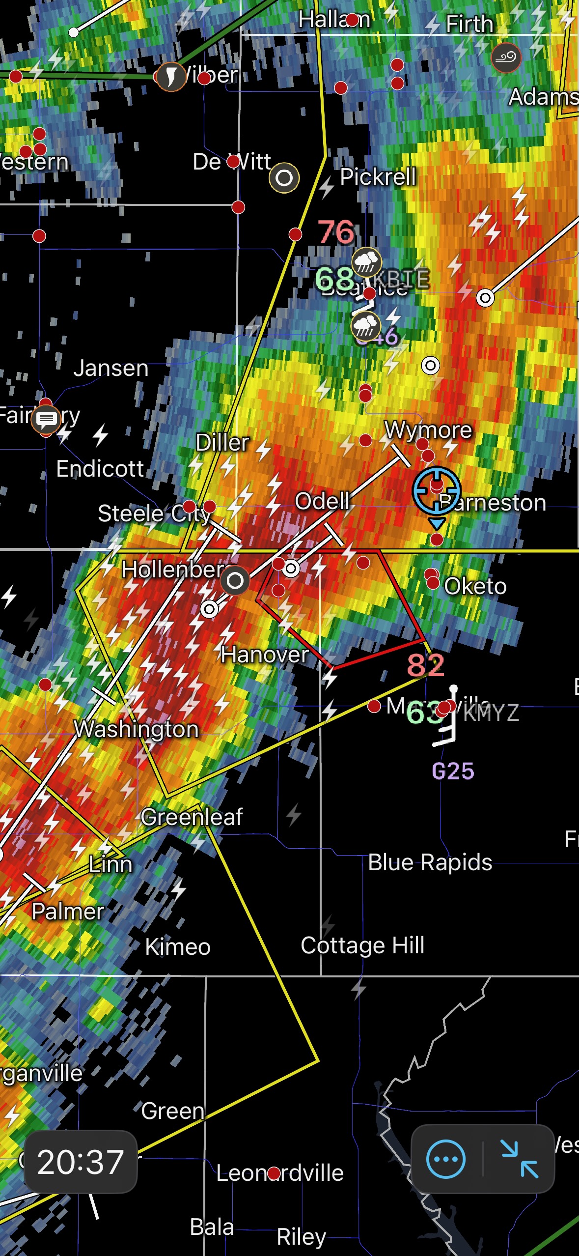
Our chance to observe a tornado had come and gone. We dropped south to I-80 and tried to get in front of another tornado-warned storm near Hebron, but were unable to get in position in time. The St. Libory storm had become a rain-wrapped mess, other storms merged together, and it was a wet, linear junkfest for the remainder of the chase. We did manage a glimpse or two at a base with a lowering near Wilbur.
It is easy to know what to do in retrospect! We were not far at all from an EF3 tornado which lasted for 10 minutes. But that is how chasing goes from time-to-time. You take your chance when you think the time is right and hope it works out. Sometimes the patient game is the way to go, and sometimes the patient game leaves you wishing that you had been aggressive a little earlier in the chase. On the following chase day I was REALLY patient, and it worked out!
Leave a Reply
You must be logged in to post a comment.