
Begin: Crosby, ND/End: Minot, ND
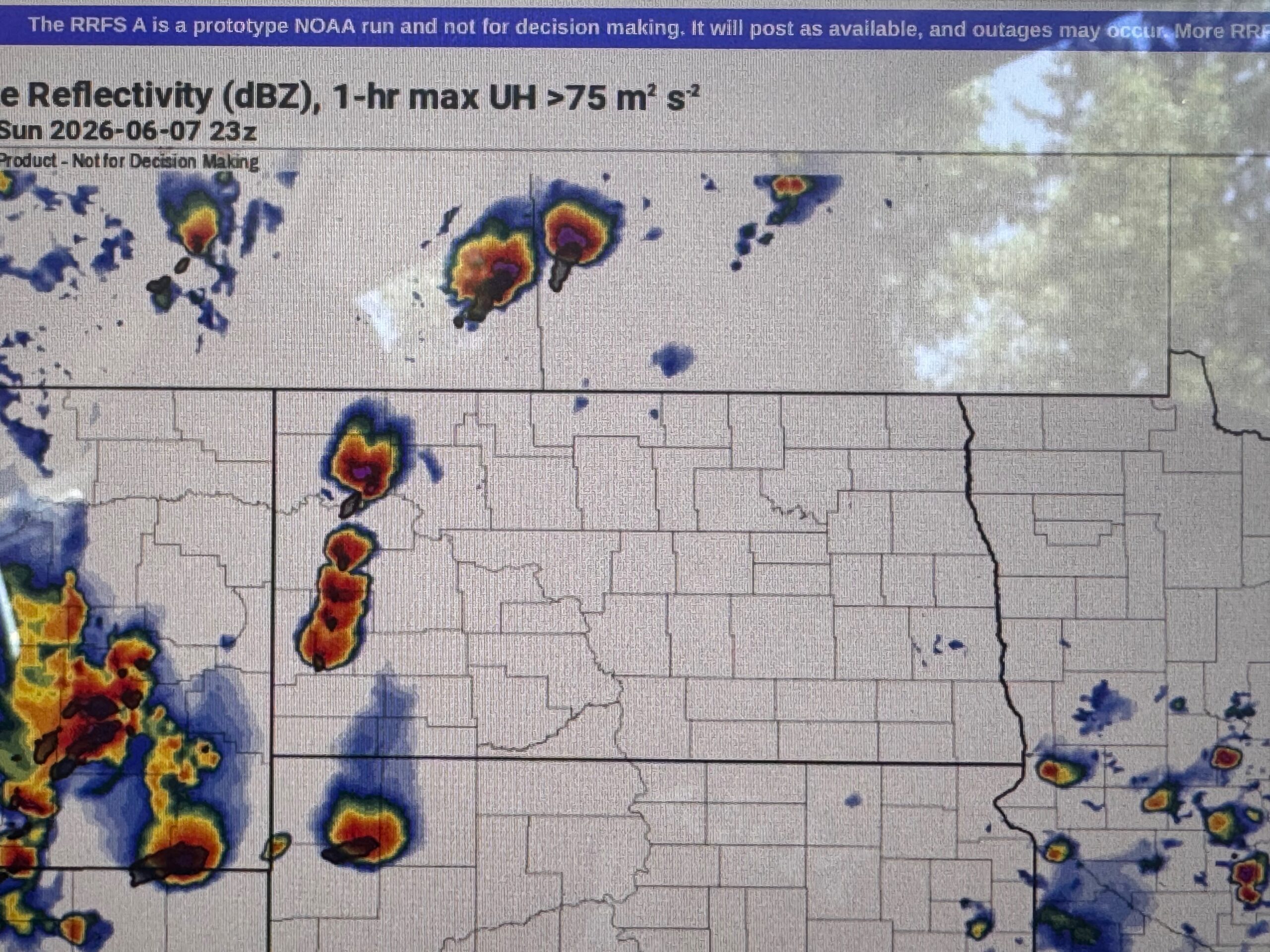
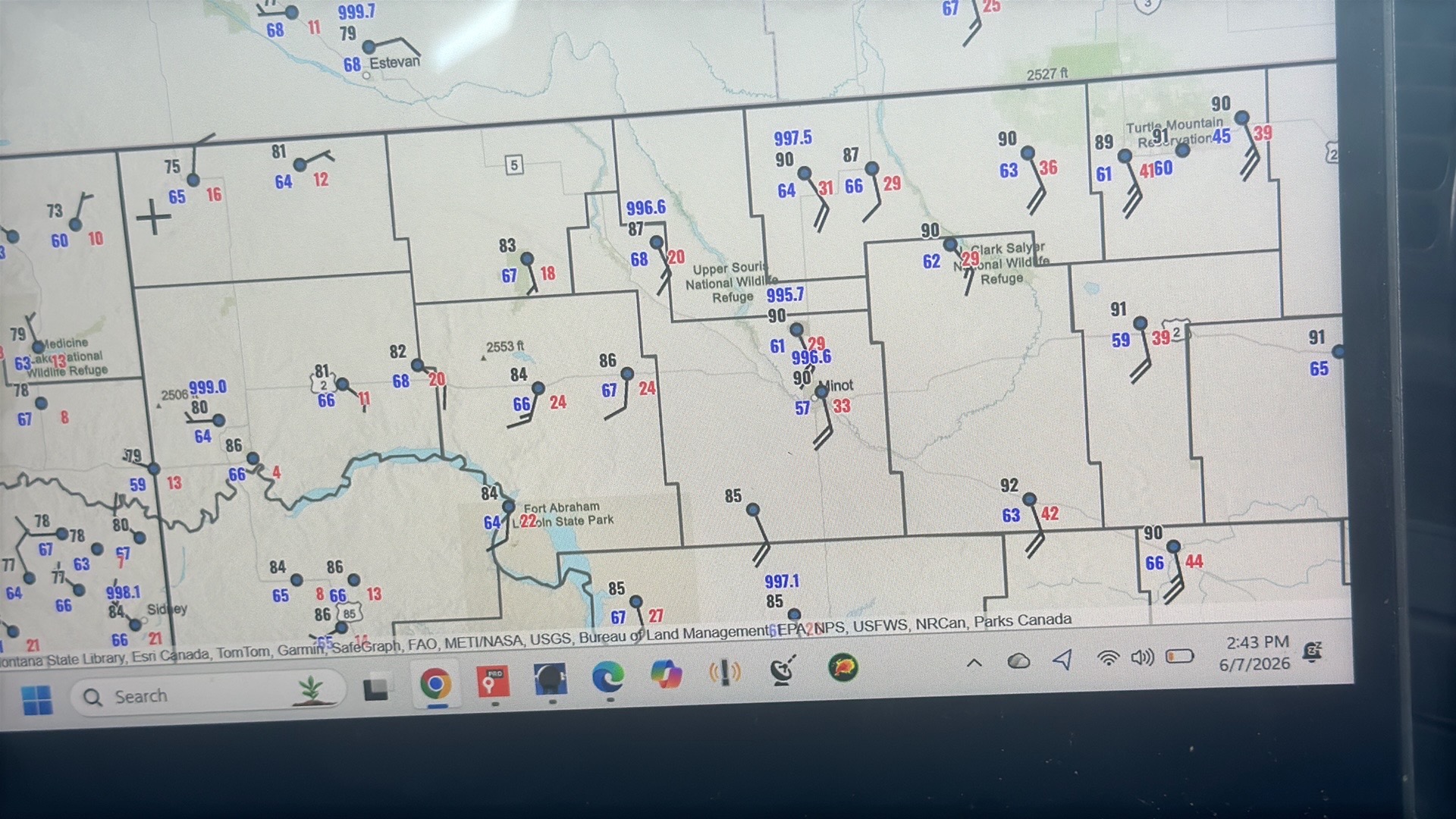
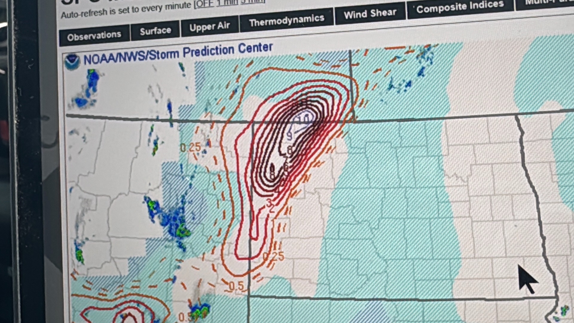
This chase day was advertised to have a swath of strong thunderstorm winds across much of western North Dakota. Most of the group was in SK to start the day.
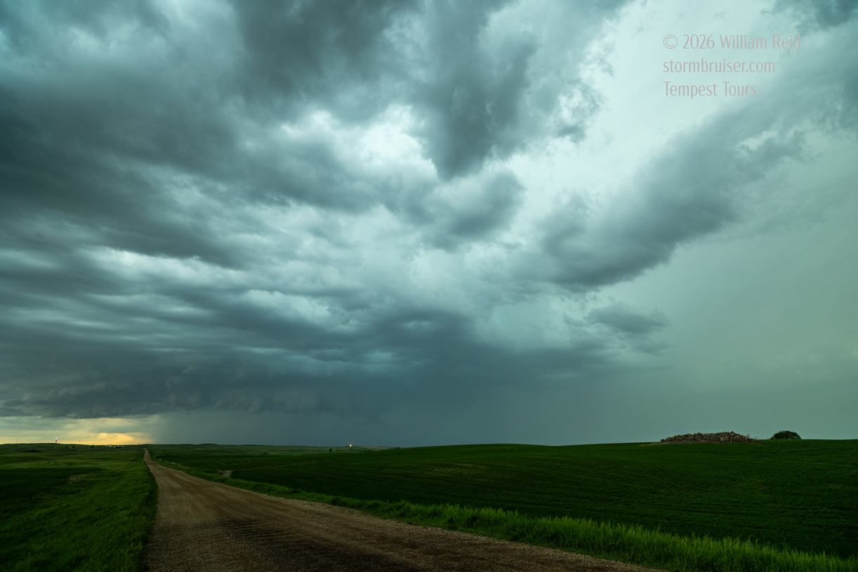
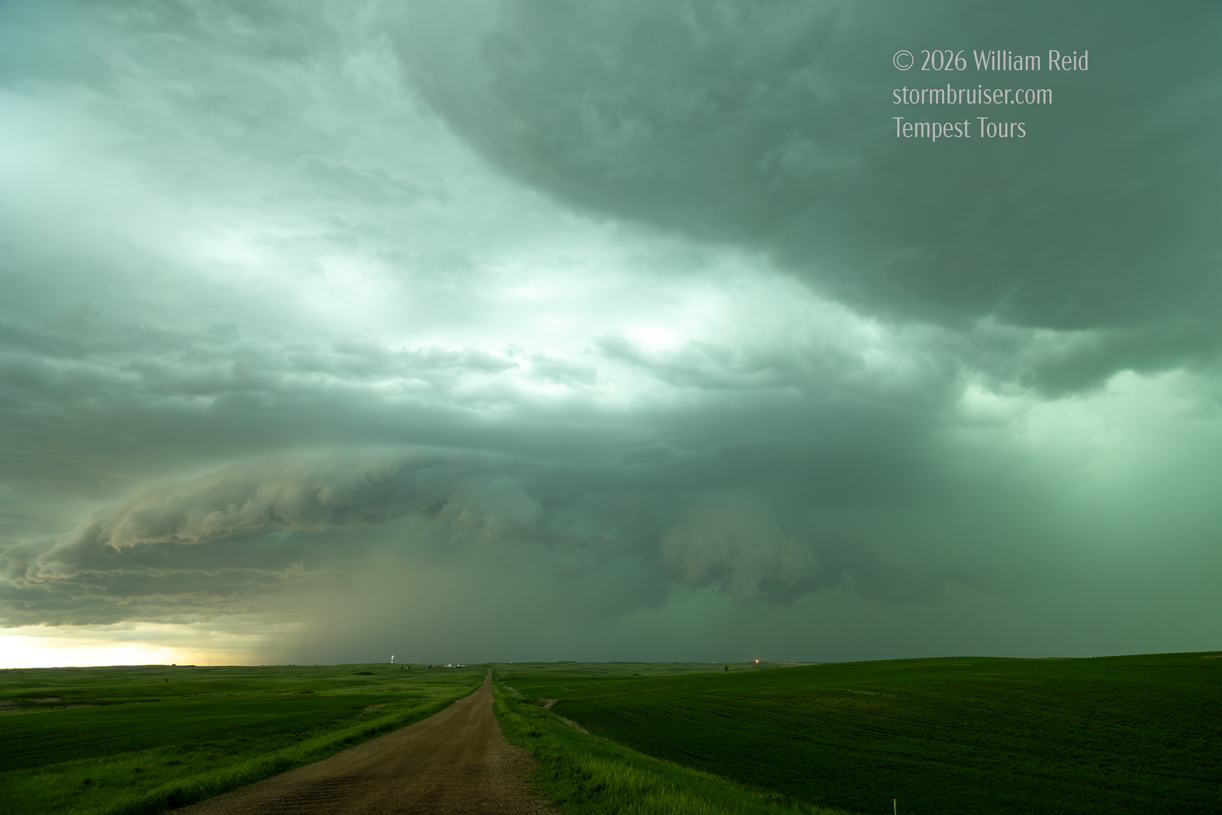
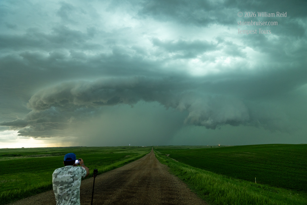
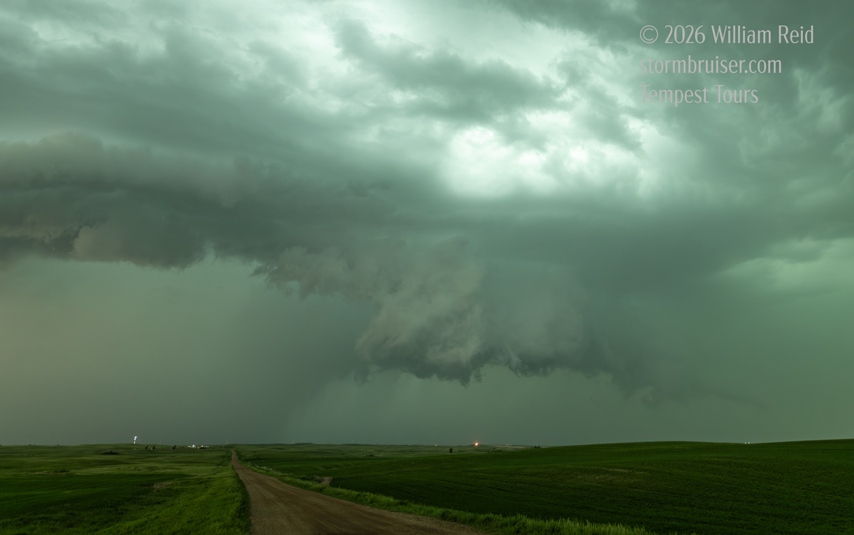
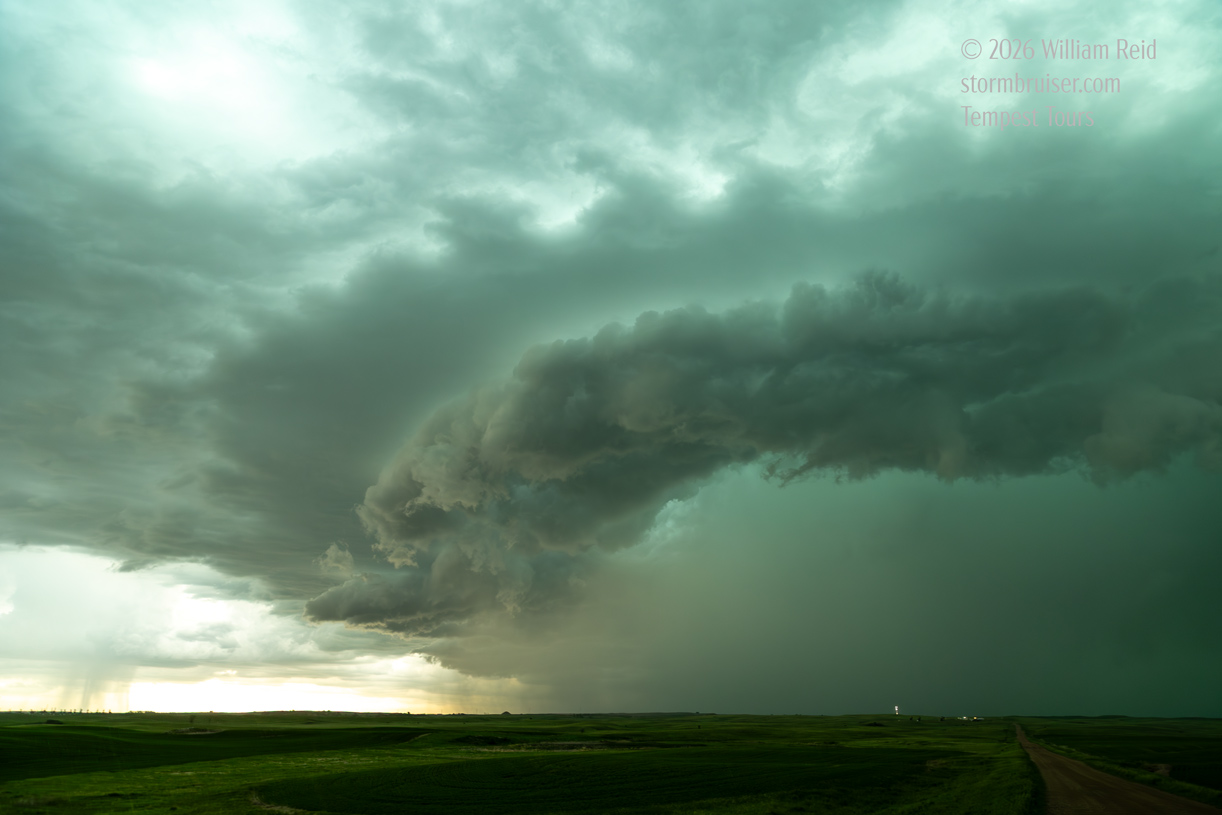
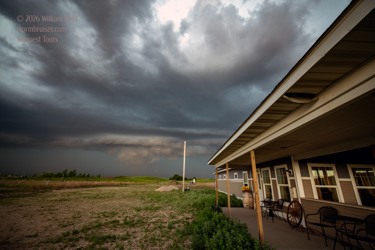
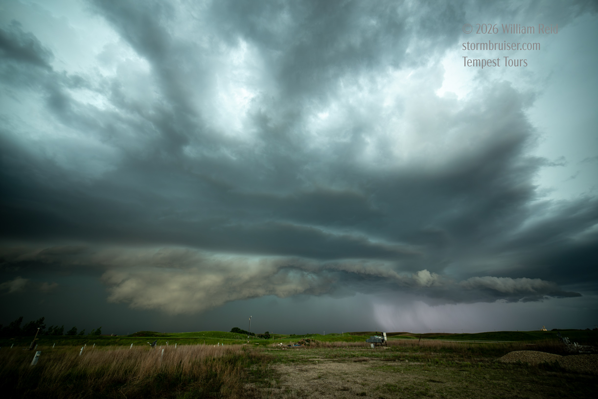
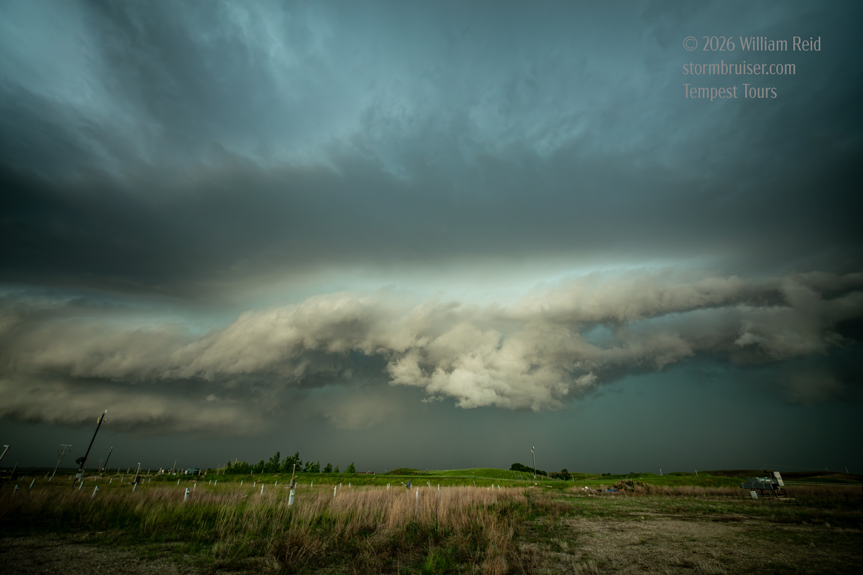
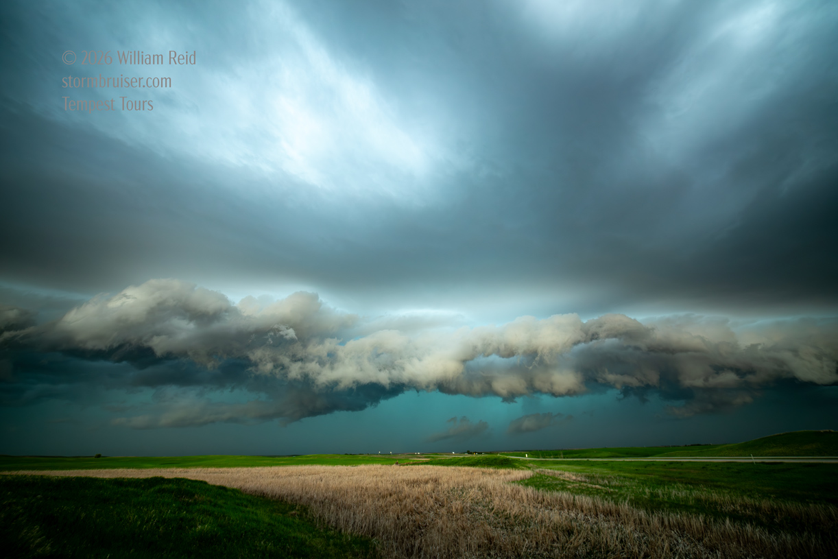
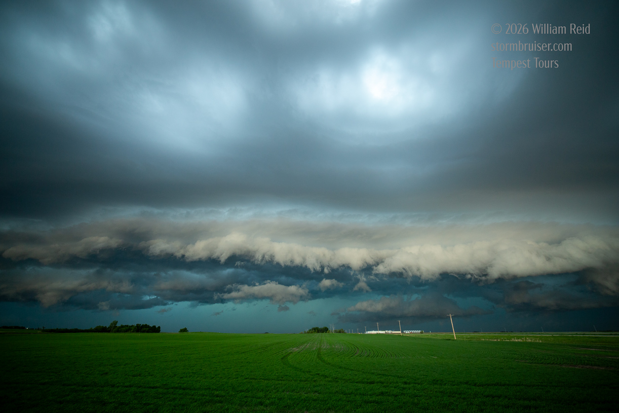
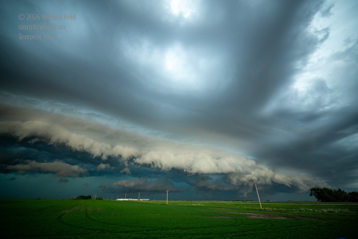
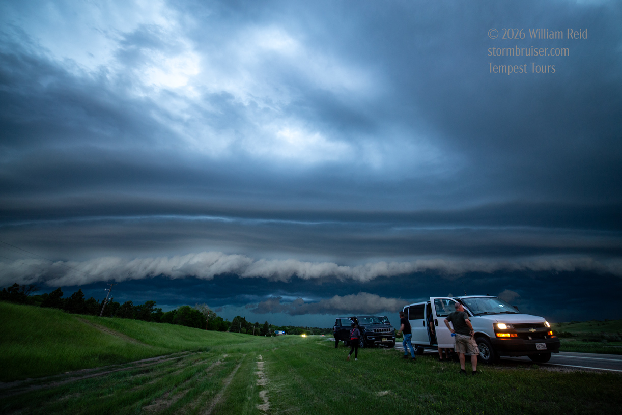
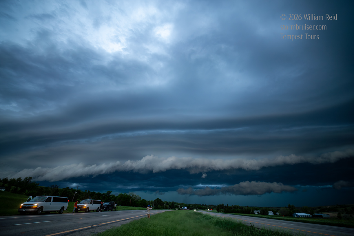
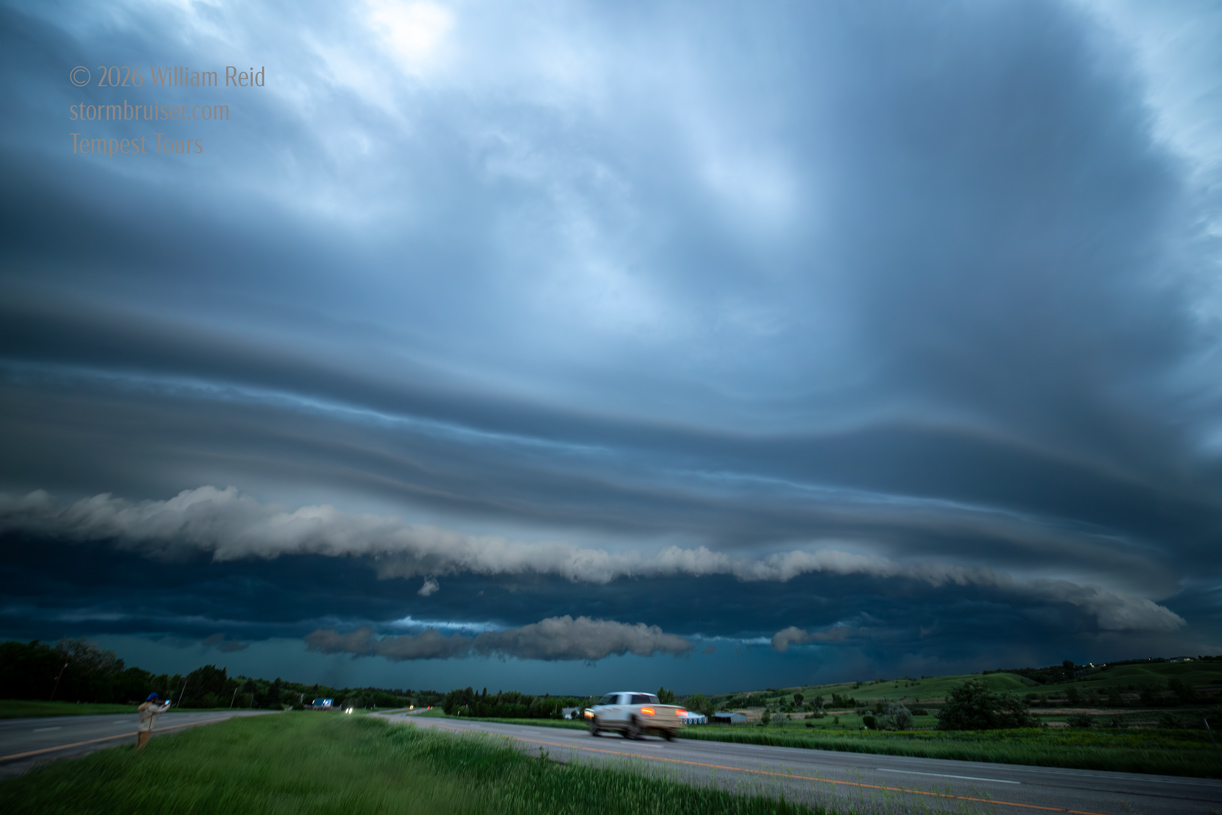
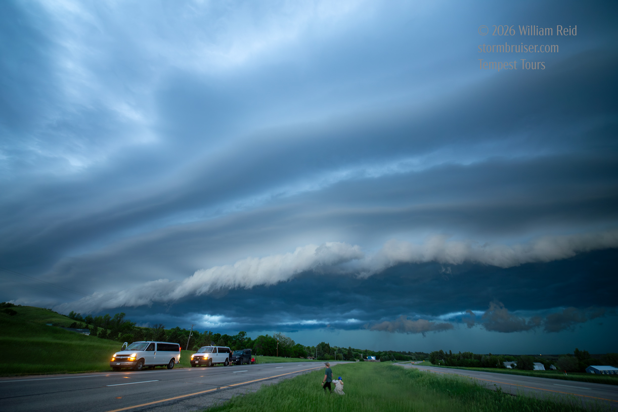
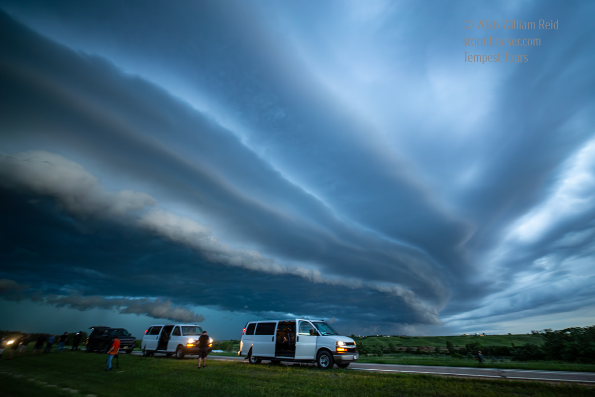
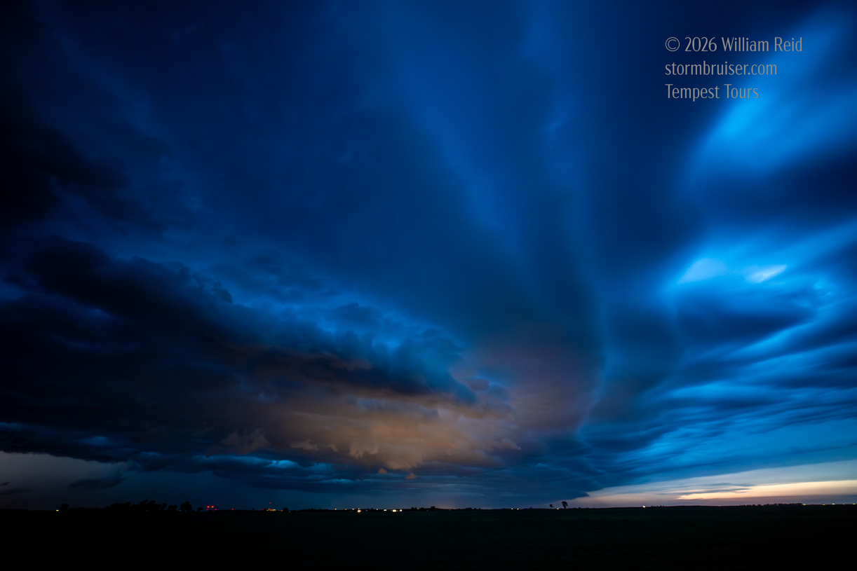
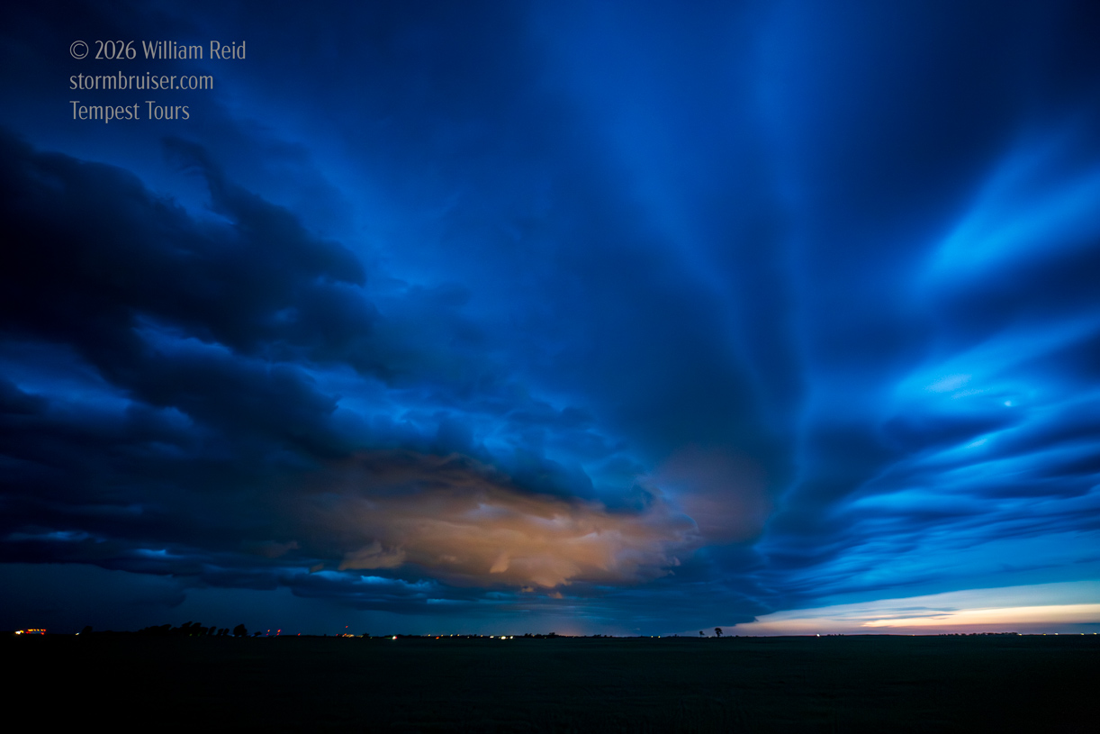
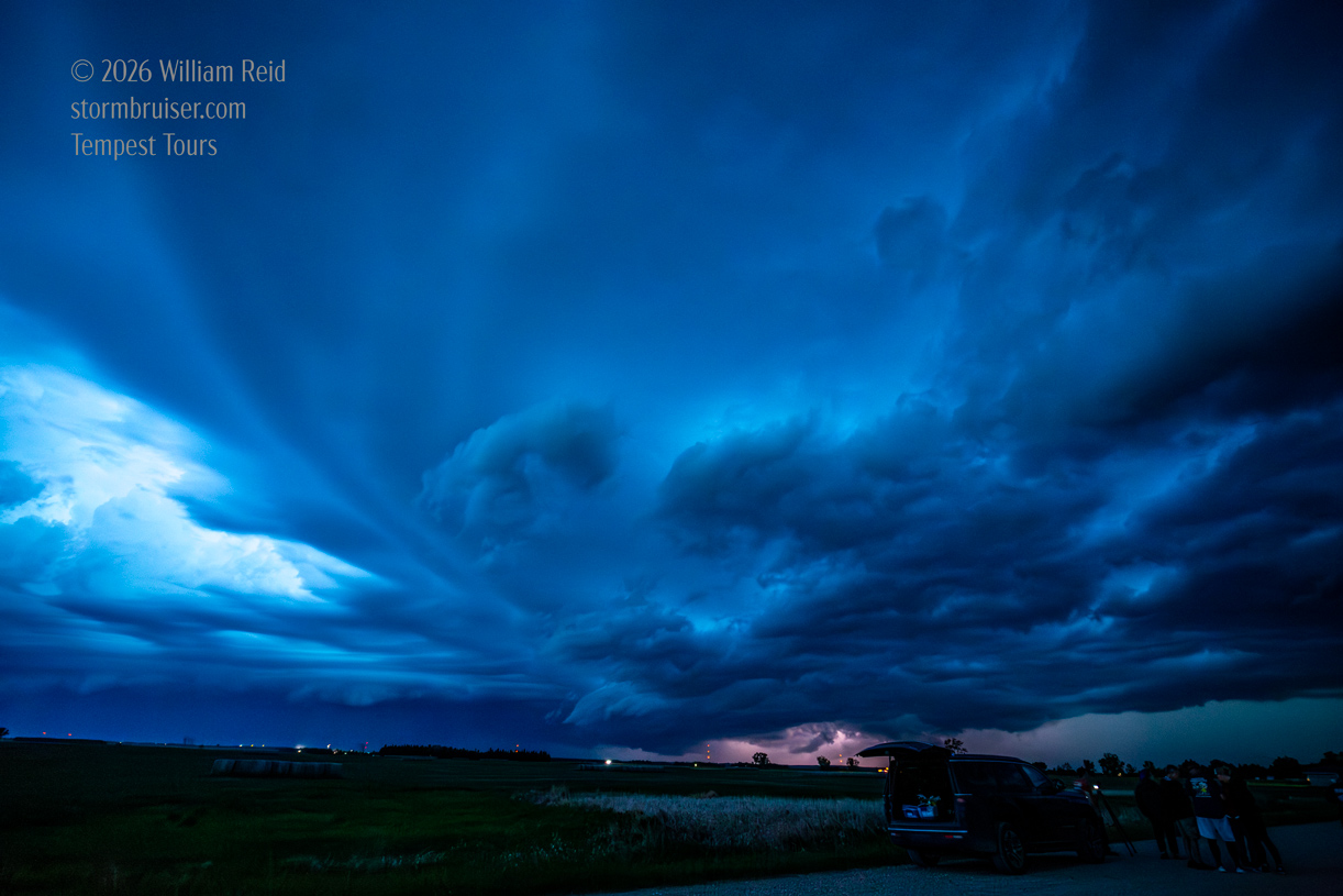
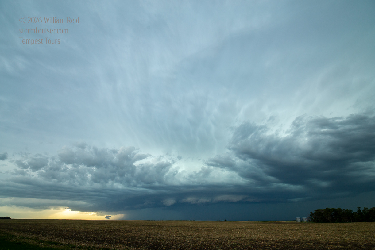
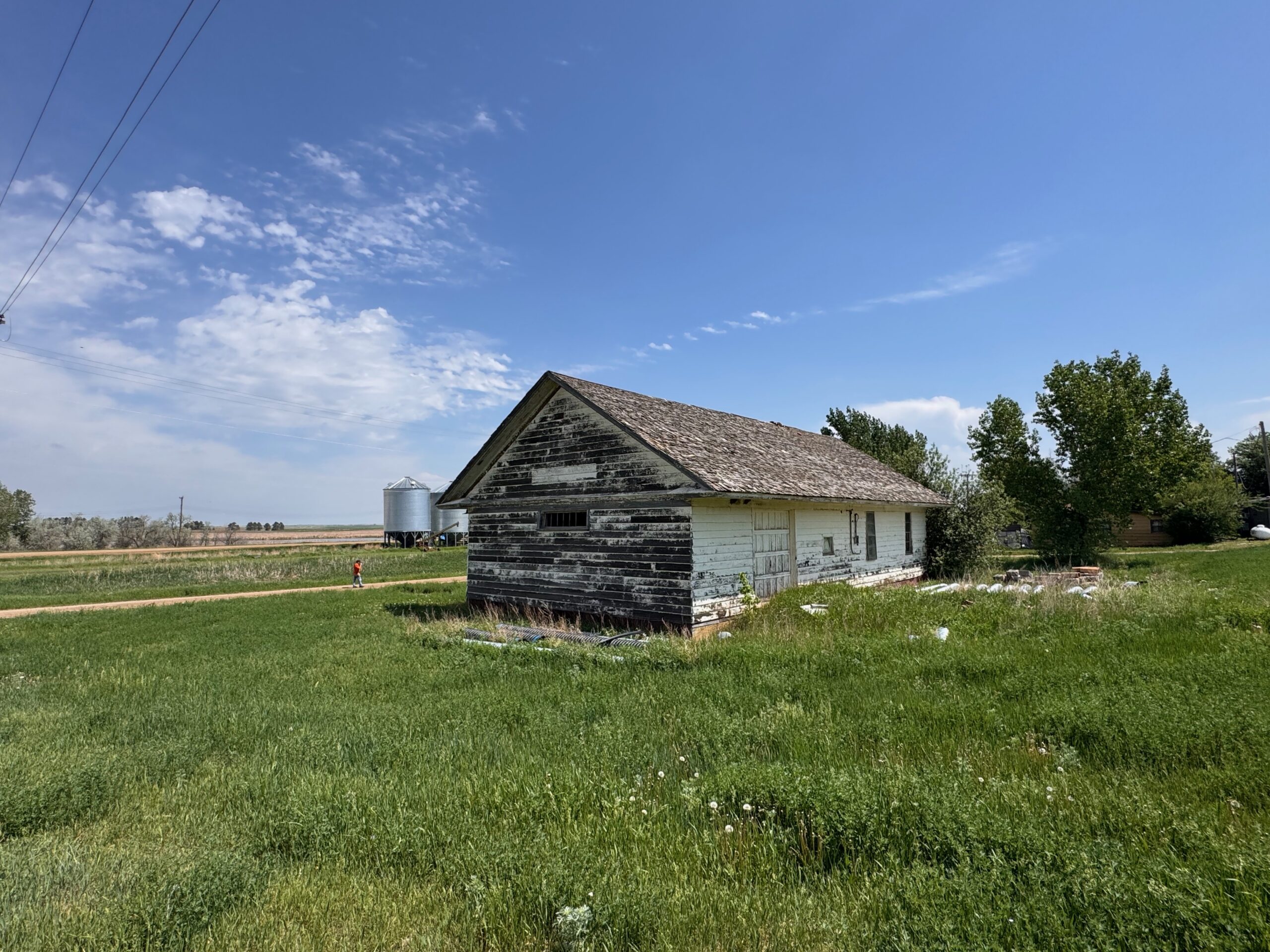
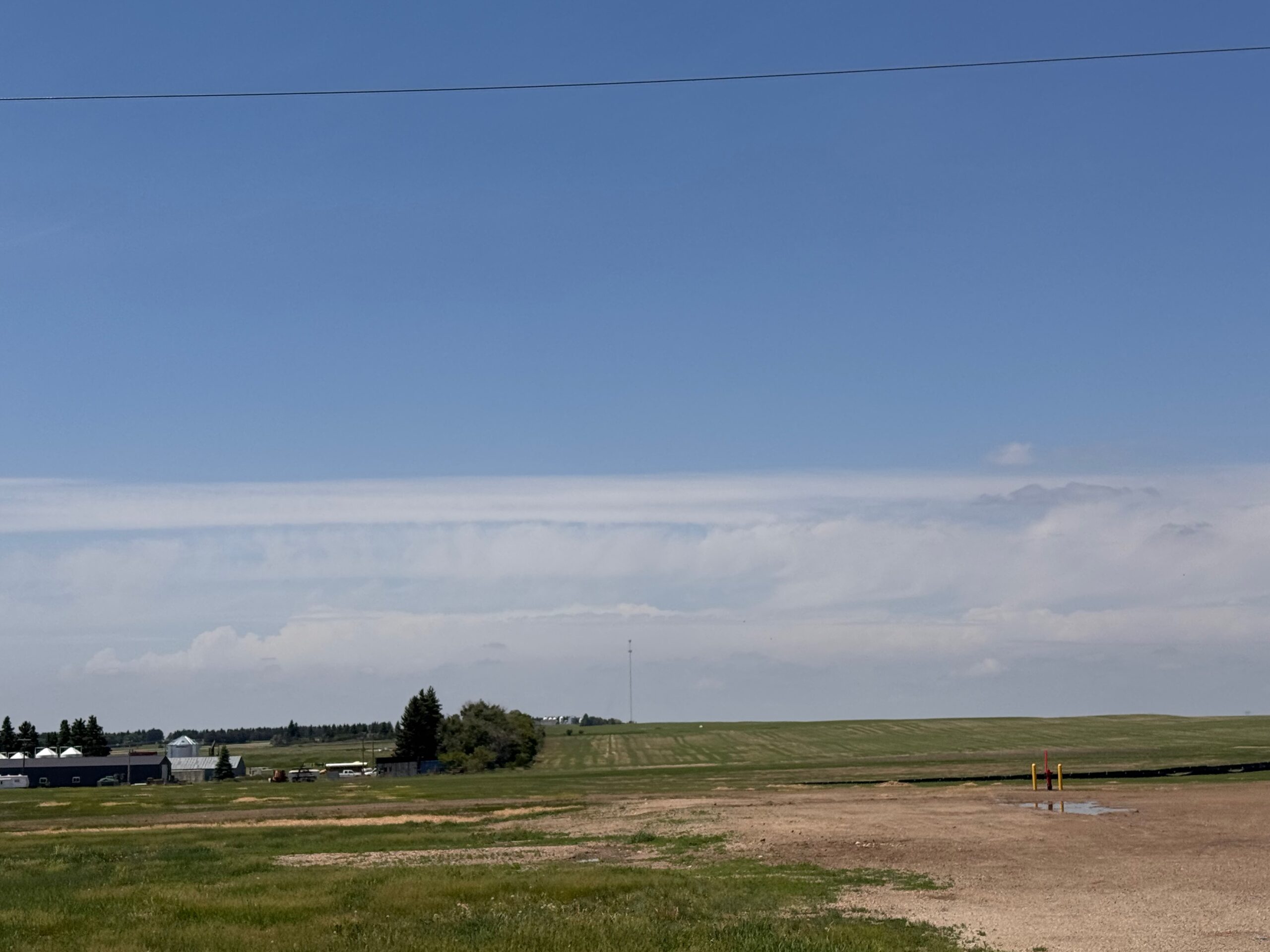
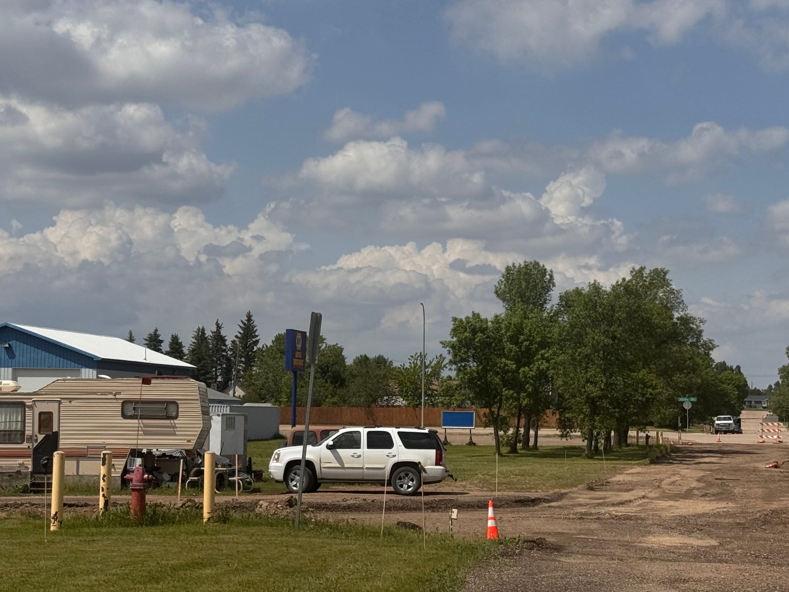
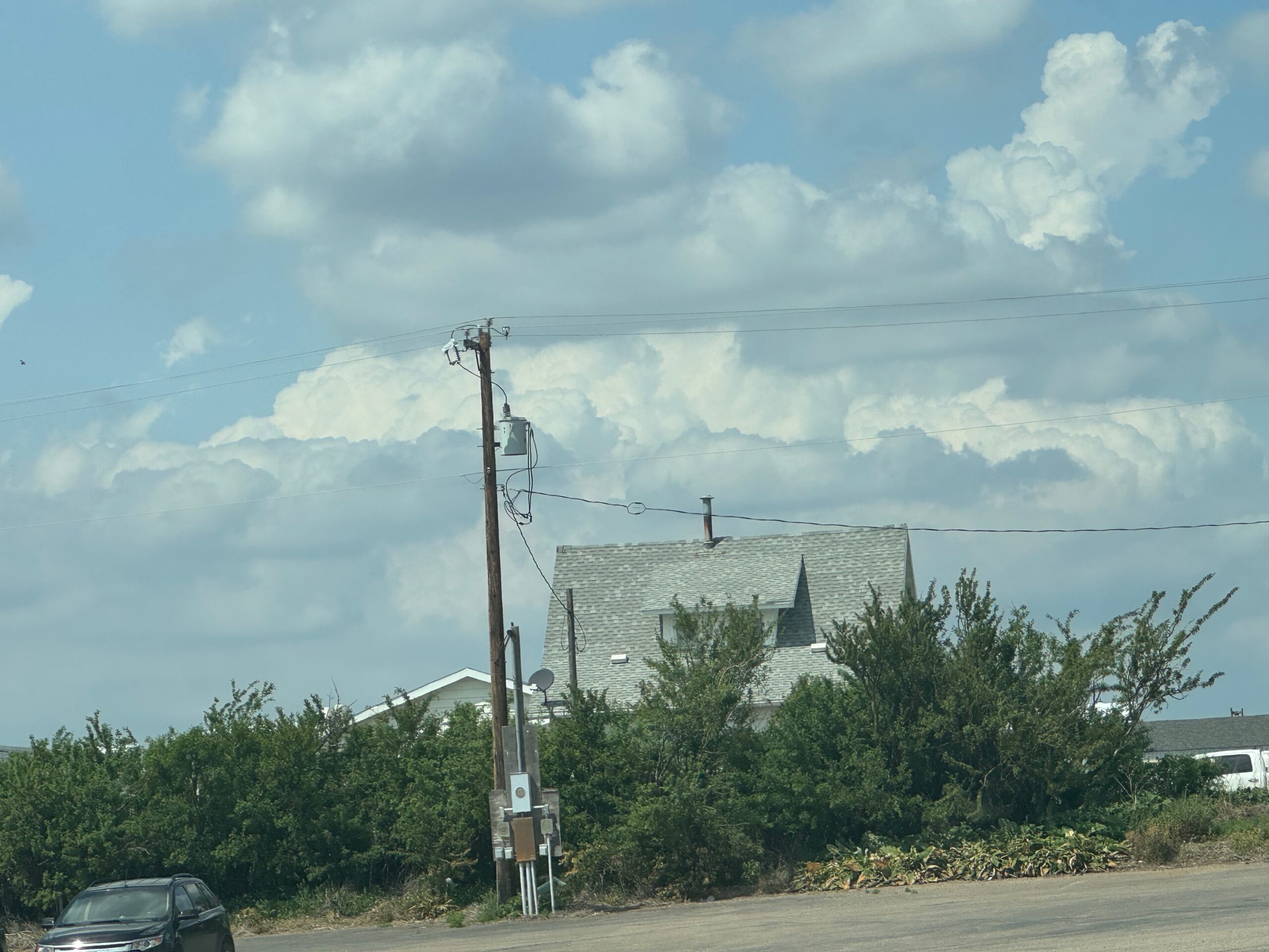
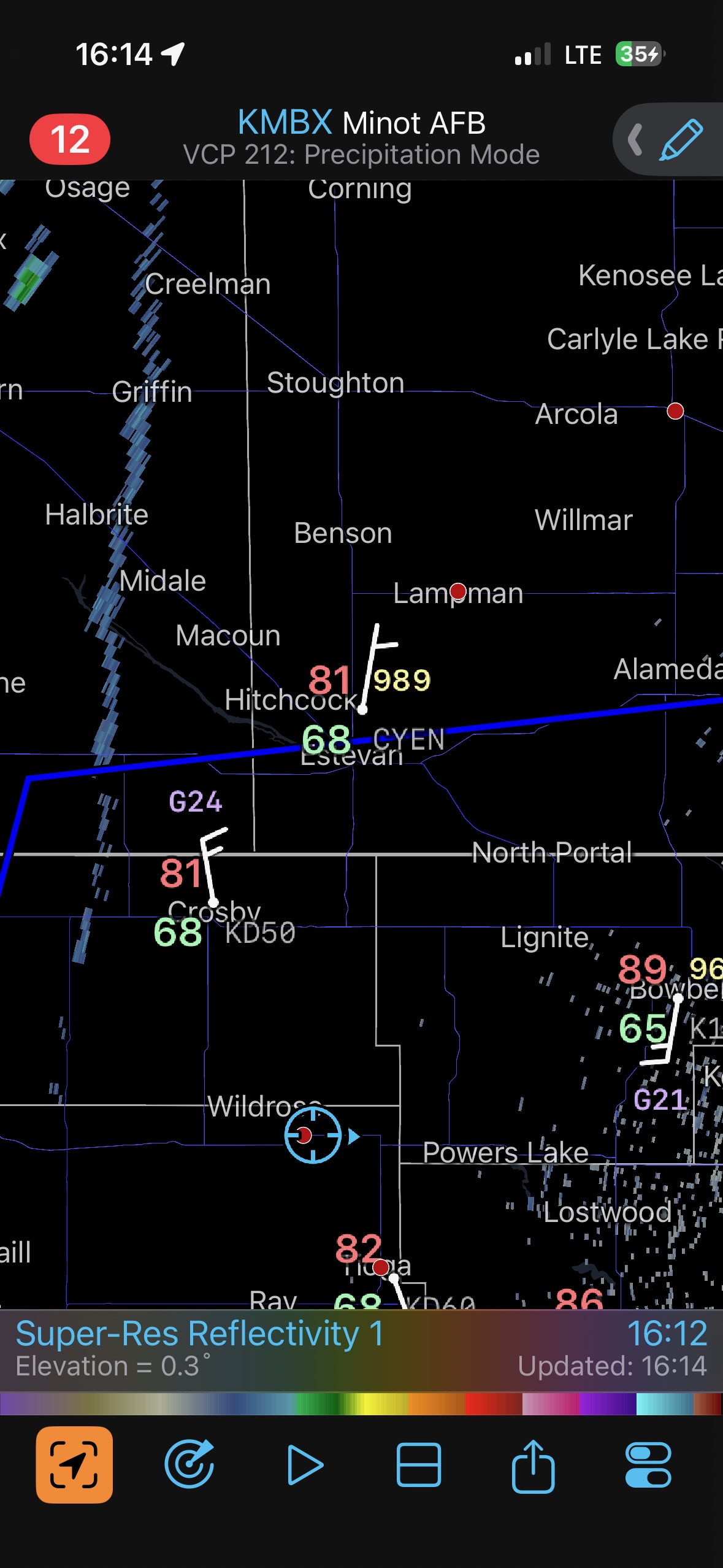
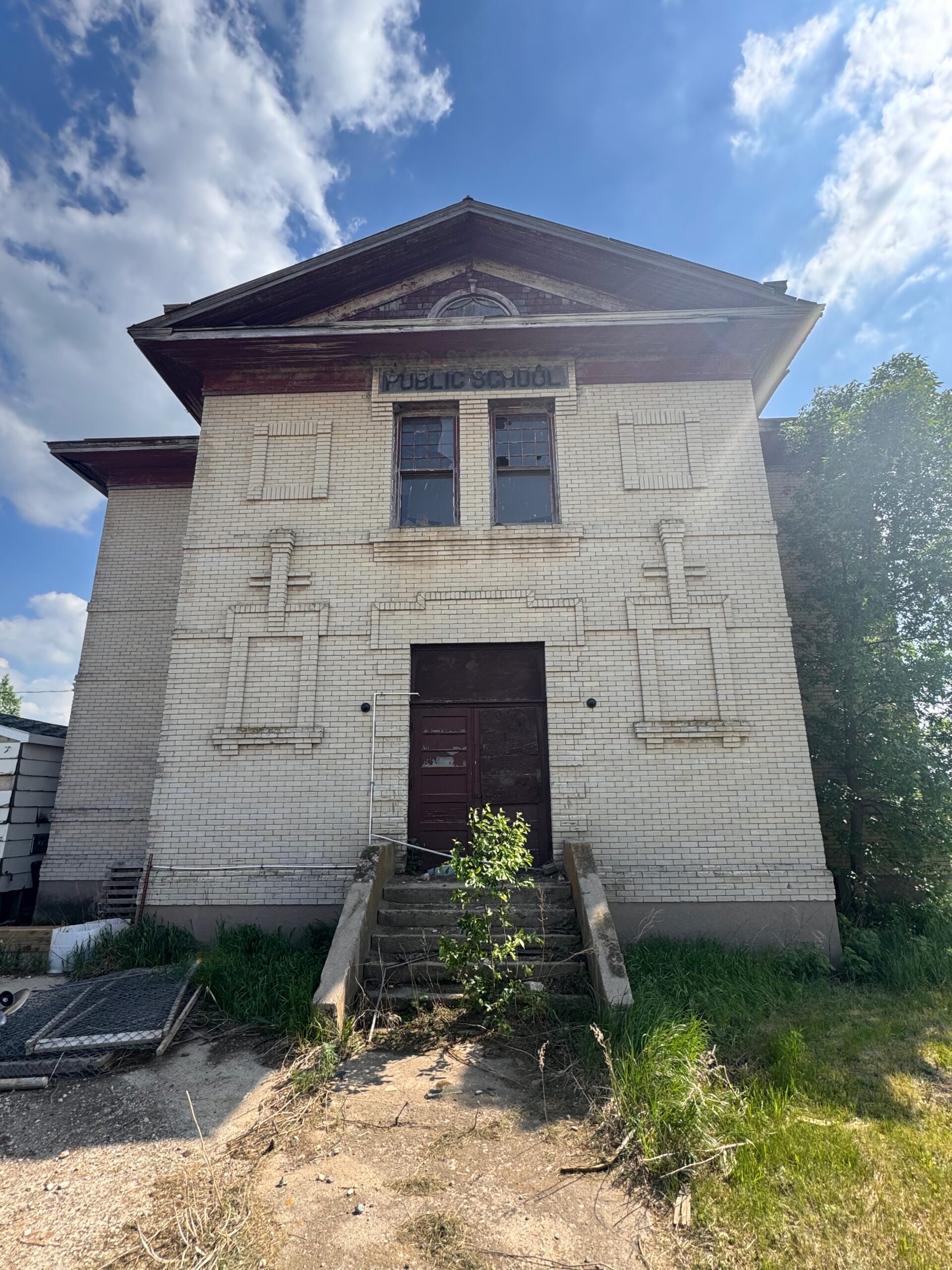
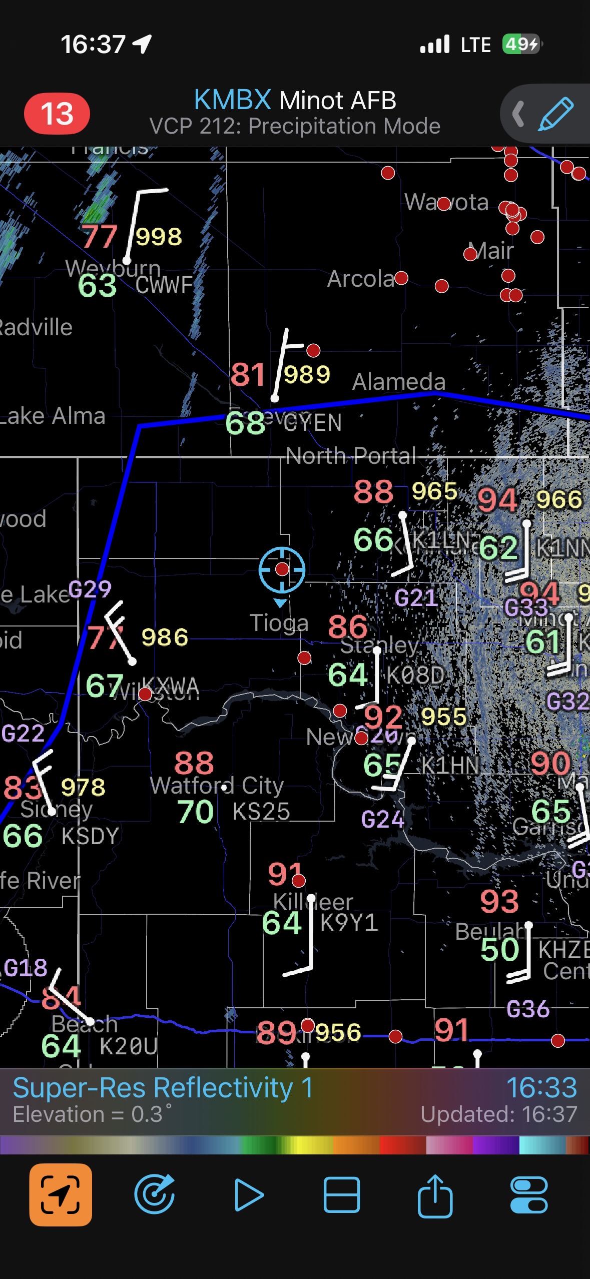
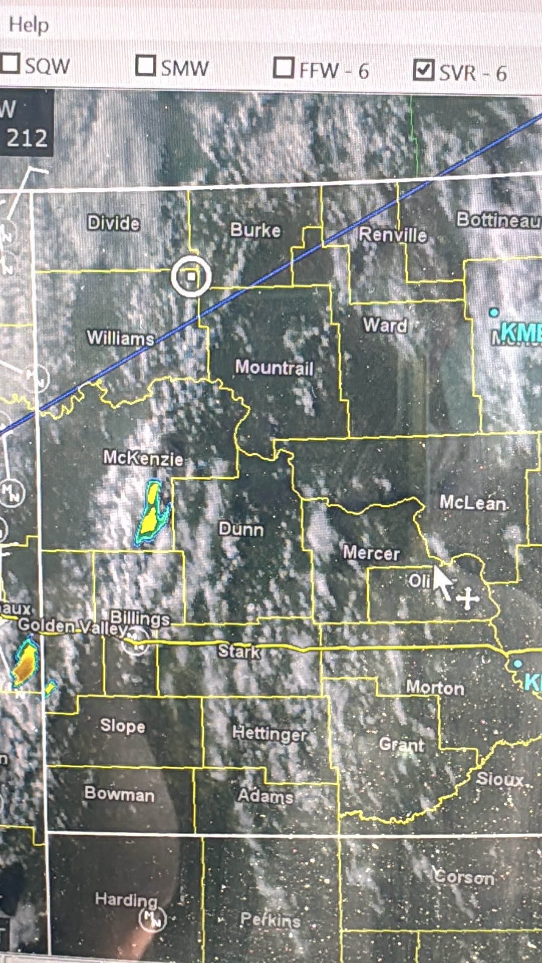
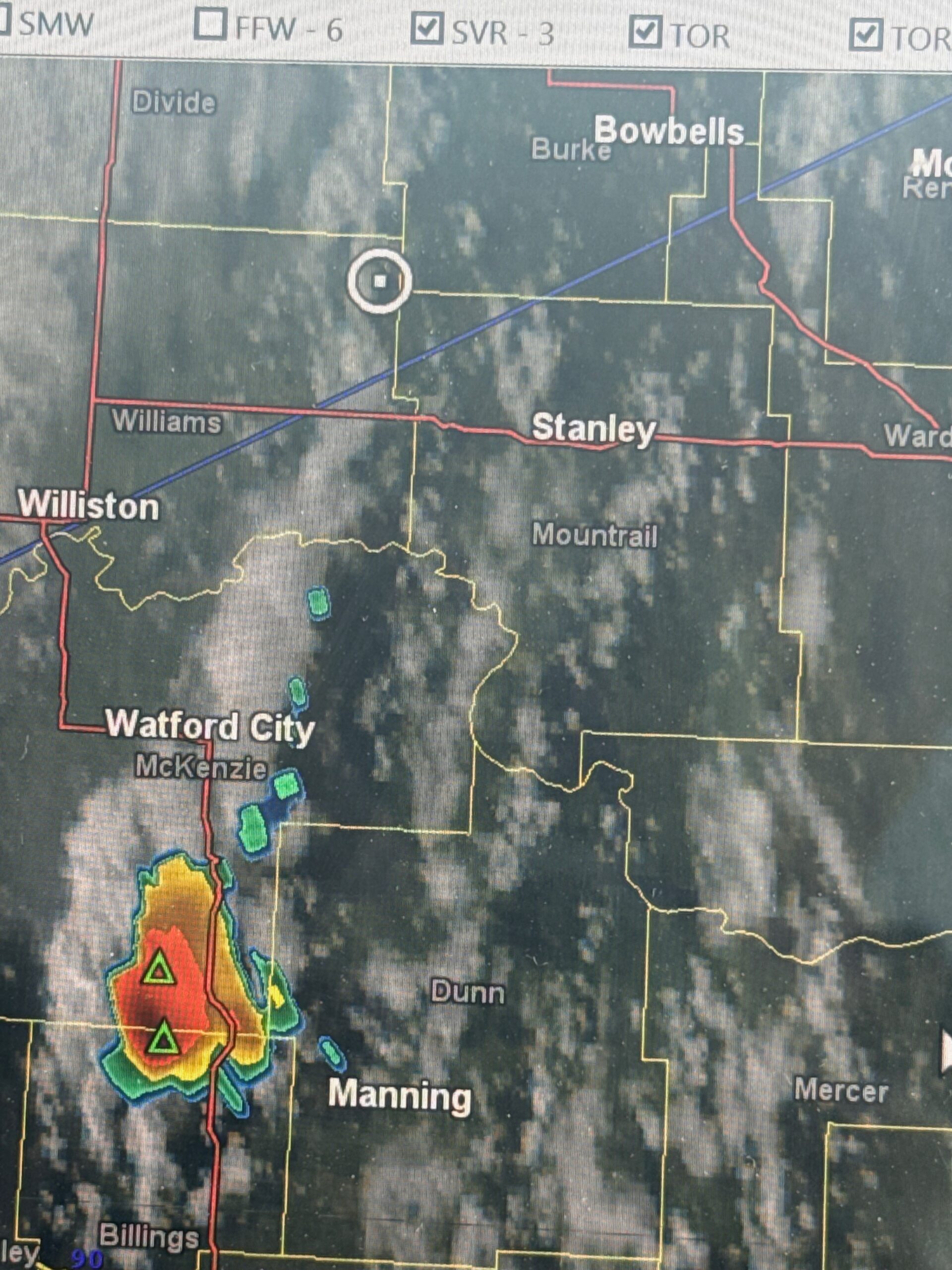
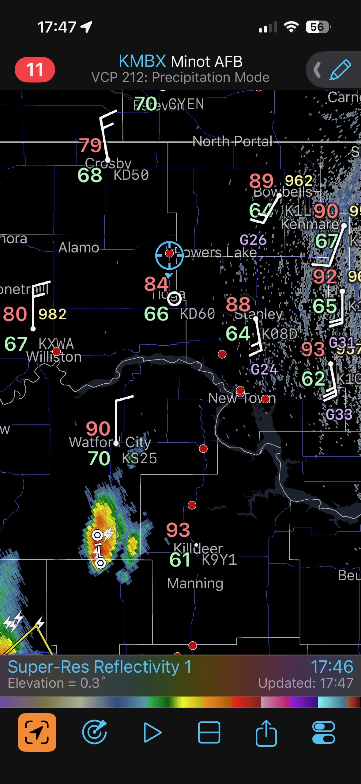
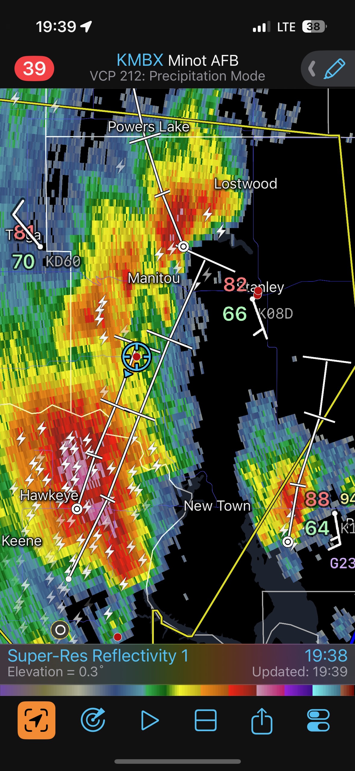
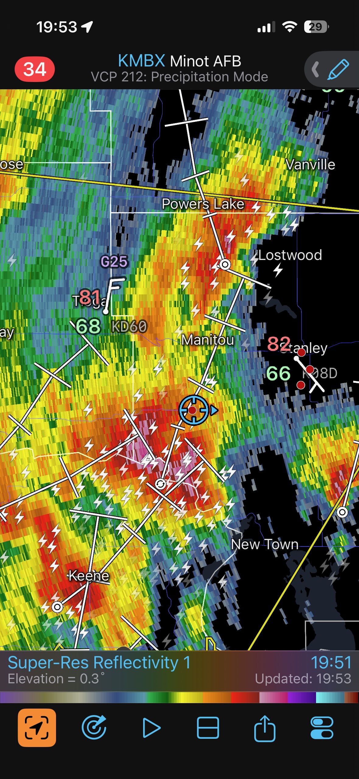
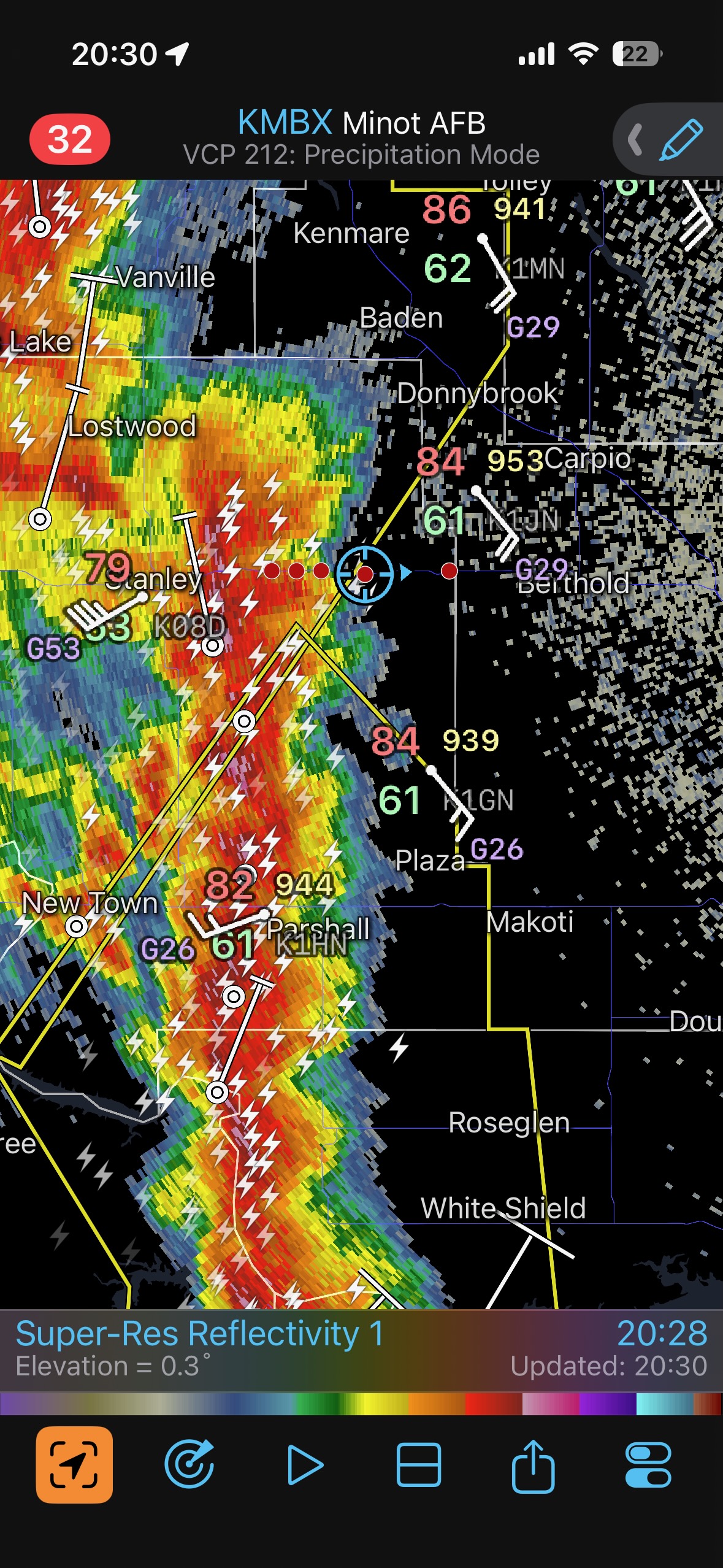
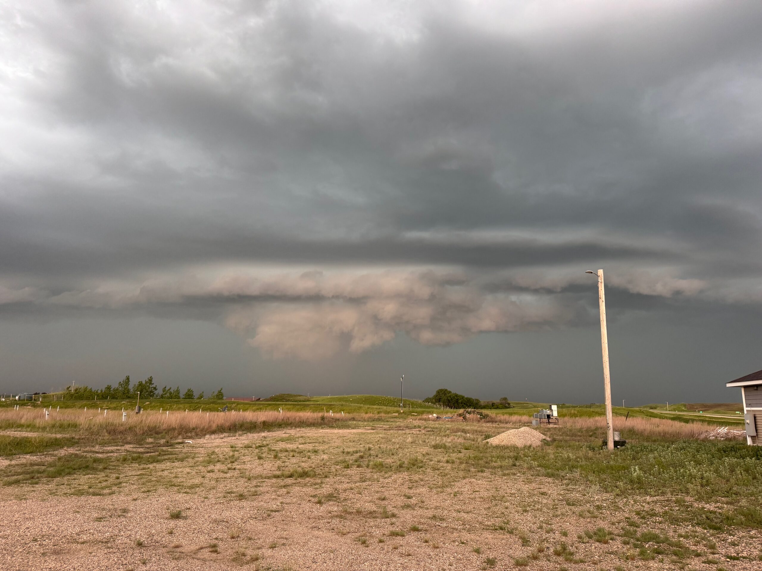
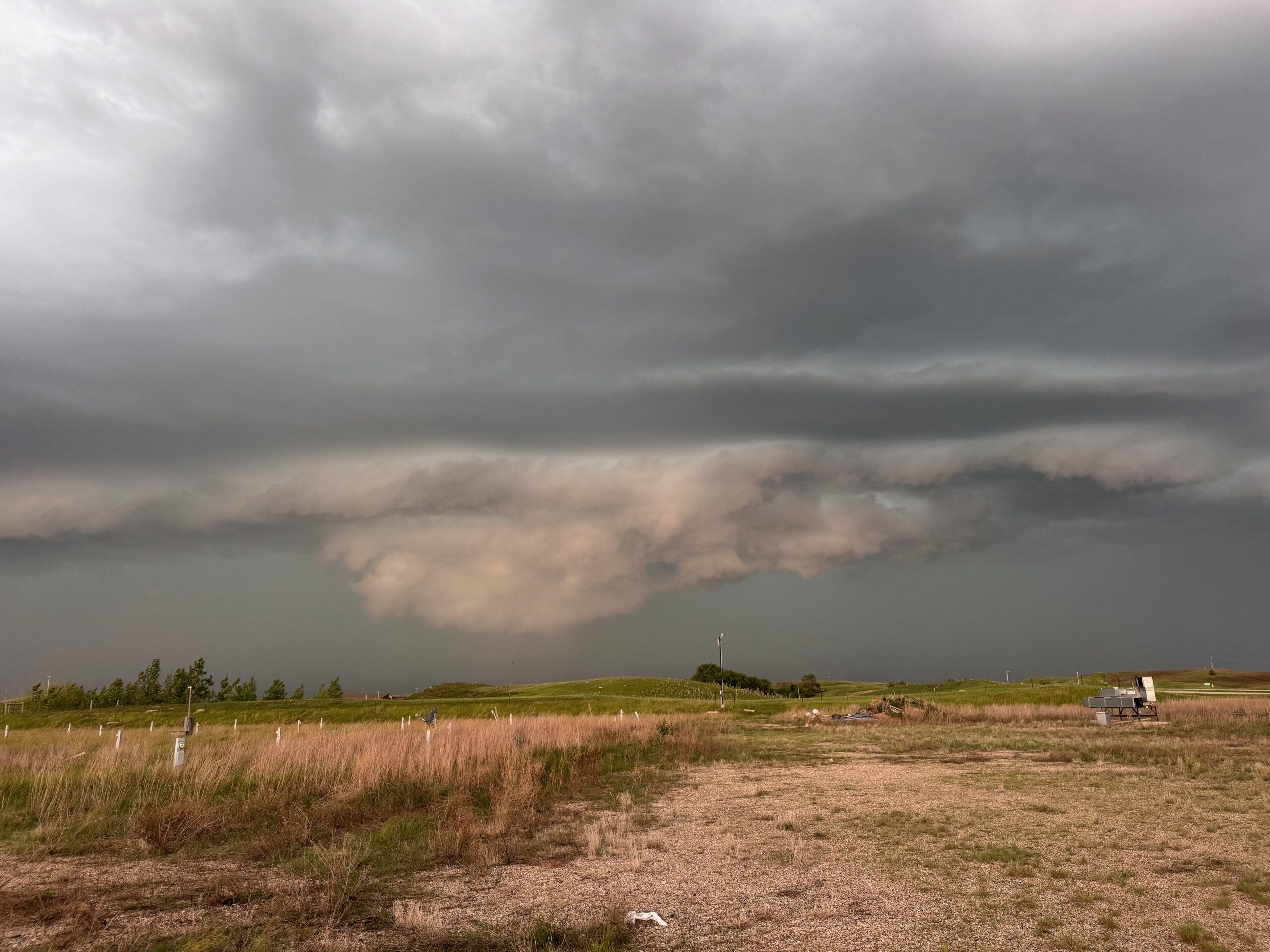
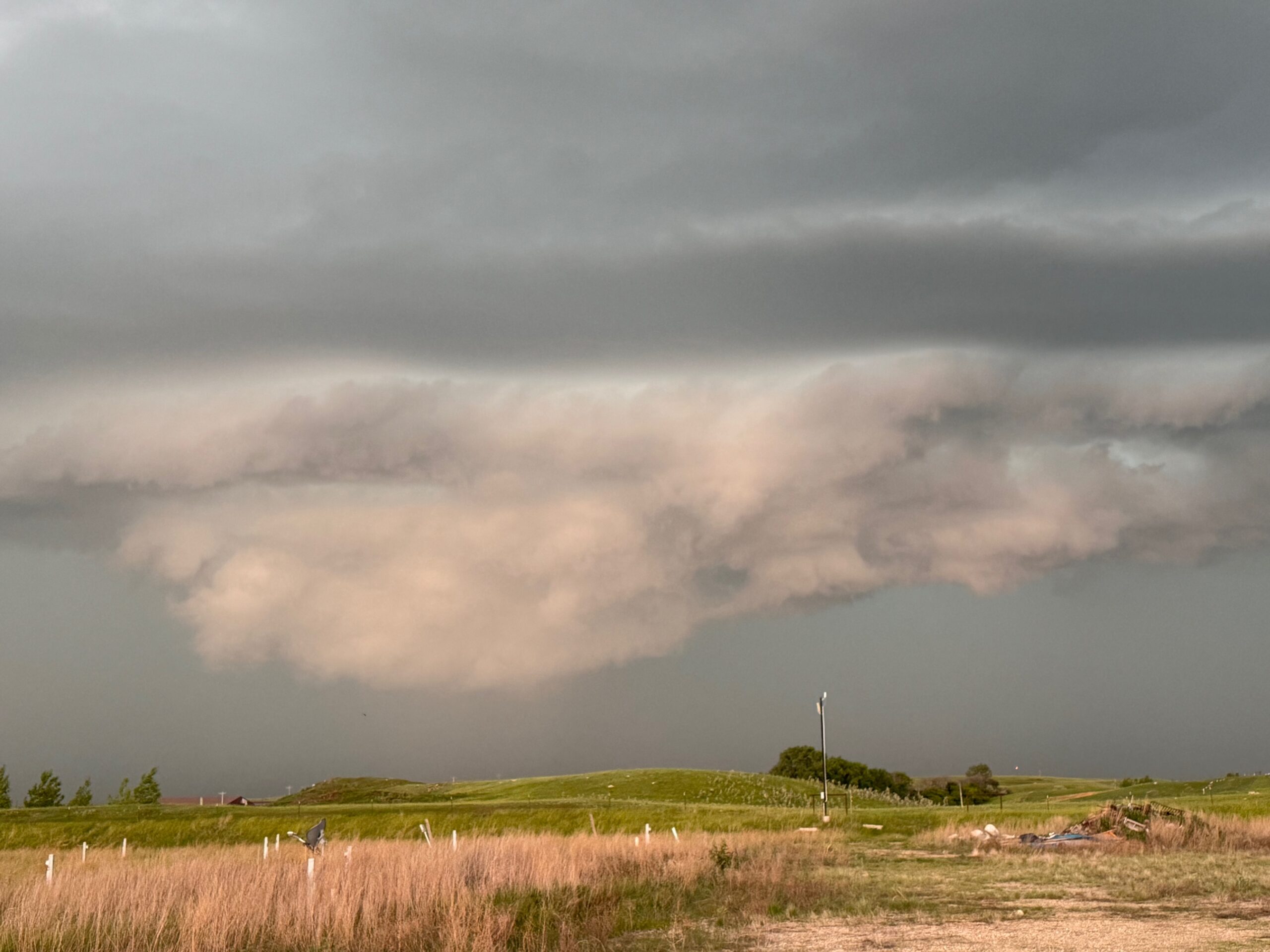
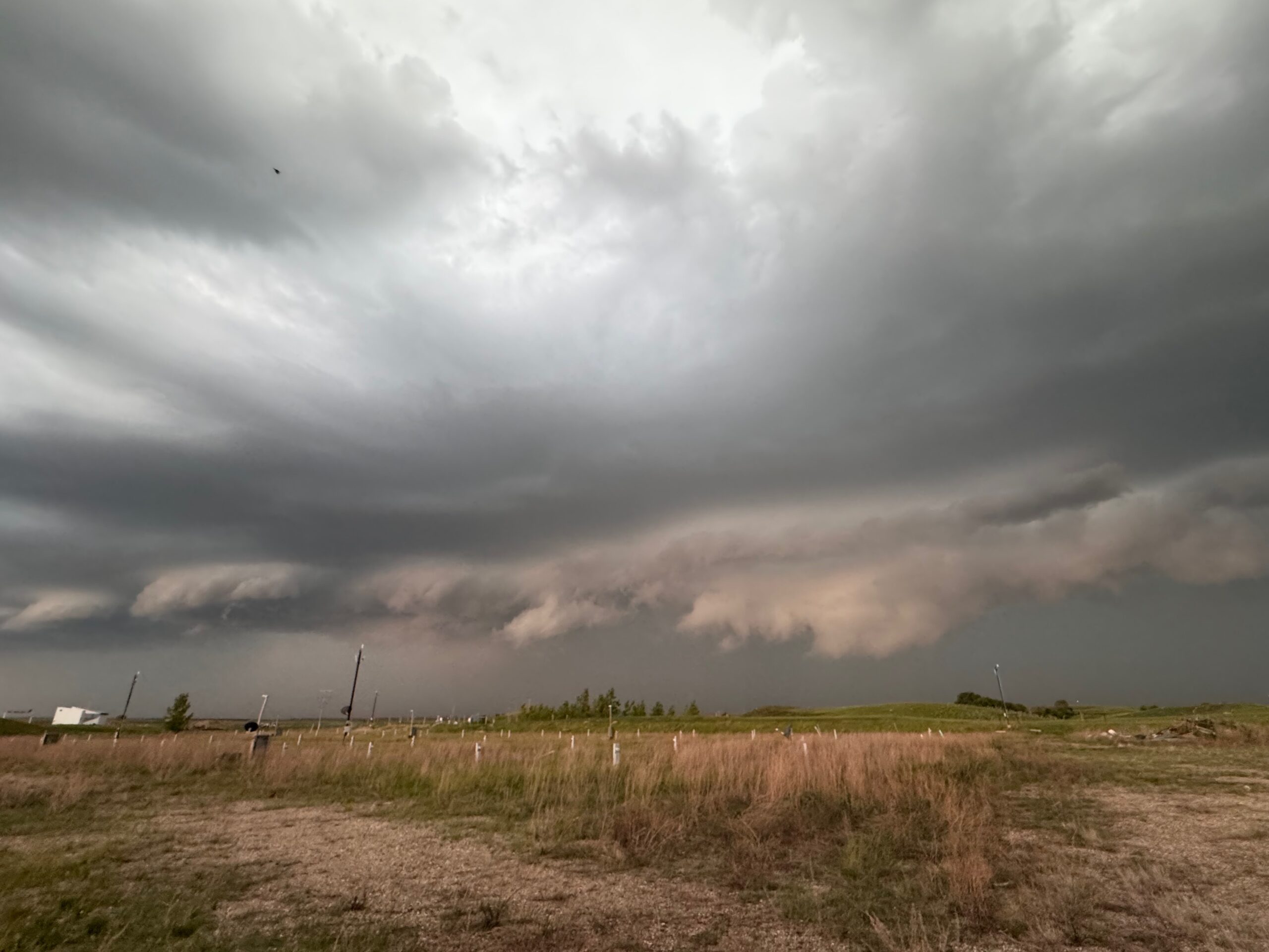
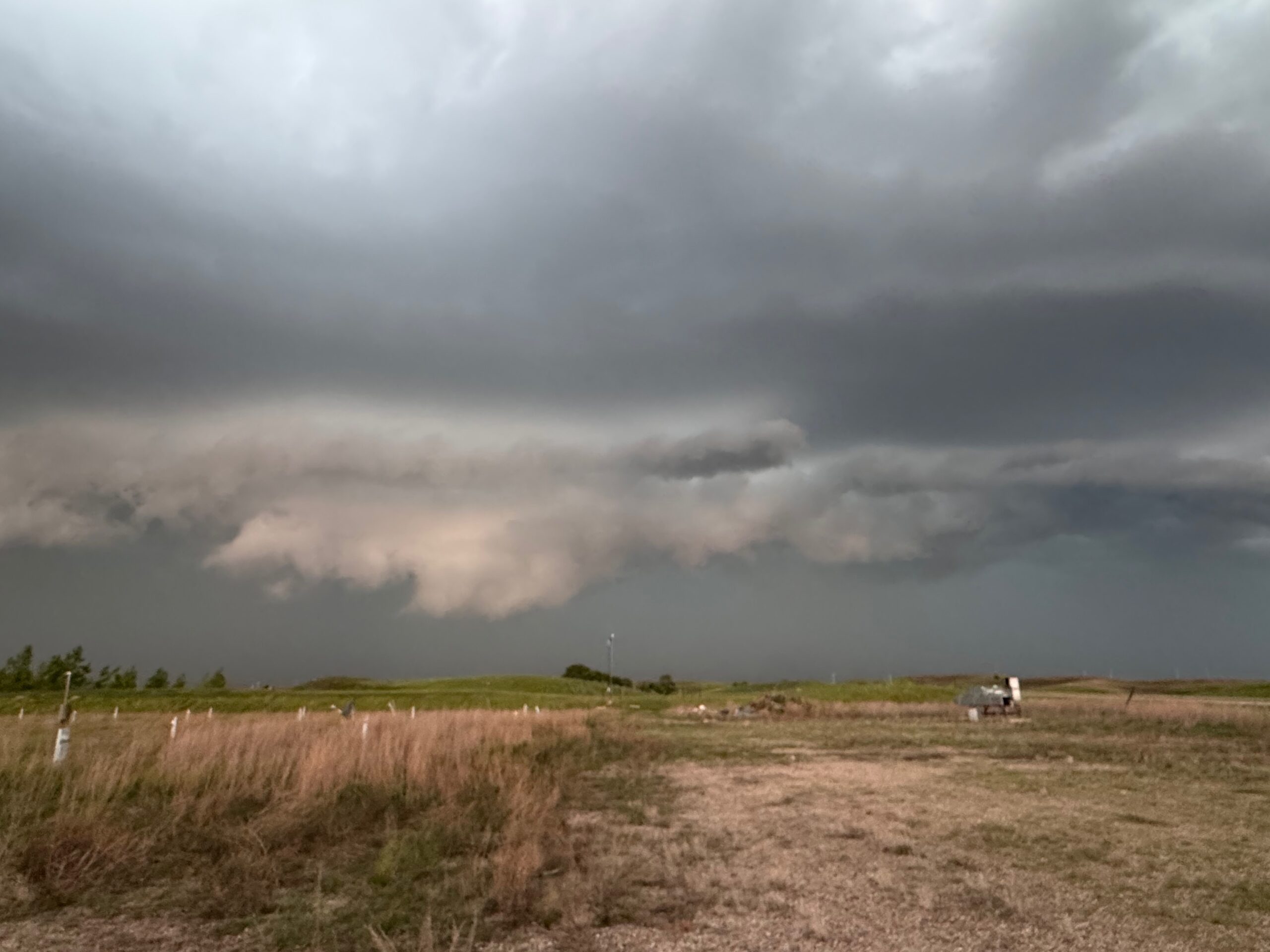
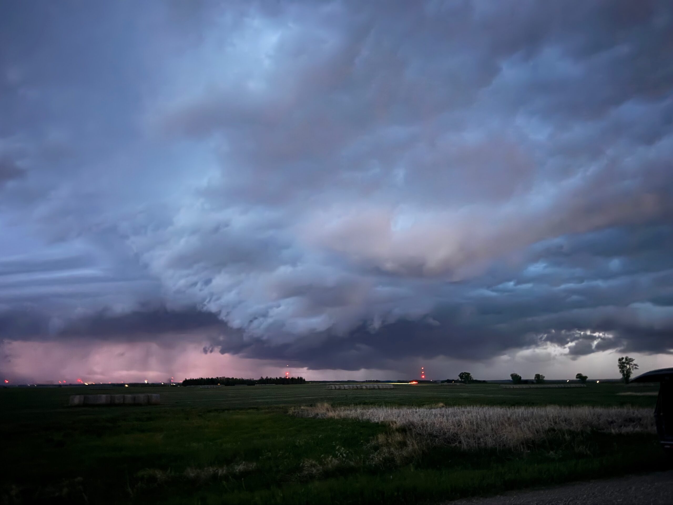
My small group had a nice brunch in Wildrose, ND, and then we wandered around town a bit. We had a lot of time to kill. At the same time, Matt and the TT group were up in Lampman, Saskatchewan, trying to figure out if they would be better off in Canada or not. I decided that we would be better off hanging out on the east side of the river in western ND…and we waited and waited. Finally, towards 5 p.m., a strong storm developed to our SSW, on the other side of the river. We waited for it near the river, southwest of Stanley. It evolved into a bit of a cluster of cells, but the one on the leading edge that was approaching us took on a decent supercell look with lowerings. See the top five pics above, in the Canon group.
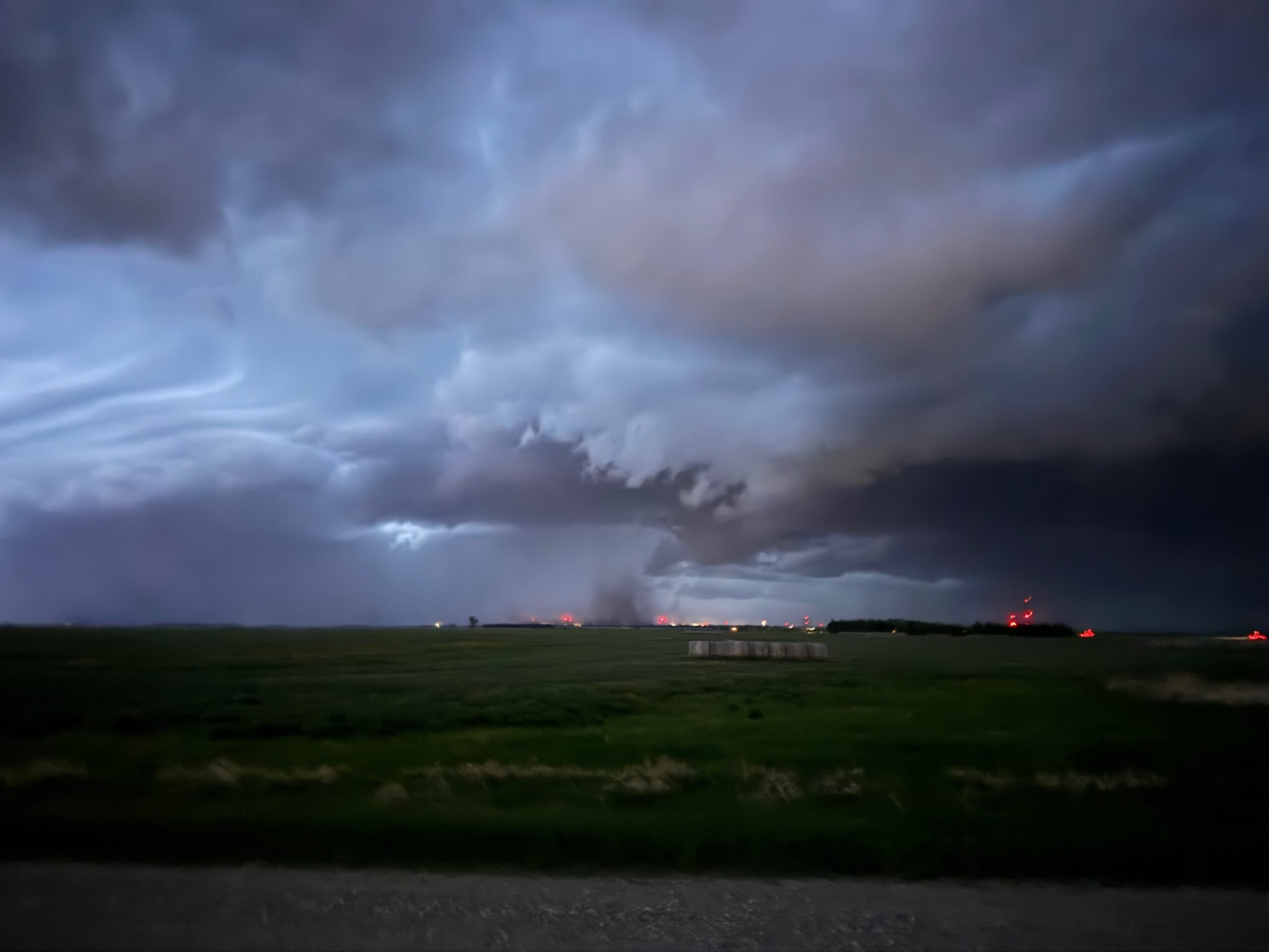
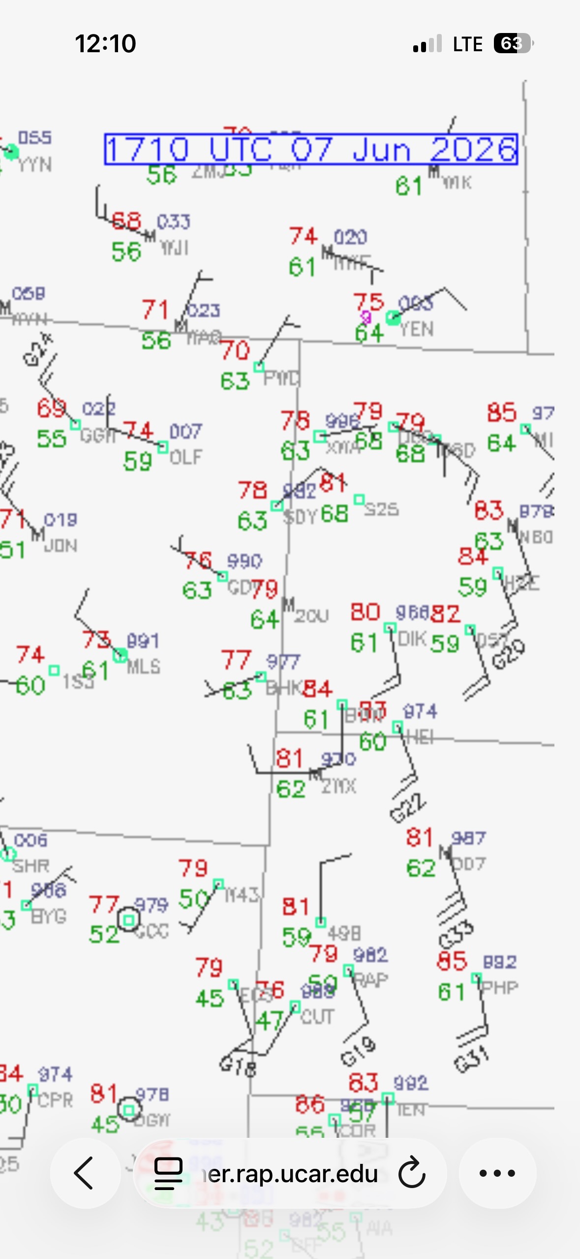
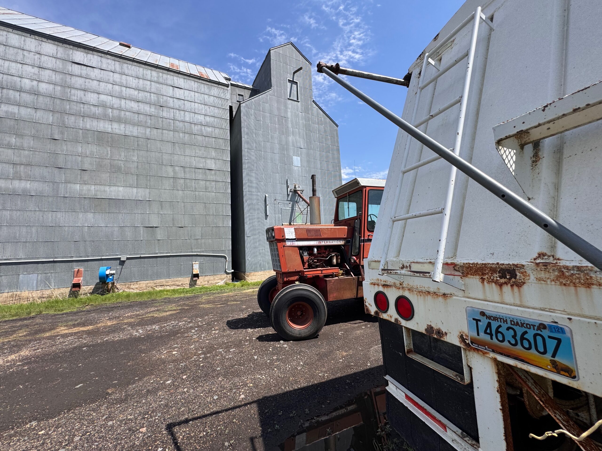
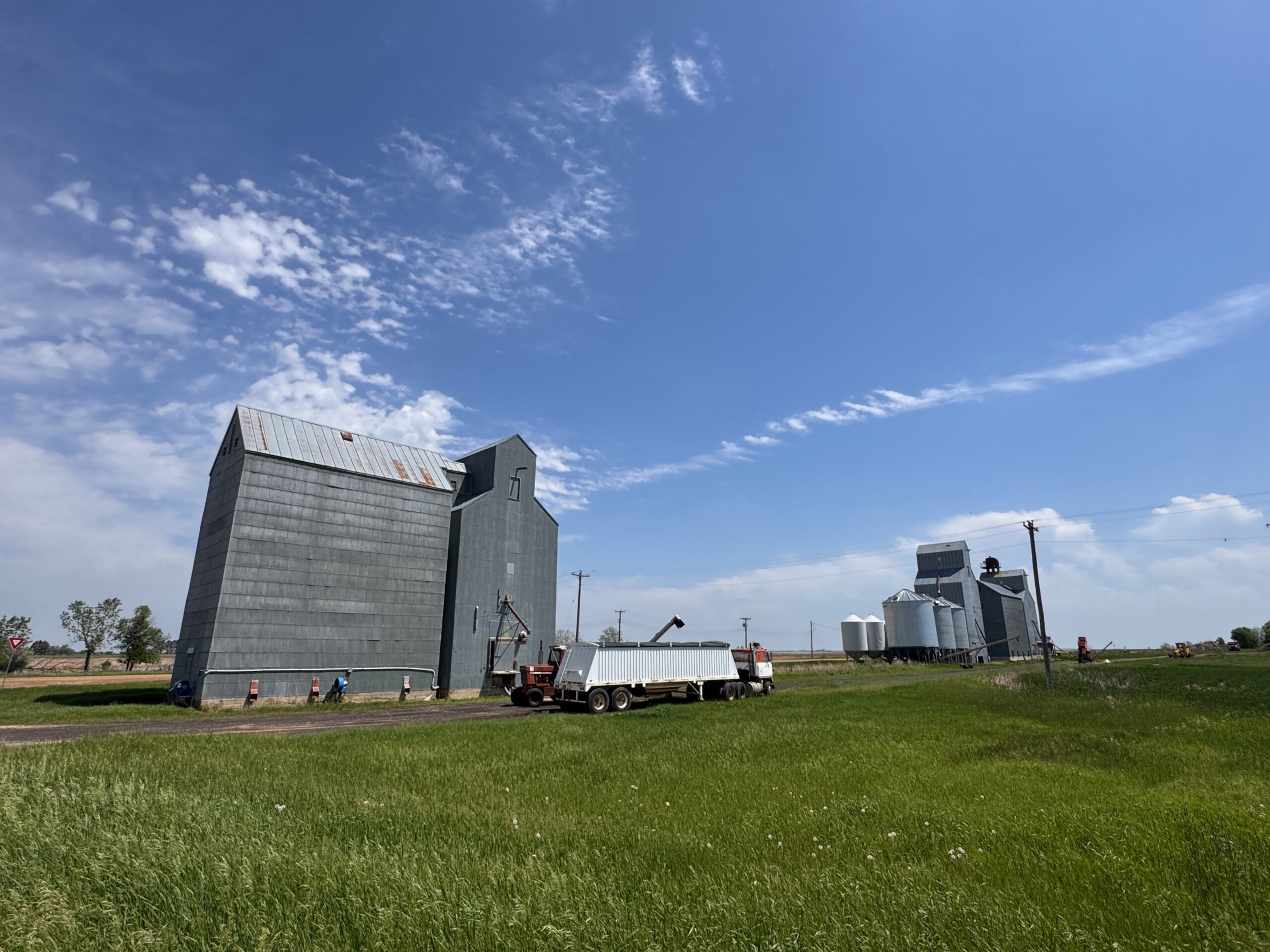
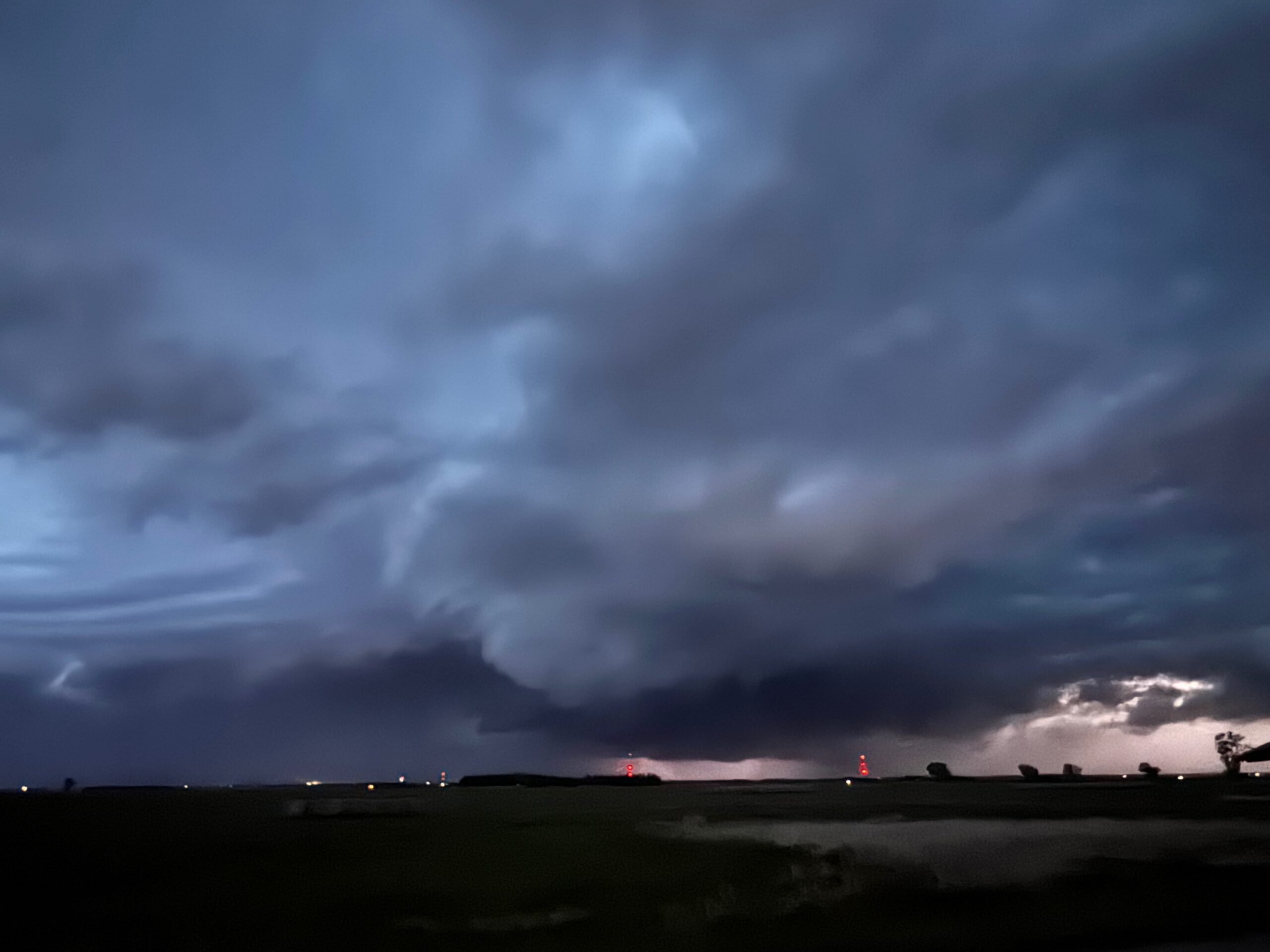
The iPhone group below covers the timeframe from Wildrose to our viewing point a little north of the Missouri River as the severe storm neared.
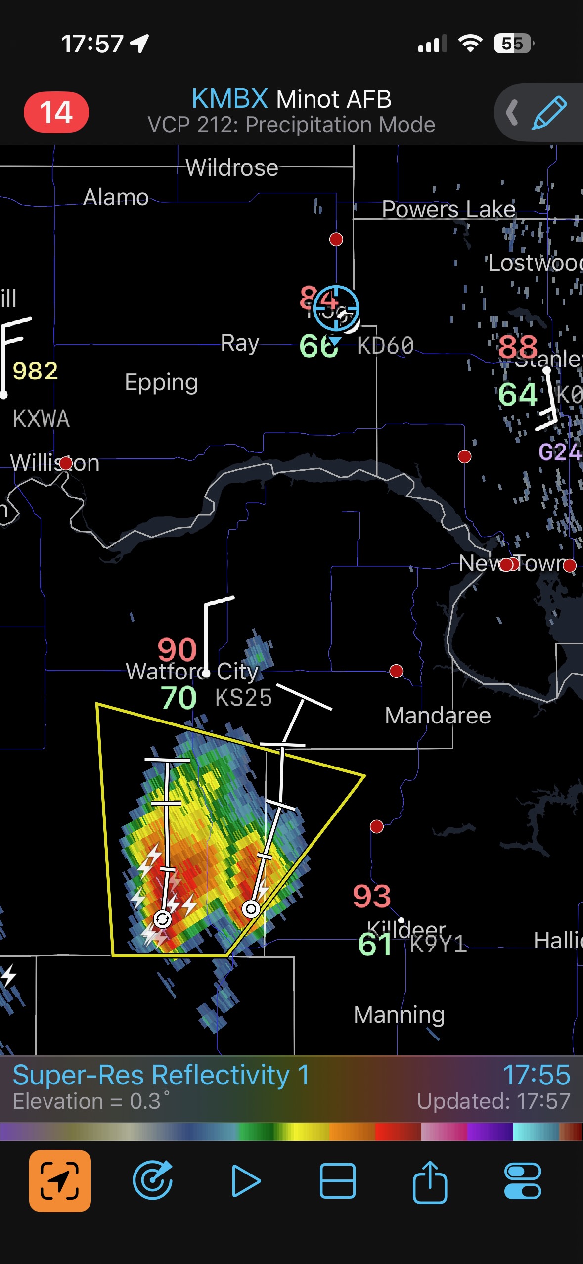
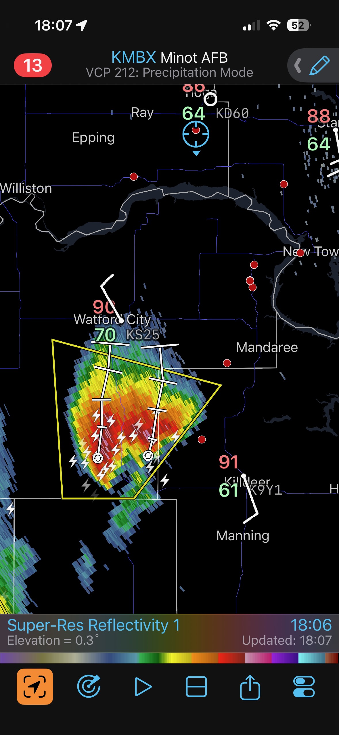
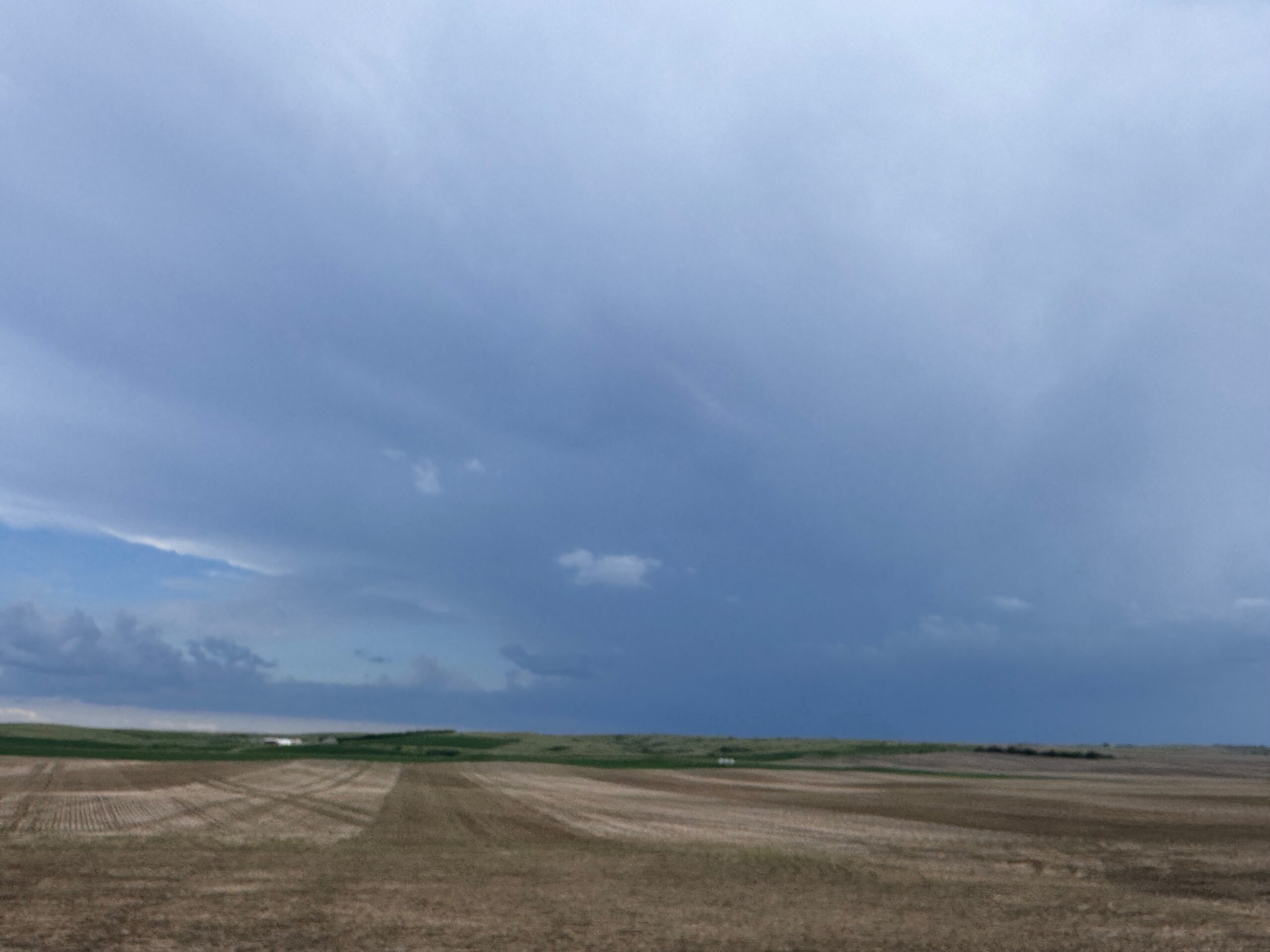
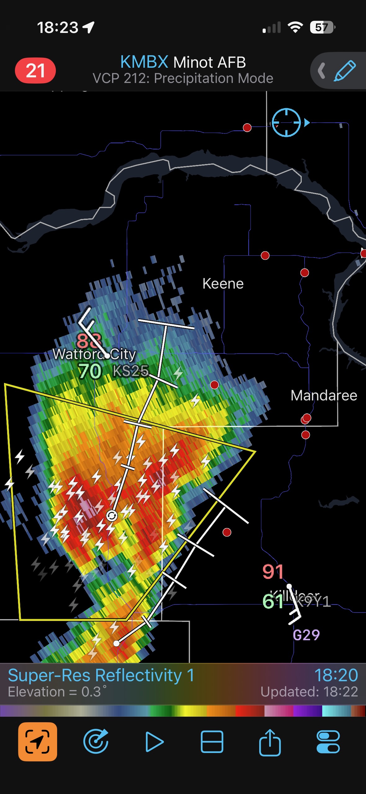
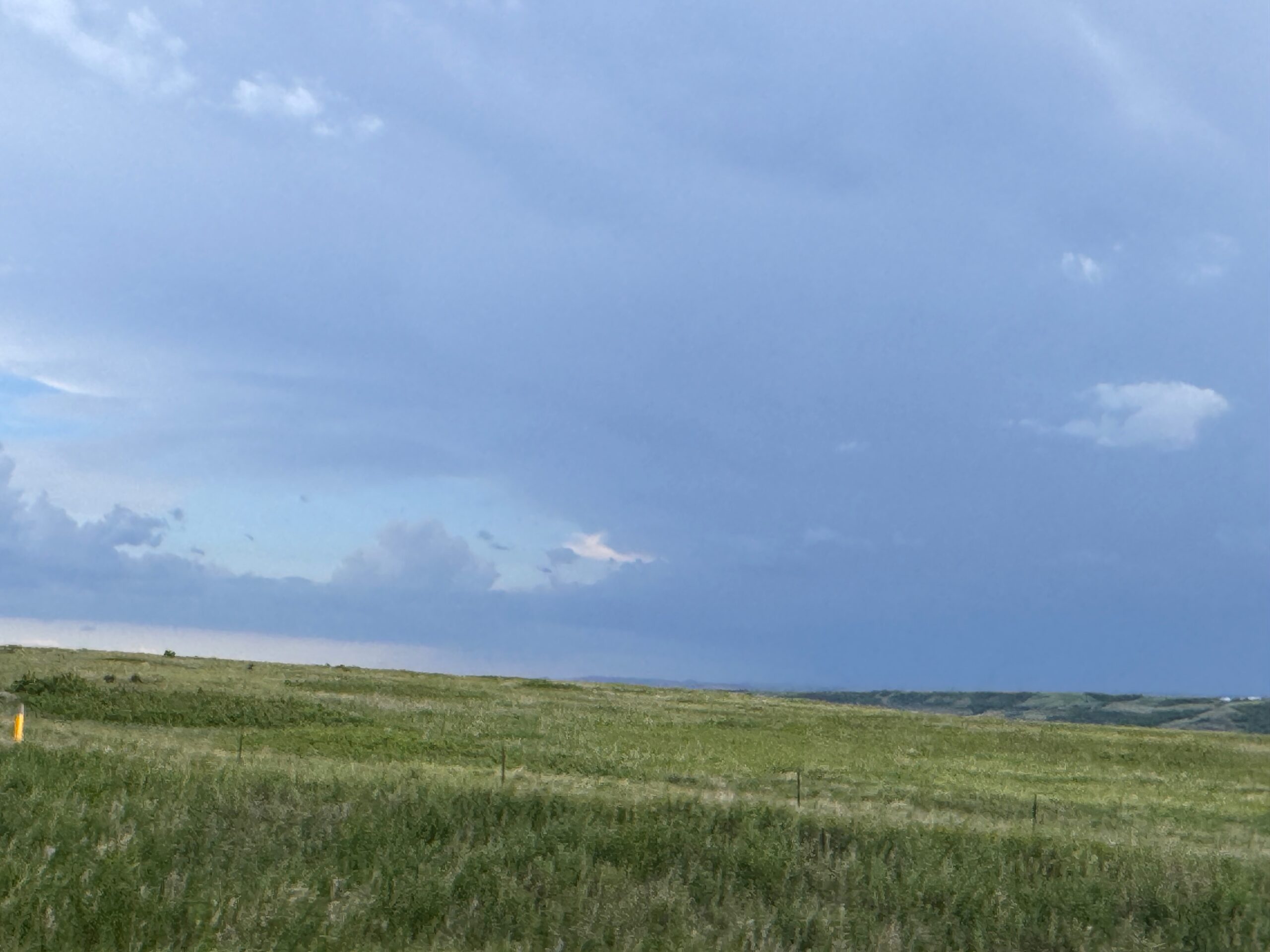
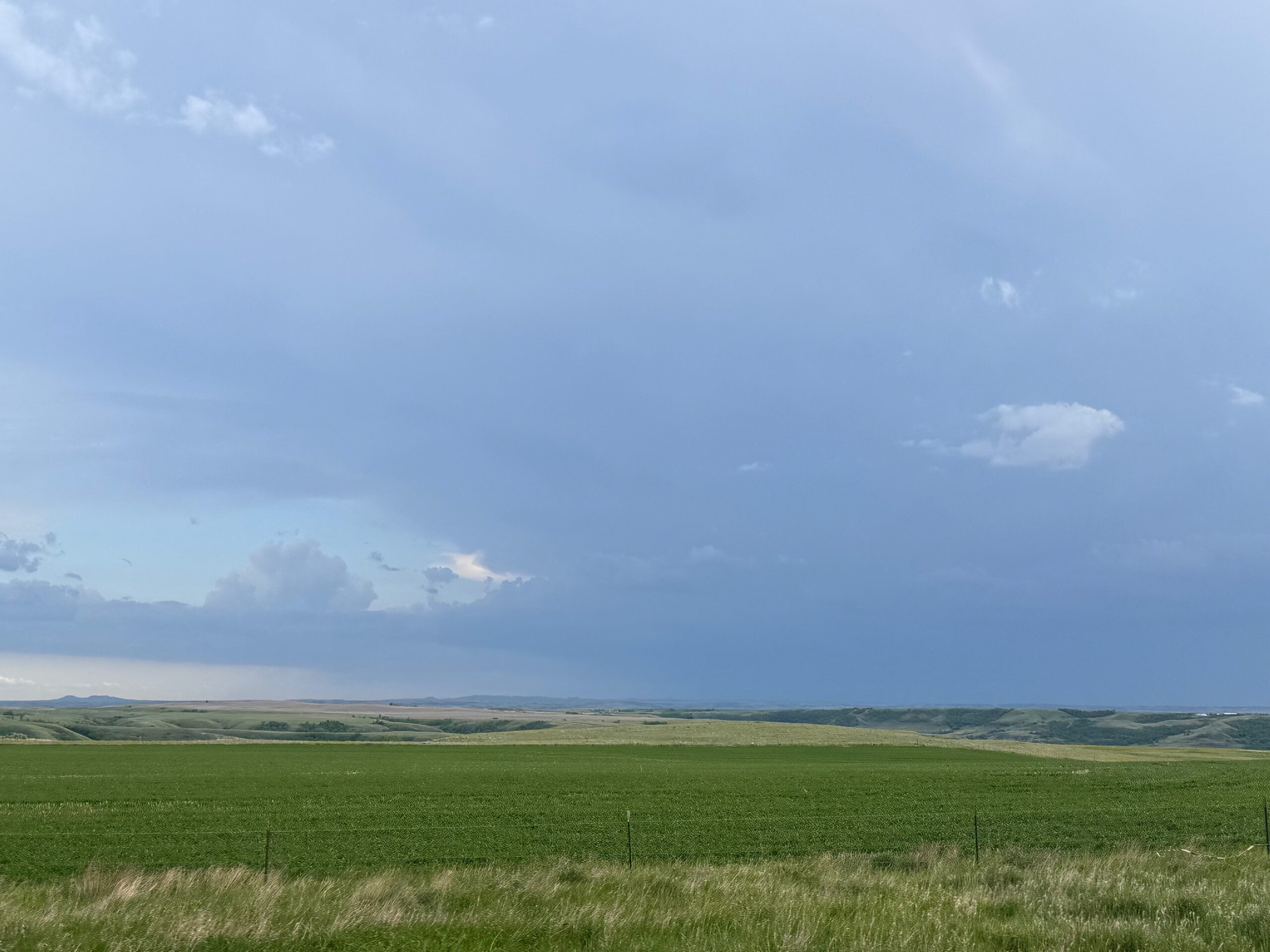
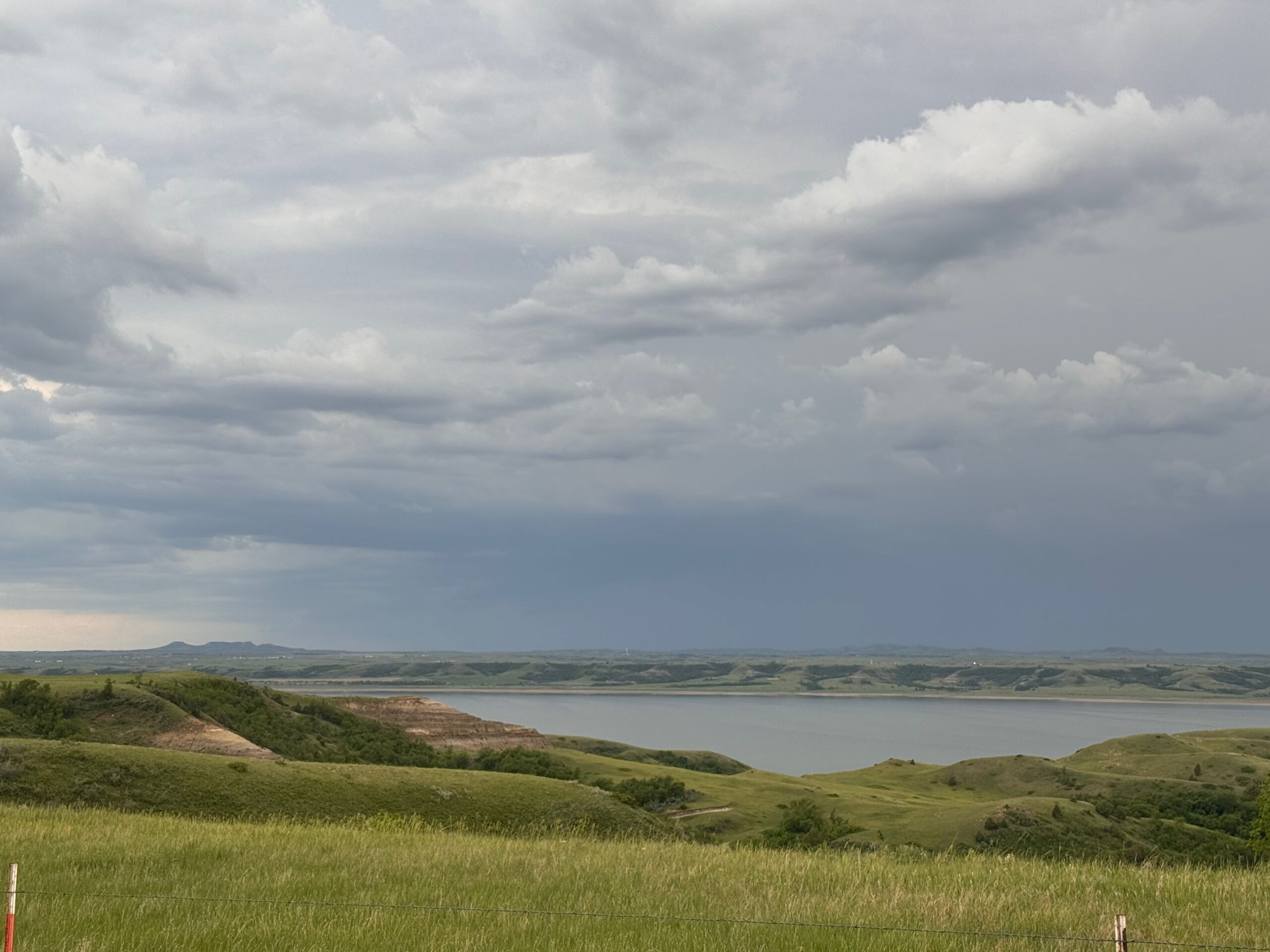
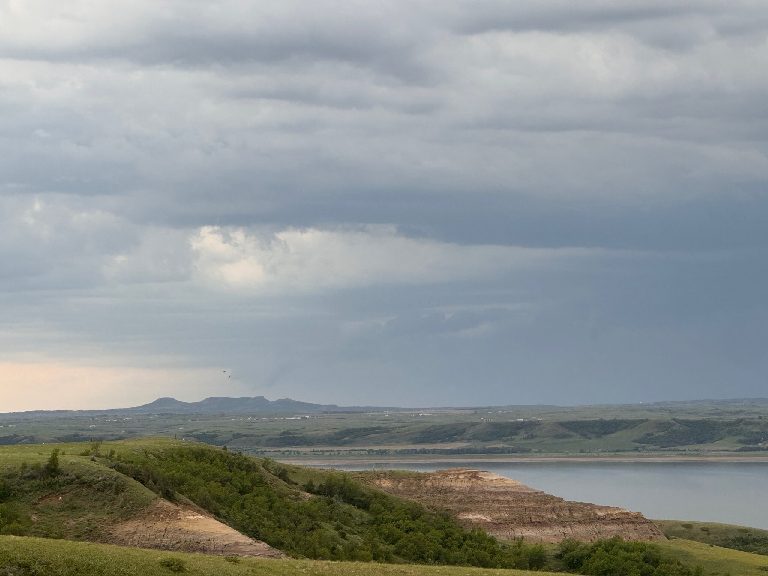
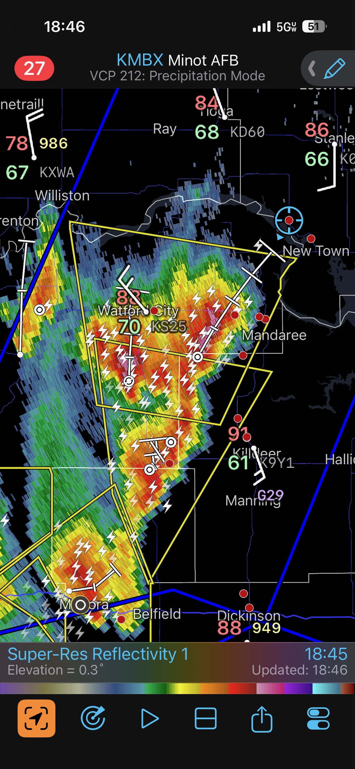
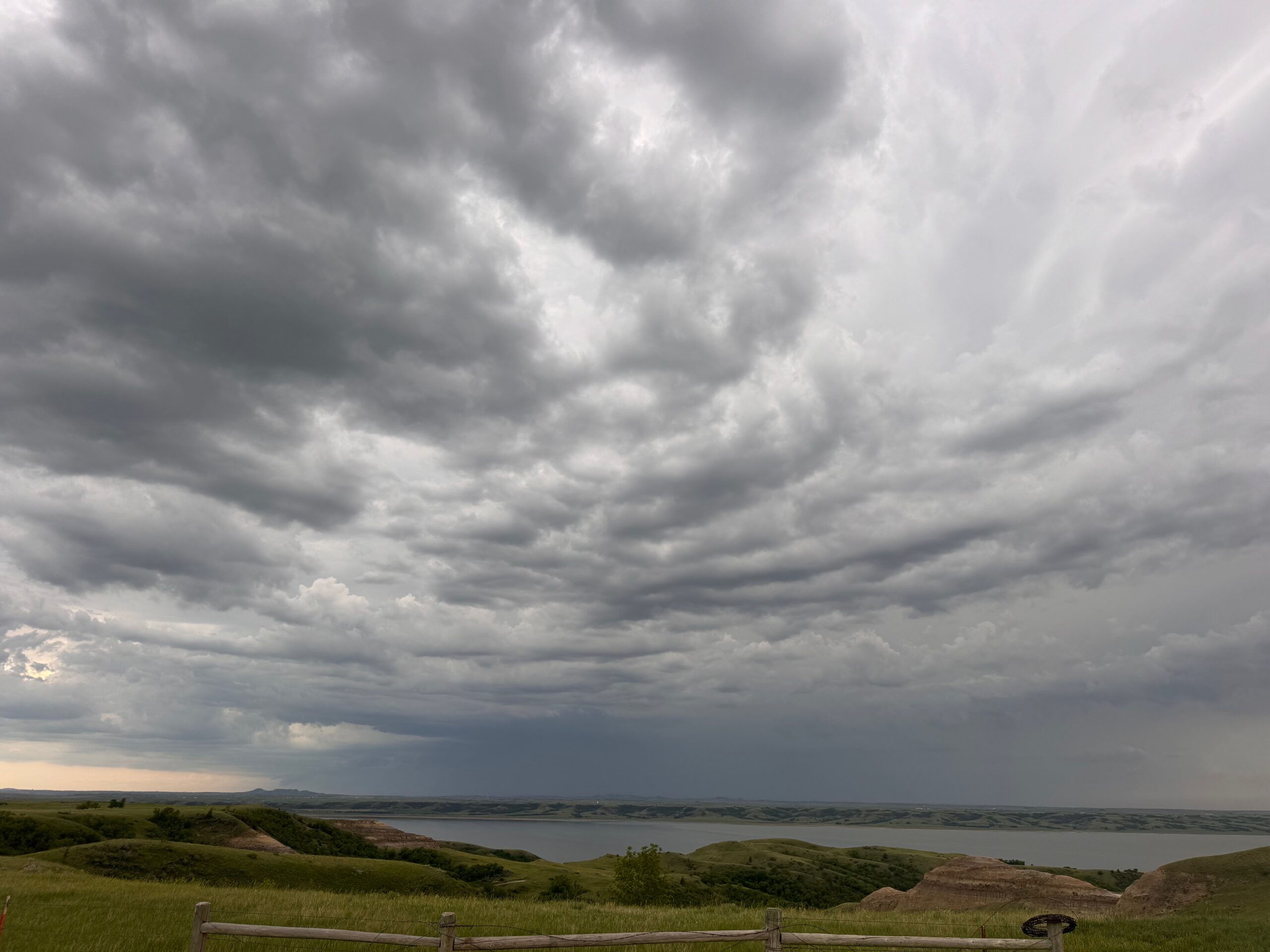
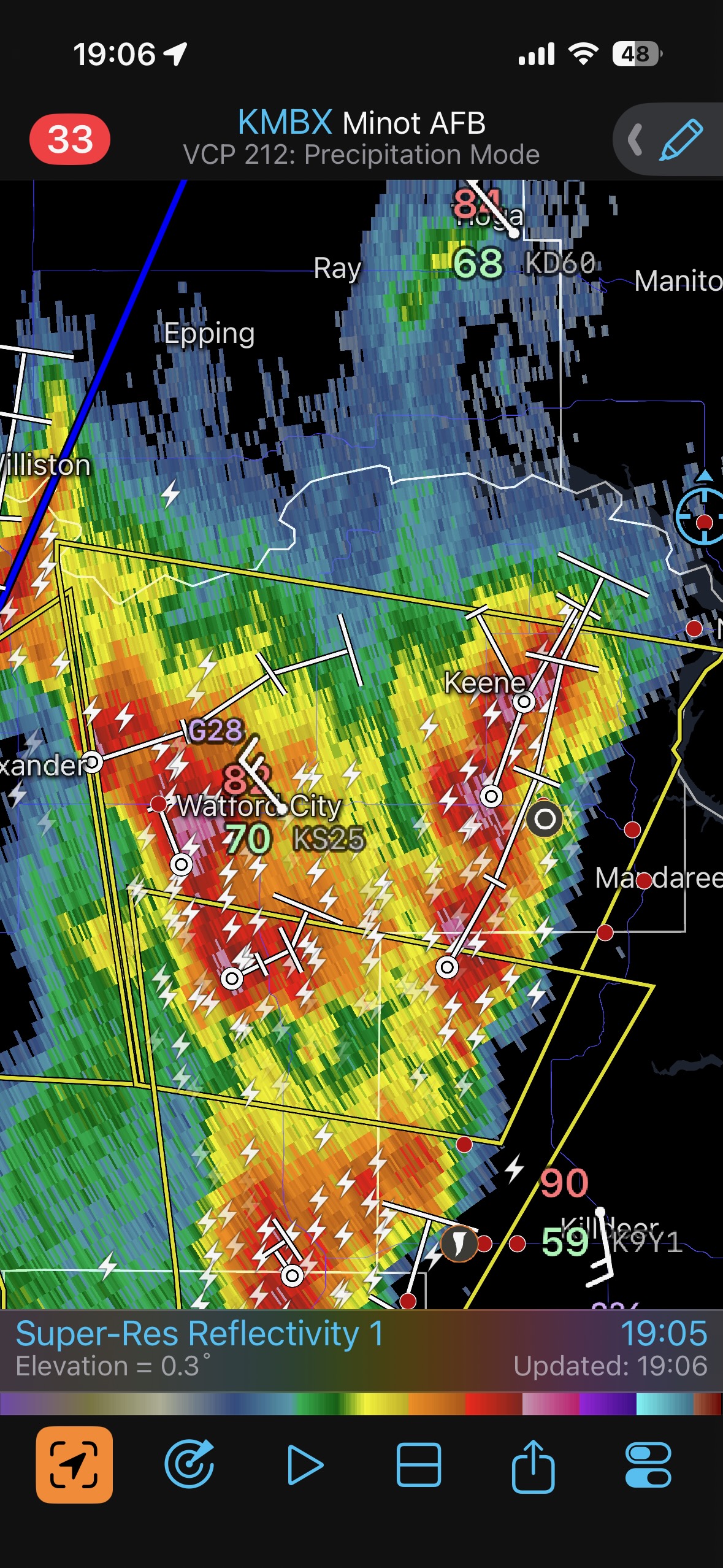
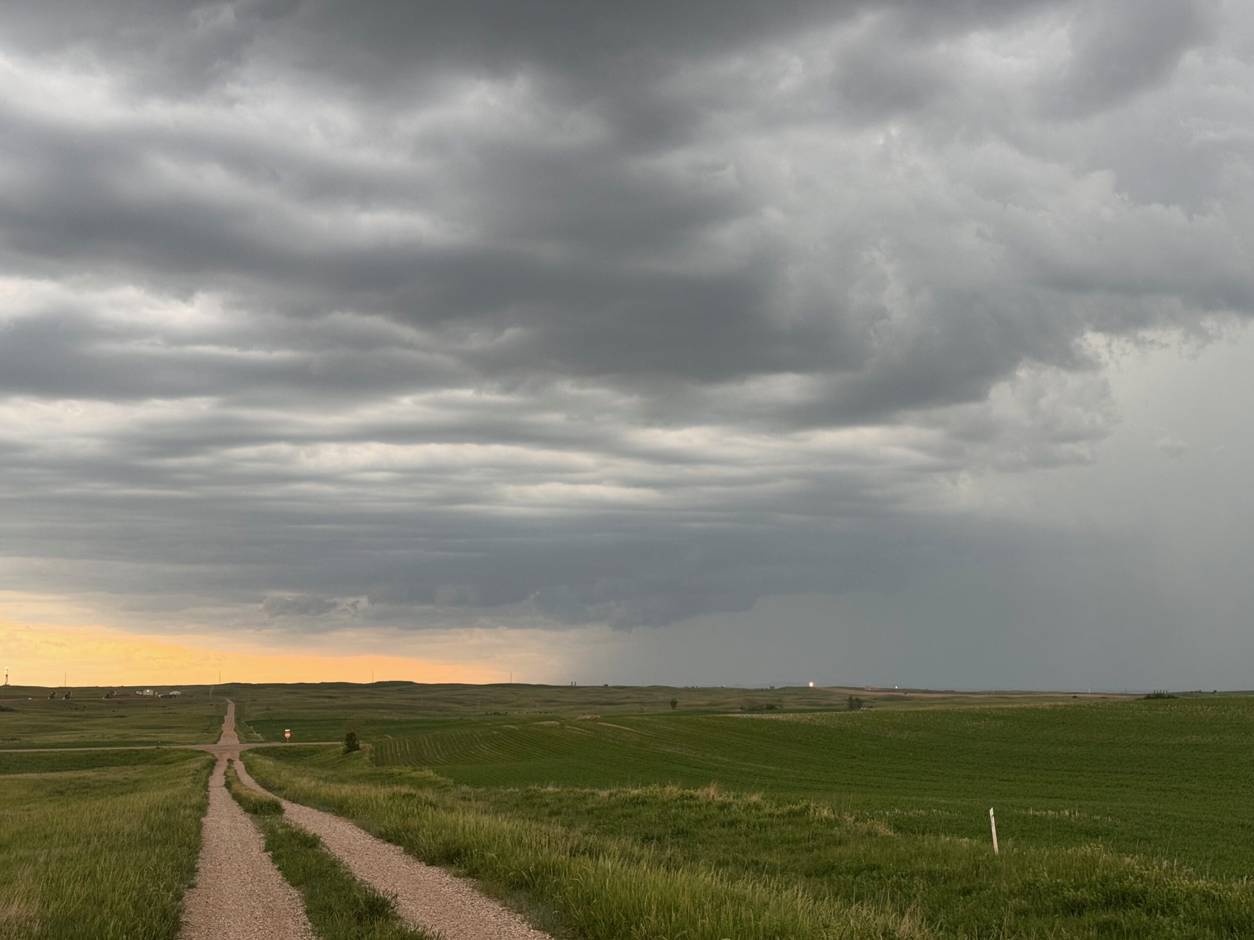
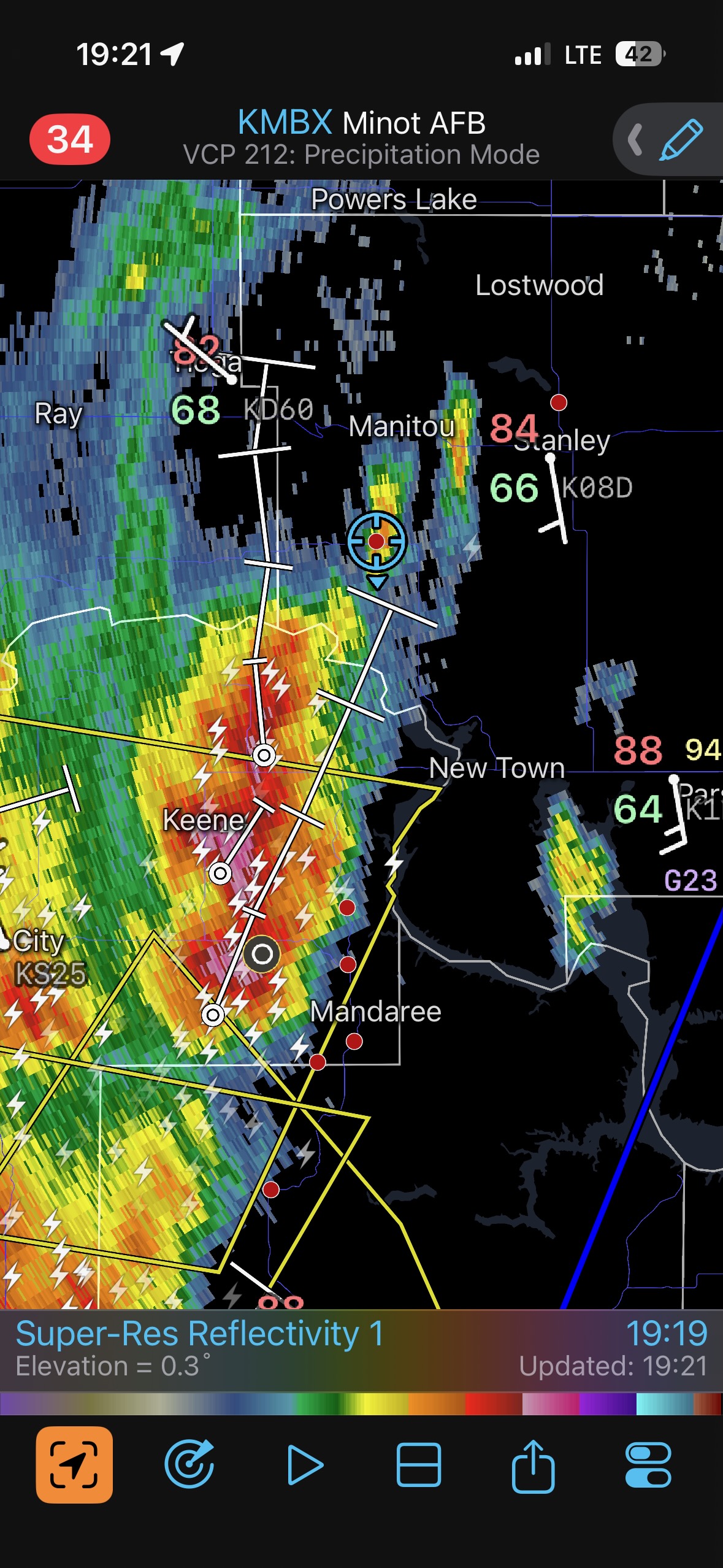
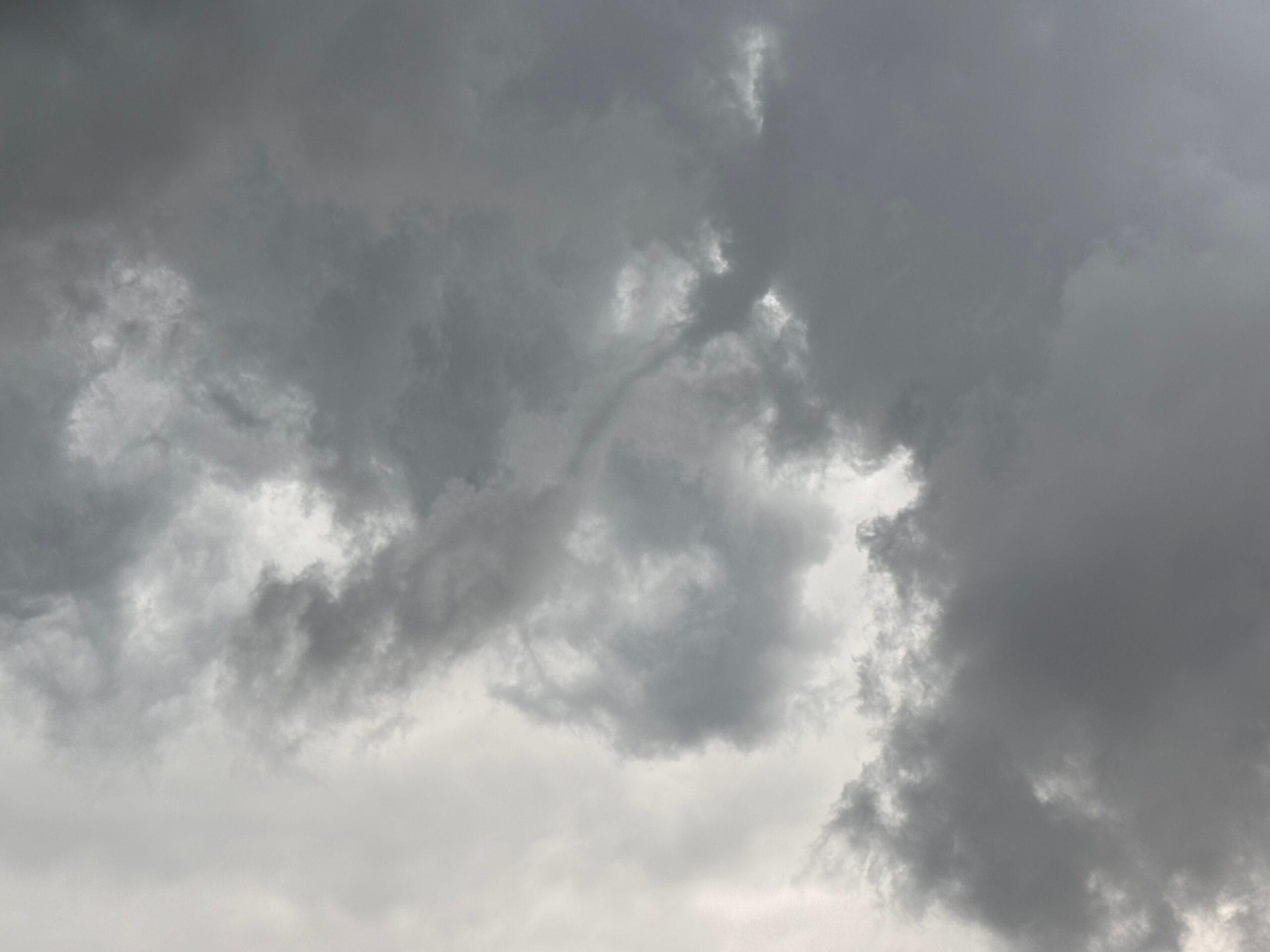
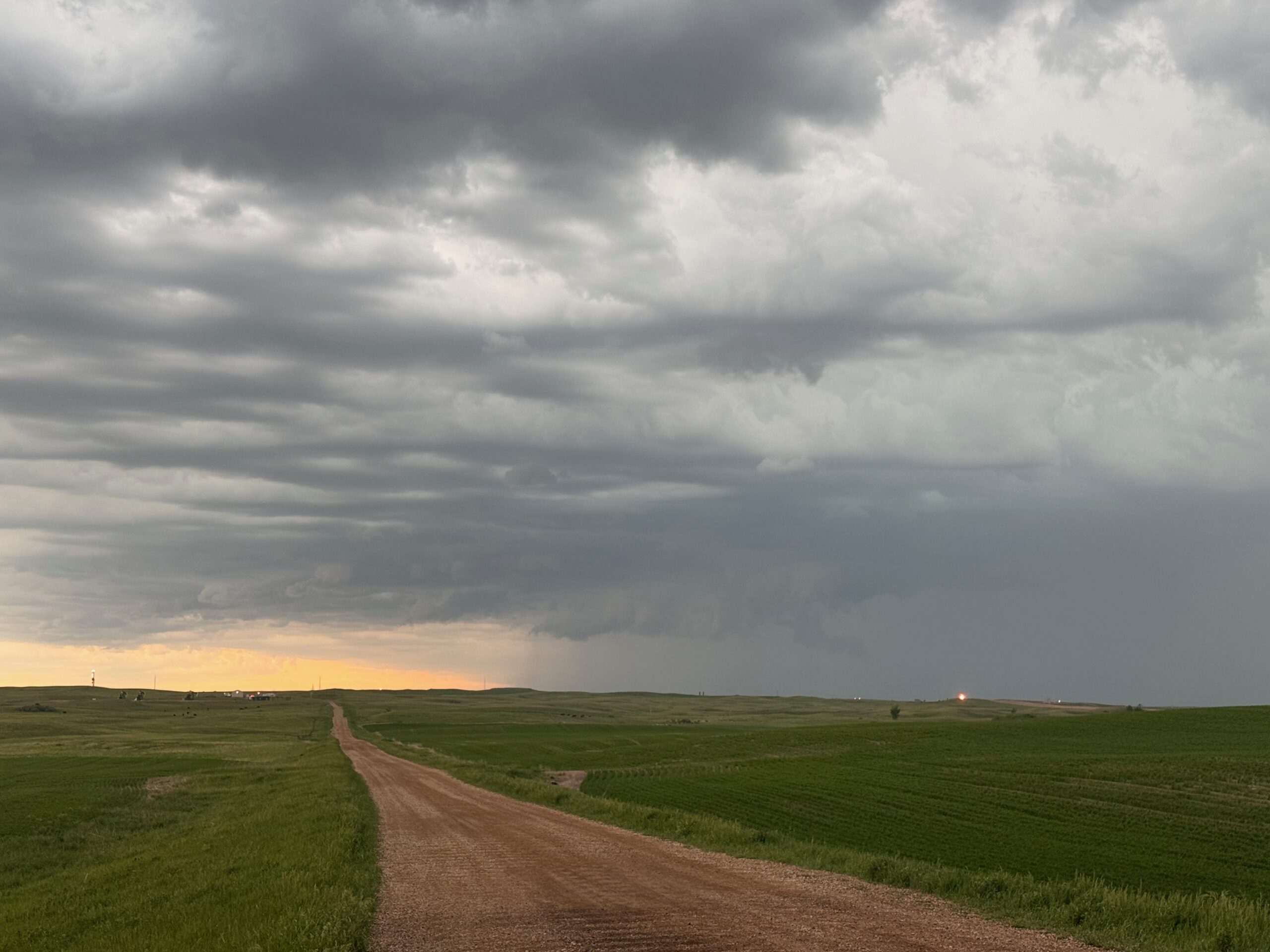
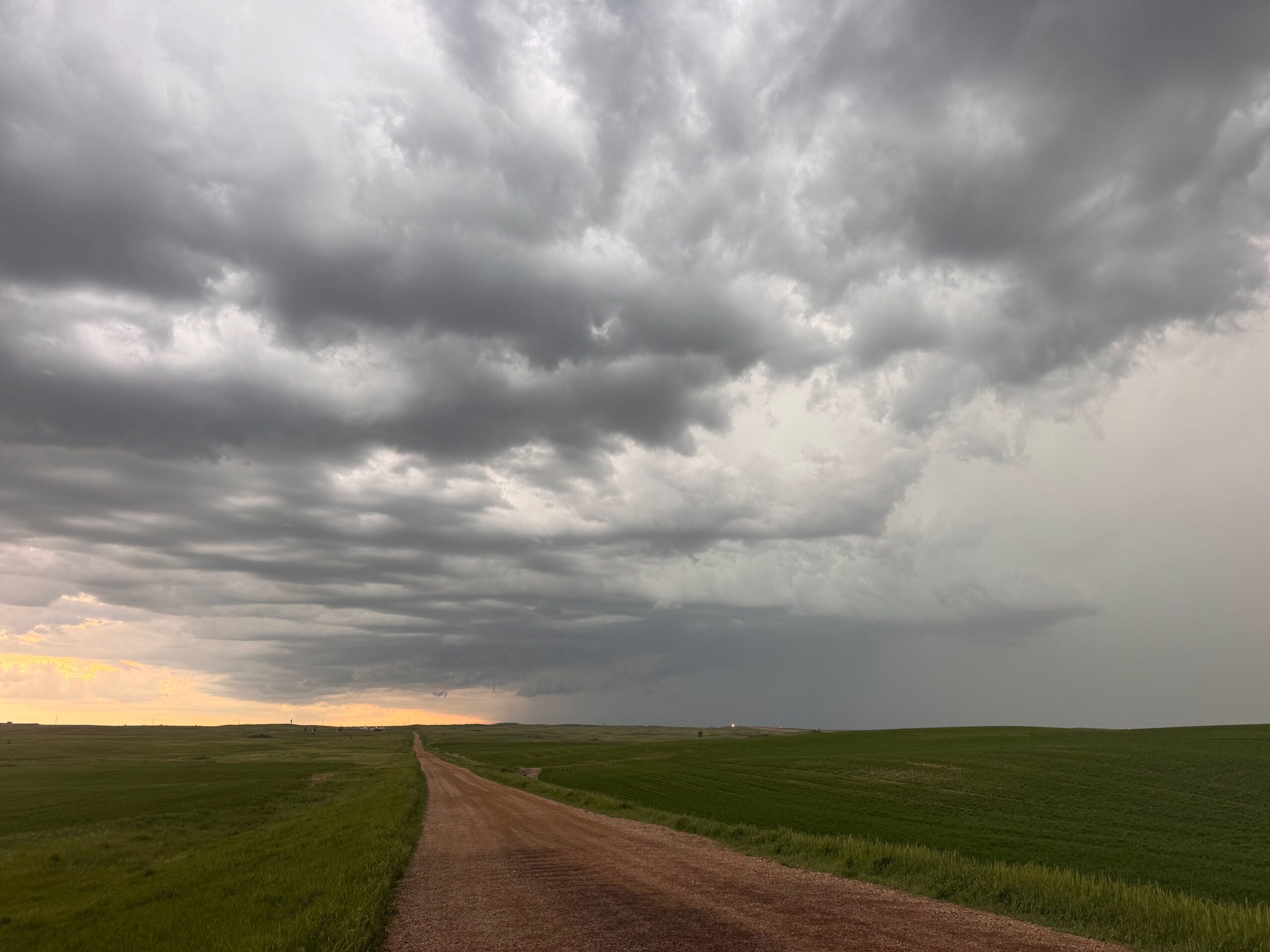
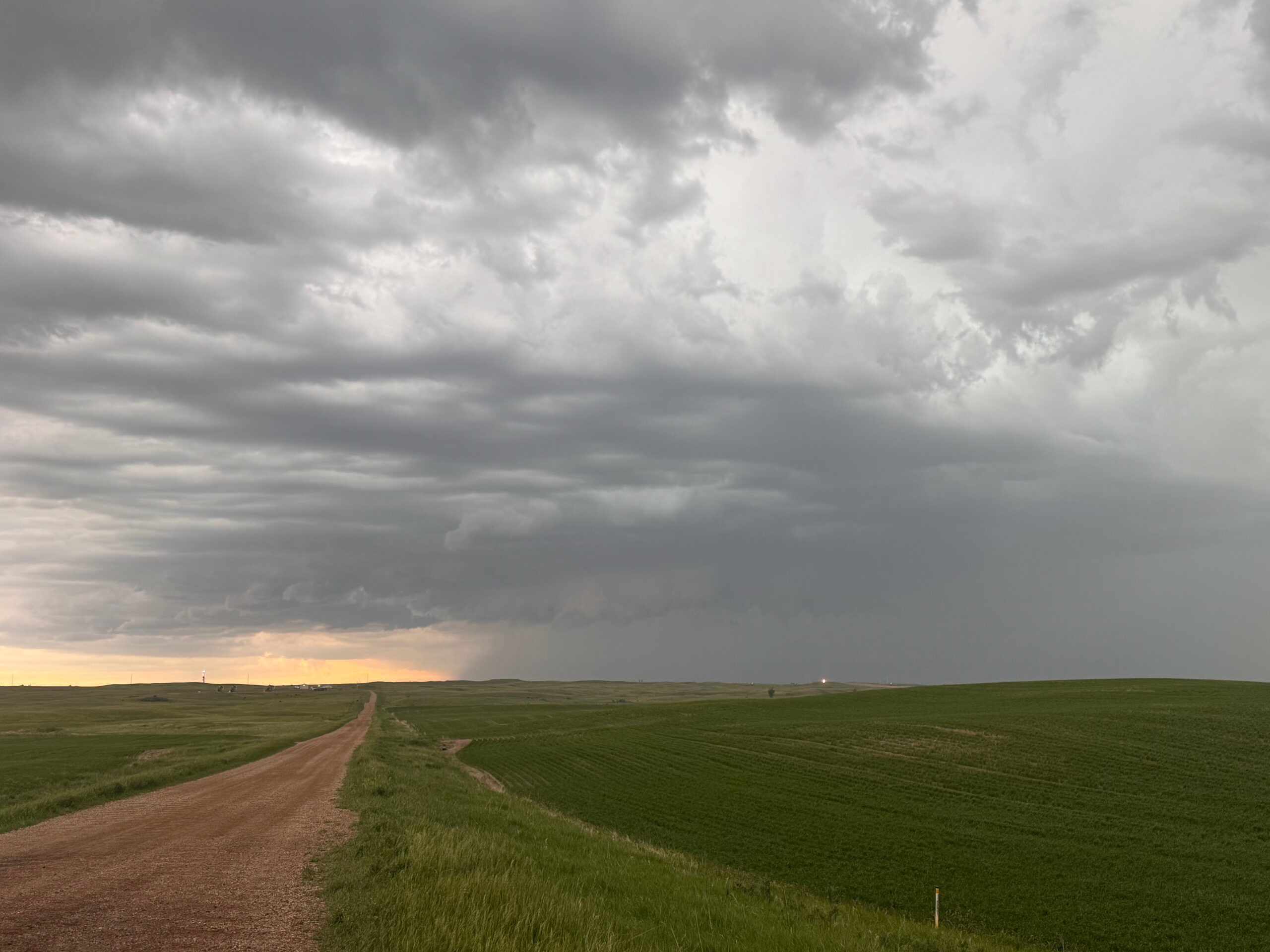
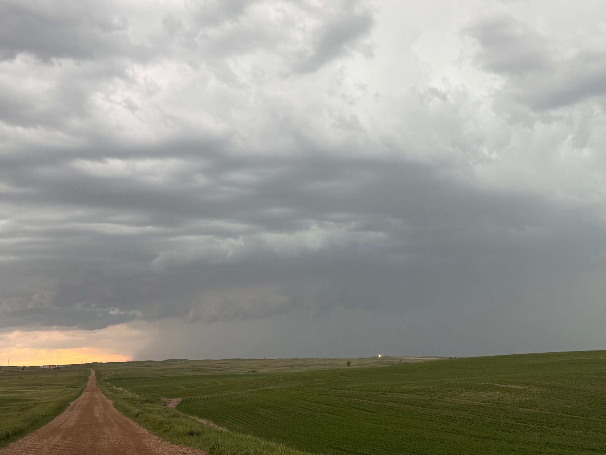
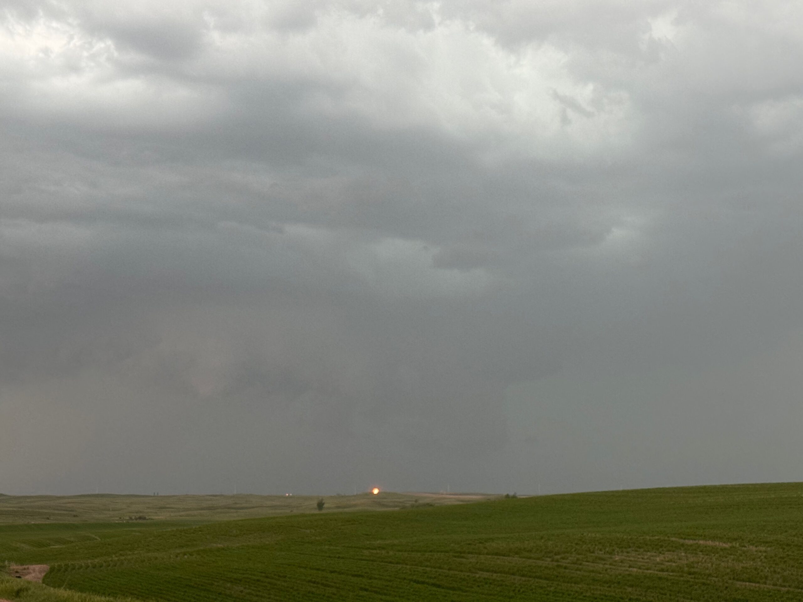
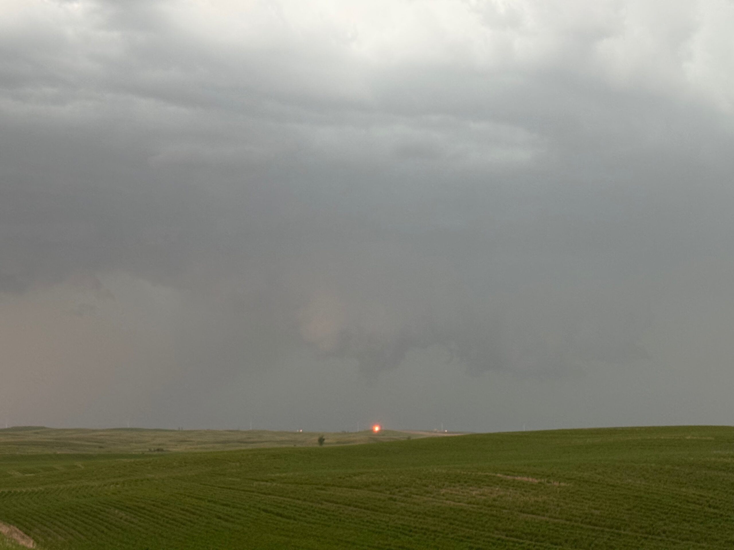
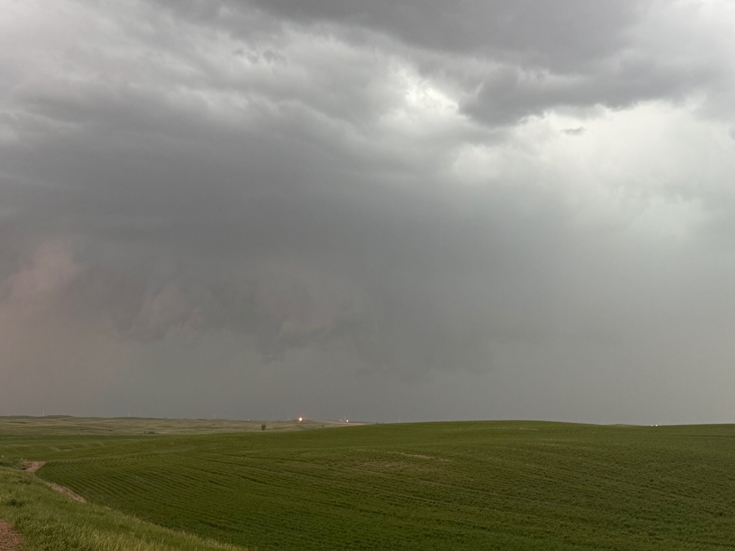
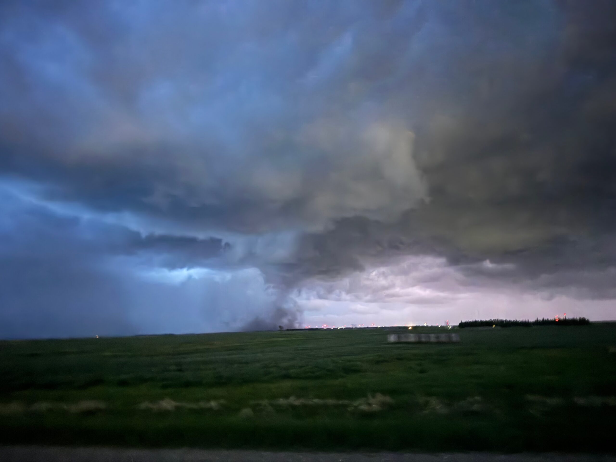
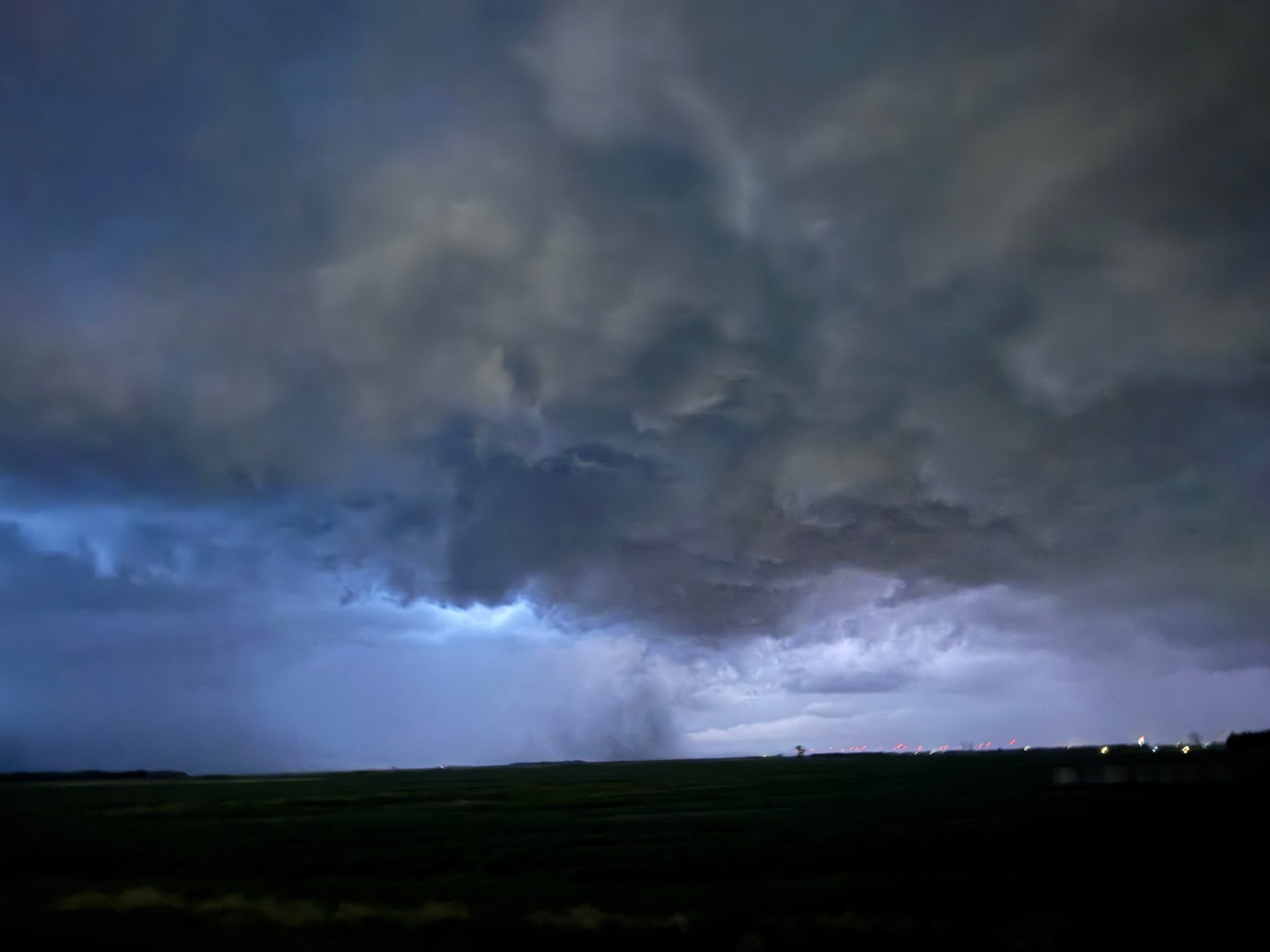
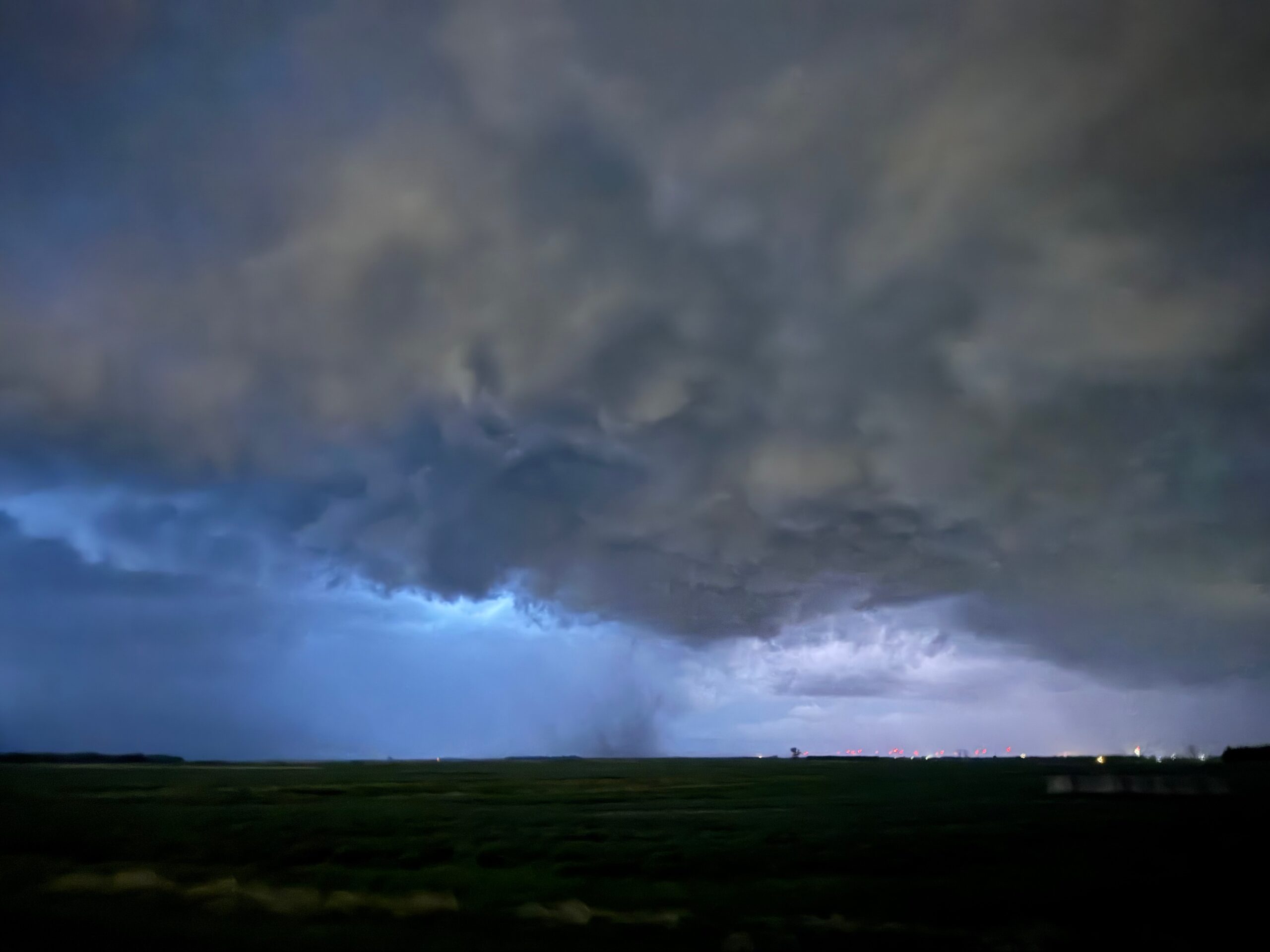
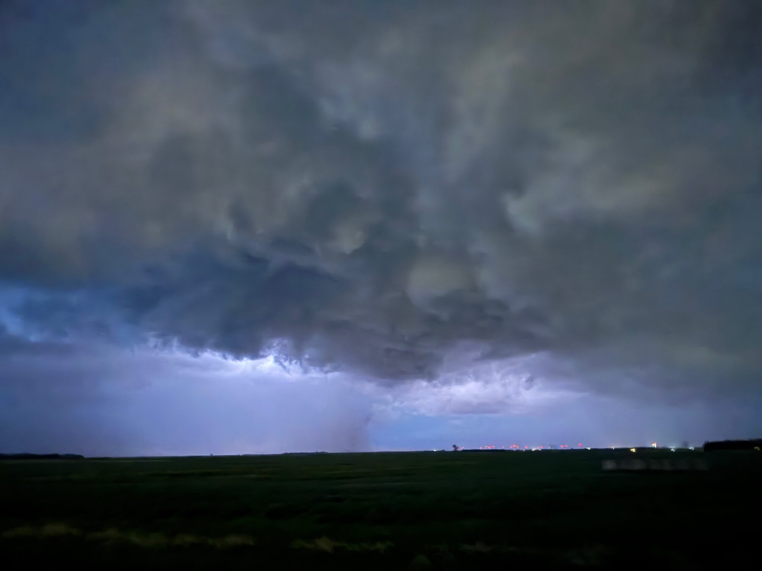
This storm sported a raggedy and suspicious wall cloud towards the northwest side of its updraft area, which was quite HP-looking. See the sequence of pics below. The view here is to the south. The storm chased us east and north, and a ragged funnel cloud was spotted nearby, south of Ross.
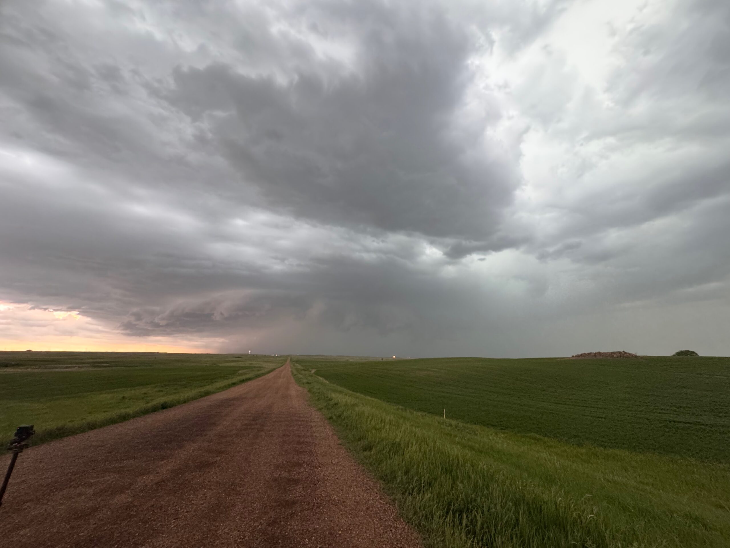
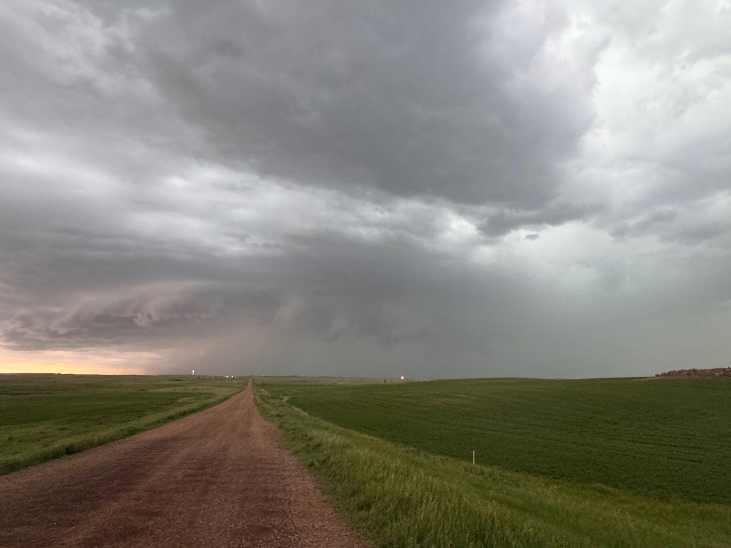
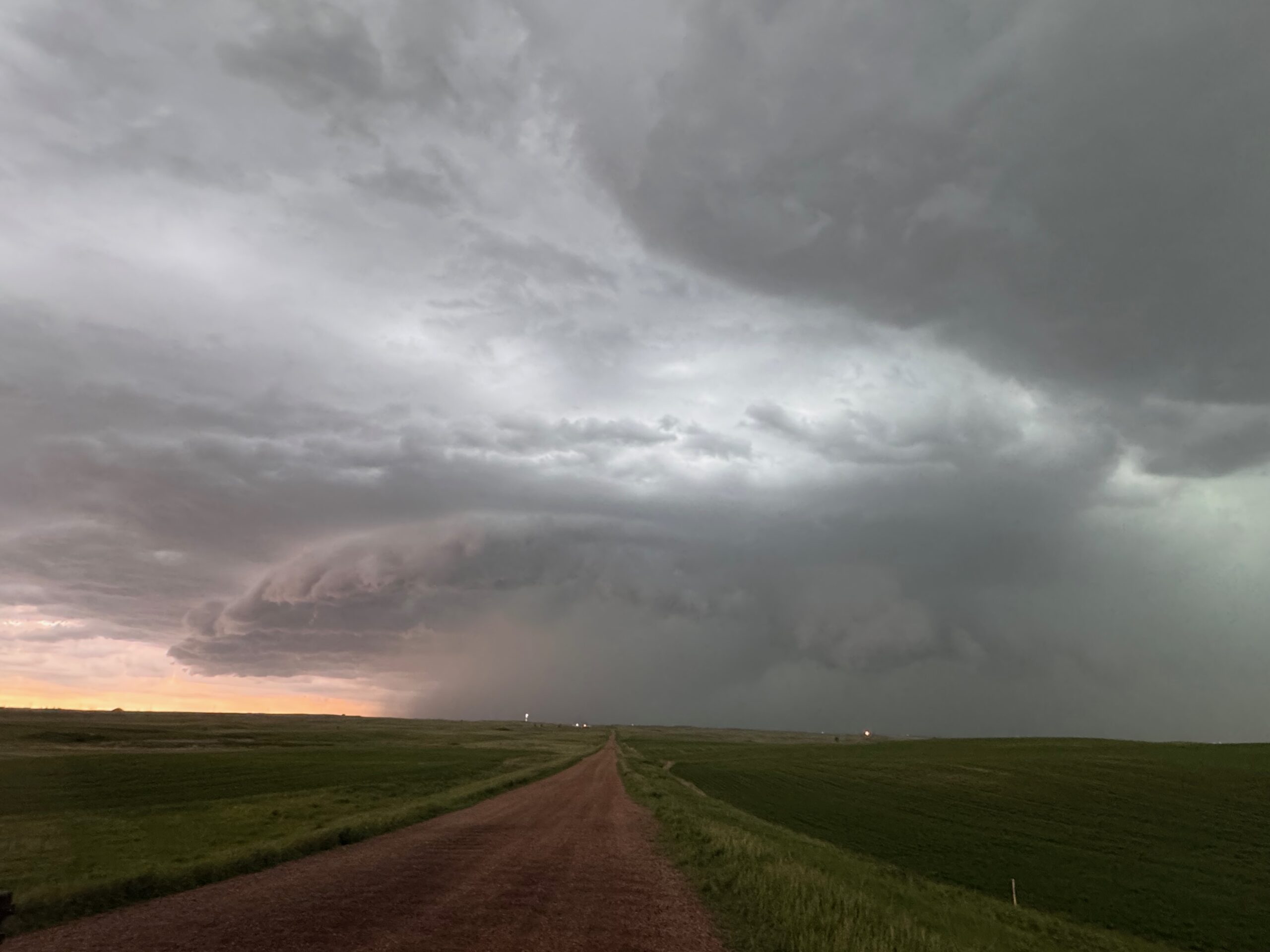
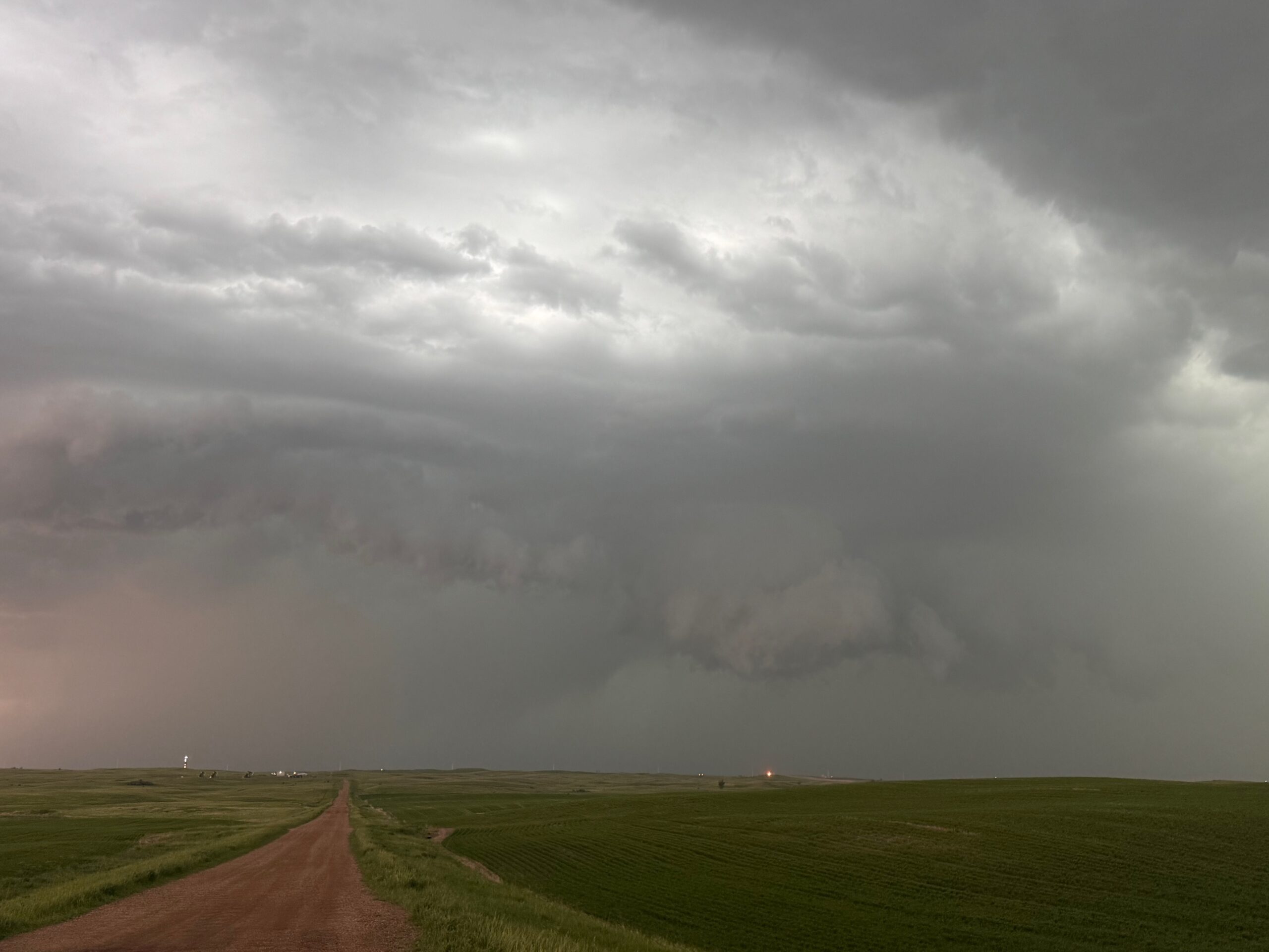
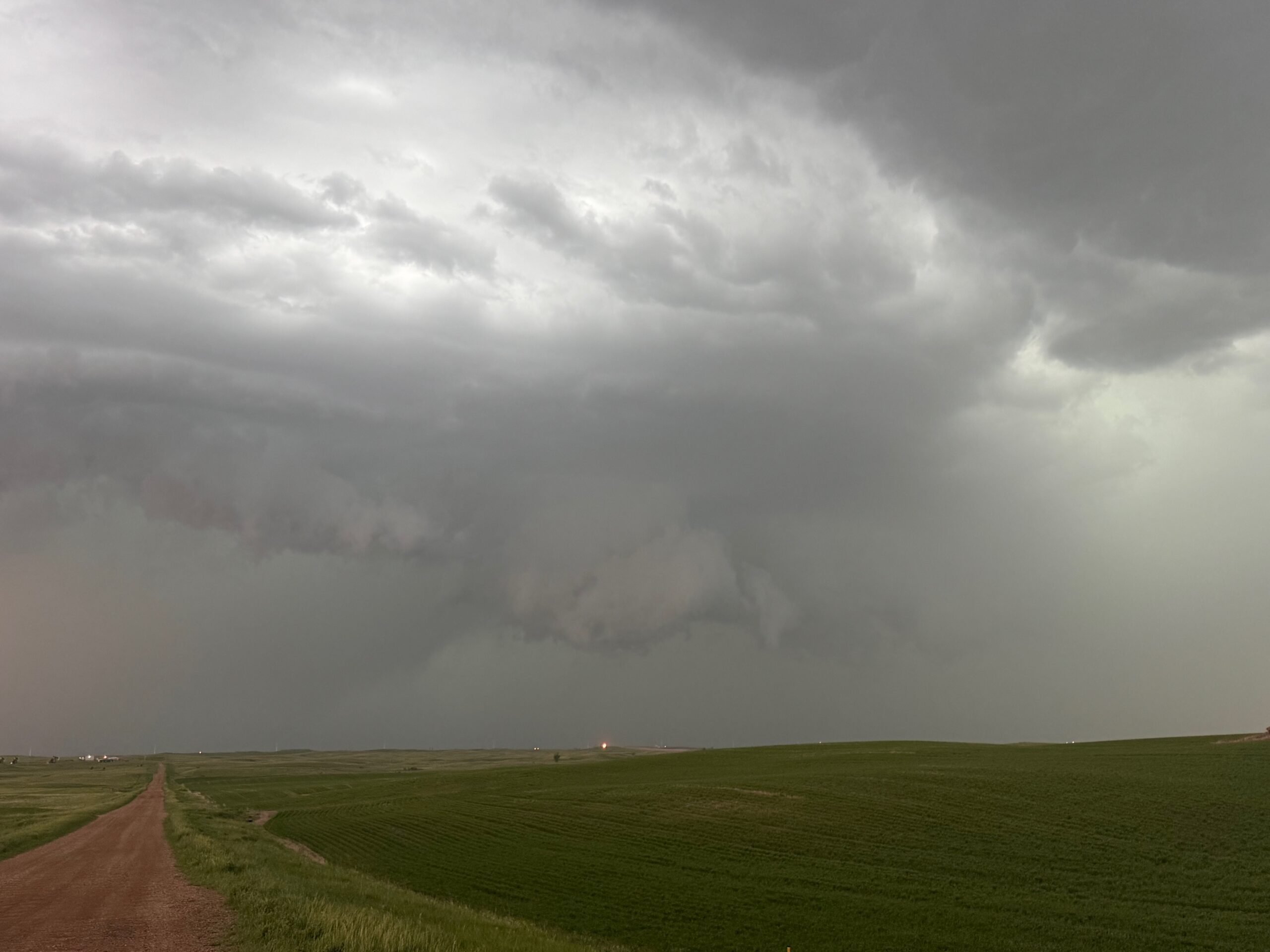
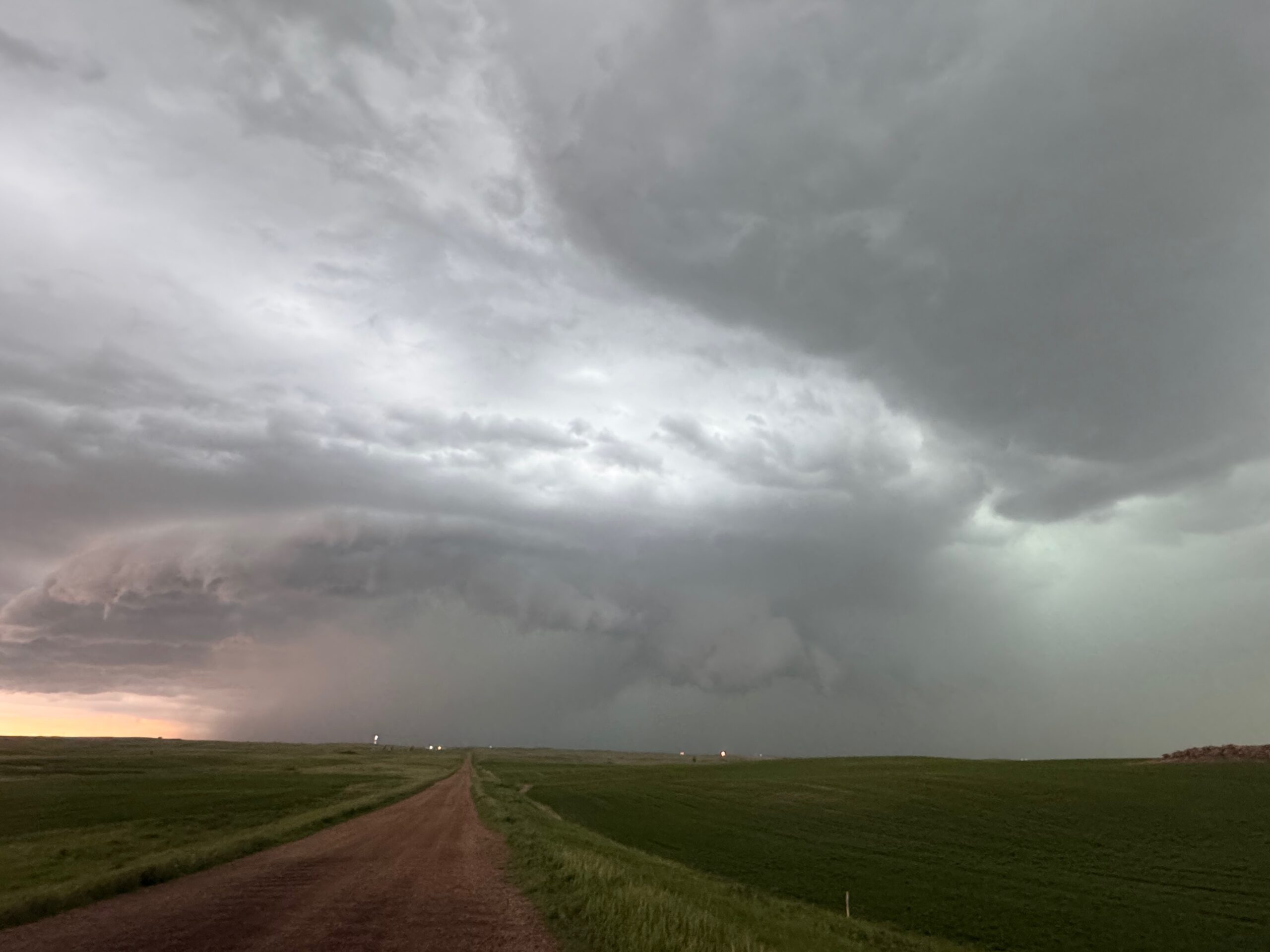
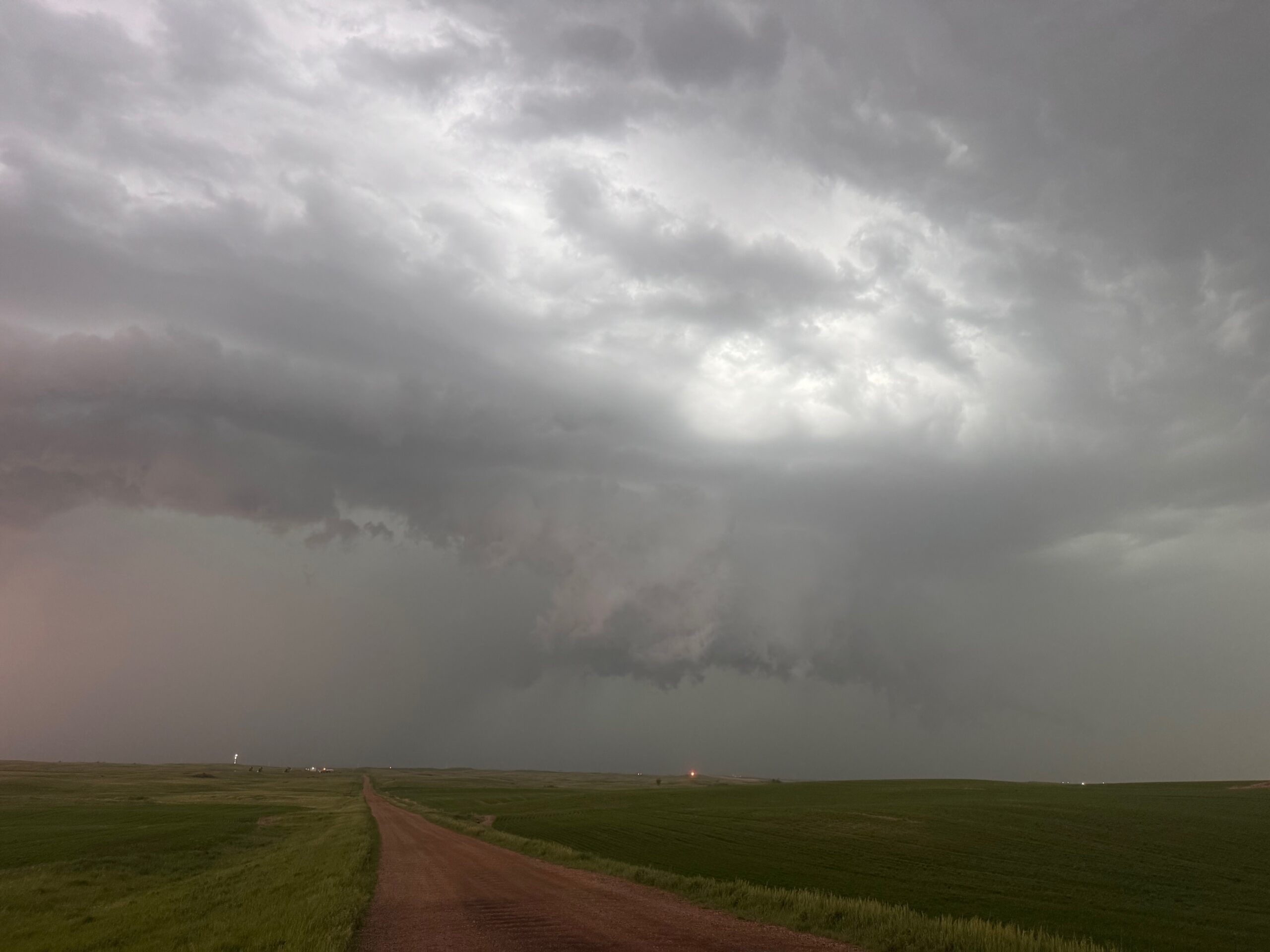
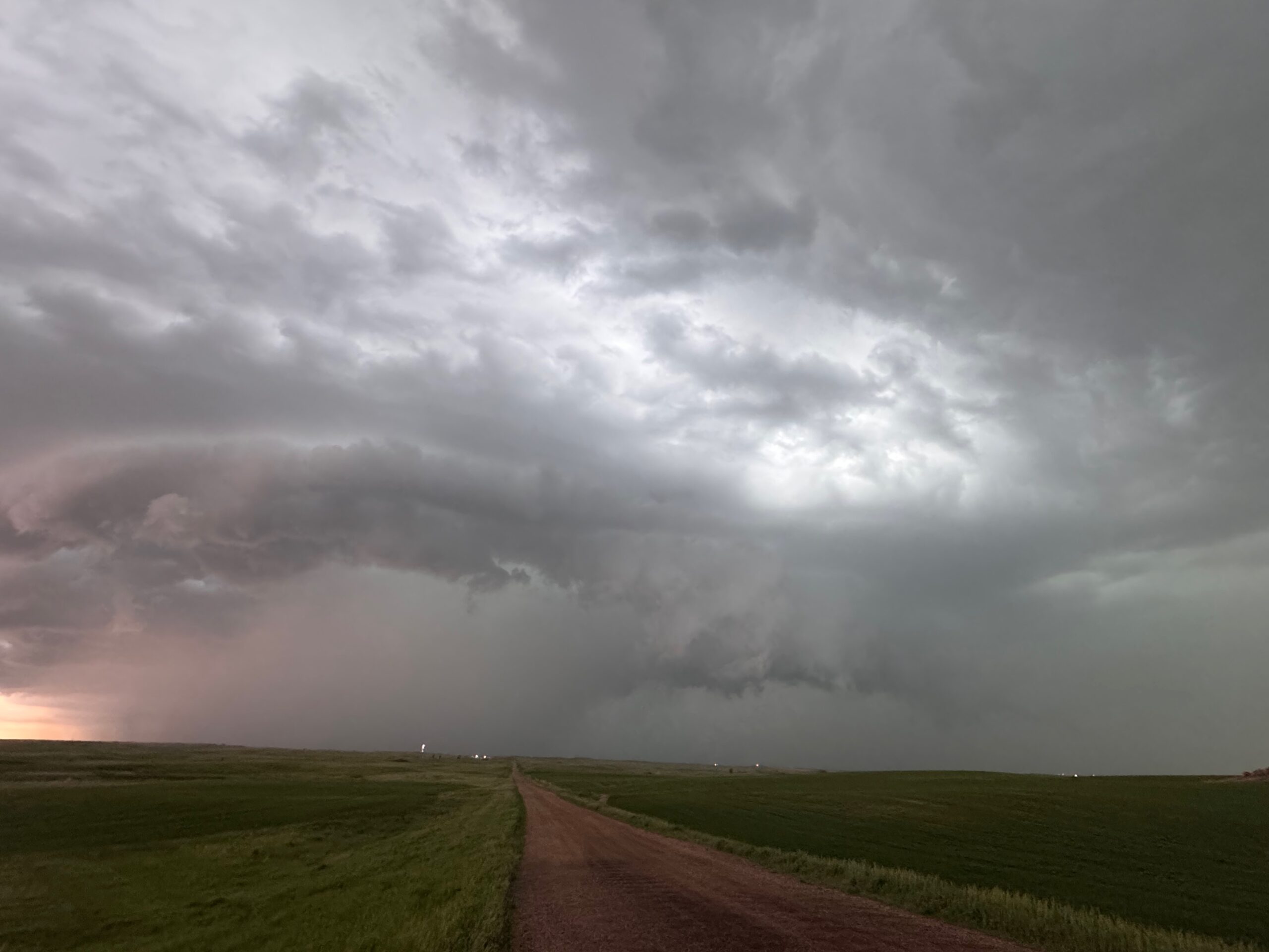
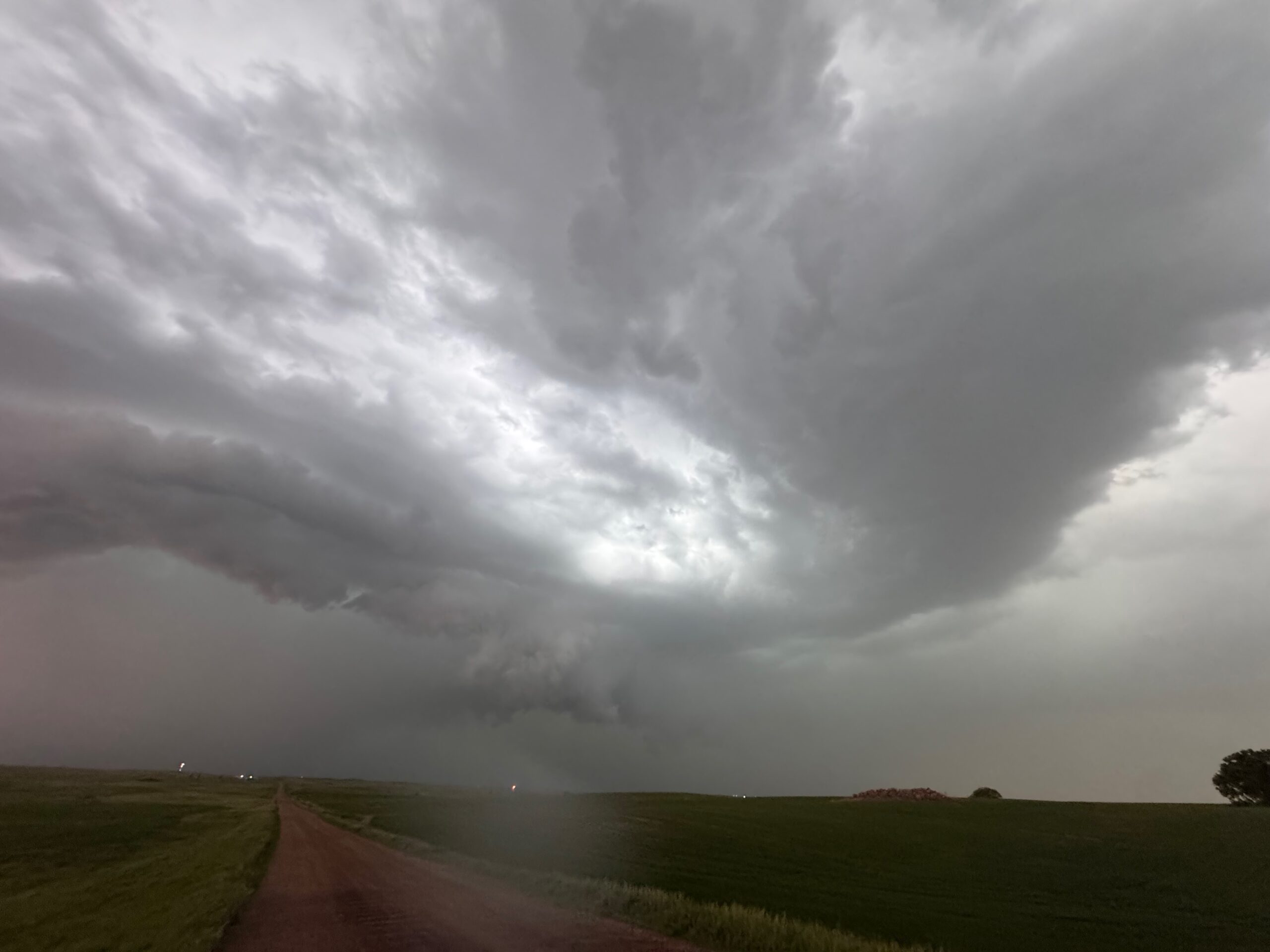
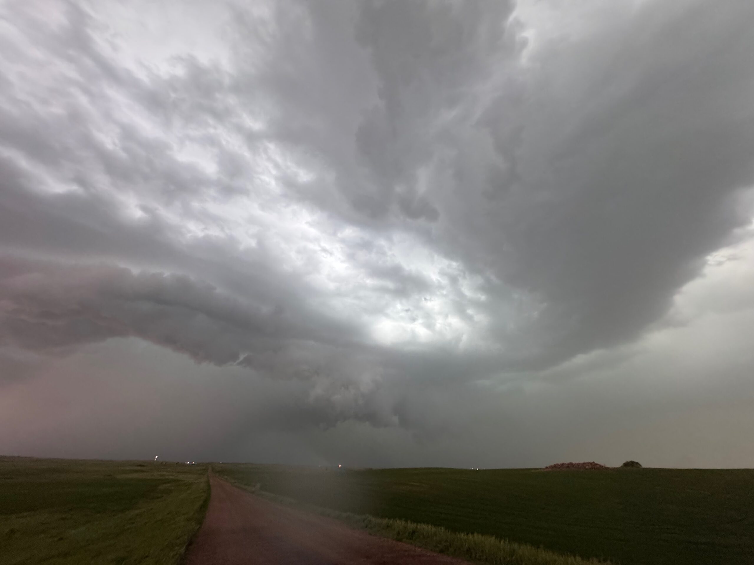
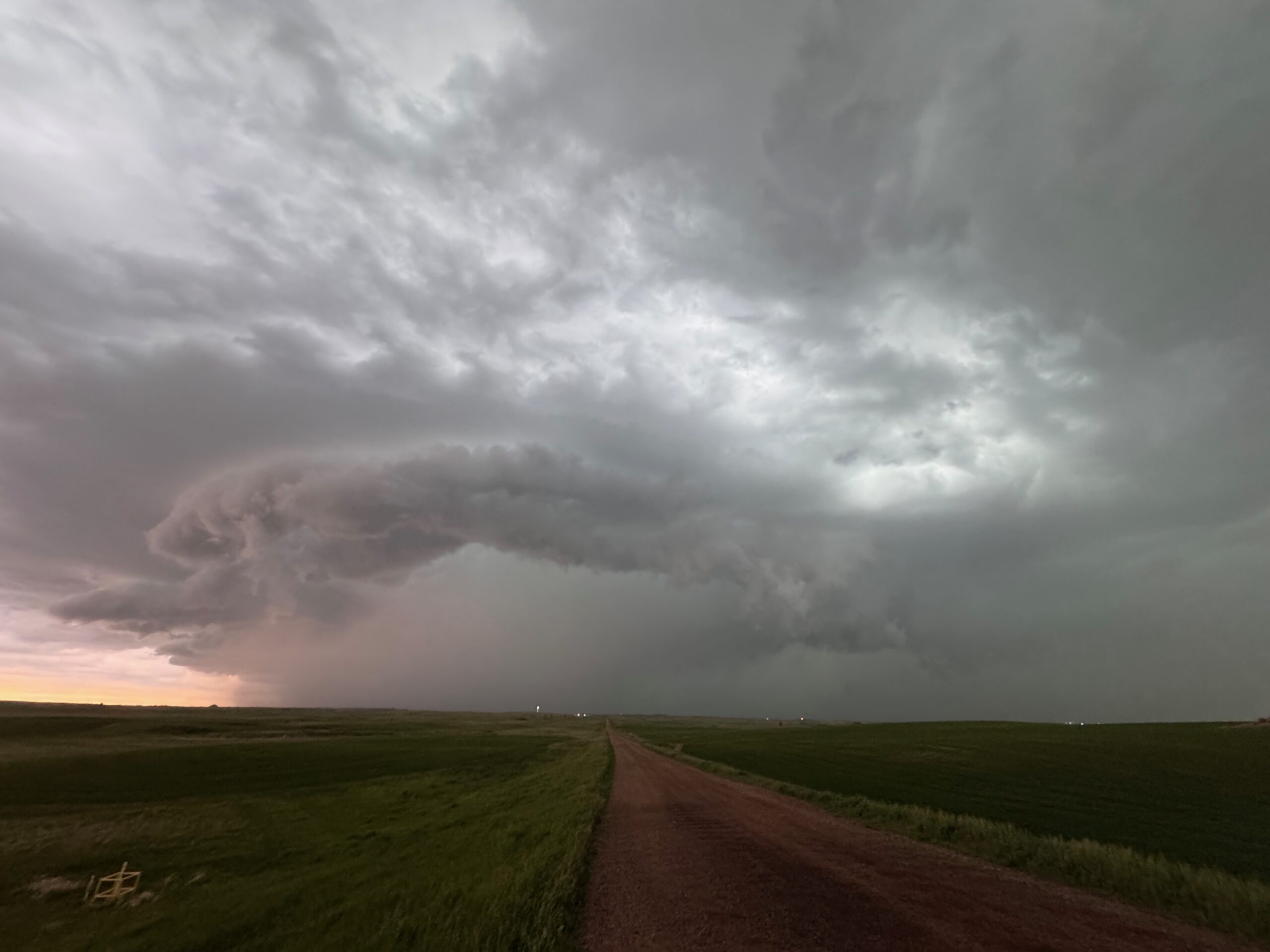
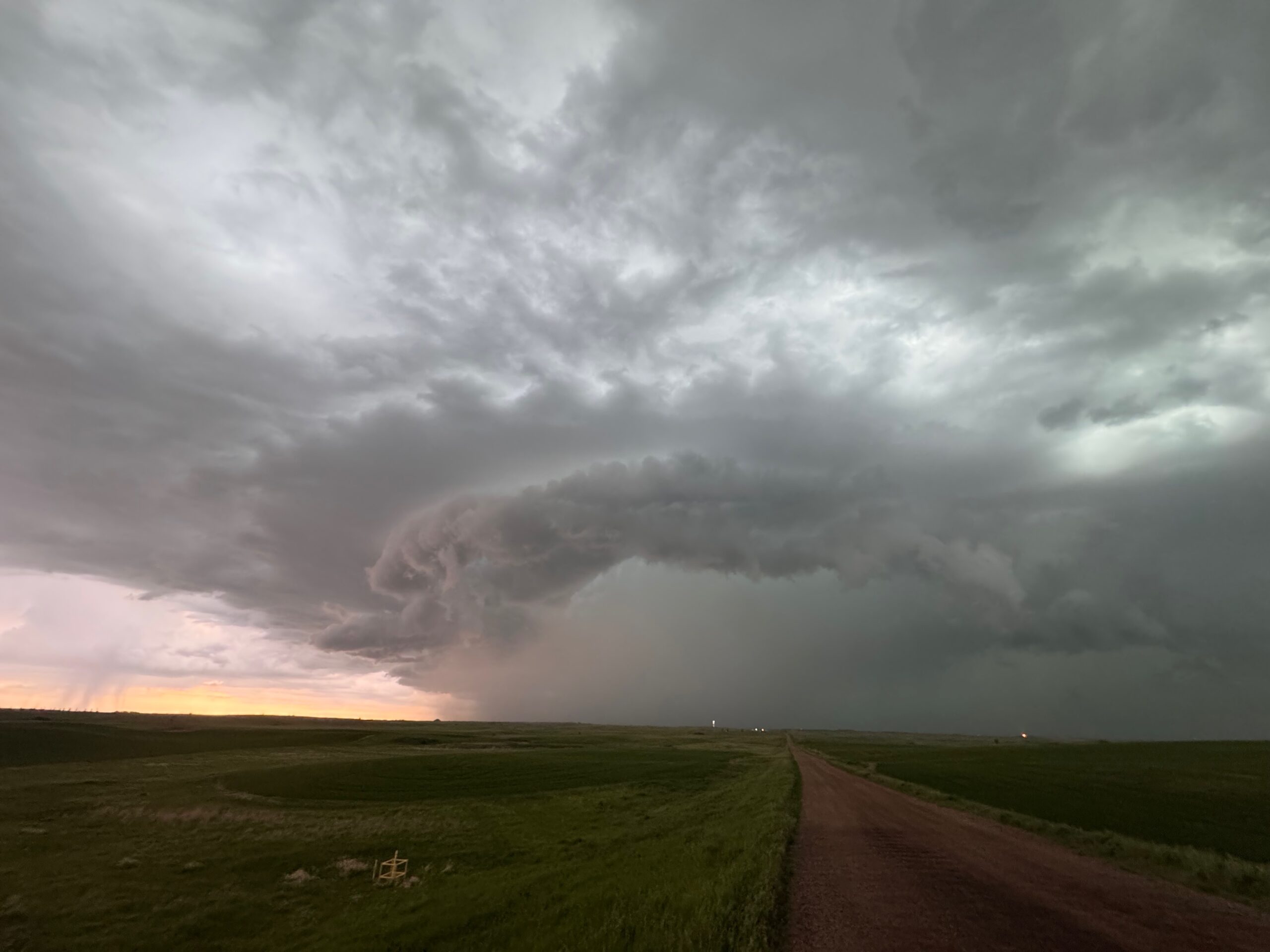
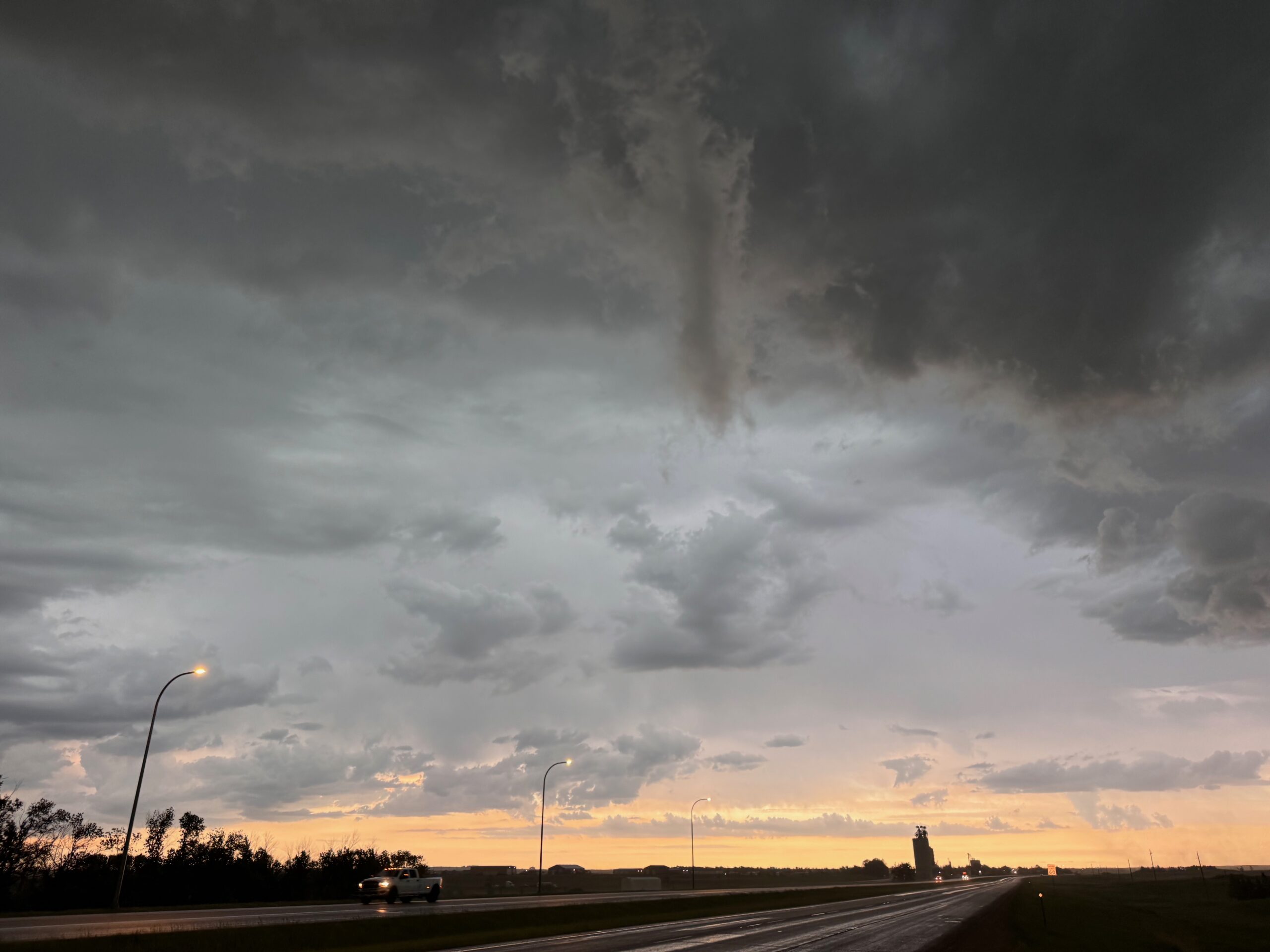
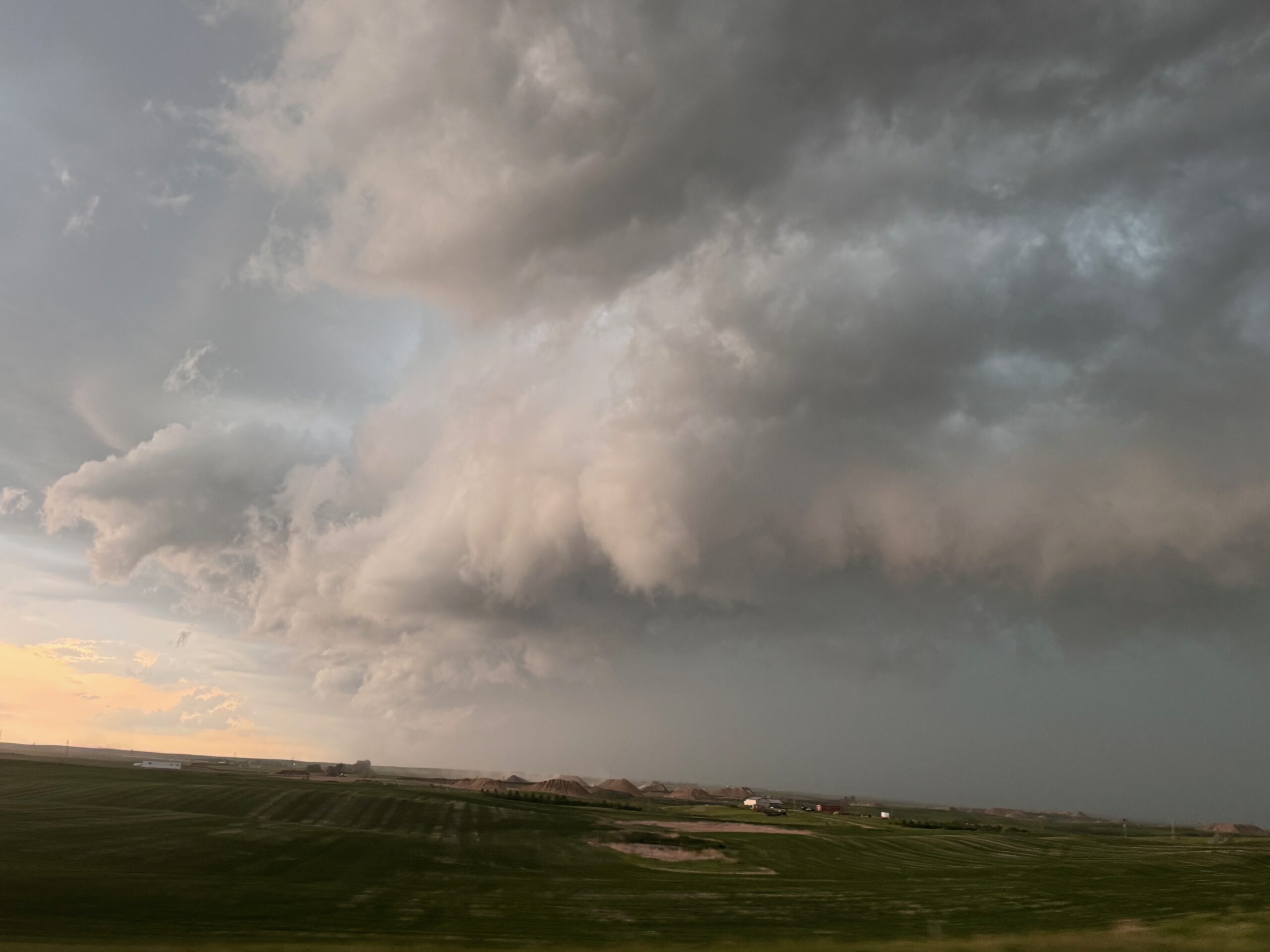
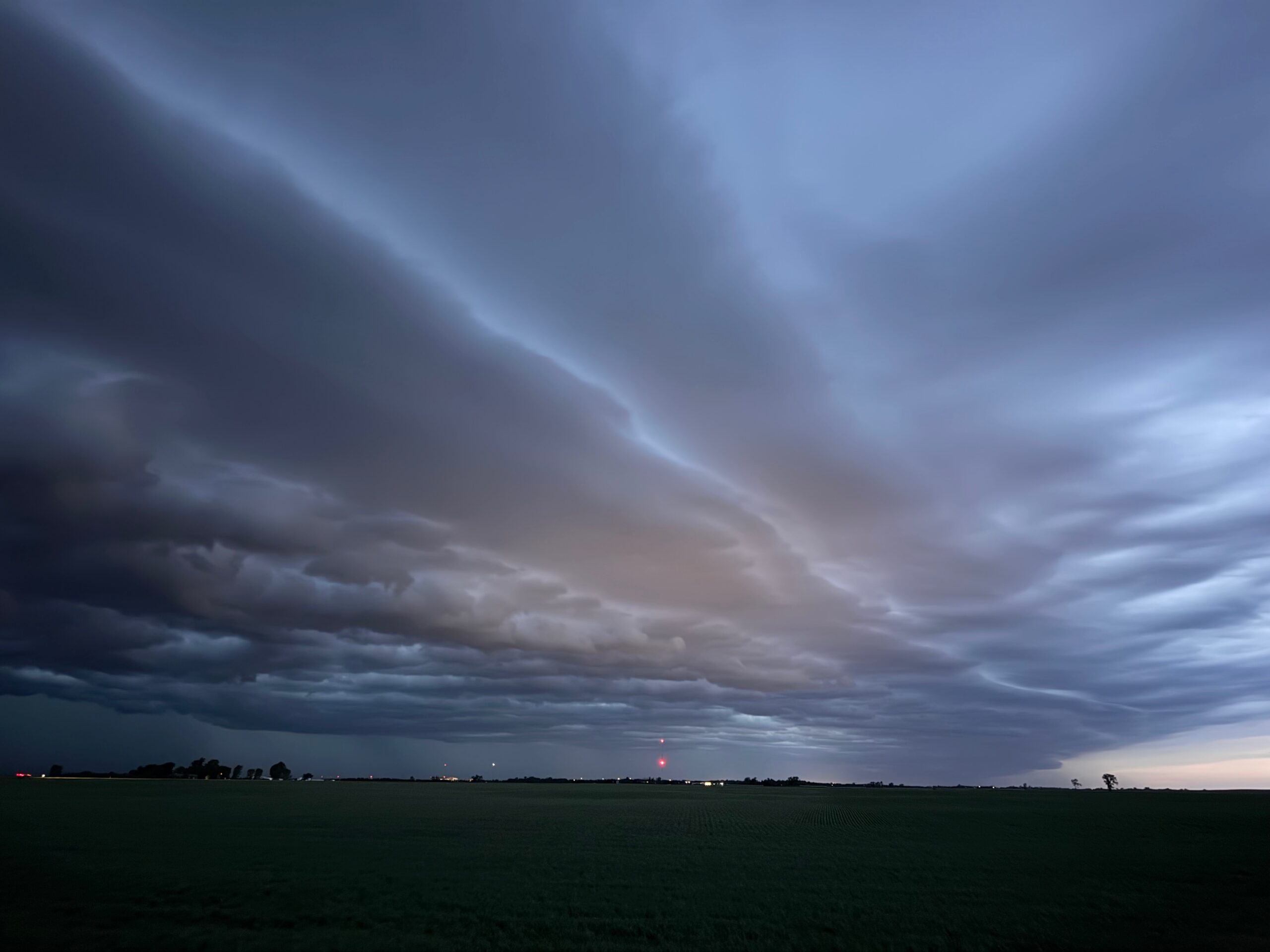
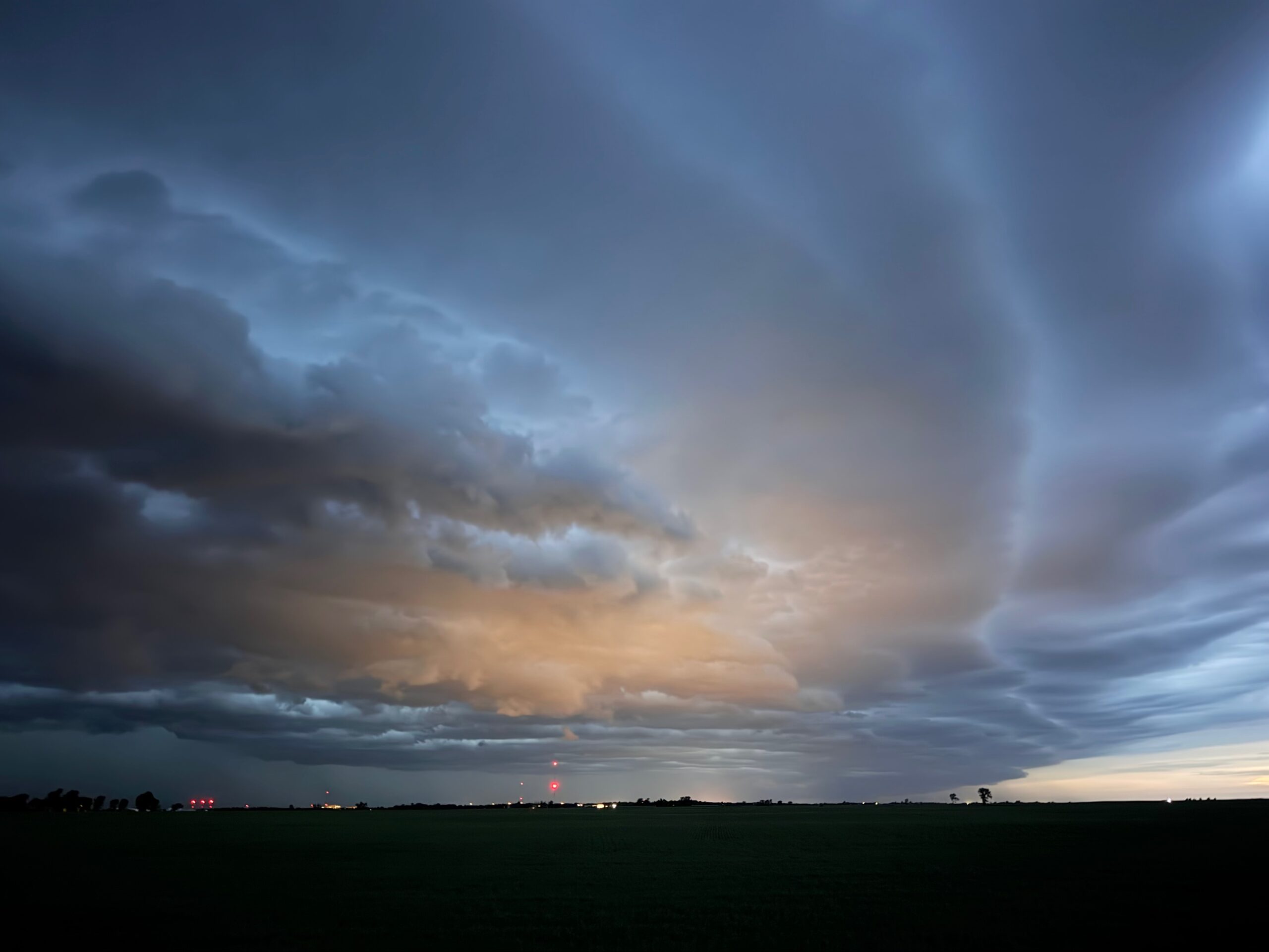
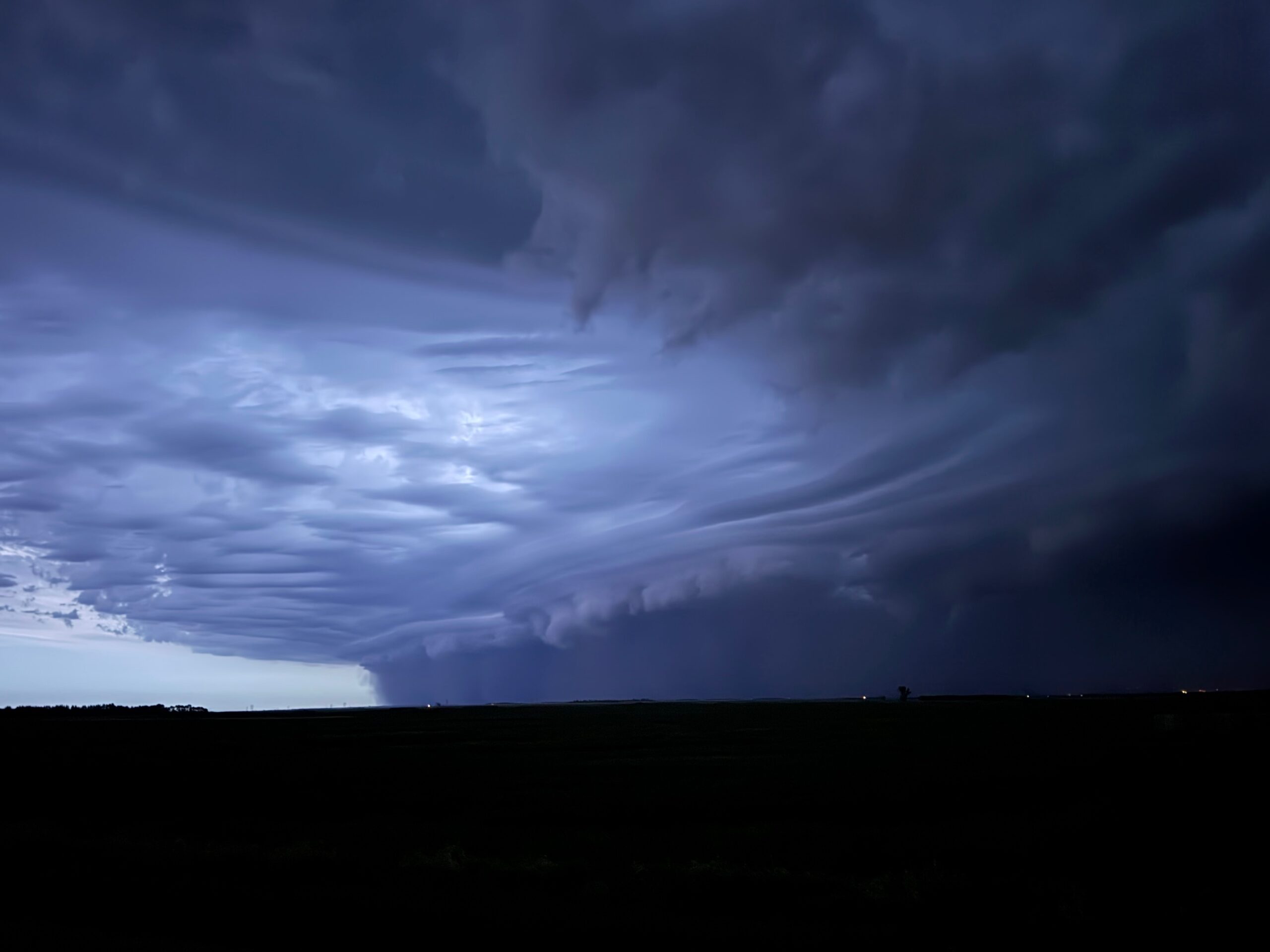
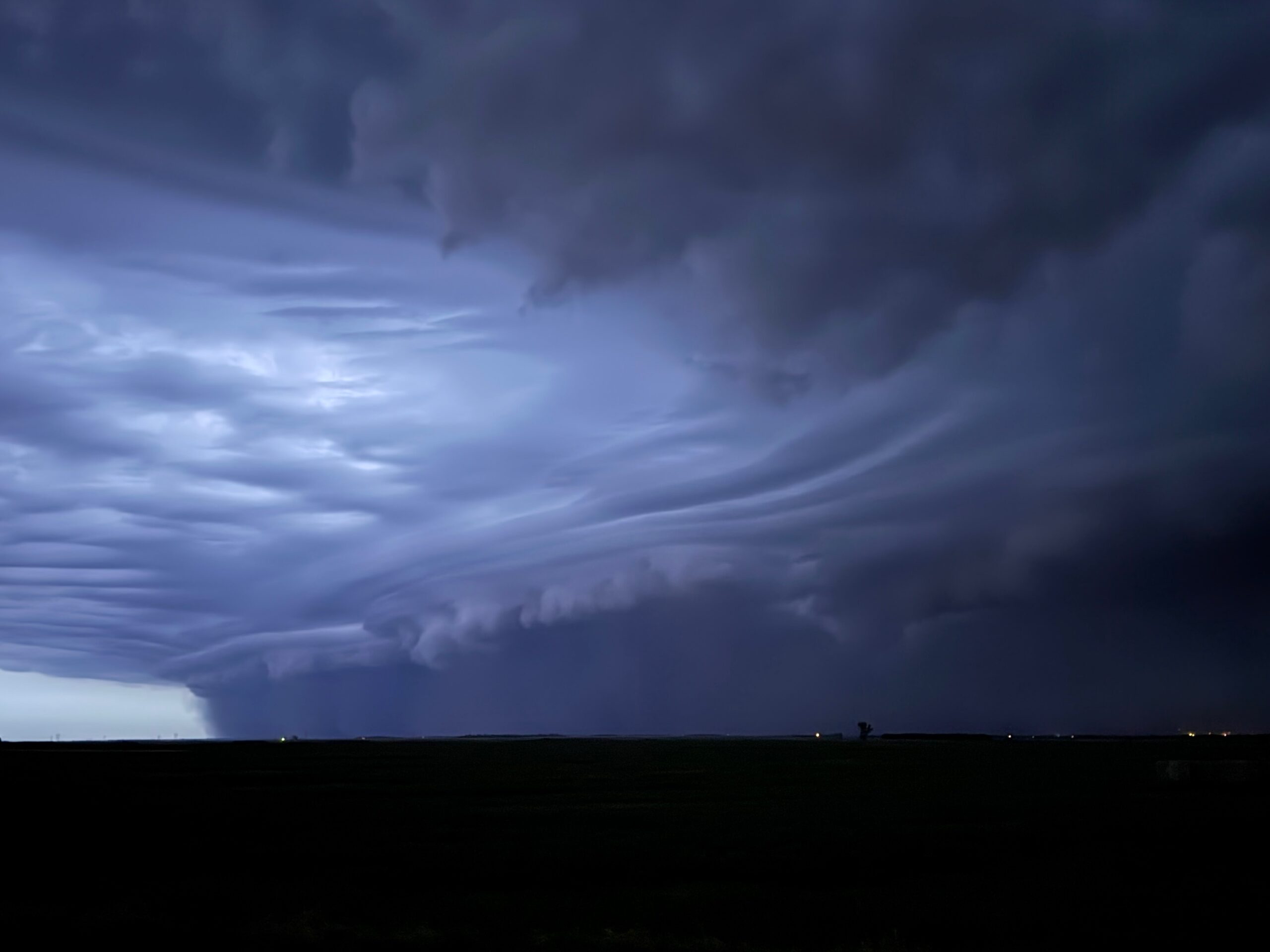
The complex was evolving into the expected squall line as sunset neared. We met up with the Tempest group near Stanley, and were chased eastward by the squall. The laminar-sided front end of the linear system was quite pretty.
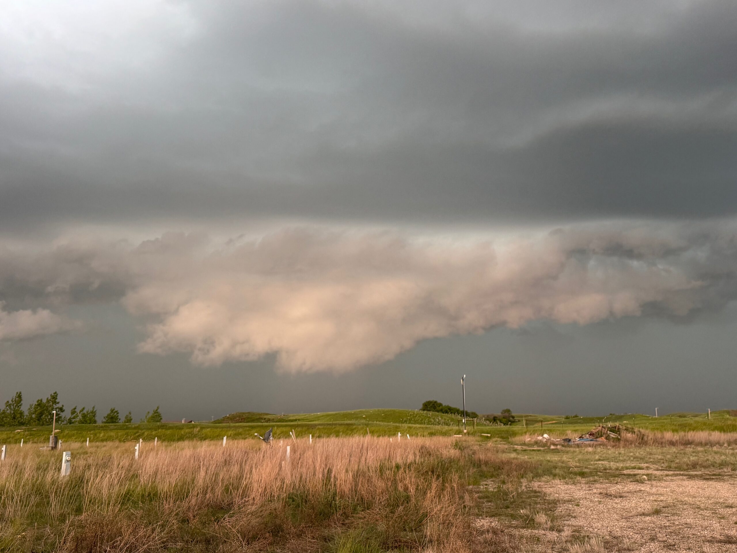
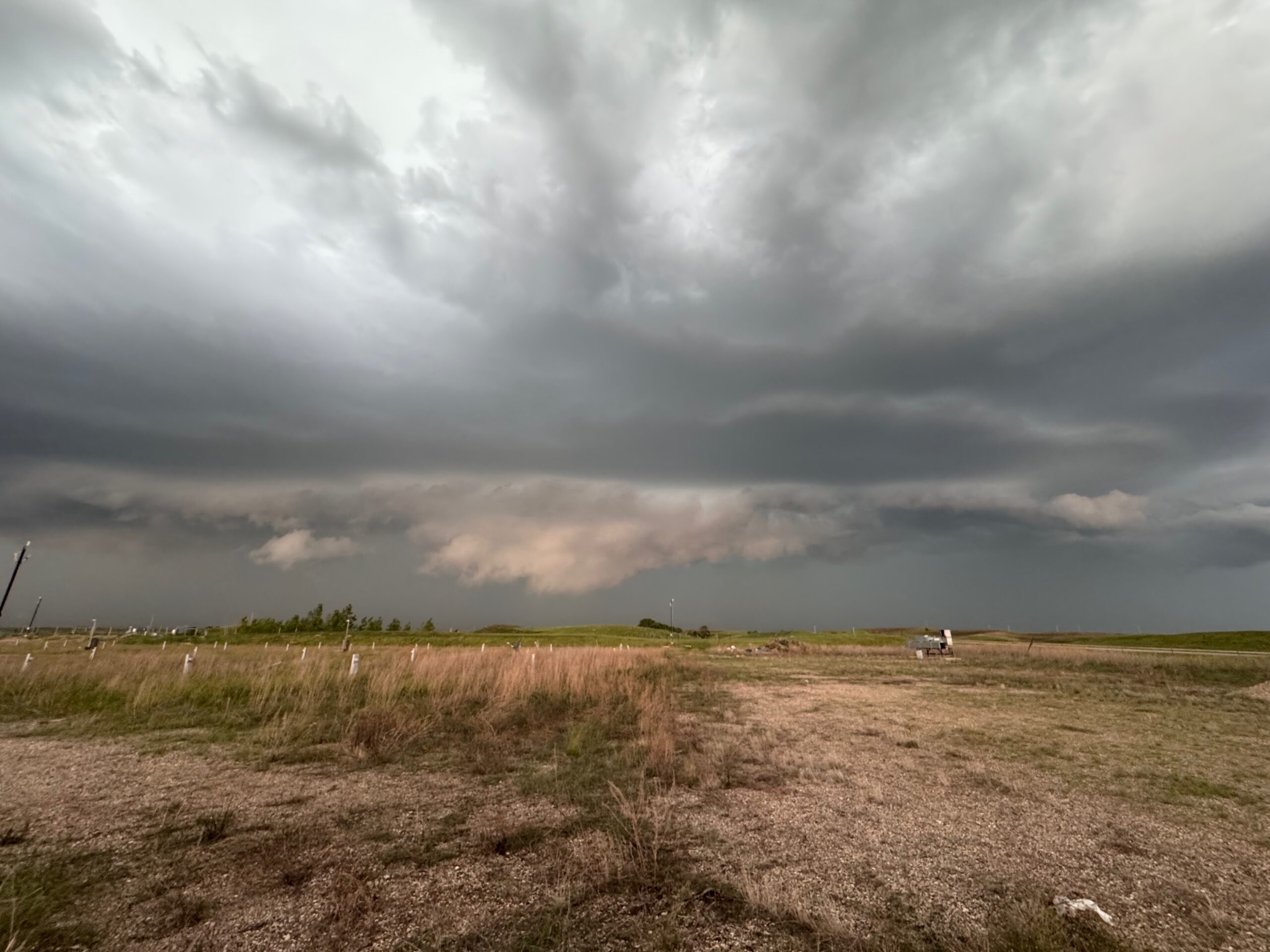
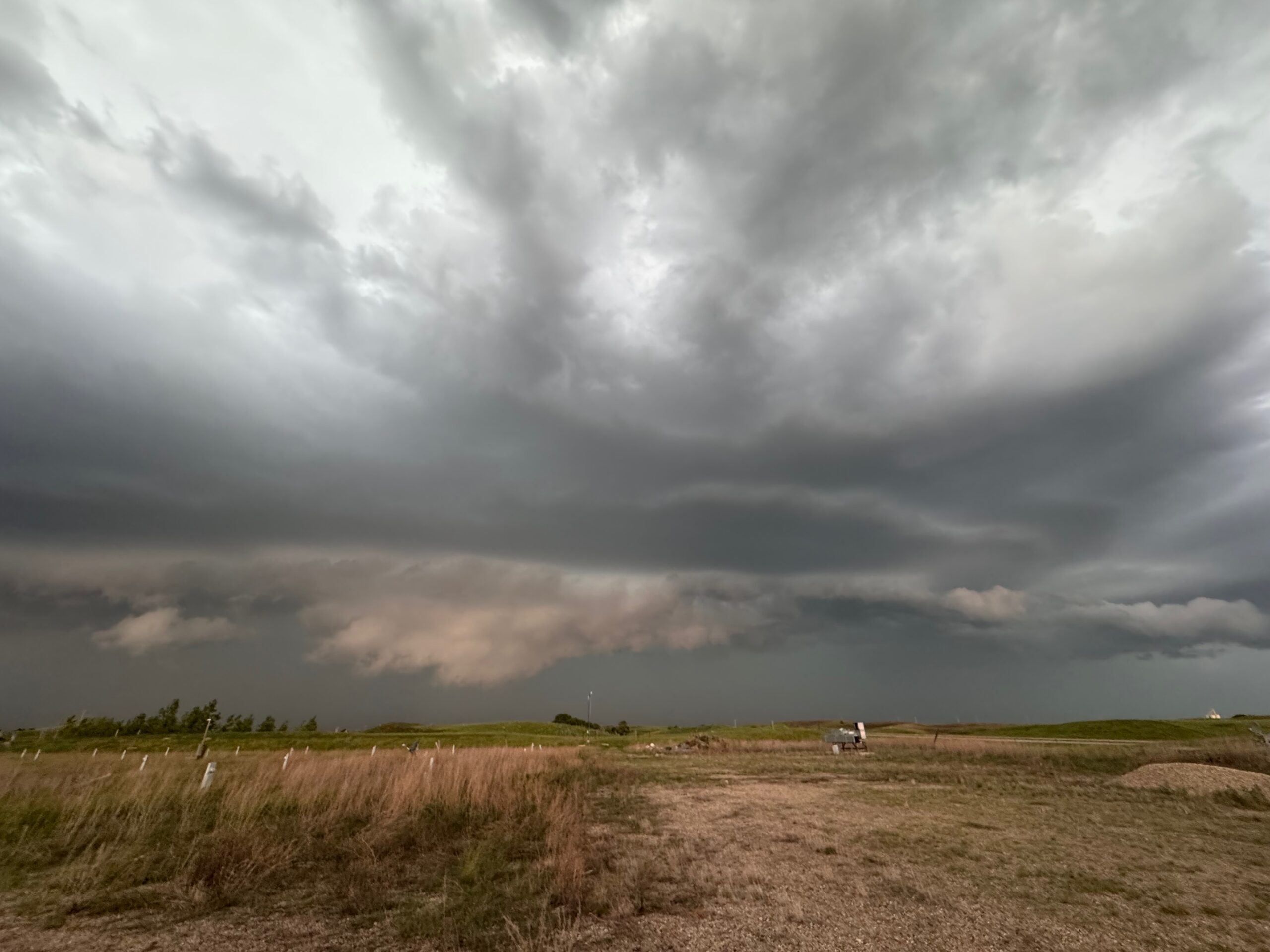
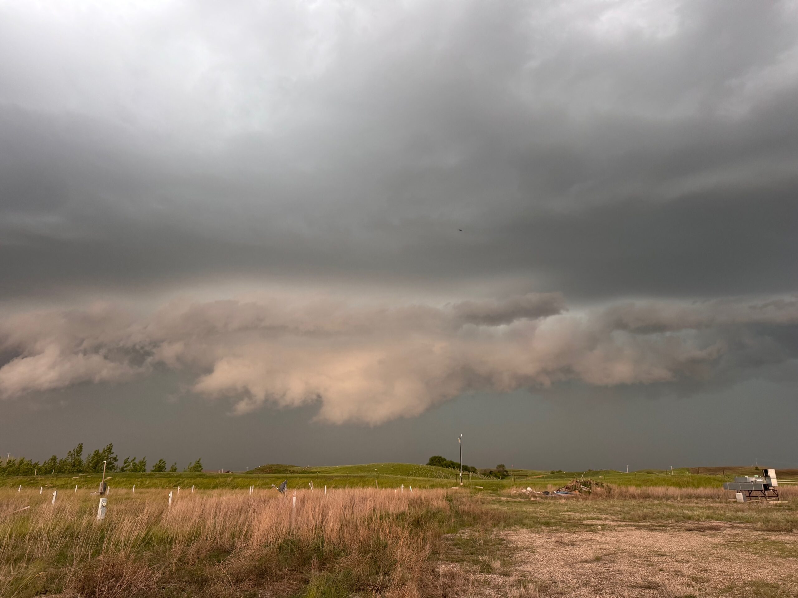
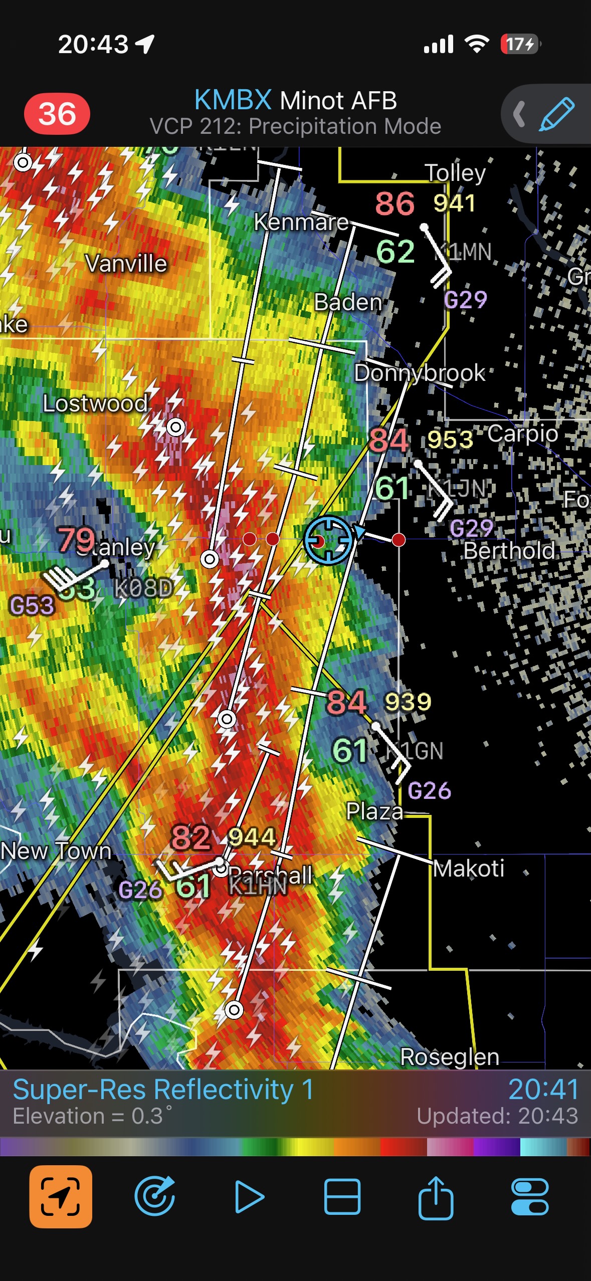
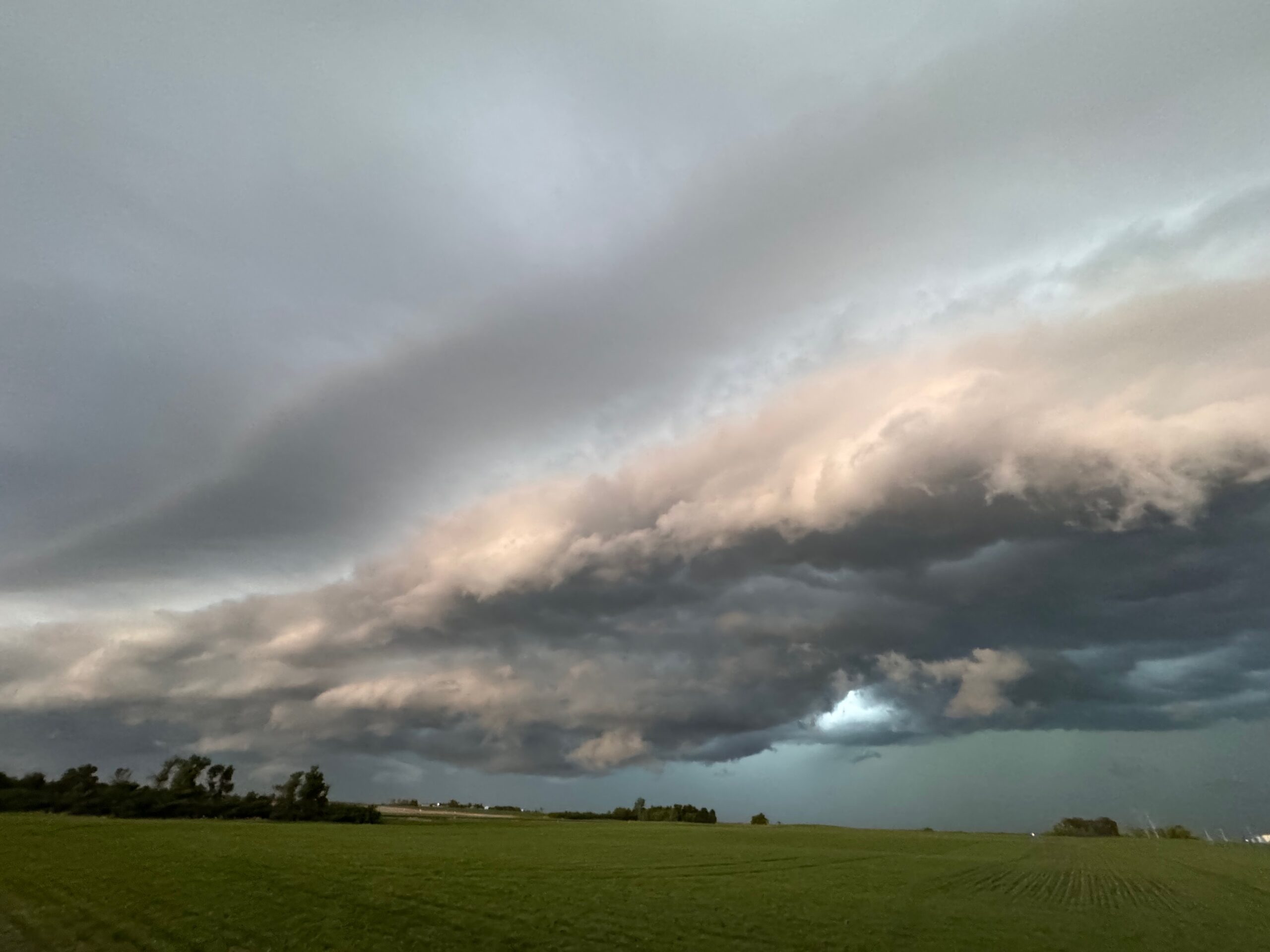
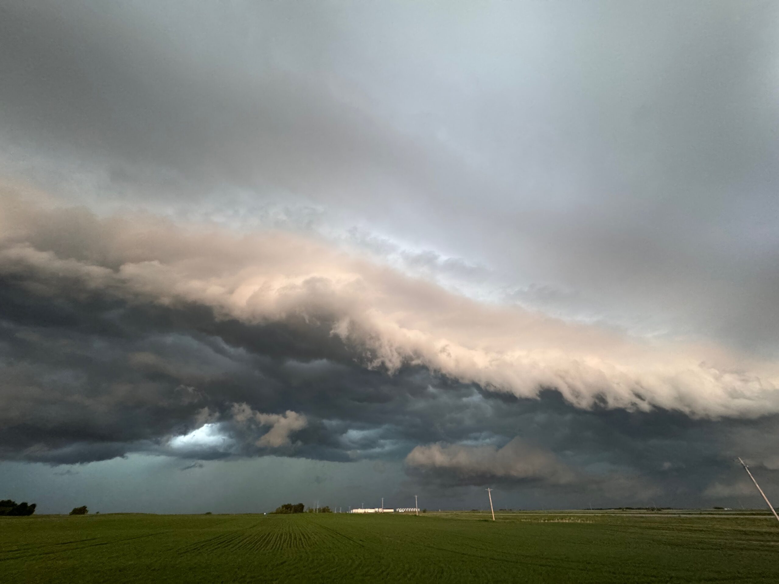
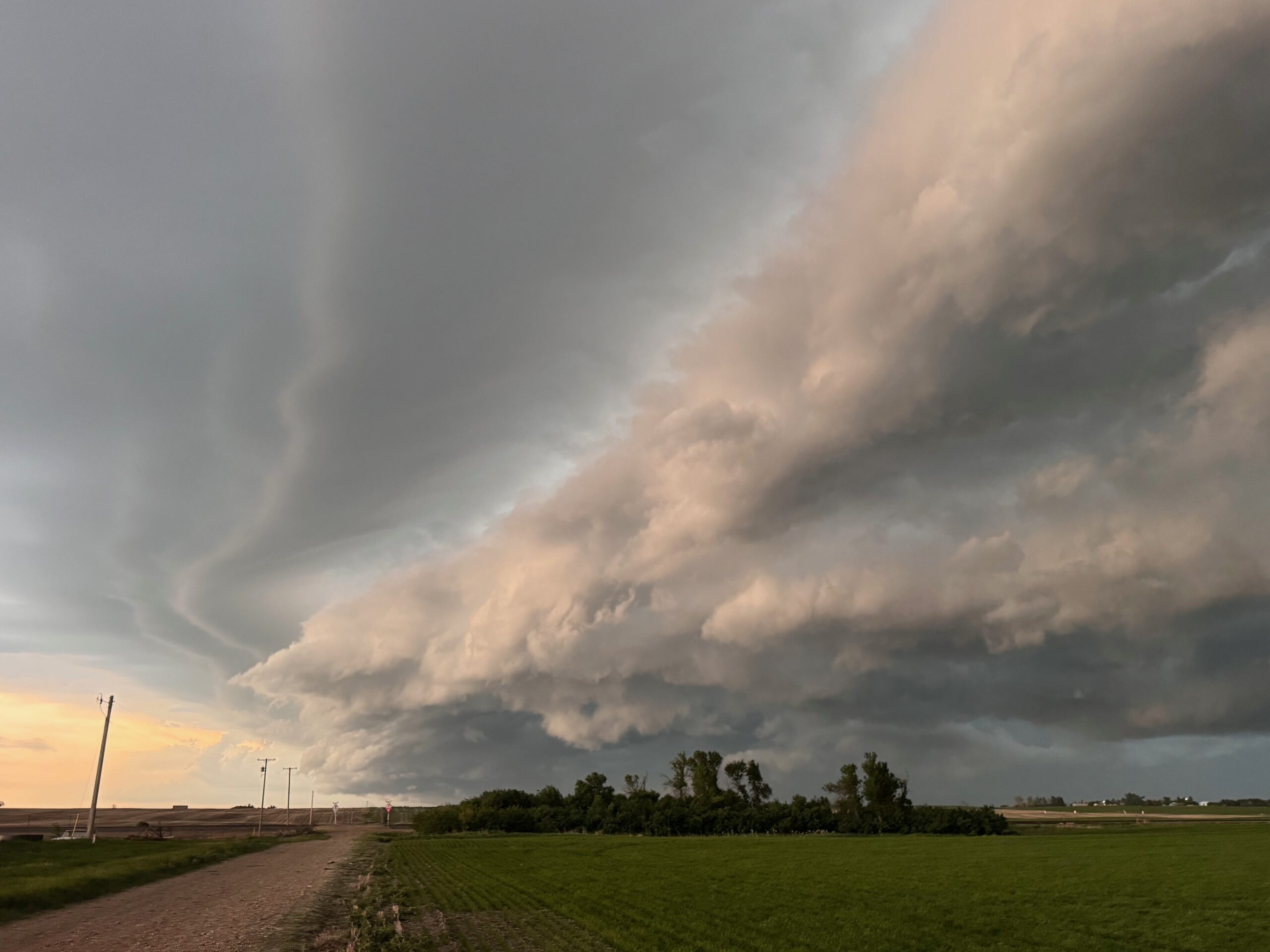
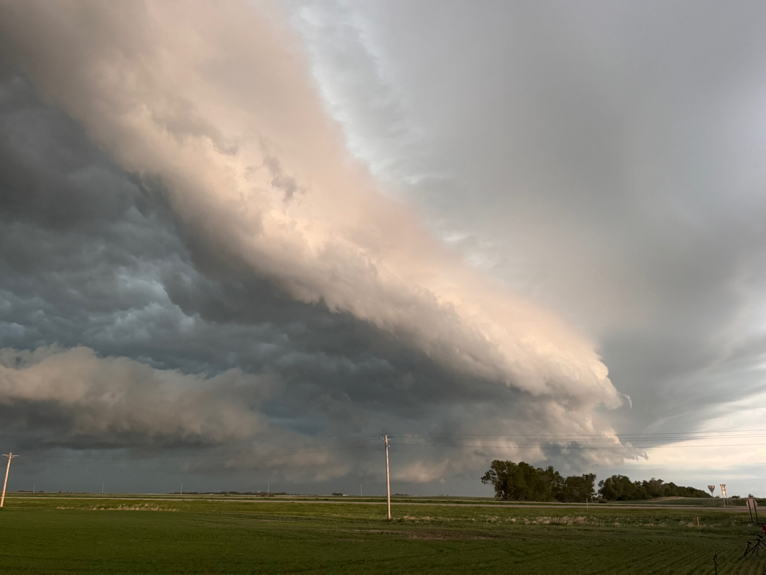
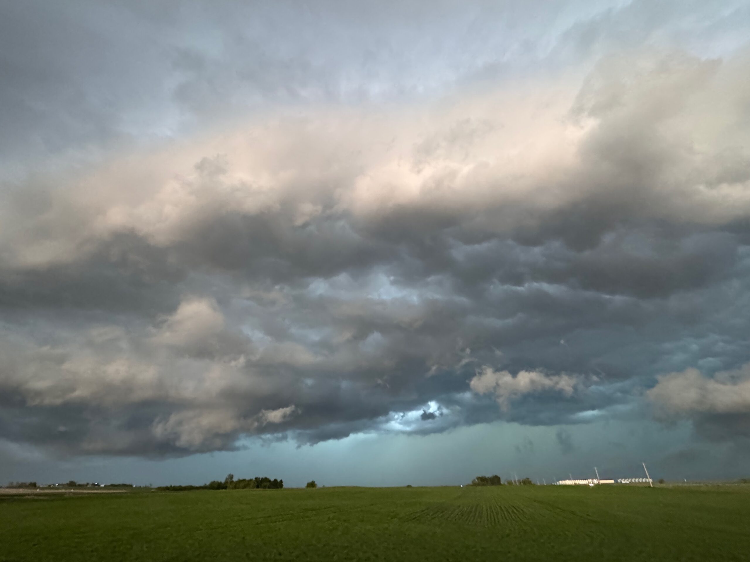
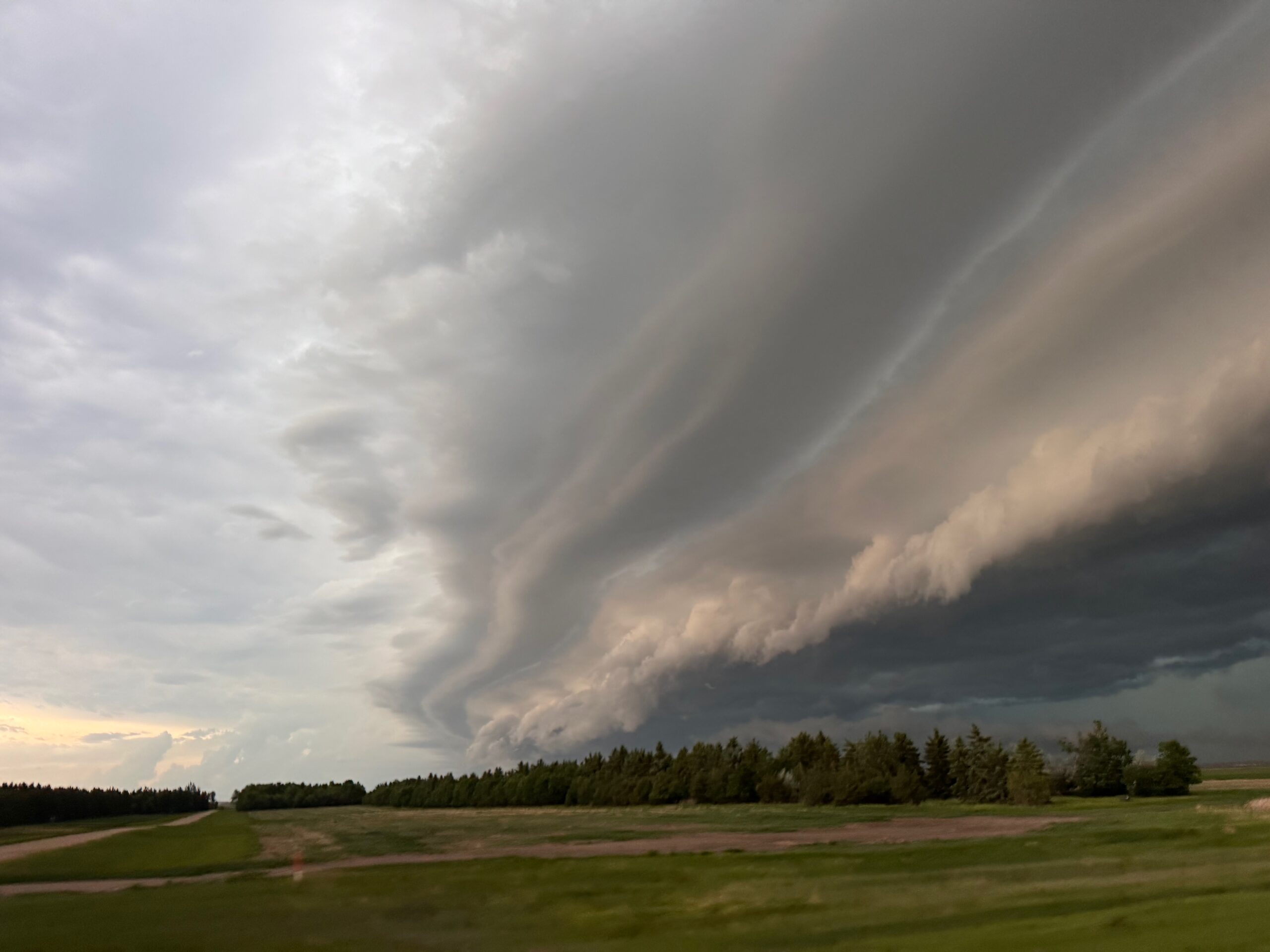
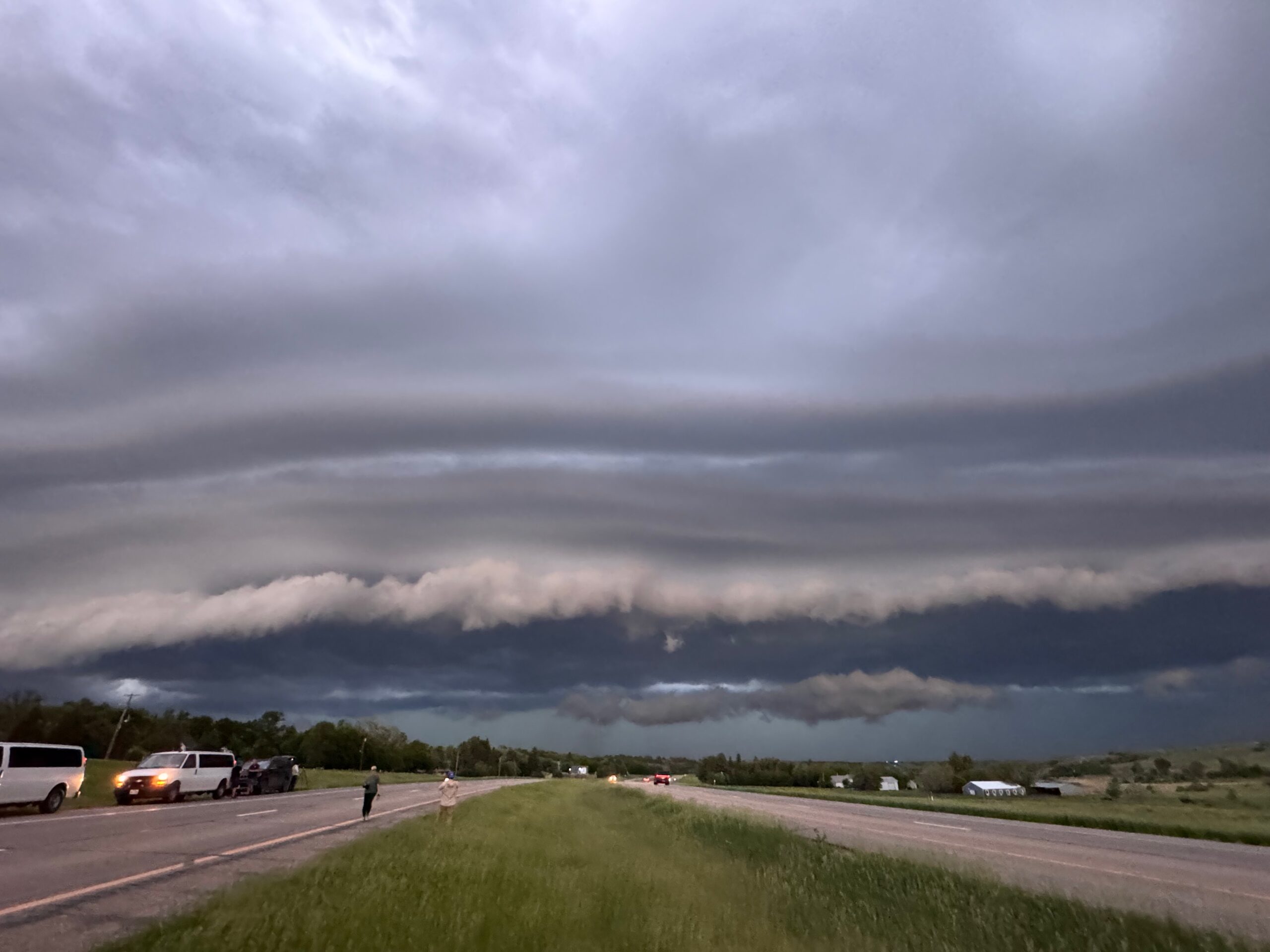
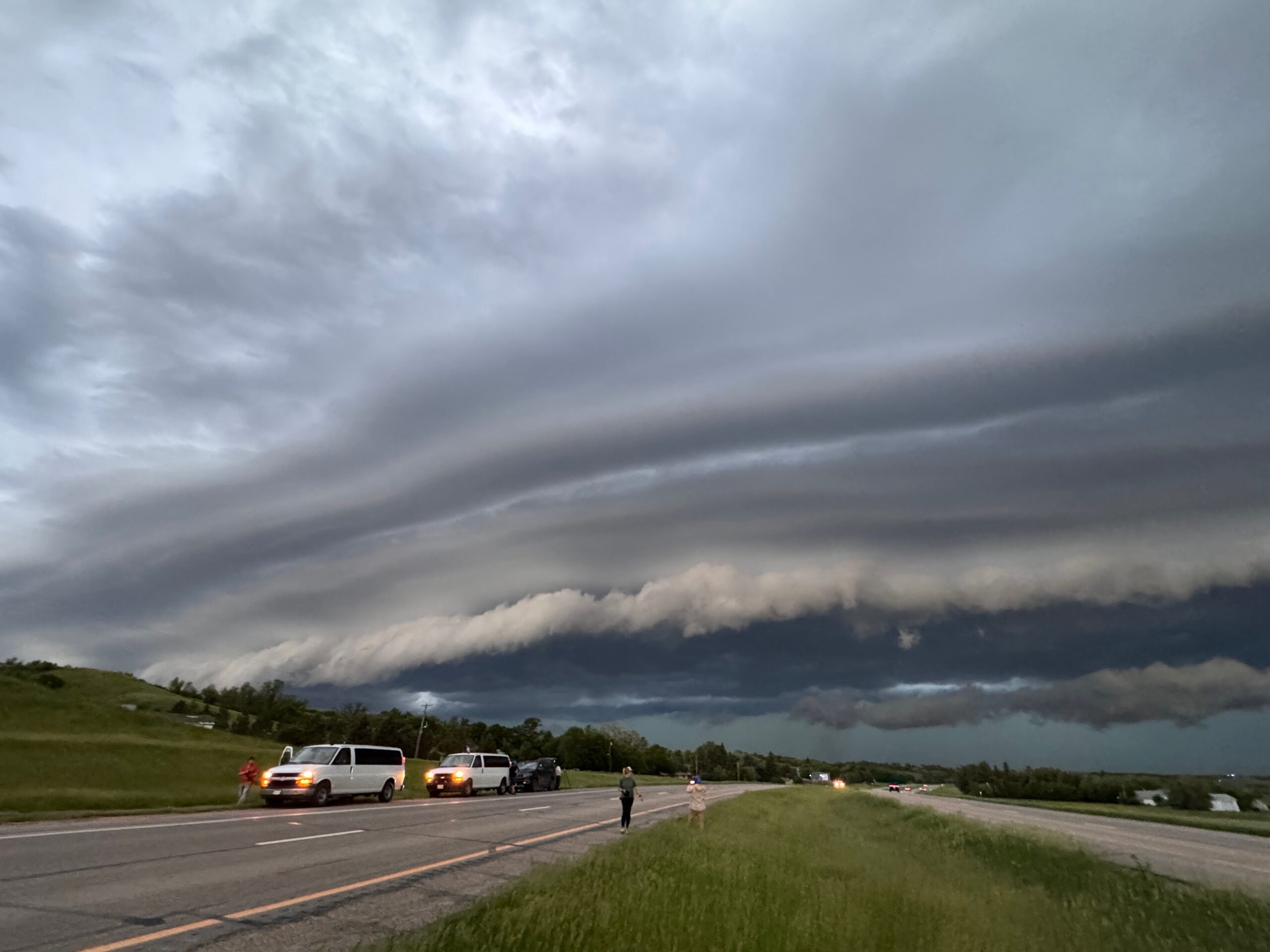
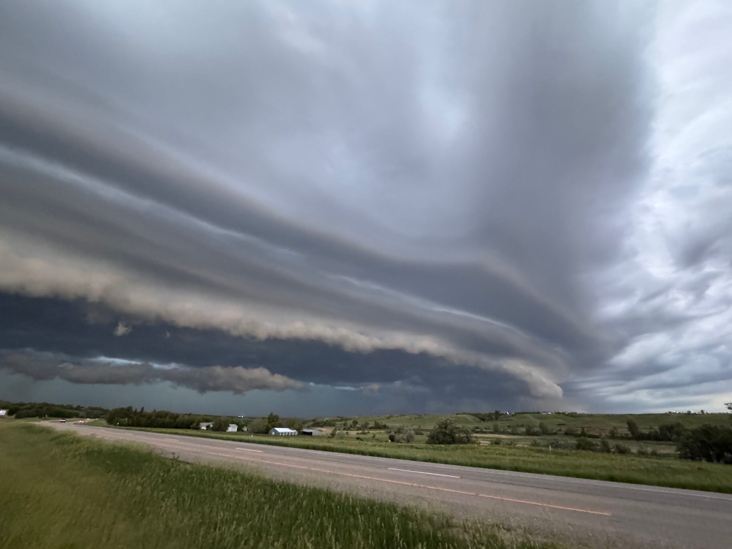
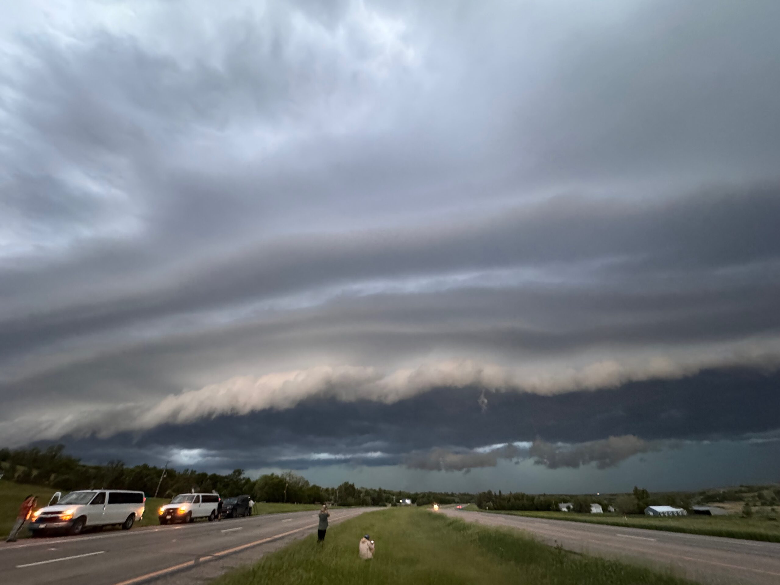
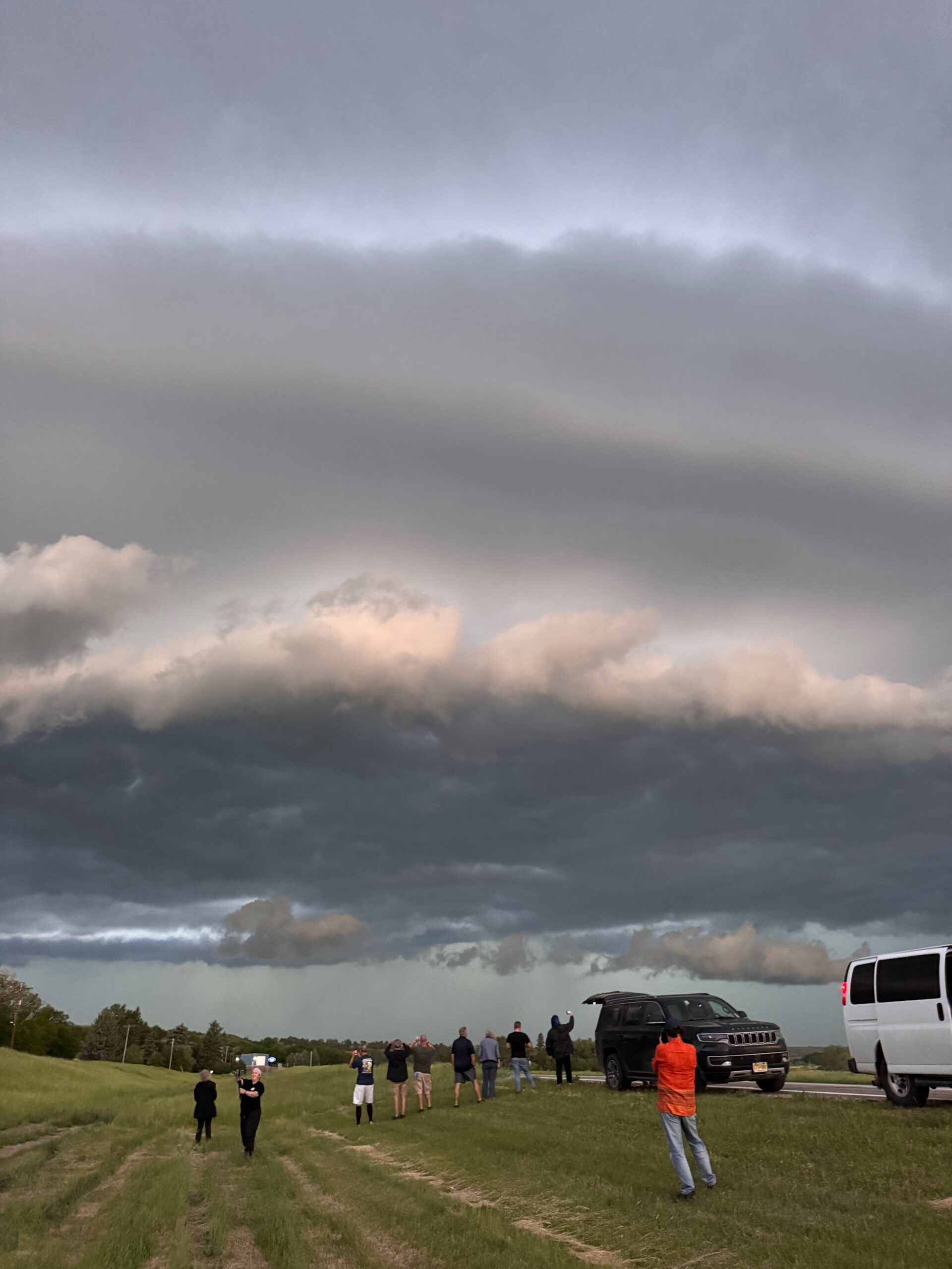
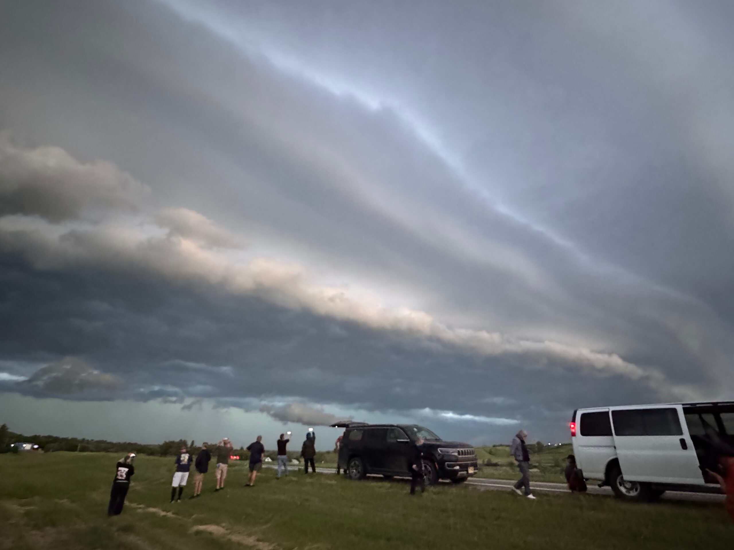
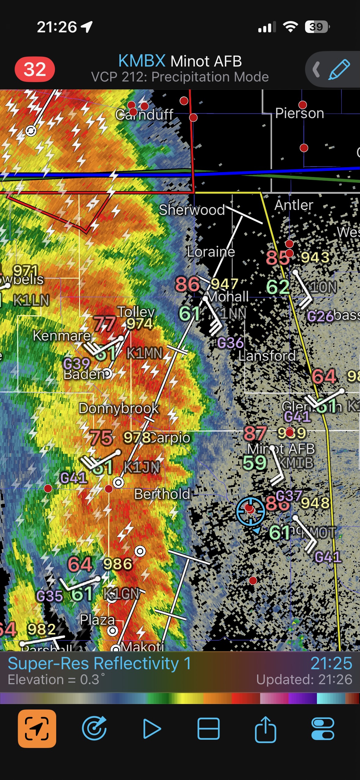
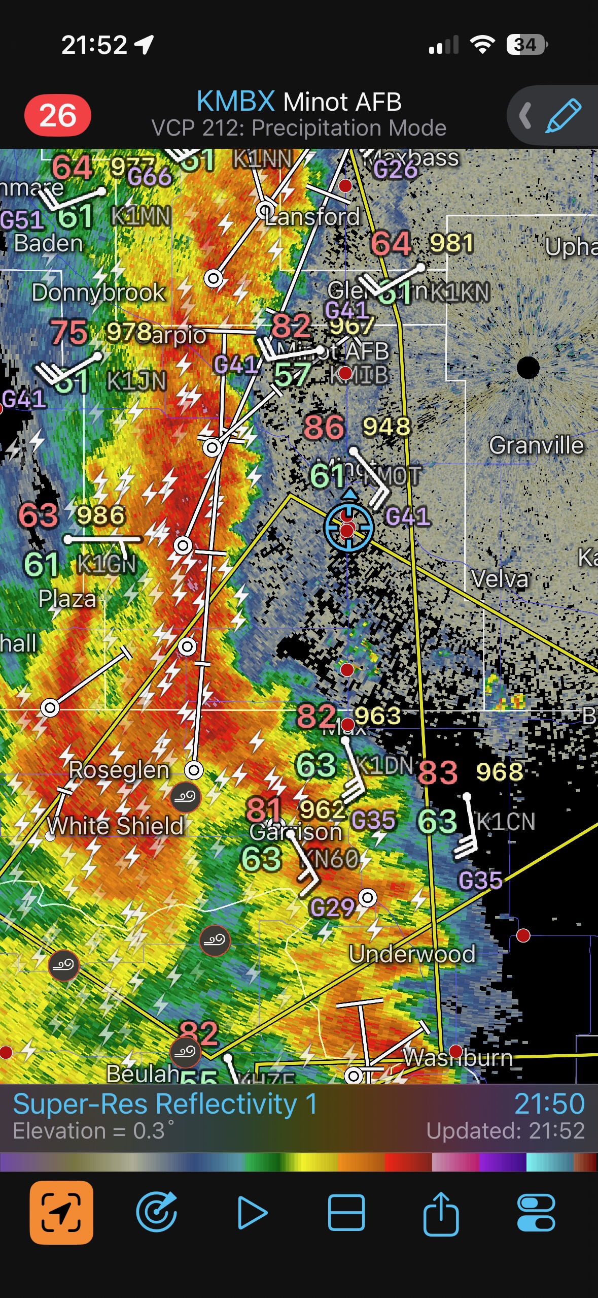
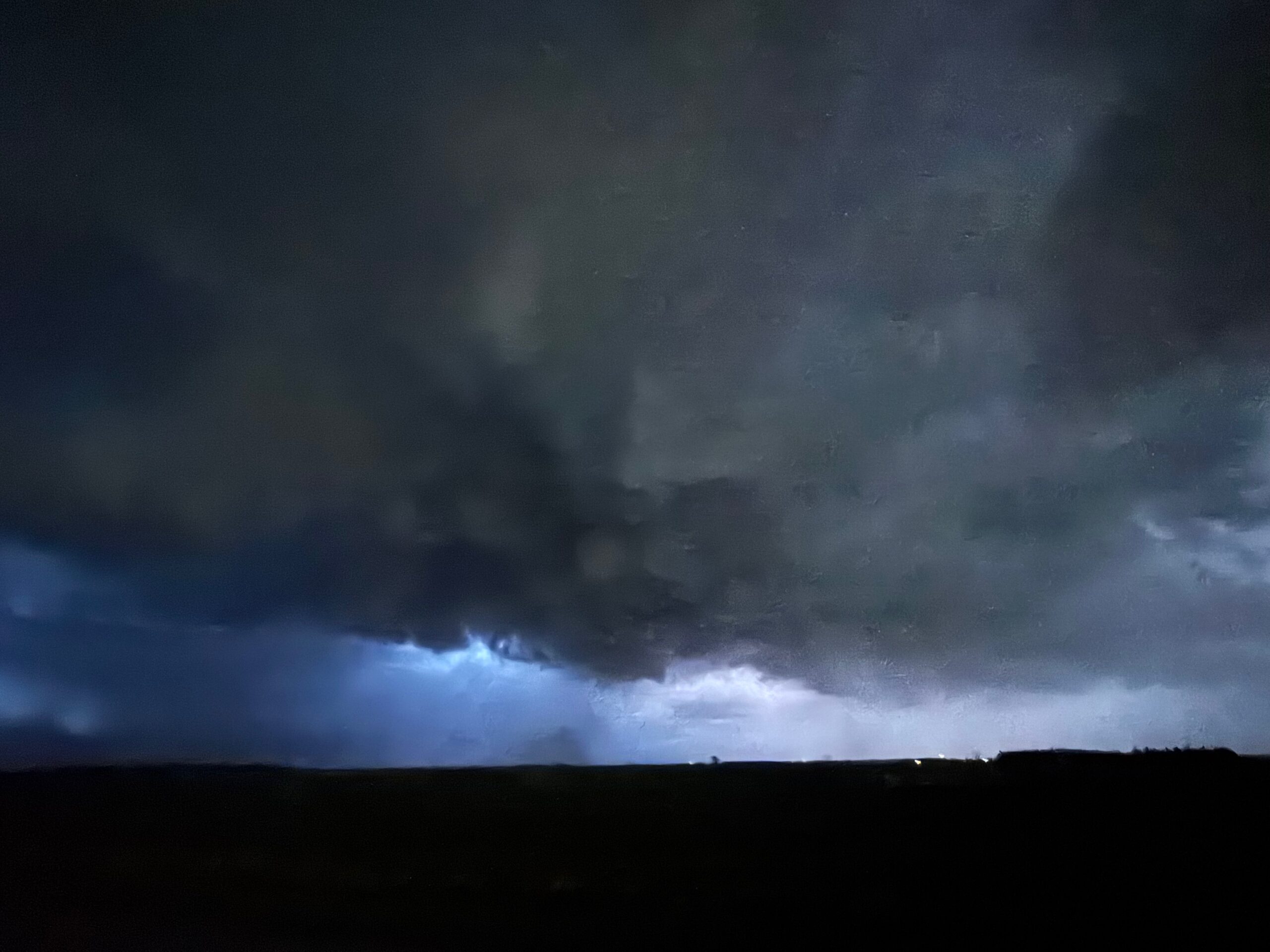
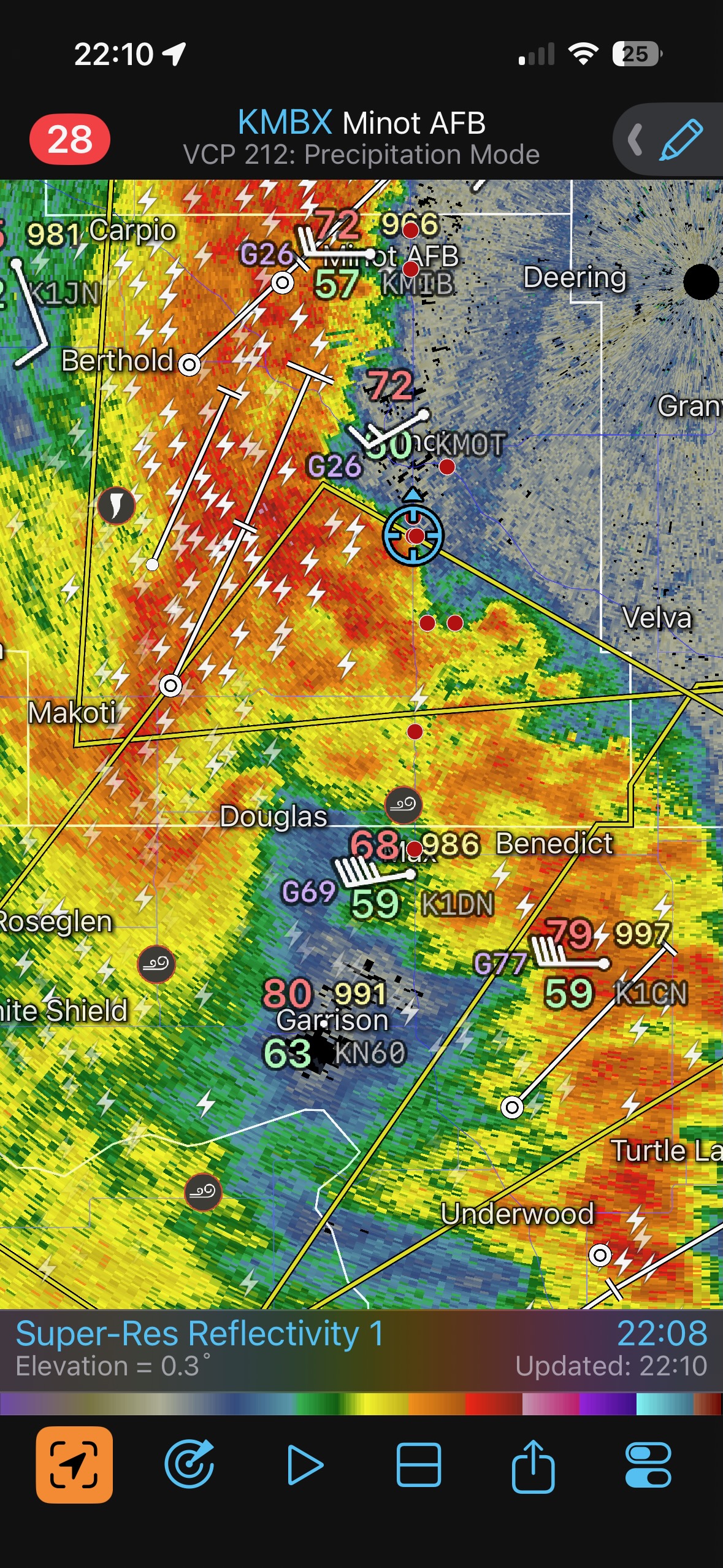
The storm chased us eastward into Minot, and I decided to get south of town several miles. Here, we could stop and watch the squall approach during the few remaining moments with light. It was close to 10 p.m. CDT. A kink developed in the line of storms, and we were just northeast of the kink! This may have helped to focus some wind convergence just to our south, and a weak tornado was observed for several minutes. There was not much of a funnel cloud, but dust was getting sucked up to cloud base nicely.
Leave a Reply
You must be logged in to post a comment.