
Start: Columbia, MO/lunch: fast food in Greenville, IL/End: Litchfield, IL/477 miles
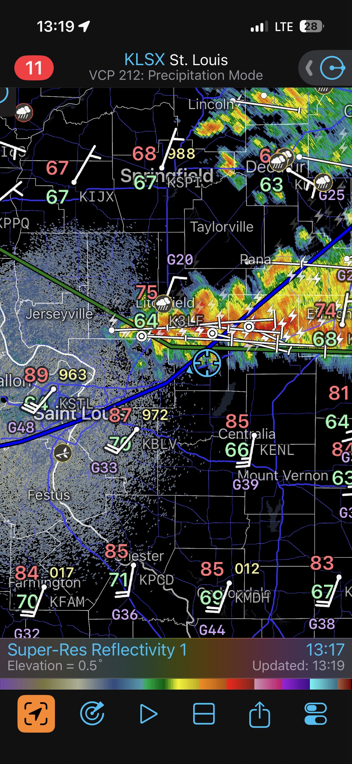
The 2026 spring storm chase season was kind to Illinois (if you are a chaser), and not so kind to traditional Tornado Alley states. We were way out west in southeastern Colorado on the 15th, and from there we made our way towards Illinois for what looked to be a high-end severe weather day on the 17th. You know how I love chasing that far east. Lunchtime on the 17th was at Greenville, IL, which is less than an hour ENE of St. Louis. SPC showed a double-hatched 15% tornado outlook in this vicinity. Strong winds aloft would be spreading eastward above a surface outflow boundary, with juicy air piled up on the south side of this boundary.
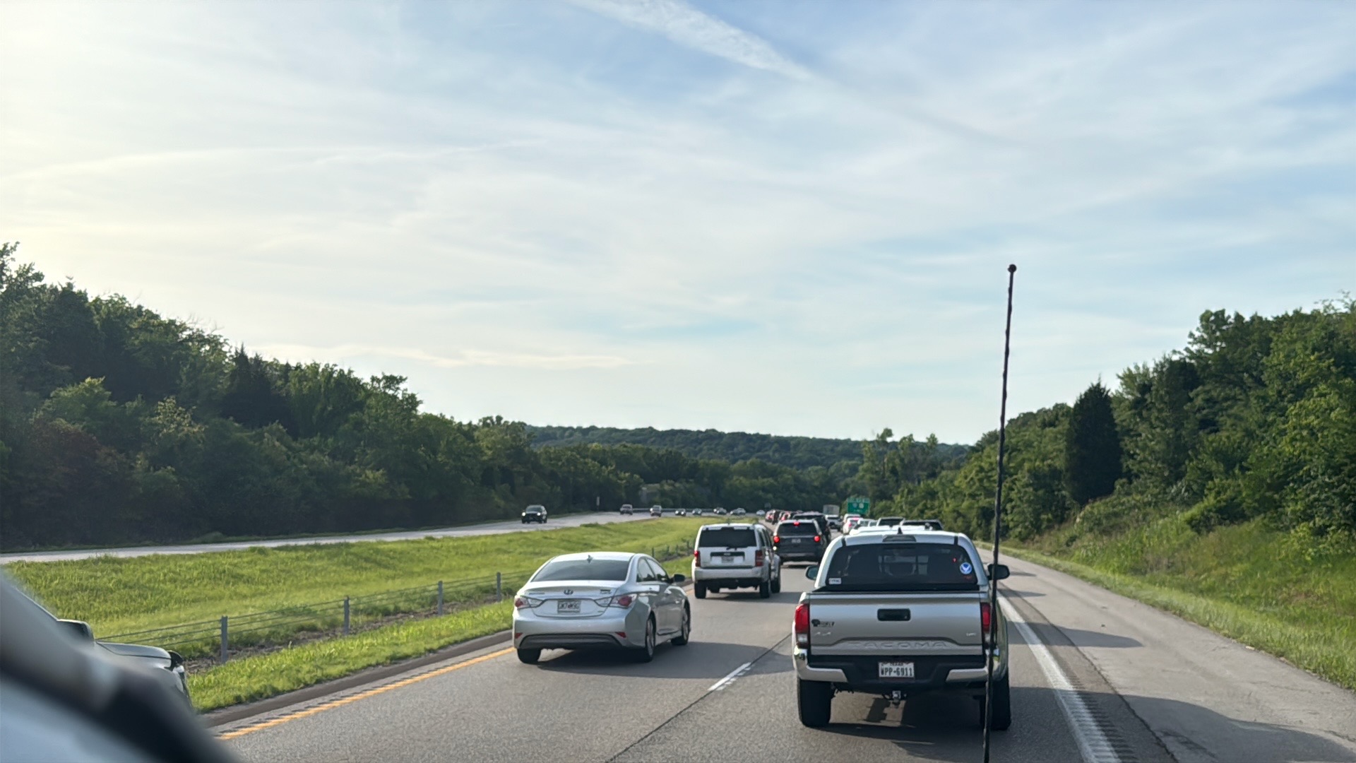
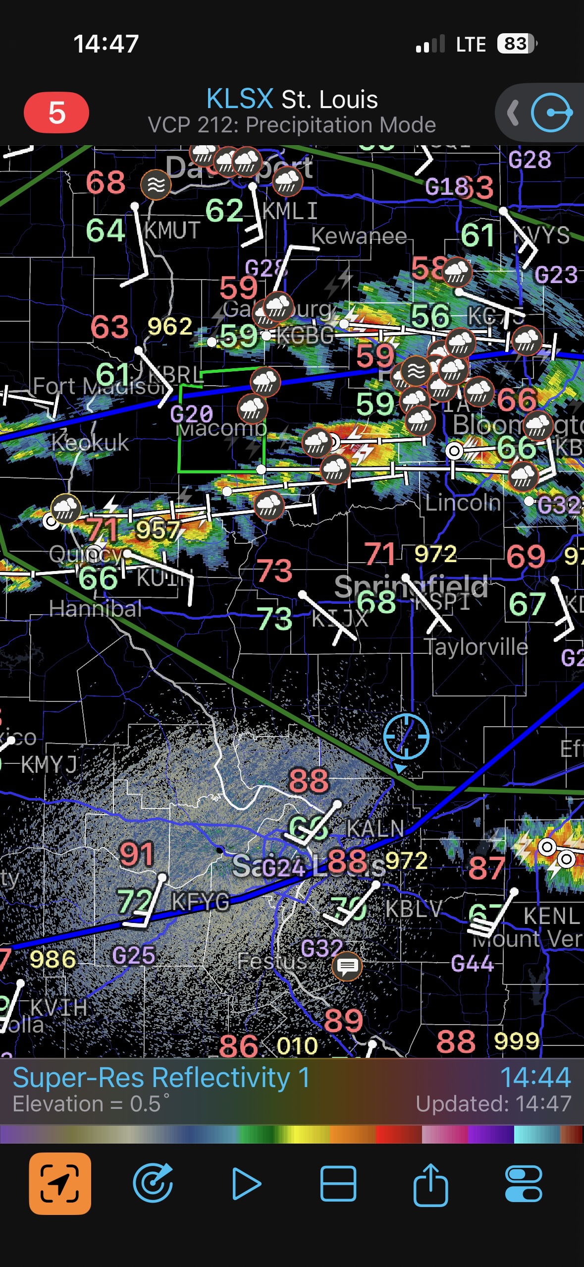
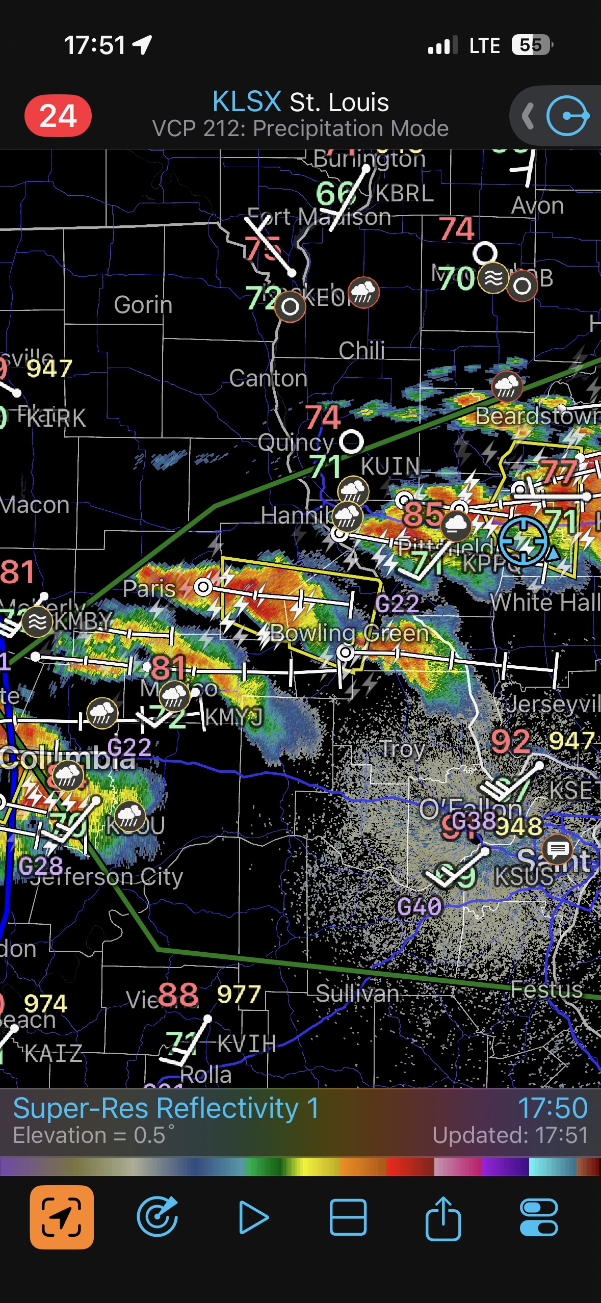
There was plenty of morning and midday convection still rolling through, though. This complicated matters. Would the low levels recover in time? Would afternoon and evening storms have access to the really good air that is in southern Illinois? The surface data were not especially helpful in pinpointing a spot to target. By 3 p.m. or so we were in the Springfield area. The morning stuff had moved on, dew points were still really good here, but it had not warmed up much yet. Storms were developing now in the Quincy area, to our west-northwest, and one of these became tornado-warned around 5 p.m. I elected to go check it out! We had a fabulous Interstate west from Springfield which would get us to the storm fairly quickly. Well, that decision wound up killing the day for us, as this was a day to be patient. This was a day to play a little farther to the ESE, closer to the better, warmer air. And this was a day to stay a bit in front of a warned storm and to not go in for the kill until you were certain the storm is in tornado mode.
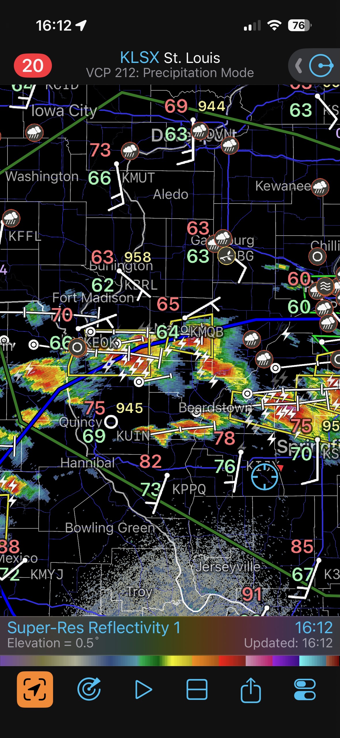
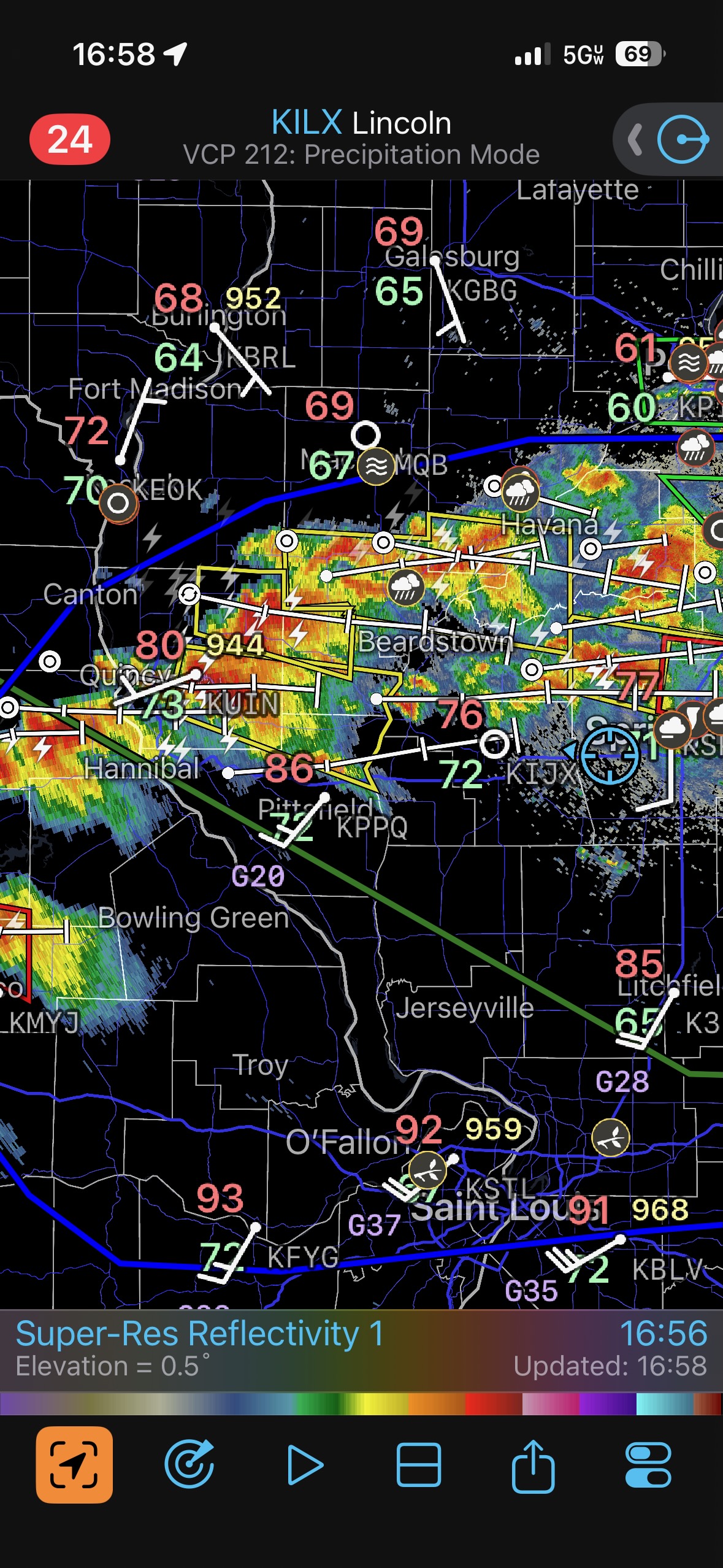
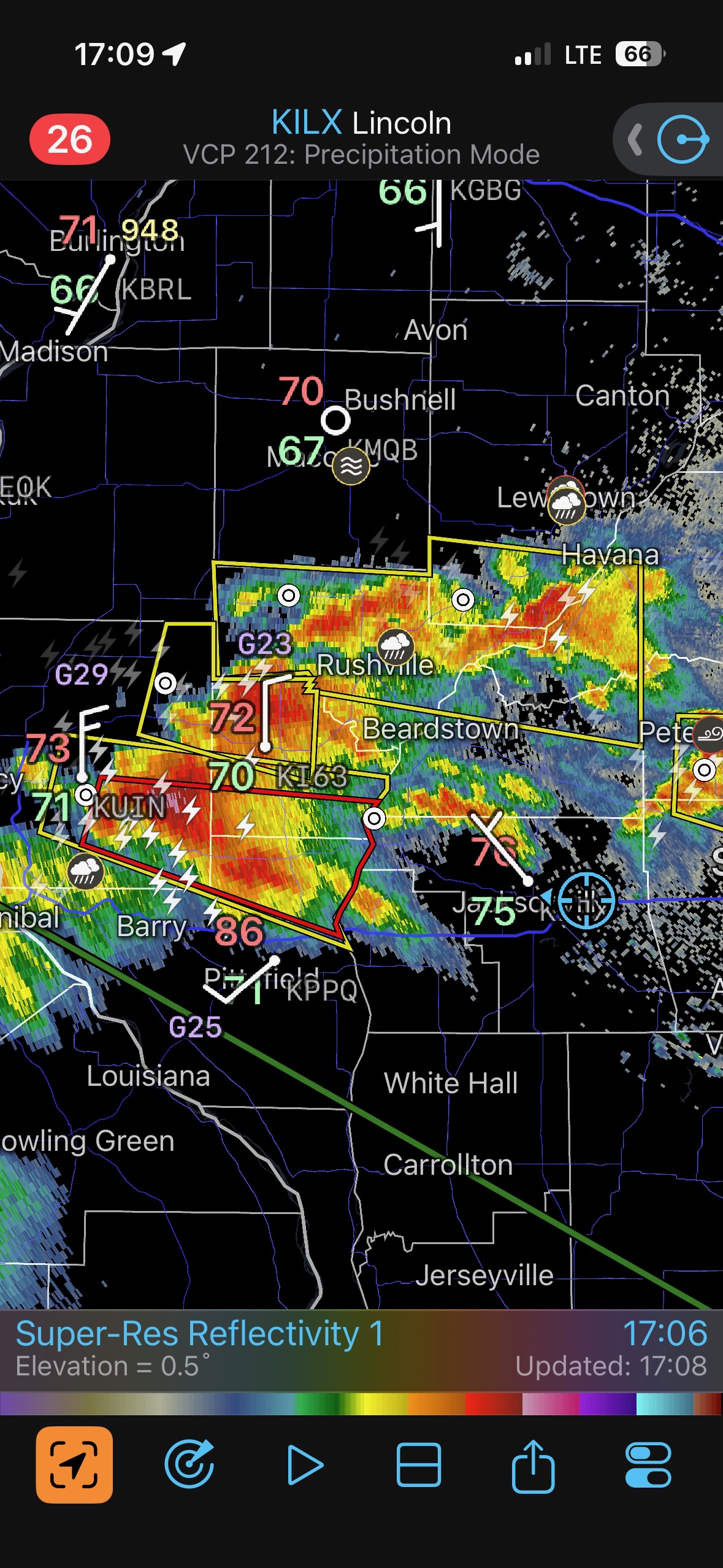
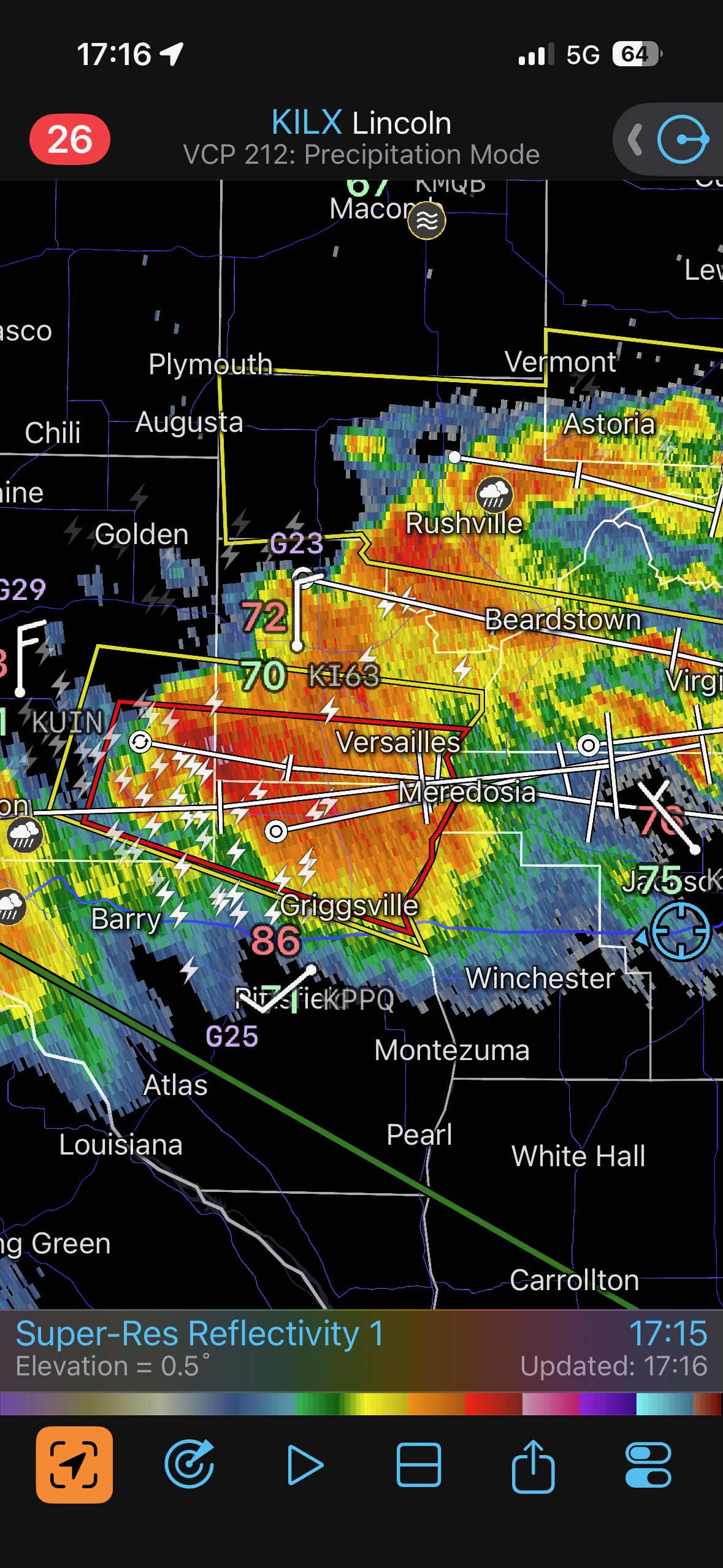
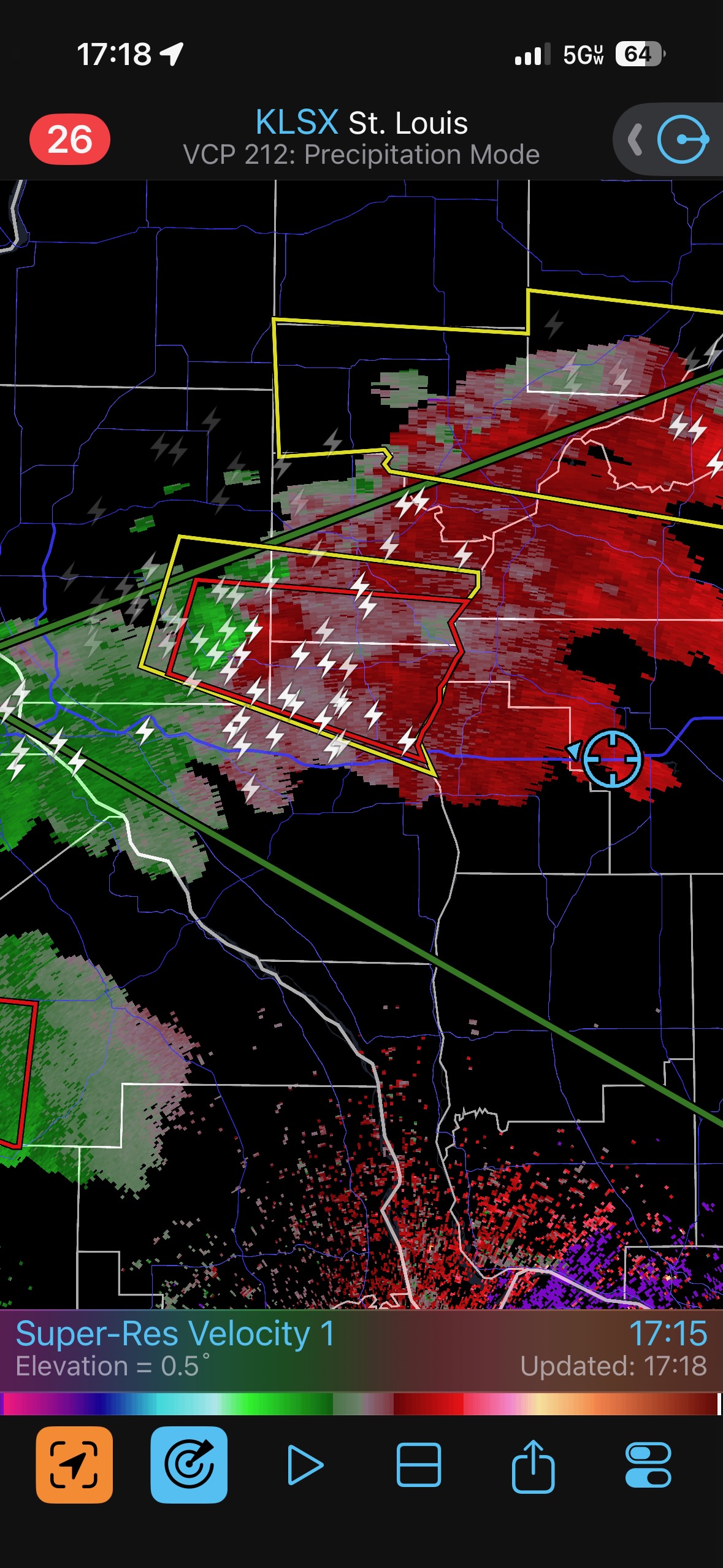
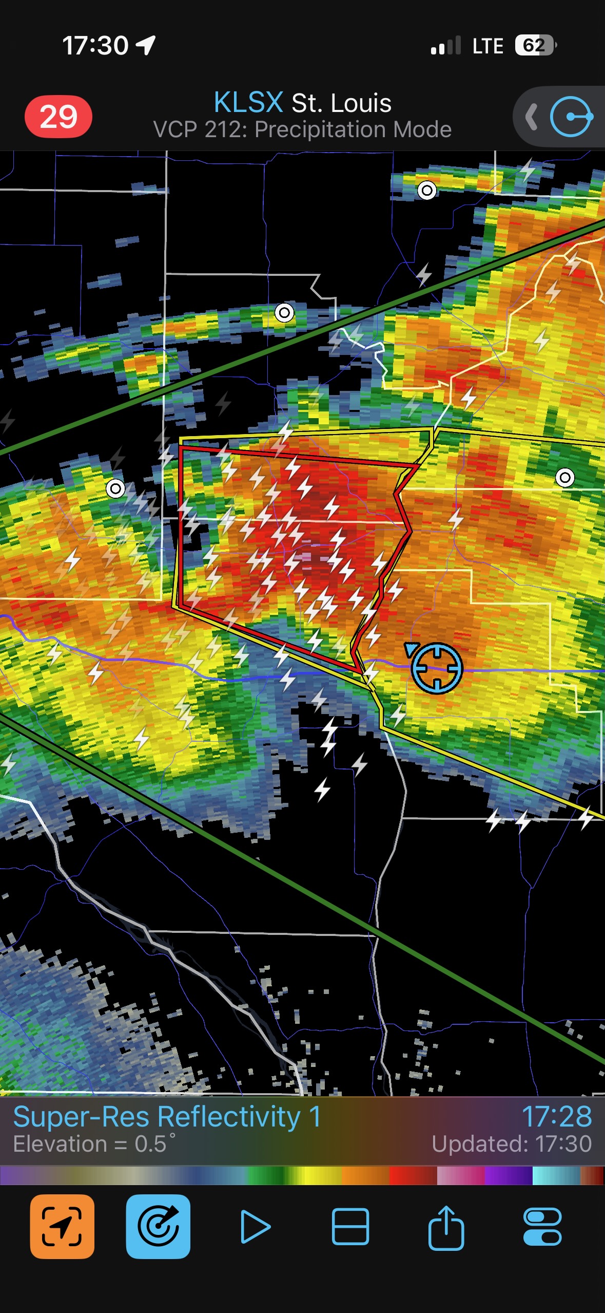
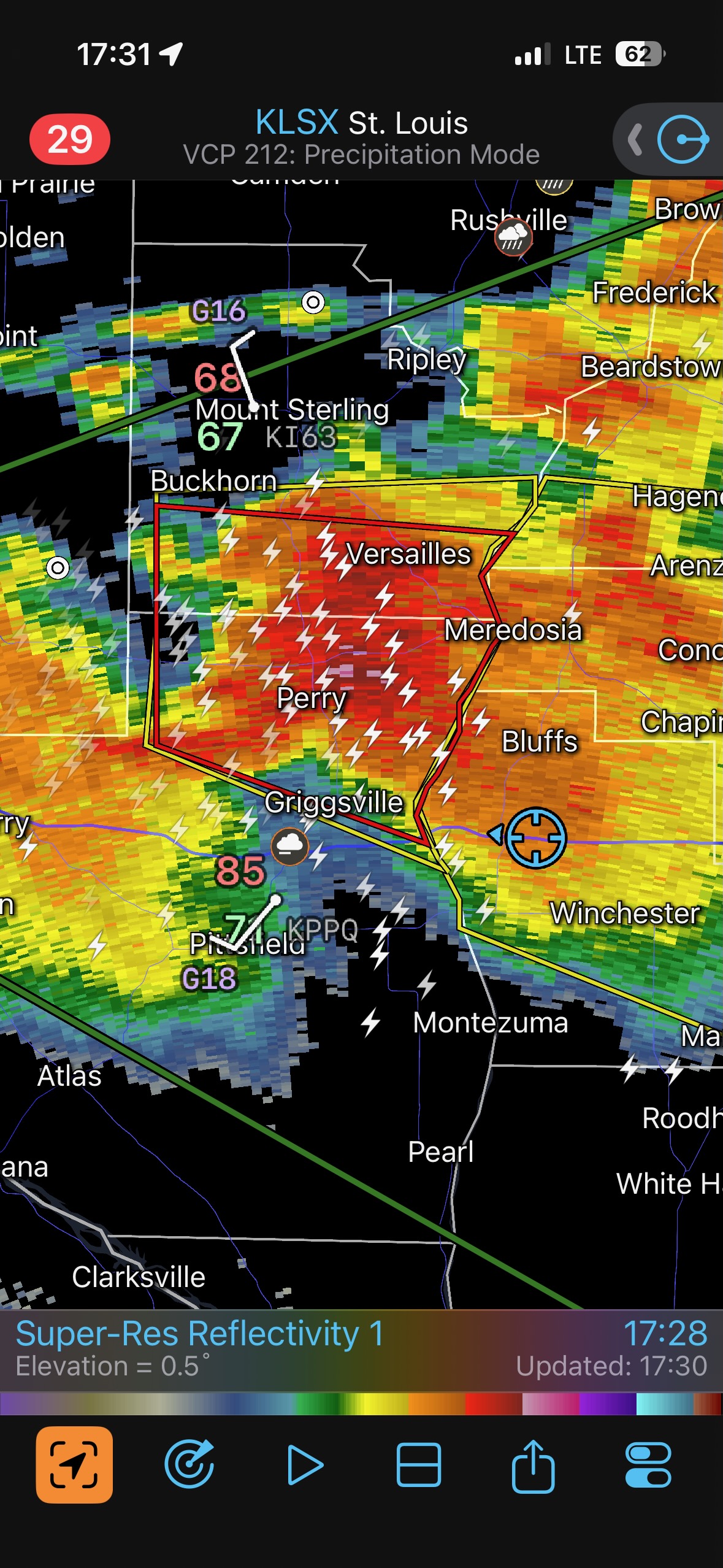
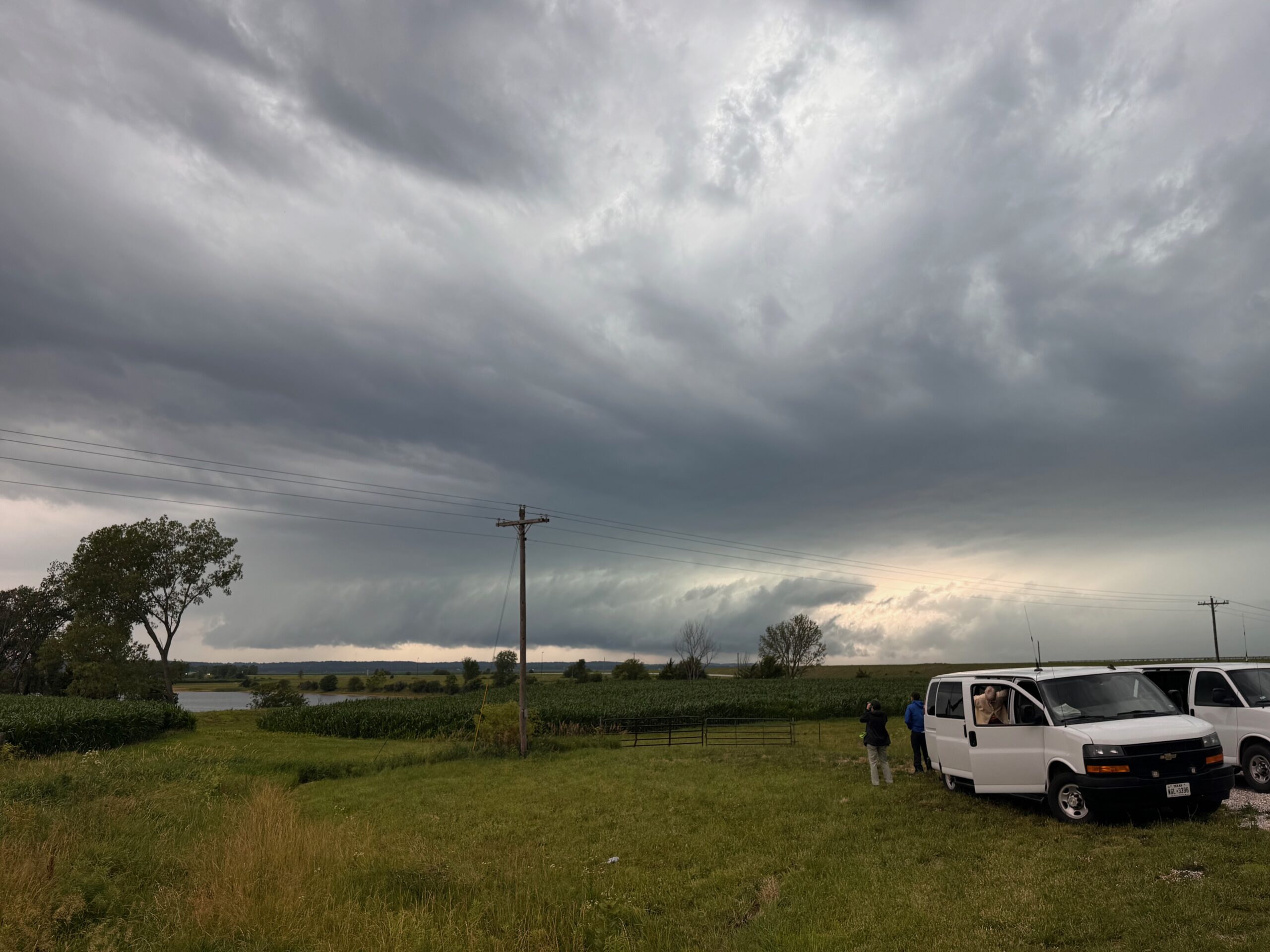
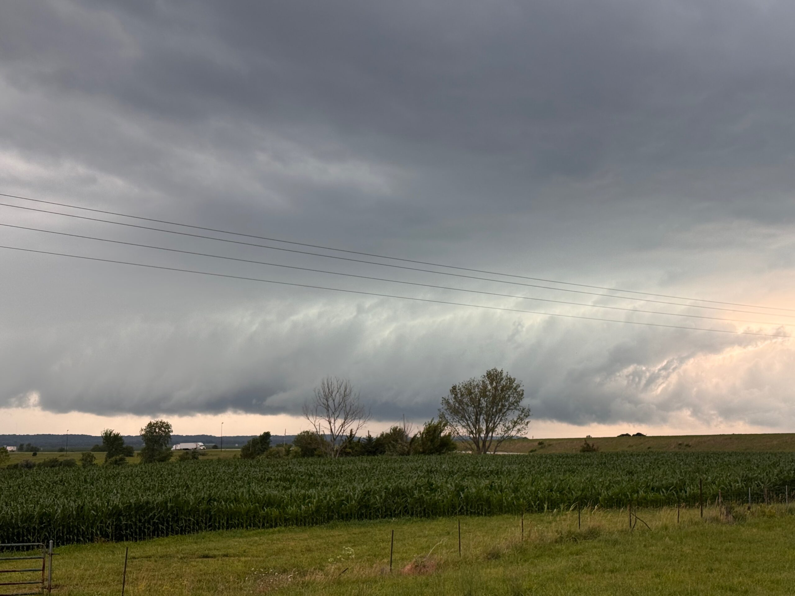
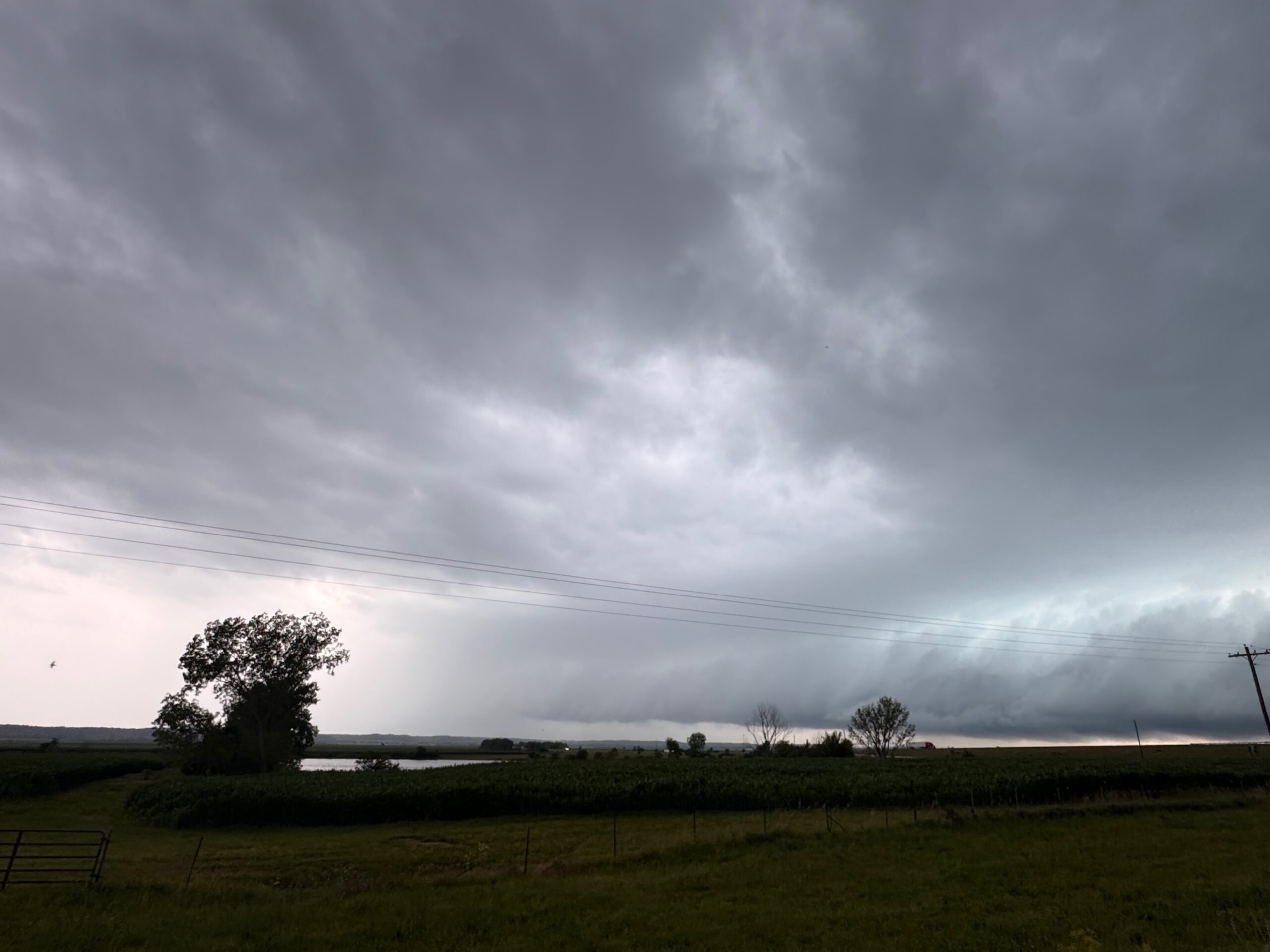
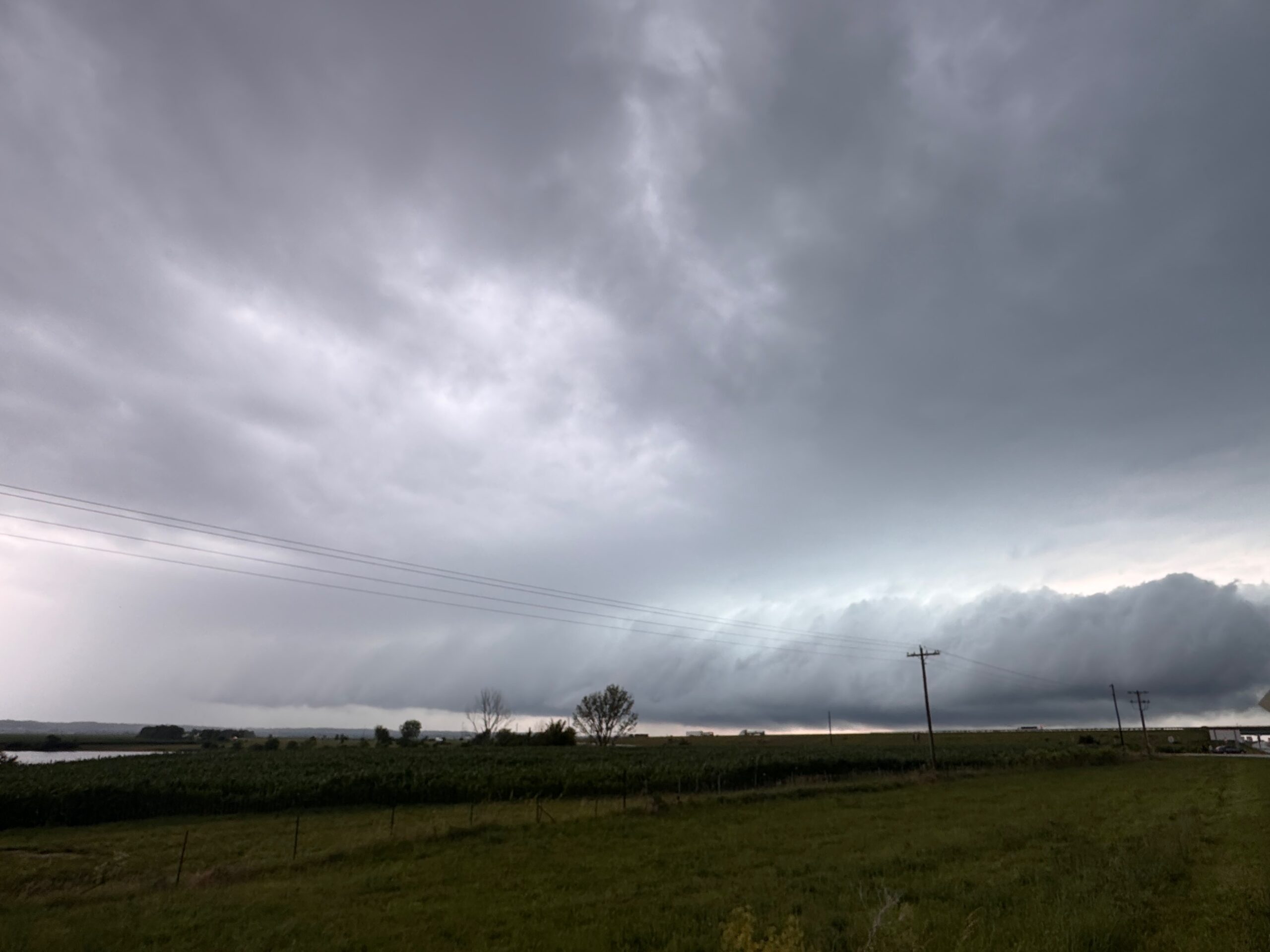
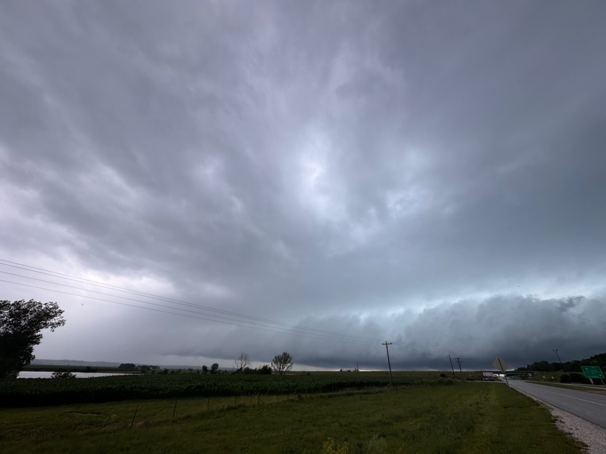
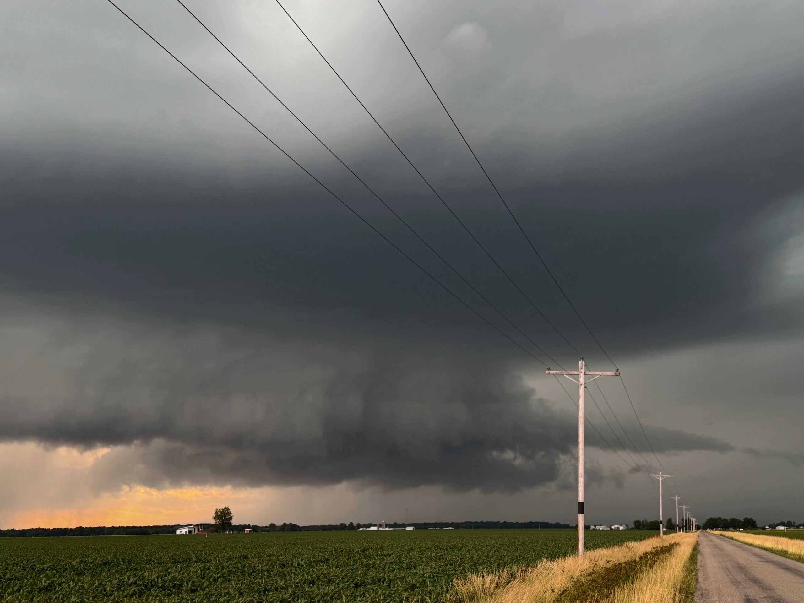
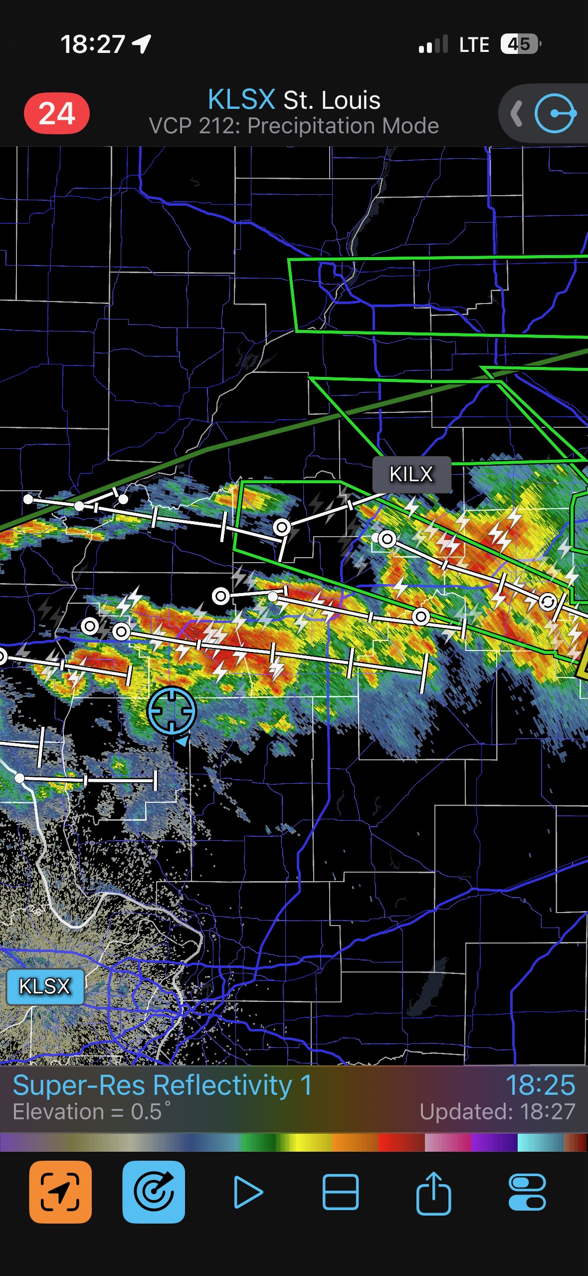
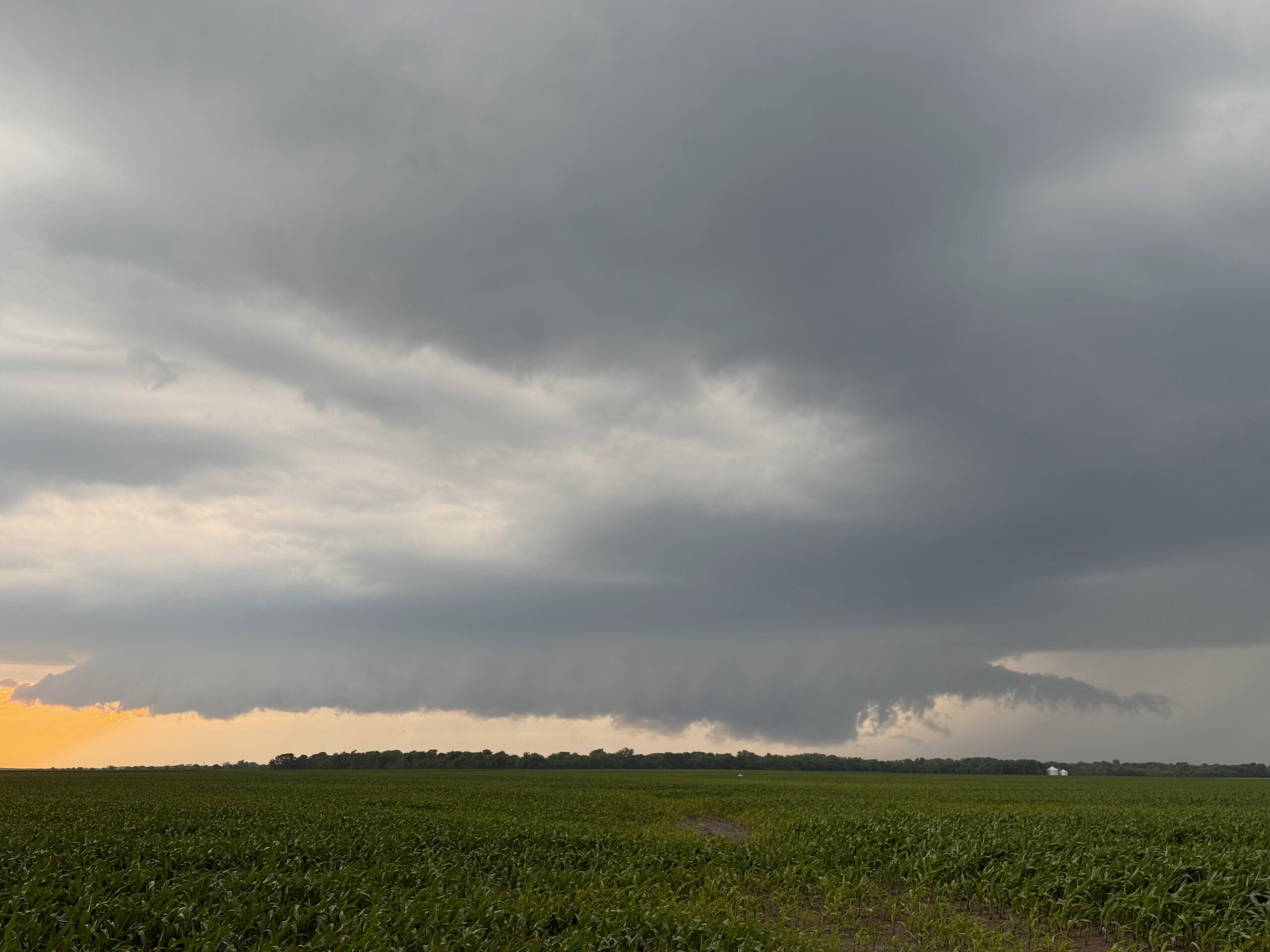
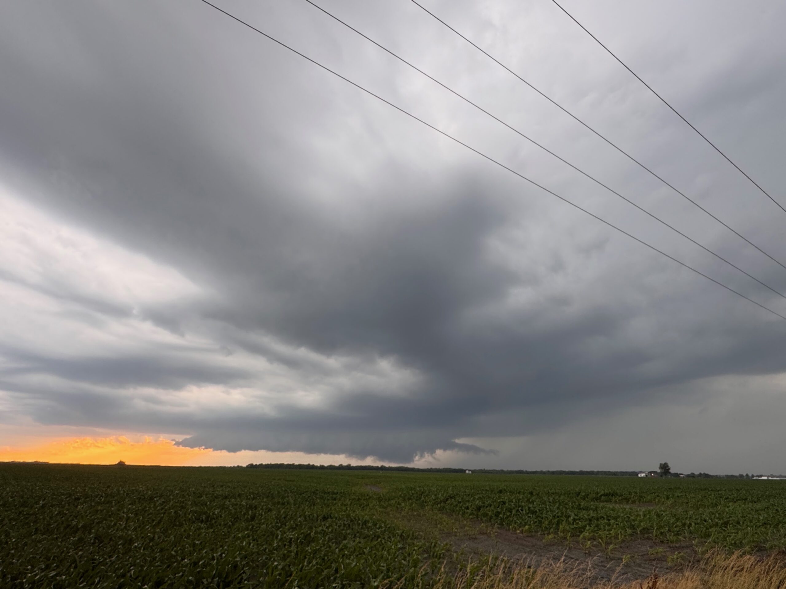
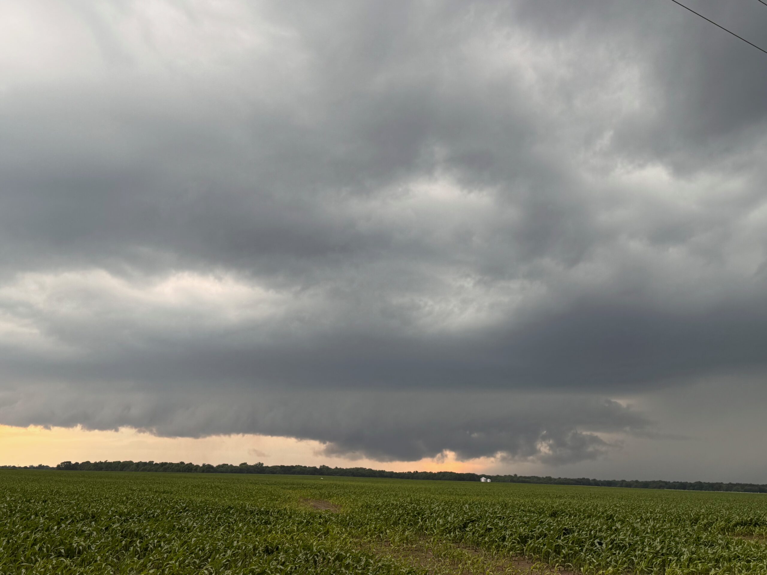
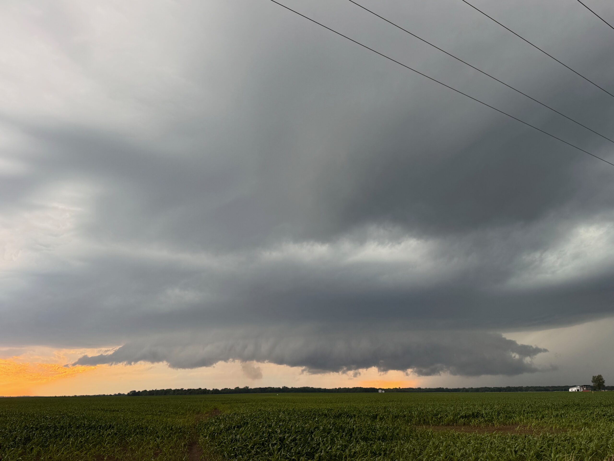
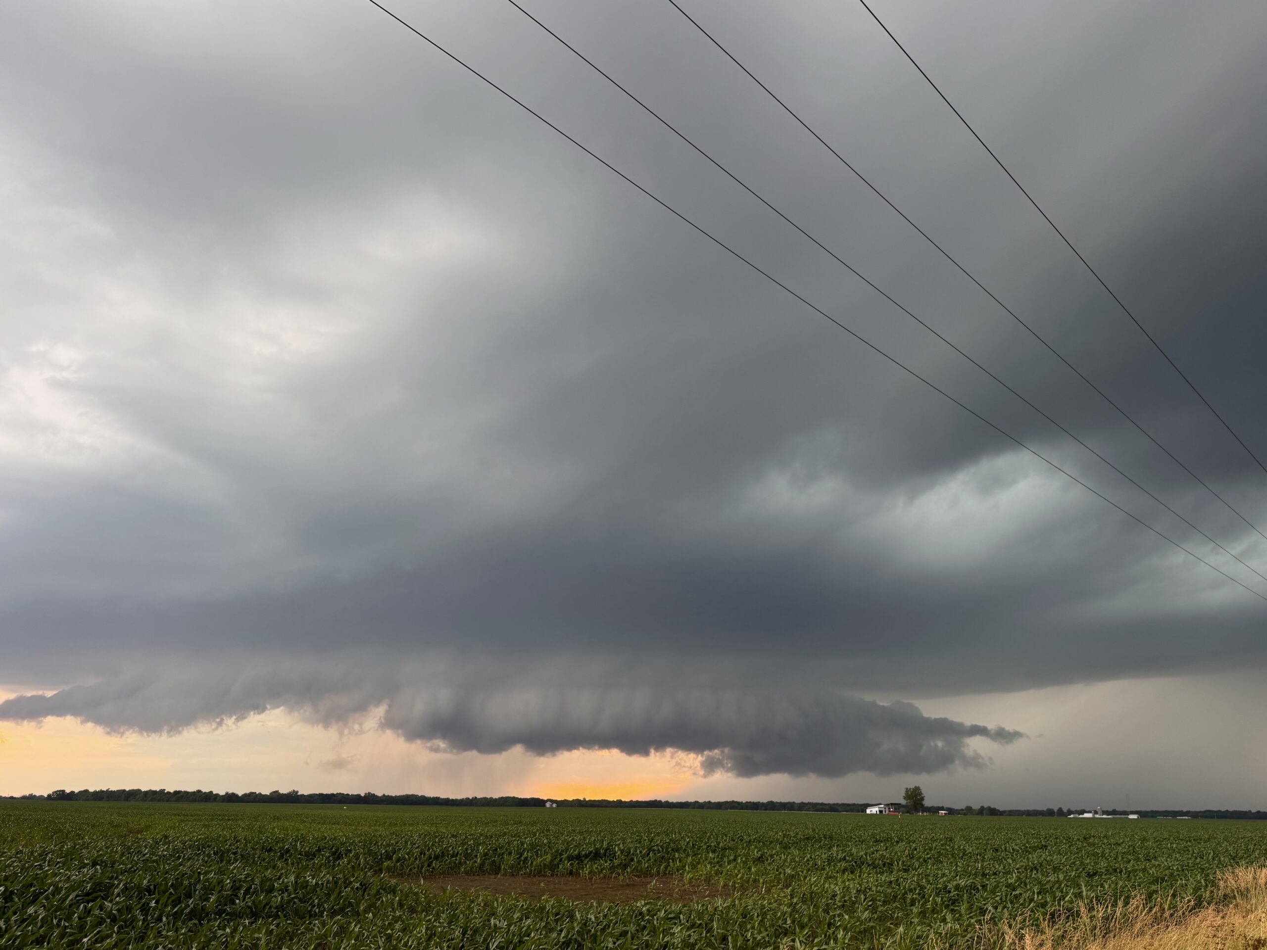
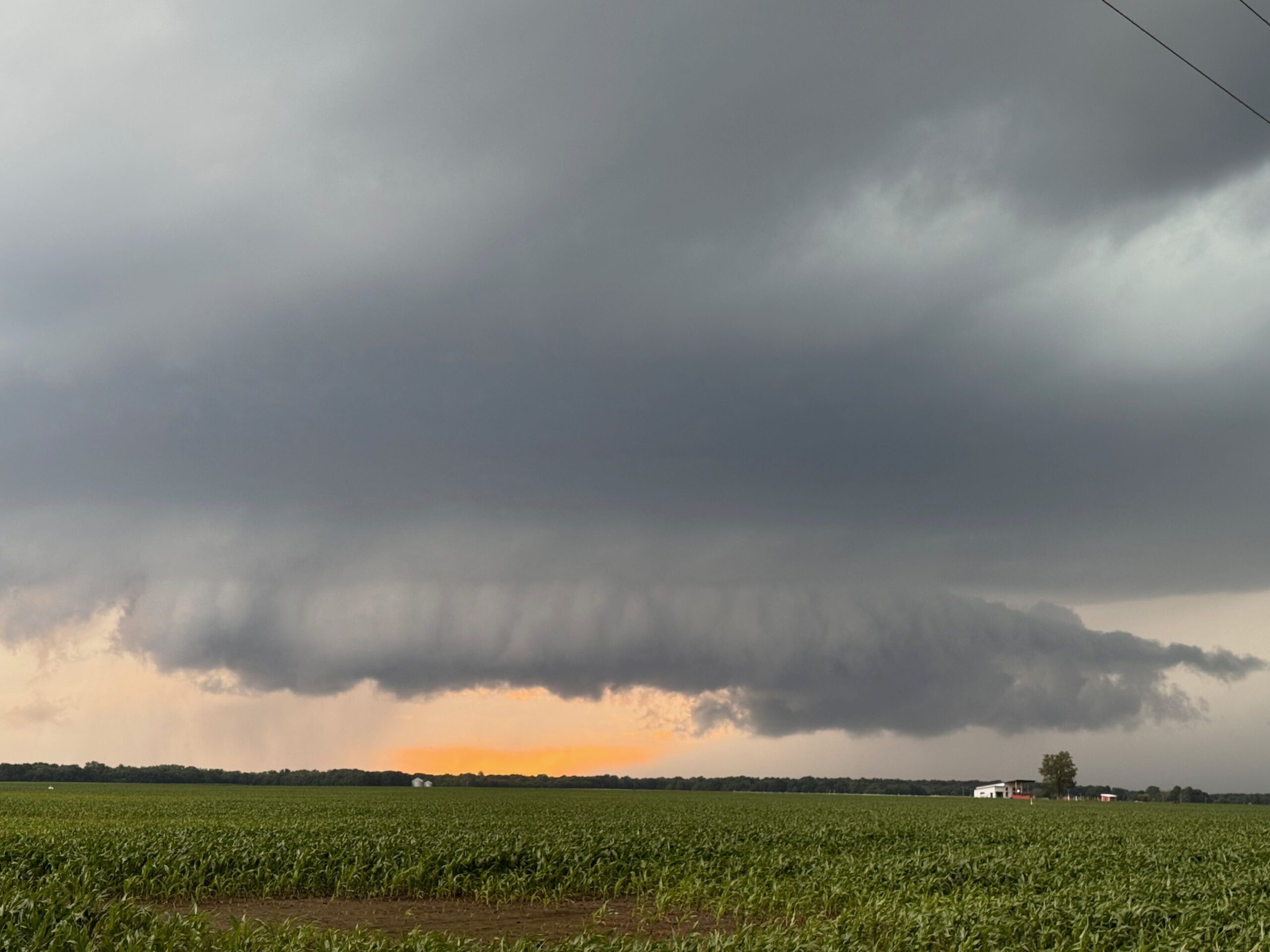
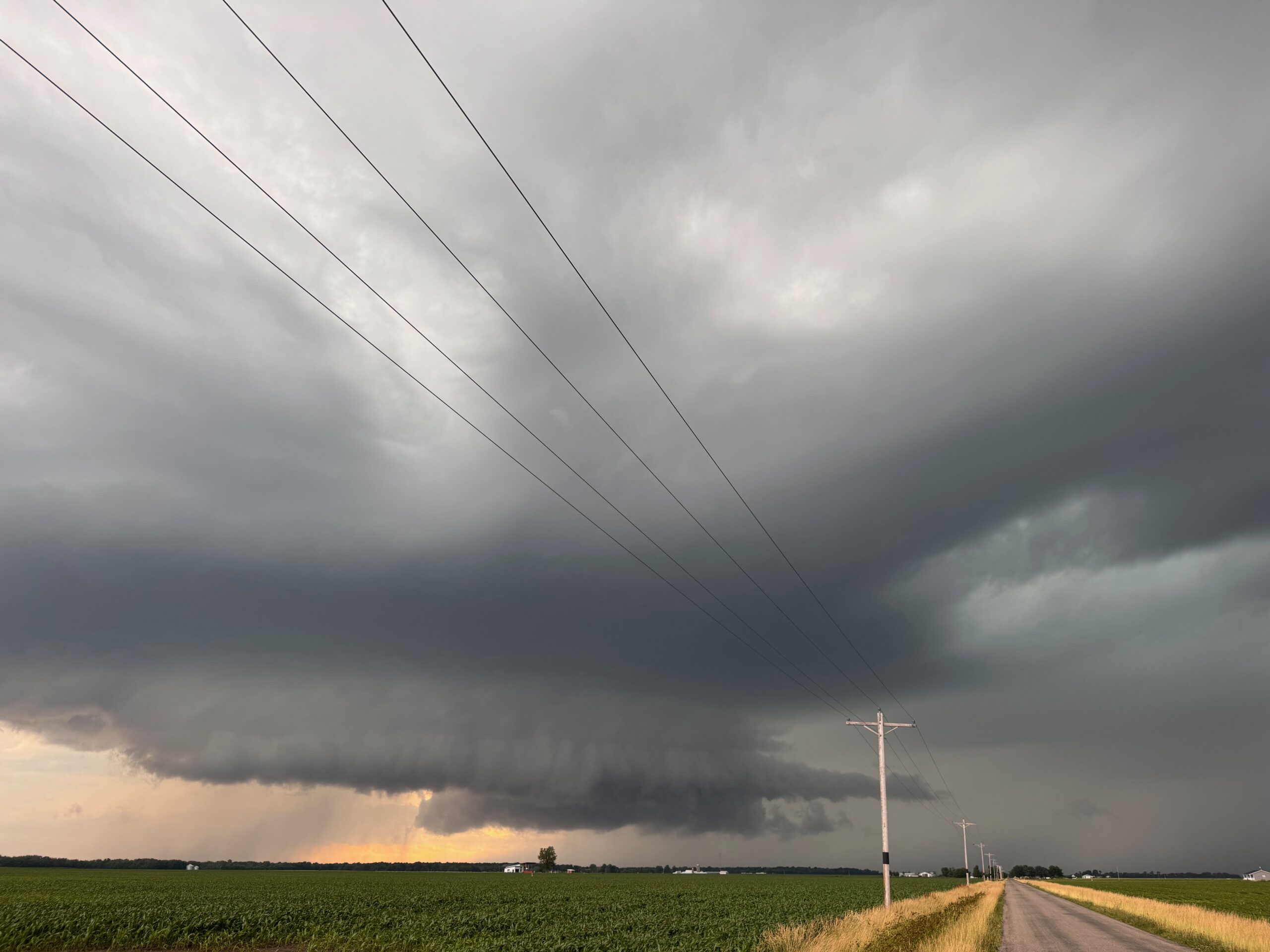
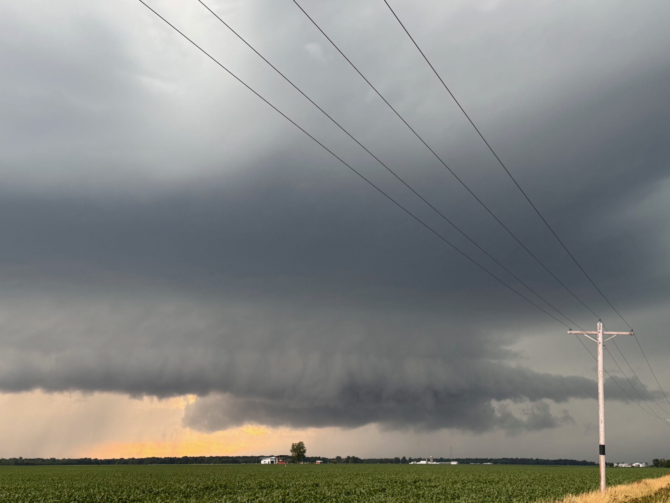
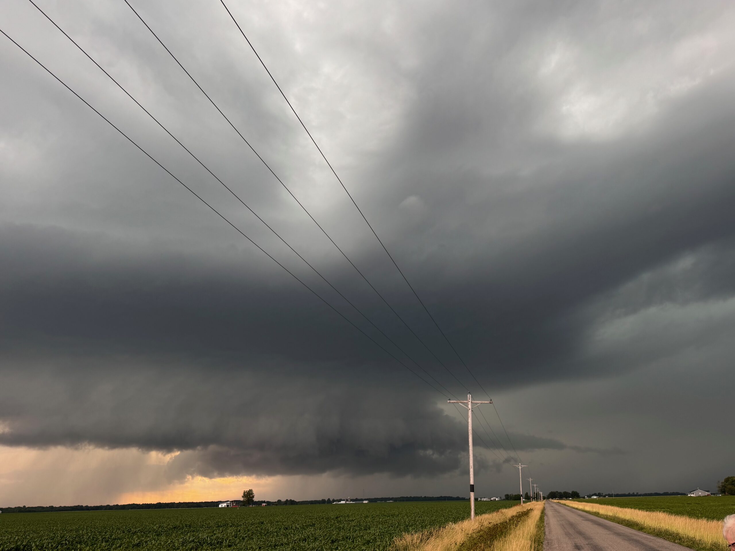
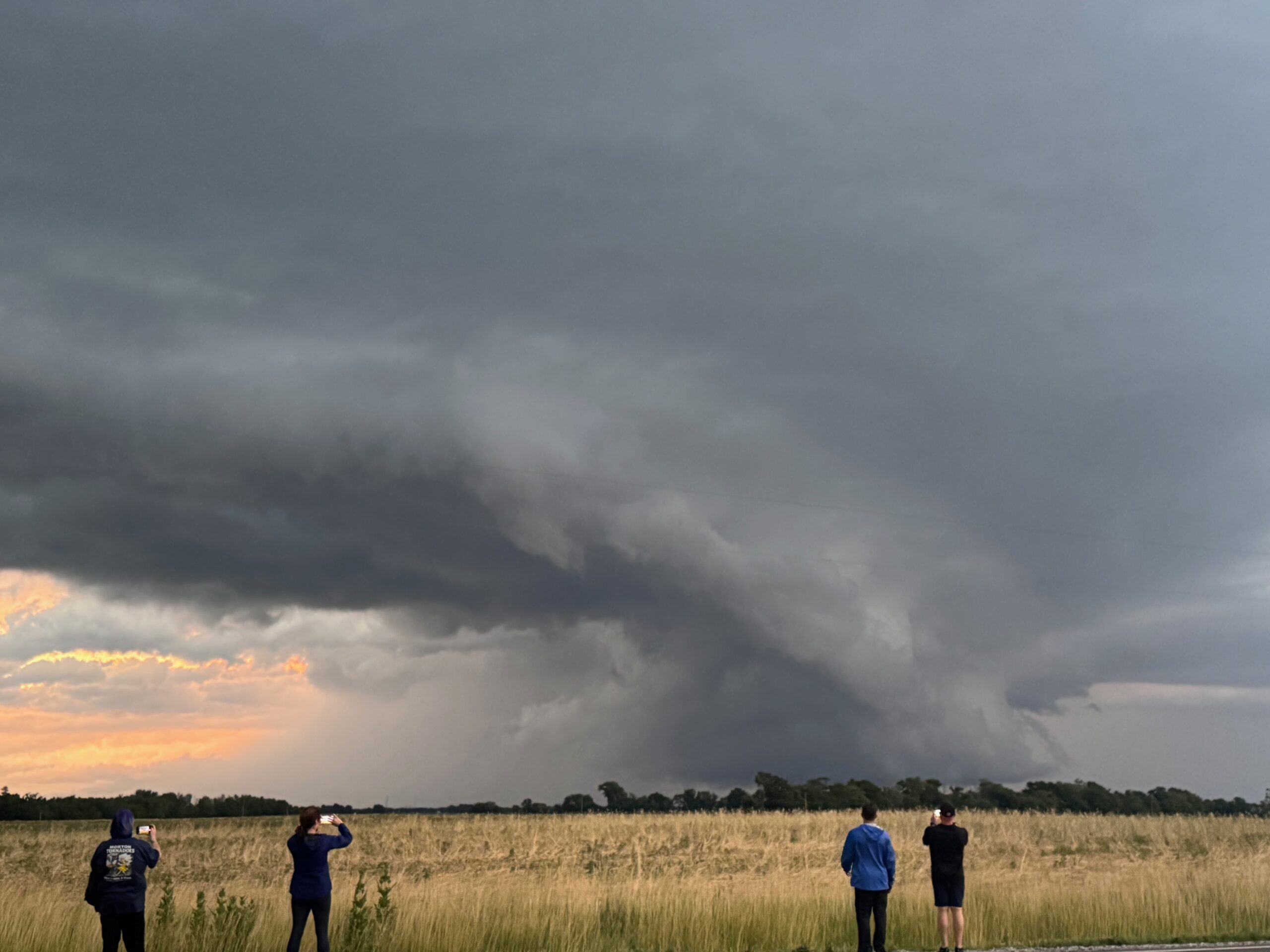
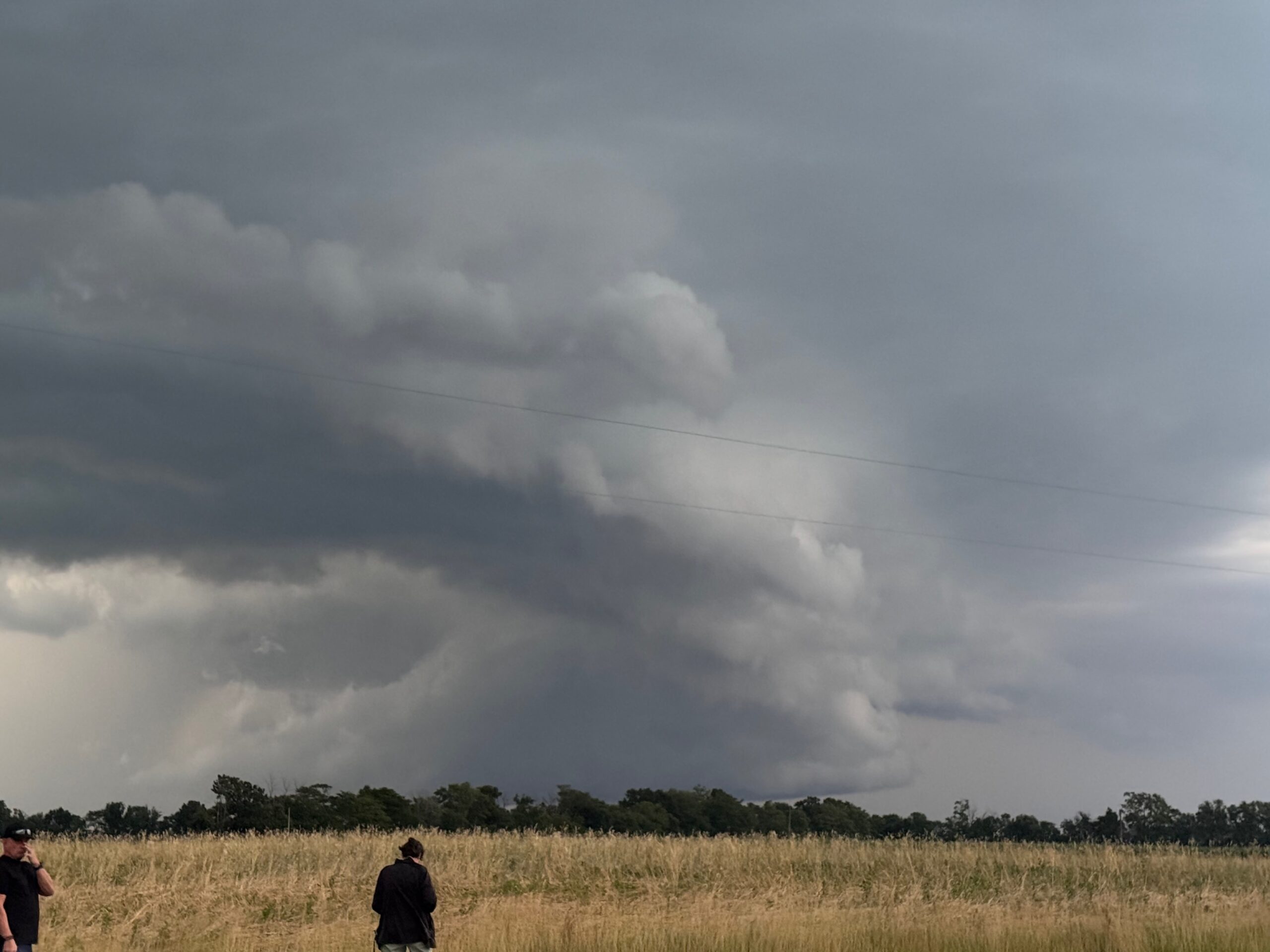
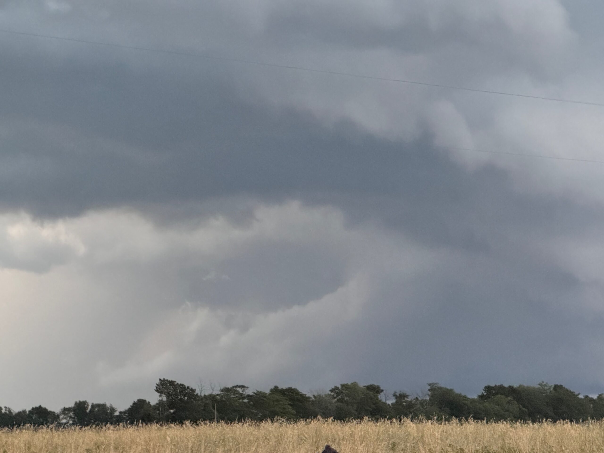
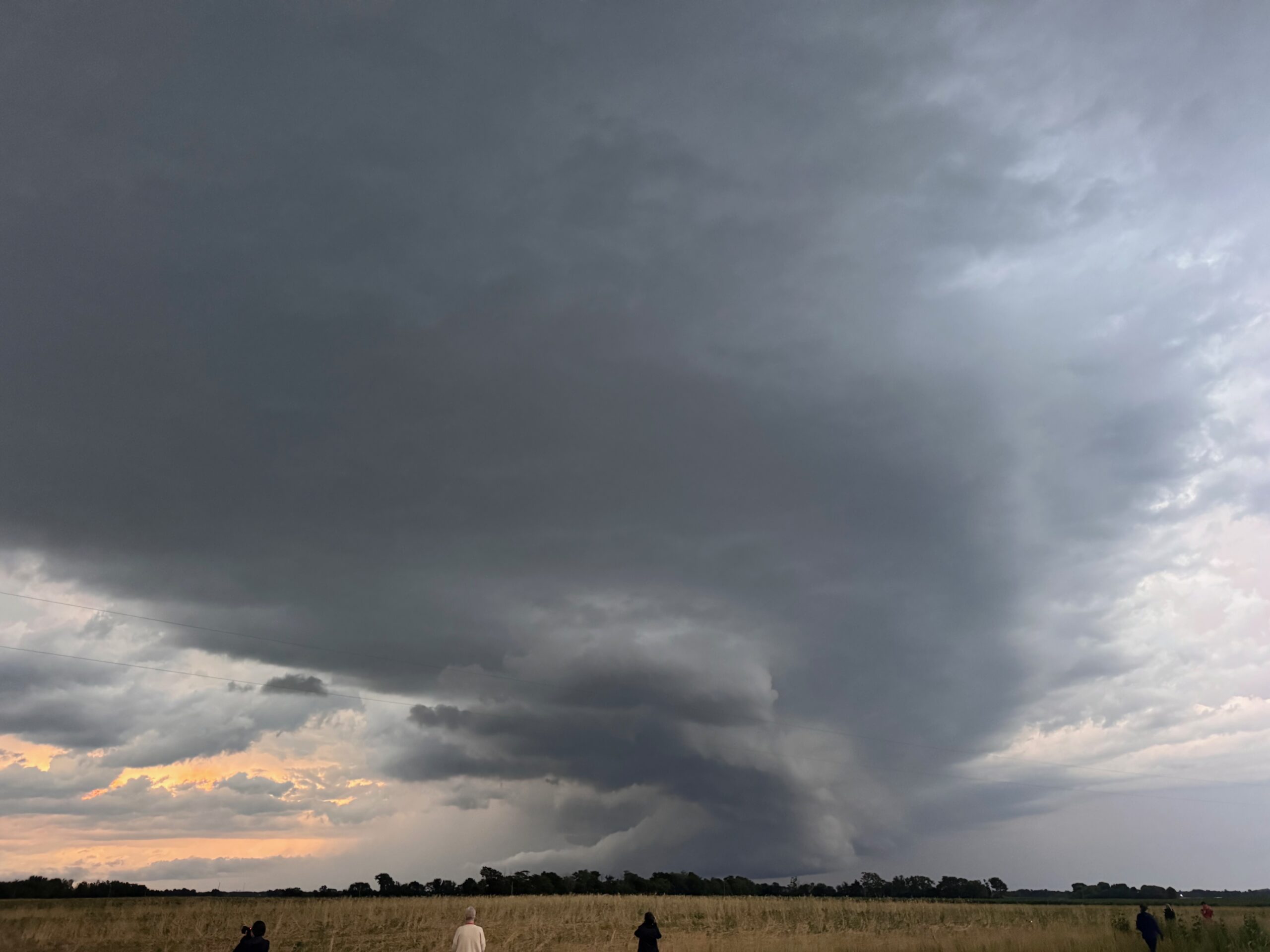
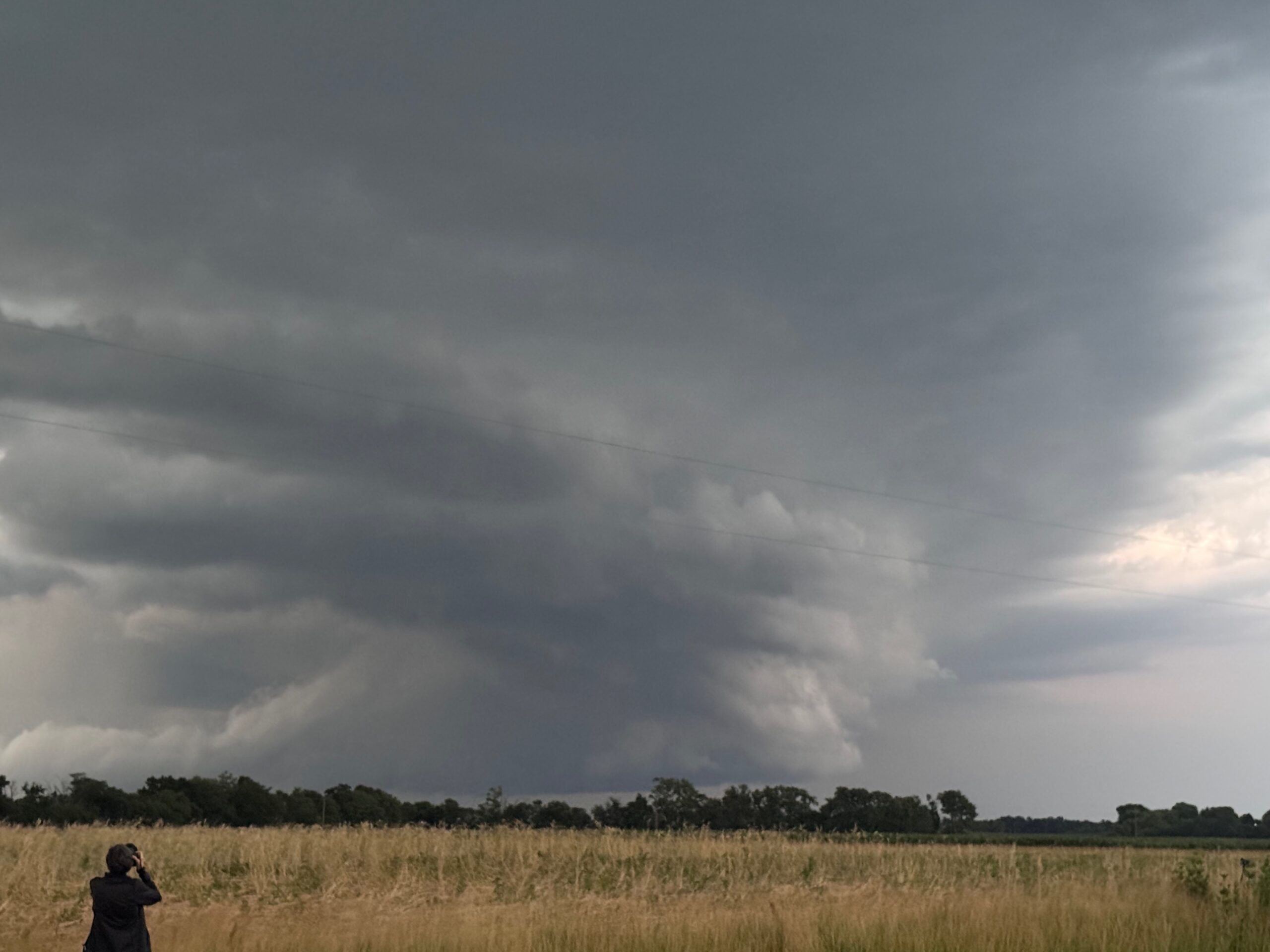
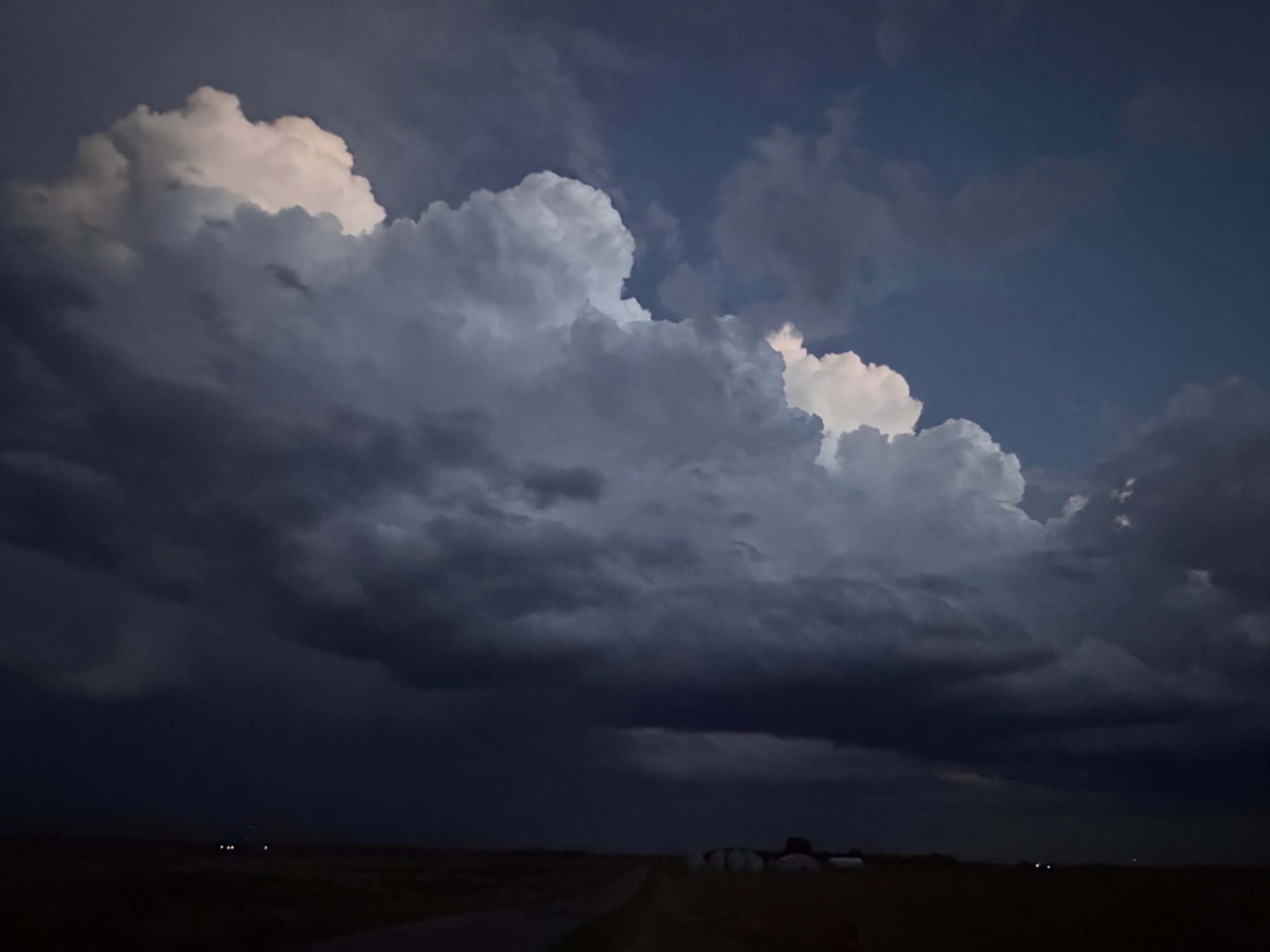
The pics above show what our storm out west looked like. Even though it was tornado-warned and looked good on radar, it had a bit of a cold and outflowy look to it. Well, let’s just stay with it as it moves E to ESE then! Nope — it was moving nearly 60 mph, and it left us in the dust as we tried to stay close on the local highways, with the slow parts between frequent towns.
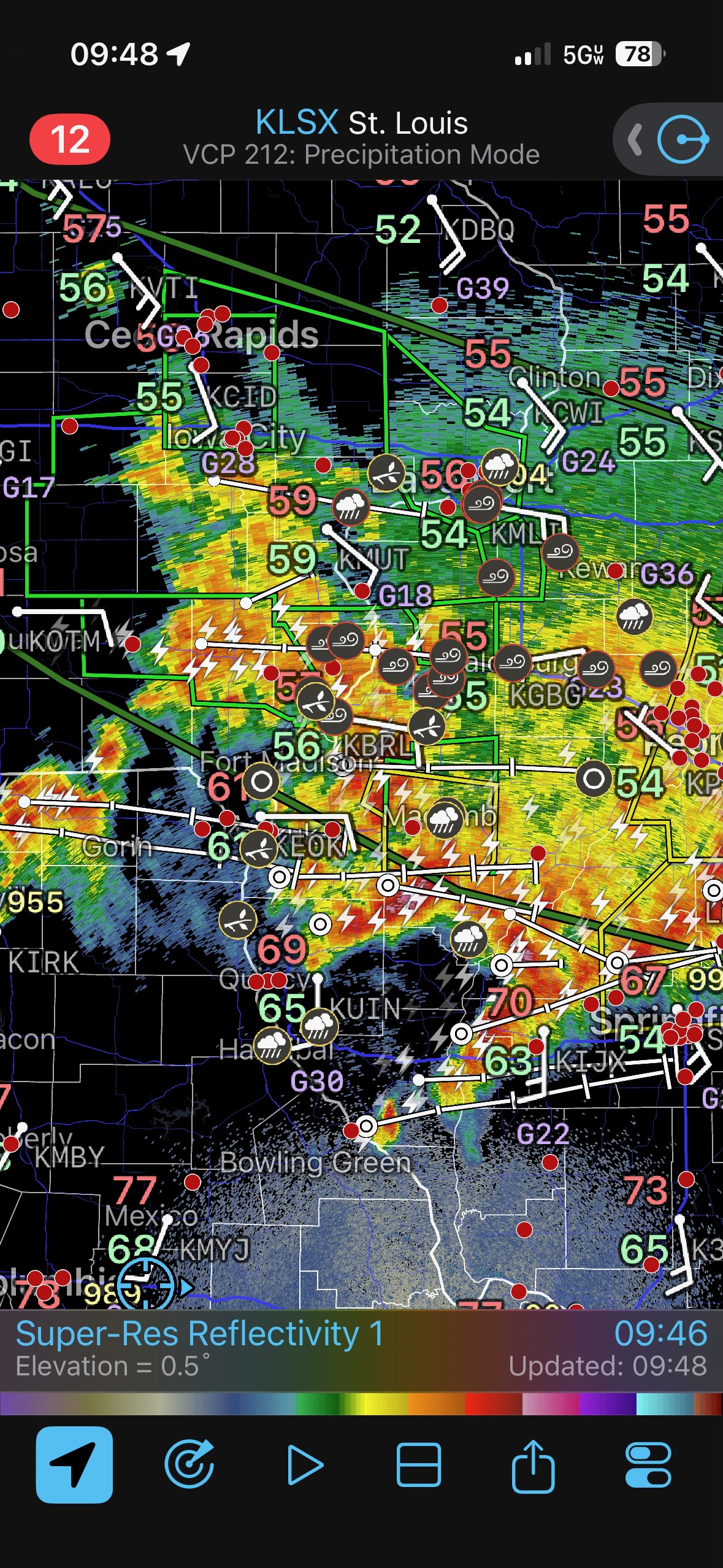
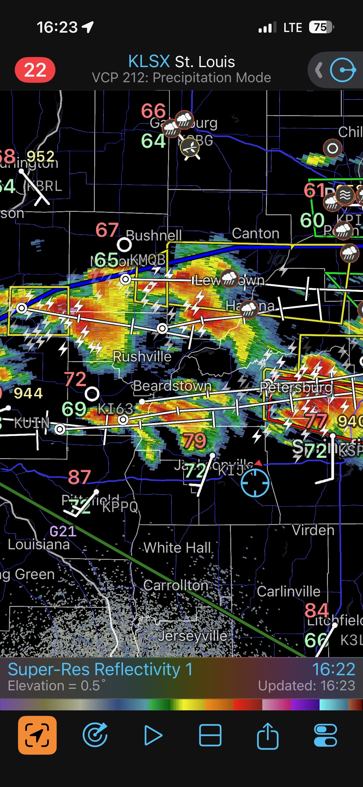
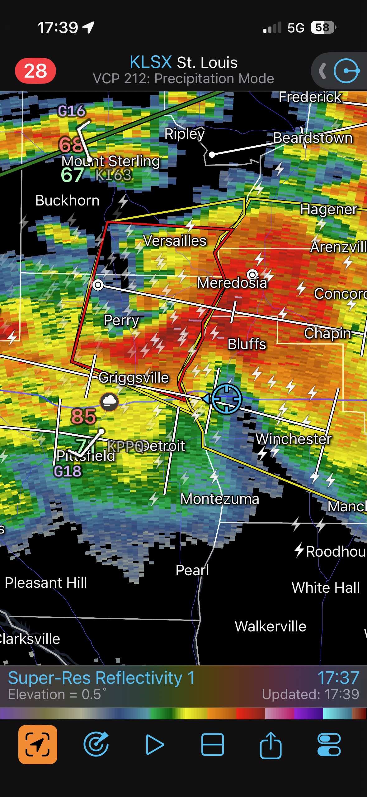
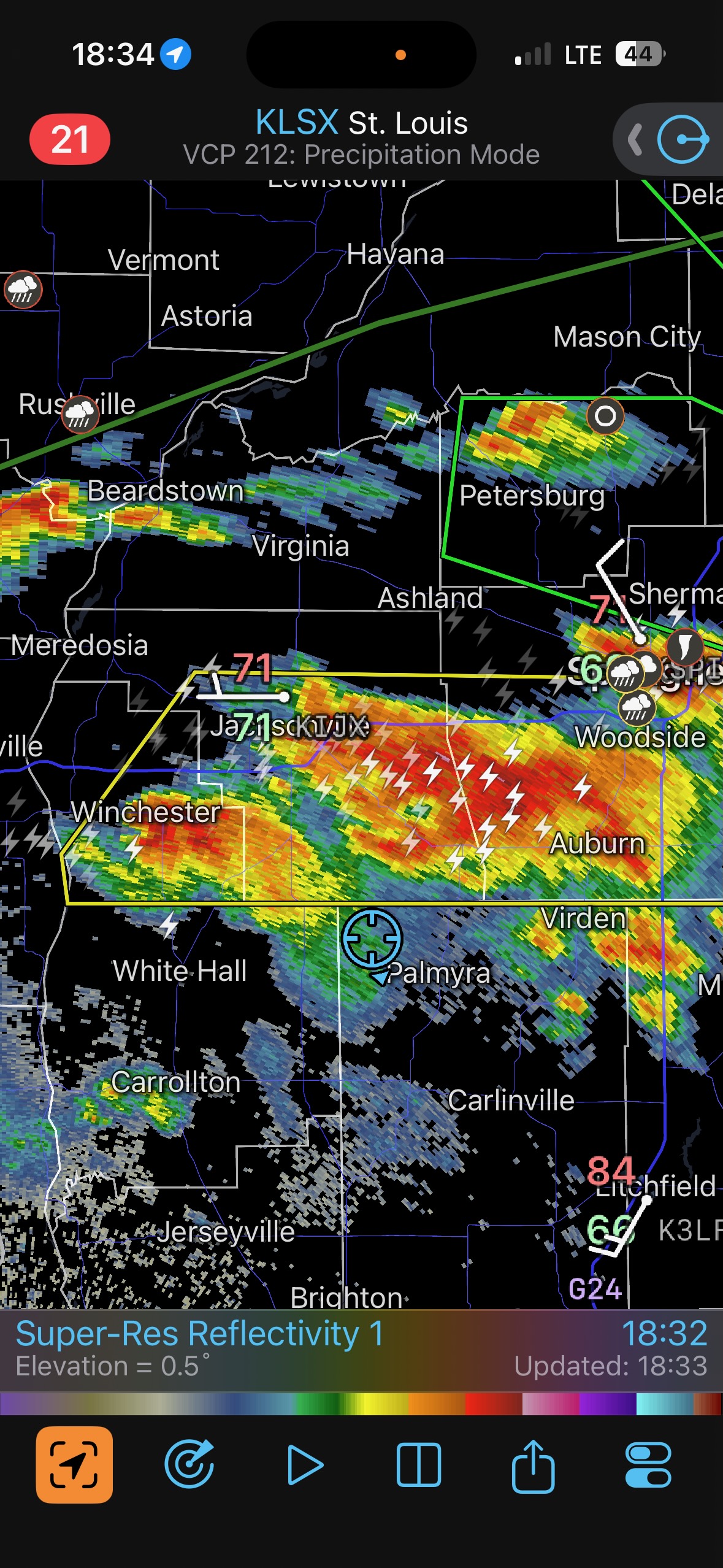
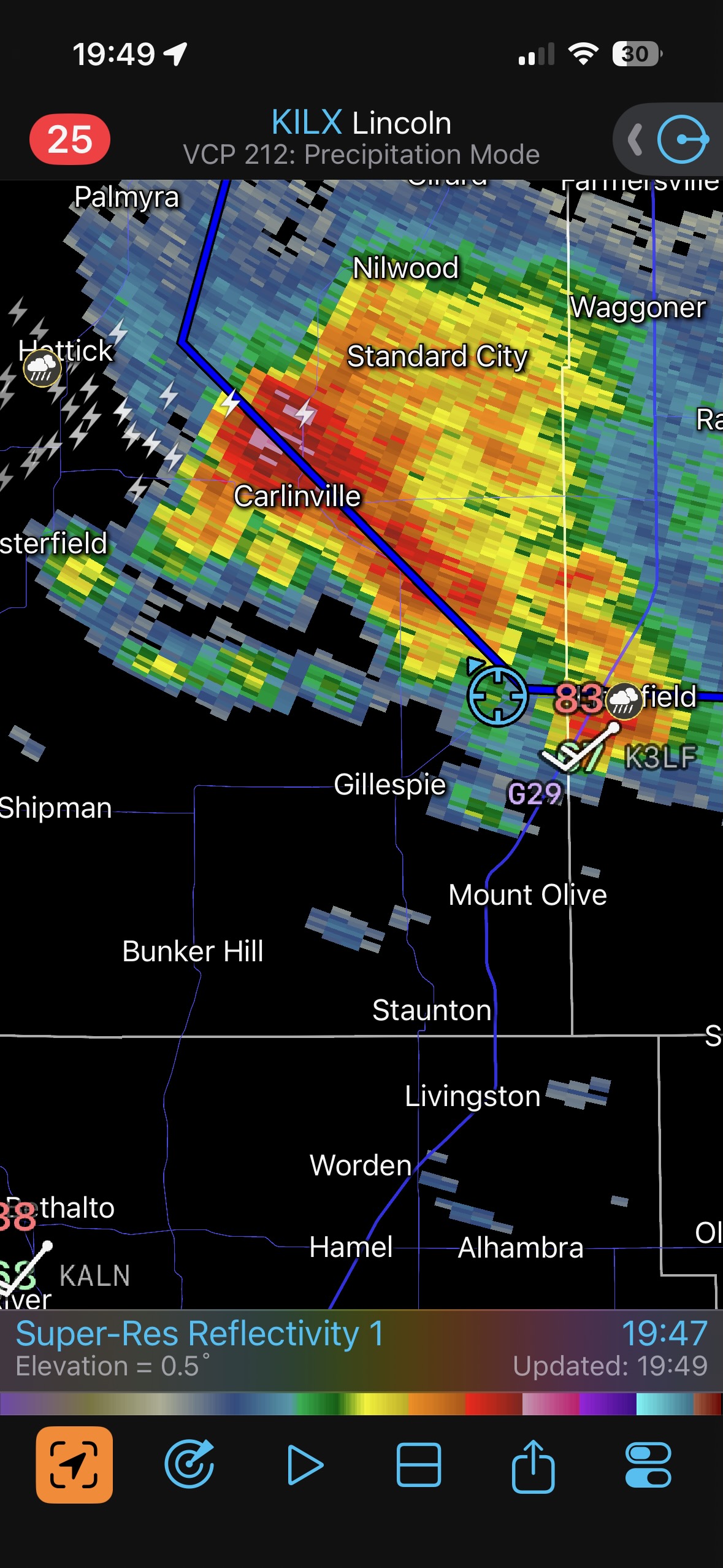
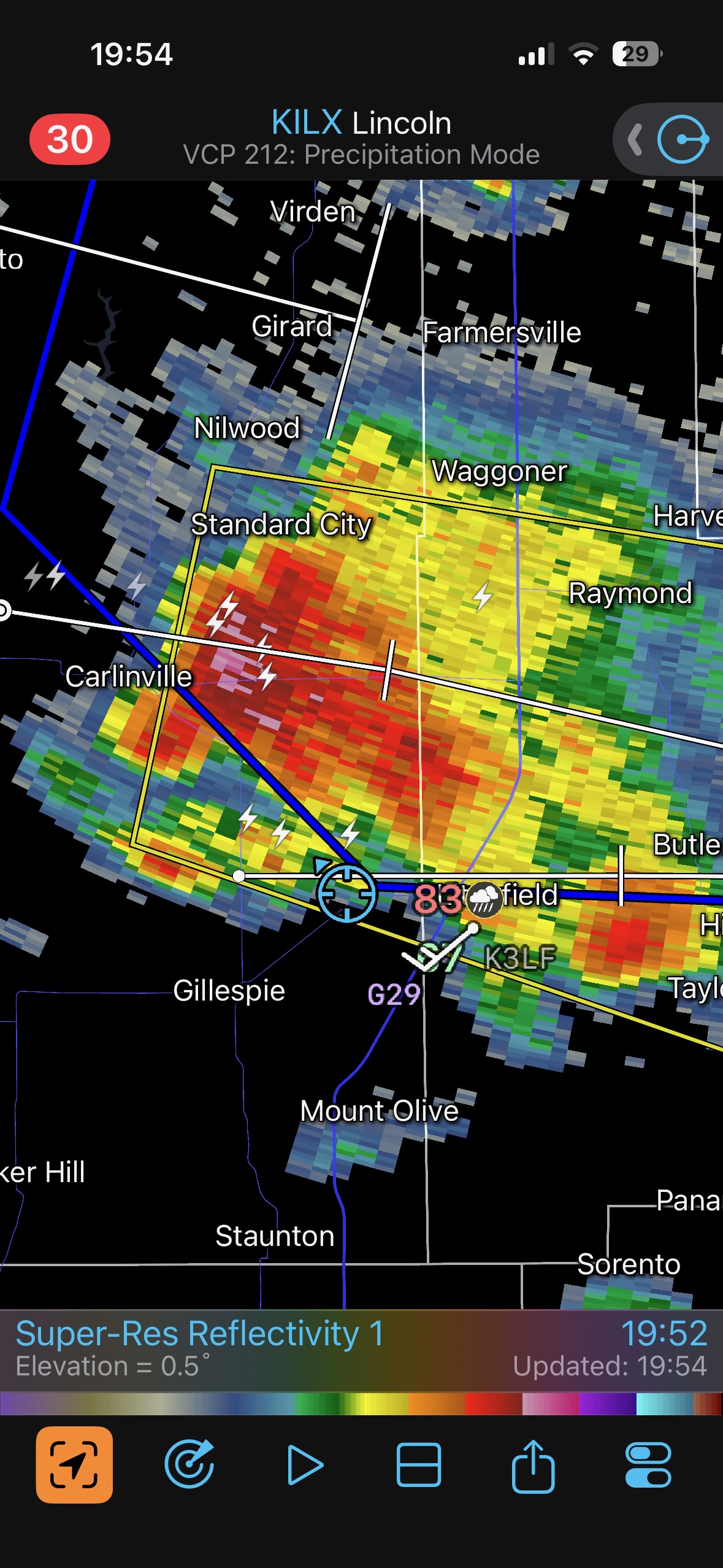
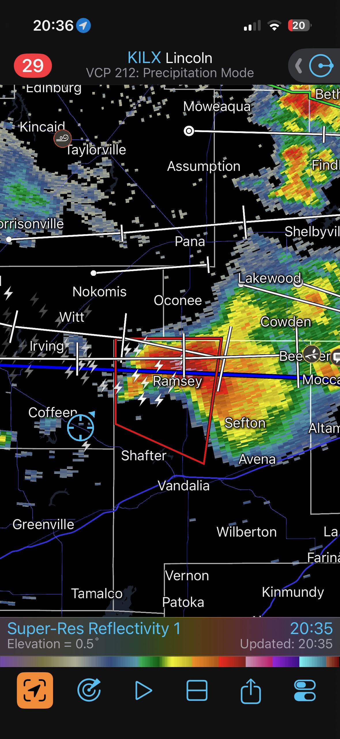
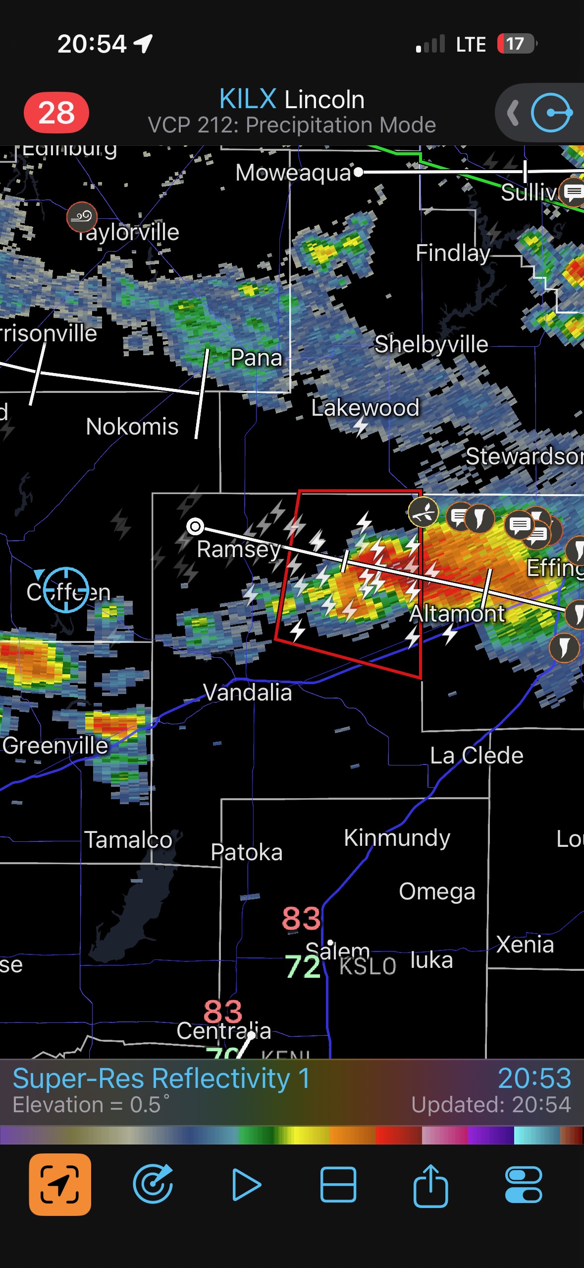
Near 7 p.m. CDT (see radar below) you can see that we are WSW of a tornado-warned storm near Morrisonville. And in the pictures prior to the radar screenshot you can see what the storm looked like. It was not tornado-ing when we were reasonably close. We were not going to be able to stay with this one.
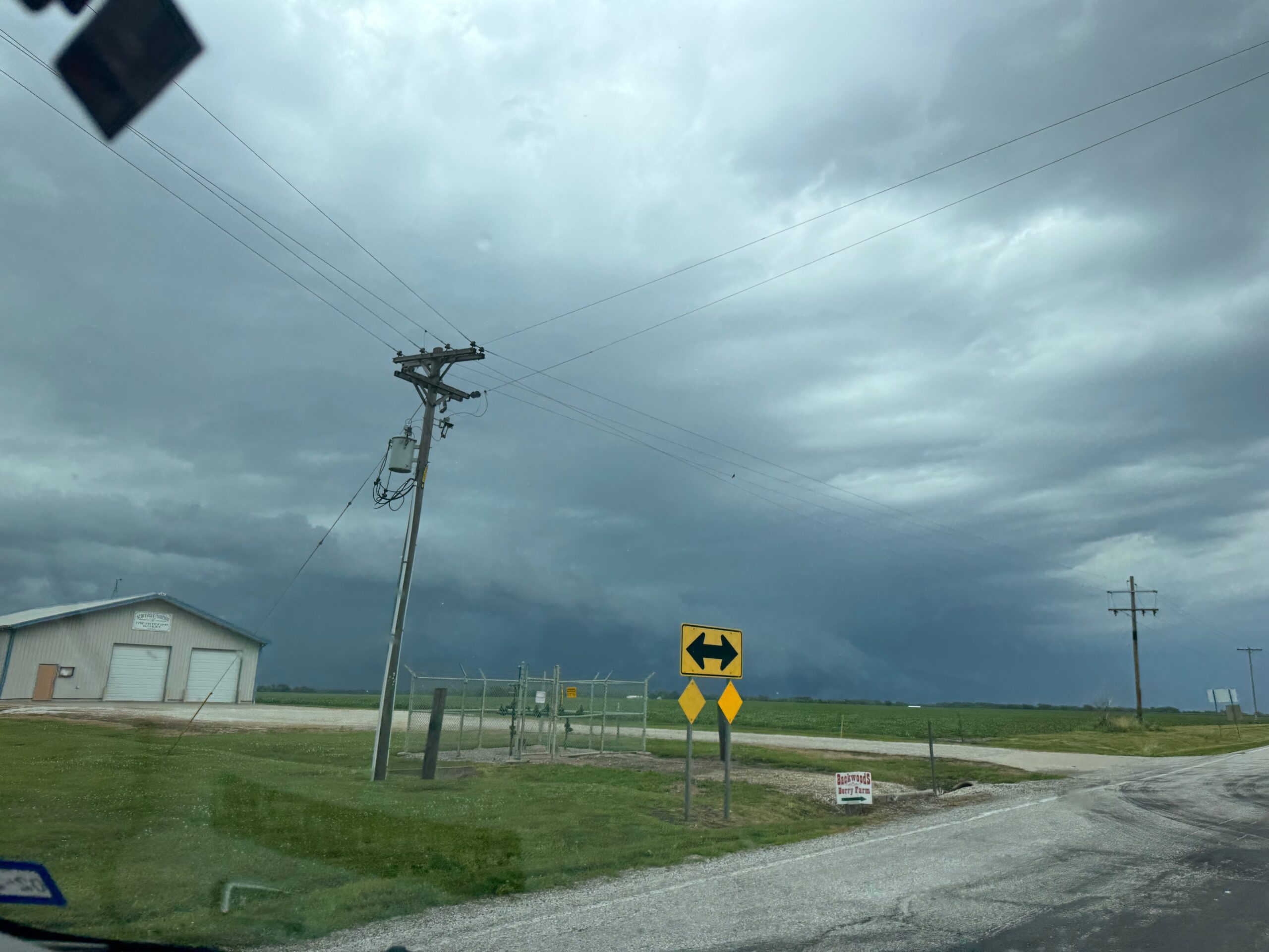
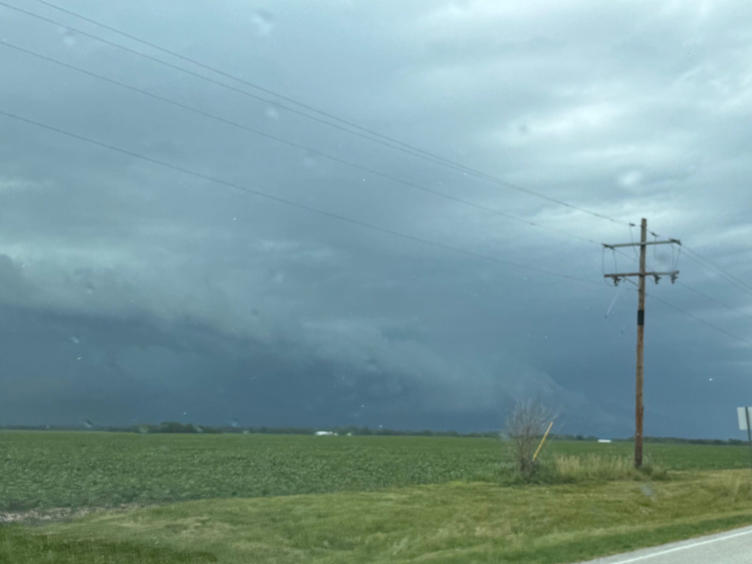
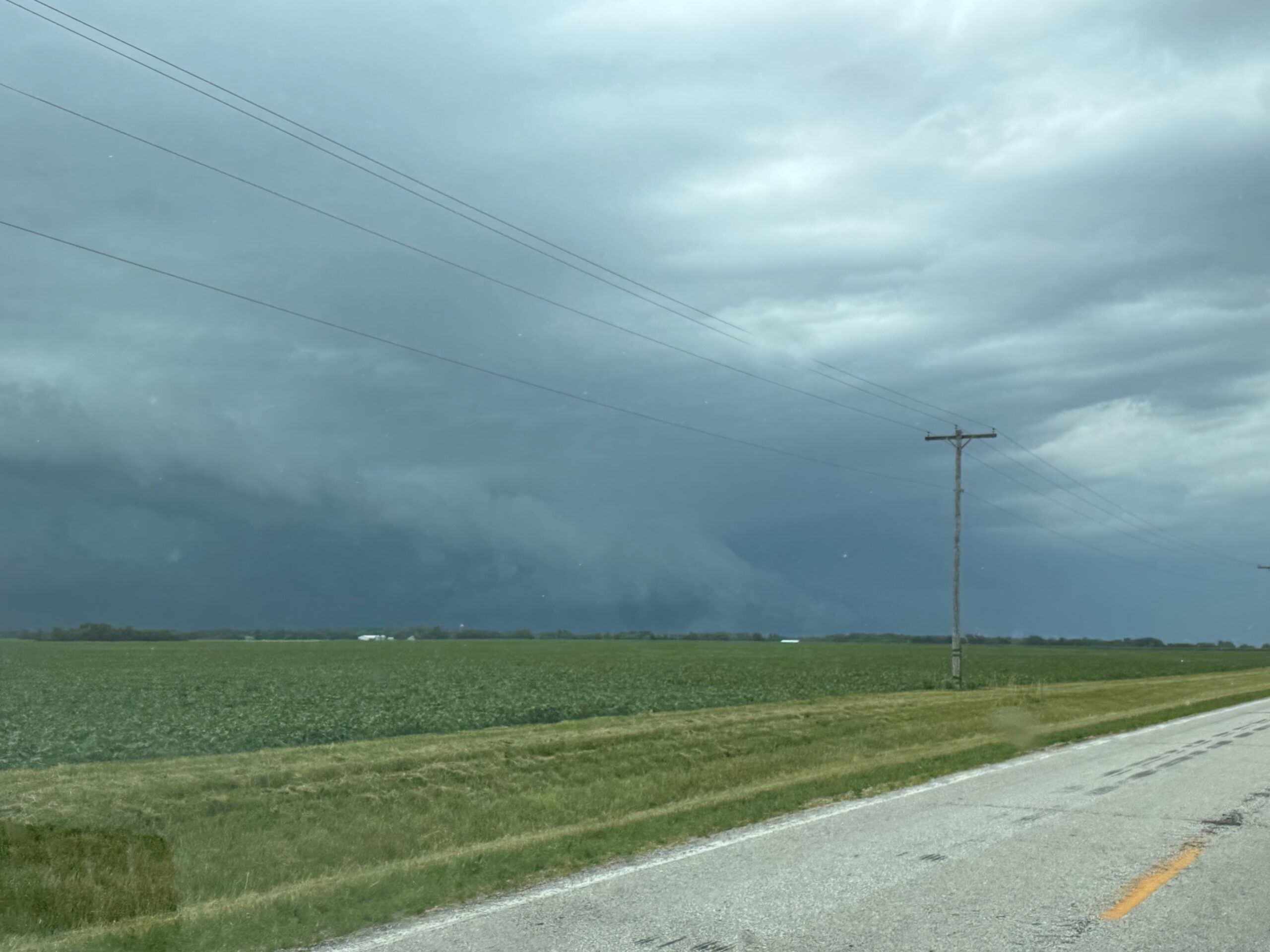
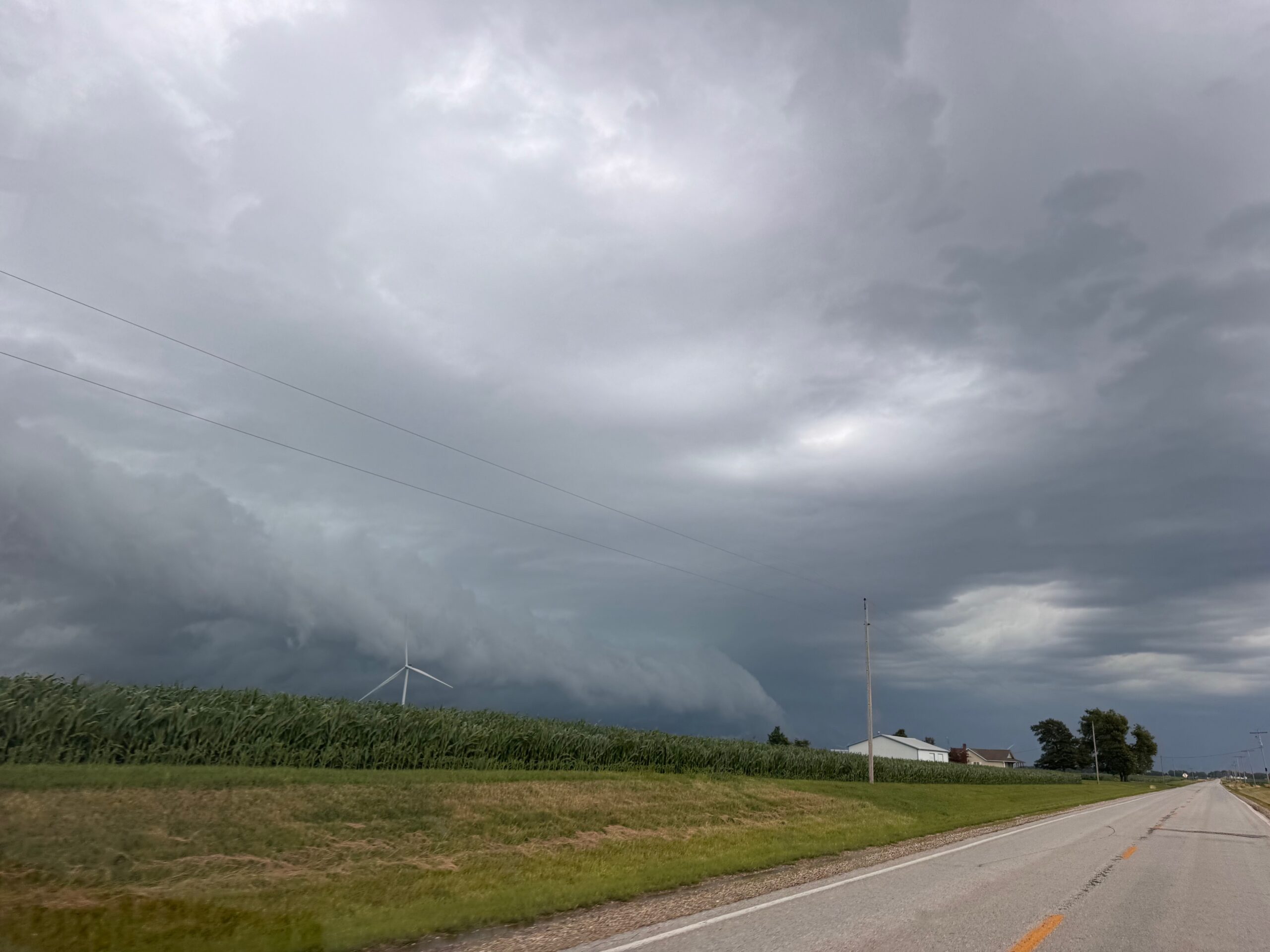
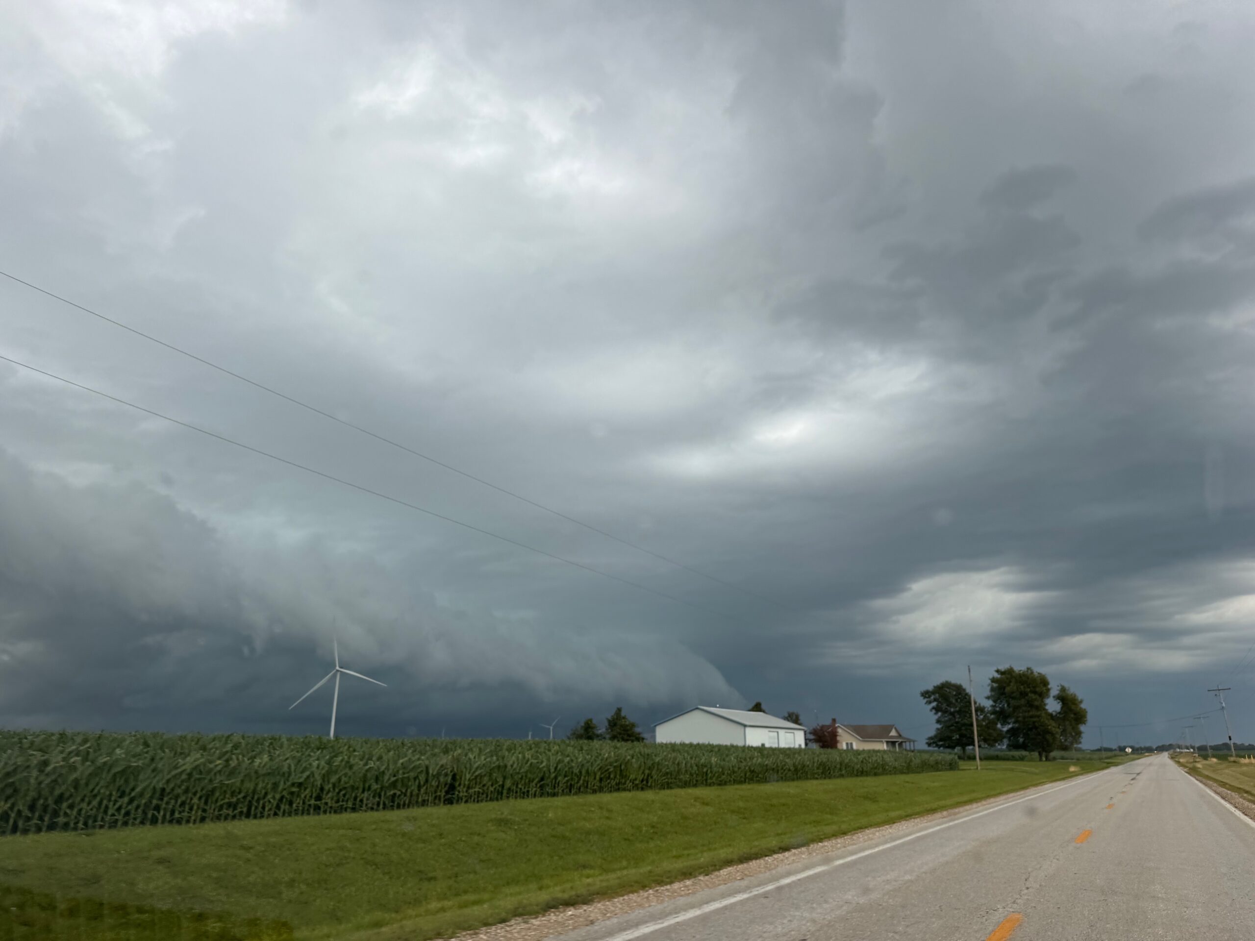
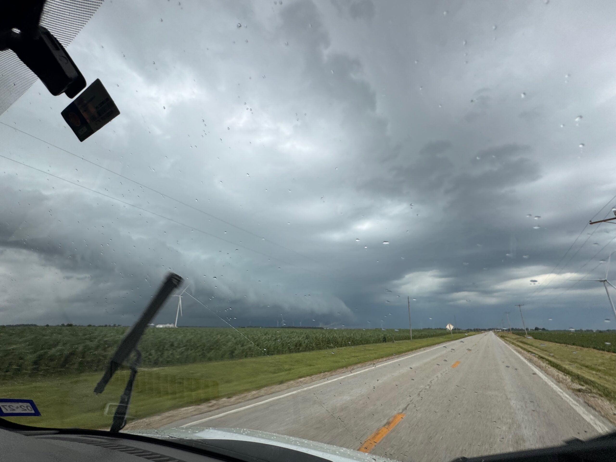
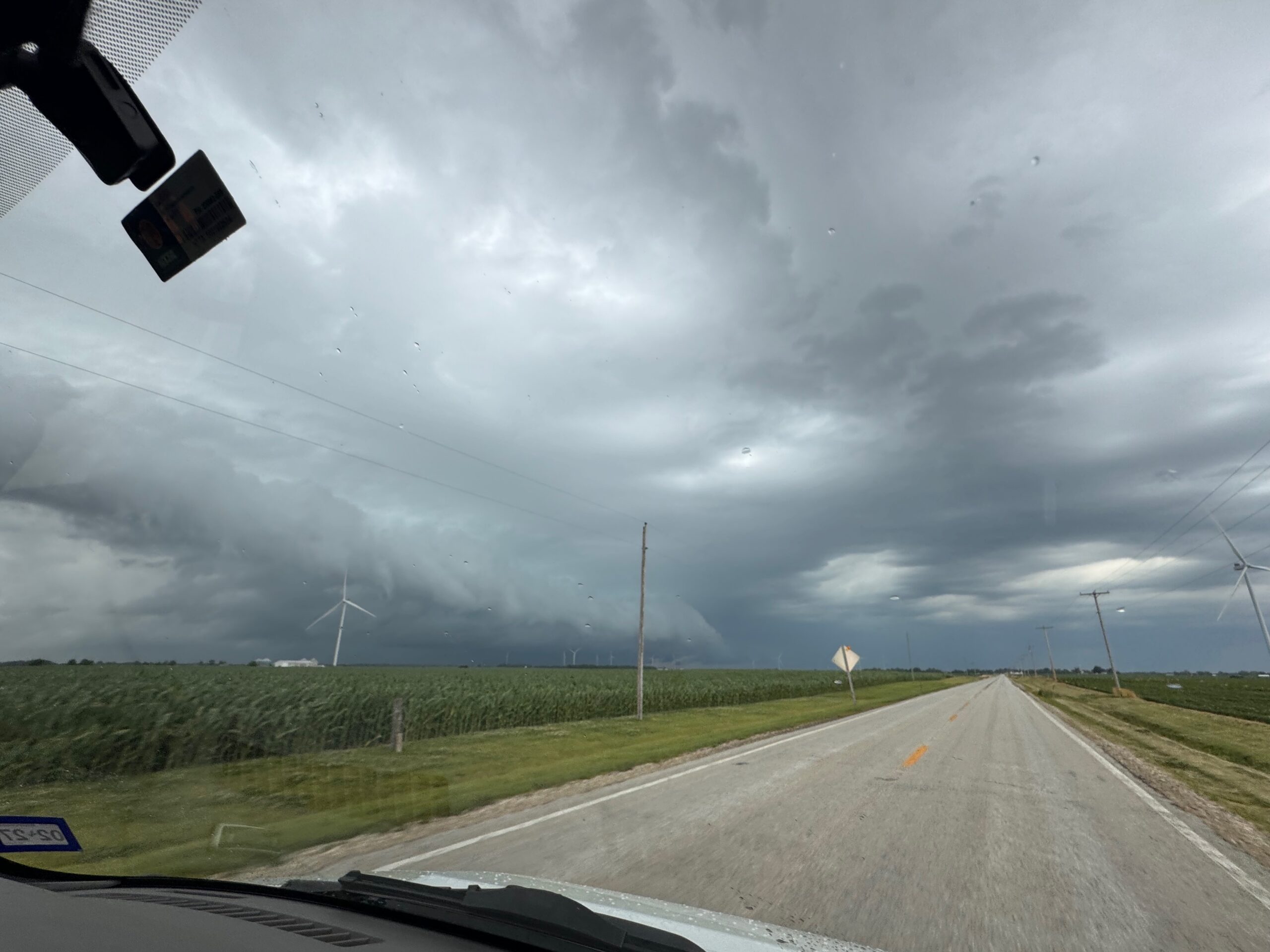
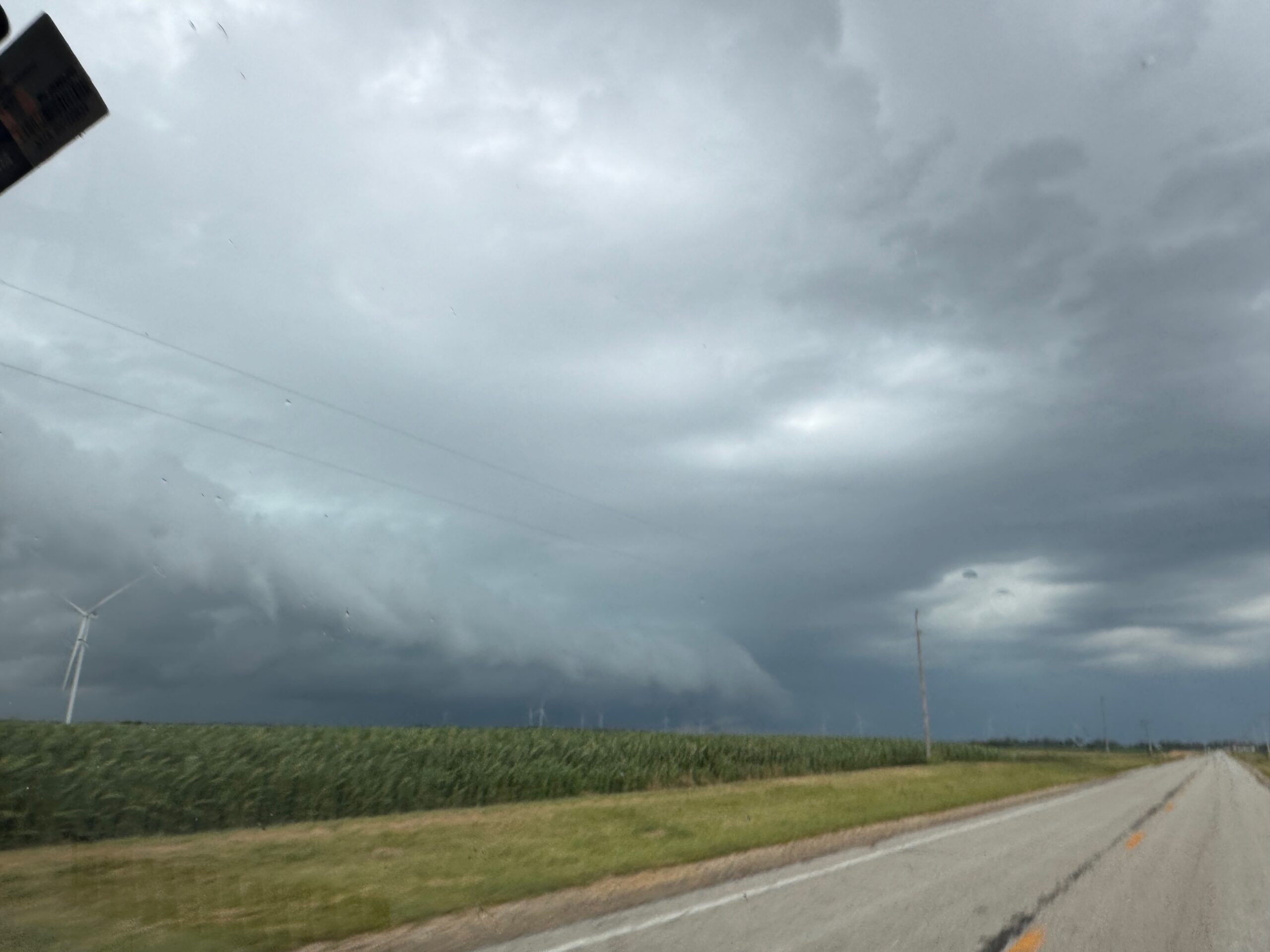
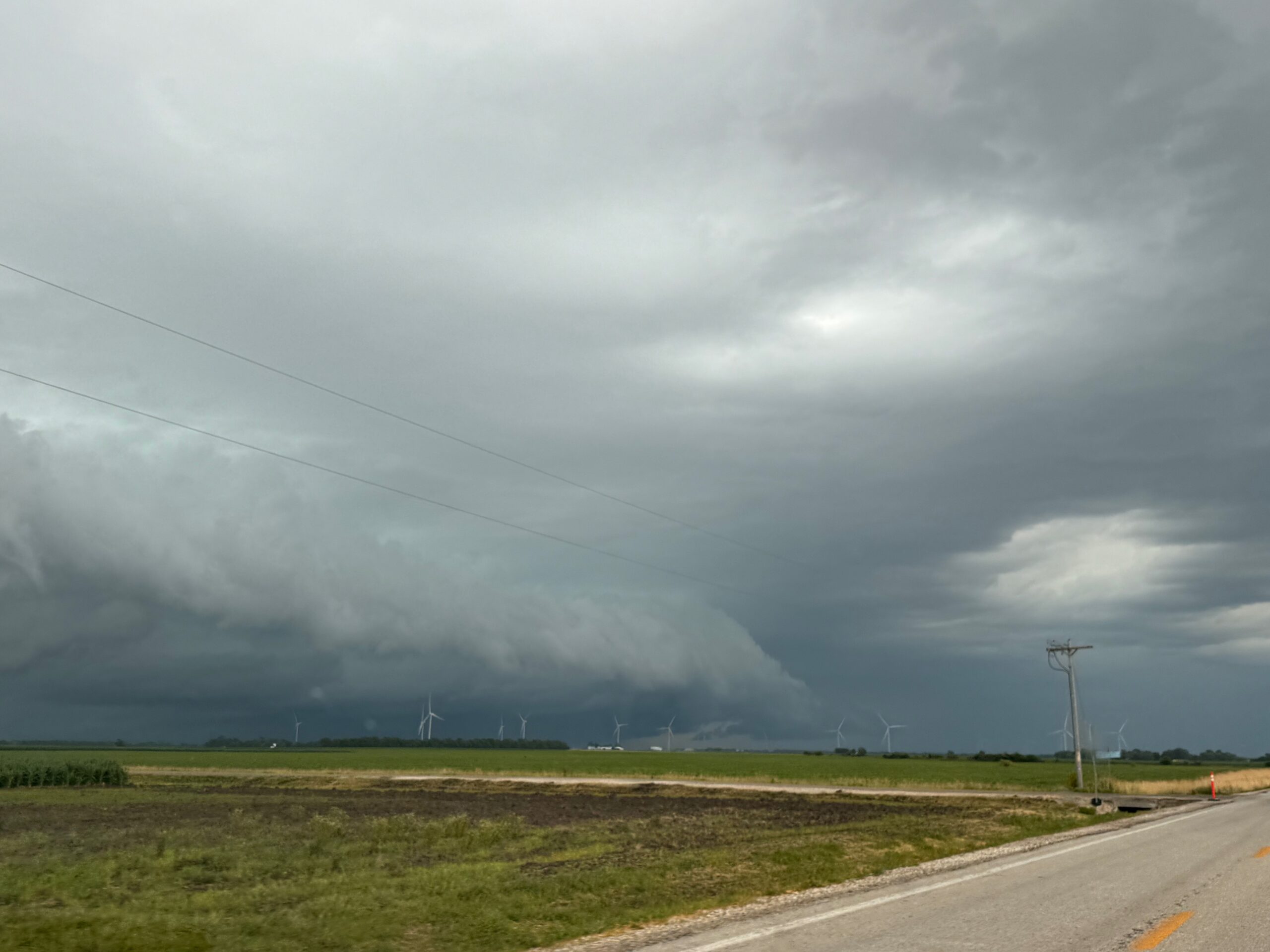
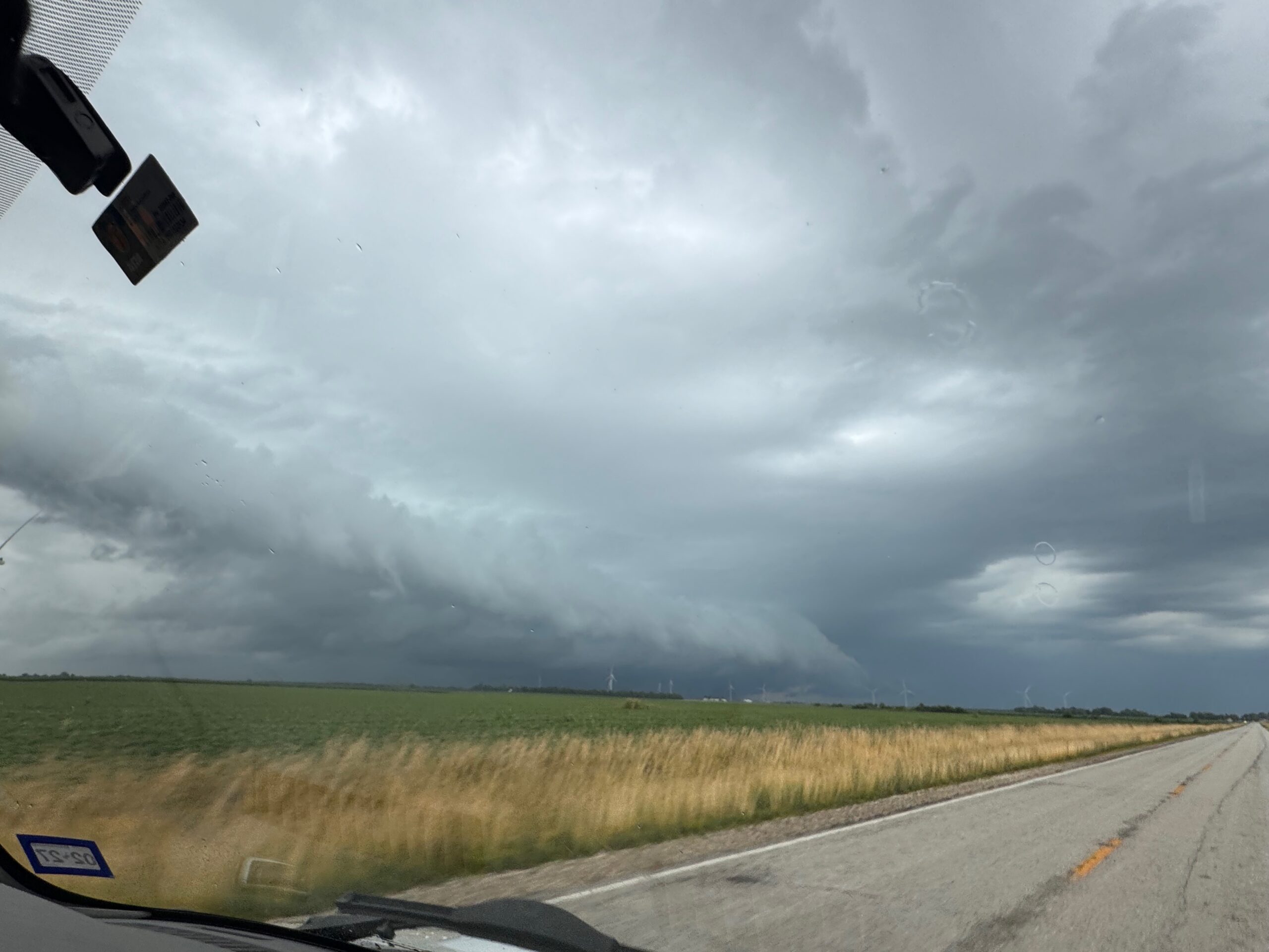
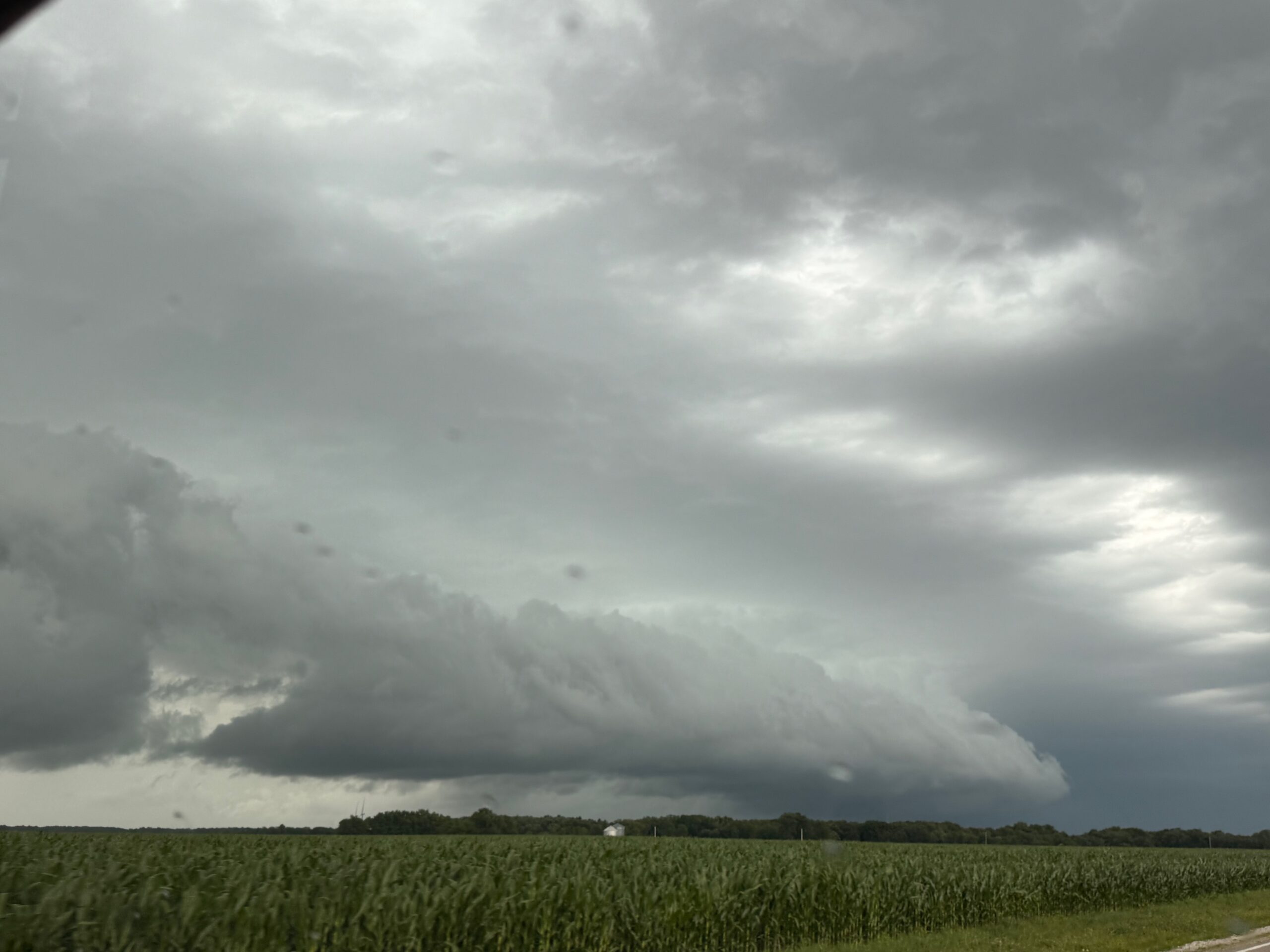
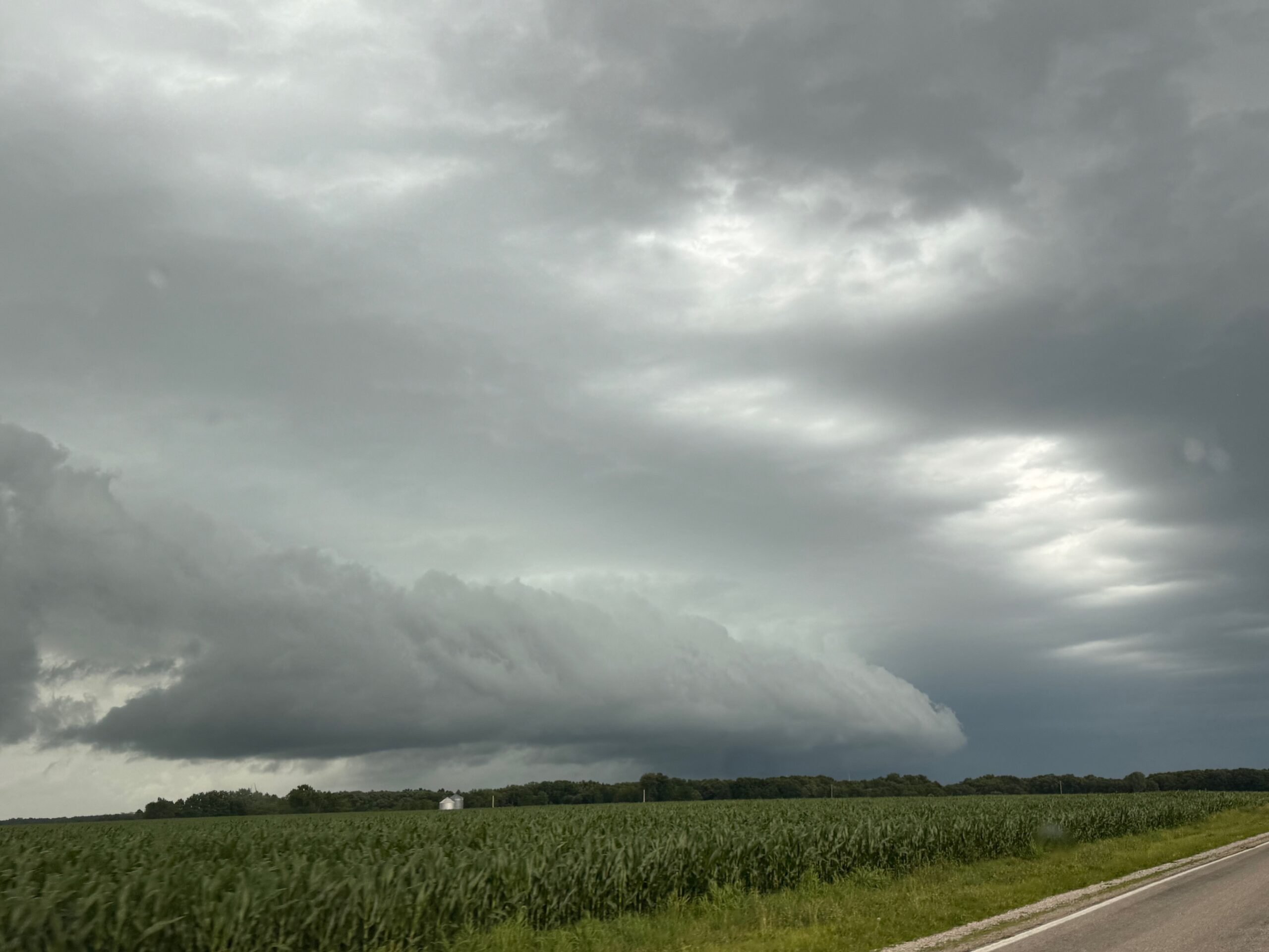
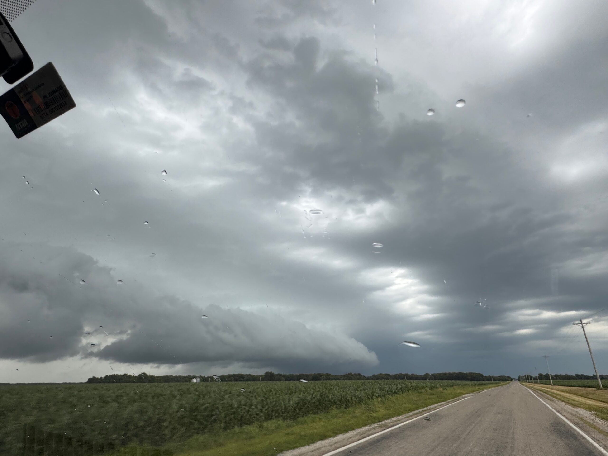
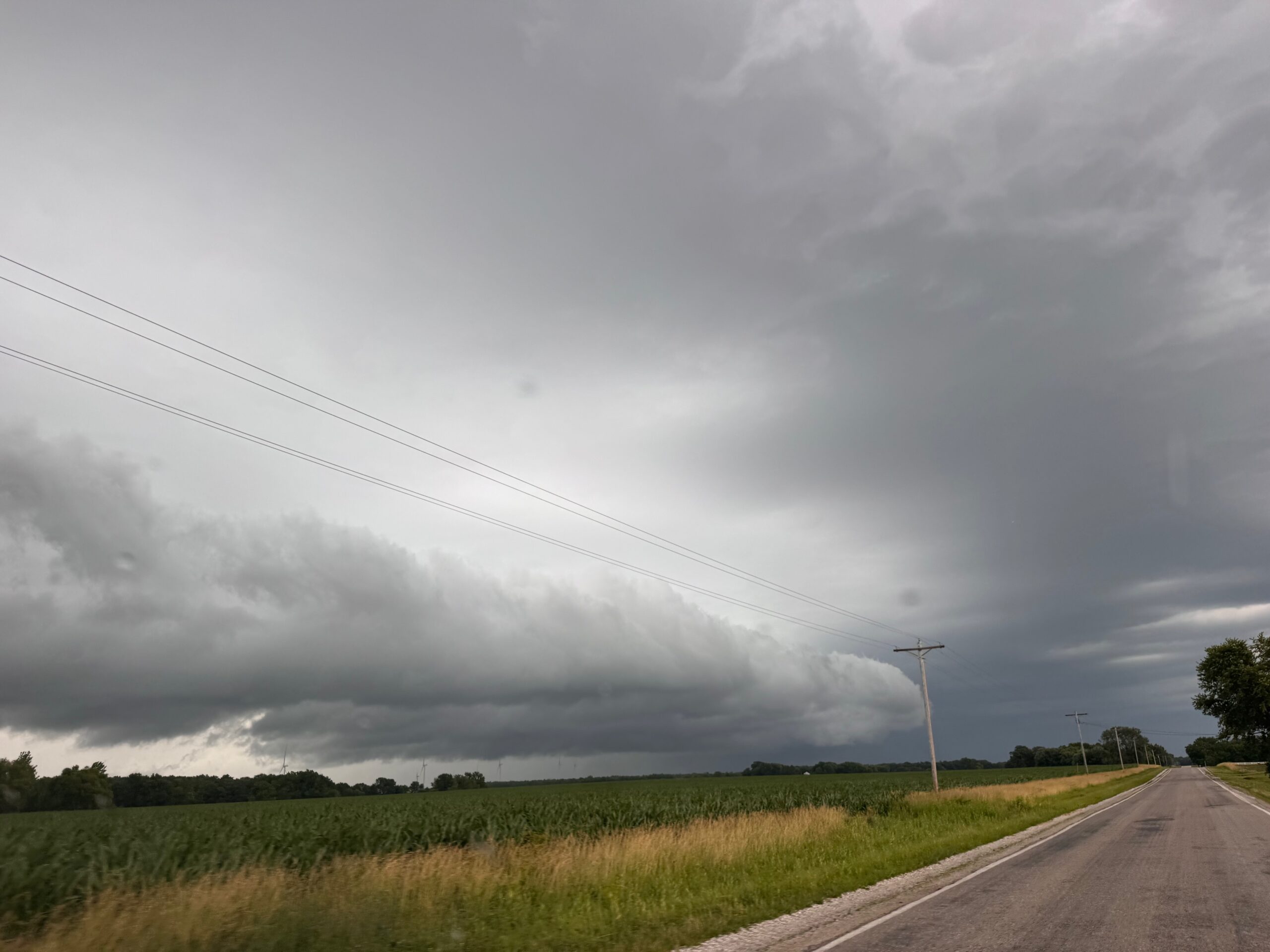
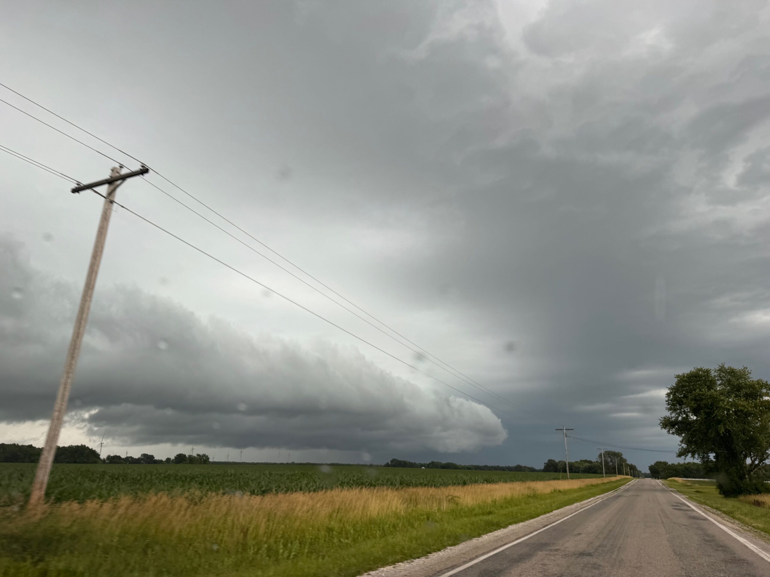
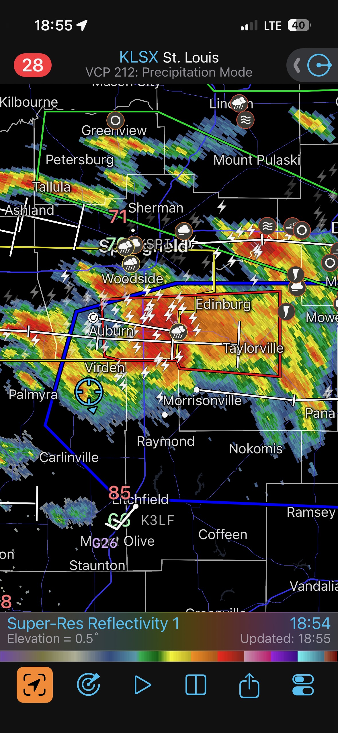
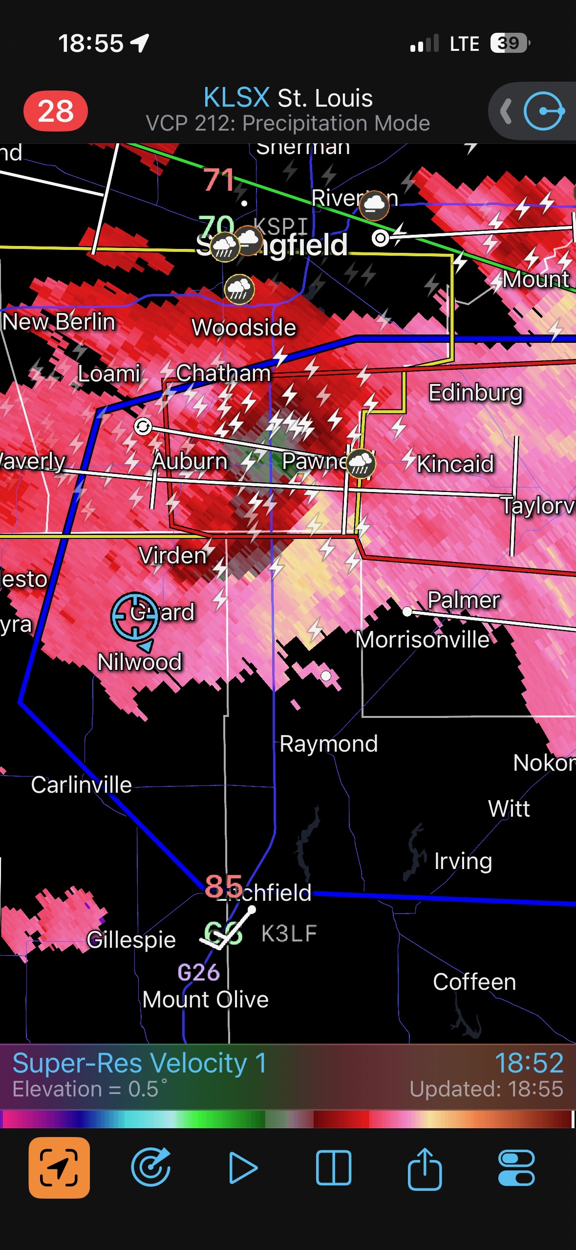
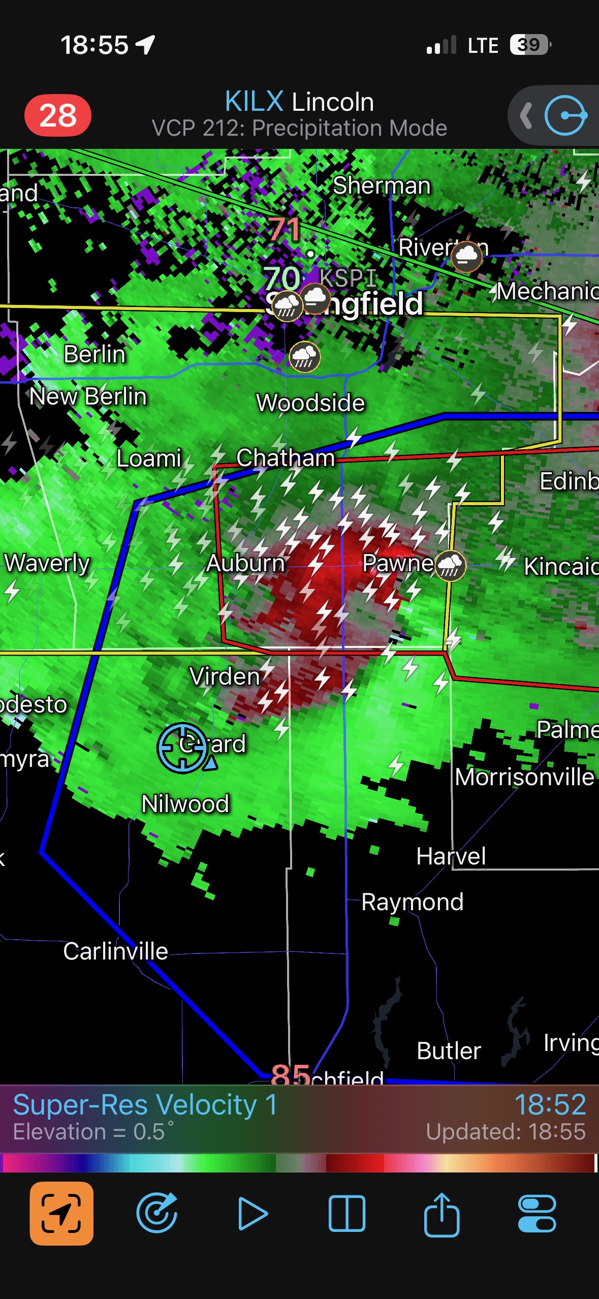
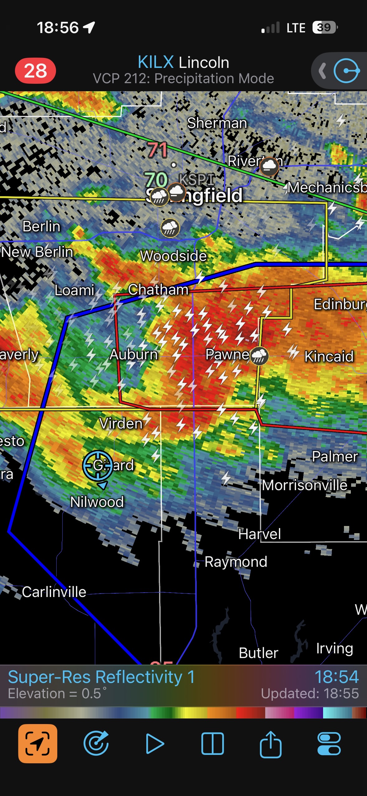
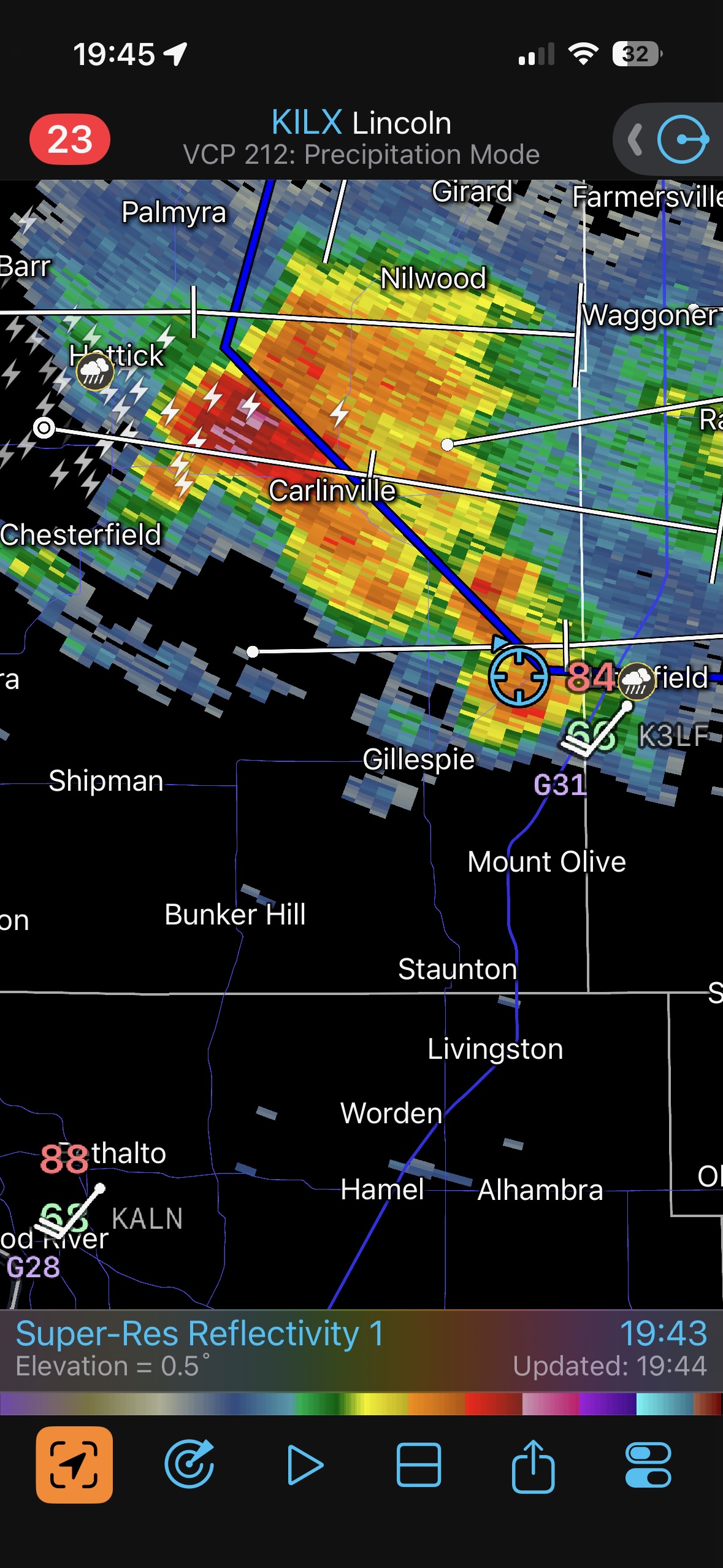
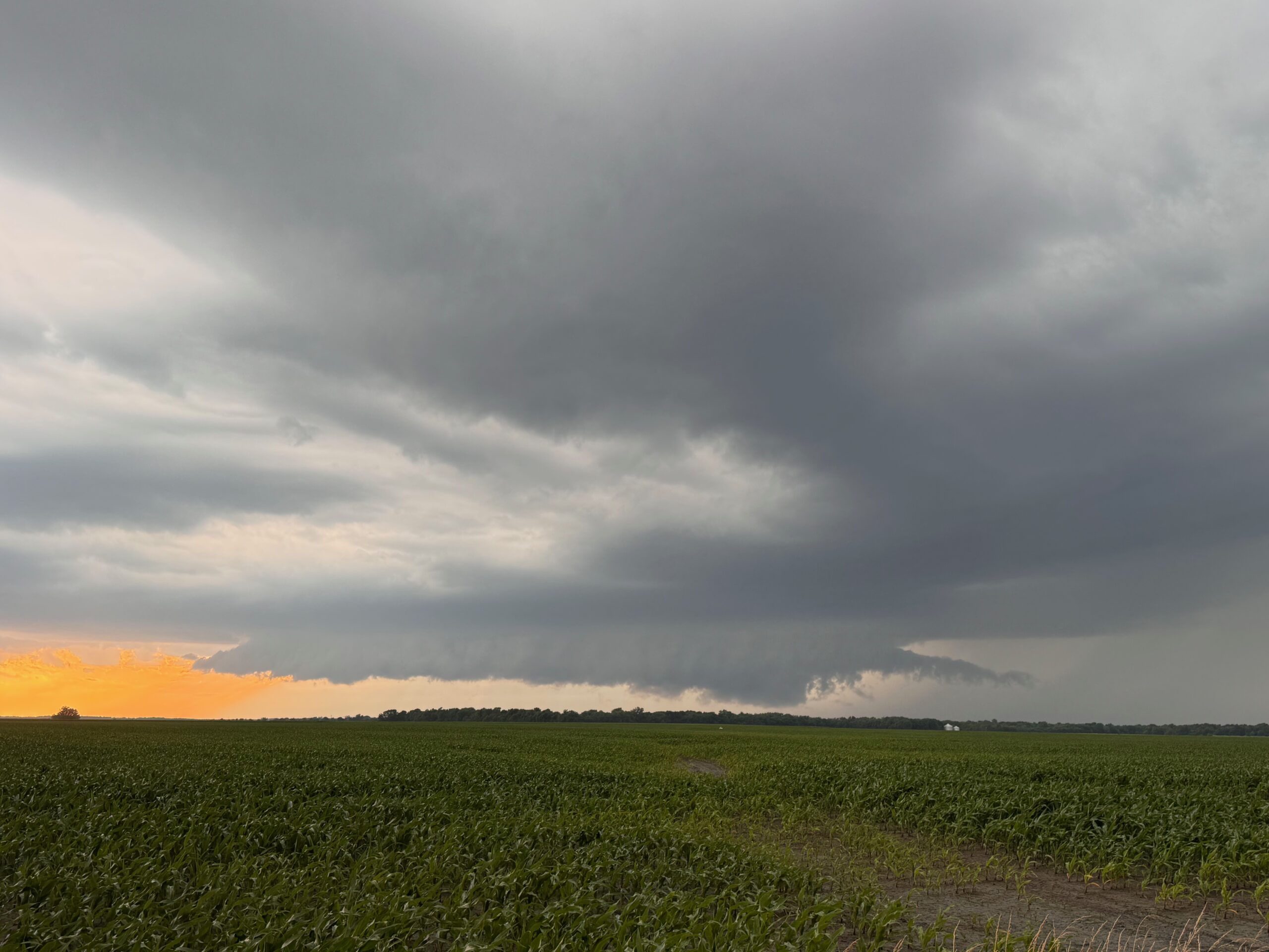
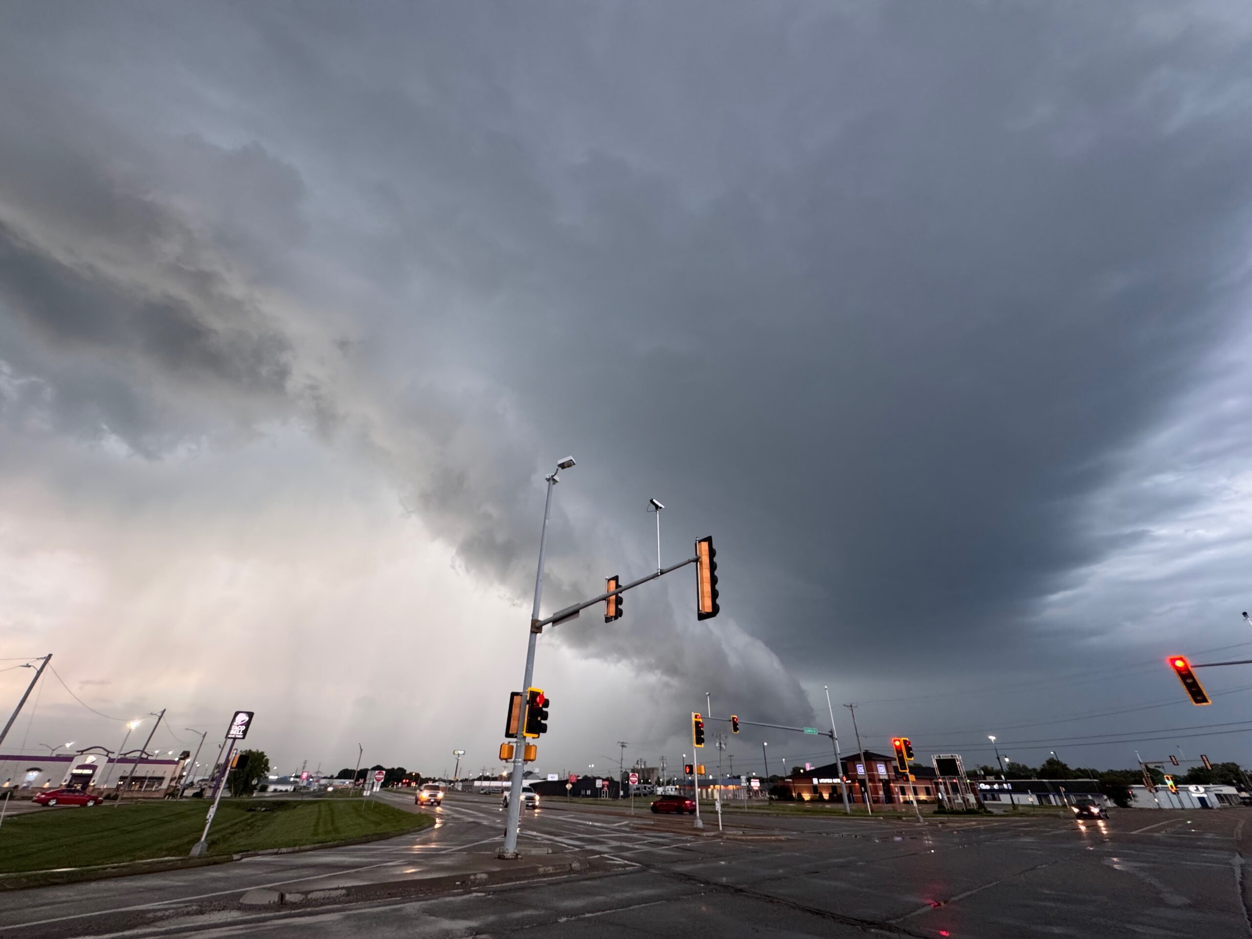
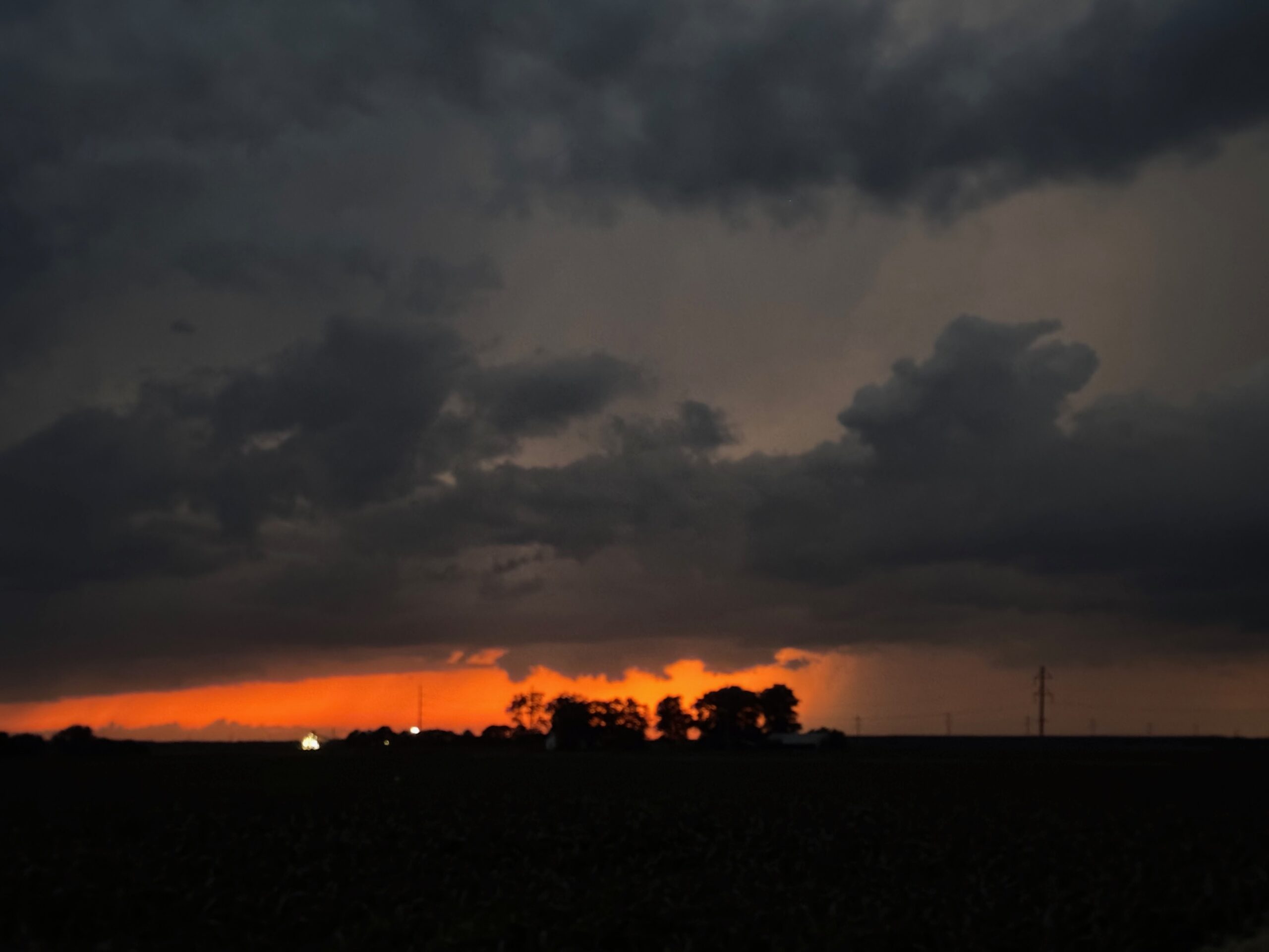
We dropped south a tad to get in front of an organized cell with a decent shape on radar. It sported some really nice low-level structure WNW of Litchfield, but a tornado was not forthcoming. Even this one became tornado-warned a county or two to the east. Staying close to it was an effort in futility due to the fast storm motion.
The big show this day was near Effingham, IL, just up the road from Greenville. Ooops.
Leave a Reply
You must be logged in to post a comment.