
Begin: Denver/no lunch/End: Lamar, CO/est. 500 miles
Tour 8 kicked off from Denver on June 21, and we had to hustle eastward in order to catch a strong and organized storm that was moving southeastward through the Imperial, Nebraska area. Both shear and instability were quite good! But you know that with these supercells crashing southeastward that pretty tornadoes are uncommon.
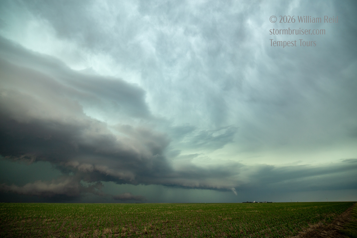
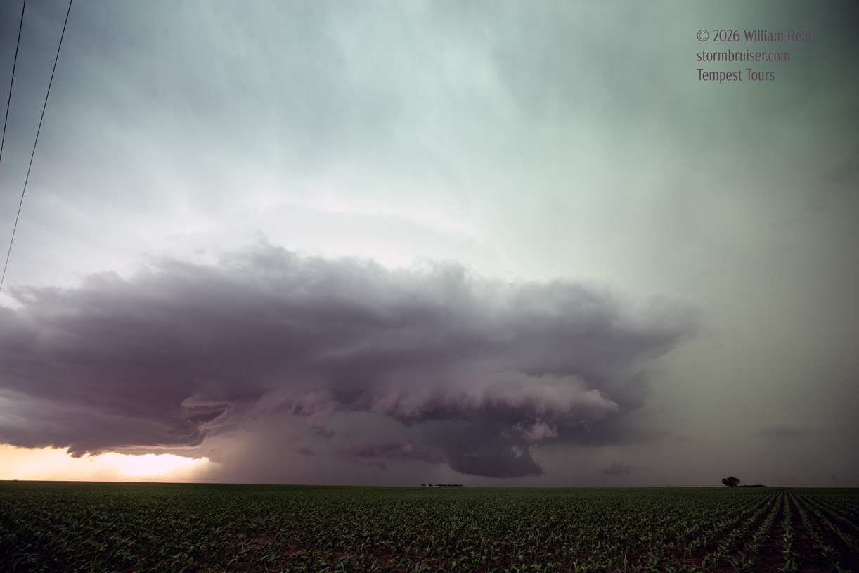
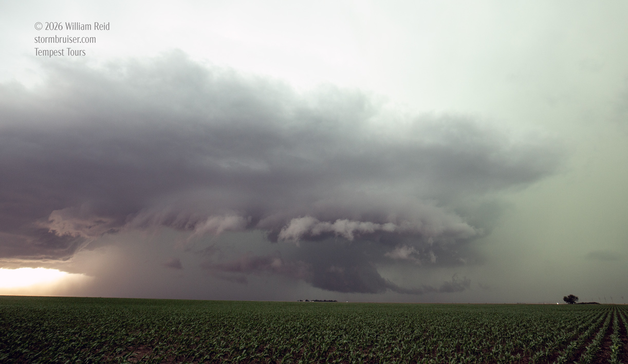
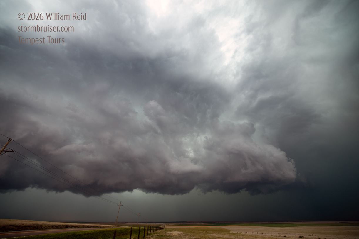
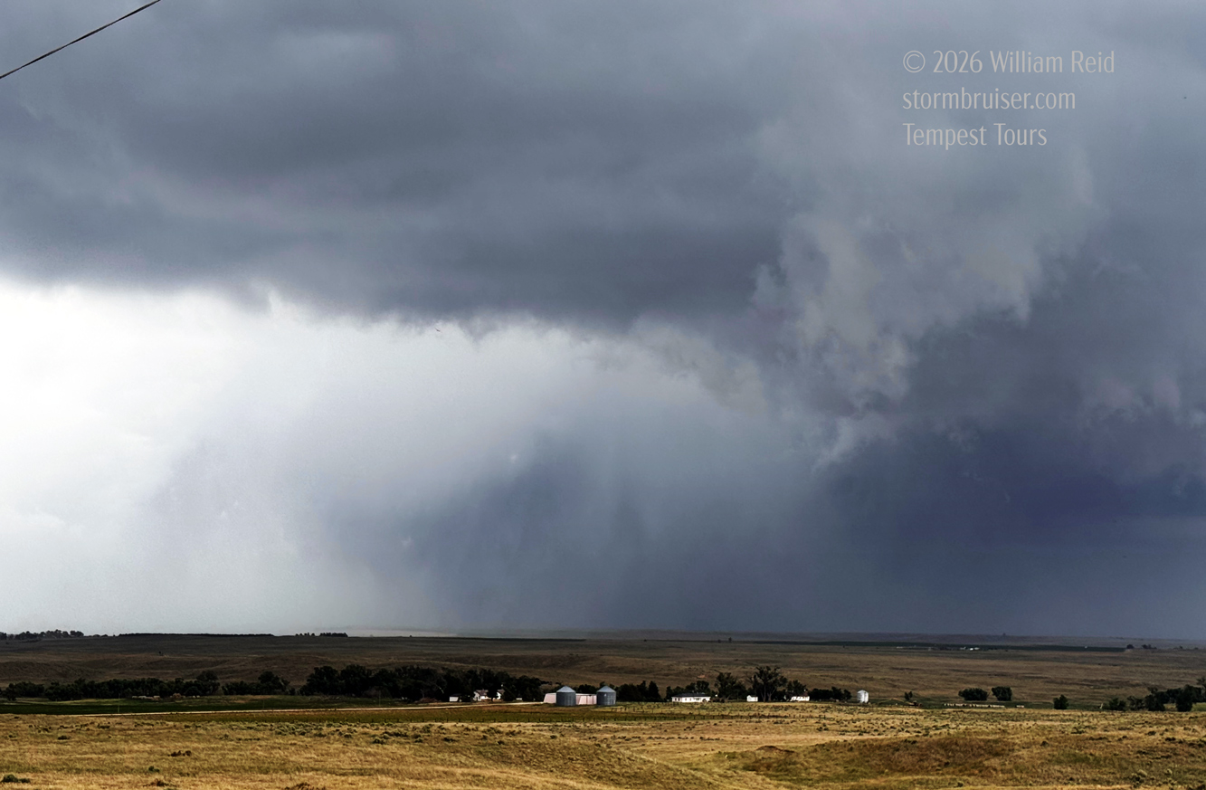
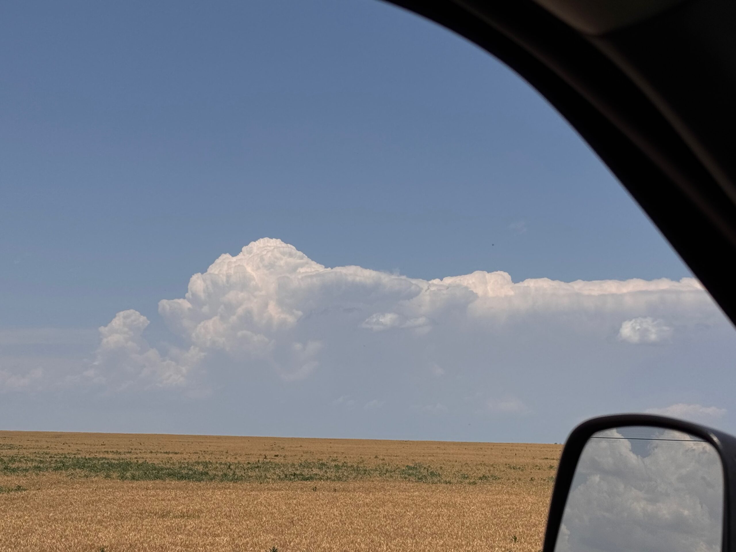
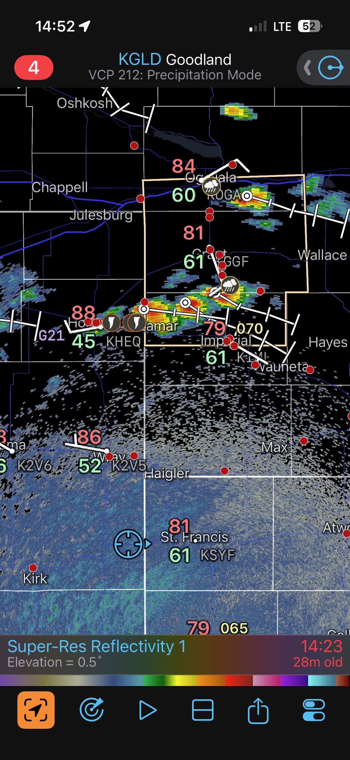
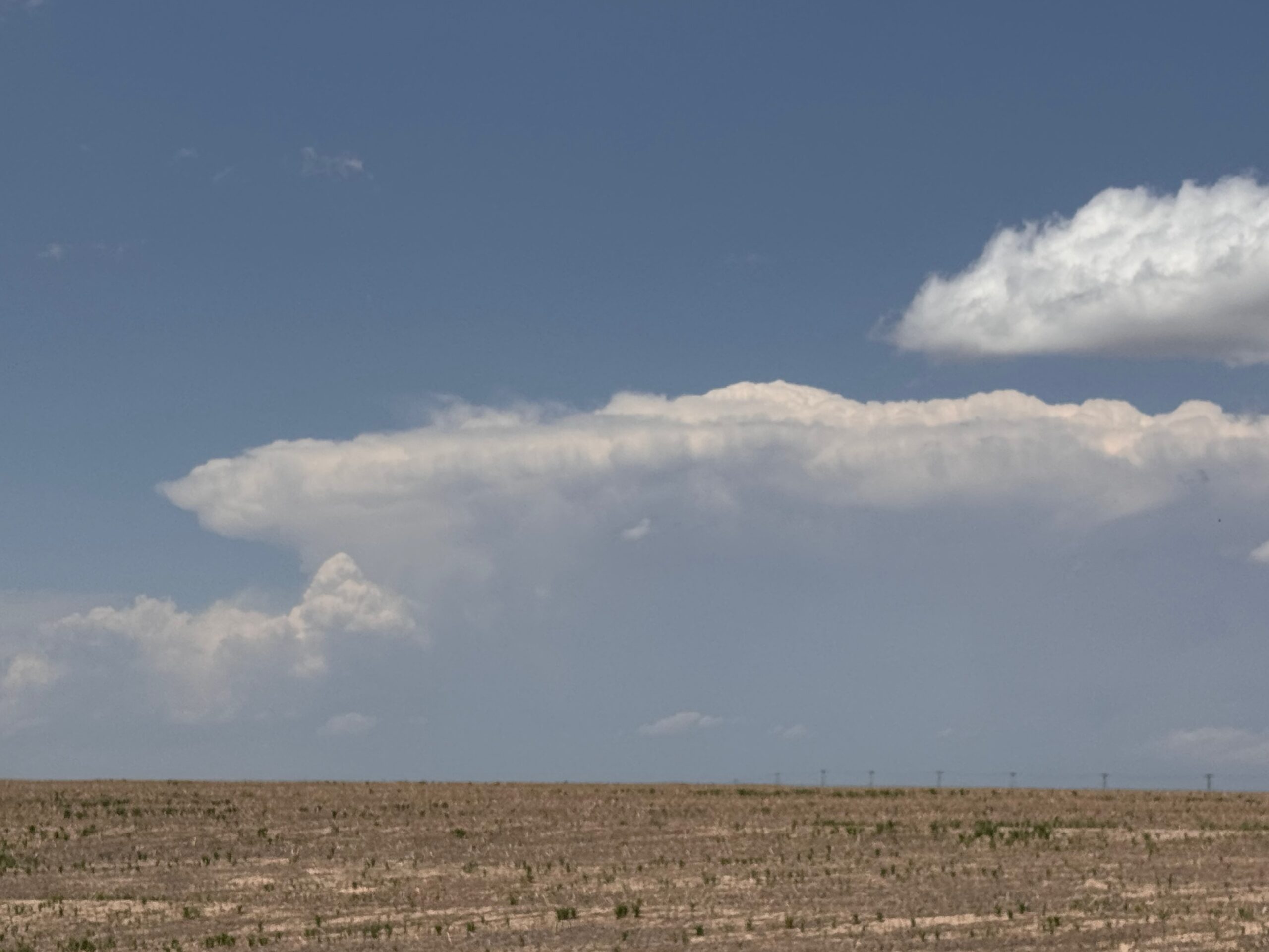
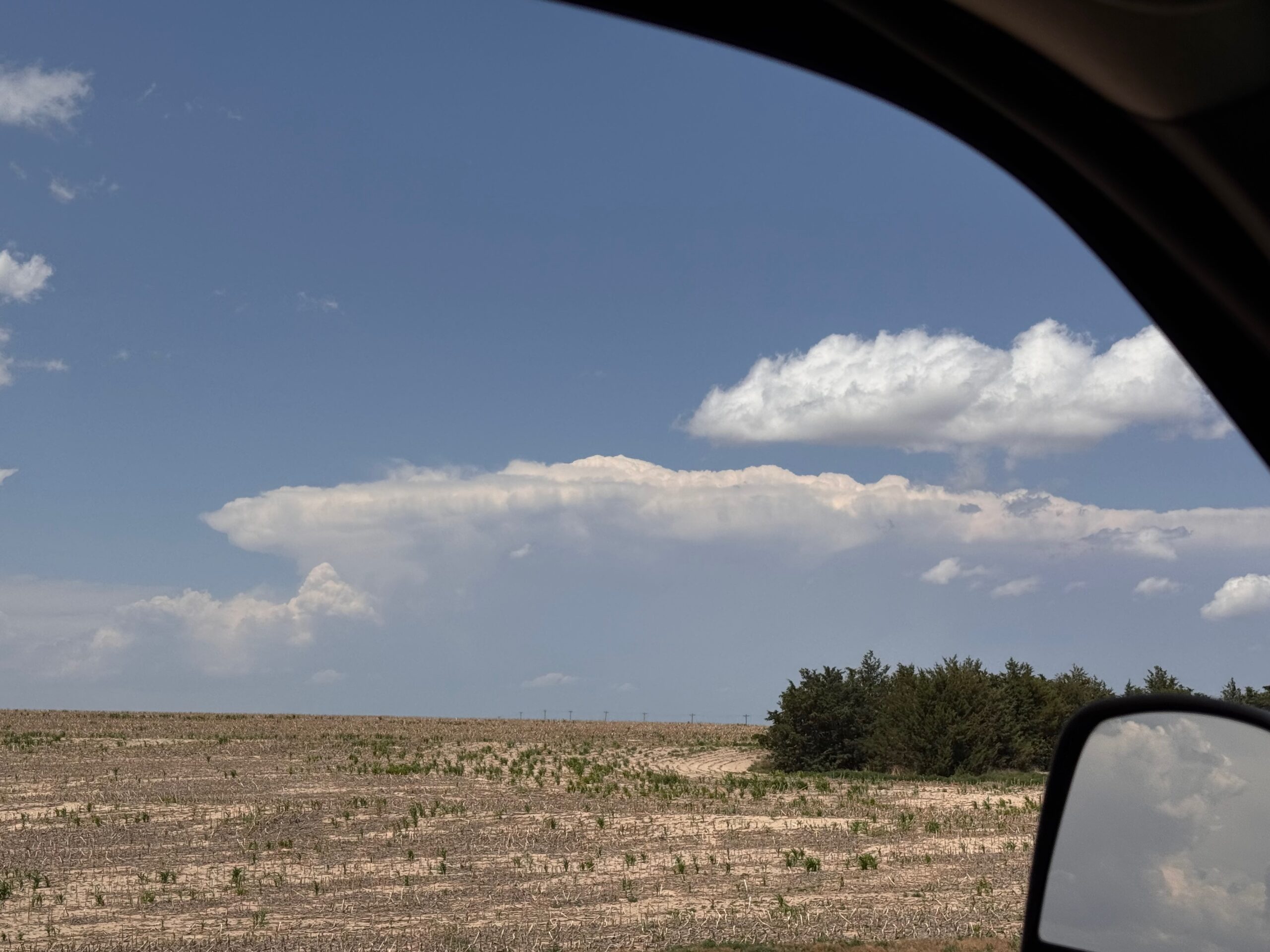
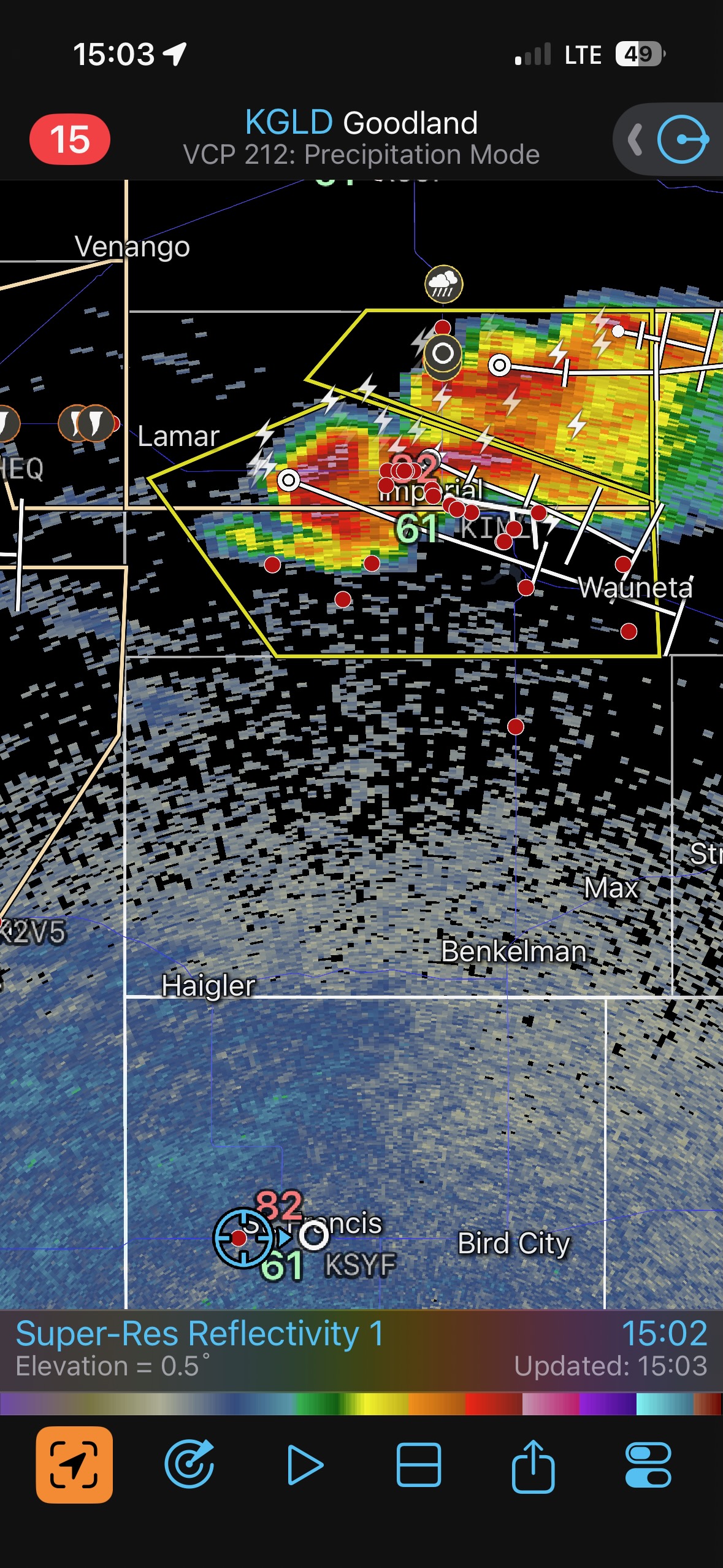
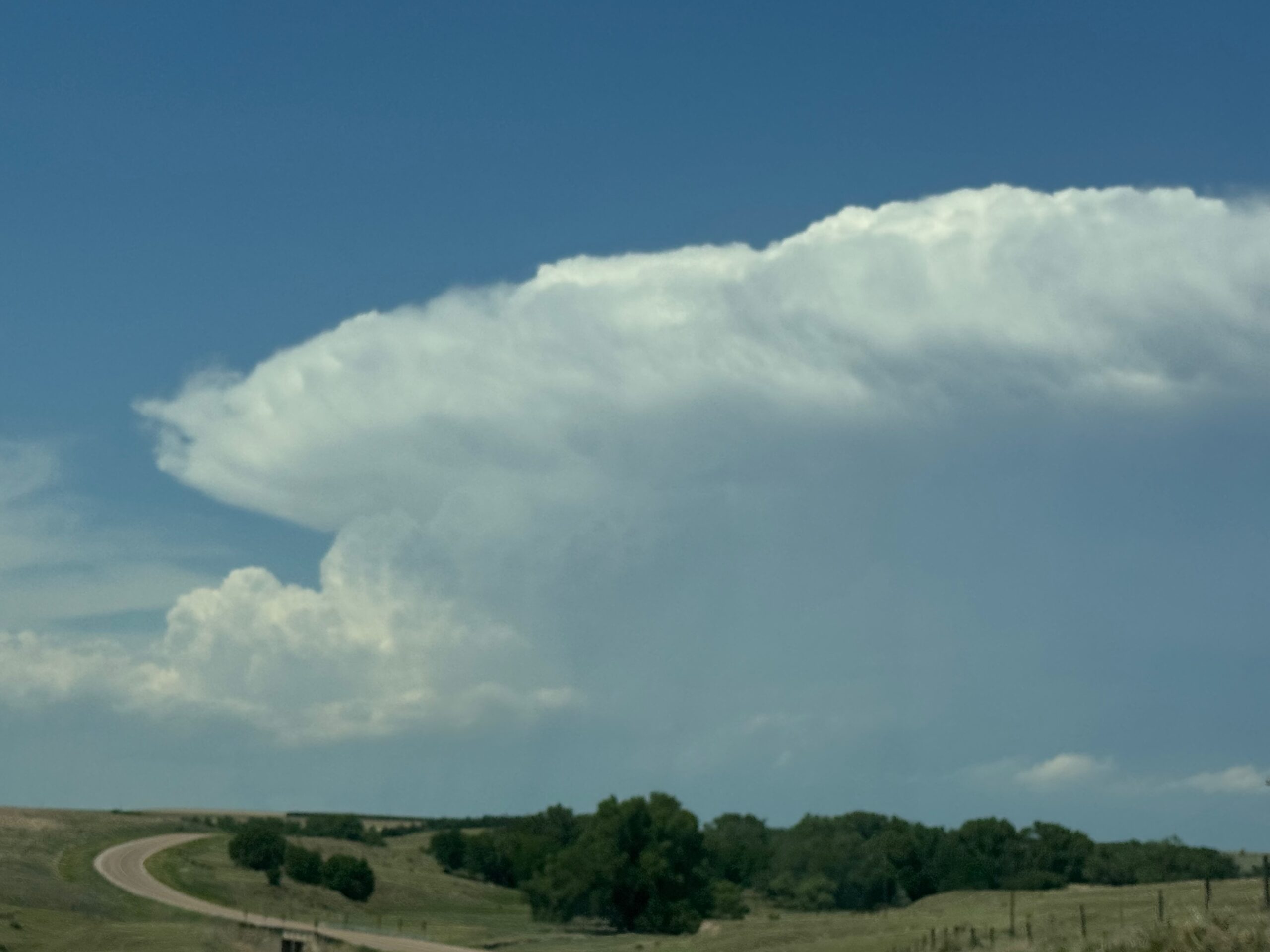
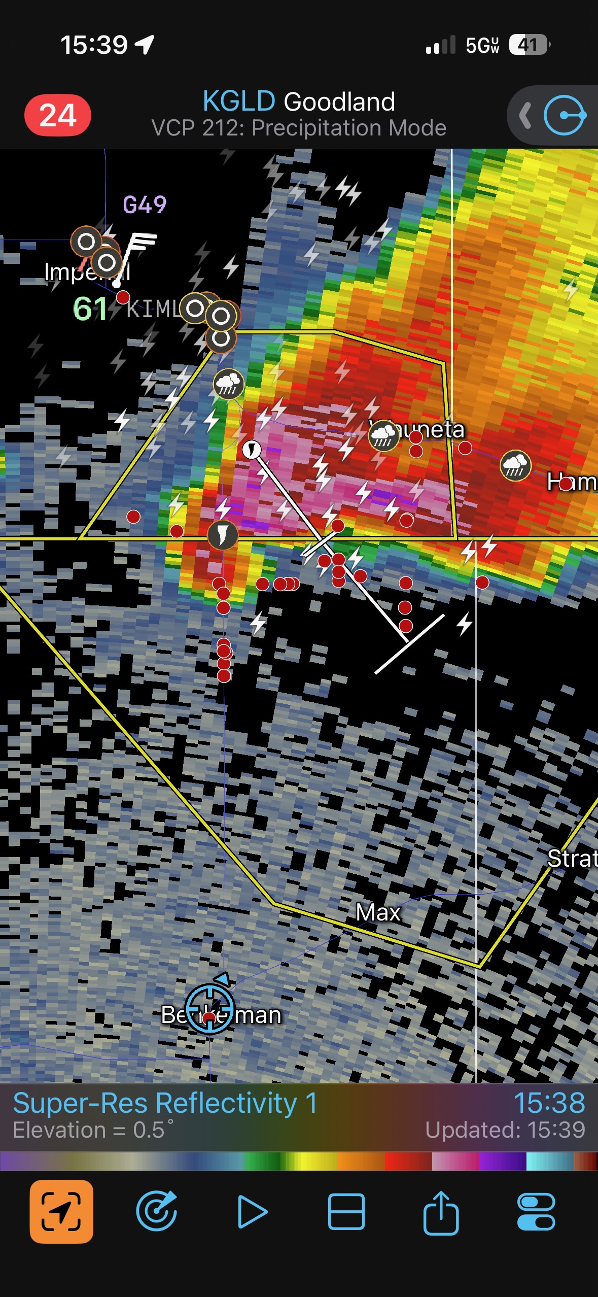
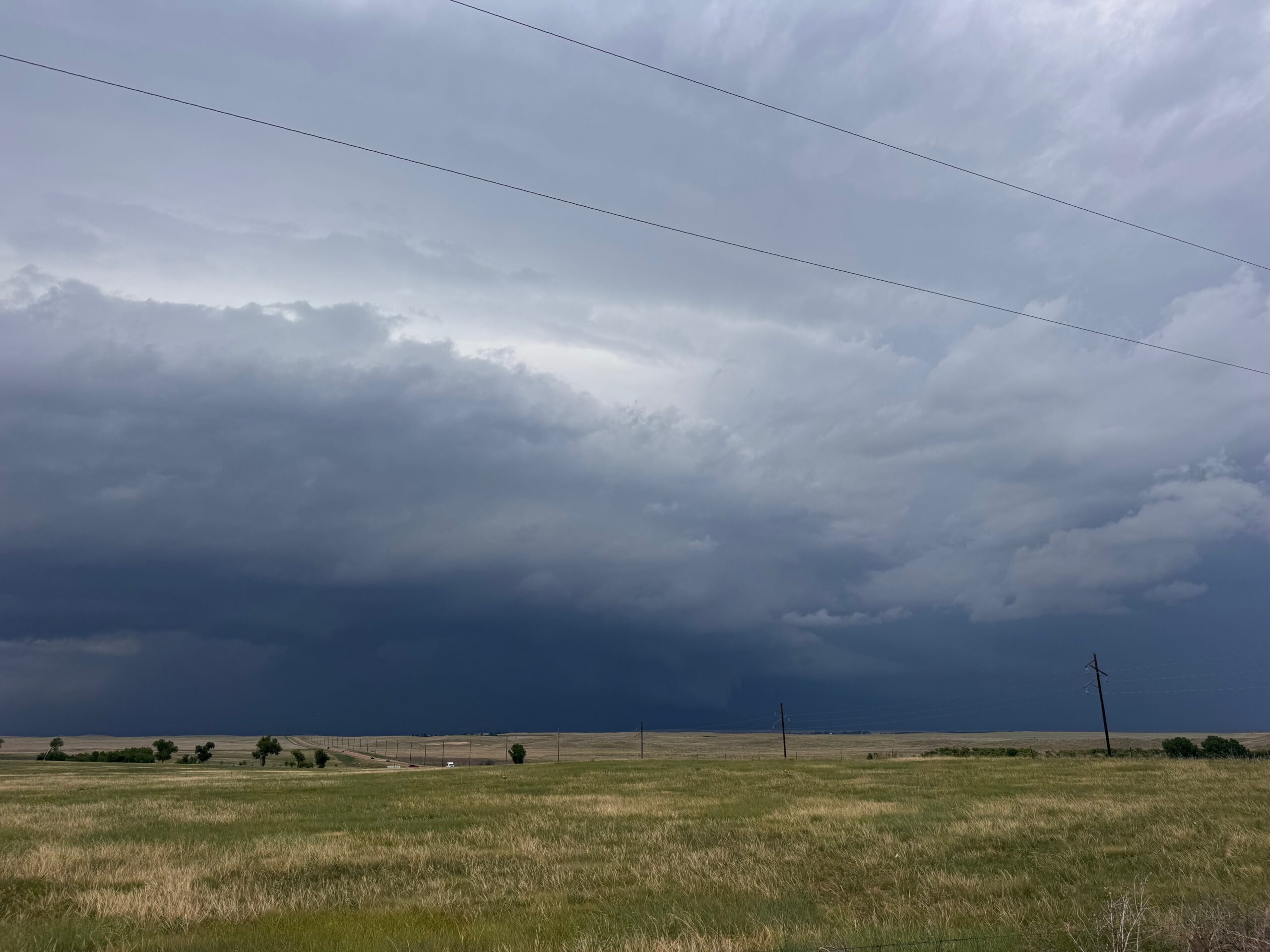
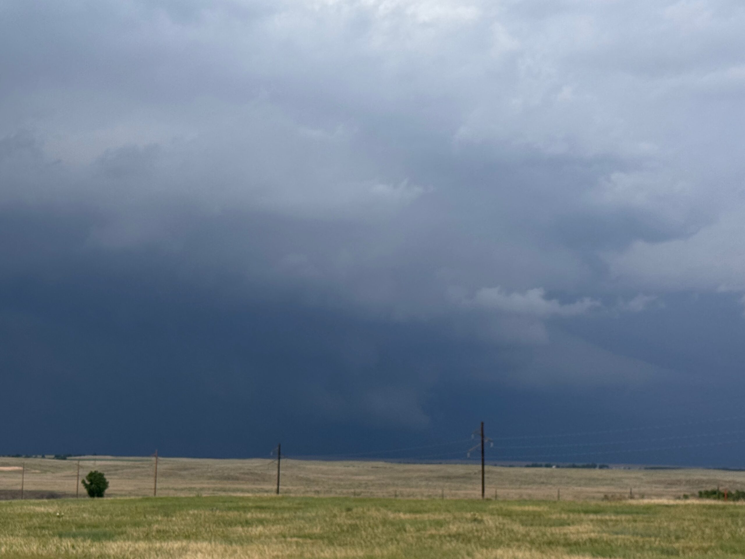
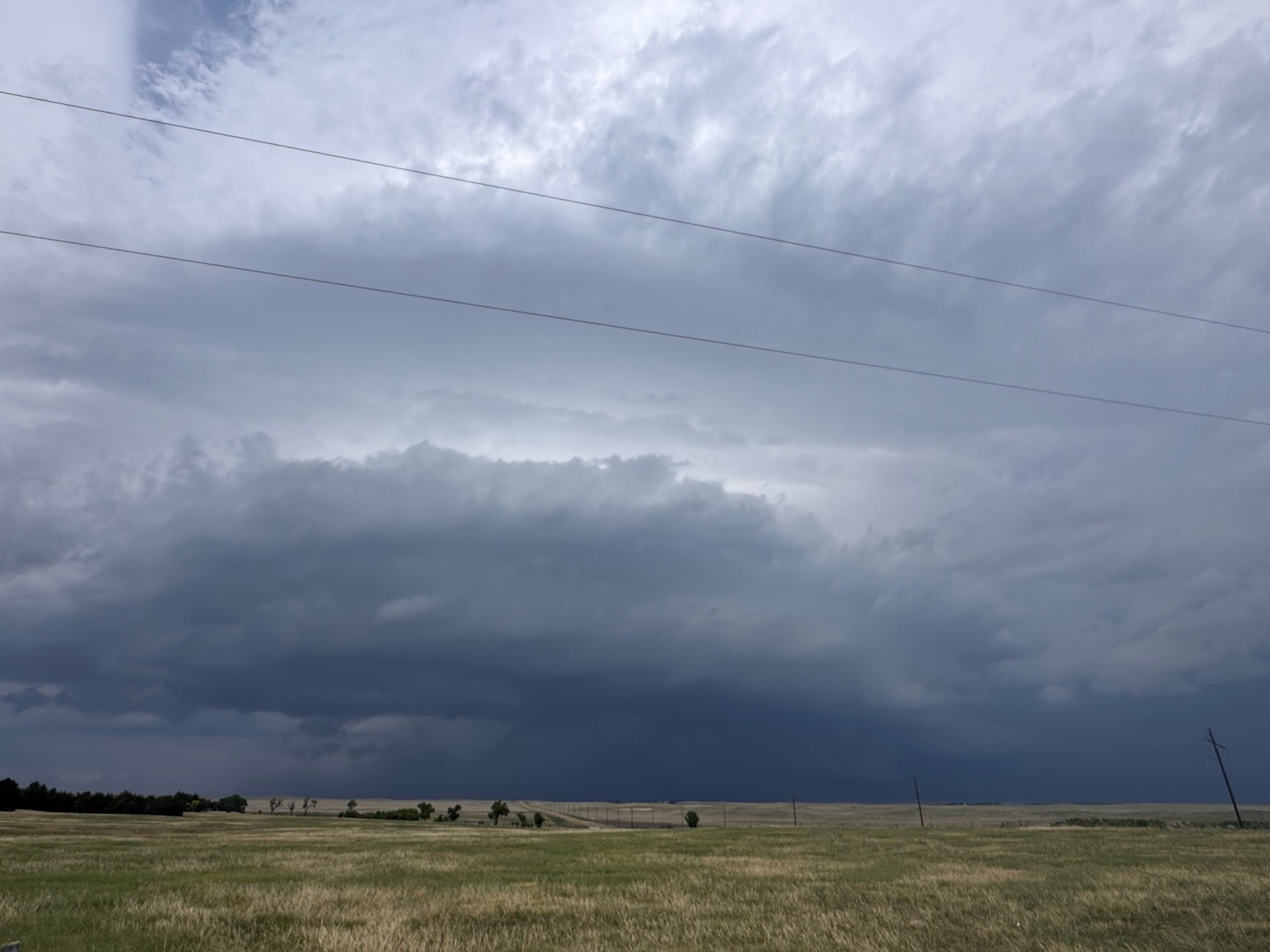
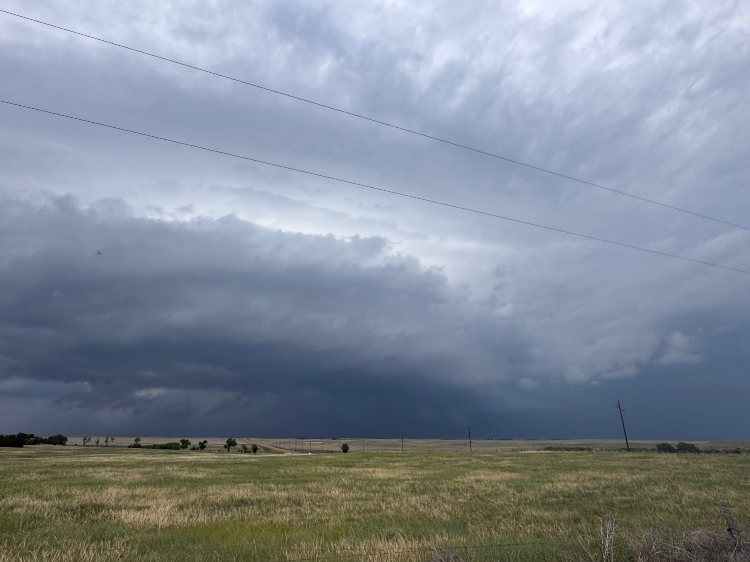
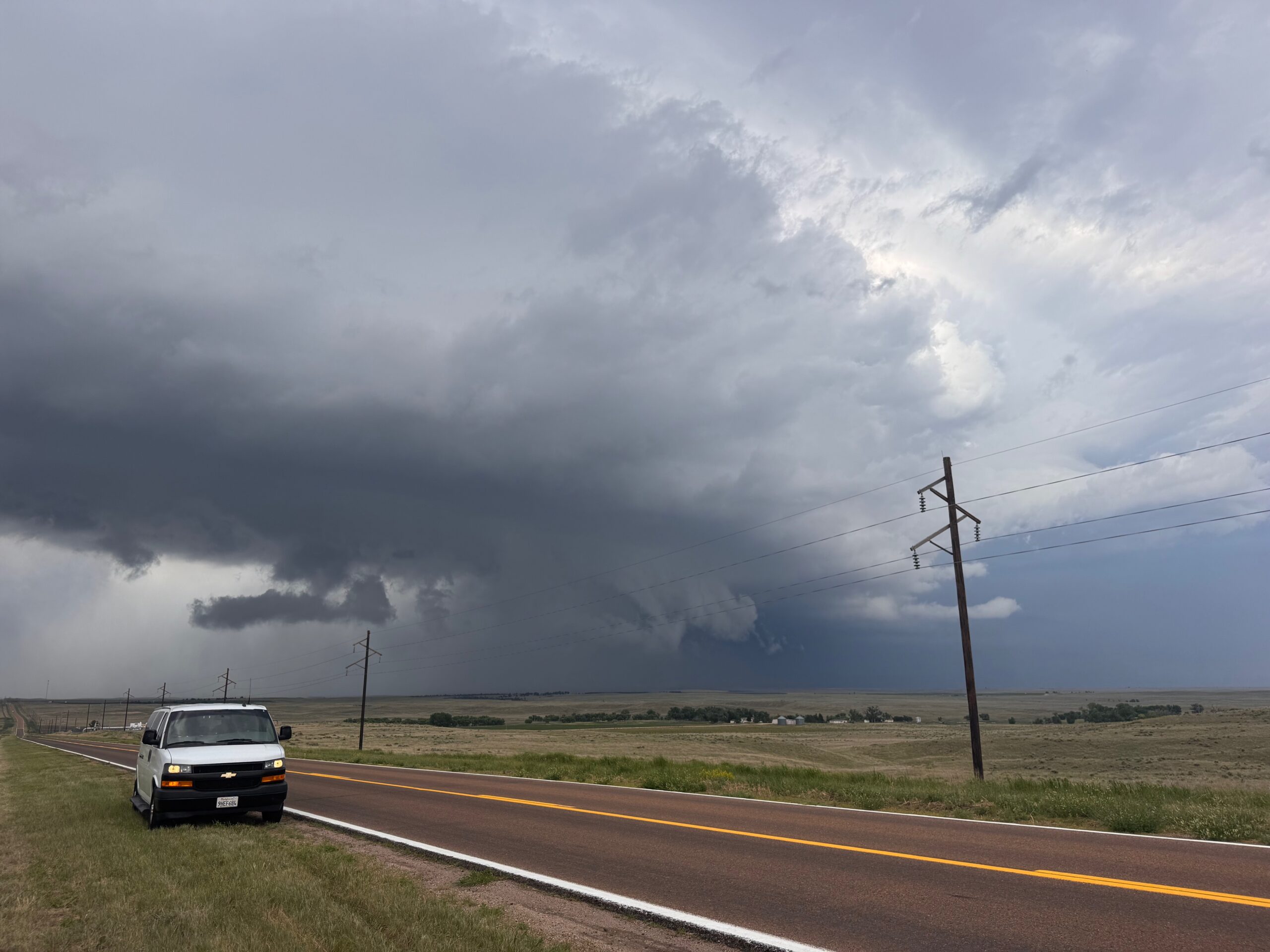
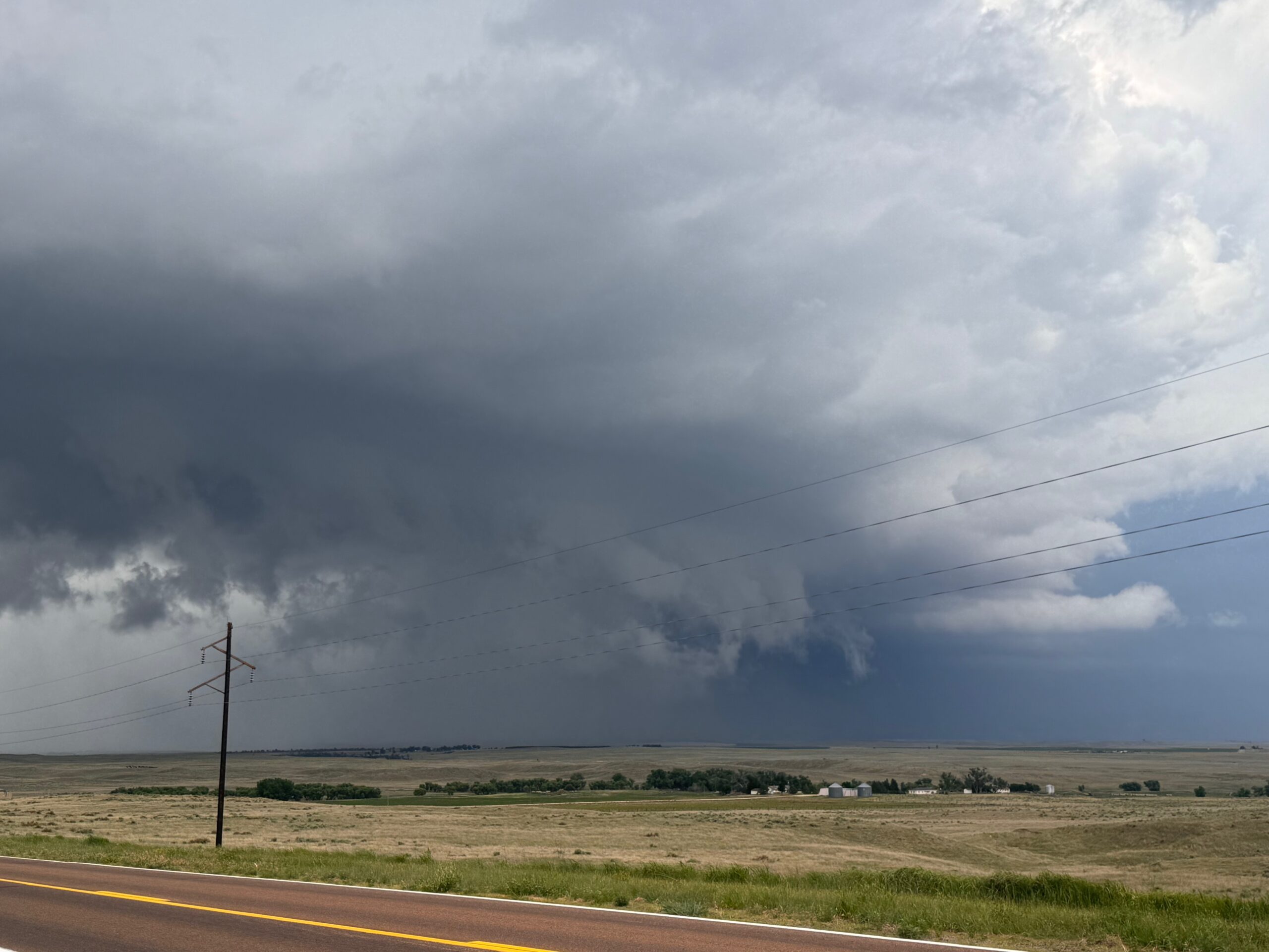
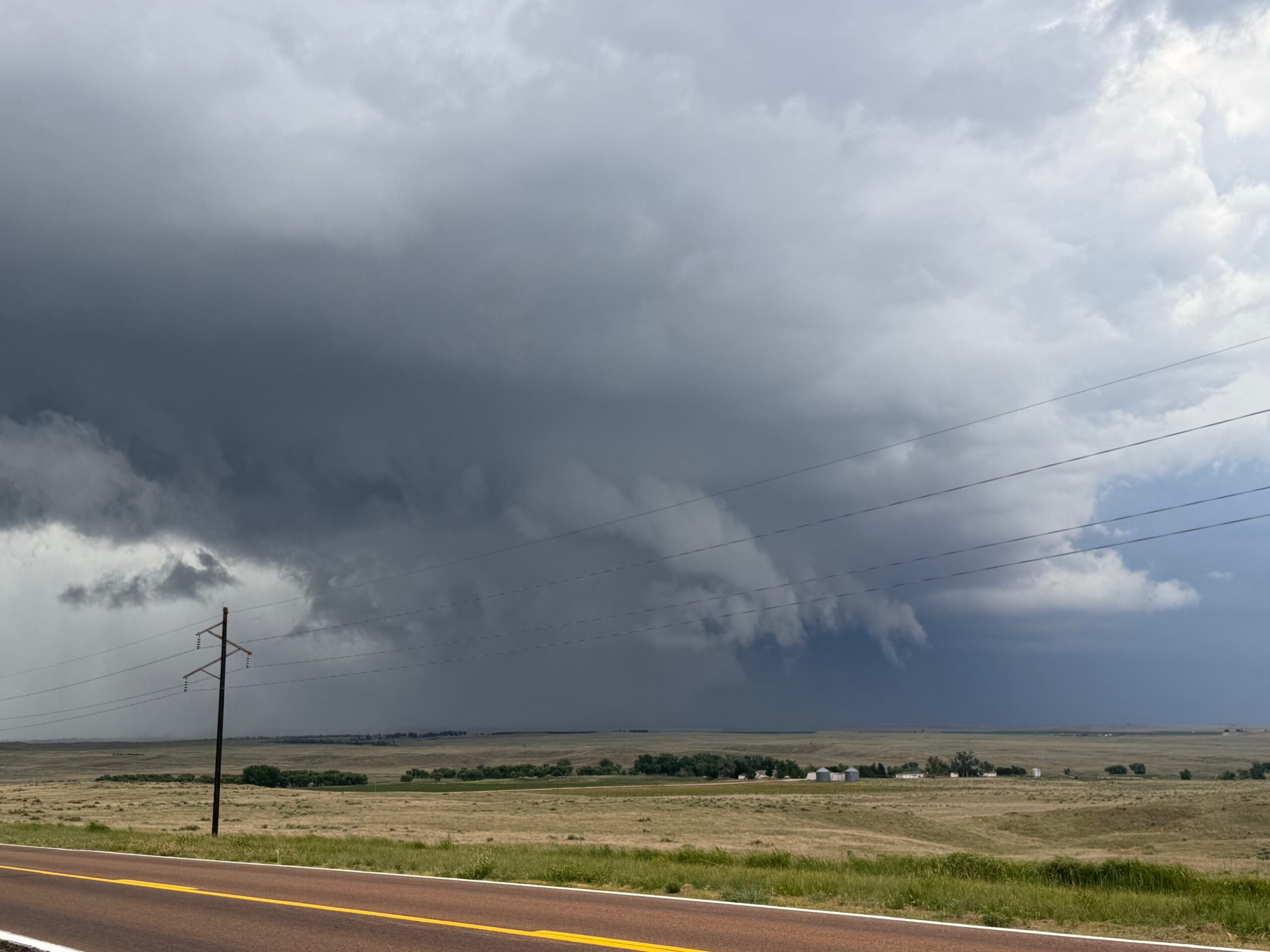
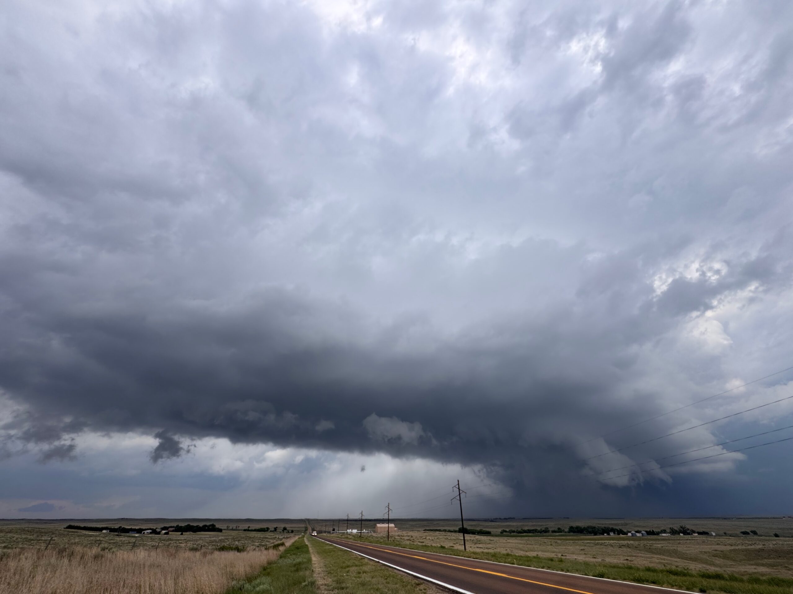
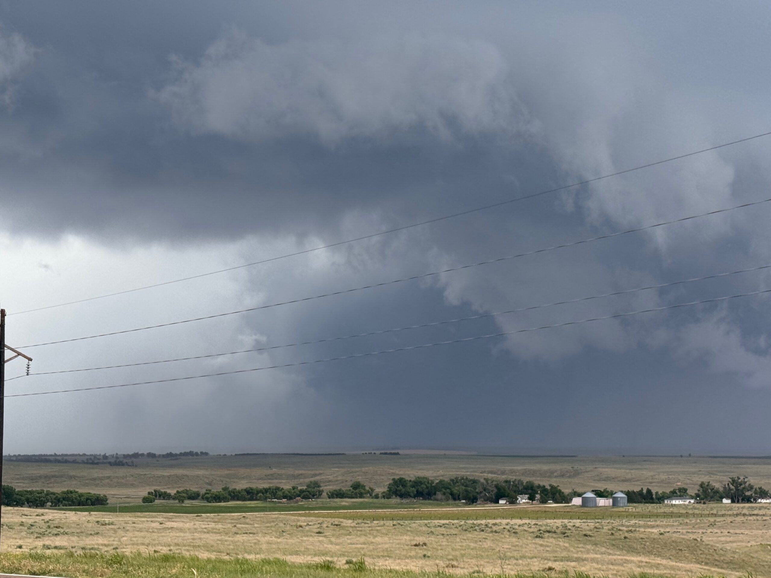
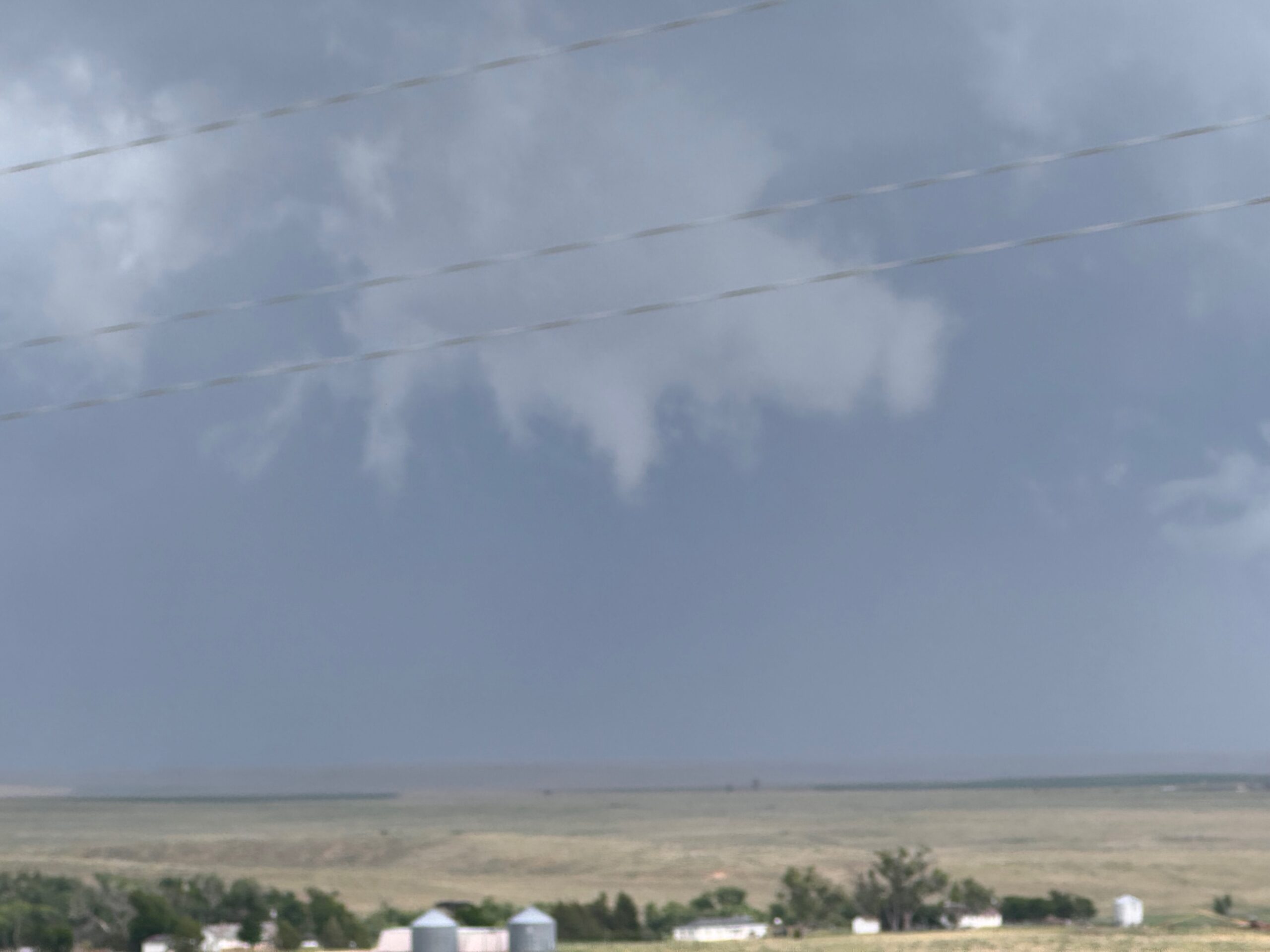
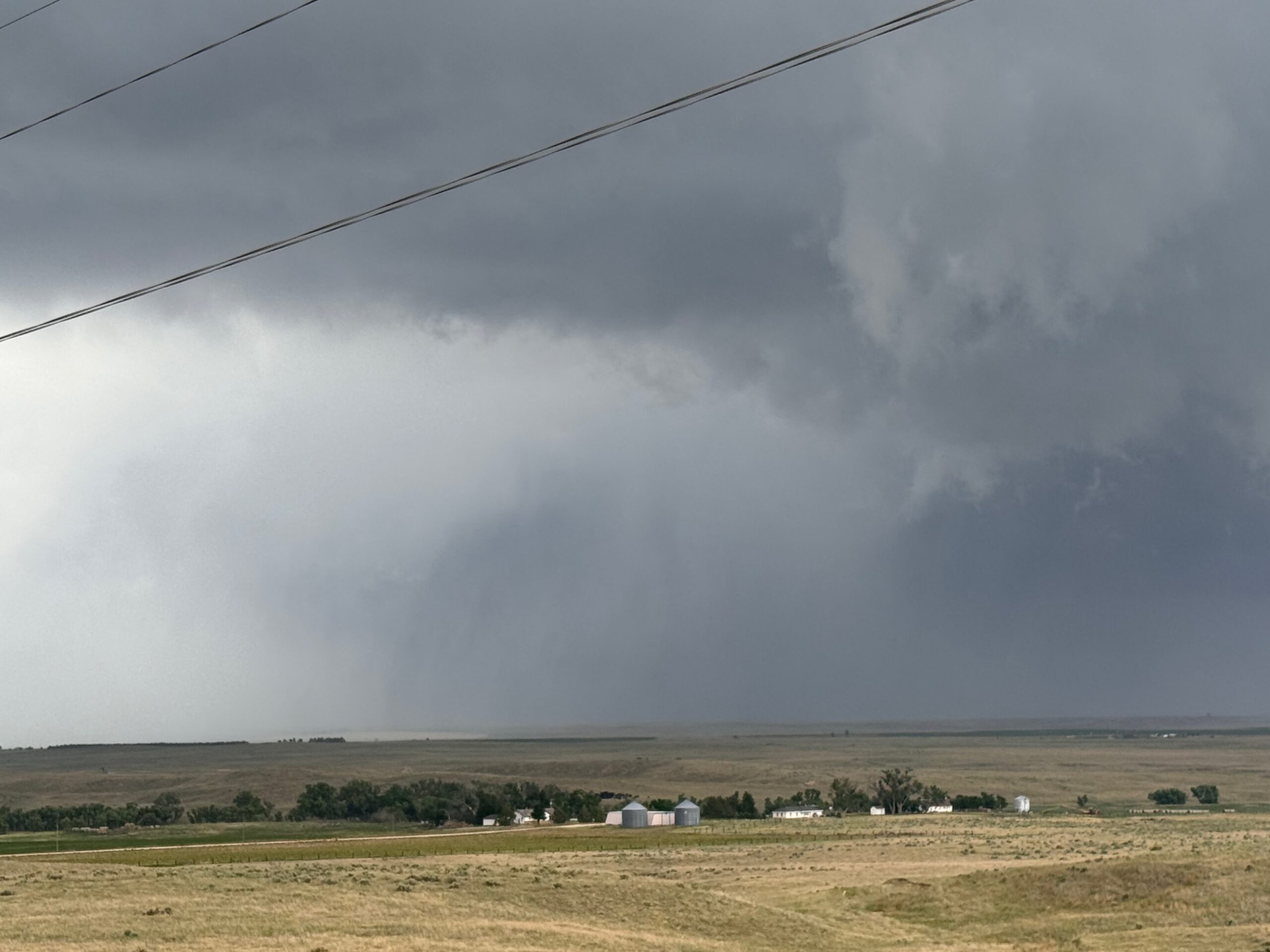
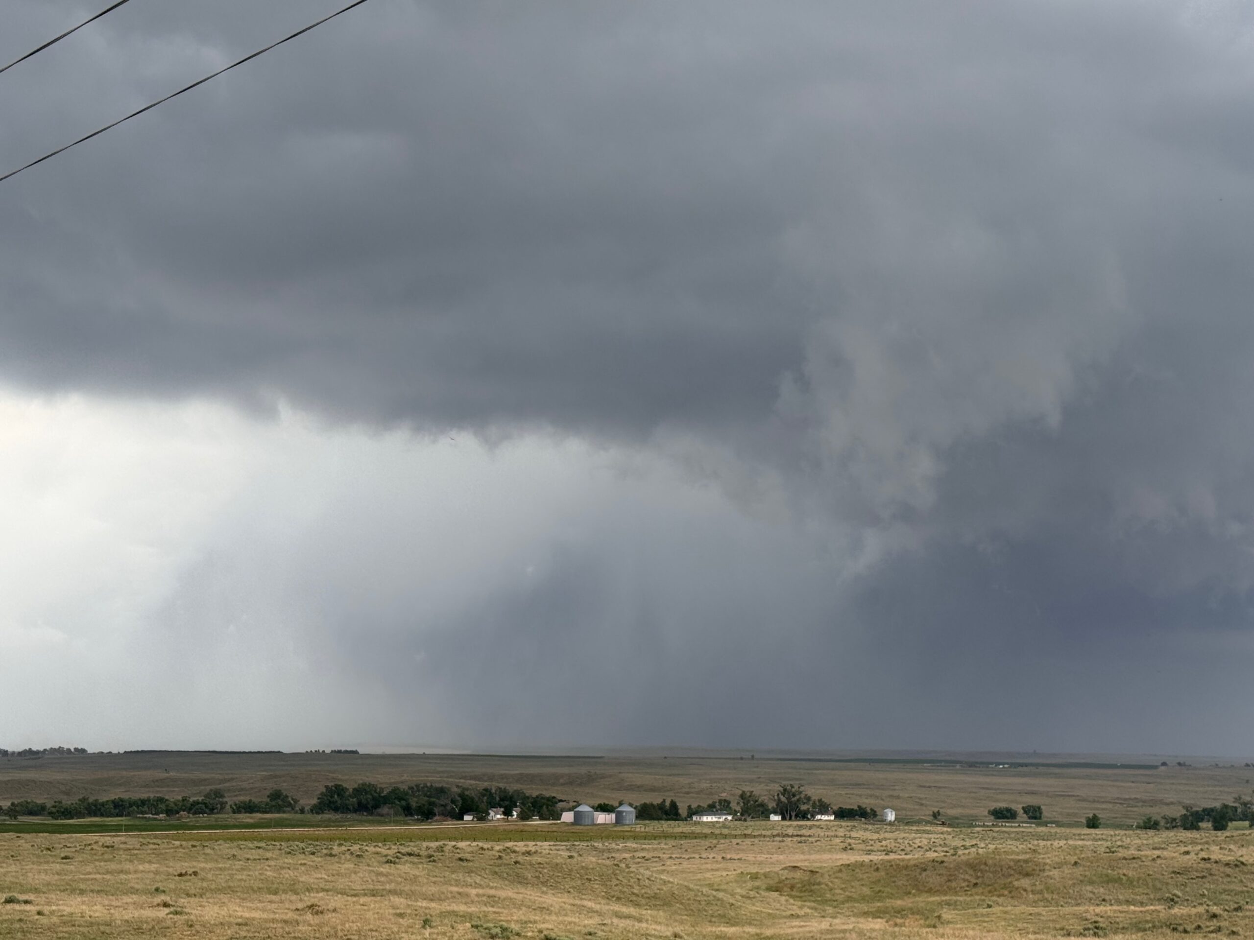
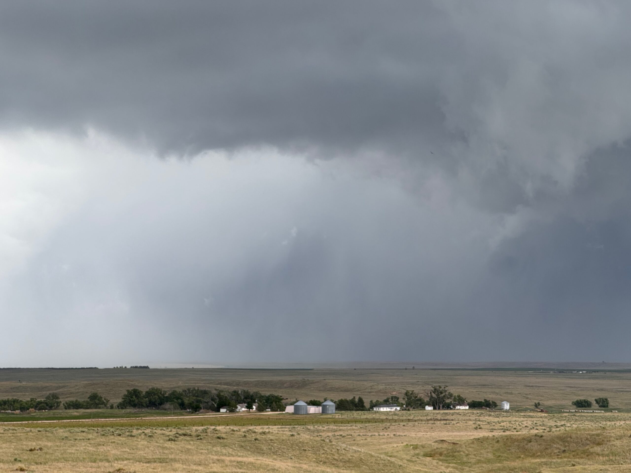
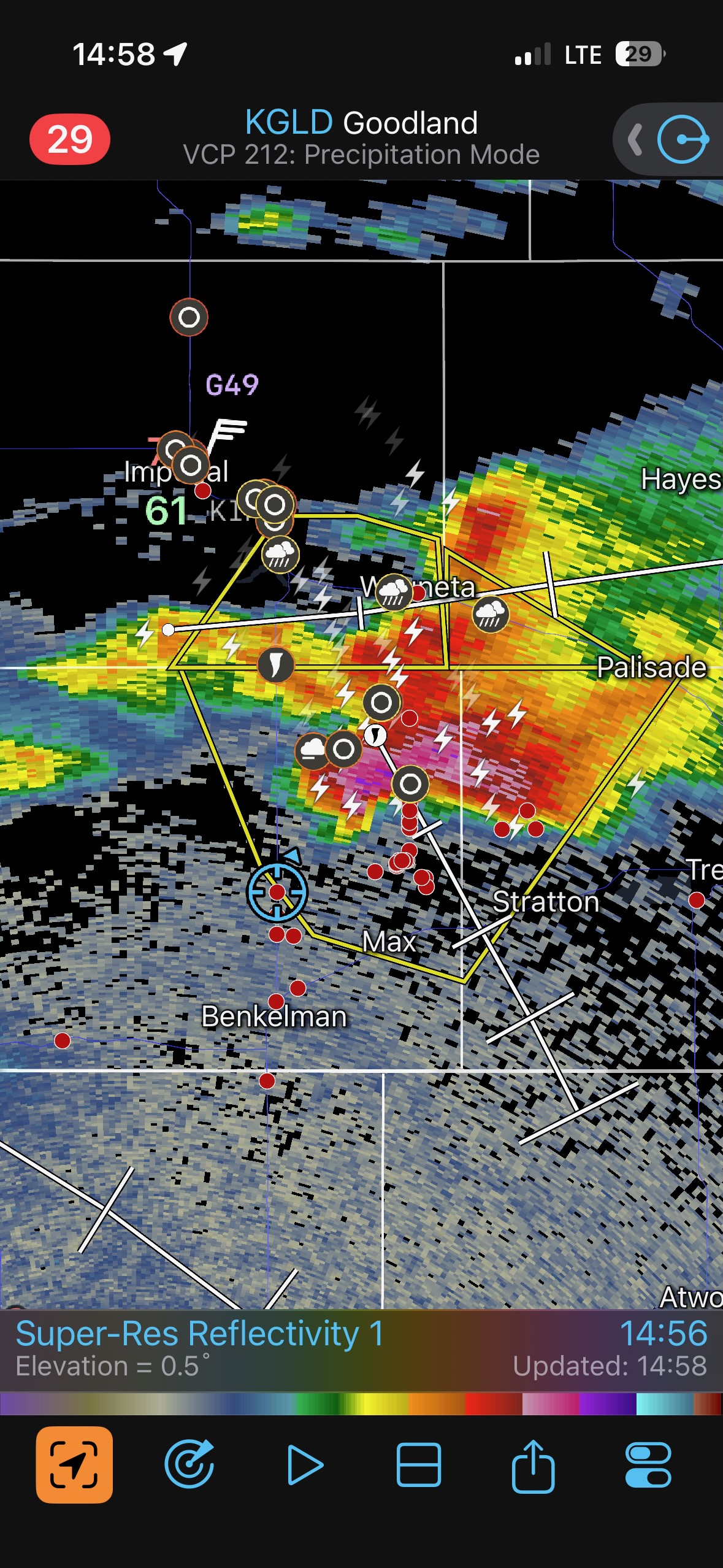
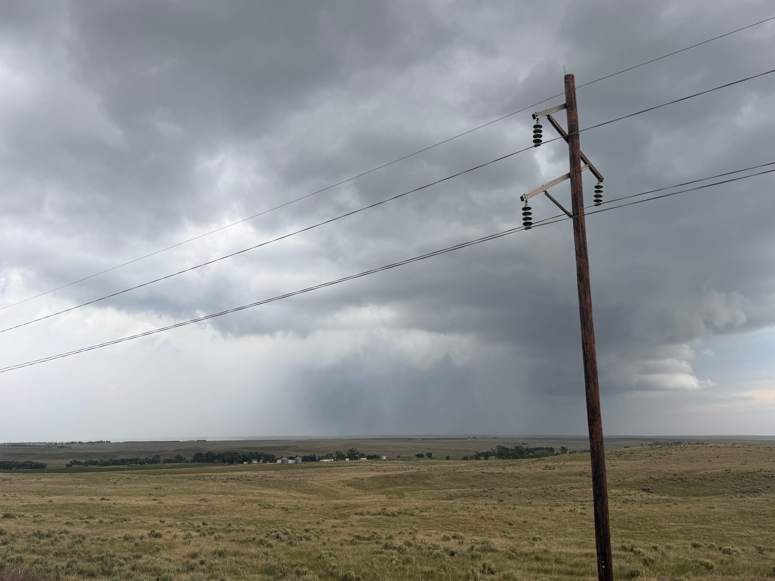
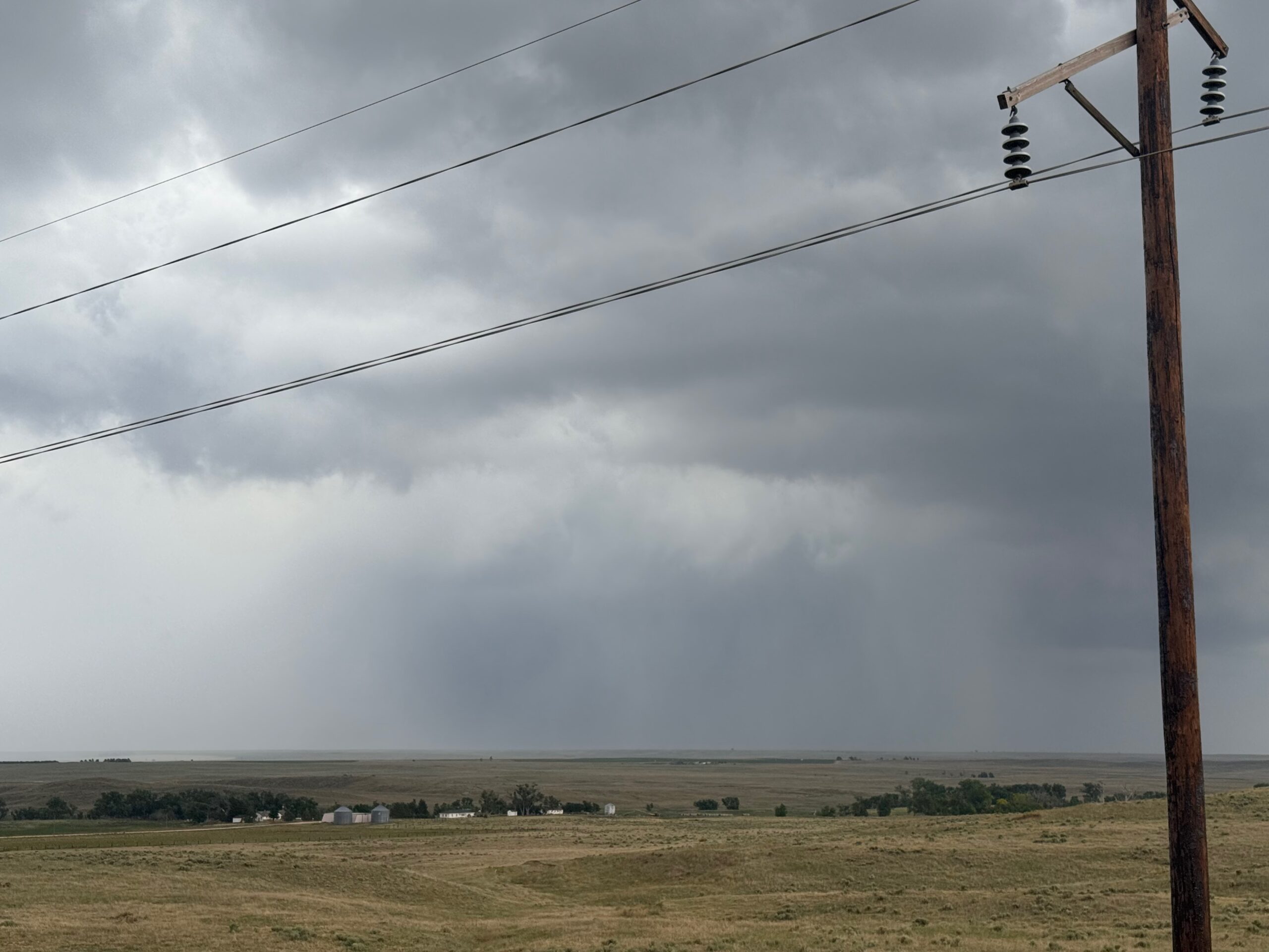
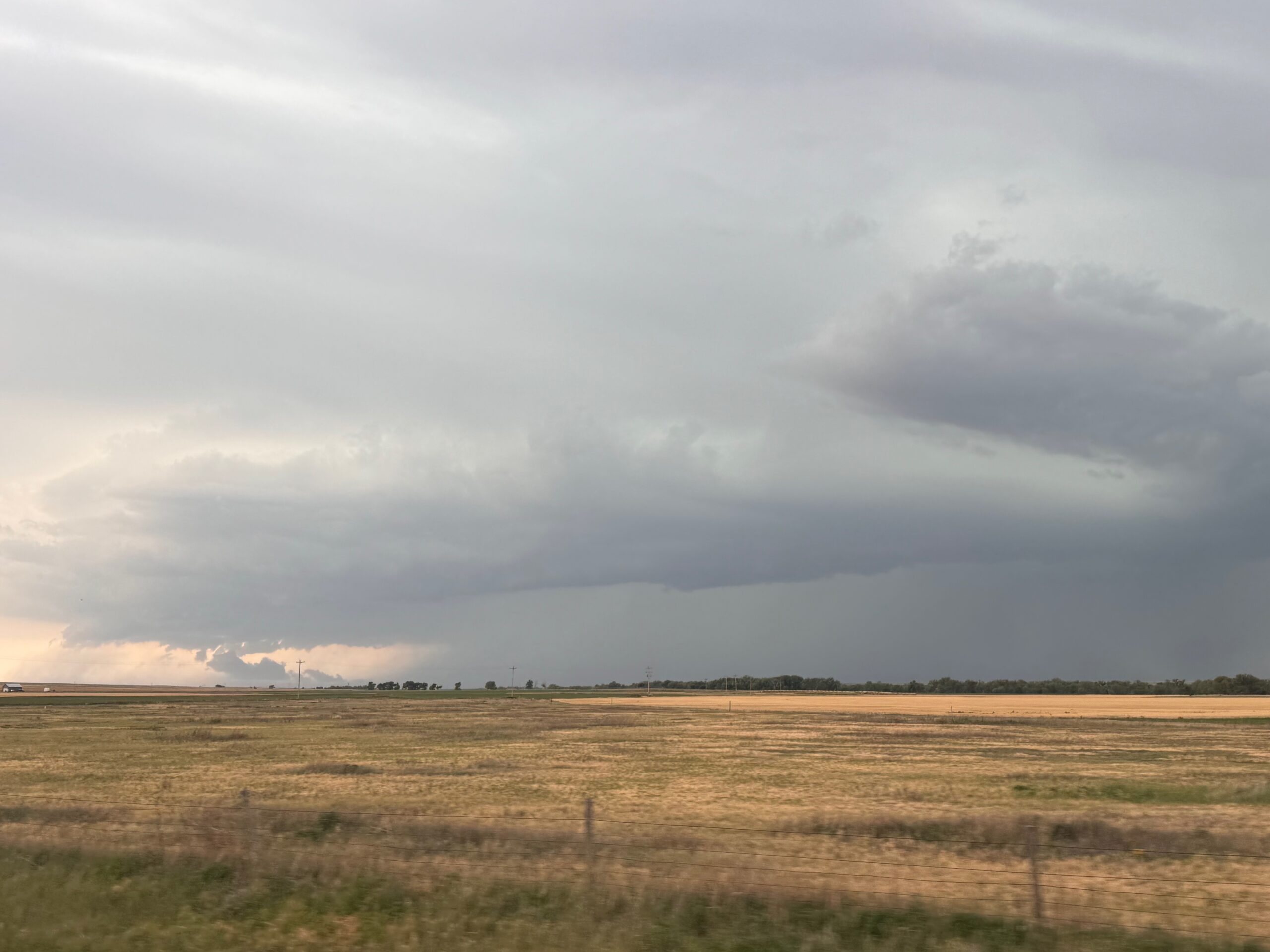
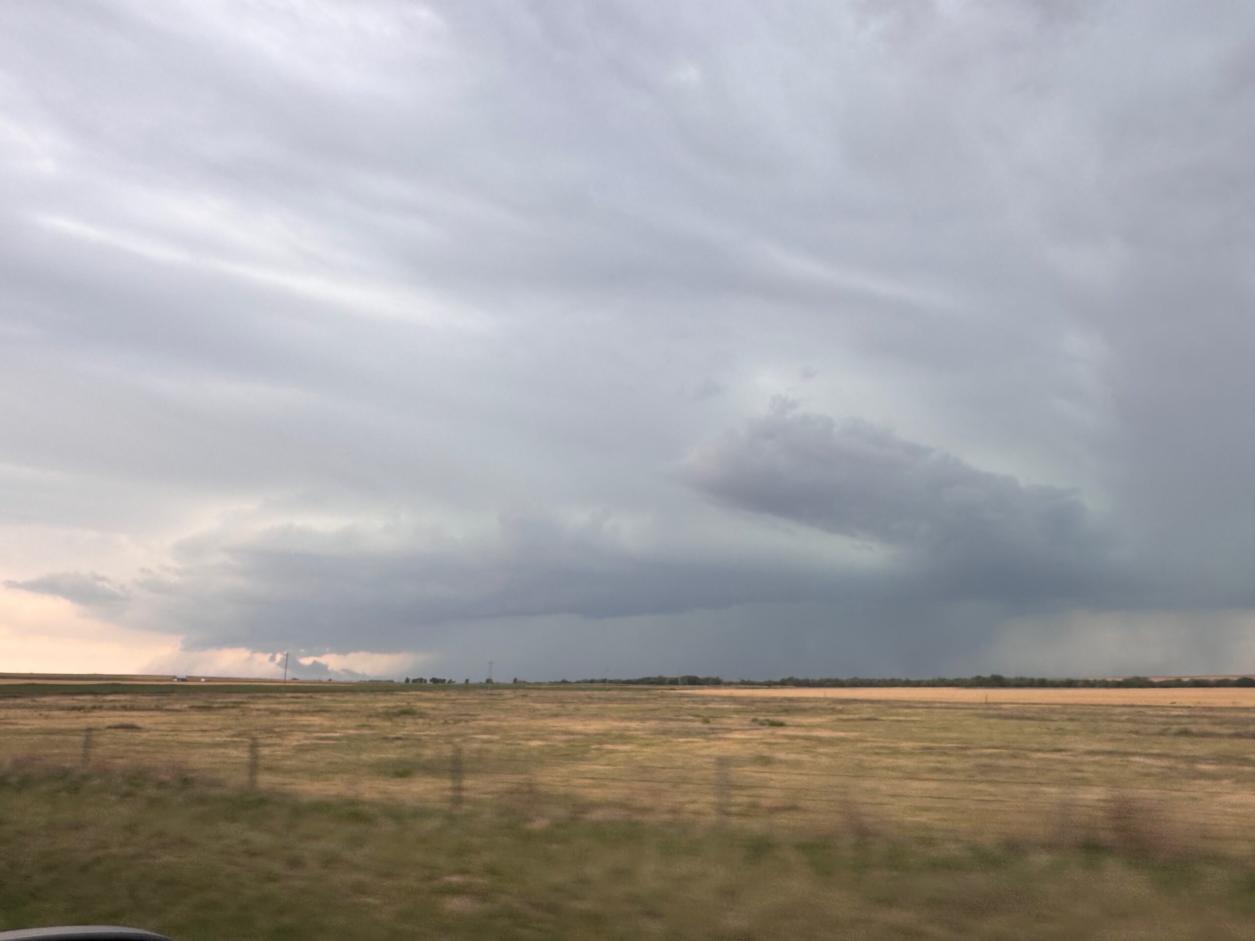
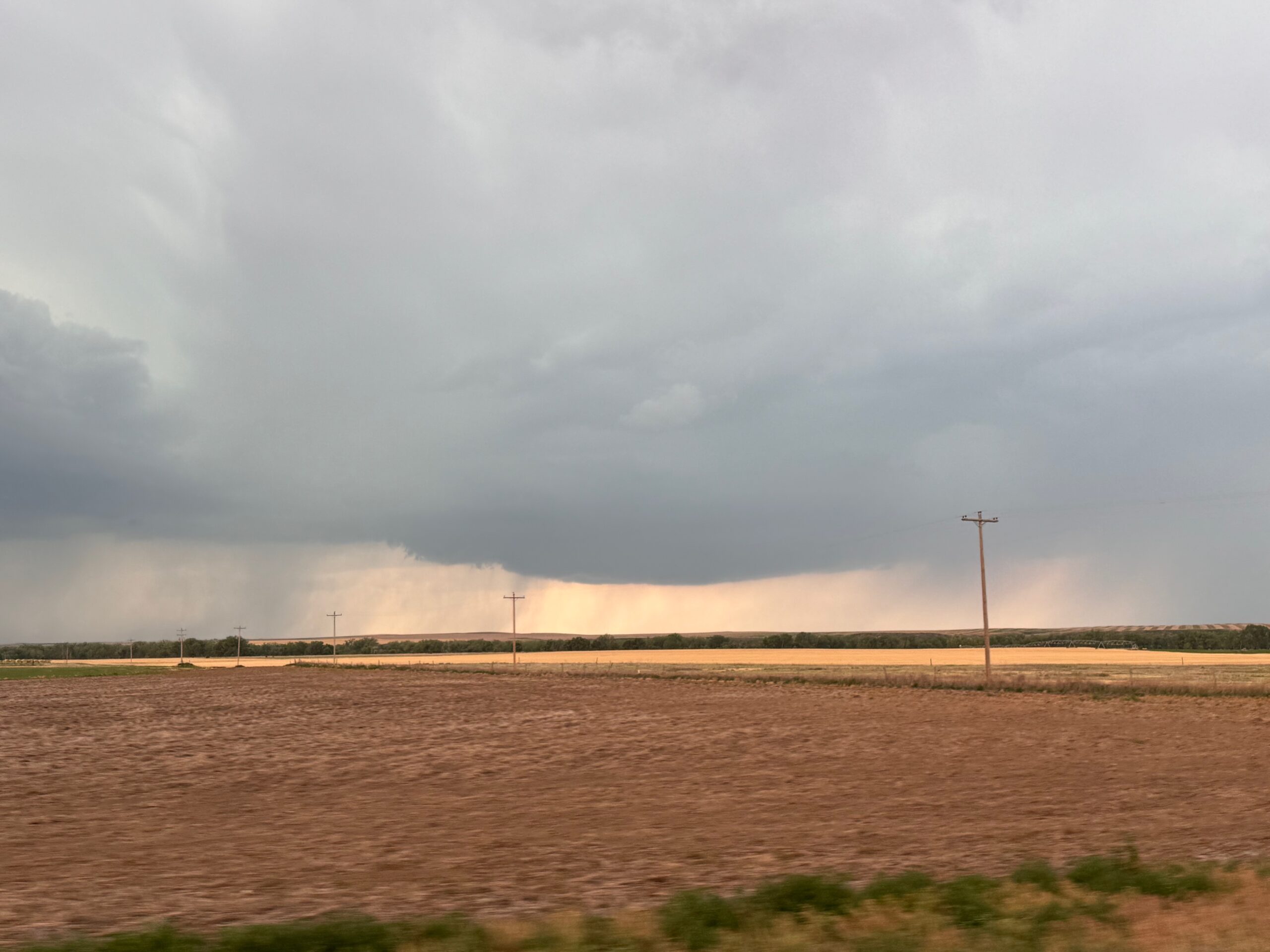
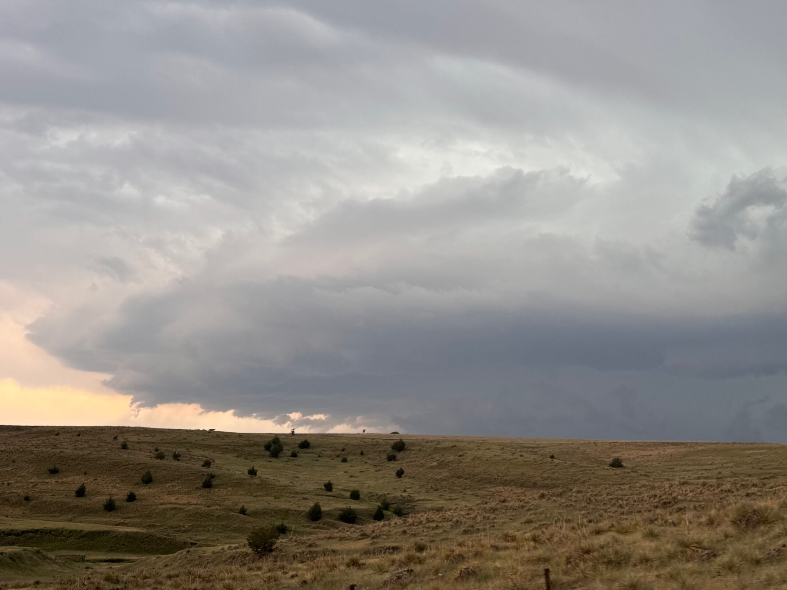
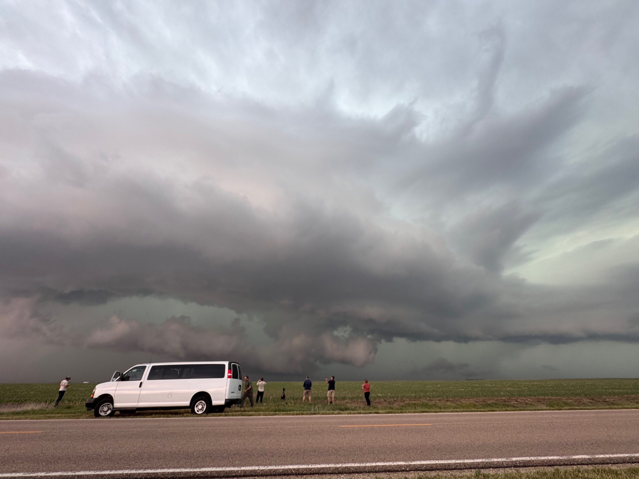
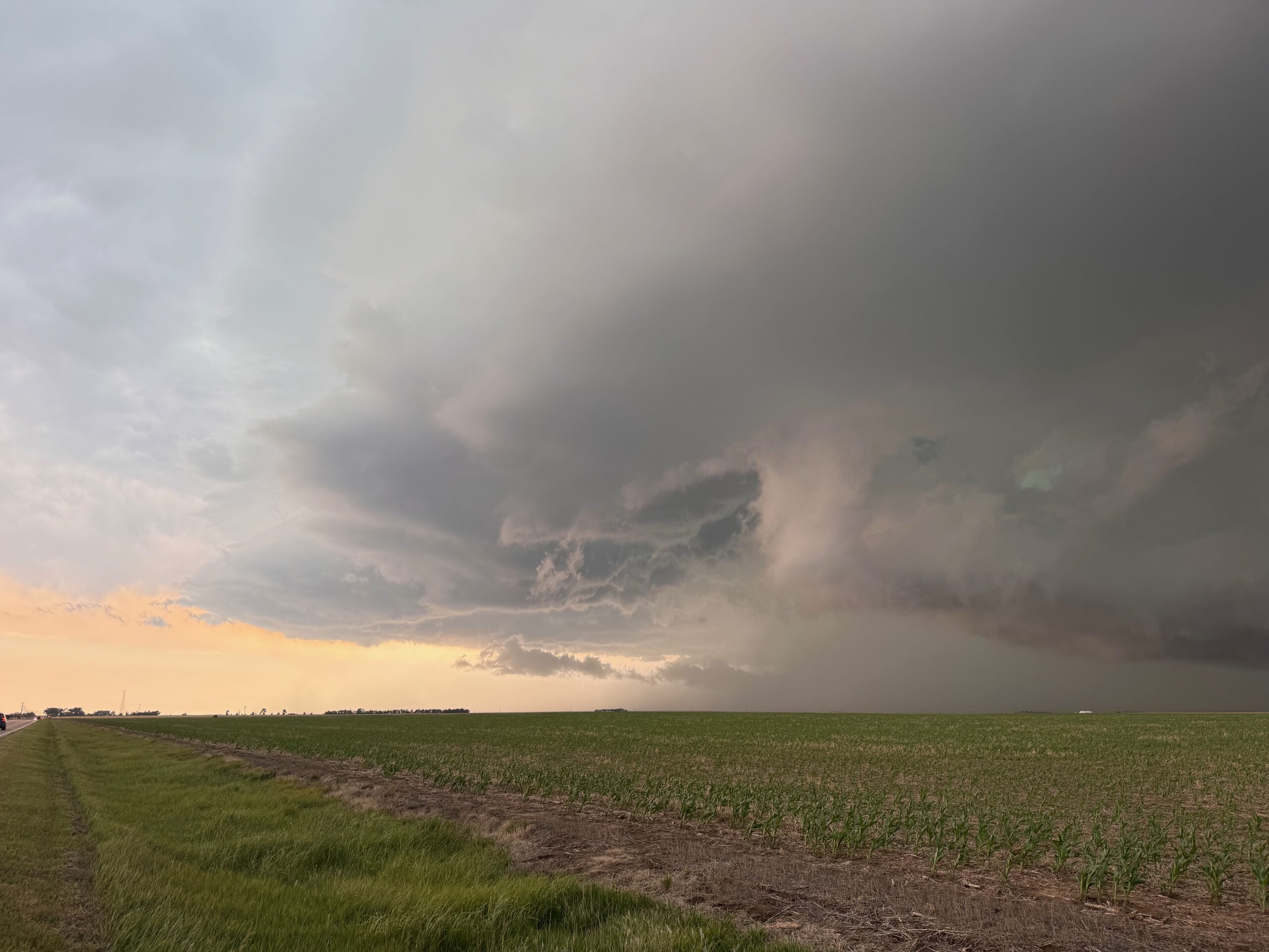
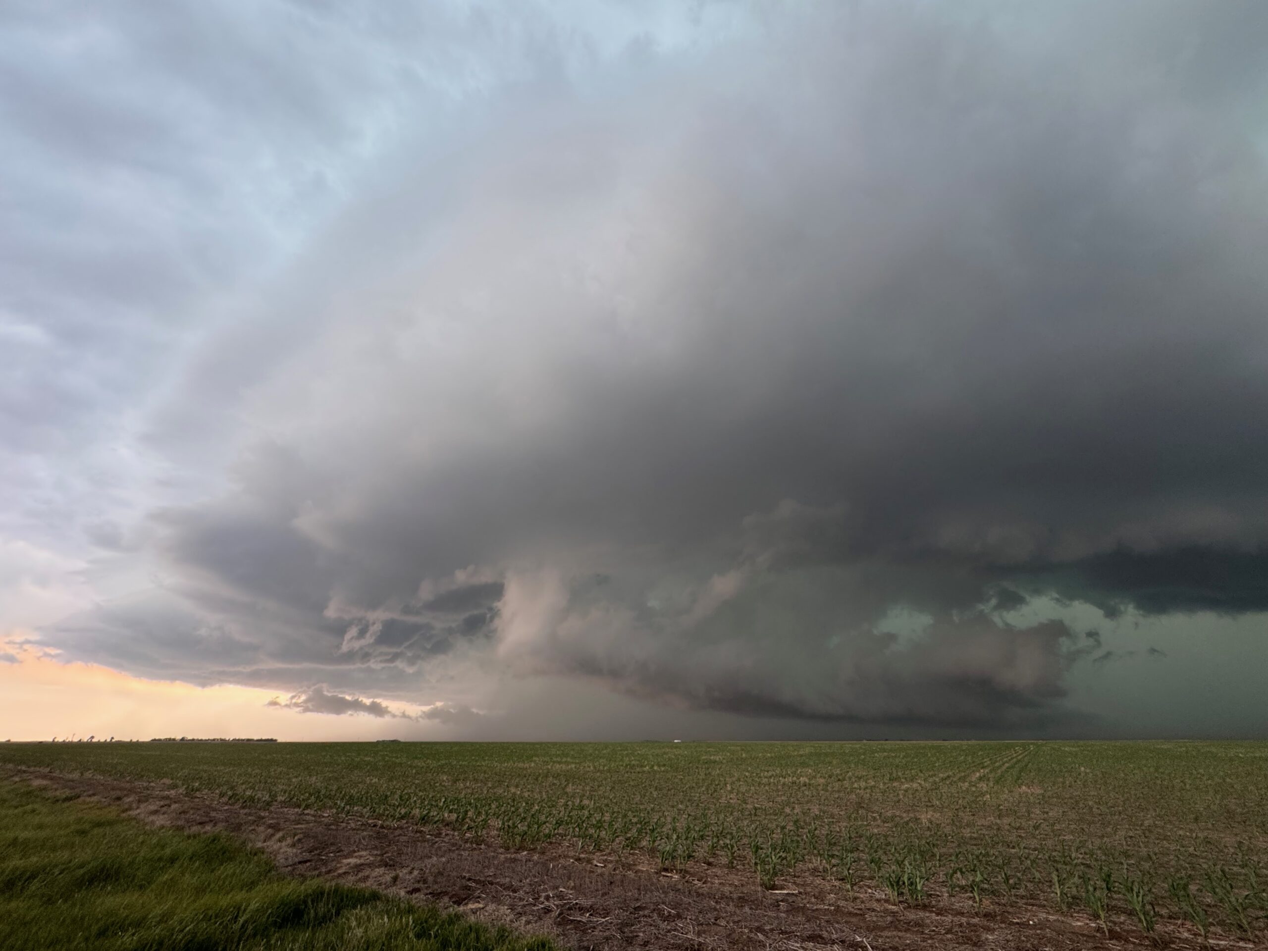
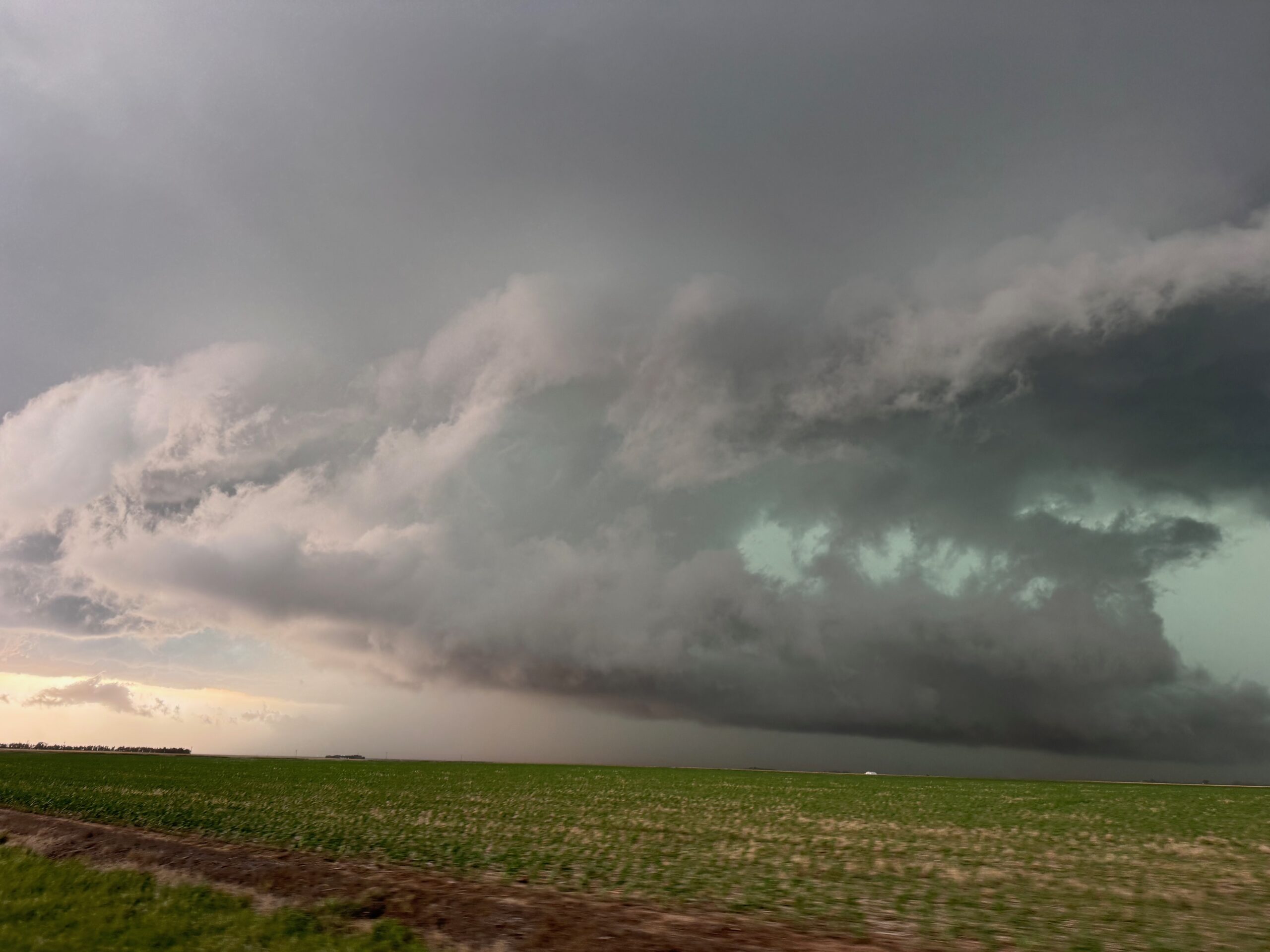
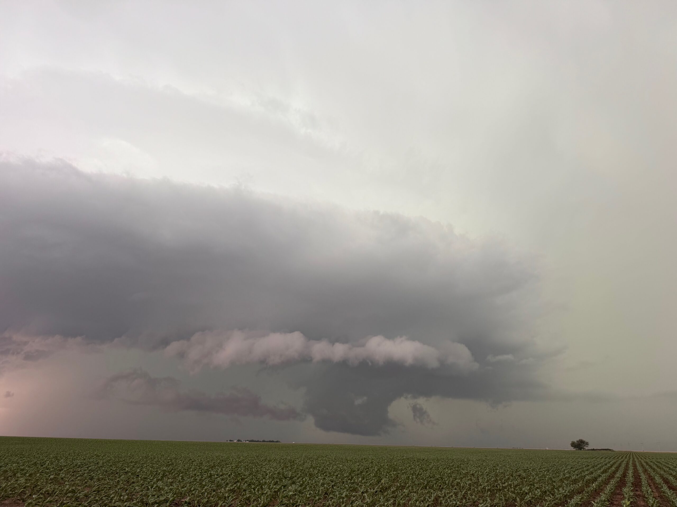
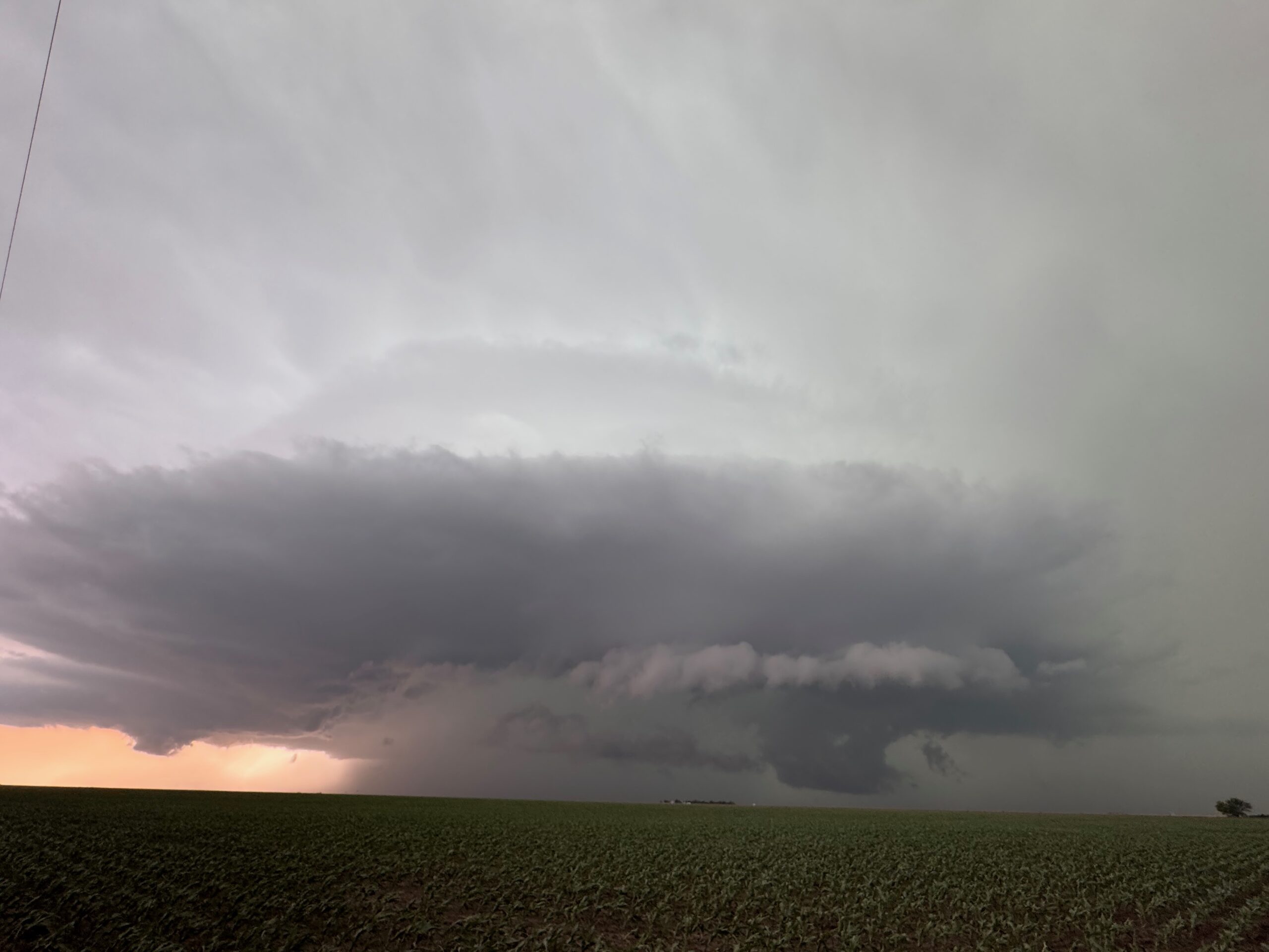
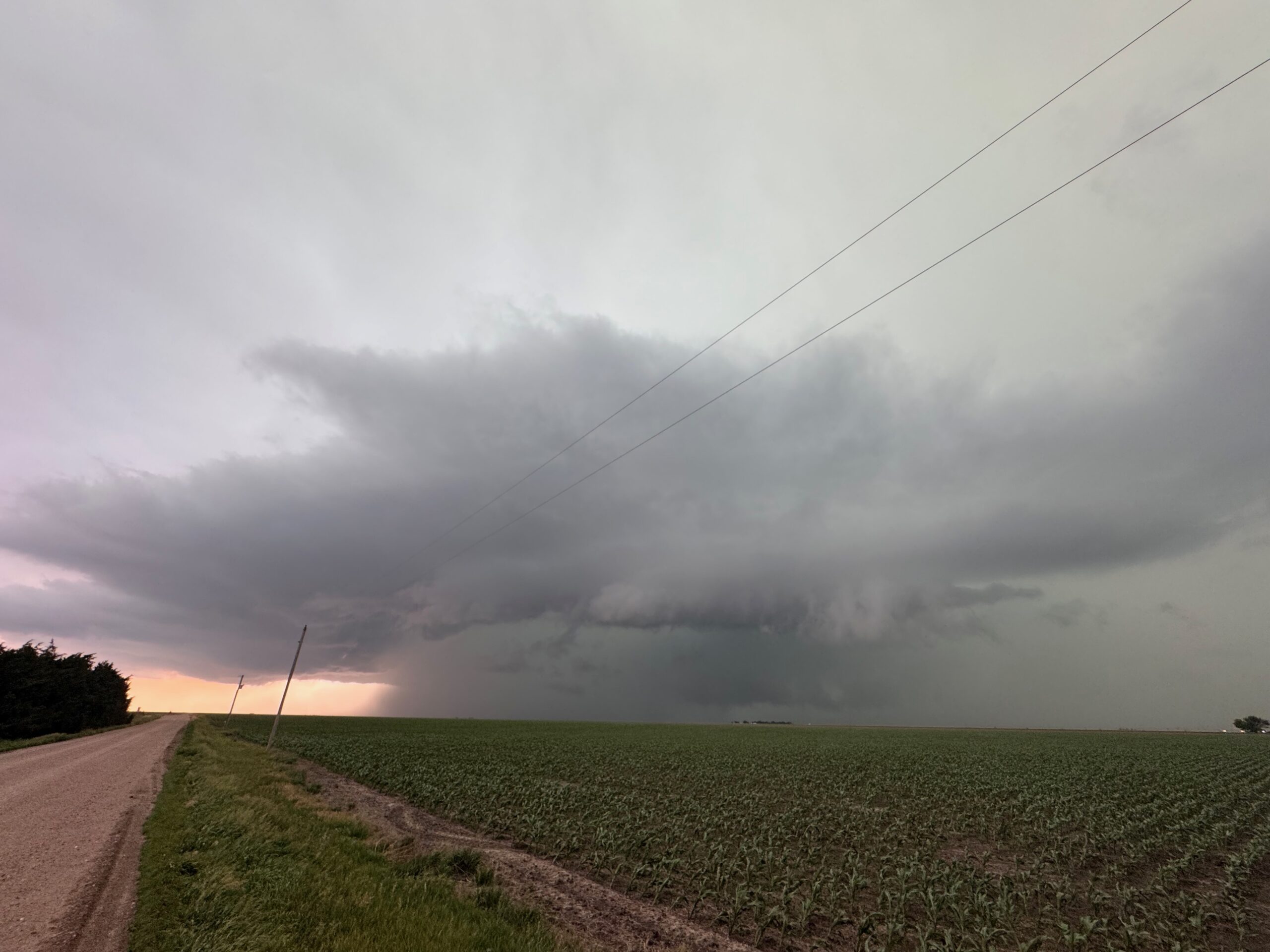
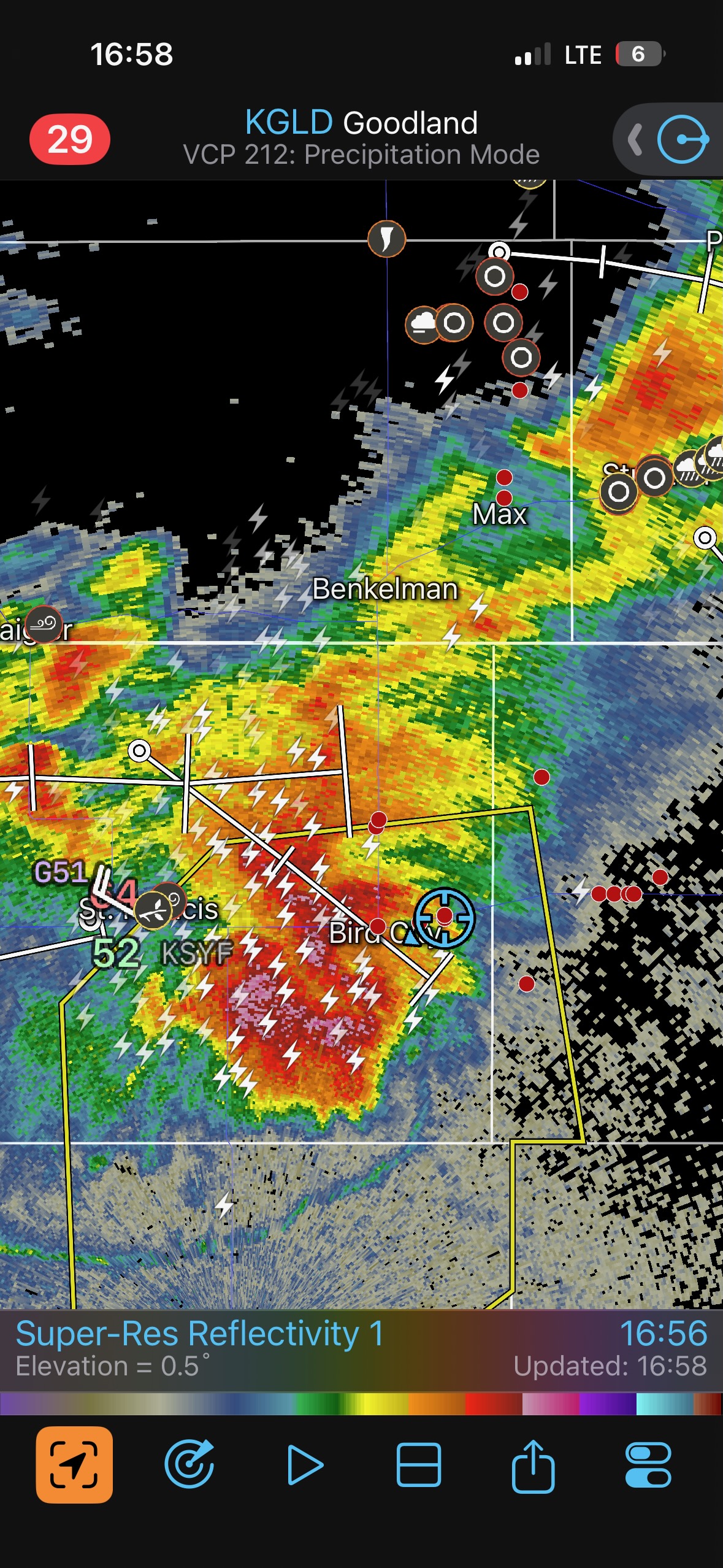
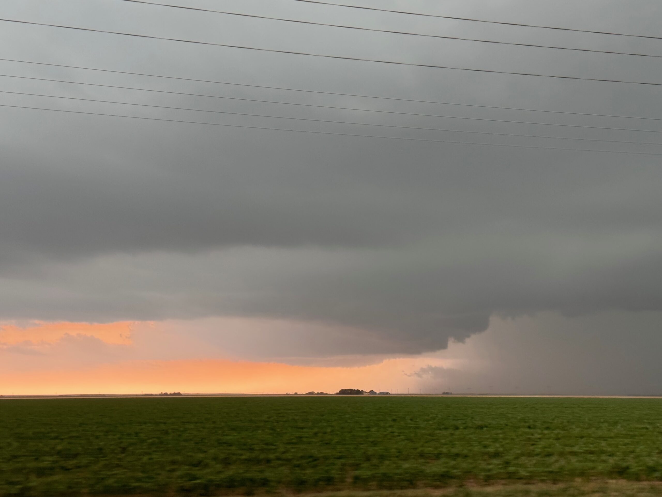
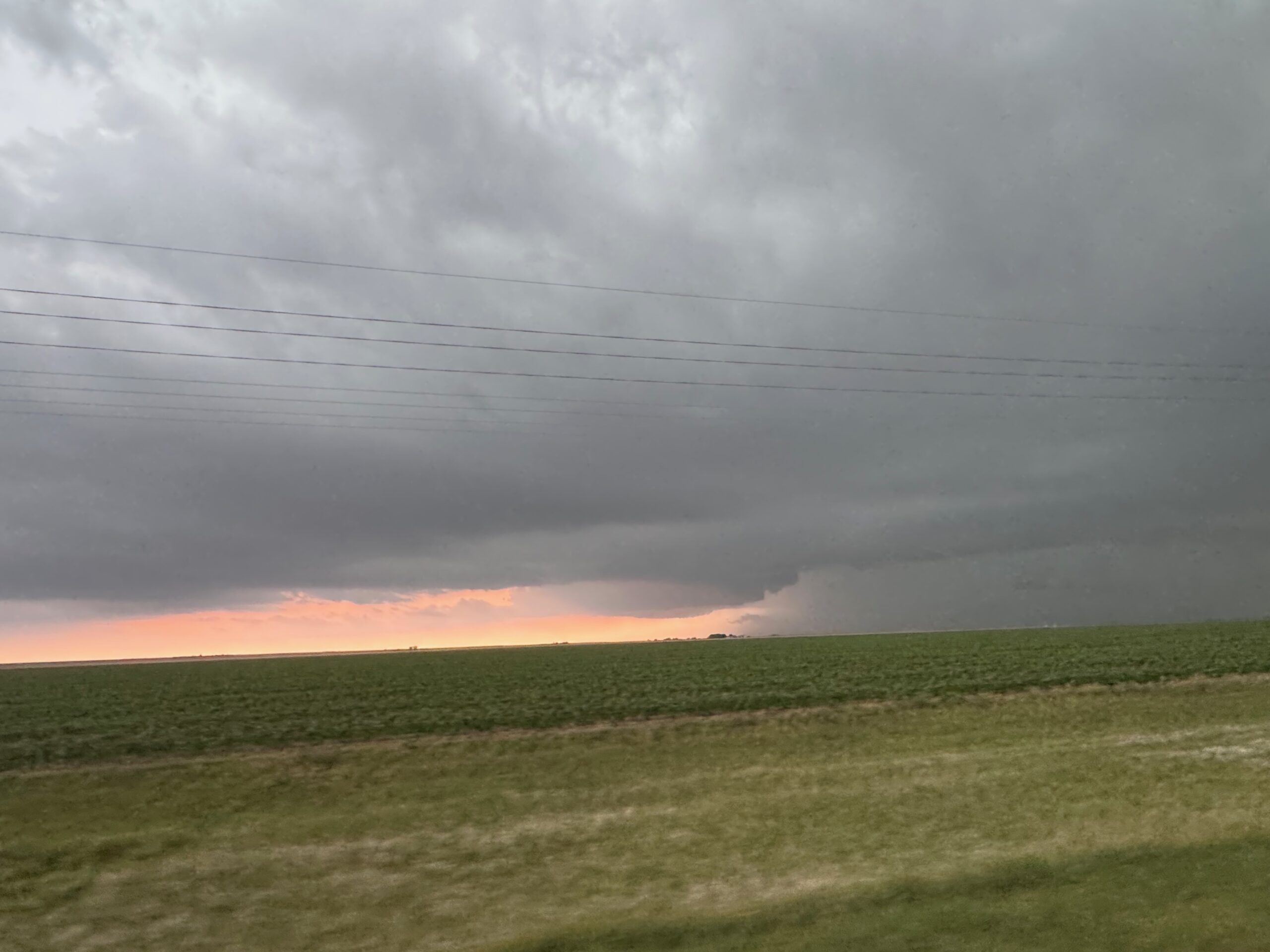
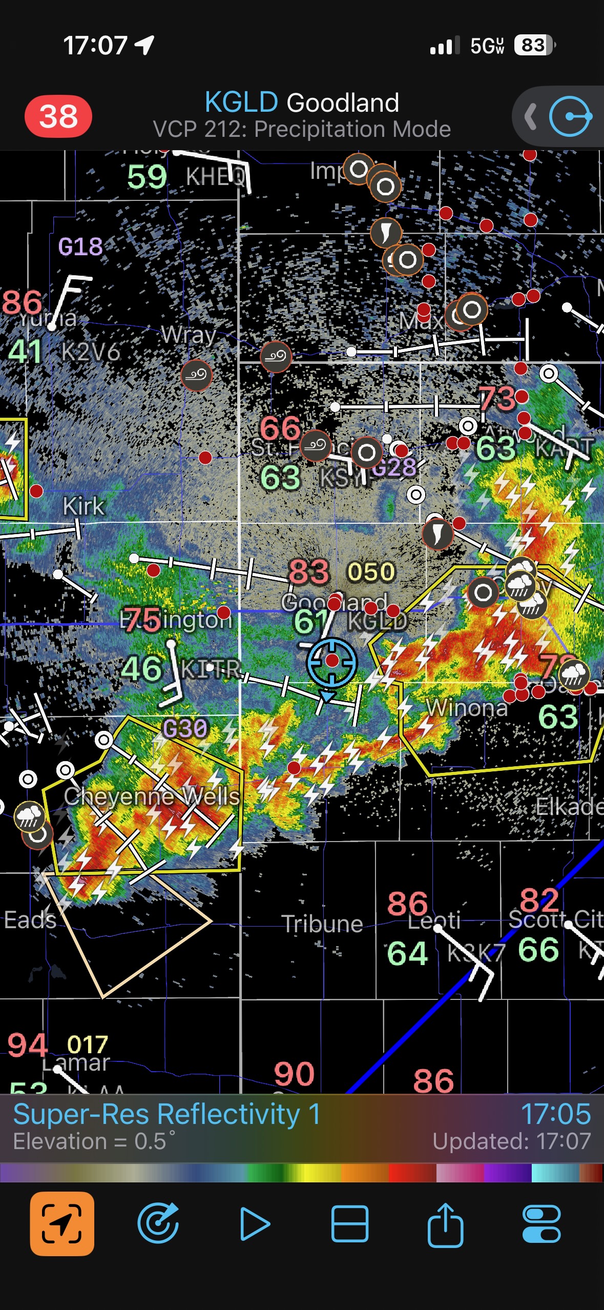
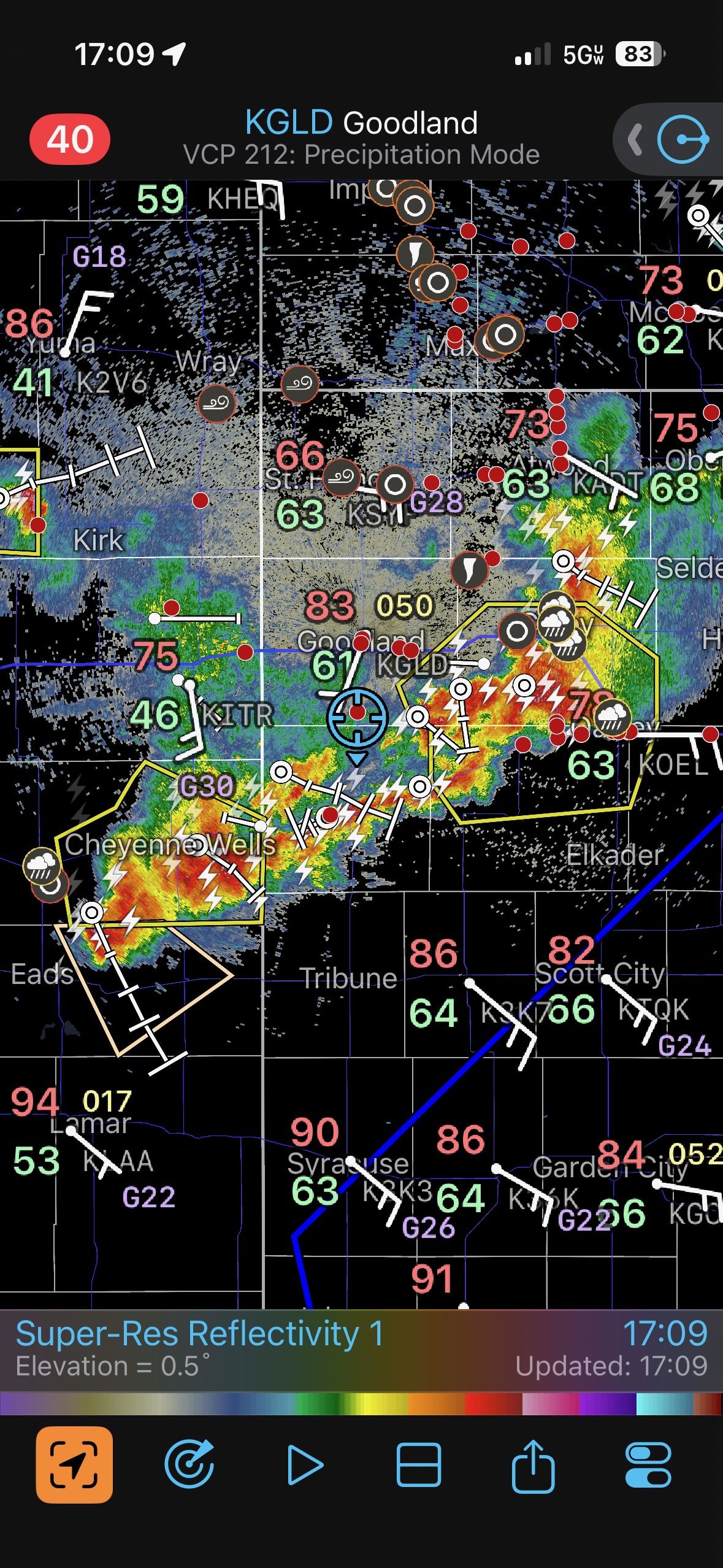
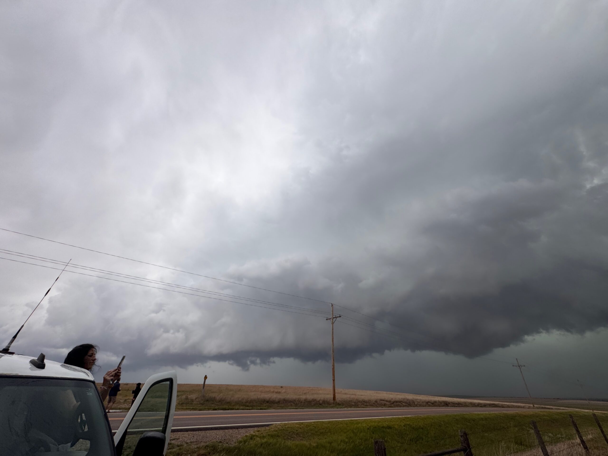
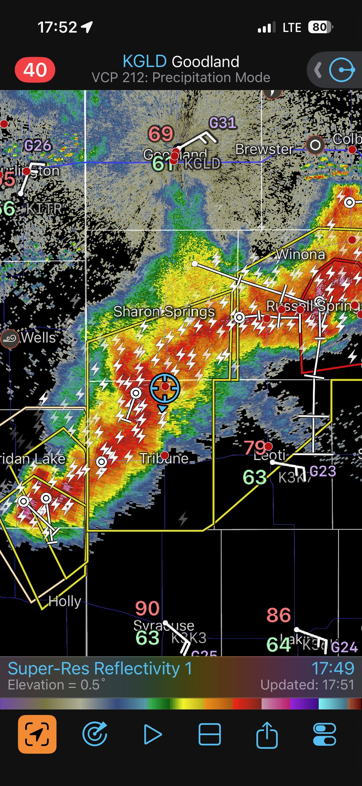
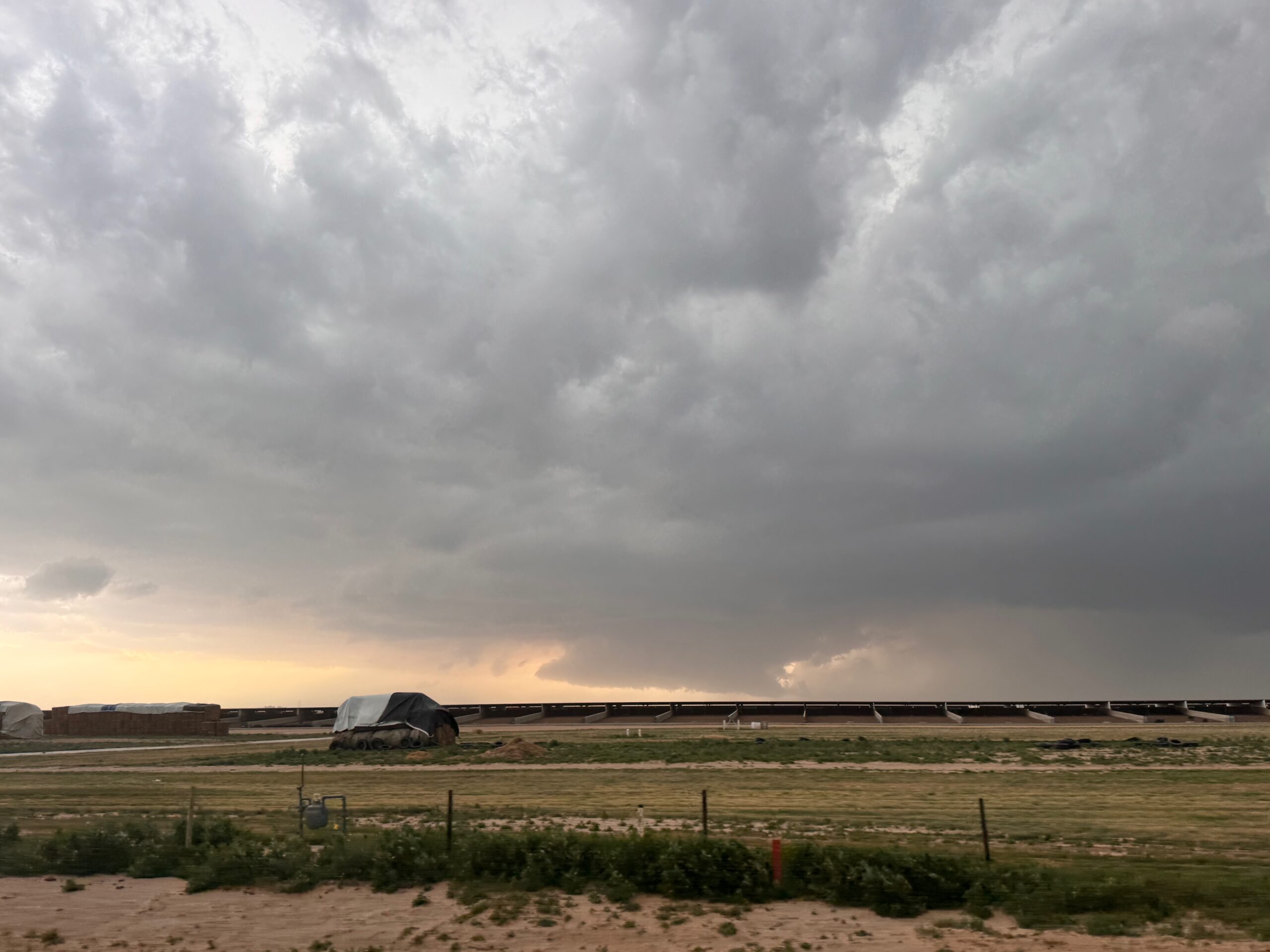
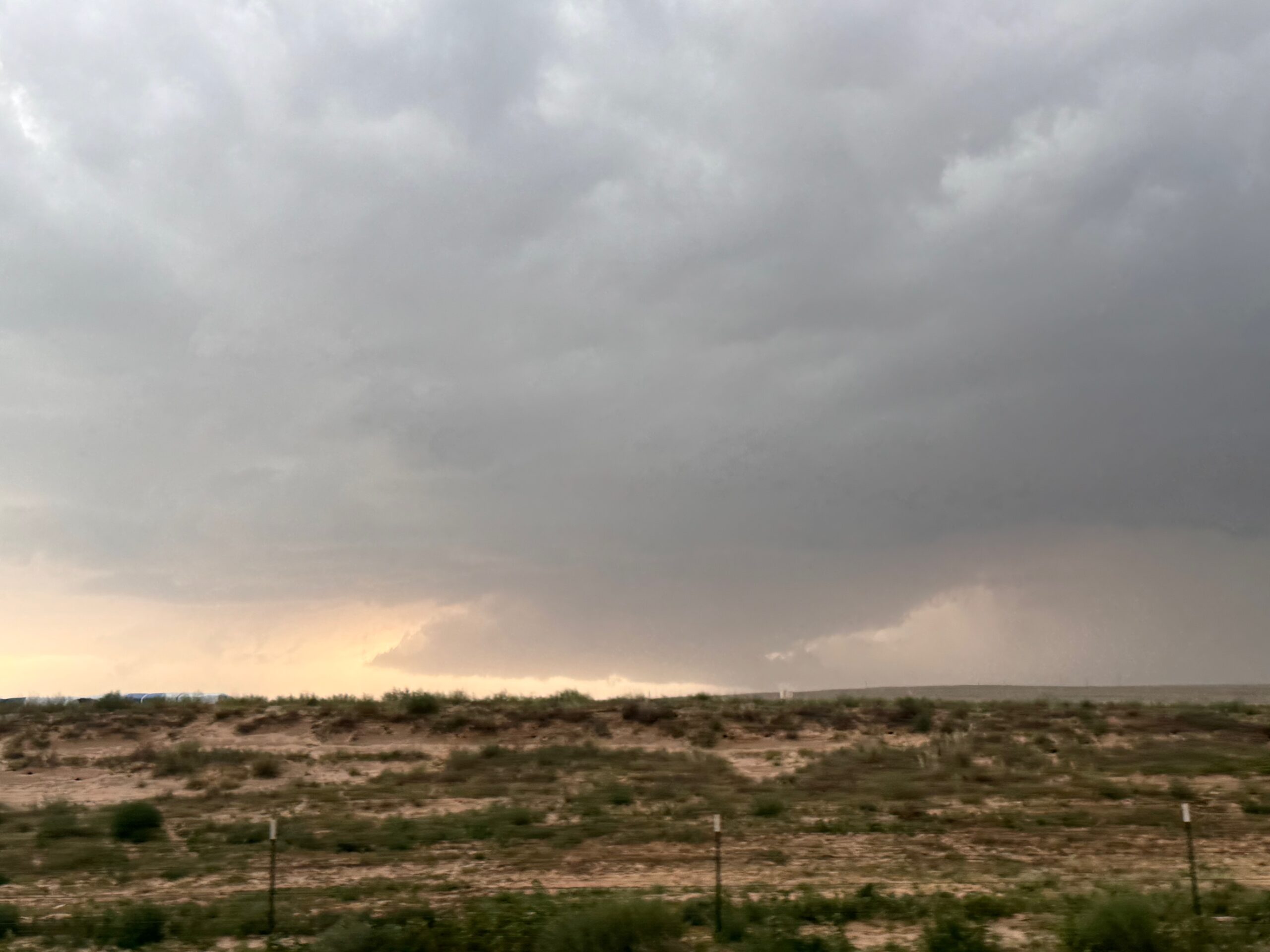
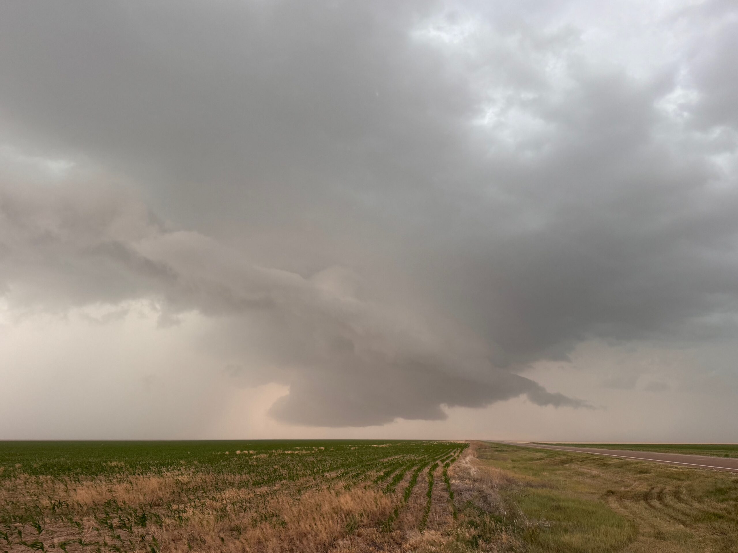
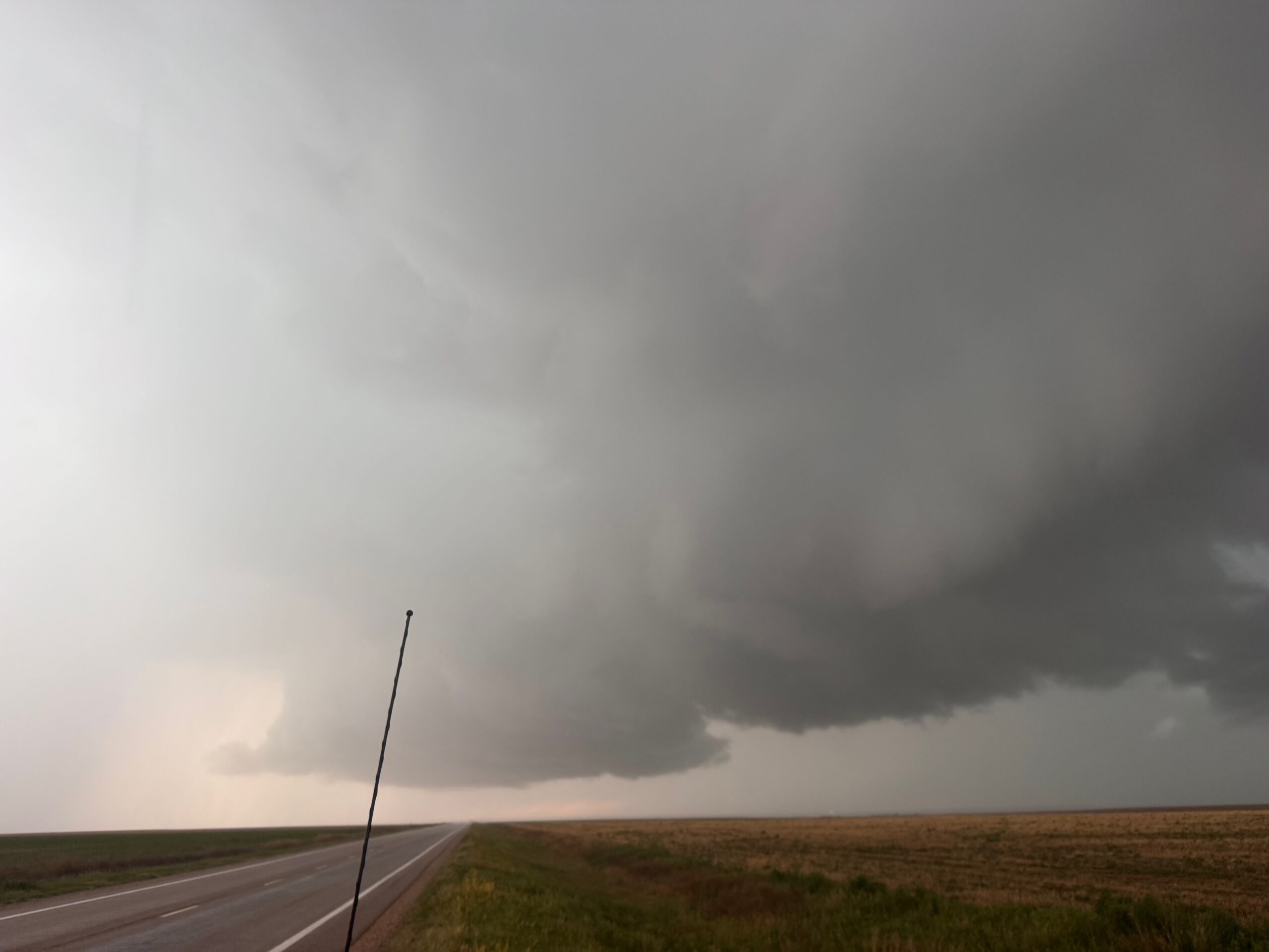
In the iPhone group below, we are first viewing the CB to our north from near St. Francis. Near Benkelman, we had a good look at the structure on the south side of the supercell’s updraft region. An RFD area cut in and there was a suspicious lowered area (or big wall cloud) carved out. Precipitation curtains intervened a bit and made it tough to know if a tornado was occurring. But it did look like a tornado cyclone of at least moderate strength was to our northeast here. See the radar screen grab at 14:58 p.m. MDT.
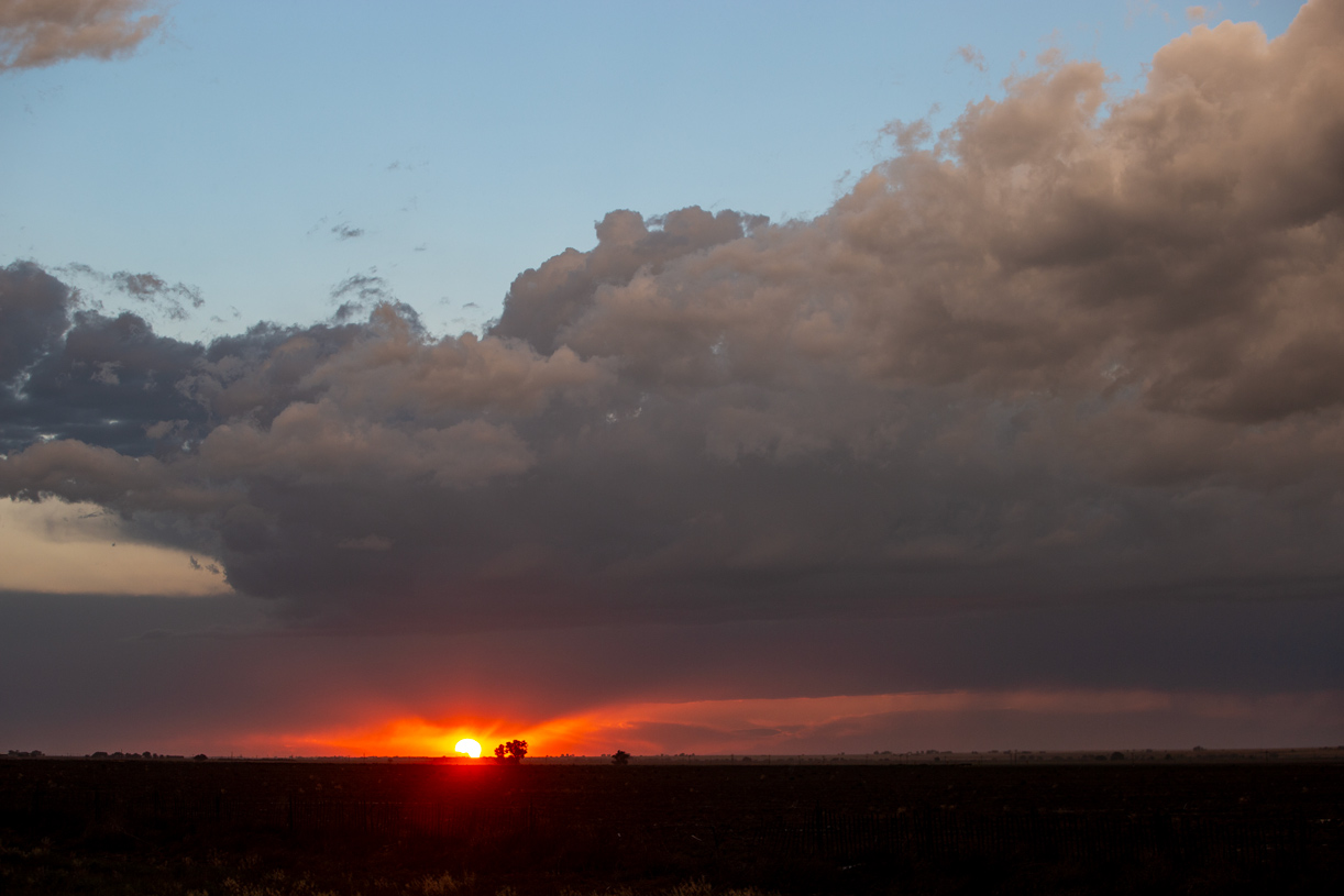
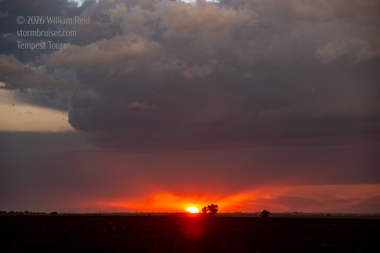
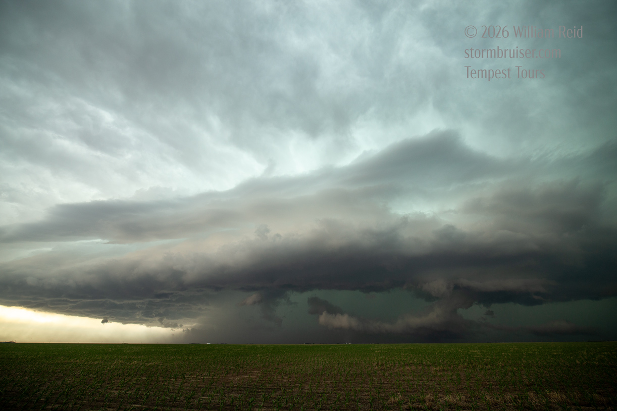
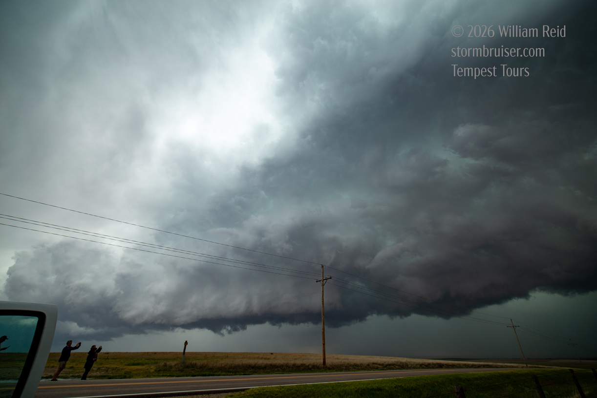
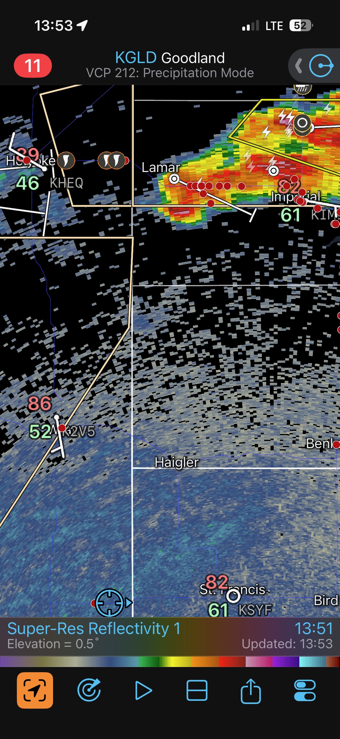
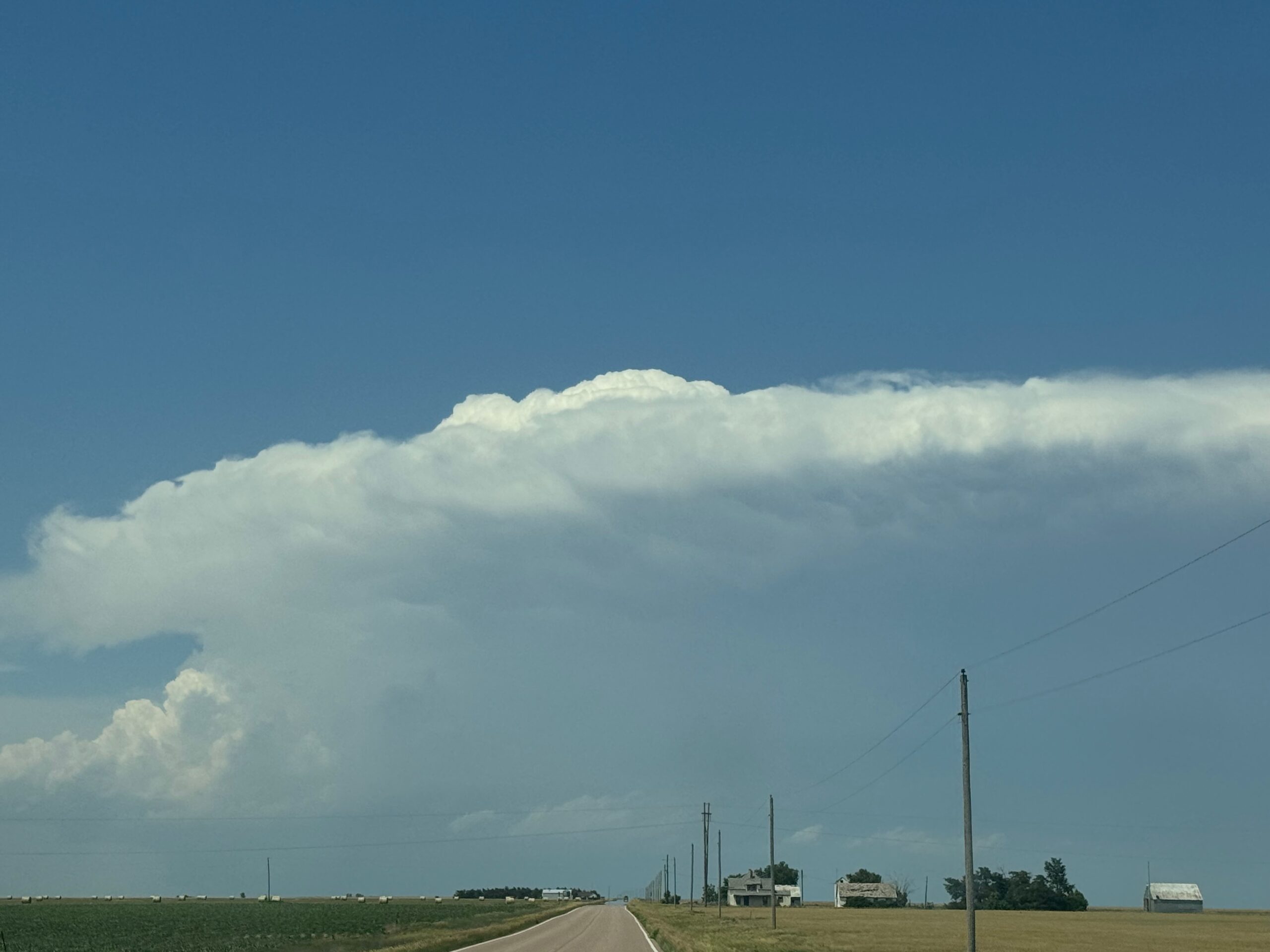
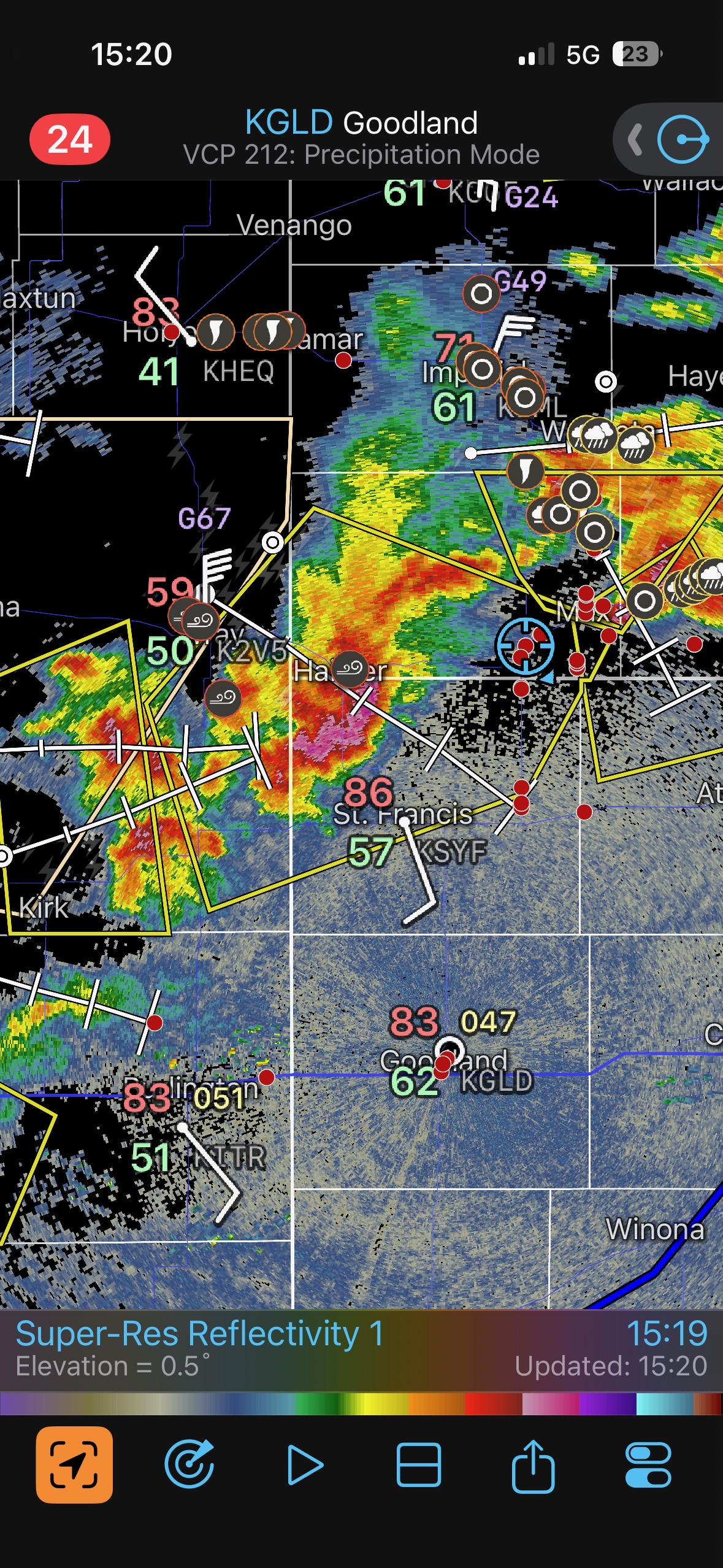
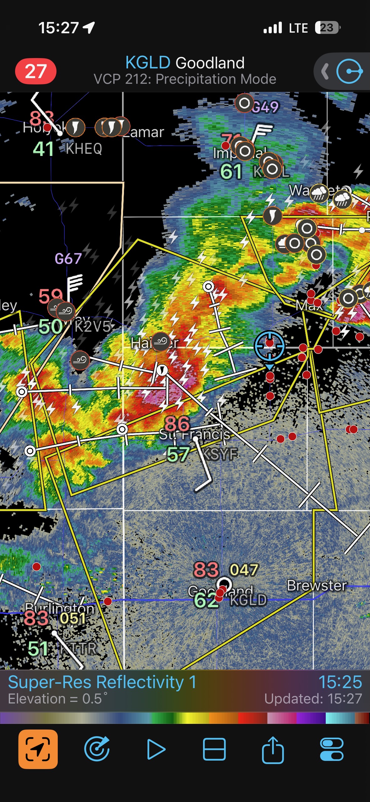
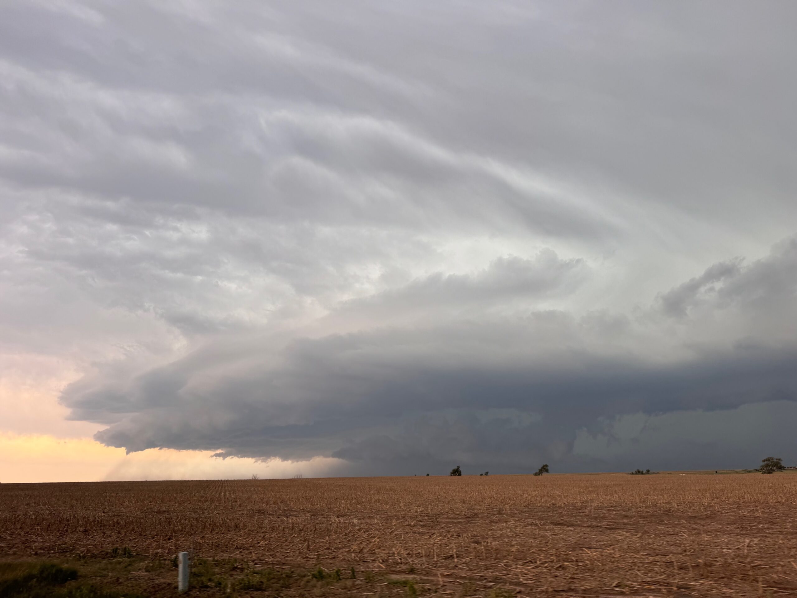
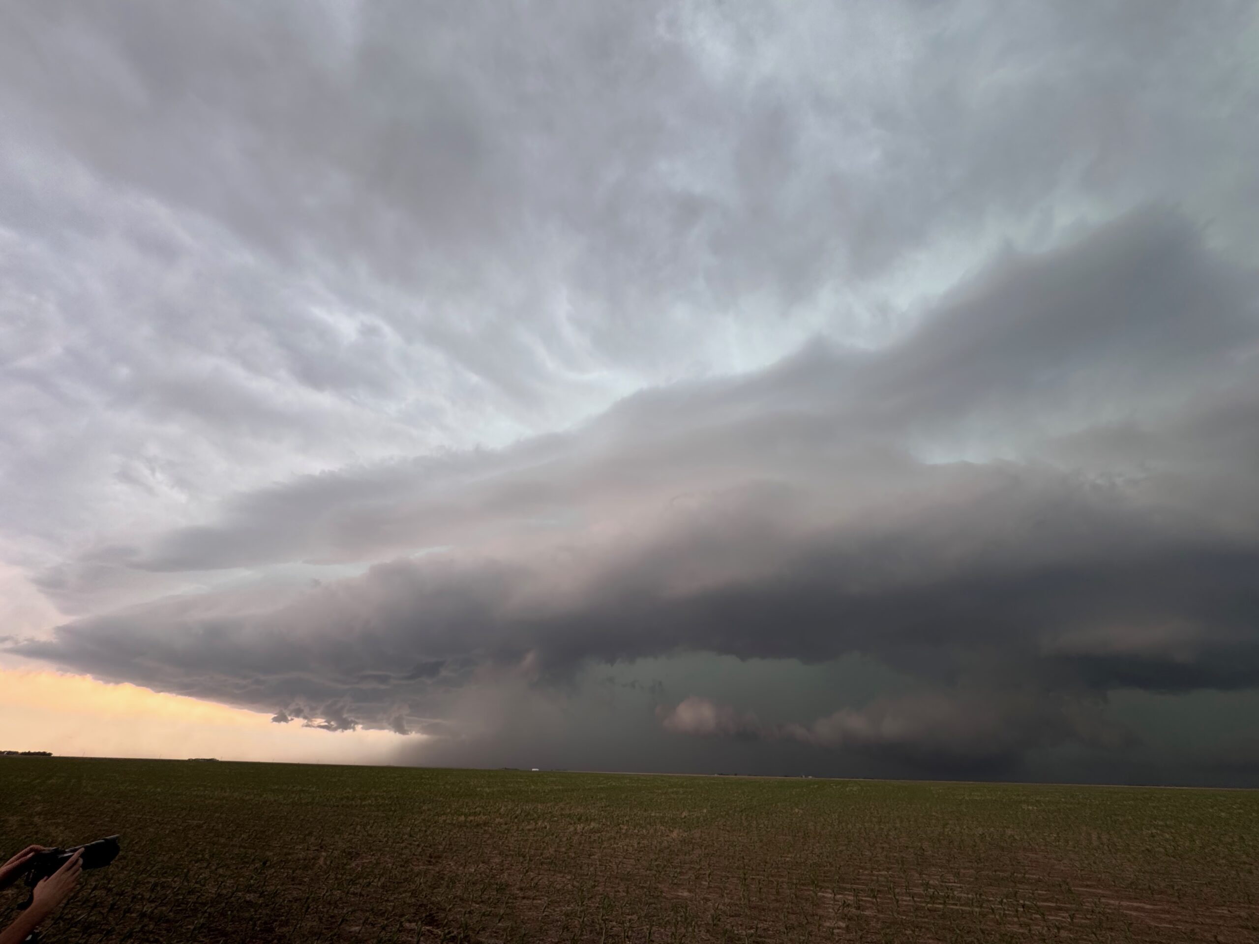
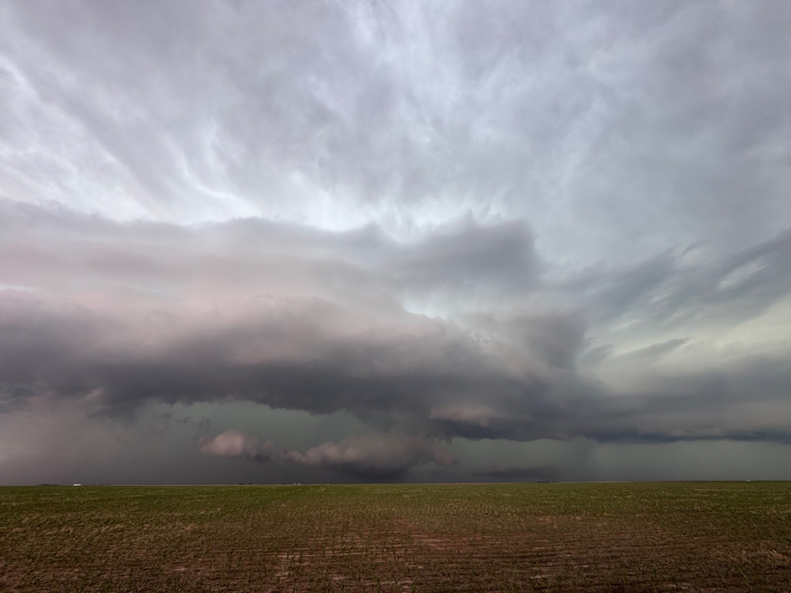
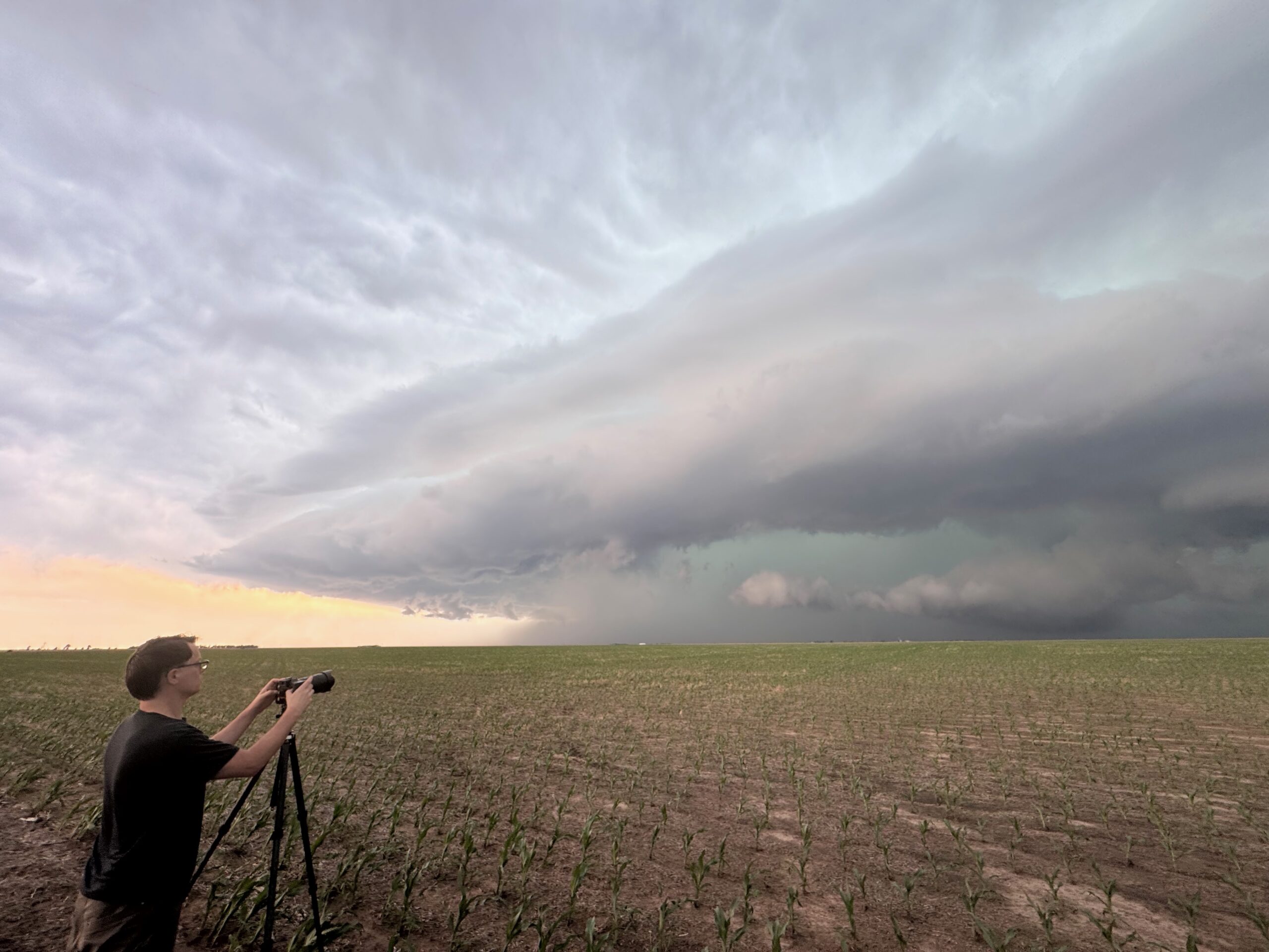
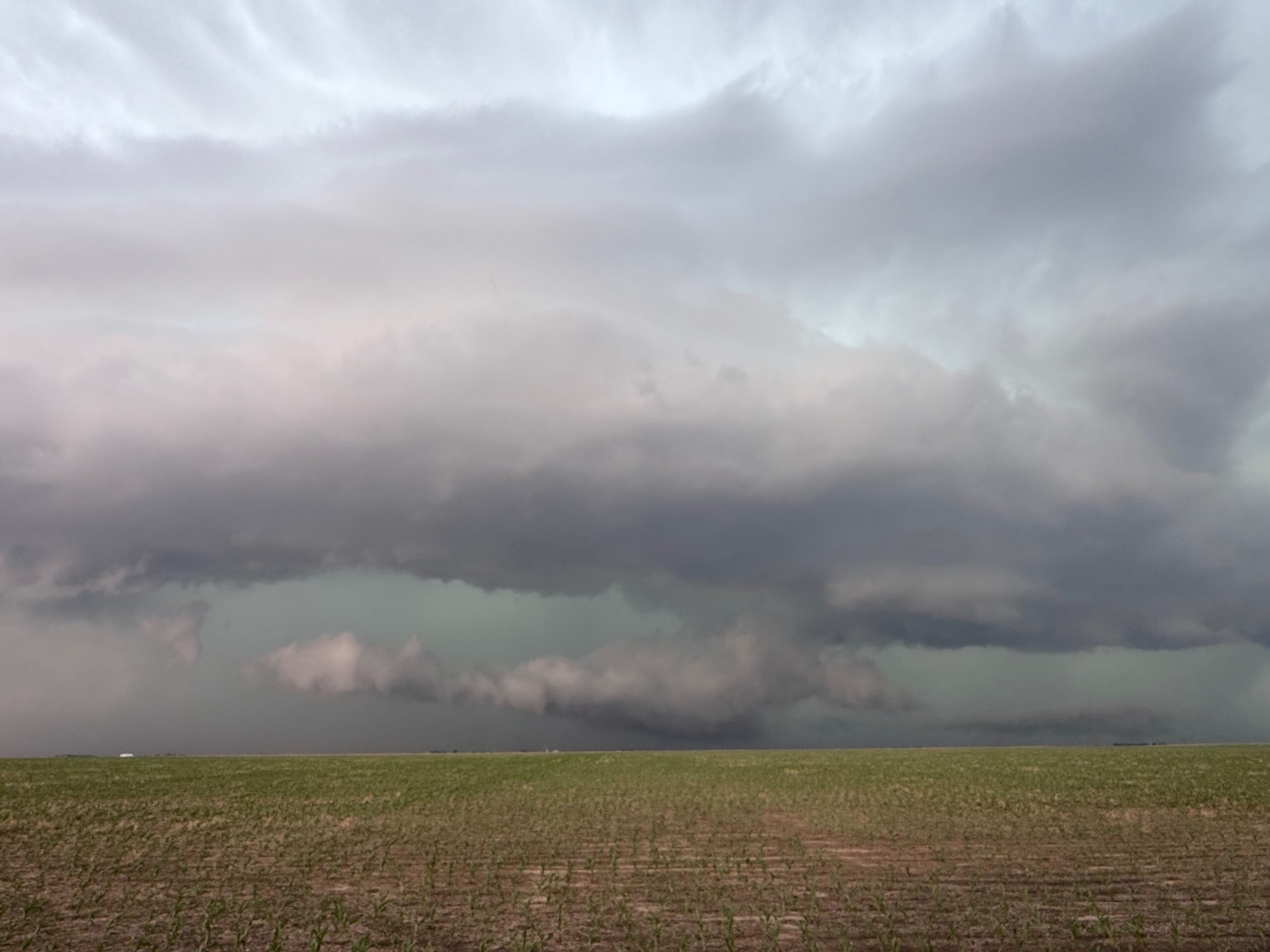
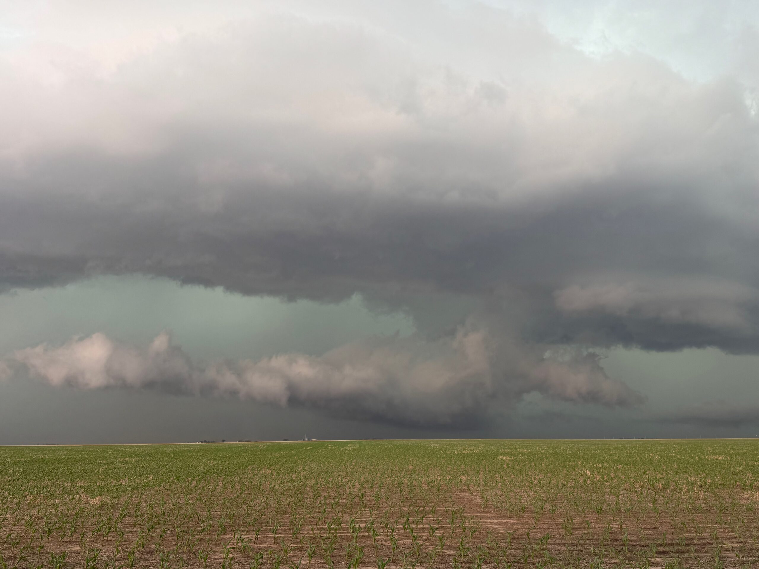
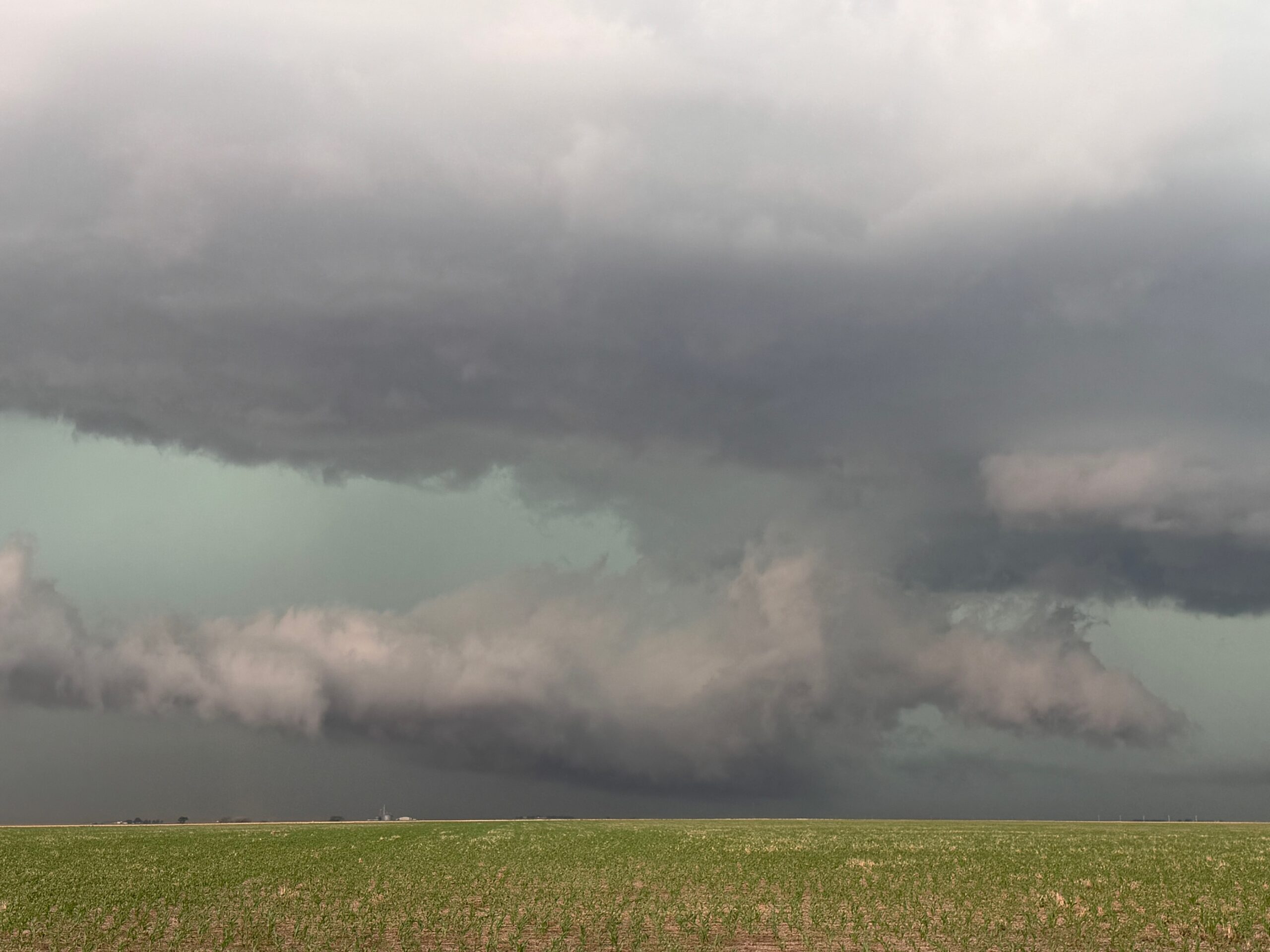
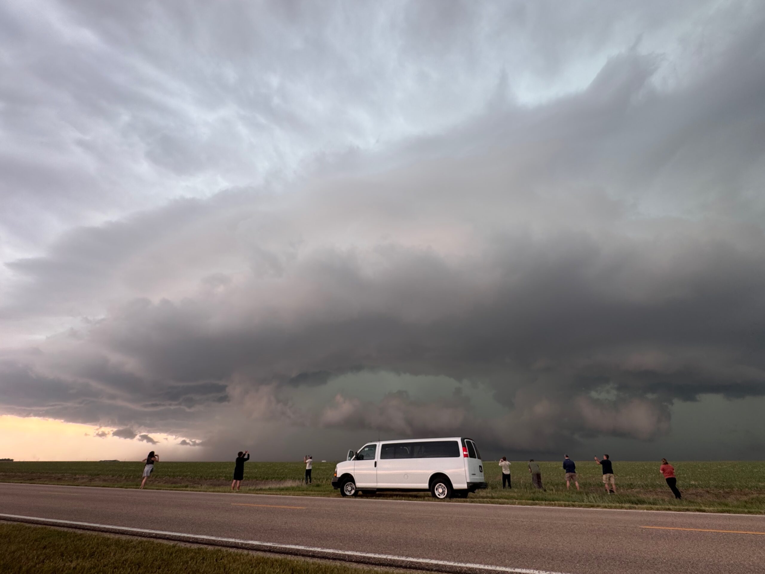
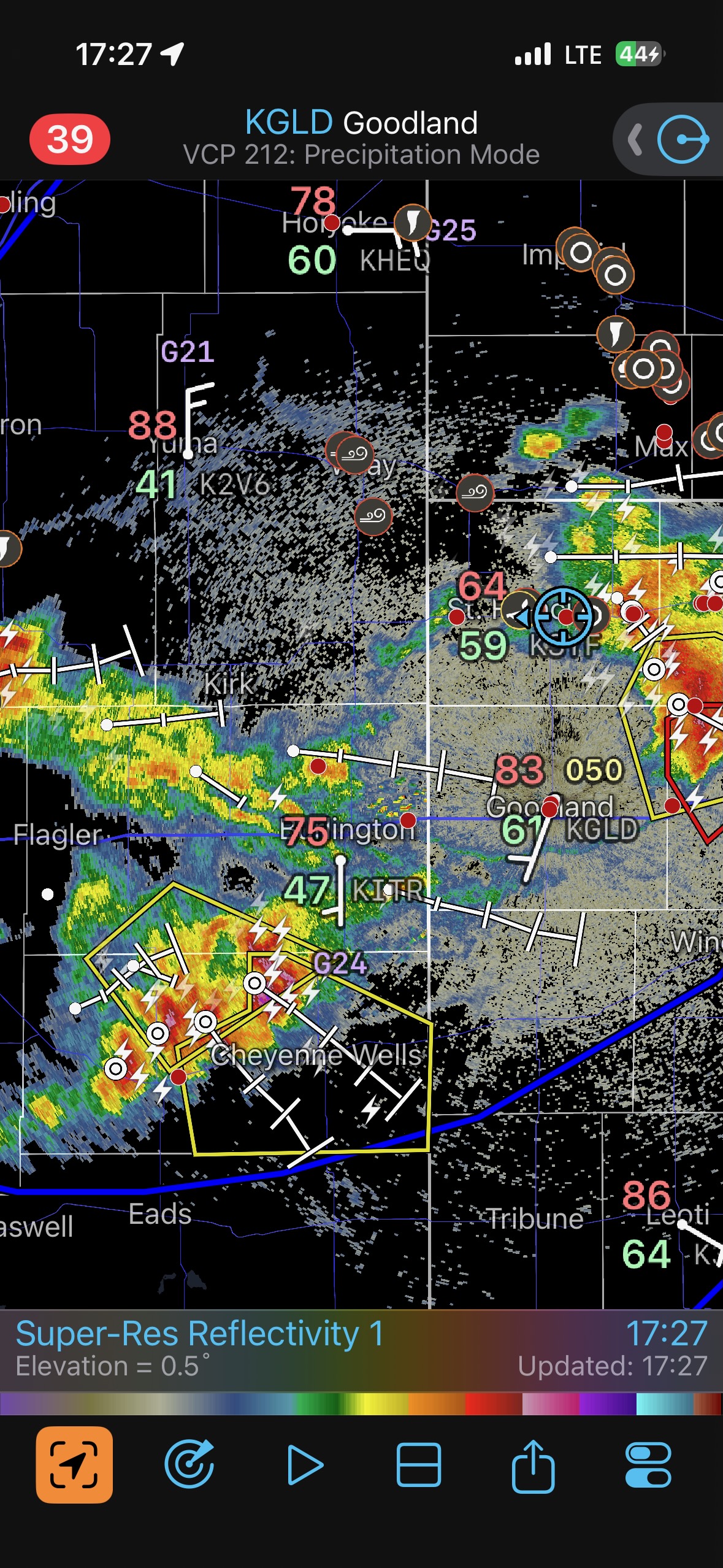
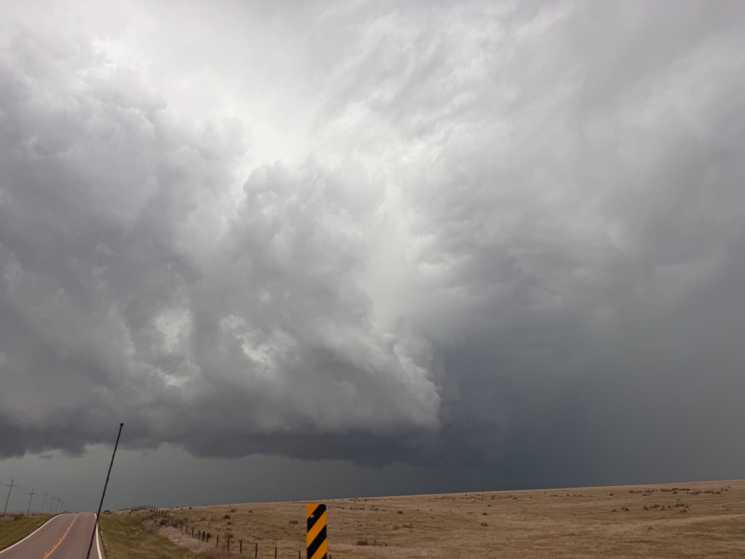
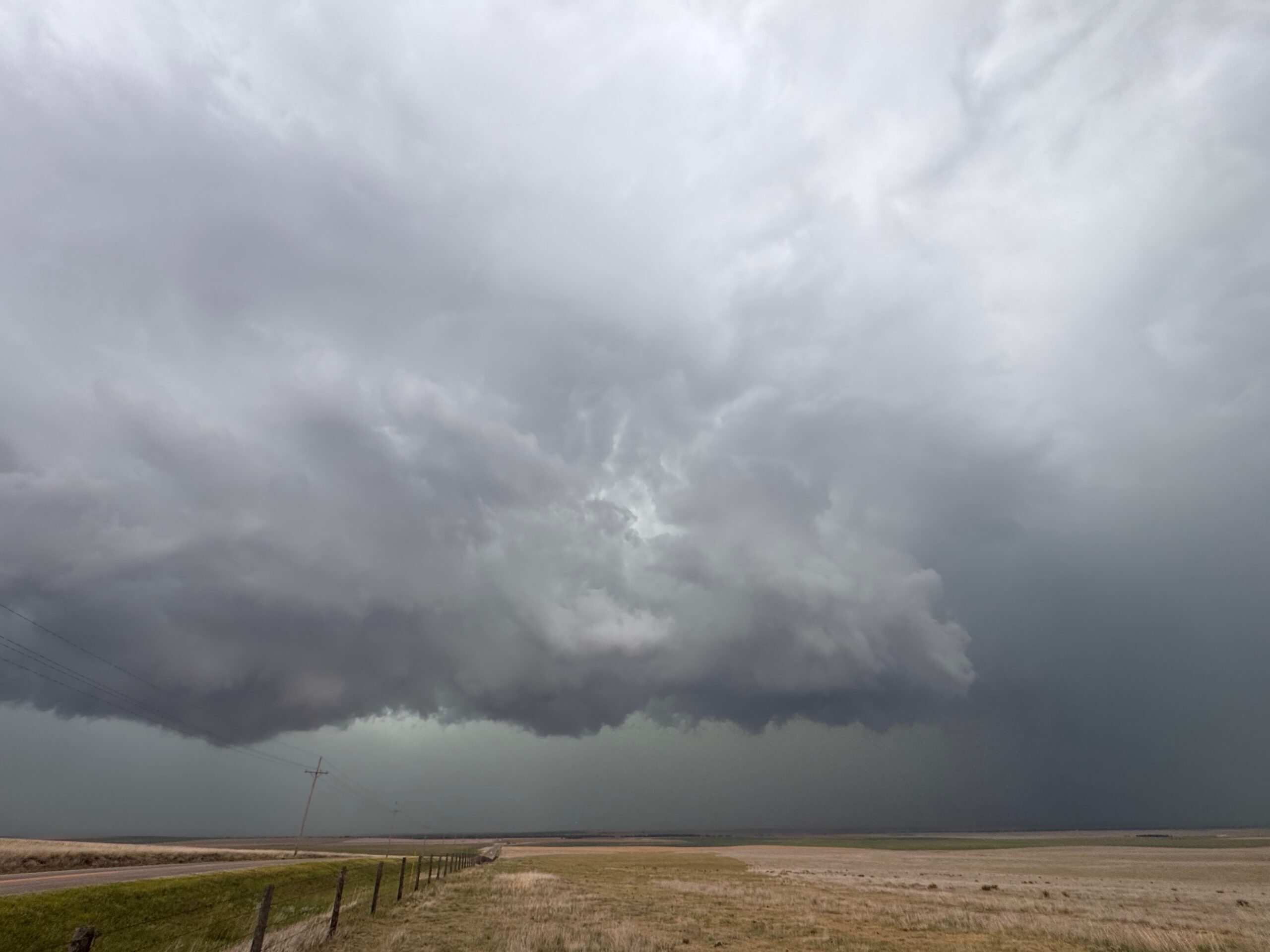
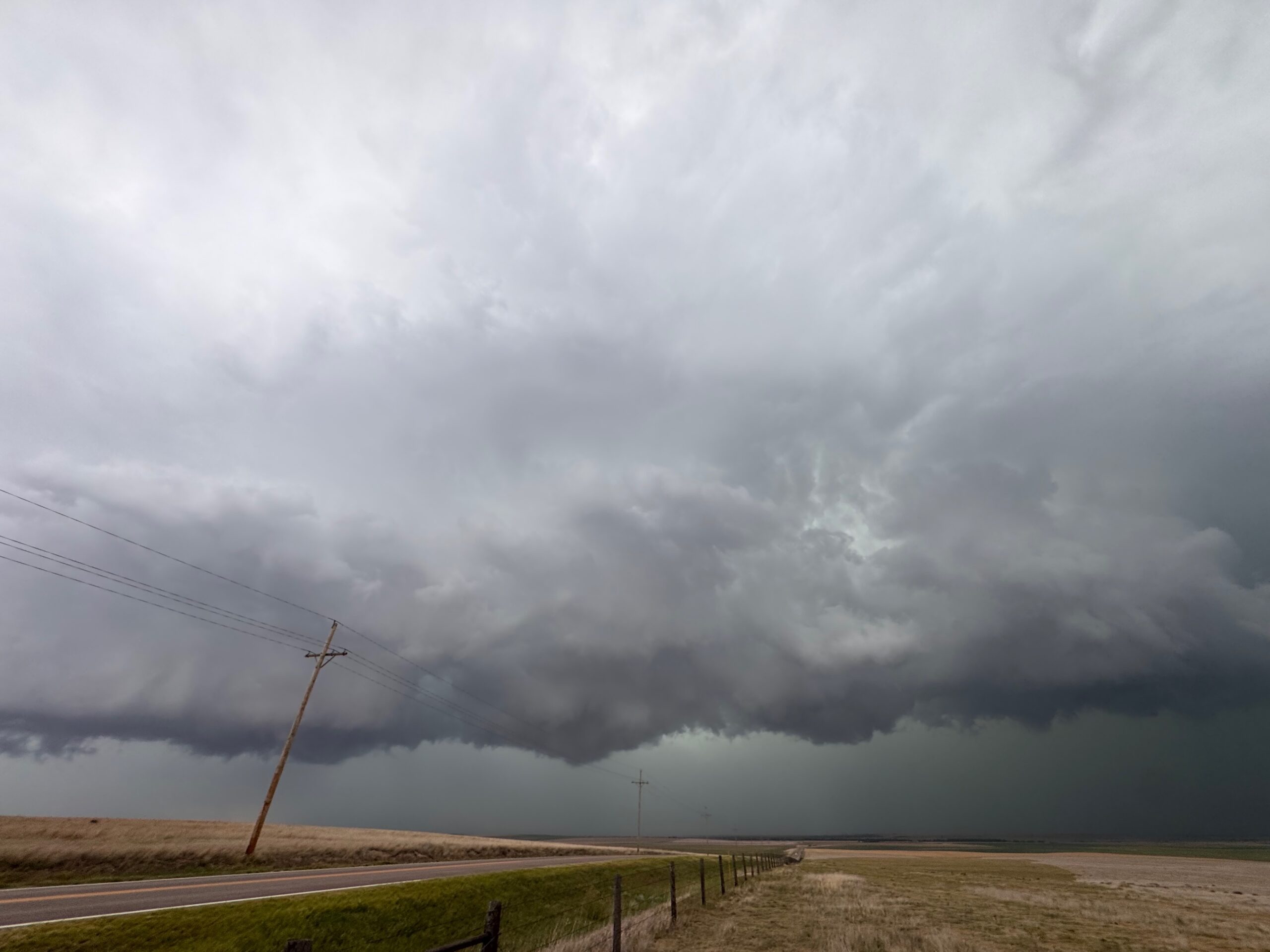
This storm was looking a bit wet and messy and would not be easy to get in front of, so we dropped south to get in front of another supercell that was near St. Francis. This one had good structure, but it had originated near Wray, CO, where temp/dew point spreads were large. Thus, it was spilling cold air, was undercut, and the tornado threat was very low. See the pics and radar when we were near Bird City, KS, below. Also, the supercell images in the Canon group above showcase this Bird City activity.
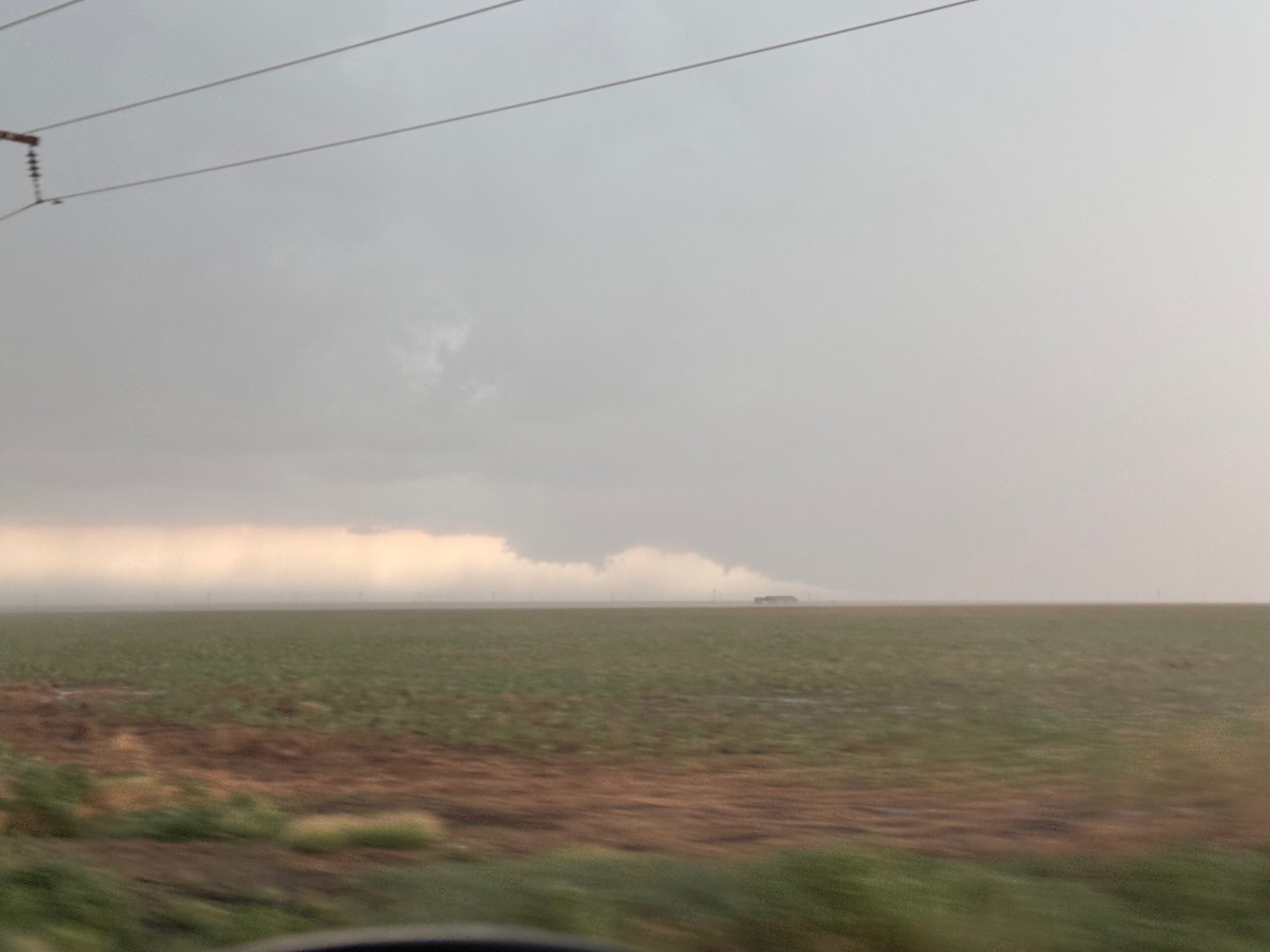
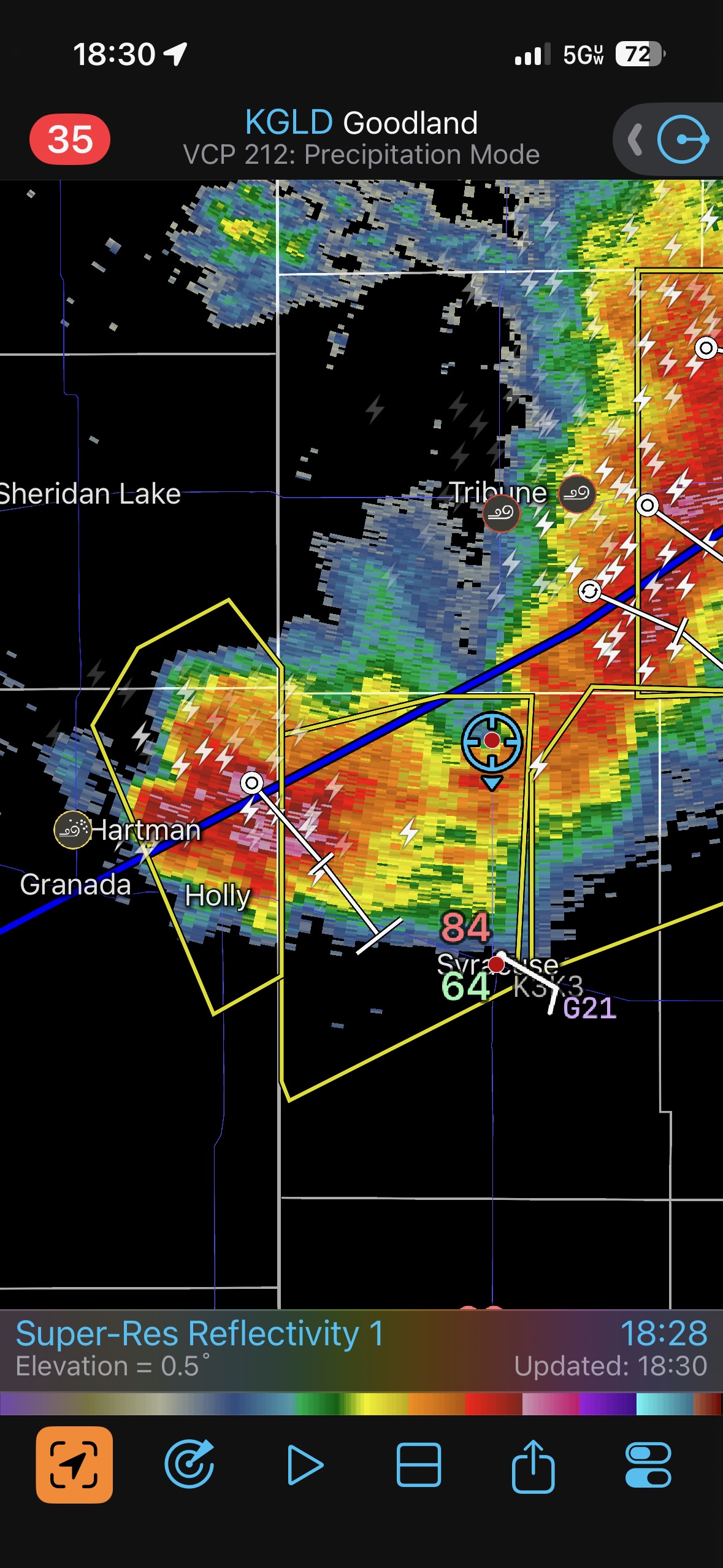
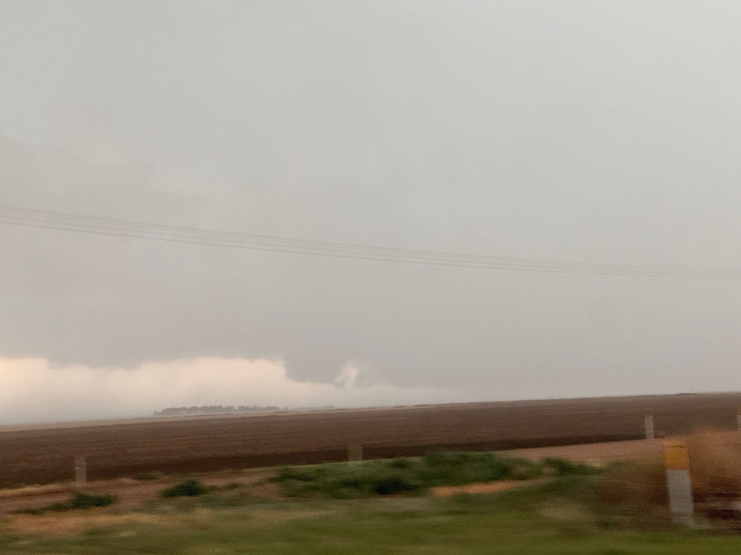
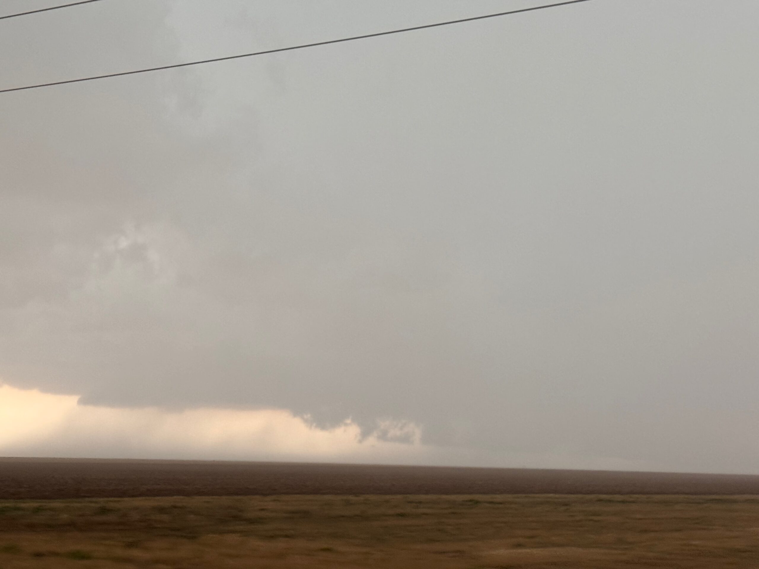
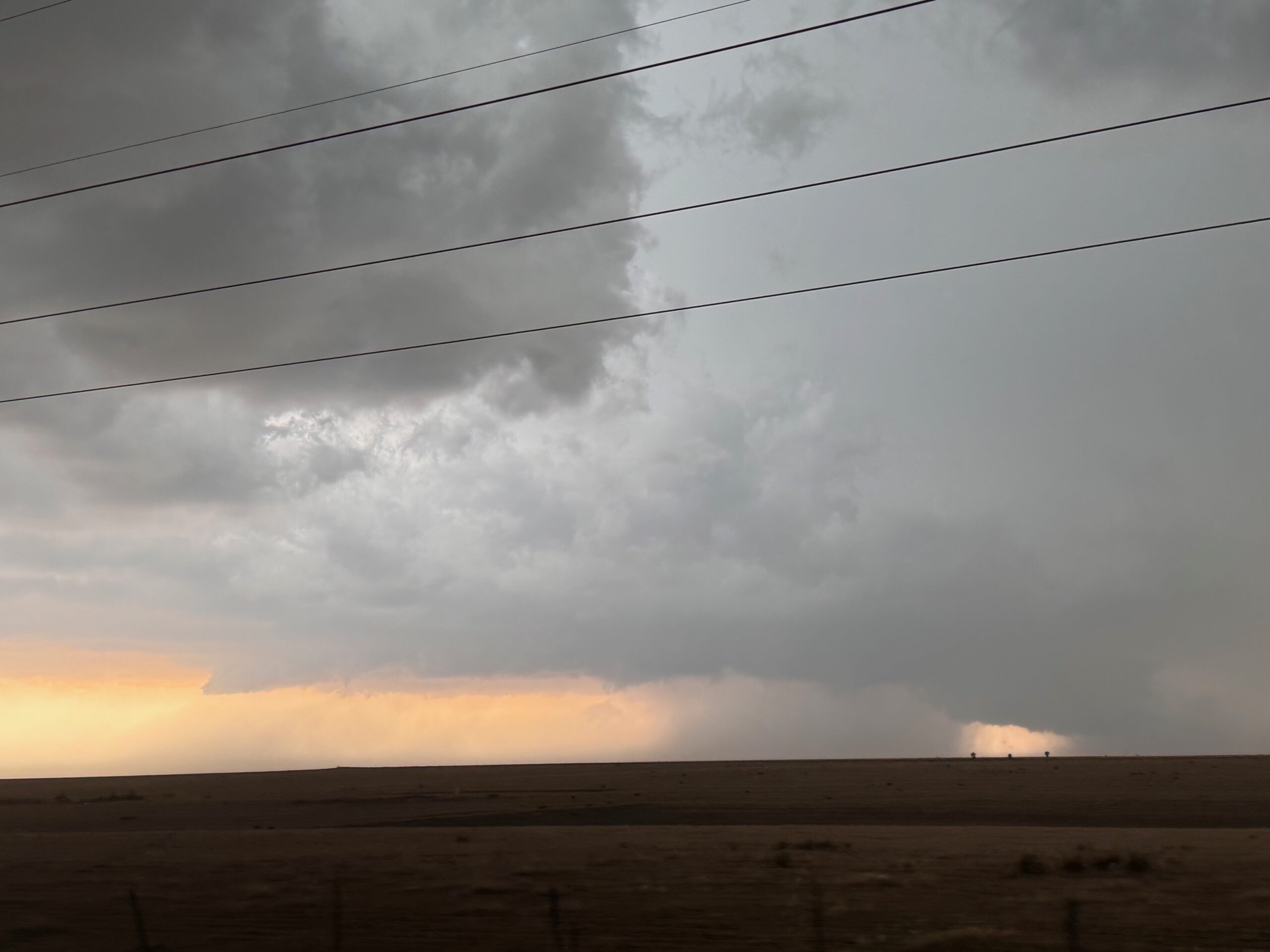
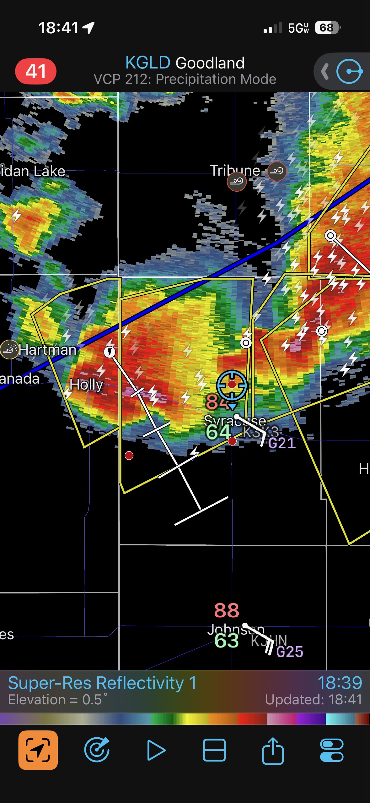
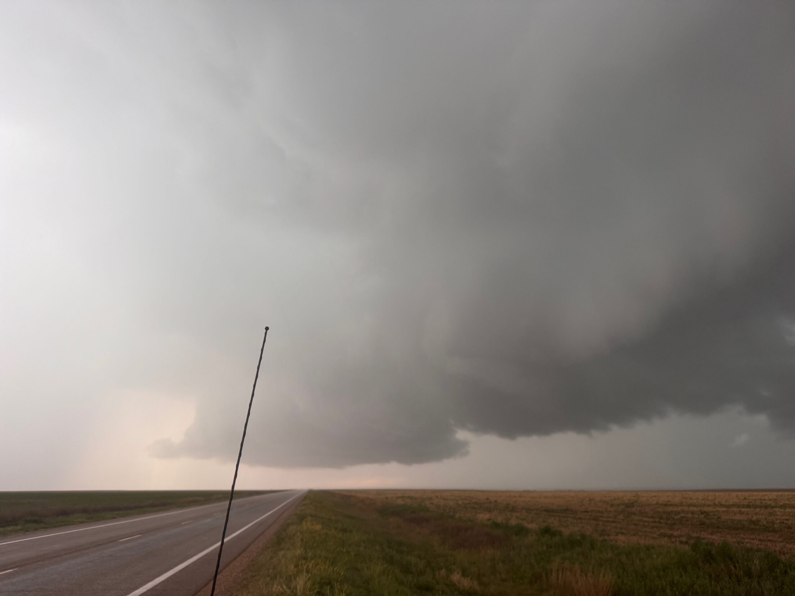
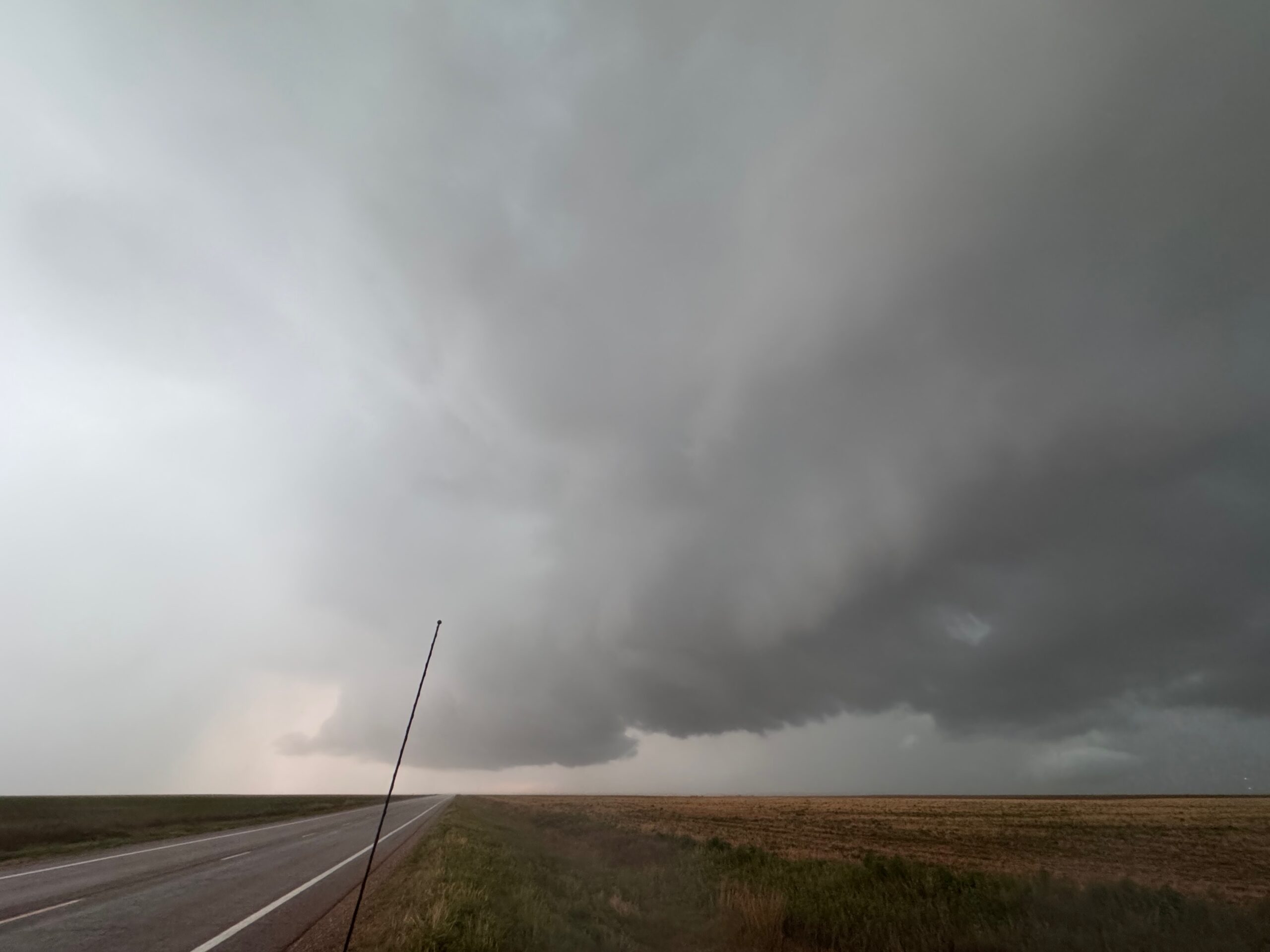
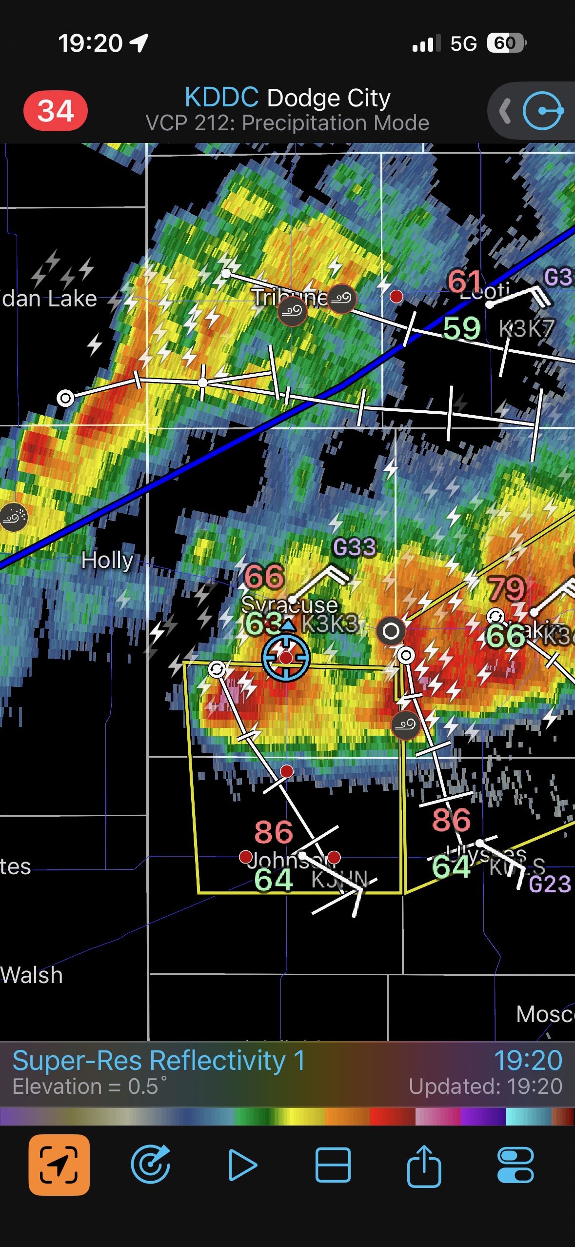
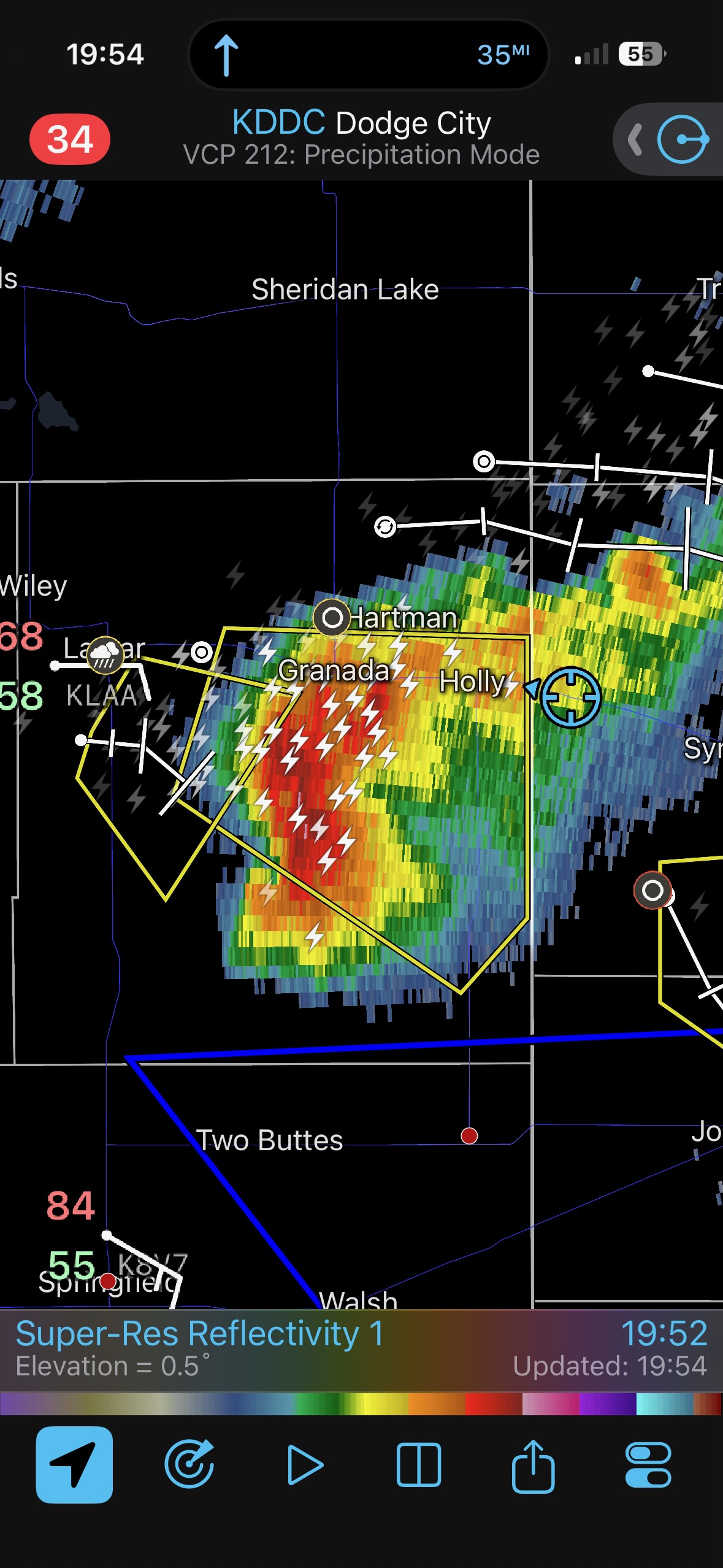
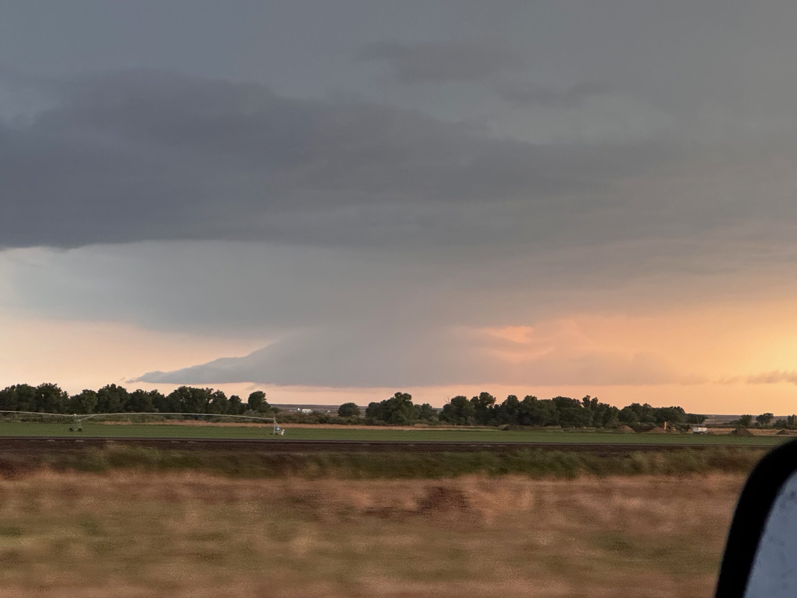
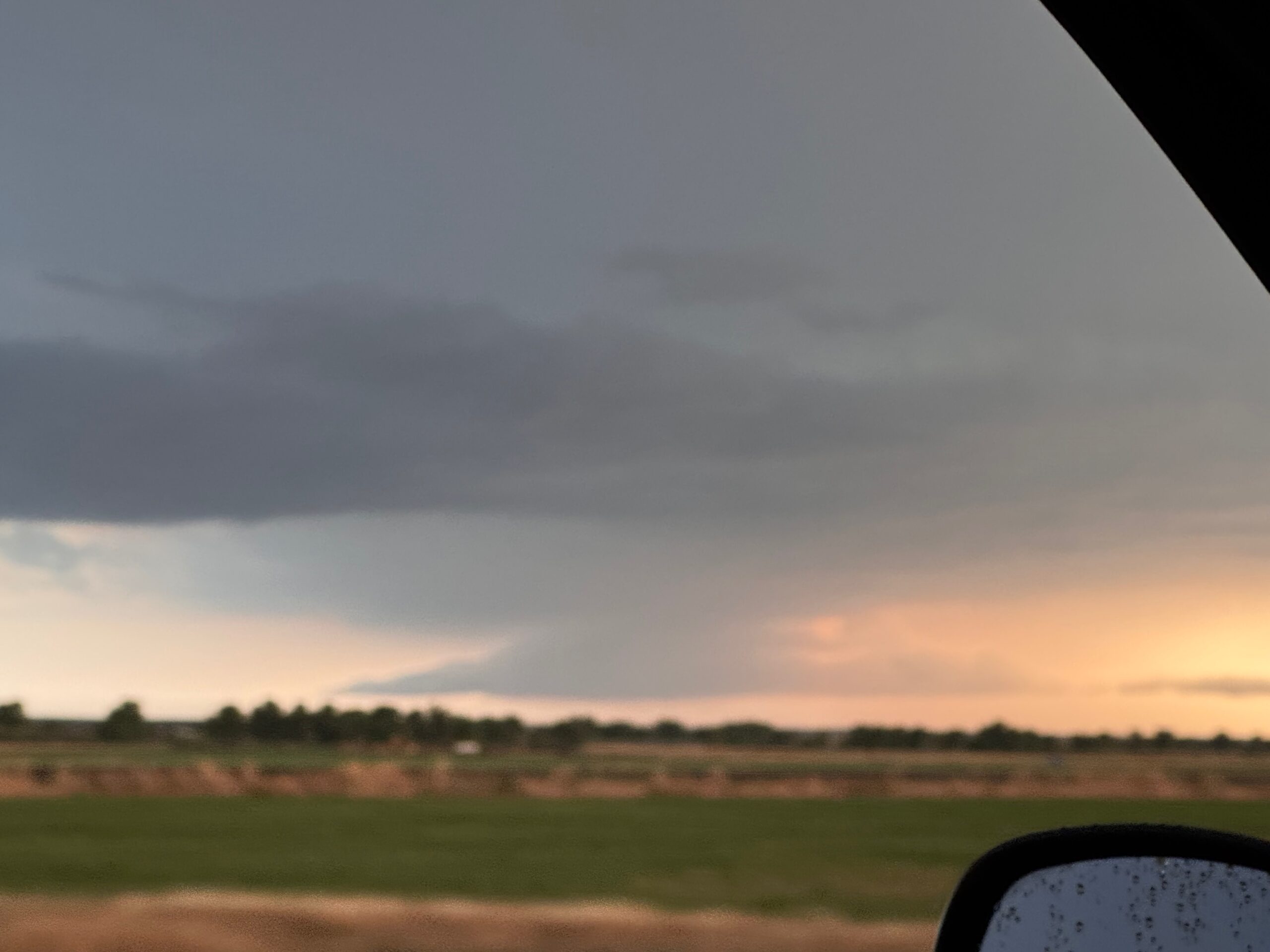
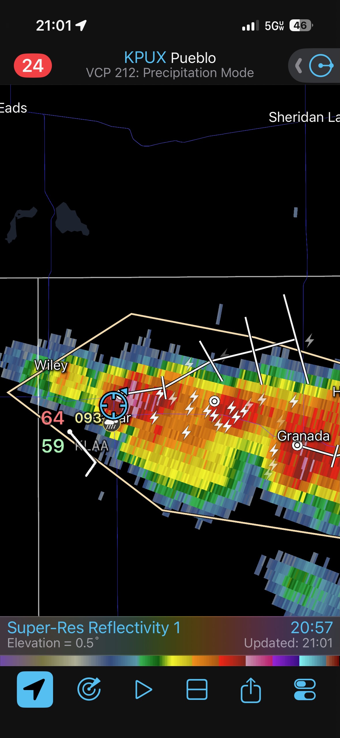
Not long afterwards a line of strong storms had materialized. We blasted south to try to get in front again, finally managing that near Syracuse. There was an organized storm at the southwest end, with a wall cloud, but this was underwhelming compared to the earlier storms today.
Leave a Reply
You must be logged in to post a comment.