
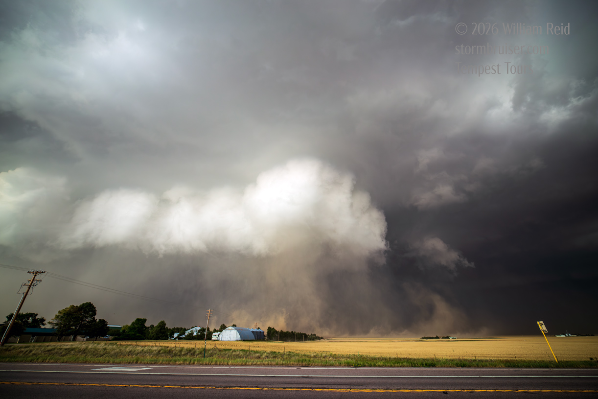
Begin: Lamar, CO/Lunch: Valero Travel Stop in Seibert/End: Burlington, CO/426 miles
We motored northward from Lamar to target expected development off of the Cheyenne Ridge. Flow aloft was somewhat strong, around WNW at 50 knots at 500mb. Surface flow was upslope, from the southeast around Sterling. Dew points were just mediocre for late June, though, in the mid-upper 50s. This region has been suffering from drought this spring, and severe weather has been sporadic.
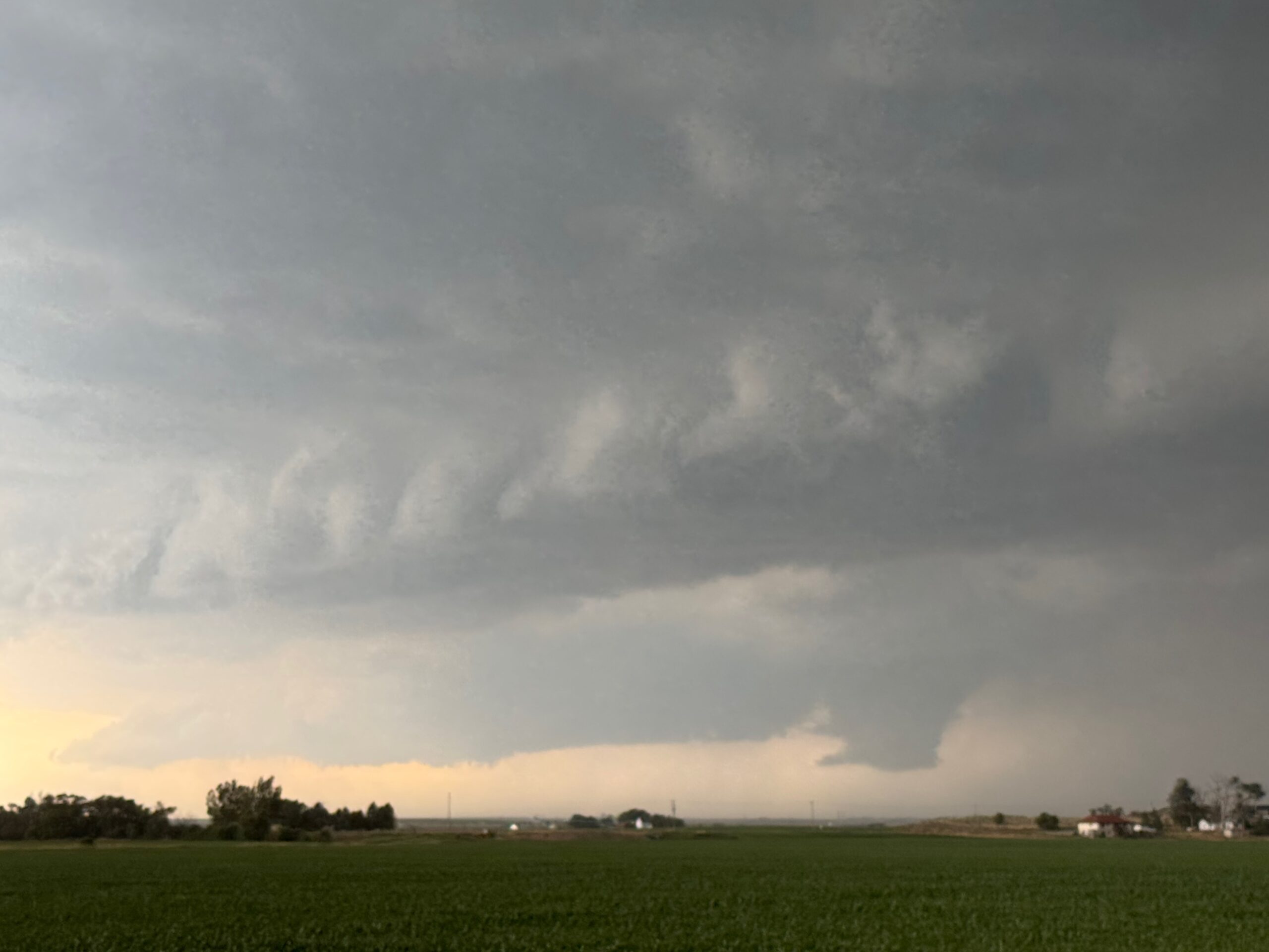
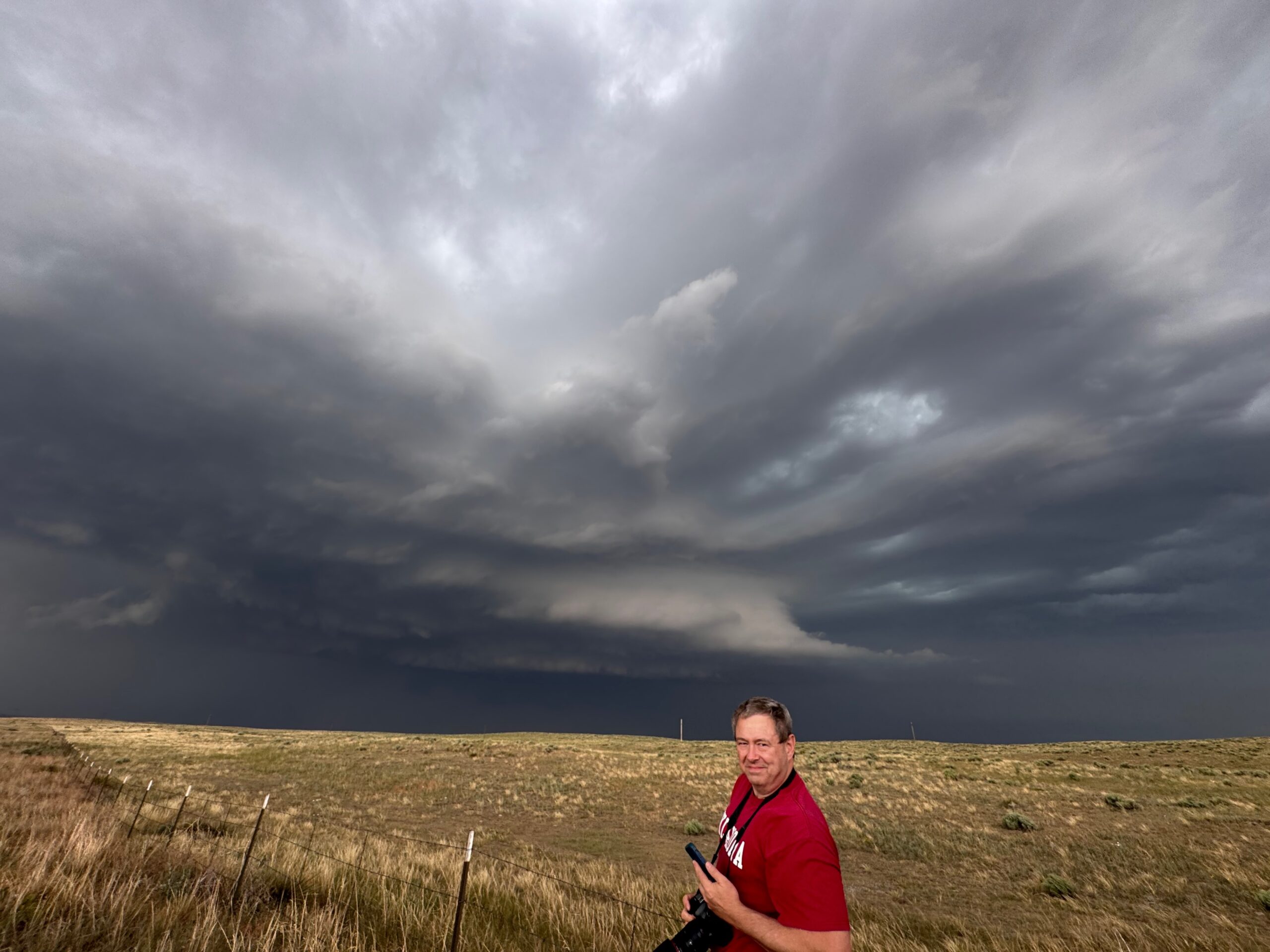
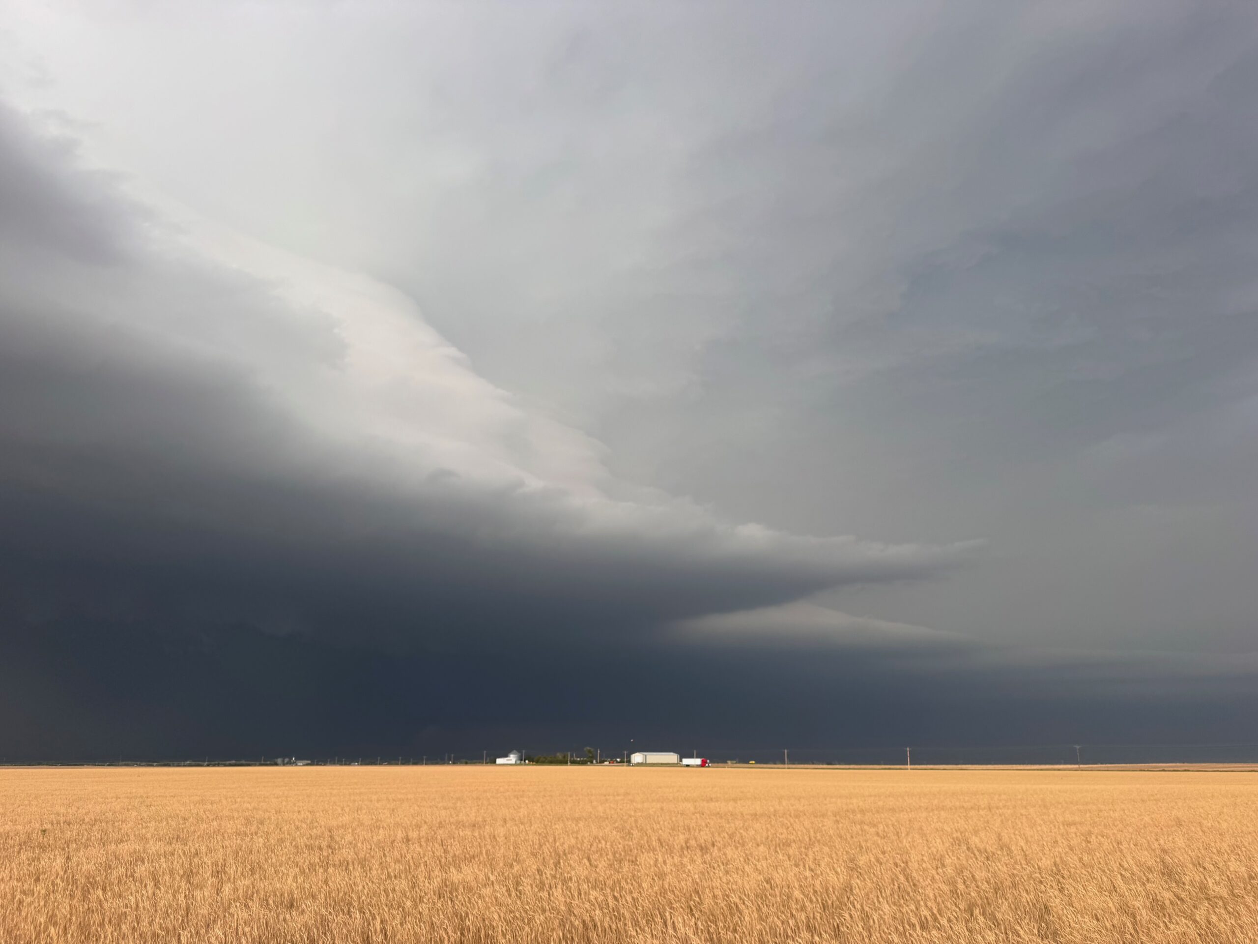
By about 3 p.m. CDT we were just east of a big storm that was tracking to the SSE out of Nebraska. It had produced a landspout or two south of Kimball, NE. The Canon pics below were taken first north of Sterling and then just south of Sterling, CO. The base was on the high side, and with time the updraft base showed some nice sculpted structure.
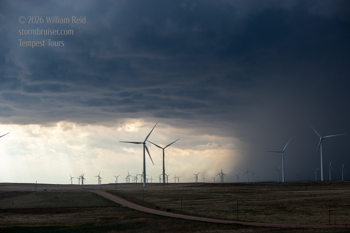
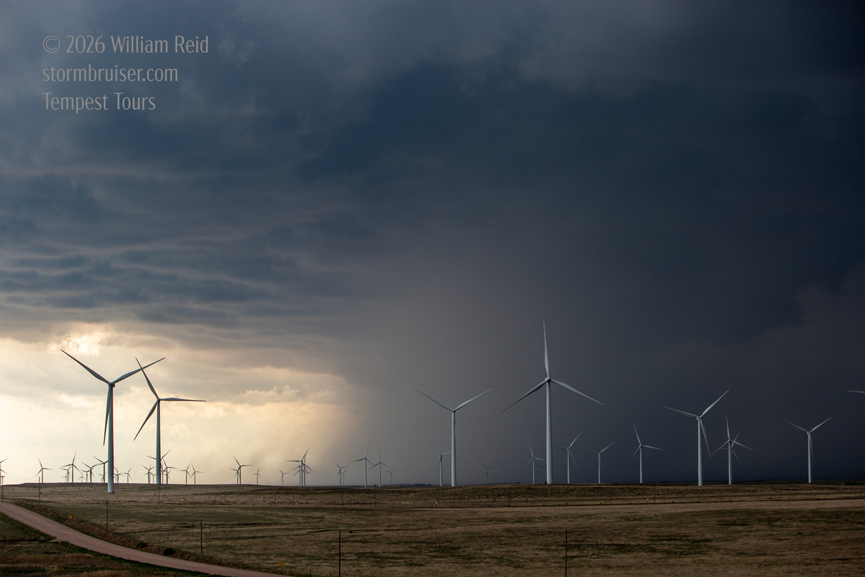
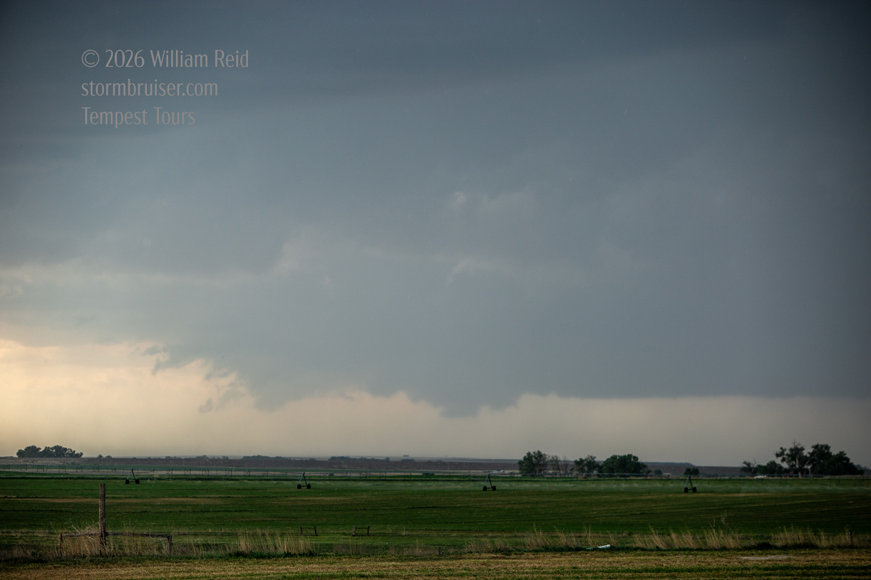
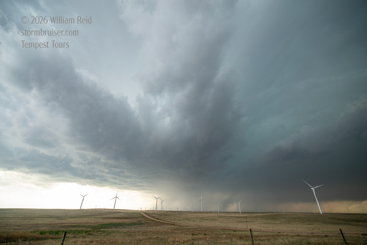
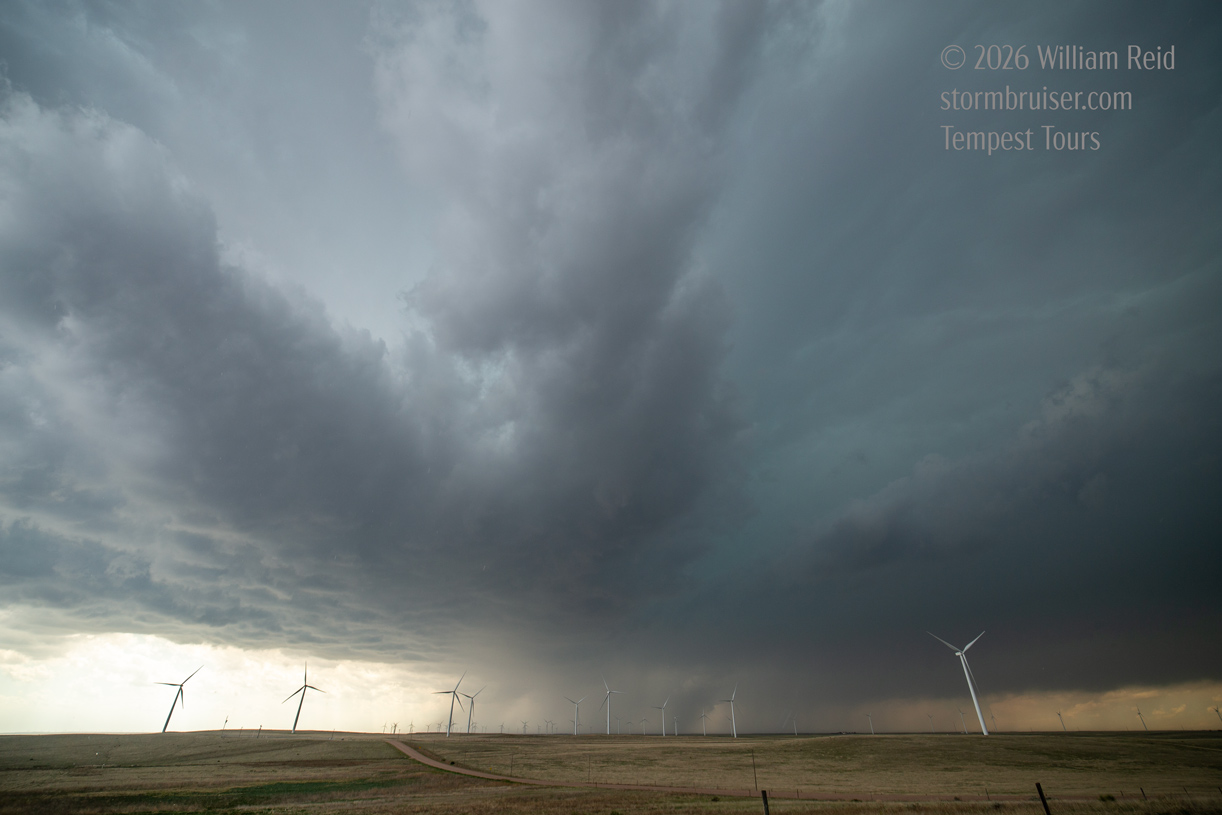
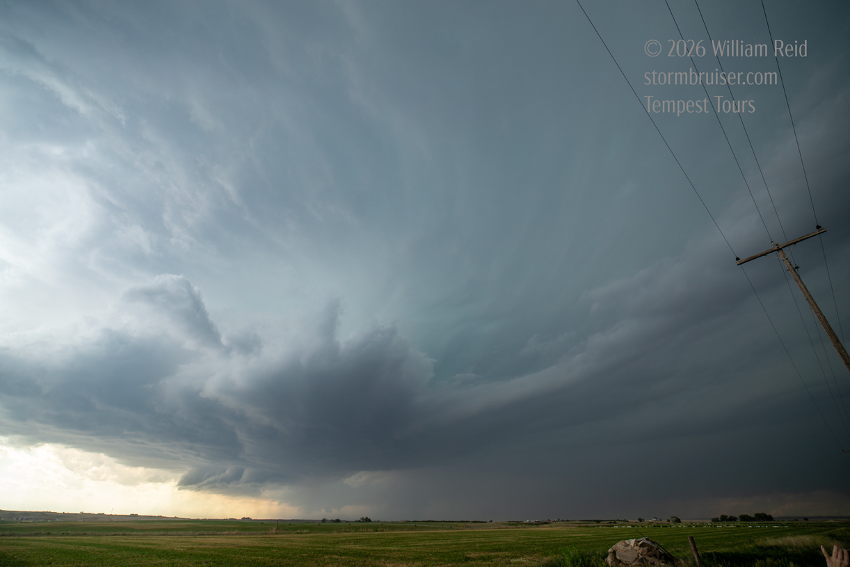
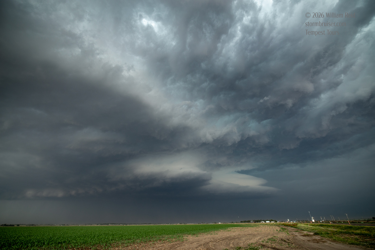
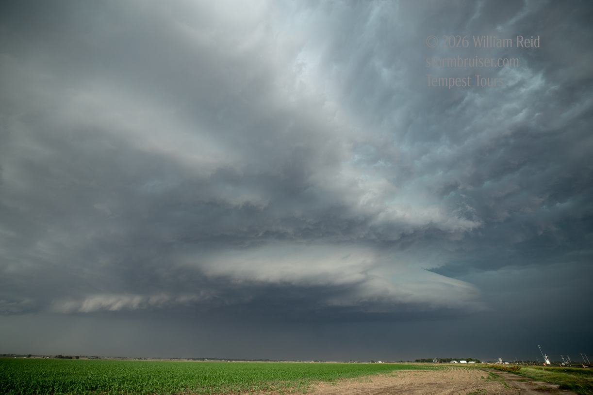
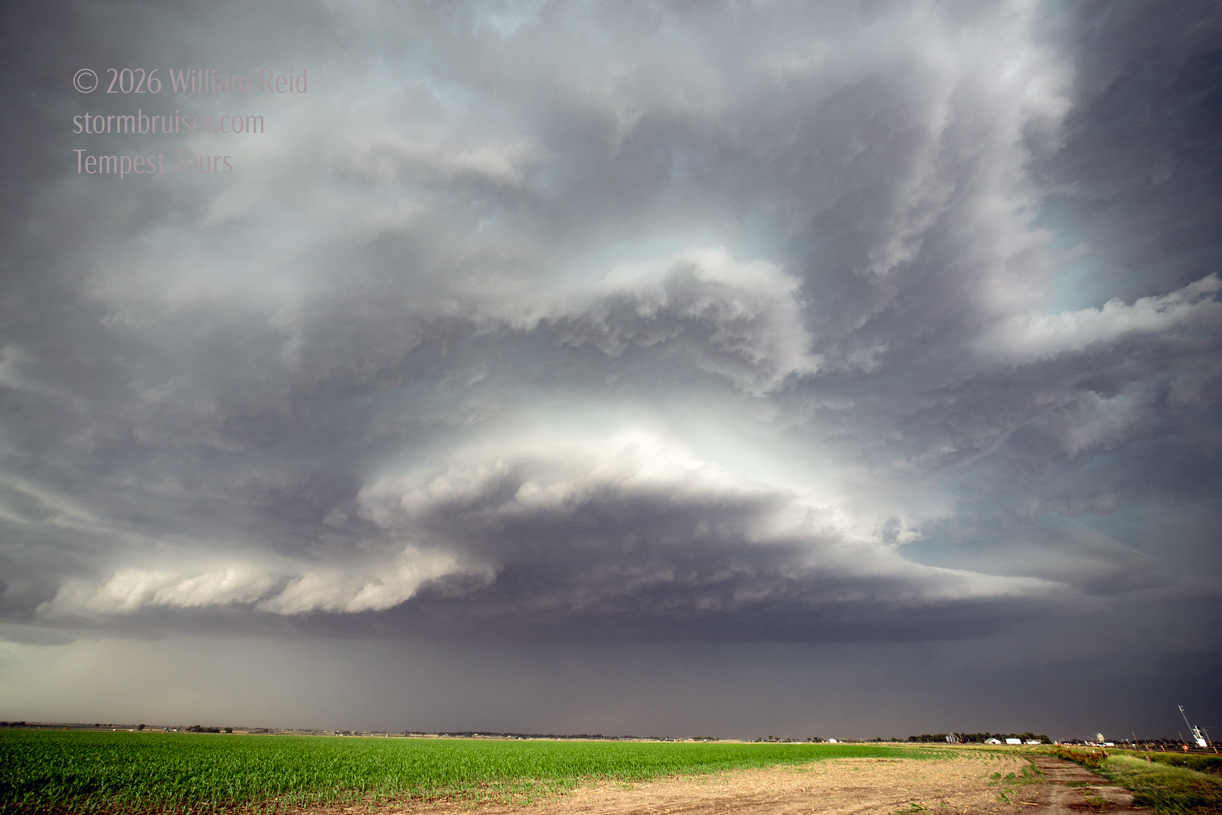
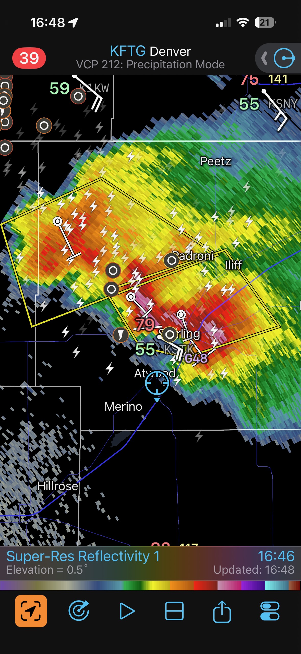
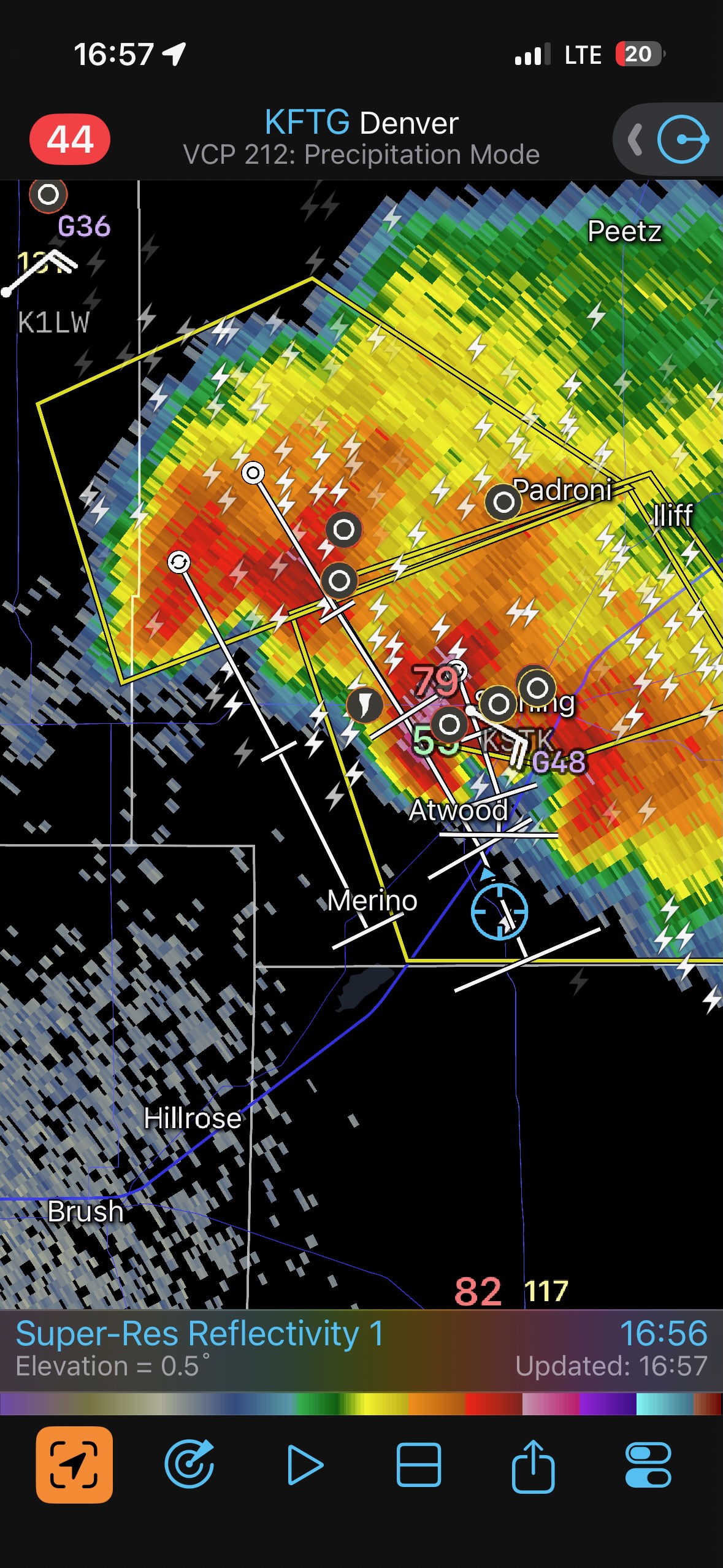
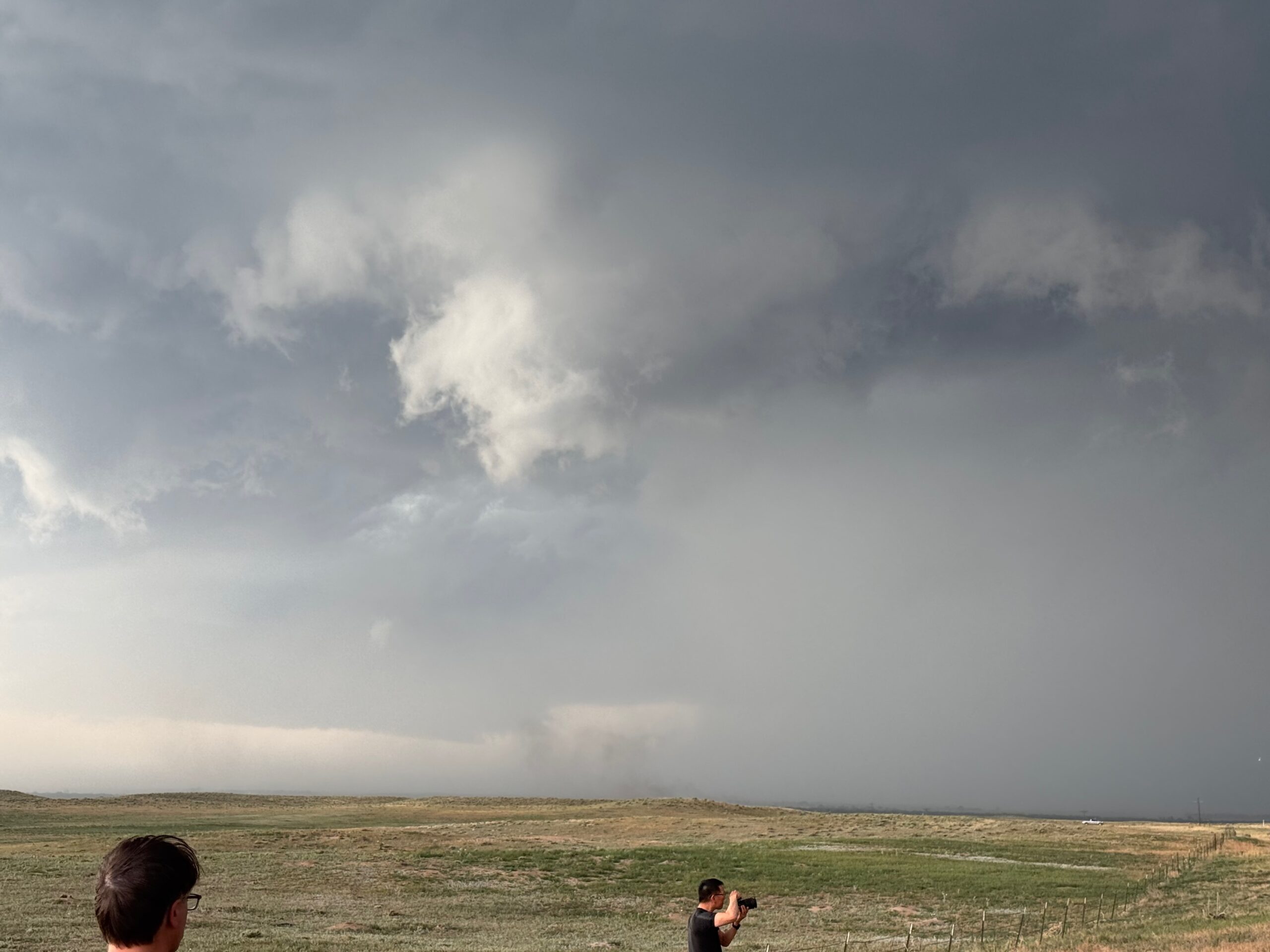
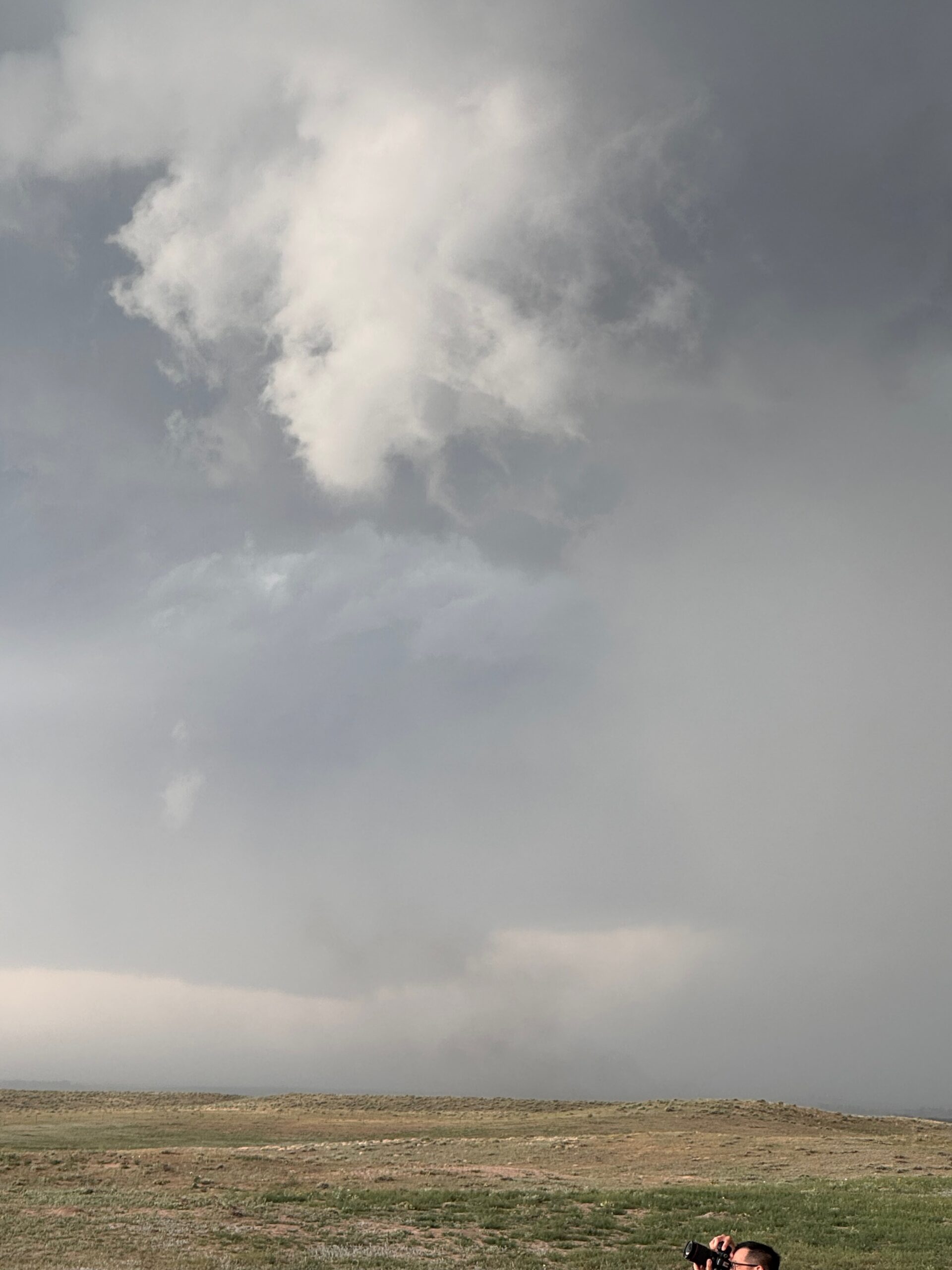
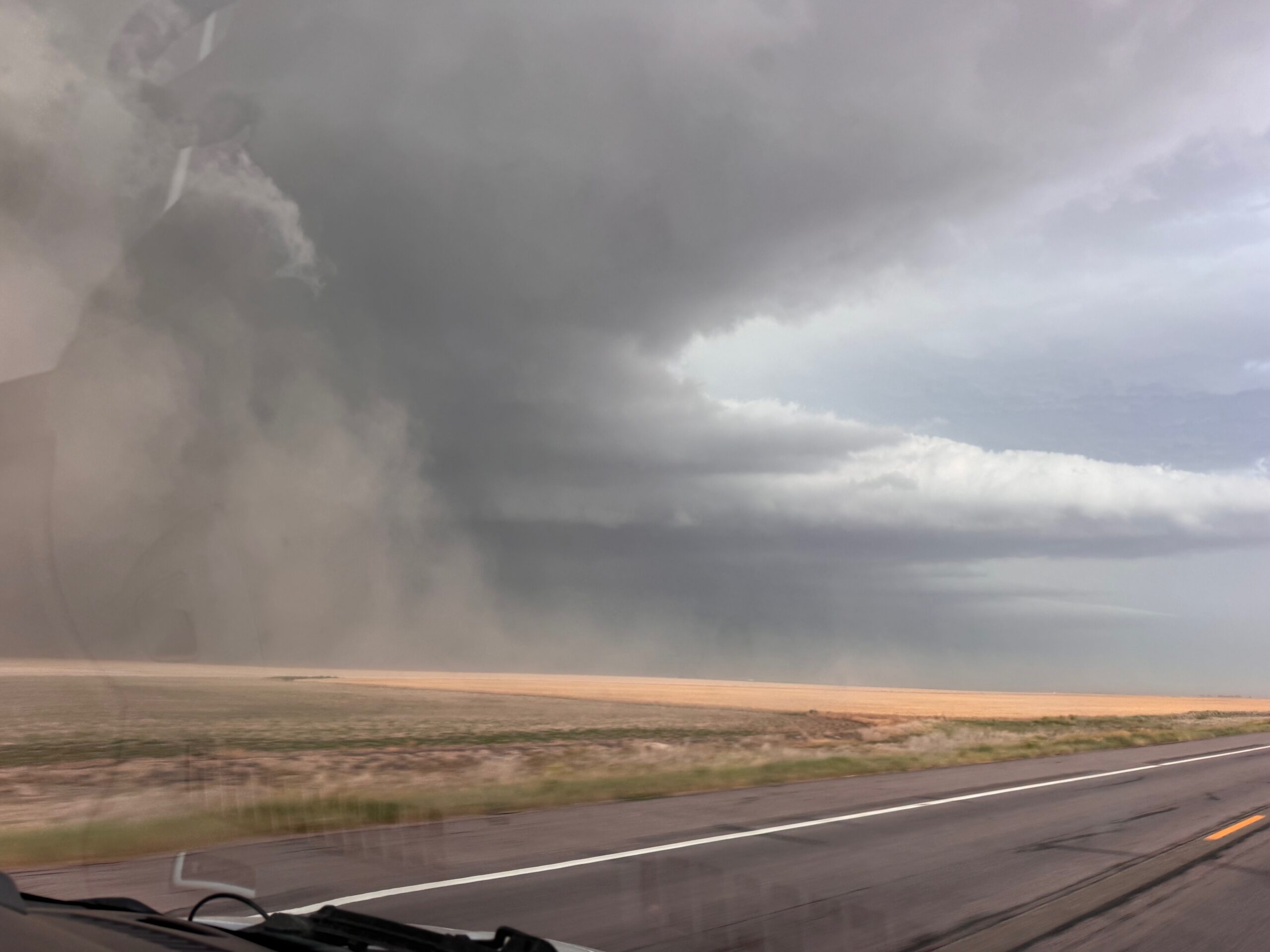
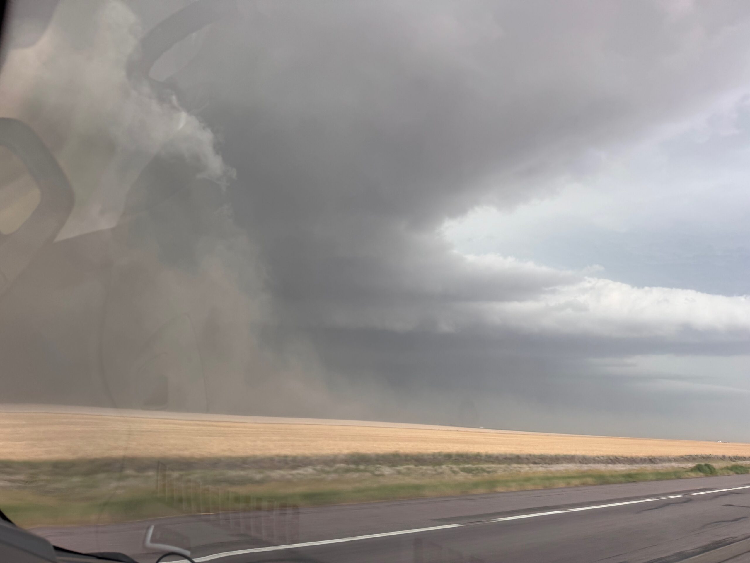
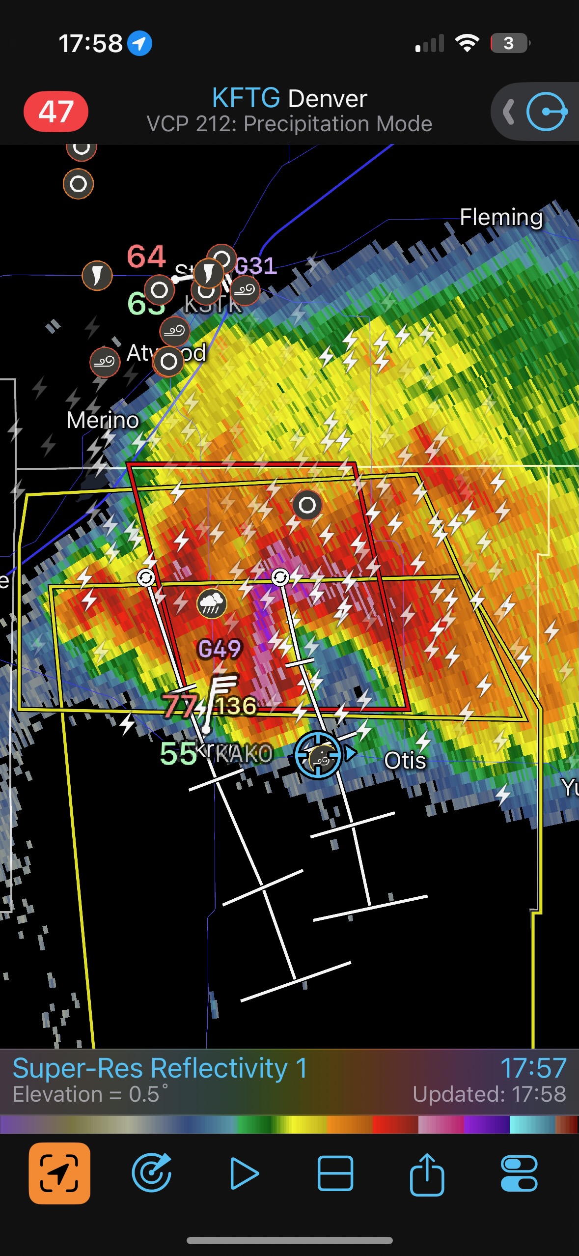
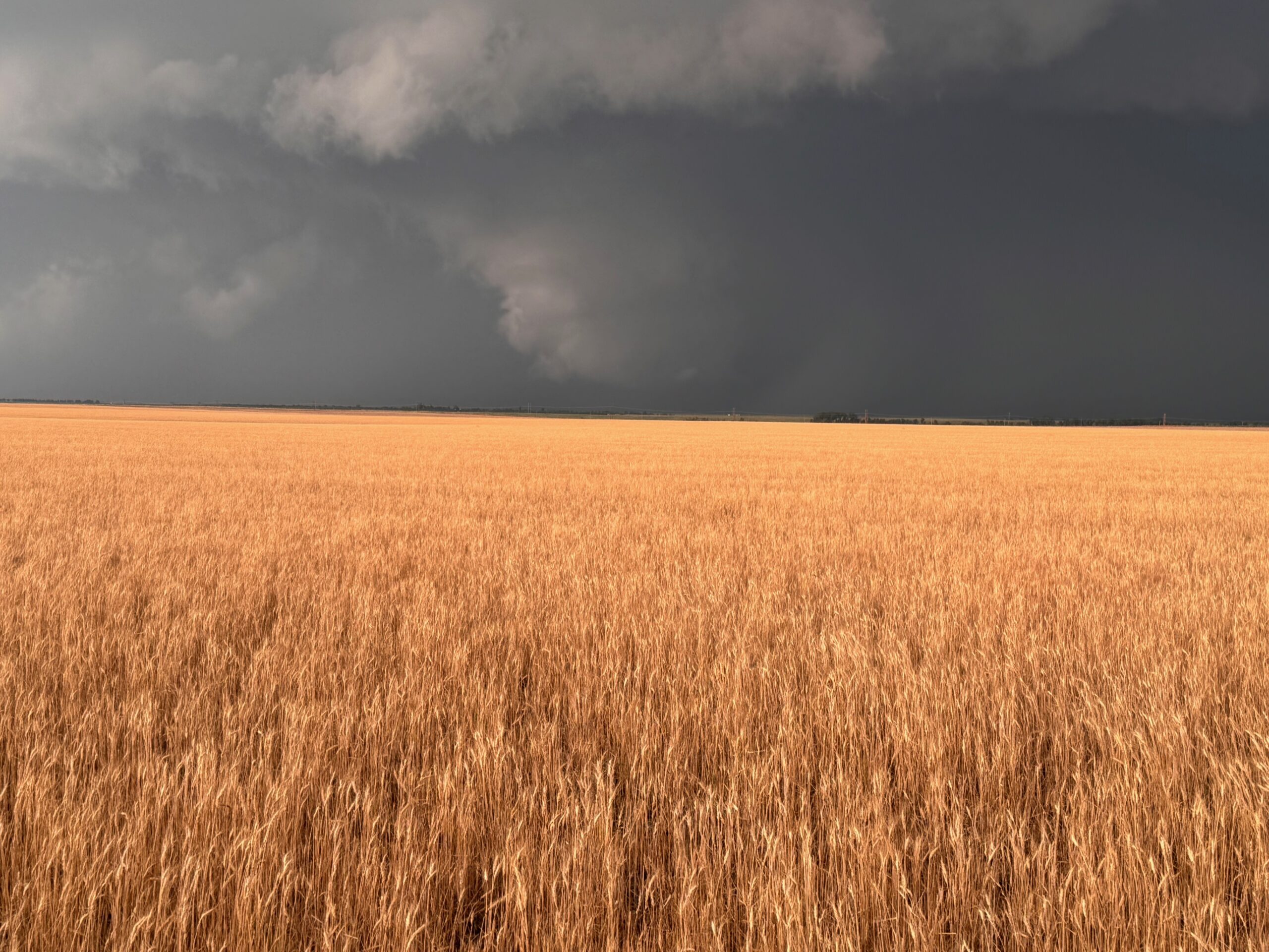
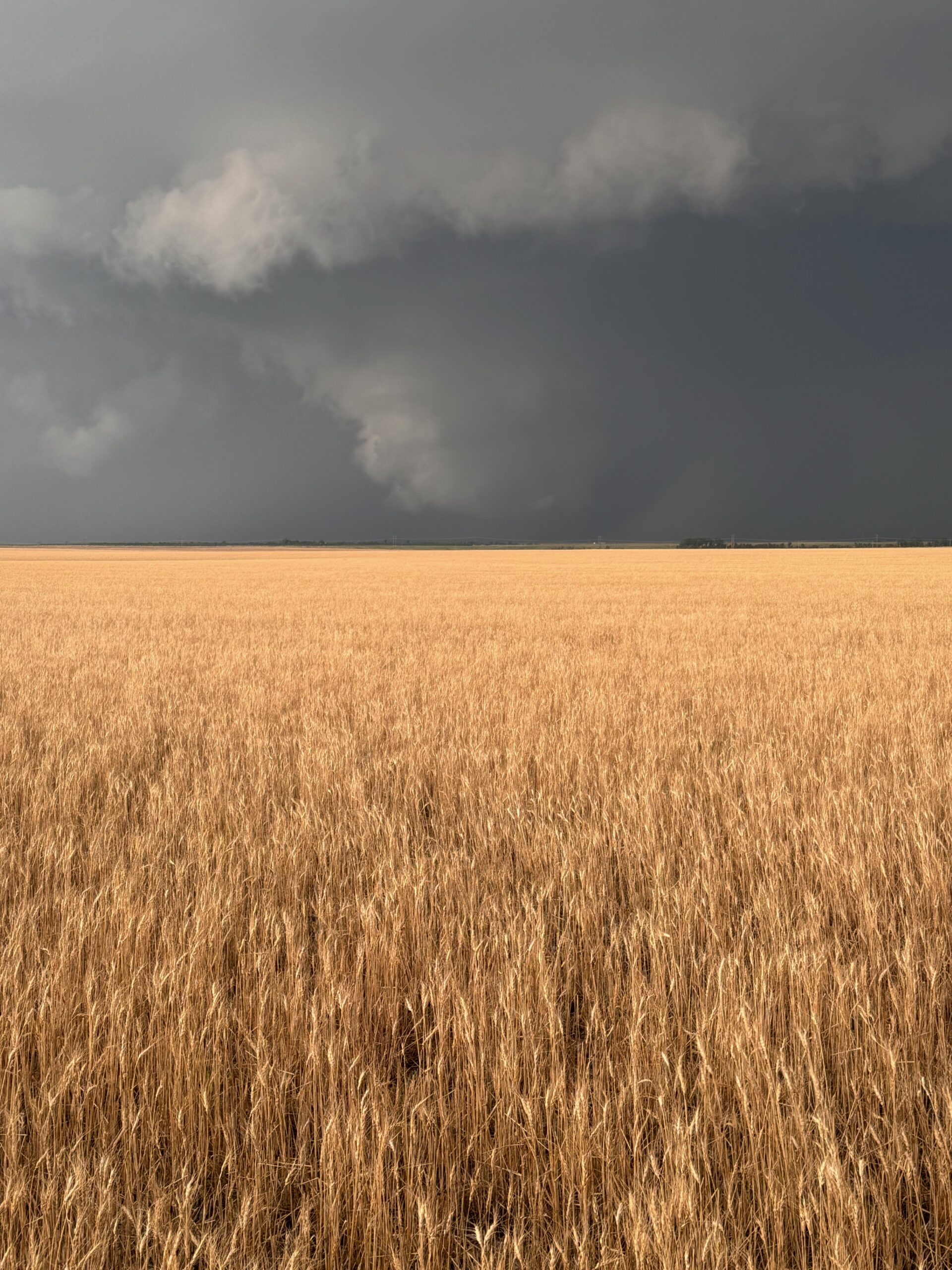
Our supercell strengthened and became even more organized as it continued to the south of Sterling. We stayed in front of it from Atwood to Akron, and the NWS issued a tornado warning. We stopped in its path on the east side of Akron, and the storm had quite a menacing look to it, with plenty of dust and dirt getting swept up (pics 6-8 below). The action area was often obscured by dust and precipitation, and may well have been associated with a tornado during this timeframe. As the storm approached 34 east of Akron, we made our way quickly to Otis and south again.
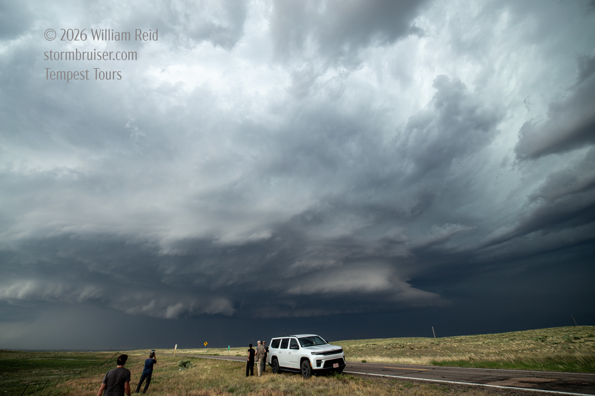
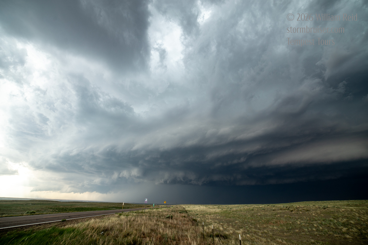
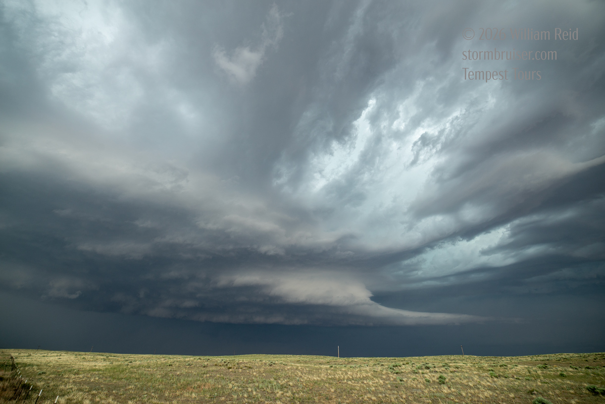
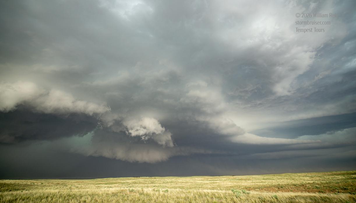
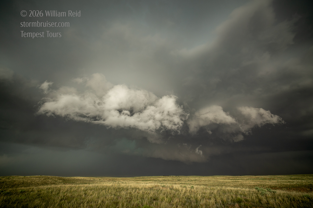
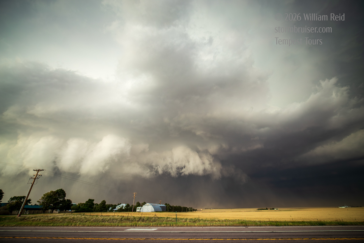
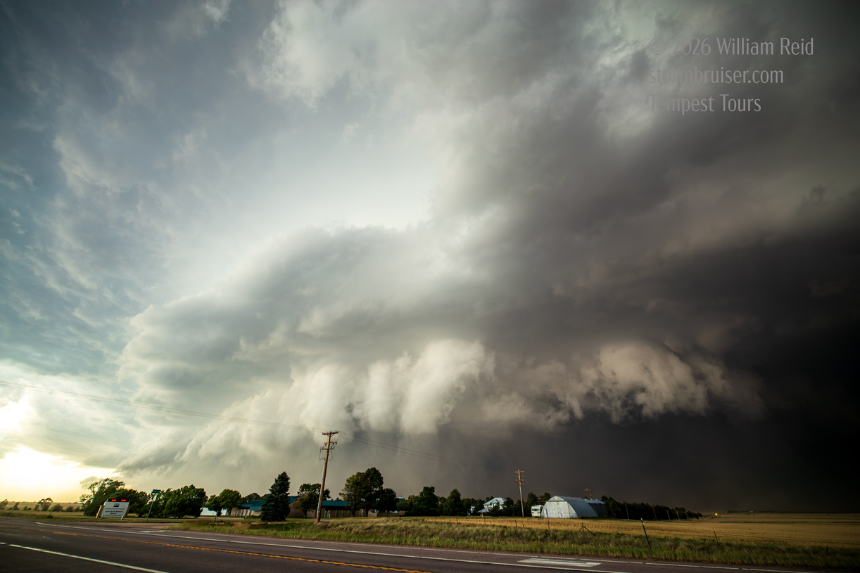
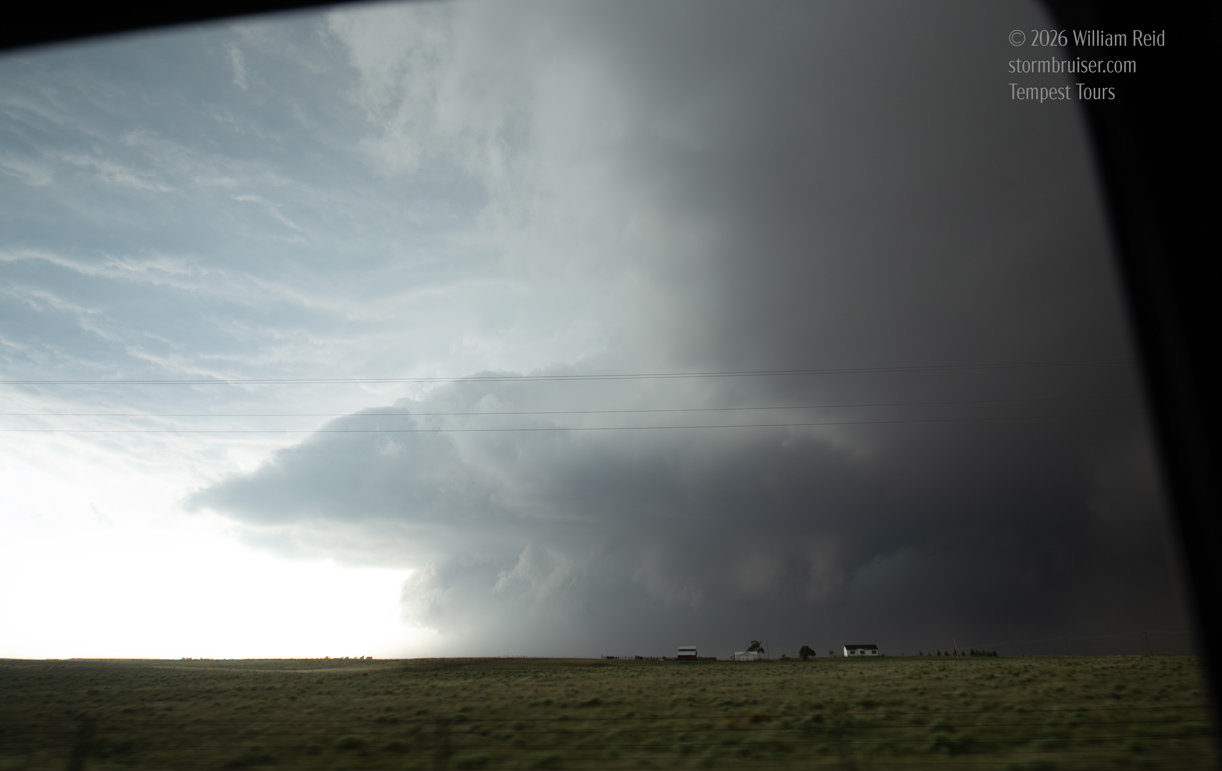
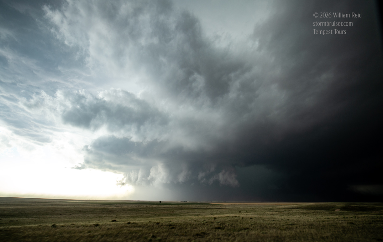
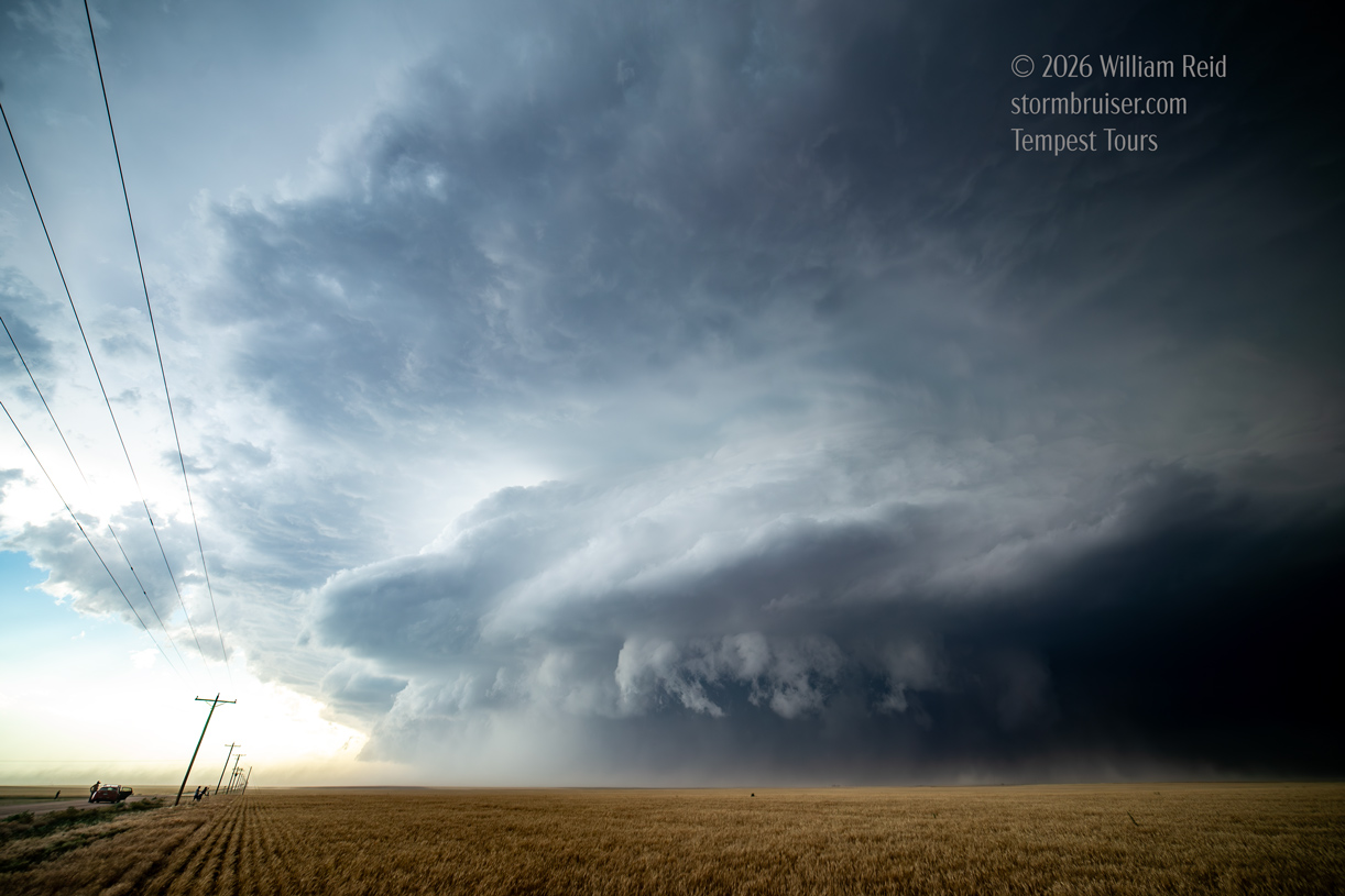
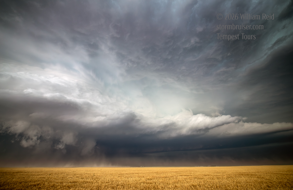
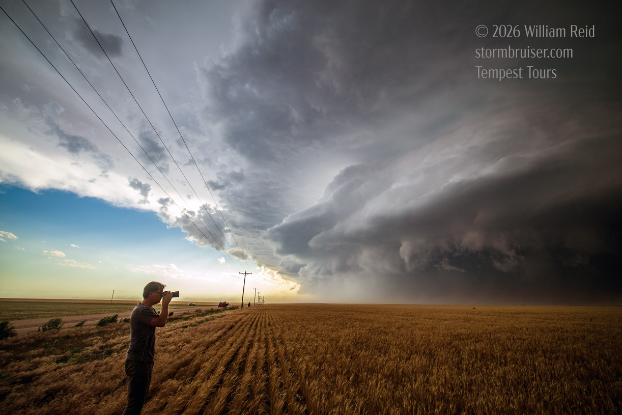
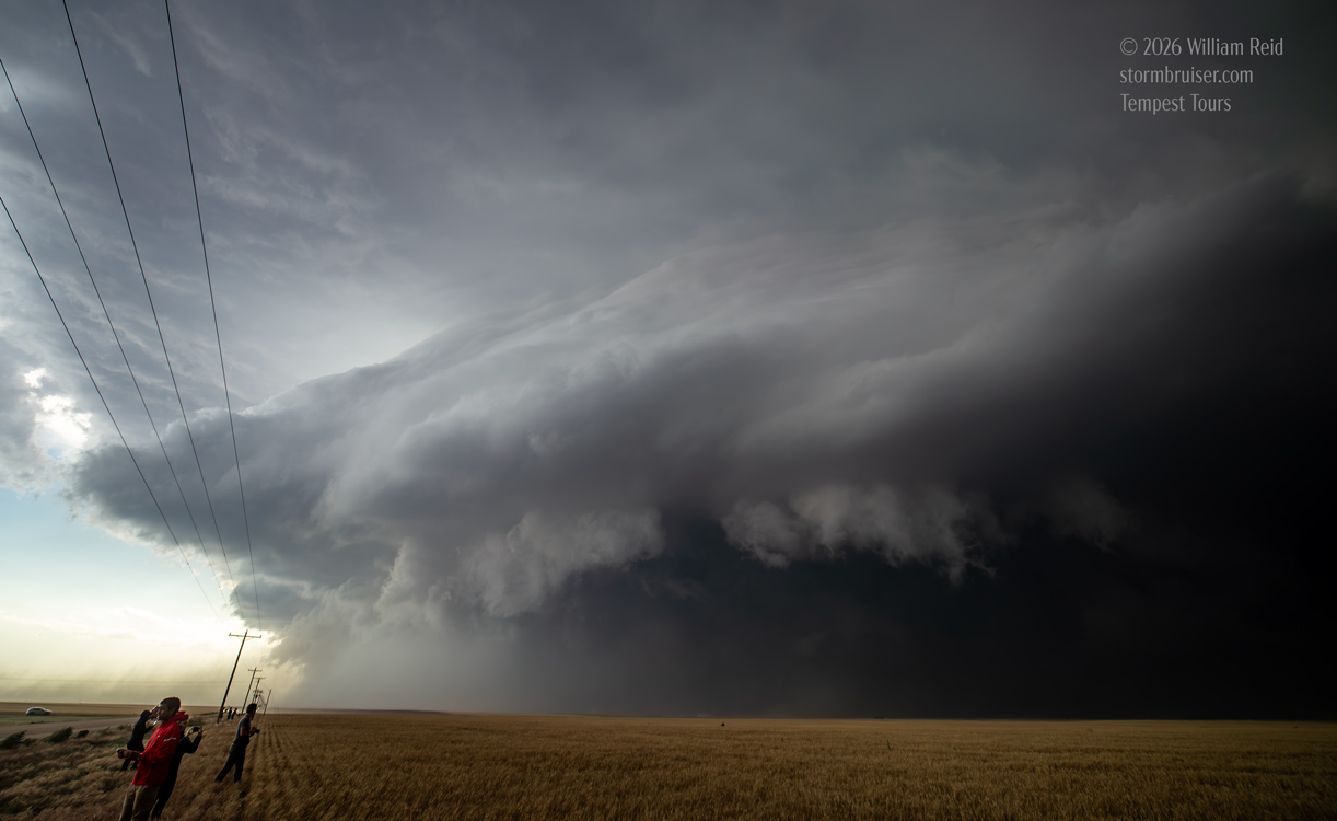
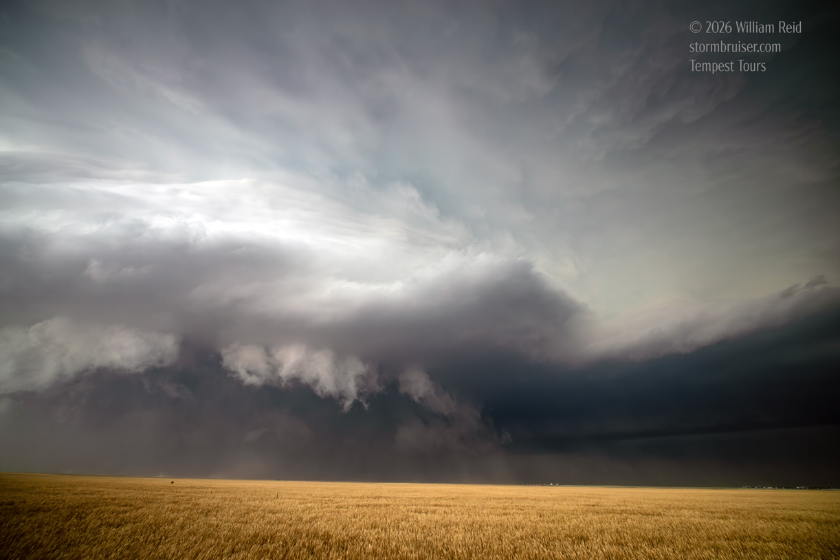
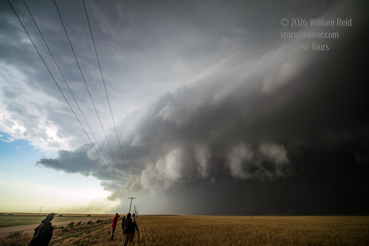
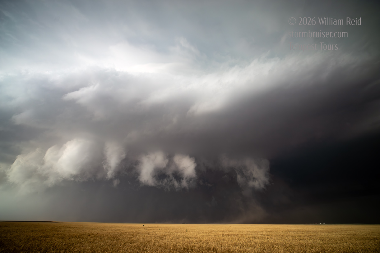
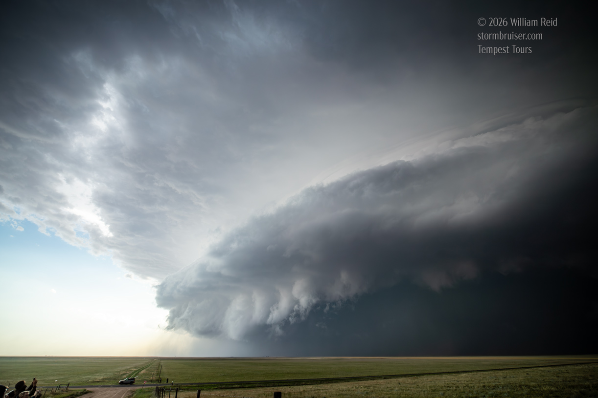
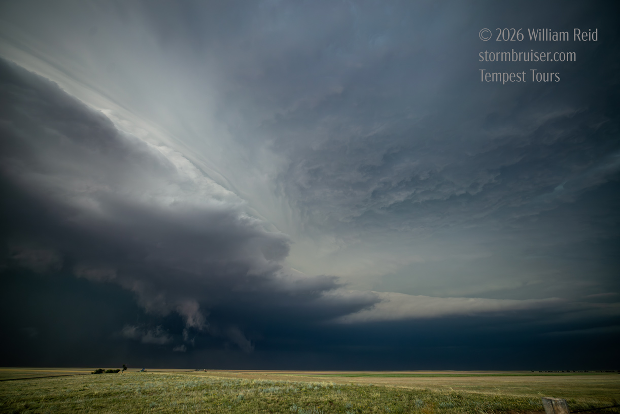
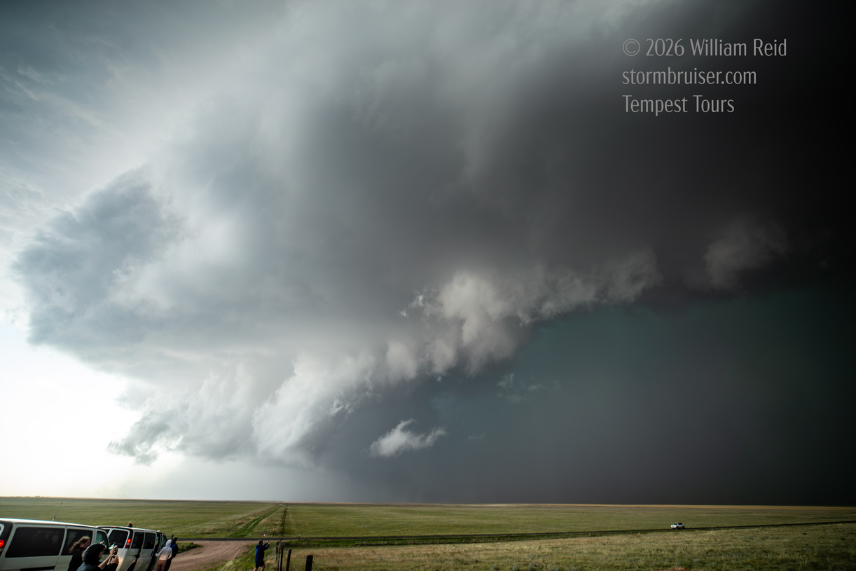
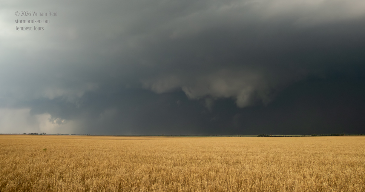
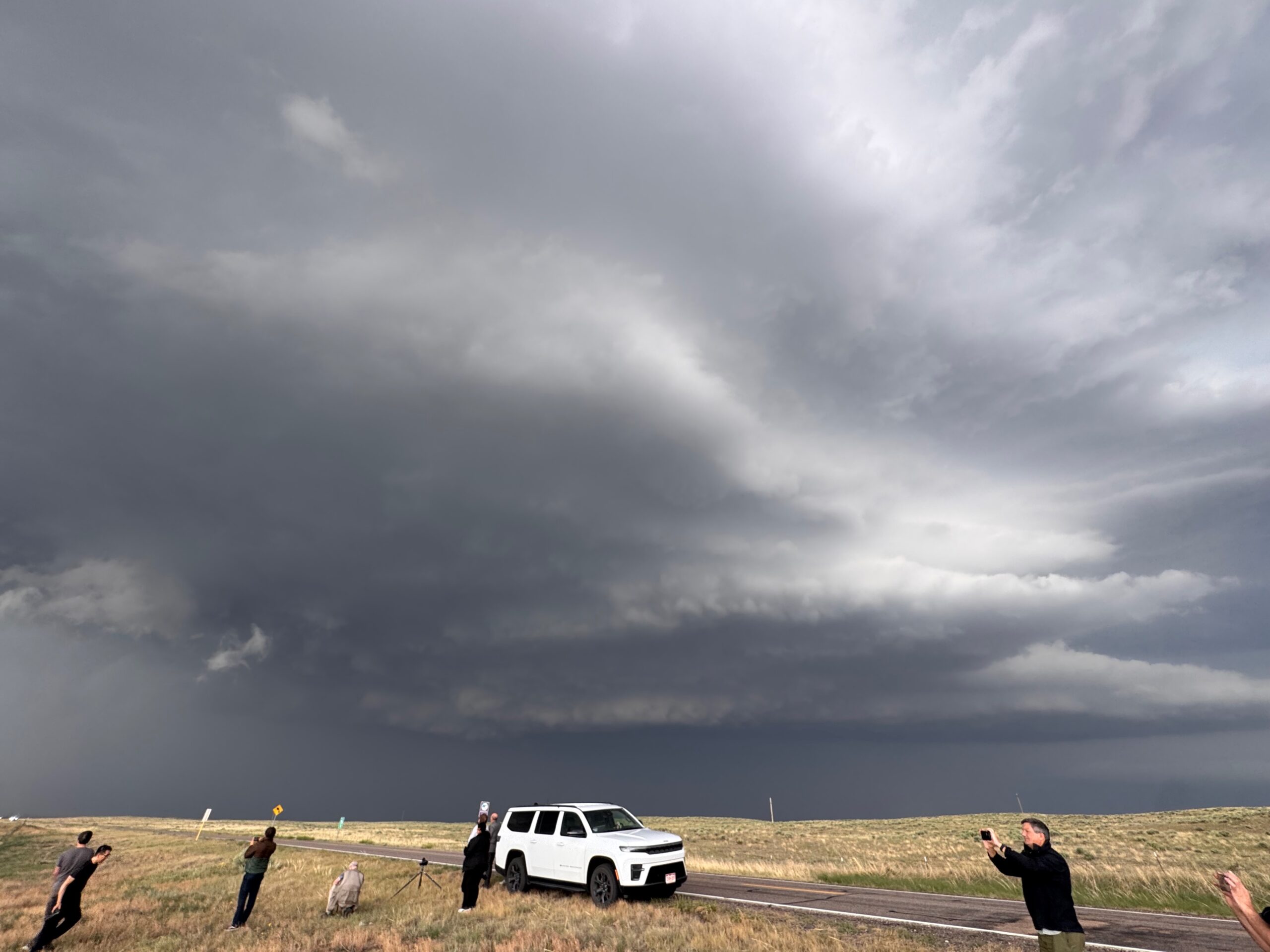
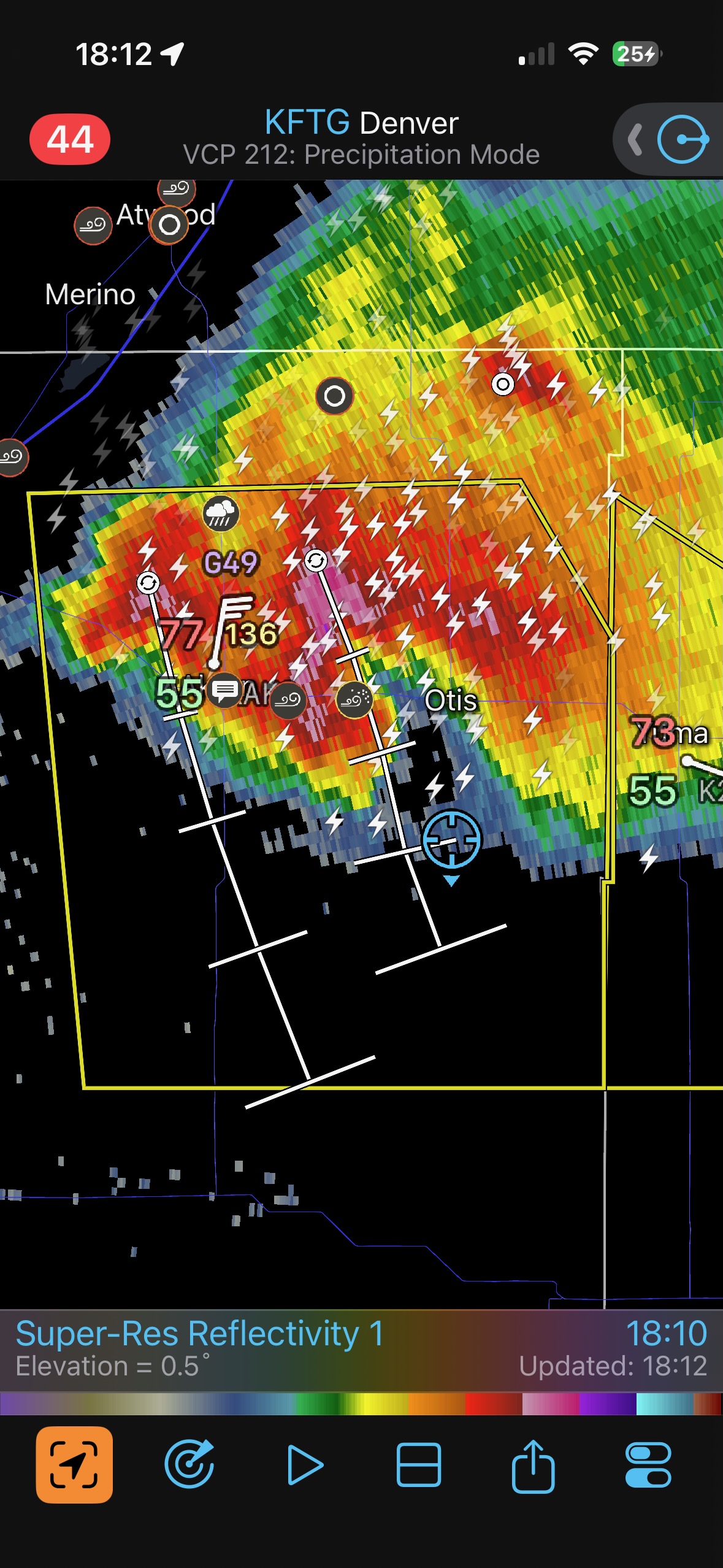
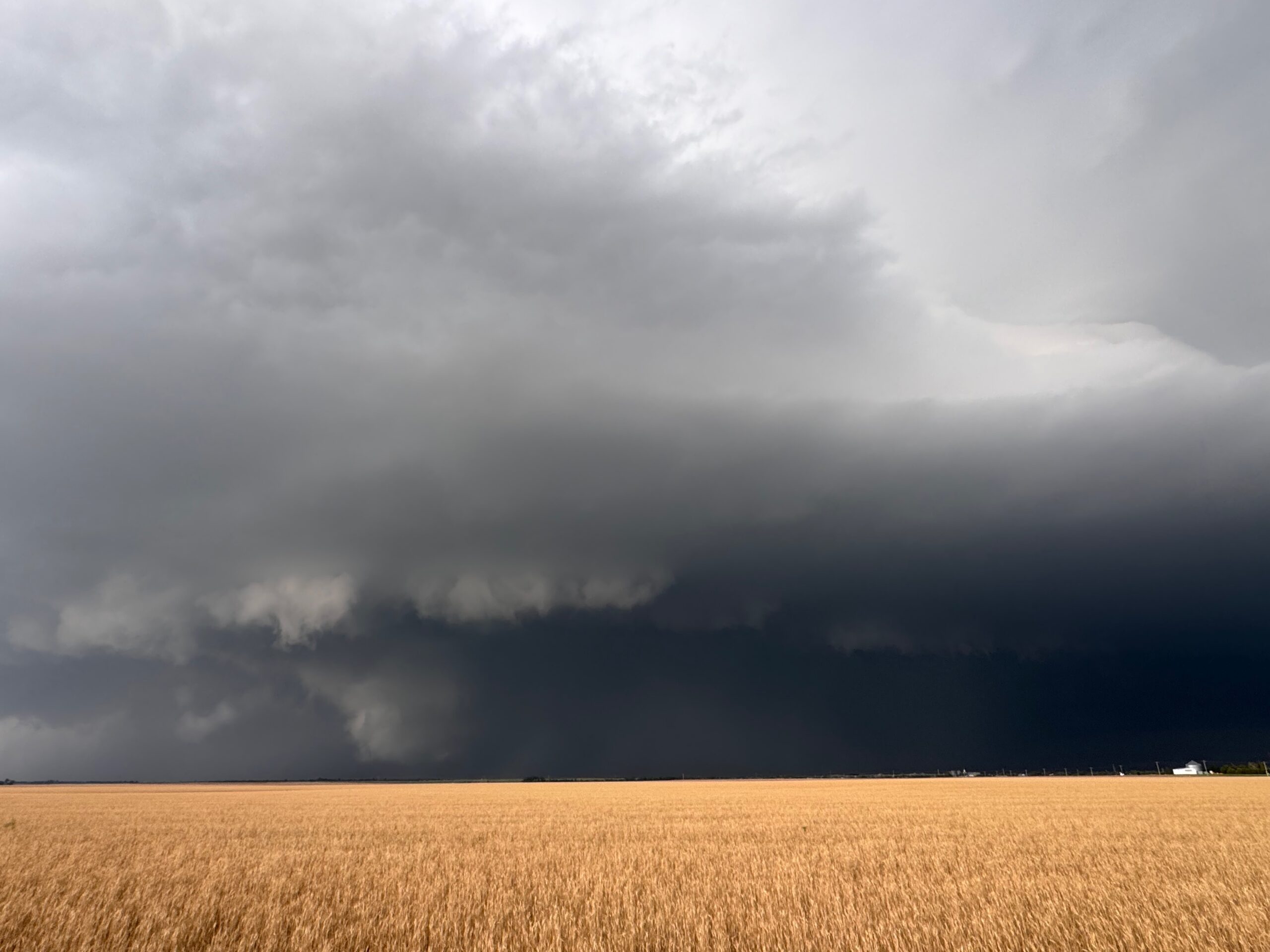
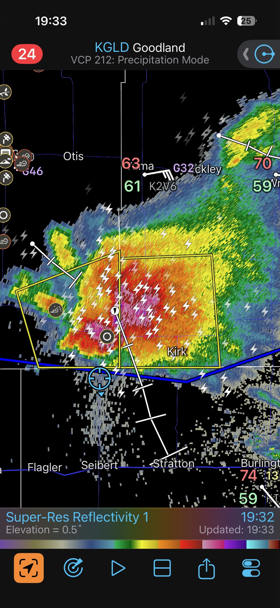
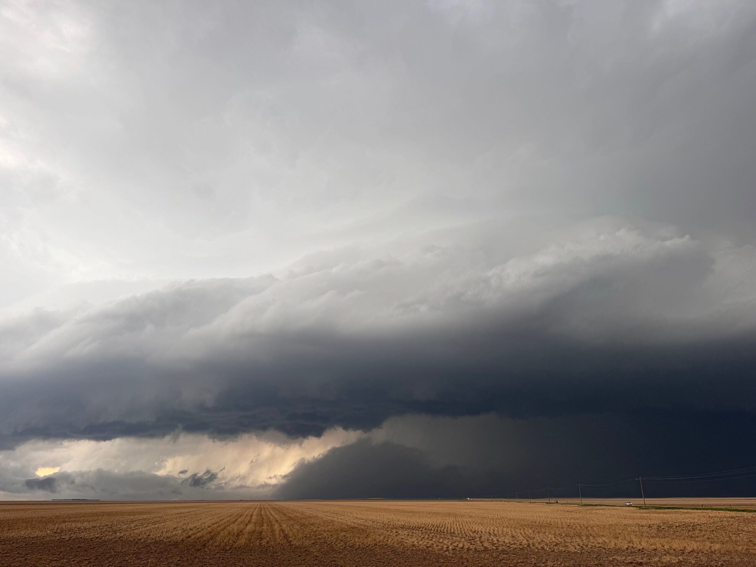
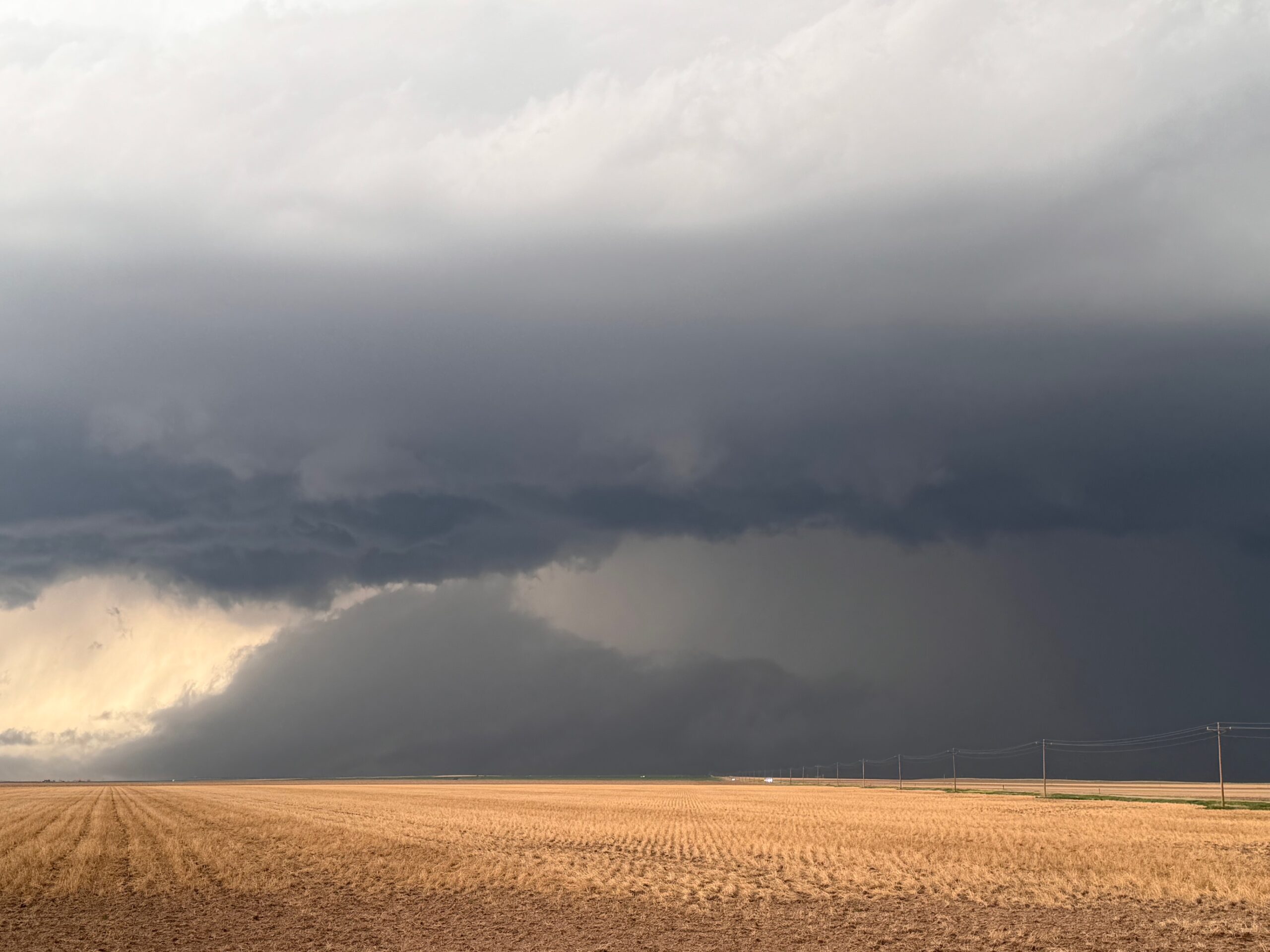
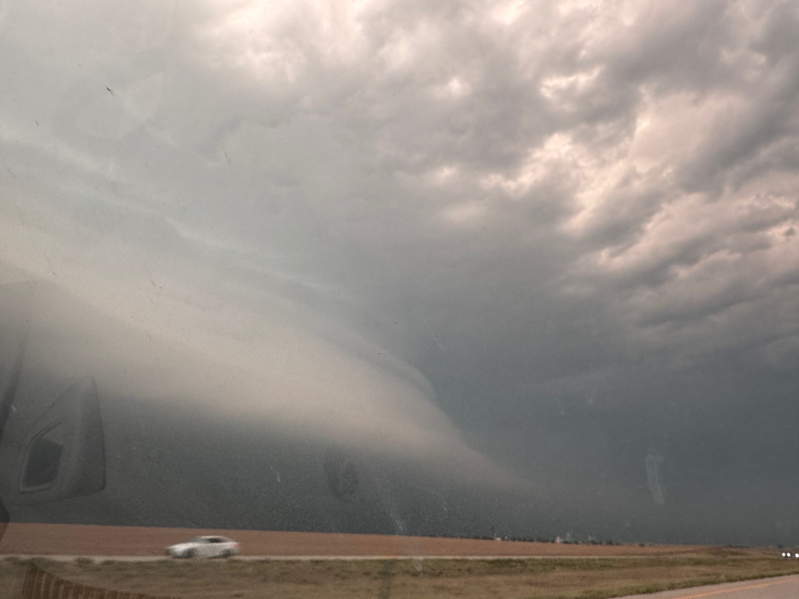
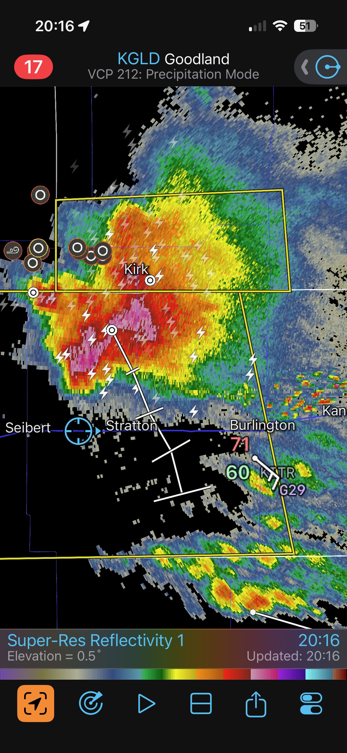
The road south from Otis to Cope to Seibert kept us in good shape to observe storm structure. Again, the storm was on the HP side, and any tornadic areas were largely obscured.
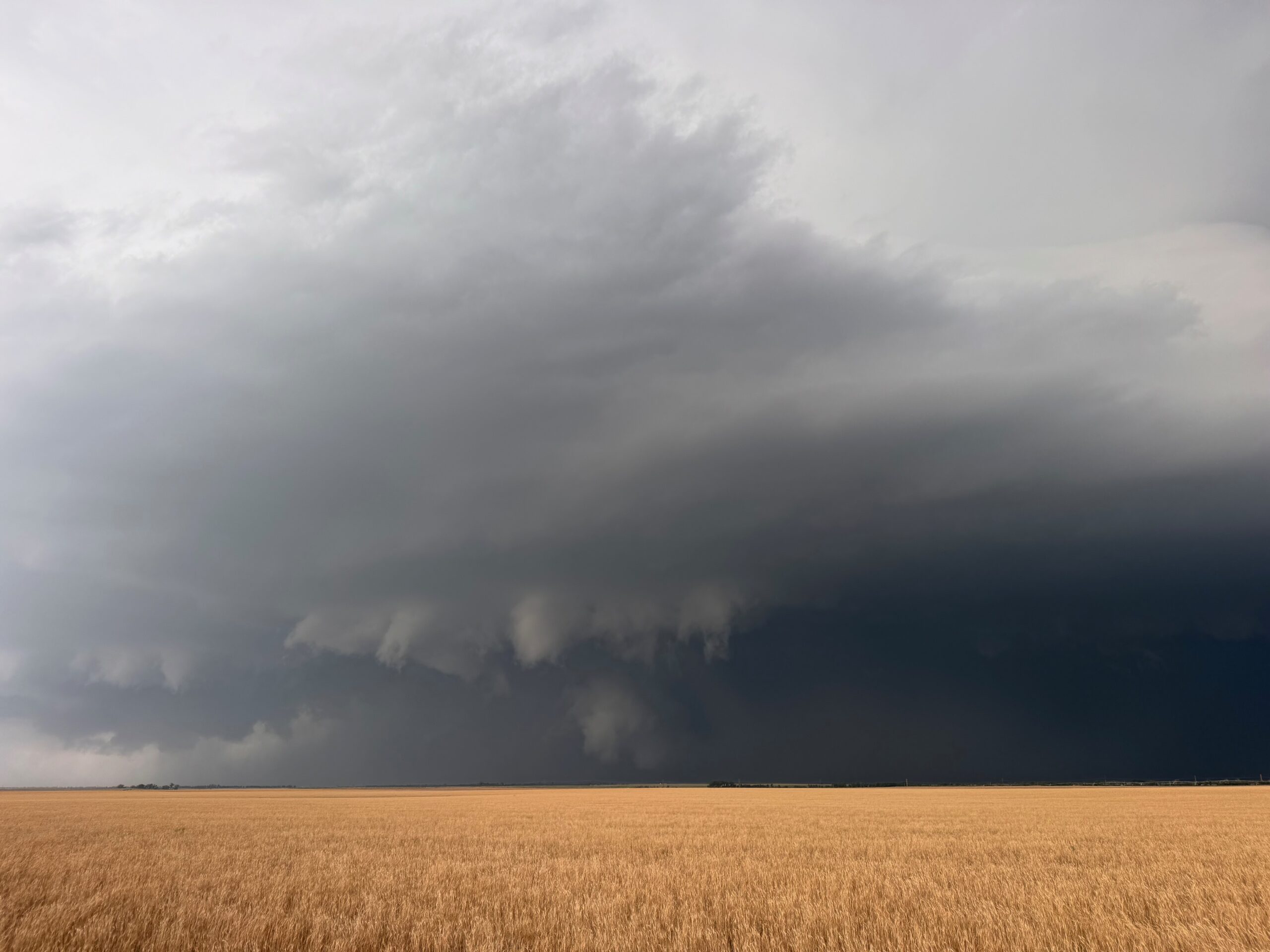
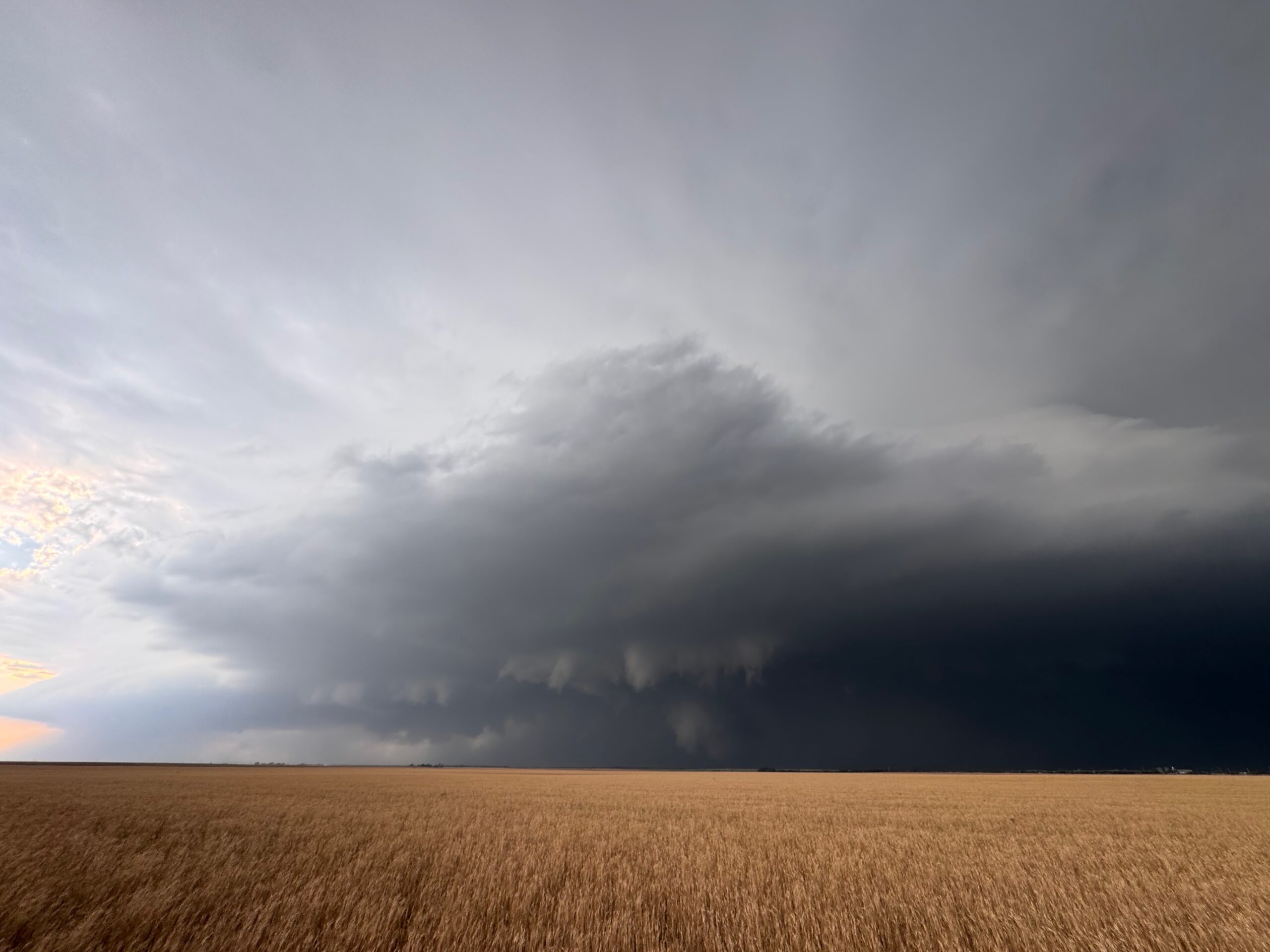
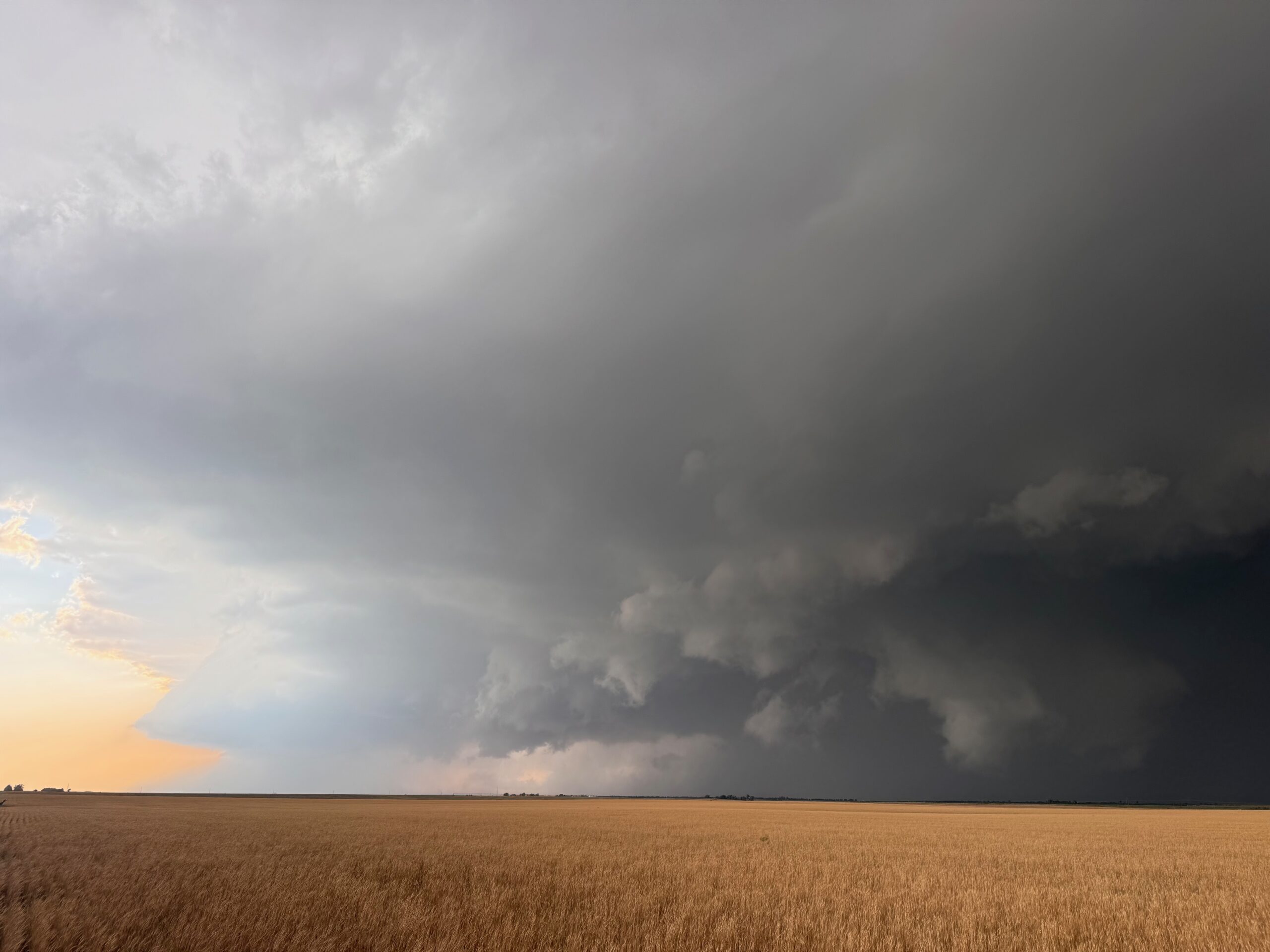
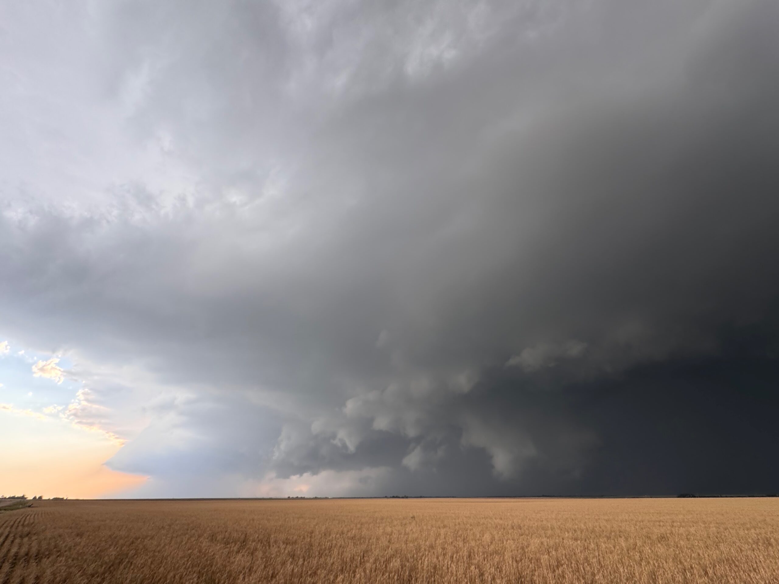
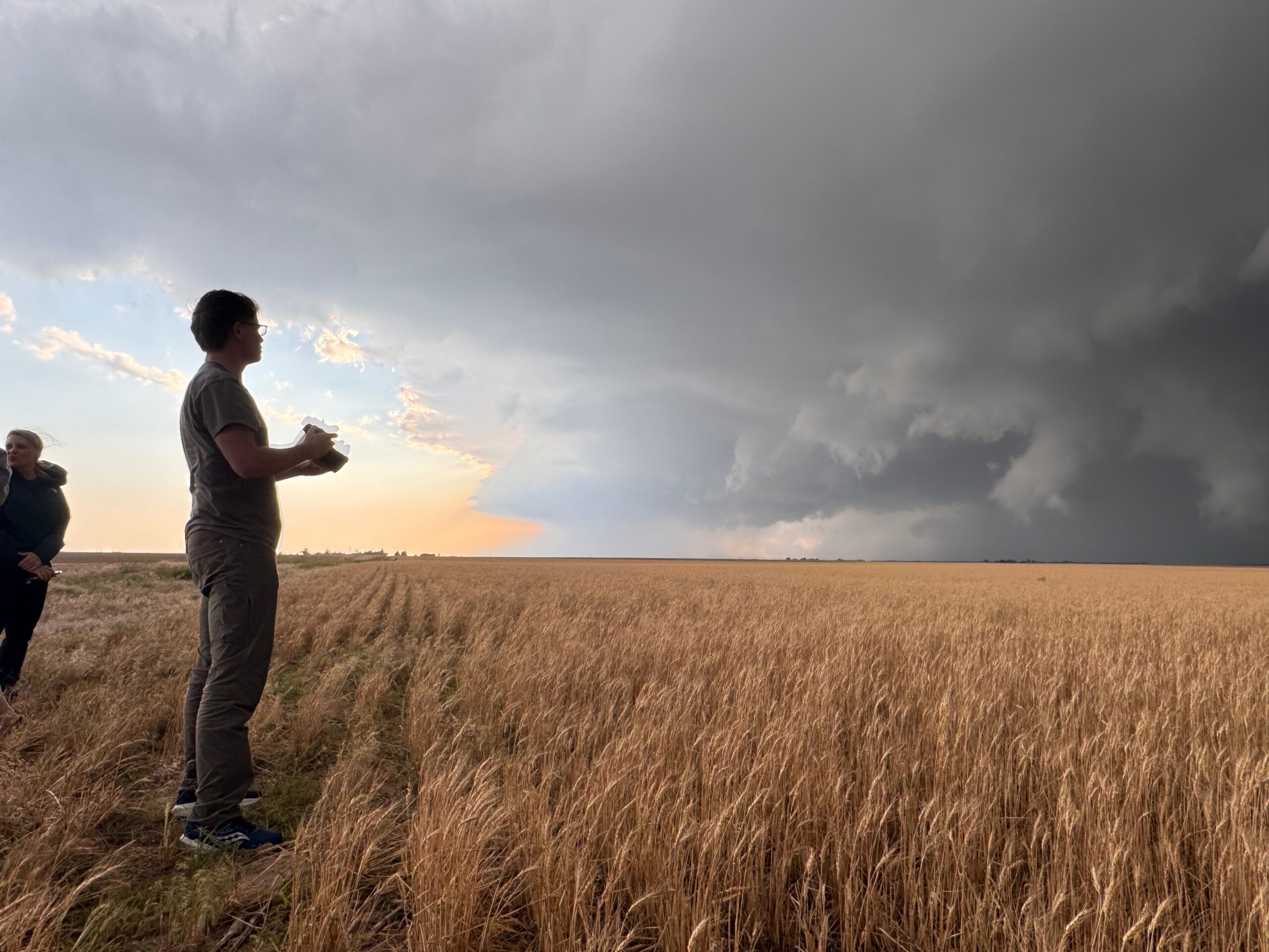
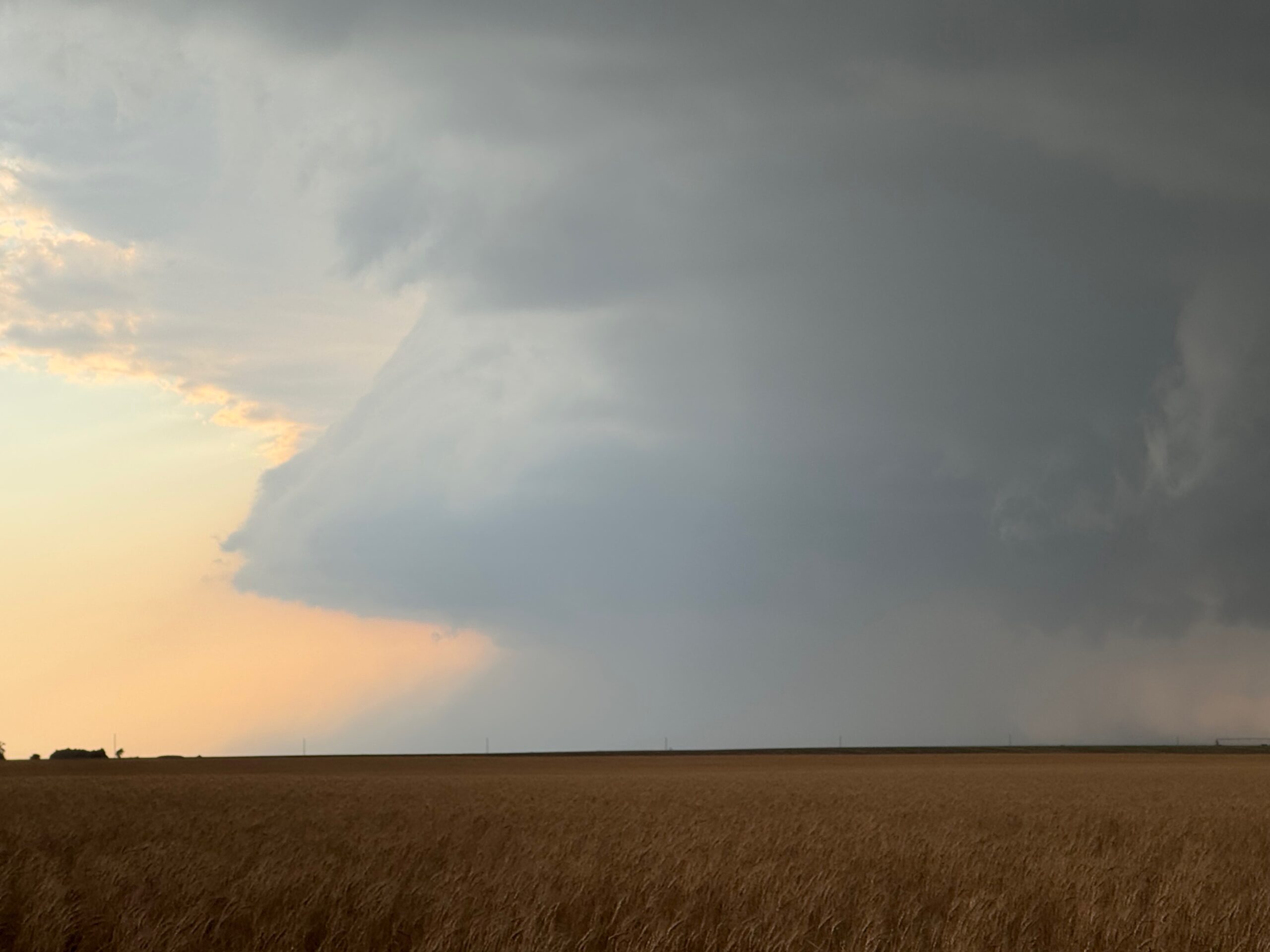
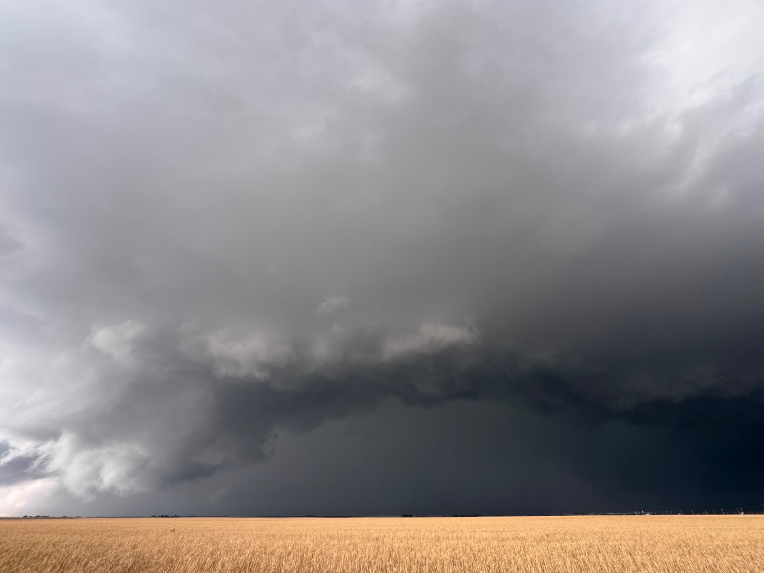
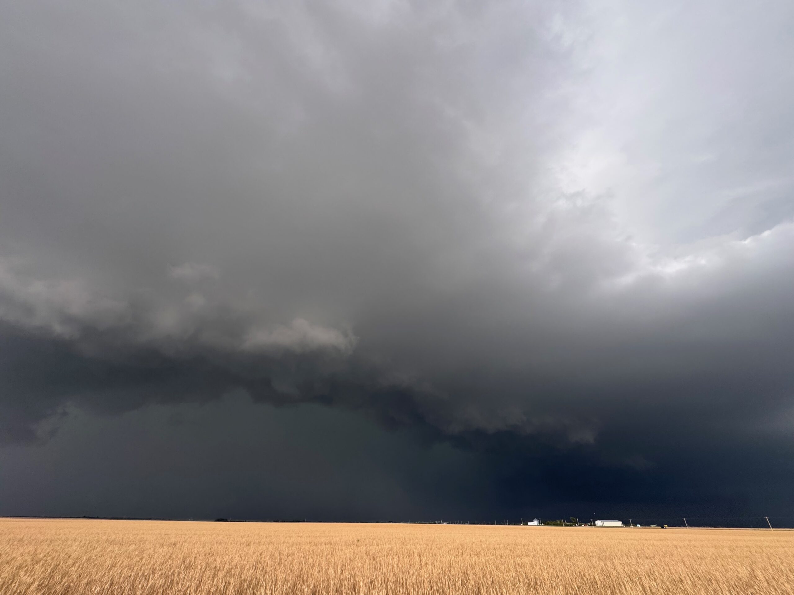
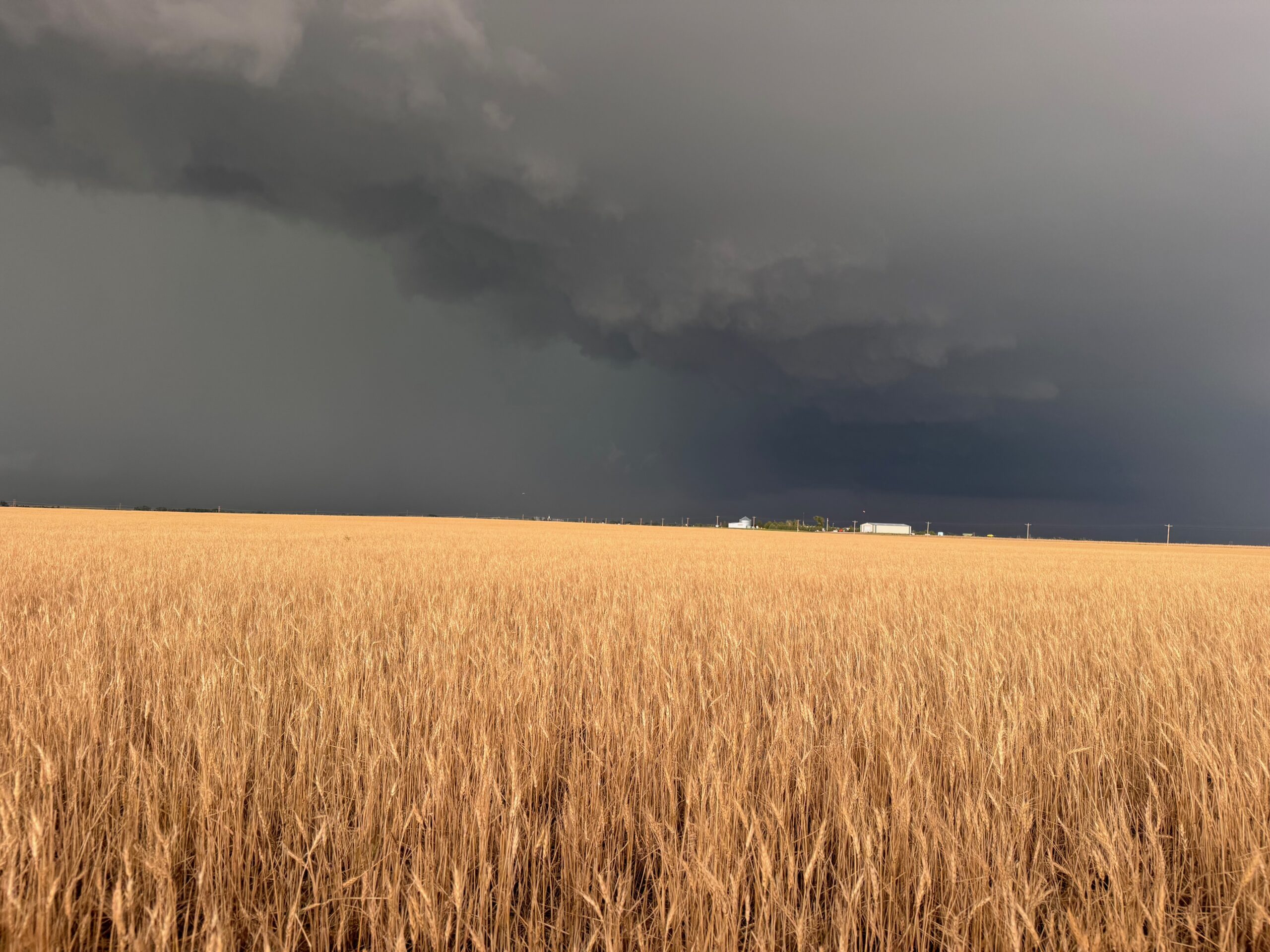
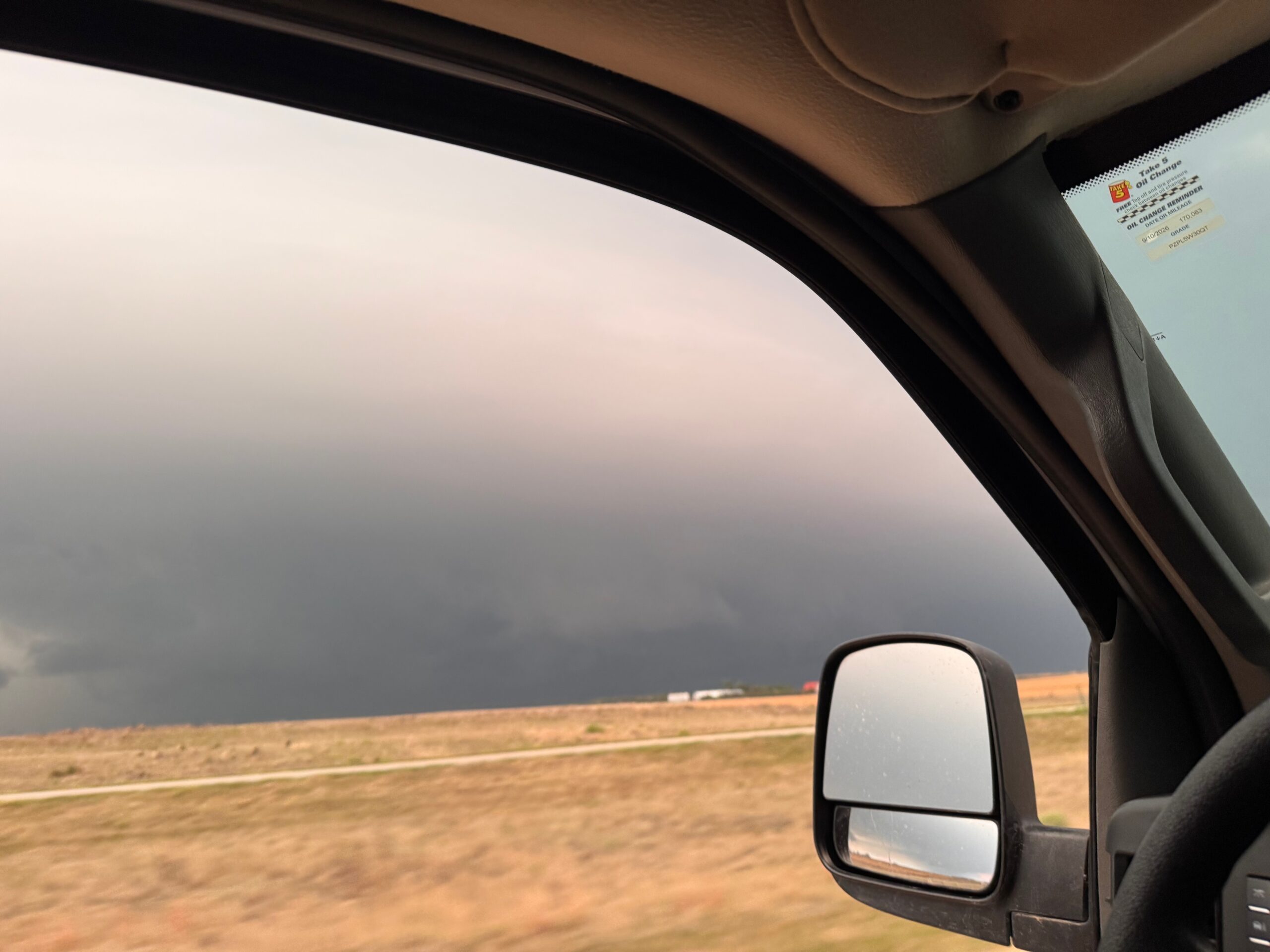
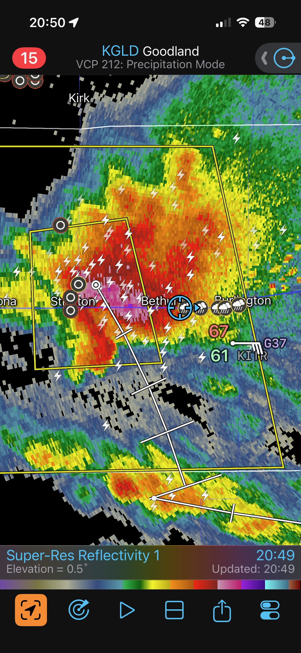
I think we made a quick pit stop along I-70 at Seibert. We got out of there just in time to scoot east along 70, right in front of the severe storm. We stopped a bit east of Stratton near sunset, with the storm showing off some lowered areas which were not looking tornadic.
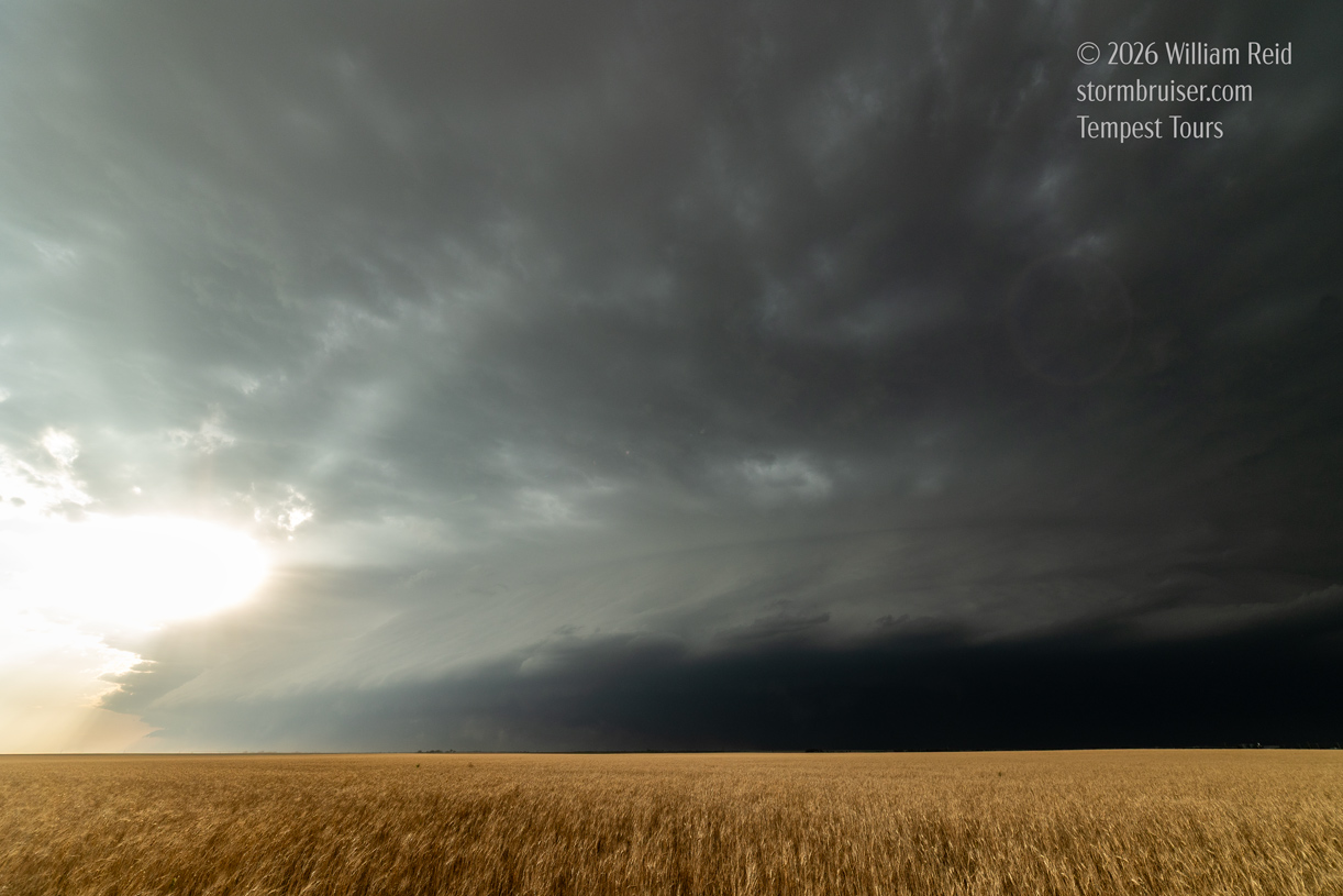
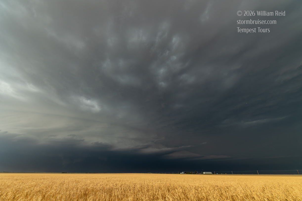
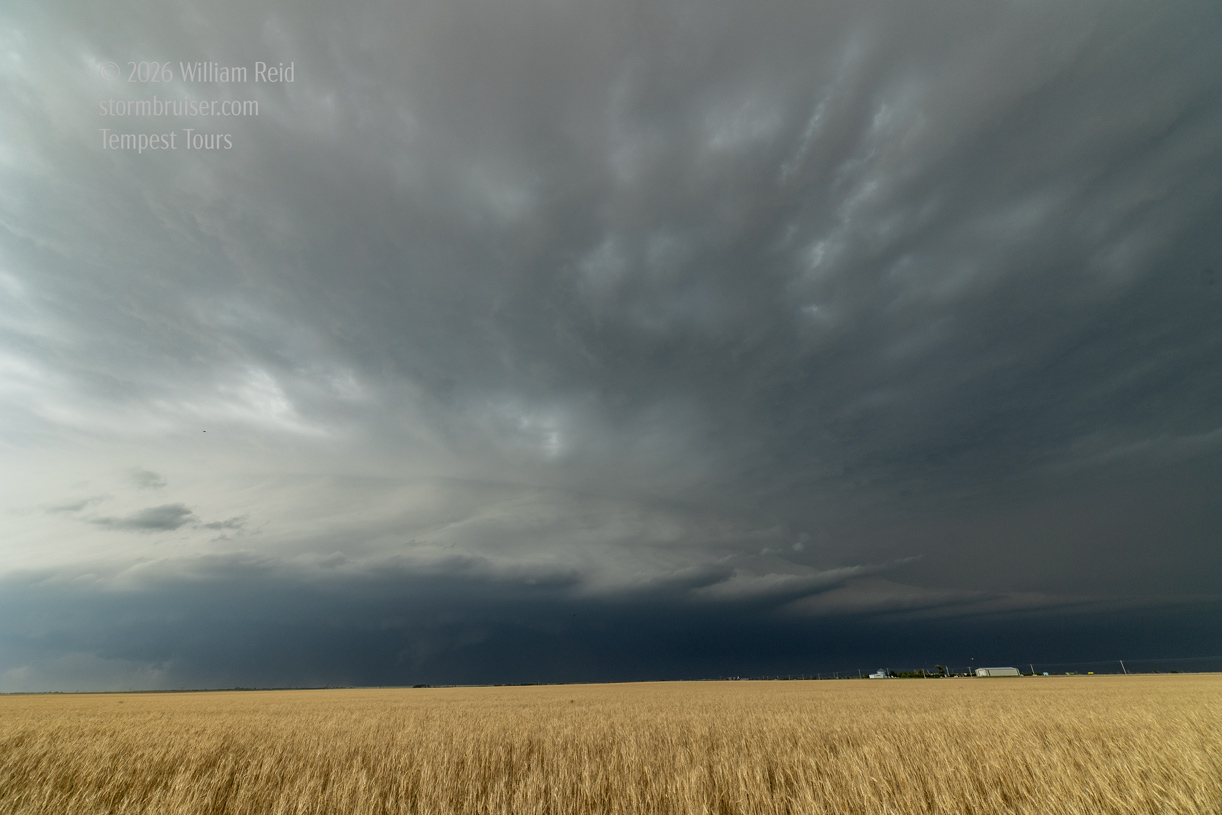
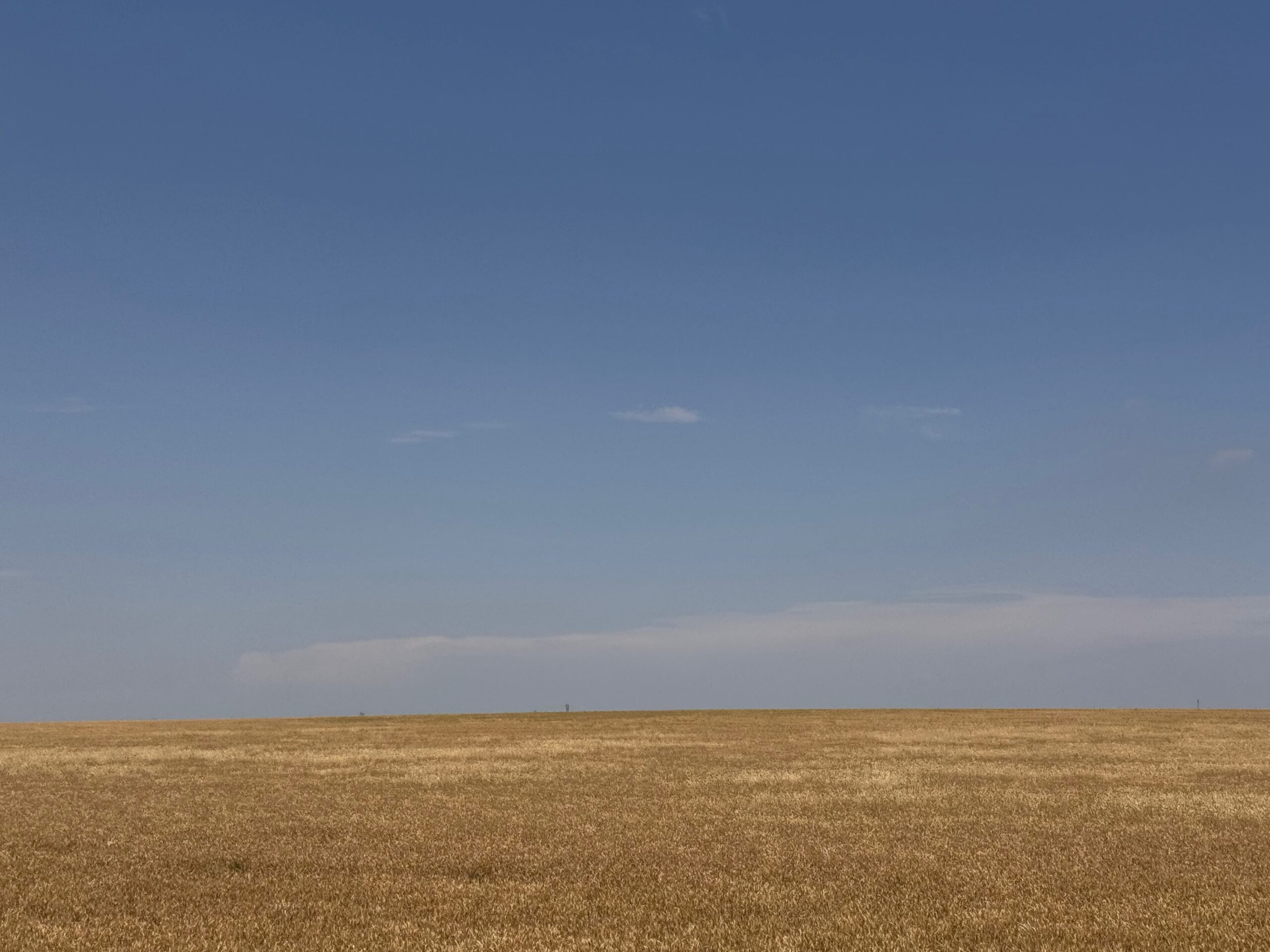
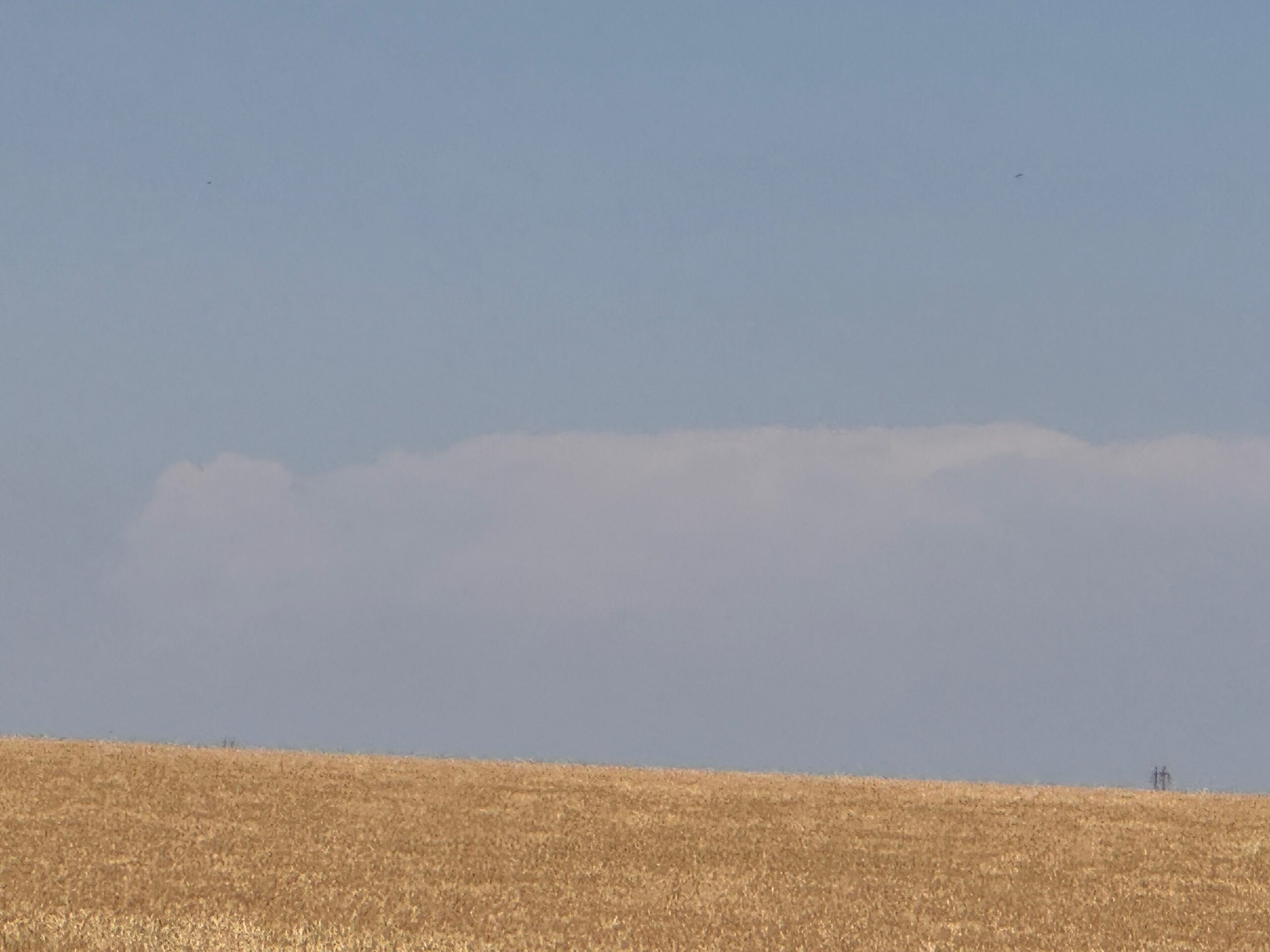
The pics above are off of the Canon cameras, and below I provide images and radar screenshots off of the iPhone, beginning with distant shots of the thunderstorm when it was near LaGrange, WY!
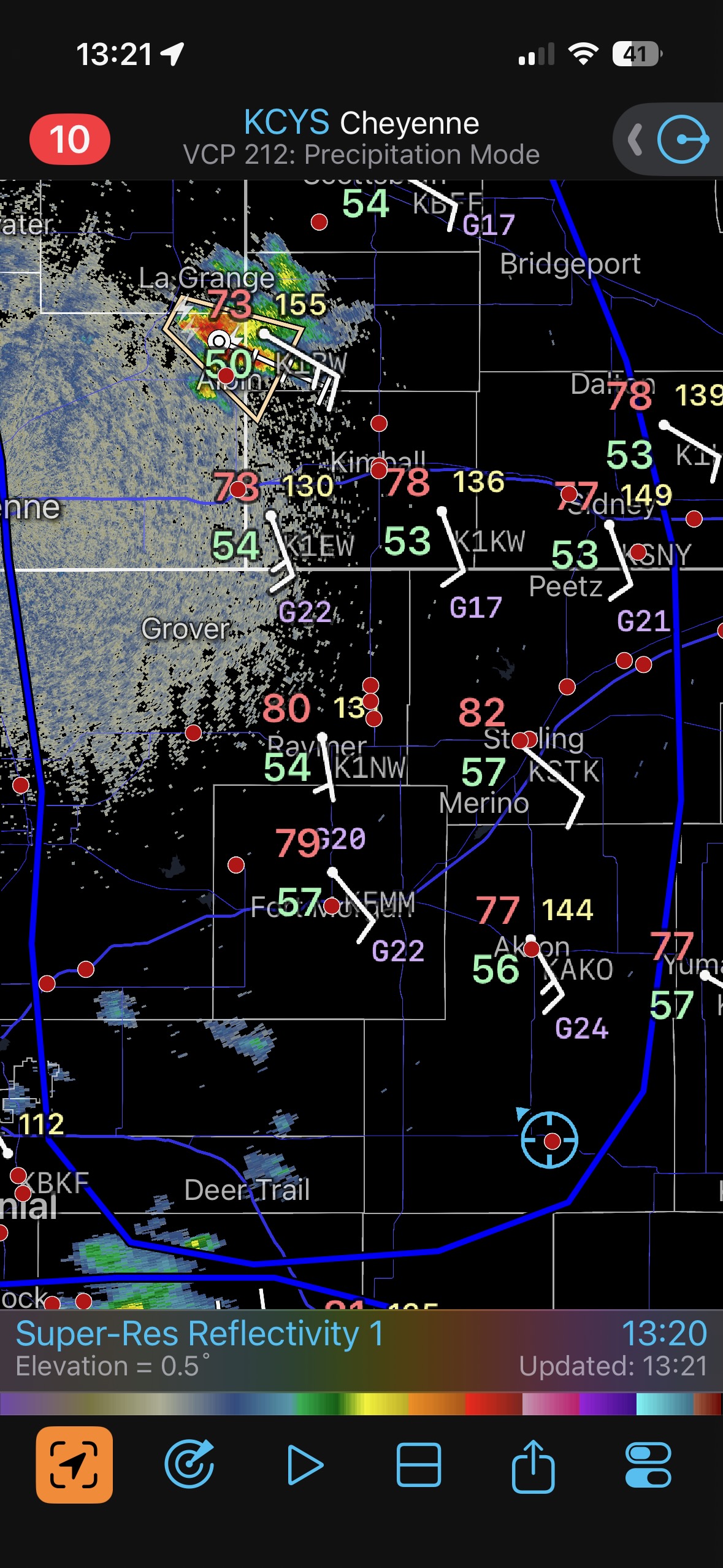
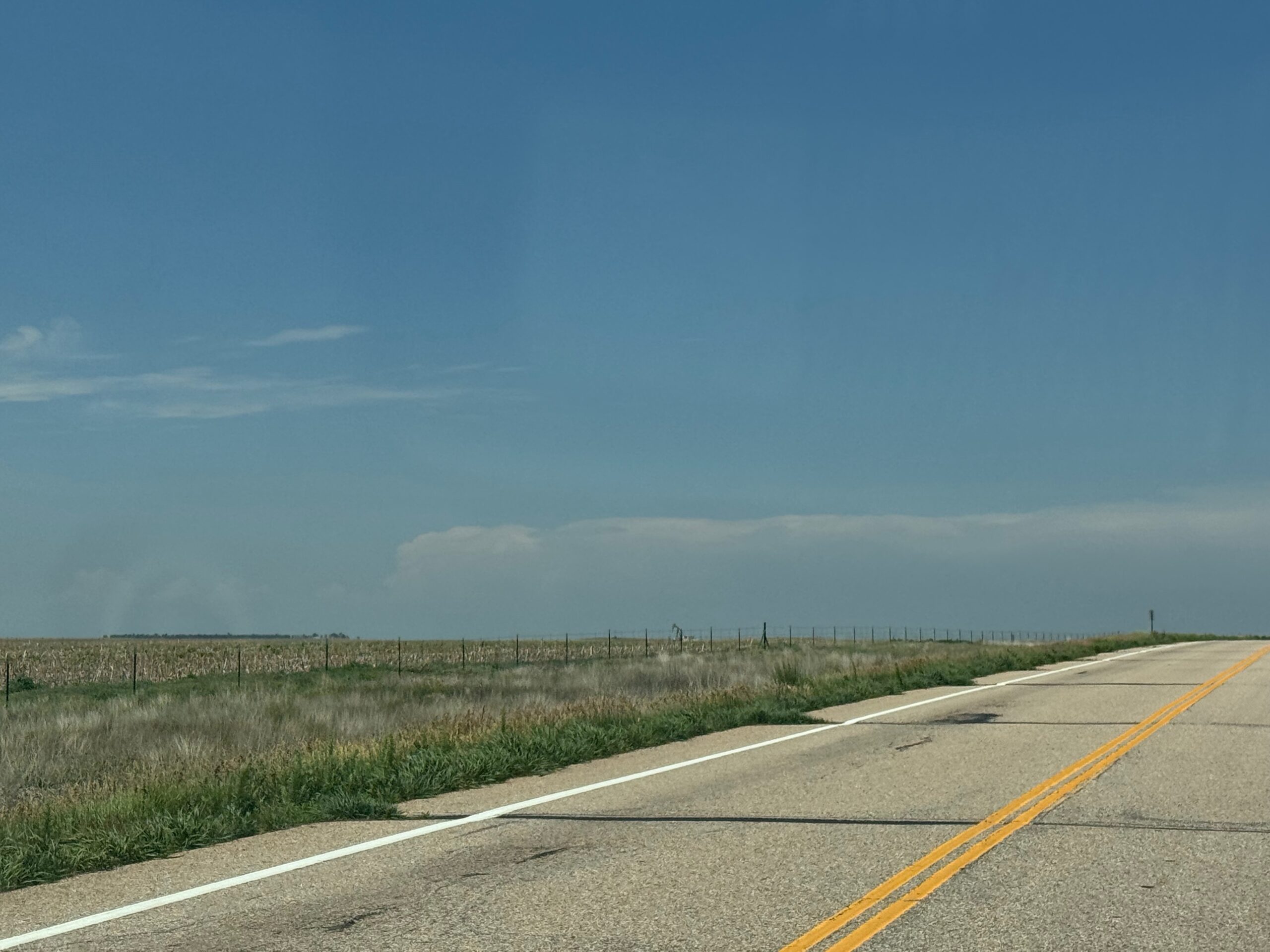
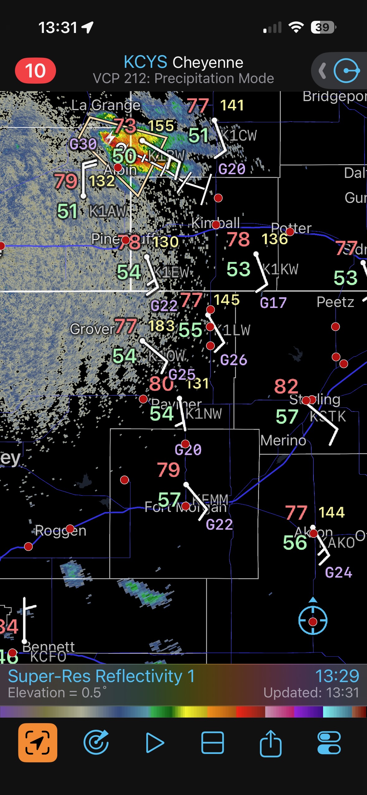
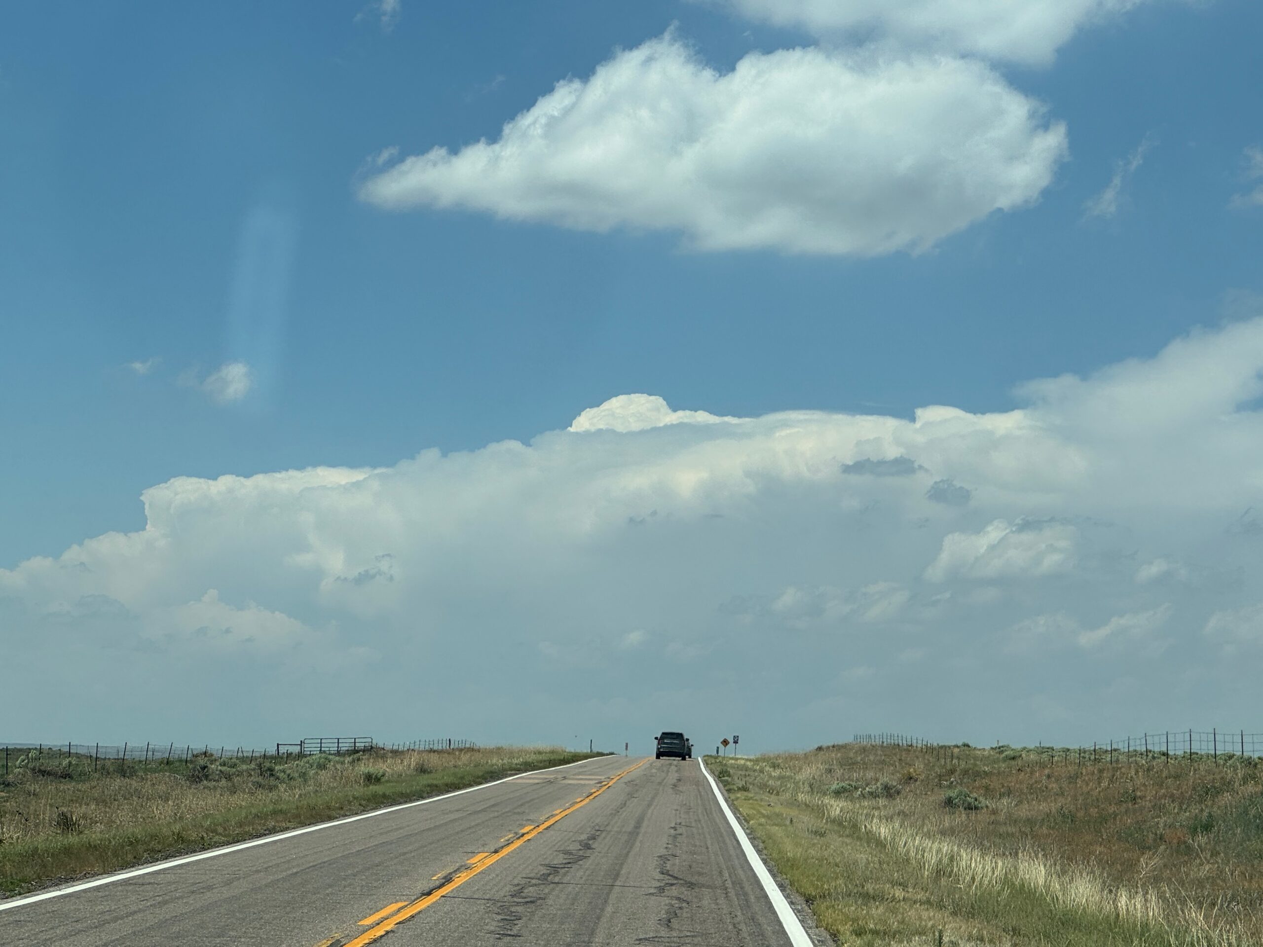
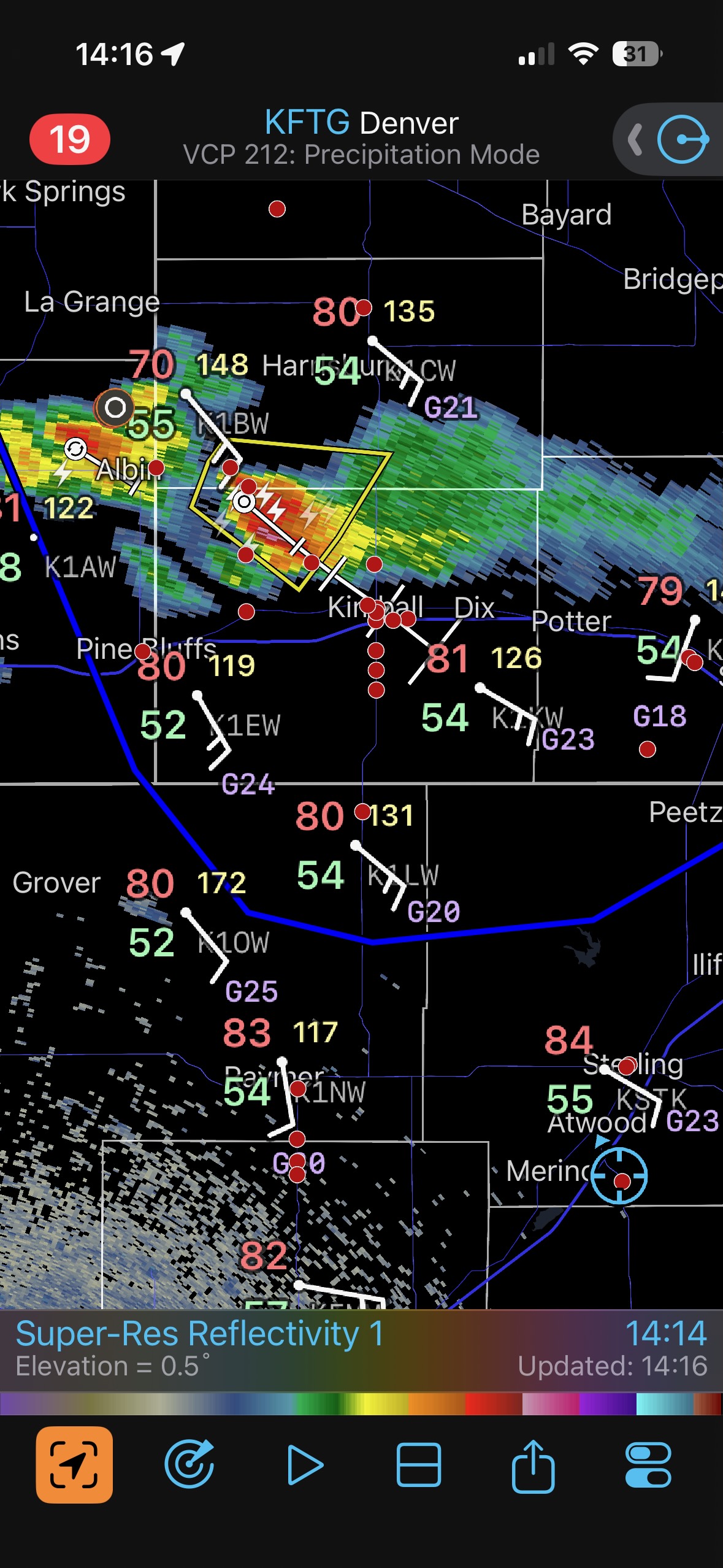
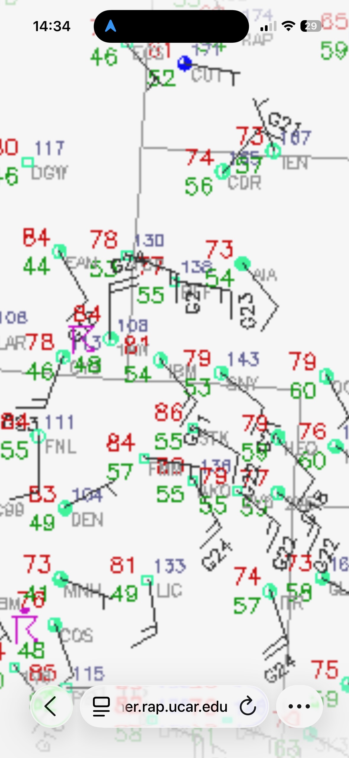
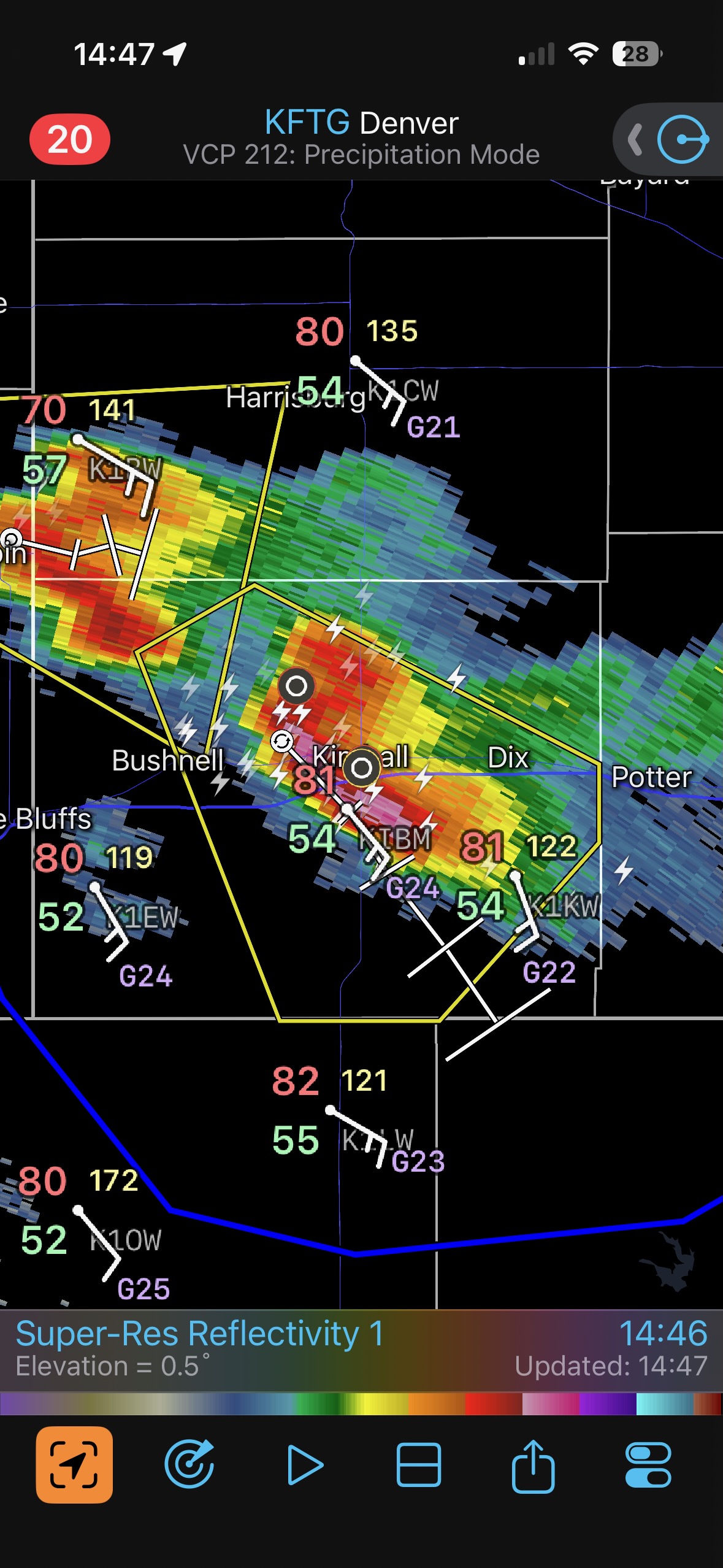
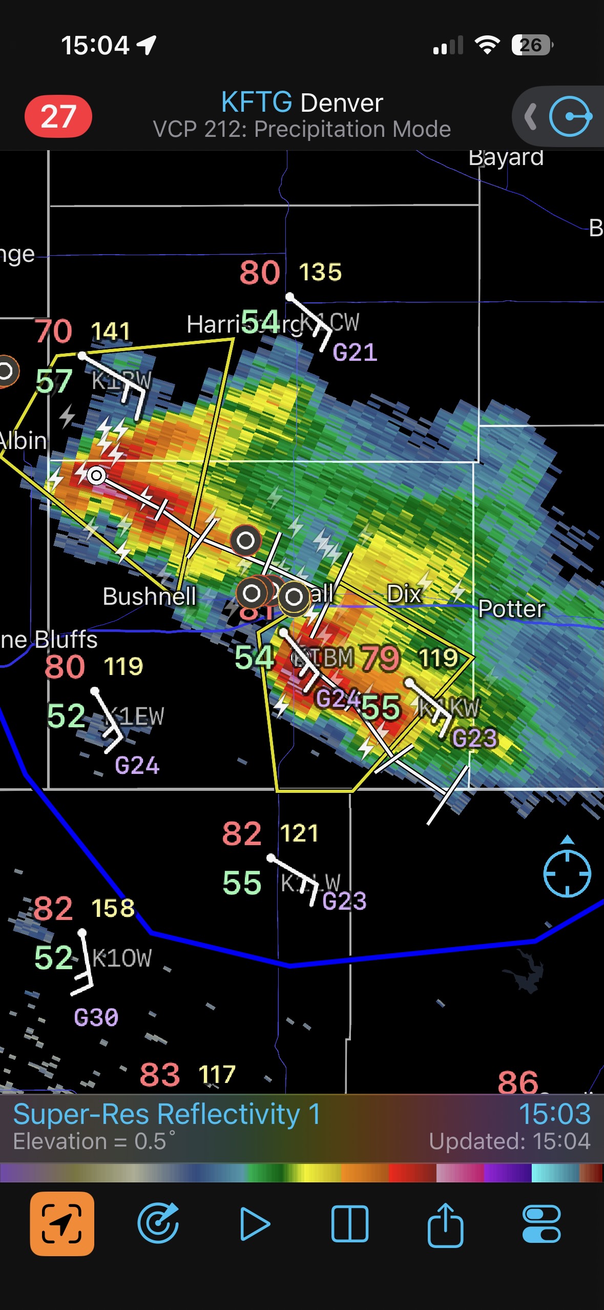
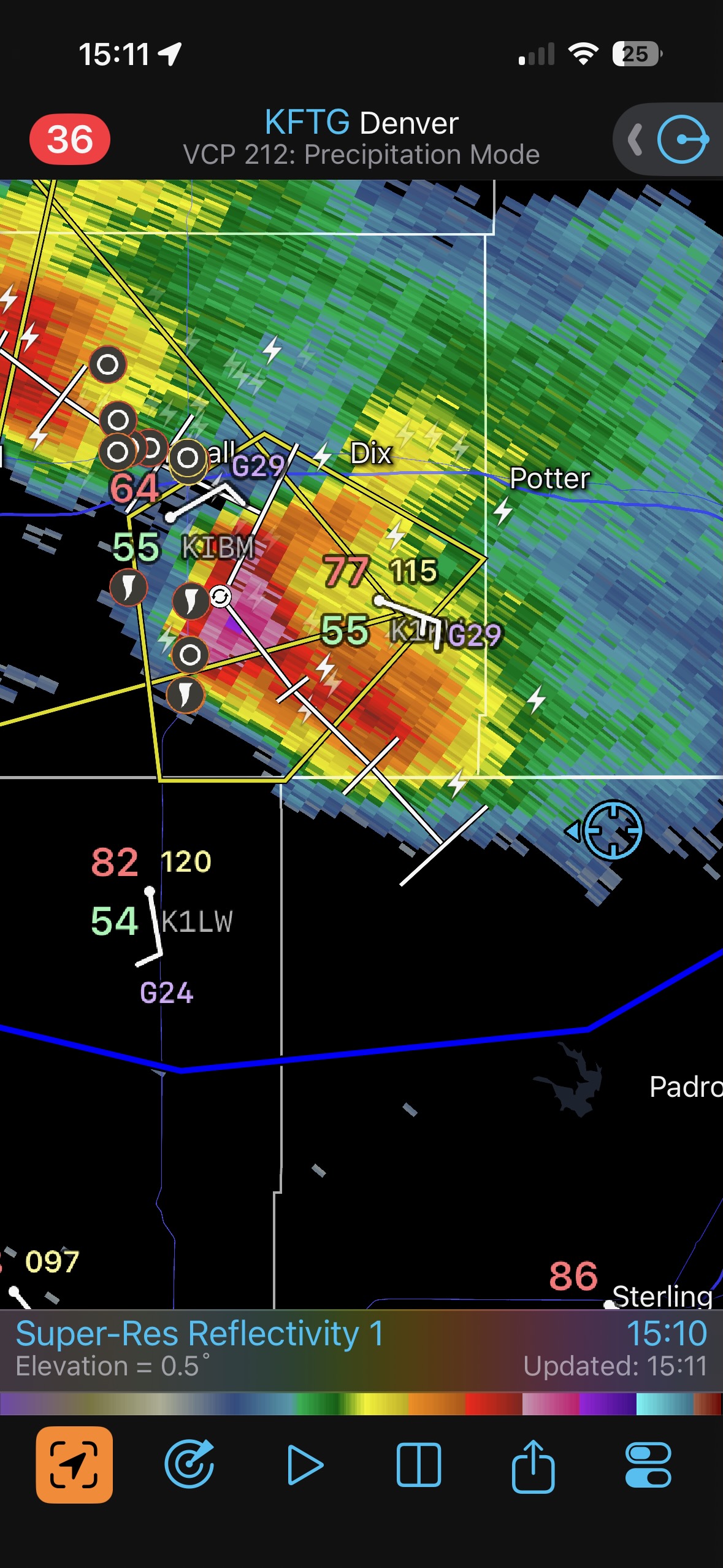
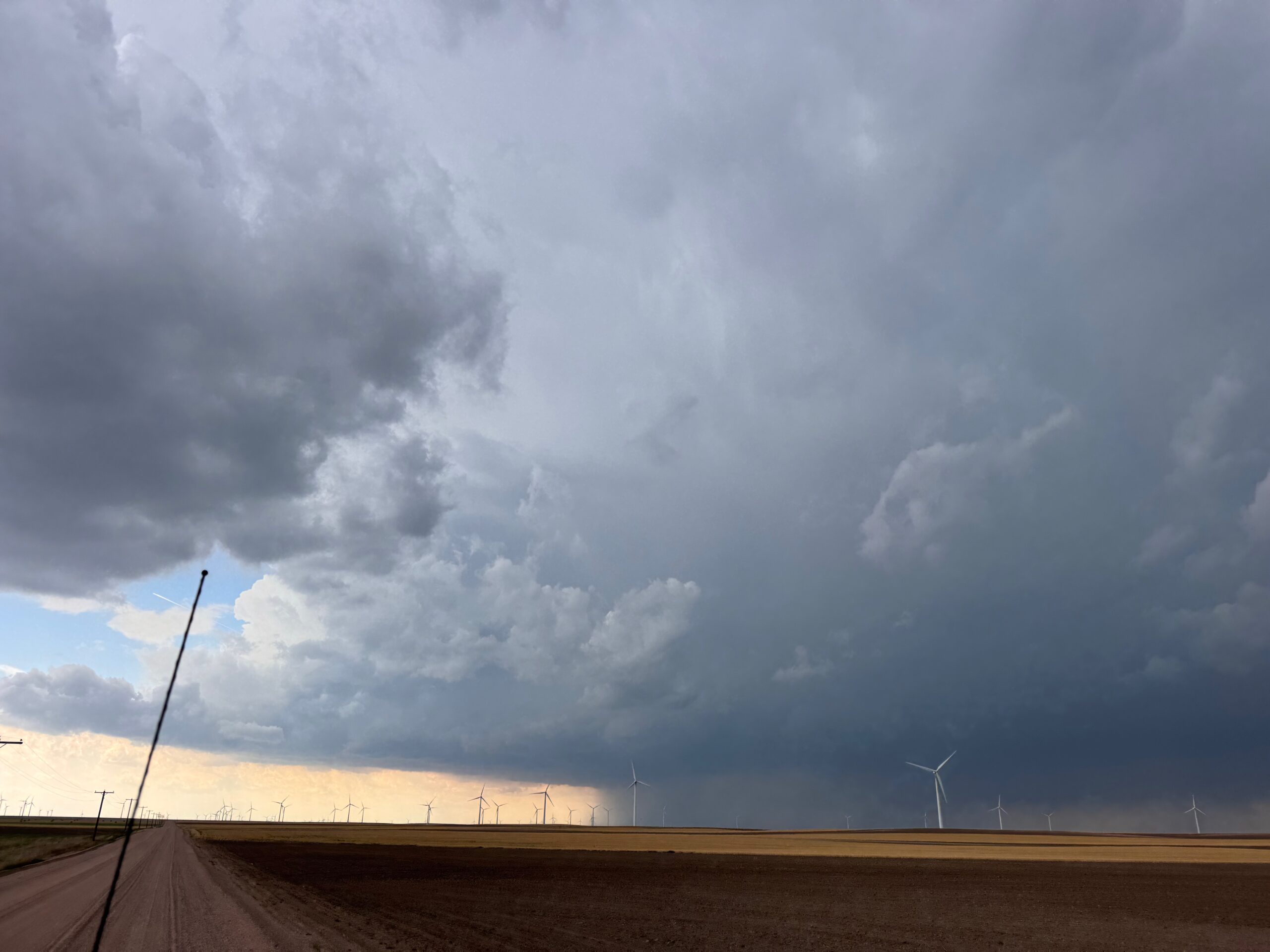
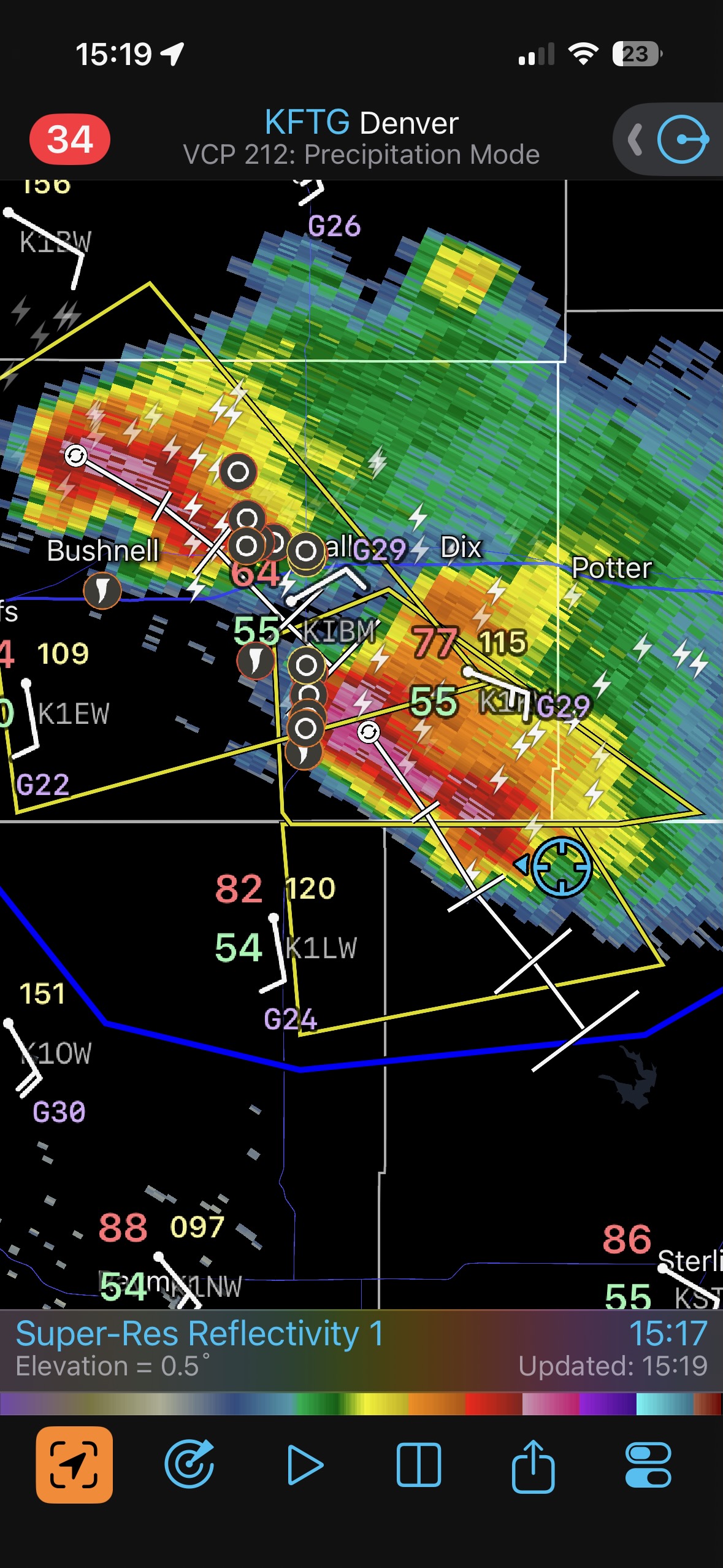
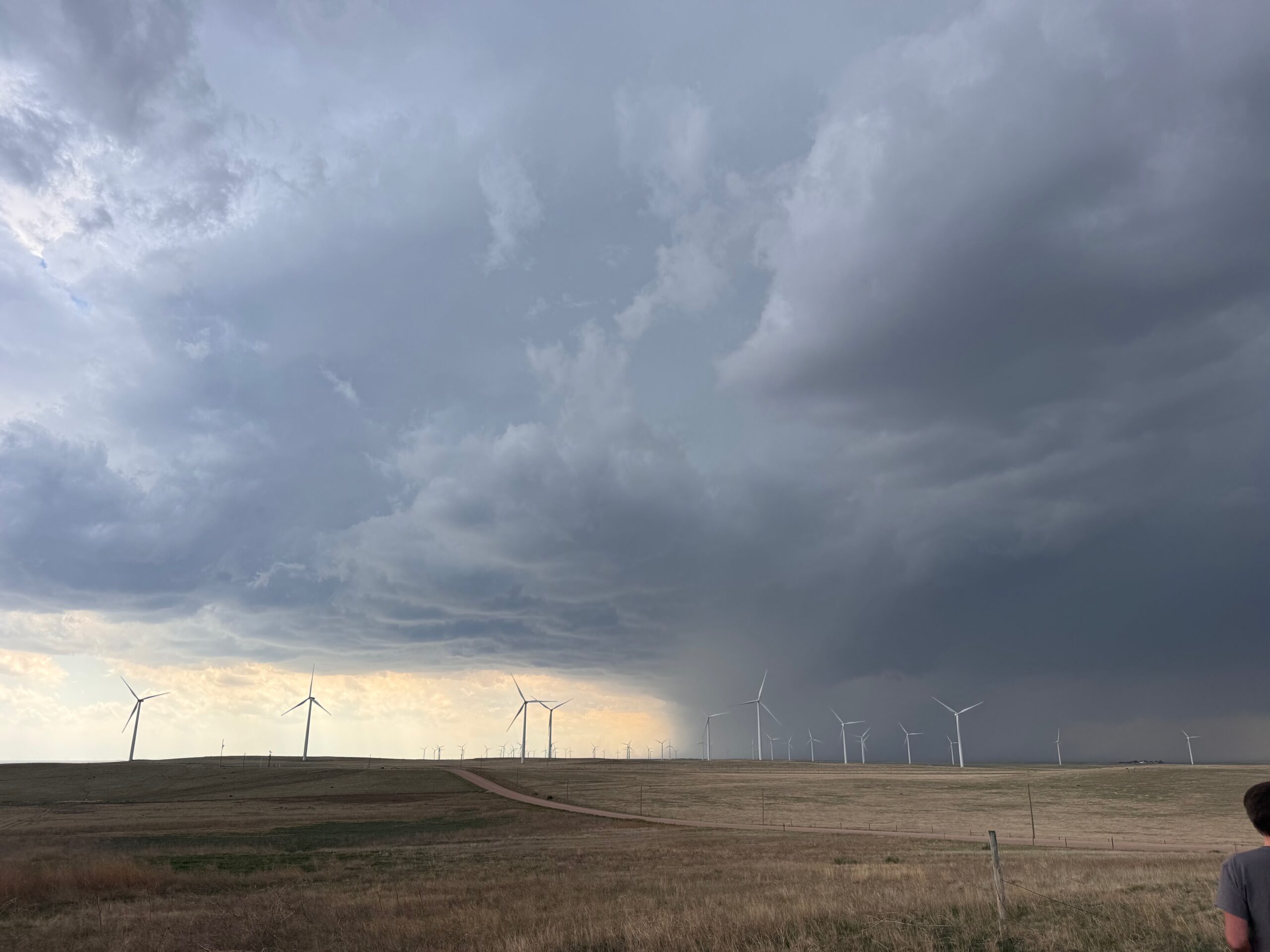
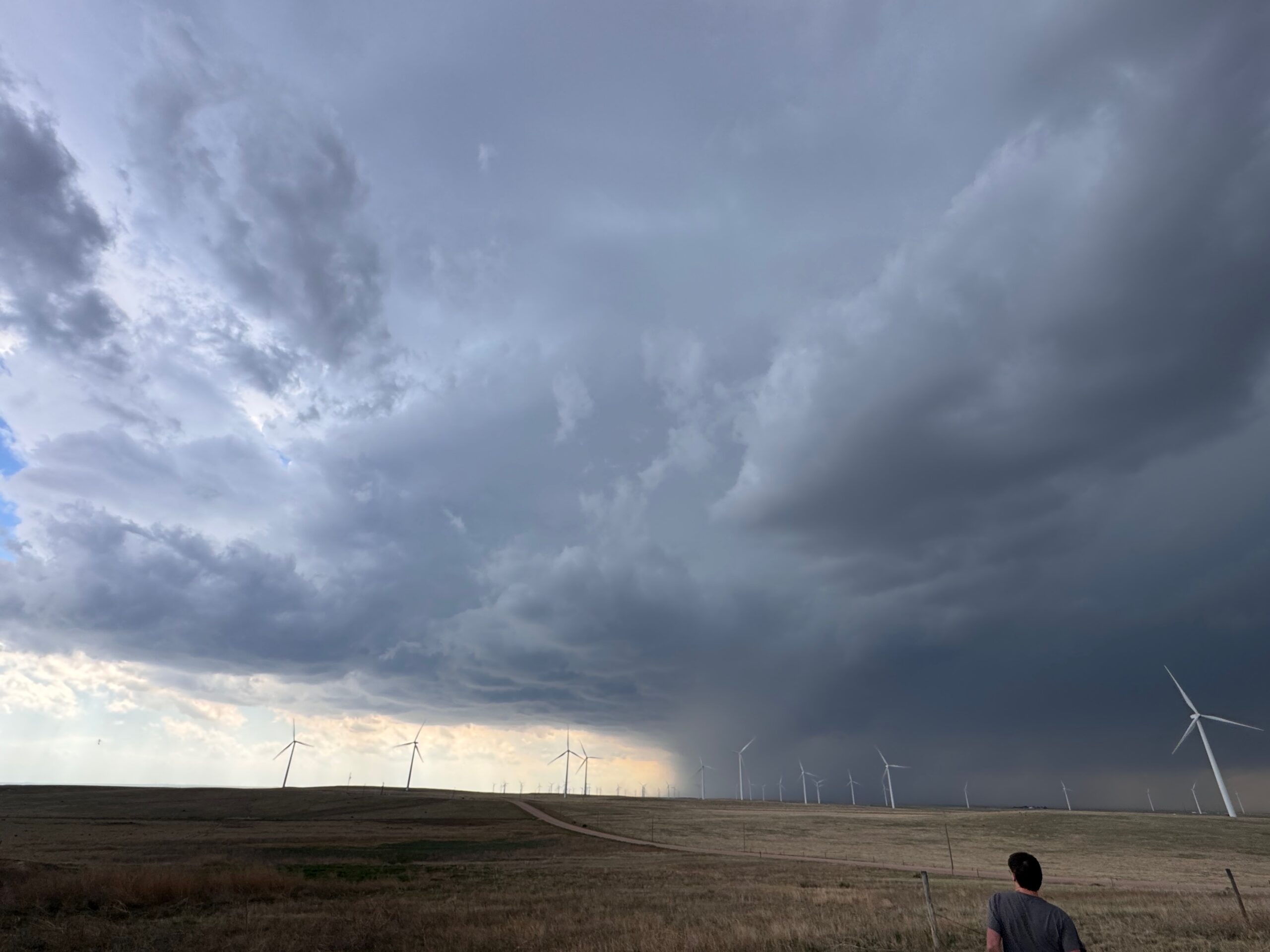
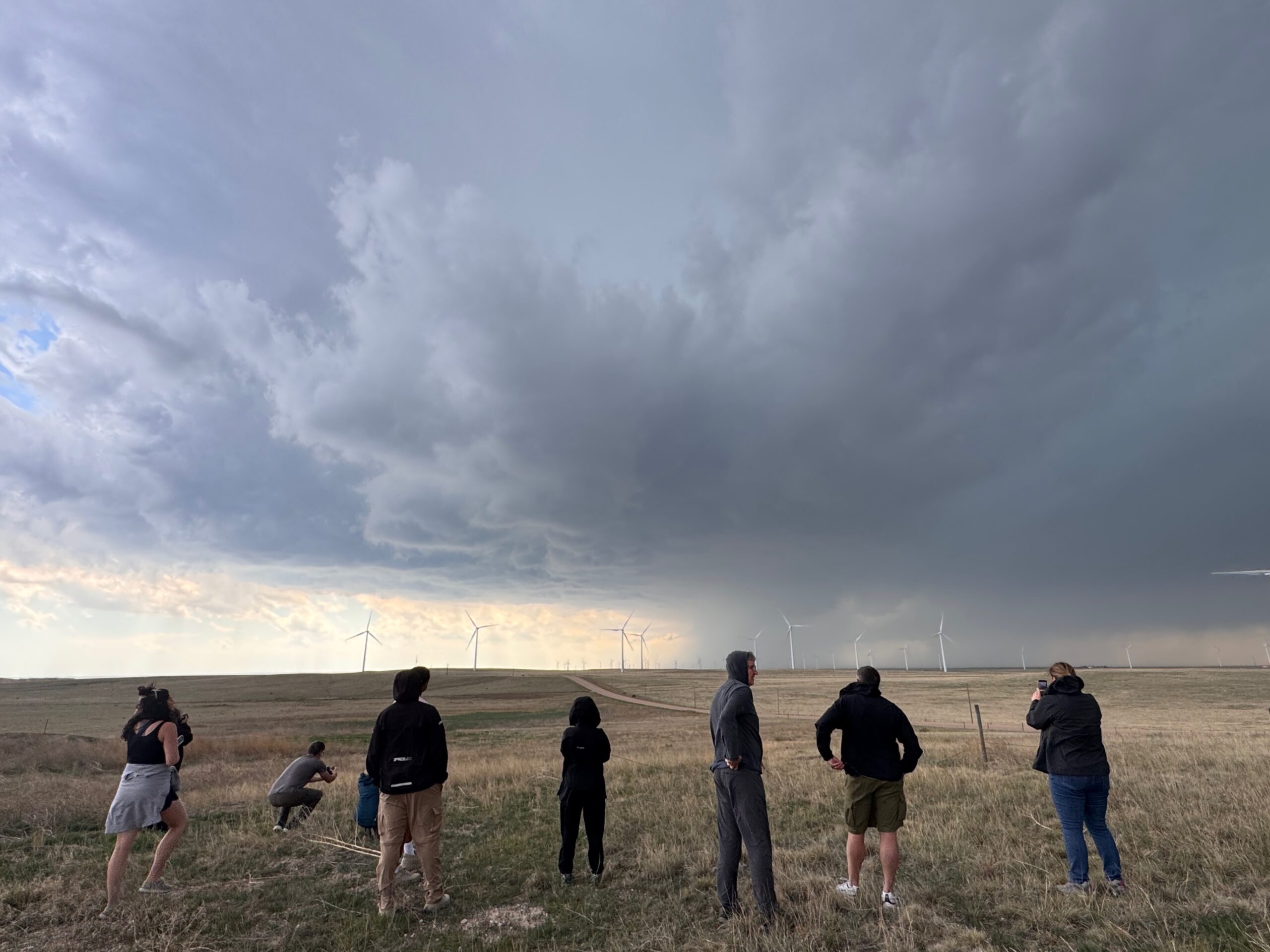
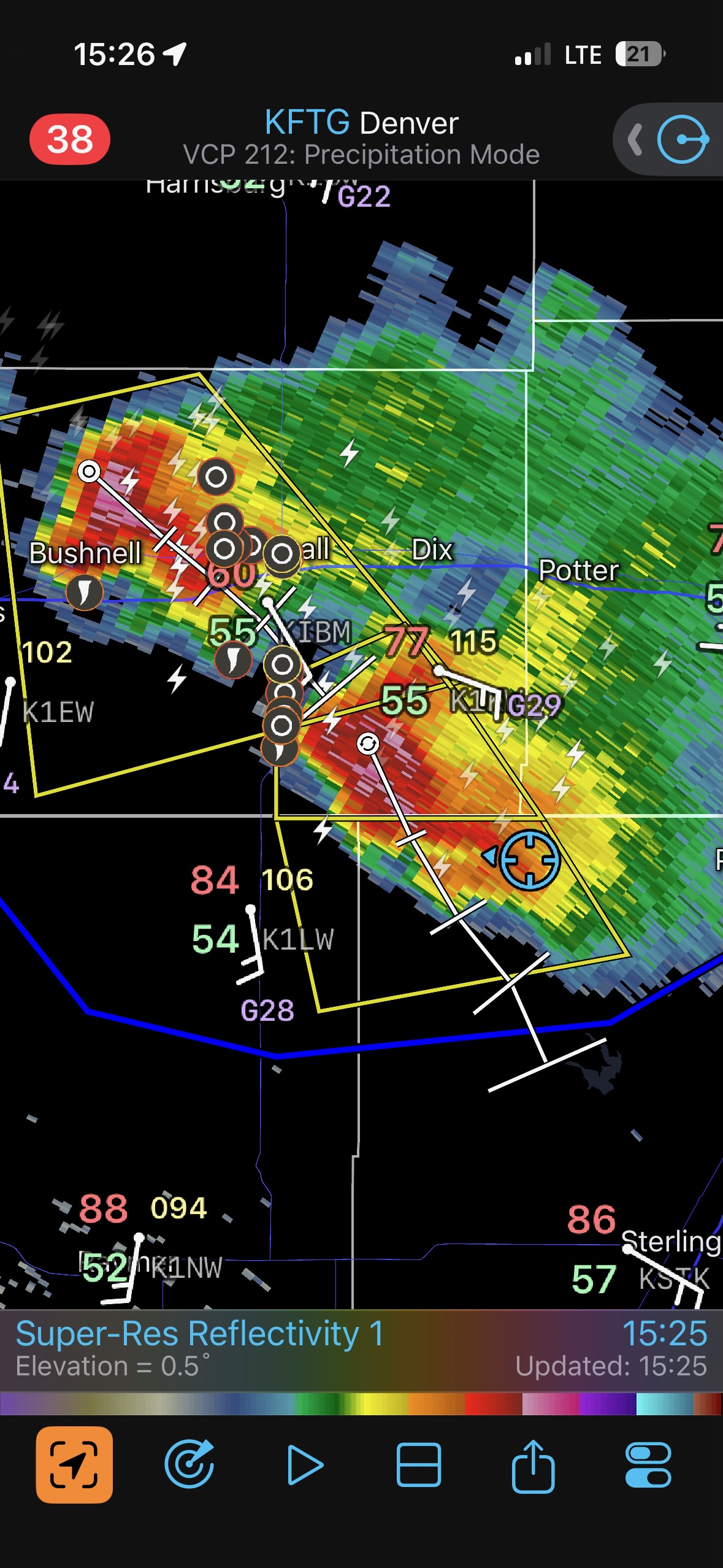
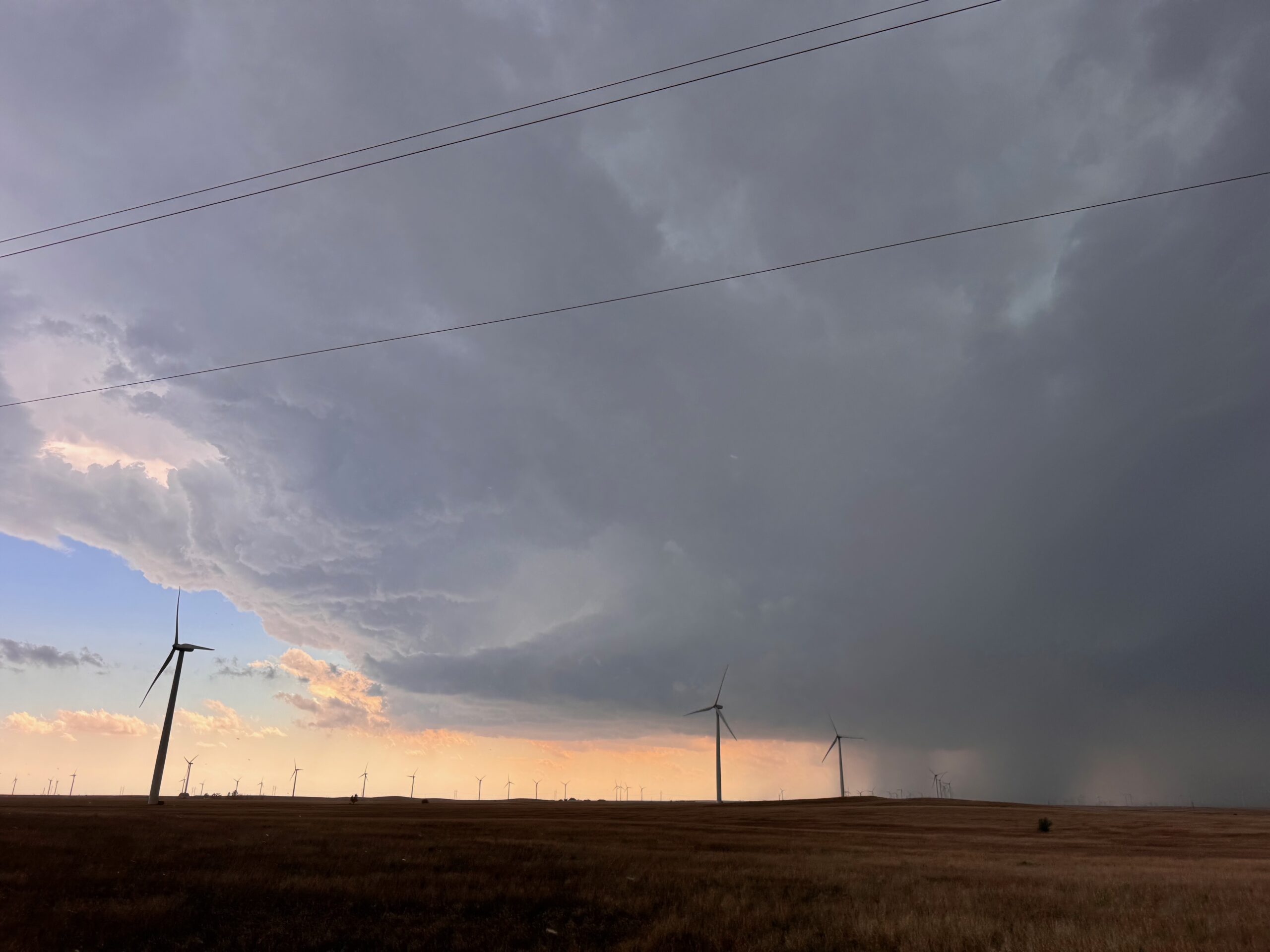
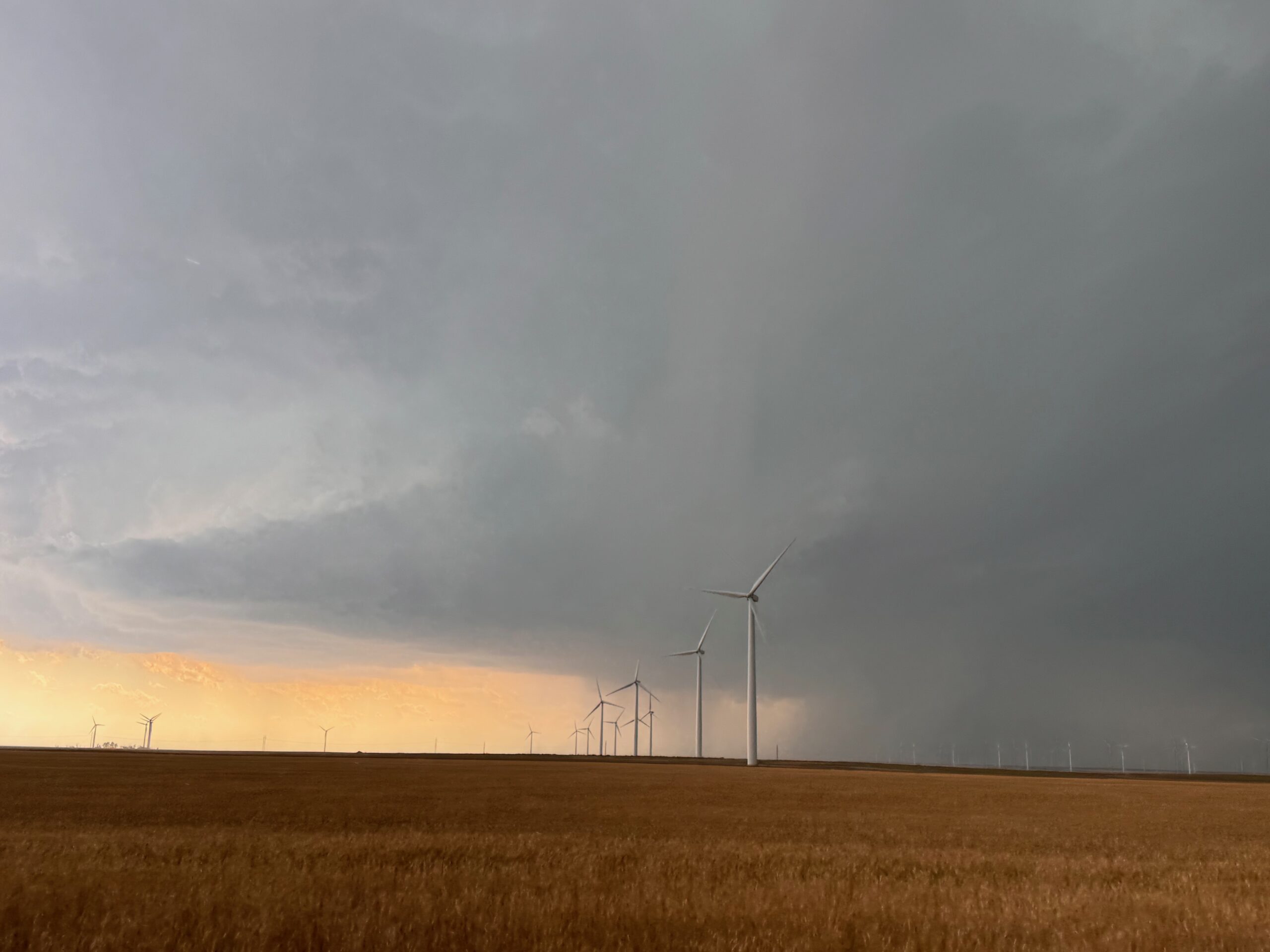
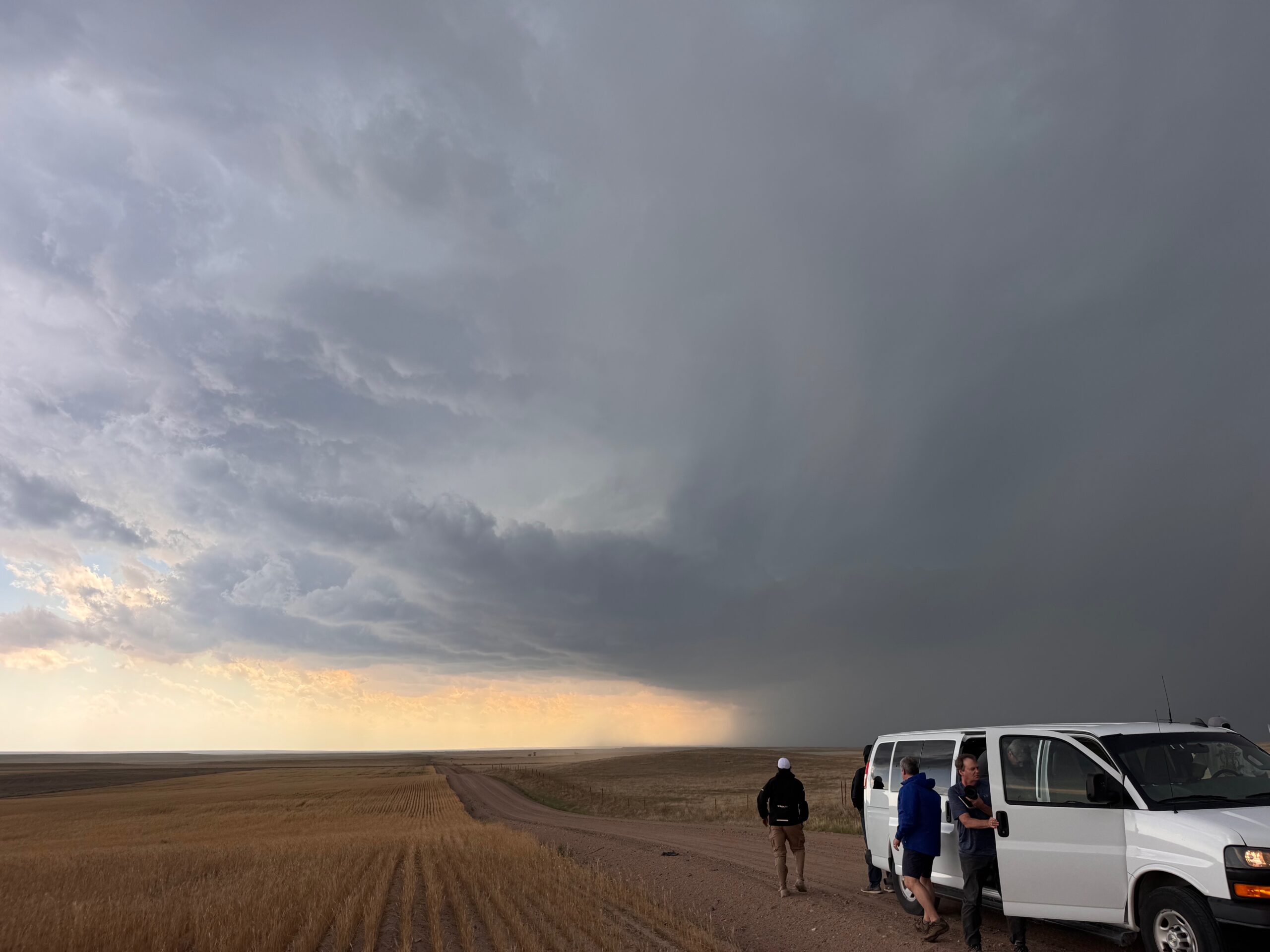
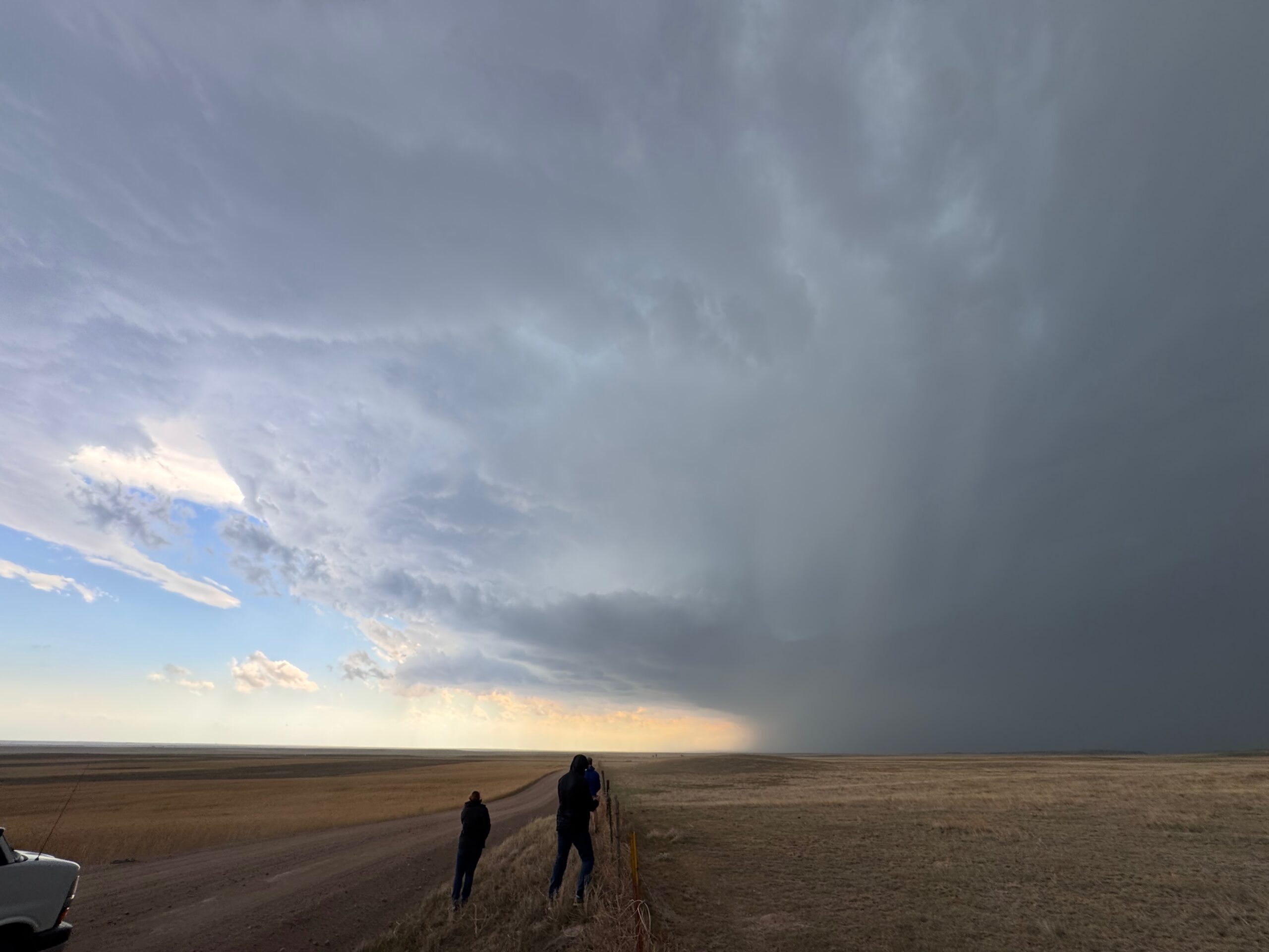
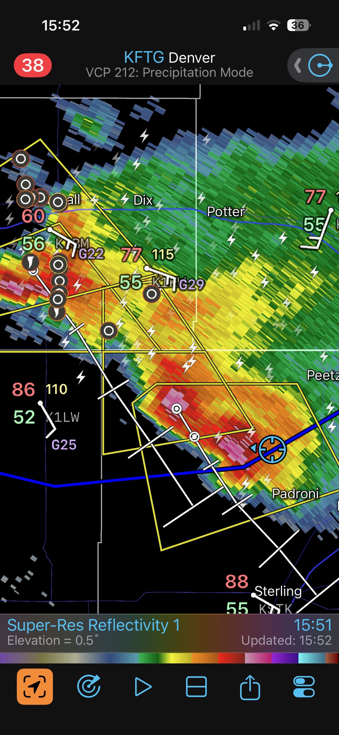
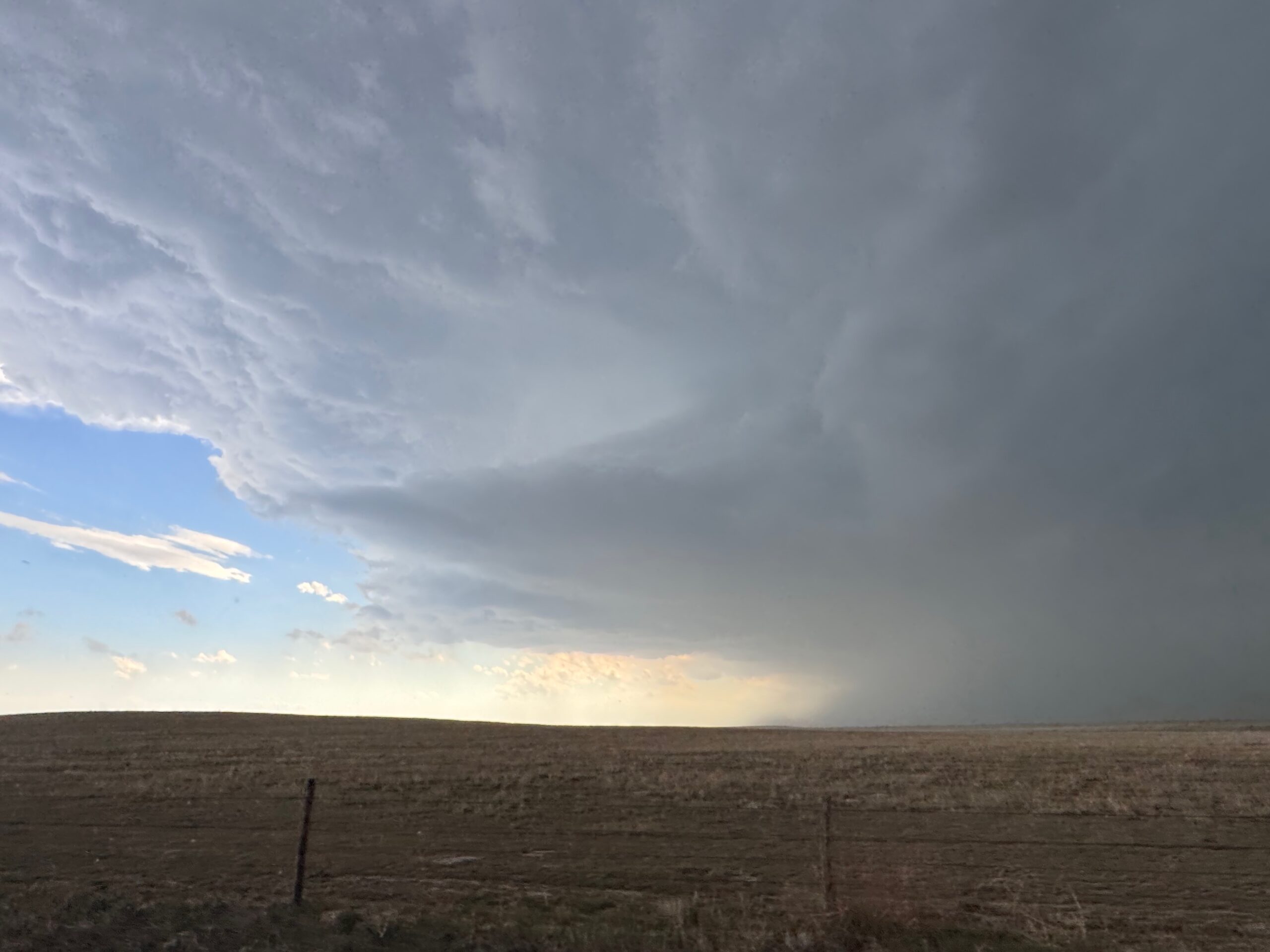
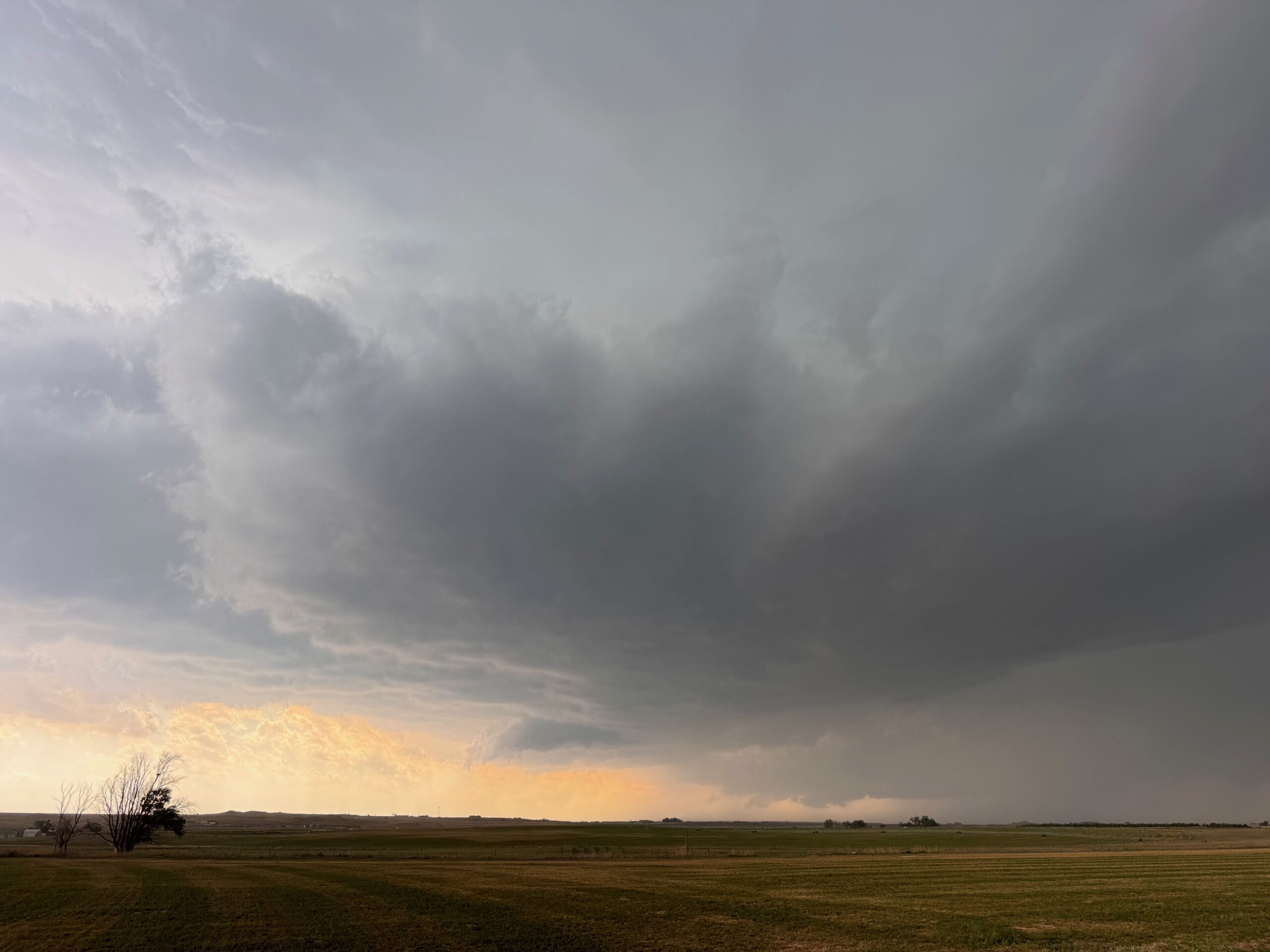
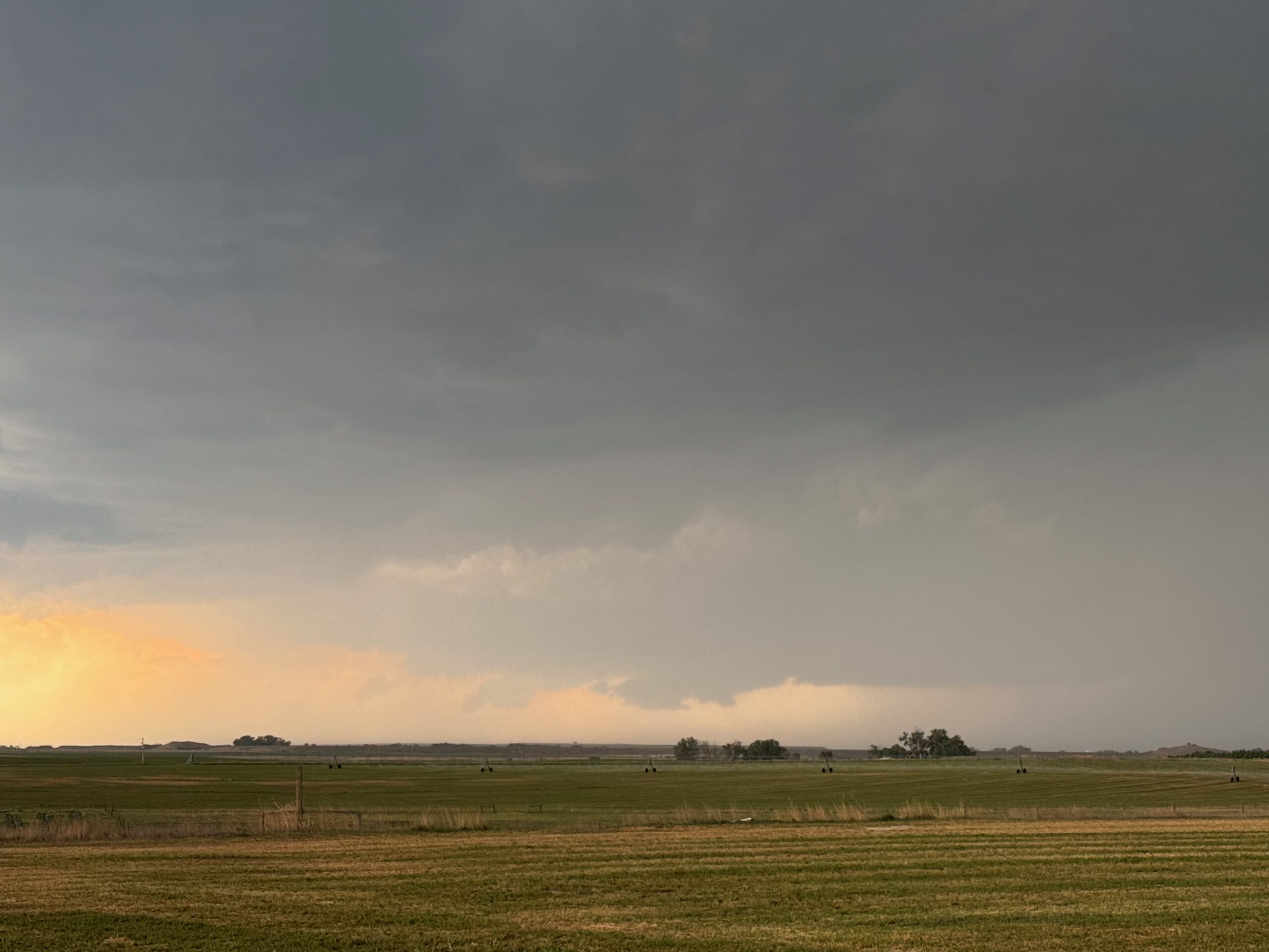
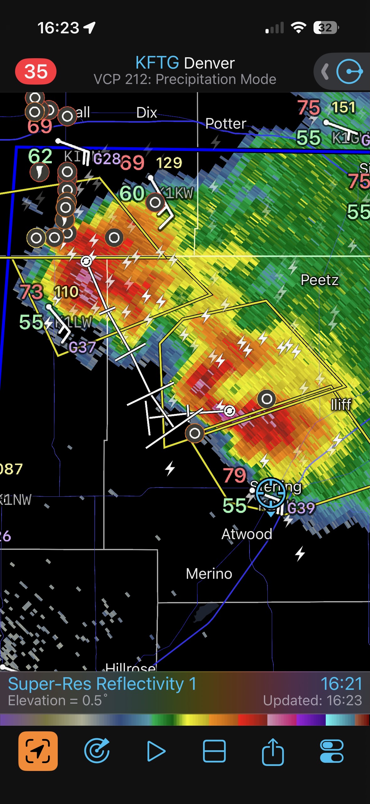
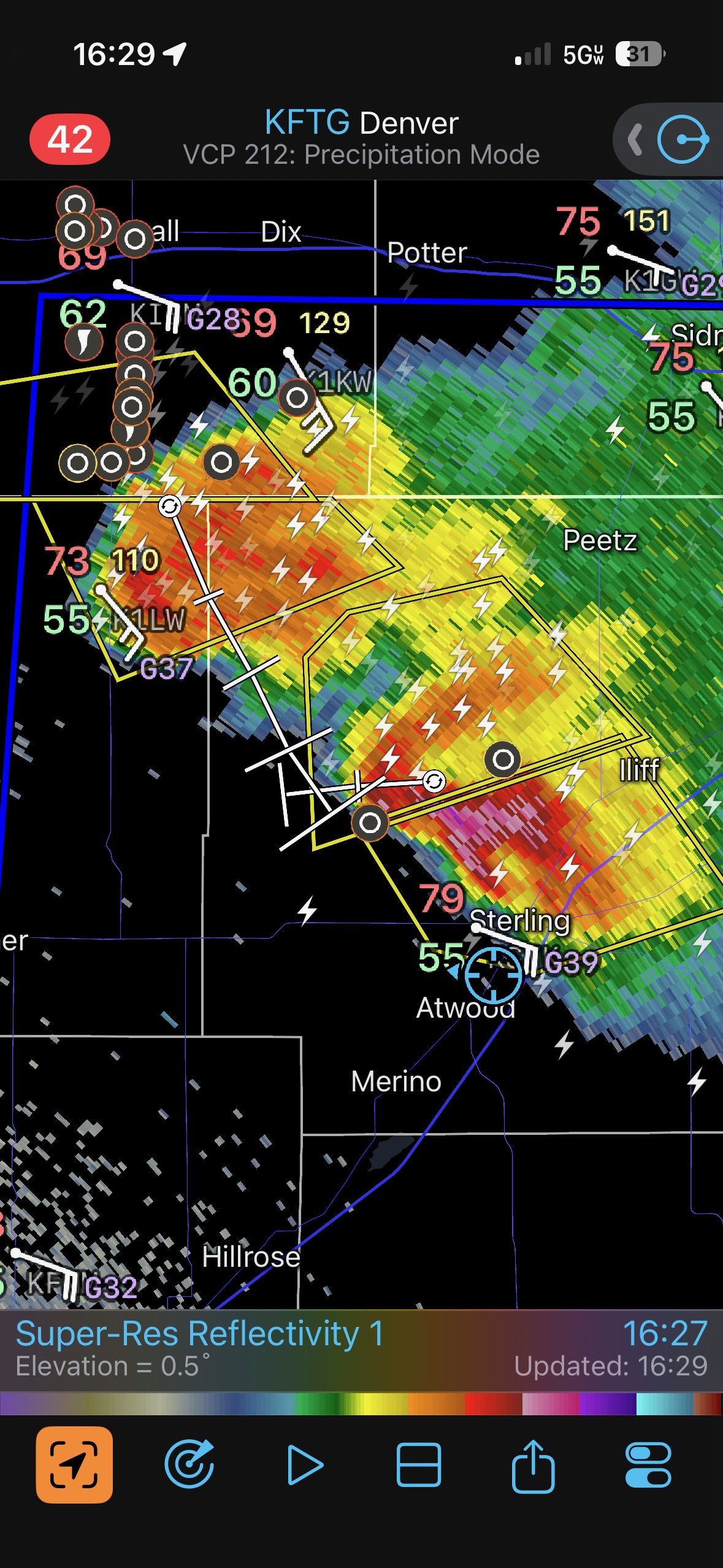
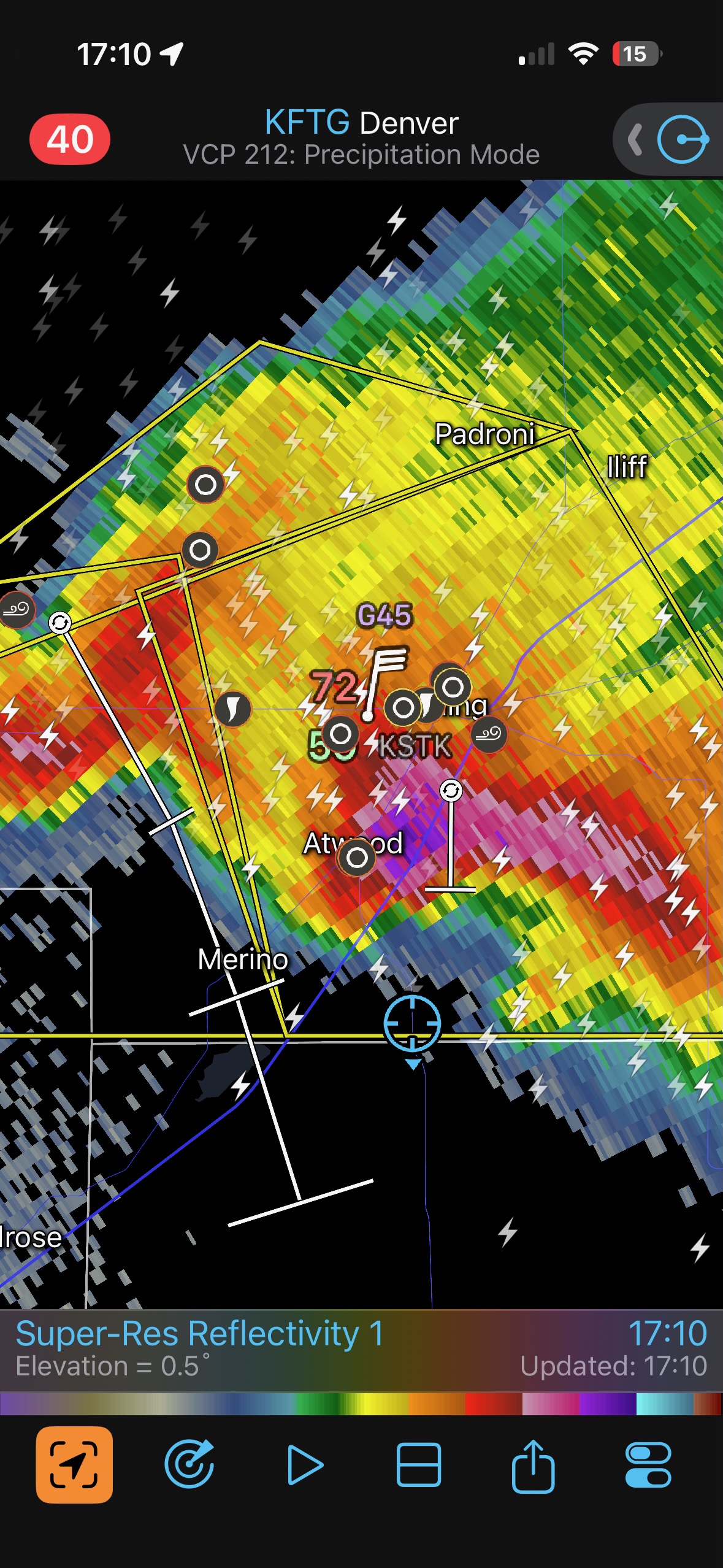
South of Sterling below. Note that there are two storms, and (near Atwood) we could see lowerings with the “other” storm that was more distant, to our northwest.
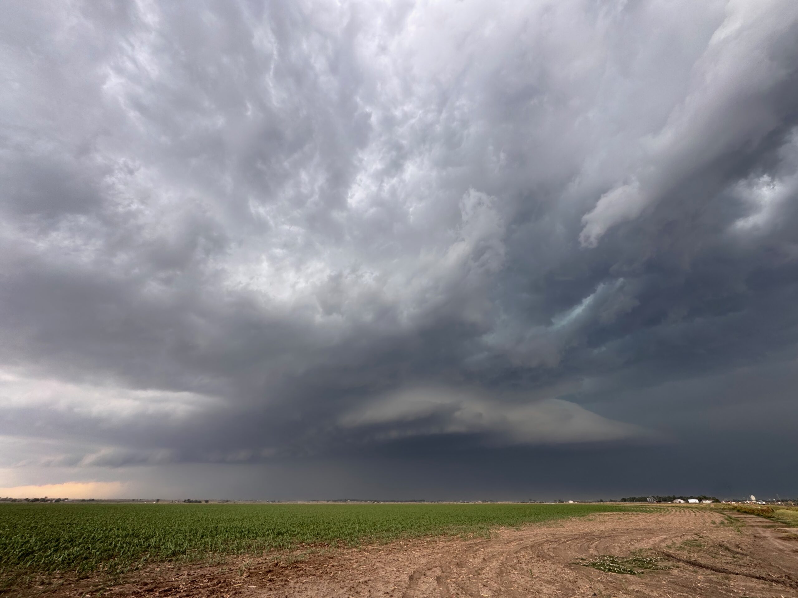
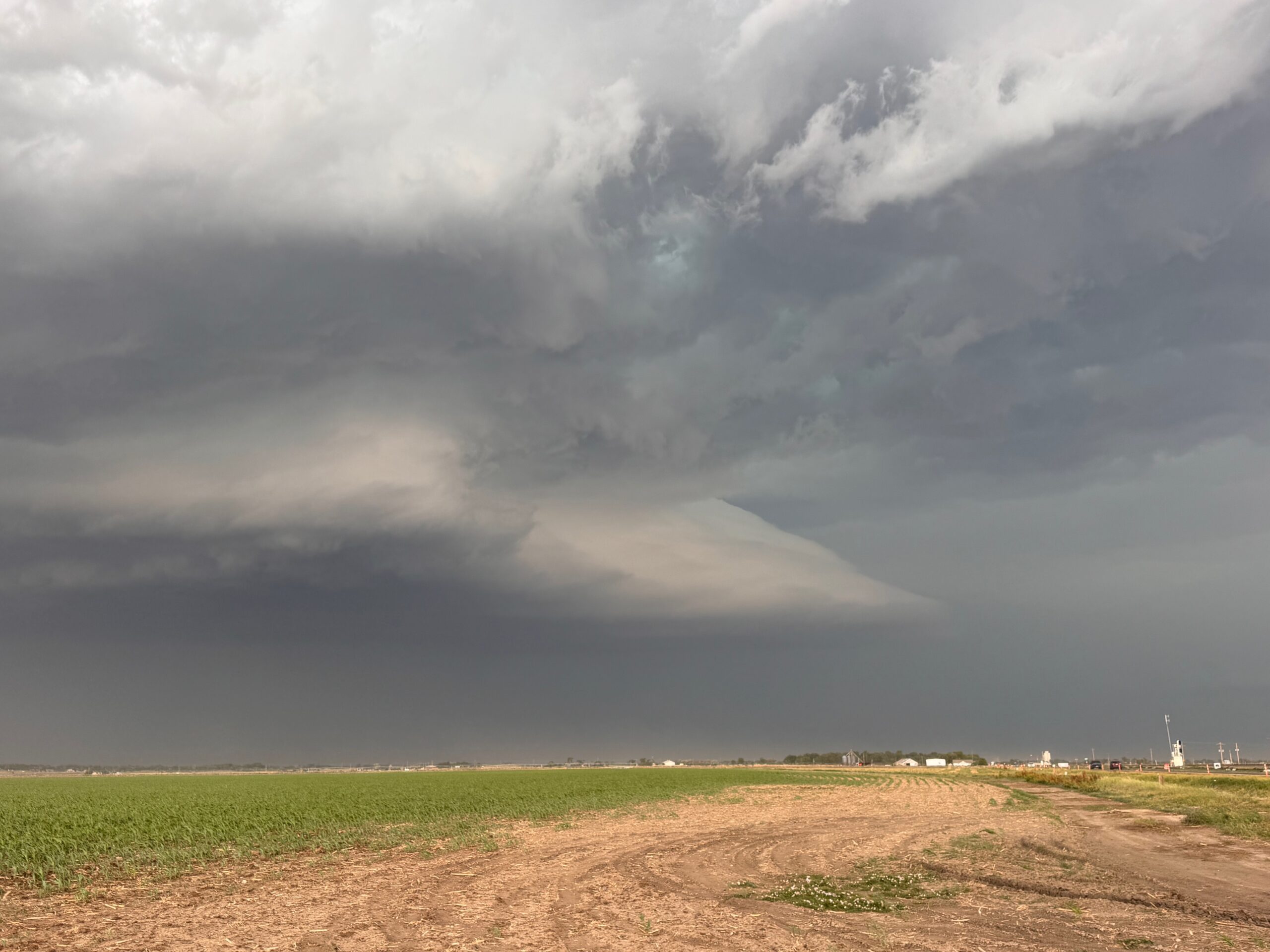
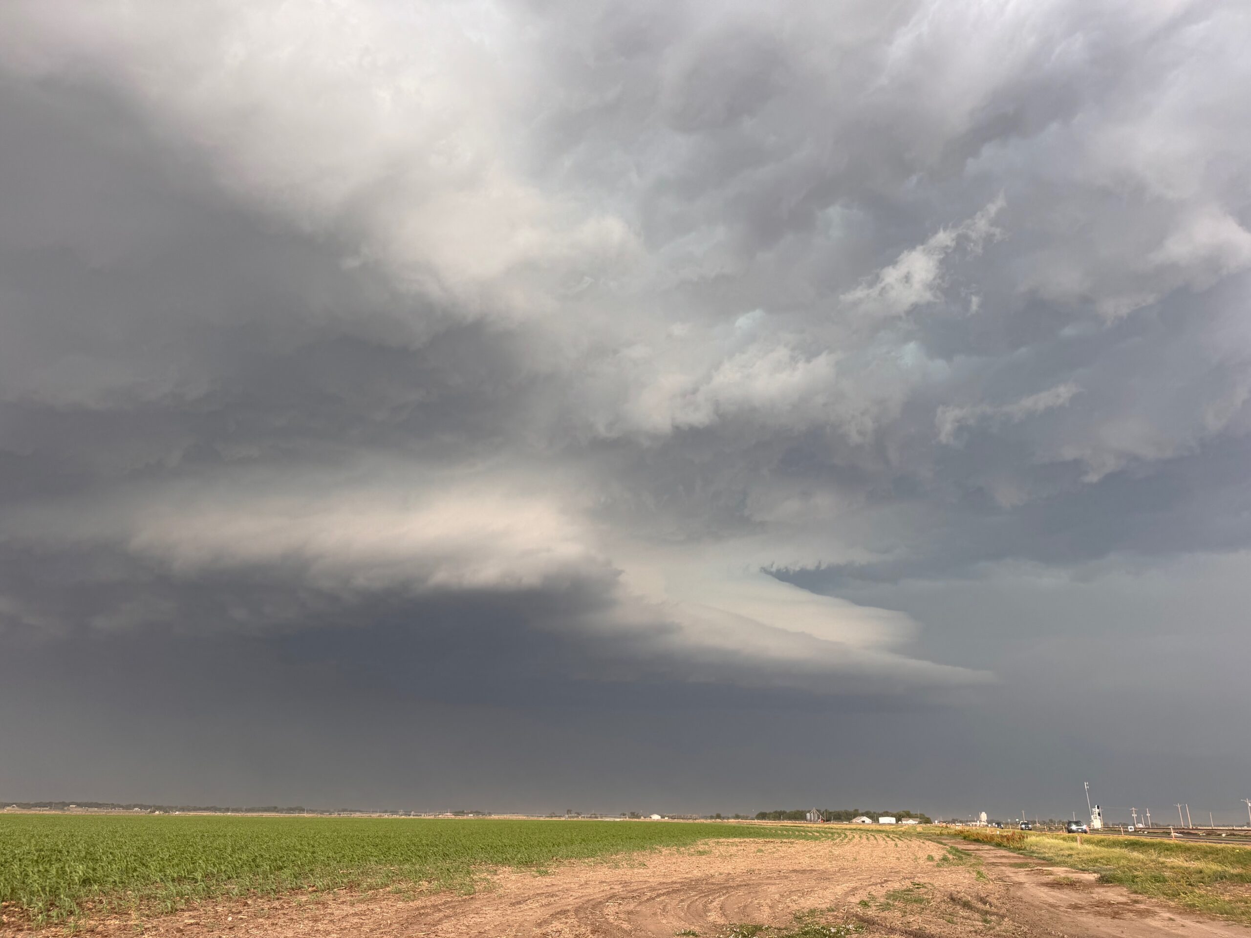
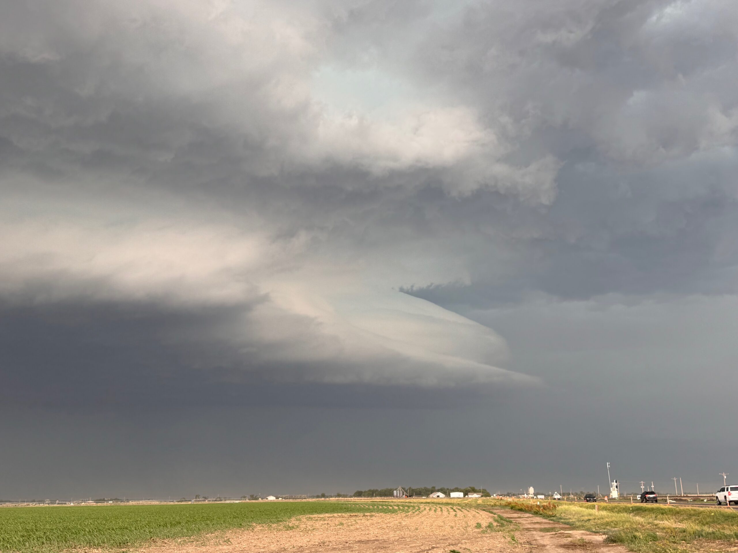
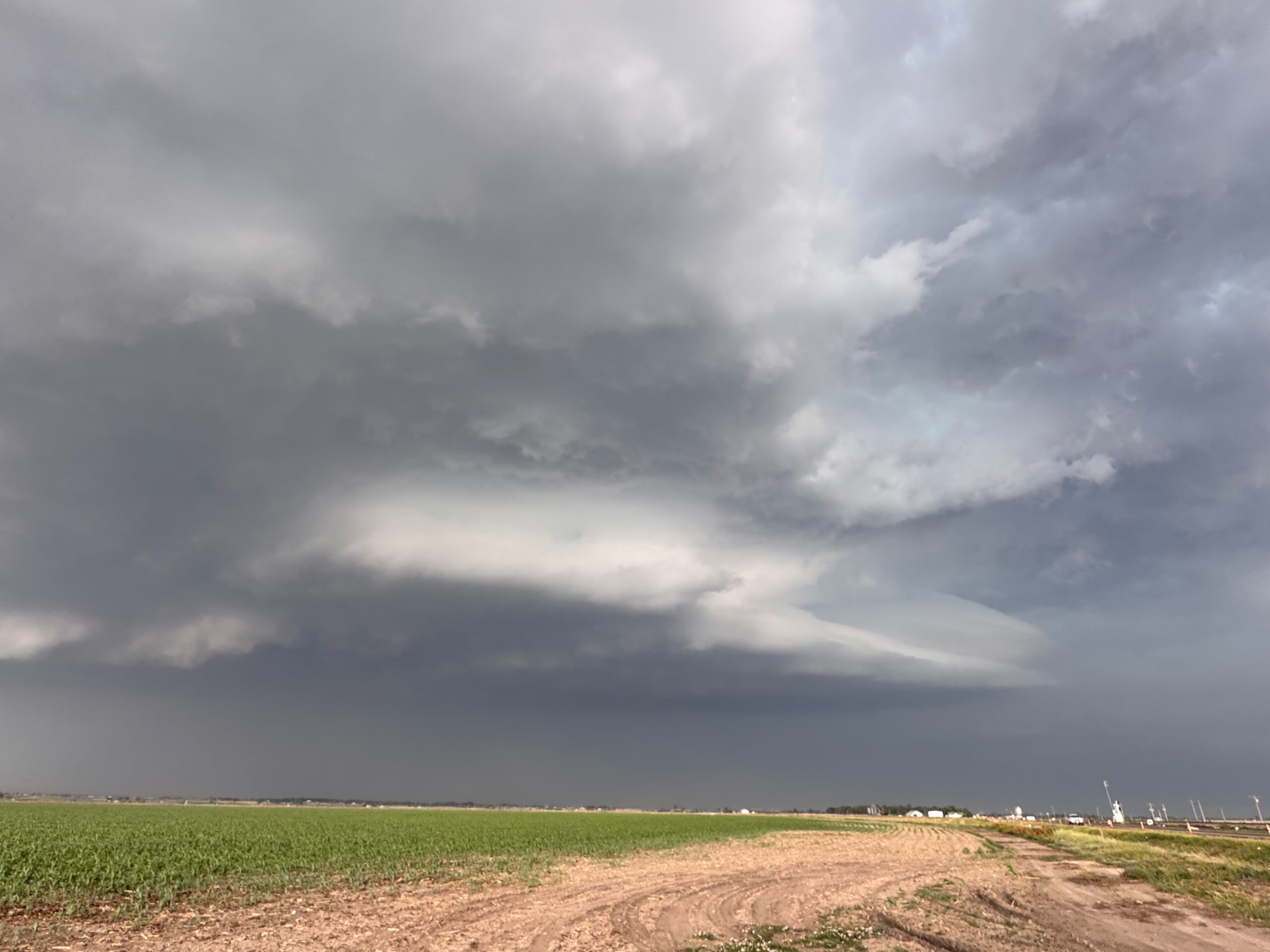
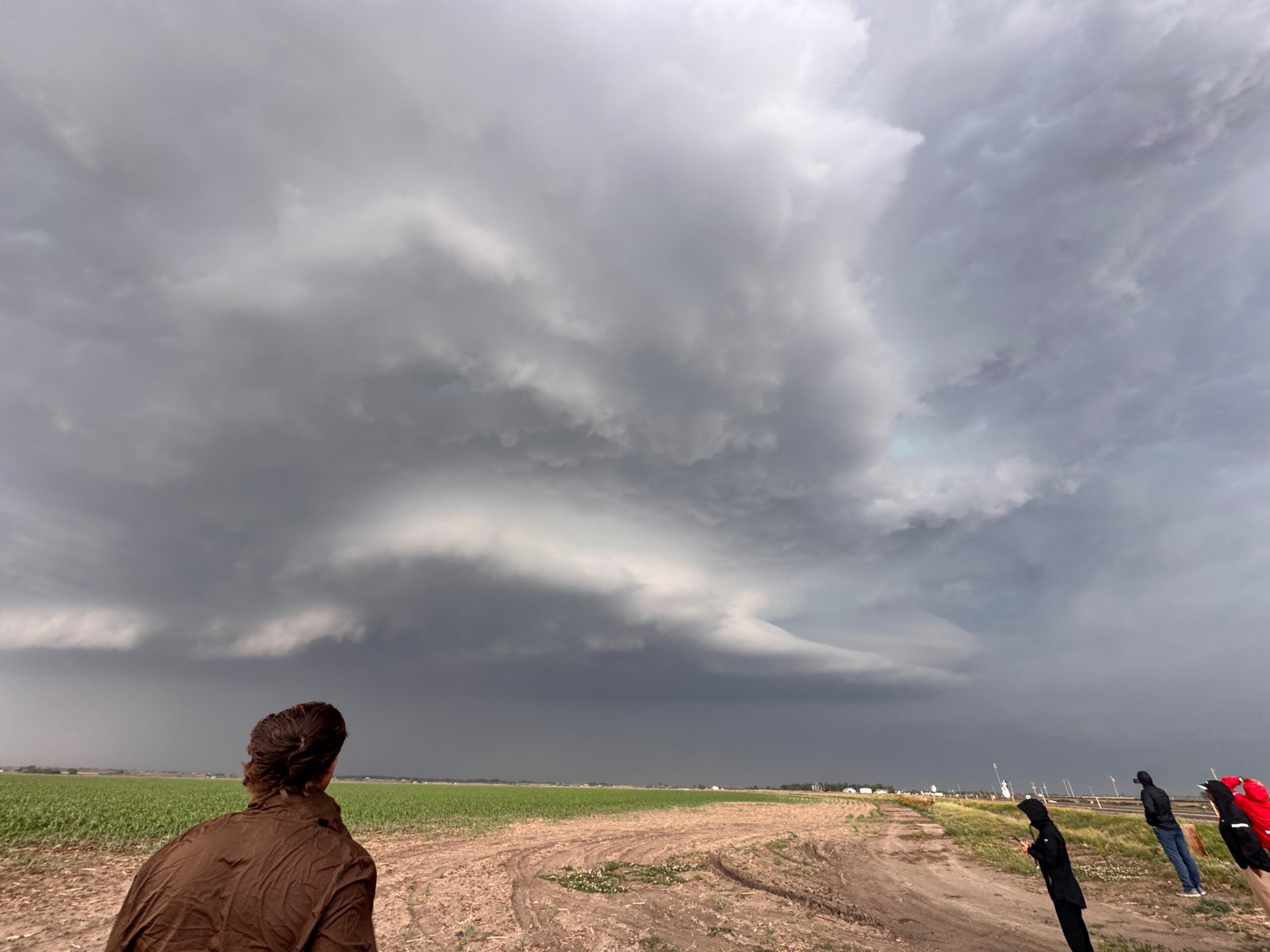
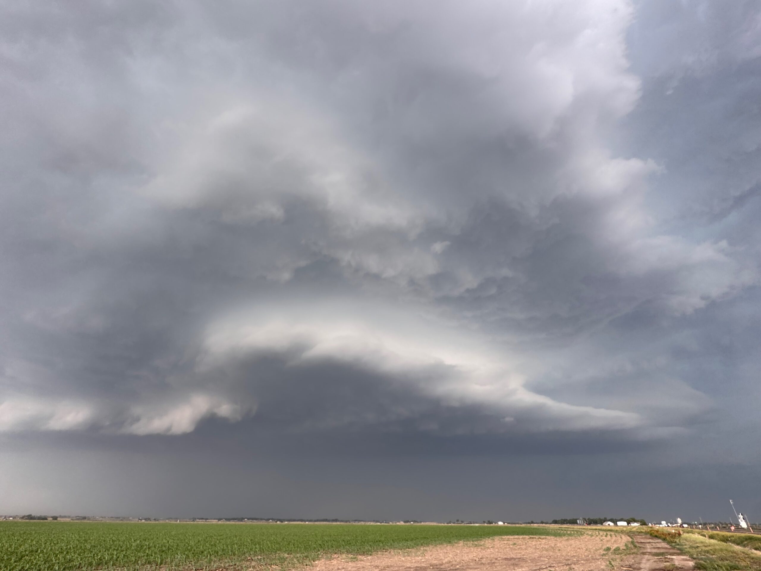
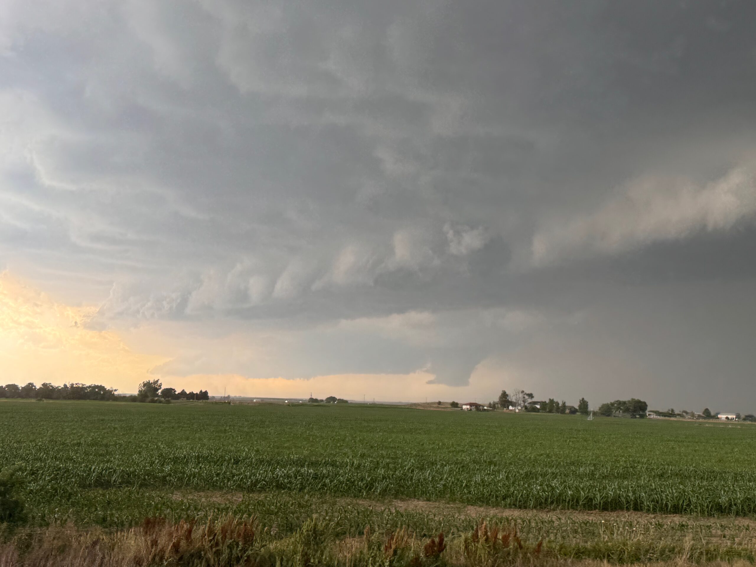
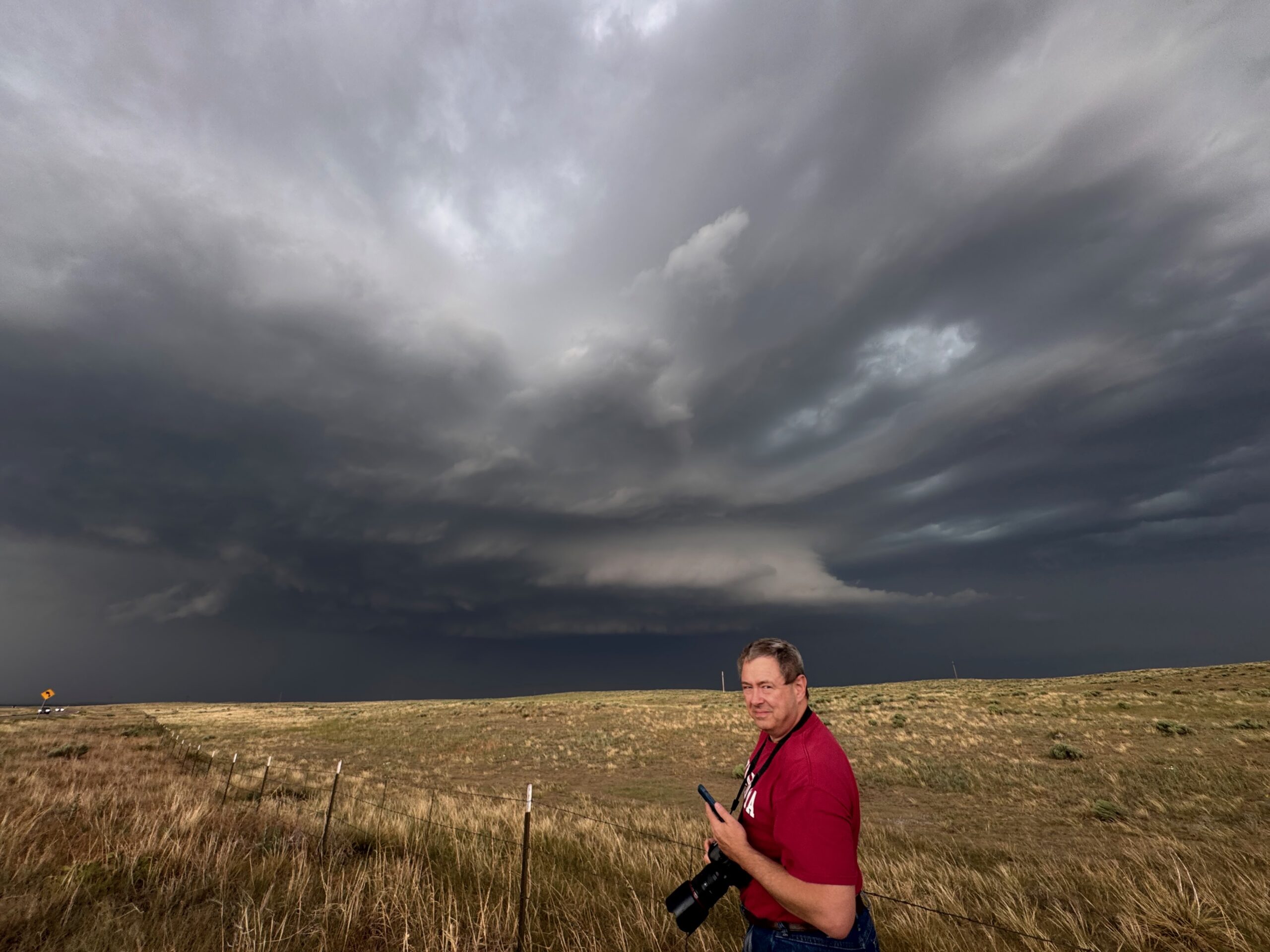
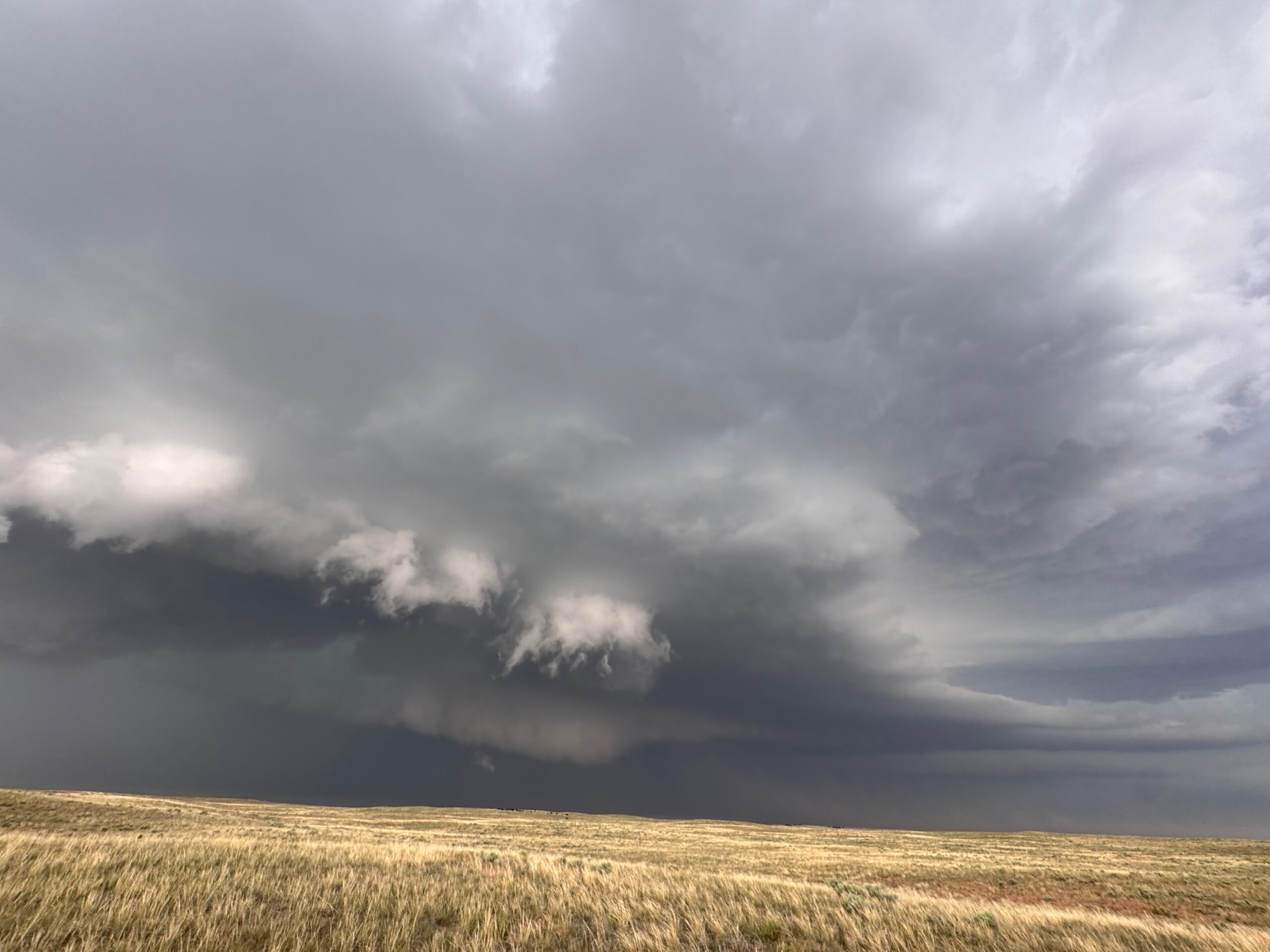
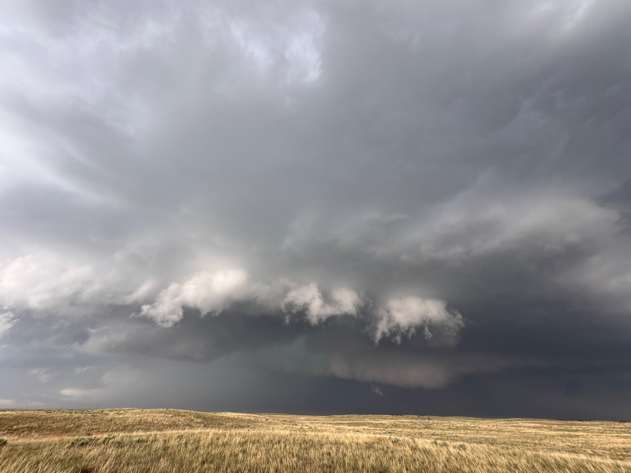
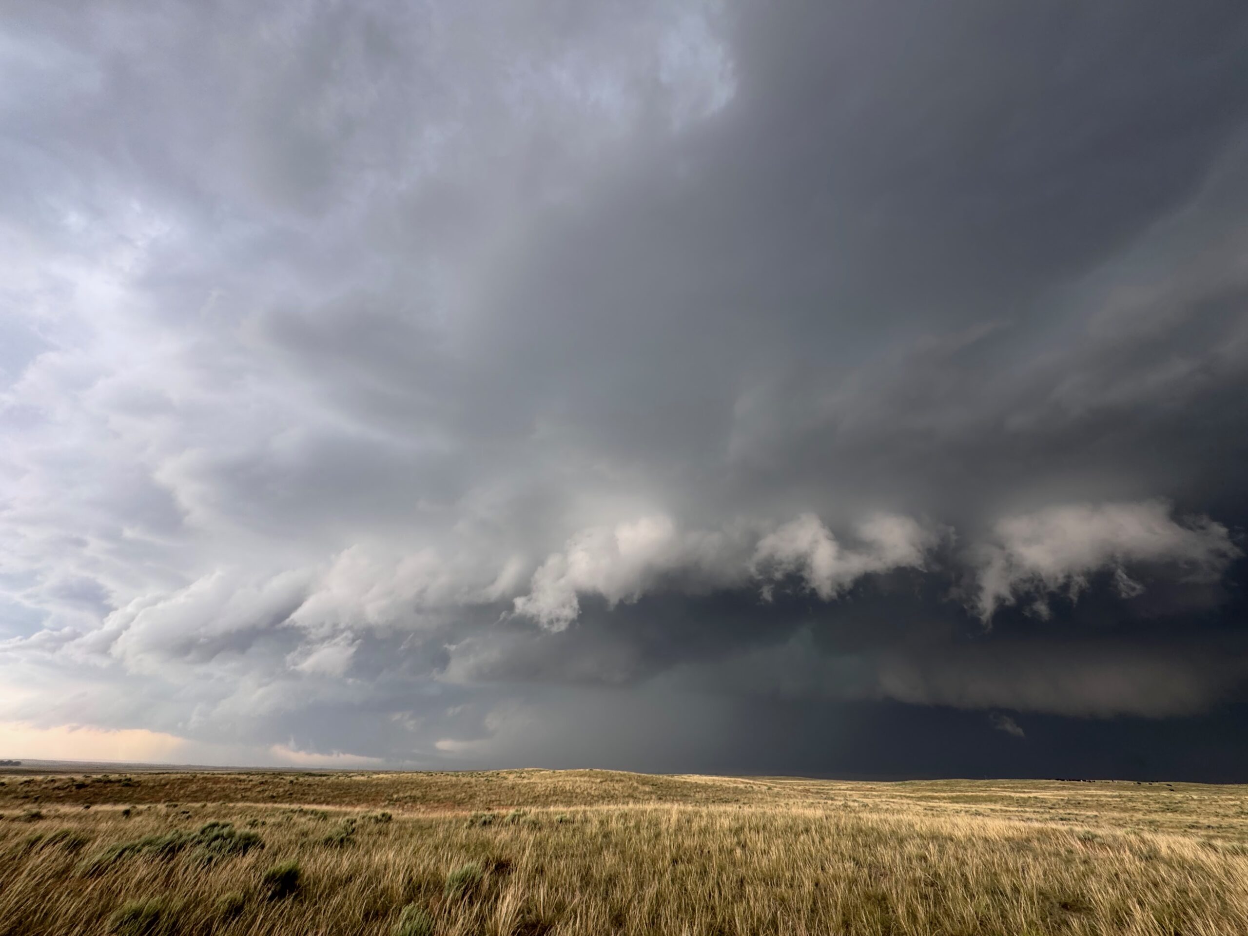
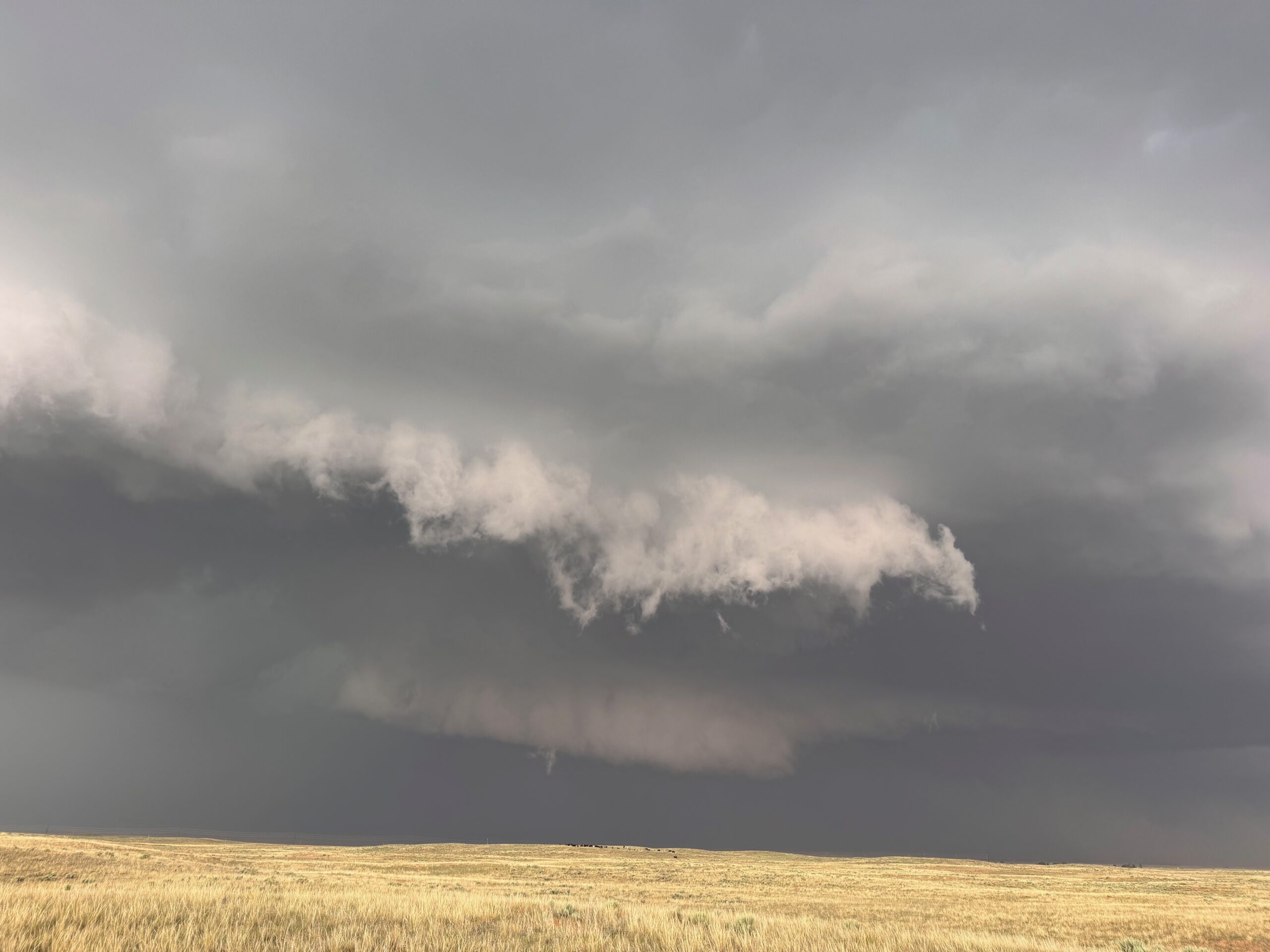
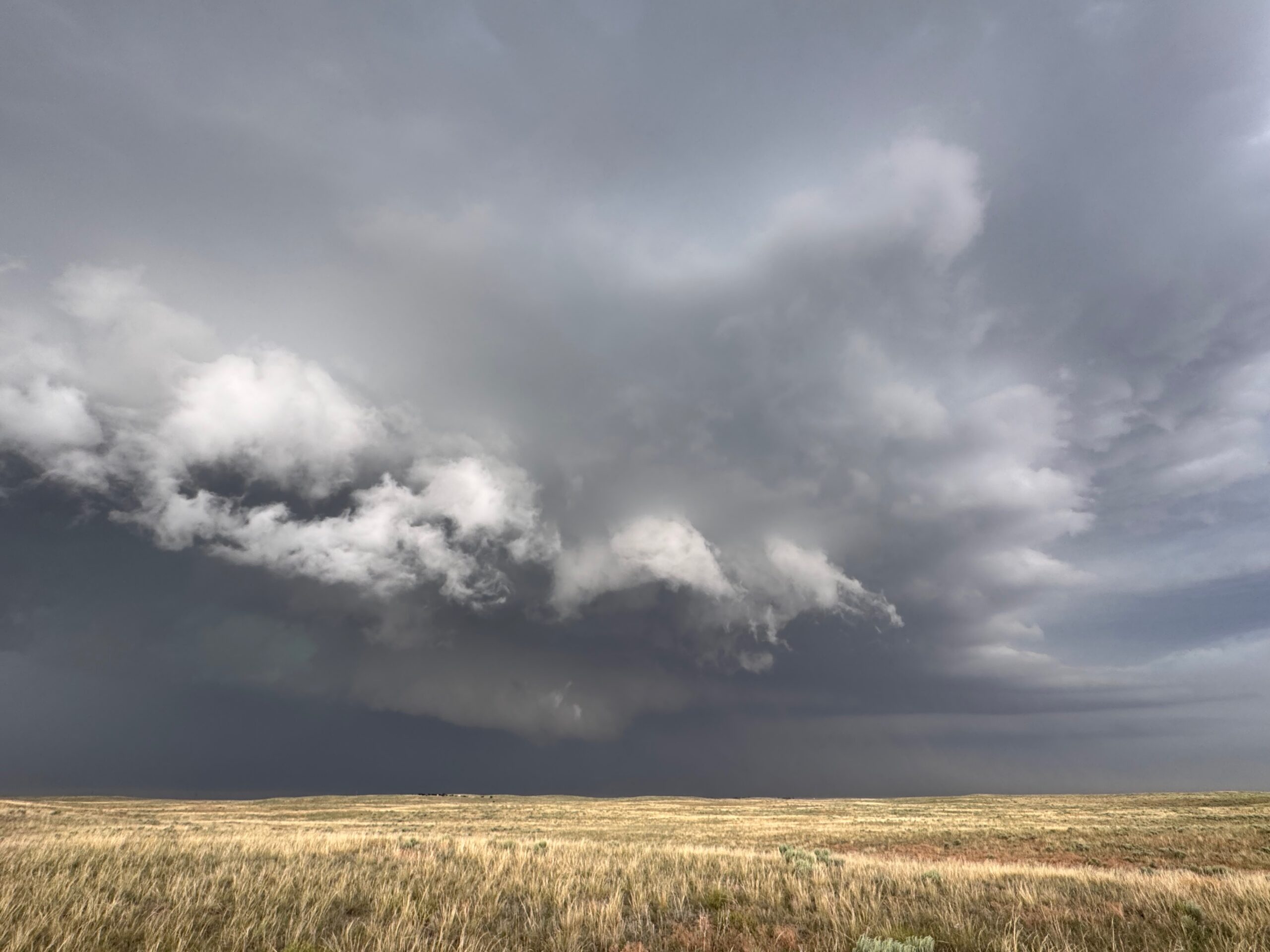
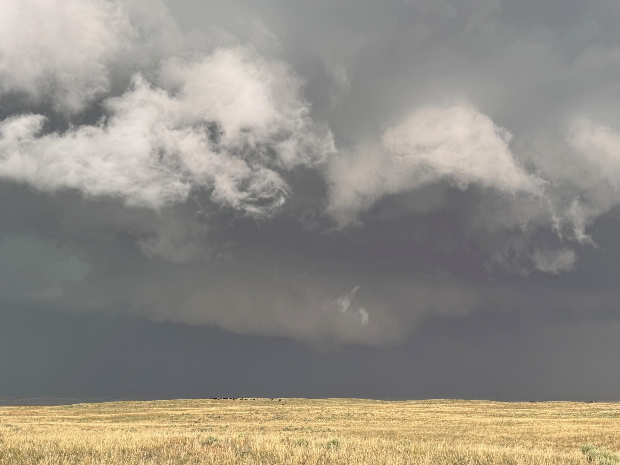
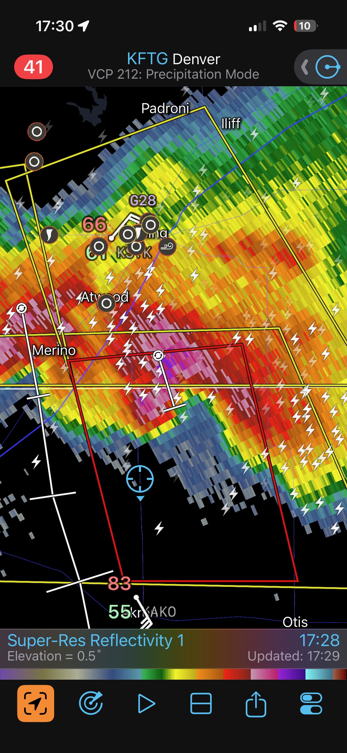
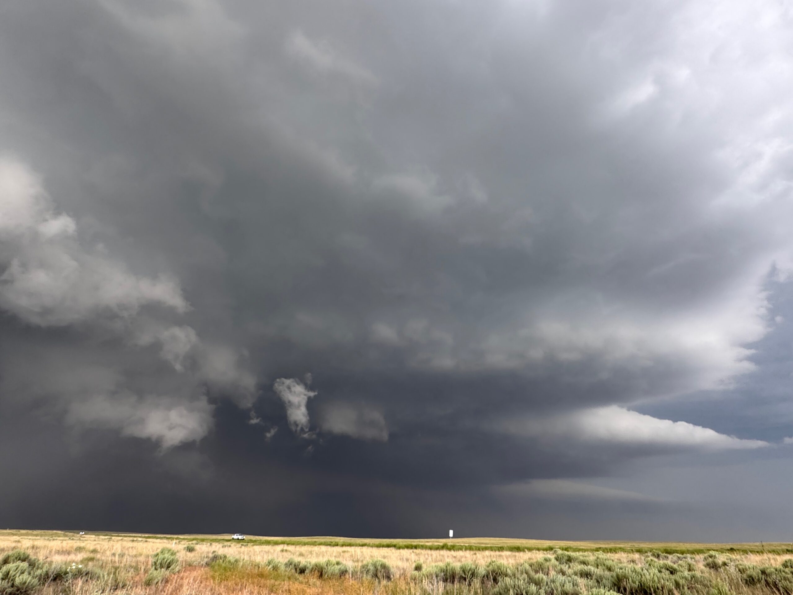
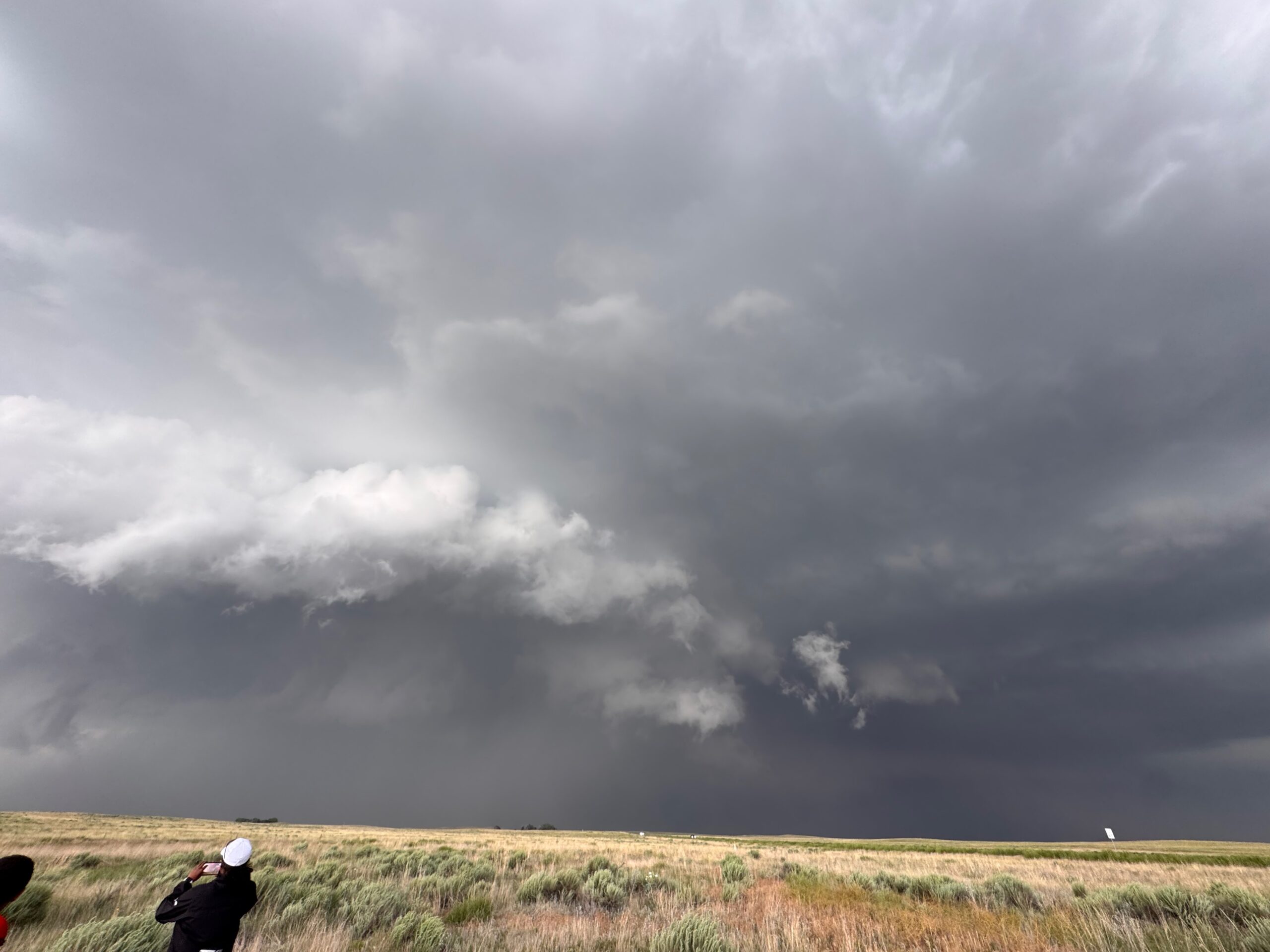
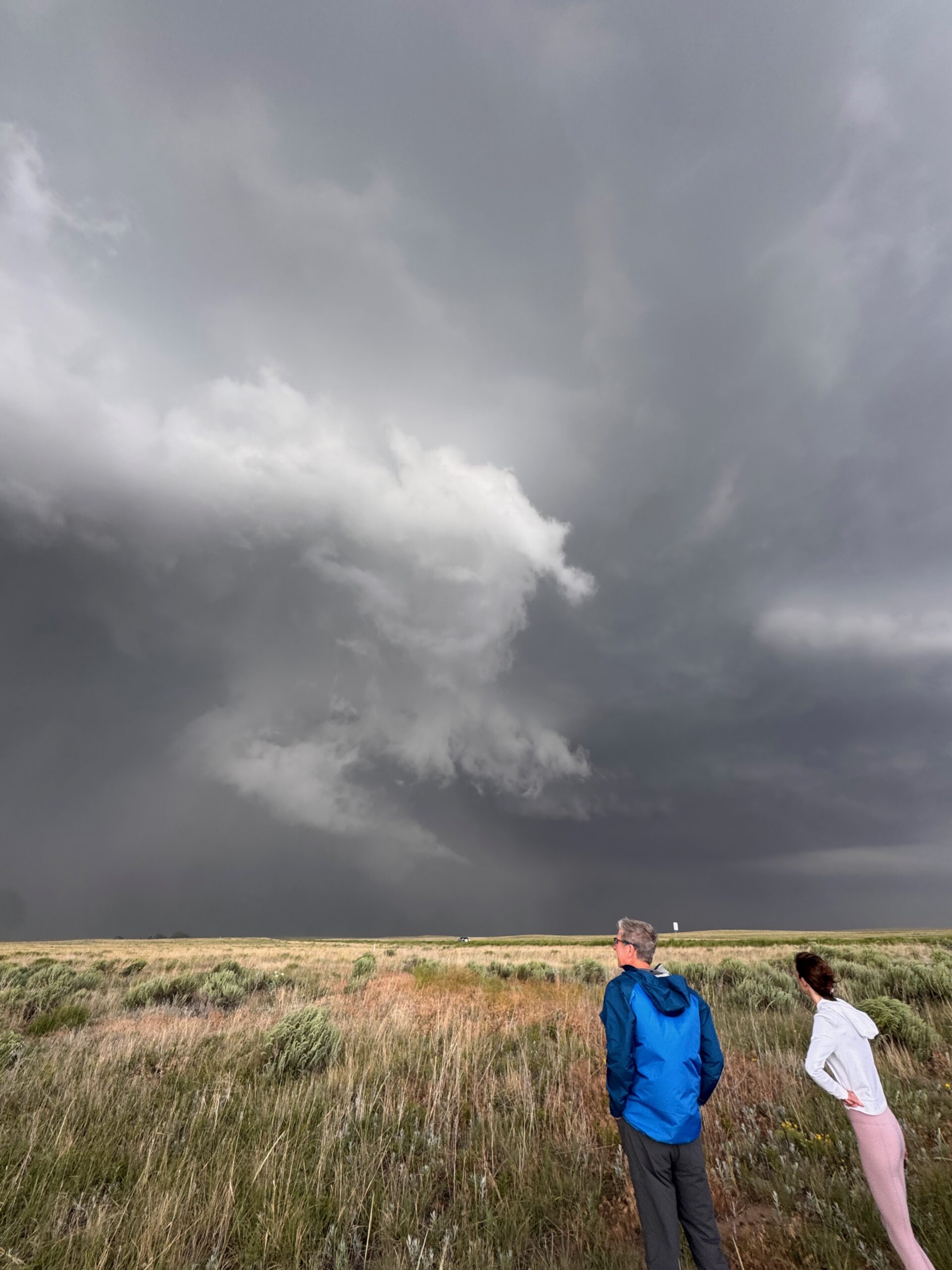
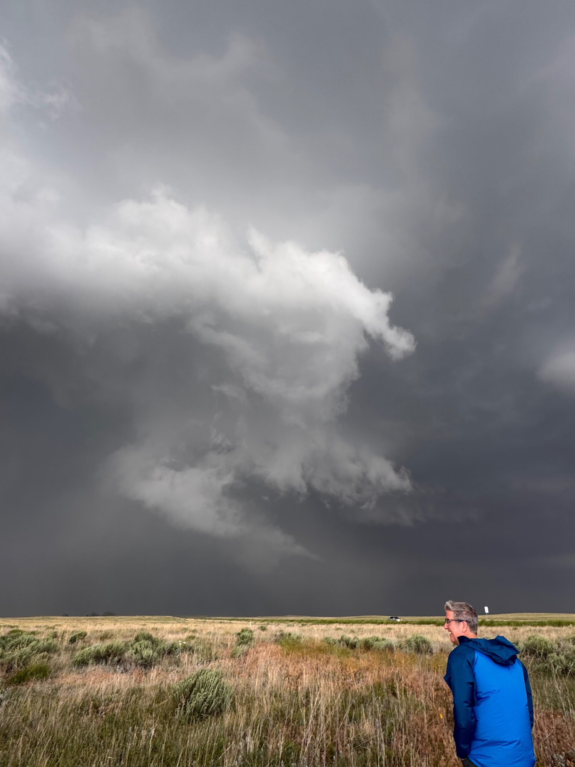
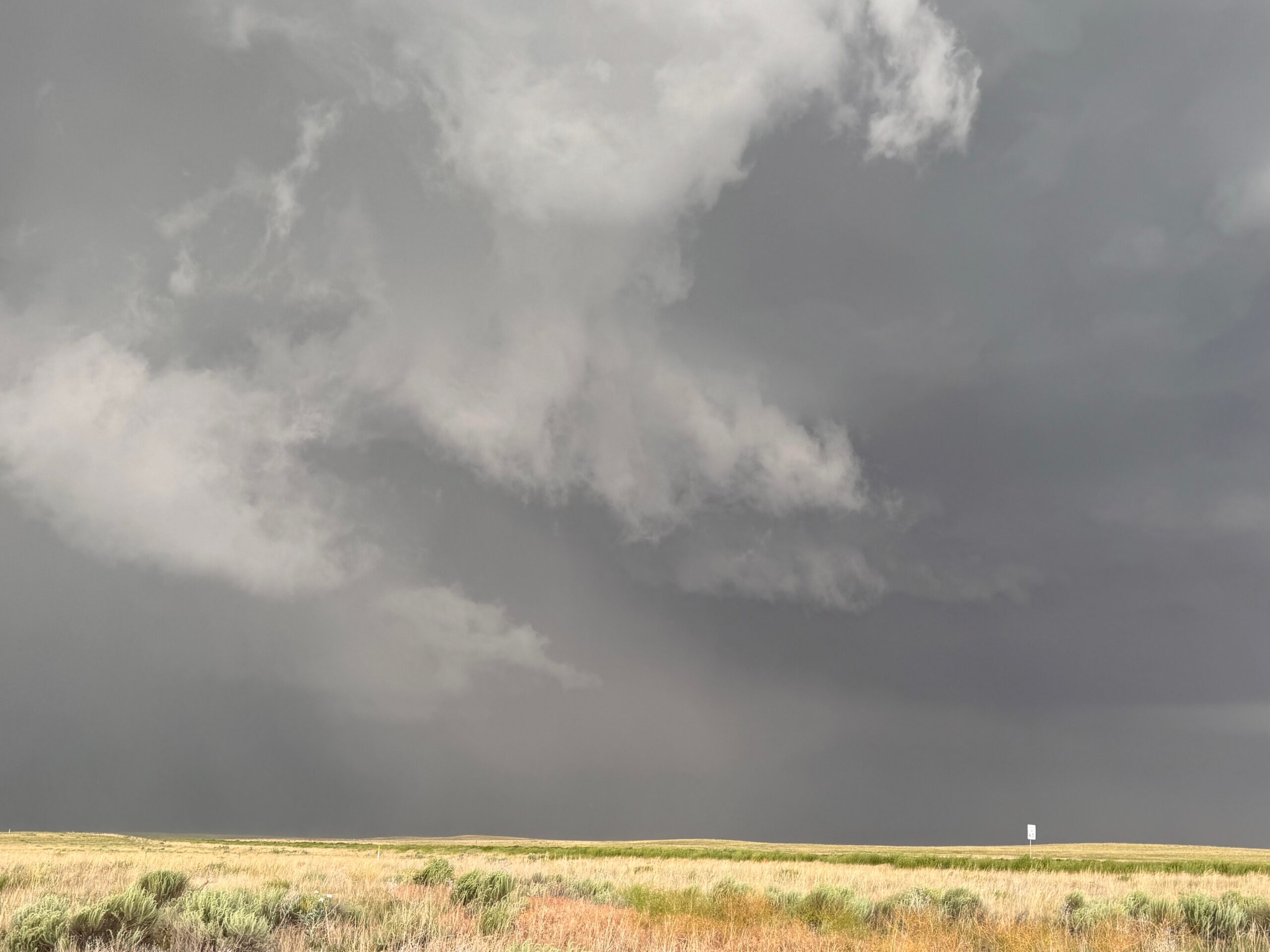
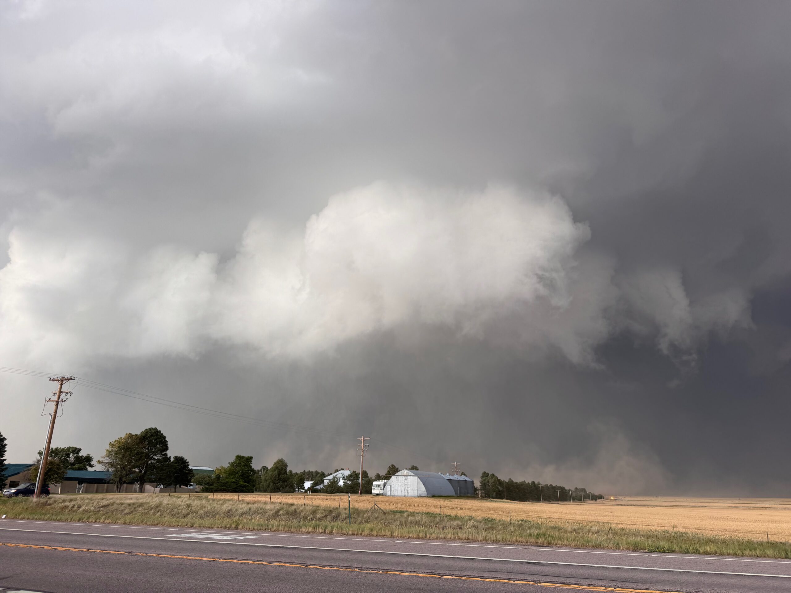
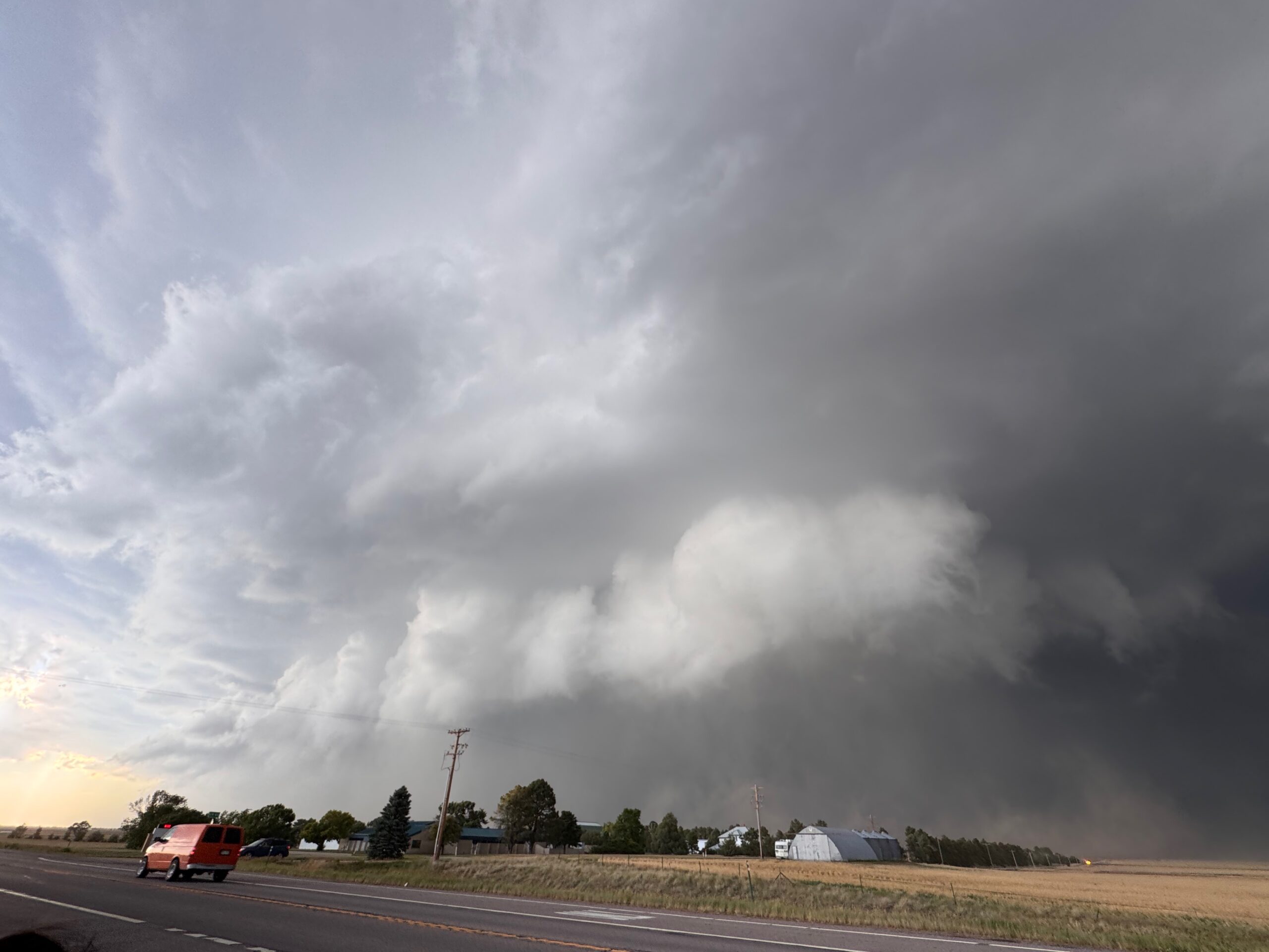
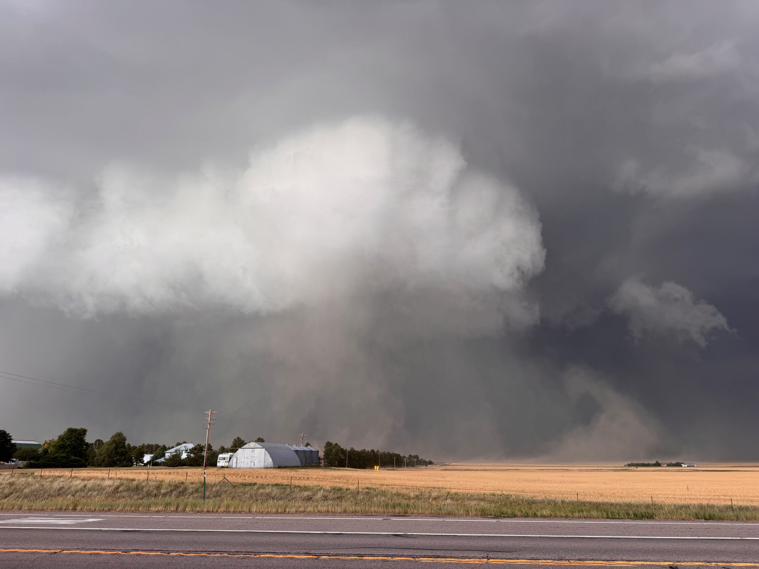
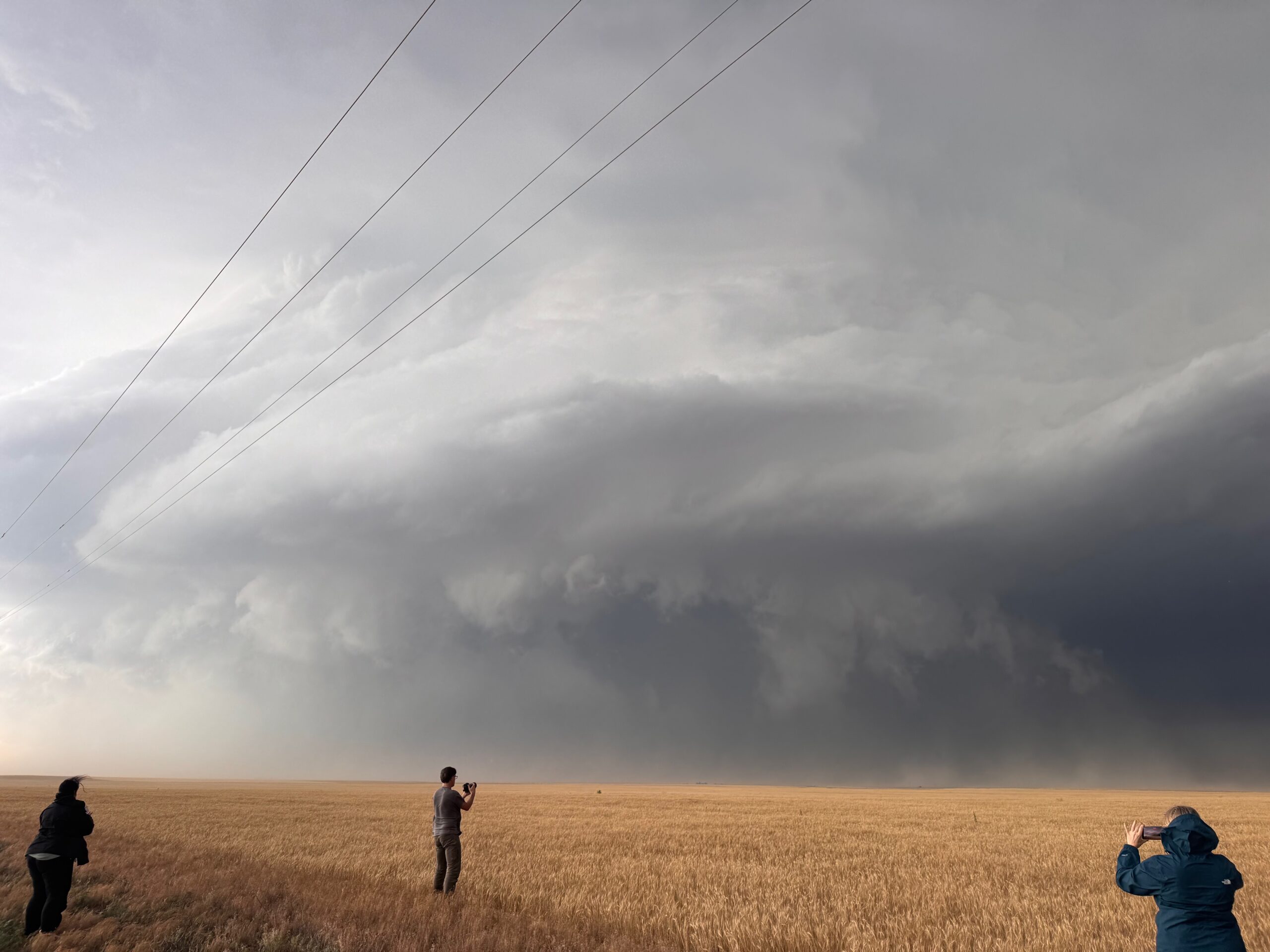
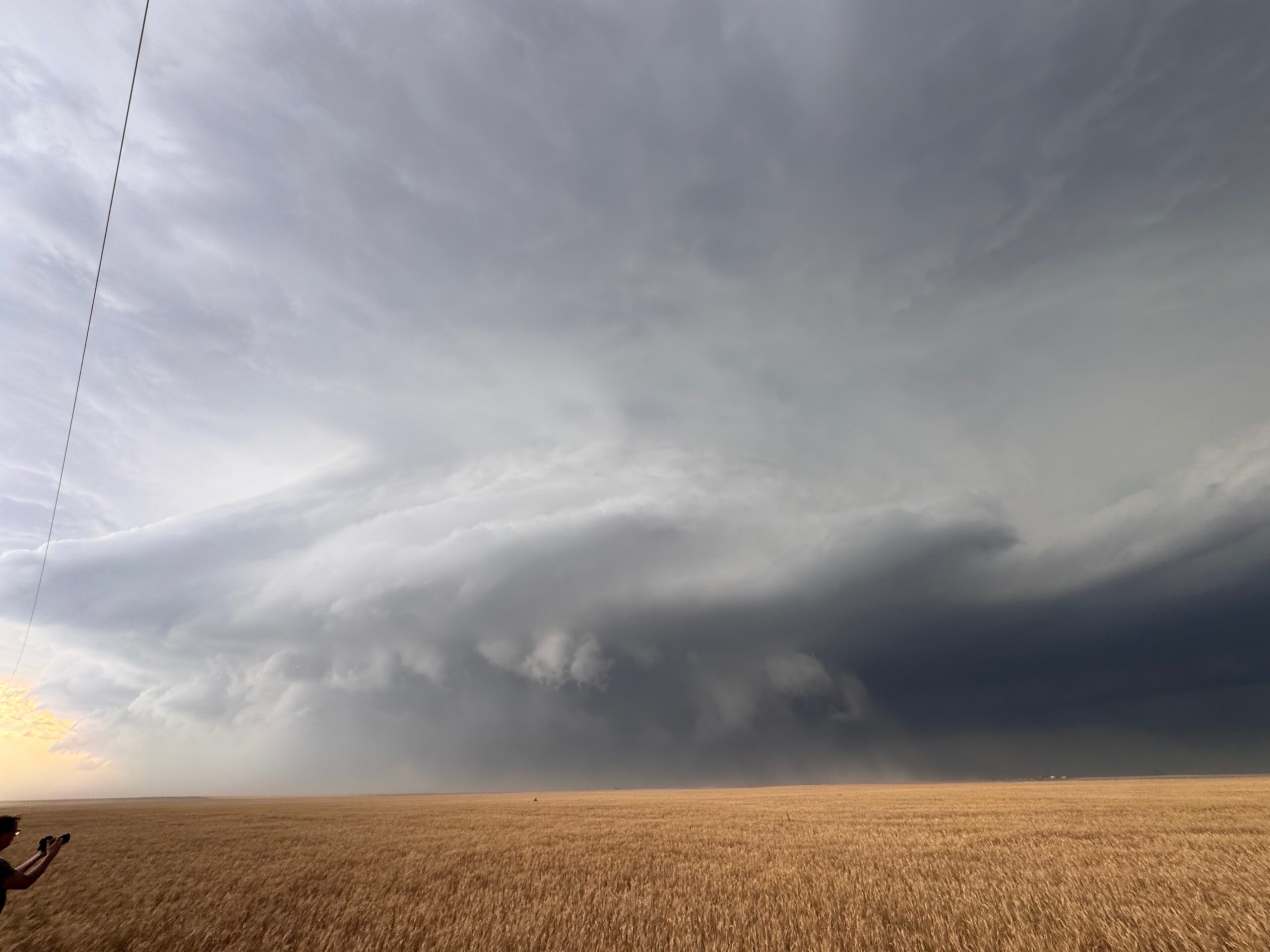
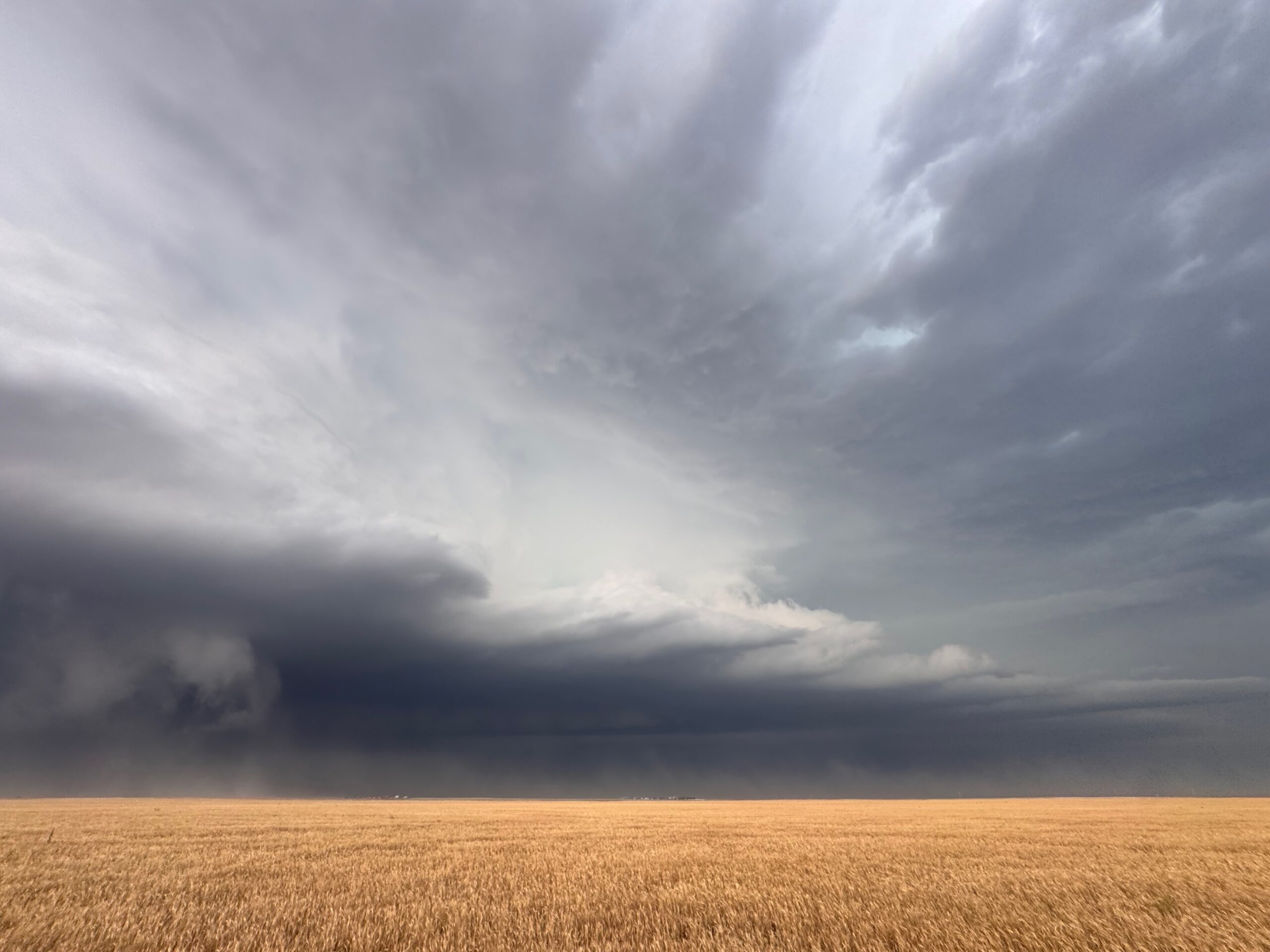
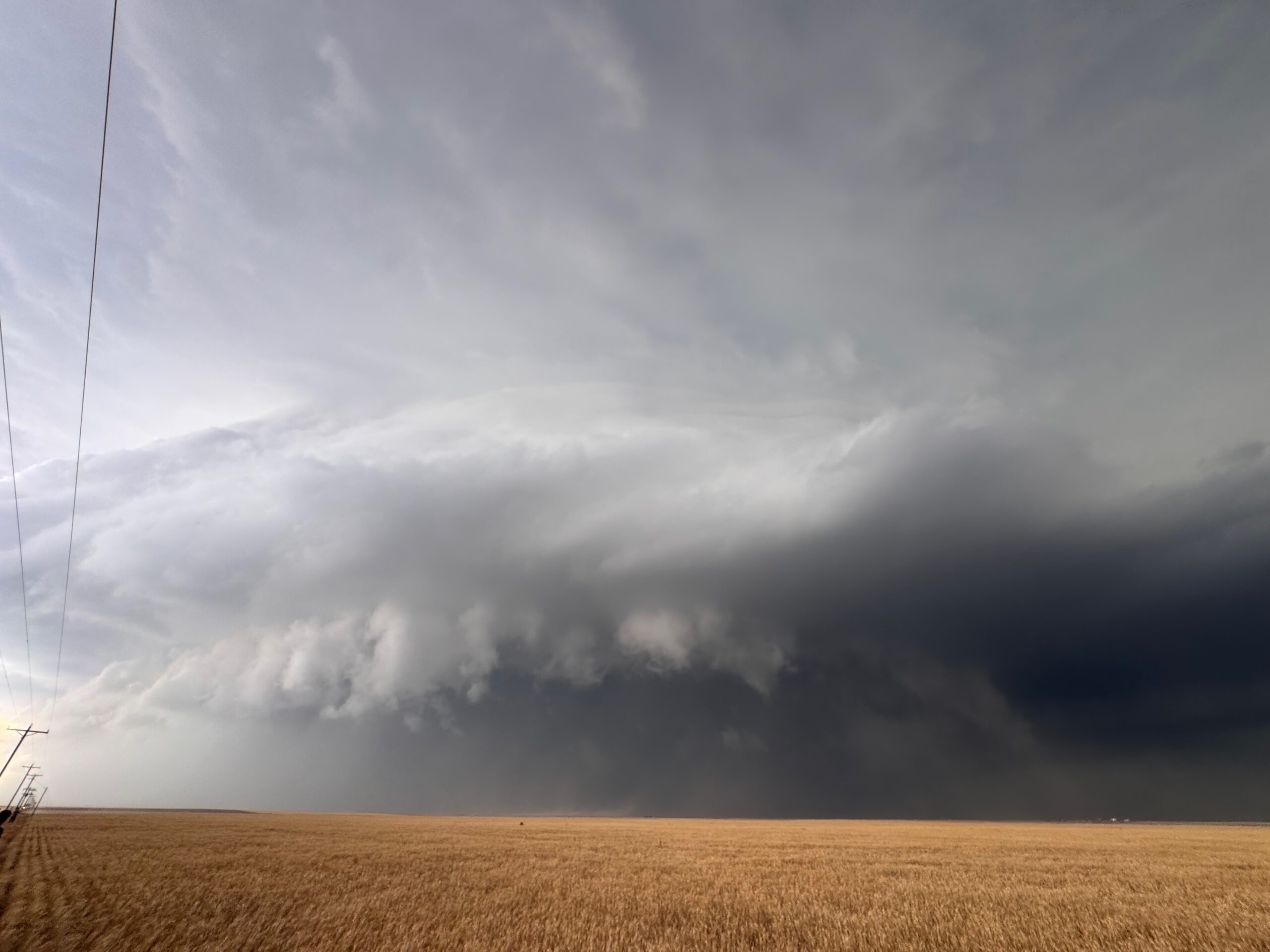
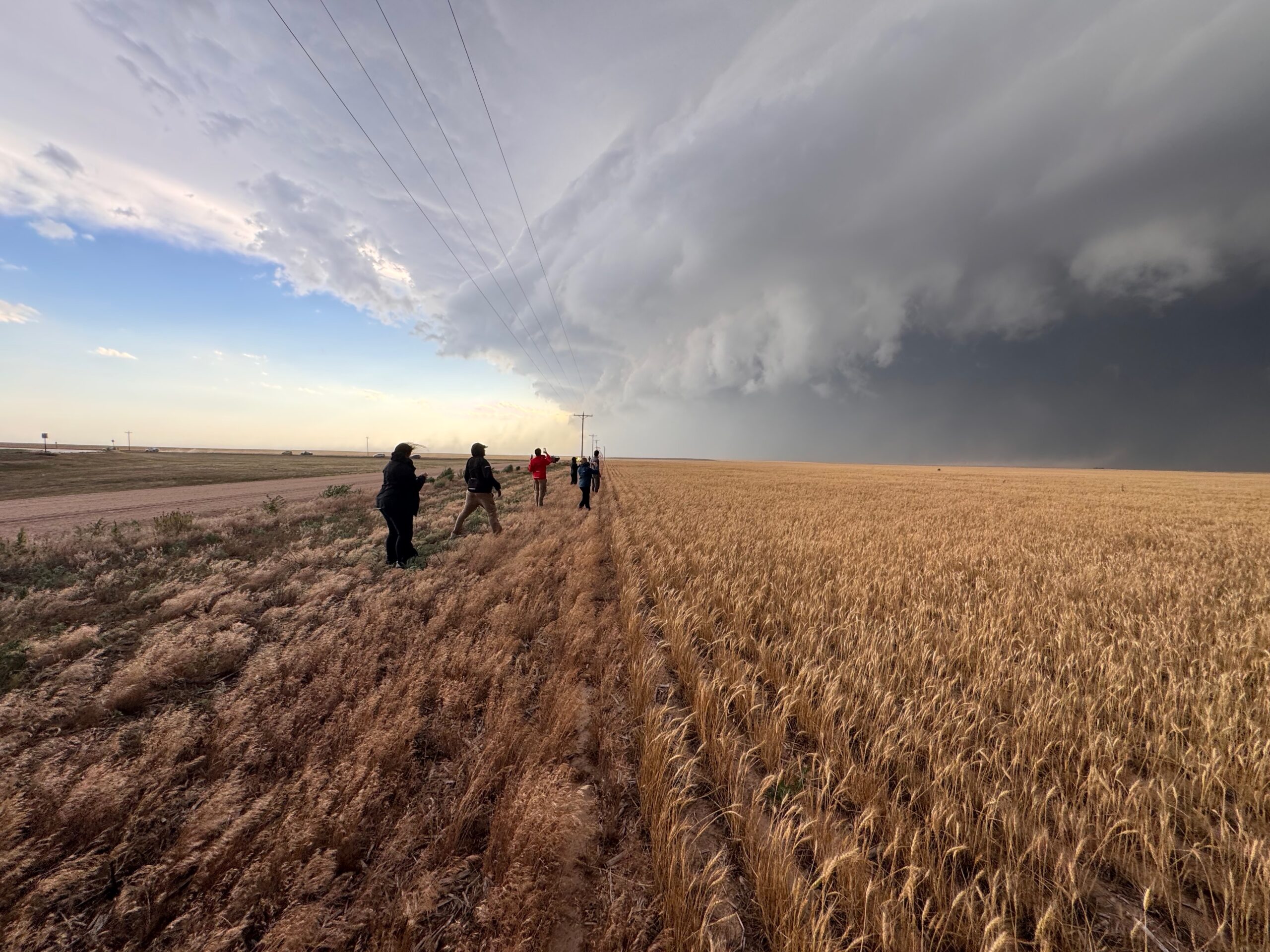
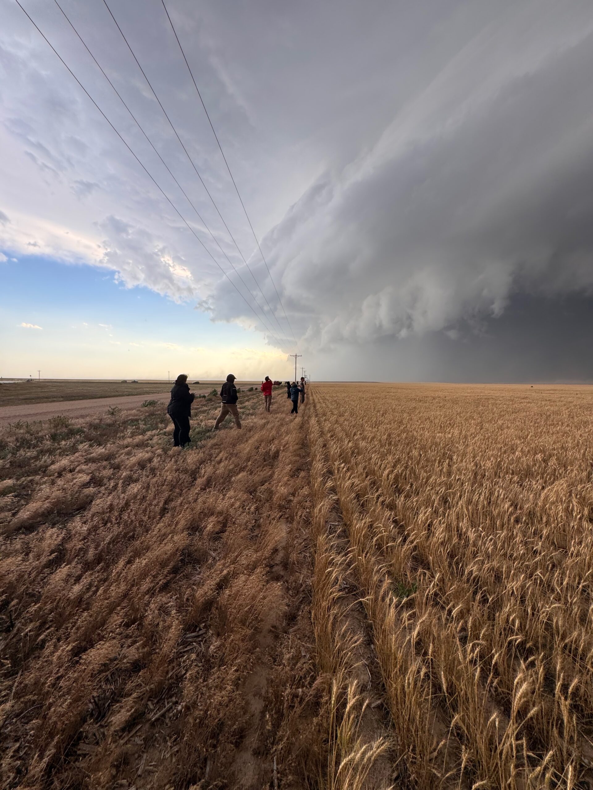
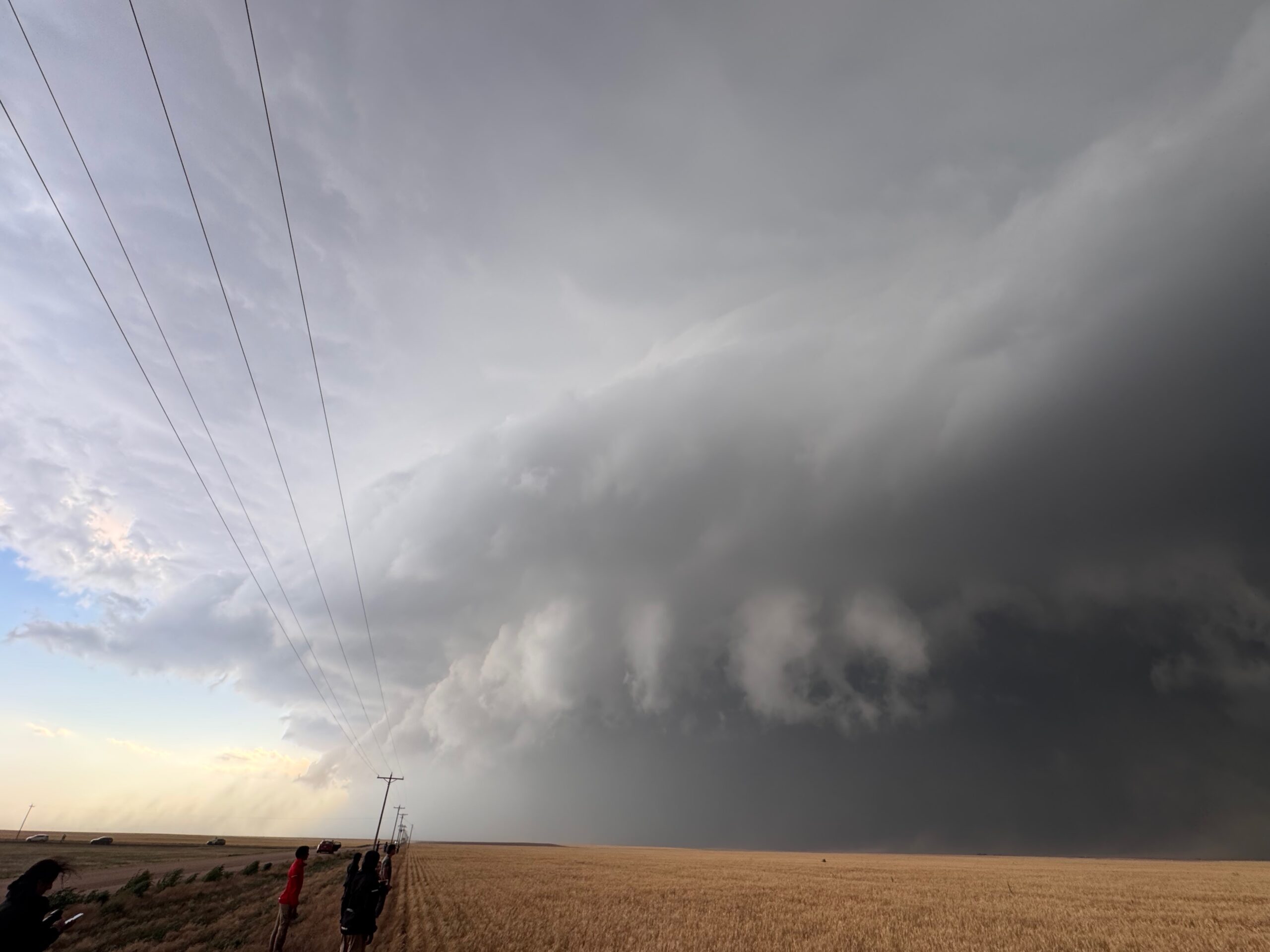
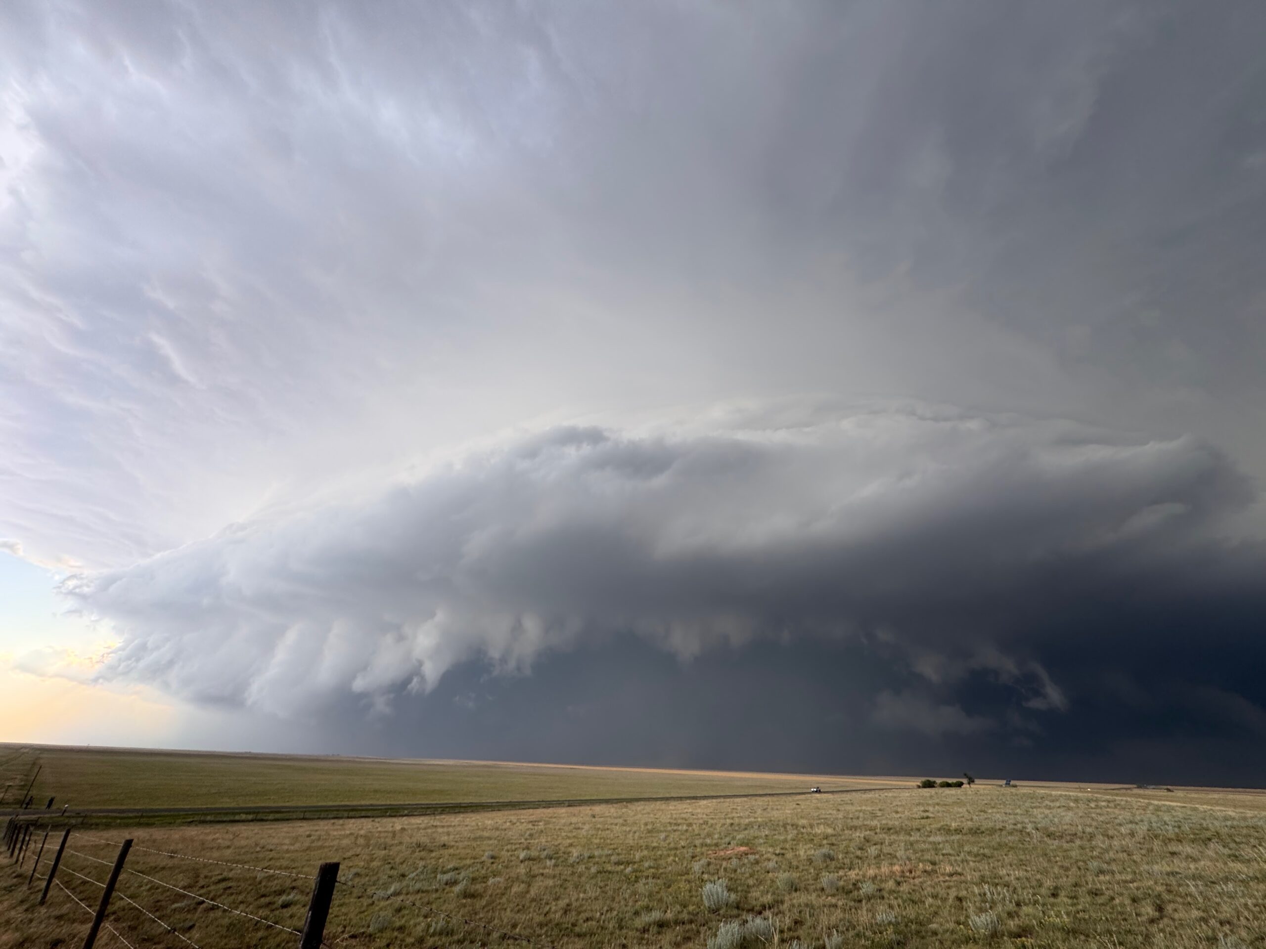
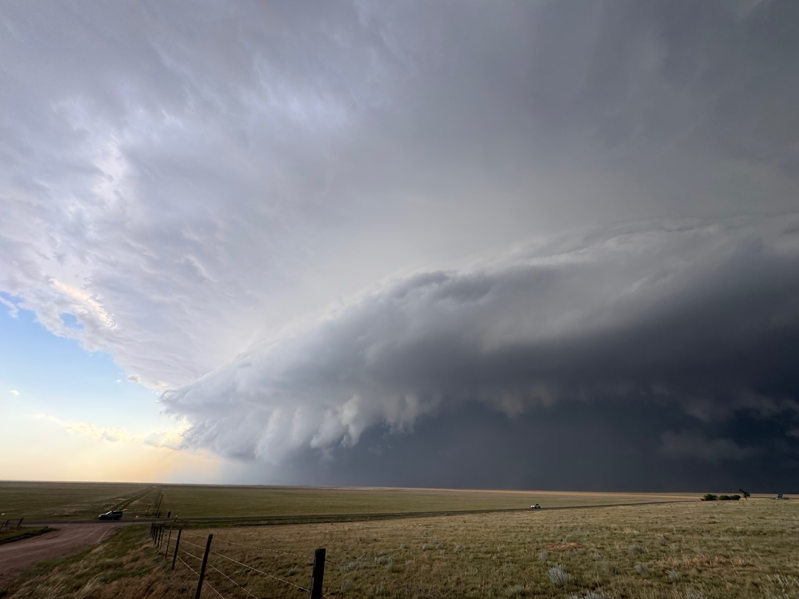
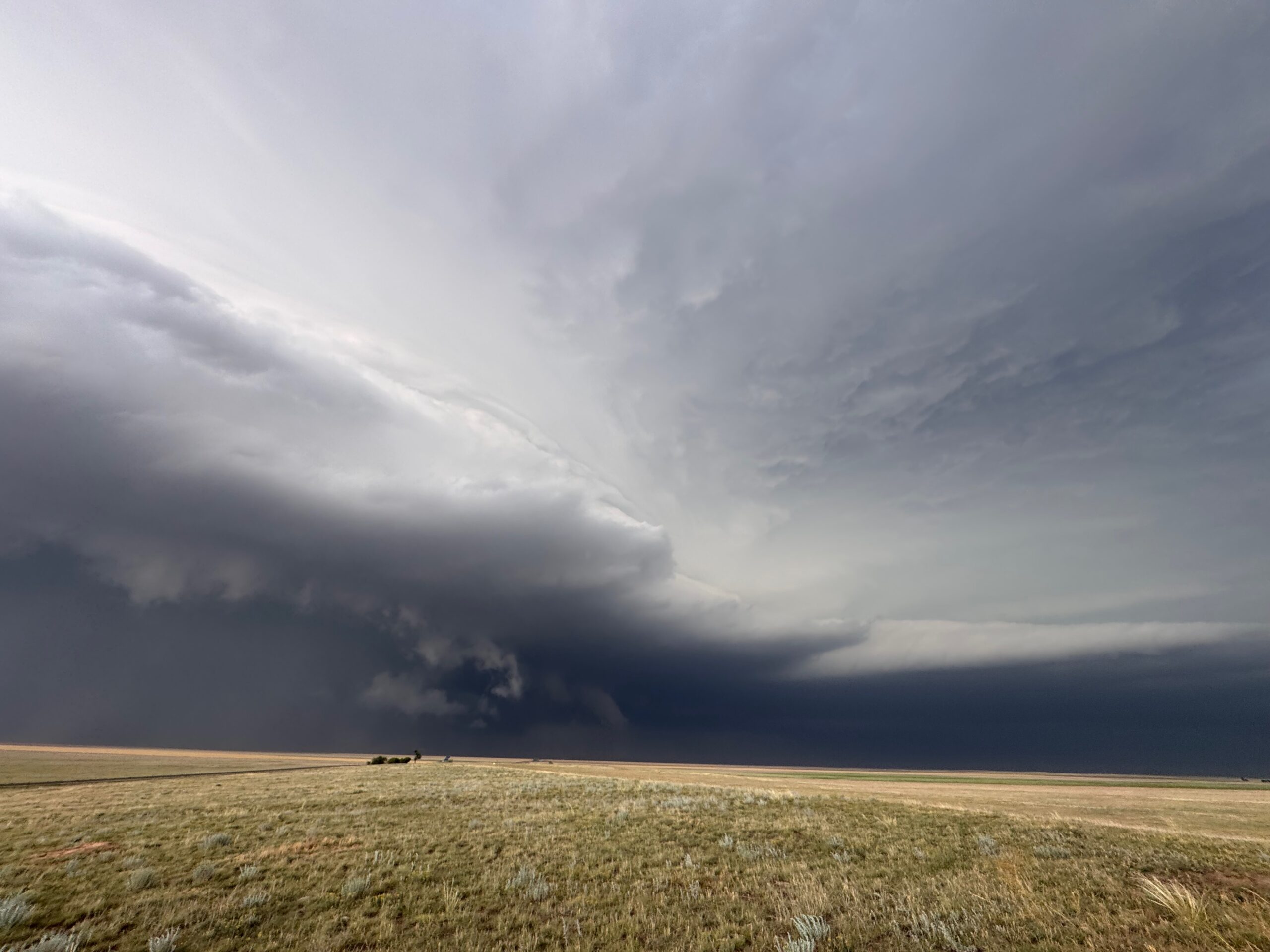
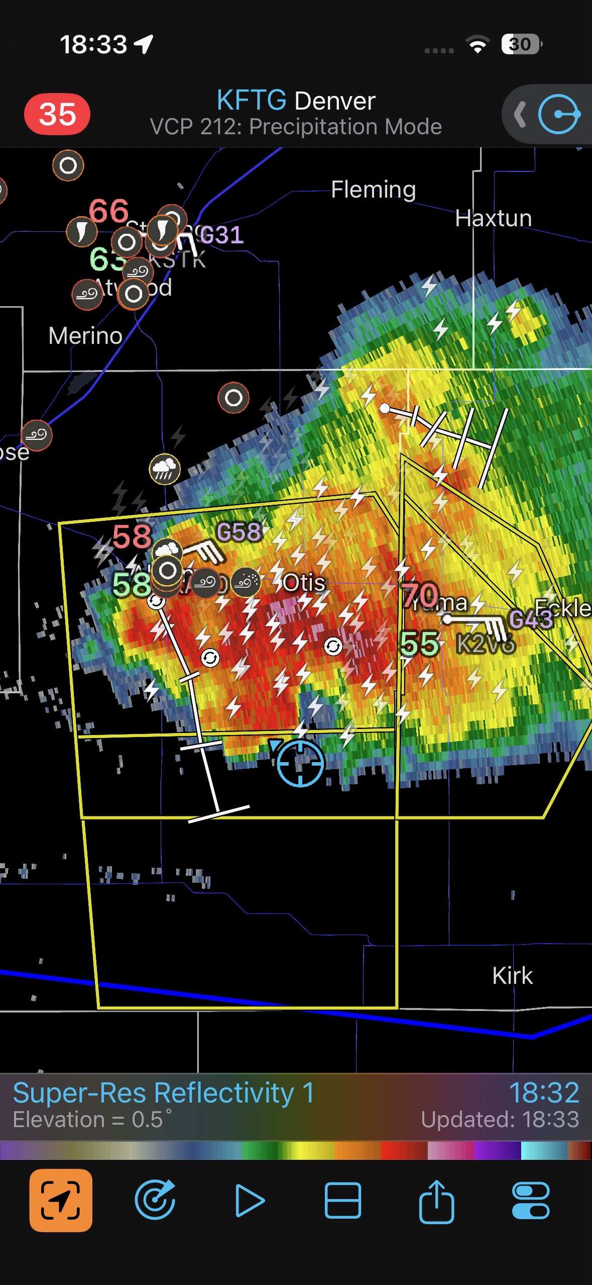
Cope to Stratton below
Leave a Reply
You must be logged in to post a comment.