
Start: Limon/Lunch: Georgia Boys BBQ in Greeley/End: Burlington/est. 420 miles
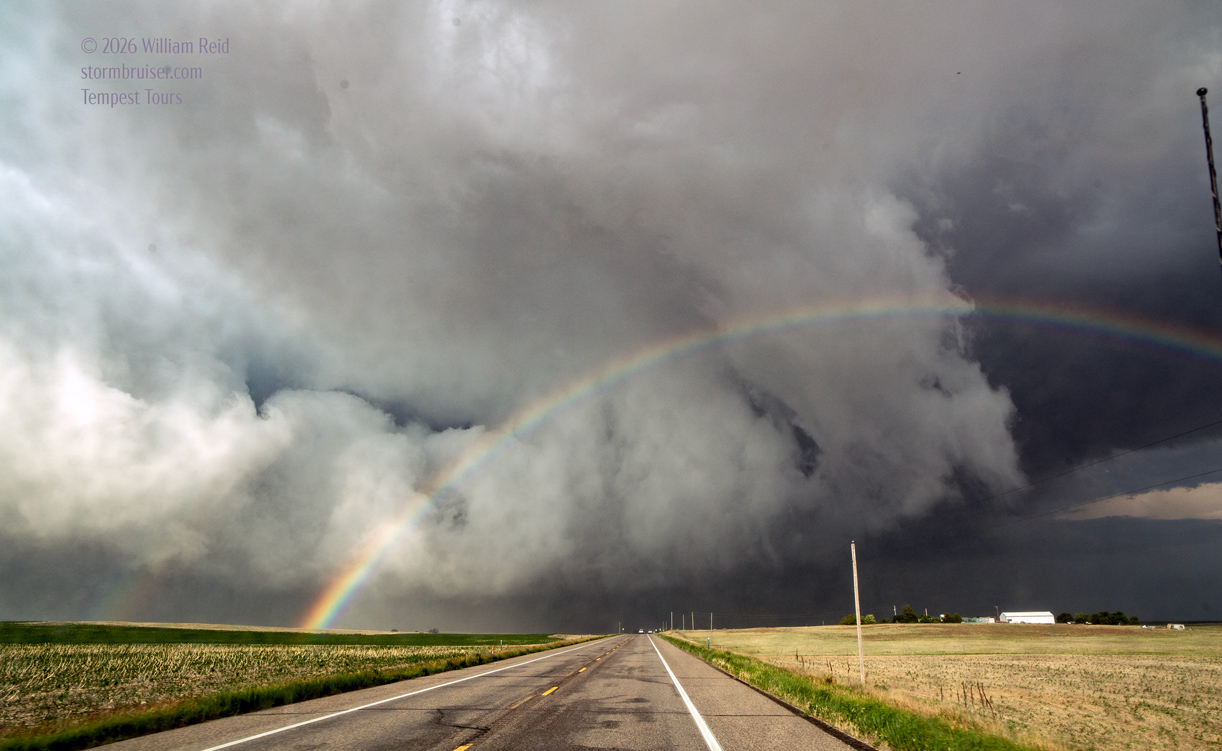
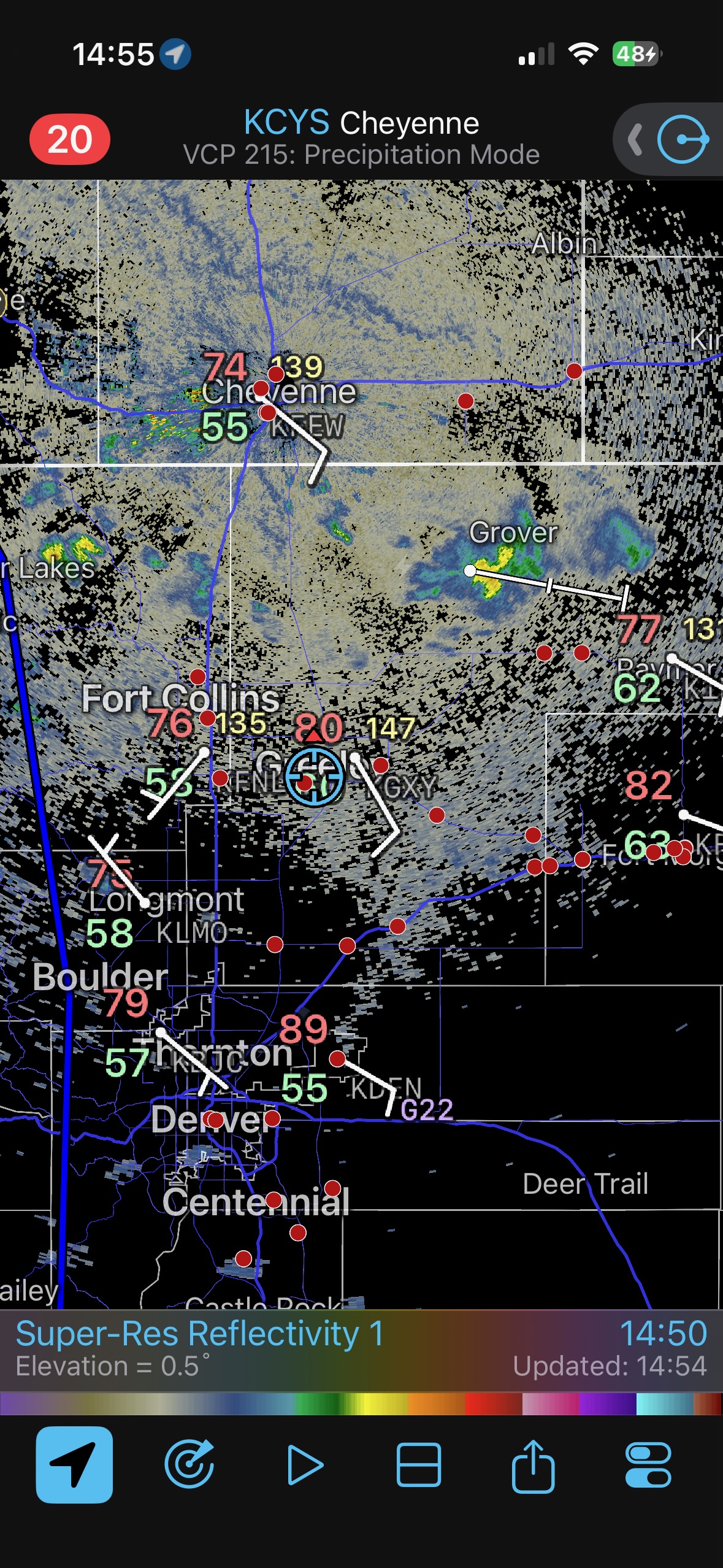
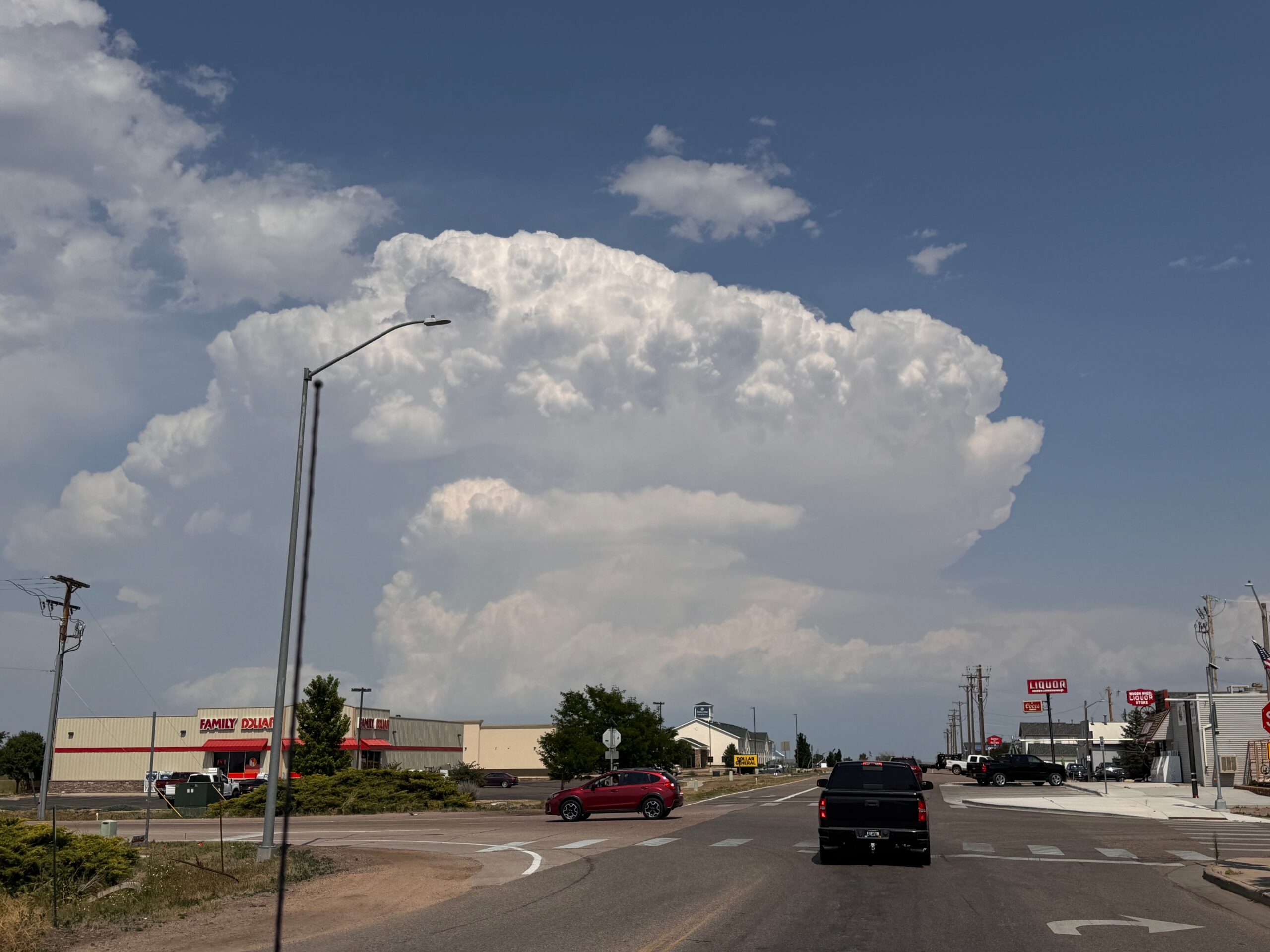
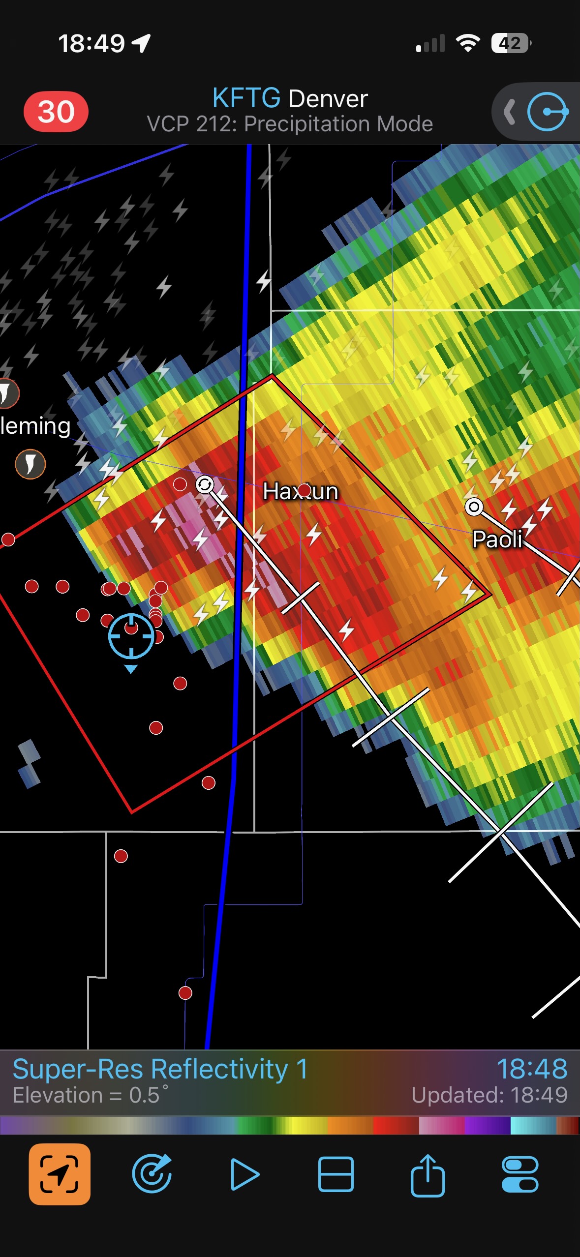
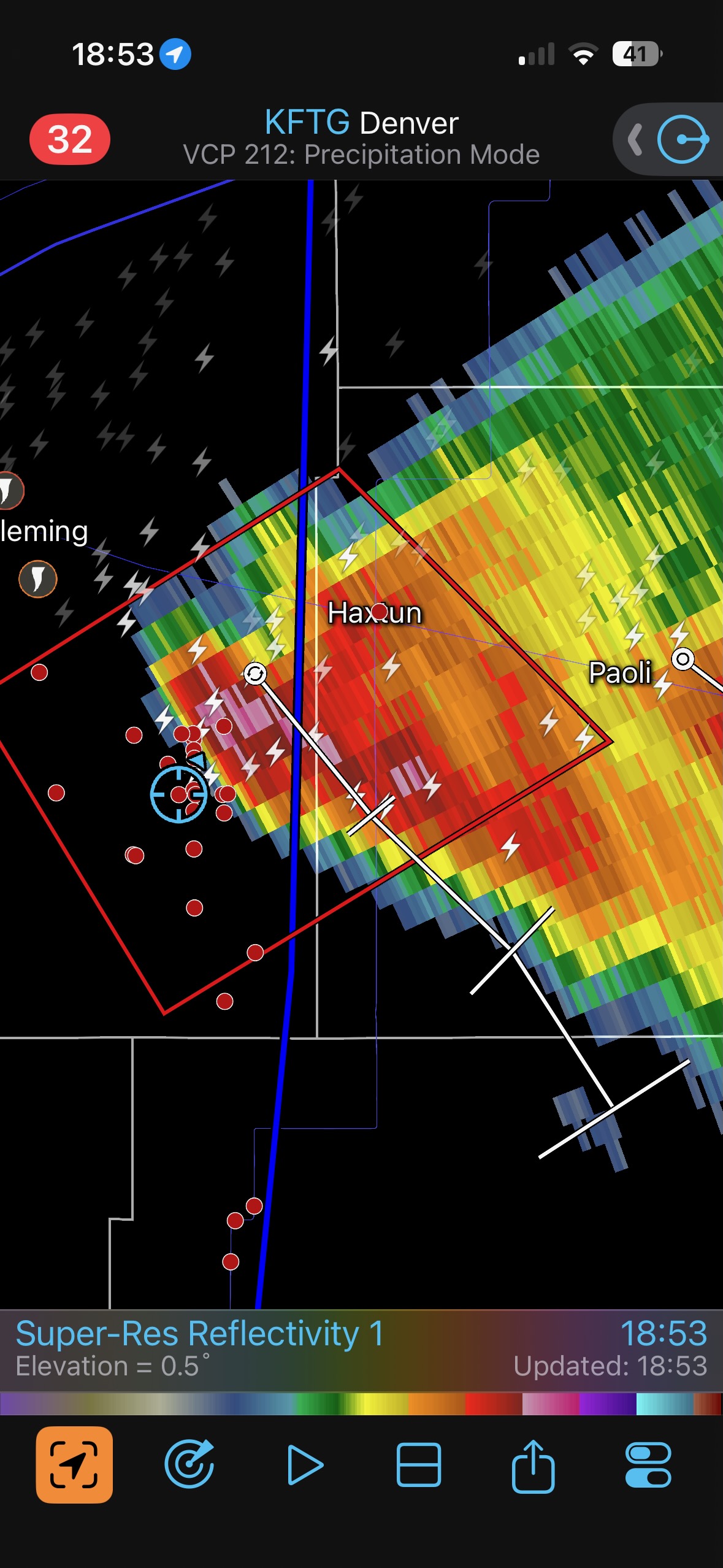
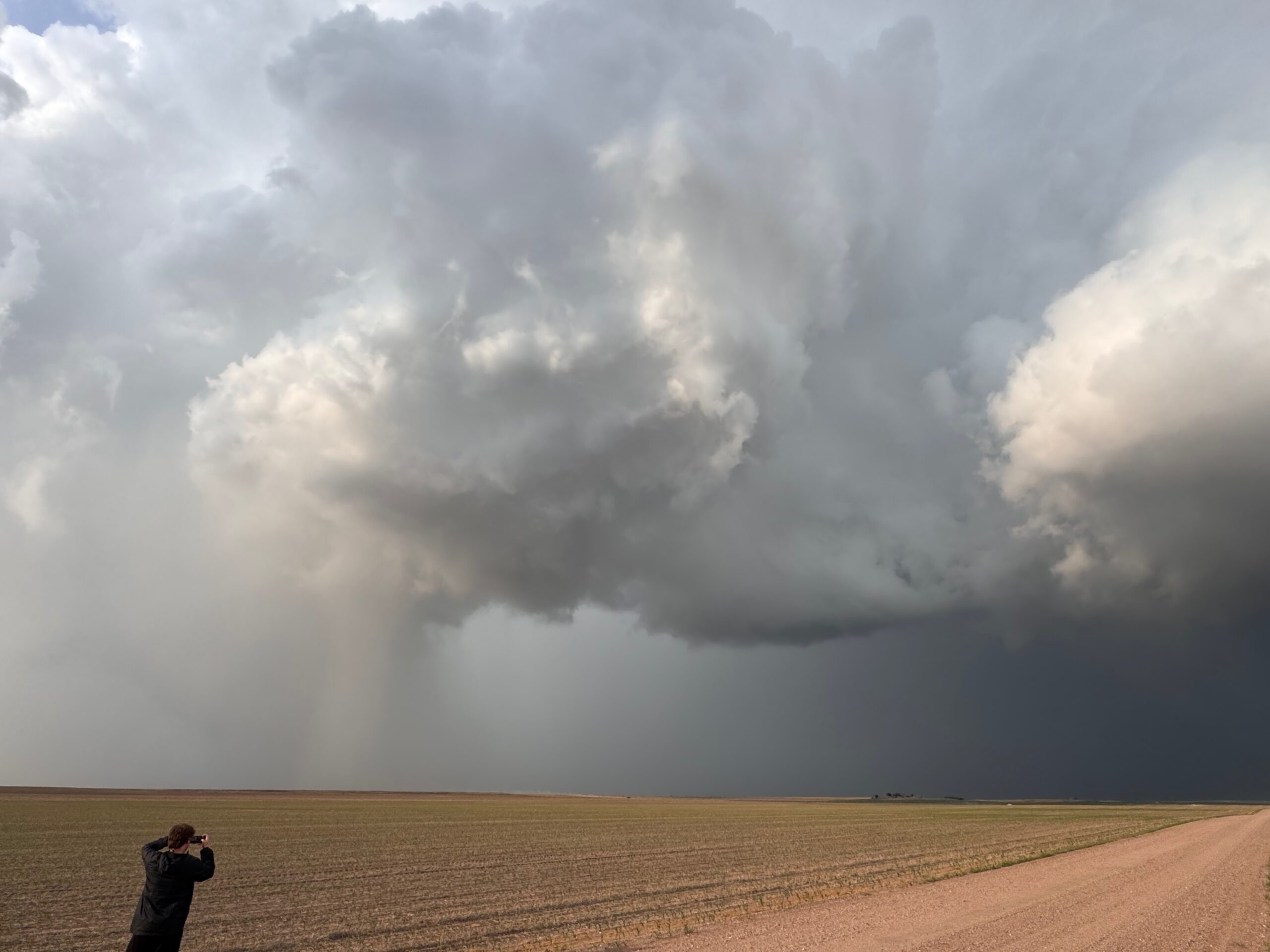
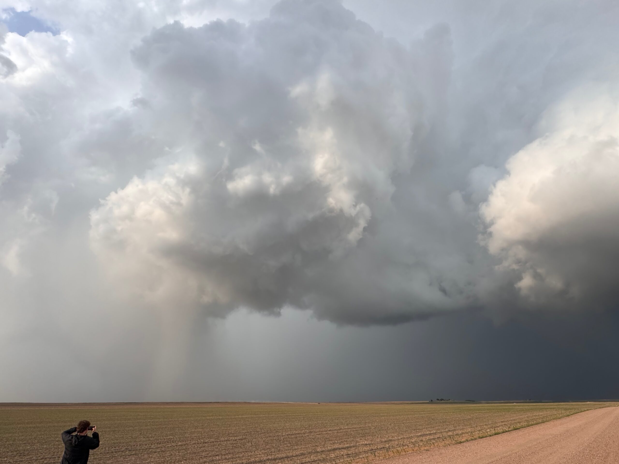
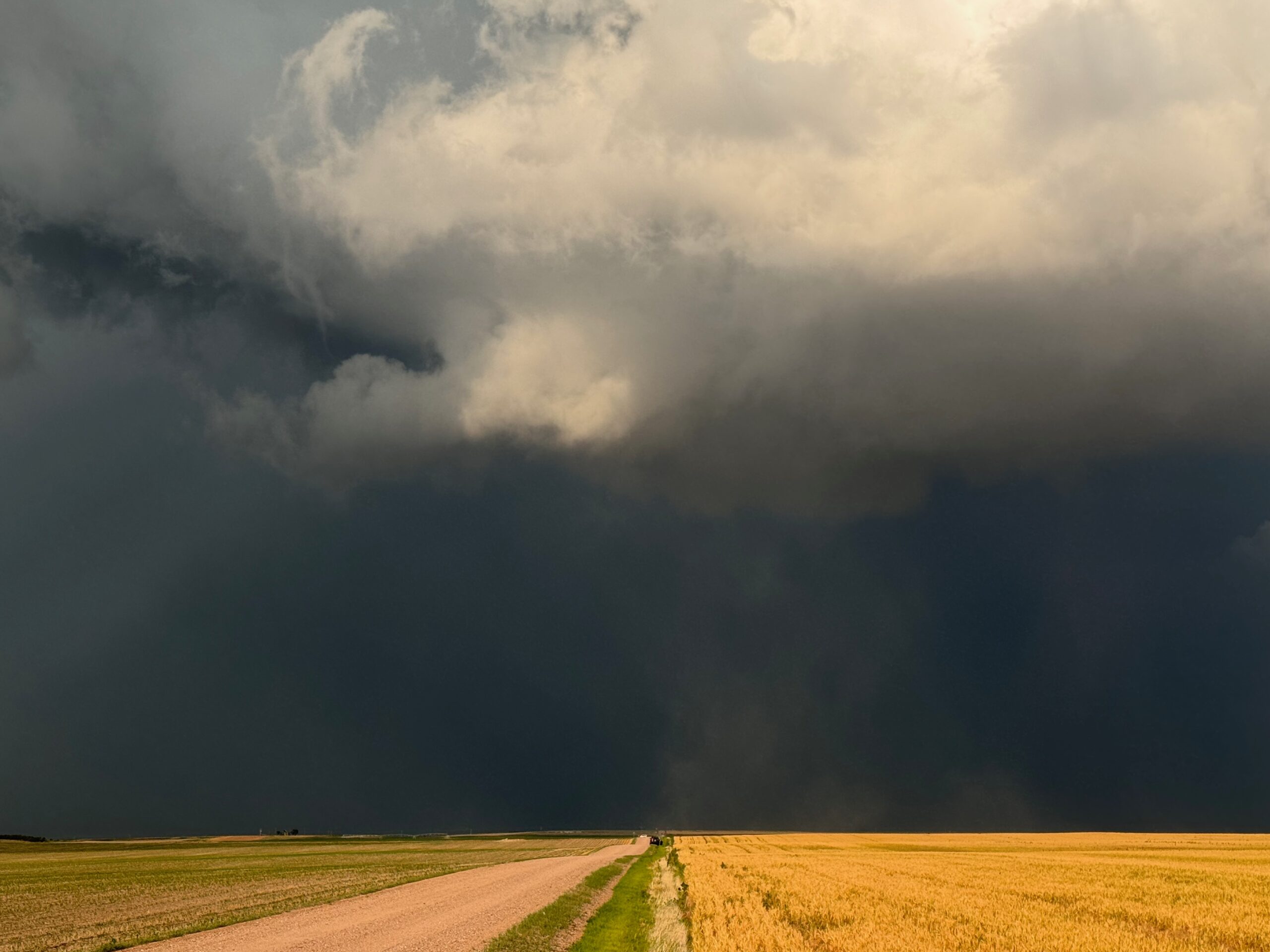
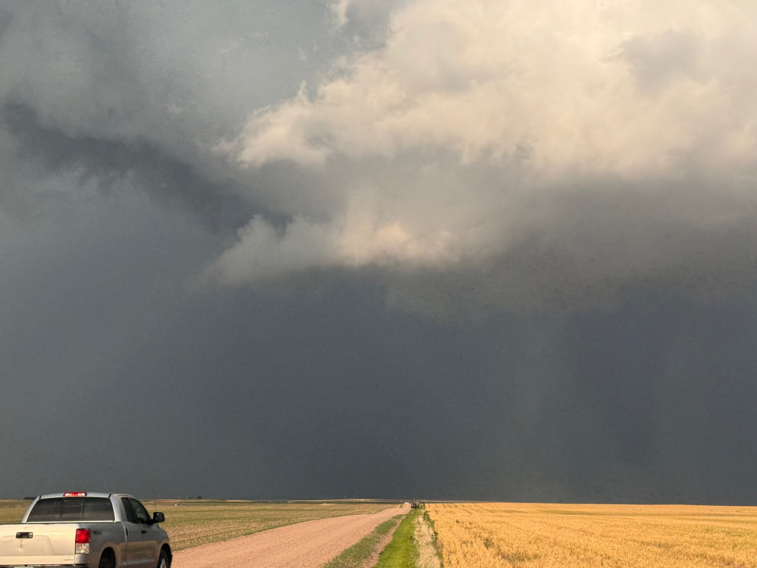
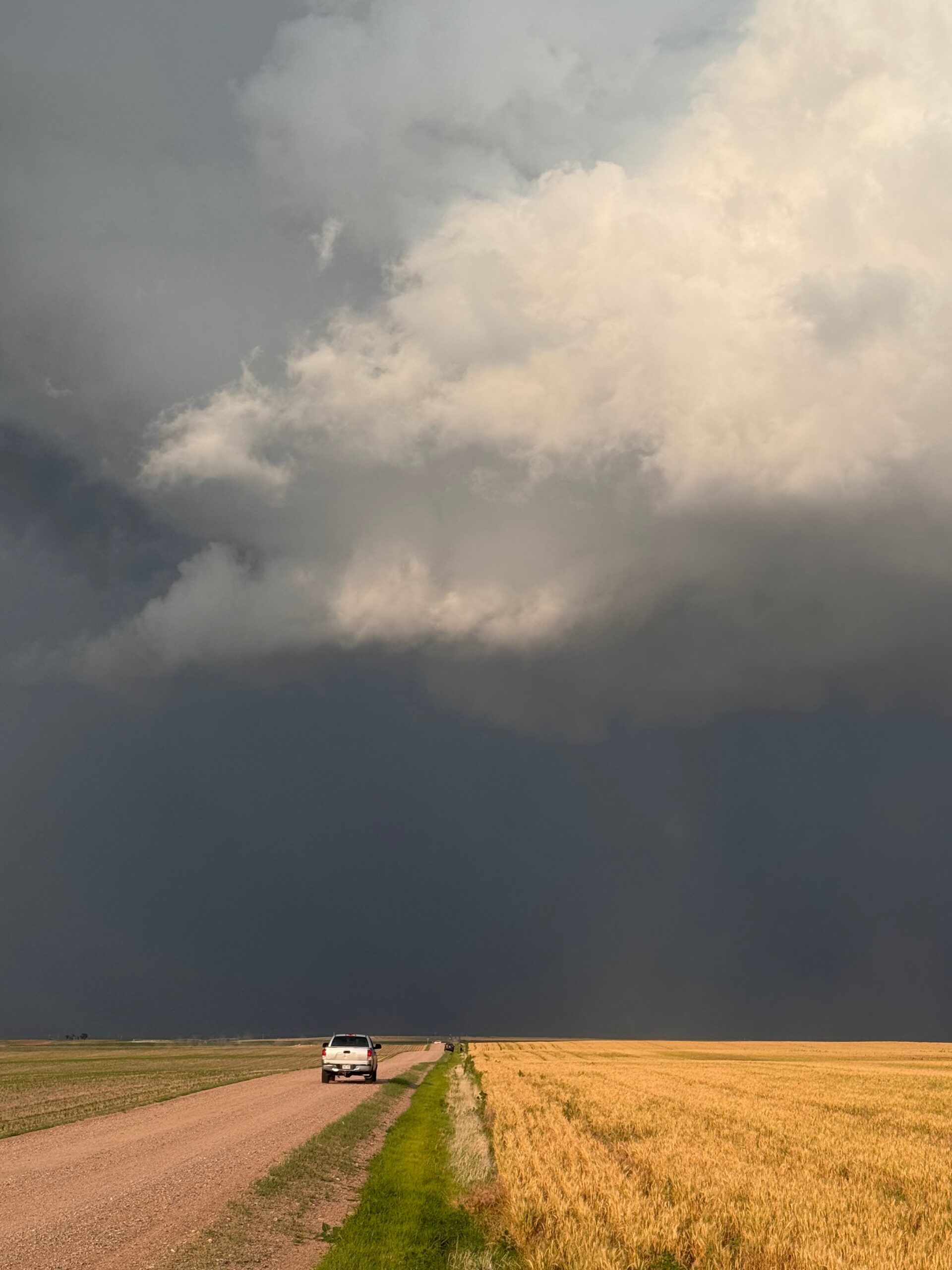
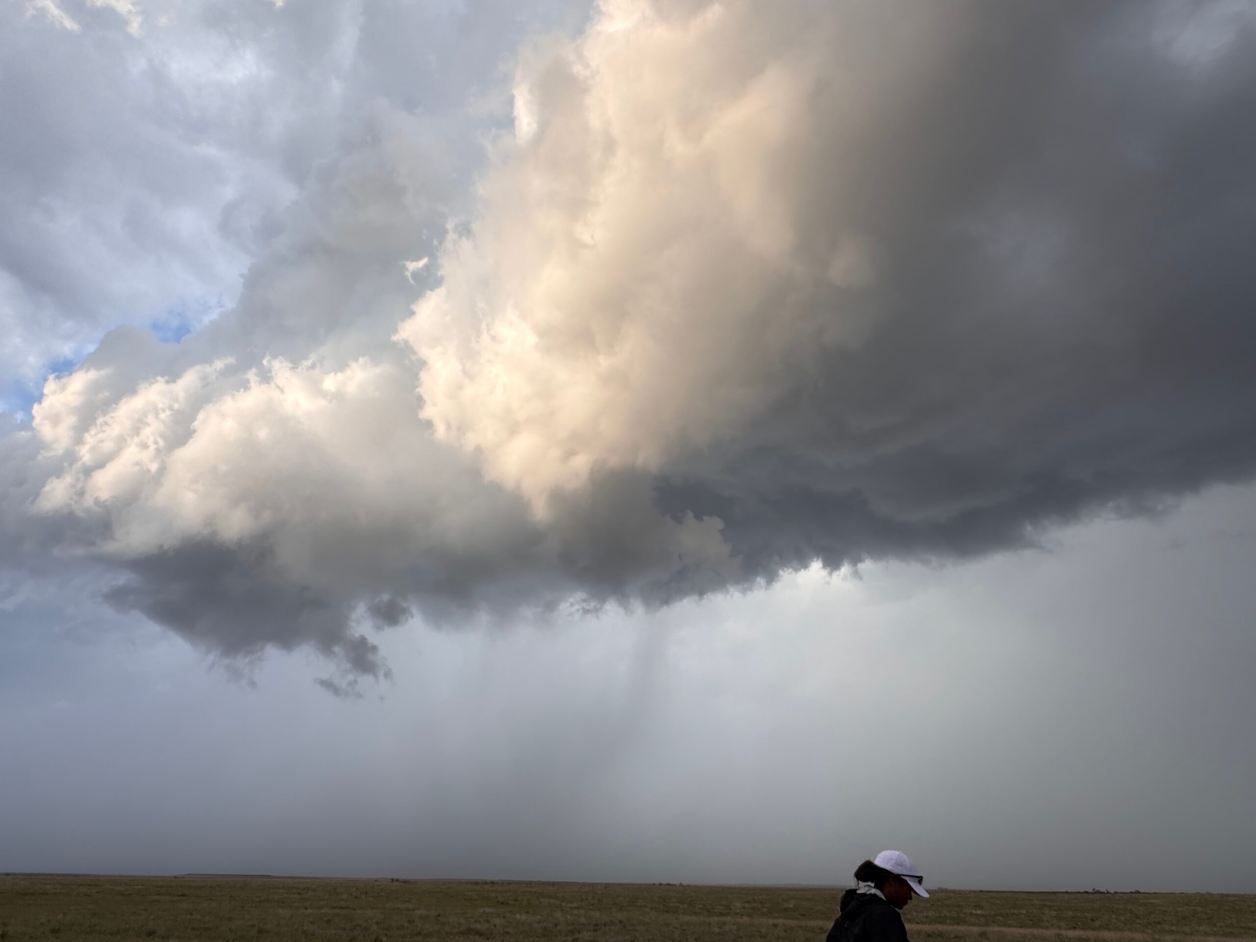
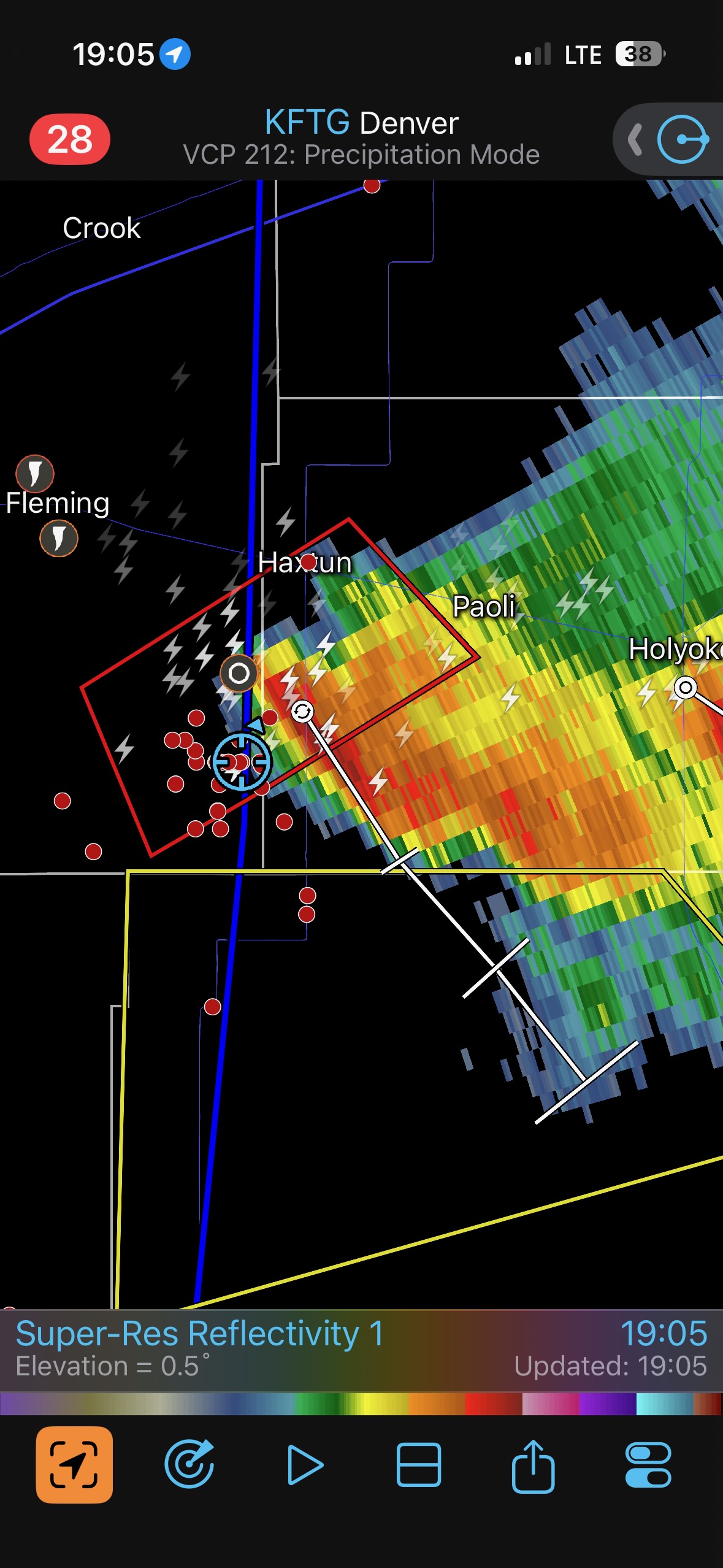
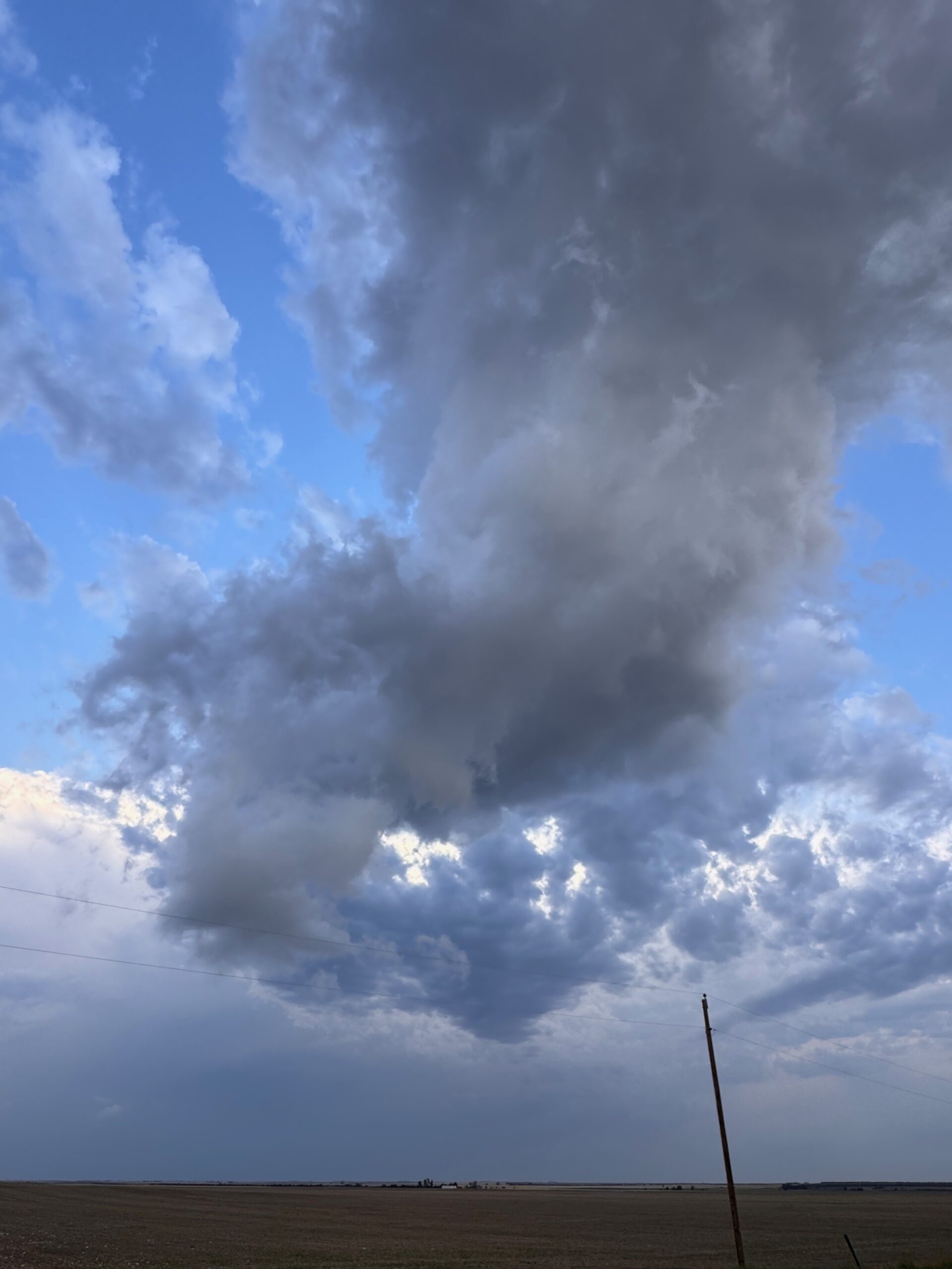
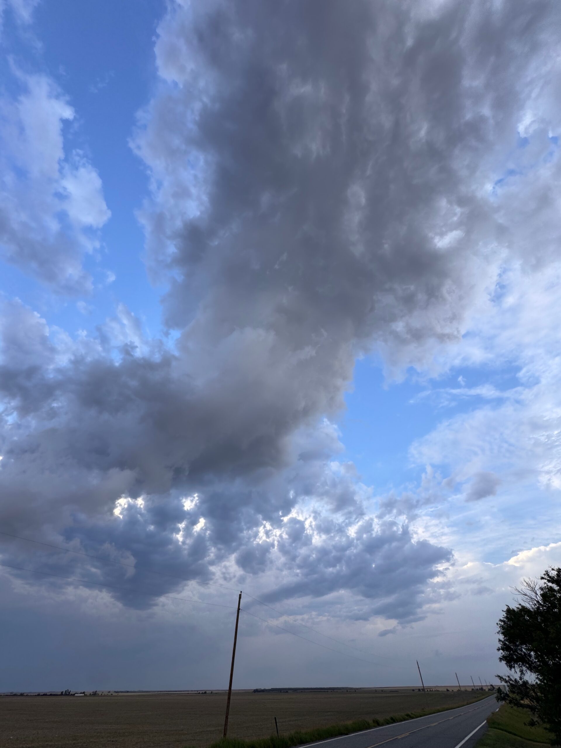
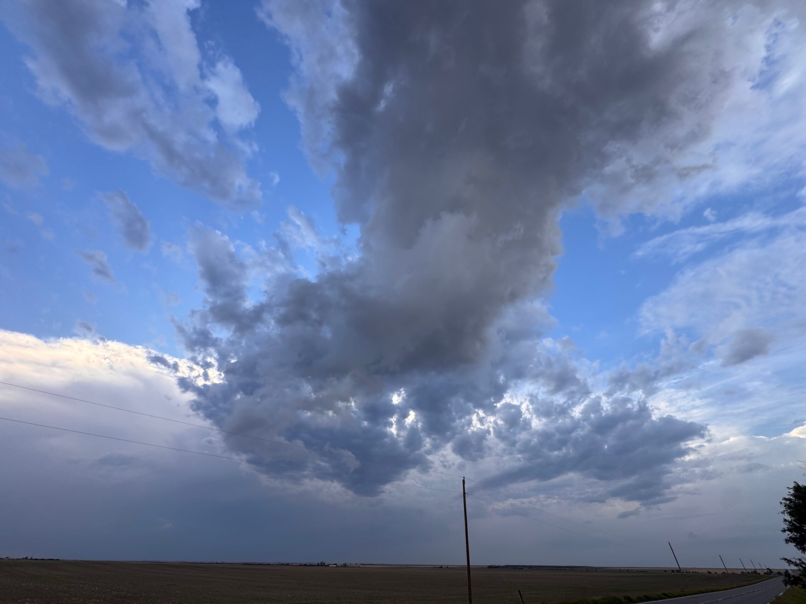
This was a fun chase day, with a bonafide tornadic supercell to observe at Fleming, Colorado (east of Sterling). The best pics off of the Canon cameras are in the group below. They are followed by the iPhone images and radar screenshots, with a semi-detailed chase account.
The first six images below in the Canon group are of the first supercell, from about Fort Morgan to Woodrow, on Highway 71 south of Brush. These are followed by the Fleming supercell shots.
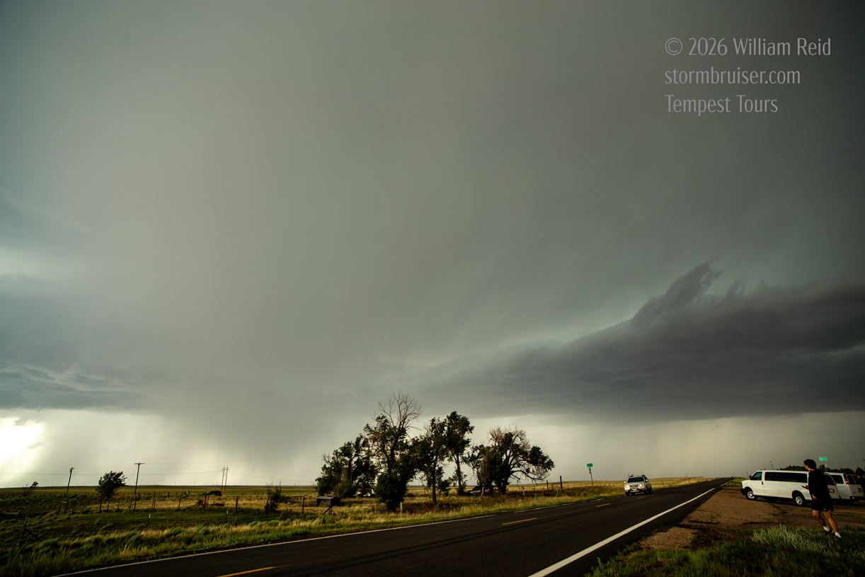
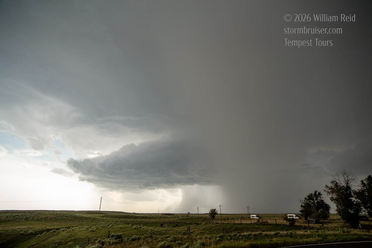
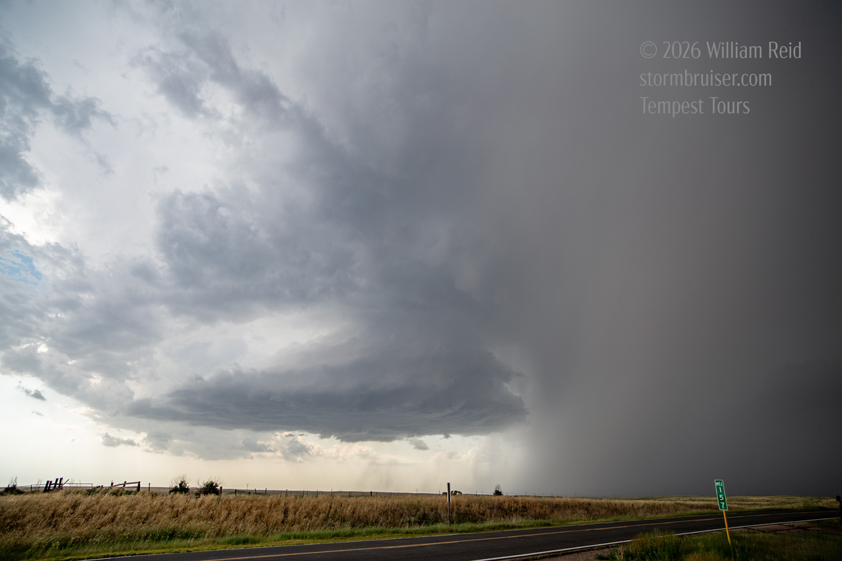
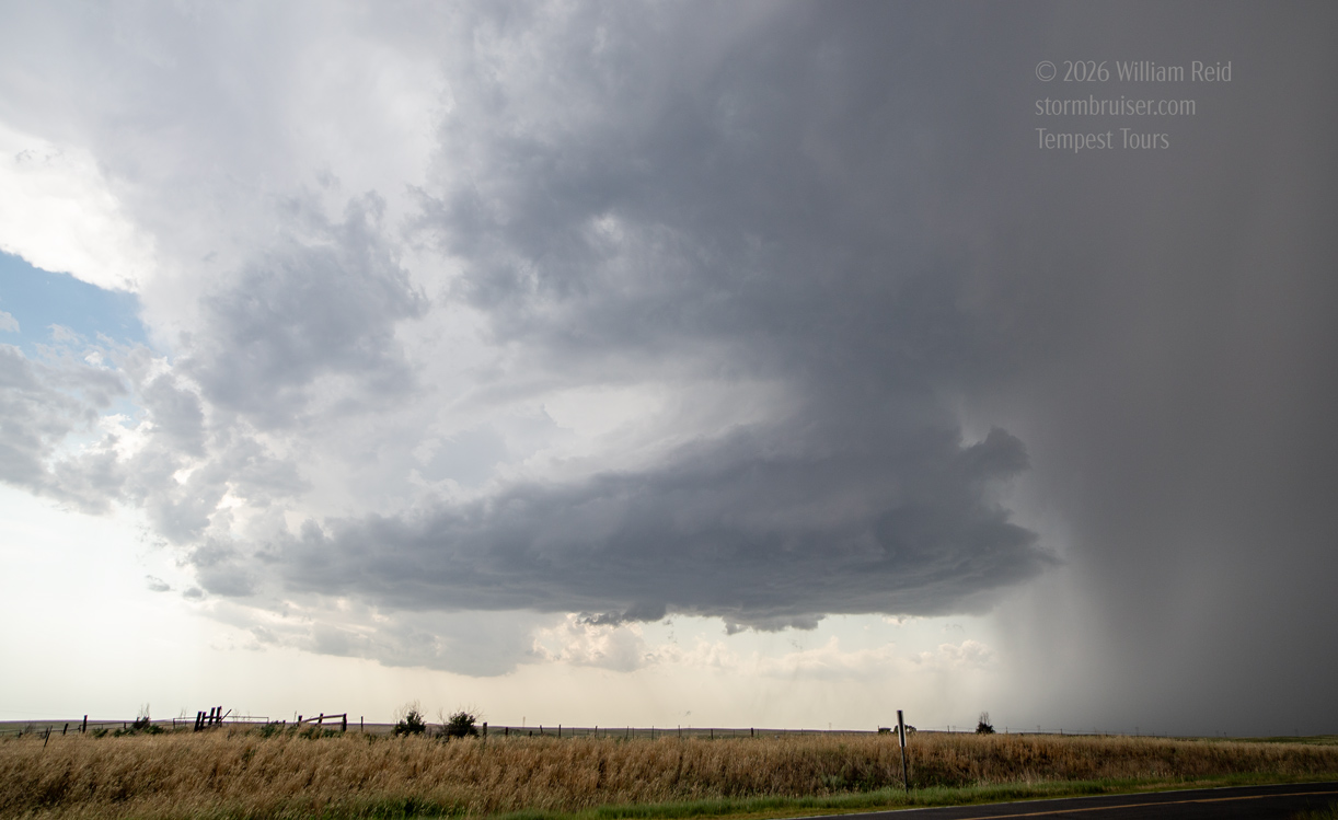
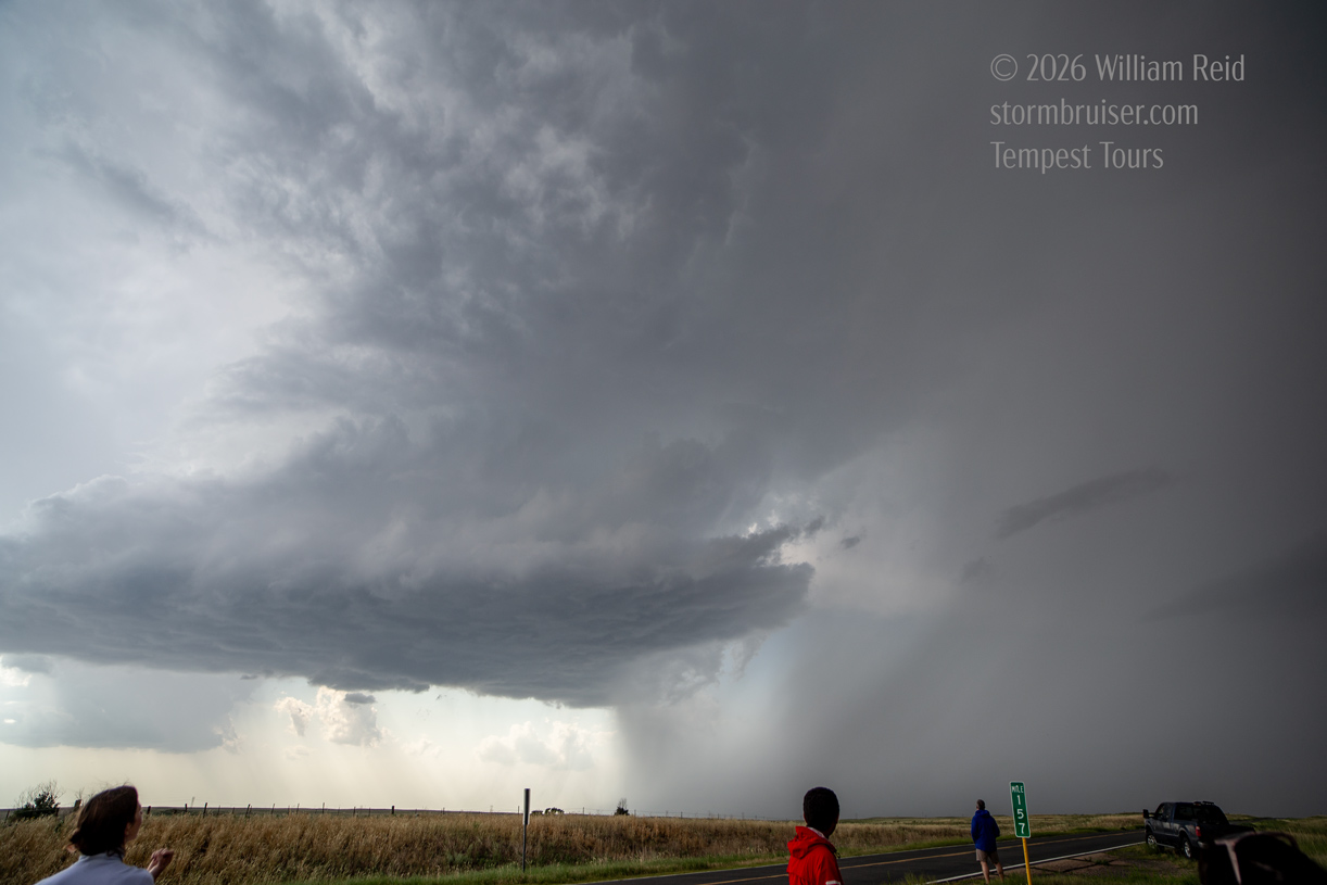
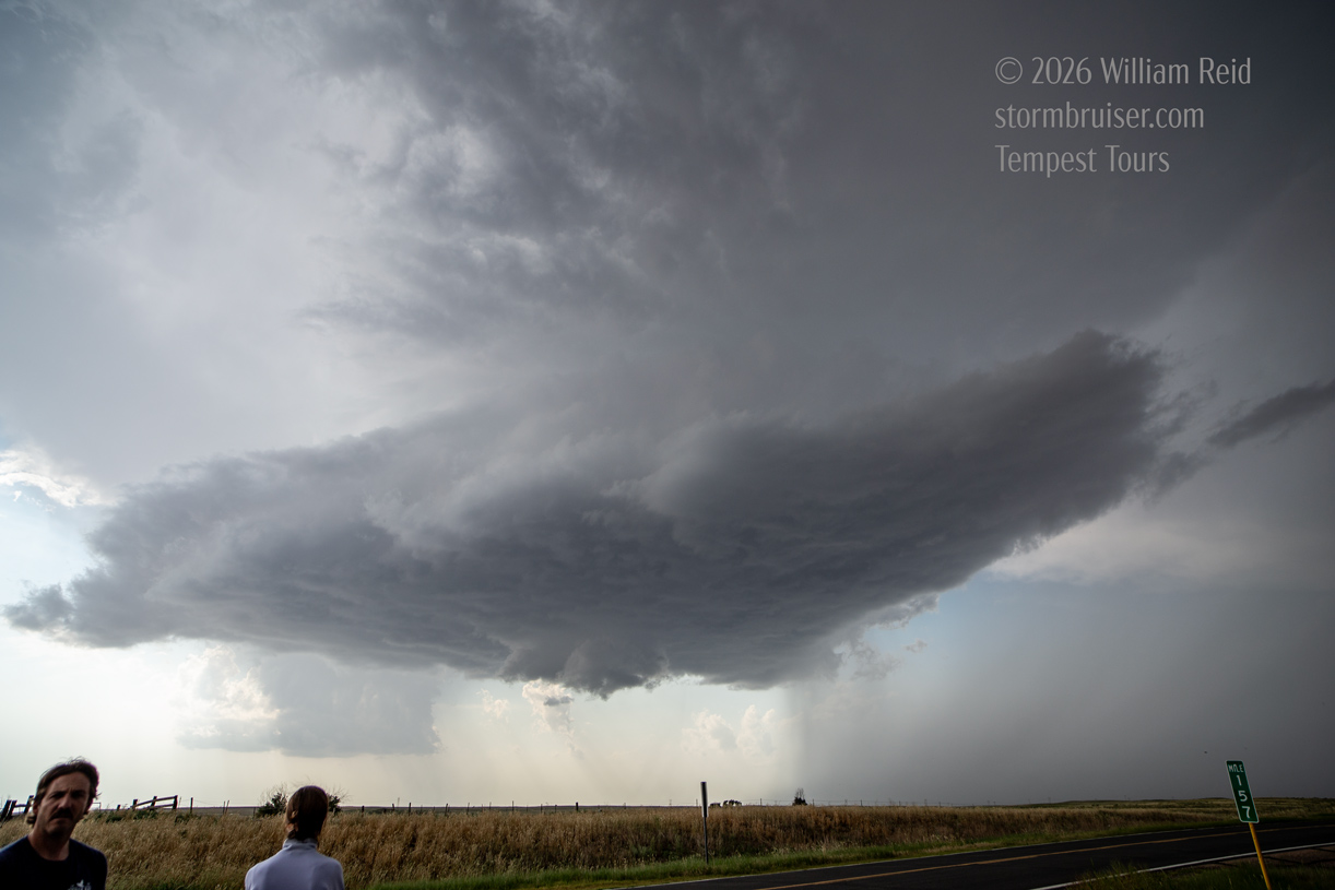
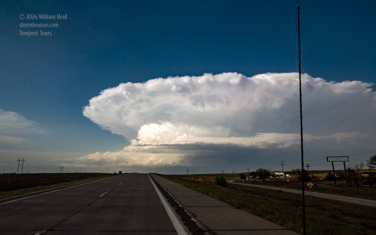
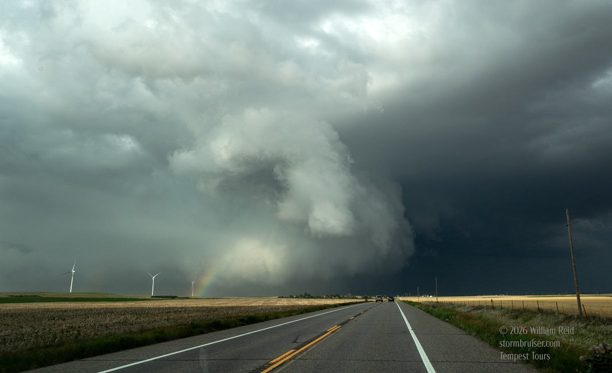
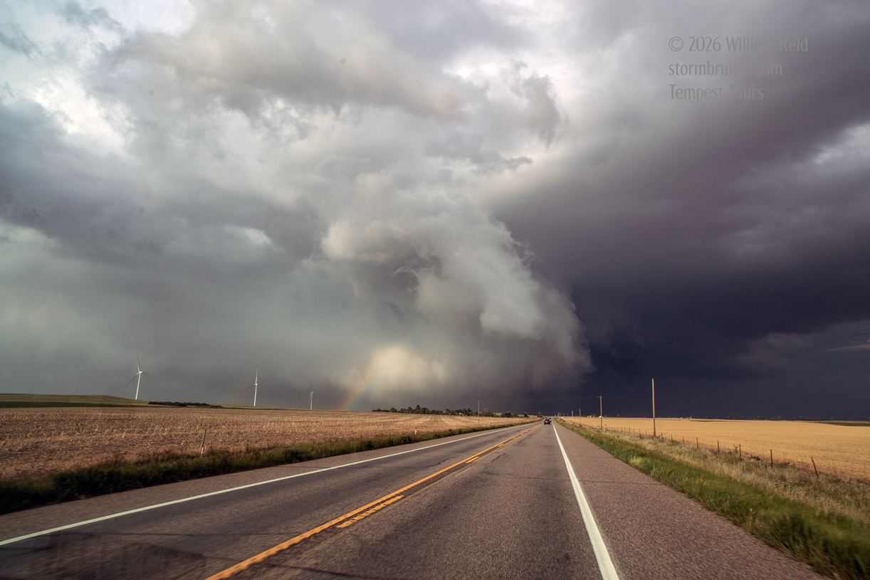
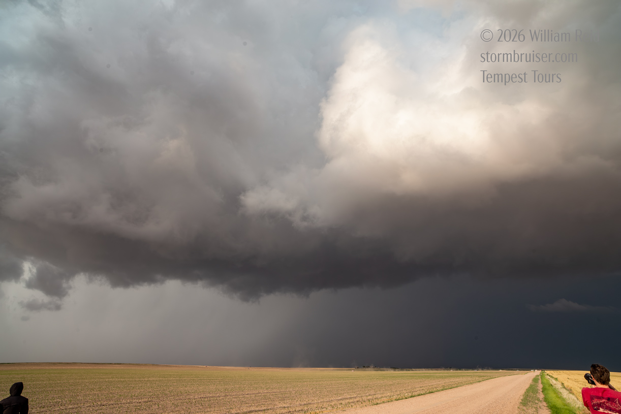
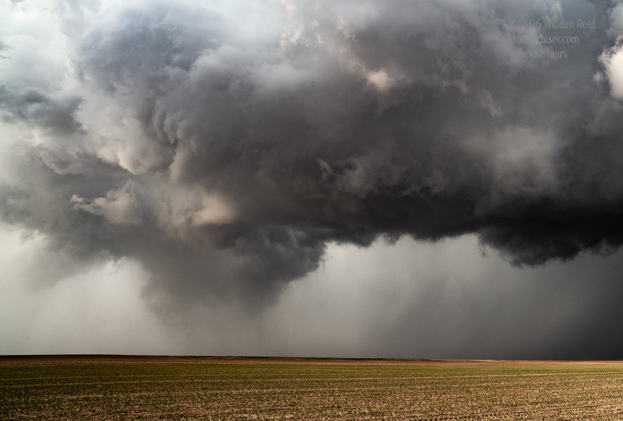
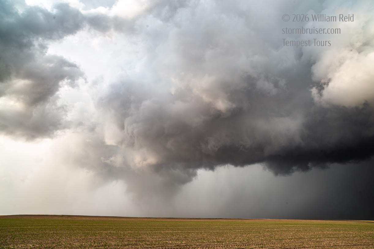
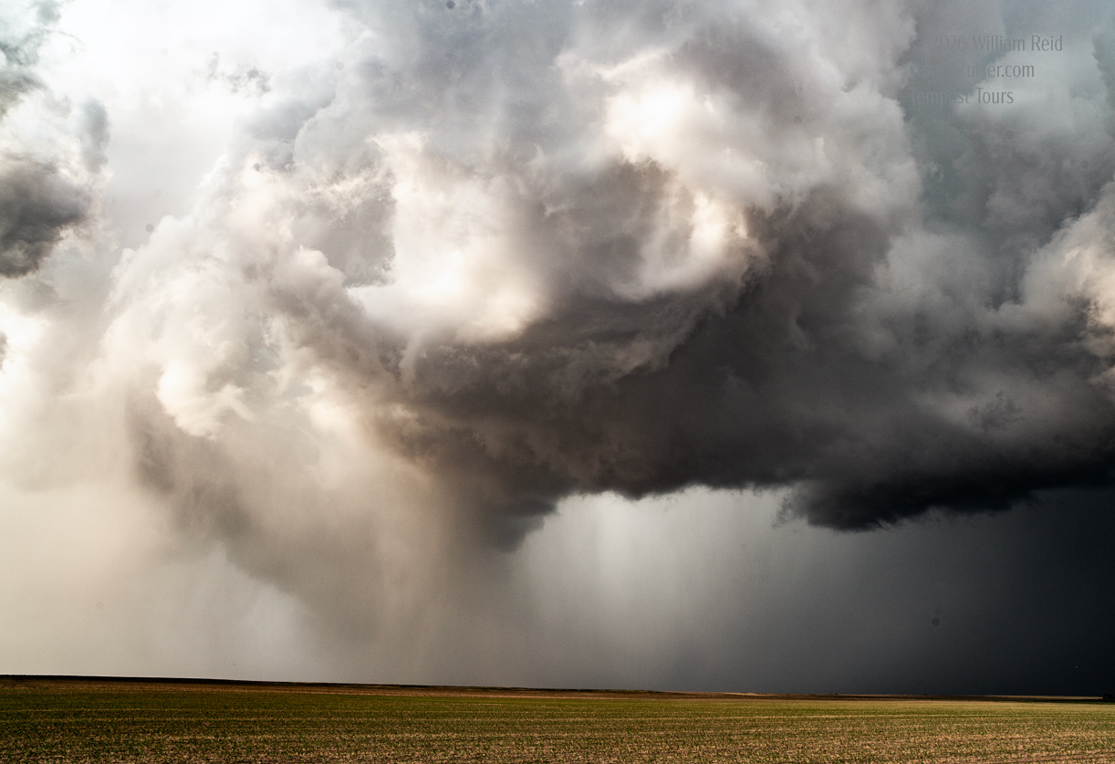
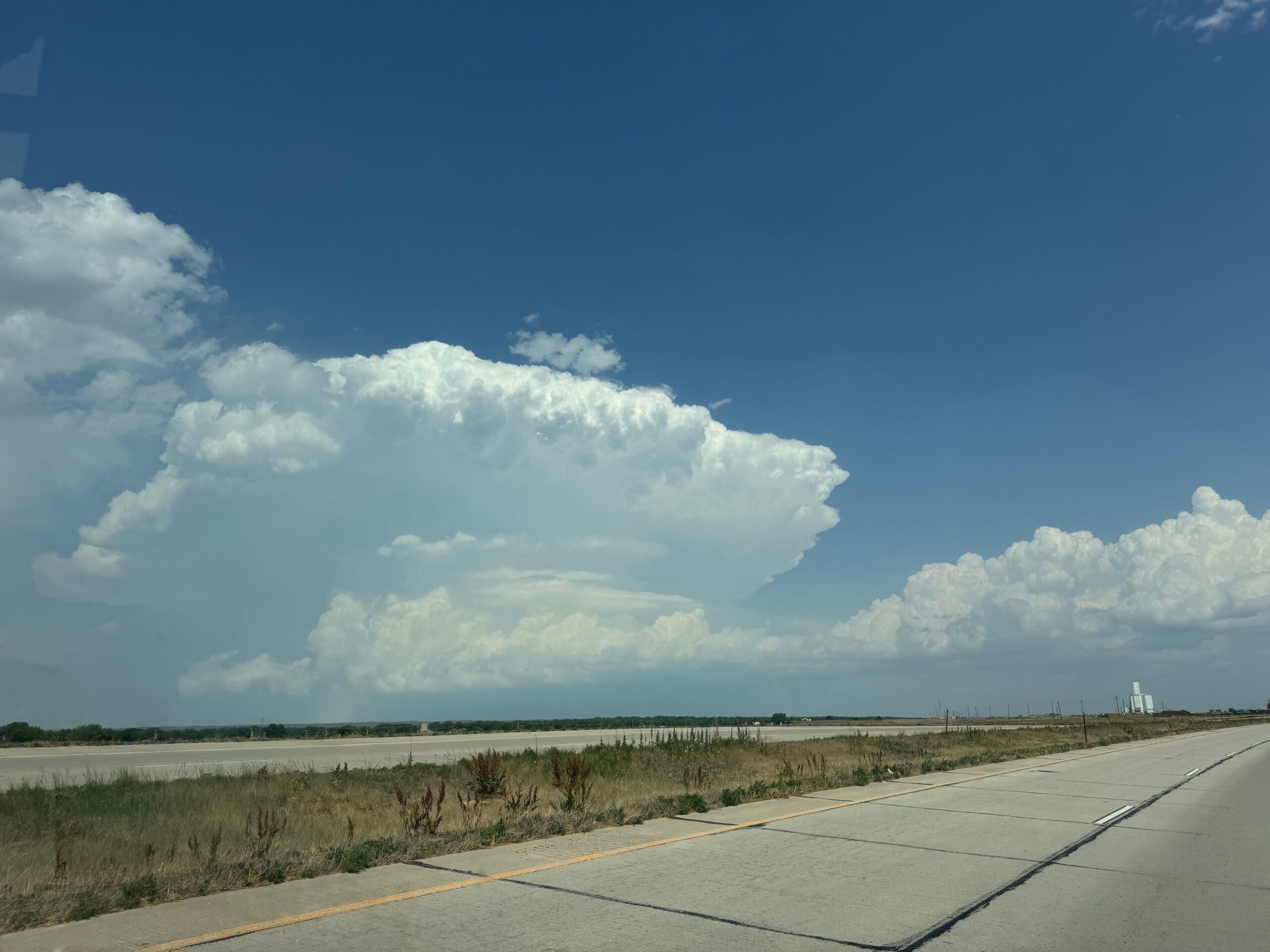
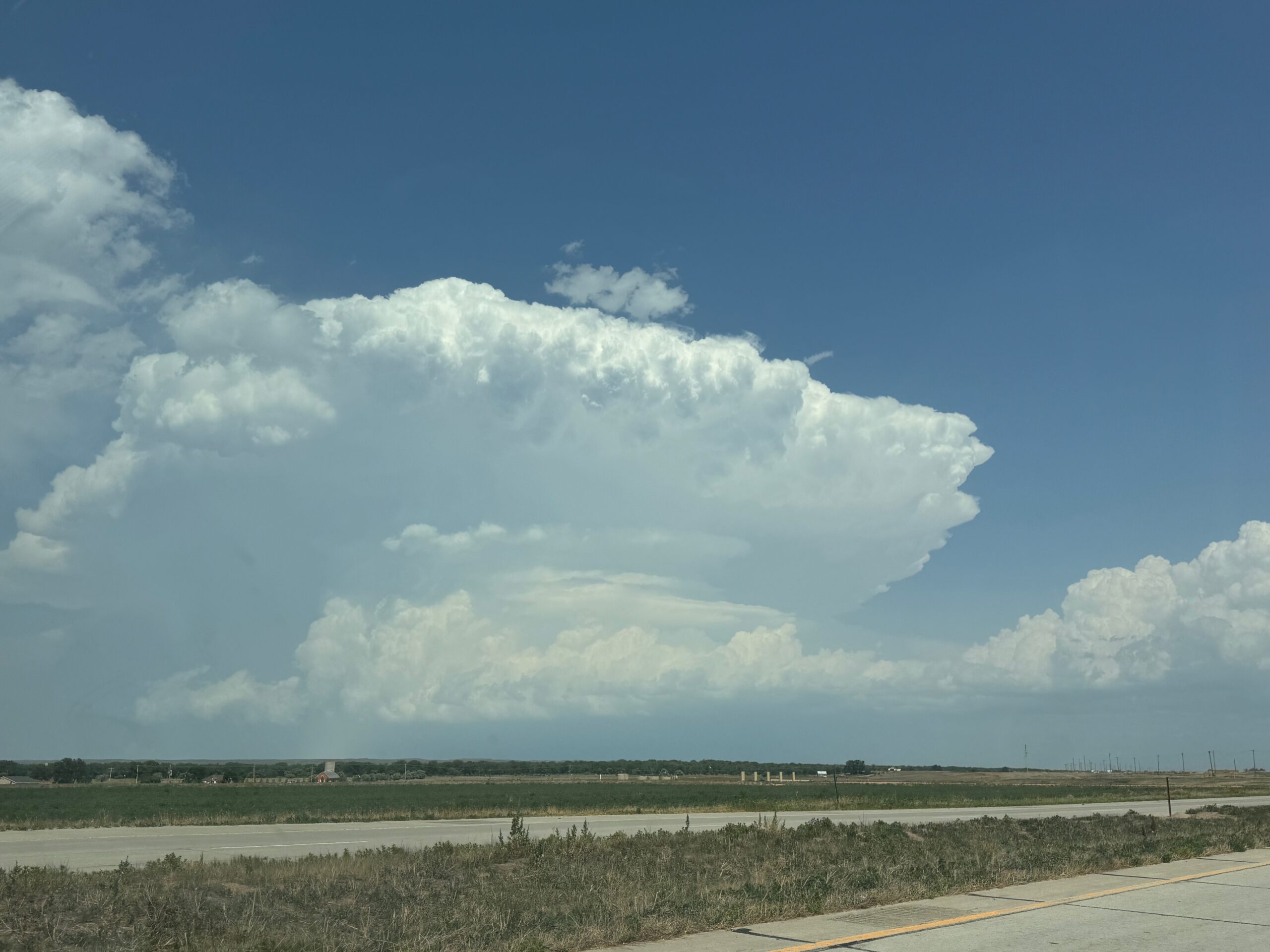
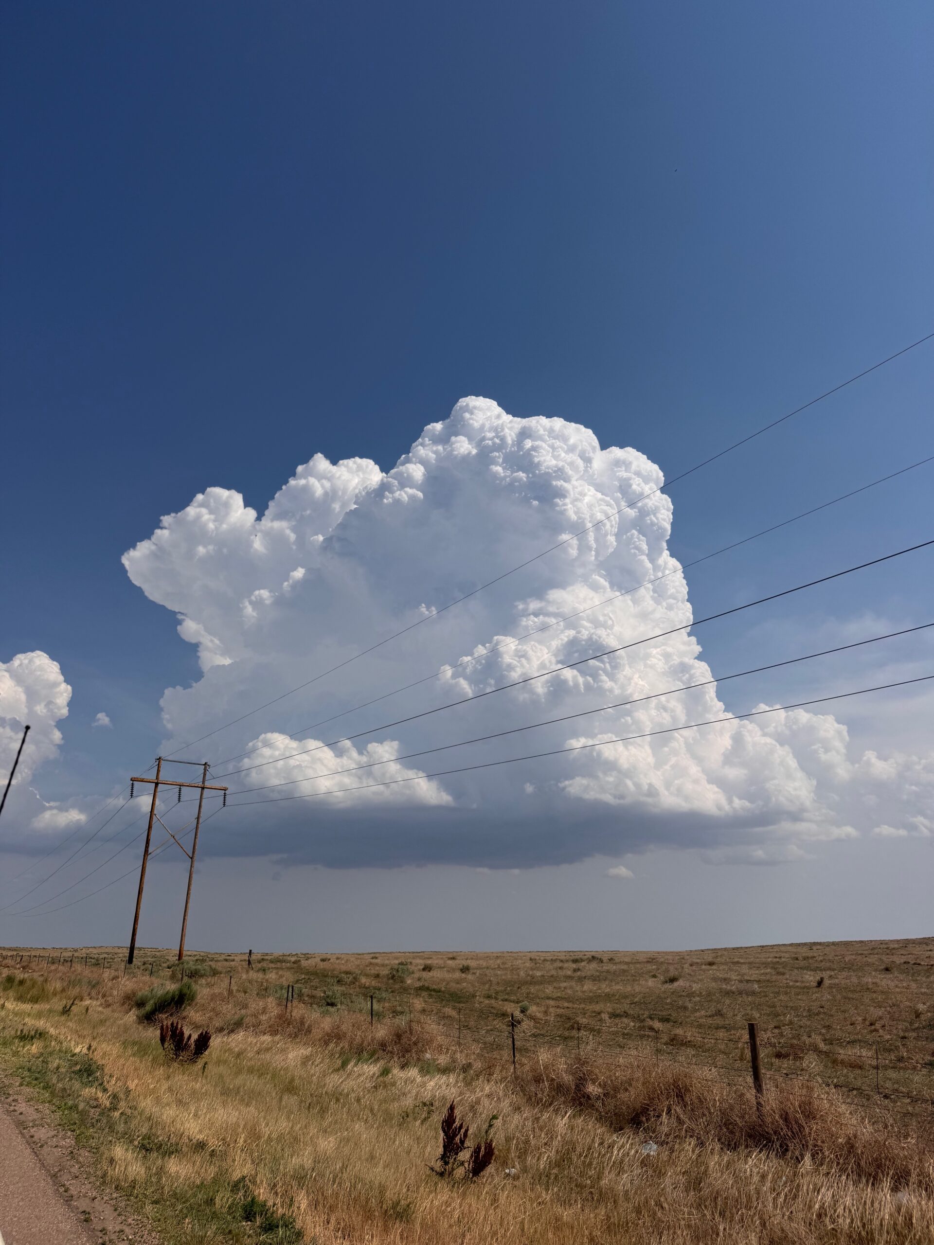
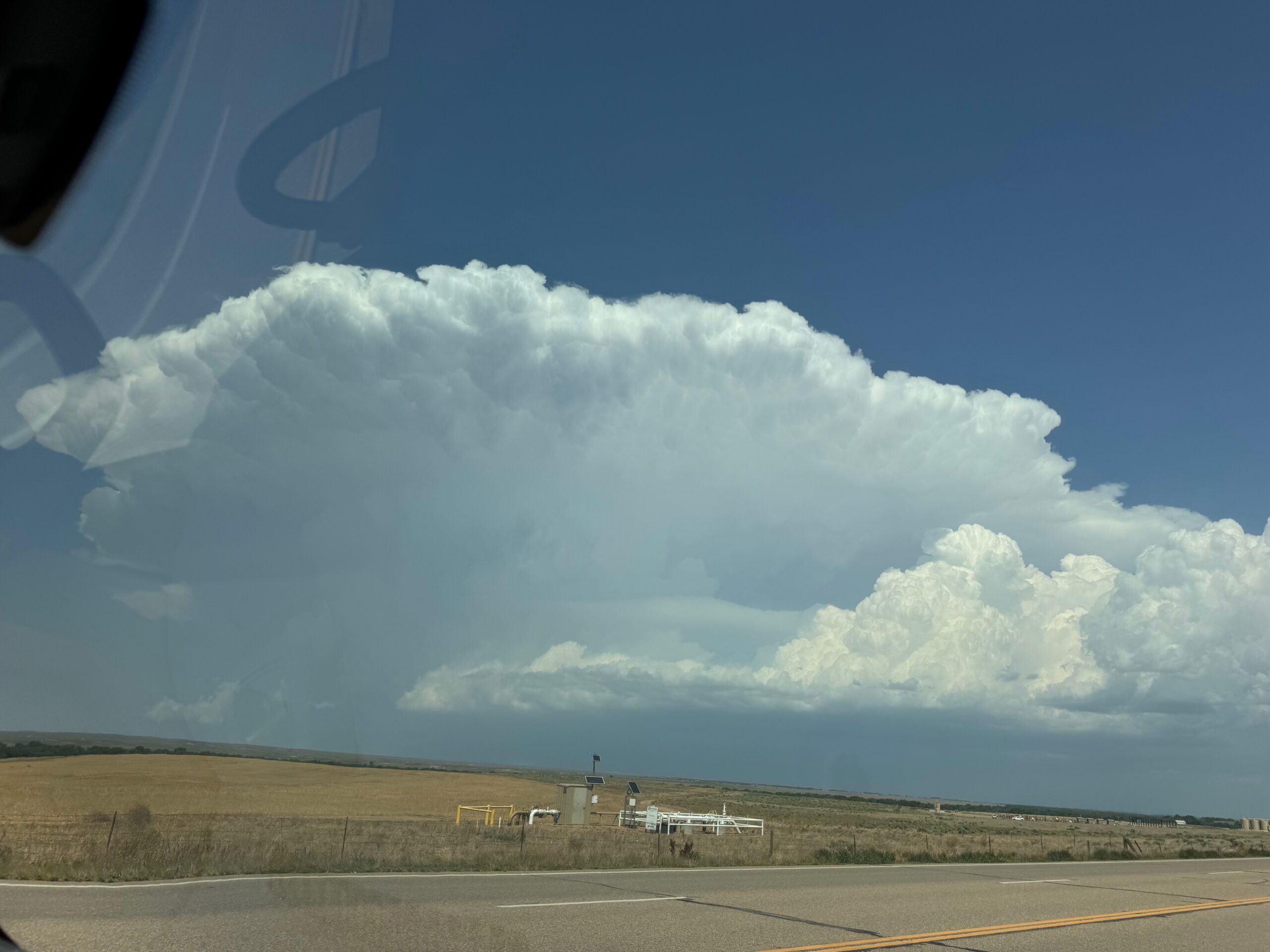
Two supercells were intercepted on this chase day. Wind shear was excellent, with rotating updrafts moving to the southeast. Upslope flow in northeastern Colorado was moistening up some, finally. Dews were solidly in the low 60s. SPC showed a brown 5% tornado risk.
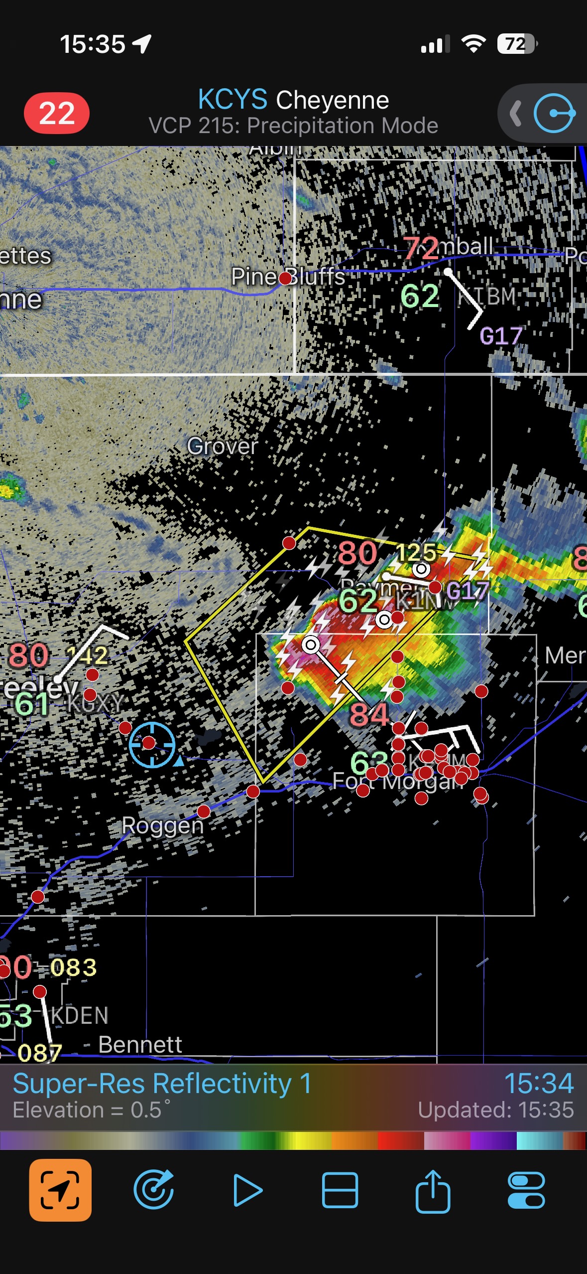
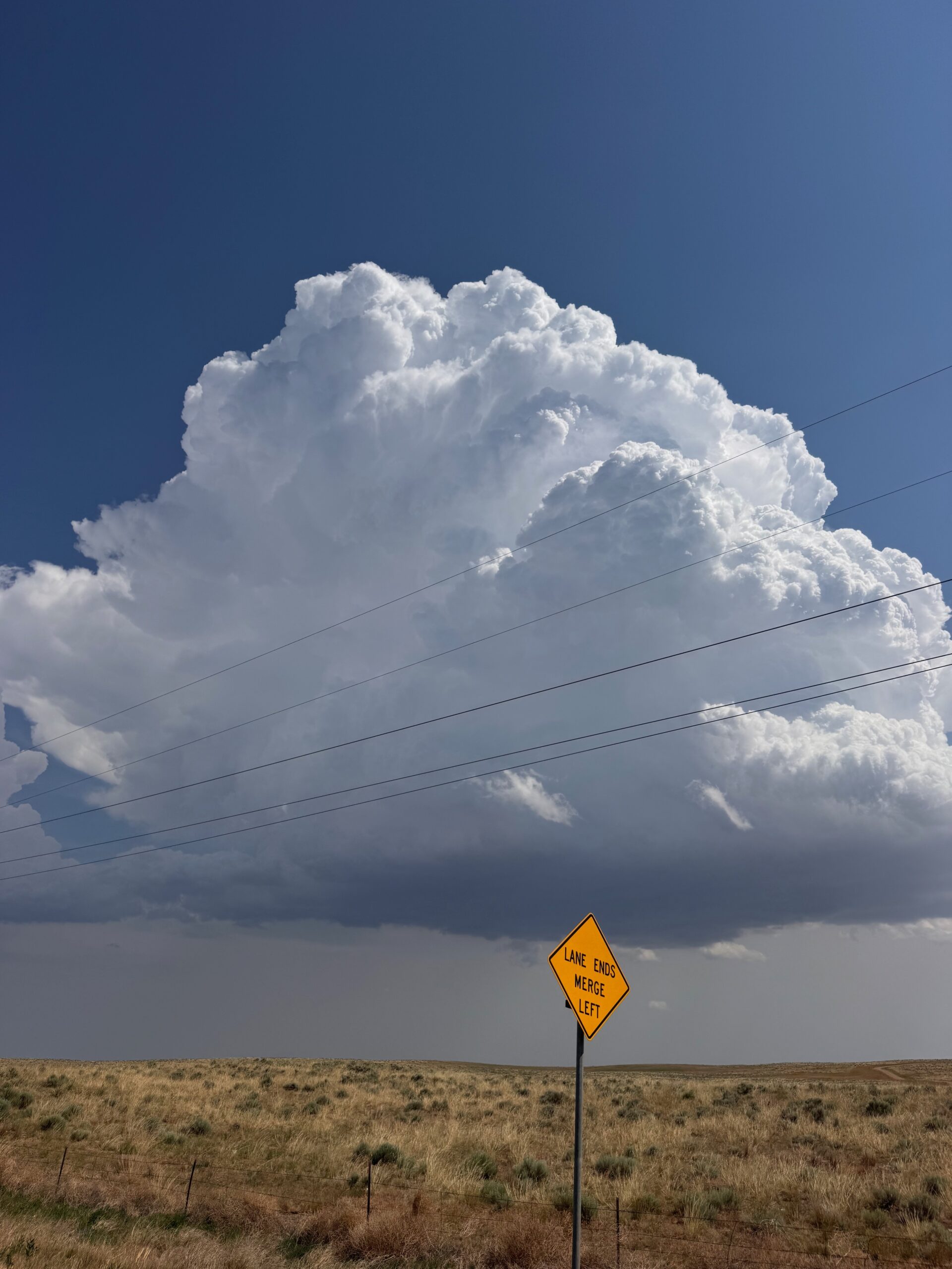
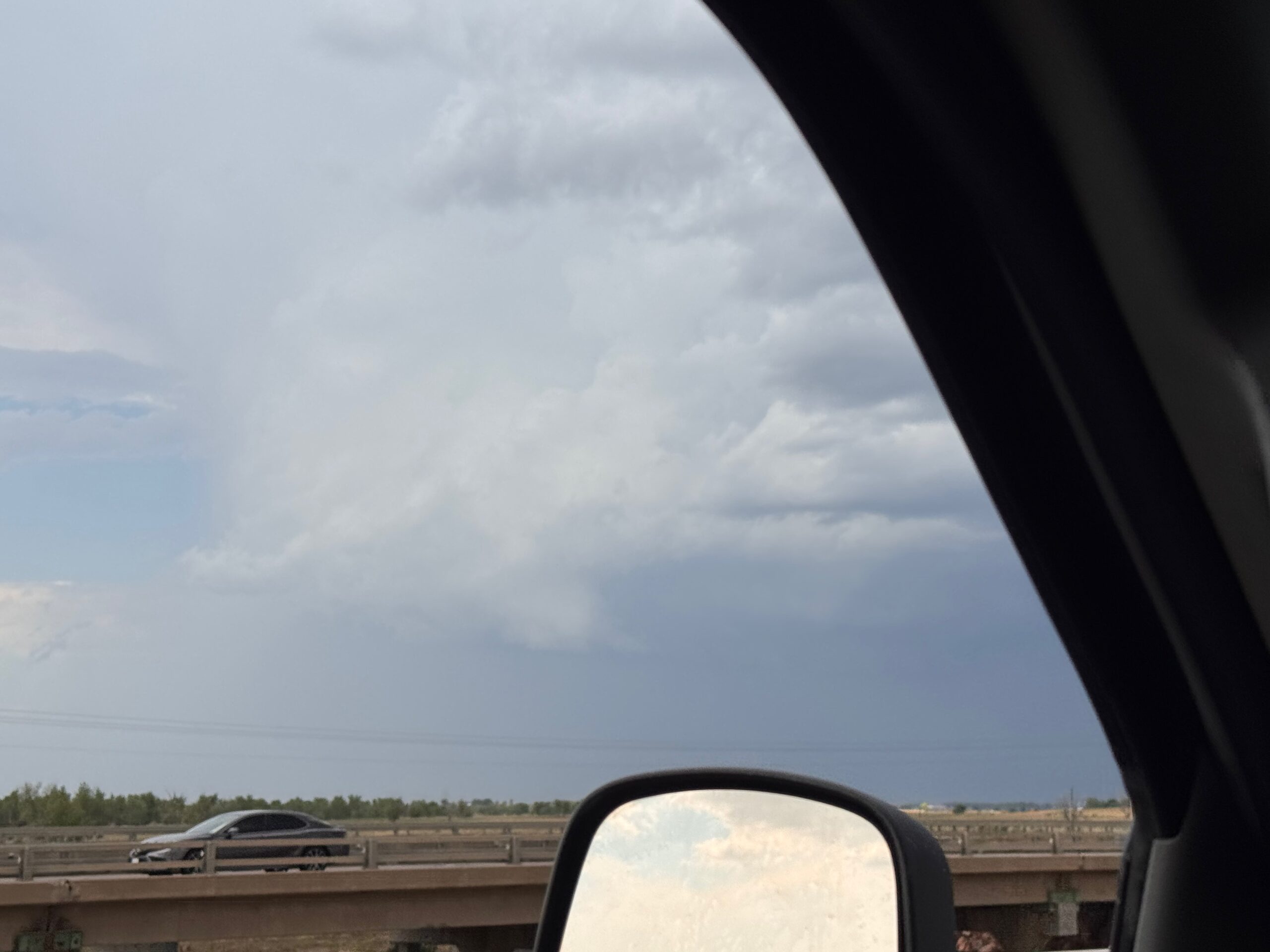
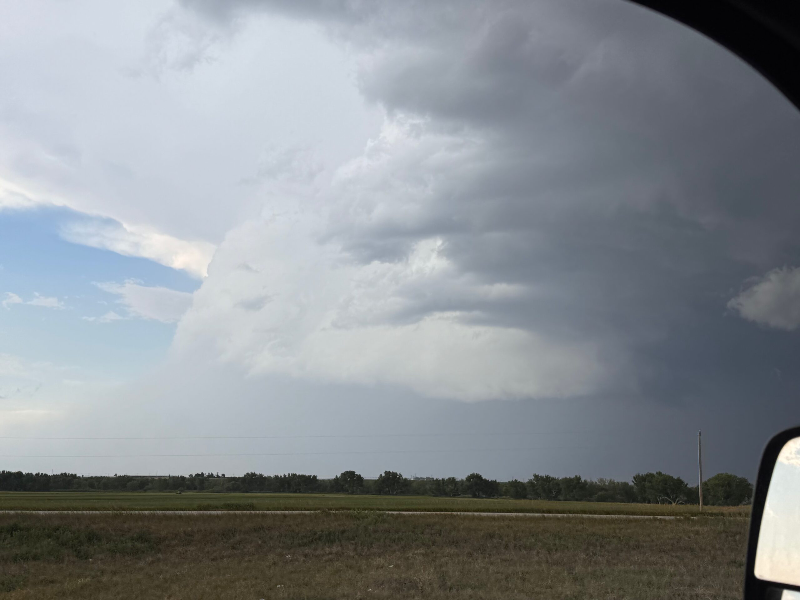
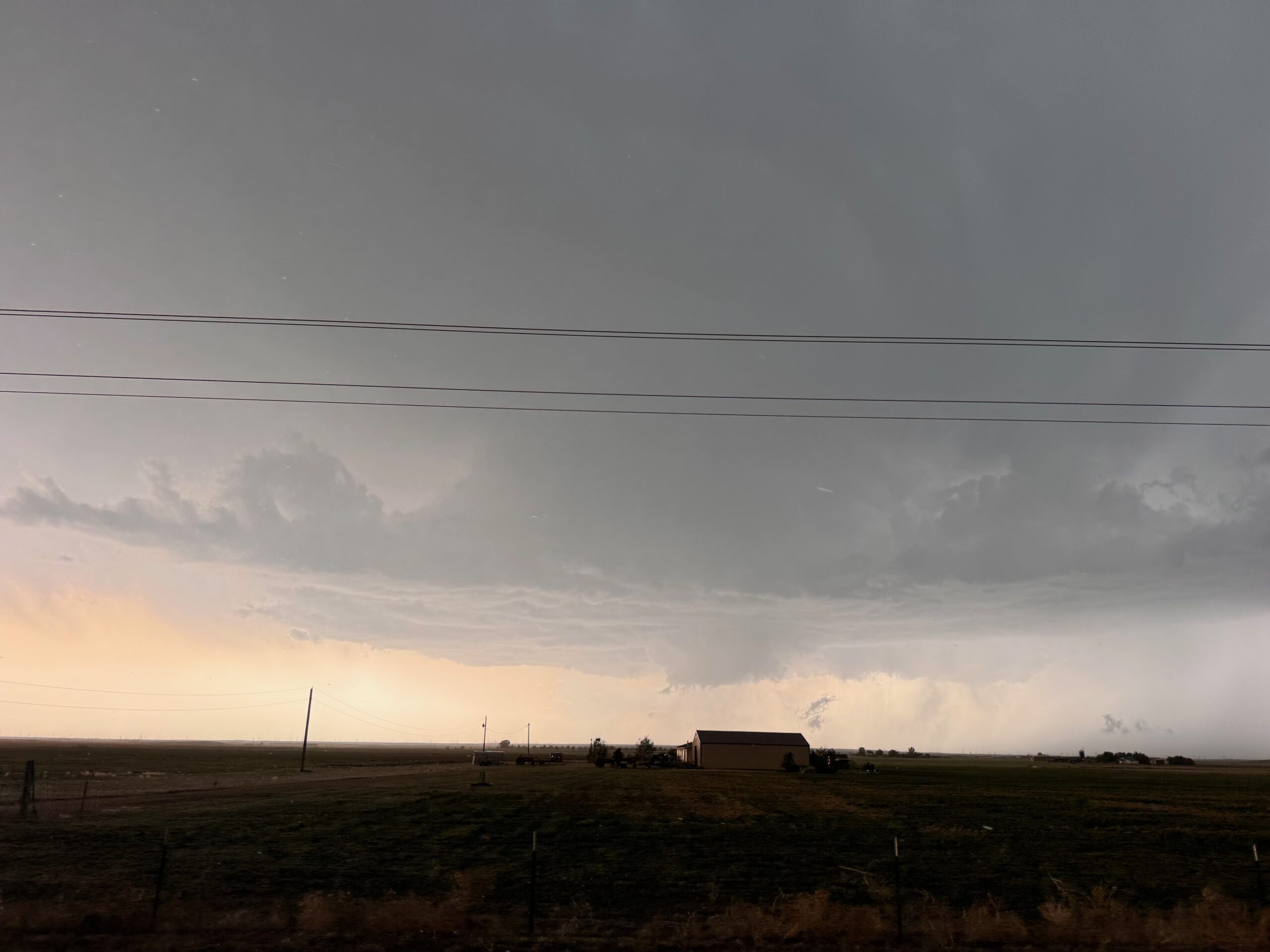
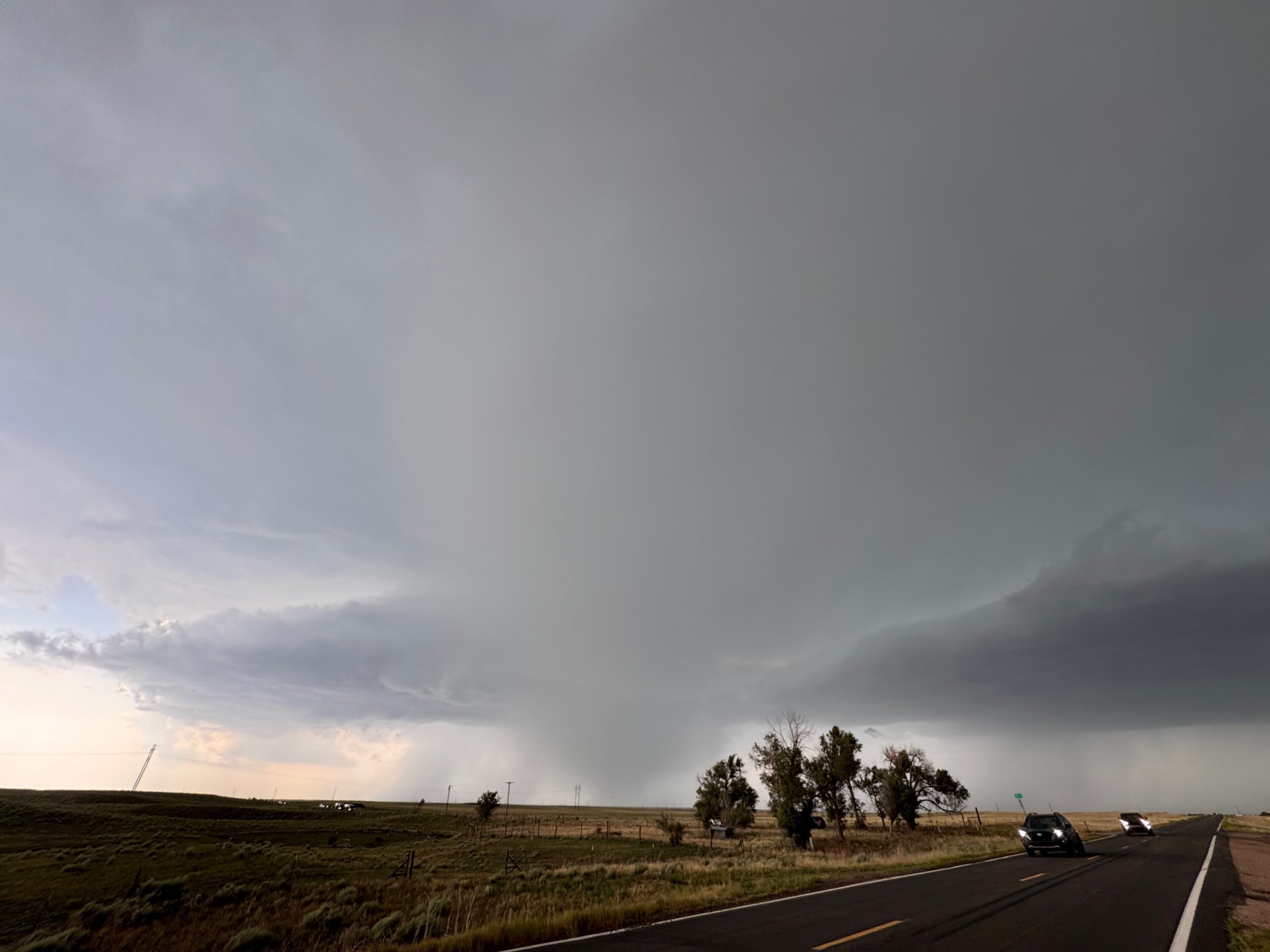
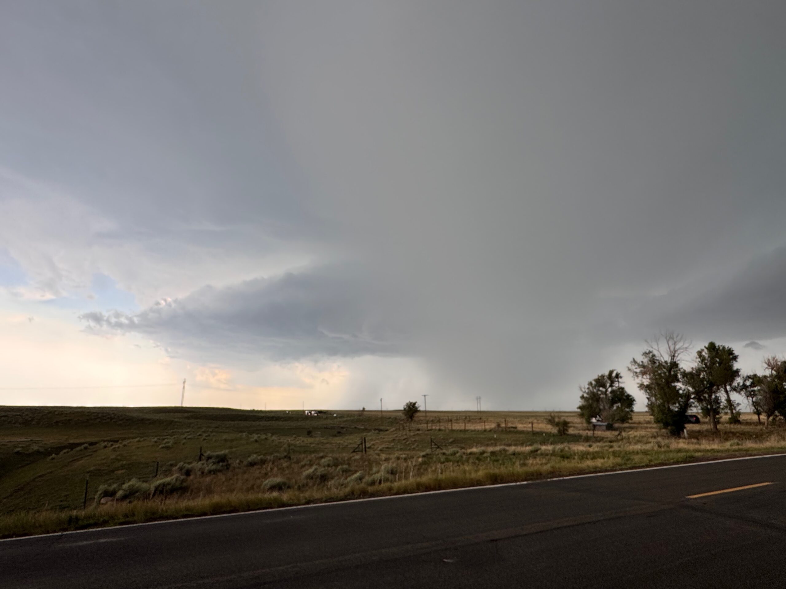
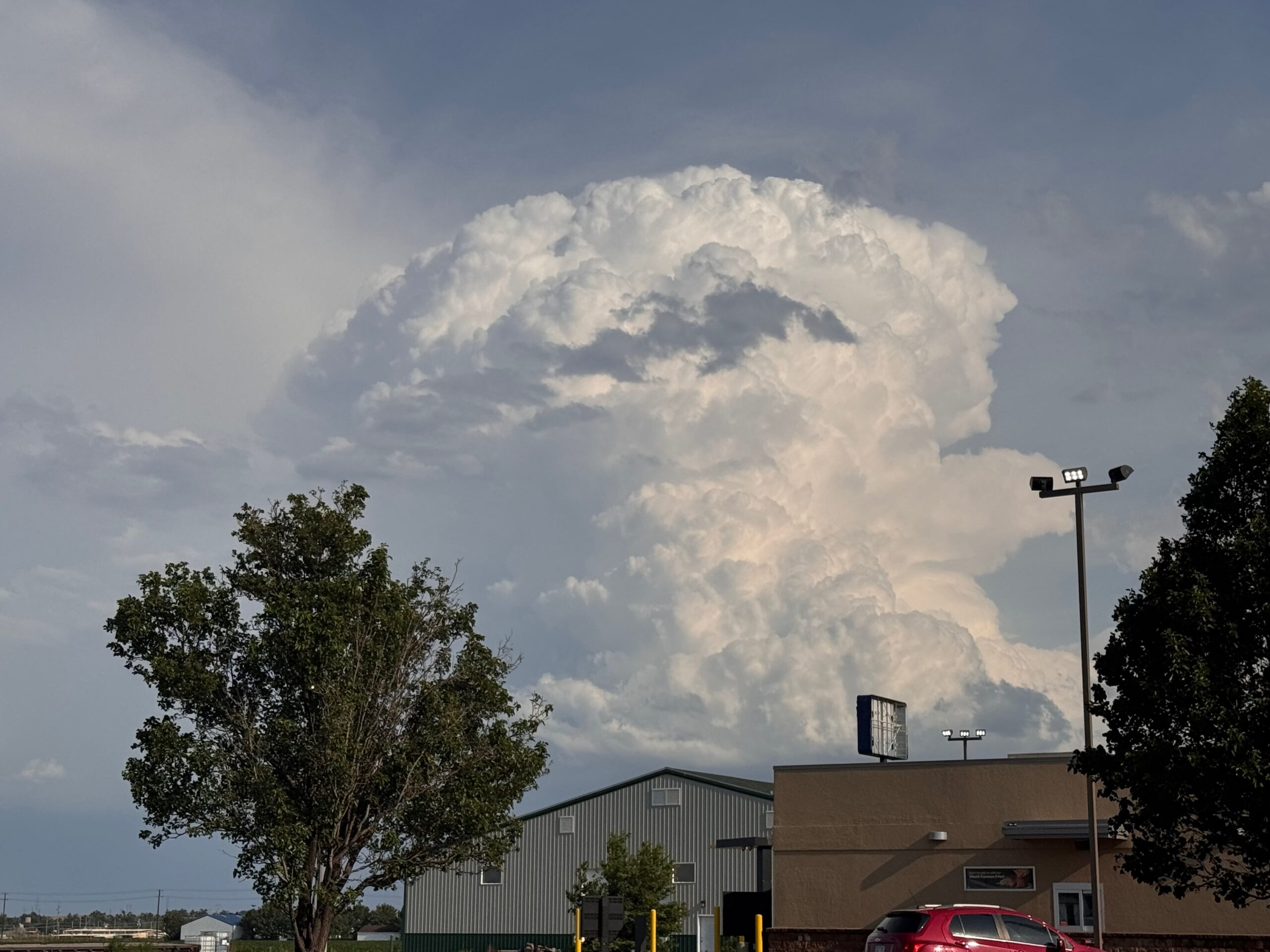
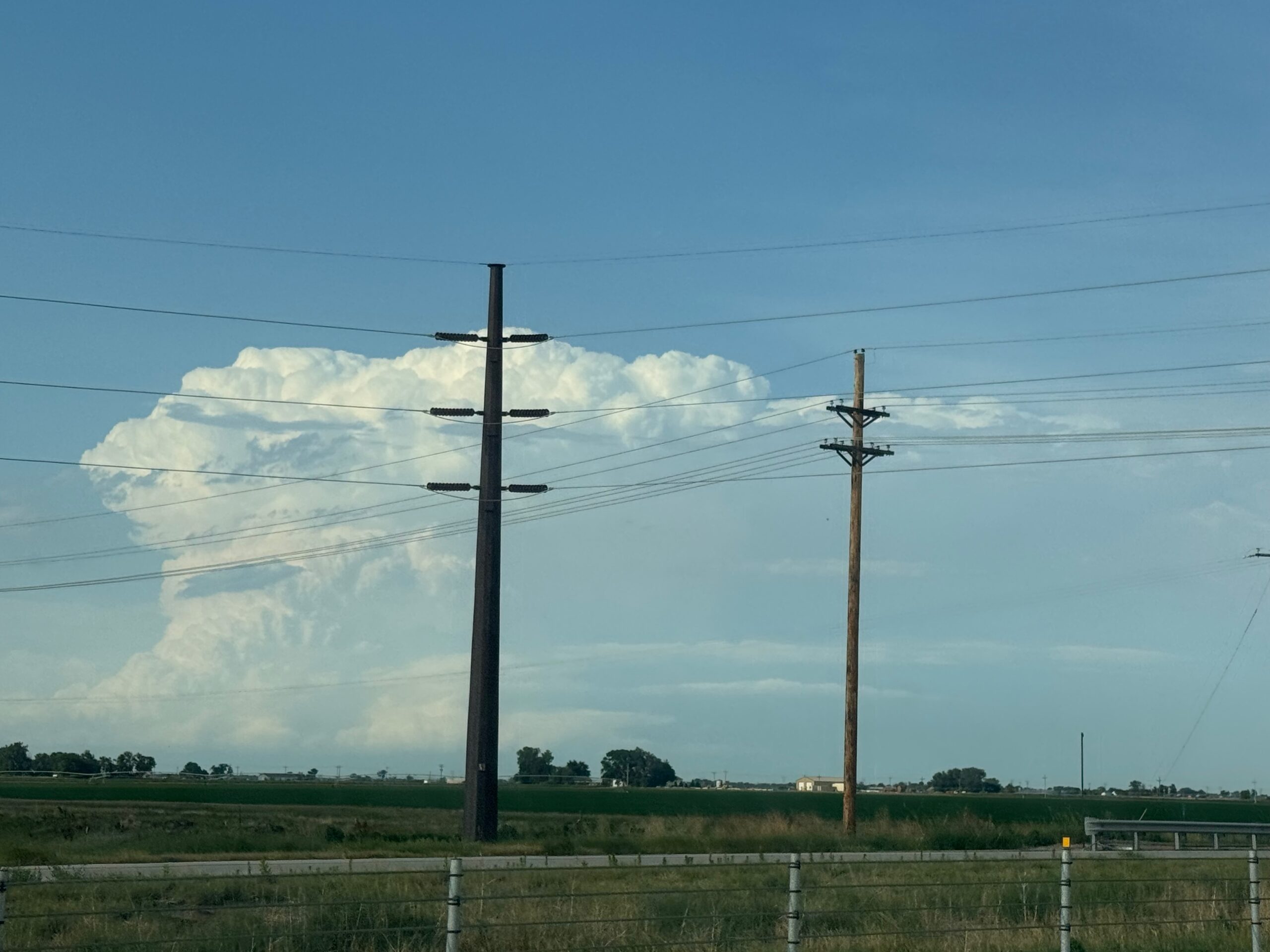
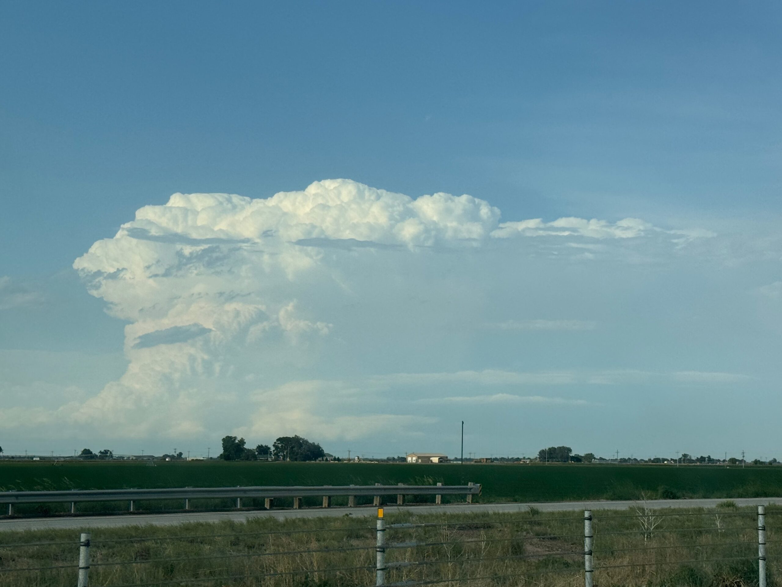
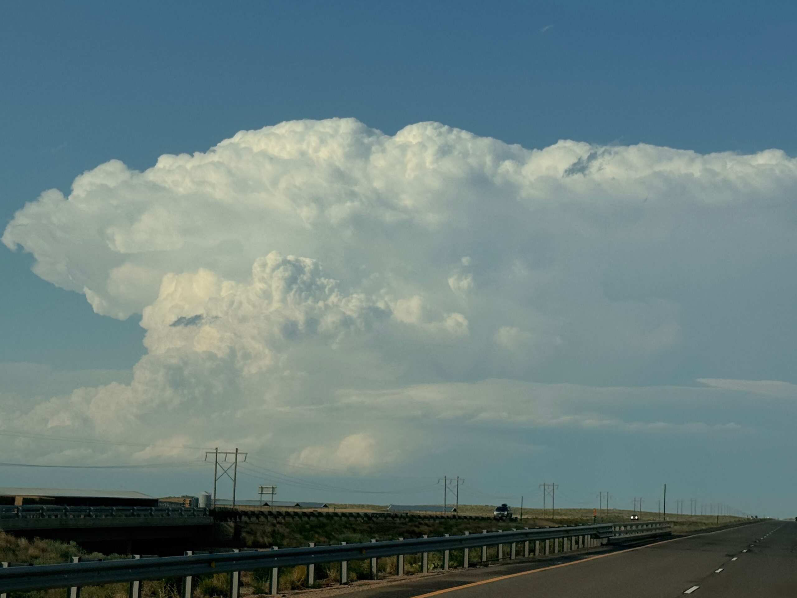
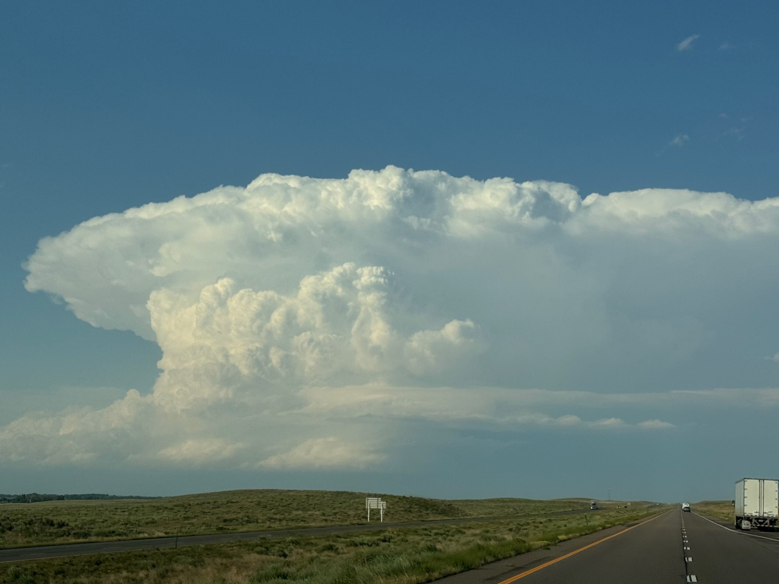
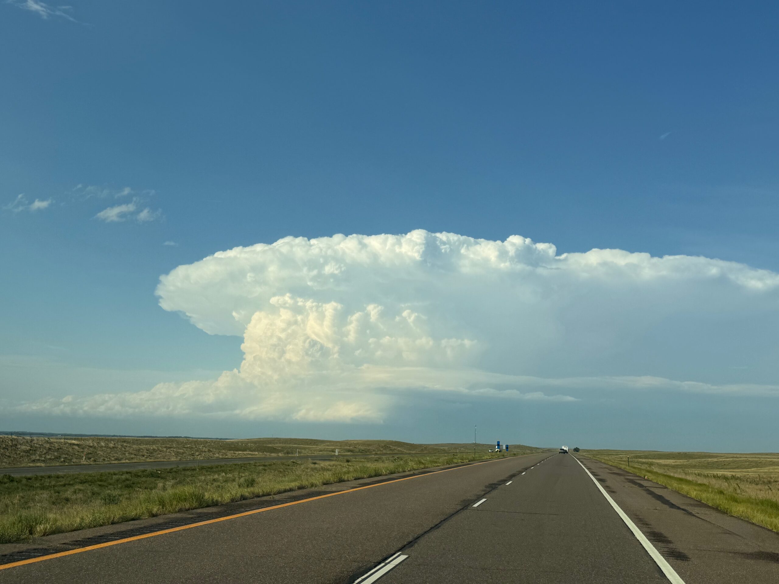
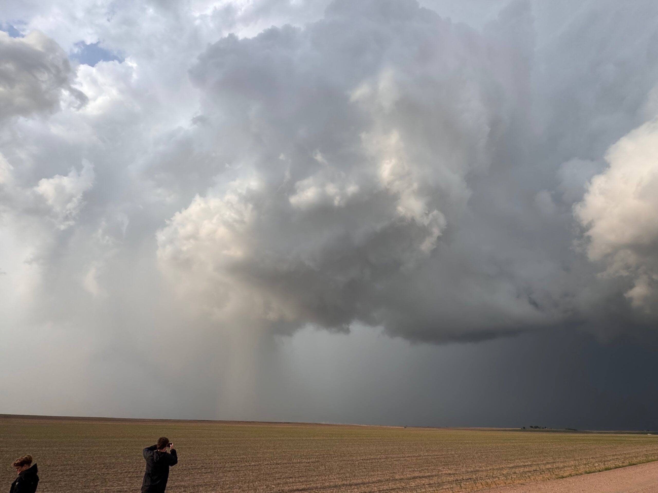
We had a semi-late BBQ lunch at Greeley, and as we made our way eastward along 34 a massive cumulonimbus cloud materialized a little bit to our ENE. We caught up to it near Fort Morgan, and dove south on 71 from Brush in order to get into position ESE of the storm base. A smallish sculpted updraft was nicely separated from the forward flank precipitation core to our WNW. It struggled as it approached Highway 71.
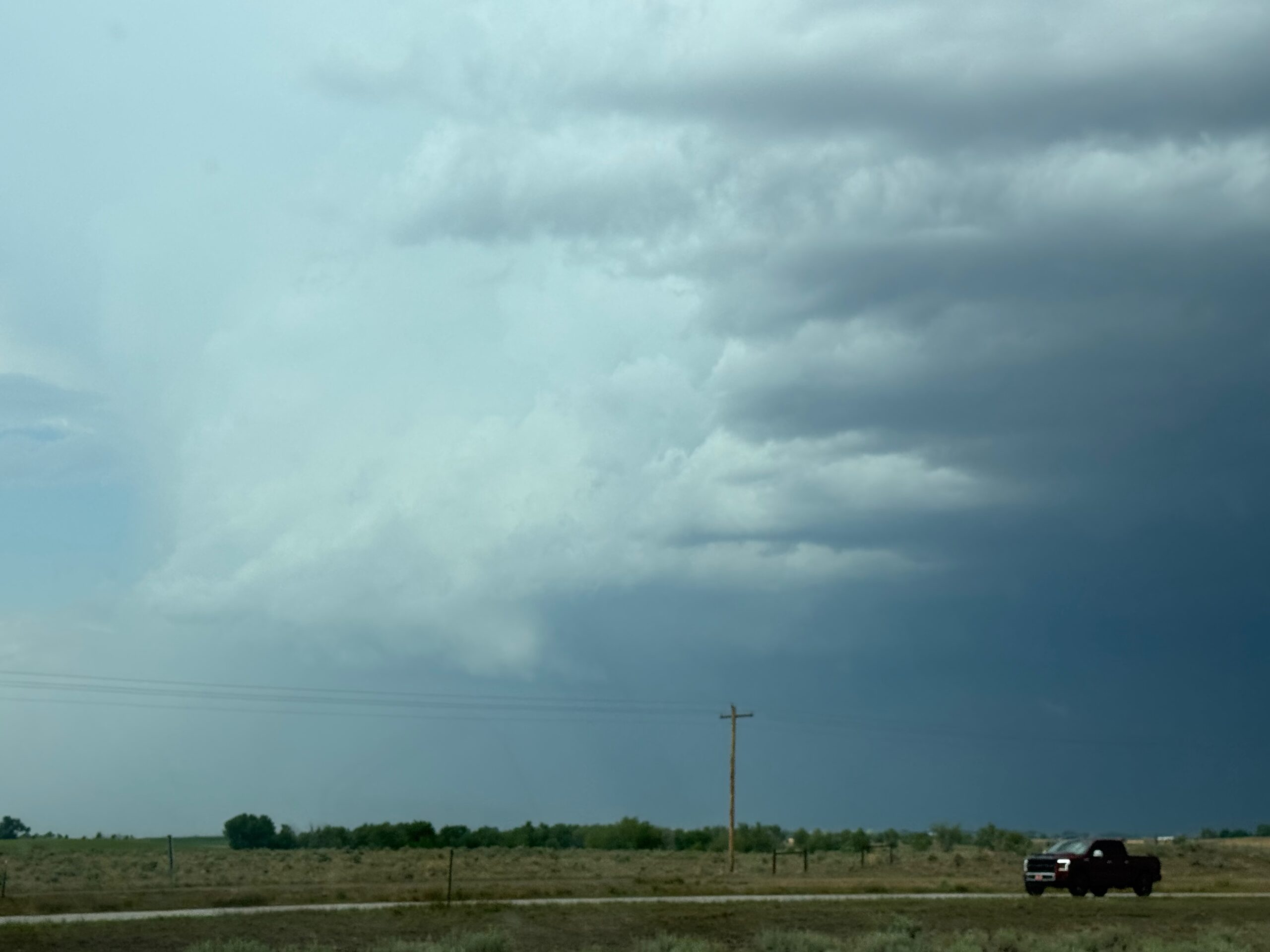
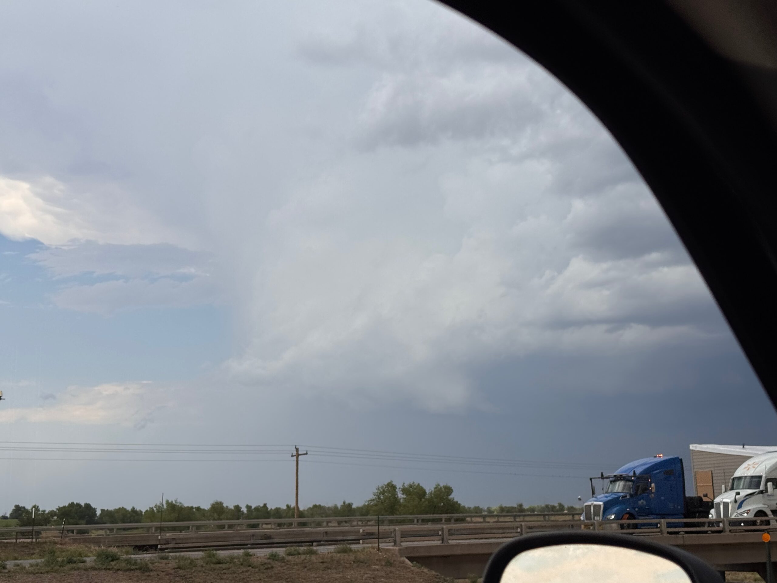
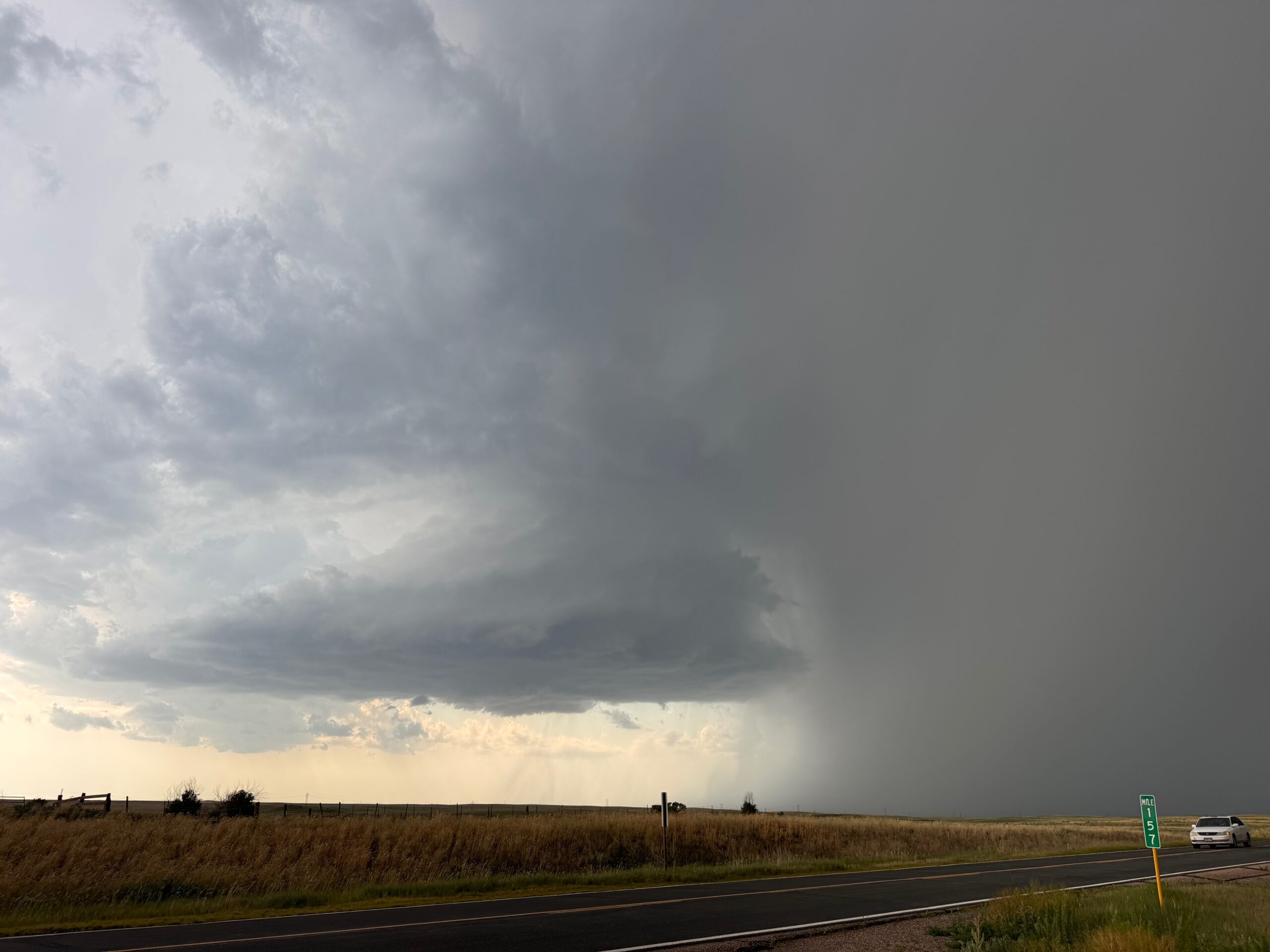
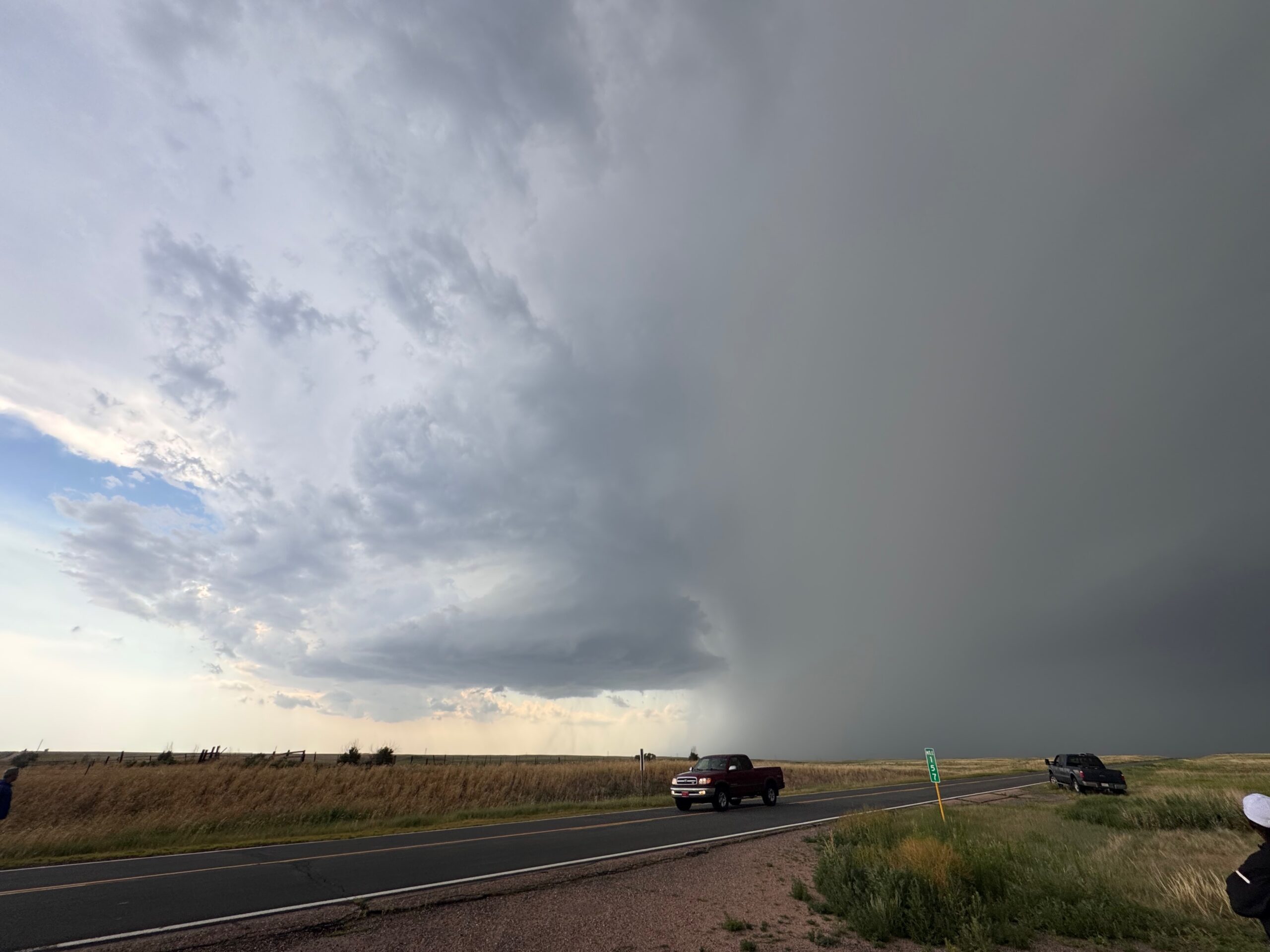
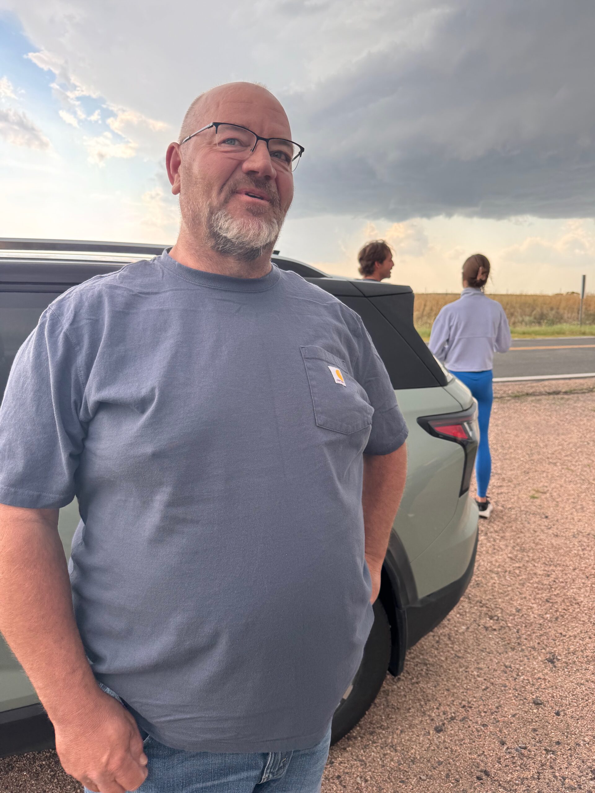
While watching the supercell and its hail core approach us, a little north of Woodrow, a vehicle stopped. The big and burly driver (above) asked me whether continuing north on 71 was a good idea or not. I told him that large hail was with the storm and it was not a good idea to proceed! We then started chatting about storms, and he mentioned that he had been in a tornado at Spencer, SD. He was not really interested in being in another one. This person looked a little familiar to me, and I told him that I think I was standing next to him about 28 years earlier! His name is Doug Clayton, and he is a survivor of the F4 tornado that went through Spencer on May 30, 1998. The two of us, and his brother, were interviewed by ABC in Spencer two mornings after the tornado. We are at about minute 8 in the YouTube video below.
So that was a cool meeting…and what are the odds of that happening! Doug and his wife were returning to South Dakota from Texas, I believe.
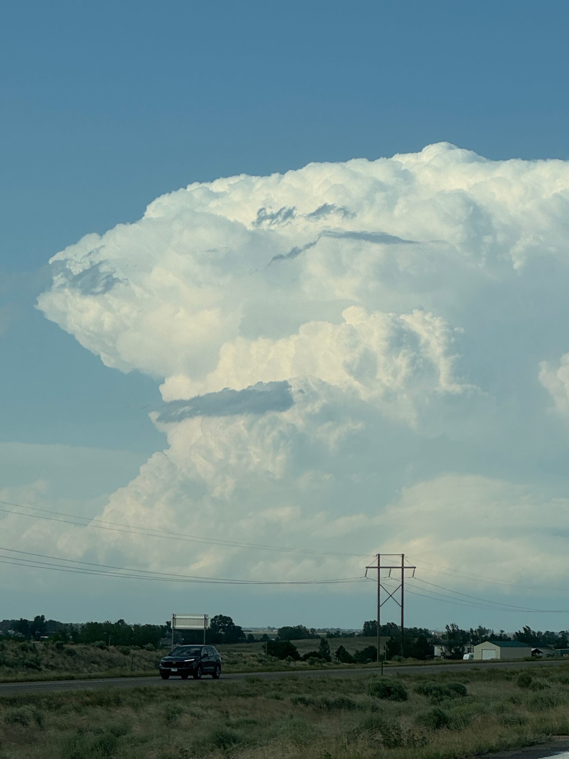
After a nice 5-minute chat and some picture-taking, I looked at the nearby storm again and noted that it was getting a little smaller. I think a few one-inch hailstones hit us, and the core cleared the way northward. A check of radar and the horizon to the NNE revealed a new storm. It was diving to the southeast. This one was headed to (convectively) undisturbed areas a little northeast of Sterling. With our nearby cell sputtering, I decided to blast north on 71 and then northeast on I-76 to get to this new one.
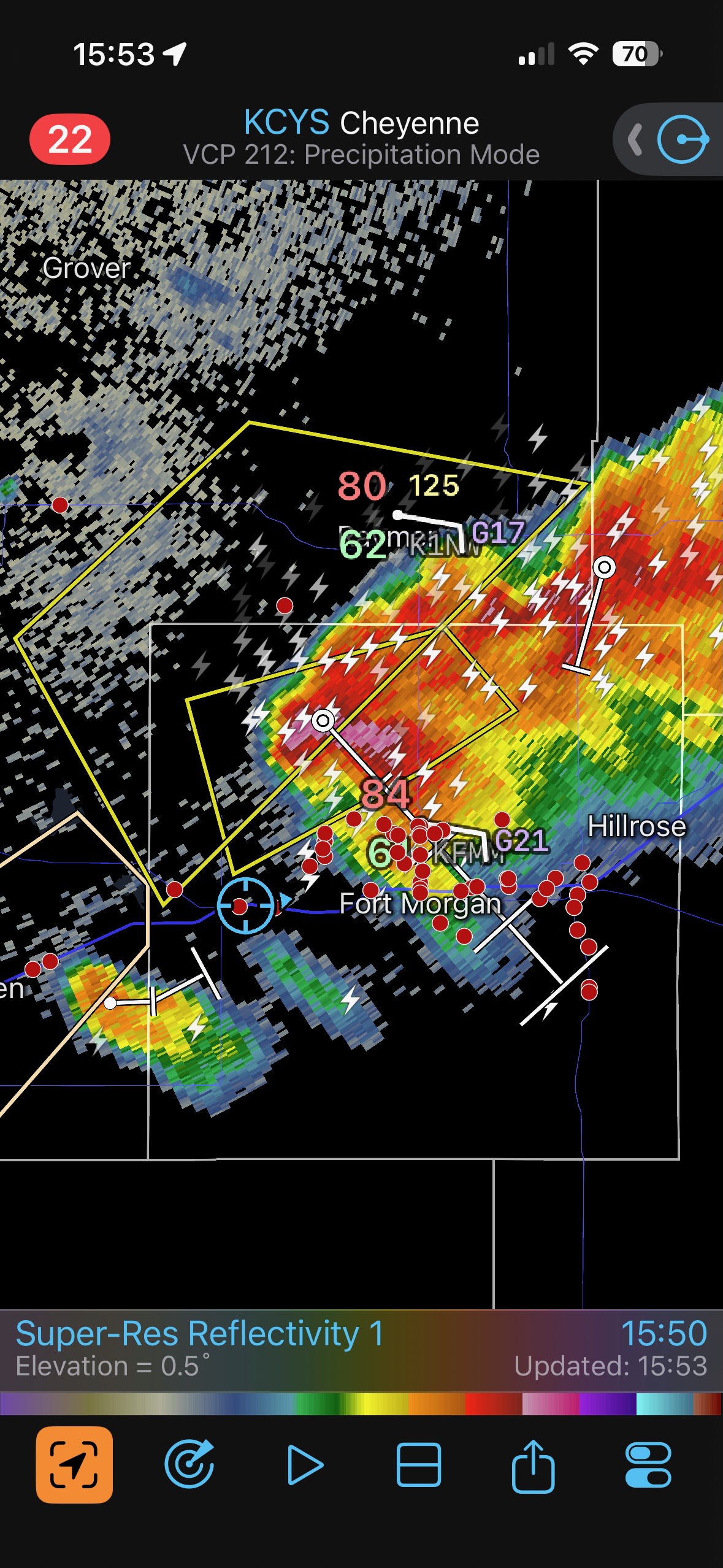
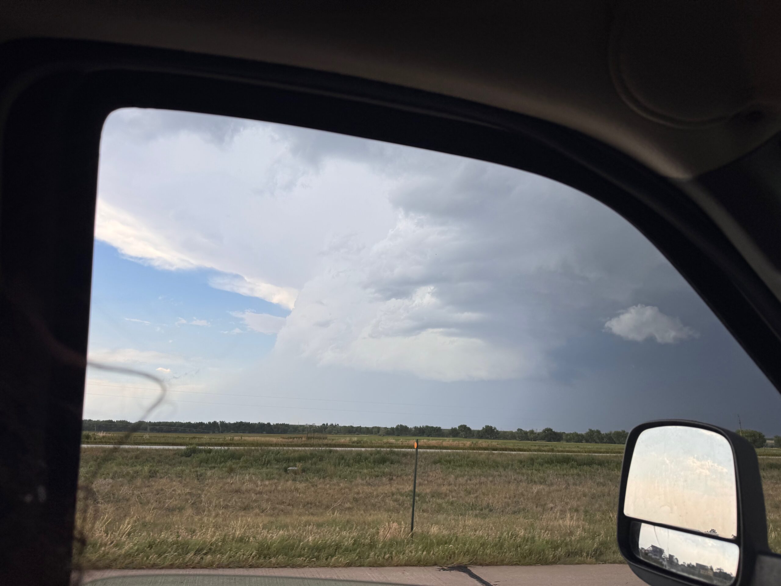
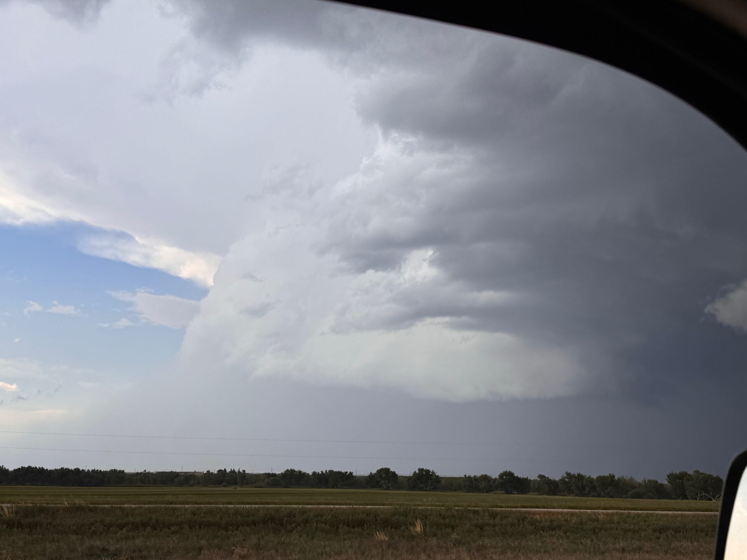
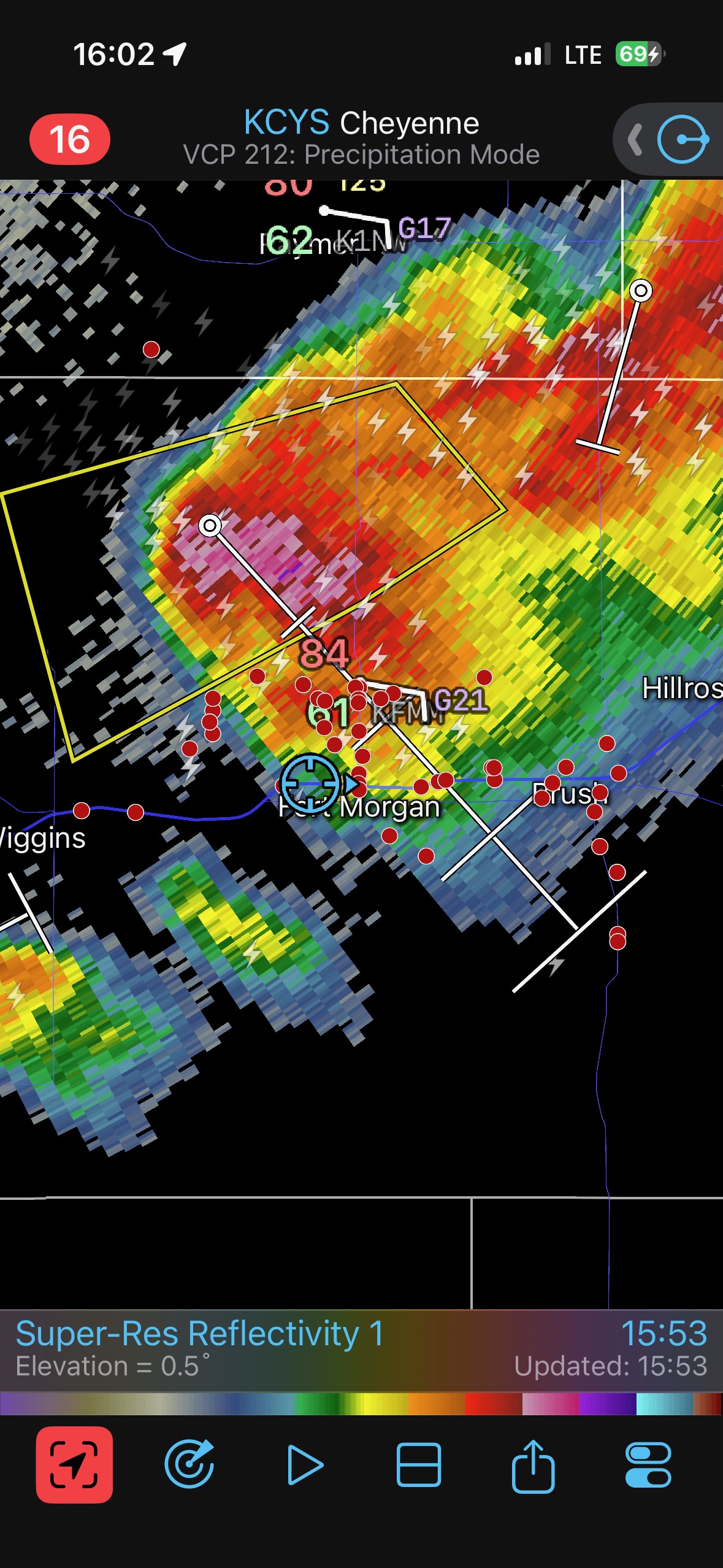
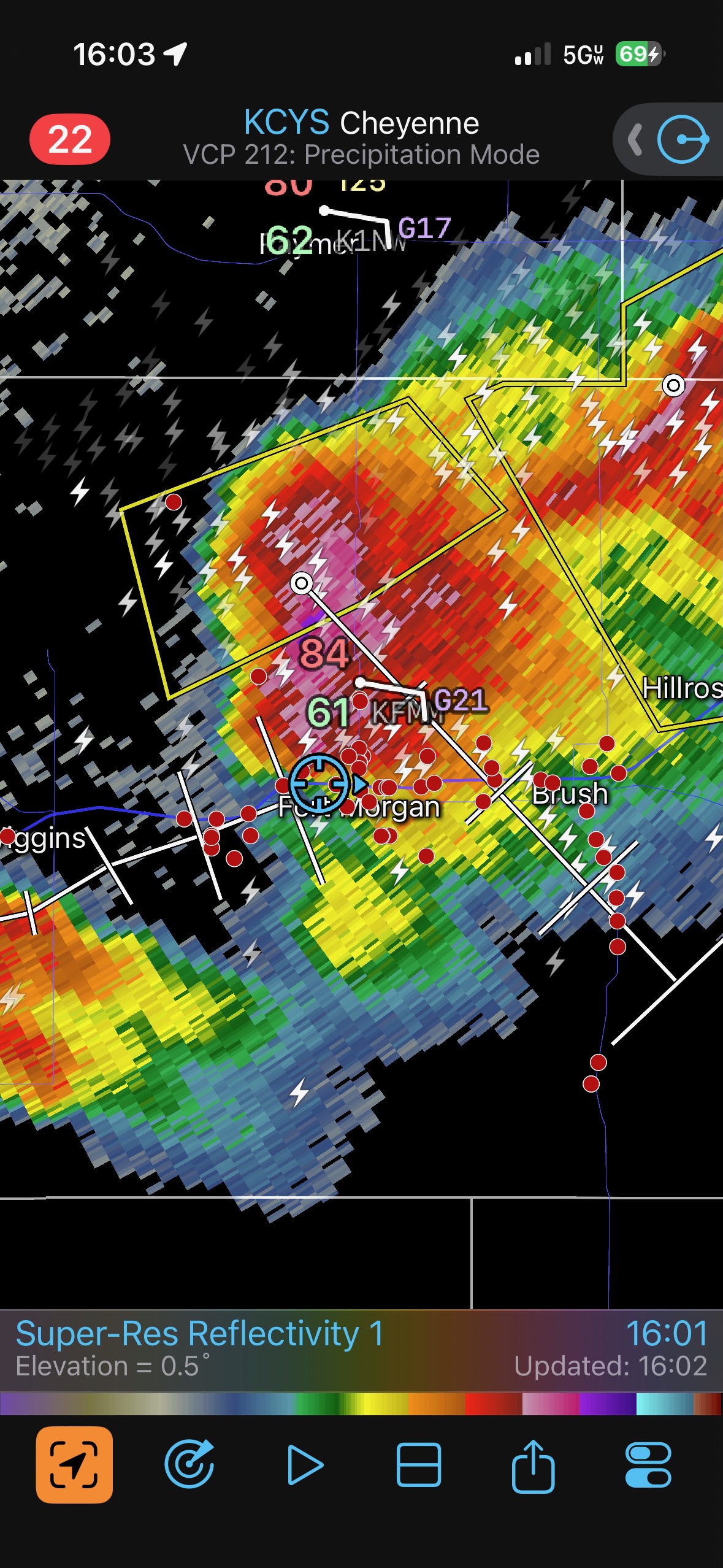
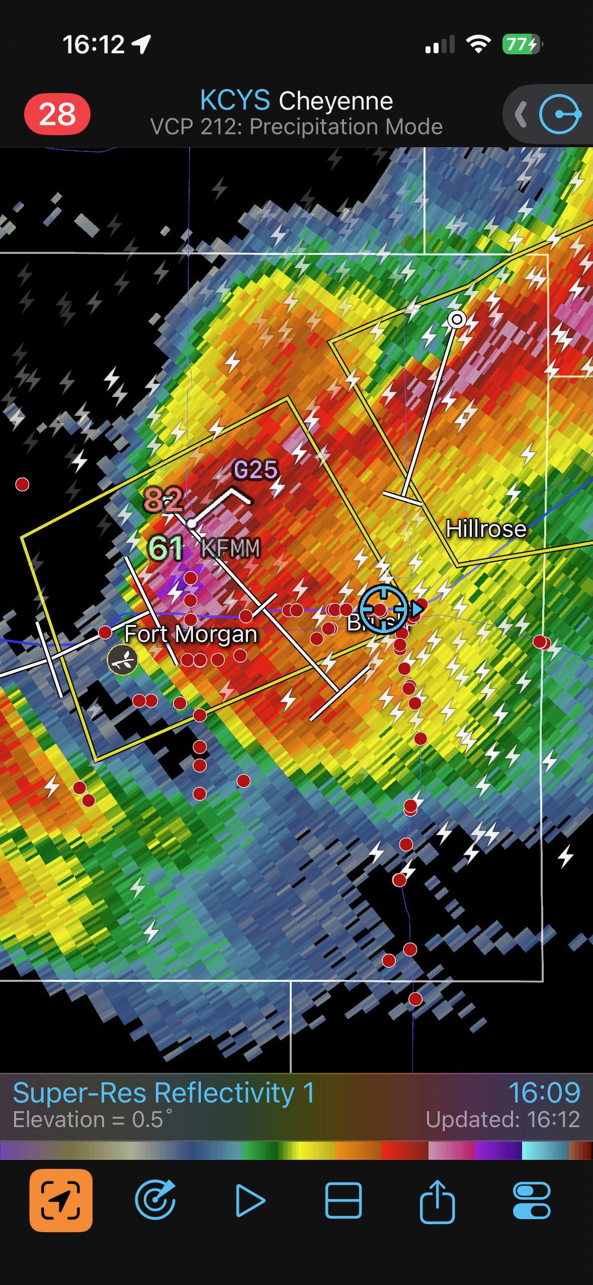
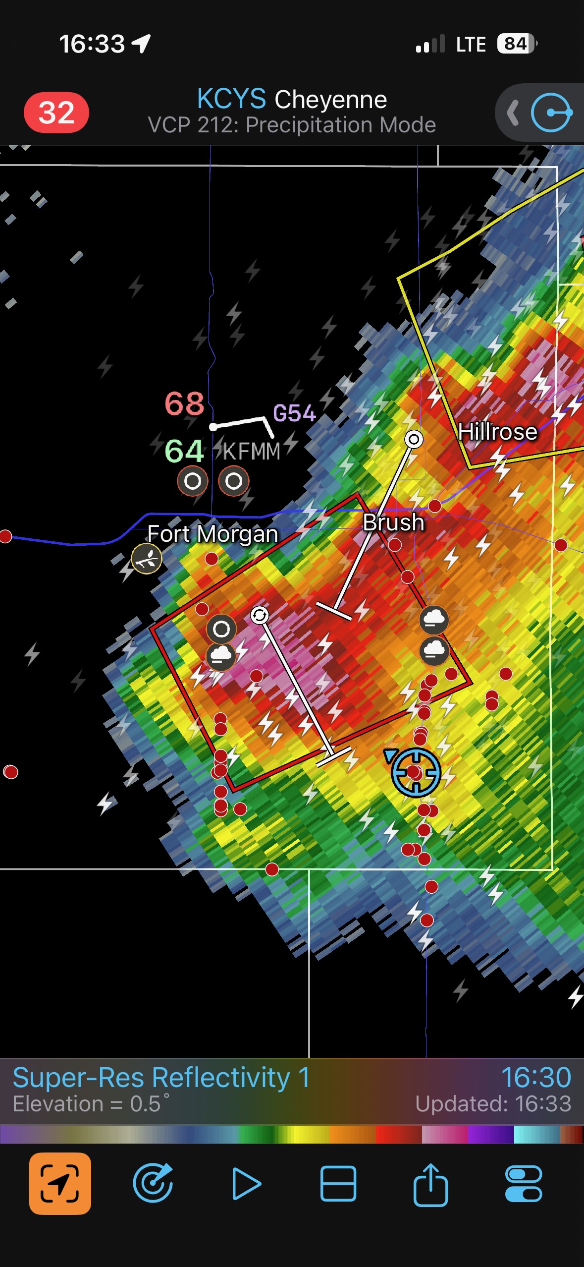
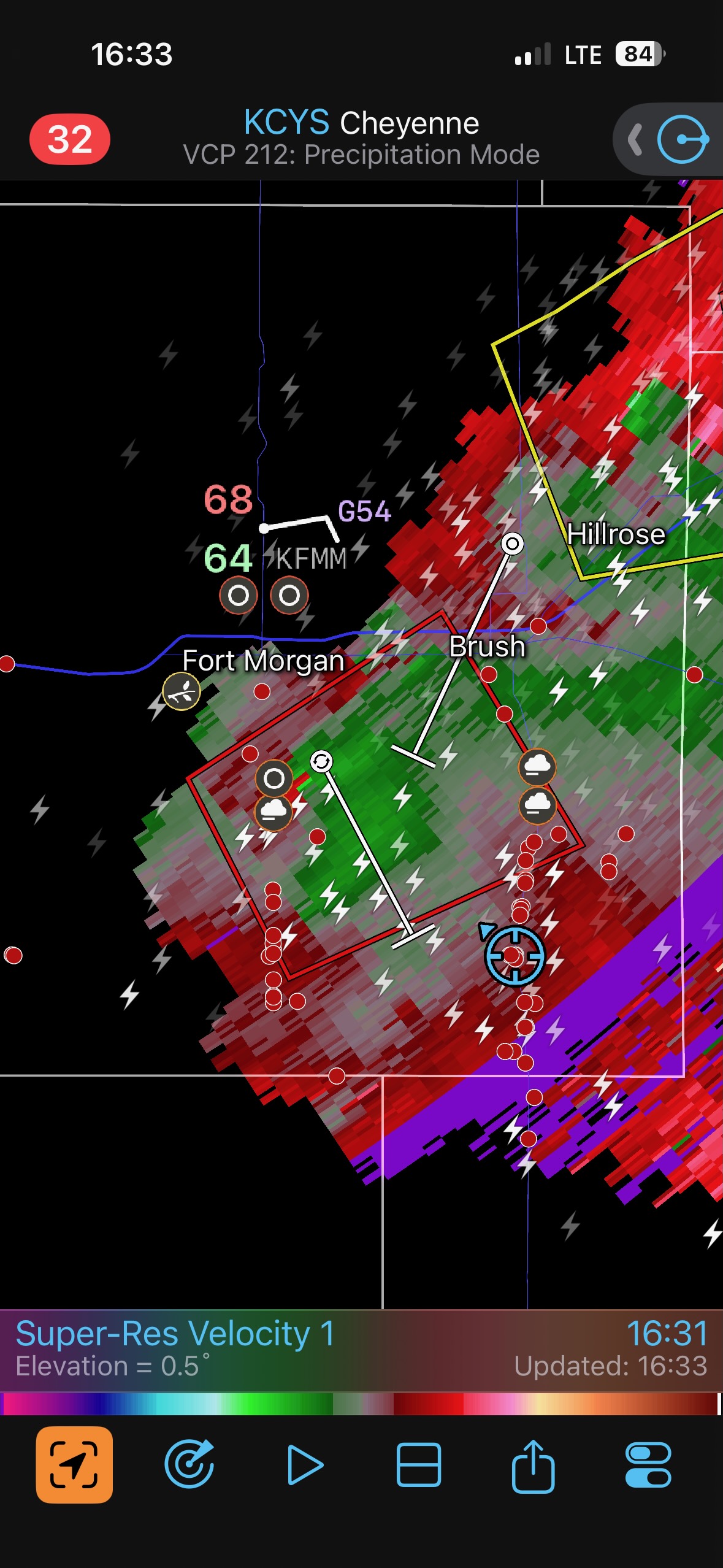
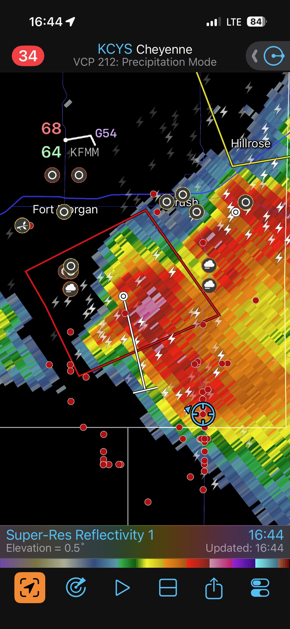
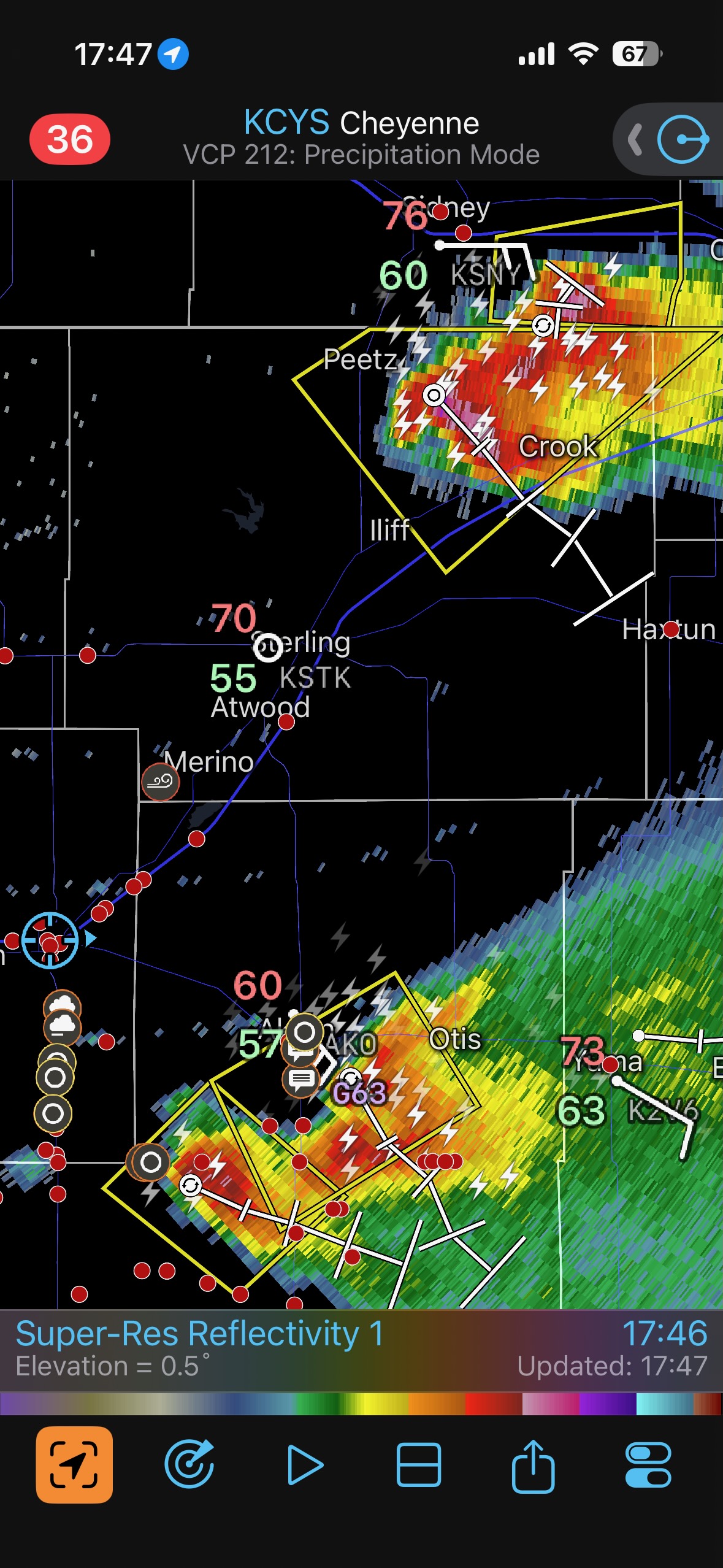
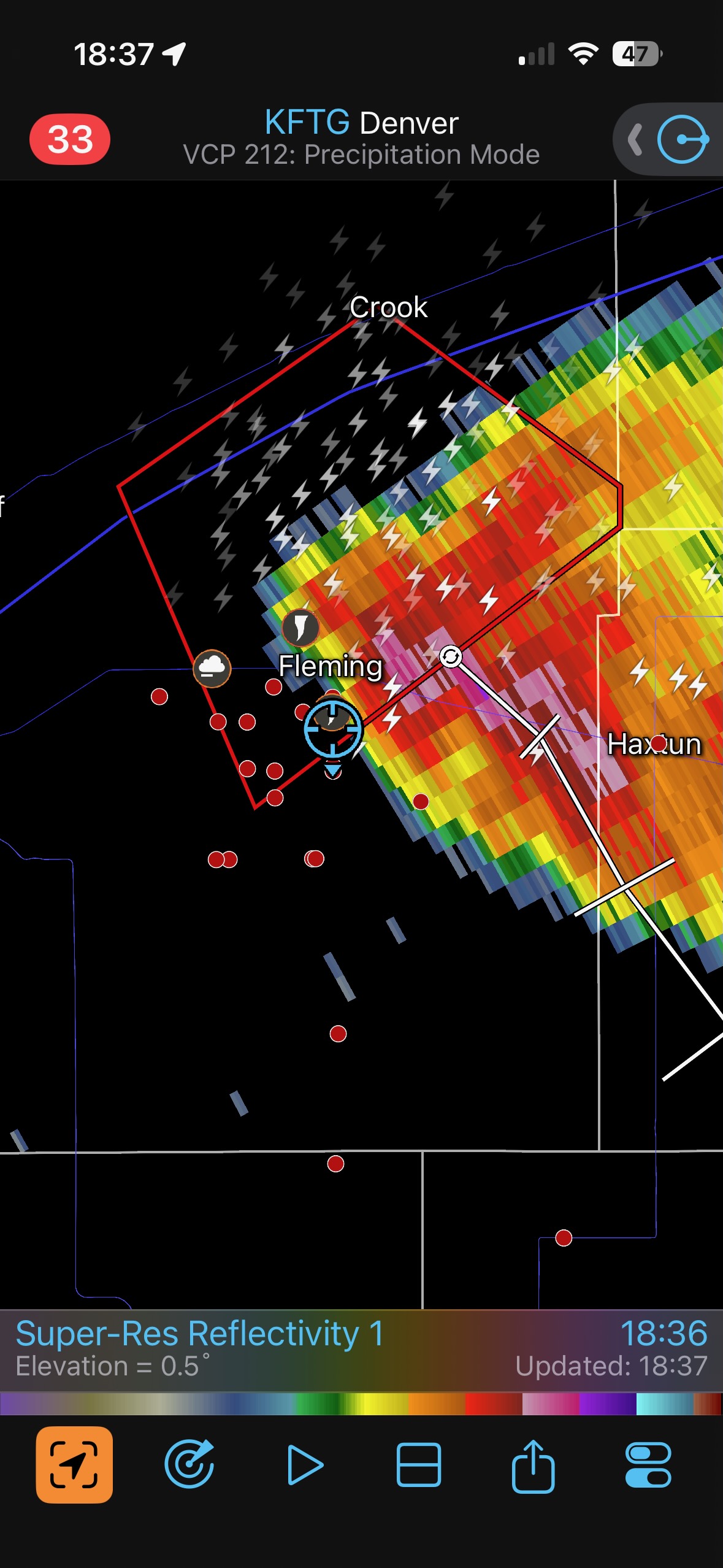
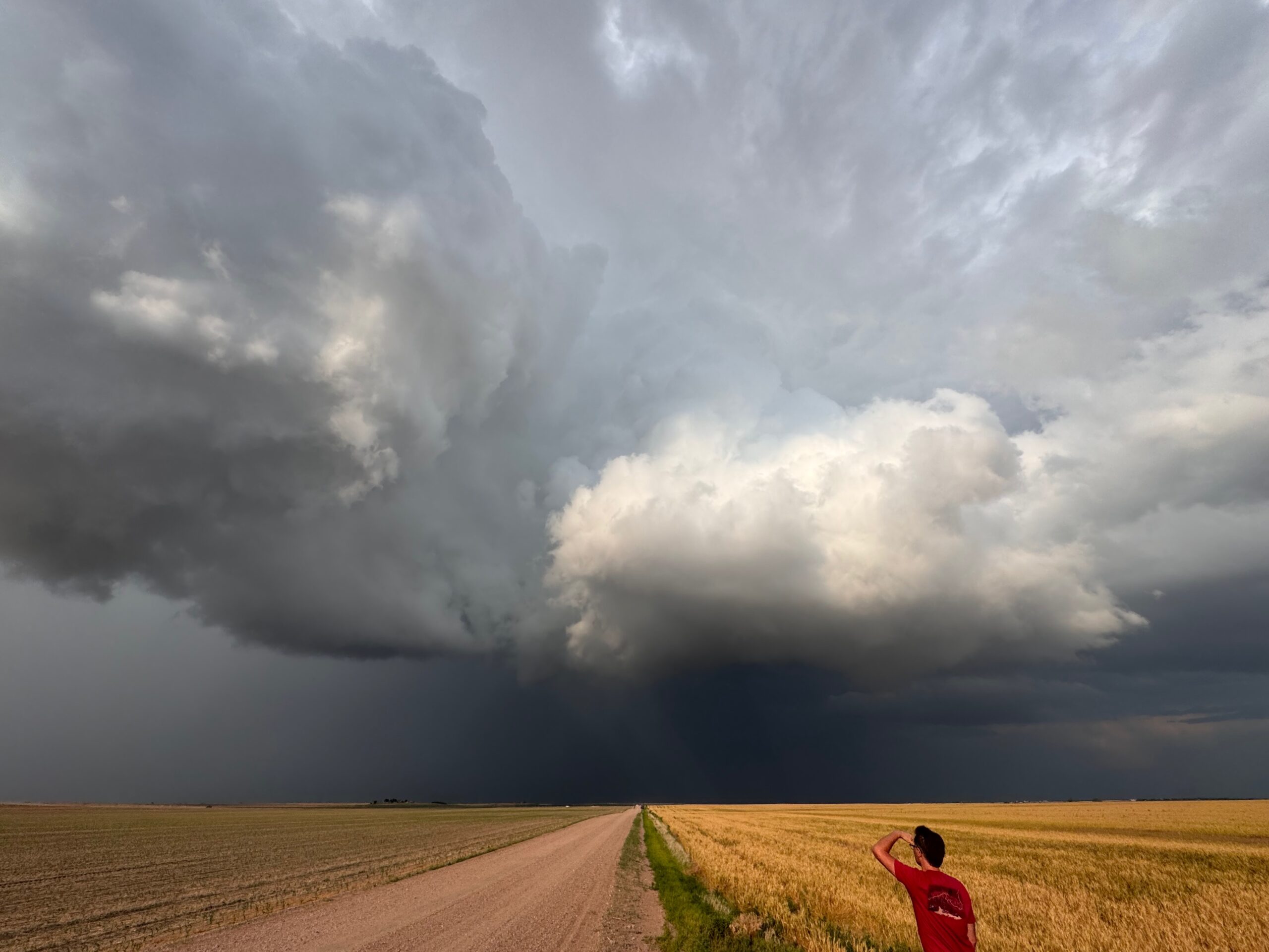
The Interstate worked perfectly to get us close to the impressive cumulonimbus cloud fairly quickly. The first four rows of images below show the updraft while it was near Iliff. We were near Brush at 5:47 p.m. MDT (see radar), and eight minutes later the storm was tornado-warned. It was moving to the southeast at about 30 mph, and the warning was based on rotation detected by radar. Let’s get there!! We had a 35-minute drive to do in order to get close.
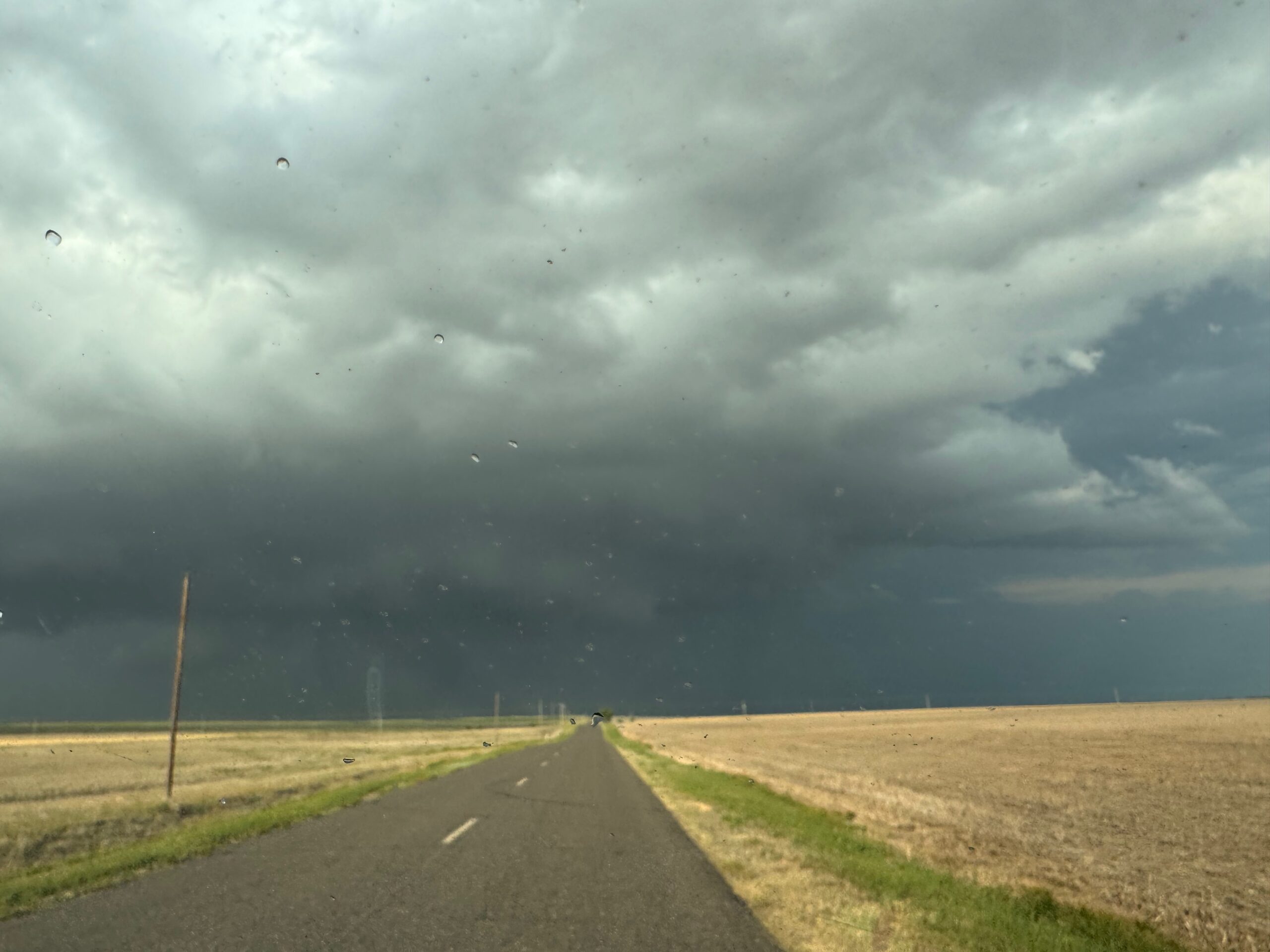
Finally, around 6:15 p.m. MDT, we were on Highway 6 and heading eastbound towards Fleming. It looked like we would arrive at Fleming around the same time as this tornado-warned storm. This route was perfect! The remaining images in the group below were taken along Highway 6 towards the east. A very low and beefy wall cloud was scraping the ground in the distance.
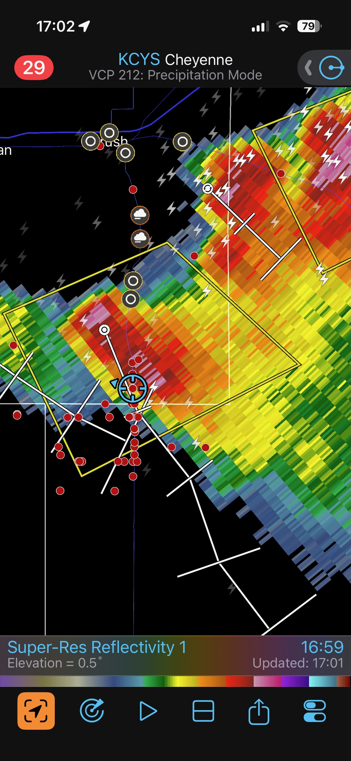
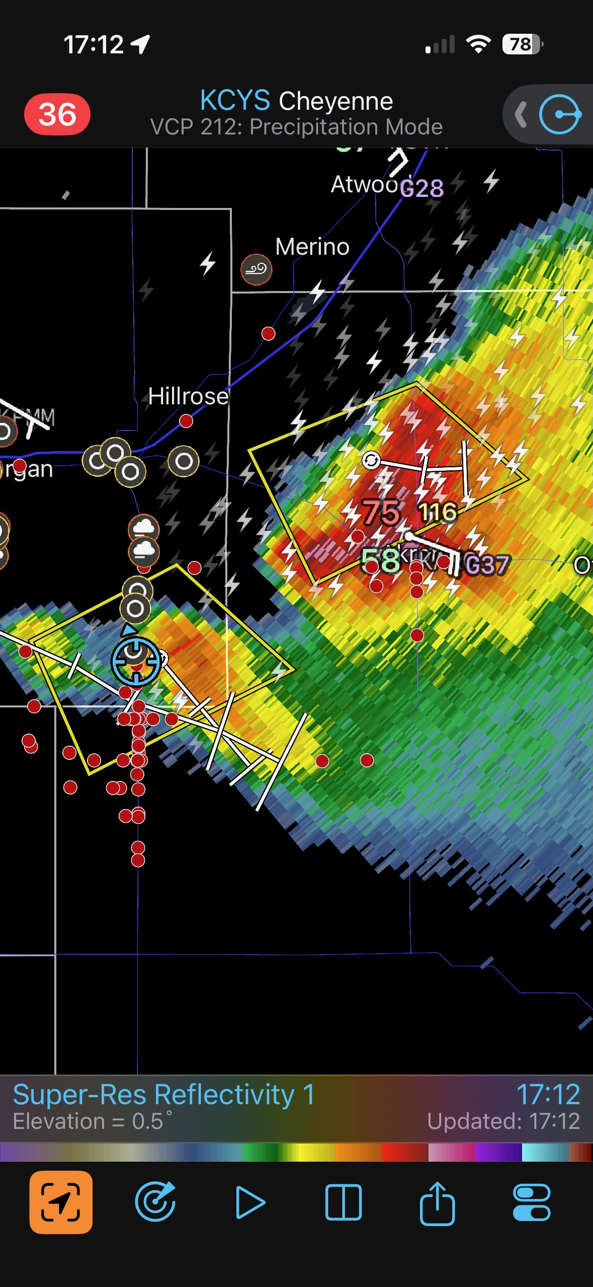
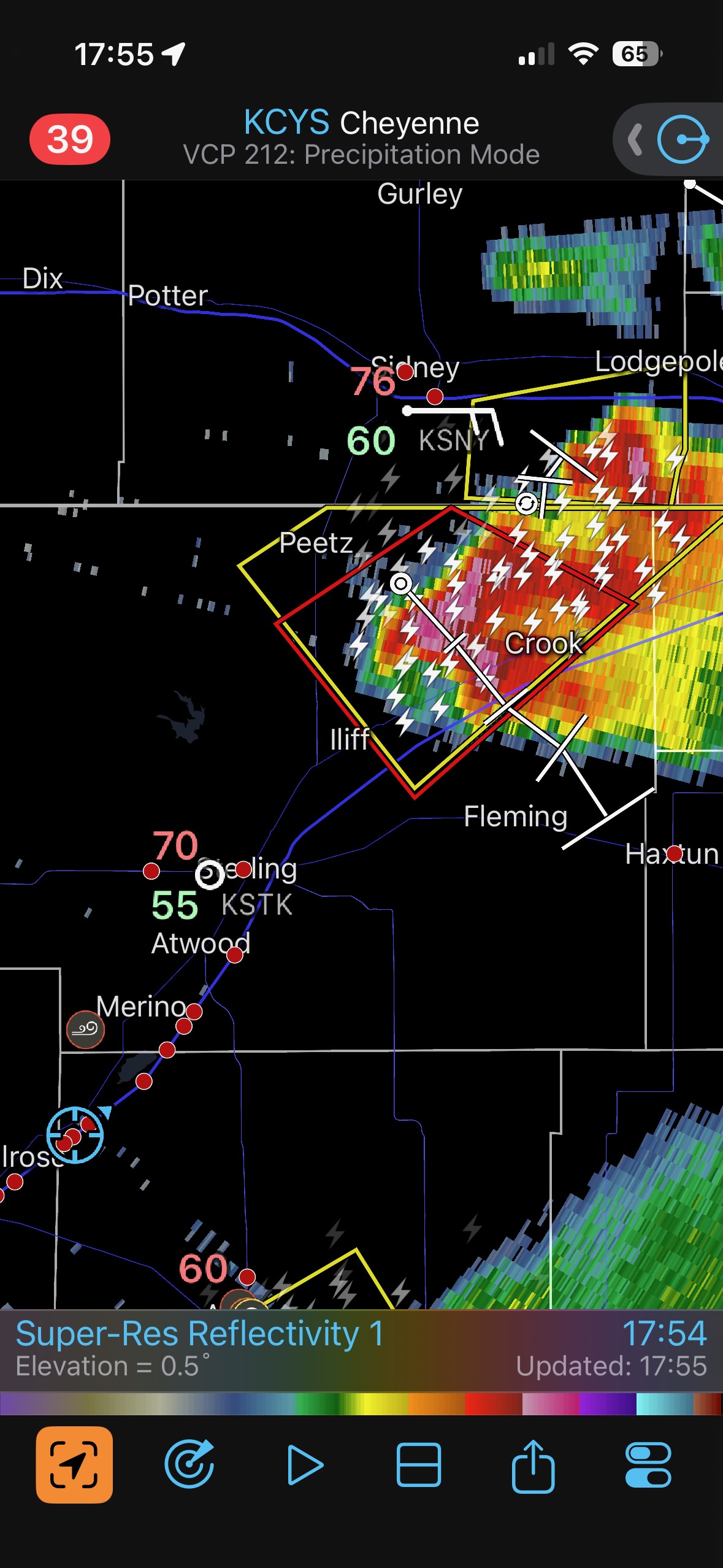
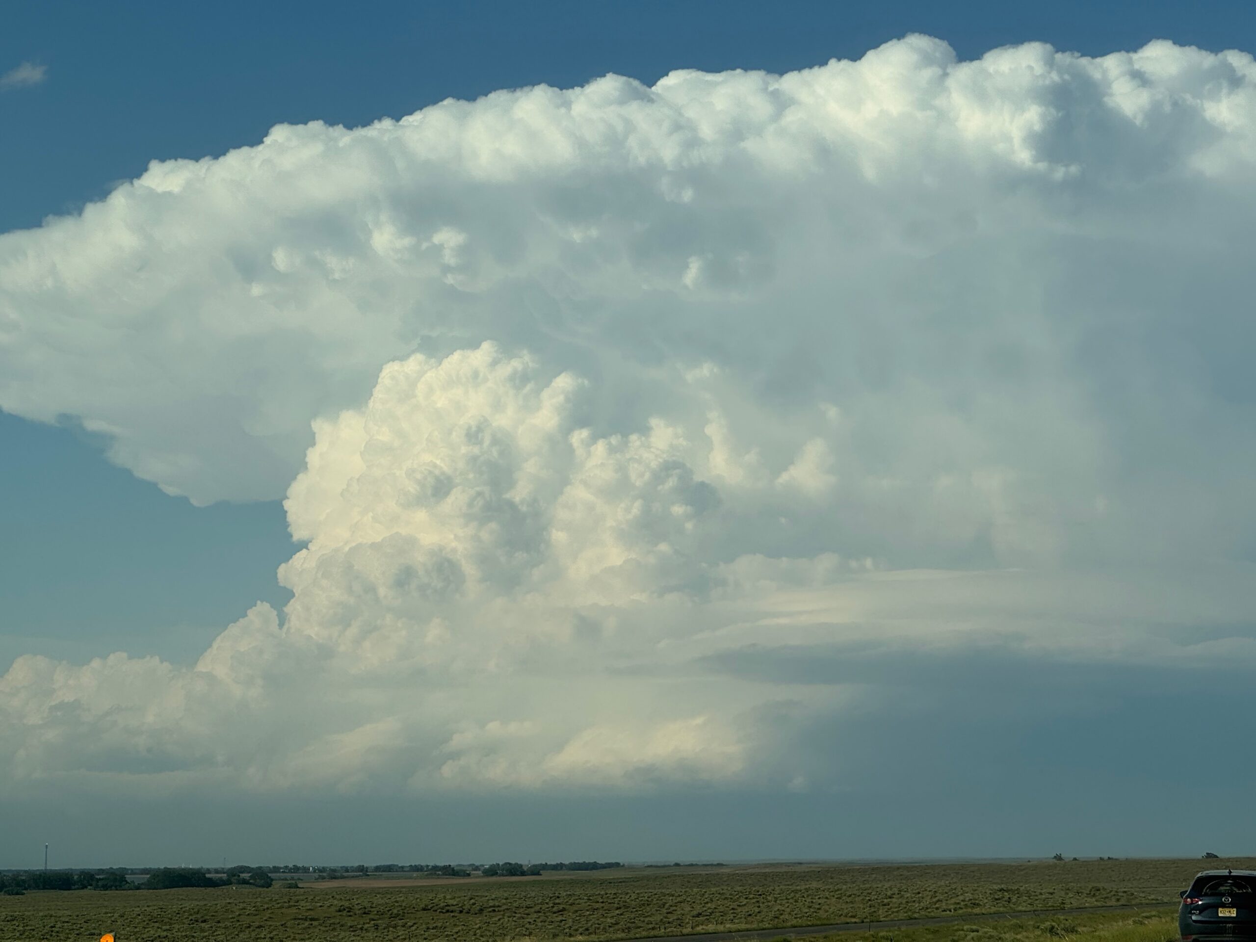
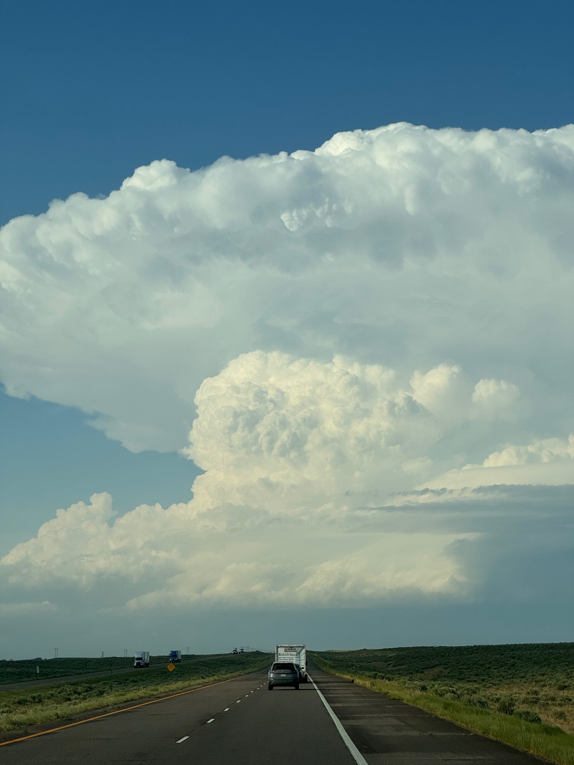
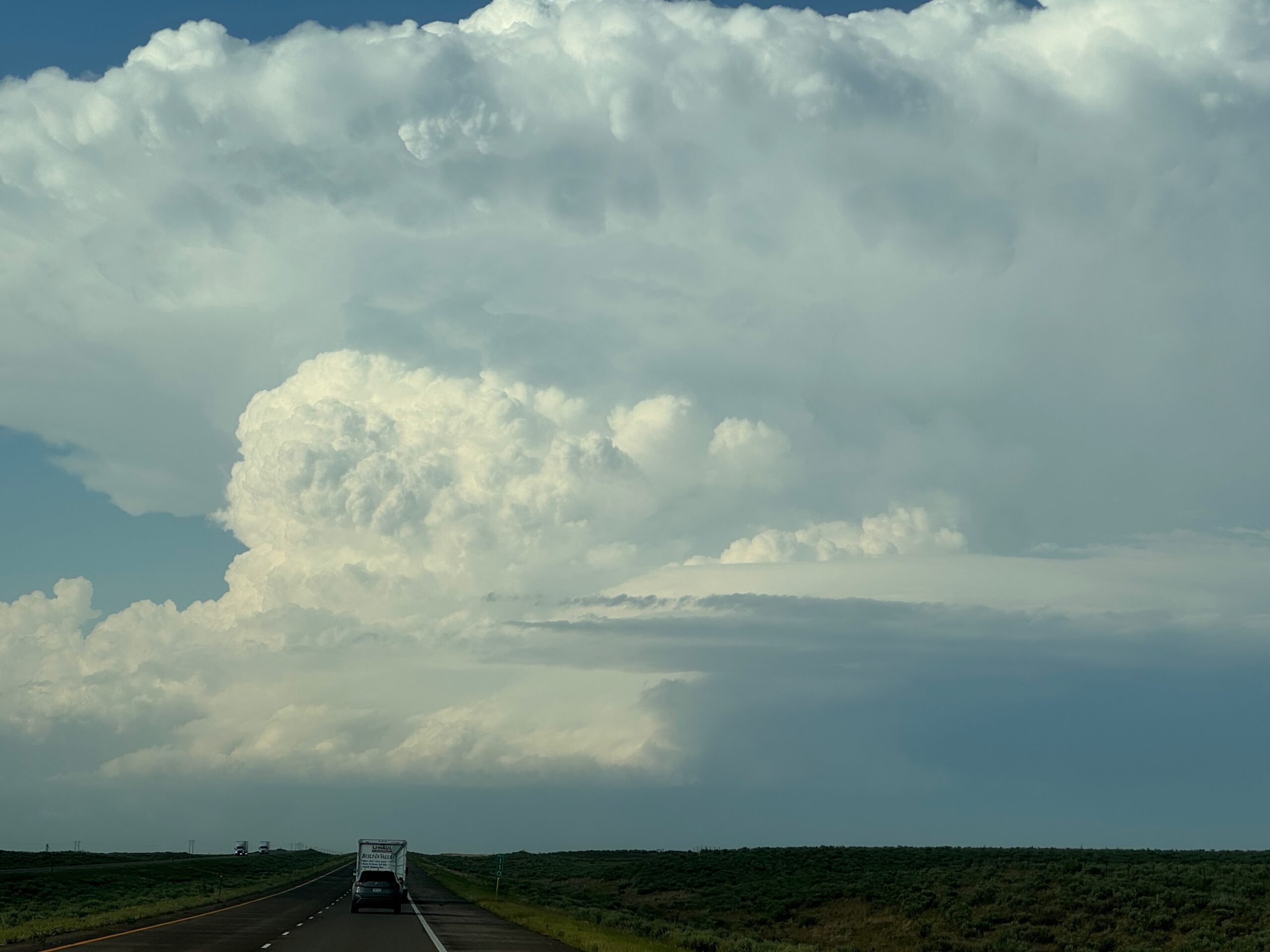
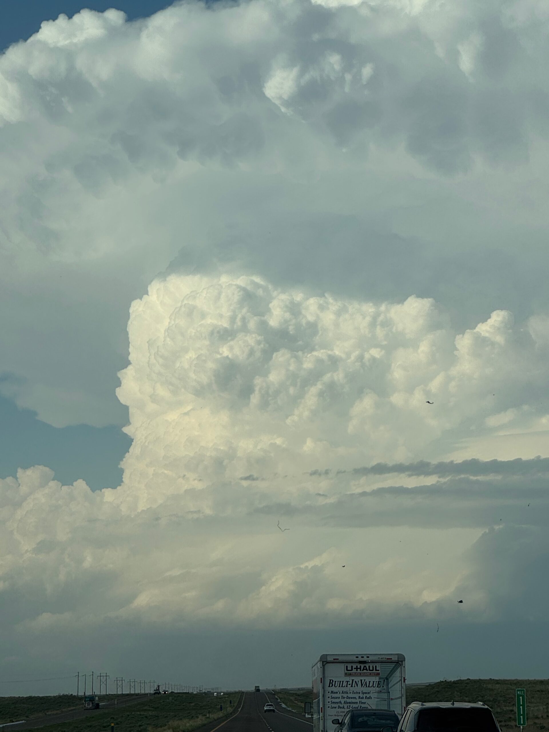
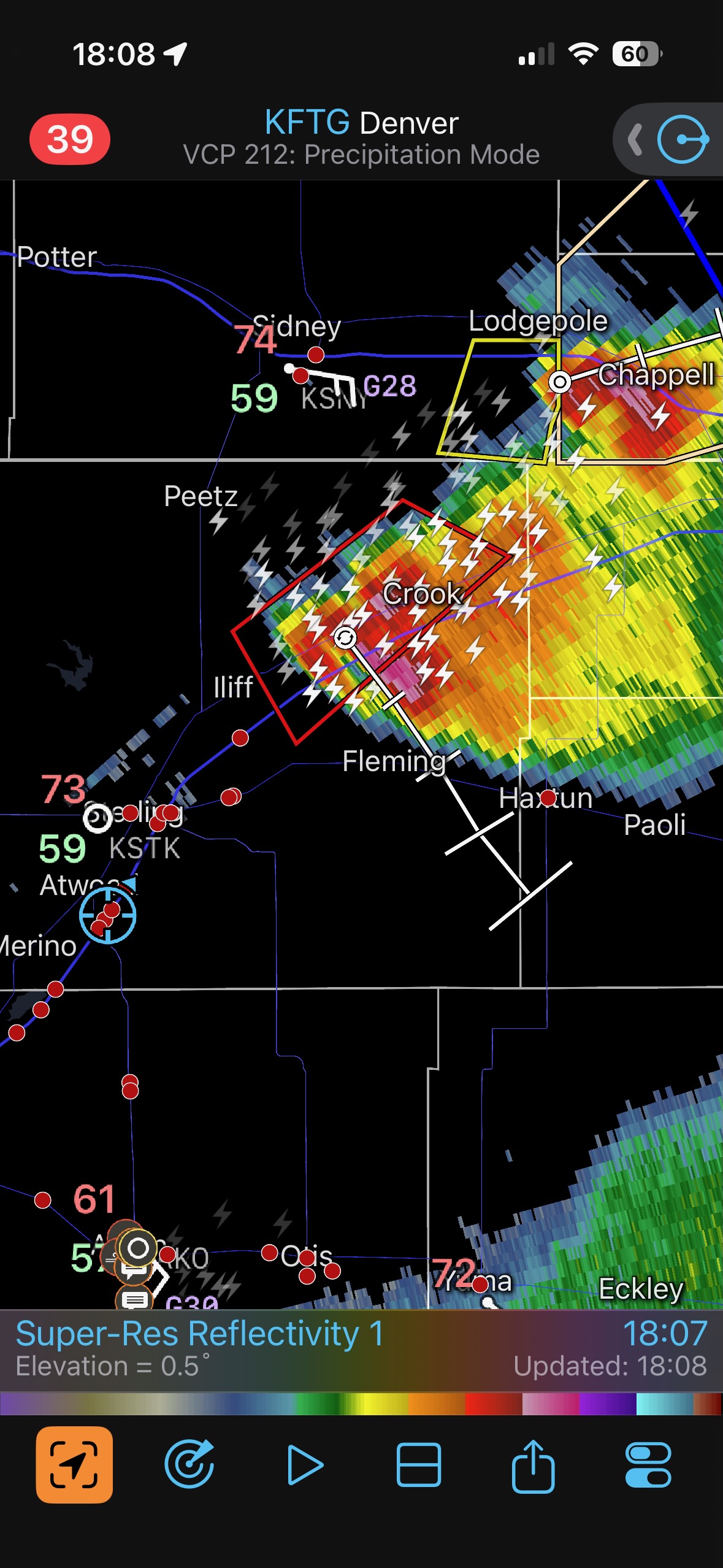
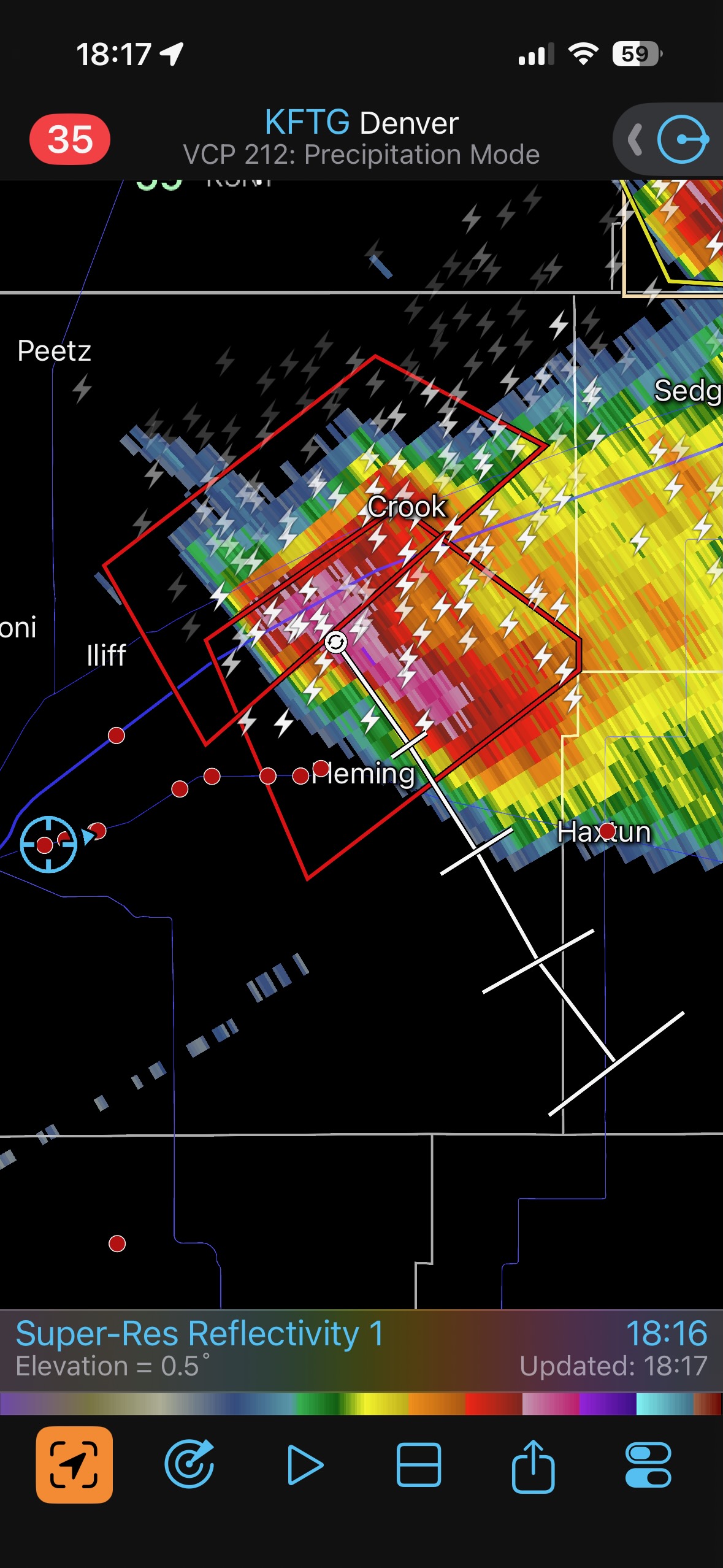
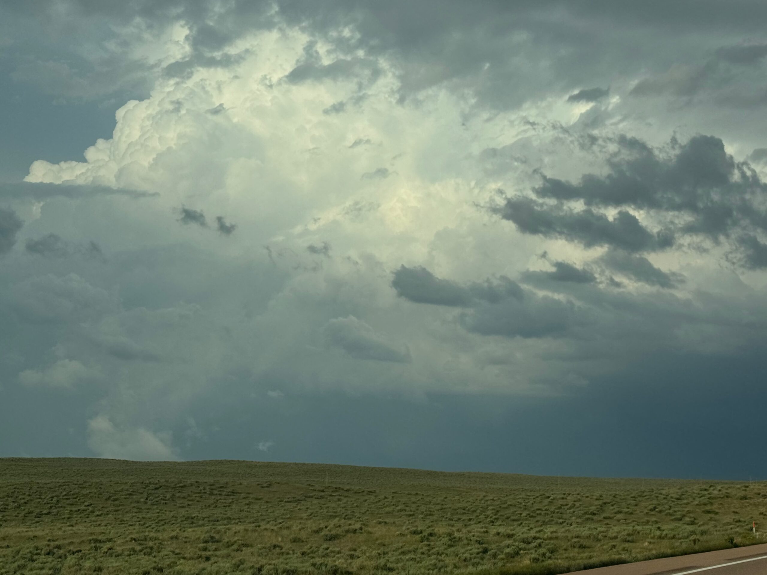
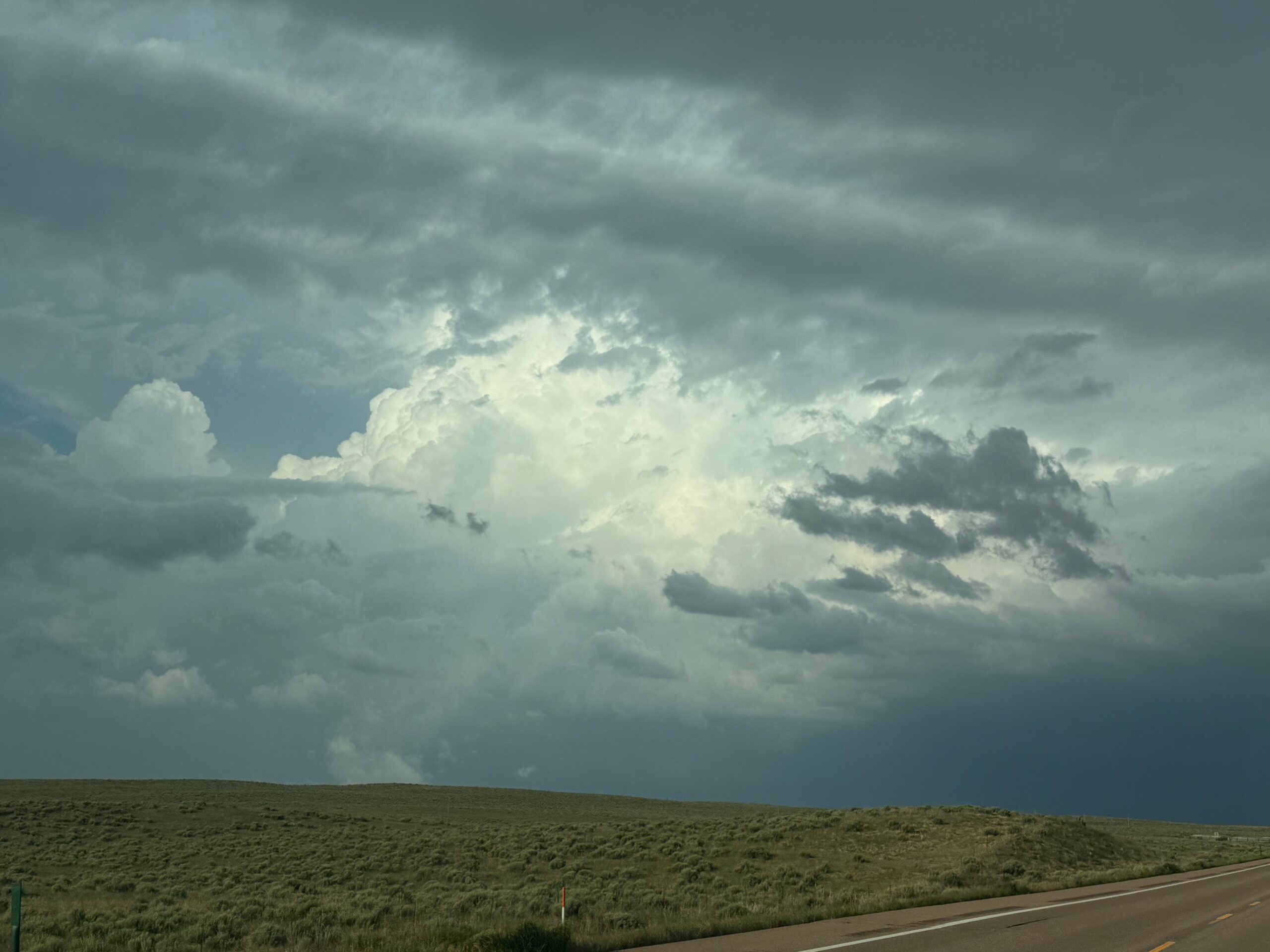
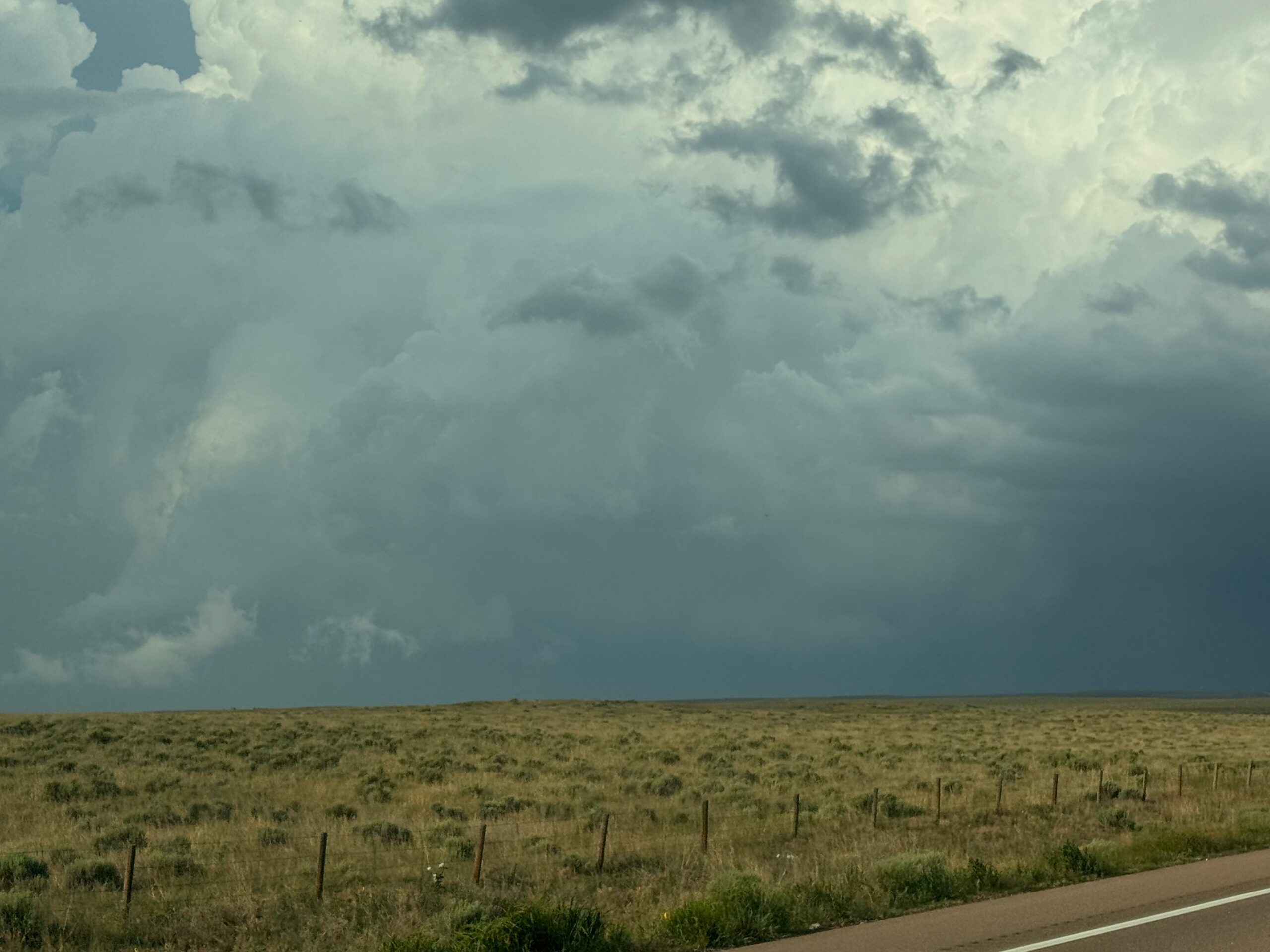
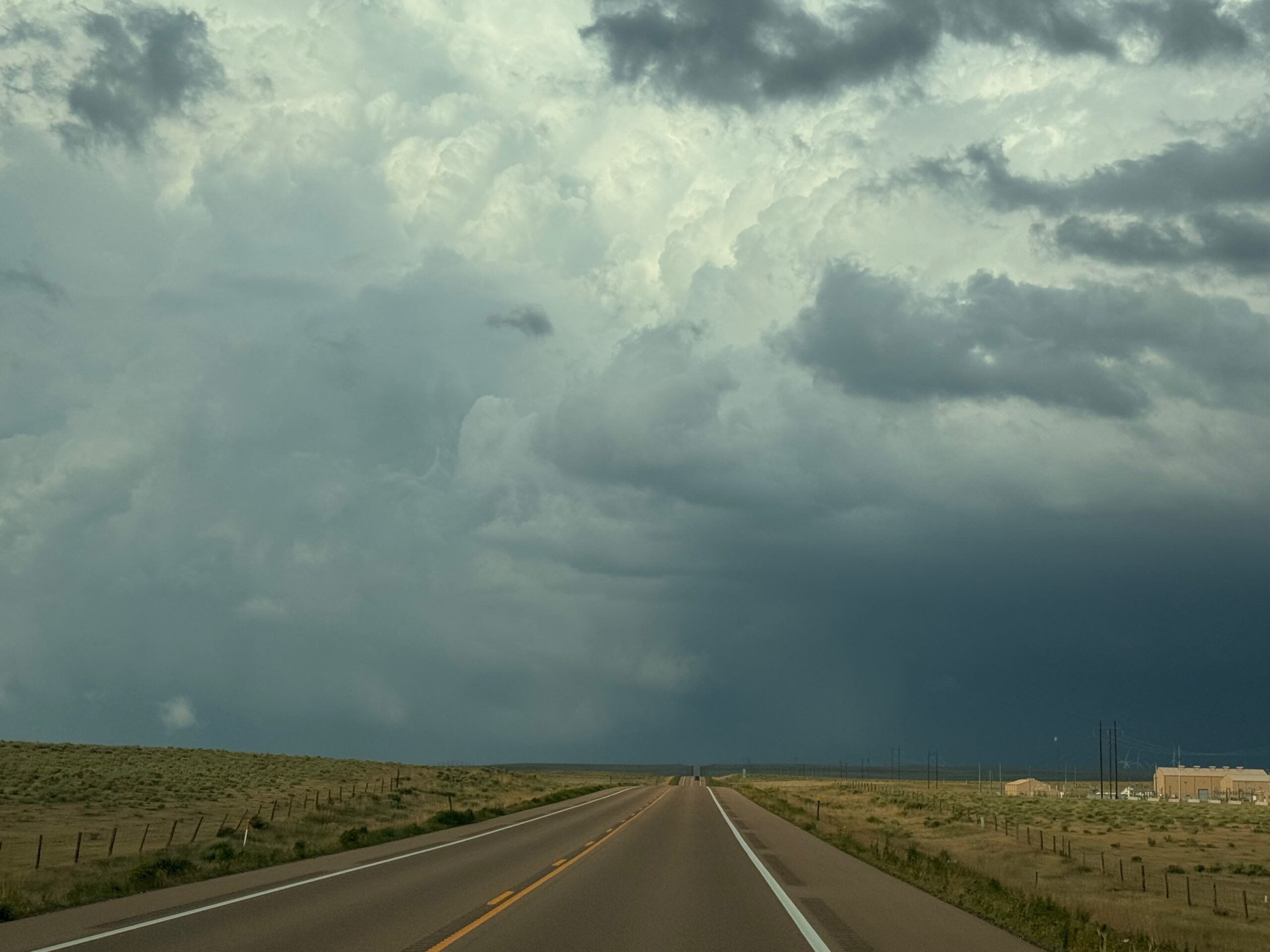
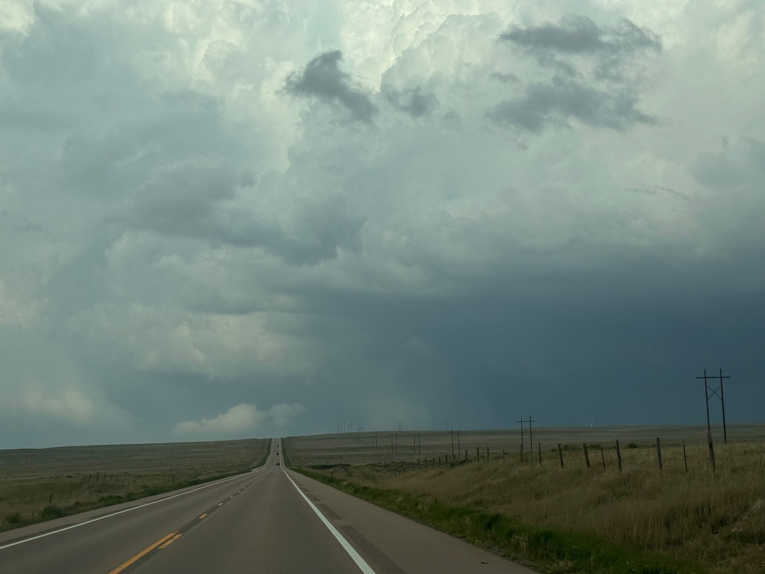
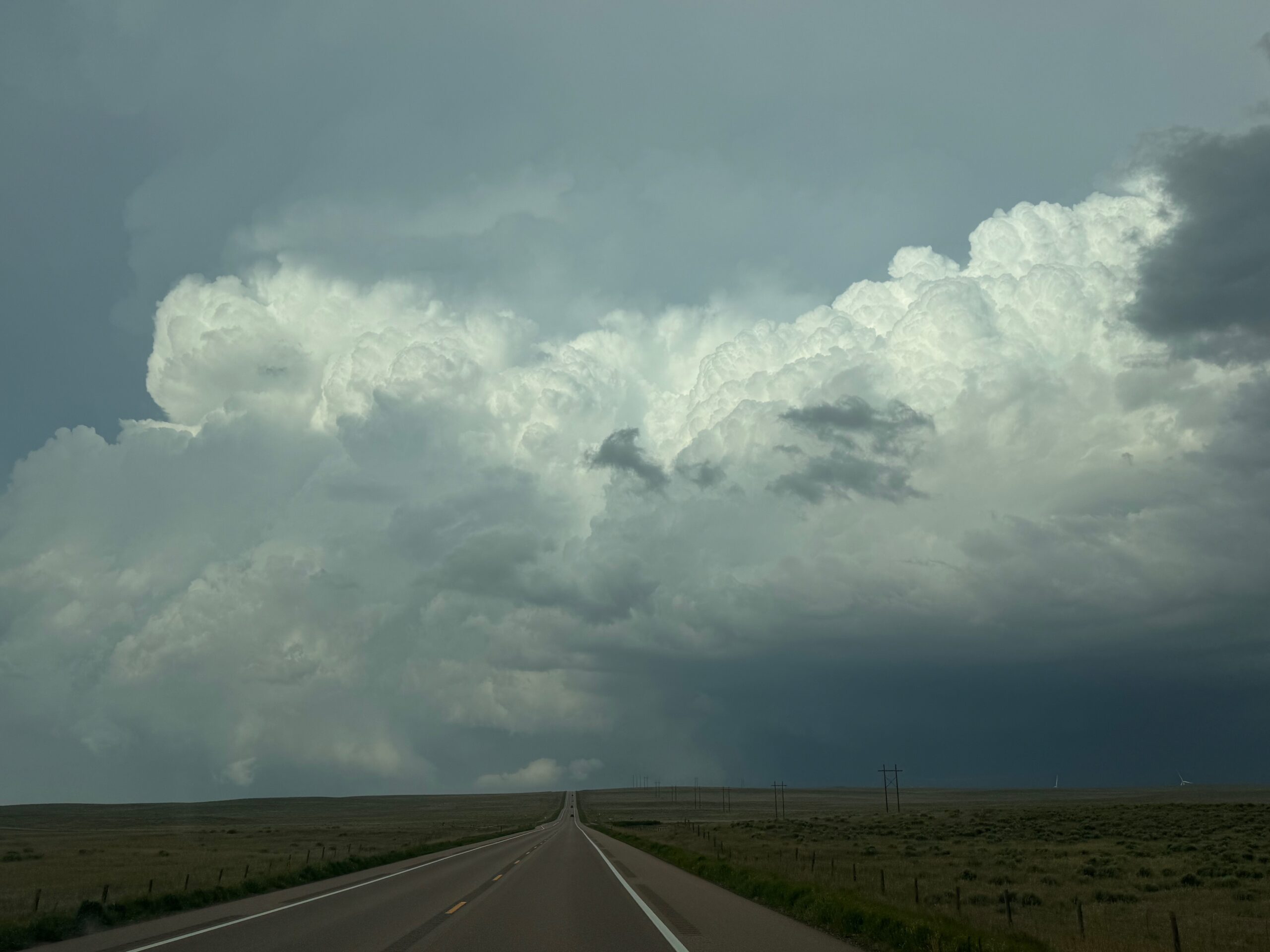
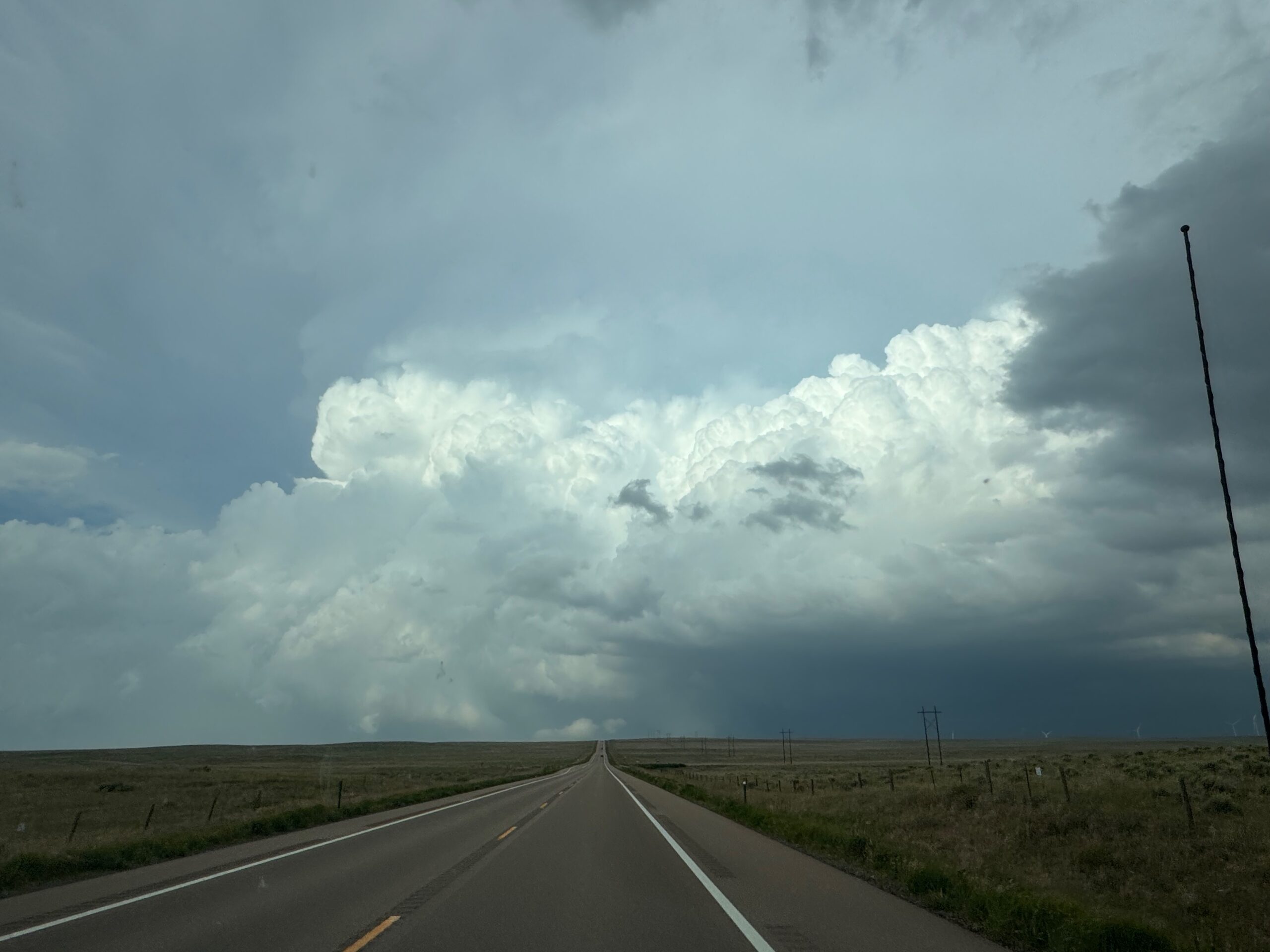
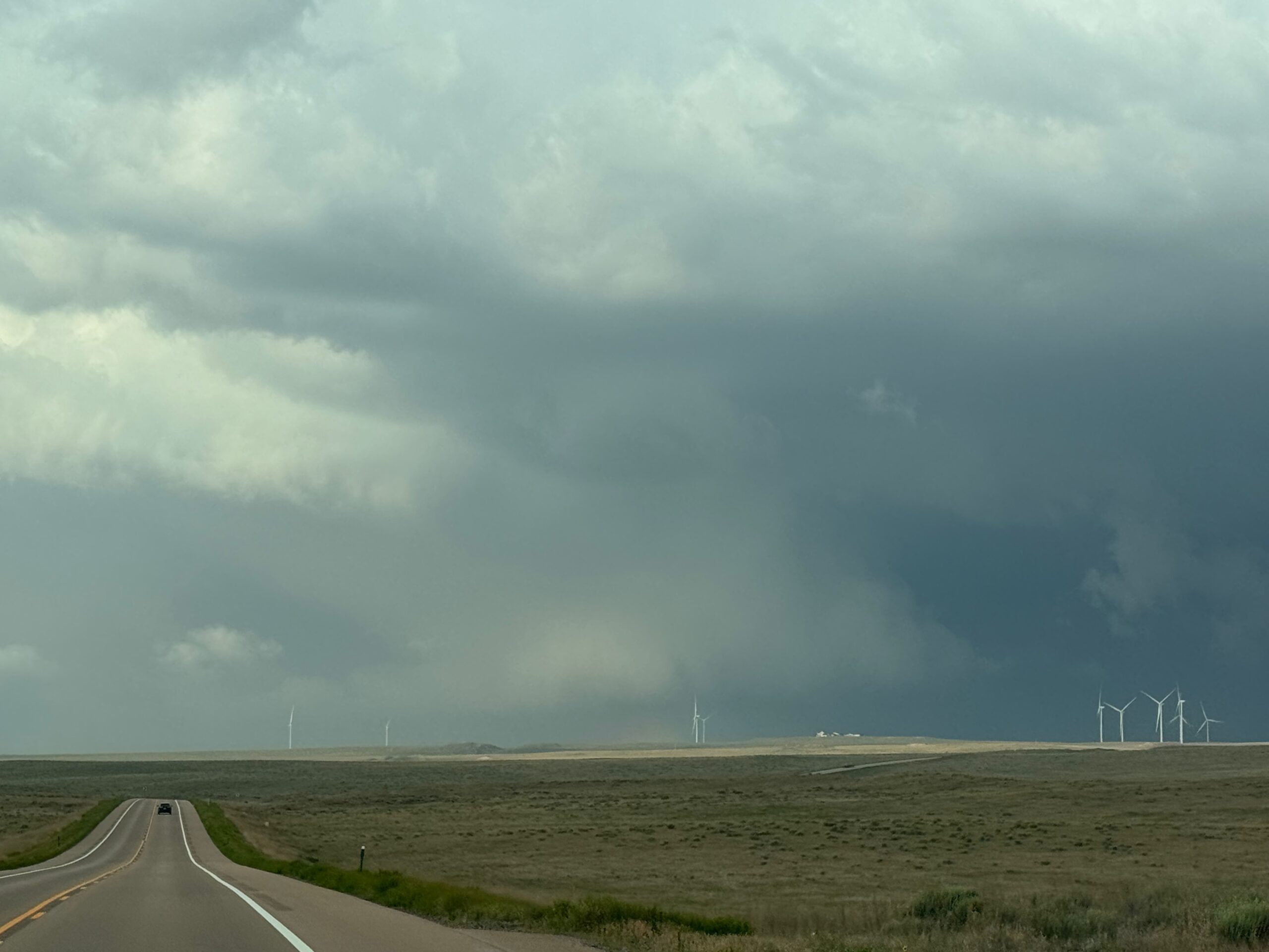
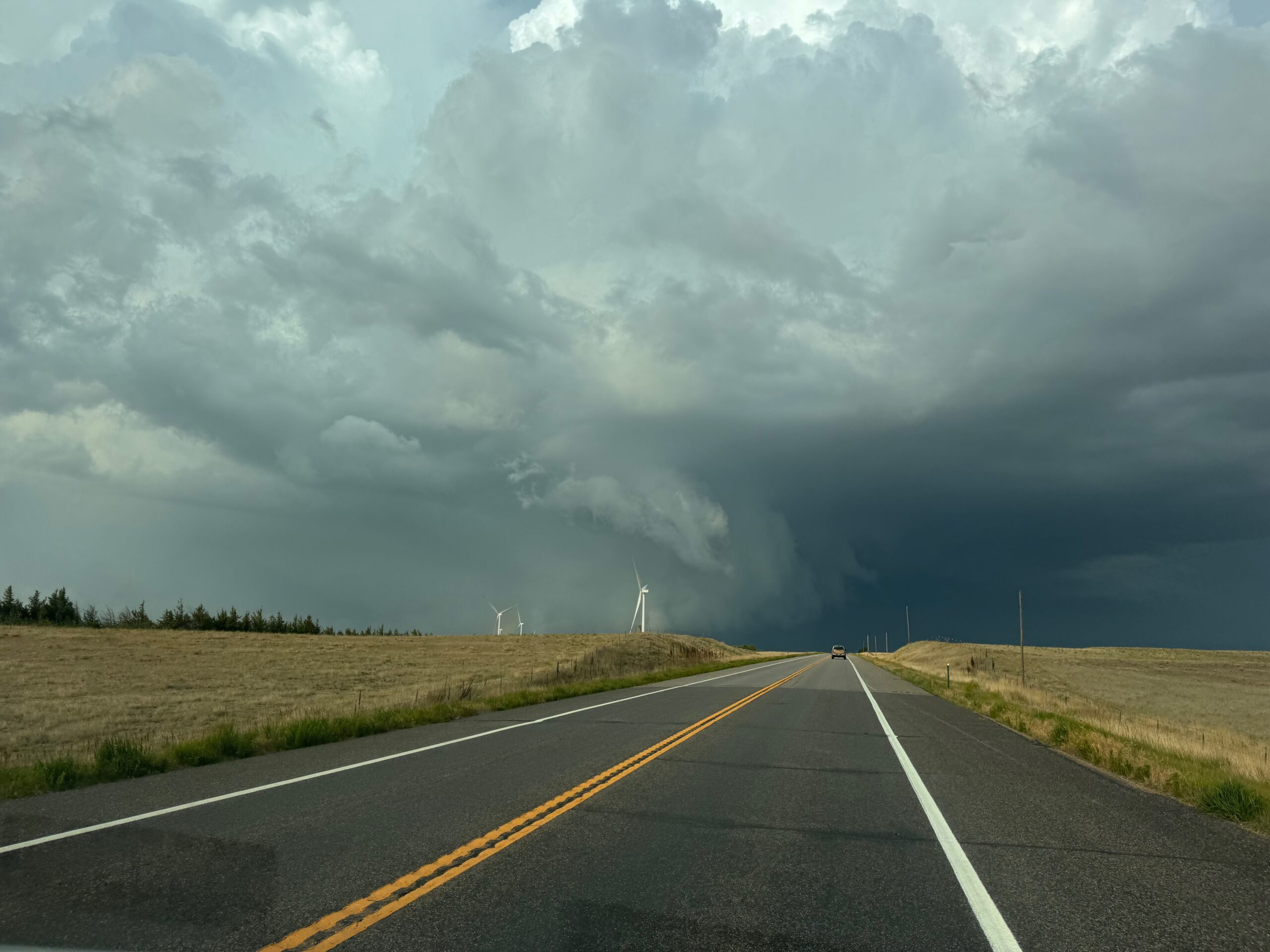
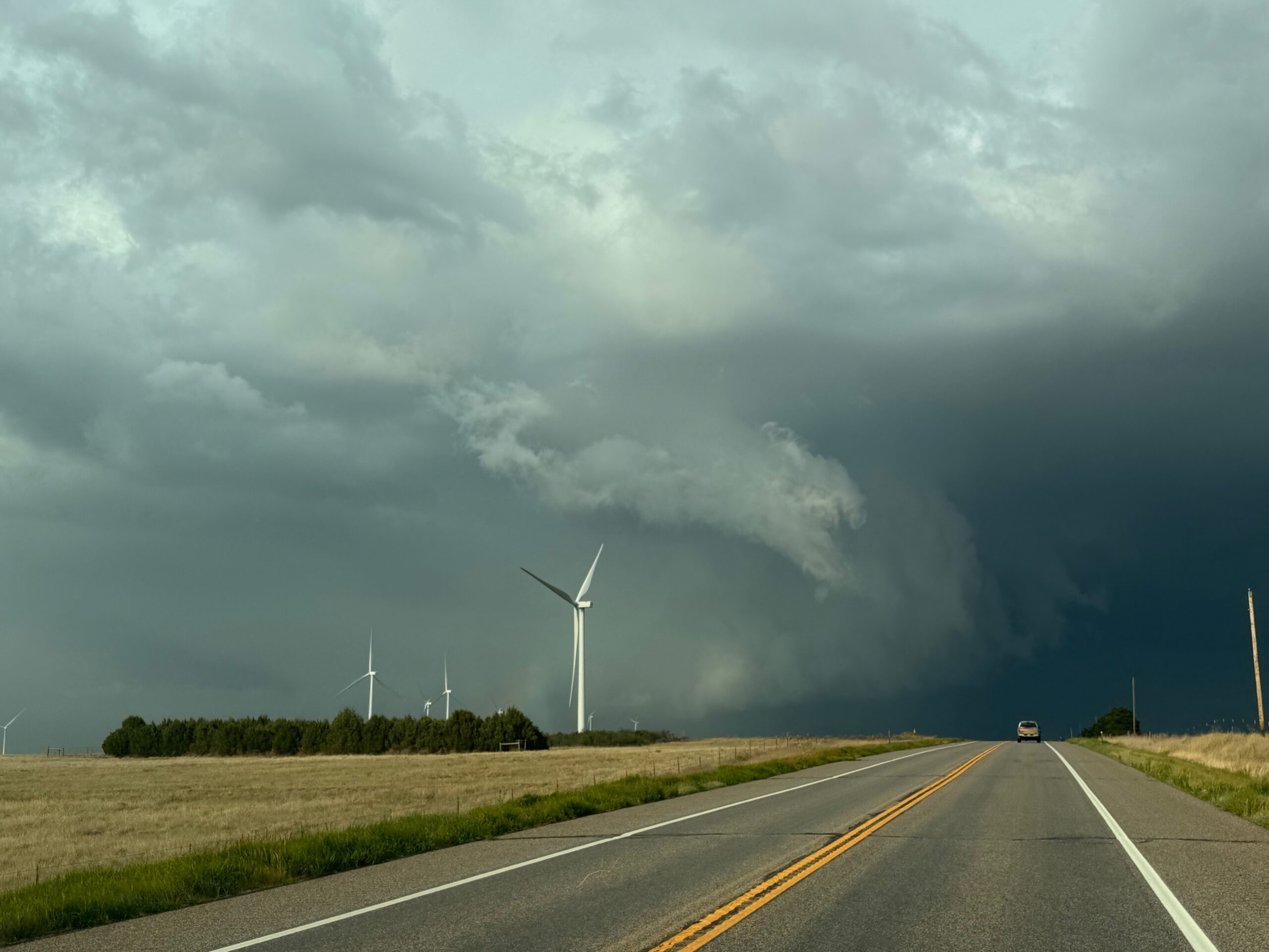
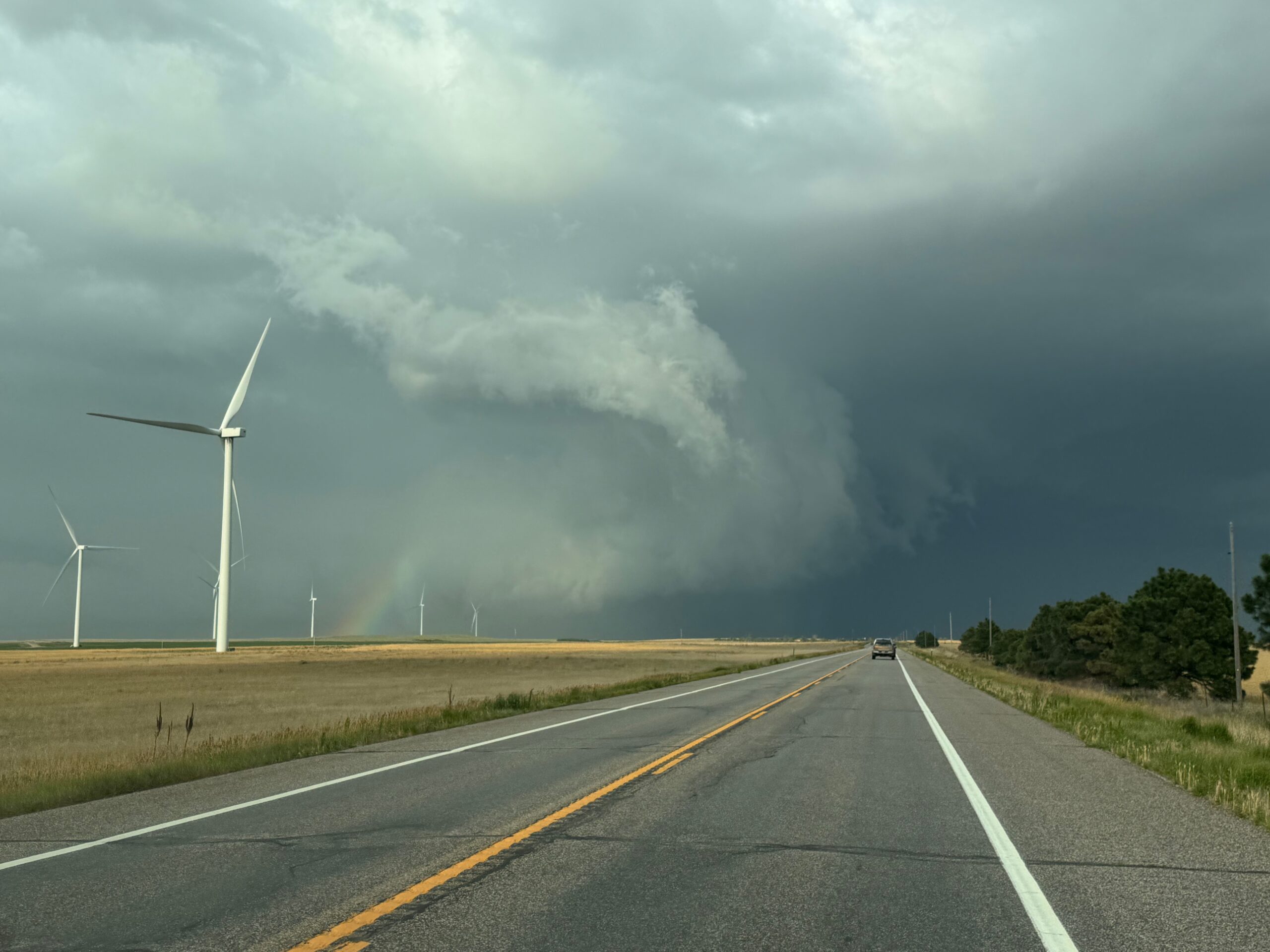
We came up to Fleming at about 6:30 p.m. MDT, and the impressive meso/tornado cyclone was moving left-to-right over the small town. Storm reports shows a tornado 2NNW of Fleming at 6:25, and another one in (or over) the town right when we arrived.
| 0025 | 2 NNW Fleming | Logan | CO | 4070 | 10286 | Tornado confirmed by the fire department. (BOU) | |
| 0030 | Fleming | Logan | CO | 4068 | 10284 | (BOU) |
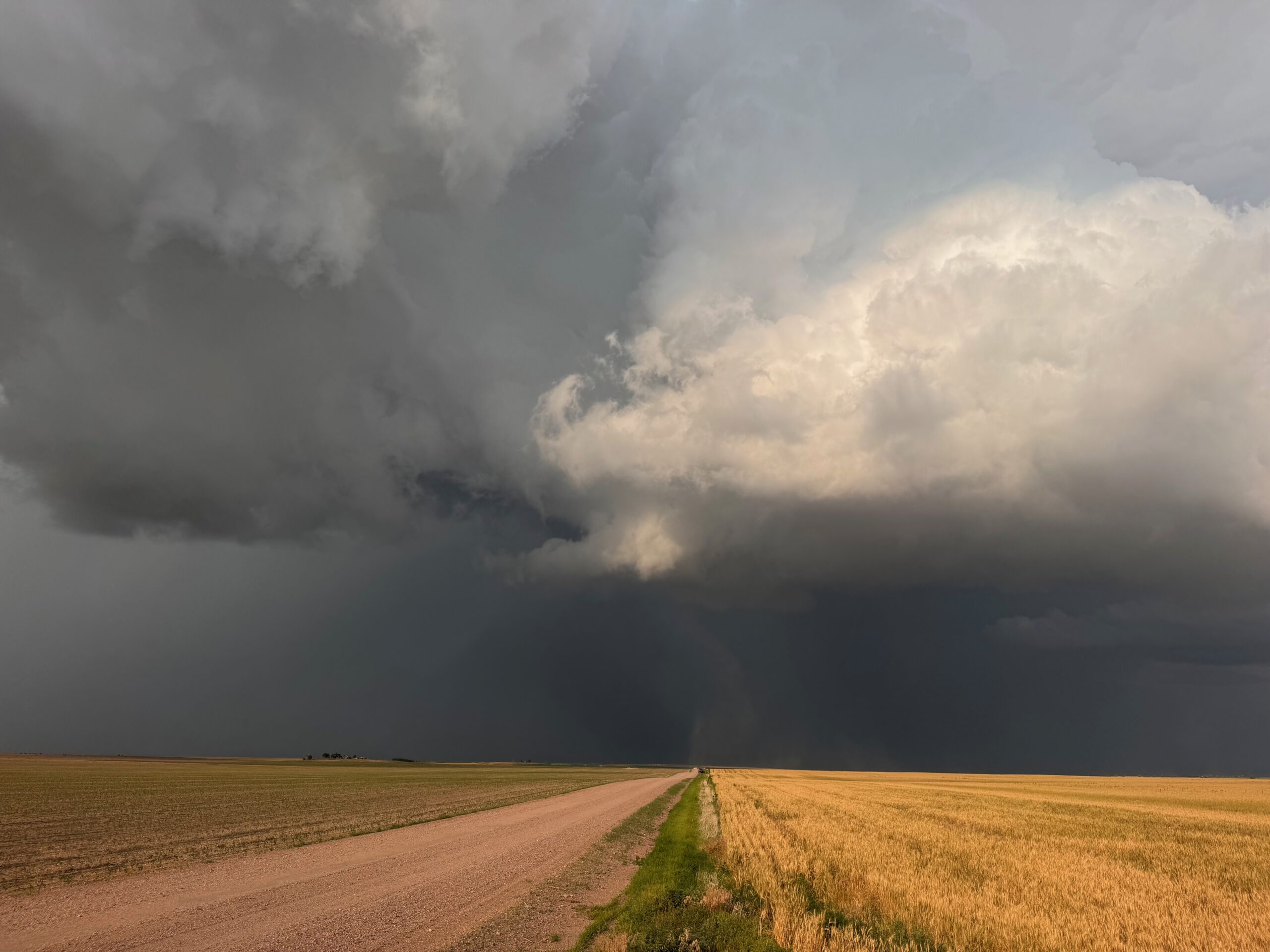
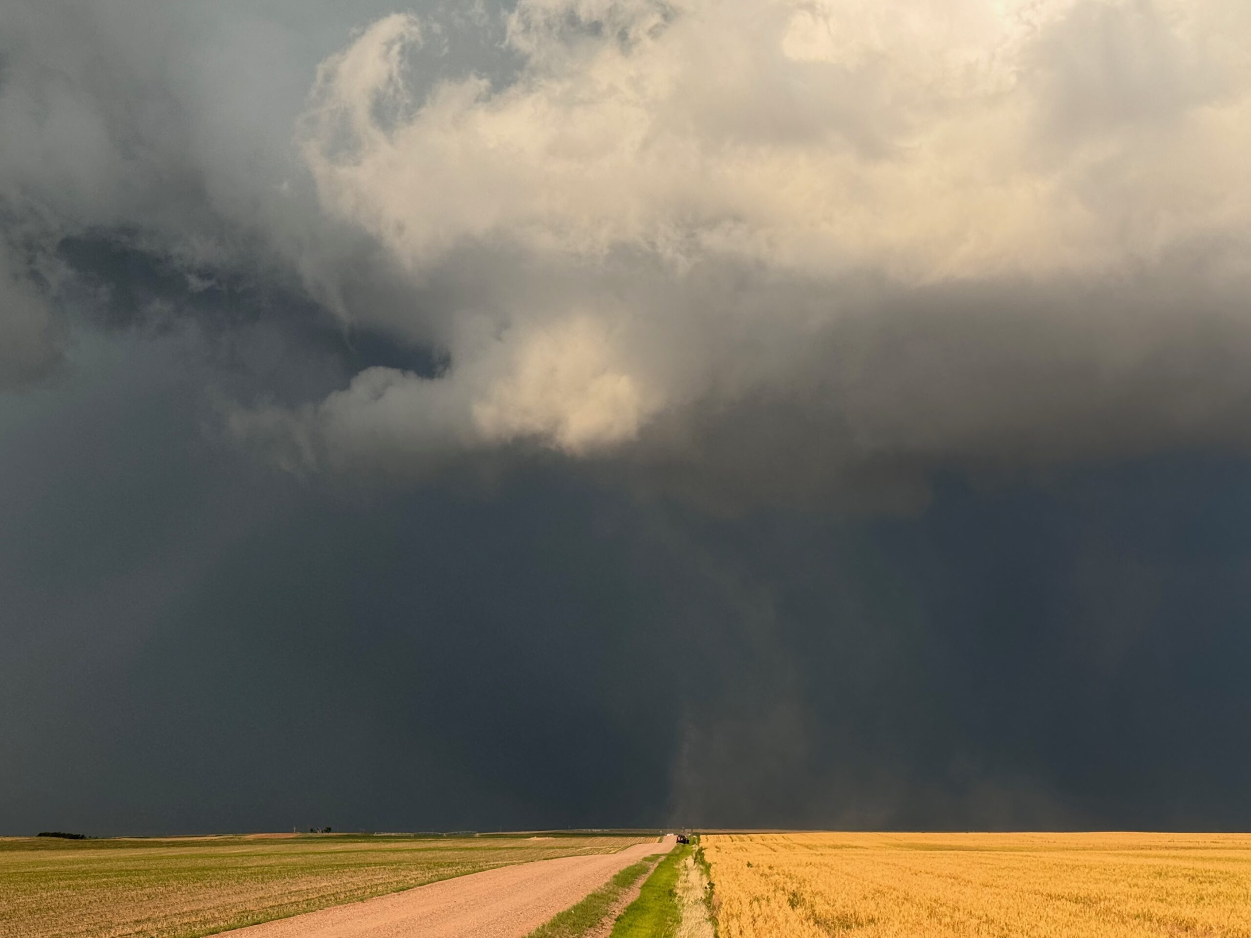
I am not surprised! This thing was cranking with broad low-level rotation in the wall cloud and along the ground. However, I can’t say that I observed a tornado for certain. It is possible that the winds in the wide meso-on-the-ground were near tornado strength. And, there were little wisps of fast and brief spin-ups with the meso, including one just to our north when we were entering Fleming.
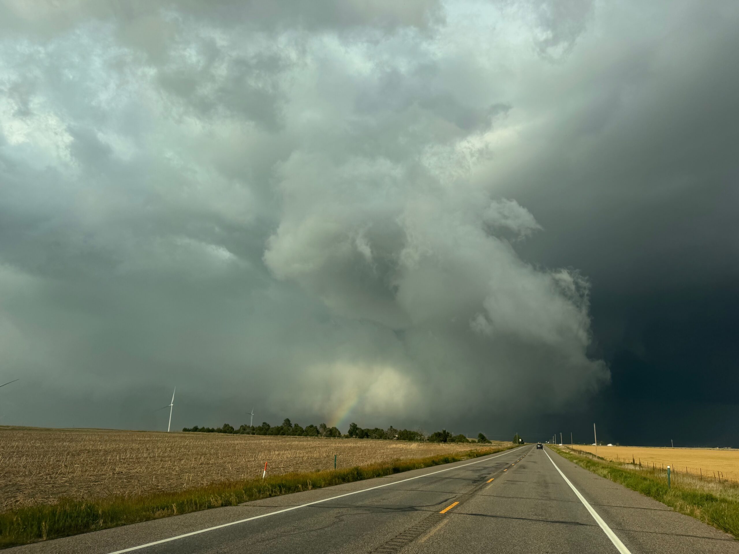
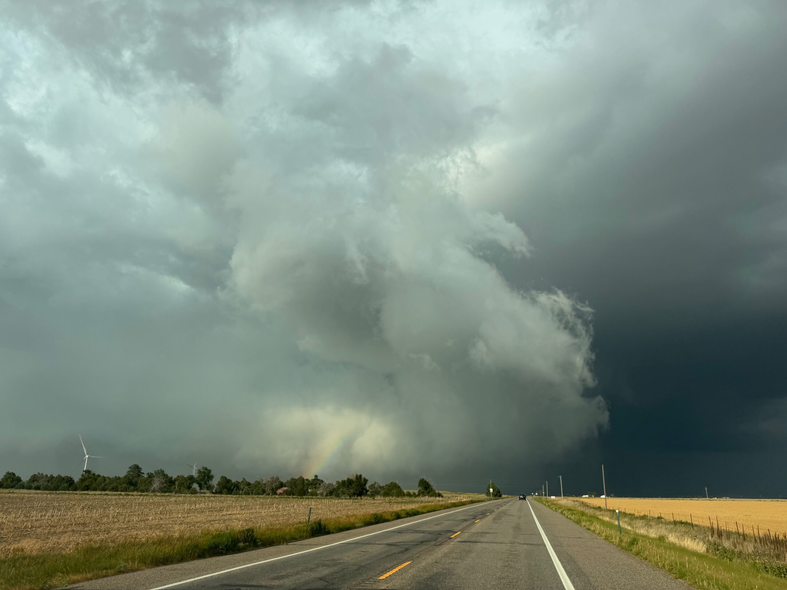
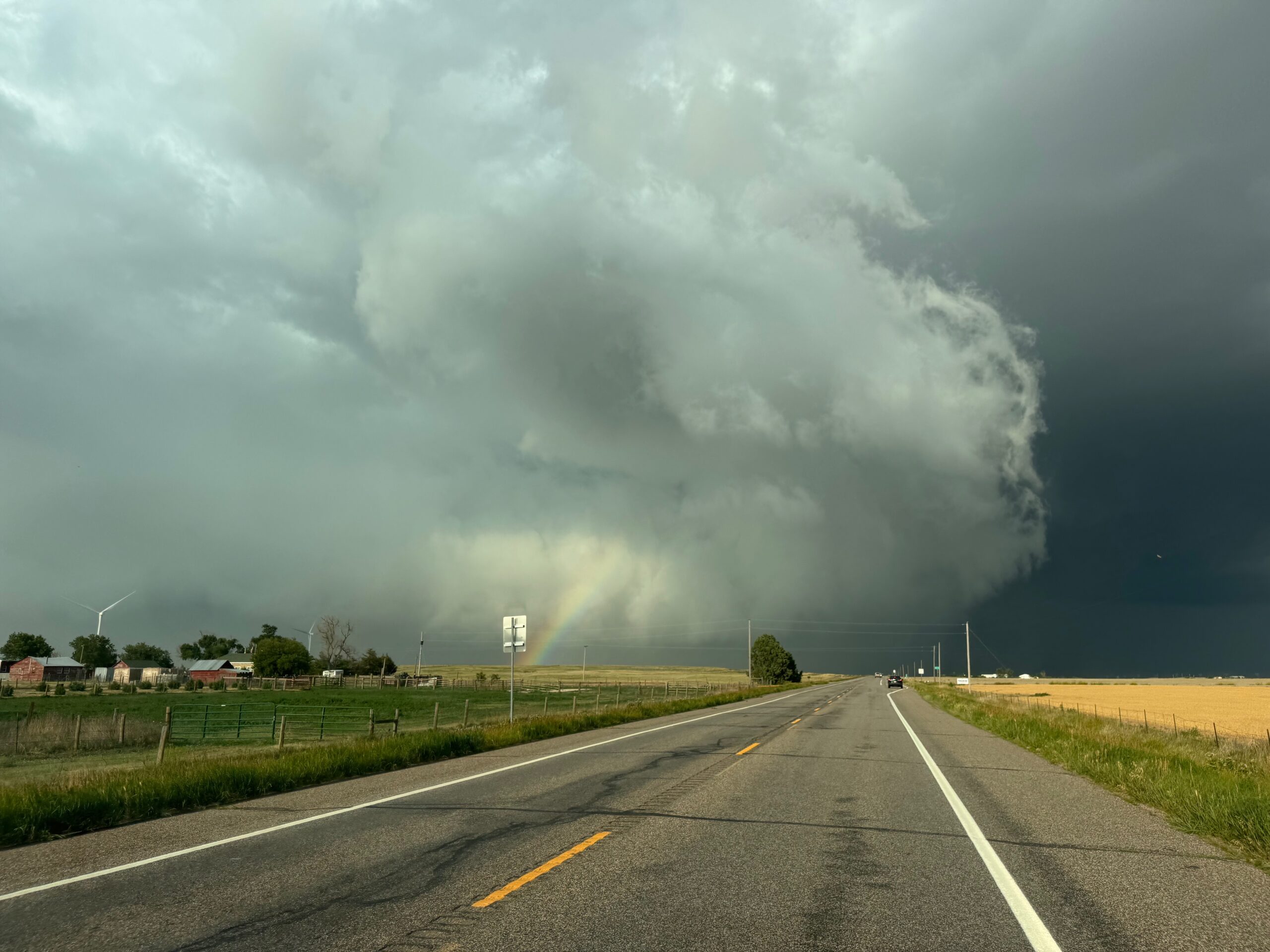
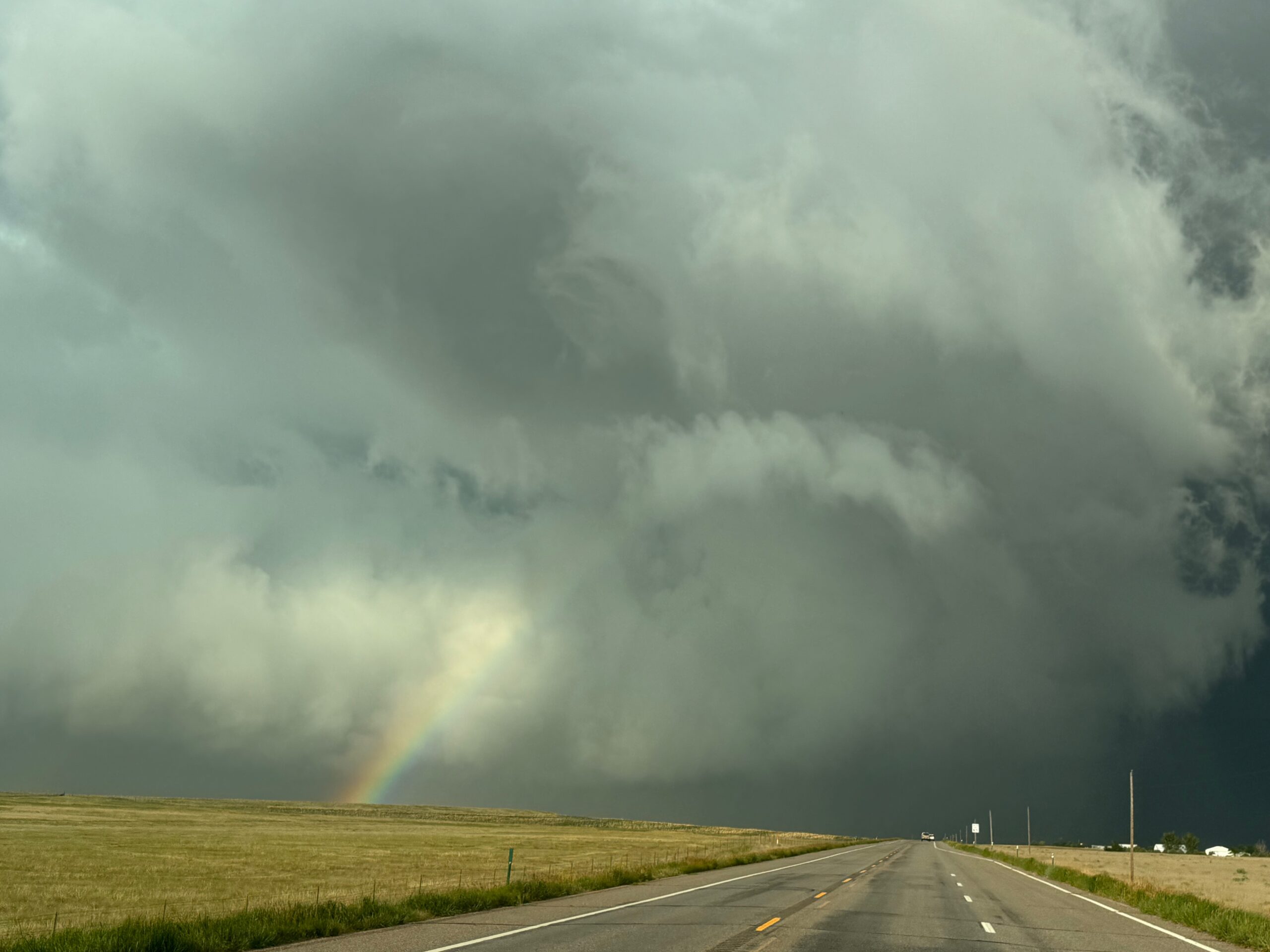
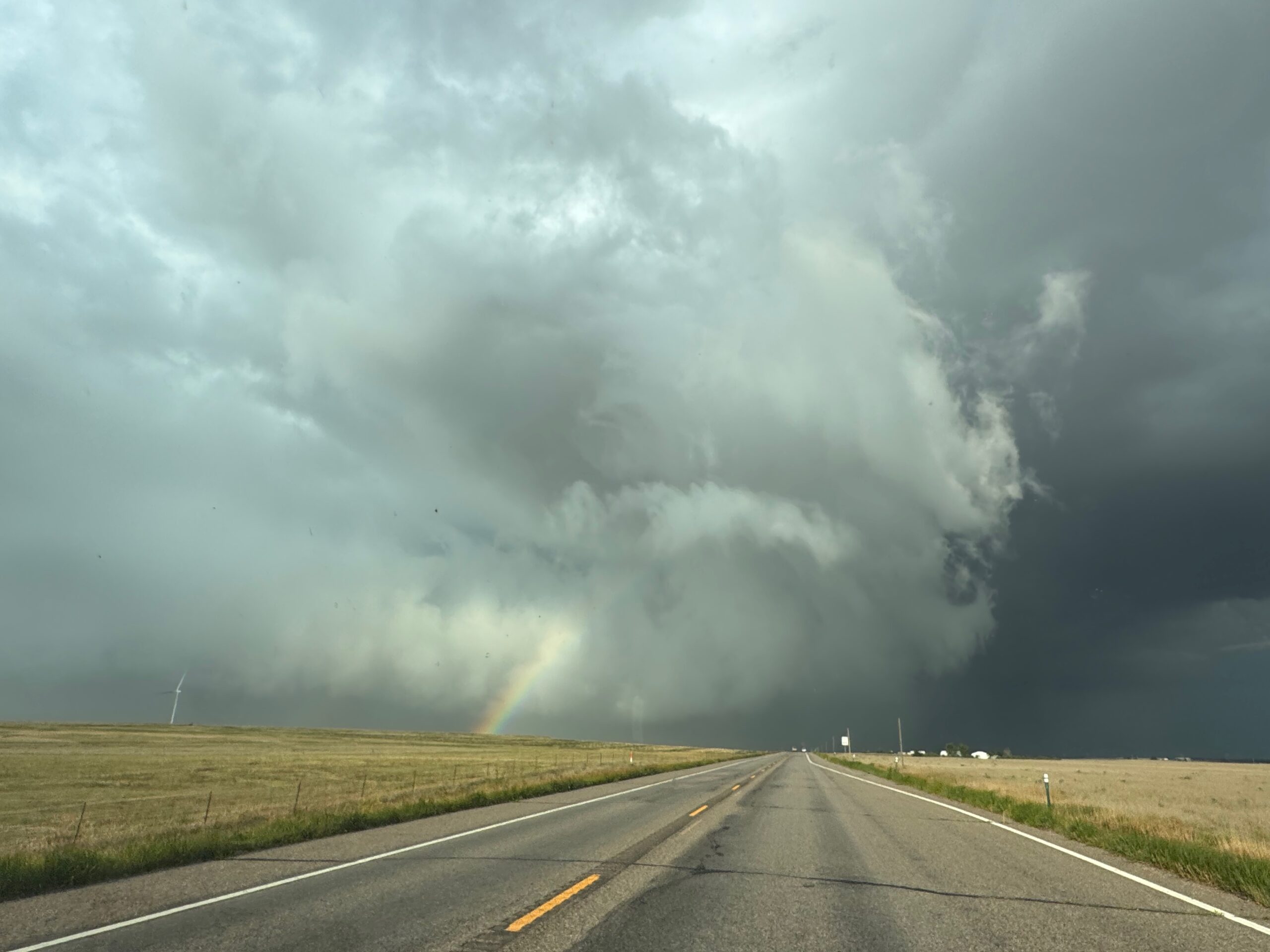
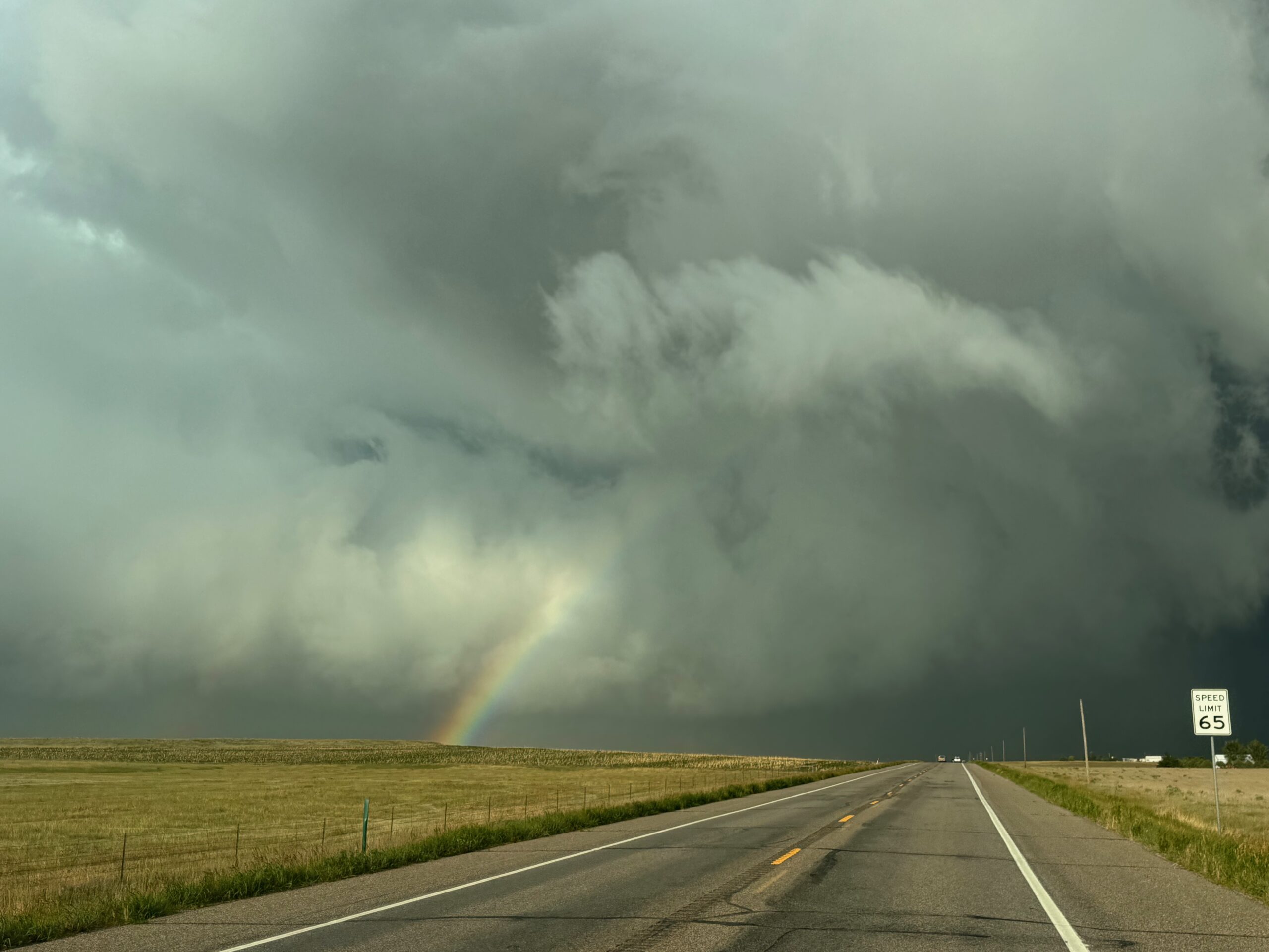
The series above was a couple of miles west of Fleming.
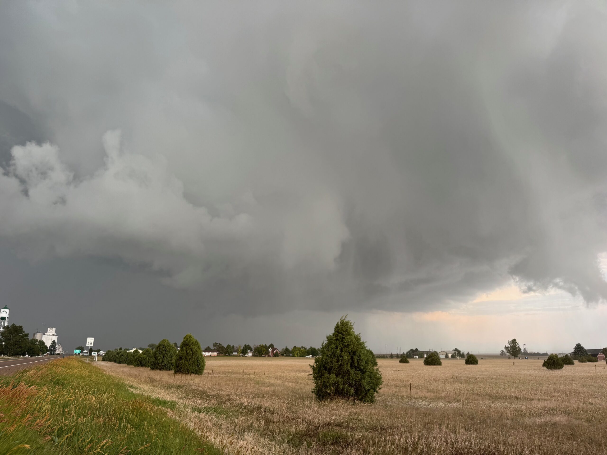
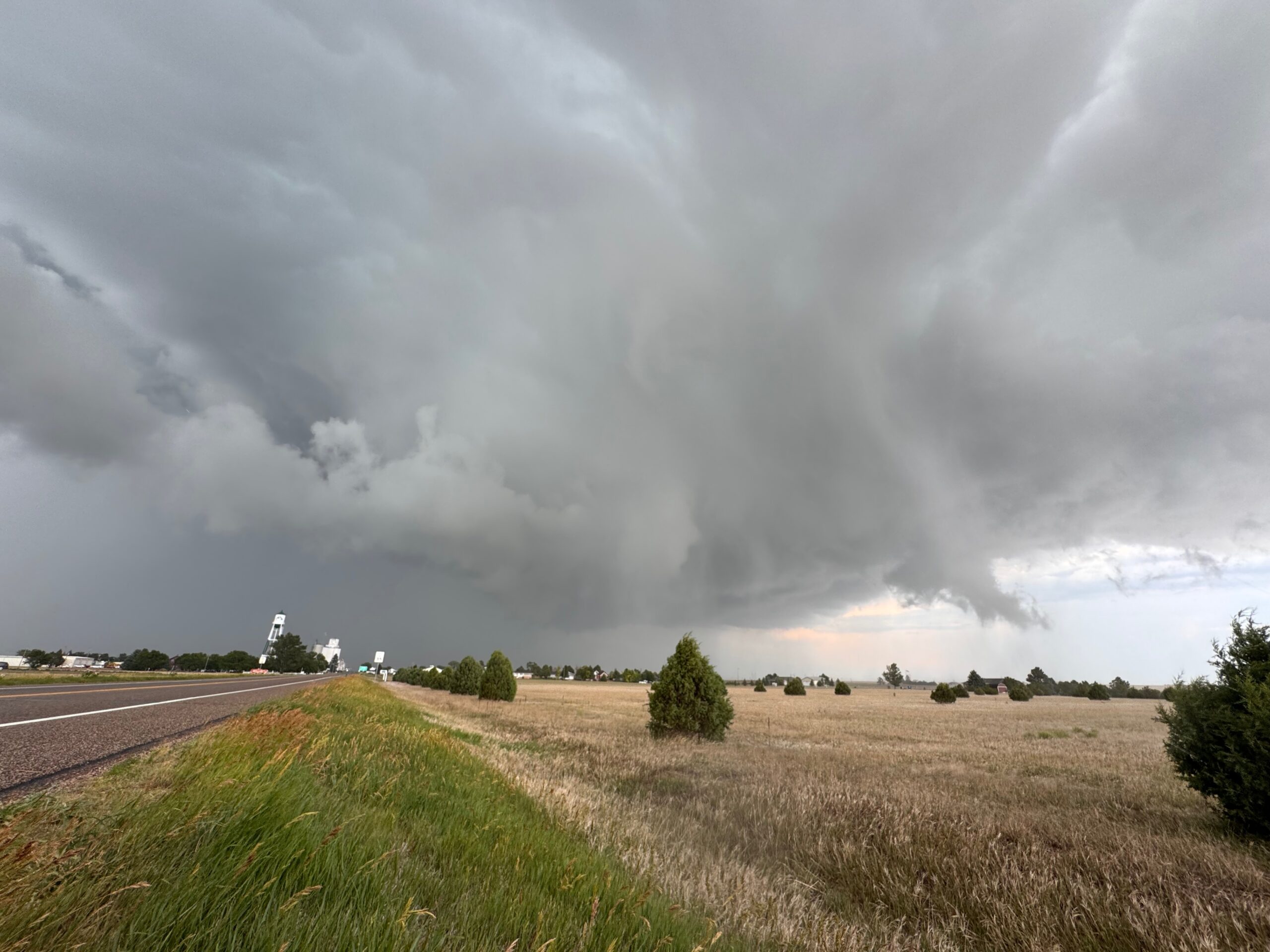
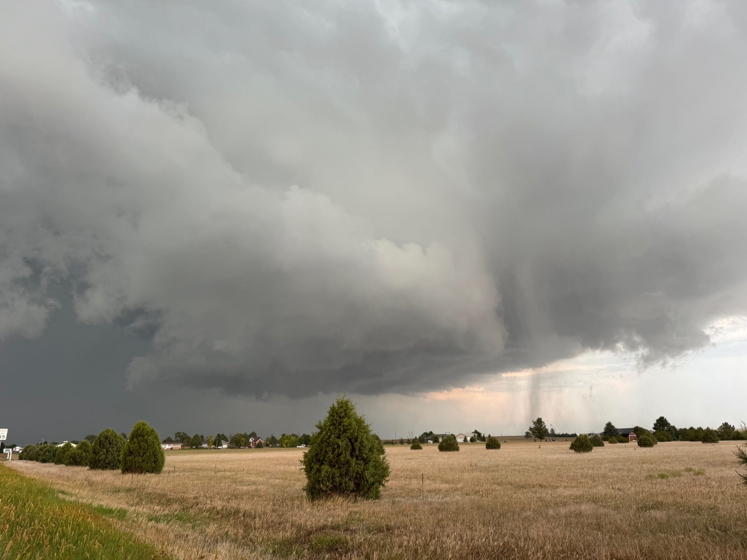
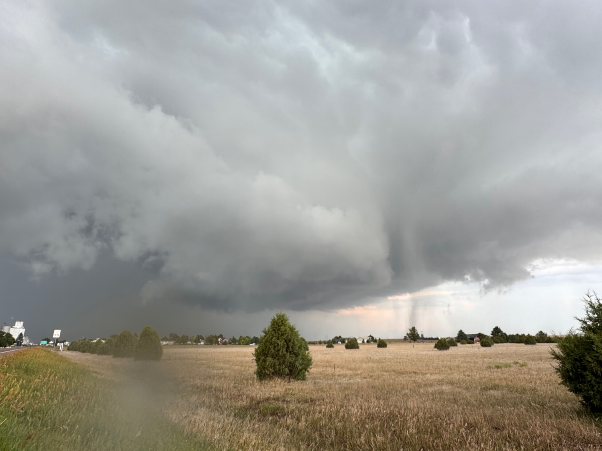
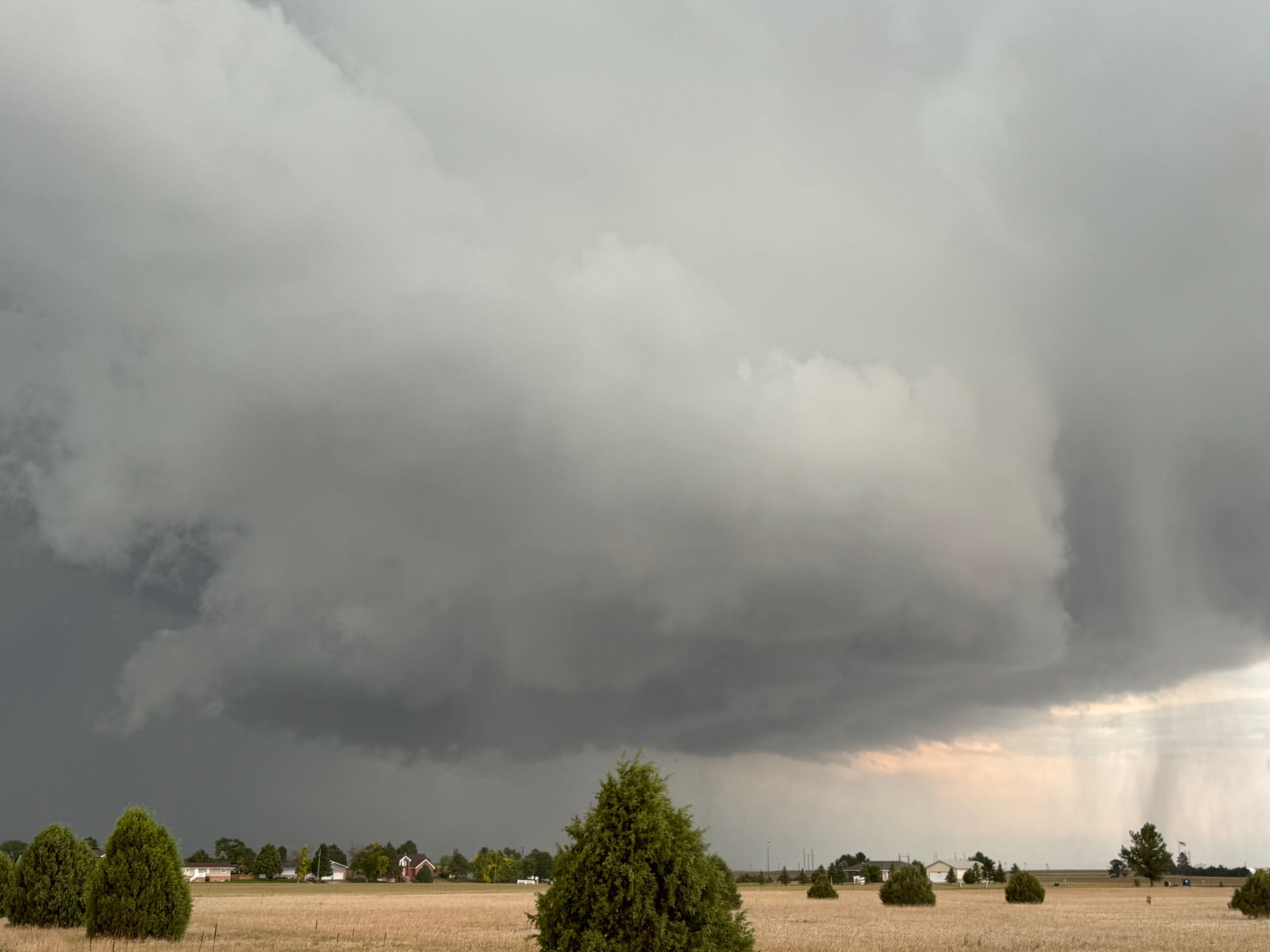
And the five images above were taken on the west edge of town. At this time the roundish wall cloud and fast-moving rain curtains were on the south side of the road (the view is to the E to ESE here).
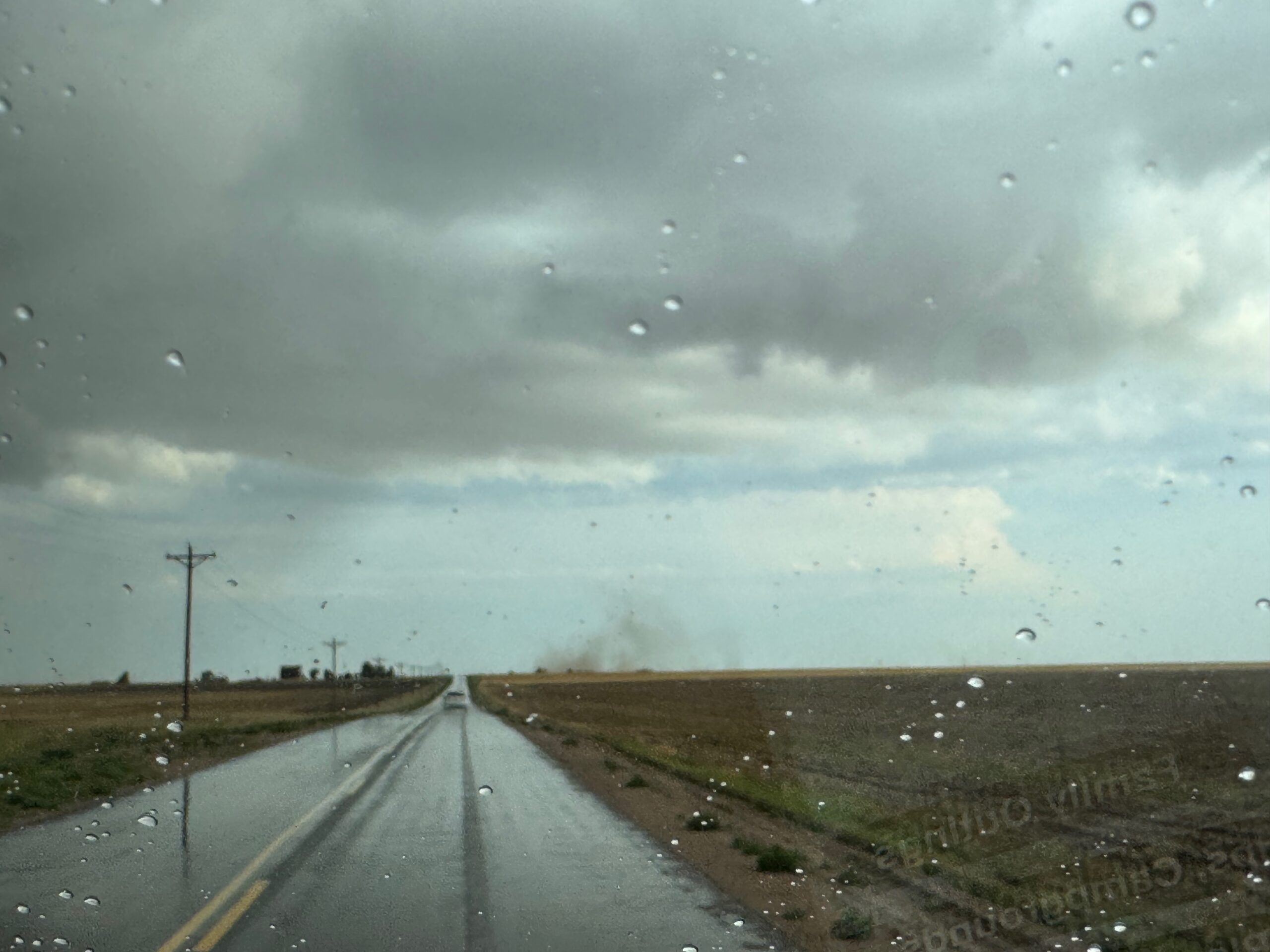
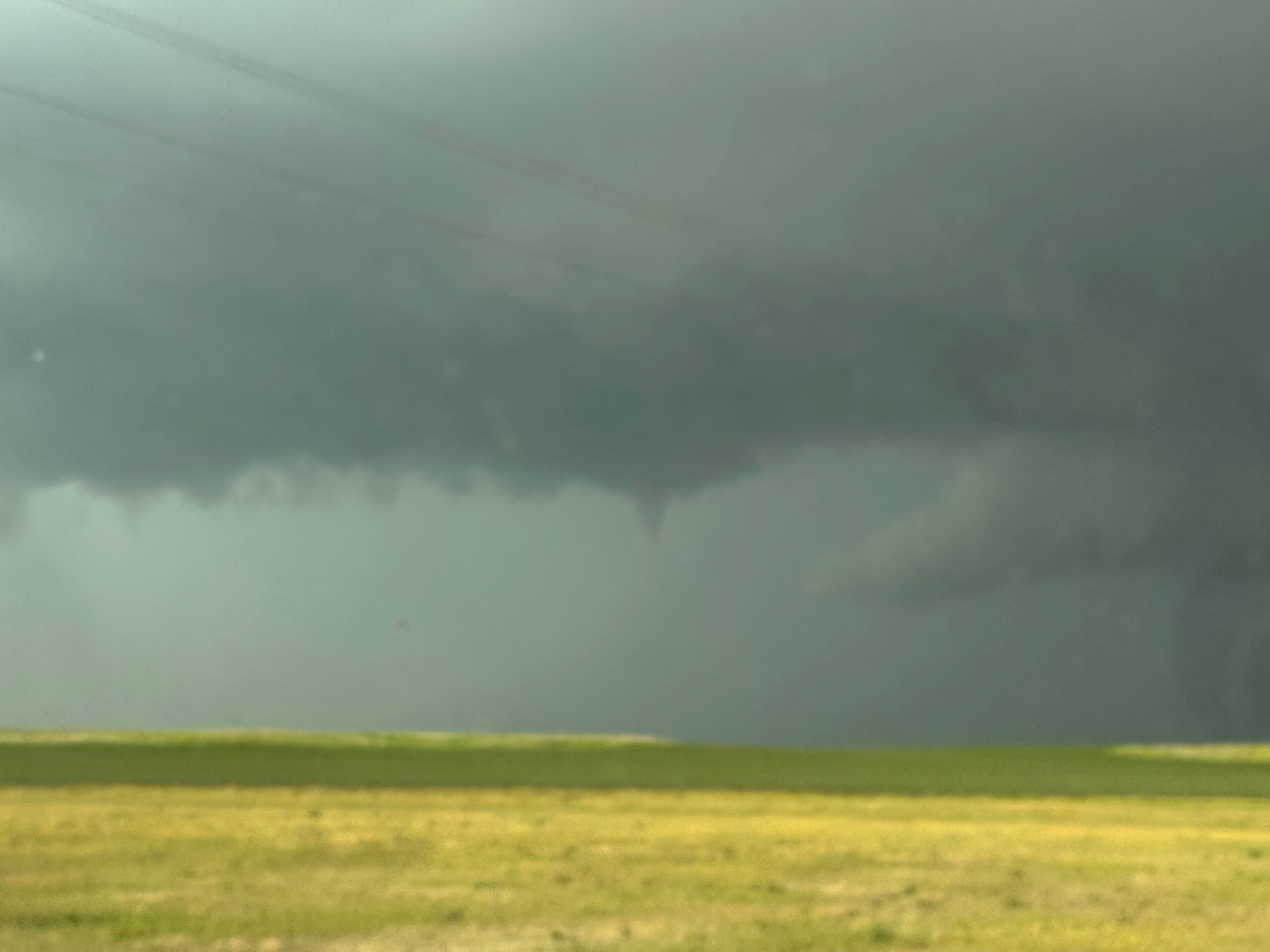
We headed south out of Fleming to stay close to the backside of the storm, and turned east on a dirt road after maybe 8 miles. The first pic below shows some dust in the view to the south, just south of Fleming. After the turn to the east, there looked to be a little funnel briefly, and an even more suspicious lowering to our ENE (see the last few shots in the Canon group near the top).
And it was at this point (south of Haxtun on 395) that the storm said “enough is enough.” It shriveled very quickly. The day’s chase was done!
Leave a Reply
You must be logged in to post a comment.