
Start: Hugoton, KS/Lunch: no data/End: Denver/est. 475 miles
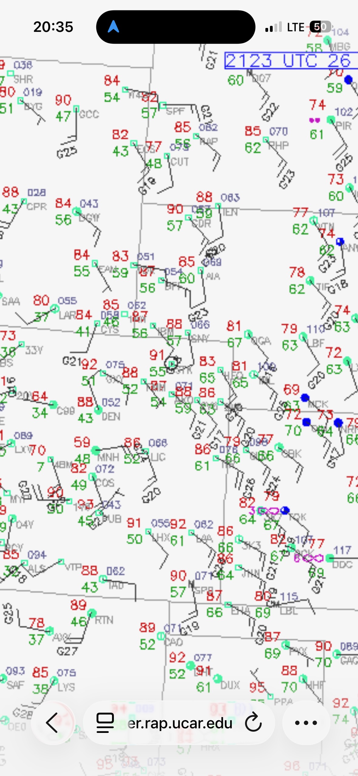
This was the last chase day for Tour 8, and the logistics gods were smiling on me. There was a decent severe risk in east-central Colorado, right on the way back to the base city from Hugoton, KS. Shear was good but not great. Upslope flow towards the Palmer Divide was adequate, but moisture was just mediocre. The tornado risk was very low. SPC blessed us with a 2% tornado outline from Cheyenne Wells to Lamar to Springfield in southeastern Colorado. That was okay, since we were coming off of a good tornado day in the Oklahoma Panhandle.
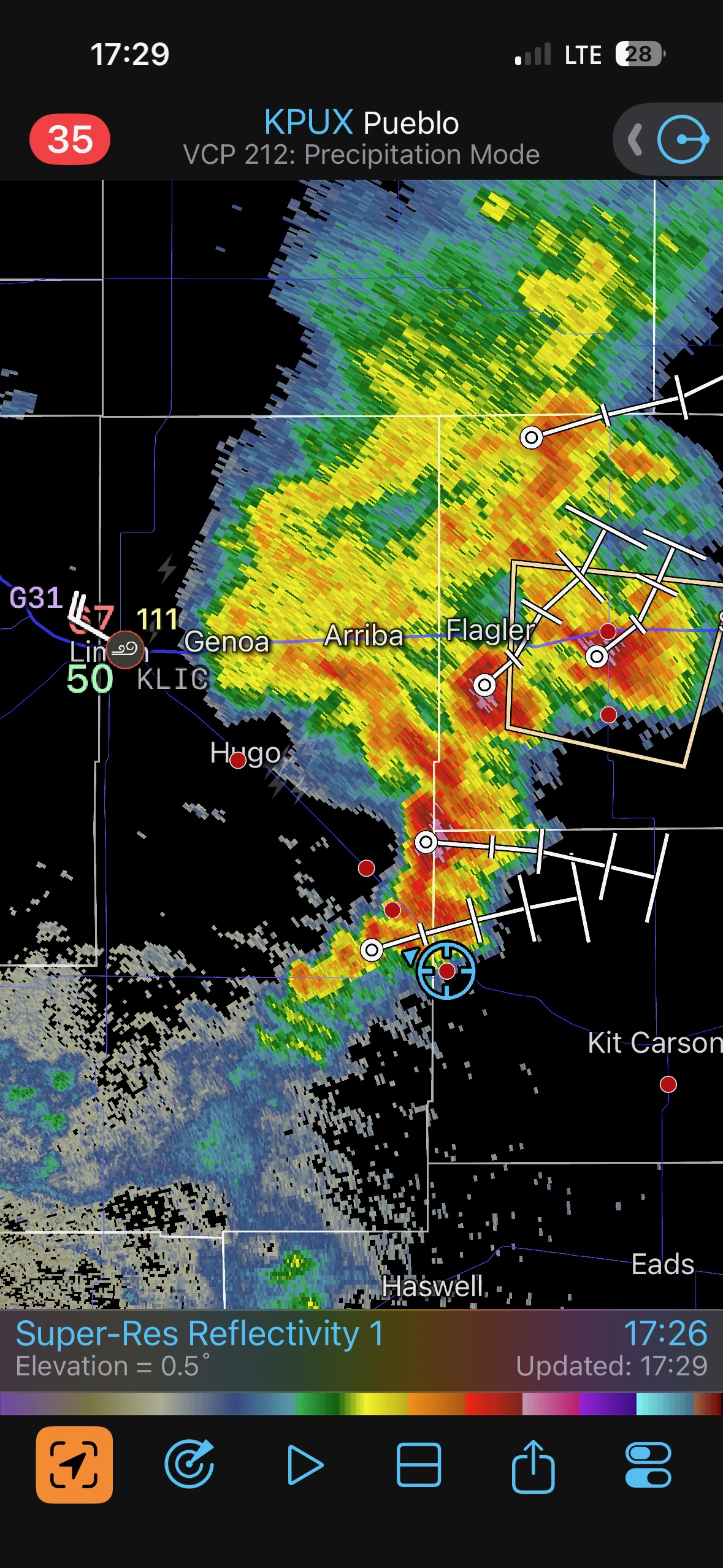
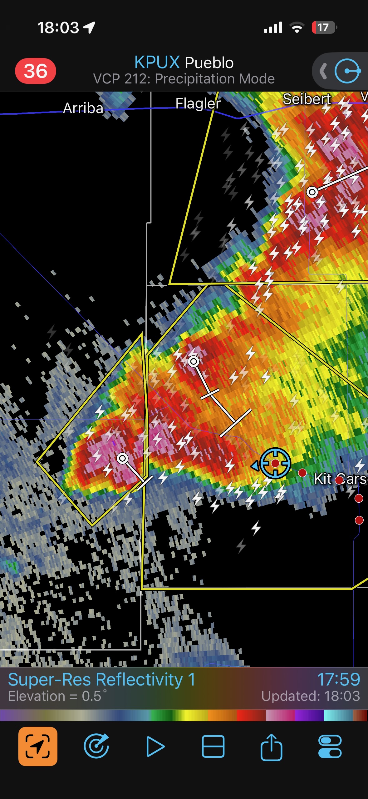
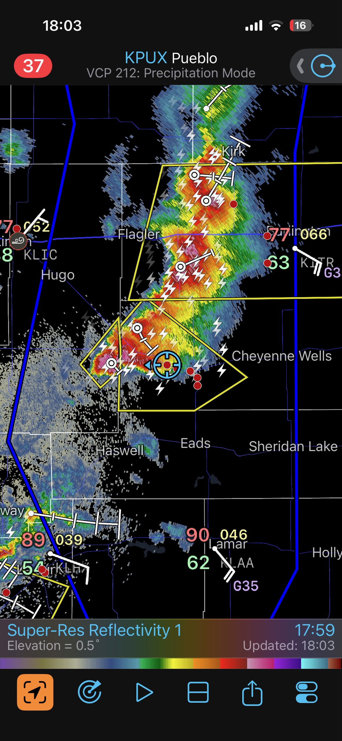
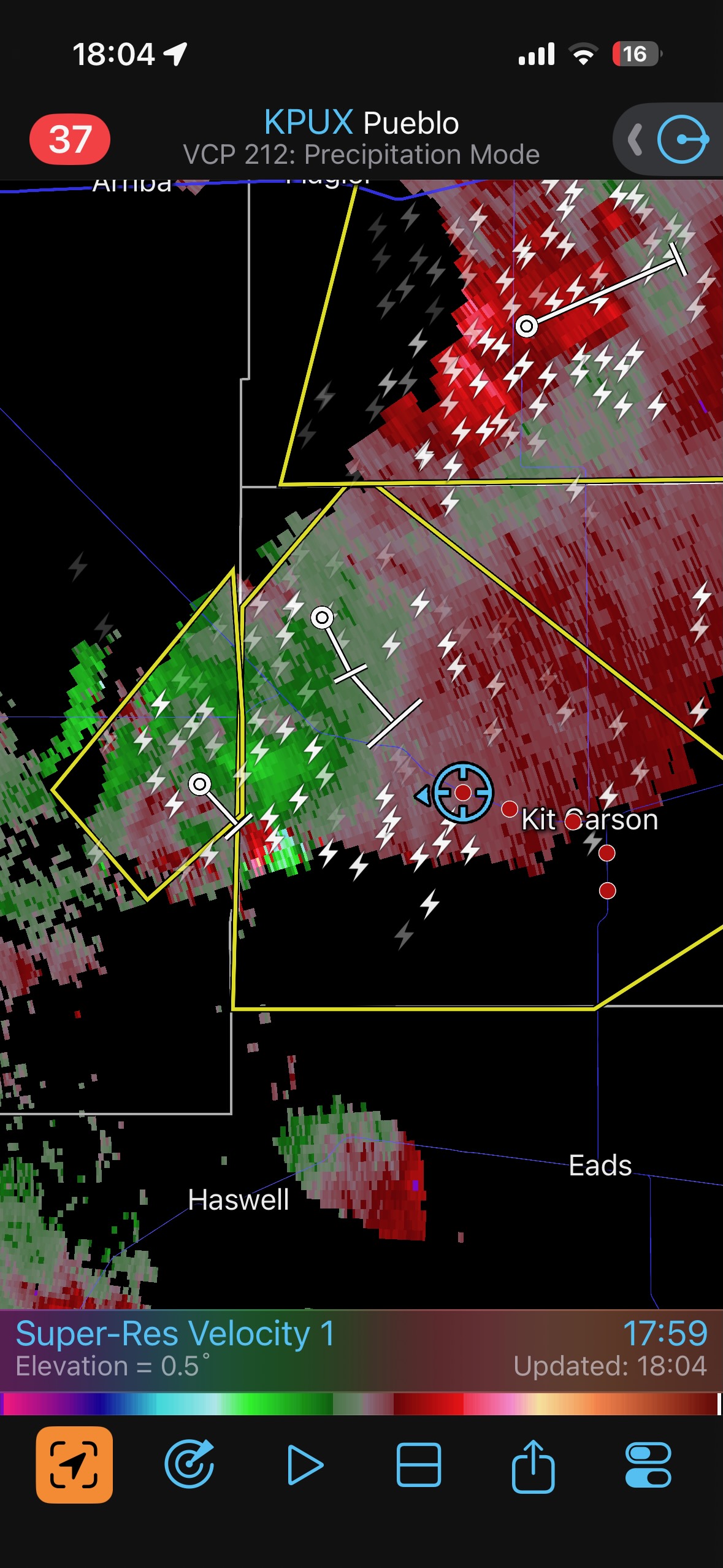
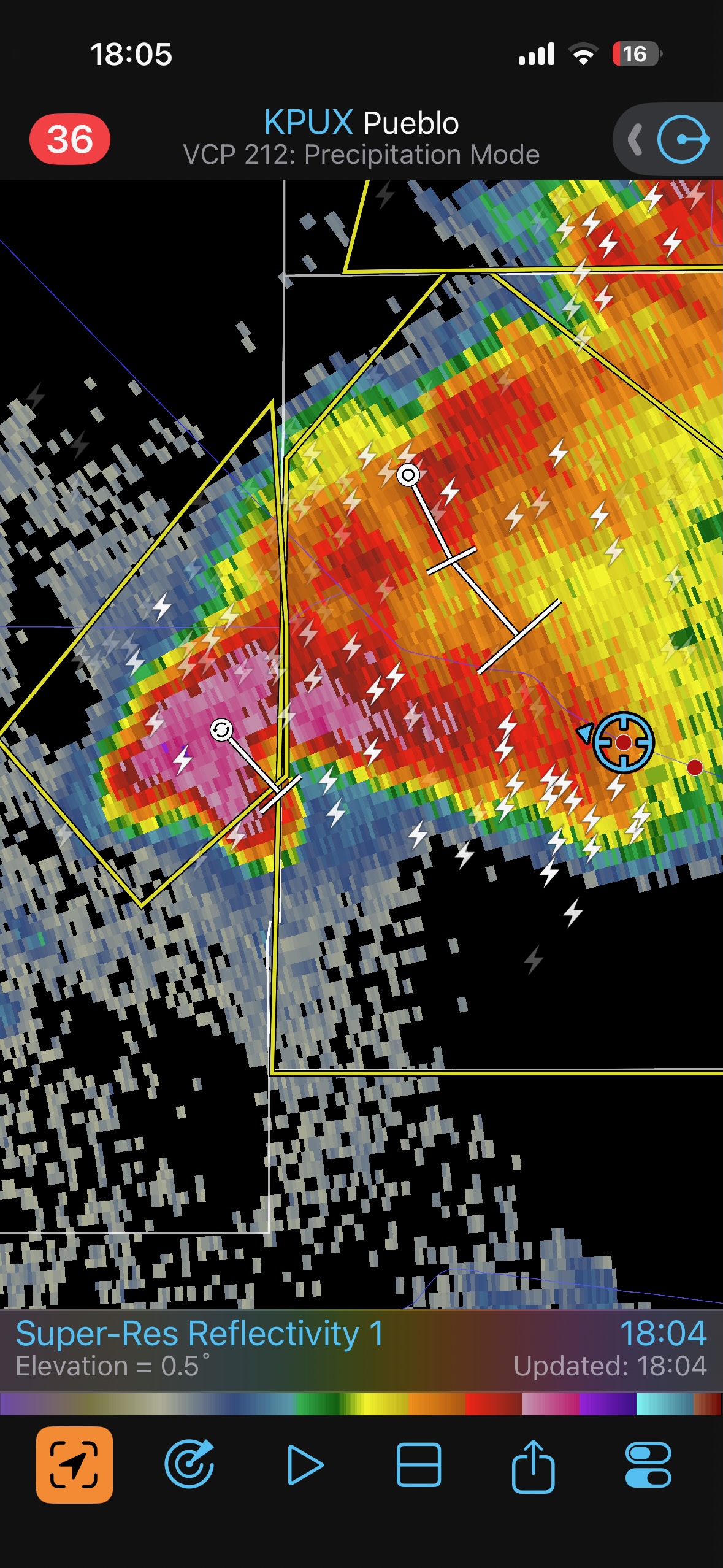
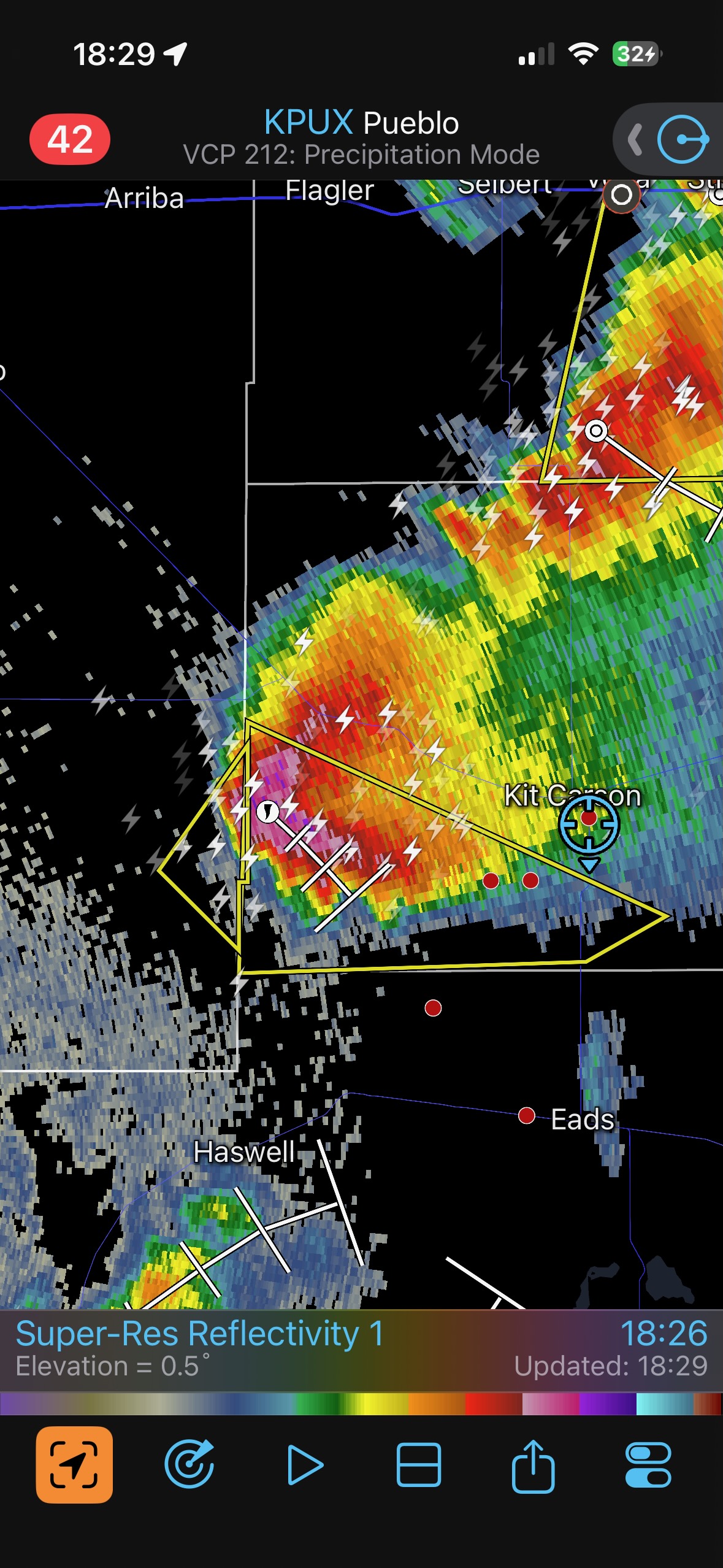
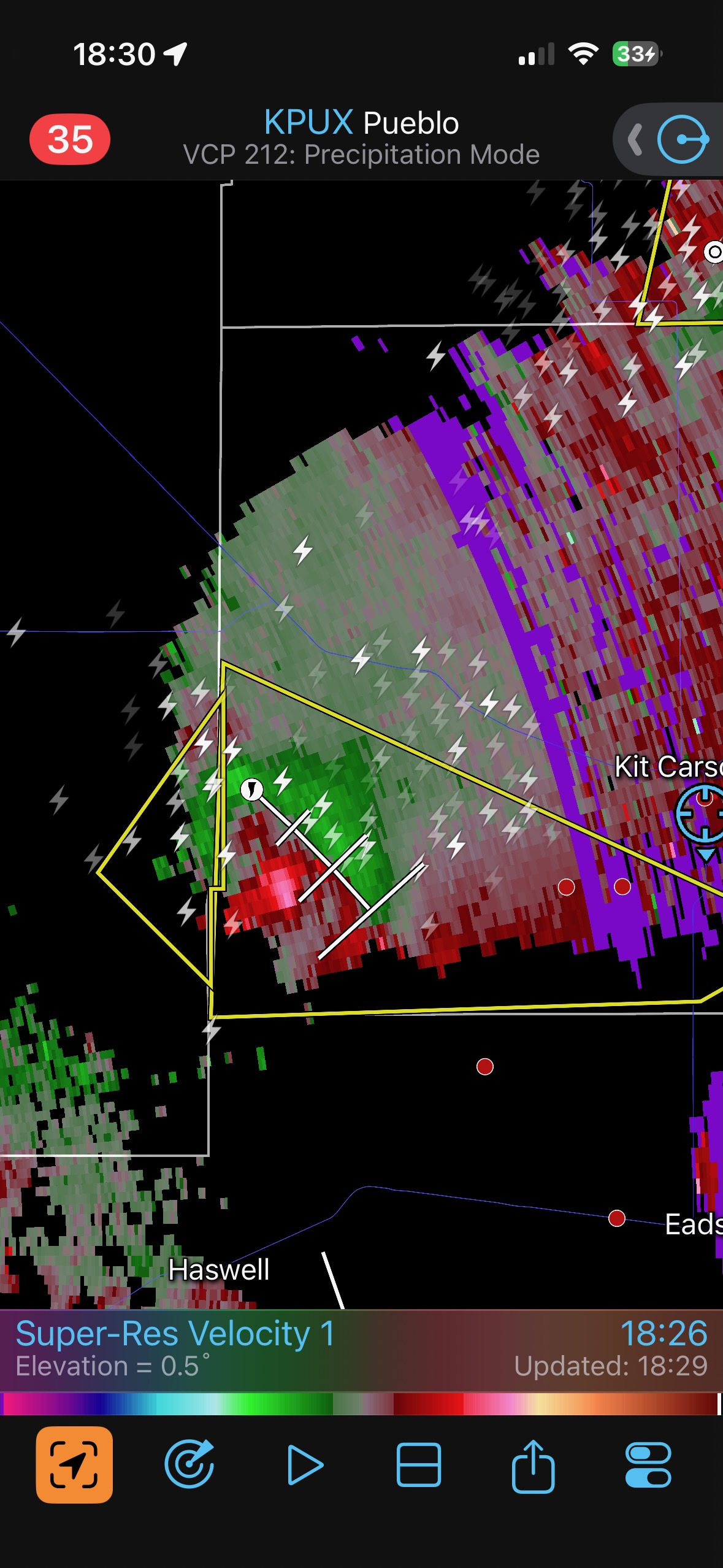
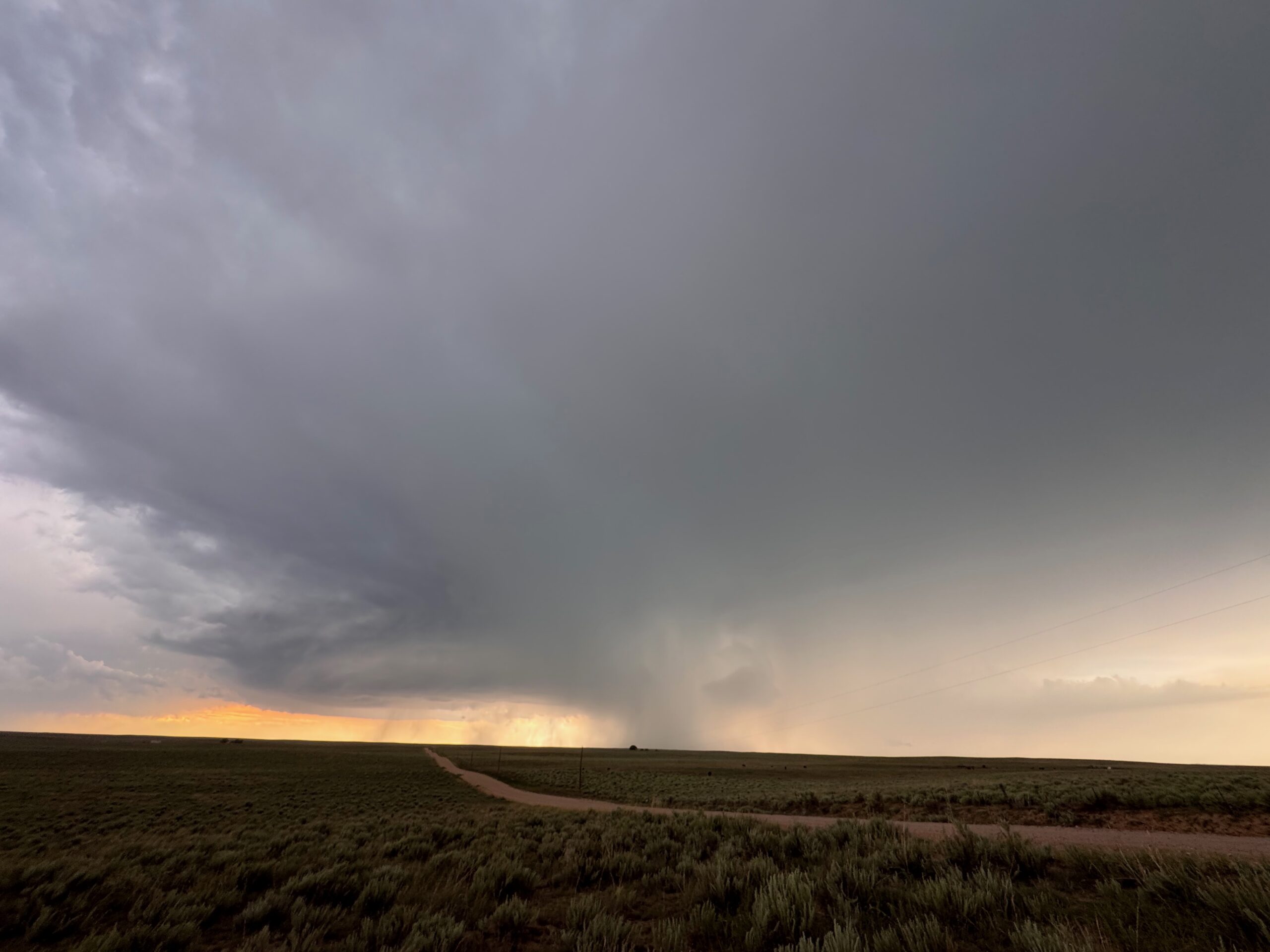
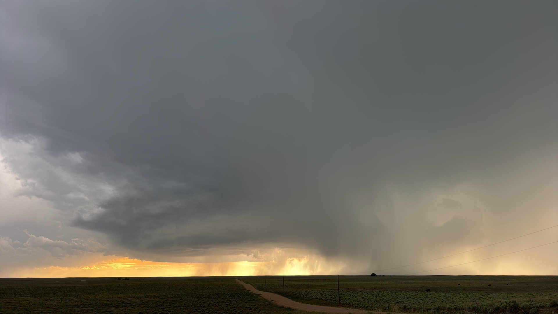
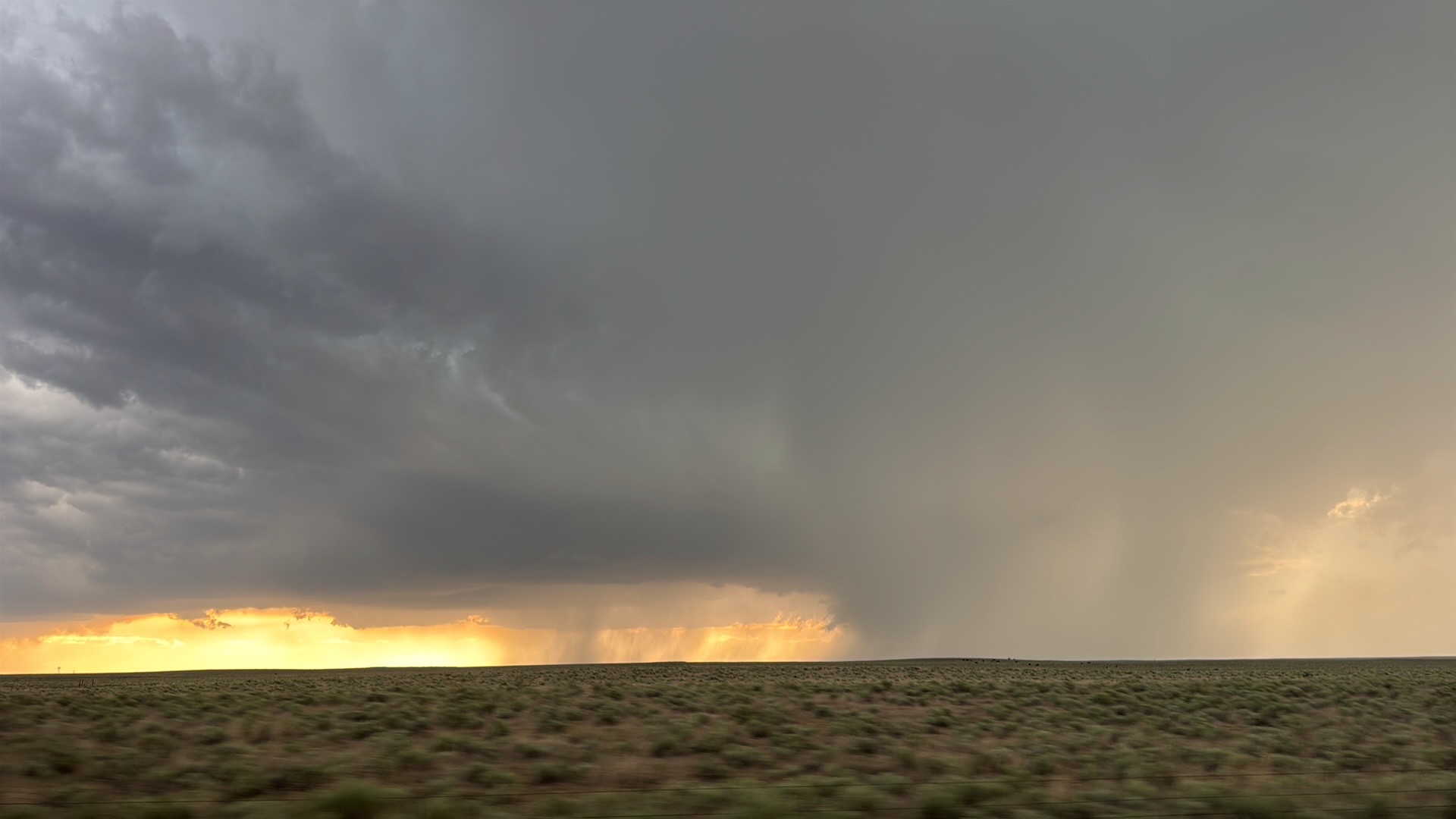
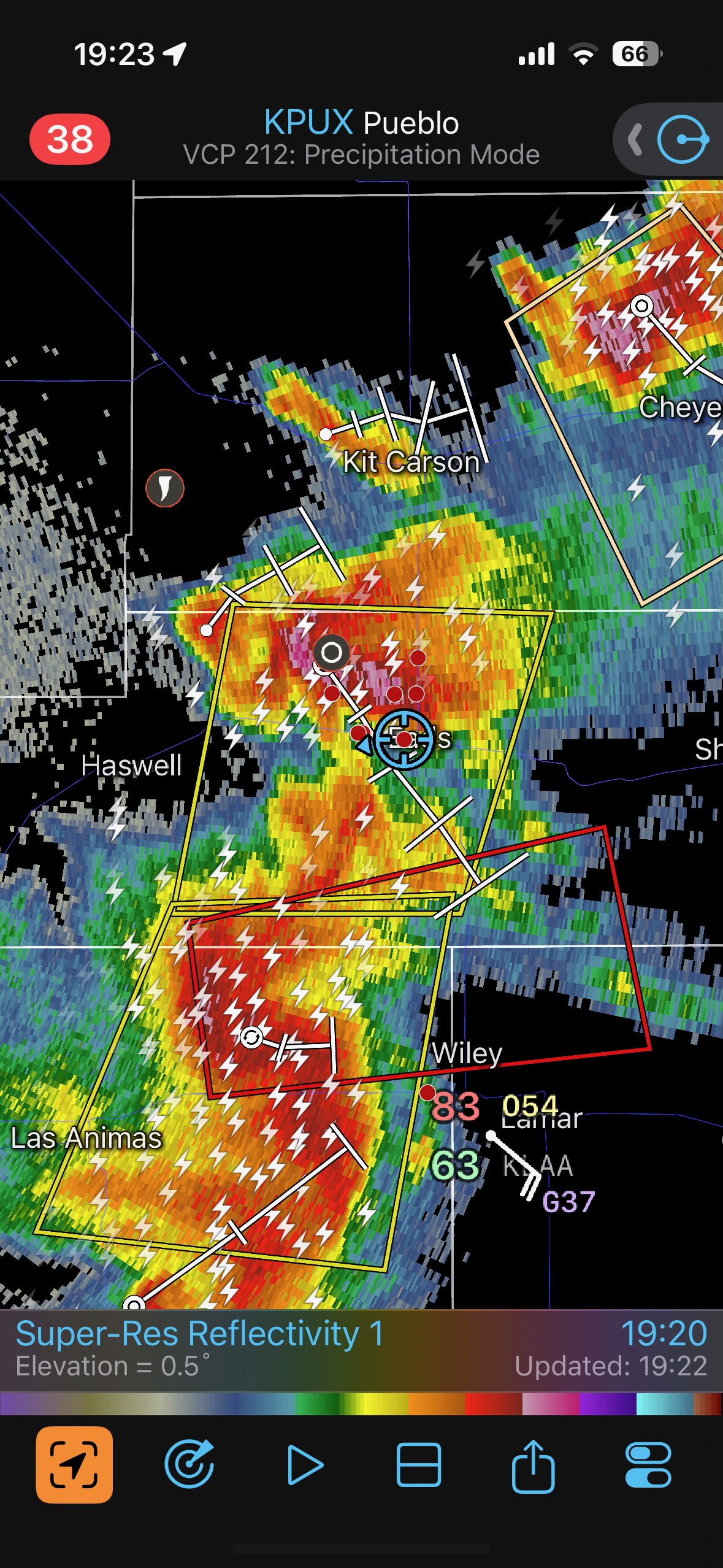
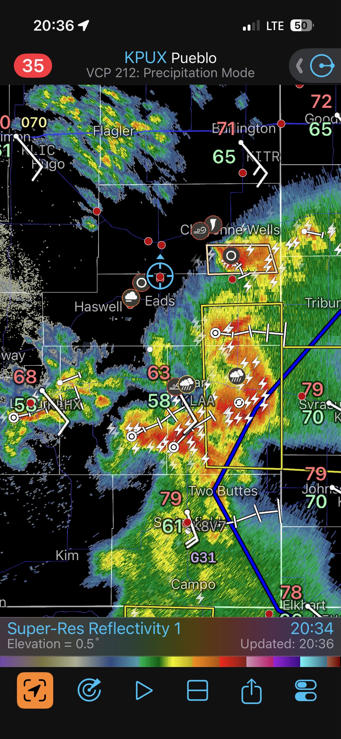
Models pointed the way towards the high terrain west of Limon, and we met up with a storm that was moving ESE out of the Simla area. This one was high-based, not too interesting, and spilling cold air. Around 4:40 p.m. MDT (see radar below) its outflow surged past us. East we went on 94 back to Aroya. The radar showed this outflow boundary meeting up with another boundary to the east, with better air available on the east side.
We hung out at the old schoolhouse building at Aroya, near Highway 287. Fabulous new storm towers went up nearby, right along the convergence area of those boundaries.
In this post all of the Canon photos will be featured first, with the iPhone photo dump and radar screenshots following. Below are the images from Aroya. Those healthy towers developed into a severe storm quite quickly.
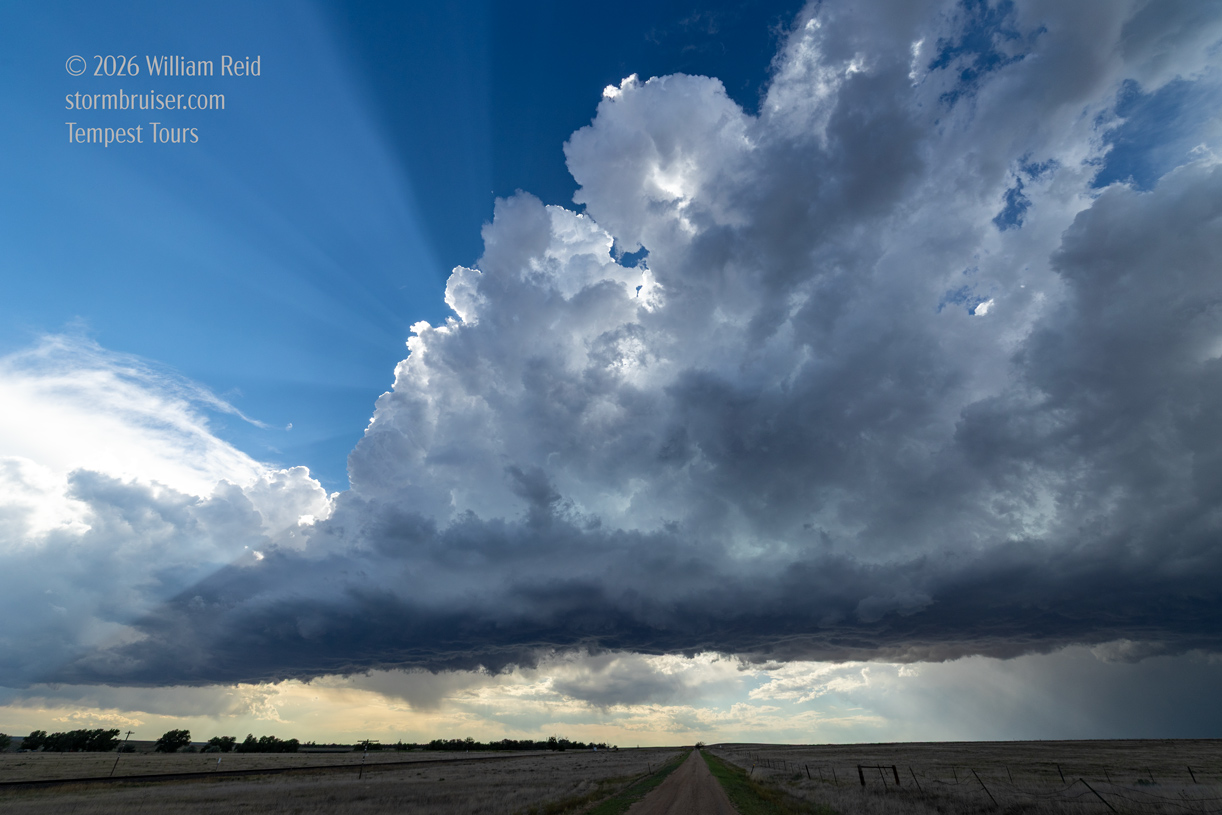
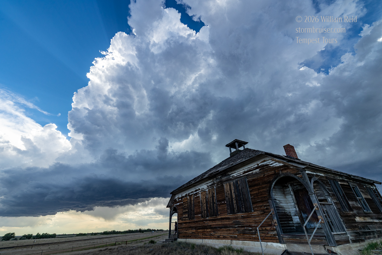
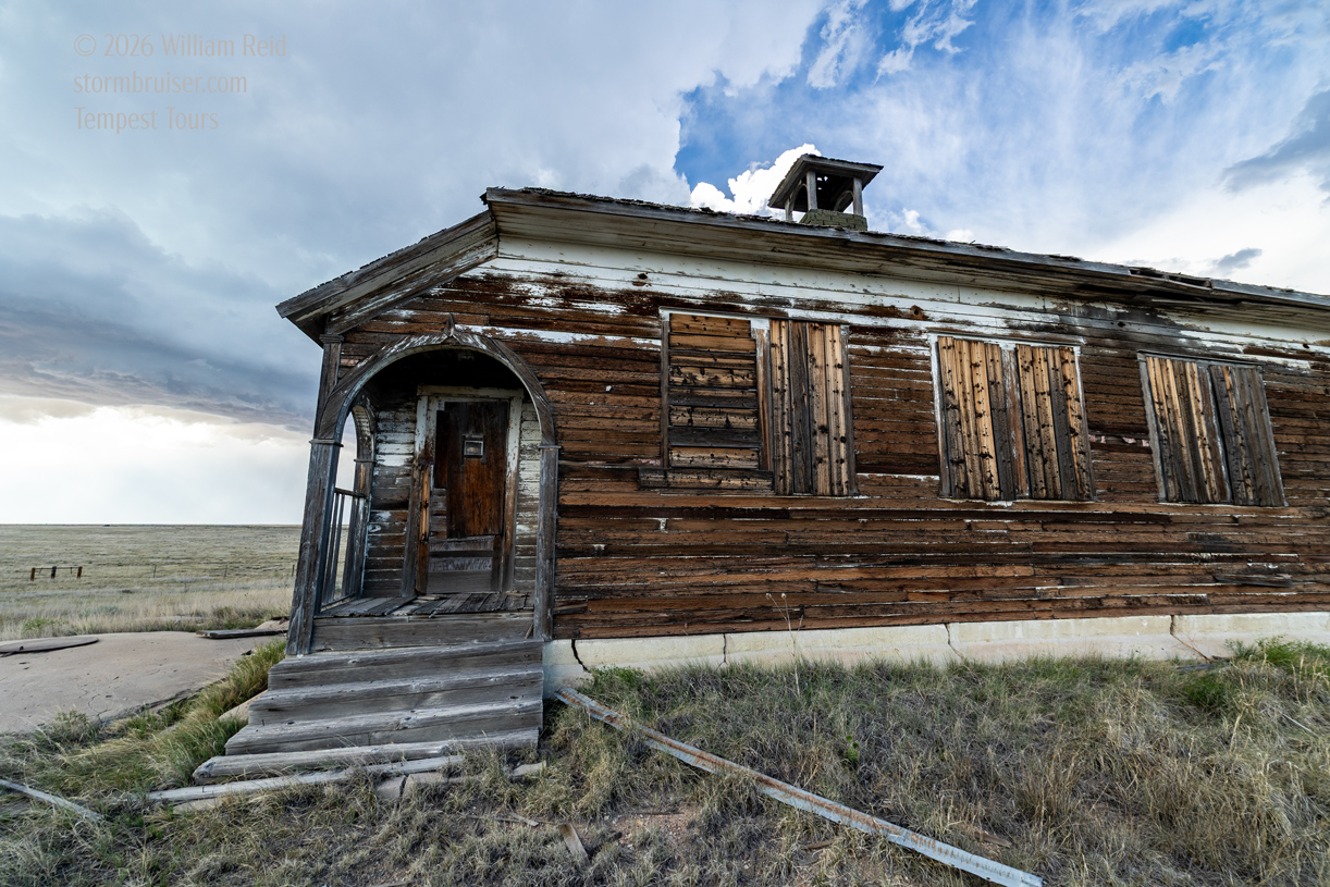
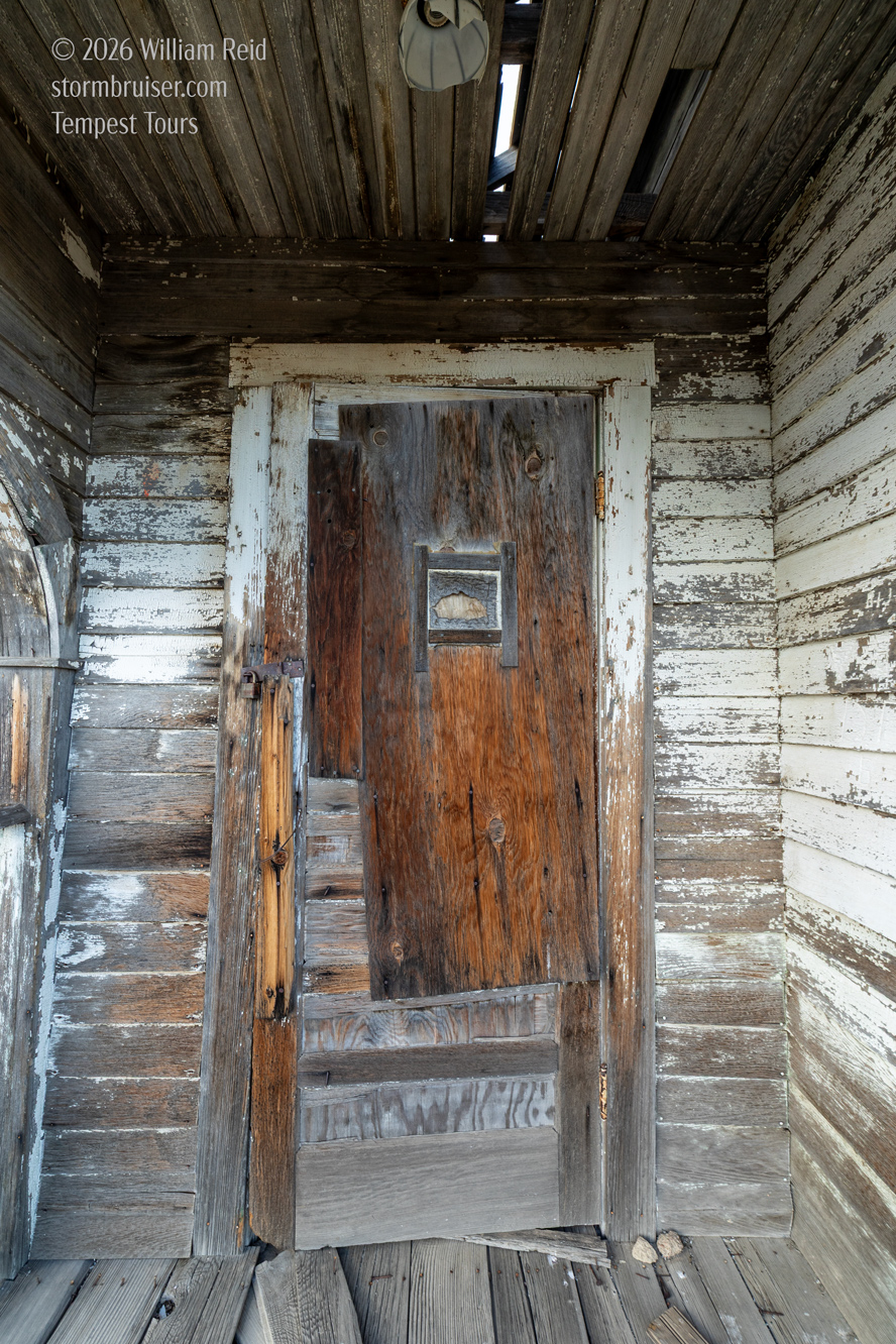
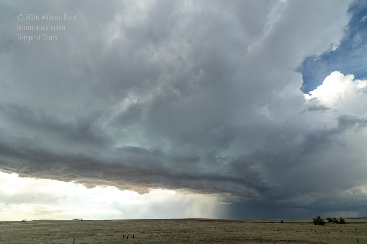
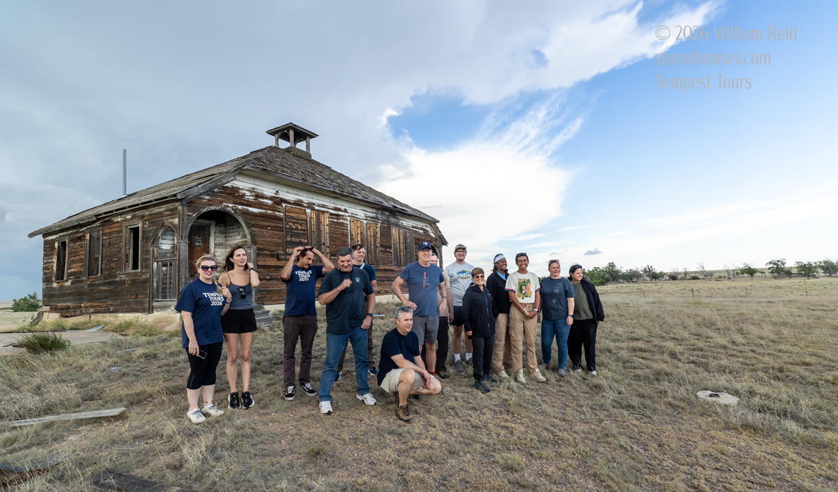
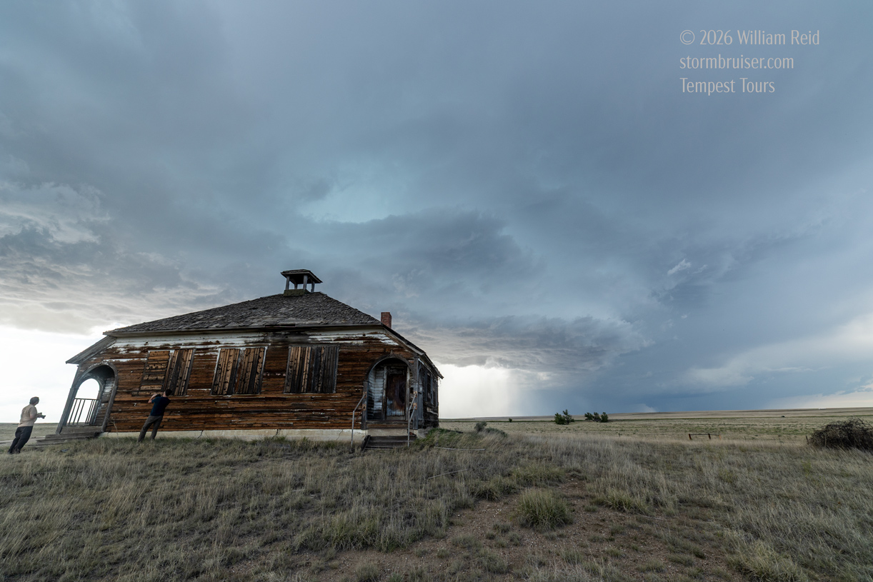
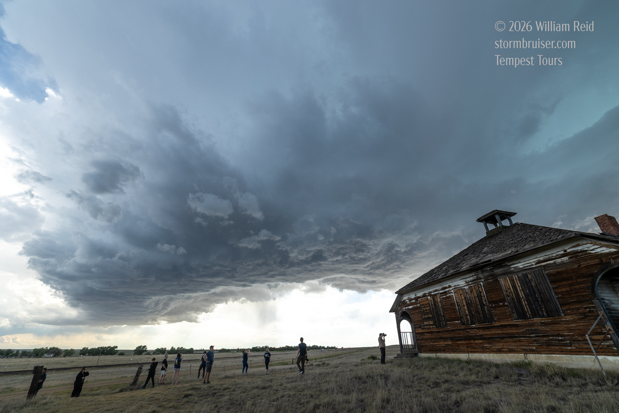
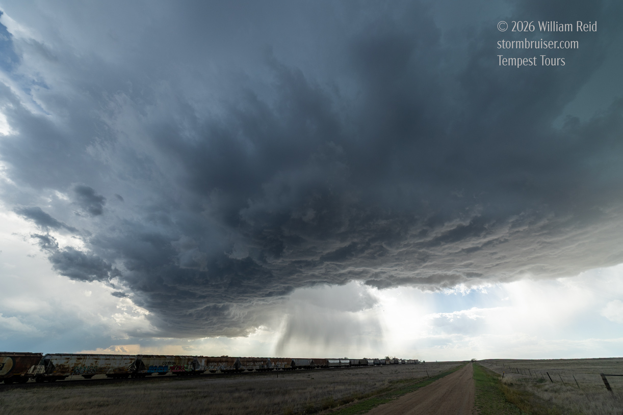
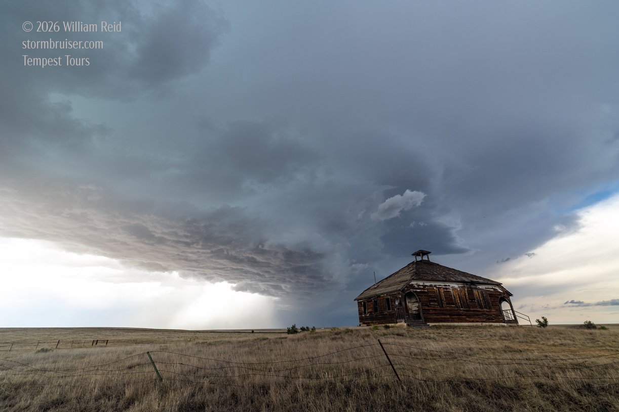
Our Aroya storm wound up on the tail-end of a line which extended to the NNE. And, it started to rotate nicely. We had a Colorado supercell!
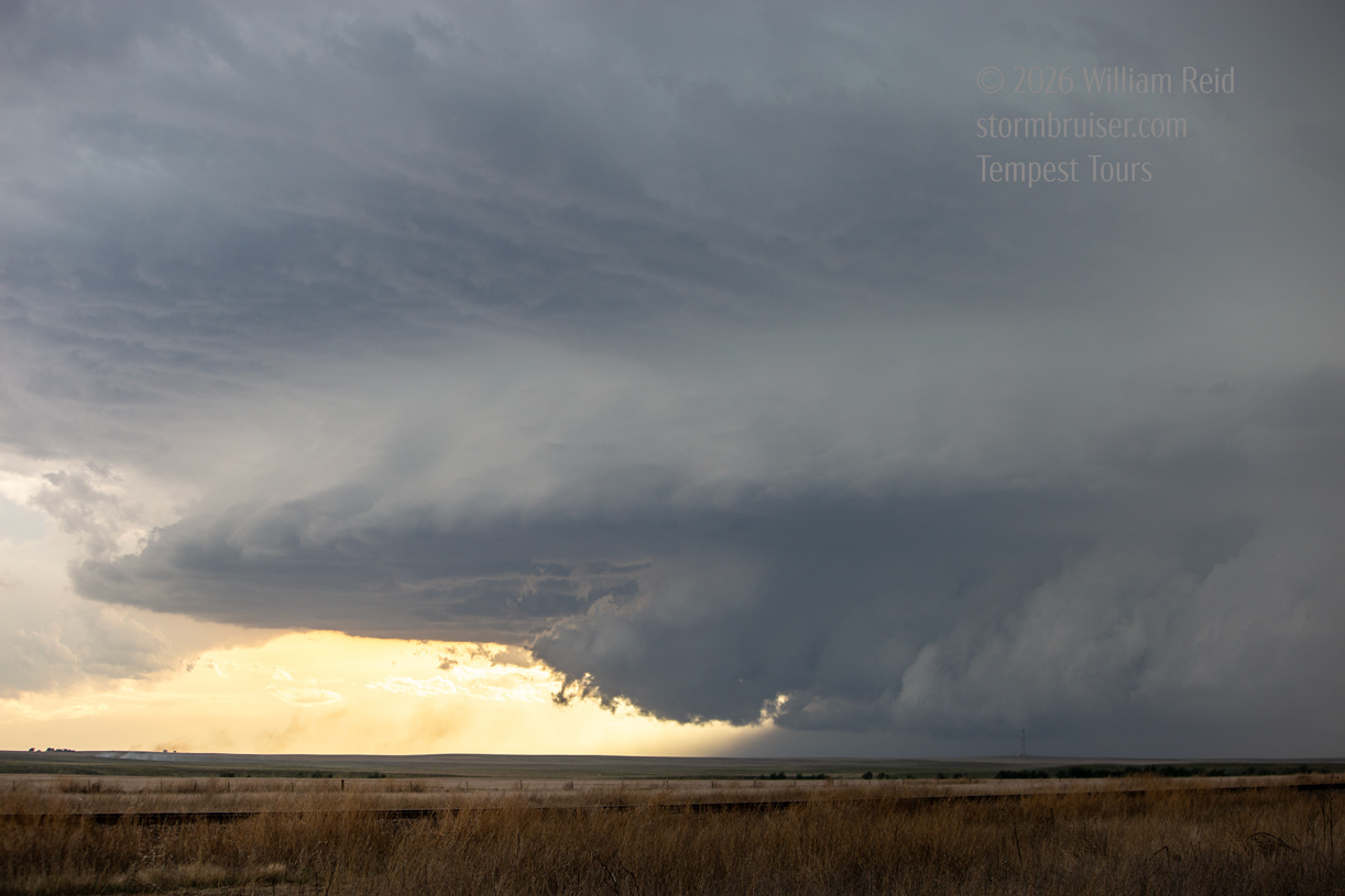
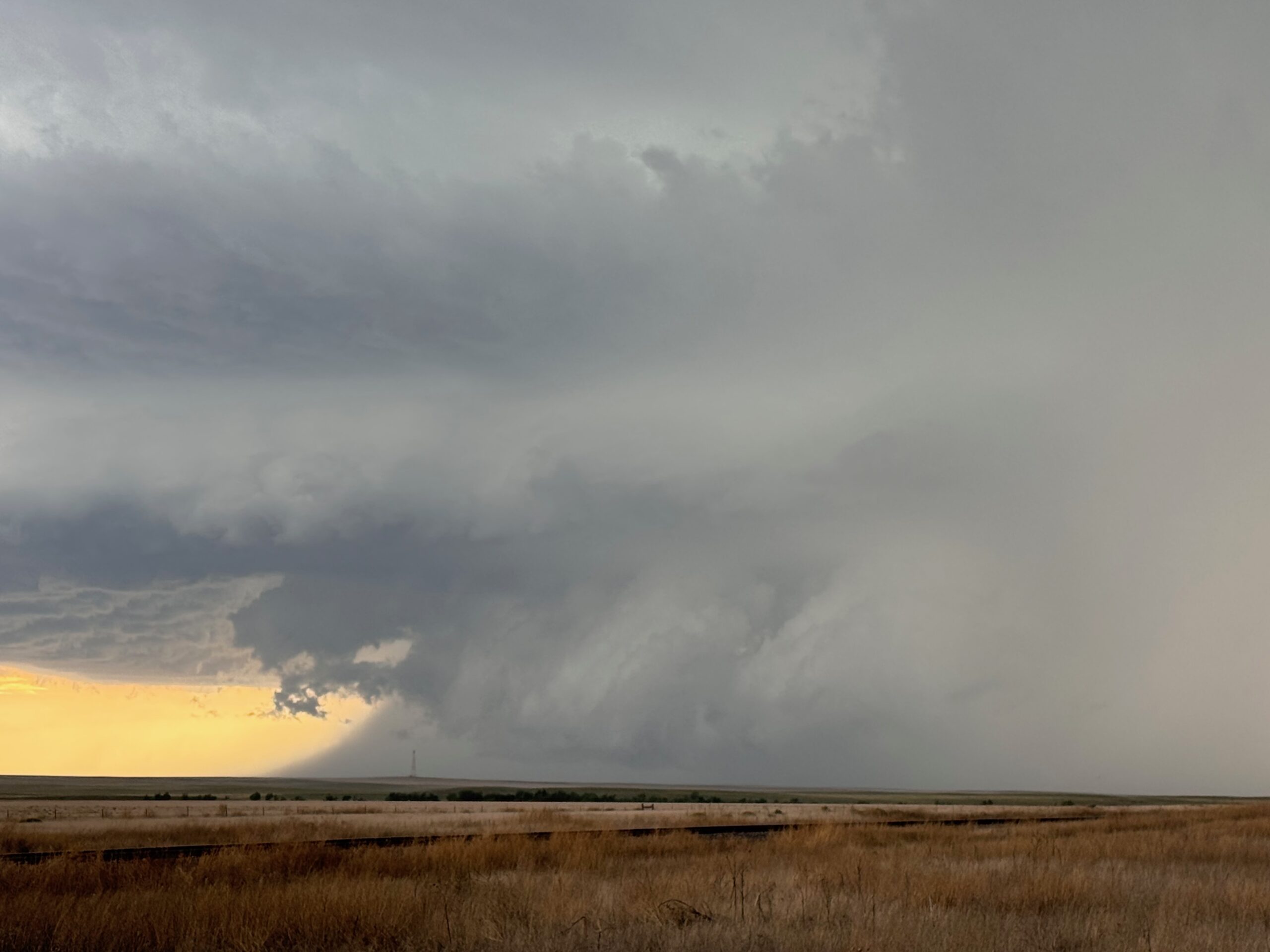
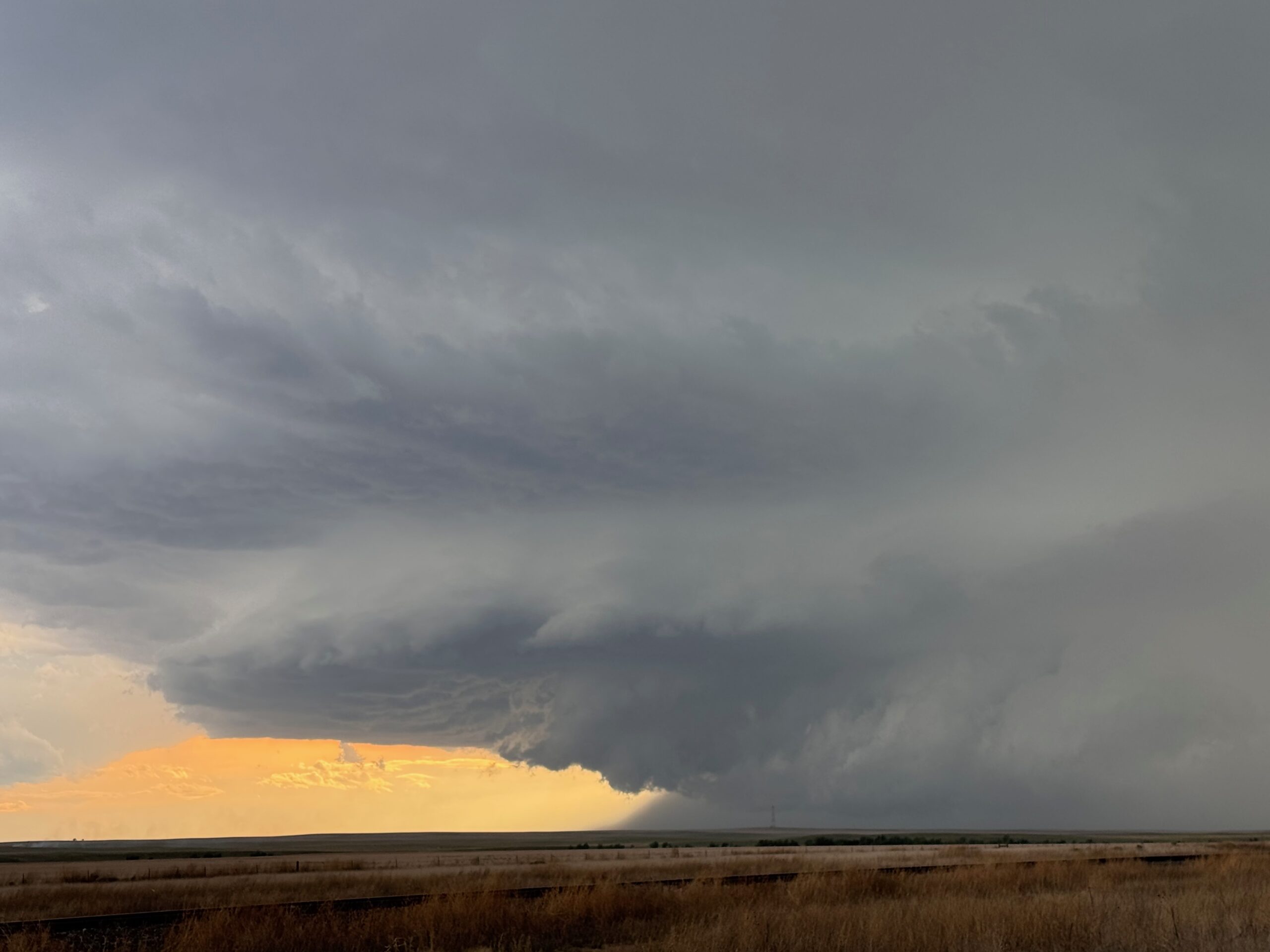
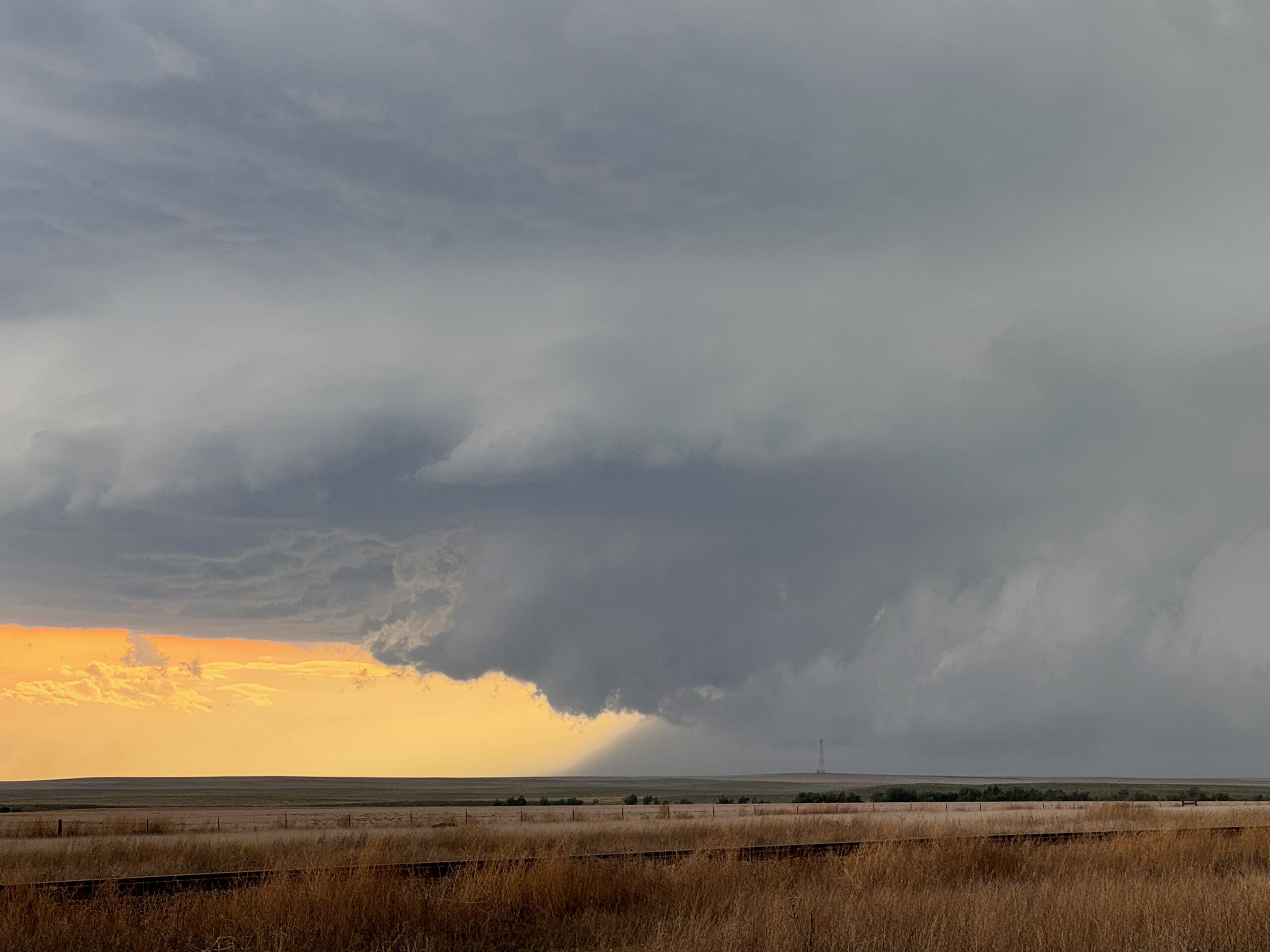
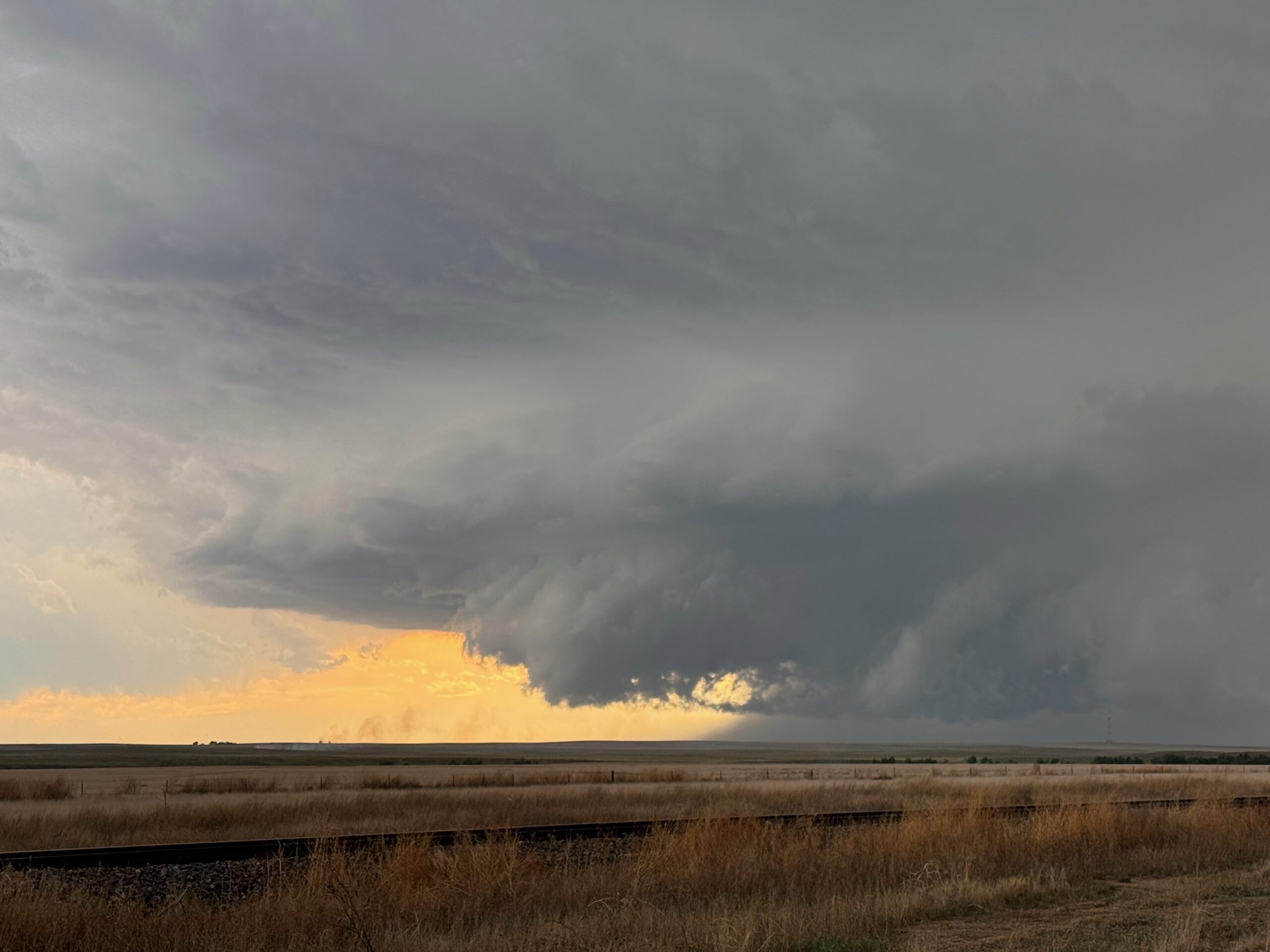
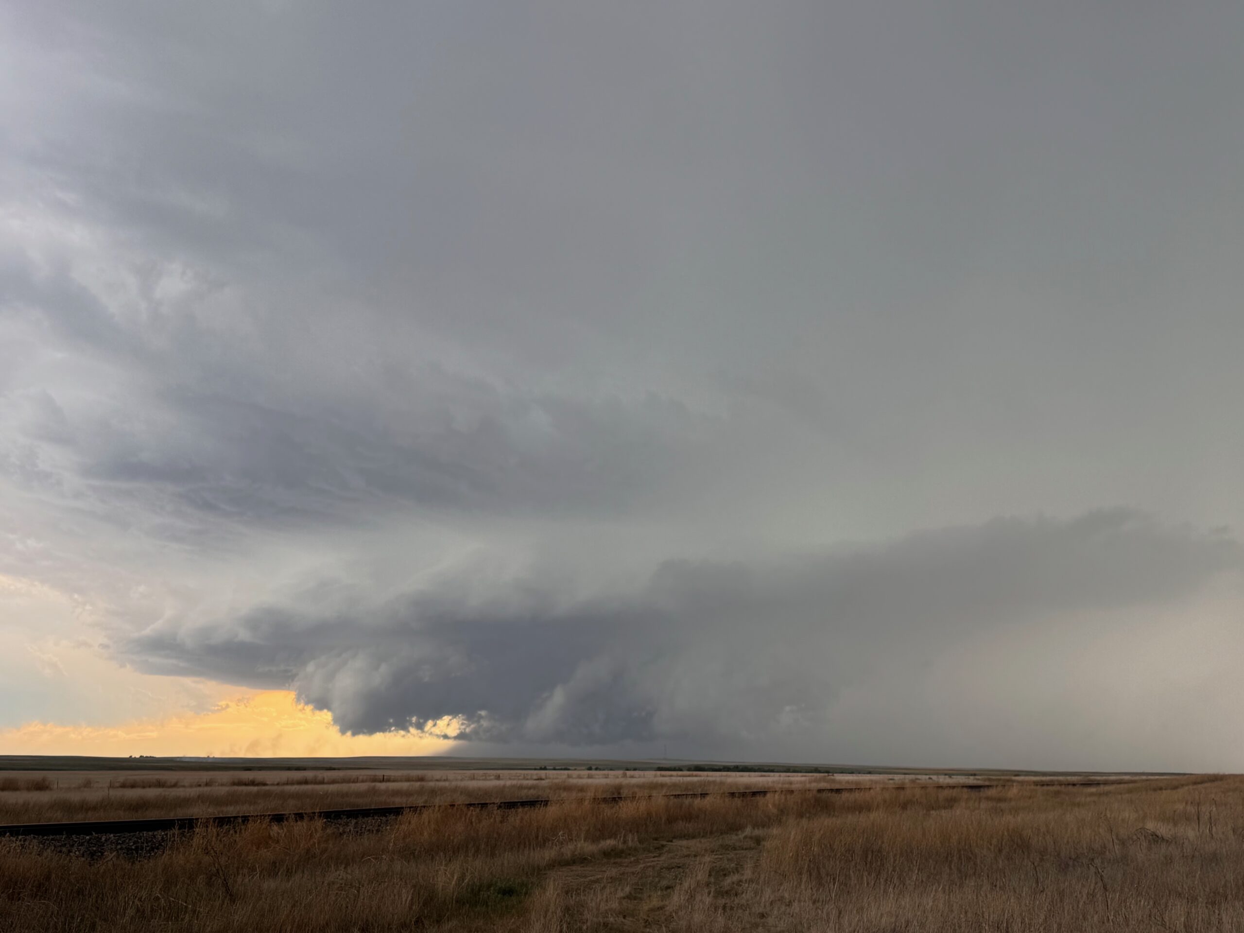
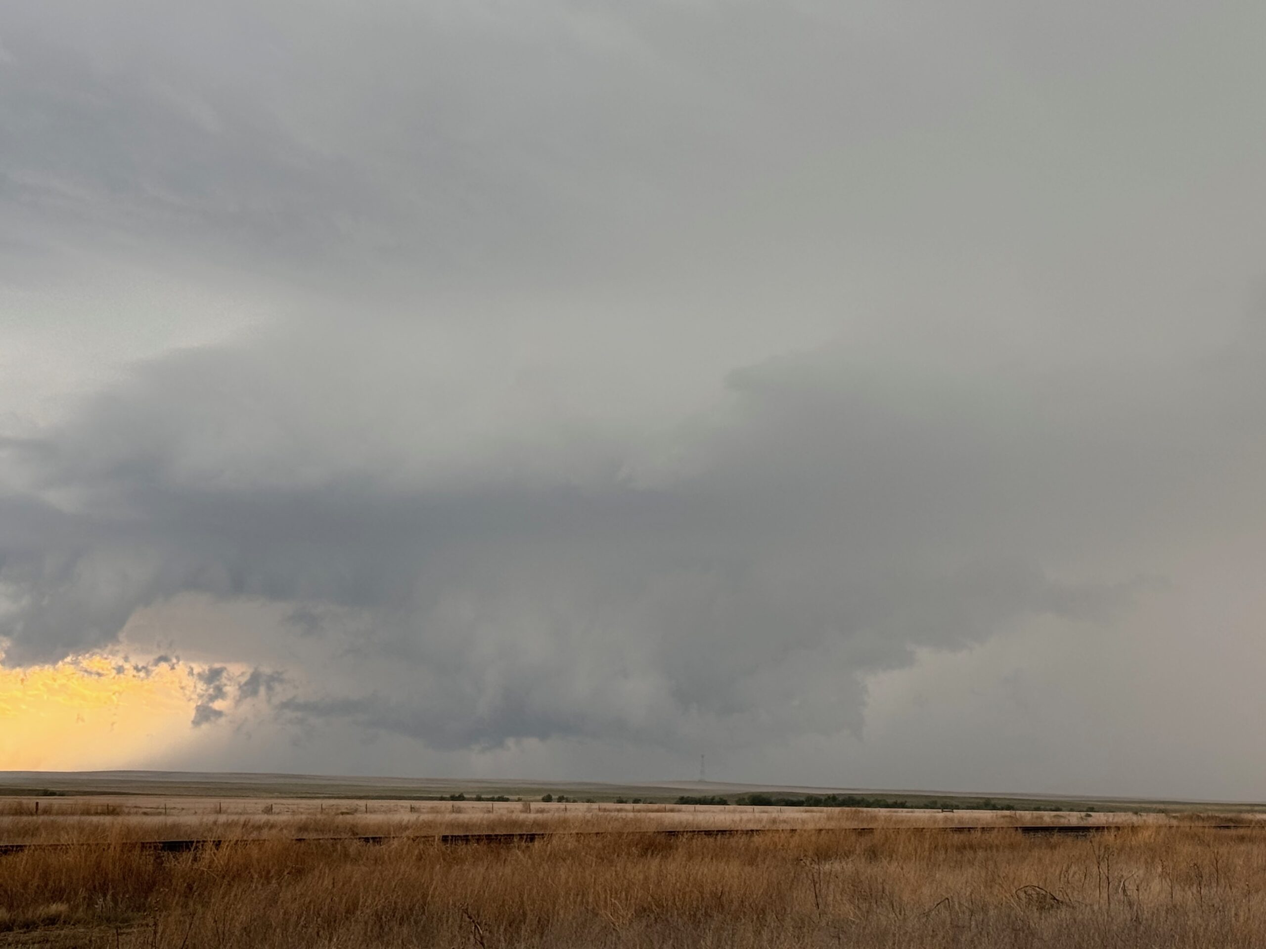
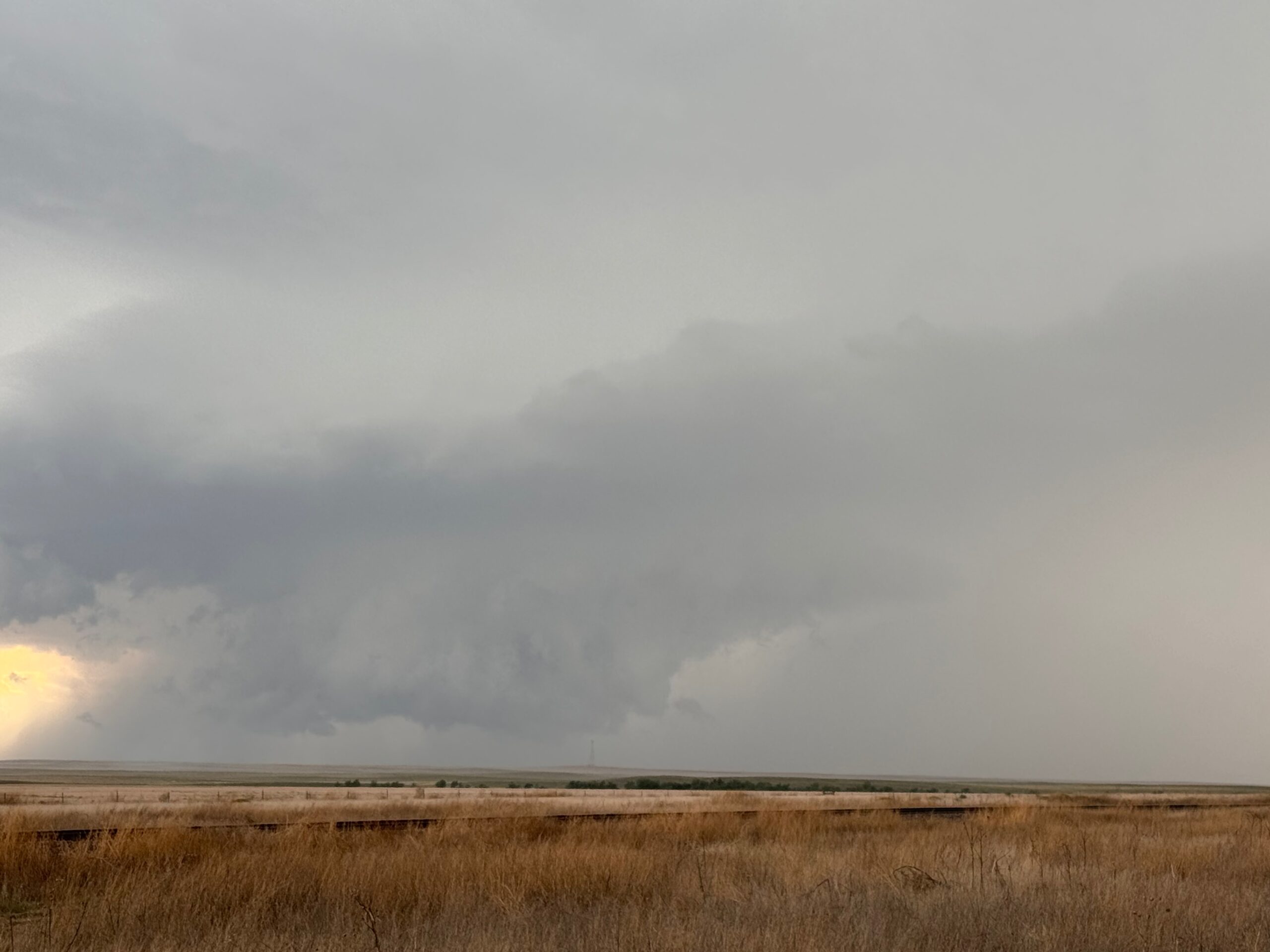
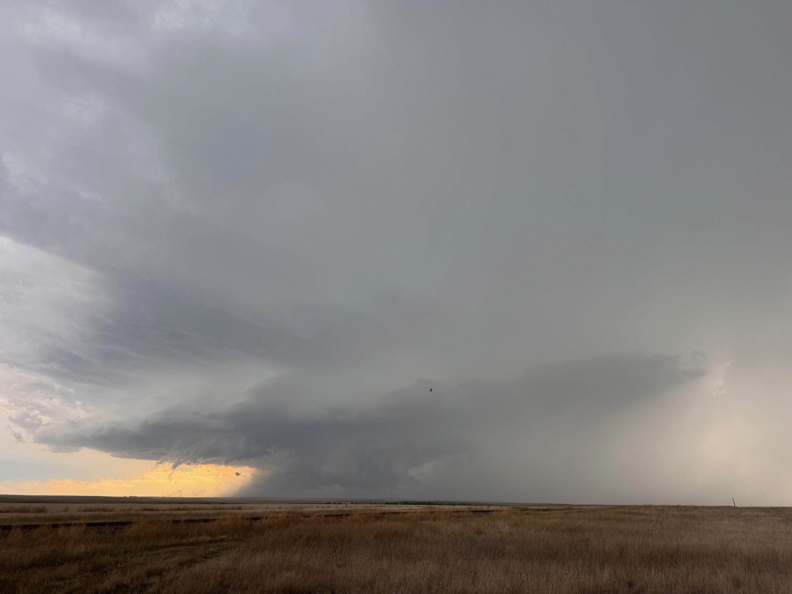
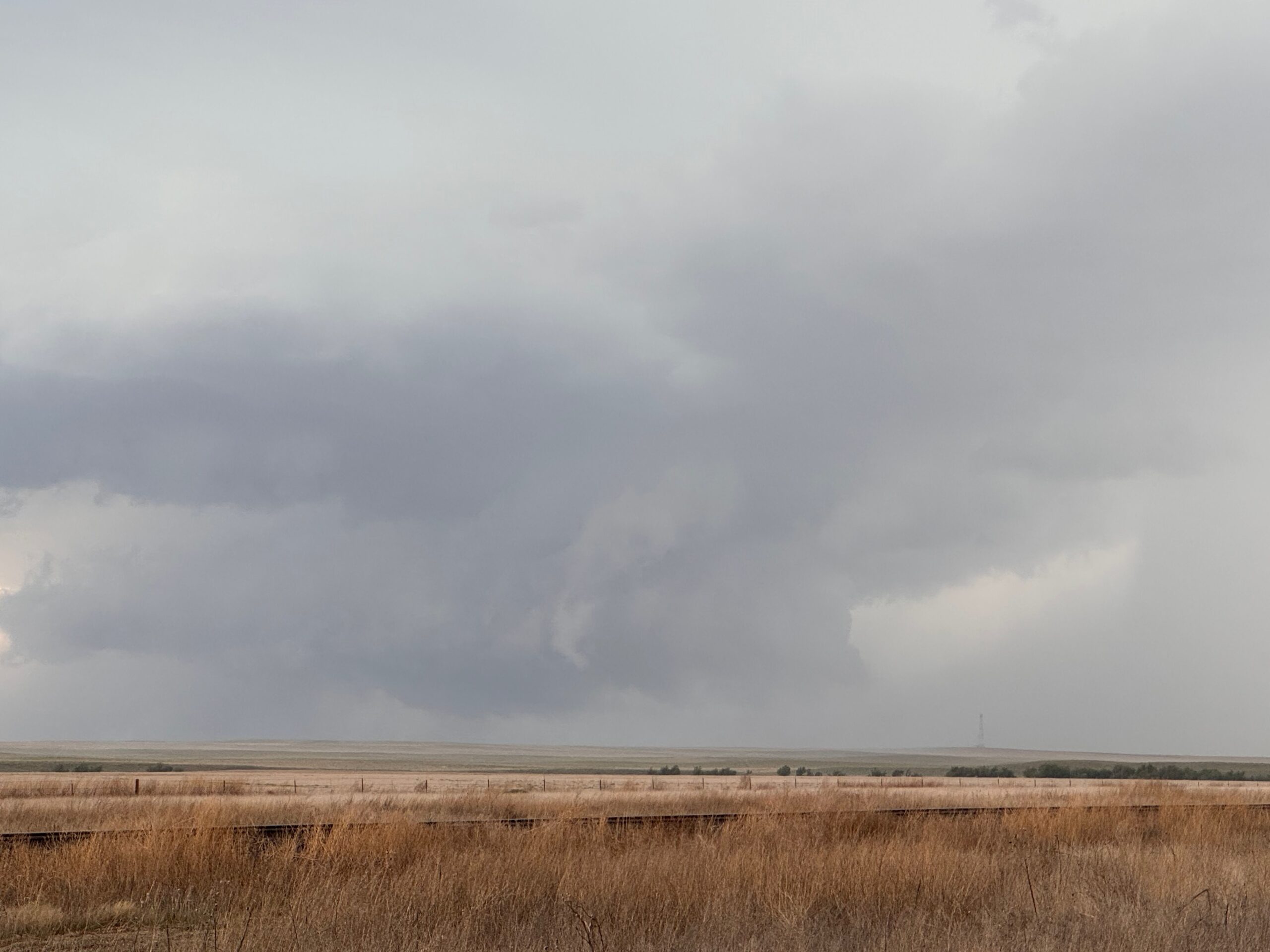
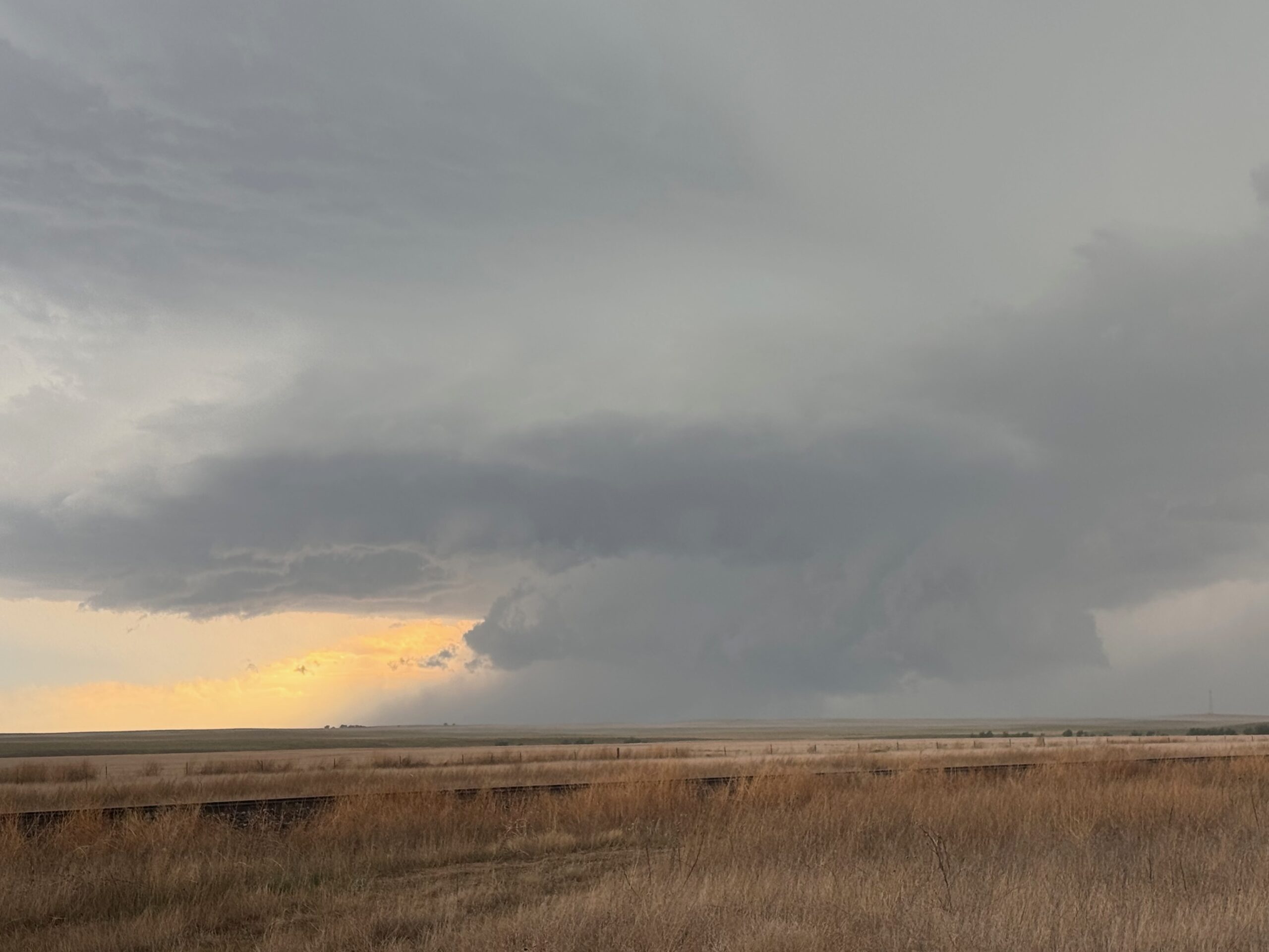
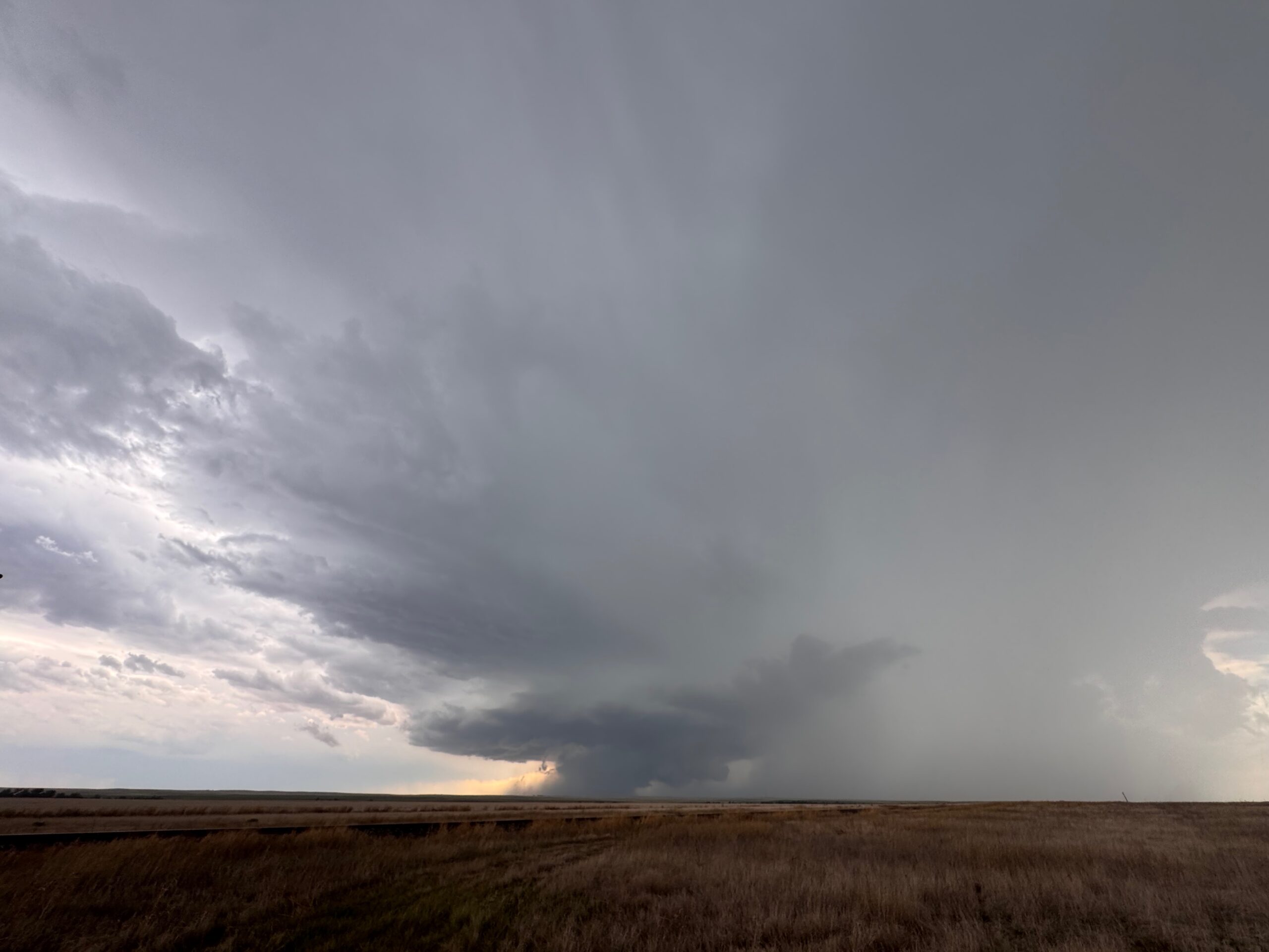
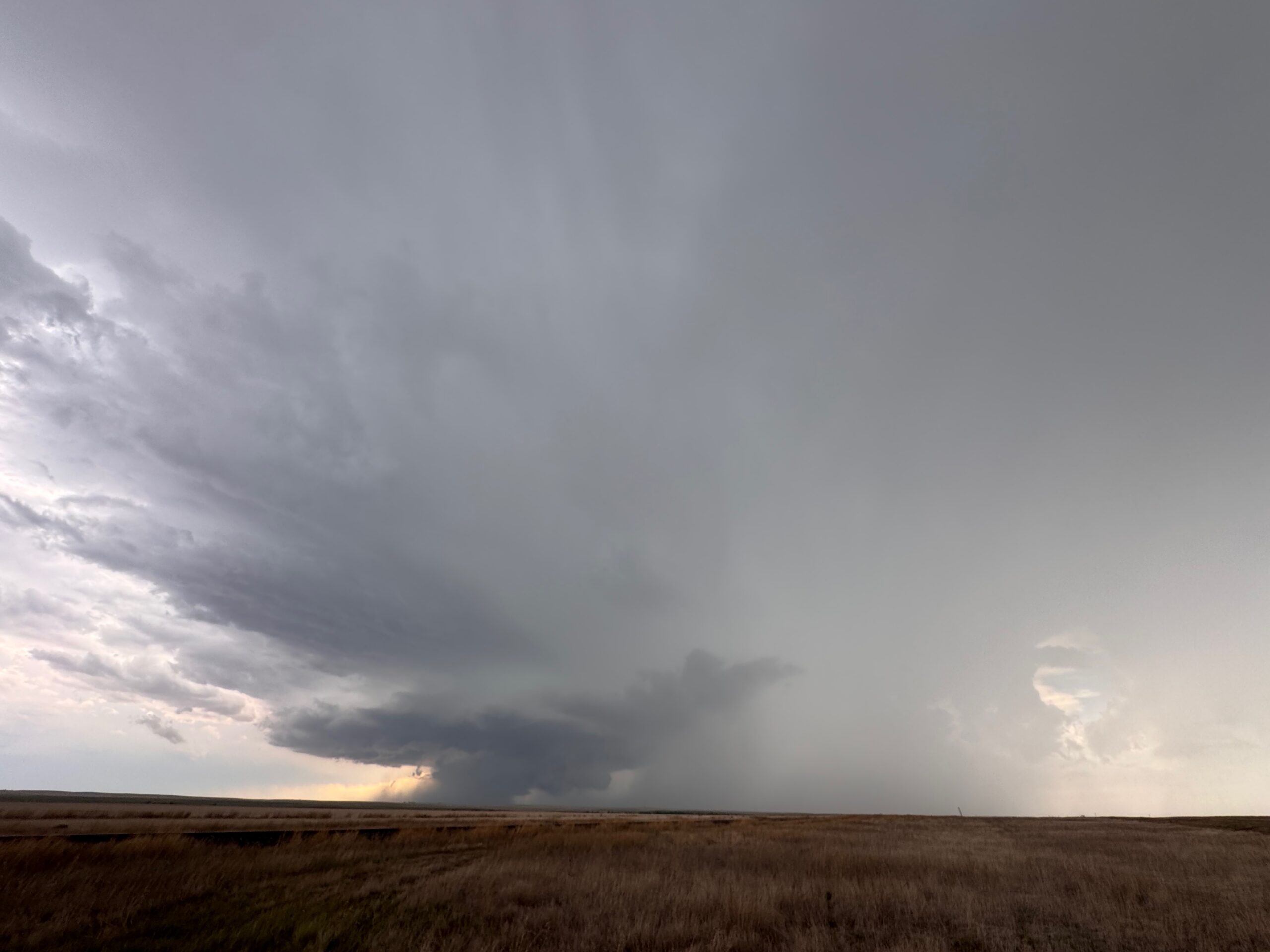
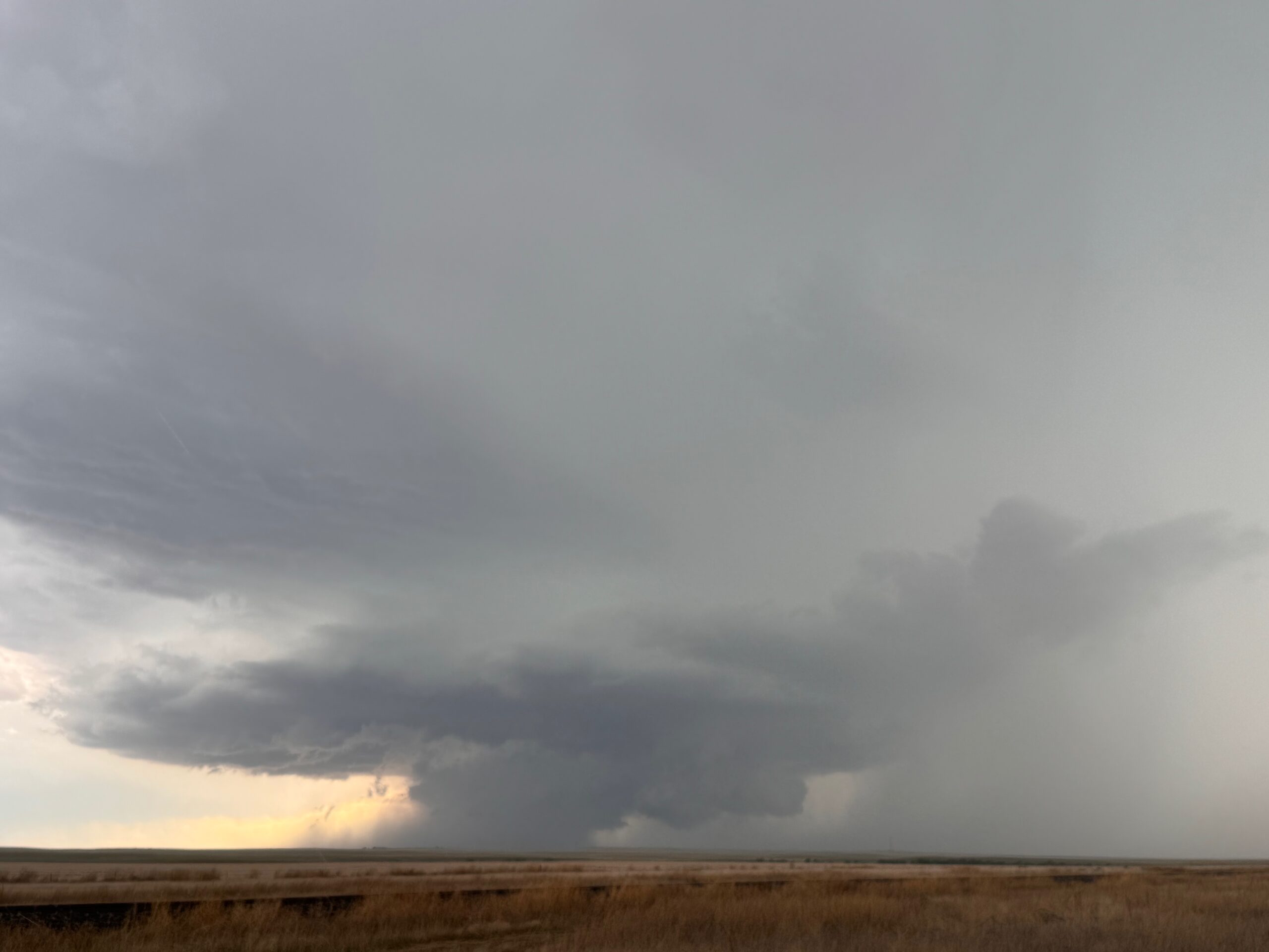
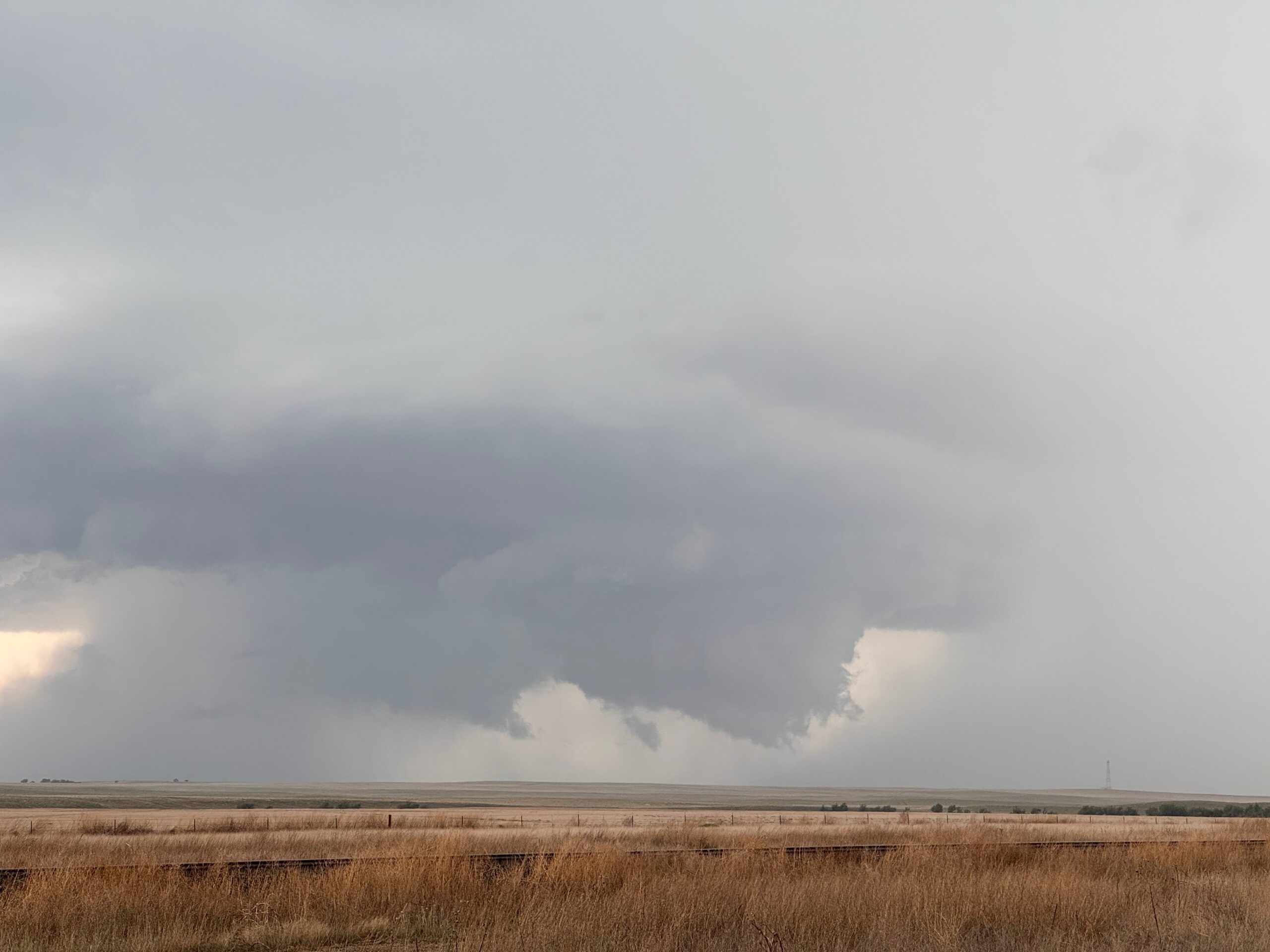
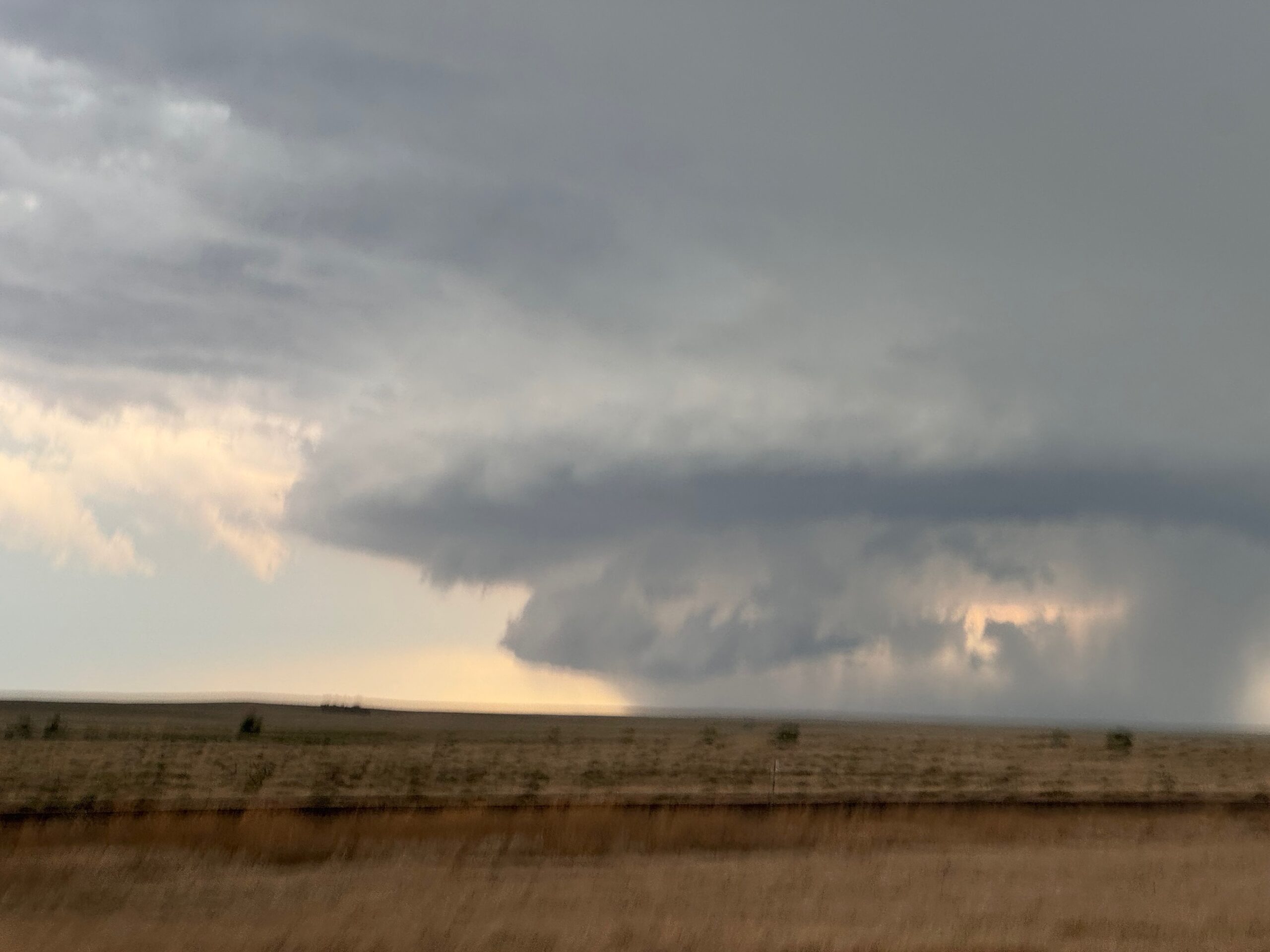
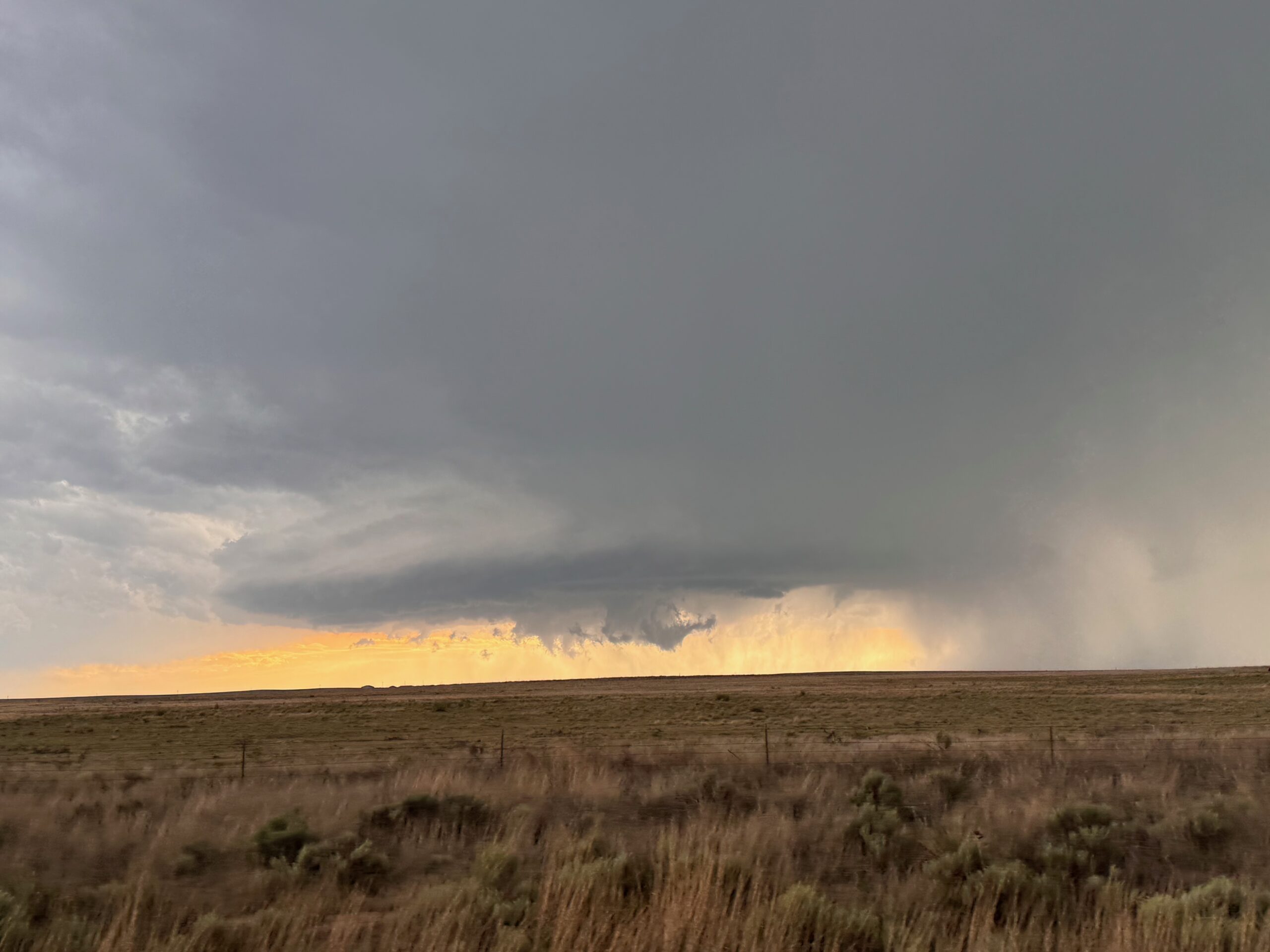
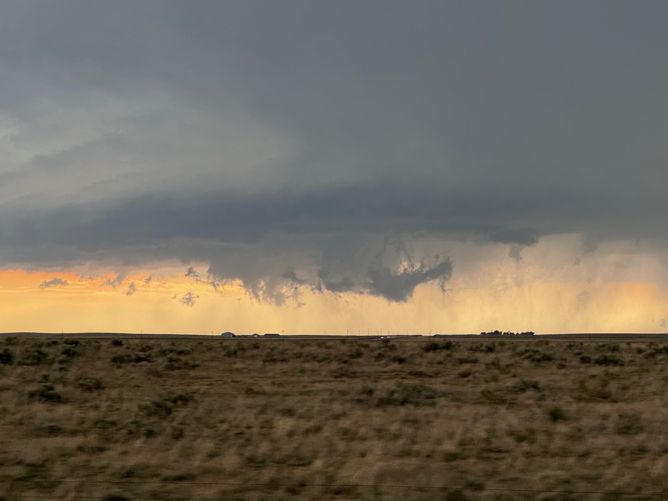
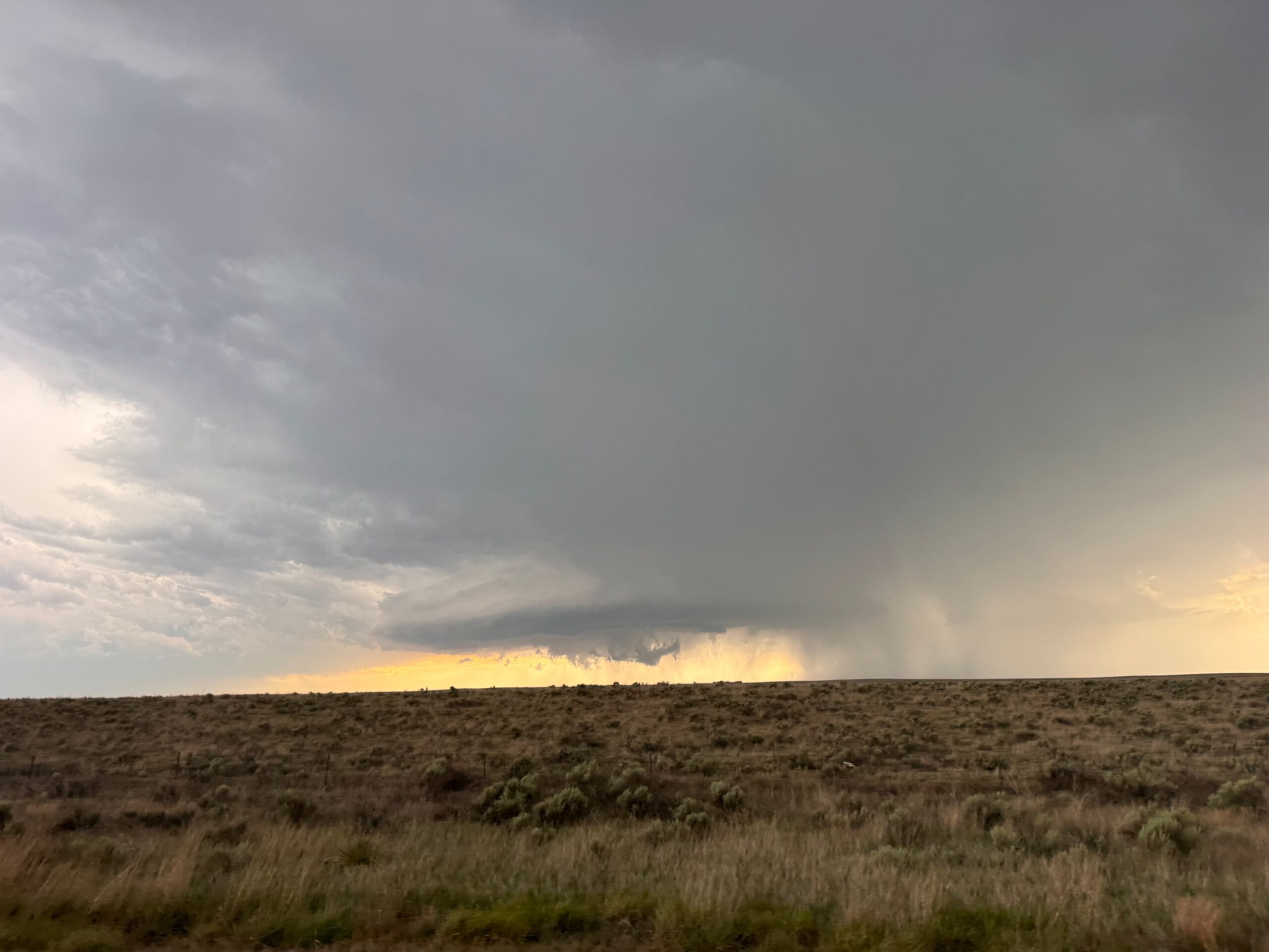
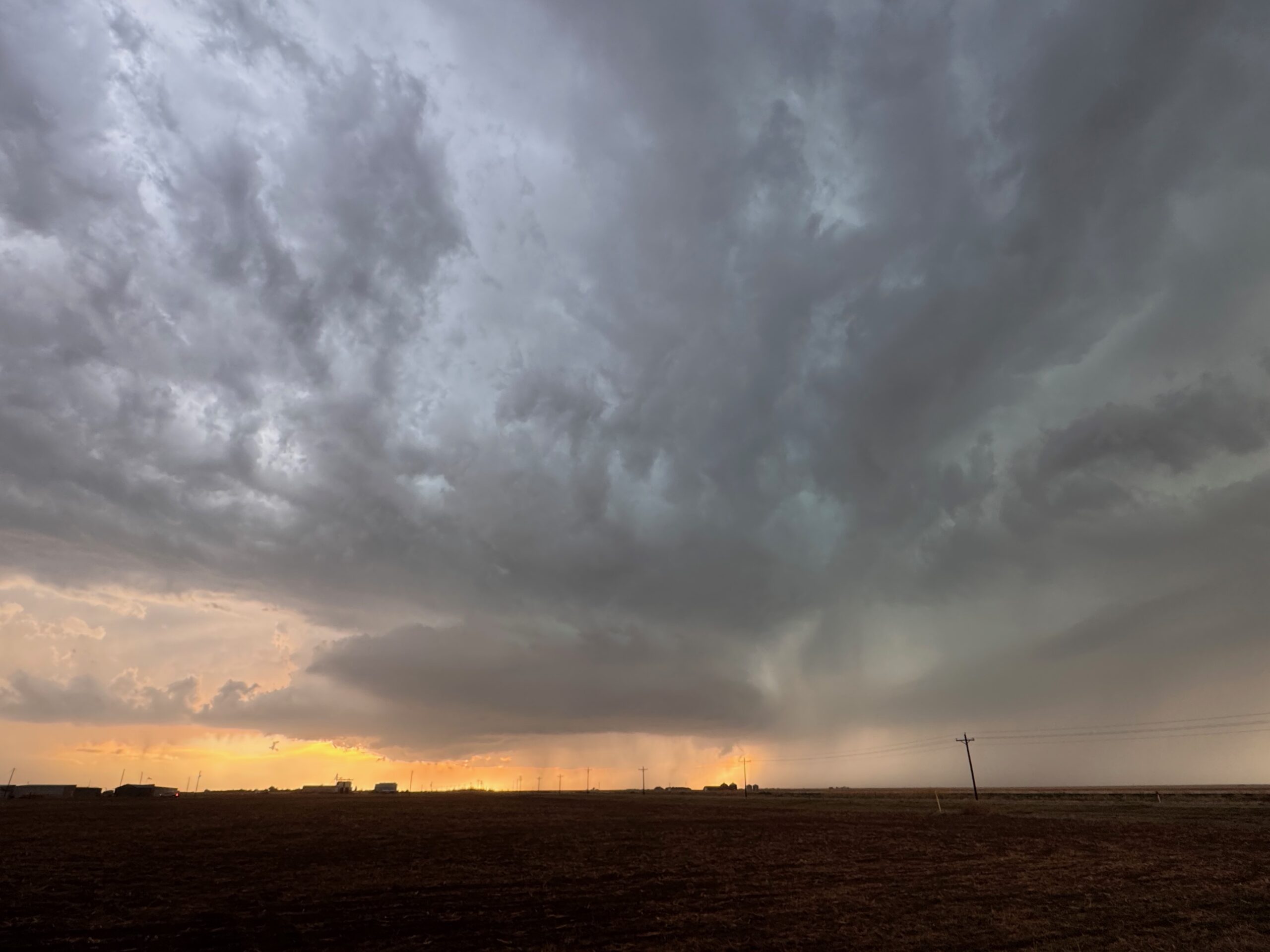
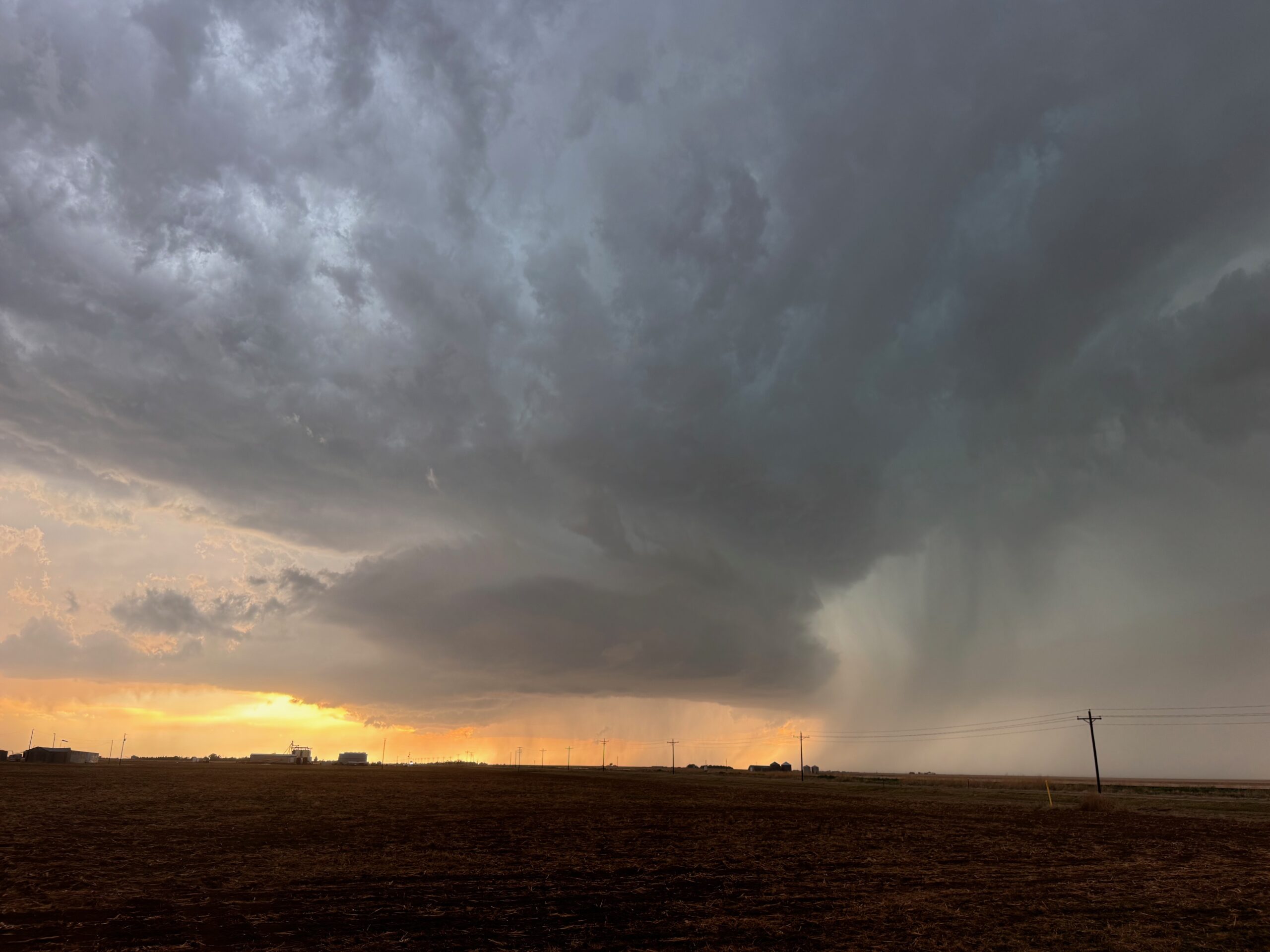
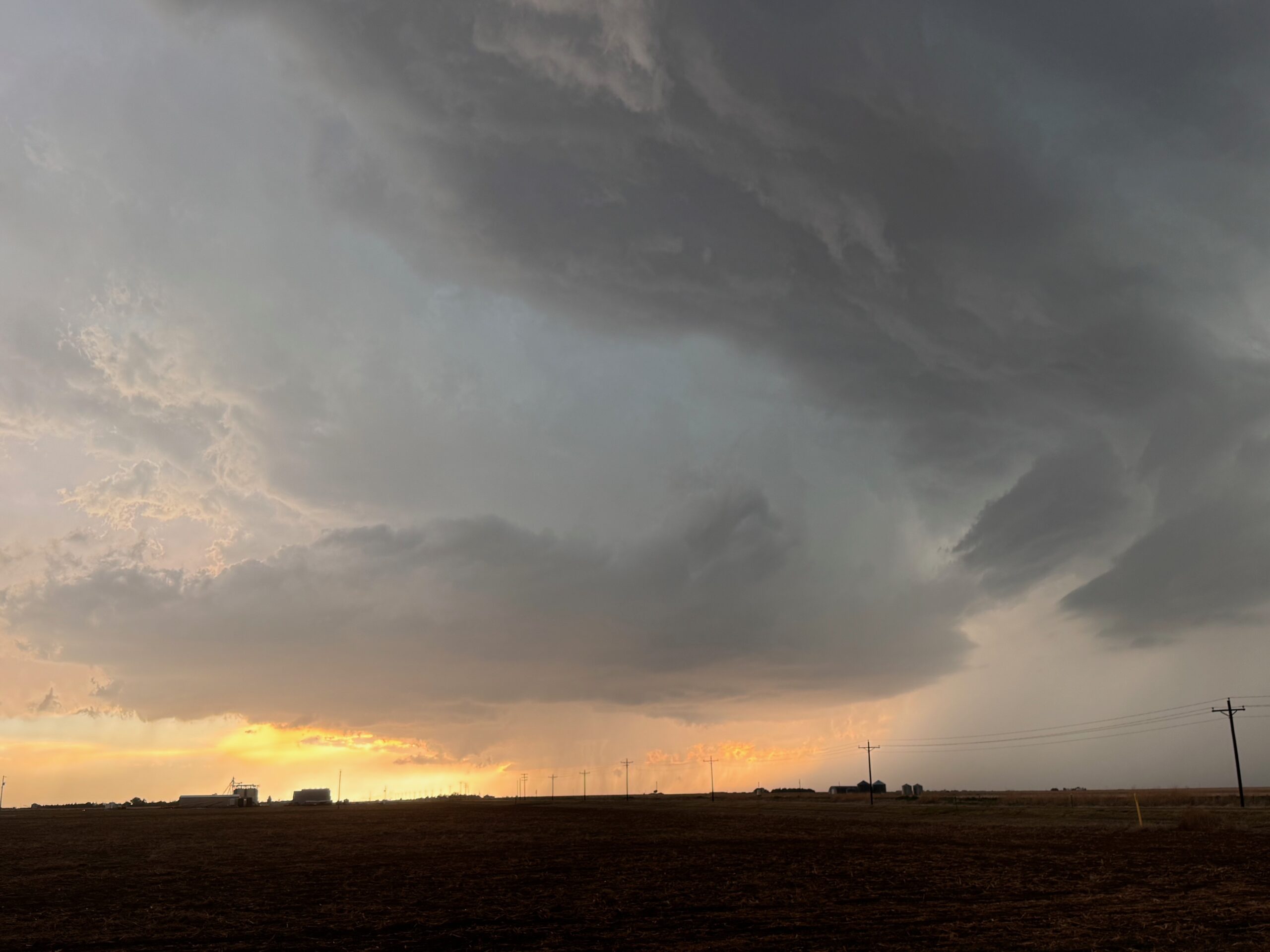
The storm was moving slowly to the southeast. We had to scoot south in order to get out of the anvil rain, but were forced ESE on 287 quite a ways first (through Wild Horse and Kit Carson). Finally, we could head south on 287 towards Eads. Along this stretch we had a great look at the new storm structure to our northwest. The first two and last two images in the group below show a very beefy wall cloud, and a brief tornado occurred during this phase (while we were repositioning a little to the south). The iPhone photo section includes additional images of this supercell structure with the big-time lowerings.
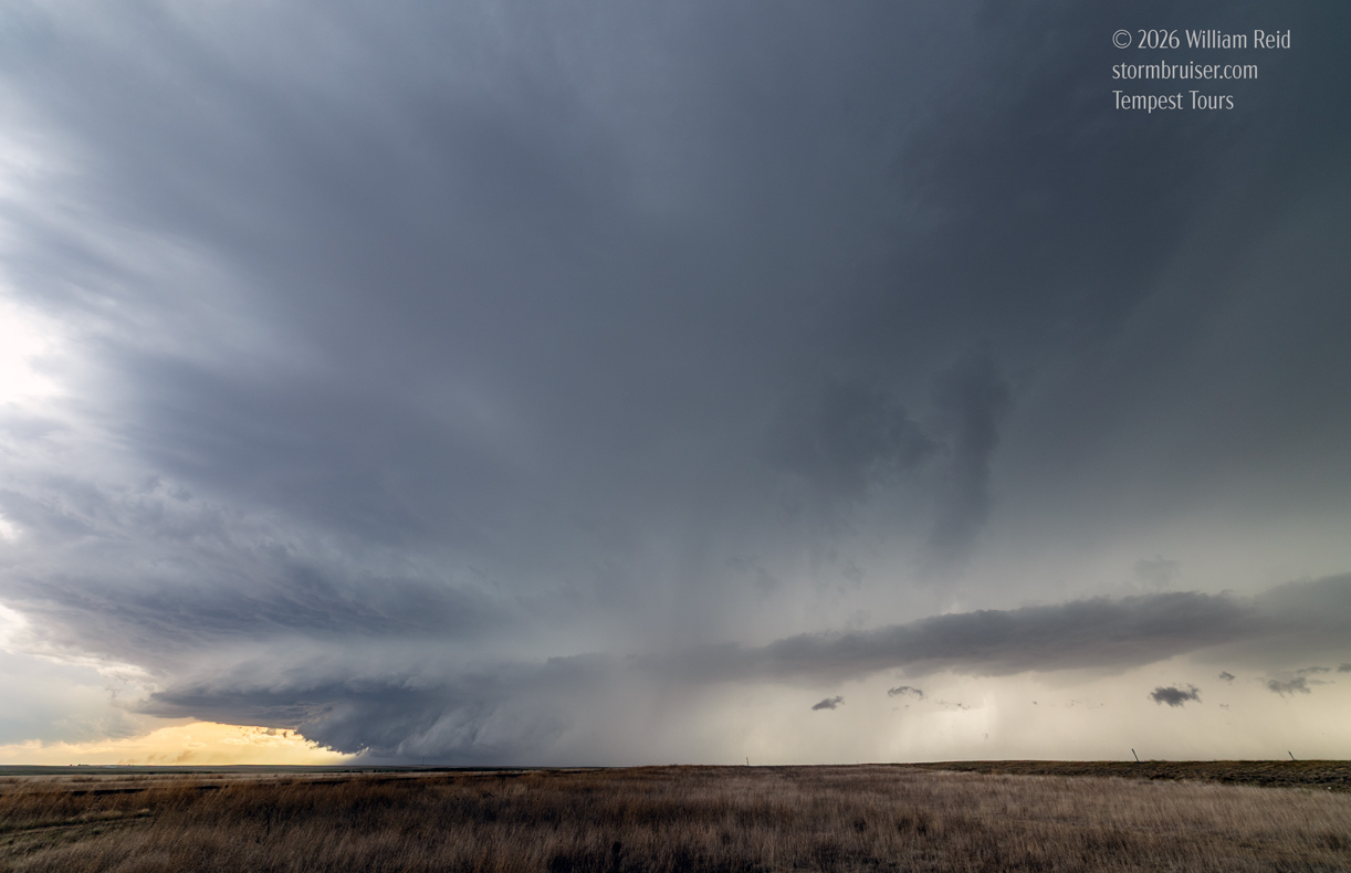
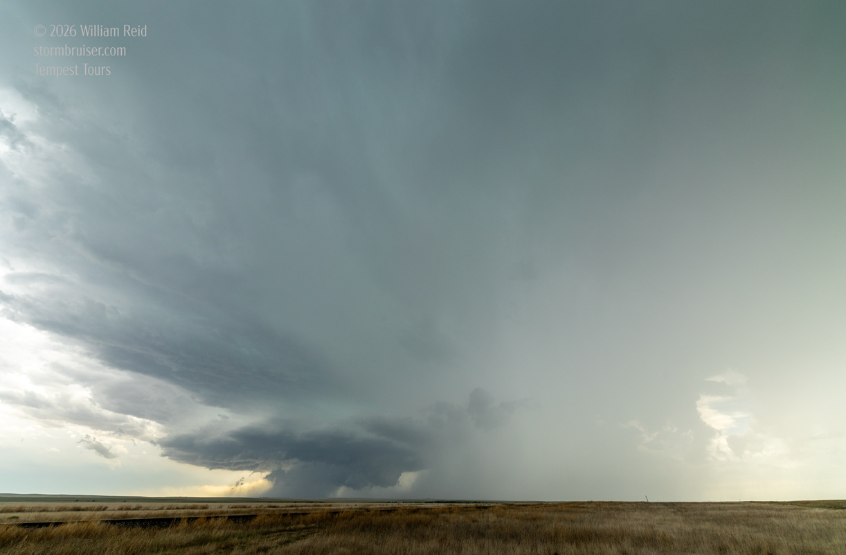
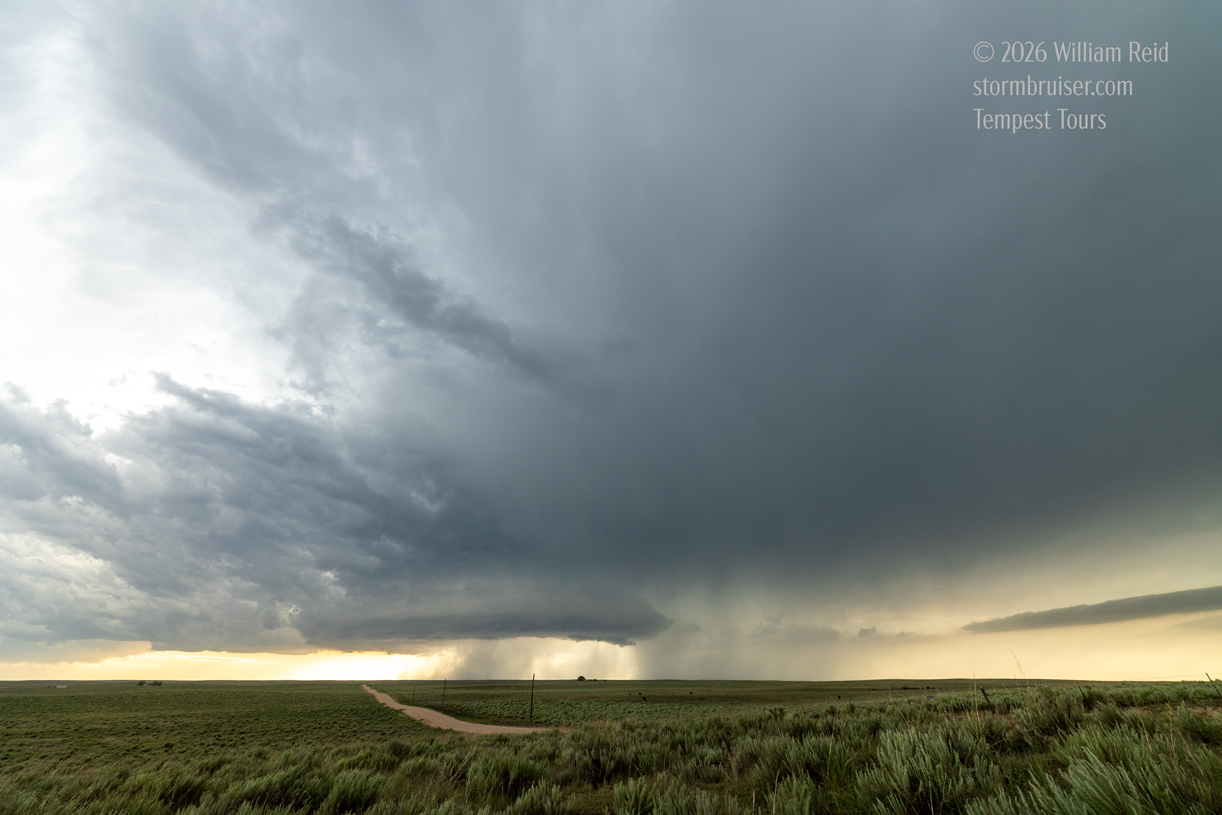
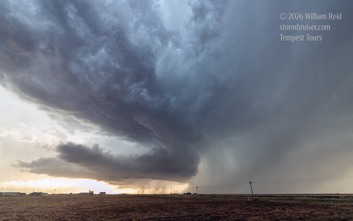
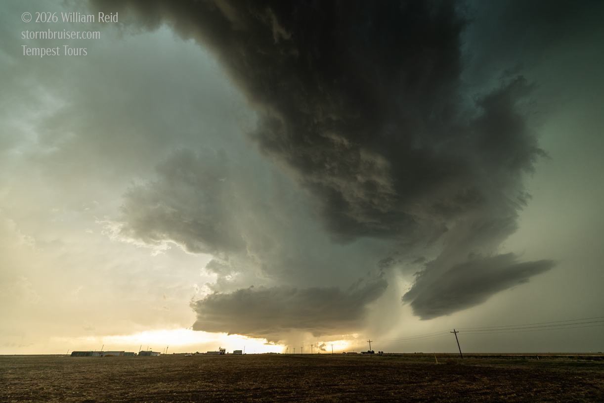
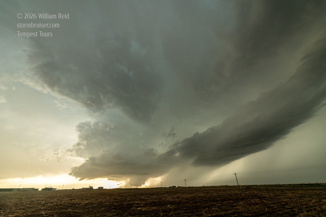
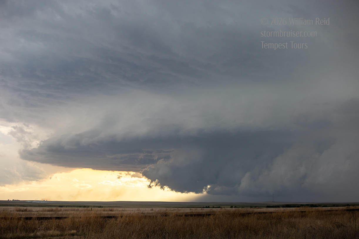
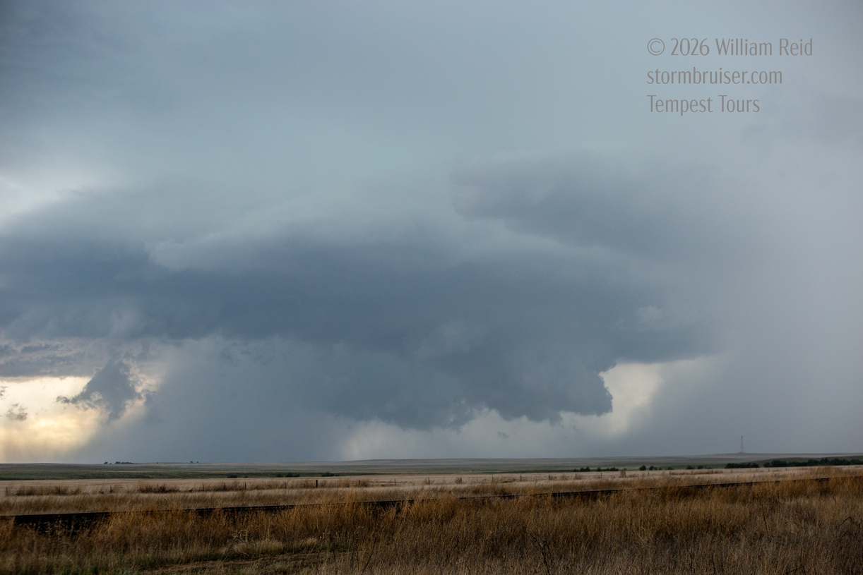
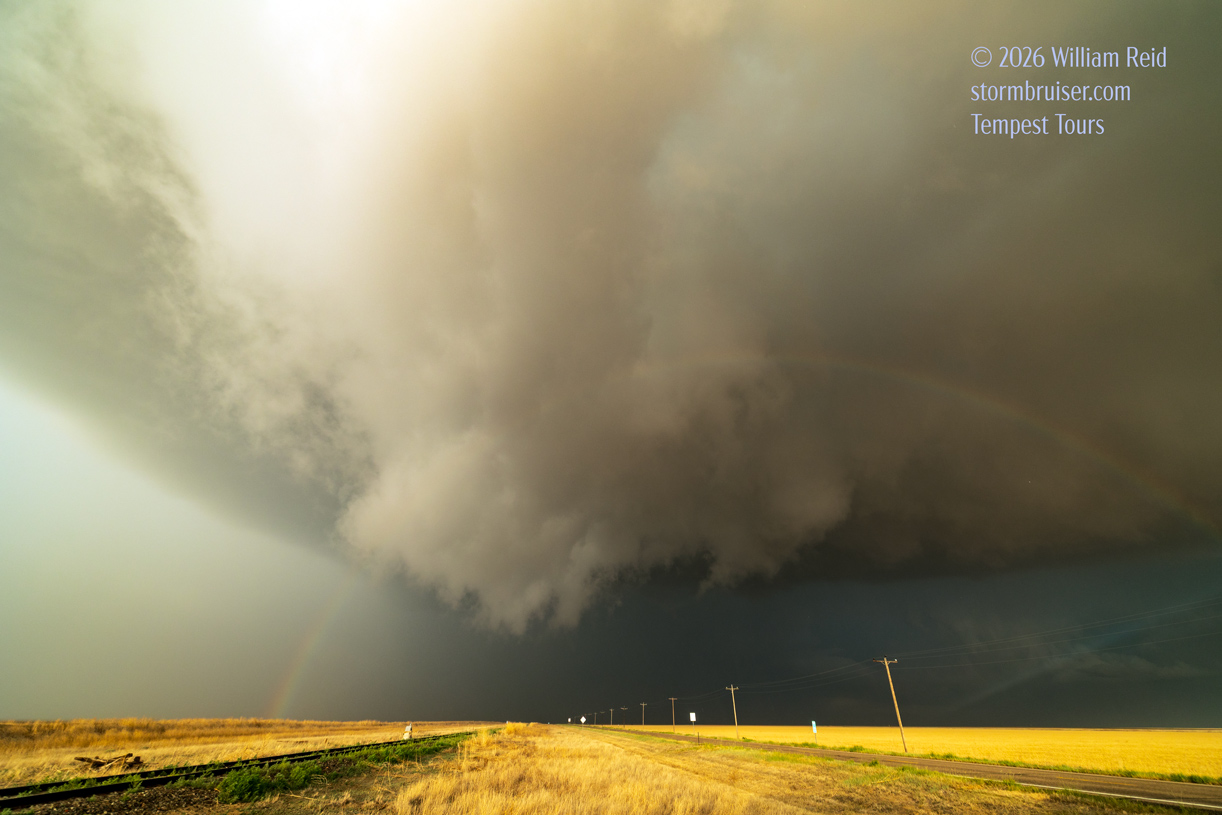
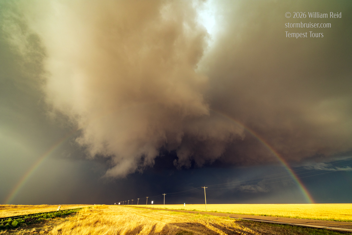
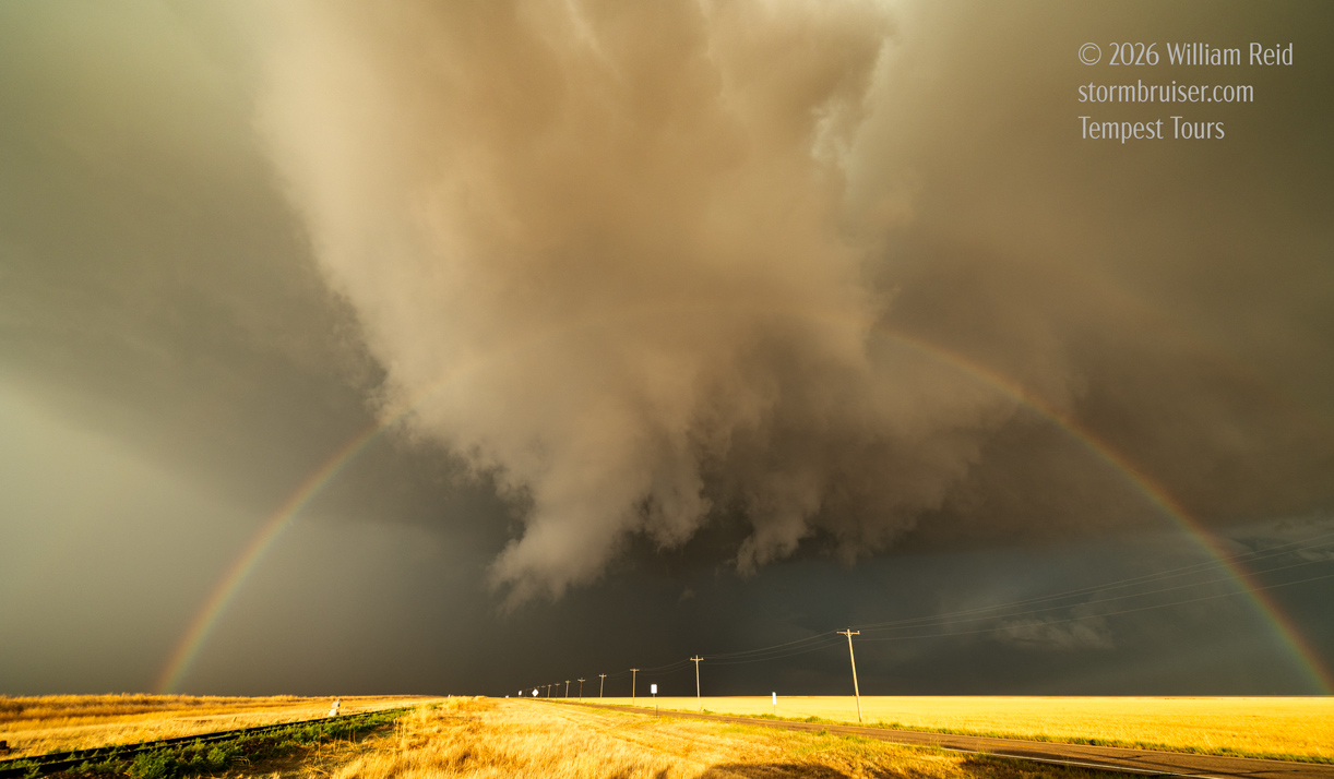
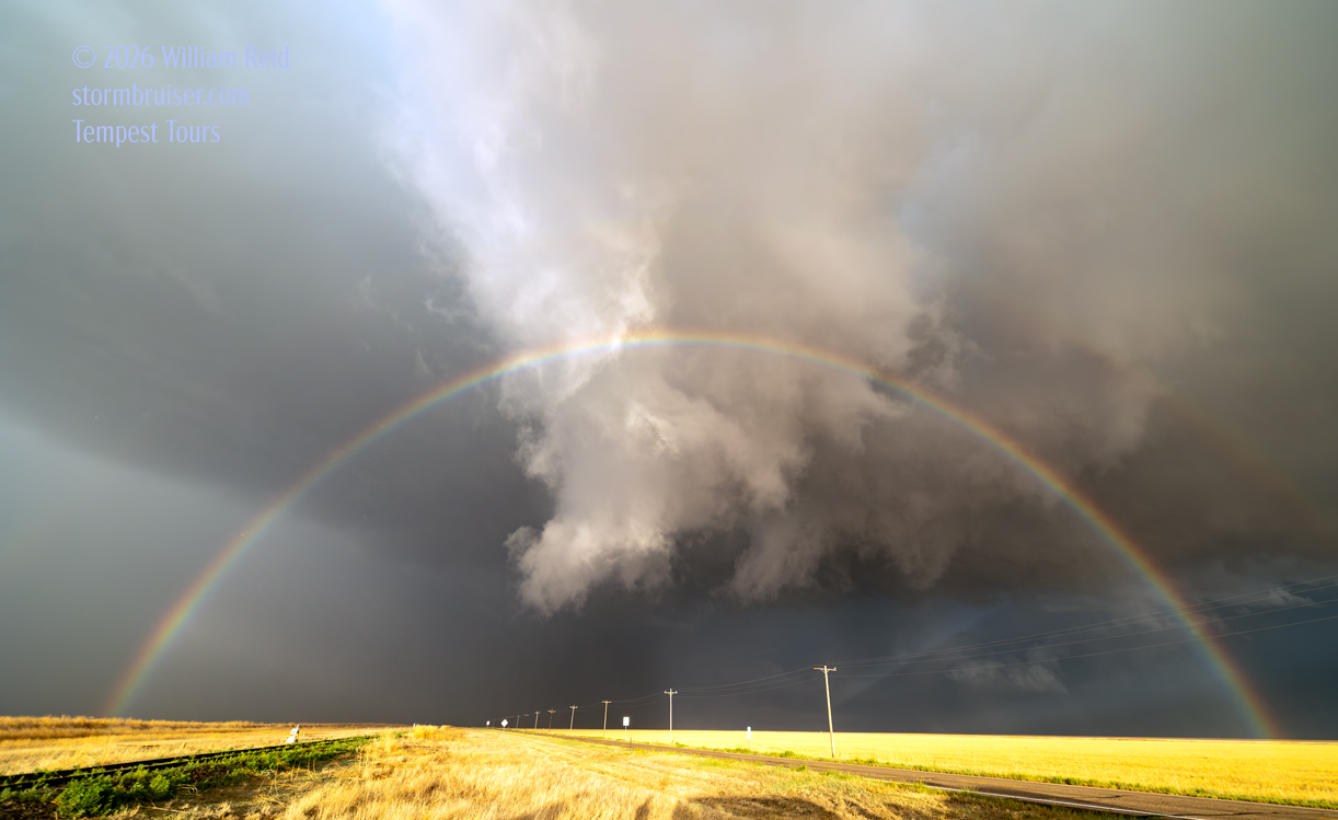
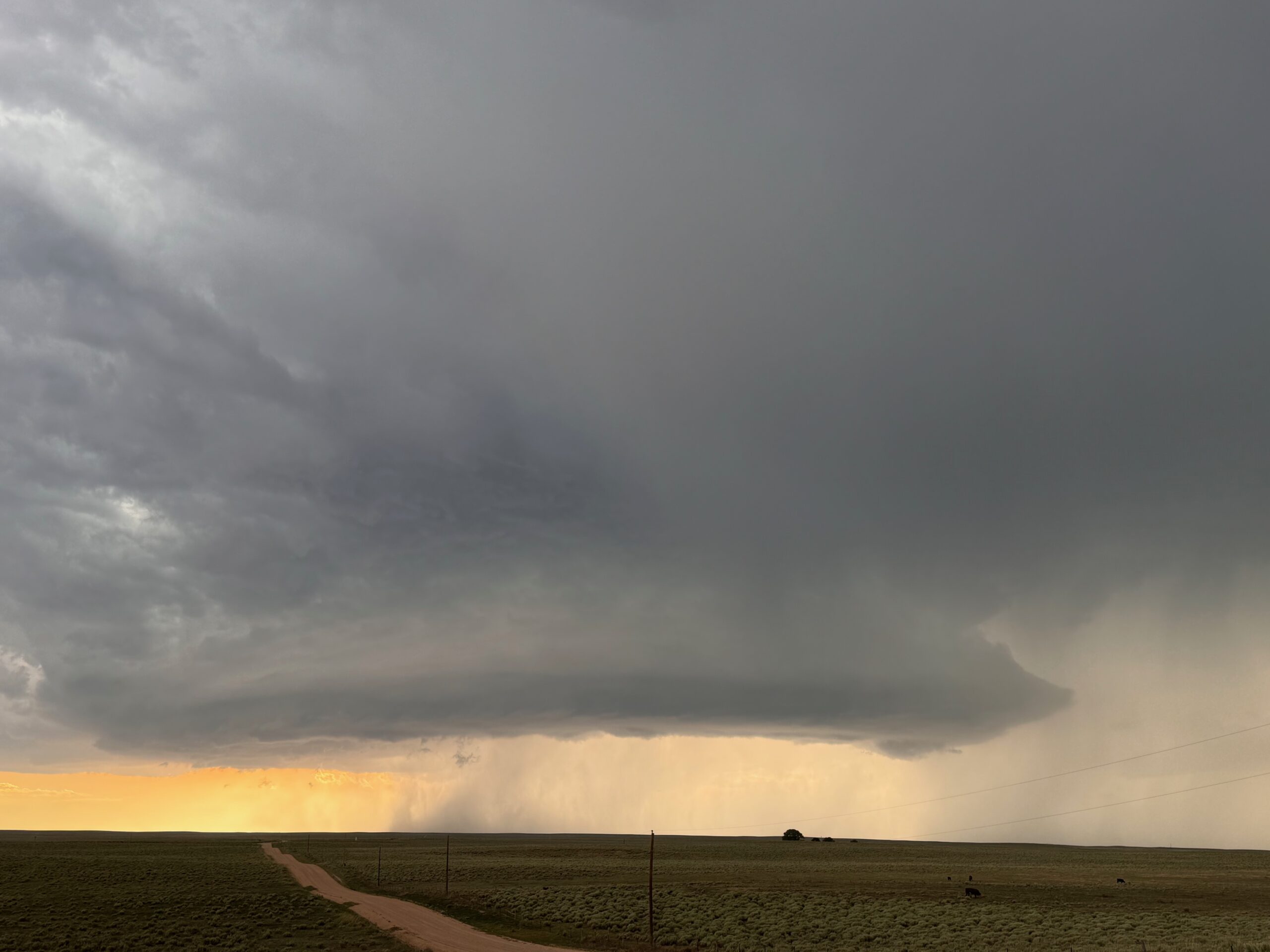
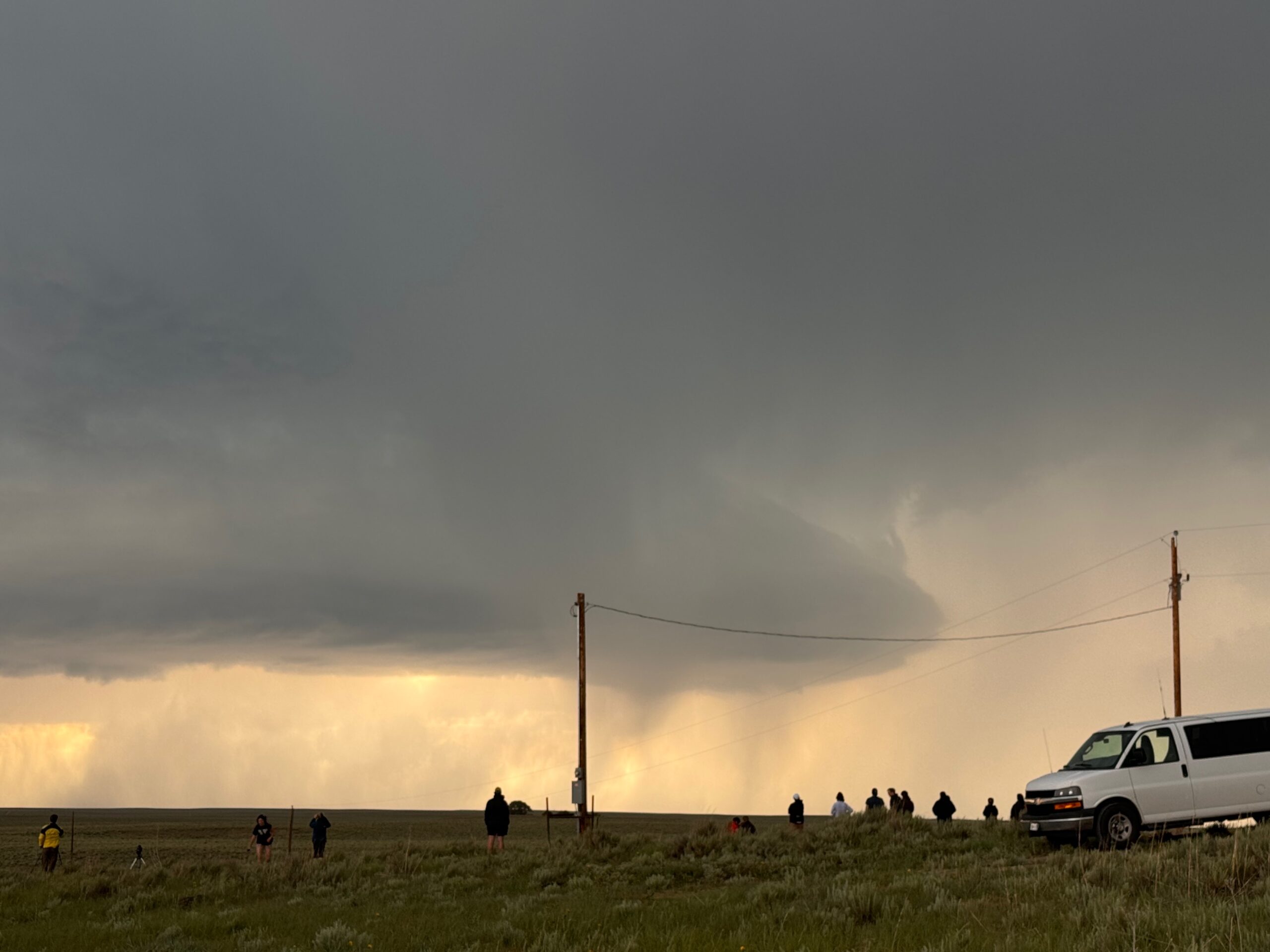
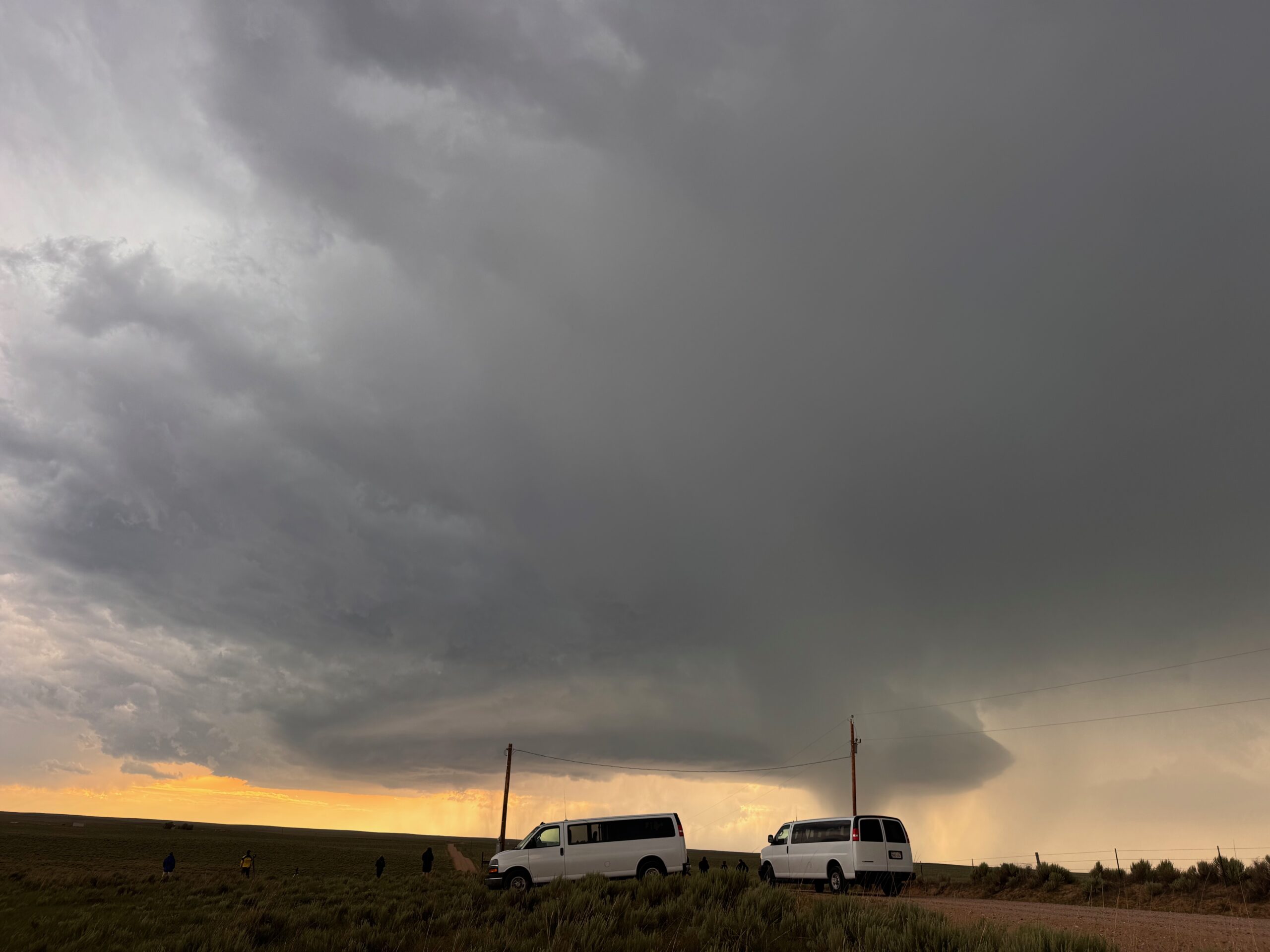
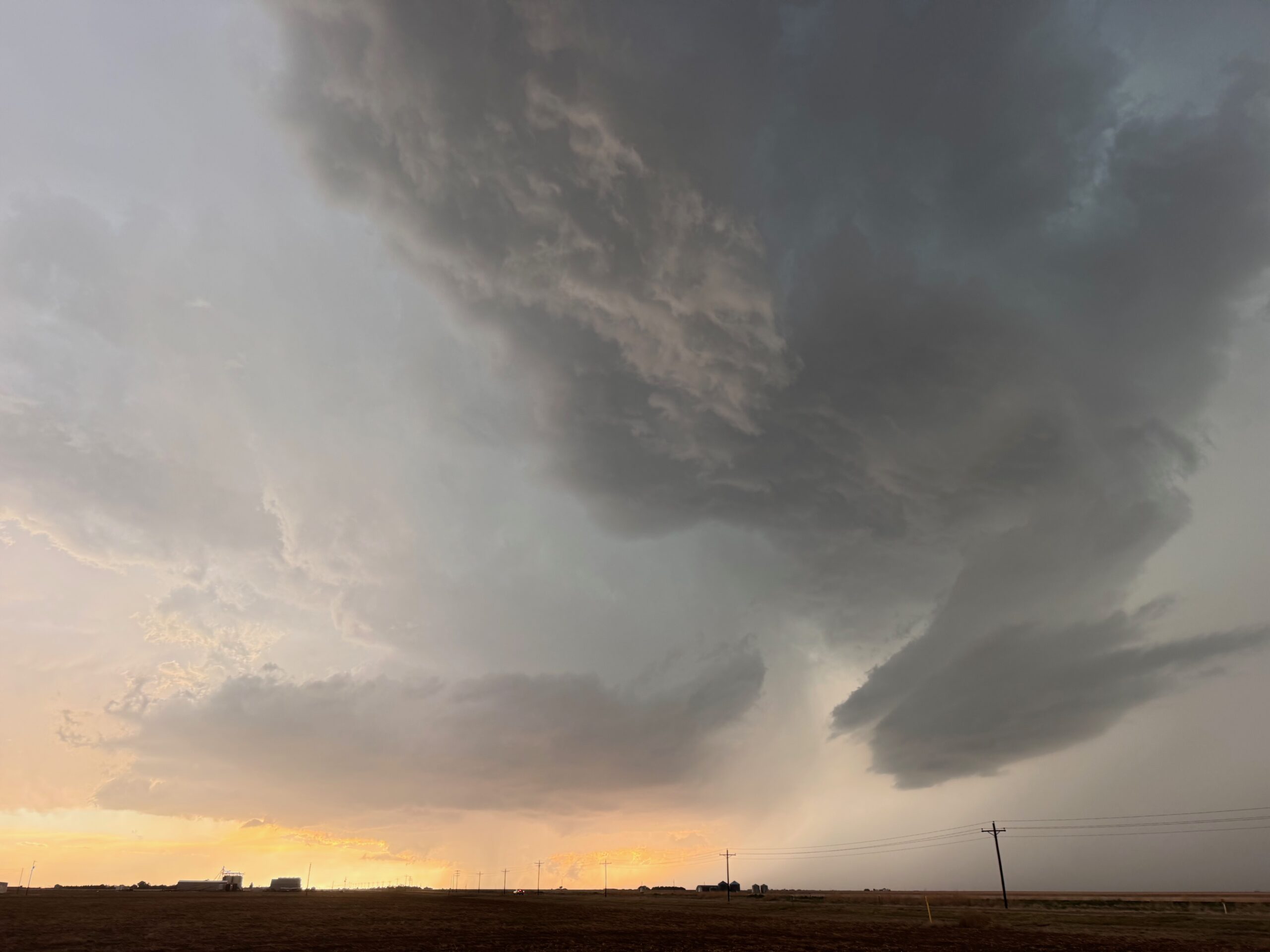
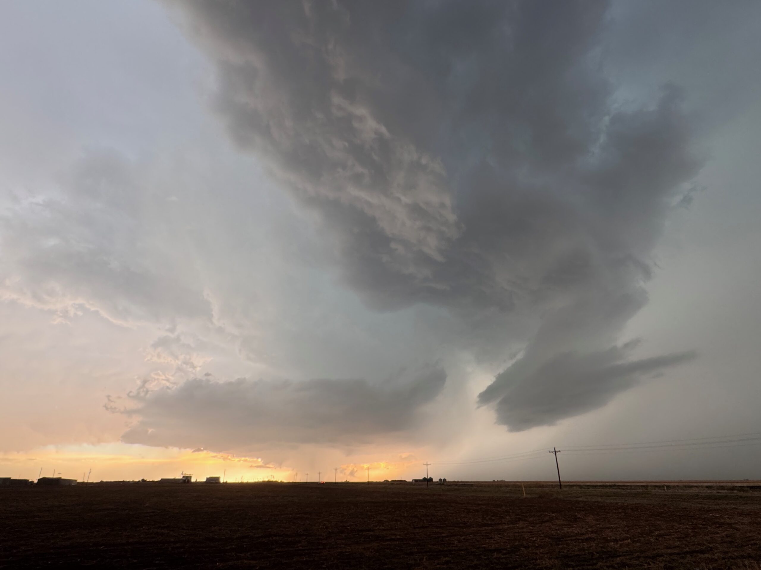
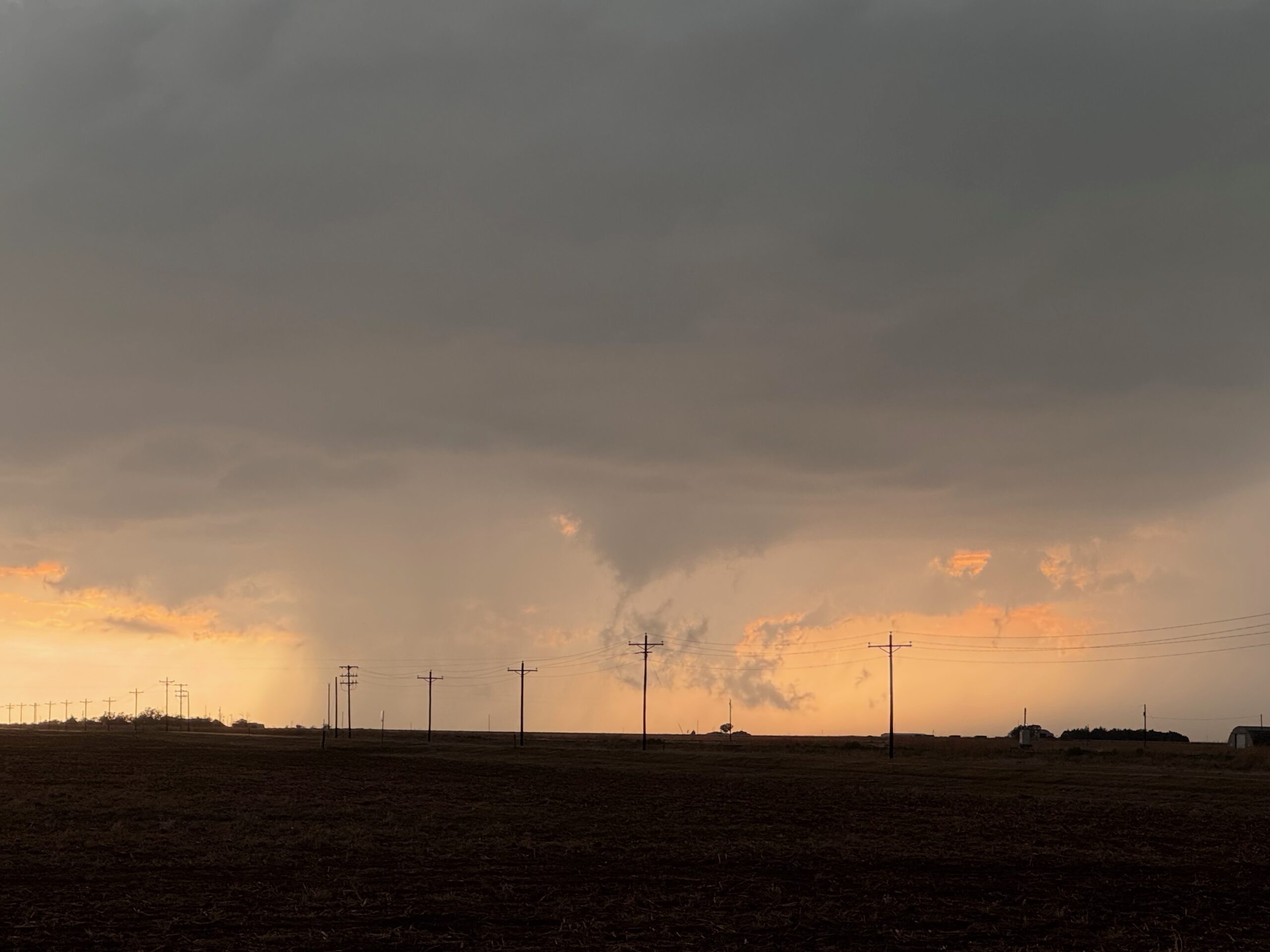
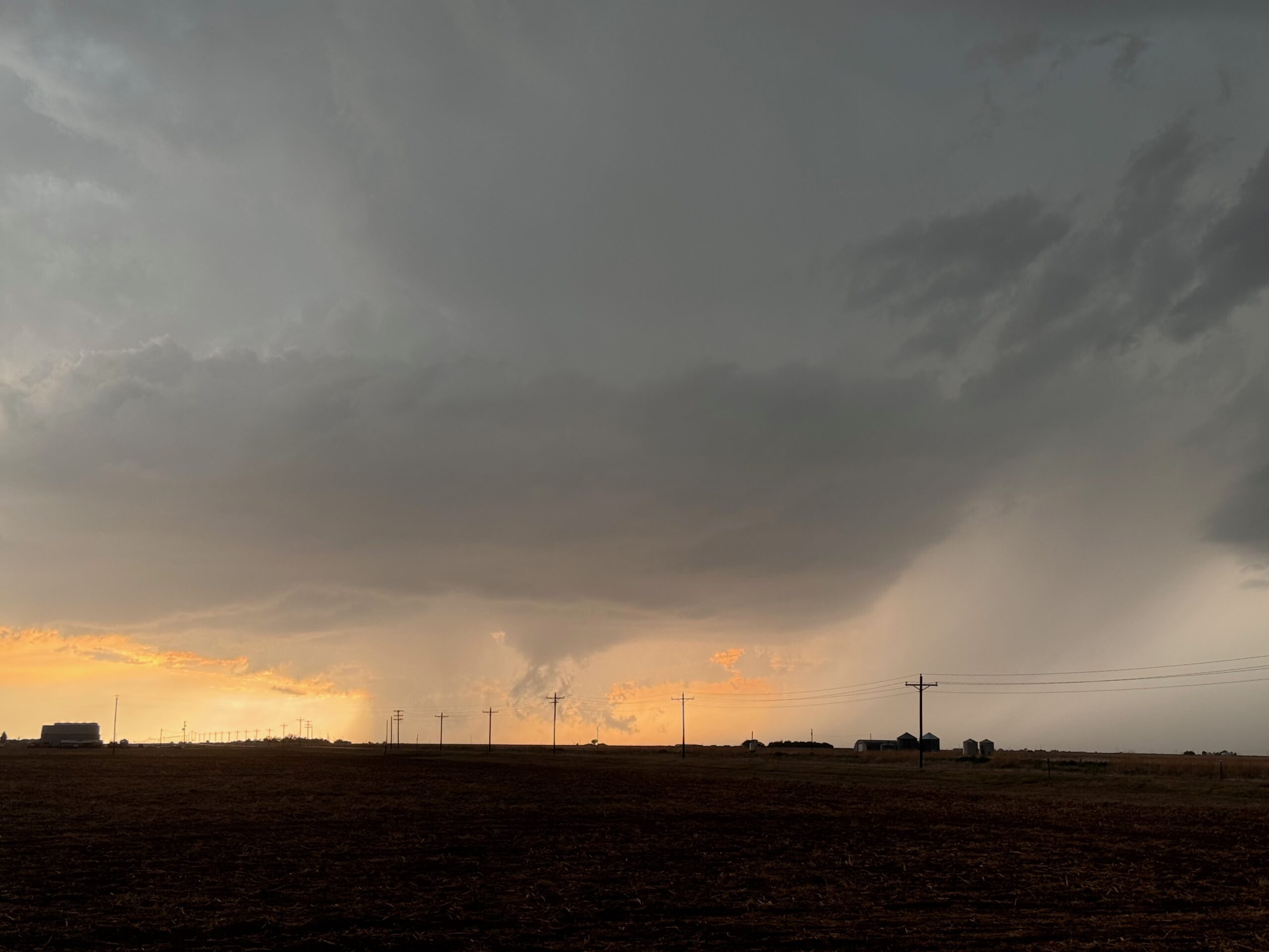
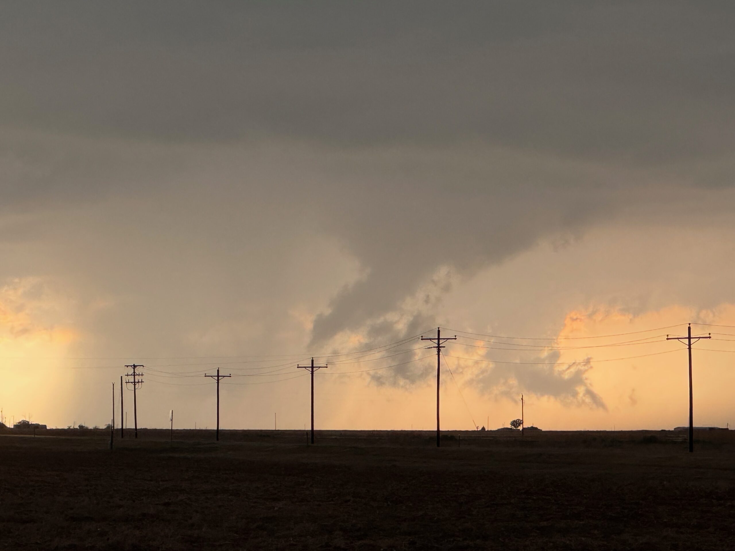
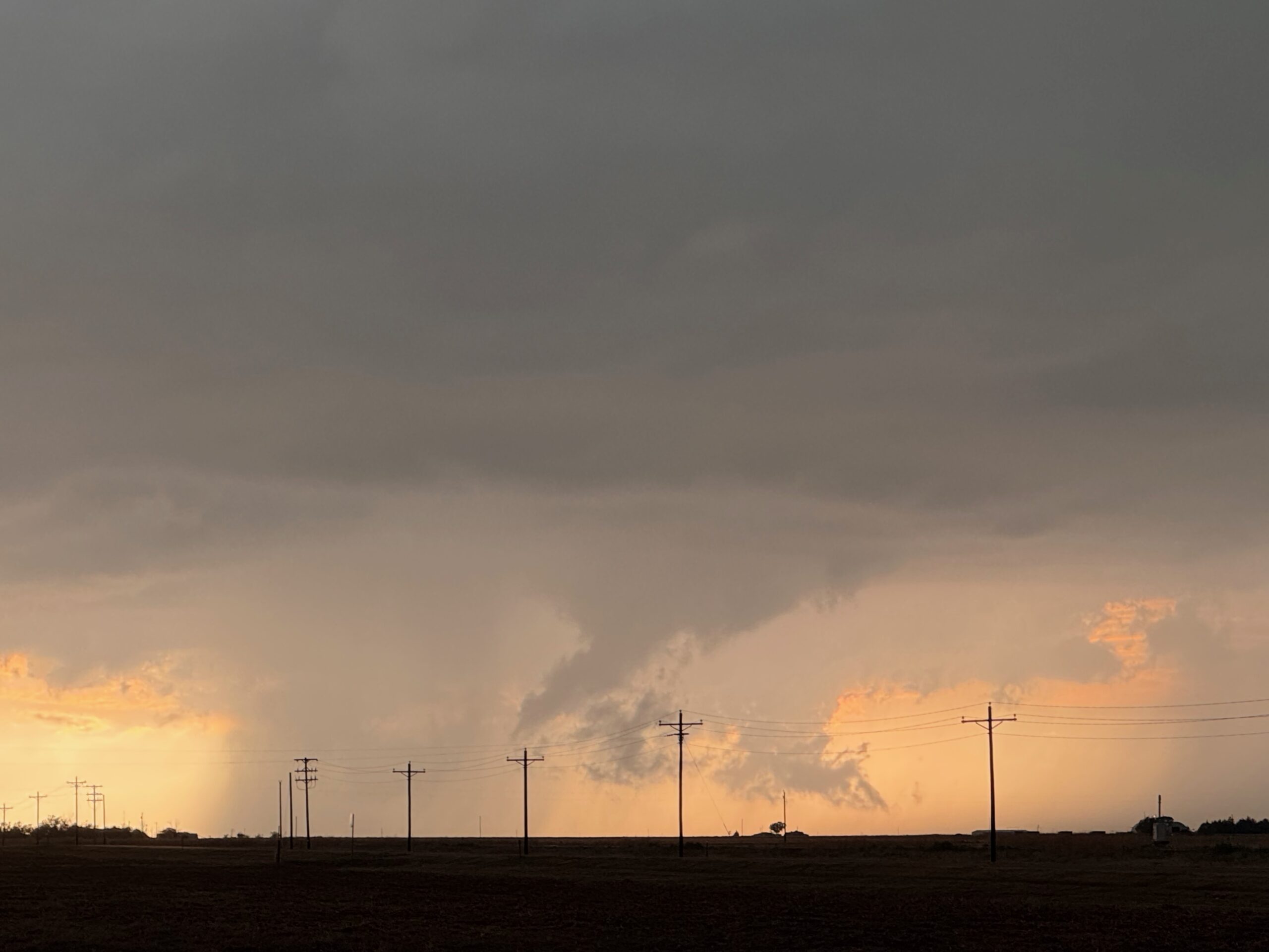
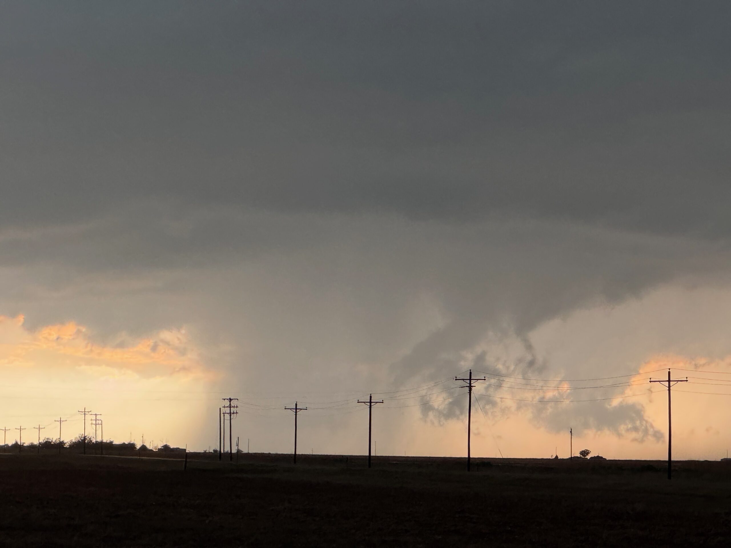
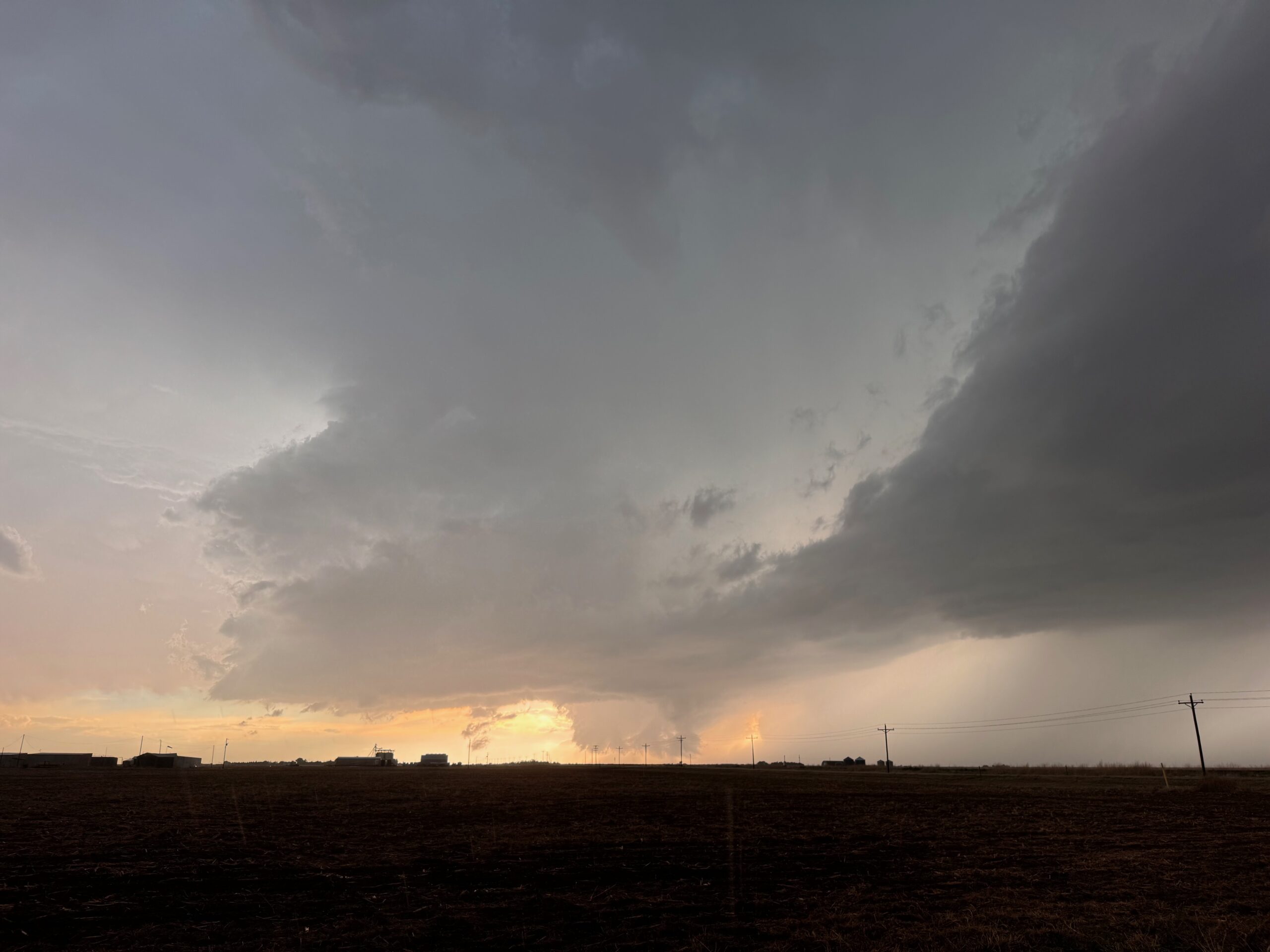
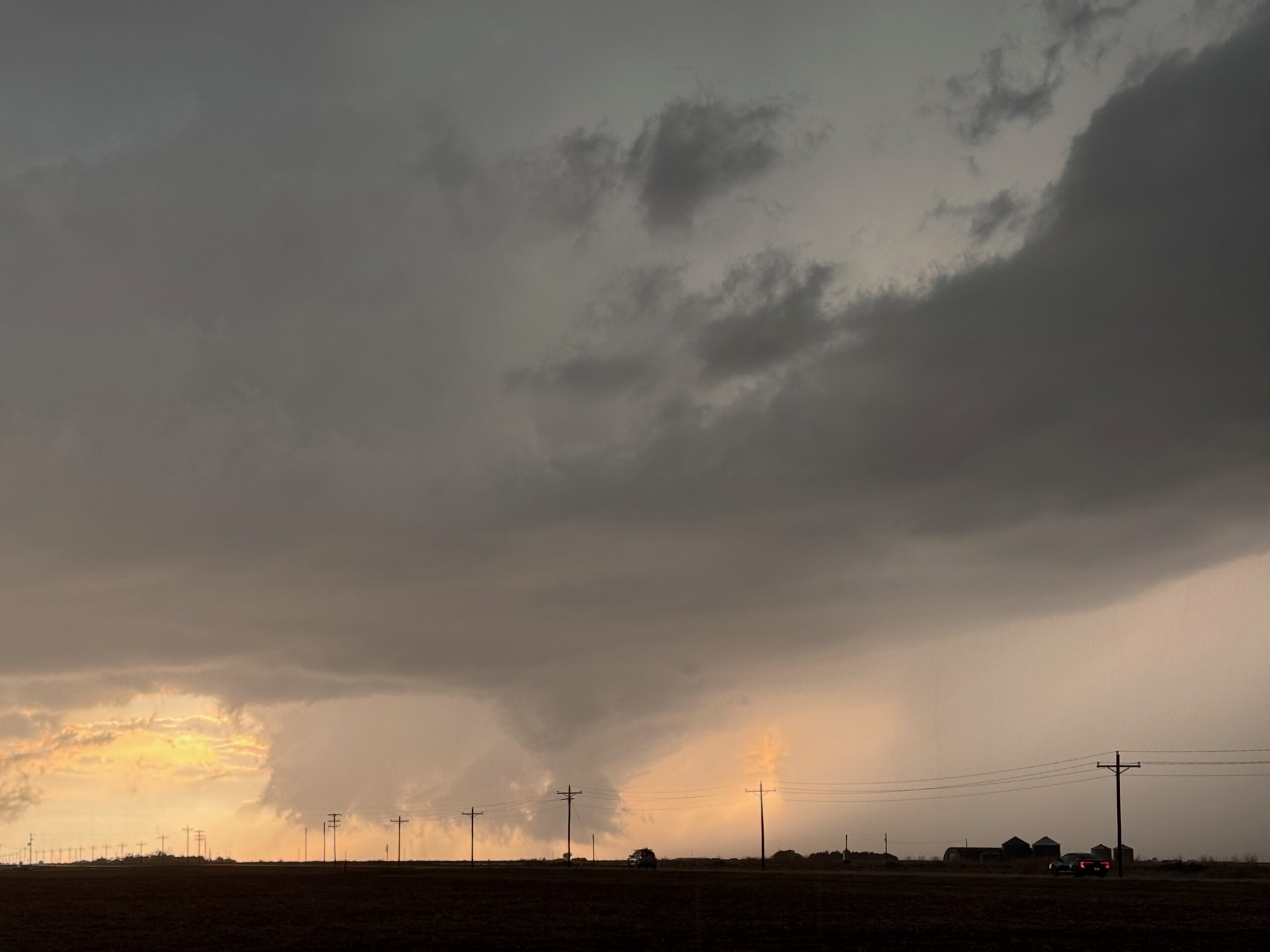
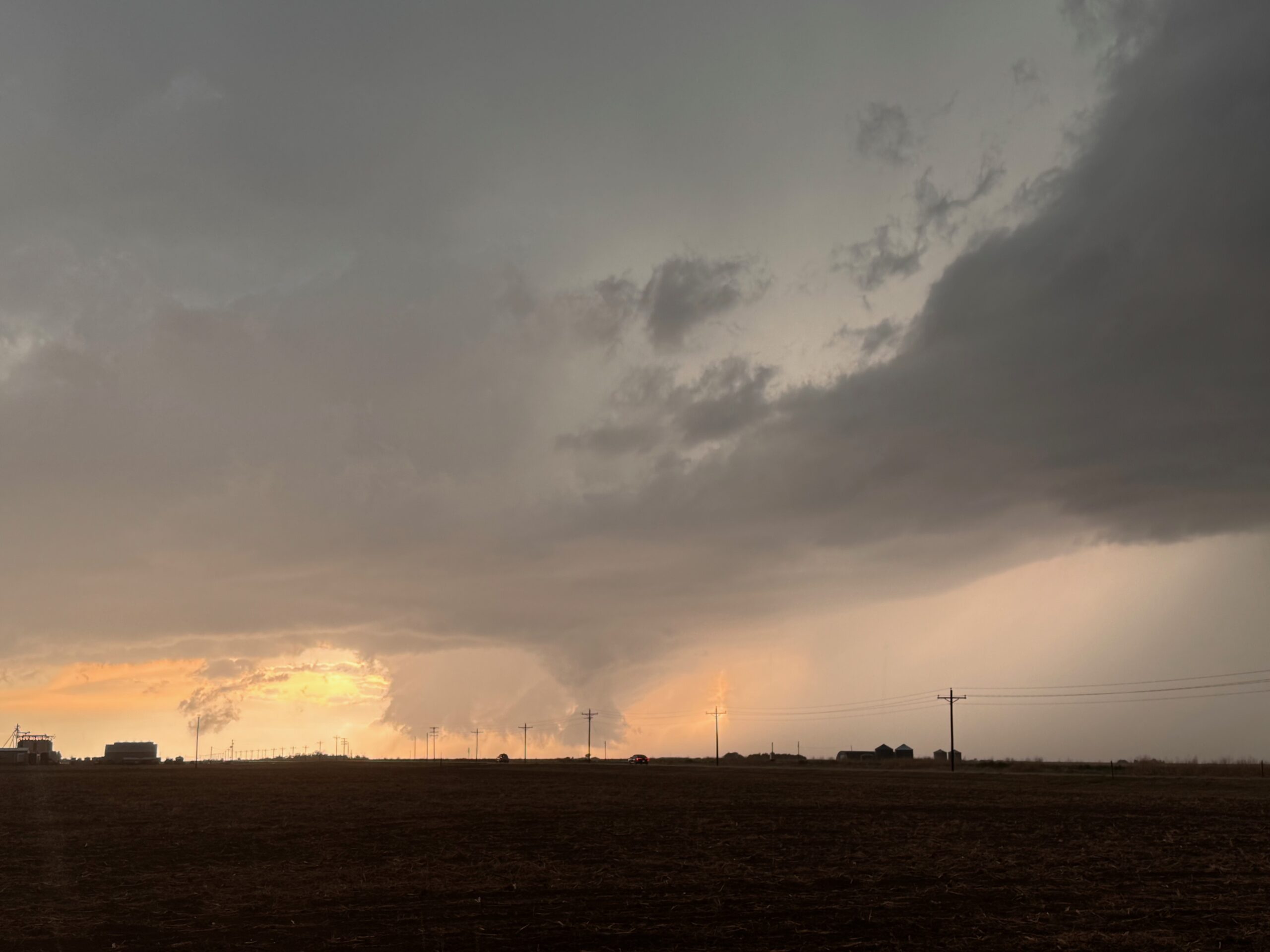
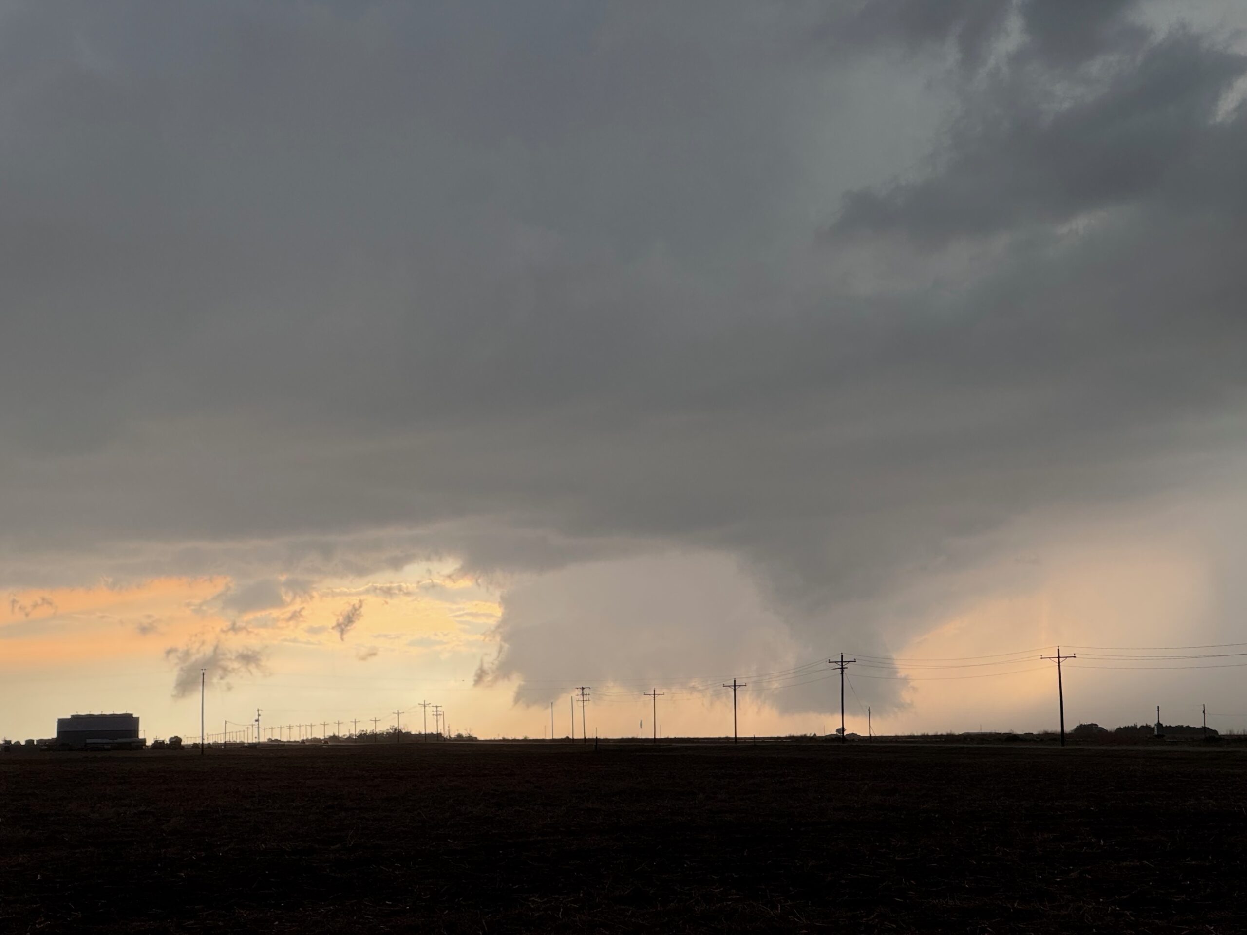
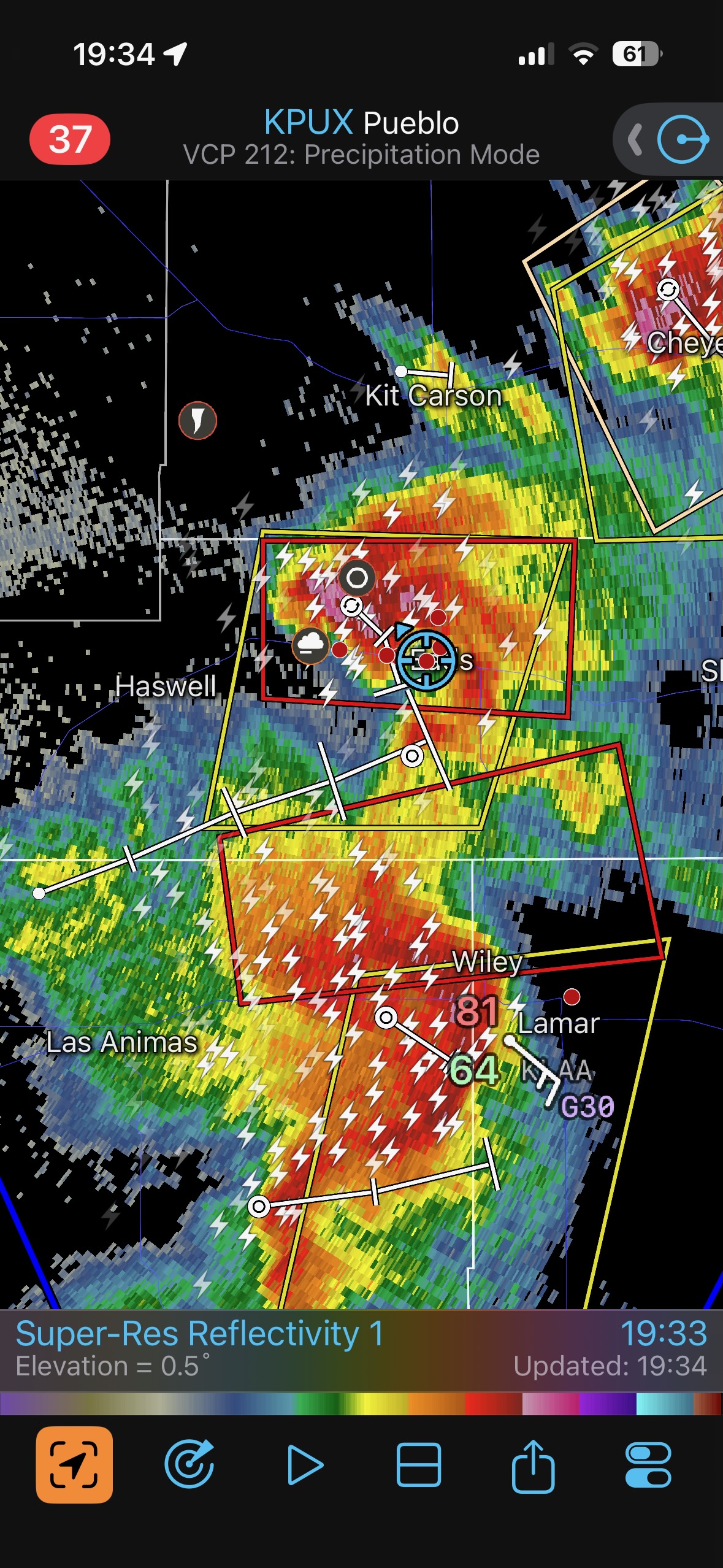
The supercell continued to the southeast and maintained its strength fairly well, though there may have been a slight weakening trend. We headed all of the way down to Eads and then scooted west of town. From here, the sun was behind the updraft. A wall cloud and funnel cloud kept our attention, and then the storm was tornado-warned. See radar image at 19:34 below.
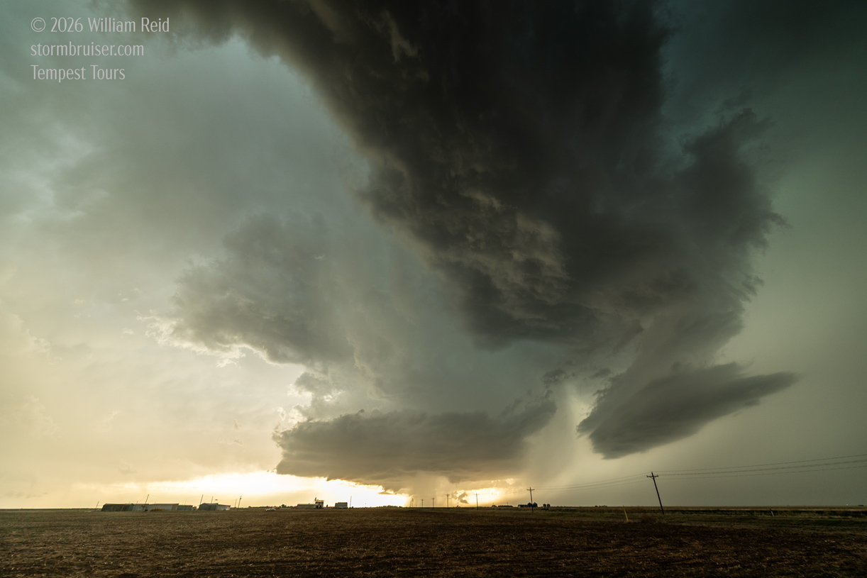
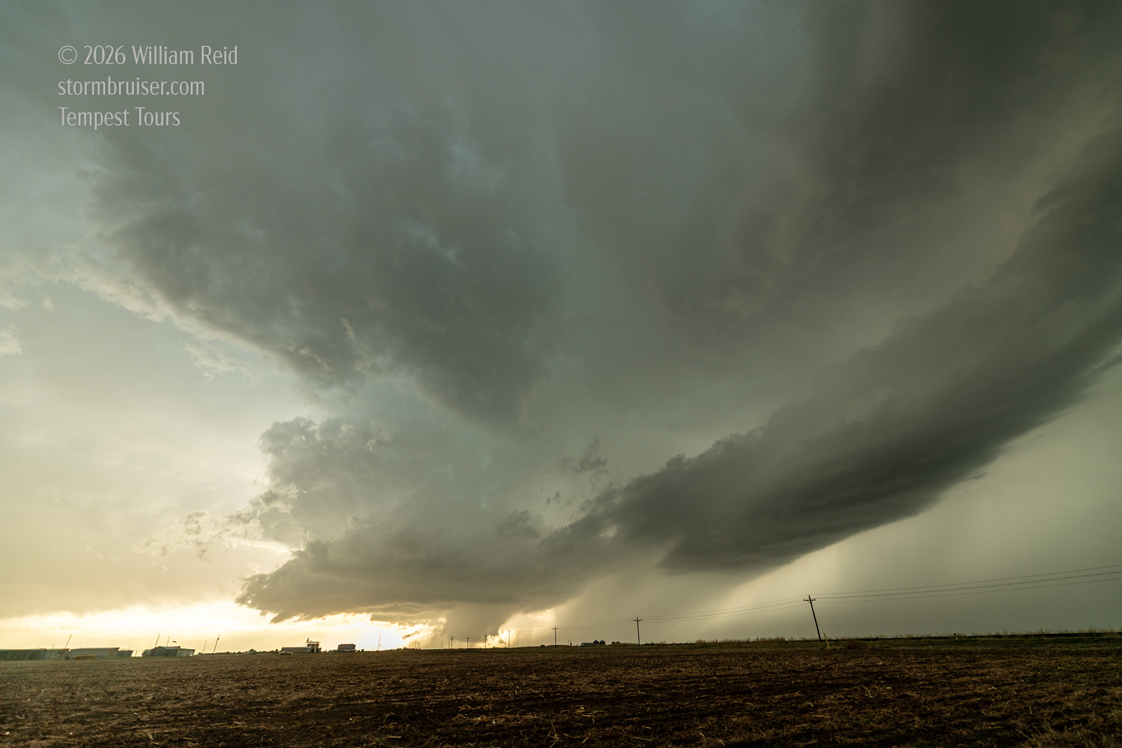
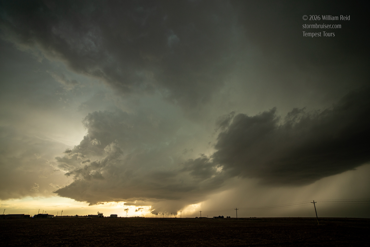
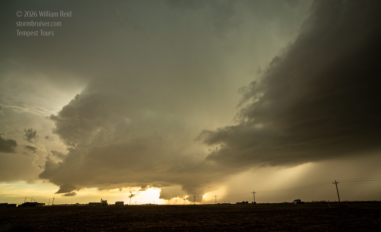
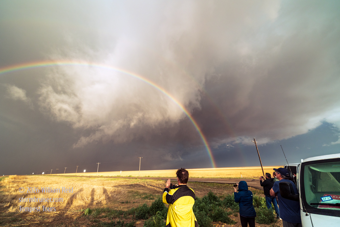
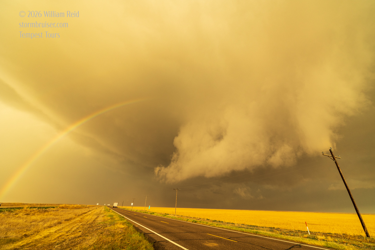
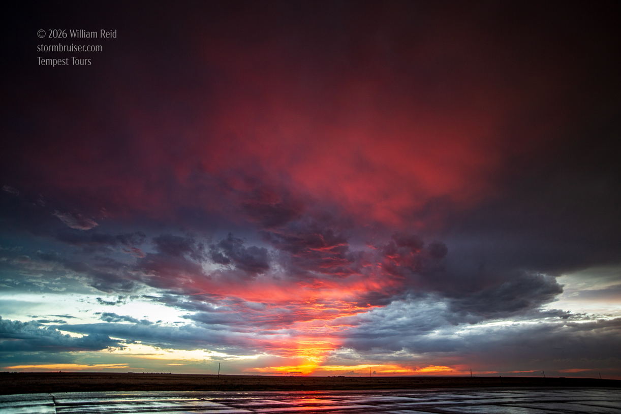
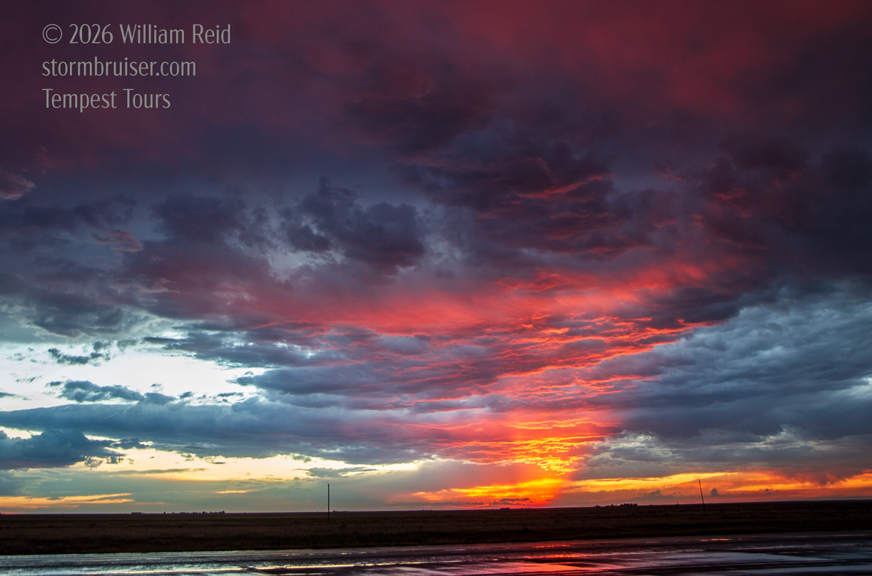
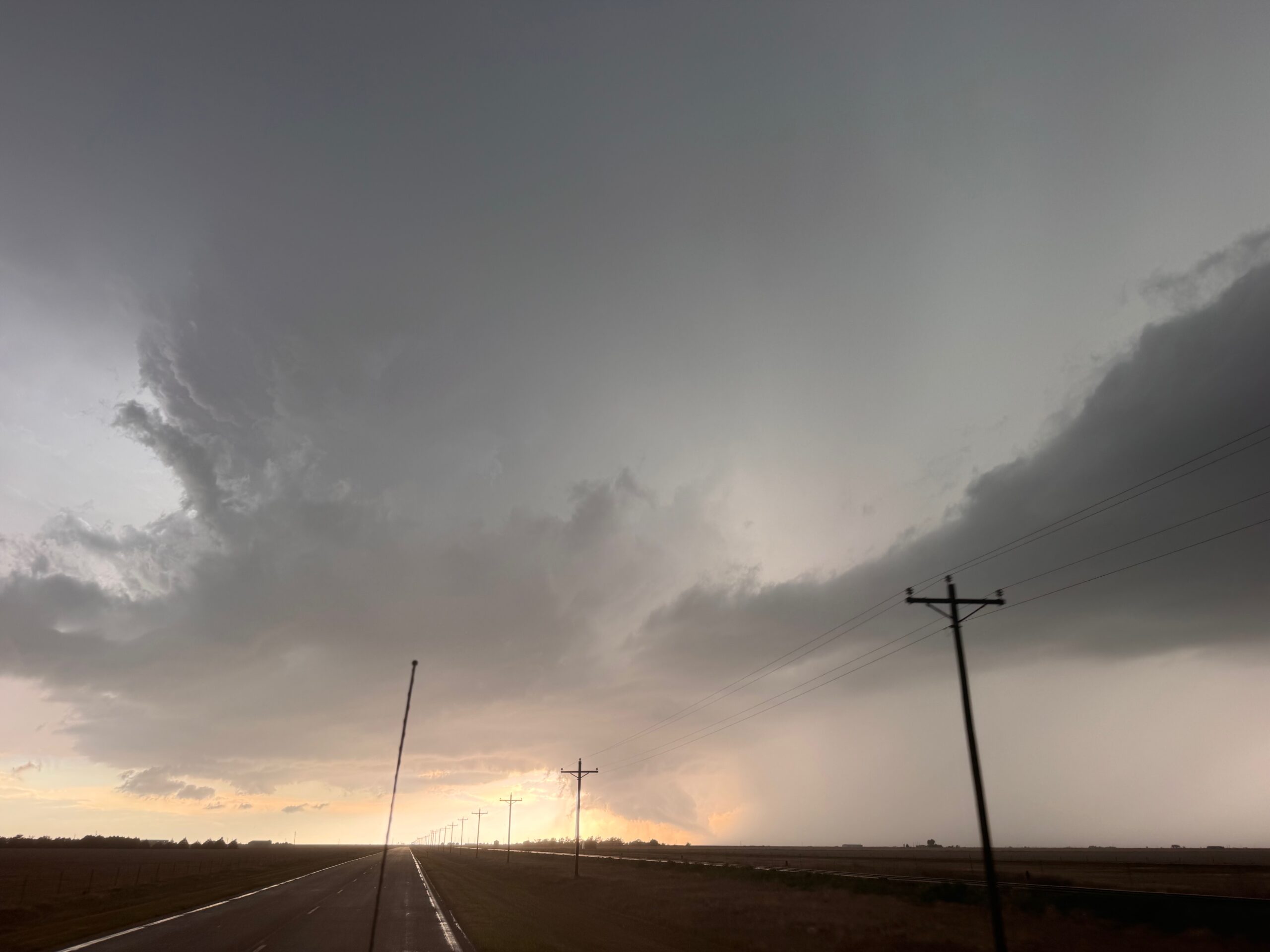
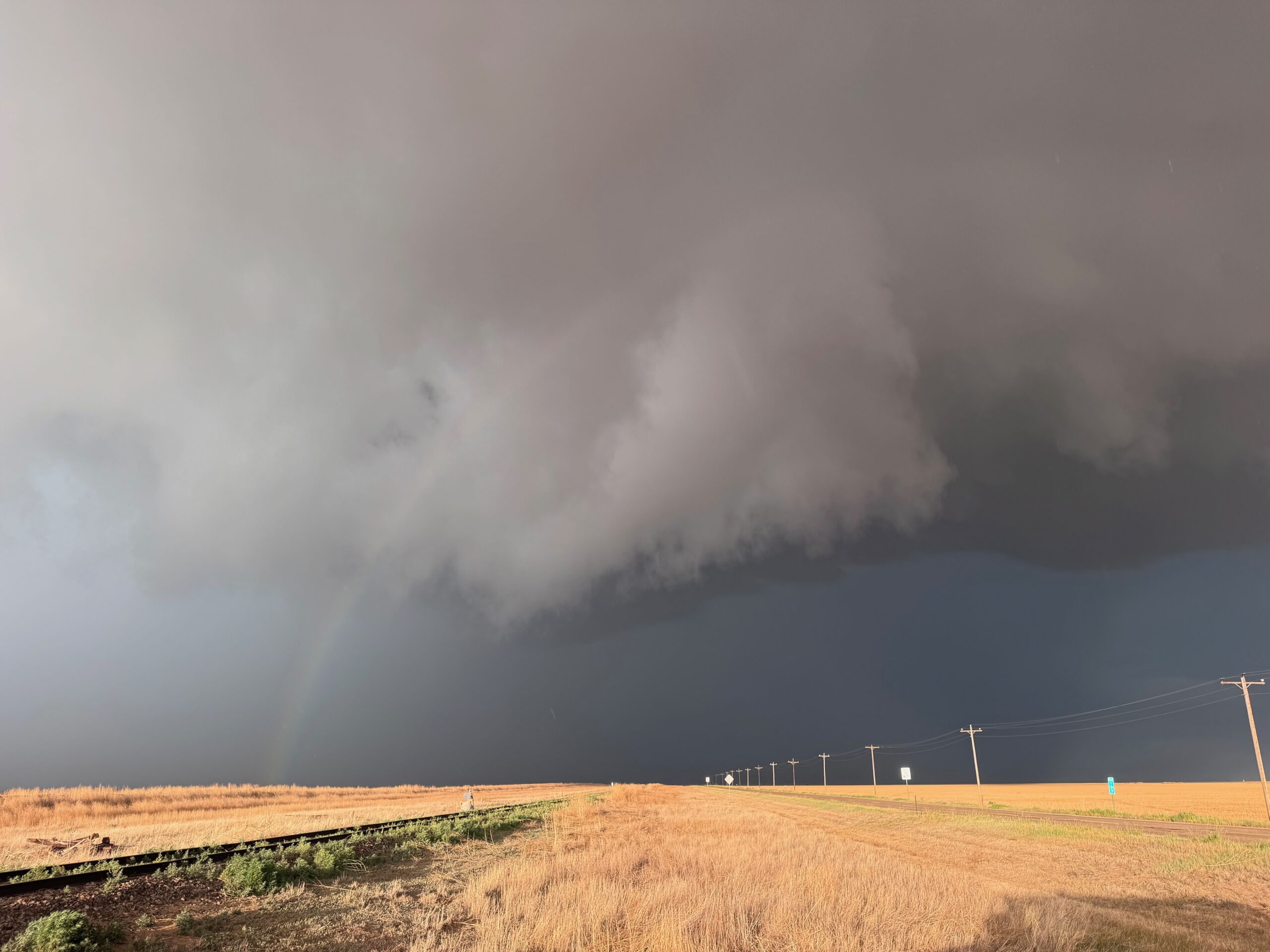
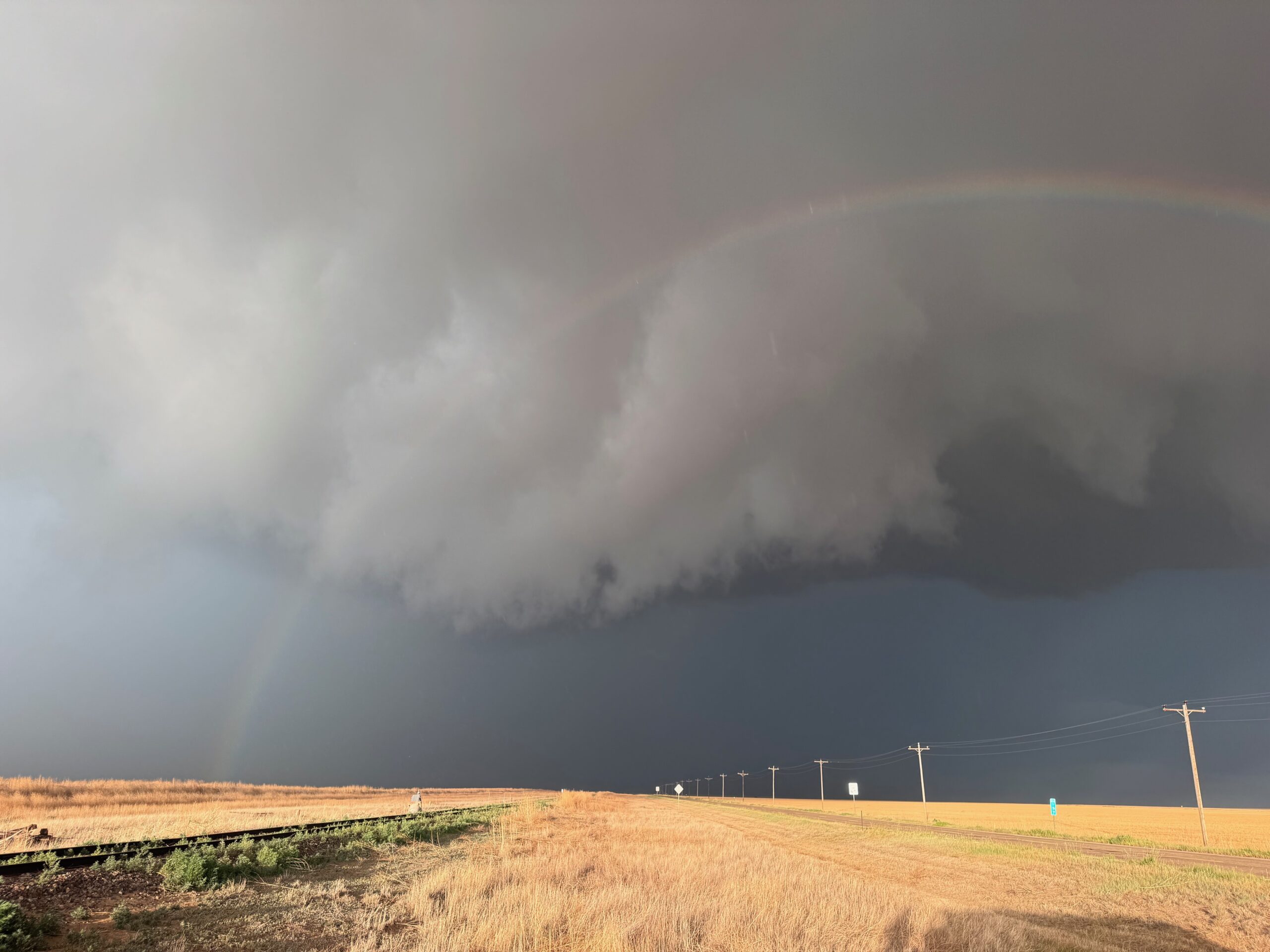
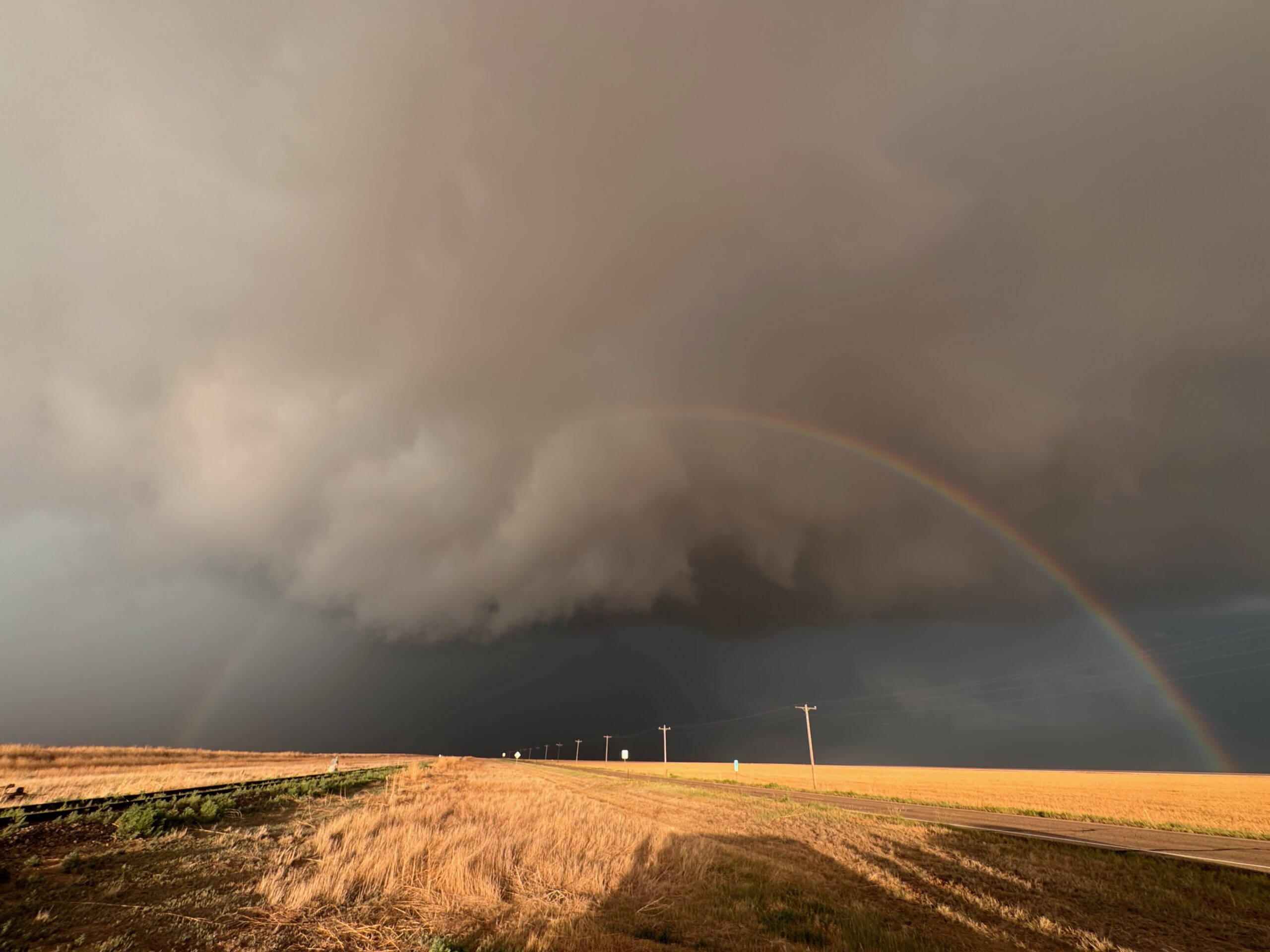
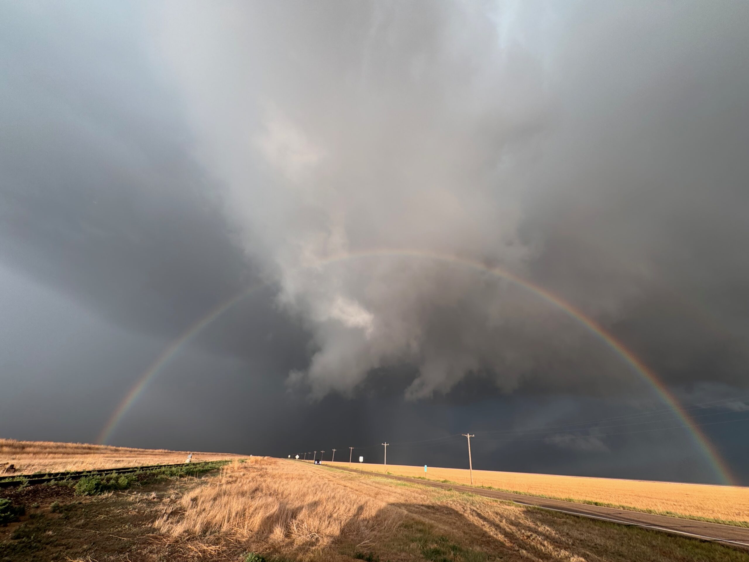
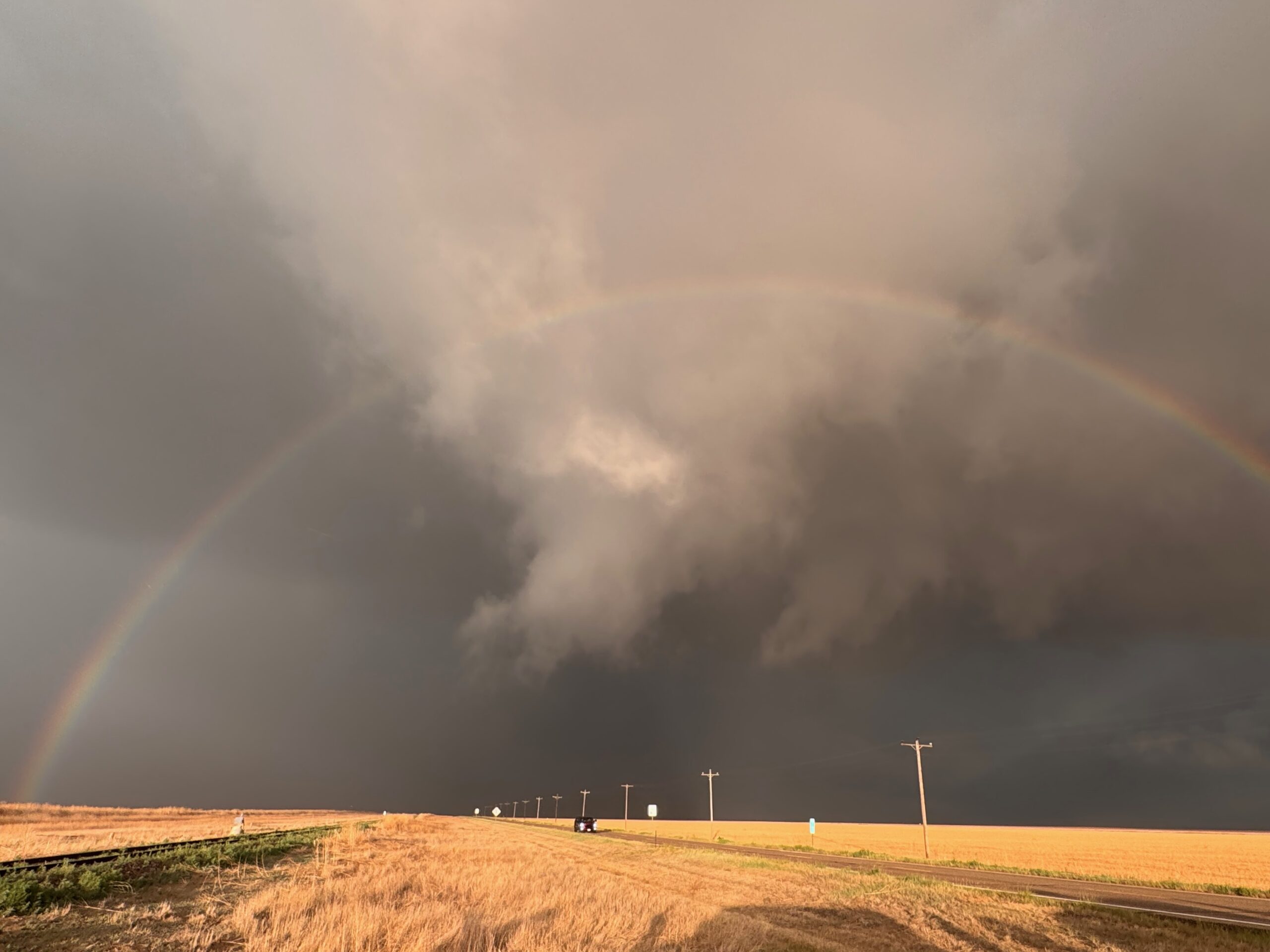
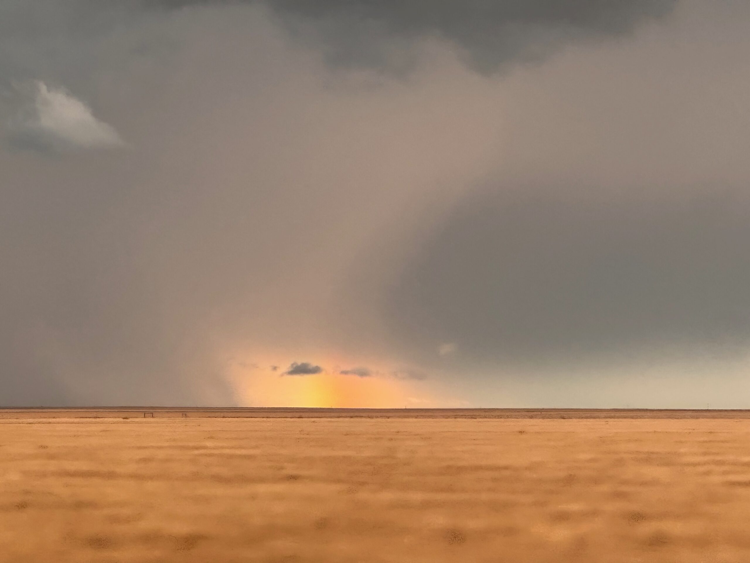
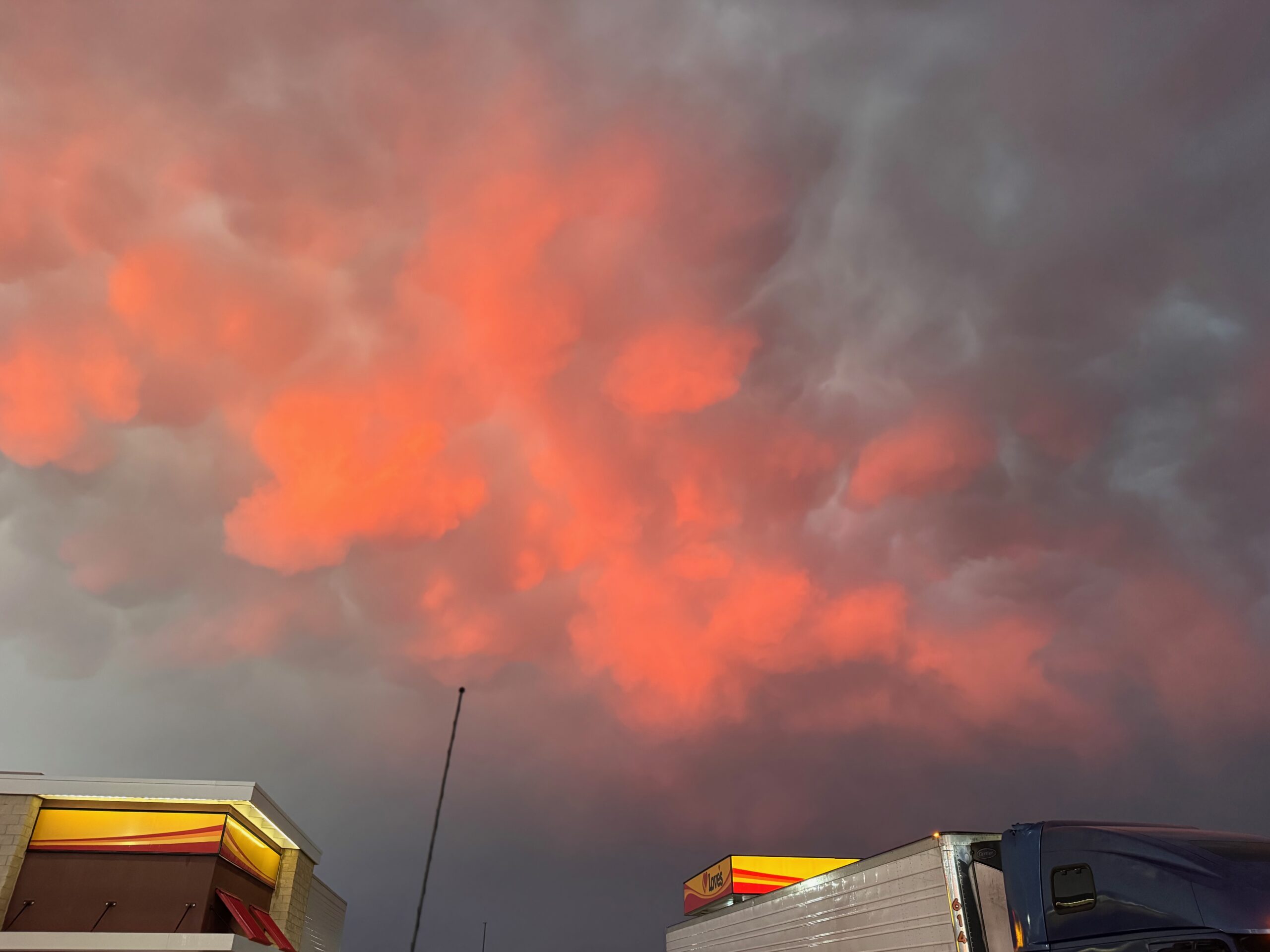
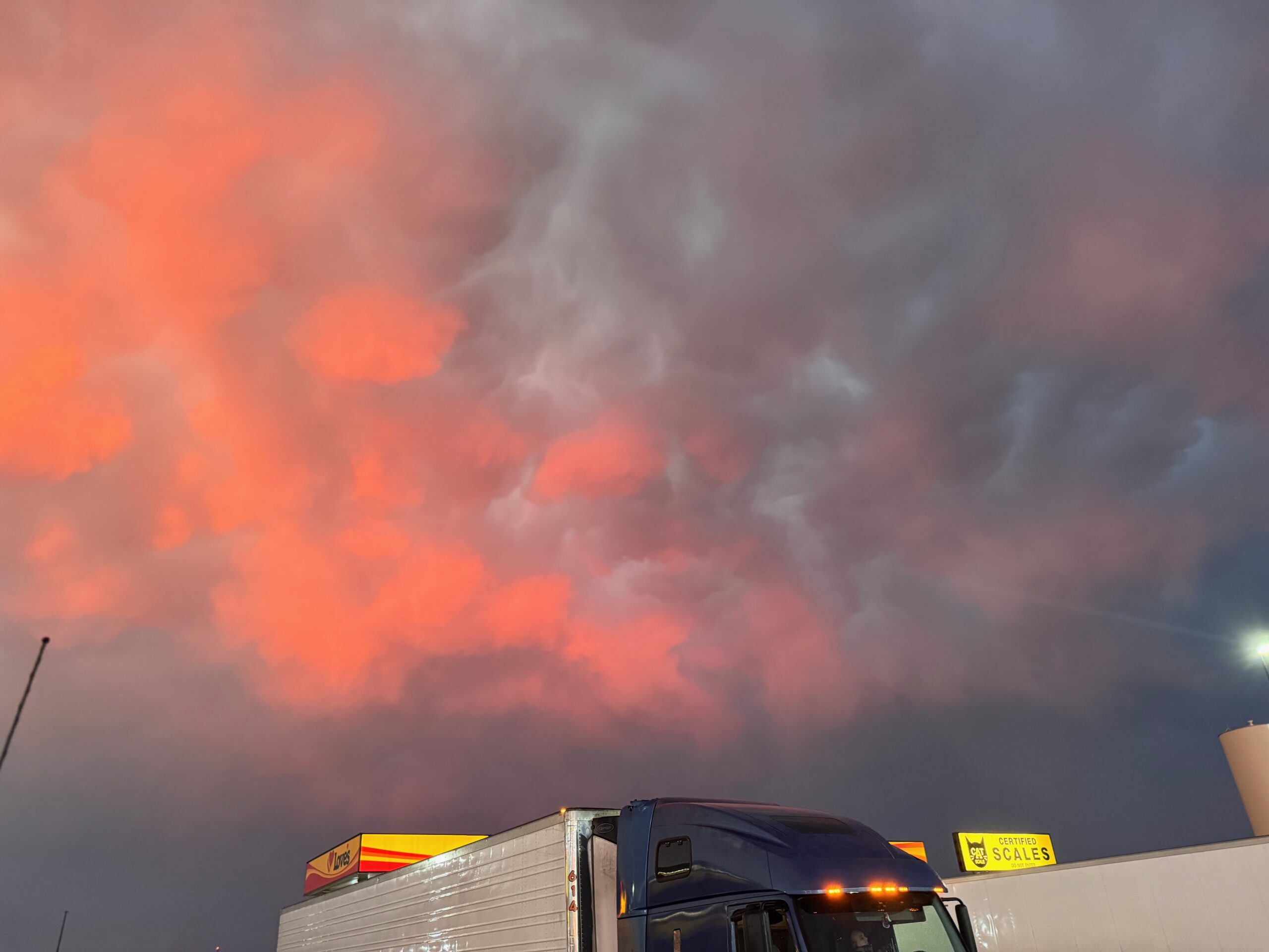
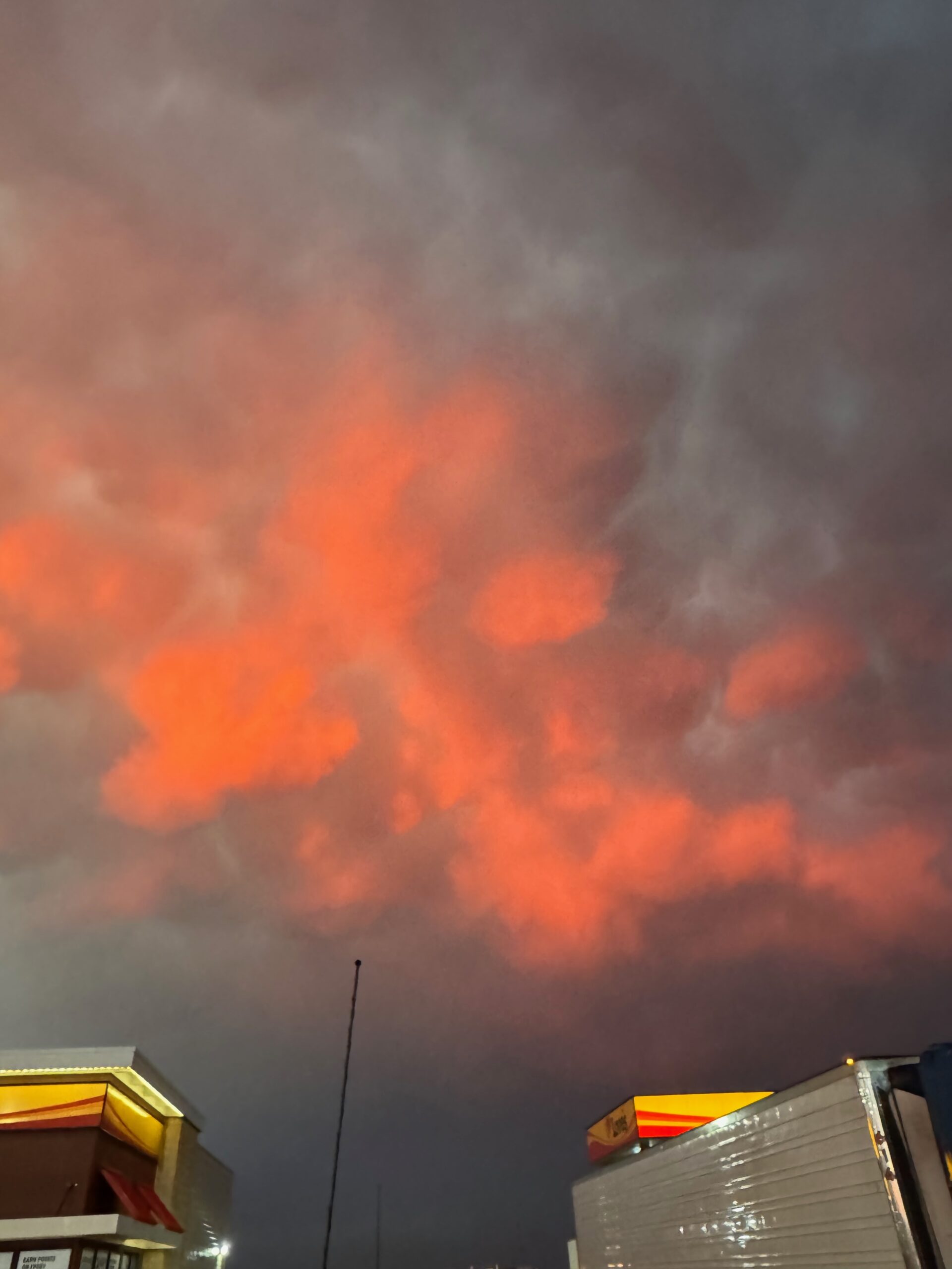
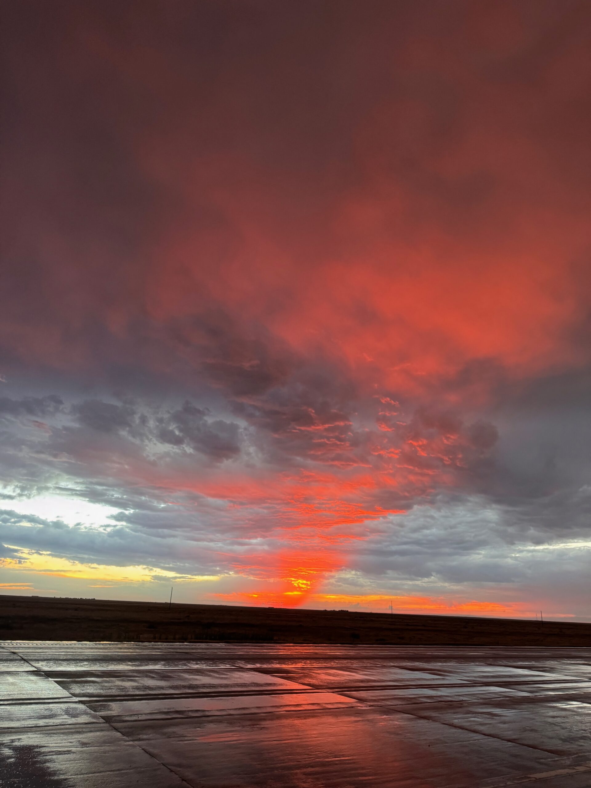
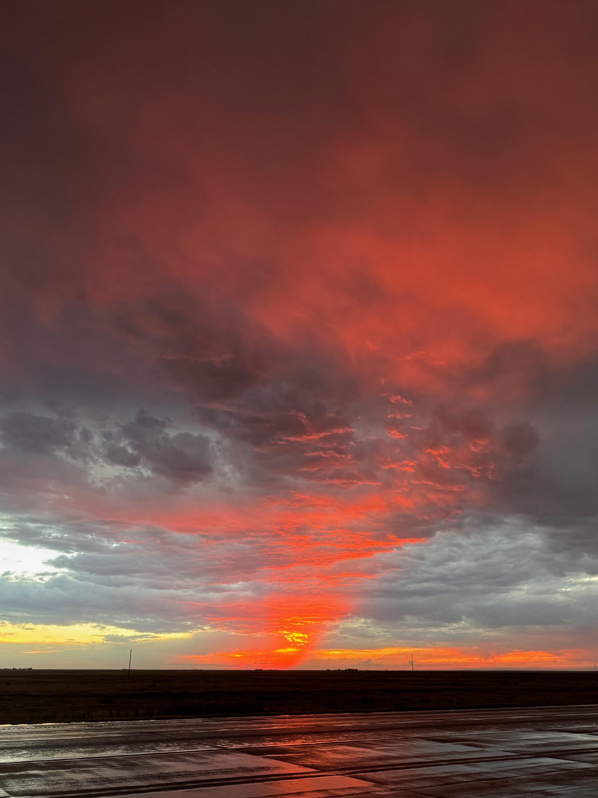
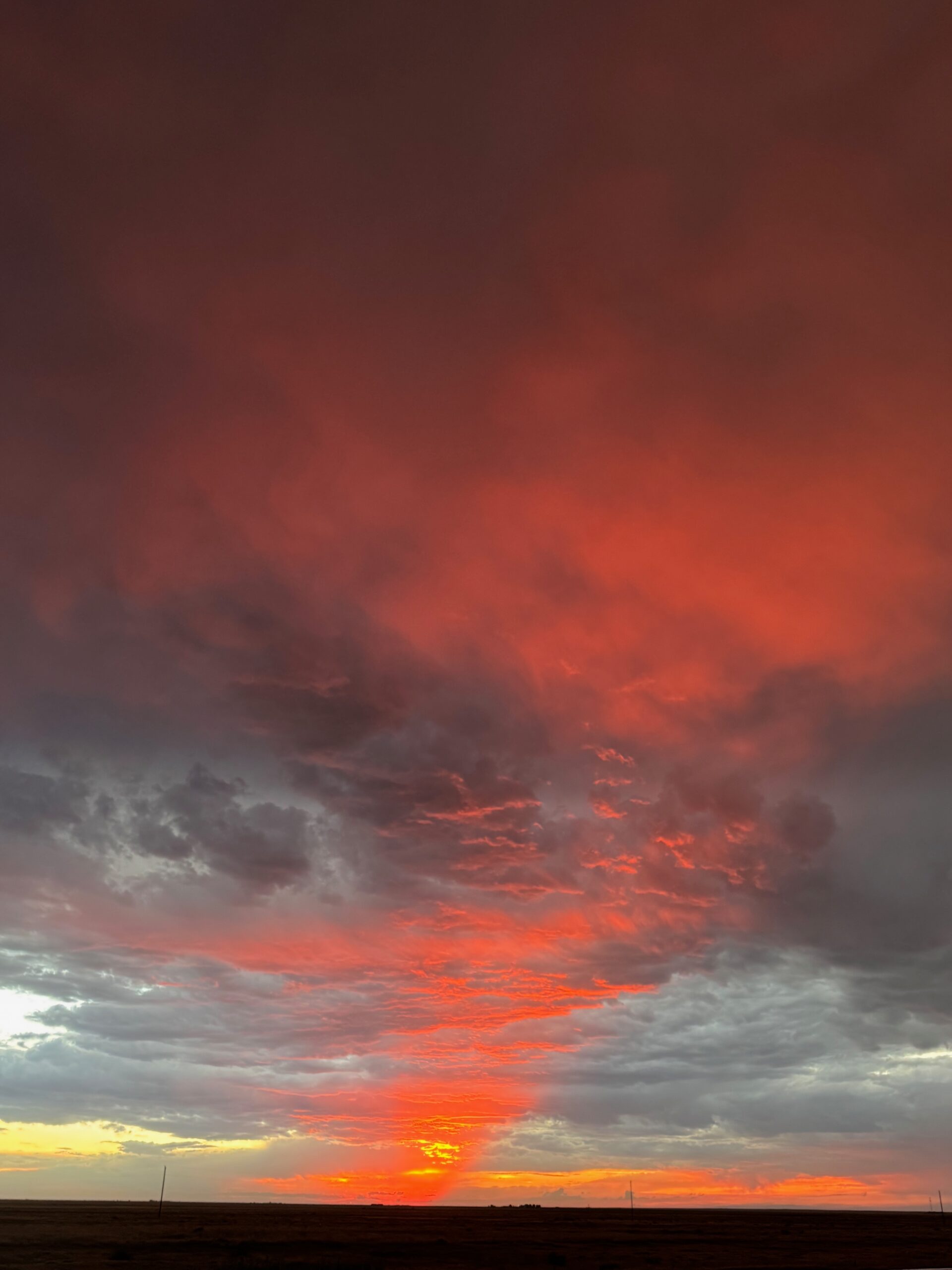
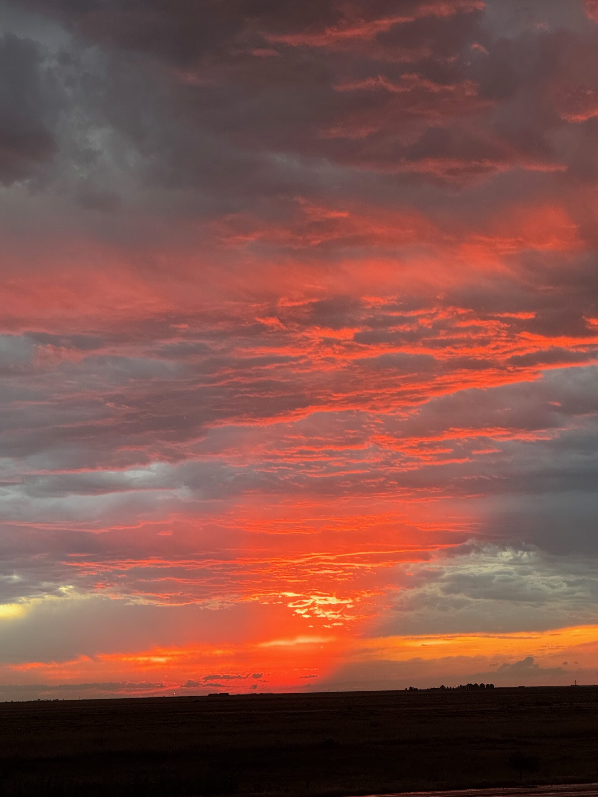
I figured that we might be better off getting closer to the updraft base given the tornado warning! We went west on 96, and I held my breath that there would be no large hail. There was no hail. There was just some light rain, and a lot of crazy motion in the clouds above. We stopped a little west of the wall cloud once the rain had diminished sufficiently, and the look back to the east was a scene of wild cloud structure, sunset colors and rainbows. I thought we might get a fabulous sunset tornado, but it was not to be. The storm organization appeared to weaken considerably as it moved south of 96.
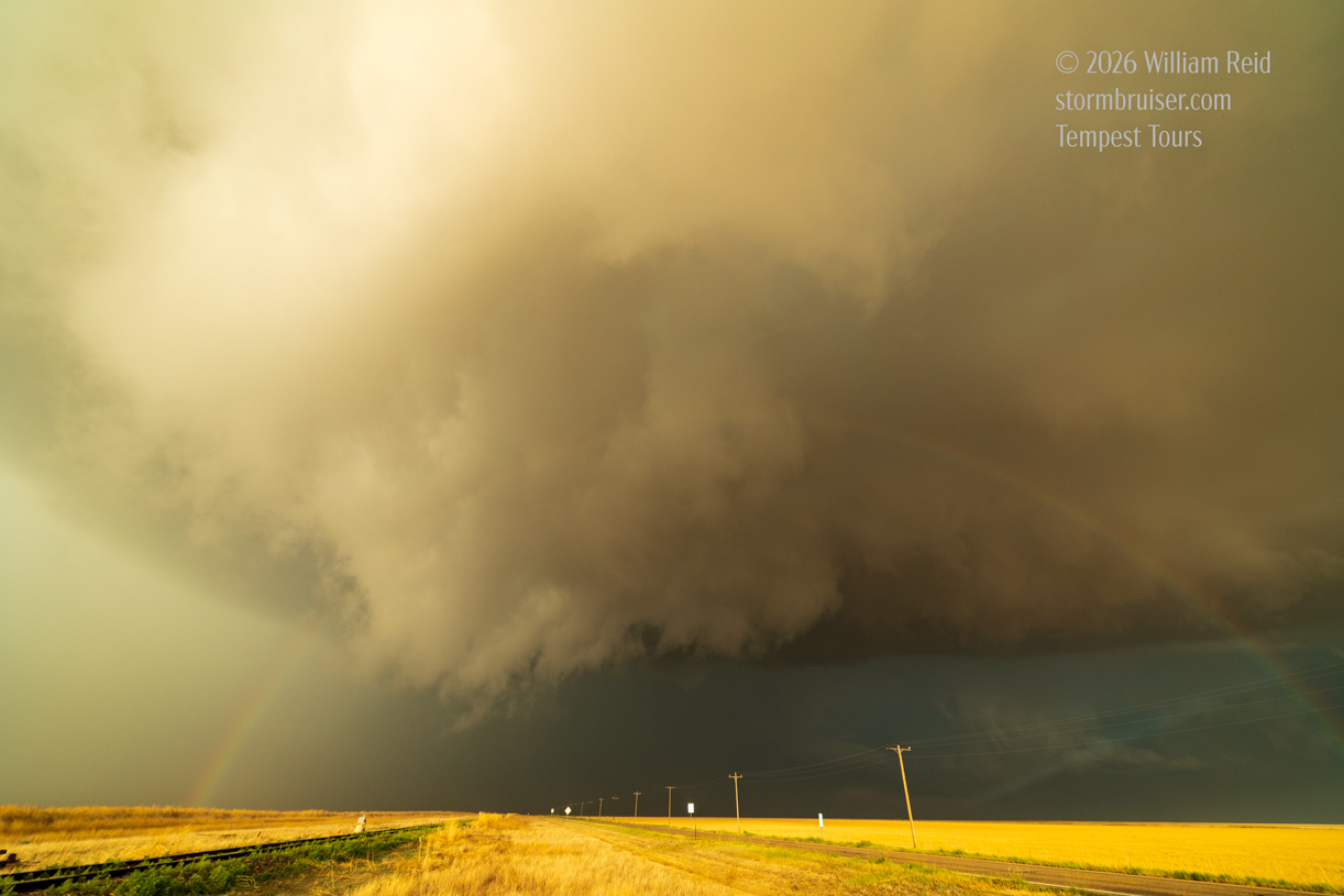
iPhone photo dump below, beginning with the early intercept west of Aroya.
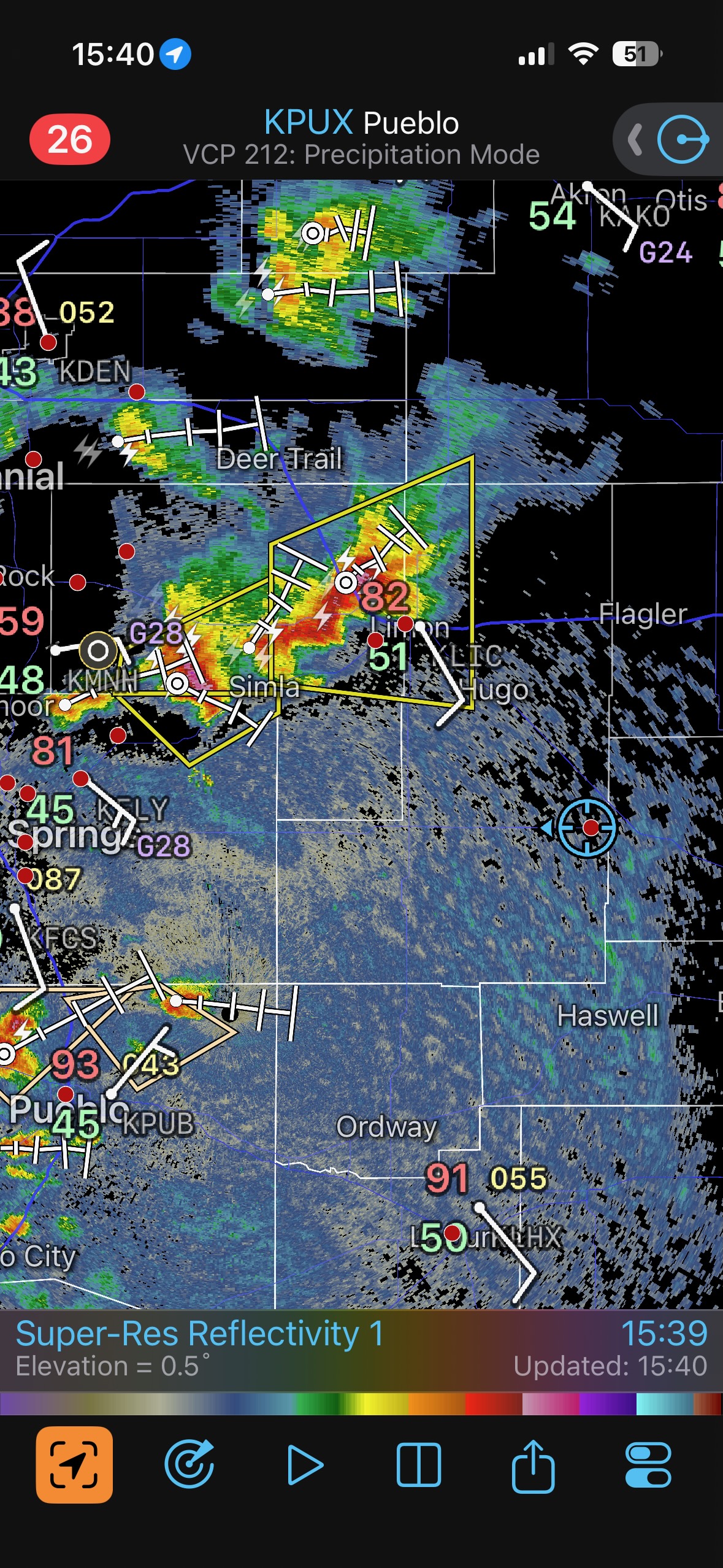
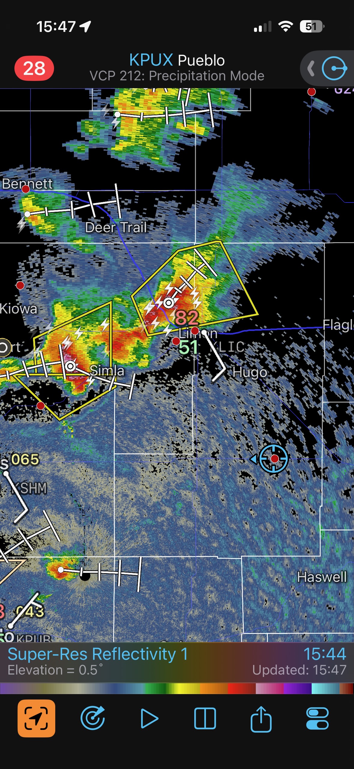
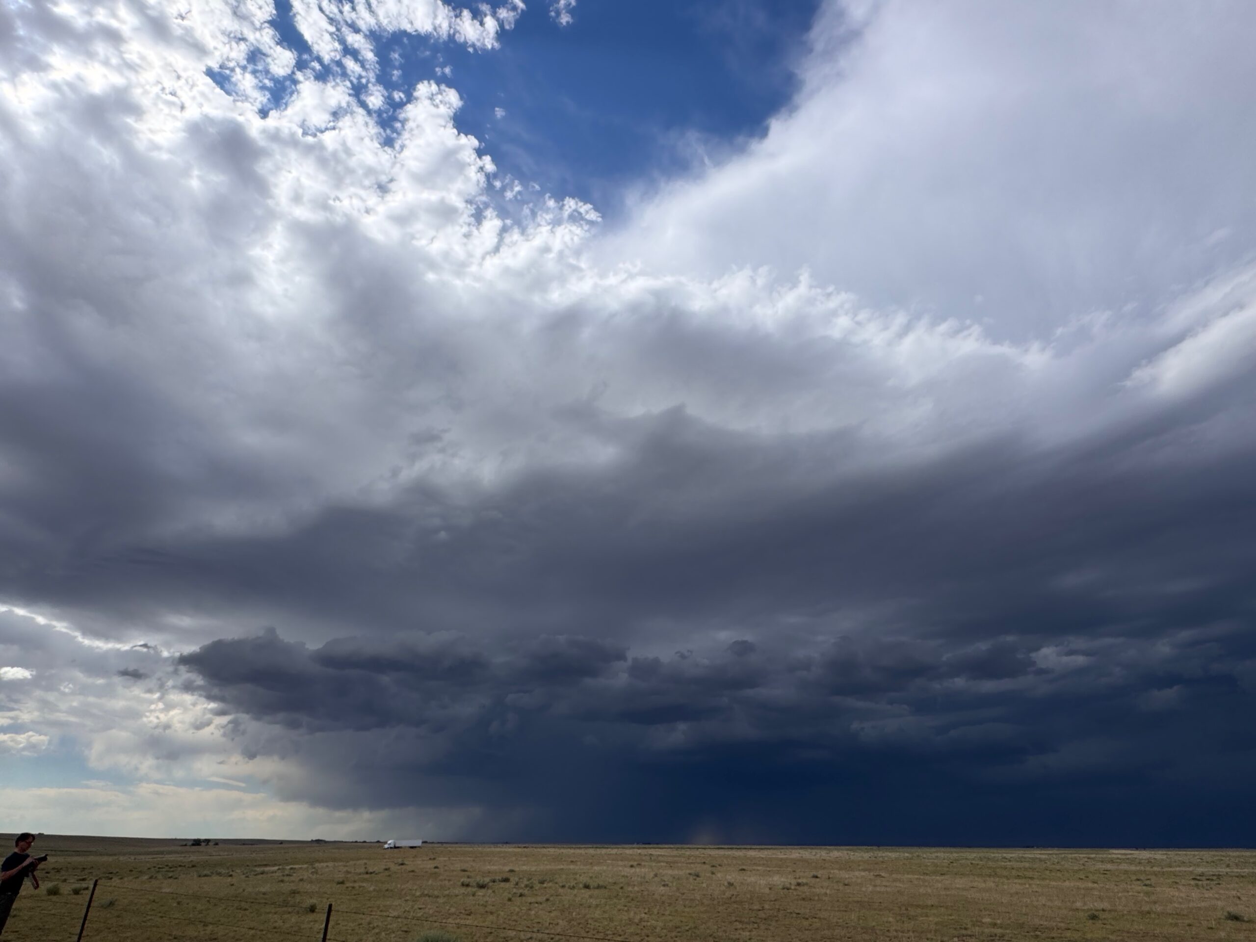
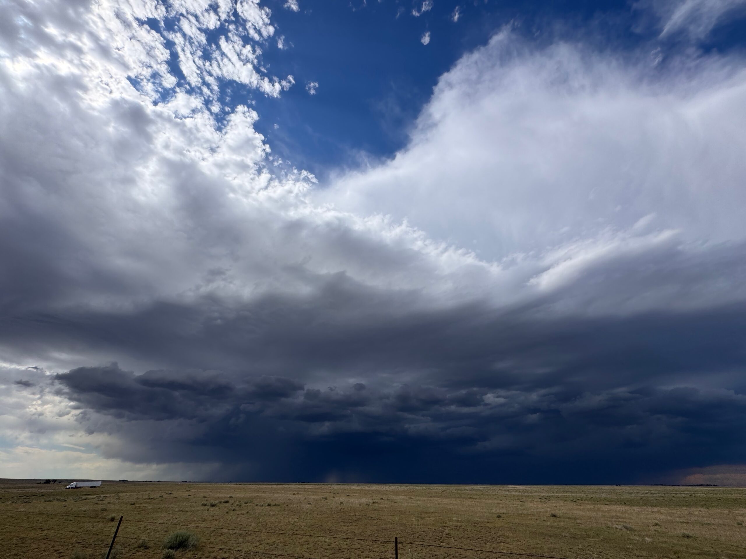
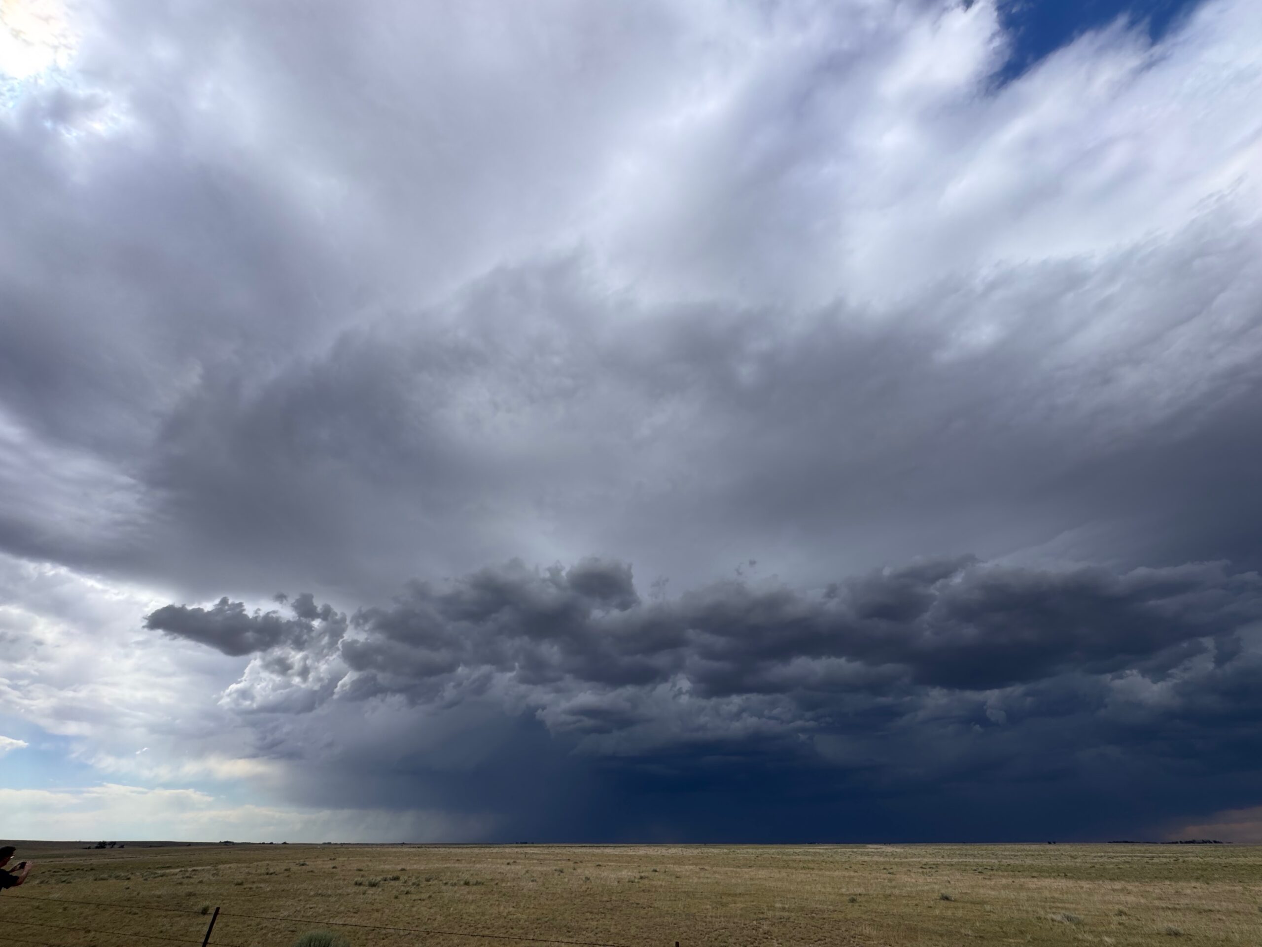
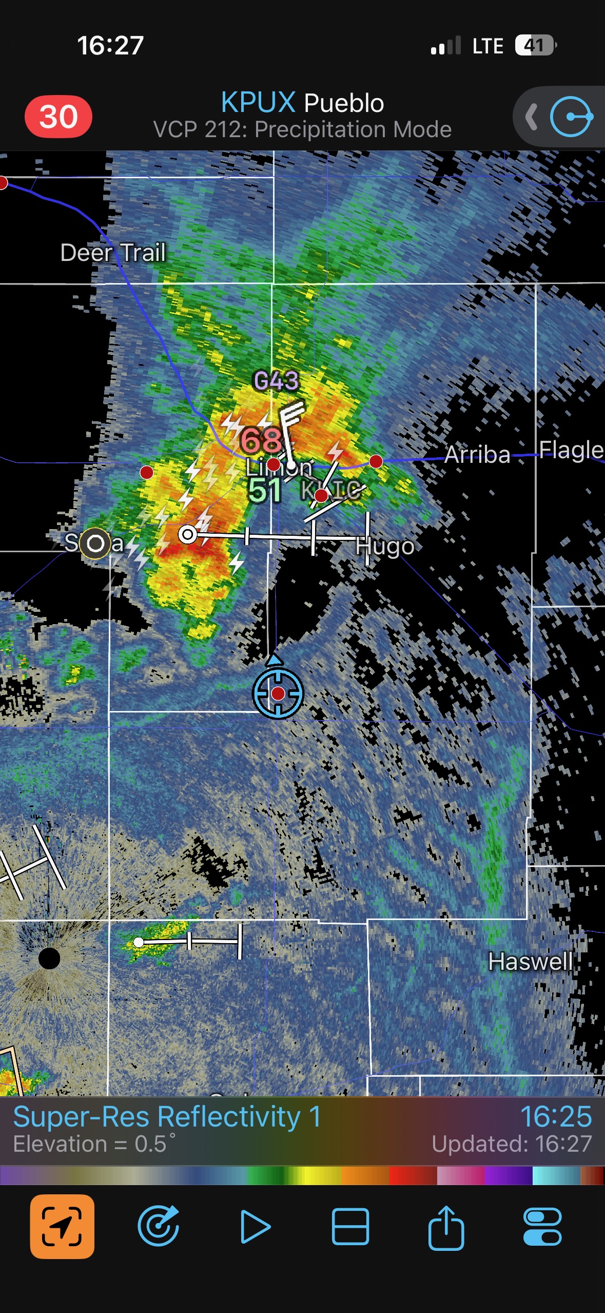
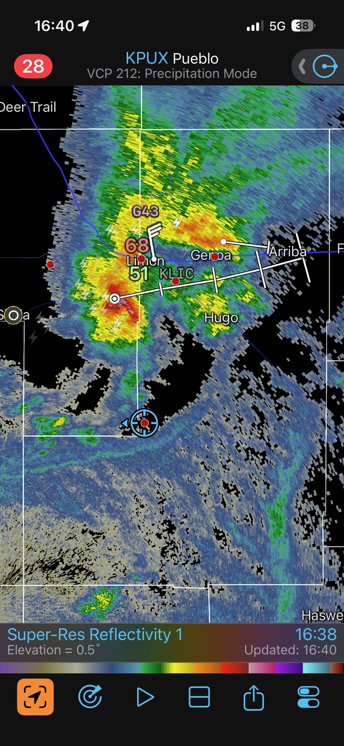
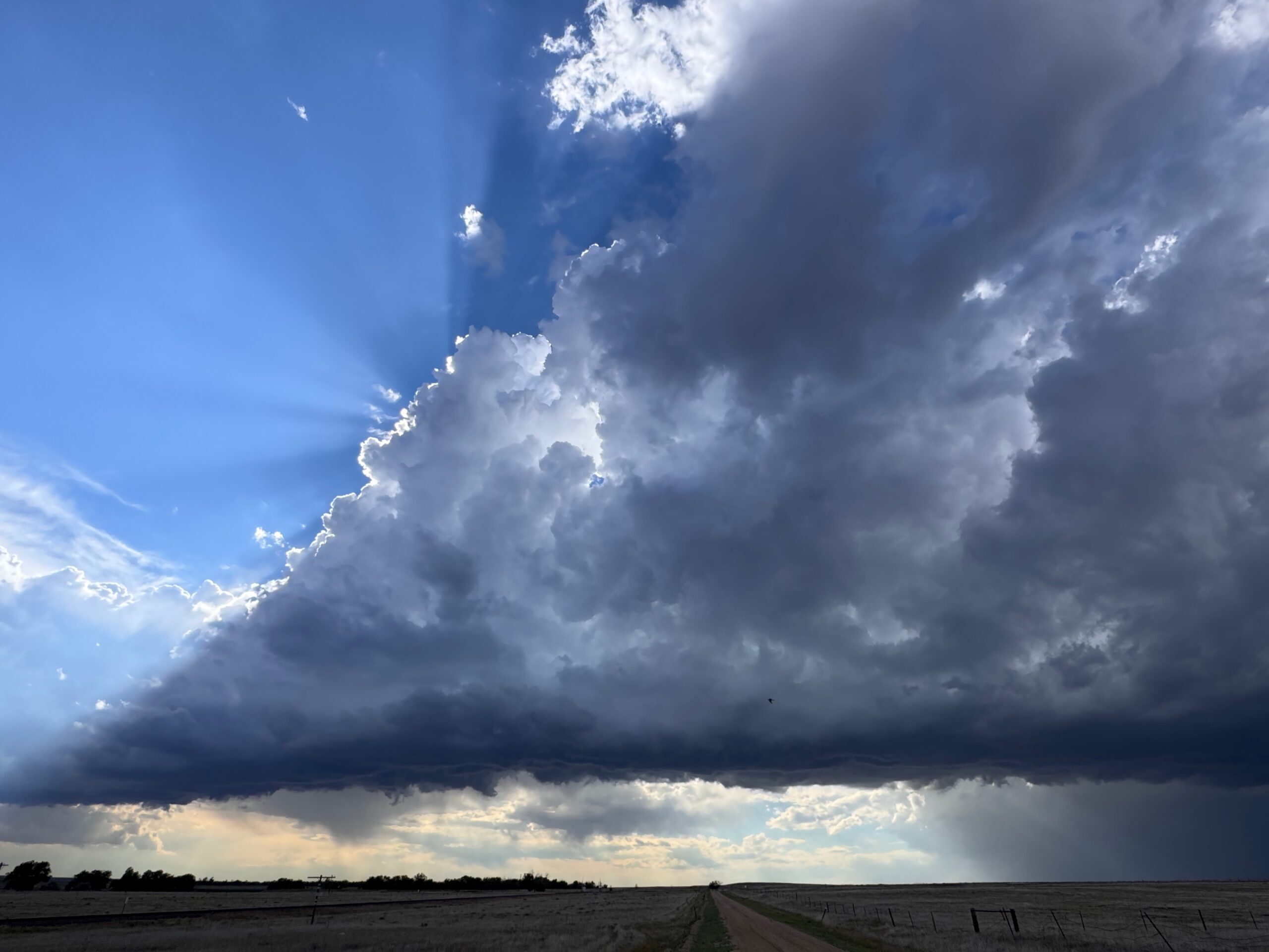
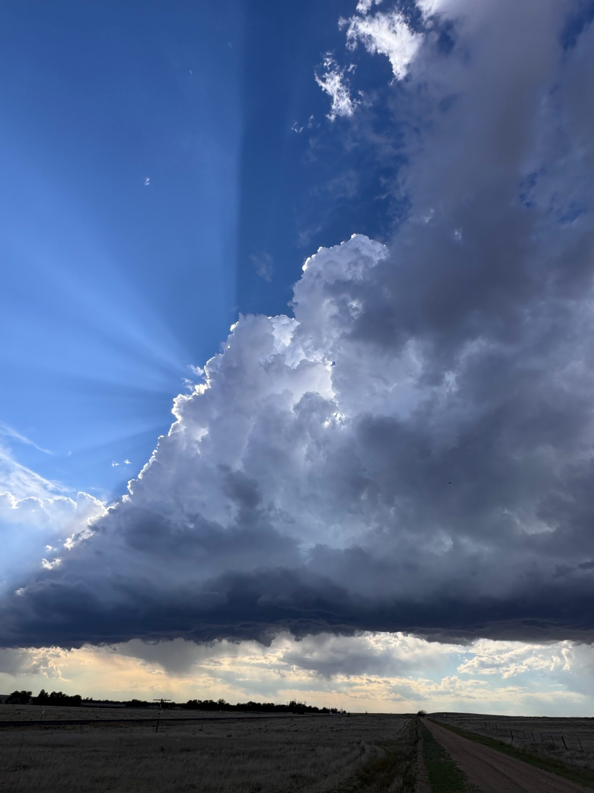
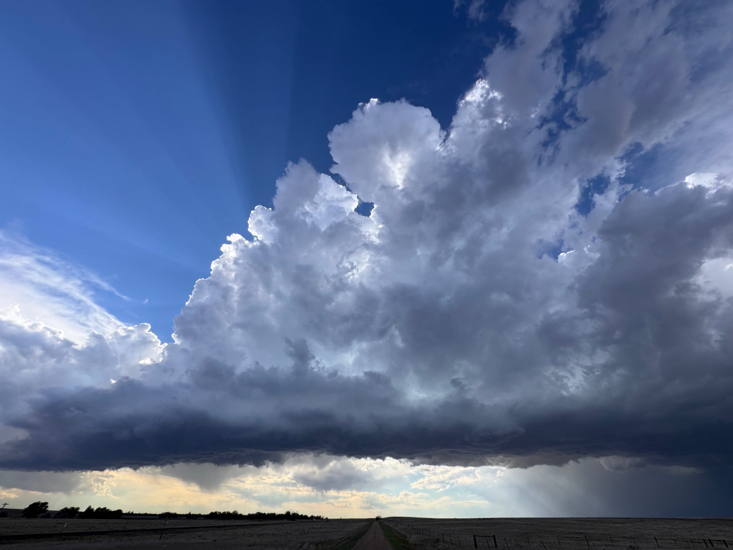
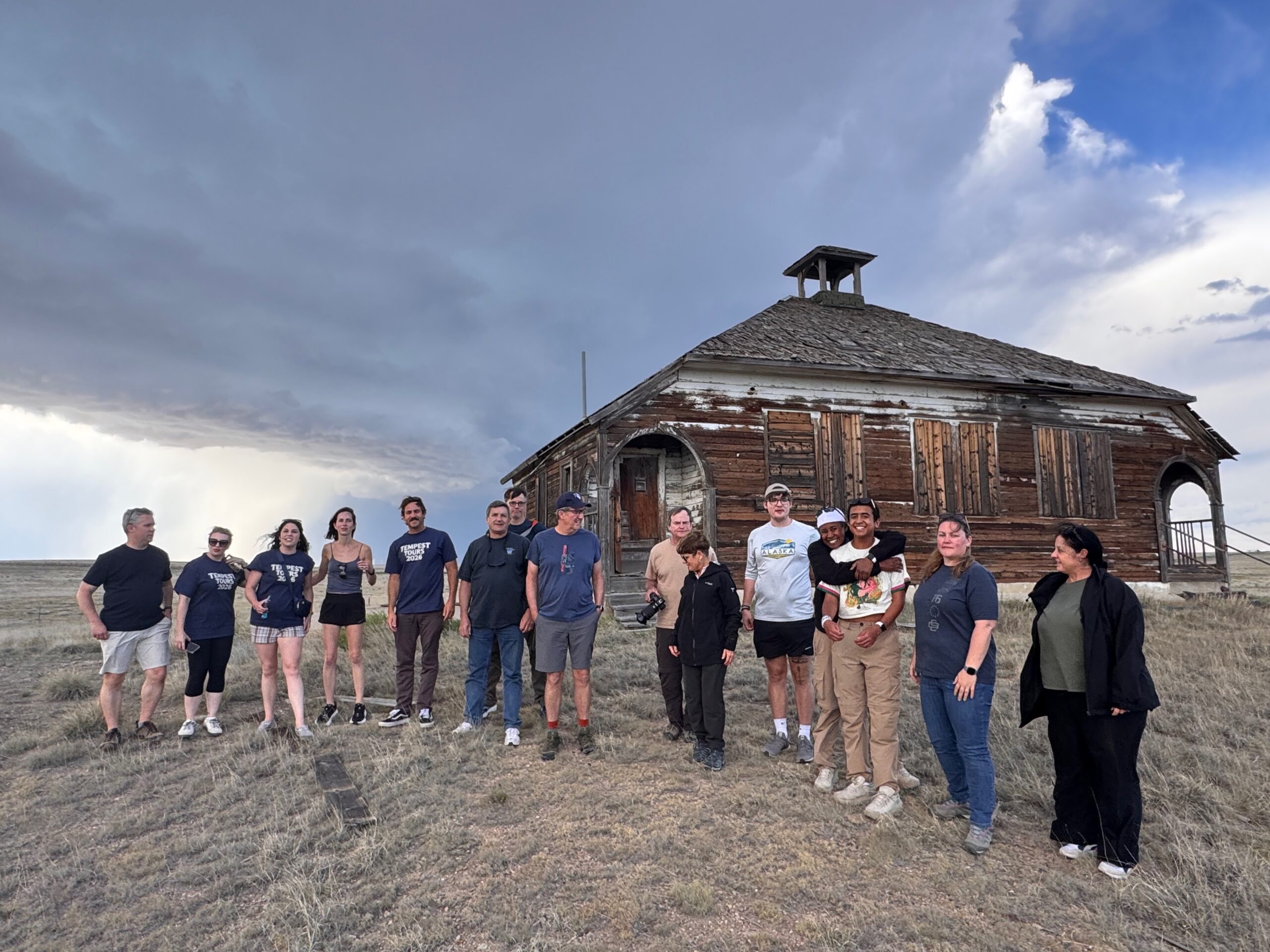
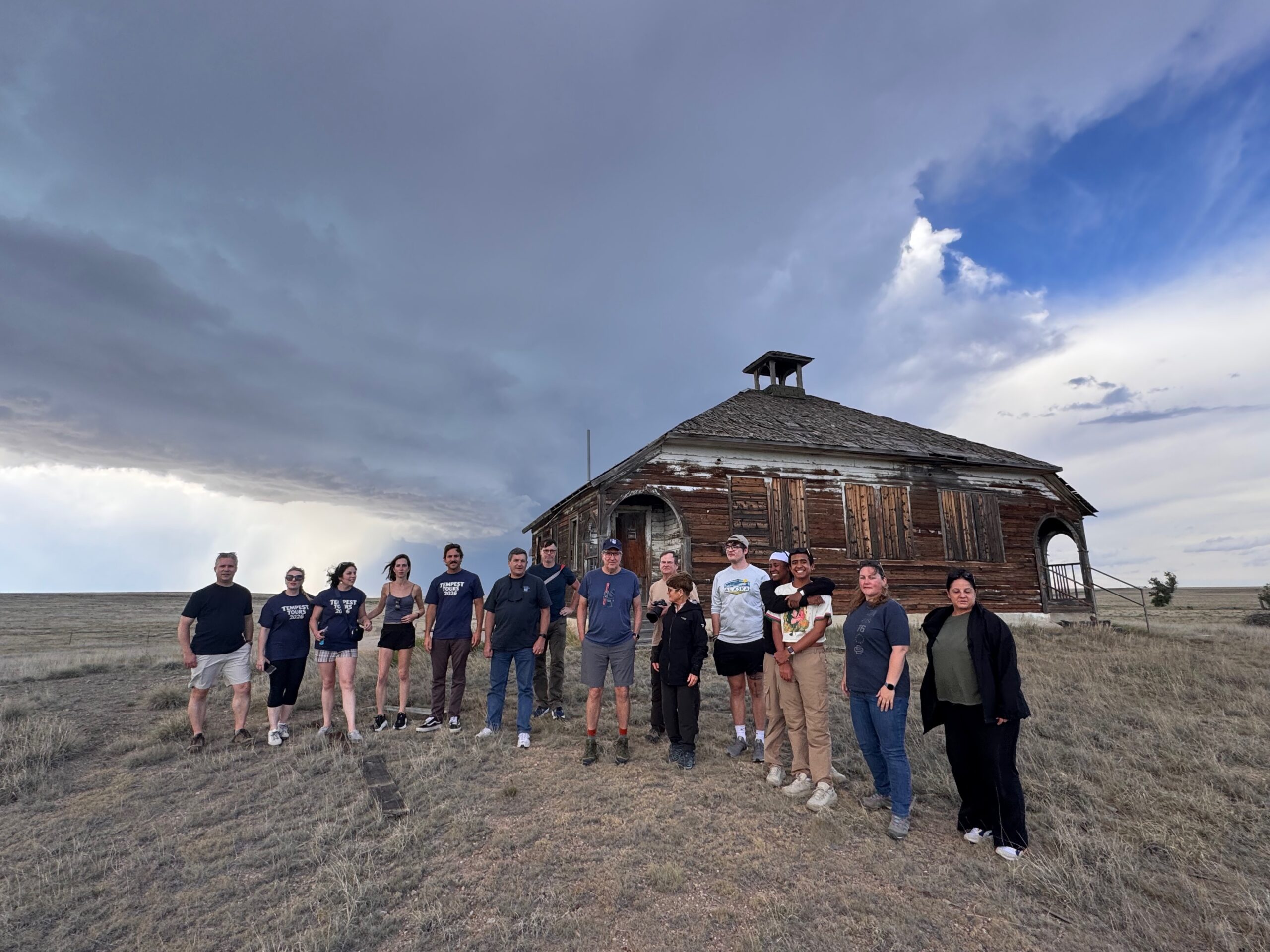
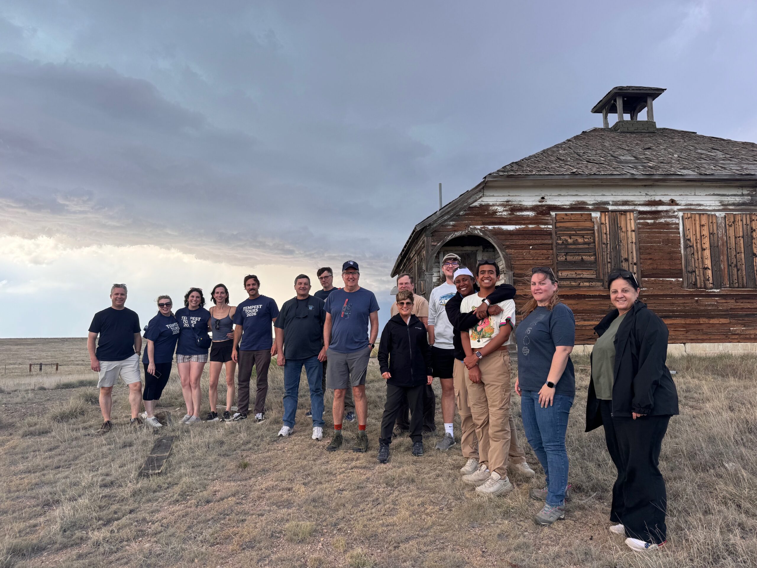
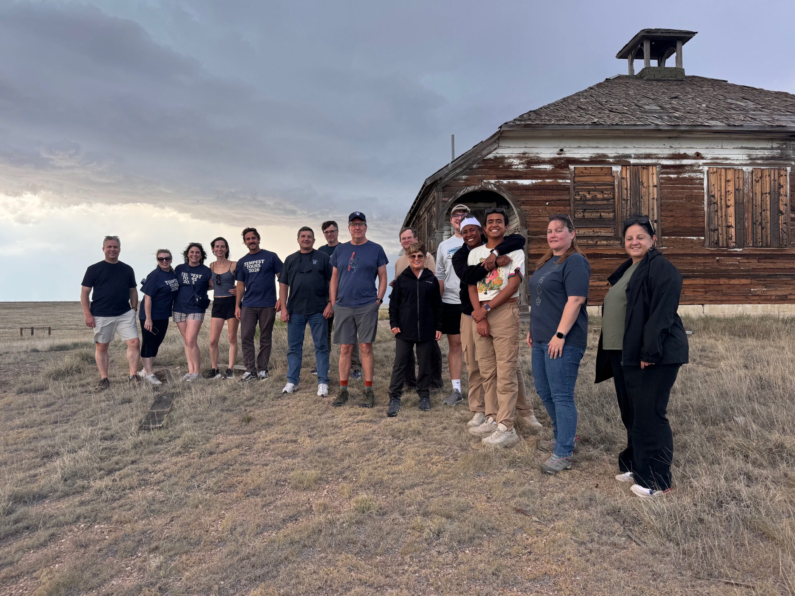
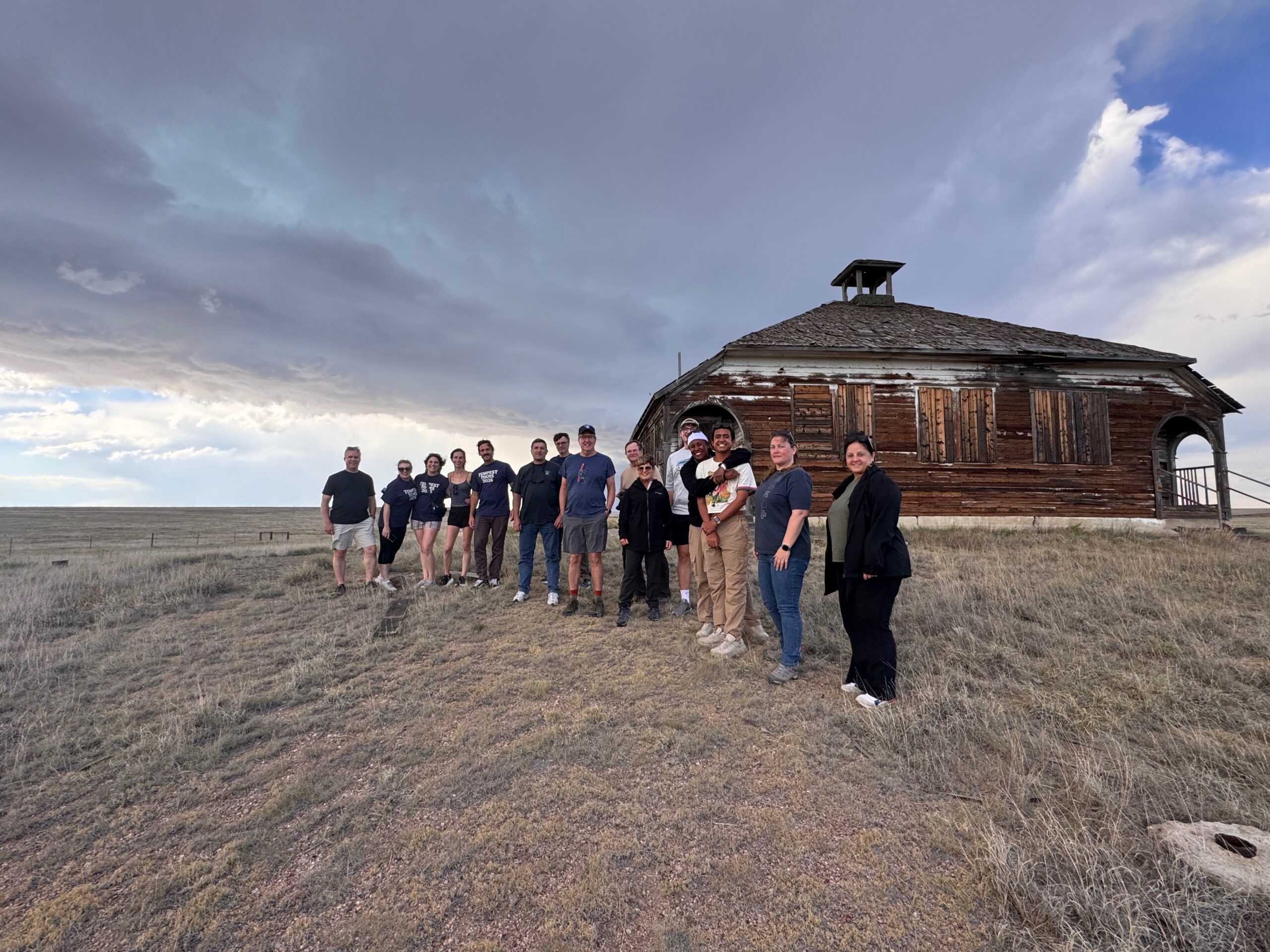
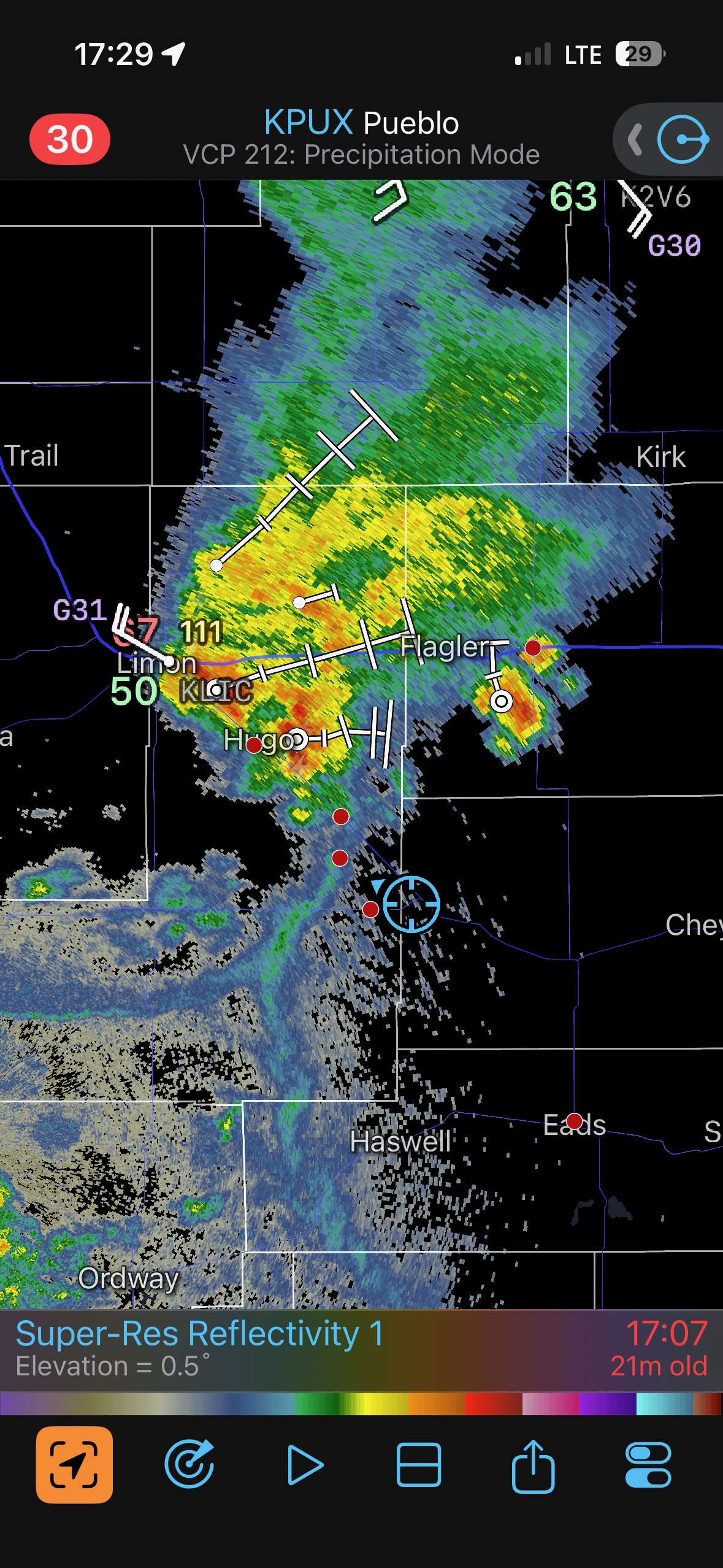
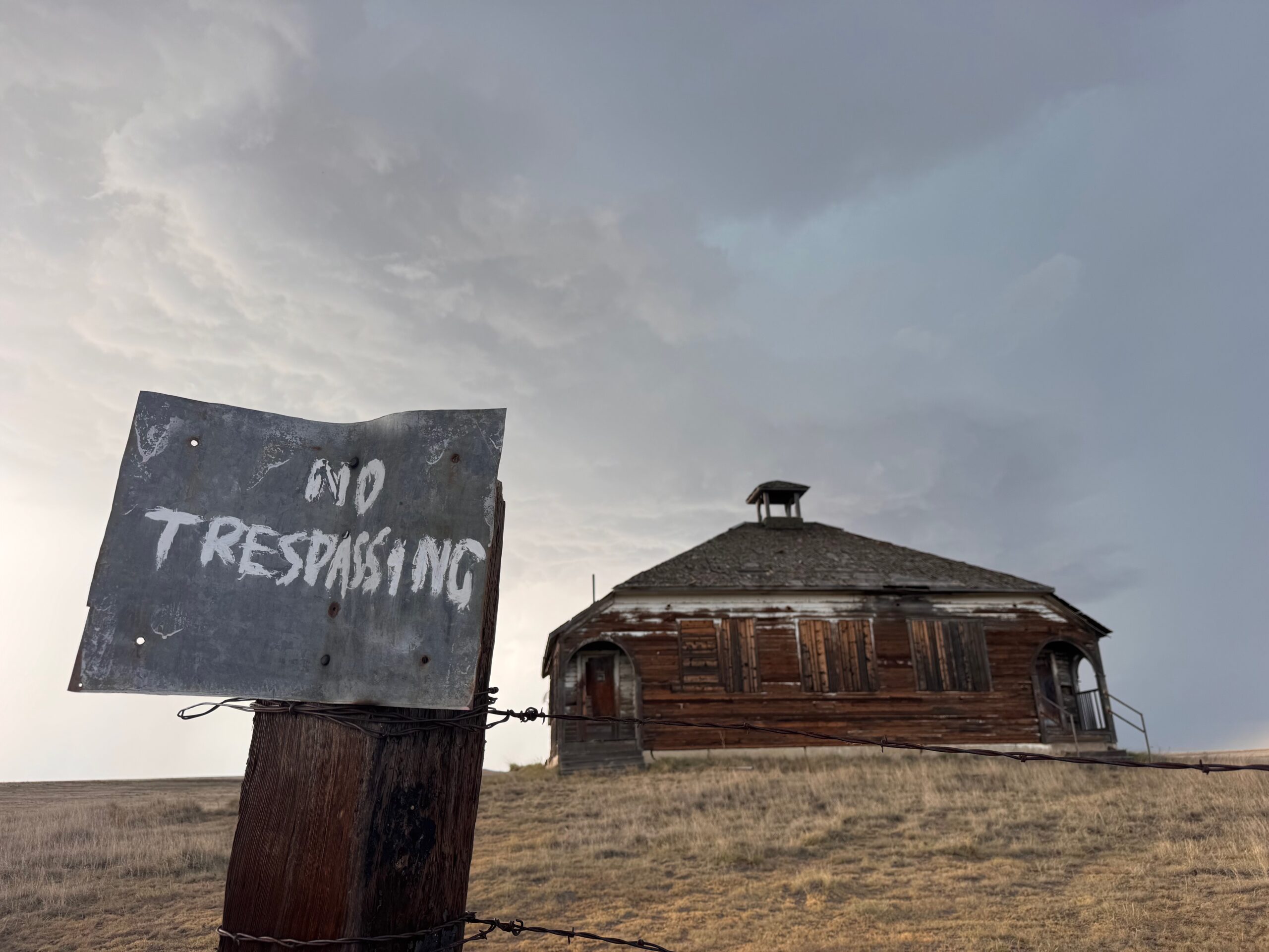
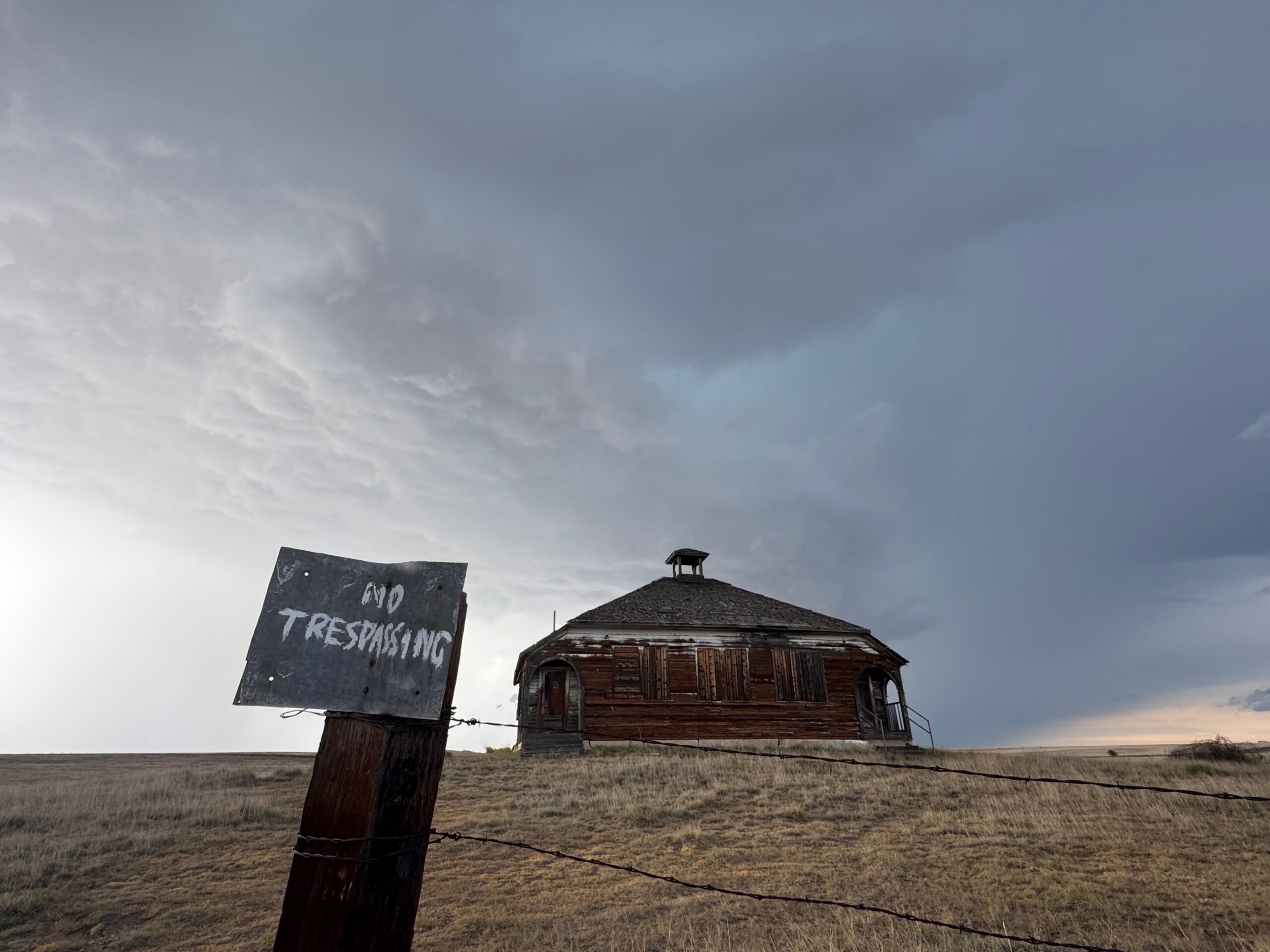
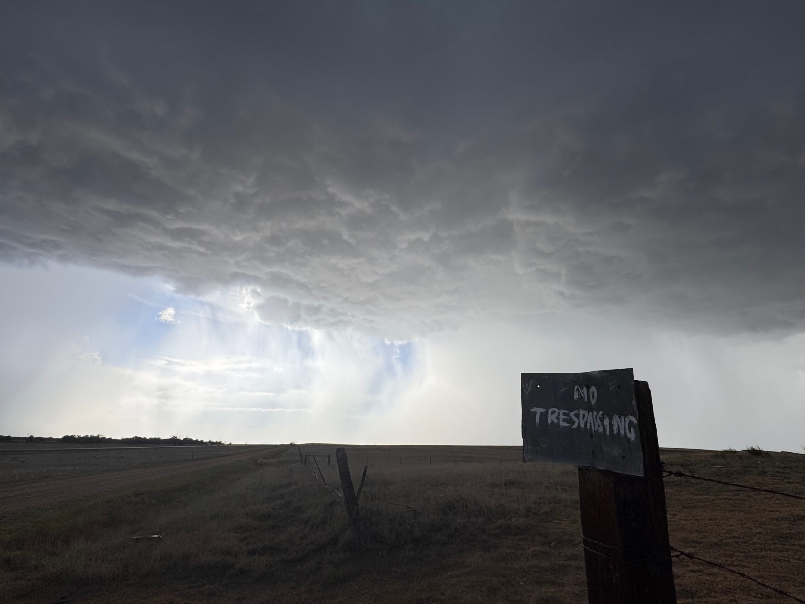
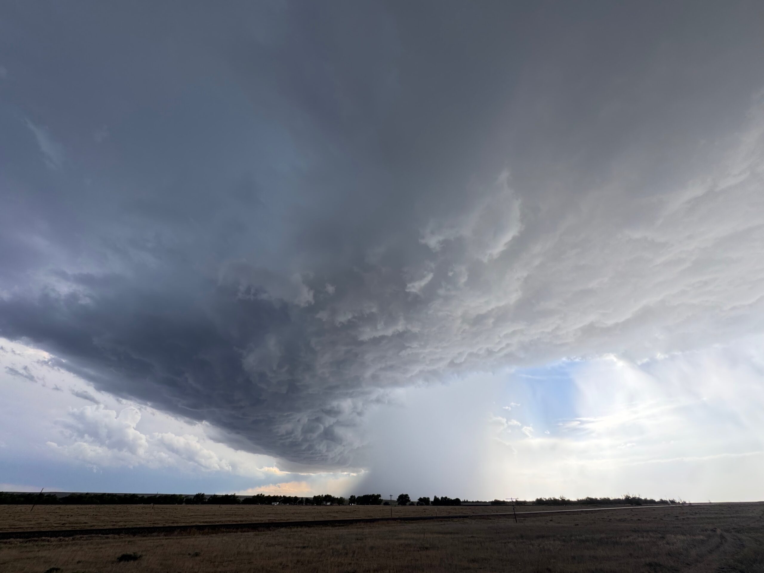
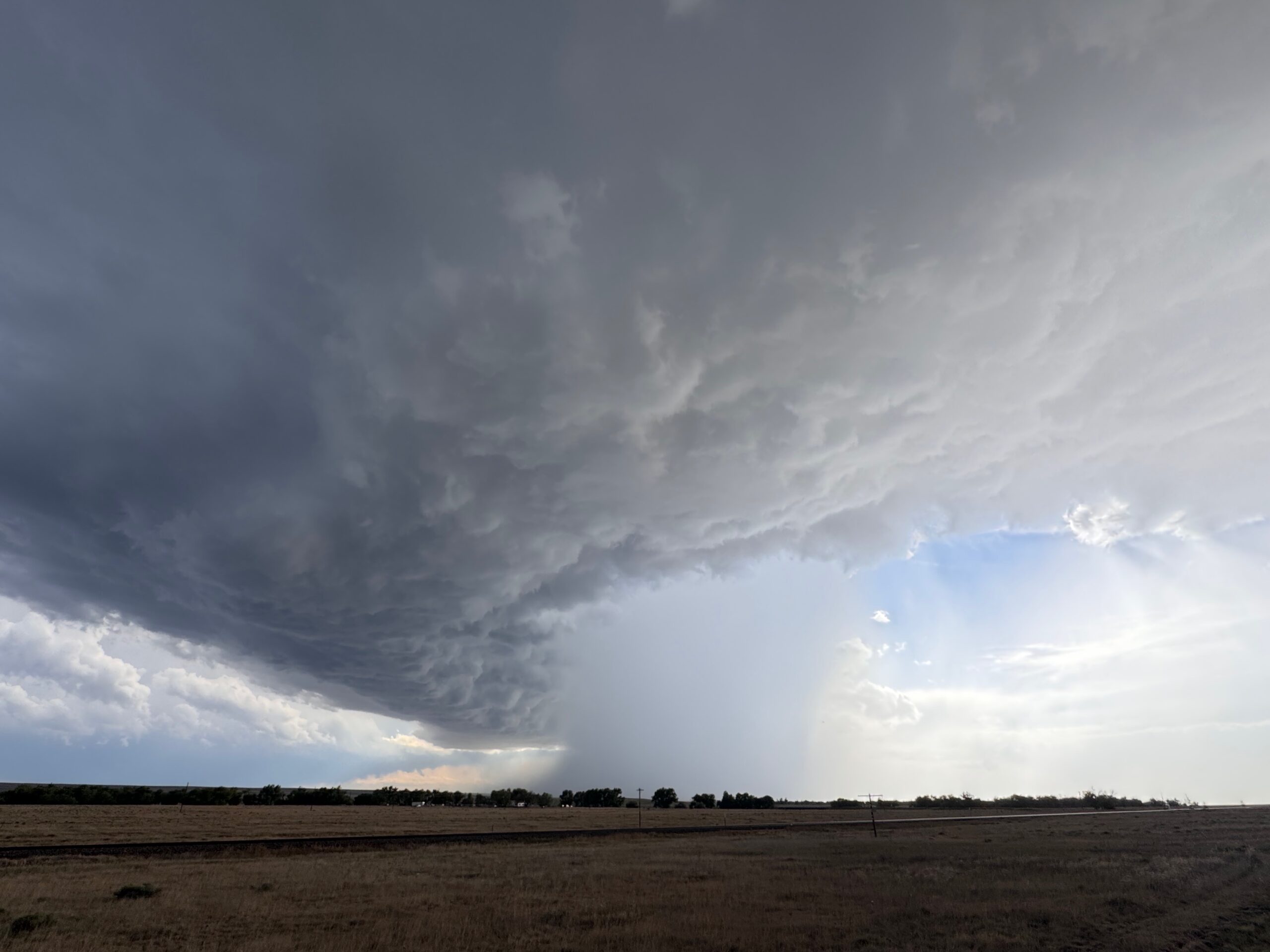
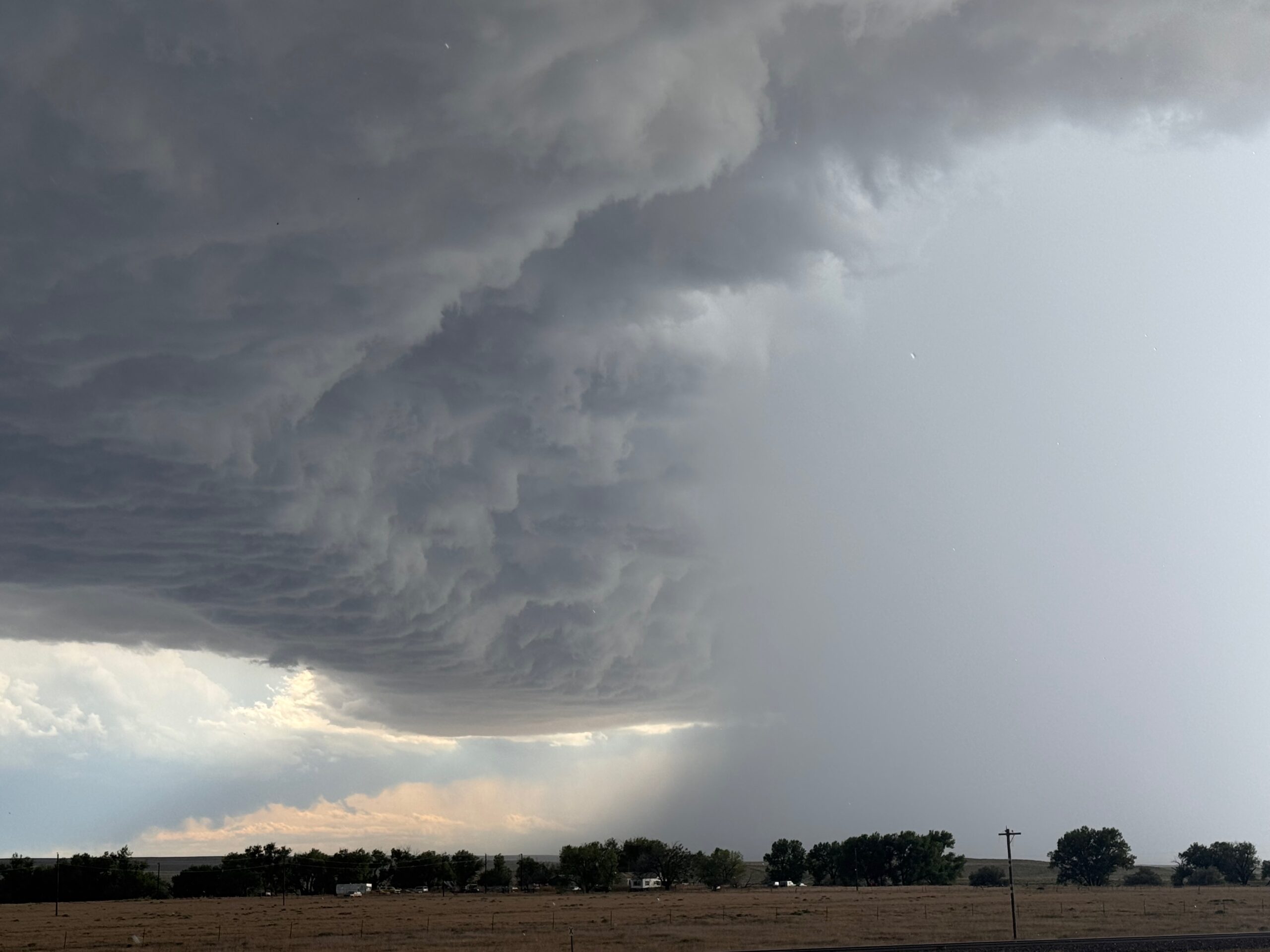
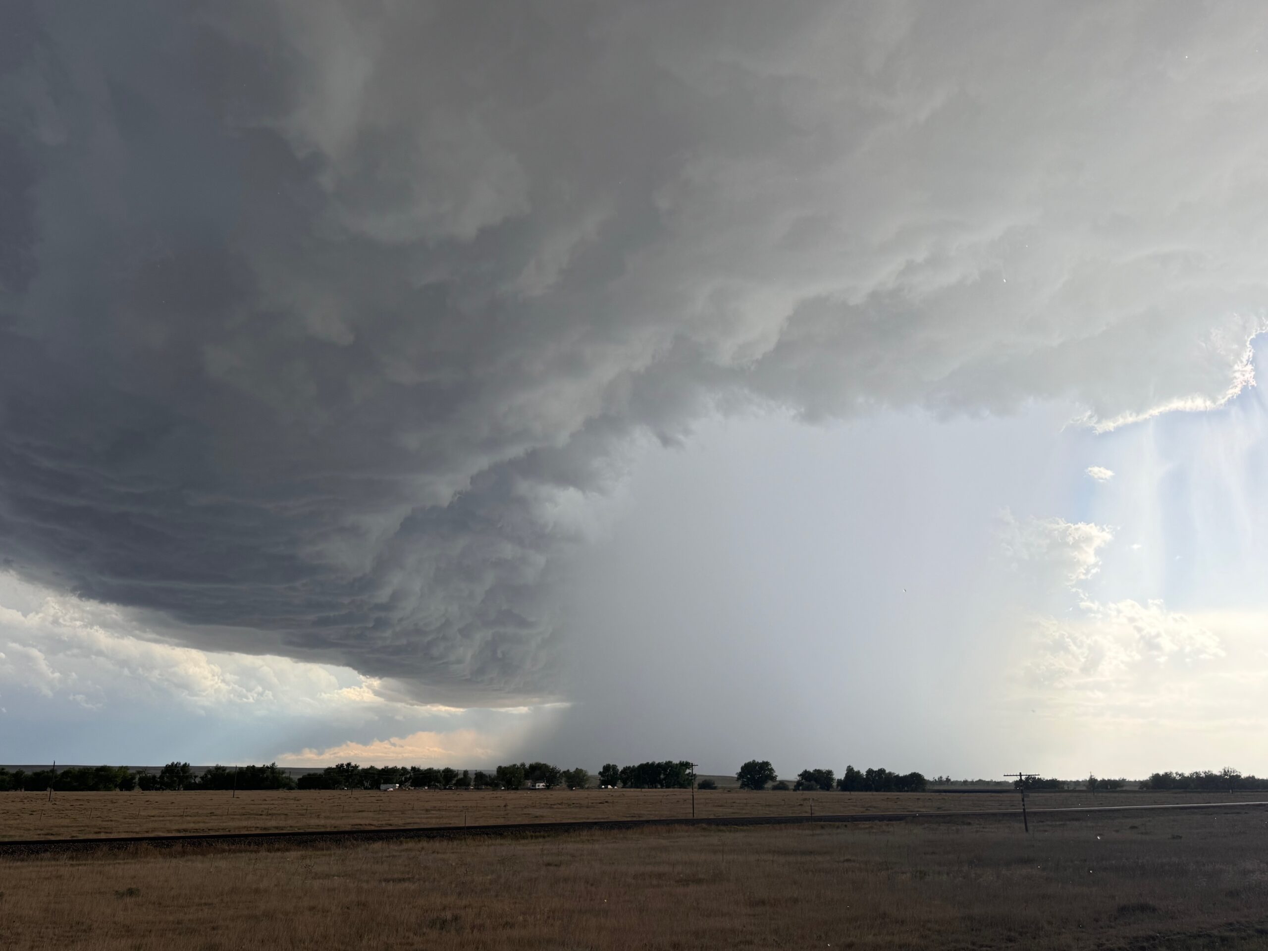
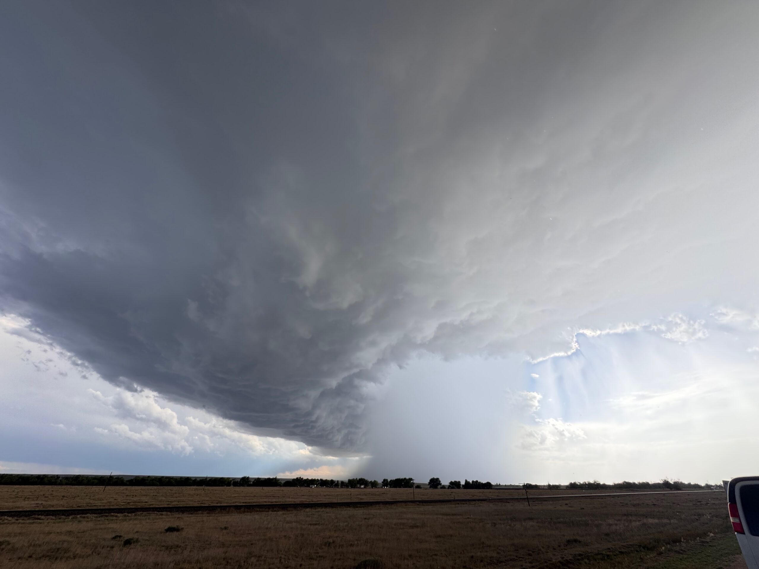
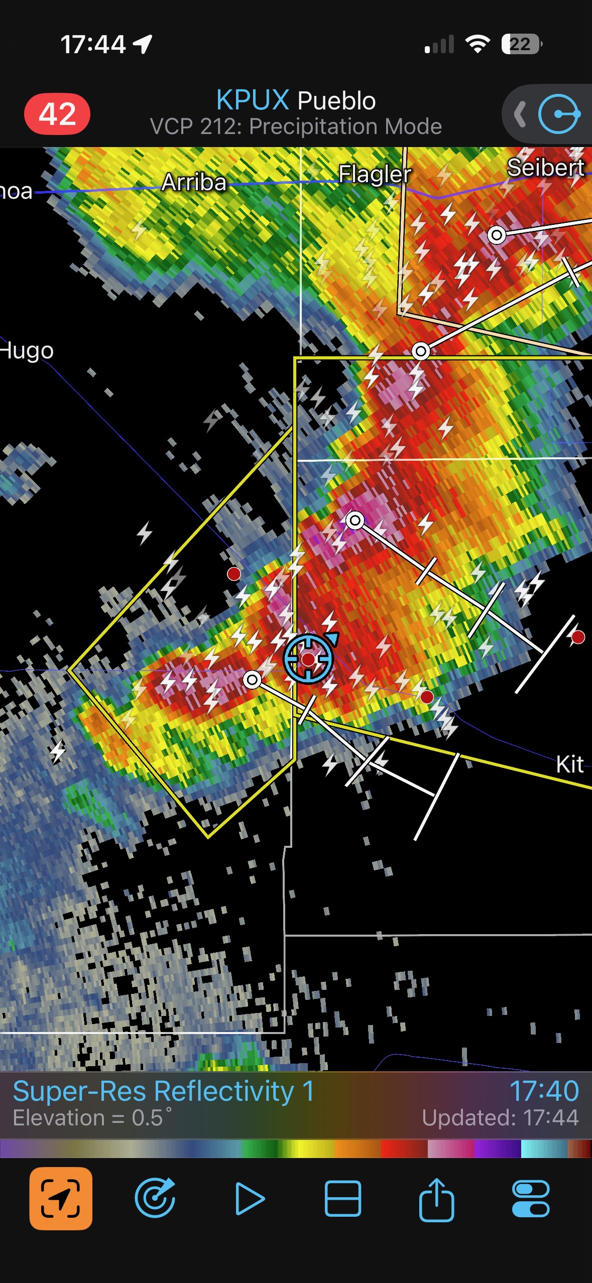
Aroya-area chase pics above. Pics below from near Kit Carson to Eads, with the supercell updraft primarily to our west.
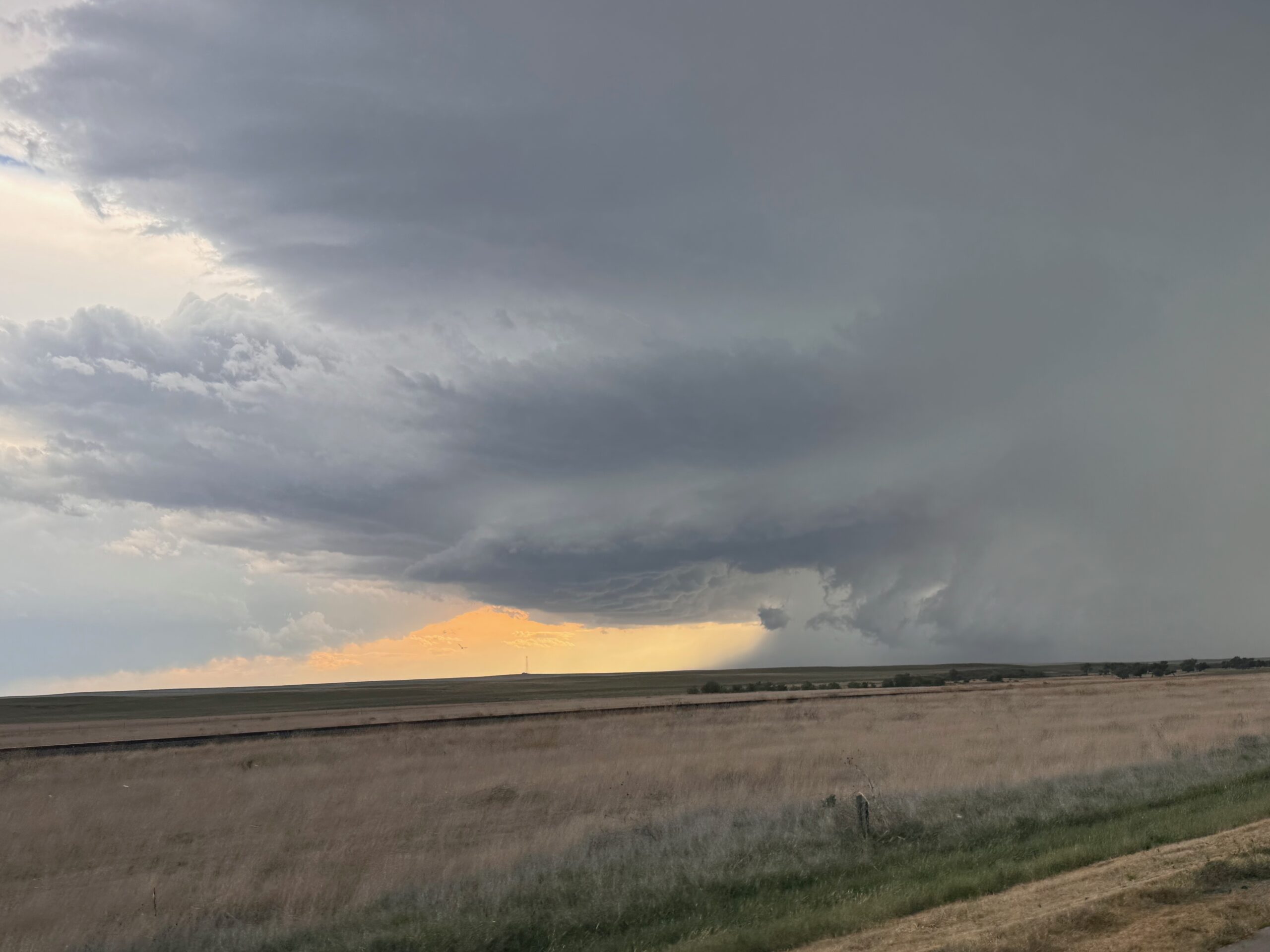
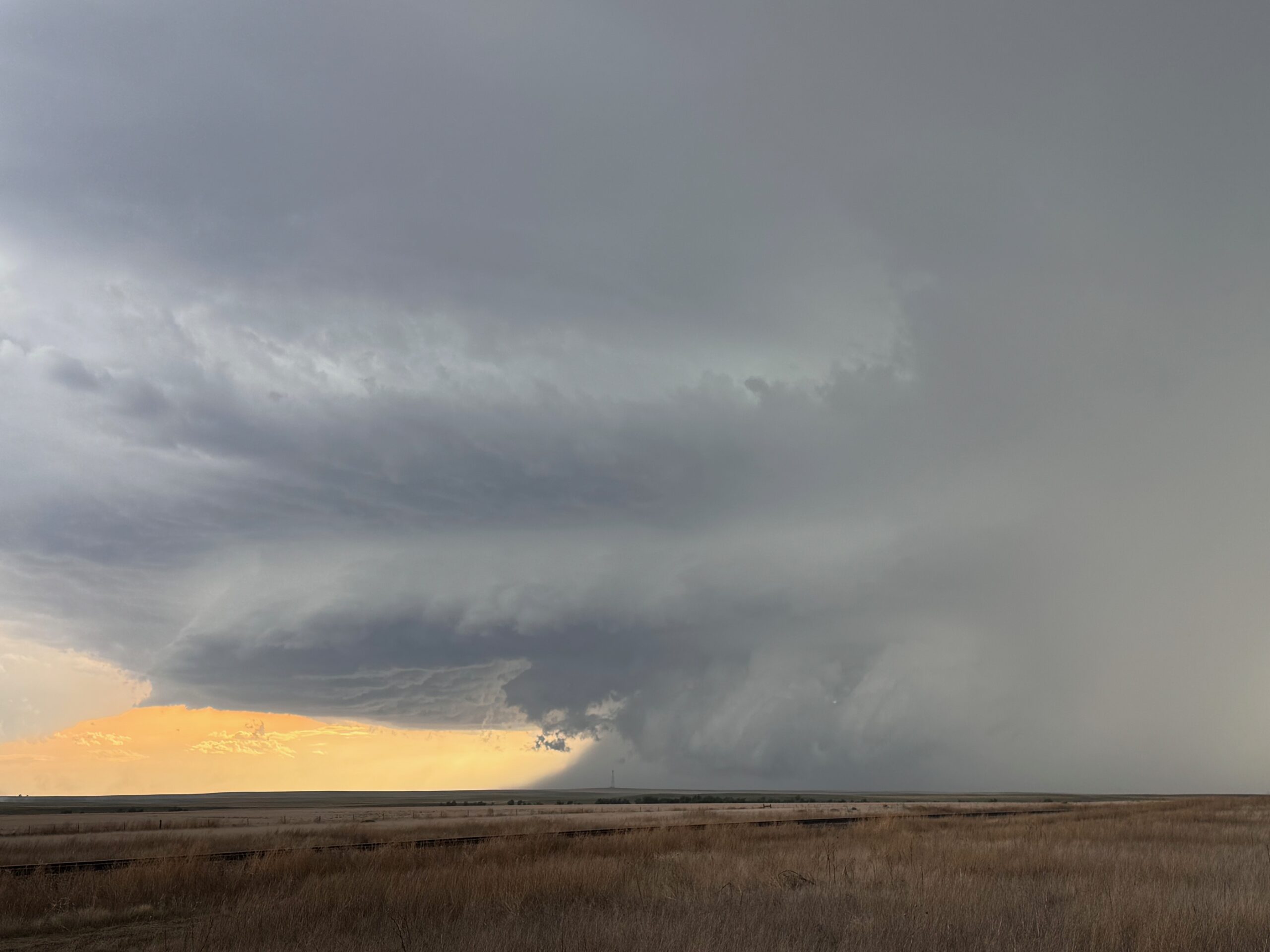
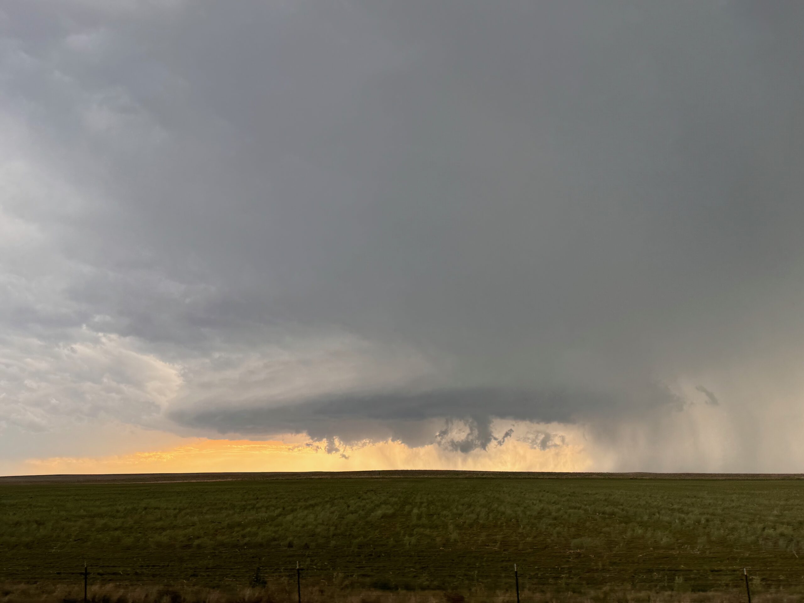
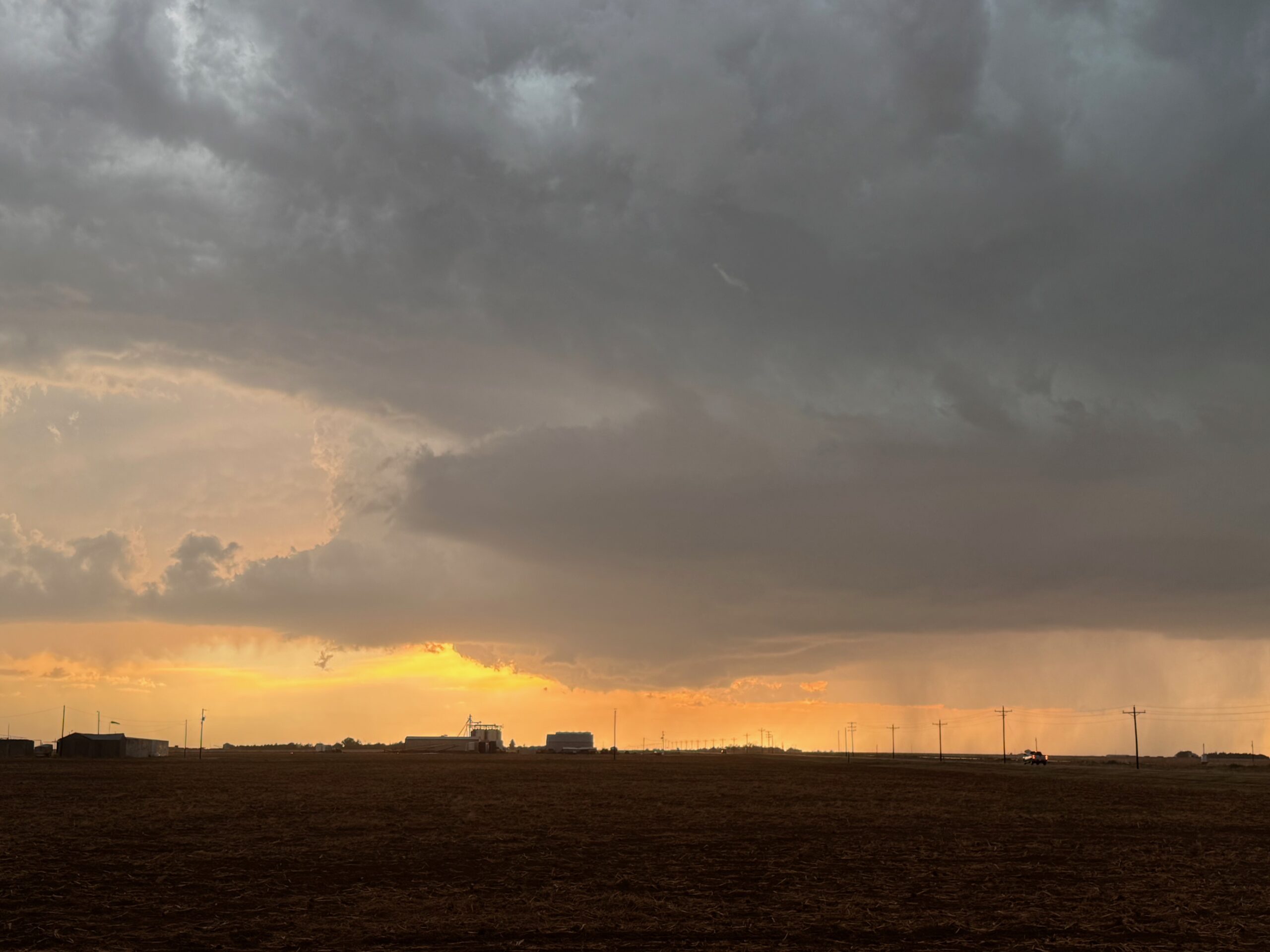
iPhone pics below from near Eads.
Leave a Reply
You must be logged in to post a comment.