
Start: Denver/brunch: Brooke’s Place in Sidney, NE/End: Kadoka, SD/532 miles
This was the first day for Tour 9 out of Denver. It did not look like much of a chase day, though there was a large hail risk over much of western South Dakota. This SD activity was not expected until after sunset. Elevated storms would develop on a low-level jet with a short wave approaching at higher levels. The following day looked quite a bit better up towards Fargo…
So we headed to the NNE, more-or-less, and on the drive I pondered the prospects for the following day, June 29. Did I really want to drag the group within smelling distance of Manitoba? I was not especially enamored with the expected setup on the 29th near Fargo. (On the 28th SPC showed a 5% hatched tornado risk up there, and that morphed into a 10% hatched area on the 29th.) Yes, I was flailing some. I did not want to commit to a long drive with very uncertain prospects, as SPC stressed.
Meanwhile, a short-term model (or two) was (were) hinting at some storm development on the current chase day around sunset, around Cherry County…maybe a severe storm. I decided to focus on the present. A agitated area of cumulus in western Cherry County had our attention by about dinnertime.
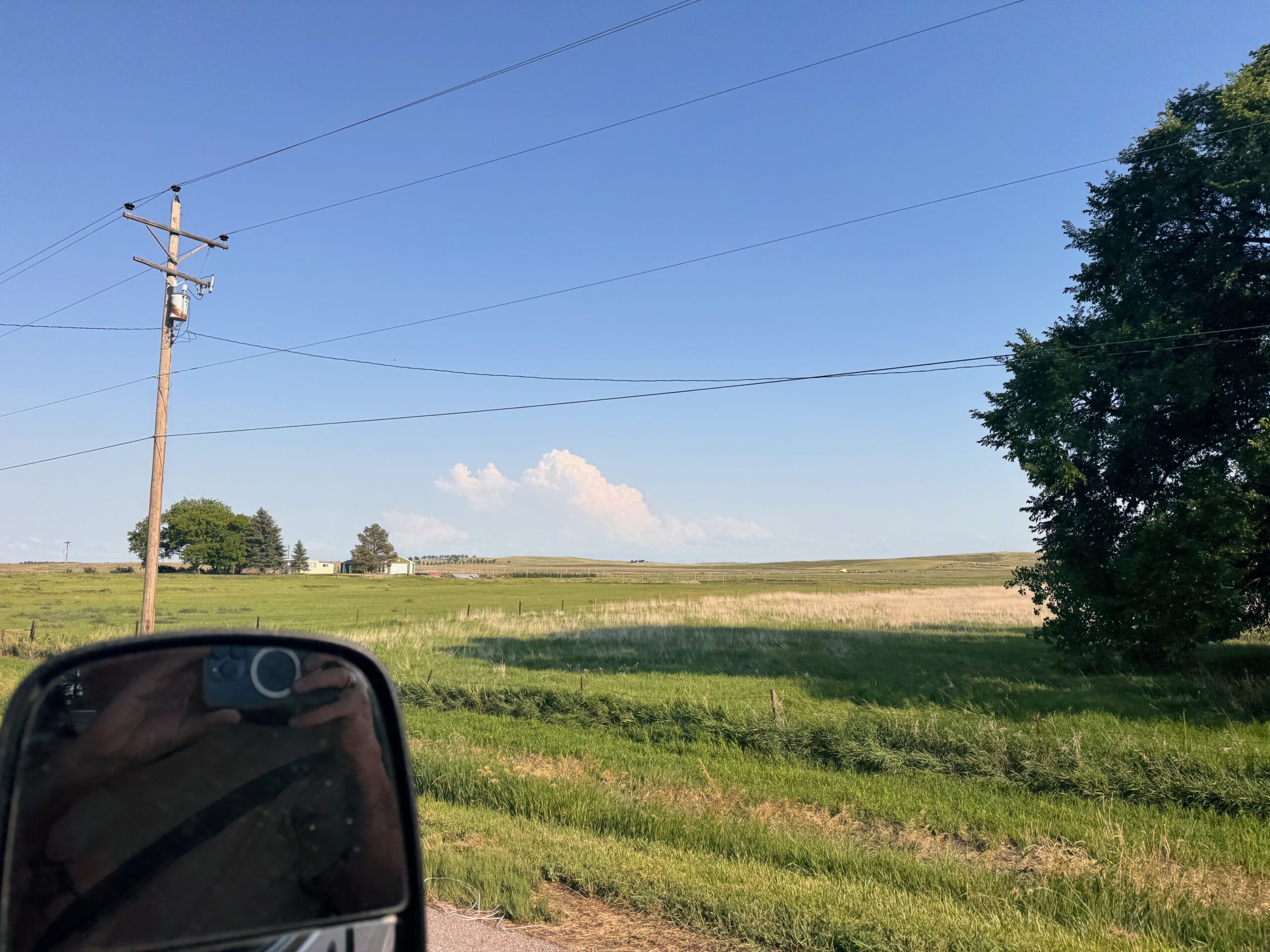
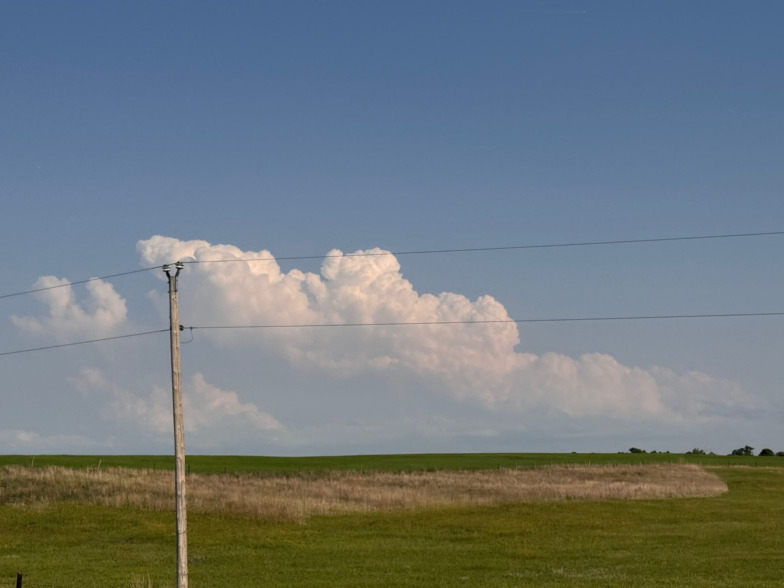
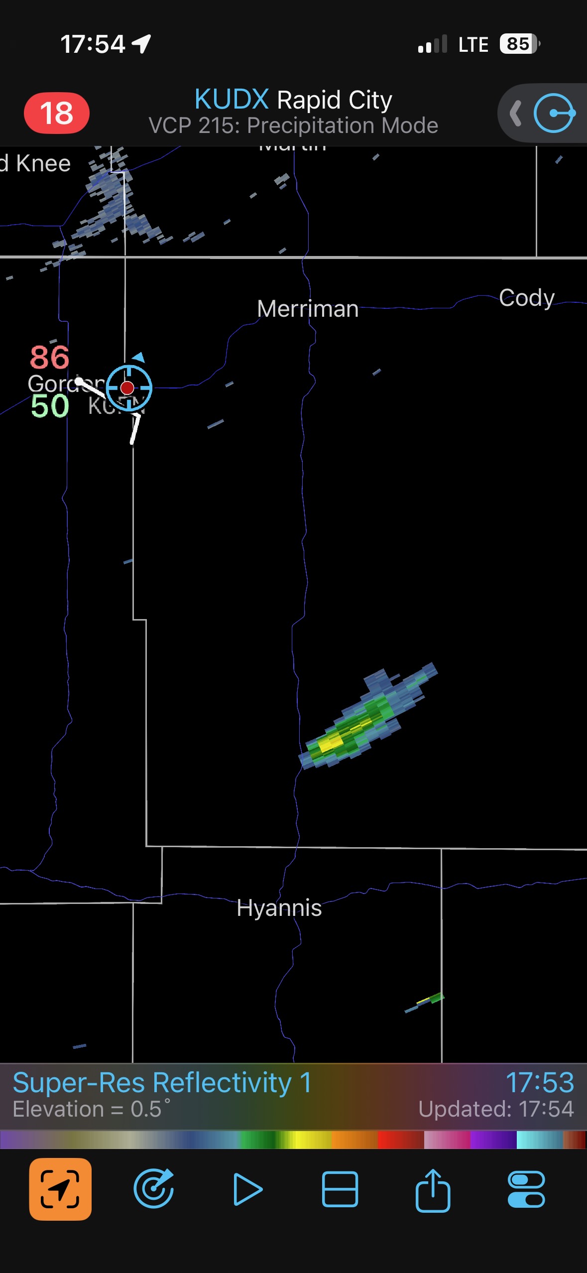
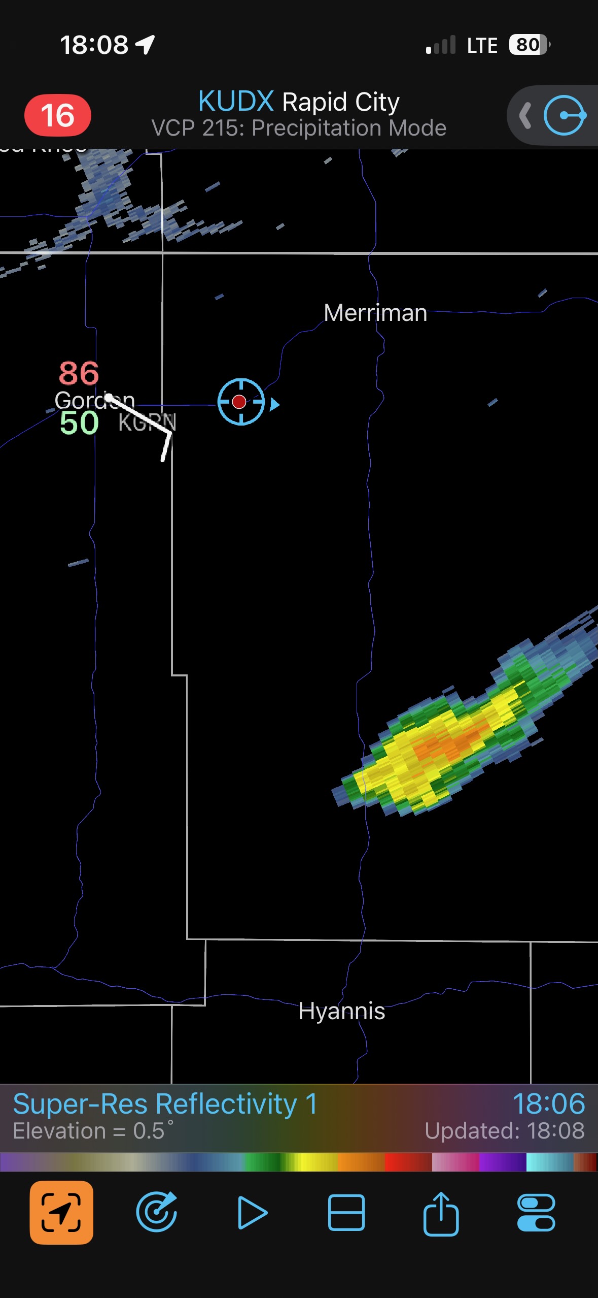
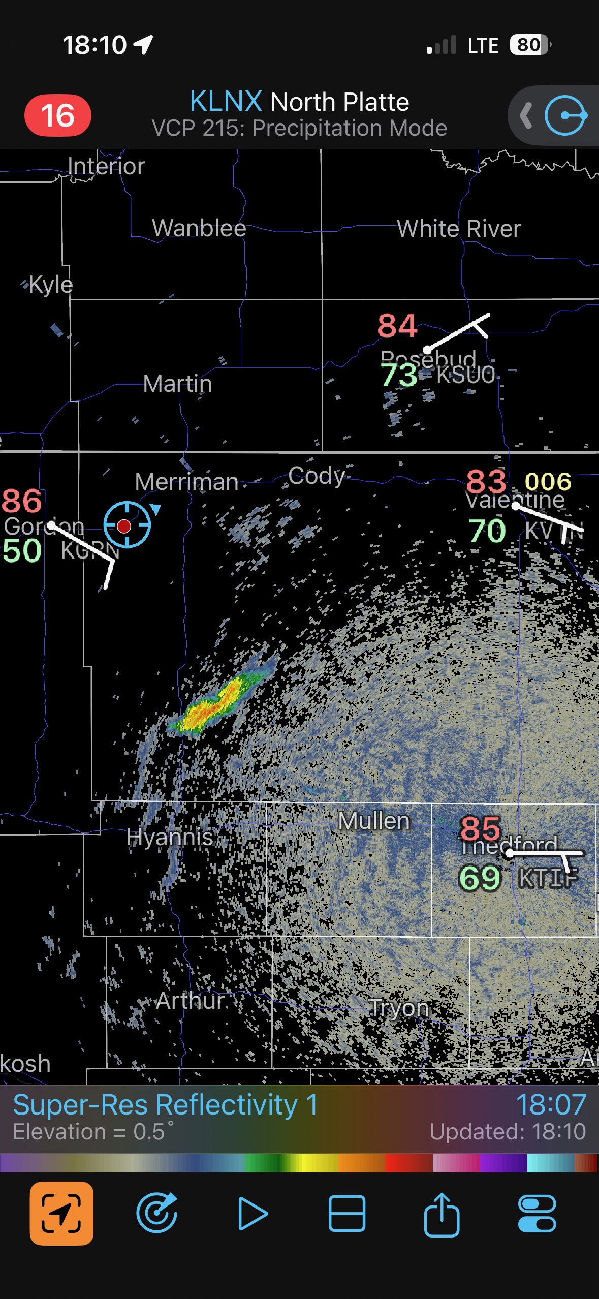
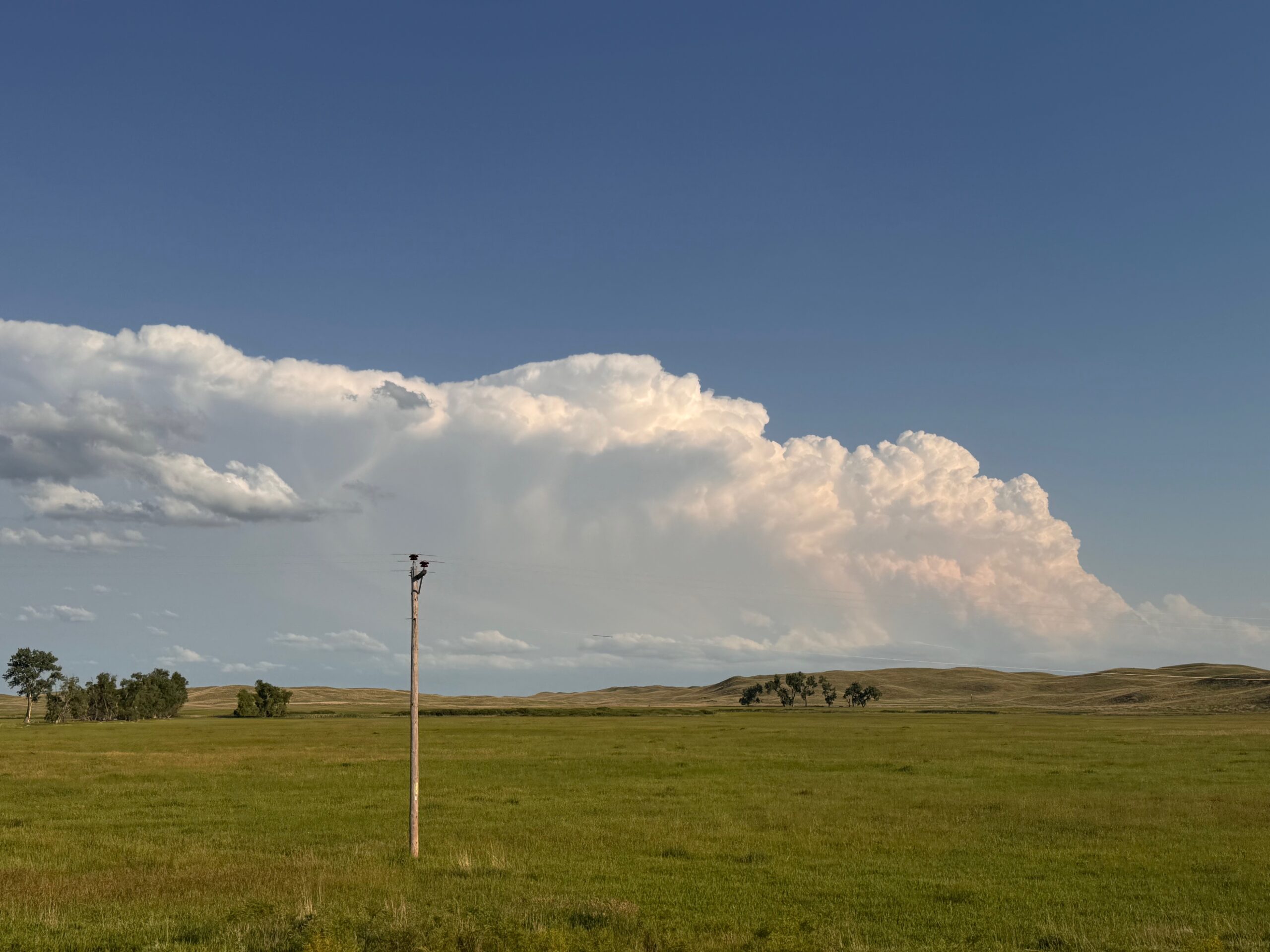
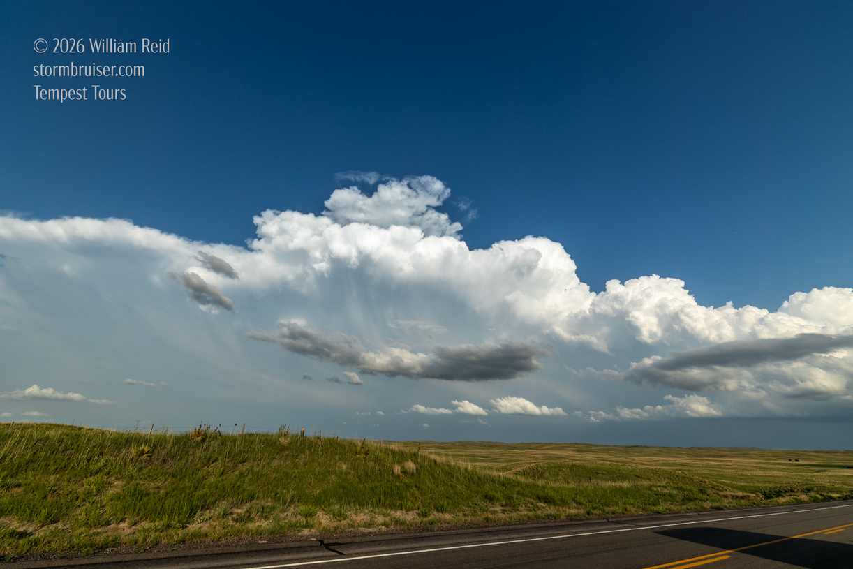
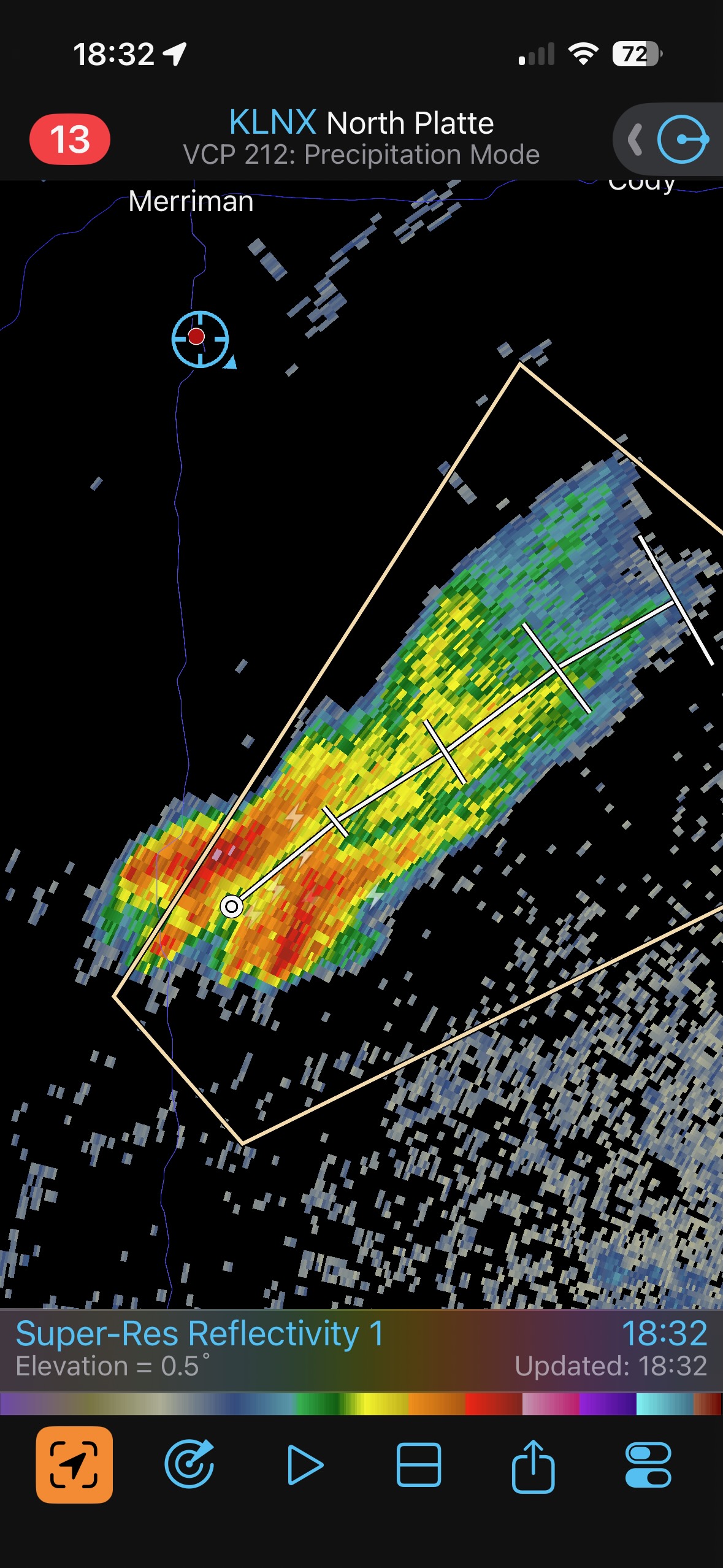
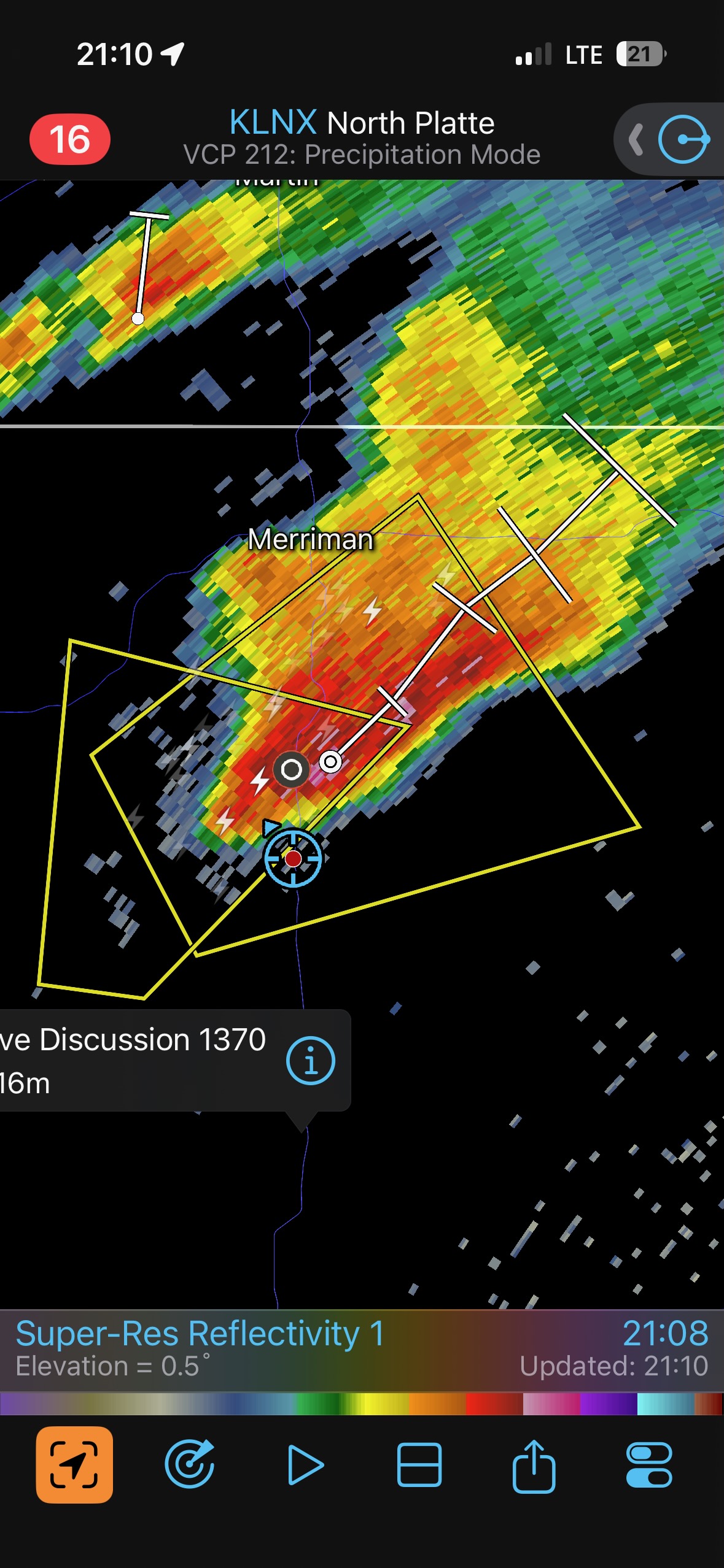
A little storm was between Hyannis and Merriman, along the leading edge of decent low-level moisture which was edging northwestward. We scooted a little bit south of Merriman to watch. The storm split, and the left split approached and struggled. The right split was behind this left split, and I could not see it. Of course, the road network is lousy in this Nebraska Sandhills region, so getting into position was not going to happen soon.
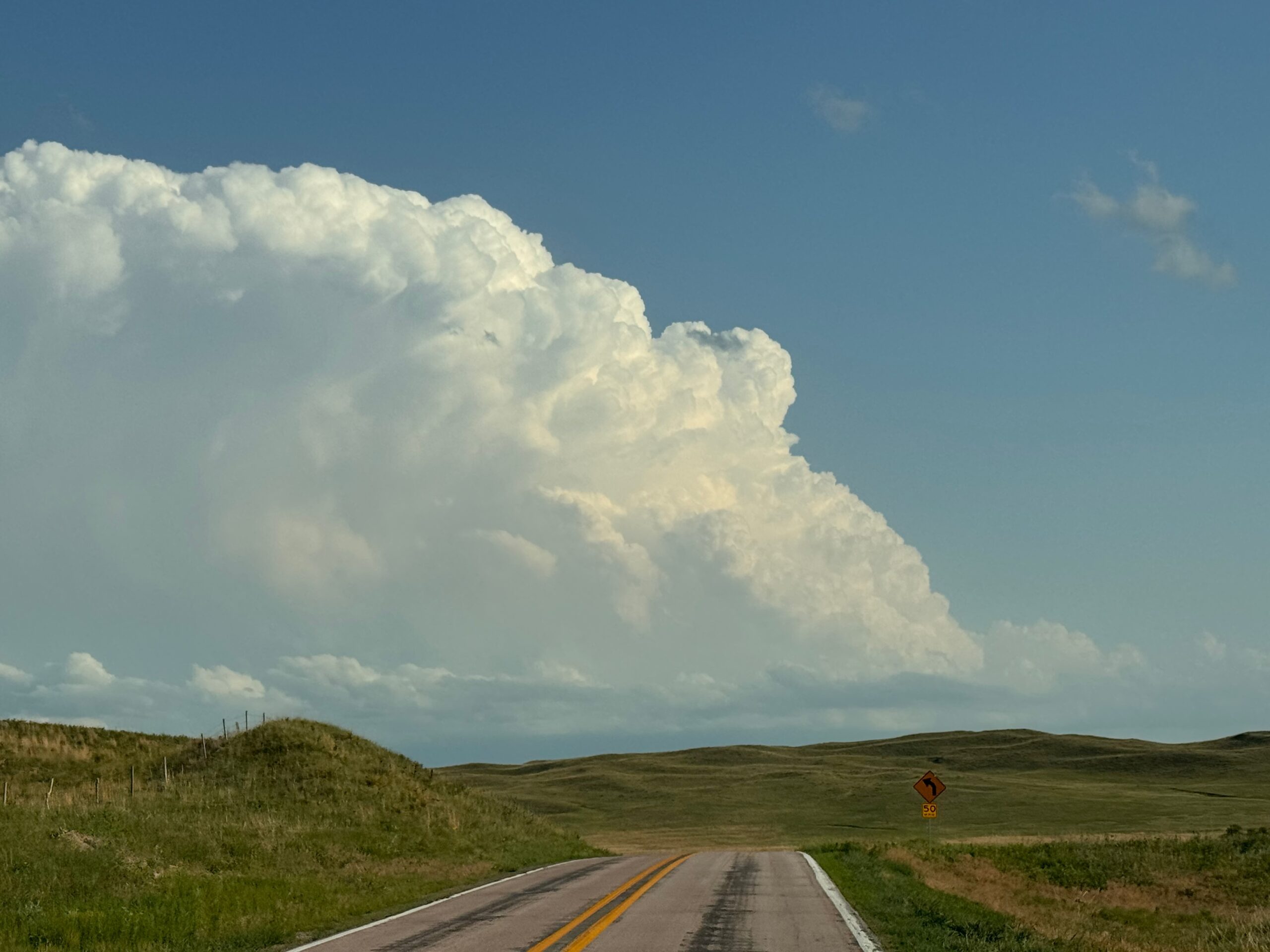
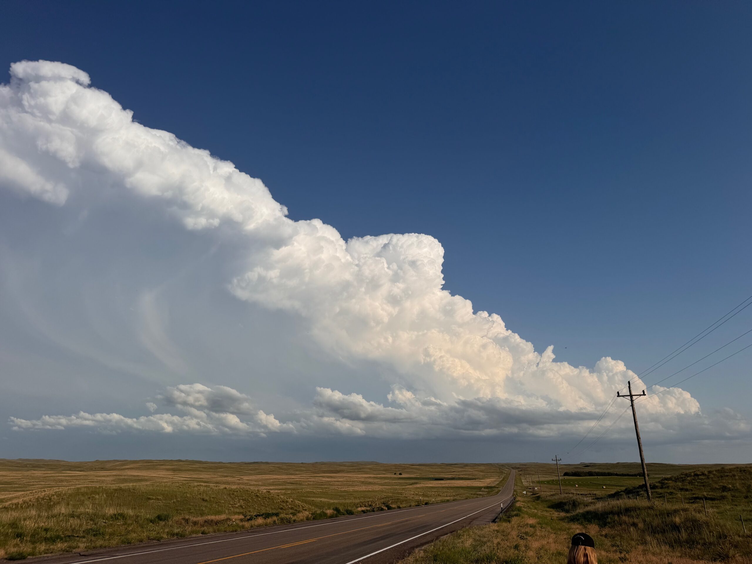
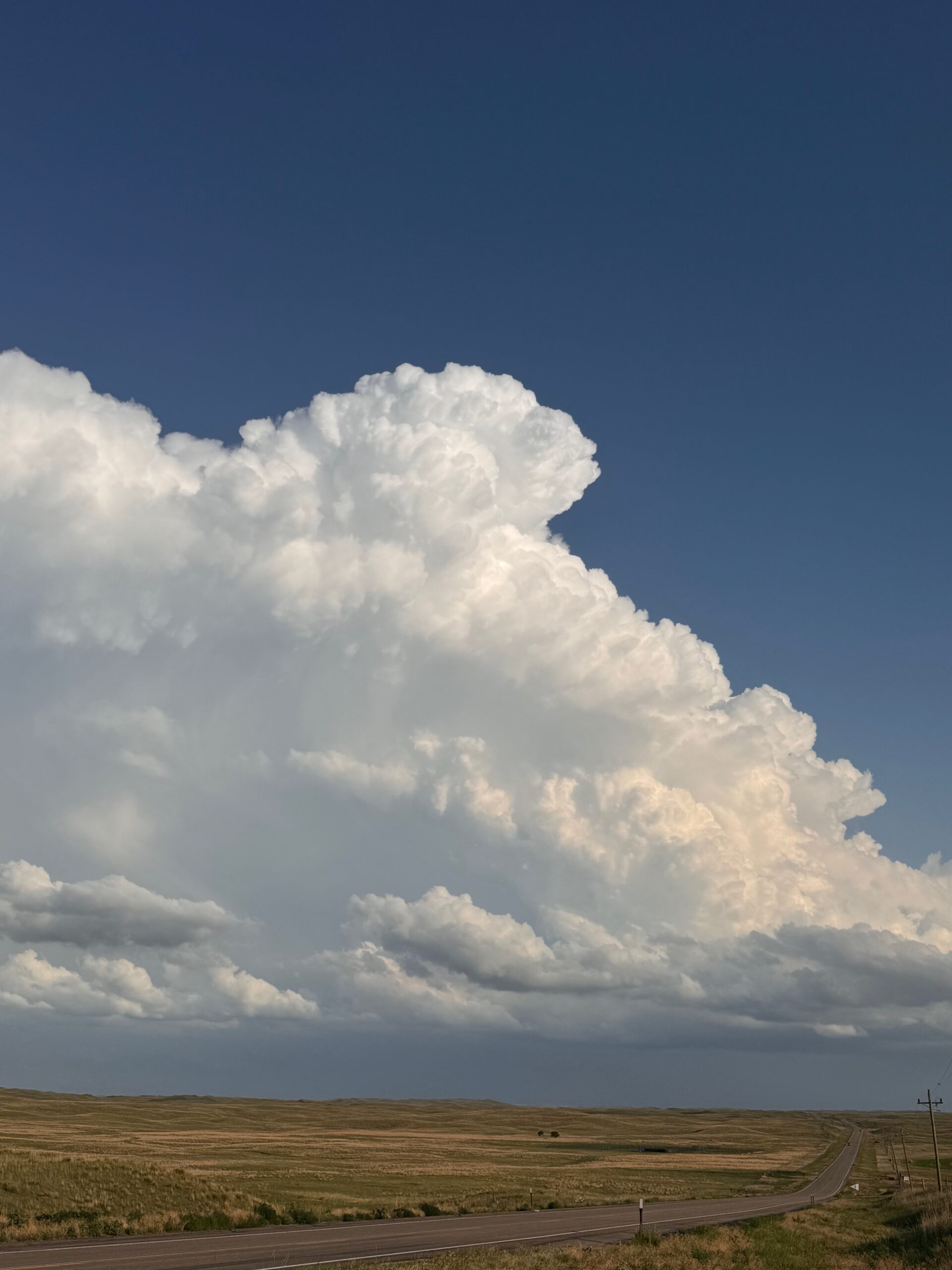
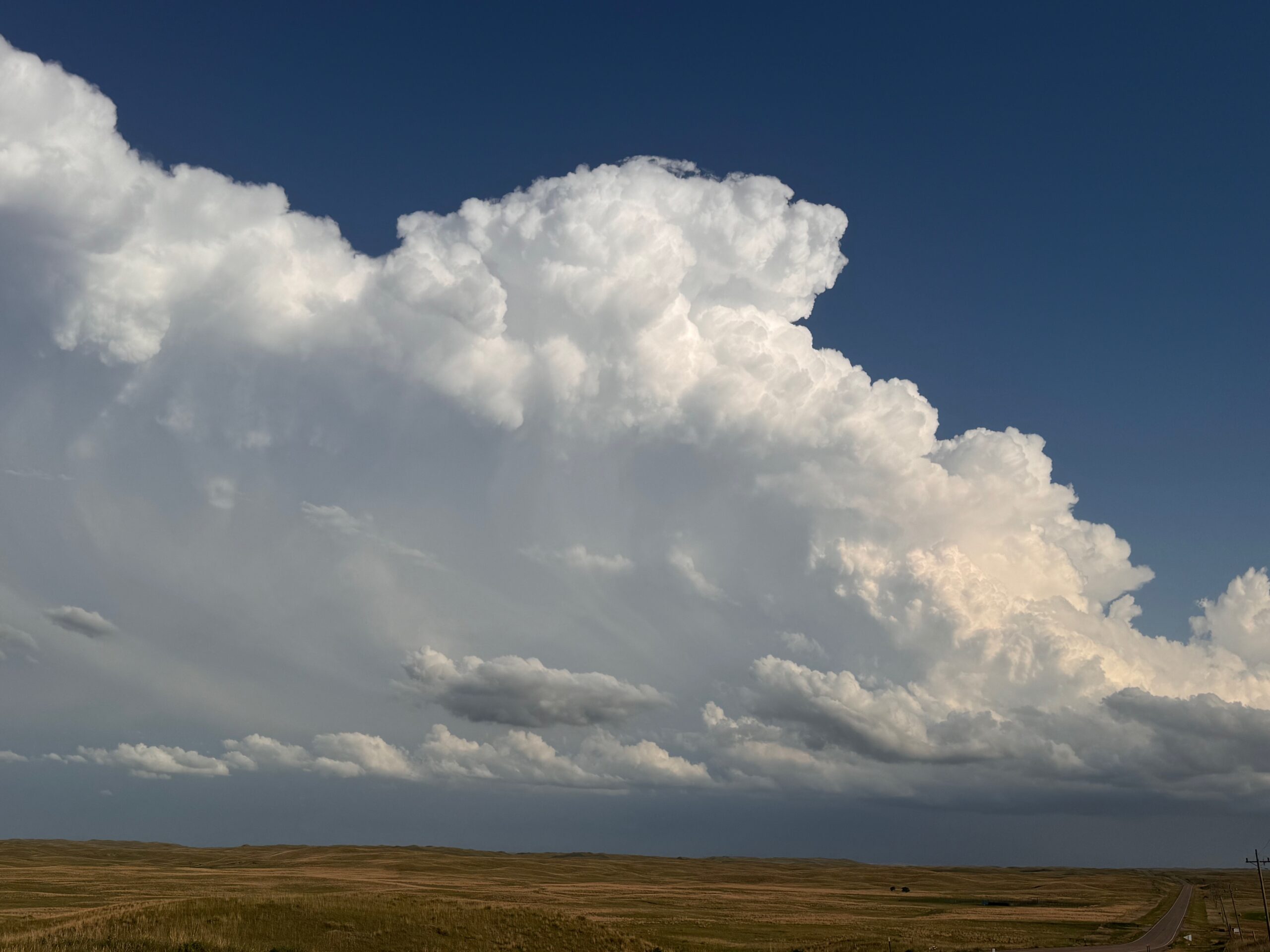
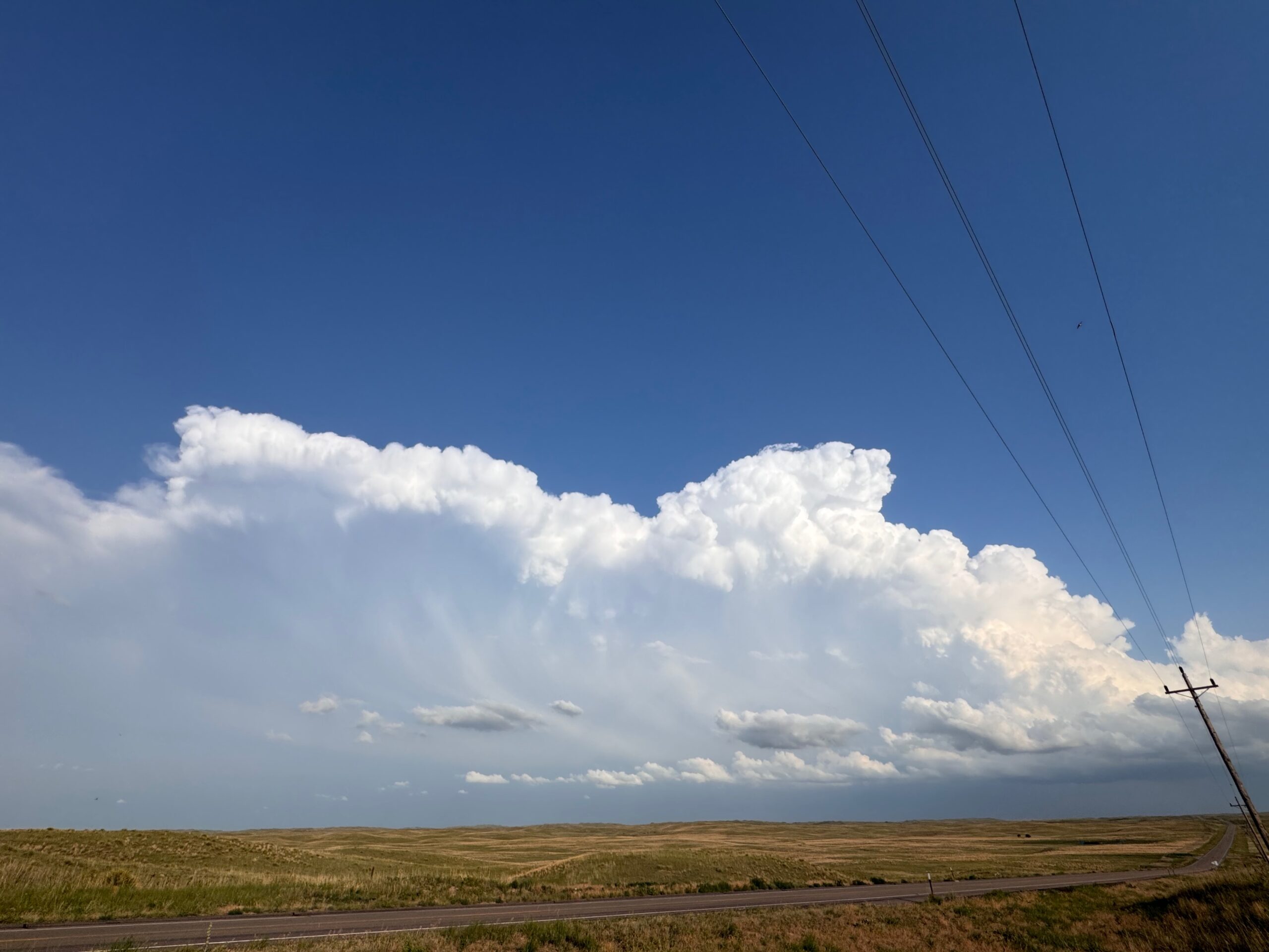
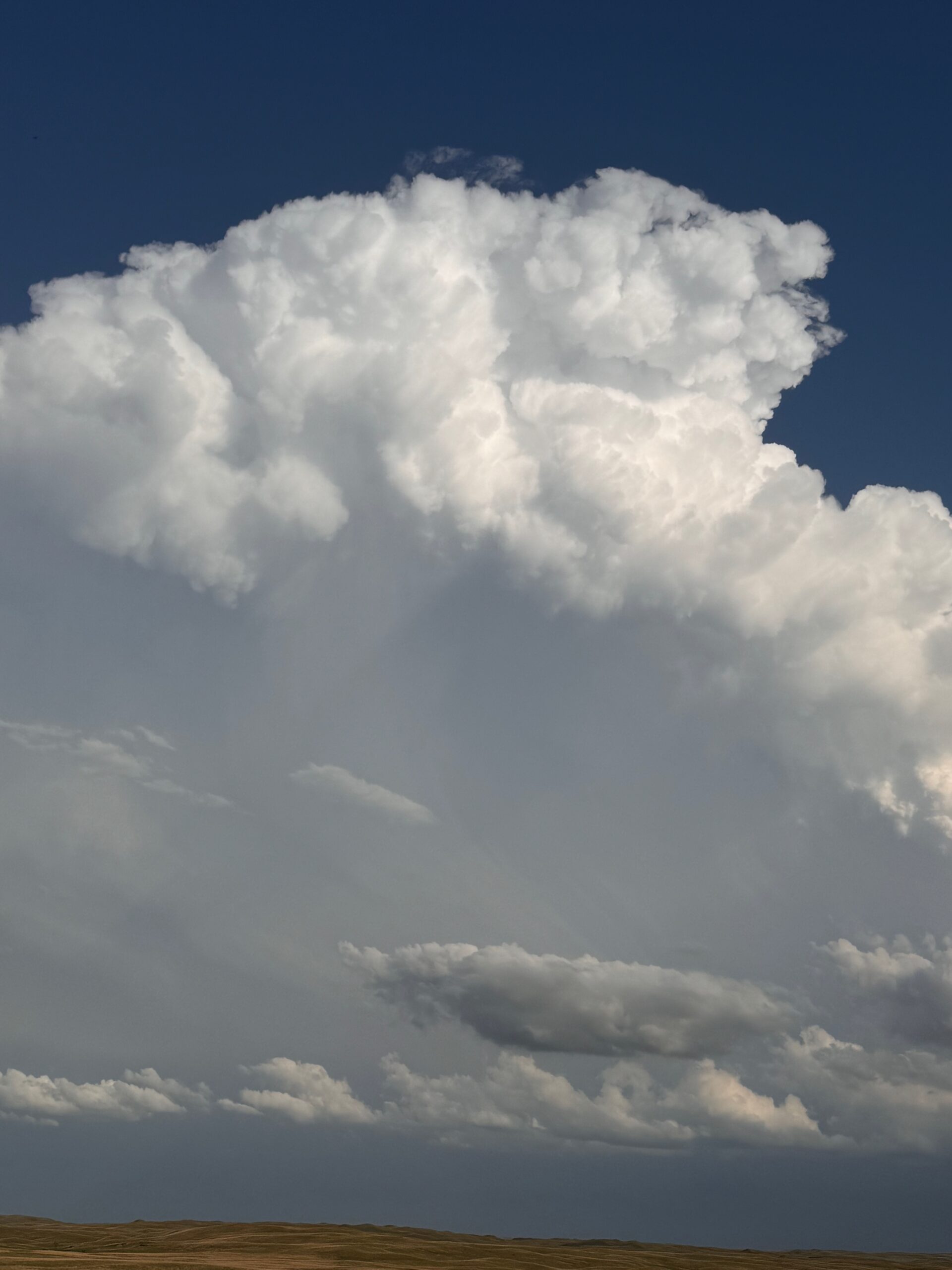
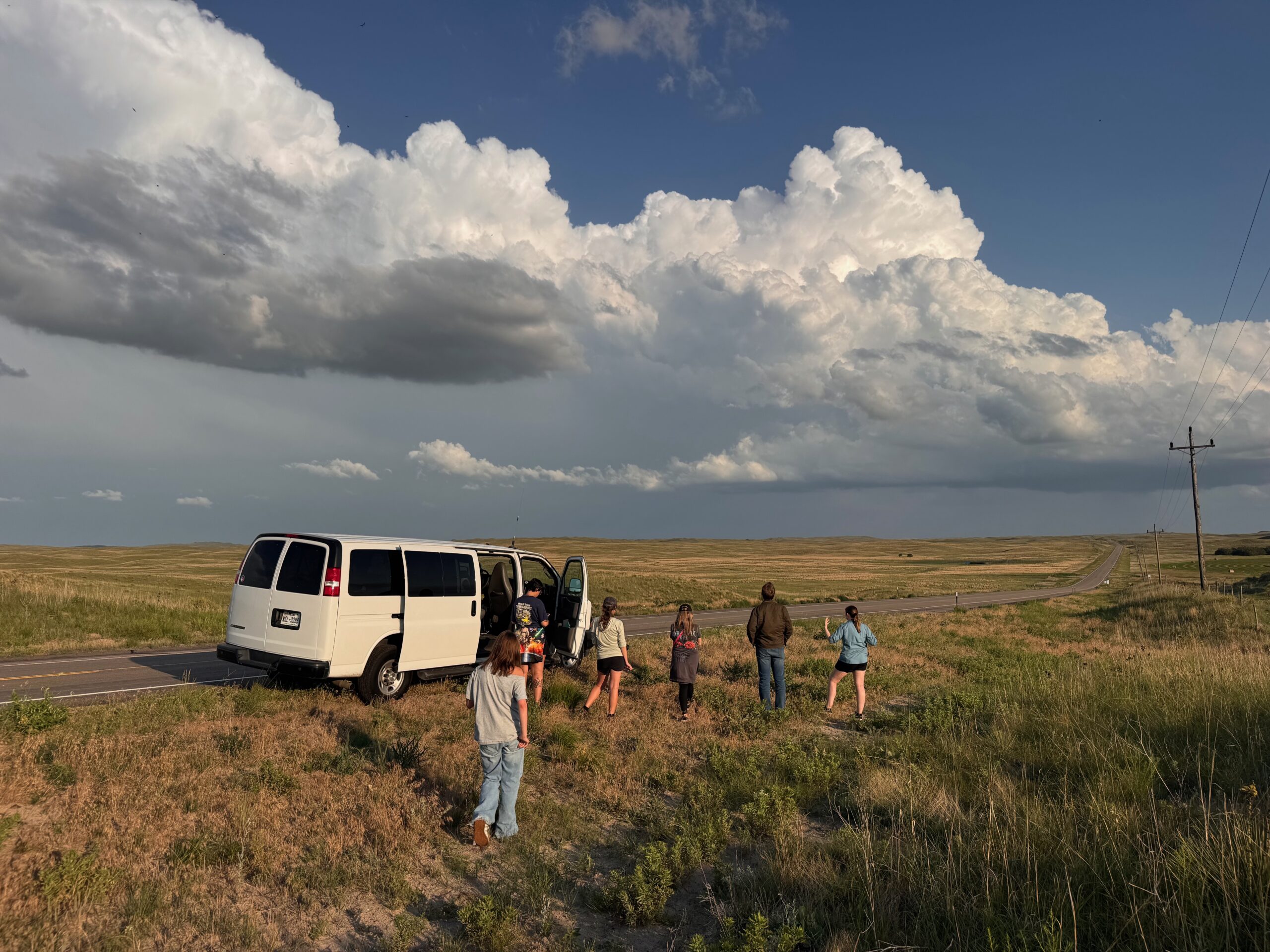
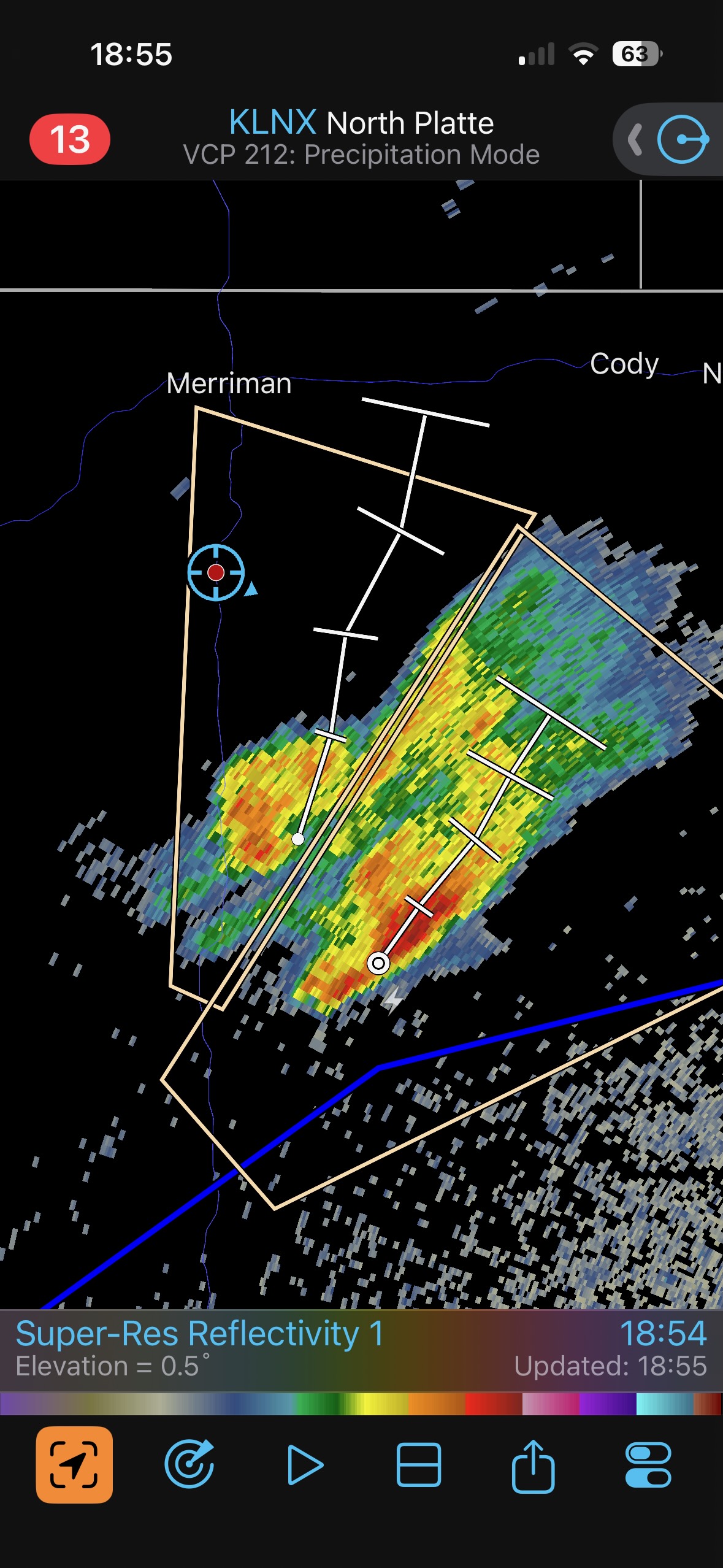
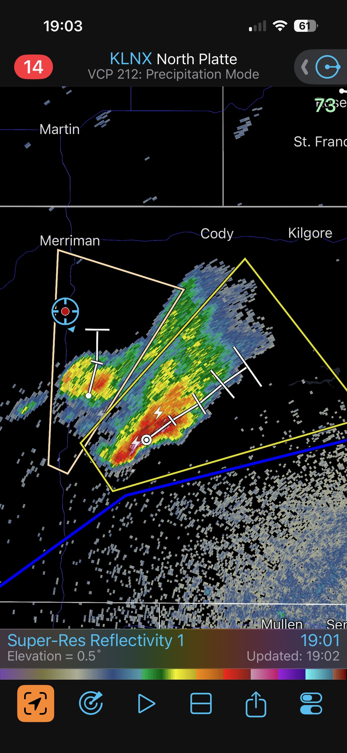
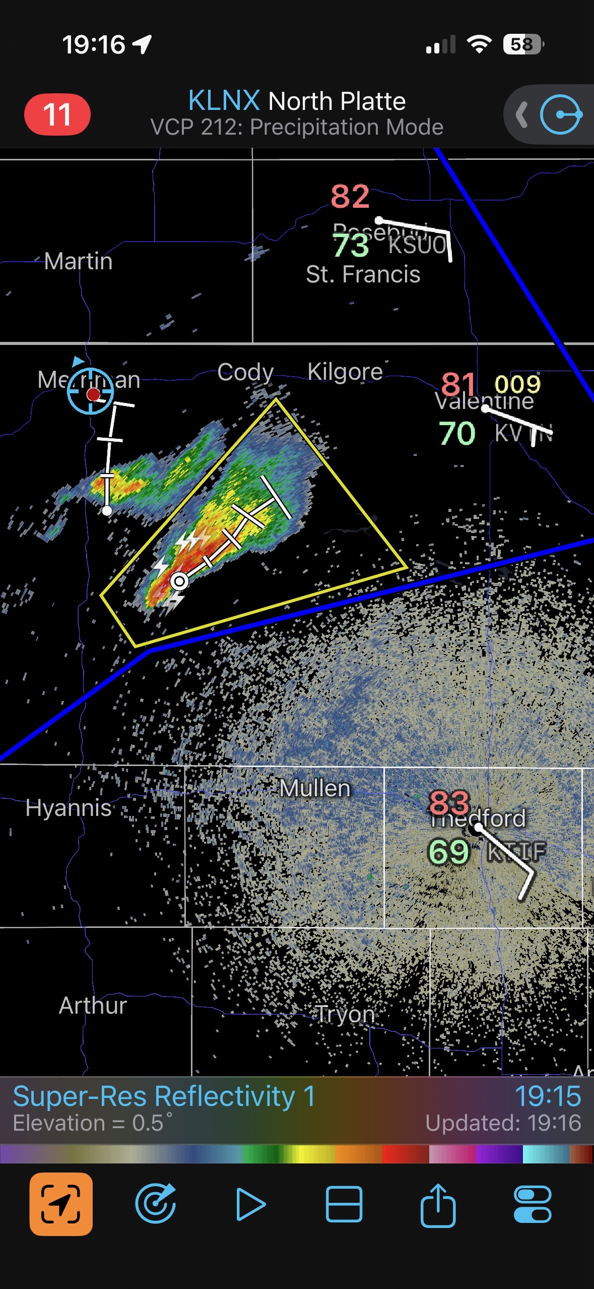
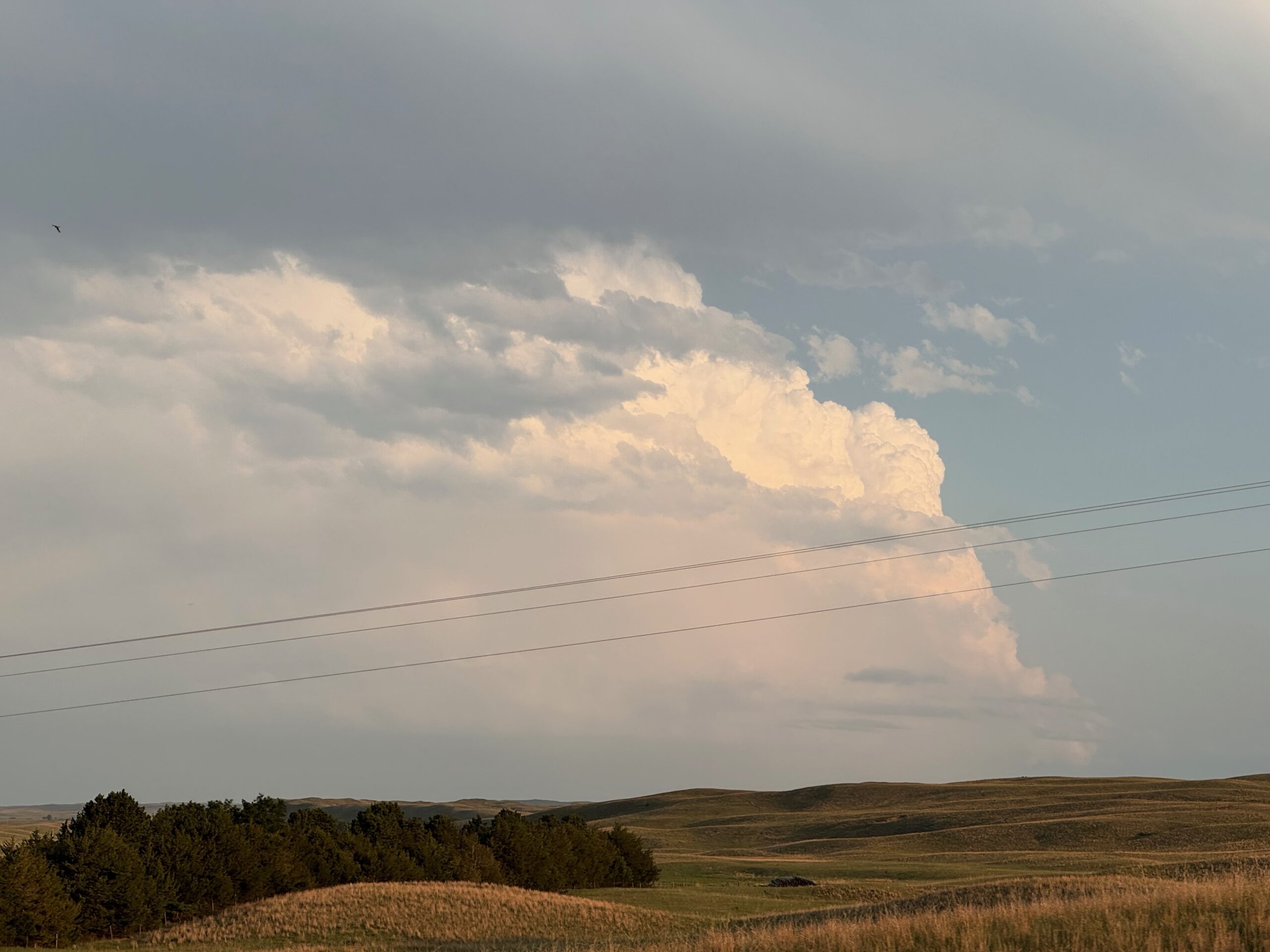
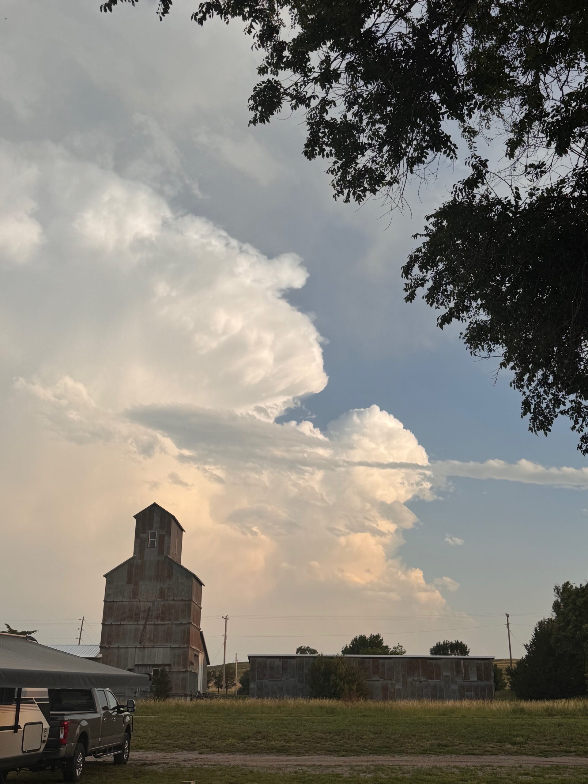
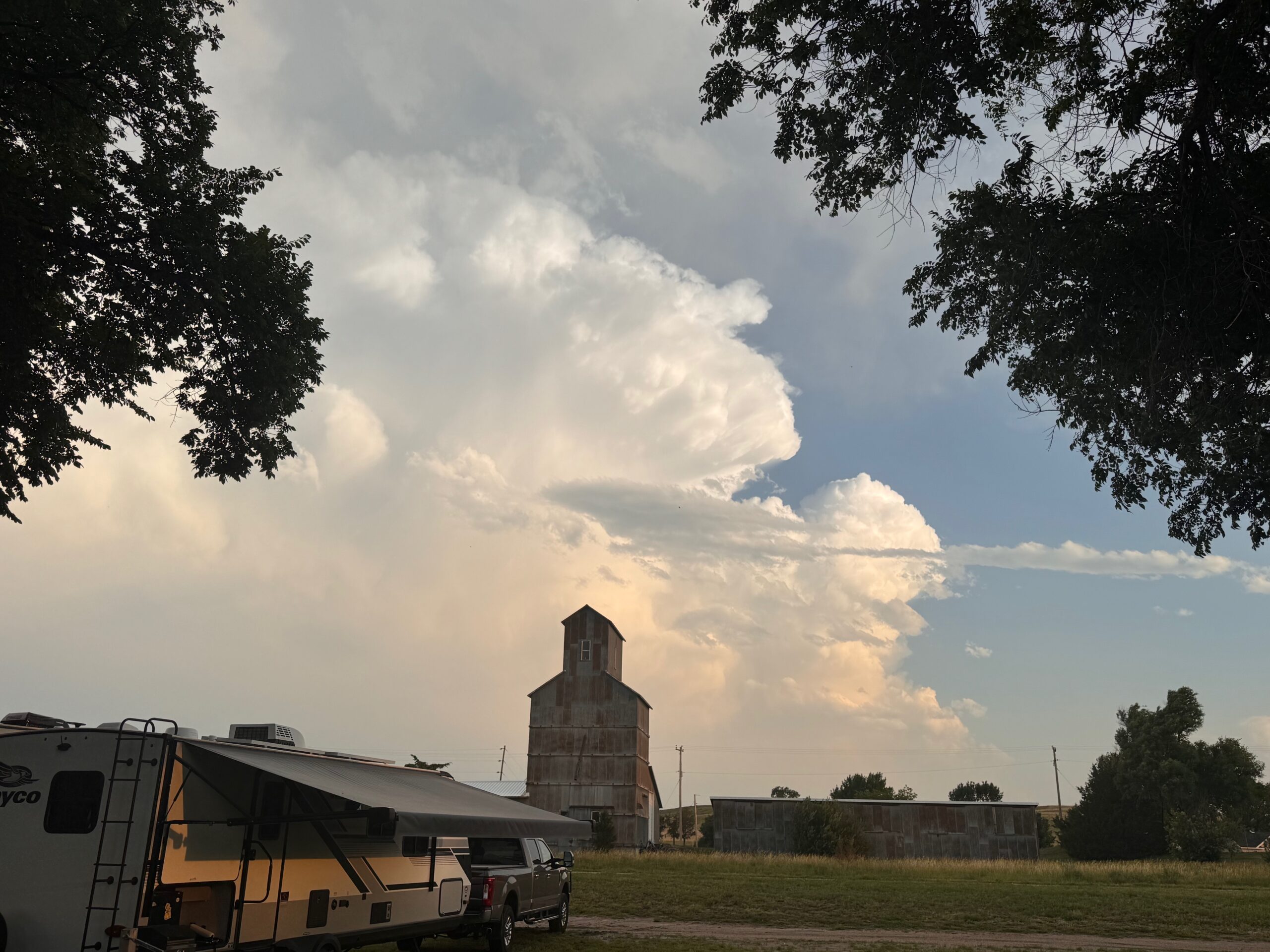
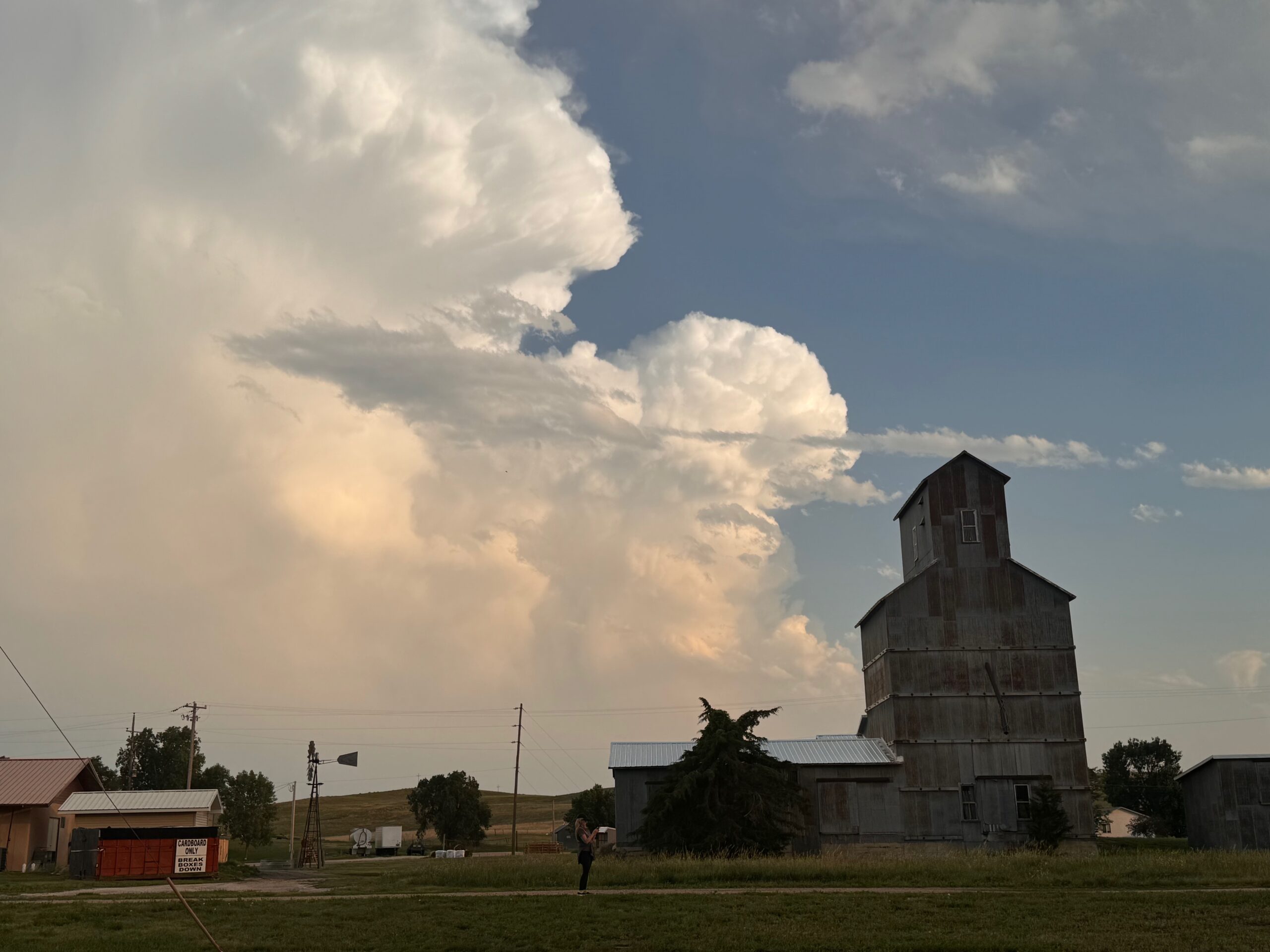
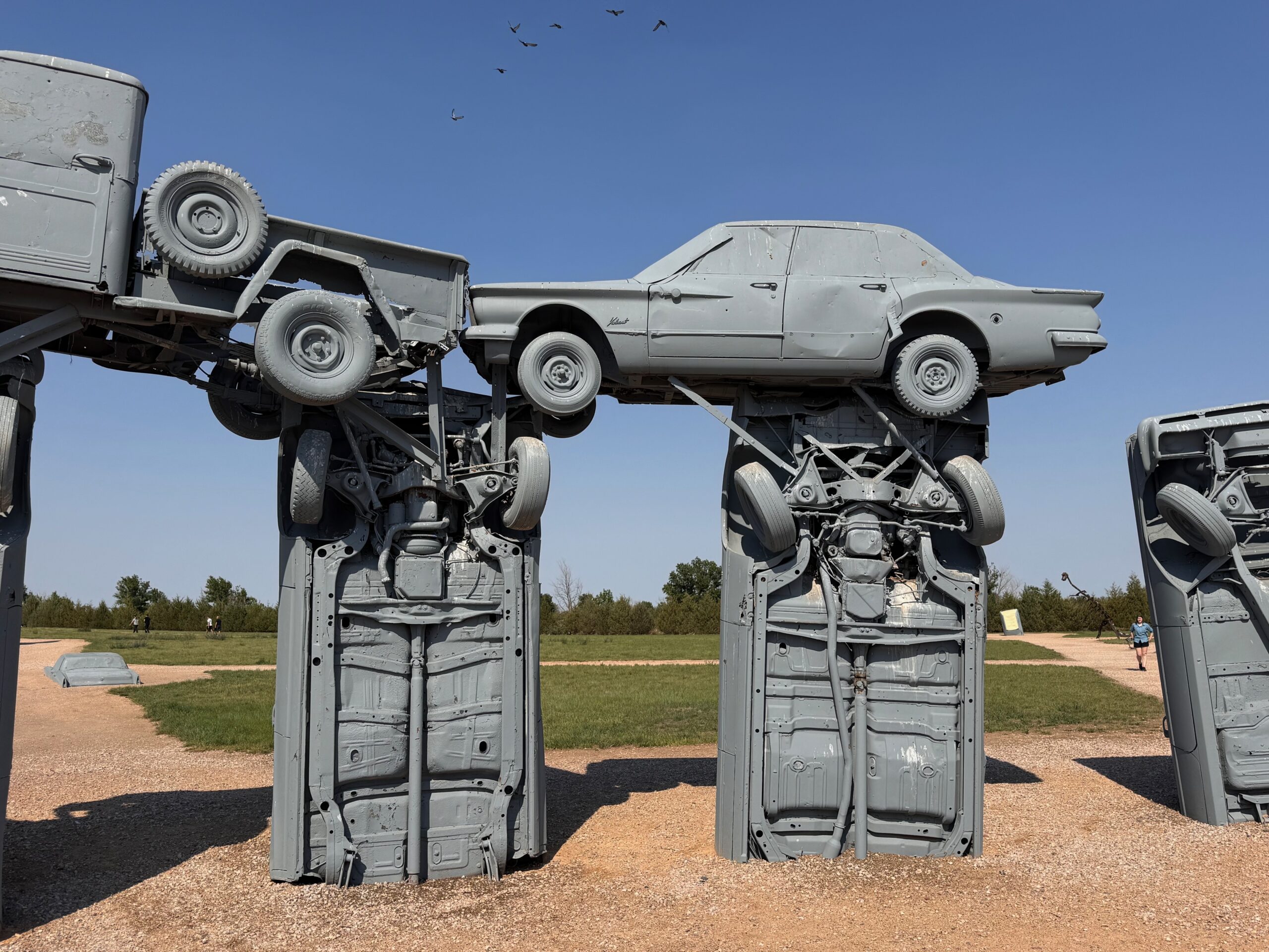
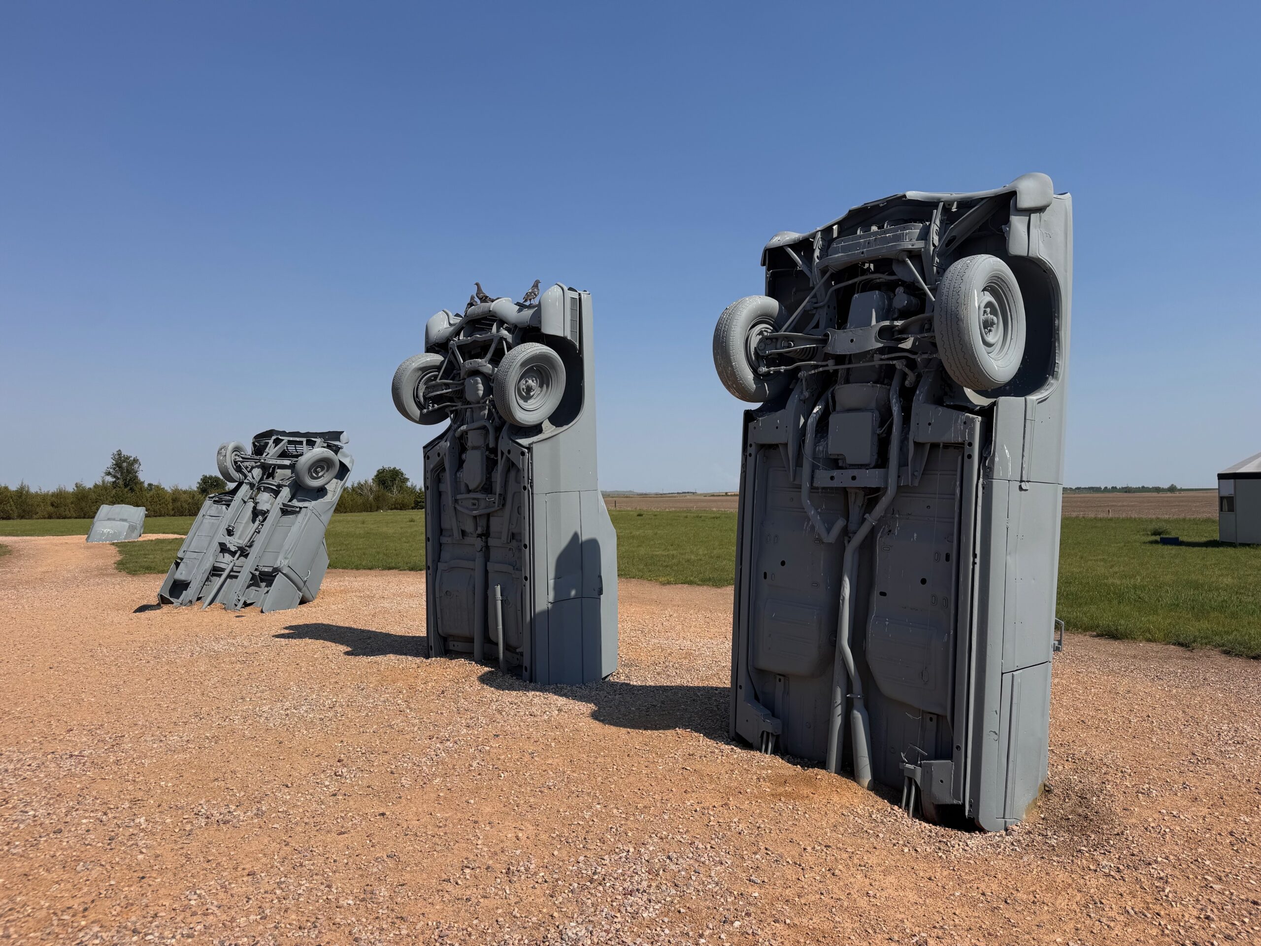
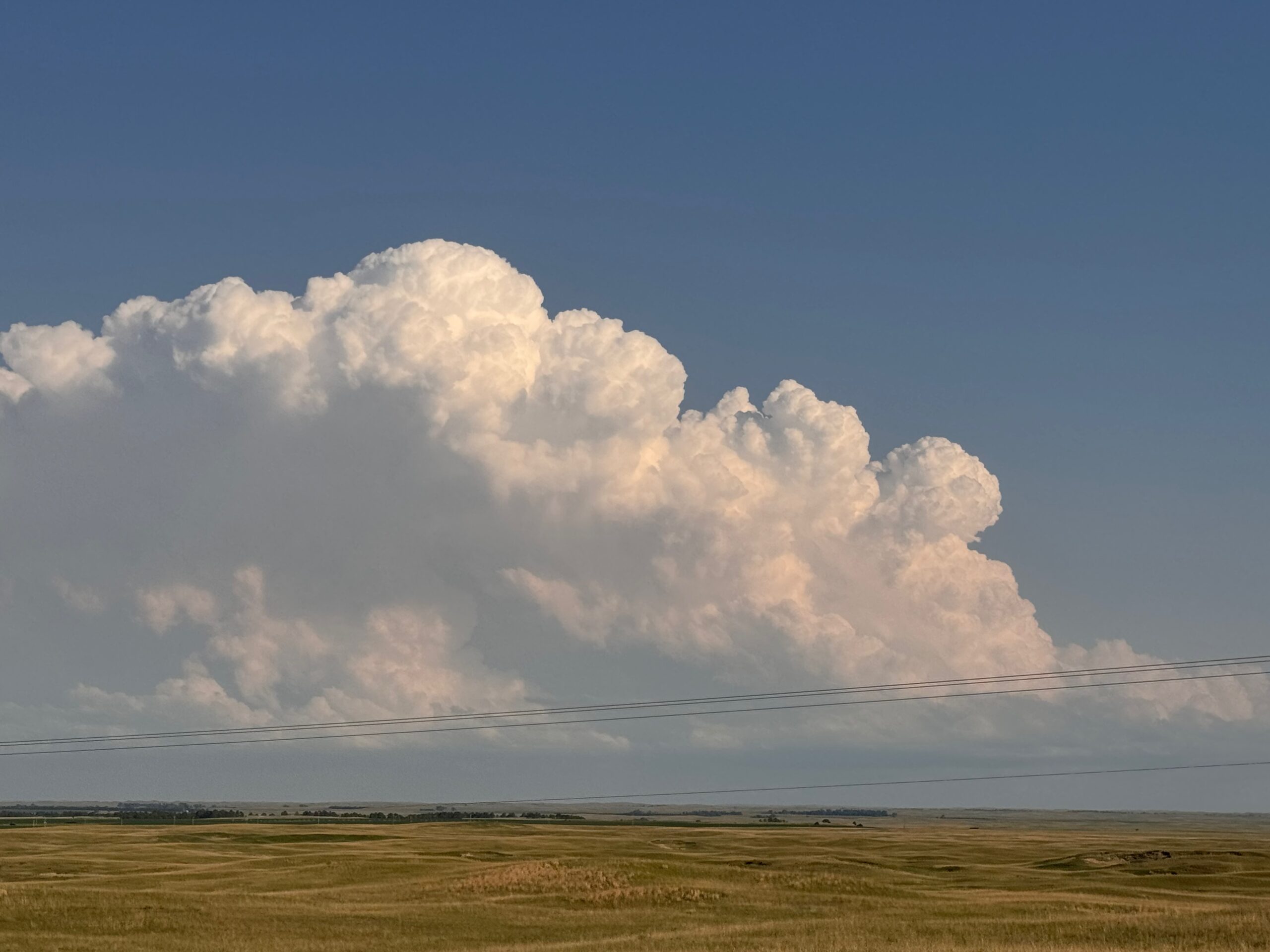
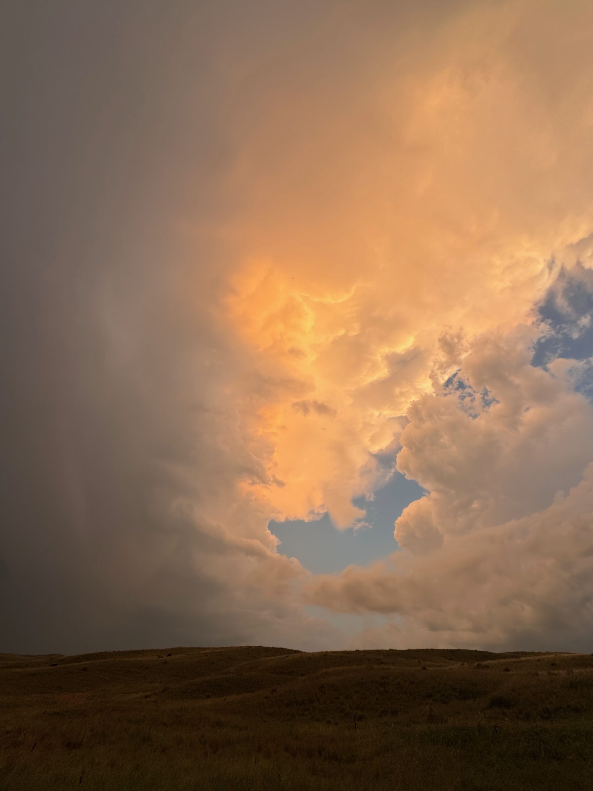
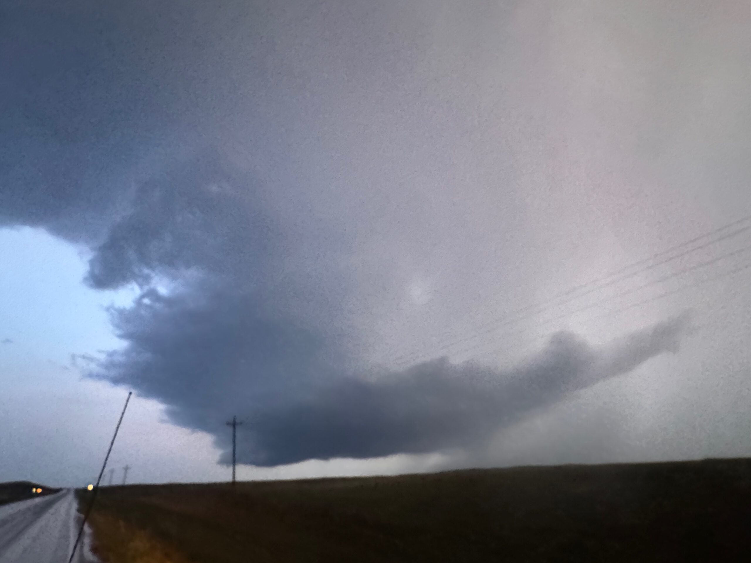
The right split continued to move to the northeast, towards areas west of Valentine. We made our way east on U.S. 20 from Merriman to Cody, and the updraft looked reasonably strong to our south (see pics above). Unfortunately, this storm died as the afternoon sunshine on the Sandhills diminished.
The group got a little exercise at a park in Cody, and I figured that our chase day was done. I booked rooms up in Kadoka, thinking that we might want to be up along the ND/MN border on the following afternoon. A bit prior to sunset there were new updrafts to our west, back towards Merriman again. Maybe that severe evening stuff is already trying!
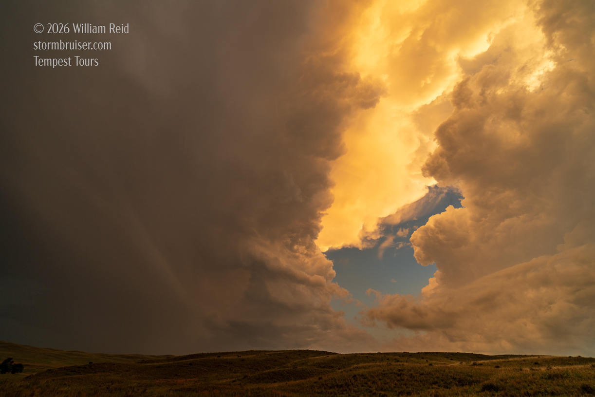
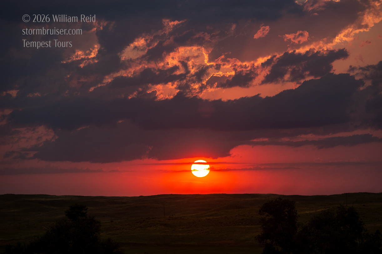
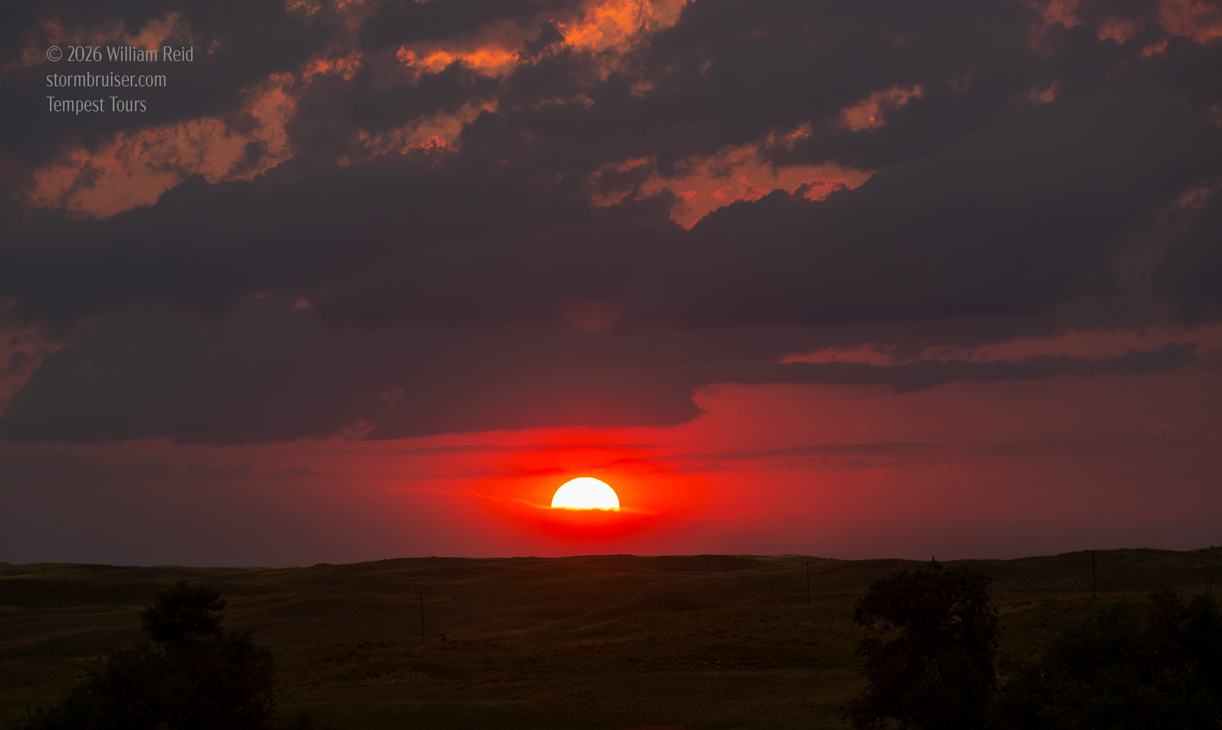
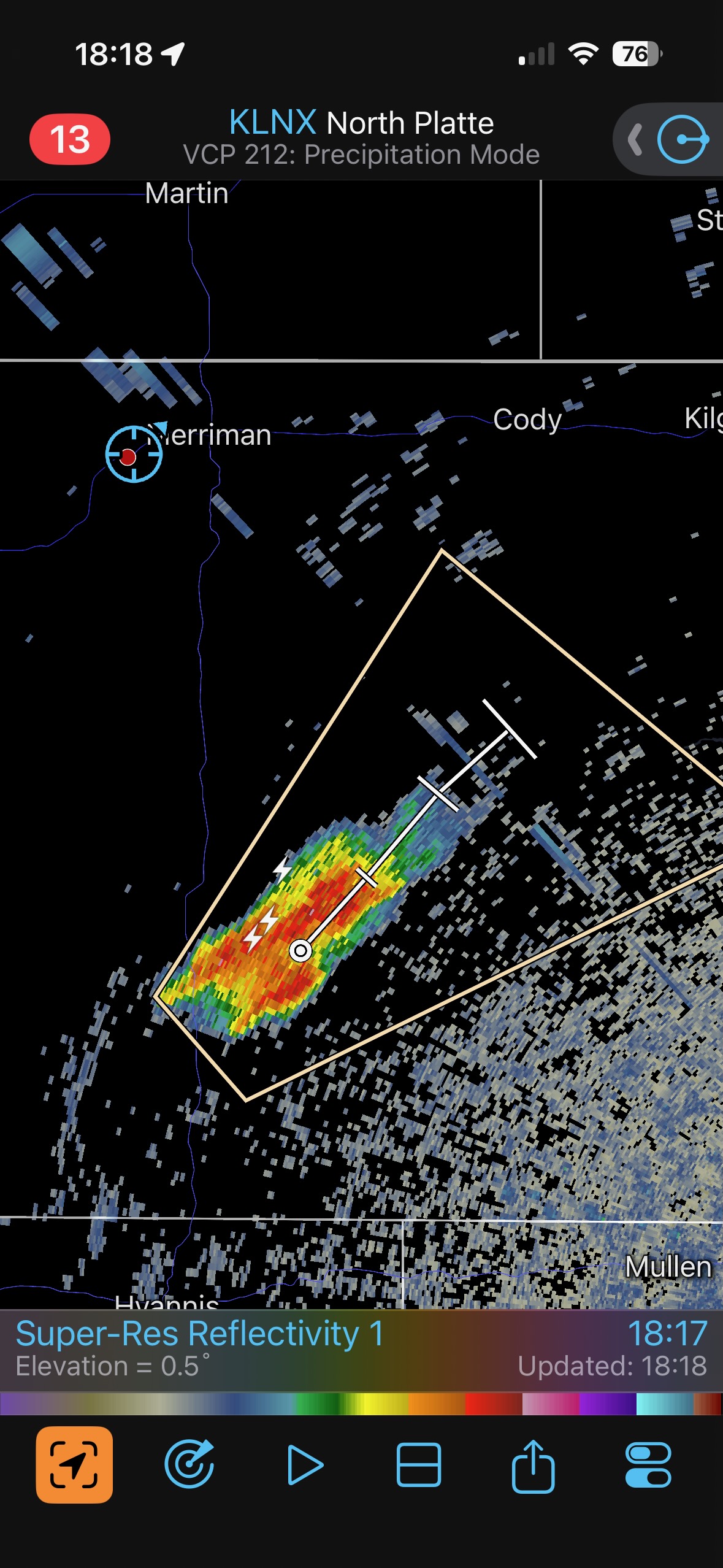
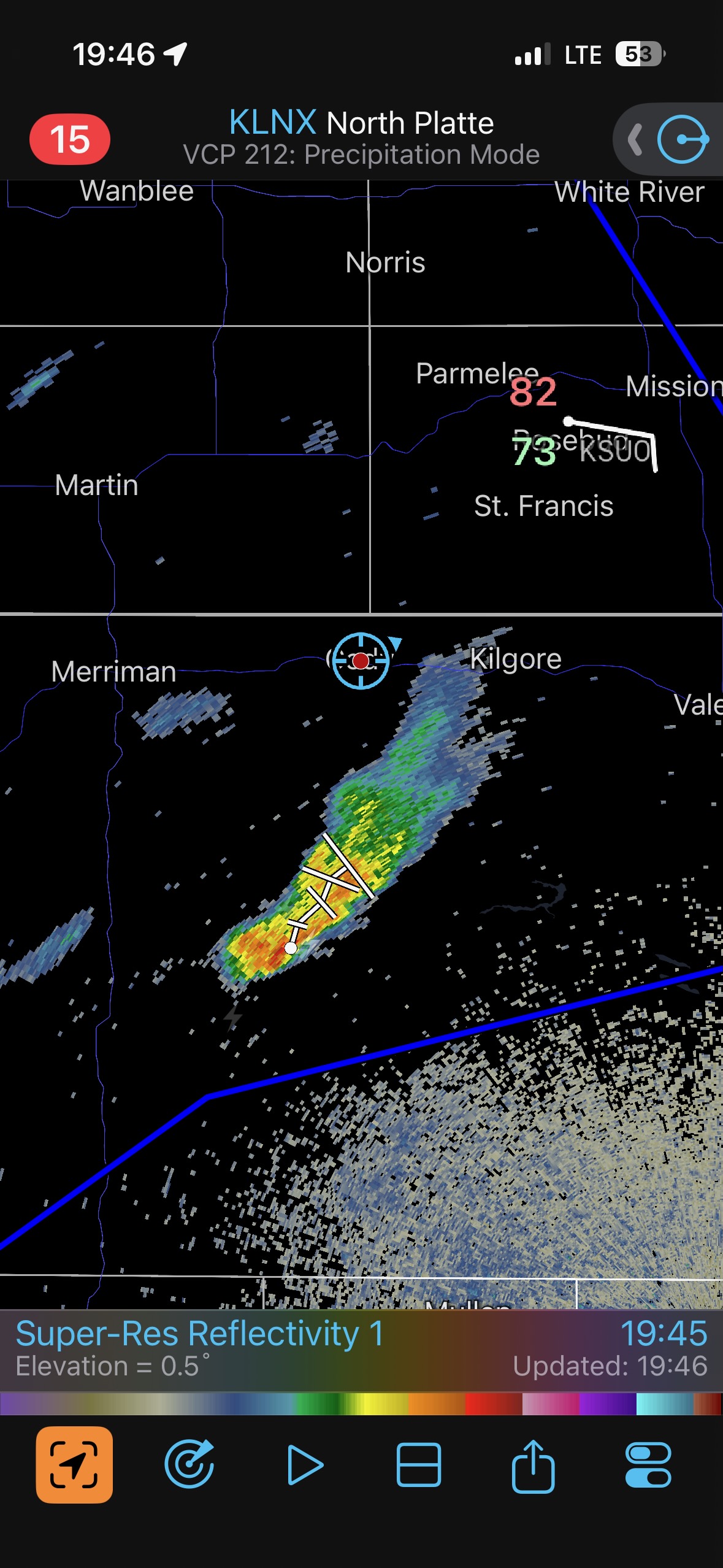
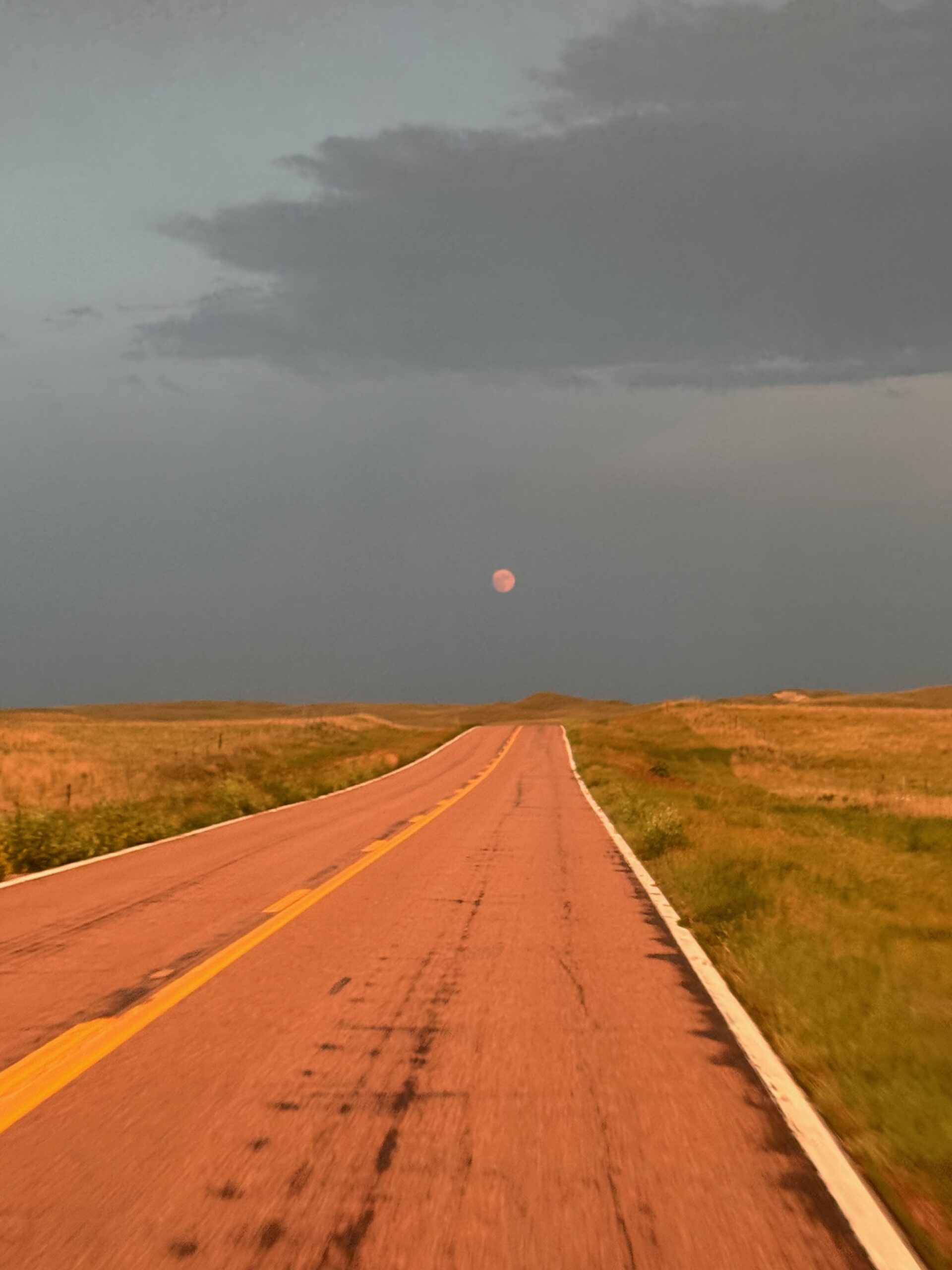
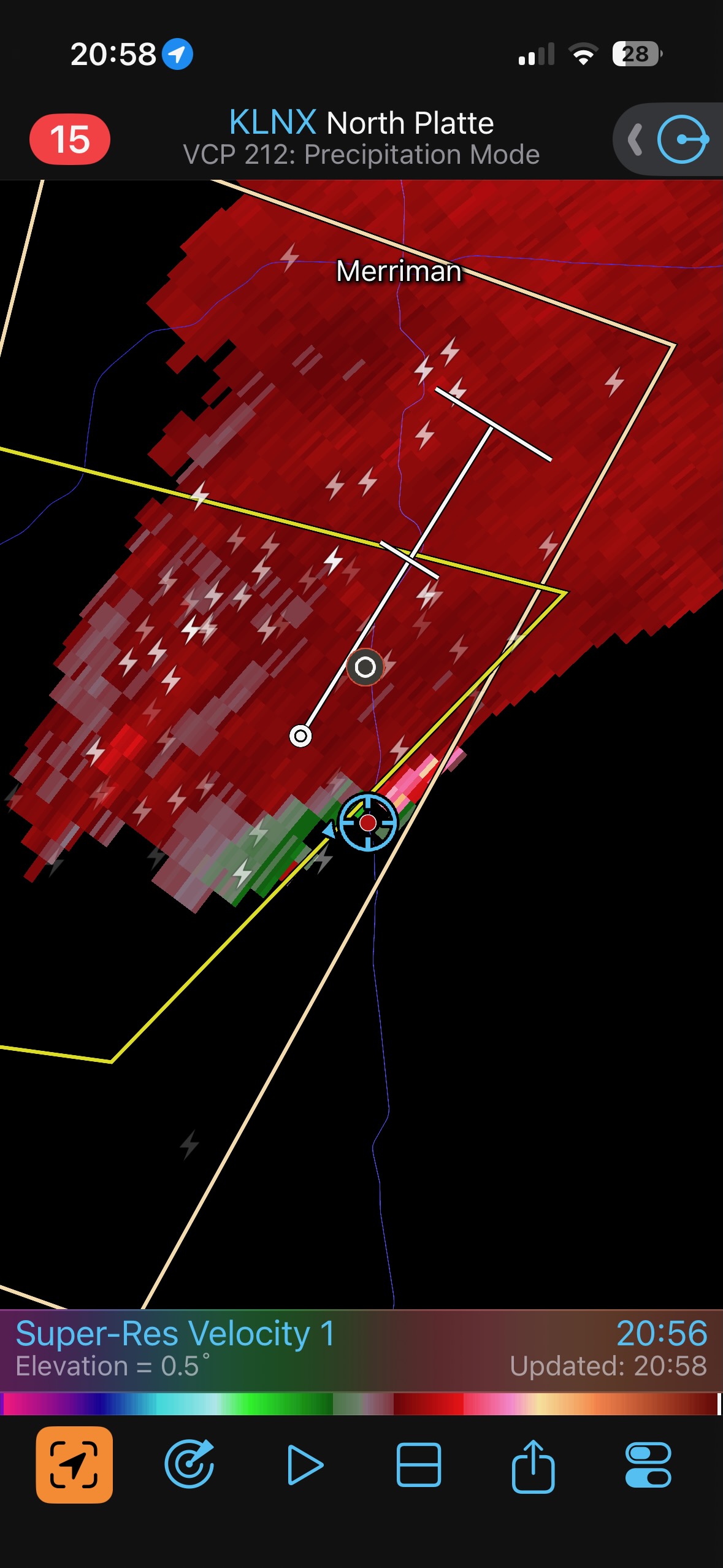
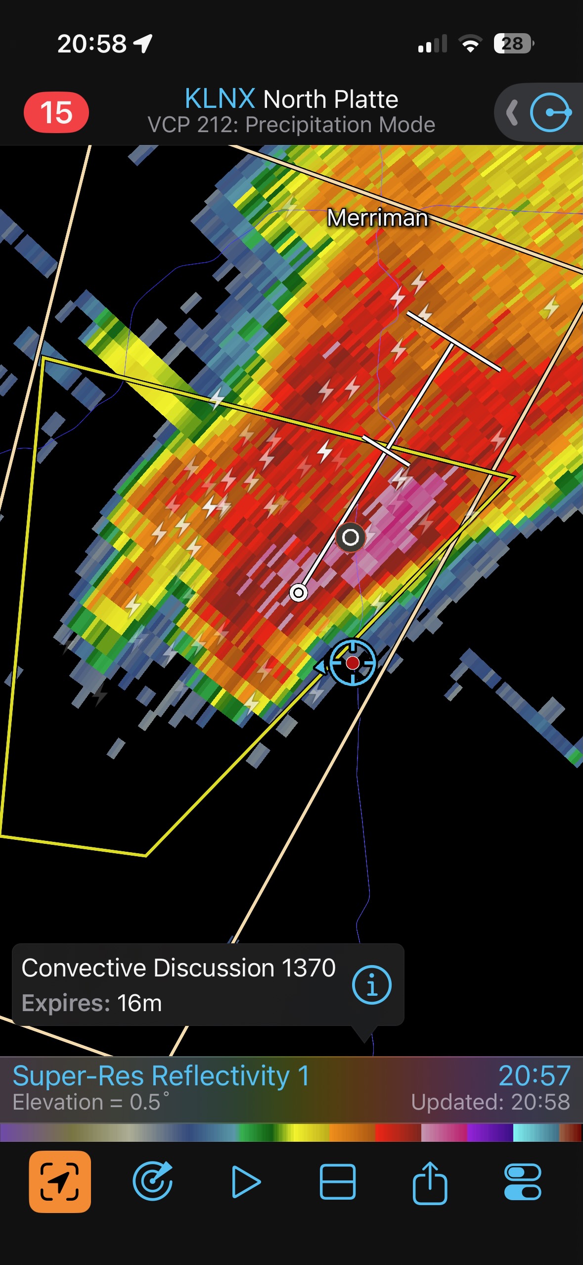
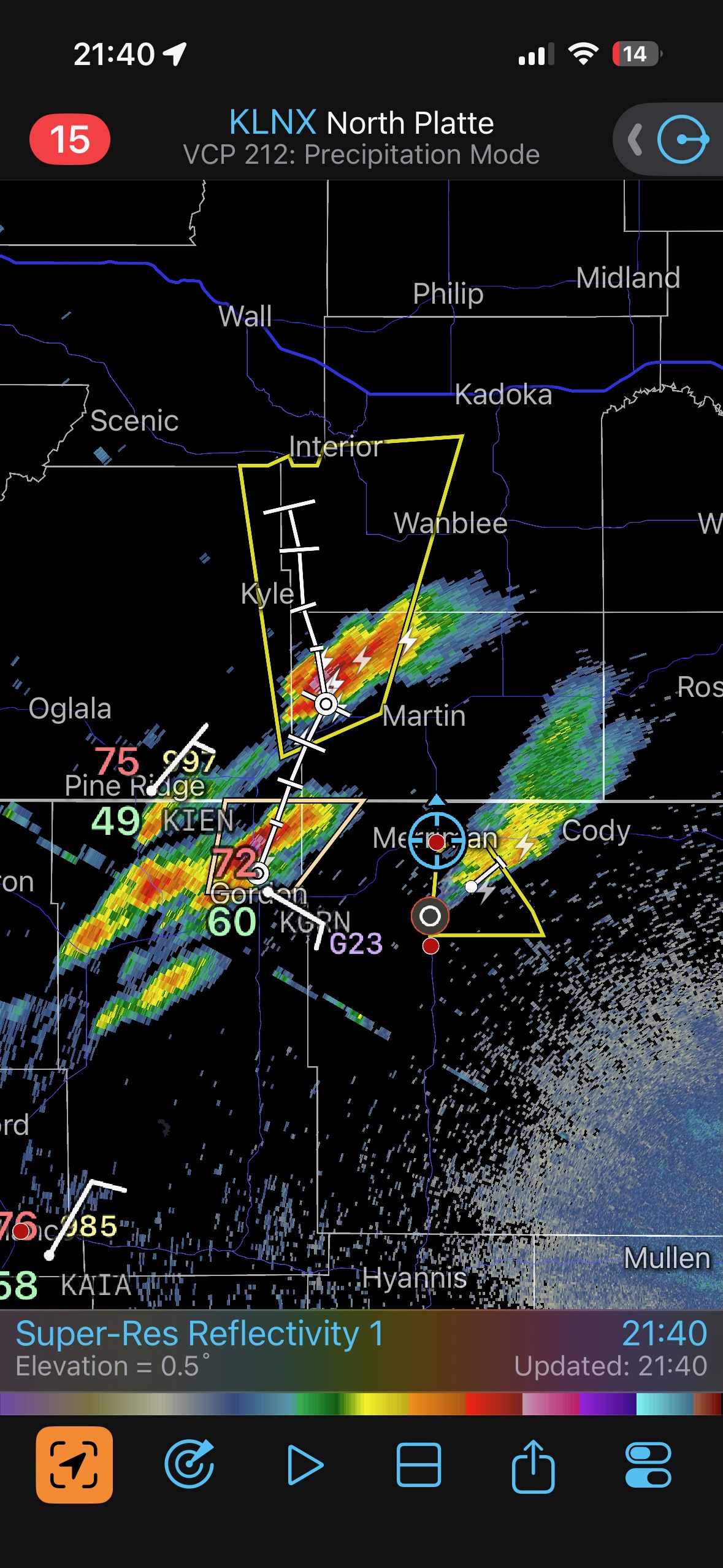
We went back west towards Merriman and stopped for some pretty sunset pics. This new development was southwest of Merriman, in northwestern Cherry County, and by 8:30 p.m. MDT the radar depiction strongly suggested an organized cell. It was not a difficult decision to head south again out of Merriman.
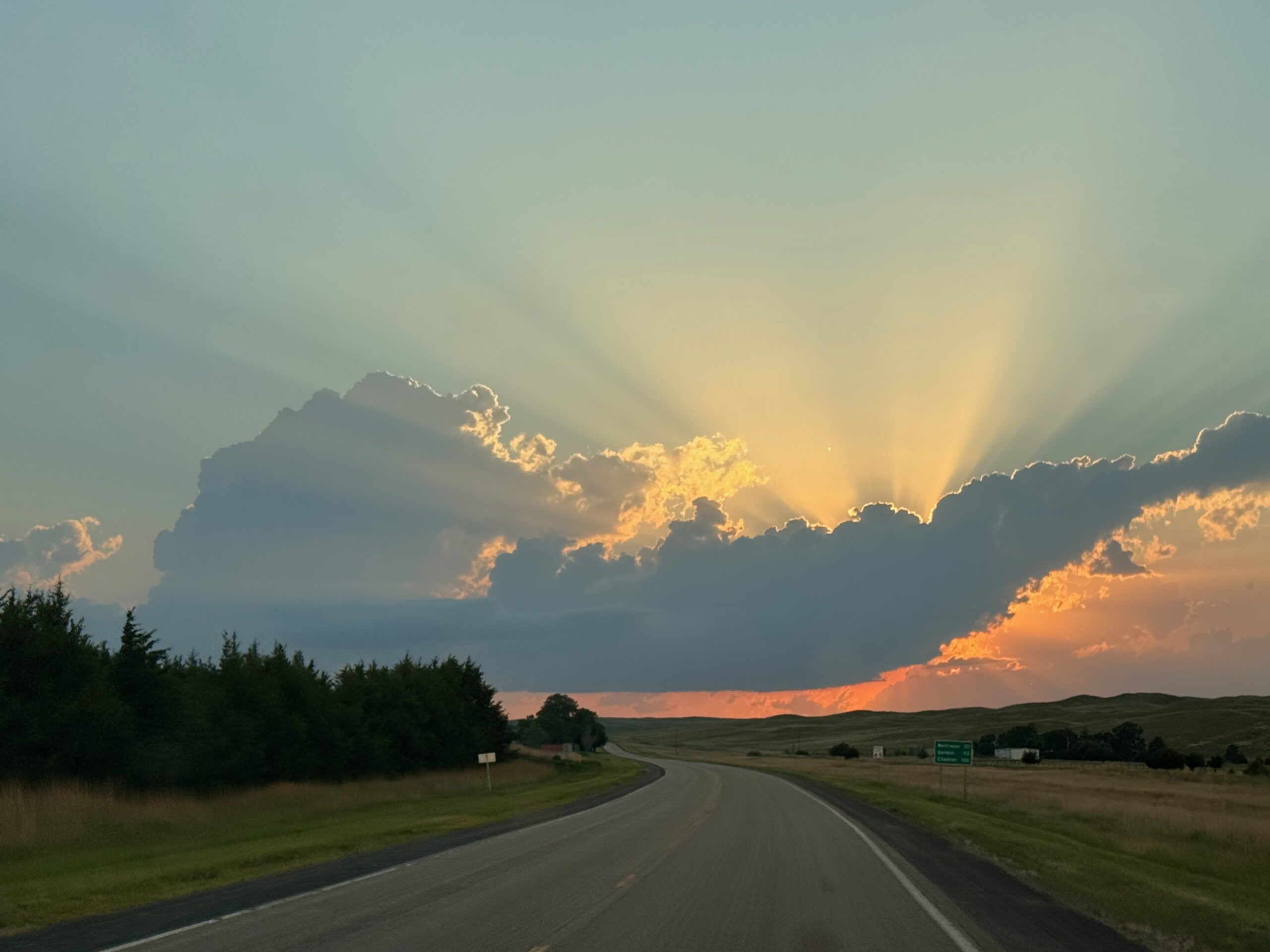
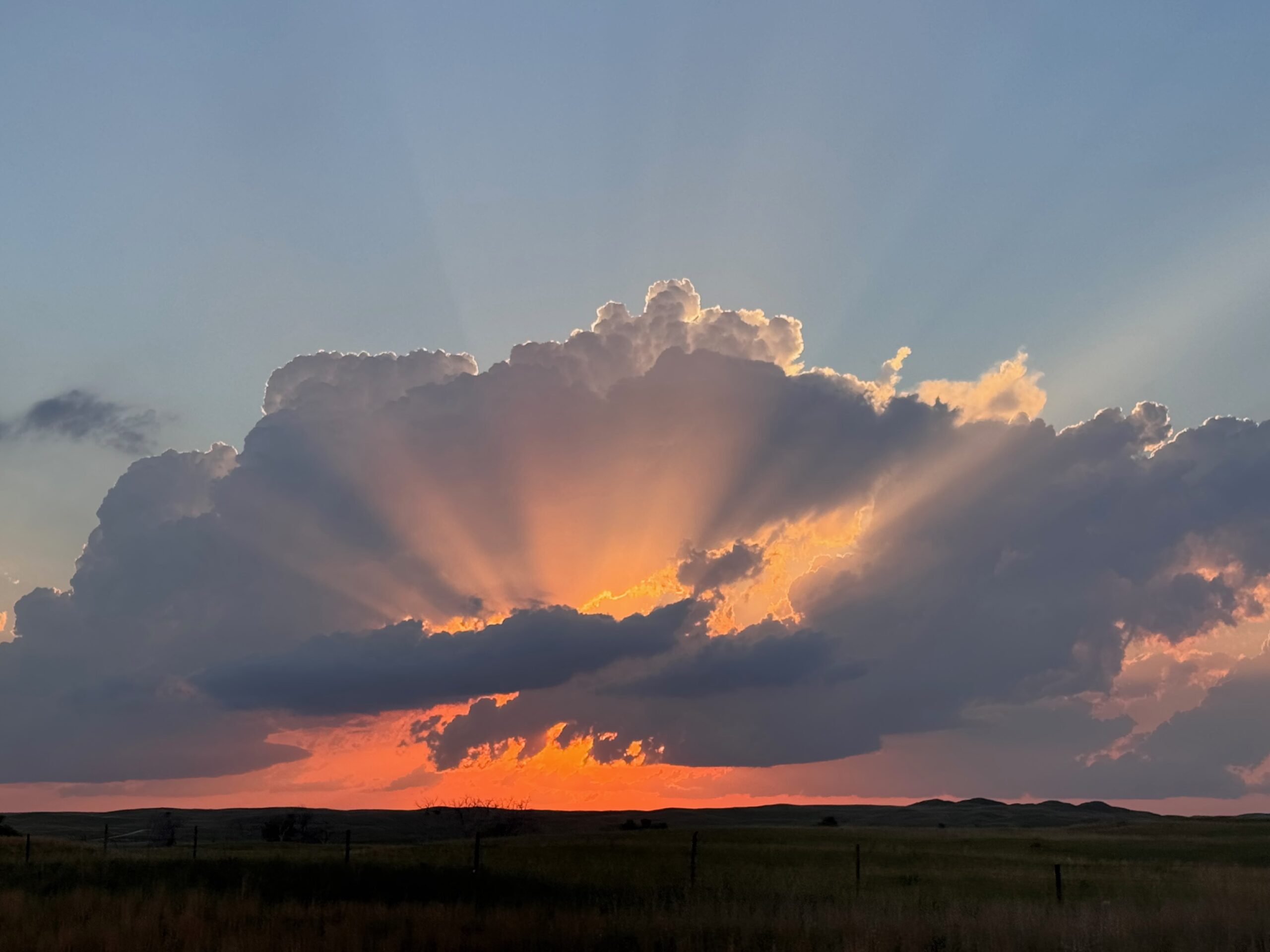
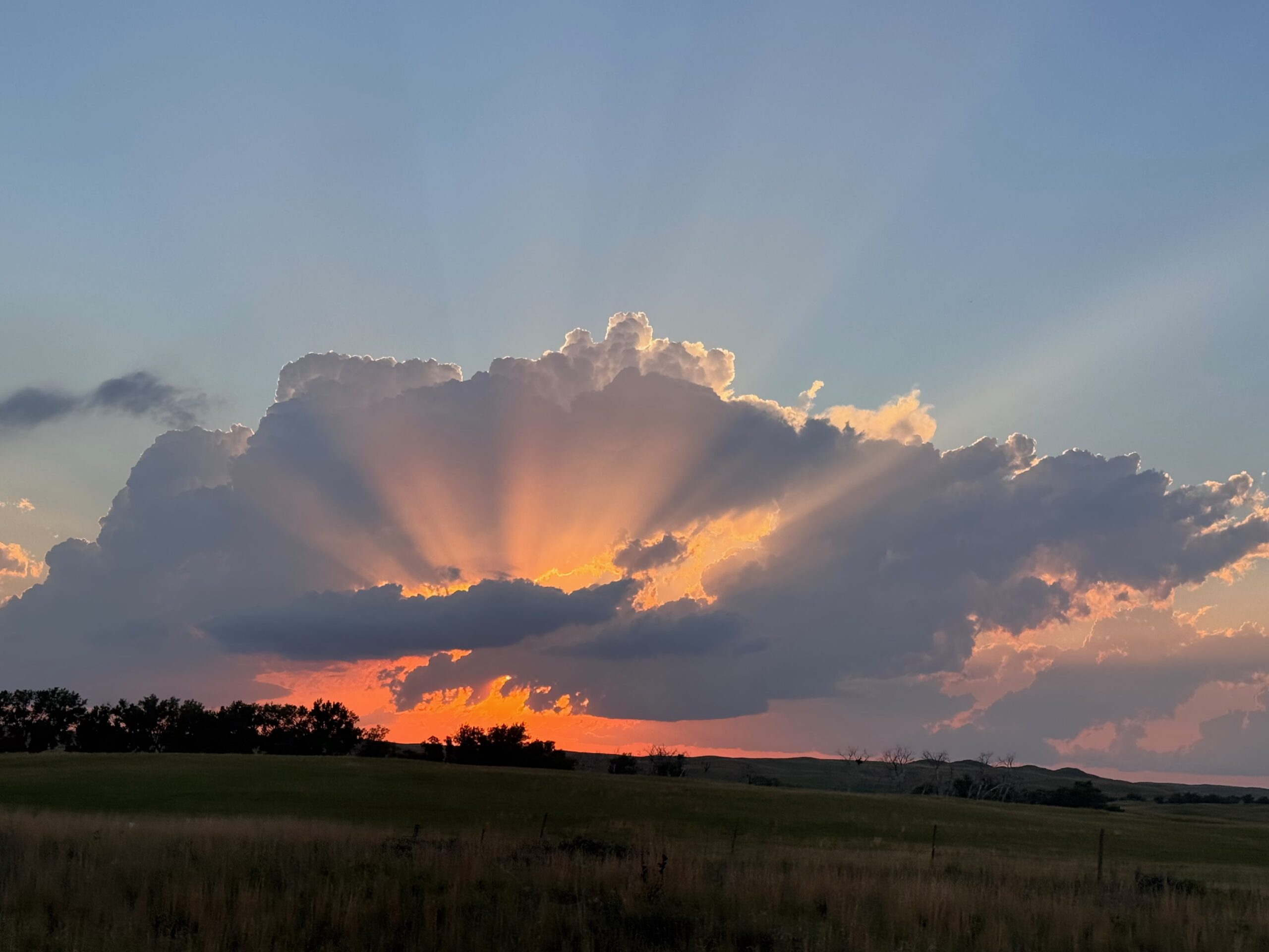
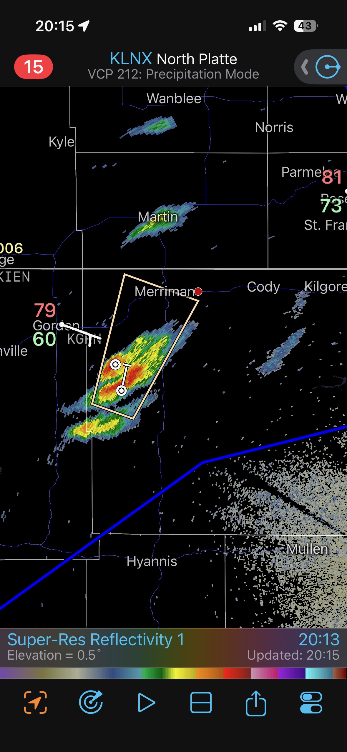
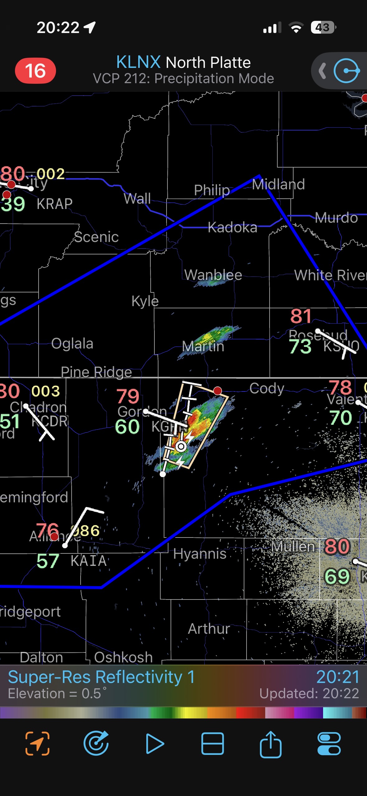
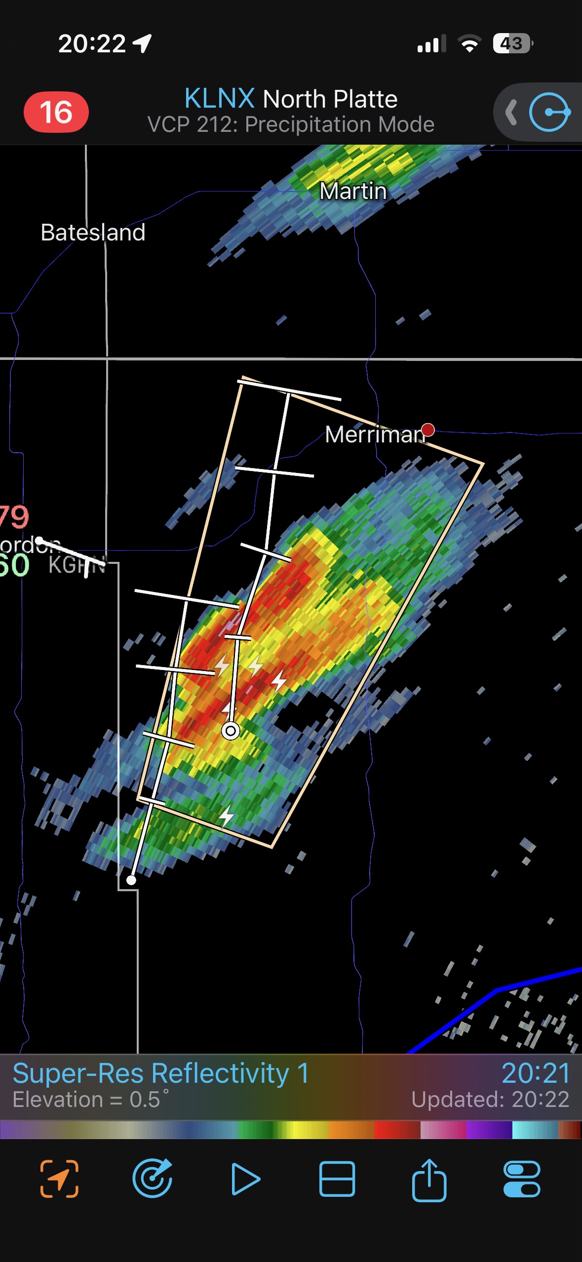
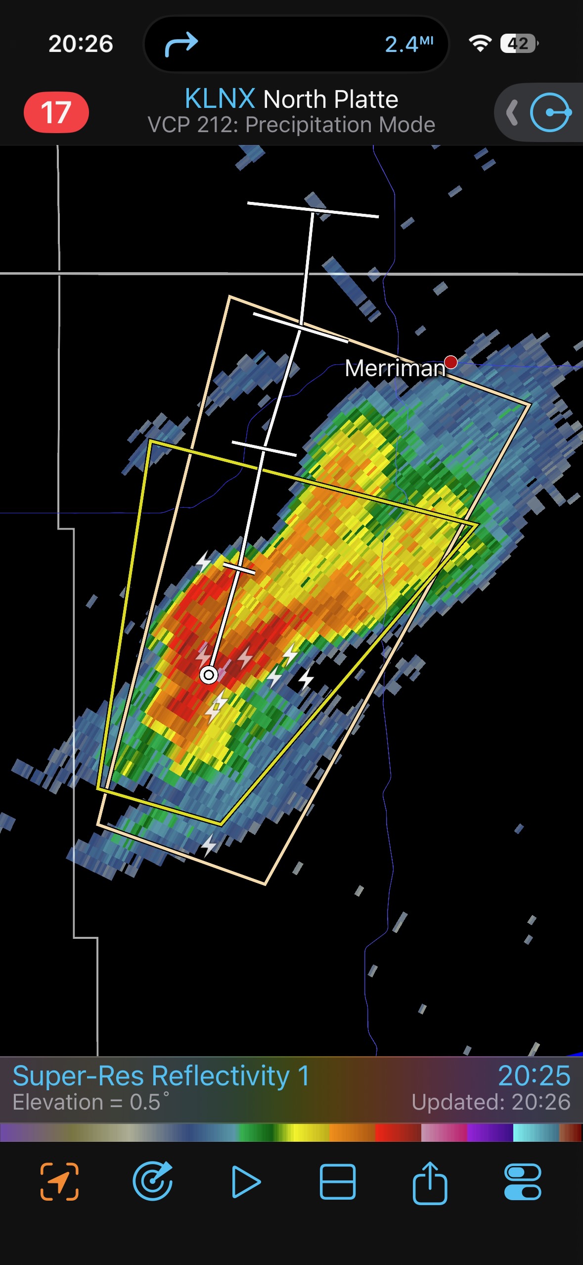

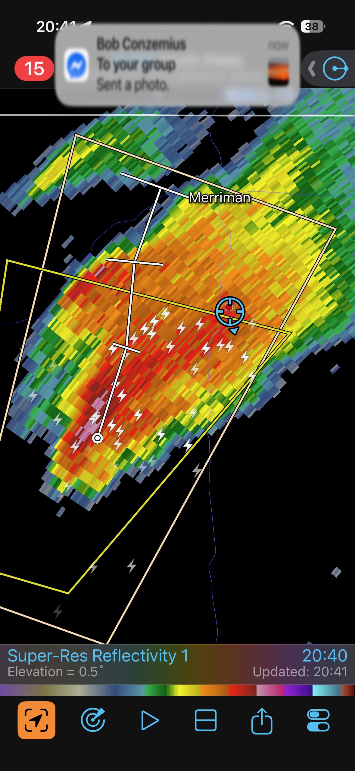
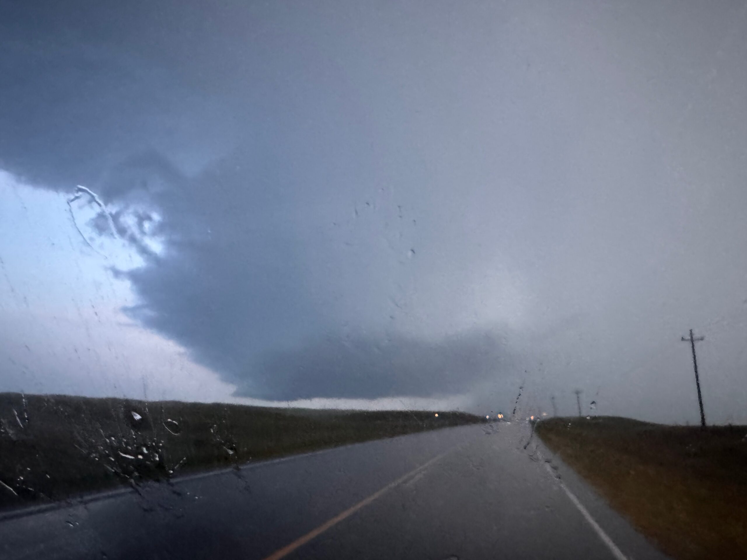
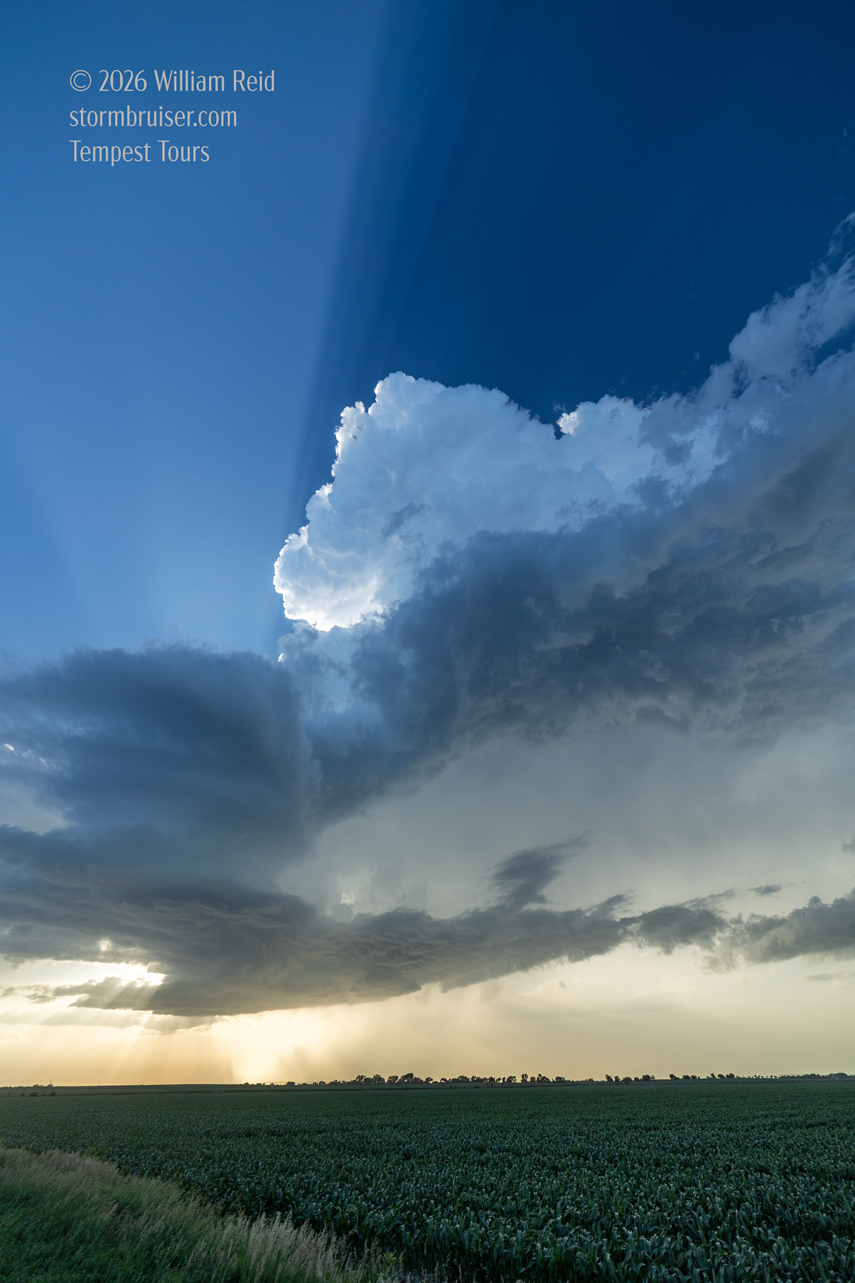
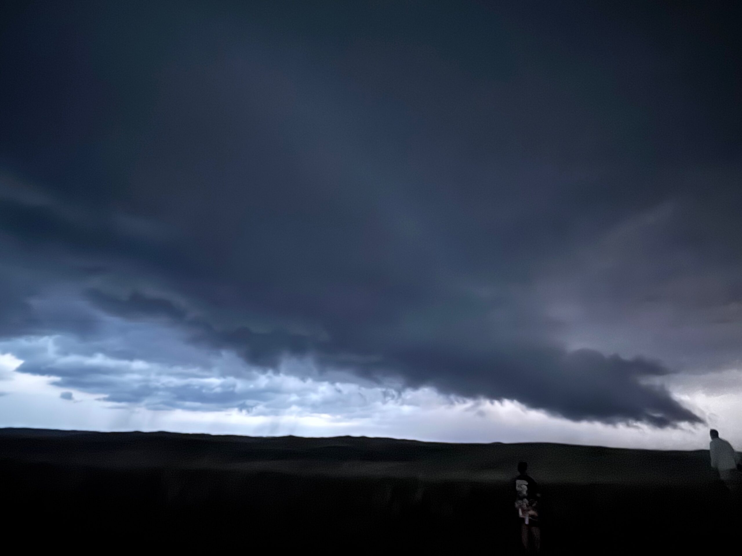
Our new storm was a supercell as we motored southward on 61 through its anvil rain. Lightning frequency was increasing, and I was becoming quite giddy. Might we luck into something really cool just down the road?! The sculpted updraft base came into view. It was fabulous, with a flat rain-free base and laminar sides. See pics below.
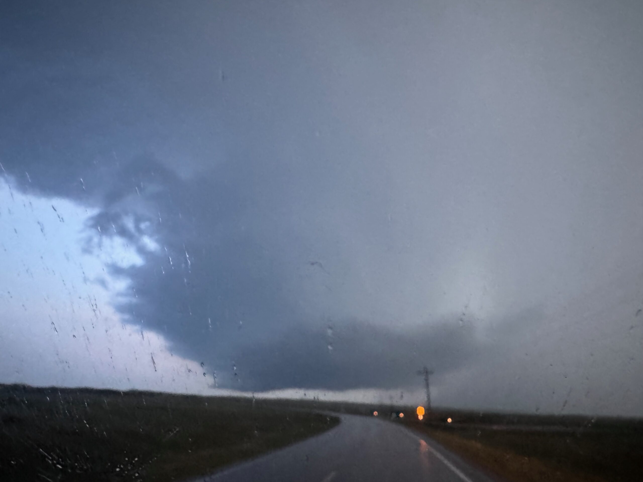
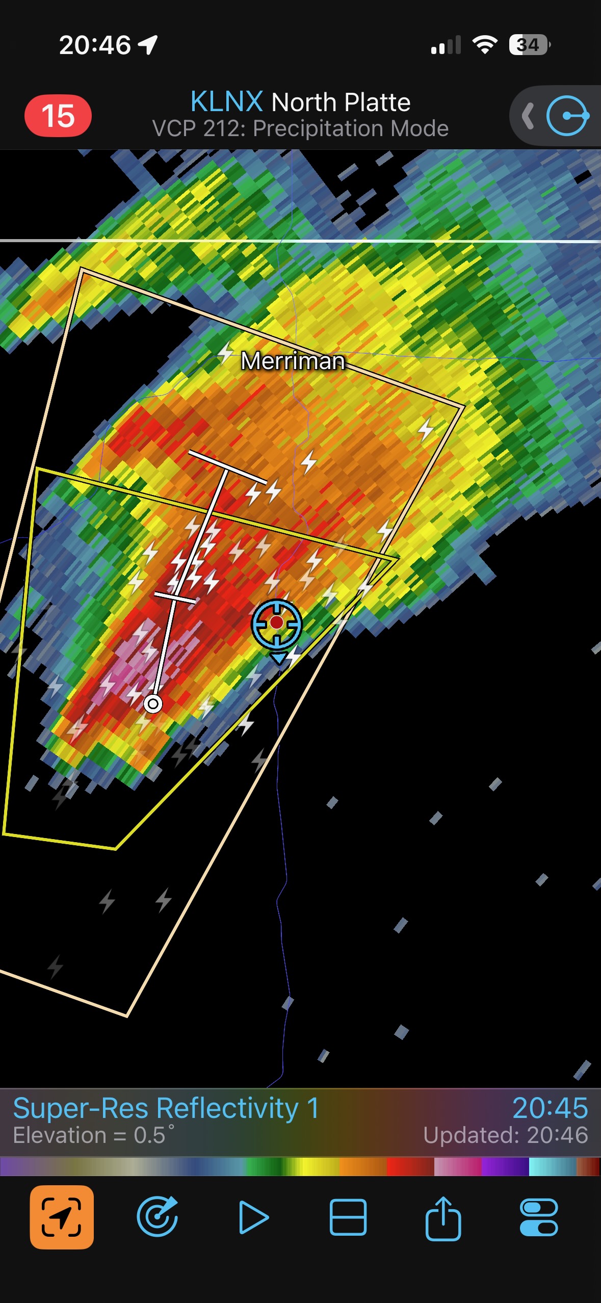
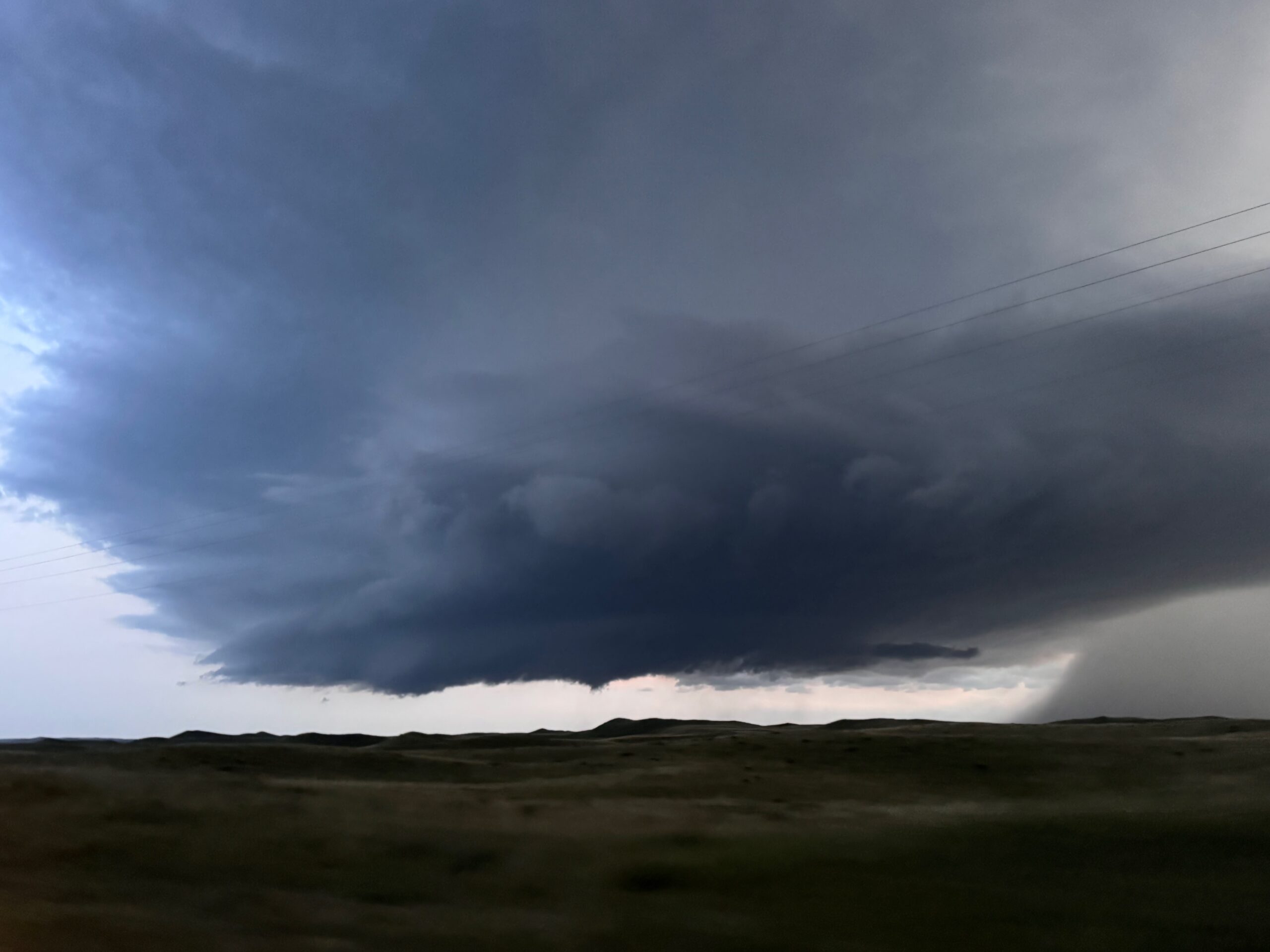
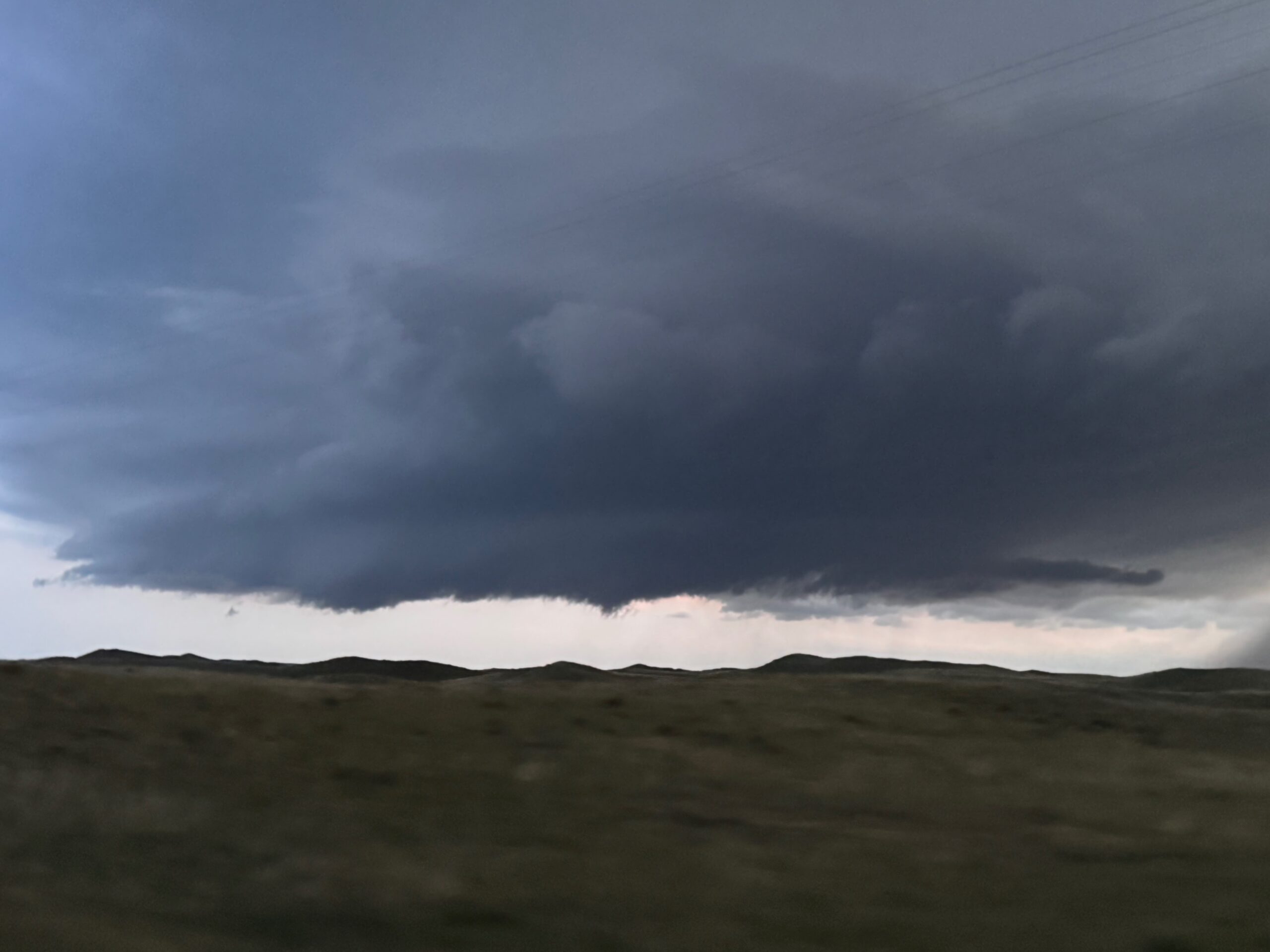
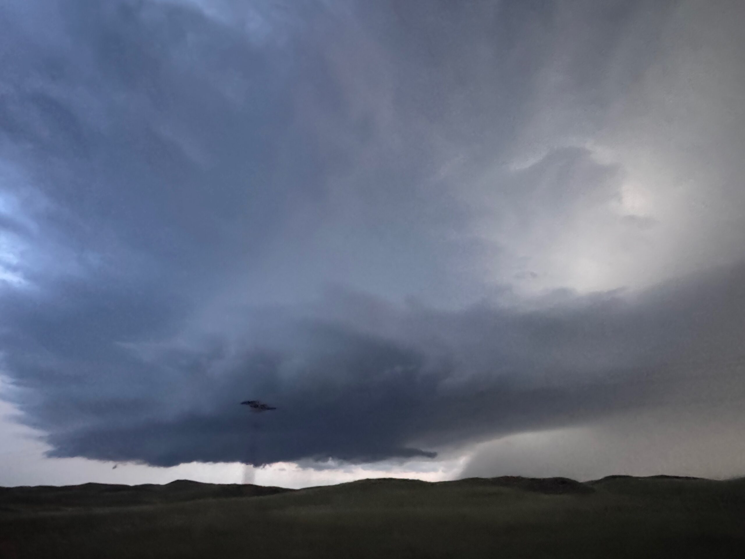
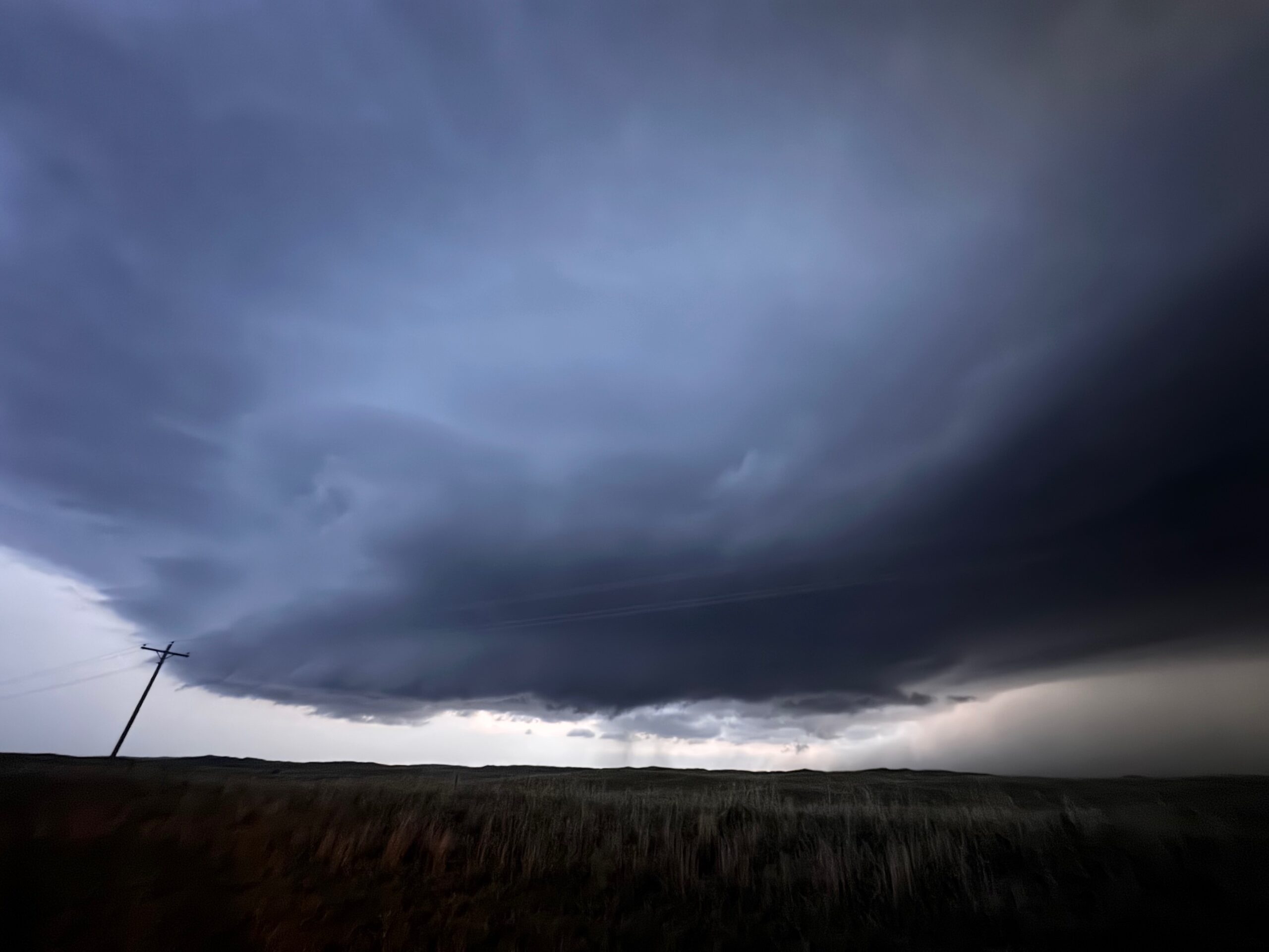
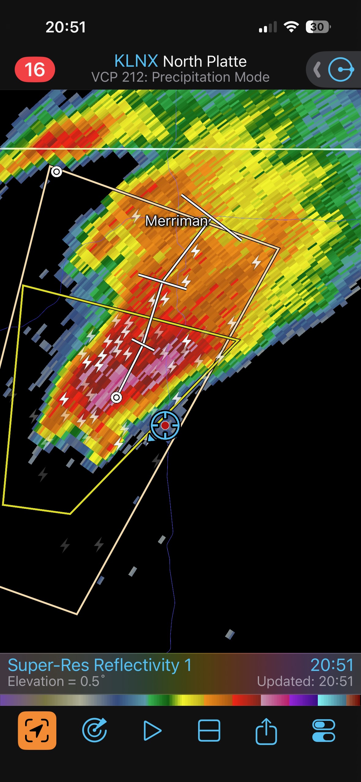
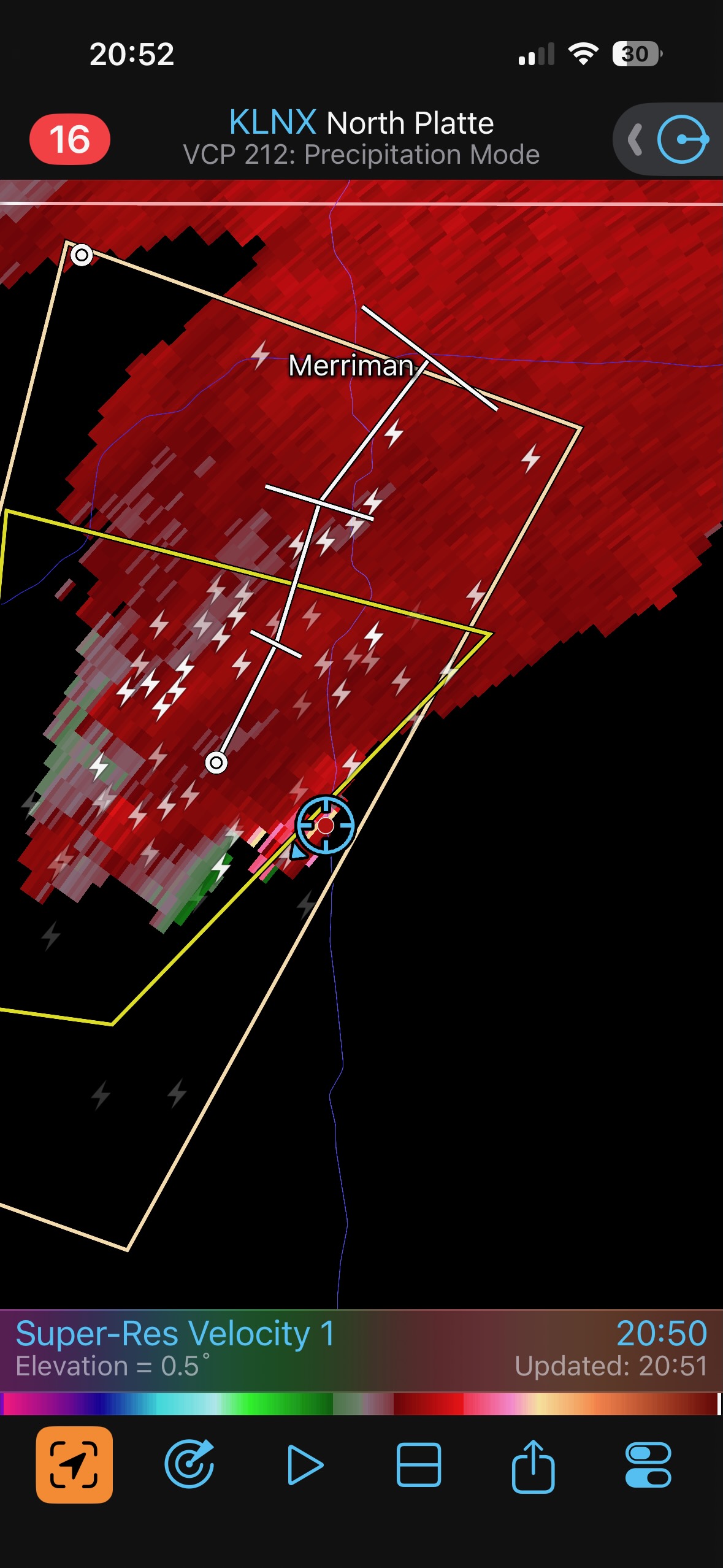
We found a hill with a good view of the base, which was just west of 61. It was churning away, with occasional areas showing good rotation. It was rather dark now, but there was enough light to the west helping out. We were right there in the hook, where the radar showed a little couplet. A scraggly funnel came down, but rotation with it was weak. The storm moved a bit east of 61, and seemed to go downhill in intensity. It gave us show, though, on a chase day where I was expecting little or nothing.
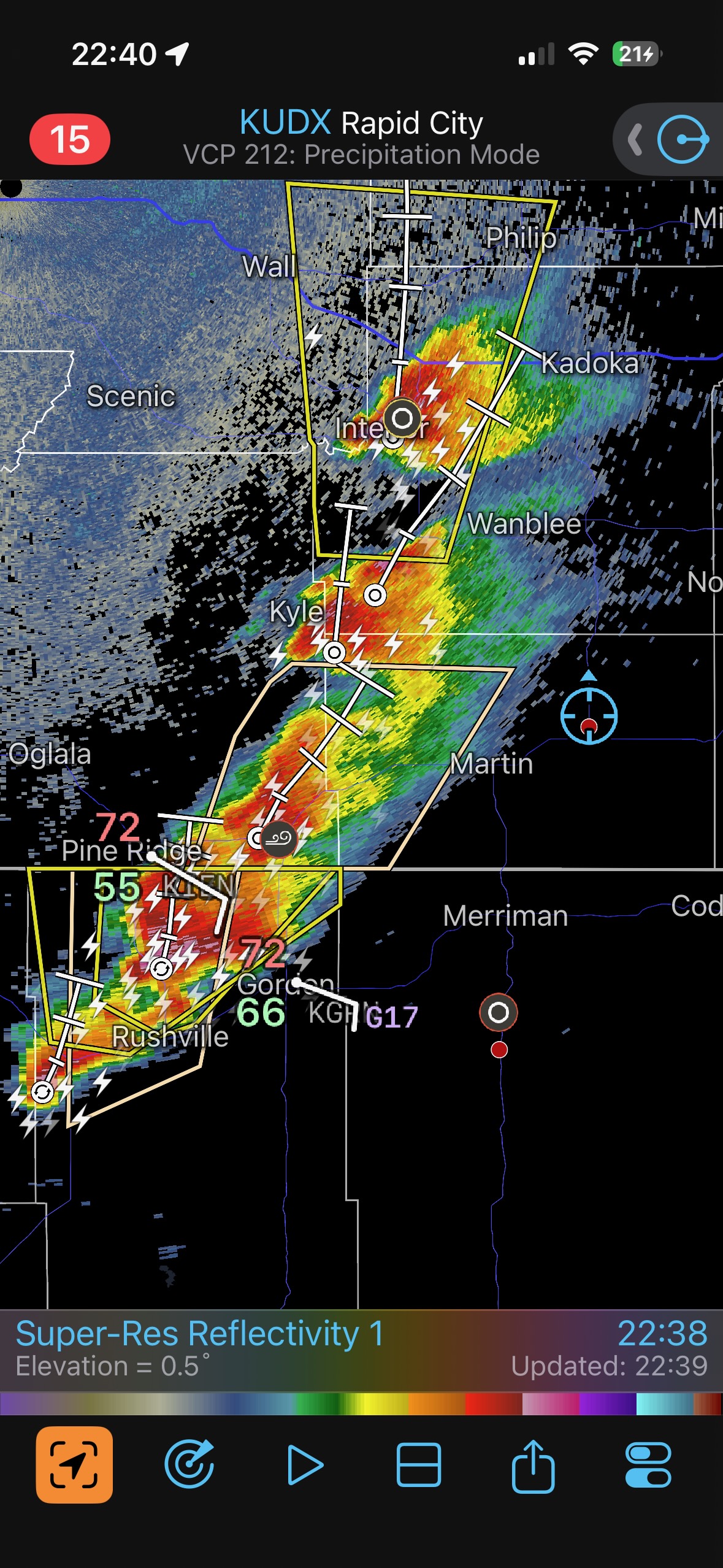
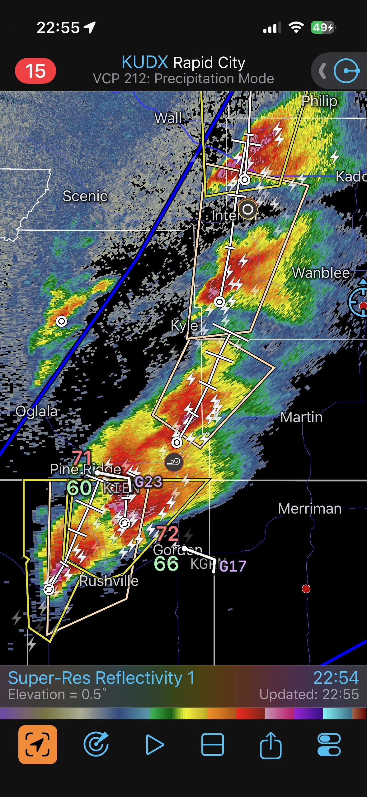
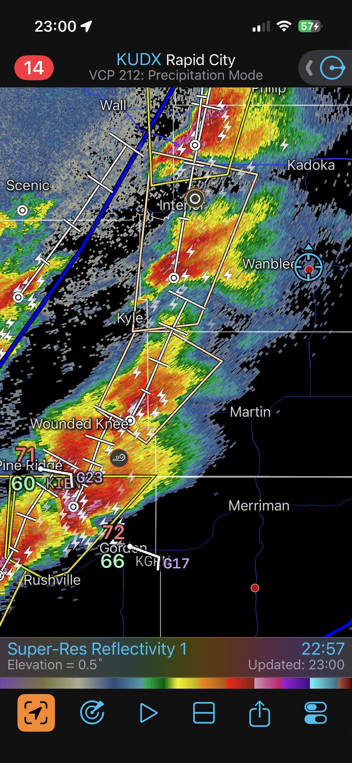
Convection on that leading edge of good low-level moisture really ramped up as we made our way north to Martin and Kadoka.
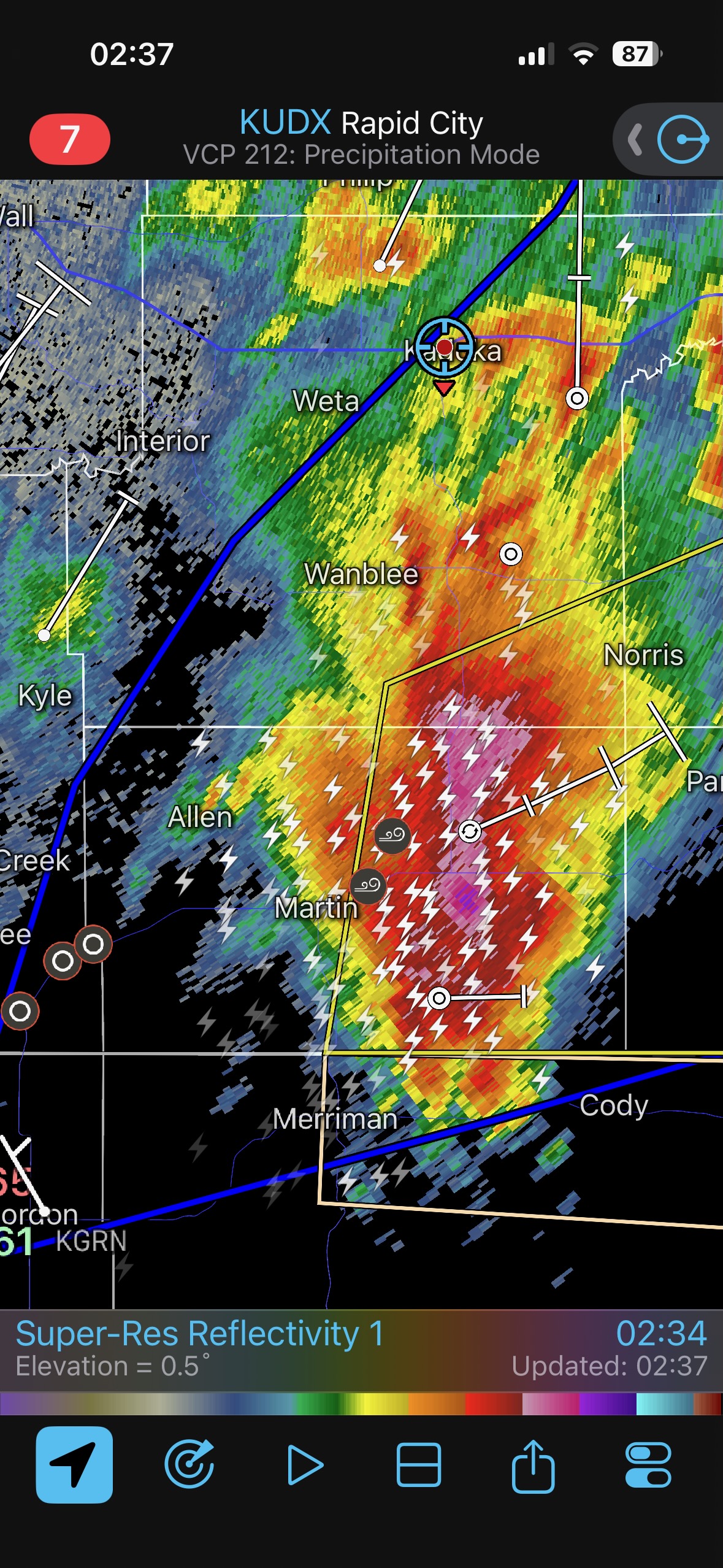
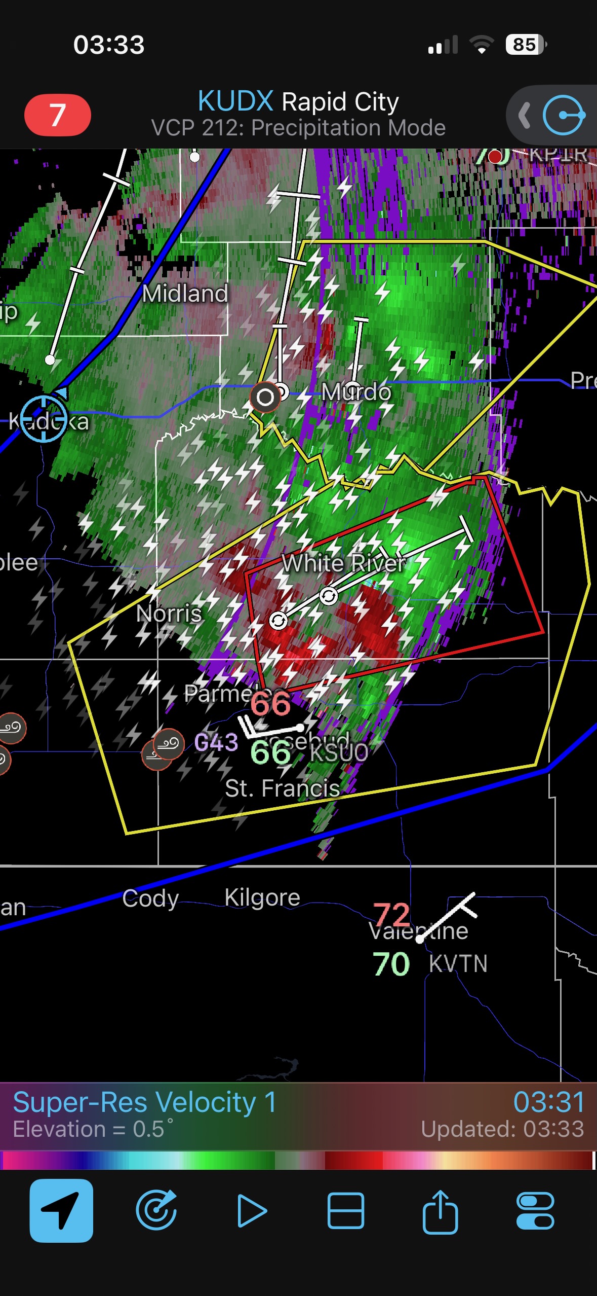
Overnight, a storm with hail and 80 mph winds was between Cody and Martin and moving northeastward. I suppose I am glad it didn’t hit our vans in the motel parking lot at Kadoka.
Leave a Reply
You must be logged in to post a comment.