
Finally — moisture and instability on the Great Plains were improving. This was the first chase day for Tour 3 out of OKC, and we found ourselves with a large slight risk area to consider. I elected to try northwestern Oklahoma. One of the primary negatives for this day was the wind shear. It was barely marginal for supercells. Up in eastern Colorado, the shear was excellent, but the moisture was poor.
I don’t recall too much about this day (five months after the chase!), and it doesn’t help that my notepad from the day is missing. Oh well, there wasn’t too much to write home about, anyway. Uh oh…I am starting to recall some stuff. We were hanging out near Kiowa, Kansas, on the OK/KS border for much of the afternoon. It was bloody hot. A decent cell went up about an hour’s drive to our east. I liked the area around Kiowa quite a bit more, and elected to stick to my guns and to wait for for a storm to develop nearby. The storm to our east, near Arkansas City, Kansas, wound up producing a rather nice tornado. Oops. I had done a good job at forgetting this day until now. When that storm started to go up, I figured that it would quickly move to the east and we would have great difficulty getting into position. But, it wound up moving quite slowly, and I should have gone after it.
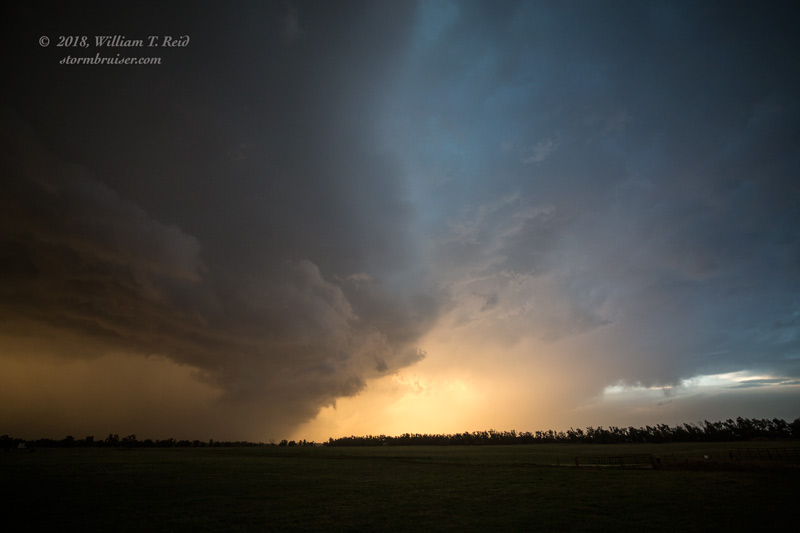
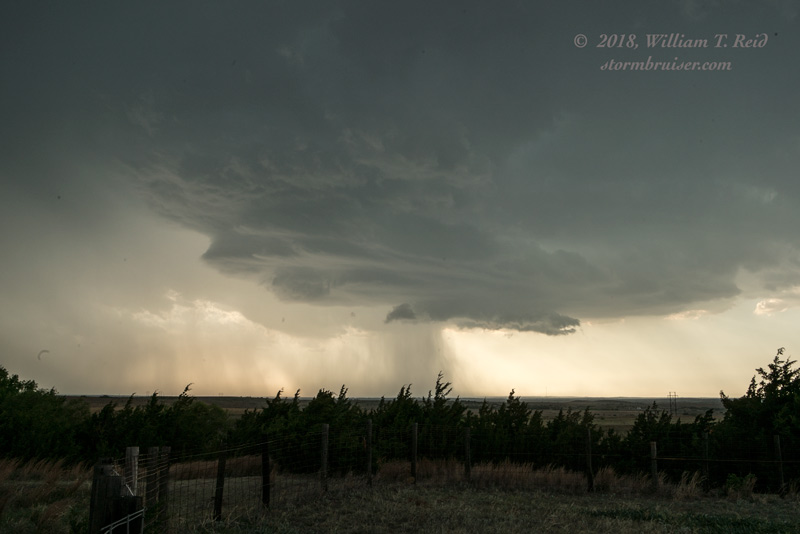
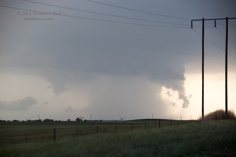
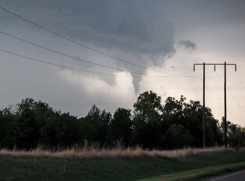
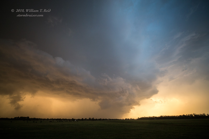
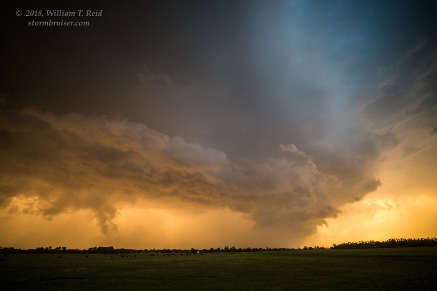
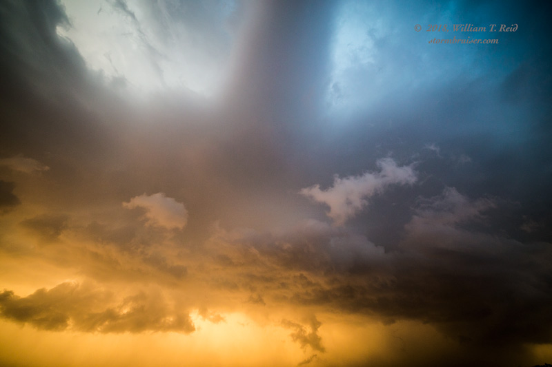
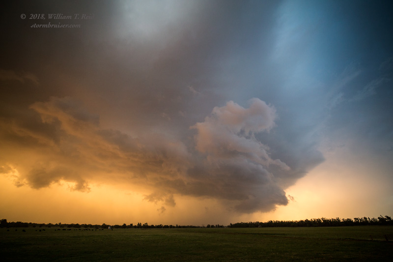
Finally, some strong convection developed to our southwest, near Waynoka, I think. This stuff took us ENE-ward, and we had some semi-decent structure from about Carmen to Jet in northwestern Oklahoma.
Leave a Reply
You must be logged in to post a comment.