
Start: Syracuse, KS
Lunch: Elkhart, KS/Pizza Hut
End: Liberal, KS
This day was looking like a BIG severe weather day, and maybe a big tornado day. At least until about mid-morning. Persistent morning convection (a large MCS) in western Kansas and then northern Oklahoma completely trashed the troposphere, sending an outflow boundary southward into Venezuela during the afternoon.
Okay, not Venezuela, but WAY south into the central Texas Panhandle. The boundary basically wound up where the cap was too strong to get a storm, and where the upper level flow was too weak to get a good severe storm. The air behind the boundary was so cool and cloud-riddled that afternoon surface-based convection was looking less and less likely in SPC’s hatched area (and 5% tornado area) in and around the northern TX Panhandle region. After our lunch stop in Elkhart, Kansas, I had to decide whether to continue south towards the outflow boundary and hope for enough afternoon heating and convergence on the boundary for a storm. Or, whether to find another play. The play to the south, well into the Texas Panhandle, seemed like a losing proposition. At Elkhart, the cool northeast winds beneath the low overcast were casting a pall upon the chase day. The satellite imagery showed some clearing around the Raton Mesa area to our southwest, though the air still had a long way to go to “recover.” We went west to Springfield and Kim, in southeastern Colorado.
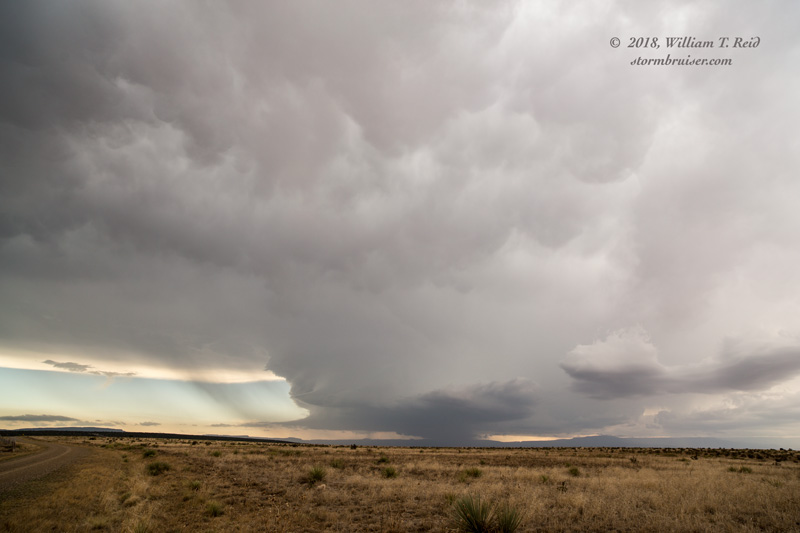
At Kim we visited a lonely bar, and enjoyed some cool sodas. A cell to the west by maybe 45 miles did not last very long. Another one, to our WSW near Trinidad, got pretty strong and began to head east or east-southeast. This one managed to stay strong and quickly organized. It was an impressive supercell as it tracked along the relatively empty terrain of the Raton Mesa from Trinidad to Folsom. We had a good look at the rotating updraft base as we headed south towards Branson, Colorado.
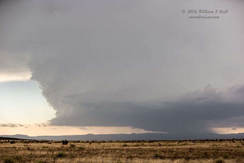
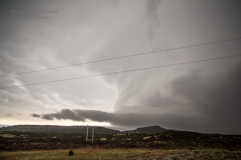
We got to Folsom, NM, with the supercell getting fairly close to the town. It looked fabulous on radar (when we had a cell signal, which was not often), and it was moving along the Raton Mesa at maybe 30 mph. I could have dropped south to get a good look at it, but then the road network would have taken me a lot farther southeast than necessary. The other option was to head east from Folsom, along a highway that goes unpaved for a good 20-25 miles through a pretty canyon area. The problem with that idea, of course, is that things could get problematic if the road got too wet. And, we might be vulnerable to large hail, with no options for cover or escape.
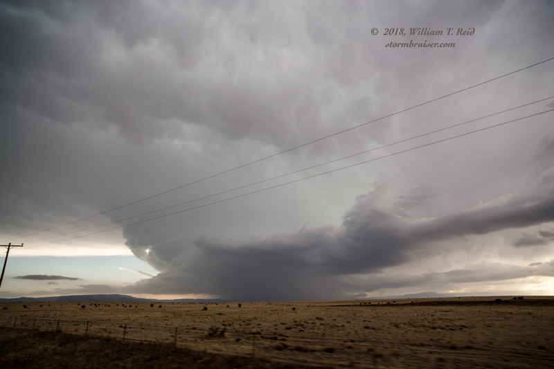
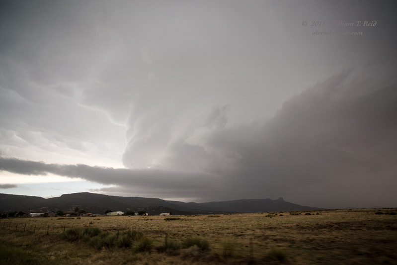
So, we went east. We stopped for a glimpse of the supercell back to our west a time or two, but then another cell to its south seemed to sap the energy from it. At the end of the unpaved section, we got back up onto the flat caprock again, and the storm was struggling mightily to our west. That worked-over air had done a real number on today’s instability.
While heading east near Wheeless and Boise City, additional severe storms developed in the western Oklahoma Panhandle to our east. One or two of these showed great organization, with TVS markers. We were generally on the northwest side and without much of a view, as it was getting dark and we were heading into Liberal for the night.
Leave a Reply
You must be logged in to post a comment.