
Start: Ainsworth, NE
Lunch: Tumbleweed Cafe in Broken Bow, NE
End: Salina, KS/510 miles
Timelapse van-top video by Chris, who was leading a Tempest photo group and was in somewhat different positions but on the same storm as we were along I-70. Chase account by Lesleyanne, who was with my group.
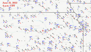
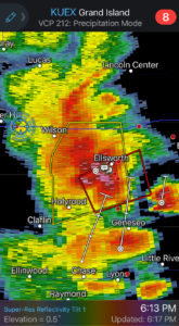
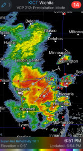
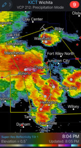
This day’s chase featured some somewhat-serious severe storms which provided quite a bit of fun and very cool photo-ops. The severe risk was well down to our SSE, near I-70 in the Salina, Kansas, area. We made our way out of Ainsworth, Nebraska, a bit later than we should have, unfortunately, and we had to play a little catch-up (see first radar capture in iPhone section at the bottom — our location is the center of the blue circle).
A front was hung up from northeast KS to central KS, with dews near 70F along it. Big-time CAPE built as surface temperatures flirted with 100F along I-70 around Salina. Tornadoes seemed to be a very low probability, due to high storm bases and plenty of storm outflow in the early stages of development. The atmosphere was not exactly primed for supercells either, with 500 flow of only 25 to 30 knots from the WSW. Effective bulk shear was barely adequate for decent storm organization. But you know what they say! Yep. All ashore that’s going ashore. No, not that one…Big CAPE kicks big rear-end. Surface-based CAPE values were close to 3000 J/kg around Salina by late afternoon. This target area was right along the 594 dm line (594 decameters at 500 mb), which usually is associated more with heat waves than severe weather. The SCP numbers (Supercell Composite Parameter) were barely over “2” along I-70 during the event. Blah.
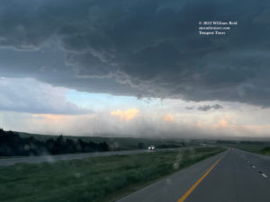
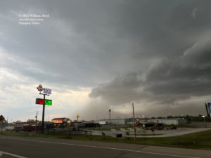
Anyhow, we came up on the activity along I-70 in the Ellsworth area (west of Salina), with a severe (tornado-warned!) cell just to the south as we squeezed by. Once safely in front of the storm, we could finally stop to take pictures!

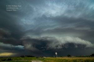
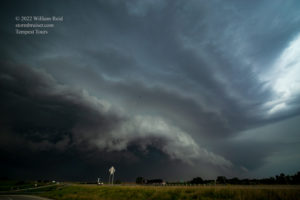
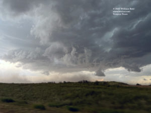
This one had quite a beastly look to it. It was undercut a little too much to allow a tornado, though the typical leading-edge swirlies would kick up the dust and briefly pretend to be a weak tornado. Having been driving for ages, we had to quickly sneak into a truck stop at Salina for a quick pit stop. A different wet cell decided to plant itself over our coveted pit stop emporium as folks emerged to return to the van. And the wind was only 40 mph! Fun!
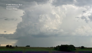
Fortunately, this now semi-mess of convection was not propagating to the east really quickly, and we managed to get back in front. These were taken maybe 15-30 miles east of Salina along I-70.


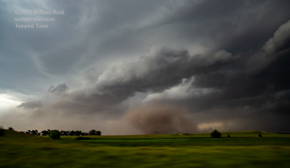

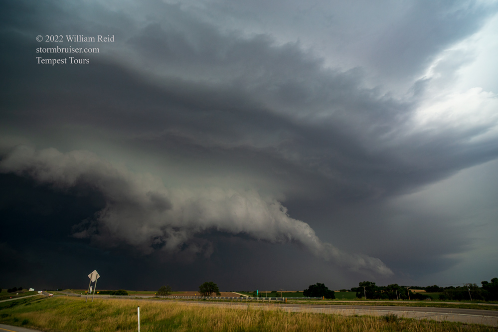
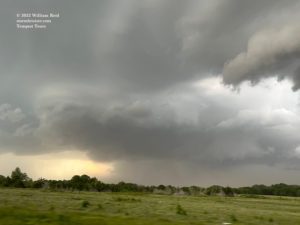
The system was more of a squall now, with an impressive look to the leading edge. These shots were from the Junction City area.
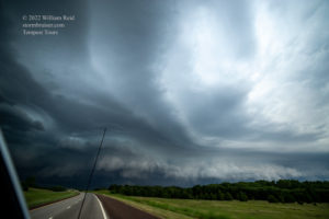
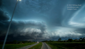
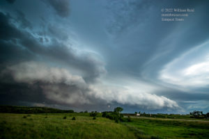
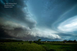

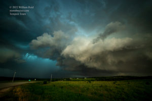
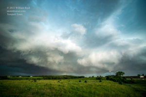

That was some decent structure, and I’m glad we made it for the main show! Chris and company were in front of the early Ellsworth-area tornado-warned cell in fine fashion, so check out his time-lapse of that…when it is available. Keep checking every hour.
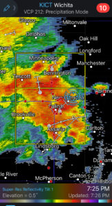
iPhone shots and radar screenshots below, in chronological order

Leave a Reply
You must be logged in to post a comment.