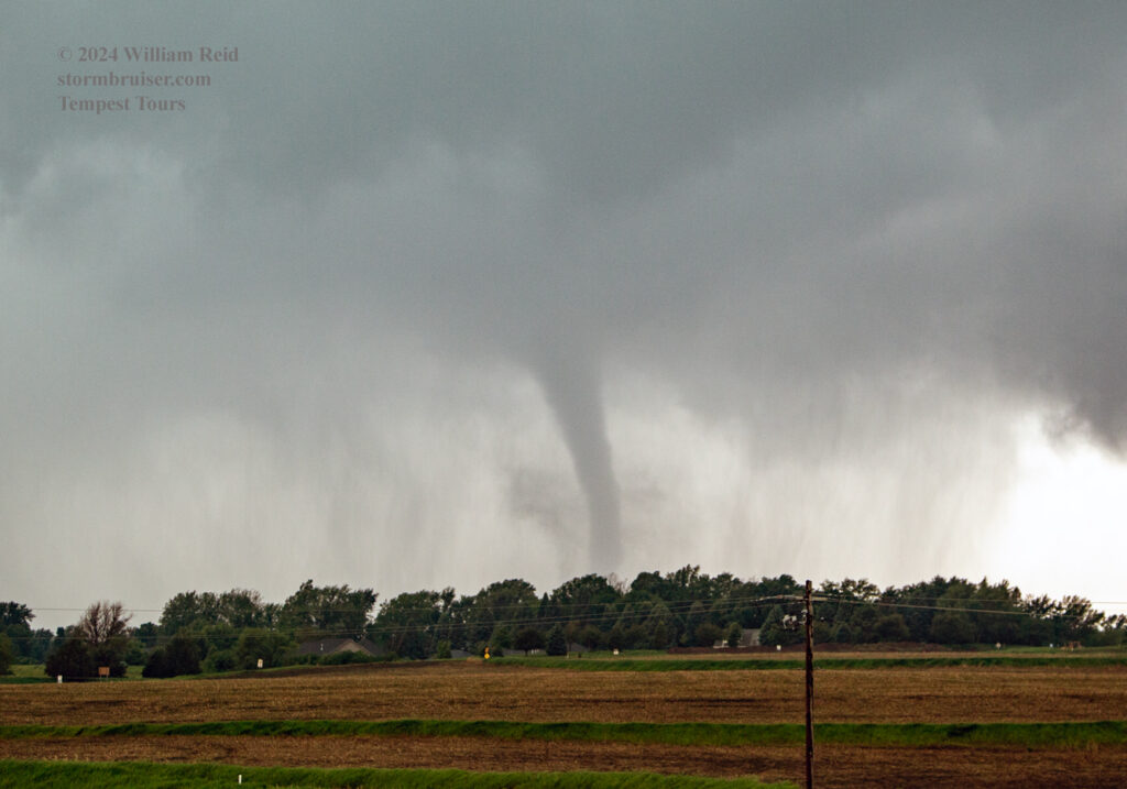
Begin: McCook, NE/lunch: grab-and-go convenience store somewhere around Lincoln/End: Hiawatha, KS/522 miles
Links to tornado video clips by Tempest Tours guests are provided at the end of this entry.
Live YouTube coverage of the event (with excellent radar)
This was a high-end tornado day for southwestern Iowa which culminated with the violent and devastating Greenfield, Iowa, tornado. Our team witnessed four tornadoes (including the Greenfield tornado but in its early stages) along U.S. 34 from about Red Oak to Corning and Kent. Yes, it was a crazy hour or two as several storms interacted with a warm front boundary running E-W around U.S. 34. Let’s see if I can provide some semblance of how the chase day went (writing ten months later).
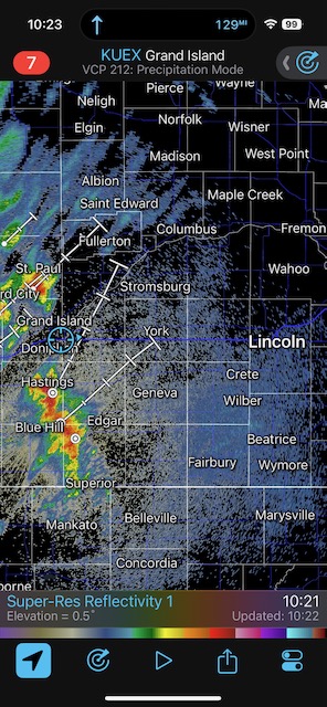
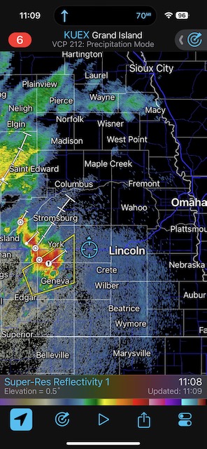
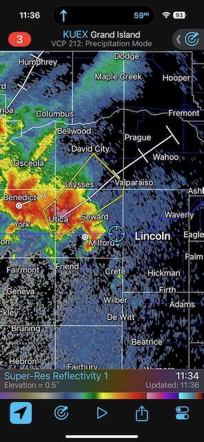
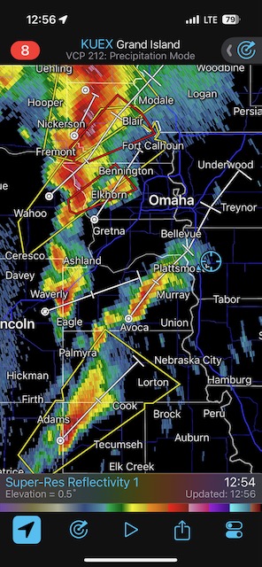
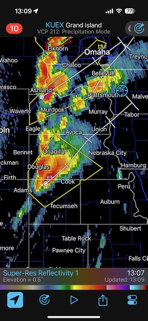
We were into our McCook, NE, hotel late the previous night, and we needed to be on the road rather early in order to get to southwestern Iowa in time. (Sorry, drivers!) We did quite well time-wise across Nebraska, and were crossing the Missouri River into Iowa at Plattsmouth before 1 p.m. CDT. Plenty of strong storms were already developing in southern Nebraska late morning (see radar grabs with timestamps before noon below), and we barely stayed ahead of these along I-80. These storms were not far enough east to access the high-octane air near the river. See the surface plot screen grabs below from late morning and early afternoon, showing those juicy southerlies and the near-70F dews in the NE/IA/MO area. The late-morning stuff in Nebraska was plowing into cool northerlies on the west side of the surface low.
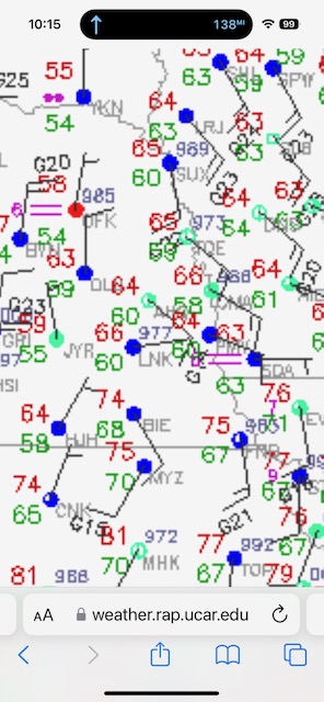
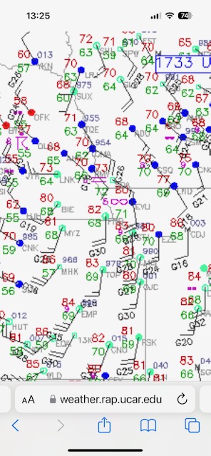
The surface plots above show the low near Beatrice in southeastern Nebraska before noon, and a little northeast of Beatrice at 1733Z (12:33 p.m. CDT). It was forecast to move to the E or ENE, with the warm front lifting northward into extreme southwestern Iowa out of Missouri. Those easterlies on the north side of the warm front (in extreme SW Iowa) were cool late morning, but by early afternoon plenty of clearing was expected and the easterlies would warm up. For the chase target, it was obvious to me that we wanted to be east of the surface low and on that warm front. Instability and shear would be fantastic by early afternoon along the warm front. Here is the 20Z update from SPC:
...20Z Update...
   A broken line of storms with supercells within continues to get
   better organized over southwest IA near the surface low, with a
   possible meso low developing near Red Oak IA as of 1930Z. Low-level
   shear is very favorable for intense tornadic supercells, with 0-500m
   SRH over 200 m2/s2 noted on the DMX radar. Pressure falls continue
   into this region, along with clearing and further destabilization.
   As such, tornadoes appear imminent across much of IA over the next
   few hours.
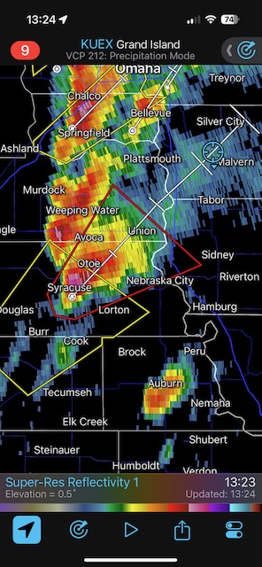
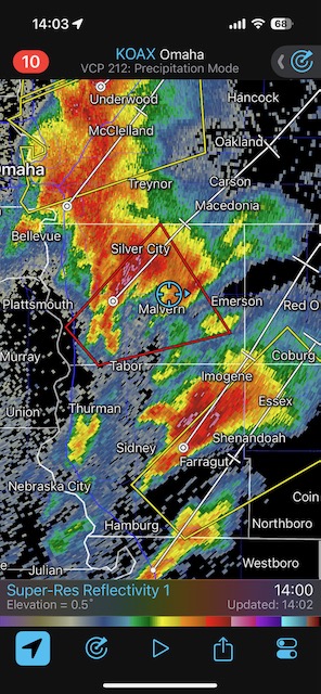
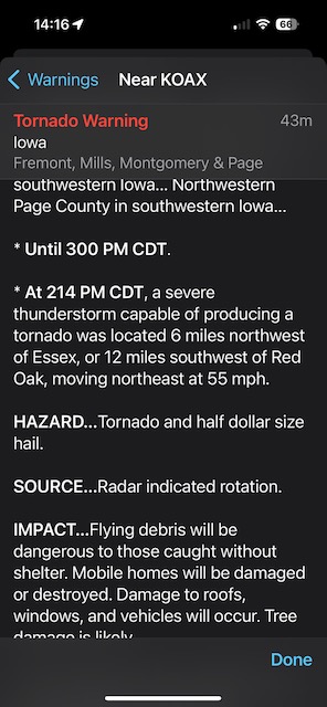
We drifted eastward on U.S. 34 from Glenwood to Emerson and waited. A tornado-warned supercell developed near Nebraska City and was headed into southwestern Iowa (not too close to us at this point) and I figured that we just needed to catch it when it came our way and interacted with the warm front. See the radar grab for 13:24 CDT above. We drifted south towards Imogene to get a look at the approaching cell. It was moving right along at about 50 mph to the NE or NNE, and it passed by with little fanfare as we watched on U.S. 34. By 2 p.m. storms were developing one-after-the-other to our SSW, and were moving towards U.S. 34 in our area. I found a hilltop on the northeast side of Red Oak, and we watched a nice slender tornado materialize in the rain-wrapped area of the next candidate. This first tornado was on the southwest edge of Red Oak, near the airport.
The tornado images in this first group below show the Red Oak, Iowa, tornado.
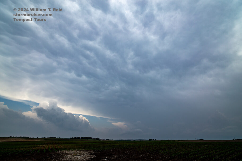
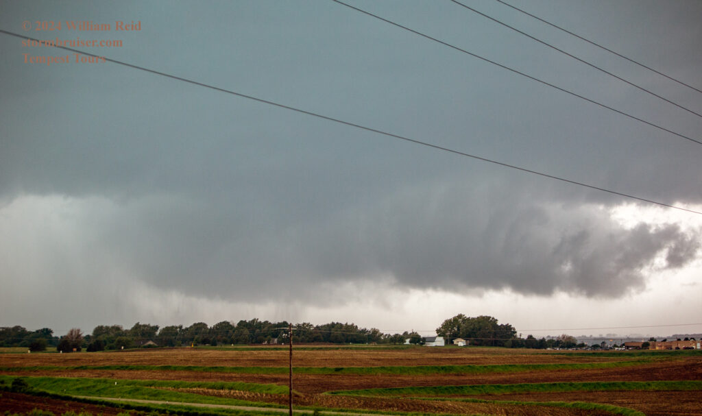
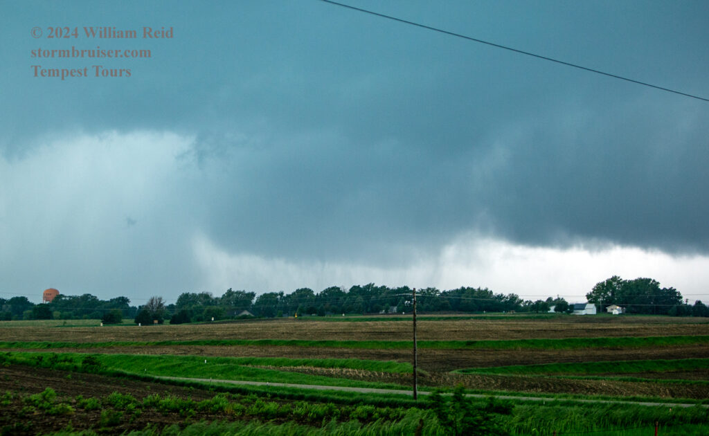
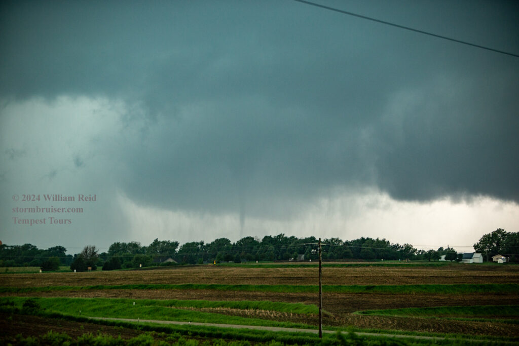
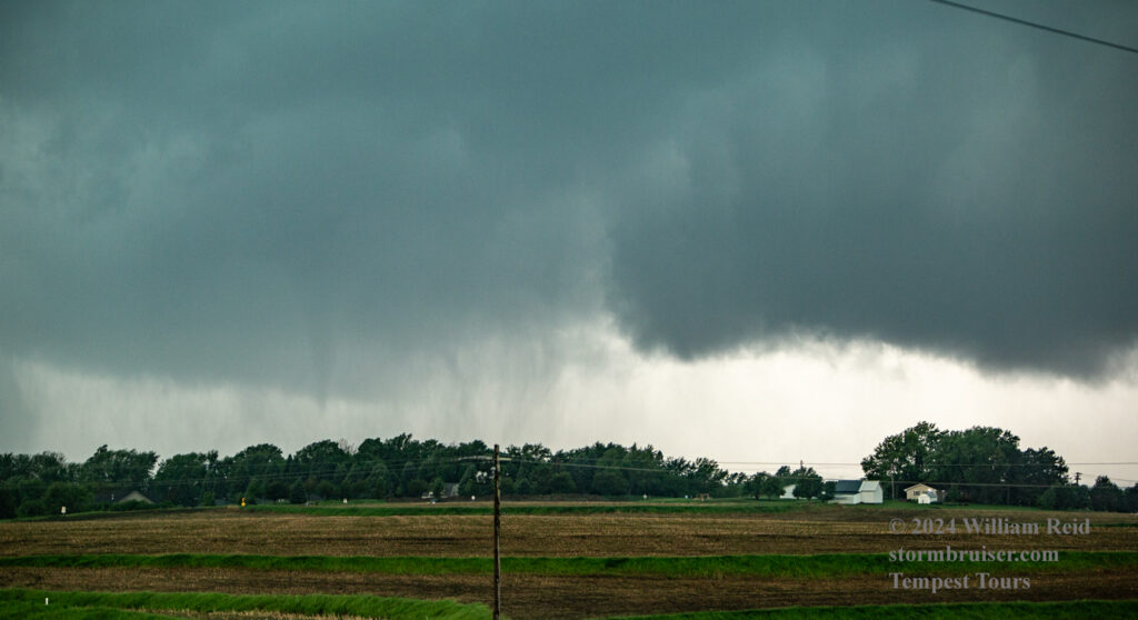
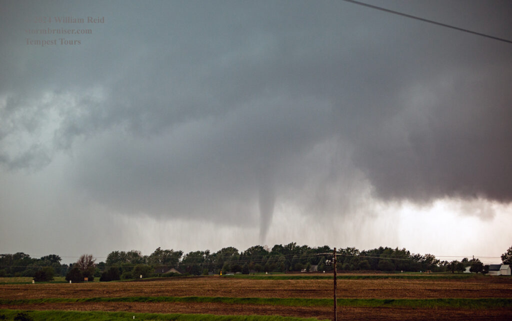
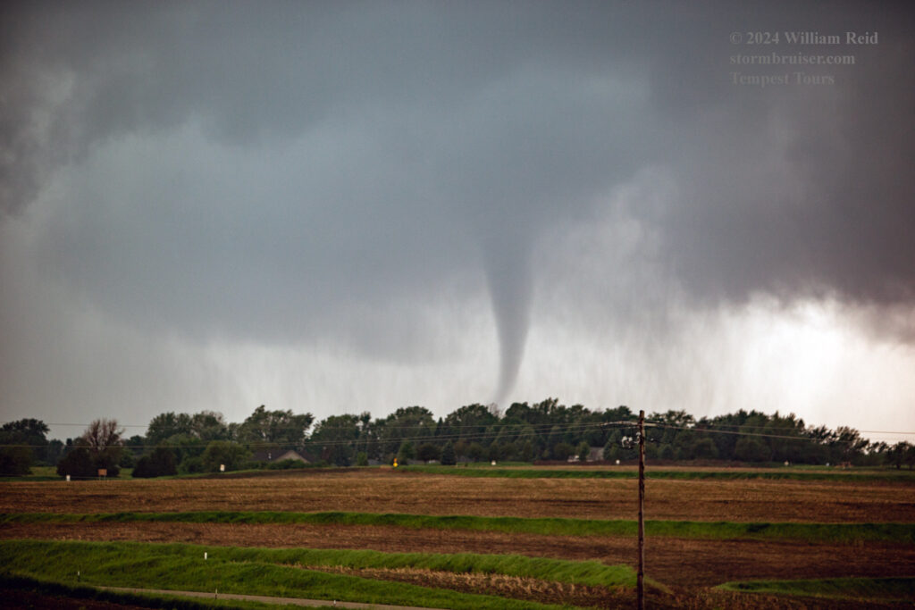
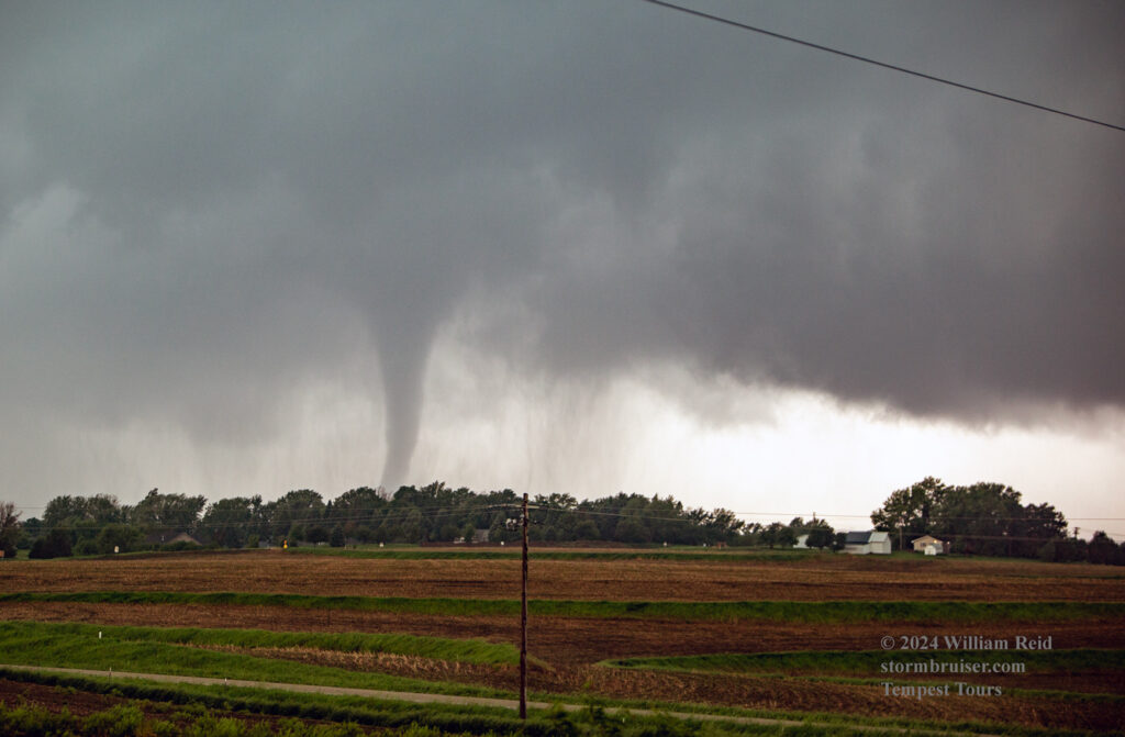

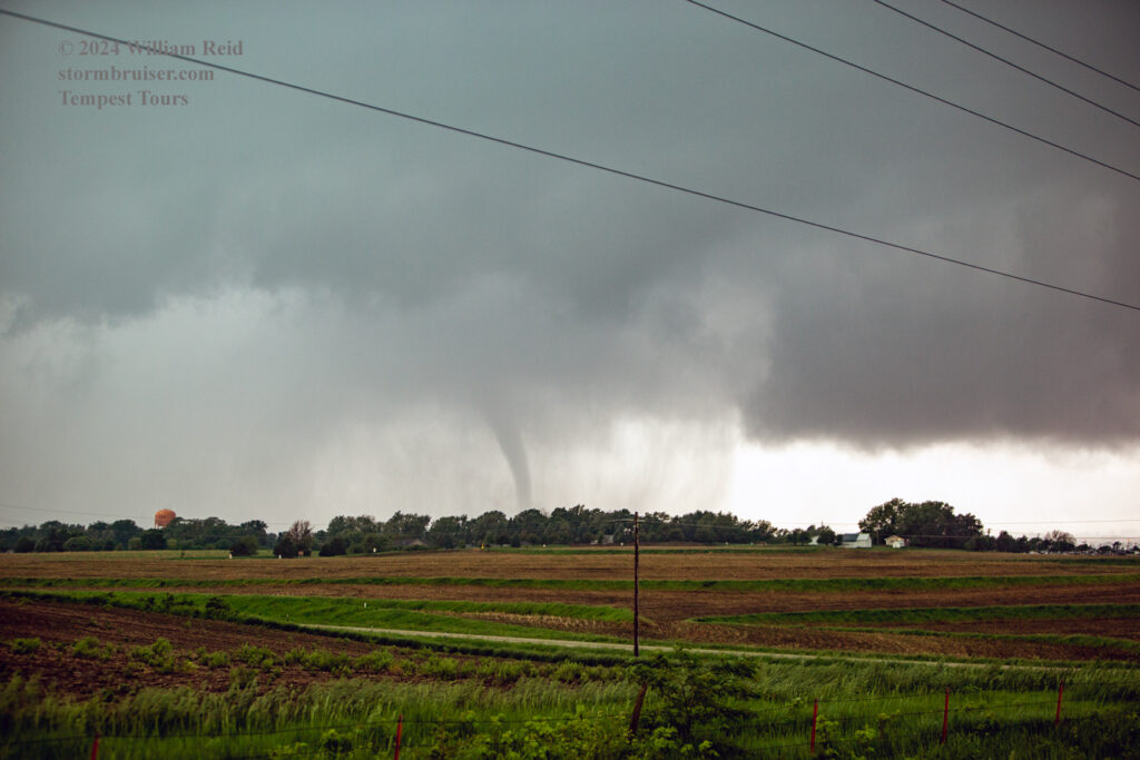
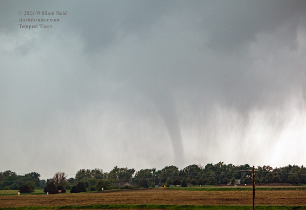
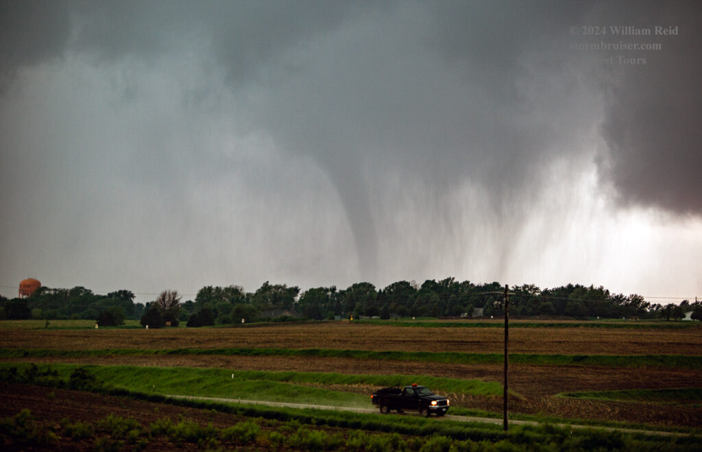
Here is the scoop on this Red Oak tornado:
RED OAK, IA
Rating: EF-1
County: Montgomery
Max. Wind Speed: 107 mph
Path Length: 2.95 miles
Tornado Width: 70 yards
Time: 2:35 – 2:40 pm
Overview: A tornado began near Evergreen Avenue and 220th Street southwest of Red Oak. The tornado moved over open fields before crossing the East Nishabotna River, where major tree damage occurred along the riverbed. The tornado entered the west side of Red Oak where a building at the city water facility was hit, where all doors were blown out alongside a wall. The tornado continued to produce tree damage in western Red Oak before lifting near the intersection of W 2nd Street and W Reed Street.
Apparently, this tornadic supercell was a one-and-done tornado-maker. I was a surprised that the Red Oak tornado was not longer-lasting. The town was certainly fortunate that a strong tornado did not plow through it today.
This next group of images shows the lead up to the Red Oak tornado. They are all from the iPhone, and include some images of the Red Oak tornado. The images above were with the Canon, but all of the remaining images provided below on this chase day were with the iPhone.
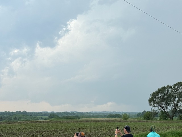
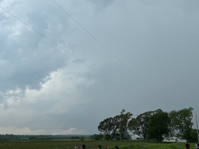
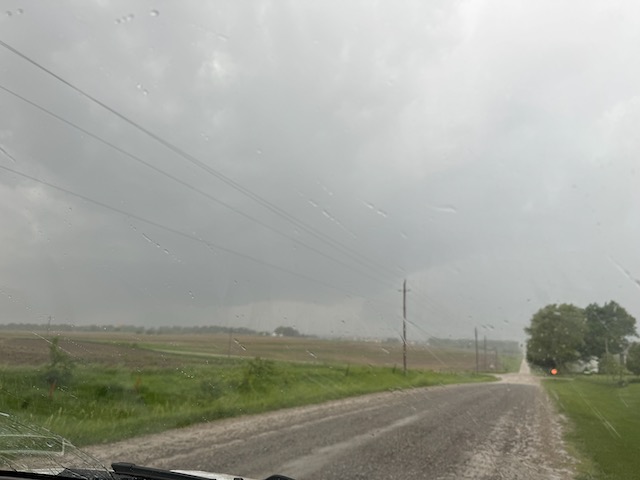
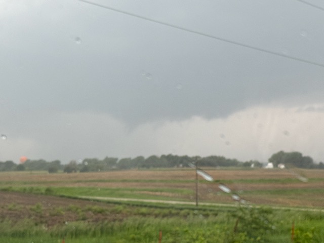
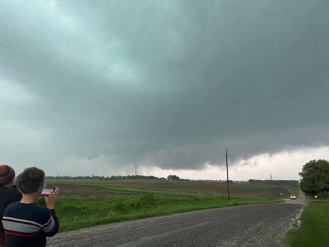
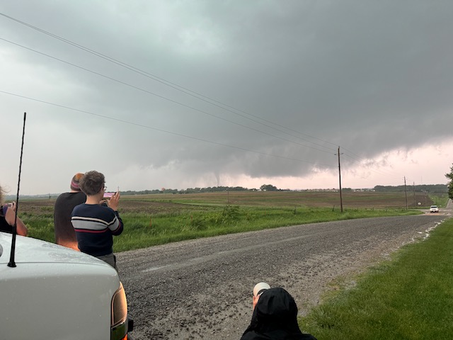
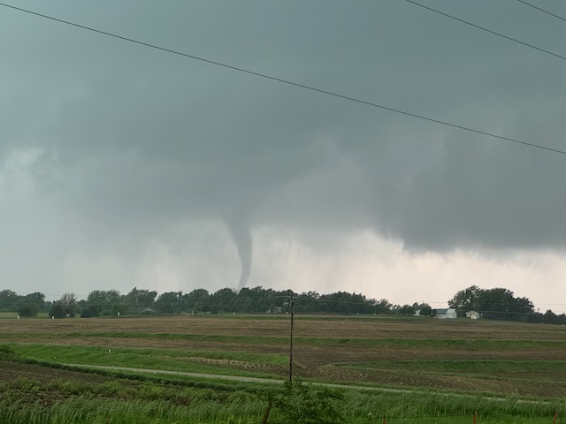
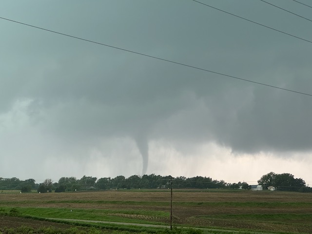
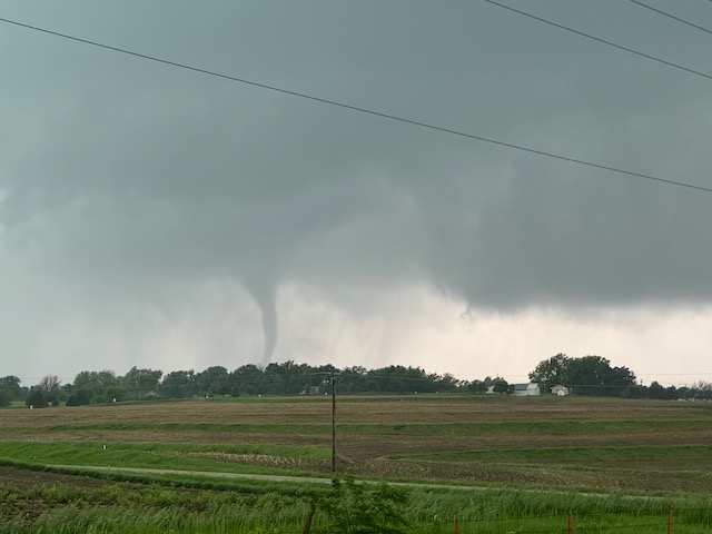
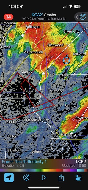
The radar grabs below show our positions in SW Iowa prior to the Red Oak tornado. The radar at 14:03 CDT shows that first storm approaching Silver City (which had been tornado-warned near Nebraska City) that we blew off in order to intercept the new storm to our south that was approaching Red Oak.


You can see that the Red Oak tornado was rain-wrapped some. When this tornado on the southwestern edge of Red Oak dissipated I wanted to get east quickly, in part because the action area was coming at us! We scooted south a mile back to U.S. 34 and headed east again. The road went more to the ESE for 8 miles and then east again to U.S. 71. (This chase day would probably have been a lot wilder for us had U.S. 34 shifted more to the ENE here instead of to the ESE!) The junction of 34 and 71 was a few miles north of Villisca, Iowa. During this stretch we had a good look at the next approaching storm to our SSW (first two images below). That low base was just nuts! I knew that it would soon be tornadic (if it wasn’t already). We had a great look at the approaching storm while standing along U.S. 71, just south of the interchange with 34. A tornado was partially wrapped in rain as it neared (see 3rd, 4th, and 5th images below).
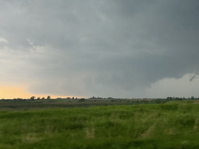
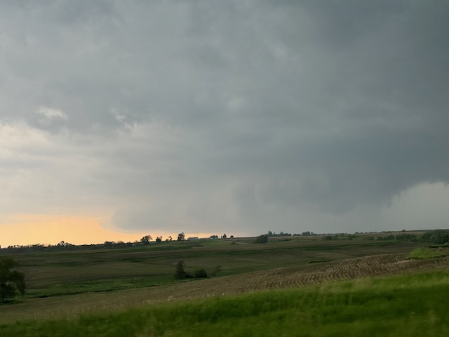
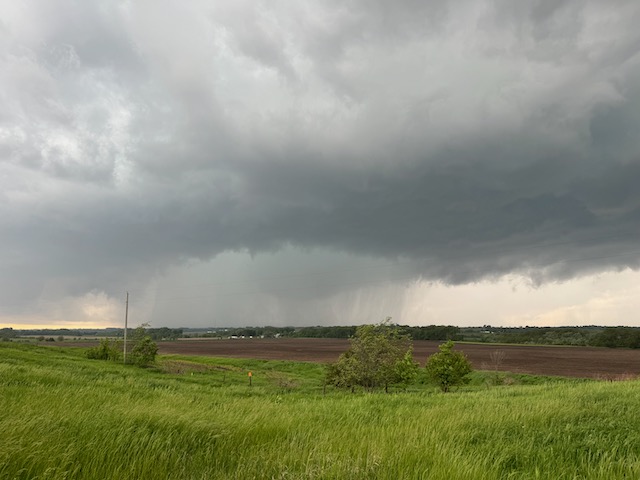
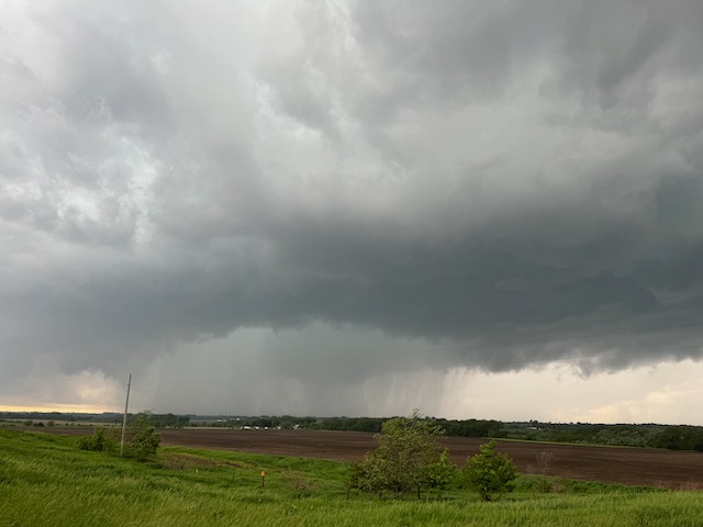
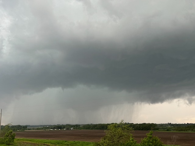
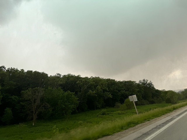
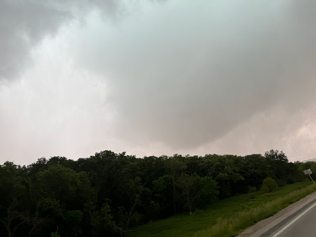
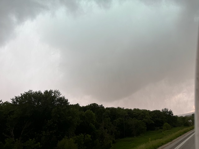
Unfortunately, we were not in a safe spot. This tornado was coming right at us, at about 50-55 mph. We managed to get back into the vans and quickly east on 34 with little time to spare. Rotating rain curtains were impacting our vicinity as we transitioned from U.S. 71 to U.S. 34. The last three images above show the large funnel behind us as we headed east on 34 from 71. We are calling this the Villisca tornado. Once it crossed the road behind us, we stopped to watch it just to our northwest. It showed good rotation at the ground with occasional tendrils of condensation whirling around.
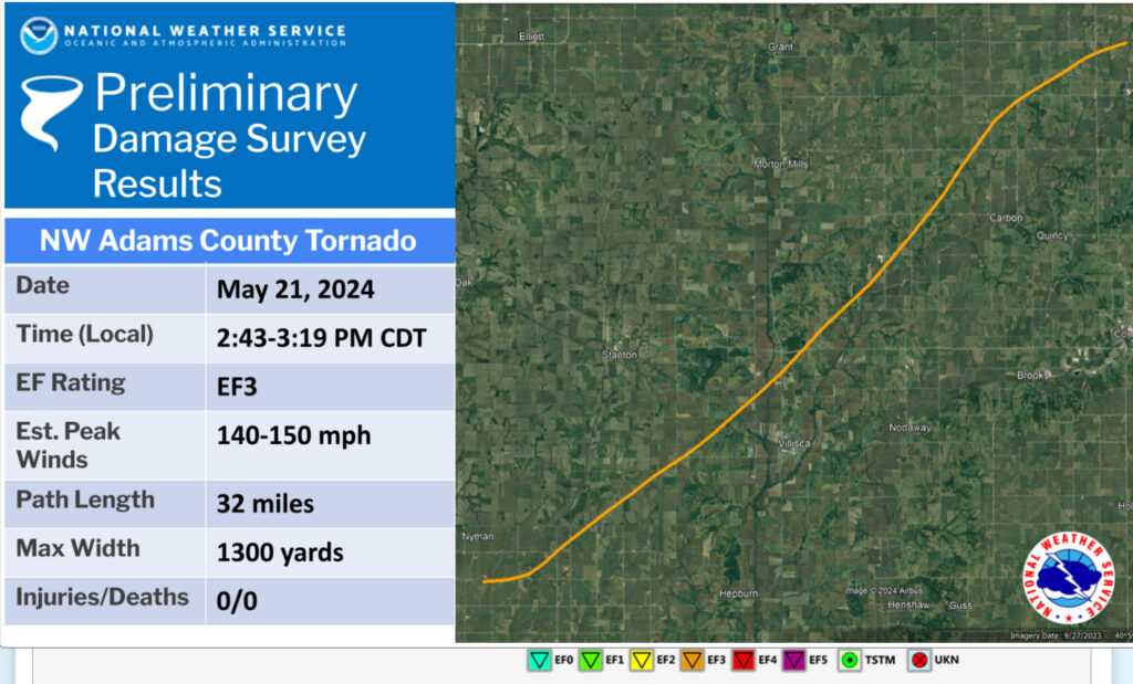
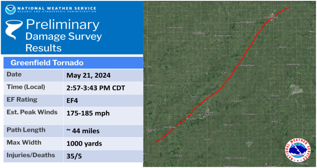
The NWS map above shows the track of the Villisca tornado. (NWS DSM calls it the “NW Adams County tornado”) It started about 15 miles south of Red Oak, forming just a few minutes after the Red Oak tornado ended. It moved to the northeast and crossed the 34/71 junction around 3:04 p.m. CDT. If one does the math on the path length (32 miles) and the approximate time on the ground (36 minutes), the average speed of the tornado is 53 mph. Chaser video shows that this one later became quite the monster near Carbon, north of 34.
Our stop here on 34 was fairly brief as the Villisca tornado continued to our north. Wind, rain, trees and terrain made it difficult to get a good look.
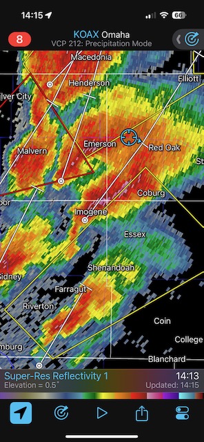
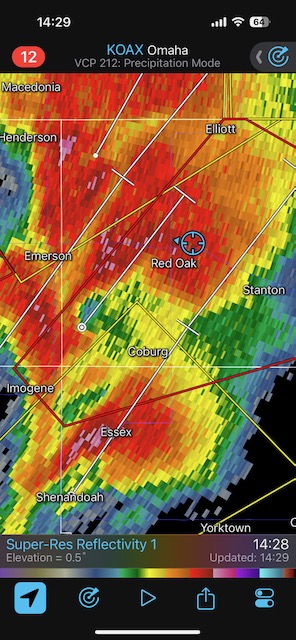
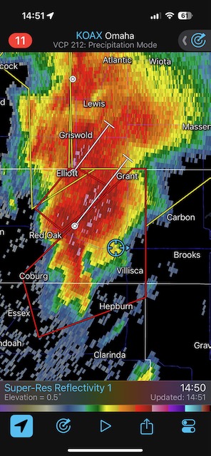
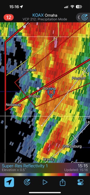
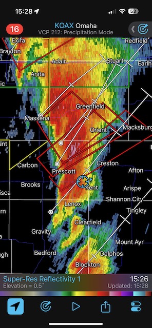
The radar screen grabs above show our location (blue circle) and the nearby cells during our chase east along 34. At 14:29 CDT we were waiting for the Red Oak storm to near us, and at 14:51 CDT we were approaching U.S. 71 and Villisca with the hook echo of the Villisca supercell to our southwest.
We continued to the east on 34, and the memory of our Villisca tornado encounter faded quickly. About 5-10 miles later, the next storm was providing a tornado show already, not too far to our south, west of Corning.
Similar to the previous tornado near Villisca, this one sported a decent funnel cloud with not much water vapor condensing close to the ground. Nevertheless, it was whipping around rather impressively and sending plenty of debris skyward. Again, we had a tornado that was taking aim on our position and we had to keep moving. The tornado crossed 34 north of Brooks and skirted the western and northern edges of Corning. We stopped near 34 on the south end of Corning and watched the partially rain-wrapped tornado to the northwest. The sirens were blaring in Corning! These stills were taken west of Corning.
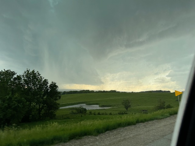
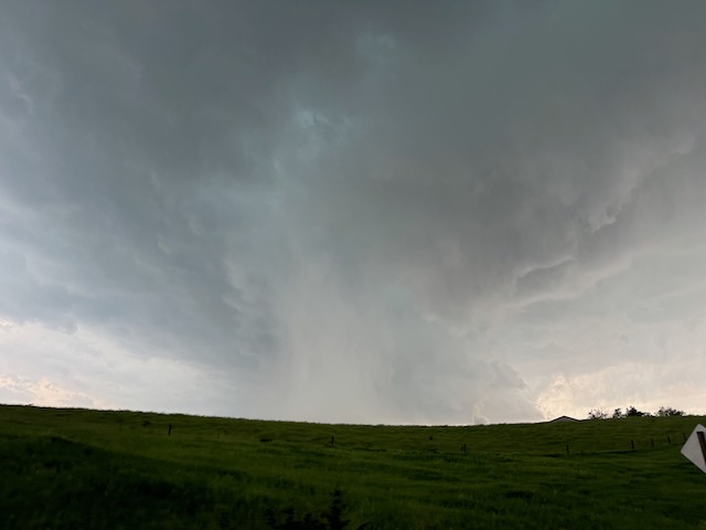
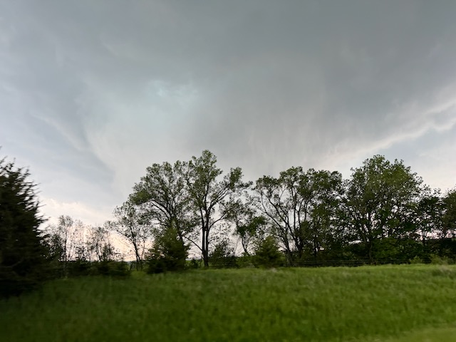
Here is a quick clip west of Corning as the tornado approaches U.S. 34, around 3:14 p.m.
The NWS map above shows that this “Corning” tornado eventually impacted Greenfield, to the northeast. Like the Villisca/Carbon tornado, this one intensified tremendously as it moved north of U.S. 34. It was an absolute grinder. It moved at close to 55 mph, was rated EF4 and killed 4 in Greenfield. This Wikipedia entry on the Greenfield tornado is excellent.
I was getting a little spooked by now, as storms were coming at us every 15-20 minutes, each one was having no problem whatsoever becoming tornadic, and each one seemed to be keen on threatening my well-being! I could have followed this Corning tornado northward on 148 to Massena, but I did not. It seemed like an effort in futility to try to stay with a partially rain-wrapped tornado moving 50-55 mph and diagonally in this N-S/E-W road network.
So we continued to the east, looked to the south, and here came tornado number 4!
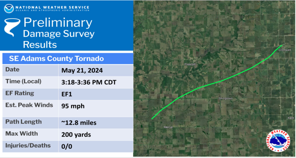
This was another one without much of a condensation funnel near the ground. It looked like a wide multi-vortex thing with a large and wide swath of rotating rain curtains as it approached U.S. 34. It got going a little northwest of Mercer, or less than five miles southeast of Corning, and moved quickly to the northeast. Again, we managed to get a little east of it as it crossed 34 behind us. The NWS calls this the “SE Adams County Tornado.” Since it ended at Cromwell, I will dub it the “Cromwell” tornado. See the end of the video by Joel Brown (linked below) for a look at this one while it was approaching from the south. It crossed 34 just west of Stringtown around 3:30 p.m., according to our esteemed Tempest guests. The details on this tornado are rather blurry for me! When we reached Creston the tornado had ended, or had disappeared to the north, and there were no additional storms poised to again cross U.S. 34 to our east.
With no additional storms coming at us, and with the ones just encountered moving so swiftly away from us, we were done! The skies cleared some and the air dried out. Some decent cumulonimbus towers were to our east, but these did not produce tornadoes. We sat on a hill for a bit to collect ourselves, and then headed for a dinner and a hotel in southwestern Iowa.
Tempest guest video clips:
Tornado #1, Red Oak, video courtesy of Heather Wilson. We were up on a little hill on the northeastern edge of Red Oak, looking SSW to SW.
Tornado #2 part 1, Villisca/Greenfield, video (below) courtesy of Heather Wilson. We had stopped just south of the 71/34 junction along 71 for a few minutes to watch the approach of the next storm, which sported the big funnel and was likely tornadic. This clip by Heather is a great look to the SW as we escape via the transition road eastward from U.S. 71 to U.S. 34. Rain curtains are rotating very quickly around the circulation.
Tornado #2, part 2, Villisca/Greenfield, video (below) courtesy of Heather Wilson. The video begins less than a quarter mile east of the 34/71 interchange, looking west as we charge eastward. The large (but not especially intense) circulation of this tornado envelopes the 34/71 interchange, right behind us.
Tornado #3 Part 1, Corning/Greenfield tornado video, courtesy of Shannon Greenfield (tornado just south of U.S. 34, west of Corning). Time about 3:12 p.m. CDT.
Tornado #3, Part 2, Corning/Greenfield tornado video (below), courtesy of Heather Wilson (tornado crossing U.S. 34 north of Brooks and west of Corning). Heather again is looking mostly to the west through the back windows as we motor eastward.
Tornado #3, Part 3, Corning/Greenfield tornado video (below), courtesy of Shannon Greenfield (tornado just north of U.S. 34, west of Corning)
Tornado #3, Part 4, Corning/Greenfield tornado video, courtesy of Heather Wilson. We stopped on the south end of Corning near U.S. 34. The tornado was briefly visible and barely visible (due to rain-wrap) on the north side of Corning.
Red Oak and Corning tornado video by Tempest guide Matt Phelps (not working with Tempest this day):
Chase day compilation by Tempest guest Joel Brown (below)
Tempest guest Shaun McKnight put together this video (below) of his experience on Tour 4. The clips for May 21 in Iowa are at about minute 7 to 10, and include some video shot by guest Tania Velez.

Leave a Reply
You must be logged in to post a comment.