Start: Woodward
Lunch: Dumas/Hoggs BBQ
End: Plainview
506 miles
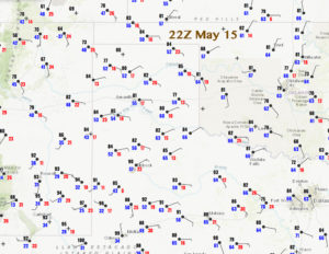
The plan today was to catch some strong storms moving off of the higher terrain of northeastern NM and towards some moderately unstable air in the extreme western Texas Panhandle. Since the temperature/dew point spreads were somewhat large, we expected that storm bases would be fairly high; cool outflow would likely undercut the storm bases; and the tornado threat would be very low. From the lunch stop in Dumas we headed west to Nara Visa, and then southwest to Tucumcari. There, we met up with a high-based hailstorm that was severe-warned. We had the storm that we wanted! It was moving to the ESE, so we went south out of Tucumcari and then east on 209 to Bellview, NM.
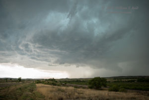
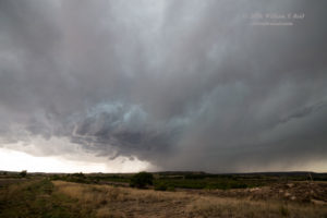
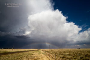
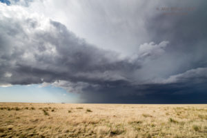
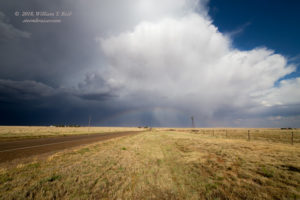
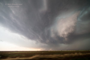
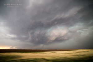
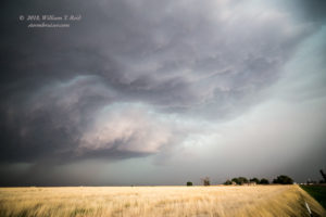
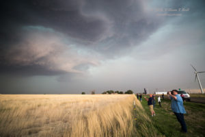
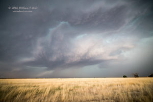
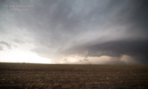
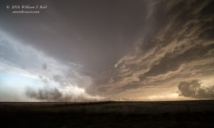
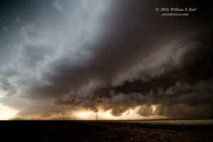
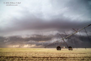
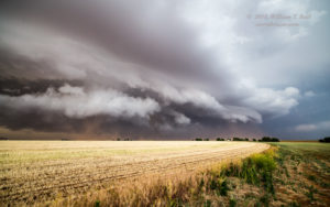
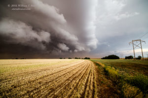
Near Bellview, the storm behind us started to struggle as new towers went up quickly to our east. And quickly to the east we went on FM 1058 towards Hereford. The increasingly-menacing storm base was just south of the road, and plenty of lightning was striking the ground in front of it. I was concerned with the risk of hail, but we had a chance to stop and check out the structure about 10 miles west of Hereford.
To stay with the storm and to avoid its hail, we headed east to Hereford and then southeast and south towards Dimmitt on 385. Not long after we left our stopping place west of Hereford, we learned that some chasers along FM 1058 were impacted by baseball-sized hail.
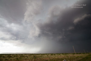
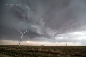
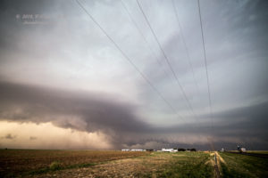
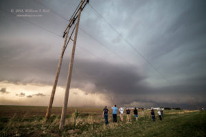
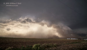
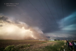
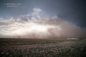
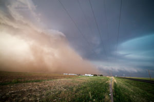
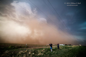
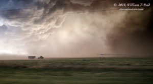
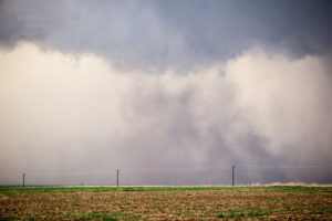
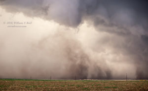
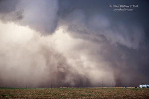
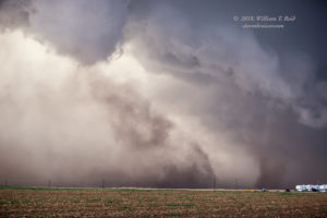
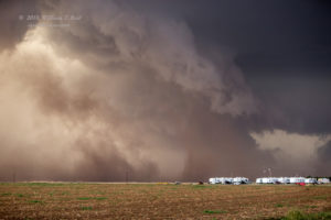
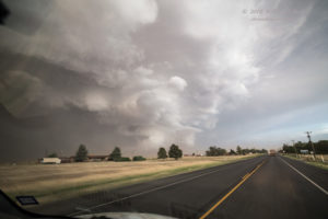
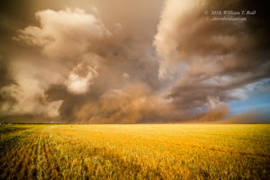
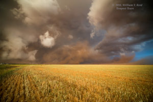
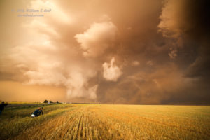
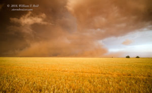
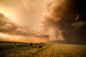
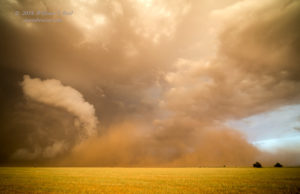
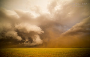
This severe storm to the southwest of Hereford moved rather slowly to the southeast, and it was throwing out a lot of wind and dust. The images below were taken between Hereford and Dimmitt, with the storm west of 385. The final few shots show a dusty spin-up: a weak tornado or a good-sized gustnado.
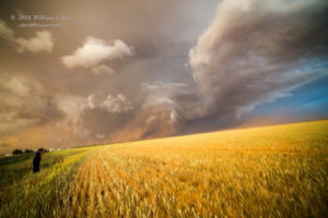
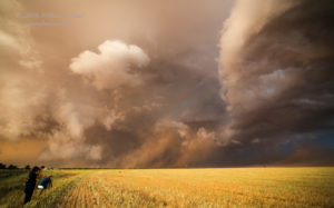
A new cell or two went up to our SSW, and we headed south from Dimmitt to Springlake and then east to Olton. The storms nearby looked a little disorganized and messy, but an interesting lowering was in the works near Olton. The strong outflow winds were now coming up against warmer and moister and more unstable air. The path east out of Olton looked a little too ominous, so we dropped south a couple of miles and stopped. Here, the light got better and better as sunset neared, and that “action area” to our northeast, east of Olton, was looking suspicious and perhaps weakly tornadic. An image or two of mine appears to show a decent funnel cloud (below). What was also strange was that the winds near us turned strangely calm for several minutes, despite plenty of dusty plumes in progress nearby. Weird.
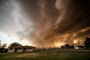
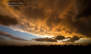
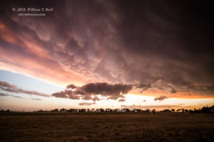
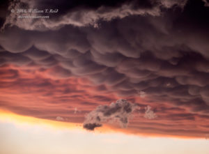
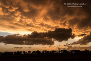
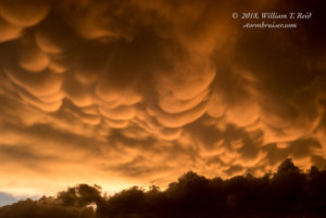
This storm and action area to our northeast eventually started to spill out cold air, as the others had. We enjoyed the colors on the mammatus south of Olton and then had an easy drive to Plainview for the night.


Leave a Reply
You must be logged in to post a comment.