
Start: Amarillo
Lunch: Dumas, TX
End: Guymon, OK
376 miles
SPC Mesoscale Discussion 554 SPC Mesoscale Discussion 556
SPC Mesoscale Discussion 557 SPC Mesoscale Discussion 558
SPC Mesoscale Discussion 560 SPC Mesoscale Discussion 562
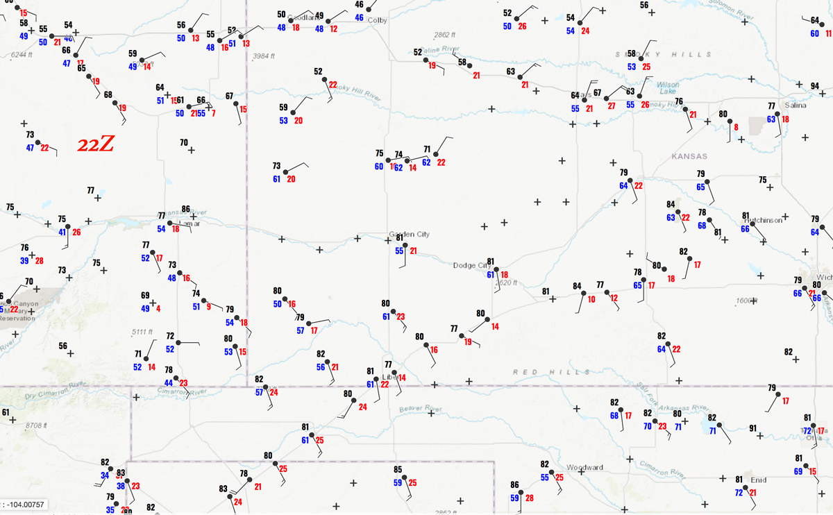
22Z surface map:
Another decent High Plains chase day was on tap today, and we headed into southwestern Kansas from the TX Panhandle. Here, moisture was pooling near an east-west front. The air to the north of the front was very chilly, though, and it was slowly sagging to the south. It was not particularly clear whether or not it was a good idea to target storms along the this front. It seemed likely that cold air would undercut the updrafts rather quickly and end any tornado threat.
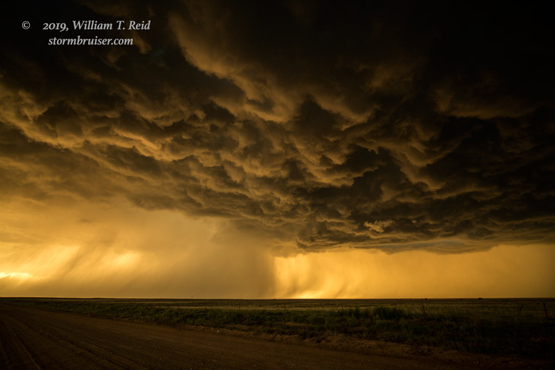
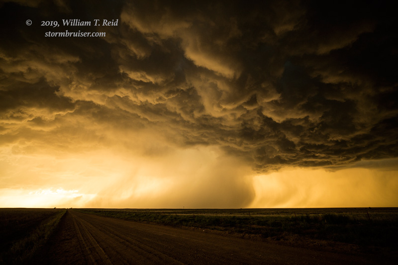
We waited and waited for development for much of the mid-and-late afternoon in and around Hugoton and Satanta in southwestern Kansas. A cumulus field developed nearby, but it failed to produce a storm. I finally had a choice between new, strong development to our NNE, near the front, and an isolated and high-based supercell that was moving eastward through Baca County (to our west). I chose the latter, and we stopped just west of the CO/KS border near Richfield.
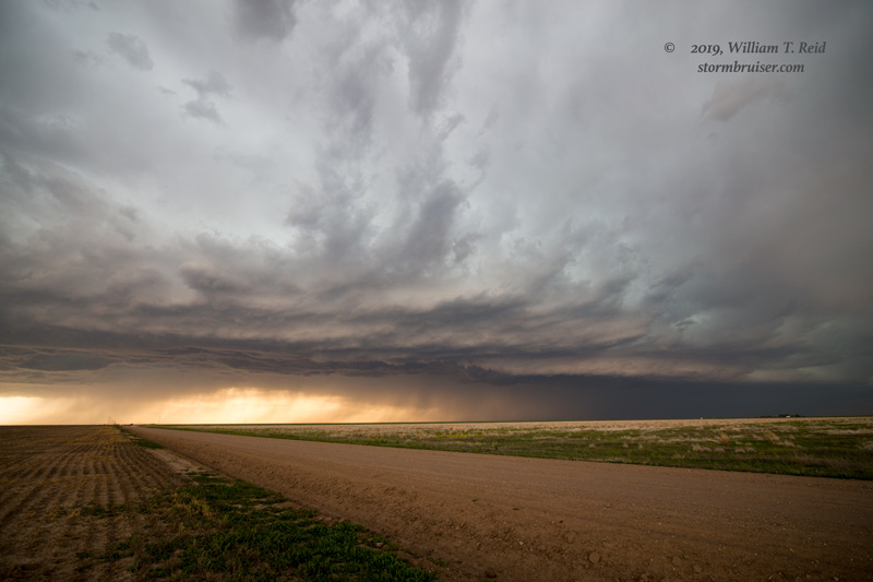
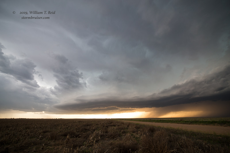
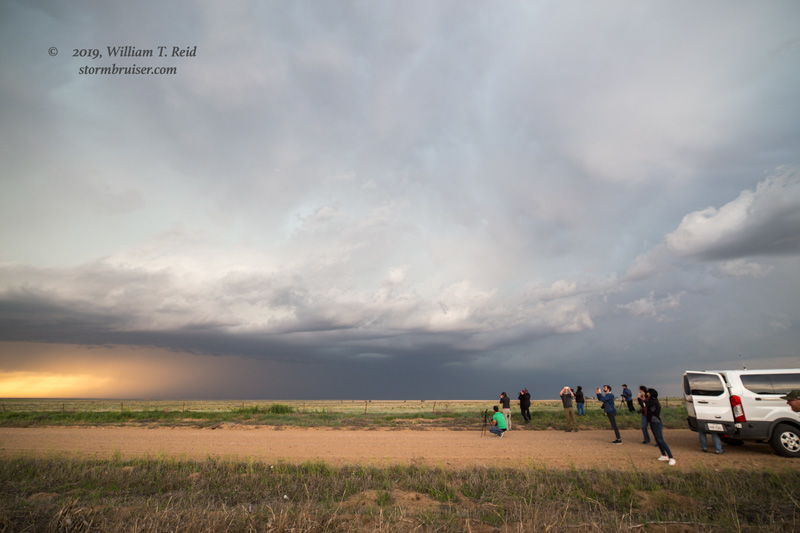
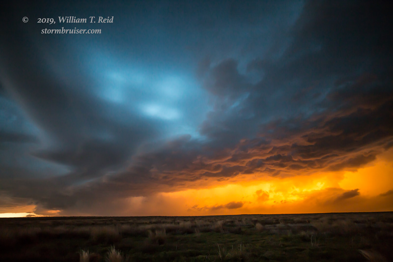
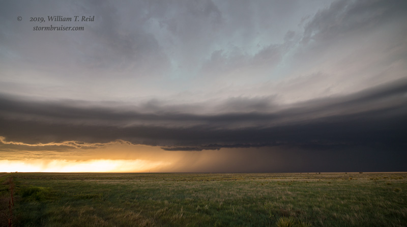
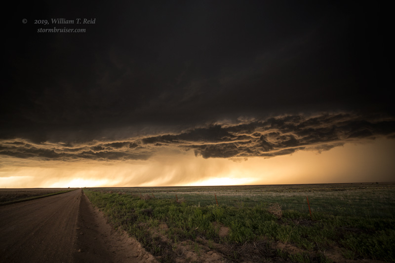
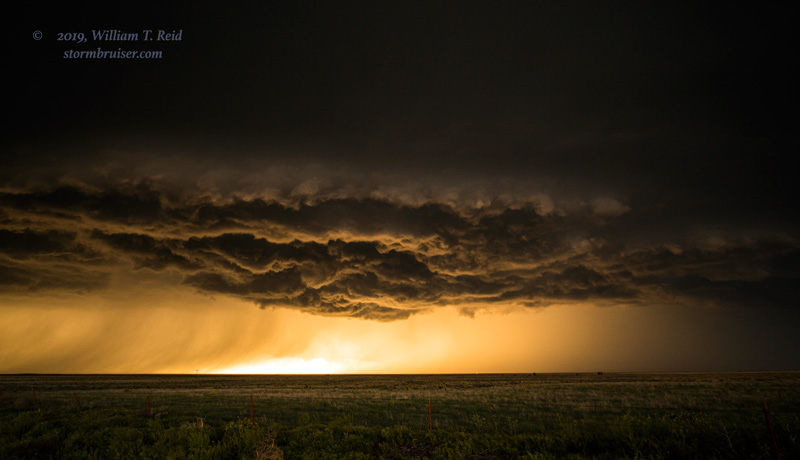
There was moderately good low-level organization with this Baca County storm, but it seemed to get a little linear as it pushed us into Kansas. The light and colors and lightning were impressive around sunset. I was not very successful with the camera on the lightning bolts, unfortunately.
Leave a Reply
You must be logged in to post a comment.