Stormbruiser.com

William T. Reid

  • About
  • Video Links
  • Climate
  • Categories
    • Astronomy
    • Aurora/Northern Lights
    • Artsy
    • Airports (LAX and VNY)
    • Animal Day
    • Beach
    • BEST and MOST POPULAR
    • Chase Season Summary
    • Chasers and friends
    • Cumulonimbus
    • Death Valley
    • Desert
    • Desert/Mountains
    • Elevated photography
    • Eyesores
    • Fire
    • Flooding
    • Hurricane
    • Landscapes
    • Lightning
    • Local: Conejo Valley/San Fernando Valley
    • Mid and High Clouds
    • Nighttime photography
    • Old Stuff
    • Rainbows/Optical Phenomena
    • San Nicolas Island
    • Storm Video Sales
    • Stormy Skies
    • Stupid Bugs
    • Sunsets and Storms
    • Supercells
    • The City
    • Tornadoes
    • Unusual Clouds
    • Vegetation
    • Wind and Dust
    • Winter Weather
  • Contact
You are here: Home / 2024 / Death Valley Heat Wave, July 2024, DATA PAGE

Death Valley Heat Wave, July 2024, DATA PAGE

July 31, 2024 By William Reid Leave a Comment

High-end summer heat waves in the Death Valley region and the Mojave Desert have been the norm for the past several years. This entry is a resource of the weather data that I archived for the long-lived heat event during the first half of July 2024. A bunch of maps and weather data are provided by date below the individual station data.

An associated write-up by me for the July 2024 heat event is forthcoming. It will have its separate web page.

The first batch of files below contains the hourly surface weather data from the five stations in Death Valley. Data files are grouped by July 1 to 7 and July 7 to 14, 2024.

FURNACE-CREEK-July-1-7Download
FURNACE-CREEK-July-7-14Download
DV-Cow-Creek-July-1-7Download
DV-Cow-Creek-July-7-14Download
BADWATER-July-1-7Download
BADWATER-July-7-14Download
Stovepipe Wells-July-1-7Download
Stovepipe Wells-July-7-14Download
Saratoga Spring-July-1-7Download
Saratoga Spring-July-7-14Download
FURNACE CREEK July 14-21Download
DV Cow Creek July 14-21Download
Stovepipe Wells July 14-21Download
FURNACE CREEK July 21-28Download
Saratoga Spg July 21-18Download
Stovepipe Wells July 21-28Download
DV Cow Creek July 21-28Download

This next batch of hourly (and for some station, sub-hourly) surface weather reports is for other regional stations. Data for July 7-14 are available for all stations below. Data for July 1-7 are available for some of the stations.

Amargosa-Valley-CEMP-July-7-14Download
ASH-MEADOWS-July-1-7Download
ASH-MEADOWS-July-7-14Download
Baker Caltrans-July-1-7Download
Baker-Caltrans-July-7-14Download
Baker-MAP-July-7-14Download
Beatty-CEMP-July-7-14Download
Bishop-AP-July-1-7Download
Bishop-AP-July-7-14Download
China-Lake-NID-July-7-14Download
China-Lake-RAW-obs-July-7-14Download
Edwards-AFB-July-7-14Download
Edwards-Air-Force-Auxiliary-North-Base-July-7-14Download
EUREKA-VALLEY-July-1-7Download
EUREKA-VALLEY-July-7-14Download
Fort-Irwin-KBYS-July-7-14Download
Fort-Irwin-KBYS-RAW-obs-July-7-14Download
FW5911-Darwin-July-1-7Download
FW5911-Darwin-July-7-14Download
HUNTER-MOUNTAIN-July-1-7Download
HUNTER-MOUNTAIN-July-7-14Download
I-15-Desert-Oasis-Rest-Stop-E of Newberry Spgs July-7-14Download
Independence-MAP July-1-7Download
Independence-MAP-July-7-14Download
Independence-DRI-July-7-14Download
Jean-AIRNOW.-July-7-14Download
Keeler-Cerro-Gordo-Road-July-1-7Download
Keeler-Cerro-Gordo-Road-July-7-14Download
Lancaster-KWJF-July-7-14Download
LAS AP July 1-7Download
LAS AP July 7-14Download
LAS AP RAW obs July 7-14Download
Lone Pine AIRNOW July 7-14Download
Mercury, Desert Rock Airport July 1-7Download
Mercury, Desert Rock Airport July 7-14Download
Needles AP July 7-14Download
Nellis Air Force Base July 7-14Download
Olancha AIRNOW July 7-14Download
Palmdale KPMD July 7-14Download
RICE VALLEY July 7-14Download
Tecopa:Shoshone July 1-7Download
Tecopa:Shoshone July 7-14Download
Trona-Athol & Telegraph July 1-7Download
Trona-Athol & Telegraph July 7-14Download
Twentynine Palms AP July 7-14Download
Victorville AP July 7-14Download

Below are the July 2024 monthly data for regional stations. This is primarily a mix of NWS cooperative stations (MMTS instrumentation), RAWS stations, CARB stations, and FAA AP stations (with ASOS instrumentation).

Keep in mind that the temperature sensors on the CARB stations are high up on a pole, some 30 feet high or thereabouts, and maximum temperatures are very conservative (a few degrees cooler!) compared to those measured at the conventional stations where the sensors are about 5 to 6 feet above the ground.

Also, keep in mind that maximums at the RAWS stations are sometimes inflated a degree (F) or two or three, perhaps, due to inferior radiation shields. This issue is most prevalent on sunny afternoons with light winds. Since many RAWS stations are sited on or near hilltops and ridges, and are generally very well-exposed at locales where conservative maximums would be expected anyway, this problem of somewhat-inflated maximums might be “masked” to a large extent. (I.e., the station is very well-exposed favoring relatively coolish maximums, but the radiation shield problem offsets this.) The bottom line in the case of RAWS stations is that if the wind speeds are less than 10 mph during the hottest part of the afternoon, my experience and studies suggest that the day’s maximum temperature report is apt to be a couple of degrees too high…and maybe a few degrees too high. Sometimes the maximums at Saratoga Spring RAWS in southern Death Valley appear to be a little inflated.

Barstow CARB hourly temp
Barstow coop
Barstow page 2
DV Cow Creek CARB hourly temp
DV Cow Creek CARB resultant wind
Keeler CARB hourly temp
Lone Pine CARB hourly temp
Trona CARB hourly temp
Stovepipe Wells
Ash Meadows Nevada
Benton California
Bishop AP KBIH
Blythe AP KBLH
Buddy Adams Nevada
Daggett AP KDAG
Death Valley coop alternate form
Death Valley coop
Eureka Valley California
Five Mile California
Havasu Arizona
Horse Thief Springs California
Hunter Mountain California
Imperial
Indian Wells Canyon California
Iron Mountain
Kyle Canyon Nevada
Lancaster KWJF
Las Vegas KLAS
Las Vegas NWFO
Laughlin
Laughlin Page 2
Laural Mountain California
Mercury:Desert Rock KDRA
Mid Hills California
Mina
Mountain Springs Nevada
Needles AP KEED
North Las Vegas
Oak Creek California
Opal Mountain California
Overton
Overton Page 2
Owens Valley California
OX Ranch California
Pahrump
Pahrump Page 2
Palm Springs AP KPSP
Palmdale KPMD
Red Mountain California
Red Rock Nevada
Rice Valley California
Saratoga Spring California
Searchlight
Silverpeak
Thermal AP KTRM
Tonopah
Trona
Wamp Springs Nevada
Stovepipe Wells
Tonopah AP KTPH

CEMP STATIONS

CEMP stations are typically found in small desert towns with relatively decent exposure and ventilation. In some instances (such as the Las Vegas CEMP station), the exposure is a bit inadequate. (Such sitings might be deemed as unsuitable for an official NWS coop station because of nearby structures or “stuff.”) These CEMP stations are generally sited above bare ground or even pavement (and/or very close to pavement and parking lots), and the maximums do tend to run a little high in summer. Having said that, some of the CEMP stations are well-sited and the max temp data are excellent. The CEMP web site includes excellent pictures of all of the stations and the surroundings. This allows the researcher to determine whether summer maximums might be inflated a little due to inadequate exposure. When a desert station is sited over bare ground, which is typical for Mojave Desert stations, good exposure and ventilation are essential if one desires authentic and highly representative summer maximums that are comparable to most COOP and FAA airport/ASOS stations.

Amargosa Valley CEMP
Beatty CEMP
Boulder City CEMP
Goldfield CEMP
Henderson CEMP
Indian Springs CEMP
Las Vegas CEMP
Mesquite CEMP
Overton CEMP
Pahrump CEMP
Rachel CEMP
Sarcobatus Flats CEMP
Tecopa CEMP
Tonopah CEMP

Below are files for maps and soundings, etc., by date, for the early July 2024 heat event. The files with “VEF” indicate the upper air sounding graph at Las Vegas, Nevada. There are two soundings each day, one at 12Z (5 a.m. PDT) and one at 00Z (5 p.m. PDT). I include the 00Z soundings and maps on the actual date (PDT) of occurrence, local time. Thus, a sounding at 00Z July 3rd will be found in the section for July 2nd since the sounding ws taken around 5 p.m. PDT on July 2nd.

Monday, July 1, 2024

VEF 01Jul12Z
VEF 02Jul00Z
VEF 01Jul12Z raw
VEF 02Jul00Z raw

Tuesday July 2, 2024

VEF 03Jul00Z
VEF 02Jul12Z raw
VEF 03Jul00Z raw

Wednesday, July 3, 2024

VEF 03Jul12Z
VEF 04Jul00Z
VEF 03Jul12Z raw
VEF 04Jul00Z raw

Thursday July 4, 2024
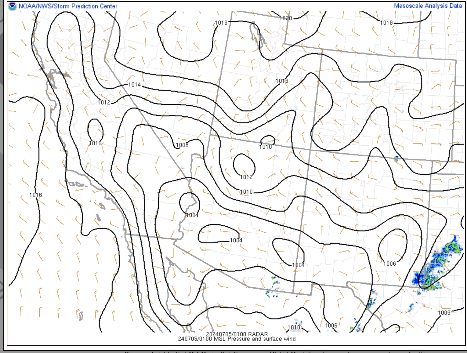
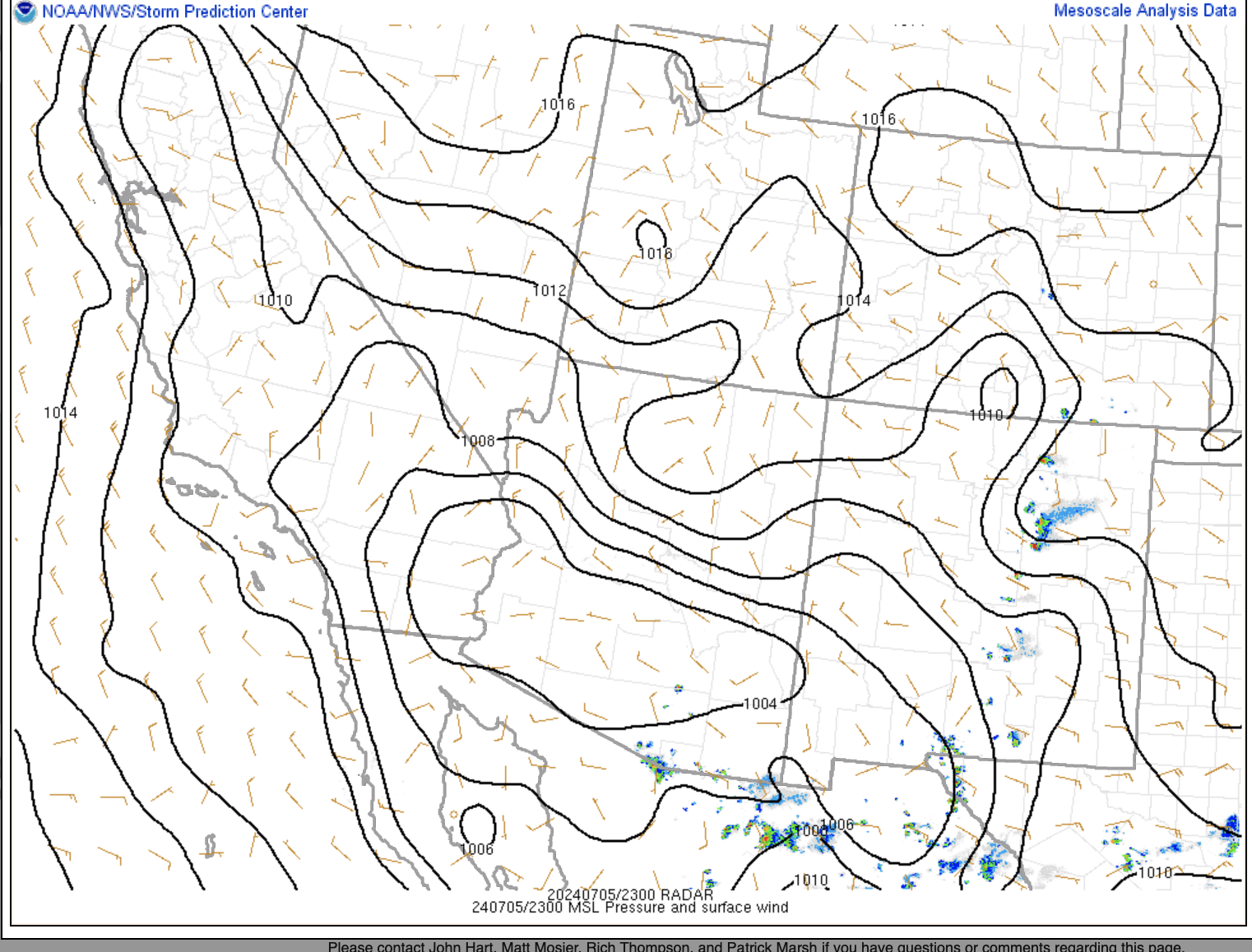
500 map 05Jul00Z
700 map 05Jul00Z
850 map 05Jul00Z
SPC meso 700 temps 05July
SPC pm surface map 04 July
VEF 04Jul12Z
VEF 05Jul00Z
VEF 04Jul12Z raw
VEF 05Jul00Z raw
Satellite 04Jul

Friday July 5, 2024

500 map 06Jul00Z
700 map 06Jul00Z
850 map 06Jul00Z
Satellite 05Jul
SPC pm sfc 05 Jul
SPC meso 700 temps 05July
VEF 05Jul12Z
VEF 06Jul00Z
VEF 05Jul12Z raw
VEF 06Jul00Z raw

Saturday July 6, 2024

500 map 07Jul00Z
700 map 07Jul00Z
Satellite 06Jul
SPC meso 700 temps 06July
SPC pm PW 06 Jul
SPC pm sfc 06 Jul
VEF 06Jul12Z
VEF 07Jul00Z
VEF 06Jul12Z raw
VEF 07Jul00Z raw

Sunday, July 7, 2024

500 map 08Jul00Z
700 map 08Jul00Z
850 map 08Jul00Z
Satellite 07Jul
SPC meso 700 temps 07July
SPC pm sfc 07 Jul
VEF 07Jul12Z
VEF 08Jul00Z
VEF 08Jul00Z SPC
VEF 07Jul12Z raw
VEF 08Jul00Z raw

Monday, July 8, 2024

500 map 08Jul12Z
500 map 09Jul00Z
700 map 09Jul00Z
850 map 09Jul00Z
SPC pm sfc 08 Jul
Satellite 08Jul
VEF 08Jul12Z
VEF 09Jul00Z
VEF 08Jul12Z raw
VEF 09Jul00Z raw

Tuesday, July 9, 2024

500 map 09Jul12Z
500 map 10Jul00Z
700 map 09Jul12Z
700 map 10Jul00Z
850 map 10Jul00Z
VEF 09Jul12Z
VEF 10Jul00Z
VEF 10Jul00Z raw
VEF 09Jul12Z raw
SPC July 09 Surface

Wednesday, July 10, 2024

500 map 10Jul12Z
500 map 11Jul00Z
700 map 11Jul00Z
700 map 10Jul12Z
850 map 11Jul00Z
Satellite 10Jul
VEF 10Jul12Z
VEF 11Jul00Z
VEF 10Jul12Z raw
VEF 11Jul00Z raw

Thursday, July 11, 2024

500 map 12Jul00Z
700 map 12Jul00Z
VEF 12Jul00Z
VEF 12Jul00Z raw
Satellite 11Jul
SPC sfc pm 11 JulDownload

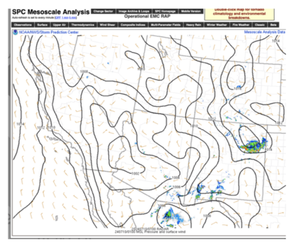
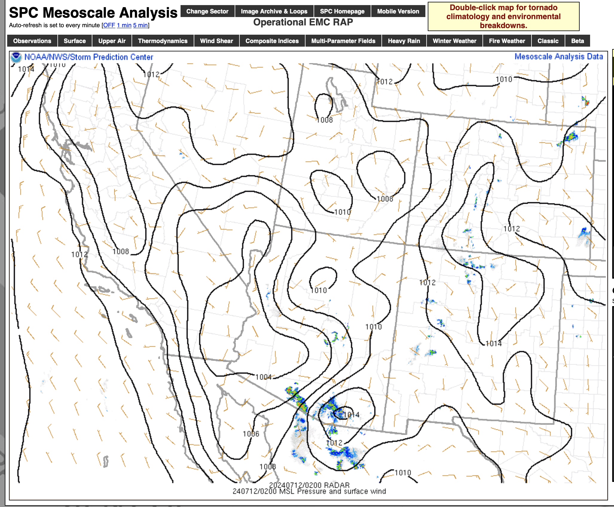
Friday July 12, 2024

500-map-12Jul12Z
500-map-13Jul00Z
700-map-12Jul12Z
700-map-13Jul00Z
850-map-12Jul12Z
850-map-13Jul00Z
SPC-pm-sfc-12-Jul
Satellite-12Jul
SPC-meso-700-temps-12July
VEF Sounding 12Jul12Z
VEF Sounding 13Jul00Z
VEF-12Jul12Z-raw
VEF-13Jul00Z-raw

Filed Under: 2024, Climate, Death Valley, Weather and Climate Blog, Weather Stations

Leave a Reply

You must be logged in to post a comment.

Search

July 2024
S M T W T F S
 123456
78910111213
14151617181920
21222324252627
28293031  
« May   Oct »

Categories

Archives

Copyright © 2025 stormbruiser.com ยท Log in